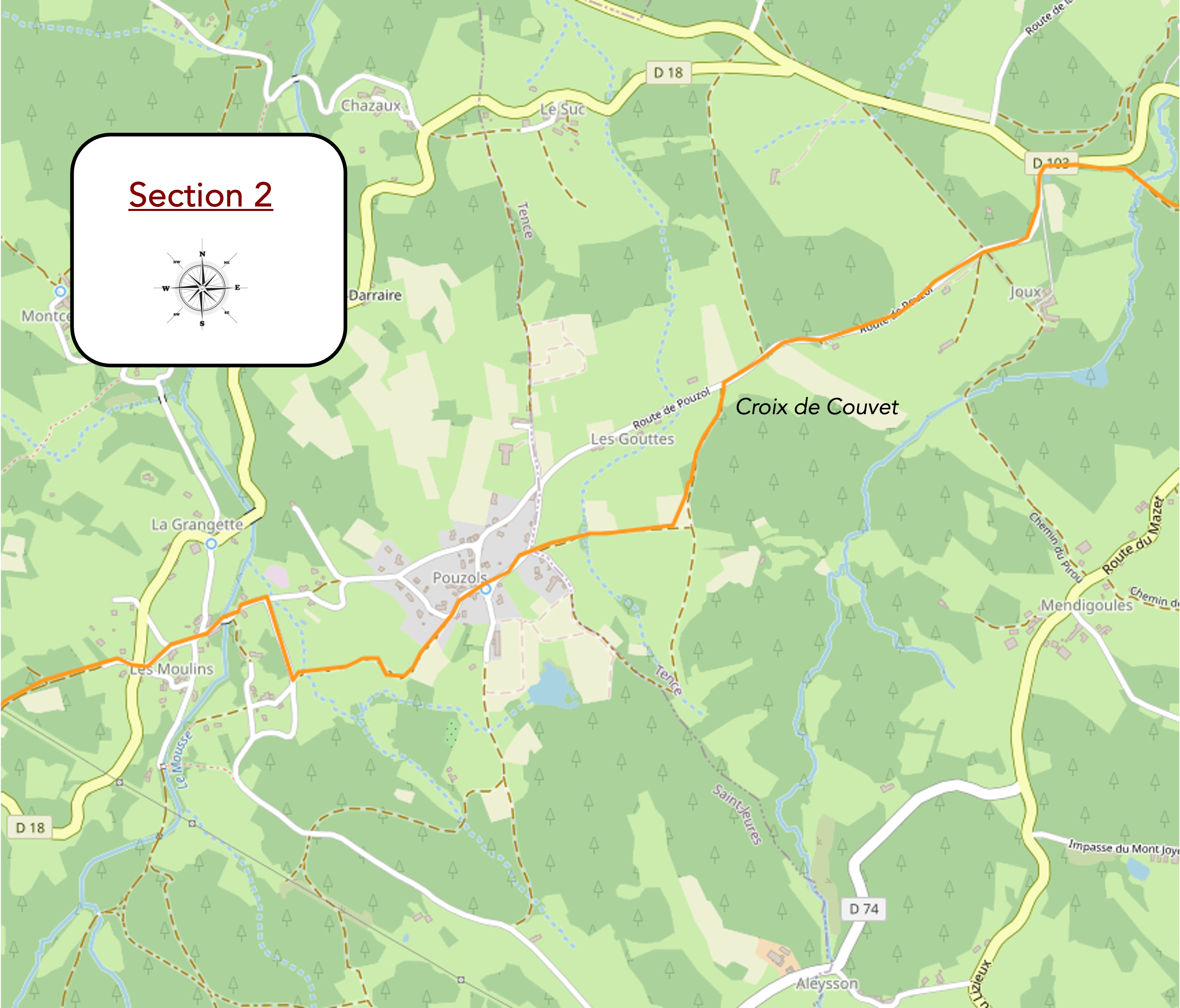
Heading towards the « sucs » of Meygal
DIDIER HEUMANN, ANDREAS PAPASAVVAS
We divided the course into several sections to make it easier to see. For each section, the maps show the course, the slopes found on the course, and the state of the route (paved or dirt roads). The courses were drawn on the « Wikilocs » platform. Today, it is no longer necessary to walk around with detailed maps in your pocket or bag. If you have a mobile phone or tablet, you can easily follow routes live.
For this stage, here is the link:
https://fr.wikiloc.com/itineraires-randonnee/de-tence-a-queyrieres-par-le-gr65-gr430-39905133
| Not every pilgrim feels comfortable using GPS devices or navigating on a phone, especially since many sections still lack reliable internet. To make your journey easier, a book dedicated to the Via Gebennensis through Haute-Loire is available on Amazon. More than just a practical guide, it leads you step by step, kilometre after kilometre, giving you everything you need for smooth planning with no unpleasant surprises. Beyond its useful tips, it also conveys the route’s enchanting atmosphere, capturing the landscape’s beauty, the majesty of the trees and the spiritual essence of the trek. Only the pictures are missing; everything else is there to transport you.
We’ve also published a second book that, with slightly fewer details but all the essential information, outlines two possible routes from Geneva to Le Puy-en-Velay. You can choose either the Via Gebennensis, which crosses Haute-Loire, or the Gillonnay variant (Via Adresca), which branches off at La Côte-Saint-André to follow a route through Ardèche. The choice of the route is yours. |
 |
 |
If you only want to consult lodging of the stage, go directly to the bottom of the page.
Today’s route takes you through the heart of the “sucs,” these unusual, long-extinct volcanic domes that are unique in Europe. Shaped like sugarloaves, they emerge dramatically from the earth amidst vast open spaces. Around the end of the Tertiary period, over 10 million years ago, as Hephaestus (Vulcan in Roman mythology) ceased his fiery games within the earth’s core, the formation of the Alps caused the ancient granite base to rise. This uplift created faults through which magma ascended to the surface and solidified. There’s often confusion between basalt and granite among the general public. However, they originate from the same material, with their final form depending on where the rock solidifies. If the magma solidifies deep underground, high pressure and temperature conditions cause the crystals to recrystallize, forming granites. These granites can also reach the surface, as seen in the Alps. In contrast, when the fluid magma solidifies on the surface, it forms lava, which is essentially basalt. Magma contains large amounts of dissolved gases, which separate over time due to increasing pressure. This separation causes the gas to propel the magma upward, resulting in an eruption. The buildup of pressure inflates the volcano, triggering minor earthquakes as the magma ascends through the main vent, releasing gas. When lava reaches the surface, the eruption begins. In the case of an explosive eruption, the lava accumulates around the cone, forming a plug that, when it finally explodes, generates volcanic plumes and pyroclastic flows. In contrast, during an effusive eruption, fluid lava flows smoothly down the volcano’s slopes. The “sucs” are volcanic formations characterized by viscous magma, which is relatively low in gas content. Because of this low gas content, there is no explosive eruption or crater formation like in traditional volcanoes. Instead, the lava flows slowly and solidifies almost instantly, creating gently sloping hills or domes. Over time, these formations eroded, and trees gradually took root on their slopes. For reference, here is a small diagram showing the geographical position of the “sucs” in the region.

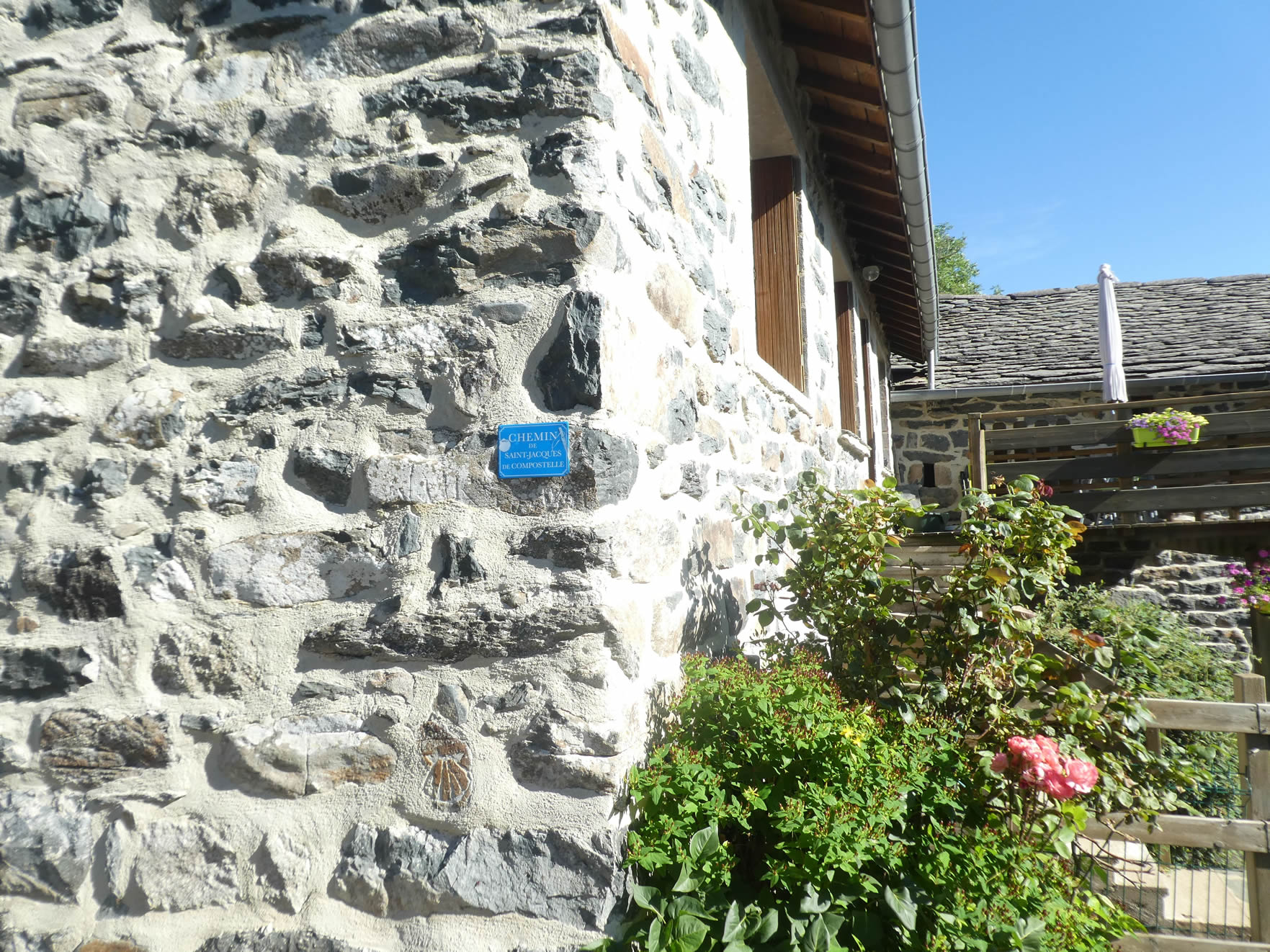
Today’s stage leads you into the Meygal, a significant mountainous area of the Massif Central, located in Haute-Loire. The Meygal is the pulsating heart of Velay, with its highest peak being the Suc de Testavoira, standing at 1,436 meters above sea level. In winter, it transforms into a cross-country skiing destination, belonging to the commune of Queyrières, where you will stop for the night. This volcanic massif in Auvergne continues to evoke a strange, secretive atmosphere. As you approach Velay, you’ll notice that the beautiful stone houses increasingly use volcanic stones, gradually replacing the granites in a seamless transition.
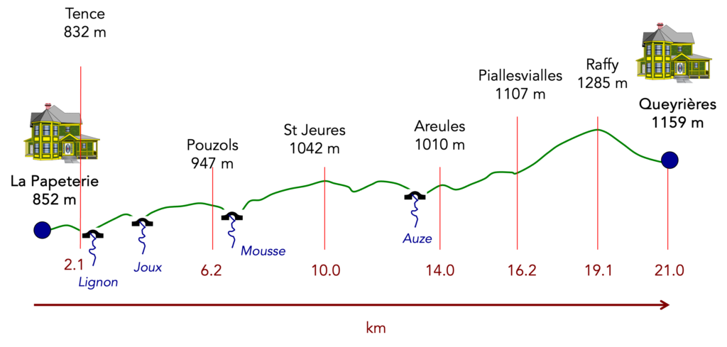
Difficulty level: The elevation changes (+681 meters/-384 meters) are quite pronounced for a stage of less than 20 kilometers. However, it’s not a particularly difficult stage, despite the nearly continuous ascent up to Raffy. The 15% slopes are fairly discreet, with frequent, restorative flat sections. It’s only around Raffy, at the forest’s peak, that the slopes become more noticeable, both in ascent and descent.
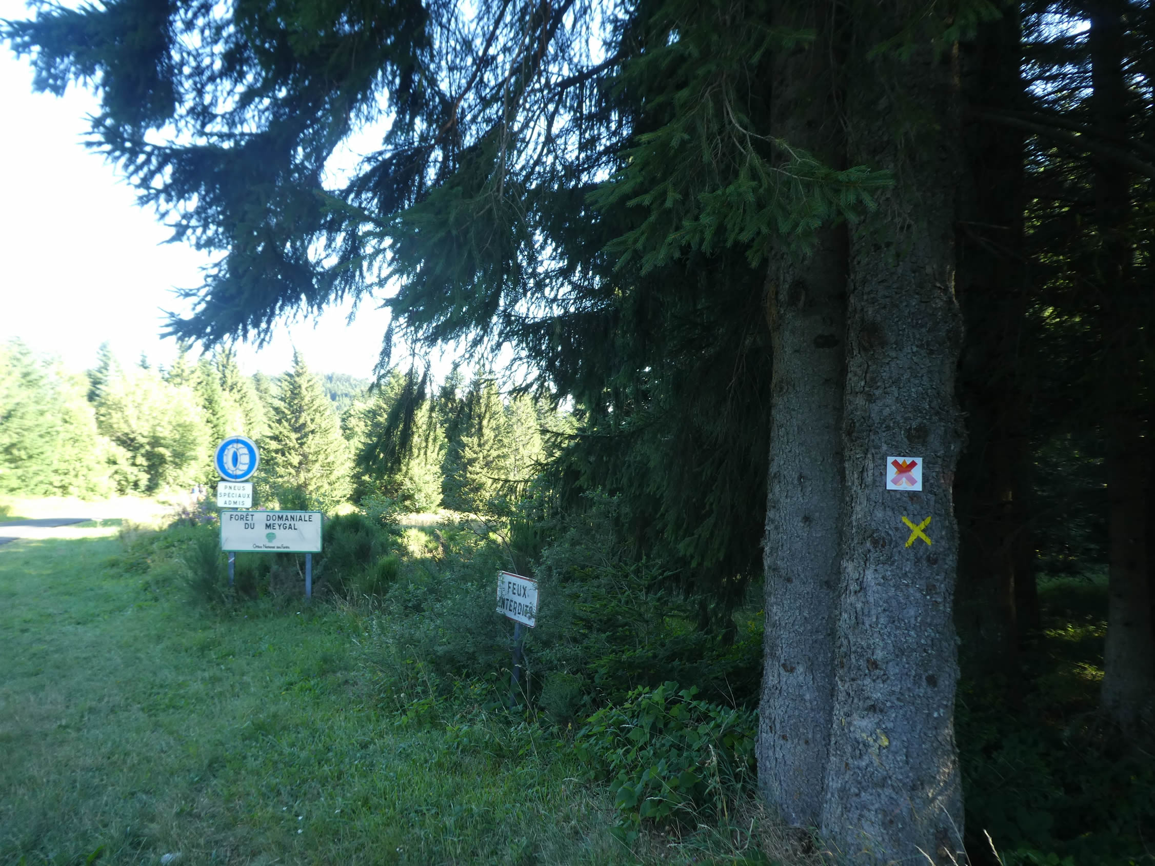
State of the GR65: On today’s stage, the paths slightly outnumber the roads:
- Paved roads: 8.1 km
- Dirt roads : 11.2 km
Sometimes, for reasons of logistics or housing possibilities, these stages mix routes operated on different days, having passed several times on these routes. From then on, the skies, the rain, or the seasons can vary. But, generally this is not the case, and in fact this does not change the description of the course.
It is very difficult to specify with certainty the incline of the slopes, whatever the system you use.
For those seeking « true elevations » and enthusiasts of genuine altimetric challenges, carefully review the information on mileage at the beginning of the guide.

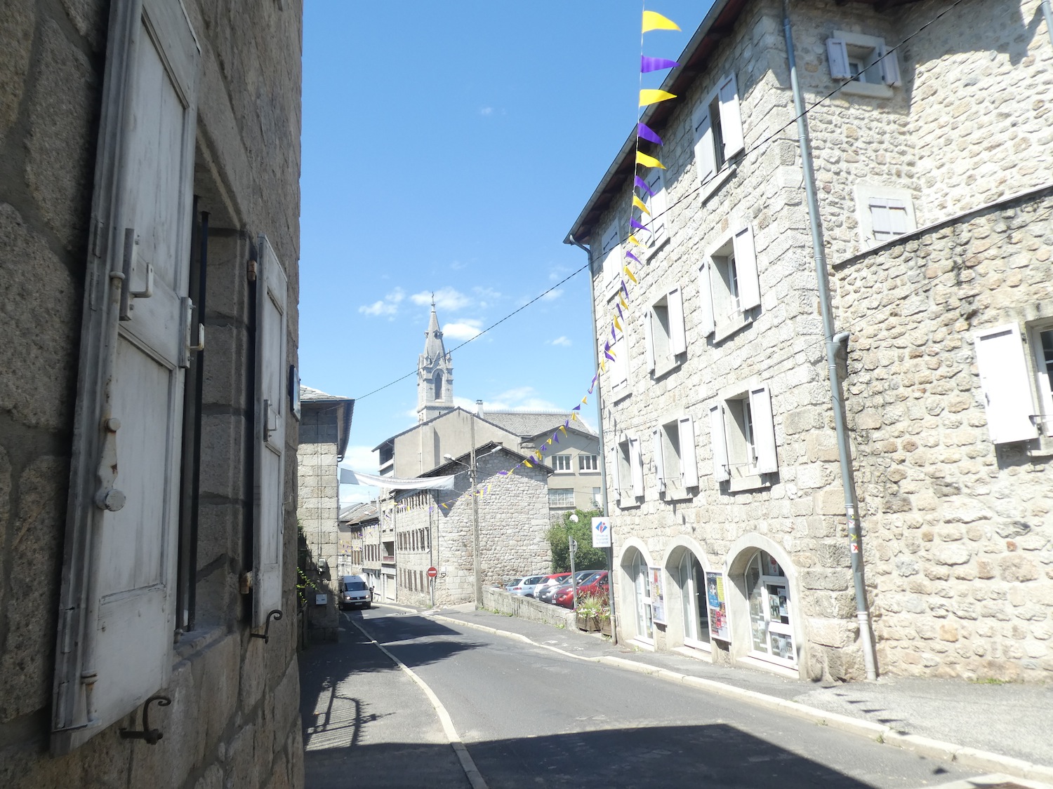
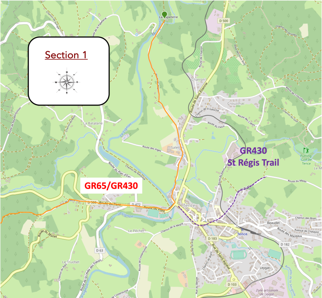
Section 1 : Passing through Tence
Overview of the route’s challenges: Although there are some fairly steep inclines, the overall route is not difficult.

|
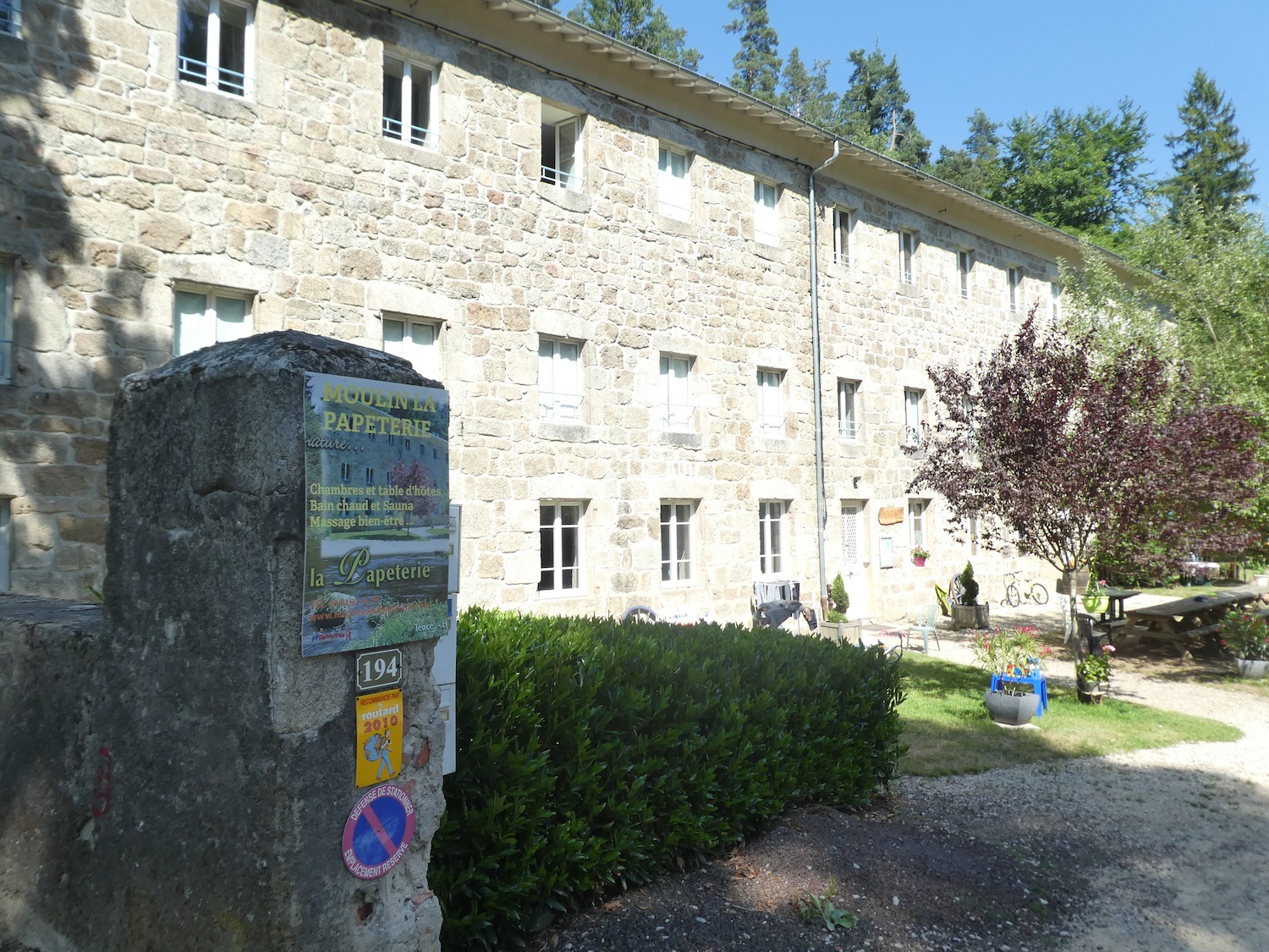
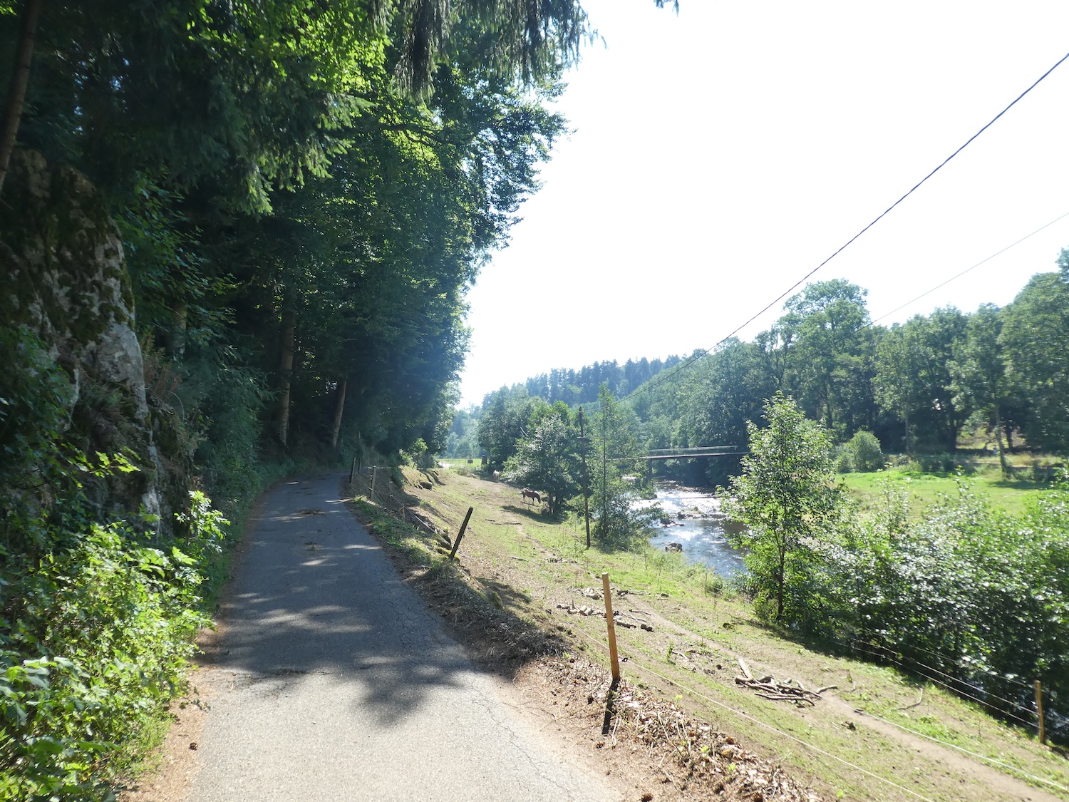
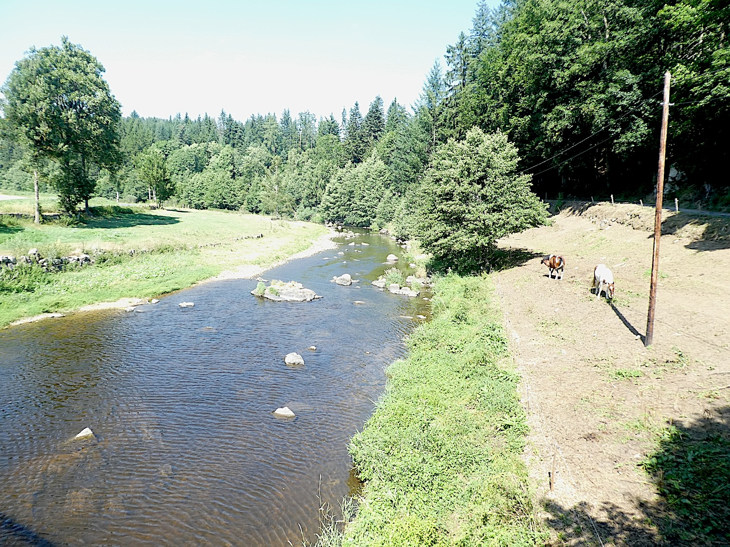
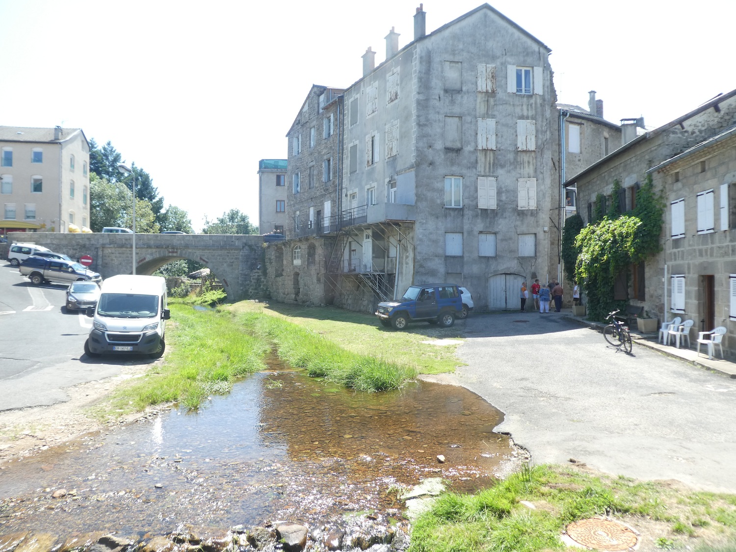
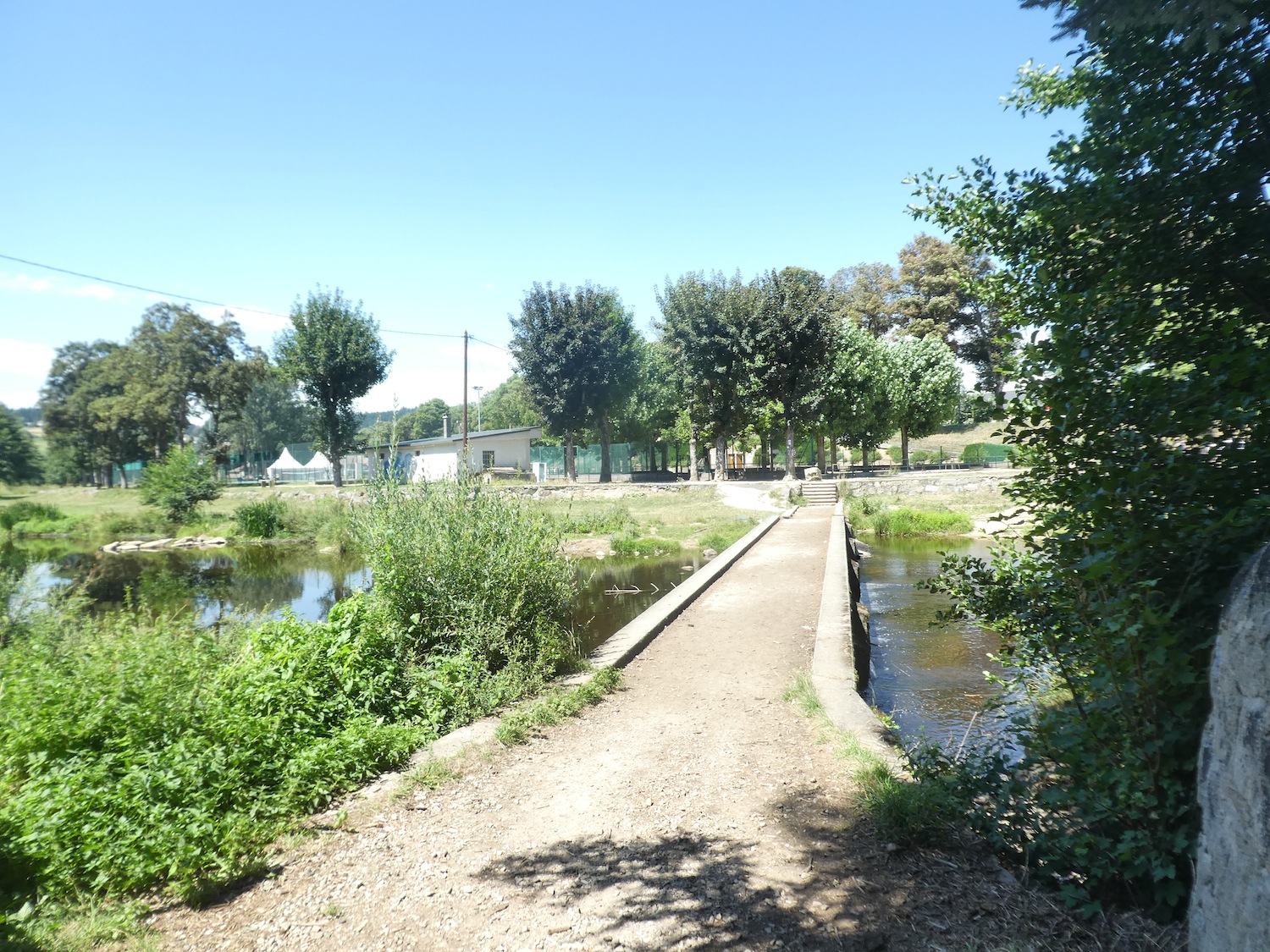
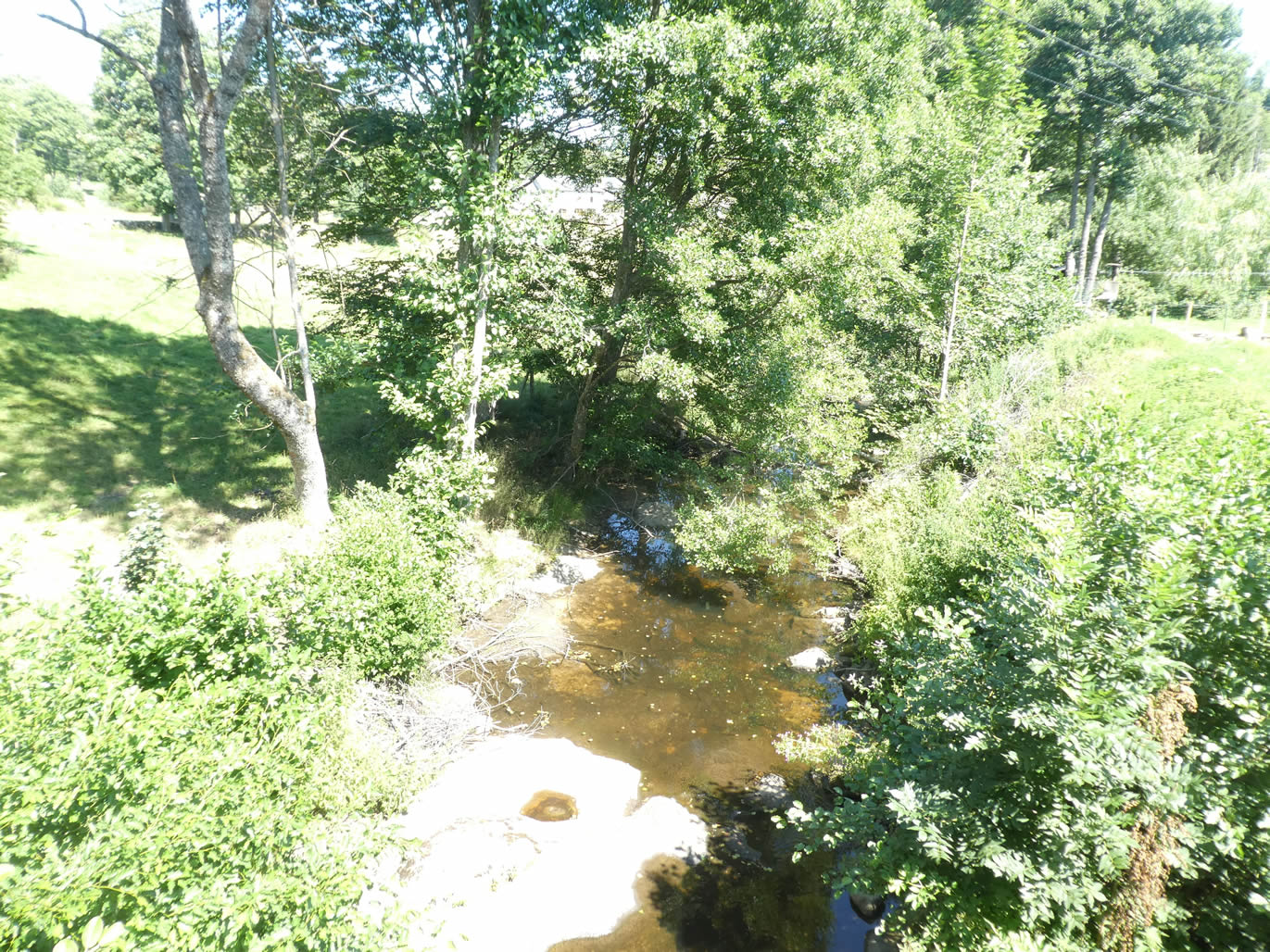
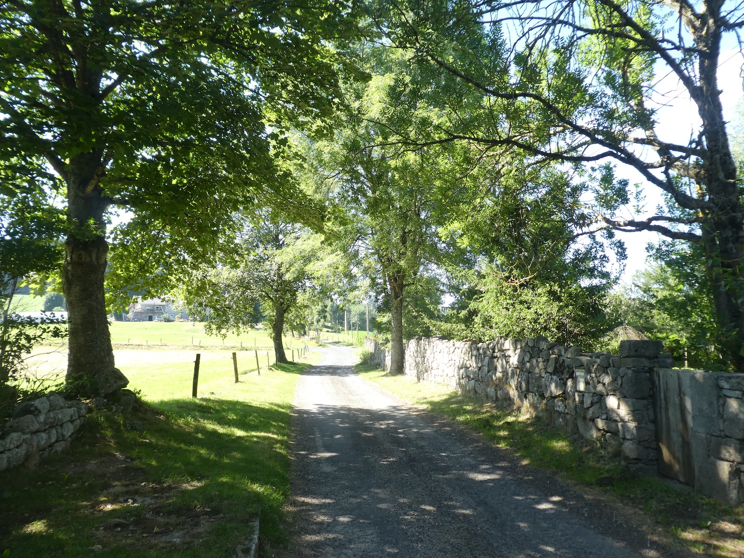
The GR65 emerges from the Papeterie, winding along the Lignon, a capricious river that carves through the region, meandering between the lands of Haute-Loire and Ardèche. This river, sometimes gentle and calm, sometimes wild and spirited, appears as a silver thread gliding through a picturesque landscape, a preserved natural treasure in this rustic countryside.
|
 |
 |
|
Rather than crossing this charming and tranquil river, the trail follows its winding path, immersing itself in an enchanting landscape where the water seems to whisper beautiful stories.
|
 |
 |
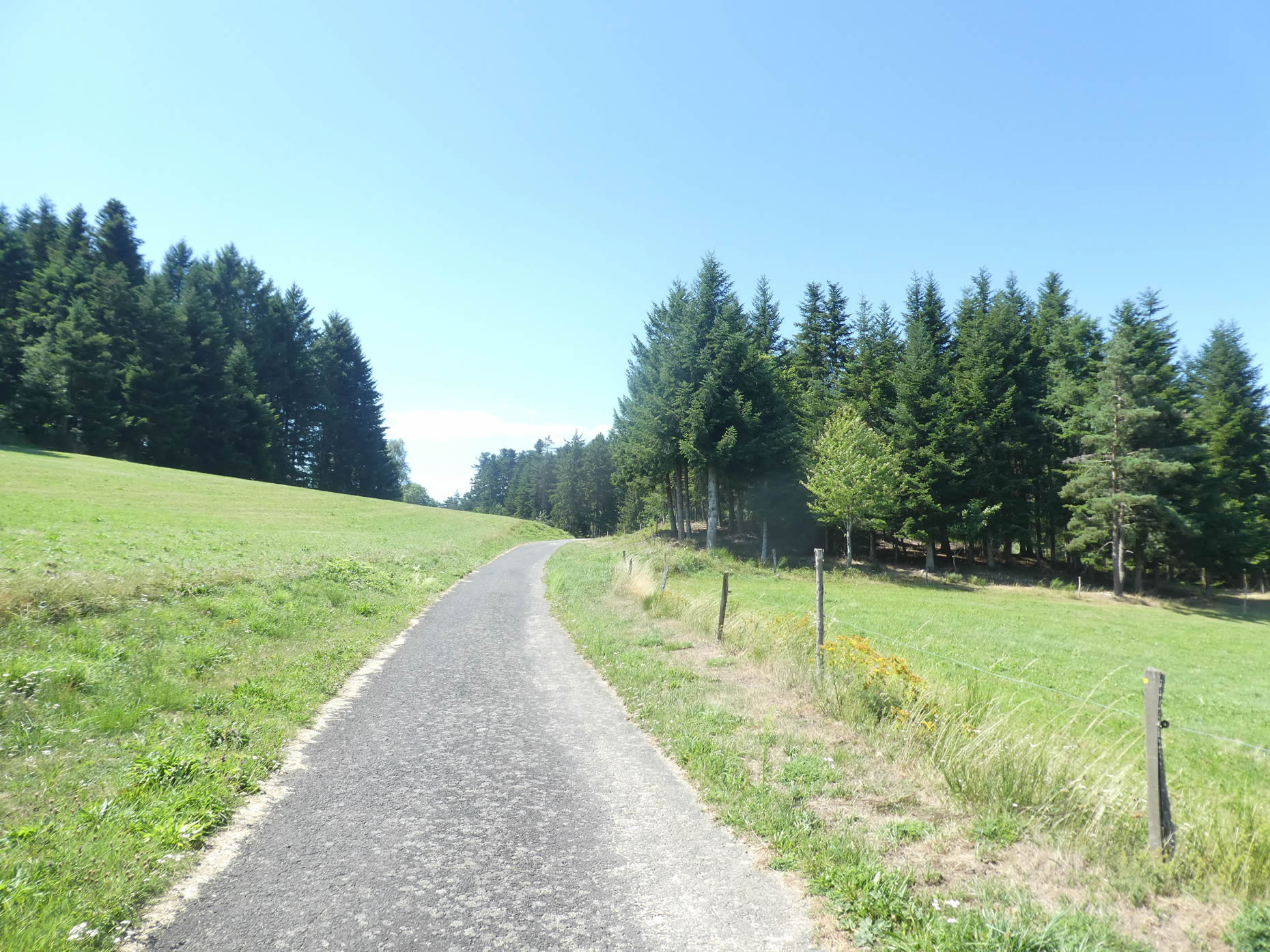
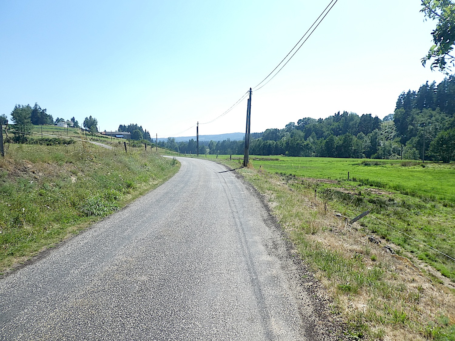
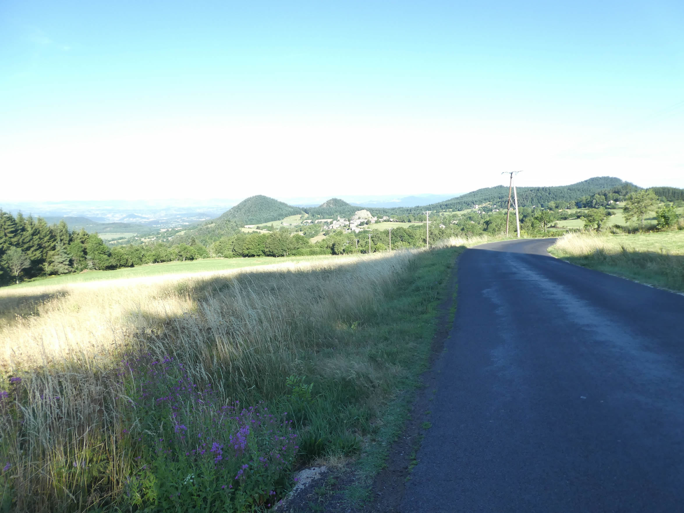
| Next, a paved road, worn by time and the seasons, gradually climbs from the river’s edge. This ascent, which slowly intensifies, crosses hills dotted with meadows and sparse crops, painting a bucolic yet somewhat austere picture. |
 |
 |
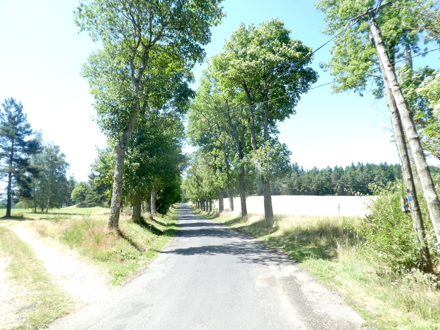
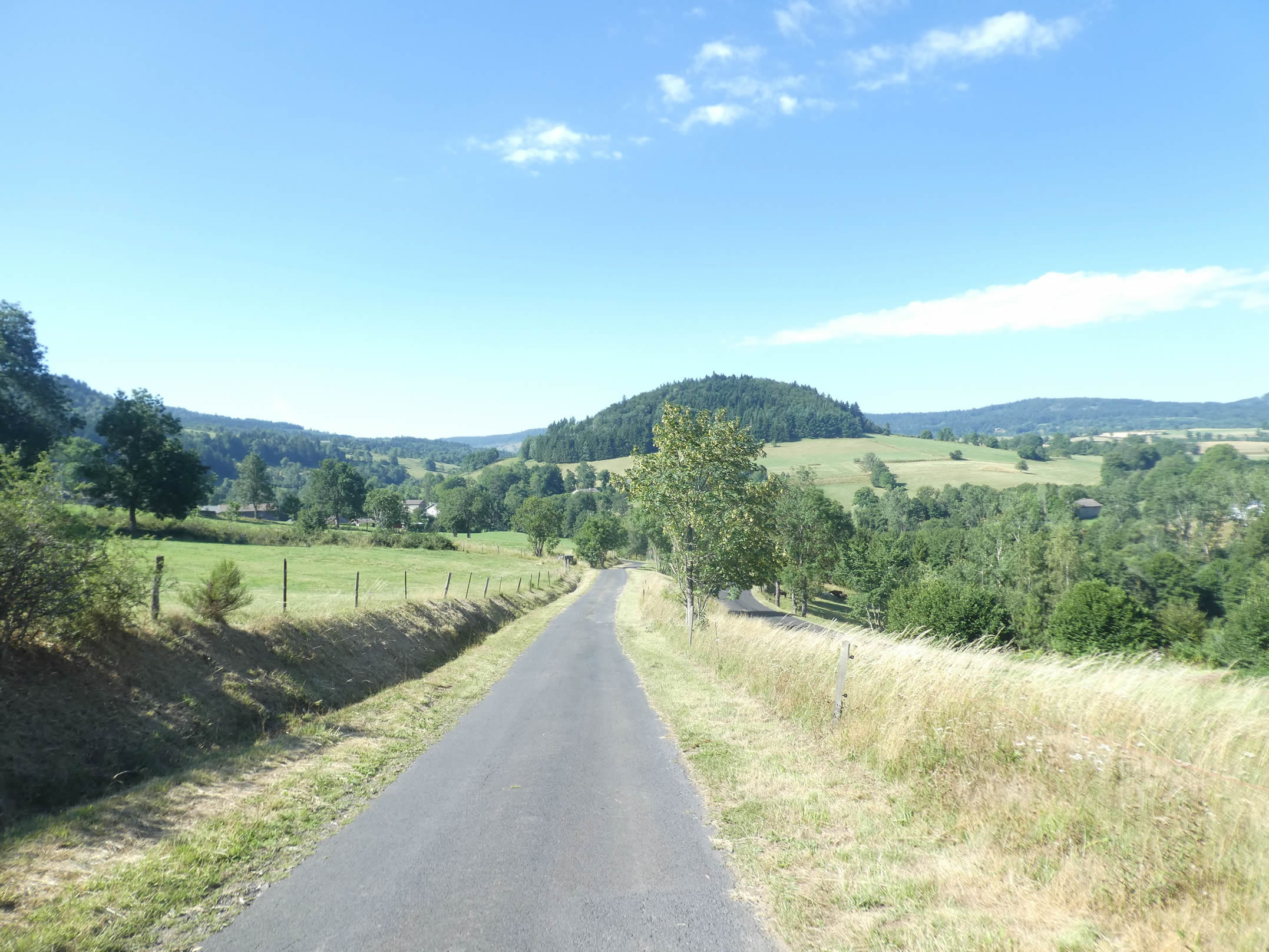
| The fir forests stand tall, majestic sentinels of nature flanking the road that seems to stretch infinitely along the hillside. Here, cattle graze peacefully, adding a touch of life to this wild and timeless landscape. |
 |
 |
| At the hill’s summit, the horizon broadens, revealing a gentle and fertile countryside where grain thrives, swaying in the breeze like a sea of golden wheat. This sunlit panorama inspires a sense of tranquility, enveloping the hiker in a peaceful embrace. |
 |
 |
| The road then descends toward Tence, passing by the stone houses of Les Salettes, silent witnesses of a bygone era, before entering the upper outskirts of Tence. This descent offers a gentle transition into the heart of the town, gradually revealing the hidden charms of the region. |
 |
 |
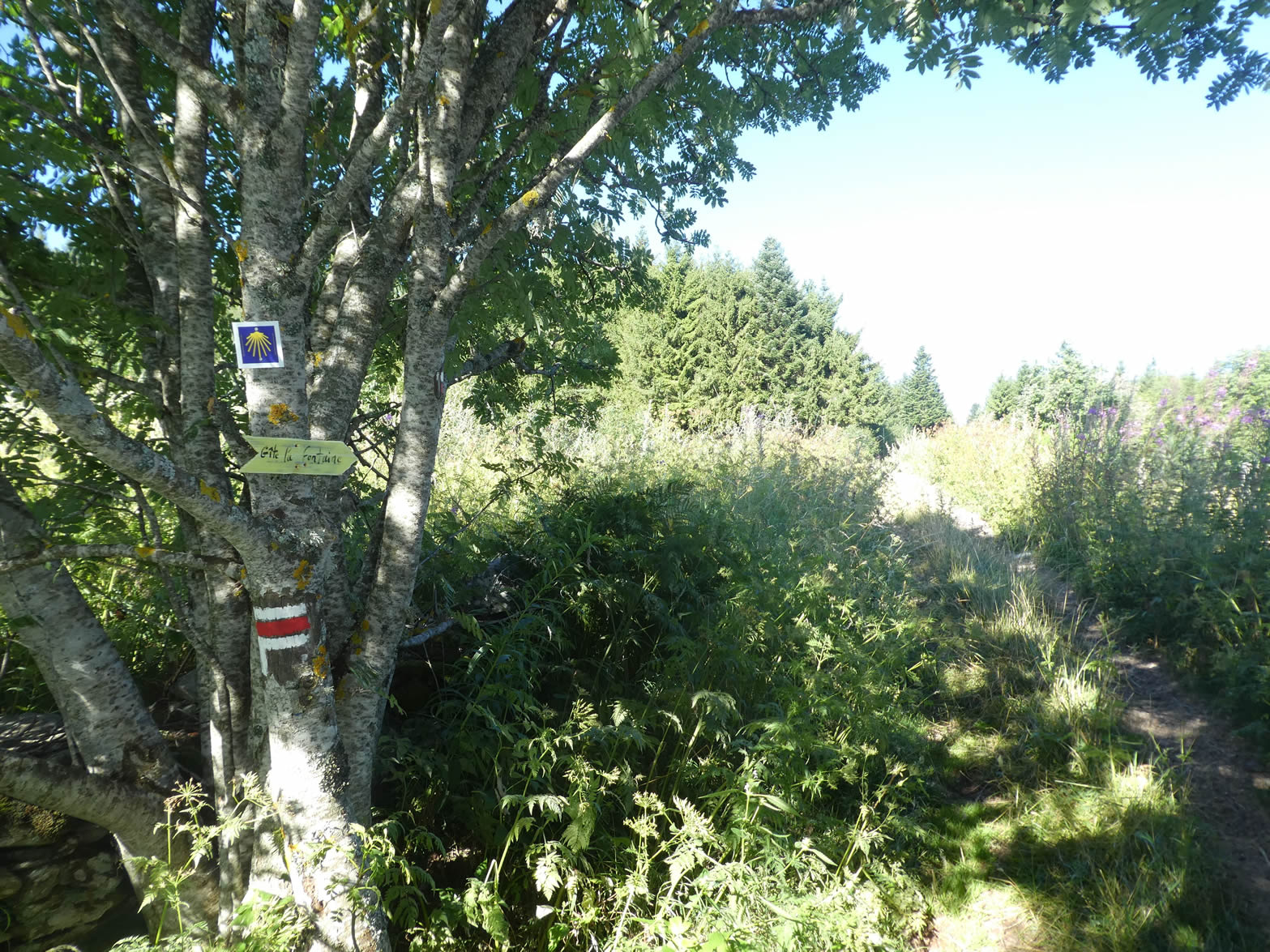
| At the entrance to Tence, where streams murmur in an enchanting natural park nestled at the foot of the town, special attention is required. It’s easy to be misled by the GR markers here, which could guide you onto the GR430, quietly intersecting this area. |
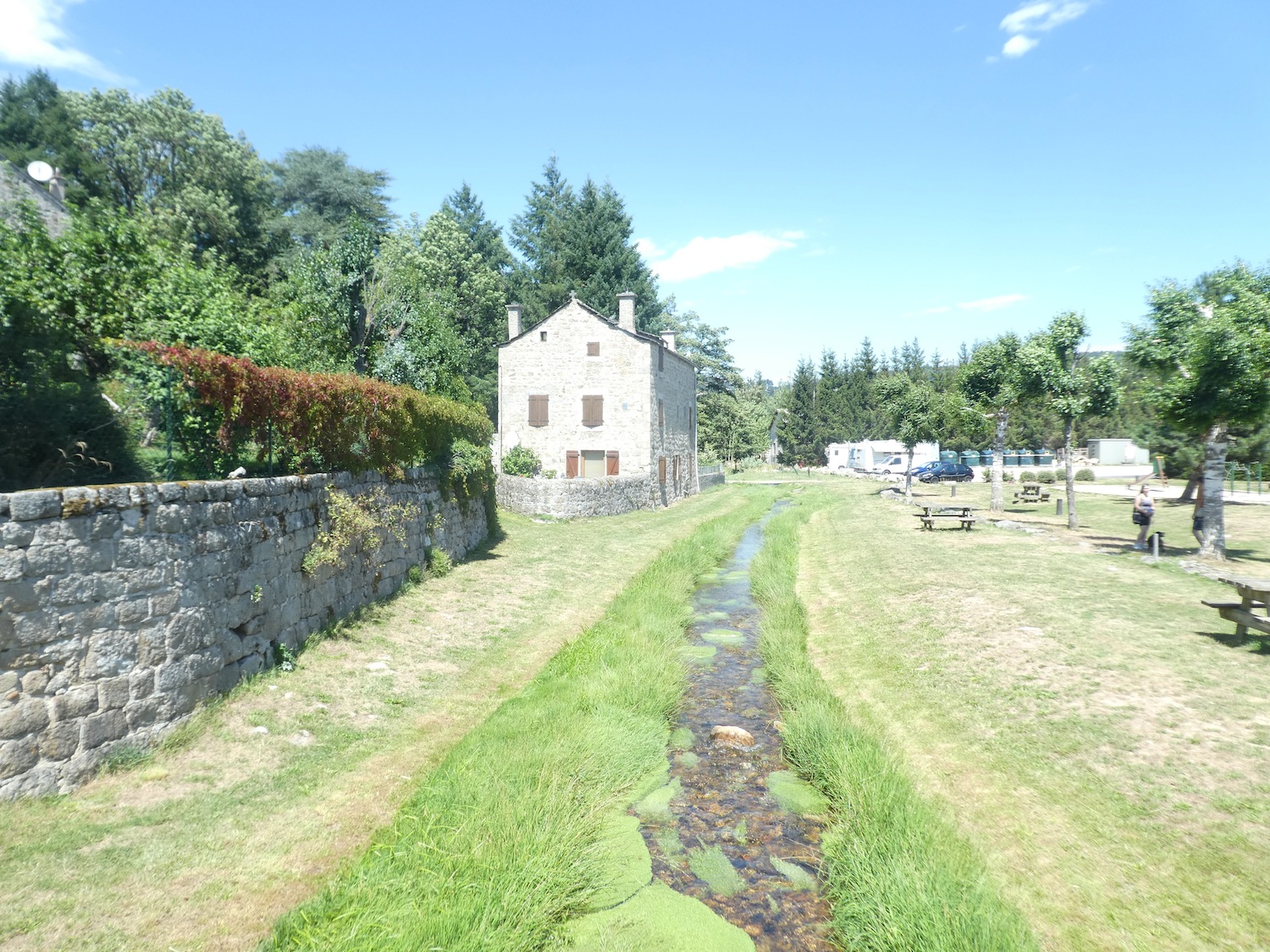 |
 |
It is therefore crucial to head directly toward the town center to cross it, avoiding the deceptive detour of the GR430 that climbs toward Montfaucon, a misleading path that could lead you far from your intended destination.
You may know that some courageous pilgrims make the journey back from Santiago to their home country on foot. But we can tell you, having walked many sections in reverse, that finding the right route is a real challenge. In this case, only the GR trails and your sense of direction will guide you, as there are, of course, no more scallop shells to show you the way.
| LThe GR65 slopes up toward the town, crossing ancient fortifications that seem to form a mysterious gateway, inviting the traveler to uncover the hidden secrets of this city. |
 |
 |
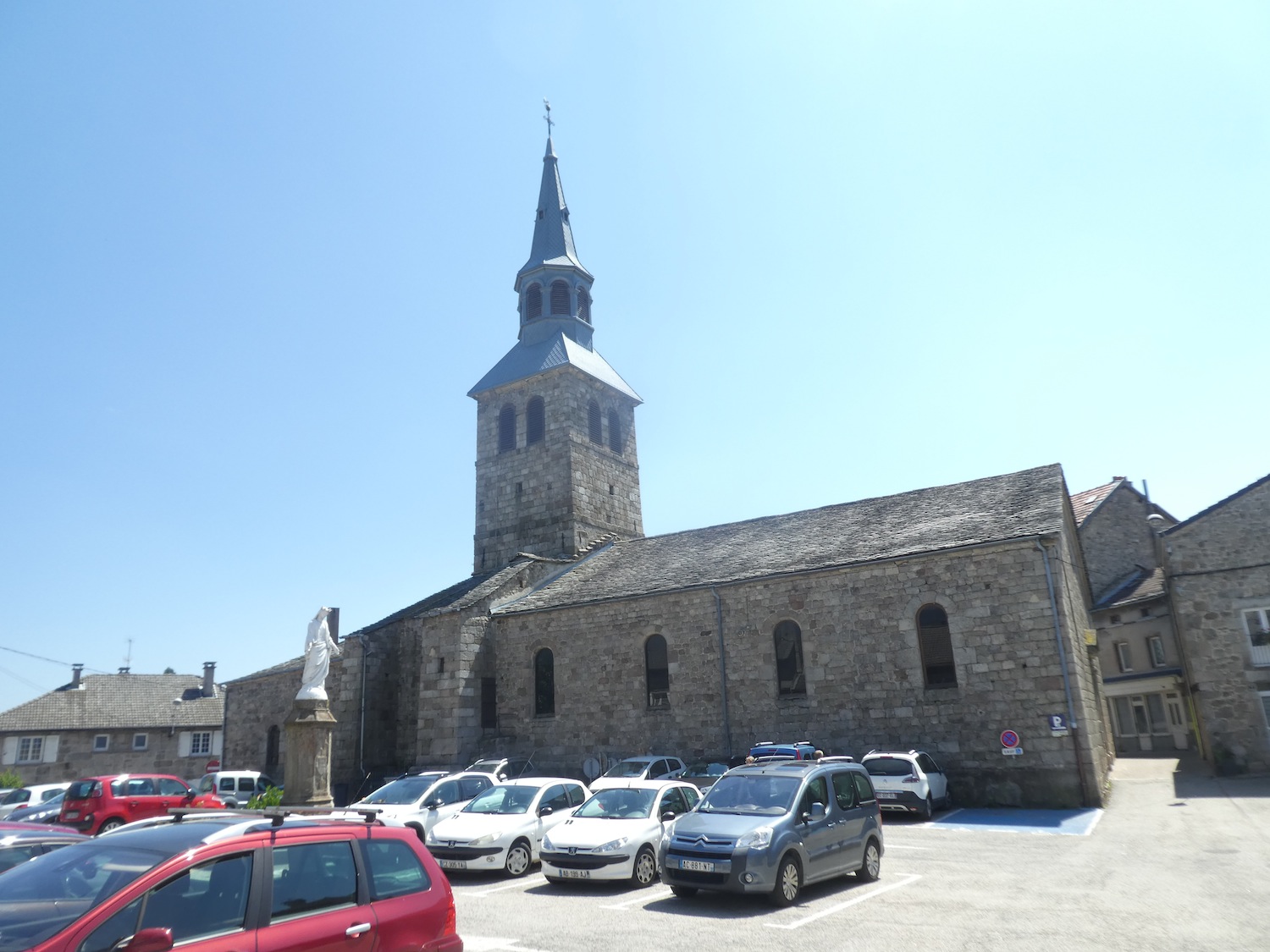
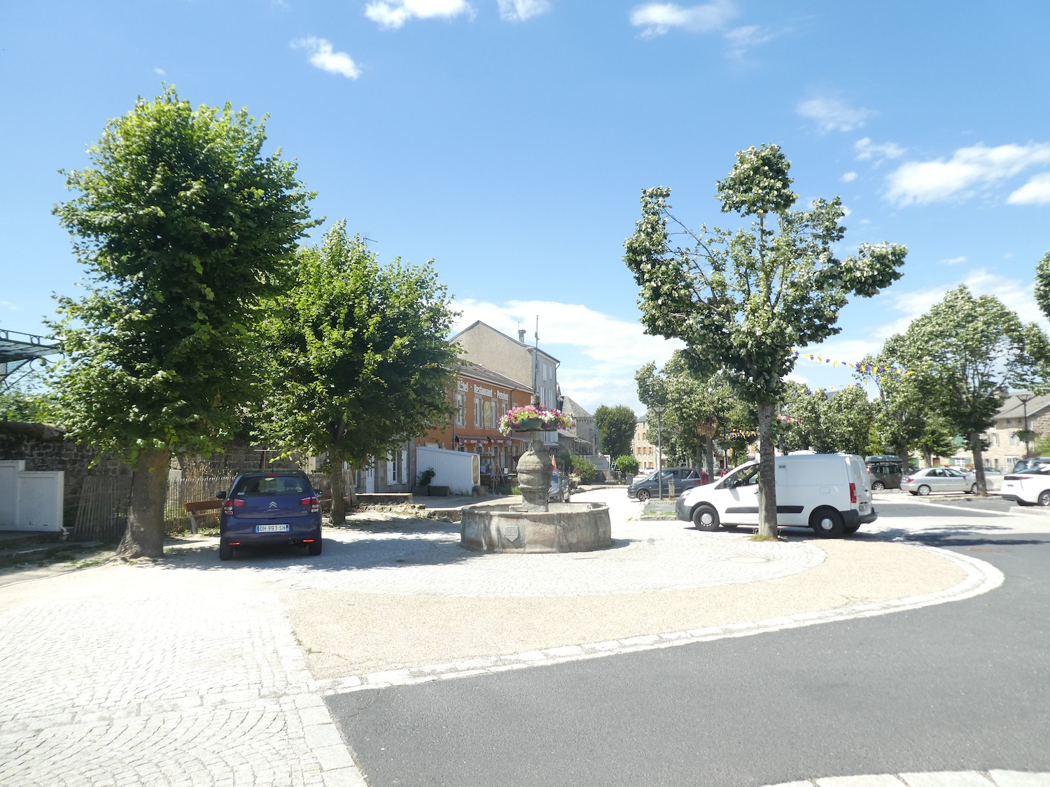
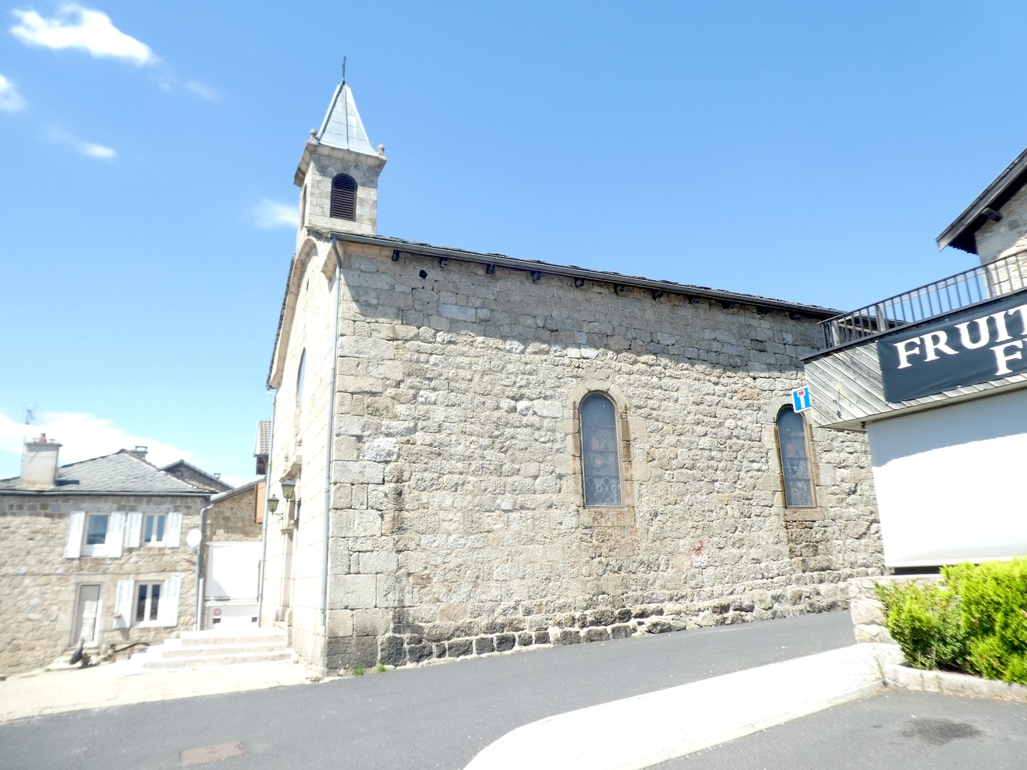
With its 3,000 souls, Tence reveals itself as a haven of tranquility. In the heart of the town, the St Martin Church proudly stands on a large square surrounded by old stone houses, silent witnesses of centuries gone by. A Protestant temple also stands here, a reminder of the proximity to Ardèche, a land of dissent and fervent faith.
| The town is adorned with charming, carefully landscaped squares—whether near the town hall, the war memorial, or the Chapel of the Penitents—each corner seems to tell a story, each stone whispers echoes of the past. |
 |
 |
| The religious jewel of Tence, the Chapel of the Penitents, proudly stands at the top of Place du Chatiague. Built in 1719 by the lay Brotherhood of the Penitents of the Blessed Sacrament, it features a characteristic rounded shape, likely a remnant of a medieval defensive tower. Today, this chapel is a small museum housing precious paintings and sculptures. The current chapel, dating from 1813, was built by a mason named Sarda, after the previous one was sold as national property and devastated during the Revolution. Founded on April 13, 1652, the Brotherhood of White Penitents of Tence organizes an emotional procession every Good Friday at dusk. Starting from the chapel’s esplanade, the procession reaches the Calvary, retracing the fourteen stations of the Way of the Cross in a ceremony filled with solemnity and devotion. |
 |
 |
| The city unfolds in layers, like a book with stacked chapters. From the chapel, the GR65 descends toward the center, revealing an incredibly beautiful town with its robust light granite houses, uniformly carved to defy the ravages of time. The narrow streets wind through the old village, enlivened by shops that keep the heart of this historic city beating. |
 |
 |
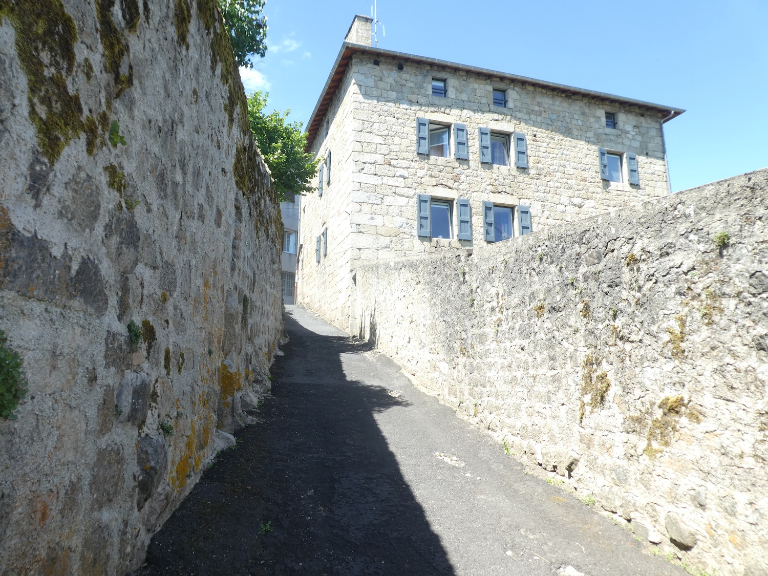
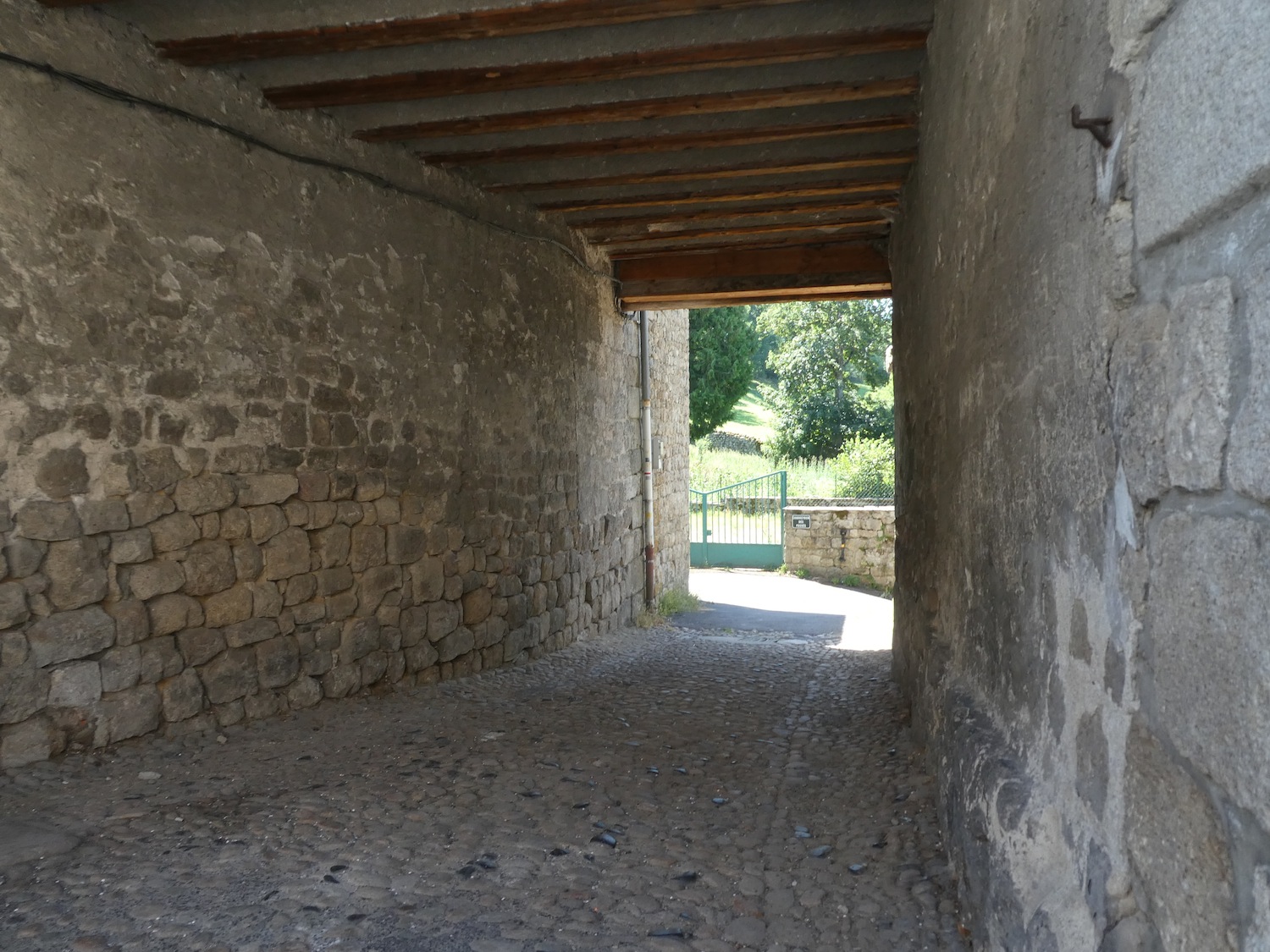
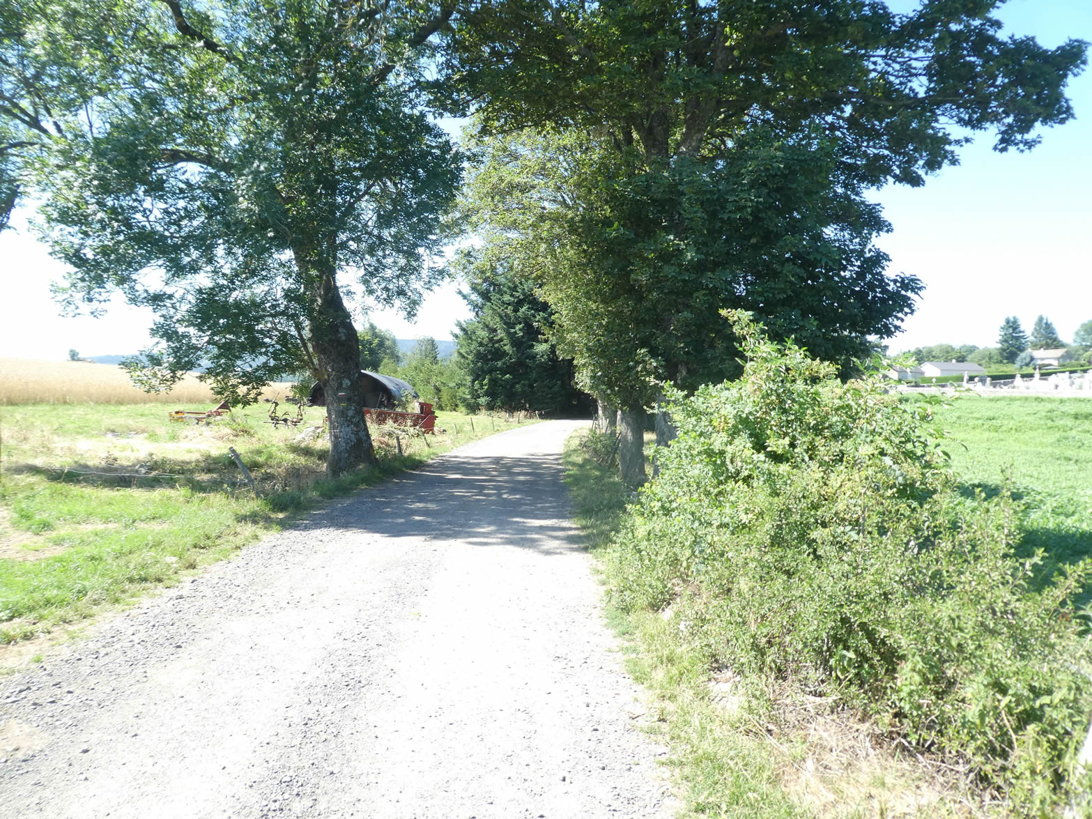
| The GR65 emerges from the town’s commercial center, winding at the foot of the city and slipping under the majestic remains of the old walls. Today, no hesitation is allowed, as the GR65 and GR430 share the same route until the end of the stage. |
 |
 |
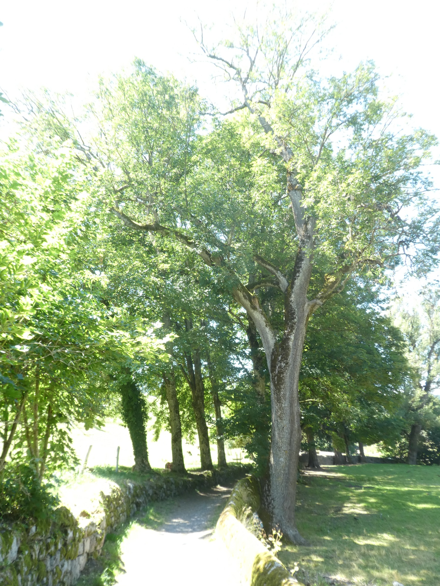
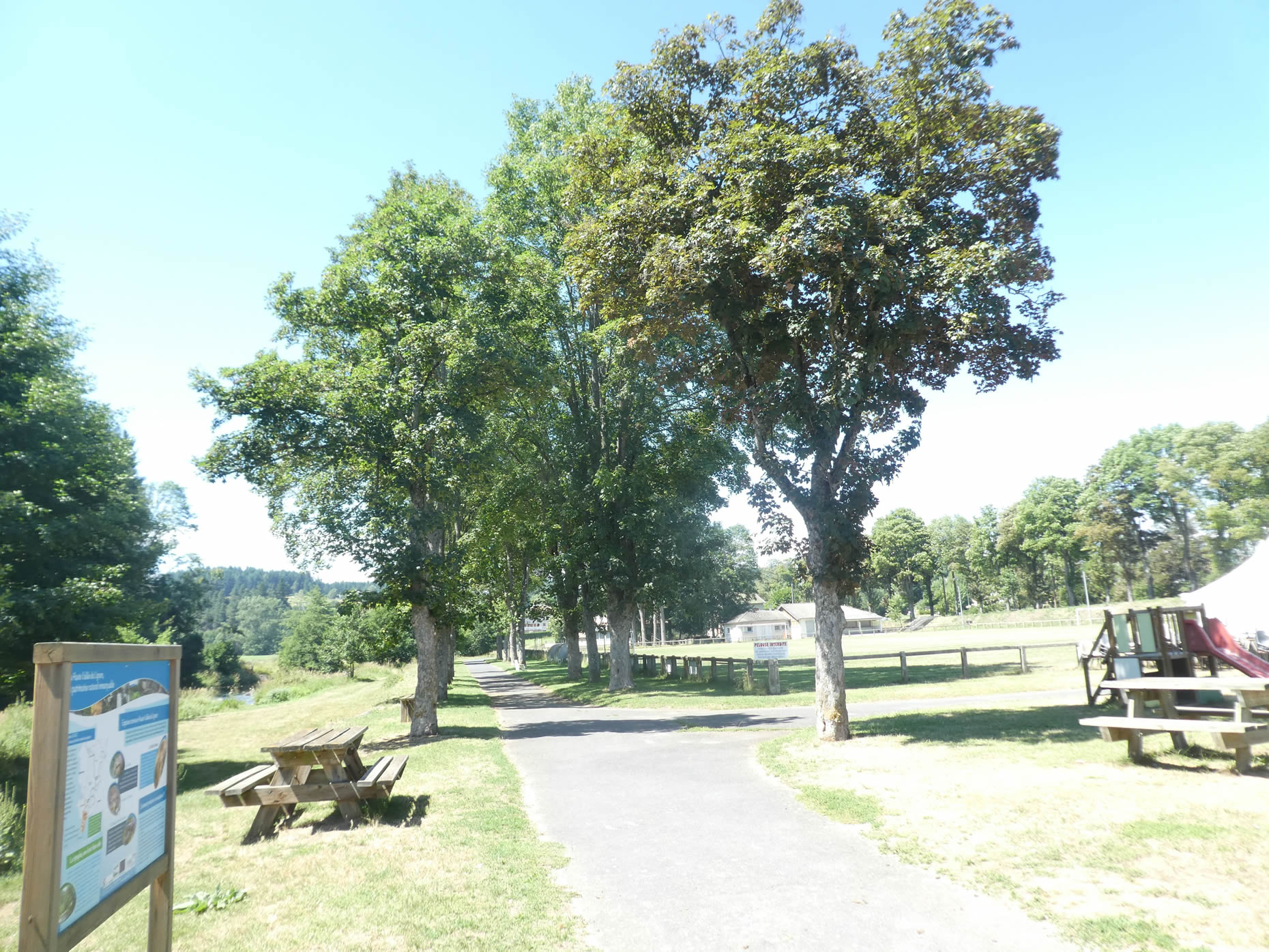
| It then ventures into a true haven of greenery, a miniature park where towering maples and centuries-old ash trees stubbornly defy the passage of time and the whims of the weather. |
 |
 |
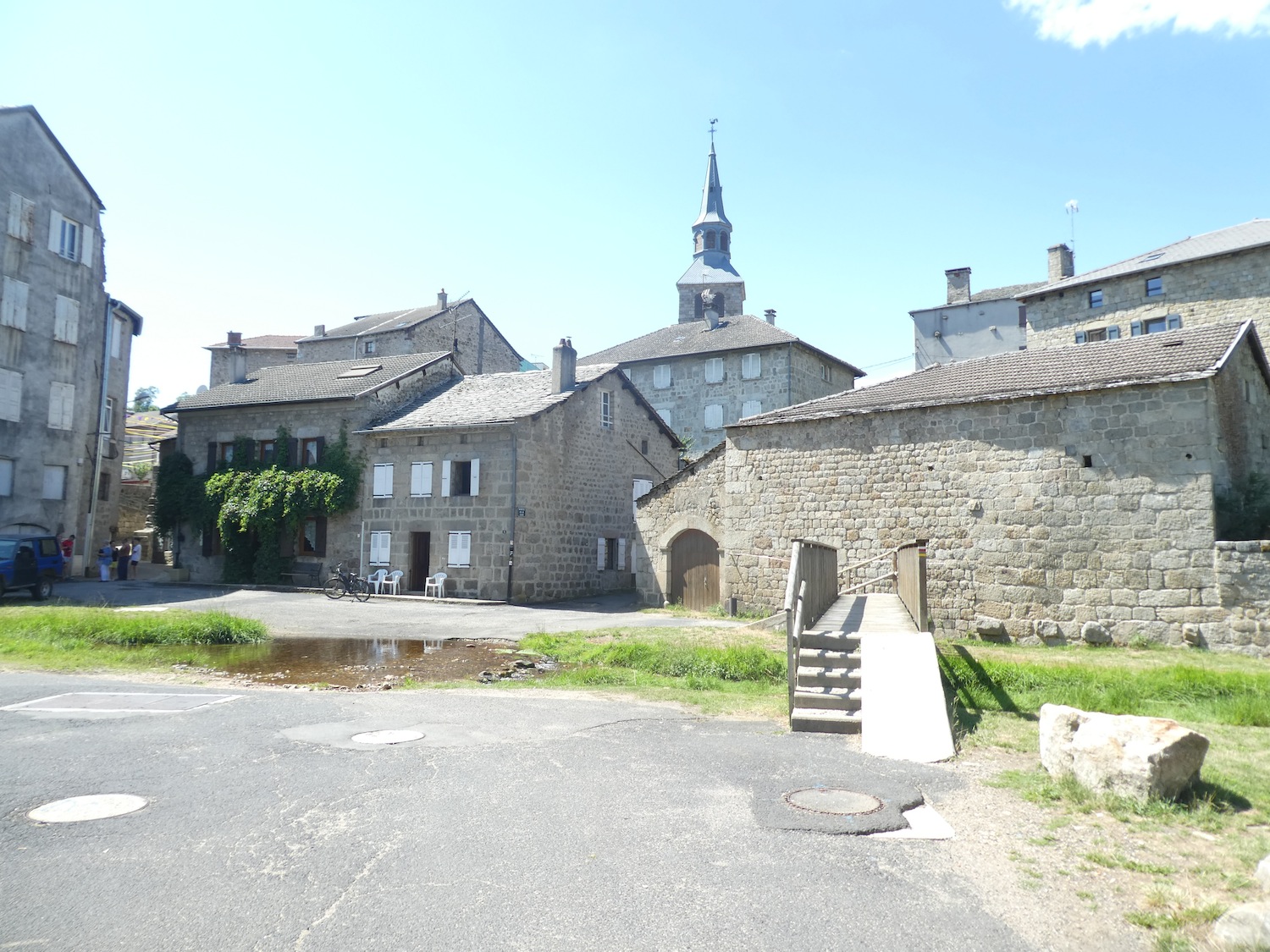
| In this peaceful haven, a graceful footbridge spans the Lignon, whose calm waters reflect the uniform and timeless beauty of the town’s gray stone houses. A true feast for the eyes and soul, an undeniable jewel in the crown of Haute-Loire. |
 |
 |
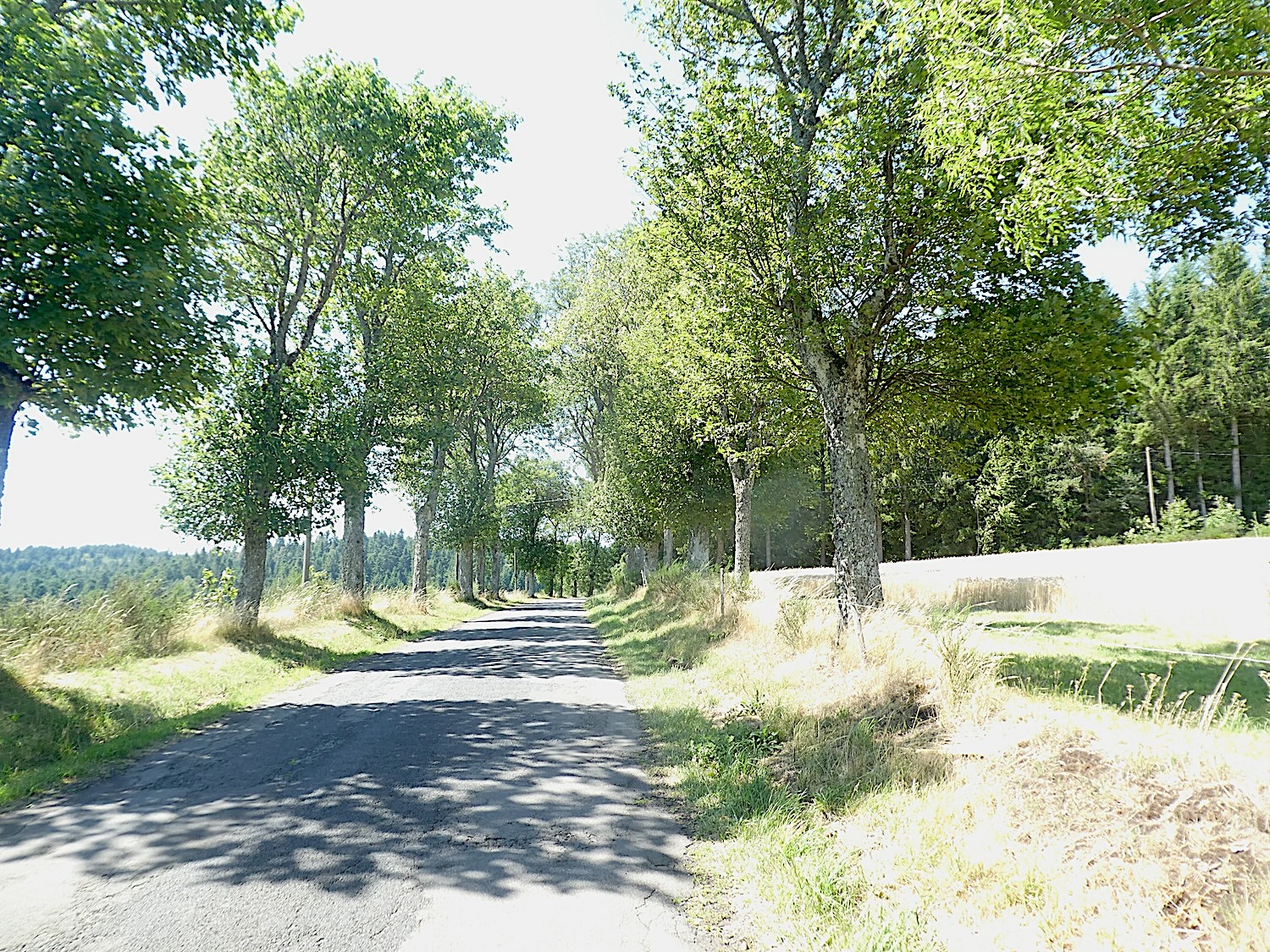
| The GR65 leaves this enchanting park, slipping away under the majestic shade of horse chestnut and poplar trees. |
 |
 |
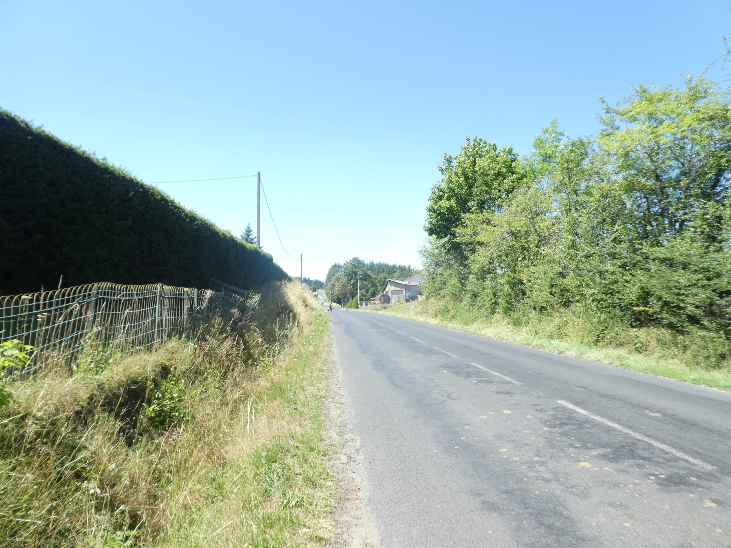
| On the Way of Saint James, after every slice of paradise, there is often a purgatorial passage. The GR65 joins a small, fairly busy departmental road, forcing pilgrims to walk nearly half a kilometer along the roadside of this bustling route. |
 |
 |
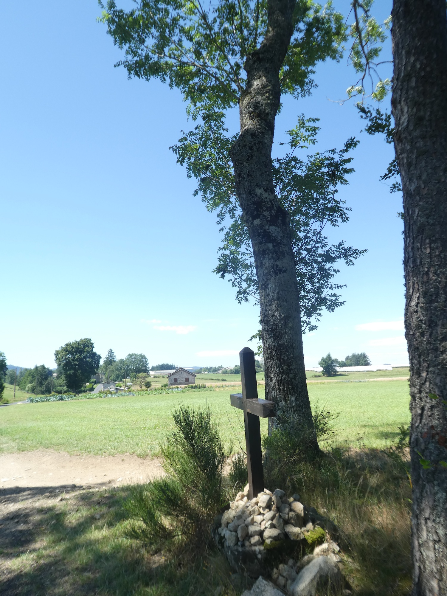
Further on, an iron cross marks the end of the suburbs, a modest yet significant landmark.

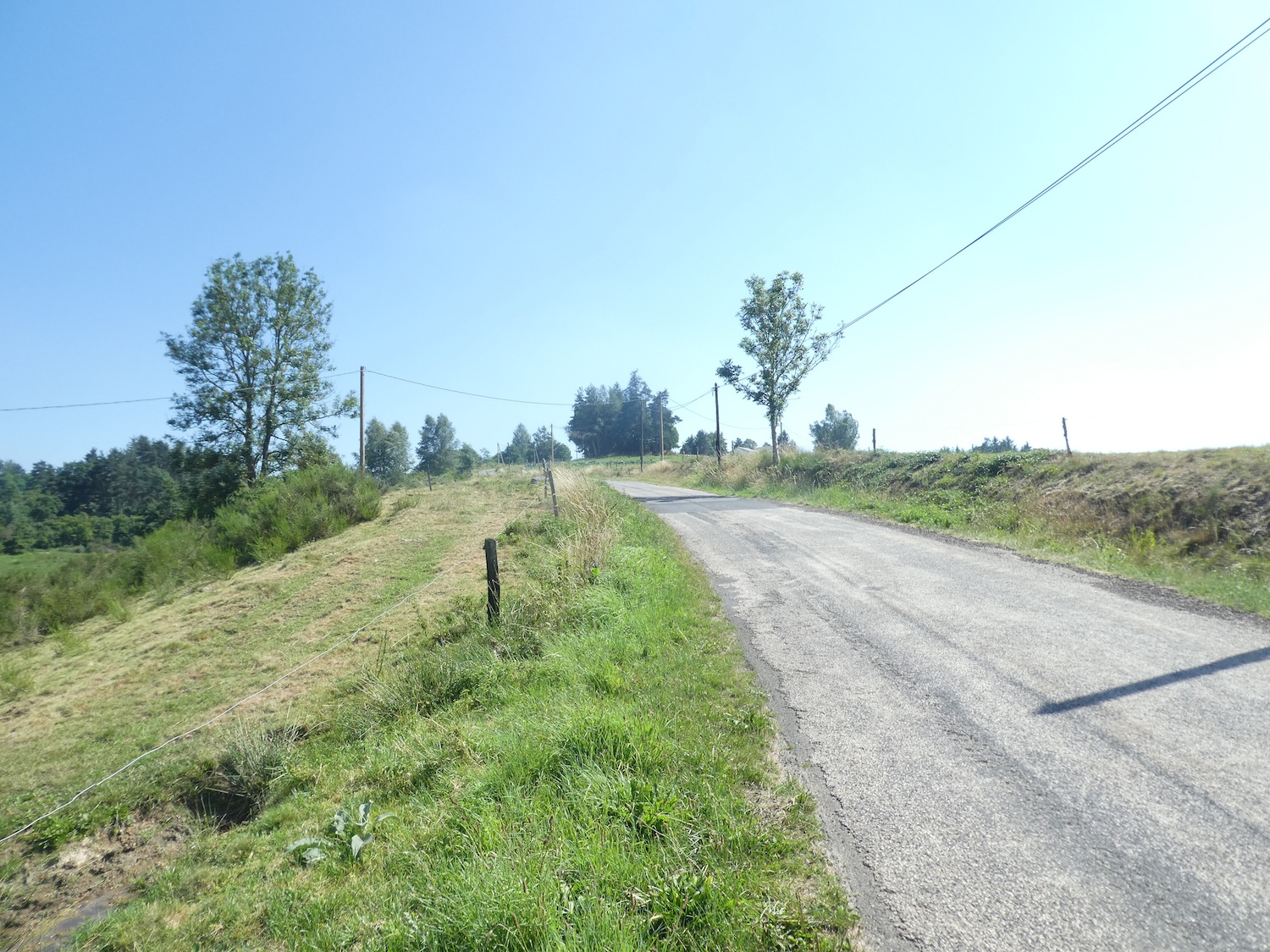
| At a roundabout, the GR65 leaves the main road to venture onto a small, desolate road, laboriously climbing the slopes of recent housing developments. Here, the daunting slope reaches nearly 15%. |
 |
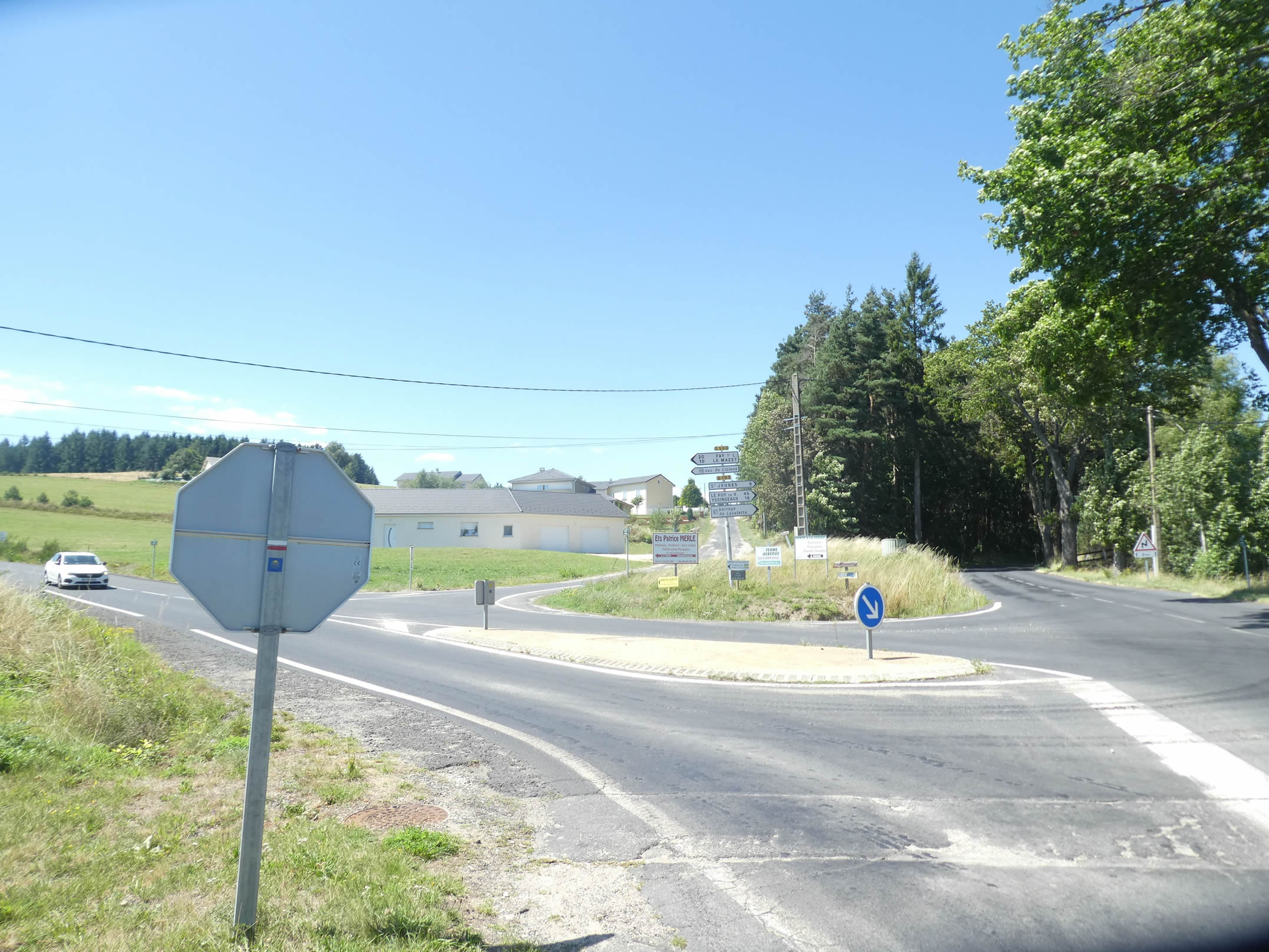 |
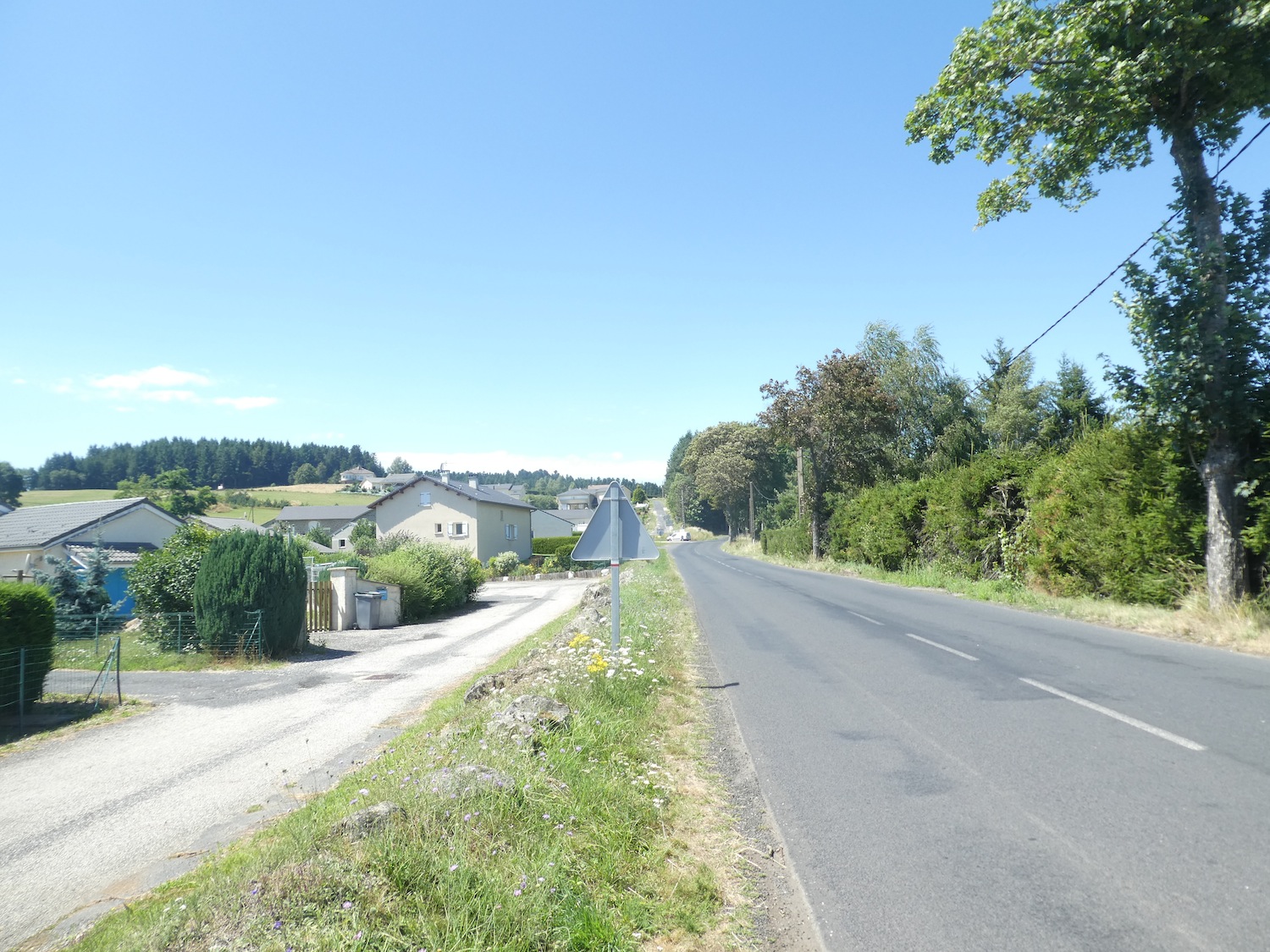
| The road winds through the last of the modern dwellings perched on the town’s heights, heading joyfully toward the surrounding forest. The contrast between urbanity and nature becomes more pronounced with each step, as if civilization retreats before the irresistible invitation of the greenery. |
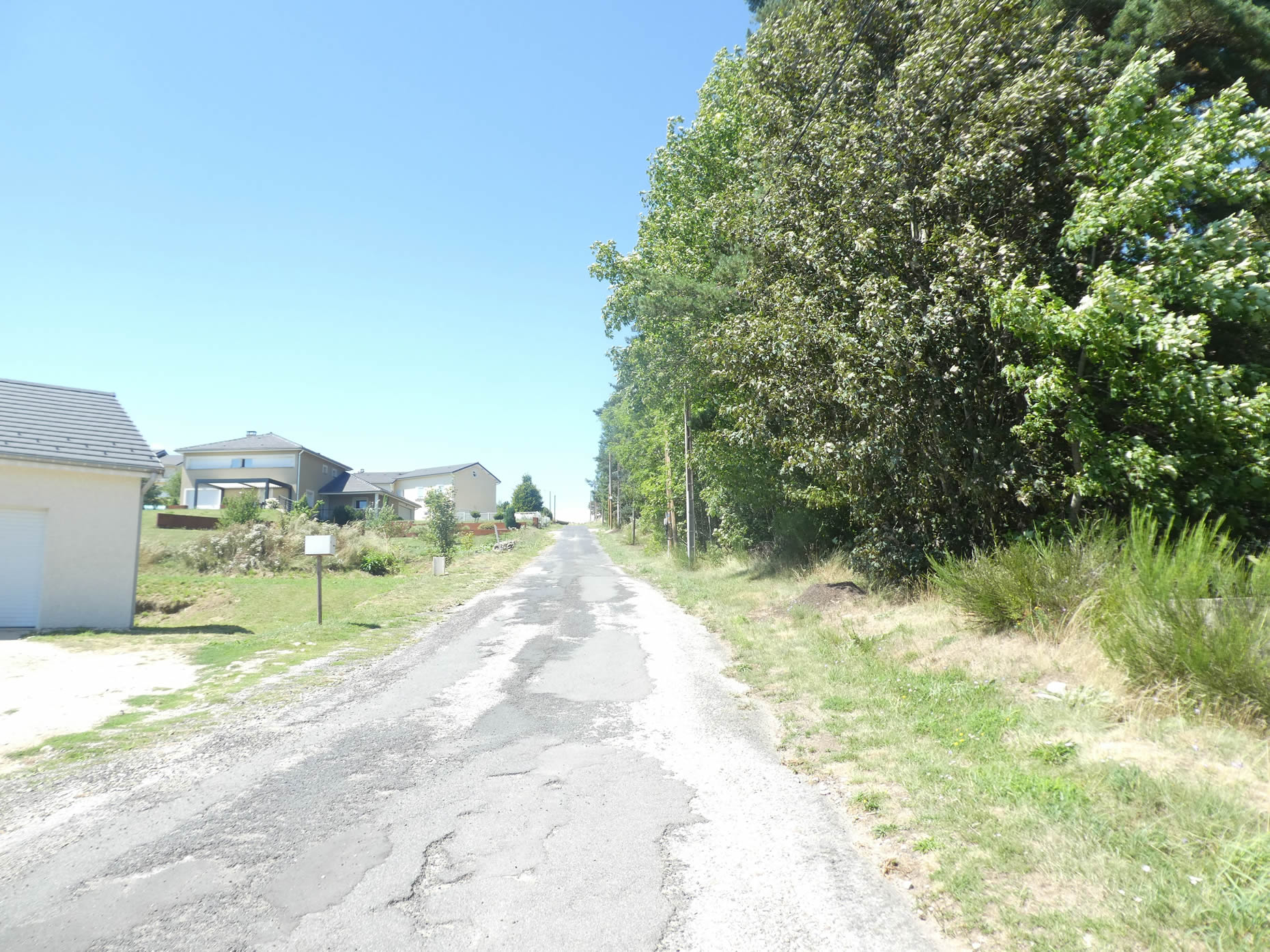 |
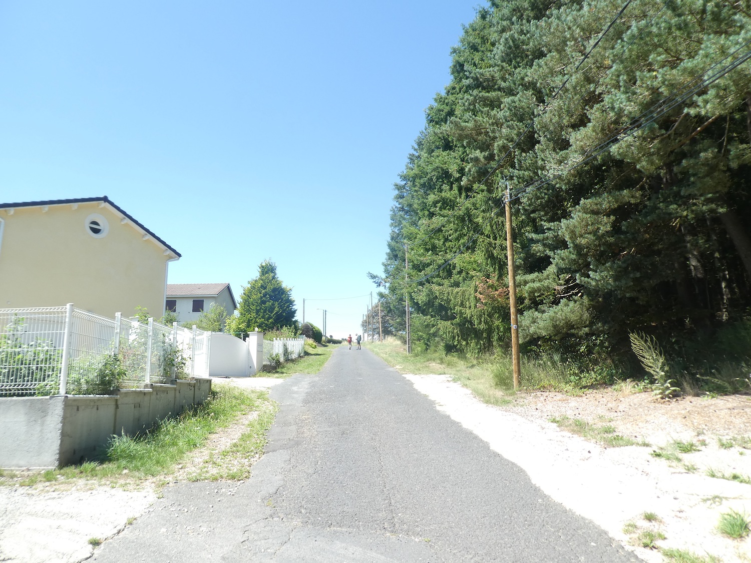 |
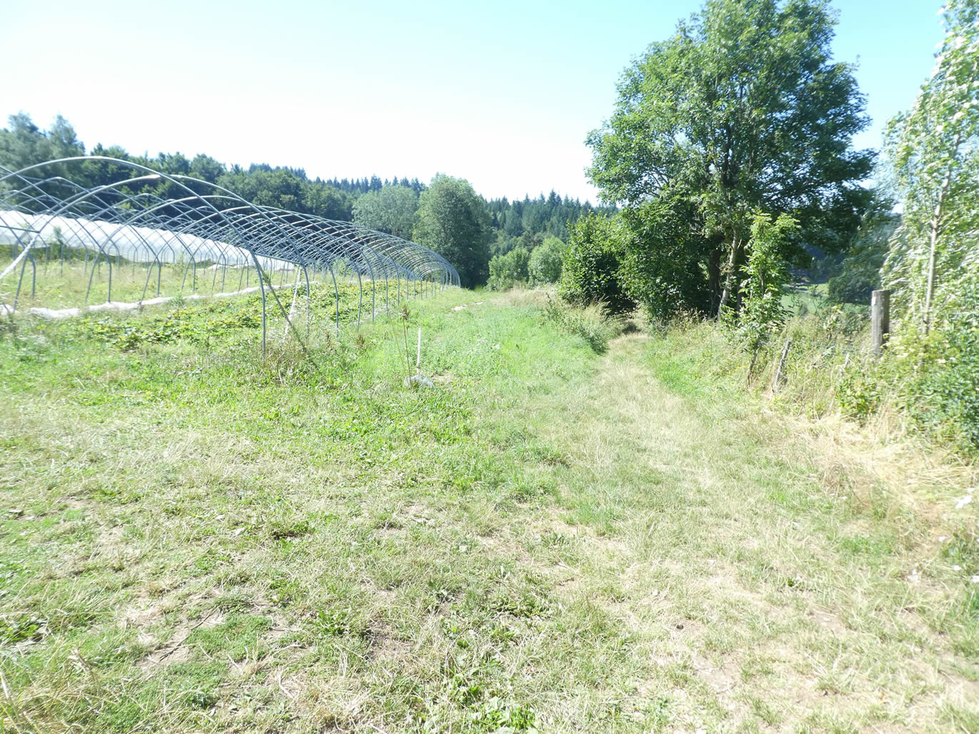
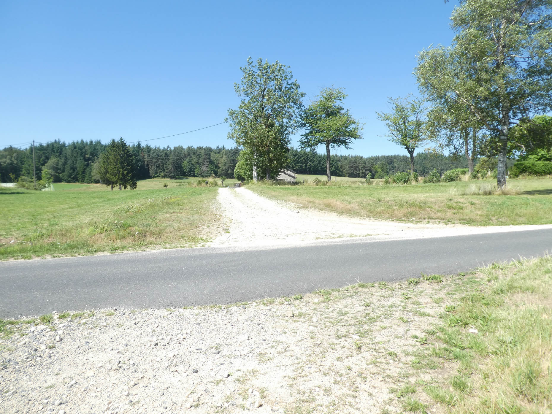
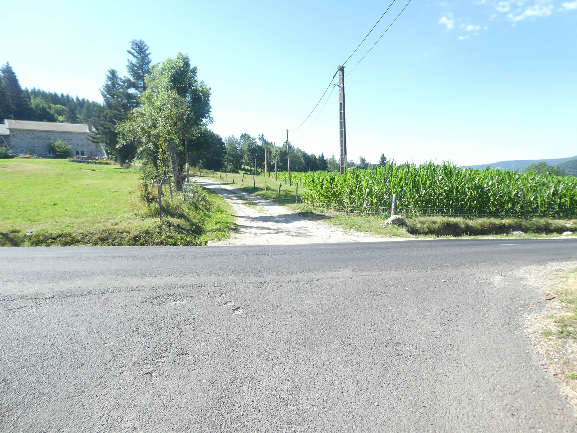
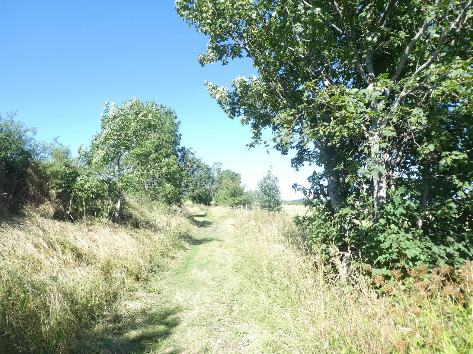
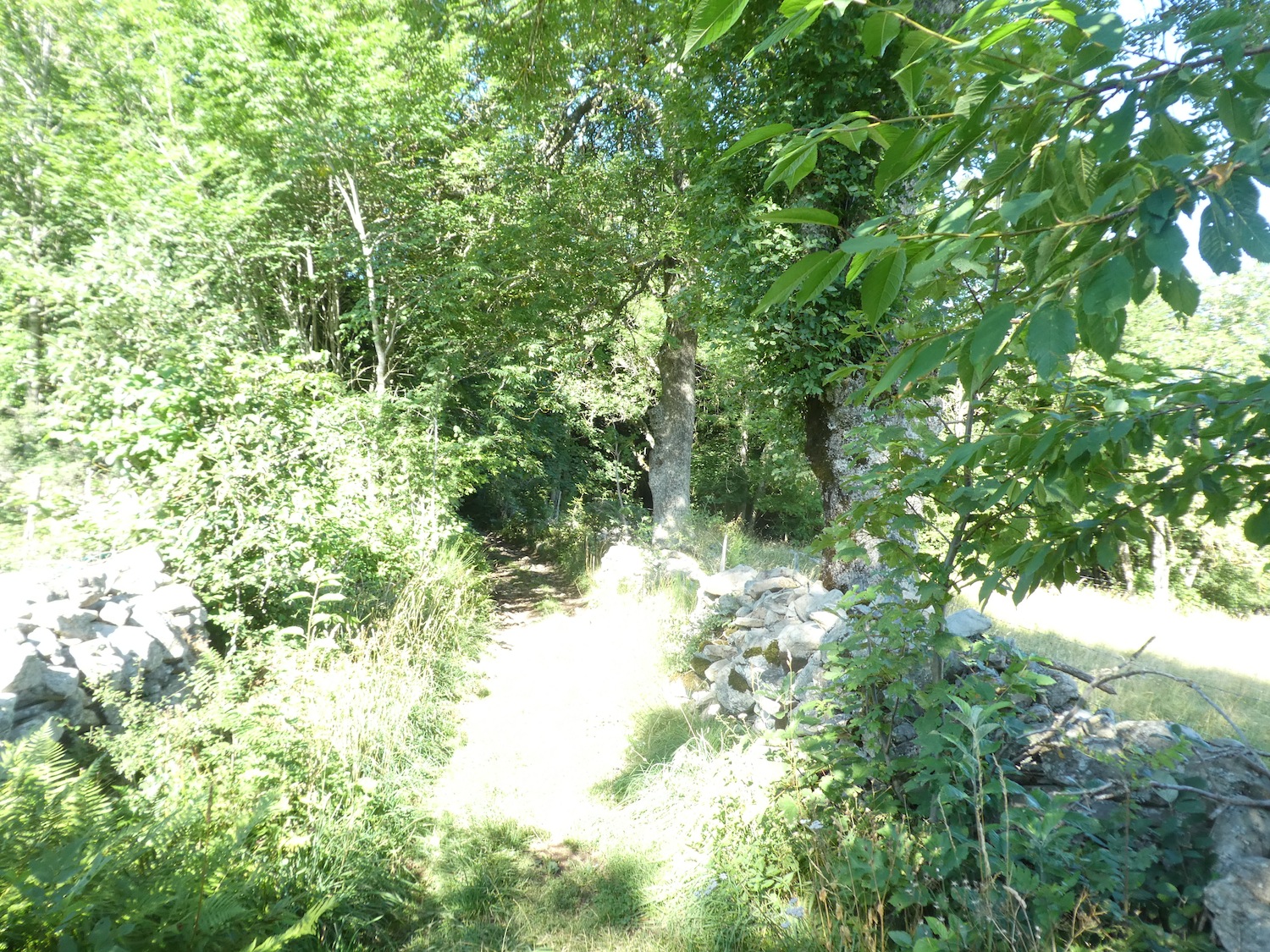
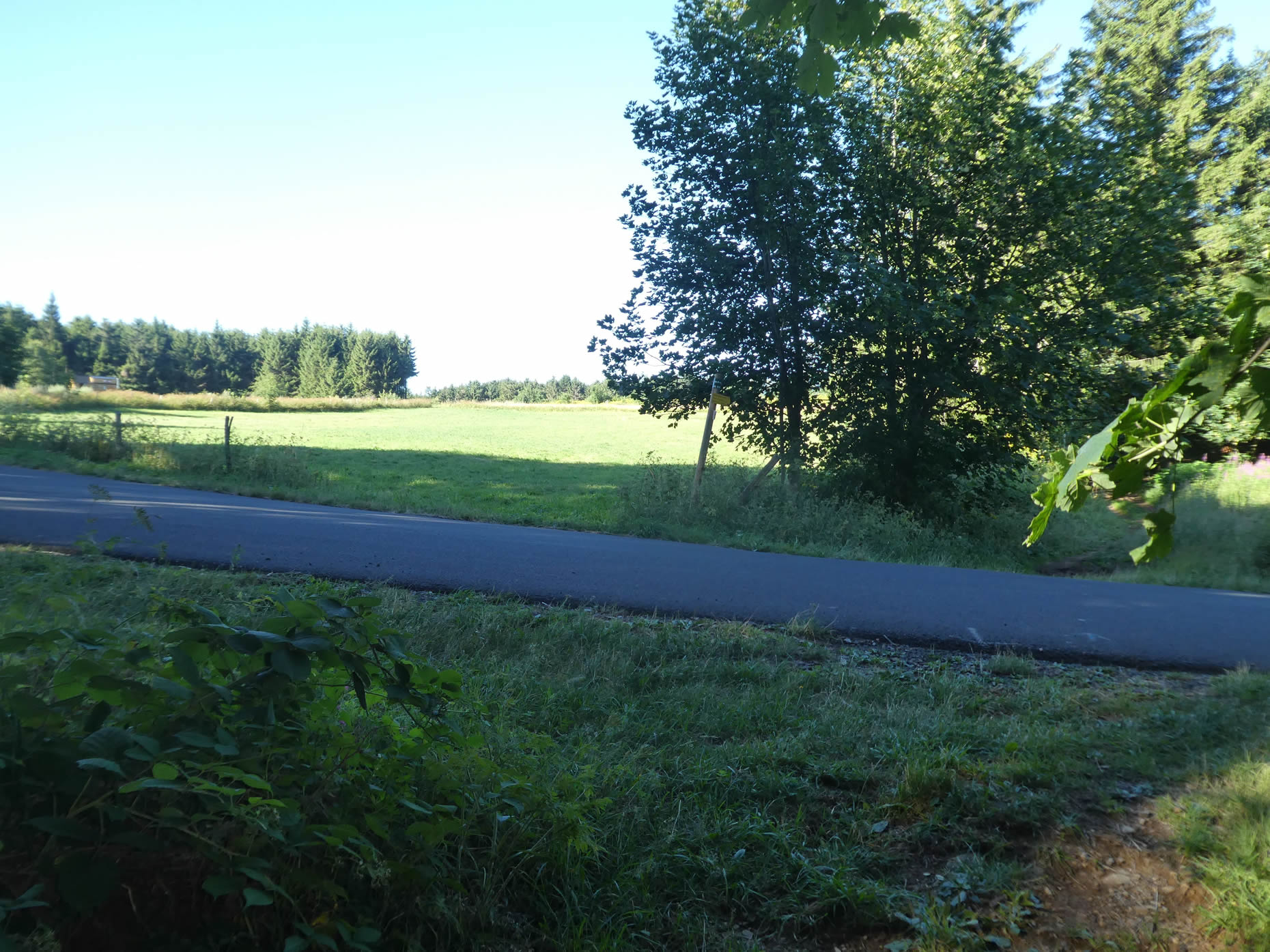
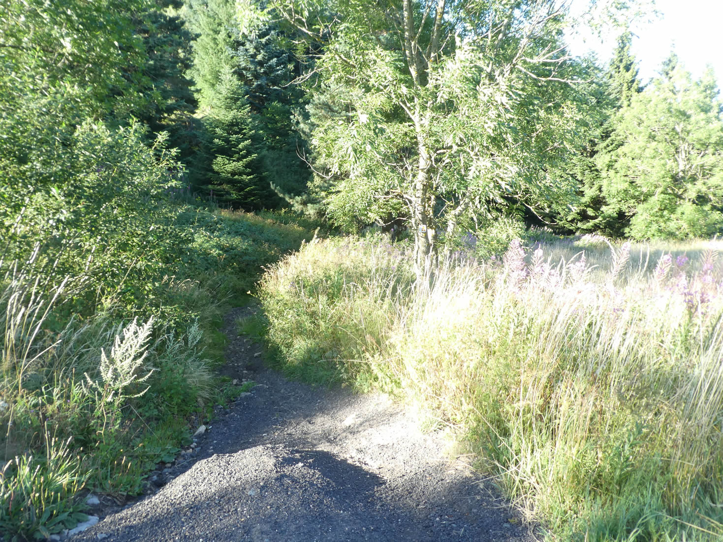
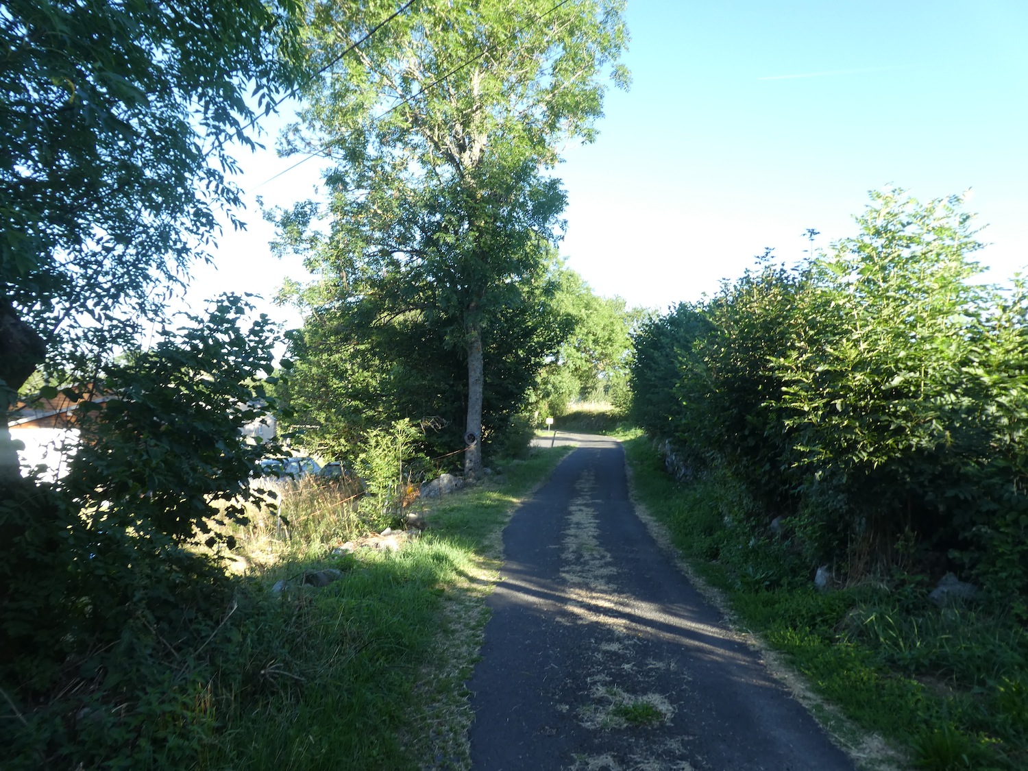
| At the edge of the forest, a breathtakingly beautiful scene unfolds. The GR65 leaves the paved road for a wide dirt road, and the previously steep slope softens like a caress. This dirt path seems to whisper promises of serenity and escape, a silent call to enter the realm of nature. |
 |
 |
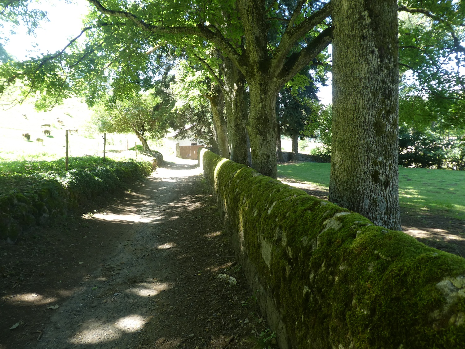
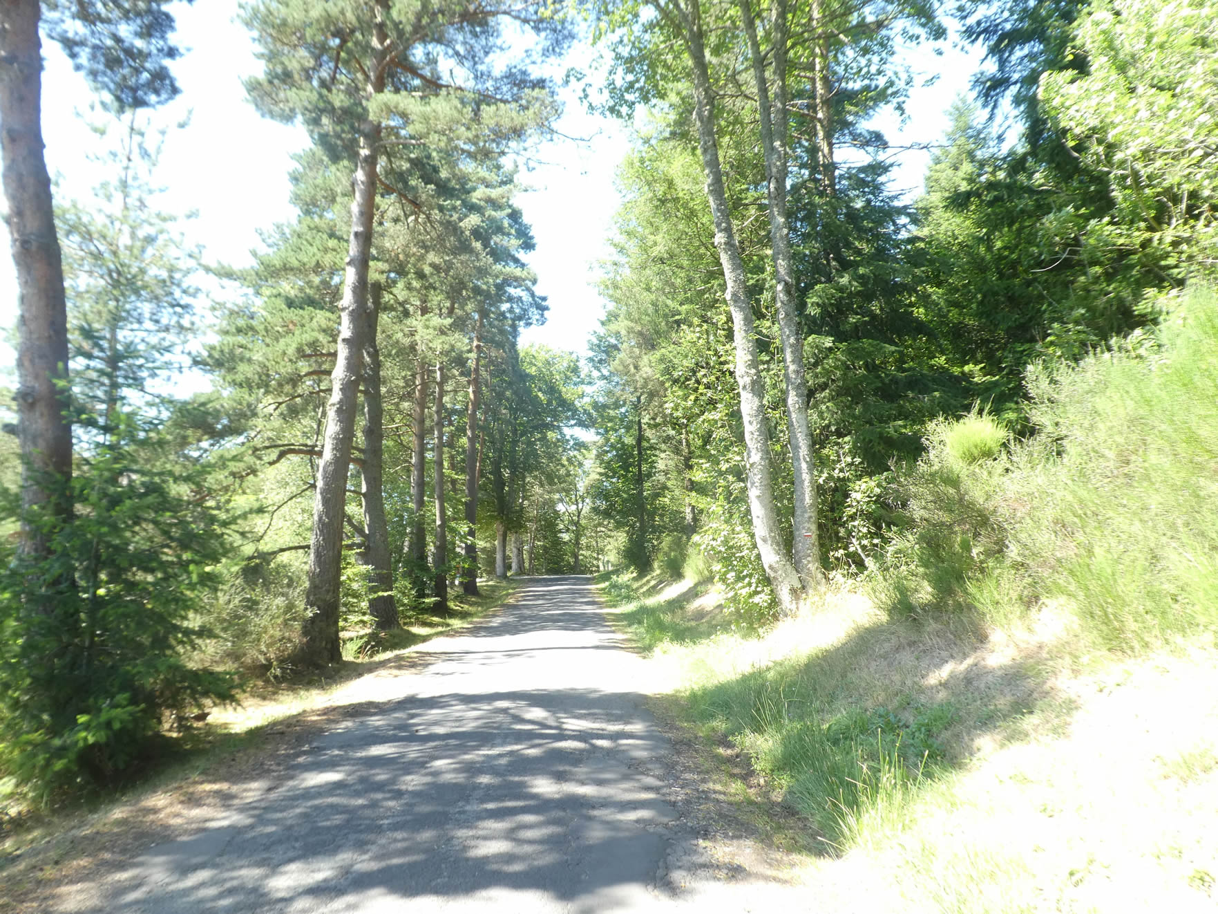
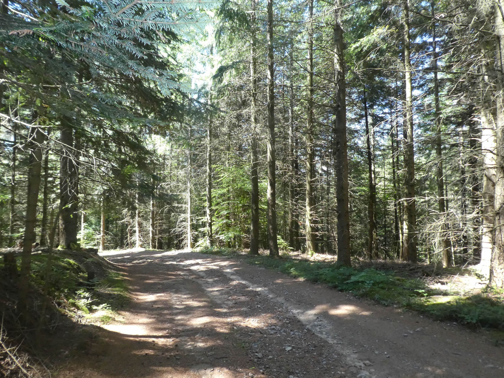
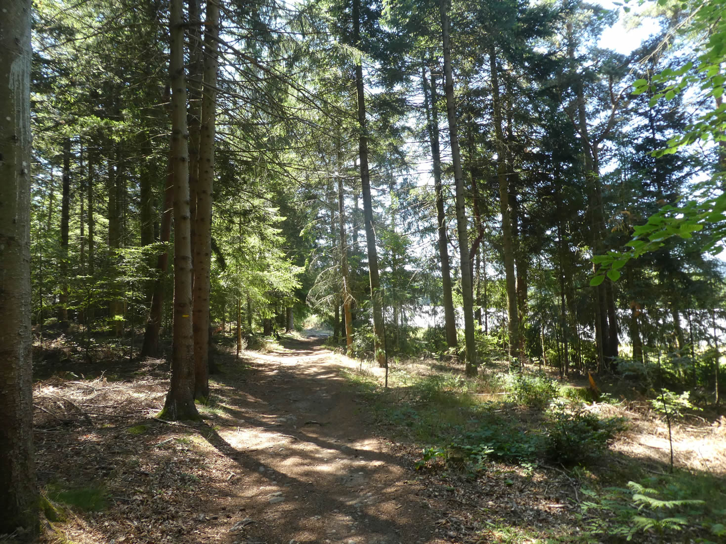
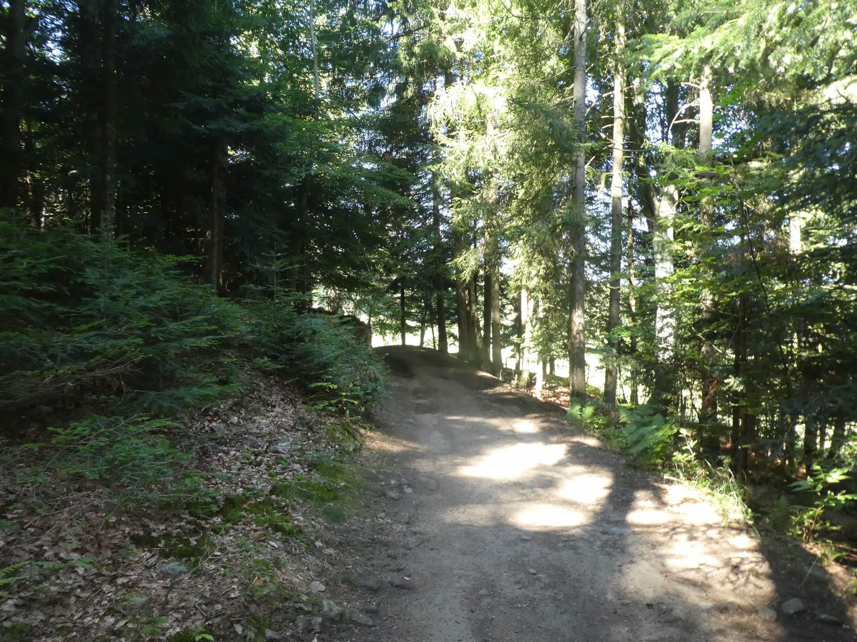
| The path plunges into a forest whose beauty and calm evoke a spiritual retreat in the heart of the fir forests. Haute-Loire, the only region crossed by the Way of Saint James, stands out with the imposing presence of white firs and majestic Douglas firs, relegating spruces to a nearly invisible supporting role. Under this protective canopy, the forest seems to pulse with a life of its own, where every breeze makes the trees sing and every sunbeam, filtered through the needles, dances on the mossy ground. . |
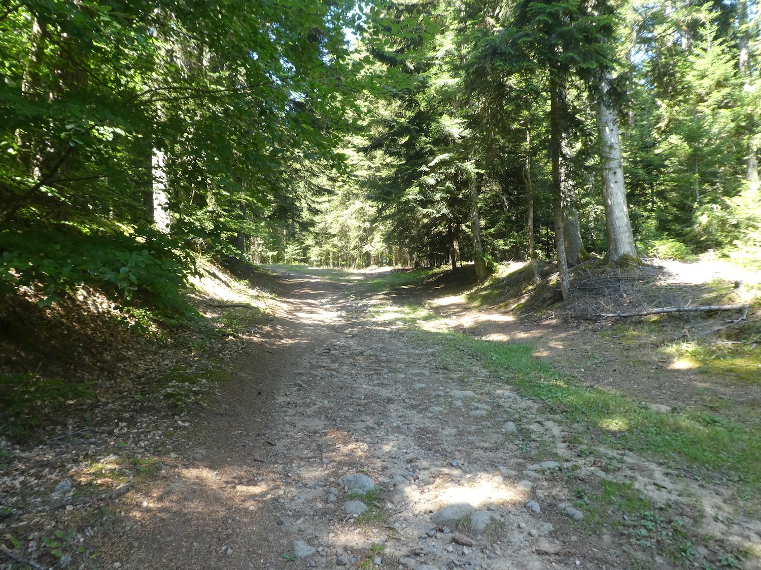 |
 |
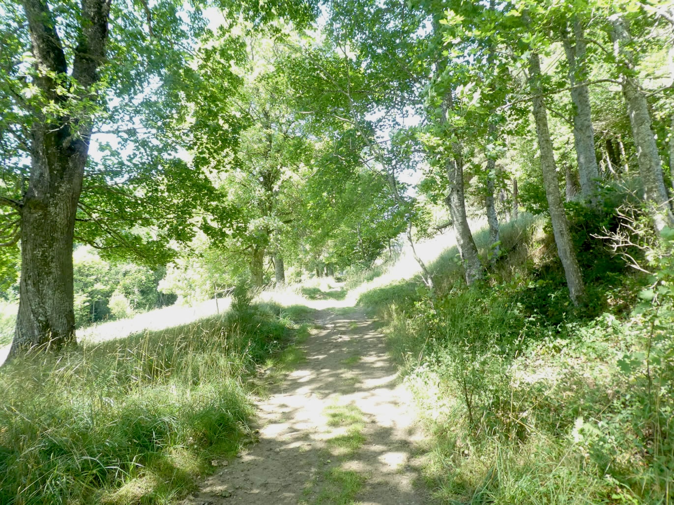
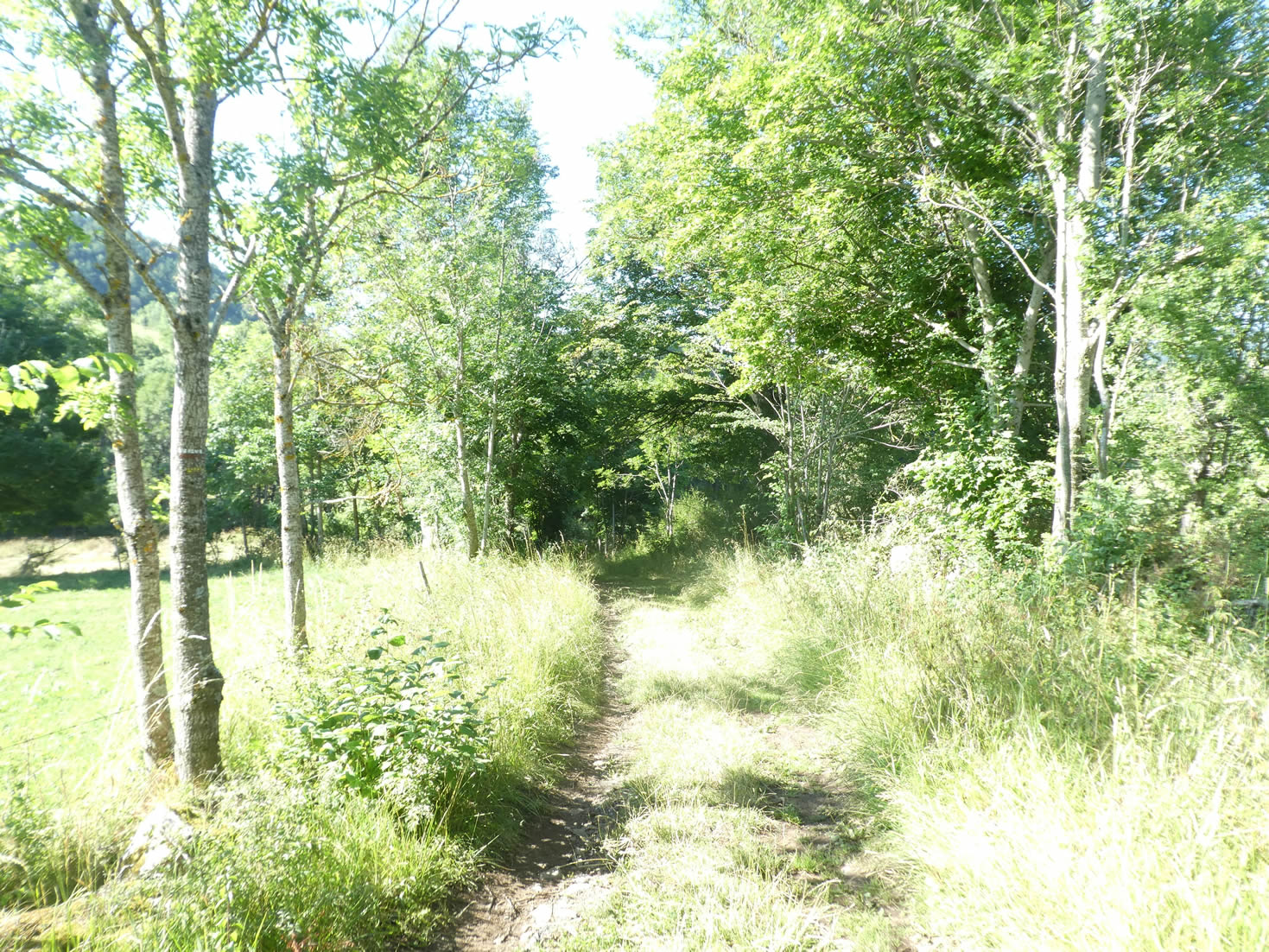
| Soon, the path begins a gentle descent from the hill, plunging into majestic woods. The trees, like silent sentinels, seem to watch over the travelers, offering a haven of tranquility and natural splendor. With every step, the hiker is enveloped by the grandeur and serenity of this landscape, where each turn reveals a new hidden treasure of the forest. |
 |
 |
Section 2: Stroll through berry fields, meadows, and groves
Overview of the route’s challenges: The route includes some inclines but is overall not particularly challenging.

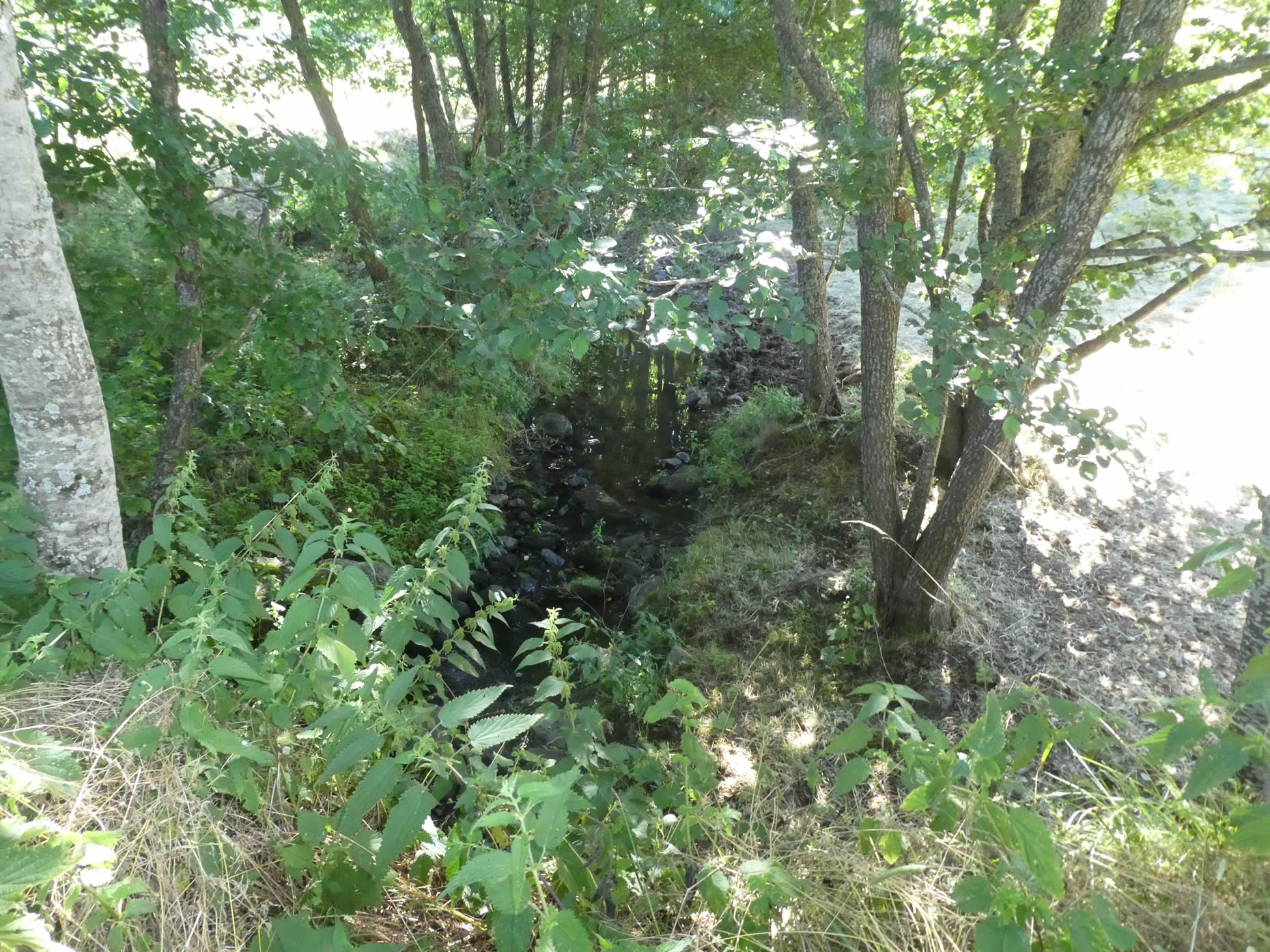
| The path then slopes more steeply, weaving its way beneath the maple trees to cross the Joux stream, nestled in a lush and vibrant landscape. This descent, marked by its vigor, feels like a silent ode to the forces of nature, where each step reveals a new secret. |
 |
 |
| Beneath the canopy, the water flows quietly, almost shyly, like a whispered secret at the heart of this vibrant nature. Then, the landscape suddenly opens up, unveiling enchanting meadows bordered by vast, verdant forests—a pastoral scene worthy of the finest impressionist paintings |
 |
 |
| From the stream, the path slops up gently, still under the protective shade of the maples, toward the departmental road. This slow, gentle climb feels like a dreamy walk through a green tunnel, with each leaf telling a story of seasons past. |
 |
 |
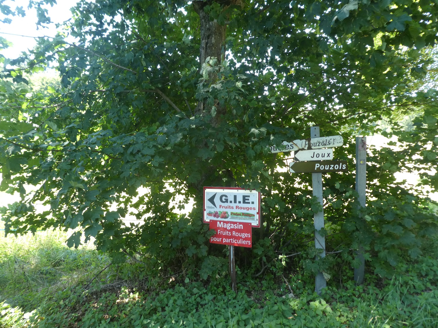
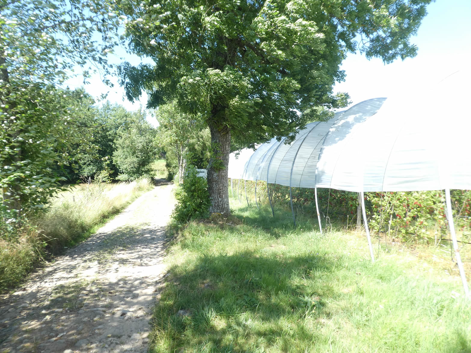
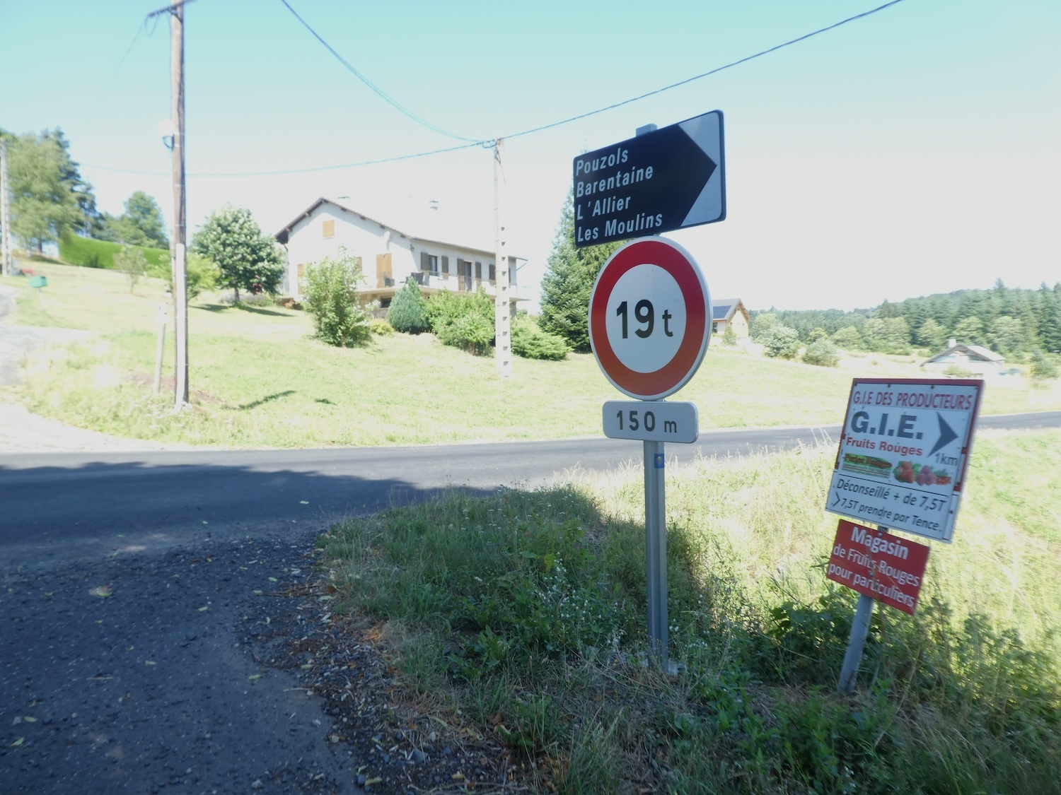
| But here, the GR65 dismisses the company of the main road. It chooses instead to veer away, venturing onto a small secondary road toward Pouzols and its red berries, a sweet temptation offered to the hiker. This unexpected detour adds an extra flavor to this bucolic walk. |
 |
 |
| The road gently climbs, almost imperceptibly, for nearly a kilometer under the benevolent shade of majestic deciduous trees and pines. Their dense canopy, like a vegetal vault, offers a welcome shield against the sun’s intensity. |
 |
 |
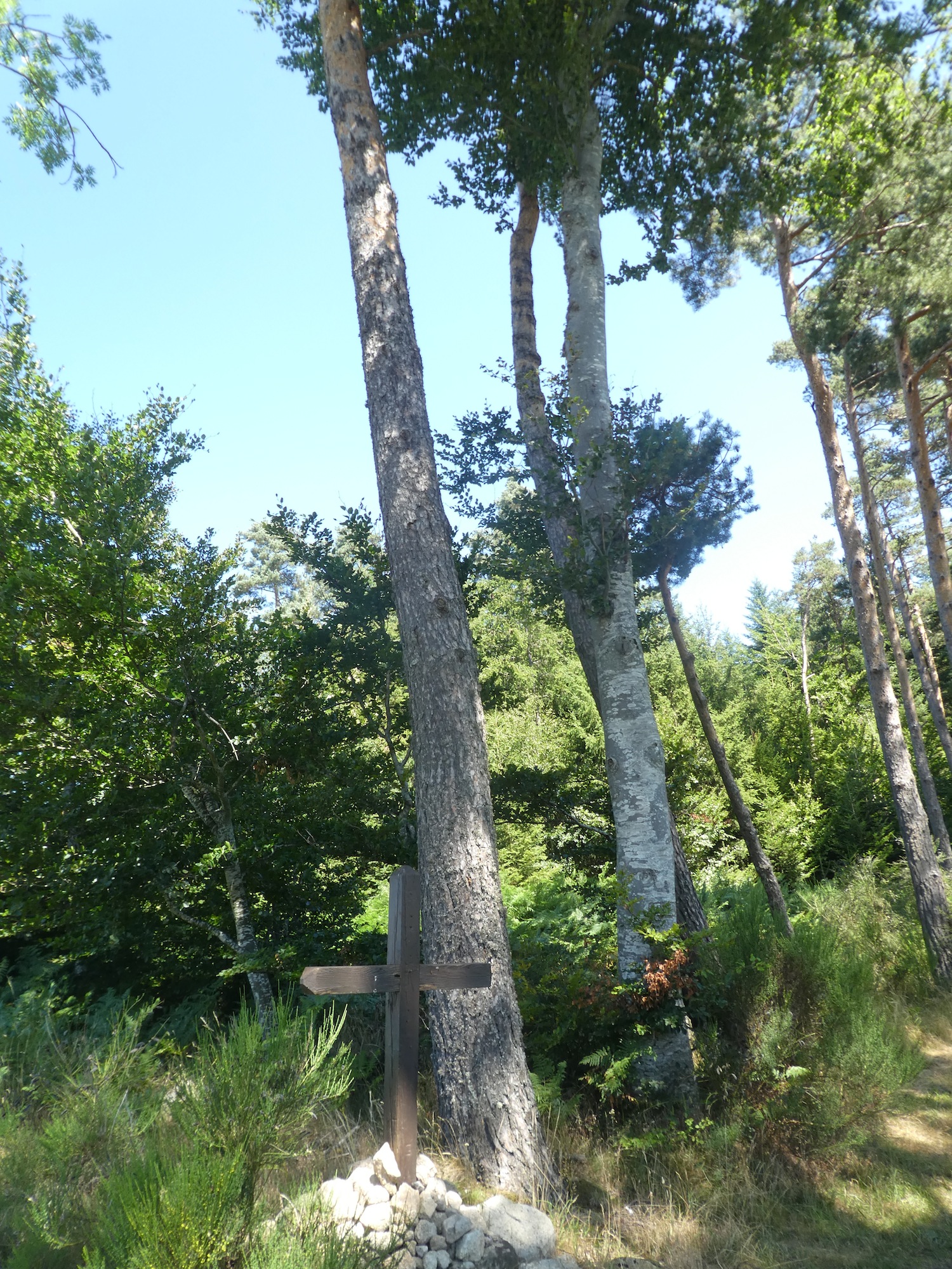
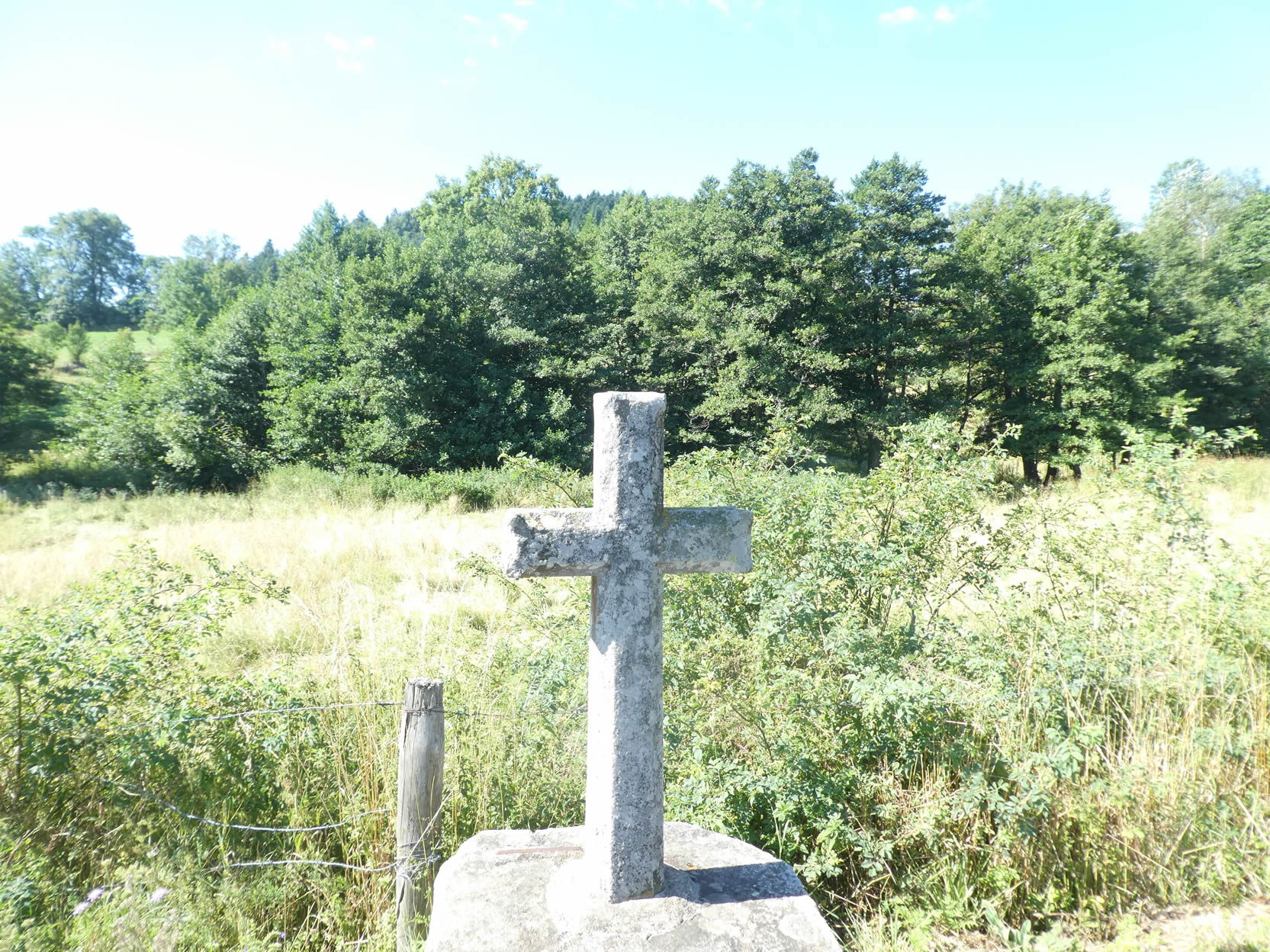
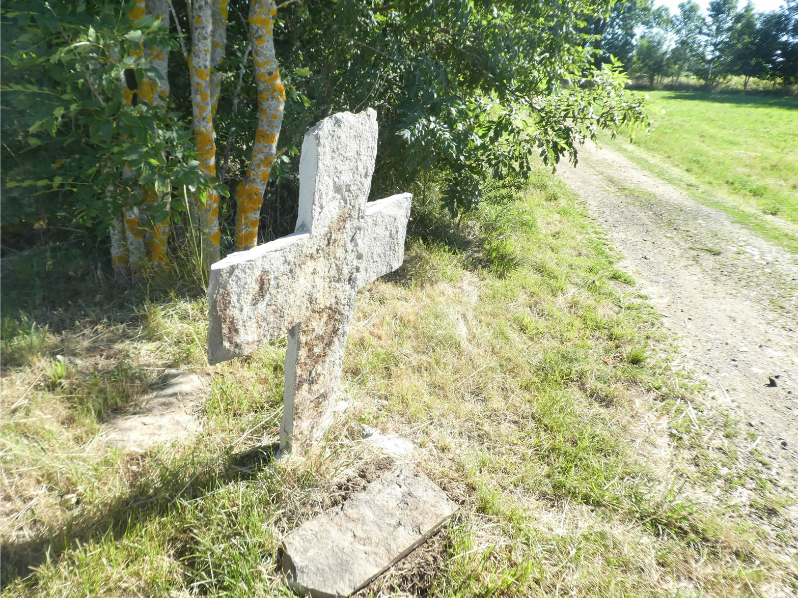
| At the top of this ascent, a modest wooden cross stands under the trees in an open and expansive countryside. This simple and humble cross evokes the pious memories of past pilgrims, a silent reminder of human faith and perseverance. |
 |
 |
| From there, the GR65 continues a few more steps along the road towards the hamlet of Les Gouttes before suddenly turning off, climbing through meadows along the edge of a pine forest. This unexpected turn feels like a harmonious dance with the surrounding nature, each step marking a new vegetal symphony. |
 |
 |
| The GR65 then plunges into the forest, threading its way through the spruces. On the near horizon, the silhouettes of the « sucs »—those small wooded volcanic remnants, so characteristic of Velay—already begin to take shape. Their majestic and silent presence is a reminder of the ancient tectonic forces that sculpted this landscape. |
 |
 |
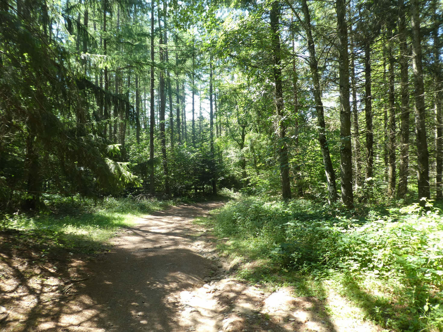
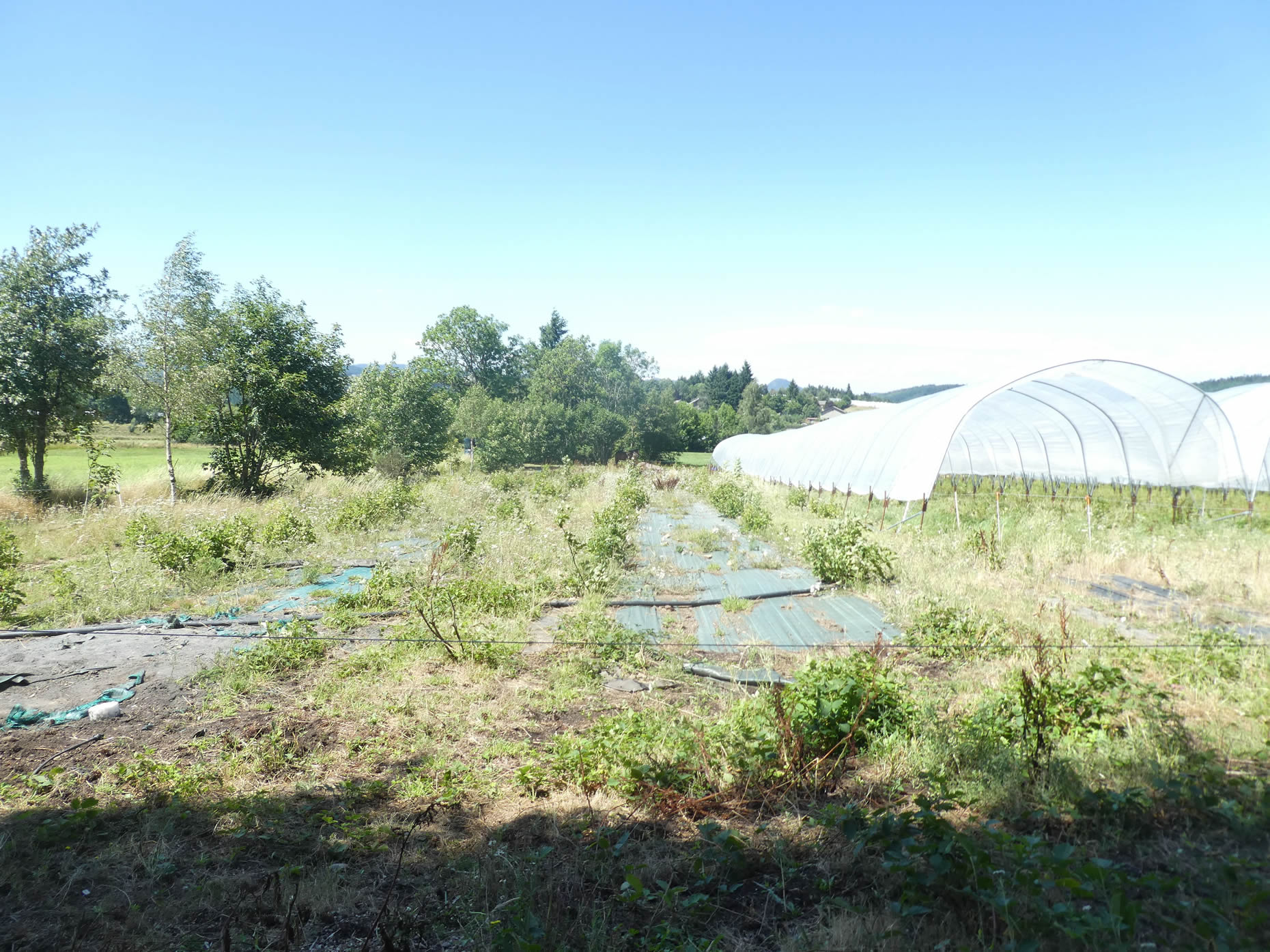
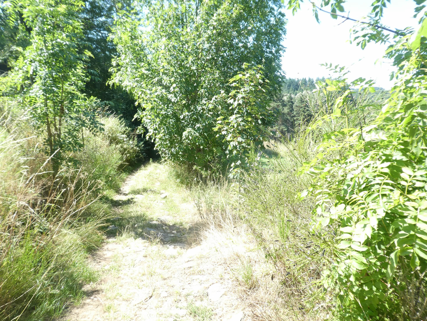
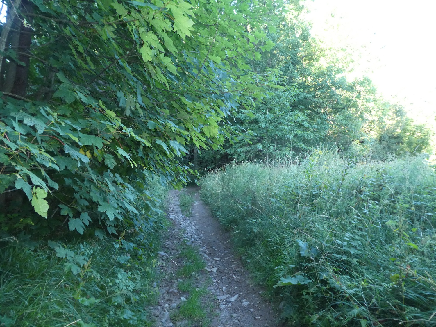
| However, the path doesn’t linger in the fir forest. It soon emerges, crossing a region resembling a scrubland, specialized in the cultivation of small fruits. During our visit, only blueberries and currants remained, offering their last treasures of the summer. This landscape, both wild and tamed, reflects the ingenuity and perseverance of the locals. |
 |
 |
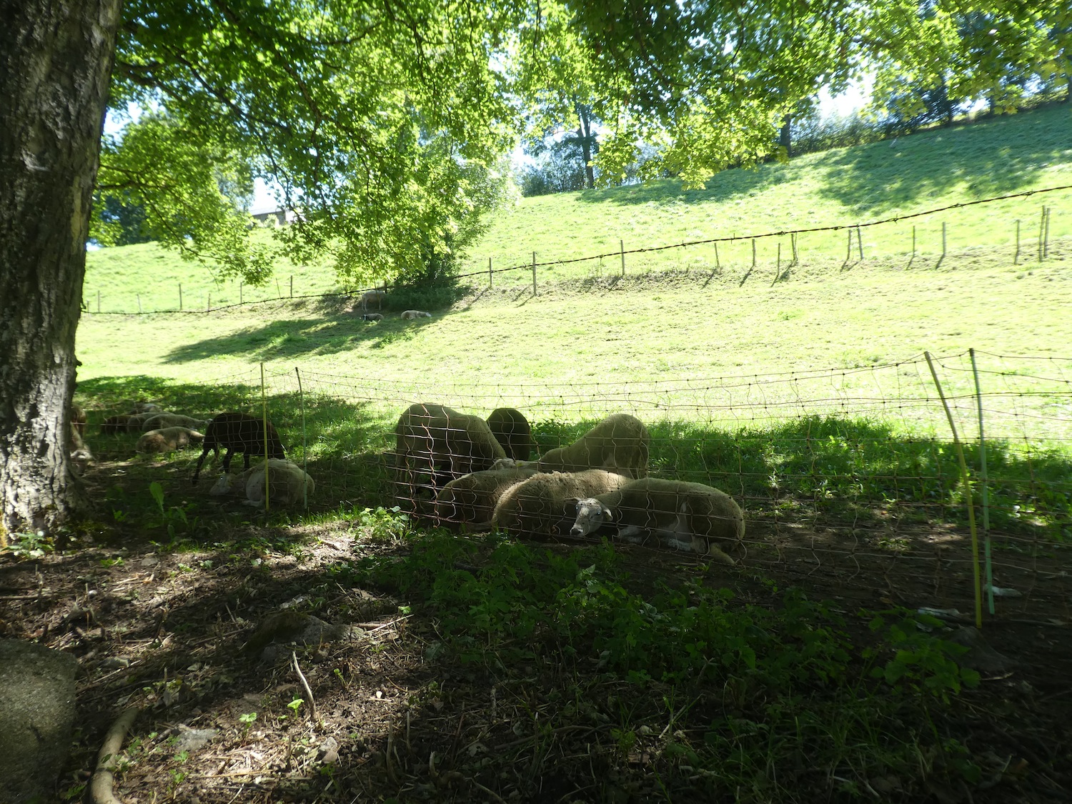
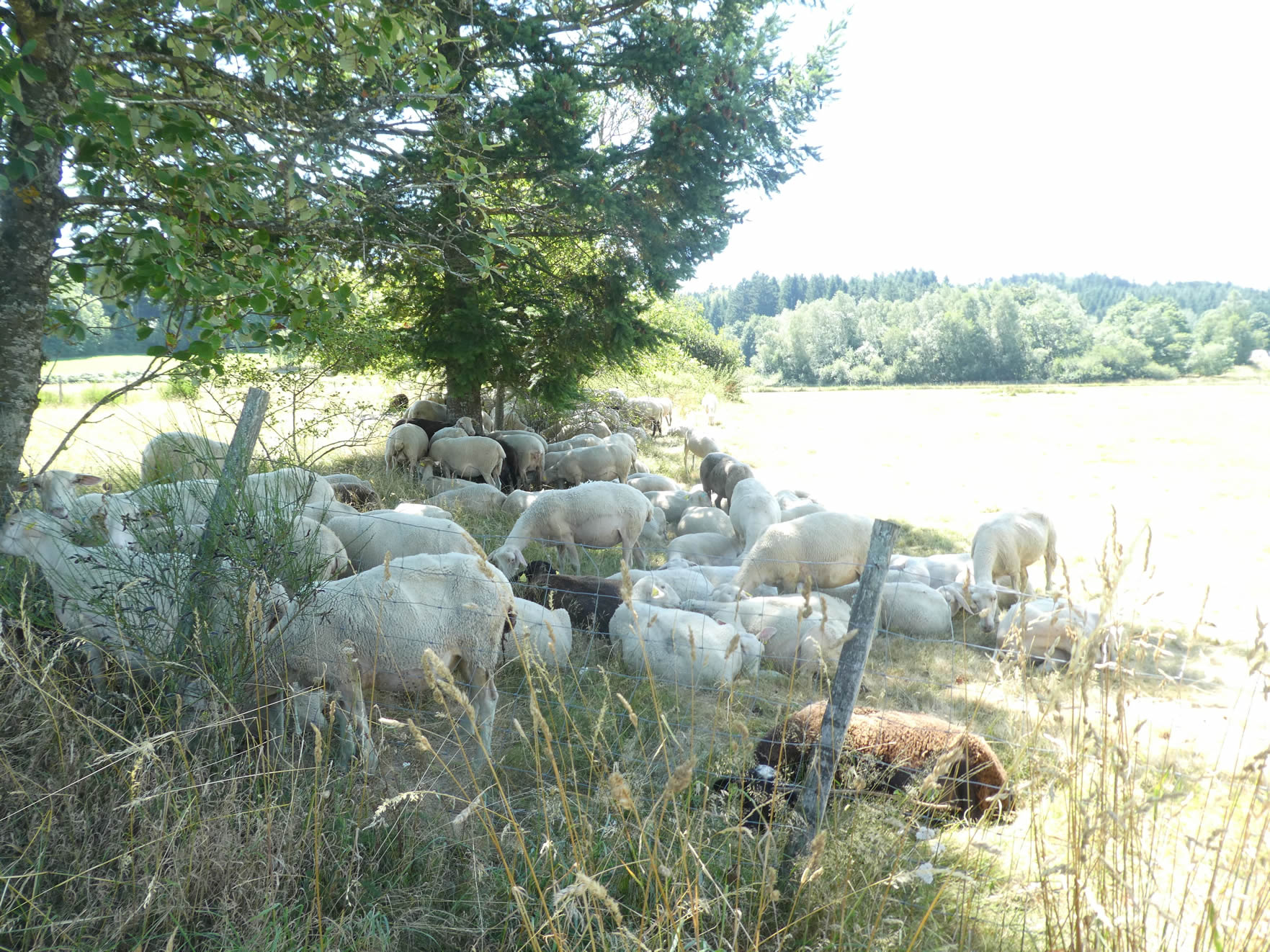
| The path winds languorously through tunnels of greenery, sheltered beneath the majestic maples. There, in the tall grasses, peaceful sheep graze, painting a pastoral scene worthy of a pastoral painting. The whisper of the wind in the leaves and the distant bleating blend into a natural symphony. |
 |
 |
| Continuing its gentle descent, the path slopes towards the village of Pouzols. Here, every stone seems to tell an ancient story. |
 |
 |
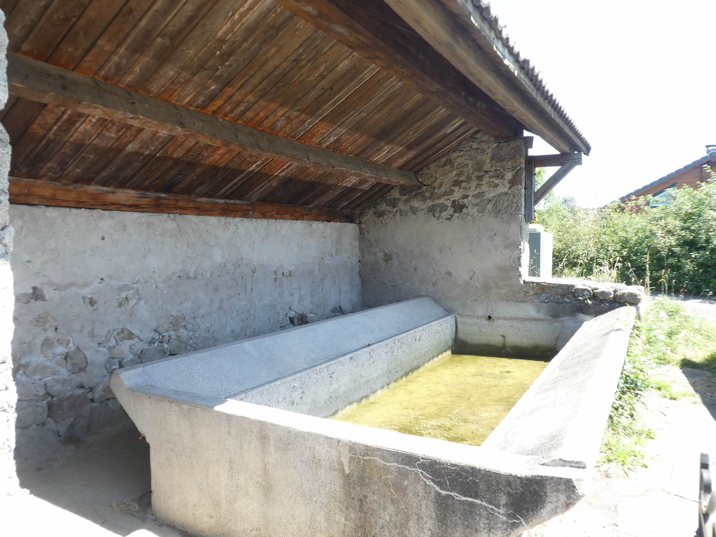
| Pouzols, a charming village with stately houses built of granite that bursts with vigor under the sun, feels like a place where time has stood still. The red berry merchants have established their kingdom here, among the stone walls and cobbled streets. The stagnant water of the old washhouse tells tales of bygone days, while the fountain offers refreshing coolness. |
 |
 |
| A small road leaves the village, winding discreetly towards hidden spots where red fruits lie in wait, guardians of delicious treasures. But soon, a grassy trail takes over, plunging resolutely through wild grasses, gorse, and young maples. Nature here is an ode to gentleness and joy, a living painting of serenity. |
 |
 |
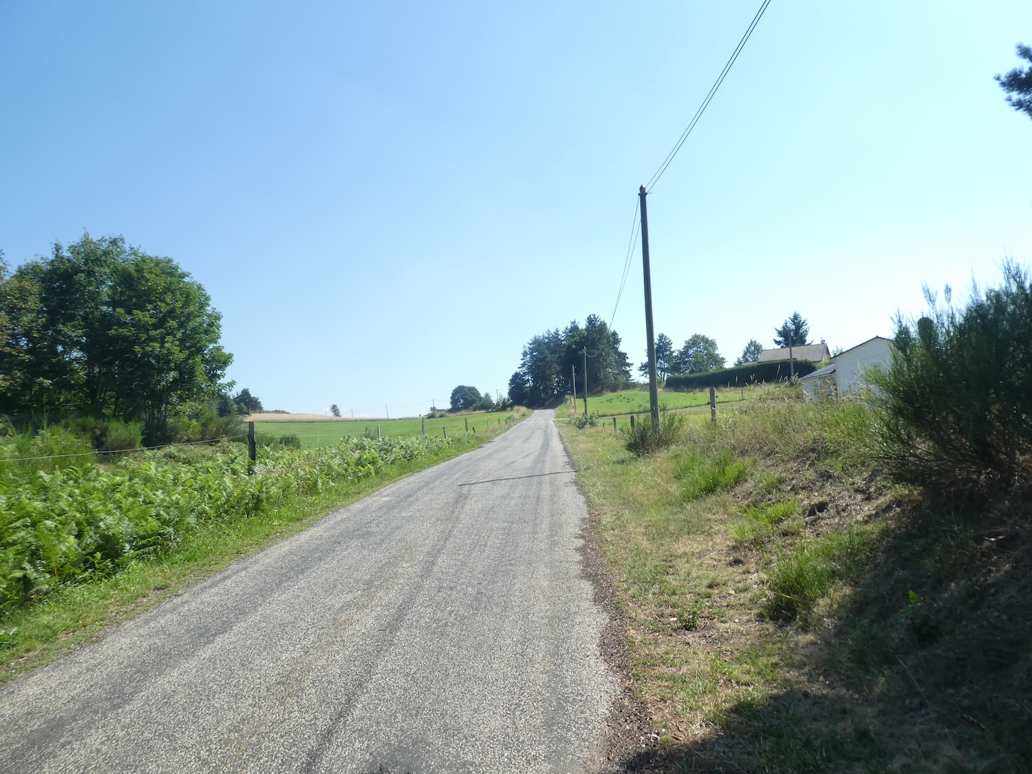
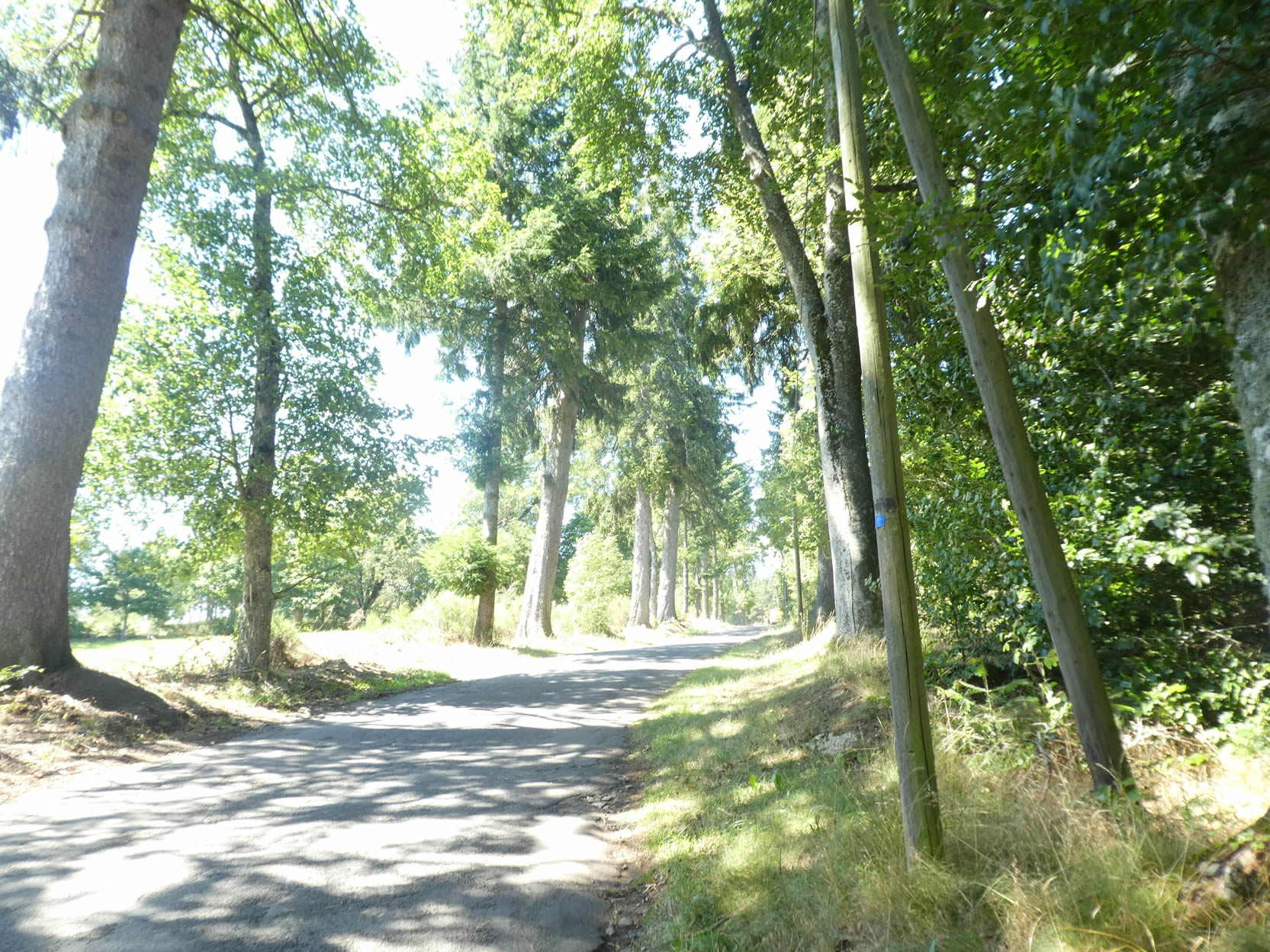
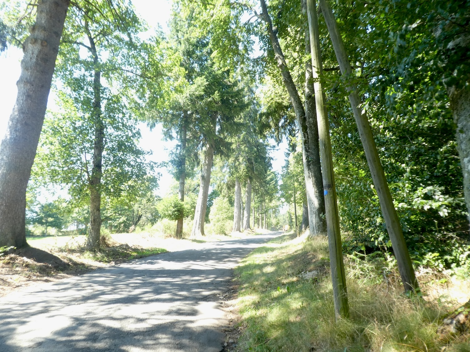
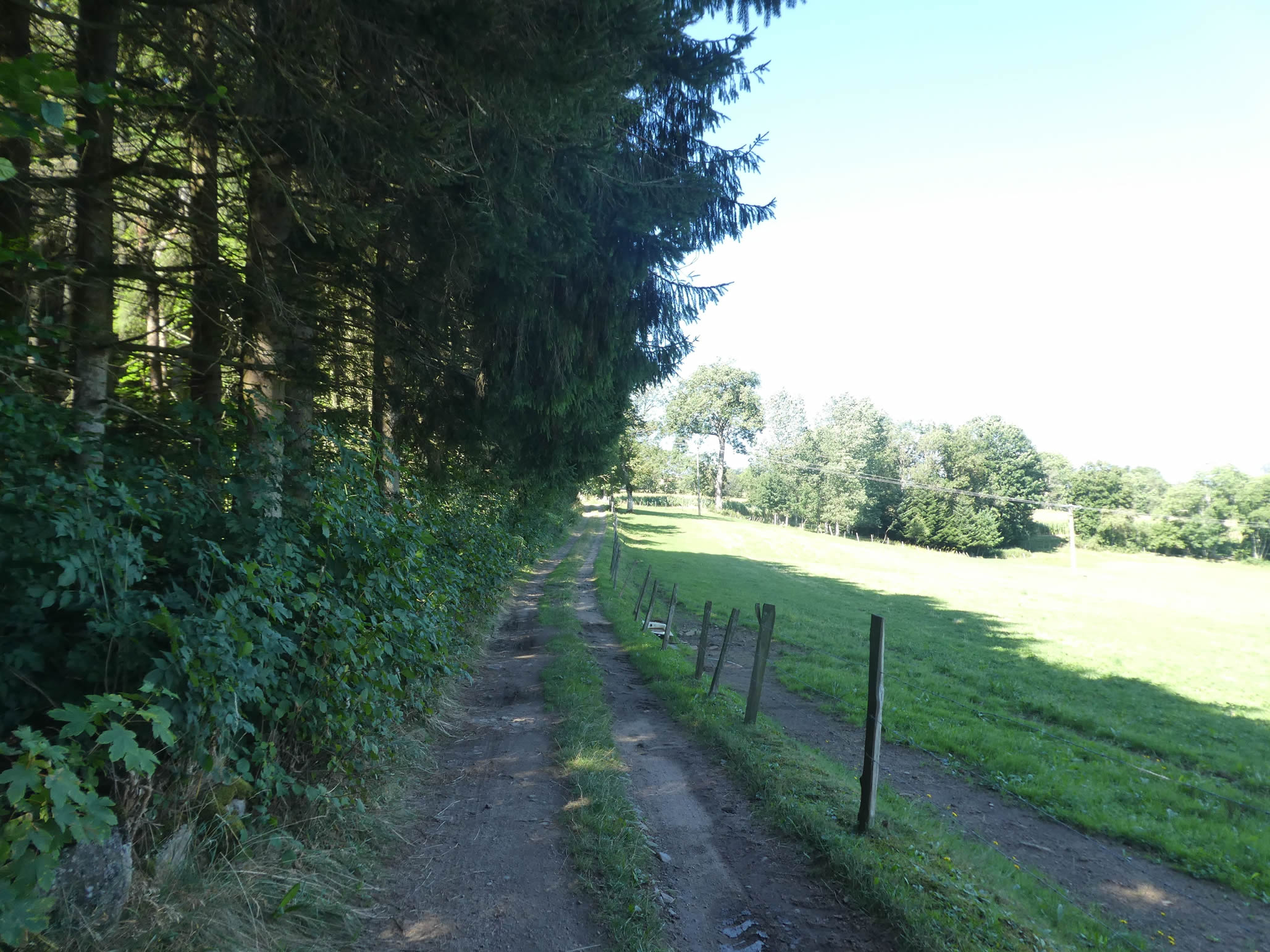
| Further down, the horizon broadens, and the path reaches a small plain. It meets a road that leisurely meanders under the shade of spruces and maples, forming a shaded and refreshing alley. |
 |
 |
| Shortly after, at the entrance to the hamlet of Les Moulins, the road crosses the Mousse stream, where a thin trickle of water finds its way through lush vegetation. |
 |
 |
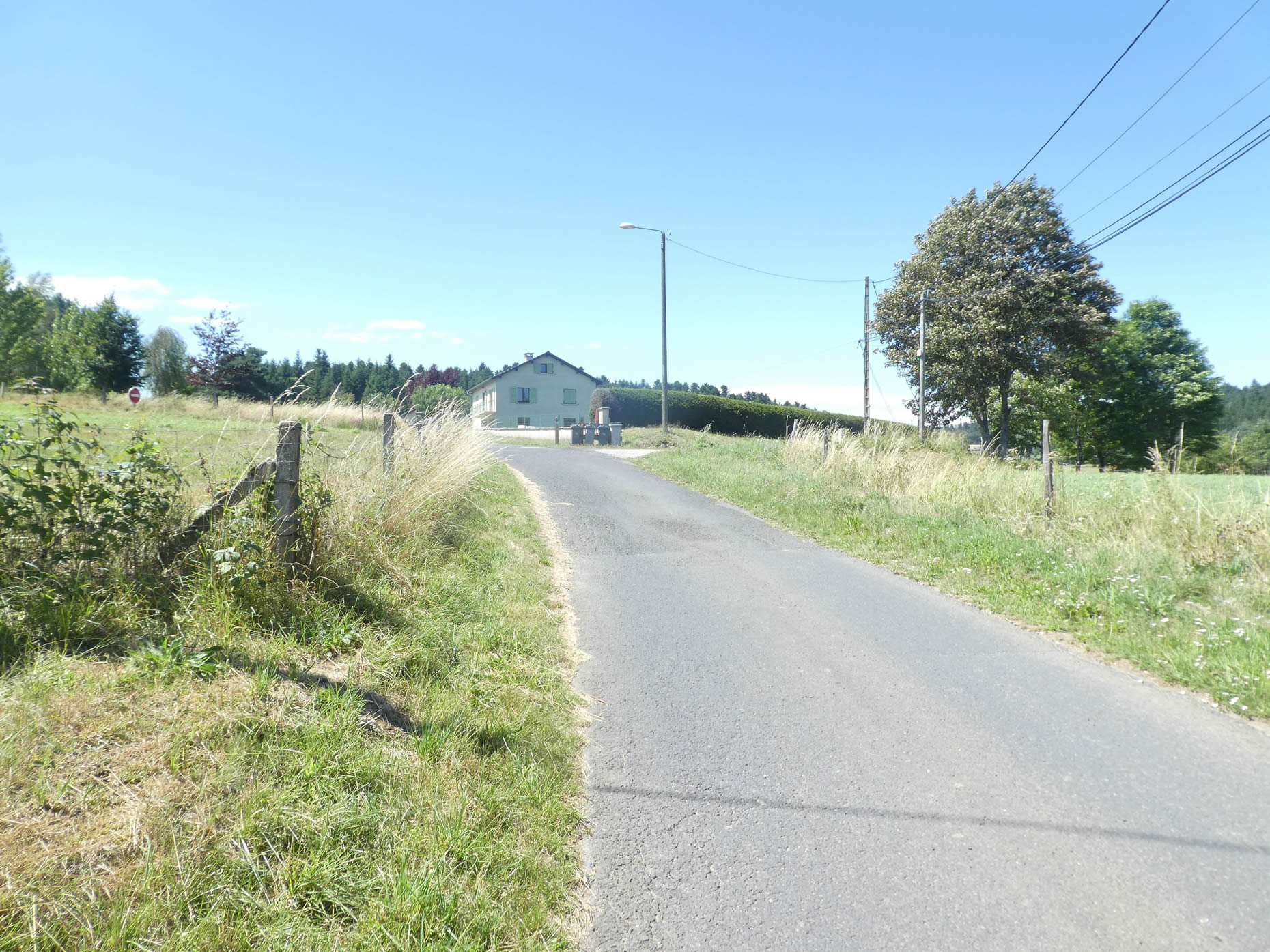
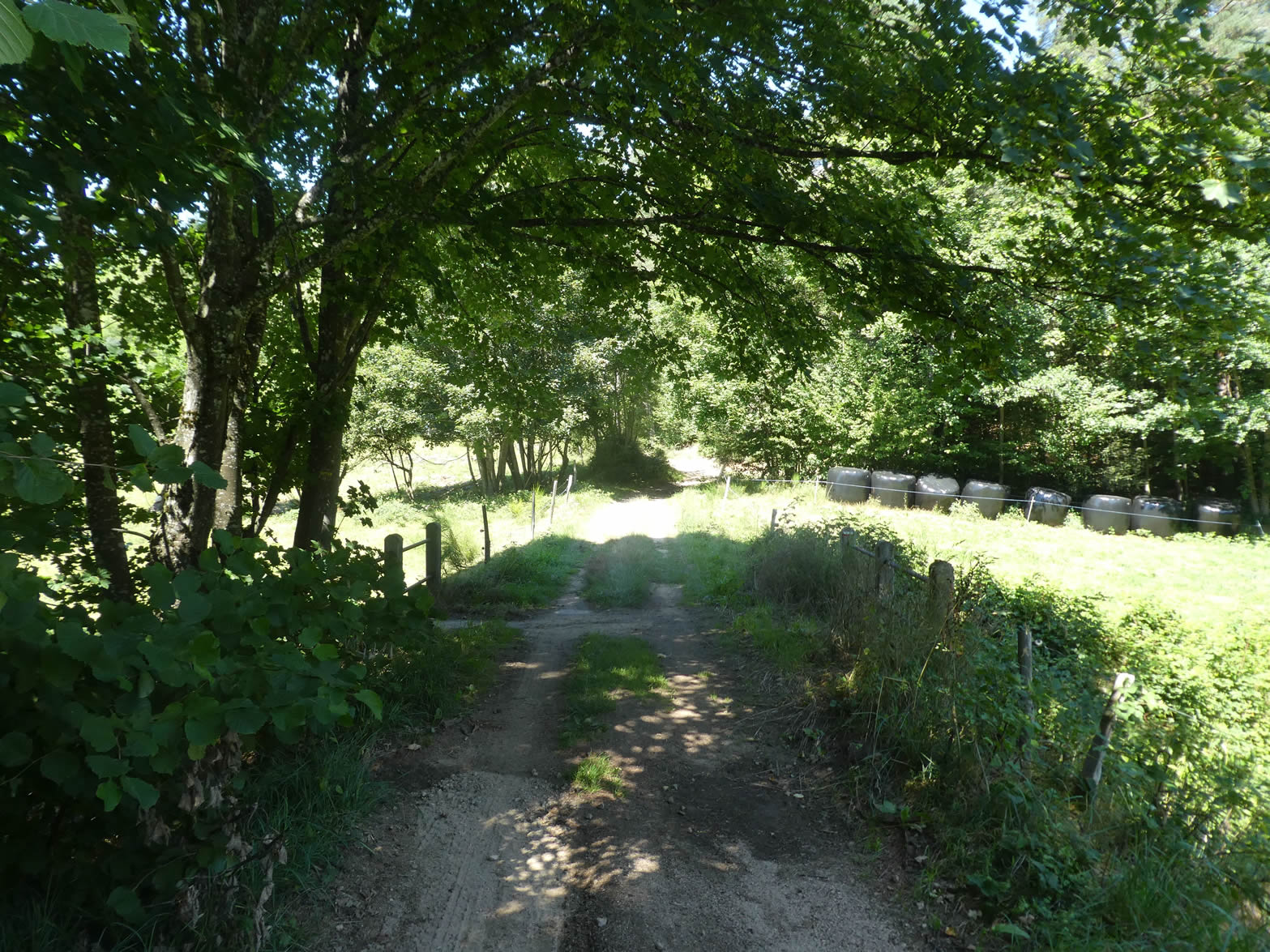
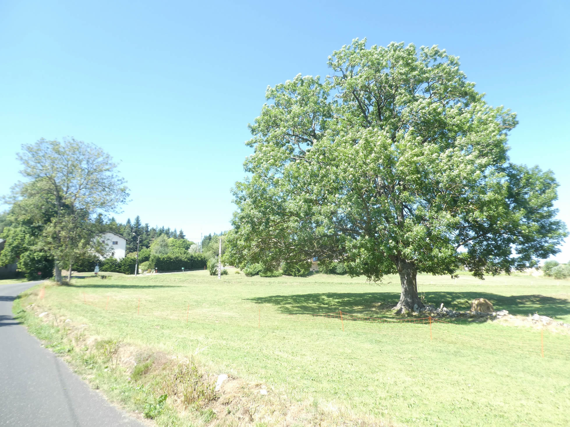
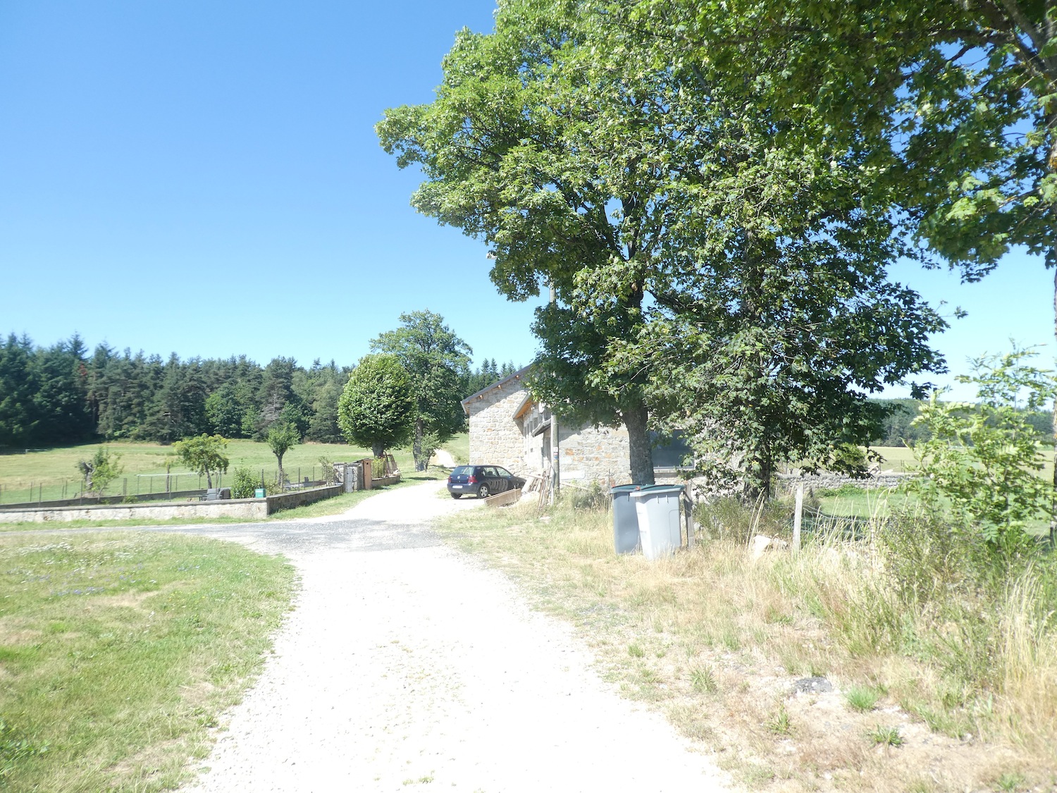
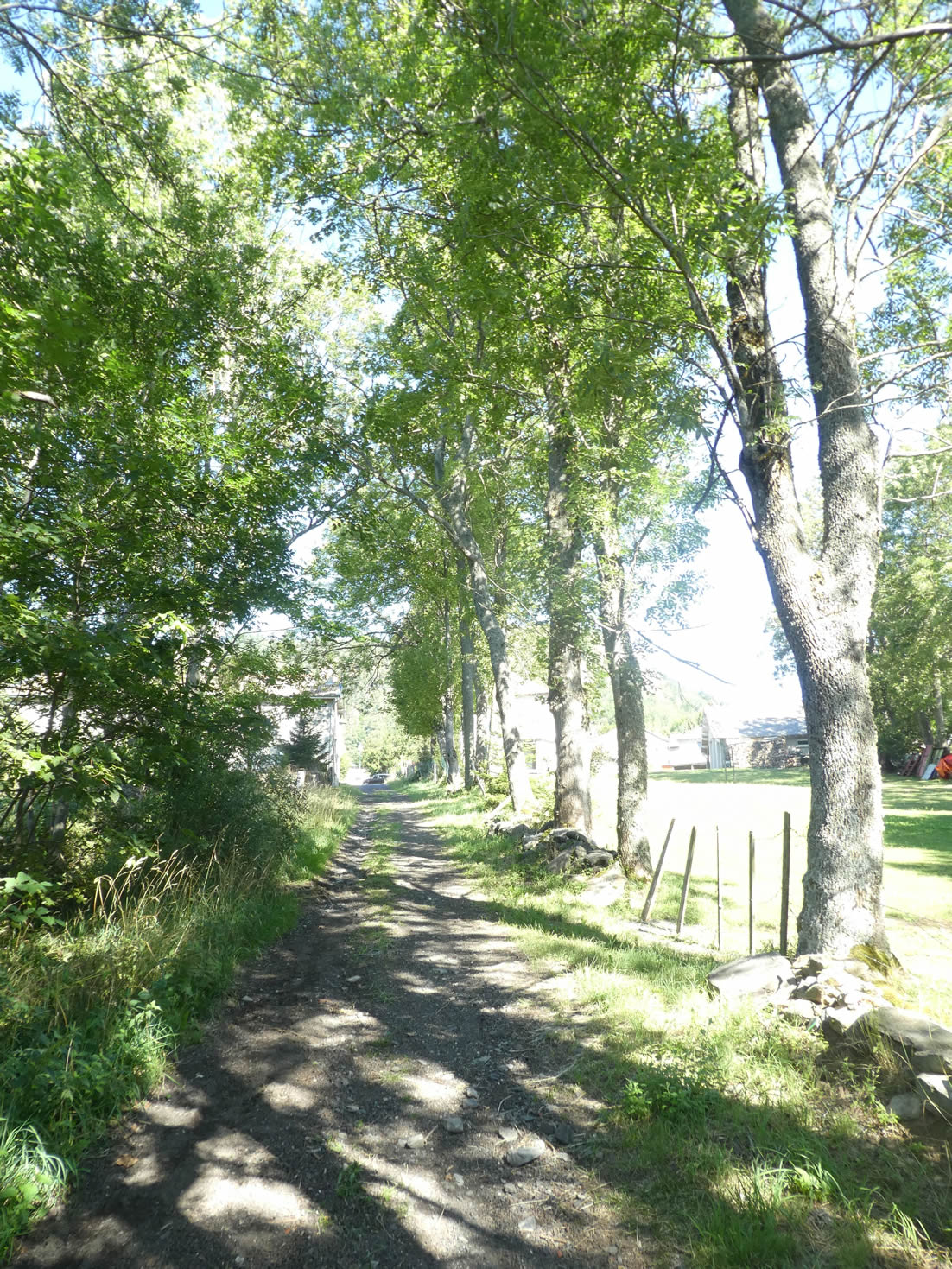
| Here, recent houses emerge among traditional stone dwellings, bearing witness to a history woven between modernity and tradition. In these small villages and hamlets, there are no eateries to welcome passersby. A great ash tree stands majestically in the meadows, like a lord overseeing his domain. |
 |
 |
| At the edge of the hamlet, the road climbs determinedly along the recent housing developments. |
 |
 |
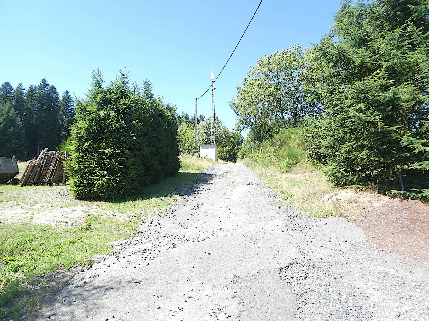
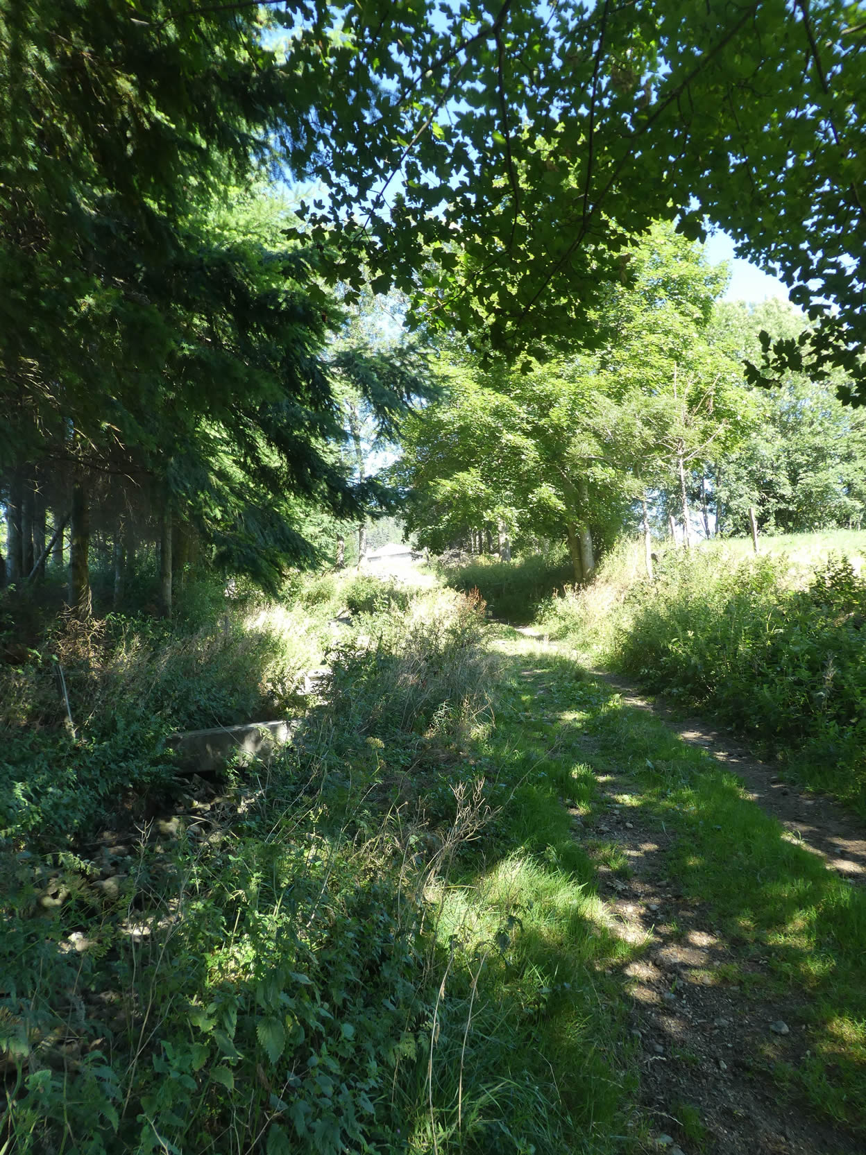
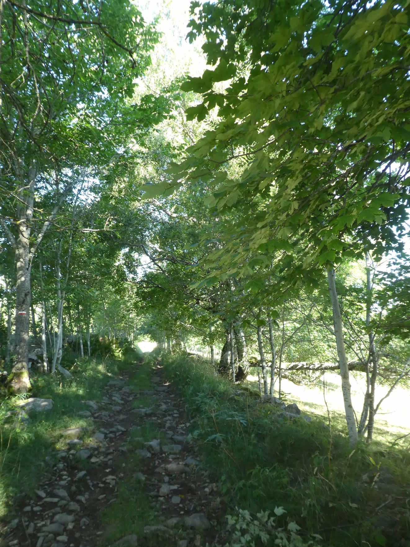
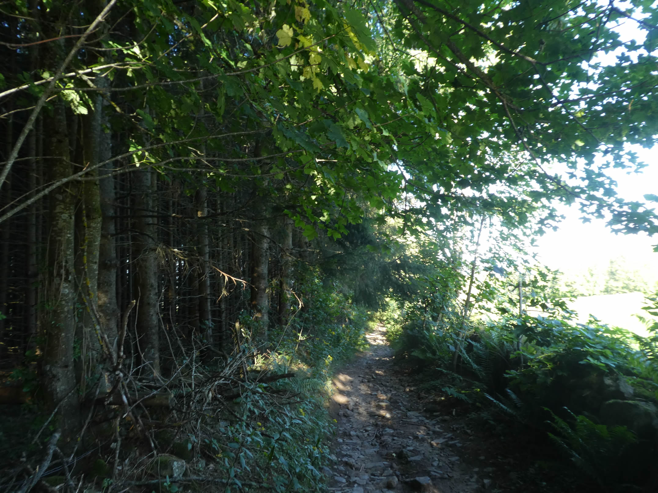
| Higher up, the asphalt gives way to a rocky path that climbs vigorously, passing near a reservoir before plunging into the welcoming shade of the forest. |
 |
 |
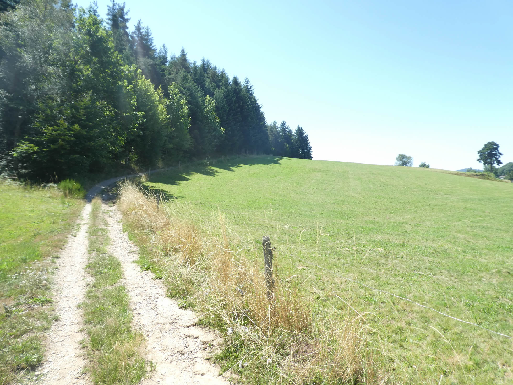
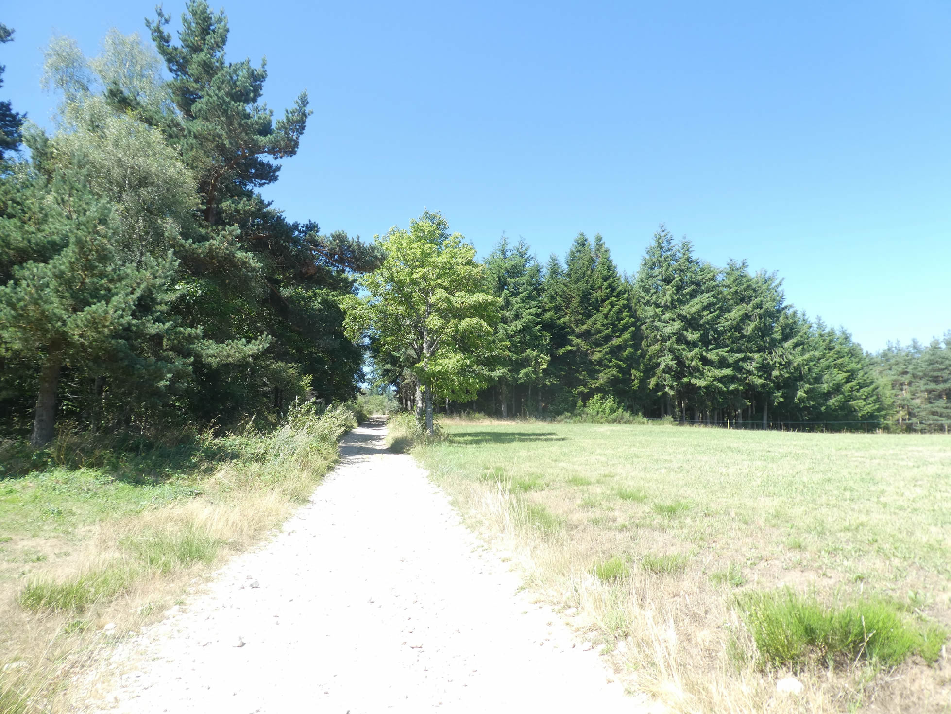
| At the top of the hill, the path begins a gentle descent on the other side of the slope. Here, instead of dense forests, there are scattered groves where ash trees, spruces, and maples spread out, forming a natural mosaic of infinite richness. |
 |
 |
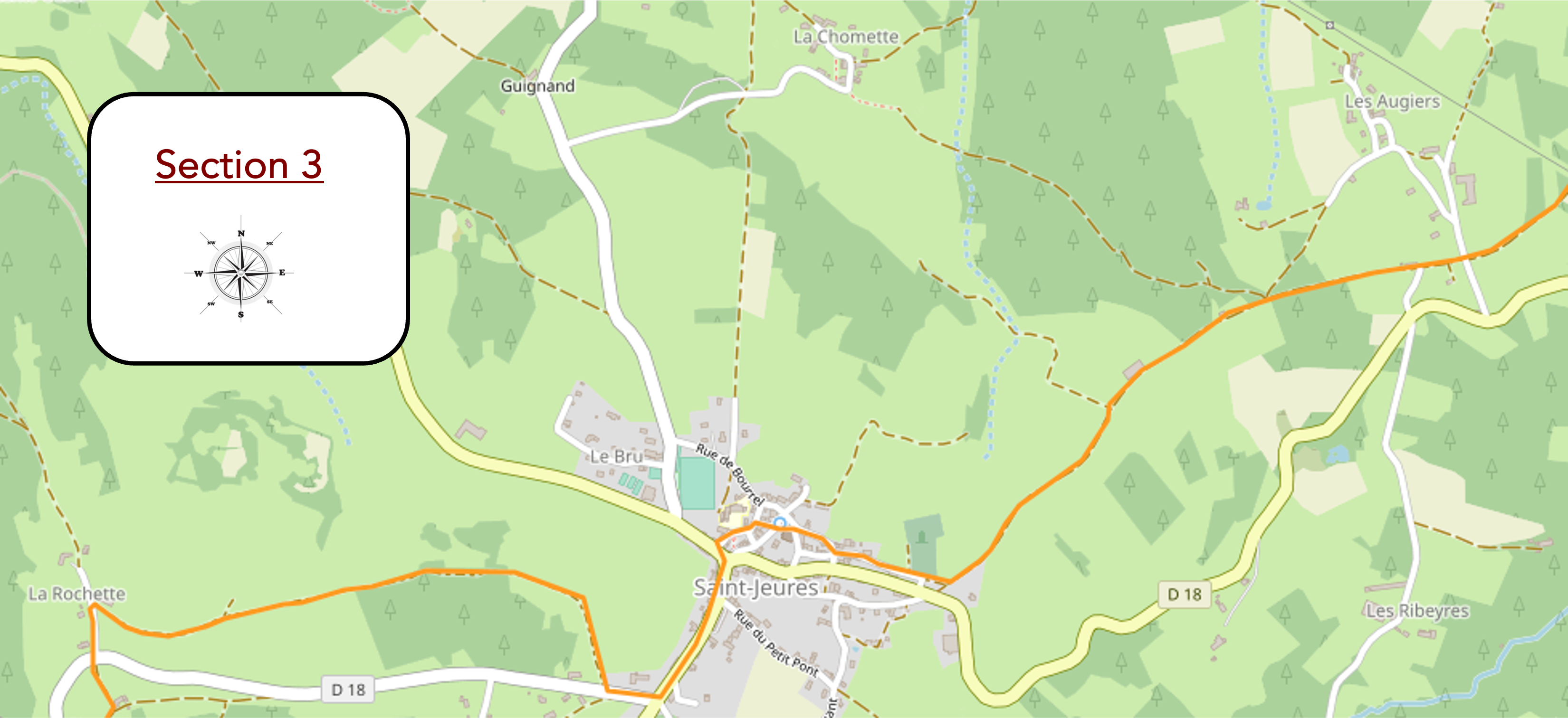
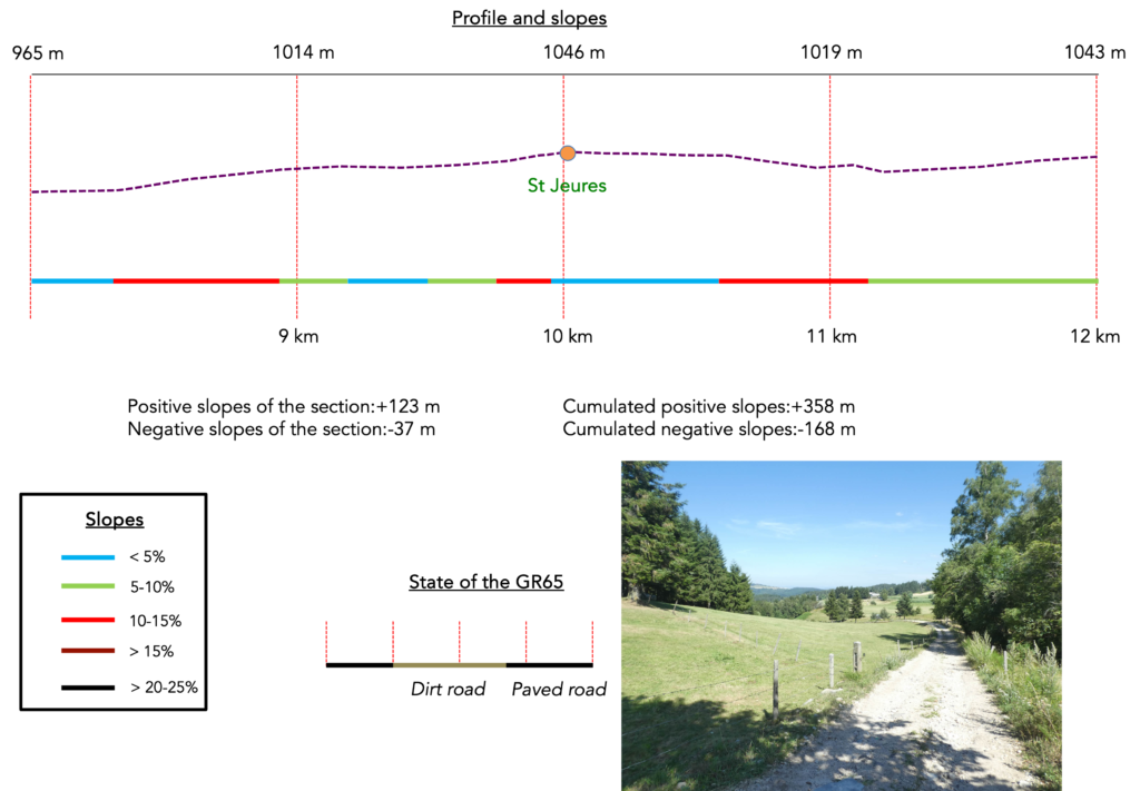
Section 3: A beautiful village, before the “sucs” come into view
Overview of the route’s challenges The route includes some steeper inclines, both uphill and downhill.
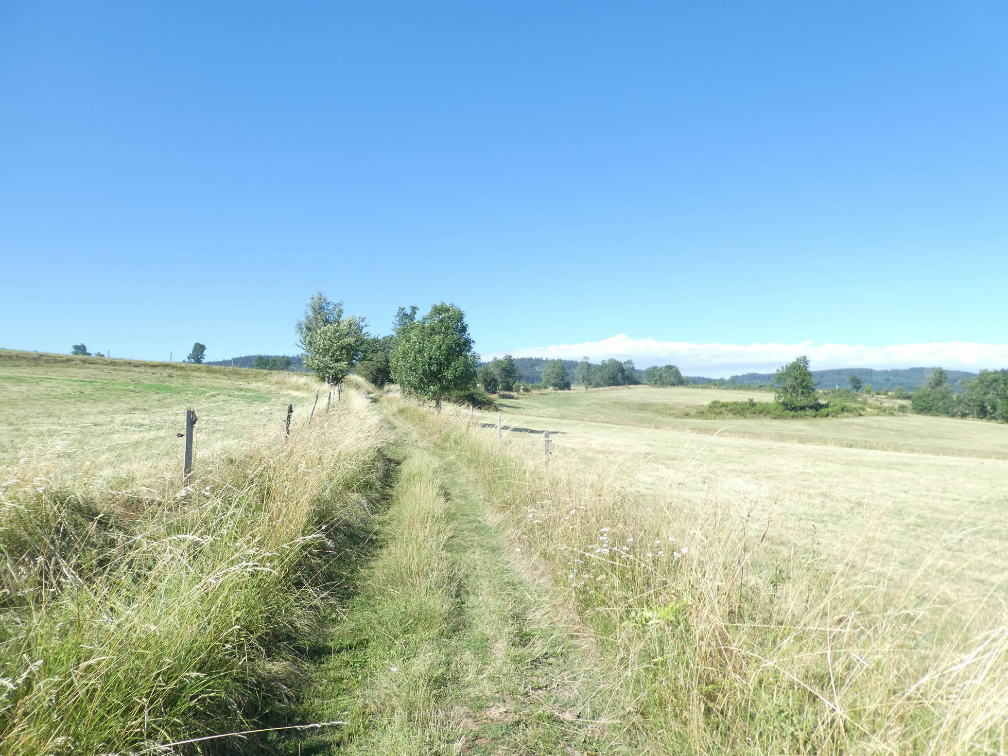
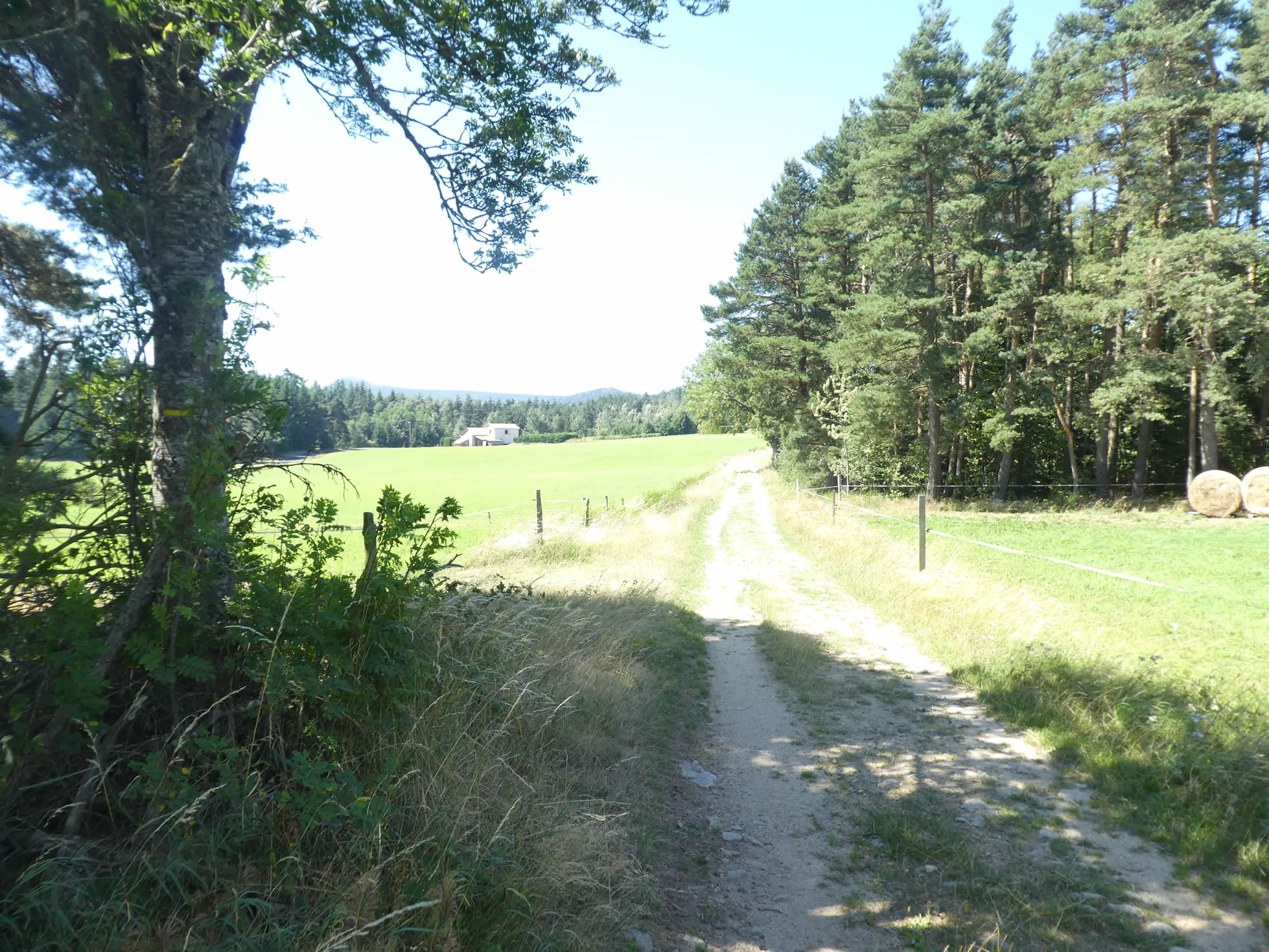
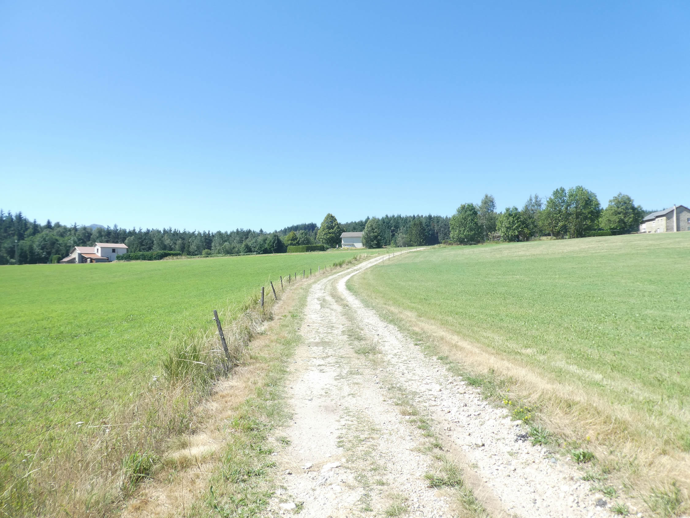
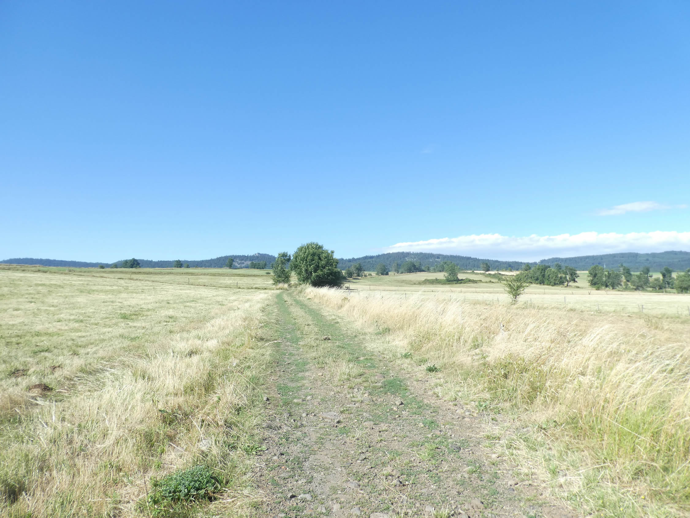
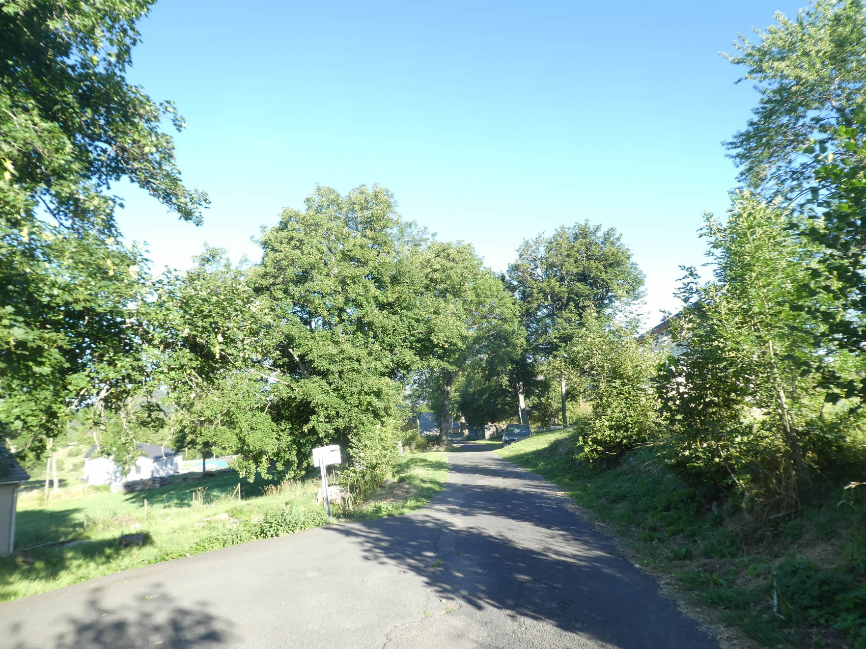
| As the slope softens, the path unfolds into a small plain, winding through emerald meadows and a picturesque landscape, where small forests appear on the horizon like islands of greenery emerging from a sea of grass. It briefly crosses a small road that seems to lead into the unknown, adding a touch of mystery to this tranquil countryside. No two days are the same on the Camino de Santiago. Yesterday, the path was littered with stones; today, they have nearly vanished. |
 |
 |
| You can easily imagine the sweetness of life in this peaceful countryside. Soon after, the broad path resumes its ascent, subtly winding through a sparse wood where the light plays hide-and-seek with the trembling leaves… |
 |
 |
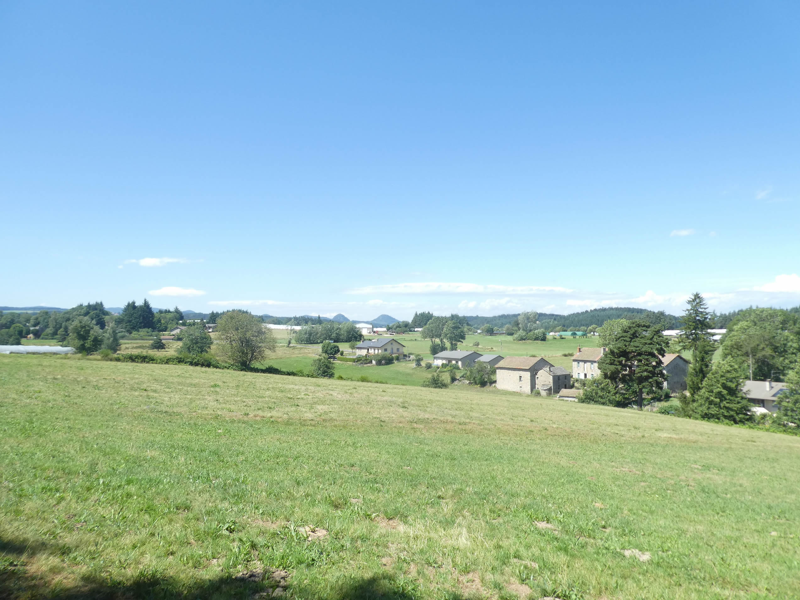
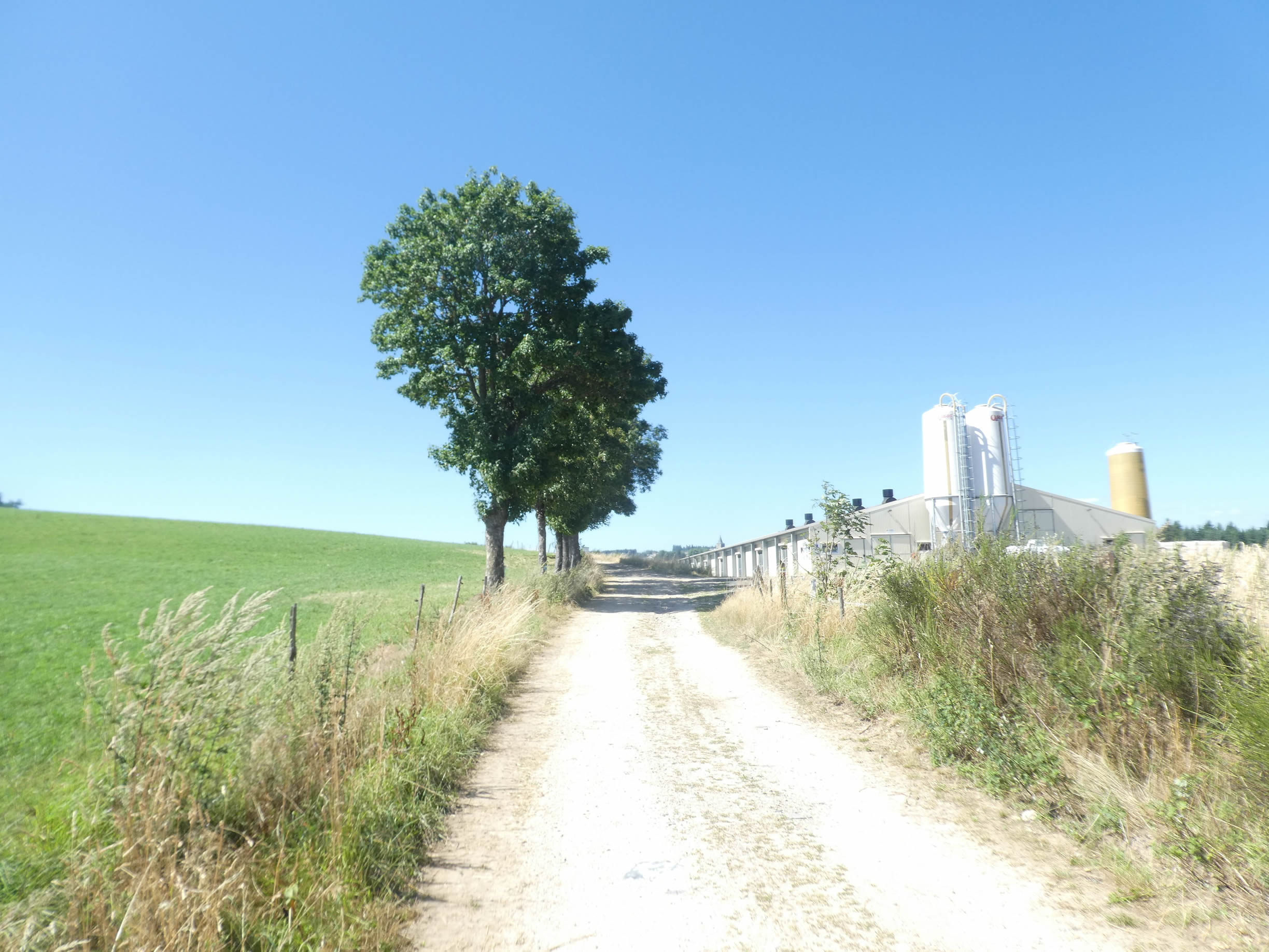
| …before returning to open countryside, dotted with a few stone farms scattered across the landscape. It could almost feel like the Southwest of France, with its duck farms and corn silos. But here in Haute-Loire, foie gras is not the specialty. Poultry is likely raised here, adding a rustic charm to this authentic corner of the countryside. |
 |
 |
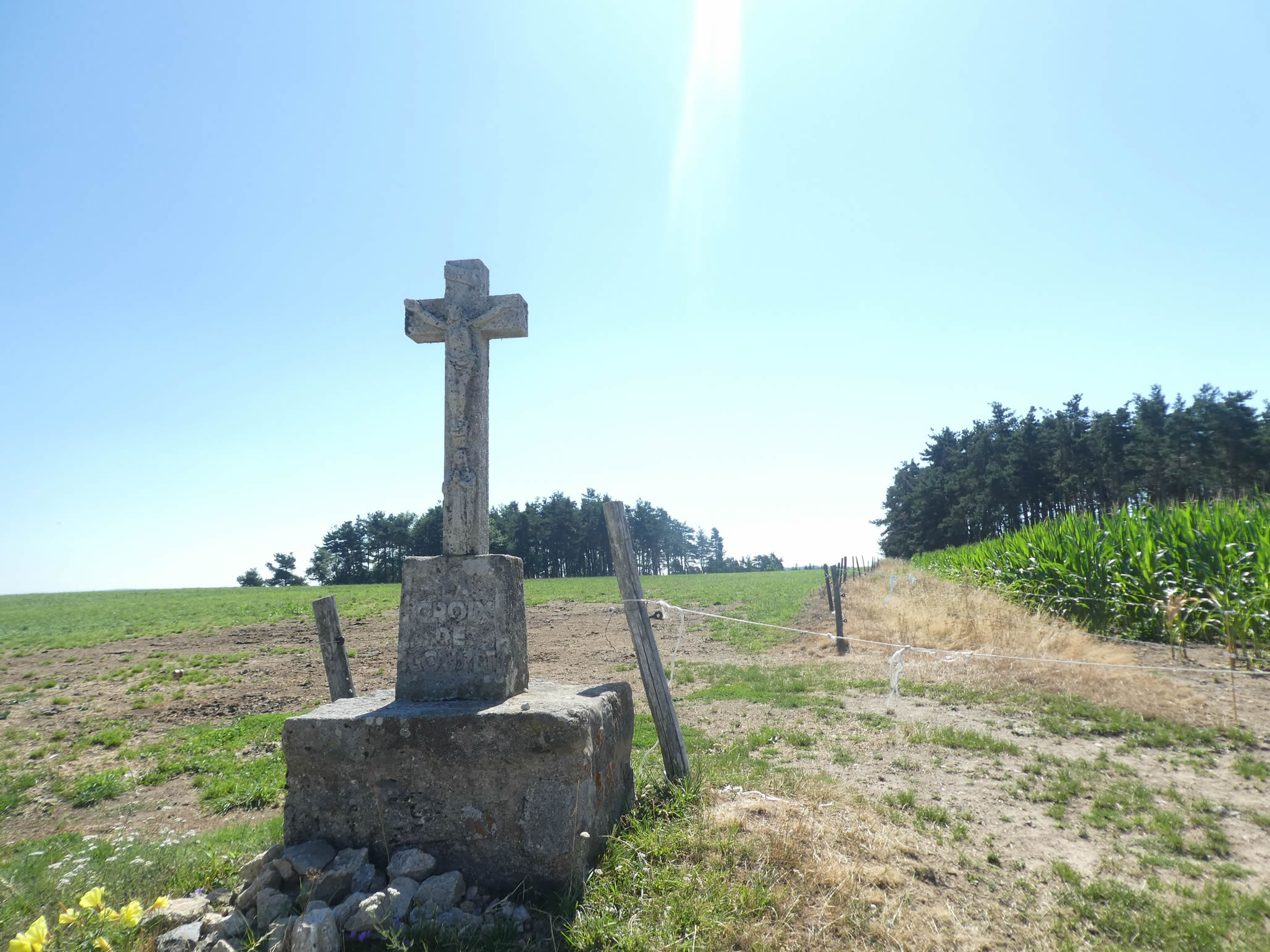
The path continues past the large and magnificent Couvet Cross, which seems to pray to the sky with its modest Christ carved into the granite. The image of this solitary and imposing cross invites contemplation.
|
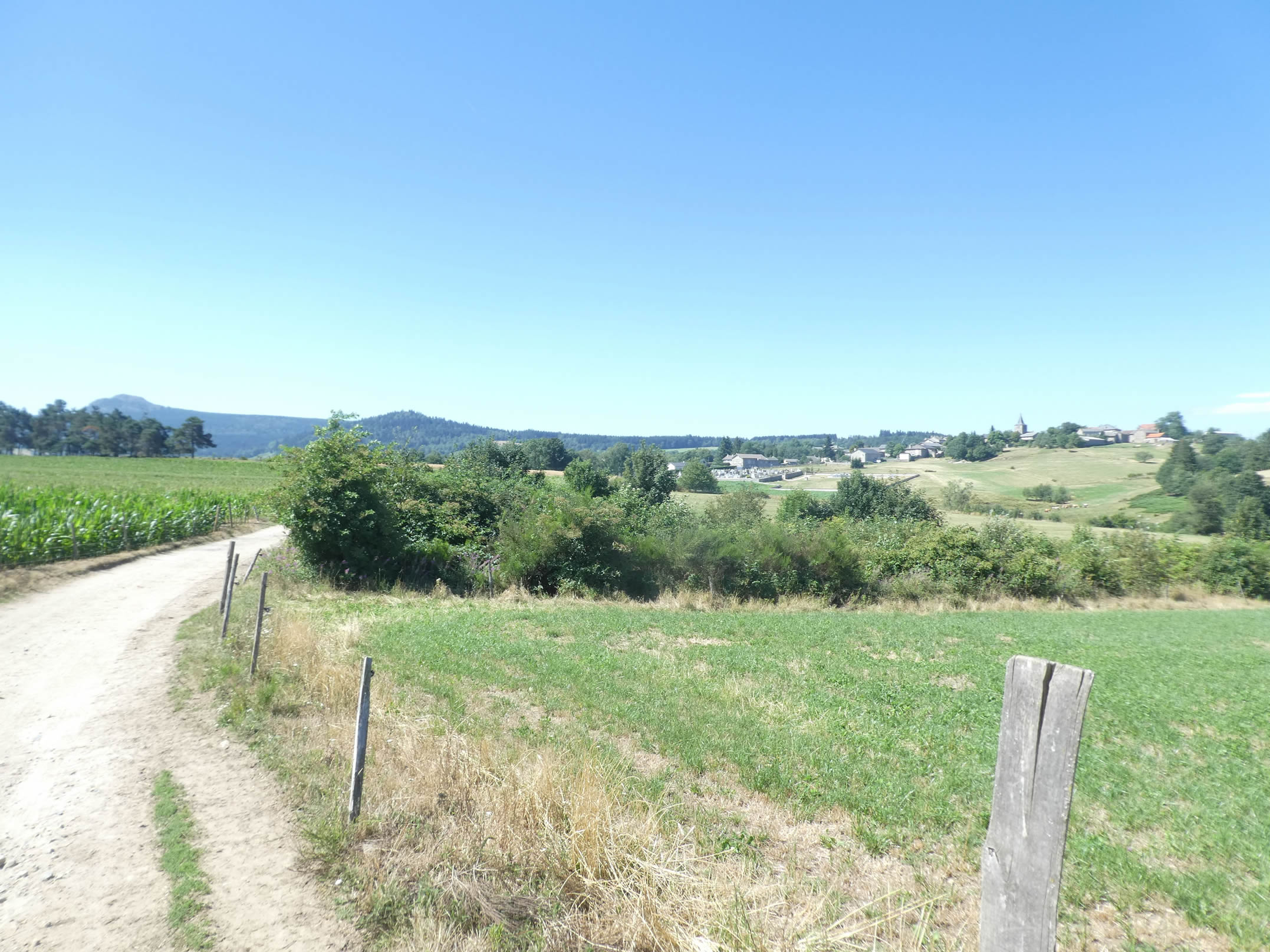
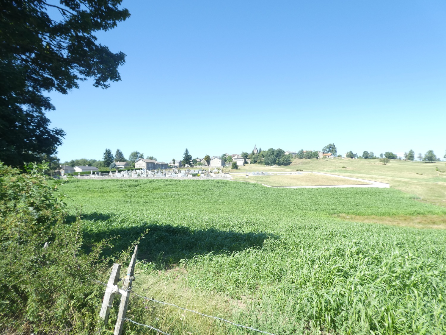
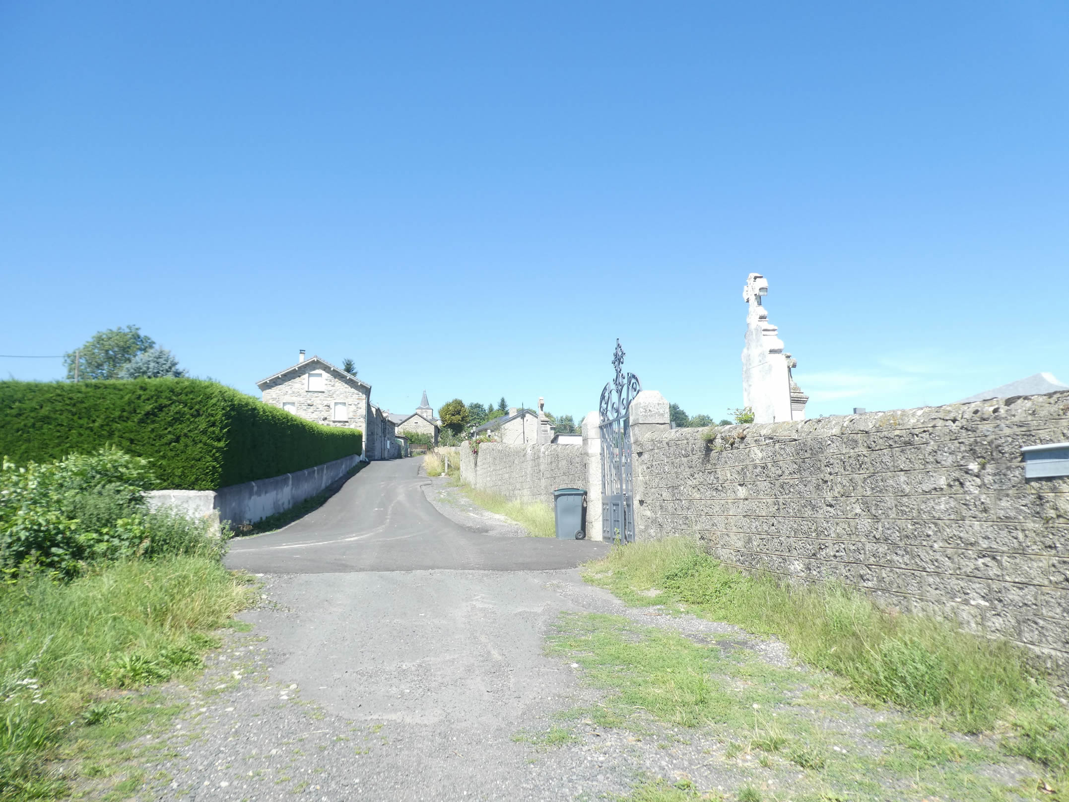
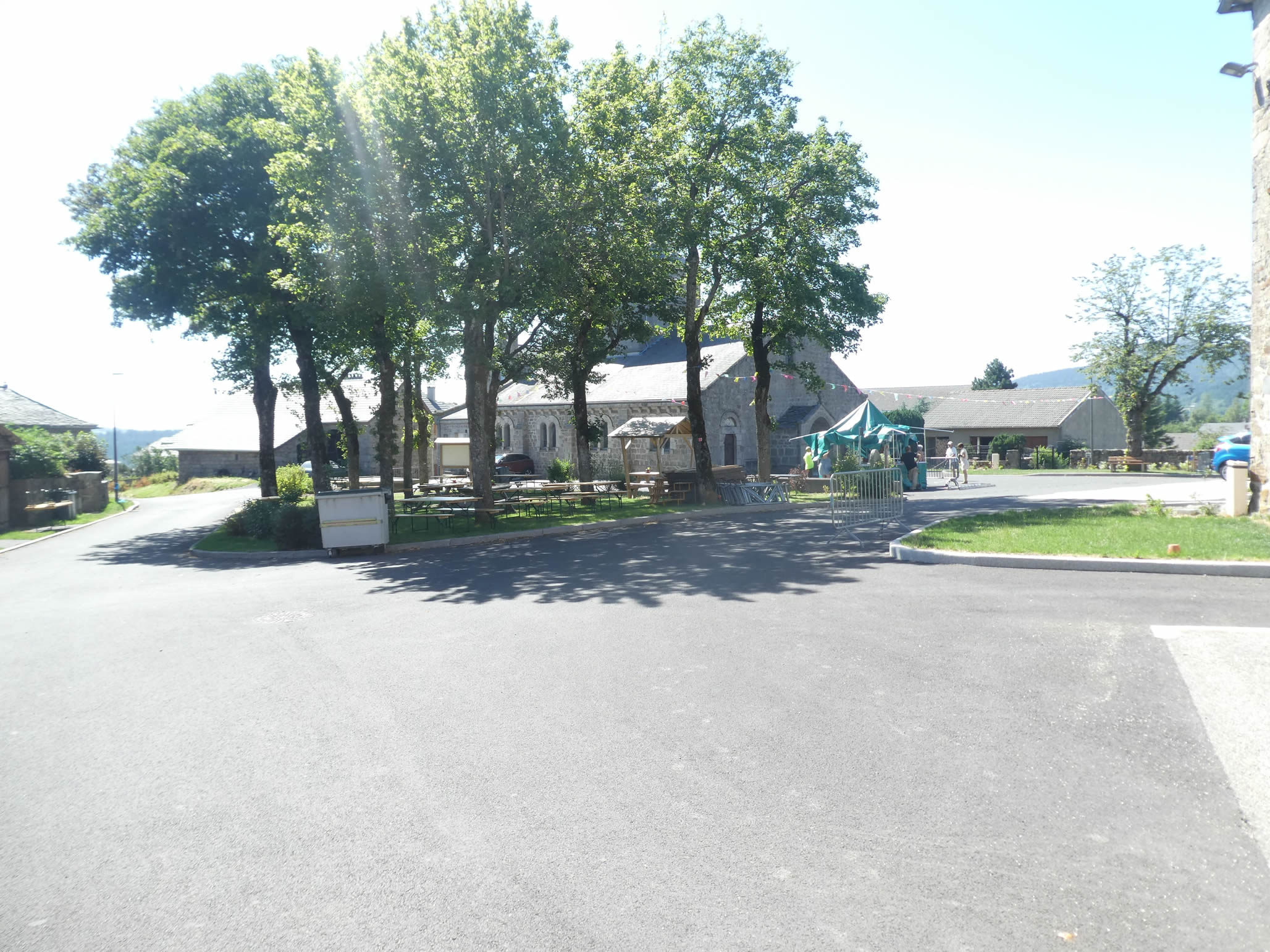
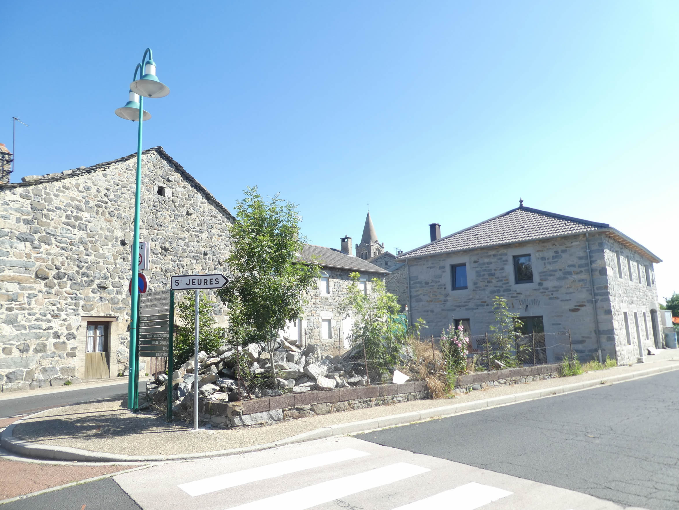
At the top of the hill, the village of Saint-Jeures comes into view on the horizon, with its cemetery nestled at the foot of the village. The sight of this humble and serene village crowns the landscape with a touch of peaceful melancholy.
|
 |
 |
|
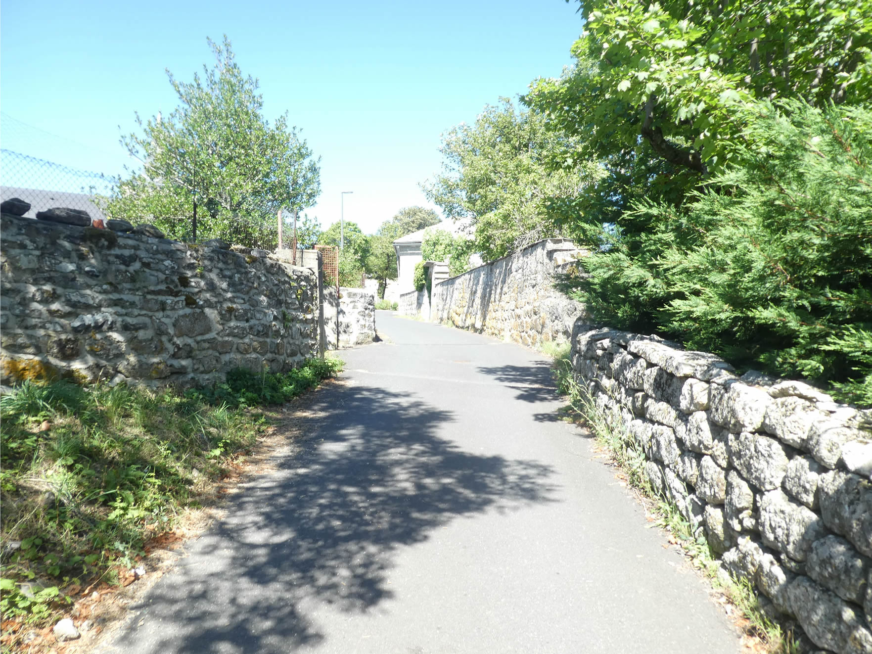
The path then joins a small road that gently climbs, winding its way up to the level of the village cemetery, a quiet place filled with solemn melancholy. The road then becomes steeper, climbing between high stone walls that stand as robust sentinels from another time. These walls reflect a timeless history, while the adjacent buildings—solid granite bastions—sparkle under the sun’s rays like forgotten jewels.
|
 |
 |
|
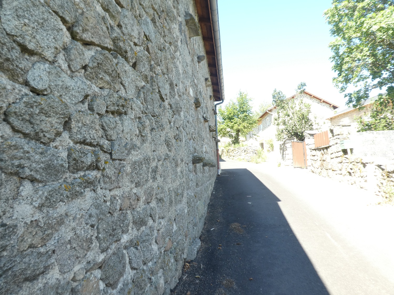
The incline becomes relentless, climbing steadily into the heart of the village. The massive and imposing buildings testify to the ingenuity of craftsmen from long ago. Each stone, each joint, is a work of art in itself, a testament to perseverance and mastery. Under the changing light of the day, the stones take on a thousand hues, creating a play of light and shadow that brings the walls to life, as if the entire village is breathing.
|
 |
 |
 |
 |
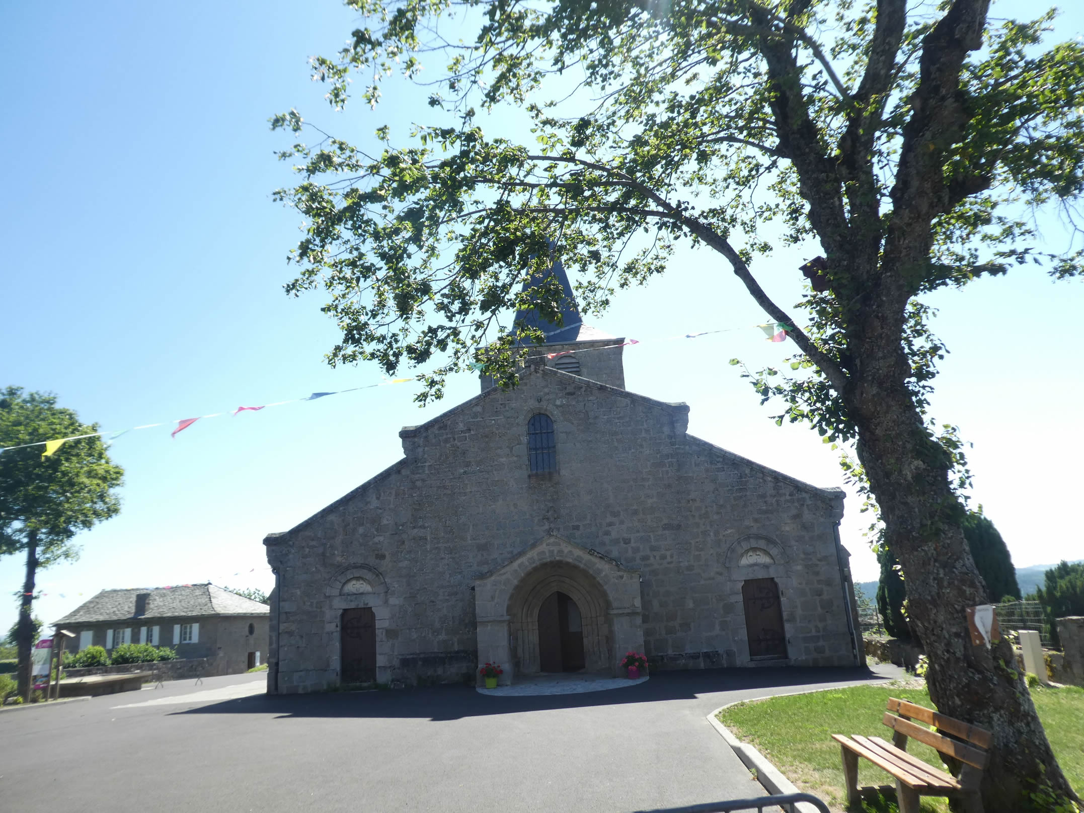
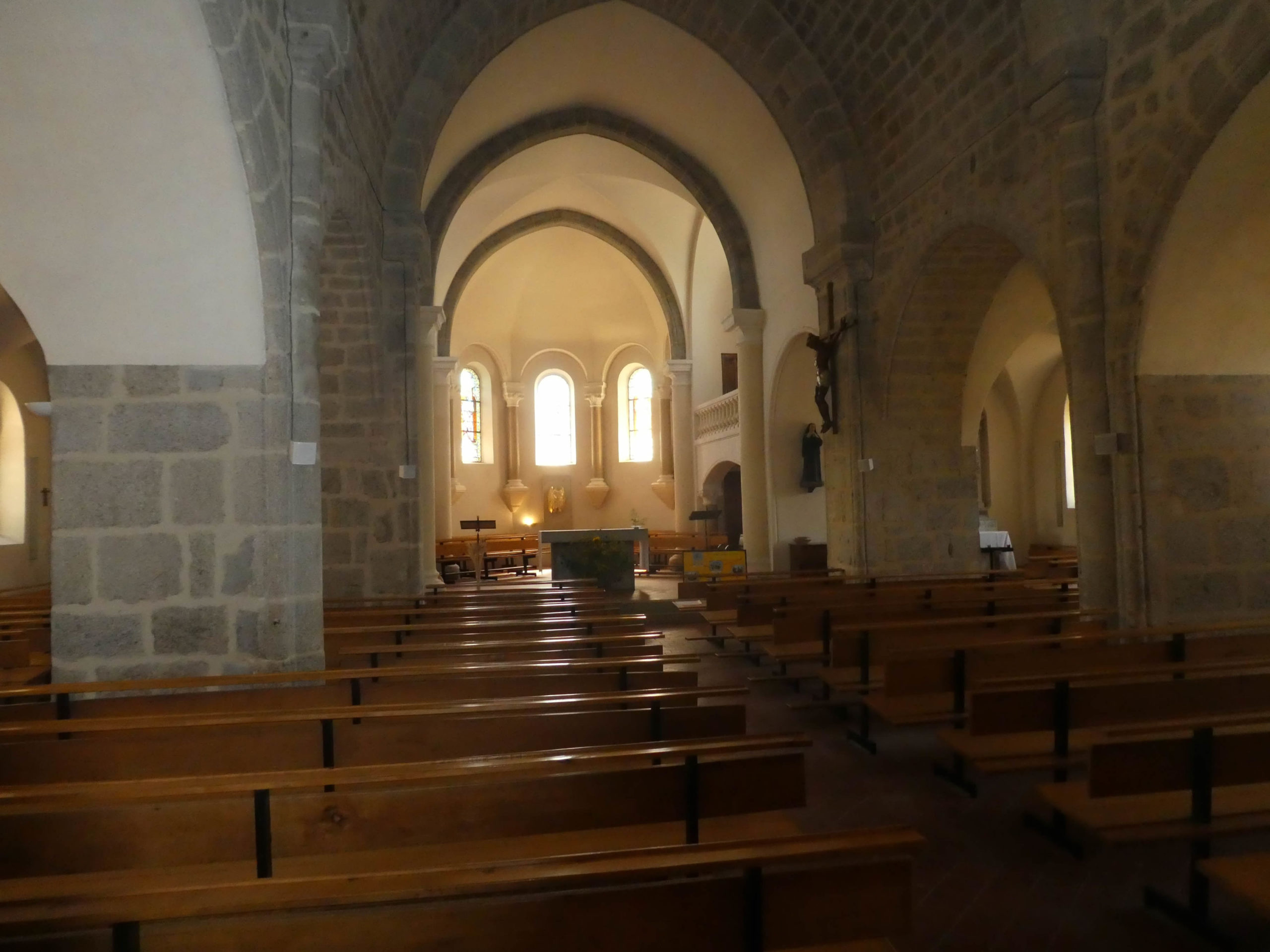
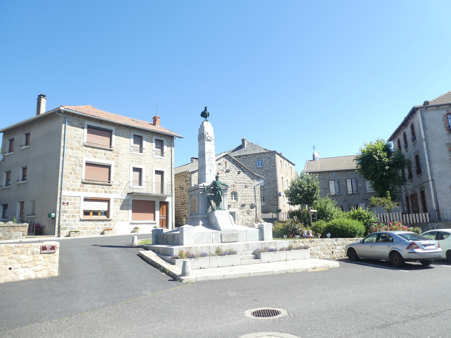
| At the center of the village, a vast paved square unfolds, framed by ancient buildings. At the heart of this square, standing like an immutable sentinel, is the church. This edifice, a former Romanesque chapel from the 12th century, is a granite jewel, both austere and majestic. Renovated in the 15th century and again in the 17th, it offers a striking contrast between the austerity of its exterior and the luminous simplicity of its interior. The pure vaults and bare walls invite contemplation and inner peace, with each stone telling the story of centuries of faith and devotion. |
 |
 |
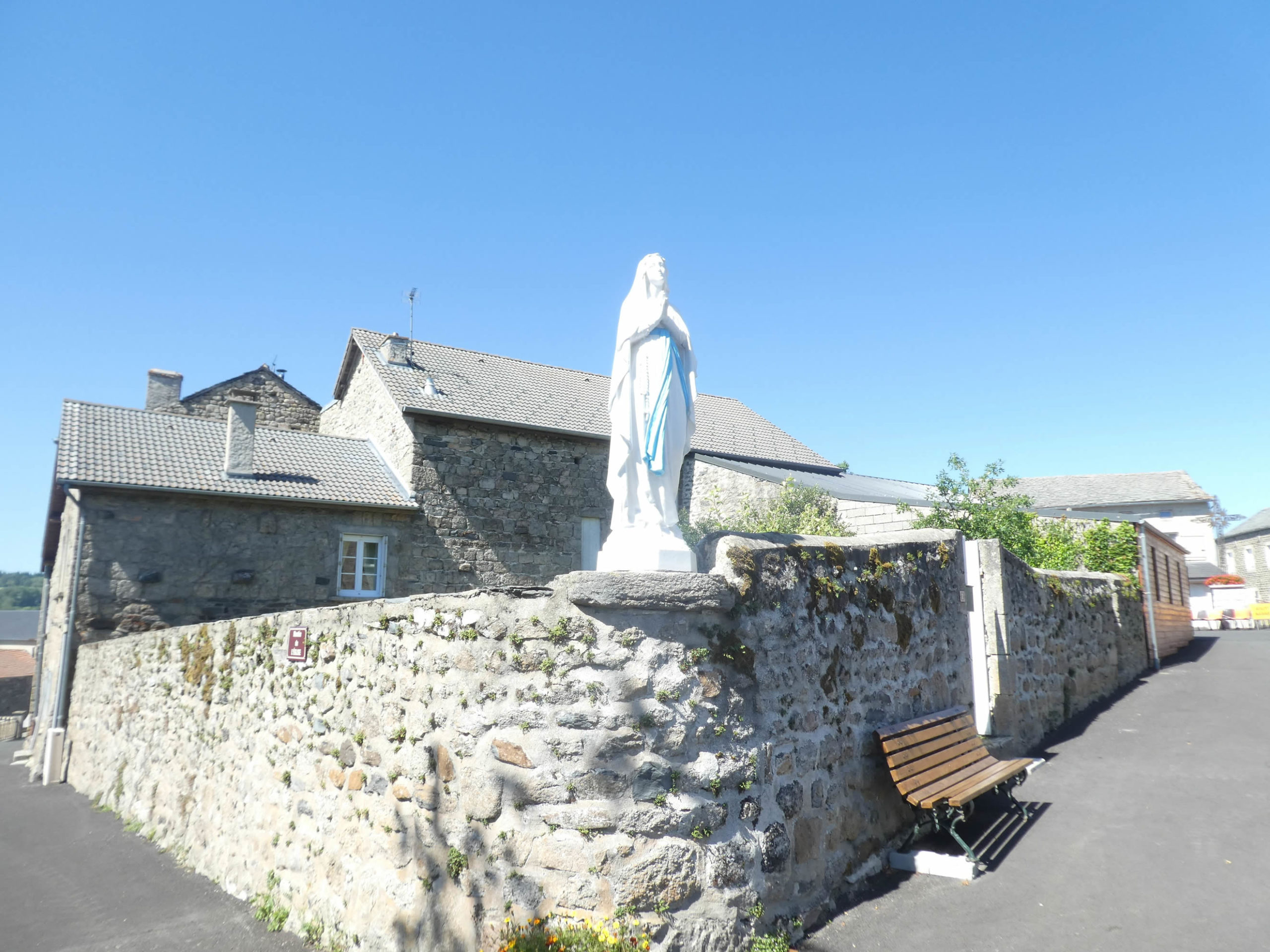
| According to a well-established tradition in large villages, the inhabitants gather near the monument dedicated to war heroes. This custom, filled with respect and gratitude, honors those who sacrificed their lives for freedom and peace. Here, a white Virgin, serene and protective, watches over the souls of the departed, her face filled with compassion and kindness, a reassuring and sacred presence that invites reflection and prayer. |
 |
 |
| The GR65 then leaves this village where, despite its modesty, you can find a place to eat. |
 |
 |
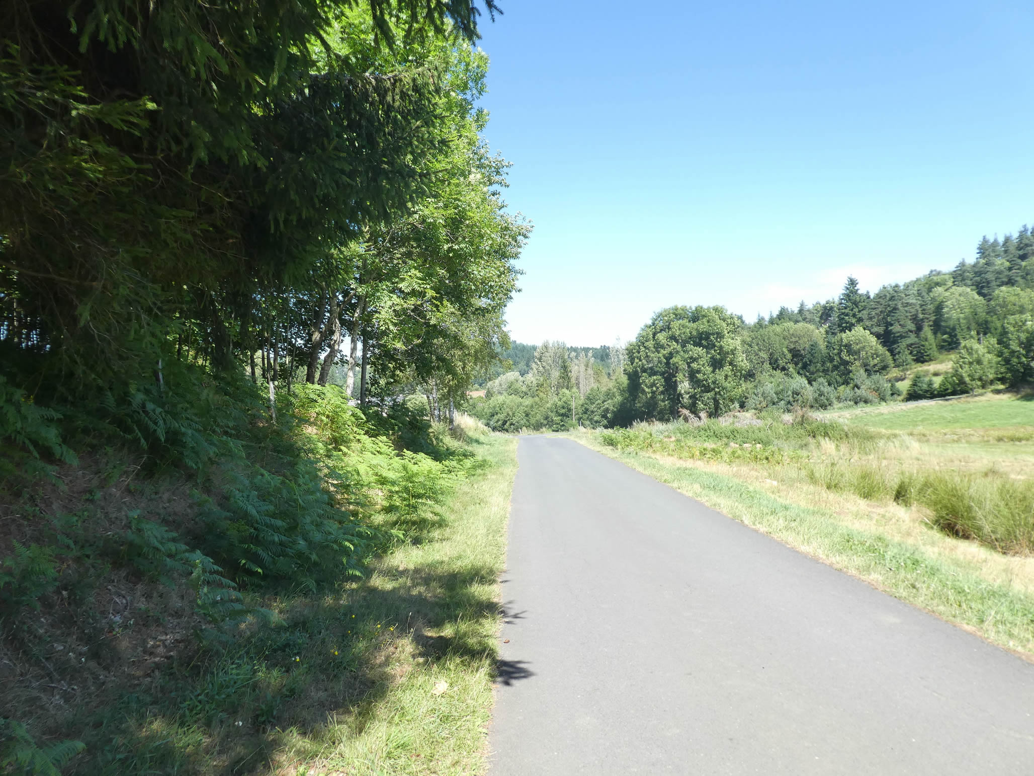
| From the village, the GR65 discreetly follows the departmental road, a road barely traveled in these peaceful regions. It remains on this road until reaching the place known as Stone Cross, where a wrought iron cross stands firmly anchored in a massive block of granite. This cross, a silent witness to the ages, marks the landscape with its austere and solemn presence. |
 |
 |
| A path then slopes down into a dale, with a slope that is noticeable underfoot. Here, the landscape becomes joyful and bucolic again, a living painting of green meadows and scattered groves. The colors blend, the greens shift, and the air seems filled with the quiet countryside tranquility that soothes the soul. |
 |
 |
| Further down, the path winds under majestic spruces or along hedges that define the meadows at the bottom of the valley. The branches of the trees form a protective canopy, and the hedges, natural boundaries, softly outline the path with poetry and grace. |
 |
 |
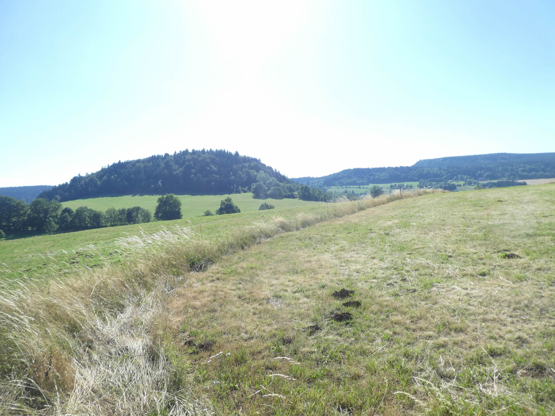
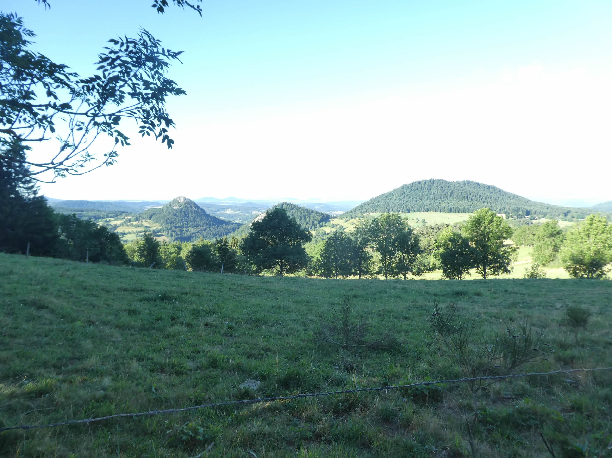
| Then, the path climbs back, running through cornfields and maple groves. With each step, you draw closer to the “sucs”, those volcanic formations characteristic of the region. The first of them, the Suc d’Achon, appears like a sleeping giant. As the journey continues, other “sucs” will emerge, offering their majestic silhouettes and millennia-old stories to the eye. |
 |
 |
| In this part of the path, the splendid ash trees and graceful maples rise tall, forming a true guard of honor for the walker. These trees, the guardians of the place, seem to greet the traveler with their benevolent presence. |
 |
 |
Section 4 : On the way to the “sucs”

Overview of the route’s challenges: The route includes some steep inclines.

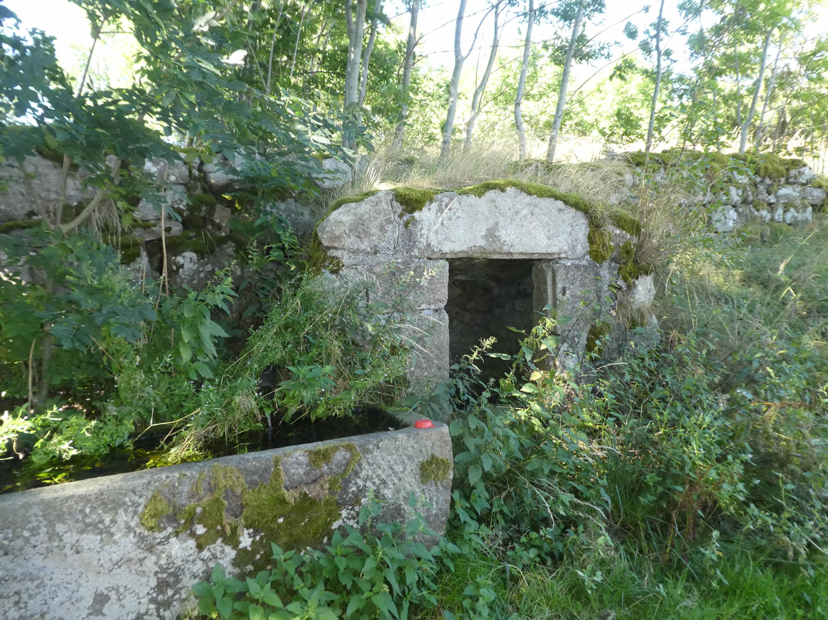
Further along, hidden in the underbrush, lies a beautiful fountain from another time. This almost forgotten spring still whispers ancient stories to those who take the time to stop. It’s like a precious relic, preserved from the ravages of time, offering a refreshing and contemplative break.
|
Shortly after, the incline gradually eases, and the path temporarily winds through a serene and gentle plain. The soft contours and tranquility of the landscape invite contemplation.
|
 |
 |
|
The path crosses the departmental road again, peacefully passing by a few stone houses in La Rochette, silent witnesses of a bygone era. The rustic simplicity of the area evokes memories of a time when life seemed to move more slowly.
|
 |
 |
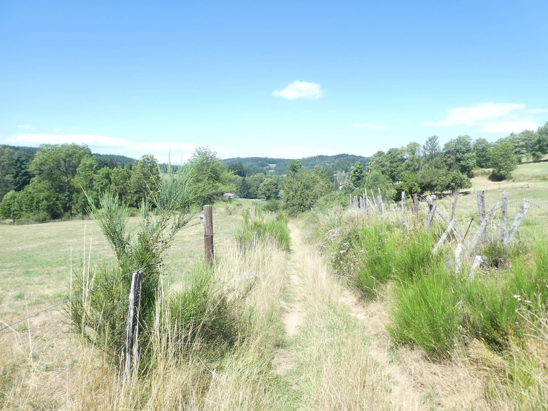
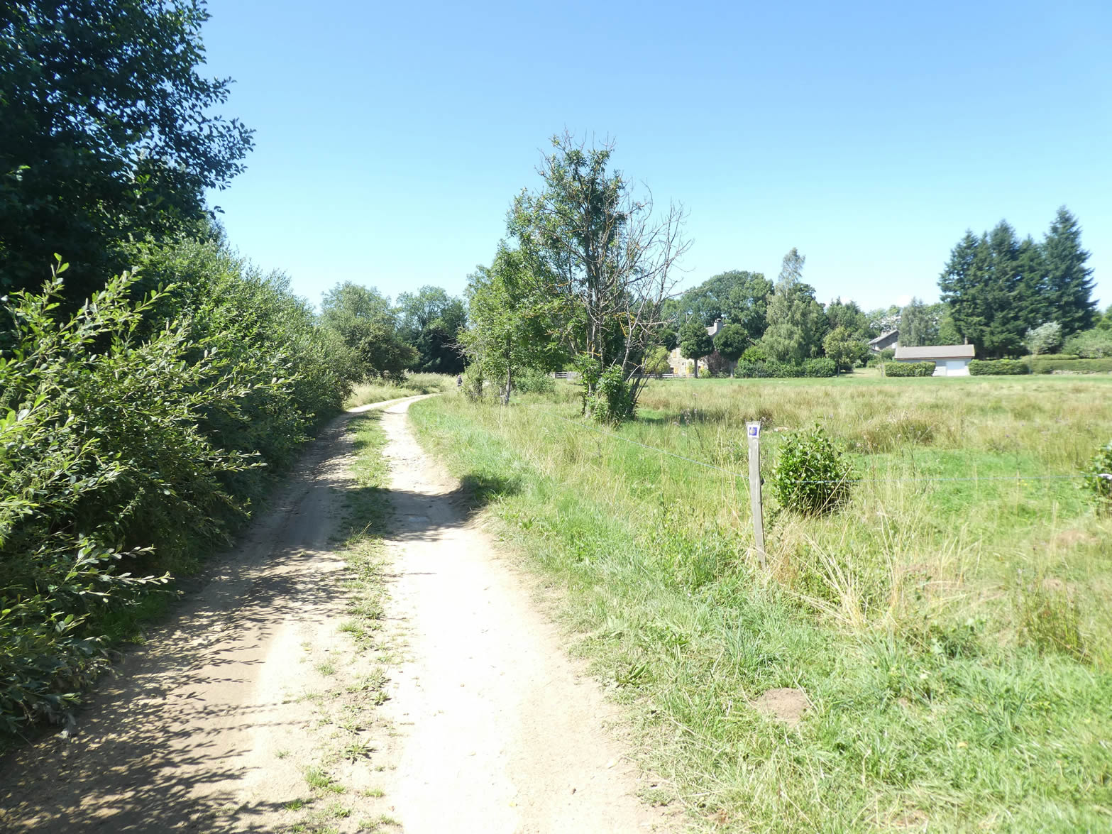
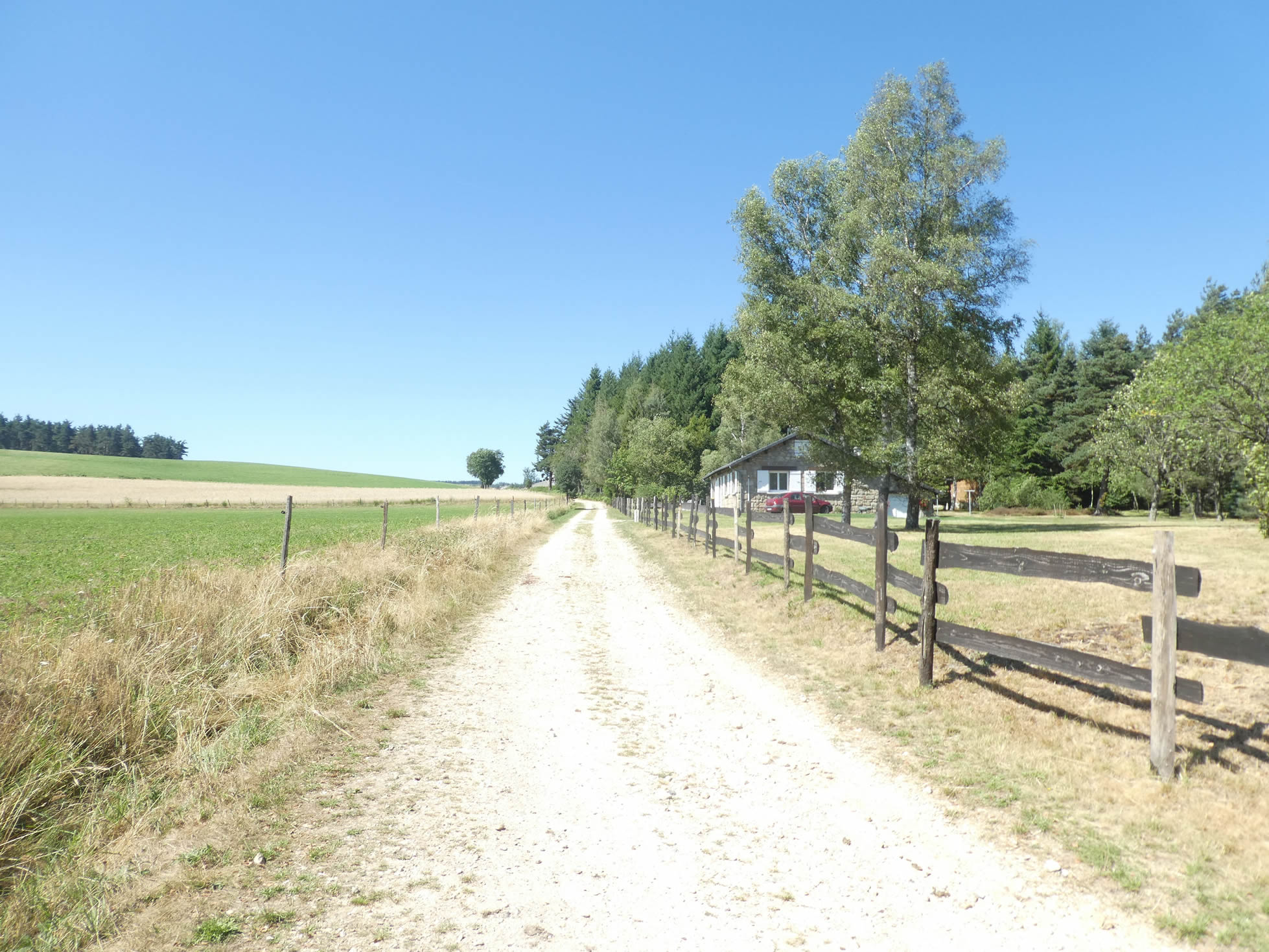
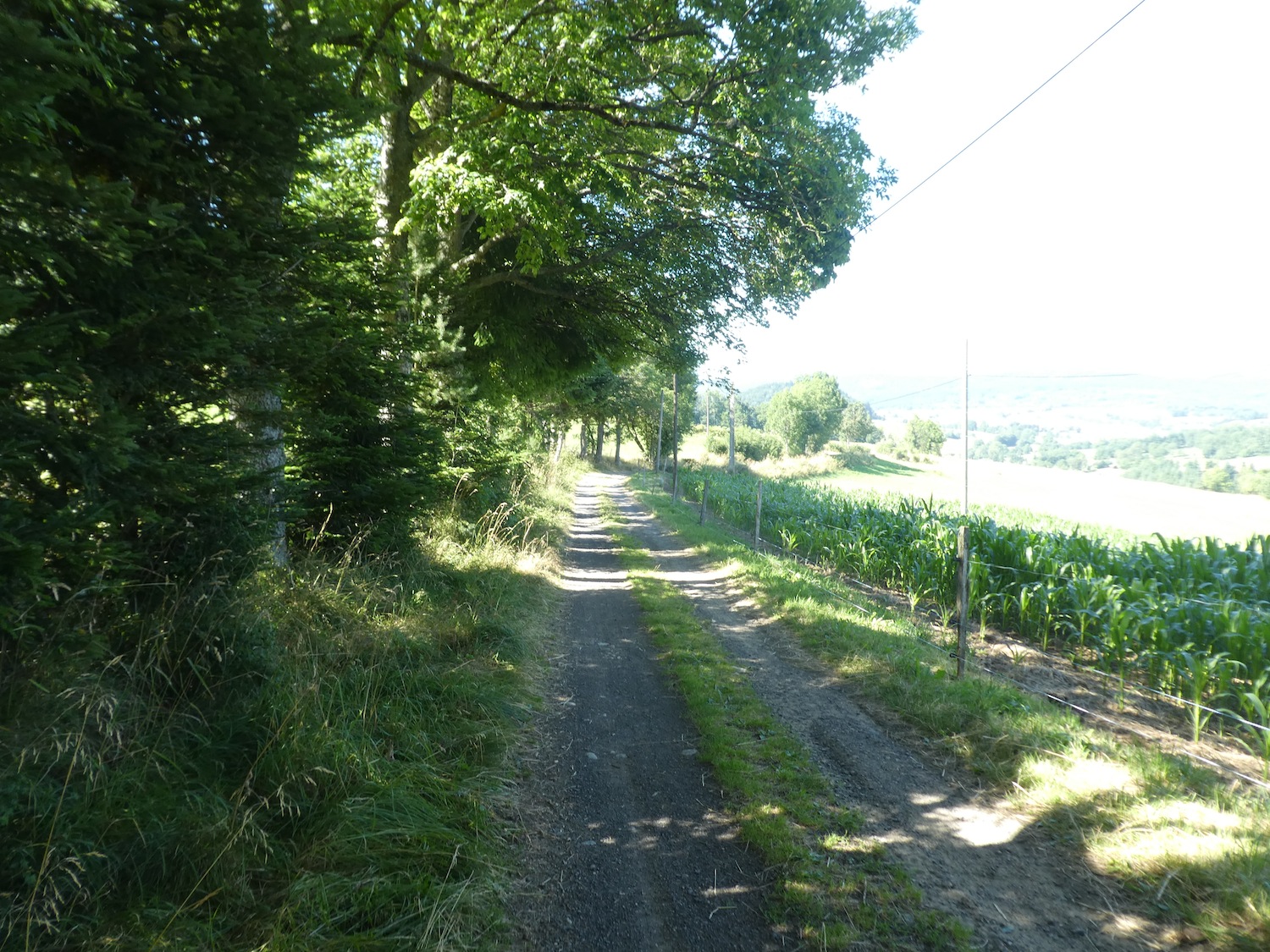
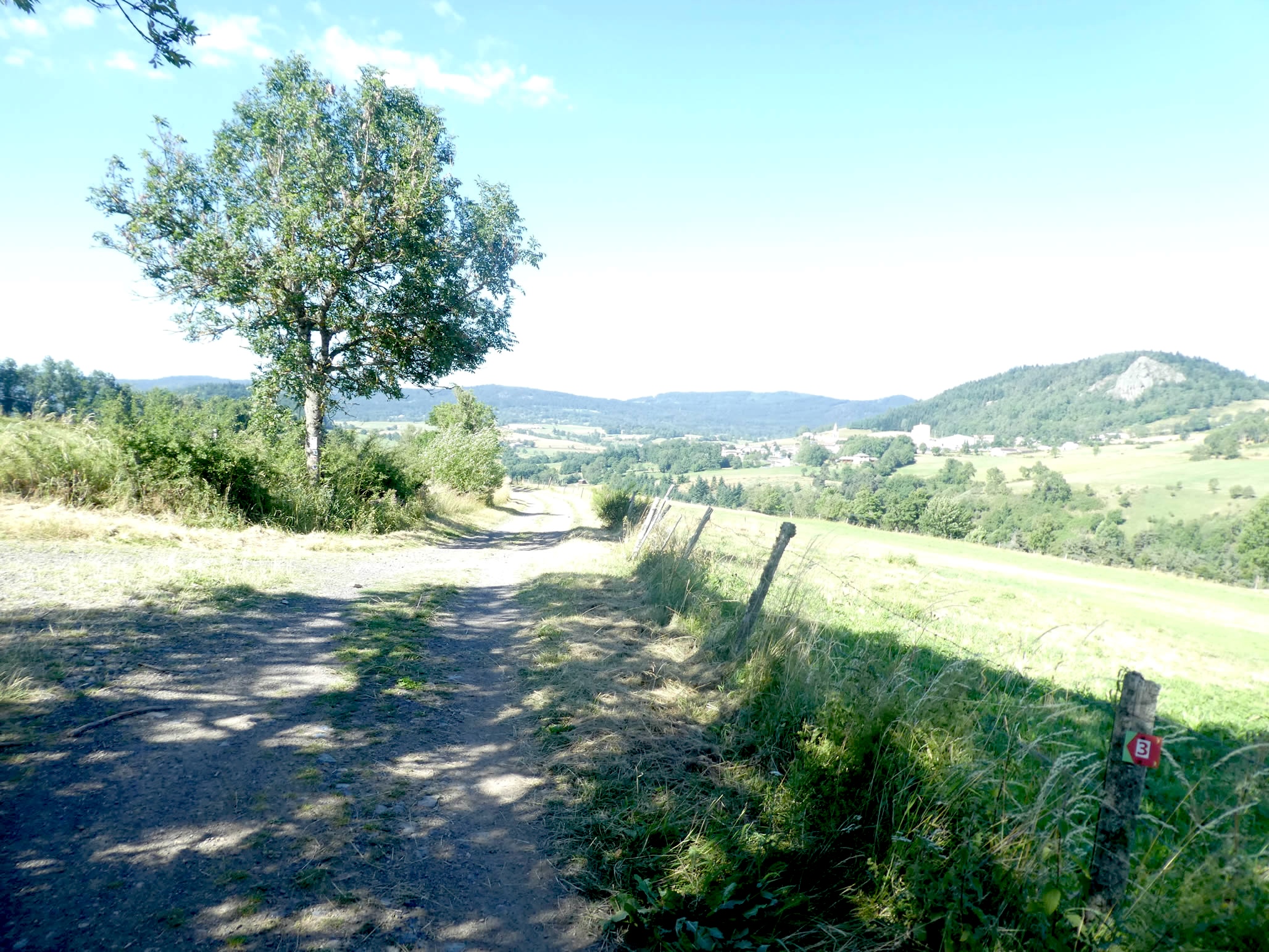
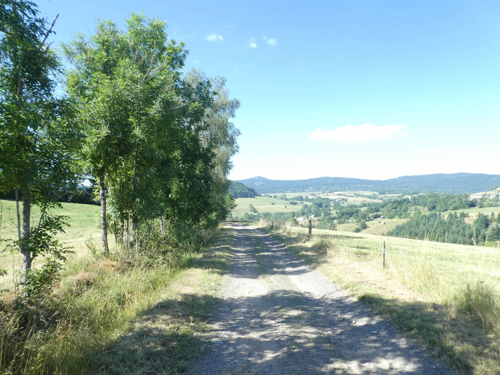
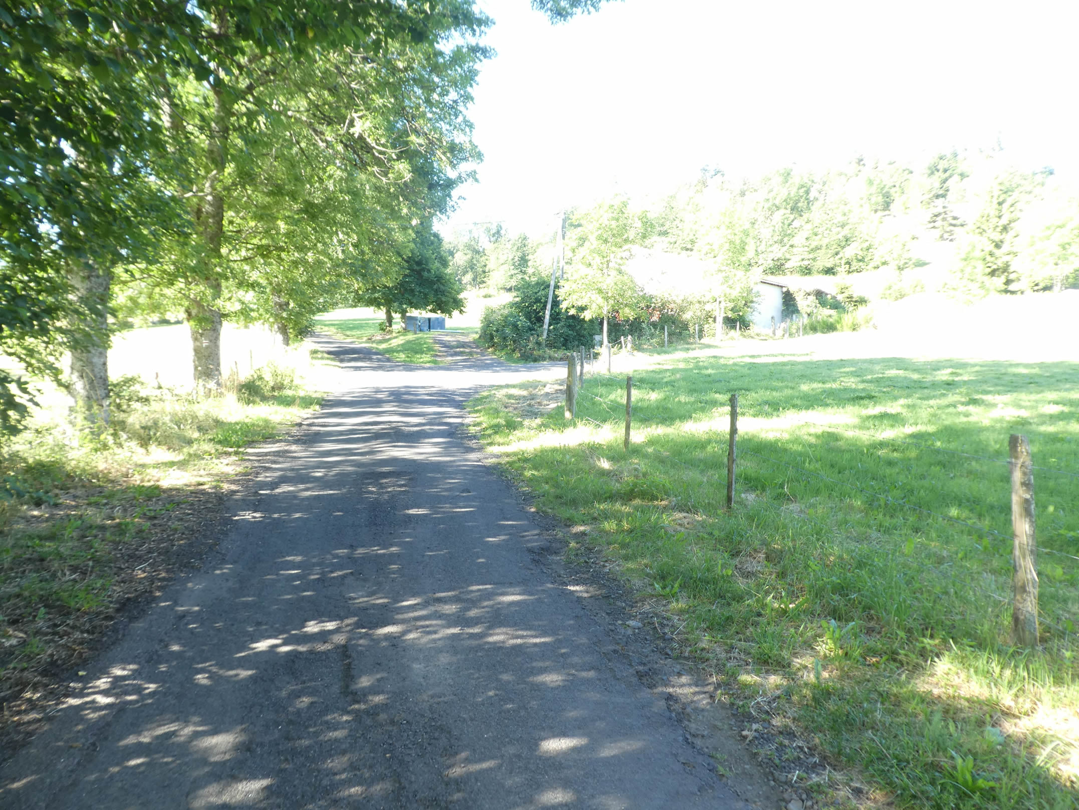
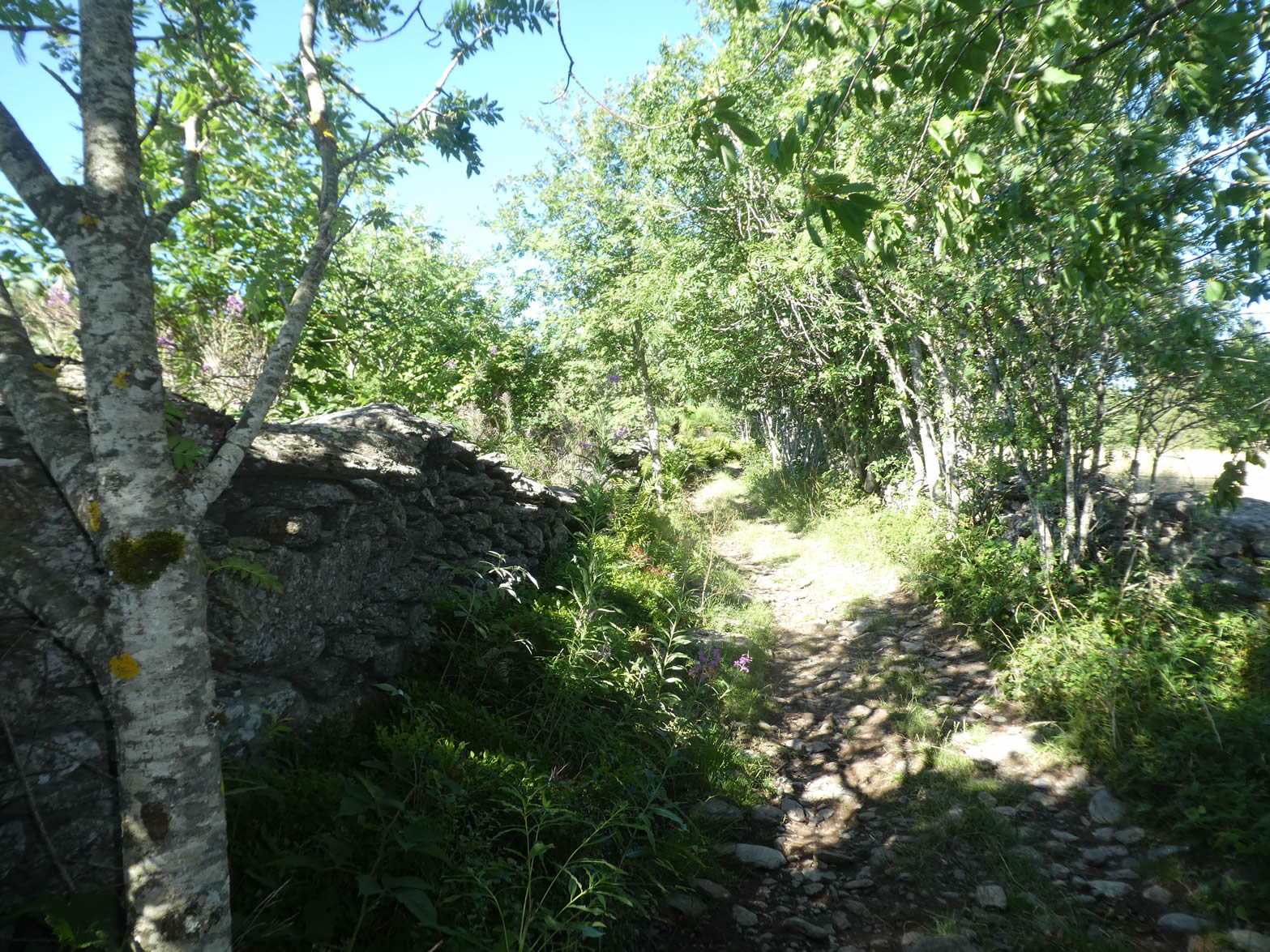
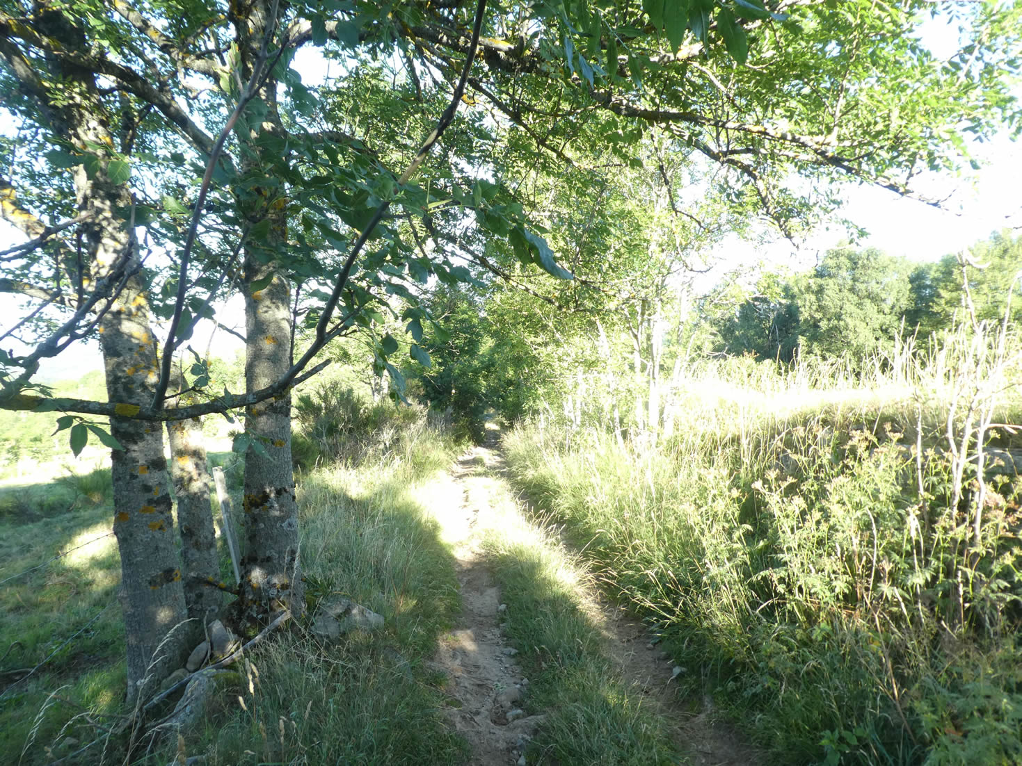
| A broad dirt road, scattered with stones, then descends gently along the hillside, bordered by lush green hedgerows. Each step resonates like a natural melody, harmonizing with the rustling of the leaves. |
 |
 |
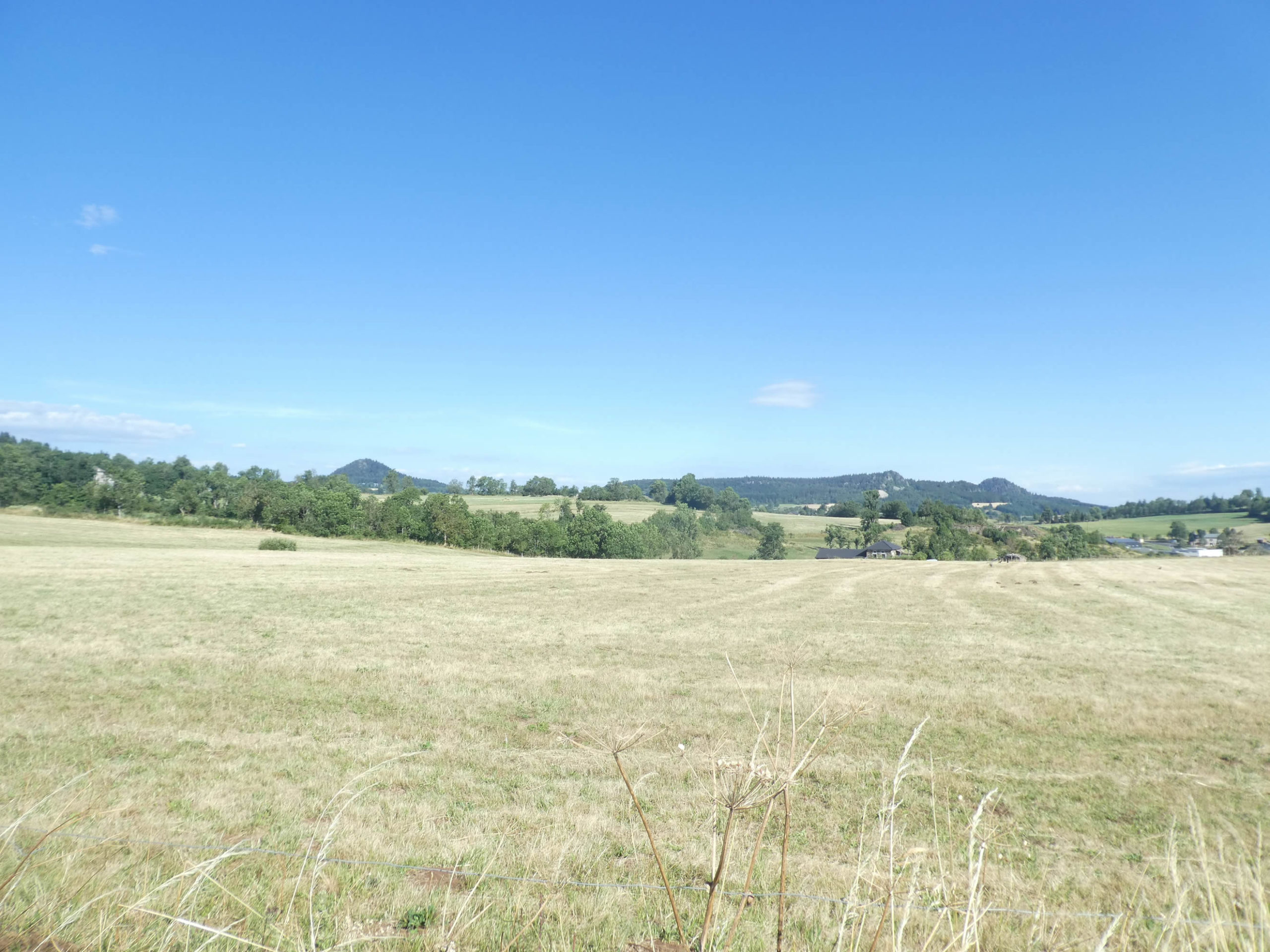
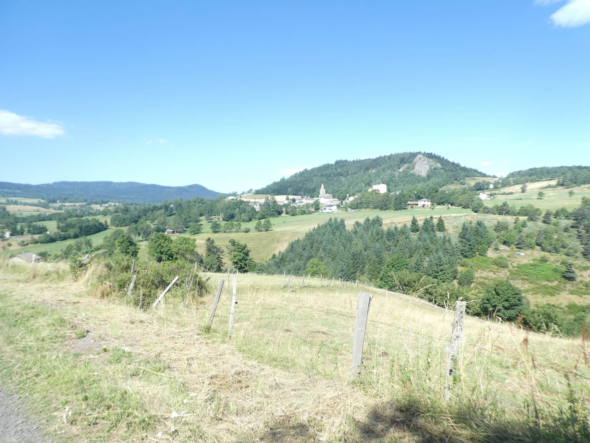
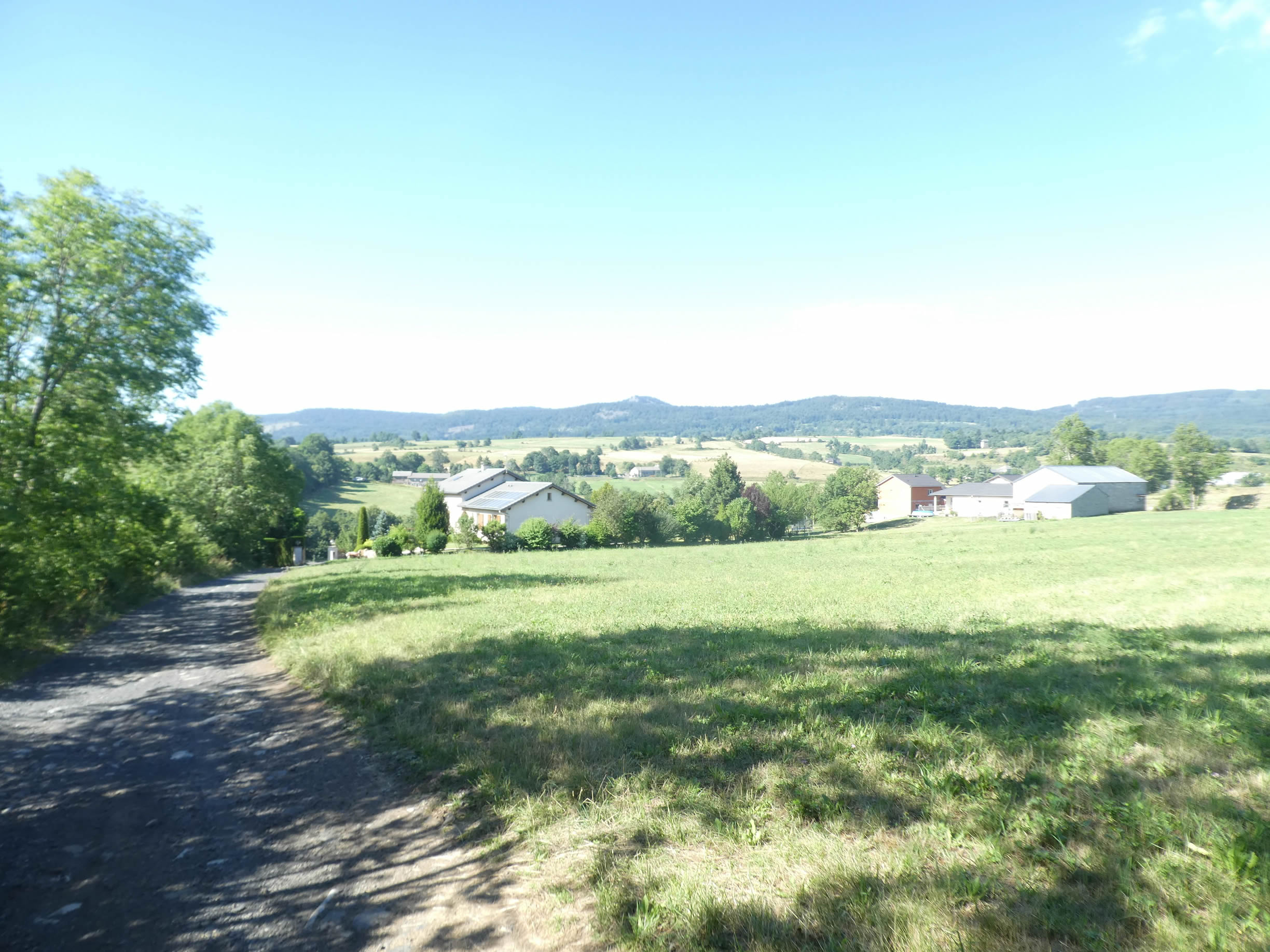
| In the meadows and sparse cornfields, the village of Areules soon appears on the horizon, across the valley. Nestled under the Suc du Clarel, this “suc,” more spread out and less rounded than its counterparts, seems to watch over the village with benevolence. |
 |
 |
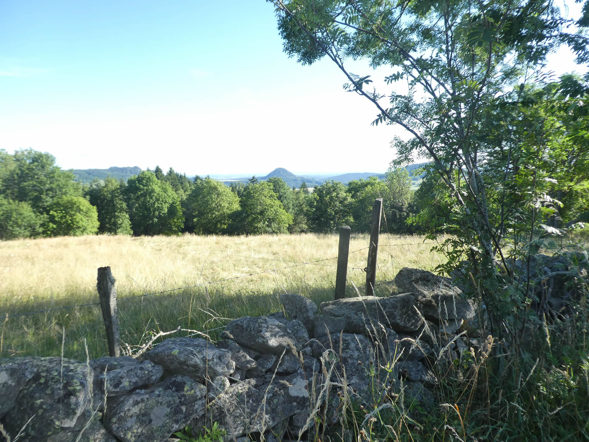
To the right on the horizon, the Suc d’Achon and, further away, the Suc d’Ollières are distinctly visible. These two “sucs,” true geological curiosities, rise like guardians of the region. Despite their modest altitude, most peaking at around 1,100 meters, they give the impression of uniform erosion that delicately sculpted the entire region.

| The majestic and untamed ash trees sometimes stand as imposing masters, casting a verdant shadow over the maples. As you descend into the dale, the village of Areules reveals itself with newfound clarity on the hillside, its discreetly gray houses standing out like precious pearls against the lush green hills. |
 |
 |
| Further down, the scene subtly changes: the dirt road gives way to smooth, dark asphalt, marking the beginning of the modern era. In front of you, the Suc de Besset emerges like a benevolent sentinel—a natural watchtower shaped by time and the elements. Its rounded silhouette, sculpted by the patience of the ages, rises softly in the countryside, crowned with green trees that add a touch of majesty to this geological gem. |
 |
 |
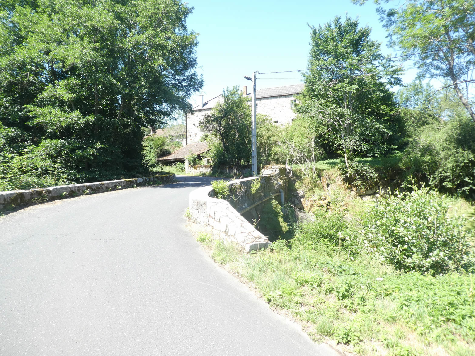
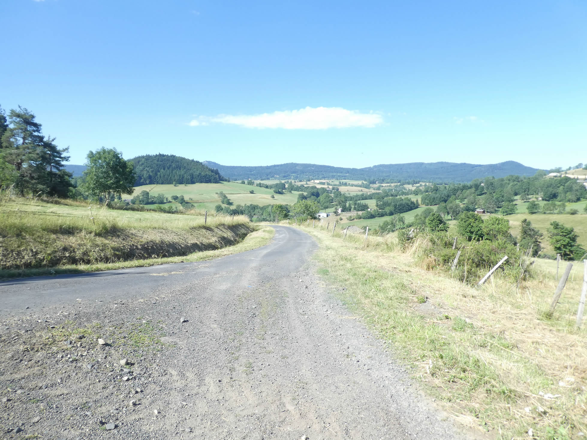
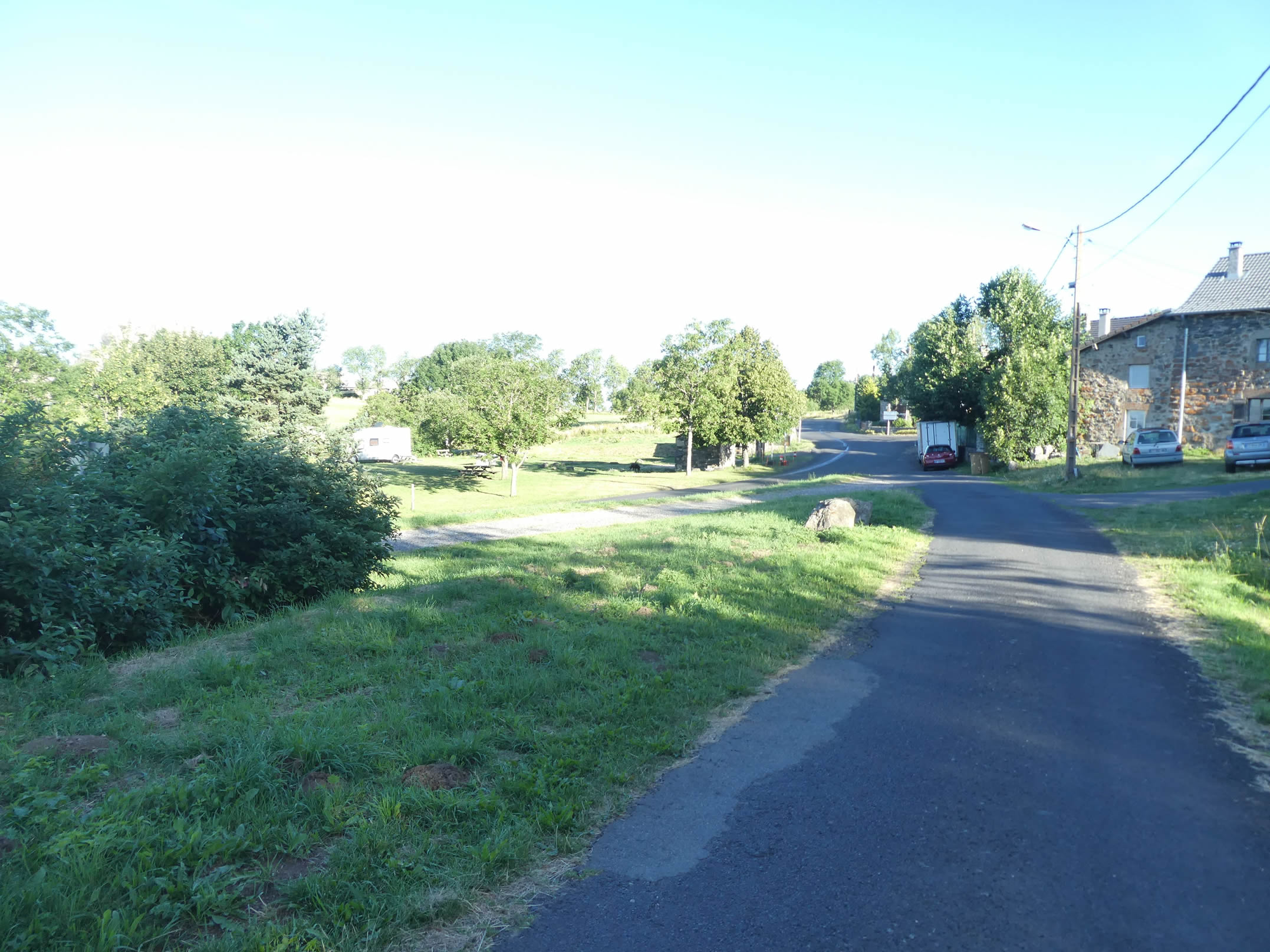
| Below, the small road merges into the wider road network, joining the departmental road at the bottom of the dale. Nearby, a graceful bridge stretches over the Auze, like a silver thread drawn across the water, a barely perceptible elegance. |
 |
 |
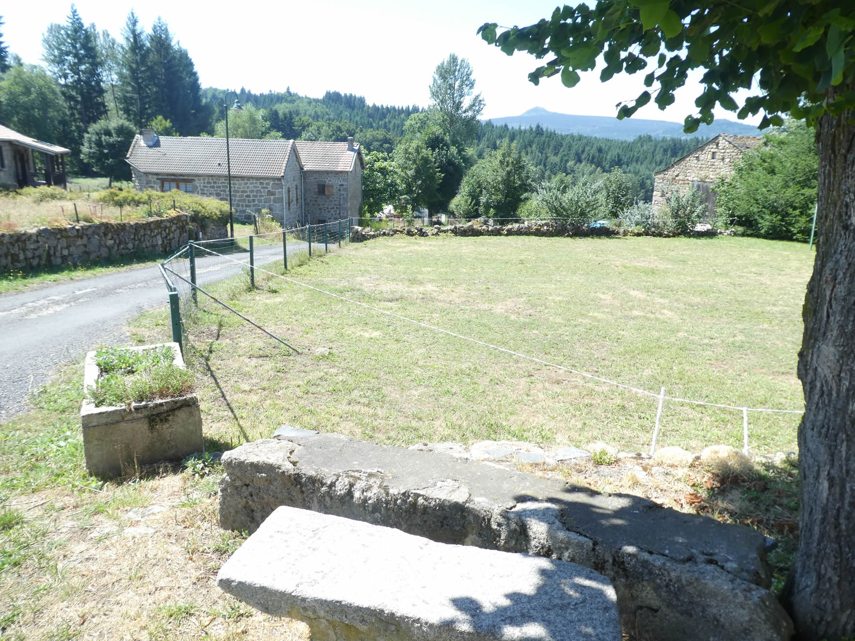
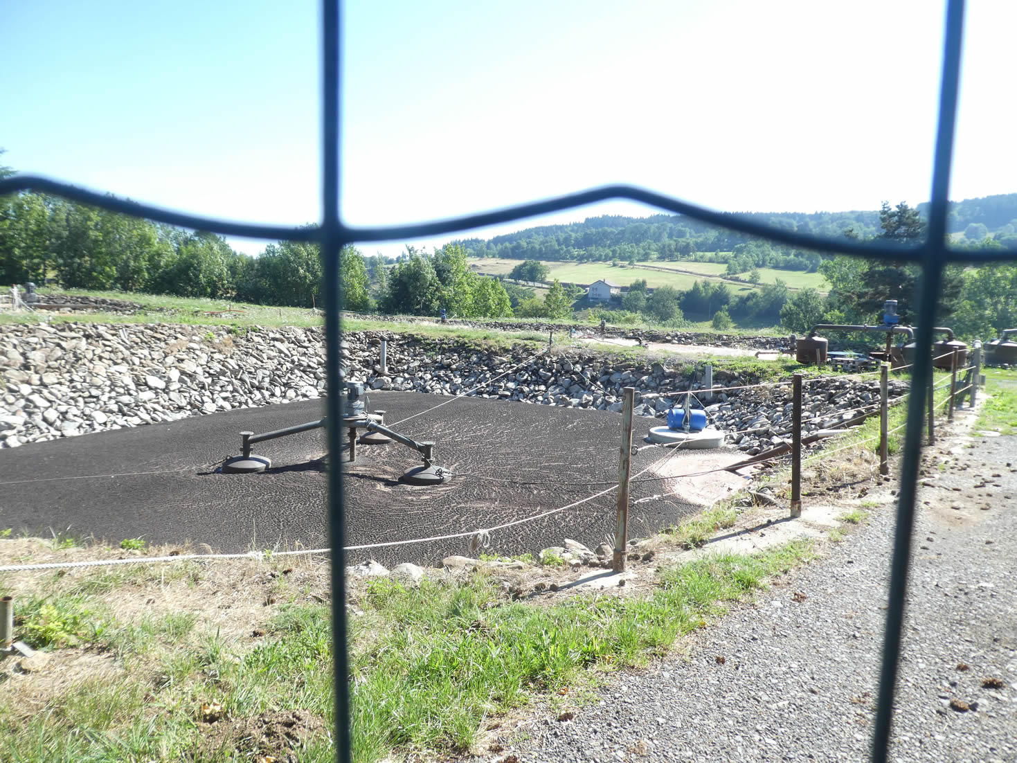
| The GR65 follows the road for a few hundred meters, respectfully curving before an imposing cross made of rough granite. It then passes near a sewage treatment plant, where large blades churn the mud in an incessant mechanical ballet. As the road begins to climb the slopes leading to Araules, a new adventure begins. |
 |
 |
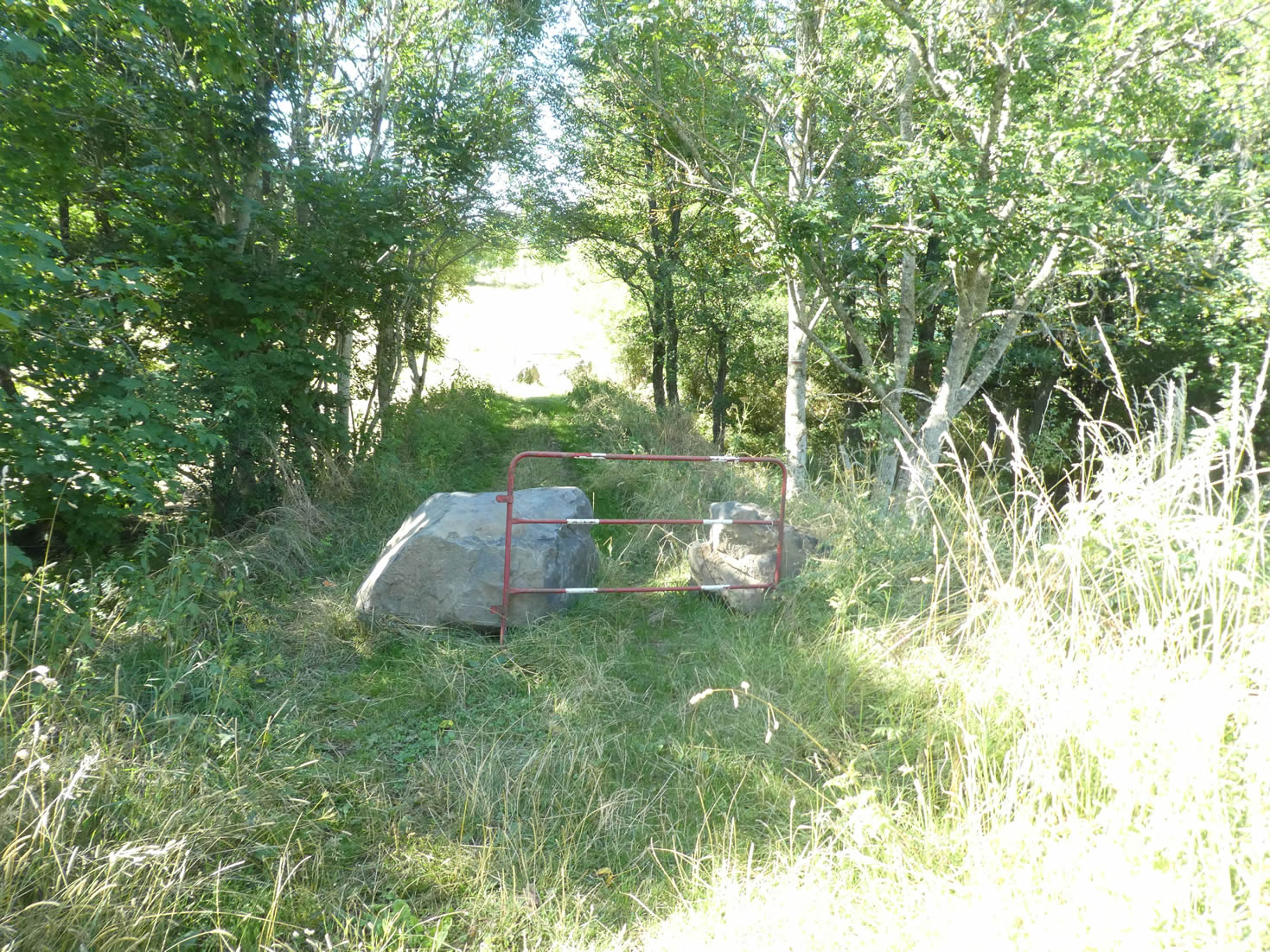
| But the GR65, true to its wandering spirit, prefers to stray from the conventional roads to follow winding paths. It slips into a path, shaded by ash trees and maples whose foliage dances to the rhythm of the wind. The climb is steep, approaching a 15% incline, but its short duration spares hikers from too harsh a challenge. |
 |
 |
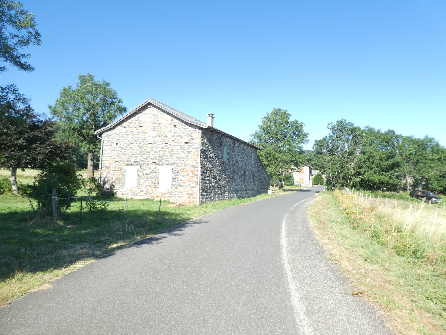
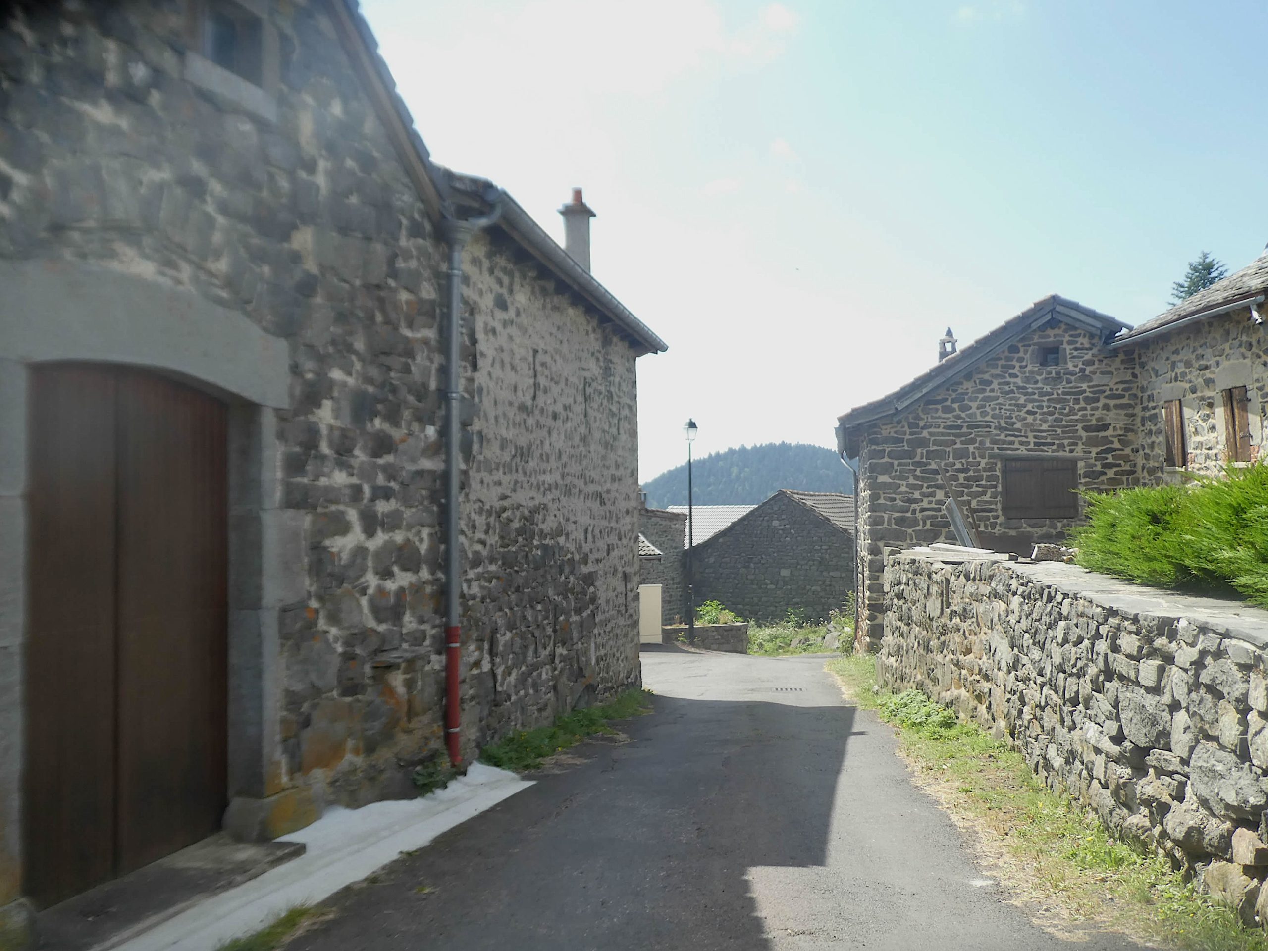
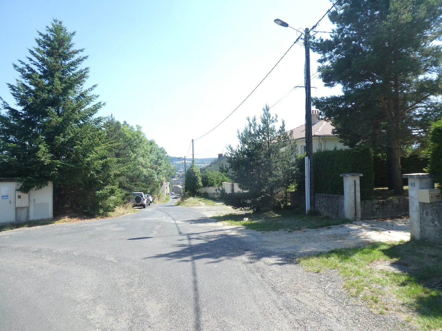
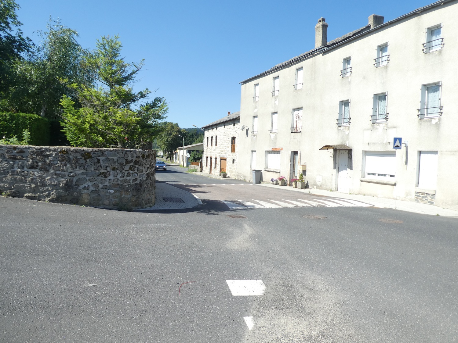
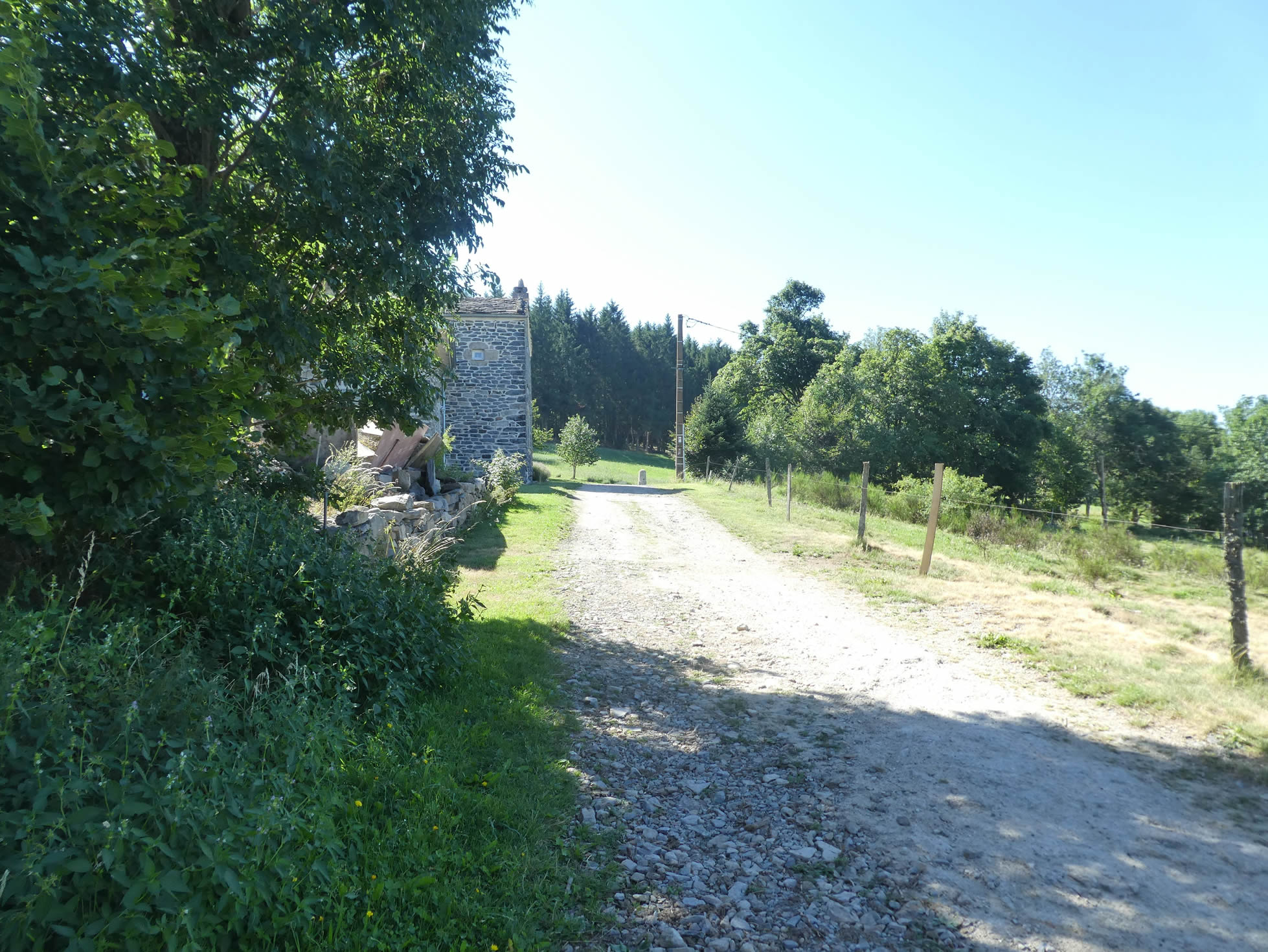
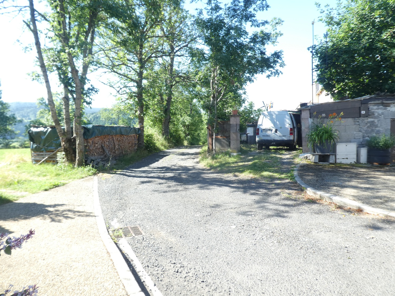
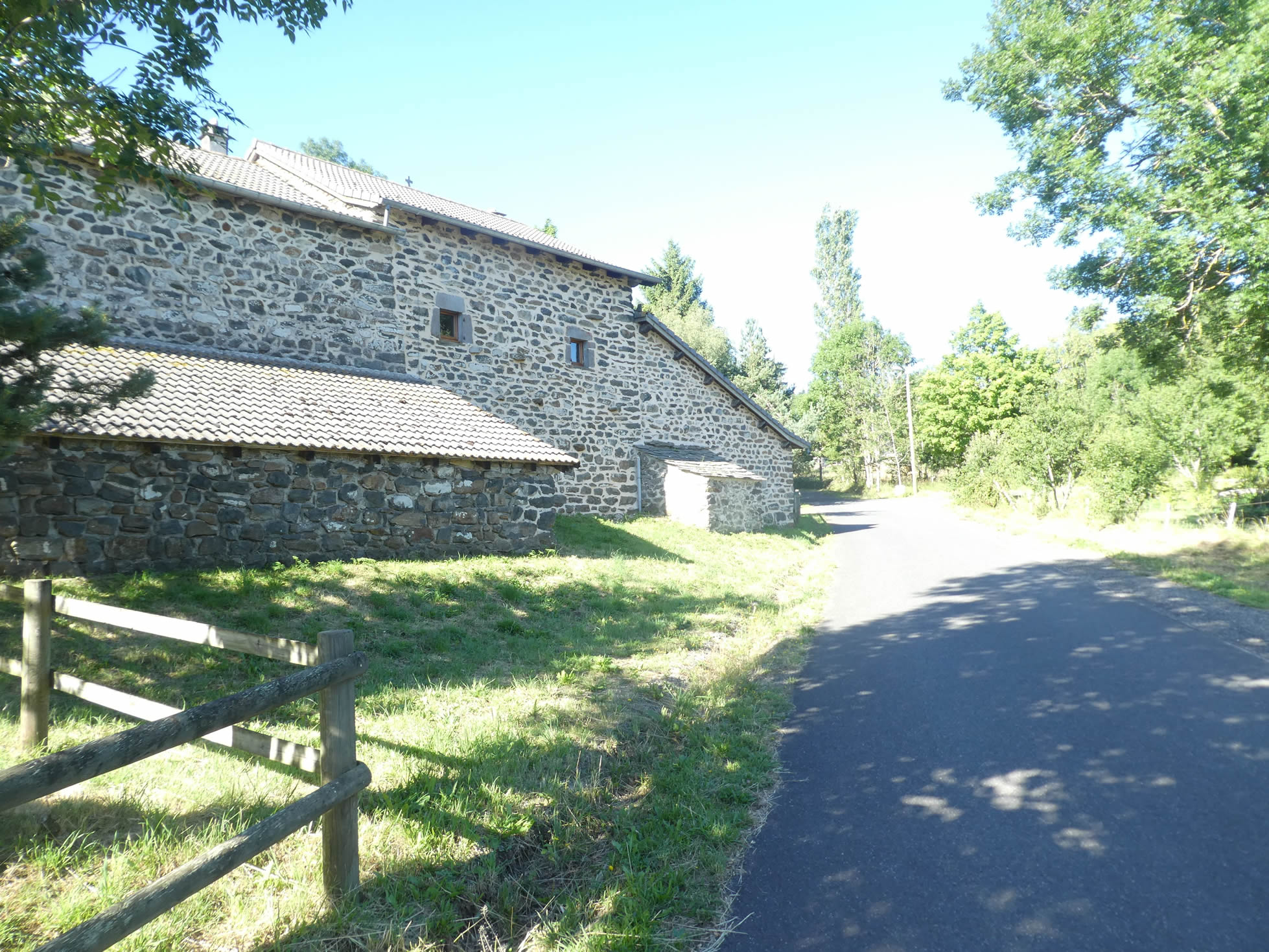
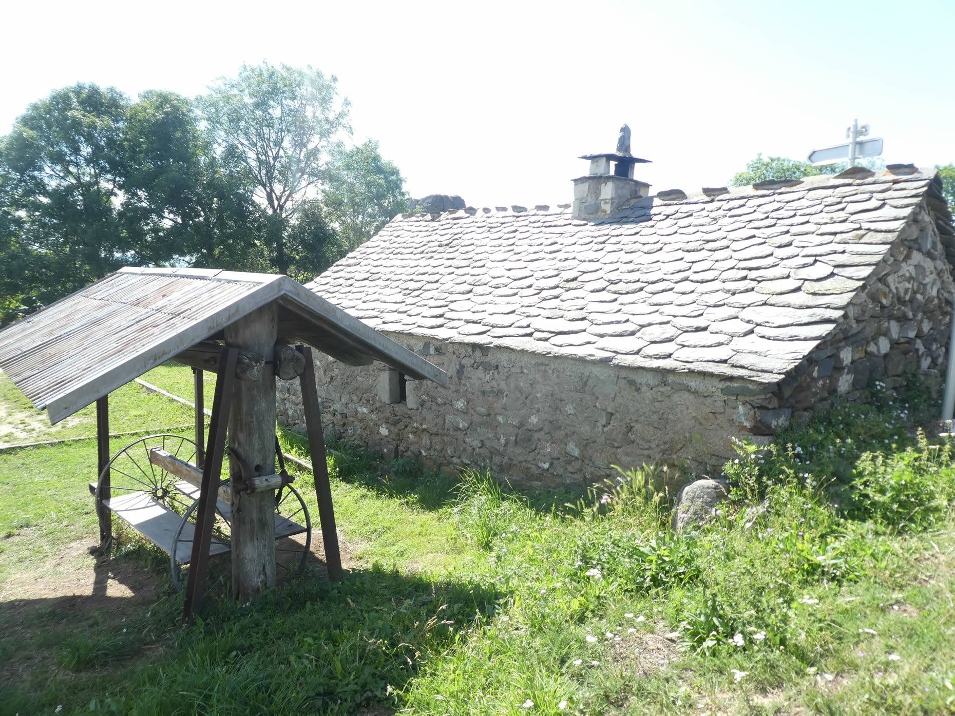
| This path finally leads to the heart of Araules, at the foot of a “suc,” an emblematic volcanic formation. The village then reveals its timeless beauty, with its stone houses firmly anchored to defy the years. The gray granite gradually gives way to volcanic stones, adding black touches to the gray palette of the buildings. Perched at nearly 1,000 meters in altitude, Araules endures a harsh winter climate, ideal for cross-country skiing in the surrounding area. In this quiet village, dining options are modest, but they offer a warm refuge for hikers. |
 |
 |
| At the village’s exit, a path appears, winding steeply down into a hidden dale. |
 |
 |
| As you descend, a trail slips into lush greenery, bathed in filtered light through the graceful ash trees and elegant maples. This route leads to a modest tributary of the Auze. In this region, oaks, beeches, hornbeams, and chestnut trees are rare visitors, almost exotic in this landscape dominated by more modest species. |
 |
 |
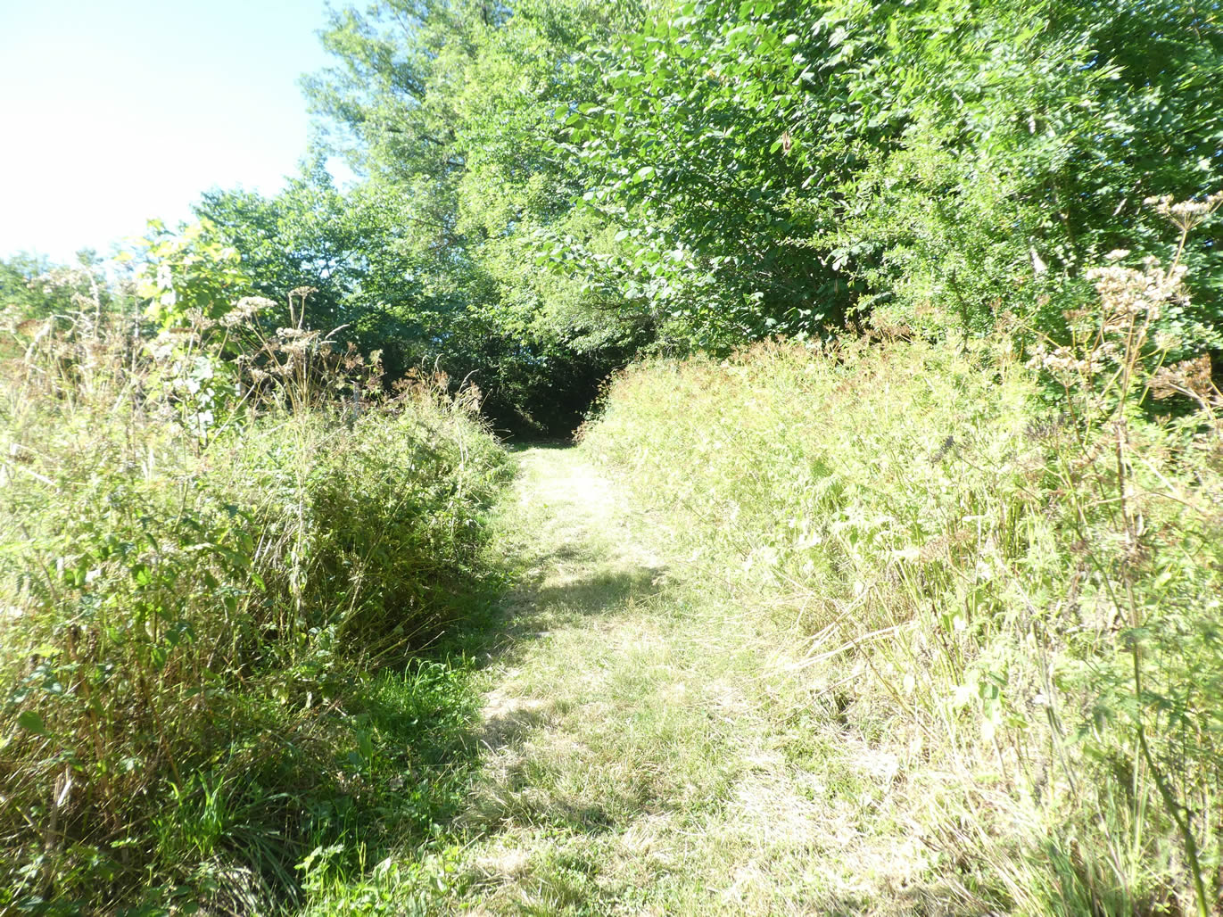
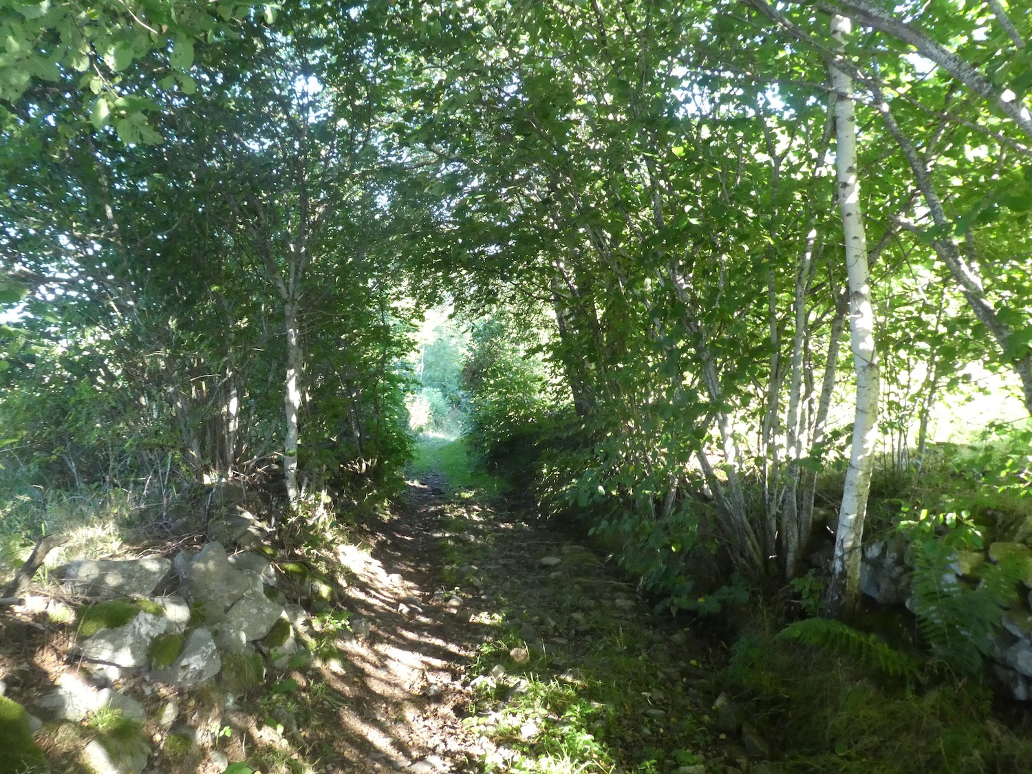
| Following the stream that hides under a carpet of leaves, it climbs back up as quickly as it descended, first winding through tall grasses, then plunging into an undergrowth carpeted with pebbles. This passage feels like an anomaly in the route, like a dream lost between two realities. |
 |
 |
| Soon after, the slope softens, and the path widens towards a small crossroad. |
 |
 |
| It then stretches out across gently sloping pastures, brushing the Suc de Besset on its left. The grass here is invitingly soft. In the clear horizon to your left, the Suc de Testavoyre—the tallest peak in the Meygal range, reaching 1,407 meters—comes into view. Despite its height, it seems like little more than a sleeping dwarf. |
 |
 |
| Further on, the maples and ash trees gradually reappear in the landscape, as if to reassert their persistent presence. |
 |
 |
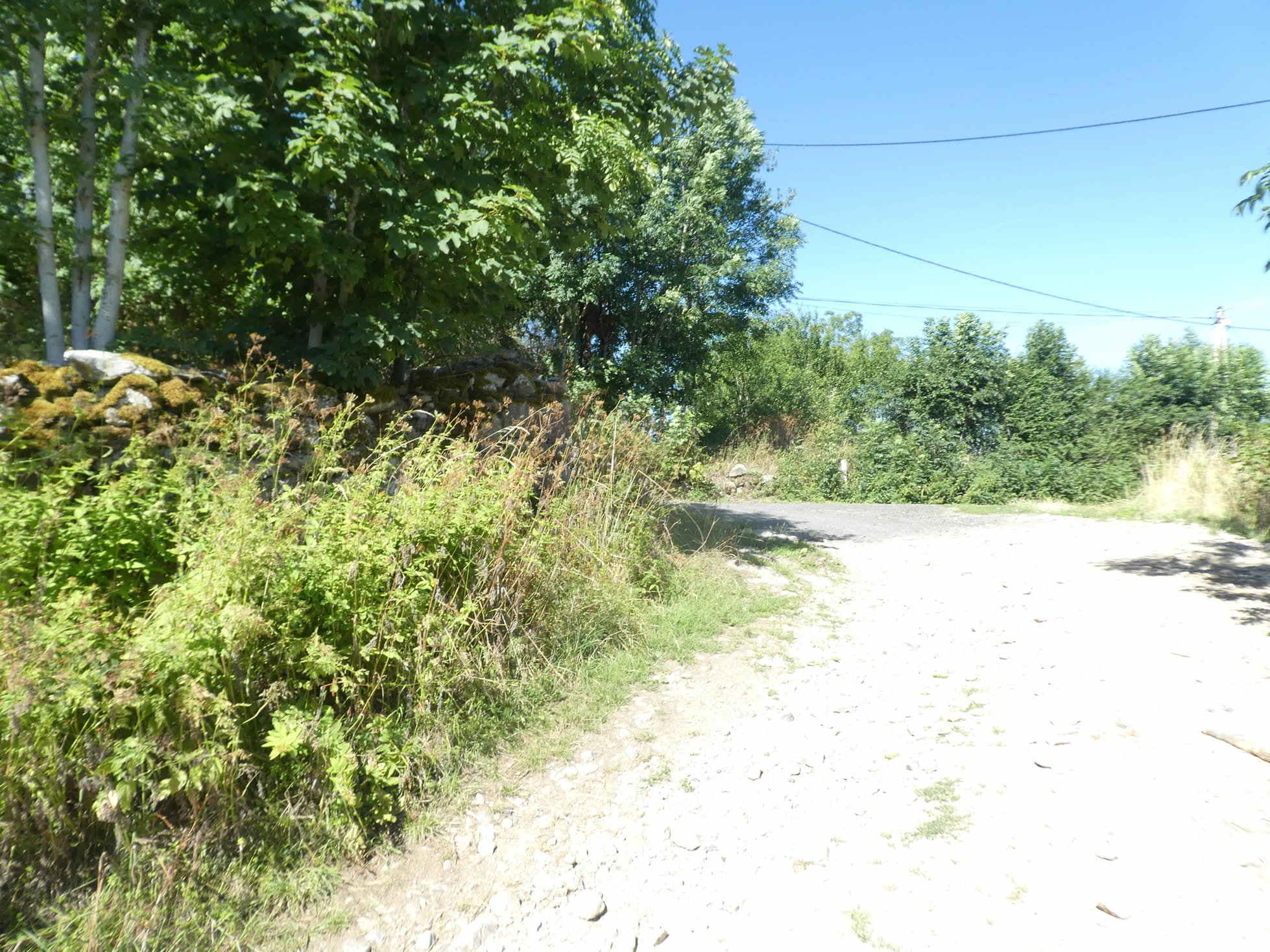
| Finally, after passing a roughly carved cross in raw granite, akin to naïve art, the path emerges onto the departmental road at the entrance to the village of Pialleviales. |
 |
 |
Section 5: In the “sucs” of Meygal
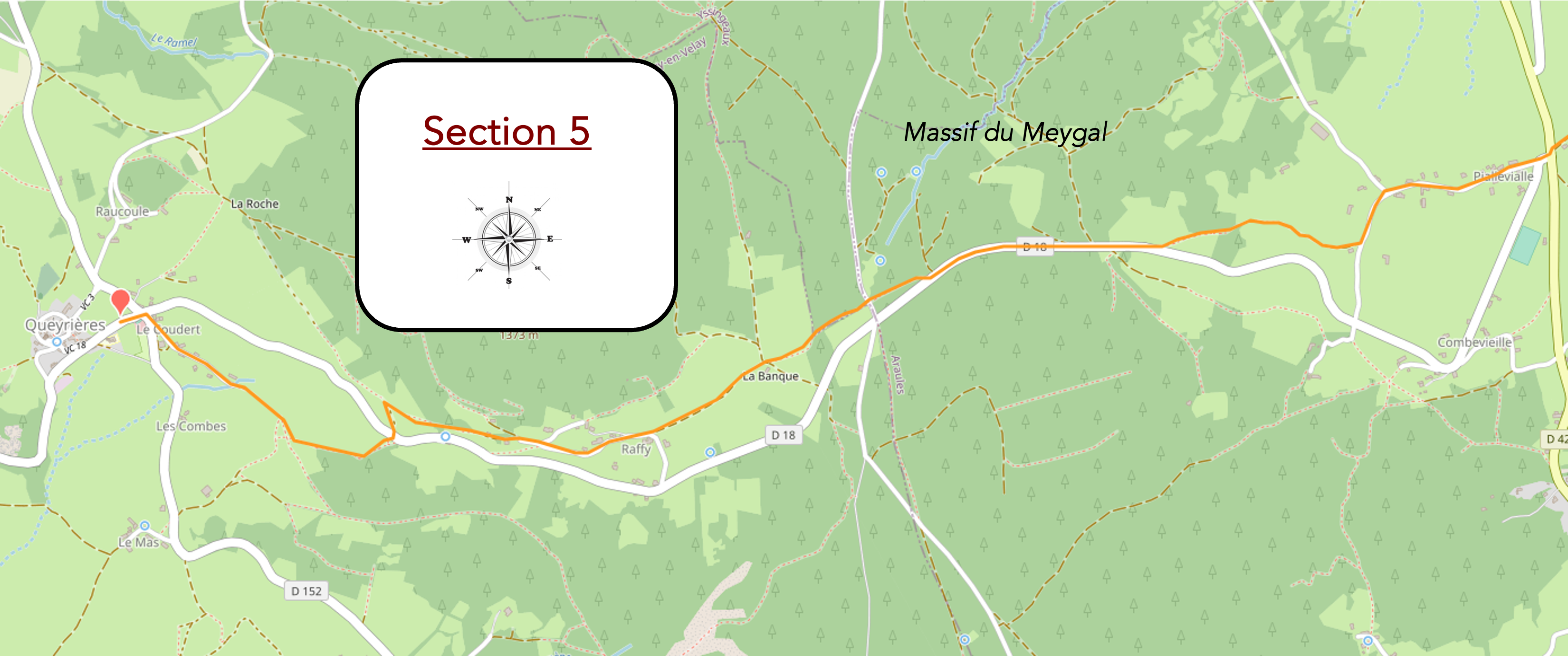
Overview of the route’s challenges: steep slopes, both uphill and downhill, often reaching nearly 15%.

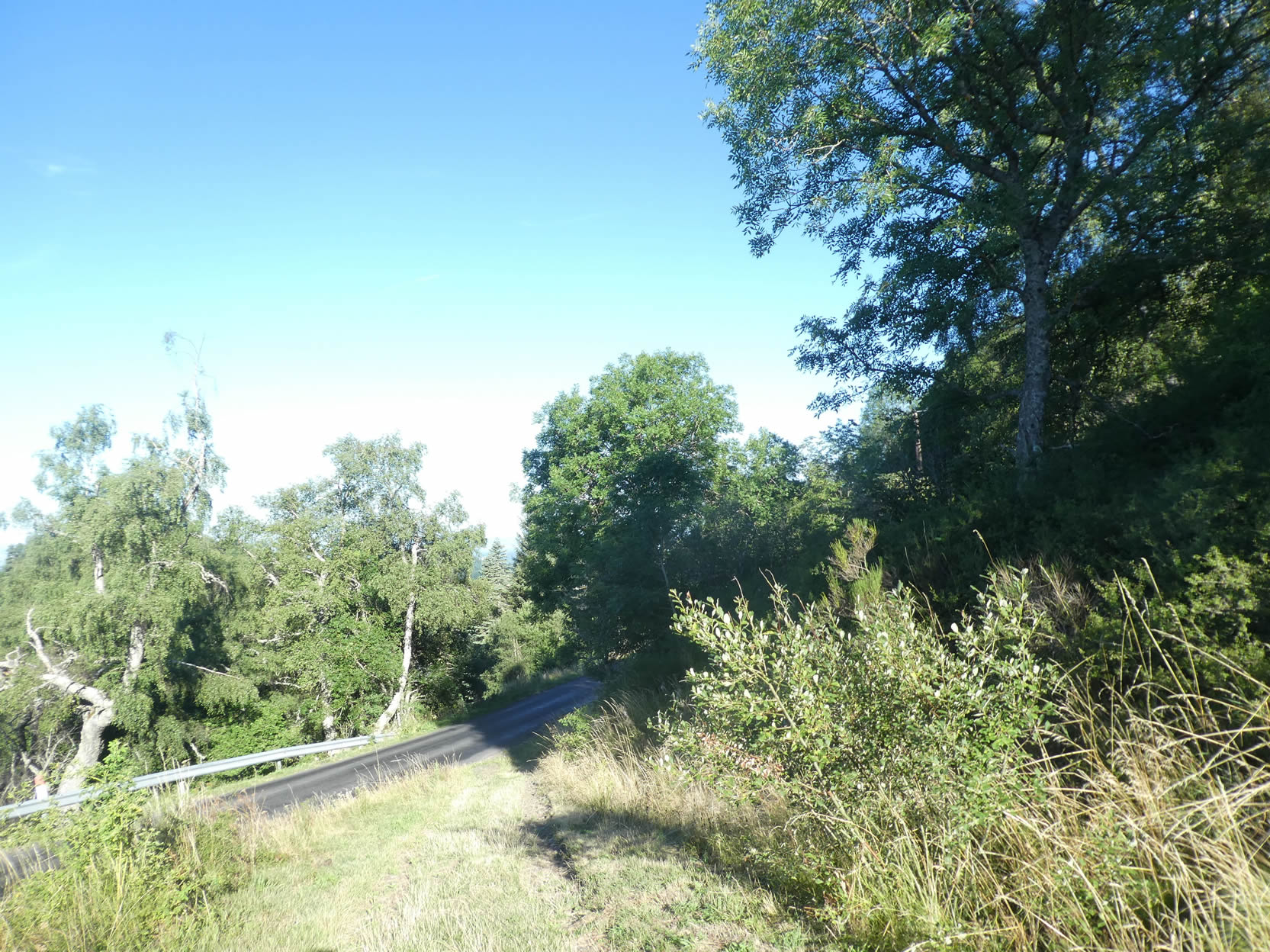
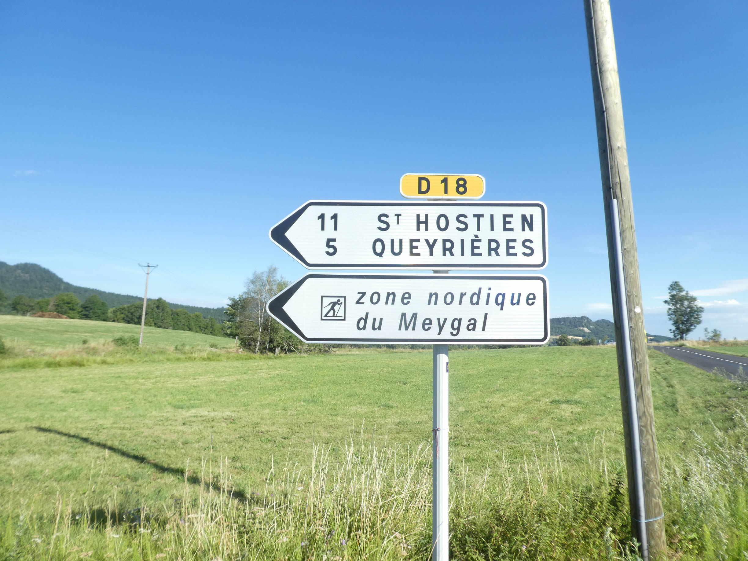
| The D18 road traverses a landscape where the poetry of the surroundings subtly intertwines with reality. You’ve already followed this winding road from Tence, leading you towards the Nordic domain of Meygal, passing through Queyrières. The GR65, however, ventures directly into the village, propelling you to an altitude of 1,100 meters. From there, the route continues its ascent, adding nearly 200 more meters to your challenge. |
 |
 |
| The village unfolds majestically across a small plain, like an open-air stone museum, inviting your gaze to linger. Each charming and unique house proudly showcases its architecture. Here, volcanic stone surpasses traditional granite, manifesting as a tapestry of solid and elegant constructions. When one speaks of volcanic rock, a dark stone often comes to mind, reminiscent of the vast basaltic expanses found worldwide. However, the world of volcanic rocks is infinitely more varied. Basalts, though emblematic of these dark stones, represent only a portion of this multifaceted family. Rhyolites display a striking red hue, while trachytes and rhyodacites, with their lighter shades, can easily be mistaken for granite by the untrained eye. |
 |
 |
| The road slowly leads you out of this enchanting village, with each step feeling like a difficult farewell to this captivating setting. |
 |
 |
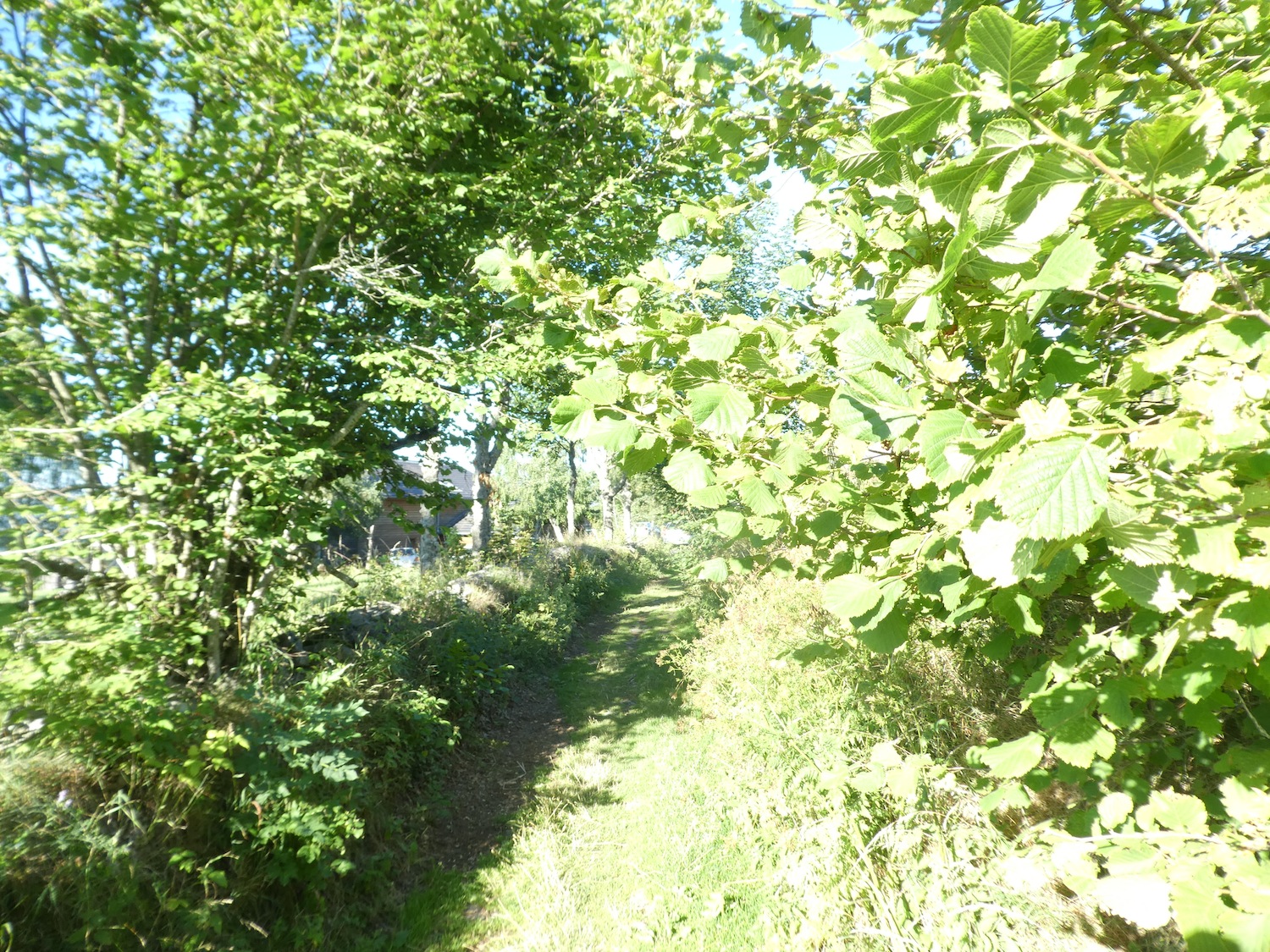
| At the edge of the plain, the GR65 leaves the road, venturing onto a path that gently slopes up through the undergrowth, a tunnel of greenery promising new discoveries at every turn. |
 |
 |
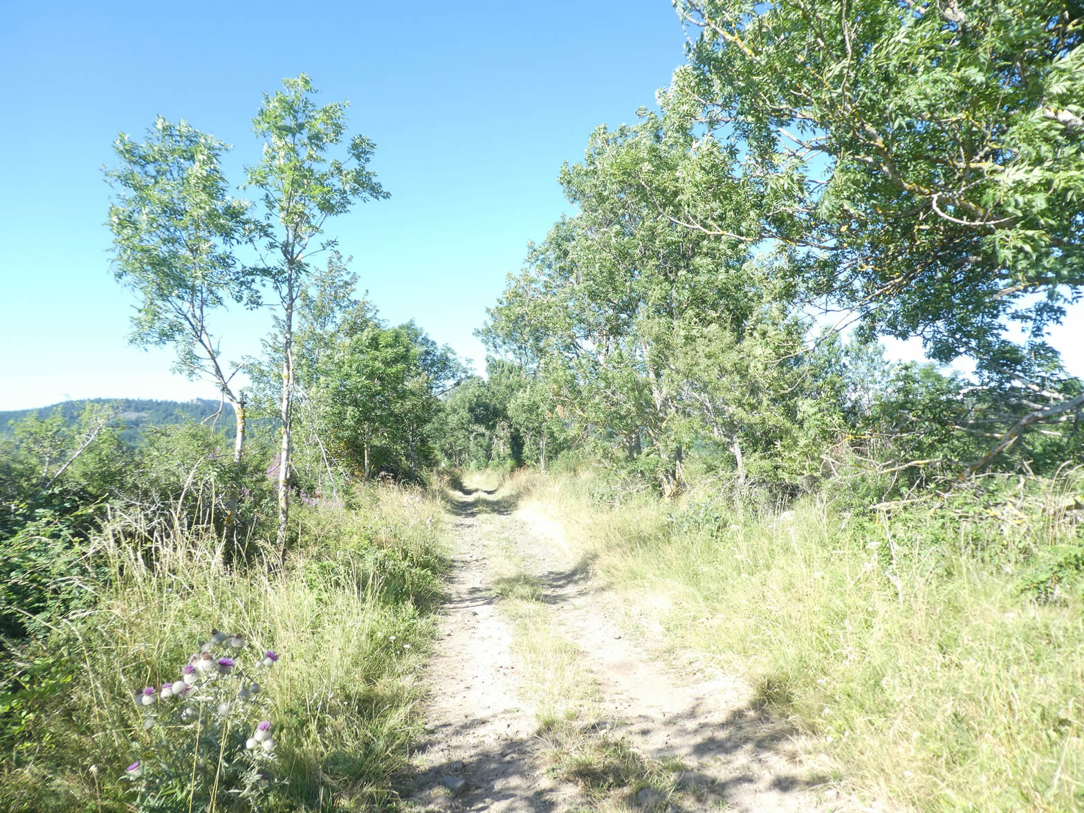
| Here, the slope quickly becomes steep, reaching nearly 15% over a good kilometer. The path narrows, transforming into a rougher, rockier trail, blocked by massive stones that obstruct the way. |
 |
 |
| The trees, often stunted from lack of light, nevertheless strive for height, with a few ashes and maples managing to reach the sky. |
 |
 |
| Nature reveals itself here in all its wildness, with rough granite stone walls standing here and there as remnants of a bygone era. In a clearing, the Suc de Testavoyre rises on the horizon, solitary and majestic, seemingly detached from this wild land. |
 |
 |
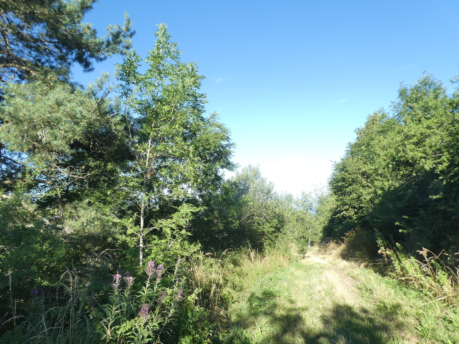
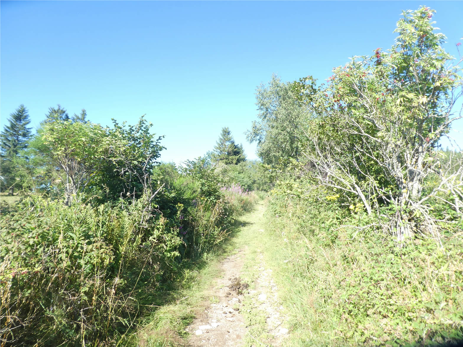
| No, you’re not lost in an impenetrable jungle. The scallop shell, your faithful guide, watches over you. Soon, the trail emerges from this dense vegetation into a vast field of pink fireweed, bursting with color and life. |
 |
 |
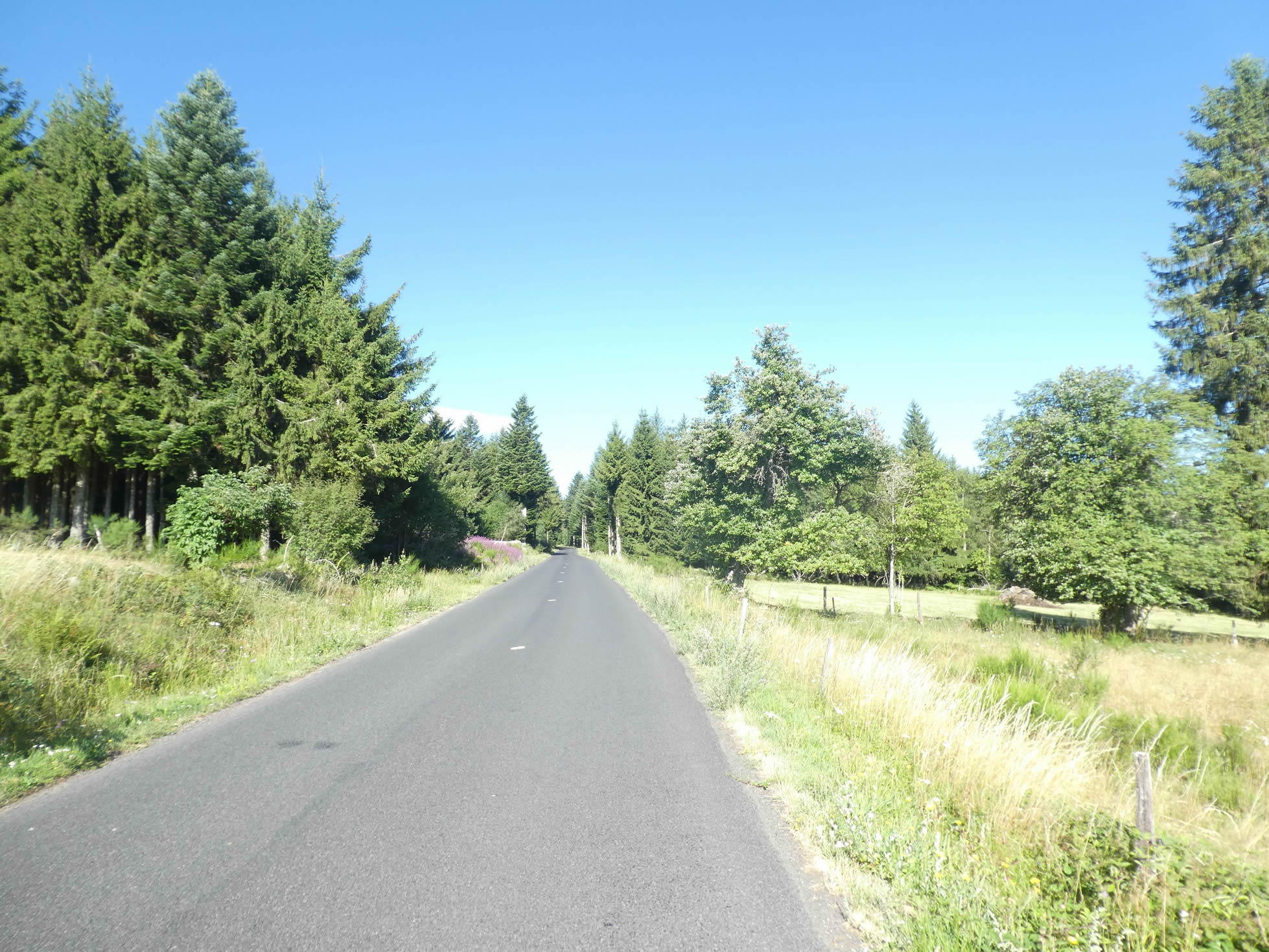
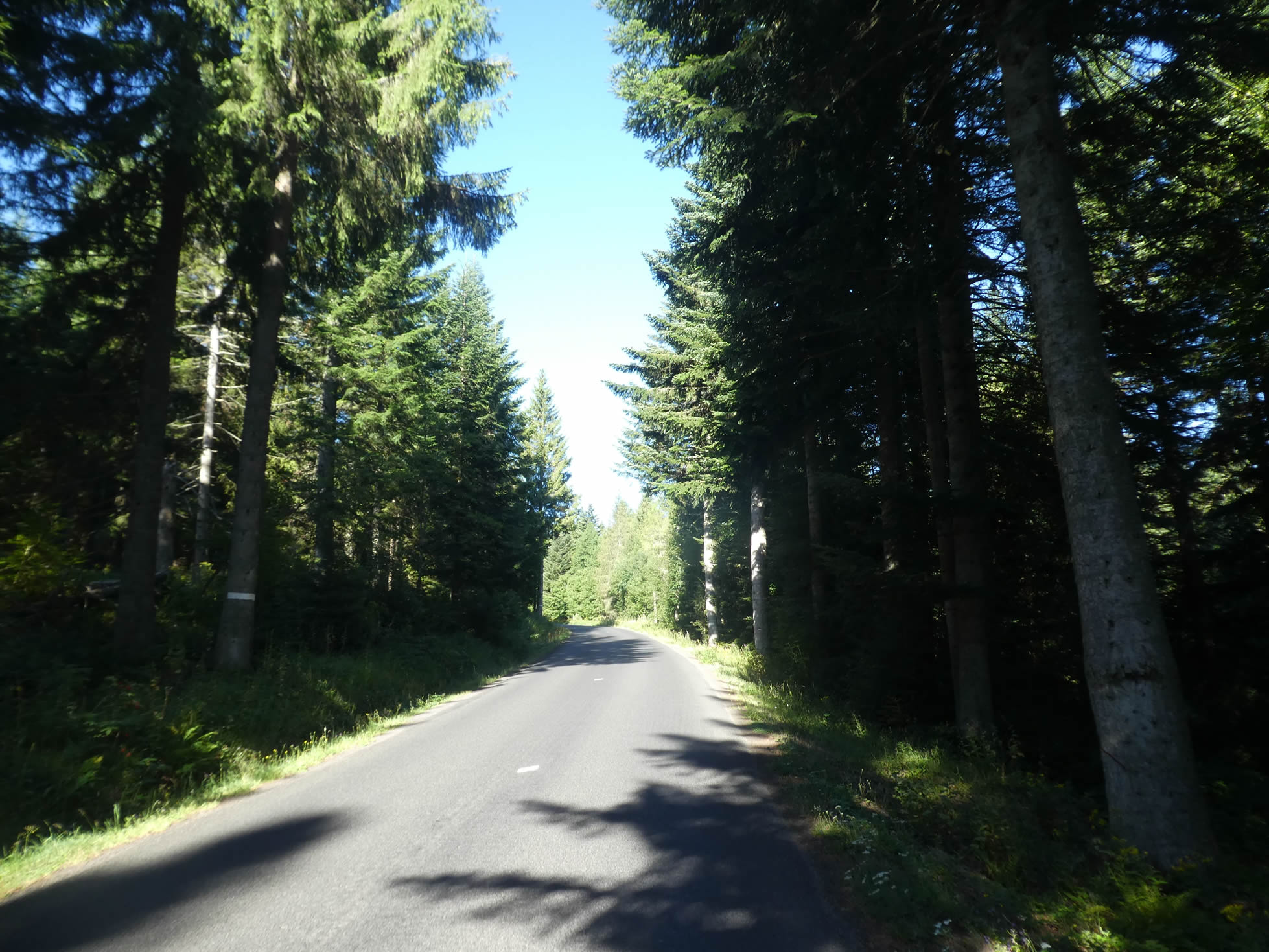
| The trail then reconnects with the departmental road that winds just above. The GR65 follows this road, plunging into the dense and mysterious fir forest of the great Meygal forest. |
 |
 |
| The GR65 follows the road for a few hundred meters. Here, the deciduous trees have given way to spruces and silver firs. |
 |
 |
Higher up, the slope becomes gentler. You must stay attentive on the route because soon a trail will diverge from the road. If you miss the turn, it’s not a disaster as you’ll find the path further up. But it’s always more pleasant to advance on a forest trail than on asphalt.

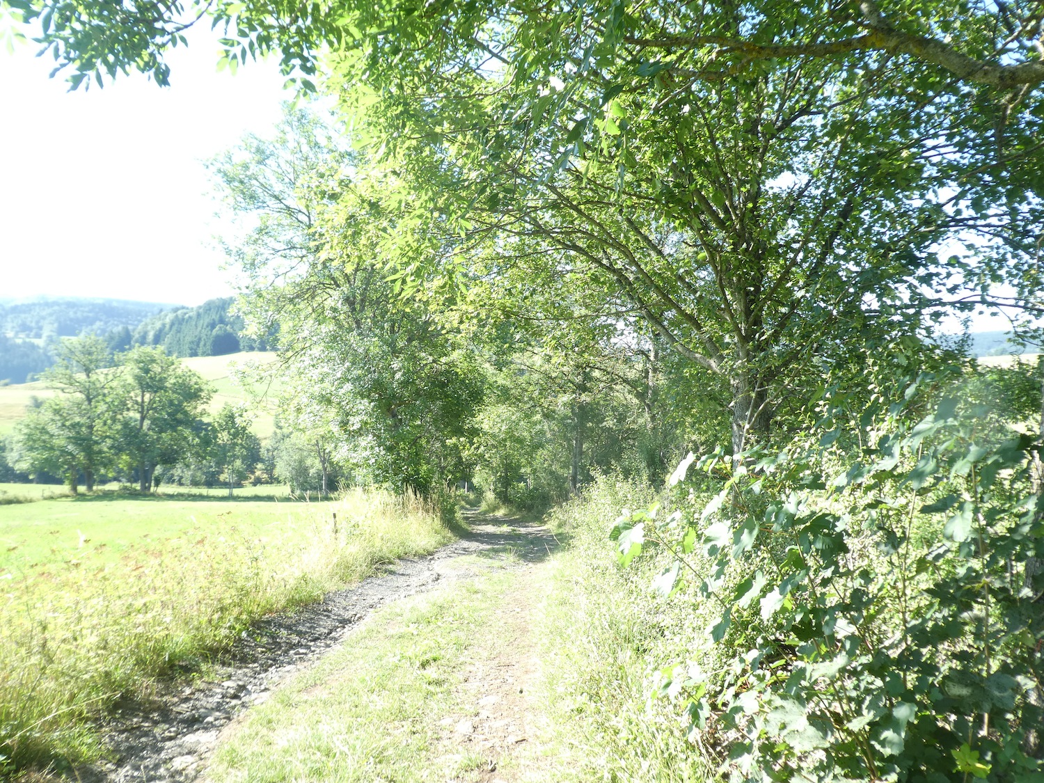
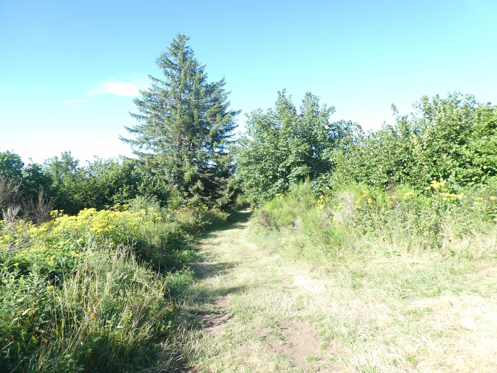
| The forest trail climbs under the conifers, always so straight, aligned like soldiers on duty. The symmetry of the trees, their robustness, creates an almost solemn atmosphere. |
 |
 |
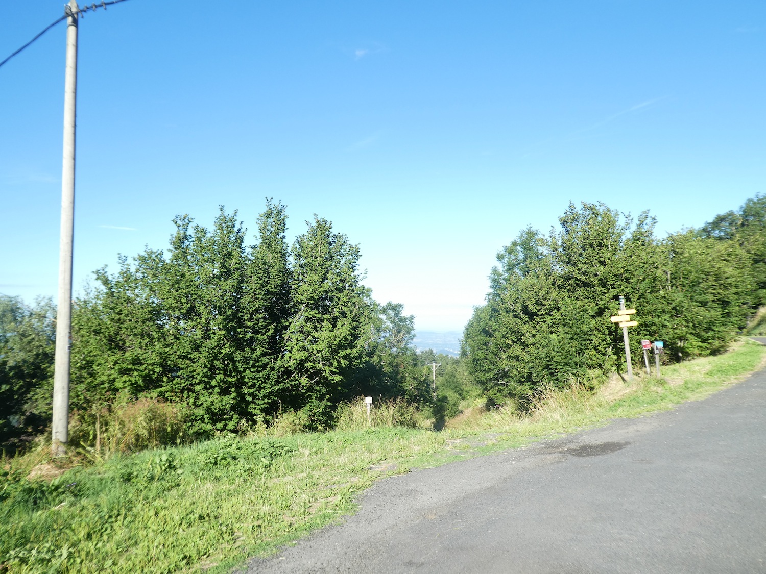
| Further up, the trail crosses an insignificant mountain road. You have reached the Nordic domain of Meygal. You can easily imagine the pleasure of gliding cross-country skiing in this preserved nature, where every turn reveals a new facet of the forest. |
 |
 |
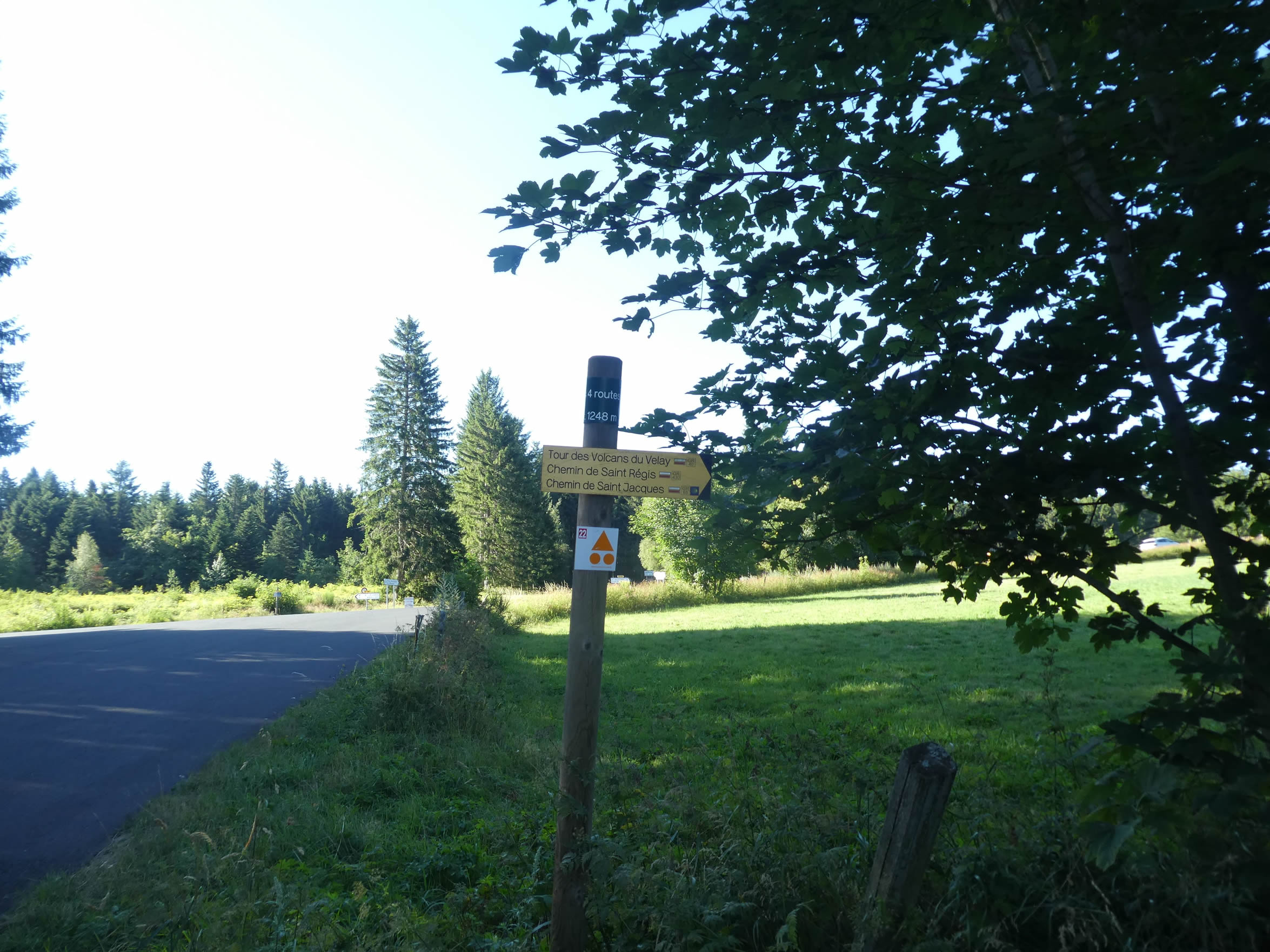
At the place known as Les 4 Routes, the trail veers away from the road axis.
| …to climb back into the dense forest. A final small slope appears, an ultimate ascent before tranquility. It doesn’t last long, and soon the path becomes gentler. |
 |
 |
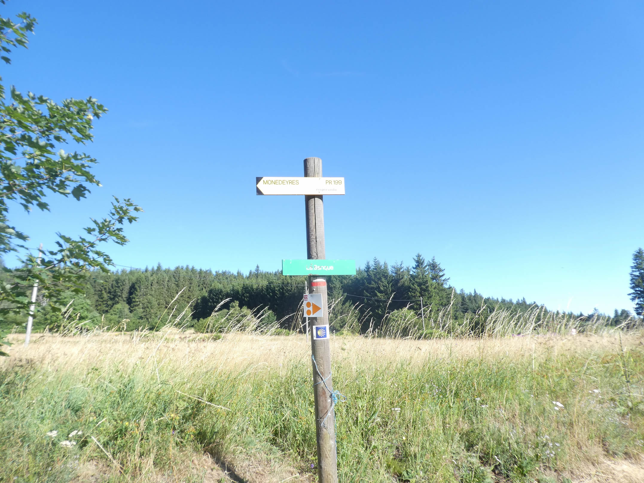
| Higher up, the trail leaves the shade of the trees to open onto a clearing dotted with broom, wild roses, boxwood, and tall grasses. This explosion of wild vegetation leads to a place called La Banque, whose name evokes a wealth far beyond money. Here, a small hiking trail allows you to reach Monedeyres directly, bypassing Queyrières. But this trail is not part of your route. |
 |
 |
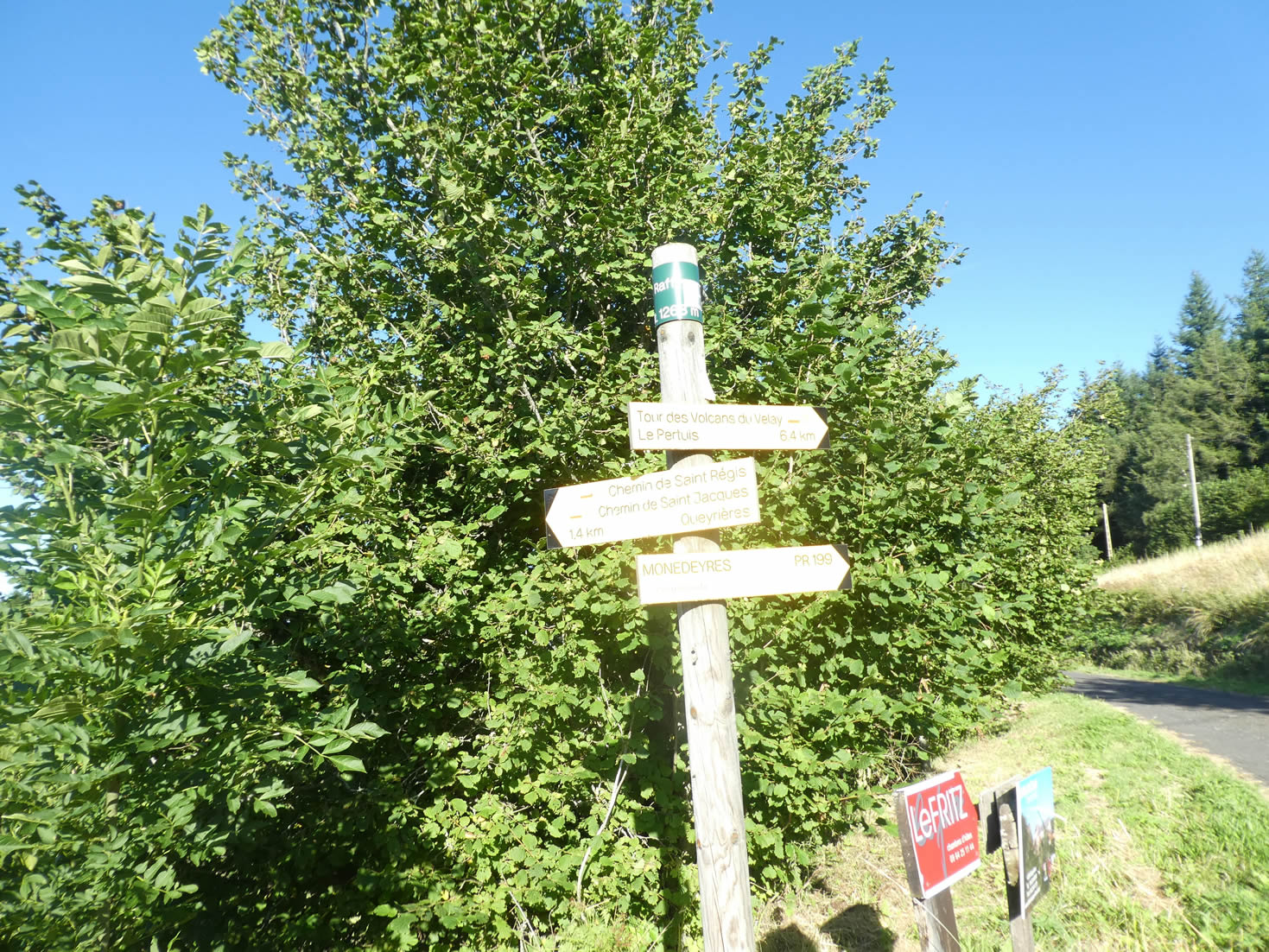
| A few hundred meters more through the tall and wild vegetation, and the trail reaches Raffy, the highest point of the stage and the Via Gebennensis, perched at 1,300 meters above sea level. |
 |
 |
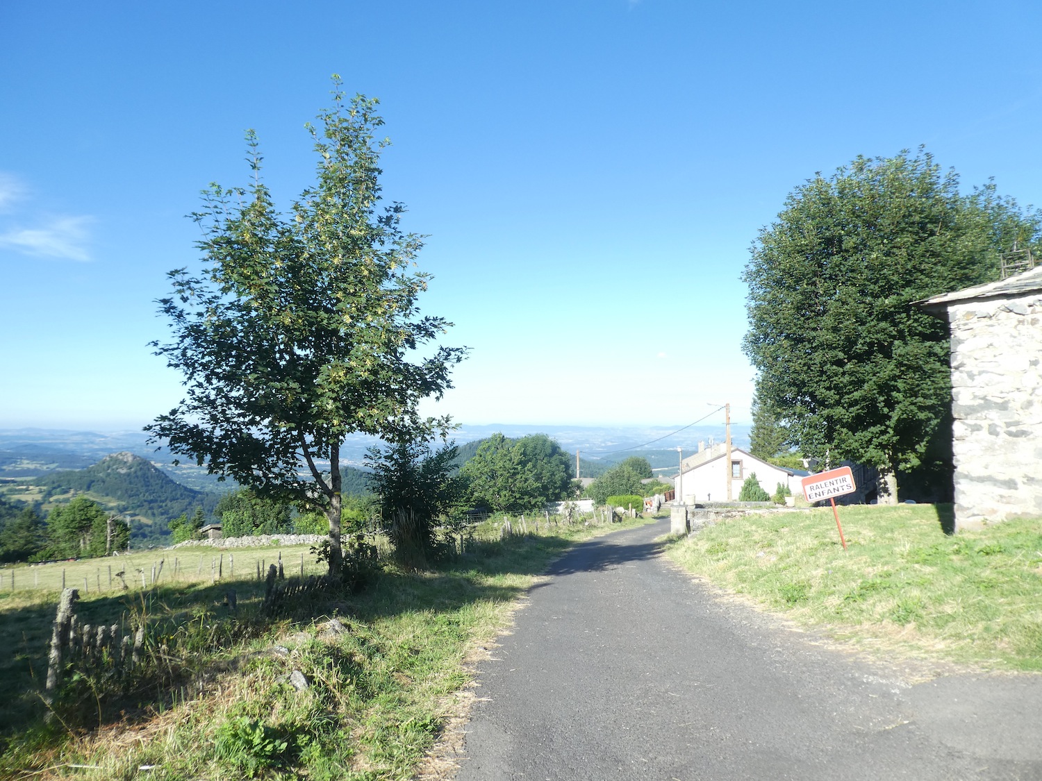
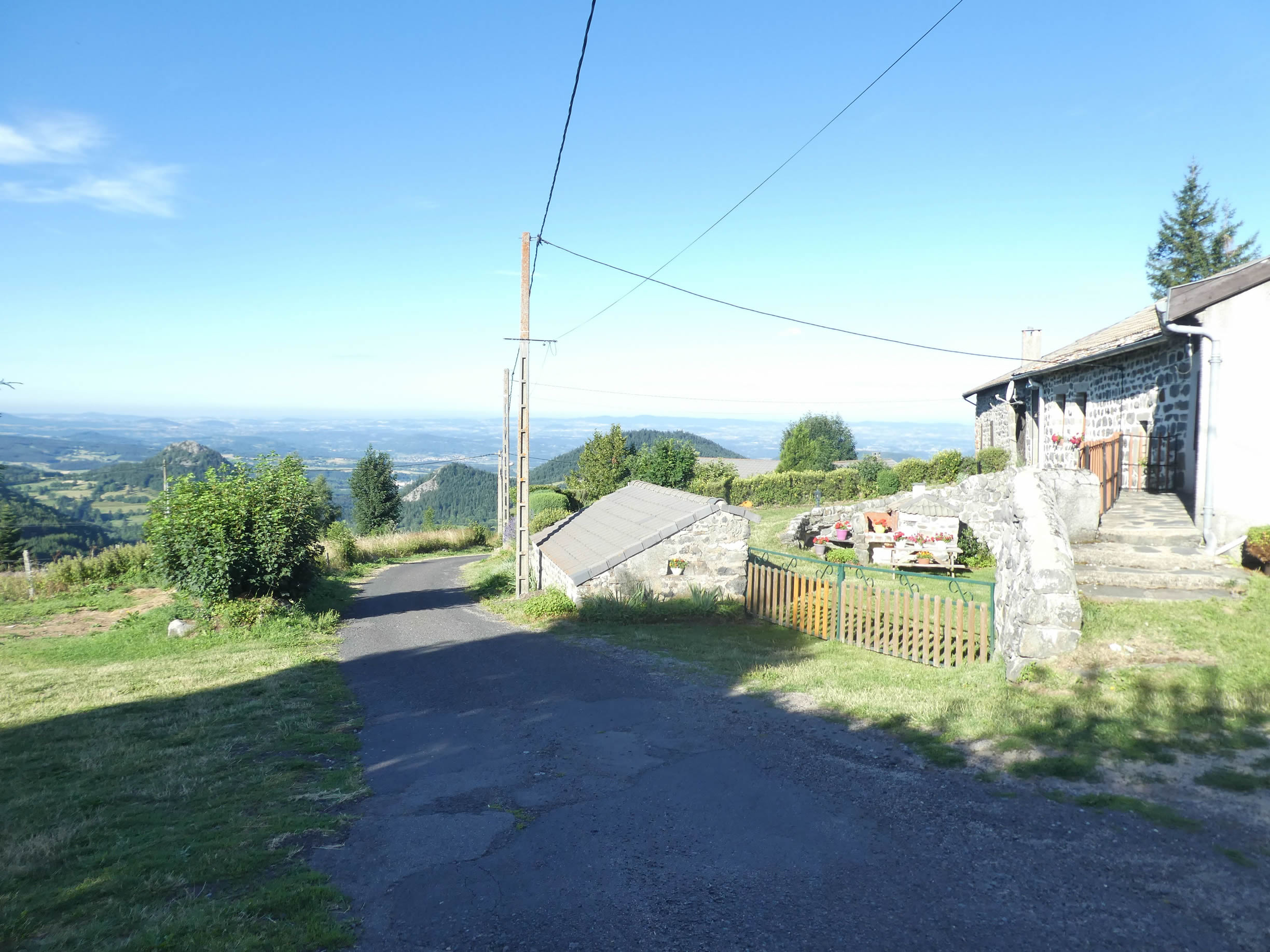
| From this peaceful haven, where the stone houses seem to blend harmoniously into the landscape, the view is breathtaking. The basin of Puy-en-Velay spreads out below, dominated by the majestic « sucs » that punctuate the horizon. The Suc de la Mézère, near Queyrières, is distinctly outlined, while in the distance, the Suc de Chiroux completes this natural panorama. |
 |
 |
Raffy is a crossroads for long-distance hiking trails. Three GR trails cross paths here: first, the great loop of the GR40, which offers a vast tour of the Velay volcanoes, a true geological odyssey. Then, the GR430, the St. Regis Trail, which, in a more intimate loop, follows a similar route. Finally, the GR65, which you are following, revealing treasures at every turn. The GR40 is no easy task for those who wish to see these volcanoes up close. It crosses Haute-Loire, Ardèche, and Lozère, promising an unforgettable adventure to those who venture there.

| From Raffy, the GR65 descends gracefully on a small road to a crucial fork. Here, resist the temptation to follow the GR40 and remain true to the GR65, which today progresses serenely, hand in hand with the GR430, known as the St. Regis Trail, from Tence. |
 |
 |
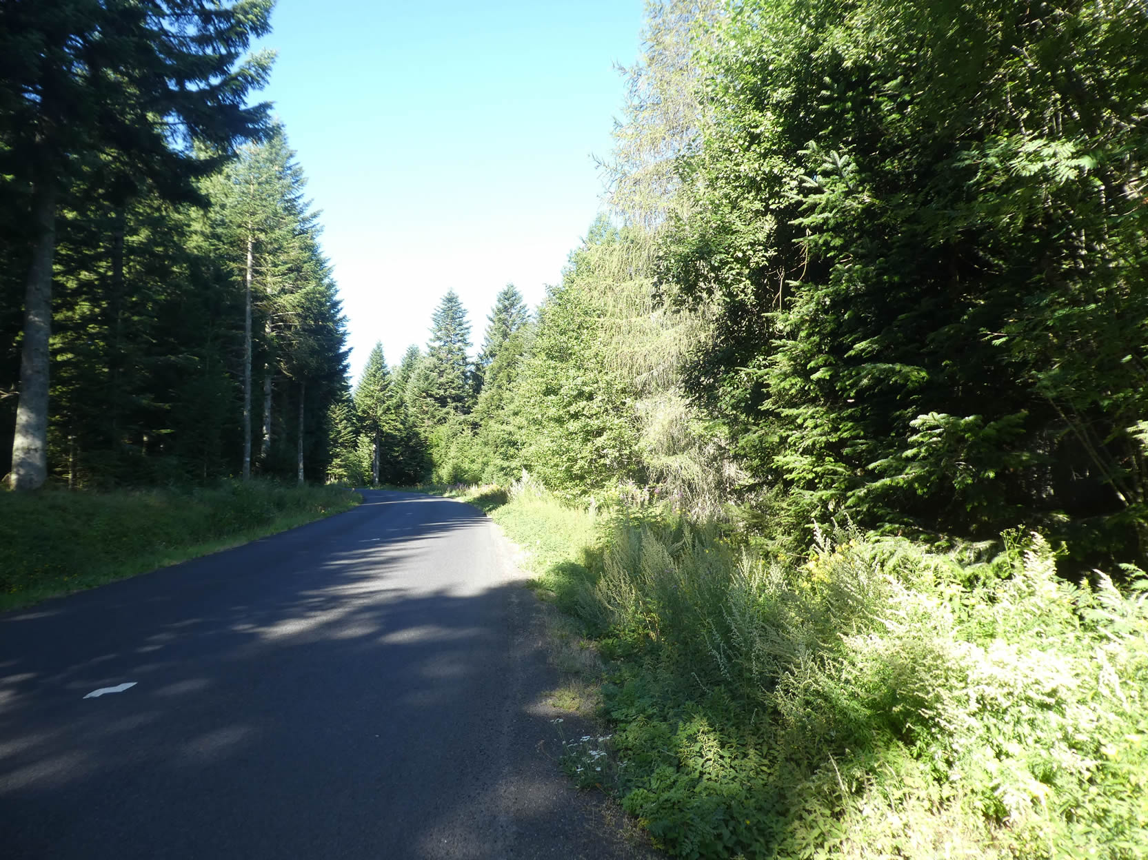
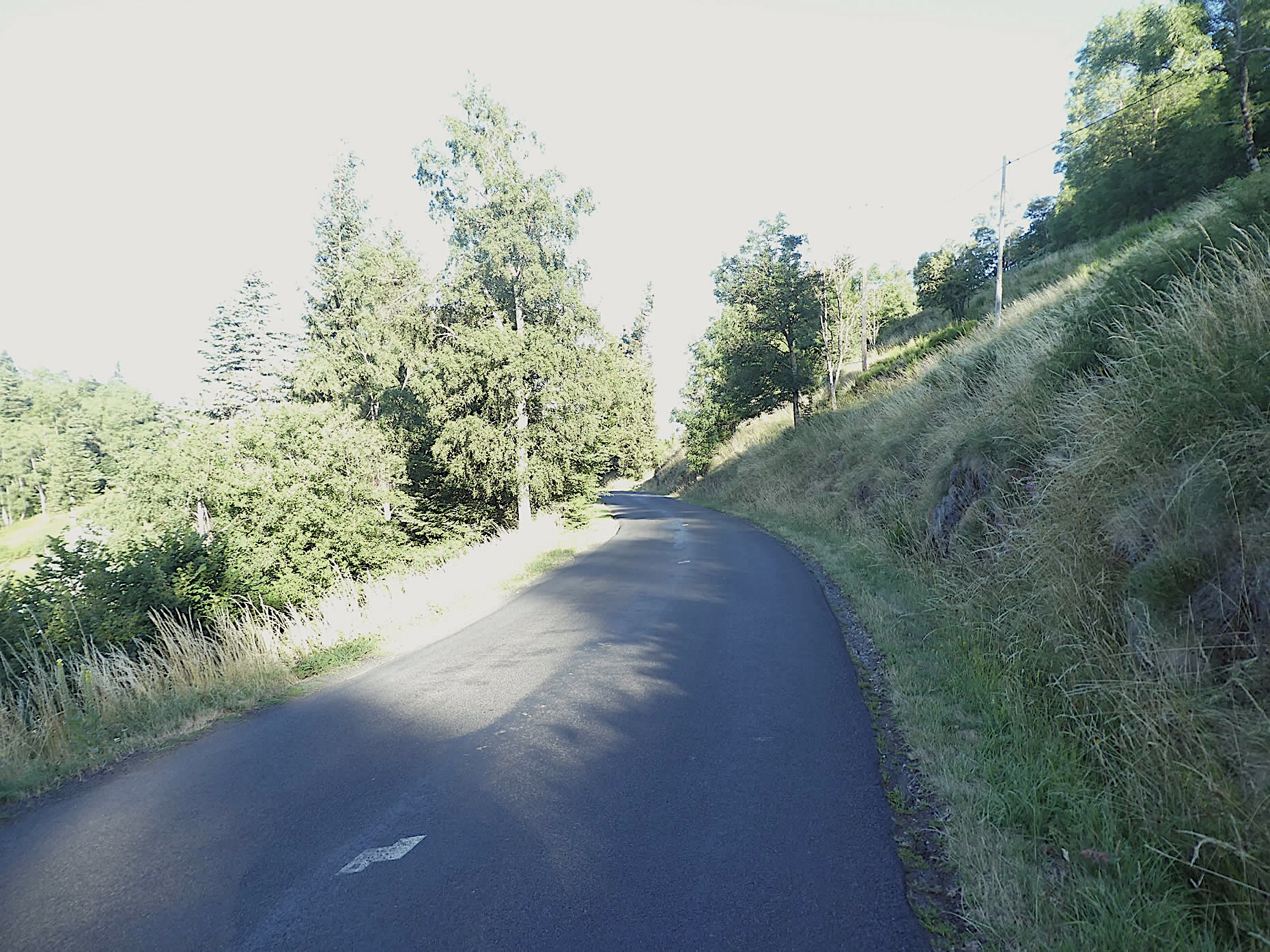
| The GR65 embarks here on a vigorous descent, plunging over a kilometer with a slope ranging between 10% and 15%. A path, like a graceful dancer, winds under a natural canopy of deciduous trees and pines, brushing against tall grasses until it joins, with a modest bow, the discreet departmental road. |
 |
 |
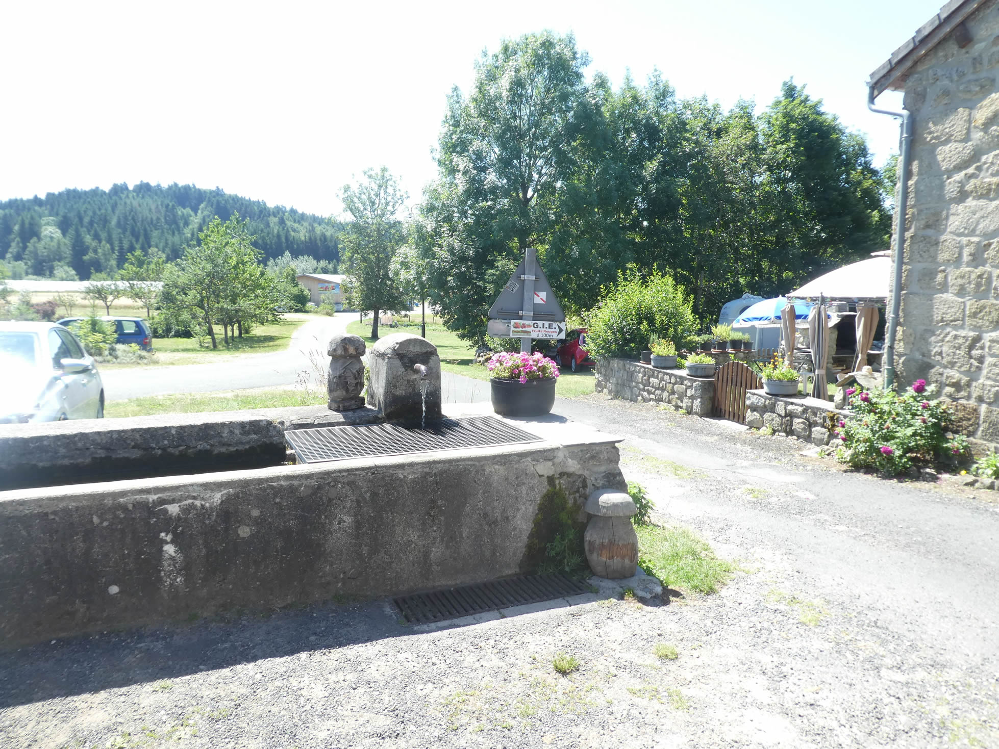
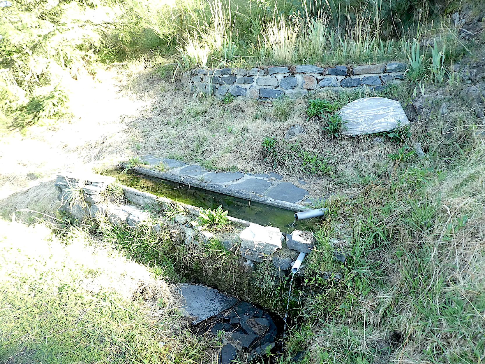
| For several hundred meters, the route follows the road, offering hikers a welcome break. Along the way, a fresh water fountain murmurs a gentle refrain, inviting contemplation. |
 |
 |
Ahead of you, like an emerging promise, the village of Queyrières soon reveals itself, nestled tenderly in the heart of the « sucs ».
| Further down, the GR65 leaves the road to venture onto a path, descending into a sea of wild grasses. |
 |
 |
| This intimate path meanders gently downhill along the edge of the fir forest, under majestic maples, elegant ashes, and untamed thickets. |
 |
 |
In a sunlit clearing, you will catch sight of Queyrières, beautifully framed by the Suc de Montivernoux, Mont Channis, and Mont Rouge. These mounds, true geological poems, are the captivating soul of Velay, a spectacle unparalleled in Europe.
| Nature, in all its generosity and exuberance, offers an enchanting spectacle. Here, a sign carved into the rock guides pilgrims, a precious marker to avoid getting lost in this verdant setting. |
 |
 |
| At the bottom of the descent, the forest thickens, and the path becomes covered with stones accumulated over time, making the slope less welcoming. |
 |
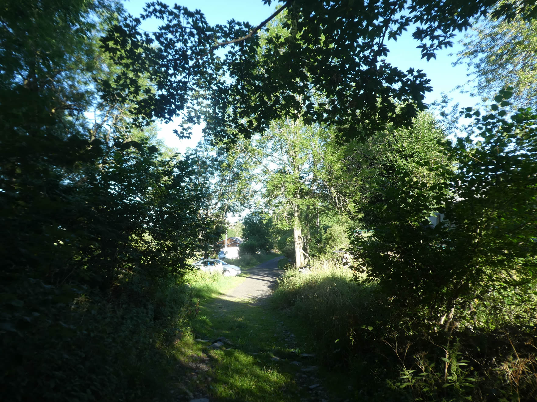 |
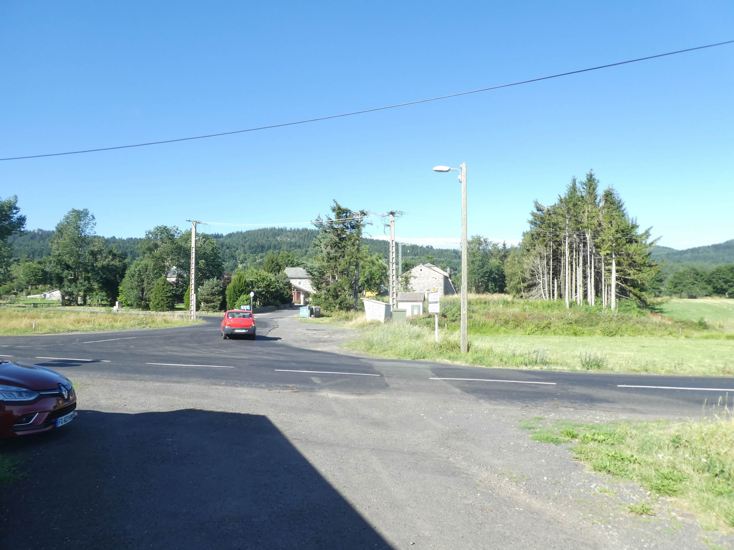
| The descent towards Queyrières ends on a small paved road, a gentle transition between wild nature and civilization. |
 |
 |
| Queyrières, this picturesque village, is the major meeting point of Meygal, a place of convergence for hikers and locals alike. |
 |
 |
| The GR65, however, does not lead directly into the village, which is only a few steps away along a small adjacent road. |
 |
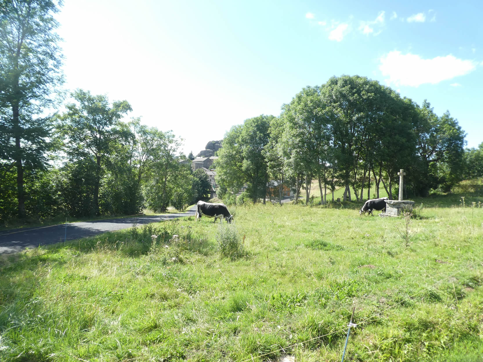 |
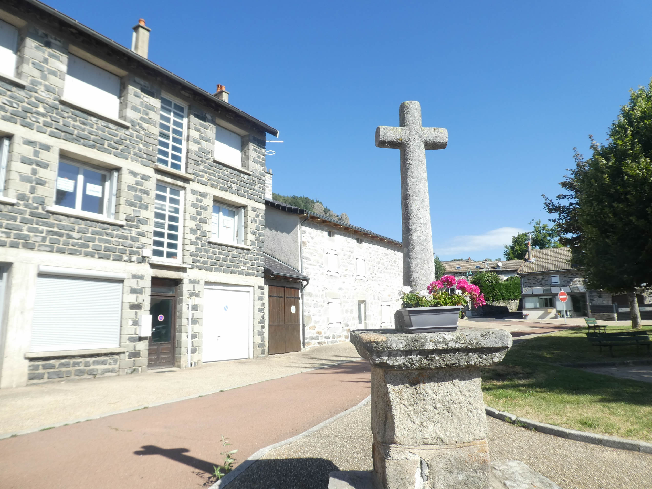
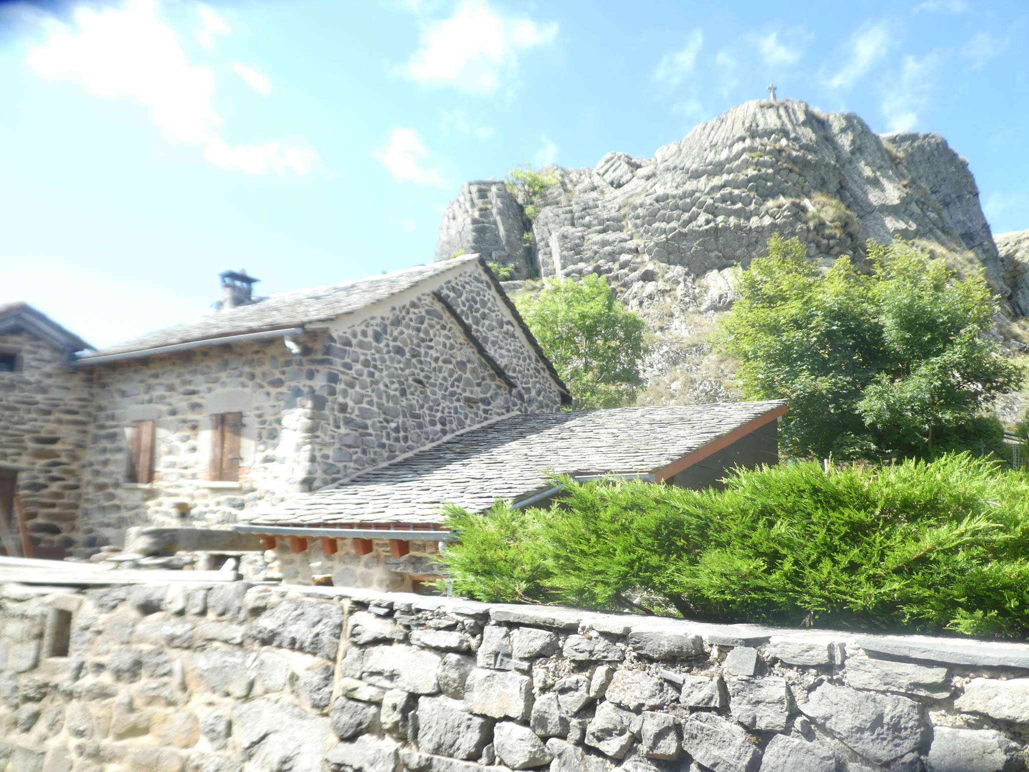
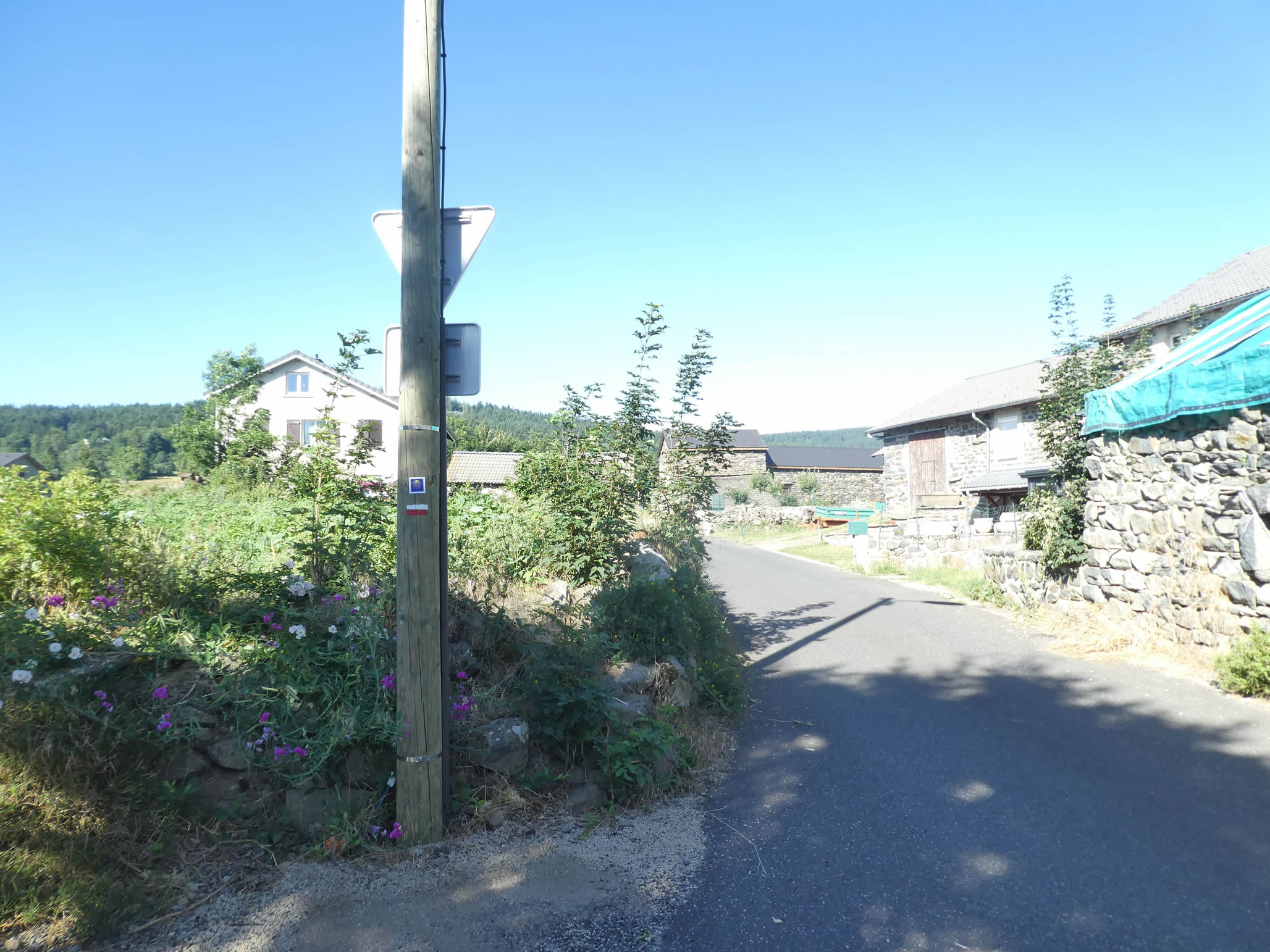
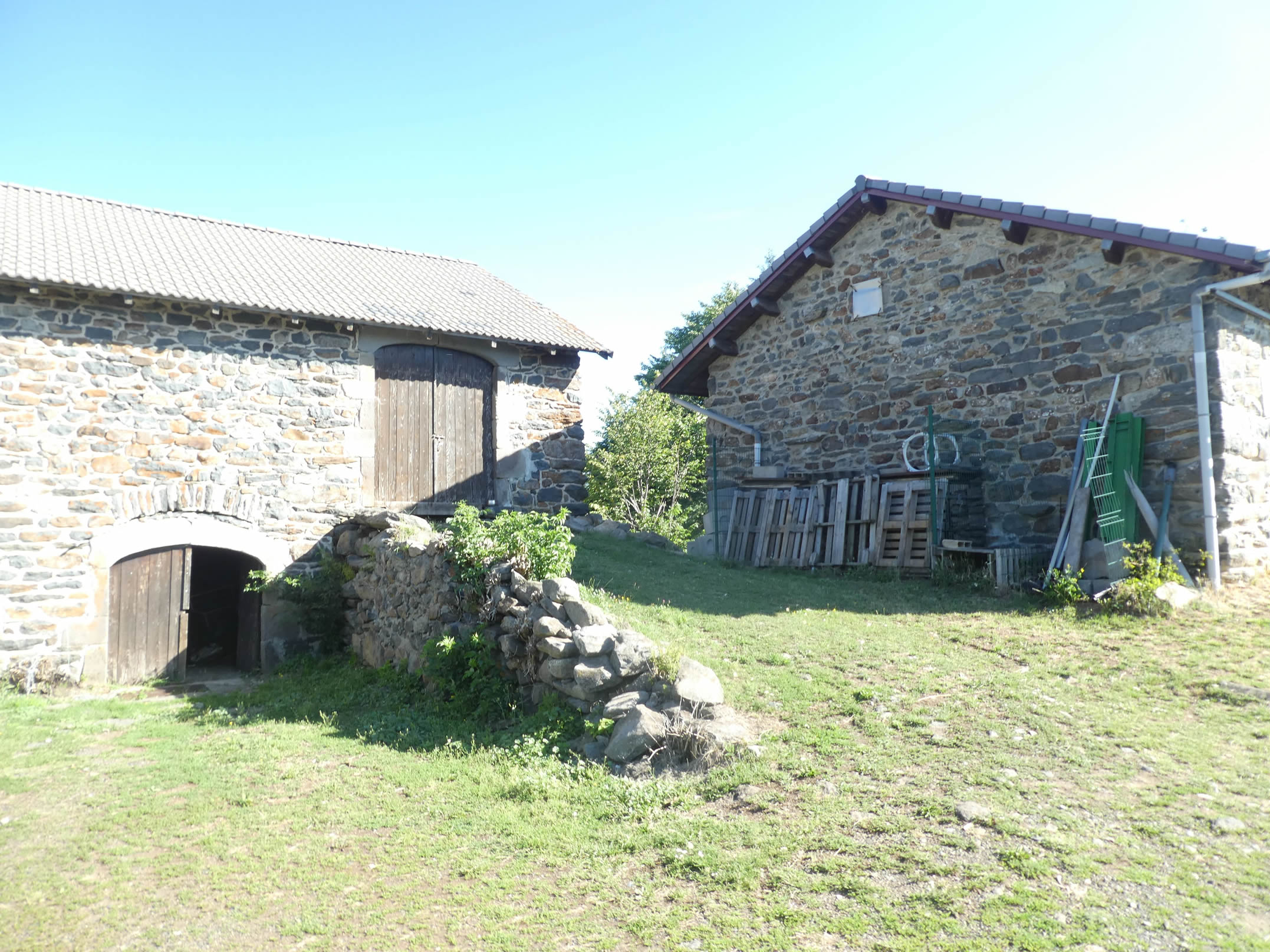
| The village, beautifully built of stone, boasts traditional slate roofs and is backed by a bare rock, upon which a cross stands, silently watching over the inhabitants. The basaltic stones, gleaming under the sun, add a touch of charm to this peaceful and majestic hamlet. |
 |
 |
Official accommodations on the Via Gebennensis
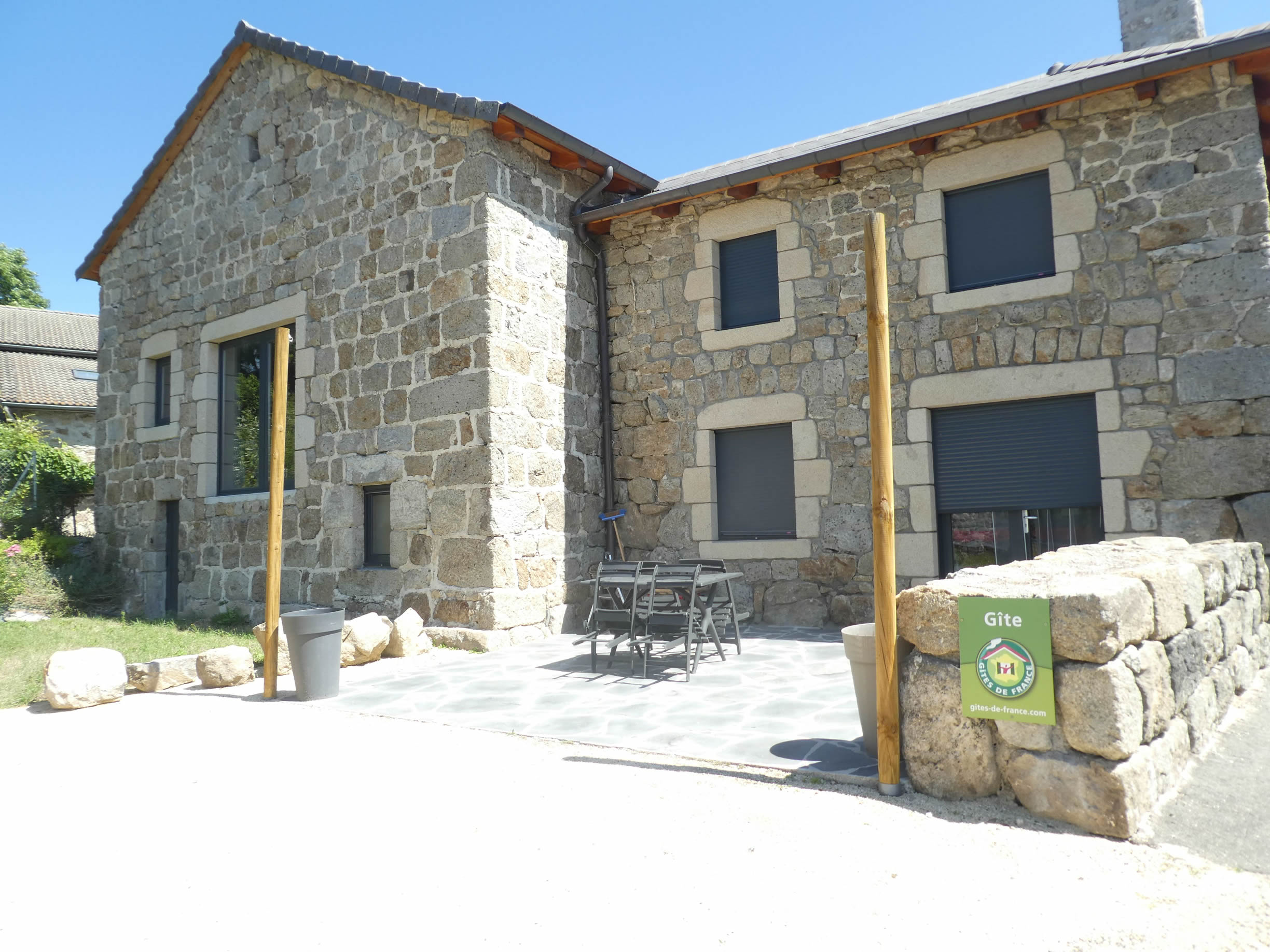
- Maison Marguerite, 2 Montée de la Sérigoule, Tence; 06 82 61 62 59 /04 71 56 37 73; Guestroom, dinner, breakfast
- Deb and Breakfast, 225 Allée des Sous-Bois, Tence; 06 63 26 29 14; Guestroom, dinner, breakfast
- Hôtel de la Poste, 12 Rue St Agrève, Tence; 04 71 56 39 25; Hotel, dinner, breakfast
- Hôtel Le Chatiague, Place du Chatiague, Tence; 04 71 59 82 82; Hotel, dinner, breakfast
- Le Fougal, St Jeures; 04 71 59 66 64/06 16 33 08 14; Gîte, dinner, breakfast
- Le Fritz, Queyrières; 09 64 25 11 44; Guestroom, dinner, breakfast
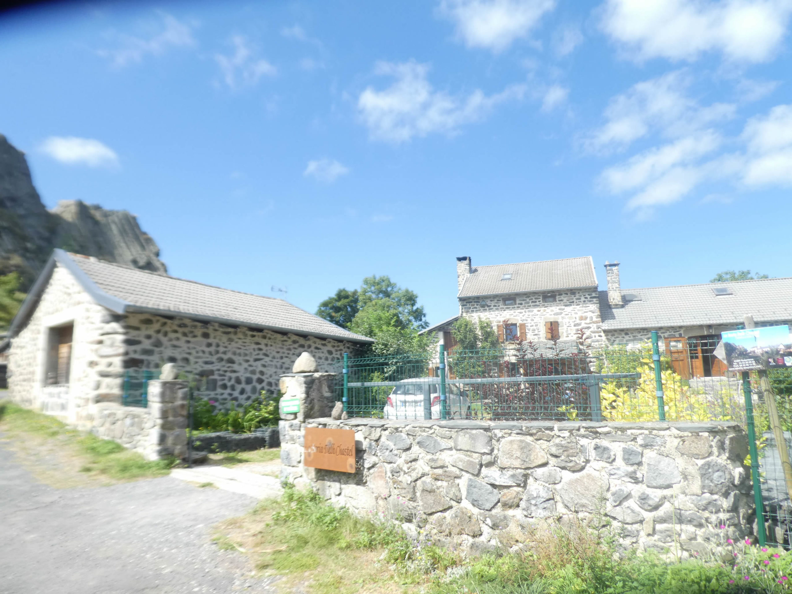
- La Boria Delh Castel, Le Bourg, Queyrières; 04 63 84 90 66/06 22 6913 79; Guestroom, dinner, breakfast
Pilgrim hospitality/Accueils jacquaires (see introduction)
- Tence (1)
- St Jeures (1)
- Araules (1)
If one takes inventory of the accommodations, lodging is quite tricky, as tourists who tour the volcanoes also pass through Queyrières. You may need to go as far as St Julien-Chapteuil. Book to be safe. For more details, the guide of the Friends of Compostela keeps a record of all these addresses, as well as bars, restaurants, or bakeries along the route.
Feel free to add comments. This is often how you move up the Google hierarchy, and how more pilgrims will have access to the site.
|
 |
Next stage : Stage 14: From Queyrières to Le Puy-en-Velay |
|
 |
Back to menu |