Between Rhône and the Beautiful Vineyards of Savoie
DIDIER HEUMANN, ANDREAS PAPASAVVAS
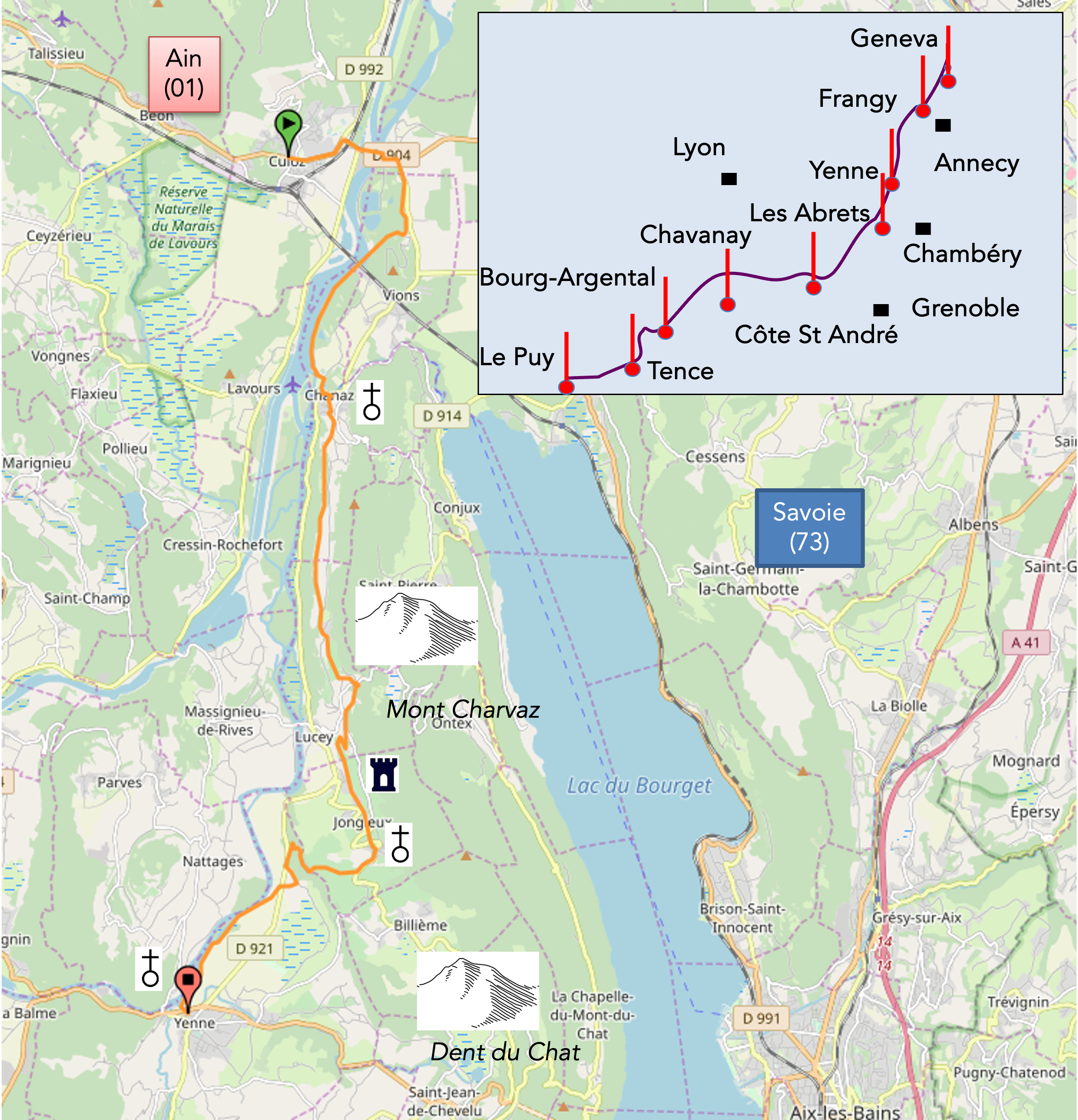
We divided the course into several sections to make it easier to see. For each section, the maps show the course, the slopes found on the course, and the state of the route (paved or dirt roads). The courses were drawn on the « Wikilocs » platform. Today, it is no longer necessary to walk around with detailed maps in your pocket or bag. If you have a mobile phone or tablet, you can easily follow routes live.
For this stage, here is the link:
https://fr.wikiloc.com/itineraires-randonnee/culoz-auvergne-rhone-alpes-france-34059011
| Not every pilgrim feels comfortable using GPS devices or navigating on a phone, especially since many sections still lack reliable internet. To make your journey easier, a book dedicated to the Via Gebennensis through Haute-Loire is available on Amazon. More than just a practical guide, it leads you step by step, kilometre after kilometre, giving you everything you need for smooth planning with no unpleasant surprises. Beyond its useful tips, it also conveys the route’s enchanting atmosphere, capturing the landscape’s beauty, the majesty of the trees and the spiritual essence of the trek. Only the pictures are missing; everything else is there to transport you.
We’ve also published a second book that, with slightly fewer details but all the essential information, outlines two possible routes from Geneva to Le Puy-en-Velay. You can choose either the Via Gebennensis, which crosses Haute-Loire, or the Gillonnay variant (Via Adresca), which branches off at La Côte-Saint-André to follow a route through Ardèche. The choice of the route is yours. |
 |
 |
If you only want to consult lodging of the stage, go directly to the bottom of the page.
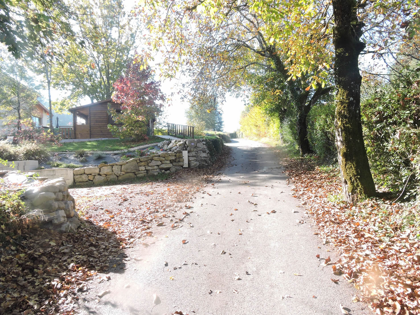
Pilgrims traverse the Camino de Santiago throughout the year, some even in winter. Each season brings its unique charm and magic. Picture now an autumn stage, where the plains are sometimes shrouded in a morning mist, and the autumn light bathes the landscapes in a soft, golden glow, with paths strewn with fallen leaves and chestnut husks, creating a cushioned carpet underfoot.
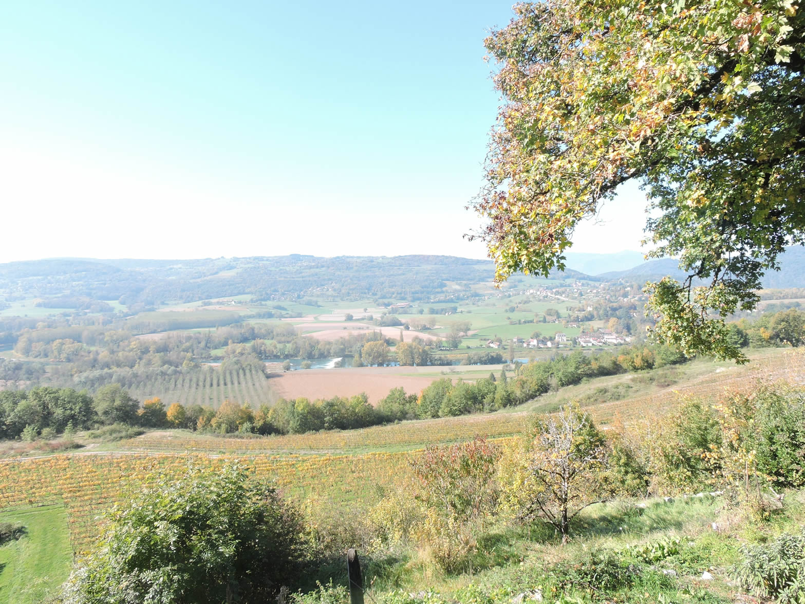
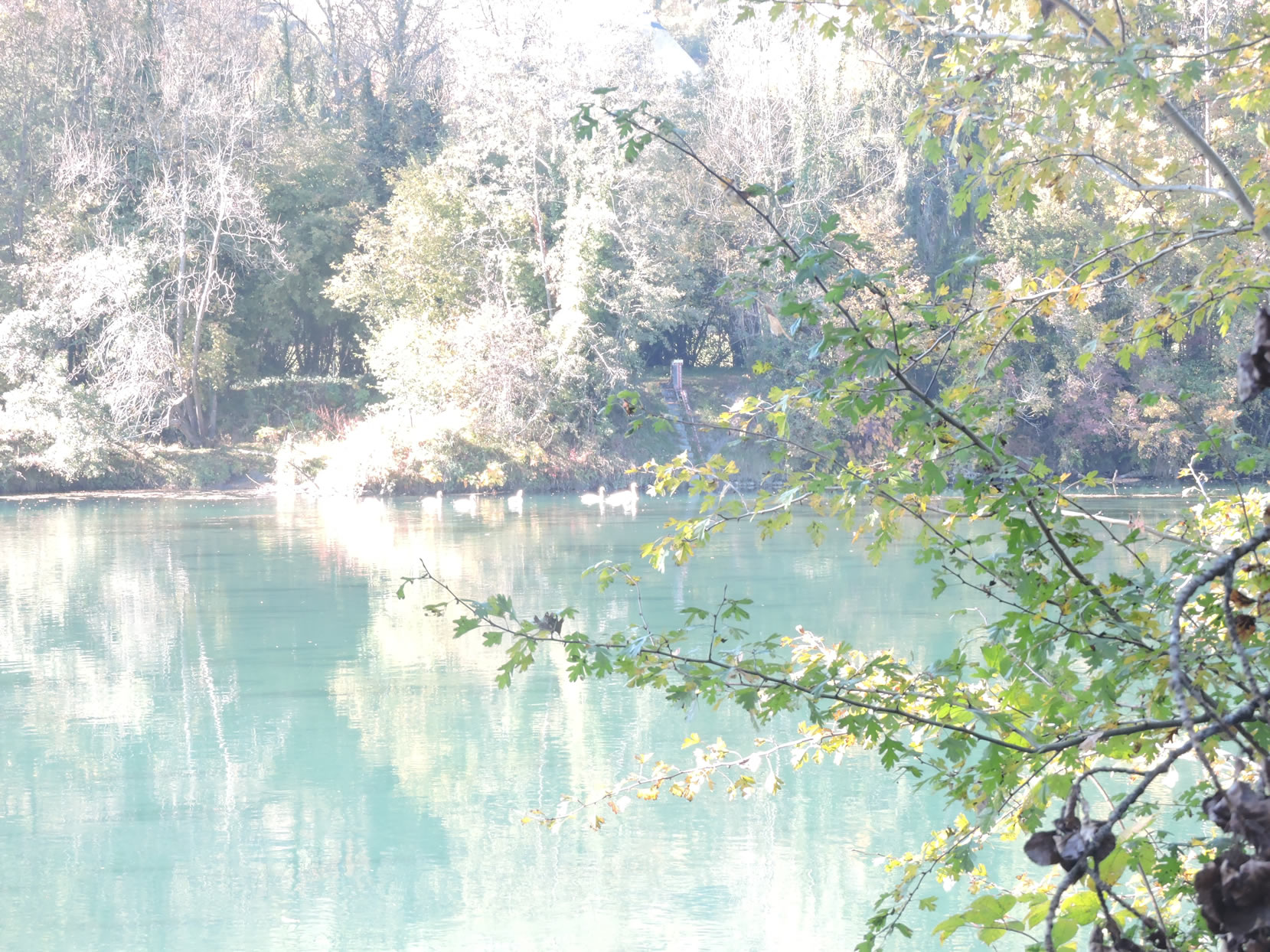
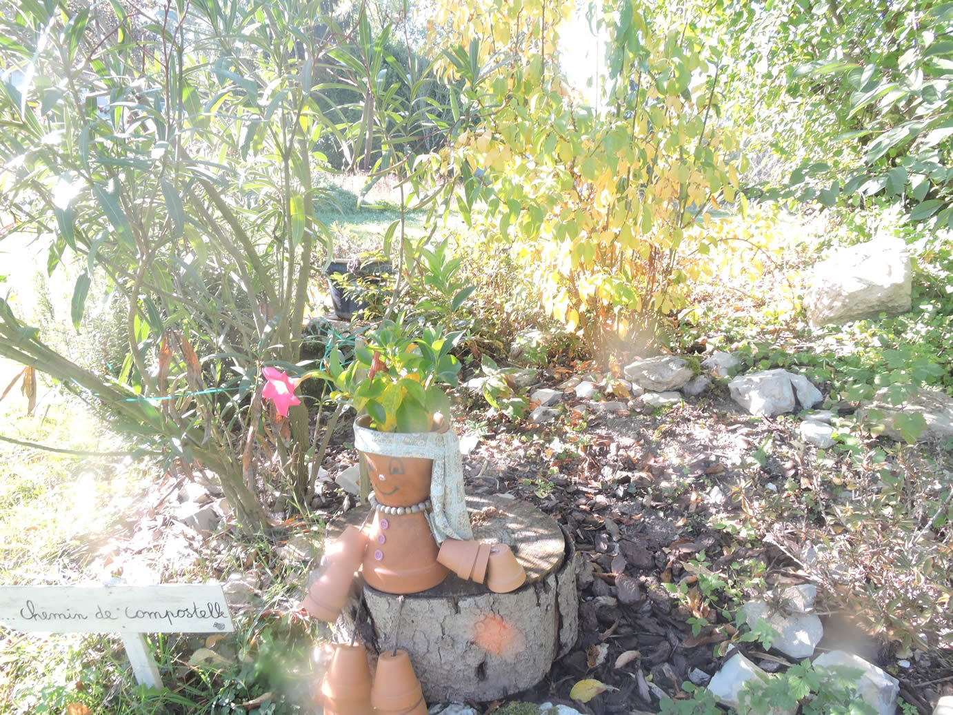
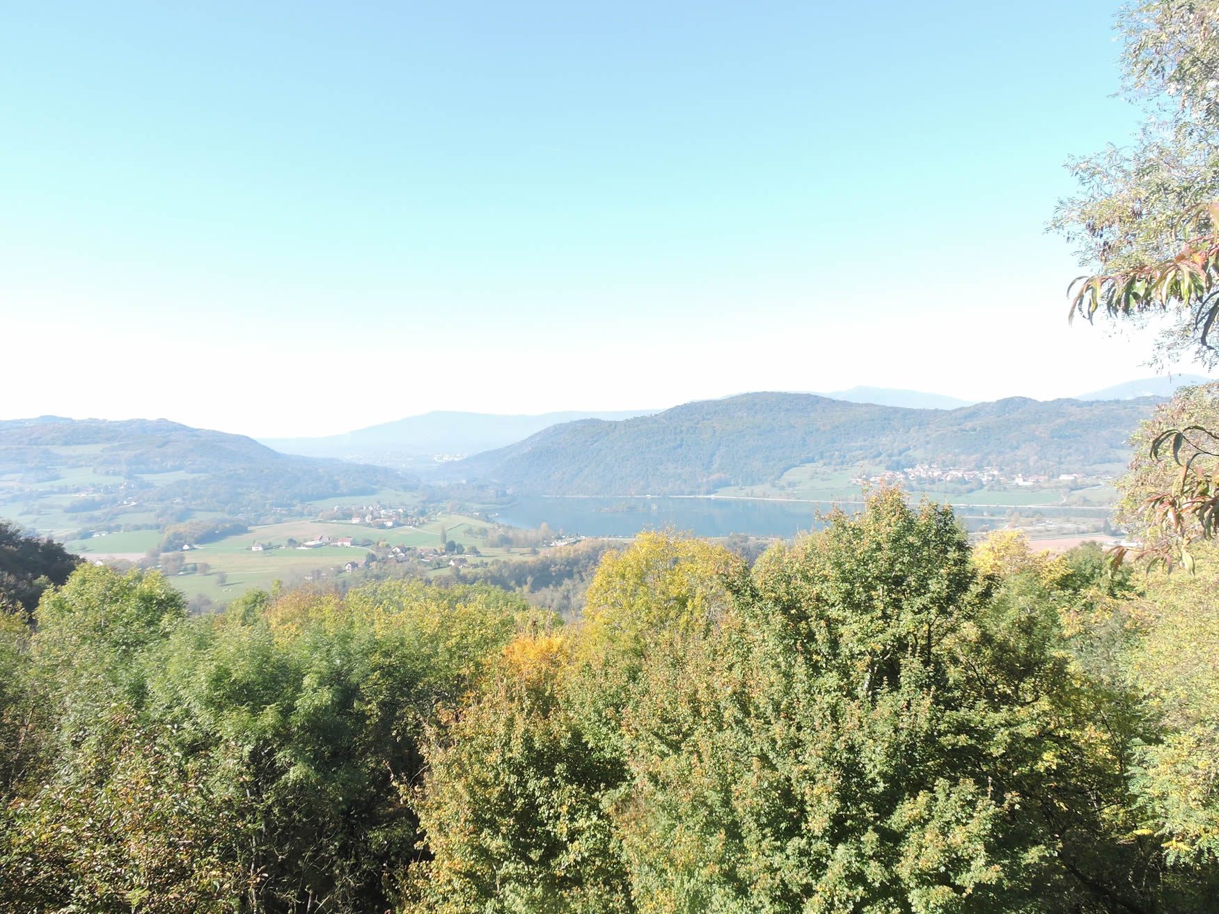
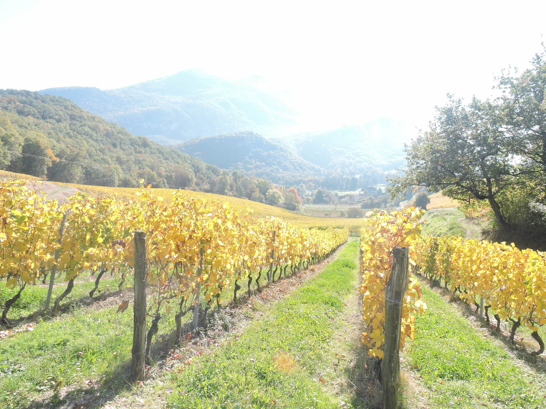
Today’s stage begins with a serene stroll along the Rhône River, meandering through misty heathlands toward Chanaz, an enchanting village known as the Little Venice of Savoie. This picturesque haven is traversed by the beautiful Savières Canal, which flows gracefully towards Lake Bourget, a vast, majestic body of water nestled at the foot of the mountains. This transition leads pilgrims beneath the rugged mountain slopes, into the heart of Savoie’s vineyards, where lesser-known yet exquisite grape varieties such as altesse, marchestel, and mondeuse thrive. In autumn, these vineyards don golden hues, presenting a breathtaking visual spectacle.
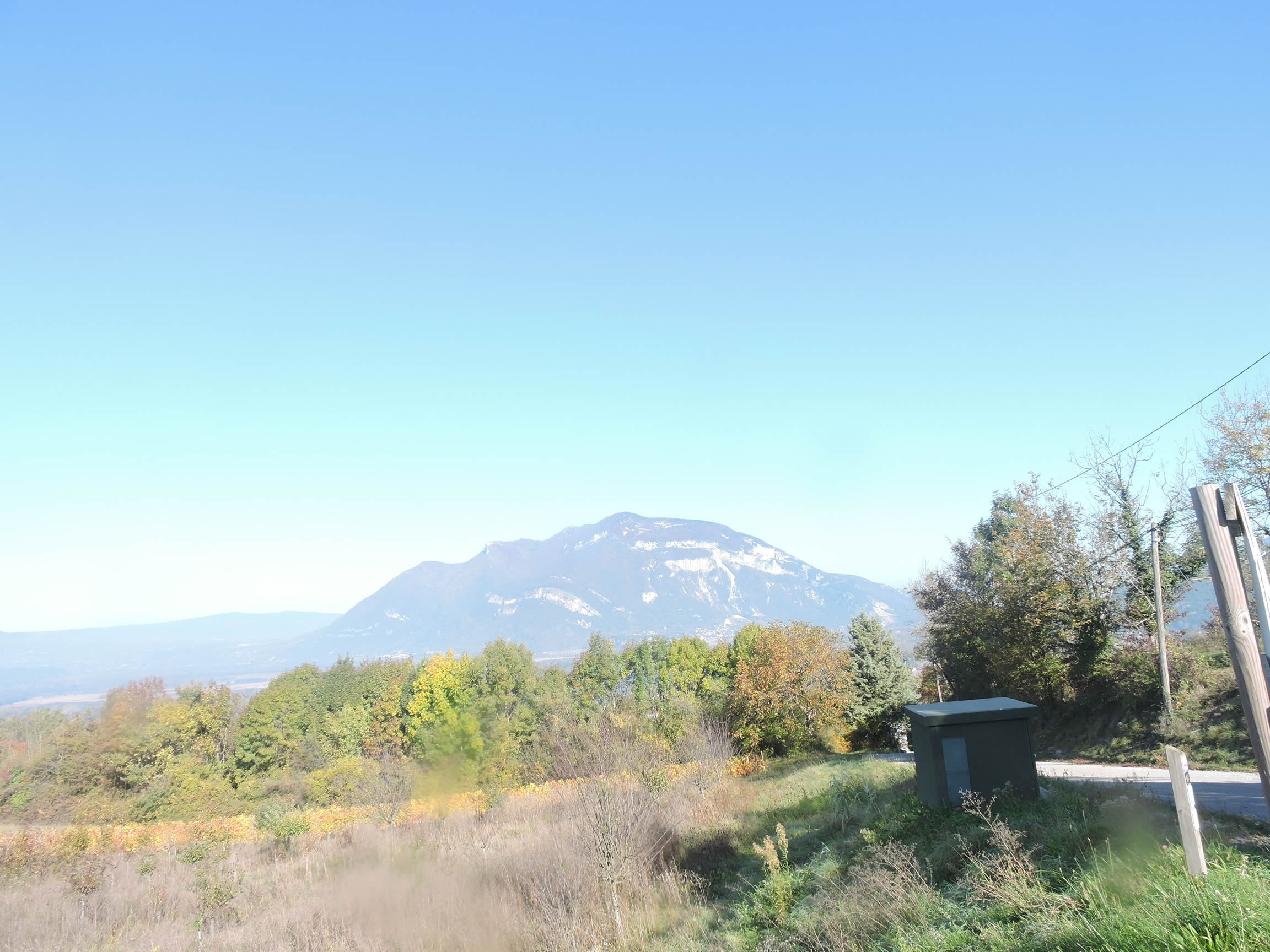
On the horizon, the imposing Dent du Chat dominates the landscape, towering over Lake Bourget on the other side of the mountain. A local legend adds an air of mystery to this region. Once, a fisherman lived off his catches on the shores of Lake Bourget. After a disappointing morning, he looked up to the sky and vowed to release the first fish he caught. To his surprise, he hooked a gigantic fish, but, forgetting his promise, he kept it. The same fate befell the second fish. However, on his third cast, it was not a fish that wriggled at the end of his line, but a black cat with sparkling eyes… Unfortunately, you won’t see Lake Bourget from your route, as the stage concludes at Yenne, a village along the Rhône, situated in a cul-de-sac overlooked by the Dent du Chat.
.
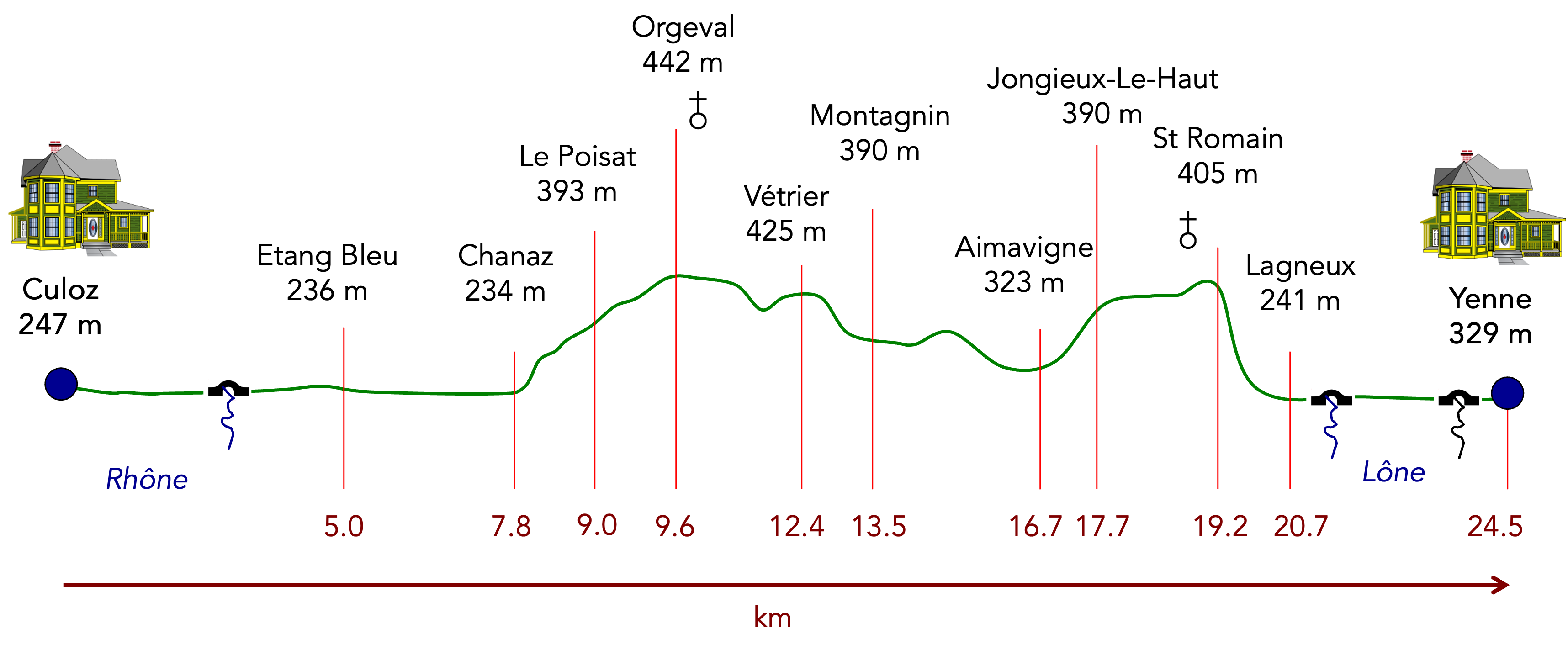
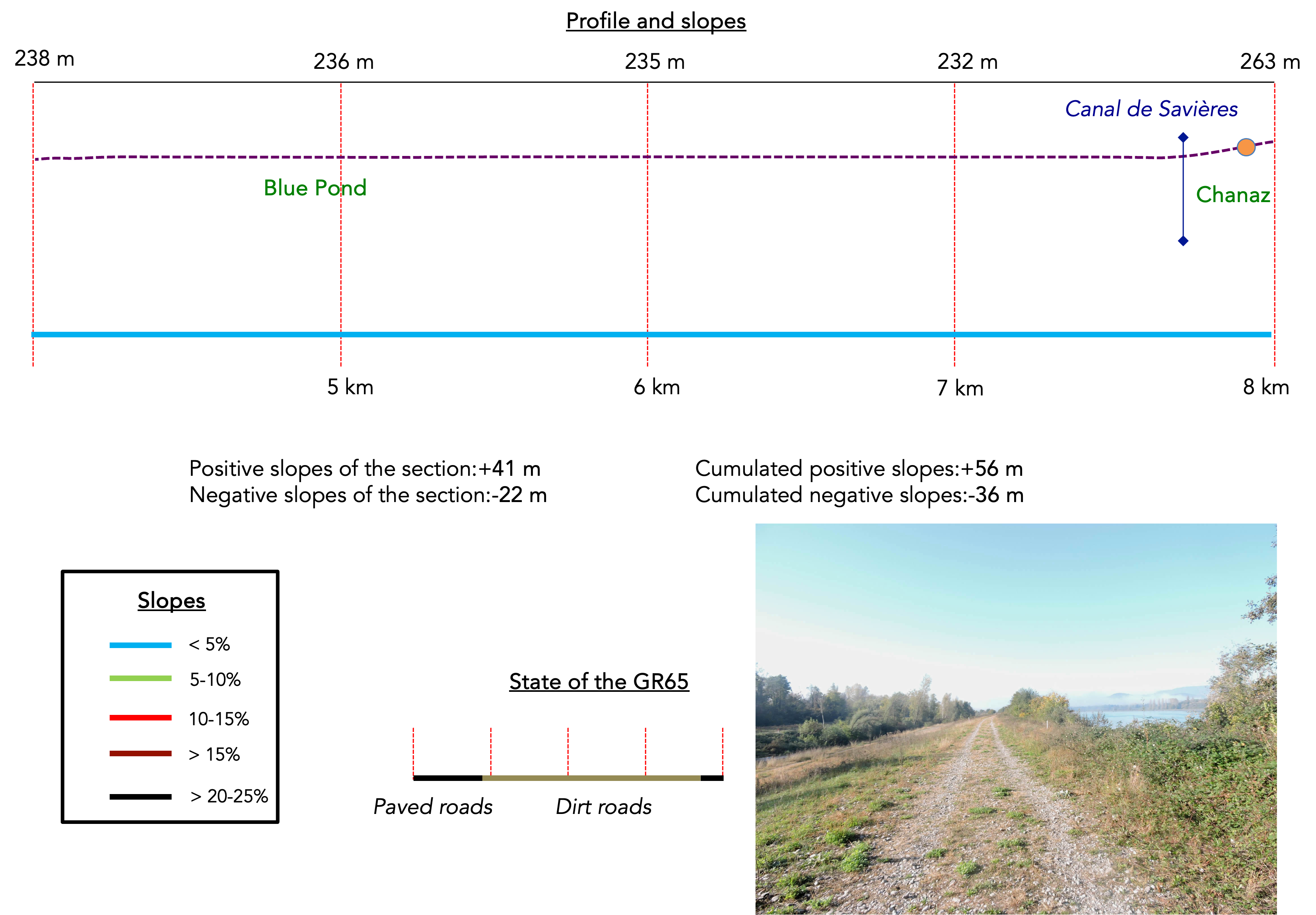
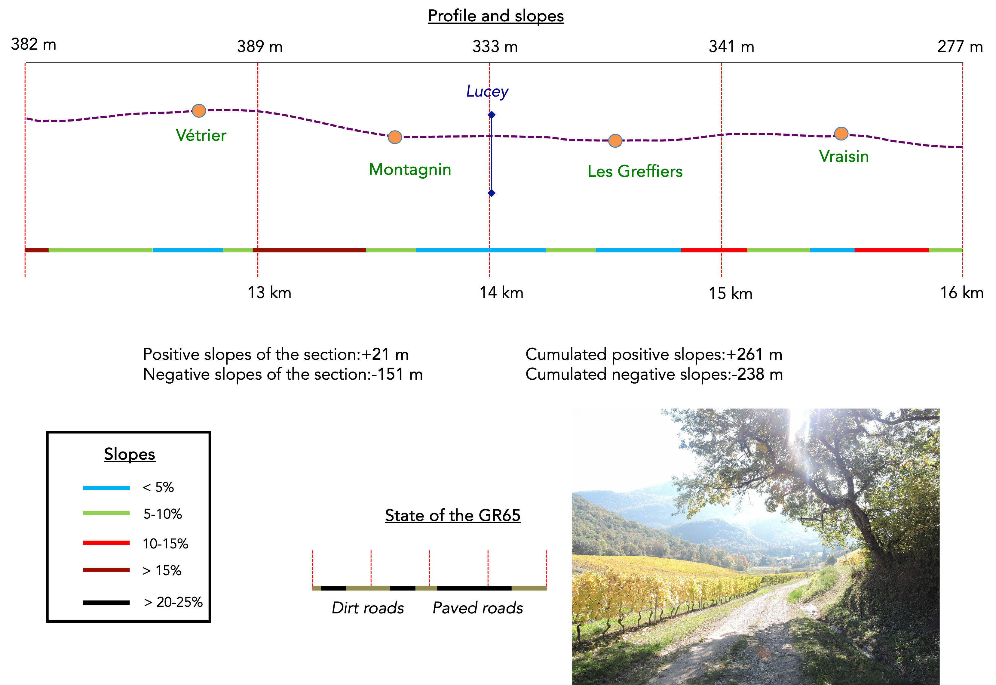
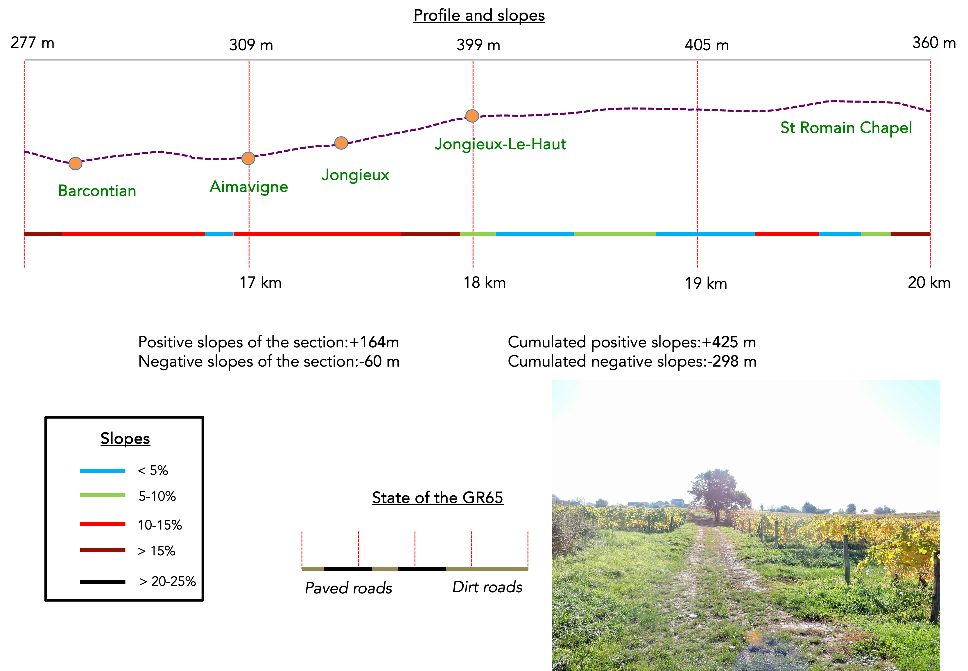
Difficulty level: The elevation gains (+433 meters / -441 meters) are quite manageable. The route is flat until Chanaz, and the ascent to the vineyards is mild, except for a short but steep slope at the exit of Chanaz. The inclines through the vineyards are sometimes steep, both uphill and downhill, but do not exceed a 15% gradient, except for the tough climb towards Jongieux-le-Haut. In reality, the most challenging part of the stage is the steep and demanding descent from the Saint-Romain hill to the Rhône plain at the end of the route.
State of the GR65: During this stage, path sections are slightly more prevalent than road sections:
- Paved roads: 10.7 km
- Dirt roads : 14.0 km
Sometimes, for reasons of logistics or housing possibilities, these stages mix routes operated on different days, having passed several times on these routes. From then on, the skies, the rain, or the seasons can vary. But, generally this is not the case, and in fact this does not change the description of the course.
It is very difficult to specify with certainty the incline of the slopes, whatever the system you use.
For those seeking « true elevations » and enthusiasts of genuine altimetric challenges, carefully review the information on mileage at the beginning of the guide.

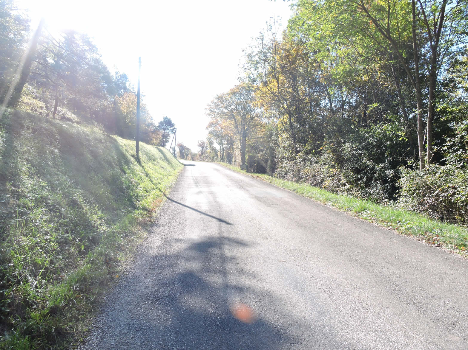
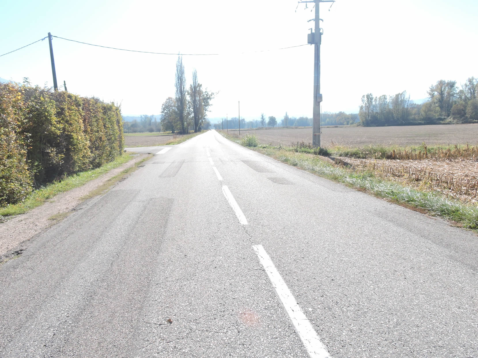
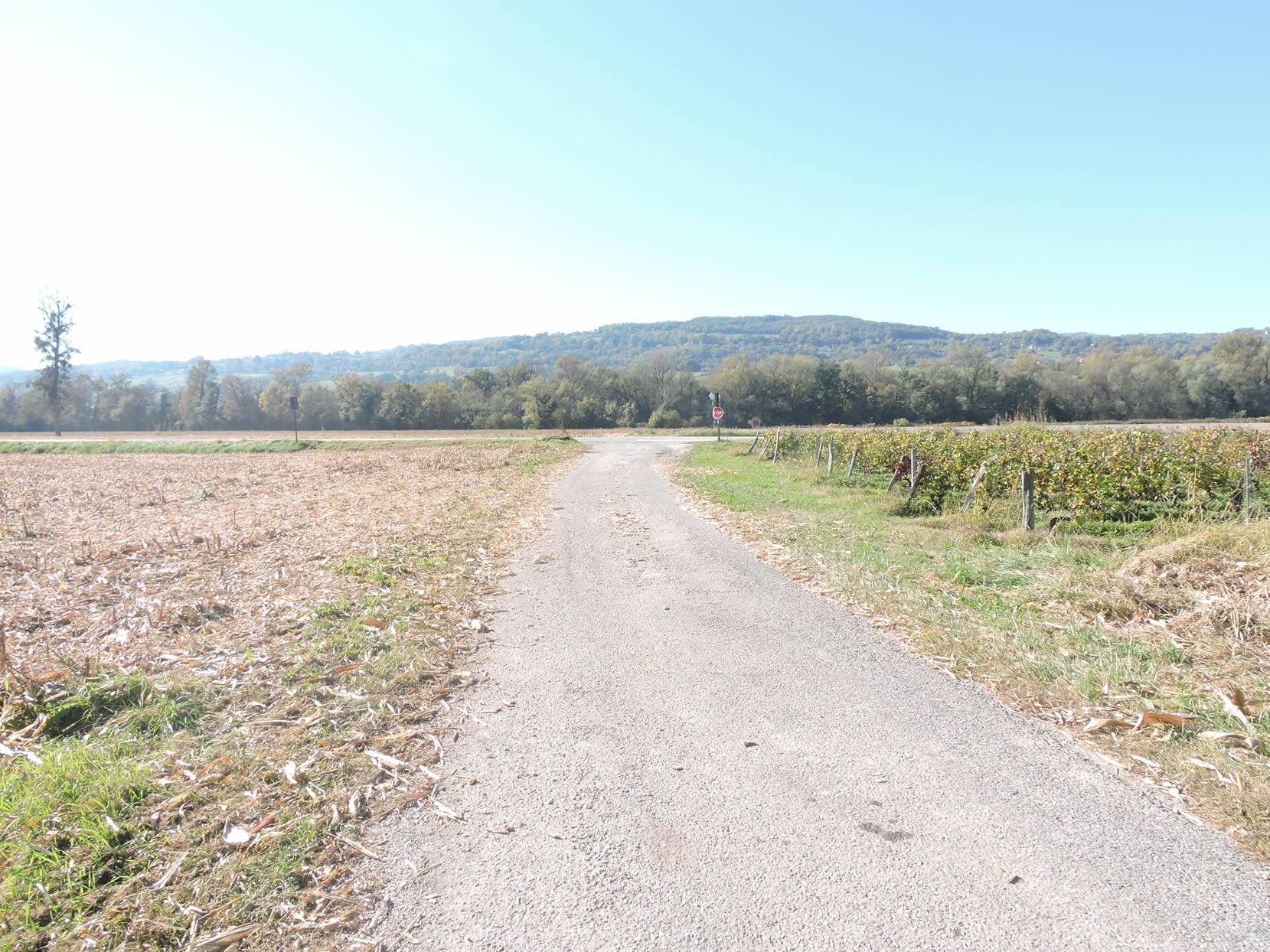
Section 1: On the bicycle path, near the Rhône

Overview of the route’s challenges: The route is straightforward with no significant challenges.

|
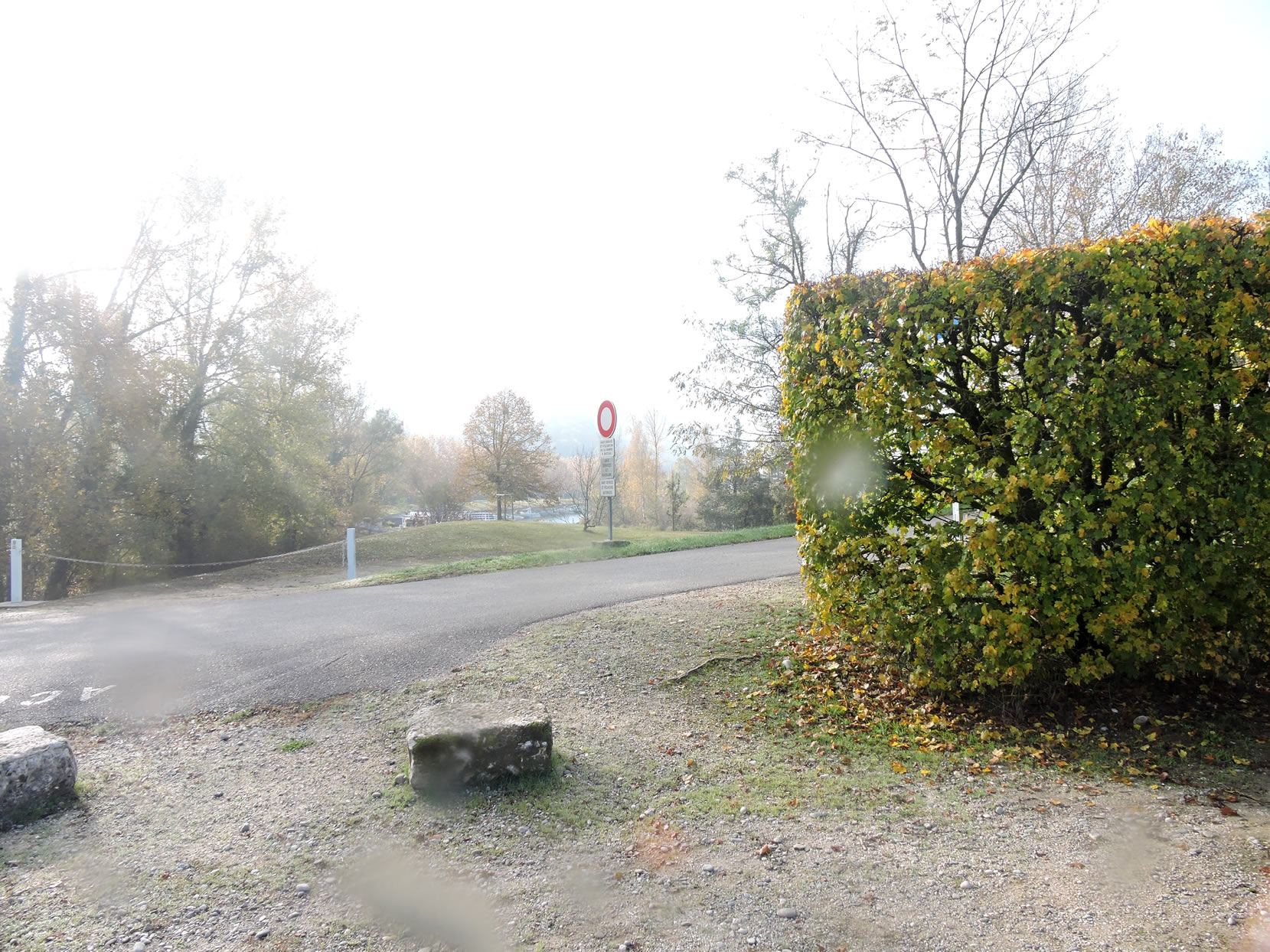
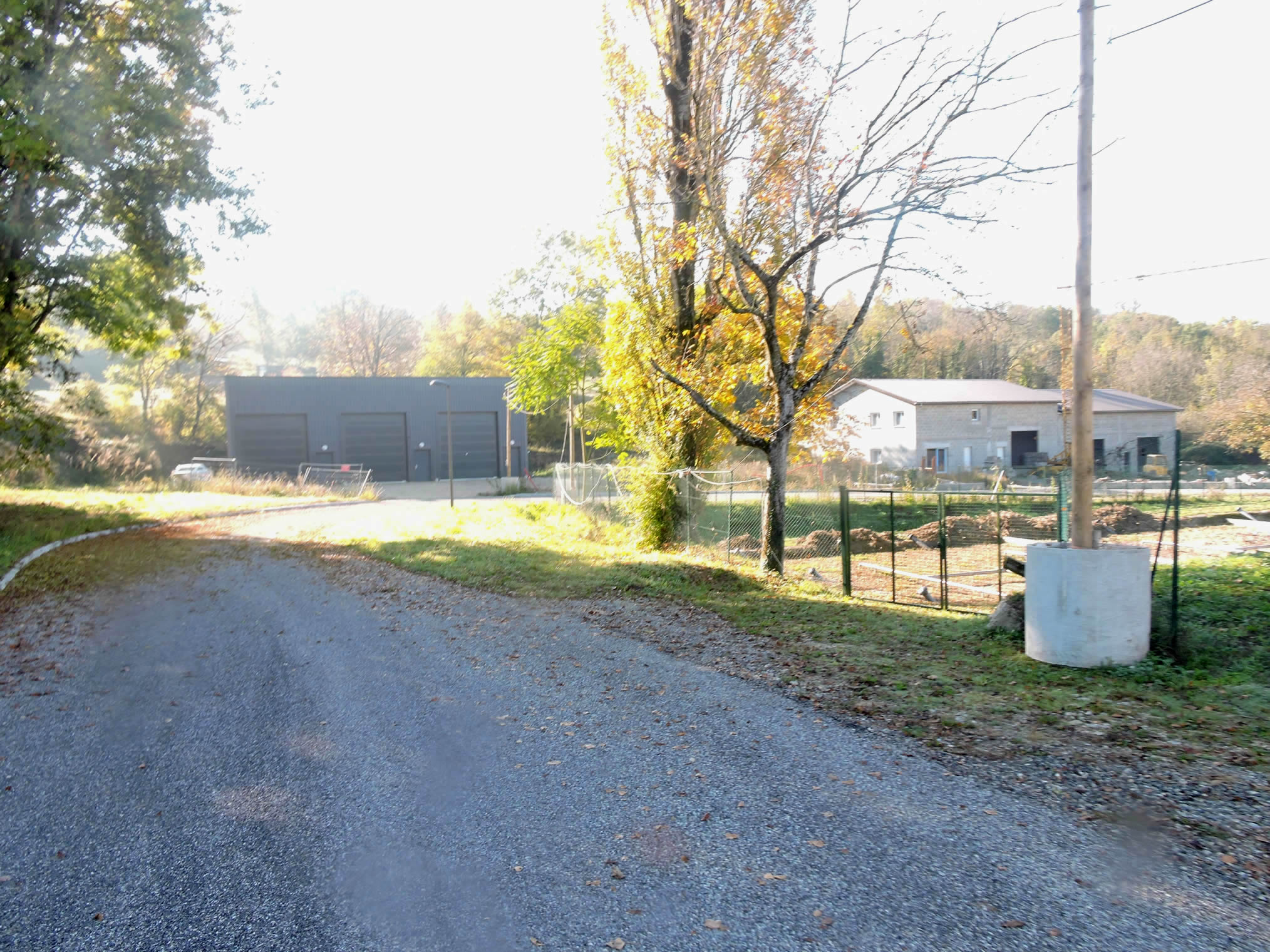
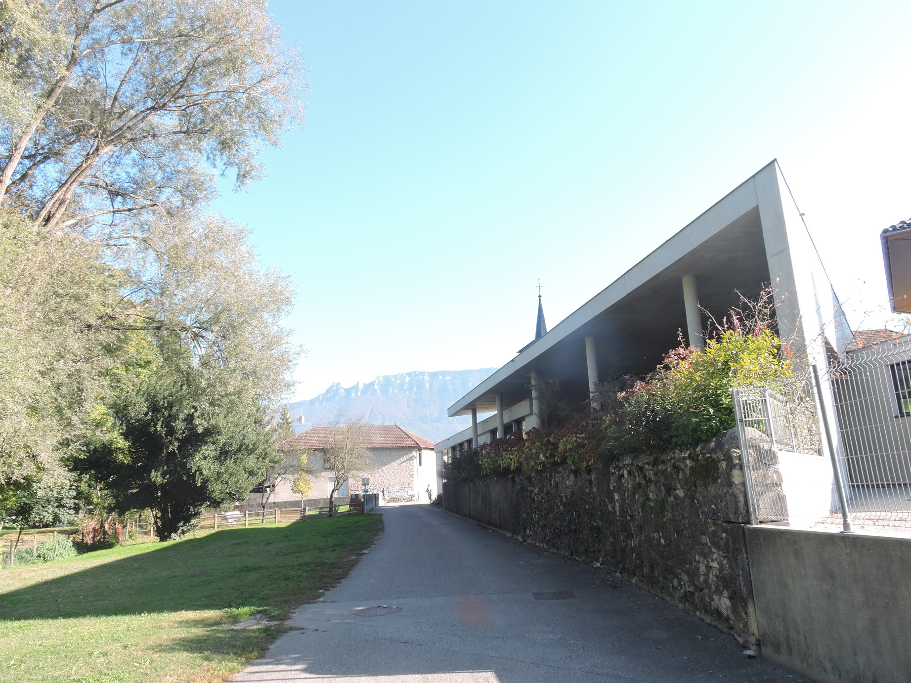
Whether you spent the night in Culoz or not, you must start again from the Pont de la Loi on the Rhône River. To reach this starting point, you will need to travel approximately two kilometers from Culoz along the road, a short journey that immediately immerses you in the region’s tranquil charm.
|
 |
 |
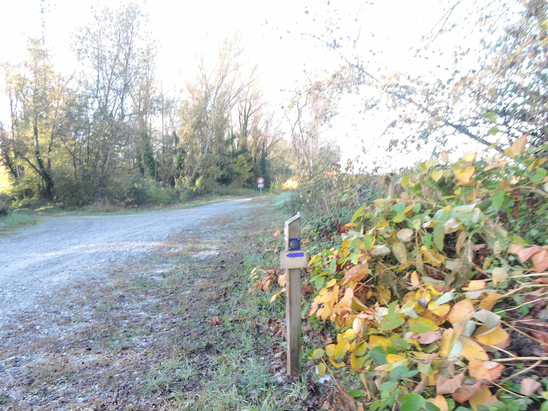
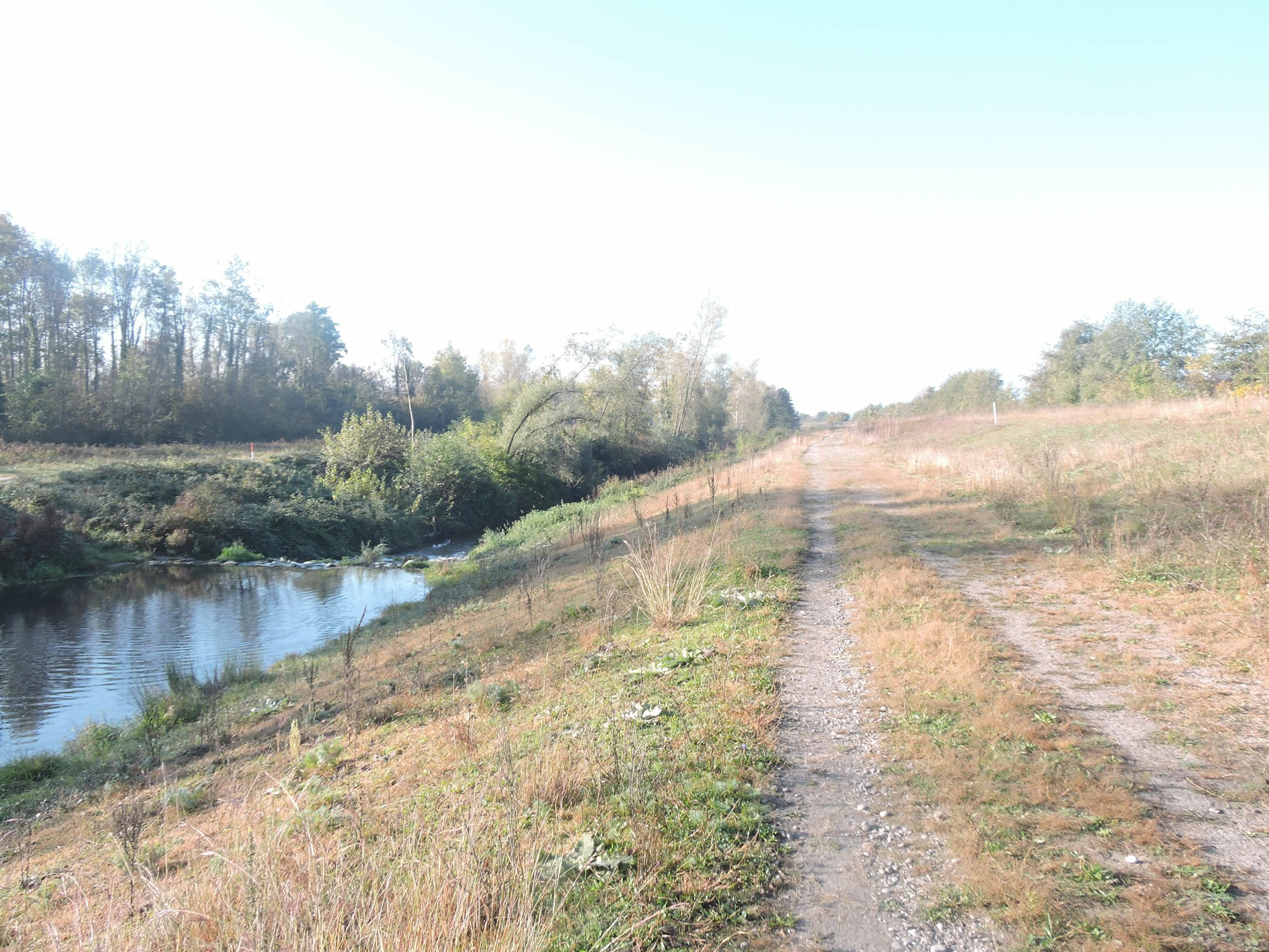
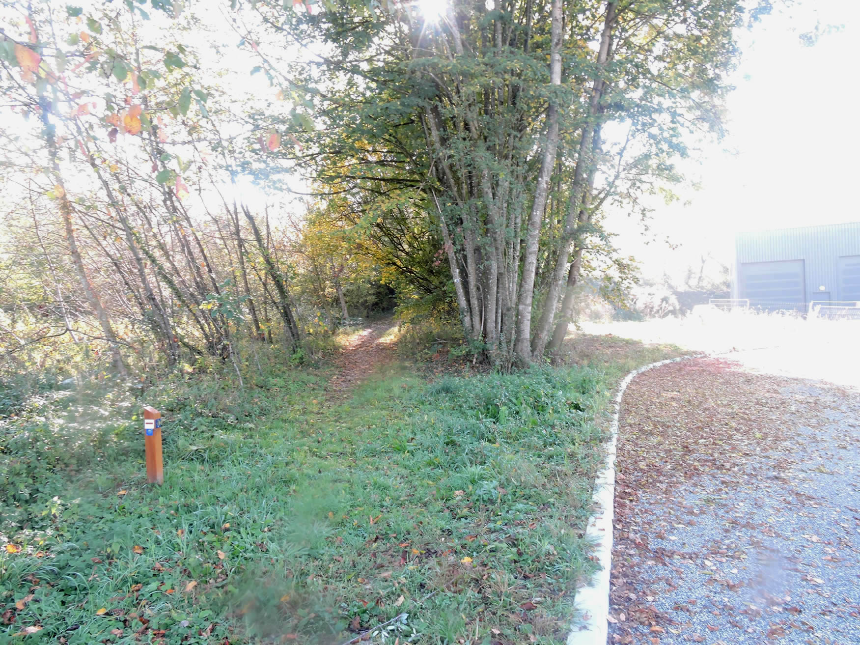
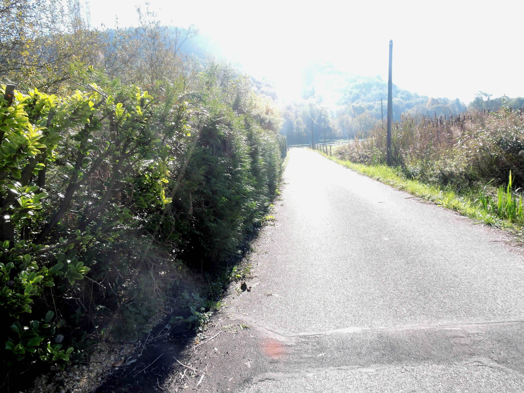
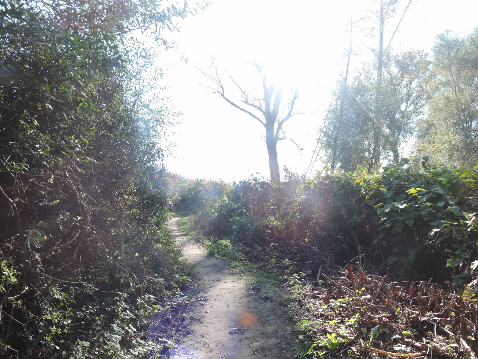
| From the bridge, the path gently follows the Rhône’s bank, although it no longer leads to the Vion Islands, which were once a popular destination. One might wonder why this detour has become routine. Has it become hazardous? Who knows? In any case, in recent years, a bicycle path has been established here, also offering walkers a chance to explore this landscape in peace. After tracing the riverbank, the path gradually delves into the heathland and gravel, creating a smooth transition from the serene water to the rugged land. |
 |
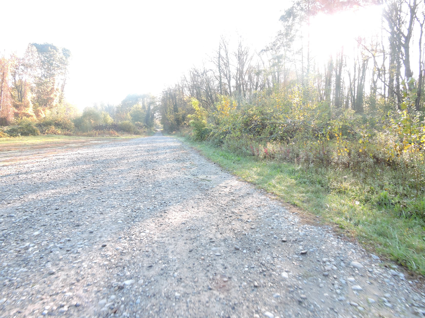 |
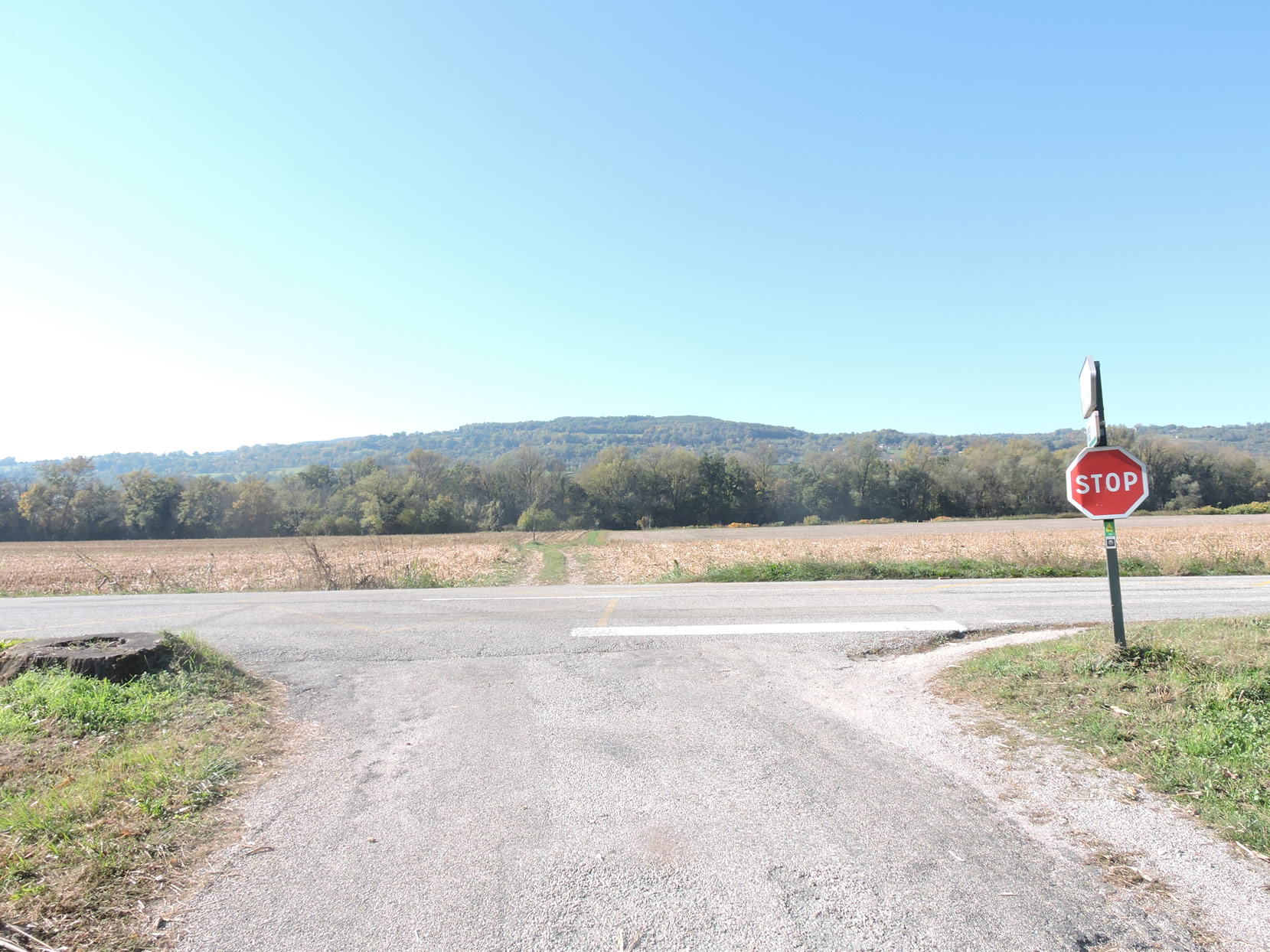
| The route then returns to the D921 departmental road, near the Loi intersection. This brief return to civilization allows you to feel the pulse of the region, with its comings and goings, and its residents, whether hurrying or strolling. |
 |
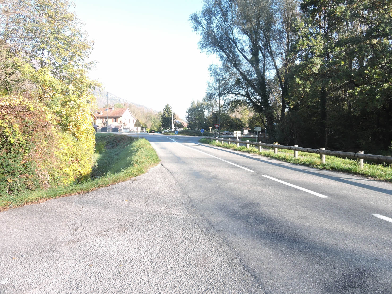 |
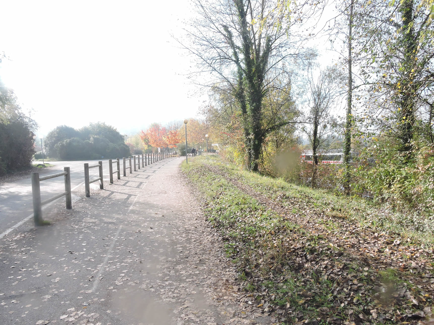
| You will then have the privilege of walking along the bicycle path, where, in the early morning light, cyclists are still sparse. You cross into a low-density area, where nature appears to reign supreme, and the silence is only interrupted by the soft songs of birds. |
 |
 |
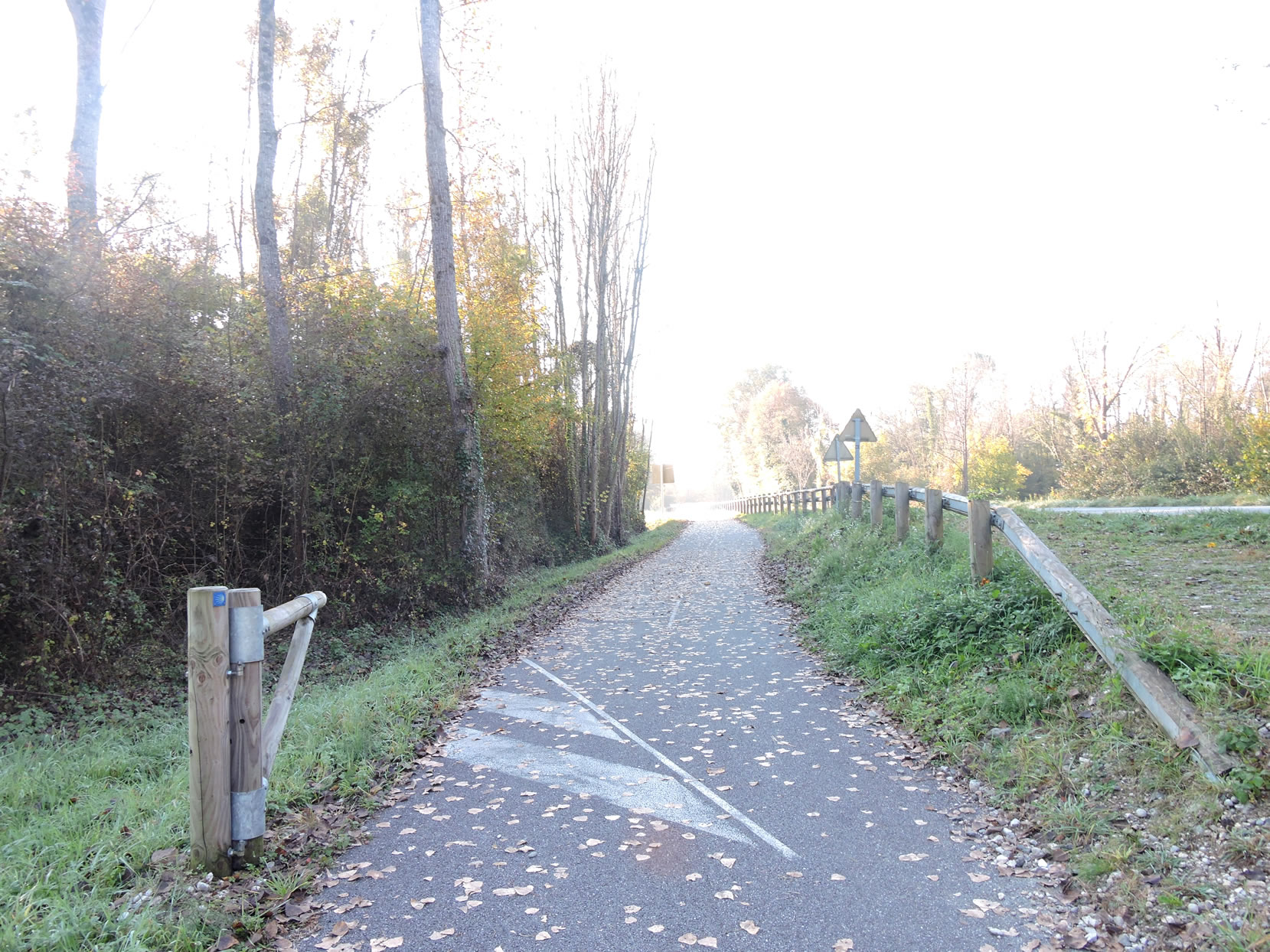
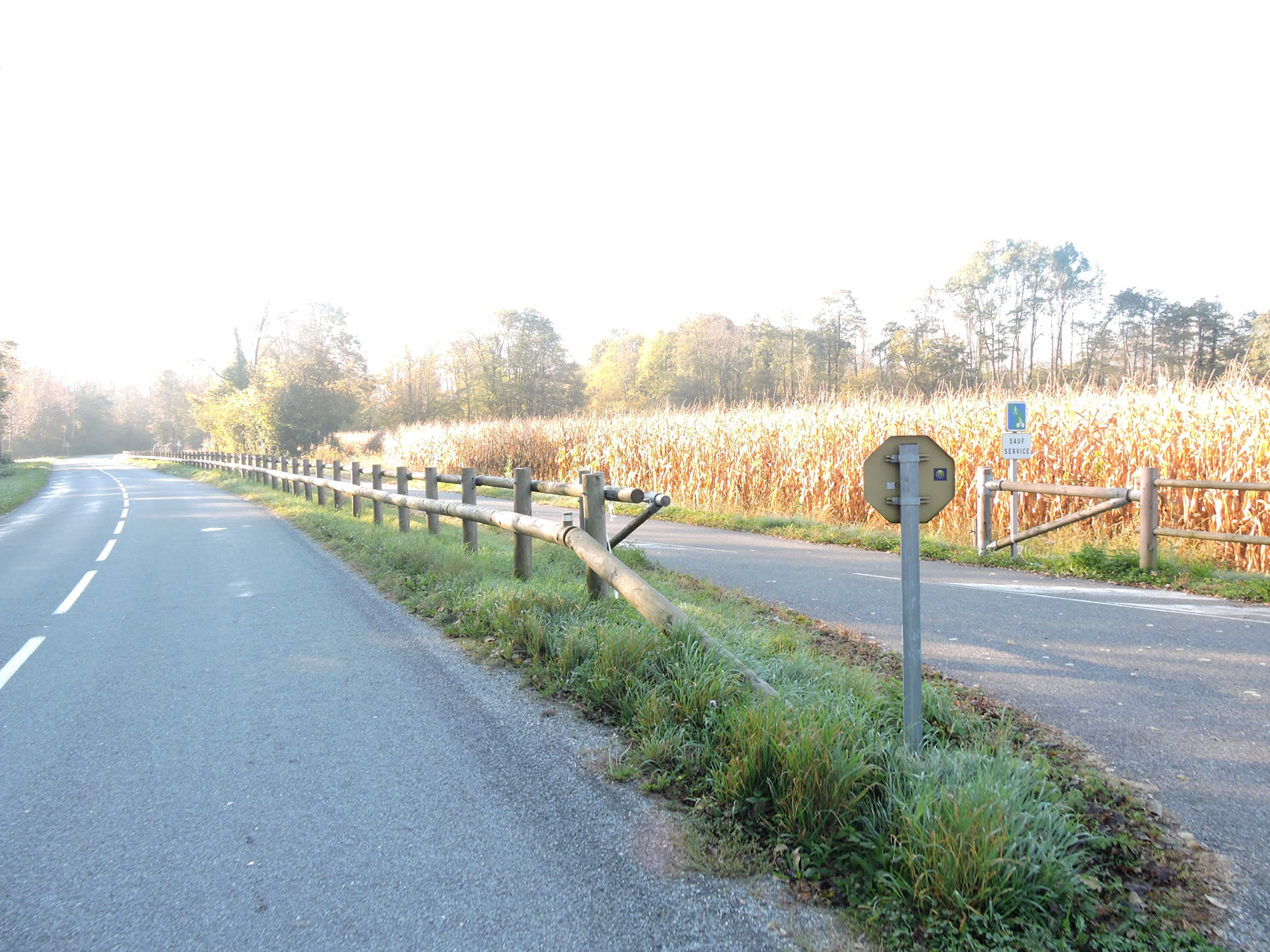
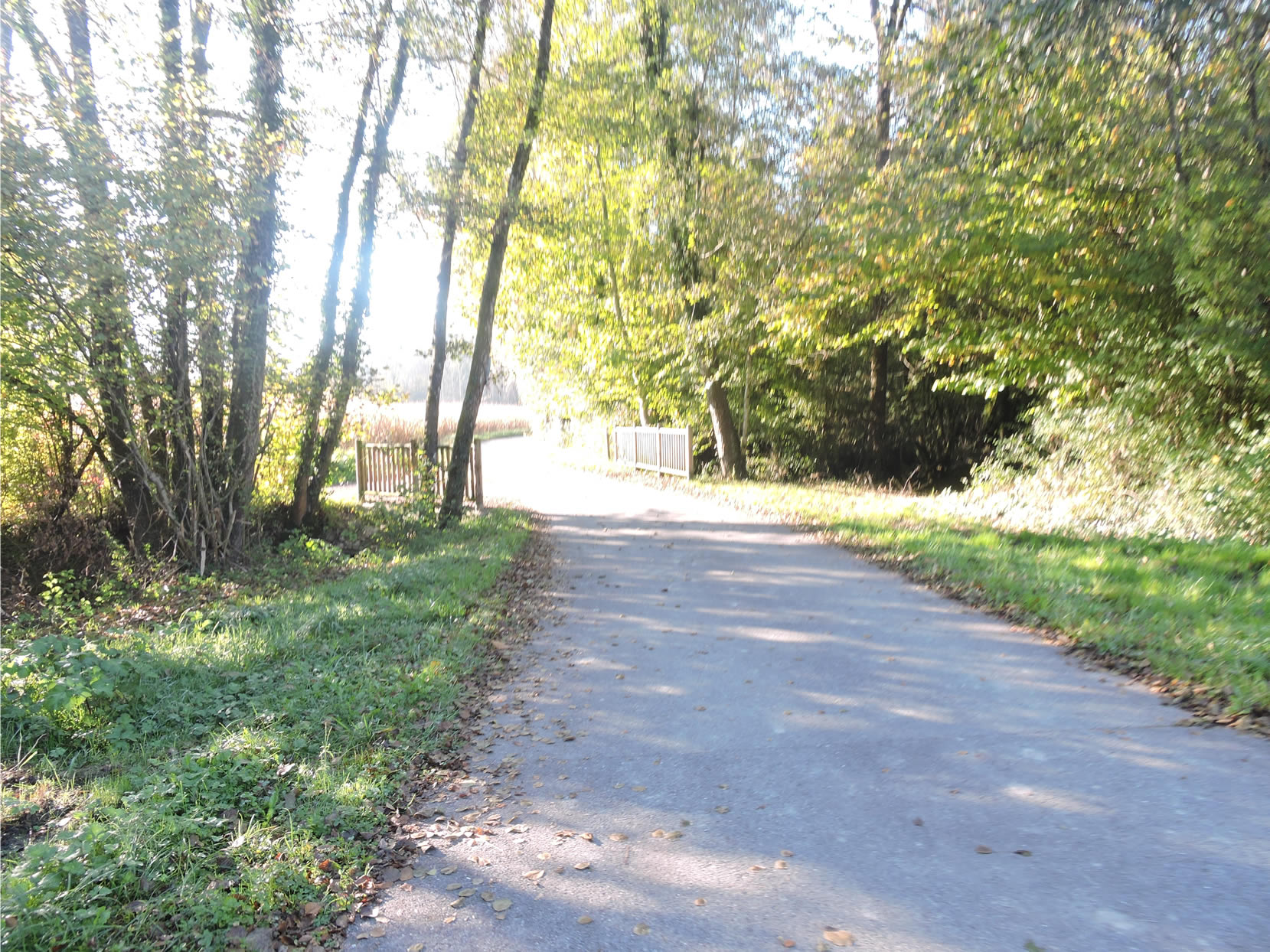
| Soon, the bicycle path and the walker diverge from the departmental road, now bathed in the slanting sunlight. This path, designed to prevent bicycles from using the main road, is a ribbon of tranquility winding through fields of corn, which flourish joyfully near the river. The gentle murmur of the Rhône accompanies your journey, a constant reminder of nature’s benevolent presence. |
 |
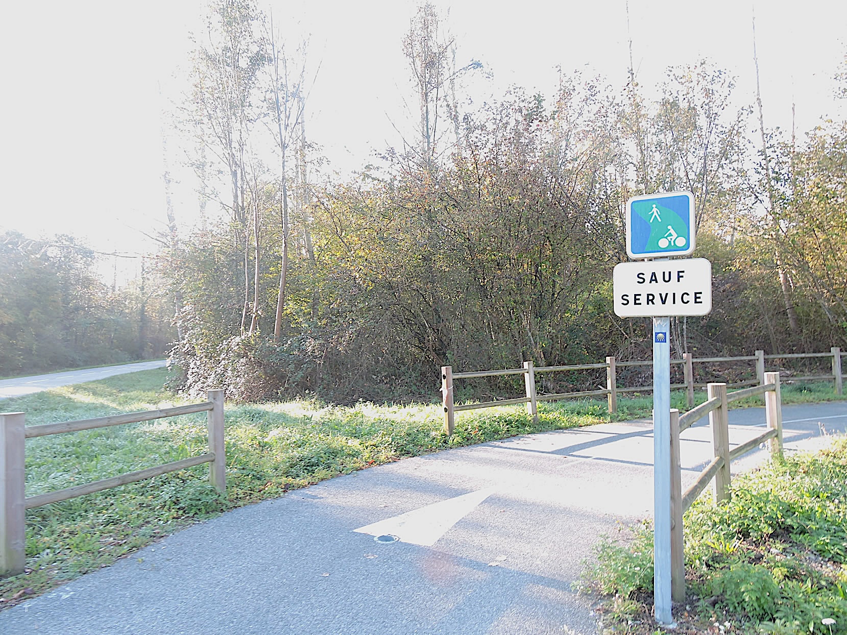 |
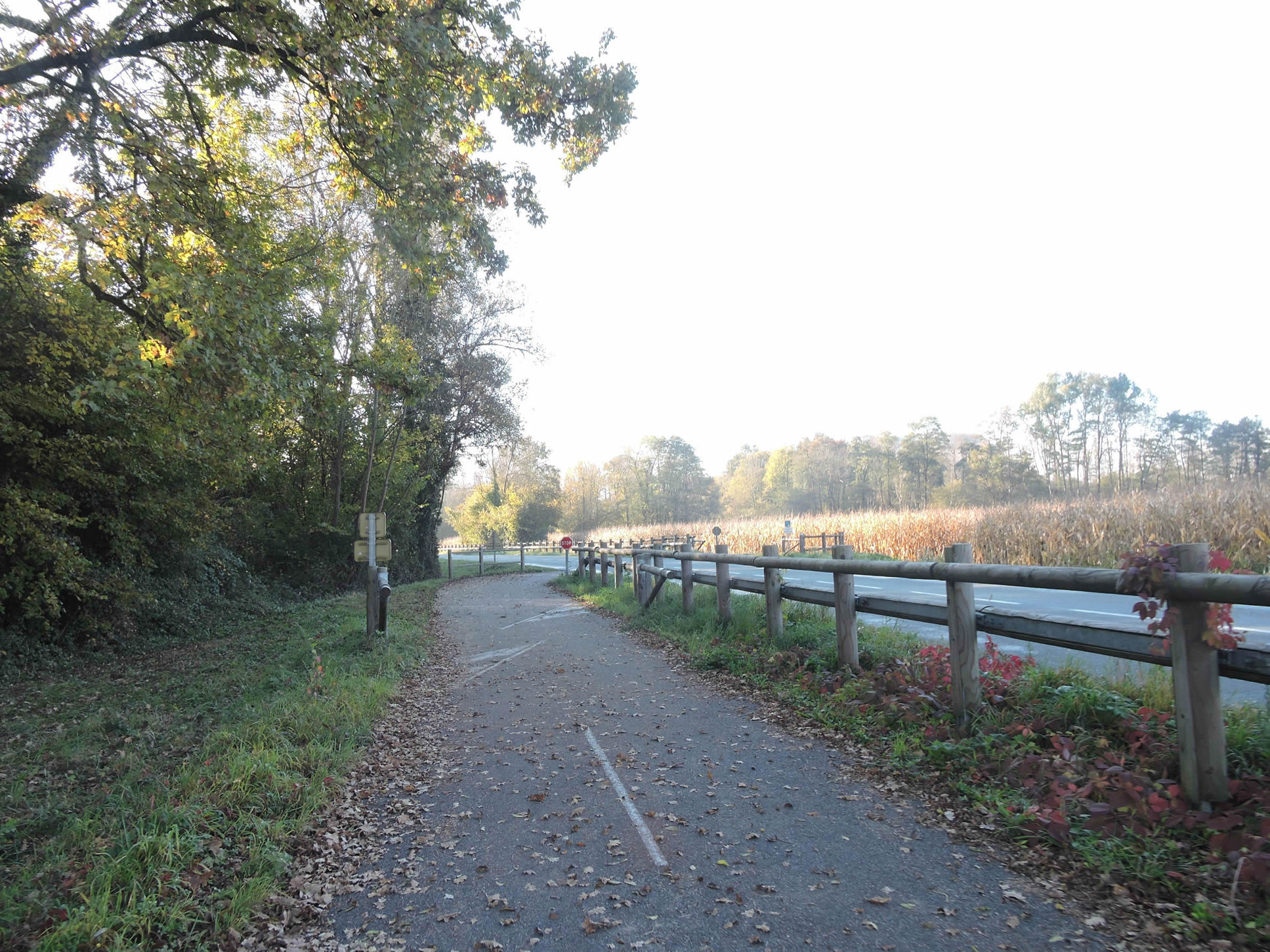
| Further along, the GR65 leaves the bicycle path to take a minor road, also used by cyclists. The surrounding countryside remains dominated by cornfields, interspersed with small, untidy groves that, despite their apparent disorder, add a touch of wild charm to the landscape. |
 |
 |
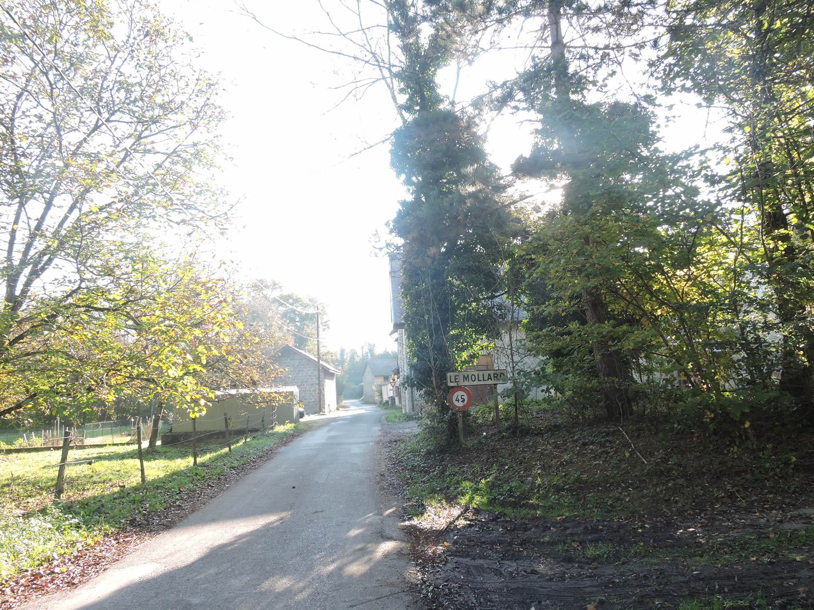
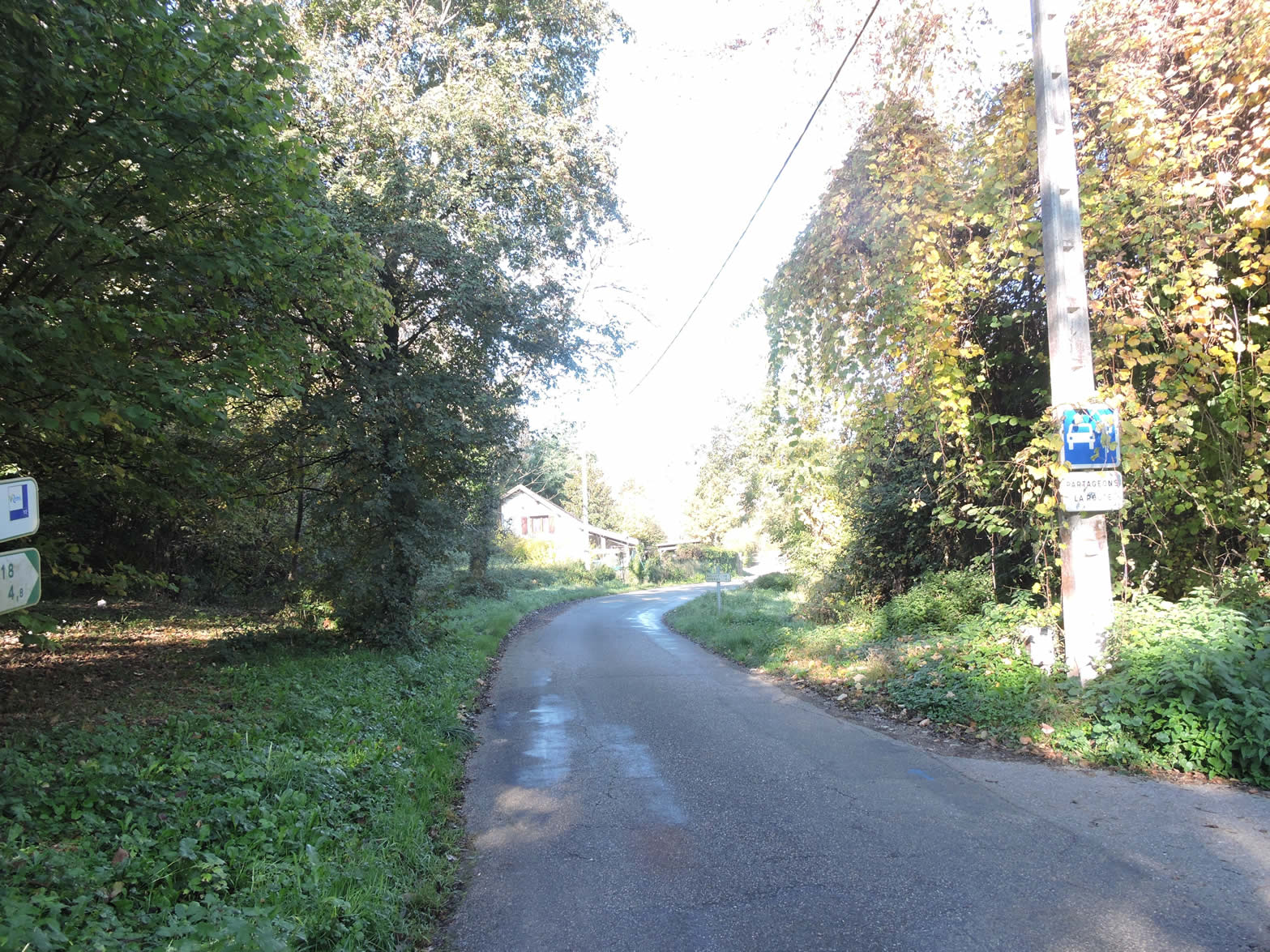
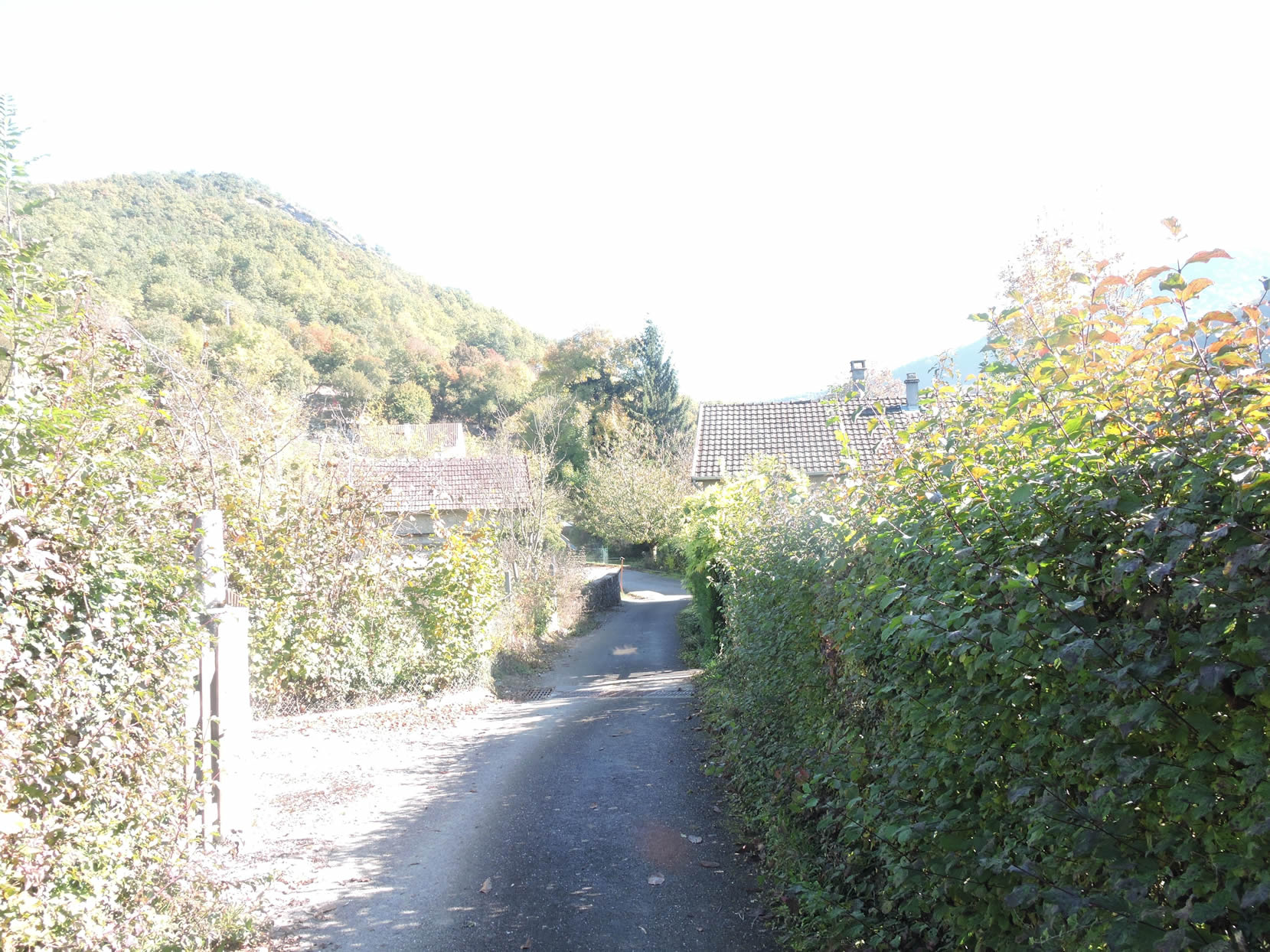
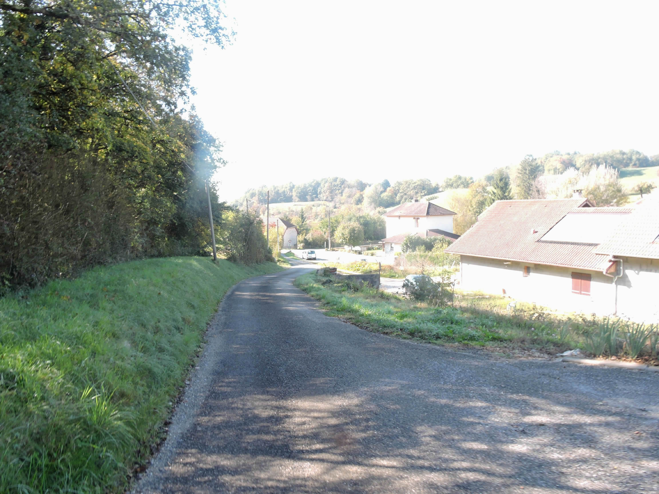
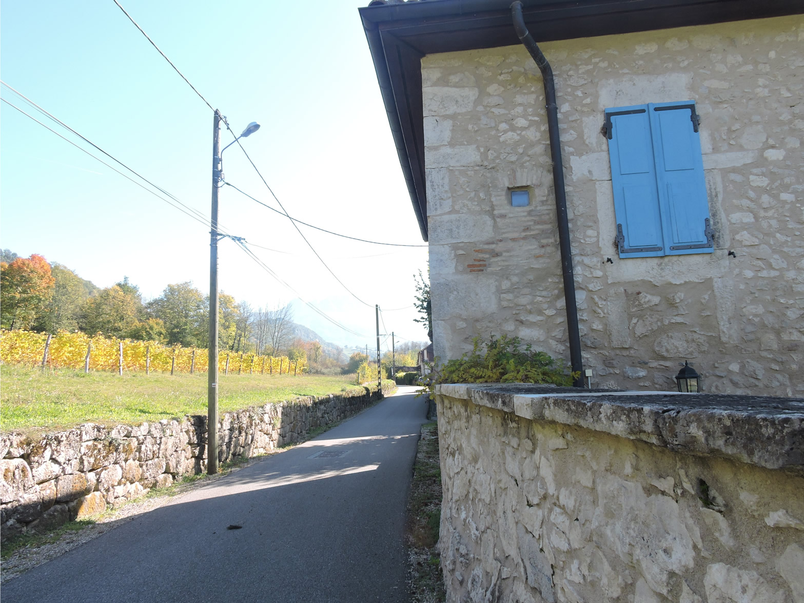
| The paved road then leads to the hamlet of Mollard, with its stone houses typical of Savoie. These Savoyard dwellings, often rustic and sometimes built with rammed earth, evoke an ancient history. The stone walls, coated in lime, take on the hues of sands and earth, creating a visual harmony with the surrounding landscape, as if each house were a natural extension of the land itself. |
 |
 |
Section 2: Across the heathland, on the banks of the Rhône River

Overview of the route’s challenges : The route is straightforward with no significant challenges.
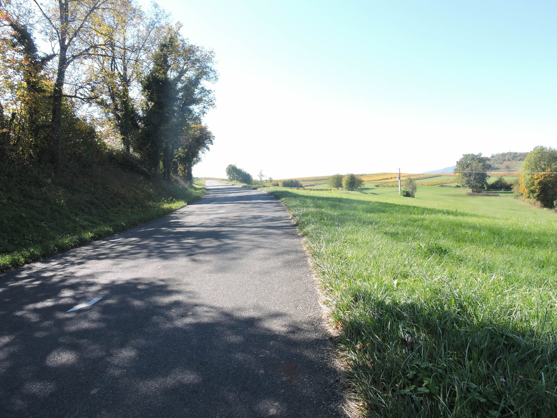
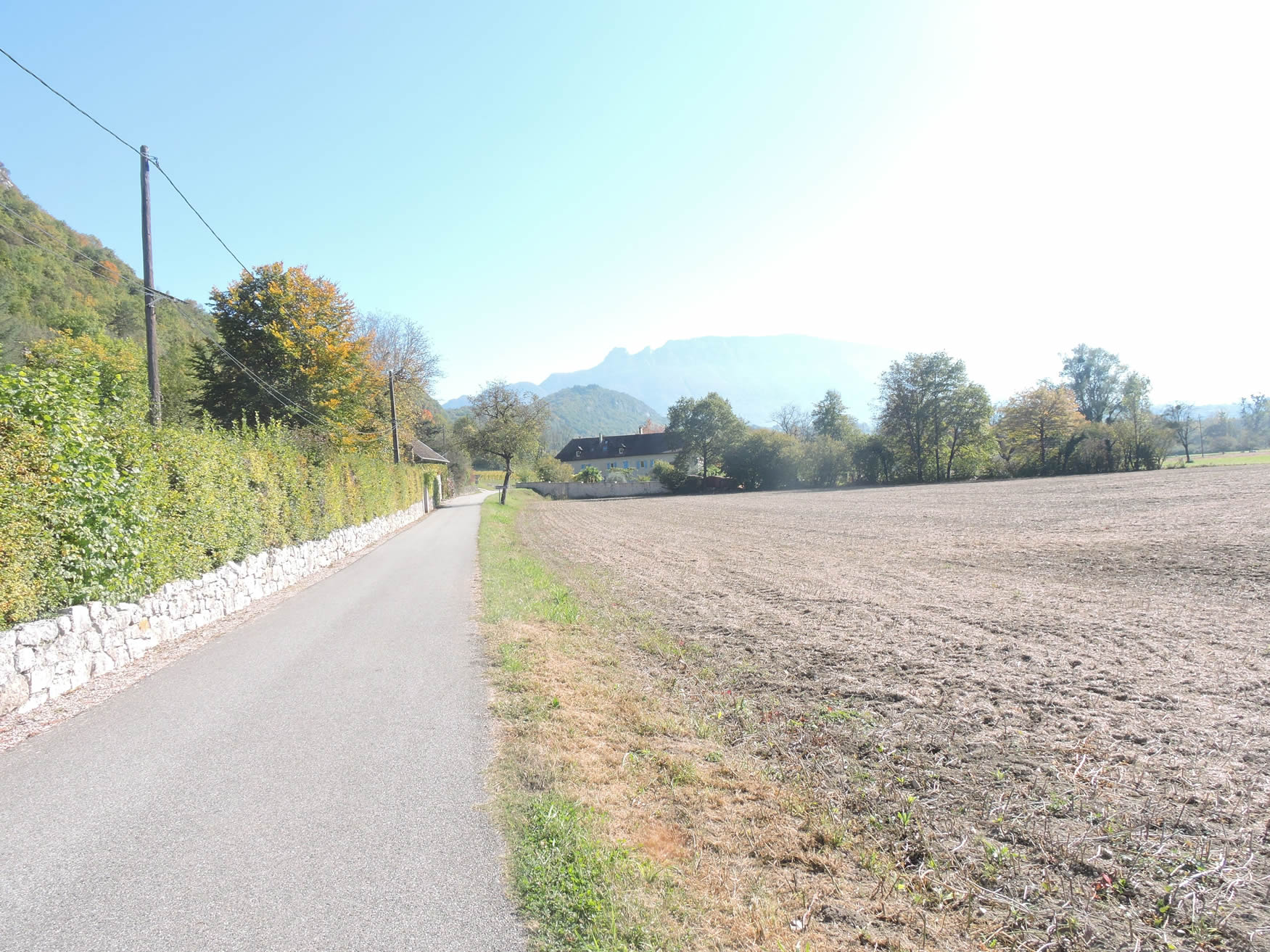
| Beyond Le Mollard, the road stretches gently through a landscape of tranquil elegance, bordered by low hedgerows of deciduous trees that frame the path like verdant sentinels in spring, and blaze with red and ochre in autumn. These trees lend a serene and peaceful atmosphere, inviting the walker to a contemplative pause. |
 |
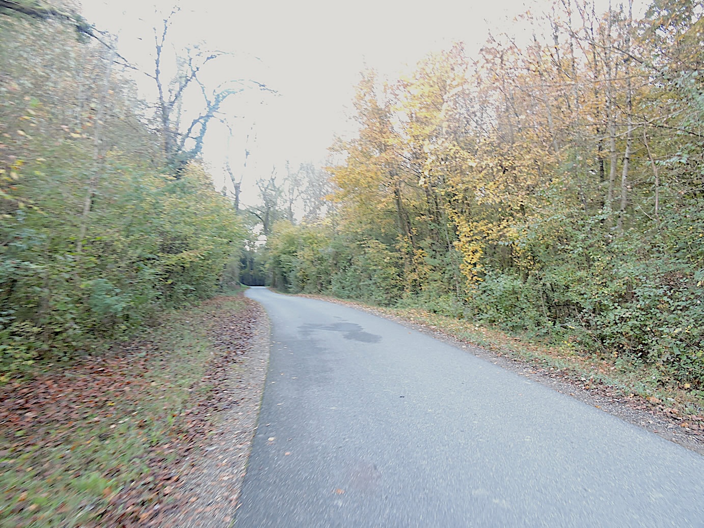 |
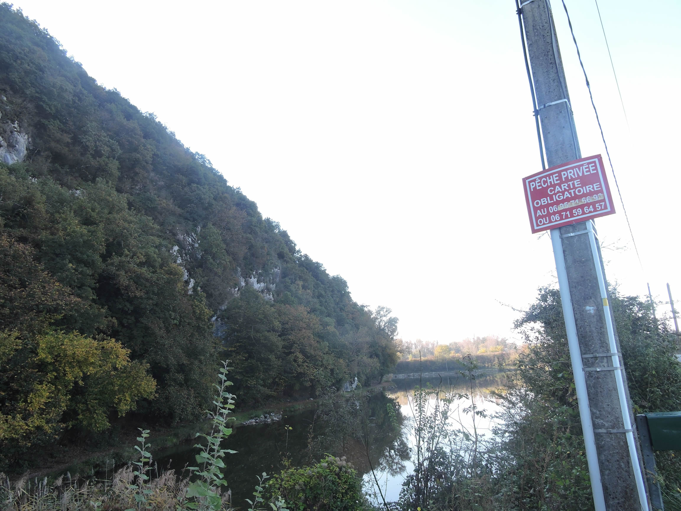
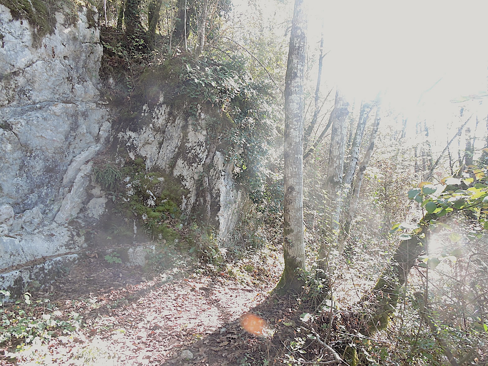
| Further along, the panorama gains a new dimension: a striking escarpment of limestone cliffs rises proudly on a high hill, majestically overlooking the Rhône. These time-carved rock faces offer a dramatic contrast to the surrounding trees. They stand as the natural ramparts of a forgotten kingdom, silent witnesses to the passage of time and the patient erosion of nature. |
 |
 |
| After skirting these mineral walls, the road emerges at the enchanting Étang Bleu (Blue Pond). Once a private fishing haven that captivated souls in search of tranquility, its crystal-clear waters drew their clarity from the secrets of the Rhône. Once a deep, mysterious blue, the pond now wears a softer hue, altered by the lack of river water renewal—a poignant testament to the perpetual change characterizing our world. |
 |
 |
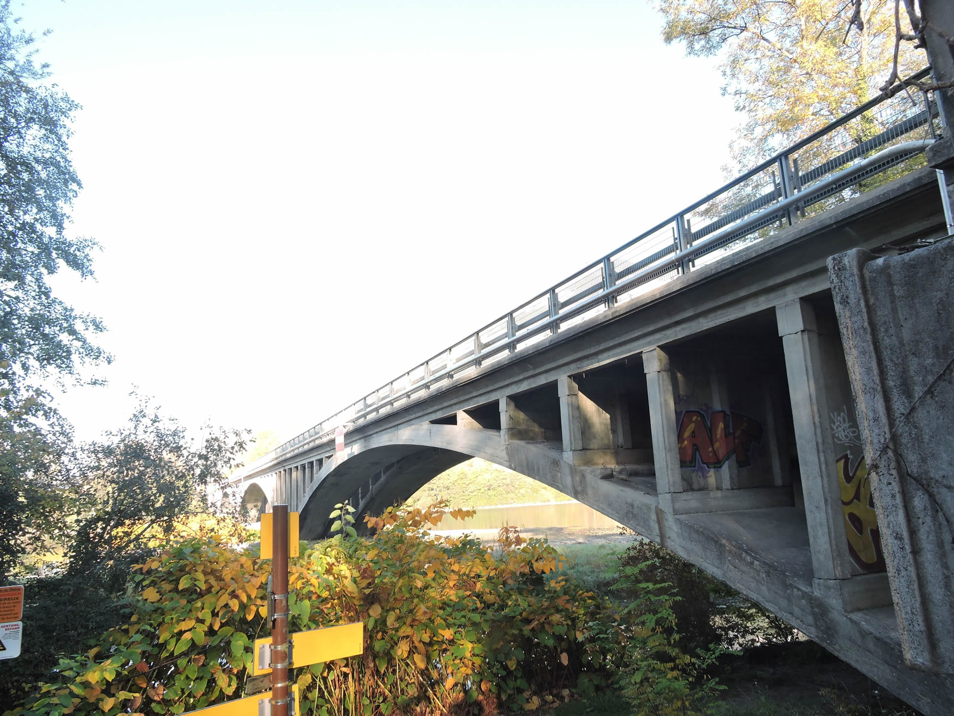
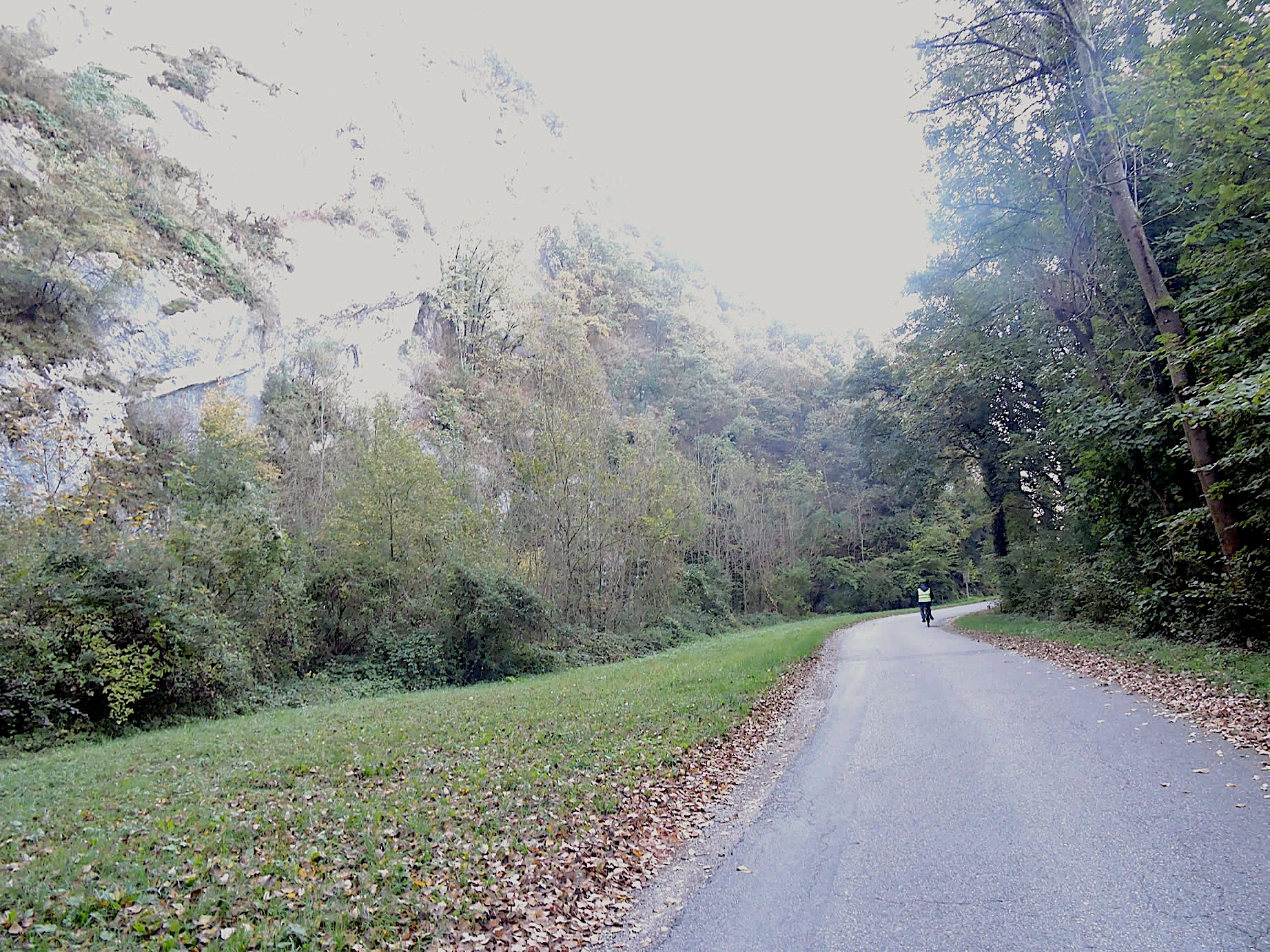
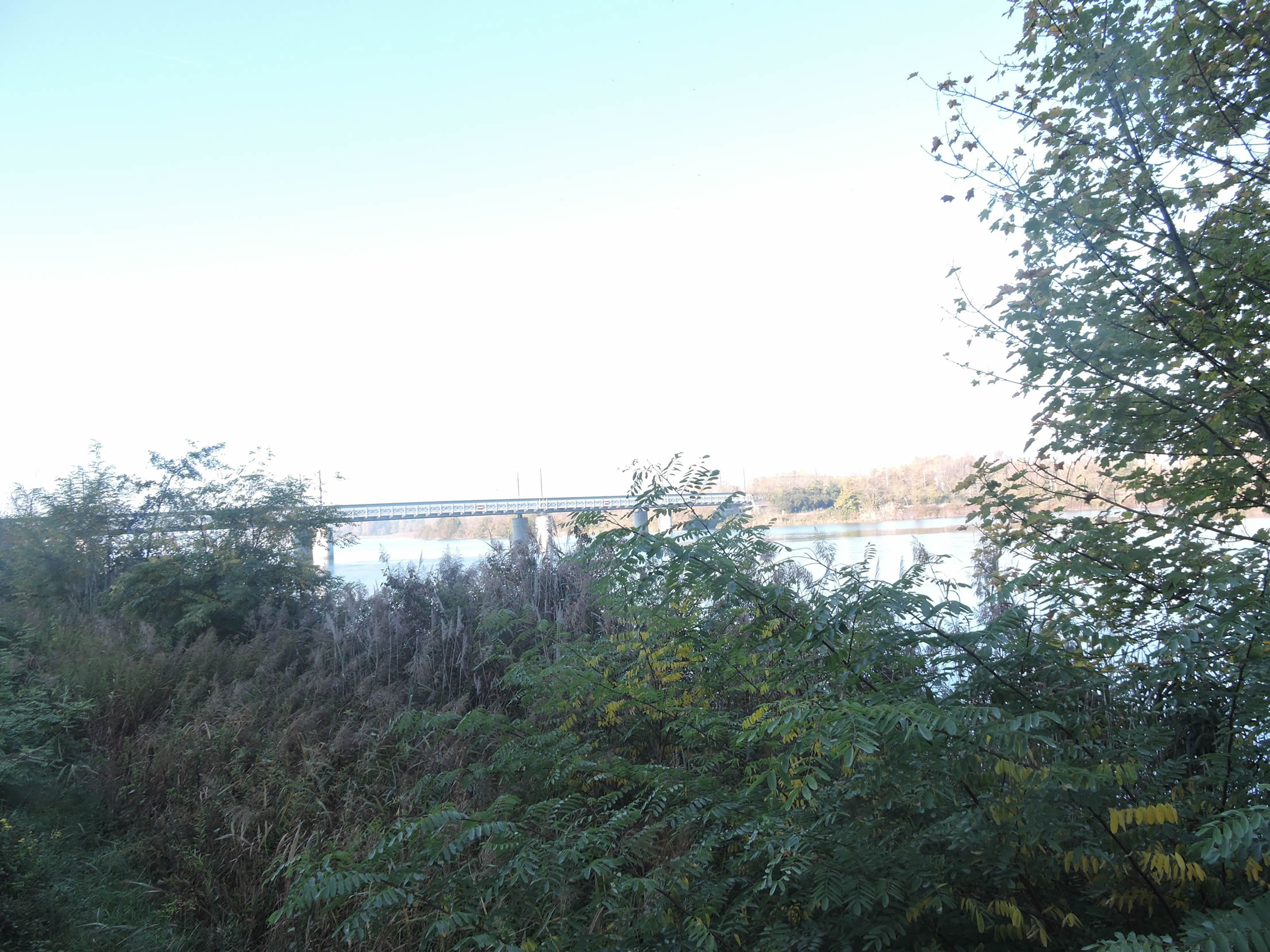
Just beyond, the walker reaches a pivotal point where the Lyon-Genève railway majestically crosses the Rhône, heading confidently towards the distant horizon of Culoz. This engineering marvel, symbolizing the meeting of human endeavor and nature, blends harmoniously with the landscape.
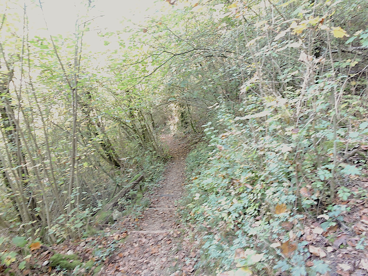
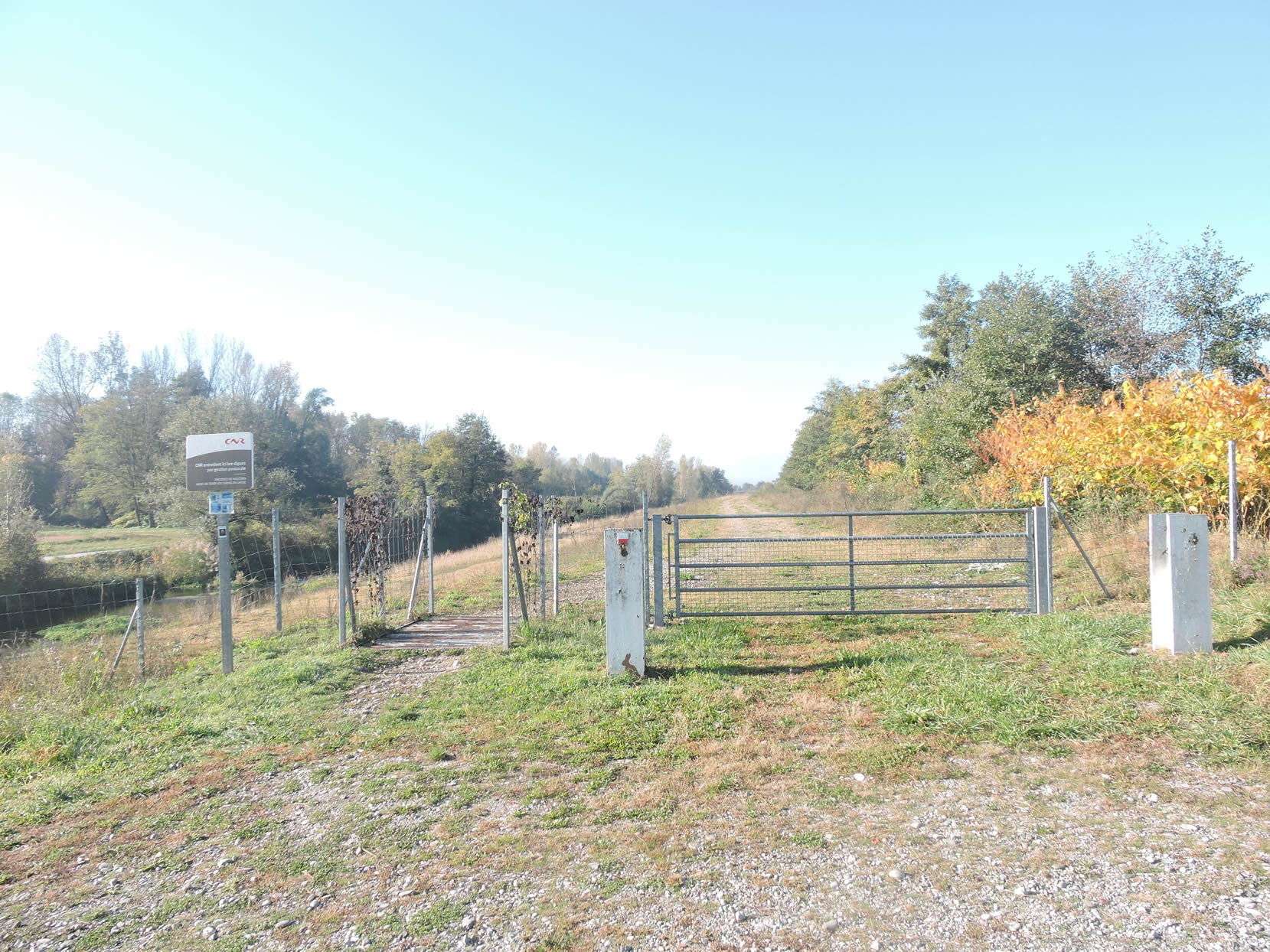
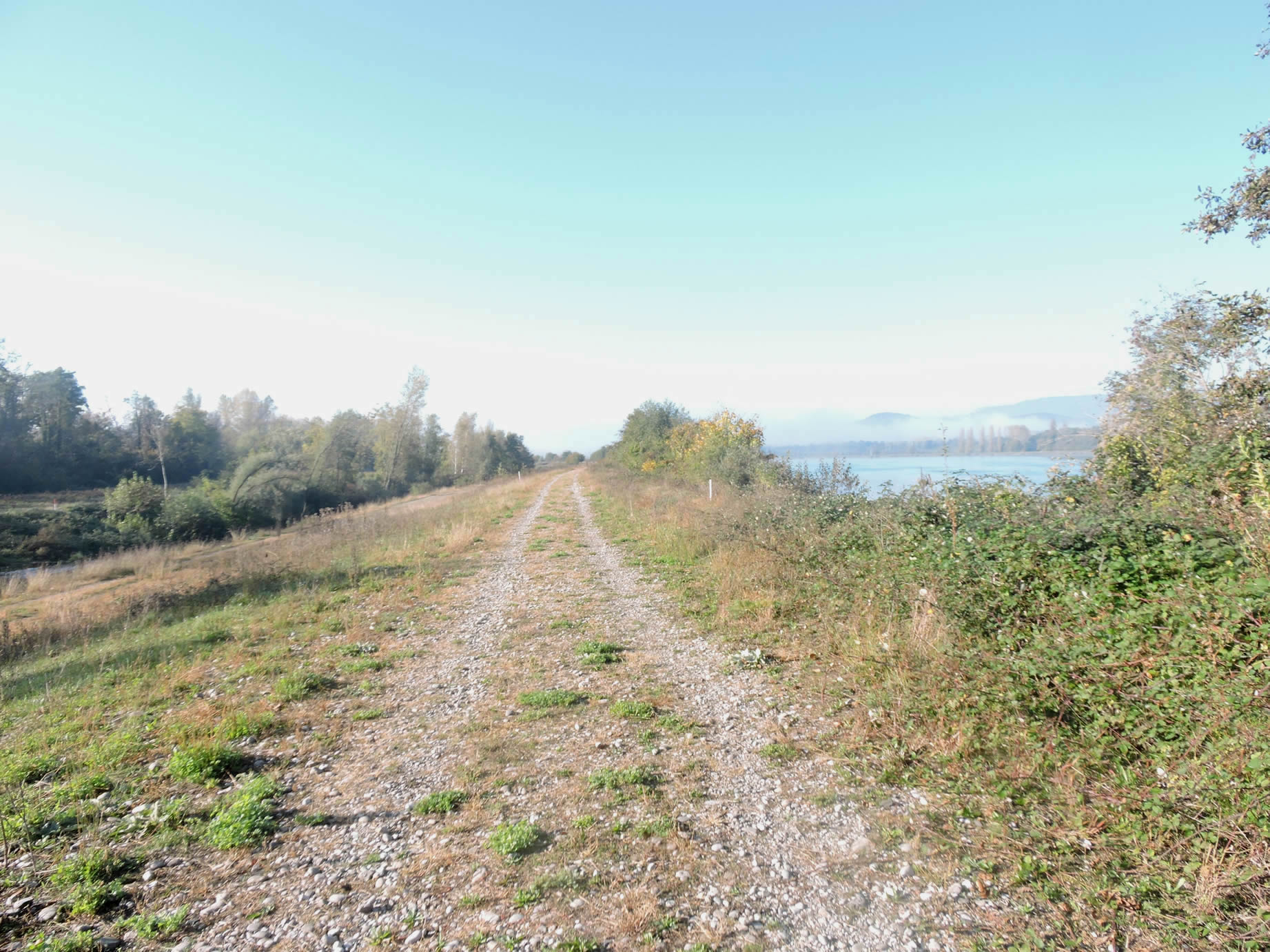
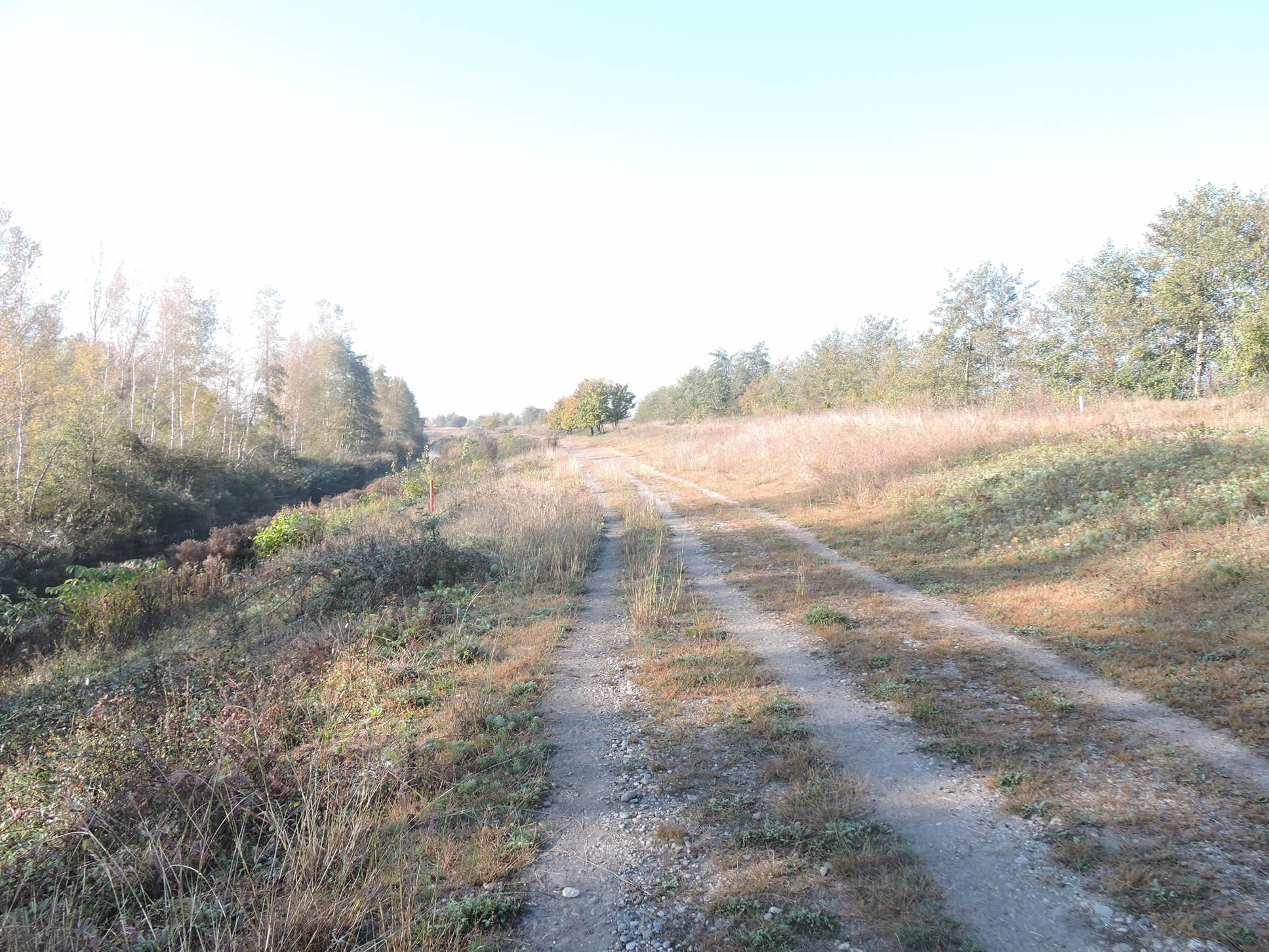
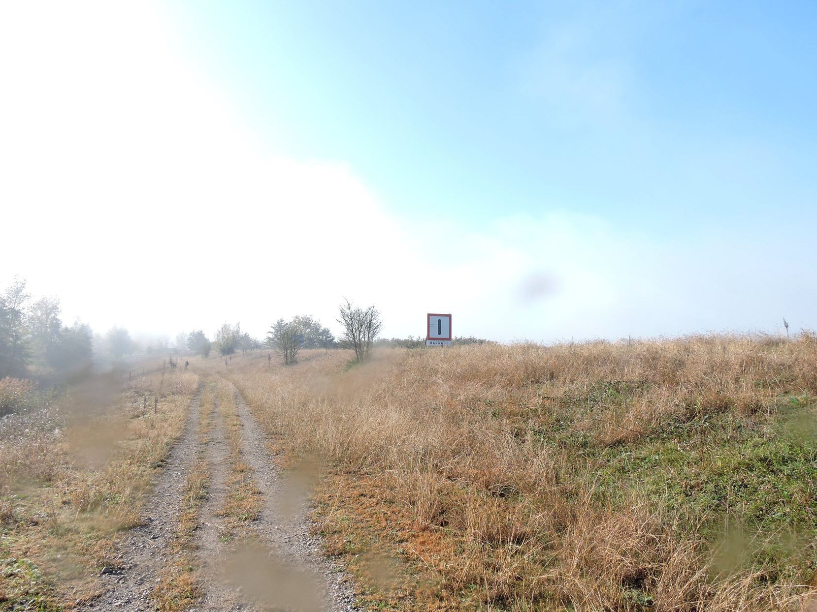
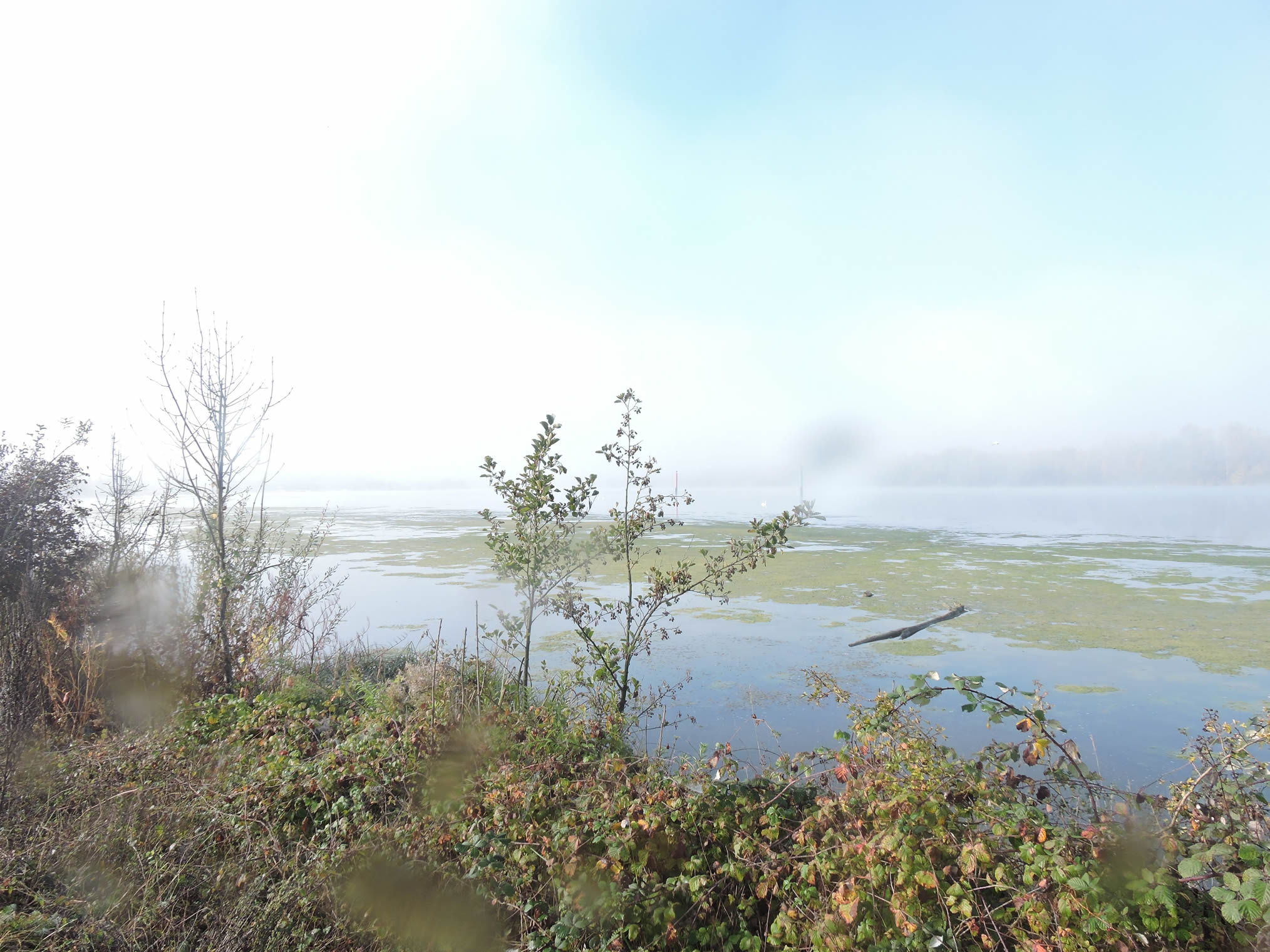
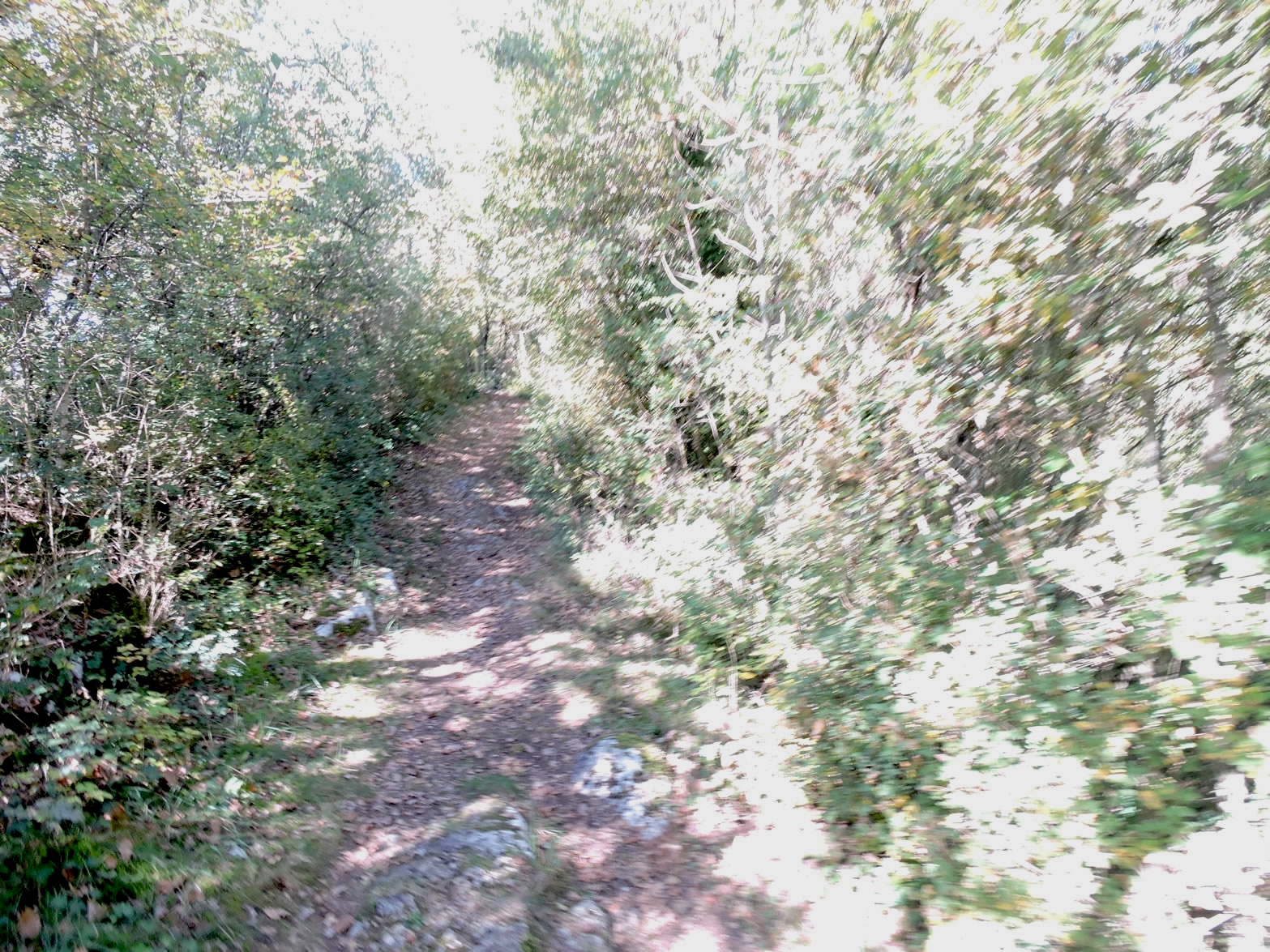
On the rocky banks of the Rhône, a path ventures into a grand steppe, where each step resonates in the majestic silence of nearly three kilometers. A gate, marking the entrance to this natural sanctuary, invites one into this earthly paradise. Here, the vastness of the cosmos feels tangible, encouraging deep contemplation and renewed intimacy with the universe.
| At the heart of this steppe, where sky and earth meet unconstrained, lies a landscape of infinite grandeur. Green waves of grass ripple gently under the light touch of the wind, creating a terrestrial ocean that seems to stretch to the edge of the distant horizon. In spring, sheep frolic freely, their graceful movements punctuating the scene, alongside the modest droppings, reminders of rustic life. Across the Rhône, a small canal meanders peacefully, adding a bucolic touch to this enchanting tableau. |
 |
 |
It is a moment of grace and fulfillment, an awakening out of time, where slender trees stand as distant sentinels, their green foliage offering a striking contrast to the vast brownish expanse of autumnal steppe grasses.
| As you approach Chanaz, signs direct canoeists and boaters towards Lake Bourget, evoking the pleasures of aquatic recreation and the tranquility of peaceful waters. |
 |
 |
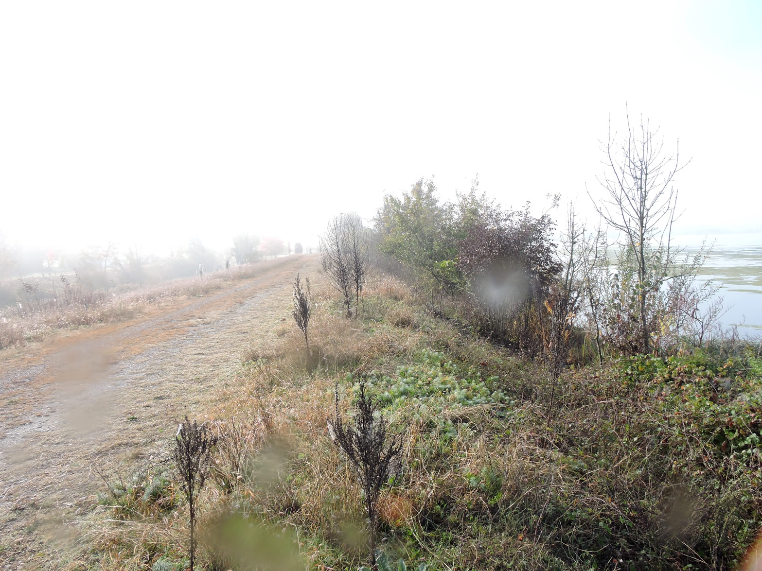
| Each dawn and dusk transform this landscape into a celestial theater of colors and lights, where the sun, as master of ceremonies, orchestrates with infinite grace. This morning, mist dances with the heathland in a fairy-tale atmosphere, while the Rhône flows calmly, almost imperceptibly murmuring. |
 |
 |
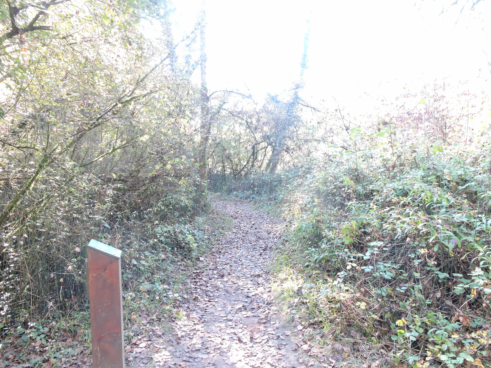
| Yet, like all magic, this privileged moment gradually fades, giving way to a return to everyday reality. At the end of this enchanted interlude, another gate marks the conclusion of this waking dream, reminding us of the fleeting nature of moments of grace in our lives. |
 |
 |
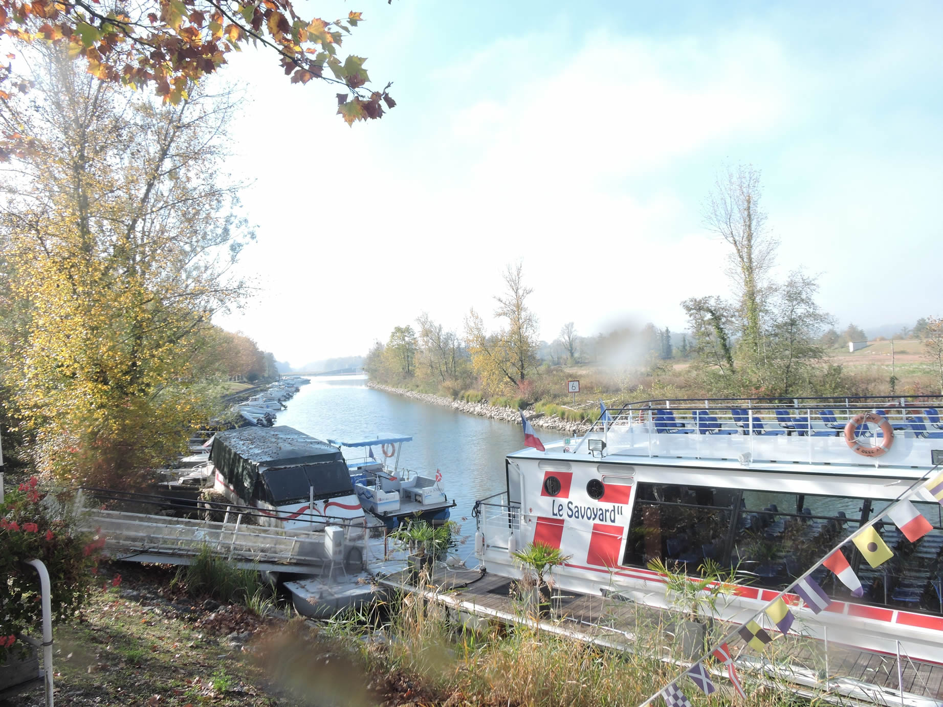
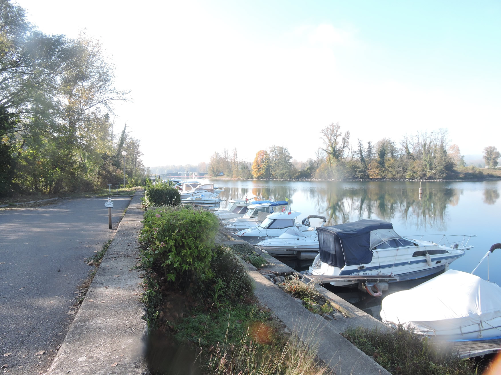
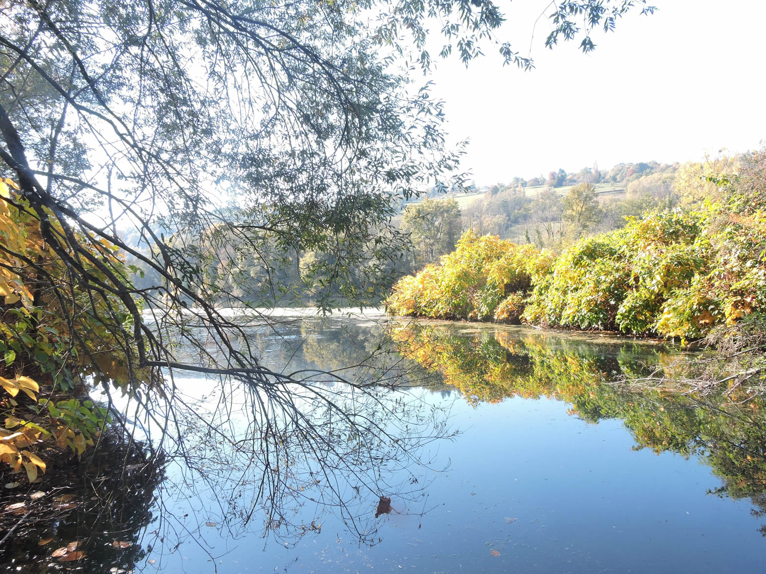
| The GR65 then leaves the steppe to head towards a small arm of the Rhône River where the lock and port of the Canal de Savières are nestled, linking the Rhône to the majestic Lake Bourget. This canal, stretching four kilometers, plays a crucial role as both a natural overflow channel and a strategic waterway. It regulates the waters between the lake and the river during floods, maintaining an optimal level while allowing continuous navigation throughout the year. The lock, a key component of this system, facilitates the passage of pleasure boats, recording over 2,500 annual crossings, especially during the summer season. This place evokes a southern, almost Mediterranean feel, accentuated by decades of work that have transformed this stretch into a vital waterway since the 19th century. The installation of a dam and lock in the 1980s reinforced its essential role in river navigation. |
 |
 |
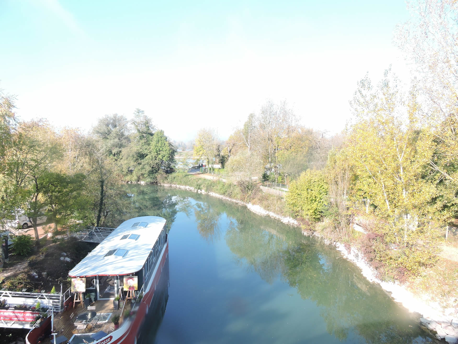
| At the port, where the Rhône meets the canal, a multitude of pleasure and cruise boats enliven the scene. The Canal de Savières offers a direct route to Lake Bourget and the picturesque Aix-les-Bains. In addition to pleasure boats, small cruise vessels provide regular trips that are highly appreciated by tourists, particularly in the summer months. Here, the waters are calm and tranquil, rarely disturbed by passing vessels. Since the Neolithic period, this canal has been a crucial communication route, facilitating transport and trade. Chanaz was once equipped with a land and river toll, including a salt tax and a customs post, reflecting its historical role in the region. |
 |
 |
| The GR65 then ascends to cross the canal via an elegant footbridge built in 1989. The architecture of this bridge occasionally evokes the atmosphere of an amusement park or a Japanese garden, offering walkers a spectacular view of the tranquil canal waters and the boats navigating them. |
 |
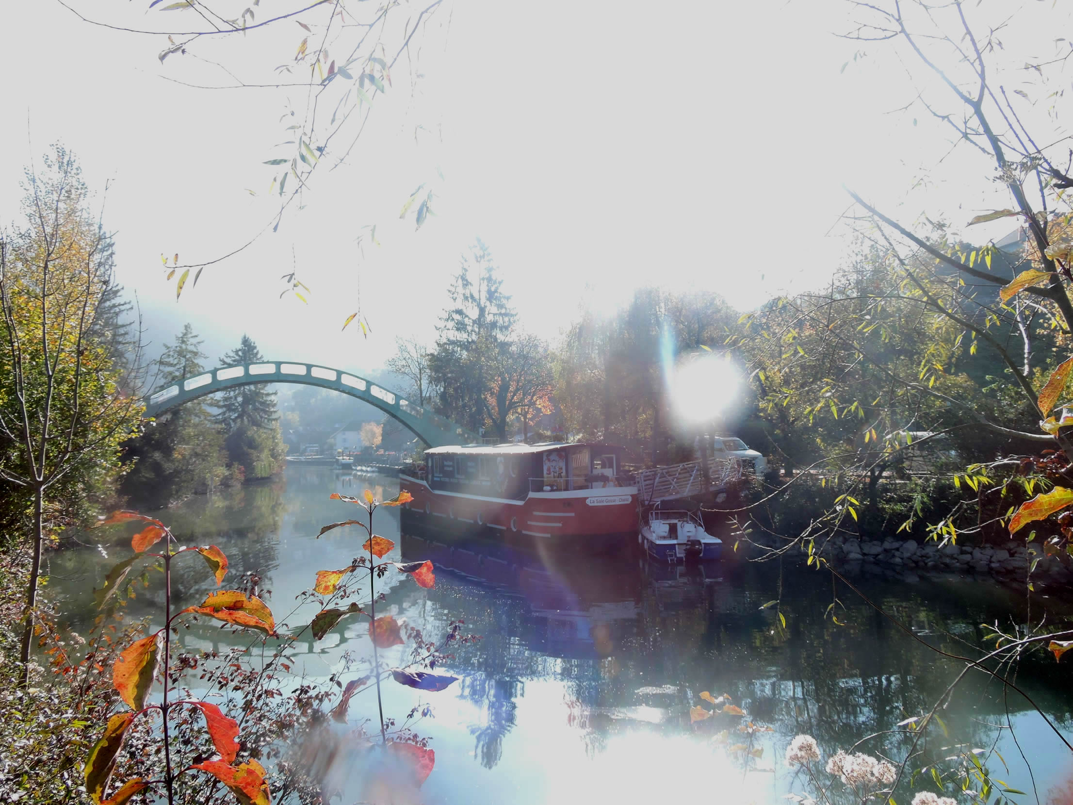 |
| The terraces bordering the canal invite you to savor local specialties, providing an experience where you can literally dine with your feet in the water. However, the GR65 prefers to guide you through the picturesque meanders of the village. |
 |
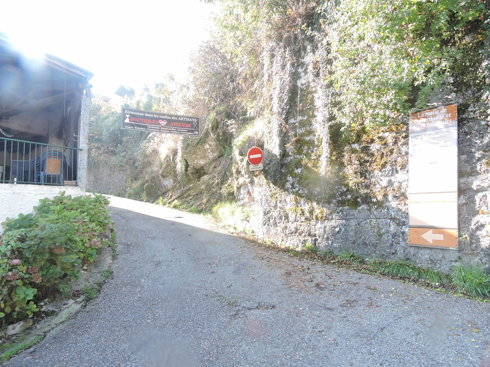 |
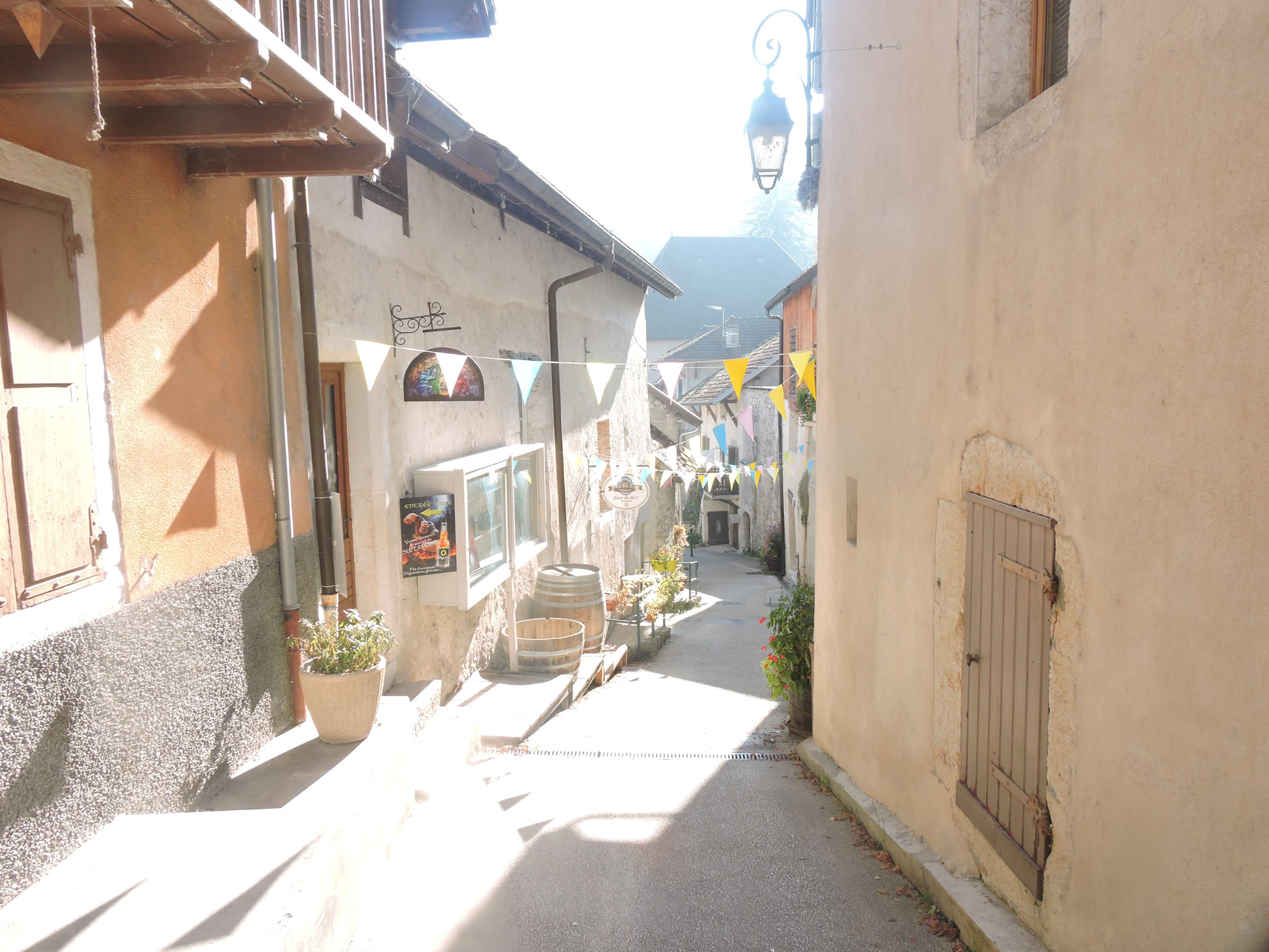
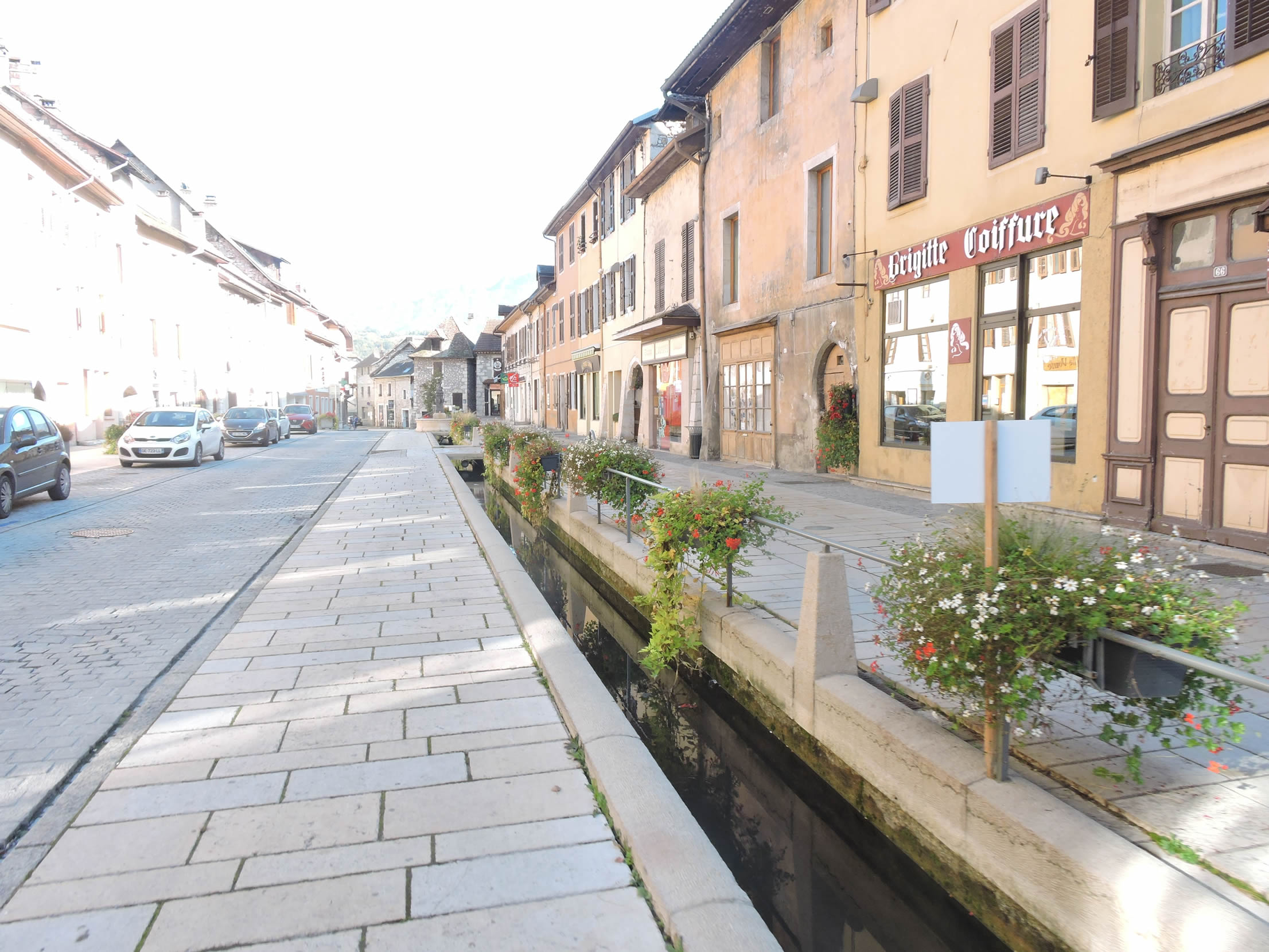
| Chanaz reveals itself as a charming jewel, steeped in history and allure. Its sloping streets wind between ornate facades and centuries-old signs, testament to a rich past filled with tales. The houses, some dating back to the 16th and 17th centuries, captivate with their authentic architecture and meticulous preservation. |
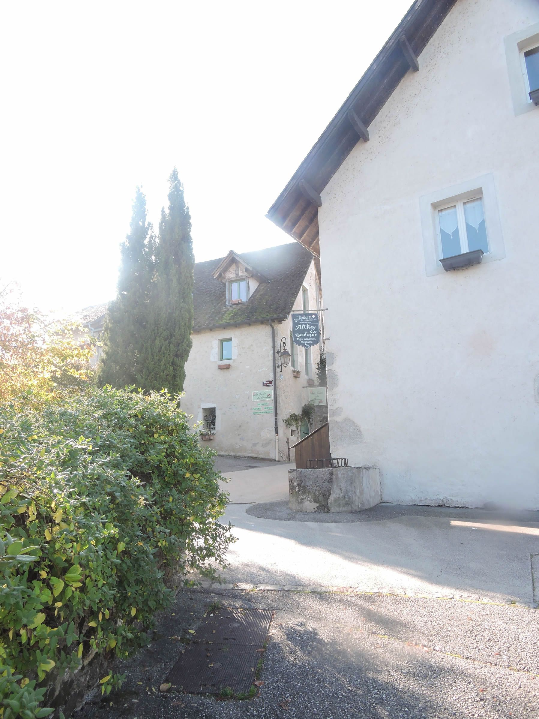 |
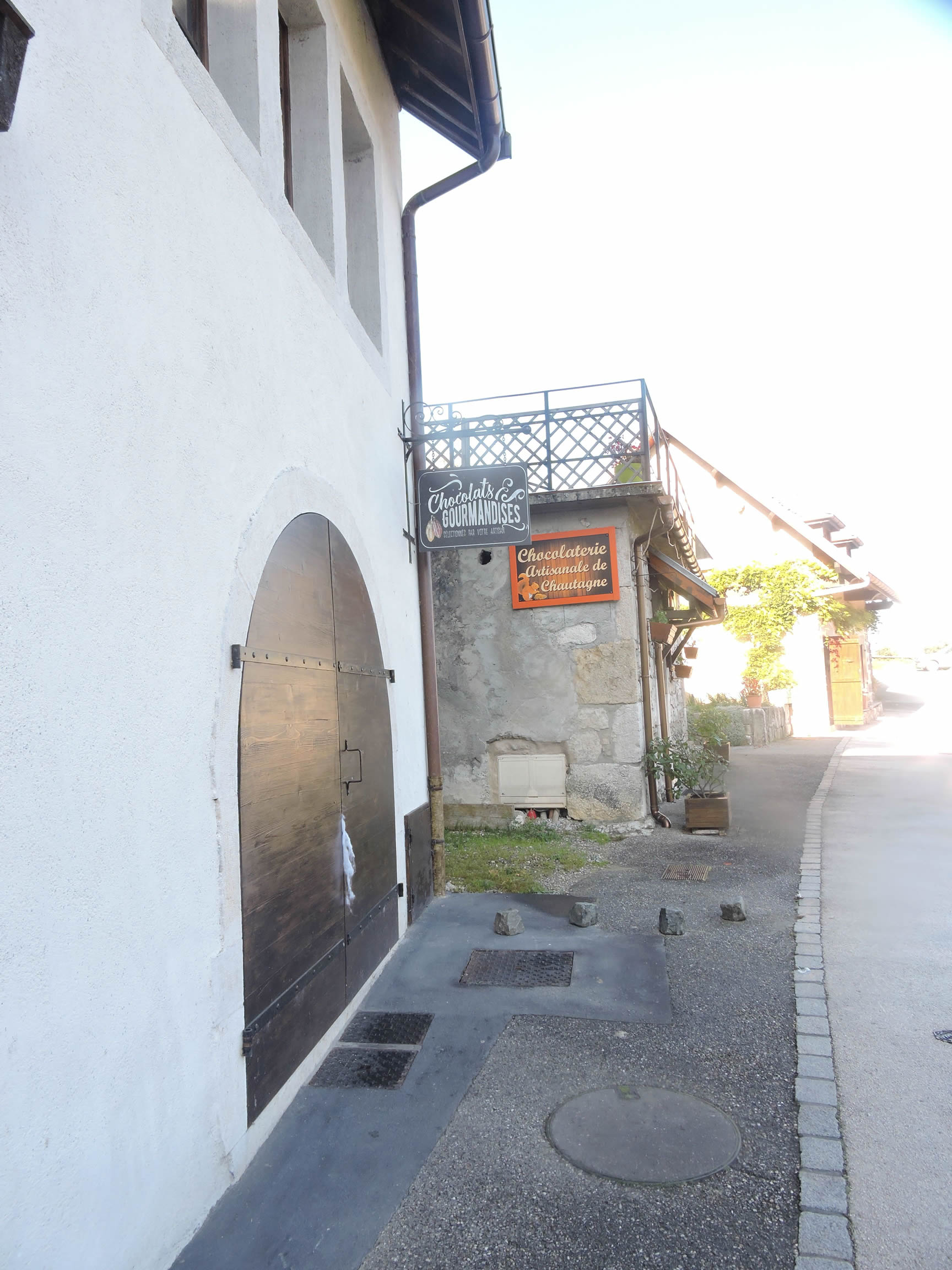 |
|
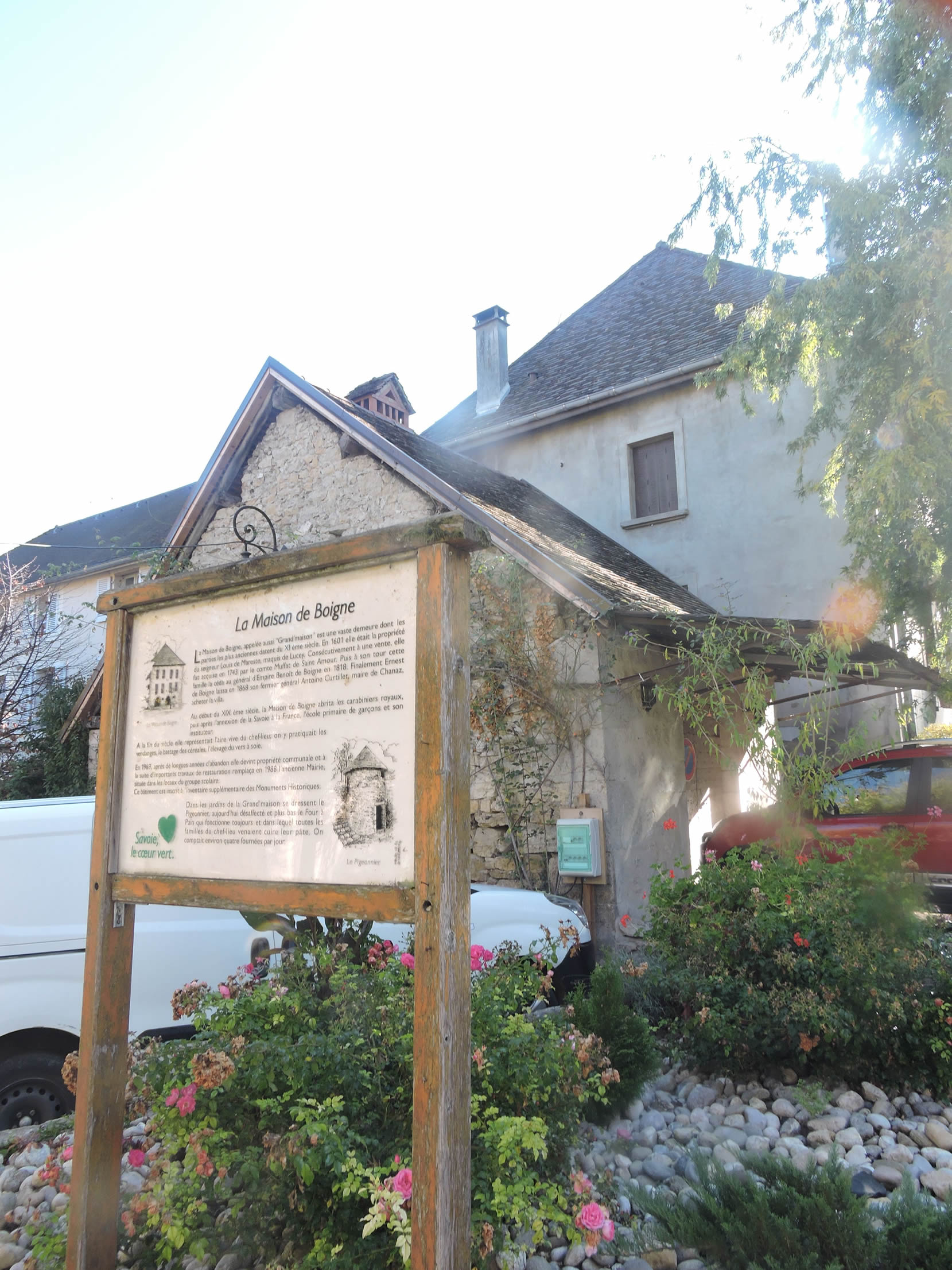
If you have the opportunity to visit the Maison de Boigne, open its doors to discover this grand stone residence with characteristic windows and tiles worn by the ages. Here, the still-operational bread oven recalls the time when it fed all the village families, adding a vibrant dimension to its historical legacy.
|
 |
 |
Section 3: On the way to the Savoy vineyards

Overview of the route’s challenges: The route features rolling terrain with slopes that are generally reasonable, not exceeding 15%, except at the start where it is even steeper. However, some may argue that a 15% slope is not insignificant, and they would be right.
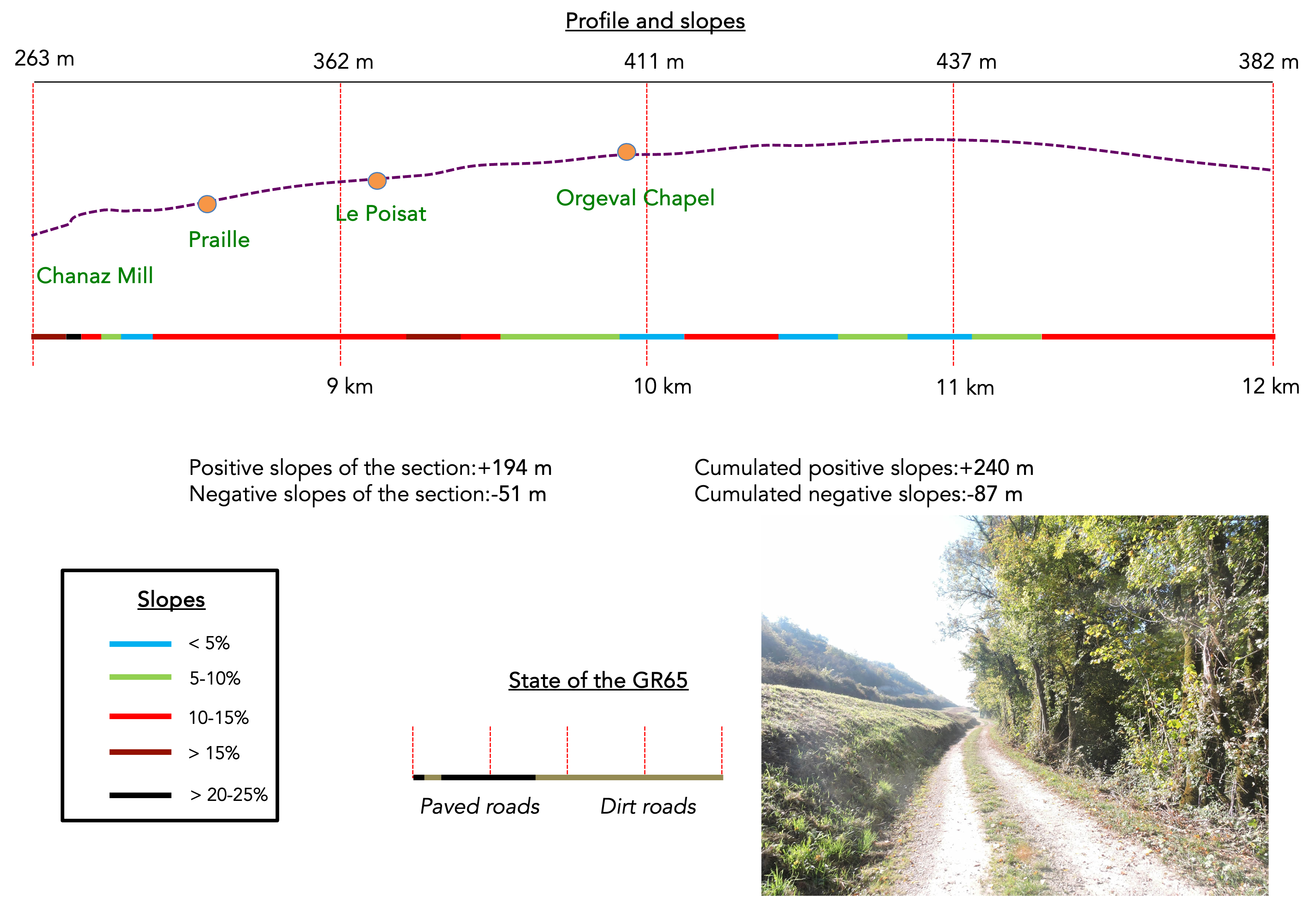
| Leaving Chanaz, a narrow road climbs steeply towards the mill, with a vertiginous incline that challenges the calves of hikers. |
 |
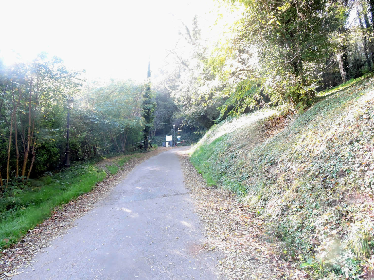 |
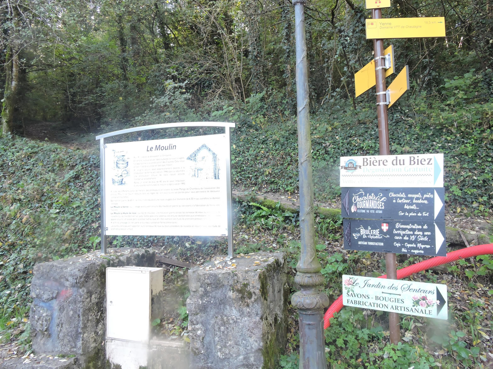
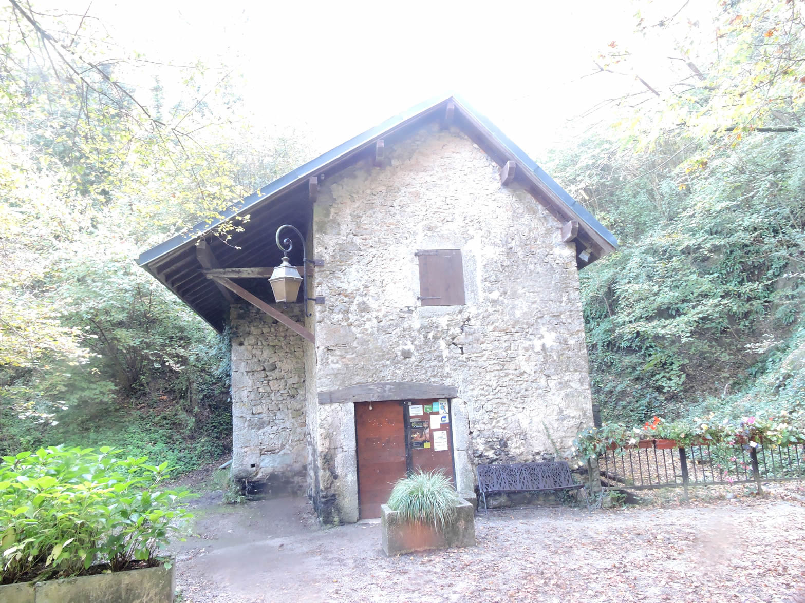
| Once, three mills thrived here since the 19th century, but only one has survived, revived after more than fifty years of neglect. This old mill continues to operate thanks to its water wheel, driving the stone mill through an ingenious system of wooden gears. If you’re fortunate enough to visit during opening hours, you might hear the gentle sound of the mill crushing grain to produce flour and walnut oil, reviving echoes of the region’s artisanal past. |
 |
 |
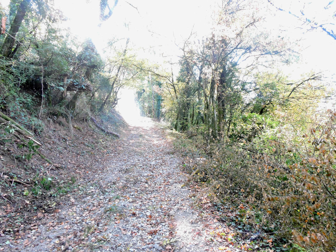
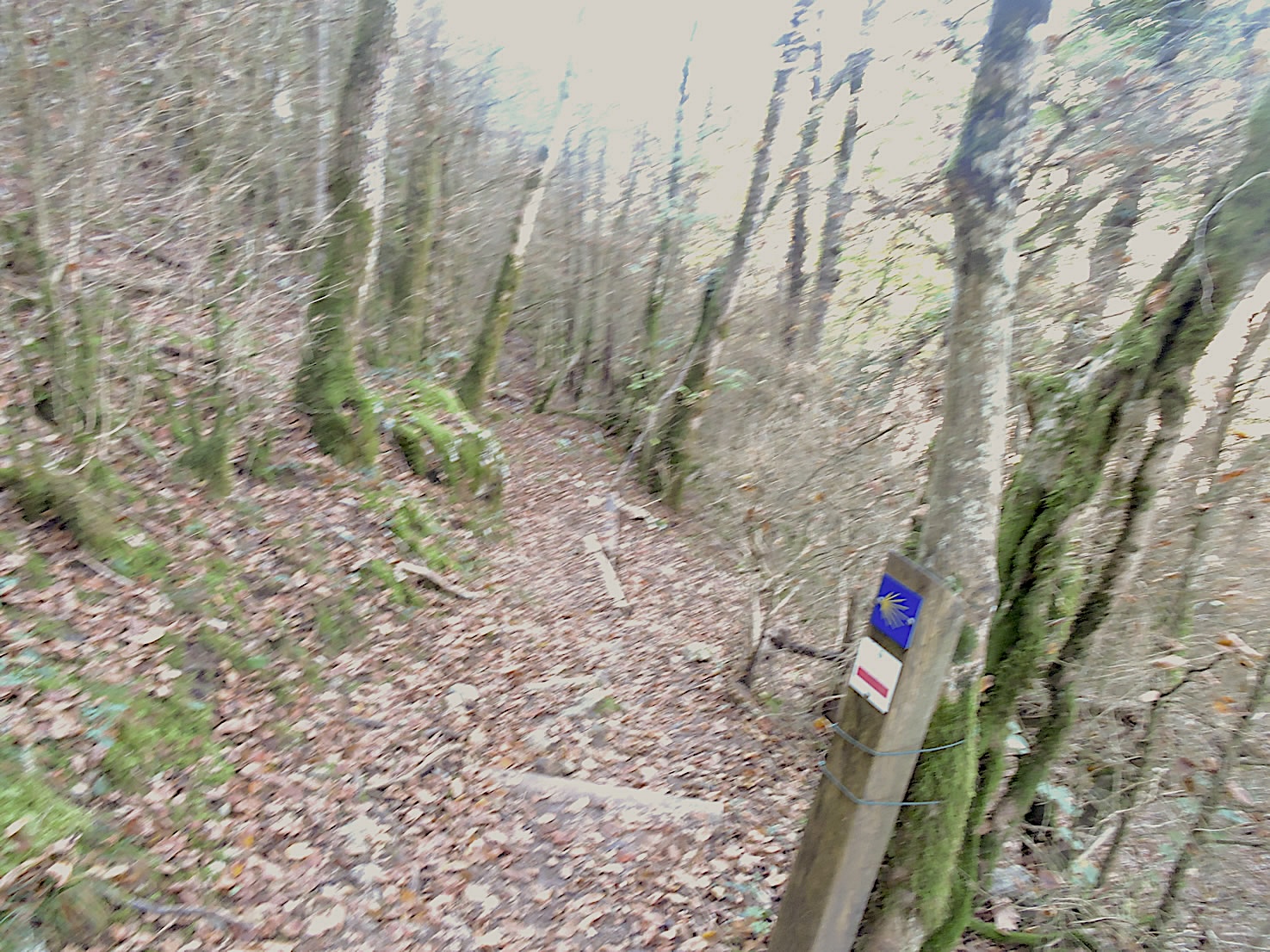
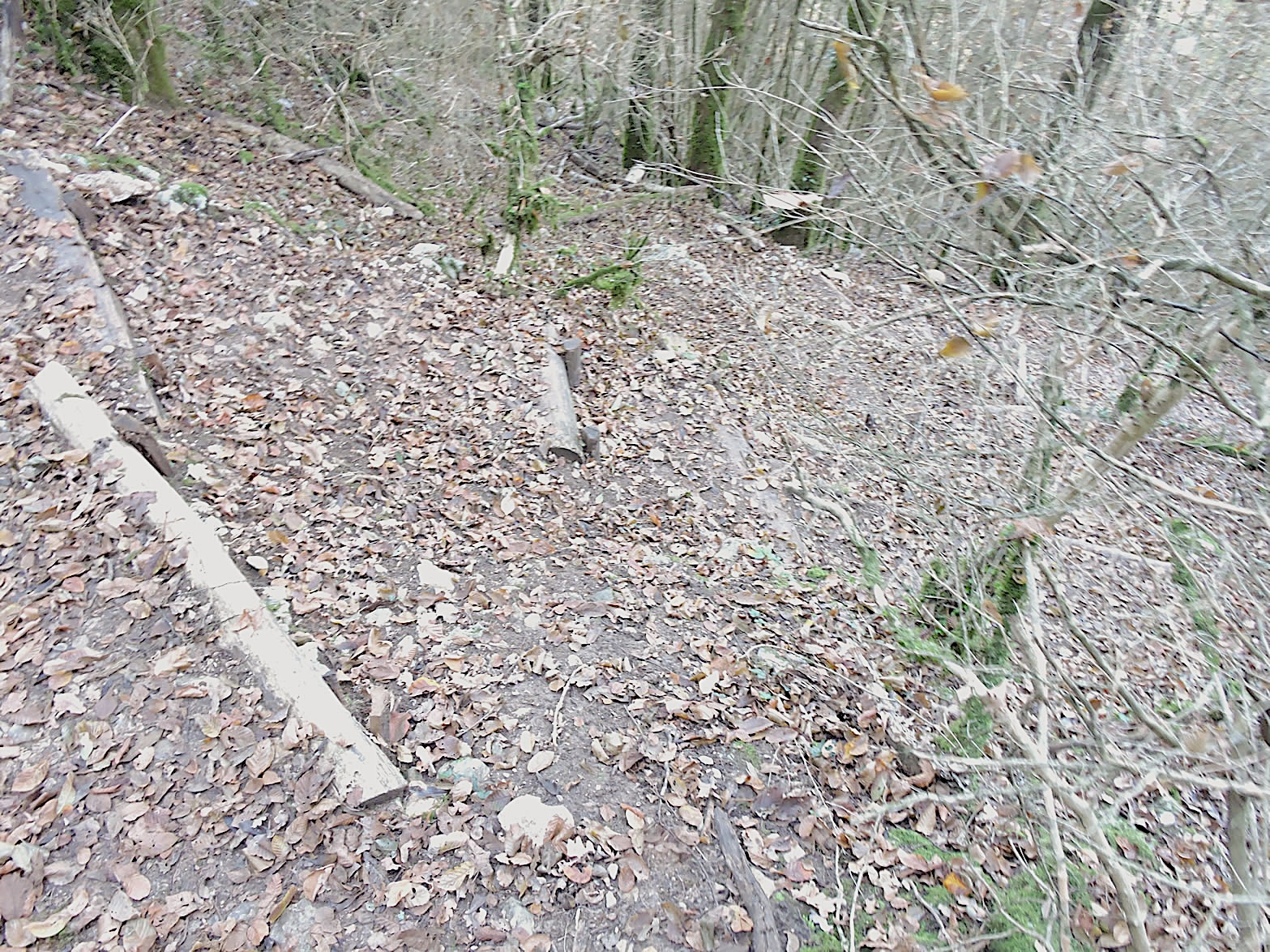
| From the mill, a bad path climbs steeply, challenging any ascent with slopes exceeding 20%, winding through the undergrowth littered with last year’s fallen leaves. |
 |
 |
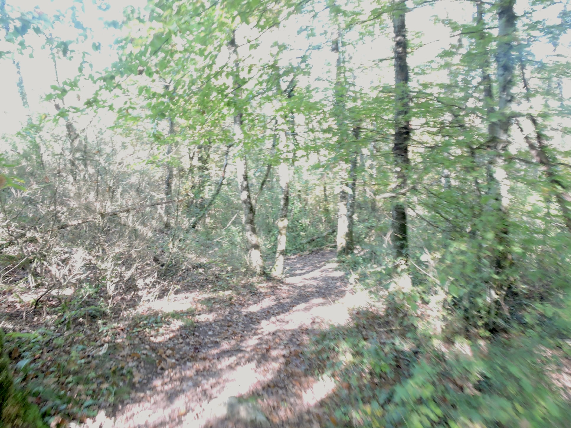
| Fortunately, on such a slope, the relentless climb is short-lived. After about a hundred meters, the path meets a small road, offering a temporary respite before plunging back into dense woods. Here, among the regrowth of beech trees and wild chestnuts, a path continues with a more moderate incline, guiding hikers through a tranquil, forested atmosphere. |
 |
 |
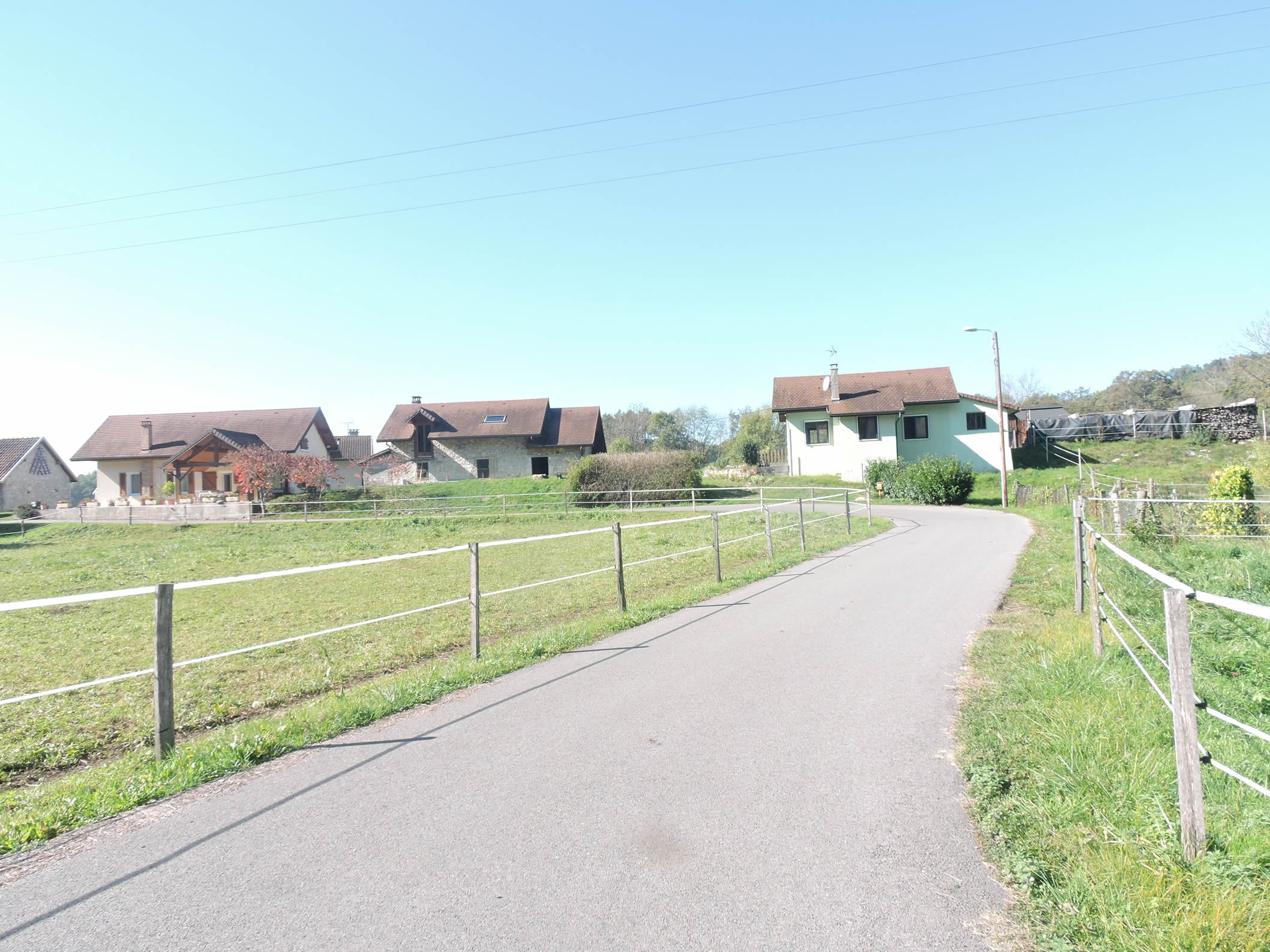
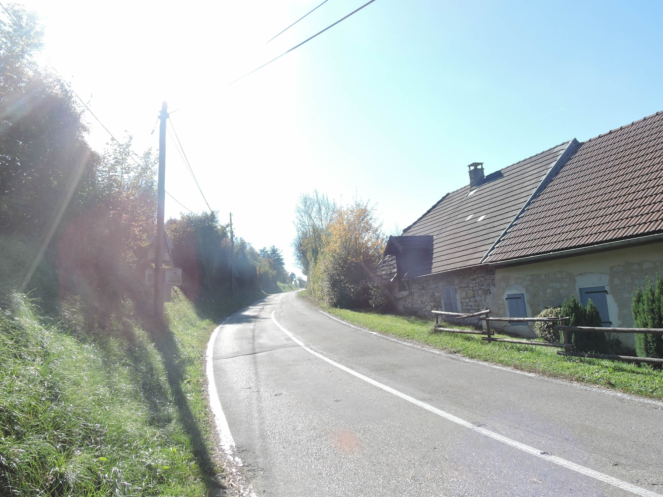
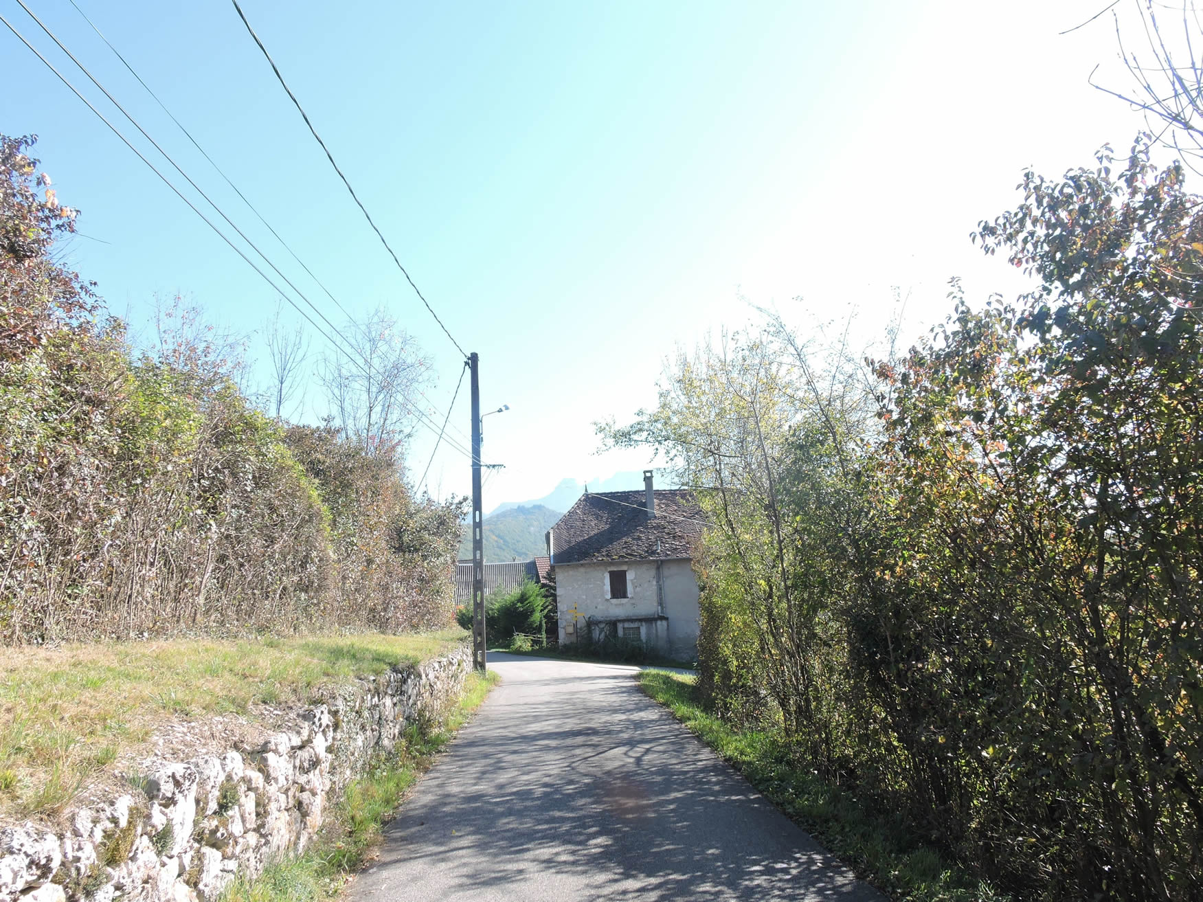
| On the hillside, the GR65 rejoins the road at the hamlet of Praille, where sturdy houses with typical bourgeois architecture stand dignified. |
 |
 |
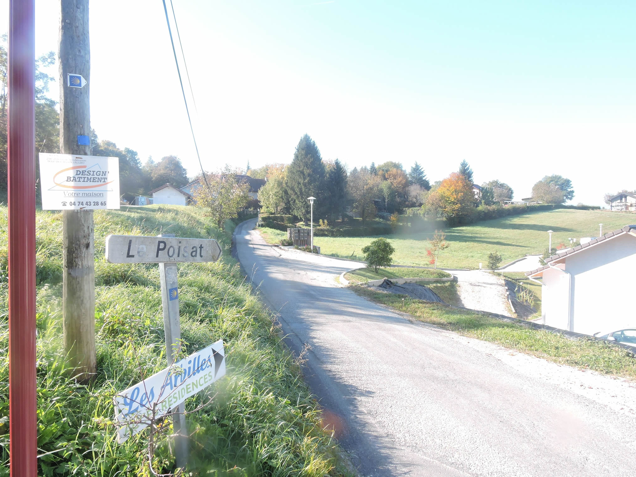
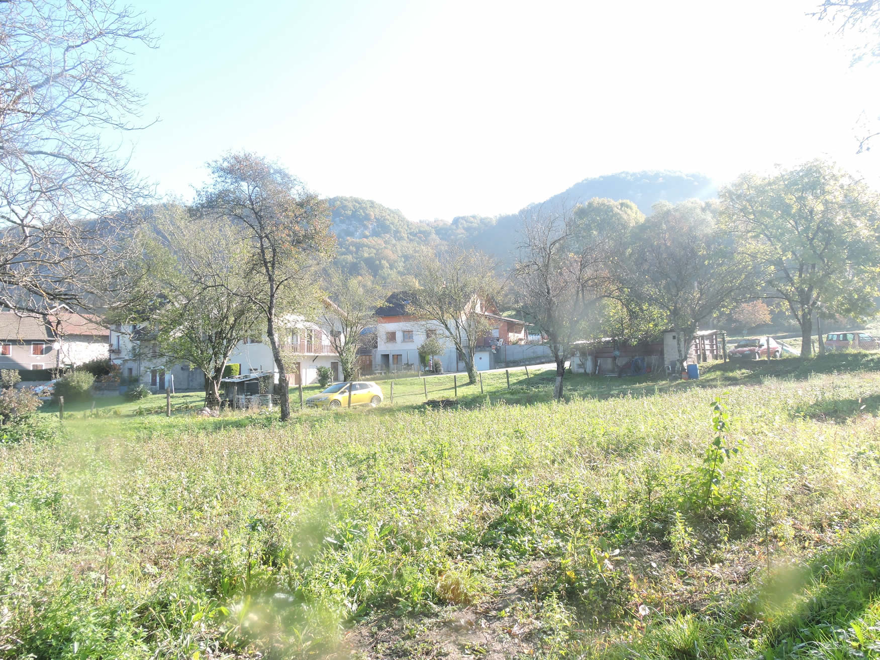
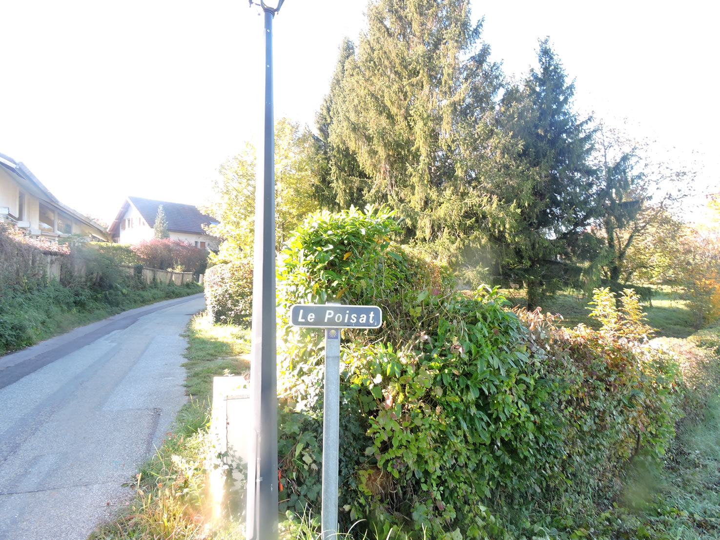
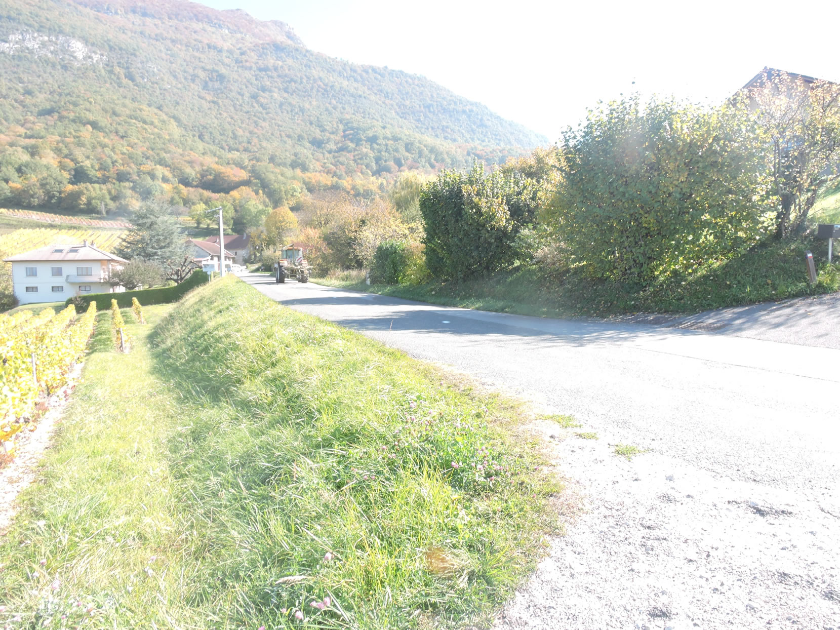
| As the route continues its ascent towards the village of Poisat, it gradually unveils vineyards stretching across the hillsides. The slender, abundant chestnut trees generously dot the slopes, adding a touch of wildness to this bucolic landscape. |
 |
 |
Looking back reveals the imposing silhouette of the Grand Colombier, majestically outlined above Culoz. This peak, beloved by Tour de France cyclists and cycling enthusiasts, offers a breathtaking panorama of the surrounding valleys and mountains.
| In autumn, the paths and the roads are strewn with the spiky husks of chestnuts, creating a rustic and fragrant carpet that requires careful navigation. This landscape, rich in such trees, is a distinctive feature of pilgrimage routes across France, but is noticeably rarer in Swiss or Spanish regions. |
 |
 |
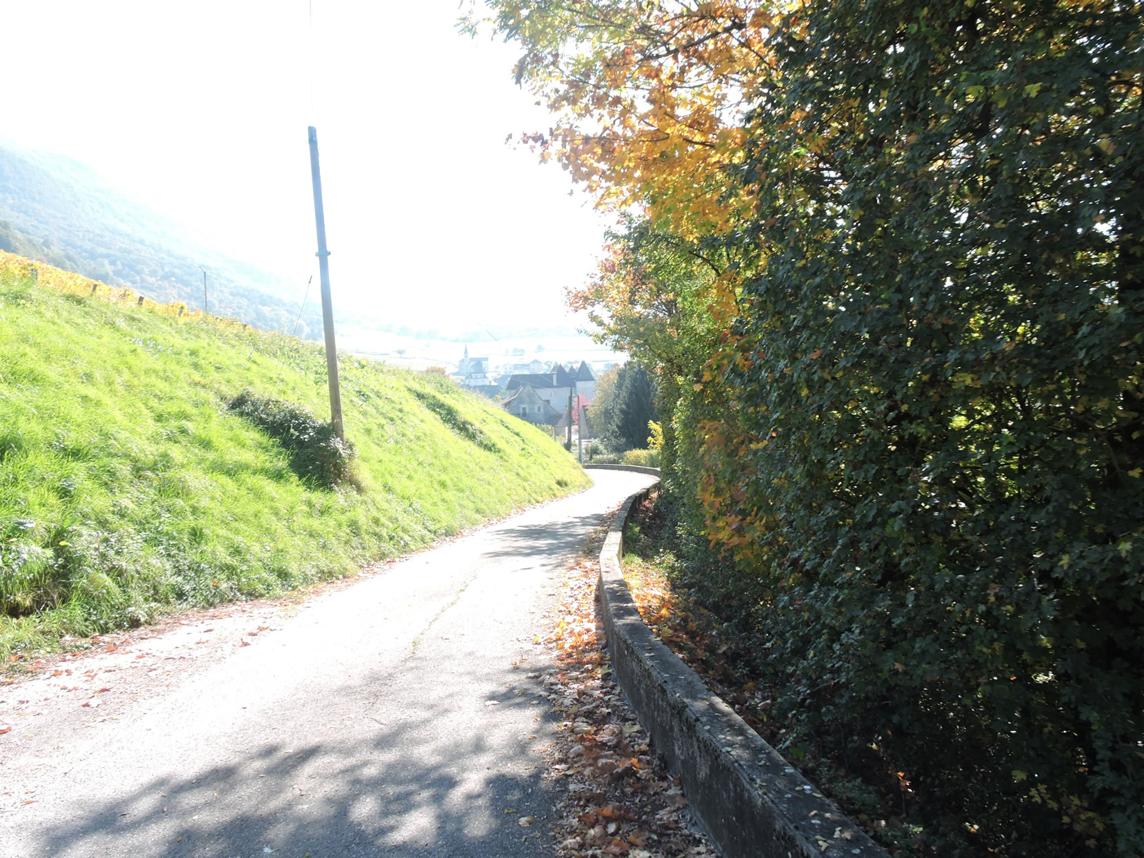
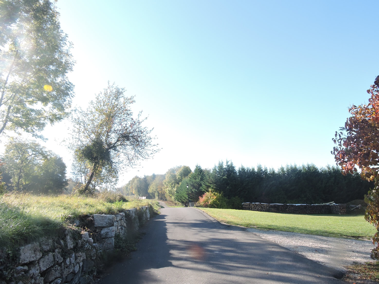
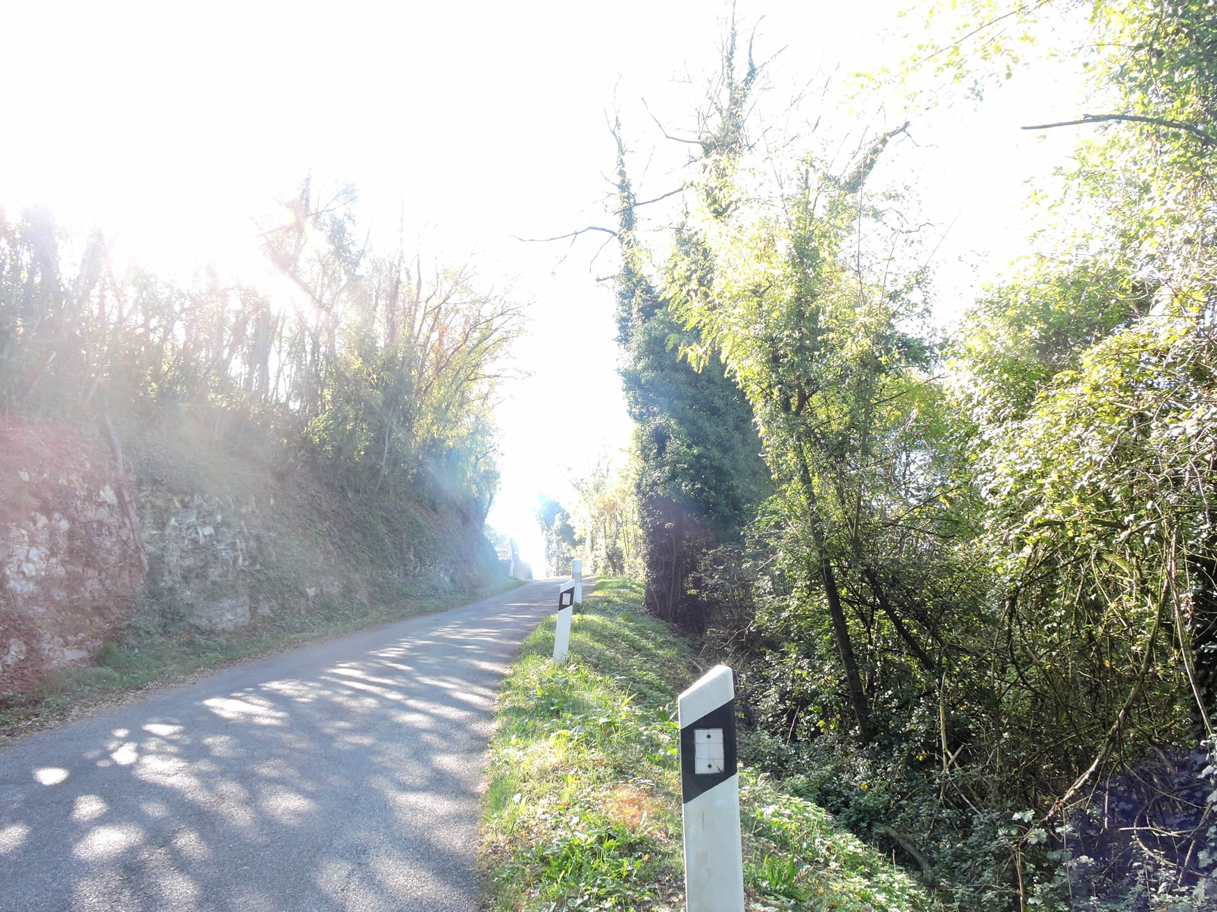
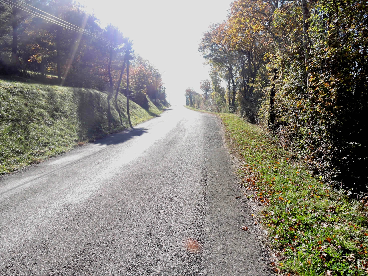
| Beyond Poisat, the paved road elegantly weaves along the slopes of Mont Landard, offering vistas that stretch as far as the eye can see. The steady ascent reveals the raw beauty of the countryside, where hills adorn themselves with shifting hues depending on the seasons or the light filtering through the tree canopies. |
 |
 |
| Further up the roughness of the tarmac gives way to the softness of compacted earth, sometimes gently sinking beneath the cover of trees. Here, the predominantly brown Taurine cattle recall the origins of Reblochon cheese, alongside the Abondance and Montbéliarde breeds, although these lands are no longer under the AOP of the famous cheese. |
 |
 |
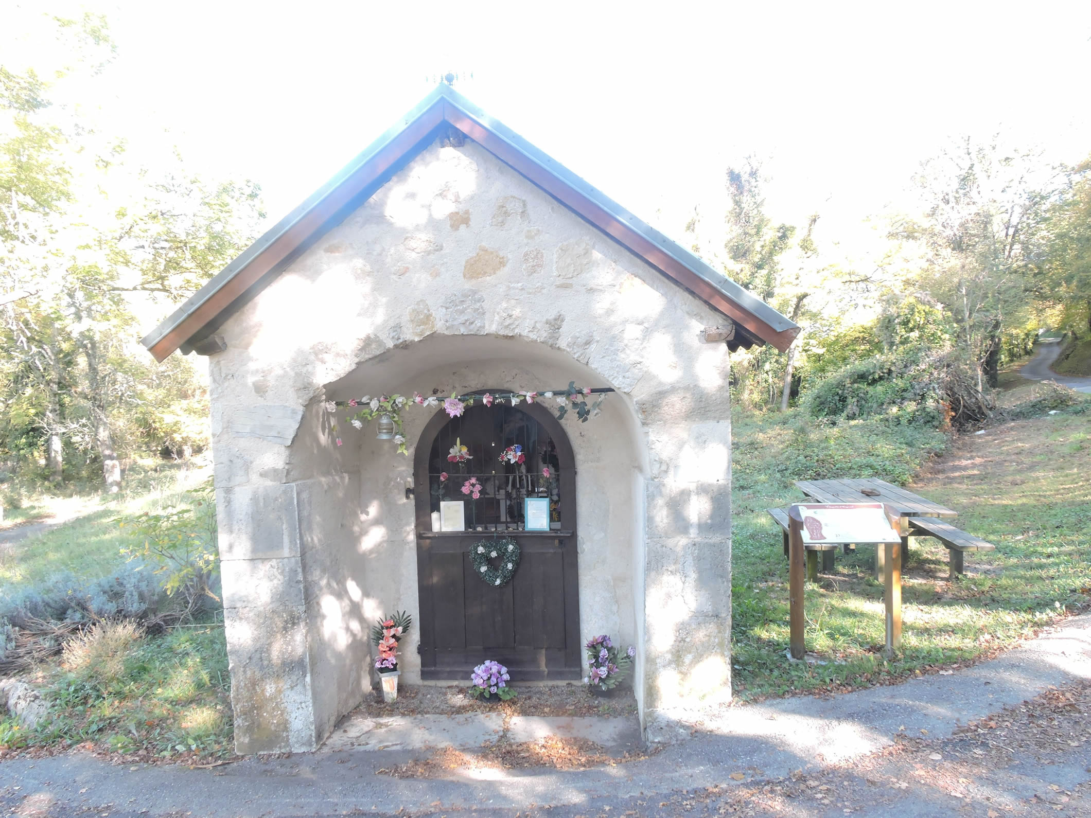
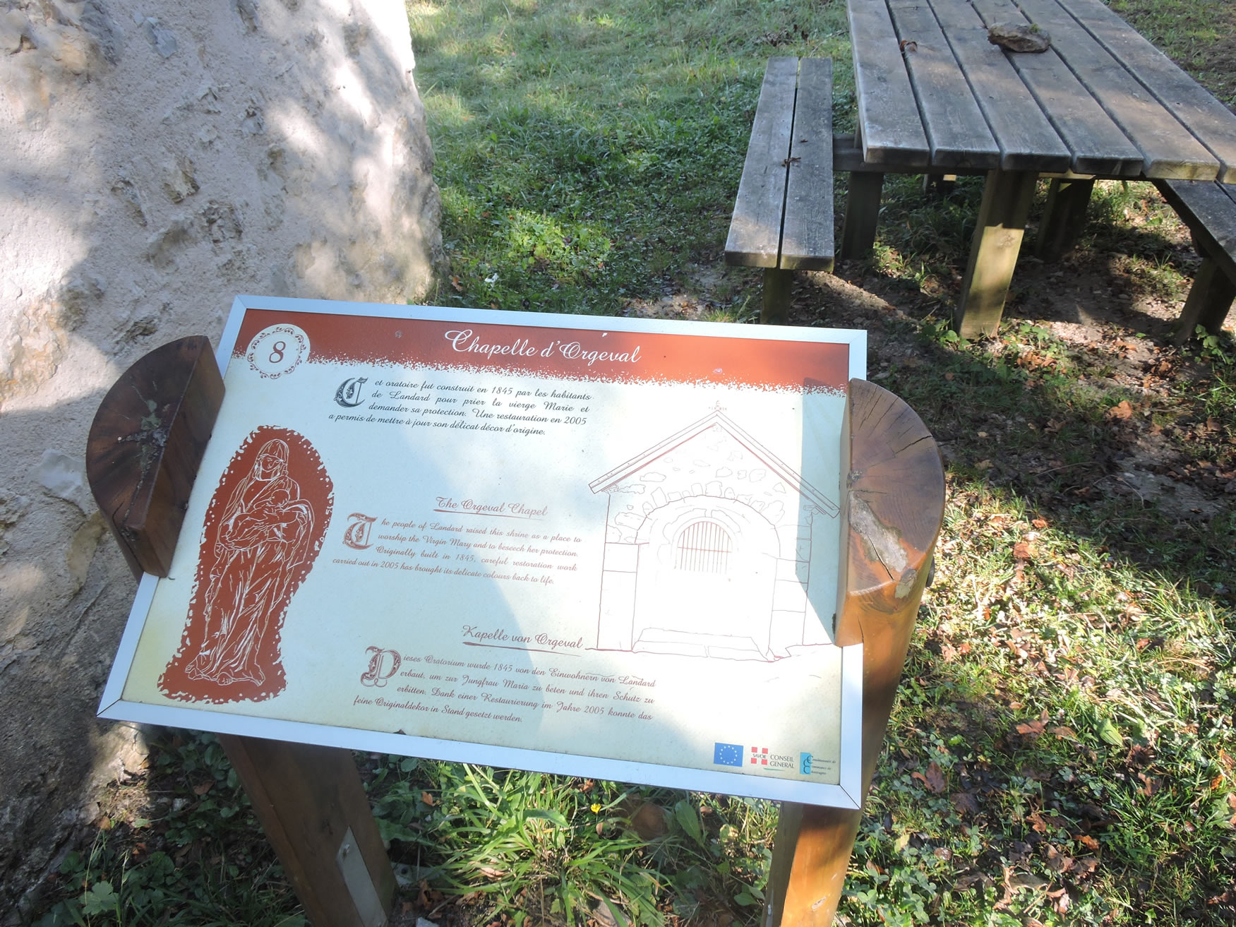
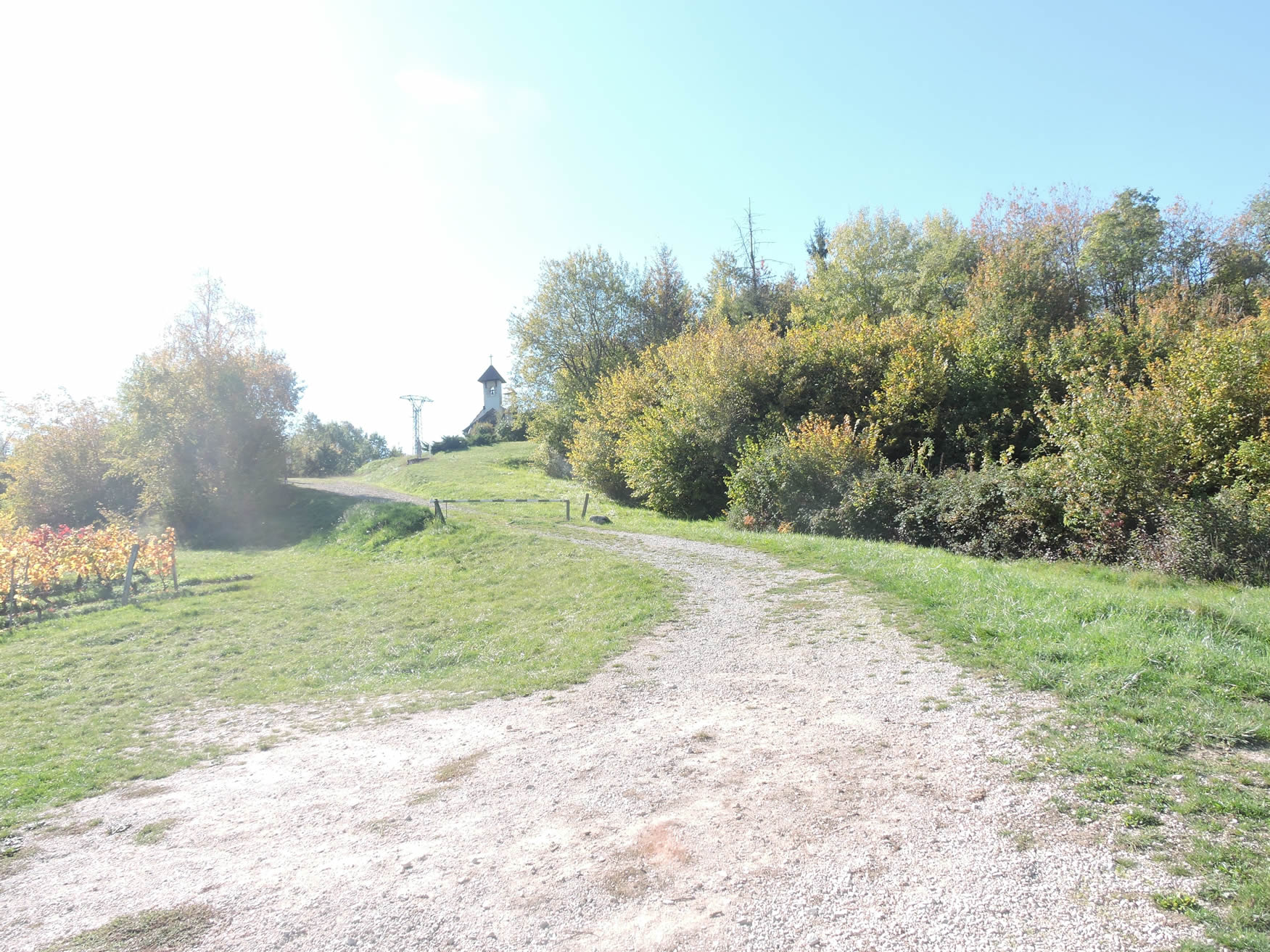
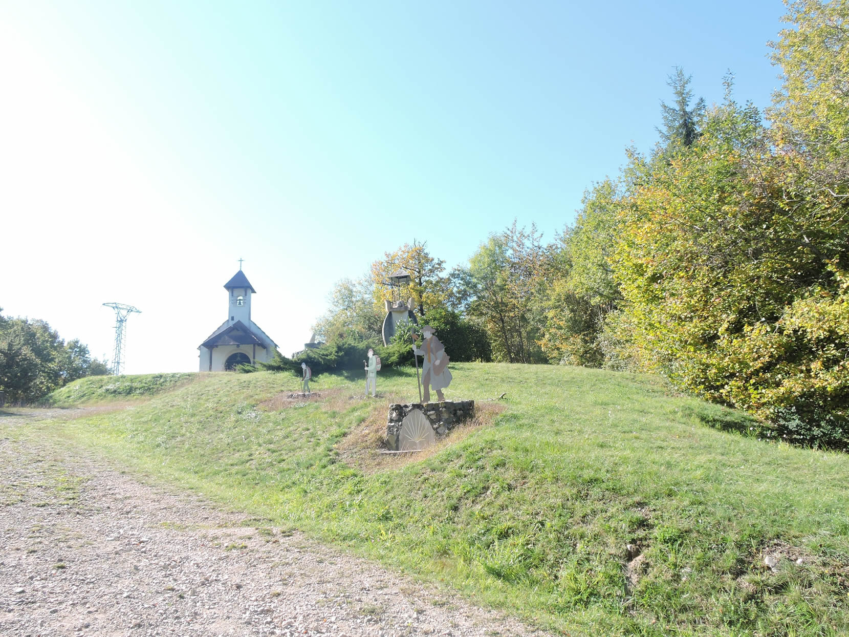
| The path then heads to Orgeval Chapel, a modest chapel built in 1845 under the blessing of the Virgin Mary to ward off plague. Renovated in 2005, it stands with dignity, a silent witness to troubled and tranquil times. |
 |
 |
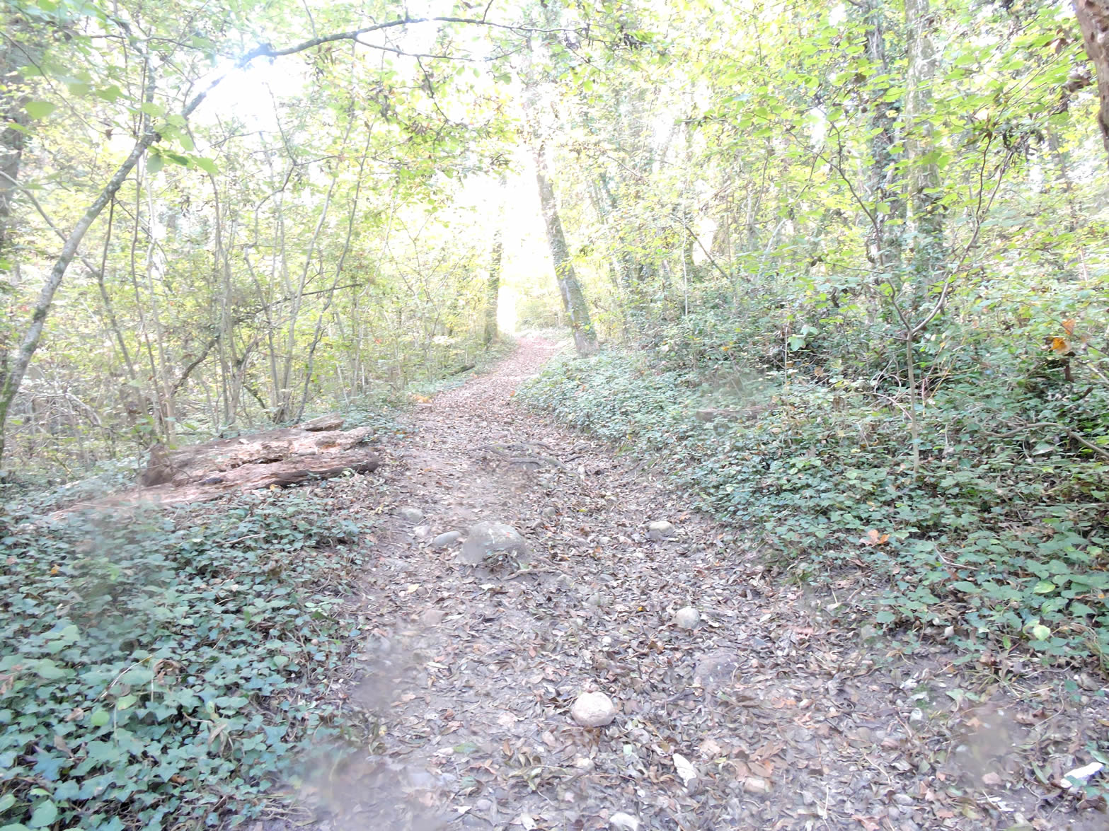
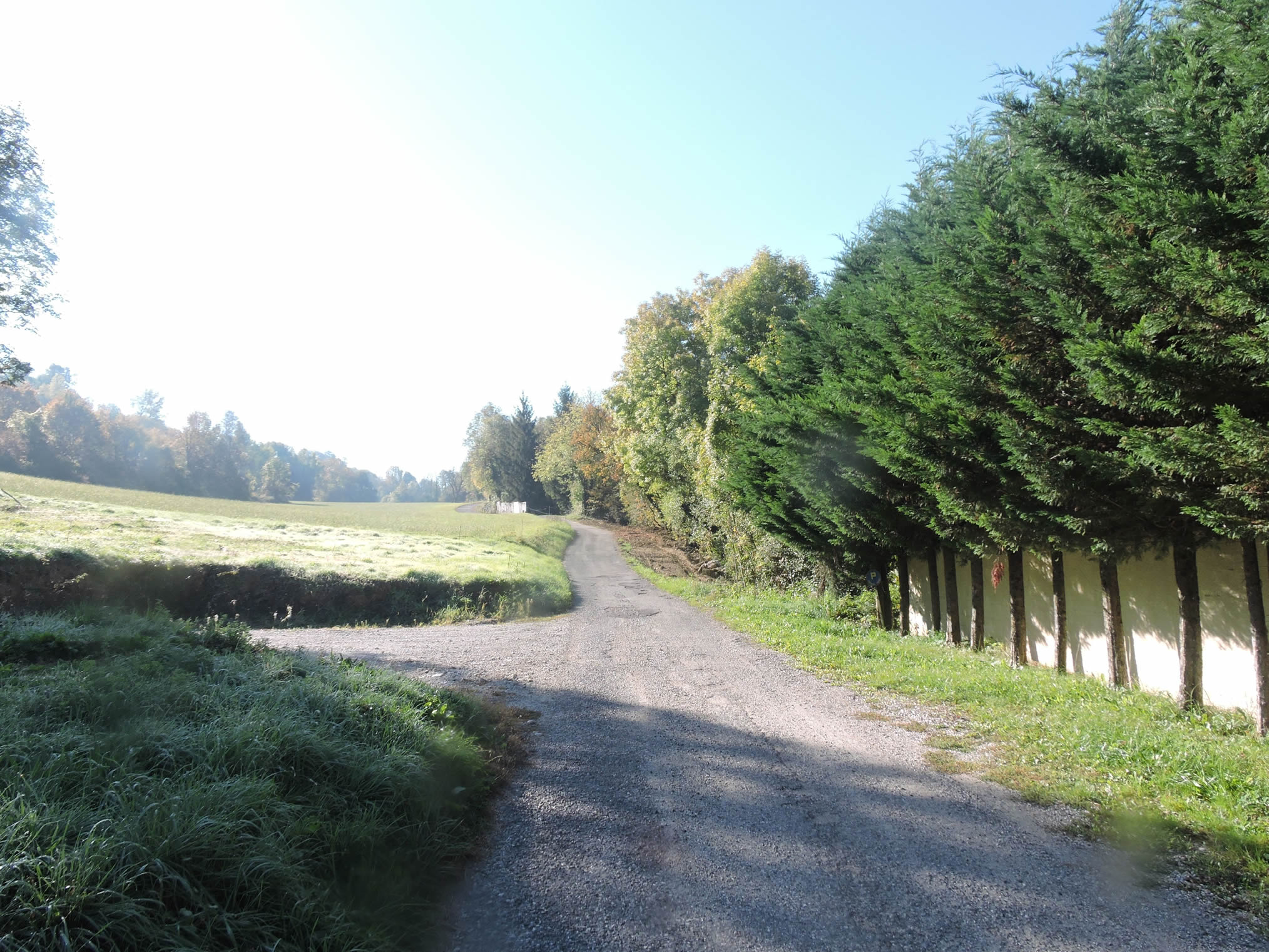
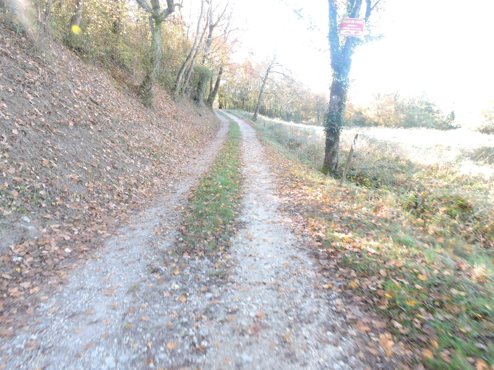
| After this moment of reverence, the path, rocky underfoot, begins a persistent ascent on the slopes of Mont Landard. Step by step, the walker makes their way along a moraine shaped during the Quaternary by Rhône glaciers. Wide and welcoming, the path slopes up gently, promising a beneficial solitude. The heathland spreads out, sparse, adorned with intertwined deciduous trees that dominate the slope, while the majestic chestnut trees remain the steadfast guardians of this landscape. |
 |
 |
| Higher still, the incline becomes more forgiving, easing among the pastures where cattle roam. It is here that the first Savoy vineyards proudly announce themselves under the autumn sun, adorned in their shimmering hues. |
 |
 |
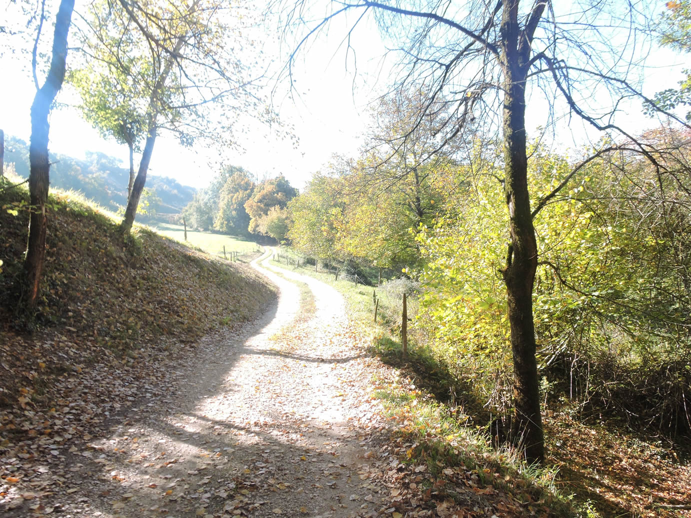
| The walk then becomes serene on this broad path bordered by dense hedgerows. The vineyards spread out and multiply, creating a symphony of greens and purples. Further along, the path gently descends to reach La Rodière, nestled in the benevolent shade of the dale. |
 |
 |
Section 4: In the early Savoy vineyards

Overview of the route’s challenges: mainly descending terrain, which is generally manageable.
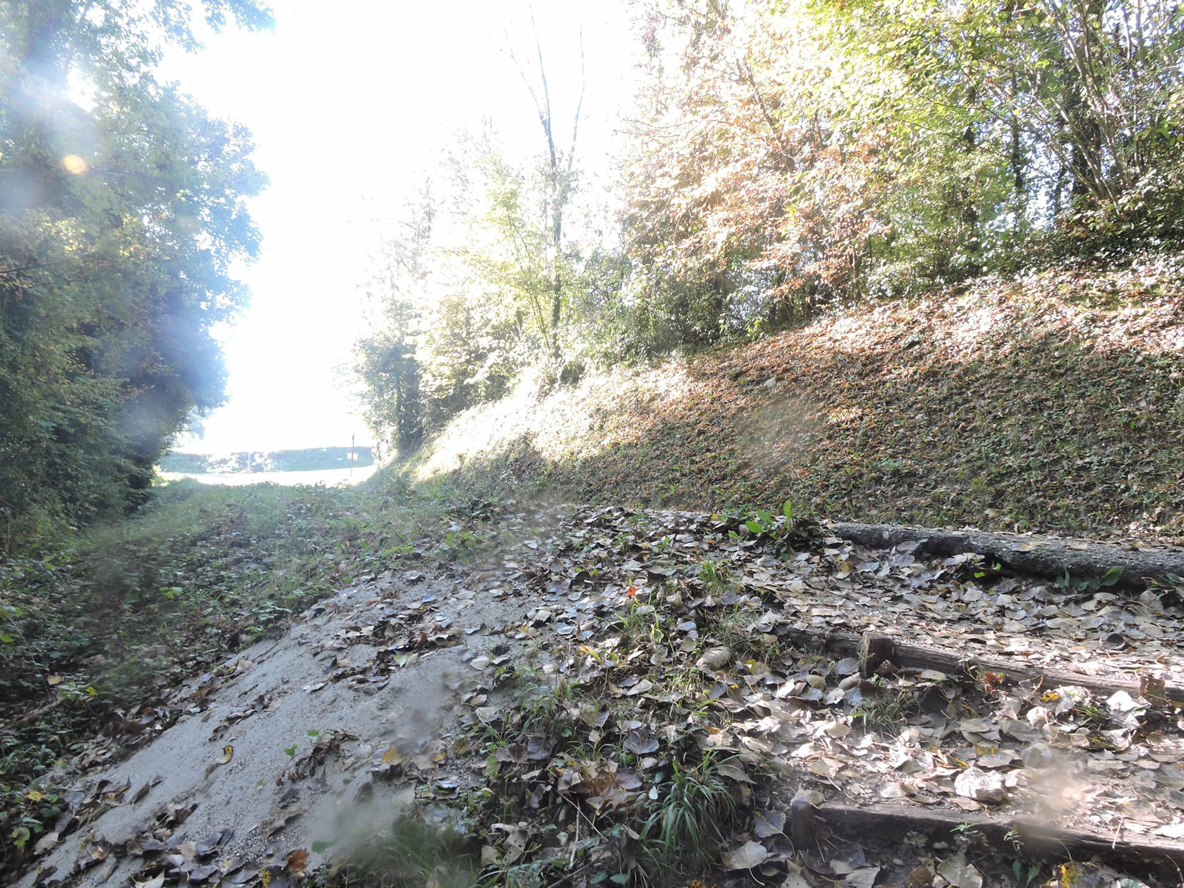
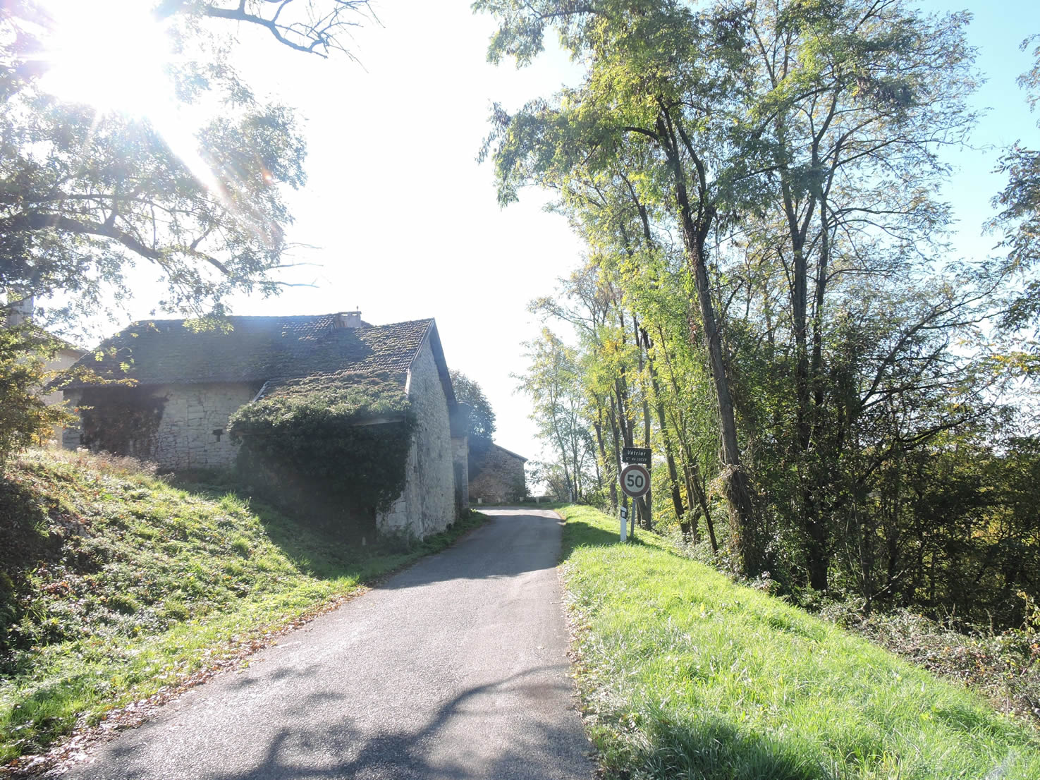
| A rocky path, strewn with stones that present nature’s challenges, winds determinedly through dense undergrowth, eventually emerging onto a paved road just before Vétrier. |
 |
 |
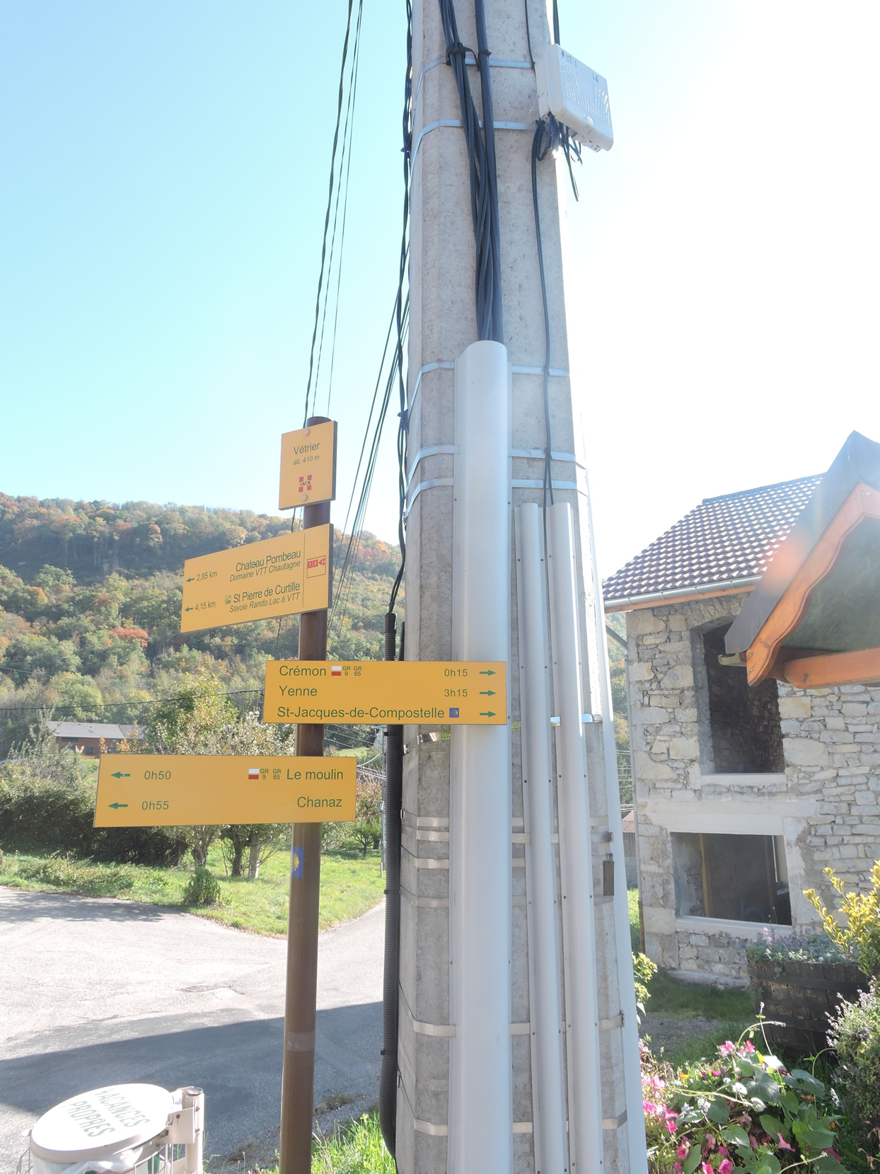
| At the summit of this demanding climb stands Vétrier, a modest yet imposing hamlet nestled within its hilly enclave. |
 |
 |
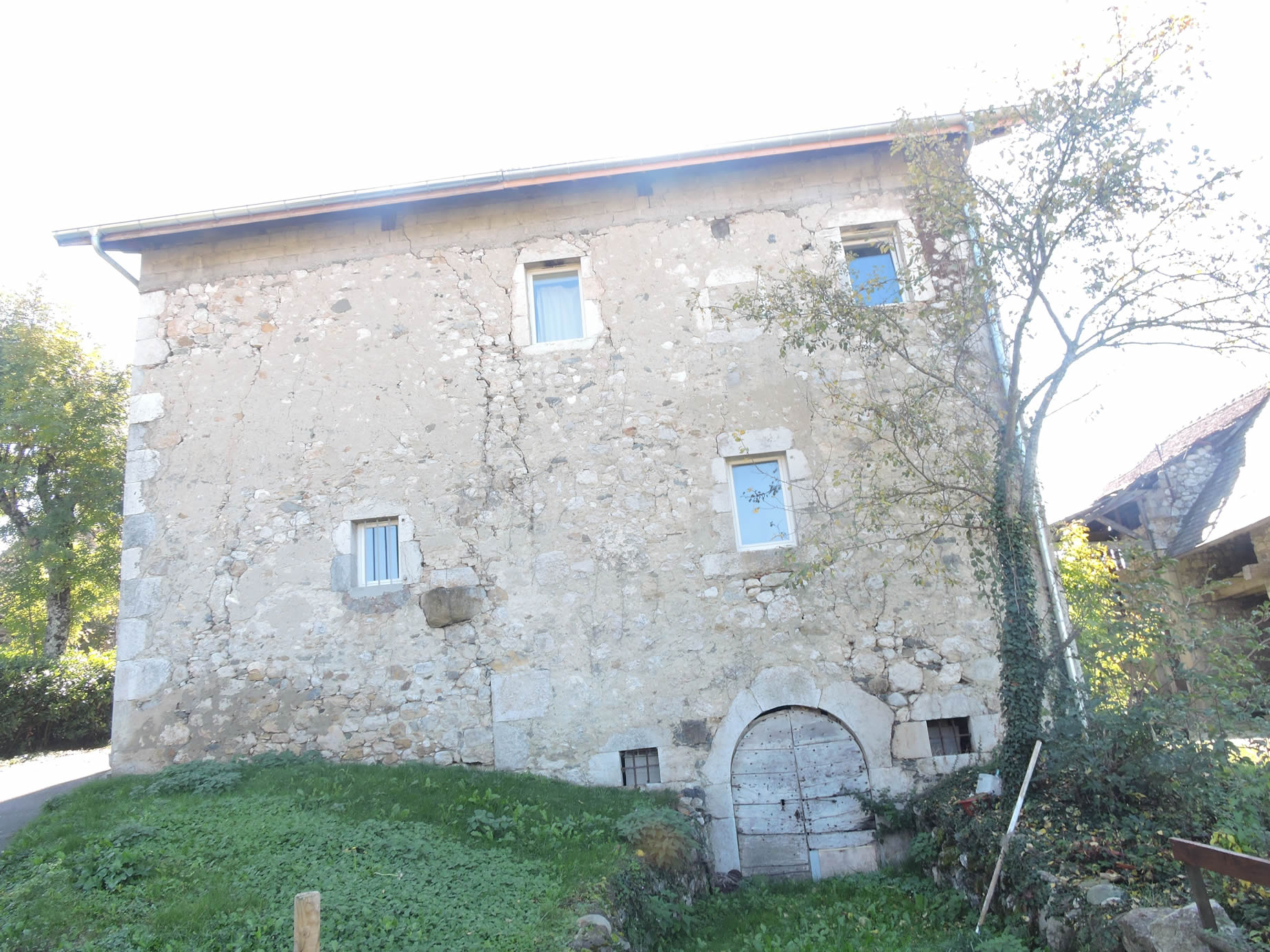
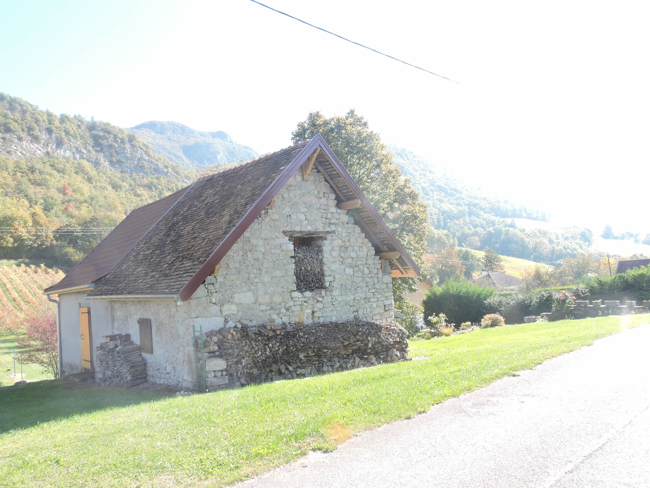
| Vigneron houses, built with sturdy local stone, rise proudly, appearing to spring from the earth as guardians of tradition and the landscape that stretches beneath them. These buildings, crafted by expert hands, are like poems sculpted in time, providing a solemn refuge for their inhabitants while majestically overlooking the Rhône Valley below. |
 |
 |
| The protective Christ, silently observing from his perch, seems to watch over the surrounding vineyards with benevolence and authority. From here, it still takes over three hours to reach Yenne. |
 |
 |
The panoramic view from this spot is a living tableau where every detail—from the gentle curves of the Rhône to the contours of Île aux Oiseaux—comes alive under the changing light of autumn. This season, with its rich and deep colors, ignites the landscape and highlights the grandeur of the ascent accomplished so far.
|
Beneath the perched village, the GR65 begins a graceful descent through meadows before briefly joining the road leading to the vineyards.
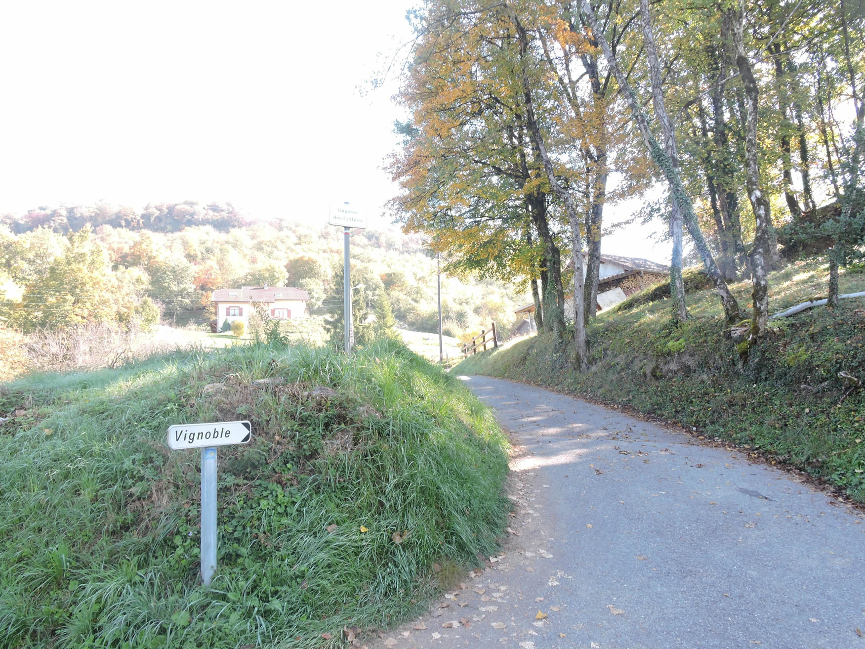
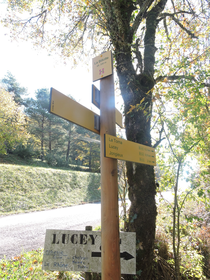
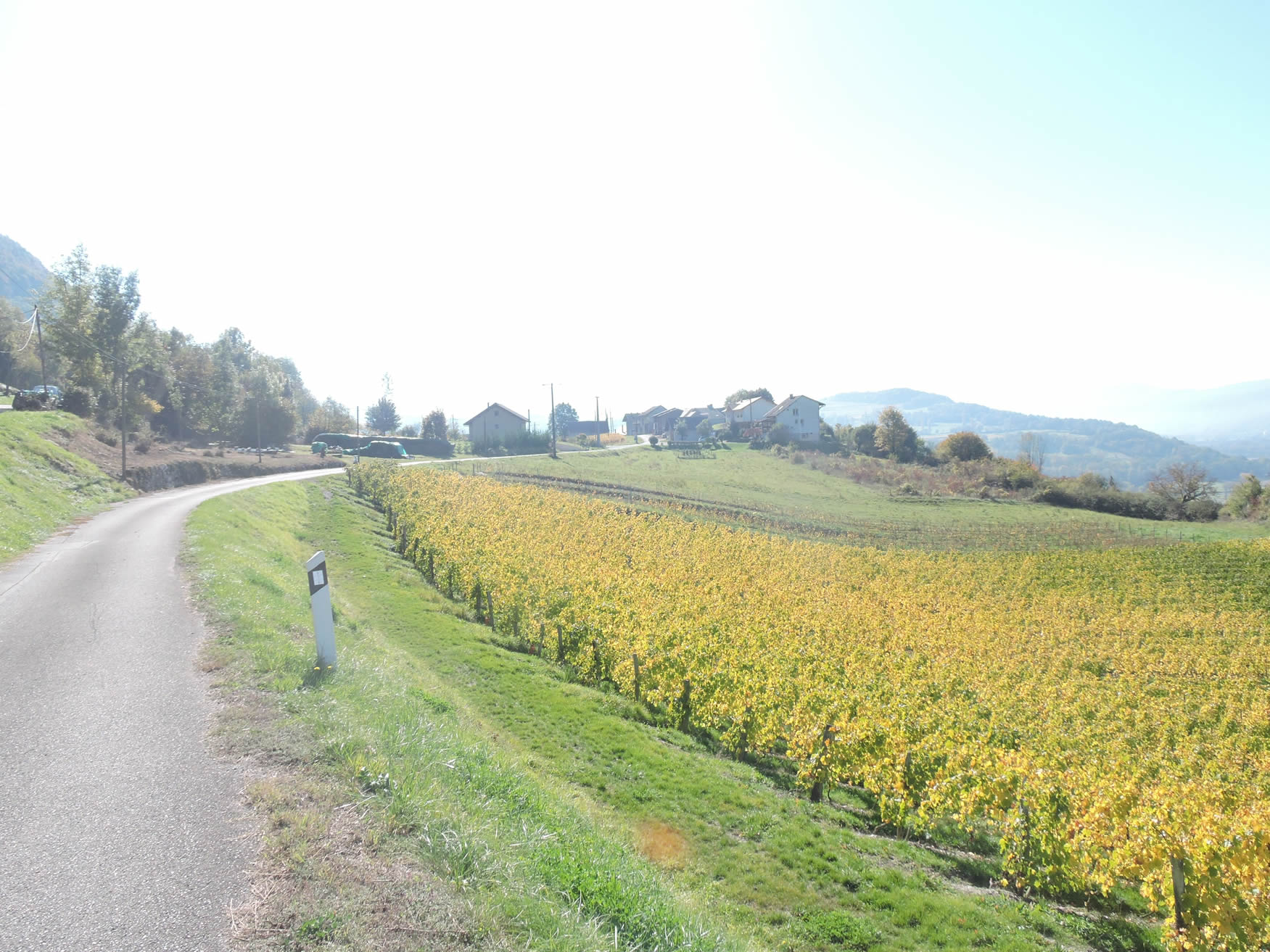
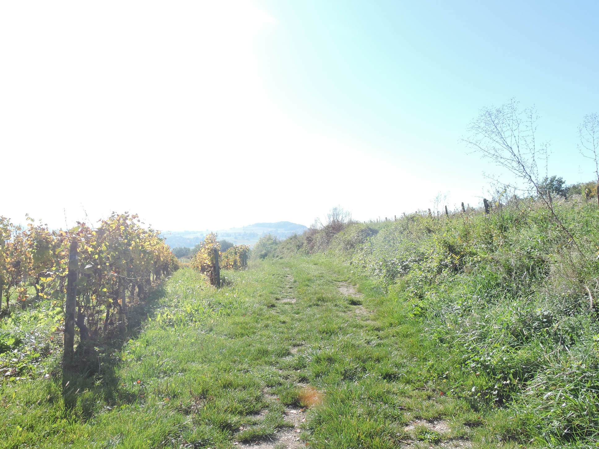
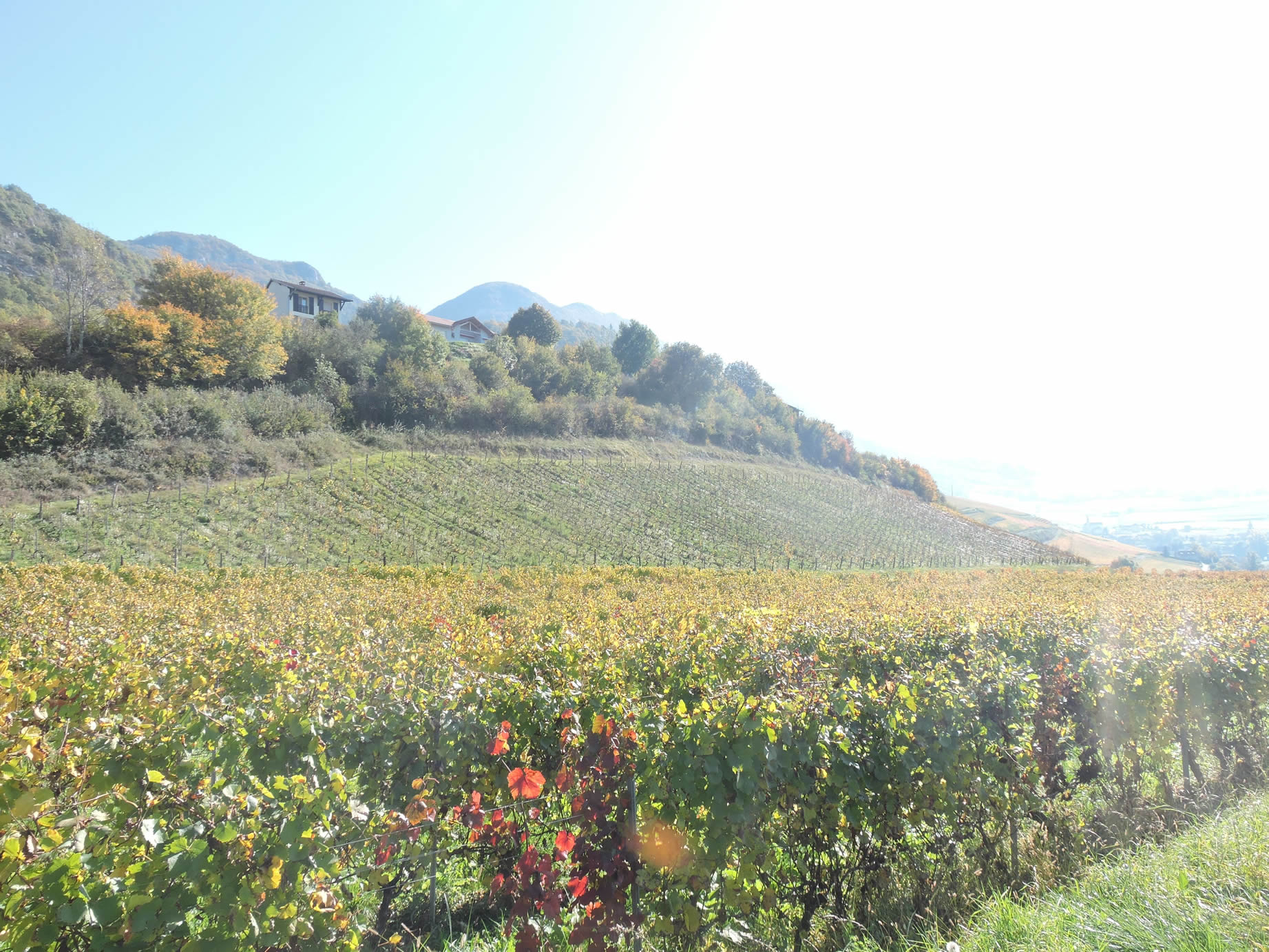
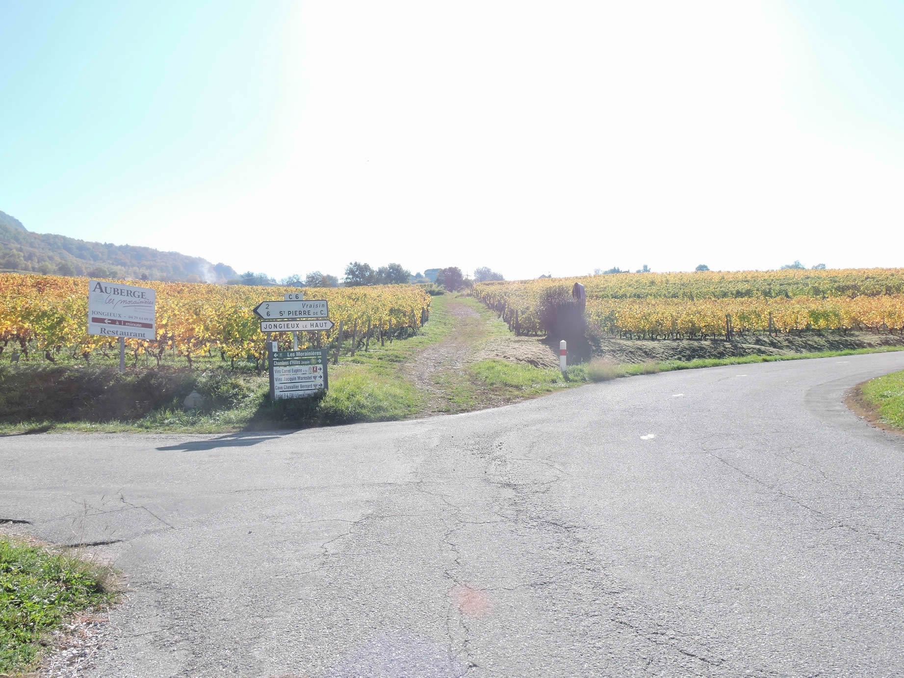
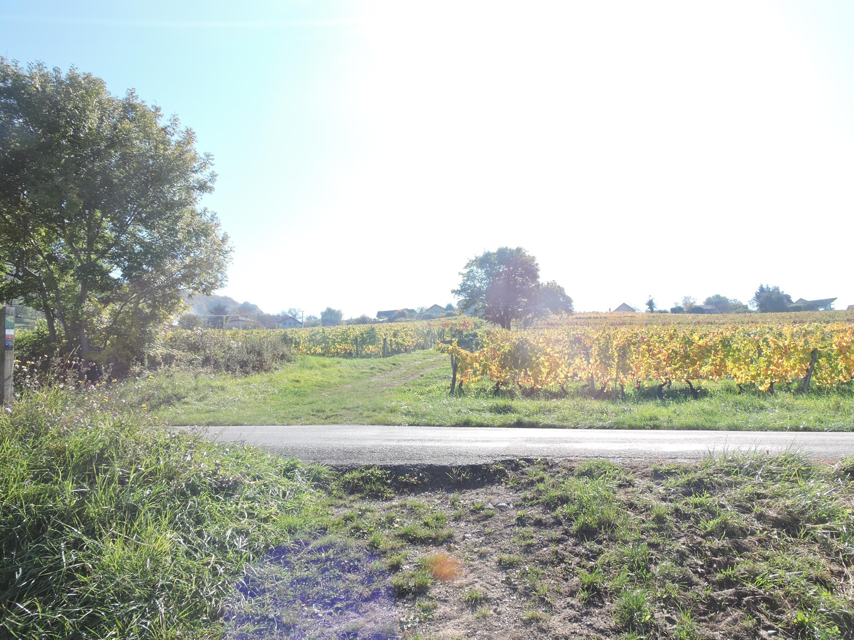
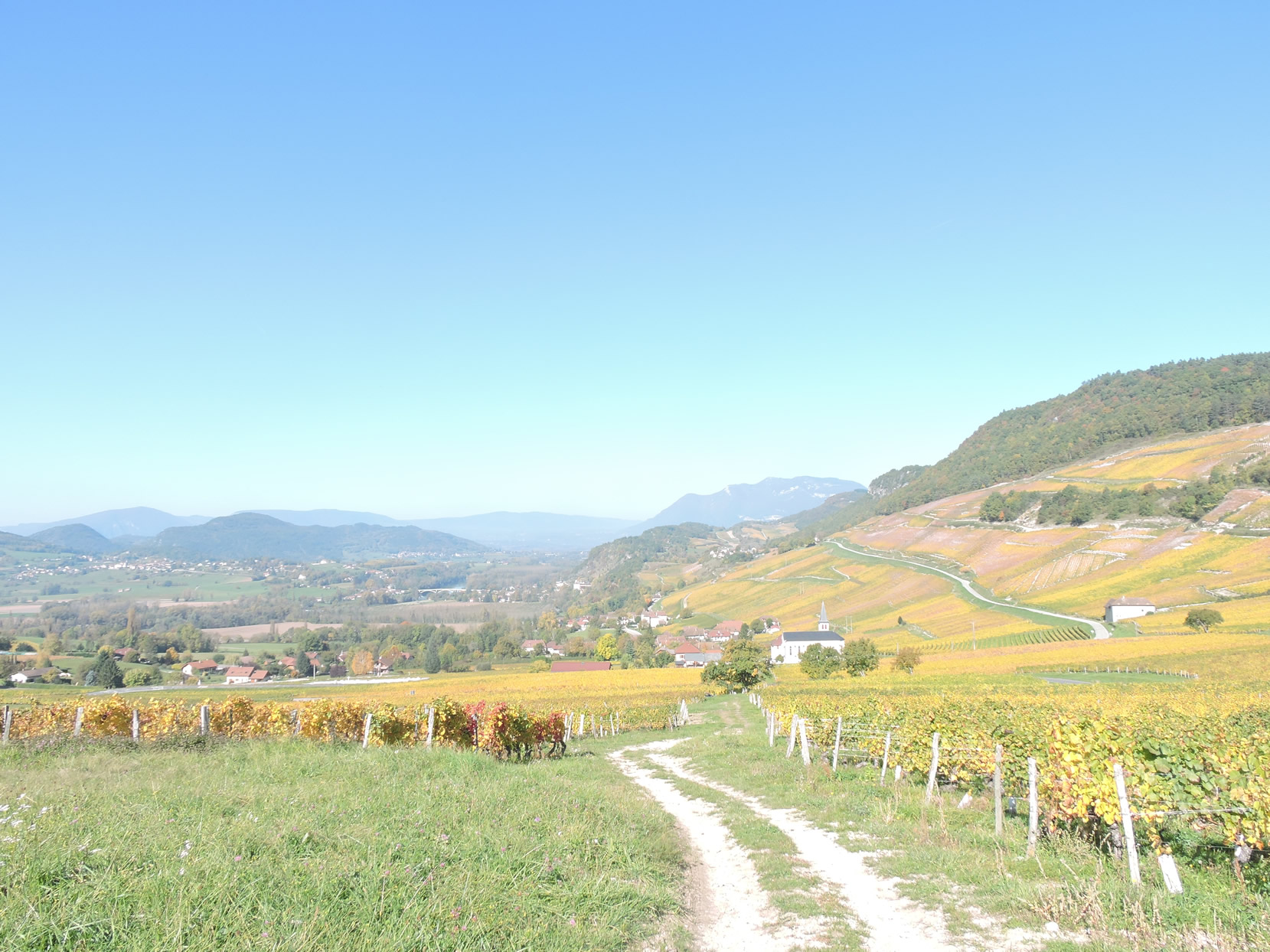
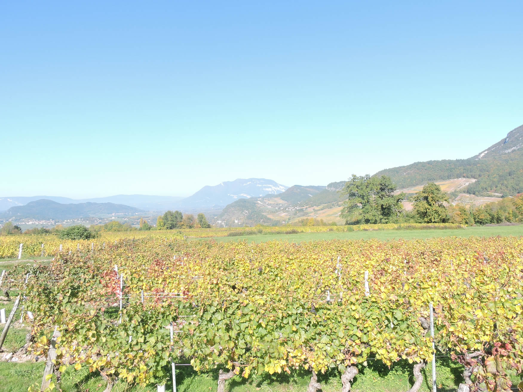
The Savoy vineyards stretch well beyond perceived borders, lining the Rhône Valley and its foothills from Frangy. Here, in this hilly region, the route traverses two distinct terroirs: Lucey and Marestel and Jongieux. The first vineyards date back to the 16th century, but it wasn’t until the 1990s that vintners began to rework the slopes, making vineyard work and access easier. Today, these regions enjoy controlled appellations, proud of their Crus de Savoie.
|
 |
 |
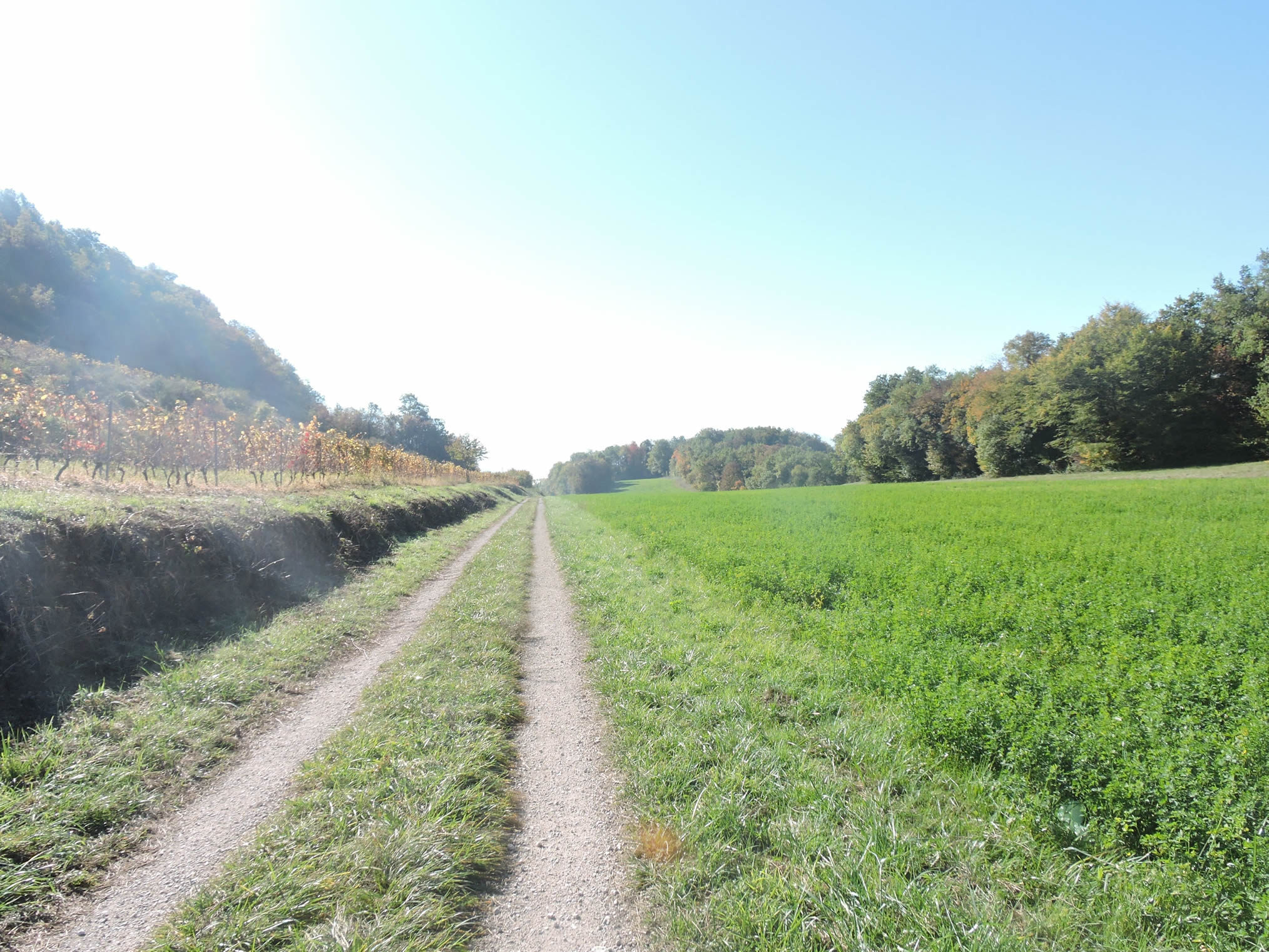
| The first major vineyard encountered is Montagnin, where the slopes are adorned with meticulously tended vines and breathtaking panoramas. |
 |
 |
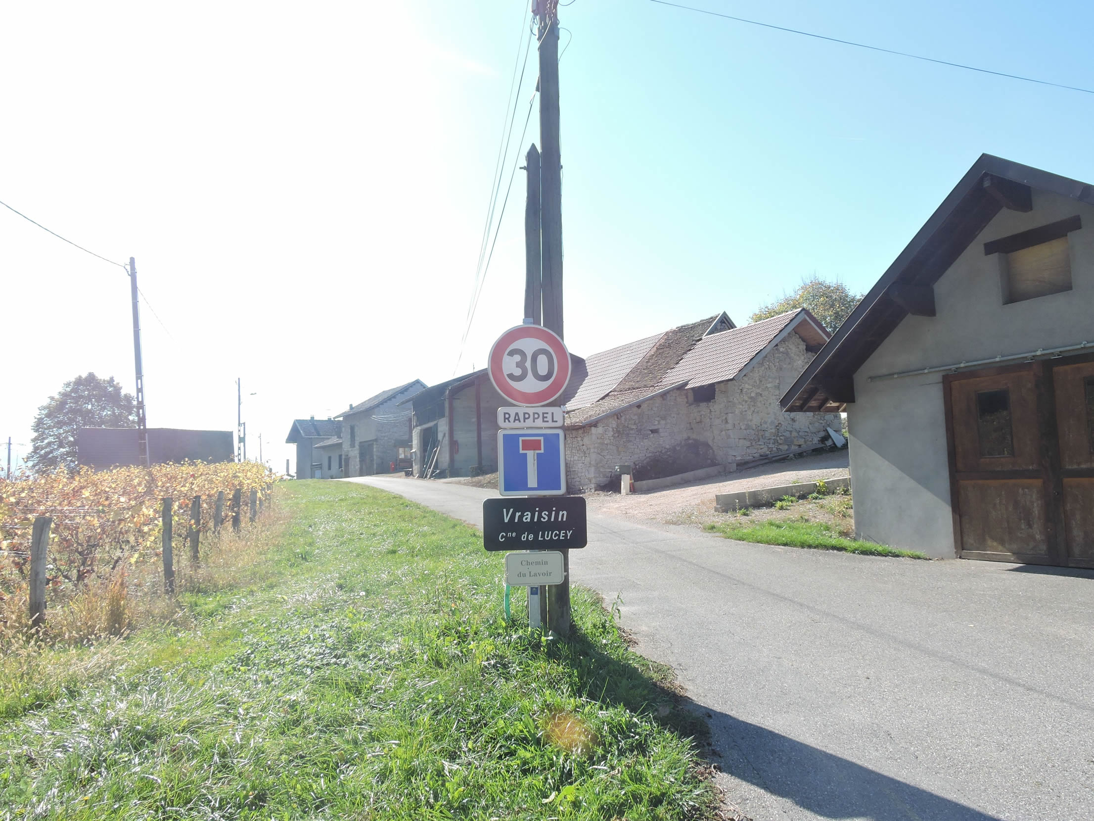
| From Vétrier to Vraisin, all these hamlets are part of the municipality of Lucey, nestled below in the plain. The inexhaustible charm of these landscapes reaches its peak when the vineyards blaze under the autumn sun. Each grape variety then reveals its warm hues, illuminated by the low slanting sunlight.
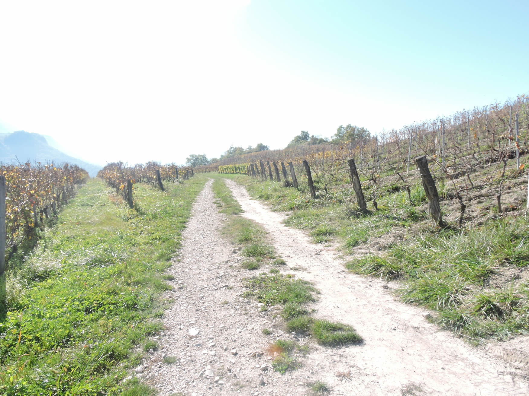
The rocky trail winds through the rows of vines, offering in perspective the majestic silhouette of the Dent du Chat. |
 |
 |
After the harvest, a keen observation reveals the dried grape clusters still attached to the vines. Here, the use of harvesting machines is common, facilitating all necessary operations in one maneuver. These machines, equipped with picking arms and shakers, collect the grapes into bins, while a suction system removes detached leaves and branches. However, not all AOP grape varieties can be harvested this way, with some requiring more delicate handling to preserve the integrity of the bunches until the press. Additionally, vineyards must be specifically adapted to allow machine access, marking a convergence between tradition and technology in modern viticulture.

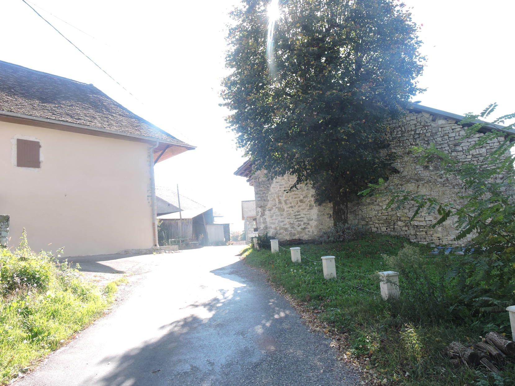
| At the base of the vineyard, the GR65 runs through Montagnin. |
 |
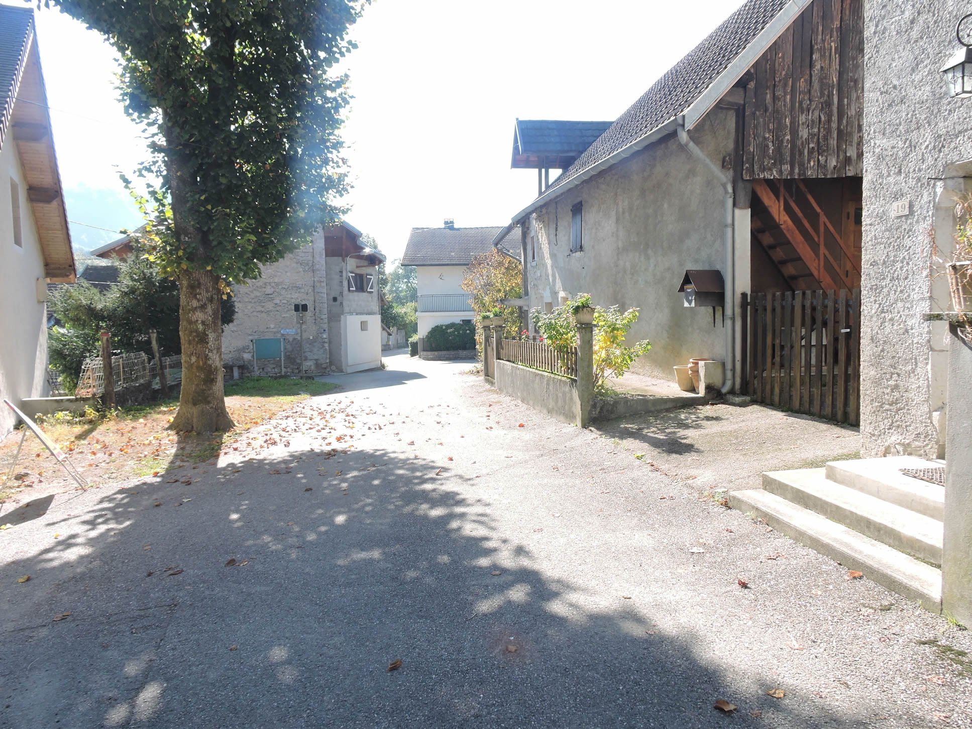 |
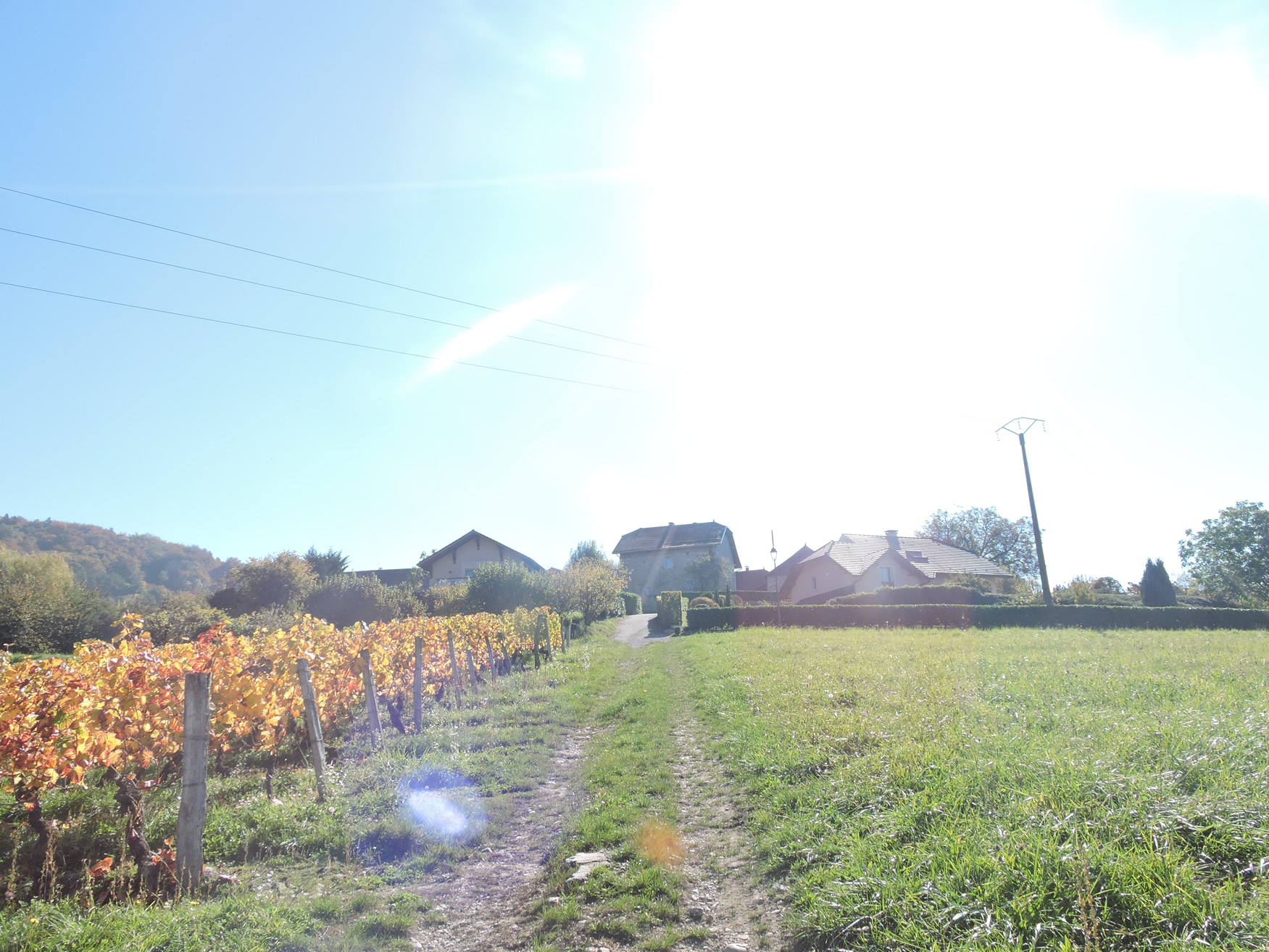
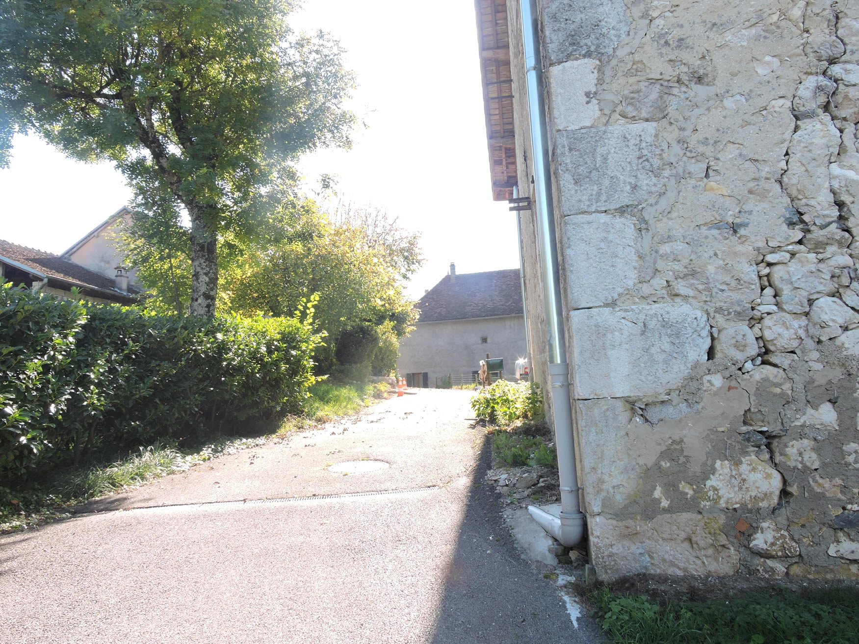
| This charming hamlet, where robust stone houses shelter both vintners and farmers, often sharing the same lands in this small community where plots are modest. |
 |
 |
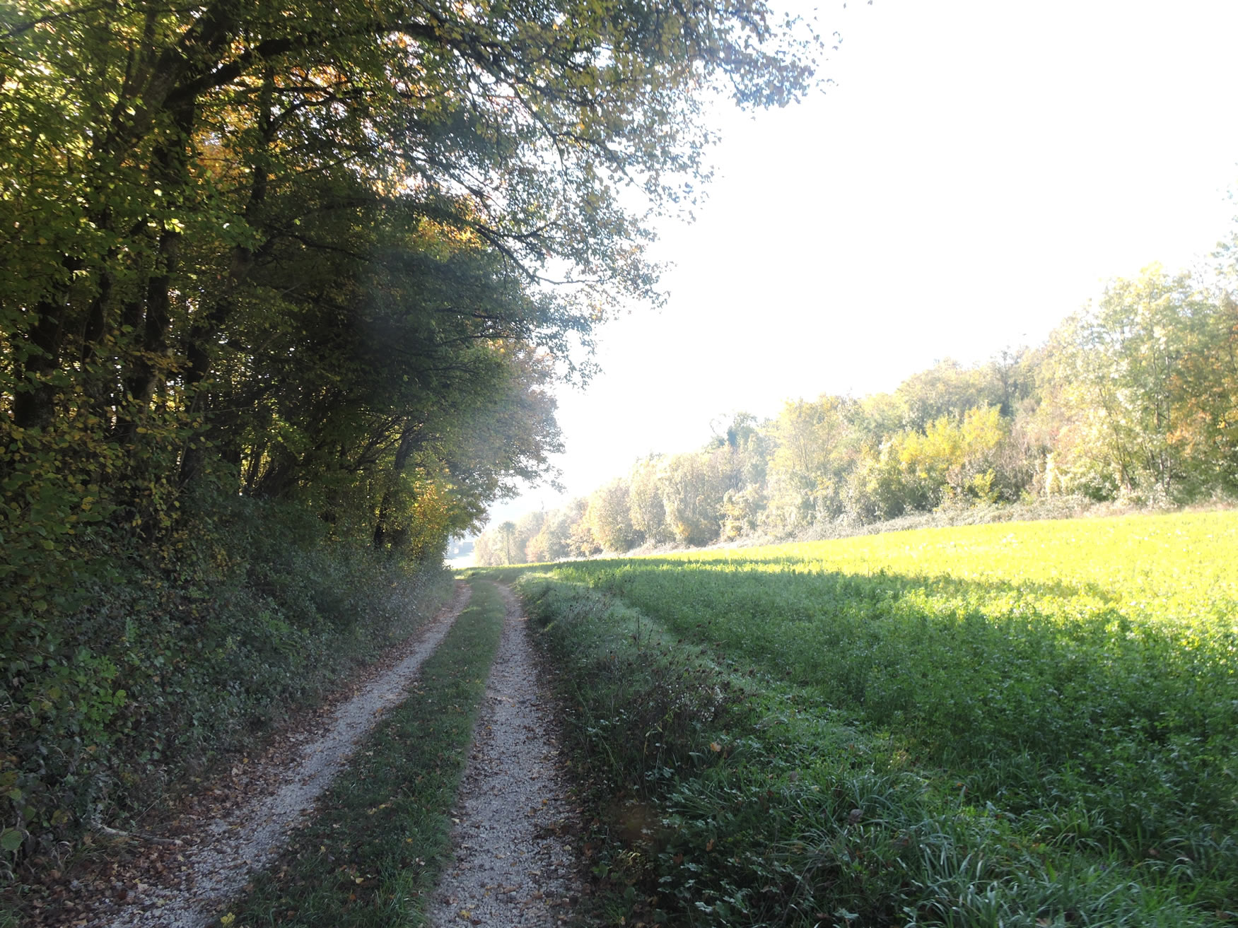
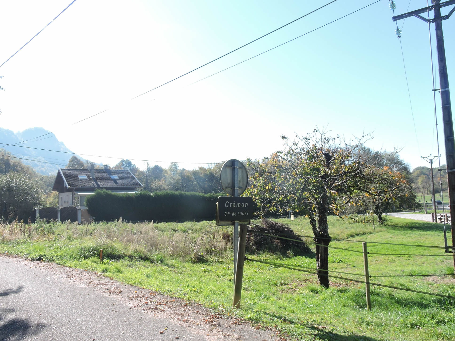
| A narrow road leads from the village to the nearby hamlet of Cremon, just a short distance away. The GR65 quickly resumes its path through peaceful woods. |
 |
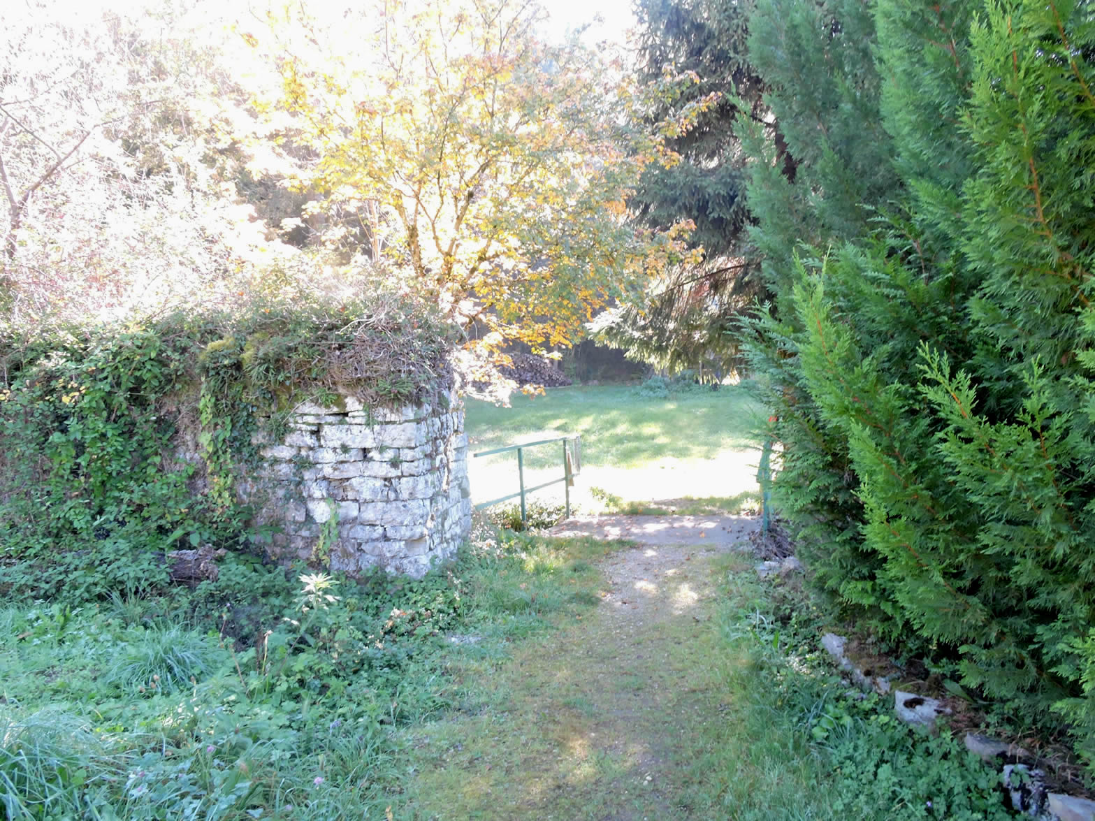 |
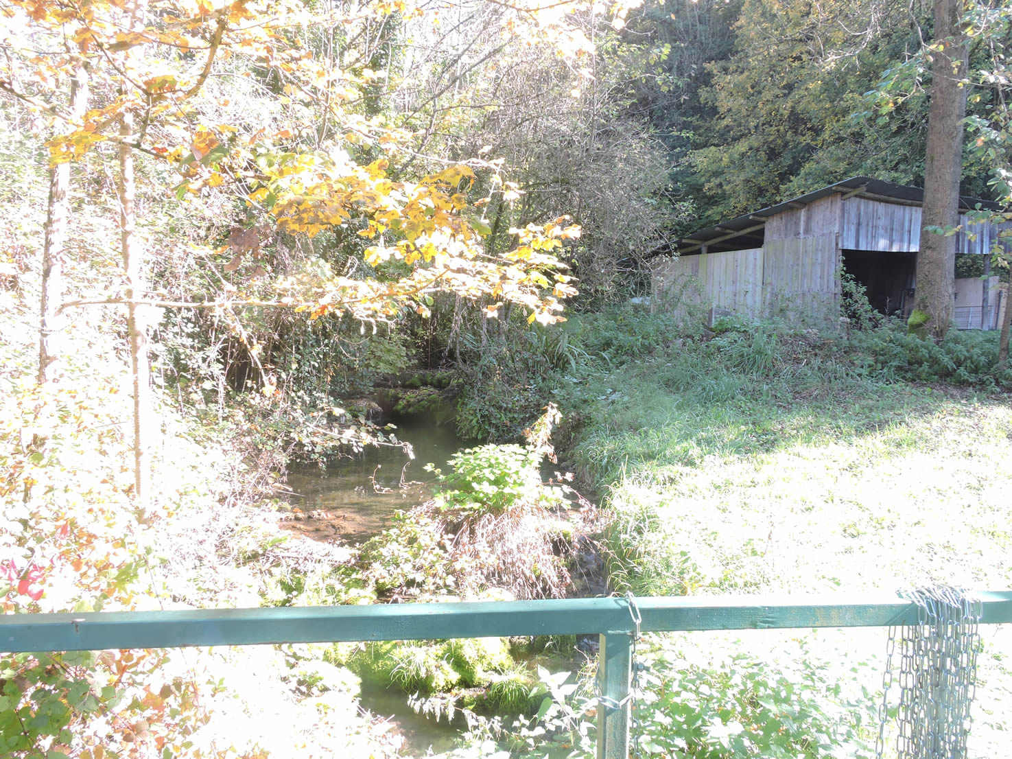
| Crossing a small stream, a trail descends through meadows before disappearing beneath the cover of underbrush. |
 |
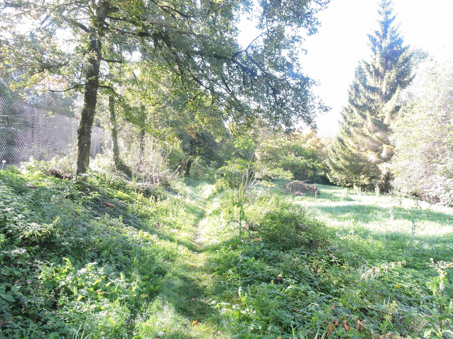 |
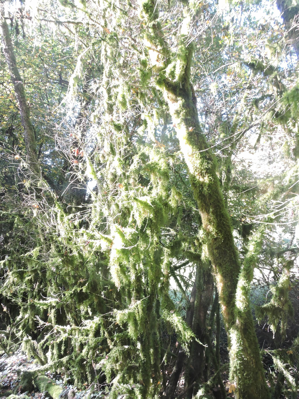
| This underbrush reveals an almost fantastical ambiance, where moss and lichens cling to bare shrubs. Only a richly humid environment can give rise to such natural masterpieces, witnesses to nature’s creative exuberance. |
 |
 |
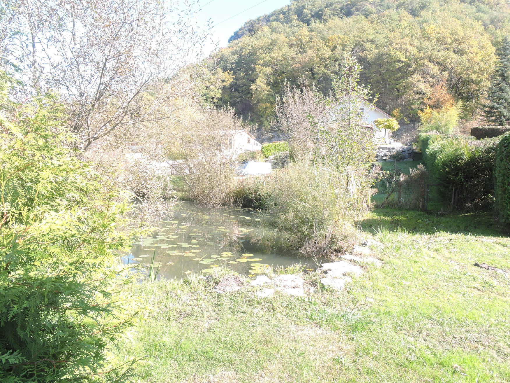
| At the edge of the thicket, the GR65 rejoins the road and gently slopes down to two ponds nestled in lush vegetation, natural treasures along the way. You then run through the relatively recent hamlet of Les Puthod/Les Greffiers. |
 |
 |
| The road then descends abruptly through this extended village, where recent constructions intermingle with old stone vigneron houses. |
 |
 |
| The road gracefully winds toward Vraisin, offering an enticing option that leads to Lucey, where luxuriant vineyards and a historic castle await under the gentle kiss of the sun. This diversion invites you to choose between a direct exploration or a detour through the viticultural splendor before rejoining the winding GR65 lower down. |
 |
 |
| Choose the road, and soon the vineyards will welcome you at the entrance to Vraisin. In autumn, it’s a metamorphosis: the leaves don rich shades of gold and orange, subtle signs of a seasonal transition where nature slows its pace. The anthocyanins, these natural pigments, burst into vibrant hues, reflecting the richness of the white and red grape varieties that find their most vivid expression here. |
 |
 |
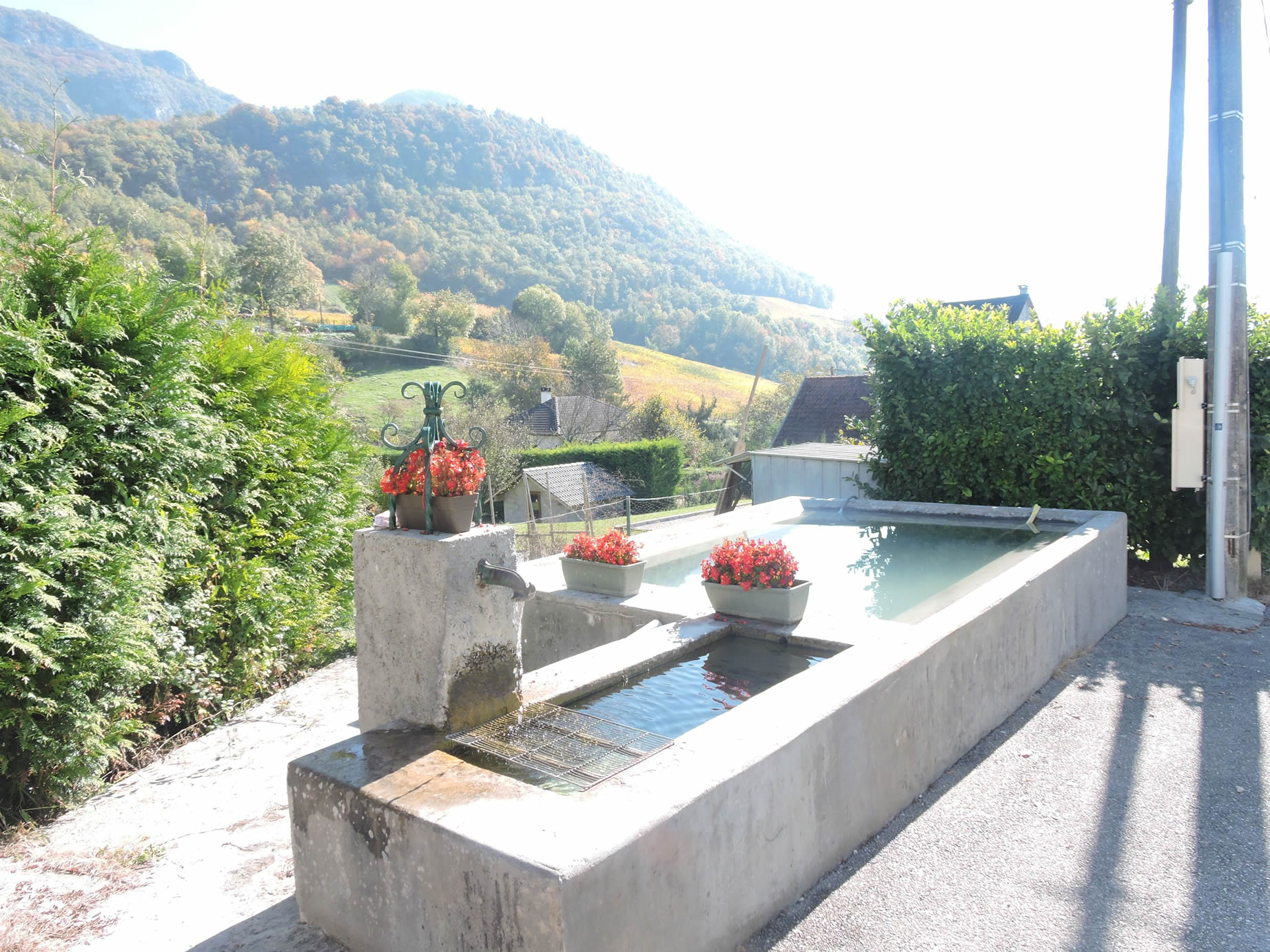
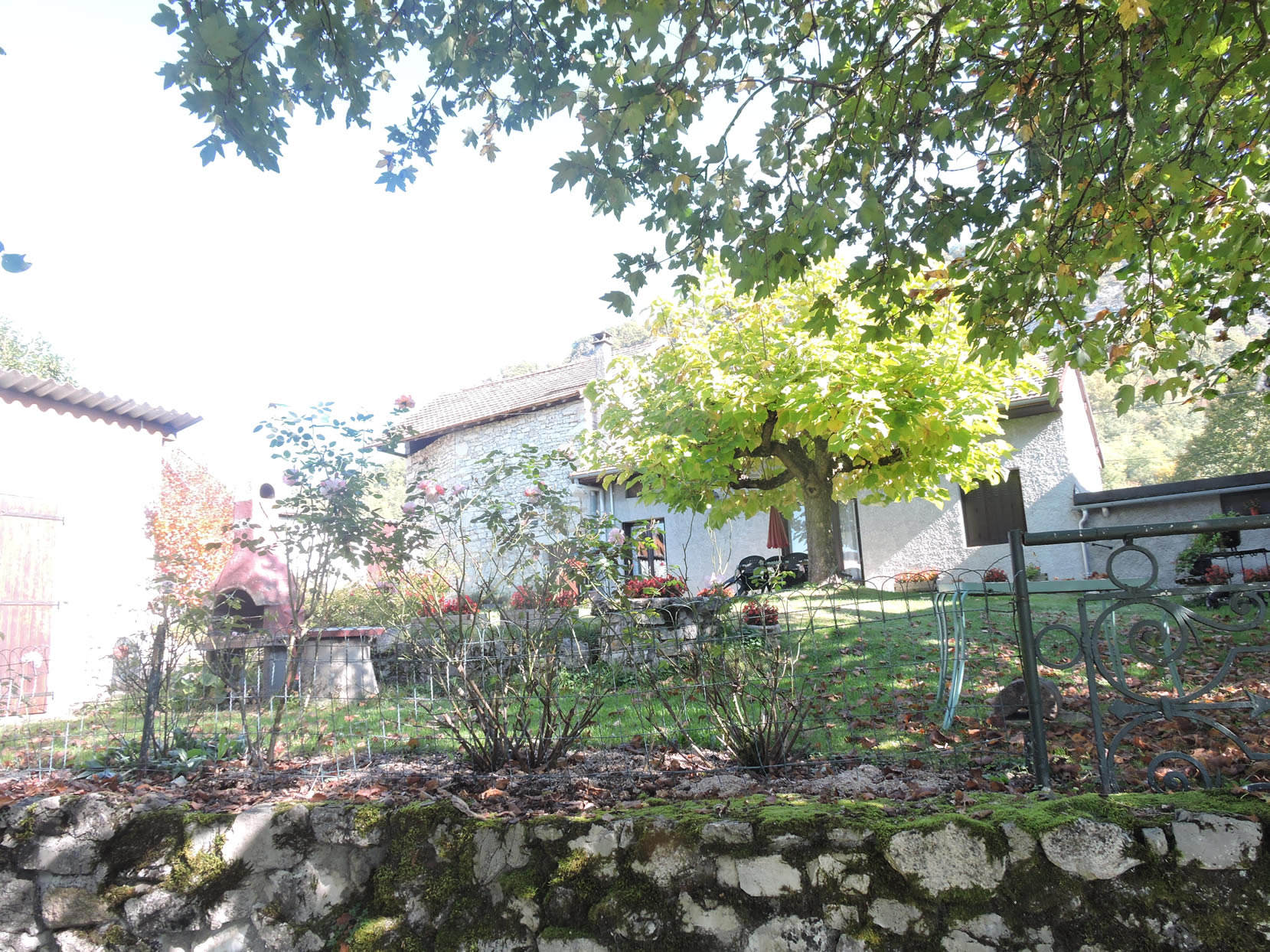
| The road, ending in a cul-de-sac, guides your steps through Vraisin, a hamlet where history and natural beauty intertwine harmoniously. The vigneron houses, crafted from sturdy local stone, oscillate between shades of gray and ochre, living testaments to a tradition rooted in the terroir. At the heart of this picturesque tableau, an ancient fountain reflects the daylight, recalling a time when water was the vital link of the community. From its promontory, the view opens majestically over the Rhône plain, spreading out like a verdant carpet as far as the eye can see. |
 |
 |
| A trail descends from the village, winding through a steep trail shaded by majestic centenarian chestnut trees. |
 |
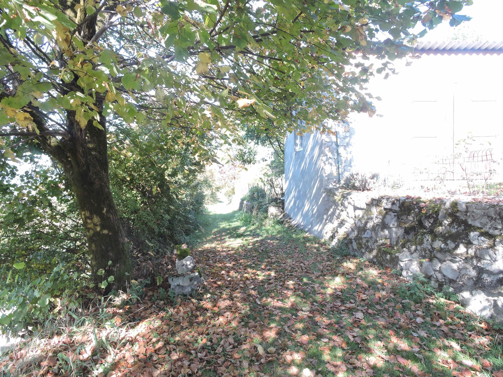 |
| Further down, among the underbrush, you rediscover the previously mentioned path leading to Lucey. |
 |
 |
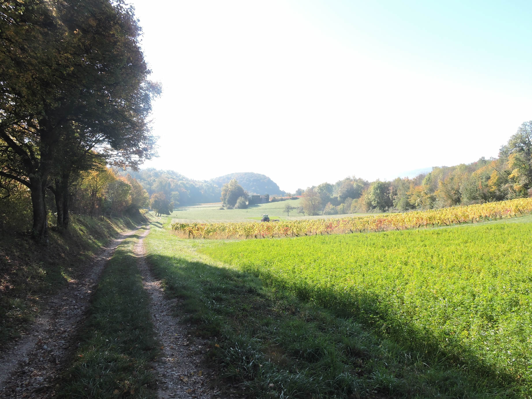
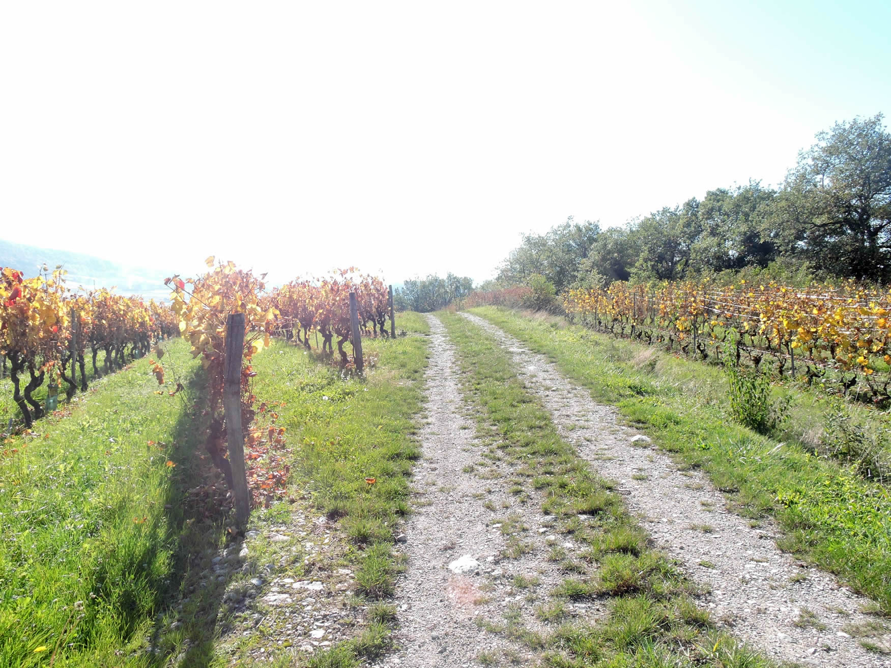
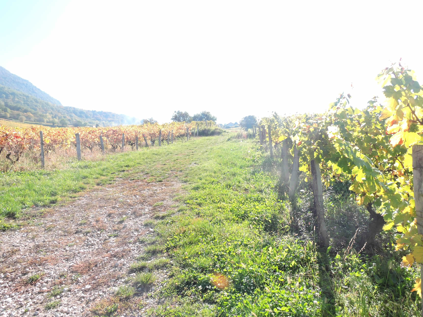
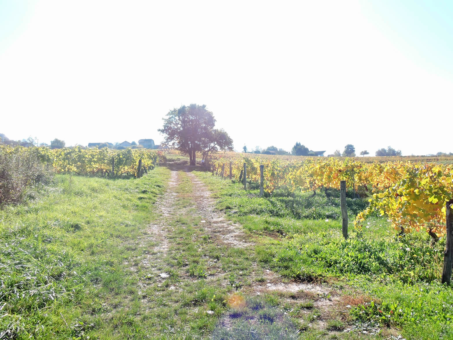
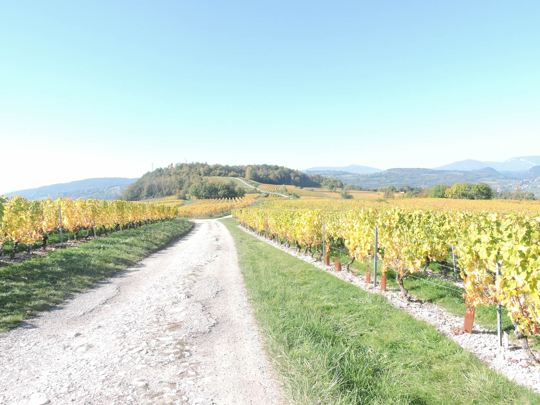
| However, the GR65 deviates from this direction and once again takes a wide path, suitable for viticultural practices, winding through the vineyard. You then walk under the vines stretching at the foot of the Vraisin promontory. |
 |
 |
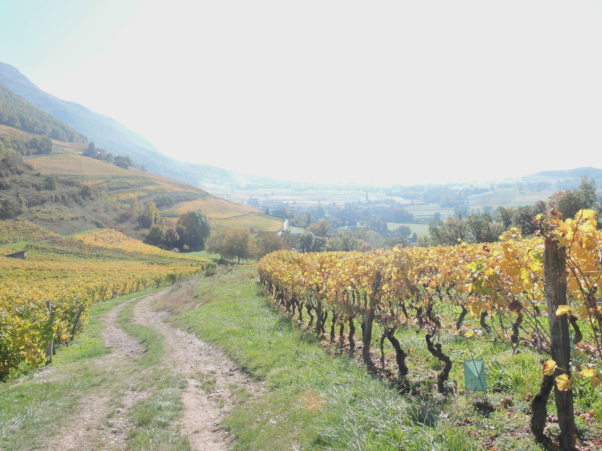
| The path then descends into the prestigious Marestel-Jongieux vineyard, where a striking panorama reveals the entire domain. In the distance, the church of Jongieux is outlined. This vineyard is rooted in clay-limestone soils and limestone scree. Among the white grape varieties cultivated here, the Altesse and Jacquère, the most common local varieties, are alongside Chardonnay and Veltliner. For red varieties, Mondeuse predominates, accompanied by Gamay and Pinot Noir. |
 |
 |
Section 5: From the vineyards to St Romain Chapel

Overview of the route’s challenges: Includes a challenging ascent at Jongieux-le-Haut through the vineyards, where the gradient approaches and sometimes exceeds 15%.
| Further down, at the base of the descent through the vineyards, the road takes over from the path. With each bend, the landscape transforms, revealing the subtle magic of this region. The vineyards paint scenes of almost unreal beauty. Here, time seems to have stopped, giving way to a tranquility almost mystical, a serenity that soothes the soul and nourishes the spirit. It’s a journey through time, an immersion in preserved nature where each step echoes as a tribute to the simple yet profound beauty of this corner of Savoy. |
 |
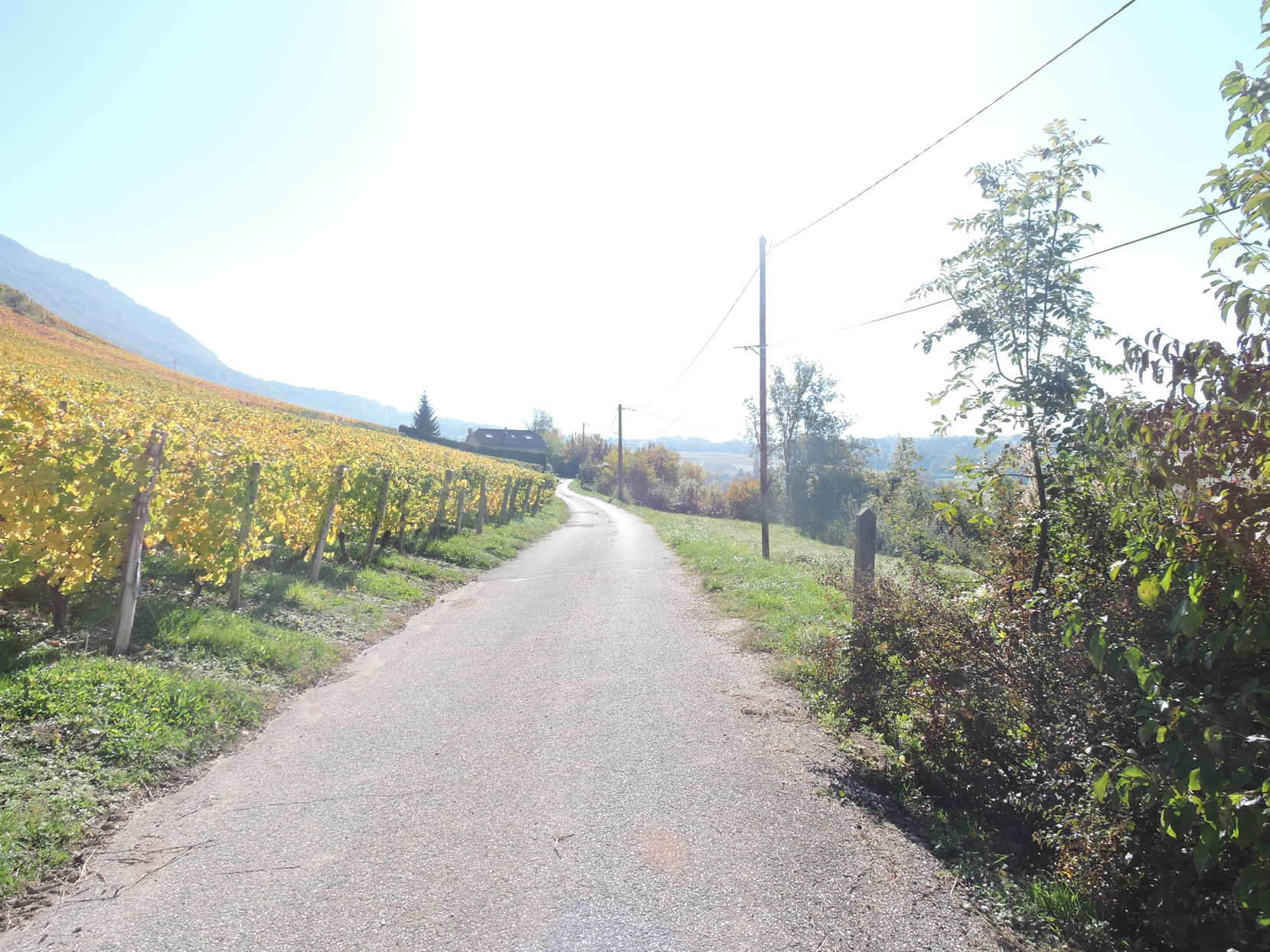 |
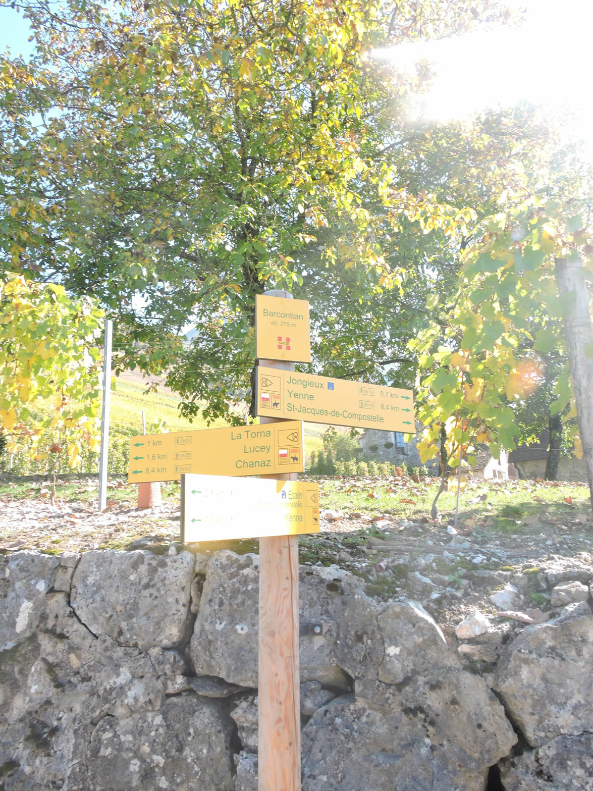
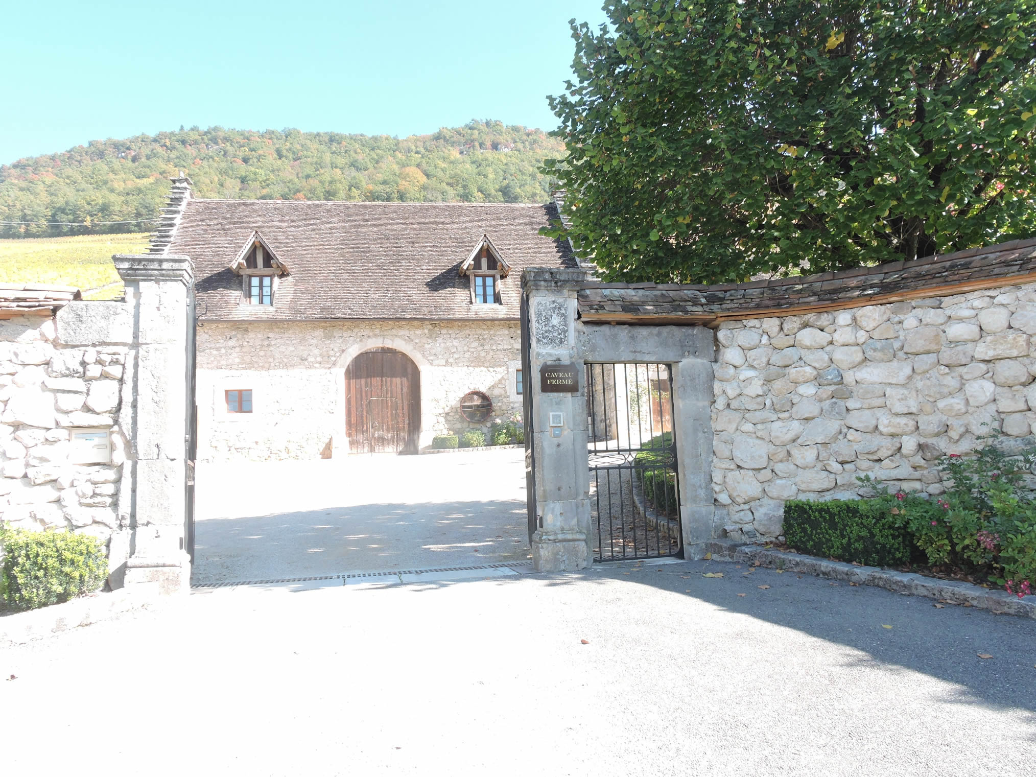
| The road then passes Barcotian, in front of the Château de La Mar estate, a producer of Marestel among other wines… |
 |
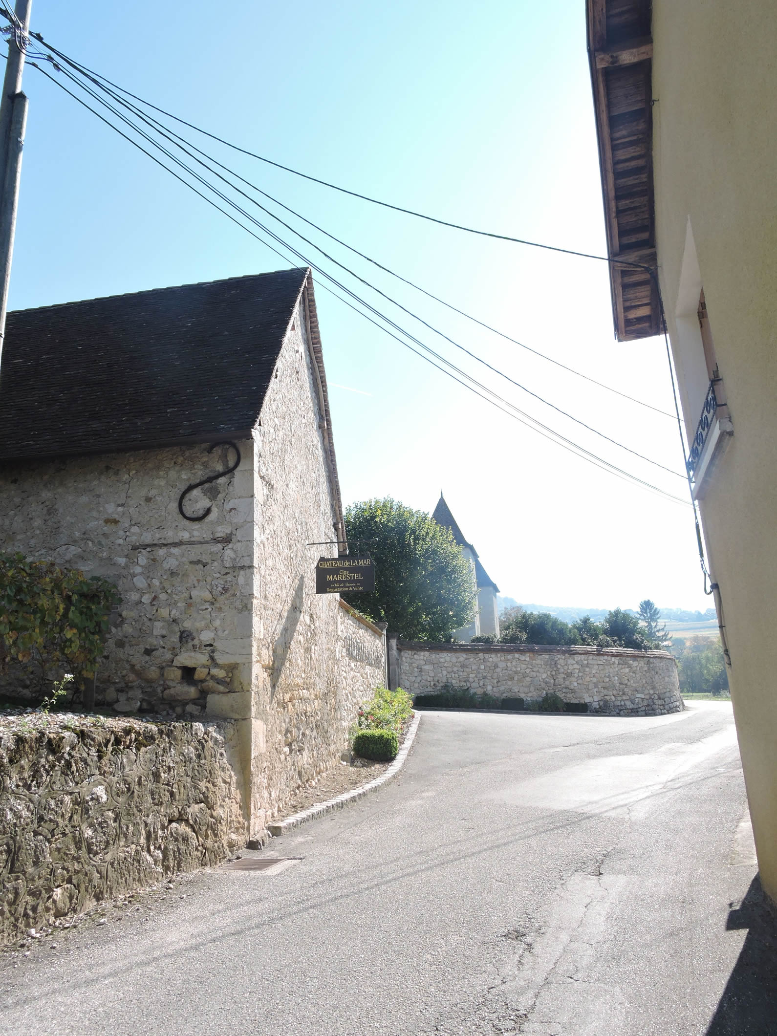 |
| …where the Altesse grape, also known as Marestel, has its origins. This vineyard, nestled in the heart of the valley, is a true treasure for fine wine enthusiasts. The name Marestel is believed to have been given by Claude Mareste, who, in the 14th century, introduced this unique grape from Cyprus, presenting it to Anne de Lusignan, Duchess of Savoy. Another legend suggests it is a descendant of the Hungarian Furmint, a wine once reserved for the elites of the Austro-Hungarian Empire, hence the name Altesse. This richness of flavors, imbued with tradition and terroir, makes Roussette de Savoie an exceptional white wine, sought after by enthusiasts willing to travel miles to taste this rare sweetness. |
 |
 |
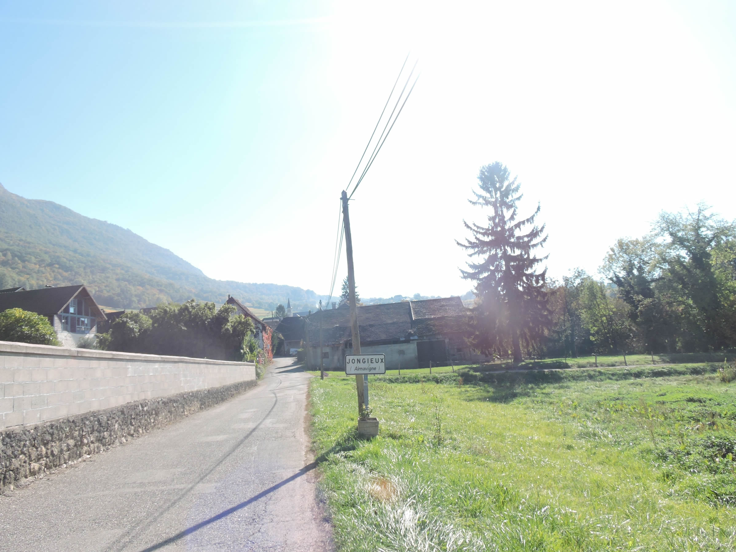
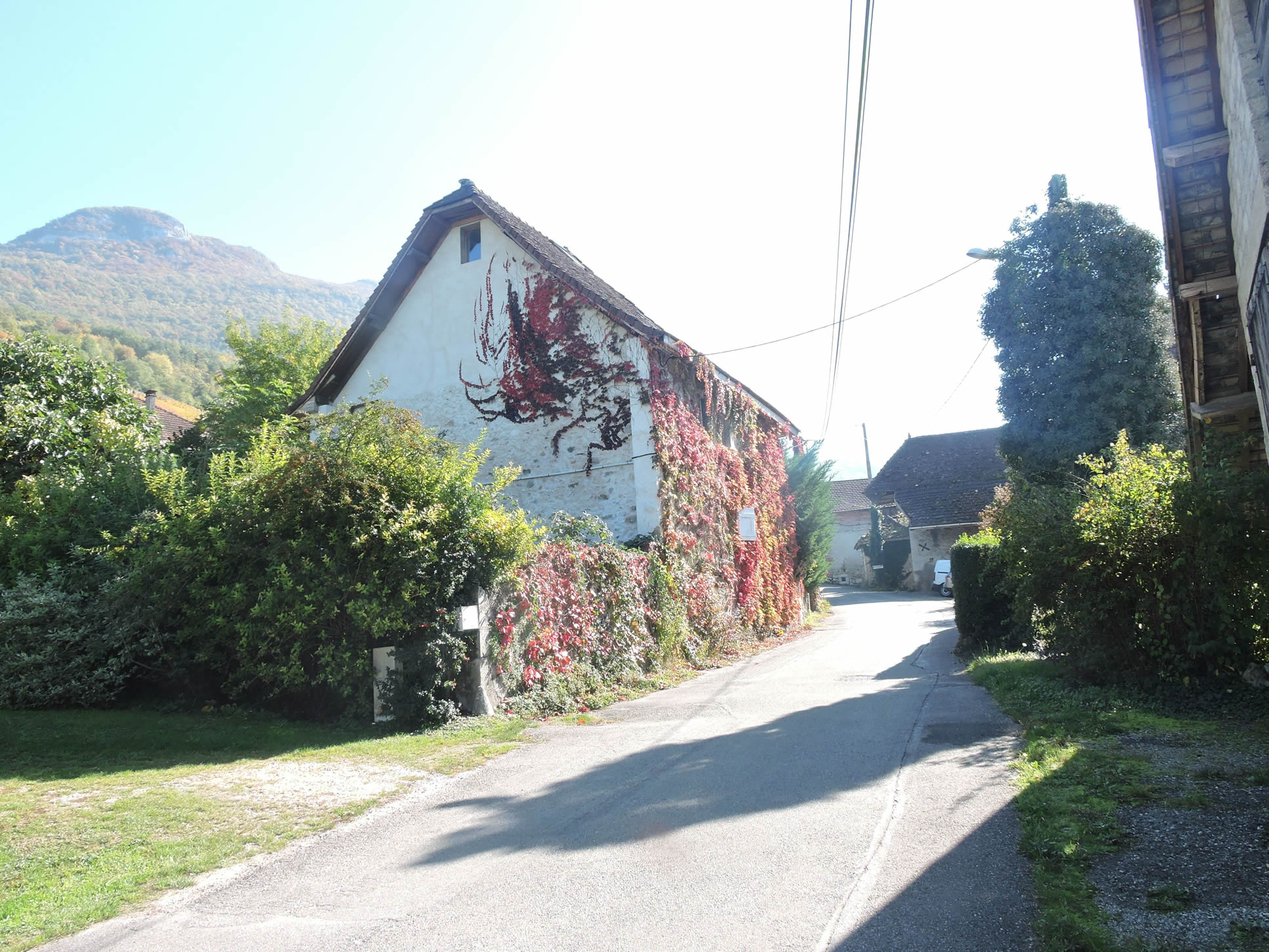
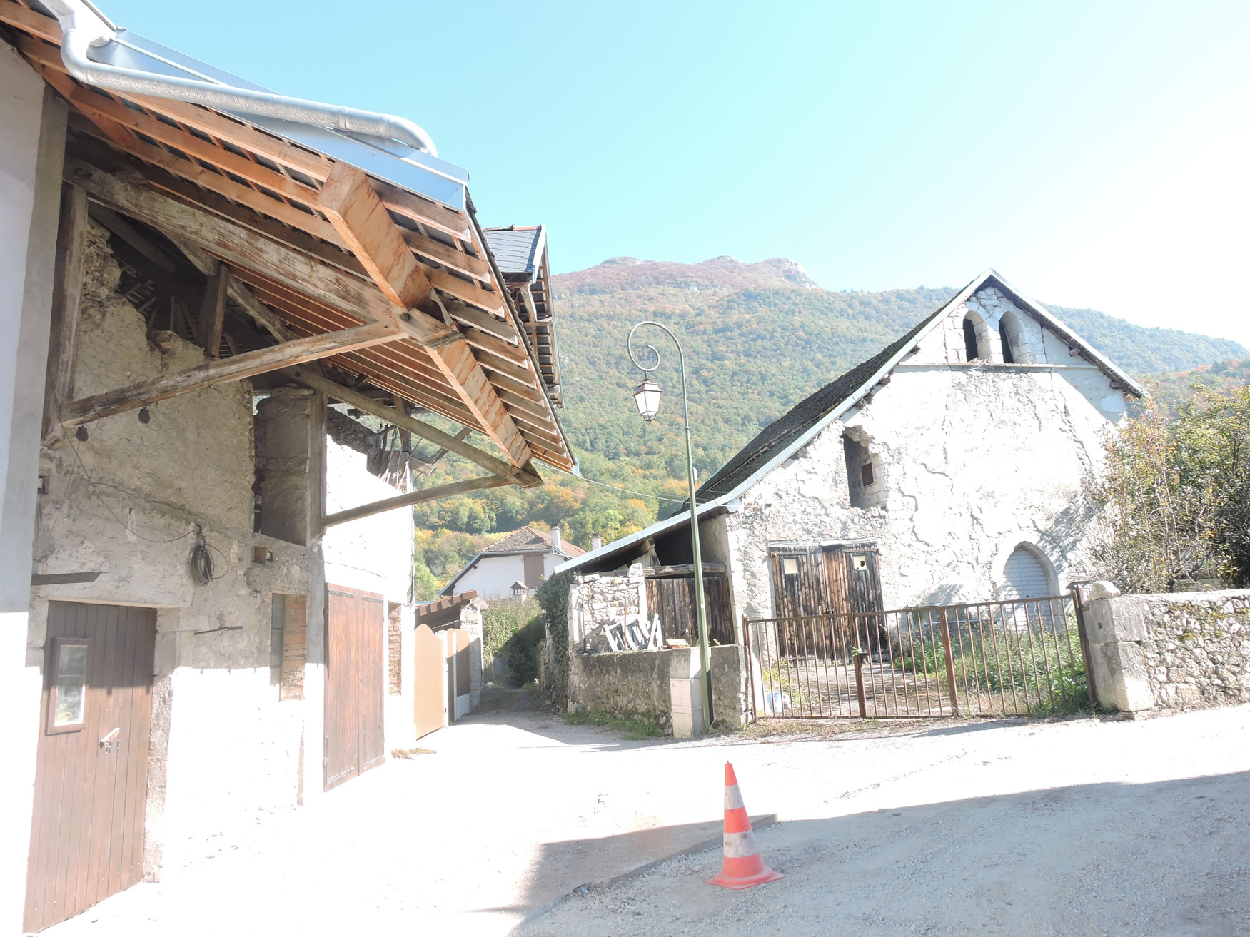
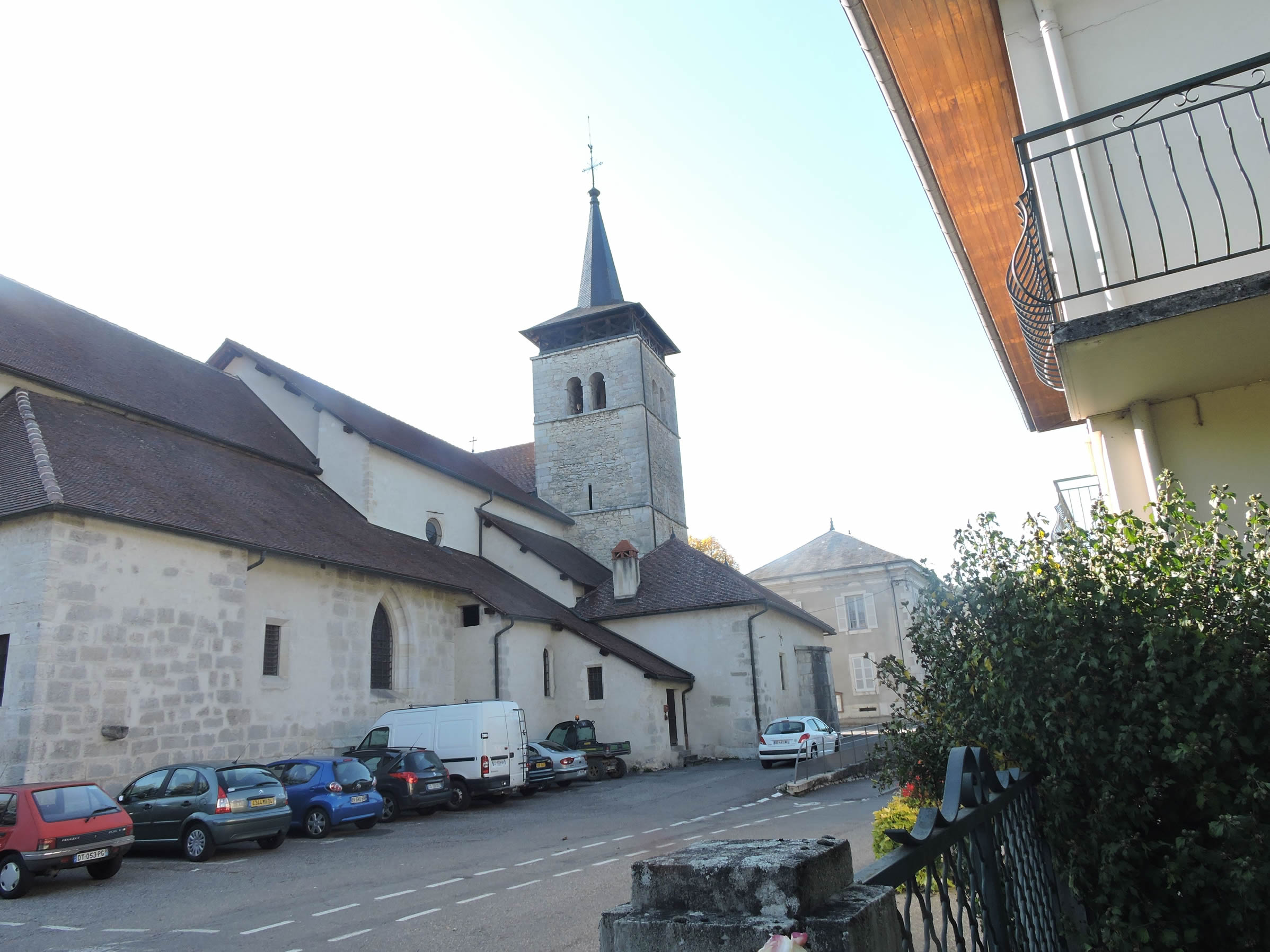
| A short distance away, the road meanders through Jongieux, the main village of the region, a true gem of Savoy. Here, stone vigneron houses adorned with ivy stand proudly, bearing witness to a rich viticultural past and unparalleled expertise. The village, with its cobbled streets and stone houses, offers a picturesque setting where each building seems to tell a story—a bygone era that remains vividly alive. The town hall, the church, the old presses—all here breathe the spirit of the vignerons, the marks of generations who have blended a love for the land with a passion for the vine. . |
 |
 |
| The road continues its ascent toward the Church of St Maurice of Jongieux, which was built over two centuries at Jongieux-le-Haut before being moved to the center of the commune at the end of the 19th century, following a municipal project. This relocation, though contested by the inhabitants of the upper village, was ultimately decided upon, as the communities of Aimavigne, Barcontian, and Vernay represented two-thirds of the population. The church, now at the heart of the plain, dominates the landscape, its ancient walls recounting the tumultuous history of these lands. It stands proudly as a stone beacon amid the vineyards, a symbol of anchorage and continuity. |
 |
 |
| At a bend in the road, a vineyard path appears, climbing with determined assurance through the vineyards clinging to the hillside. |
 |
 |
| The ascent is both demanding and rewarding, each switchback of the wide path, adapted for viticultural practices, offering a new panorama of the spectacular landscape stretching beneath your feet towards Jongieux-le-Haut. |
 |
 |
Looking back, you take in the journey completed—a mosaic of terraced vineyards under the watchful eye of the Grand Colombier, the majestic mountain that has witnessed this journey from dawn.
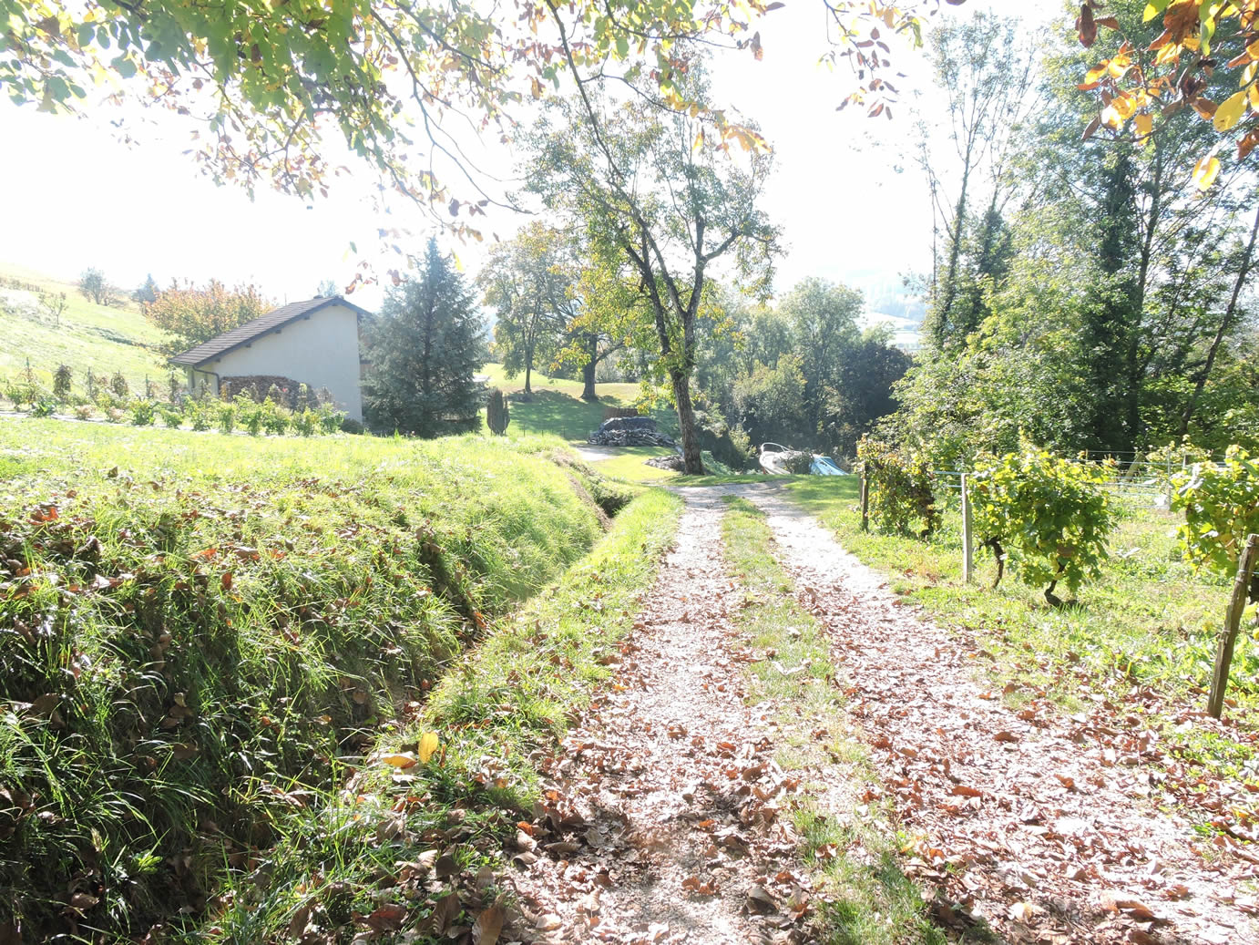
| For pilgrims, reaching Jongieux-le-Haut represents a welcome respite. In the heart of the village, the vigneron houses, modest in their rustic simplicity, stand along the narrow streets as silent guardians of a past steeped in history. Each stone, each corner tells a story, evoking centuries of effort and tradition, where the daily life of the vignerons has sculpted the landscape and forged the soul of this place. |
 |
 |
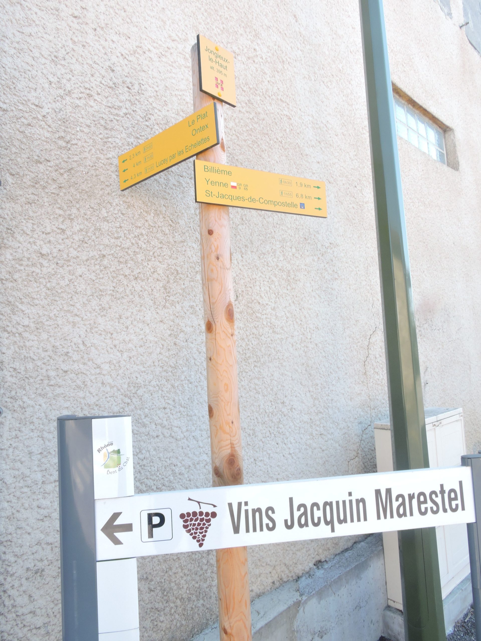
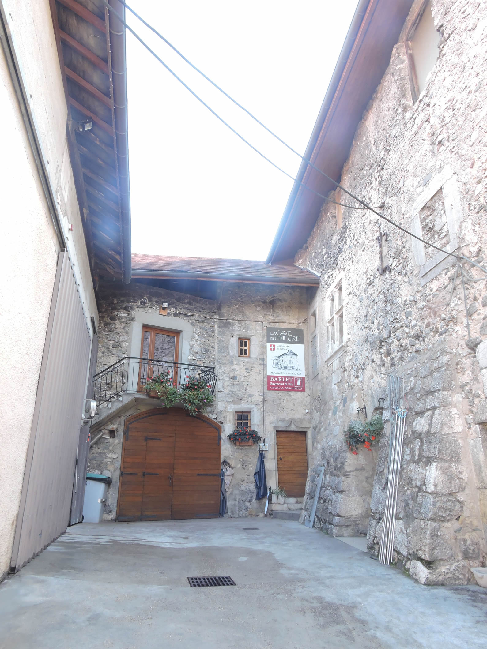
| The road winds through a village where each name evokes a promise of happiness: Aimavigne, Jongieux-le-Haut. These names proudly appear on the signs of the owners, heralding the nectars ripening here. Sometimes, the doors of the cellars open slightly, inviting travelers to a beneficial stop. Yet, too often, the hurried pilgrim overlooks these providential stops. A detour to one of these cellars, a glass of this refined wine, could illuminate the journey with a thousand delights. But you must seize the opportunity, such as finding a cellar open at the right moment. |
 |
 |
|
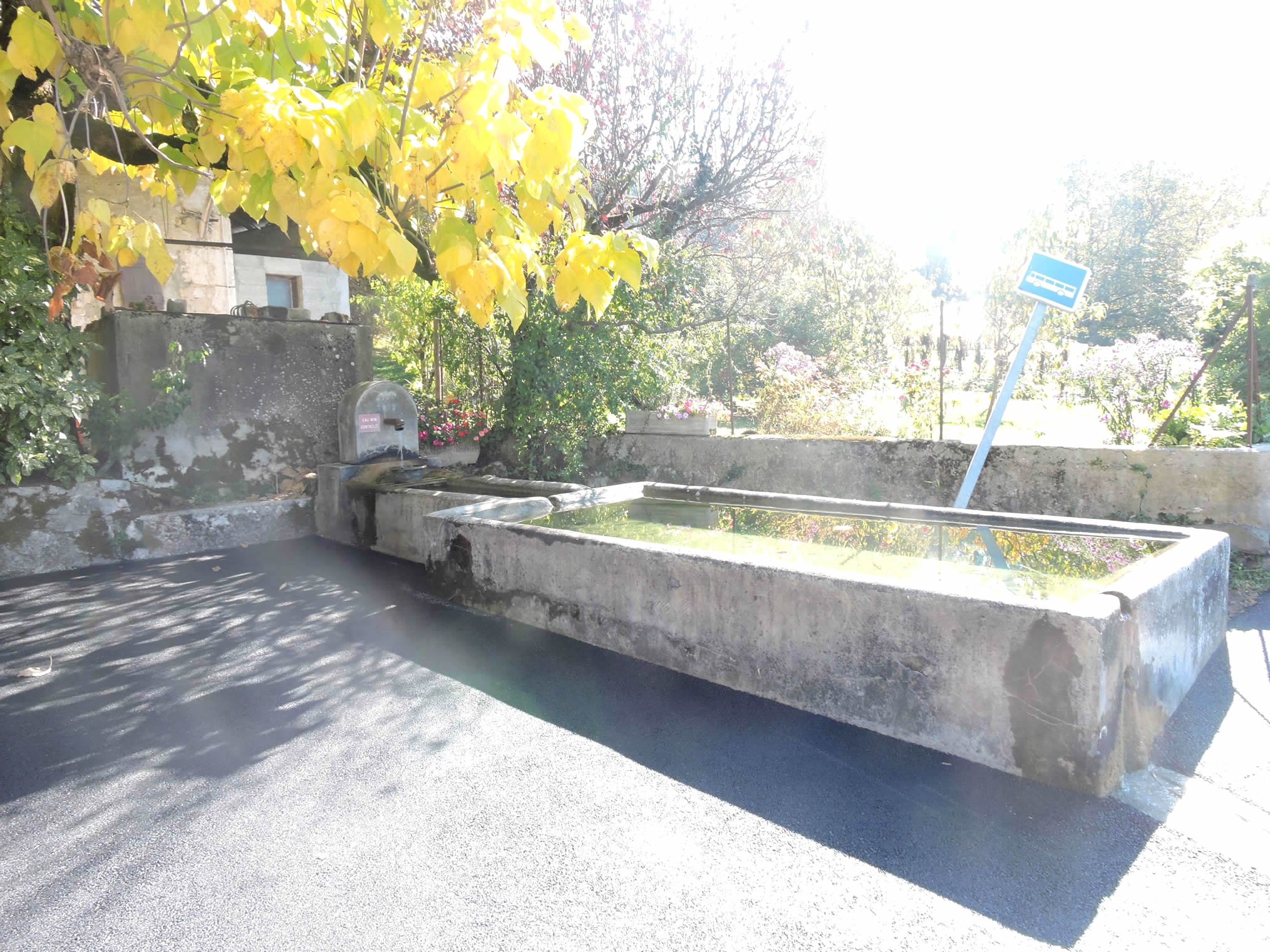
Beyond the village, the road gradually escapes, capturing the very essence of Savoyard countryside. Before the traveler’s gaze, a press screw rises like a historical relic, while an ancient fountain, graceful as a muse, dispenses non-potable water. Yet, the harvest from these lands, noble and rich in terroir, transforms into exquisite beverage—wine, the jewel of the local vineyards.
|
 |
 |
|
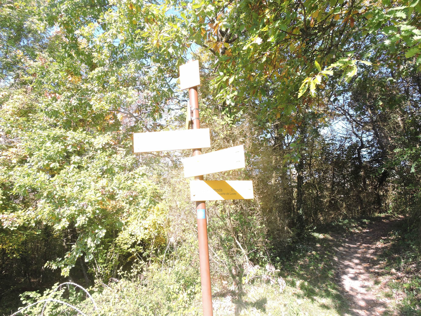
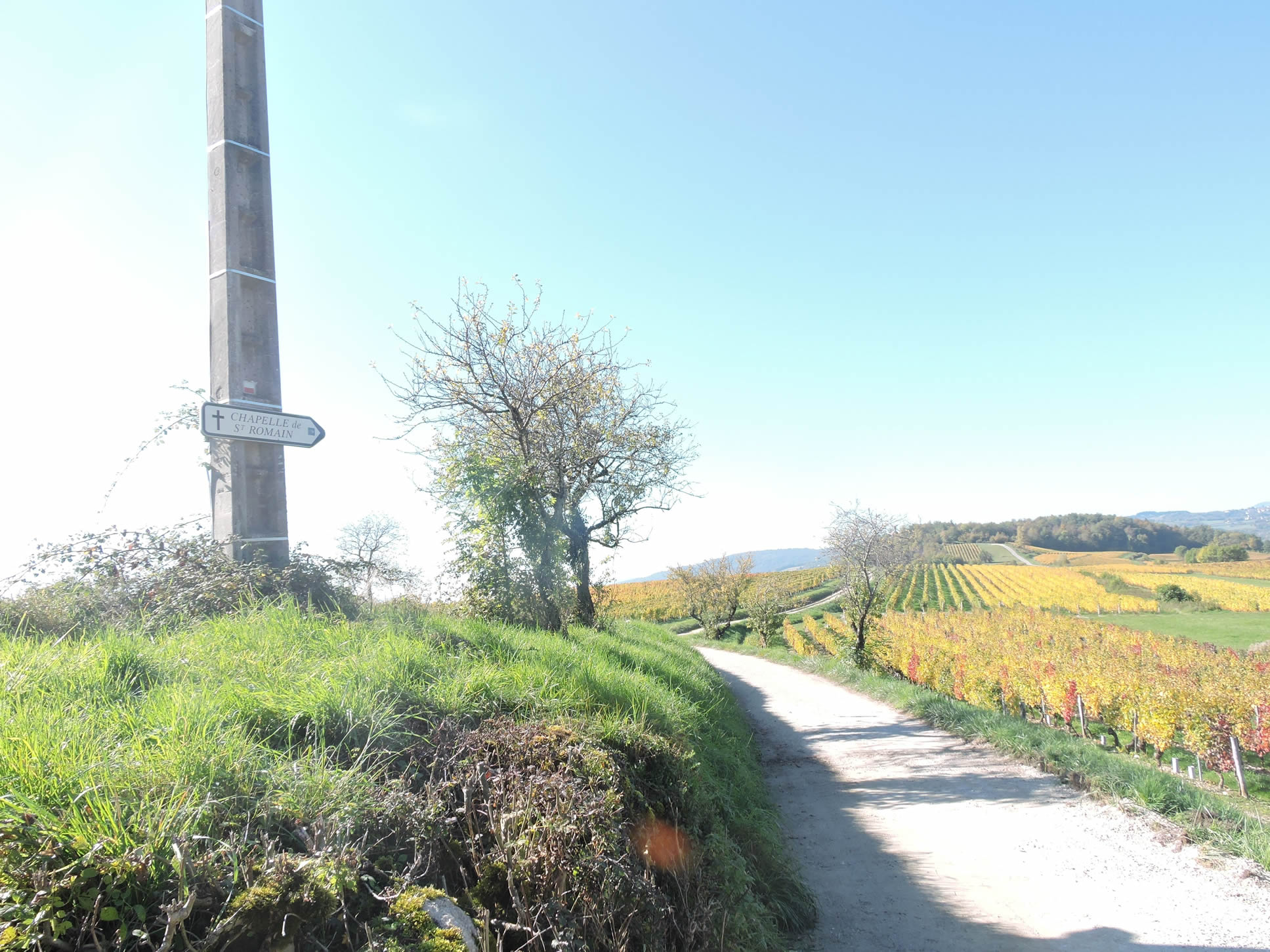
The GR65 follows the curve of the land up to the top of a hill, where the place called Le Noyer is located. A dirt path diverges toward the St Romain Chapel, crowning another distant eminence. The illusion of proximity fades as the traveler realizes the actual distance to this majestic sanctuary.
|
 |
 |
From this natural belvedere, a panoramic canvas of the Savoy vineyards unfolds. The cascading hills, the rows of vines lined up like soldiers at attention, present a spectacle as captivating as the Grand Colombier in the background, its majestic silhouette emerging from the morning mists. Here, the full splendor of a land shaped by expert hands is revealed—a land where every parcel tells a story of labor and passion, under the aegis of a breathtaking landscape.
| The dirt path winds through the last vines that undulate like gentle waves, with a cross planted on the slope. The pilgrim’s steps resonate on the beaten earth, a symphony of simplicity and rusticity guiding toward the hill. |
 |
 |
| The chapel becomes increasingly distinct as the path turns to tarmac. The slope then intensifies, requiring extra effort as you leave behind the golden vineyards of Savoy, silent witnesses to human toil. |
 |
 |
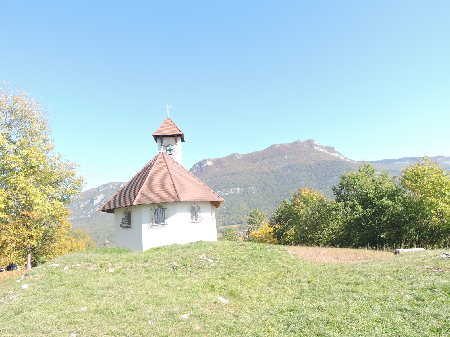
| The climb becomes a dance with gravity, a graceful struggle against the steep incline leading to the Chapel of St Romain. Standing solitary on its hill, this humble church seems to bridge the past and the present. Although it dates only from 1995, it replaces a primitive chapel from the 6th century, preserving a millennial heritage of worship and contemplation. |
 |
 |
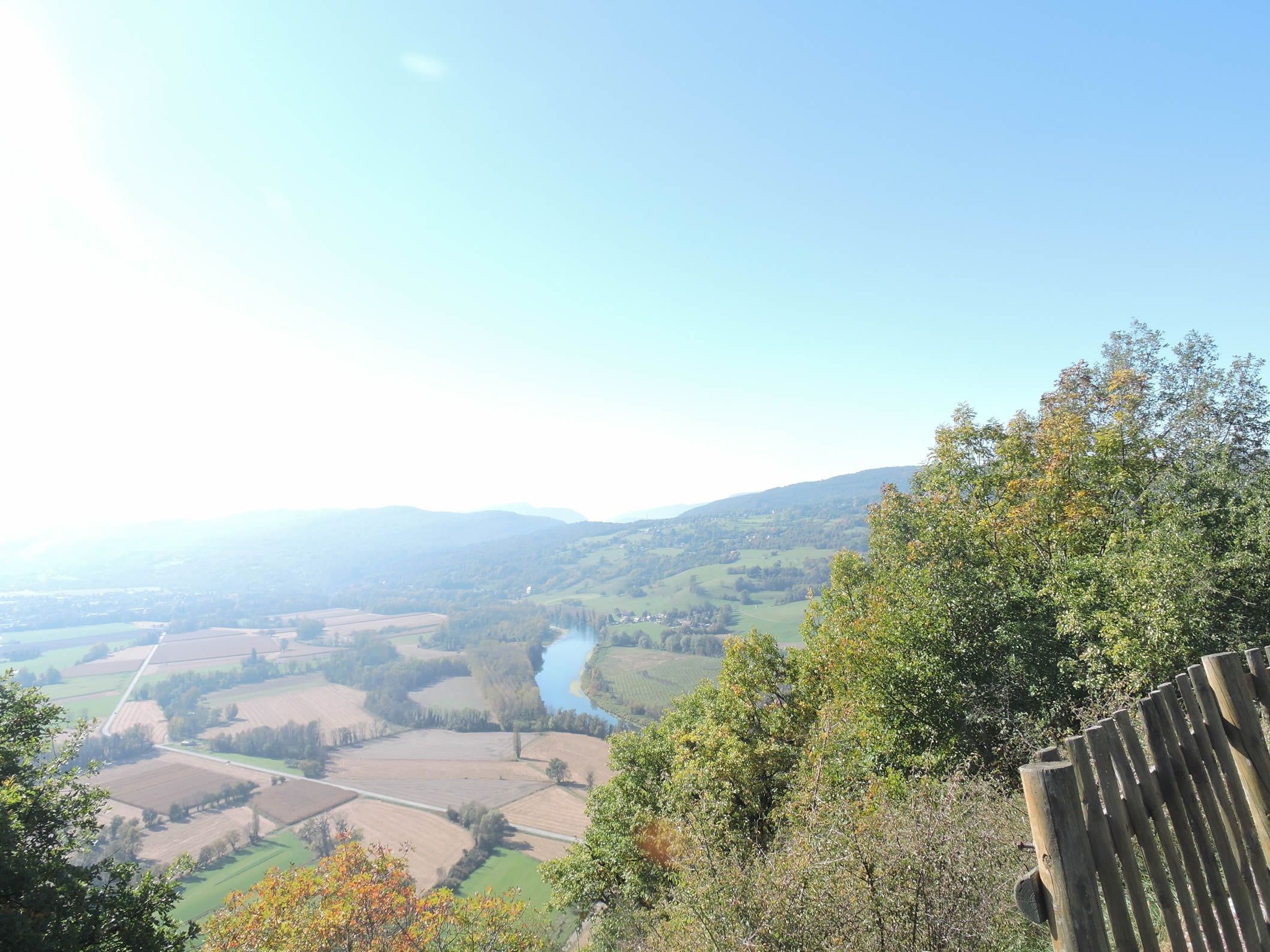
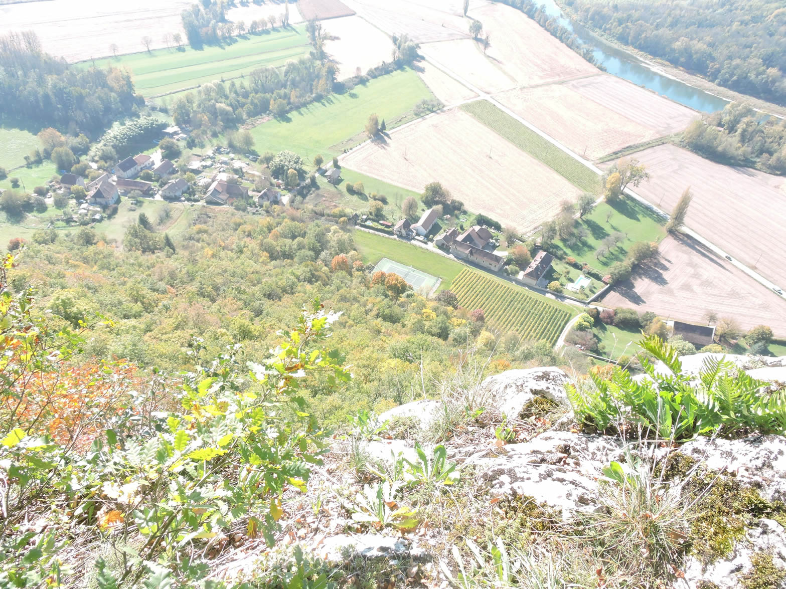
| From the chapel’s forecourt, an unexpected and breathtaking spectacle unfolds before the visitors’ amazed eyes. The shimmering meanders of the Rhône snake through the plain of Yenne, offering a striking contrast to the majestic silhouette of the Dent du Chat dominating the horizon. It is a divine tableau where land and water meet in perfect harmony, like a living painting on the infinite canvas of the sky. |
 |
 |

| The descent toward the Rhône plain is far from a mere formality. Many pilgrims still recall the formidable descent of Roncevaux in the rain, considered one of the greatest trials of the Camino de Santiago. Here, in rainy weather, this descent can also turn into a true nightmare, a hell for the less seasoned. From the outset, warnings advise hikers about the precautions to take. These instructions are also written in German for the many German and Swiss pilgrims on the Via Gebennensis. Such precautions are well warranted given the challenging terrain. |
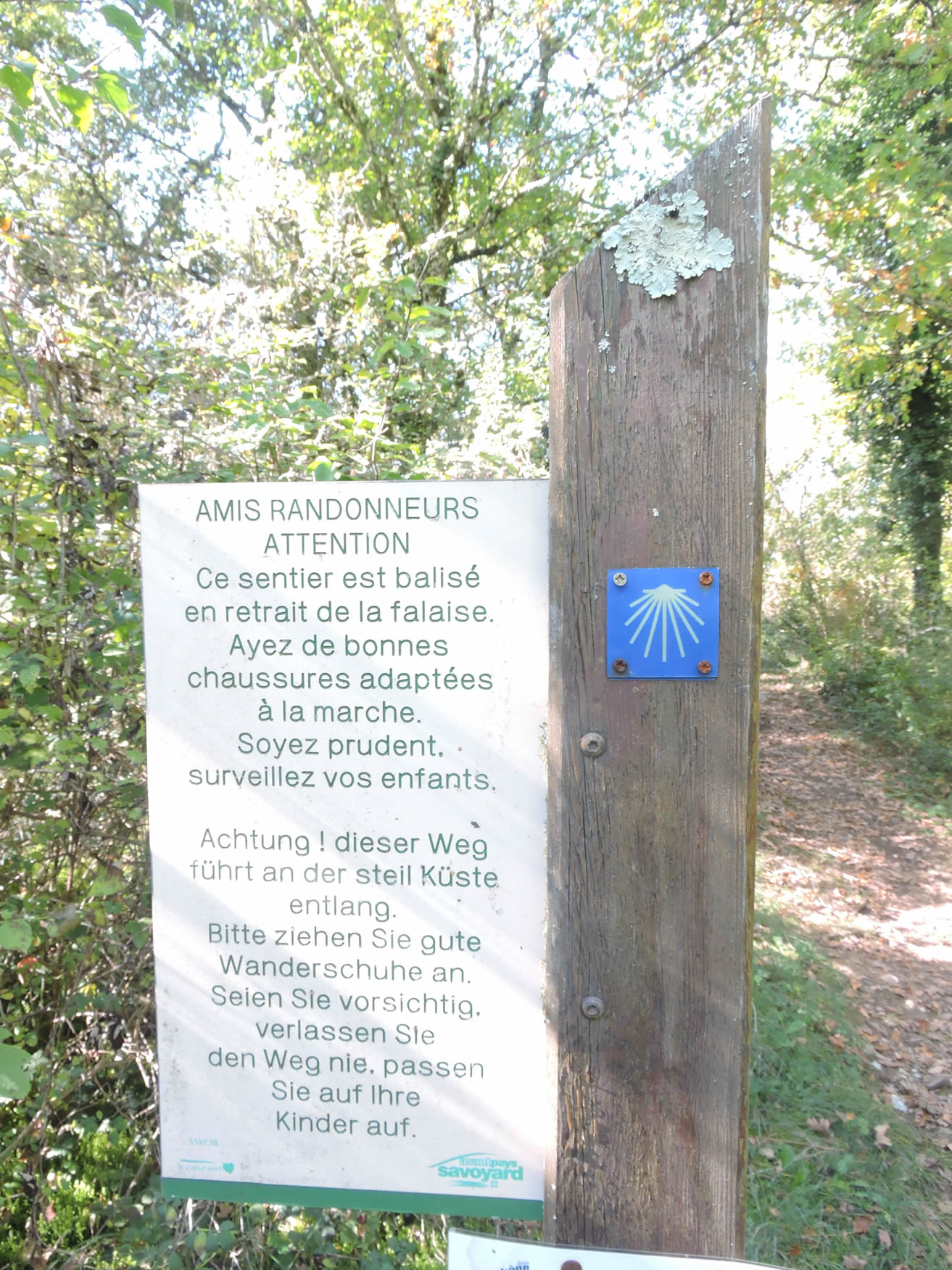 |
 |
As you approach the cliff’s edge, you can glimpse Lagneux far below, minuscule and distant, over 200 meters lower. The descent extends over a kilometer, with vertiginous slopes sometimes reaching more than 35%. It is a true test of courage and endurance, a trial of the pilgrim’s determination against the relentless nature.
Section 6: A nerve-wracking descent before reaching the Rhône banks

Overview of the route’s challenges: a punishing descent from the Chapel of St Romain, with gradients reaching up to 35% on a rough path. Then, a respite…

|
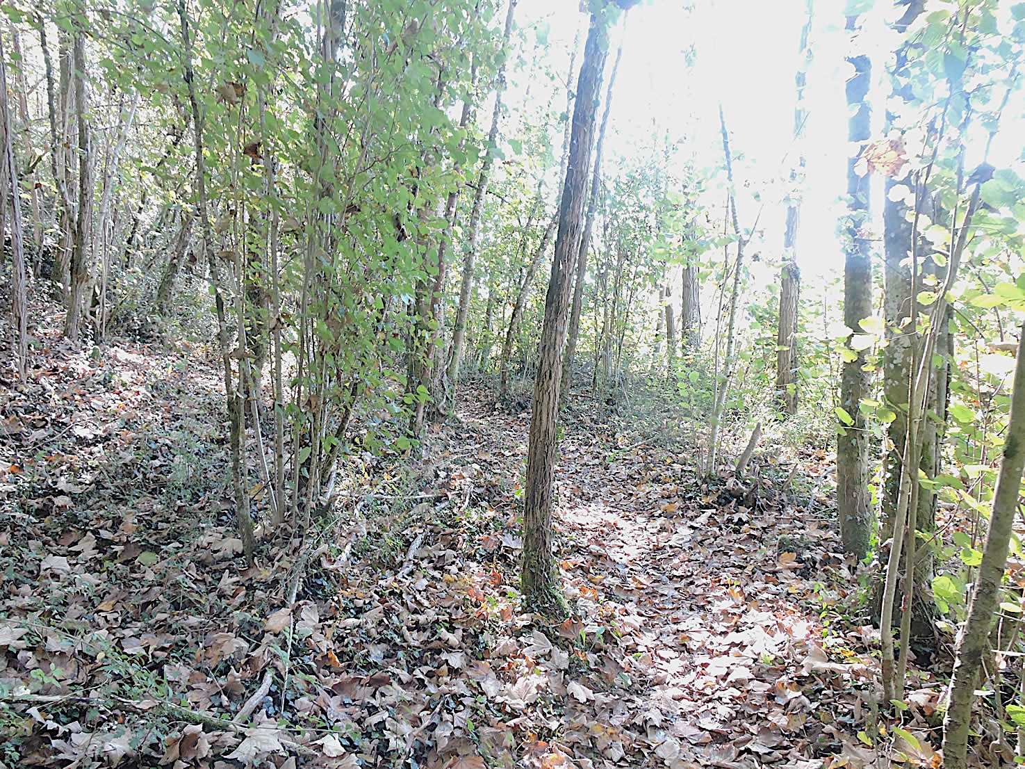
Initially, a trail seems almost inviting, gently undulating along the ridge before plunging into a descent toward the valley. However, it gradually descends into a tangle of scrubs and stunted hardwoods, immersing the walker in a wilder, more intimate nature.
|
 |
 |
| The trail cautiously avoids the cliff edge, preferring to wind in zigzags through the foliage covered in ivy and moss. During a descent in the rain, the difficulties multiply: each step becomes a challenge, each meter covered a struggle to avoid slipping. It is necessary to cling to the beech shoots and young chestnut trees, with wet leaves turning the ground into a slippery trap. The more seasoned hikers know that this section of the trail requires not only endurance but also constant vigilance. |
 |
 |
| In the steeper sections, wooden logs, weathered by time and the elements, hold the soil and prevent slips. These simple but effective structures provide a semblance of safety. A few majestic oaks and sturdy pines cling to the slopes as sentinels watching over the passage, though most of the time, it is small, scraggly chestnut and beech trees that line the path. Their presence is a testament to nature’s resilience under the harshest conditions. |
 |
 |
Lower down, as the end of the descent approaches, the slope gradually eases. Under the steep cliffs, the lush and exuberant vegetation takes over, providing a striking contrast to the harshness of the previous slopes. Here, lush ferns and emerald mosses carpet the ground, creating a natural mat under the hiker’s feet. Despite the demanding nature of the descent, there is no real danger, only the promise of a gentler terrain as you progress. Each step is a victory, each breath a celebration of resilience and perseverance.
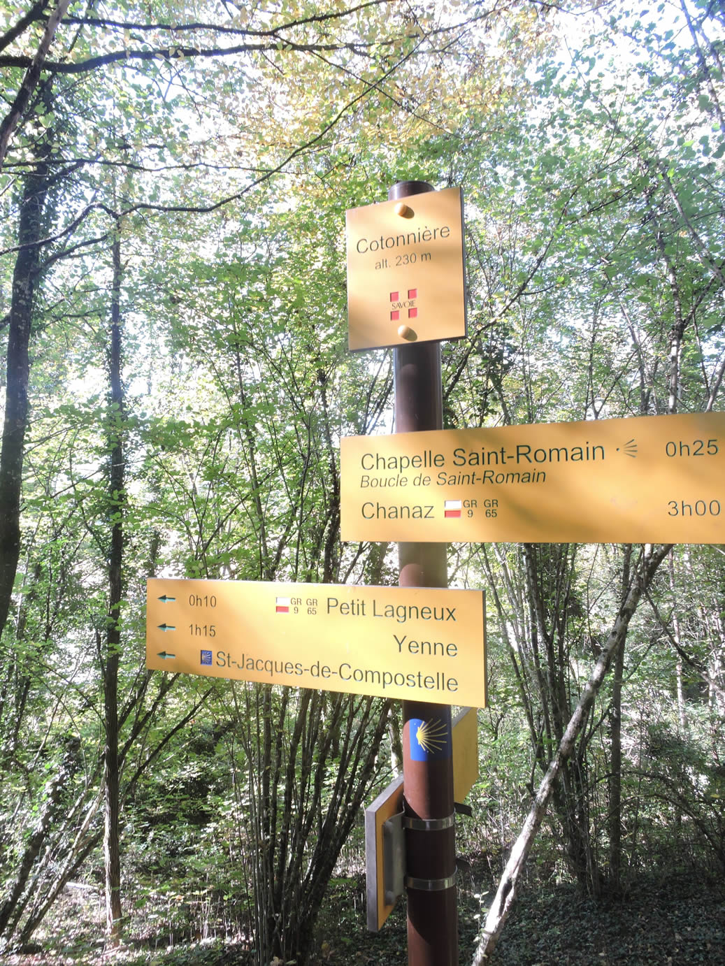
| Regardless of the weather conditions, reaching the bottom of the descent is a blessing for knees and joints, especially for older hikers. The satisfaction of finally touching solid ground at the place called Cotonnière is immense. Here, the landscape opens up again, nature takes on a gentler and more welcoming demeanor in the underbrush, offering a well-deserved respite after the trials of the descent. |
 |
 |
| From this point, a wider path gently undulates through the underbrush, providing a shaded and peaceful break before emerging into the open air and crossing the departmental road D921 at the forest’s edge. The trees gradually recede, giving way to a more open and welcoming panorama. |
 |
 |
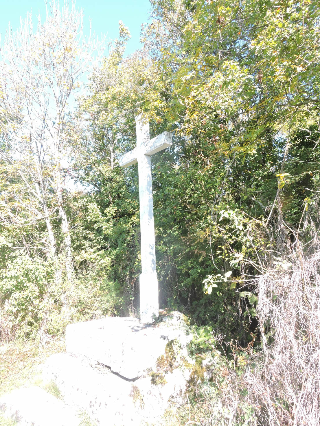
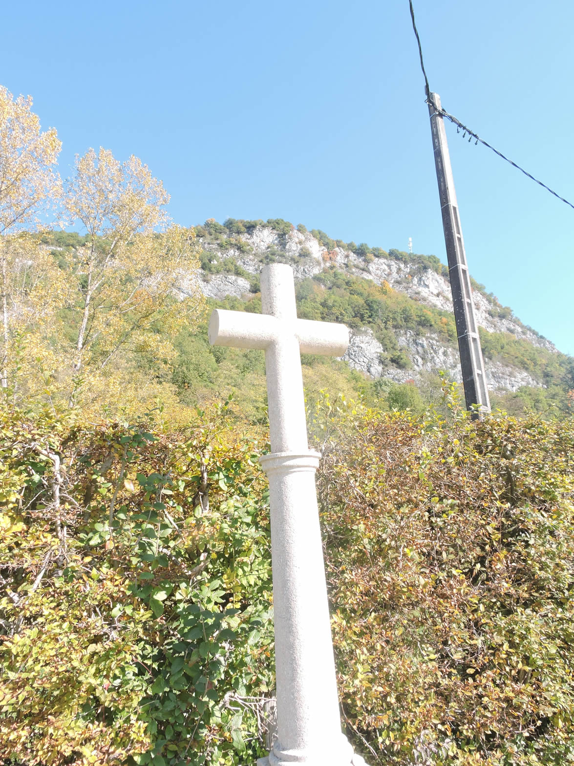
A granite cross is planted here, like an eternal symbol, facing the majestic cliff. It seems to watch over the route and travelers, a silent sentinel marking the transition between the dense forest and the open space.
| The GR65 then follows the departmental road for a few hundred meters before turning back toward the cliff. The view opens up to a magnificent perspective of the Massif du Chat on the horizon, a grand spectacle that seems to reward the efforts made so far. From this point on, the effort significantly decreases. The route becomes an enjoyable and nearly flat stroll toward Yenne, offering hikers a well-deserved reprieve after the rigors of the descent. |
 |
 |
| A small road leads to Petit Lagneux, a picturesque hamlet where beautiful houses of vivid stone, partially covered in lime, stand proudly, each stone whispering of bygone days. |
 |
 |
| Yet again, as often on the Camino de Santiago, passing through Petit Lagneux is merely a detour to avoid the departmental road, where traffic, though moderate, is still present. The road then leaves the hamlet to return to D921 road, reminding pilgrims that even the most picturesque routes must sometimes accommodate modern necessities. |
 |
 |
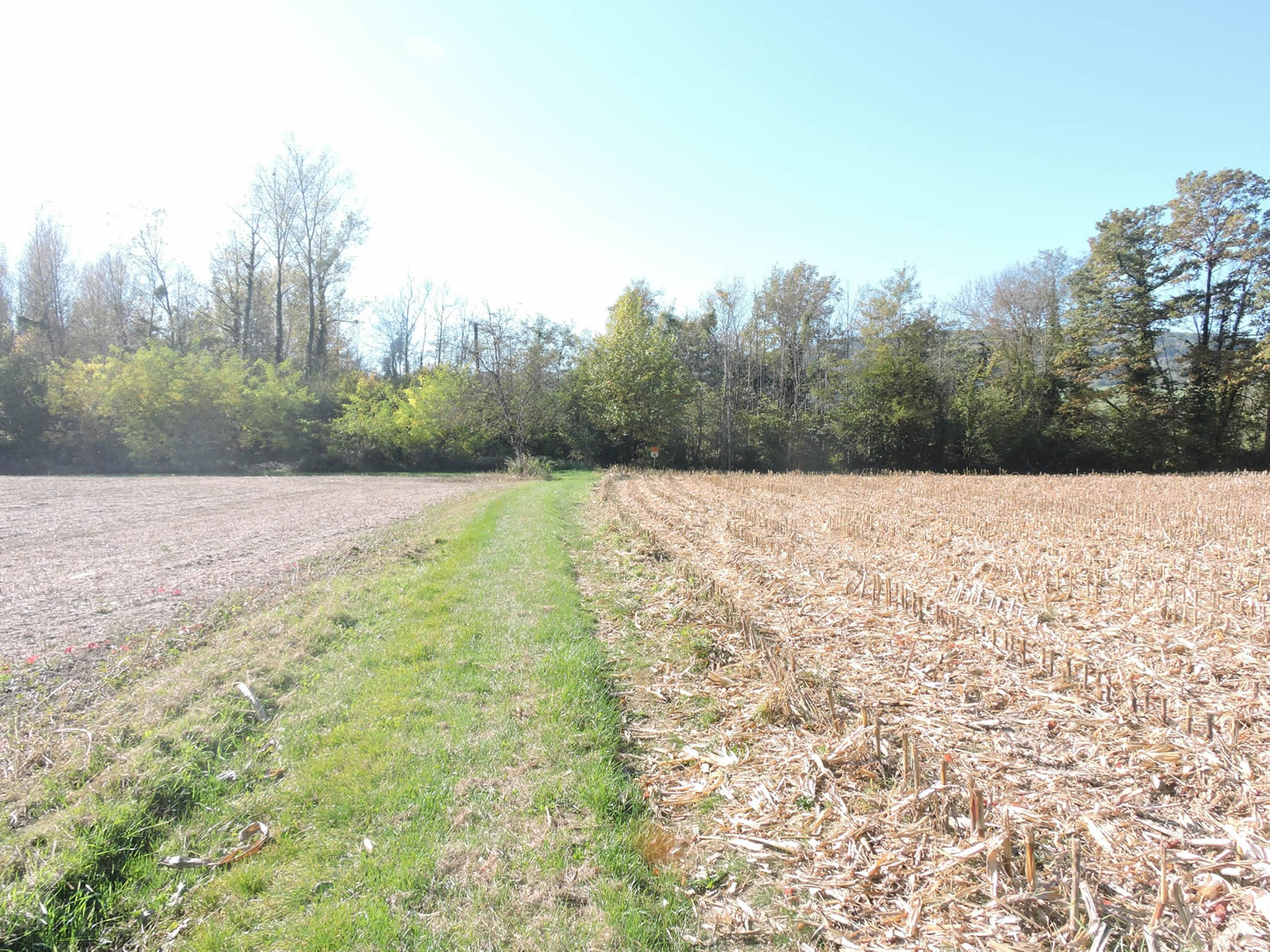
| The GR65 crosses the departmental road and ventures through cornfields toward the Rhône and the adjacent underbrush. Here, the landscape becomes monotonous and dreary, typical of all plains given over to cereal crops. Uniform and thirsty cornfields stretch as far as the eye can see, devoid of the bucolic charm of vineyards or flowering meadows. |
 |
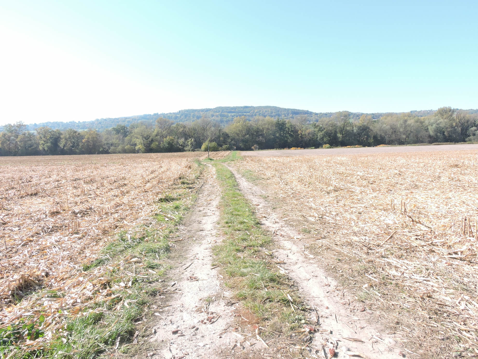 |
| The path continues through this bleak plain, where soon only the dull stalks of water-hungry corn will dominate the landscape. The monotony of intensive crops starkly contrasts with the richness of the landscapes traversed earlier. |
 |
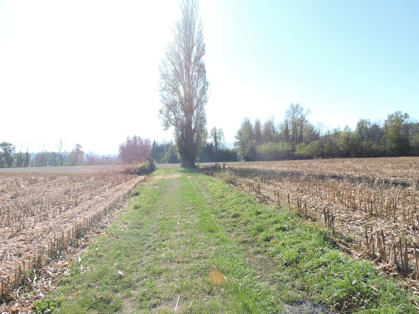 |
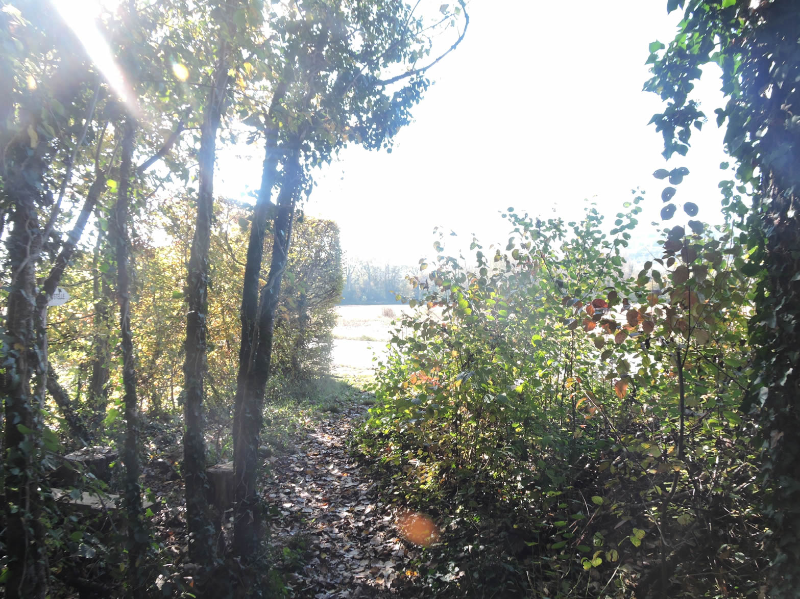
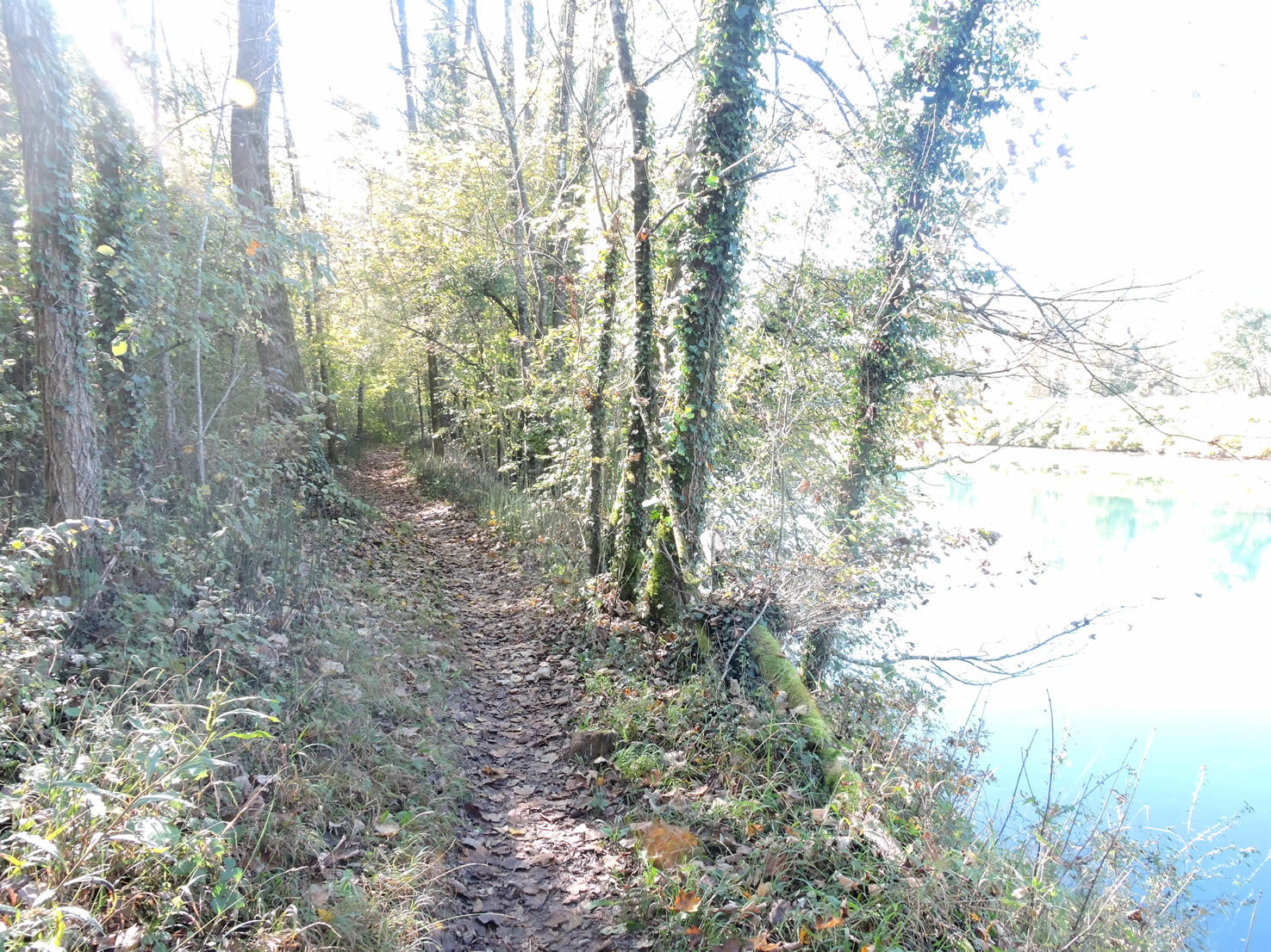
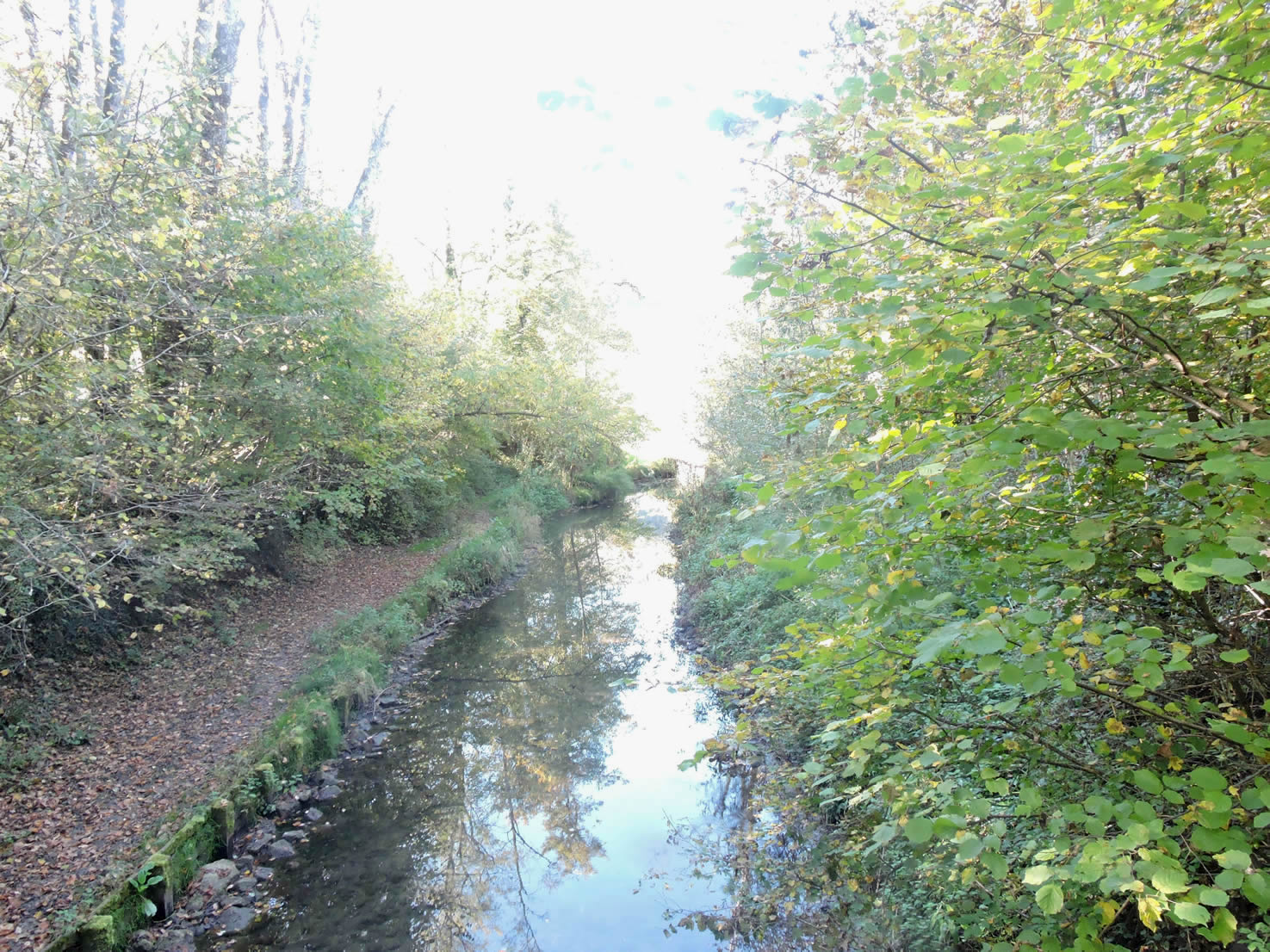
| Then, the path discreetly crosses the Lône stream, barely perceptible, before reaching the majestic banks of the Rhône River. Here, the pleasure of walking along the river is renewed, with a nearly complete palette of deciduous trees lining its banks. Frail chestnut trees, modest field maples, and alder trees guarding the rivers compete for prominence, adding a touch of greenery and serenity to the end of the stage. |
 |
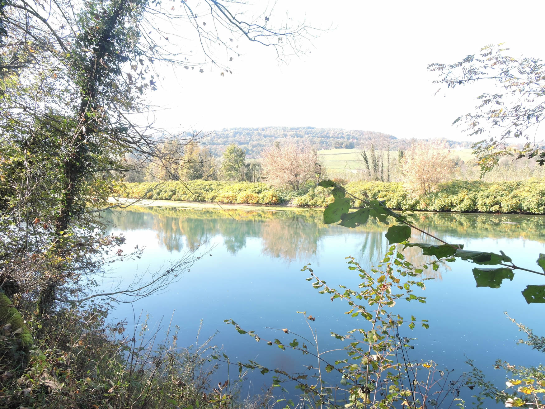 |
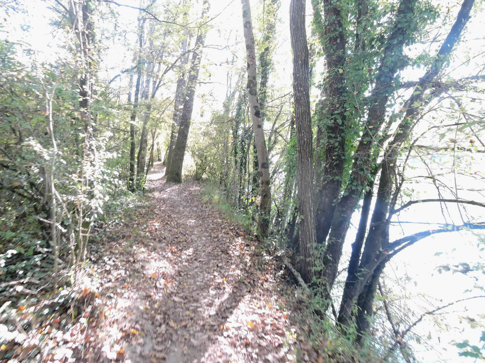
| The GR65 follows the Rhône bank for a while, finally offering pilgrims the chance to walk beside this river often closed to hikers downstream. The calming presence of water and trees provides a welcome respite. |
 |
 |
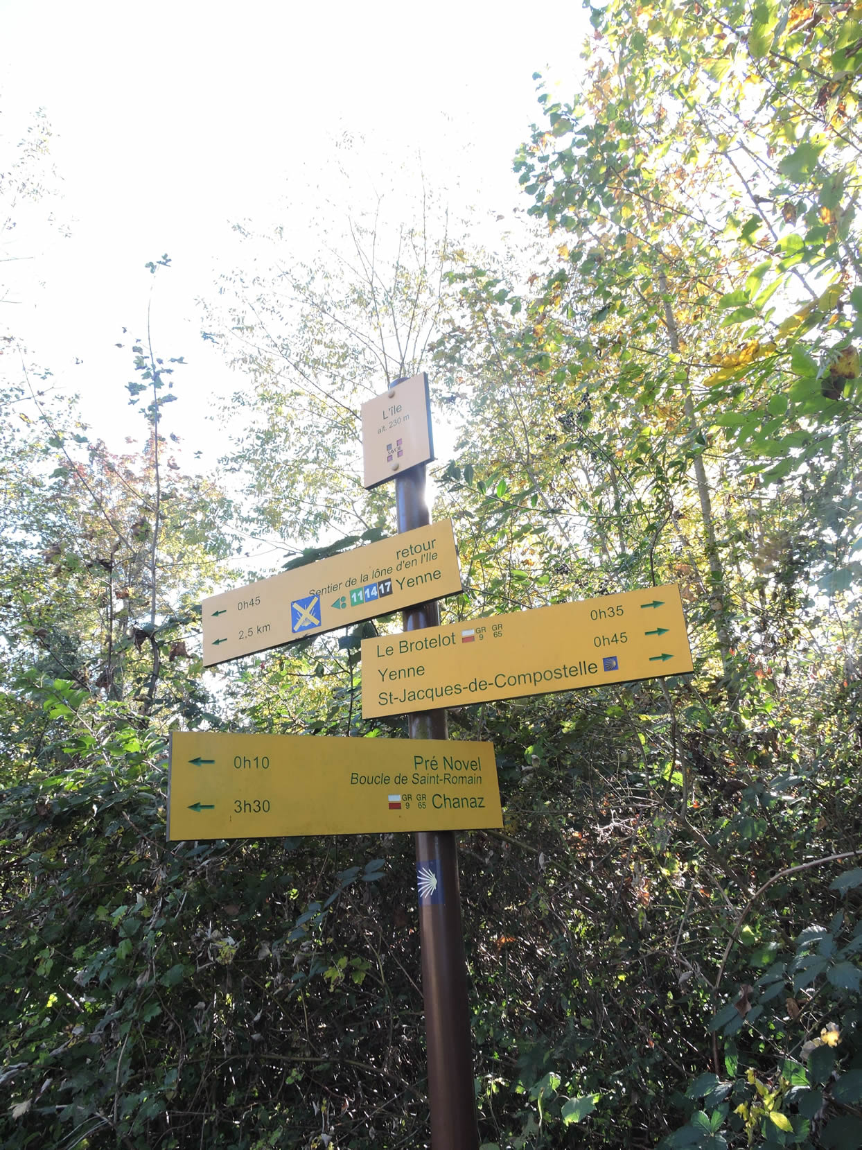
Further on, the path diverges from the river at the place called L’Île, a picturesque spot where two arms of the Rhône embrace a small island.
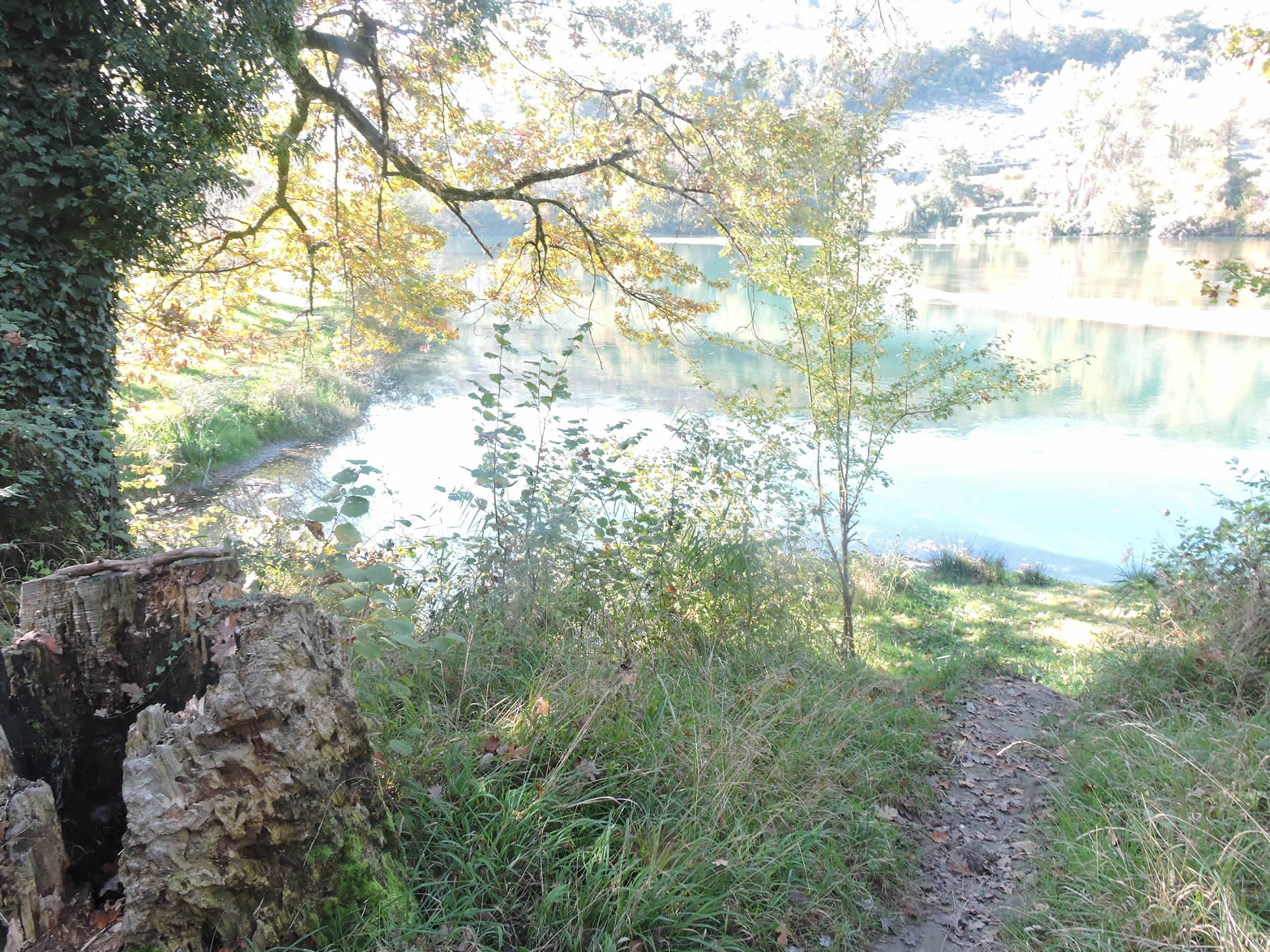
| Shortly after, the path reencounters the river, giving walkers a sense of pleasure and satisfaction. The Rhône reveals itself in all its splendor, a resplendent blue under a clear sky. However, during prolonged rainy weather, the river changes its face, turning gray and brown, carrying wood debris. The paths then become quite muddy, turning the walk into a true test of endurance. |
 |
 |
| In spring, along the Rhône, hikers are greeted by a fragrant surprise: hectares of wild garlic carpet the banks, their subtle aroma almost seeping into clothing. These green and flowering carpets add a scented, wild note to the landscape, making the walk even more pleasant and immersive. |
 |
 |
| As the path leaves the Rhône bank at the entrance to Yenne, it crosses the Lône stream, its waters flowing calm and serene. The gentle murmur of the stream offers a moment of tranquility before entering the small town. |
 |
 |
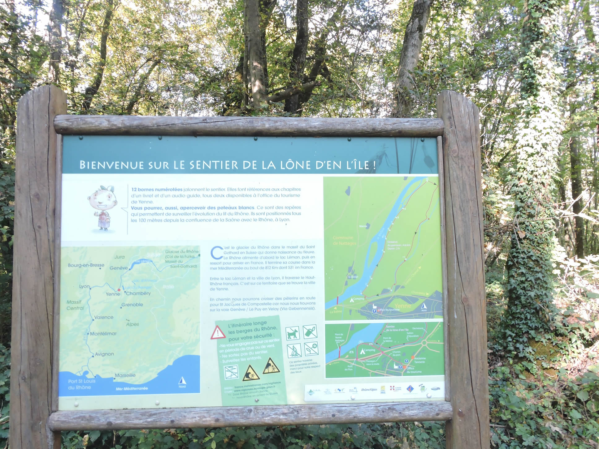
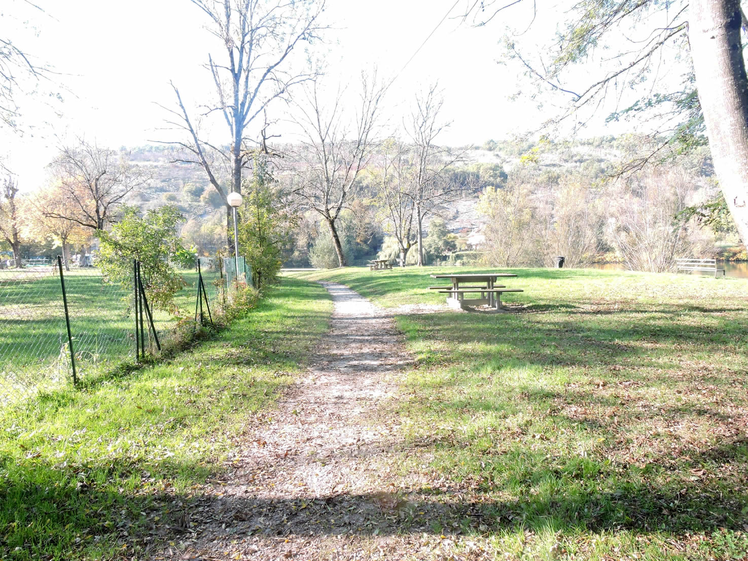
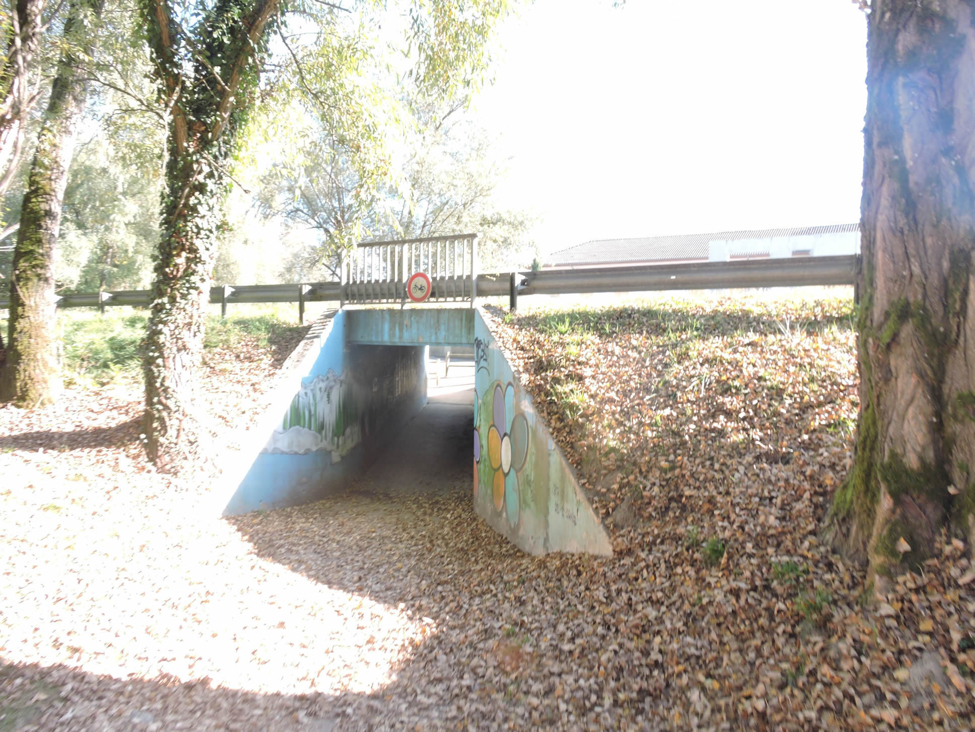
| At the entrance to Yenne, a campsite and a pleasant park adjoin the river, welcoming travelers with green spaces ideal for relaxation. A tunnel allows for safe crossing of the heavily trafficked departmental road, preserving the tranquility of hikers. |
 |
 |
| Yenne is a peaceful small town of 3,000 inhabitants, nestled in a cul-de-sac at the end of the valley. The town is dominated by the majestic Dent du Chat, the imposing rock formation that watches over the town. Two main routes out of town are available: one through a tunnel under the Dent du Chat leading to Le Bourget and Chambéry, and the other following the Rhône. |
 |
 |
| If you arrive here on a Monday, you’ll find a nearly sleepy town. Only the two pharmacies and the PMU, the last bastion of declining French small towns, remain open. This iconic bistro, a refuge for locals, is a living testament to the local culture, while the rest of the town seems to sink into a silent torpor, illustrating the slow decline of small rural towns. |
 |
 |
Official accommodations on the Via Gebennensis
- Le Clos de la Milloude, L’Etang Bleu; 04 79 52 27 51/ 06 23 25 74 86; chalet, cuisine.
- Camping des Îles, Chanaz; 04 79 54 58 51; camping, tents
- Domaine des Iles, Chanaz; 04 79 54 58 51; Gîte
- L’abri des Pèlerins, Chanaz; 06 66 16 16 34; Gîte, dinner, breakfast
- El Camino, 89 Montée du Fort, Chanaz; 04 79 35 16 32/06 73 89 30 94; Guestroom, dinner, breakfast
- Le St Roch, 107 Montée du Fort, Chanaz; 04 79 35 77 12/06 62 68 58 37; Guestroom, dinner, breakfast
- Le Doux Nid, 501 Rue du Canal, Chanaz; 04 79 63 22 14/06 32 86 97 61; Guestroom, dinner, breakfast
- Le Belvue, Chanaz; 04 79 54 50 77/06 20 75 07 57; Guestroom, dinner, breakfast
- Le Moulin, Crémon; 04 79 44 08 37/0770 15 95 29; Gîte, dinner, breakfast
- Les Chambres du Cru, Jongieux-Le-Haut; 04 79 44 00 29/06 50 85 41 68; Guestroom, dinner, breakfast
- Accueil pèlerin Guillaume Badré, 9 Faubourg Tournachat, Yenne; 06 08 10 99 50; Gîte
- Le Clos des Capucins, 80 Ch. de la Curiaz, Yenne; 04 79 36 85 70/04 79 36 81 83; Gîte, dinner, breakfast
- Le Fer à Cheval, 85 Rue des Prêtres, Yenne; 04 79 36 70 33; Hotel, dinner, breakfast
Pilgrim hospitality/Accueils jacquaires (see introduction)
If one takes inventory of the accommodations, lodging does not present major problems on this stage. There are numerous possibilities all along the route, even outside of it. All shops in Chanaz and Yenne. For more details, the guide of the Friends of Compostela keeps a record of all these addresses, as well as bars, restaurants, or bakeries along the route.
Feel free to add comments. This is often how you move up the Google hierarchy, and how more pilgrims will have access to the site.
|
 |
Next stage : Stage 5: From Yenne to St Genix-sur-Guiers |
|
 |
Back to menu |