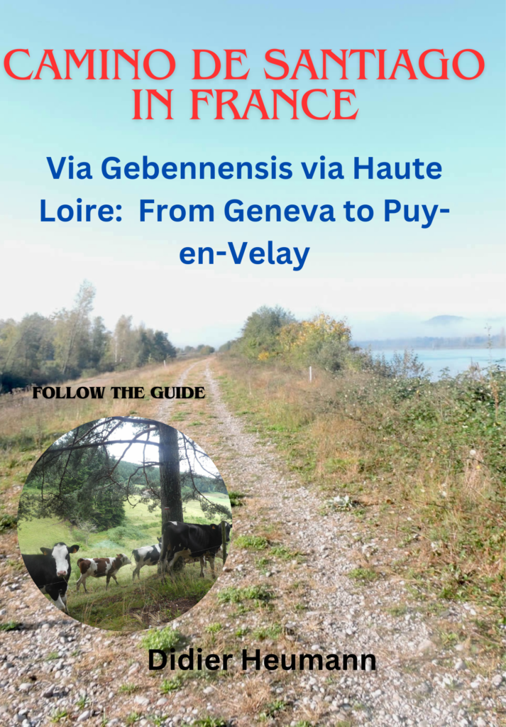
Along the Rhône River
DIDIER HEUMANN, ANDREAS PAPASAVVAS
We divided the course into several sections to make it easier to see. For each section, the maps show the course, the slopes found on the course, and the state of the route (paved or dirt roads). The courses were drawn on the « Wikilocs » platform. Today, it is no longer necessary to walk around with detailed maps in your pocket or bag. If you have a mobile phone or tablet, you can easily follow routes live.
For this stage, here is the link:
https://fr.wikiloc.com/itineraires-randonnee/de-frangy-a-Culoz-par-la-via-gebennensis-34047617
| Not every pilgrim feels comfortable using GPS devices or navigating on a phone, especially since many sections still lack reliable internet. To make your journey easier, a book dedicated to the Via Gebennensis through Haute-Loire is available on Amazon. More than just a practical guide, it leads you step by step, kilometre after kilometre, giving you everything you need for smooth planning with no unpleasant surprises. Beyond its useful tips, it also conveys the route’s enchanting atmosphere, capturing the landscape’s beauty, the majesty of the trees and the spiritual essence of the trek. Only the pictures are missing; everything else is there to transport you.
We’ve also published a second book that, with slightly fewer details but all the essential information, outlines two possible routes from Geneva to Le Puy-en-Velay. You can choose either the Via Gebennensis, which crosses Haute-Loire, or the Gillonnay variant (Via Adresca), which branches off at La Côte-Saint-André to follow a route through Ardèche. The choice of the route is yours. |
 |
 |
If you only want to consult lodging of the stage, go directly to the bottom of the page.
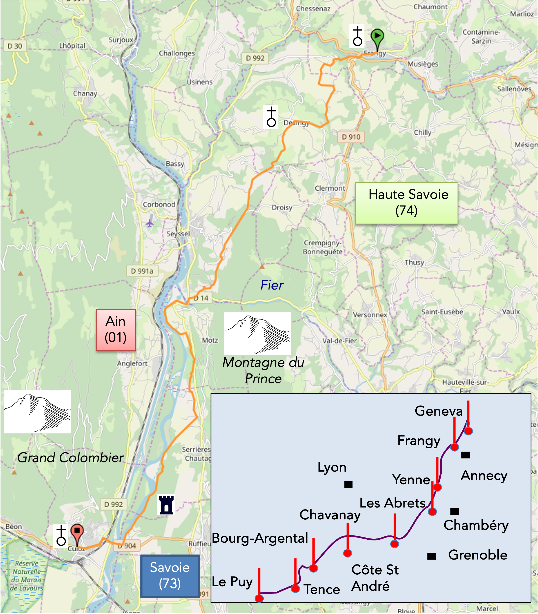
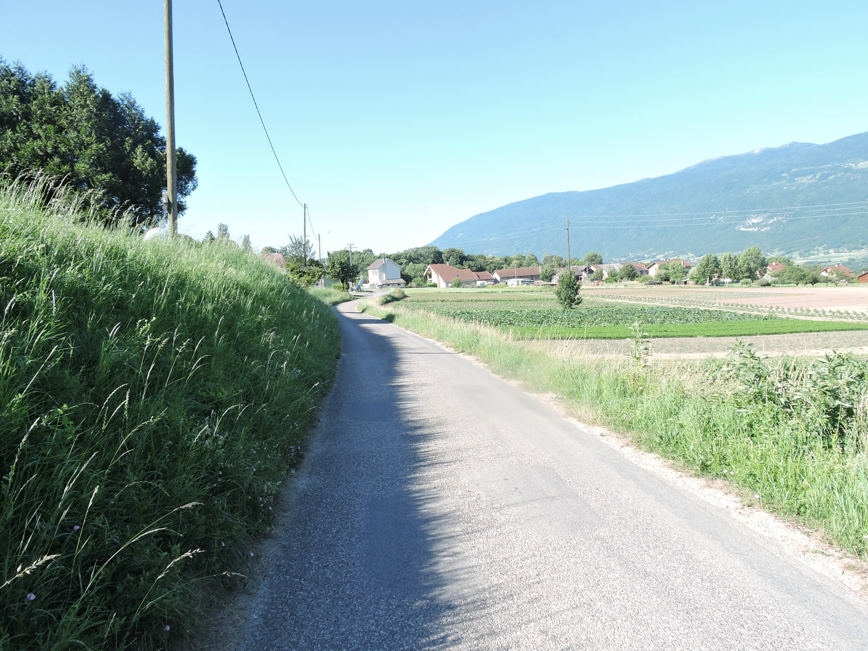
From Geneva to Vienne, the Via Gebennensis stretches like an epic fresco across the canvas of the Lyonnais lands. This initial leg of the pilgrimage is more than just a quest for the Rhône River; it is a pursuit of harmony with the unfolding landscape. The routes wind between the hills of Haute-Savoie and Savoie, where lush groves and pastoral expanses engage in an intimate dance with nature. The Rhône, a majestic river, alternates between being a confidant, revealing its gentle and generous banks, and a mysterious presence, retreating in the distance to evoke admiration from the heights. The river’s winding meanders, a natural choreography, captivate the traveler’s soul, who marvels at this elegant waltz through the plain. Today’s journey unfolds as an adventure where the quest for the Rhône River takes on poetic overtones. The hills of Haute-Savoie and Savoie, adorned with shady groves and bucolic landscapes, become the stage for a delightful exploration. The encounter with the Rhône, at the tumultuous confluence with the fiery Fier River descending from Annecy, feels like a divine meeting between two passionate lovers. Before crossing the bridge over the Fier River, the surroundings transform into a symphony of small groves and modest meadows, nestled under the protective shadows of Prince’s Mount. The grace with which the Fier cascades behind this imposing silhouette adds a theatrical touch to the pastoral scene. It is after this almost initiatory passage that the Rhône plain reveals its grandeur, allowing the pilgrim to blend into the gentle embrace of the riverbanks. At Culoz, a pause opens, like an interlude off the GR65. The choices available to pilgrims, whether to head towards Chanaz or take a break in Seyssel or Culoz, create a unique tapestry, determining the traversal of three departments: Haute-Savoie, Savoie, and Ain.
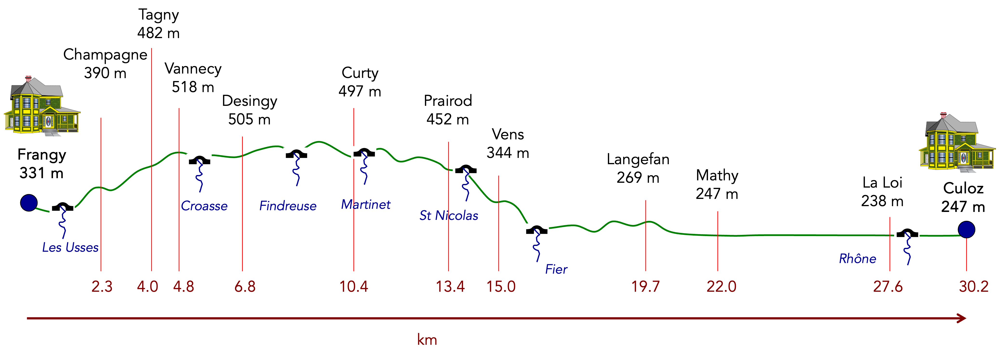
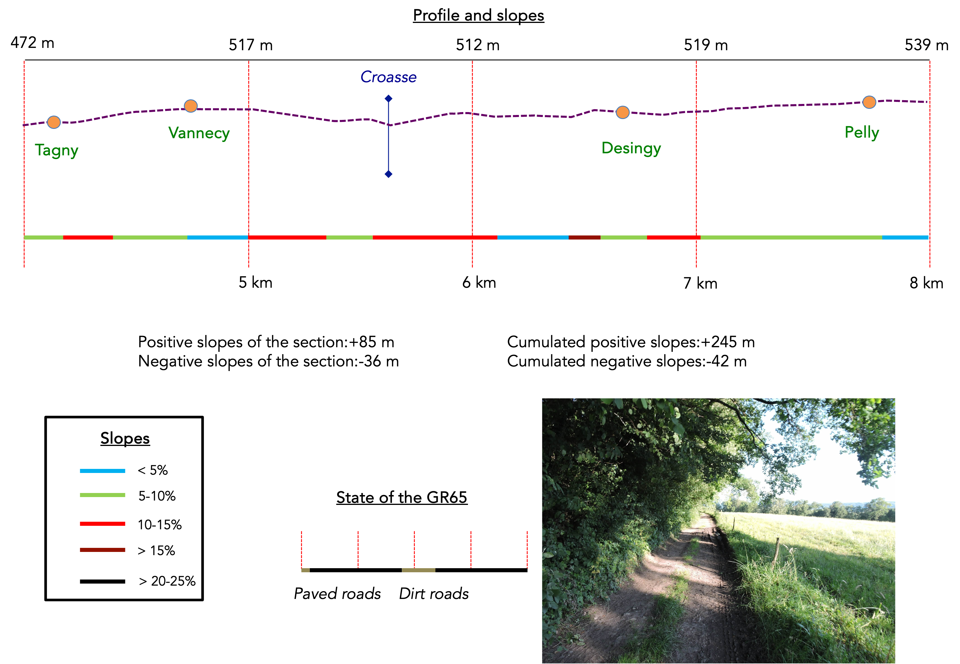
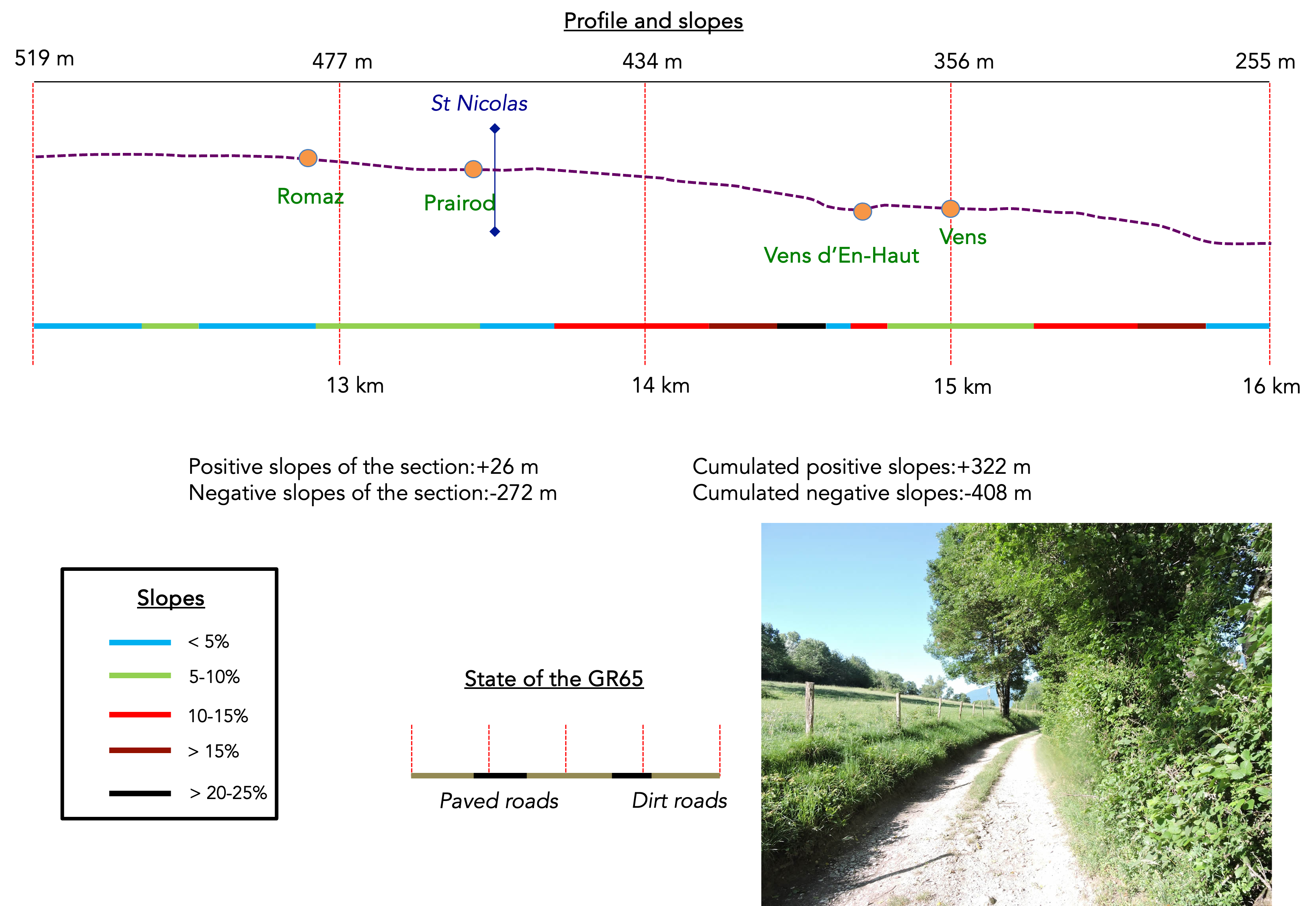
Difficulty level: The elevation changes (+402 meters / -489 meters) make this long 30 km stage gentle and accessible. The route begins with a slight climb towards Champagne at the start of the stage, followed by a series of gentle undulations, with slopes rarely exceeding 10%. The effort becomes more intense as the GR65 descends towards the junction of the Fier and the Rhône, but the reward is worth the effort: a leisurely walk in the footsteps of the pilgrims.
State of the GR65: This stage offers a harmonious blend of byways and roads:
- Paved roads: 15.0 km
- Dirt roads : 15.2 km
Sometimes, for reasons of logistics or housing possibilities, these stages mix routes operated on different days, having passed several times on these routes. From then on, the skies, the rain, or the seasons can vary. But, generally this is not the case, and in fact this does not change the description of the course.
It is very difficult to specify with certainty the incline of the slopes, whatever the system you use.
For those seeking « true elevations » and enthusiasts of genuine altimetric challenges, carefully review the information on mileage at the beginning of the guide.

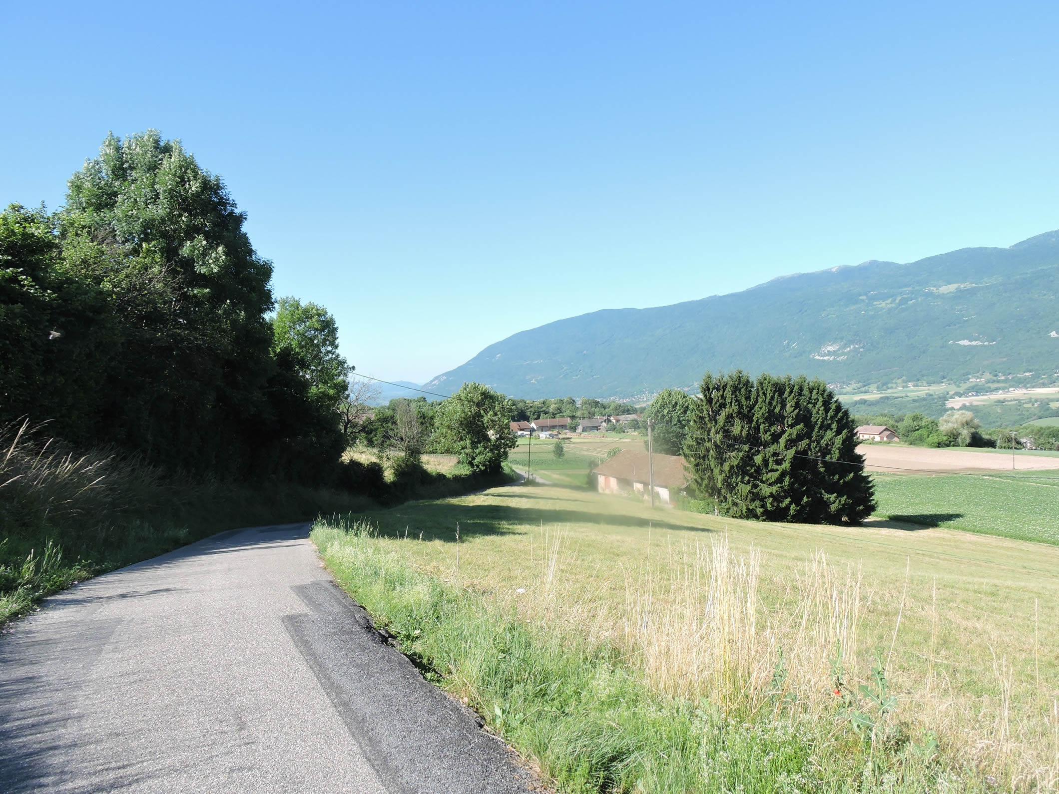
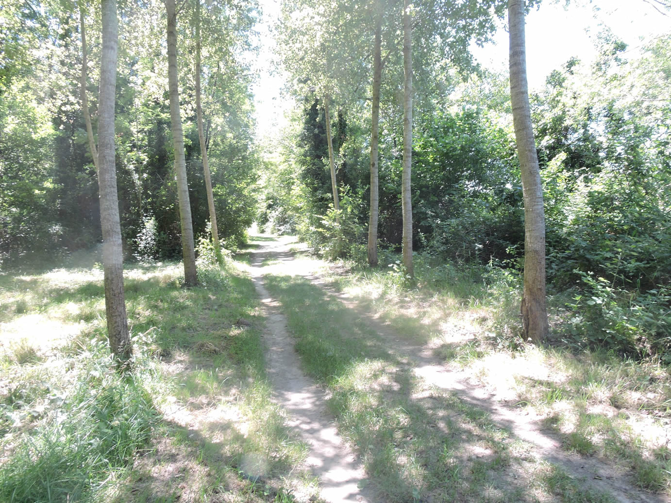
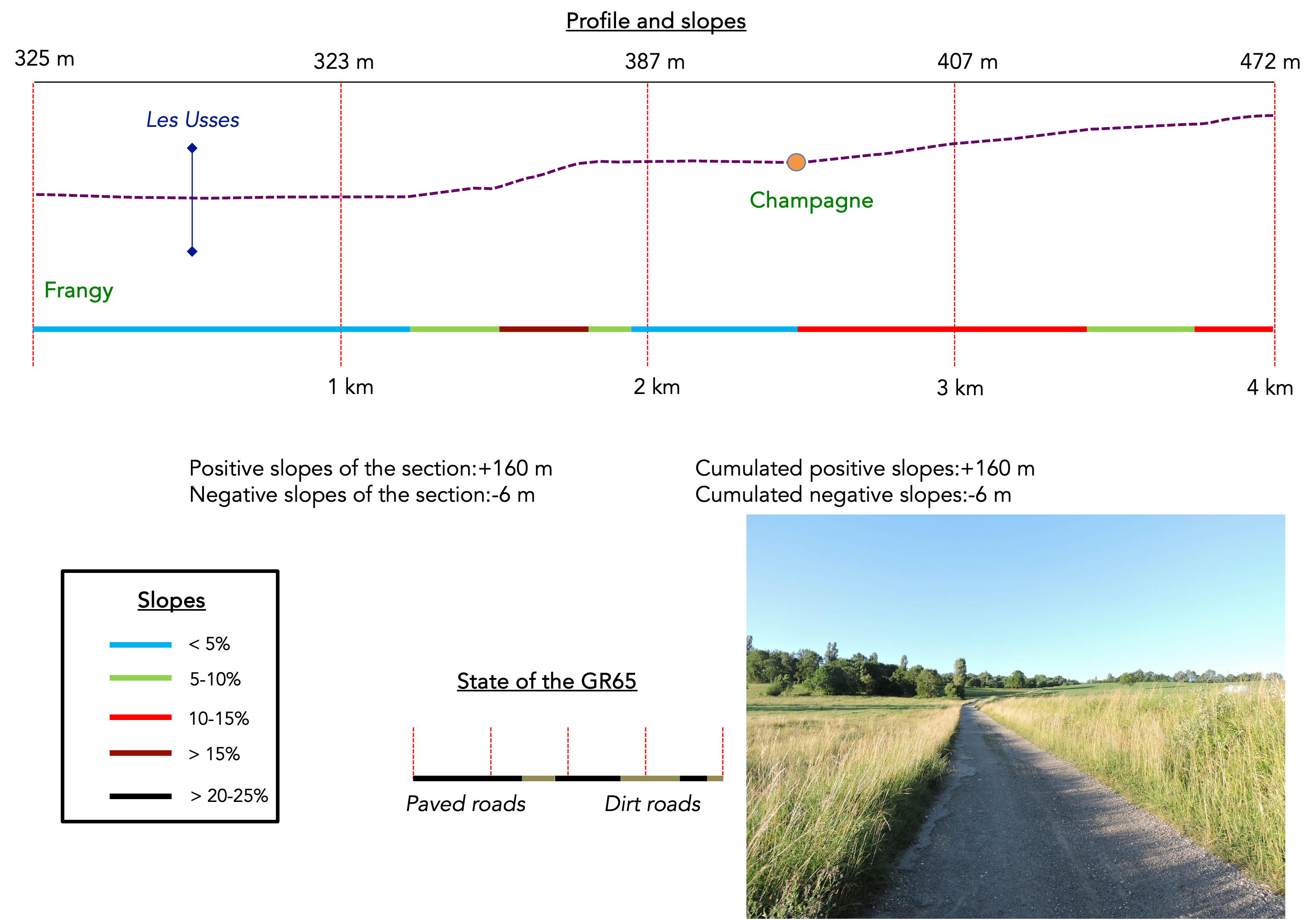
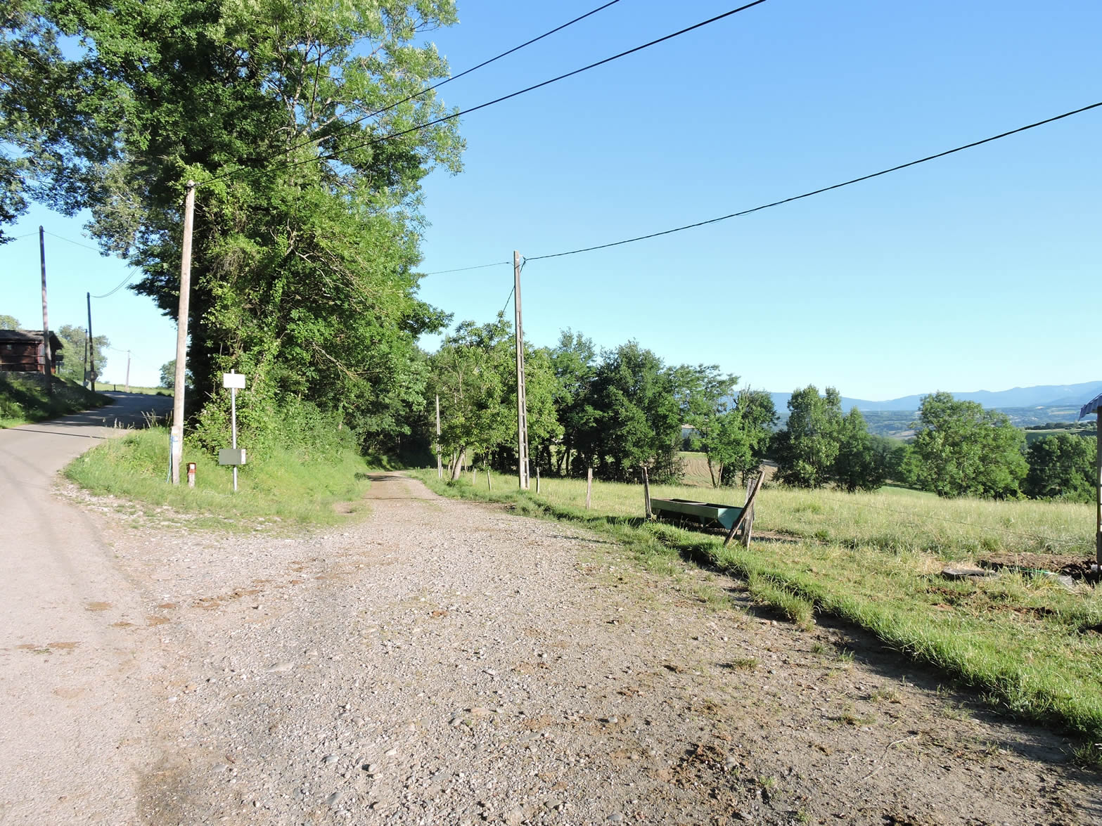
Section 1: Steady climb towards Montagne du Prince

Overview of the route’s challenges: some slopes are a bit steep, but manageable around Champagne.
|
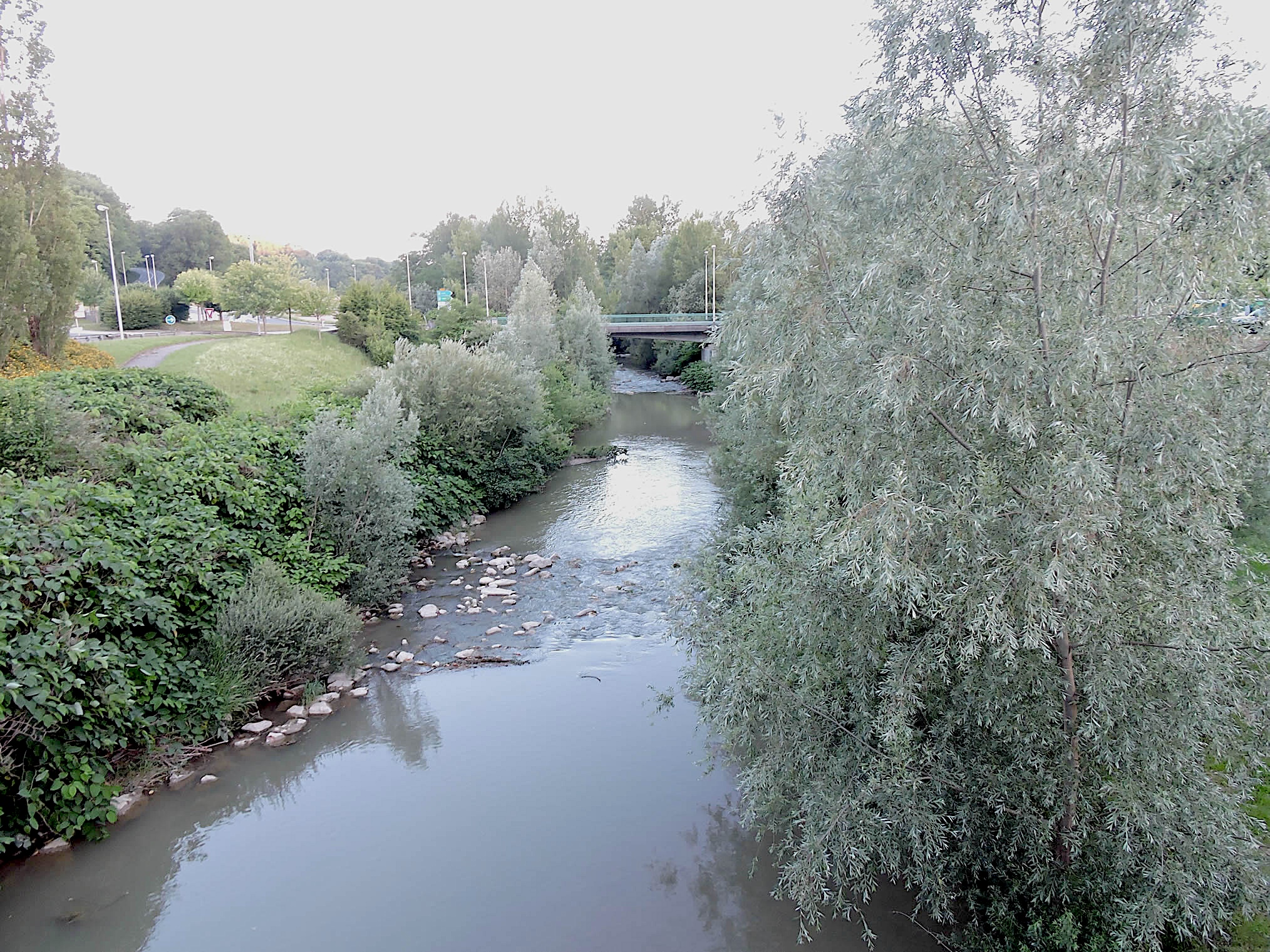
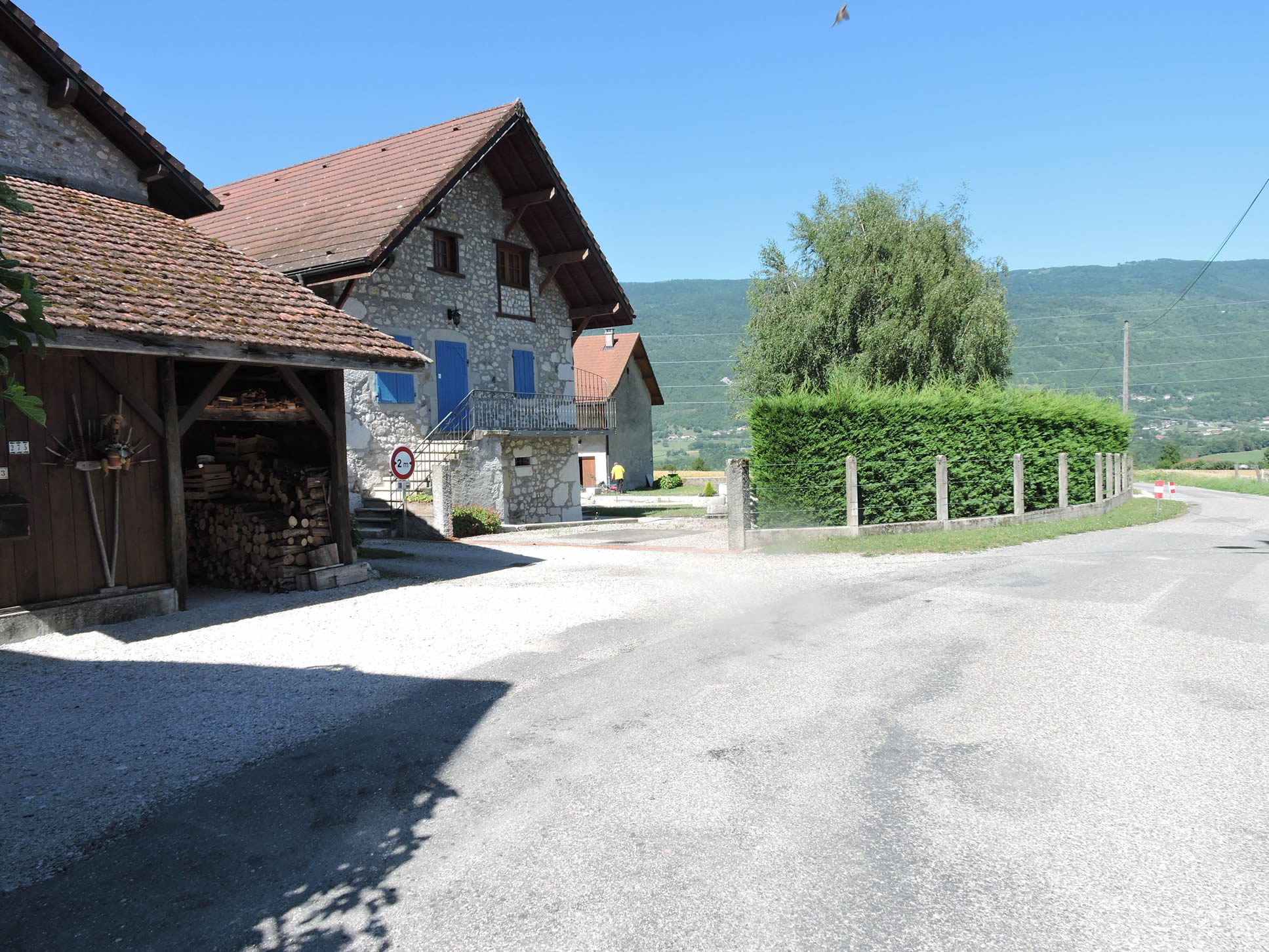
Leaving Frangy, the GR65 crosses the Usses, a rather torrential river that dances among the rocks.
|
 |
 |
Originating from the Salève and emptying near Seyssel into the calm waters of the Rhône, this river whispers old stories and legends of gold seekers who once roamed its banks.
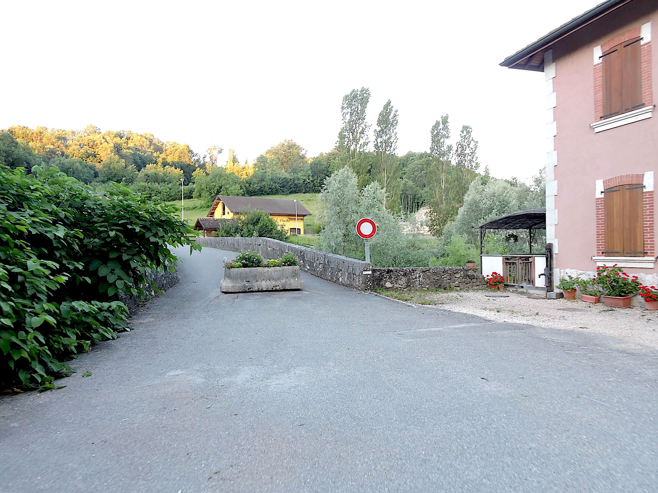
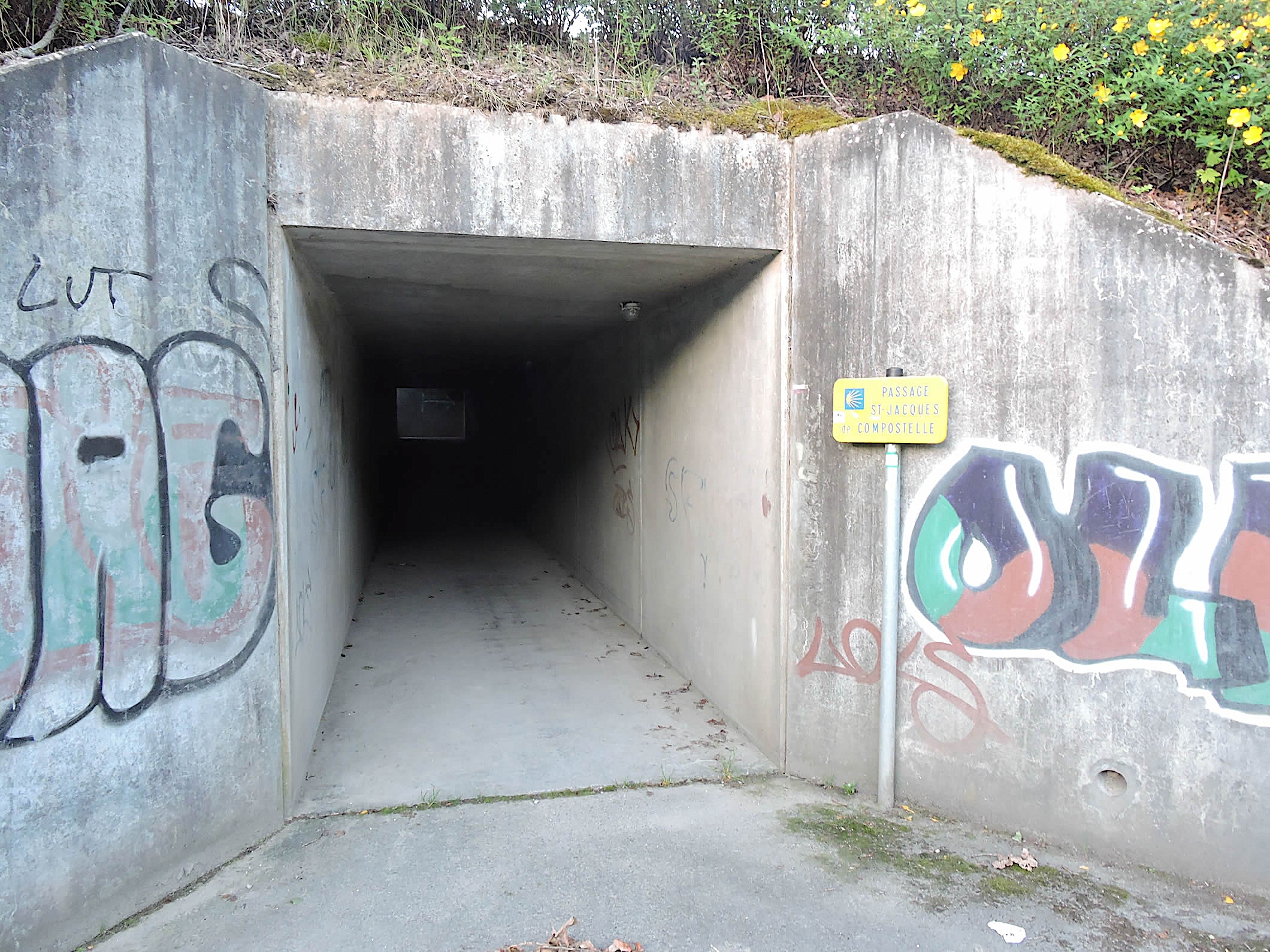
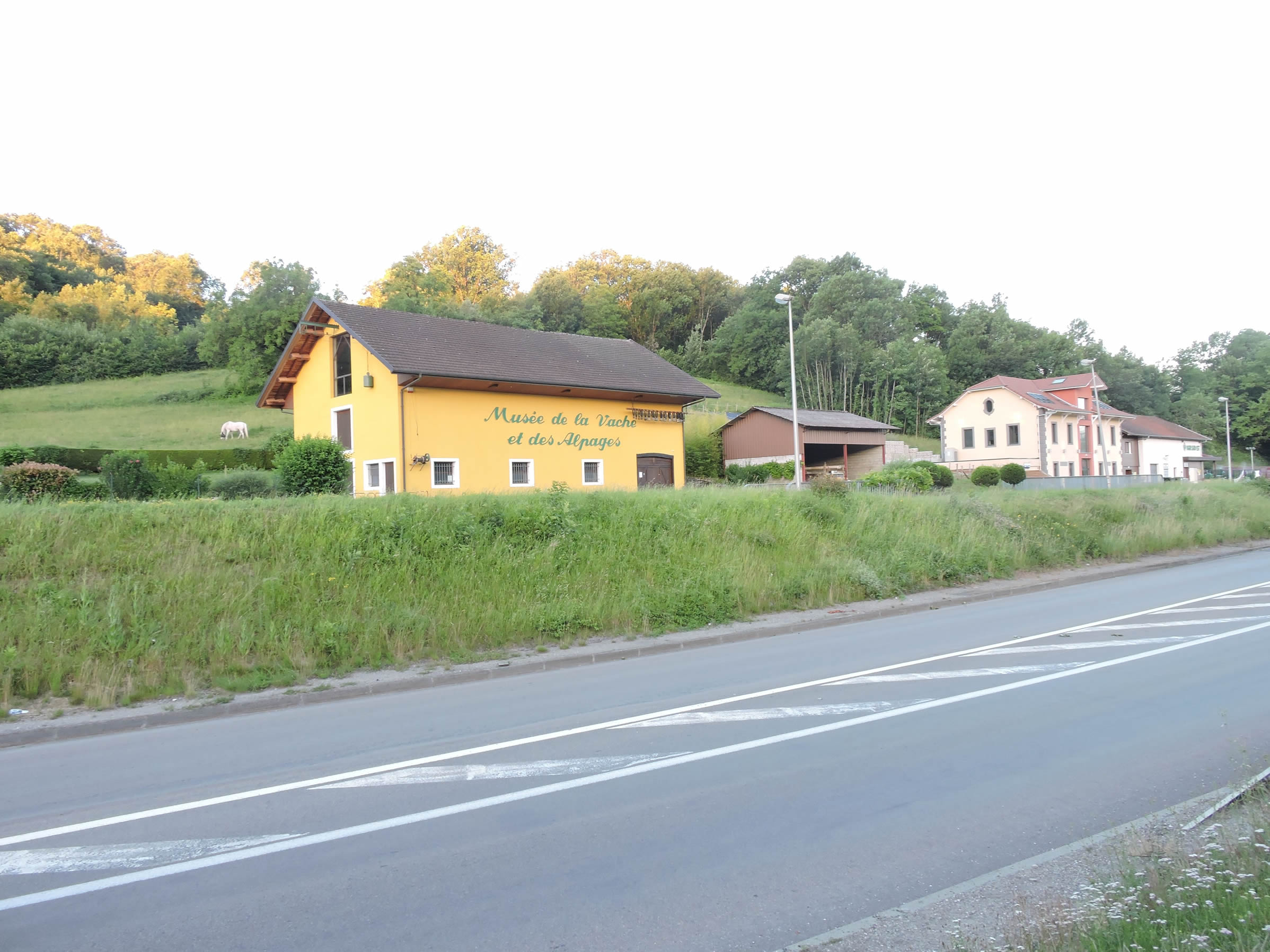
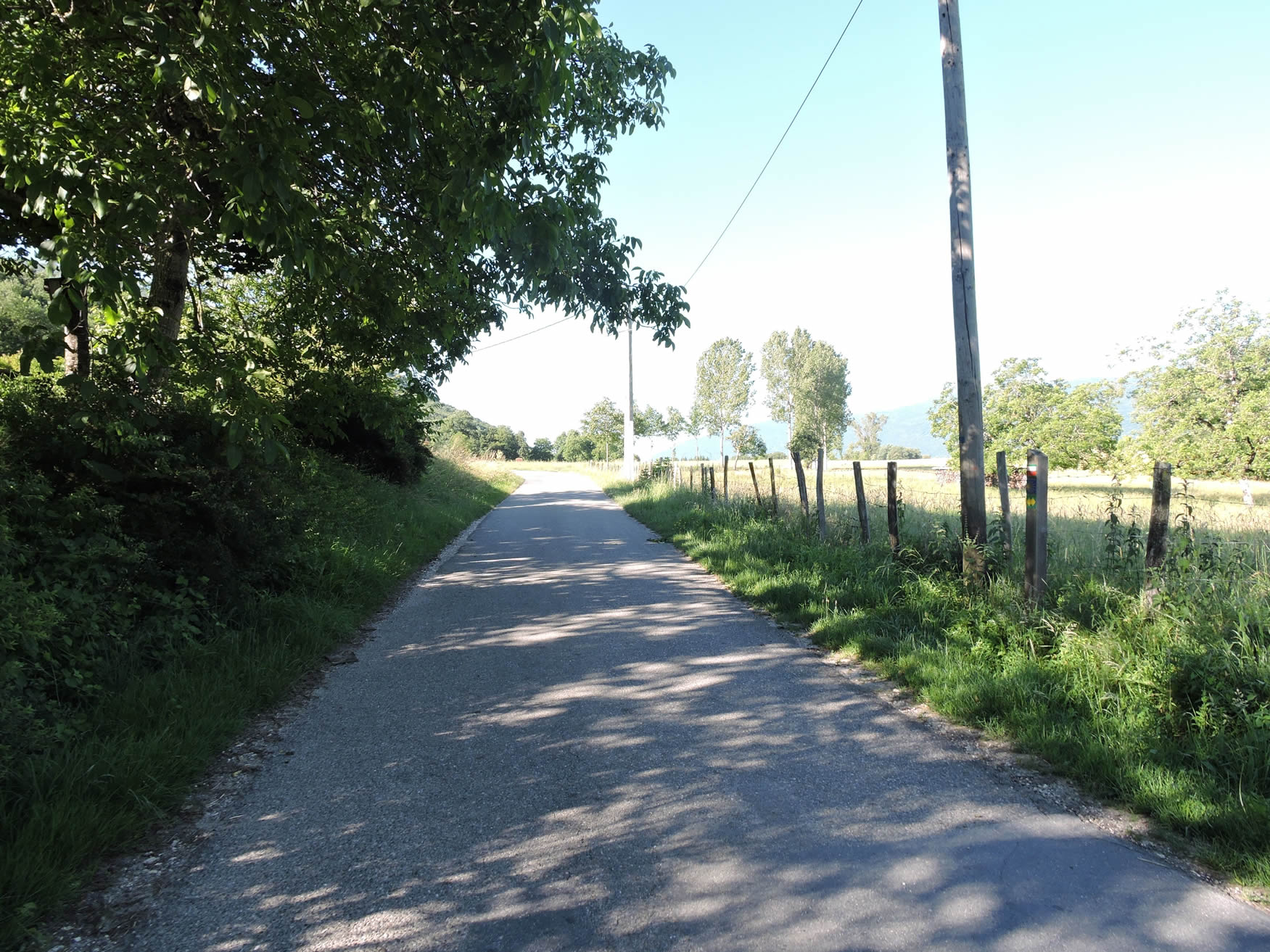
| The GR65, dotted with small cultural treasures, passes under the departmental road, gracefully skirting the village. Nearby, the Museum of the Cow and the Alps, housed in a restored stable, celebrates the traditional art of mountain dwellers in making bells, butter, and cheese. It is here, in this agricultural department of Haute-Savoie, that the rural character of the region is deeply rooted, far from the splendor of the heights or the lakes popular with tourists. |
 |
 |
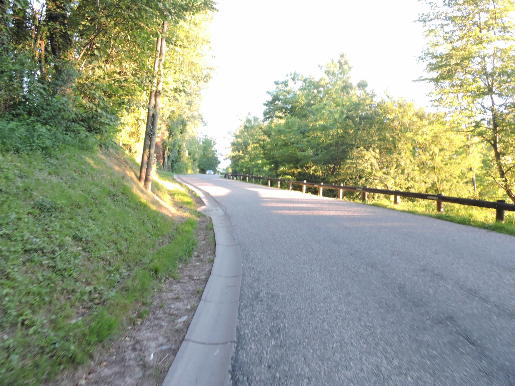
| The GR65 runs parallel to the departmental road before losing itself in a foggy intersection leading to the green heights of Champagne. There, the road gently slopes up through landscapes where each turn reveals lush meadows and dense groves. |
 |
 |
| The first steps are light, accompanied by the murmur of a tributary of the Usses, carefree in its course. |
 |
 |
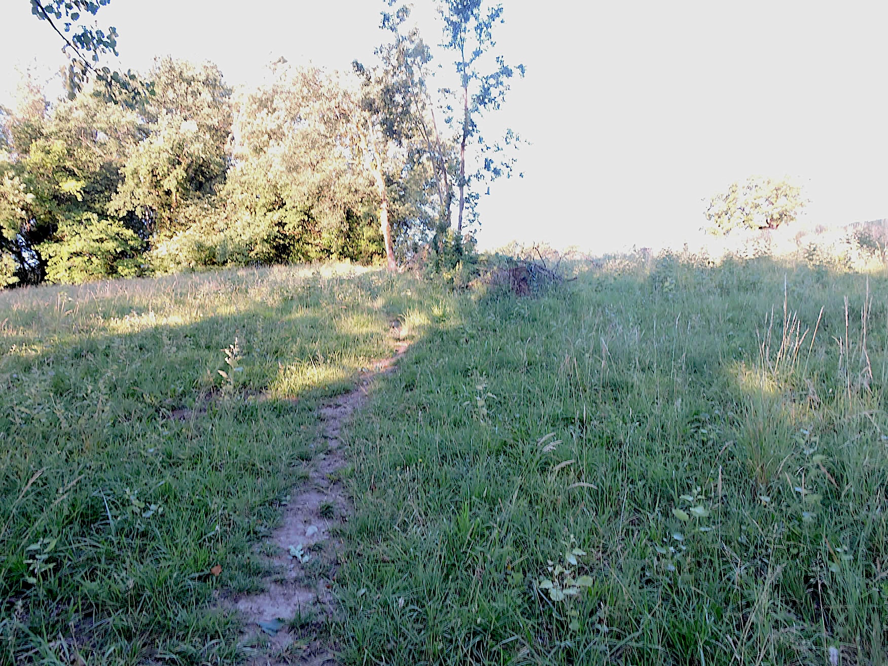
| Then, as the road makes numerous bends, the GR65 boldly sneaks through secret shortcuts, where a narrow path winds like a ribbon of earth through the grass, climbing steeply through meadows dotted with oaks and ash trees. |
 |
 |
| Higher up, you can follow the road leading to Champagne, or continue through the shortcuts to the village. The ash trees planted long ago by peasant hands offer a welcoming shade and tasty fruits, once reserved for their herds during long winters. |
 |
 |
| The shortcuts lead to the village of Champagne. |
 |
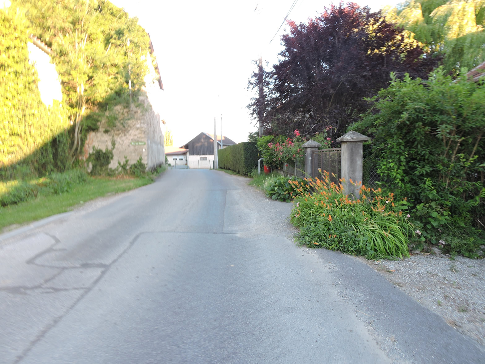 |
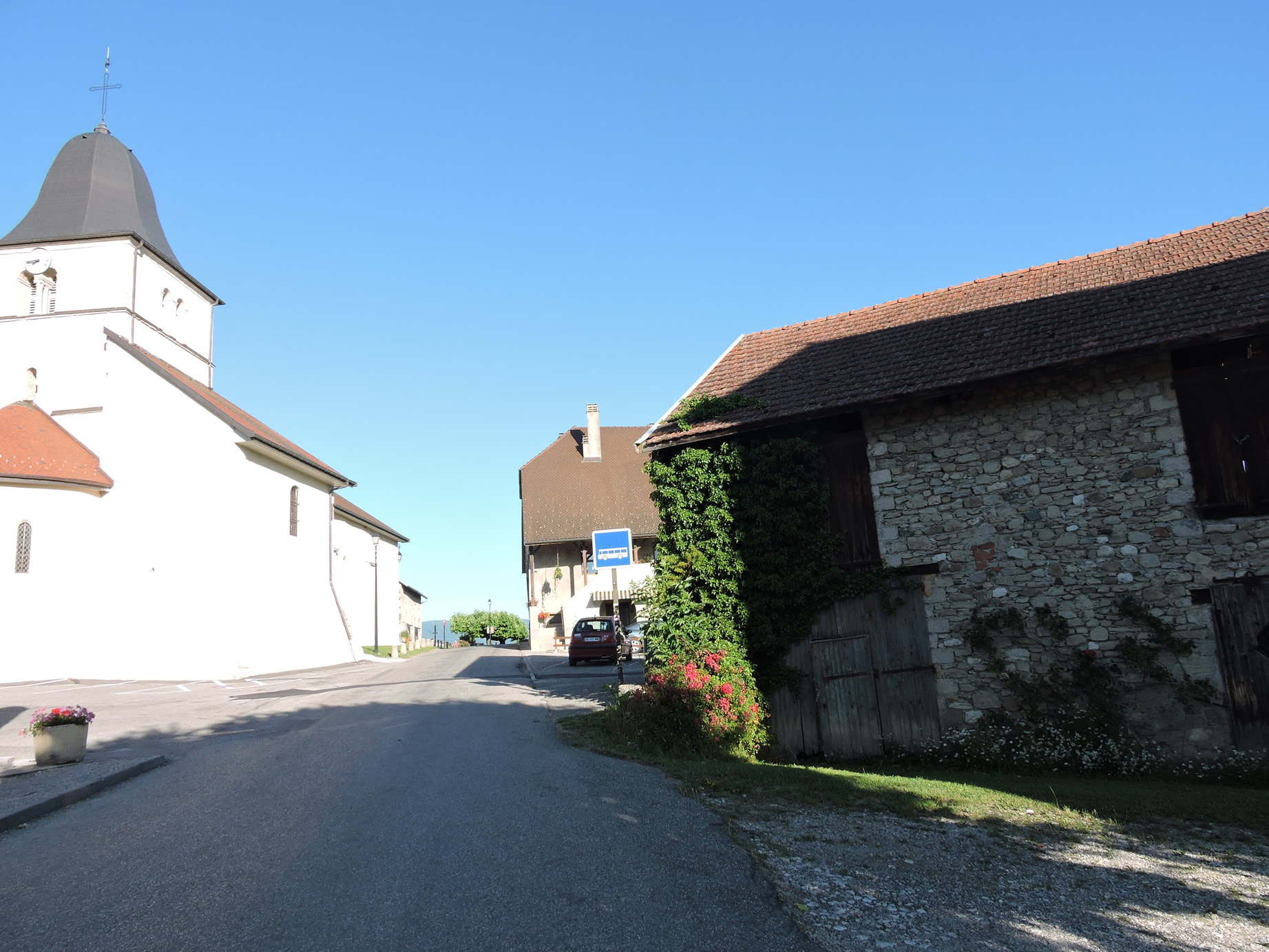
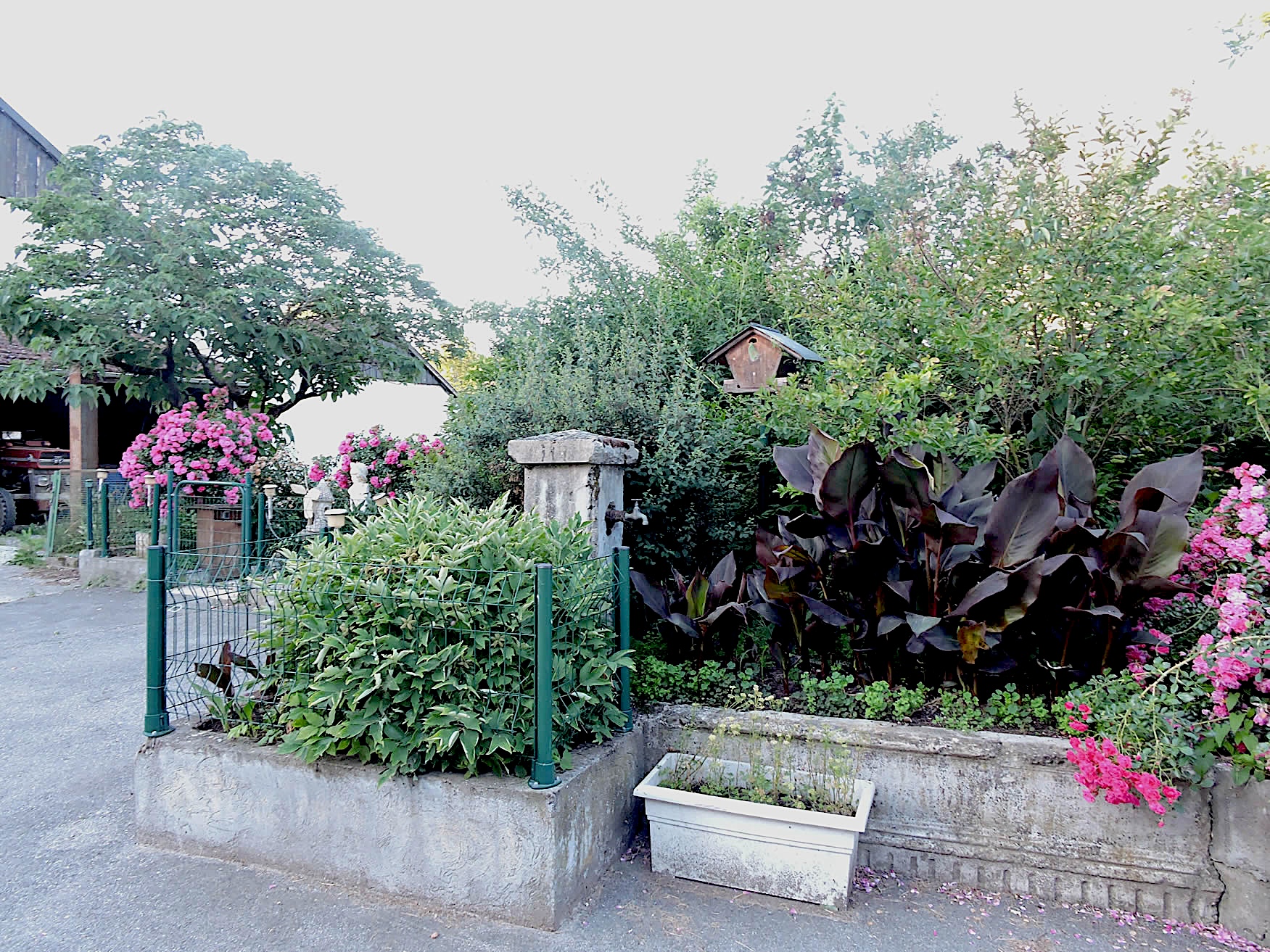
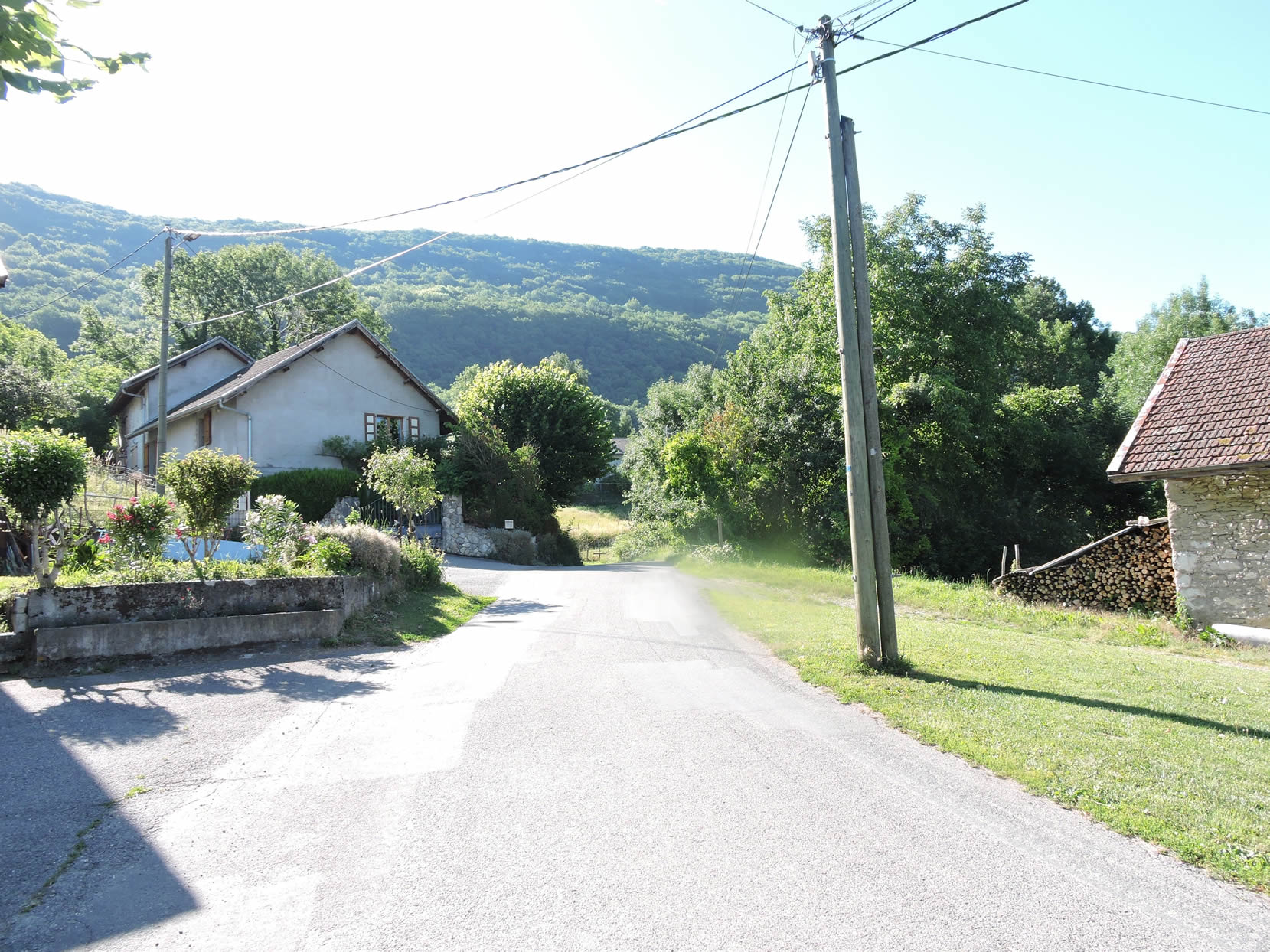
| In the heart of a peaceful countryside, lies a simple village where life seems to flow gently. The modest houses, white or graywashed, line up humbly along the quiet street. Small flower gardens in front of the homes sometimes brighten the atmosphere, dotted with fragrant lavender clumps and brightly colored rose bushes. It is a picture of tranquility, where time seems suspended and every corner exudes the discreet charm of a life paced by the seasons and the work of the land. |
 |
 |
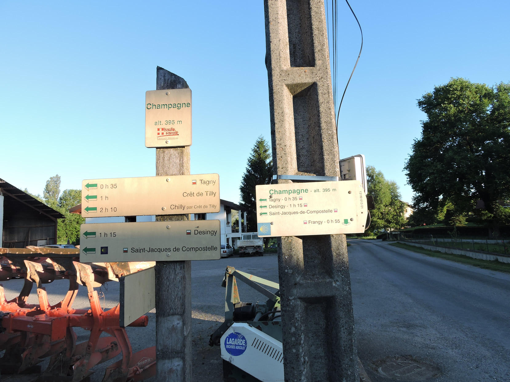
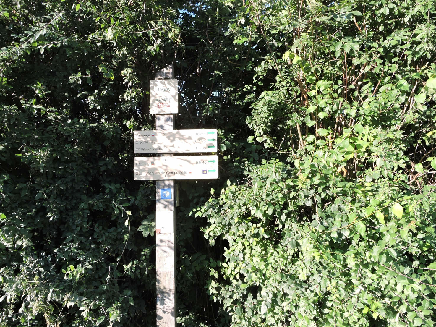
| The signpost, with the Compostela shell gleaming, indicates Tagny, the next village on the route, 30 minutes away. |
 |
 |
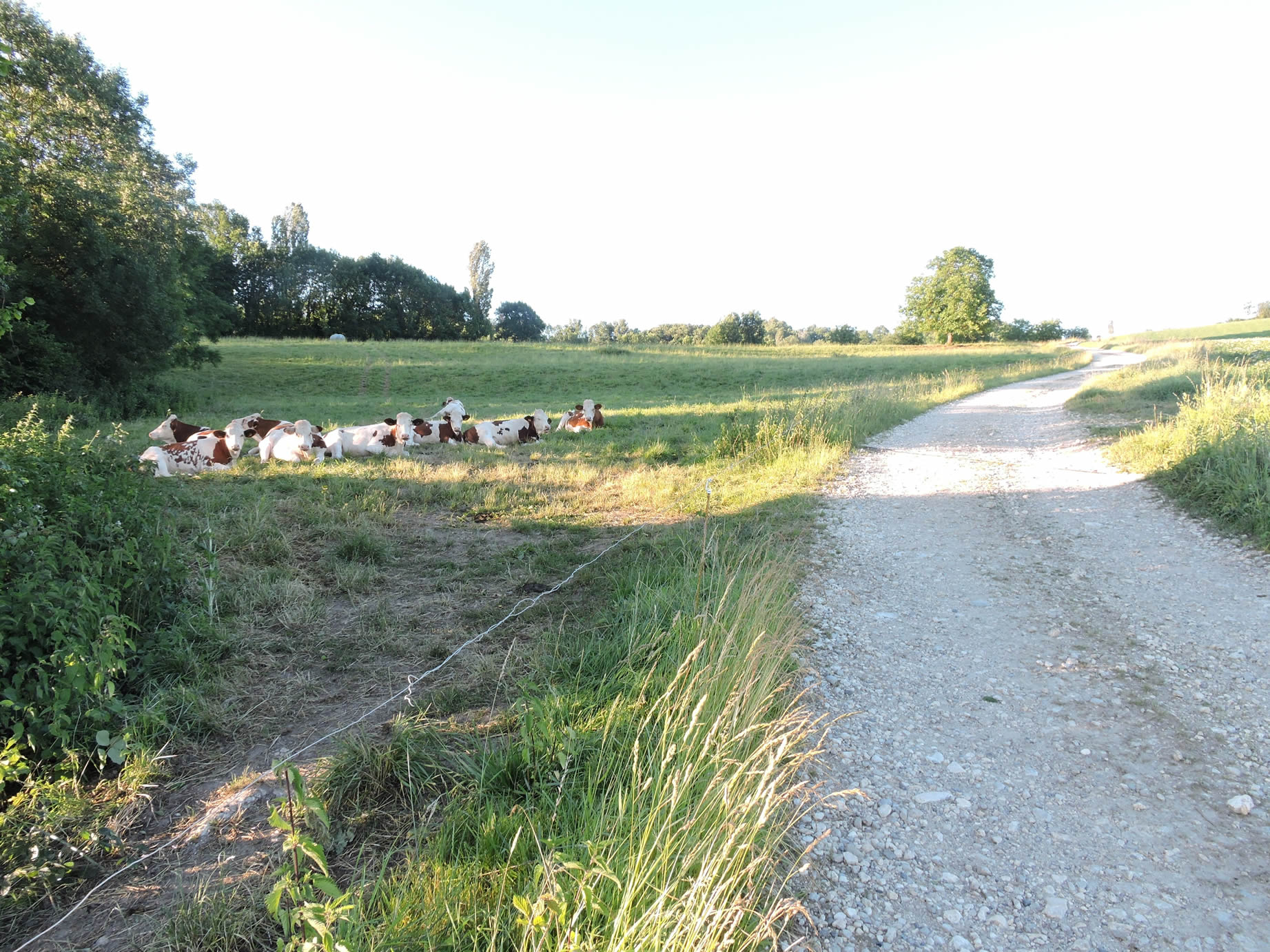
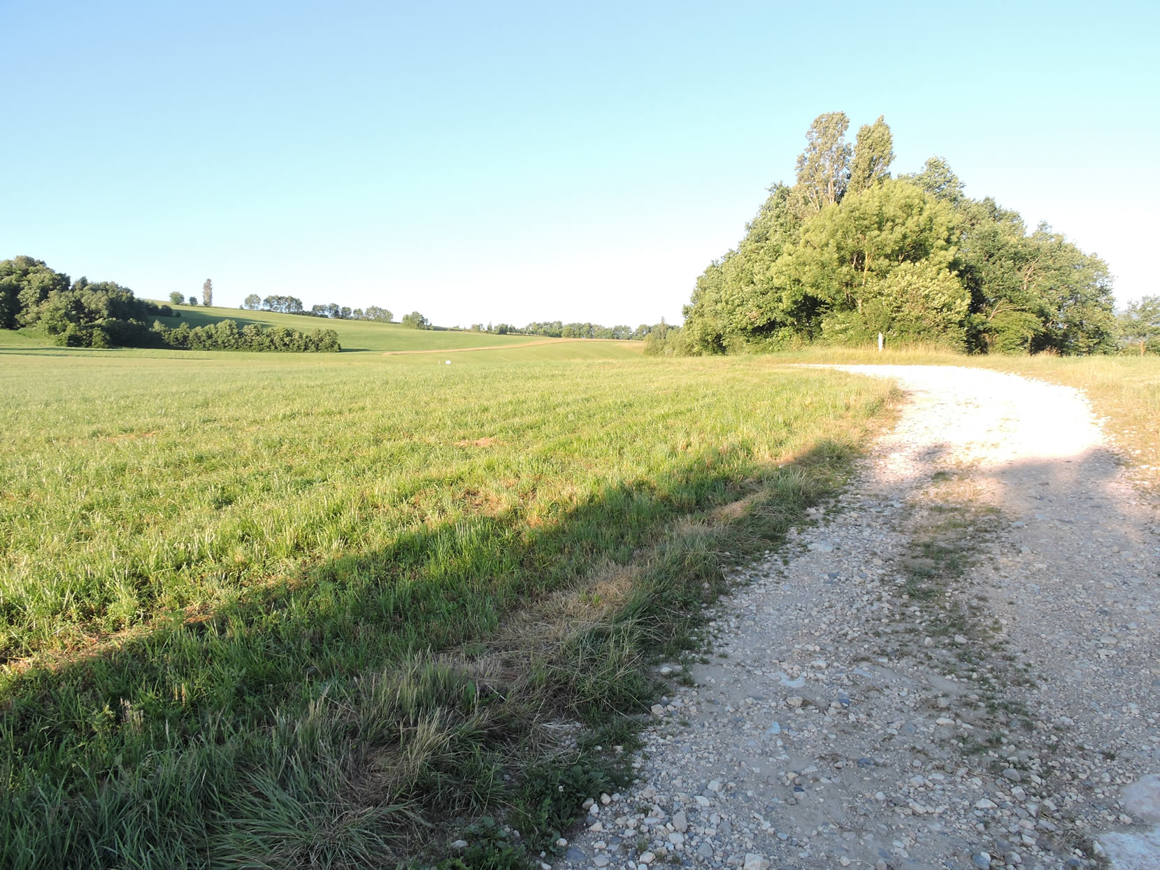
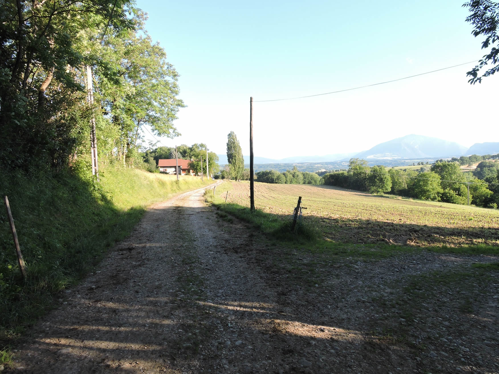
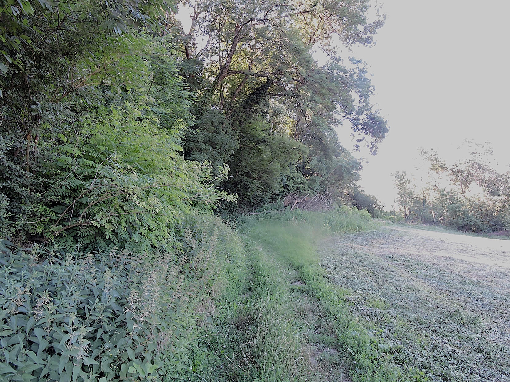
| At the village exit, a wide stony path climbs, without much difficulty, through the meadows and gradually approaches a small wooded area. Throughout this stage, the meadows clearly dominate the cultivated fields. The dominant herds are predominantly Montbéliarde cows. The Montbéliarde cow is a rustic beauty with distinctive traits. Its coat is often speckled with white and brown, forming a harmonious picture of patches reminiscent of old peasant paintings. Its robust and well-proportioned silhouette testifies to its resilience and adaptation to the changing conditions of the mountains and pastures. Its large, gentle eyes express a peaceful curiosity, but its horns have almost completely disappeared. The Montbéliarde cow is not only renowned for its beauty but also for the quality of its rich and creamy milk, which is used to make Comté or Reblochon cheese. Its peaceful nature and robustness make it a valuable companion in traditional farms, embodying the authenticity and richness of traditional livestock farming in the mountainous regions of France. |
 |
 |
| The wide path gracefully winds through the meadows, offering an easy ascent through this bucolic landscape. The gentle slope accompanies the walker, while the tall grass waves under the light breeze, sporadically revealing the secrets of the nearby undergrowth. |
 |
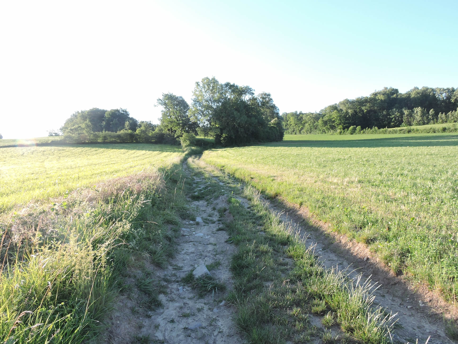 |
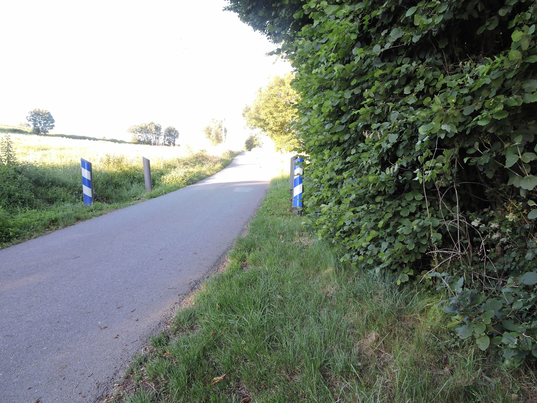
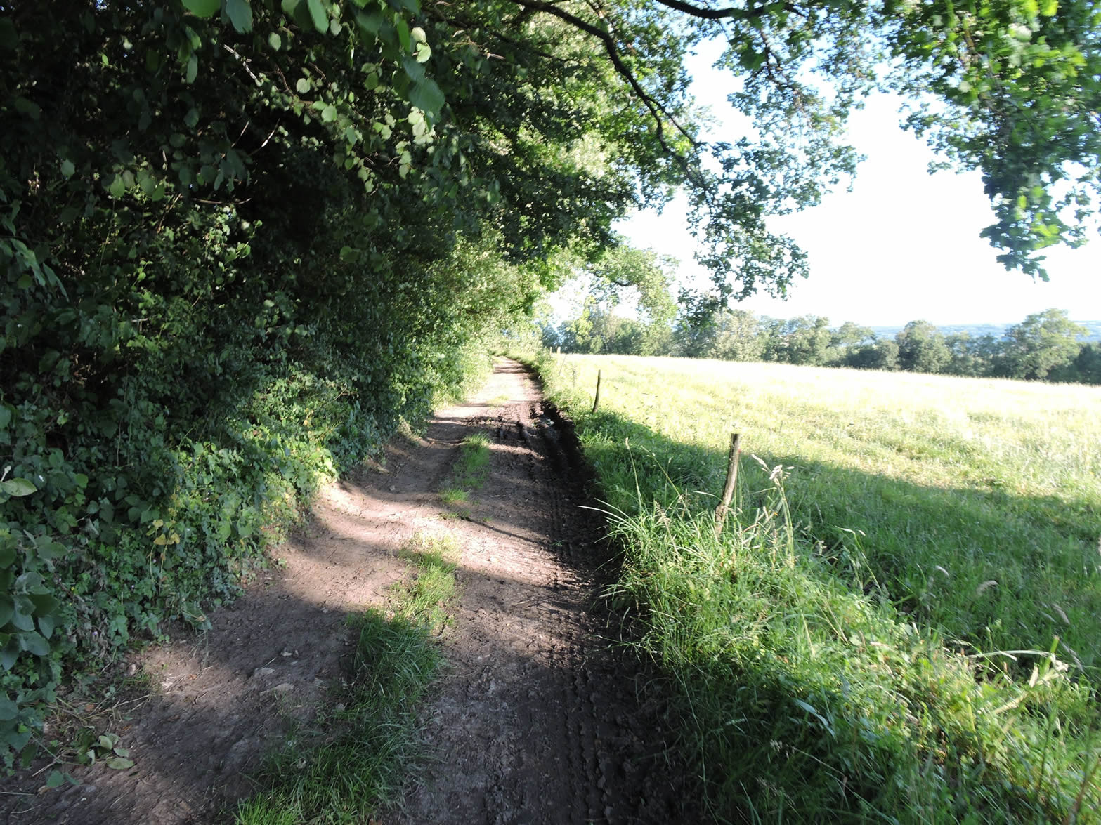
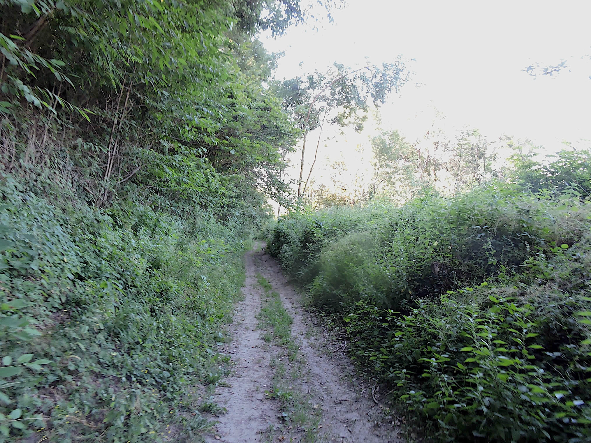
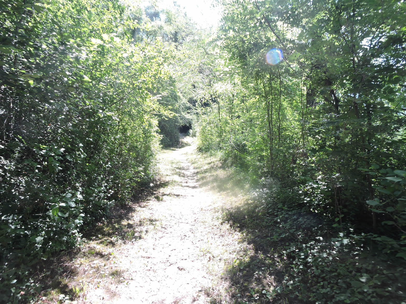
| A little higher up, the path narrows, approaching the undergrowth. It then runs alongside wild hedges on a steeper slope. It is here that nature, sometimes capricious under downpours, transforms the path into a temporary torrent, a fleeting proof of the inexorable power of rain in the hills of Haute-Savoie. |
 |
 |
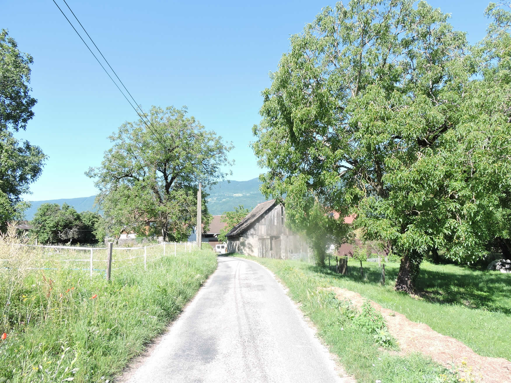
| Higher up, the slope calms, and the path still winds between the wild hedges as you approach the sleepy hamlet of Tagny. The aftermath of recent rains gently dissipates, revealing a newfound softness in the soil and a regained tranquility in the air. There, at the entrance of this hamlet, a small paved road stretches, a discreet witness to the passage of time and seasons. |
 |
 |
| The road skirts the modest stone houses of the hamlet, each reflecting the simplicity and humility of the peasants who inhabit them. These houses, rarely made of cut stone, often hastily plastered but solidly rooted in the earth, reflect the very essence of rural life where gold is not material but resides in the warmth of the hearth and the simplicity of everyday life. |
 |
 |
Section 2: Ups and downs between meadows, hamlets, and woods

Overview of the route’s challenges: rolling hills with no significant difficulties.
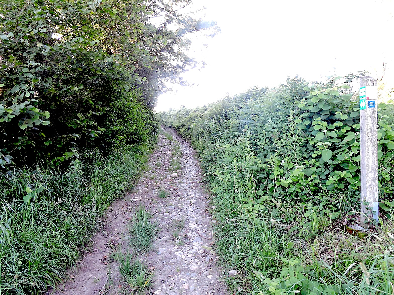
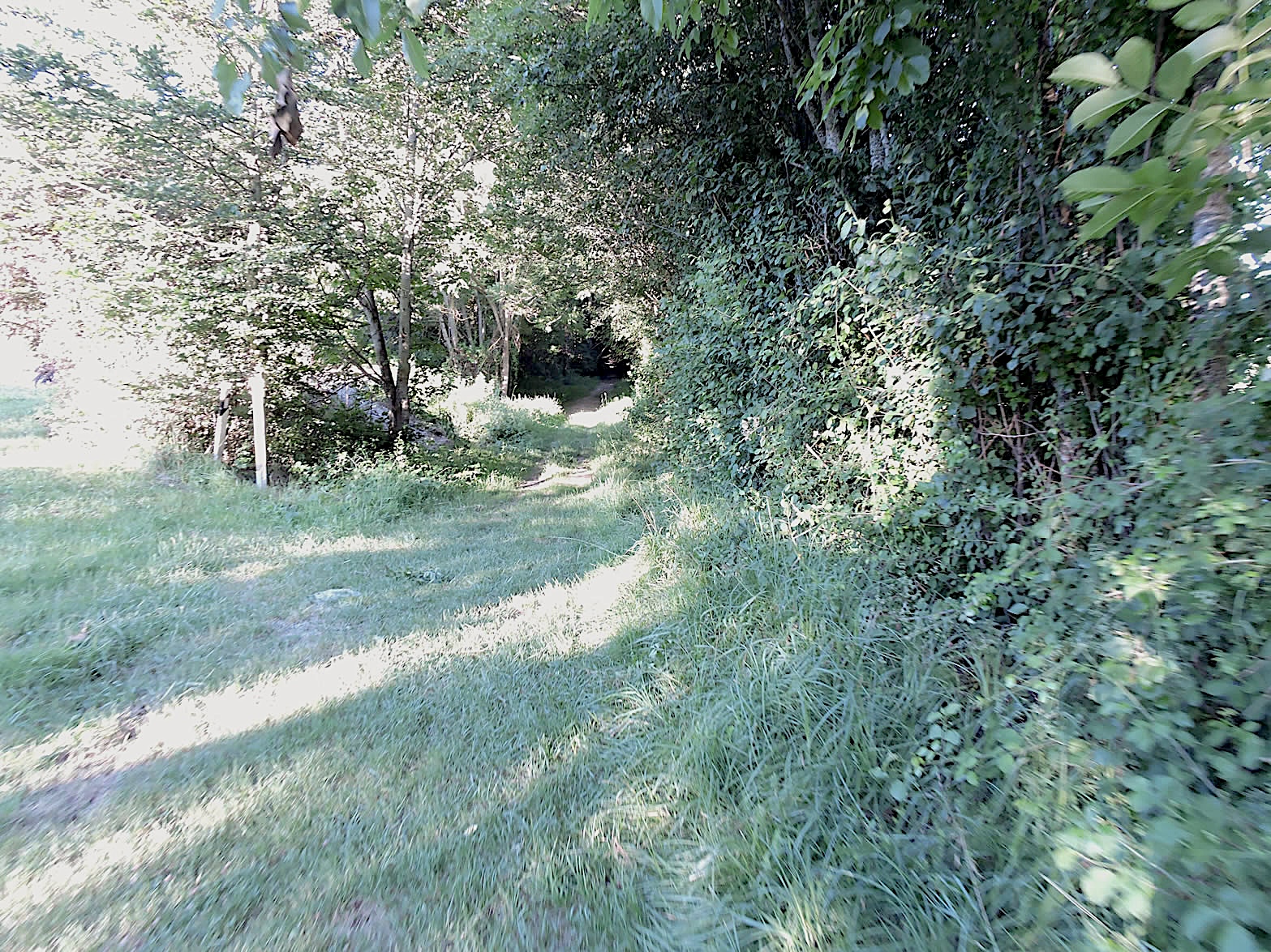
| Rather than obediently following the traced road, the GR65 escapes the hamlet through lush meadows, plunging gracefully into the dense woodland. |
 |
 |
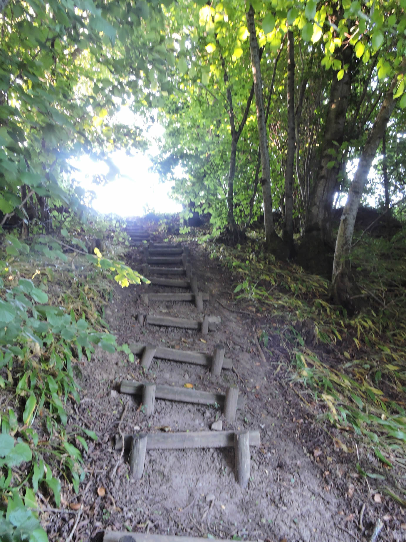
This whimsical path seems to aim to inspire wonder in the walkers, occasionally revealing hidden treasures like this sloping wooden staircase, delicately integrated into the landscape, reconnecting with the road above. The Way of St. James is a great fan of these often-superfluous detours.
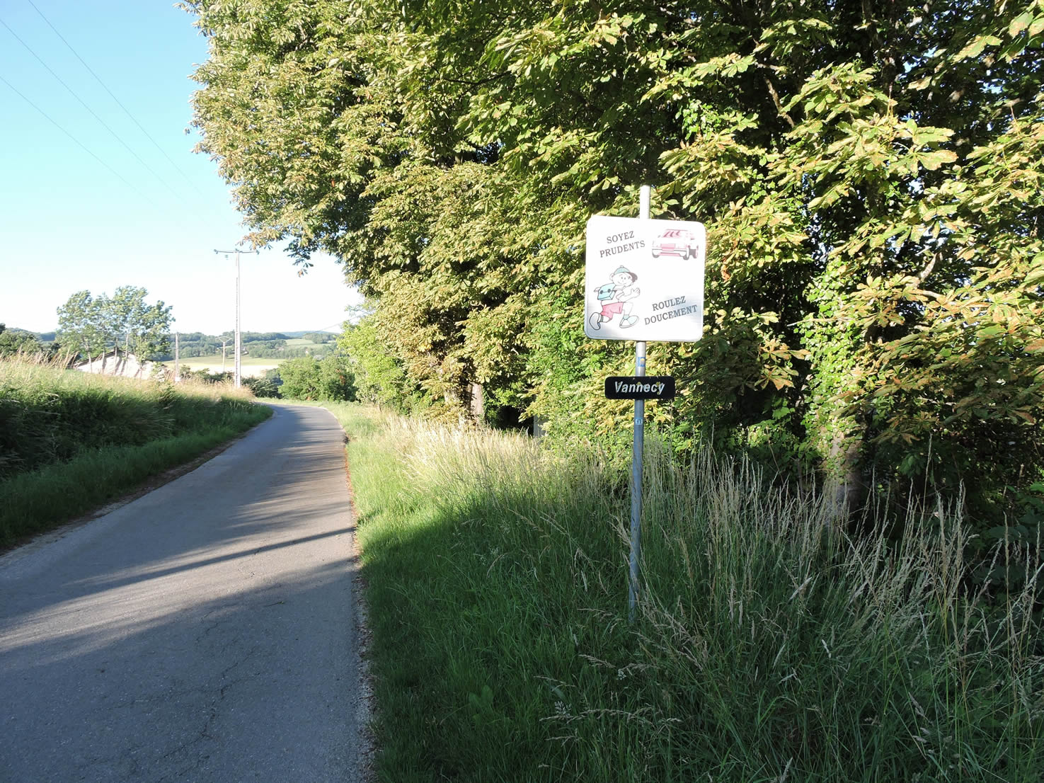
| The road then unfolds peacefully until the hamlet of Vannecy, where a few modest homes proudly stand, punctuating the road with a discreet yet benevolent presence. |
 |
 |
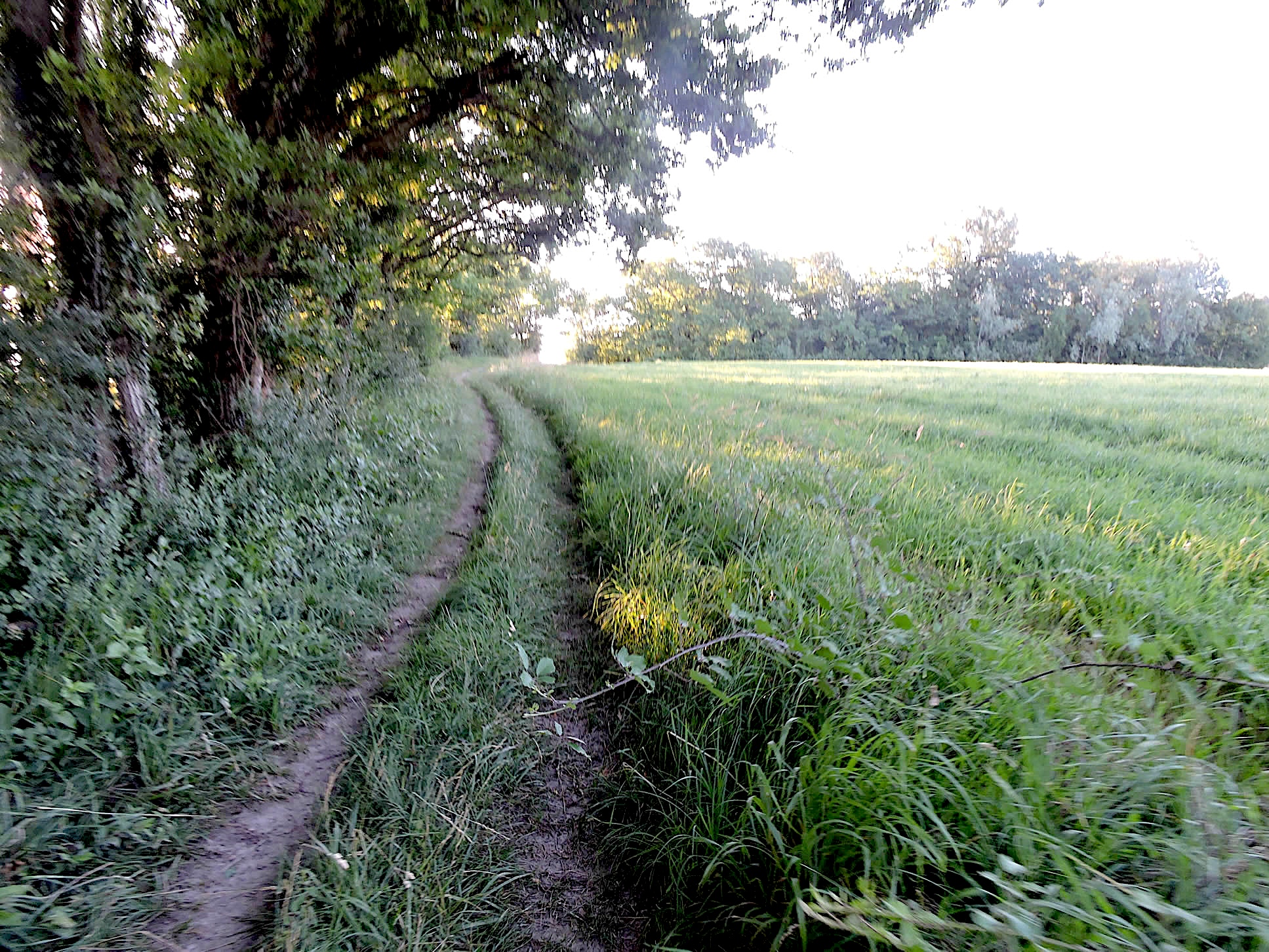
| Beyond Vannecy, the road begins a descent, slipping gracelessly into the small valley where the Coasse murmurs. Here, the lush vegetation of deciduous trees unfolds in a dance of shimmering greens: majestic oaks tenderly shade the winding hornbeam, while veteran chestnut trees and scattered young beech and maple shoots give a slight aura of mystery. |
 |
 |
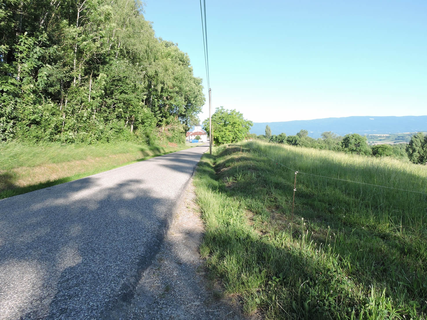
| Then the road slops up again, quite steeply towards Desingy. But as the Friends of Compostela don’t like to see pilgrims walking on roads, even though here a vehicle passes only every quarter of an hour at most, whenever an alternative presents itself, you take it. |
 |
 |
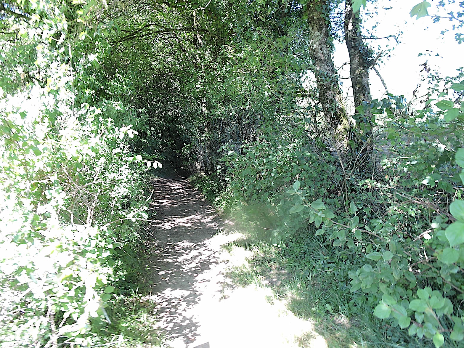
| In the hidden folds of this rolling countryside, a dirt path stretches lazily under the dense foliage of the trees, where ash trees raise their crowns like so many natural umbrellas, offering a kind shade to the walkers. The filtered light between the leaves paints a picture of unreal softness. |
 |
 |
|
But the GR65, true to its whimsical nature, suddenly transforms into a rocky path, almost like a landslide meticulously orchestrated by the passage of ages. The stone, rough underfoot, imposes a more measured rhythm to the steep ascent towards the previous road, defying the laws of gravity with an almost theatrical majesty. Is all this detour just to find the road again. Really reasonable?
|
 |
 |
| In front of you unfolds the village of Desingy, modest yet imbued with history, with its old St Laurent church from the 12th century, a proud stone sentinel by the road. A few houses with closed shutters punctuate the landscape, recalling the tranquility of another time, where the simplicity of farms and meadows offered a refuge against the bustle of the modern world. But in France, when there isn’t even a bakery, can it really be called a village? But there is a church, even though in these small villages, the churches are often closed or only occasionally attended. |
 |
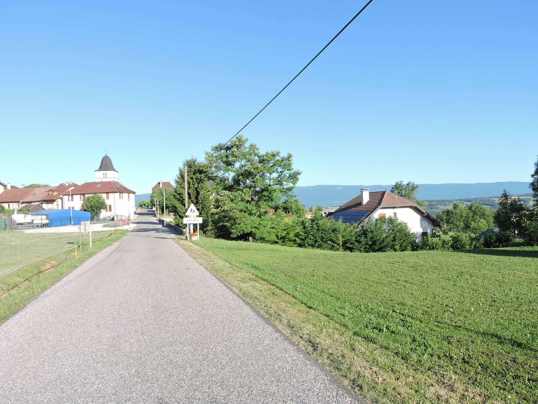 |
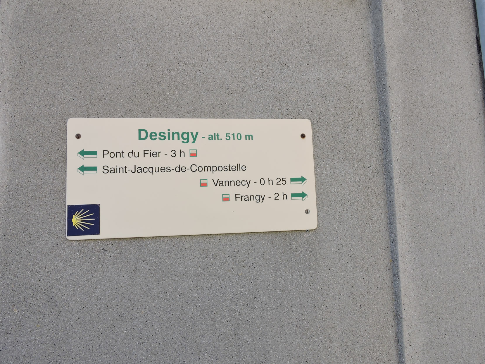
| Here, you are 3 hours of walking from the Pont on the Fier River. At the exit of Desingy, the GR65 leaves the main axis for a smaller road, the Route de Compostelle. |
 |
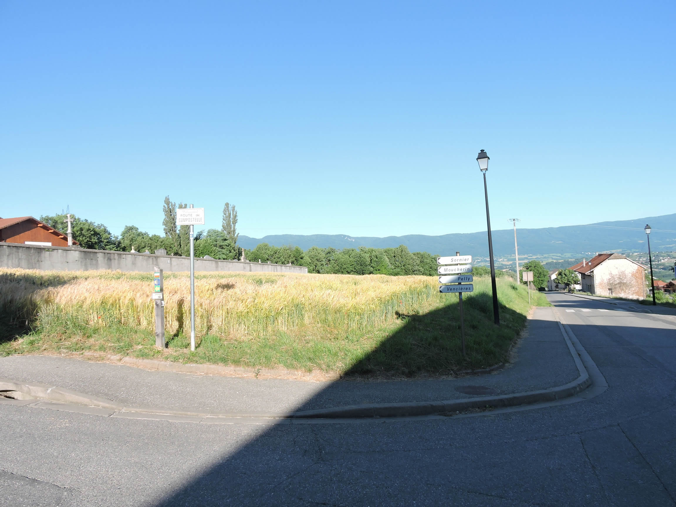 |
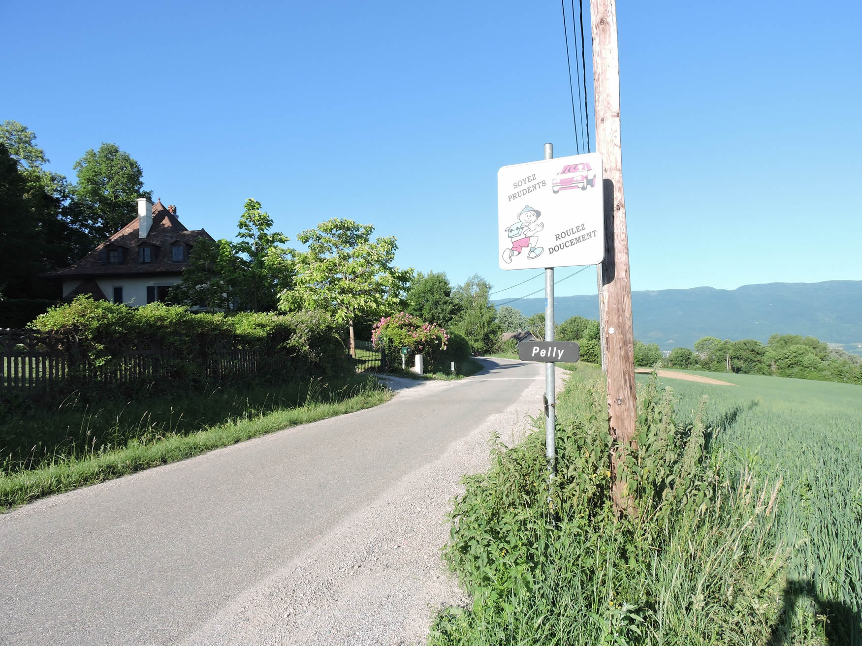
| Shortly after, the road crosses the hamlet of Pelly, where the neat houses resemble holiday chalets, reflecting an architecture harmonious with its natural environment. Each house seems to tell a story of tranquility and simplicity, a haven far from the turmoil of modern cities. |
 |
 |
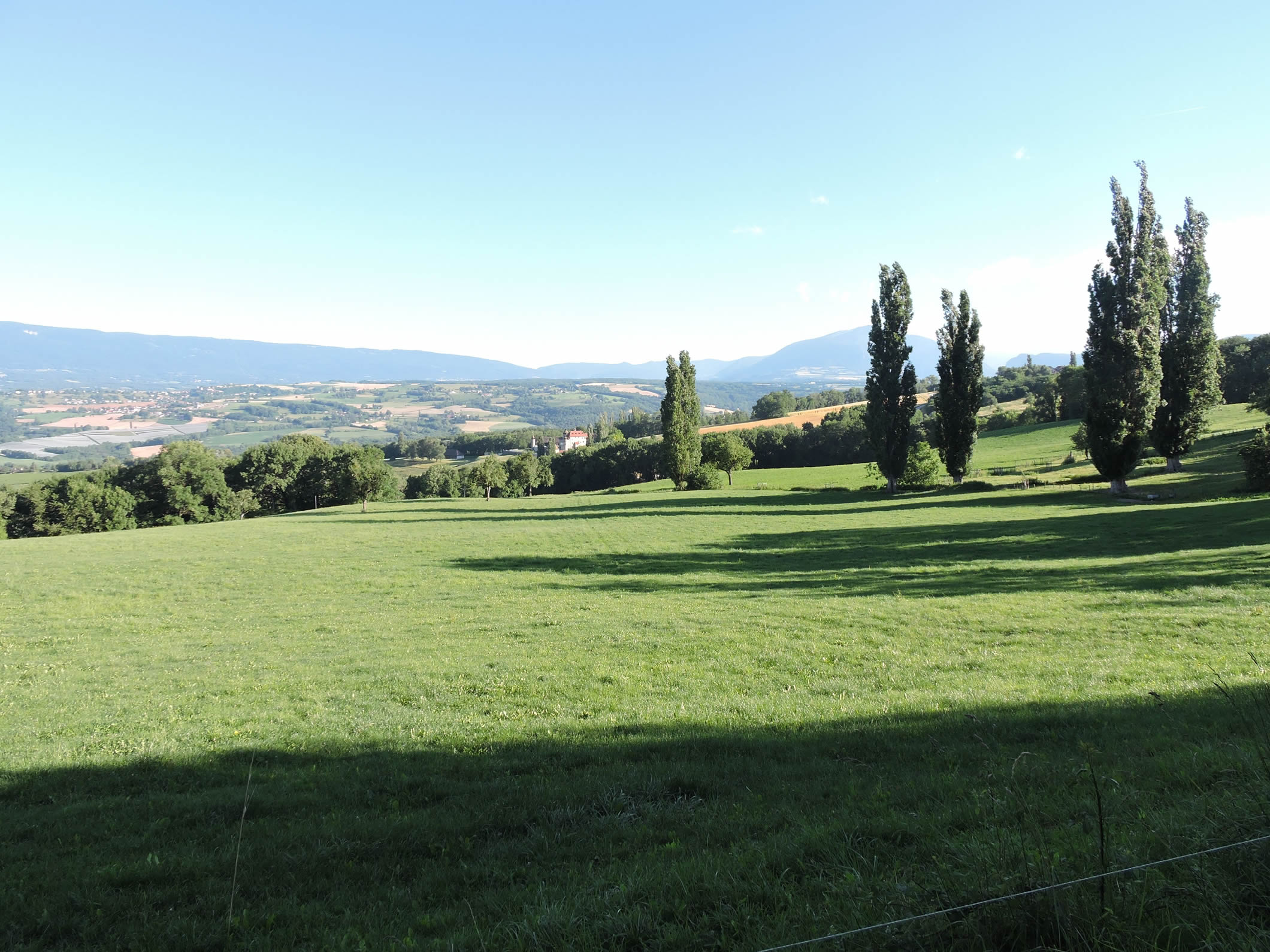
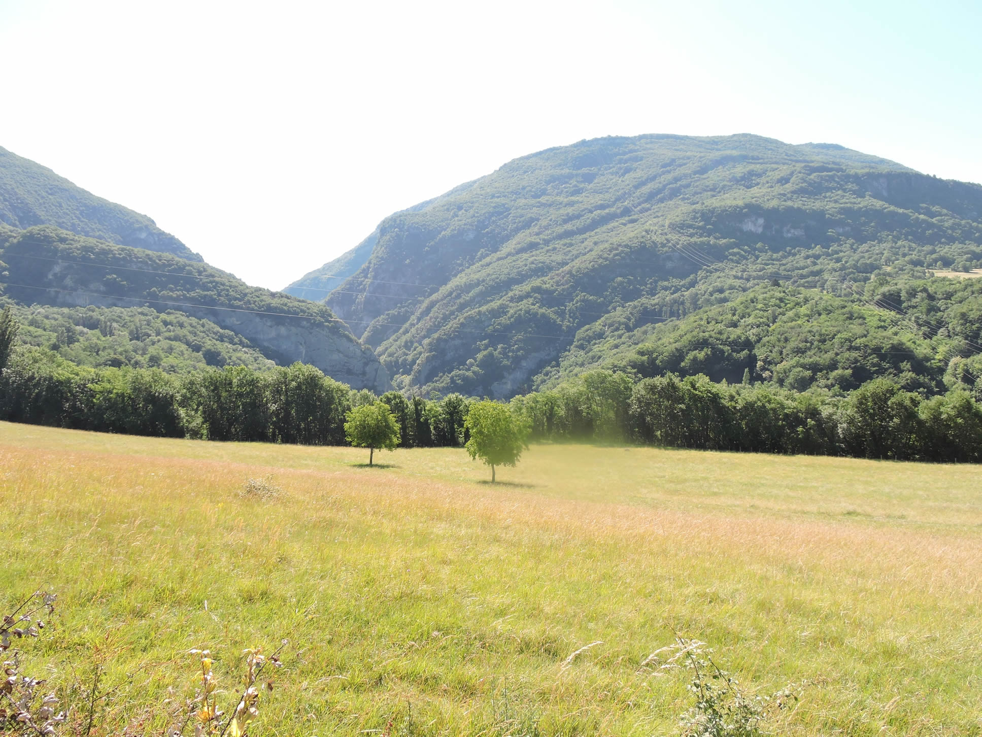
| In this preserved corner of Haute-Savoie, where the wind whispers through the branches of ancient oaks, each step reveals a new tableau of nature’s raw beauty. The lush meadows stretch as far as the eye can see, dotted here and there with dense groves or fields of corn that gently sway with the seasons. The cows graze peacefully, silent guardians of the vast expanses where the scents of the earth and moist grass mingle. The landscape opens up in the distance to the majesty of Montagne du Prince, its profile crowned with dark, mysterious forests. |
 |
 |
Section 3: Beneath Montagne du Prince

Overview of the route’s challenges: rolling hills with no significant difficulties.
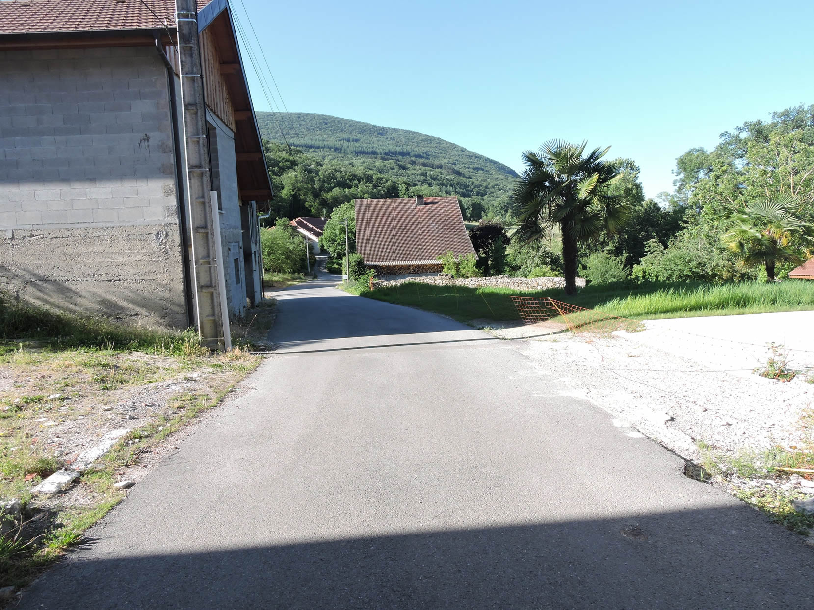
| Throughout this stage, you will run from one small village, or rather hamlet, to another, mostly on paved roads, sometimes on paths. Here, the road winds through meadows and charming countryside to reach Moucherin. |
 |
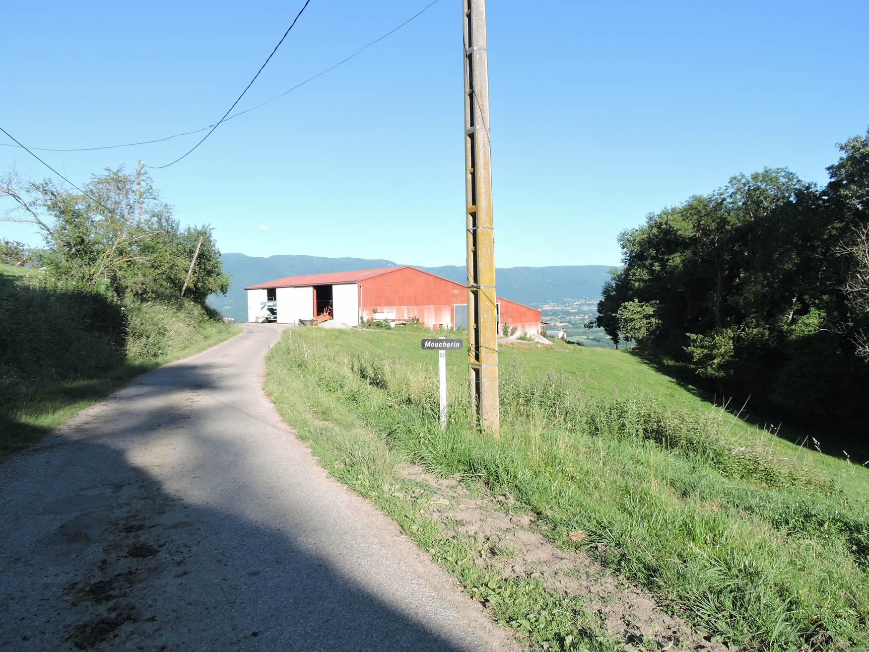 |
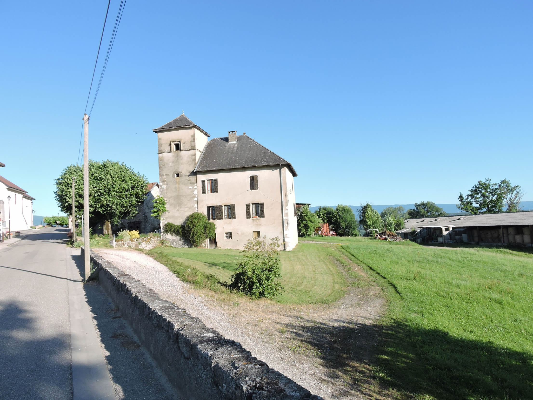
Below Moucherin, the majesty of Pelly Castle stands out, a carefully restored medieval bastion, where even the stones tell legends of yesteryear and now houses a romantic inn, immersing visitors in an enchanting atmosphere.
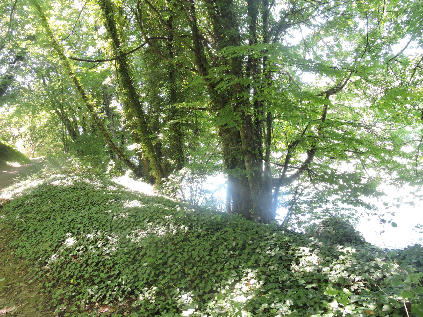
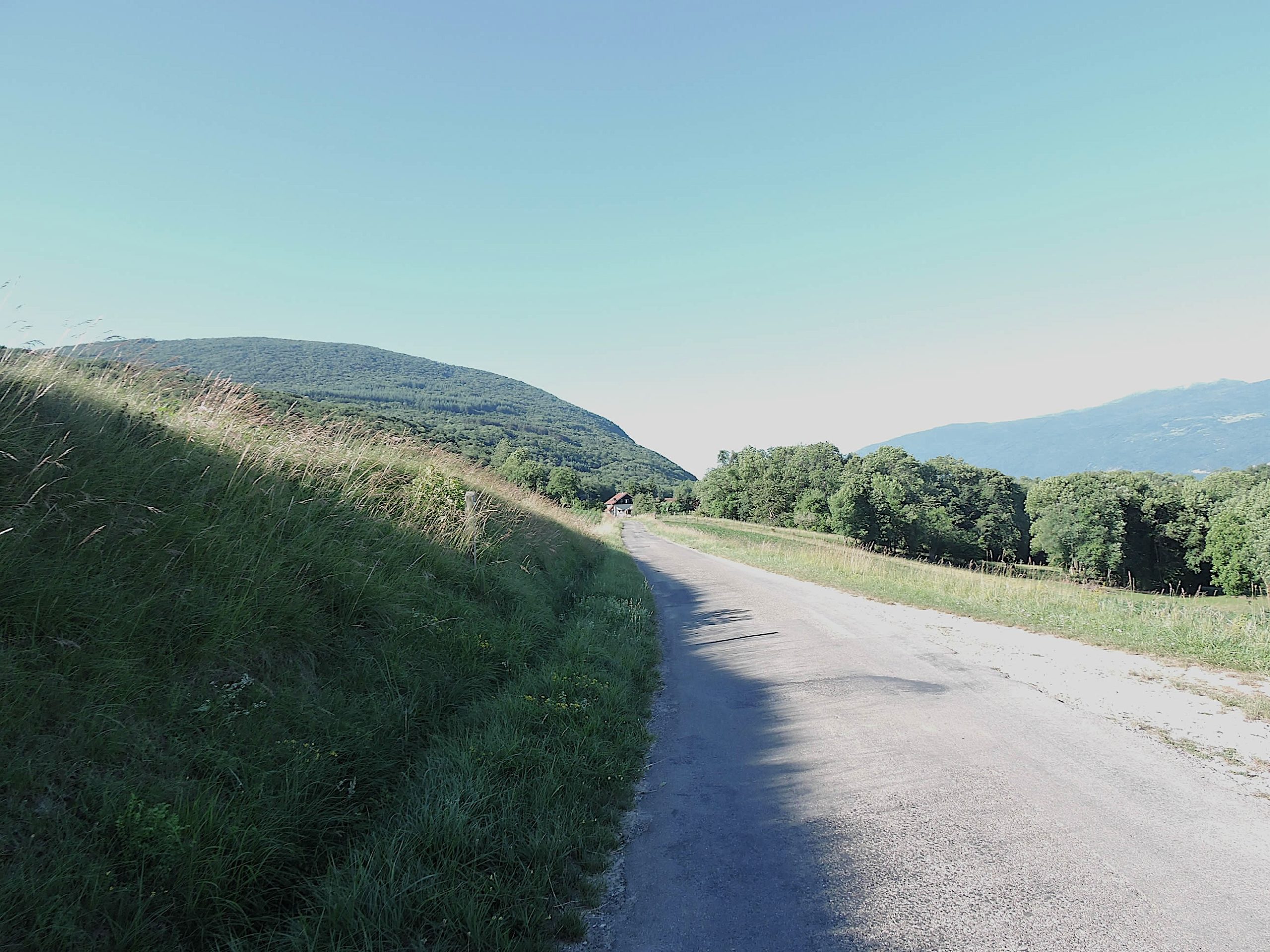
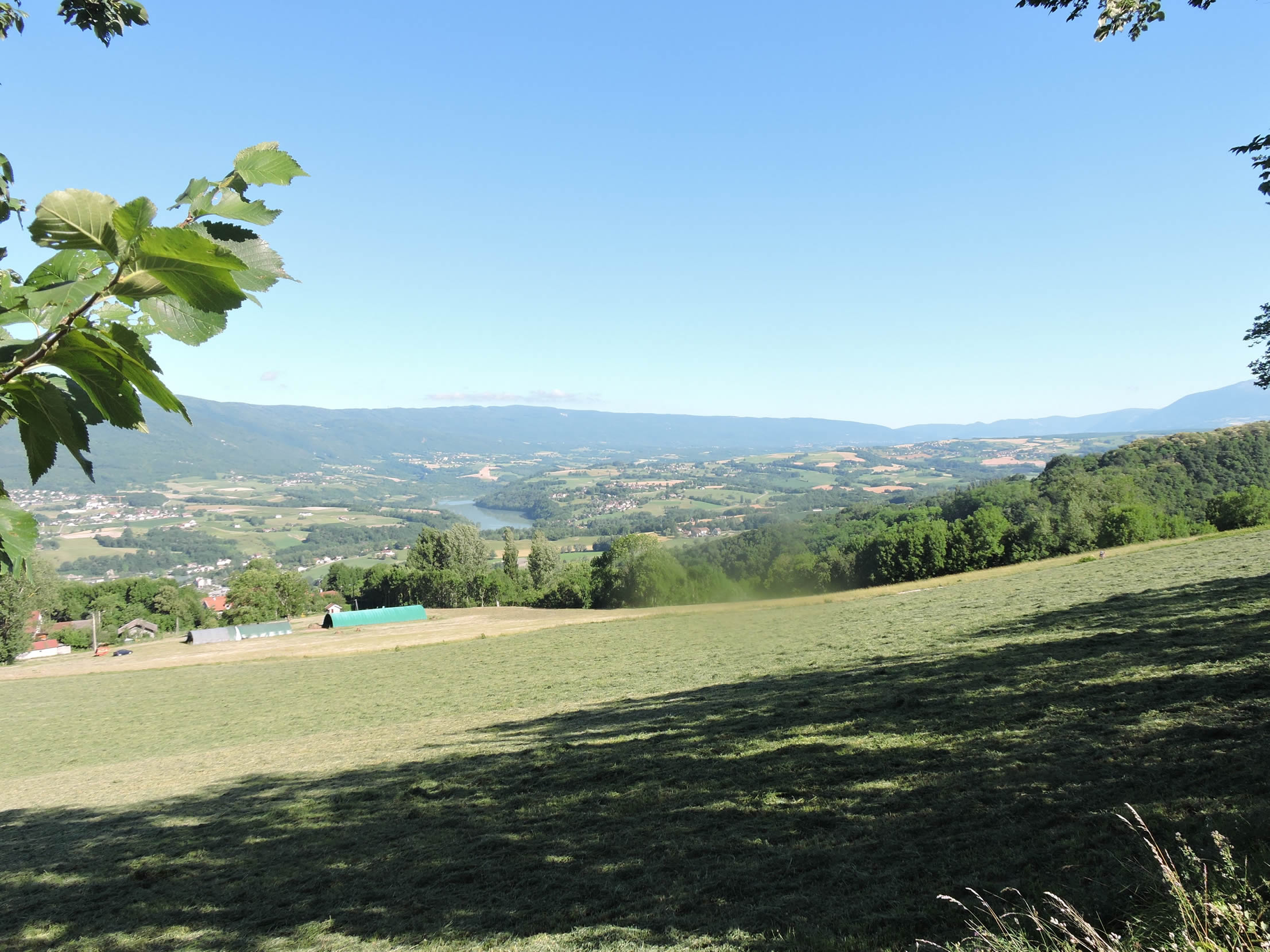
The landscape opens below onto the Rhône plain, but where the route runs, you walk more along the forest’s edge under Montagne du Prince. The wooded slopes of this modest yet imposing mountain dominate the Rhône Valley, where the Fier River winds with infinite grace. Once a territory of the Resistance, these lands now attract hikers eager for breathtaking views and dizzying cliffs that overlook the Val de Fier, promising splendors to discover soon.
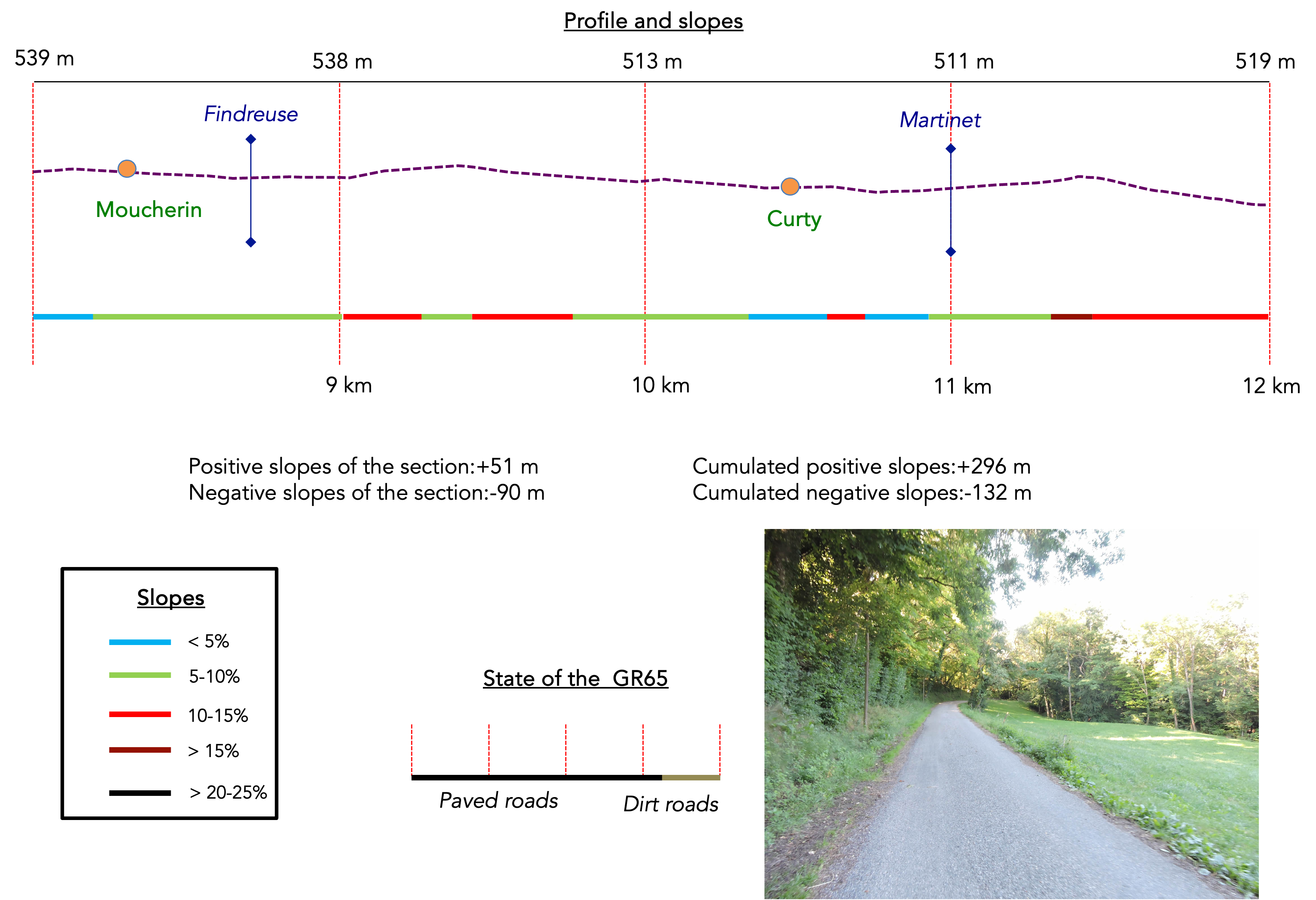
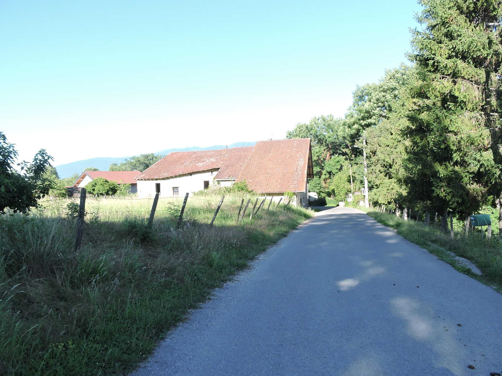
| From Moucherin, the road leads quickly to the peaceful Findreuse stream, where oaks and ashes vie for space with beeches and hornbeams. Here and there, rare chestnuts and maples punctuate the landscape, offering a rich diversity of vegetation at this altitude. Spruces, meanwhile, remain discreet, adding their subtle scent to the pure mountain air. |
 |
 |
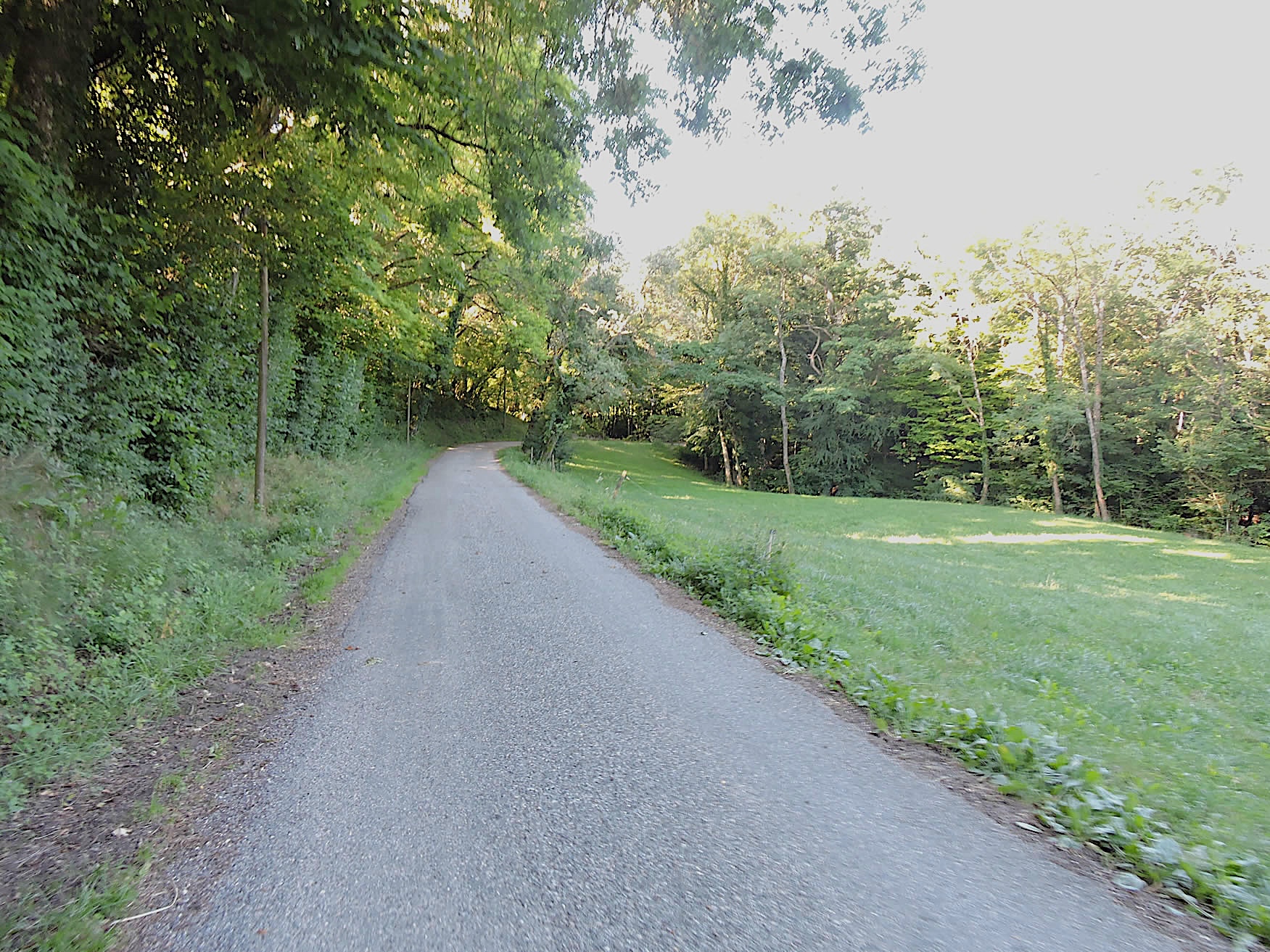
| Further along, the road gently slopes up, winding through majestic trees whose canopies form a natural vault. Each curve of this mysterious route seems to invite the traveler to discover a secret world, a hinterland crossed by small winding roads. These hidden paths lead to isolated farms and hamlets that time seems to have forgotten. The hinterland reveals itself to be a true labyrinth of discreet trails, where each turn holds new discoveries. |
 |
 |
| Continuing on, the road descends gently through the woods, leading you to the place known as Le Vernay. Here, tranquility and mystery reign supreme. The whispers of the forest and the birds’ song create a natural symphony, soothing and almost enchanting. |
 |
 |
| However, the GR65 soon deviates from this peaceful descent to take a narrower road, climbing through verdant meadows and rare crops. This striking contrast with the surrounding forest highlights the landscape’s diversity. Ahead, Montagne du Prince stands majestically. Its imposing silhouette, covered in dense forest up to its summit, exudes an almost hostile, rebellious aura at first glance. The nature here is wild and preserved, an invitation to get lost in its vastness, far from the hustle and bustle of the modern world. |
 |
 |
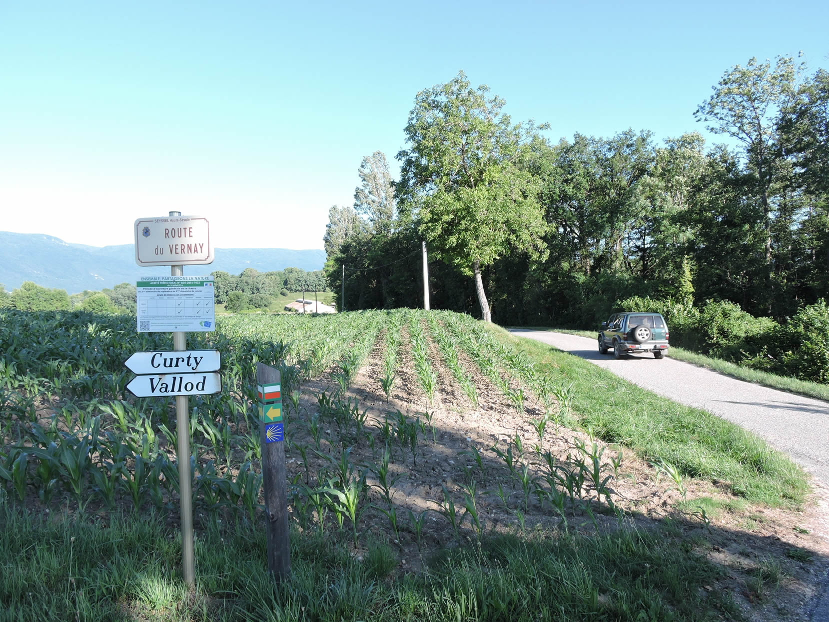
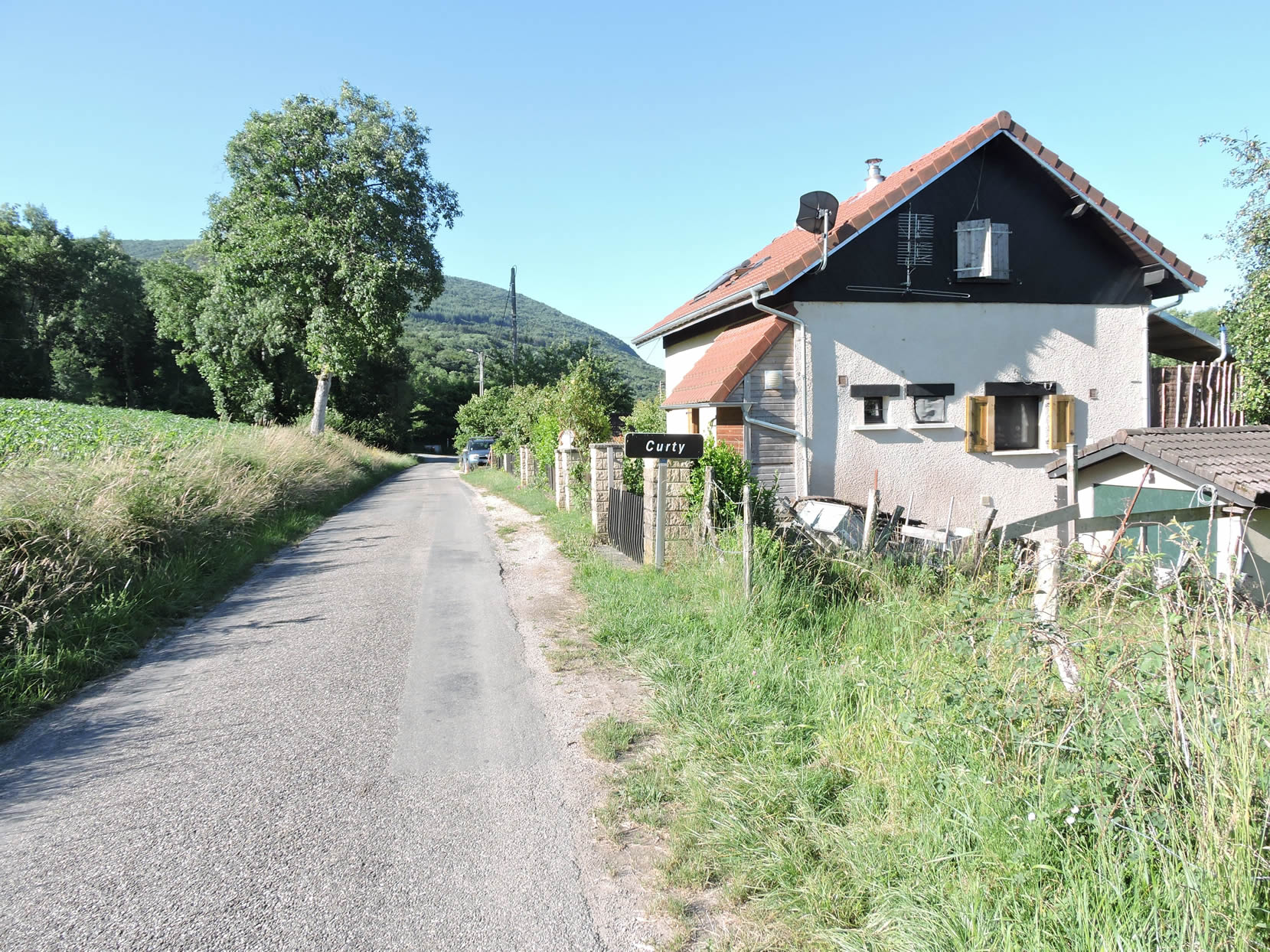
| Shortly after, the road gracefully winds through the picturesque hamlet of Curty, where a few modest but charming houses proudly stand among the green hills. These homes, with their exposed stone facades and red-tiled roofs, seem to tell stories of past generations, their rustic appearance blending harmoniously with the gentle landscape. |
 |
 |
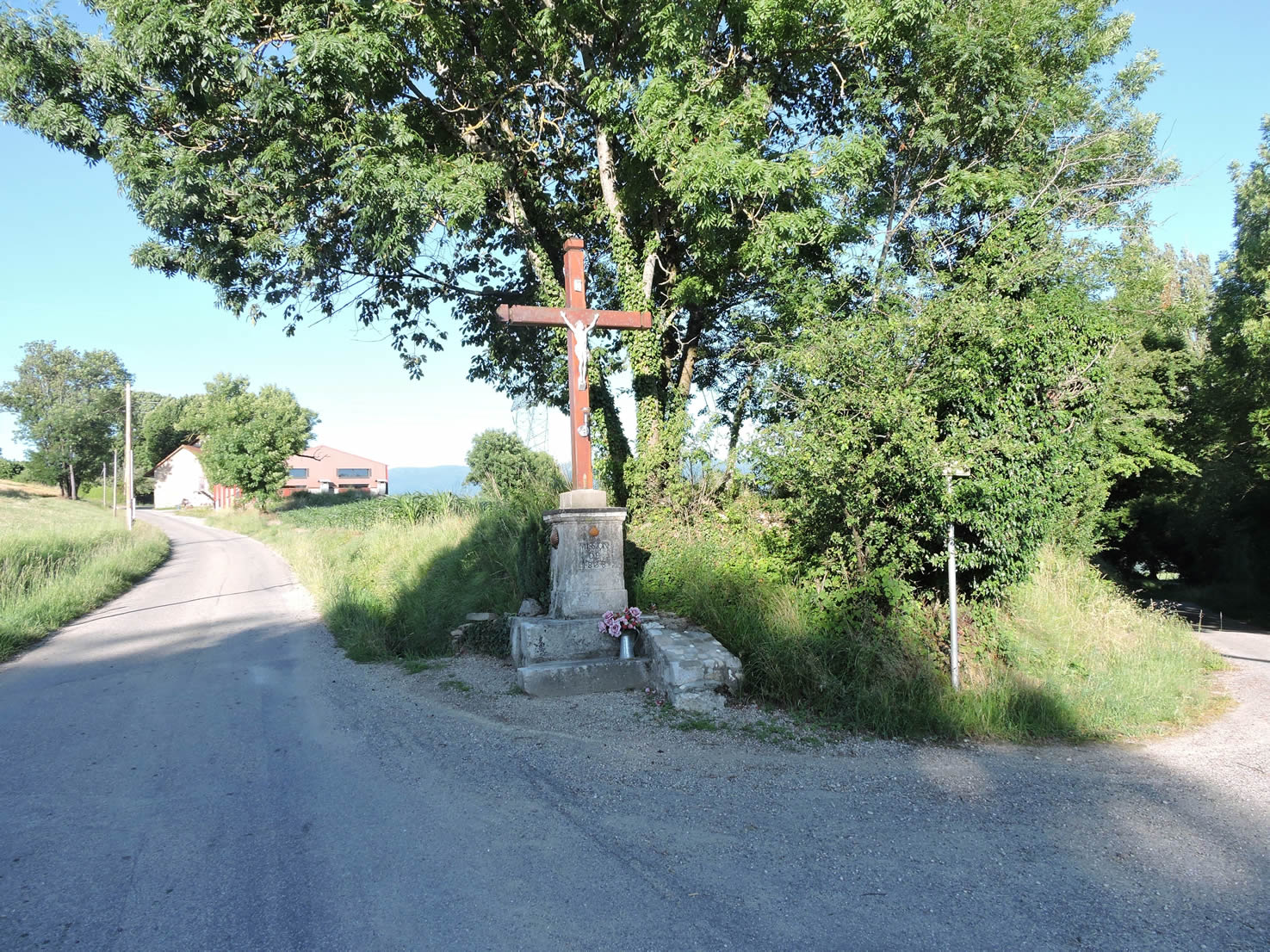
| Ambling along, the road passes near an old stone cross, nestled under the majestic oaks and other hardwoods of the surrounding forest. This place exudes tranquility and serenity, offering a silent refuge, a soothing symphony. |
 |
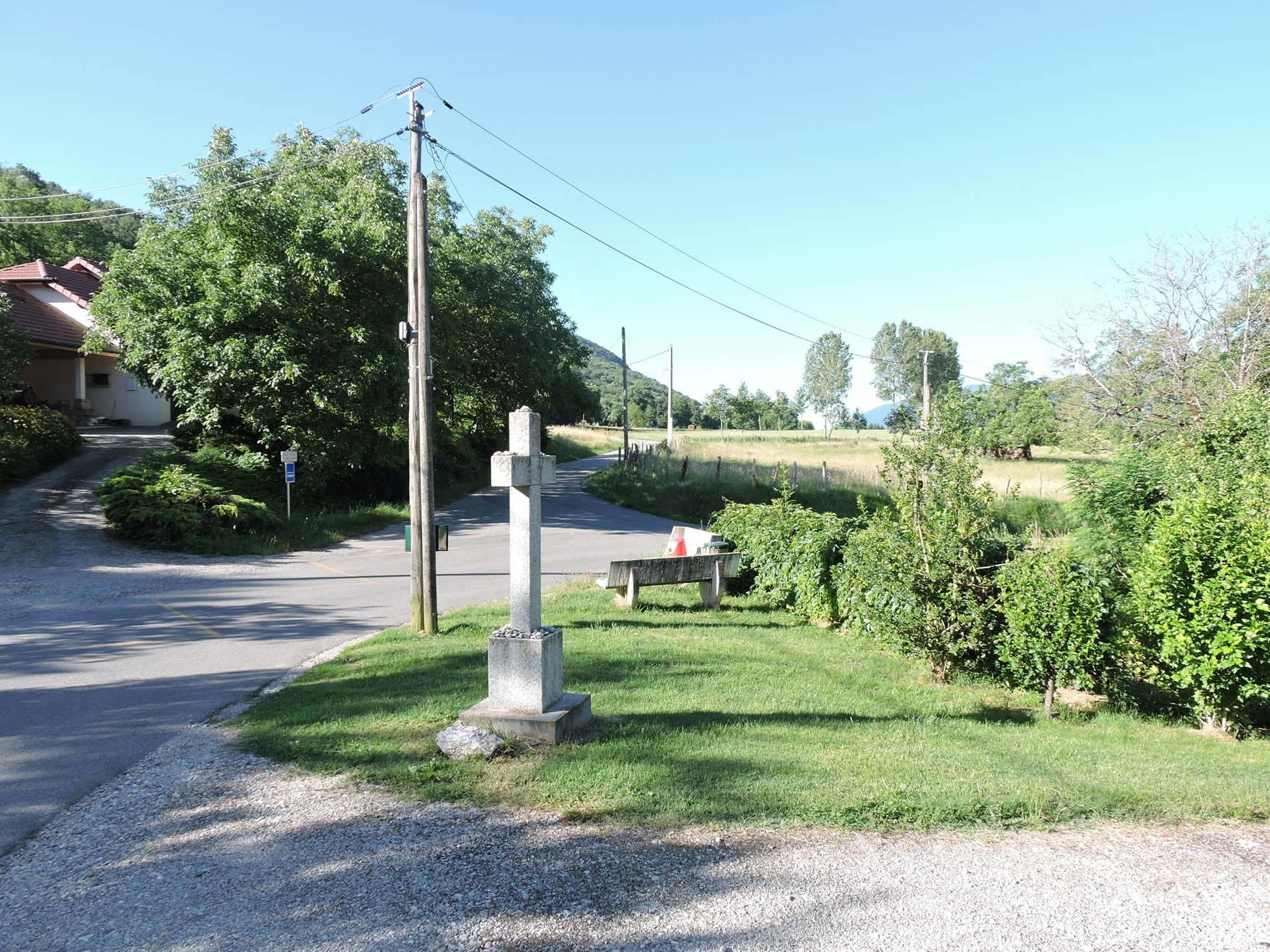 |
| Beyond Curty, the road continues its gentle ascent, passing another wood cross. In this region, wood is often the preferred material for erecting these religious symbols. Two crosses in such a short distance raise questions about the locals’ religiosity, perhaps more marked and deeply rooted in their daily lives. . |
 |
 |
| The road climbs a bit more, reasonably, traversing the deciduous forest and crossing the small Martinet stream. In fair weather, these streams remain discreet, their light murmurs blending into the forest’s sounds, but during prolonged rains, they become tumultuous, transforming the landscape into a scene of wild, untamed nature. |
 |
 |
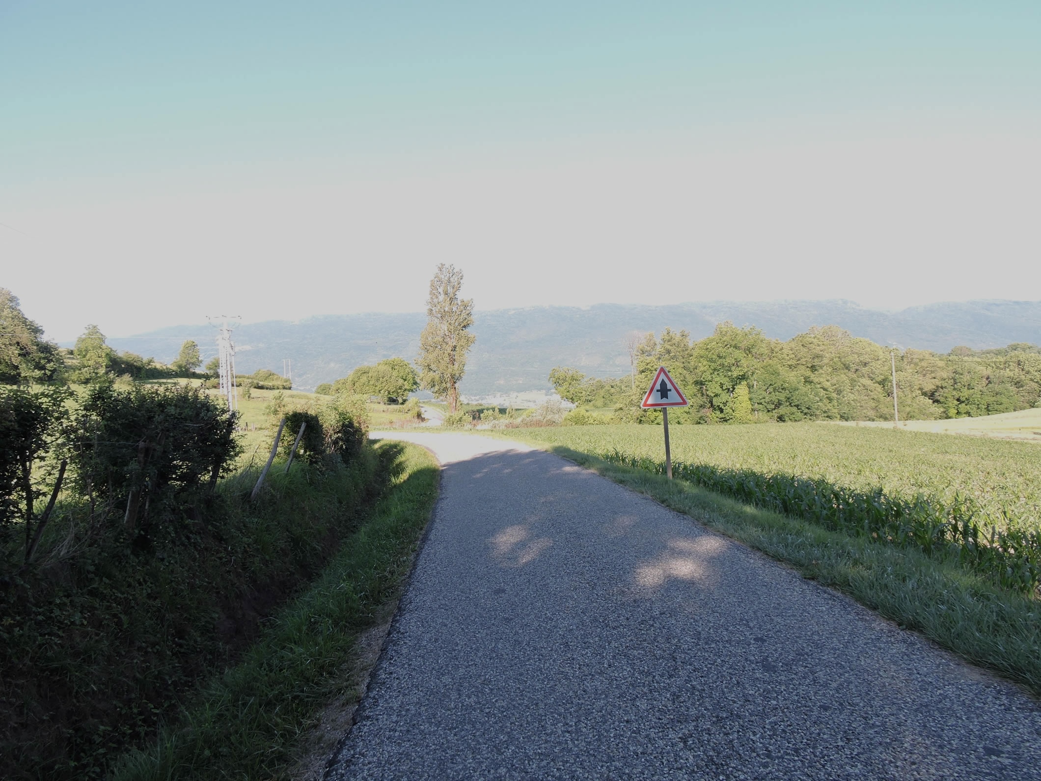
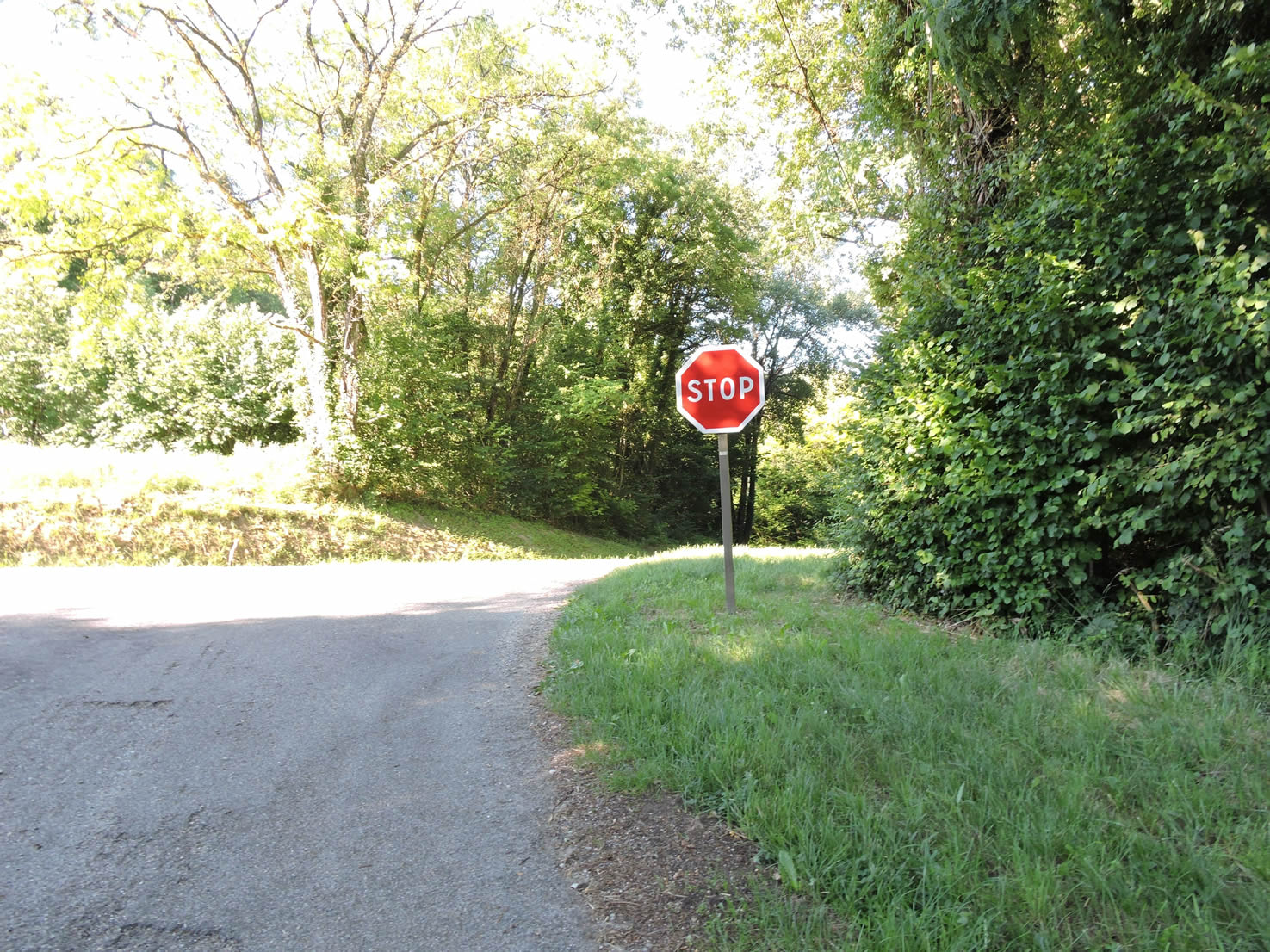
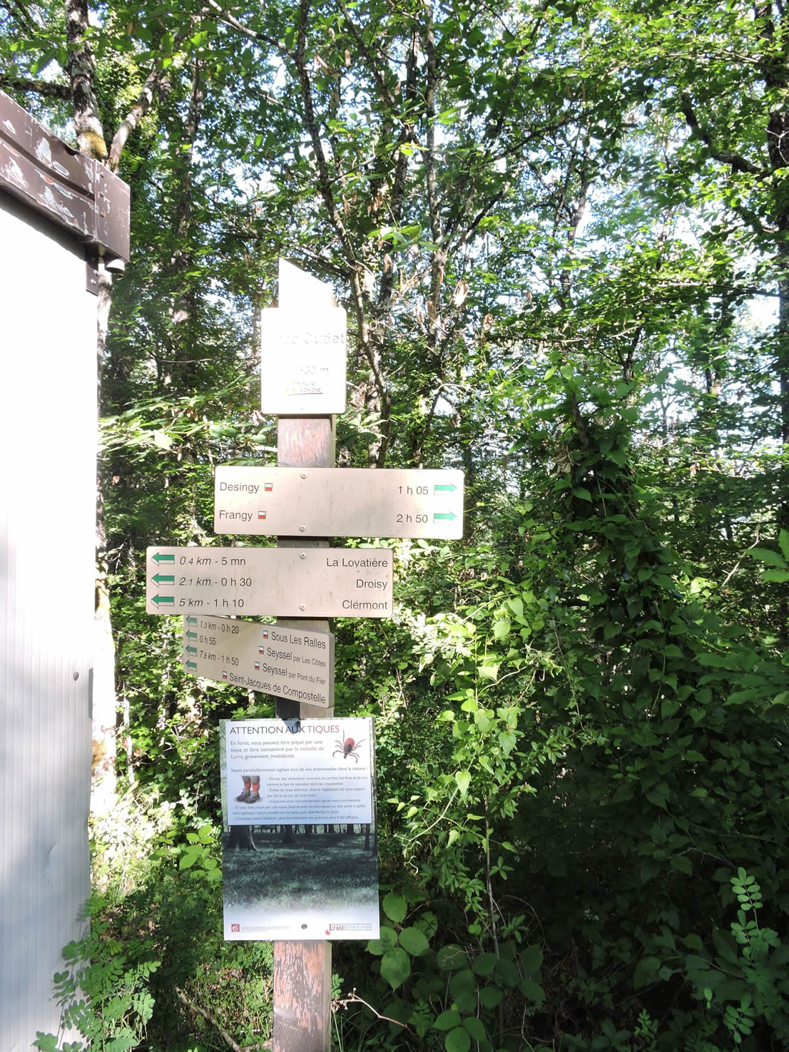
At the top of the climb, the road reaches the place known as Chez Cudet. A sign indicates numerous directions, including one towards Seyssel, evoking the paths to travel and the destinations to discover. Another sign warns about ticks, common in this forest. Vigilance is necessary, as Lyme disease is a real threat, though not all ticks carry Borrelia.
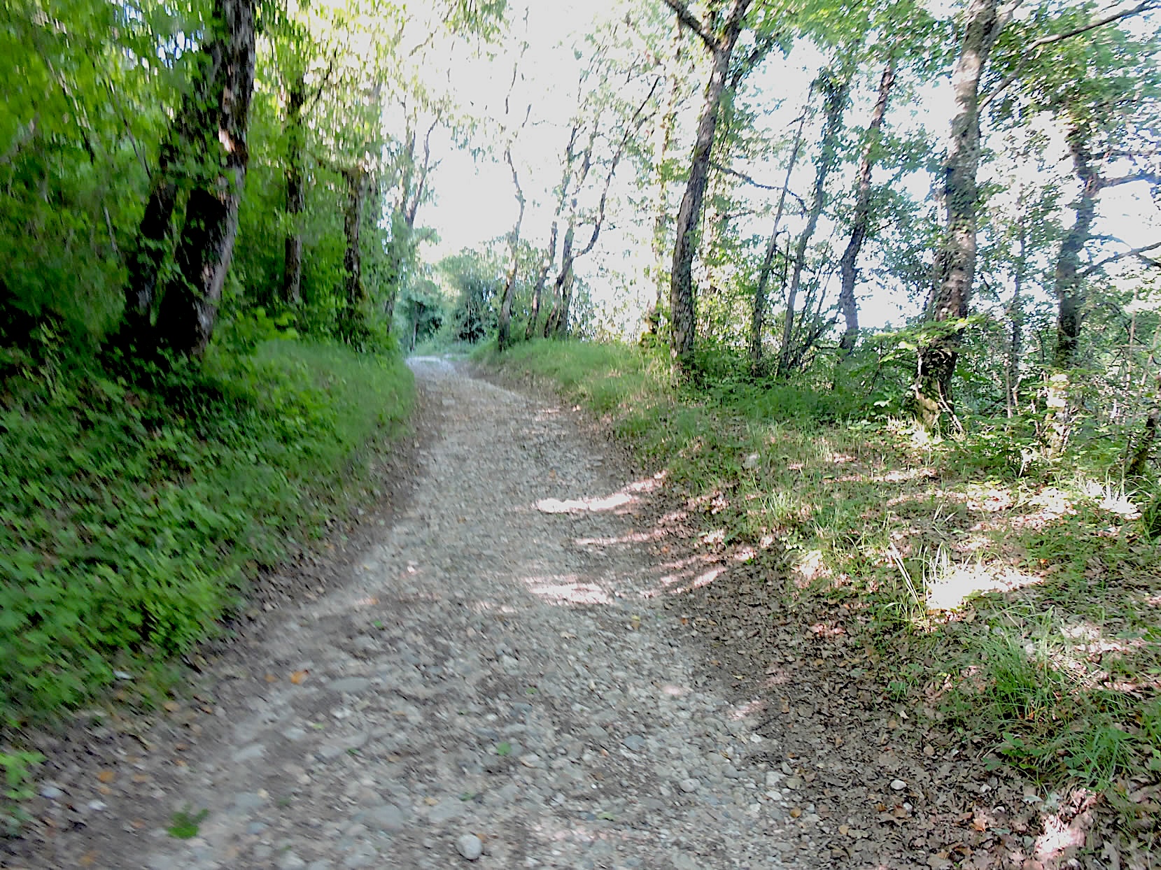
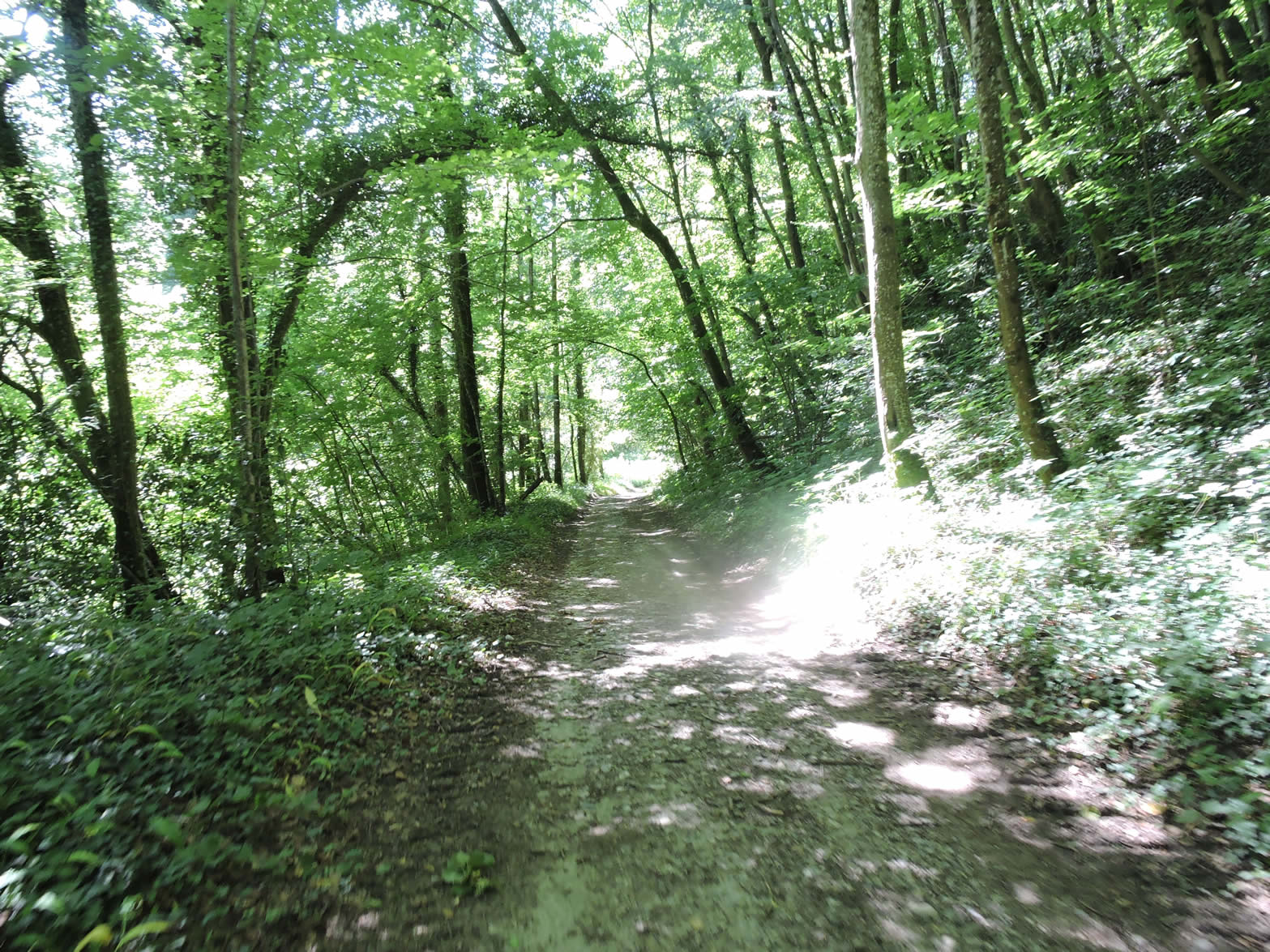
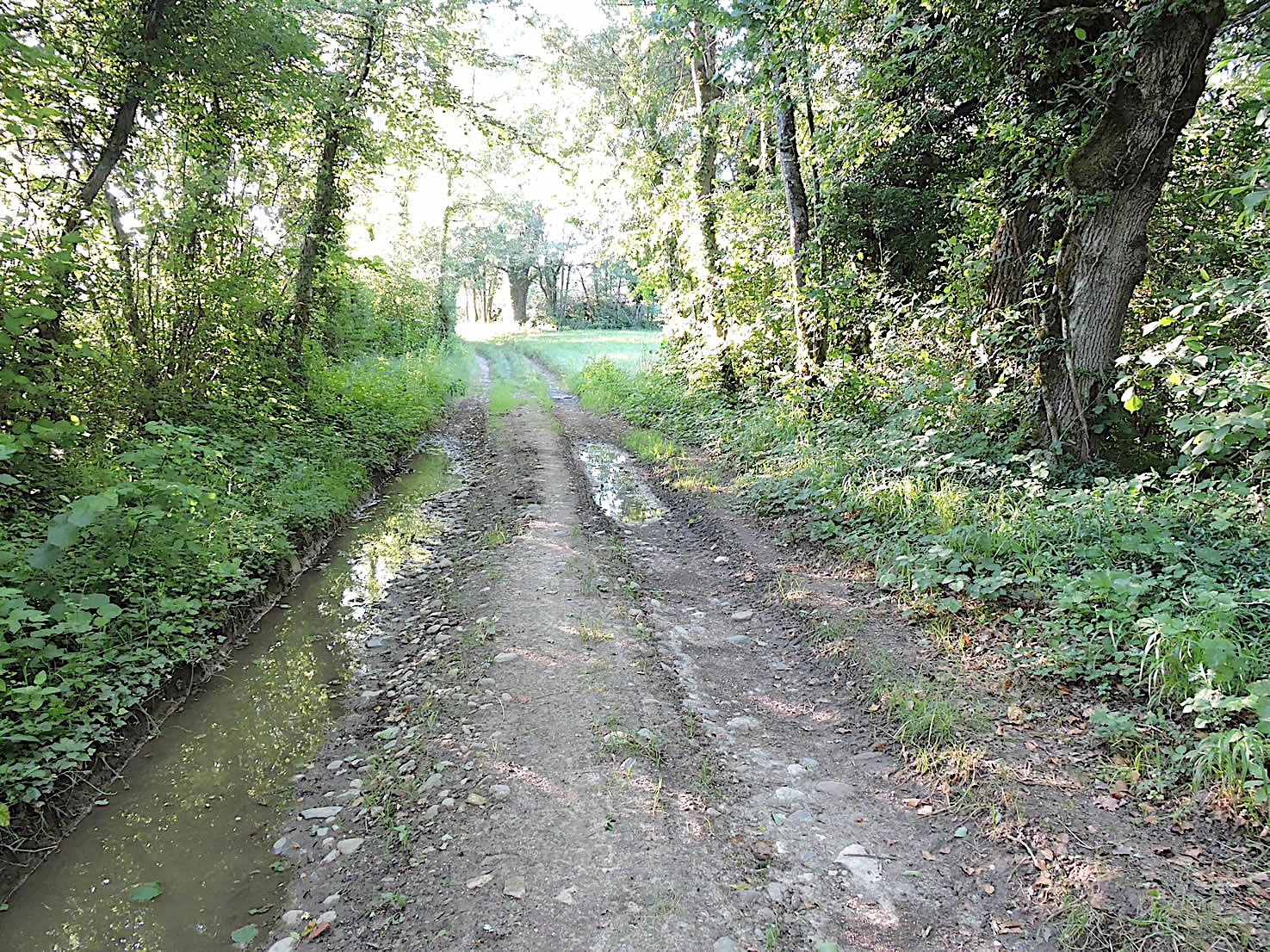
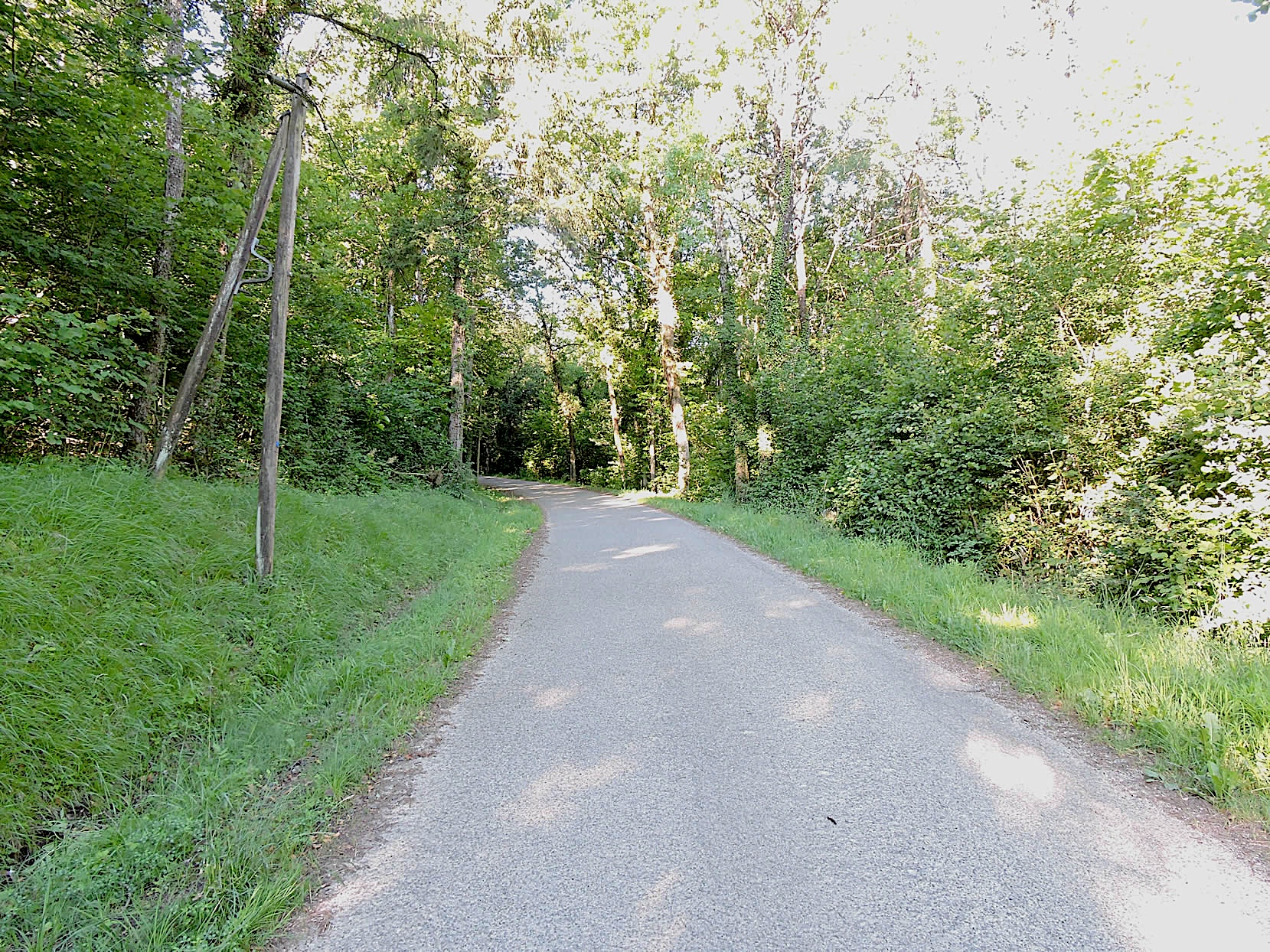
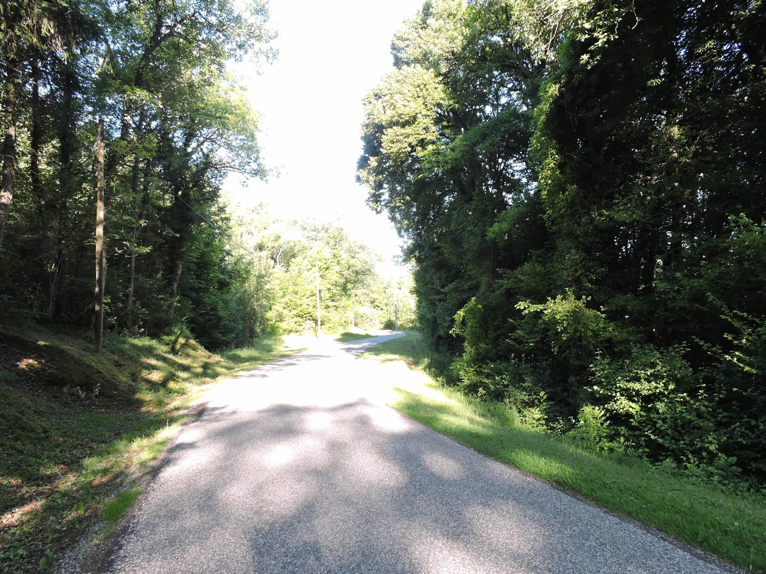
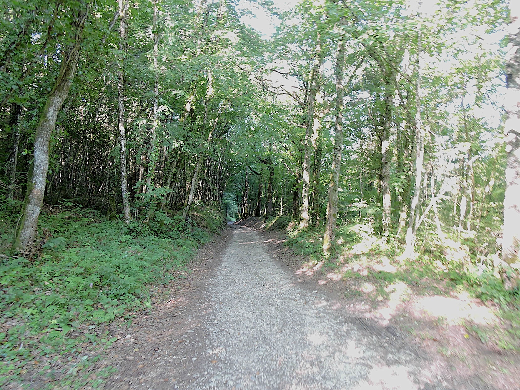
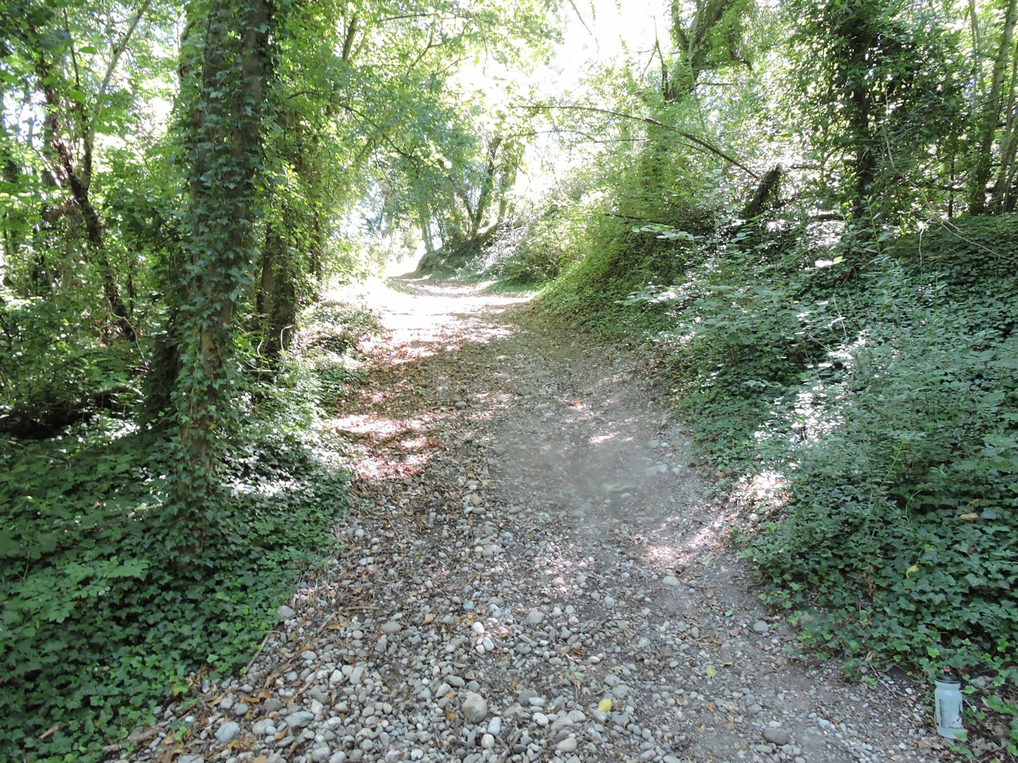
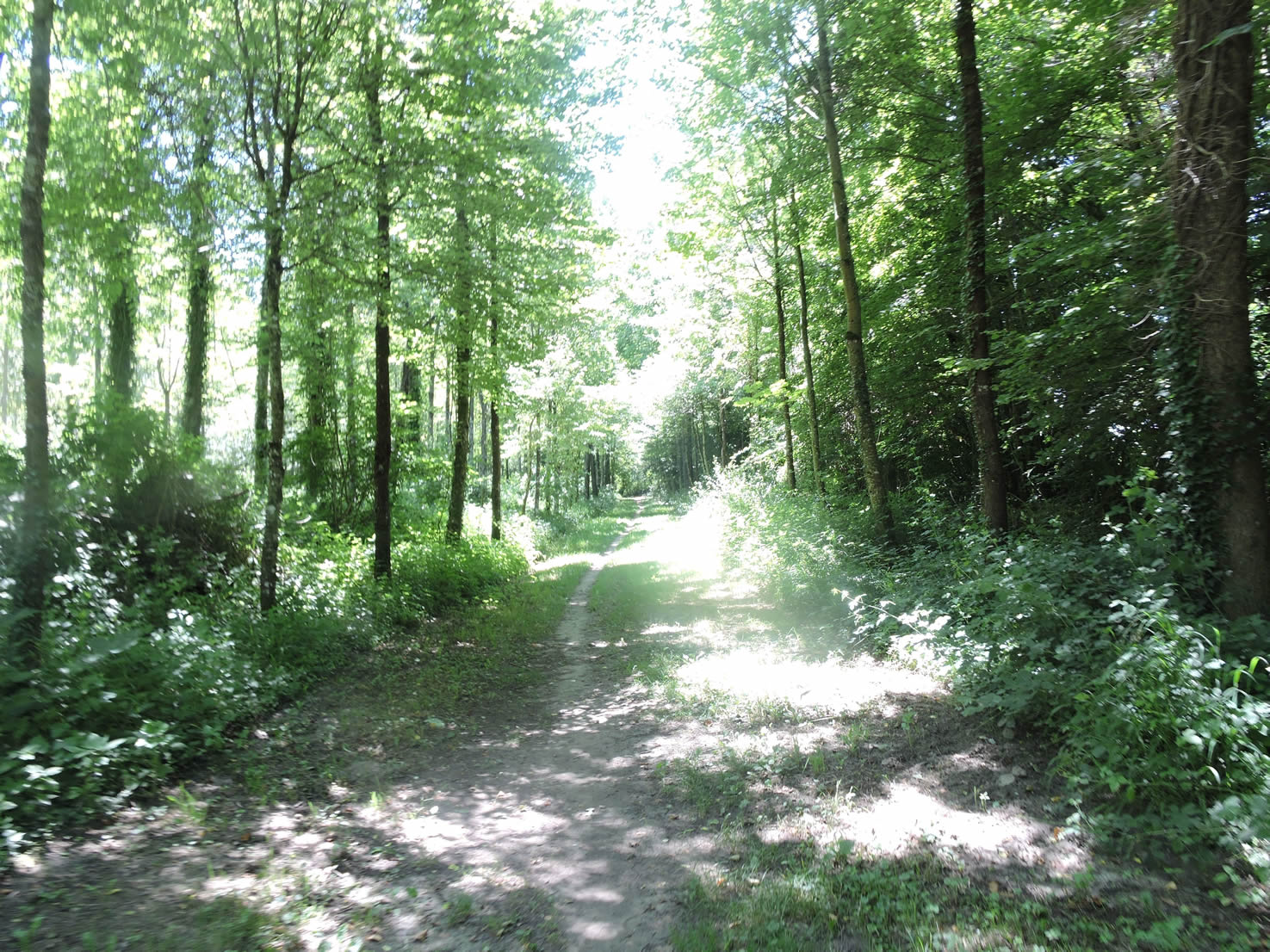
| A wide dirt path descends for a long stretch, alternating between steep slopes and small ascents, always surrounded by bushes and hardwoods where small beeches, oaks, and chestnuts dominate. The light struggles to penetrate this dense canopy, creating a shaded ambiance where a wild charm prevails. The forest here, far from being a model of elegance, offers a tableau of raw beauty, where each tree and bush tells its own story. |
 |
 |
Section 4: Counting steps to reach the Rhône River

Overview of the route’s challengess: a constant descent, with sometimes very steep sections.
| The path gradually exits the undergrowth, still as disorderly and lacking harmony, but it is this disorder that gives the forest its unique and untamed character. |
 |
 |
| AAt the bottom of the forest, the GR65 crosses a small paved road, creating a striking contrast between the wild world left to its own rhythm and the more orderly human intervention. What is surprising in this stage is the contrast of landscapes. There are stretches where humans have let nature roam freely, allowing it to express its untamed character, and places like this where nature has been tamed to make it more pleasant to the eye. Everyone will find their pleasure. |
 |
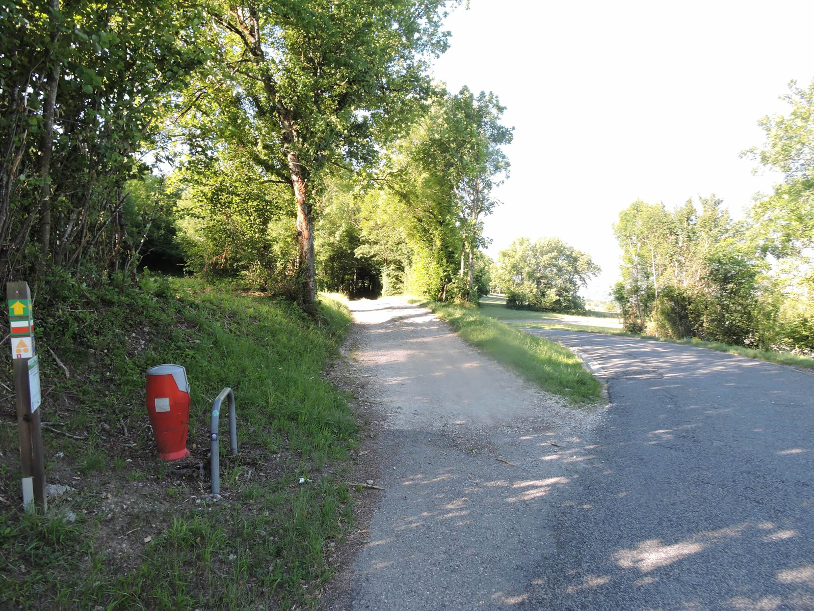 |
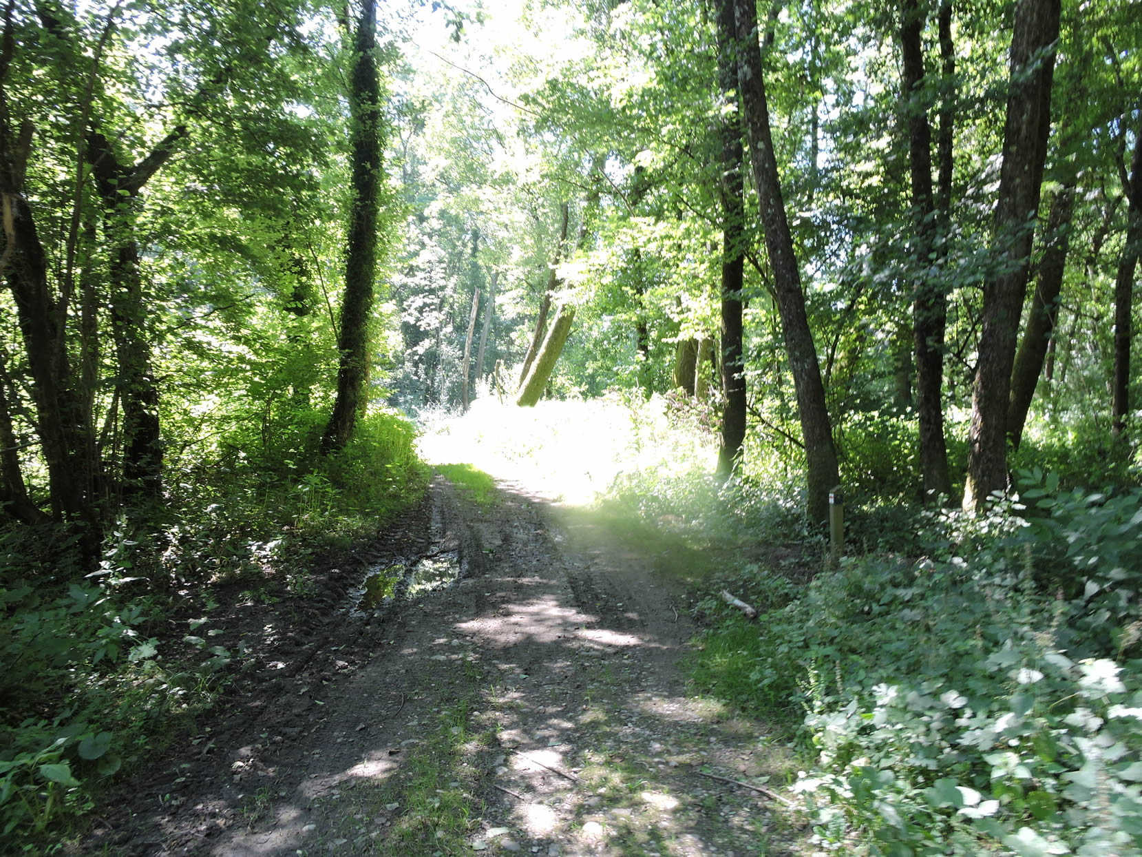
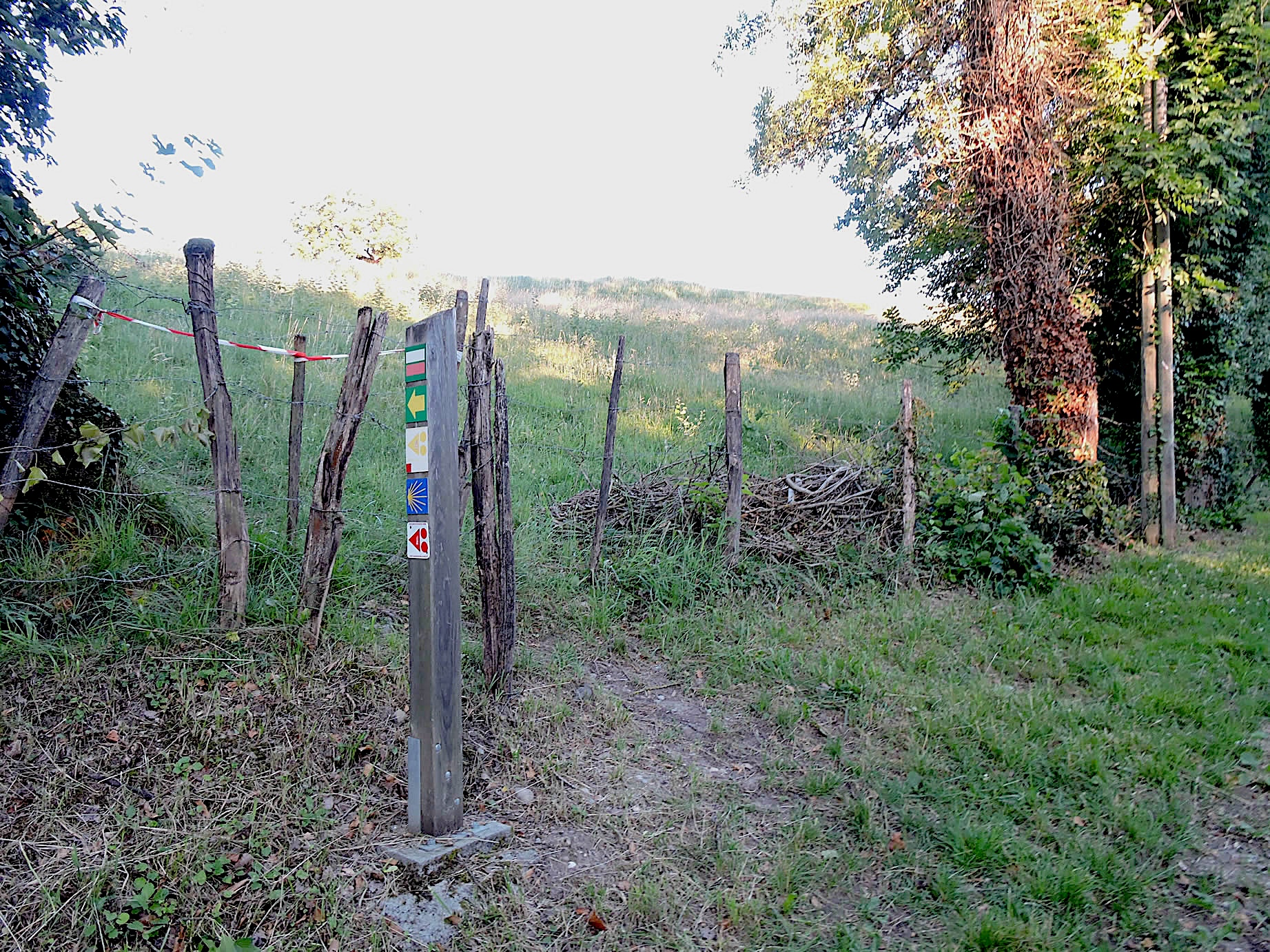
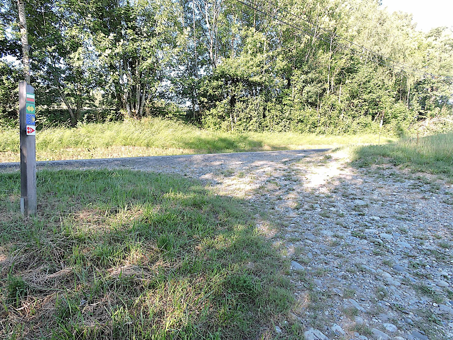
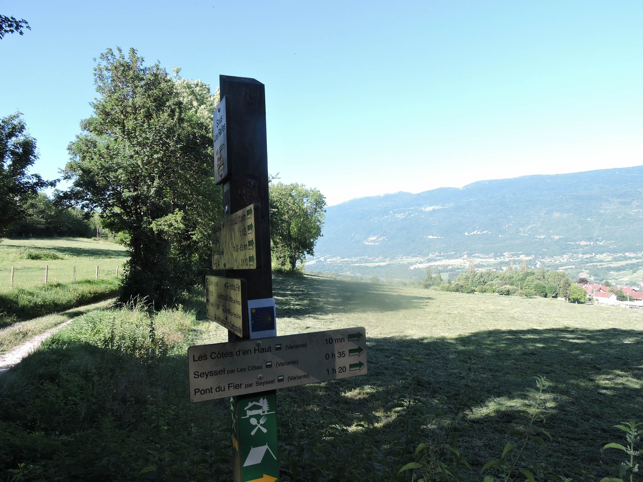
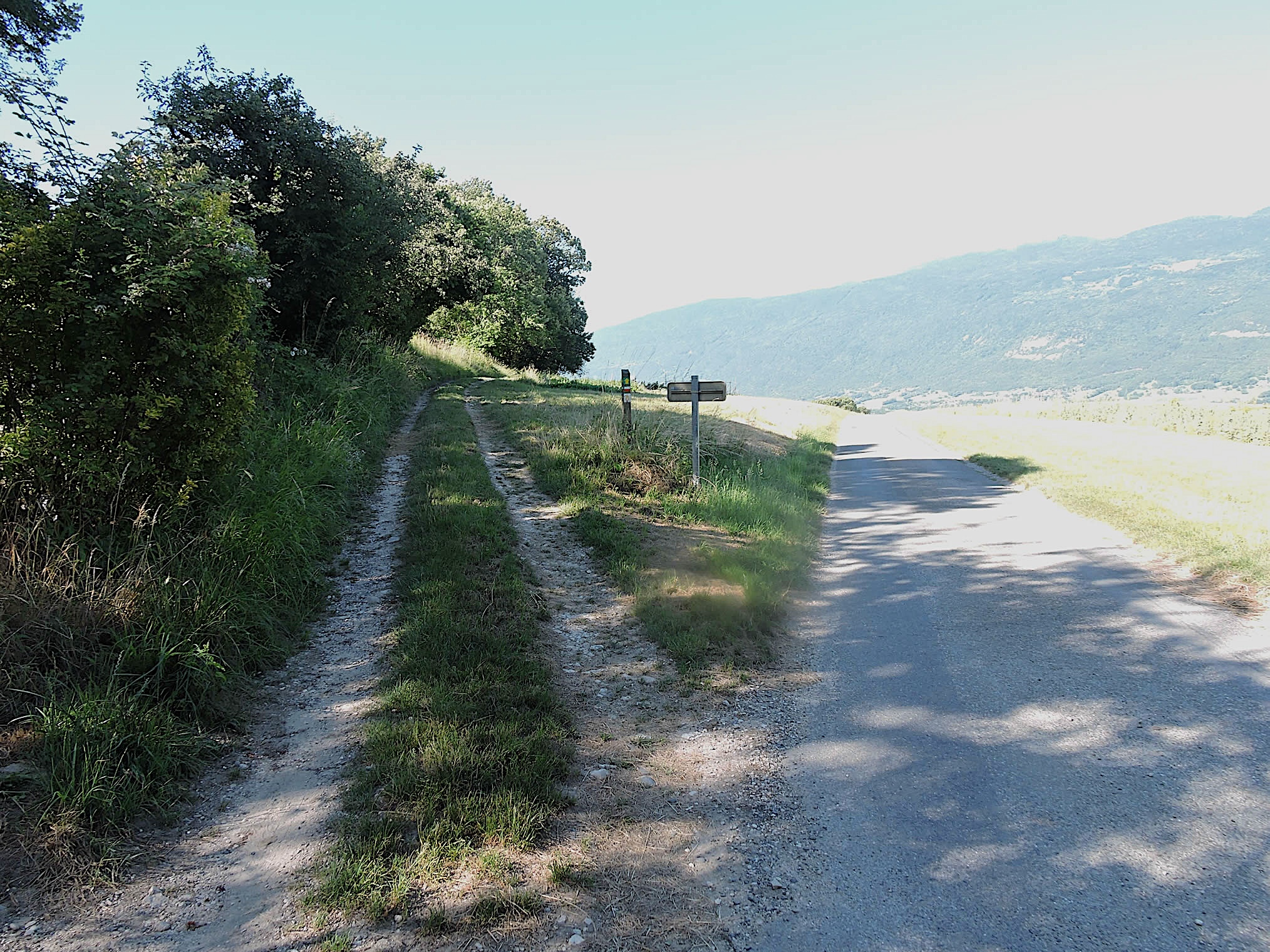
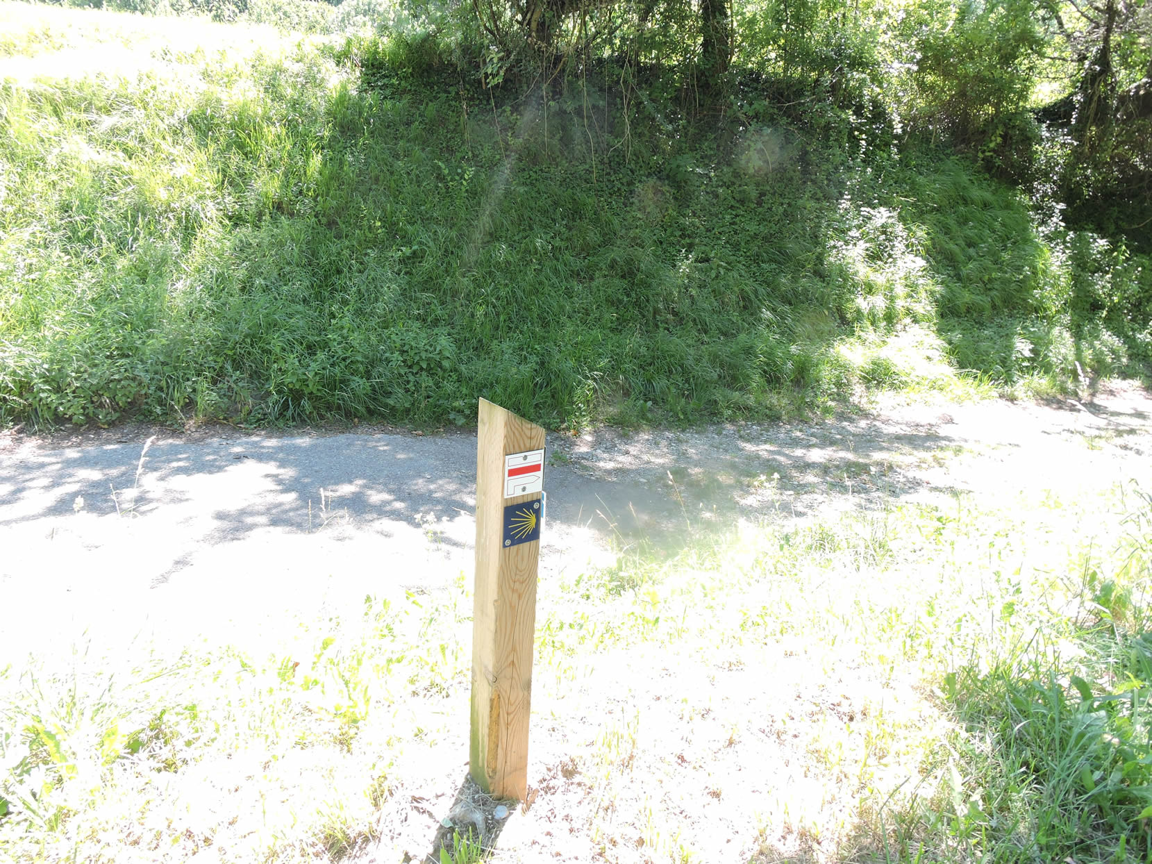
Here, the GR65 continues on a beautiful dirt road to reach the place known as Sous Les Ralles. This is where a variant leads to Seyssel, taking the Chemin des Côtes. Many pilgrims who do not like to walk long distances choose this route to Seyssel. For others, the bridge over the Fier is an hour and twenty minutes’ walk away.
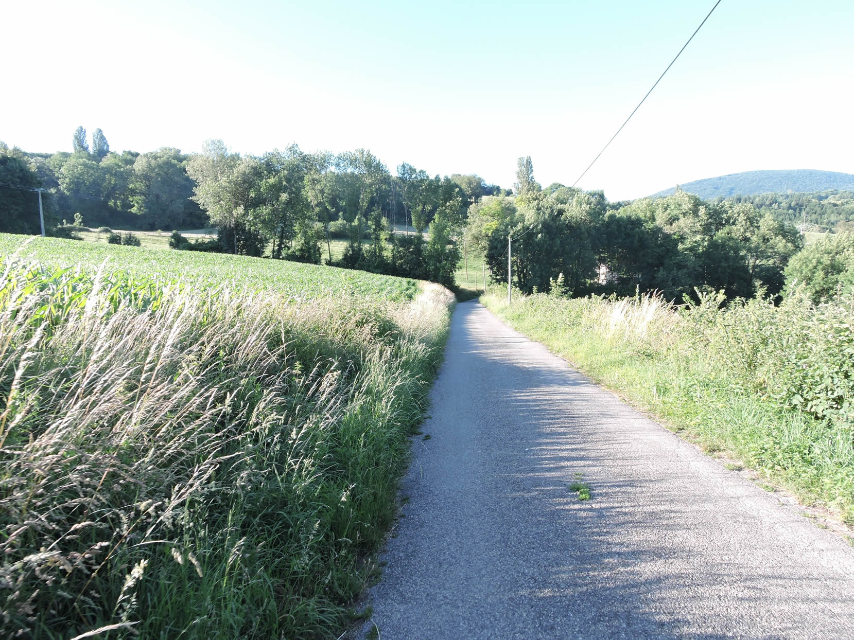
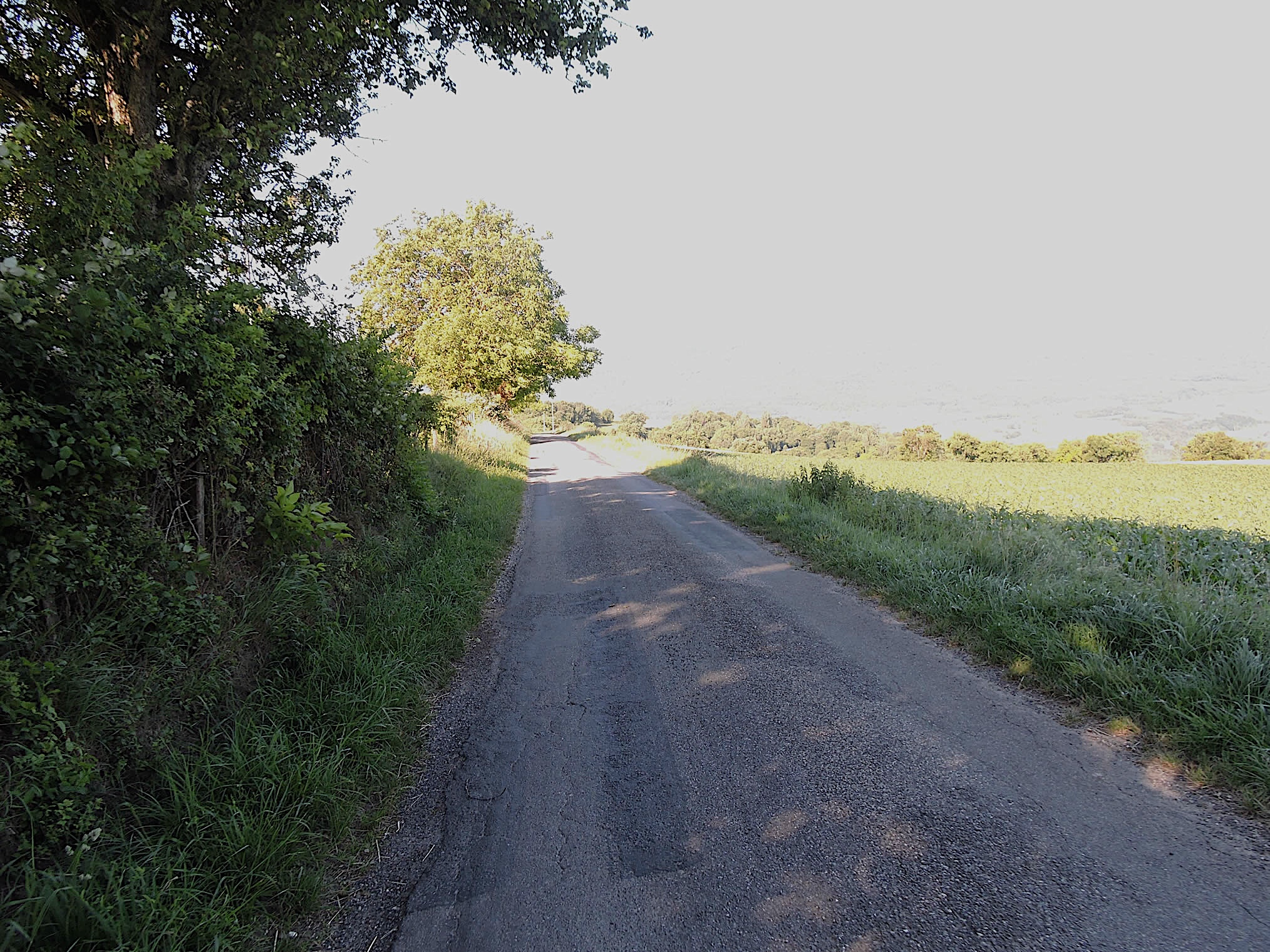
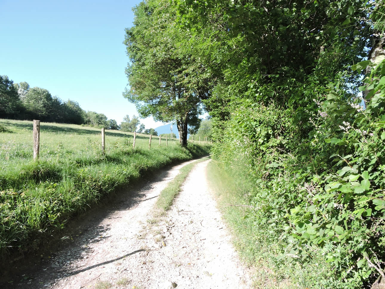
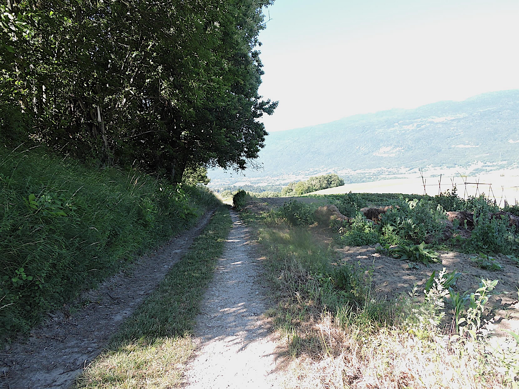
| The dirt road continues, almost flat in the meadows, under the ashes, chestnuts, hornbeams, and oaks, all majestic like sentinels jealously guarding this peaceful corner of nature. Their benevolent shade offers refuge to walkers, adding to the serenity of the bucolic landscape. |
 |
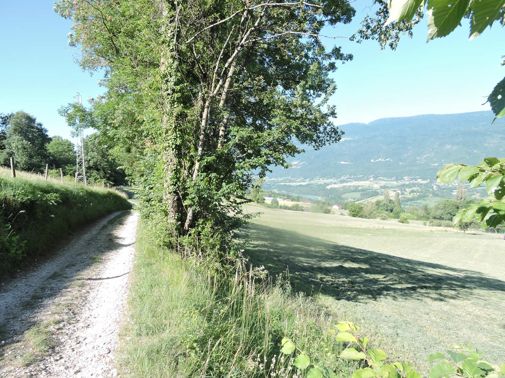 |
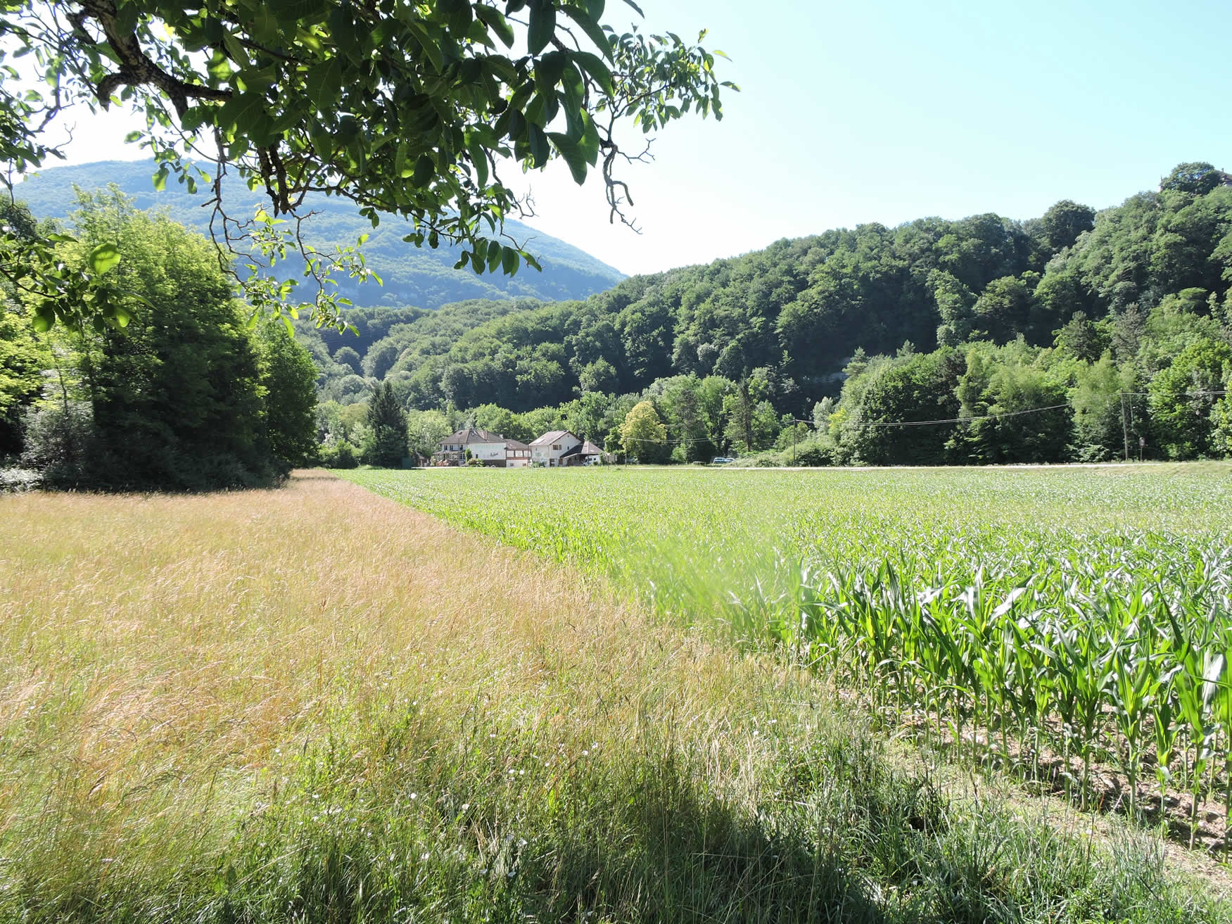
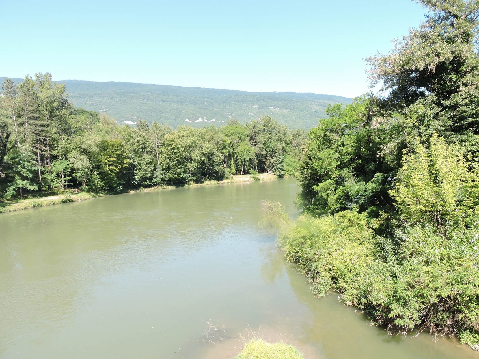
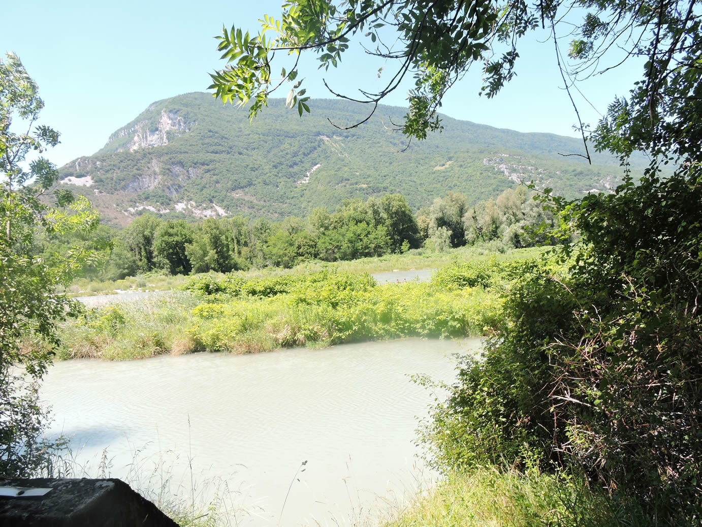
Below, for the first time since Geneva, you can see the Rhône River, meandering around Seyssel like an anaconda in the green meadow. The river, with its long bends, seems to play with the valley, having carved its bed into various rocks over millennia, accentuating its meanders since the glaciers of the Quaternary Era disappeared.
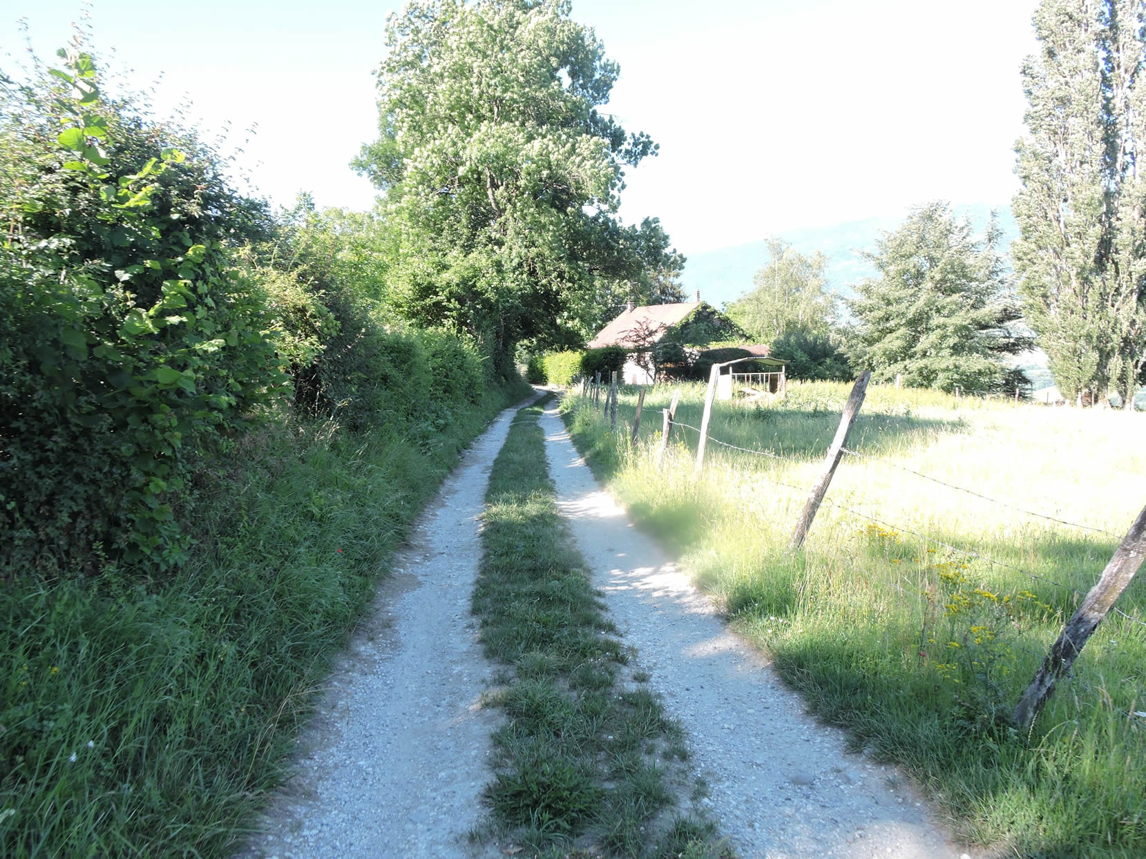
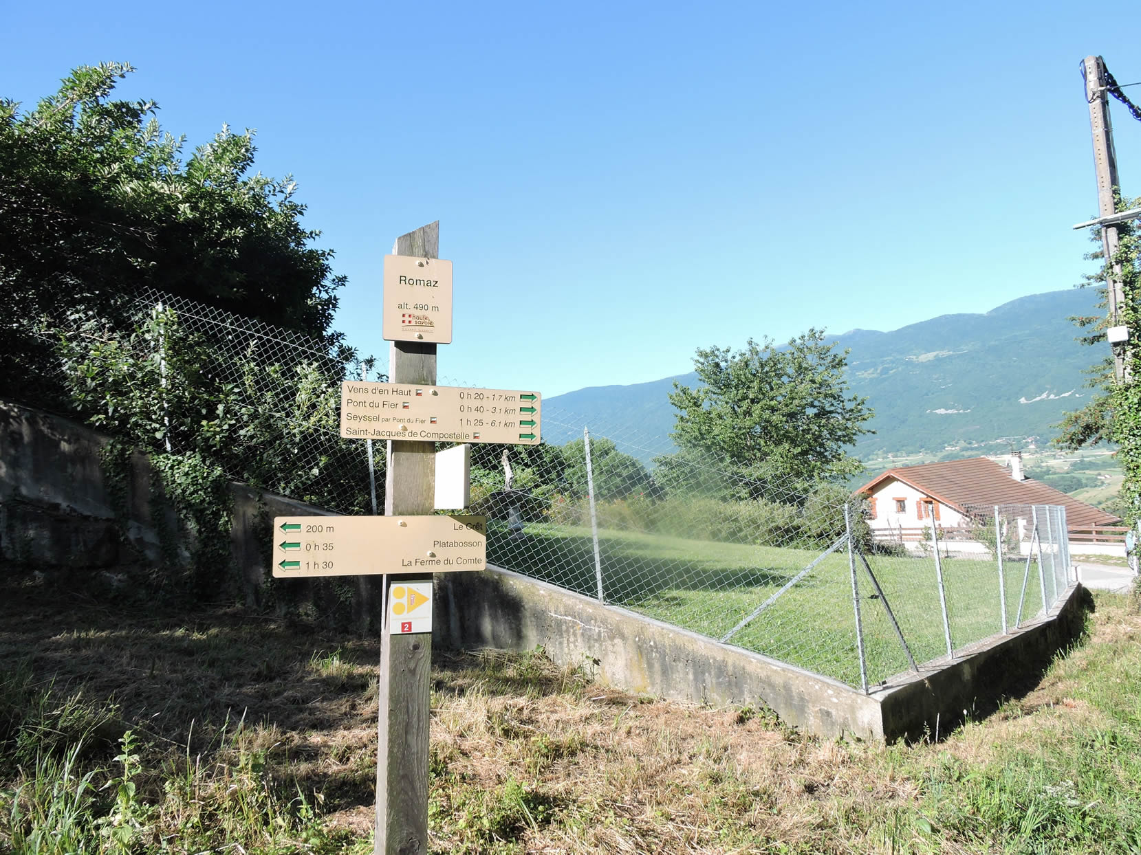
| The countryside here is beautiful and gentle, a peaceful transition after leaving the untamed nature of the Montagne du Prince woods. The path soon reaches the place known as Romaz, offering an open view of the surrounding fields and meadows. |
 |
 |
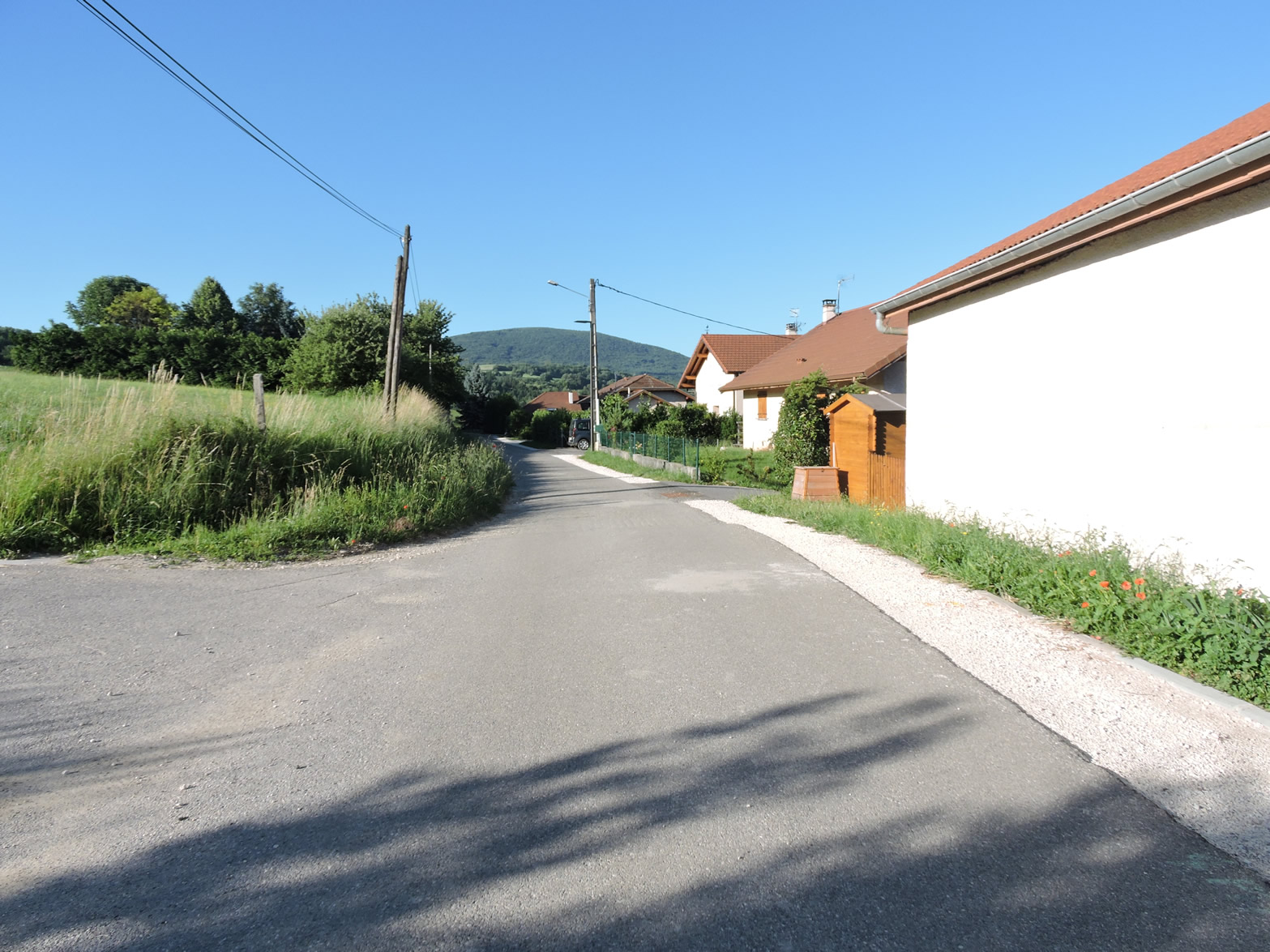
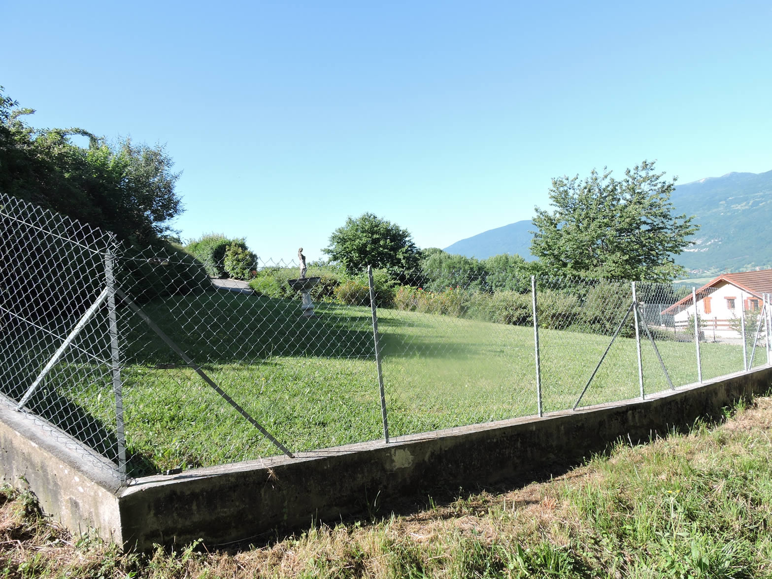
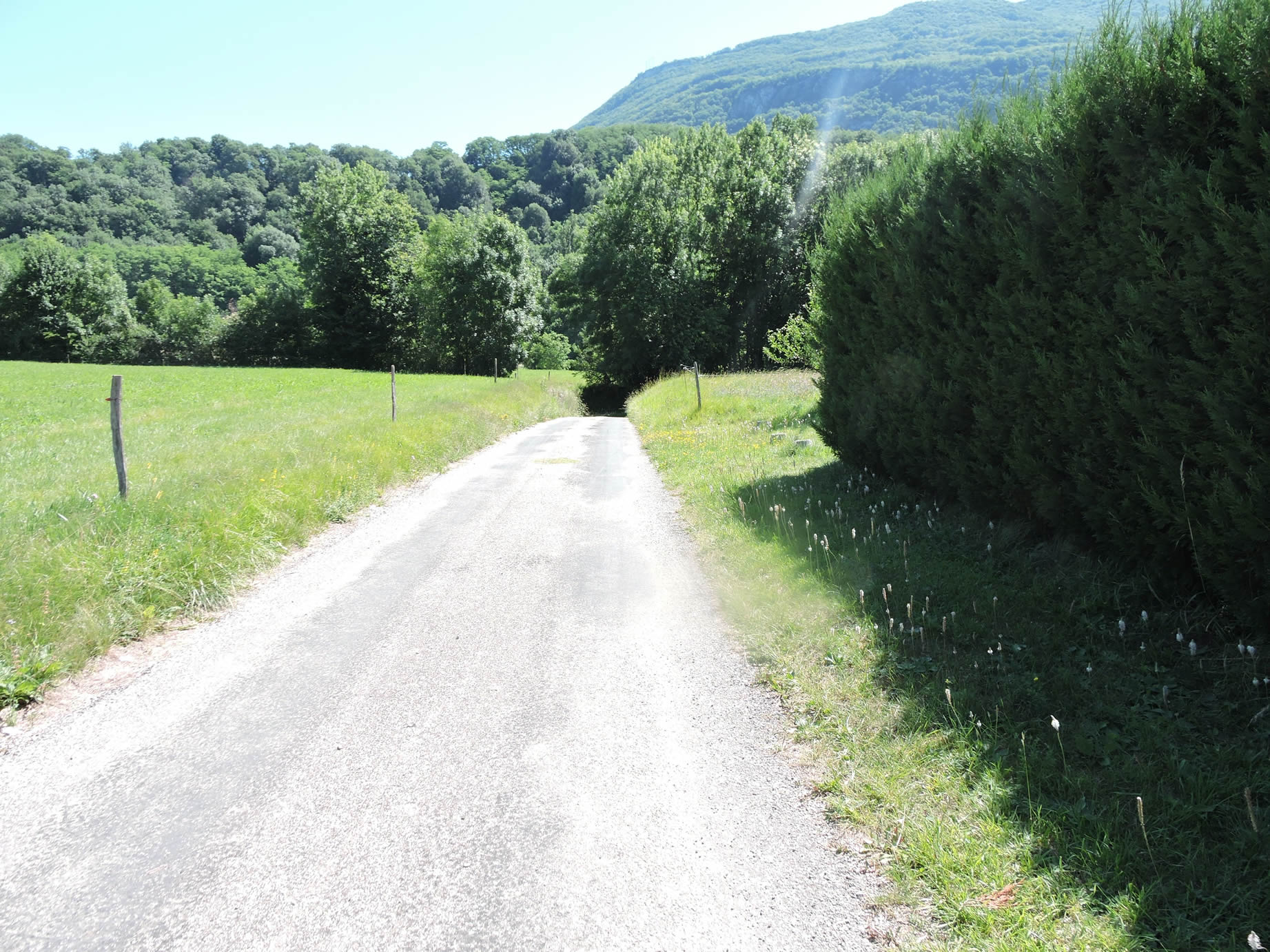
| The GR65 then takes a small road that descends between recent villas and meadows towards the village of Prairod. Here, everything exudes cleanliness and comfort, with elegant houses and well-maintained gardens that testify to a certain comfort and a peaceful life. |
 |
 |
| The road passes through Prairod, where one observes a harmonious mix of vegetable crops and small farms. At first glance, the space seems to be shared between active small-scale farming and a residential population, creating a balance between tradition and modernity. |
 |
 |
| From here, the GR65 follows the road slightly downhill, passing near the St Nicolas stream, whose murmur is barely perceptible, hidden by the lush vegetation. |
 |
 |
|
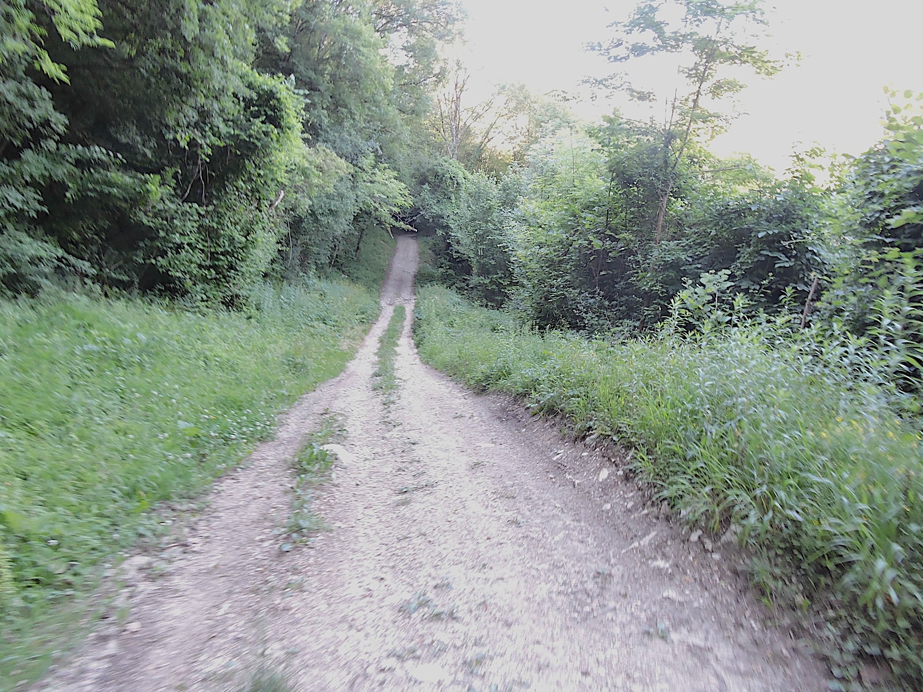
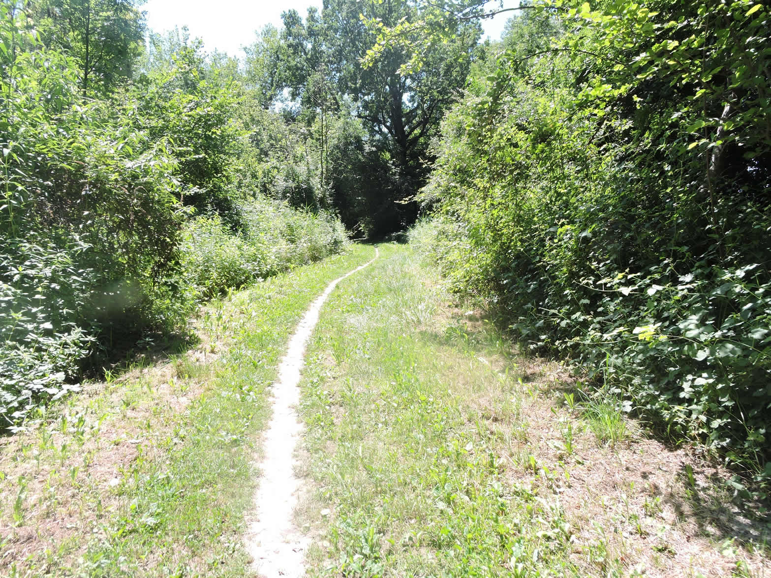
Lower down, the GR65 leaves the road to take a path that winds through the meadows, skirting the edge of the undergrowth.
|
 |
 |
| At the start of this path, nature is still gentle and cheerful, the meadows stretching peacefully under the open sky, dotted with wildflowers and bordered by well-maintained hedges. |
 |
 |
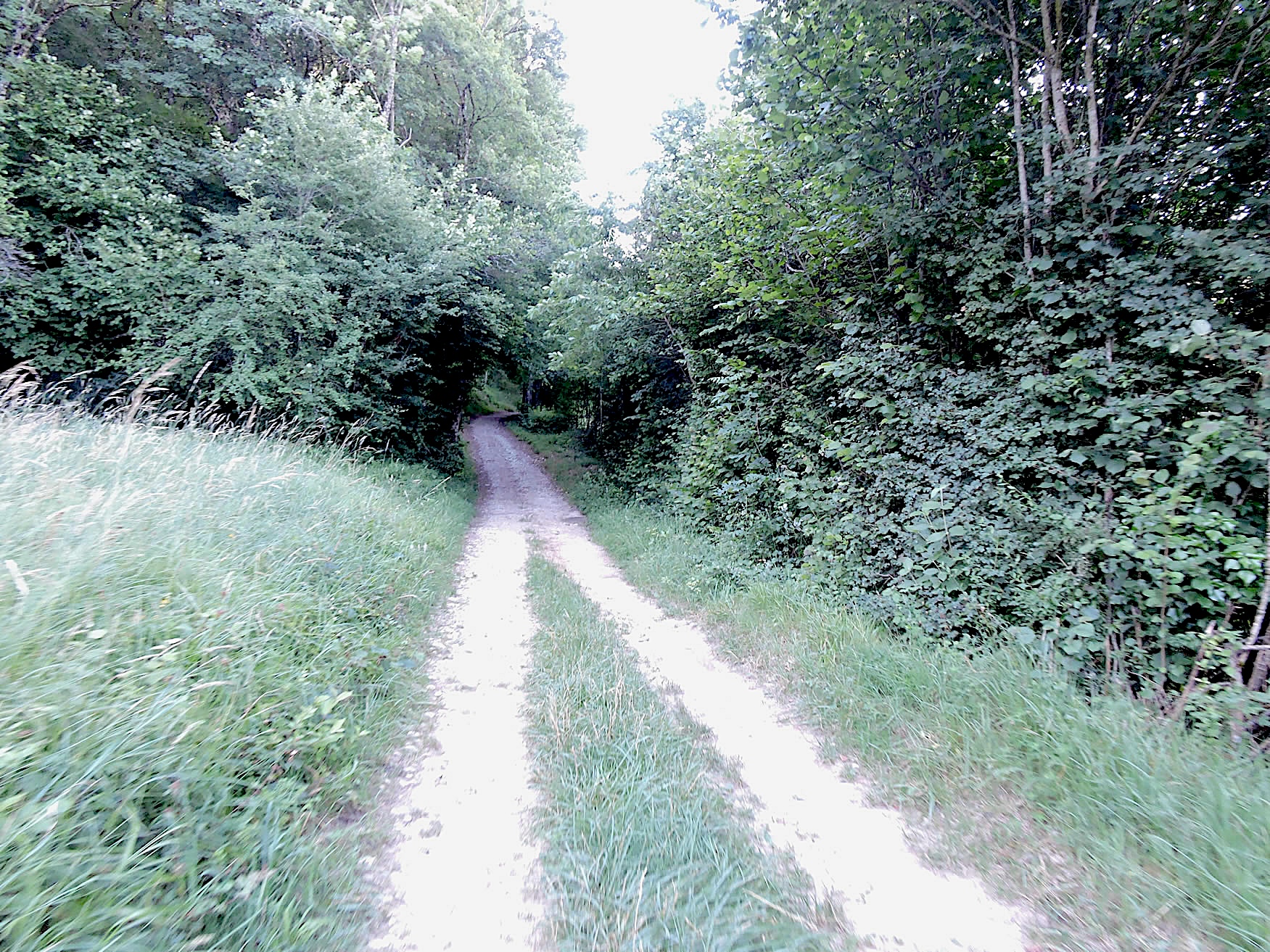
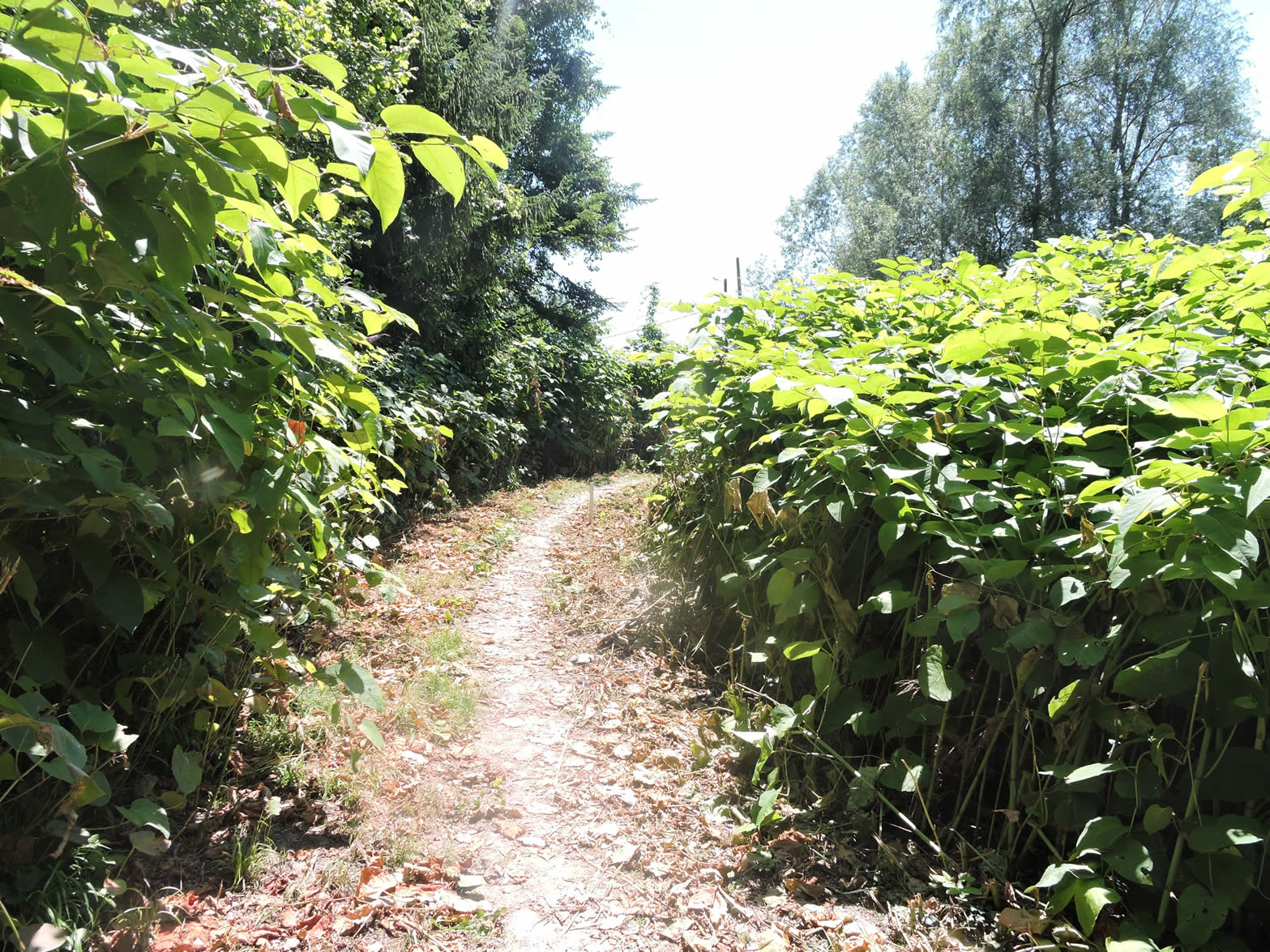
| However, further on, the path transforms, giving way to a trail bordered by hornbeam, bushes, and wild grasses. Here, it is a return to the brush and untamed nature, with no concern for human aesthetics. The underbrush invades the banks, creating a disordered and wild landscape, where beauty lies in the raw simplicity and absence of domestication. |
 |
 |
| As you descend, the slope becomes steeper. Everywhere, wild grasses and various bushes rise, with a few scattered trees seeming to observe this little world from above. These silent giants, ashes, chestnuts, and oaks, add a touch of rustic majesty to this tableau of untamed nature. Pilgrims generally adore untamed nature, but only when it is beautiful. |
 |
 |
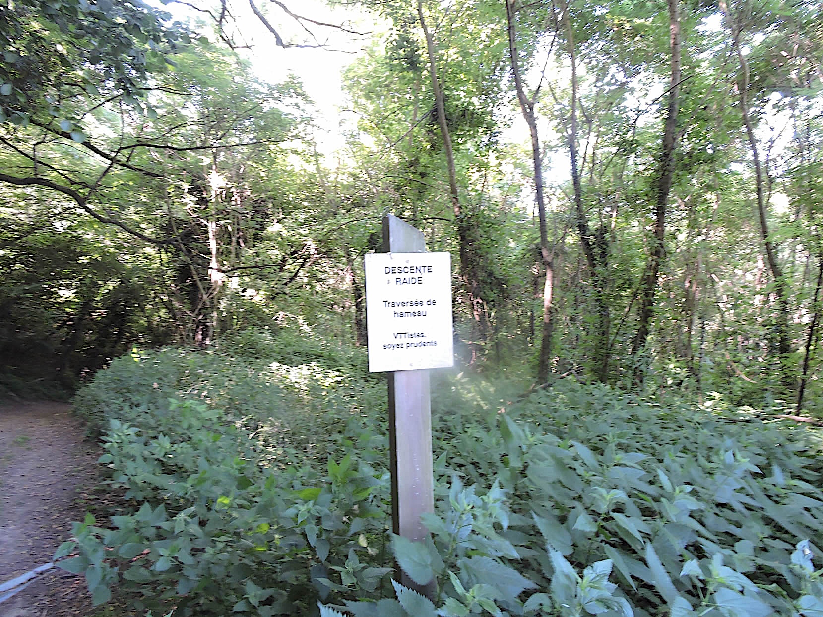
| It is especially towards the end that the slope becomes vertiginous, reaching gradients of more than 35%. Mountain biking enthusiasts are advised to continue on foot, as the descent becomes perilous. The path, turning into a veritable cascade of earth and stones, plunges steeply towards Vens d’En-Haut. When you are immersed in a majestic forest, this steep slope arouses a certain curiosity. But if you walk in an environment reminiscent of a dense and tangled jungle, the feeling that overwhelms you is rather gloomy and oppressive. |
 |
 |
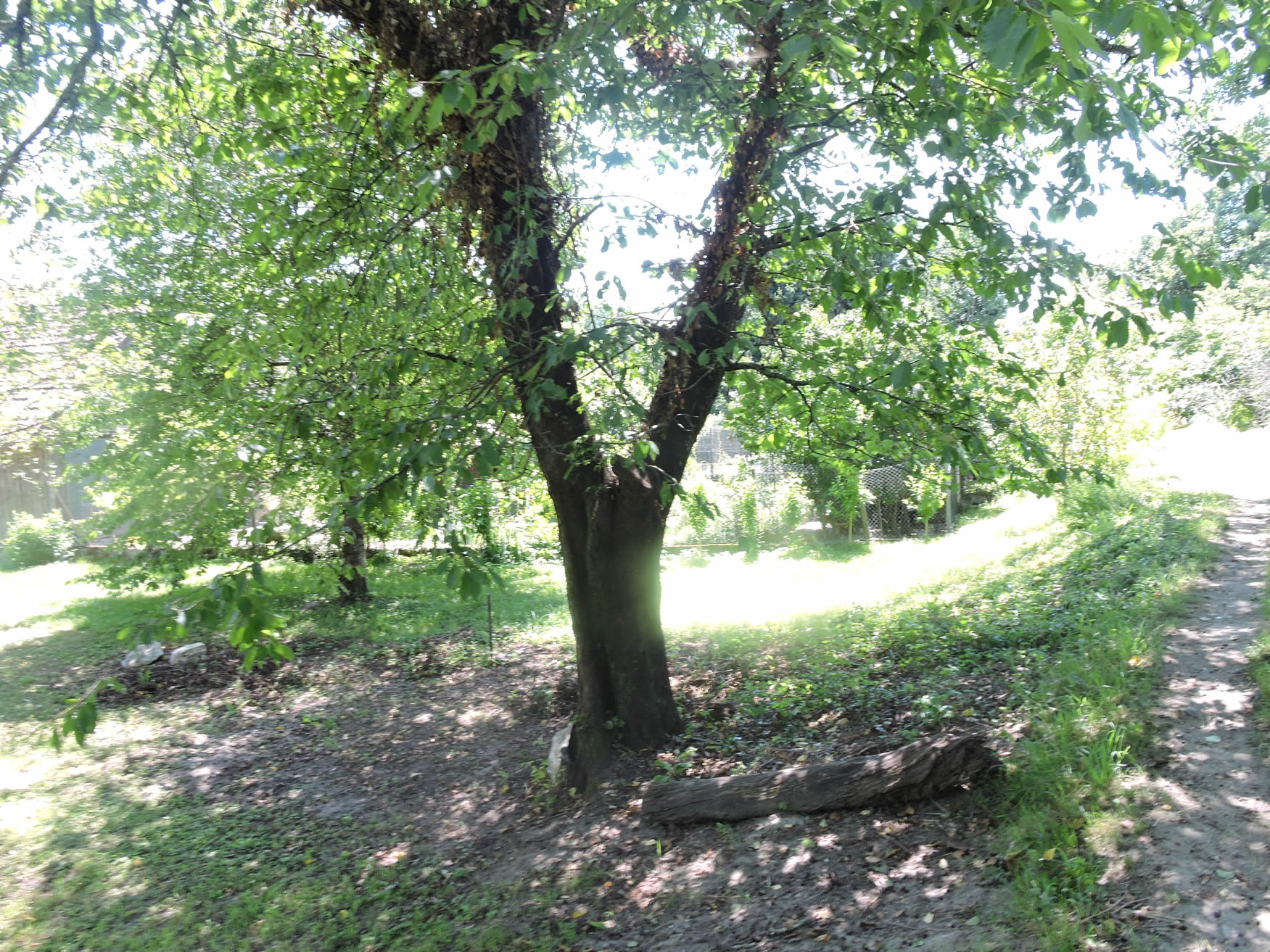
| Fortunately, an undeniable charm reigns in the hamlet that welcomes you at the end. The rustic charm and tranquility of the place envelop visitors, offering a welcome respite after the arduous descent. This little corner of paradise, with its stone houses and picturesque alleys, has the power to dispel any bad mood, should you find yourself in such a state of mind due to the difficulty of the path. |
 |
 |
At this point, you are only 1.4 km from the bridge over the Fier. The GR65 joins the road leading to Vens here. Be vigilant and stay on the right path! Follow the road, as another, much steeper path, rises abruptly along the majestic cliffs and gorges overlooking the Fier, in the Montagne du Prince. This landscape is certainly magnificent, but this detour is not for you, but for lovers of the gorges of the Fier.

| The road now descends towards Vens d’En-Bas, winding through woods and green meadows. Small fields of rapeseed brighten the landscape, while the region is also known for its walnut harvests, adding a touch of richness to the surrounding countryside. |
 |
 |
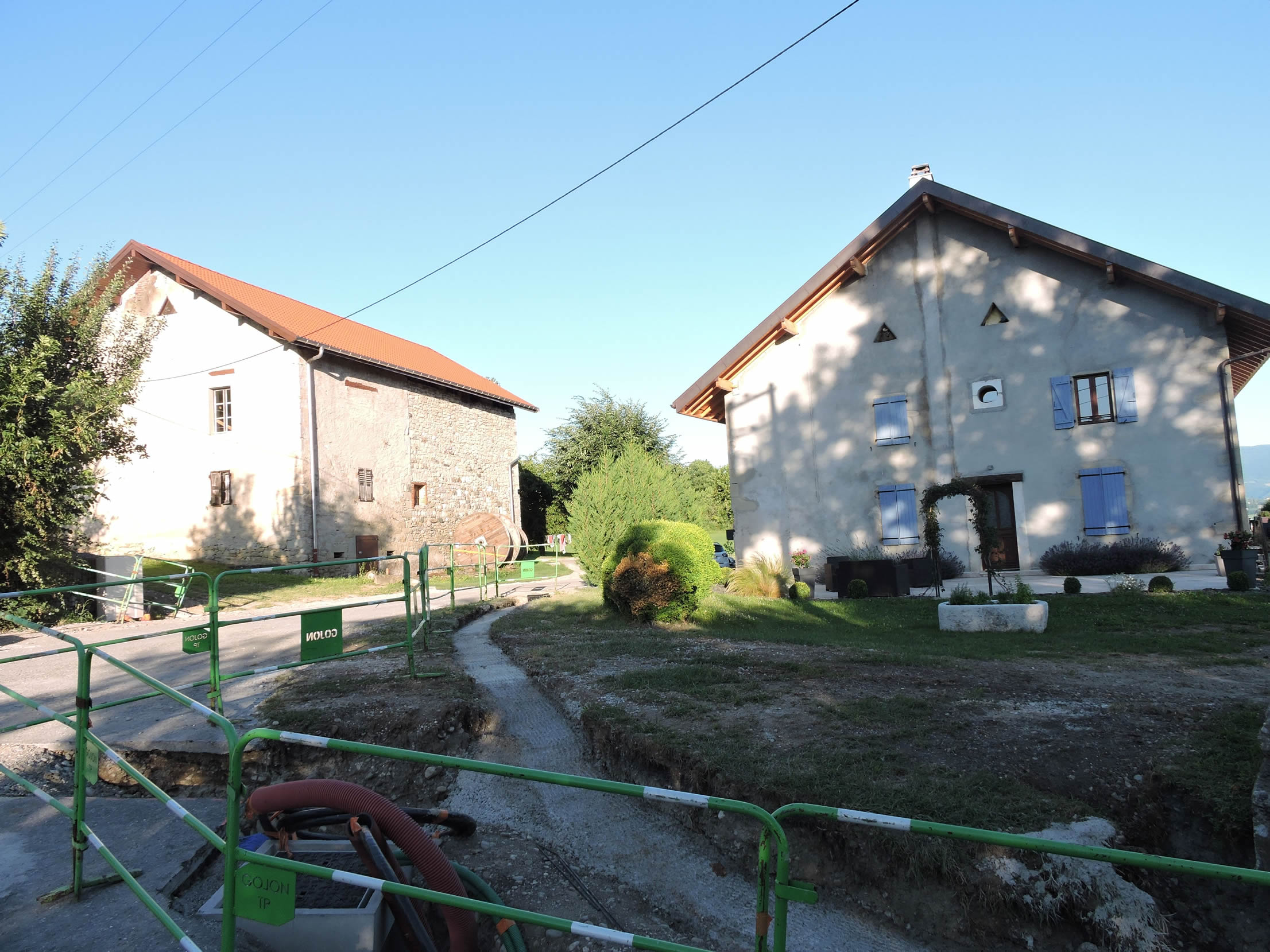
| Through the village, the road offers a view of the castle, an imposing vestige of a fortified house dating from the 14th century. The local architecture is sometimes characterized by the rough stone of the dwellings, although plaster is often the predominant choice, giving a unique charm to the whole. |
 |
 |
| At the exit of the village, a path briefly deviates through the meadows, descending slightly on a ridge. On the horizon, the Château d’Anglefort stands majestically, on the other side of the Rhône, like a mirage emerging from the confines of time. |
 |
 |
| But soon, the slope suddenly becomes steeper, crossing bare meadows and sparse groves. The steep ground under your feet testifies to the roughness of the terrain, offering an impressive but demanding view of the surroundings. |
 |
 |
|
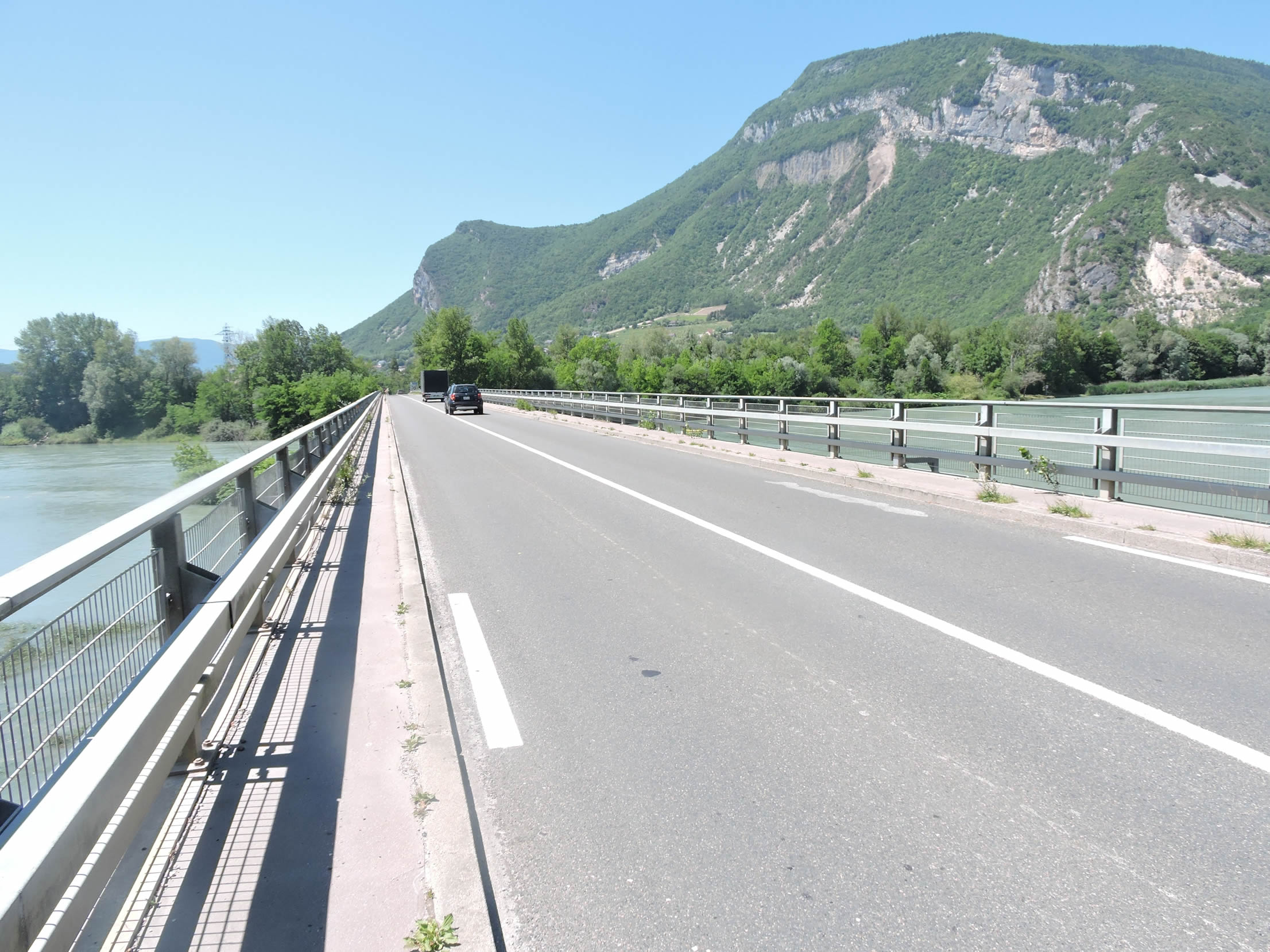
From the ridge, the panorama opens onto two striking spectacles: on the left, the gorges of Culoz stretch under steep cliffs, their severe aspect contrasting with the tranquility of the Rhône flowing majestically on the right. The gorges, deep and dizzying, seem to defy any attempt at crossing, while the Rhône offers a more serene and fluid face, in harmony with the surrounding valleys.
|
 |
 |
| At the end of the ridge, the path plunges steeply, with slopes exceeding 15%, descending through dense undergrowth and wild grasses that seem agitated by the impetuous descent. |
 |
 |
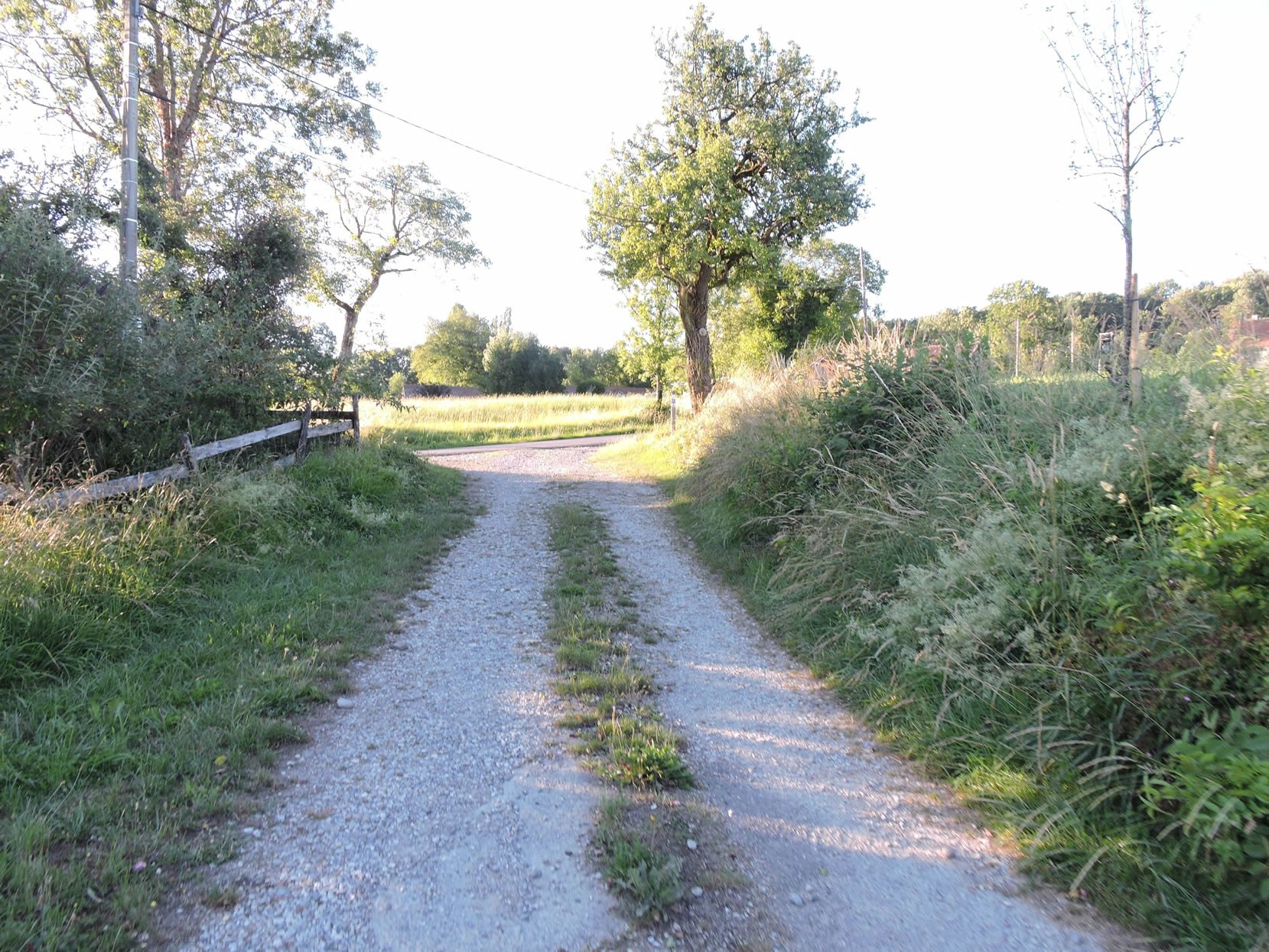
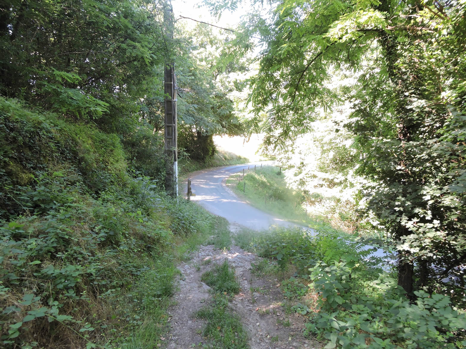
| This descent is brief but intense, finally leading the path to join the large departmental road D991, near the Pont du Fier. For those coming from Seyssel, this is where the GR65 hiking trail crosses your path again, offering a striking transition between the mountainous landscapes and the peaceful valleys of the Rhône. |
 |
 |
Section 5: Stroll along the Rhône River

Overview of the route’s challenges: The route has no difficulties.
| The bridge over the Fier River marks a natural boundary between three departments. By following the Rhône, you leave Haute-Savoie and enter Savoie, while straight after the bridge, you enter the department of Ain. The Fier, born in the Aravis range, crosses Annecy before reaching this point where it flows into the Rhône with impressive force, moving countercurrent due to its power and the steep slope at this spot. The route bypasses this tumultuous confluence, where the waters of the Fier, although not a striking blue, seem to hardly disturb the ducks venturing there. |
 |
 |
On the mountain side, the Fier valley is even wilder, its cliffs rising like imposing barriers along the river, topped by dense forest. This landscape reveals all the majesty and strength of nature in this preserved region.

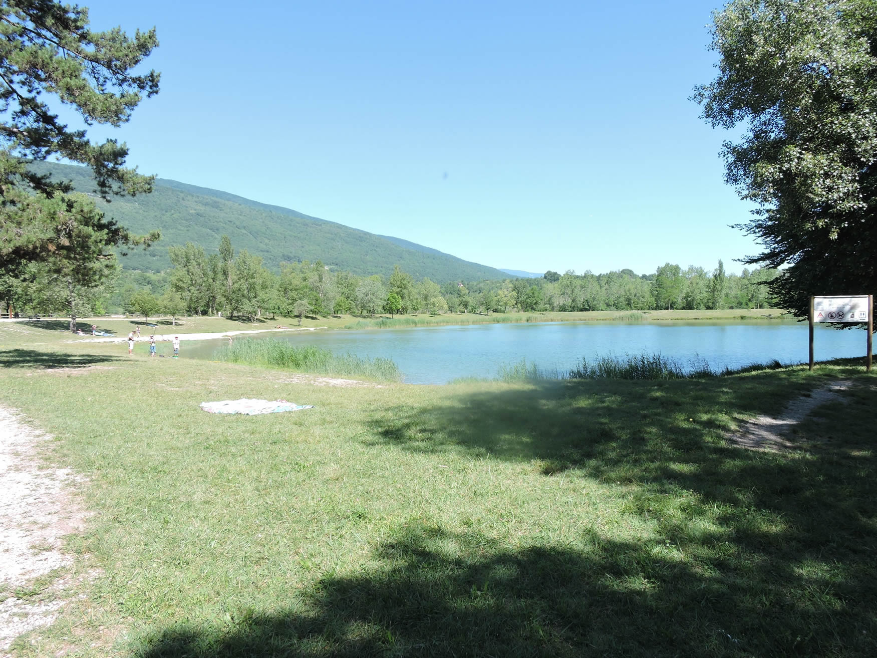
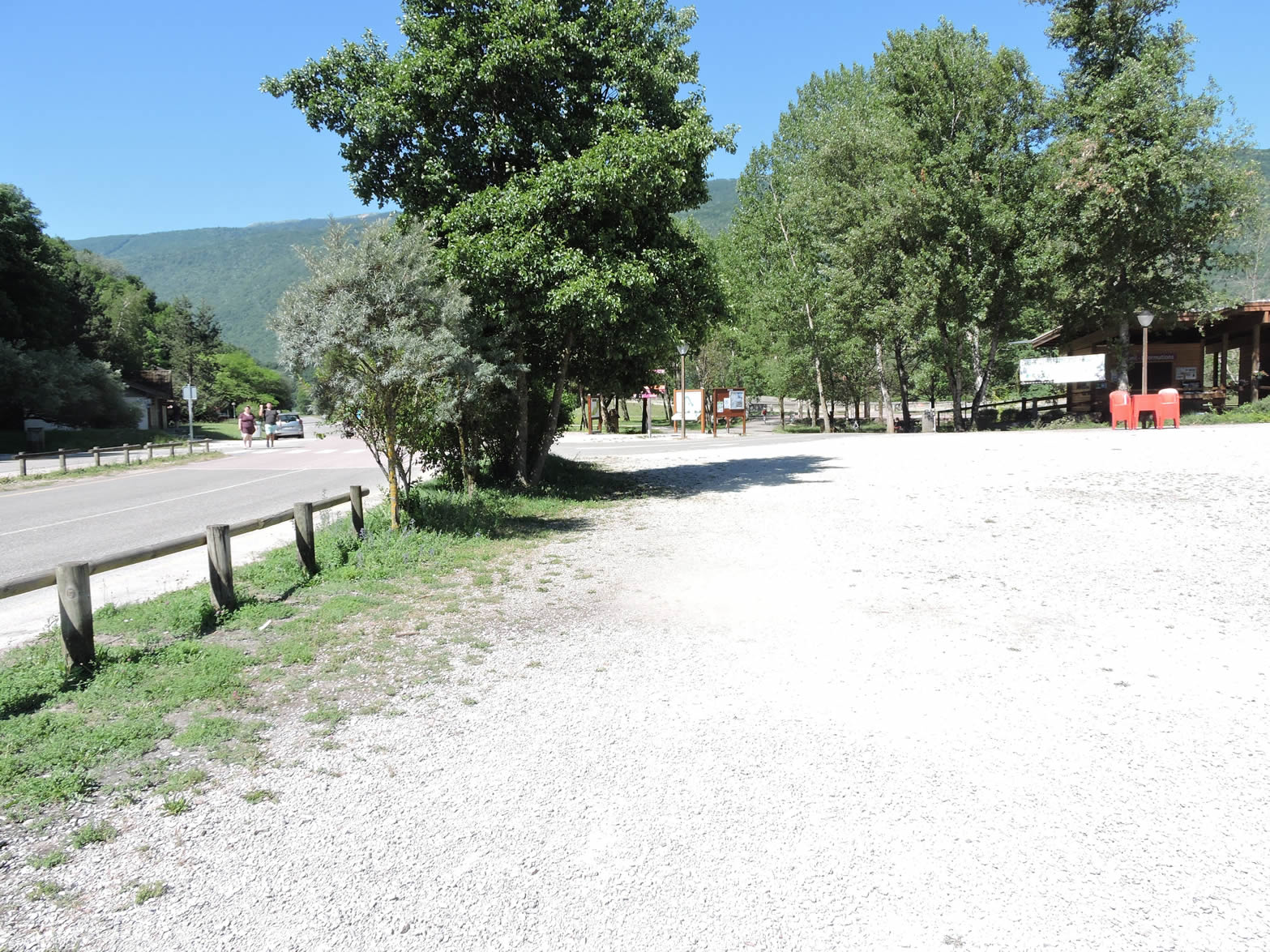
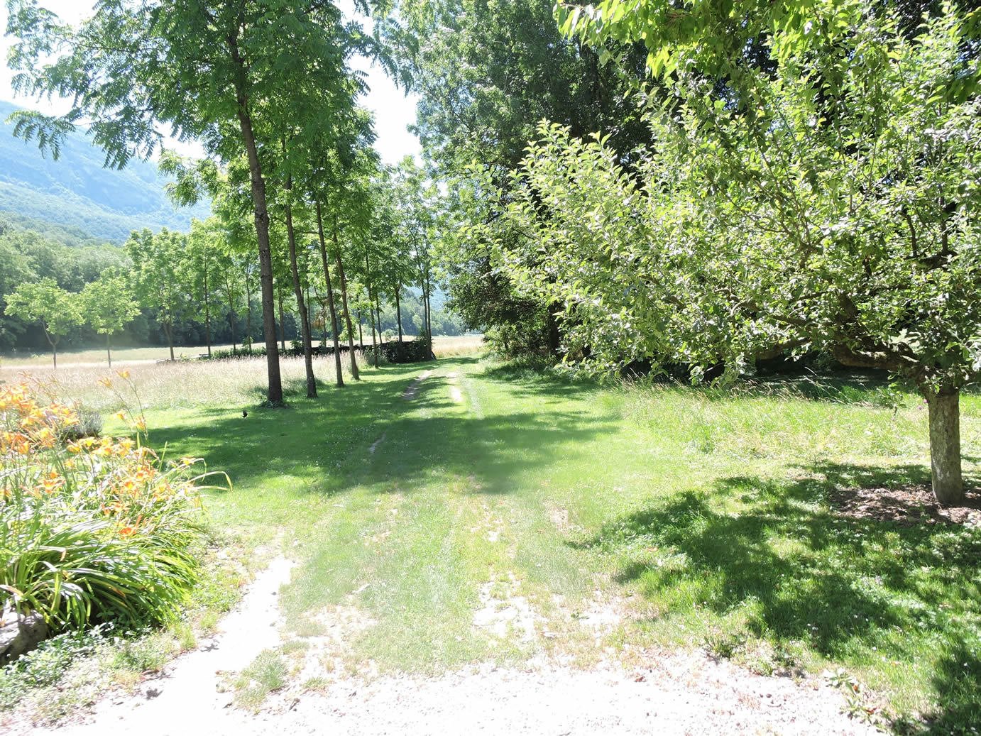
| So far, the route has been physically demanding. However, once the bridge over the Fier is crossed, the perspective changes radically. The route turns right into the Espace Sports et Nature du Fier, a vast park bordering the river and a pond, shaded by large trees. Very popular during the sunny season and weekends, this site offers a peaceful beauty and unparalleled tranquility. The atmosphere is simply magnificent, inviting relaxation and escape. |
 |
 |
| Soon, a wide road winds along the Vieux Rhône in the region known as Chautagne, a vast alluvial plain extending to Lake Bourget. Here, poplars and vines thrive abundantly, painting the landscape with a verdant and viticultural palette. |
 |
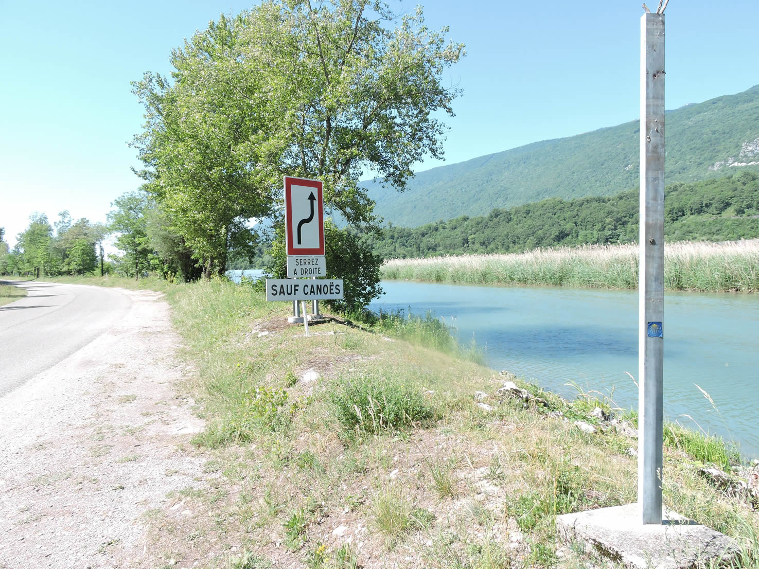 |
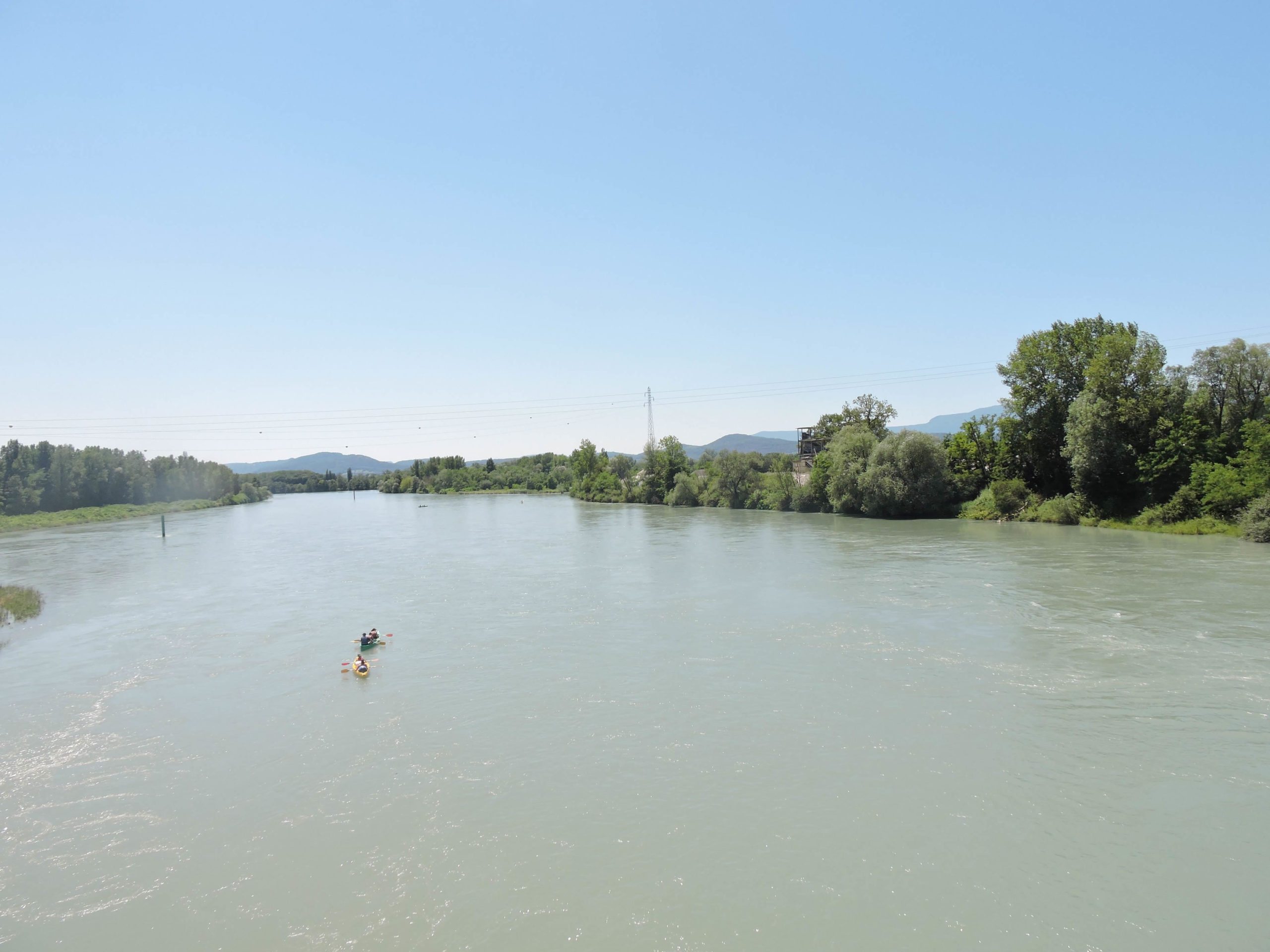
| The Vieux Rhône refers to the former bed of the river, managed with upstream dams and downstream hydroelectric devices to regulate its course. This configuration includes nearly twenty similar sections between Lake Geneva and the sea, with an adjoining artificial canal to maintain hydraulic balance, especially during floods. You are here in Chautagne, a small, sparsely populated Savoyard territory, home to about 5,000 inhabitants concentrated between the Rhône, the Fier, and Lake Bourget. The canoe descent of the Vieux Rhône through Chautagne, from Seyssel to Channaz, over a distance of 14 kilometers, has many enthusiasts. This activity is not adventurous rafting, but rather peaceful canoeing, offering a moderately physical experience on gently gliding waters. |
 |
 |
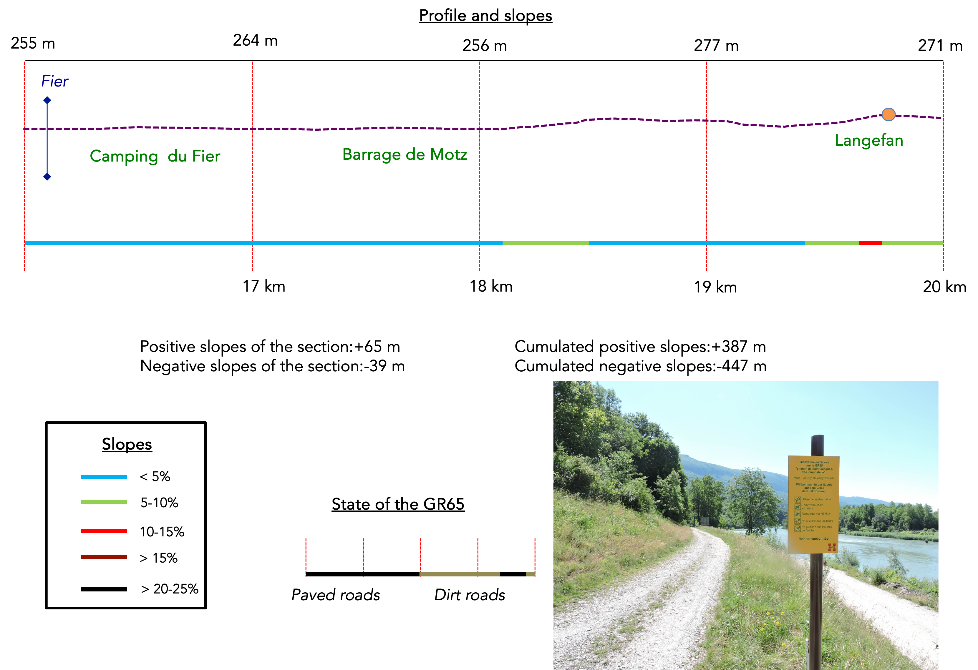
| The road leads directly to one of these imposing structures, the Motz dam, a concrete colossus standing in the heart of the riverbed. |
 |
 |
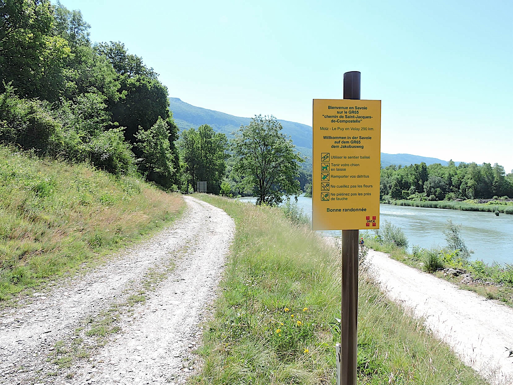
| From the dam, the asphalt road stretches a bit further before turning into a wide dirt road. It is here that you realize for the first time that you are truly following the GR65, 290 kilometers from Puy-en-Velay. A curious discovery, isn’t it? After all, you have already walked three days on this ancestral route. |
 |
 |
| The GR65 now moves away from the Rhône’s banks to enter a dense undergrowth. It can be disappointing not to be able to follow the river along its entire course, but the banks are often marshy and deemed dangerous by local trail authorities. It seems that no path is indicated on the maps along the Rhône from here, at least for a good while. Such is the pilgrim’s life, forced to follow the rules set by the trail organizers to avoid getting lost in nature. |
 |
 |
| The GR65 now engages in a symphony of greenery, where each step reveals a new canvas of nature. The stony path winds through a shaded bower, where varied bushes and small alders play in harmony under the soft filter of light. The scent of moist earth and the songs of birds weave a serene atmosphere. . |
 |
 |
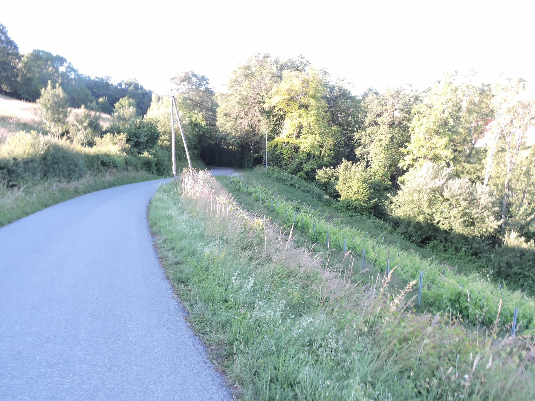
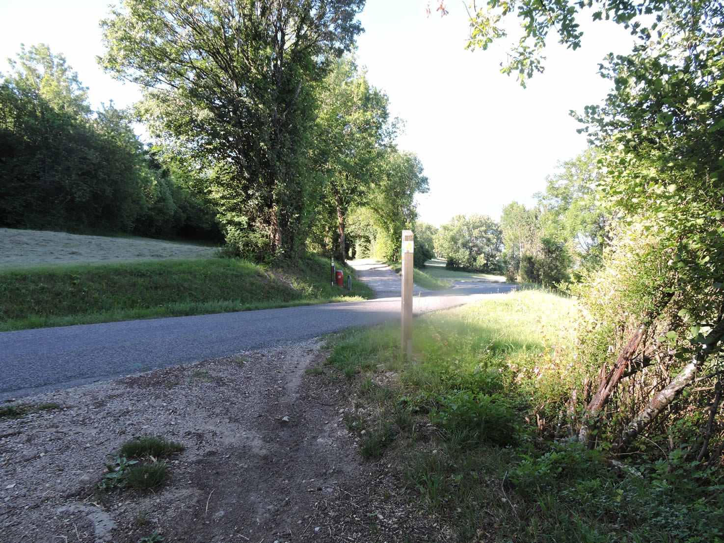
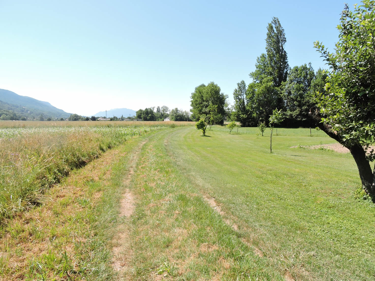
| After slightly climbing this first stretch, the path opens onto a small plateau where modest vineyards and sparse meadows stretch peacefully. There, it merges briefly with a narrow-paved road, as if to better blend with the surrounding landscape’s softnessr. |
 |
 |
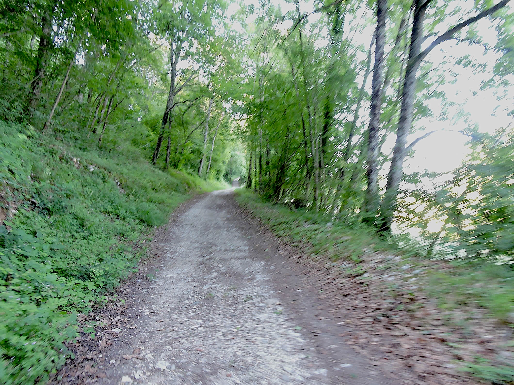
| Then, it plunges back into the depths of the undergrowth, this time on a wide dirt road. Majestic maples, beeches, oaks, and chestnuts rise like protective sentinels, creating a cathedral of greenery whose vibrant vaults resonate with the whisper of the wind and the song of leaves. |
 |
 |
| At the edge of the woods, the path gracefully slopes up through the grasses, flanked by majestic poplars and century-old oaks, towards the large departmental road D991 that winds through the region. There, the panorama opens to a view embracing distant horizons. |
 |
 |
| Arriving at this crossroads, to your right stands the hamlet of Langefan, a true haven of peace. The GR65 seems to hesitate about its route, as it should normally join a path descending towards the village of Les Îles, yet untraceable at this point. Exploration is open to those who wish to find it! Otherwise, simply follow the departmental road for a short distance of 300 meters to reach the village of Les Îles, peacefully nestled under the main road. |
 |
 |
Section 6: In the dreary plain of the Rhône
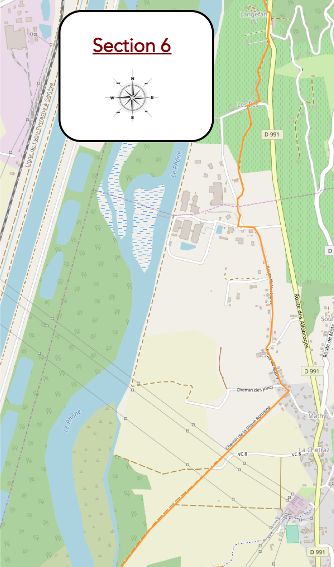
Overview of the route’s challenges: no difficulty.
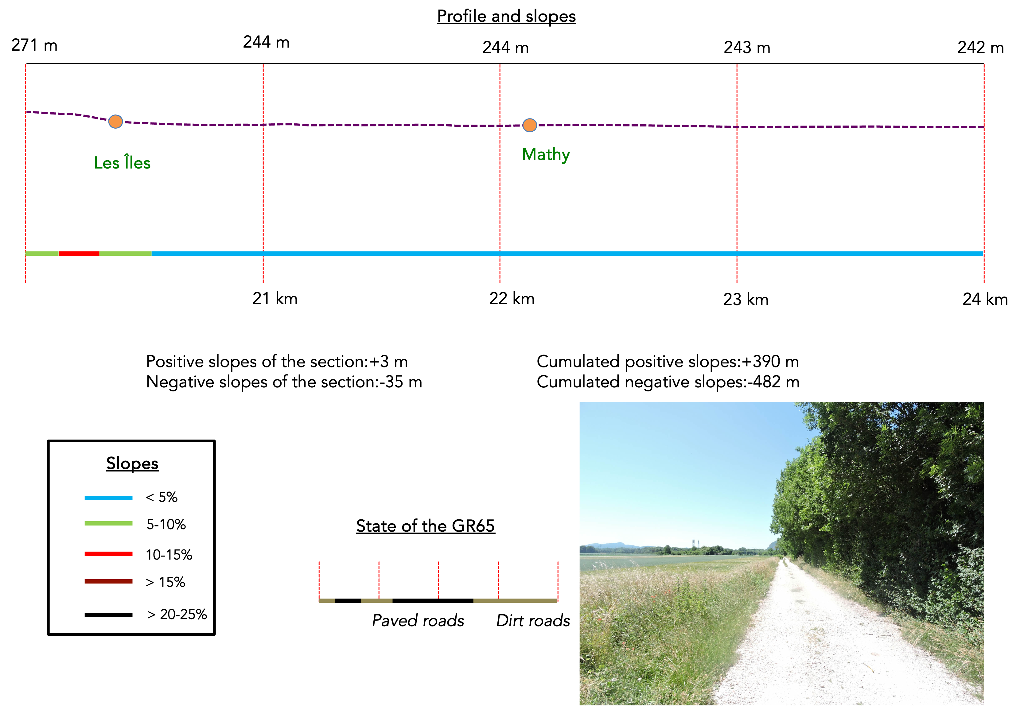
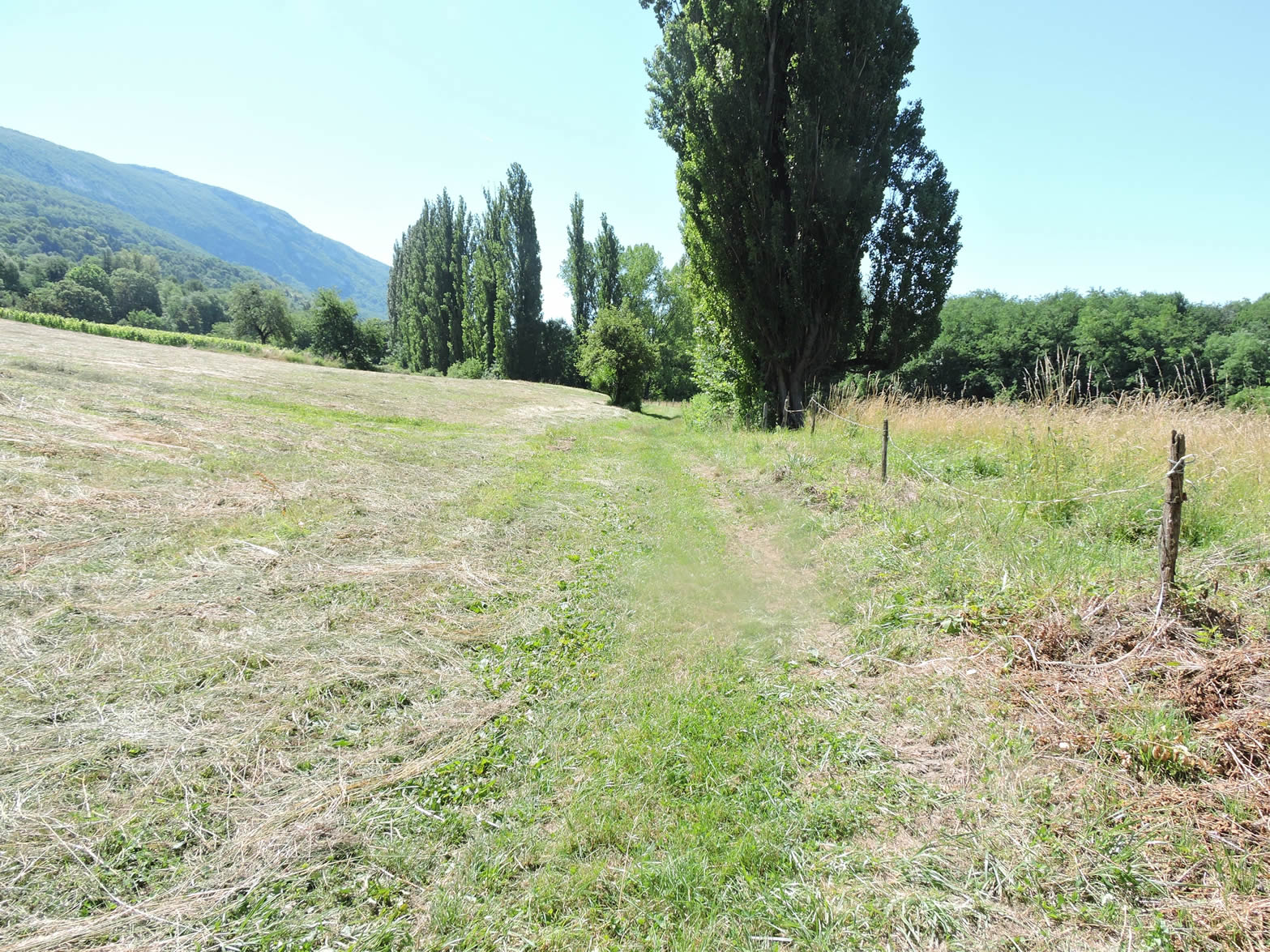
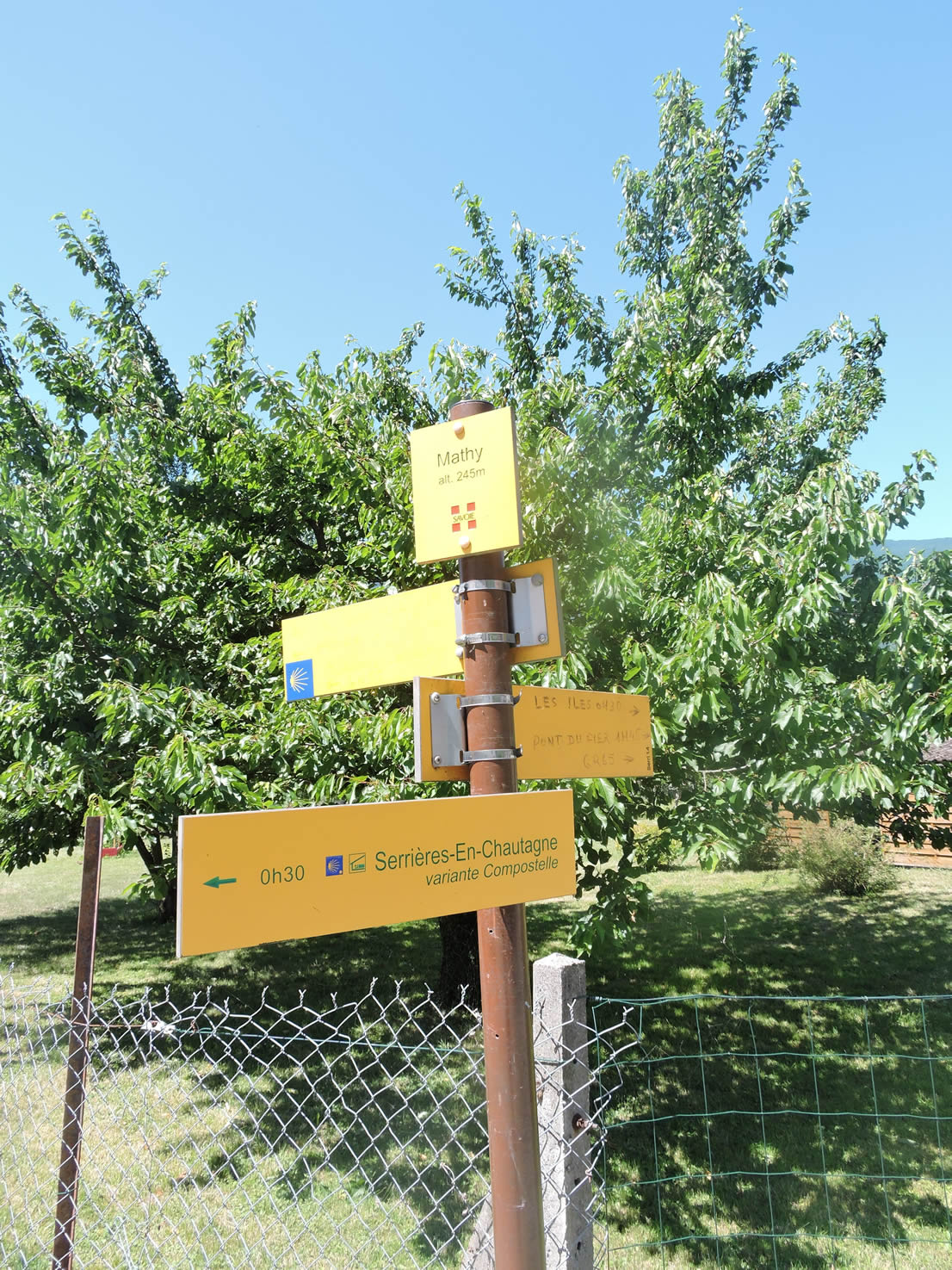
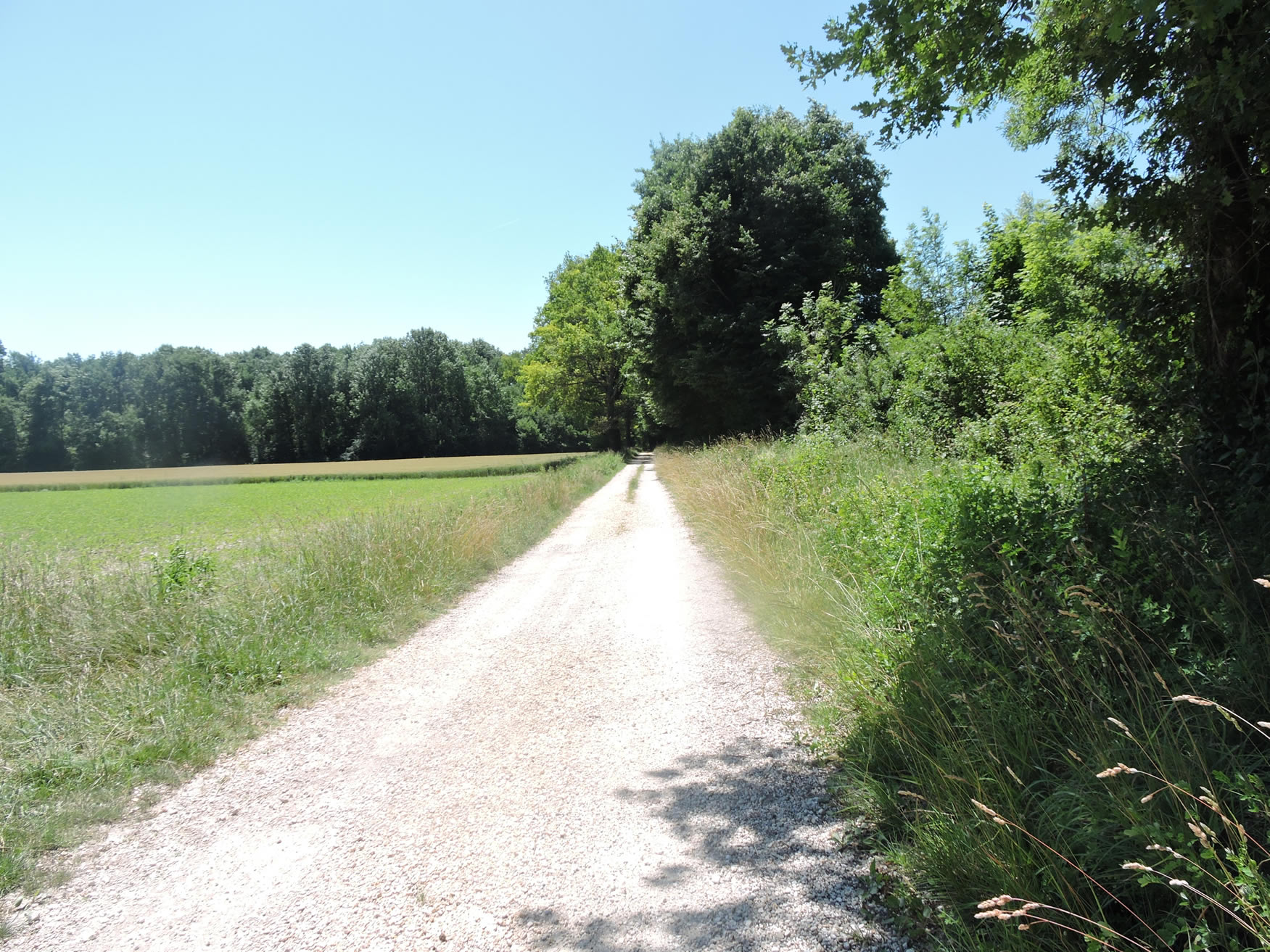
You now find yourself in the hamlet of Les Îles, peacefully nestled beneath the road that winds above. The route now heads towards Mathy and the Pont de la Loi, a stage that stretches over nearly two hours of walking before reaching Culoz. From here, the route seems to extend infinitely, almost exclusively following long straight lines through the vast plain. Fortunately, on rare but welcome occasions, a path runs along the Rhône, often bordered by fields of wild garlic in the spring. In gloomy weather, the river can carry trunks and branches, reminding you of the power of its changing moods.

|
A path leaves the hamlet to immerse itself in the meadows and fields. Here, it is an alluvial land suitable for cultivation, punctuated by fruit trees, poplars, and ashes that offer welcome shade.
|
 |
 |
|
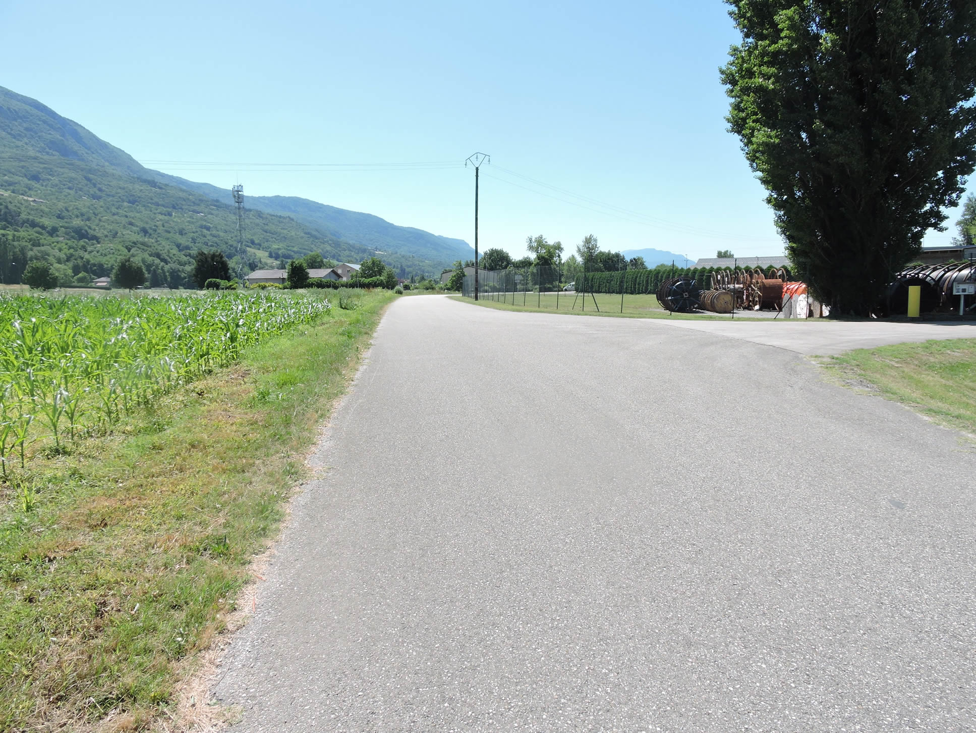
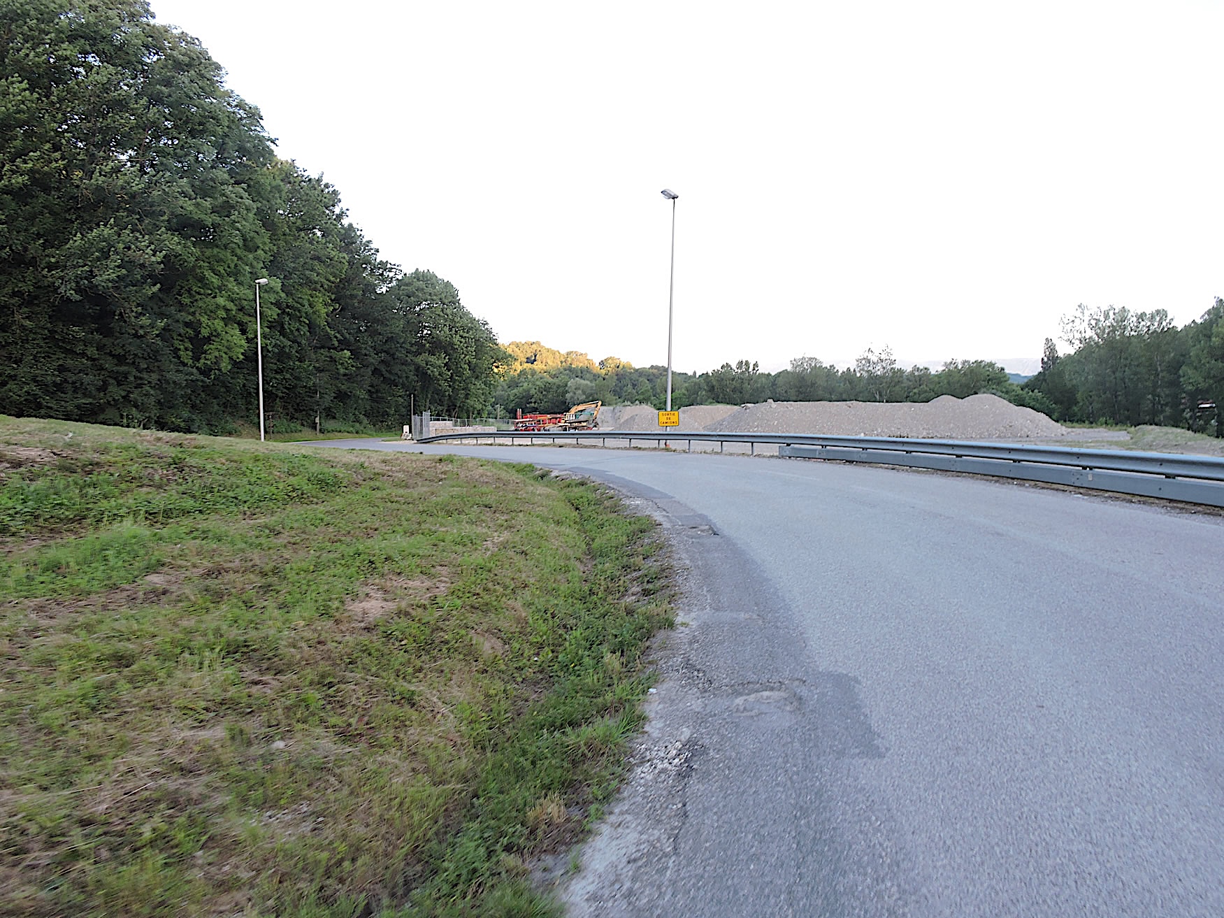
But quickly, it’s back to asphalt as the road winds between vast, monotonous cornfields, an agricultural area occasionally interspersed with rare nurseries, contrasting with a bland and scattered industrial zone.
|
 |
 |
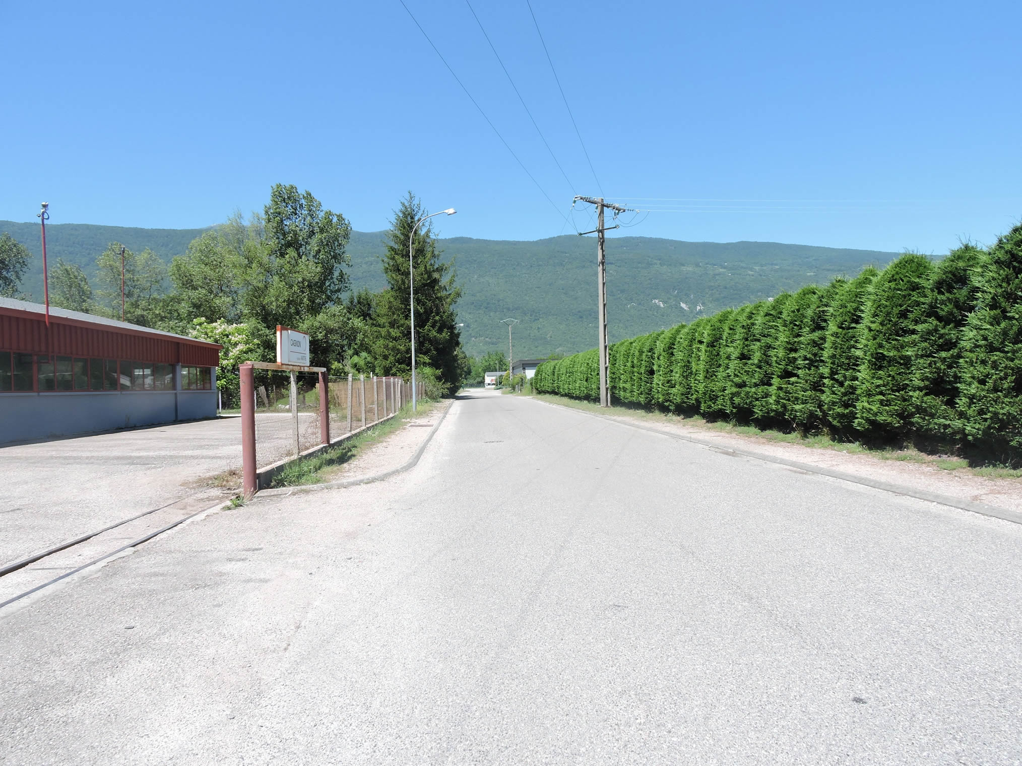
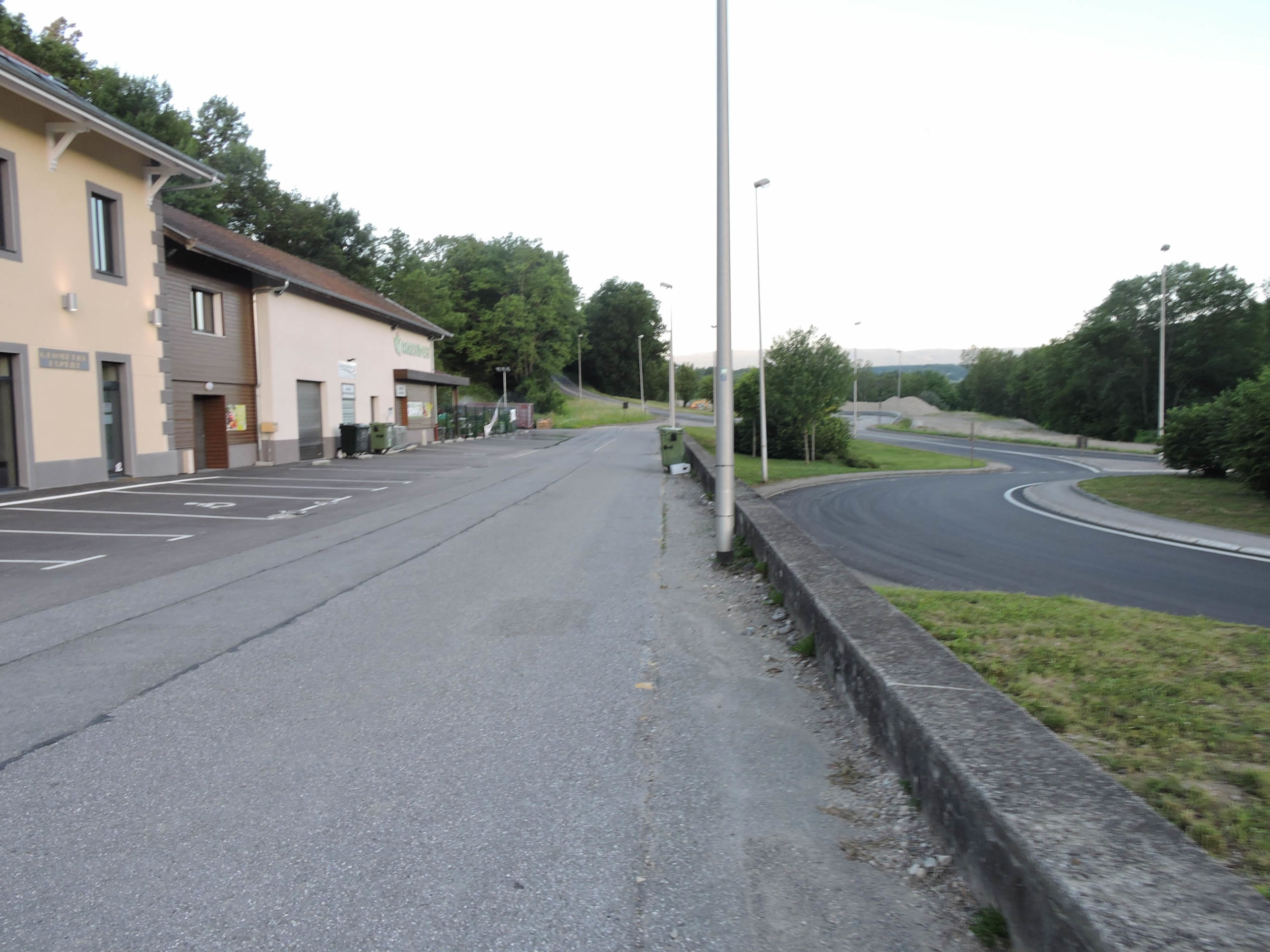
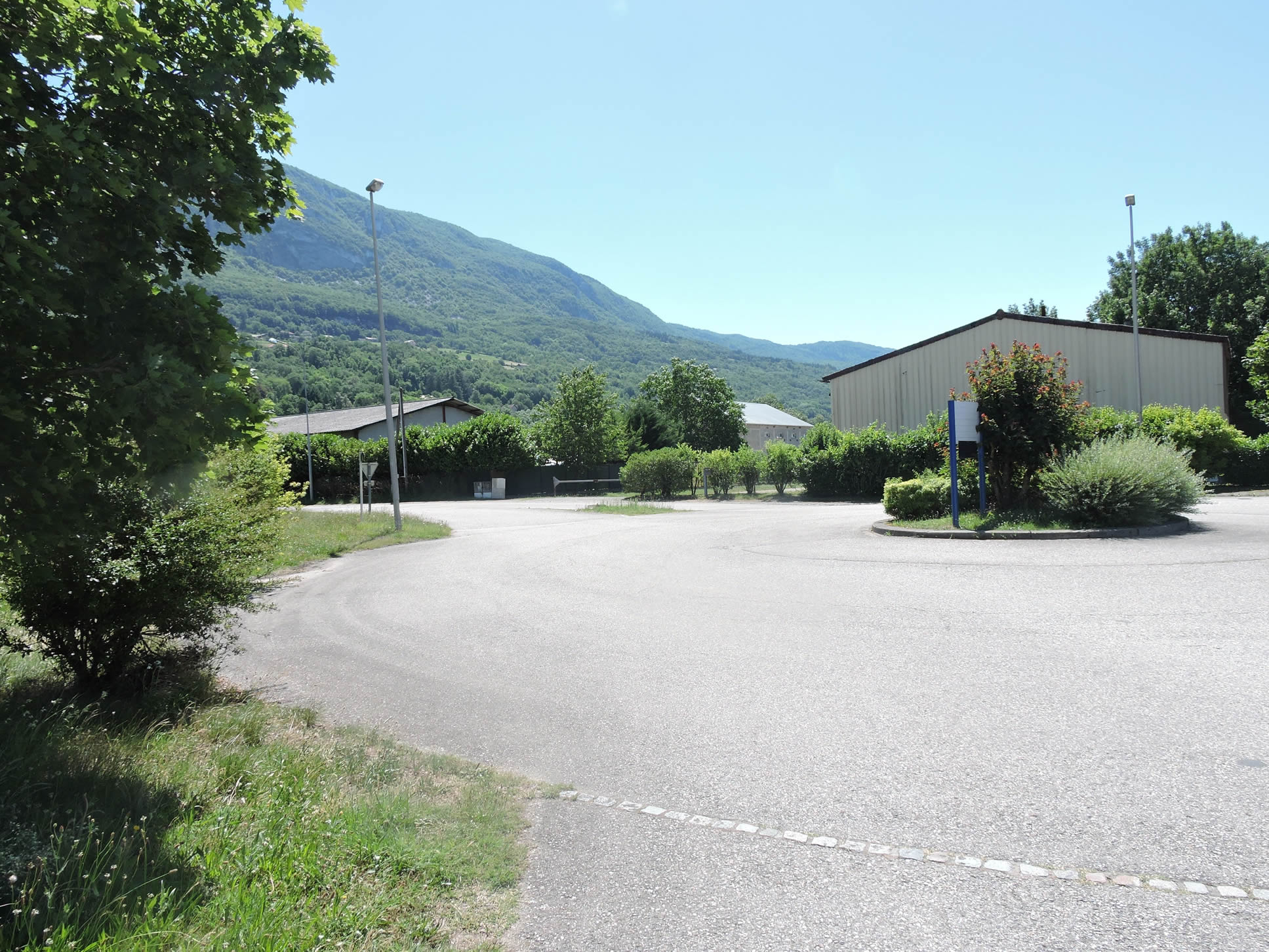
| his industrial zone, whose function remains vague, extends without apparent cohesion. Soon, the road approaches a roundabout, where all traces of the route seem to dissipate. While the signs were perfect in Haute-Savoie, here the lack of enthusiasm is palpable. We help you find your way: not straight towards the factories nor to the right, but rather to the left to slightly backtrack towards the departmental road. A keen eye might have spotted the discreet Compostela scallop on the inverted yield sign, almost microscopic but crucial to avoid getting lost in this endless plain. Apologies to the trail planners, but they could have done better. So, look carefully for the shell to avoid straying, as the plain is endless. |
 |
 |
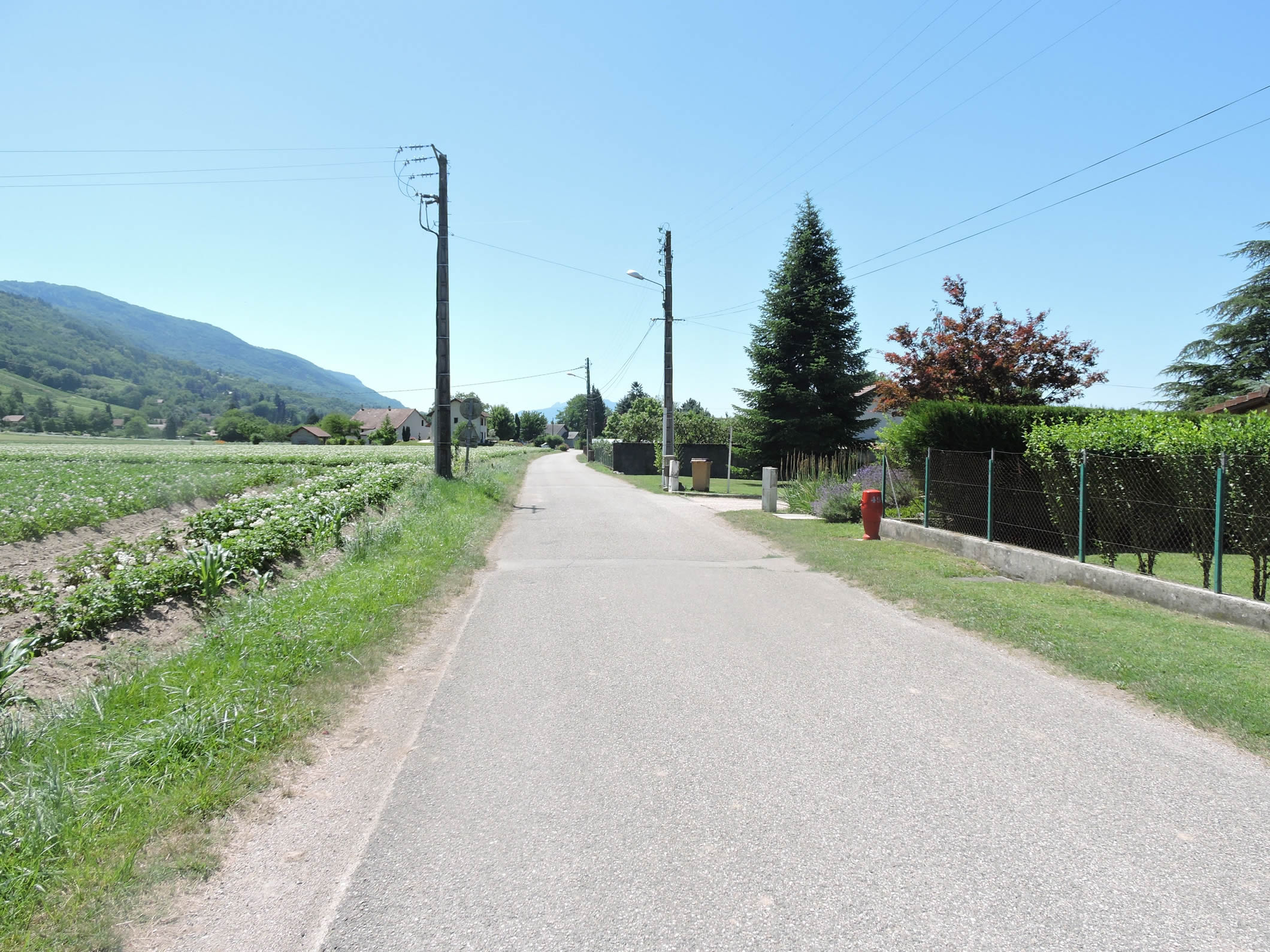
| The road stretches with contemplative slowness through the plain, following the cadenced rhythm of golden fields and green meadows that disappear into the horizon. The first houses of Mathy appear like scattered islands in this bucolic tableau, each surrounded by modest gardens where thuja hedges mingle, silent witnesses to the rural life flowing peacefully. |
 |
 |
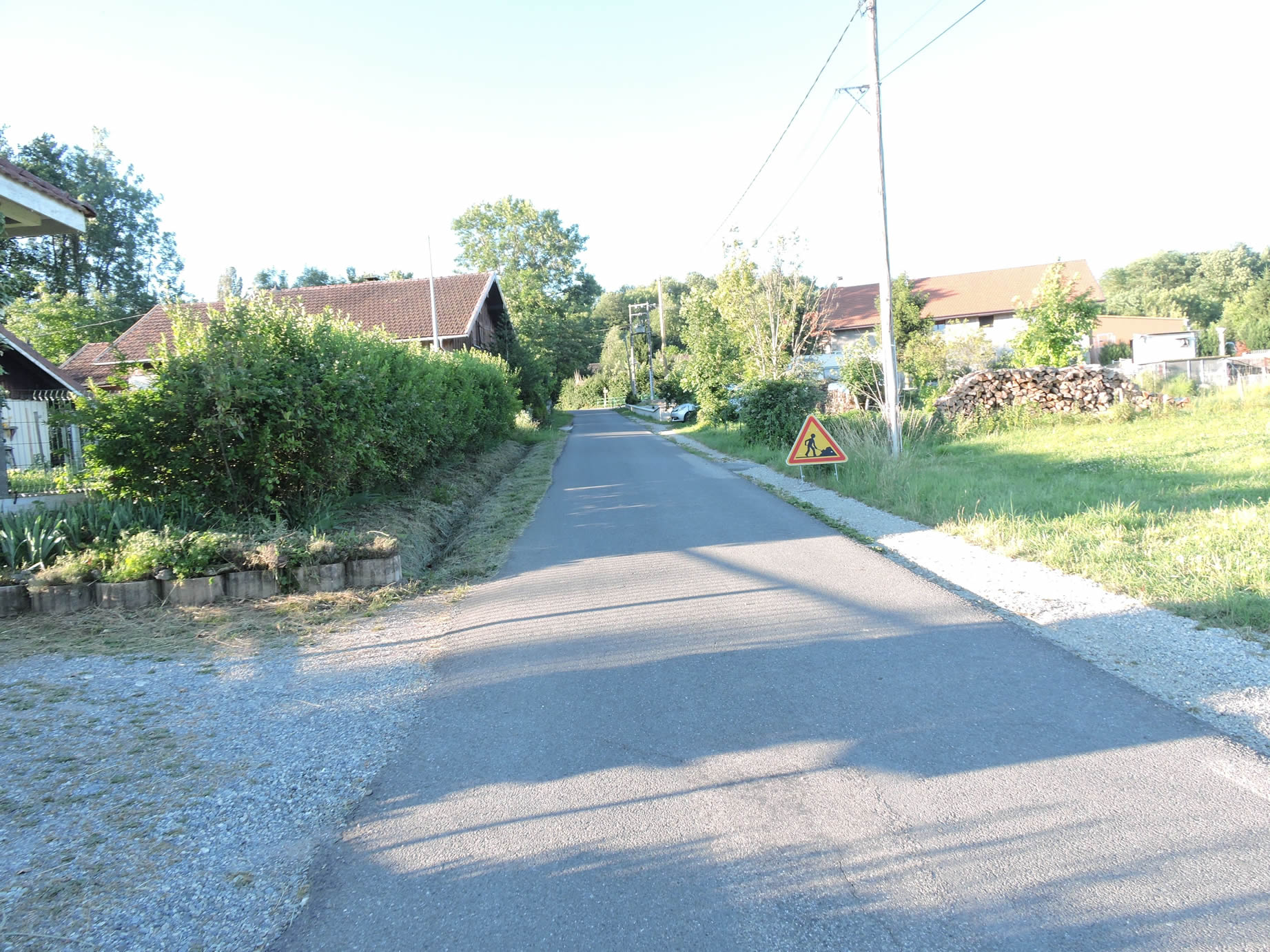
| Upon arriving in Mathy, it is nothing more than a quiet hamlet along the road, punctuated by a shelter for pilgrims, a welcome initiative despite the regrettable absence of drinking water. |
 |
 |
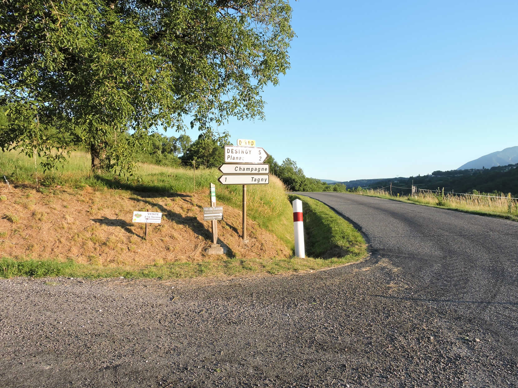
At the village exit, an alternative route is available: a road diverges towards Serrières-en-Chautagne, a village on the departmental road, half an hour away if you seek refuge or food in these places.
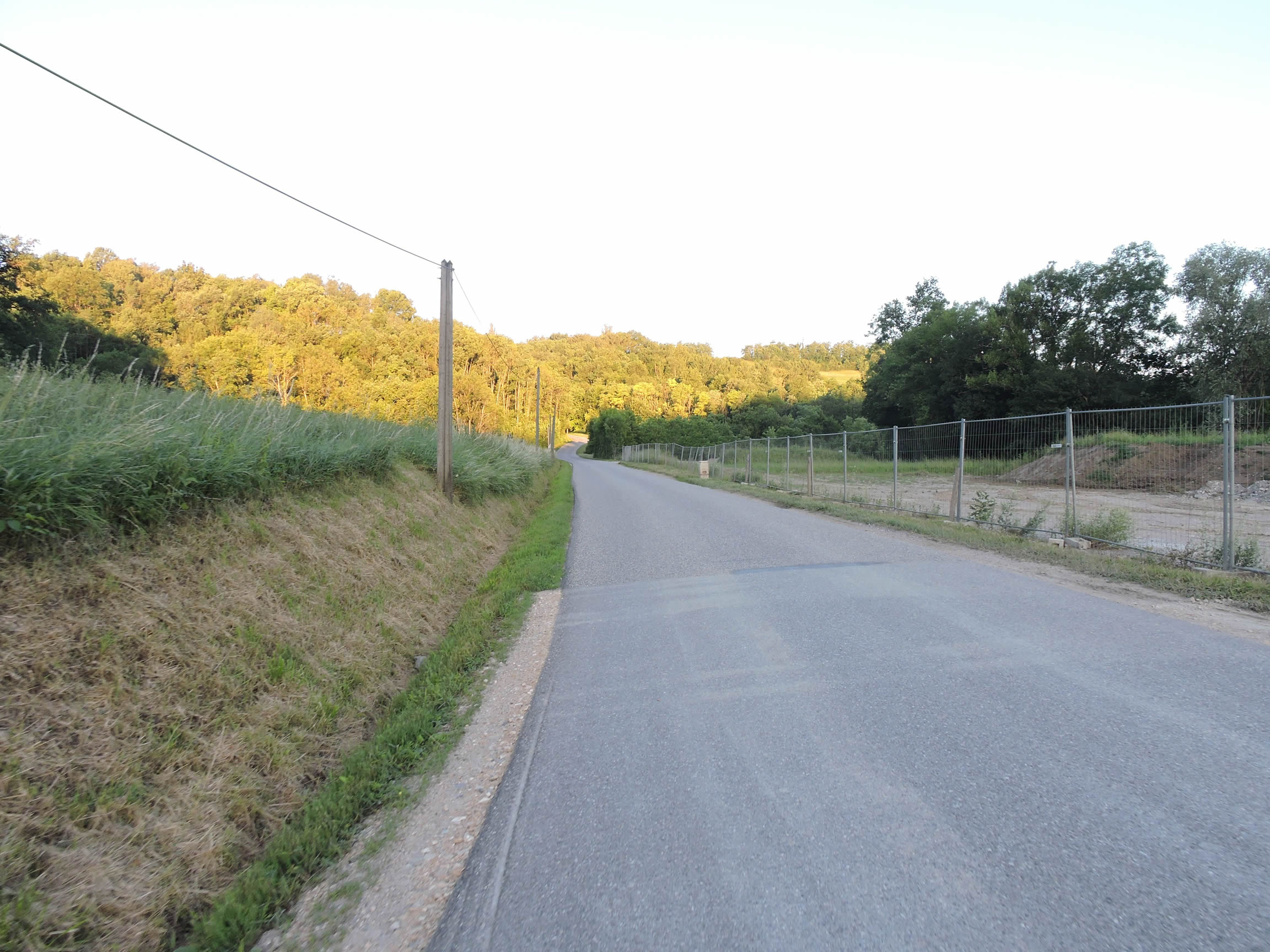
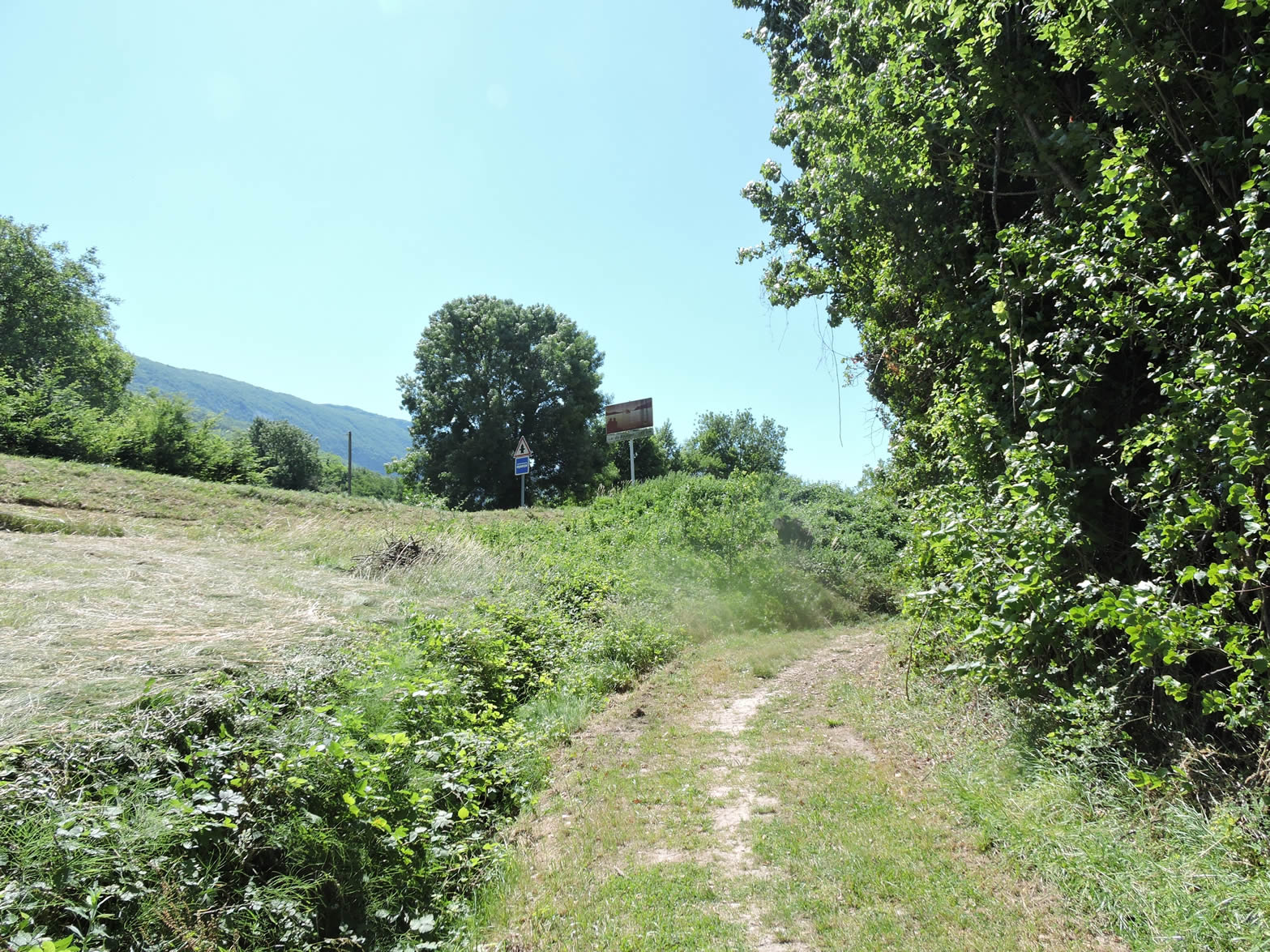
| But for now, there is no other reason to leave the GR65. The dirt road then stretches out before you in a long, straight perspective, seeming to disappear forever into the vastness of the landscape. This elegant avenue bears the suggestive name of Chemin de la Digue Romaine, a name that evokes centuries of history and passage. But do not be mistaken: despite its evocative name, you will find neither forum nor archaeological remains of interest here. Only the promise of serene and monotonous tranquility in the heart of this infinite countryside. |
 |
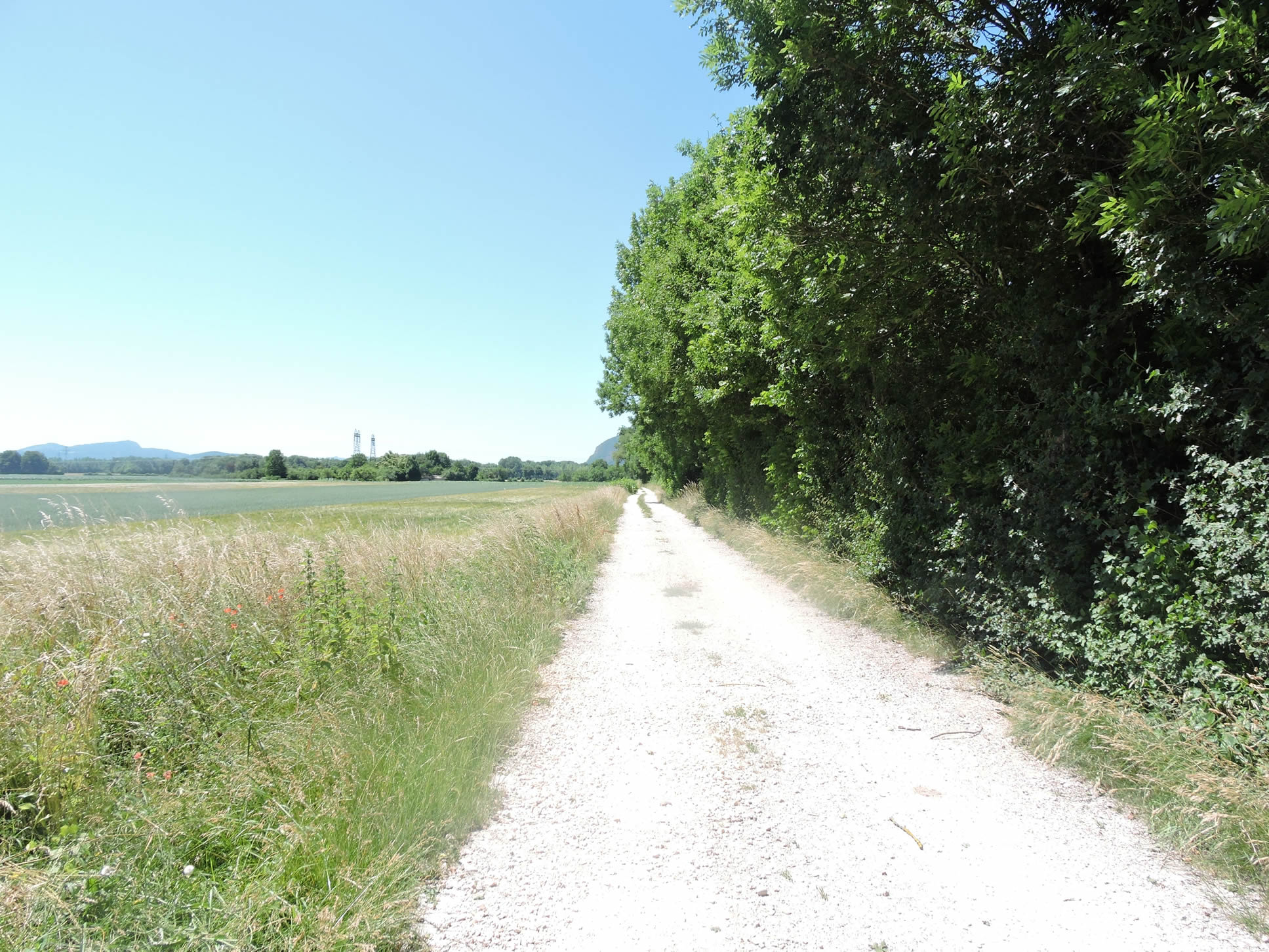 |
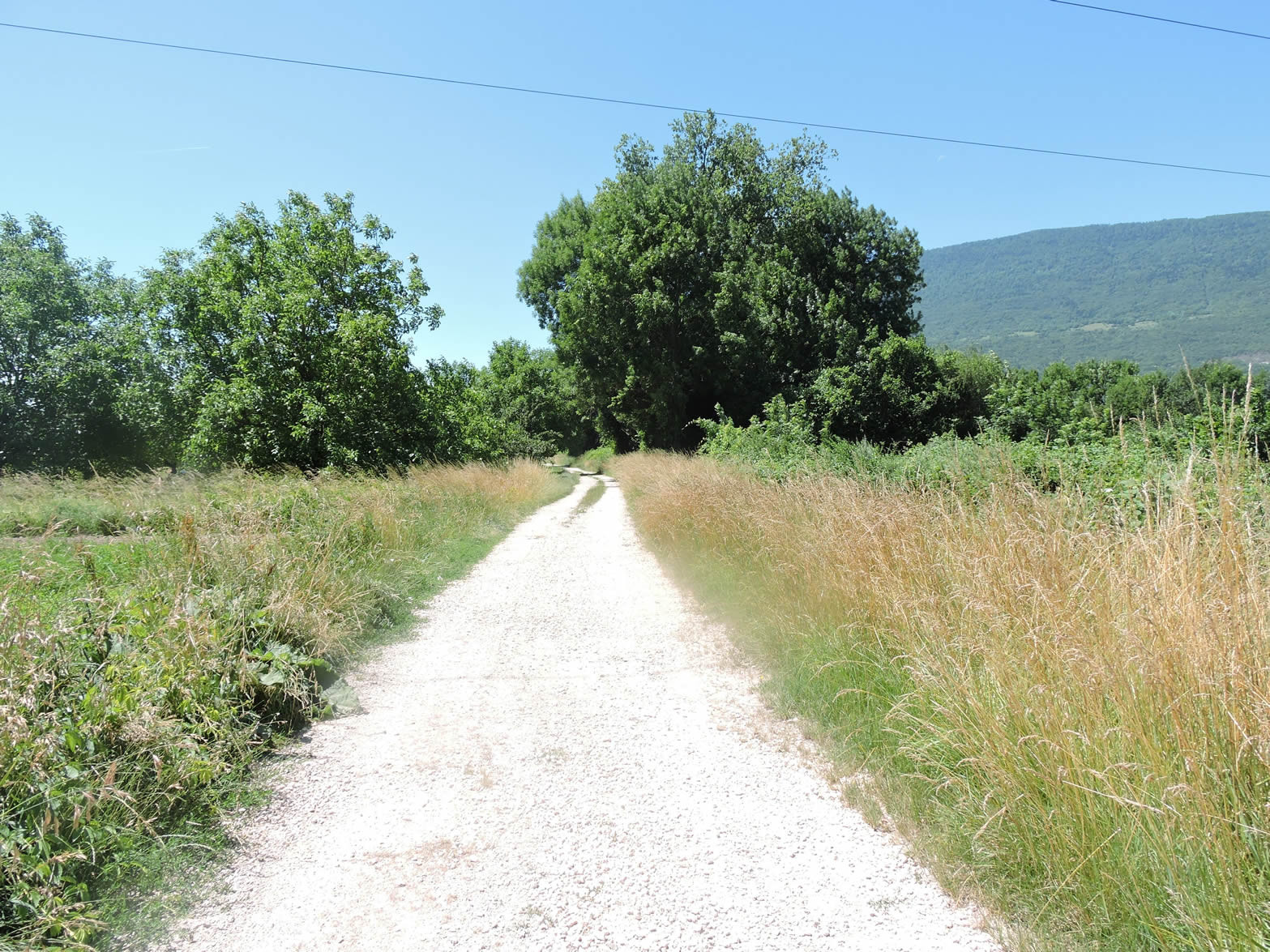
| The dirt road stretches endlessly through the plain, following the Serrières dyke, between golden wheat fields, green cornfields, and shaded groves. It is a soothing solitude, where the occasional companion on the road is a cyclist hunched over their machine, driven by the wind whispering through the poplars and ashes. |
 |
 |
| Cornfields dominate the landscape, the undisputed kings of these fertile lands. Their presence is easily explained: with the Rhône nearby, their roots drink from the groundwater gently seeping underground. |
 |
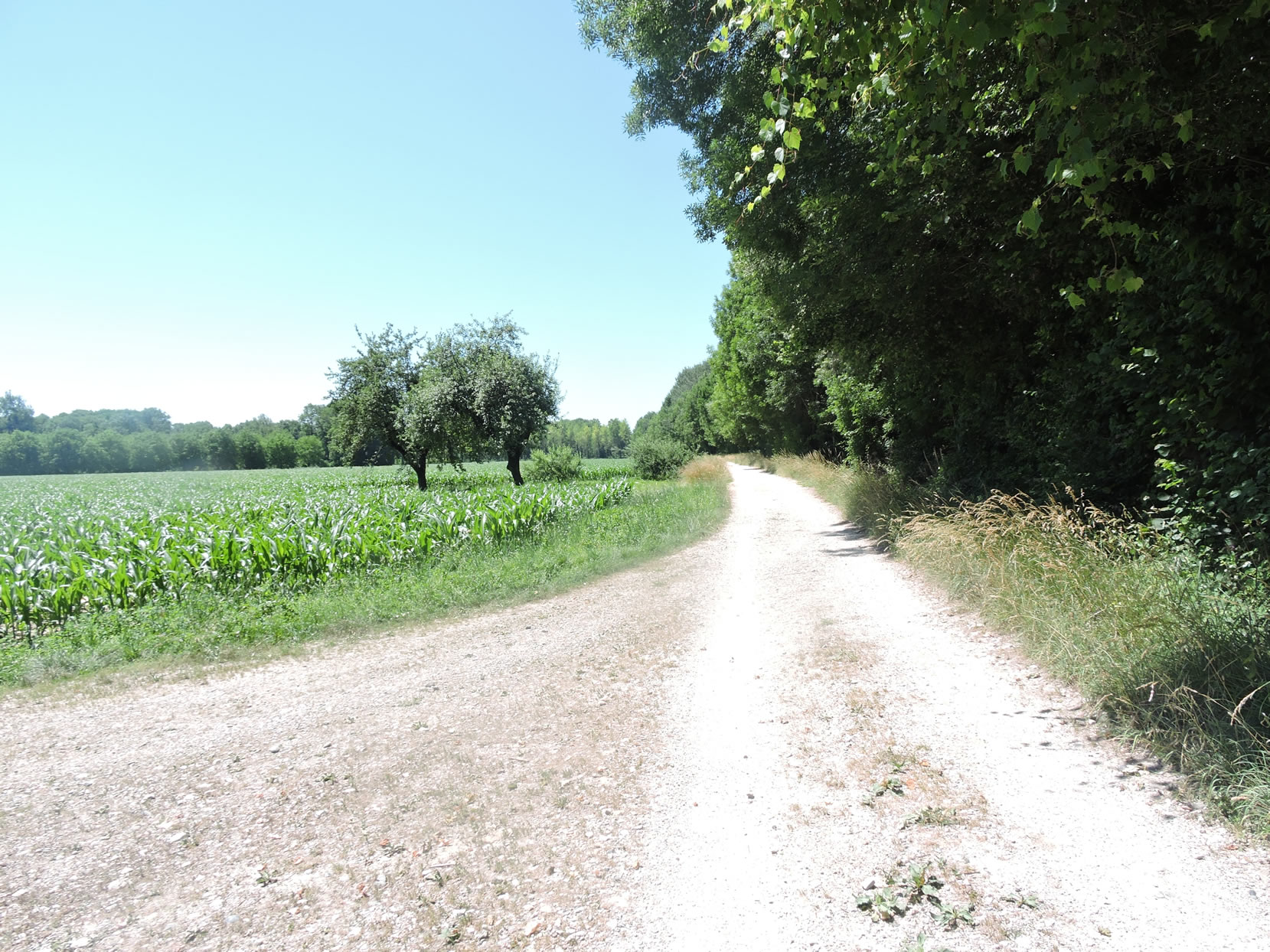 |
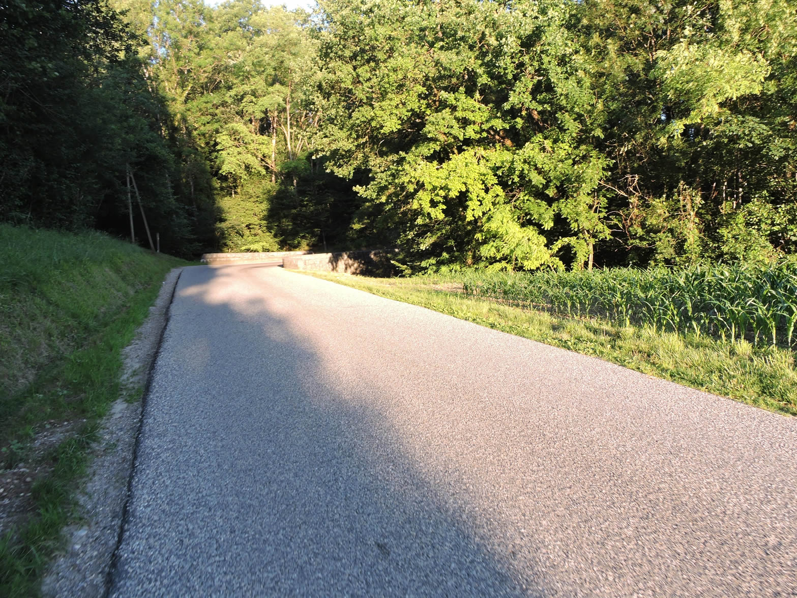
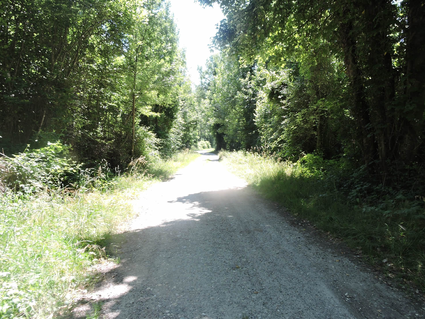
| Further on, the wide fine dirt road now enters the undergrowth, drawing closer to the majestic river. The cool shade and the murmur of the river add a new dimension to this solitary walk through the countryside. |
 |
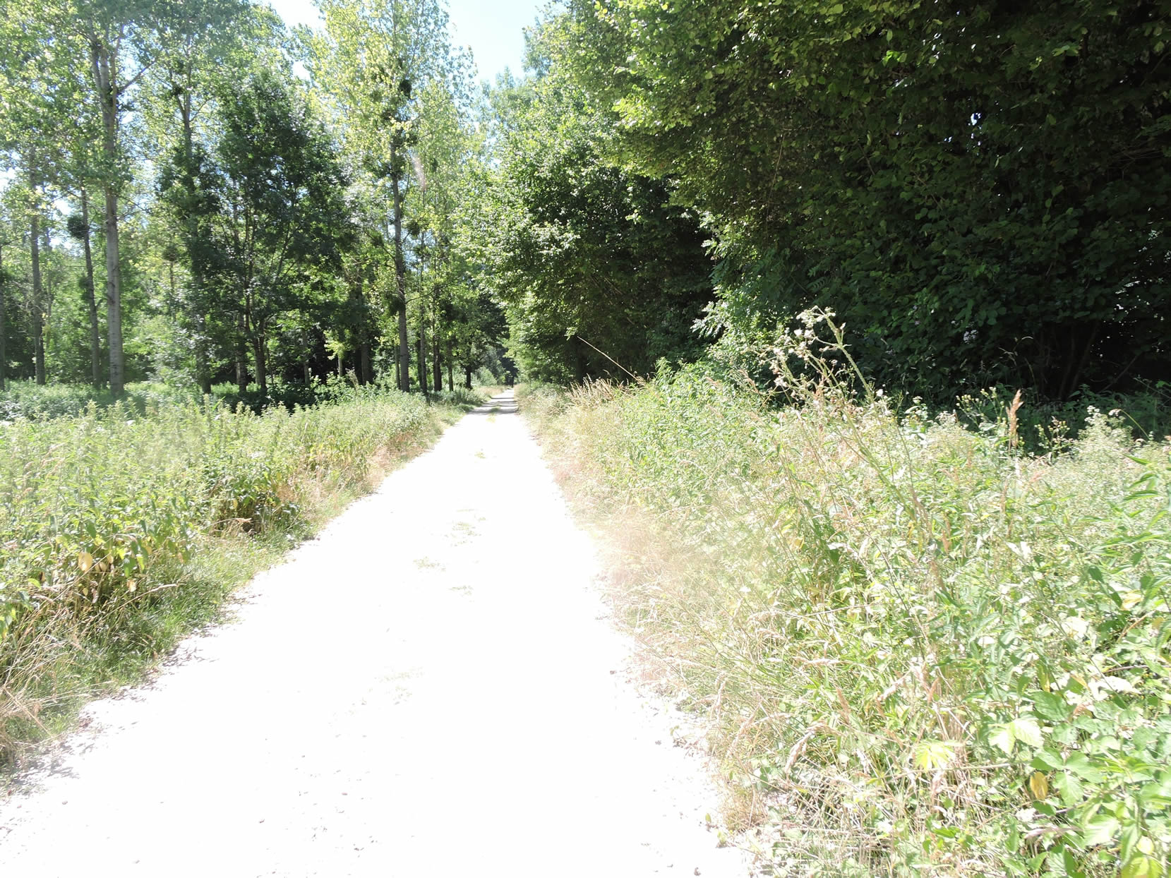 |
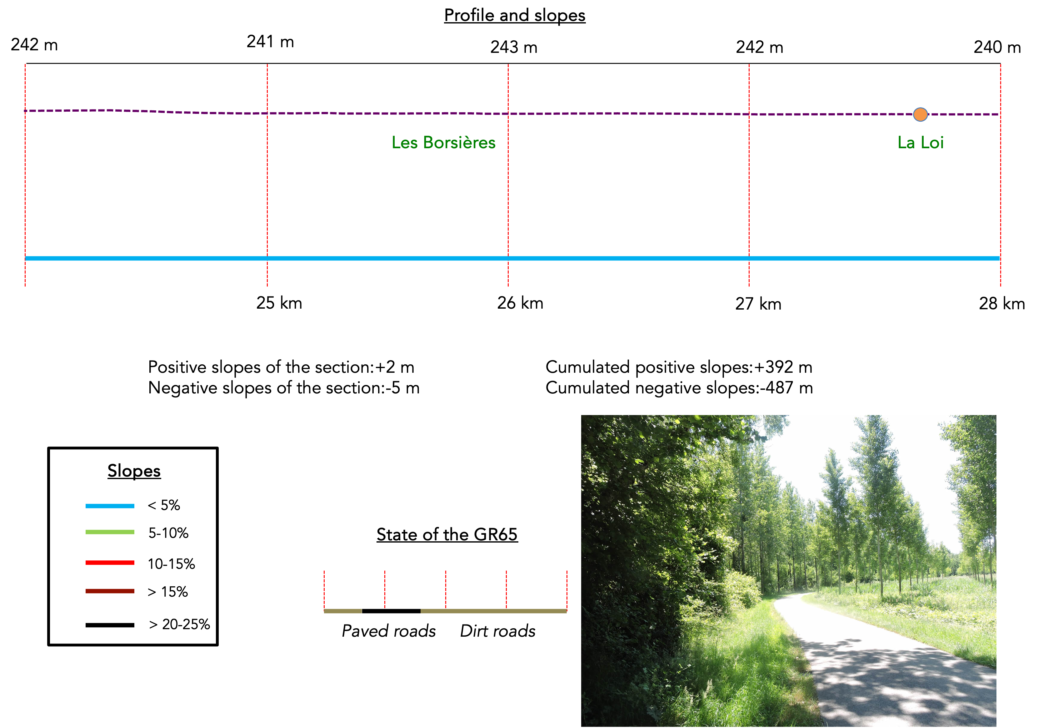
Section 7: Back to the banks of the Rhône River
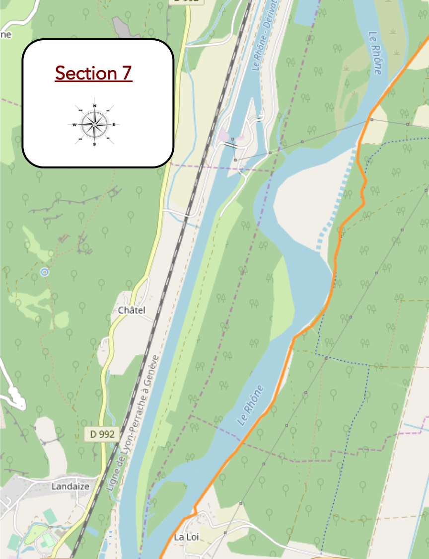
Overview of the route’s challenges: no difficulty.
|
The GR65 finally approaches the lofty banks of the river. Although the path follows the majestic river, warning signs dot the route, cautioning against sudden water surges due to dam adjustments upstream. Through the gaps in the bushes, the tumultuous course of the river occasionally reveals itself, a fleeting vision that can only be glimpsed briefly. The Rhône, so close yet so distant, seems to whisper its secrets to intrigued travelers. At no point on this walk does the opportunity arise to closely contemplate its powerful flows. This lack of direct contact intrigues and suggests an alternative: descending by canoe to uncover its secrets.
|
 |
 |
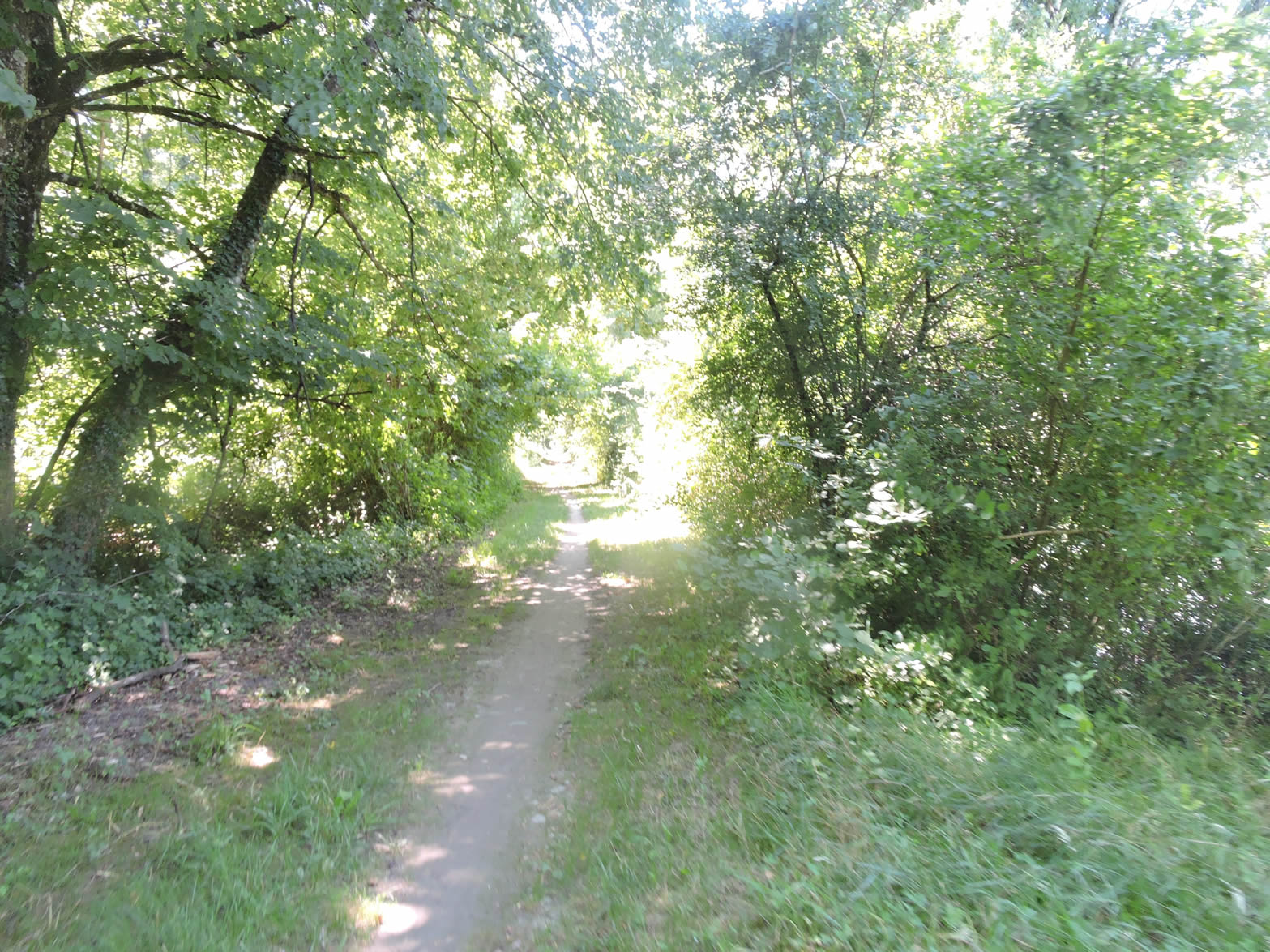
| Compelled by safety requirements, the GR65 reluctantly moves away from the coveted banks and plunges into the dense underbrush, where the beaten earth absorbs each step in complicit silence under the protective canopy of large deciduous trees. |
 |
 |
| Emerging temporarily from its vegetative cover, the path forges an ephemeral route before diving back into the reassuring intimacy of the deep woods. |
 |
 |
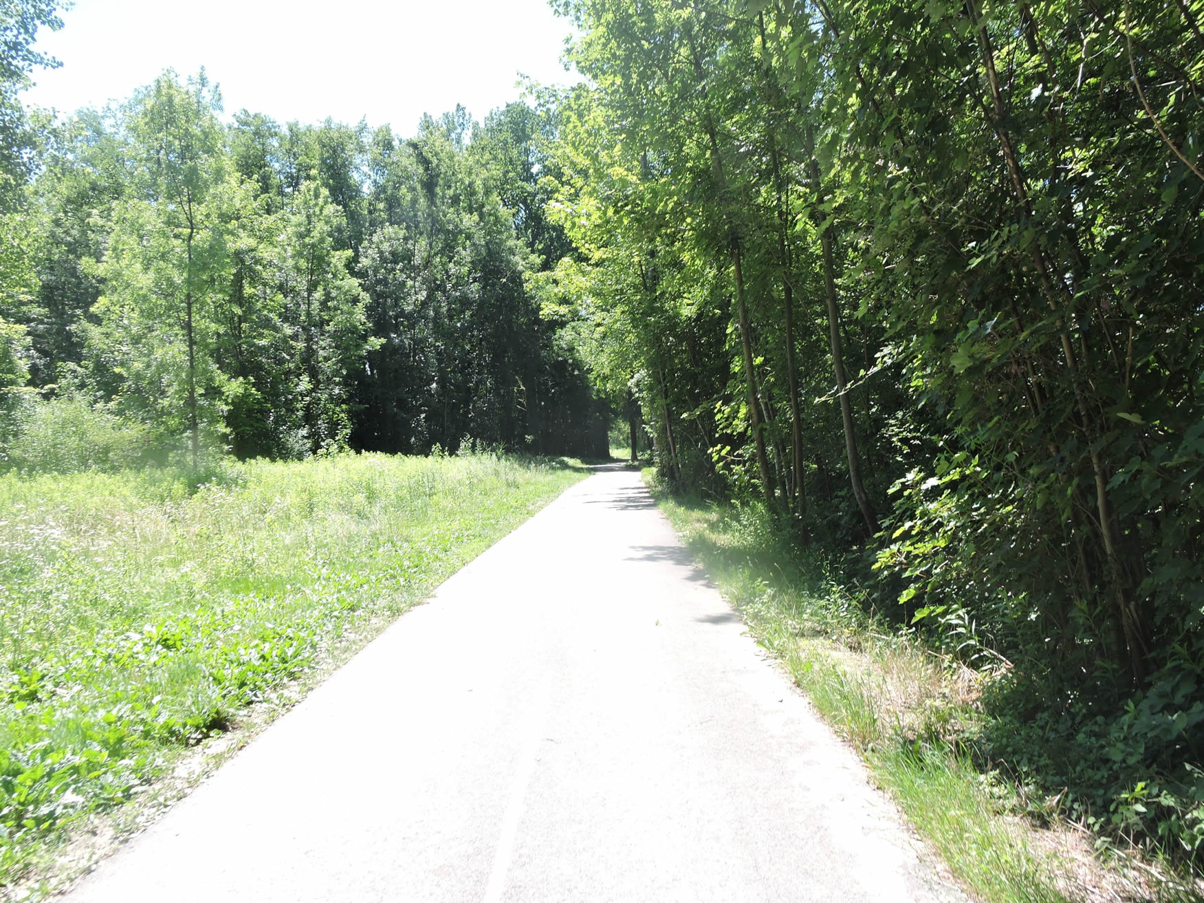
| Further along, the beaten earth gives way to smooth asphalt, as the GR65 now shares the increasingly frequented cycle path with two-wheeled enthusiasts. Here, among the young planted poplars standing guard like sentinels along the path, the atmosphere is imbued with contemplative serenity. |
 |
 |
| The capricious water of the river sometimes ventures inland, necessitating the use of modest bridges to cross its meanders. The GR65 momentarily veers away from the river only to return, as if drawn by its incessant call. |
 |
 |
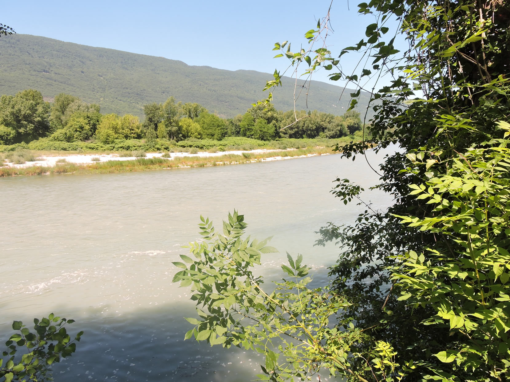
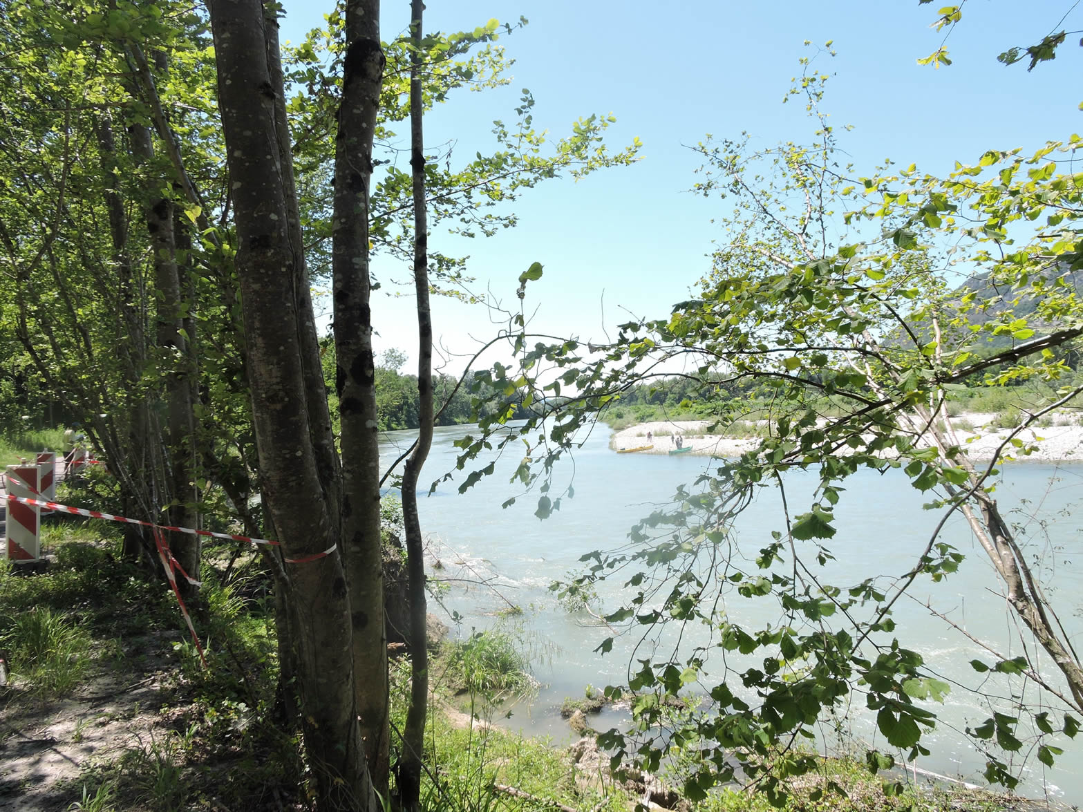
And then, as if by enchantment, the river finally reveals itself. You approach the Malourdie Islands, a place where canoeists flock on sunny weekends, savoring the rare privilege of admiring the Rhône at their leisure. In this region, conifers are rare, giving way to poplars that dominate the landscape, surrounded by majestic oaks, ashes, beeches, hornbeams, imposing maples, and a few scattered lindens. Along the banks, large alders and robust locust trees rooted firmly stabilize the soil, braving the river’s capricious floods.
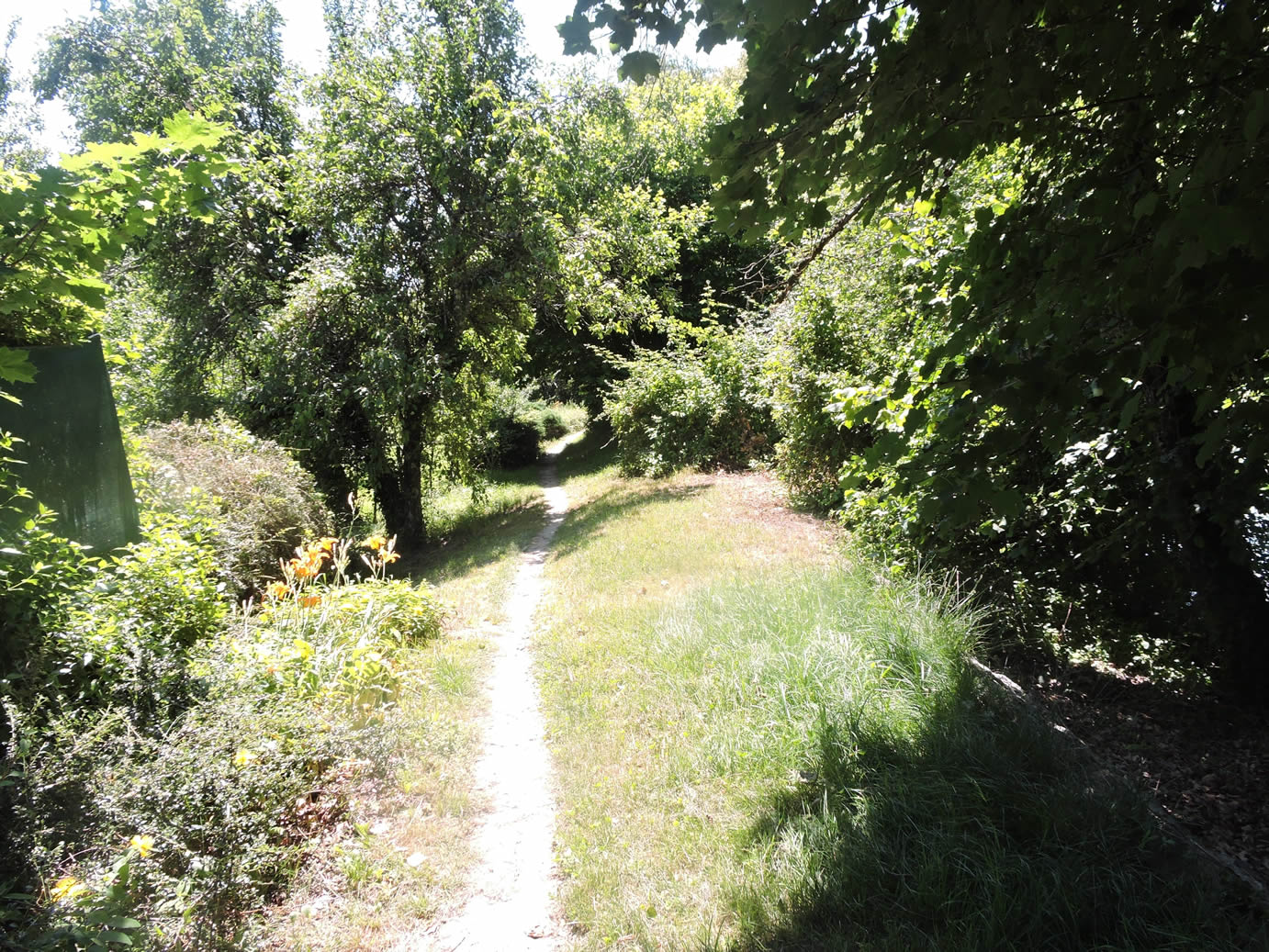
| Further on, the GR65 once again distances itself from the Rhône, briefly following the cycle path before leaving it again and delving back into the underbrush where the tender grass caresses the path. |
 |
 |
Through the leafy canopy, the path soon reaches the locality of Les Borsières, just forty minutes from the Pont de la Loi.

| The path oscillates between firm beaten earth and a narrow trail that wanders through the grass under the cover of majestic trees. |
 |
 |
Though you follow the course of the Rhône here, it often eludes your sight, hidden by the dense vegetation lining its banks. Rare clearings allow glimpses of its tumultuous waters, while scattered signs insistently advise against approaching its unstable banks. Under the protective fronds of the ashes, a providential clearing might offer a fleeting view of the majestic silhouette of the Grand Colombier, emerging above Culoz.
| The GR65 stubbornly continues its course overlooking the river, navigating between the wooded hill and the Rhône’s meanders. However, its journey seems to be gradually nearing its end. |
 |
 |
| Further on, the path humbly grazes the modest homes of the peaceful village of La Loi, a place where even the houses dare not venture to dip their feet into the river’s waters. |
 |
 |
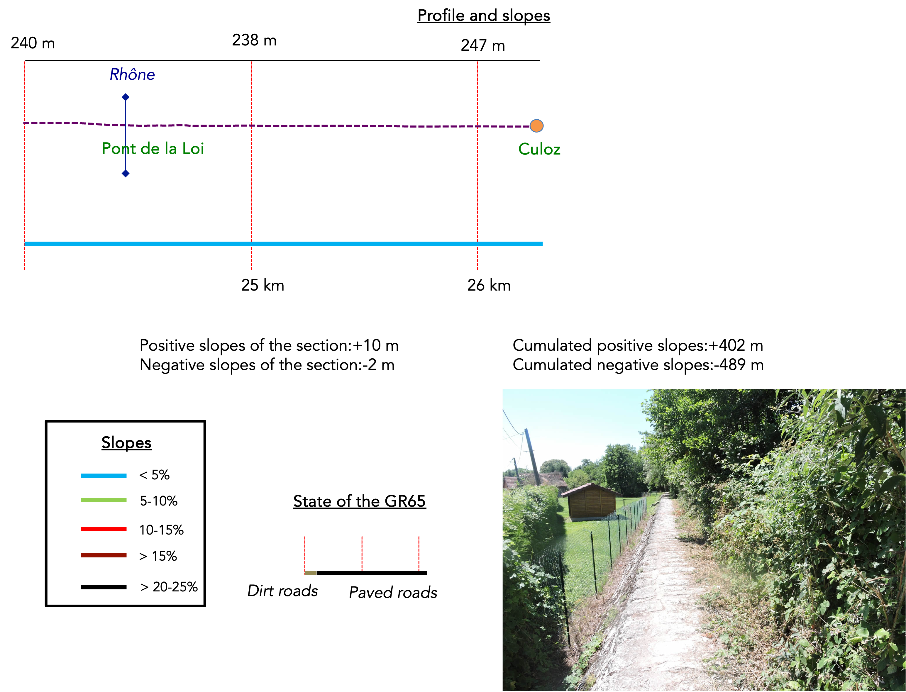
Section 8: A stop in Culoz
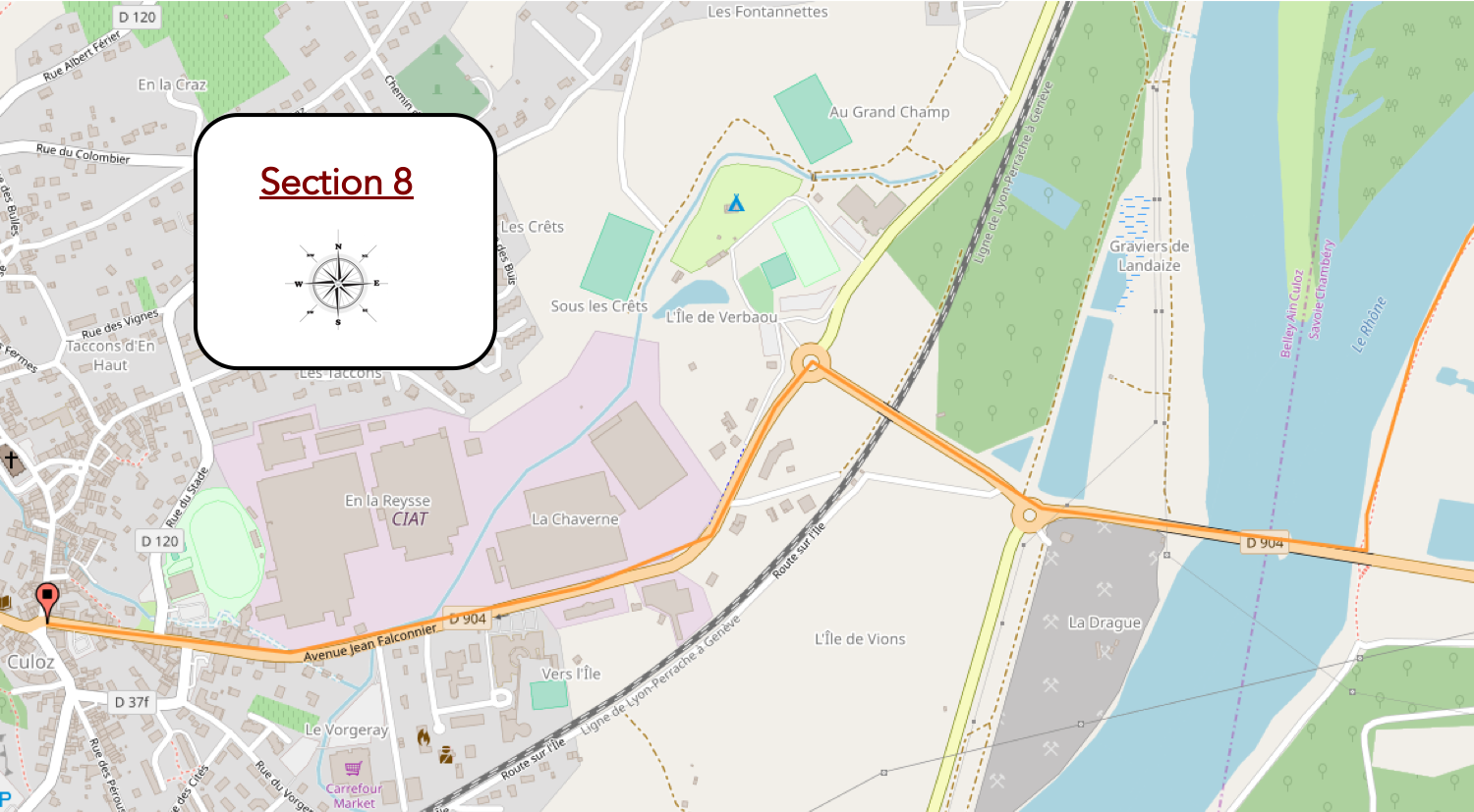
Overview of the route’s challenges: no difficulty.
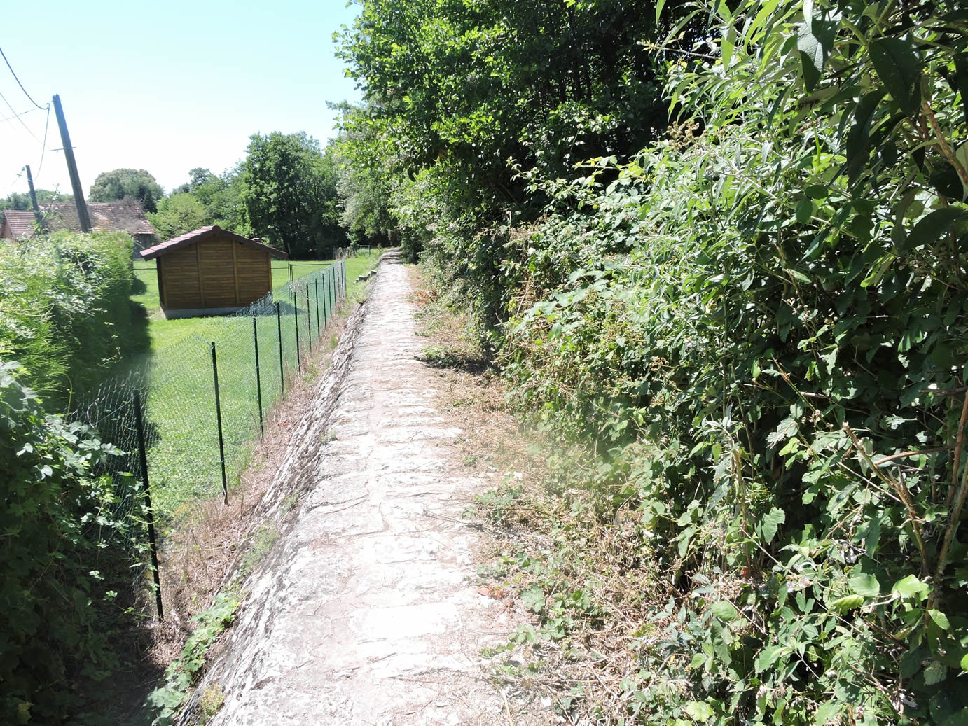
| Leaving La Loi, the path continues along the riverbanks, at the foot of the Grand Colombier mountain… |
 |
 |
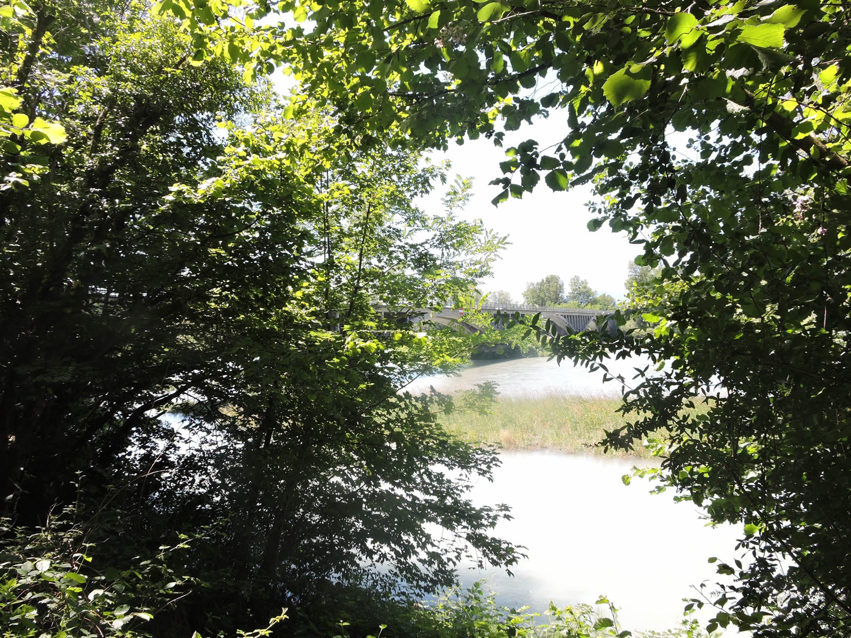
| … before arriving under the pillars of the Pont de La Loi. |
 |
 |
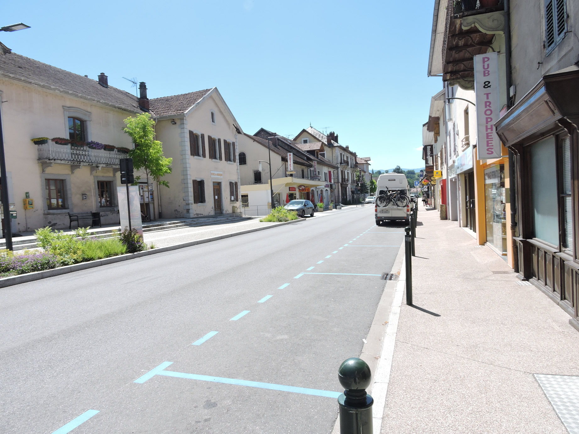
The GR65 continues along the river towards Chanaz, but it is 1 hour and 40 minutes away from here. A good alternative is to leave the GR65 and take the GR9, which passes through Culoz, just on the other side of the bridge. The town, nestled under the Grand Colombier mountain, is a strategic station on the Lyon-Geneva TGV line.

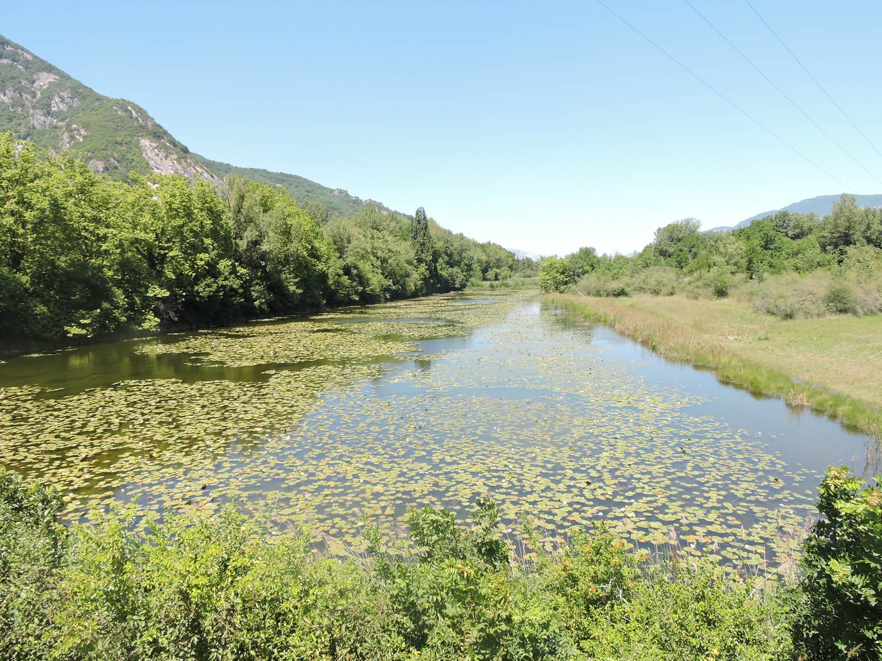
| Here, the Rhône is of great majesty, and the bridge also crosses a beautiful pond covered with water lilies at the entrance of the small town (3,000 inhabitants), which has all the necessary shops. |
 |
 |
Official accommodations on the Via Gebennensis
- Château de Pelly, Desingy; 09 54 58 83 31/06 80 72 15 33; Guestroom, dinner, breakfast
- Gîte L’Edelweiss, Les Côte d’en Haut; 04 50 44 13 29; 04 50 46 04 75/06 11 40 83 83; Gîte, dinner, breakfast
- Les Clés des songes, Prairod; 04 50 59 26 56/06 33 78 44 37; Guestroom, breakfast
- Le Paradis des Gens, Prairod; 07 87 19 01 60; Guestroom, breakfast
- Rôtisserie du Fier, Pont sur le Fier; 04 50 59 21 64/06 66 41 21 64; Hotel, dinner, breakfast
- Camping Le Colombier, Culoz; 04 79 87 19 00; Gîte (caravans), dinner, breakfast
- Hôtel Le Cardinal, Avenue Jean Falconnier, Culoz; 04 79 87 01 51; Hôtel, dinner, breakfast
Pilgrim hospitality/Accueils jacquaires (see introduction)
If one takes inventory of the accommodations, lodging does not present major problems on this stage. There are numerous possibilities all along the route, even outside of it. Restaurants in Syssel, Pont du Fier, Espace de Motz; in Culoz, all the shops. For more details, the guide of the Friends of Compostela keeps a record of all these addresses, as well as bars, restaurants, or bakeries along the route.
Feel free to add comments. This is often how you move up the Google hierarchy, and how more pilgrims will have access to the site.
|
 |
Next stage : Stage 4: From Culoz to Yenne |
|
 |
Back to menu |