A long walk along the Saône River
DIDIER HEUMANN, ANDREAS PAPASAVVAS
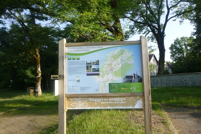
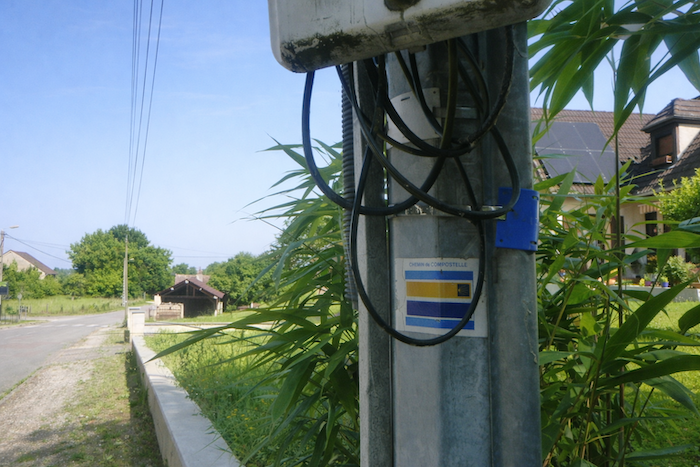
We divided the course into several sections to make it easier to see. For each section, the maps show the course, the slopes found on the course, and the state of the route (paved or dirt roads). The courses were drawn on the « Wikilocs » platform. Today, it is no longer necessary to walk around with detailed maps in your pocket or bag. If you have a mobile phone or tablet, you can easily follow routes live.
For this stage, here is the link:
https://fr.wikiloc.com/itineraires-randonnee/du-mont-roland-a-st-jean-de-losne-par-le-chemin-de-compostelle-219078512
| This is obviously not the case for all pilgrims, who may not feel comfortable reading GPS tracks and routes on a mobile phone, and there are still many places without an Internet connection. For this reason, you can find on Amazon a book that covers this route.
If you only want to consult lodging of the stage, go directly to the bottom of the page. |
 |
The Saône is a major river in eastern France and an important tributary of the Rhône. It flows through several regions and departments before reaching the south of the country. Its source lies in the Vosges department, and in its first kilometers it is still only a small stream winding through rural and forested landscapes. The river continues its route through Lorraine and Franche Comté, crossing successively the departments of Vosges and Haute Saône, before entering Saône et Loire. In this region, it receives several tributaries, including the Doubs, which significantly increases its flow. It notably passes through the town of Gray. In Burgundy, the Saône becomes a major navigation axis. It flows through Mâcon before reaching the Bresse plain. After a course of around 480 kilometers, it joins the Rhône in Lyon, in the Confluence district, forming a vast river basin that extends all the way to the Mediterranean. The river was long used for the transport of goods and remains today an important axis for river tourism, being navigable over a large part of its course, notably from St Jean de Losne to Lyon.
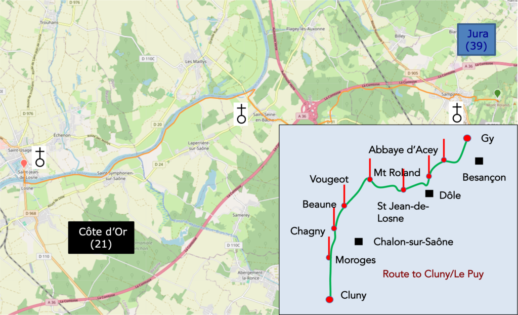
As for your own route, after passing from the Jura department in Franche Comté into Côte d’Or in Burgundy, often at the heart of a complex network of roads leading toward Paris, the Saône offers magnificent riverbanks, ideal for strolling and enjoying a moment of relaxation.
As for your own route, after passing from the Jura department in Franche Comté into Côte d’Or in Burgundy, often at the heart of a complex network of roads leading toward Paris, the Saône offers magnificent riverbanks, ideal for strolling and enjoying a moment of relaxation.
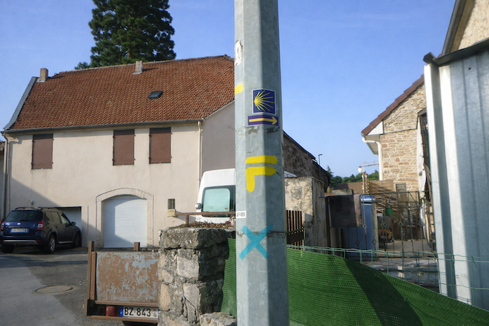
How do pilgrims plan their route? Some imagine that it is enough to follow the waymarking. You will soon discover, however, that the waymarking is often deficient. Others use guides available on the Internet, which are also often too basic. Others prefer GPS, provided they have imported the Compostela maps of the region onto their phone. By using this method, if you are an expert in GPS use, you will not get lost, even if the proposed route is sometimes not exactly the same as the one indicated by the scallop shells. You will nevertheless reach the end of the stage safely. In this regard, the site considered official is the European route of the Paths of Compostela (https://camino-europe.eu/). On today’s stage, the map is correct, though this is not always the case. With a GPS, it is even safer to use the Wikiloc maps that we provide, which describe the currently waymarked route. But not all pilgrims are experts in this type of walking, which for them distorts the spirit of the path. You can therefore simply follow us and read along with us. Every difficult junction on the route has been indicated, to prevent you from getting lost.
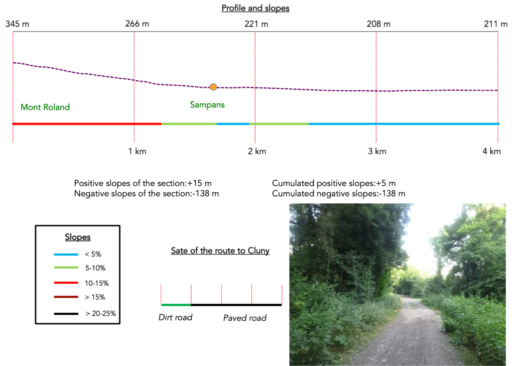
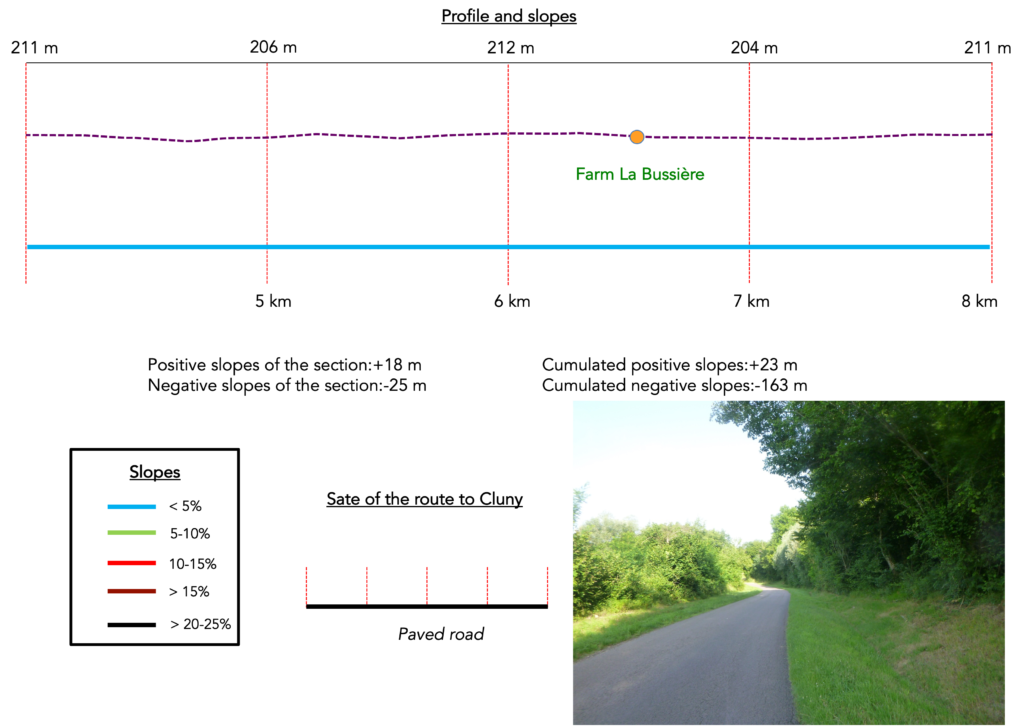
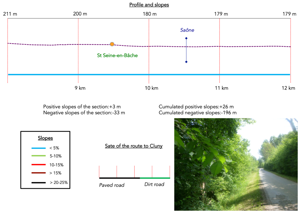
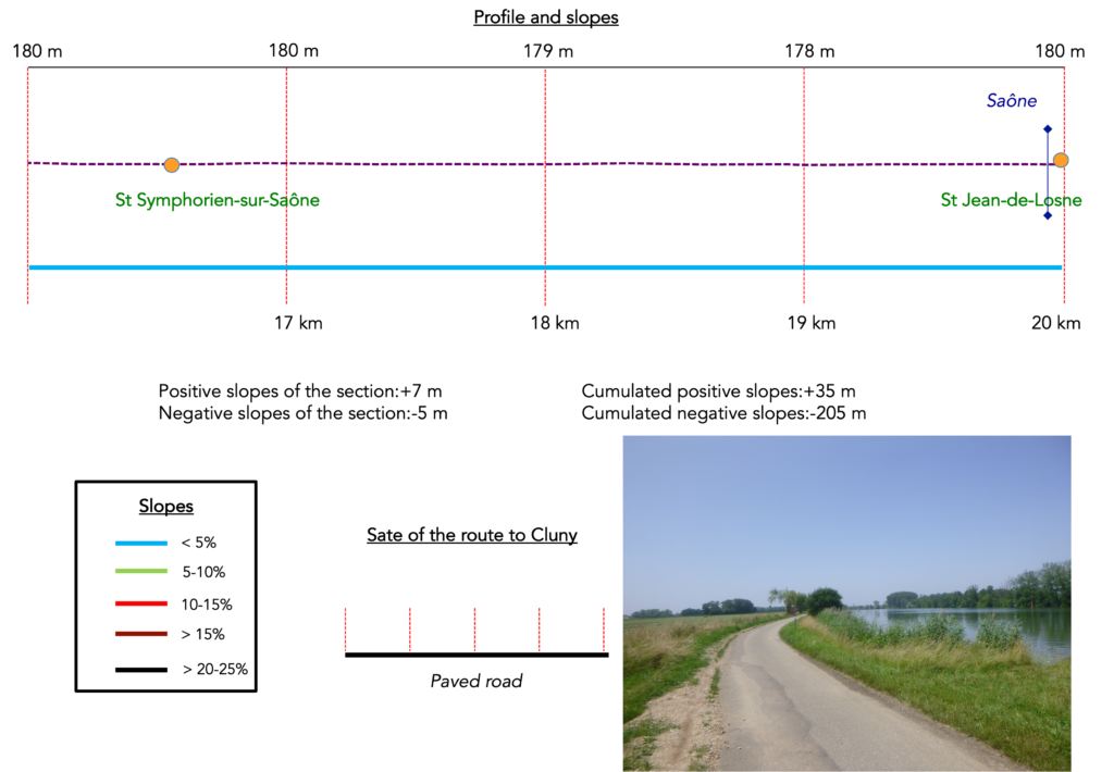
Difficulty level: The route presents no difficulty (+35 meters / −205 meters). The negative elevation is due solely to the descent from Mont Roland down to the plain. This descent presents no difficulty at all. Otherwise, the route is flat.

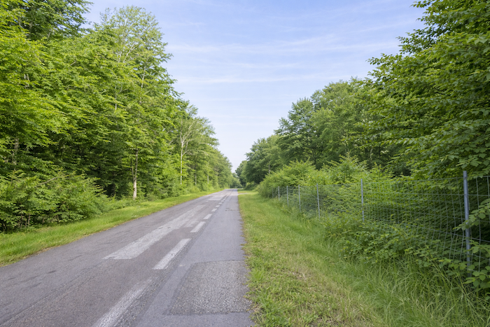
State of the route:Today’s stage again includes slightly more paths than roads, which has almost always been the case in Franche Comté:
- Paved roads: 7.2 km
- Dirt roads: 12.8 km
Sometimes, for reasons of logistics or housing possibilities, these stages mix routes operated on different days, having passed several times on these routes. From then on, the skies, the rain, or the seasons can vary. But, generally this is not the case, and in fact this does not change the description of the course.
It is very difficult to specify with certainty the incline of the slopes, whatever the system you use.
For those seeking « true elevations » and enthusiasts of genuine altimetric challenges, carefully review the information on mileage at the beginning of the guide.

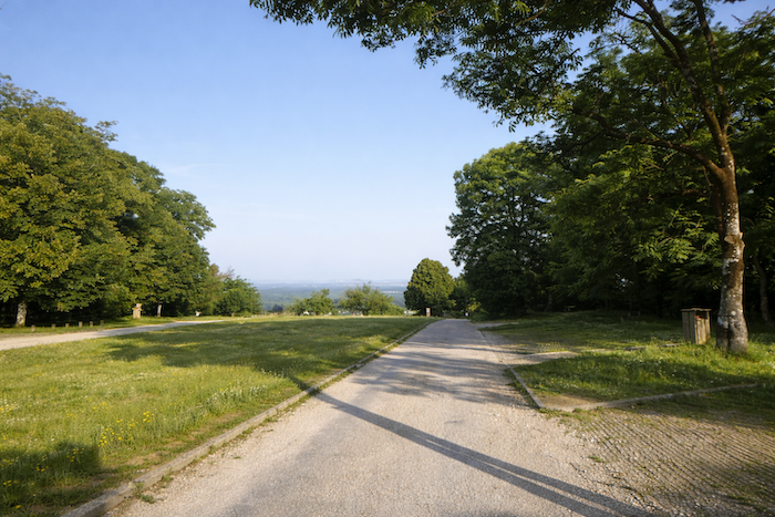
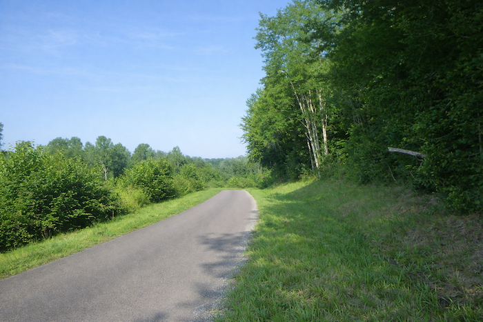
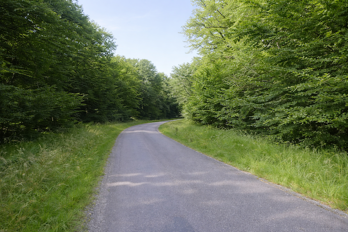
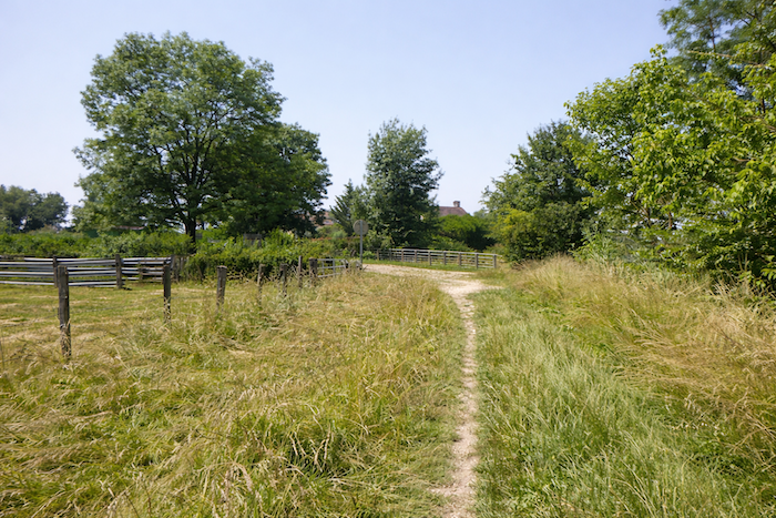
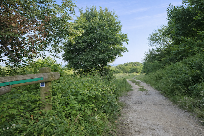
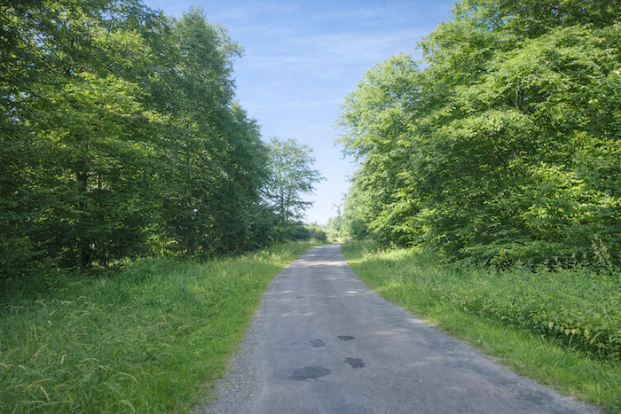
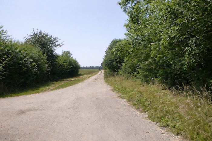
Section 1: Descent toward Sampans
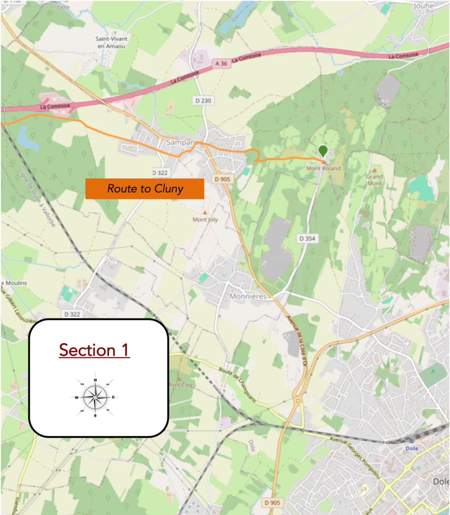
Overview of the route’s challenges: steady descent, but without any major difficulty.
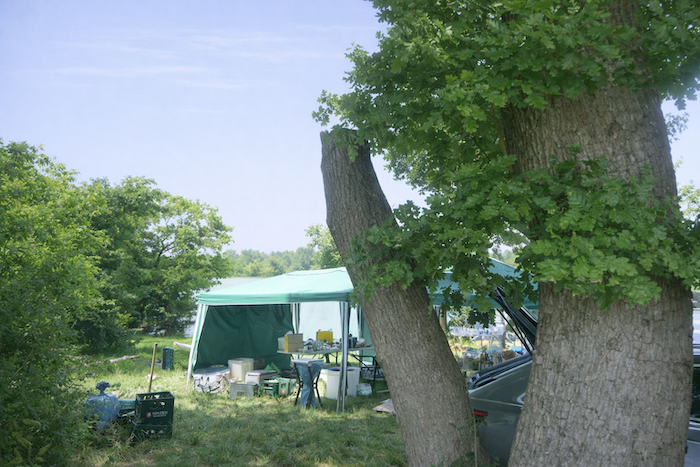
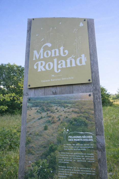
| Today, the route sets off from the covered walkway of Mont Roland, just a few steps from the monastery. This departure is not insignificant. It feels like leaving a cloister, a passage from the inhabited silence of stone into the open book of the landscape. The walker leaves the sacred enclosure with the sensation of tearing away from a spiritual height in order to plunge into the substance of the world. |
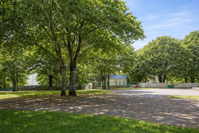 |
 |
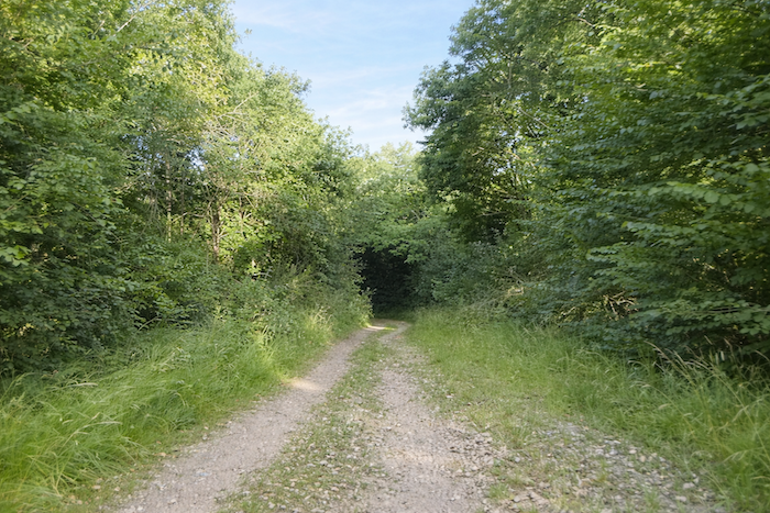
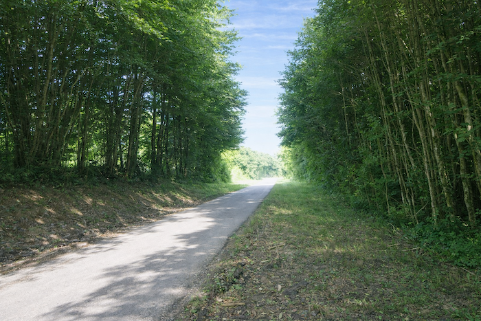
| The route soon inclines, descending into the park. The gentle slope already invites a slower pace, like a transition between the place of prayer and the path of human life. Very quickly, the route leaves the asphalt and follows a dirt path. |
 |
 |
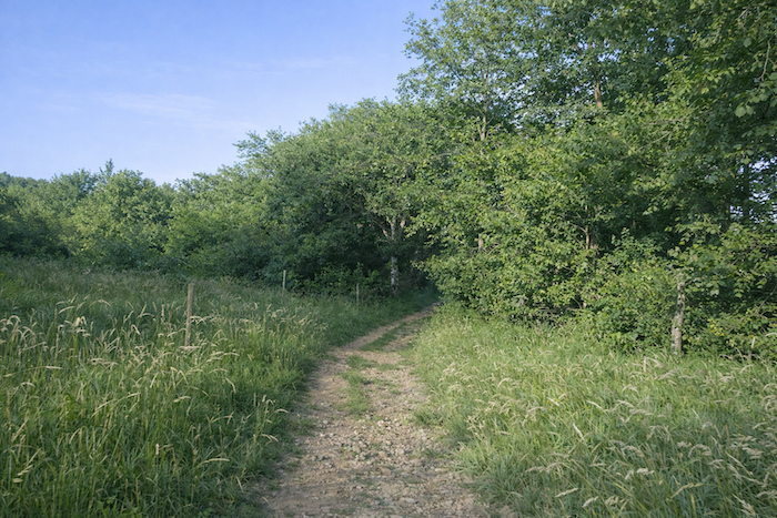
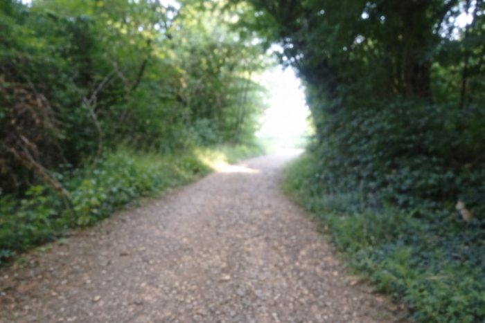
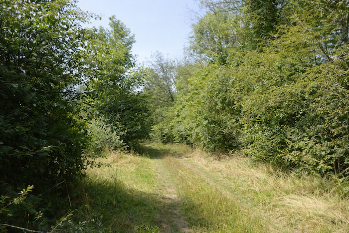
| It then narrows, becoming stony and sometimes tight, and flows downward in a steady descent through meadows and foliage. Beneath your steps, stones roll like scattered notes, and the descent becomes a rustic song that accompanies the walk. The walker already senses the smell of humus and the dry grasses clinging to the base of the embankments. |
 |
 |
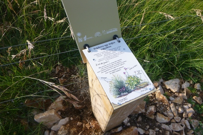
| A discreet sign stands at the edge of the path. It explains that you are walking across dry grasslands established on arid limestone soils. This poverty of earth has given rise to a richness of life, a rare and specific vegetation adapted to the economy of the soil. These grasslands resemble natural libraries, where every blade of grass tells a story of resilience. |
 |
 |
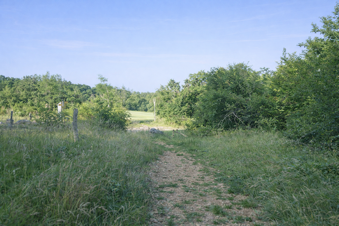
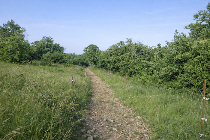
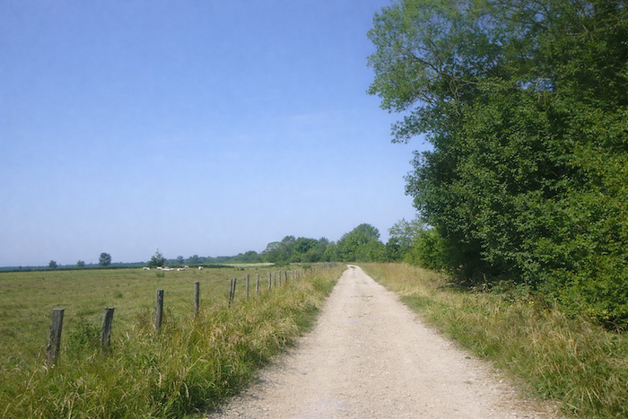
| The dirt trail twists and turns as it descends through the dry grasslands. |
 |
 |
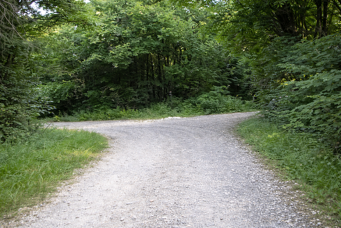
| Lower down, the descent narrows further and reaches the Orchid Crossroads at the foot of Mont Roland. The name alone invites dreaming, evoking the promise of hidden blooms and the fragile grace of flowers that thrive where the soil seems ungenerous. It is a crossroads of nature as much as of route, a discreet pause where one senses that the land wishes to show generosity despite its dryness. |
 |
 |
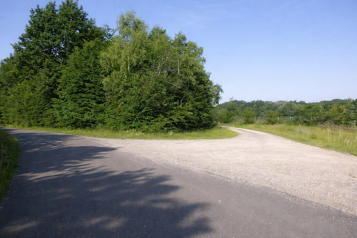
| Still lower, the slope continues until it meets a wider road of packed earth. |
 |
 |
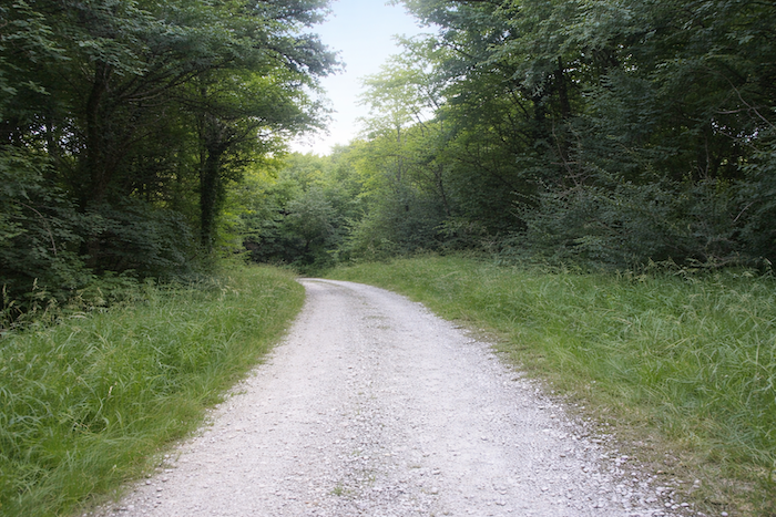
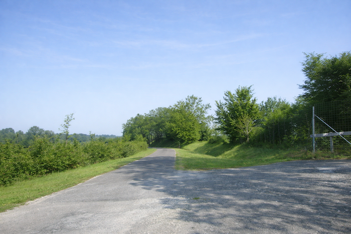
| From here on, a broad dirt road takes over. It descends with quiet authority beneath tall deciduous trees, straight like a lesson in patience, then suddenly changes direction, turning sharply at a right angle as if to surprise the one who follows it. |
 |
 |
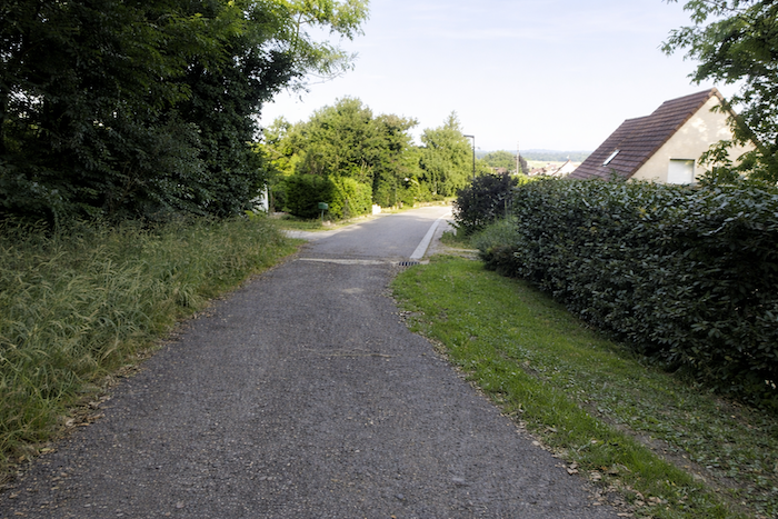
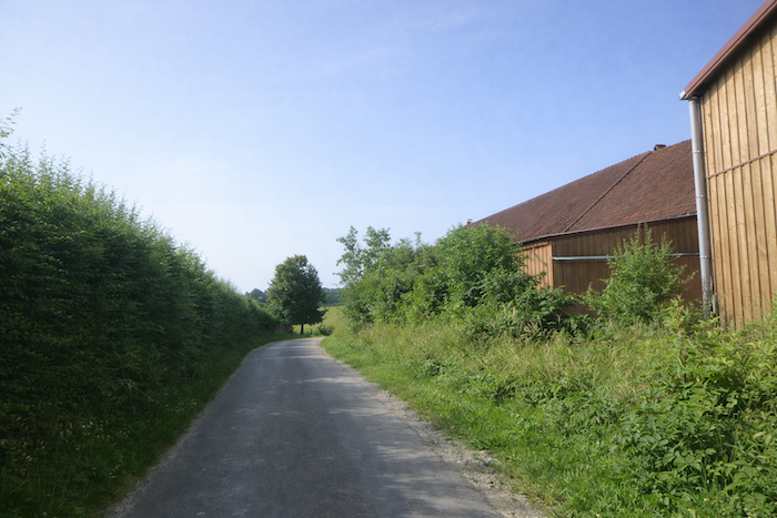
| It continues onward and reaches the first houses of Sampans. Here, human construction succeeds the reign of vegetation, after the great silence of the forest. |
 |
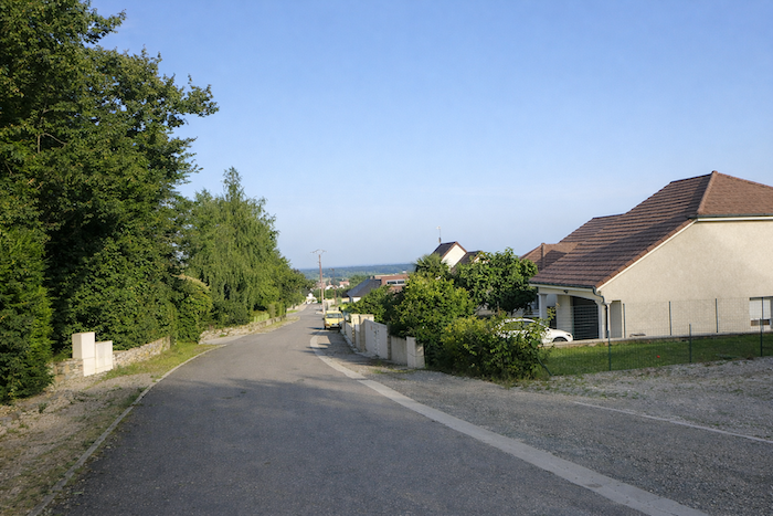 |
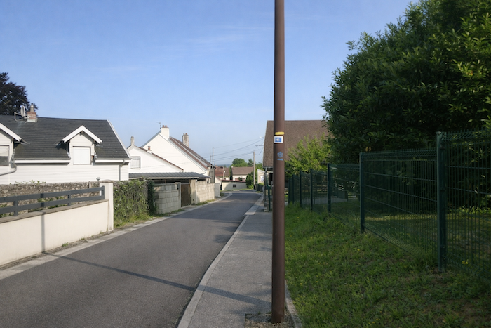
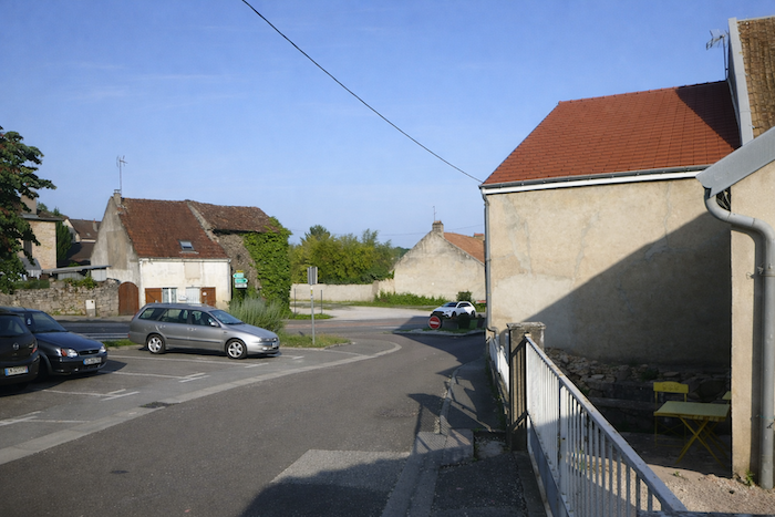
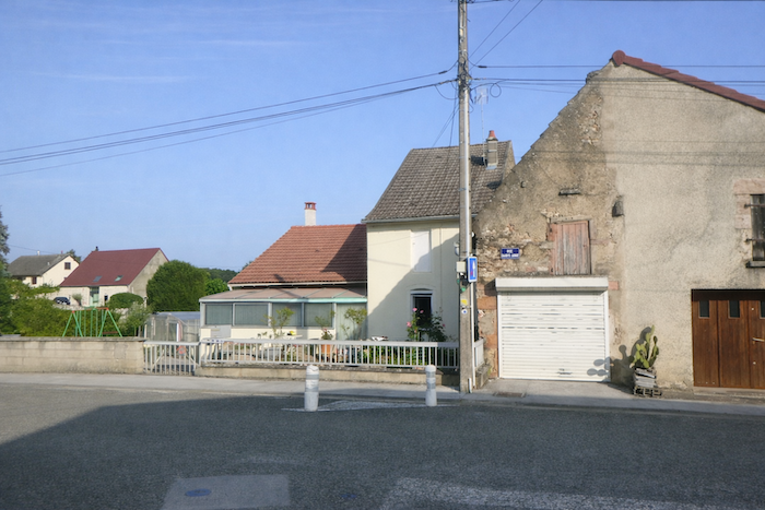
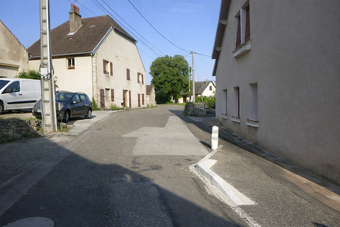
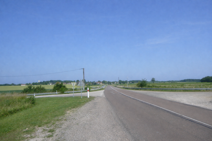
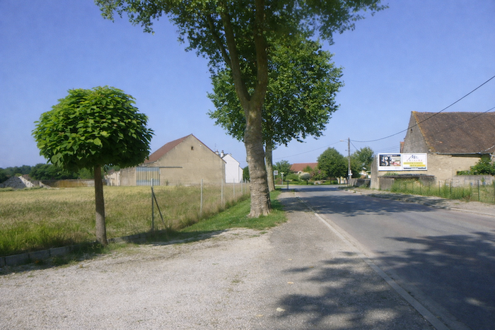
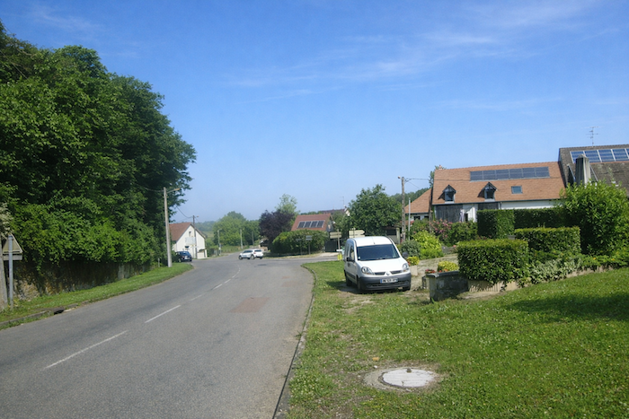
| The road then crosses the outskirts of the village and joins Rue de Dole on the main departmental road D905, in the heart of Sampans. This passage marks a return to human bustle. The ancient momentum of pilgrims here meets the comings and goings of hurried cars. |
 |
 |
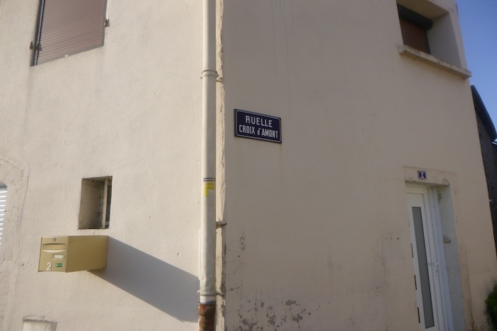
| Waymarking within the village is impeccable. You pass successively from Rue Croix d’Amont to Rue Sainte Anne. Each street name speaks of the past, of the religious and rural memory of the place. |
 |
 |
| You move forward through a simple labyrinth, yet one laden with stories. |
 |
 |
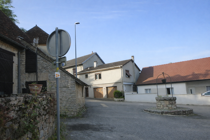
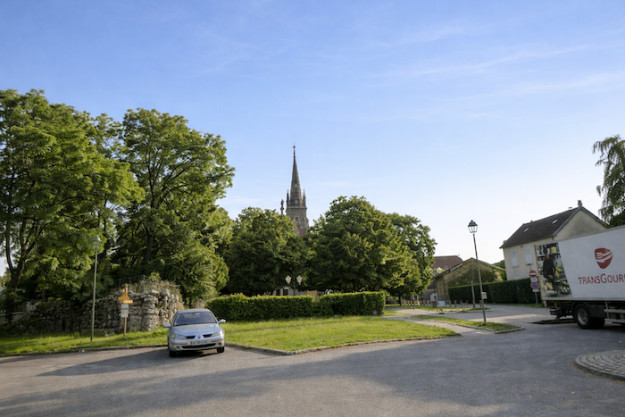
| Soon, the village church comes into view, its bell tower emerging as a familiar landmark. The road then continues to the end of Rue Sainte Anne, faithful to the unhurried rhythm of an entrance into a small town. |
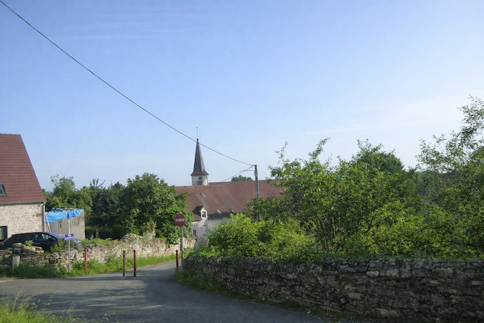 |
 |
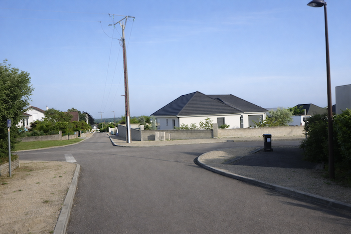
Here, the route changes its destination and heads toward the community hall. You pass from the church to a secular space, from collective prayer to dancing and shared meals.
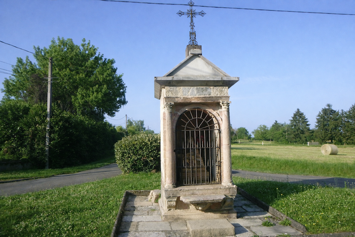
| Along the road, a fine wayside shrine appears, humble and luminous, reminding you that even near places of celebration, the presence of the divine does not fade. The road then joins the departmental road D322 at the crossroads by the community hall. |
 |
 |
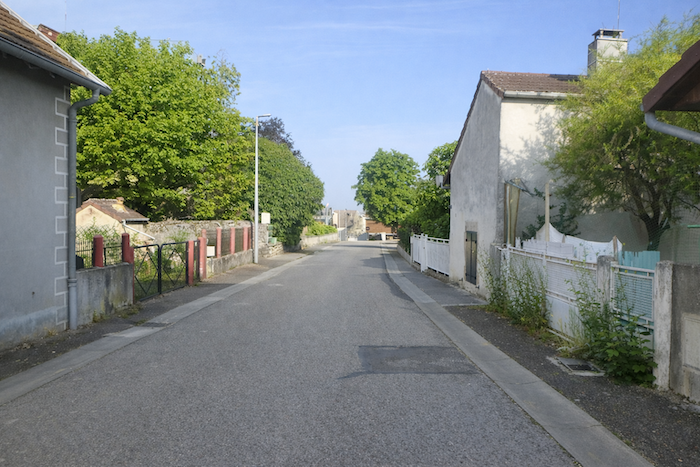
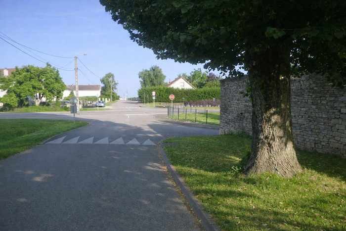
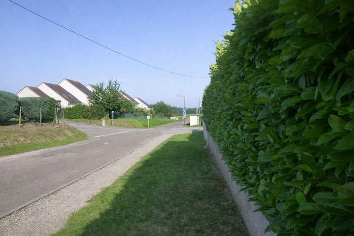
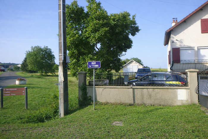
| The route crosses this intersection, leaving behind the animation, and continues along Rue de l’Étang, beyond the last houses of the village. The landscape sheds its constraints. Walls recede and horizons widen. It is a threshold, almost a deep breath after the narrowness of the streets. |
 |
 |
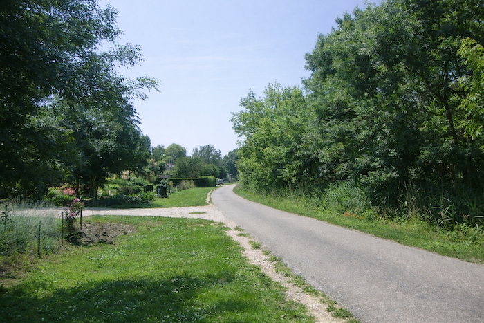
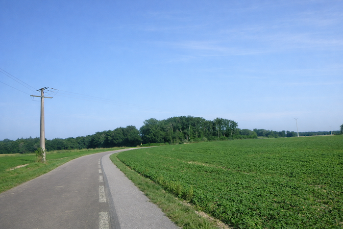
| A long stretch then begins, perfectly flat, a true moment of relaxation for the walker. |
 |
 |
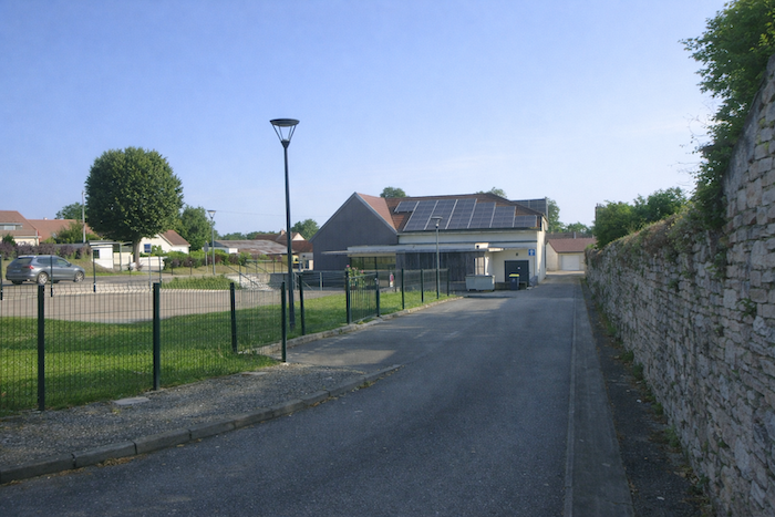
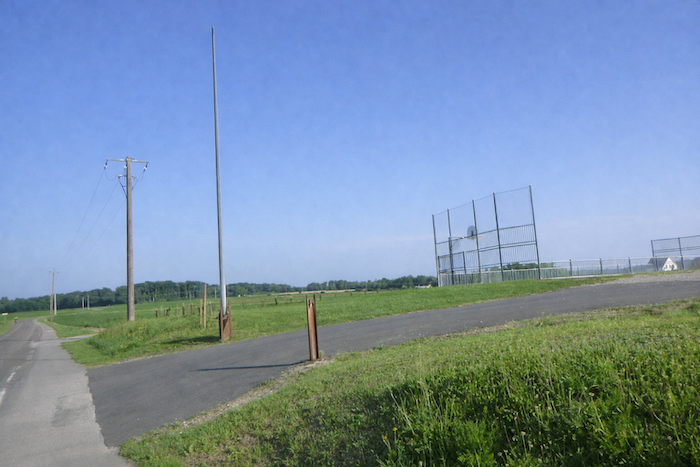
| You first walk alongside the village sports facilities and playing fields. |
 |
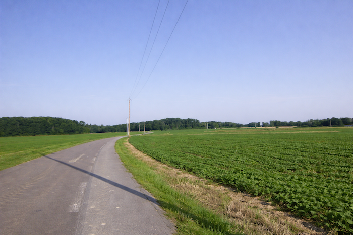 |
| The road lingers at length with a languid slowness through the fields. |
 |
 |
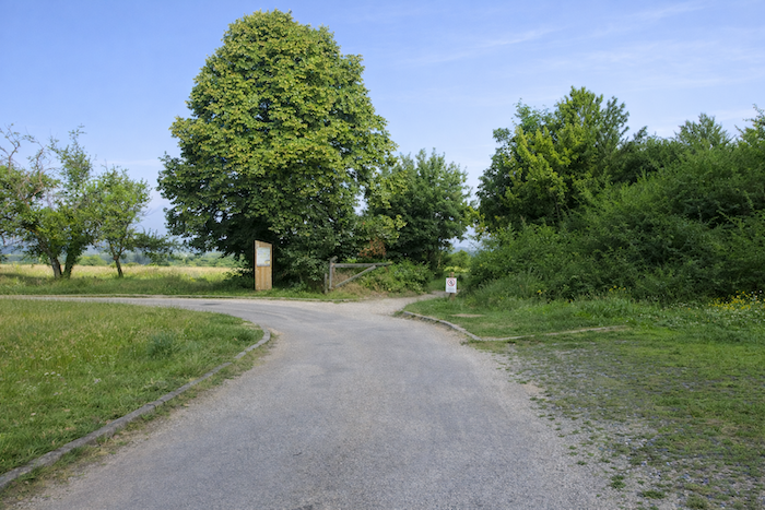
| The direction indicated is Champans, even though the route does not go there. For now, there is no difficulty. It is straight ahead. |
 |
 |
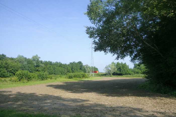
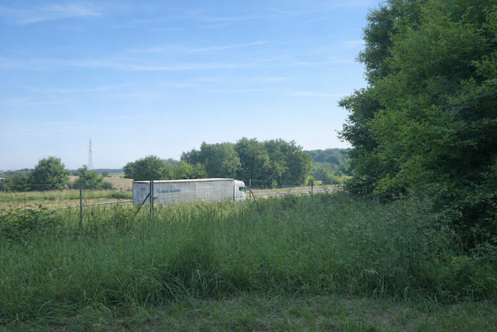
| A little further on, the road slips into a small wooded area. Through the trunks, you glimpse the massive silhouettes of heavy trucks parked at the Sampans rest area on the other side of the motorway. These metal giants, asleep for a few hours, seem to stand guard like powerful beasts. Their rest contrasts with the silent walk of the pilgrim. |
 |
 |
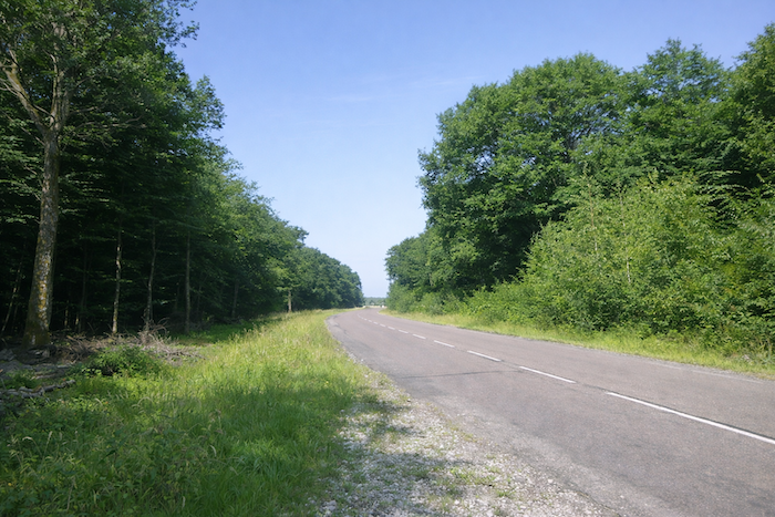
| Finally, the road runs straight, relentless yet calm, beneath the deciduous trees, accompanied by the hum of engines from the nearby motorway. |
 |
 |
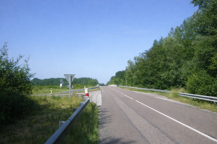
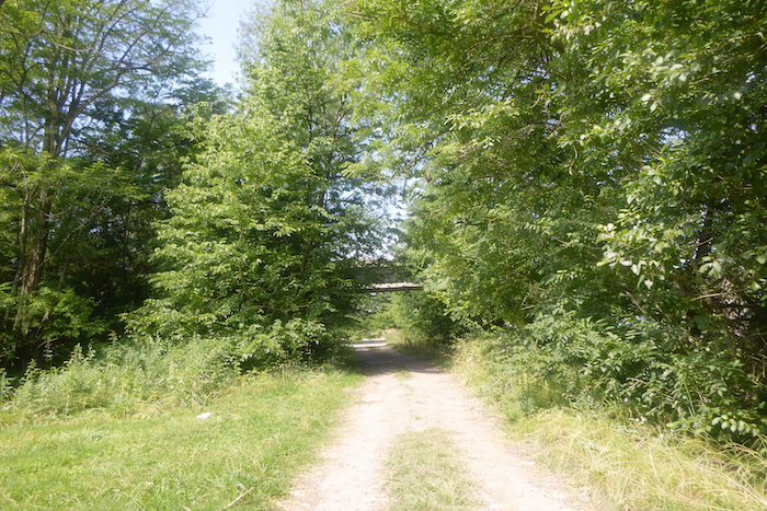
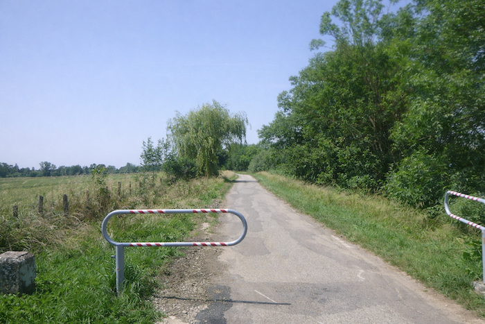
| It retains this character of a sure and determined itinerary until it passes beneath the railway line. This simple and discreet crossing marks a new stage. Beyond the rails, the road continues, always faithful to its vocation as a passage. |
 |
 |
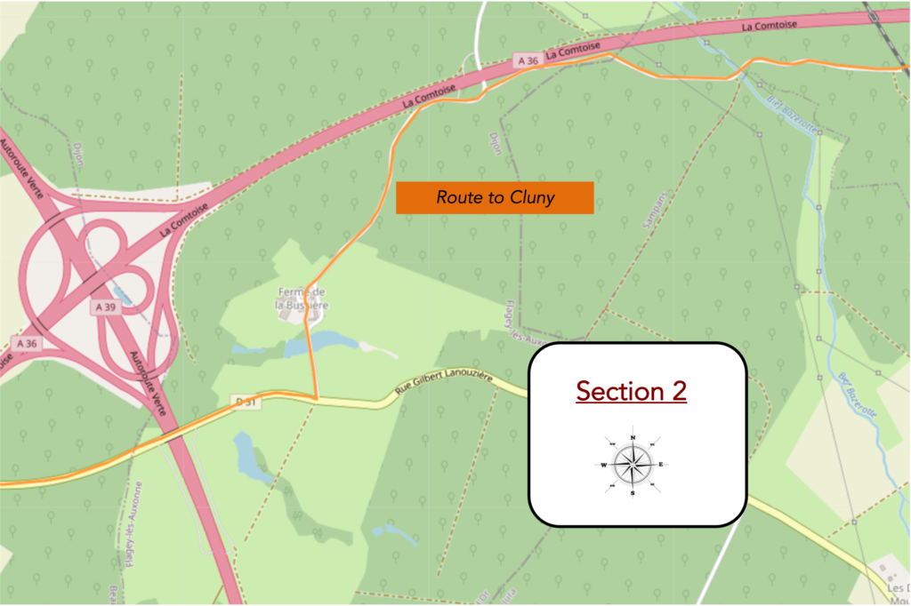
Section 2: Along the insistent motorway
Overview of the route’s challenges: route with no difficulty at all.
| The road undulates gently, remaining horizontal for a long time, within a largely open landscape where meadows appear discreet and fragmented, fading among scattered groves that seem almost isolated. The eye surrenders to this silent expanse, as if humanity had abandoned these places centuries ago. The walk then becomes a quiet face to face with nature, a wordless conversation. |
 |
 |
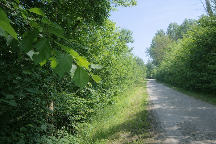
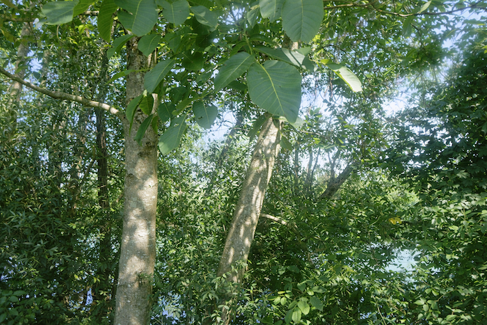
| At times, the road sketches slight curves. Vegetation asserts itself here. Ash trees, numerous, dominate the undergrowth, accompanied by beeches, hornbeams, oaks, and maples. No conifers disturb this harmony, and the identity of the land reveals itself in the calm nobility of its deciduous trees, weaving an atmosphere of gentleness and appeasement. |
 |
 |
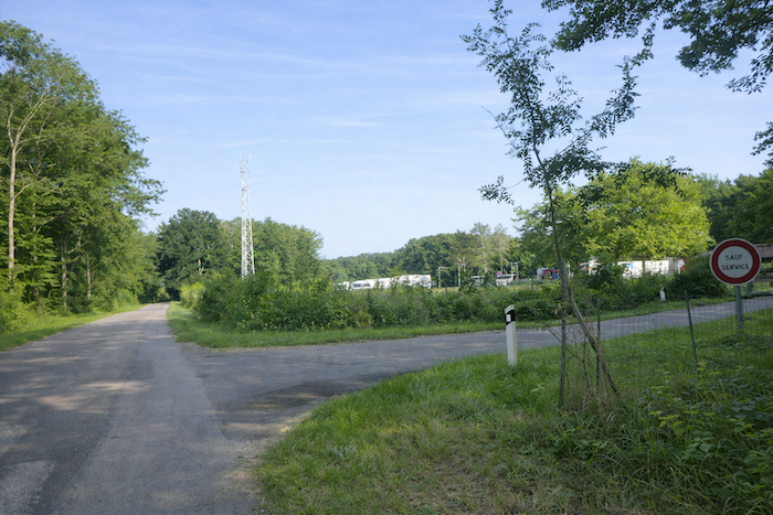
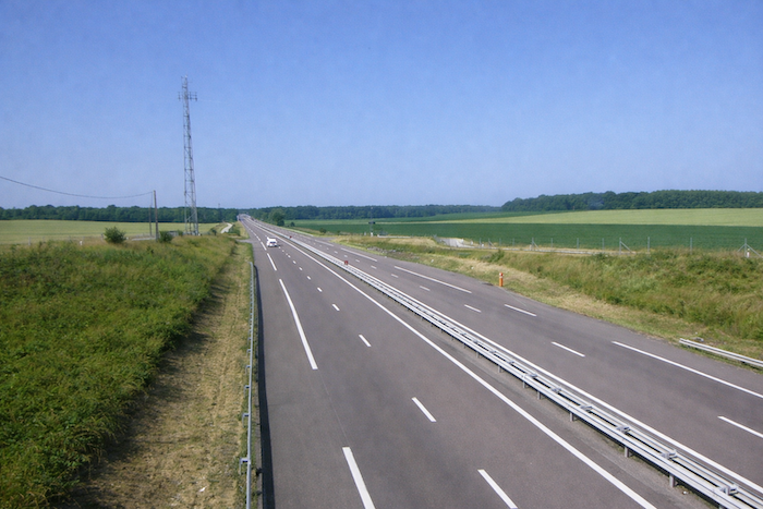
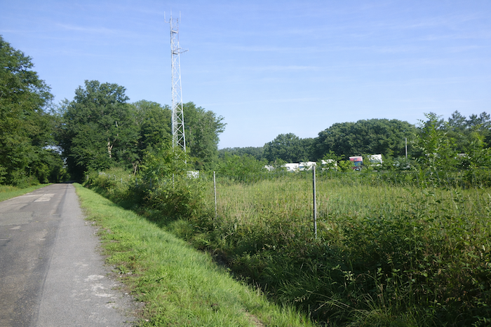
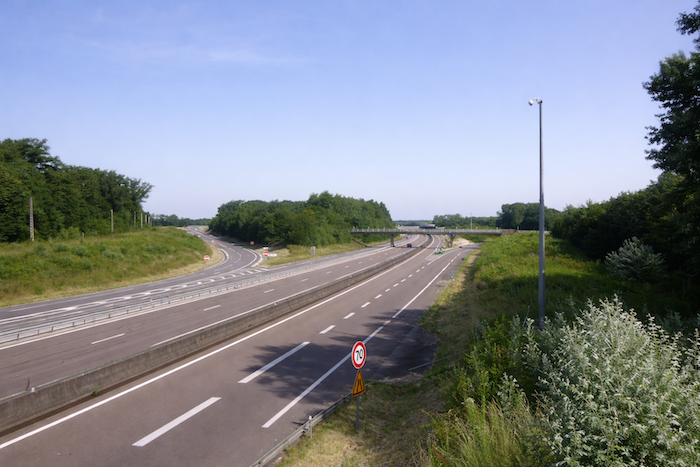
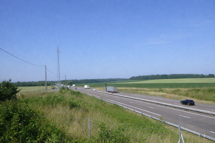
| Further on, the road crosses an unnamed stream before drawing closer to the A36 motorway, known as the Comtoise, a modern artery linking Beaune to the German border near Basel. It serves Dole, Besançon, Montbéliard, Belfort, and Mulhouse. The walker, having already passed beneath its arches at the exit of Jouhe near Mont Roland, senses here the persistent shadow of modernity, in striking contrast with the slowness of the step and the solitude of the surroundings. |
 |
 |
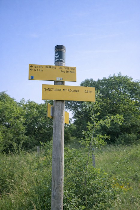
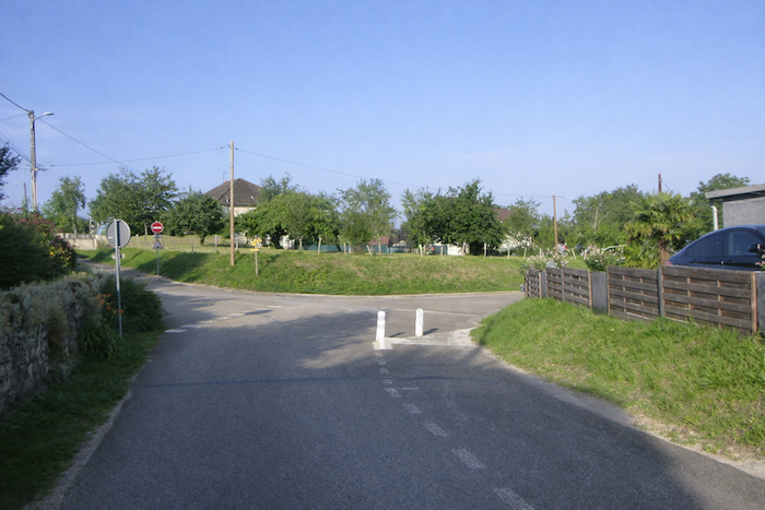
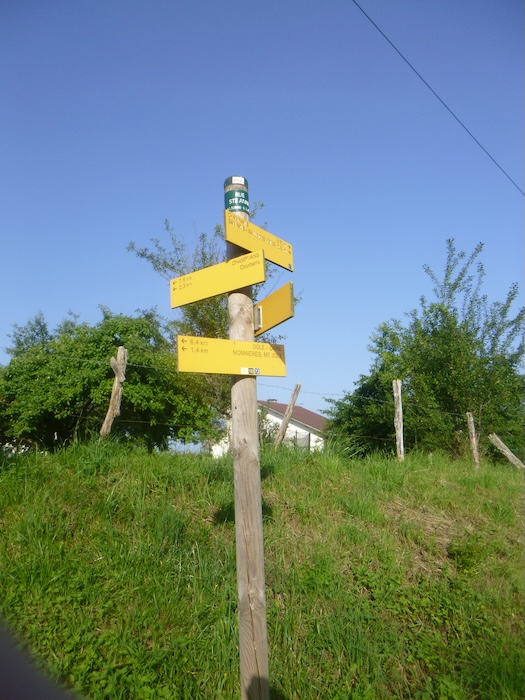
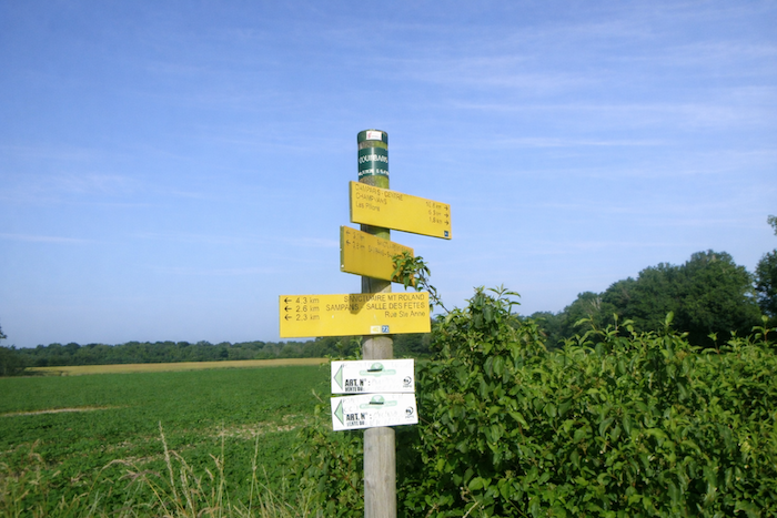
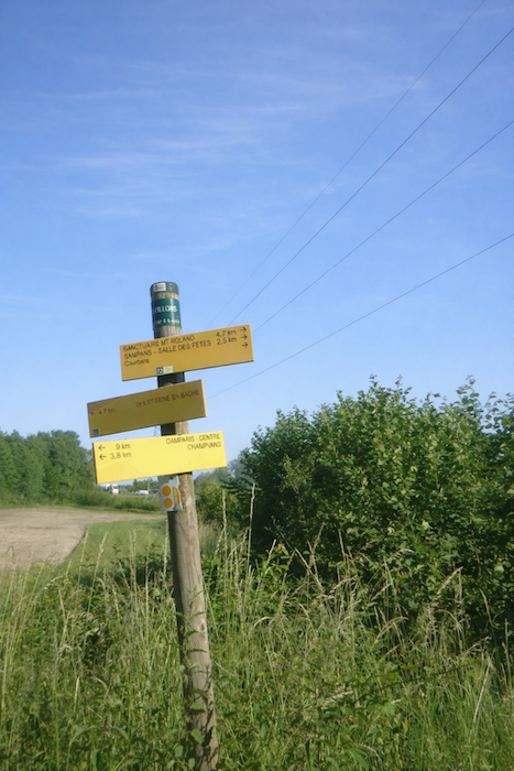
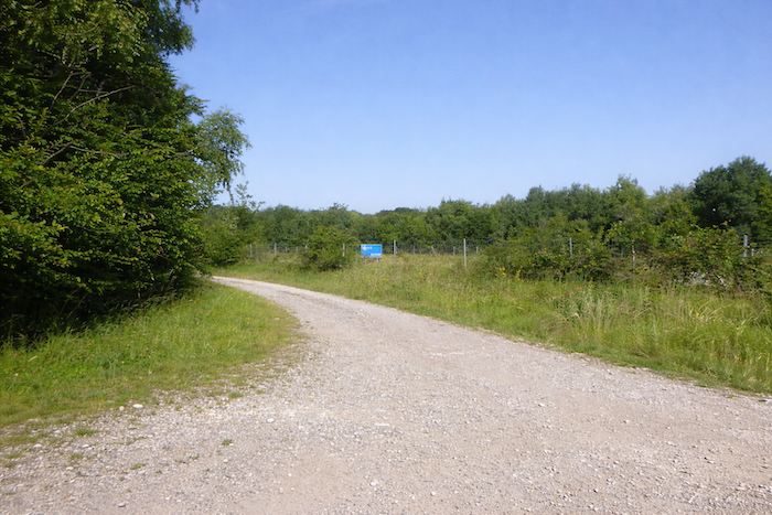
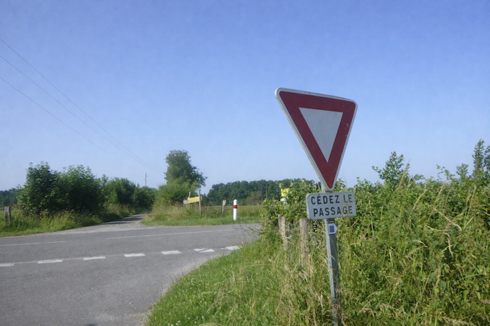
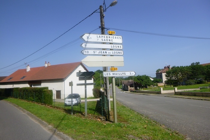
At the place known as Les Pillons, a clearly signposted junction invites the pilgrim to head toward Ste Seine en Bâche, 4.7 kilometers away. It is a moment of decision, almost solemn, marked by a clarity of signage that has become rare along this route.
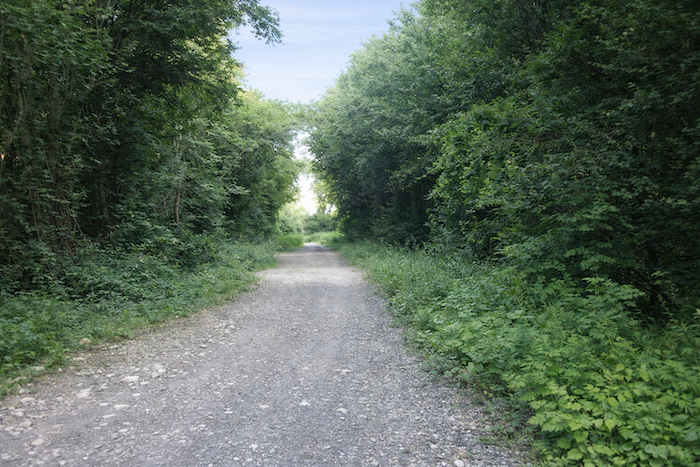
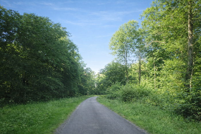
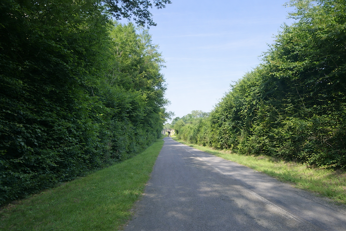
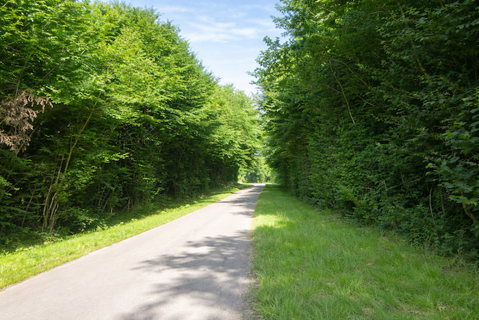
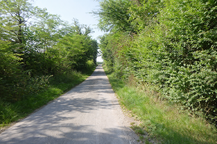
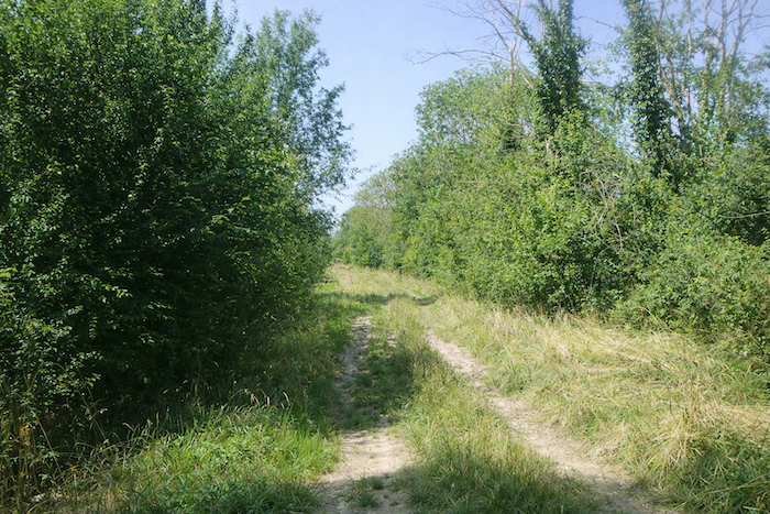
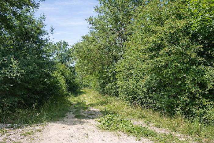
| The road then plunges into a dense and almost enclosed wooded area, where young shoots of hornbeam and beech, packed together like a hurried crowd, struggle to survive beneath the protective shade of the tall deciduous trees forming the canopy. Each step resonates within this green and muffled silence. |
 |
 |
| As the road approaches the motorway, the walker leaves the Jura department and enters Côte d’Or. Burgundy then reveals itself, with a broader sky and more expansive land. The guide’s authors note, “In Burgundy, the center of the scallop shell indicates the center of the route toward Santiago. In Alsace and Franche Comté, the orientation of the scallop shell is not directional.” The pilgrim quickly discovers, however, that this rule is not always reliable. |
 |
 |
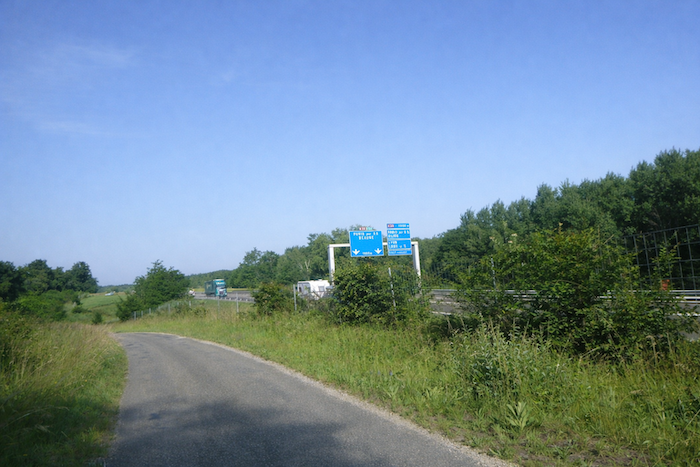
| The road then runs alongside the motorway until reaching a crossroads of major routes. Motorists choose their destination here, the A6, also designated A36, toward Beaune and Paris, or the A39, which later joins the A5 toward Dijon and the capital. |
 |
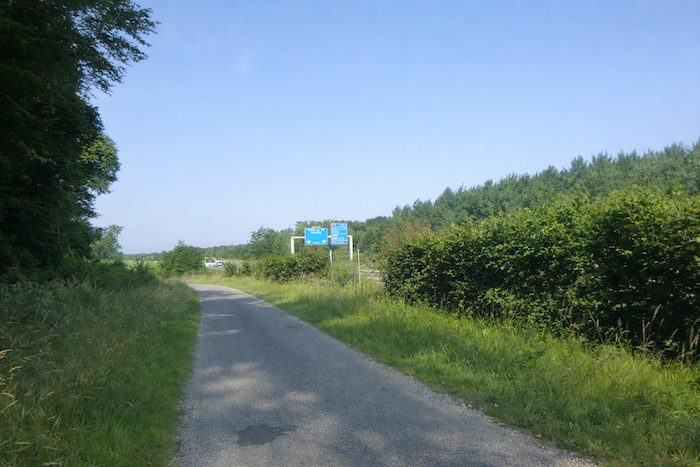 |
For the walker, the destination remains La Bussière, despite a scallop shell that already behaves unpredictably. .
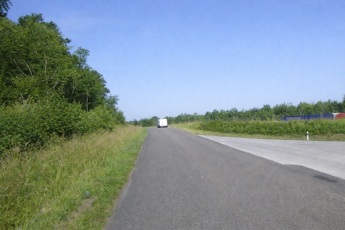
| The route continues parallel to the motorway, crosses a service area, then escapes once again into the undergrowth, recovering a semblance of tranquility. |
 |
 |
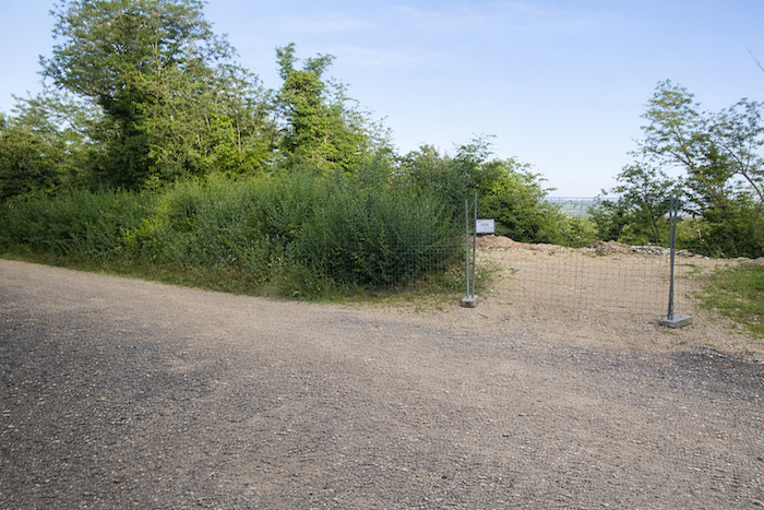
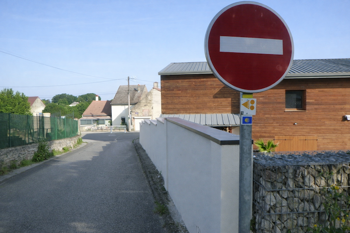
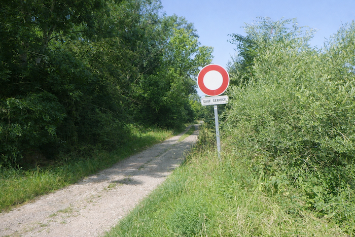
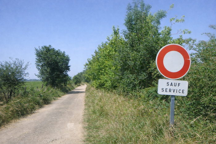
| Here, vigilance becomes essential. Signage temporarily disappears, and the eye must compensate for the absence of markers. Be careful. You must not follow the motorway toward the barrier, but instead continue along the road. |
 |
 |
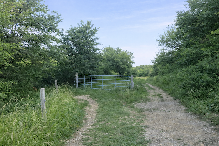
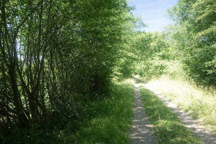
| The road then coils into wide bends, winding through the heart of a dense and almost oppressive woodland. |
 |
 |
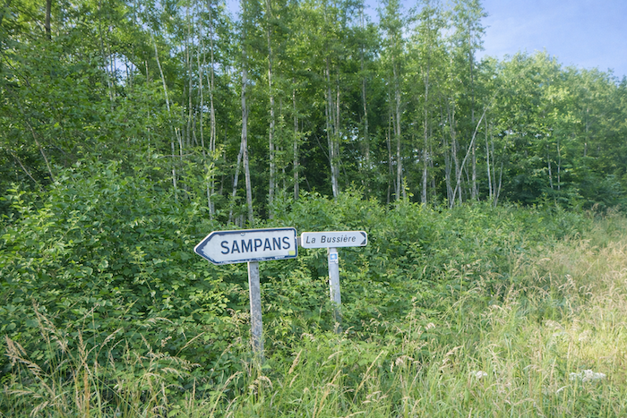
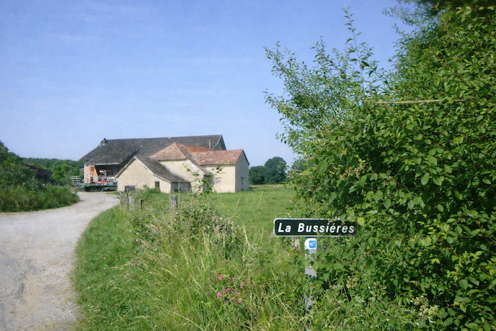
| It eventually reaches La Bussière. |
 |
 |
| This small locality appears as a discreet presence set within the countryside, surrounded by fields and groves. The road turns left, faithfully indicated by the scallop shell, and skirts a solitary farm, the silent guardian of the place. |
 |
 |
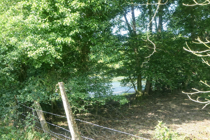
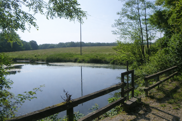
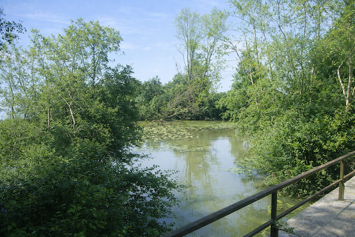
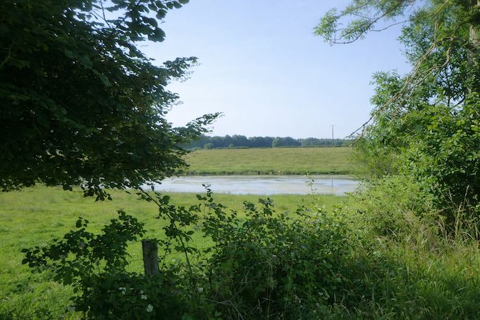
| It then runs alongside two small ponds, true havens of preserved nature at the heart of the woods. The eye lingers here, captivated by the reflections on the water and the discreet songs of frogs and birds. |
 |
 |
| Shortly afterward, the road joins the departmental road D31. |
 |
 |
| Once again, the placement of the scallop shells borders on the absurd. Fortunately, an arrow clearly points to the right. Without it, the walker would head in the opposite direction. Caution therefore remains essential. |
 |
 |
| The road, sometimes fairly busy, heads once more toward the motorway, near the interchange linking the A36 and the A39. |
 |
 |
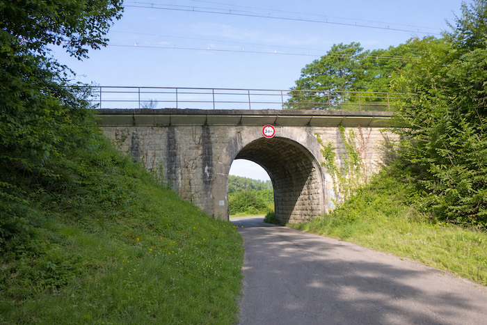
| The bridge crossing the A36 reveals yet another error in signage. According to the guide, one should turn left by following the scallop shell. In reality, the route continues straight ahead, crossing over the ribbon of asphalt and metal. |
 |
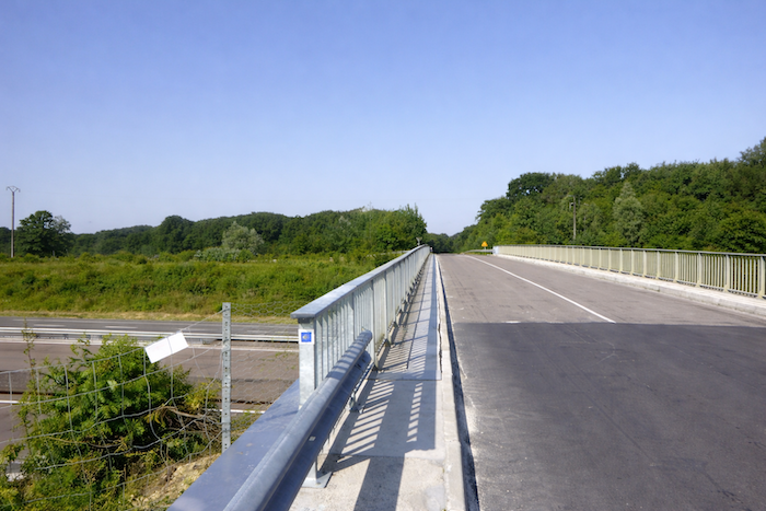 |
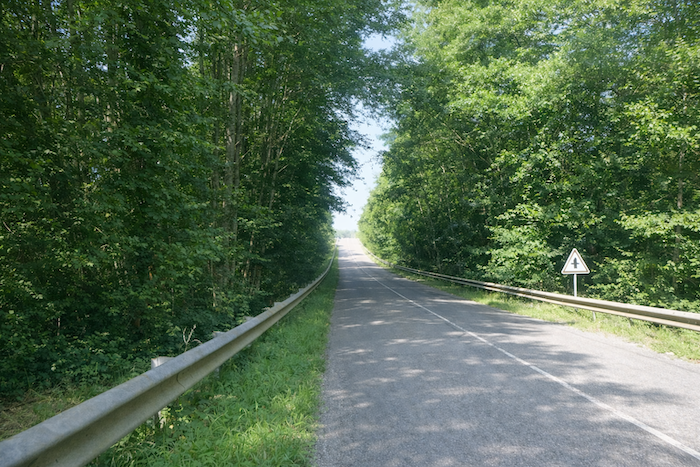
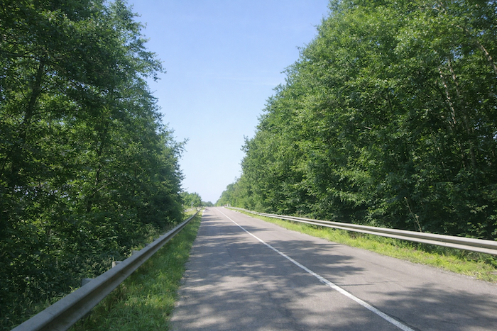
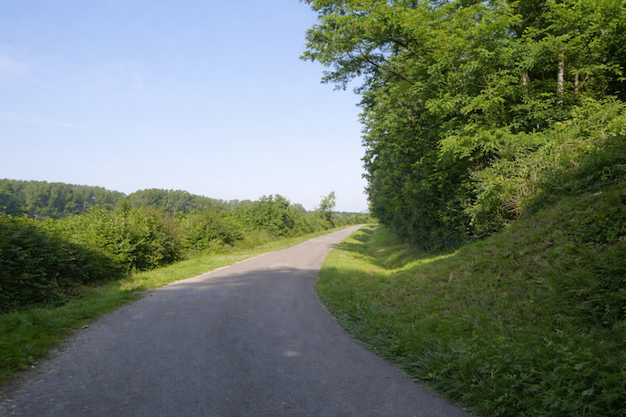
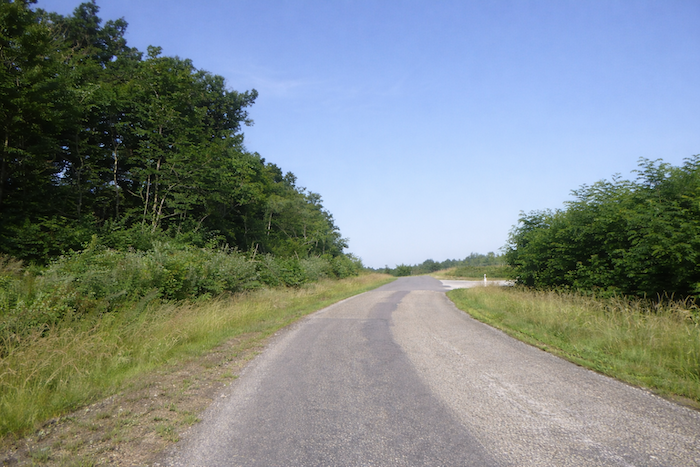
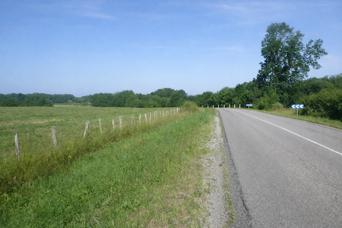
| Beyond the bridge, the D31 stretches in a straight line through the undergrowth, offering walkers the option of keeping to the grassy verge rather than the asphalt in order to avoid vehicles. There is good reason for this, as motorists speed along this long, straight embankment at remarkable velocities, cheerfully exceeding recommended limits. |
 |
 |
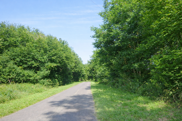
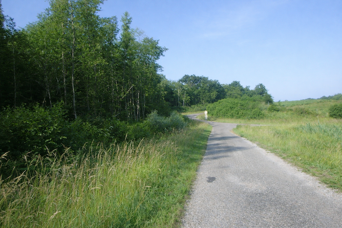
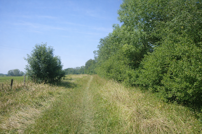
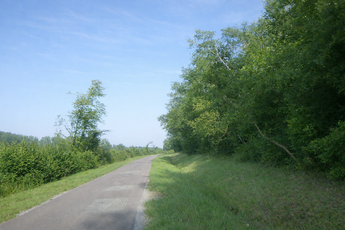
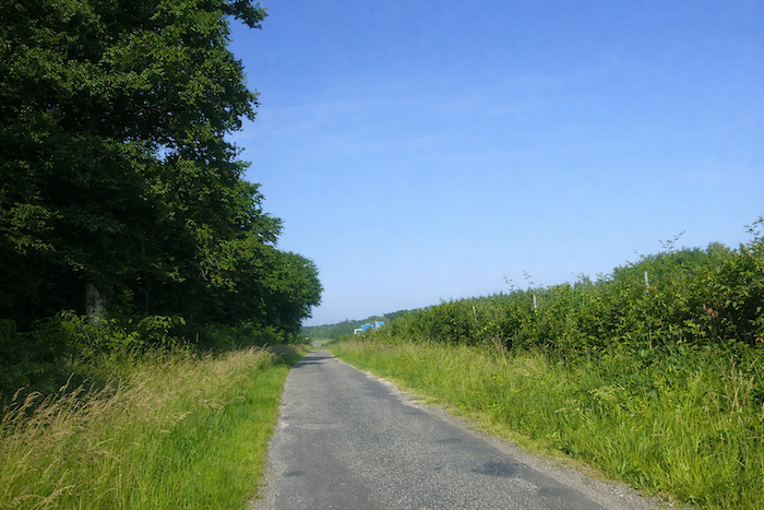
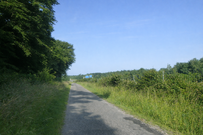
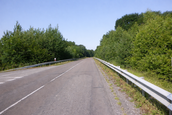
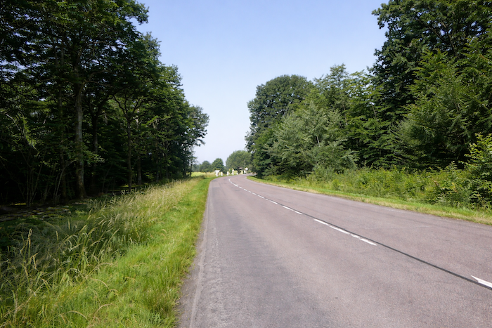
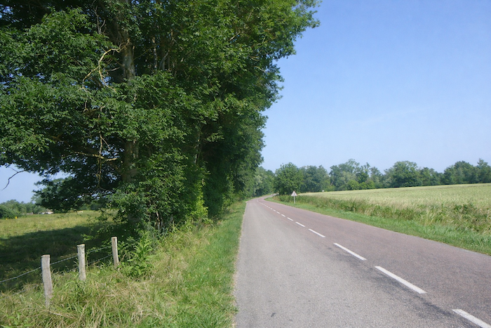
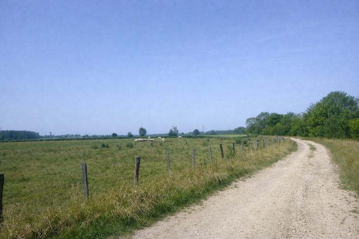
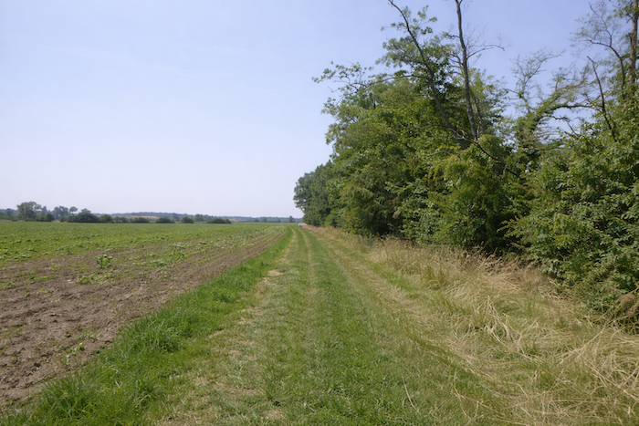
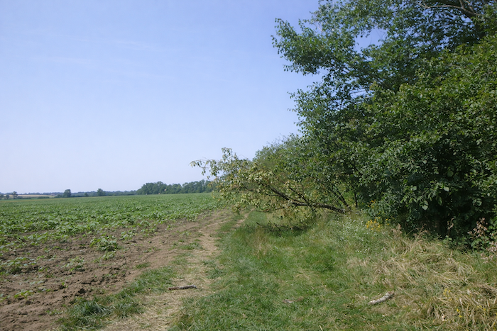
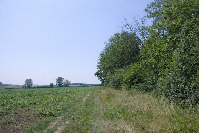
| The road accompanies the undergrowth for a long time, a landscape that occasionally opens onto clearings but remains largely silent. Villages are rare here, like secrets jealously guarded by the countryside. |
 |
 |
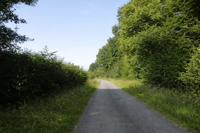
Section 3: Full speed ahead, toward the Saône River

Overview of the route’s challenges: route with no difficulty at all.
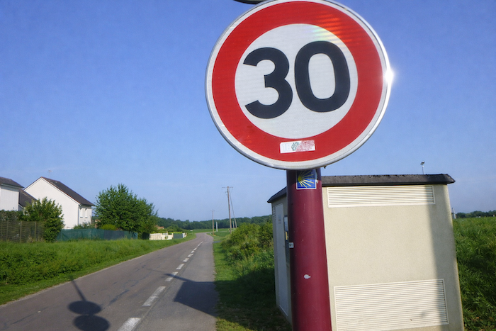
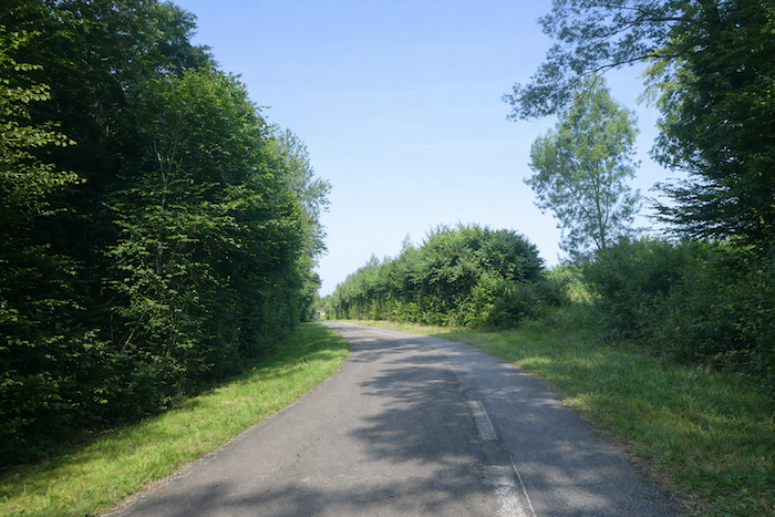
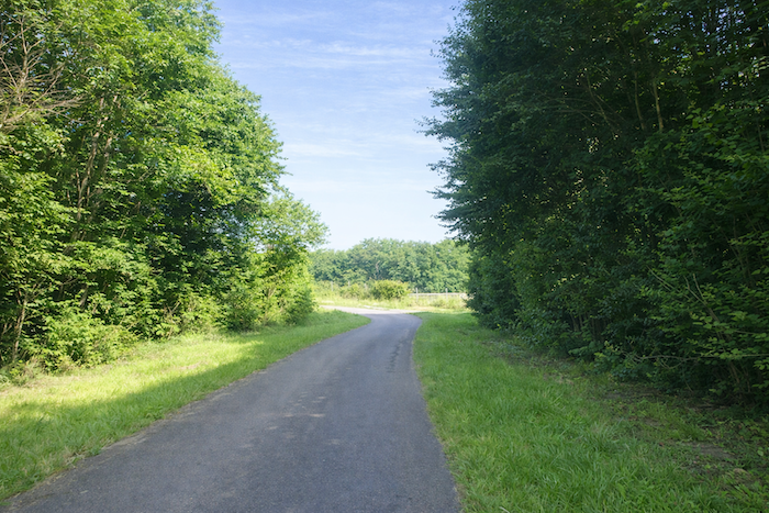
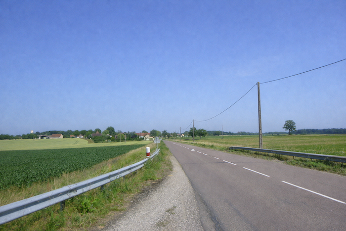
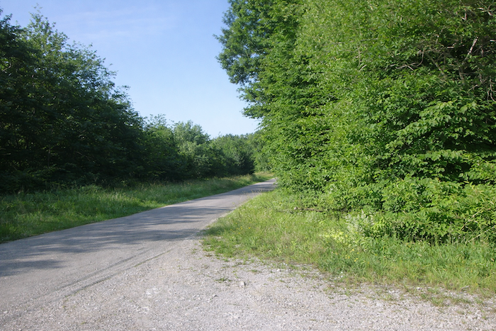
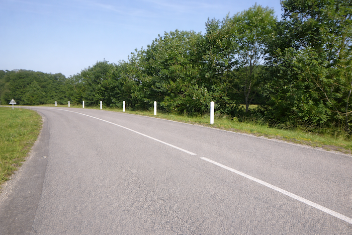
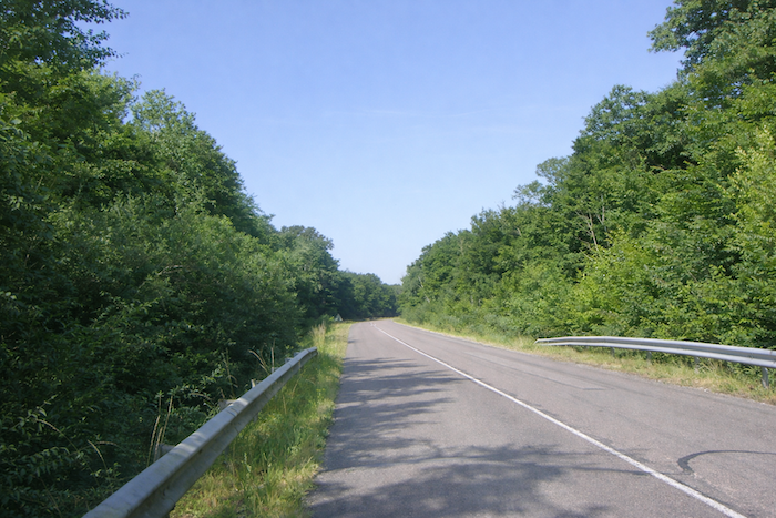
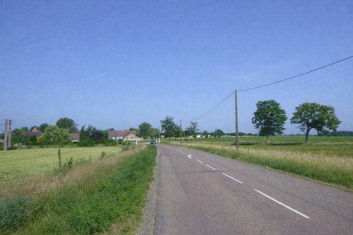
| The route sways gently, remaining flat for a long time, winding between two hedges of deciduous trees that rise like vegetal ramparts, and slowly approaches Ste Seine en Bâche. The trees form a calming tunnel, almost protective, yet the tranquility is deceptive, as traffic here is nervous, hurried, and sometimes dangerous. At times, it becomes necessary to step into the grassy verge to escape drivers rushing past at high speed. |
 |
 |
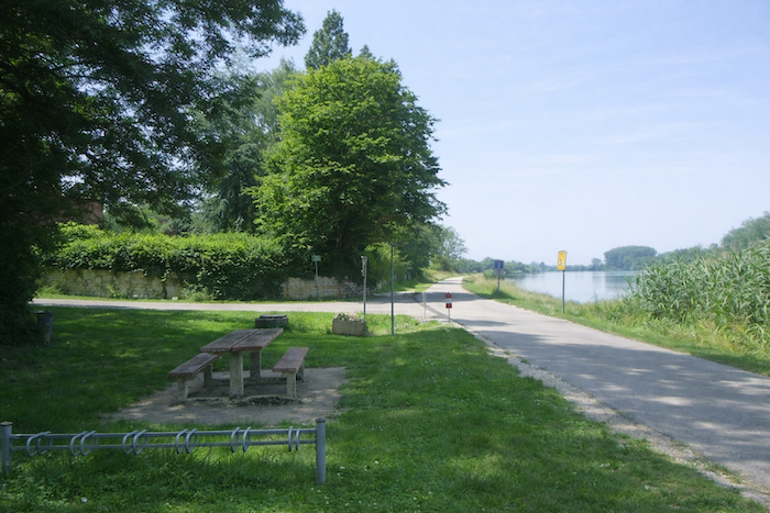
| At the end of the wooded stretch appears a small picnic area, modestly arranged, sheltered beneath the generosity of tall trees with welcoming foliage. |
 |
 |
| Just a few steps away, engines roar and abruptly remind you of the proximity of the hurried world. |
 |
 |
| The route then crosses the A39 motorway. The scallop shell, faithful to its habits along this route, stubbornly continues to indicate a misleading direction. Here, motorways follow their own destiny, and the walker follows another, two trajectories crossing without ever truly meeting, ignoring one another with distant politeness. |
 |
 |
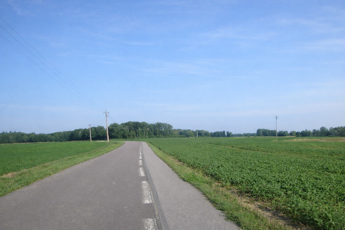
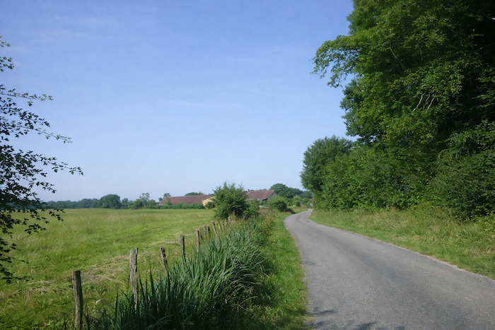
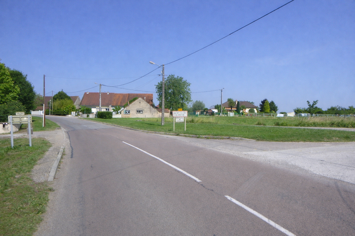
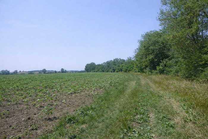
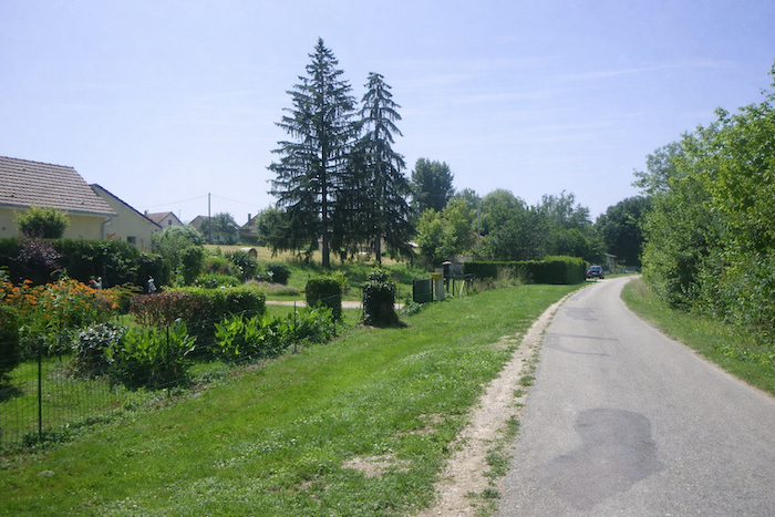
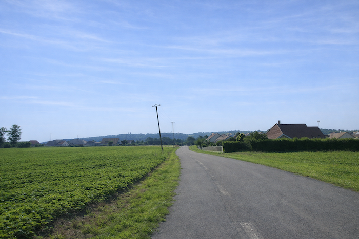
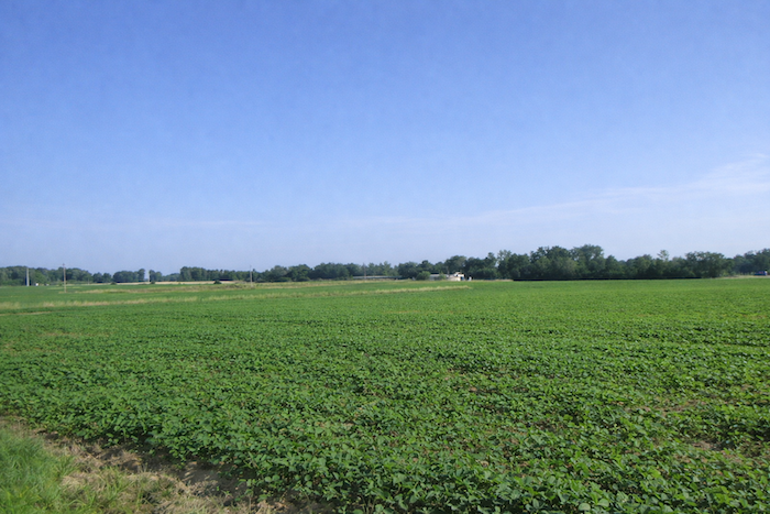
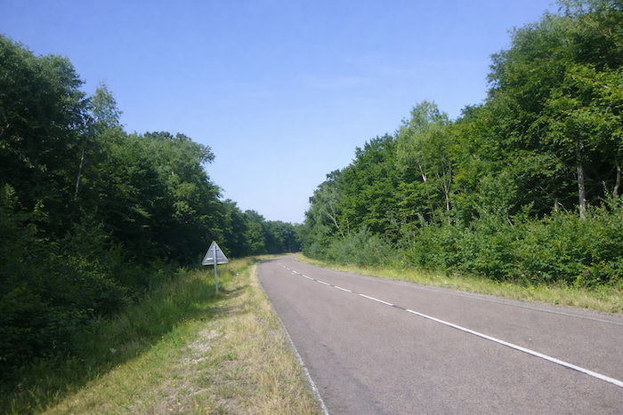
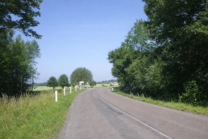
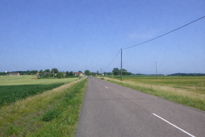
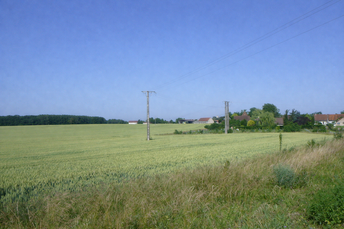
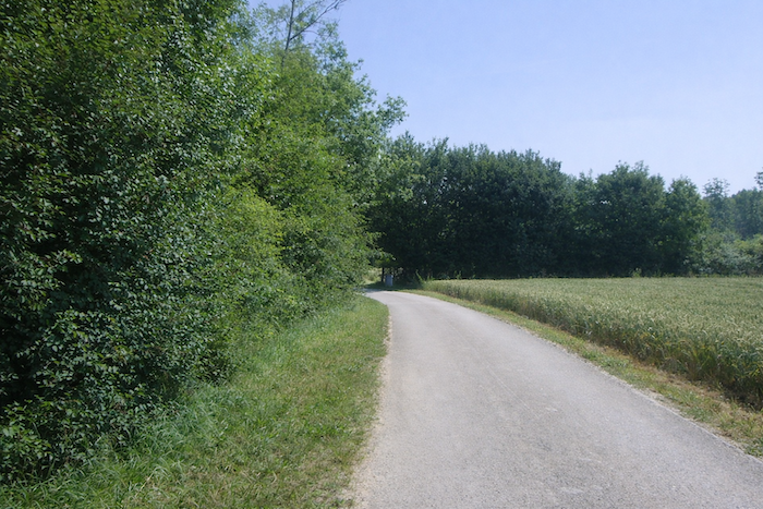
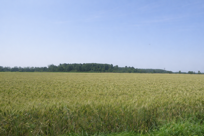
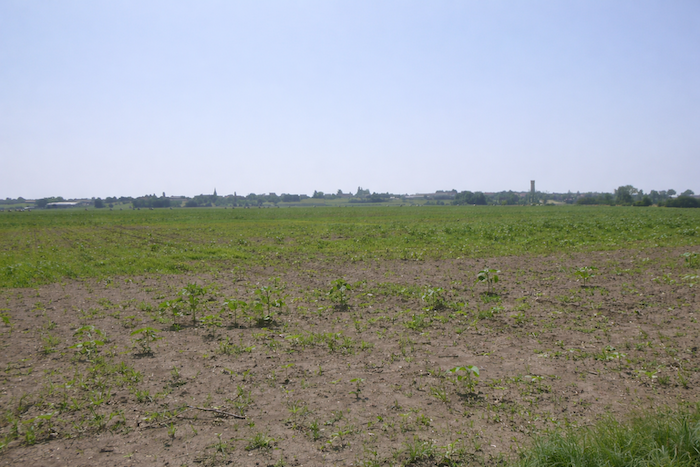
| The departmental road then advances toward the village, set in the heart of the plain. All around, cultivated fields spread out a golden carpet of grain, a vast and motionless sea gently rippling in the wind. |
 |
 |
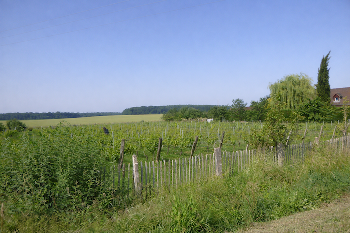
| At the entrance to the village, vineyards appear, discreet yet dignified, carefully aligned. They speak of patient human labor and the benevolence of a generous climate. |
 |
 |
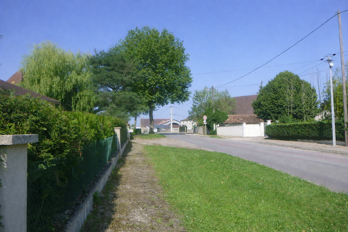
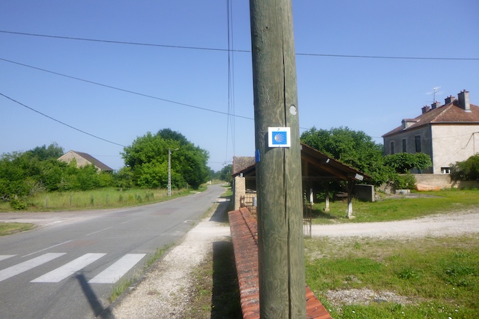
| The village stretches along peaceful streets lined with simple and harmonious houses. On a horse chestnut tree, a perfectly oriented scallop shell seems to greet the pilgrim, like a silent round of applause, a promise that the route has not yet betrayed you. |
 |
 |
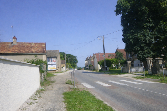
| Facades arranged on either side of the road present a picture of modesty and order, punctuating the walk with the serenity characteristic of village life. |
 |
 |
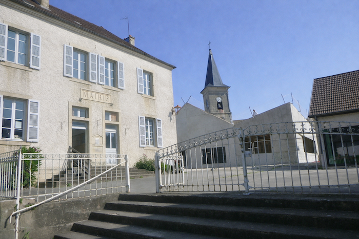
| Near the exit, the church slips between the buildings, almost discreetly, set into a cluster of houses beside the town hall. Its presence recalls that the village took shape over the centuries beneath the benevolent shadow of its bell towers. |
 |
 |
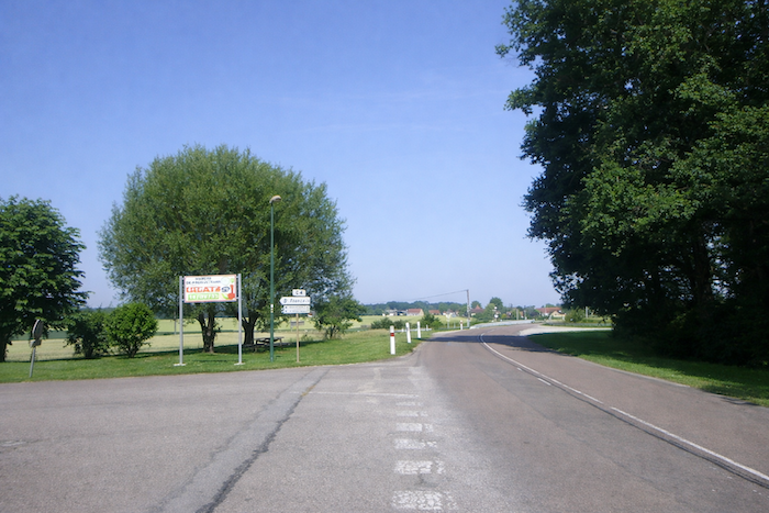
| Upon finally leaving the village, the itinerary turns toward Les Maillys via the departmental road D31. Once again, the erratic scallop shell forces the walker to juggle between the guide, landmarks on the ground, and digital maps. The route becomes an exercise in vigilance and patience, a discreet reminder that walking is never only a matter of legs, but also of attention. Over time, it becomes wearisome. |
 |
 |
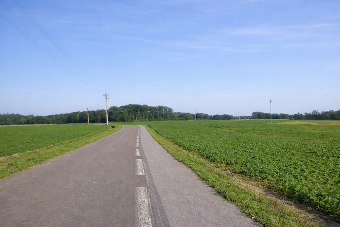
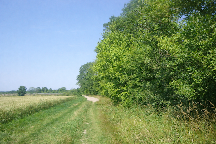
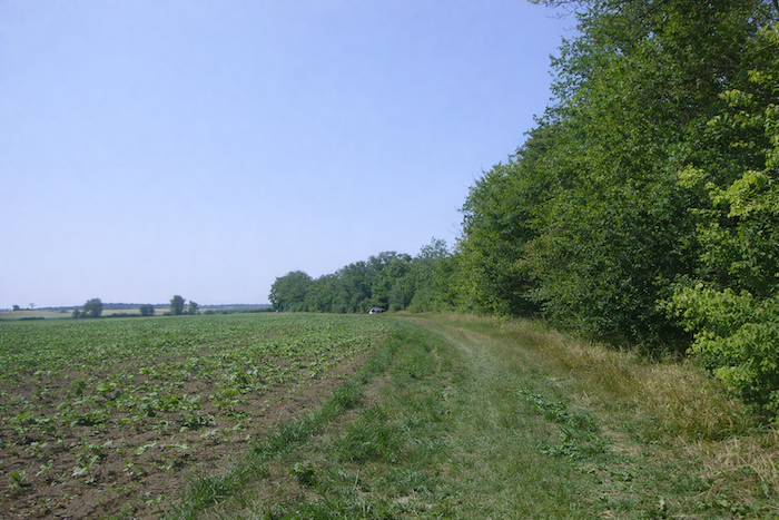
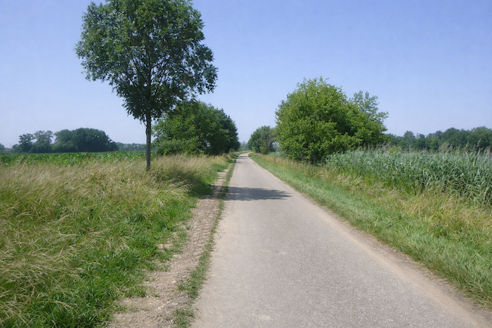
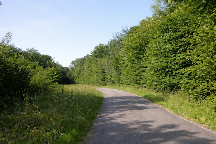
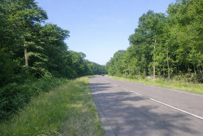
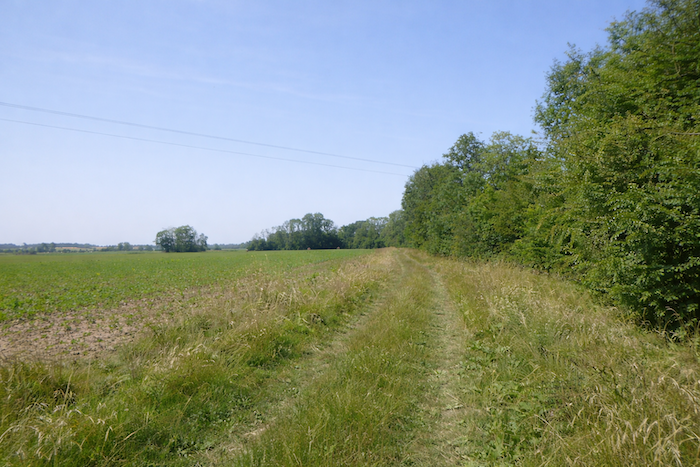
| Here, however, there is no ambiguity. The road straightens into an almost perfectly rectilinear line, crossing vast cereal fields where wheat and oats ripple like a calm swell. Hedges of deciduous trees frame the horizon and reinforce the impression of a gentle immensity. |
 |
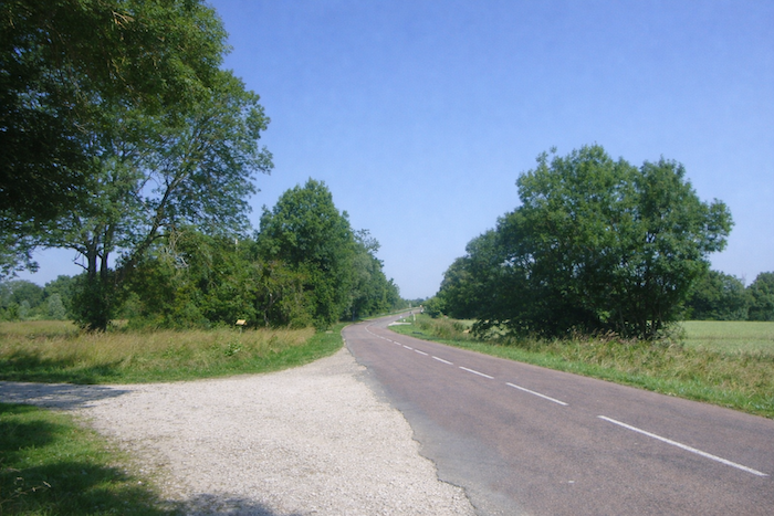 |
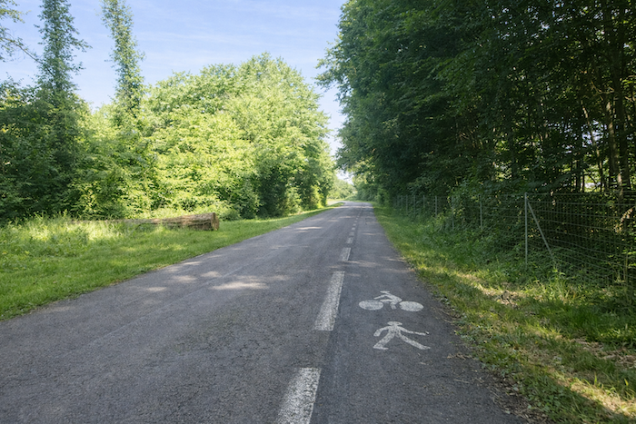
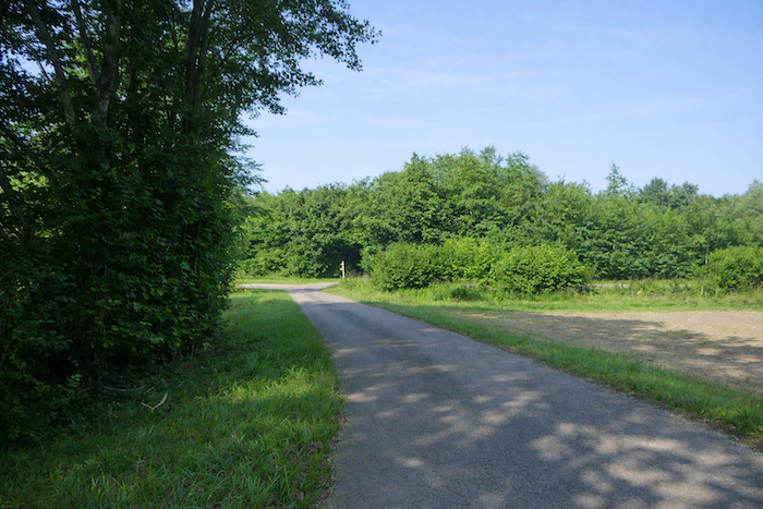
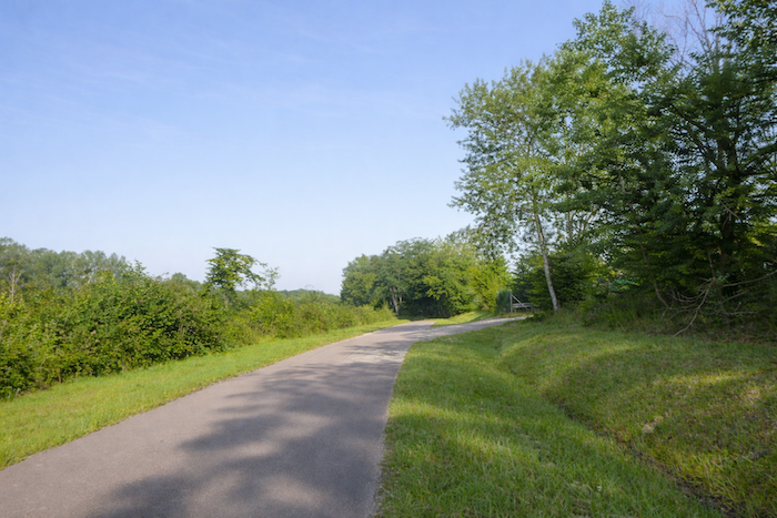
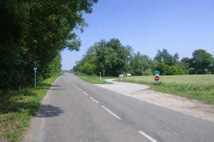
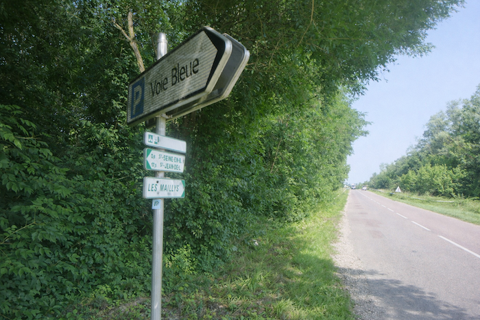
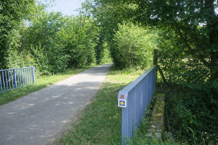
| Soon afterward, attention is required. The route leaves the road and takes, on the right, the cycle path of the Voie Bleue. The movement is simple and obvious, almost instinctive. It supplants the scallop shell and recalls, through its clarity, the discreet passage of the pilgrim. The guide mentions a detour, and the attentive walker follows the silent voice of the landscape. |
 |
 |
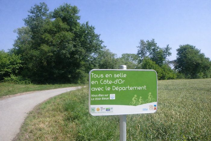
| The route then fully joins the Voie Bleue, skirting a dead arm of the river. The scallop shell, finally correctly oriented, seems to seek forgiveness for its many past errors. |
 |
 |
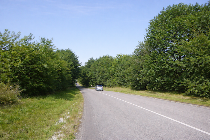
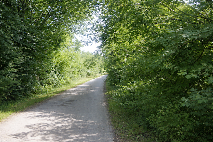
| The cycle path enters a dense wooded area where oaks, hornbeams, alders, and wild walnut trees compete in shades of green. Each step resonates on the asphalt, mingling with the rustle of dead leaves and the discreet murmur of branches. |
 |
 |
| Coexistence with cyclists soon comes to an end. The Camino route changes direction, leaves the cycle path, and retraces its steps in order to follow the Saône River. |
 |
 |
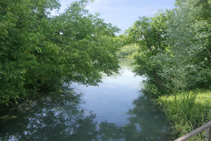
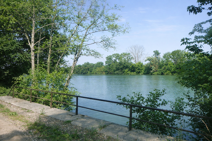
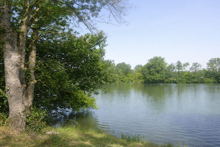
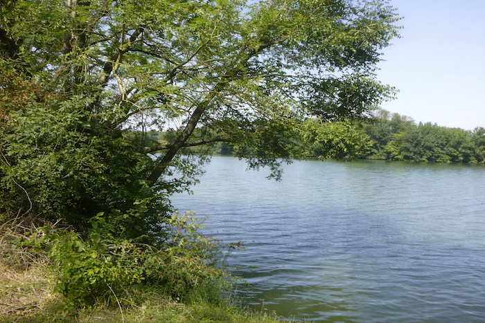
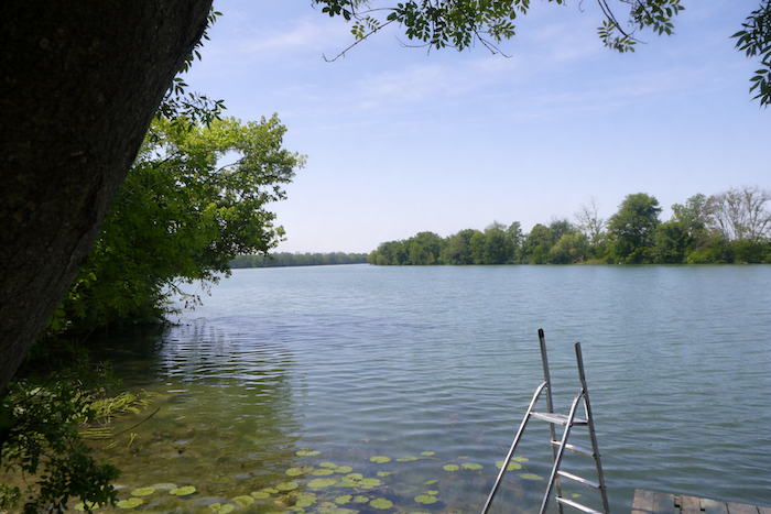
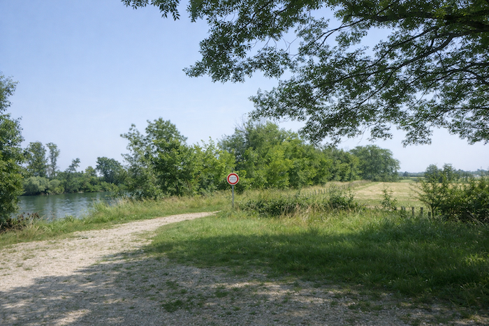
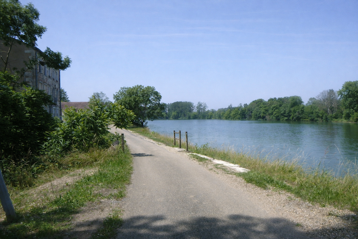
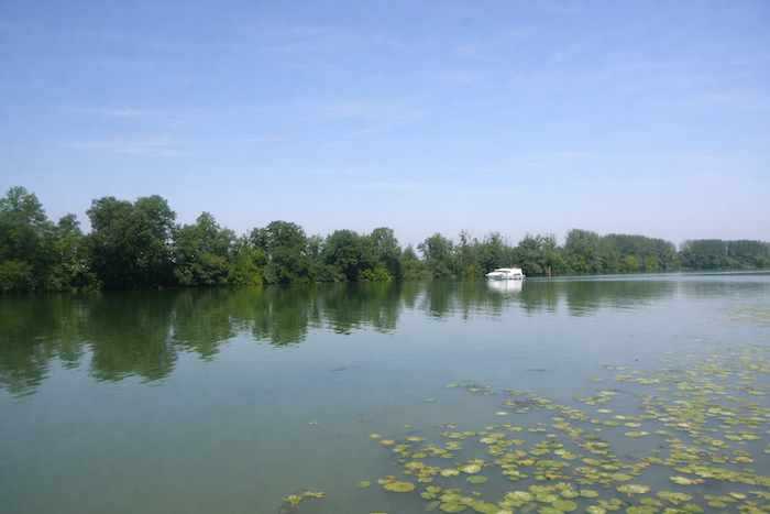
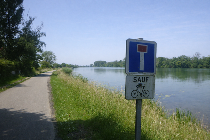
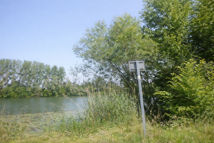
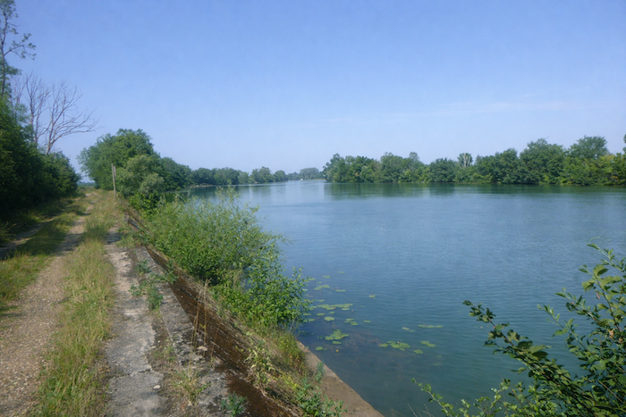
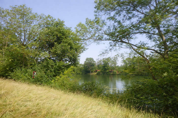
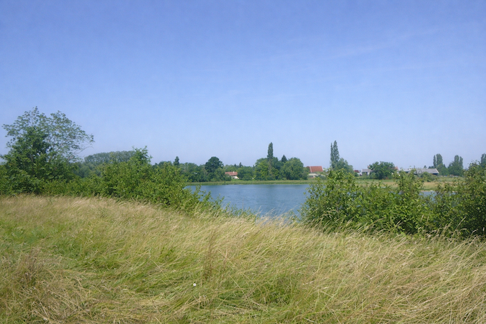
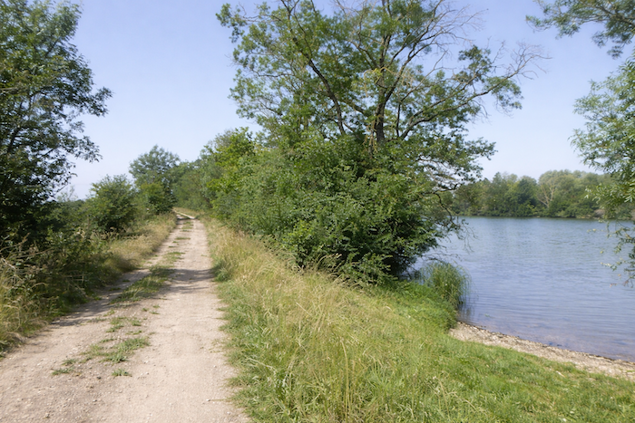
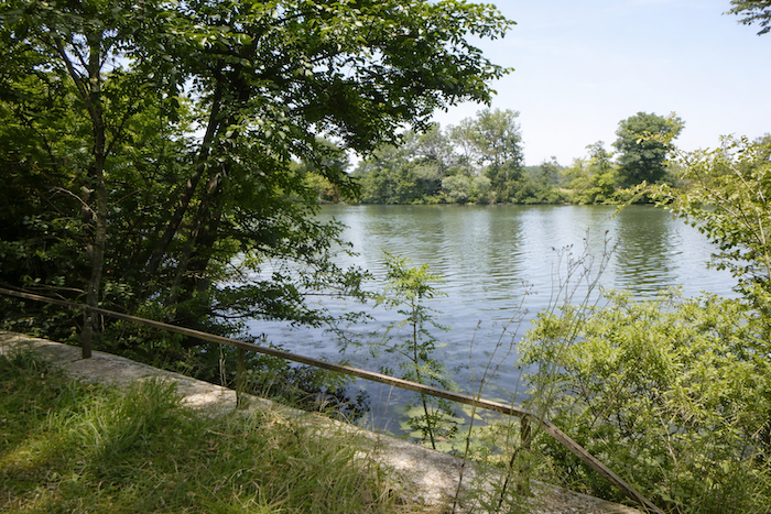
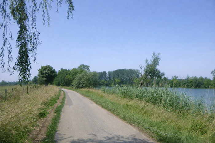
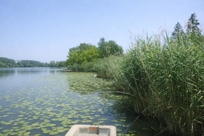
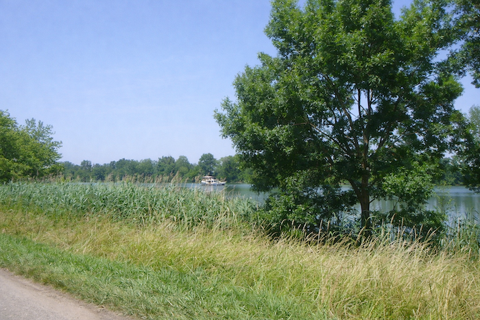
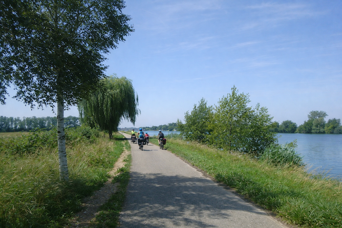
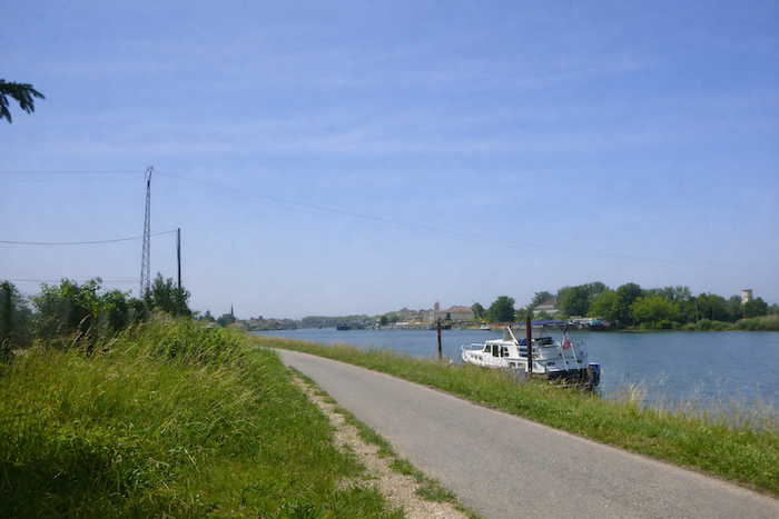
| It is then that the Saône comes into view, the majestic river of the region, spreading itself here with slowness, bordered by green reeds and peaceful water lilies. |
 |
|
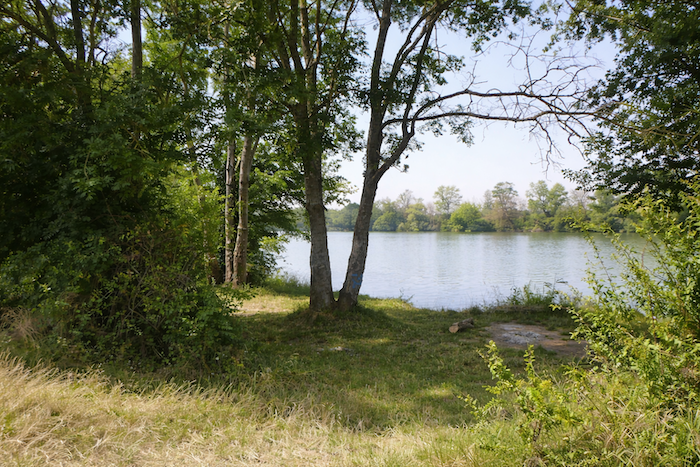
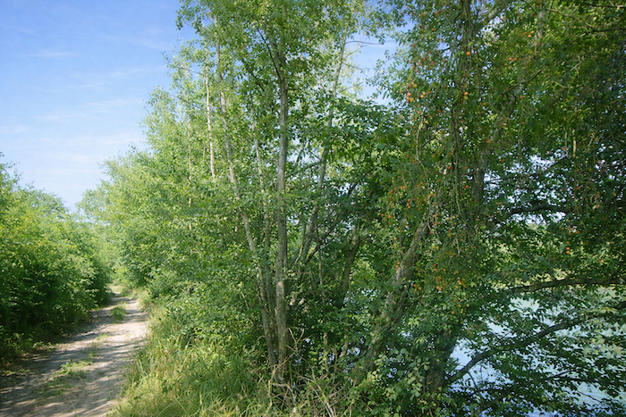
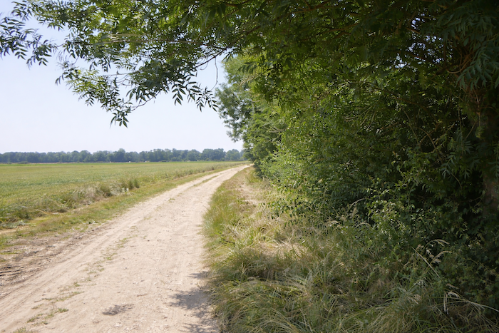
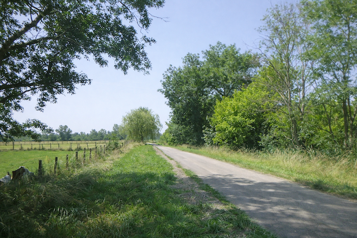
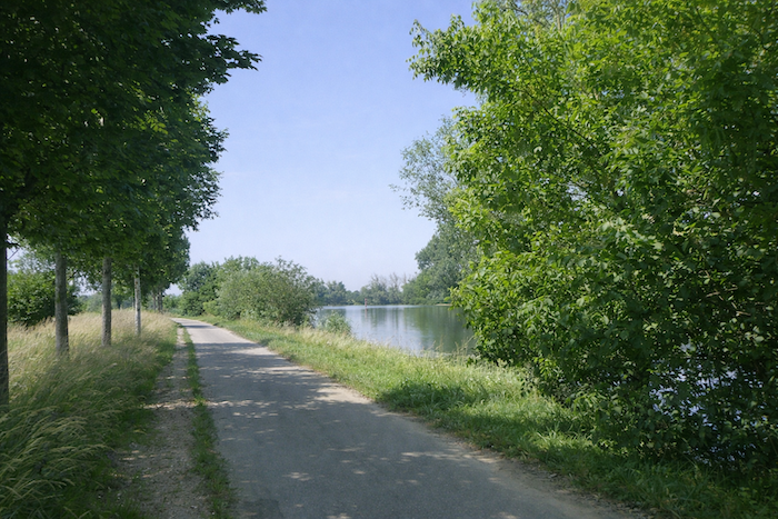
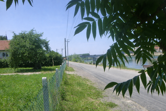
| A dirt path allows you to turn back and accompany the river for the first time. Wide and tranquil, the river replaces for a while the turmoil of motorways, and the walker rediscovers the calm of waterside landscapes. |
 |
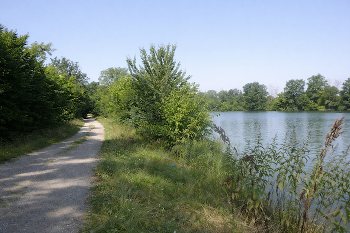 |
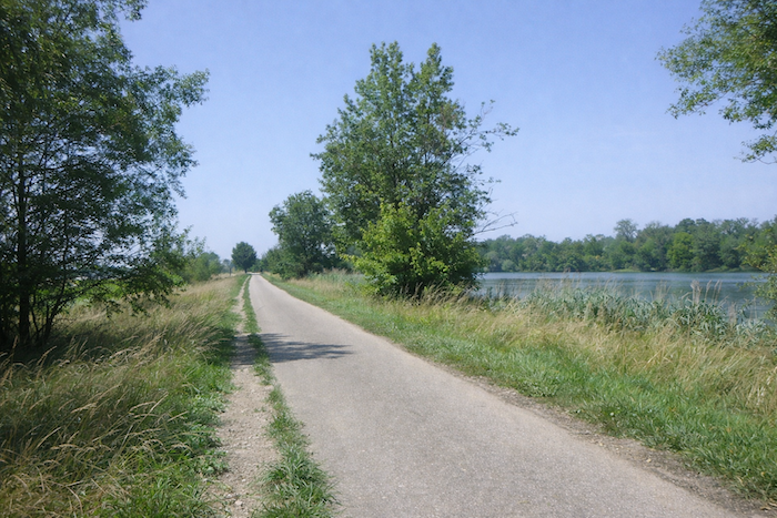
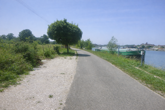
| The walk follows the bank beneath ash trees, oaks, and maples, punctuated by hornbeam hedges and small wooded islets, within a charming and gently enchanting setting. |
 |
 |
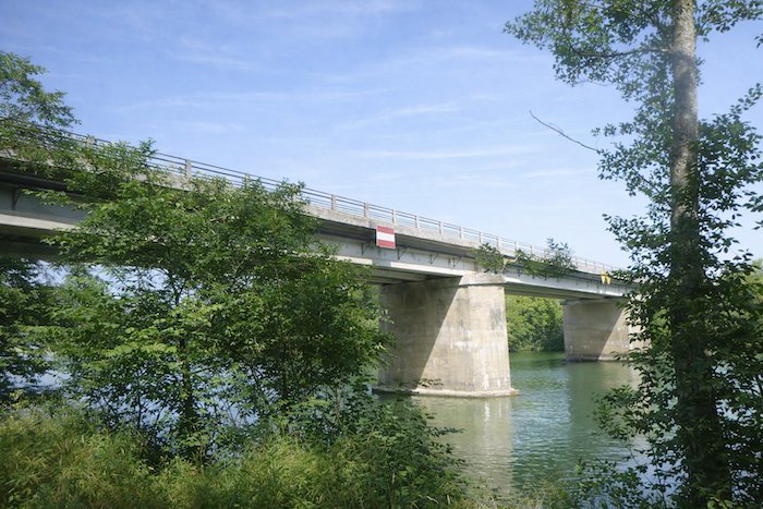
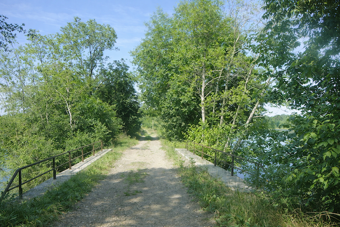
The path then passes beneath the large bridge of the previous departmental road, which spans the Saône with indifference.
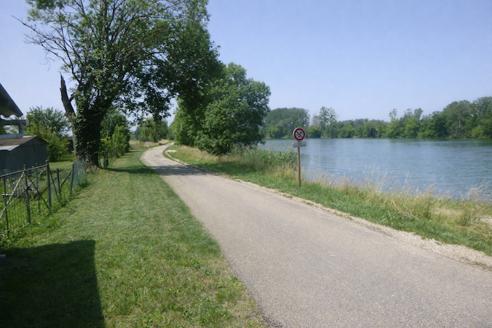
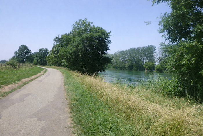
| The step gradually falls into rhythm with the murmur of the water. The path then accompanies the river all the way to St Jean de Losne for nearly ten kilometers. |
 |
 |
| At first, it enters a wooded area where blackthorn and wild walnut trees sometimes appear, heightening the feeling of an untouched and almost secret nature. . |
 |
 |
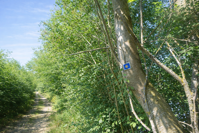
| At times, a solitary scallop shell appears to confirm the route. Why here, when no junction is present and the path is obvious? The walker learns to welcome these oddities as small pauses offered to the slowness of the journey. |
 |
 |
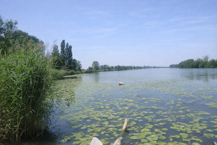
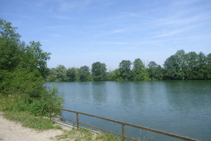
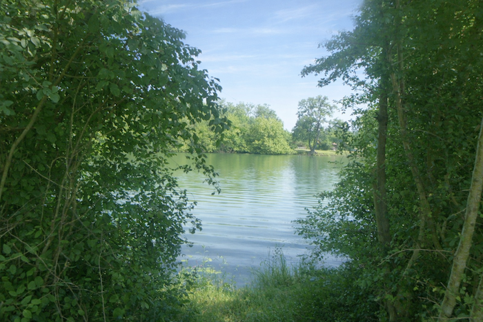
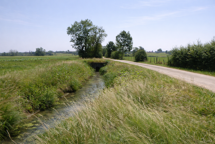
| Often hidden, the Saône nevertheless reveals itself intermittently, while the path winds through floodplains. A small bridge allows you to cross a secondary channel, adding a discreet note to the ongoing dialogue between water and land. |
 |
 |
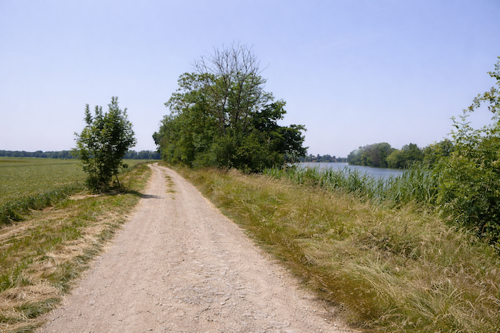
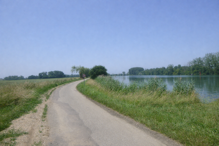
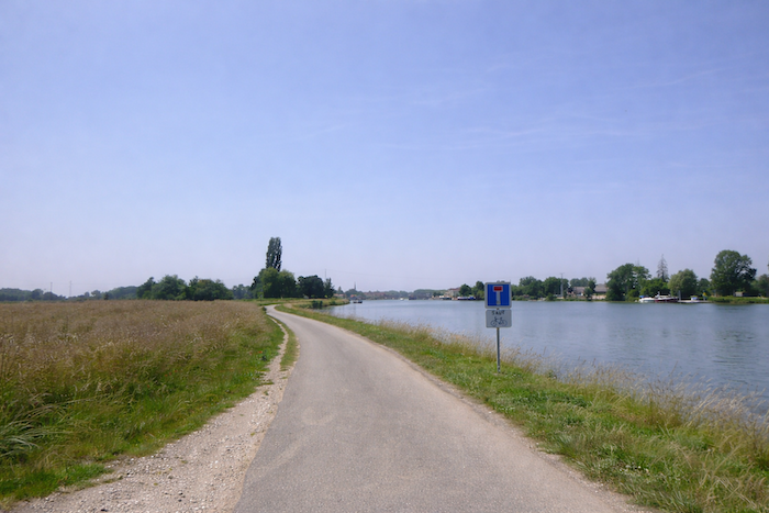
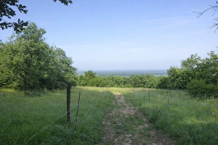
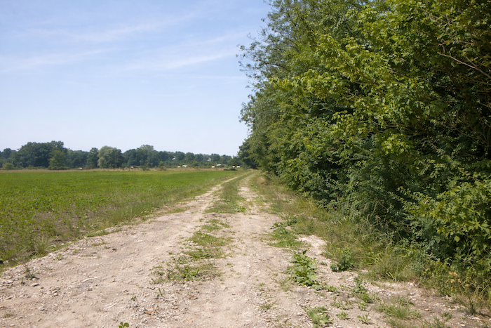
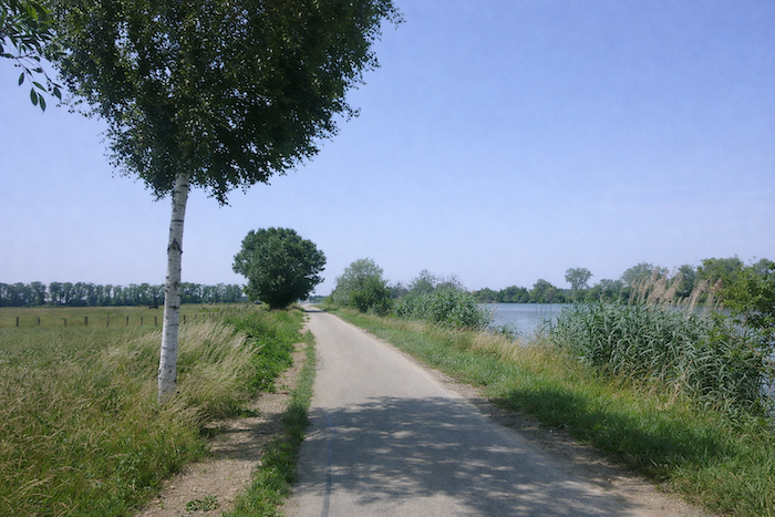
| Soon, the path leaves the wooded area and opens onto the plain, running alongside the river and offering the eye the light of the fields mingled with the shifting reflections of the water. |
 |
 |
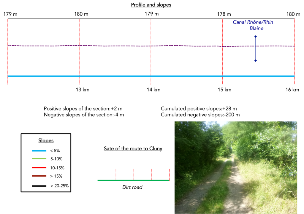
Section 4: Along the Saône River
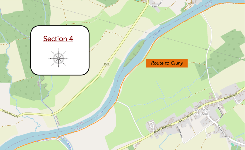
Overview of the route’s challenges: route with no difficulty at all.
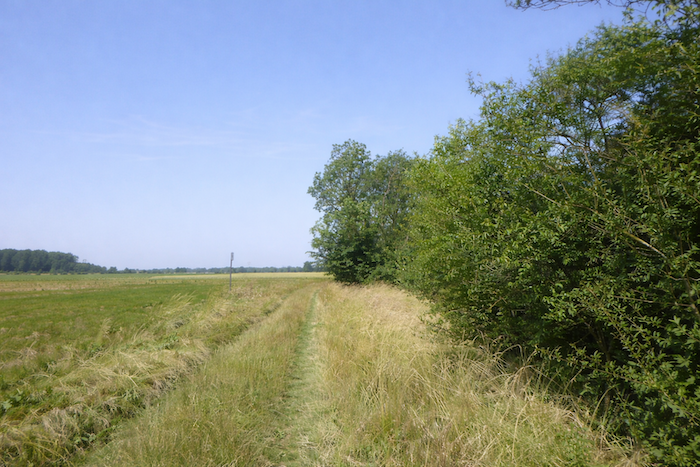
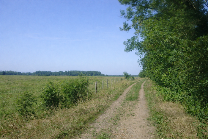
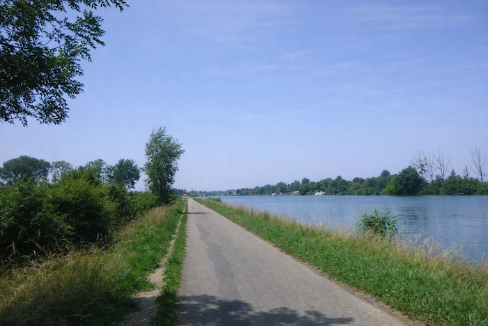
| The path now advances through soft grass, running alongside cereal fields, while a dense hedge of deciduous trees follows the river. The eye is drawn into shifting patterns of shadow and light, and the discreet murmur of the water becomes the faithful companion of the pilgrim’s step. |
 |
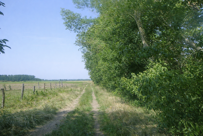 |
| Rare openings in the hedge offer fleeting glimpses of the river, calm and composed, sliding like a silver ribbon across the plain. These fragments of landscape are so many open windows onto silent serenity. |
 |
 |
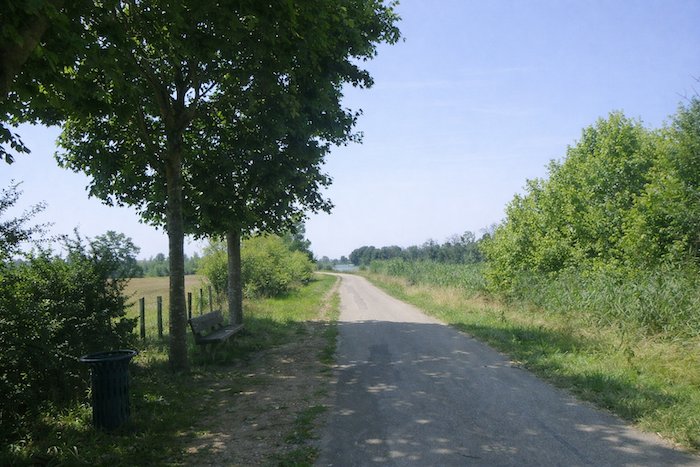
| And this interplay continues at length, sometimes to the point of weariness, within a plain that seems never ending, stretching time and space into a single breath. |
 |
 |
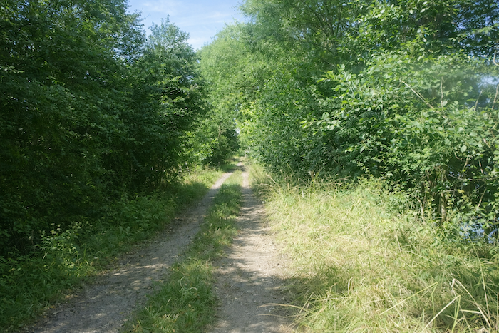
| Further on, the path leaves the soft grass and returns to the roughness of packed earth. Footsteps sink slightly into the ground, yet the pace remains steady and persistent, faithful to the inner rhythm of walking. |
 |
 |
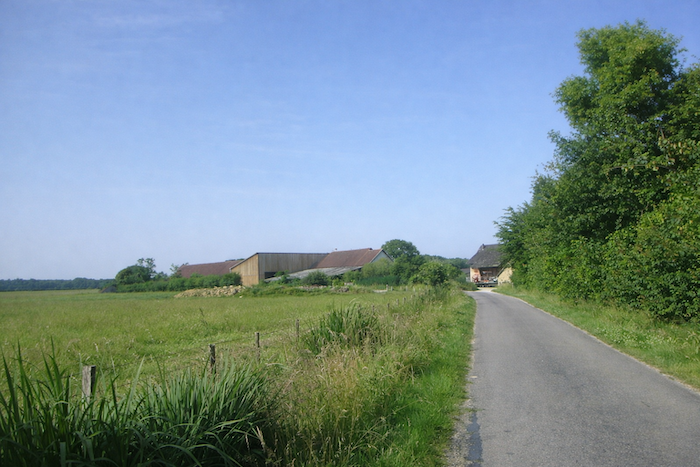
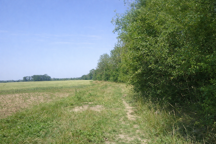
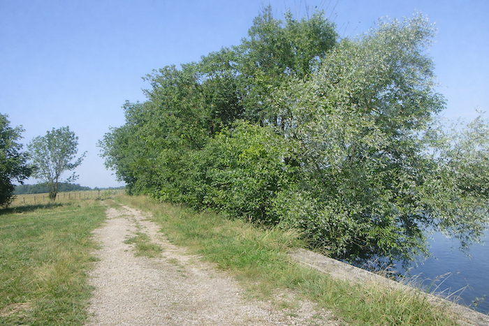
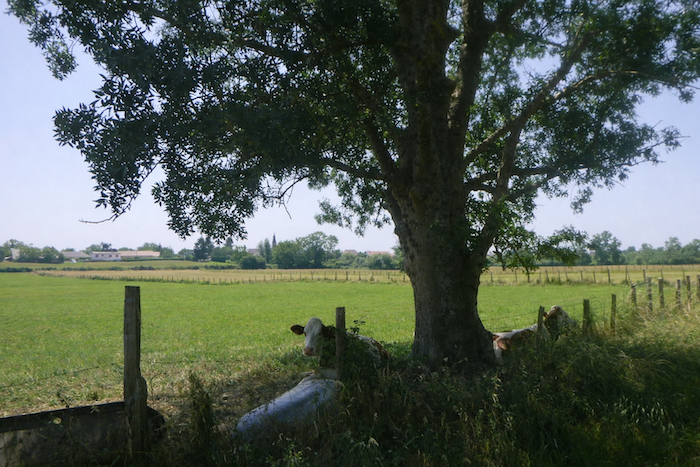
| The landscape changes little. A few scattered meadows, sometimes occupied by peaceful livestock, punctuate this long progression. The riverbank remains a quiet reserve for cultivation, while on the opposite bank a less discreet human presence reminds you that civilization is never far away. |
 |
 |
| A dirt path would allow you to reach Laperrière sur Saône, but the route stubbornly chooses to continue along the riverbank, faithful to the water, refusing detours and easy options. |
 |
 |
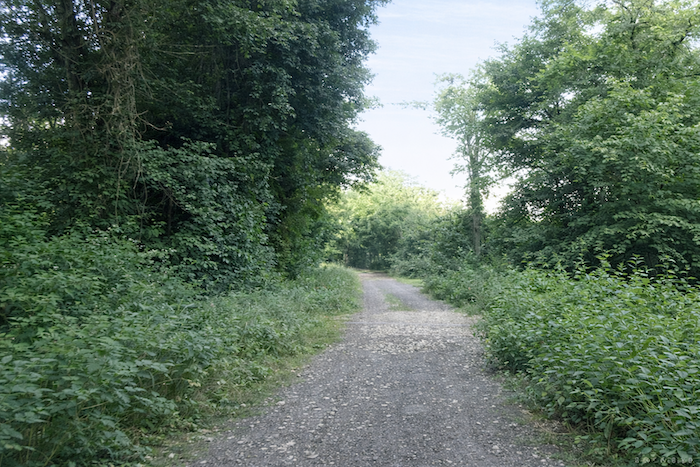
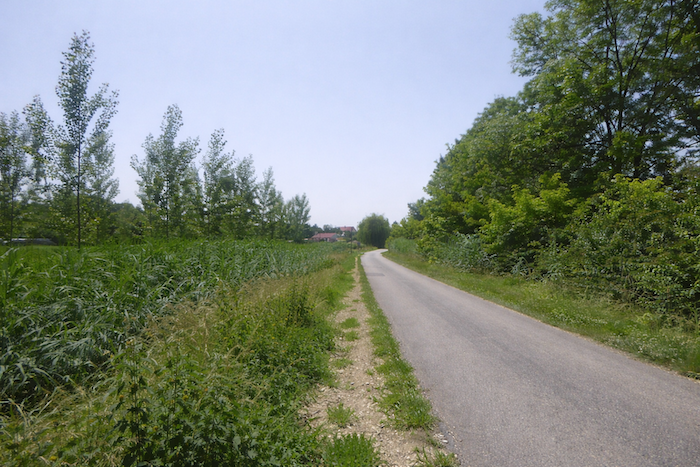
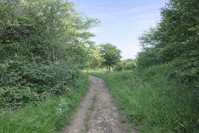
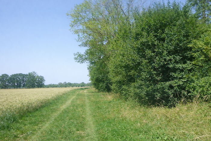
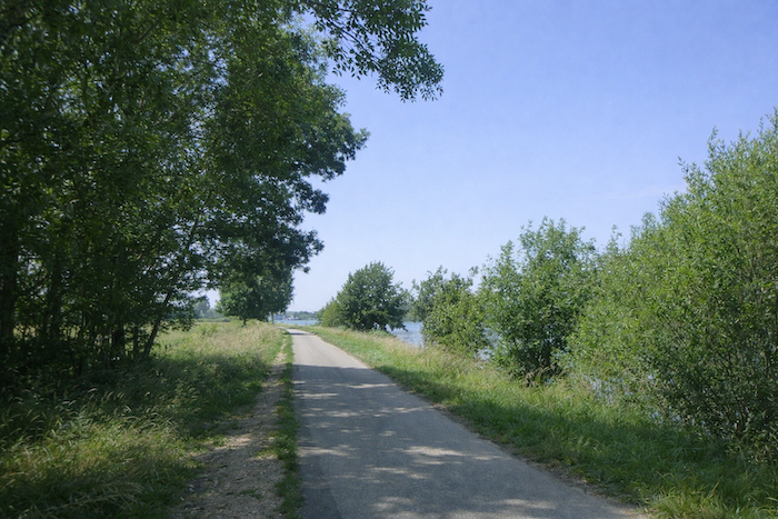
| The path then enters a lightly wooded area, alternating between bright clearings and more enclosed sections, offering a pleasant contrast between shade and light. Deciduous trees, hornbeams, small maples, and ash trees compose a simple and harmonious setting. |
 |
 |
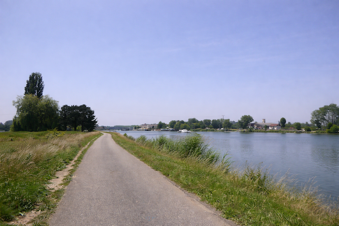
| It is a route without real brilliance, except for the constant presence of the river on the right, which sometimes seems to offer a complicit wink. |
 |
 |
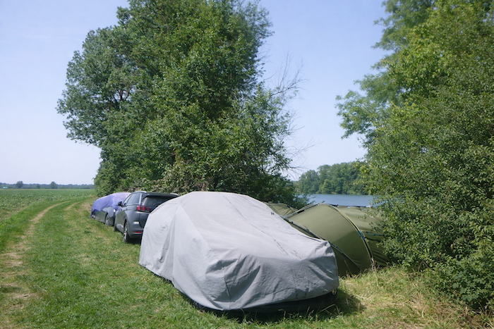
| Far away on the left, the village of Laperrière sur Saône stretches out along its full length. At first glance, it is not an obvious holiday destination. Yet depending on the season, campers can be seen settled by the water’s edge, enjoying suspended time. Often of German origin, they spend a few days here fishing, drinking beer, resting, removed from the hurried world. It is a form of gentle anarchy, where prohibition becomes tolerance, revealing that singular French spirit in which freedom sometimes finds refuge beside a river. |
 |
 |
| The path remains monotonous, almost insistent, yet it is bathed in an almost sacred silence, where every breath of wind becomes melody and every step a confidence whispered to the earth. |
 |
 |
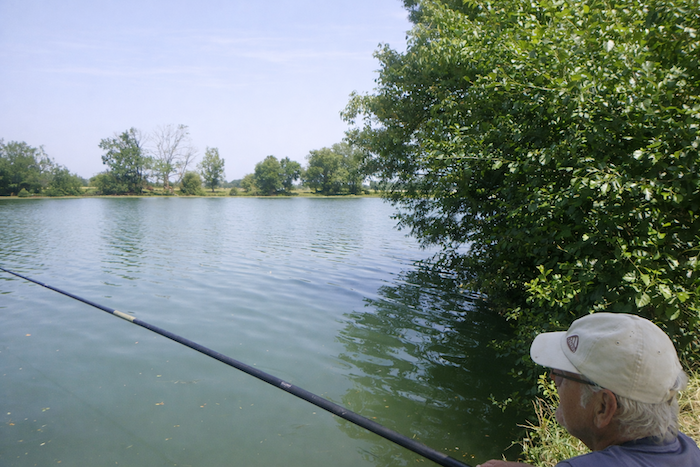
| A few fishermen also appear, motionless along the bank, patient and discreet. Their presence punctuates the walk and gently announces the gradual return of civilization. |
 |
 |
| Further on, the path regains its roughness, once again following the hedge of deciduous trees where small maples, alders, and ash trees mingle. The step then aligns itself with the breath of nature, within a discreet and repetitive symphony. . |
 |
 |
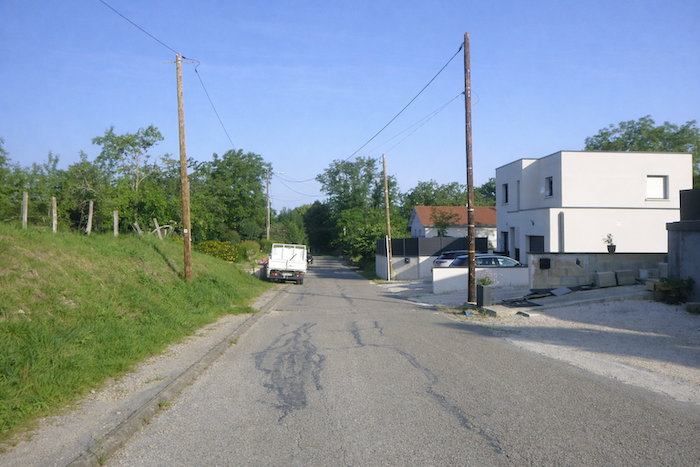
| Soon, a few houses take shape on the horizon, tangible signs of a return toward inhabited spaces, points of anchorage within this almost wild expanse. |
 |
 |
| Trees and dwellings gradually become more numerous. The walker prepares to leave this desert of grass and wind, this long pause outside of time. |
 |
 |
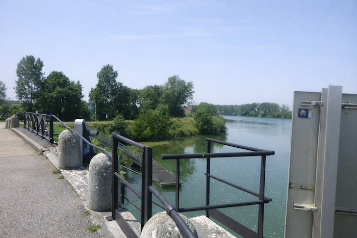
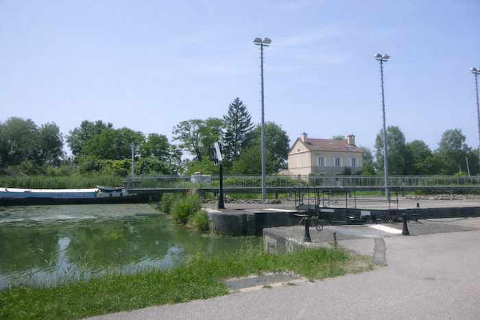
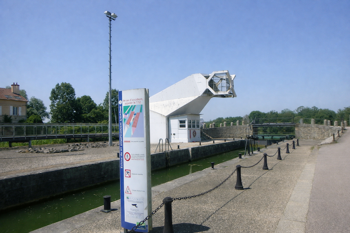
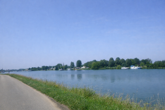
The route then reaches the canal linking the Rhône to the Rhine, at the precise point where it meets the Saône. Here, one must observe the strange logic of the signage. The scallop shell invites you to continue straight ahead, while an arrow suggests turning right. For the walker, the way is clear. Always straight ahead, along the river. This slight disorder adds to the charm of the place and recalls that the route is as much an inner journey as a simple line traced on the ground.
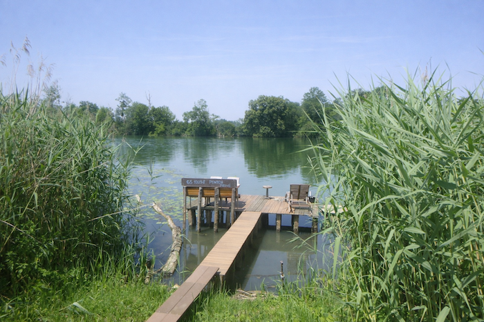
| The site radiates a discreet yet deep charm. Barges glide slowly across the water, locks set the rhythm of the landscape, and quiet pontoons invite pause and contemplation. |
 |
 |
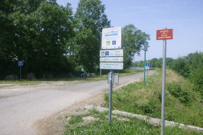
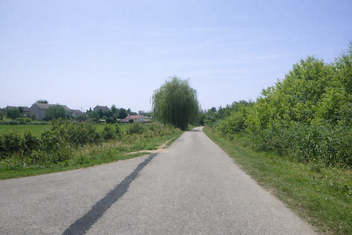
| You are now on the Voie Bleue, four kilometers from St Jean de Losne. The small road, soon closed to vehicles, follows the riverbank and invites the walker to follow the flow of the water, fully savoring the rediscovered tranquility. |
 |
 |
Section 5: Along the Saône River
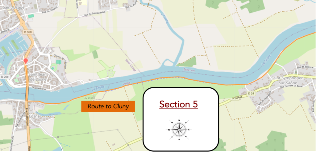
Overview of the route’s challenges: route with no difficulty at all.
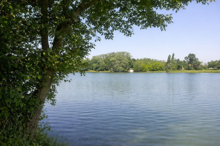
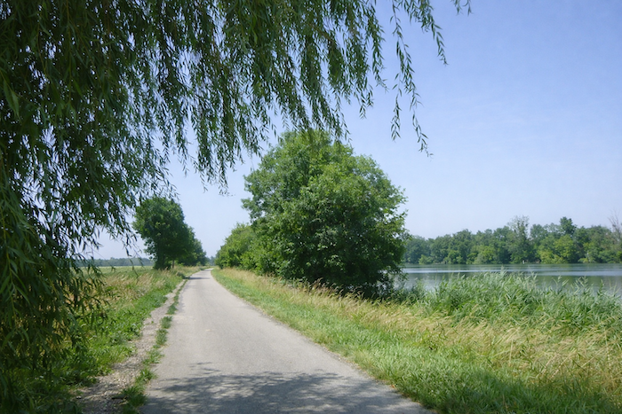
| This riverbank proves gentler than the one you have just left, less untamed, almost domesticated. Trees lean gracefully toward the river, as if greeting the water that slides slowly at their feet. The air feels milder, and nature offers here a calmer breath, less wild, shaped over time by human presence. |
 |
 |
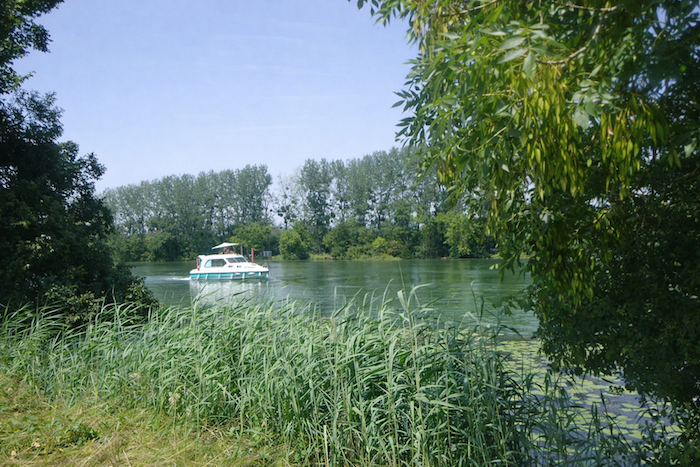
| At times, small cruise boats skim the surface of the river, leaving behind luminous wakes that the sun transforms into ribbons of gold and silver. These vessels glide with the slowness of a waking dream, adding to the landscape a tranquil and almost ceremonial animation. |
 |
 |
| In the protective shade of ash trees, livestock surrender to their midday rest, suspended in an almost tangible stillness. Occasionally, a worn wooden bench seems to open its arms to you, inviting you to sit, to let your thoughts drift with the flow of the water, lulled by the discreet breath of the river. |
 |
 |
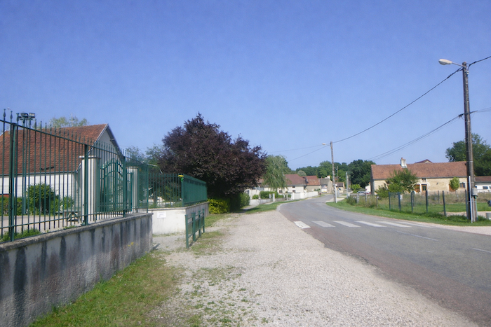
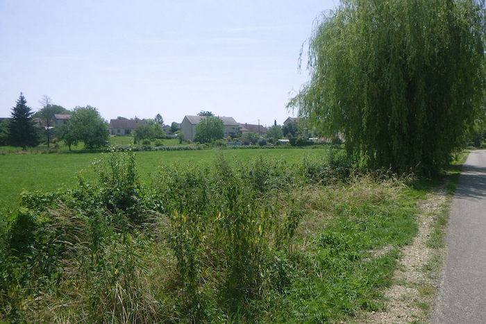
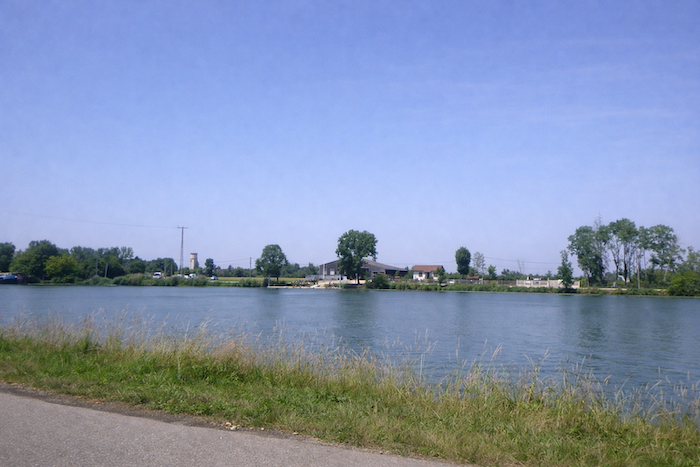
| Further on, the road brushes past St Symphorien-sur-Saône without ever entering it. Houses remain at a distance, as if the village wished to preserve the walker’s intimacy, offering only a muted glimpse of itself from this greenery lined road. |
 |
 |
| Small private pontoons appear here and there, opening discreet passages toward the river, often carpeted with floating water lilies. The white and yellow blossoms resting on the surface of the water compose a living tableau, fragile and delicately enchanting. . |
 |
 |
| At the edge of the village, beyond a picnic area, the road becomes a dead end for automobiles. Yet the constraint is illusory. Traffic is rare here, and progress feels free, carried by a sense of gentle isolation, almost protective. |
 |
 |
| The road then stretches out amid meadows and cornfields, where light plays among green stalks. At times, a small boat slips across the water, like a silvery caress on the river’s mirror, infusing discreet poetry into the rural landscape. |
 |
 |
| A little further on, an avenue of horse chestnut trees spreads a beneficent shade, a precious refuge when the summer sun grows insistent. The coolness that reigns here creates a natural pause, where each step feels lighter and each breath deeper. |
 |
 |
| Depending on the day and the season, many recreational cyclists may appear, bringing touches of movement and life to this setting already animated by the calm presence of the river. |
 |
 |
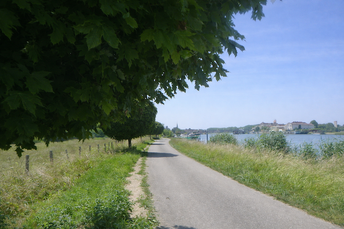
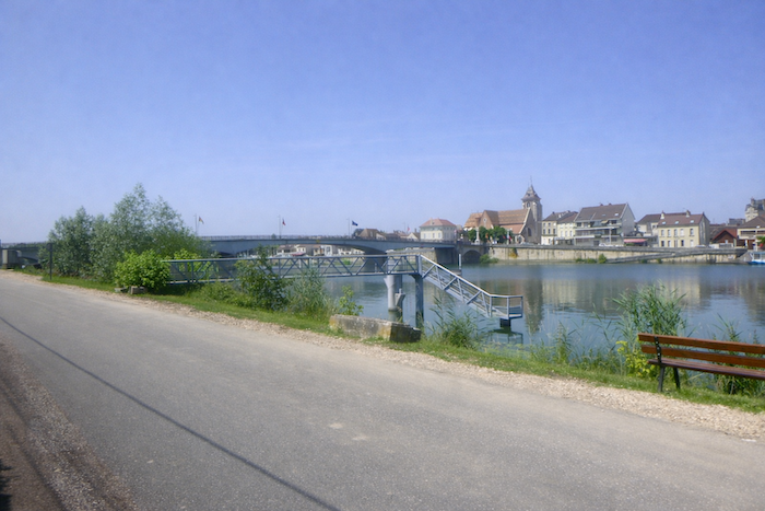
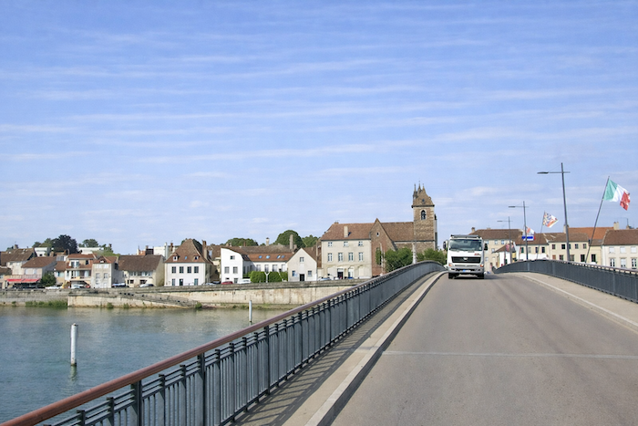
| In the distance, the bell tower of St Jean de Losne stands out against the still far horizon, a proud spire pointing toward the sky like a reassuring beacon. As you advance along the riverbank, it grows in presence, until it becomes the center of a harmonious composition where water, land, and village respond to one another. |
 |
 |
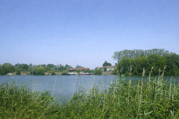
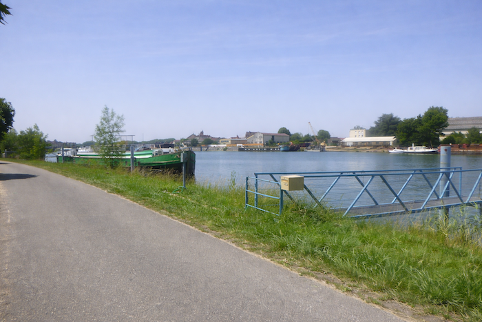
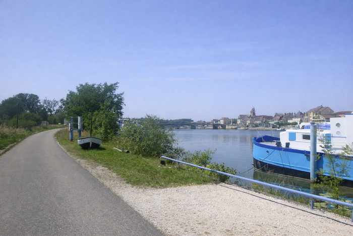
| Barges then become more numerous along the peaceful river. |
 |
 |
| Some are inhabited, others abandoned to silence, each bearing on its sides the traces of past lives, mute stories, and journeys that no longer move. |
 |
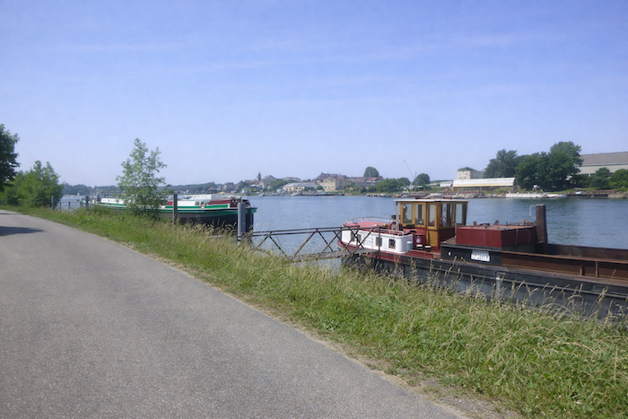 |
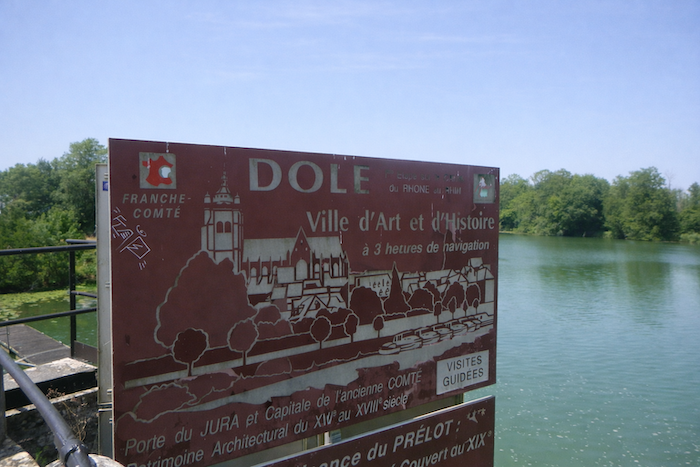
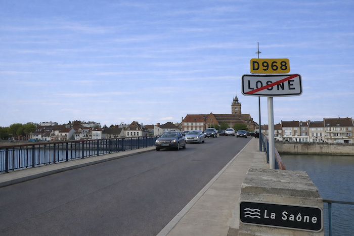
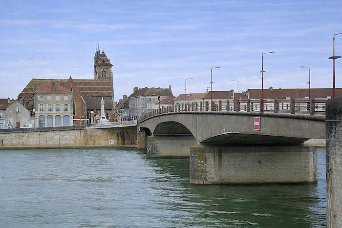
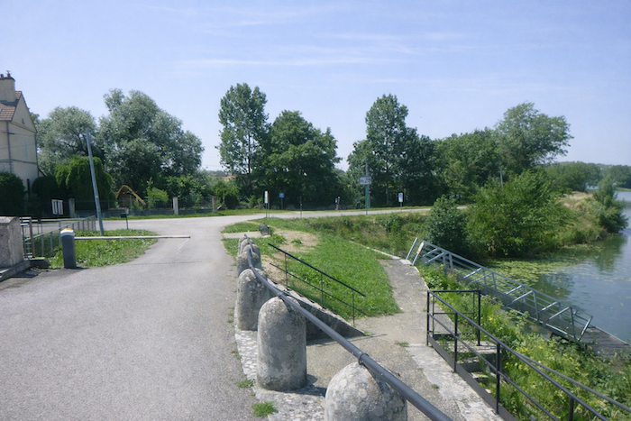
| You finally arrive in Losne, at the heart of a fragile balance between human activity and the serenity of the river landscape. |
 |
 |
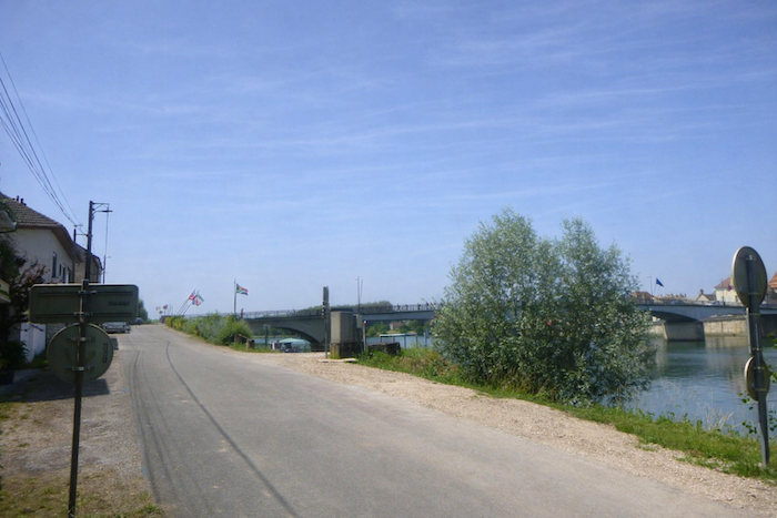
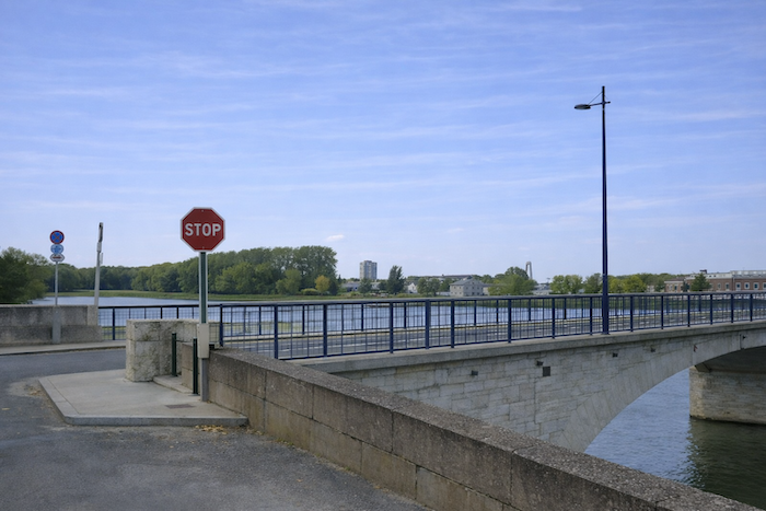
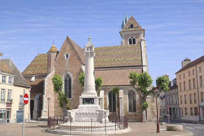
| On the other side of the bridge that crosses the Saône, St Jean de Losne stretches out, dominated by the bell tower of its church. |
 |
 |
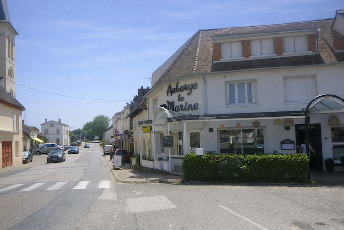
| The church of St Jean Baptiste, unfortunately bordered by the departmental road, is a Gothic jewel of the sixteenth century. The town, modest in size with around one thousand inhabitants, nevertheless concentrates all essential shops, blending everyday life with the elegance of a heritage steeped in history. |
 |
 |
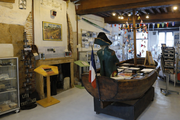
| In this small town crossed by fairly dense traffic, along the quays stands an unusual museum devoted to inland navigation, a reminder of how deeply the river has shaped the soul and economy of the place. |
 |
 |
Official accommodations in Burgundy/Franche-Comté
- Au Champ du Bois, 8 Rue du Puits, Sampans; 03 84 82 25 10 ; Guestroom
- Domaine Ravy, St Symphorien-sur-Saône; 03 80 29 01 69; Gîte
- Auberge de la Marine, quai Hutte, Losne; 03 80 27 03 27/06 25 83 72 89; Hoôtel
- Camping Les Harlequins, quai National, St Jean-de-Losne; 03 80 39 22 26; Camping
- Gîte Deprey, 6 Bastion Vauxhall, St Jean-de-Losne; 03 80 39 28 04; Gîte
- Les Charmilles, St Jean-de-Losne; 06 62 79 83 18; Guestroom
Jacquaire accommodations (see introduction)
- Sampans (1)
- Ferme de la Bussière (1)
- St Symphorien-sur-Saône (1)
- Losne (1)
- St Jean-de-Losne (1)
Airbnb
- Sampans (4)
- St Seine-en-Bâche (2)
- St Symphorien-sur-Saône (1)
- Losne (5)
- St Jean-de-Losne (4)
Each year, the route changes. Some accommodations disappear; others appear. It is therefore impossible to create a definitive list. This list includes only lodgings located on the route itself or within one kilometre of it. For more detailed information, the guide Chemins de Compostelle en Rhône-Alpes, published by the Association of the Friends of Compostela, remains the reference. It also contains useful addresses for bars, restaurants, and bakeries along the way. On this stage, there should not be major difficulties finding a place to stay. It must be said: the region is not touristy. It offers other kinds of richness, but not abundant infrastructure. Today, Airbnb has become a new tourism reference that we cannot ignore. It has become the most important source of accommodations in all regions, even in those with limited tourist infrastructure. As you know, the addresses are not directly available. It is always strongly recommended to book in advance. Finding a bed at the last minute is sometimes a stroke of luck; better not rely on that every day. When making reservations, ask about available meals or breakfast options.
Feel free to leave comments. That is often how one climbs the Google rankings, and how more pilgrims will gain access to the site.
|
 |
Next stage : Stage 13: St Jean-de-Losne to Citeaux Abbey |
|
 |
Back to menu |