
Great forests and a very beautiful canal
DIDIER HEUMANN, ANDREAS PAPASAVVAS
We divided the course into several sections to make it easier to see. For each section, the maps show the course, the slopes found on the course, and the state of the route (paved or dirt roads). The courses were drawn on the « Wikilocs » platform. Today, it is no longer necessary to walk around with detailed maps in your pocket or bag. If you have a mobile phone or tablet, you can easily follow routes live.
For this stage, here is the link:
| This is obviously not the case for all pilgrims, who may not feel comfortable reading GPS tracks and routes on a mobile phone, and there are still many places without an Internet connection. For this reason, you can find on Amazon a book that covers this route.
If you only want to consult lodging of the stage, go directly to the bottom of the page. |
 |
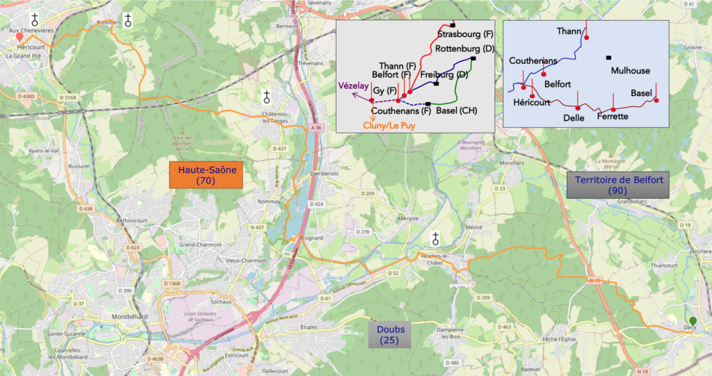
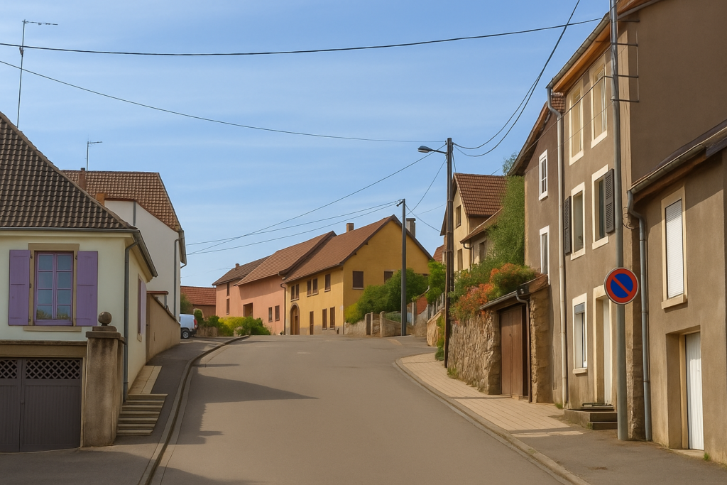
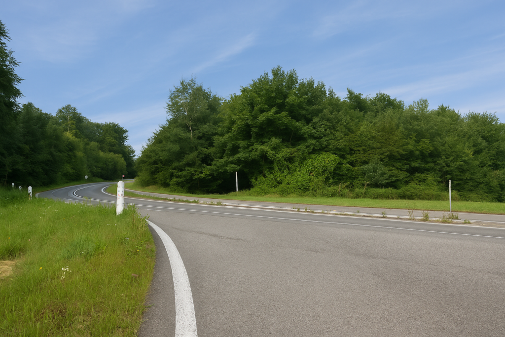
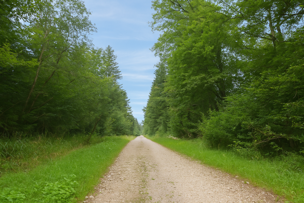
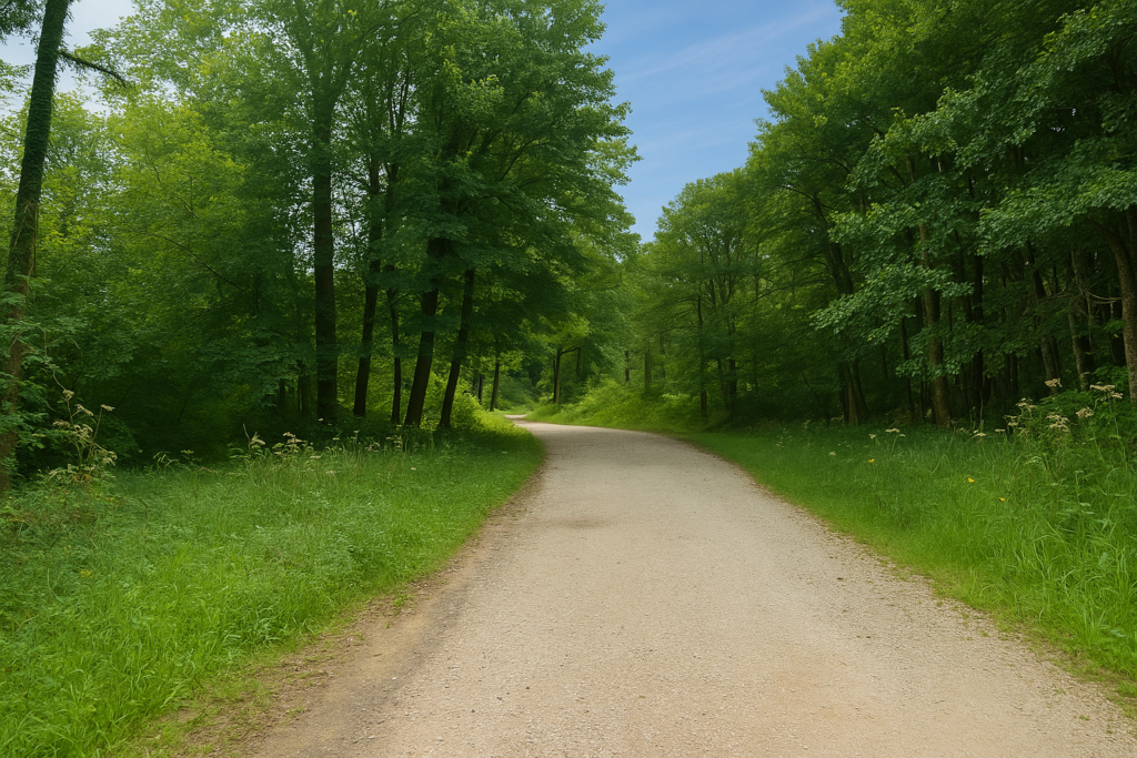
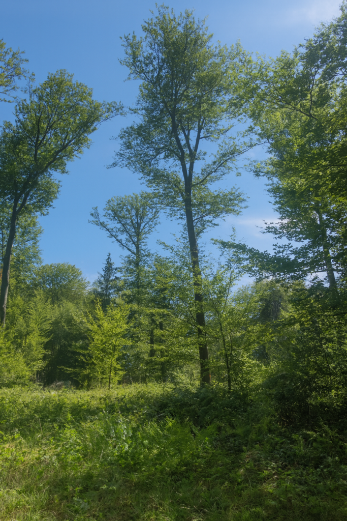
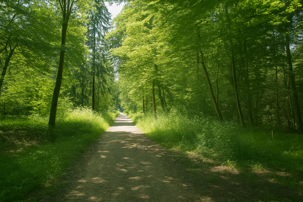
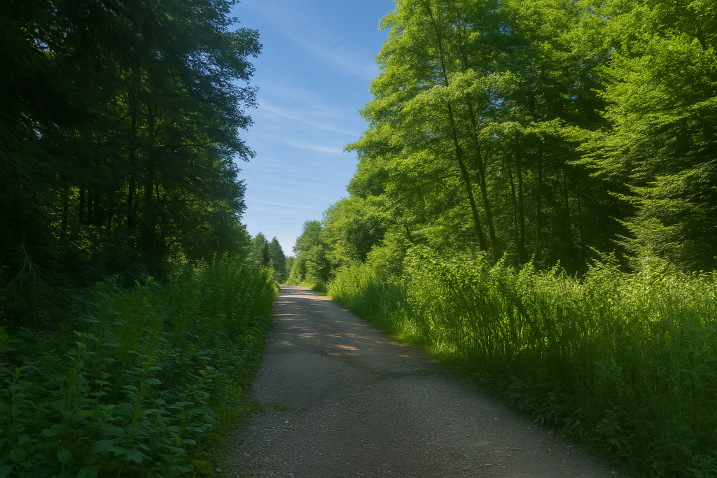
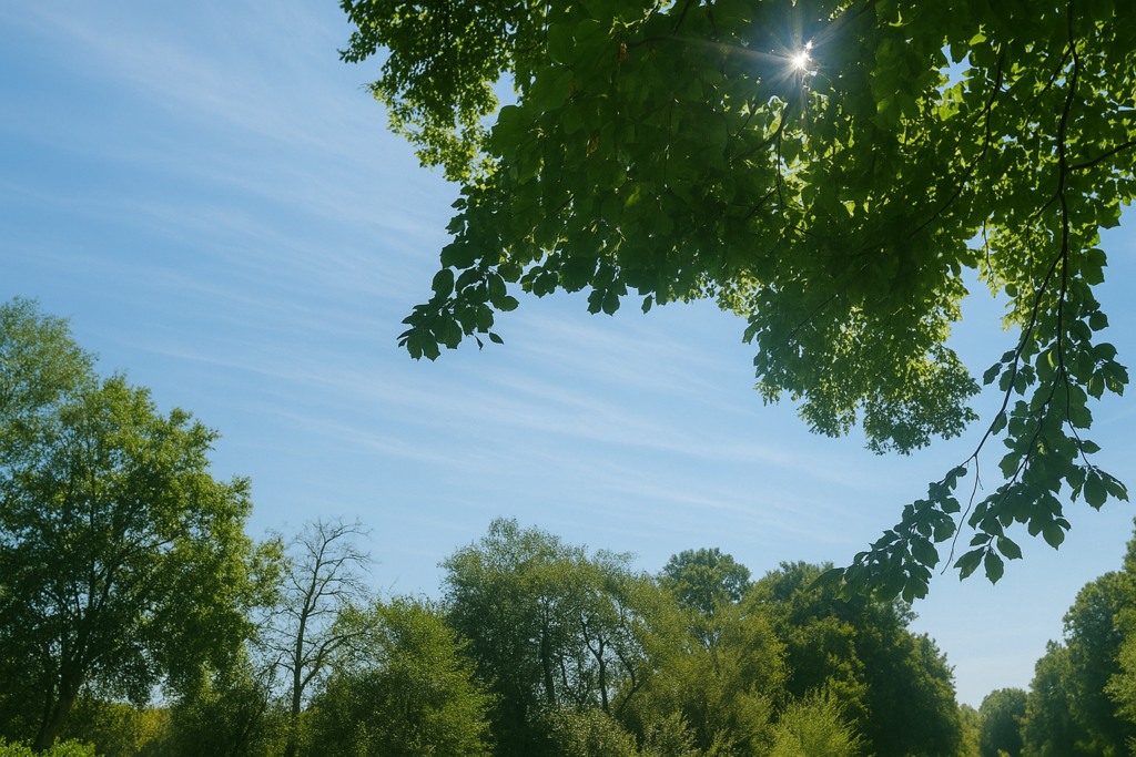
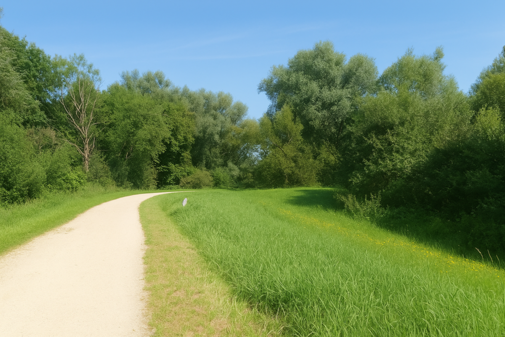
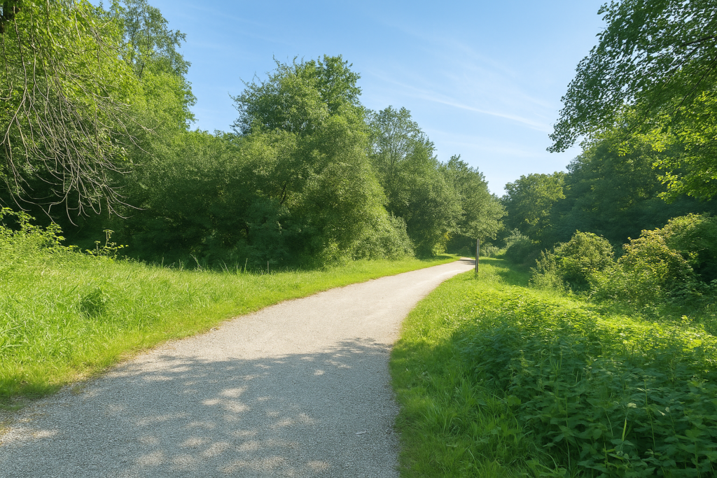
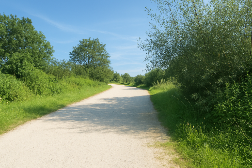
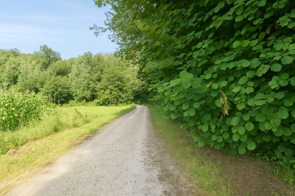
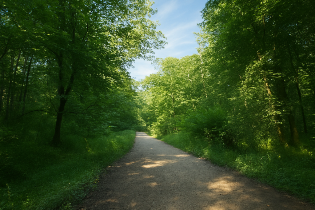
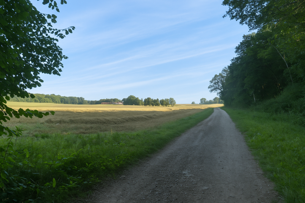
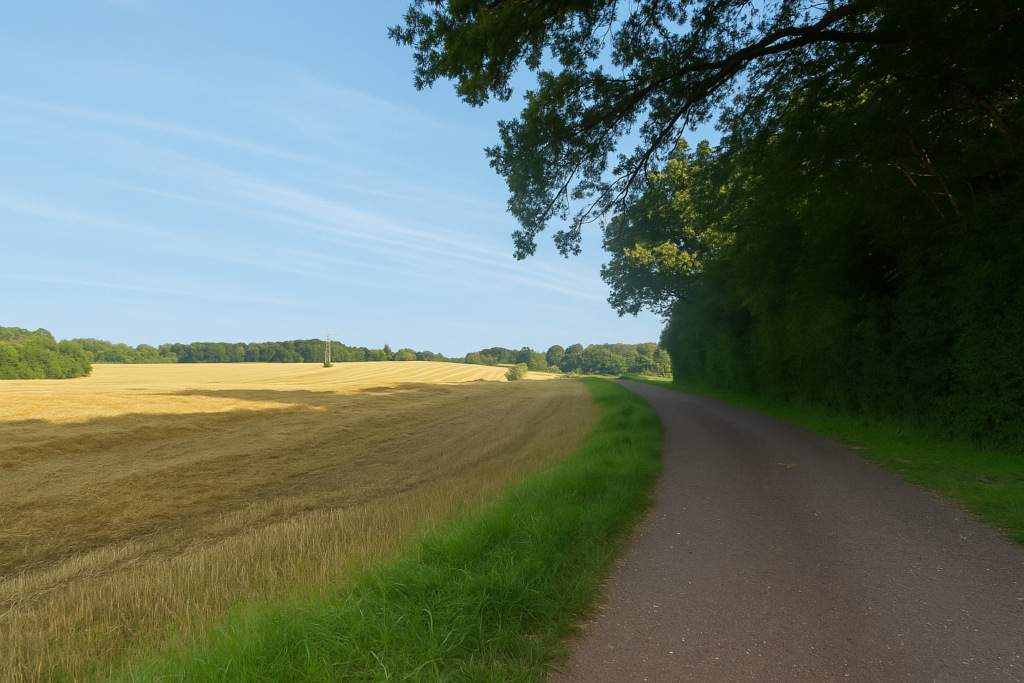
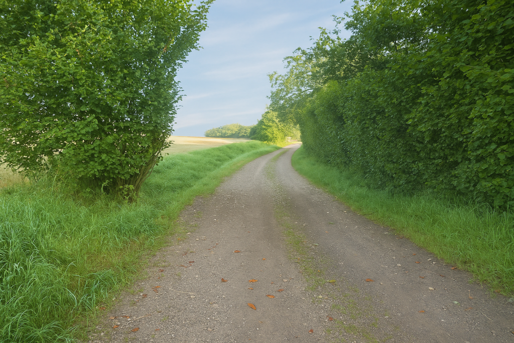
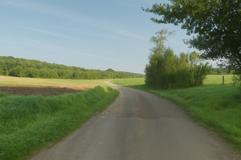
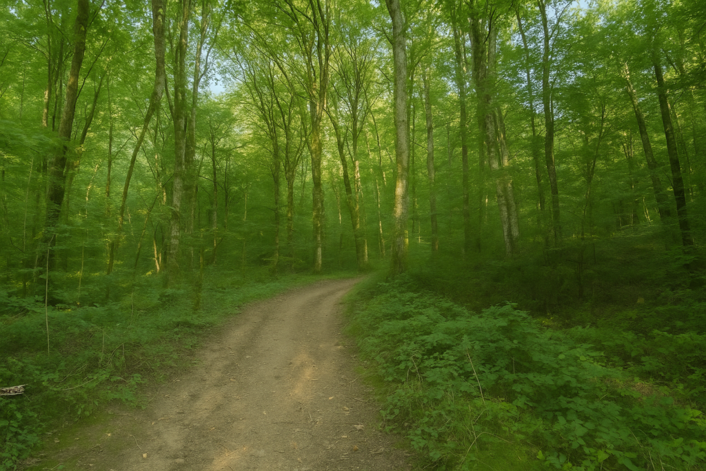
Today you will cross three departments, as if turning the pages of a book made up of clearly defined chapters. Delle, the first stop, lies in the Territoire de Belfort, that eastern fringe which you barely touch before gently slipping into the Doubs, via Fesches-le-Châtel and Brognard. There, a world opens up, a closed world of water, forests, and silence. Barely time to take a breath, the motorway is crossed, and you find yourself in Haute-Saône. Another territory, another light. Three departments, three faces, and the promise of a long journey, almost an initiatory one. This is a stage as lively as the wind passing through the leaves, a stage that shakes you awake, stirs you, surprises you. Without warning, you move from the densest forest, almost wild, to the radiant banks of the Rhône–Rhine Canal. The transition is abrupt, almost unreal, as if two worlds were colliding without knowing one another. In the woods, solitude reigns supreme. Nothing but trees, their shifting shadows, and their ancient murmurs. The forest seems endless, like a labyrinth of bark and moss where doubt slowly, insidiously, creeps in. Losing oneself becomes a plausible possibility, almost poetic. But as soon as the canals are reached, everything calms down. The light expands, the landscape opens. Happiness here takes the form of a mirror of water, of benevolent slowness. You breathe differently.
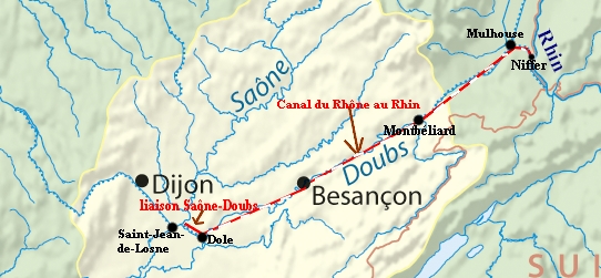
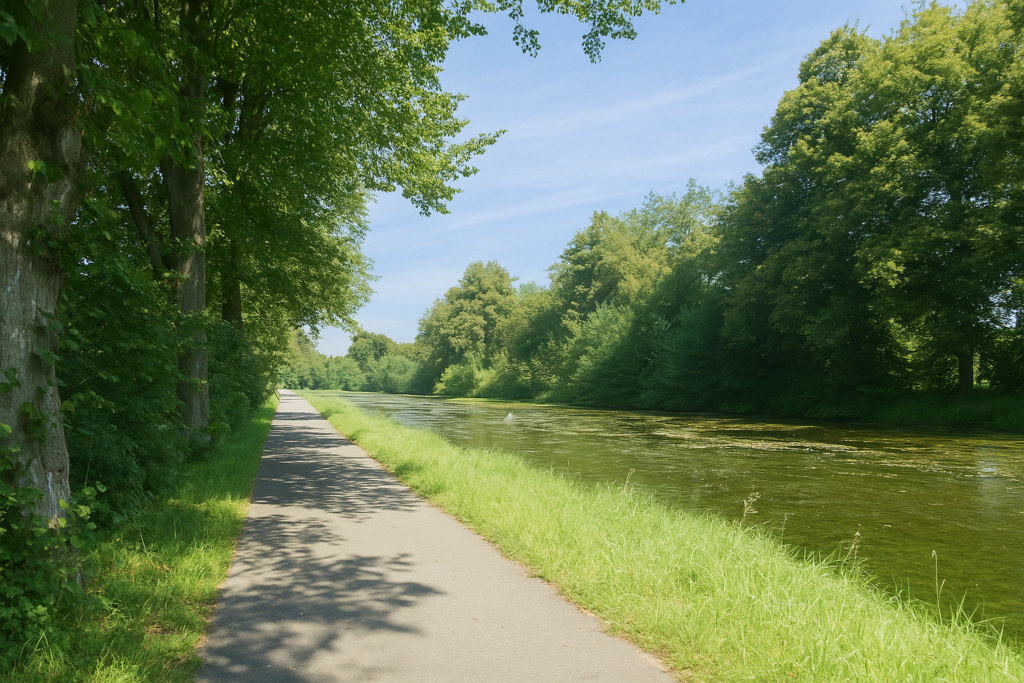
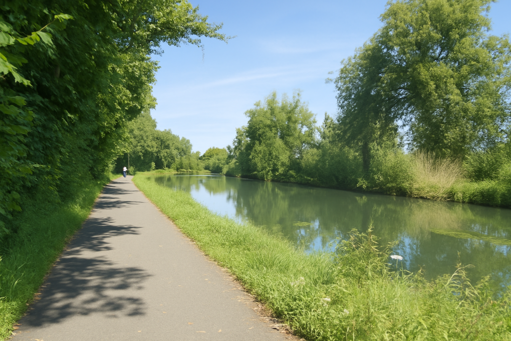
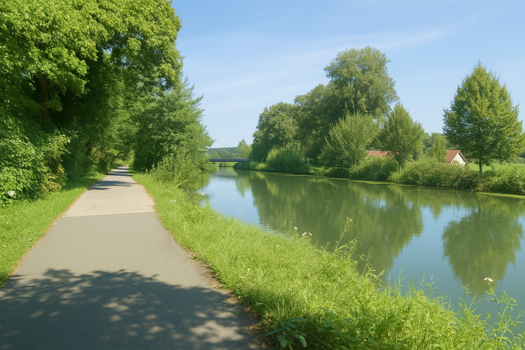
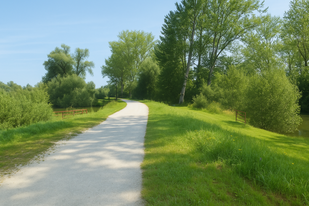
The Rhône–Rhine Canal is a line of peace drawn across the land. It connects two river worlds, the Saône, supple and southern, a tributary of the Rhône, and the Rhine, powerful and rigorous, turned toward the north. Its route begins in Dijon, passes through Dole, Besançon, and Montbéliard, and ends shortly after Mulhouse, where the land opens toward Germany. This canal was born from a dream of balance, an old dream shared by kings and strategists. Under Louis XIV, Colbert imagined it, and Vauban drew it. Yet it was only in the eighteenth century that ambition became a project, then a work. The first connection dates from the 1830s, a time when France still believed that progress would travel by water. Considerable transformations were undertaken to accommodate large-tonnage boats. But the modern era, fickle as it is, turned its gaze toward roads and asphalt. Ecological voices, both justified and concerned, rose against certain overly brutal developments. A large part of the projects came to a halt, abandoned along the path. Today, commercial navigation has retreated northward. Here, leisure boating now prevails. The banks have become paths, then tracks, and finally gentle arteries for peaceful armies of cyclists, eager for slowness and beauty.
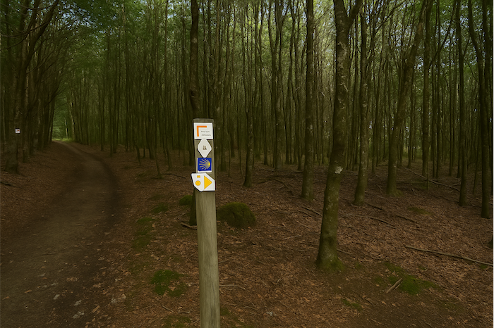
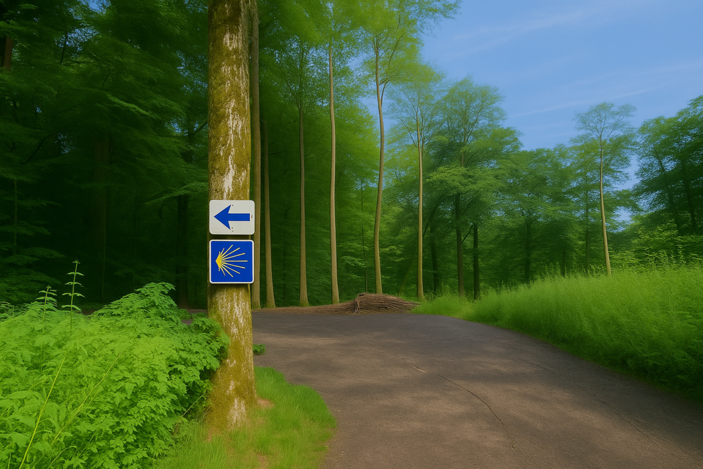
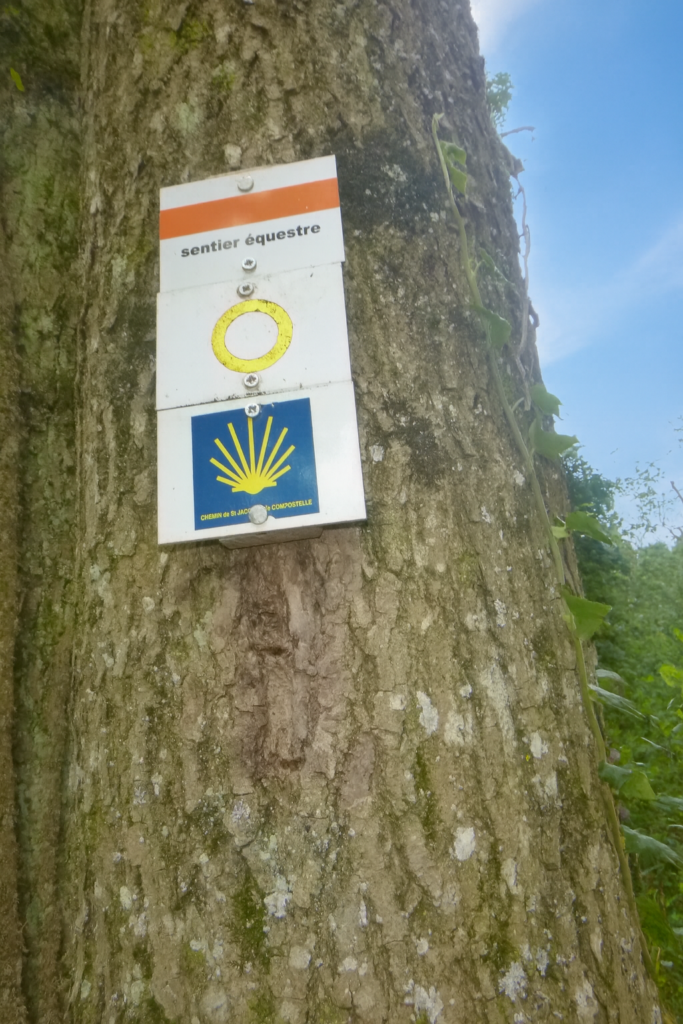
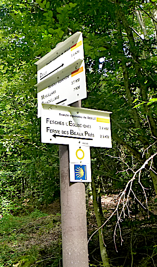
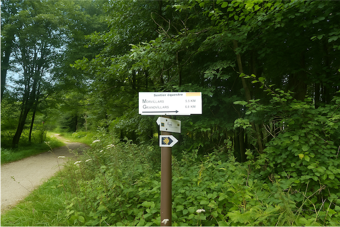
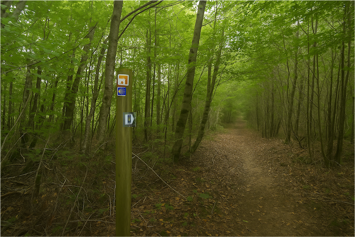
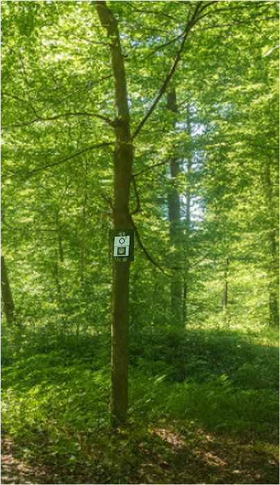
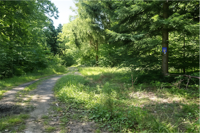
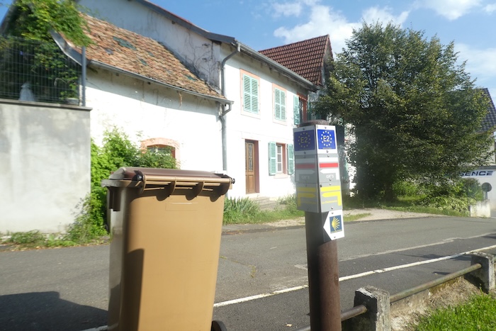
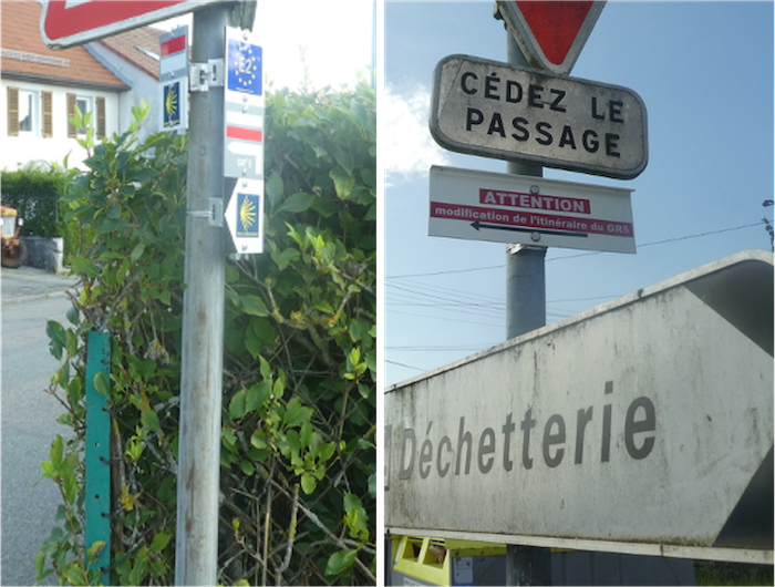
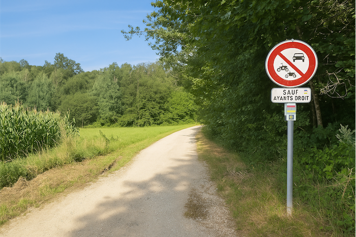
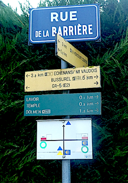
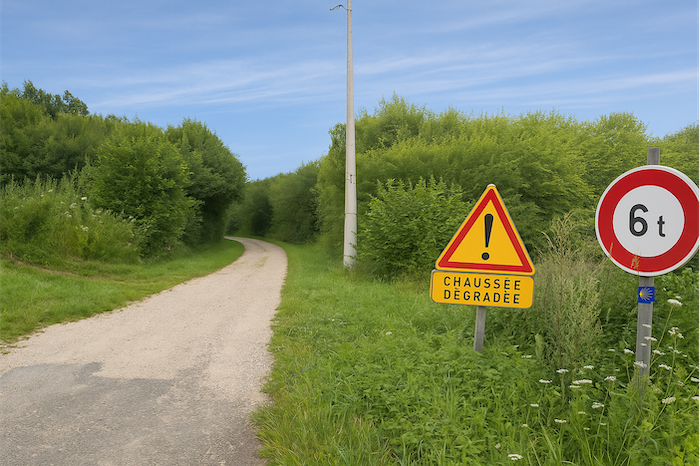
Somewhere on the internet, there exists a small, unpretentious book entitled The Way of Saint James of Compostela, Alsace–Franche-Comté–Burgundy. It is a modest book, more valuable for its list of guesthouses than for its indication of paths. The routes it suggests are often genuine headaches. This is less the fault of the authors themselves than of a complex and fragmented local system. In Alsace as in Franche-Comté, waymarking takes many forms, circles, triangles, diamonds, rectangles, all combined in a cheerful concert of four colours. Instead of being guided, the walker becomes an investigator. Where is the way? Where is the shell? Sometimes absent, sometimes hidden. To complicate matters further, the GR routes appear, those major national itineraries that cross your route without warning. The GR5, in particular, will be encountered today. There is no need to worry, it will be discreet, almost courteous, barely casting a shadow across your route. As you will see by reading on, this stage is meant as much to be read as it is to be walked.
Comment les pèlerins planifient-ils leur parcours ? Certains s’imaginent qu’il suffit de suivre le fléchage. Mais vous constaterez à vos dépens que le fléchage est souvent déficient. D’autres utilisent les guides à disposition sur Internet, eux aussi souvent trop élémentaires. D’autres préfèrent le GPS, à condition d’avoir importé sur le téléphone les cartes de Compostelle de la région. En utilisant cette manière d’opérer, si vous êtes un expert de l’utilisation du GPS, vous ne vous perdrez pas, même si parfois le parcours proposé n’est pas exactement le même que celui proposé par les coquilles. Mais, vous arriverez sauf à la fin de l’étape. En la matière, le site qu’on dira officiel est le parcours européen des Chemins de Compostelle (https://camino-europe.eu/). Dans l’étape du jour, la carte est correcte, mais ce n’est pas toujours le cas. Avec un GPS, il est encore plus sûr d’utiliser les cartes Wikilocs que nous mettons à disposition, qui décrivent le parcours actuel fléché. Mais tous les pèlerins ne sont pas des experts de ce type de marche, qui pour eux, défigurent l’esprit du chemin. Alors, vous pouvez vous contenter de nous suivre et de nous lire. Chaque embranchement difficile à déchiffrer du parcours, a été signalé, pour vous éviter de vous perdre.
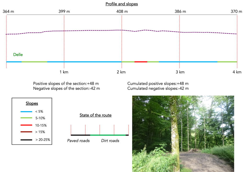
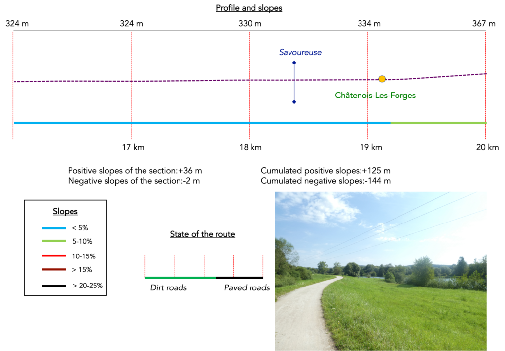
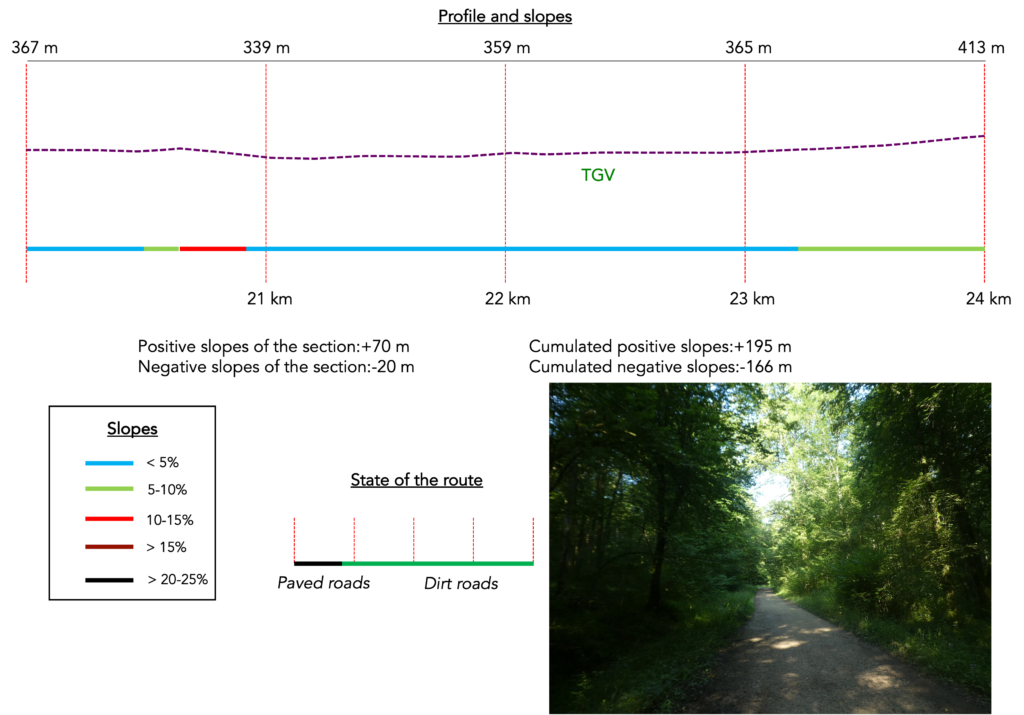
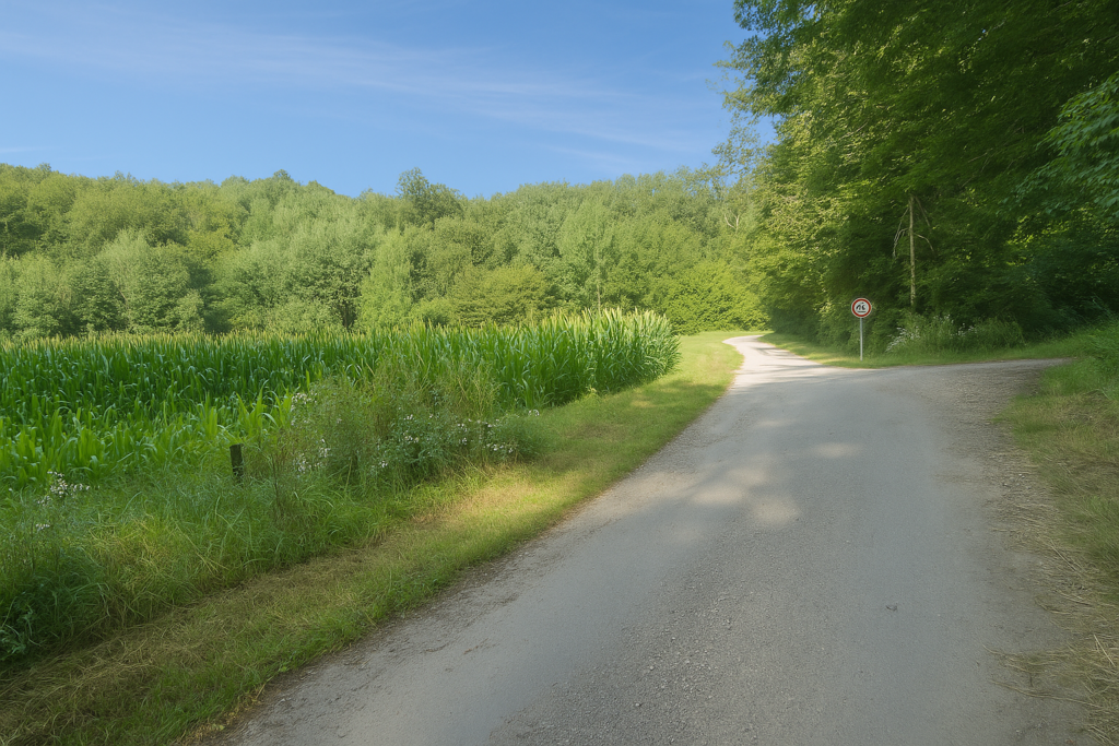
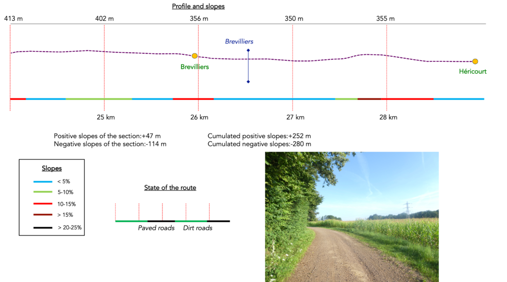
Difficulty level: Today’s route does not present significant elevation changes (+ 252 metres/-280 metres). It is an easy and pleasant stage, with only a few slopes exceeding 10 %.
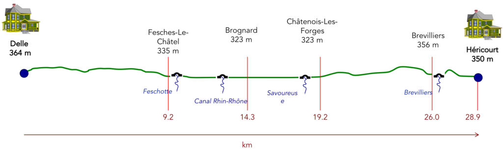
State of the route: Today, a little more time is spent on paths. There is some asphalt, but often it is a cycle track rather than a departmental road:
- Paved roads: 13.2 km
- Dirt roads: 15.7 km
Sometimes, for reasons of logistics or housing possibilities, these stages mix routes operated on different days, having passed several times on these routes. From then on, the skies, the rain, or the seasons can vary. But, generally this is not the case, and in fact this does not change the description of the course.
It is very difficult to specify with certainty the incline of the slopes, whatever the system you use.
For those seeking « true elevations » and enthusiasts of genuine altimetric challenges, carefully review the information on mileage at the beginning of the guide.

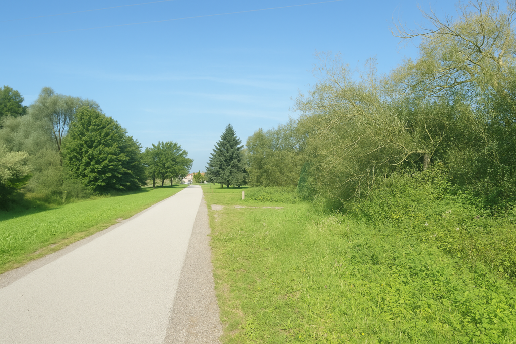
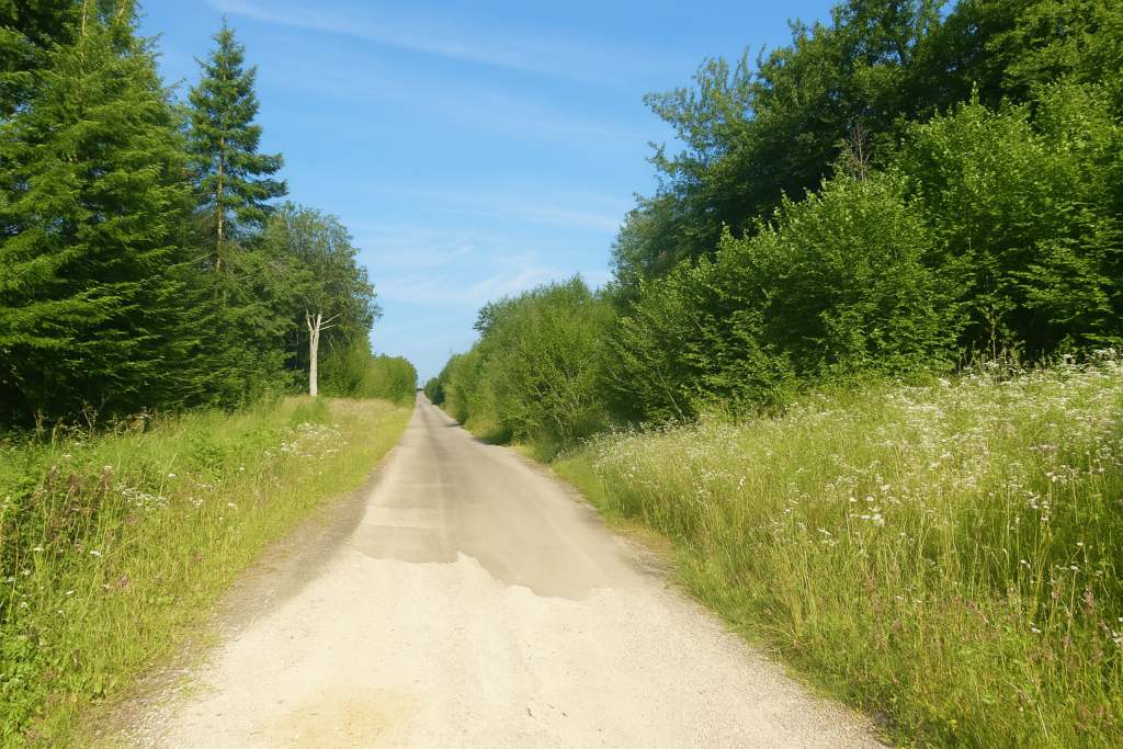
Section 1: Through the countryside and the woods of Delle
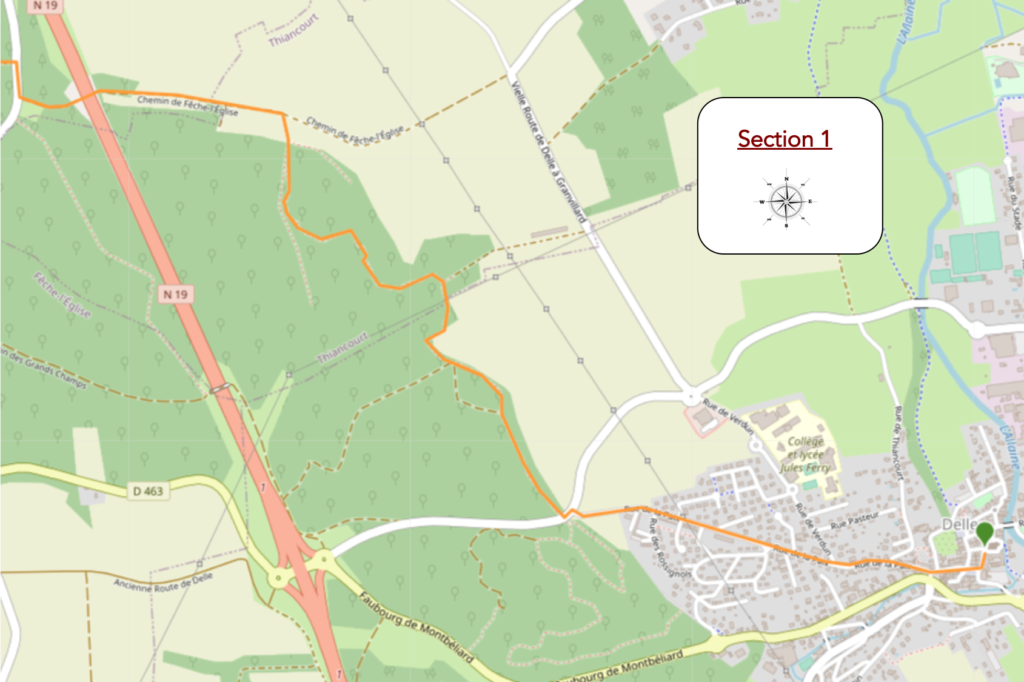
Overview of the route’s challenges: route without any major difficulty.
|
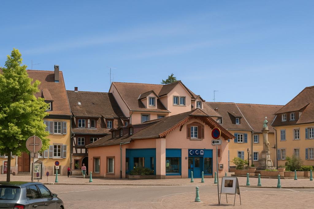
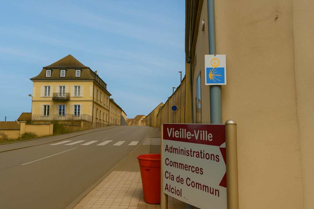
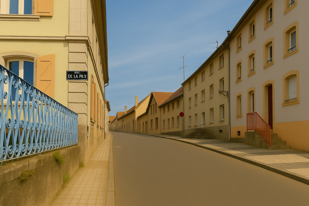
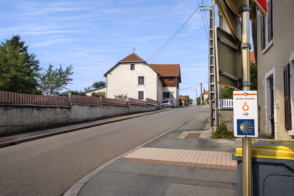
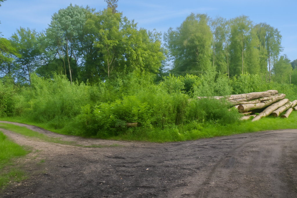
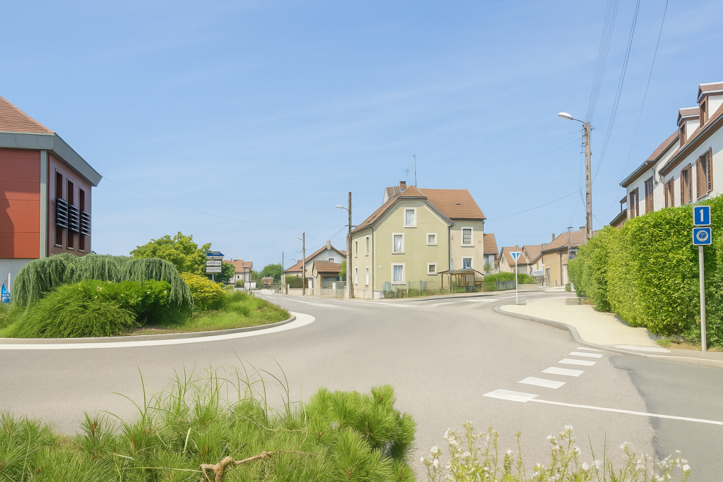
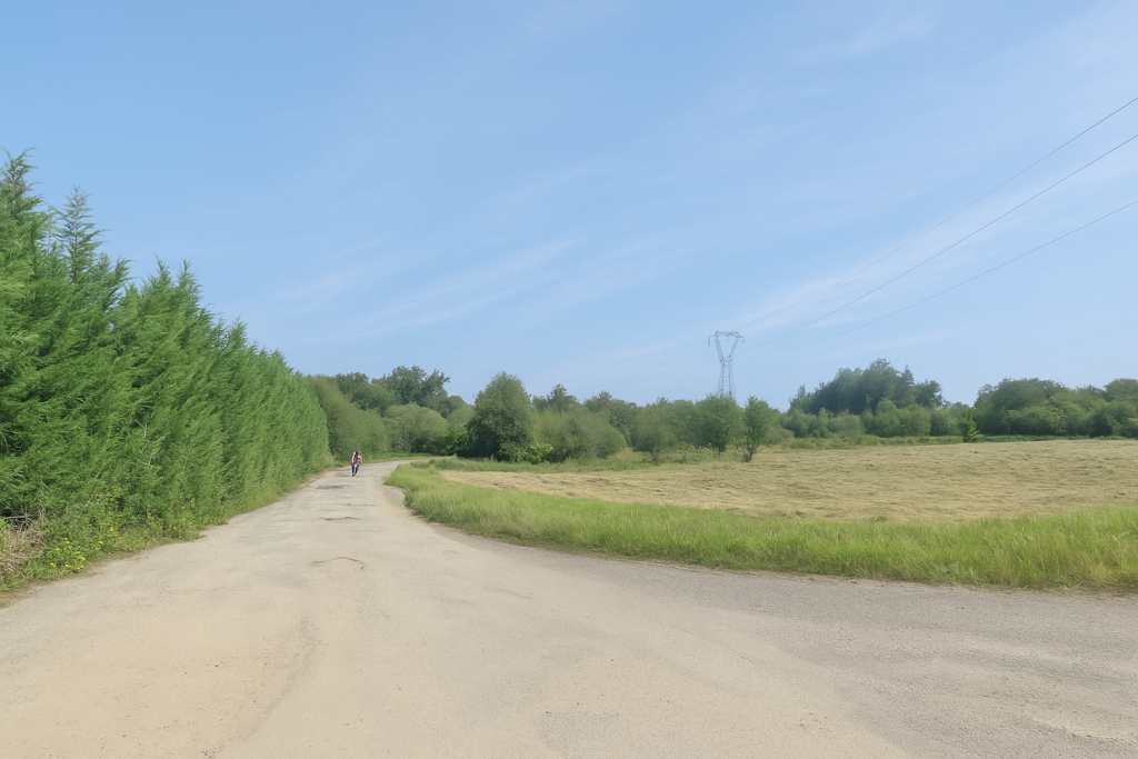
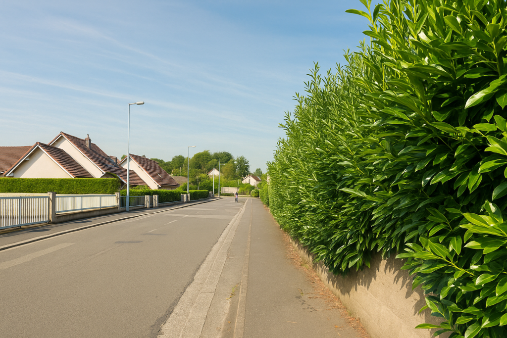
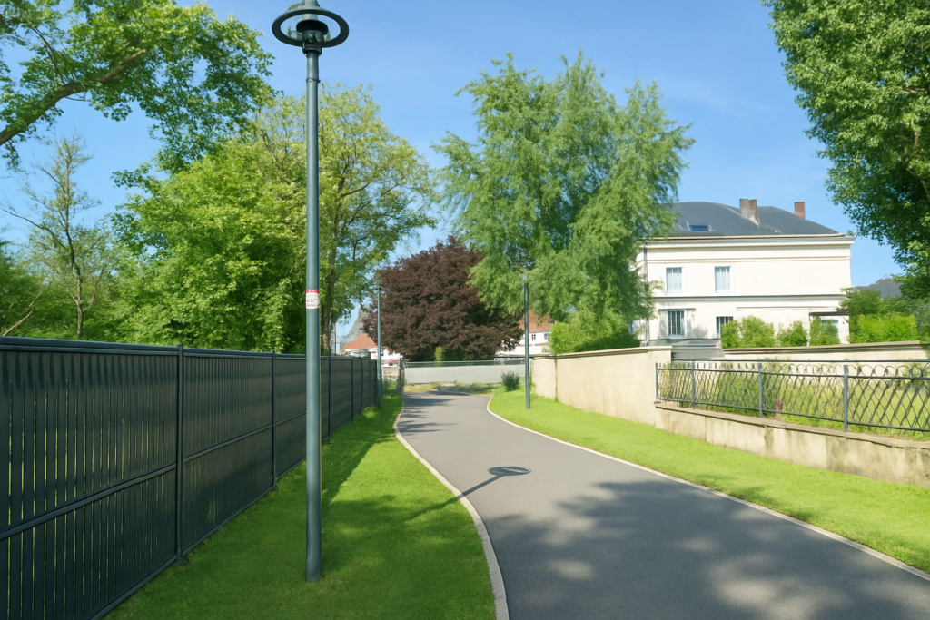
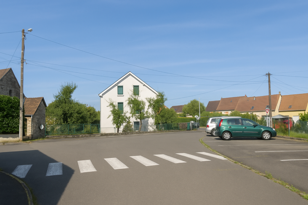
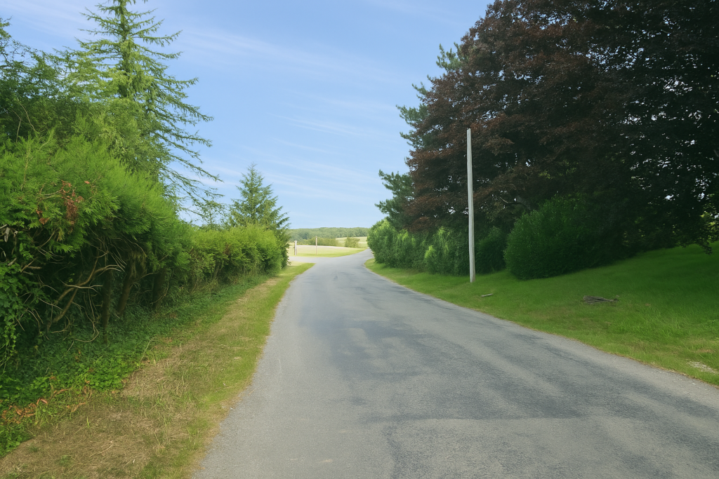
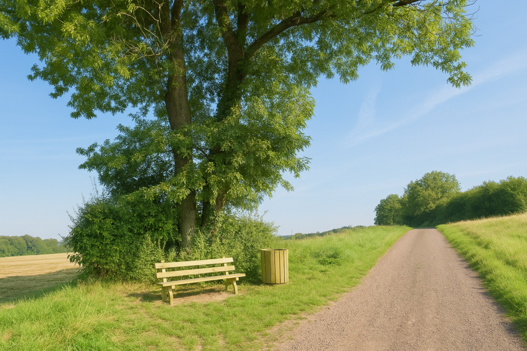
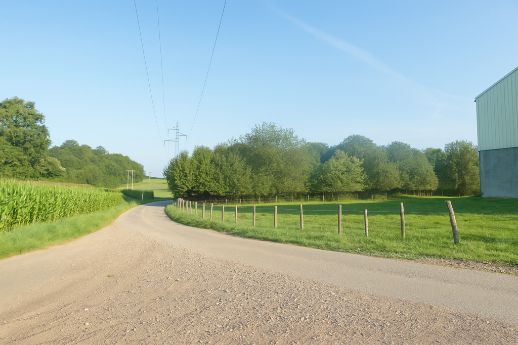
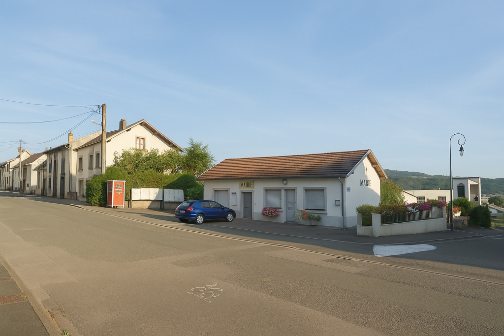
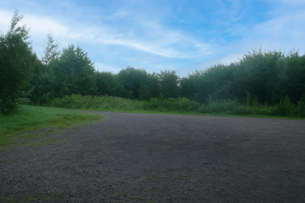
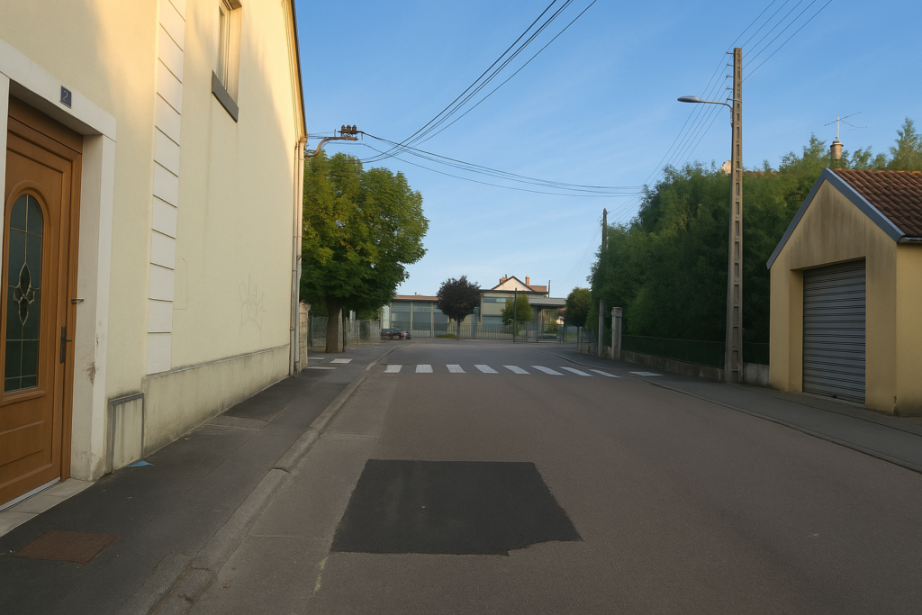
Delle is a town with many faces, fragmented into disparate neighbourhoods that bear the marks of successive eras, old boroughs, working-class centres, more recent developments, often disjointed. It is a town of thresholds and transitions, almost undecided. The Way of Compostela begins here in the old town, where the cobblestones still tell stories, in the Grand Rue, close to the church, as tradition demands. It is here, in this preserved part of the town, that the pilgrim places their steps in those of the ancients. Almost immediately, a roundabout appears, nearly like an ambush, and the Rue de la Paix rises ahead. This is the road you must take. Recognising it is essential, even vital, as Delle can be bewildering, delightfully labyrinthine. Missing this road means getting lost in a tangle of streets with no memory. |
|
 |
 |
 |
 |
|
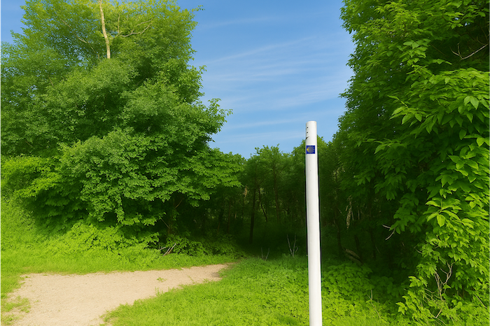
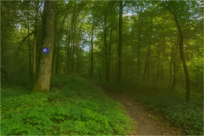
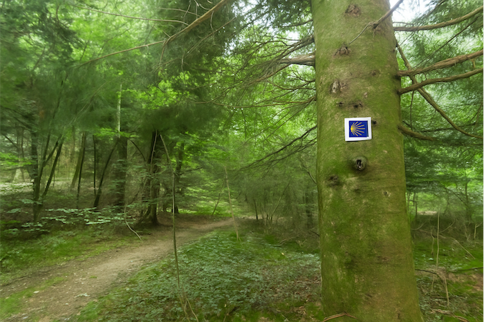
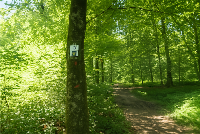
The Rue de la Paix deserves its name, but it must also be earned. It is an ascending road that gradually leaves the urban enclosure to blend into the outer edge of the countryside. A road of departure, almost of release. For now, junctions are rare, and the walker still sets out with confidence. Yet the region’s specific waymarking already asserts itself, with its own logic, sometimes disconcerting. Here, the shell, your sacred guide, will never show you which way to go. It is present, discreet, placed on a tree or a low wall, and merely signifies that you are walking on the Way of Compostela. It is like a breath of memory, a simple echo of pilgrimage, but it remains silent about direction. This is where doubts begin, all the more so as the route is shared with two other ways. |
|
 |
 |
| At junctions, where logic would demand clear signs, you often have to guess. In principle, without any other indication, you continue straight ahead. But this principle, like all principles, has its exceptions. To complicate matters further, other paths intertwine. Some, marked with a yellow circle, run alongside the pilgrim’s way. The equestrian route, meanwhile, blazes in orange. A festival of colours, certainly, but also a festival of confusion. Simple, isn’t it?
In this elongated suburban area that you cross at length, do not let the shell deceive you. It is there, but it misleads. On official routes such as the GR65, the base of the shell indicates direction, which here would point left. But this is not the GR65. Here, the shell says nothing more than “You are here.” Nothing else. The route, in truth, continues straight ahead, without detour, without promise. It is a lesson learned quickly, sometimes at one’s expense. A school of vigilance. |
|
 |
 |
|
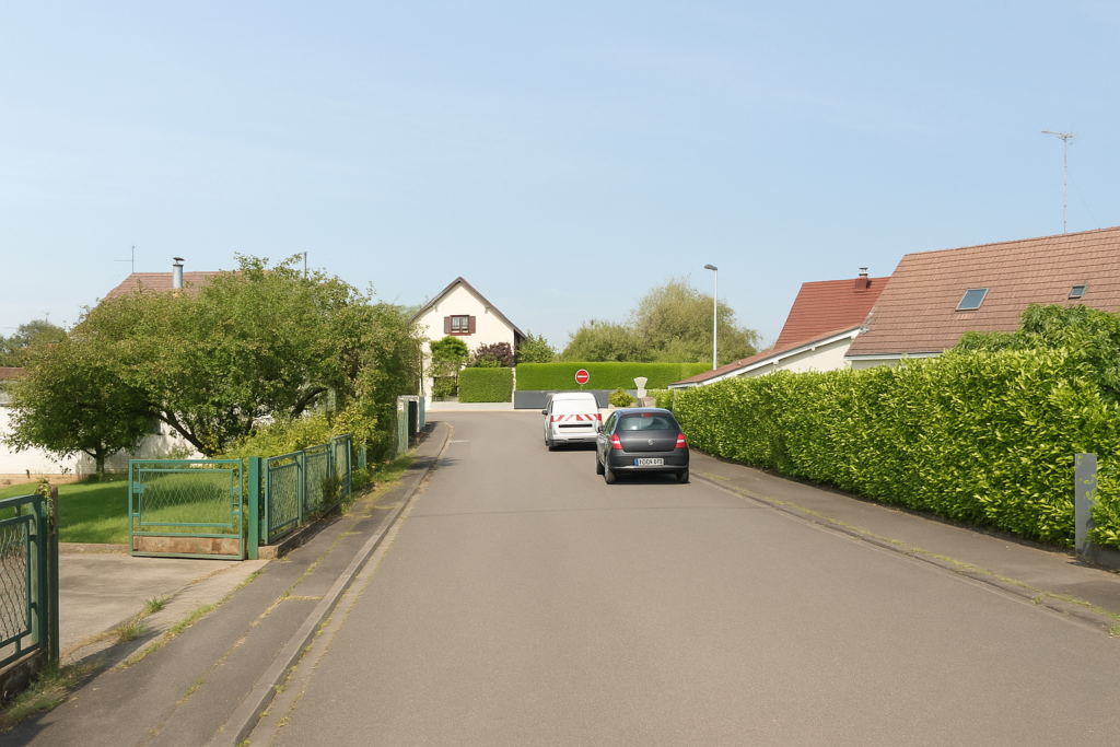
Higher up, you leave Delle for good. The town dissolves like vapour. The road, a faithful companion, stays with you a little longer, grey and compliant. The landscape begins to change. Houses grow farther apart. Nature slowly reclaims its rights, and you sense that your stride will soon be able to breathe again. |
|
 |
 |
|
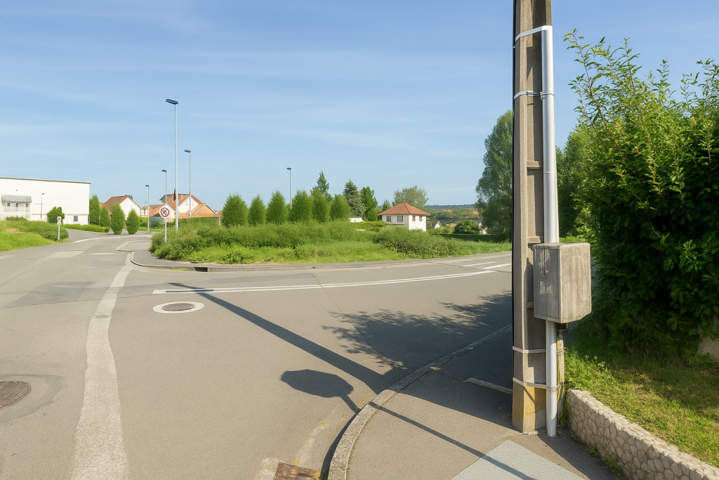
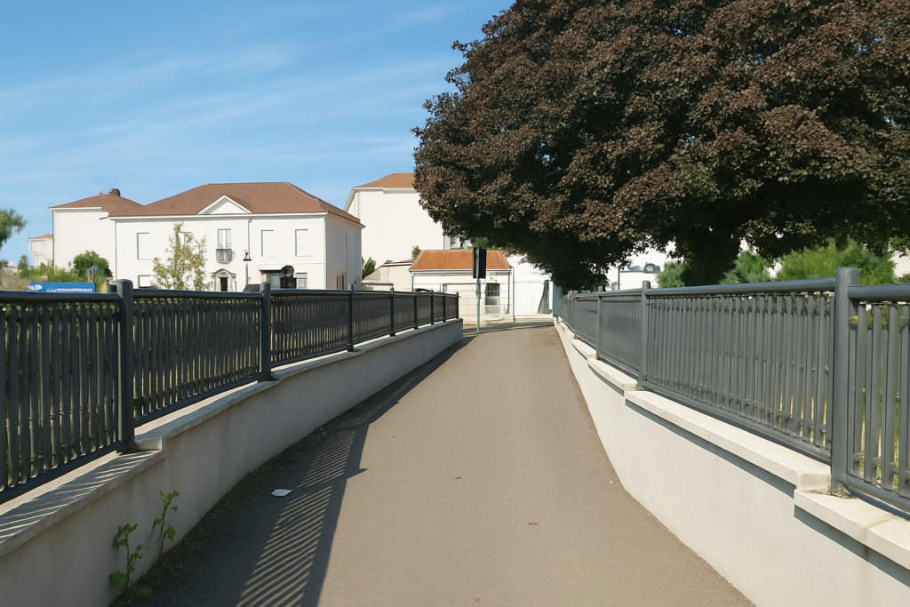
Very quickly, the route crosses another road, wider, which skirts Delle like a belt. It surrounds the town without embracing it. This bypass, without particular charm, nonetheless marks a clear threshold. It is here, in this apparent banality, that you definitively leave the urban space behind. Breathing widens. |
|
 |
 |
Here, the route leaves the road, like turning a page that is slightly too thick.
|
It sinks beneath the modest canopy of a small woodland where only frail beech saplings grow, thin and pale, as if the forest itself were still hesitating to be born. |
|
 |
 |
Higher up, the route turns at a right angle, still accompanied by the equestrian track and the enigmatic yellow circle.
|
Despite fine weather, the ground retains the memory of recent rains. It is hollowed out, furrowed with ruts, cut like wounded earth. Each step sinks slightly, a dull sound rises beneath the sole, and the walker understands that here, dryness is only an illusion. |
|
 |
 |
|
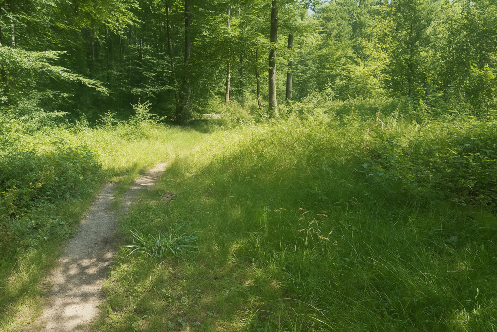
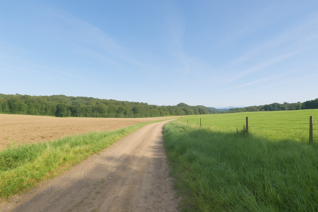
But this vegetal tunnel is brief. Soon after, the path escapes the wood and runs along its edge, through dense, uneven grass, as if the forest, modest, were allowing a glimpse of its flank. This passage, half clearing and half backstage corridor, accompanies the stride in a kind of in-between state, a green breath on the edge of shadow. |
|
 |
 |
|
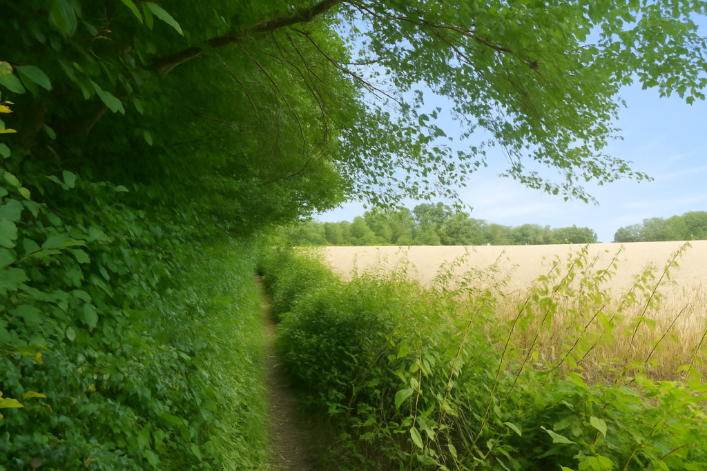
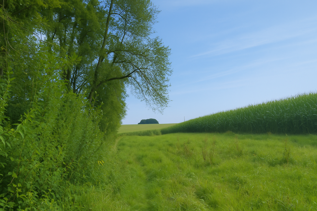
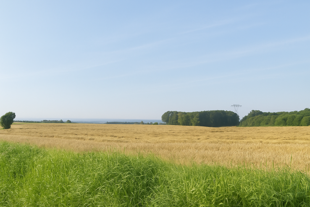
Sadly, this bucolic respite does not last. Nature here offers little charm. The eye is lost in a sea of monotonous maize, without relief, without music. Nothing sings in these fields, everything seems frozen. |
|
 |
 |
 |
 |
|
A little farther on, the path re-enters the wood, like a wounded animal returning to its lair. The atmosphere changes immediately. The air grows heavier, the light scarcer. The soil, deep black, is often waterlogged, saturated by the moisture jealously retained by the forest. |
|
 |
 |
|
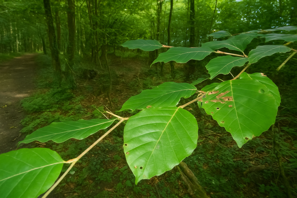
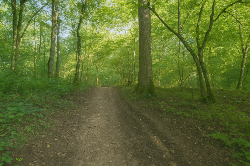
The beeches stand guard, silent and impassive. They are straight as a conductor’s batons, rigid, regular, somewhat severe. A few rare ashes accompany them, timid extras in this austere scene. It must be said, this forest has nothing seductive about it. It is functional, disciplined, almost military. |
|
 |
 |
|
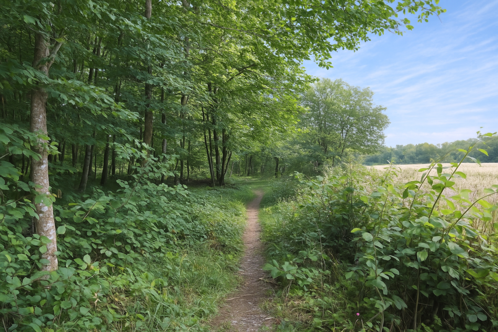
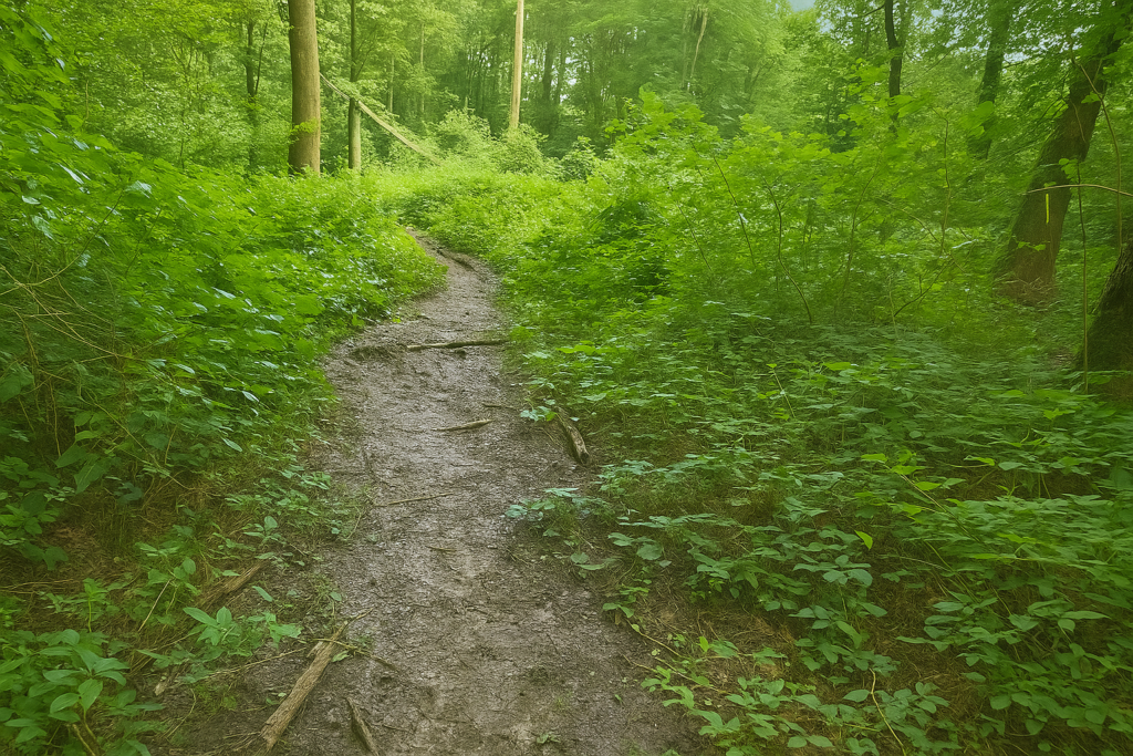
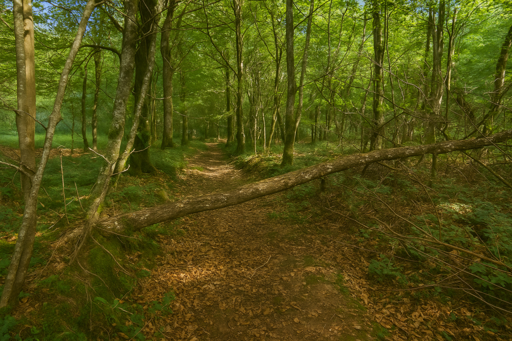
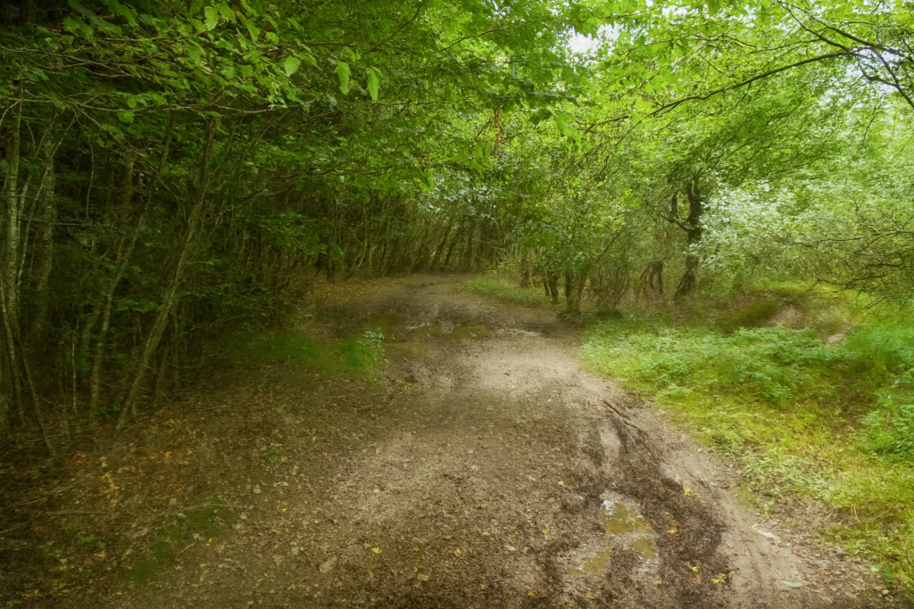
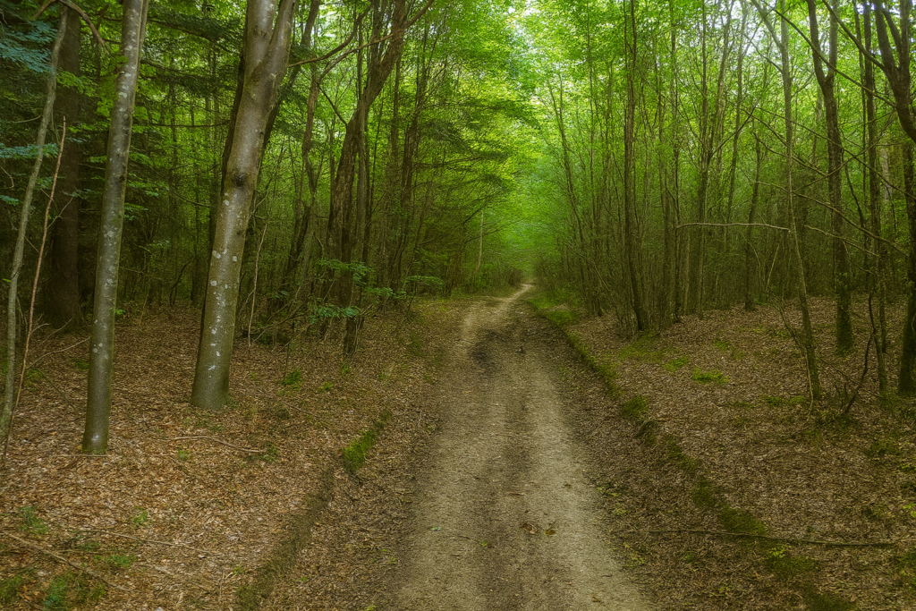
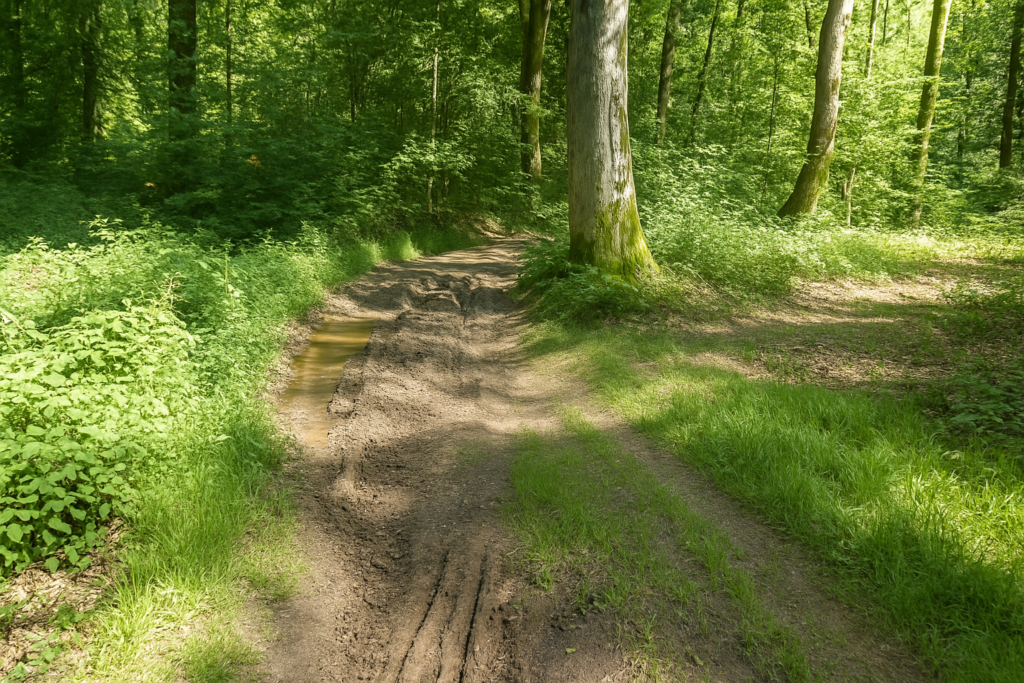
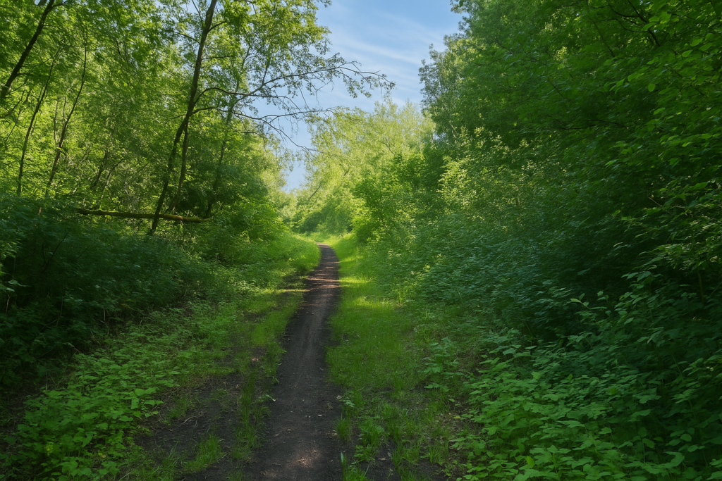
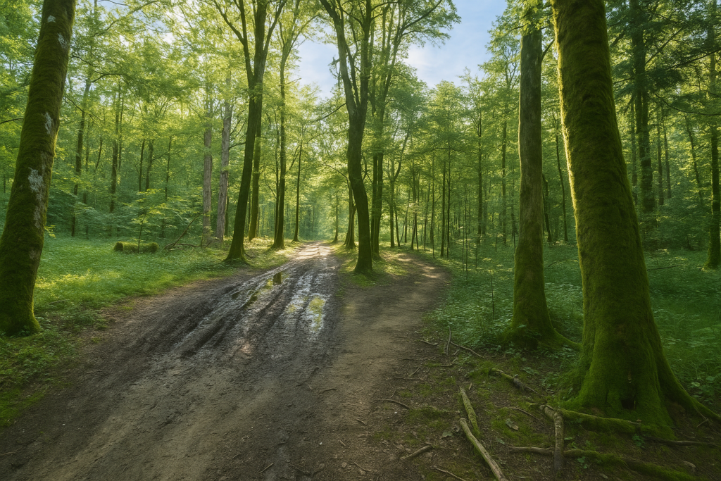
In the beechwood, the path becomes a trial. It is made of fine clay, noble yet treacherous. Beneath your feet, it has turned into a quagmire, scored with long deep tracks left by tractors. The ground is no longer an ally. It resists, clings, slows the walk. The path, still narrow, winds, twists, coils back on itself. It seems determined to disorient you, to test you. The wood stretches endlessly. Every bend is a riddle, every straight line an illusion. |
|
 |
 |
 |
 |
|
Further on, with patience, a wider path takes over. It imposes itself, clear and firm. This broad passage is almost a relief after the meanders of the previous path. |
|
 |
 |
|
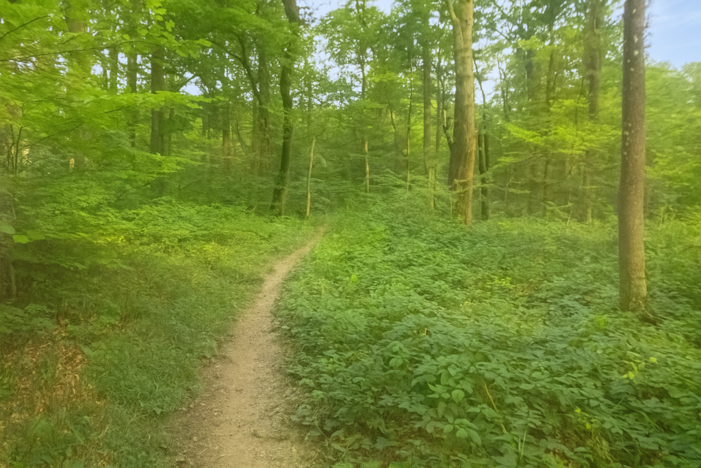
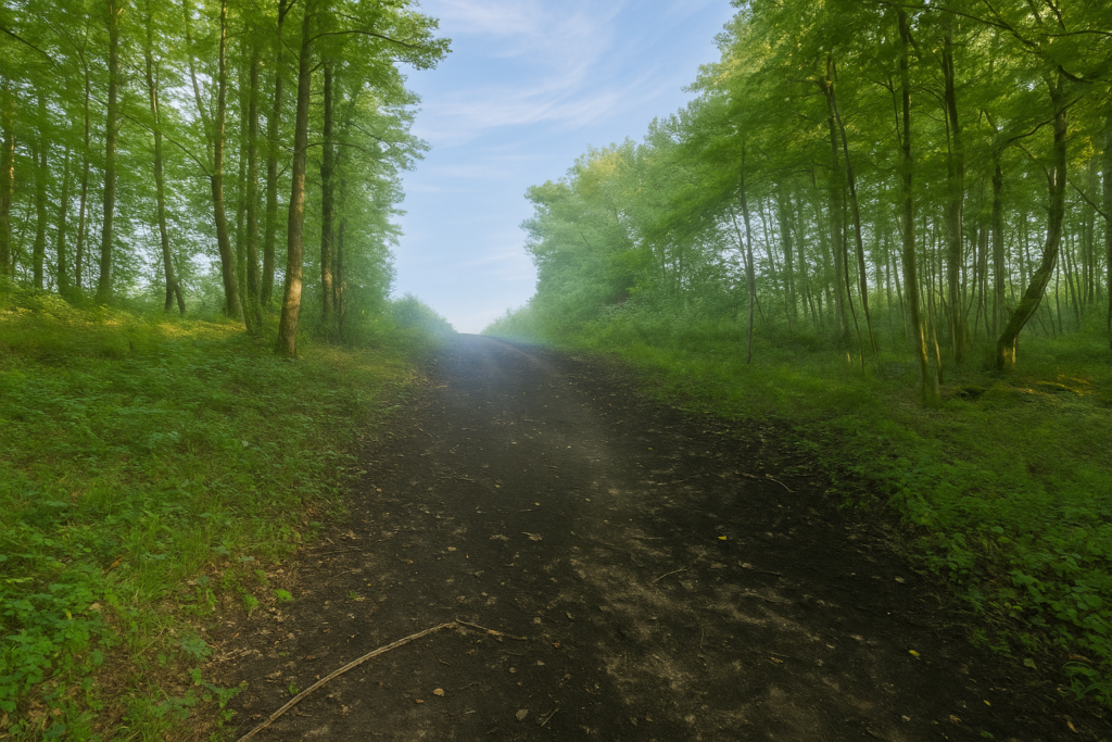
And soon, like a curtain lifting, the wood opens. Light returns, vivid and direct. |
|
 |
 |
|
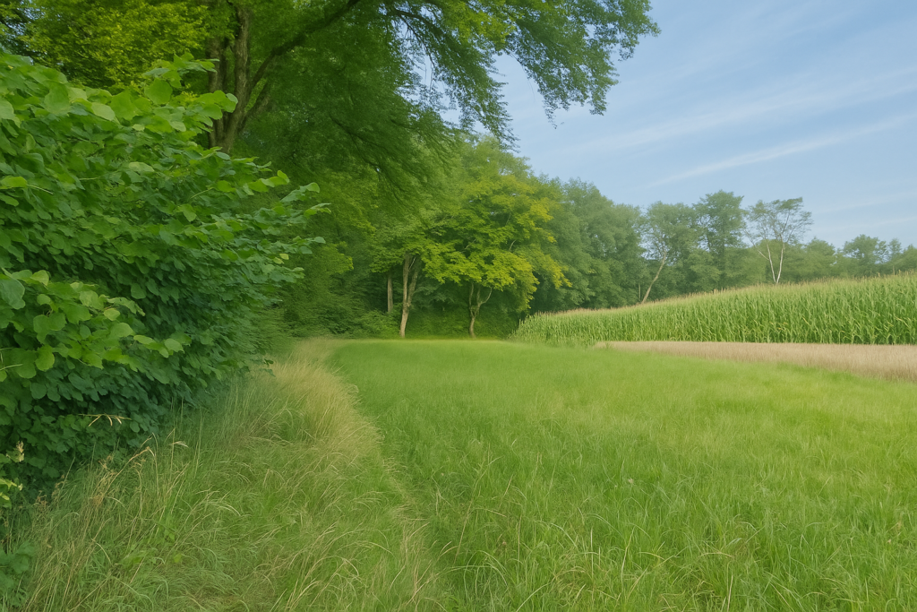
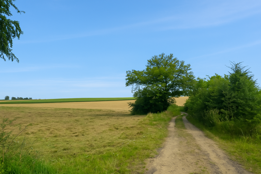
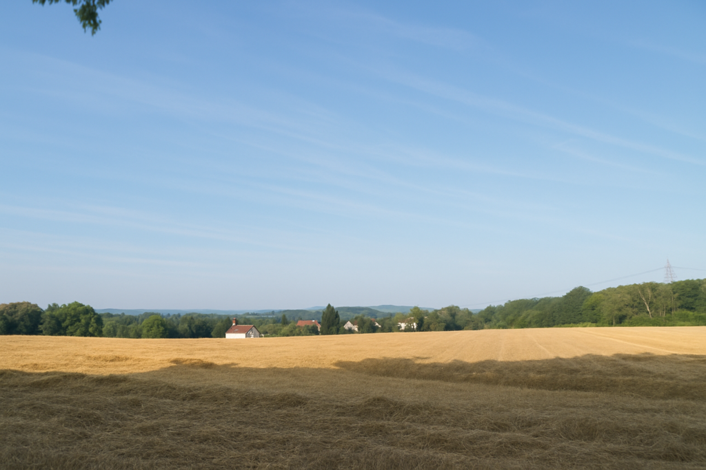
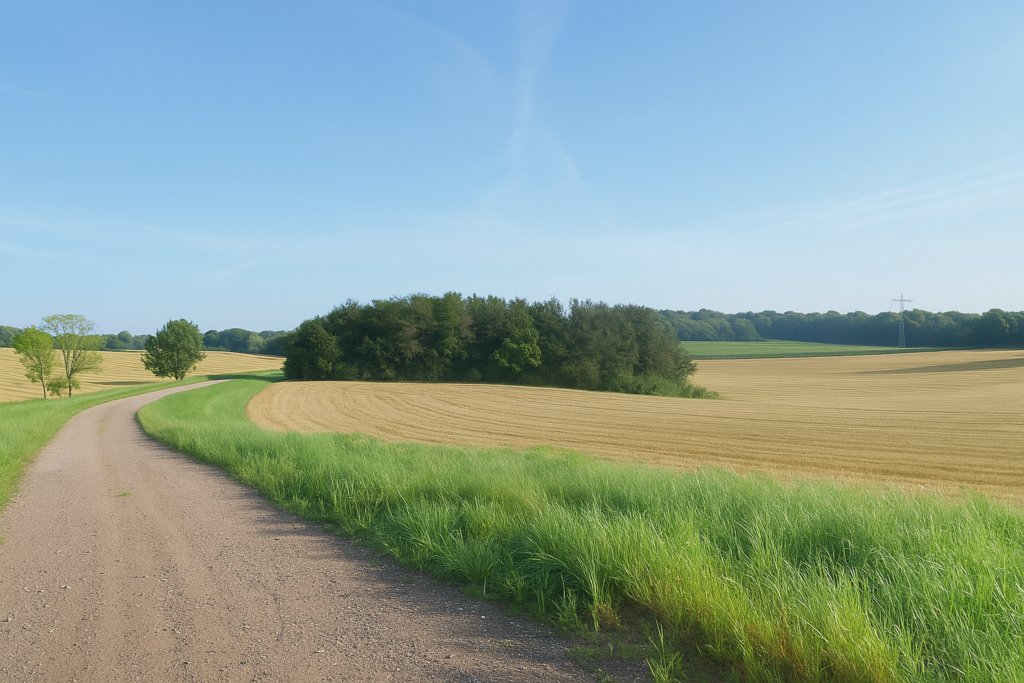
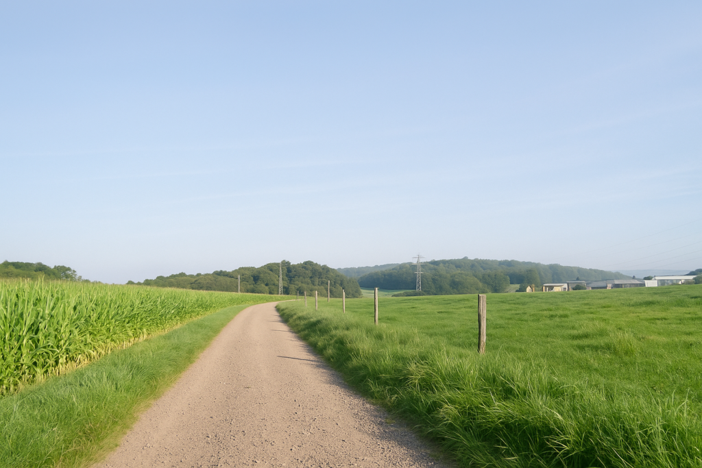
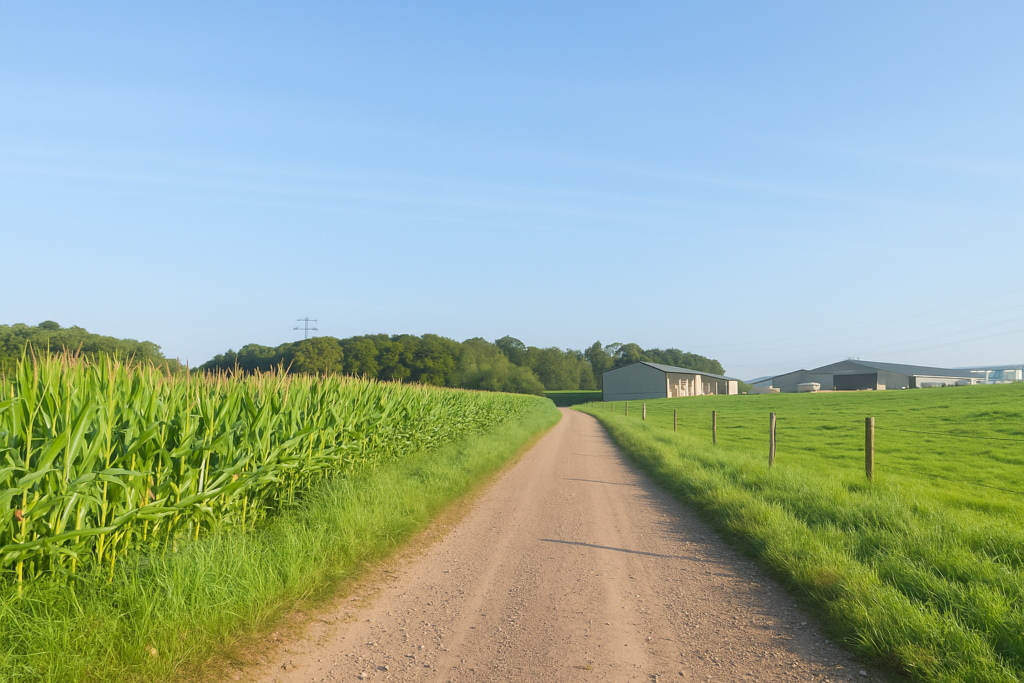
Before you, cereal fields spread out once more, punctuated, of course, by the ever-present maize. But this time, the landscape seems to breathe. |
|
 |
 |
 |
 |
You are still on the right path. Yes, truly. This small relief deserves to be savoured, so delicate is the art of not getting lost in the marked labyrinths of Alsace and Franche-Comté. And then, a modest miracle, the shell is finally oriented the right way. Its base now points in the direction of the path. A rarity that warms the walker’s heart, even if you still have no idea whom the yellow circle is meant for.
|
Shortly after, the path passes beneath the N19, a major regional axis, brutal and noisy. The contrast is striking. Mechanical clamour suddenly tears through the rural silence. You cross quickly, almost holding your breath, as if to escape the din. |
|
 |
 |
This is a turn that must not be missed. Here, inattention comes at a high price, and the right path must be earned at every junction.
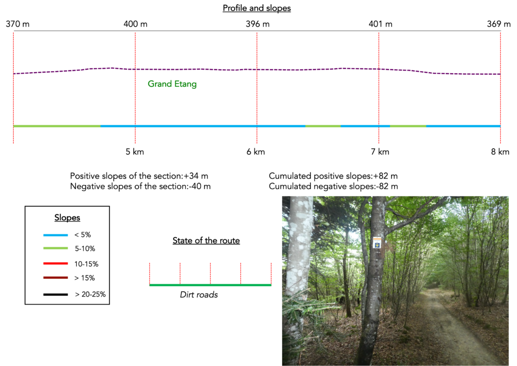
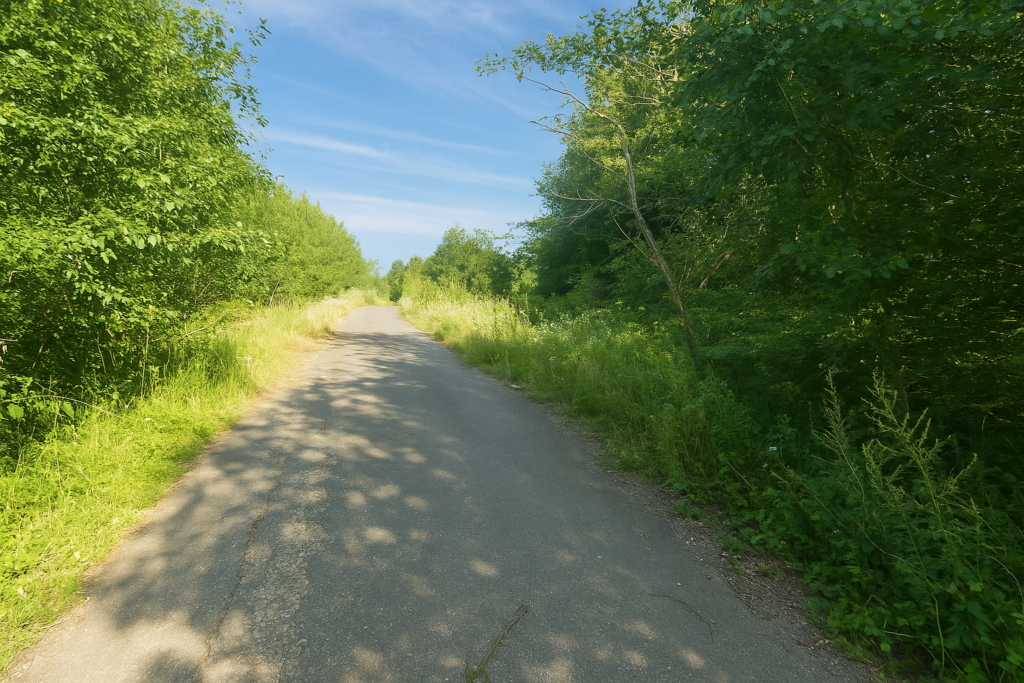
Section 2: An unsettling forest, because of the fear of getting lost
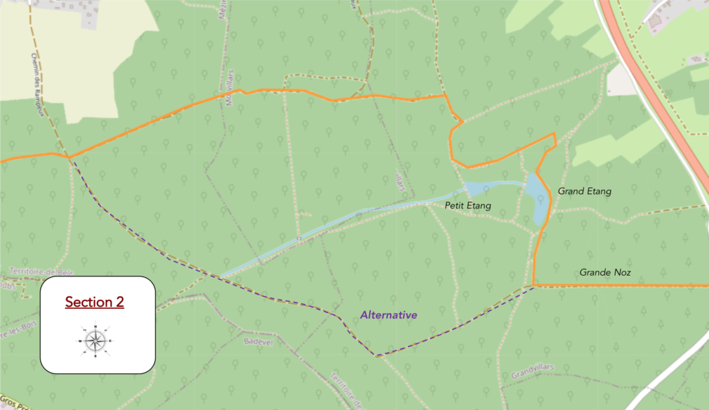
Overview of the route’s challenges: route without any difficulty.
|
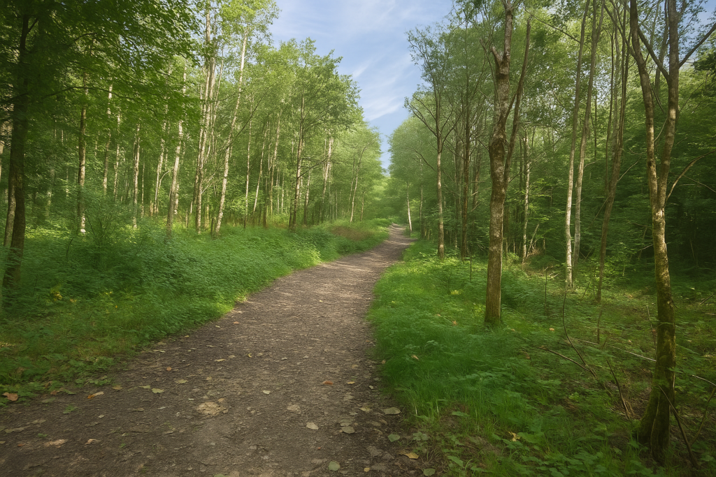
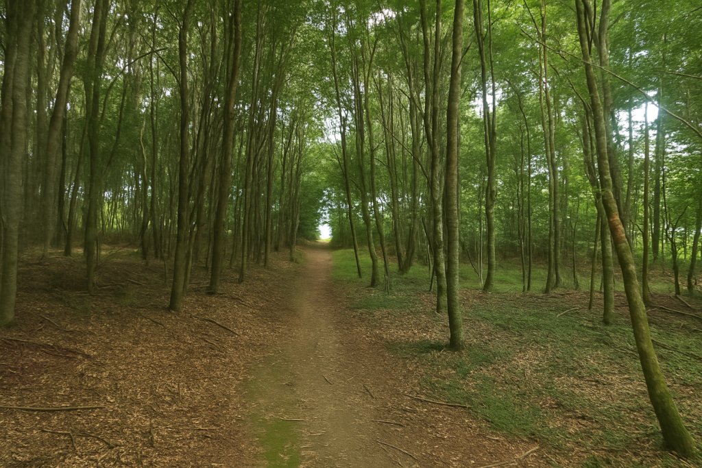
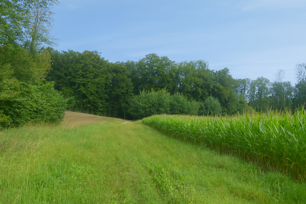
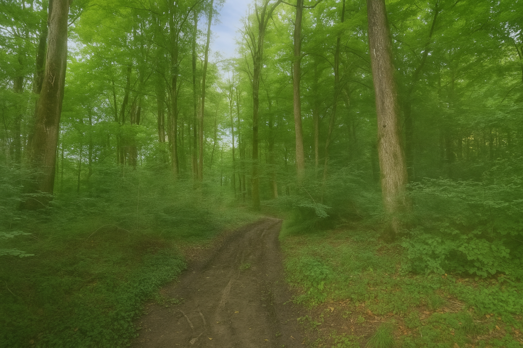
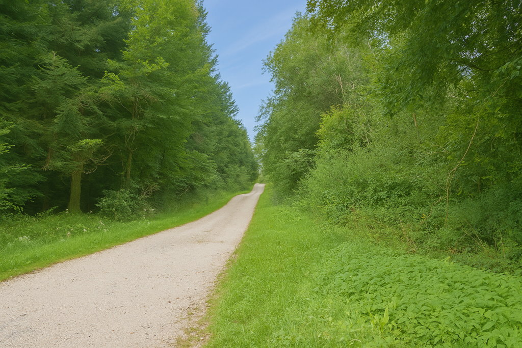
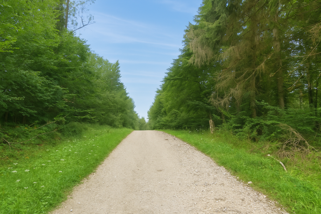
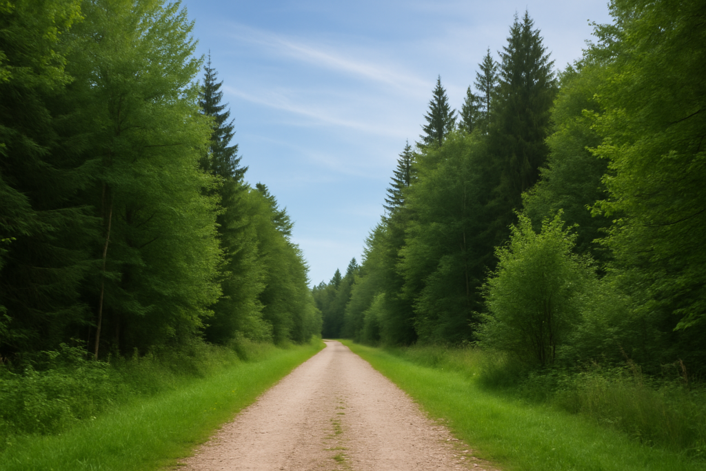
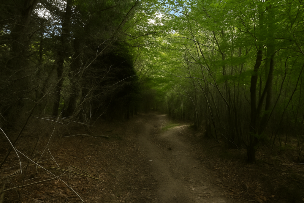
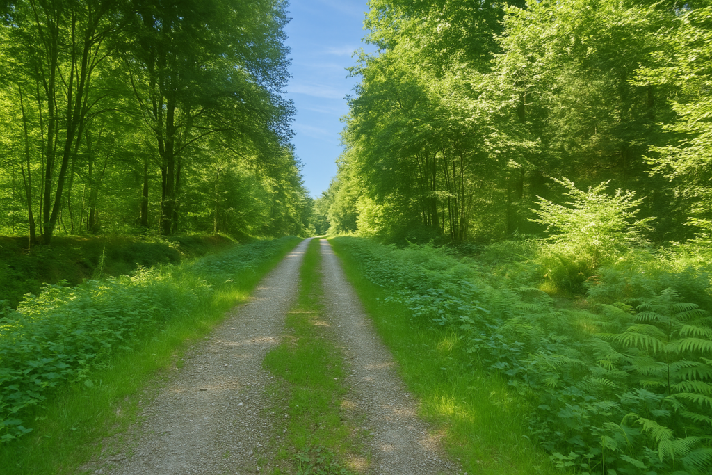
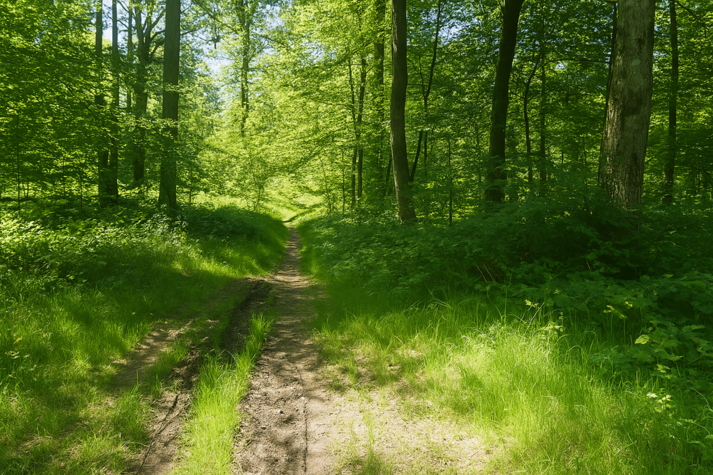
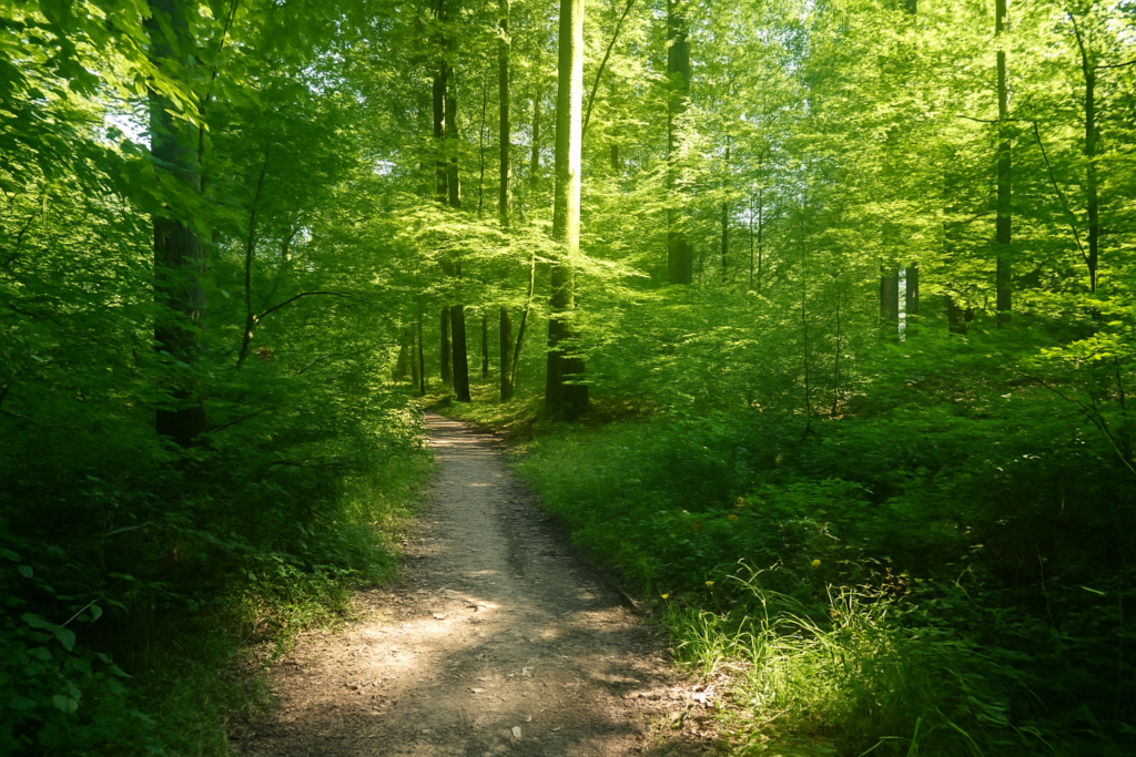
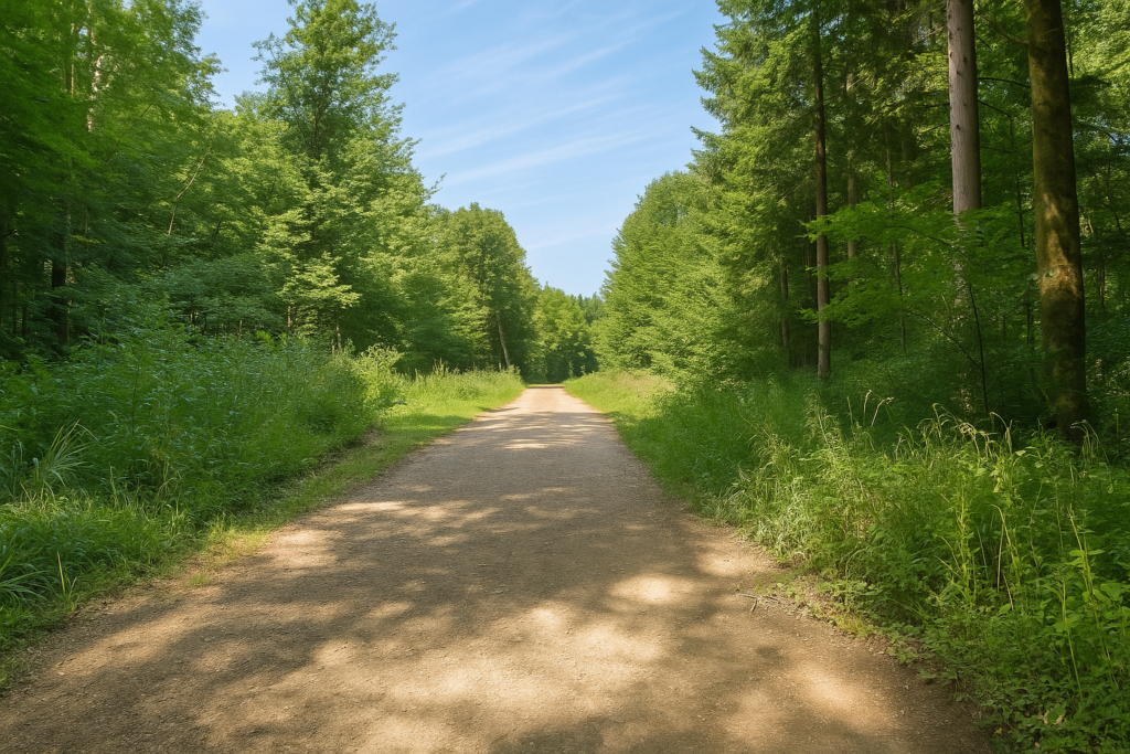
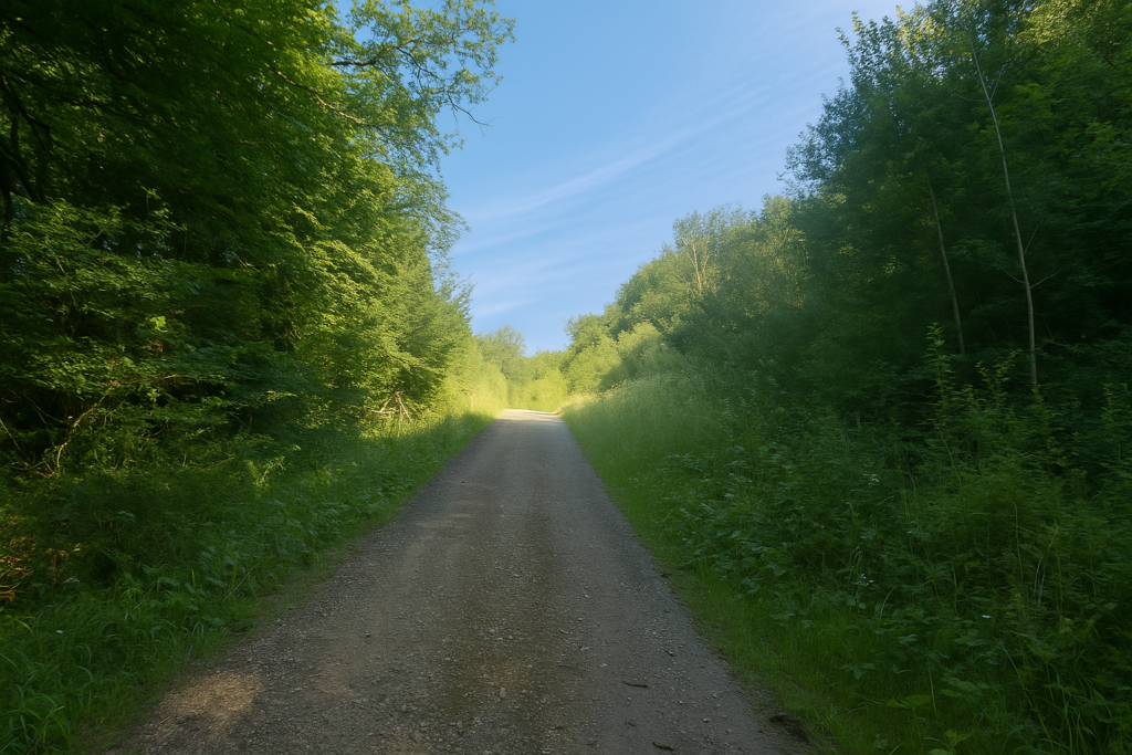
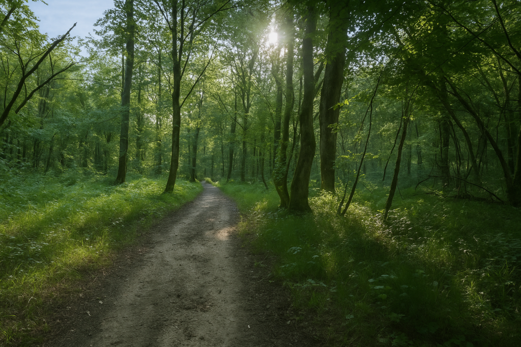
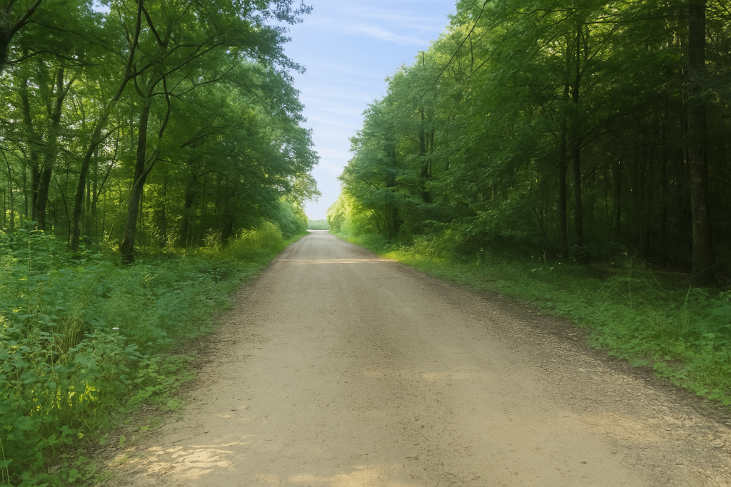
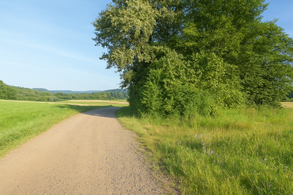
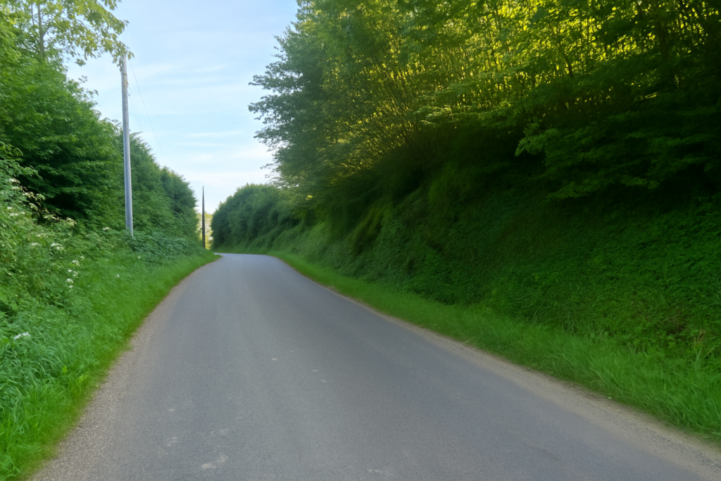
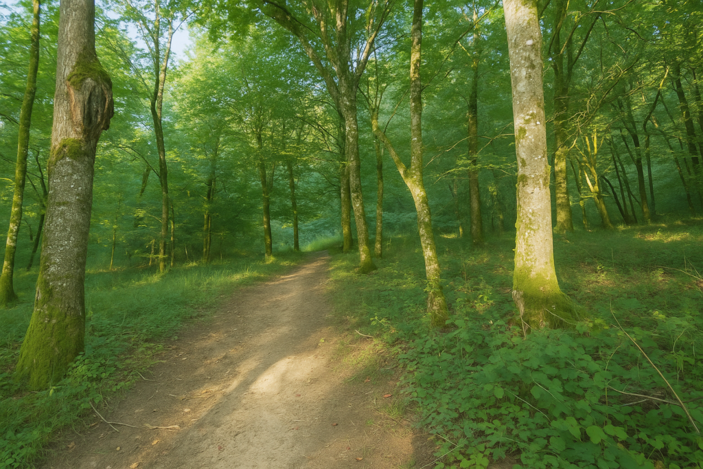
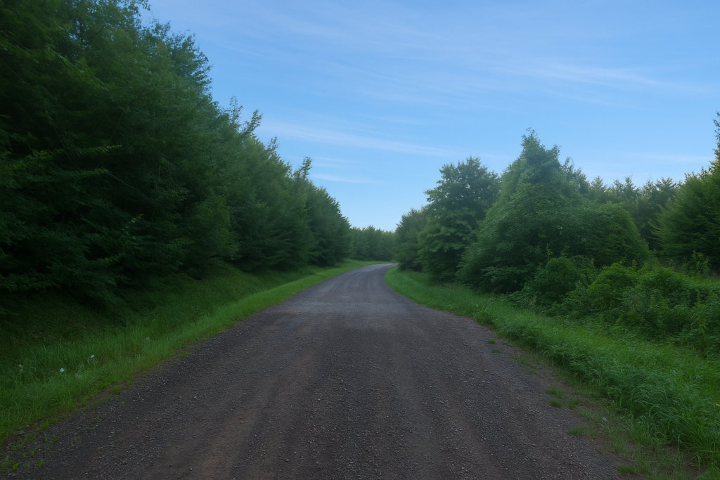
Here begins a long forest crossing, about one hour at a slow walking pace, through the Forest of Grande Noz. The path sets off straight ahead, wide and calm, on a gentle slope, as if inviting you without trickery to venture deeper into the silence of the trees. Broadleaf trees dominate, of course, and beeches are present in force, tall and austere, yet little by little, oaks rise to challenge them. Majestic and deeply rooted, they widen the canopy and give the forest a more solemn, more ancient presence. One senses here a living forest, not asleep, but quietly watchful. |
|
 |
 |
 |
 |
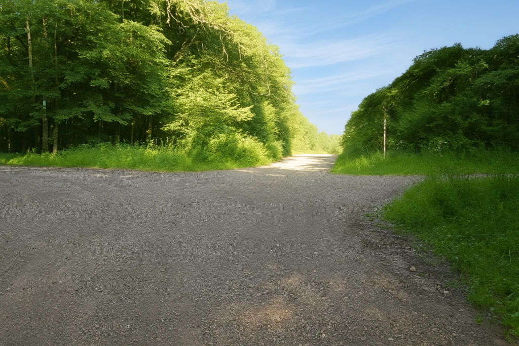
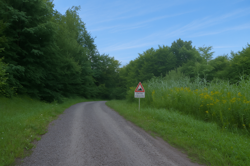
Very quickly, you will come upon a sign as dense as the forest surrounding it. It marks a crossroads of paths and hesitation. In Franche-Comté, trails are countless, intersections frequent, and indications often confusing. This sign is a perfect example. Beneath the many arrows, a shell appears, just below the direction pointing to Fesches-l’Église. But alas, it is once again wrongly oriented. If you follow this way, you will lose your way, like so many before you. Worse still, the former official guide itself, though well intentioned, states at this very point, “Follow the green rectangles.” The newer guide gives no sign at all, other than to follow the waymarking. Yet there is not a single green rectangle in sight. They are supposed to appear a little farther on, but this “farther on” remains a mystery. Here, the instruction is clear, you must go straight ahead, resolutely, in the direction of Morvillars, even though the route does not pass through that village. A paradox of the Way. Elementary, my dear Watson, certainly, but only if one has read the right chapter.
|
A little farther on, the path emerges into a wide clearing, a kind of improbable parking space, a breathing area in the middle of the forest. Still no green rectangles to be seen. Instead, the shell, faithful and silent, waits for you there, resting like a hand on your shoulder. It suggests turning right, in the direction of Morvillars. |
|
 |
 |
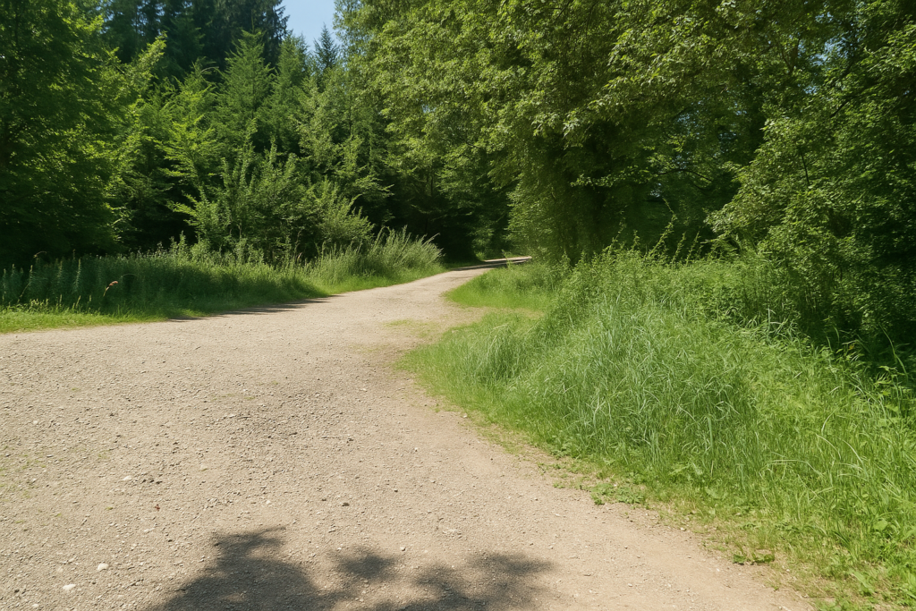
Two options are open to you. You can continue straight ahead along the wide, reassuring dirt way, a pragmatic alternative, see the map, or you can bravely follow the true Way of Compostela to the right, marked by the shell, despite the uncertainty it carries. This is where one recognises the pilgrim as distinct from the casual wanderer.
|
From here on, the path becomes more capricious. It enters an area where the equestrian track crosses your route. The ground sometimes hardens under the imagined hooves of horses, while the waymarking becomes even more delicate. |
|
 |
 |
 |
 |
|
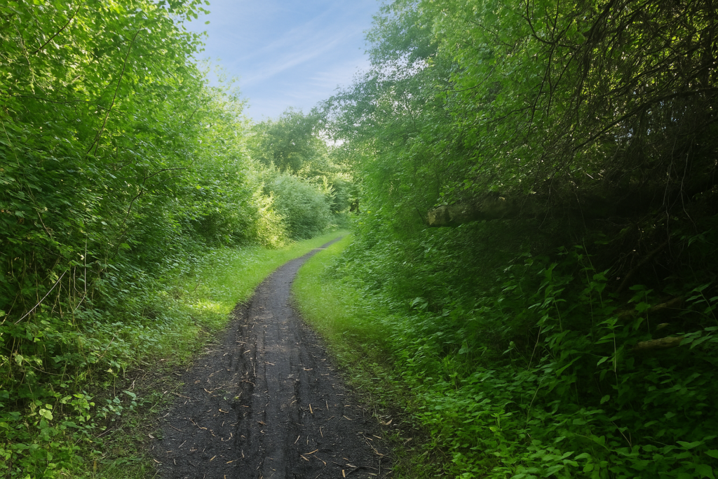
You must keep a sharp eye, almost an anxious one, fixed on the slightest shell, always badly oriented. Beneath the tight canopy of beeches, the path turns and doubles back on itself like a stubborn thought. Nothing is straight, nothing is simple. The forest envelops you. Often, the path turns into a delightful quagmire, where you slog along with a touch of cheerful resignation. You slip, you sink, you sometimes laugh alone at the clumsiness of your steps. Yet the wood here is kind. Dense, certainly, but not oppressive. A deep calm reigns, a kind of vegetal refuge, and effort is willingly accepted. |
|
 |
 |
|
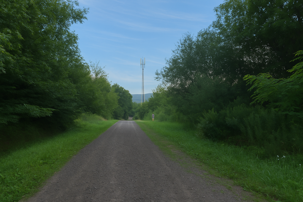
A little farther on, the forest opens slightly, allowing more sky to filter through. This opening feels like a breath, a beat of wings. For a moment, the walker feels reconnected to the world. One can easily imagine, at this season, hunters lying in wait, their silhouettes posted between two trees. The image imposes itself without violence, like an echo of local habits. But this respite is short-lived. Quickly, the path plunges once more, no longer into dark undergrowth, but into tall, dense grasses that brush the legs and sometimes reach the knees. A vegetal sea without a clearly traced trail, where progress is made by feel alone, sustained only by the conviction of still being on the right way. |
|
 |
 |
|
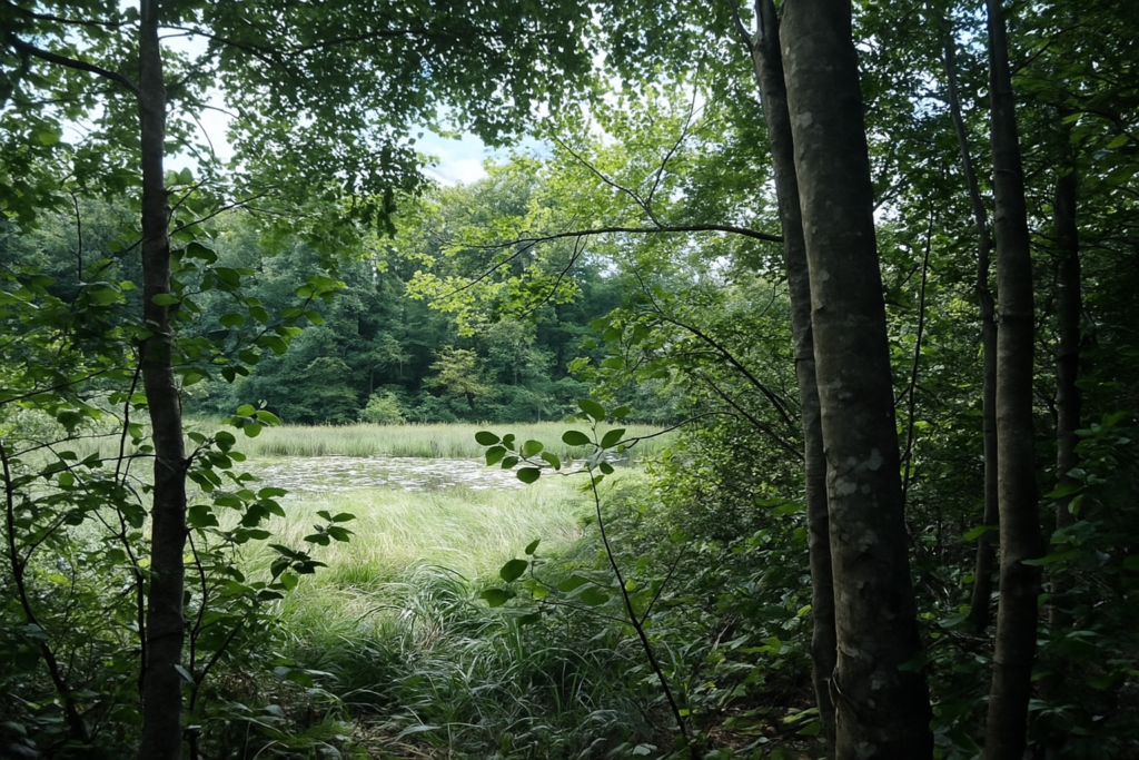
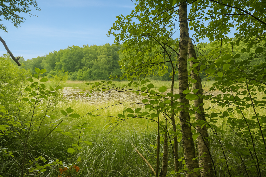
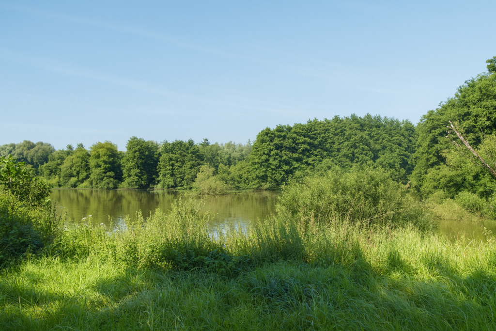
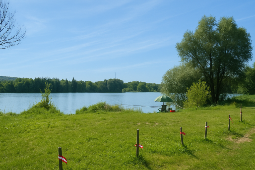
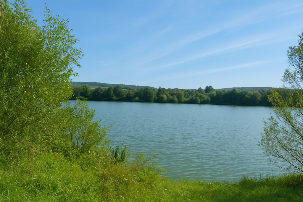
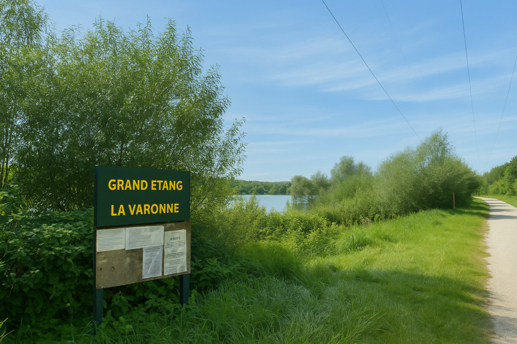
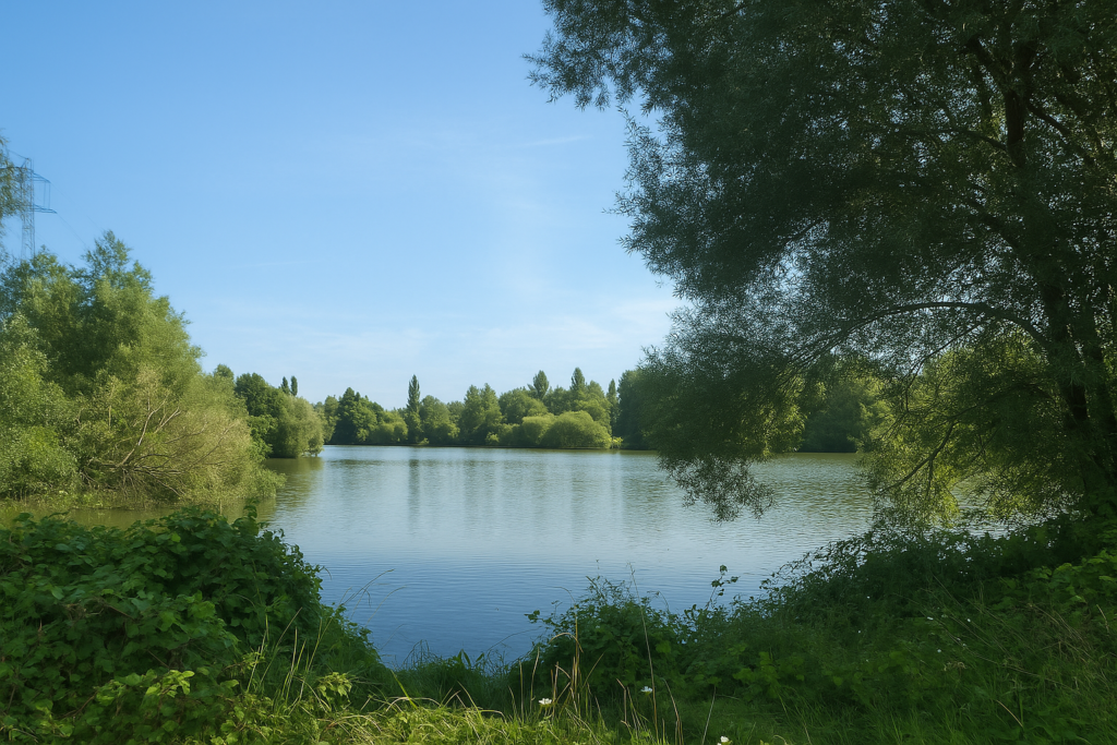
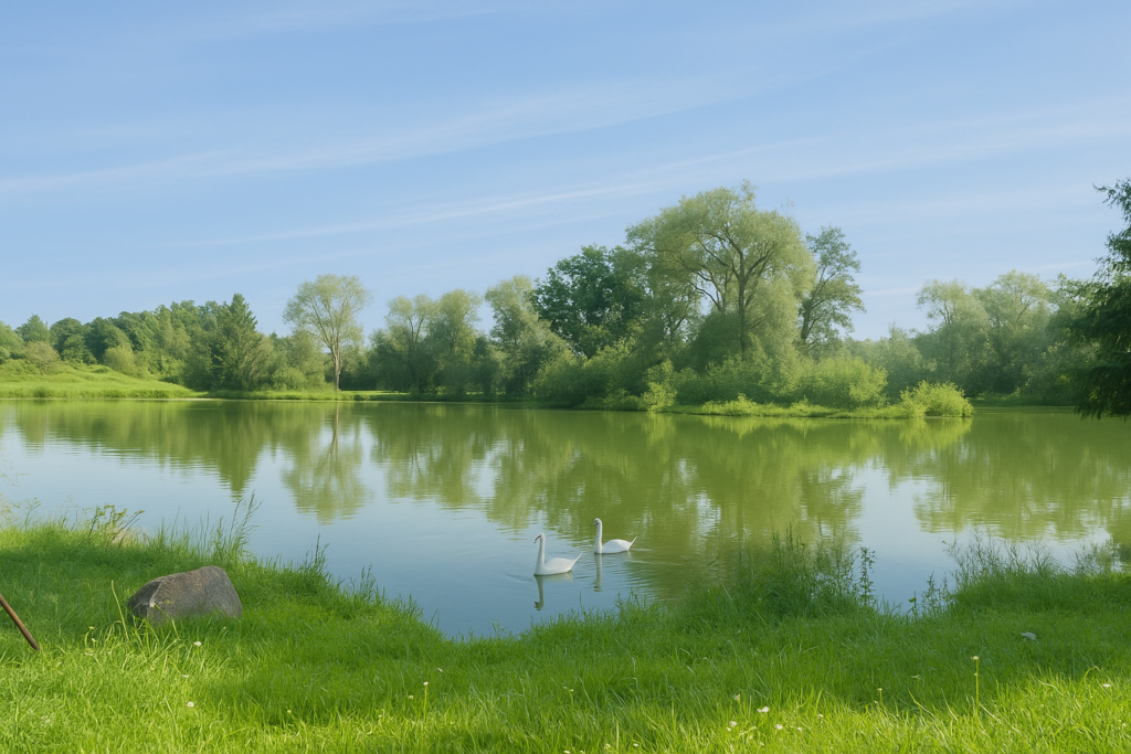
Soon after, the path skirts the Grand Étang (Great Pond), a peaceful body of water nestled in the heart of this wild nature. The place feels intact, almost primitive. Nothing moves. Not a ripple on the water, not a breath in the branches. Even the toads, those chatterers of summer evenings, seem to have taken a vow of silence. The place is so remote and so calm that one feels almost intrusive. One would whisper, as in a green cathedral. |
|
 |
 |
|
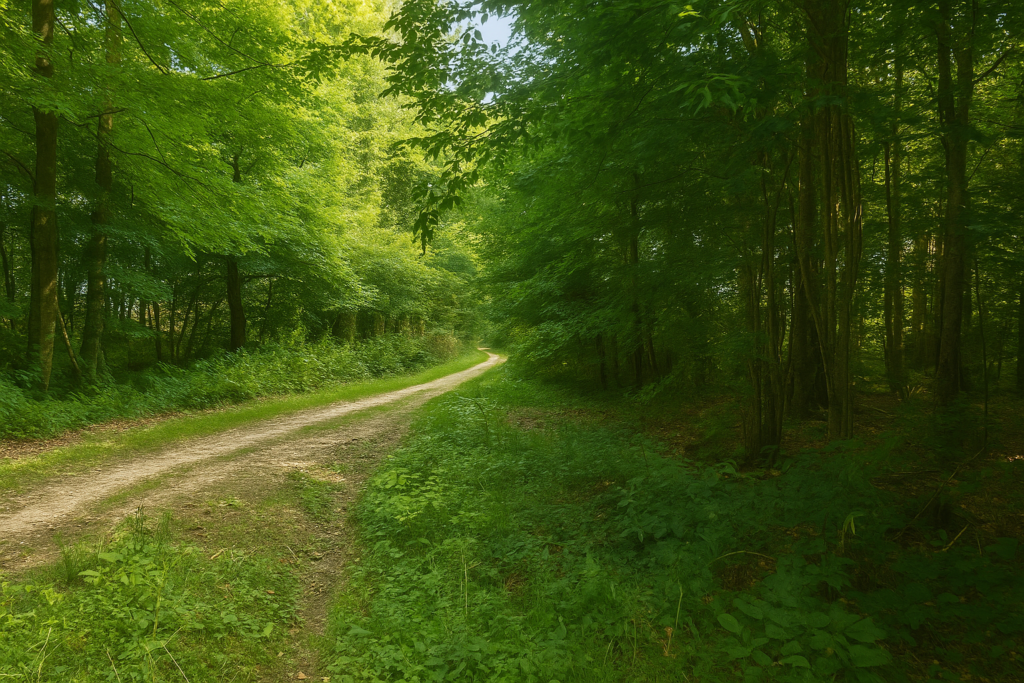
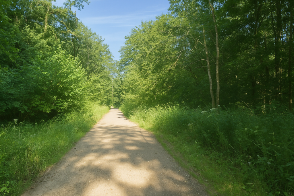
Farther on, the path changes character. It abandons its disorderly gait, its vine-like turns and mud, for a broader, straighter way, almost disciplined. The stride finds a steadier rhythm, and so does the mind. |
|
 |
 |
 |
 |
|
But scarcely has calm returned when the shell, the pilgrim’s faithful companion, vanishes as if by magic. In its place appears a blue circle, discreet yet persistent. The yellow circle has been replaced by a blue one. You stop, perplexed. Out comes the guide, pages are reread, understanding is sought. “The trail emerges onto a wide gravel path. Leave the green rectangle waymarking by turning left. After 160 metres, turn left again, blue ring marking, onto a more or less marked path that continues west while gently winding.” Alas, not a single green rectangle is visible. No doubt they have been swallowed by this luxuriant forest, by this overflowing chlorophyll that devours everything. The blue circle, however, is clearly there. Perhaps then, despite everything, we are indeed on the right path? |
|
 |
 |
Then the shell reappears farther on, still accompanied by the blue circle. You are on the right path. That is reassuring.
|
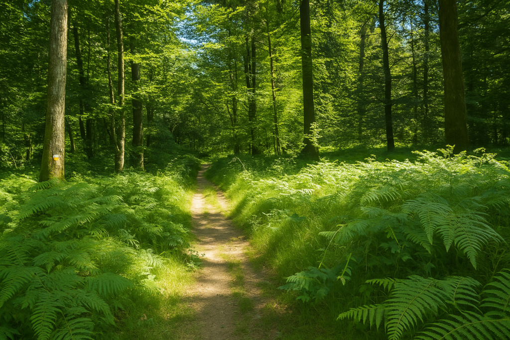
And now the forest changes tone once more. It becomes beautiful, welcoming, almost tender. A new grace emanates from the trees. For the first time, spruces appear scattered among the beeches. They stand like discreet visitors, blending their dark needles with the lighter foliage. It is a mixed forest, more alive, more balanced. The clay becomes treacherous. Puddles appear without warning, thick and deceptive. But walkers, resourceful, have already traced a thousand little avoidance paths. They snake along the edges, climb the sides, step aside just enough. A web of paths woven by cautious soles. |
|
 |
 |
 |
 |
|
At times, ruts left by forestry tractors still plough the soft ground. |
|
 |
 |
|
And then suddenly, a miracle. A fine shell, bright as a star on a trunk, appears on a beech. It points in the right direction, and supreme joy, it is accompanied by the blue circle. Two signs in harmony, singing together. The heart immediately feels lighter. You will never have seen the trace of the green rectangle promised by the guide. The forest sprites have no doubt swallowed them. Beeches, oaks and spruces compete in height in this wild nature, where the canopy sometimes grows thinner. |
|
 |
 |
|
From then on, the path becomes gentler. You walk with a more confident, almost joyful step. The forest, generous, opens slightly, even if the ground still occasionally gives way. |
|
 |
 |
 |
 |
|
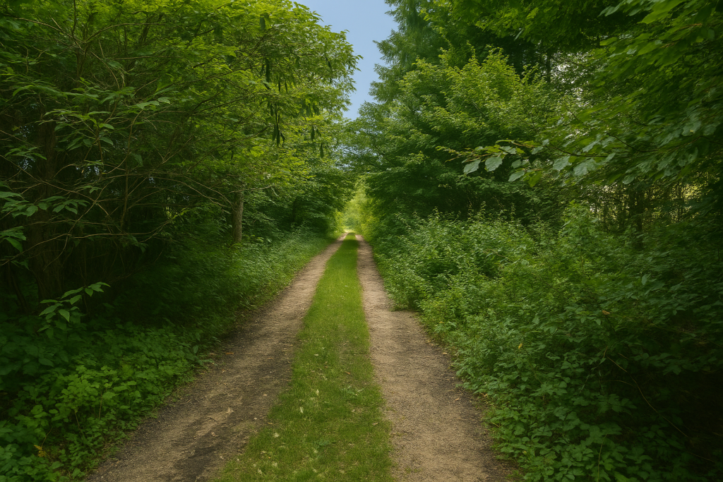
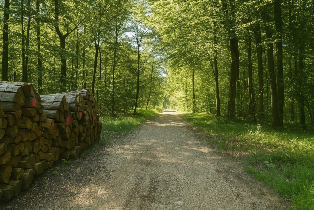
Soon after, the path, tired of winding, straightens and stretches out in a long line. It now runs alongside piles of wood stacked by loggers, proof that humans still work this forest, shape it, and pass through it without disturbing it too much. |
|
 |
 |
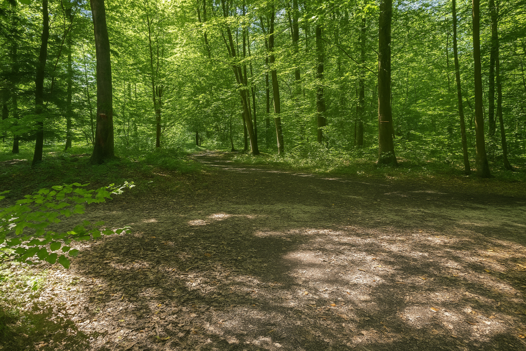
| Beeches still dominate, straight and numerous, but here and there spruces timidly pierce through the stands, as if attempting a discreet return within this leafy realm. One senses that forest chaos is beginning to yield a little ground to order. Paths become clearer, better defined. The forest grows less unsettling. You will come out of it eventually, that much is certain. This forest, sometimes so labyrinthine and so suffocating for the poor pilgrim who fears at every moment getting lost, finally seems willing to spare you. Shortly afterward, you reach the end point of the alternative mentioned earlier. The two paths, long separated, meet again here like two lines of life that, after following their own logic, finally cross. A moment of discreet reconciliation, almost invisible, except to the one who knows what was avoided, or missed.
Morvillars? You will hear no more about it. The equestrian trail with its orange rectangles? Gone as well, like the green rectangles. But horses, after all, always find their way, don’t they? |
|
 |
 |
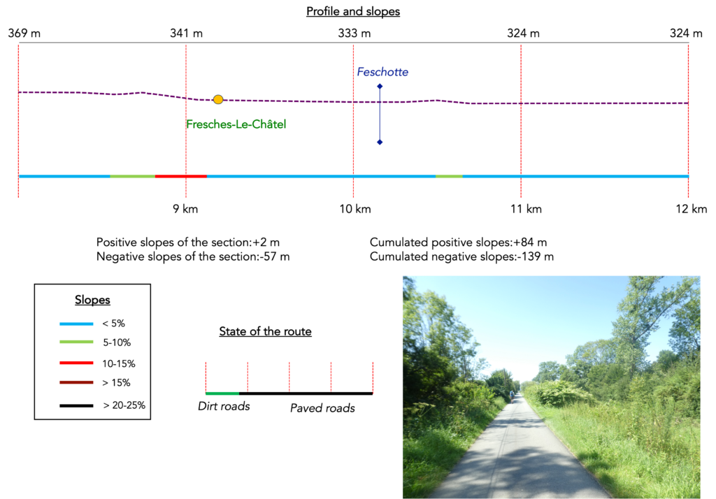
Section 3: Toward the Rhône–Rhine Canal via the Allan River
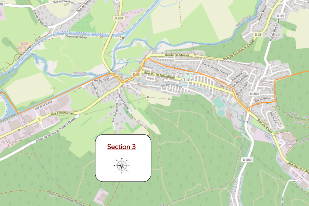
Overview of the route’s challenges: route with no difficulty at all.
|
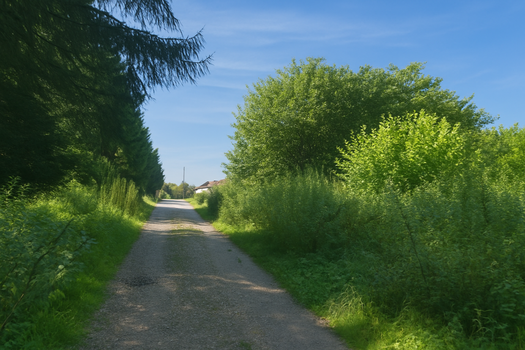
Here the route leaves the dirt path at a right angle, like a sudden but firm decision, and finally exits the forest. When you catch sight, at the end of the lane, of the first house gently emerging between the leaves, there is a good chance you too will let out a long sigh. It marks the end of the woods, and also the walker’s quiet victory over confusion, mud, and the fear of losing the way. A road then takes over, modest but clear, and runs along the heights above the village of Fesches-le-Châtel. You leave the forest without regret, though not without one last glance back. The landscape opens up, landmarks become readable again. The world returns. |
|
 |
 |
|
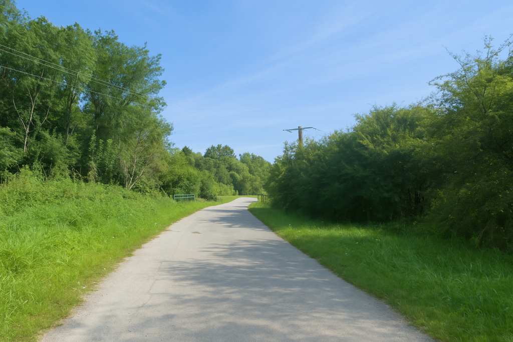
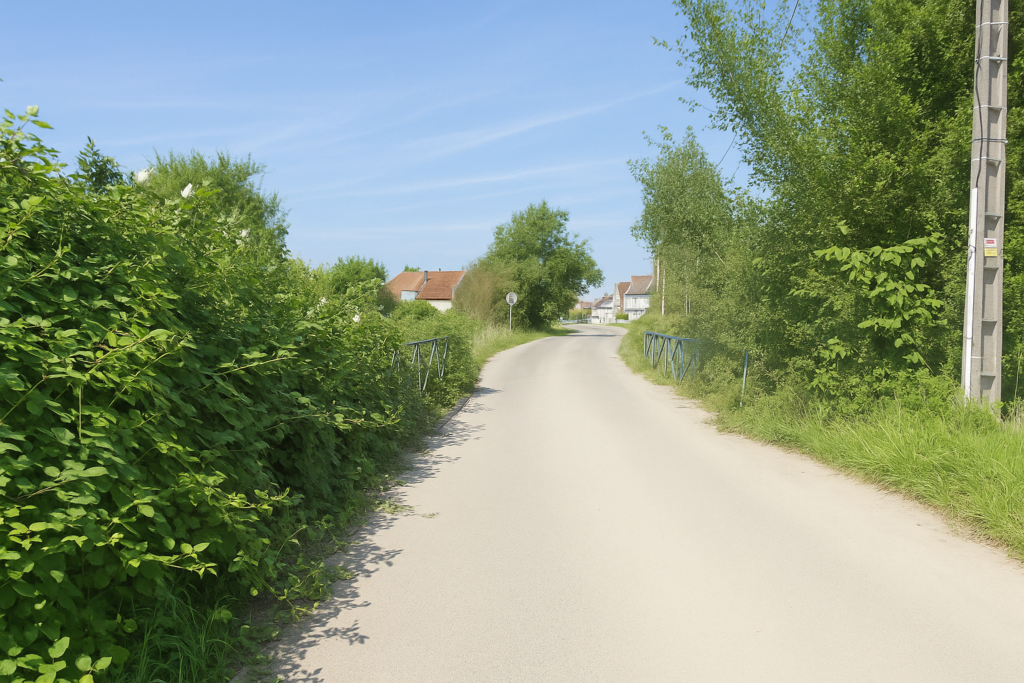
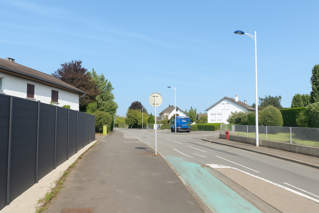
The road follows the aptly named Rue Sous le Bois. And then, a surprise, shells bloom again, numerous, talkative, almost too many. The irony of waymarking is that when there is no longer any risk of getting lost, you find yourself surrounded by signs. It is a bit like those friends who offer you a thousand pieces of advice when you no longer need them. |
|
 |
 |
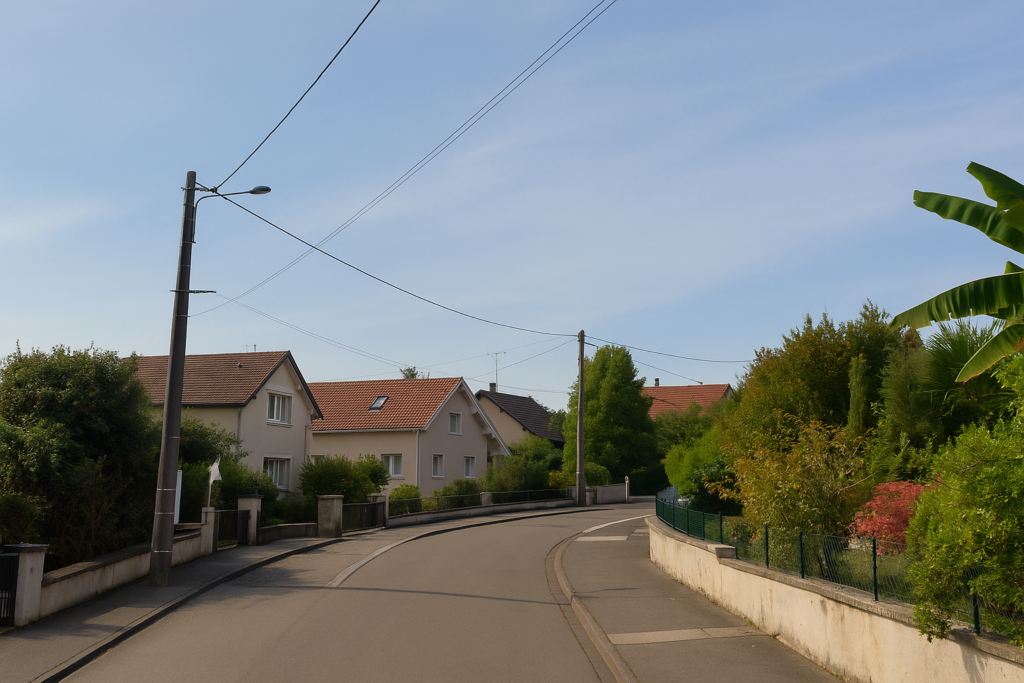
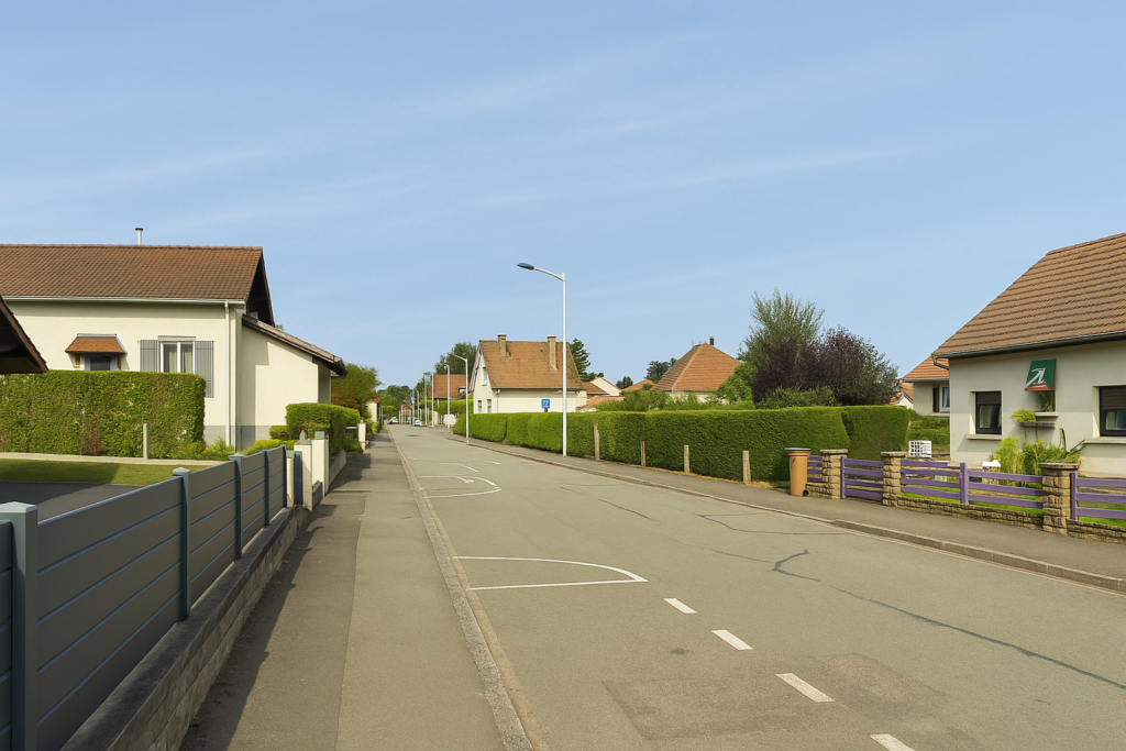
The road then descends gently, slipping between the edges of the wood and peaceful villas, until it meets the Rue du Puit. The houses are orderly, the fences neatly kept, the gardens asleep. You can feel that nature here has been tamed, controlled, urbanised.
|
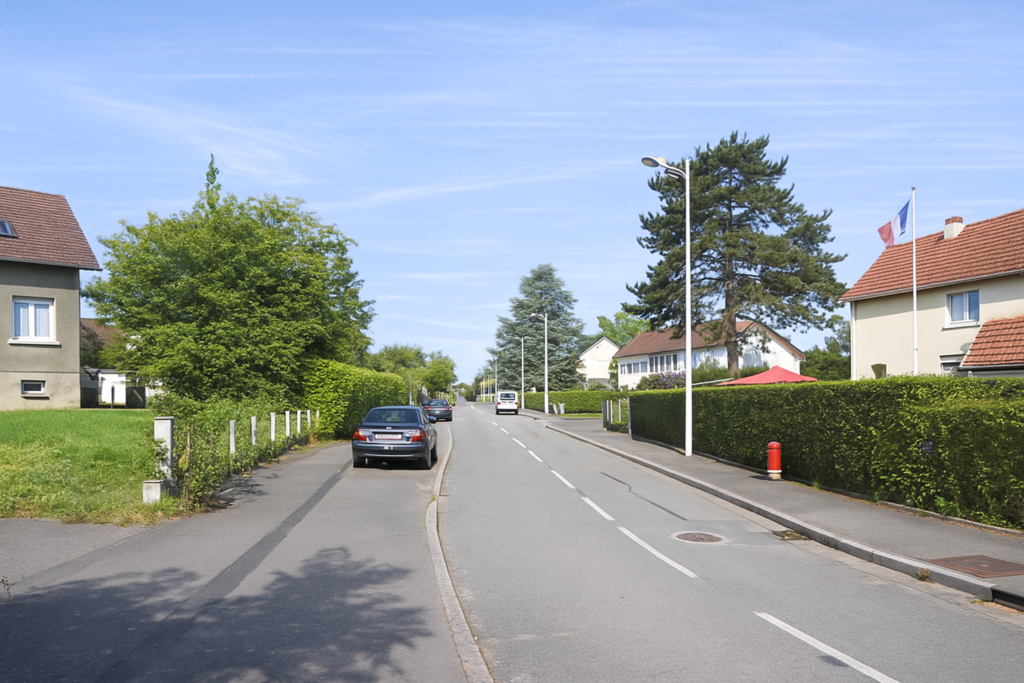
Down below, the road leads into a large junction at the entrance to Fesches-le-Châtel, a village of a little over two thousand souls. It is a place of passage, a crossroads between history and everyday life. It is better here to leave the departmental road, too fast, and enter the village itself. You can still sense the working-class memory, still present. Fesches-le-Châtel is one of those villages shaped by industry, marked by the presence of the Japy dynasty, an illustrious name from Belfort, in clockmaking, pumps, and typewriters. Behind the simple façades, you can guess the quiet labour of generations of workers. |
|
 |
 |
 |
 |
|
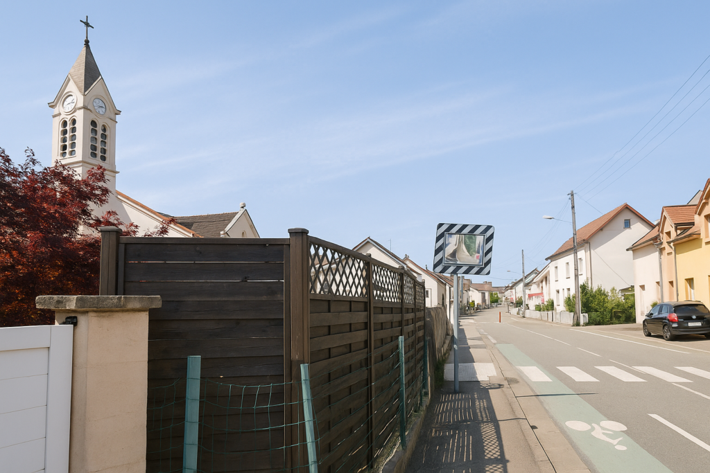
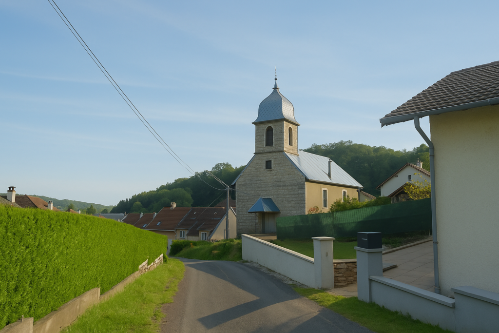
Very close to the junction stands the church of St Laurent. It has watched over the village since the beginning. Founded in the sixth century at the same time as a monastery, it is the historical heart of the place. The present church, in flamboyant Gothic style, dates back to the fifteenth century, yet the stones here have known many hands and many faces. Later additions have altered it without betraying it. |
|
 |
 |
 |
 |
|
The road crosses the village for a long time. It is a straight line, almost monotonous, and the walker’s gaze slides along it without lingering. There is little charm here, yet there is continuity, a transition. |
|
 |
 |
|
Soon you will see the sharp steeple of the Protestant church. |
|
 |
 |
|
At the end of this linear crossing, the road bends slightly, toward the Protestant church. The village once had a medieval castle. Over the centuries it was transformed, first into a mill, because the stream of the Feschotte ran beneath its wheel, then into a rental building. Like so many places, it changed its face, yet it still retains something of its noble and practical past. |
|
 |
 |
|
Beyond the church, the road descends toward the river. Here the GR5 appears, coming from the north, marked by its two red and white stripes. You will share a few steps with it, for the brief time of a discreet companionship. The contrast is striking. After the vegetal slowness of the forest, everything seems to accelerate. Human presence is everywhere. The road hums, houses draw closer. |
|
 |
 |
Montbéliard and Sochaux are not far. You are already in their invisible outskirts, a territory both dense and fluid, where the world keeps reappearing. From now on you must aim for Châtenois-les-Forges, nine kilometres away. The Ballon d’Alsace fades on the horizon, pushed back to its fifty-seven kilometres, like a dream too distant to hold.
|
Here flows the beautiful river Allan, lost among the supple arms of willows. The water, calm and almost secret, glides through tall grasses. It is a place of peace, one of those spots where time seems suspended. And yet the landscape is about to change here in a drastic and unexpected way, to your greatest delight. |
|
 |
 |
|
From here on, a long straight road appears, narrow and smooth, without jolts. It seems to stretch endlessly, heading toward Brogard, three kilometres from here. |
|
 |
 |
|
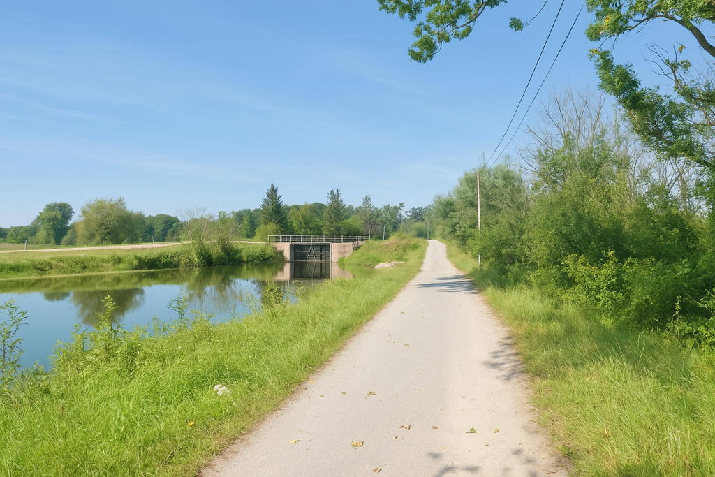
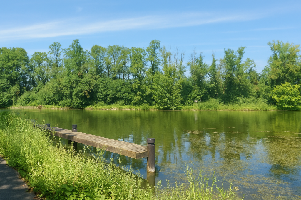
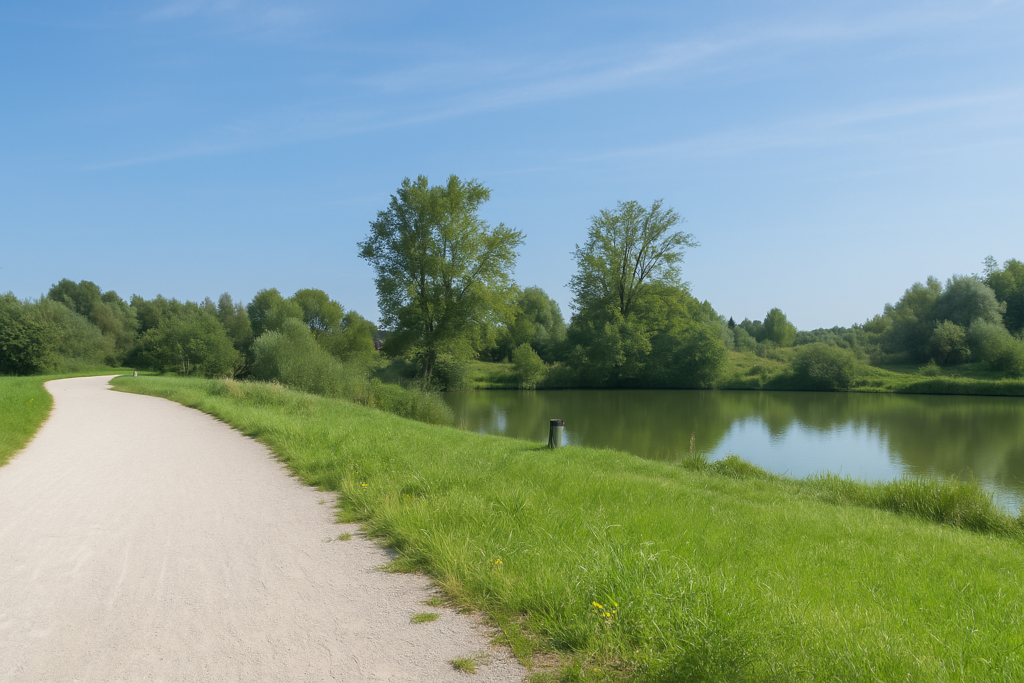
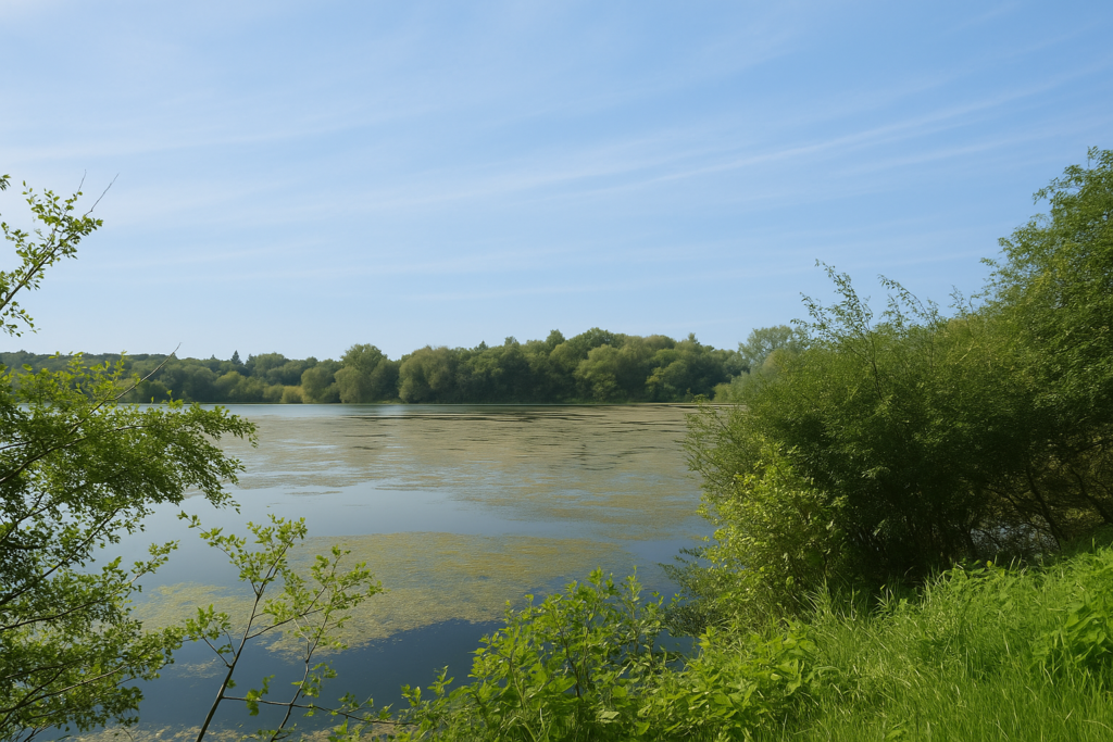
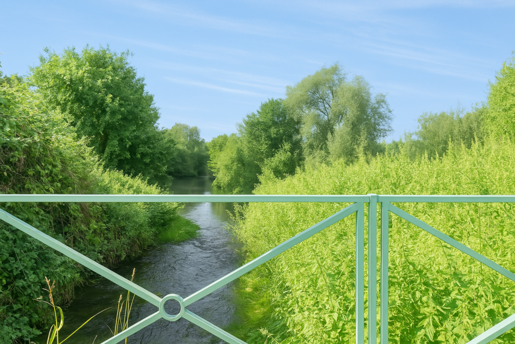
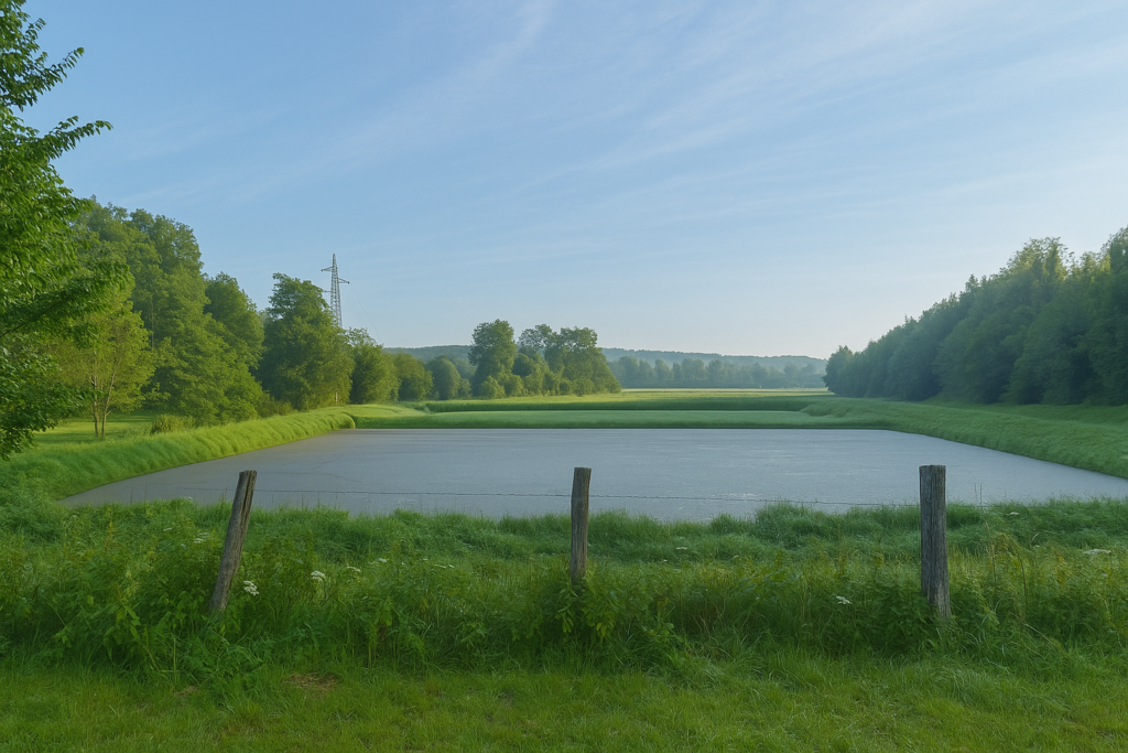
It is no longer truly the Allan that you follow here, even if it is not far away, flowing a little higher up, invisible but present. What you are now walking beside is an arm of the Rhône–Rhine Canal, one of those quiet canals repeated again and again in this river region of almost geographical complexity. |
|
 |
 |
|
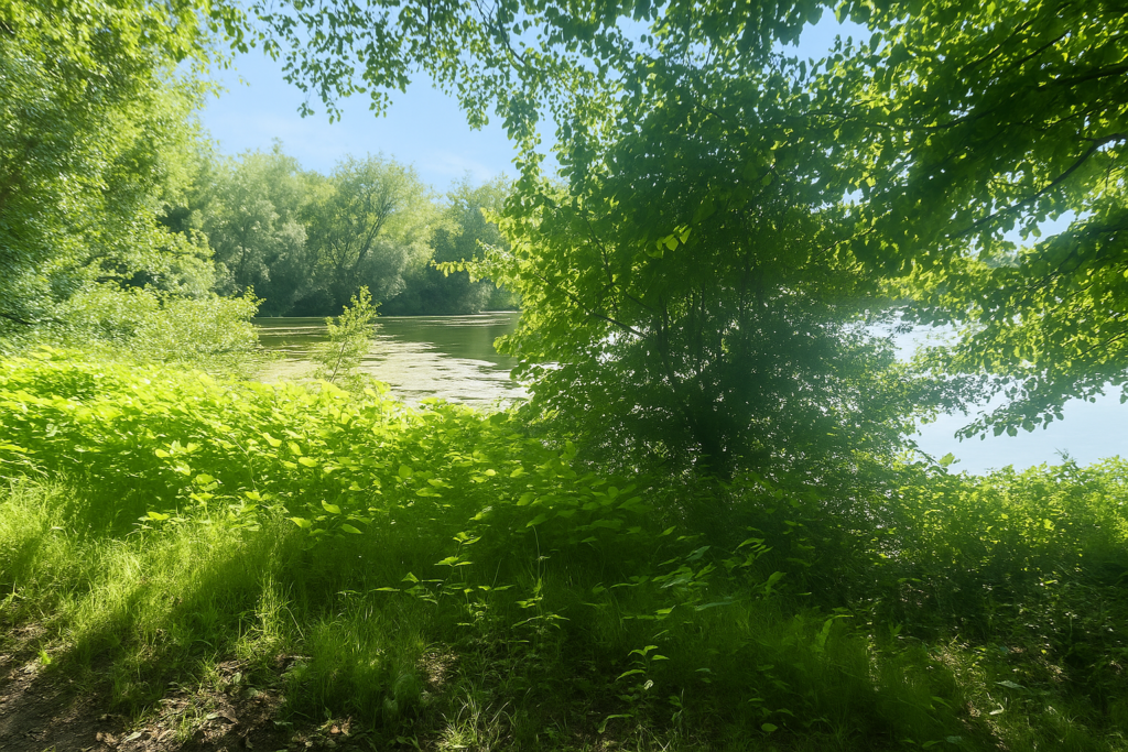
Willows dip their roots and their reflections into it. On the other side of the road, young beeches, shy oaks, and dense bushes offer a little shade to the walker. When the canal finally reveals itself to the eye, its water is greenish, as if gently tired, sprinkled with water lilies. Beneath the oaks, the beeches, and the maples that have become more numerous, light plays hide and seek with the leaves. The canal is a living mirror, peaceful. |
|
 |
 |
|
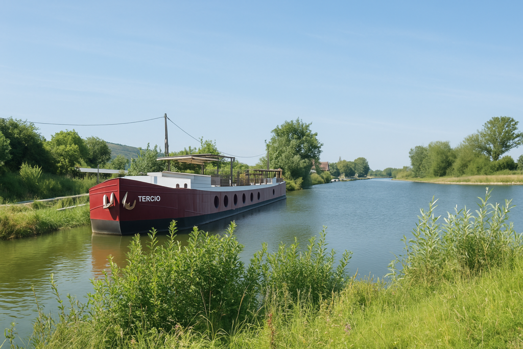
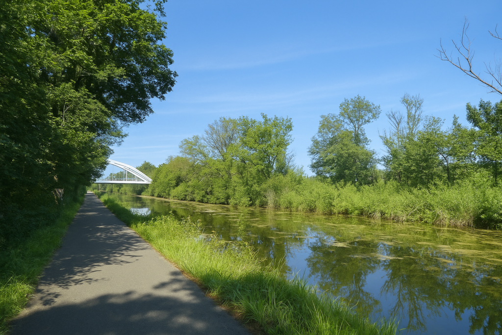
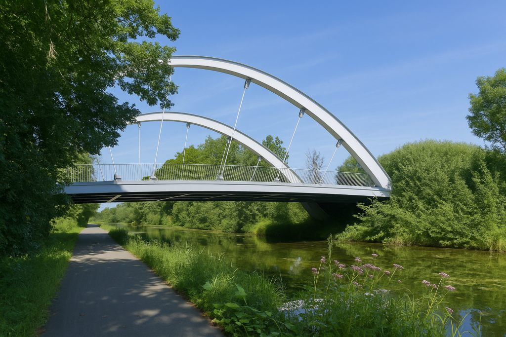
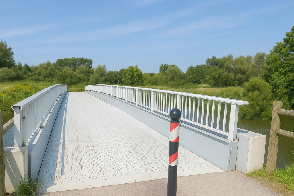
Farther on, a bridge spans the canal. A barge, moored there, seems to be sleeping in a quiet, almost meditative nap. The place is enchanting, irresistible, one of those spots where you slow down without even noticing. The canal continues on its way, straight toward nearby Sochaux. It draws its line of water with stubborn determination. |
|
|
 |
|
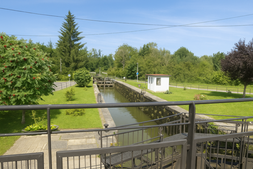
Here the road suddenly changes direction. A clean right angle, without compromise. It heads toward a lock bridge, that great quiet piece of machinery that links the canals and the river Allan. Technique and nature meet here in an almost poetic balance. |
|
 |
 |
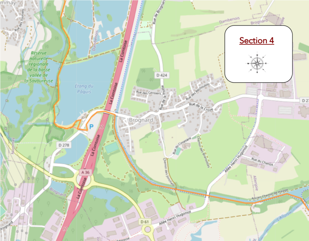
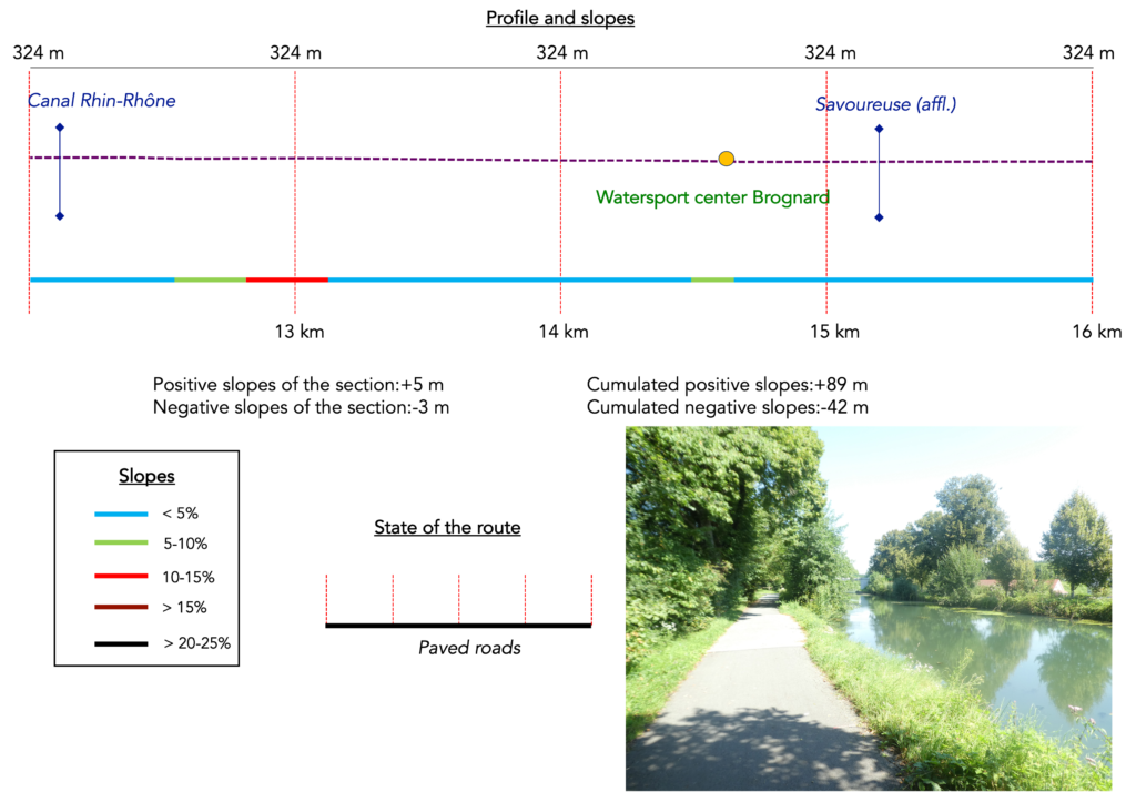
Section 4: Along the extraordinary « Coulée Verte »
Overview of the route’s challenges: route with no difficulty at all.
|
Here the route performs an extraordinary ballet, a choreography of engineering between bridges, locks, and arms of water, moving from one canal to another. Very soon you find yourself on the Montbéliard to Haute-Saône Canal. |
|
 |
 |
|
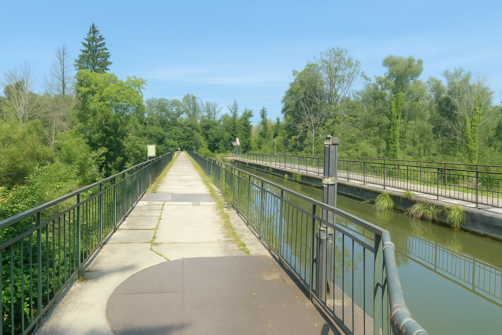
The lock, discreet yet essential, acts like a true border guard between waters. It is a small hydraulic miracle. Canals cross, rise, and overpass one another, even running across an aqueduct bridge above the Allan as it winds below. One never ceases to marvel at these human feats, especially when a touch of magic is added. Yes, the cycle path also passes here, woven into a fluid interplay between technique and nature. This is rare, and it deserves recognition, as Franche-Comté does not often offer such moments of grace. |
|
 |
 |
 |
 |
|
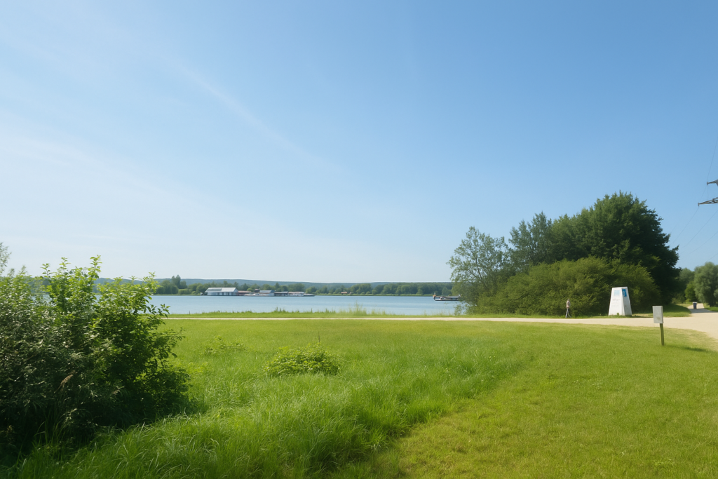
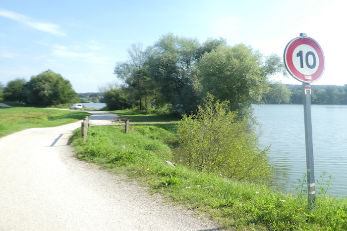
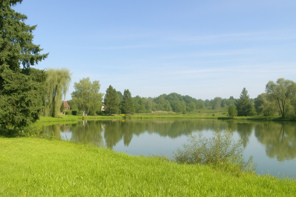
On the other side of the lock, the canal suddenly widens. Boats are often moored here, rocked in a gentle torpor. The atmosphere is both peaceful and cheerful, almost festive in its slowness. This is a place of simple happiness, made of still water, lush vegetation, and busy ducks. You could stay for hours watching reflections slide across the surface, hypnotised by this calm, living spectacle. |
|
 |
 |
|
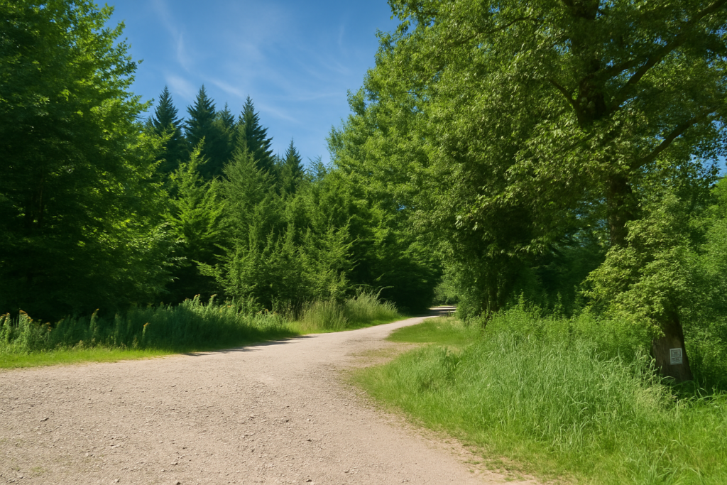
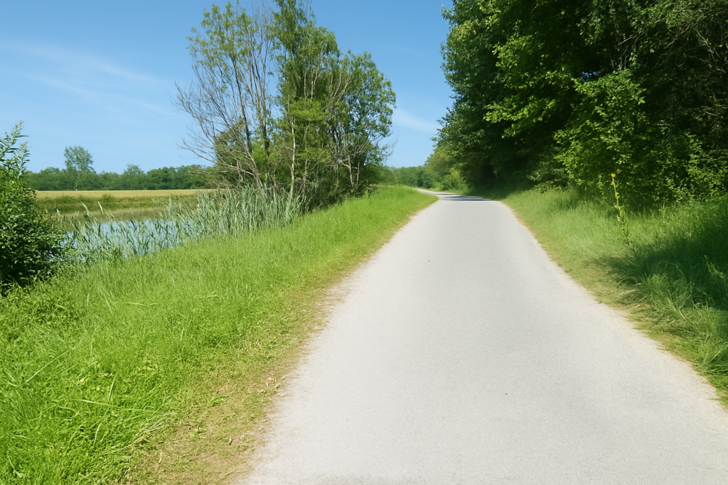
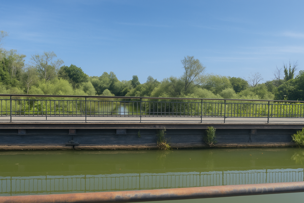
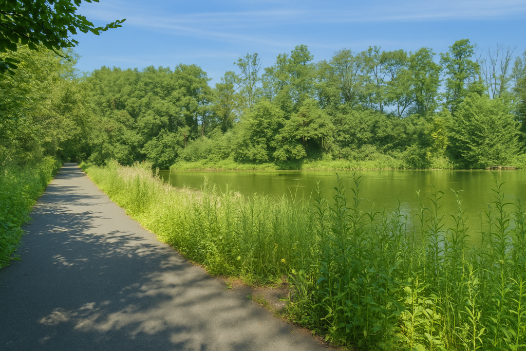
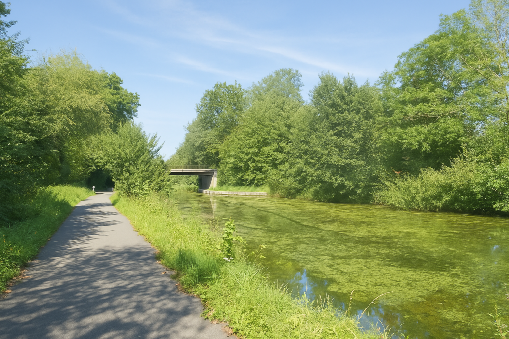
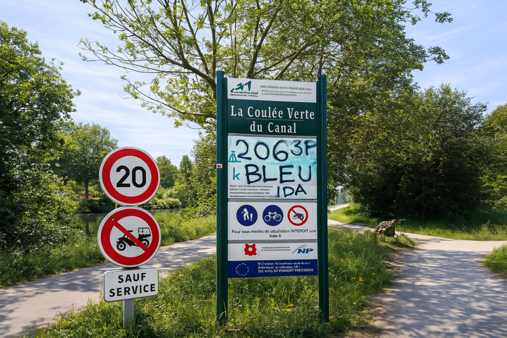
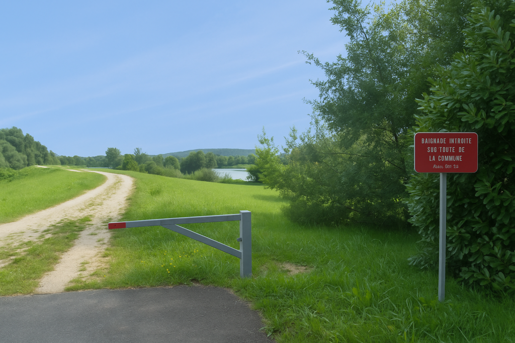
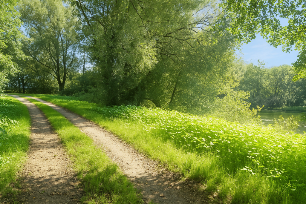
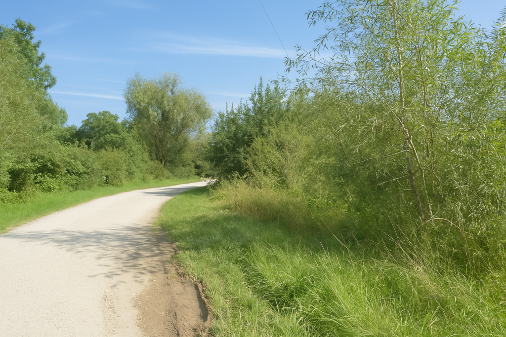
You then continue along the canal on a charming little road known here as the “Coulée Verte”. This canal, once a commercial artery between the Saône and the Rhône, no longer carries goods. Only a few leisure boats venture along it, slipping between branches and reeds. The promenade itself, however, has become legendary. Runners, cyclists, riders, and dreamers cross paths here in gentle harmony. |
|
 |
 |
 |
 |
|
A little farther on, a first bridge cuts across the canal. Ducks paddle in the mildly brackish water. And green is everywhere. In the water lilies, of course, but also in rebellious nettles, brambles that scratch at the embankment, and rampant Japanese knotweed. Municipal gardeners return several times each season to try to contain this luxuriant chlorophyll explosion. |
|
 |
 |
|
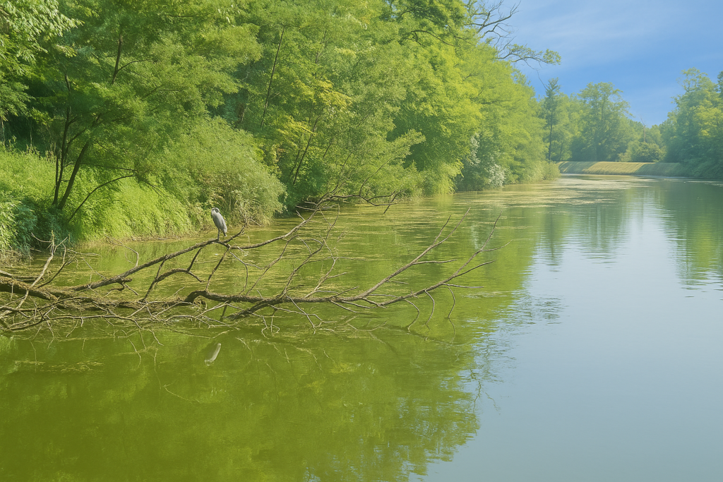
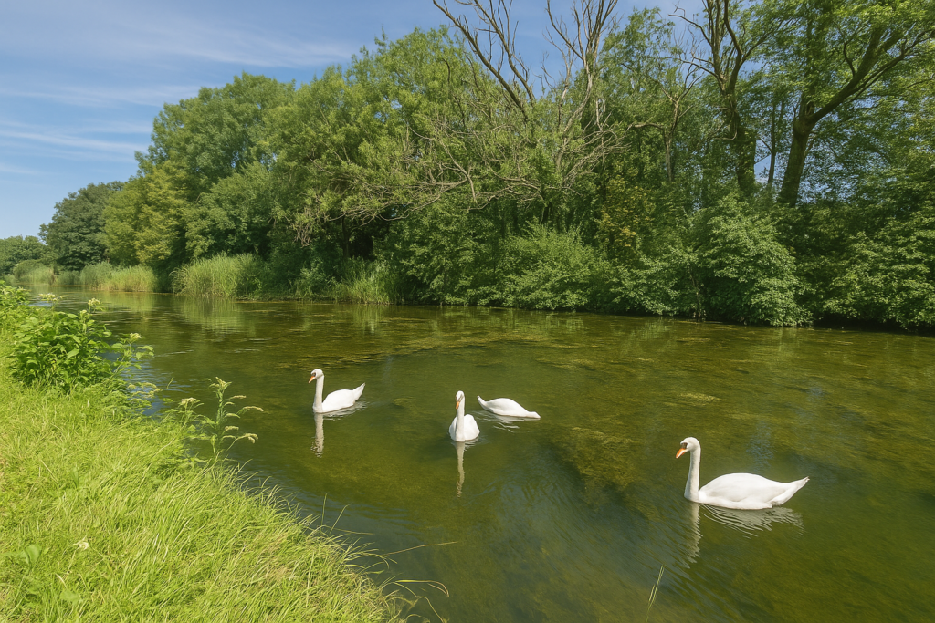
Another bridge. Still more ducks, sometimes swans, and often the frozen silhouettes of grey herons patiently watching for prey. On the road, there is a discreet yet constant flow of cyclists, kings of the path. Here it is flat, cool, shaded, a true dream for walkers and joggers alike. |
|
 |
 |

|
And if it were not for the small bells chiming behind you to announce an approaching bicycle, the promenade would be almost silent. Yet this silence is filled with light shadows from tall, powerful foliage. Venerable ash trees, slender oaks, monumental limes, enormous black poplars. Even the rare hornbeams seem to reach for the sky. The service trees, more discreet, play with light, while the willows, true to themselves, bend tenderly over the water. |
|
 |
 |
|
Then, gently, the magic fades. Silence gives way. The dull, constant murmur of the motorway asserts itself, rises, draws closer. Another reality settles in, harsher and more metallic. You will soon leave this corner of paradise, the “Coulée Verte canal,” which continues its course northward. |
|
 |
 |
|
This is where you pass beneath the A36 motorway, known as La Comtoise, a thunderous artery linking Beaune to Germany and Switzerland as it runs north via Dole, Besançon, Montbéliard, Belfort, and then Mulhouse. The contrast is brutal. The calm of the canal yields to the roughness of asphalt and the endless roar of traffic. |
|
 |
 |
 |
 |
|
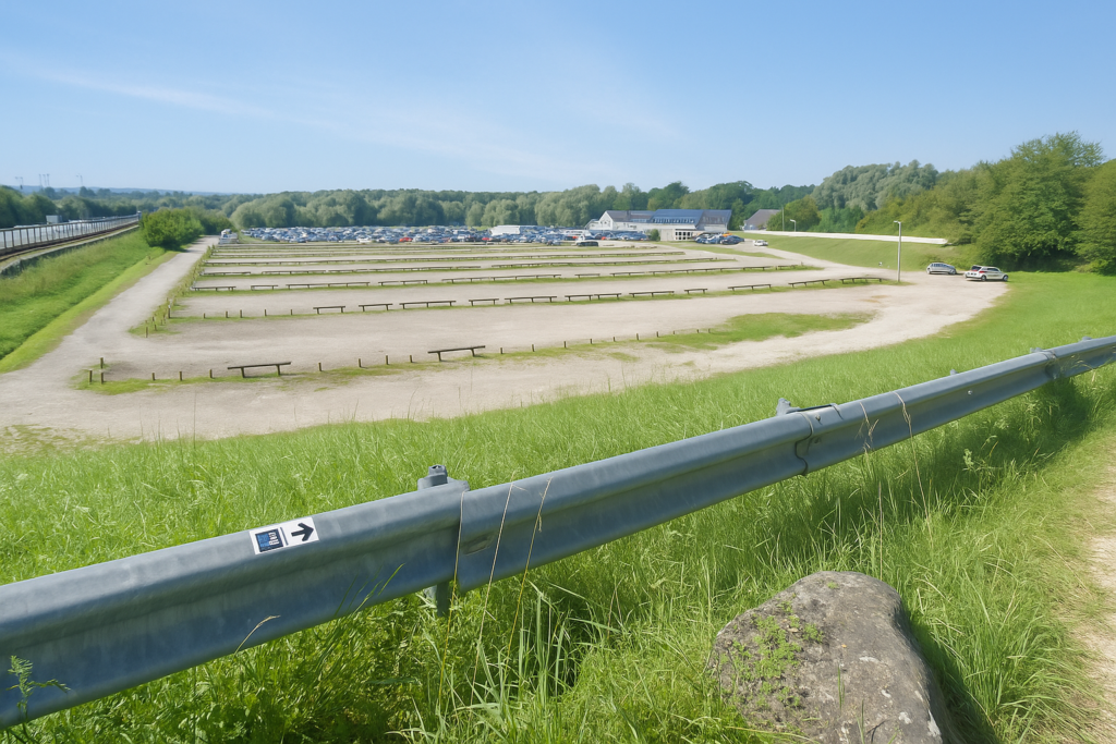
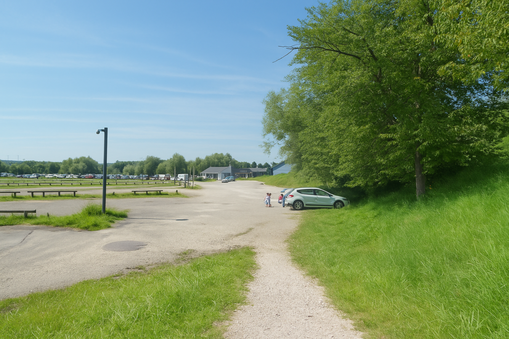
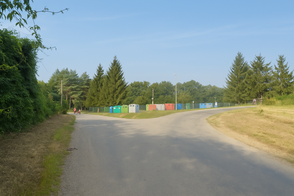
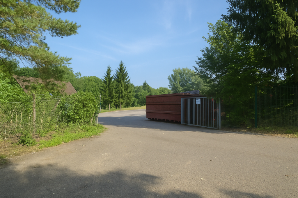
At the bottom of the ramp lies a vast parking area, designed to welcome battalions of tourists, campers, families, and pleasure boaters. |
|
 |
 |
|
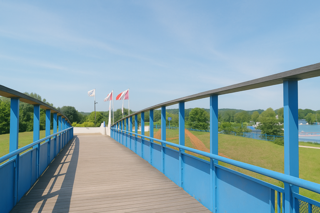
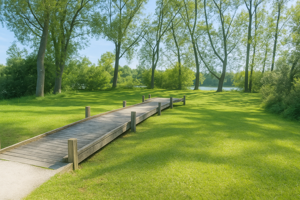
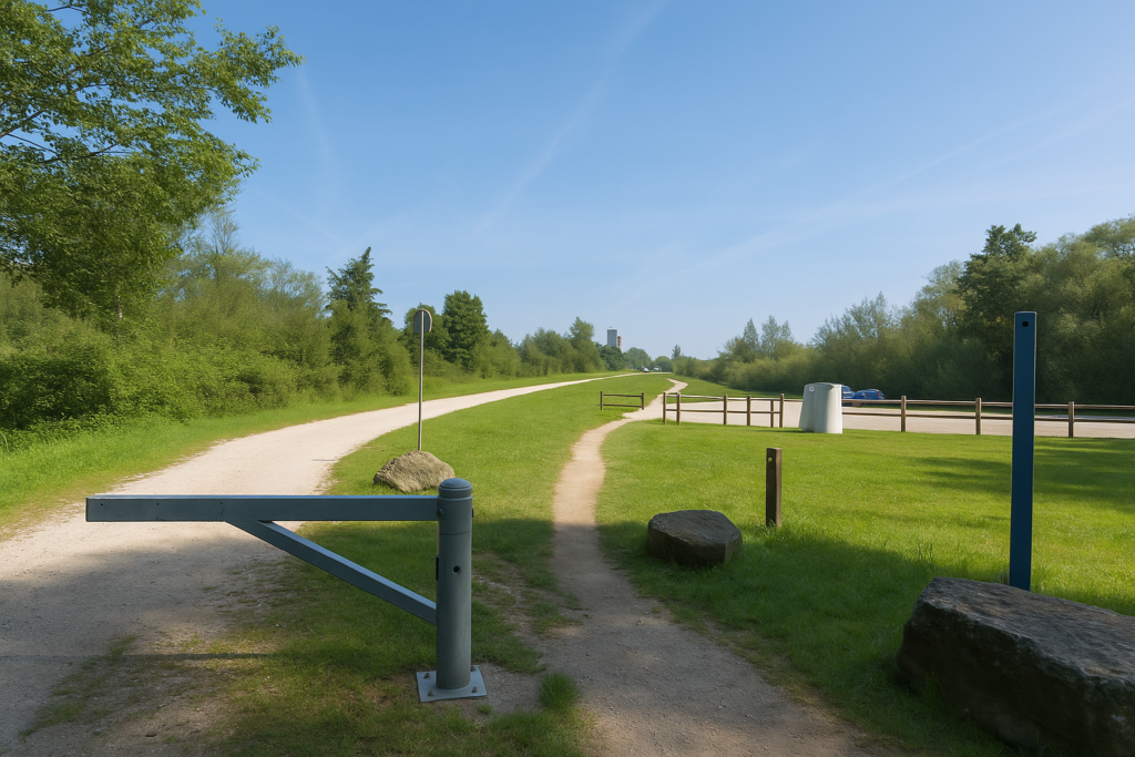
It is an airlock between two worlds. You must cross it to reach a footbridge that leads straight to the Brognard water sports centre. |
|
 |
 |
|
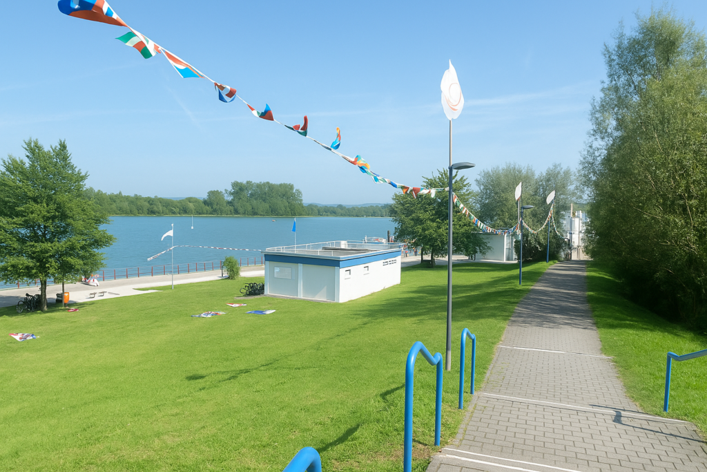
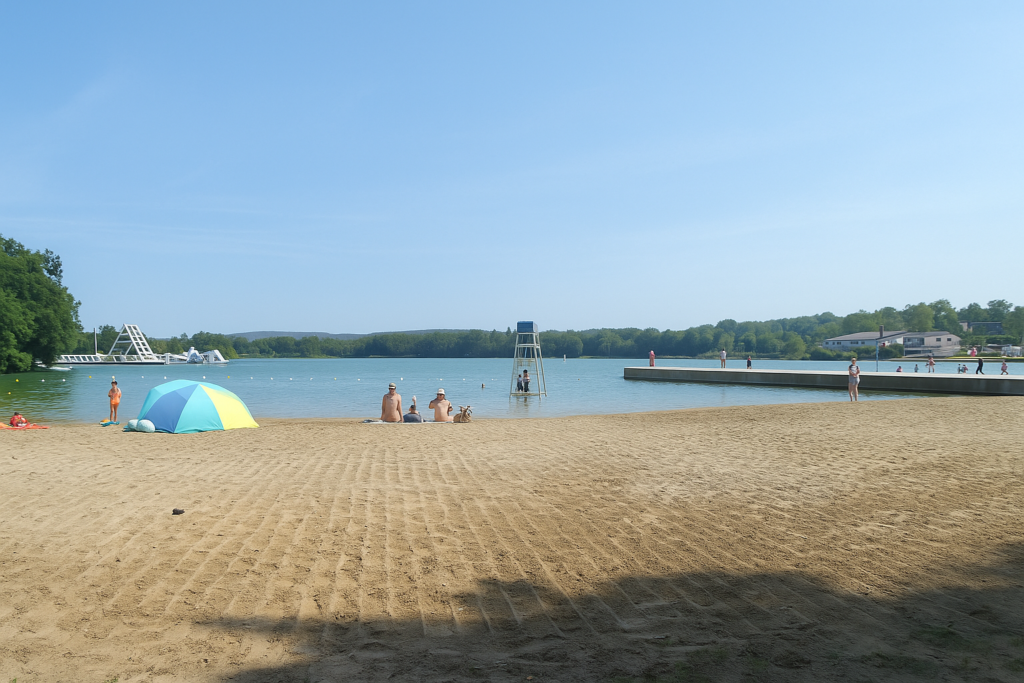
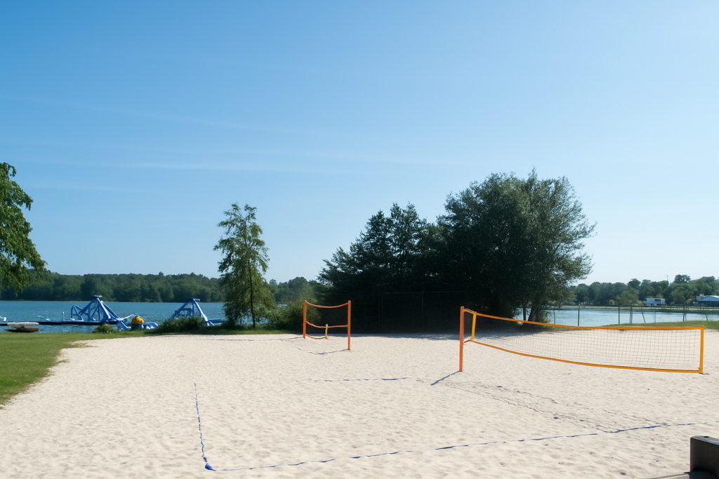
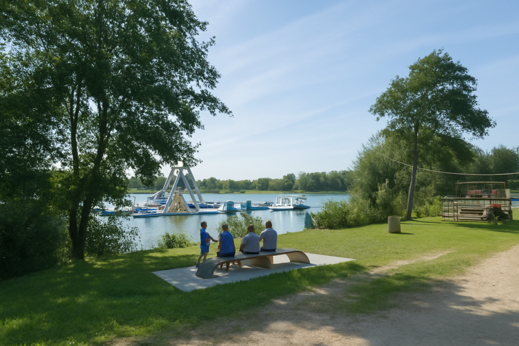
There, suddenly, everything changes again. The place is developed, lively, almost festive. A restaurant welcomes the hungry. There are toilets, and therefore water, a relief for the pilgrim. The path runs alongside, curves, slips through. Here, the water sports centre is a kingdom for families, with a beach, paddleboards, and play areas. Between ponds and paths, the Savoureuse winds its way, a discreet river, sometimes solitary, sometimes dissolved into the ponds. . |
|
 |
 |
 |
 |
|
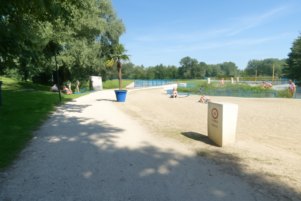
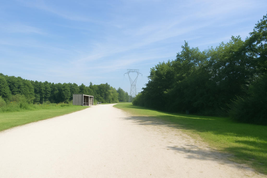
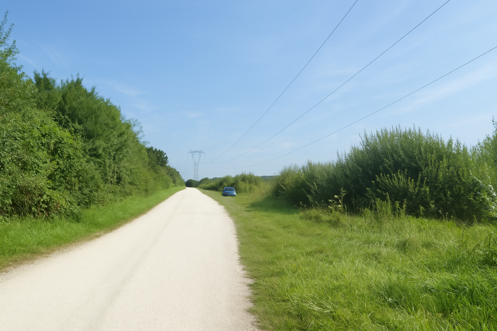
For anglers, it is a peaceful paradise, rod set down, gaze fixed. For others, it is slides, children’s laughter, colourful towels, and parasols. But soon the path leaves this cheerful bustle and resumes its rhythm on a wide dirt track, passing beneath the great high-voltage power lines. |
|
 |
 |
|
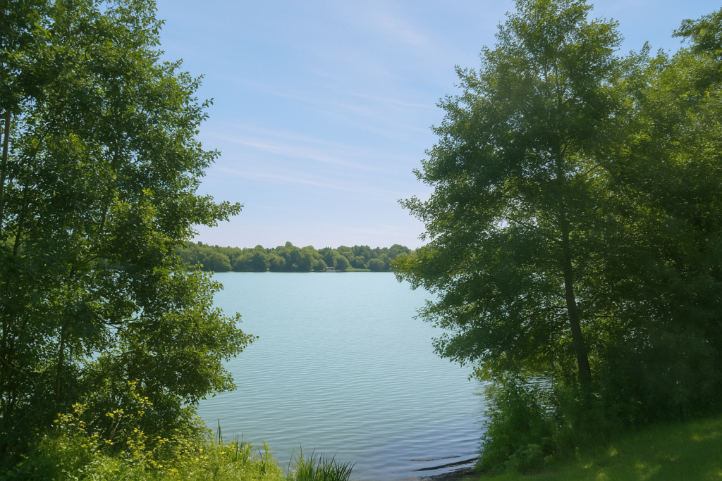
From time to time, if curiosity strikes, you can venture toward the banks of the Grand Étang du Pâquis. The spot is perfect for a nap in the shade or a contemplative pause. Water, reeds, sky, nothing else. |
|
 |
 |
 |
 |
|
It is a free space, without constraint, a true pleasure to be here. |
|
 |
 |
 |
 |
|
Then the path resumes, firm and determined, leaving this aquatic interlude behind. Soon you approach another parking area, a sign that the world is never far away. |
|
 |
 |
|
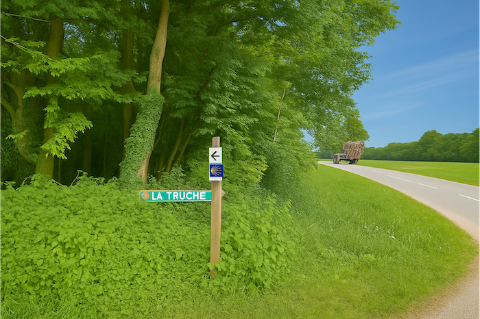
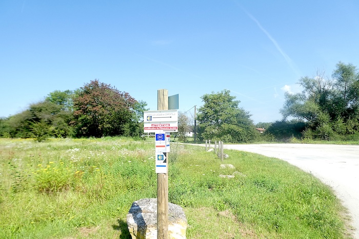
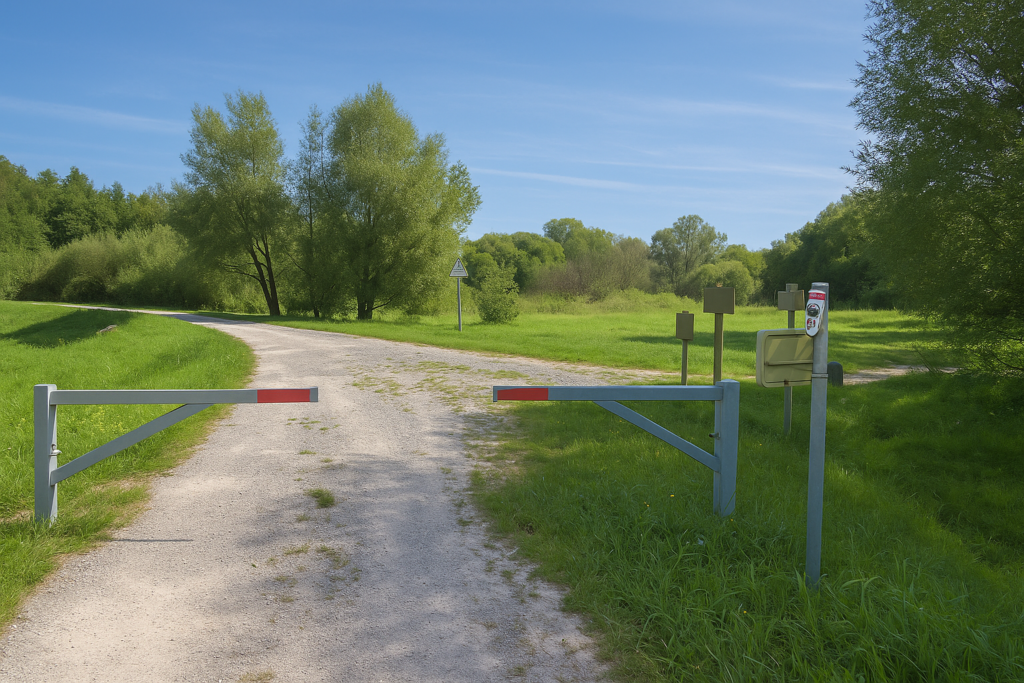
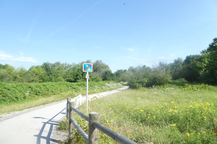
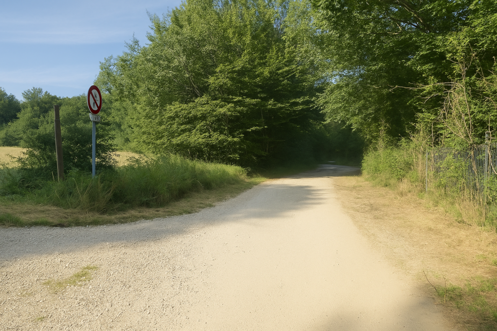
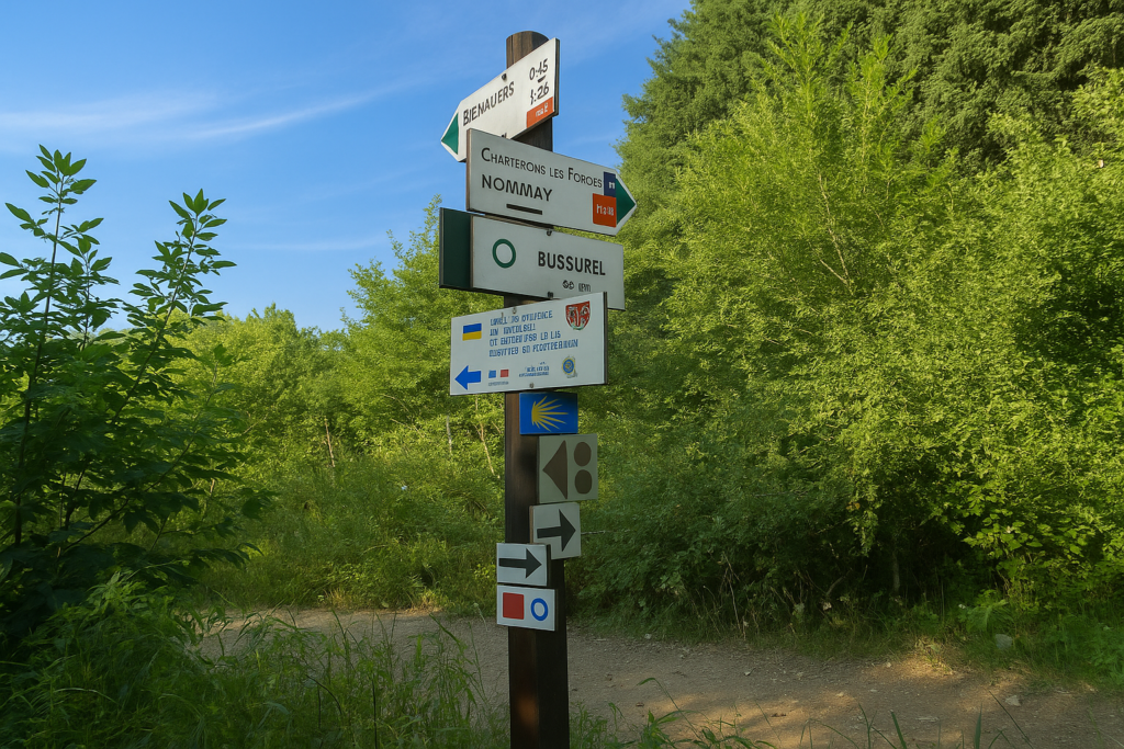
And there stands a sign, modest yet crucial, announcing a change of direction. The GR and the Camino de Santiago here alter their course. In the past, the route headed toward Nommay. This is no longer the case. From now on, the route prefers to wind between ponds, following natural beauty rather than concrete axes. One small detail to note. If you still own an old edition of the Franche-Comté or Burgundy route guide, this change of direction may not yet be indicated. You will need to follow instinct, or rather the shells, always faithful sentinels. The new guide is scarcely more precise about how to proceed today. |
|
 |
 |
Section 5: A walk along the ponds
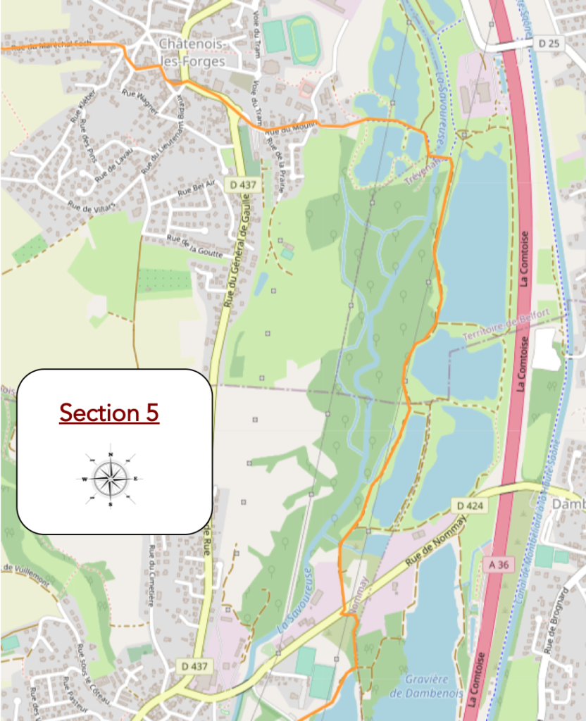
Overview of the route’s challenges: route with no difficulty at all.
|
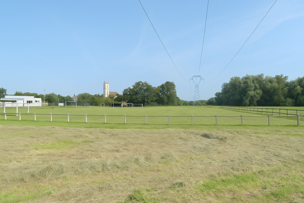
The route then cuts through the landscape and crosses the Nommay sports complex. Below, you can already make out the imposing cement works toward which the path will head a little later. |
|
 |
 |
|
A little farther on, a trail sinks into a dark, cool patch of woodland, like a brief vegetal pause. The air is heavy with humus and silence. This short-wooded passage soon leads back into another world, that of industry. |
|
 |
 |
 |
 |
|
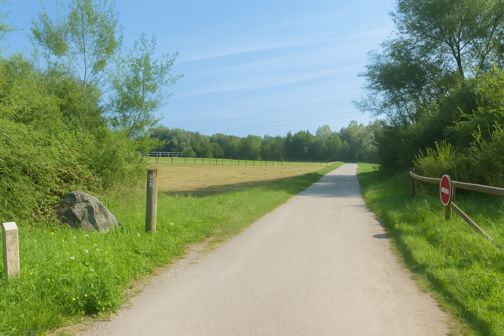
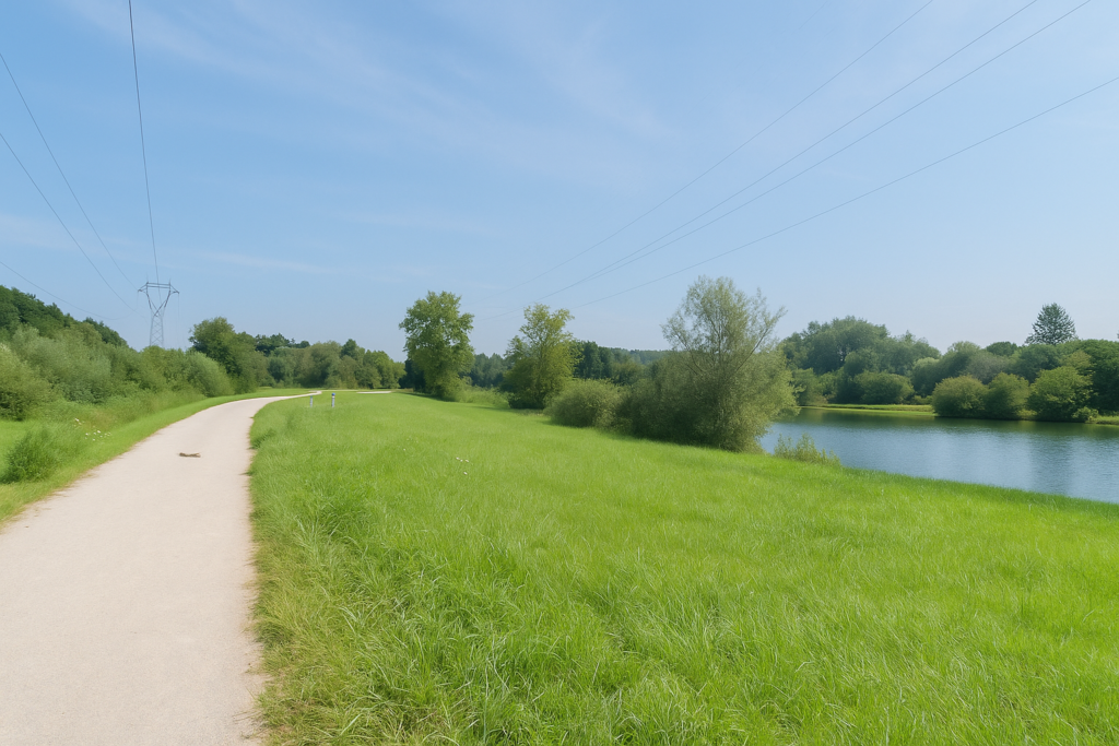
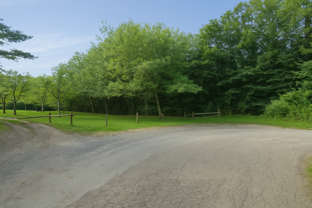
A small road skirts the industrial facilities, then gently returns toward the ponds. At the entrance to a new park, everything calms down. The path here is as smooth as a royal avenue, immaculate. On your left, the Savoureuse winds quietly, discreet and often hidden by vegetation. On your right, the large, fragmented ponds of the Varonne spread out, vast and majestic. |
|
 |
 |
|
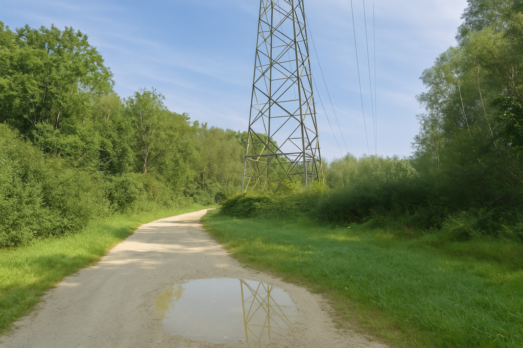
The walk becomes magnificent once again. Water is everywhere, and the path winds calmly beneath the high-voltage power line, as if it dared not disturb the harmony of the place. |
|
 |
 |
 |
 |
|
The ponds are splendid here, true mirrors reflecting a generous sky. The only disturbance comes from the distant yet persistent rumble of the motorway, which slightly scrapes away at the poetry of the place. |
|
 |
 |
|
For you, these are long straight stretches, a little monotonous, yet bathed in such beauty that you drift along without resistance. |
|
 |
 |
 |
 |
|
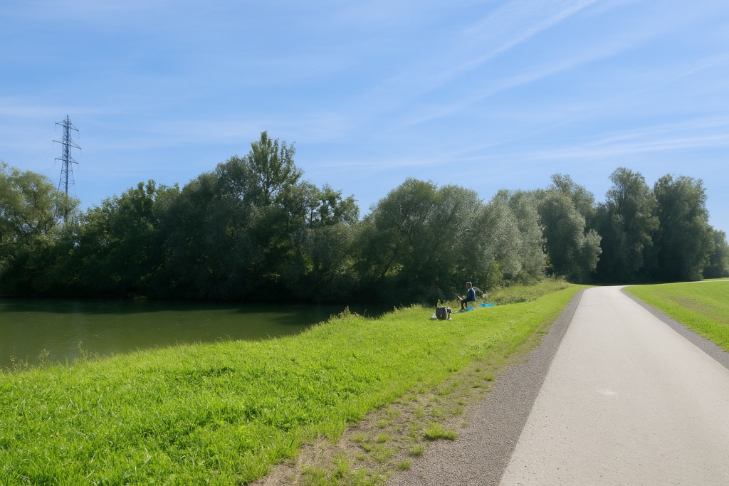
At times, a solitary angler, well equipped, tries his luck in the silence. |
|
 |
 |
|
You often share these paths with discreet cyclists. |
|
 |
 |
 |
 |
|
Farther on, a small bridge crosses the Savoureuse, which stretches here between meanders and wild grasses. It is not imposing, yet it always seems to want to accompany you. |
|
 |
 |
|
These large ponds of the Varonne are truly a pause of happiness along these often rather dull routes of Franche-Comté. |
|
 |
 |
 |
 |
|
Between idleness, fishing, and picnics, local people indulge here with obvious pleasure. |
|
 |
 |
|
The path then skirts one last pond, moves away from the water, crosses the Savoureuse once more, and gradually approaches the first houses. |
|
 |
 |
|
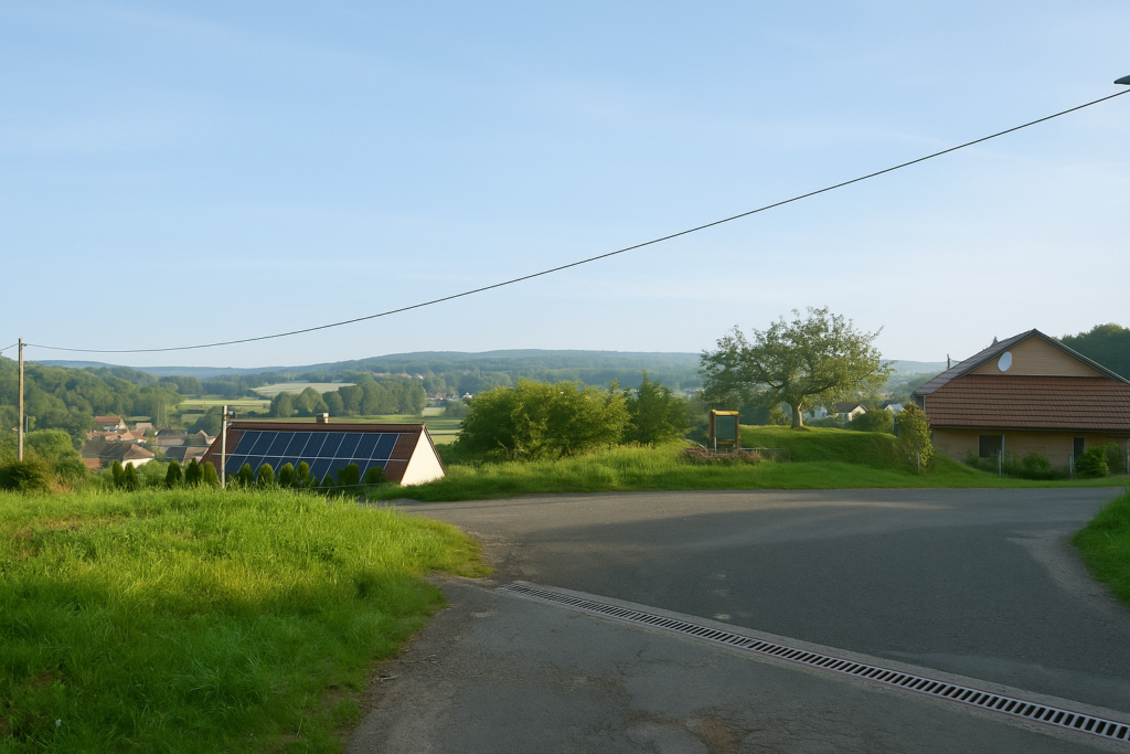
And suddenly, here are the outskirts of Châtenois-les-Forges. New buildings, orderly gardens, quiet streets, the scenery changes completely. |
|
 |
 |
|
The route almost becomes an urban treasure hunt, turning here, running alongside there, zigzagging between housing estates. A small gymkhana between walls, hedges, and pavements. But there is no need to worry, the waymarking is present and reliable. |
|
 |
 |
|
It is almost straight ahead to the centre of the village. In the distance, you soon spot the Comtois church tower, topped with its glazed tiles. A century ago, a train still passed through here. You can probably guess what remains of it, very little, apart from a few iron memories. |
|
 |
 |
|
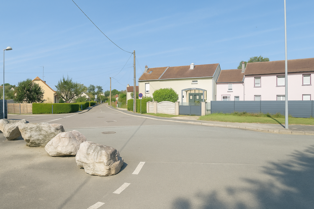
The route then crosses a junction on the edge of the town centre. |
|
 |
 |
 |
 |
|
At the end of Colonel Beltrame Avenue, the route emerges into the heart of the locality, right next to the church and a handful of shops. Châtenois-les-Forges today has around 2,700 inhabitants. |
|
 |
 |
 |
 |
|
The route, fortunately well waymarked, as changes have been made here, climbs above the centre along a few quiet streets… |
|
 |
 |
…before joining Rue du Maréchal Foch, long and straight, heading toward the waste disposal site.
Section 6: A high-speed train in the middle of the forests
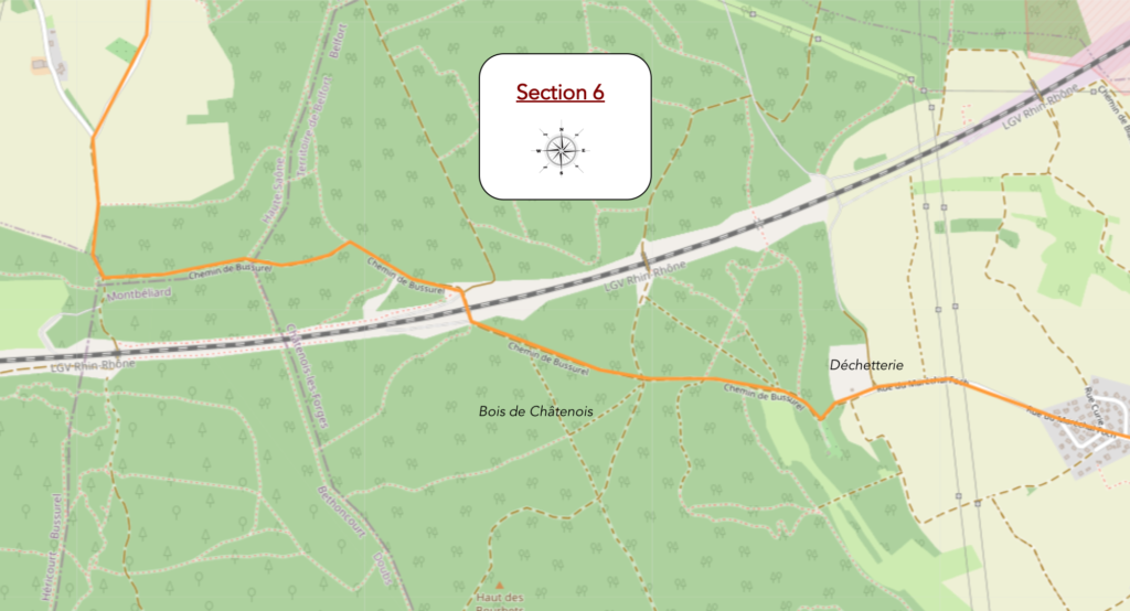
Overview of the route’s challenges: route with no major difficulty, then this is the first moment of the day with slightly steeper uphill slopes.
|
The road climbs through the upper part of the village, passing small villas. |
|
 |
 |
 |
 |
|
At the exit, the road heads gently between fields toward the Châtenois waste facility. It has been quite a while since you last crossed real meadows or passed broad cultivated fields. The landscape opens up again; the air seems to breathe more freely. |
|
 |
 |
|
From the waste facility, the road slips into a small, damp, quiet patch of woodland, carpeted with leaves. The shade is deep, punctuated by shafts of light. |
|
 |
 |
 |
 |
|
The road descends into the bottom of a gentle hollow beneath the trees, through maize fields, until it reaches a path that leads into the forest. |
|
 |
 |
|
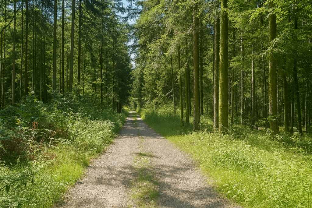
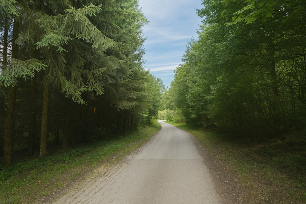
The wide dirt path sets off flat into the large Forest of Châtenois. From Fesches-le-Châtel onward, the GR5 and the Camino de Santiago become one and the same here. |
|
 |
 |
|
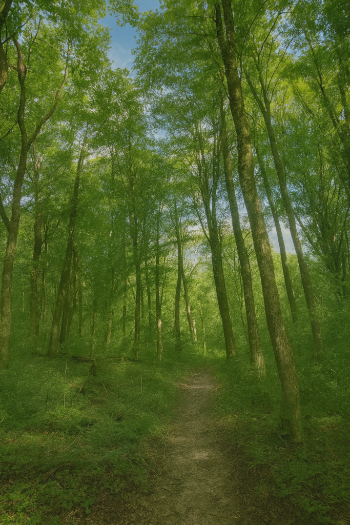
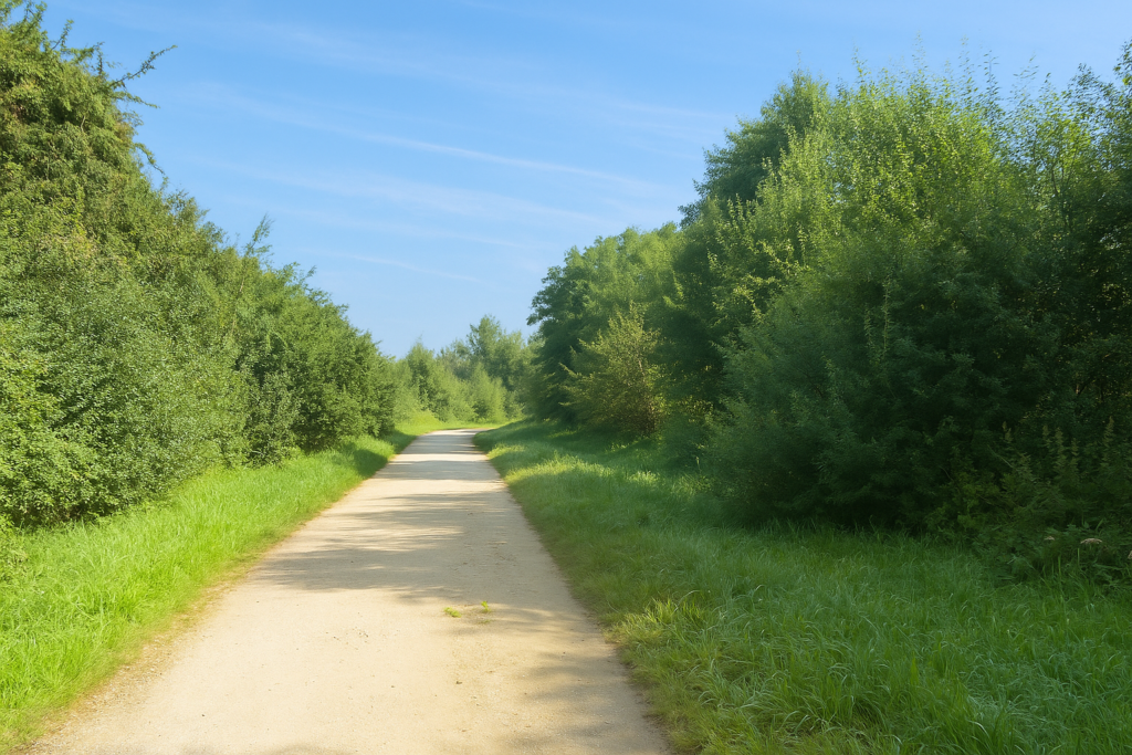
The line is almost straight, running between tall broad-leaved trees and neatly aligned rows of spruces. The walk becomes pleasant and regular, a little monotonous but peaceful, like a slow breath at the heart of the forest. |
|
 |
 |
|
The path continues straight ahead, as indicated by the GR signage. Never pay attention to the yellow signs of local hiking paths. |
|
 |
 |
|
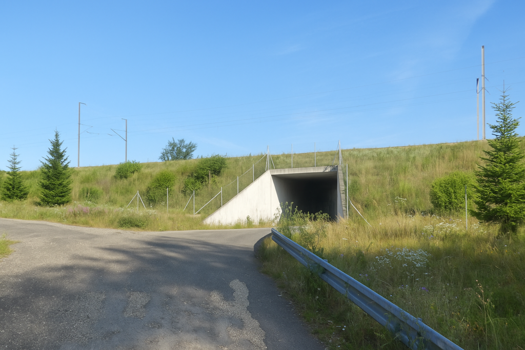
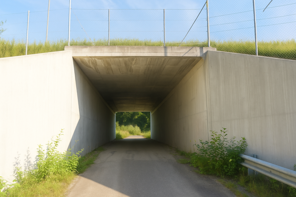
After a very long stretch, the path heads toward the Rhine–Rhône high-speed rail line. |
|
 |
 |
 |
 |
|
You cross it at a secured passage. This line connects Dijon to Mulhouse and, more broadly, forms part of a strategic axis toward eastern Europe. |
|
 |
 |
|
On the other side, the walk continues through a forest increasingly dominated by conifers. Spruces reign here, standing like sentinels. |
|
 |
 |
|
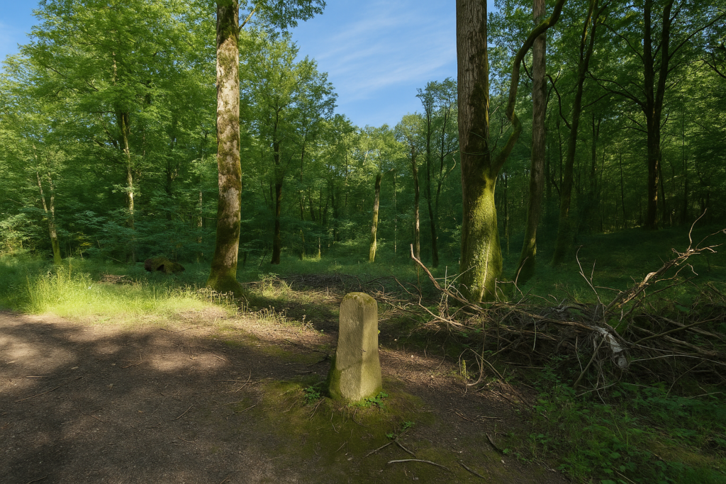
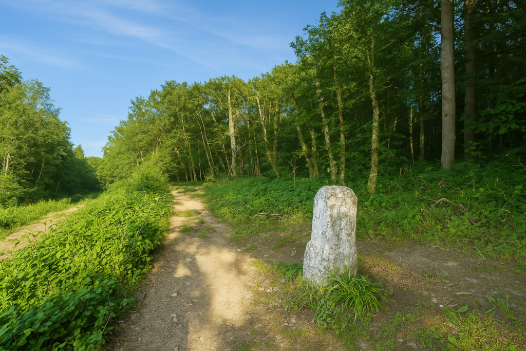
Soon, however, the path changes character. You enter a very specific section known as the Path of the Montbéliard boundary stones. Here, along the edge of the path, you will notice old stone markers, silent yet still standing, witnesses to a former borderland. The path can become muddy, even without recent rain. It is hollowed out by time, by footsteps, and by runoff. |
|
 |
 |
 |
 |
|
In the forest, the GR markings are still present, even though the Compostela shell remains incorrect and badly oriented. In any case, it is straight ahead, so it does not matter. |
|
 |
 |
|
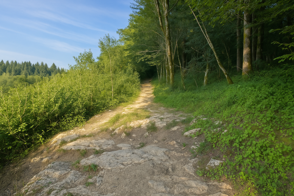
The boundary stones, whose purpose is unknown, rise like menhirs beneath the trees, on ground where smooth limestone sometimes shows through. |
|
 |
 |
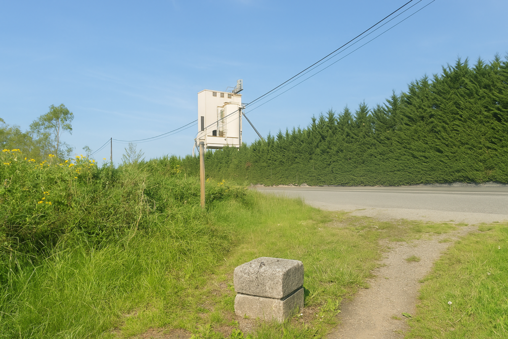
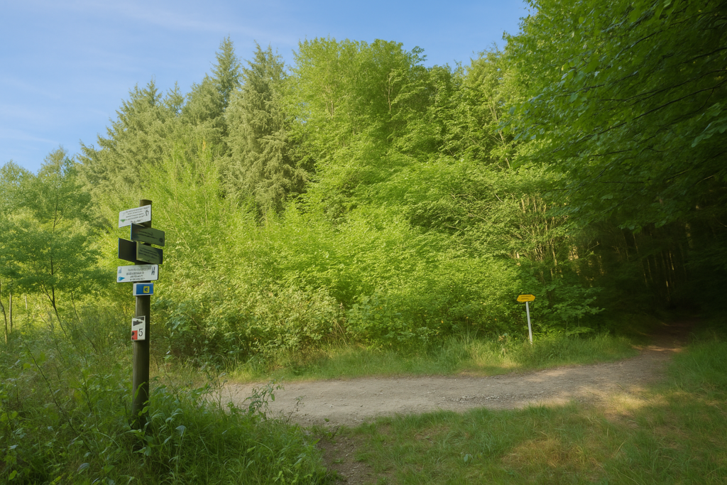
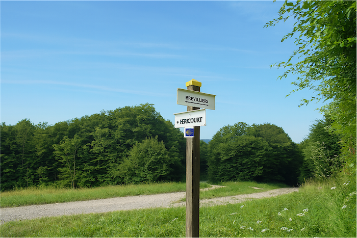
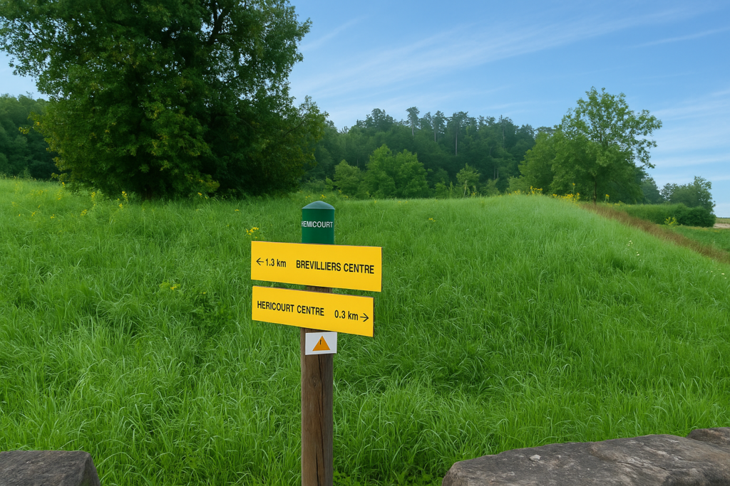
You then reach a curious directional sign, a kind of totem in multiple colours, which seems almost too cheerful for the solemnity of the place. Brevilliers is announced as forty-five minutes away.
|
Shortly afterwards, you gradually leave the forest. |
|
 |
 |
|
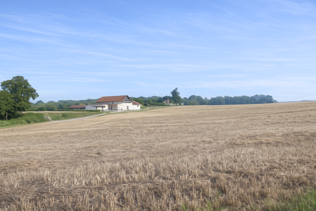
Ahead of you, higher up, an imposing farm building stands out along the ridge. |
|
 |
 |
|
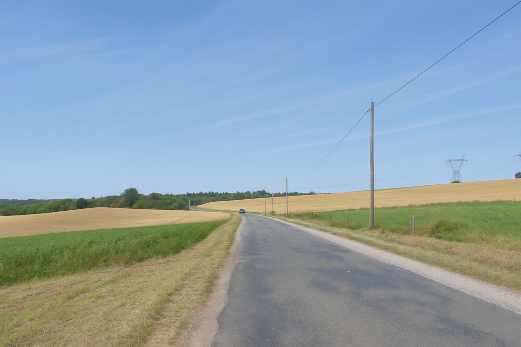
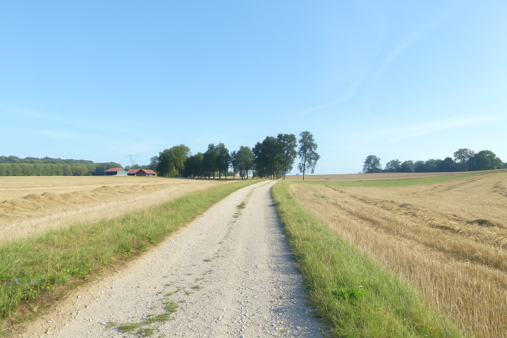
The climb that follows is not very steep at first. The path winds for a long time between cereal fields, well away from the farm, which spreads across the whole hill like a small rural kingdom. And when you spot the tractor in the distance, tiny in the vastness, you find yourself thinking it must take a full week to circle such an estate. |
|
 |
 |
Section 7: A slightly more demanding route to reach Héricourt
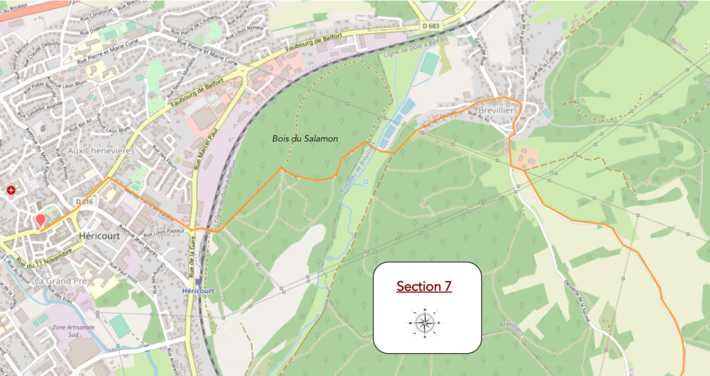
Overview of the route’s chalenges: the only truly tougher part is the passage through the forest after Brevilliers.
|
Higher up, the slope becomes a little steeper. Your calves are put to the test, though without excess. |
|
 |
 |
|
Fortunately, a large oak spreads its branches beside the path. Has a bench been placed there for the tired walker? It would almost seem natural. |
|
 |
 |
|
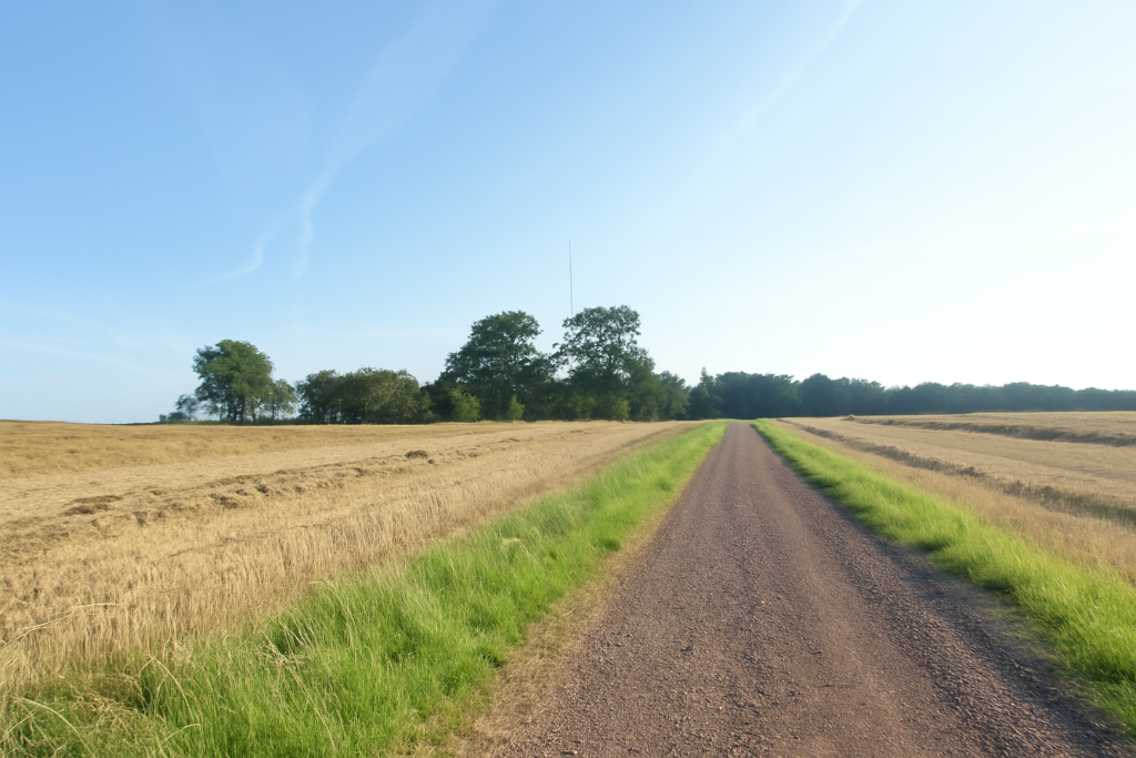
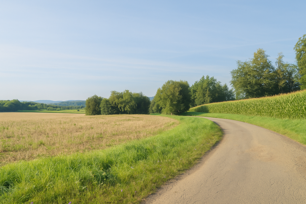
The climb then softens into an ocean of fields stretching as far as the eye can see. The path widens and winds through wheat fields, then, as so often in this region, plunges into tightly packed rows of maize. |
|
 |
 |
|
Then, gently, the slope reverses. The path descends the hill, still surrounded by crops. |
|
 |
 |
 |
 |
|
The descent is gentle between meadows, maize fields, and sparse groves. |
|
 |
 |
|
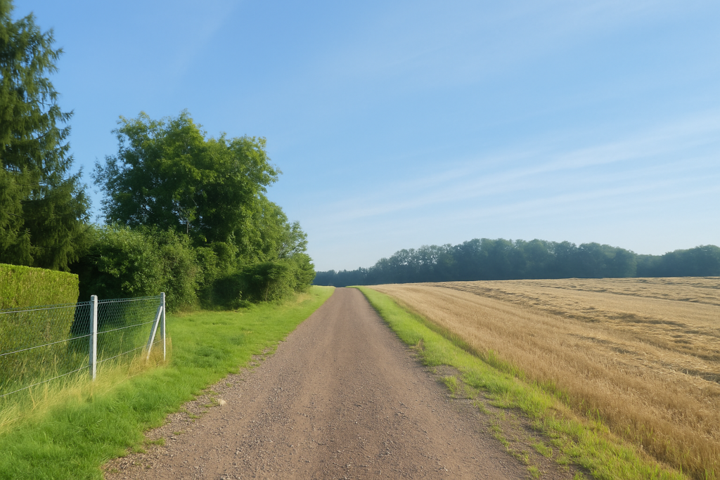
The path soon runs alongside another large farm. Here, the farms are vast, often modern, and bear witness to well-established agriculture. |
|
 |
 |
 |
 |
|
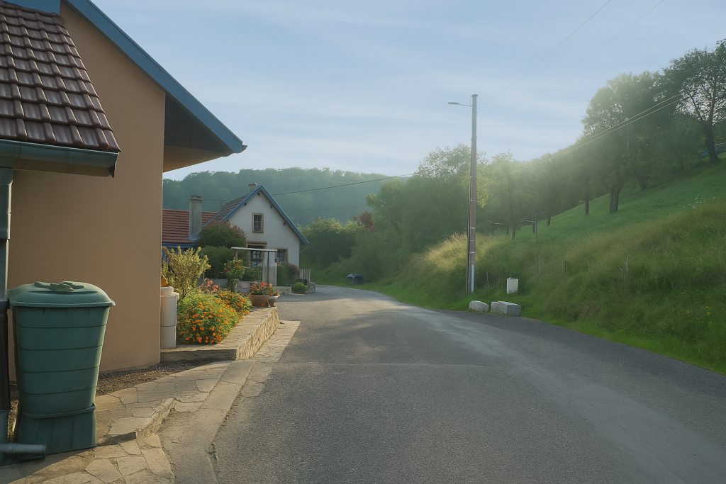
Lower down, you reach the heights above Brevilliers. The village emerges below, clinging to the hillside. |
|
 |
 |
|
A very steep lane leads you into the heart of the village. You pass the Protestant church, simple and modern, as is often the case in Protestant areas. This region around Héricourt is marked by the Reformed tradition. |
|
 |
 |
|
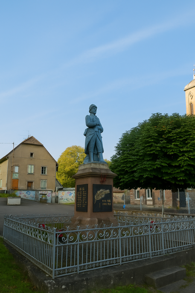
On the square, the monuments display a certain diversity of styles, ranging from the very sober to the frankly kitsch. |
|
 |
 |
A directional sign awaits you there, rather eccentric. As is often the case in Franche-Comté, you will find triangles, circles, colours without explanation, and sometimes a shell. Two Compostela directions are indicated here. One follows the GR5, the other seems to head off who knows where. But where is the direction to Héricourt? A mystery.
Those familiar with the Camino de Santiago often prefer to follow the GR5, which is usually well marked. Here, however, that would be a mistake. Why? Because the GR5 avoids Héricourt, and reaching it afterwards becomes a real ordeal. It is still wise to find somewhere to spend the night. Héricourt is the right choice. The correct option here is the one indicated by a yellow triangle, which crosses Brevilliers via Rue de l’École. This is the right path, clearly noted in the small guide published by the Friends of Compostela
|
The route then runs straight through the village, which it leaves uphill along a gentle climb. |
|
 |
 |
 |
 |
| It then joins a wide dirt road, which it follows for a while. At a junction, a small path then descends into the valley. | |
 |
 |
|
Here, the direction toward Héricourt is perfectly clean. |
|
 |
 |
AAt the bottom, a surprise awaits you, a greenish pond occupies the low ground, next to a wastewater treatment plant. The place is unexpected, a little wild, a little technical.
| Here, the path crosses the discreet Brevilliers stream, a modest ribbon of water that marks a symbolic passage between valley and hill. | |
 |
 |
|
From this small bridge, the path rises sharply into a fine beech forest. This is a demanding climb, nearly fifty metres of elevation gain, on a path that can be slippery at times. |
|
 |
 |
 |
 |
|
The final metres of ascent may cost you a few drops of sweat. |
|
 |
 |
But the effort is worth it, at the top, a wide dirt road awaits you in soft, filtered light.
|
From this forest plateau, the path descends again, this time along a wide gravel path. The slope is clear, and the descent is taken at a brisk pace through the undergrowth. |
|
 |
 |
|
You are now walking in the Forest of Salamon, on the edge of Héricourt. The path, stony and sometimes steep, requires only minimal attention. |
|
 |
 |
|
At the bottom of this descent, another surprise appears, a small regional railway station stands there, almost forgotten. It belongs to the Dole–Belfort line, while the more modern high-speed line bypasses the town to the south. |
|
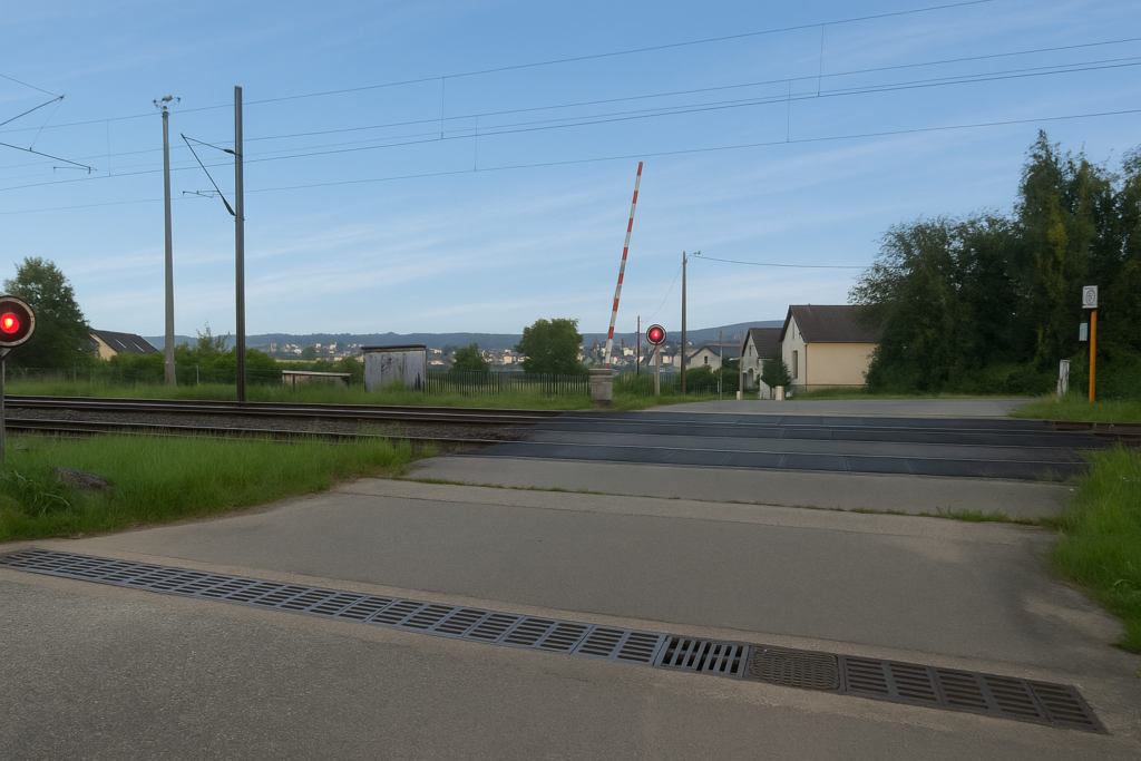 |
 |
|
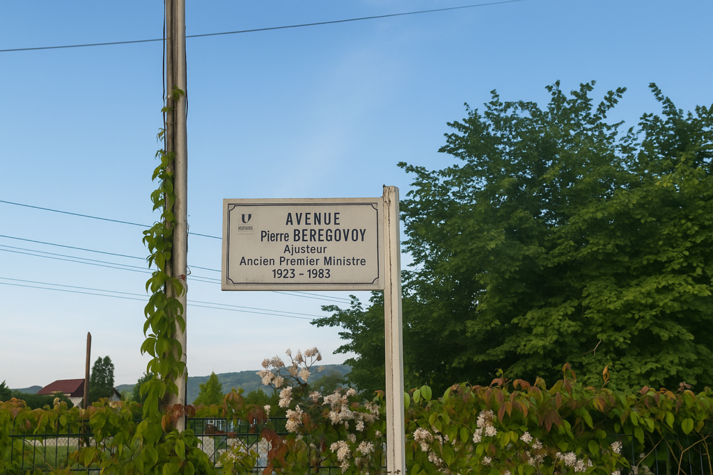
From the station, the route follows Avenue Pierre Bérégovoy, long and straight. It is often recalled here that he was a surveyor before entering politics, as if to underline that routes and alignments are serious matters. |
|
 |
 |
 |
 |
|
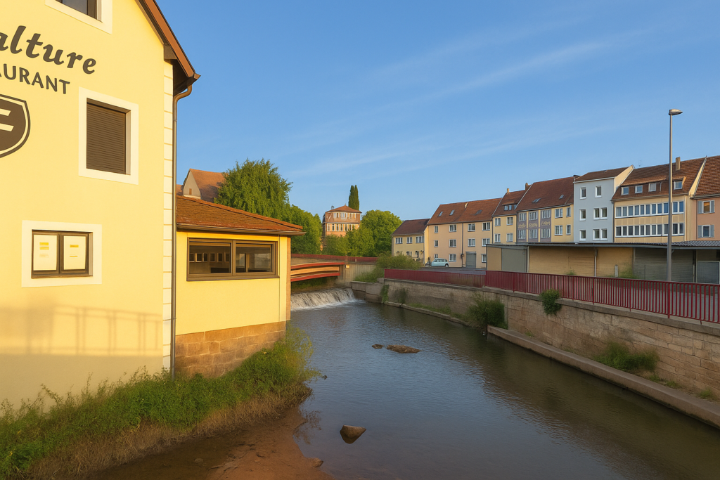
At the end of the avenue, a left turn leads you to Place du 19 Juillet 1942, a name heavy with memory. The second-largest town in the Haute-Saône department after Vesoul, Héricourt has around 10,600 inhabitants. It forms part of northern Franche-Comté, an area of nearly 300,000 people. In the town centre flows the Lizaine, a discreet river that nonetheless gives the town its soul. Tomorrow, we will set out to discover the most picturesque part of this old town, with its well-hidden charms. |
|
 |
 |
Official accommodations in Burgundy/Franche-Comté
- La Filature, 8 Rue de la 5ème Division Blindée, Héricourt; 03 84 56 80 80 ; Hôtel
Jacquaire accommodations (see introduction)
- Nommay (1)
- Châtenois-les-Forges (1)
- Héricourt (3)
Airbnb
- Fesches-Le-Châtel (1)
- Châtenois-les-Forges (6)
- Héricourt (6)
Each year, the route changes. Some accommodations disappear; others appear. It is therefore impossible to create a definitive list. This list includes only lodgings located on the route itself or within one kilometer of it. For more detailed information, the guide Chemins de Compostelle en Rhône-Alpes, published by the Association of the Friends of Compostela, remains the reference. It also contains useful addresses for the bars, restaurants, and bakeries along the way. On this stage, the accommodation options outside of Airbnb are limited. It must be said: the region is not touristy. It offers other kinds of richness, but not abundant infrastructure. Today, Airbnb has become a new tourism reference that we cannot ignore. It has become the most important source of accommodations in all regions, even in those with limited tourist infrastructure. As you know, the addresses are not directly available. It is always strongly recommended to book in advance. Finding a bed at the last minute is sometimes a stroke of luck; better not rely on that every day. When making reservations, ask about available meals or breakfast options..
Feel free to leave comments. That is often how one climbs the Google rankings, and how more pilgrims will gain access to the site.
 |
Next stage : Stage 4: From Héricourt to Villers-sur-Saulnot |
 |
Back to menu |