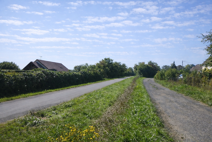
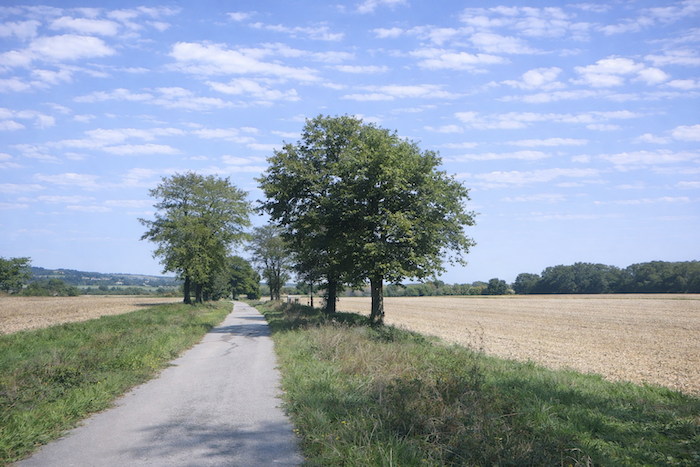
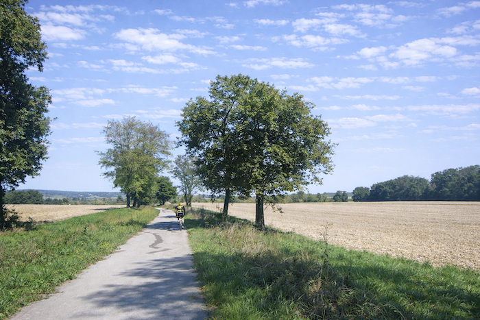
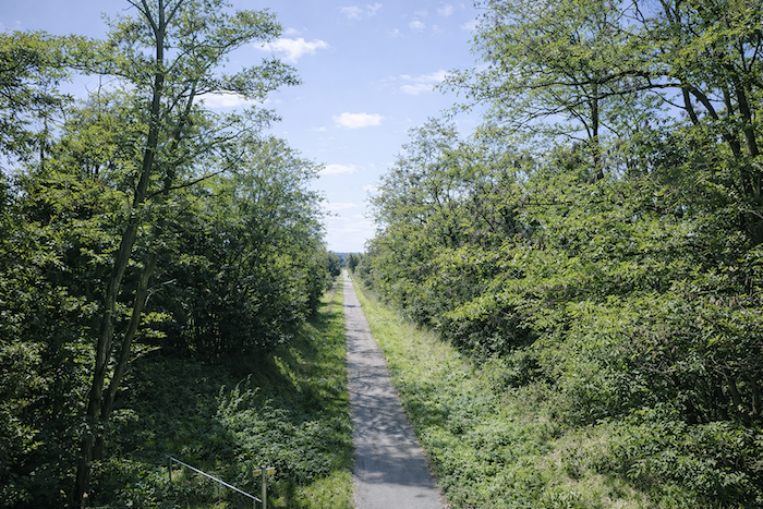
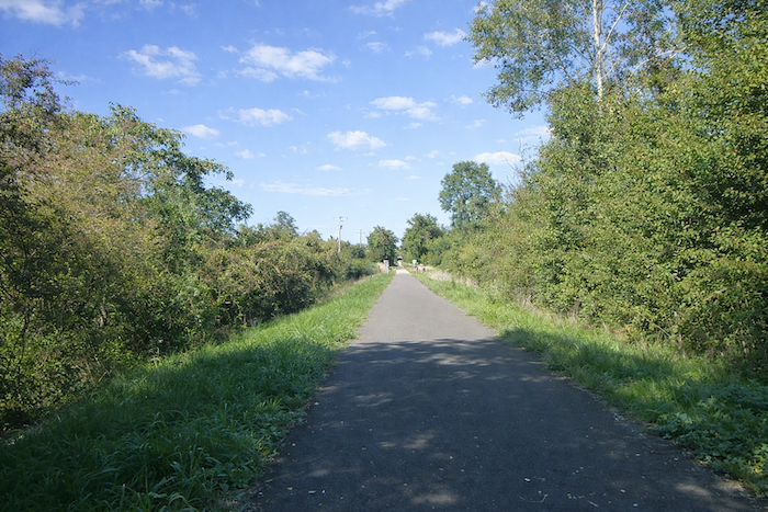
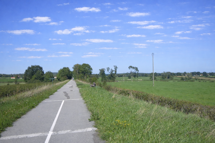
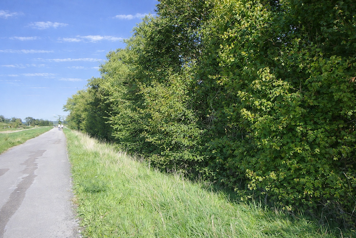
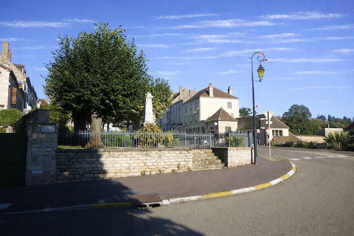
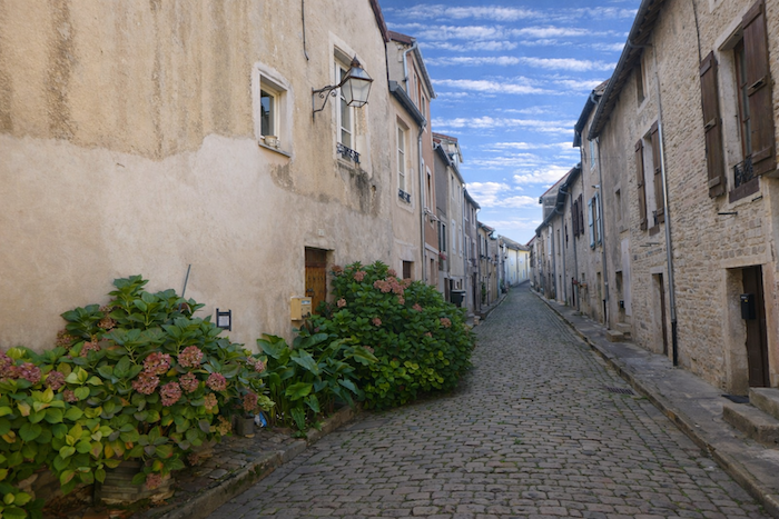
On the Greenway toward St Gengoux le National
DIDIER HEUMANN, ANDREAS PAPASAVVAS
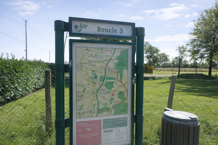
We divided the course into several sections to make it easier to see. For each section, the maps show the course, the slopes found on the course, and the state of the route (paved or dirt roads). The courses were drawn on the « Wikilocs » platform. Today, it is no longer necessary to walk around with detailed maps in your pocket or bag. If you have a mobile phone or tablet, you can easily follow routes live.
For this stage, here is the link:
https://fr.wikiloc.com/itineraires-randonnee/de-givry-a-st-gengoux-le-national-par-la-voie-verte-229582113
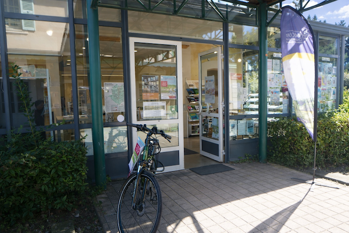
| This is obviously not the case for all pilgrims, who may not feel comfortable reading GPS tracks and routes on a mobile phone, and there are still many places without an Internet connection. For this reason, you can find on Amazon a book that covers this route.
If you only want to consult lodging of the stage, go directly to the bottom of the page. |
 |
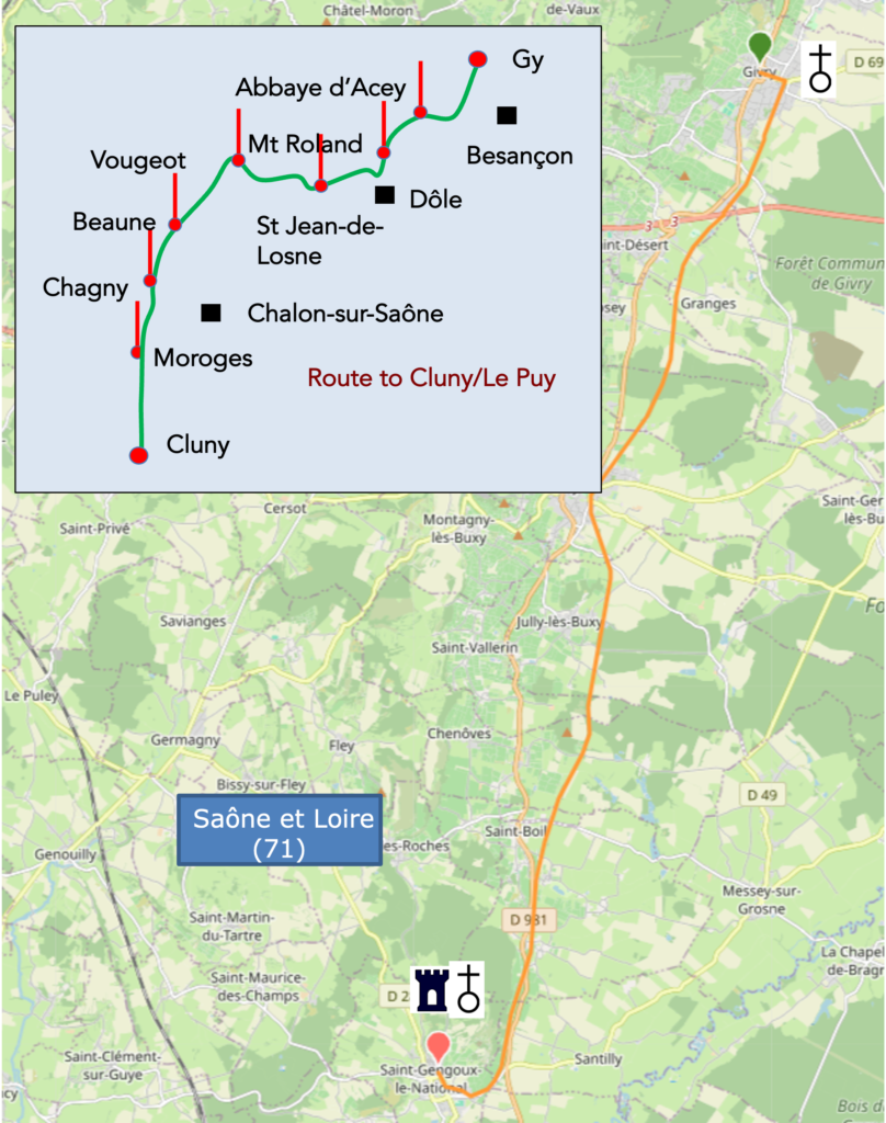
The origin of the Greenway between Chalon-sur-Saône, Cluny and Mâcon dates back to the 1980s and 1990s. It was born from a simple and visionary idea, to transform a former disused railway line into a cycle path accessible to everyone. This line, built in the nineteenth century, connected Chalon to Mâcon as it crossed the hills of southern Burgundy. Abandoned in the early 1970s, it left behind tunnels, viaducts and embankments, gradually overtaken by vegetation. The Saône et Loire department, with the support of the Burgundy region and the municipalities along the way, then decided to give it a second life. Rather than allowing this route to disappear, local officials imagined a route reserved for cyclists, walkers and hikers, completely safe and harmoniously integrated into the landscape. The first works began in the 1990s. The line was cleared, paved, bridges were reinforced, tunnels were fitted out and lit, and former railway buildings were sometimes restored to serve as shelters or reception points. The section between Givry and Cluny was inaugurated in 1997. It was the first official Greenway in France, a model that would inspire the entire country. Its immediate success encouraged the extension of the route southward to Mâcon and northward to Chalon. Other loops were later created, forming today a vast cycling network in the heart of southern Burgundy.
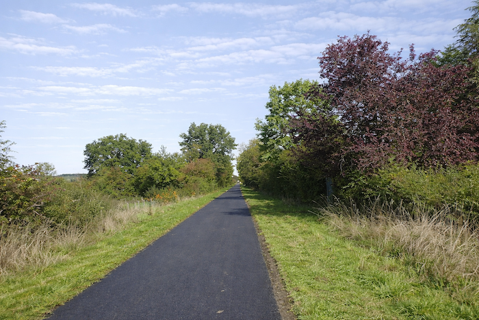
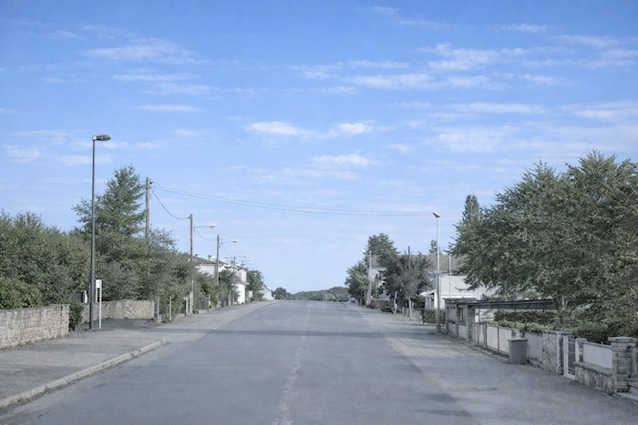
The route begins in Chalon-sur-Saône, along the river, and heads south through the Côte Chalonnaise. It runs through landscapes of vineyards and fields, then through the villages of Givry, Buxy and Saint Gengoux le National, each a charming halt. The way is entirely paved and closed to cars, ideal for families and cyclists of all levels. Along the route, the Burgundian countryside unfolds in subtle variations, meadows, hedgerows, gentle valleys, orchards and vineyards, in a harmonious alternation of nature and heritage. Romanesque churches, mills, washhouses and small stone bridges appear along the way. The route ends in Mâcon, on the banks of the Saône, after nearly seventy-five kilometers of continuous greenway. This cycle path is part of a broader network that now covers more than three hundred and fifty kilometers of greenways in southern Burgundy. It makes it possible to link not only Chalon, Cluny and Mâcon, but also other secondary loops toward Tournus, Saint Boil and the Bresse. It is an invitation to slow down and pedal gently through a region where the art of living accompanies every bend.
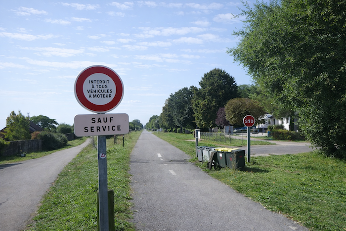
On such a route, which is no longer the Camino de Santiago but an alternative way, there is obviously no shell marking. As the greenway runs continuously from one town to another, no signposting is necessary. Of course, some pilgrims will prefer to follow the Camino de Santiago, which reached Moroges the previous day. For them, here is the route.
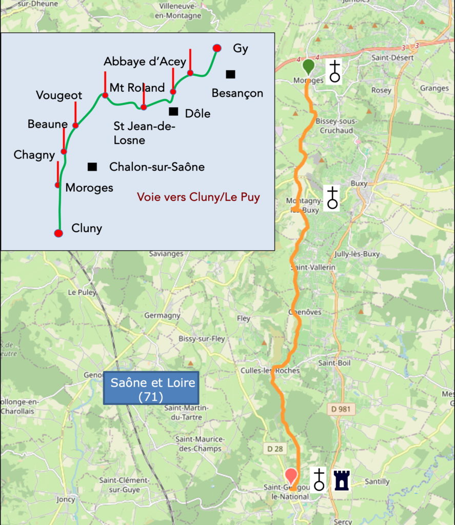
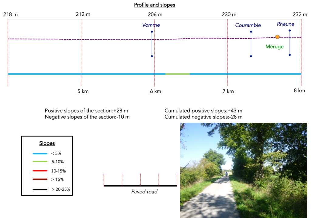
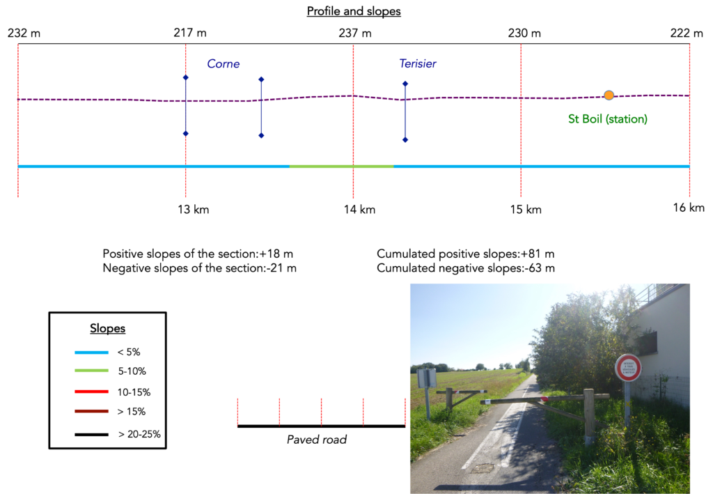
Difficulty level: The journey is almost flat, with at times a slight incline that you will barely notice (+127 meters/-102 meters). This is not the case if you follow the Camino de Santiago from Moroges (+217 meters/-340 meters).
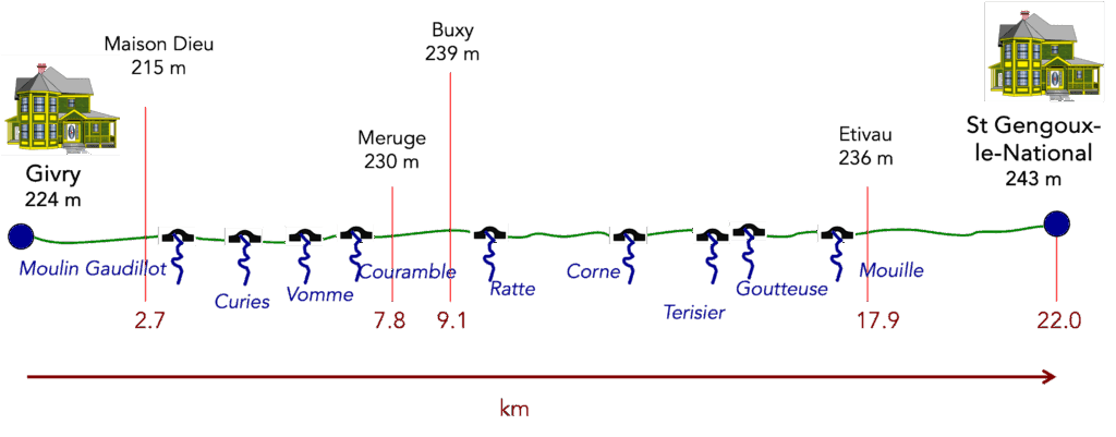
State of the route: Today, this stage runs entirely on the paved surface of the cycle path:
- Paved roads: 22.0 km
- Dirt roads: 0 km
Sometimes, for reasons of logistics or housing possibilities, these stages mix routes operated on different days, having passed several times on these routes. From then on, the skies, the rain, or the seasons can vary. But, generally this is not the case, and in fact this does not change the description of the course.
It is very difficult to specify with certainty the incline of the slopes, whatever the system you use.
For those seeking « true elevations » and enthusiasts of genuine altimetric challenges, carefully review the information on mileage at the beginning of the guide.

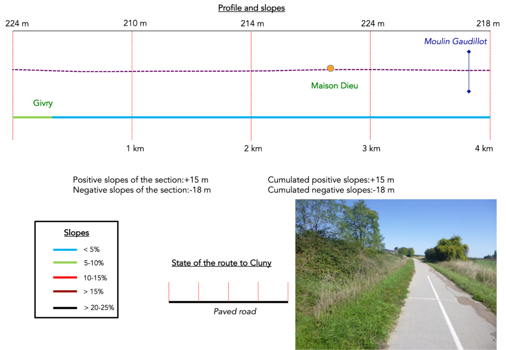
Section 1: Section 1: On the cycle path
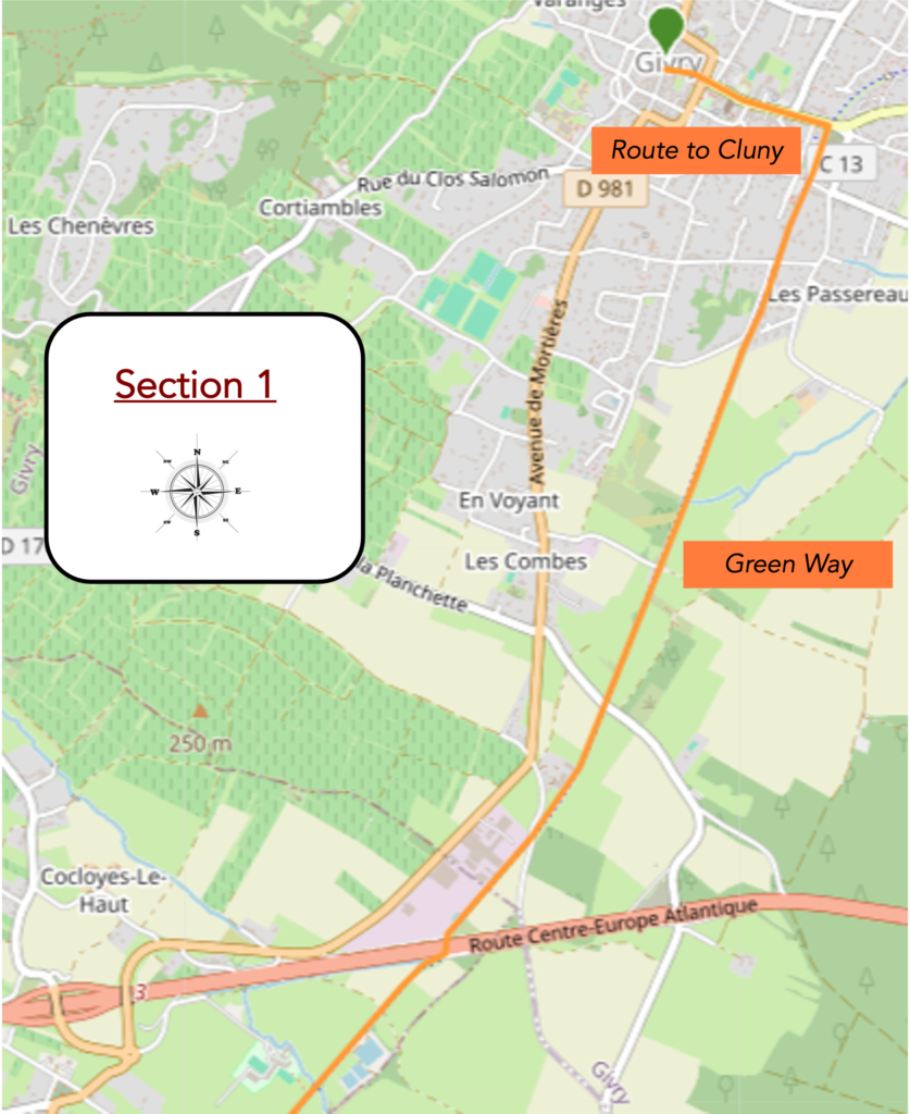
Overview of the route’s challenges: a route with no difficulty at all.
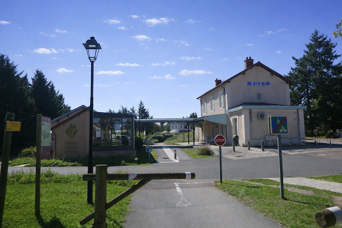
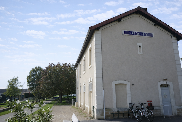
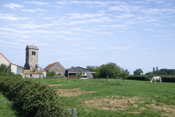
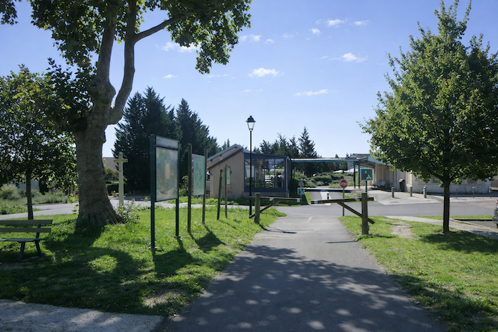
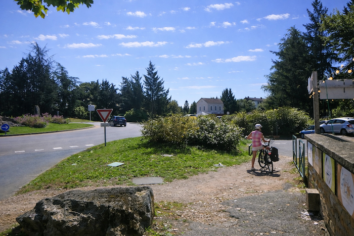
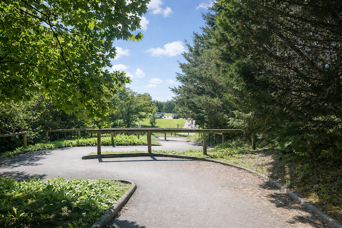
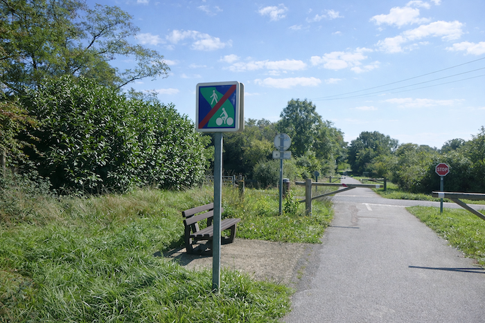
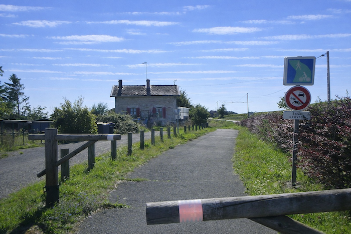
| The Greenway begins in the region at Chalon-sur-Saône and stretches as far as Givry, where it brushes the edge of the suburbs. To reach it from the center of the village, you must follow Rue de l’Hôtel de Ville, which runs out from the church and leads beyond the old walls toward the site of the former station. In this way, the modern route discreetly follows the line of a railway past that is still visible. |
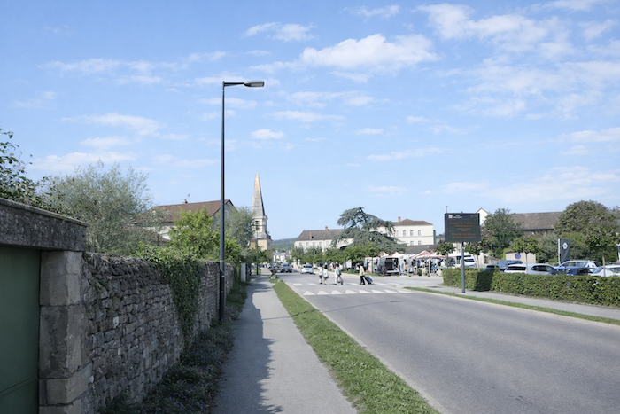 |
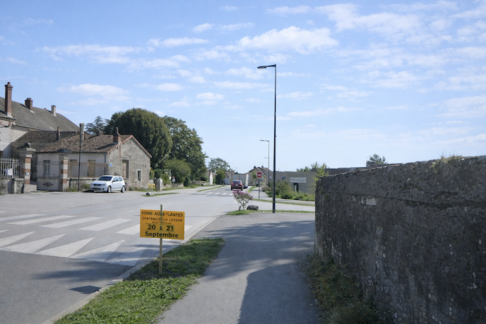 |
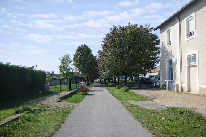
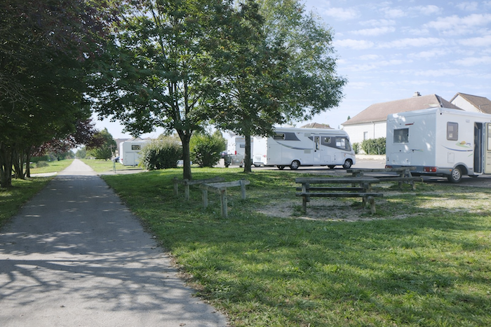
| The route then leaves the main street and bends to the right, joining the Greenway and the area laid out for camper vans. Here, the coexistence of passing tourism and gentle wandering already takes shape, where cyclists, walkers and travelers pausing for the night each find their own space. |
 |
 |
| Very soon, the route runs alongside the former station. Like the path itself, the building recalls a time when trains brought life to the countryside. All along the way, these small local stations reappear, modest sentinels of a railway past, now silent yet still standing, marking the memory of the route. |
 |
 |
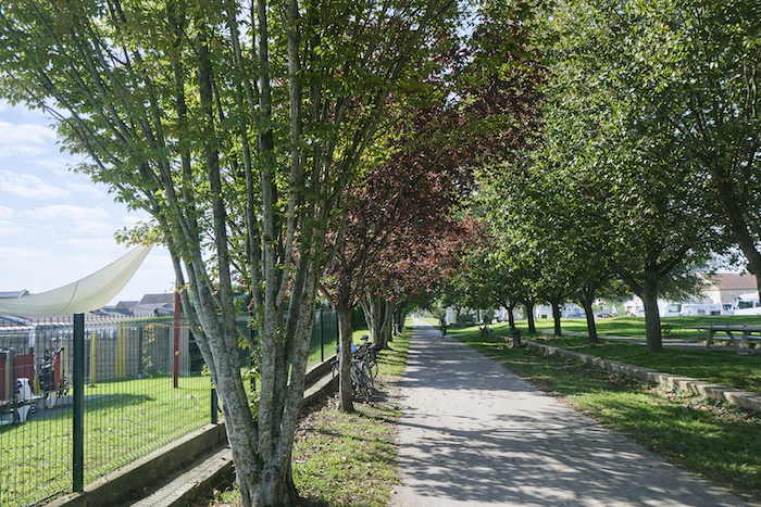
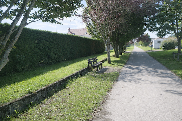
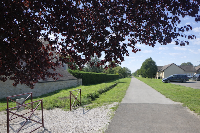
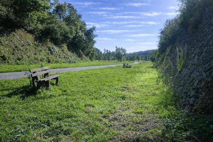
| The route then commits fully to the cycle path. At intervals, benches line the way, like pauses offered to rest. Yet one may wonder, on this flat ribbon that demands so little effort, do cyclists truly feel the need to stop so often? These seats seem designed less to relieve fatigue than to invite quiet contemplation. |
 |
 |
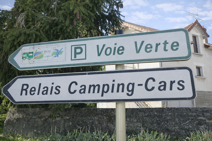
| A little farther on, the path skirts the camper van area, vehicles parked side by side like a troop ready for departure, aligned with an almost military precision. |
 |
 |
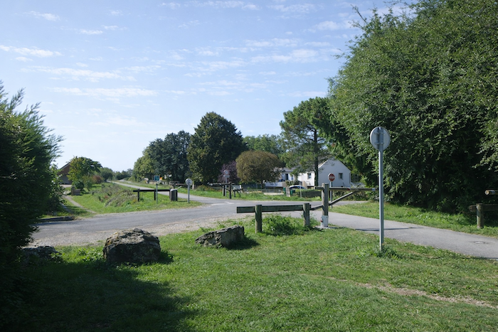
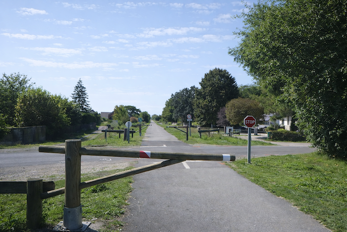
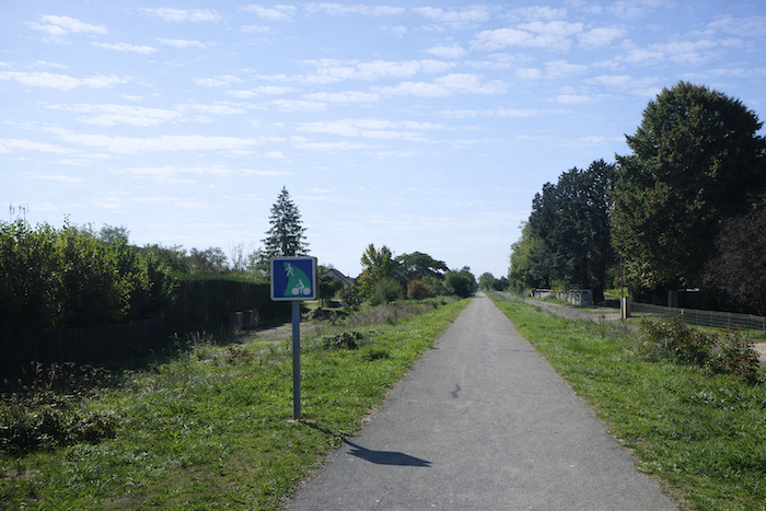
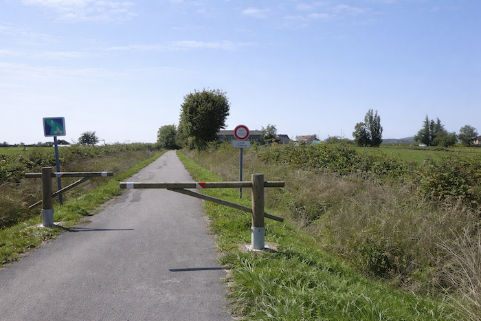
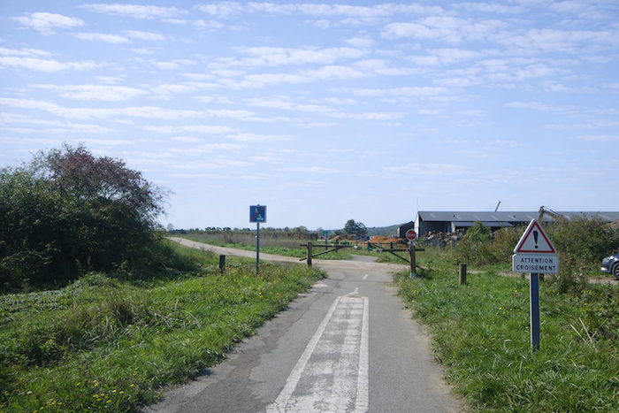
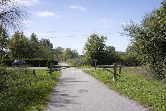
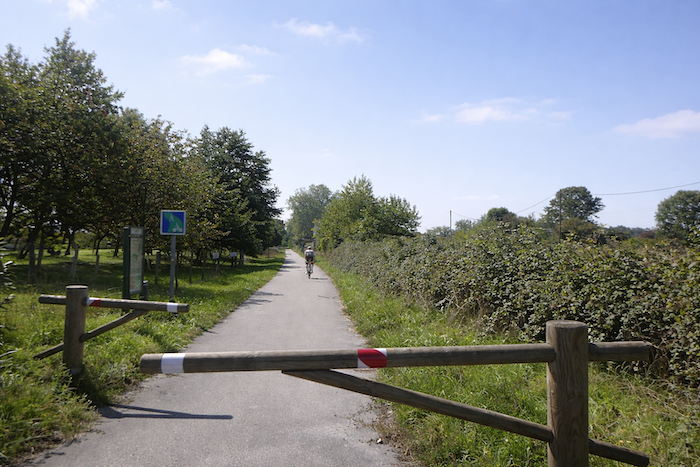
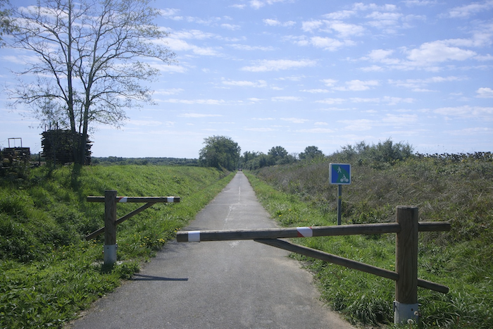
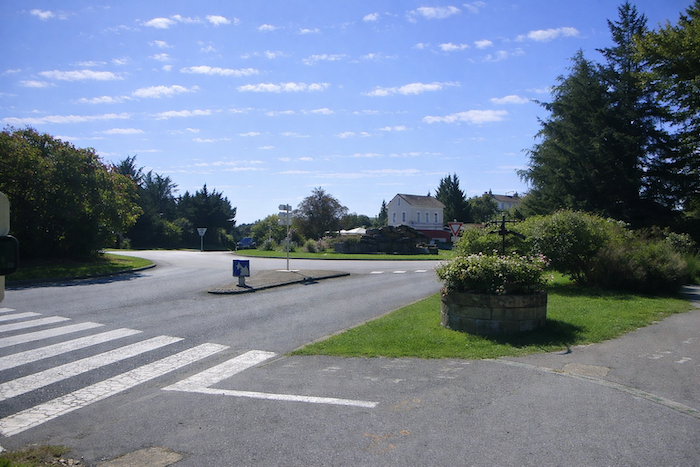
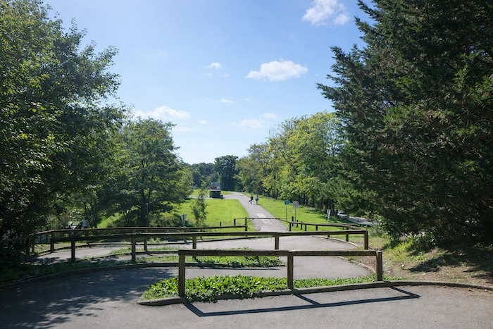
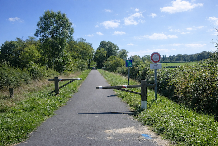
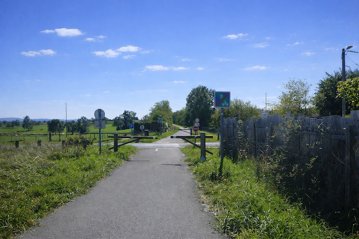
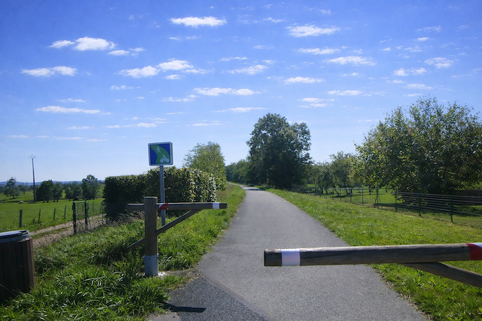
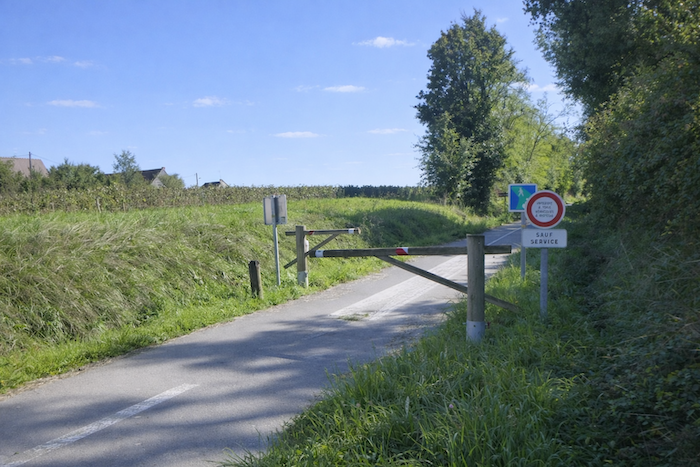
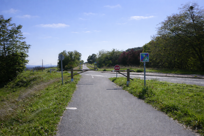
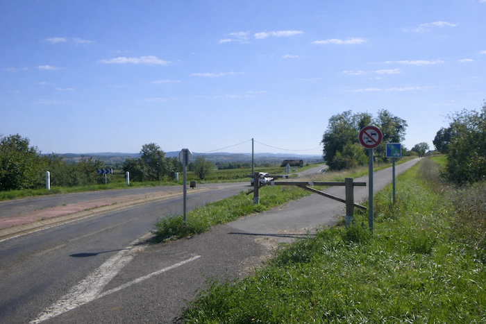
| Further still, the cycle path crosses a small suburban road. As elsewhere, the intersection follows the same pattern, safety barriers and a chicane passage, negotiated by cyclists with a slight sway, without needing to dismount. The repetition of this design sets the rhythm of the route, mechanical and expected. |
 |
 |
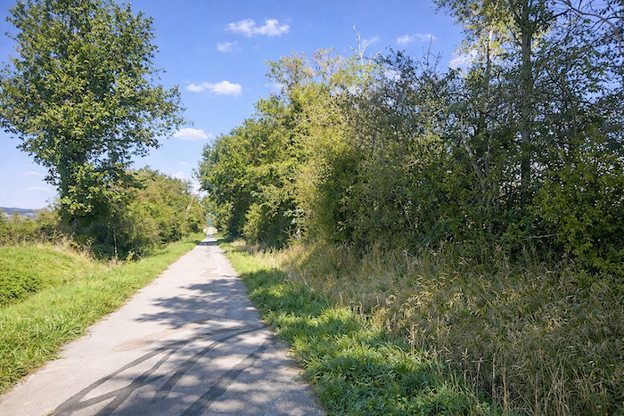
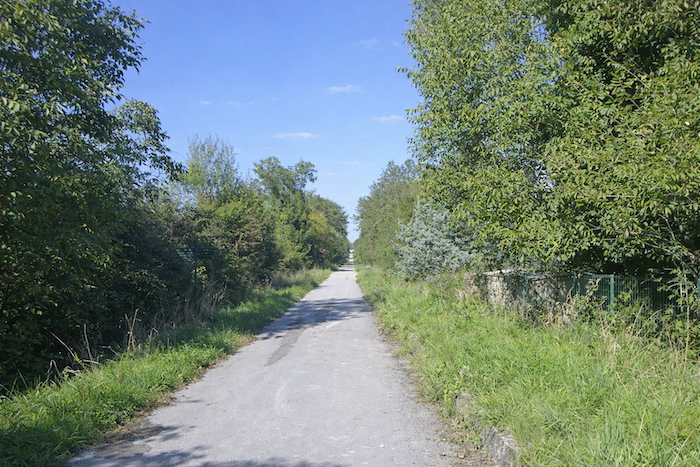
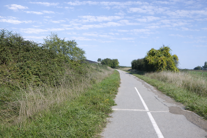
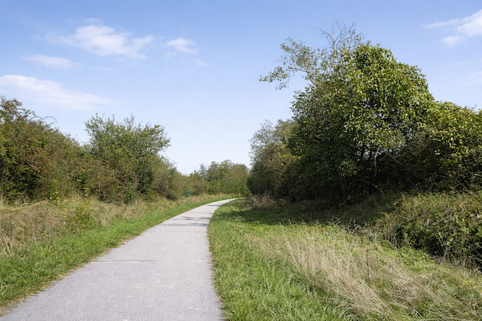
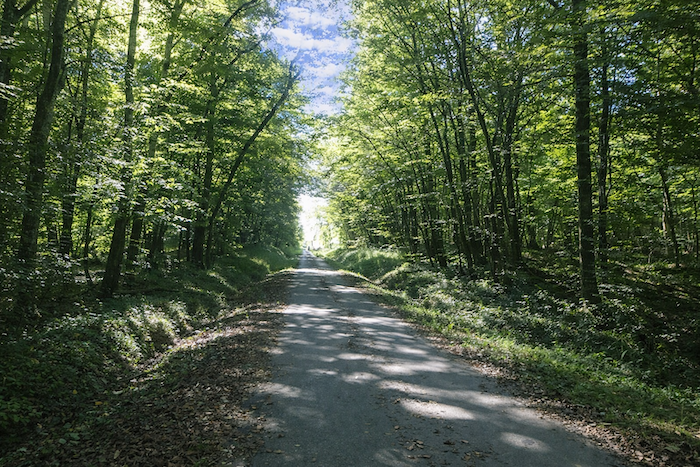
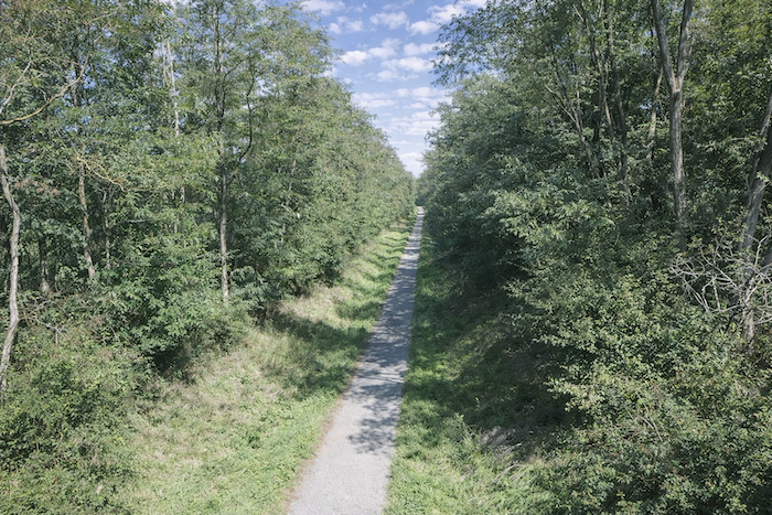
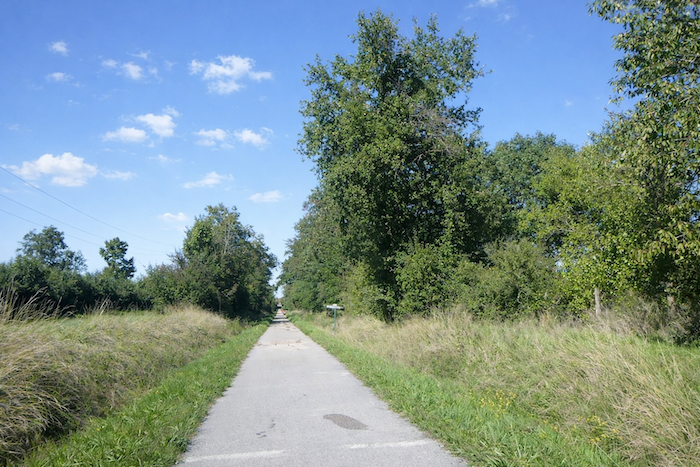
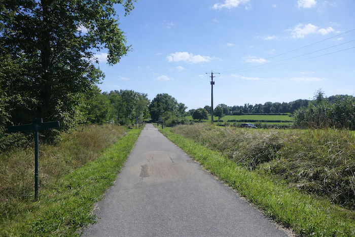
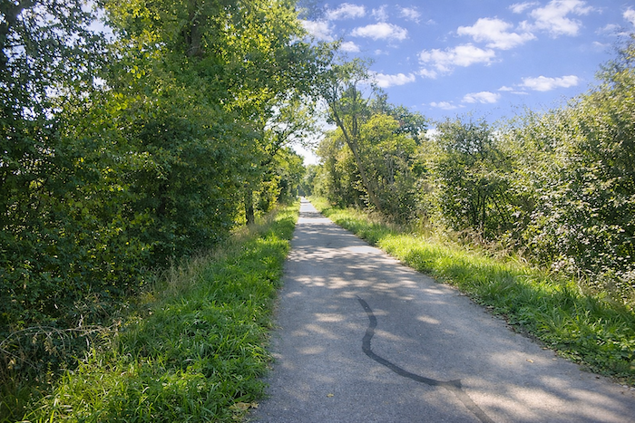
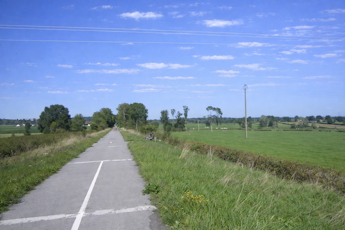
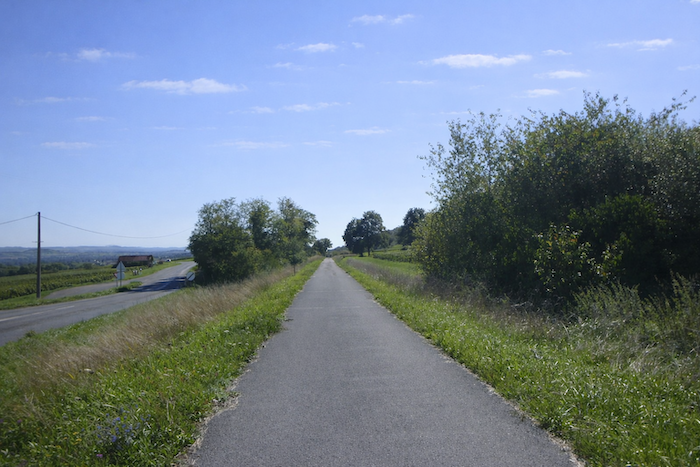
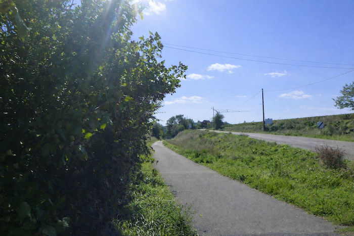
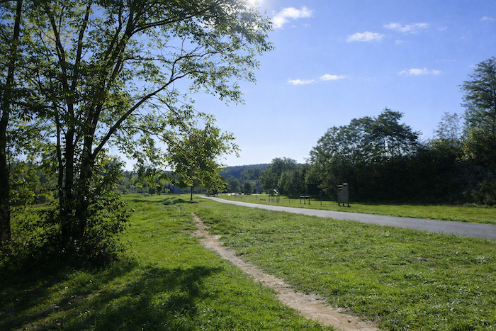
| Then the cycle path stretches out, straight and relentless, often without a nearby horizon. It is a pure line drawn through space like a thread, along which one advances without surprise, almost hypnotized by the monotony of its course. |
 |
 |
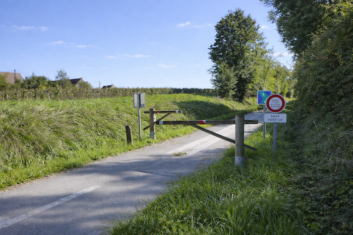
| At the end of this long straight stretch, the cycle path crosses a more important road, the departmental D204. Here, caution reasserts itself, cyclists suddenly slow down and focus before crossing the roadway with an instinctive respect for the latent danger of traffic. |
 |
 |
| A few steps away stands the hamlet of Maison Dieu. It is marked by a humble stone chapel, nestled among meadows and farms. Yet cyclists often glide past, offering no more than a fleeting glance at this discreet sanctuary, a quiet jewel of rural heritage. |
 |
 |
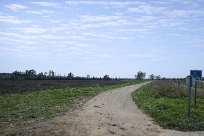
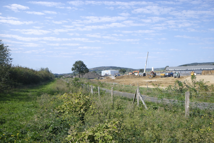
| At the exit of the hamlet, the route crosses a small dirt road near a factory where wood is worked and parquet flooring is made. The artisanal breath of the present mingles here with the silence of the countryside, creating a singular contrast between industry and the slow pace of the ride. |
 |
 |
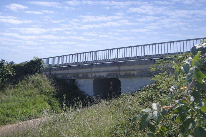
| Then, in a steady rhythm, the route continues beneath the noisy N80 national road. The roar of vehicles asserts itself abruptly, then fades just as suddenly once you emerge from beneath its concrete shadow. |
 |
 |
| The crossings with small roads follow one another, monotonous and almost interchangeable. Always the same barriers, always the same pattern. This repetition eventually gives the journey the regularity of a refrain, a slightly wearisome cadence for those who love variety in the landscape. |
 |
 |
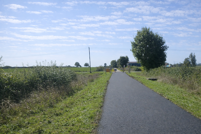
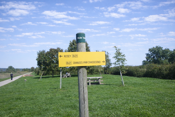
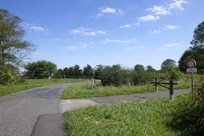
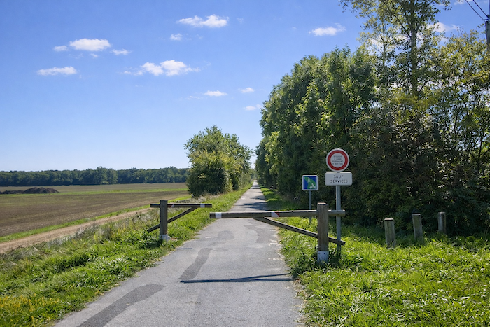
Finally, farther on, the cycle path reaches an intersection pointing toward Granges. This too is what the Greenway offers, the possibility of escape, of turning off toward regional loops, like open doors leading to other horizons.
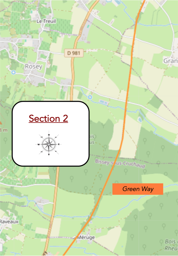
Section 2: On the cycle path
Overview of the route’s challenges: a route with no difficulty at all.
| Here you reach the outskirts of the village of St Désert. It is here that the Friends of Compostela offer pilgrims a shortcut, the possibility of avoiding the hills and joining the cycle path directly. In this way, the Camino route can merge with the modern ribbon of the Greenway, a symbol of a discreet dialogue between the spiritual fervor of yesterday and the leisure pursuits of today. Yet the path itself, indifferent to individual choices, continues along its straight, rectilinear course, skirting the place known as Chemin de la Croix de Granges. |
 |
 |
| A little farther on, there is once again an intersection with a small country road. Nothing spectacular, except perhaps a slender thread of water, a fragile stream barely visible, often reduced to the silence of its dried bed. This discreet murmur reminds the walker that the countryside lives from underground resources, invisible to hurried eyes. |
 |
 |
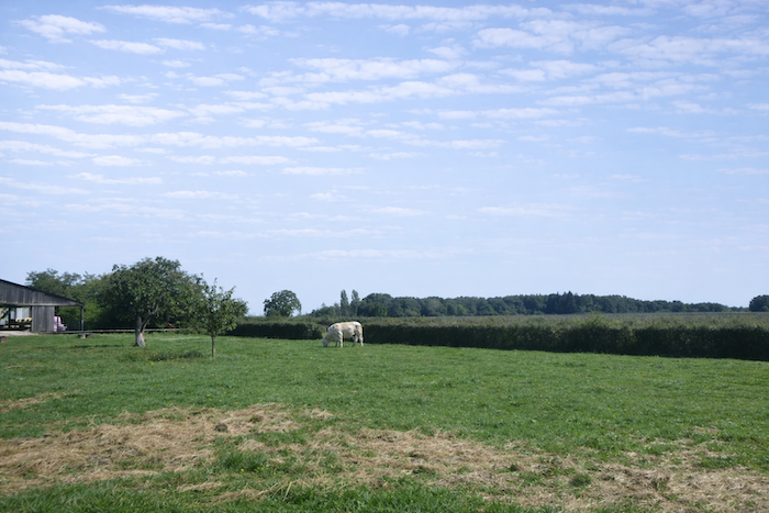
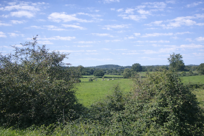
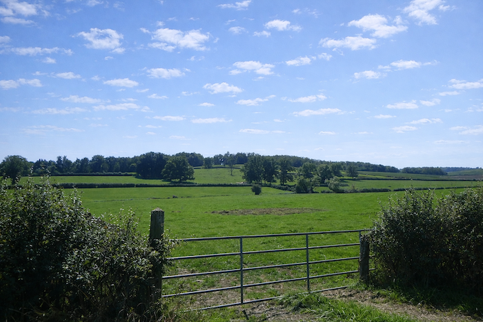
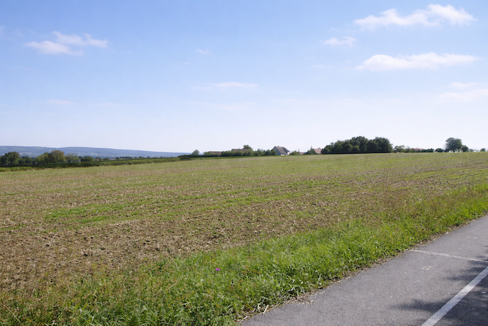
| All around stretch peaceful pastures or fodder crops, simple landscapes where the pale shapes of cows in the meadows alternate with the green undulation of fields. Here the vineyards have completely disappeared, as though erased from the scene, giving way to a more rugged, more agricultural rurality, without the winemaking prestige that accompanies other stages. |
 |
 |
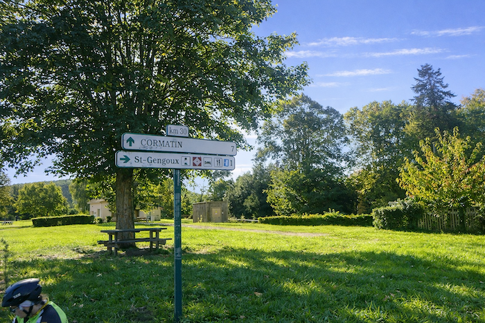
| The cycle path continues, always faithful to its straightness, always identical to itself. Farther on, it reaches an intersection accompanied by a picnic area. Beneath the light shade of the trees, tables invite a halt, a convivial pause. From here, the way offers possible branches, just a short distance away you may turn toward Rosey or toward Granges, as if the path were suddenly opening like a fan toward other horizons. |
 |
 |
| At the exit of the rest area, you discover the Vomme, a discreet stream so modest that you might almost miss it. The path then pushes deeper into the countryside, running alongside sober alignments of trees, often tall and solemn oaks. They accompany your progress like motionless guardians standing in the silence of the fields. |
 |
 |
| Still farther on, in its steady course, the cycle path approaches the Bois des Pères. The mood of the landscape changes and the open countryside draws in closer. |
 |
 |
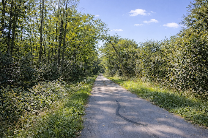
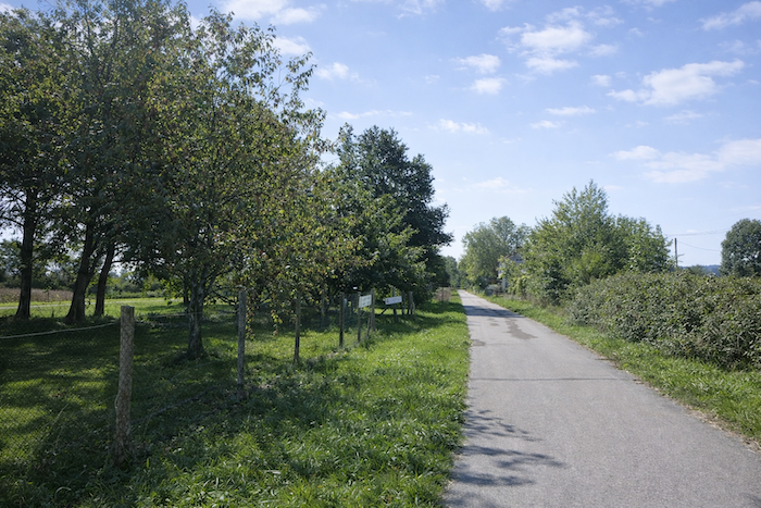
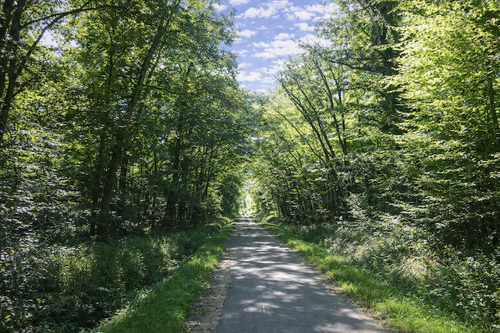
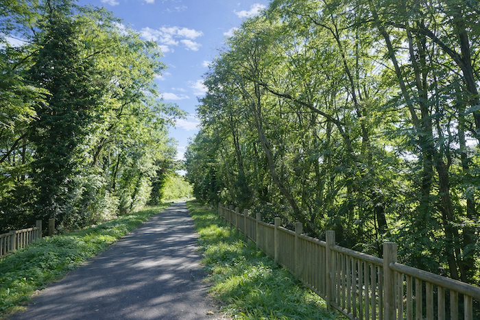
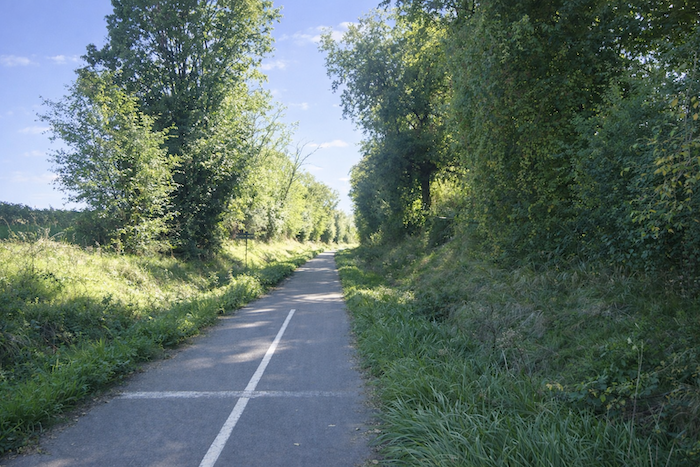
| The cycle path then crosses this wood for a long stretch. Gleaming oaks, more modest ashes, and slender beeches rising like thin wands create a varied setting. Together they extend their branches to offer the traveler a benevolent shade, like a protective vault. One advances through this gentle half-light with the feeling of being welcomed into a natural sanctuary. |
 |
 |
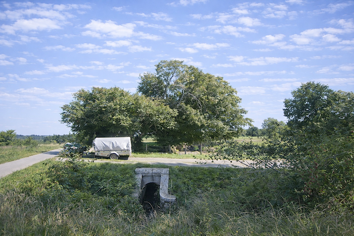
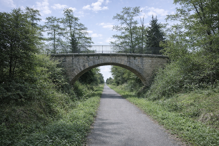
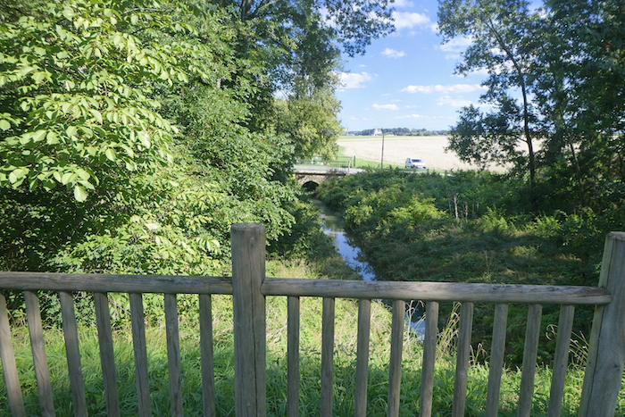
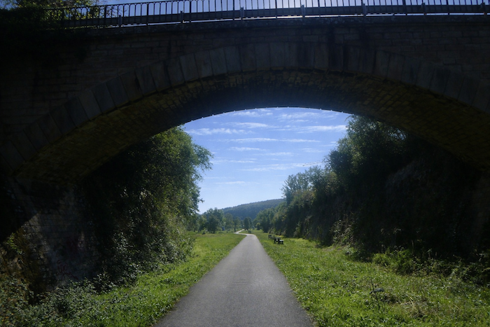
| Farther on, the cycle path runs beneath a bridge near the hamlet of Méruges. Once again, it continues on its imperturbable line, ignoring the possible detours that open on either side. Small brooks hide in the greenery, almost invisible, like secrets that nature keeps for those who take the time to pause. |
 |
 |
| If you take the trouble to climb up onto the bridge, another spectacle reveals itself, that of the path itself. From above, you grasp the impressive length of those straight lines plunging into the undergrowth, endless stretches of asphalt resembling arrows aimed toward the horizon. The eye lingers there, fascinated by this unbroken regularity. |
 |
 |
Section 3: Passing through Buxy, a village with a beautiful soul

Overview of the route’s challenges :a route with no difficulty at all.
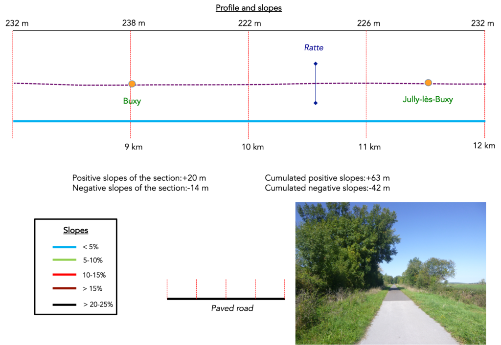
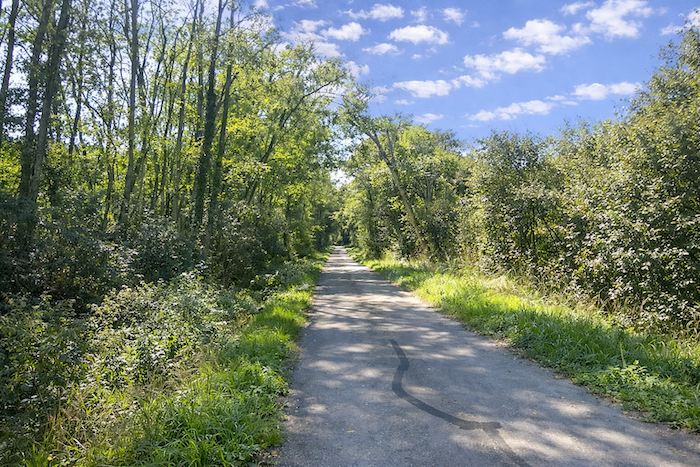
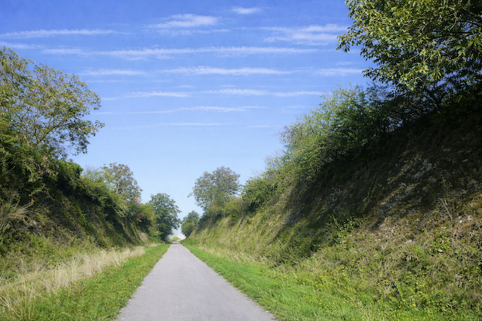
| The cycle path remains straight for a long stretch, unperturbed as always, at the heart of the undergrowth. Trunks stand aligned on either side, light filters through in fine rays, and one almost has the impression of advancing through a natural corridor drawn for eternity. |
 |
 |
| Then, suddenly, the light widens, the half shadow fades, and the path emerges at the entrance to Buxy. The charm of the place asserts itself at once, with its small disused station, a quiet vestige of a bygone time when trains stopped here. It still stands as a silent witness to the passing of travelers from another age. |
 |
 |
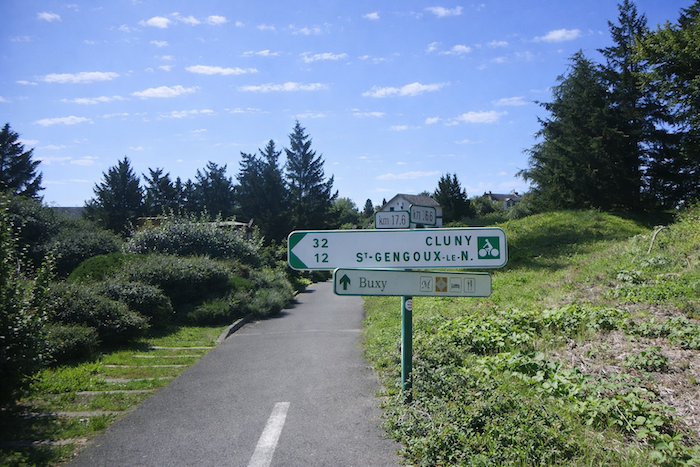
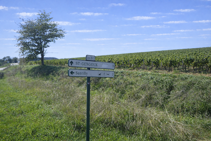
| The cycle path then approaches the departmental road D981. Here, a sign reminds the cyclist that St Gengoux le National, the end of this stage of the Greenway, lies only twelve kilometers away. Modern road traffic and the silence of the path intertwine in a striking contrast. |
 |
 |
| At the entrance to the roundabout on the D981, the cycle path seems to lose itself in the traffic, momentarily absorbed by the flow of vehicles. Yet Buxy welcomes travelers kindly, two restaurants stand close by, offering the walker a welcome pause between rest and conviviality. |
 |
 |
| There is little doubt that the vineyards are not far away, a large wine cellar rises here as a reminder of the region’s vocation. |
 |
 |
| The cycle path then indulges in a few graceful detours, winding in gentle bends through a shaded park on the very edge of the village. The coolness of the trees envelops the traveler, offering a soft transition between open countryside and small town. |
 |
 |
| Then it resumes once more its eternal straightness. Shadow and light alternate through the foliage, and protective oaks mingle with discreet maples to create a setting at once majestic and familiar. Here, monotony becomes gentle, paced by the regular presence of trees. |
 |
 |
| Benches line the way in such numbers that counting them would be futile. At this point, the route crosses the small departmental road D147. Traffic there is almost nonexistent. In the region, only the D981 carries the main north south flow of cars, the other roads are merely modest local crossings, quiet and secondary. |
 |
 |
| Just a few steps away, the cycle path crosses the Ratte, a small stream that flows gracefully through a charming setting. Its discreet murmur and the freshness of its waters add a note of delicacy to the route. |
 |
 |
| Already, the way resumes its unsurprising progress, straight and even, until it meets a small road leading toward Jully lès Buxy. Yet nothing truly invites you to follow it. These tiny villages live a modest life without real bustle, simple markers in the countryside. |
 |
 |
| Here the landscape is made up of green meadows scattered with lightly shaded copses, and fields that alternate with the rhythm of the seasons. It is a simple yet generous countryside, where each field and each hedgerow seems to take part in the silent harmony of the scene. |
 |
 |
Section 4: Still and always on the cycle path
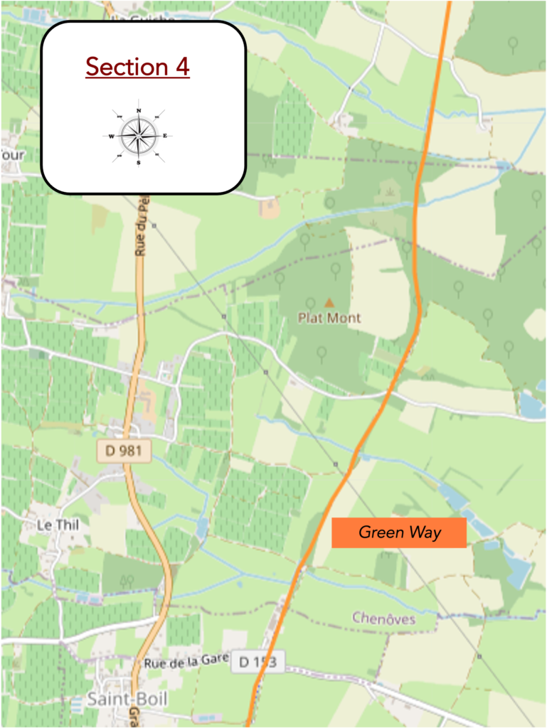
Overview of the route’s challenges: a route with no difficulty at all.
| The cycle path continues its steady progress, linking one intersection to the next, like a discreet thread stitching the countryside together. Each crossing resembles the last, and yet each marks a moment in the journey, like a fleeting breath within the flow of travel. |
 |
 |
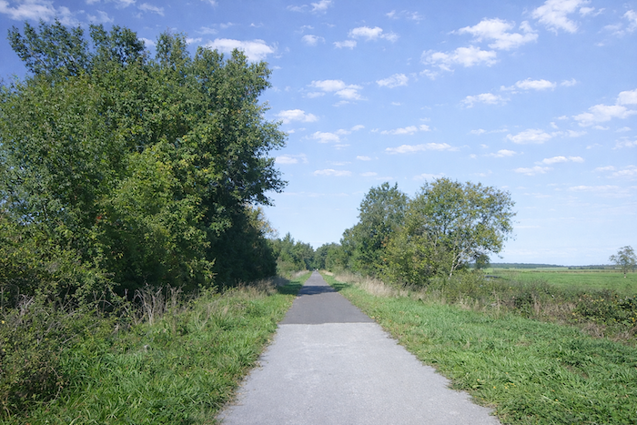
| Farther on, the path enters the Bois des Valottes, which it crosses at length. There, a few streams appear, barely visible, hiding among grasses and foliage. The cyclist or walker continues without effort, carried along by the gentle shade cast by tall leafy trees, as if beneath a natural canopy. . |
 |
 |
| Still farther ahead, another intersection opens, then the path resumes its course, relentless in its eternal straightness. Long and insistent, it draws its clear line across the landscape, faithful to its vocation as an unwavering route. . |
 |
 |
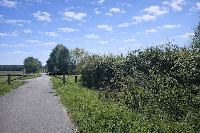
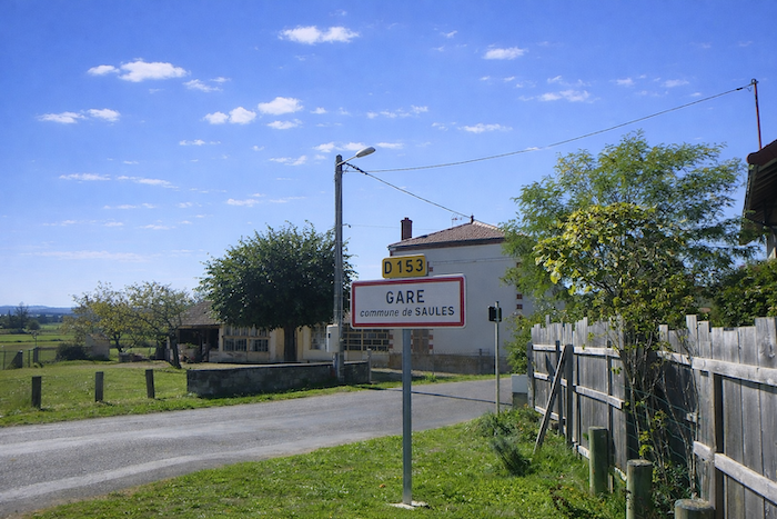
| And suddenly, a touch of life emerges. Here is a new intersection, livelier than the previous ones, at the place called La Gare, which signals the entrance to the village of Saint Boil. There, the countryside slowly recedes, giving way to human presence, to signs of activity and passage, like a first note of sociability after long silent stretches. |
 |
 |
| Here, the cycle path slips between orchards planted in the heart of meadows, where a few peaceful herds are scattered about, ruminating in the quiet of the fields. The copses, more discreet than before, form only thin patches of shade, like scattered refuges of coolness. The way opens more fully to the sky, and the light gains in intensity, giving the countryside a new transparency. . |
 |
 |
 |
 |
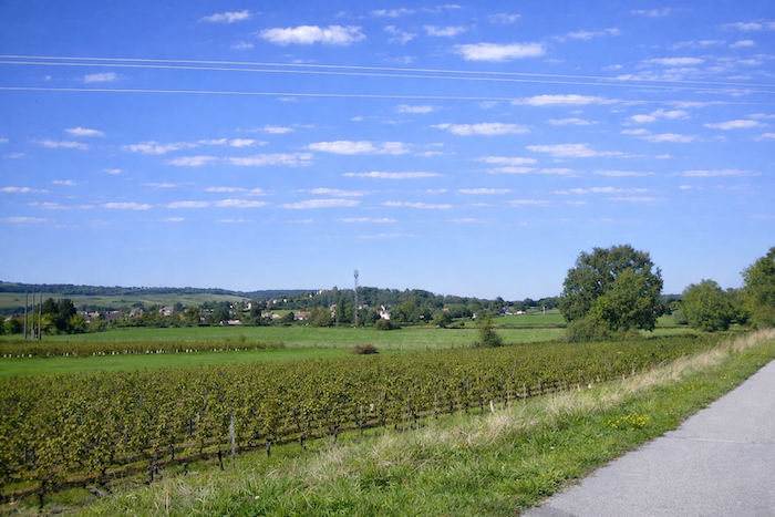
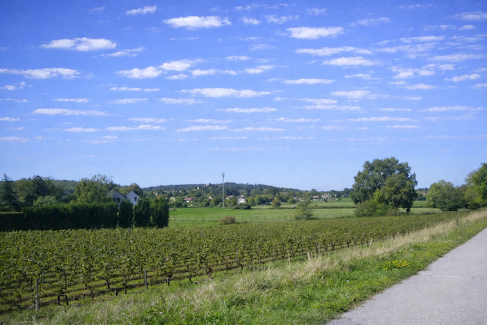
| The cycle path then passes wide of Saint Boil, whose church steeple can be seen in the distance, rising like an immutable landmark above the rooftops. Here the vineyards reappear, pressed against the slopes, bearing witness to the winemaking vocation of this land. Yet this vineyard does not end with these nearby hillsides, it stretches far beyond, reaching toward the great estates that have built the reputation of Beaune and its surroundings. The landscape thus takes on a broader dimension, as if the route were inviting you to lift your gaze toward a wider tradition, rooted in the history and culture of all Burgundy. |
 |
 |
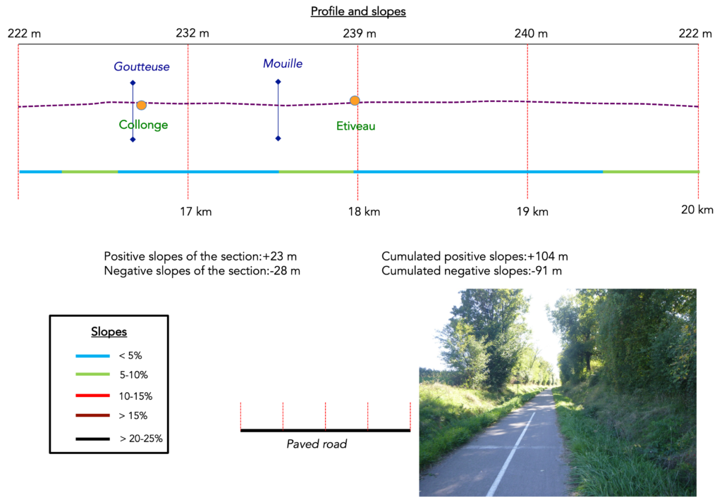
Section 5: Still and always on the cycle path
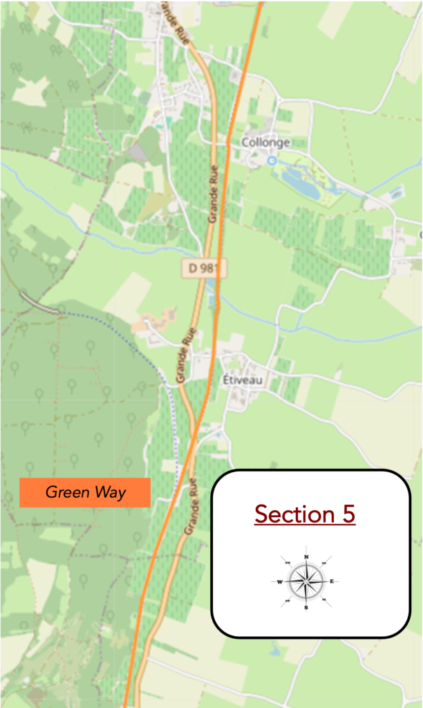
Overview of the route’s challenges : a route with no difficulty at all.
|
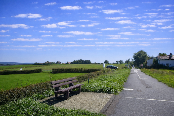
Farther on, another intersection appears where the cycle path once again approaches the main departmental road. The contrast is striking. On one side runs the calm and steady line of the green way, on the other the contained agitation of a road, where cars speed past, indifferent to the slower rhythm of those traveling by bicycle or on foot. The proximity of this artery seems to remind us that the modern world is never very far away, even in the heart of the countryside. |
 |
 |
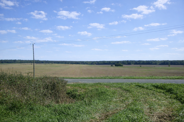
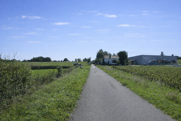
| The cycle path continues and moves toward Collonges, across a bare and open plain dominated by wide stretches of farmland. The eye wanders over the regular expanse of fields until it meets a forgotten yet still inhabited station, Étiveau. The village itself, however, remains at a distance, like a promise kept just out of reach. |
 |
 |
| A little farther on, another turning offers a detour toward the campsite of Chaumois. Walkers, attached to the continuity of their itinerary, will probably not venture there. Cyclists, perhaps tempted by the idea of an unexpected pause, may choose this escape. For the freedom of travel also lies in such hesitations, in the possibilities that open up at the edge of the path. |
 |
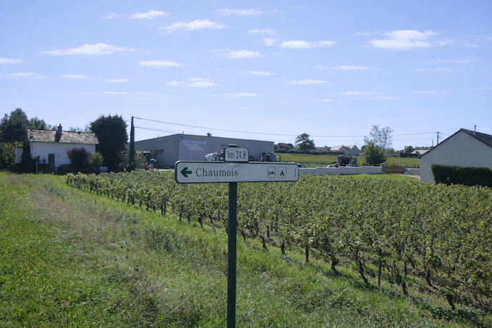 |
| A little more distance, and the route draws closer to Étiveau. It crosses countryside where vineyards, patches of woodland and cultivated land mingle, forming a mosaic of changing landscapes. The way remains calm, yet one already senses that the stage is nearing its end, that the itinerary is tightening toward its conclusion. |
 |
 |
| Here, the cycle path runs close to a few houses, which is a rarity along this often-solitary route. These discreet walls beside the way bring a welcome hint of human presence, a subtle sign that village life is no longer far away. |
 |
 |
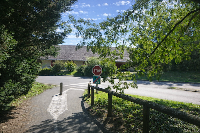
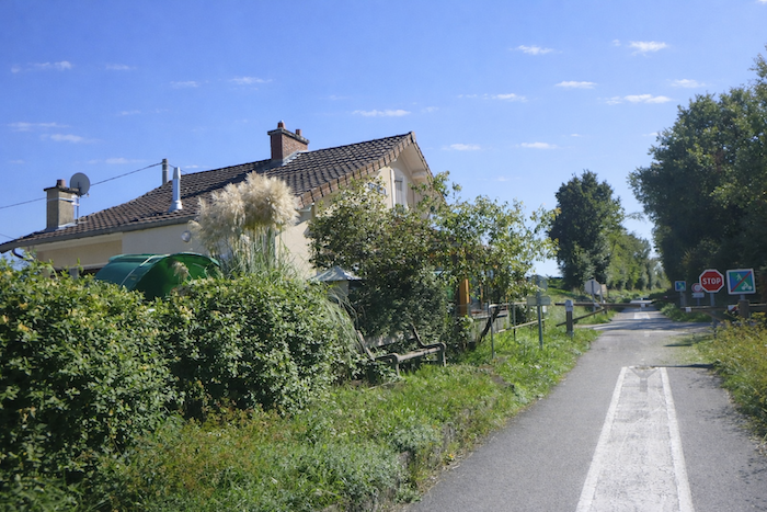
| Soon you gradually approach St Gengoux le National. The cycle path, faithful to its discipline, carefully crosses the main departmental road D981. The crossing requires the traveler to slow down, to look, to measure each movement before setting off again. It is a transition, a threshold that already announces the approaching end of the stage. |
 |
 |
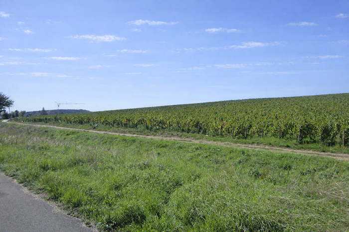
| The cycle path then stretches out for more than two kilometers, unrolling its tranquil ribbon above the national road. From this vantage point, the traveler overlooks the noisy axis below, as if protected within a suspended interval. The rumble of engines grows distant, while the gentle way preserves its serenity, like a peaceful cornice open to the wind and to wide horizons. Time seems to expand in this progress above the hurried world. . |
 |
 |
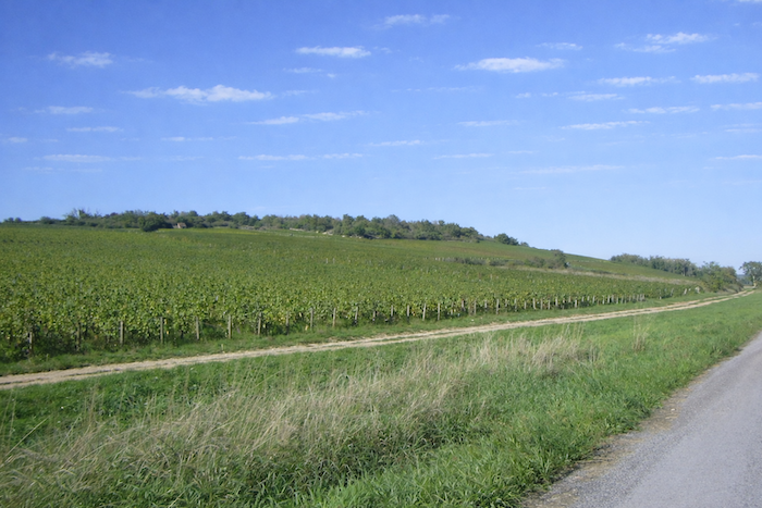
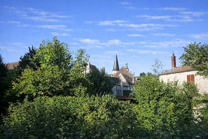
| Here once again your steps return to the intimacy of the vineyards. St Gengoux le National reveals itself, set upon an invisible yet essential boundary, the one that separates the Côte Chalonnaise from the Mâconnais. The commune officially belongs to the former, since its vines are attached to the prestigious Côte Chalonnaise appellation, alongside Givry, Mercurey, Rully and other names that sound like promises from a cellar. Geographically, however, St Gengoux marks the southernmost edge of this terroir. Just a few kilometers away, the hills change rhythm, the stones take on another hue, and already the Mâconnais unfolds its vineyards, announcing a new harmony within the great symphony of Burgundy wines. |
 |
 |
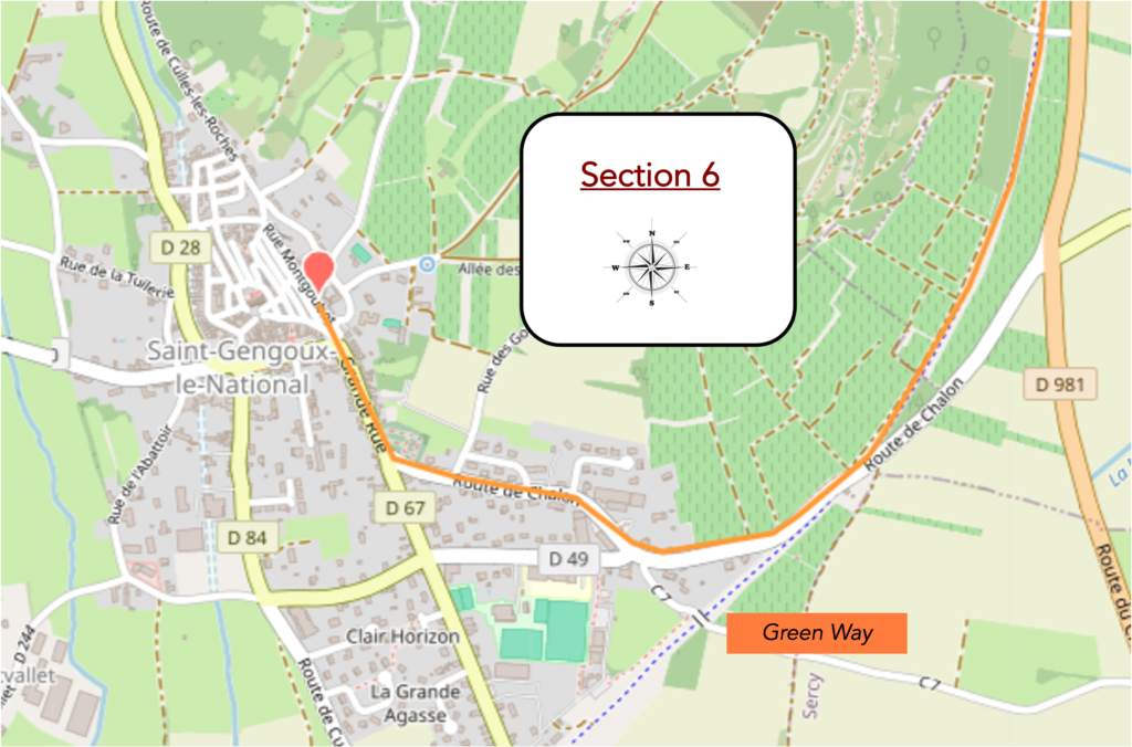
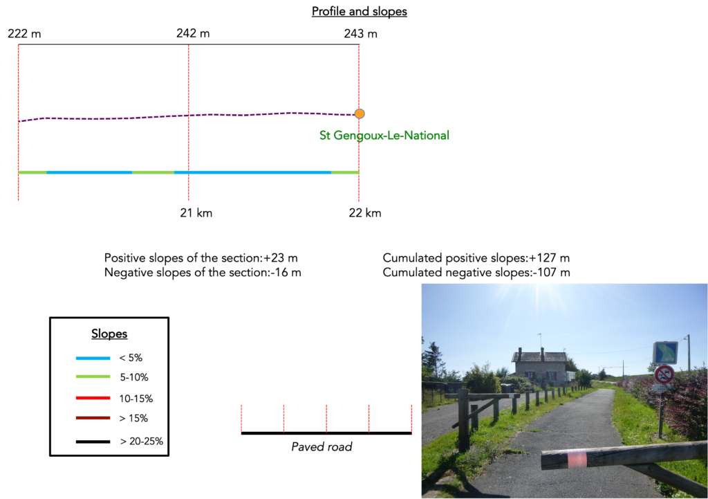
Section 6: In St Gengoux le National, a magnificent medieval village
Overview of the route’s challenges: a route with no difficulty at all.
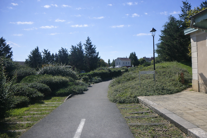
| The cycle path now approaches the D48, the road that leads toward St Gengoux, barely a kilometer from the town. The path keeps its regular course, yet the air already seems different, as if charged with the impatience of arrival. |
 |
 |
| Then it meets the road. In this simple crossing there is a sense of transition, the passage from open countryside to the promise of walls, rooftops and the outlines of the town drawing nearer. |
 |
 |
| It continues beneath the road. Here the traveler descends under the carriageway as through a discreet passage, a silent channel slipping below the flow of cars. The path moves forward humbly, without ever losing its thread. |
 |
 |
| Farther on, it runs under yet another bridge, that of a secondary road. The choreography repeats itself, fast roads above, the gentle way below. Two superimposed worlds that meet only in these fleeting crossings. |
 |
 |
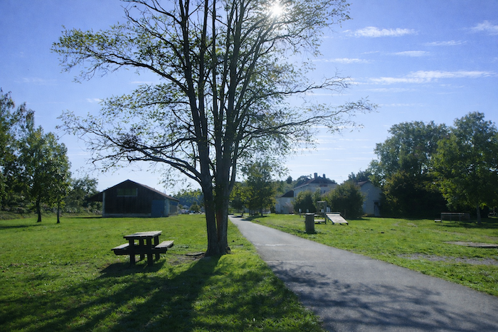
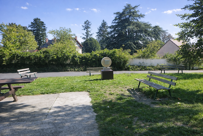
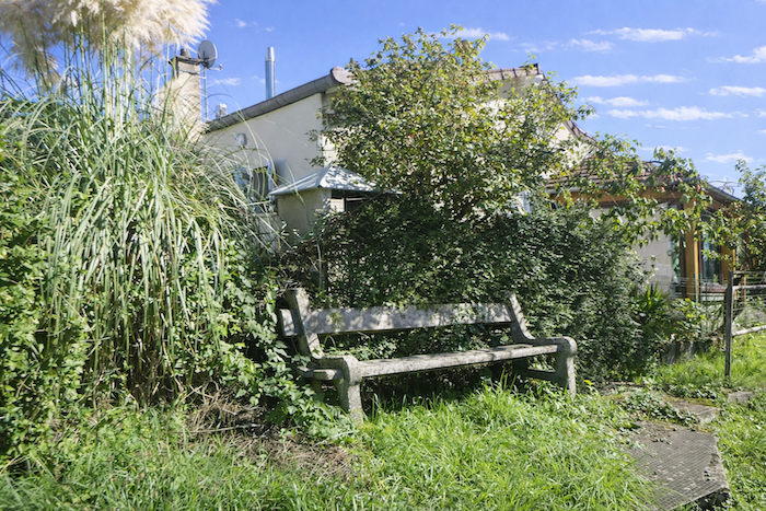
| Here the setting suddenly softens. You cross a shaded and welcoming park, where benches and picnic tables stand in orderly rows, as if ready to receive an entire regiment of cyclists or walkers. The place feels generous and peaceful; a haven offered to travelers before their arrival. |
 |
 |
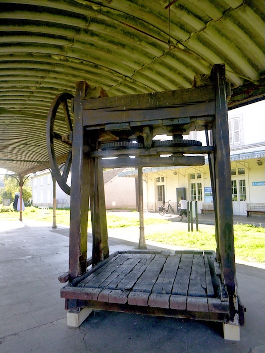
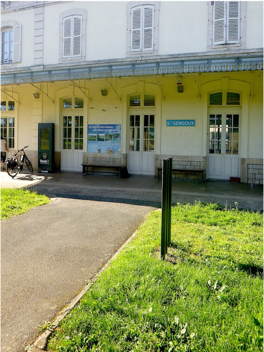
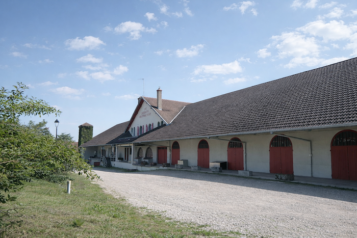
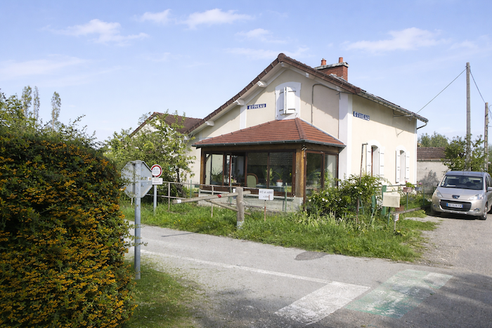
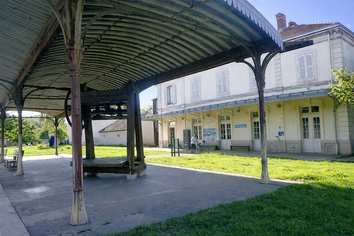
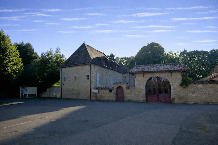
| At last, the route reaches St Gengoux le National at the level of the former disused station. It is a site full of charm, yet imbued with palpable nostalgia. It has preserved the appearance of former days without retaining their life, like an empty shell where the echo of past departures and arrivals still lingers. |
 |
 |
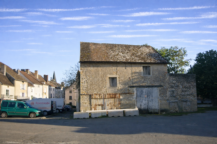
The station hotel is something of the reference tourist site of the place.
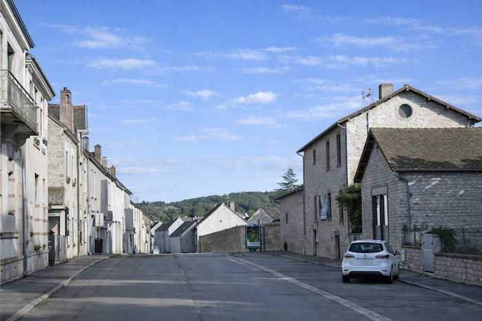
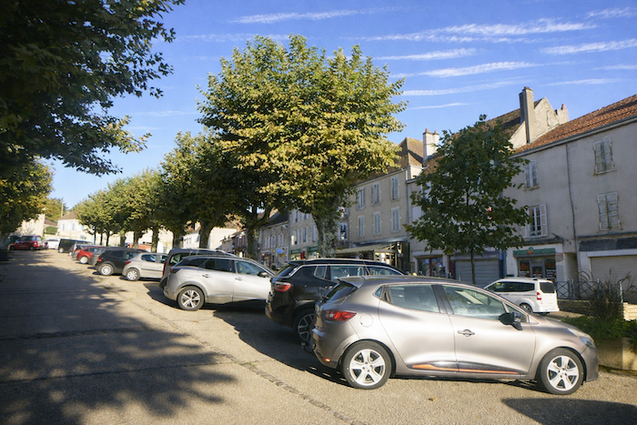
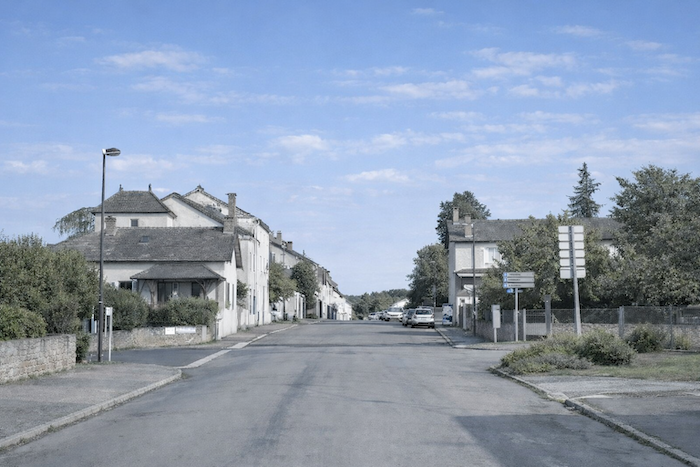
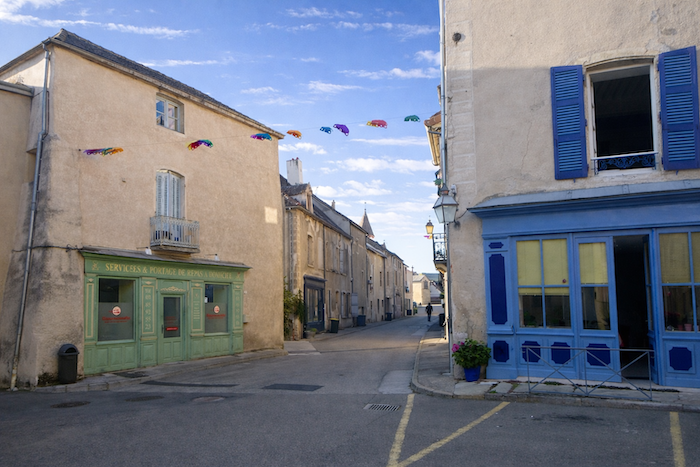
| You must then walk for quite a while through the outskirts, straight ahead from the station, before reaching the heart of St Gengoux le National. Despite its modest population of barely a thousand inhabitants, the town gives the impression of a small city, with its shops and services, rather than that of a simple village lacking infrastructure. |
 |
 |
Section 7: In St Gengoux le National, within the medieval village
| St Gengoux is clearly divided into two parts. There is the outer town, without great distinction, almost ordinary, and then, behind it, protected like a treasure, the medieval village. The latter is a true jewel, enclosed by a few remaining walls or by massive houses that serve in their place. Often, the stones of the old ramparts were reused in later buildings, giving the whole a coherence and a historical density that shape the landscape. Two worlds stand facing one another, one practical and commonplace, the other patrimonial and steeped in memory. |
 |
 |
 |
 |
 |
 |
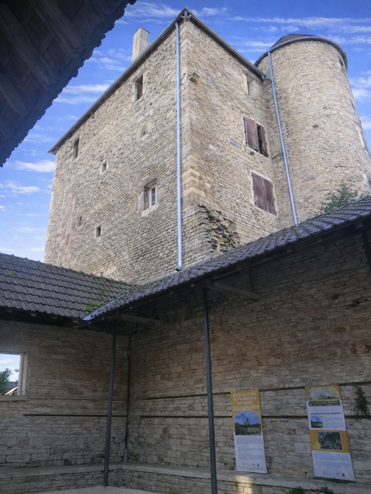
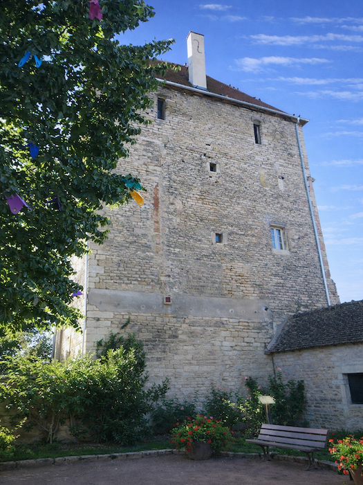
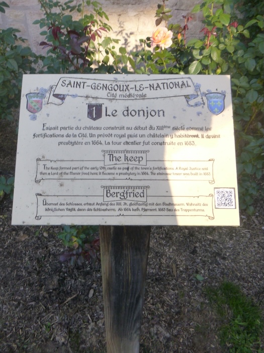
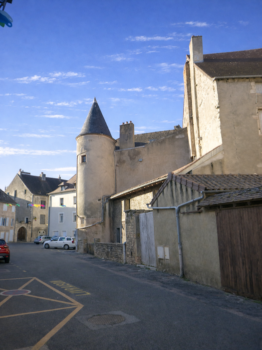
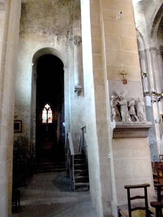
| You enter the old town under the stern watch of the keep, a true stone sentinel. It is the principal remnant of the castle, built at the beginning of the twelfth century, when lords asserted their power through massive walls. Once, the castle was armed with four towers rising like lances toward the sky. At the beginning of the seventeenth century, they were demolished, as if History itself had chosen to disarm the fortress. Now only the keep remains, a heavy block of memory bearing witness to that past of iron and fire. Its first purpose was defensive, to protect, to watch, to dominate. A royal provost established his residence there, later succeeded by a castellan, until the building became a presbytery in the seventeenth century, changing its function without losing its dignity. This keep, cornerstone of the town, marks not only the royal presence in the region but also the majestic shadow of the abbey of Cluny. From this double authority, royal and monastic, a prosperous town was born, its population growing, its stones once alive with activity. |
 |
 |
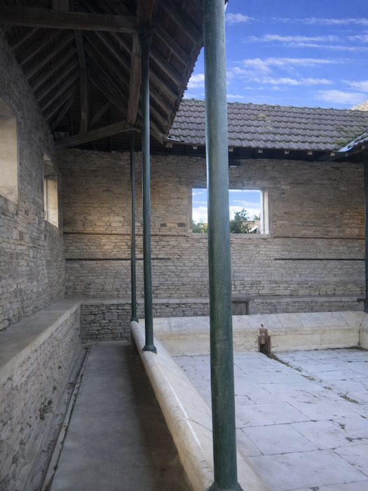
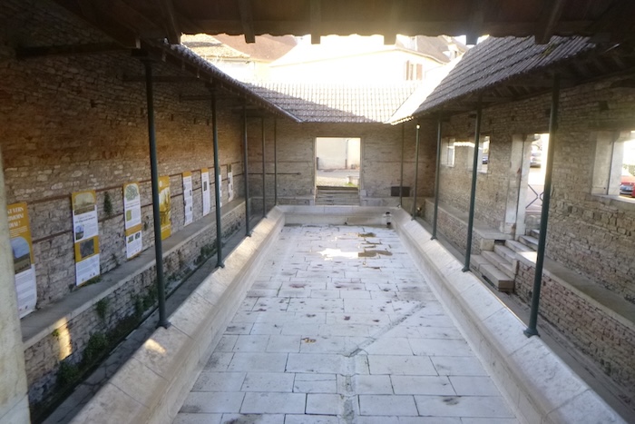
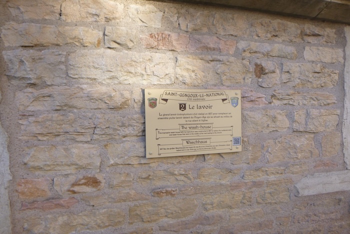
| In the very shadow of the keep once stood the washhouse. The one visible today dates from the end of the nineteenth century and replaced an older structure. Set at the foot of the keep, it seems to converse with it, symbol of an alliance between the daily lives of village women and the majesty of power. Here, living waters drawn from an ancient spring still fill the basin. This fountain once bore the poetic name “Jouvence”, and during the Revolution it even gave its name to the commune. |
 |
 |
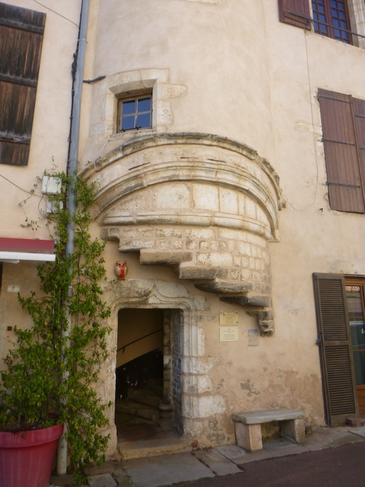
| From the washhouse, narrow lanes wind toward the heart of the medieval town. Following them, the eye discovers the church rising ahead, while close by stands the former house of the bailiff, recognizable by its projecting stairway. Here lived the man who embodied royal authority, the bailiff, between the thirteenth and the fifteenth century. This residence, though more modest than the keep, carried an administrative dignity and an air of authority. |
 |
 |
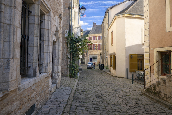
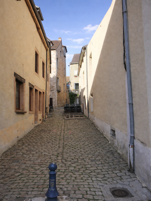
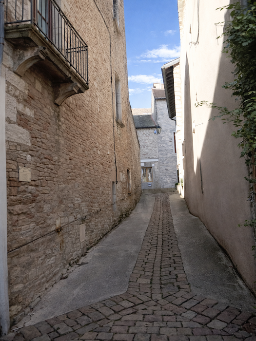
| The medieval town is not made only of squares and official residences. It is also composed of discreet lanes, sometimes silent, often deserted. This labyrinth of small streets, with its rustic charm, offers the image of a slumbering village. The lanes are paved with what are called andouilles, irregular sandstone cobbles once considered unsellable and given by quarrymen to neighboring communes. A roadway of leftovers, one might think, and yet a precious one, giving St Gengoux its unique character, its uneven ground like memory itself. |
 |
 |
 |
 |
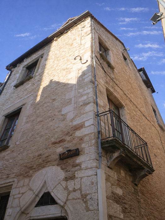
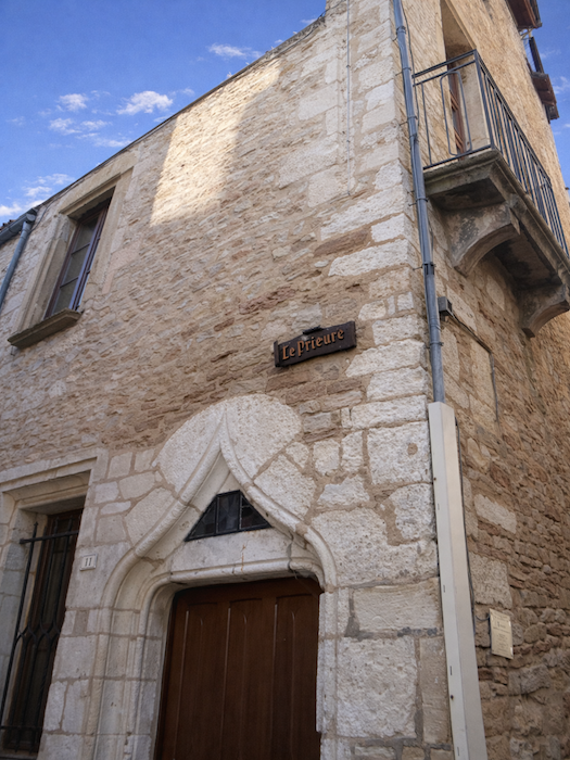
| Here too stands the priory, founded by the Benedictines in the eleventh century. The building visible today, shaped patiently by time, dates from the fifteenth century. Its finely cut stones, shifting between ashen gray and golden ochre, catch the light like a mineral tapestry. A place of prayer, silence and learning, it still stands firm and luminous, like a final spiritual breath in this town where every stone, from the keep to the washhouse, murmurs the epic of a still vibrant past. |
 |
 |
| Many houses were rebuilt over the centuries, yet always in the spirit of the Middle Ages, as if the memory of medieval builders had never ceased to guide the hands of masons. Some dwellings, their stones burnished by time, date back to the fifteenth century and seem, through their irregular facades, to recount centuries of village life. |
 |
 |
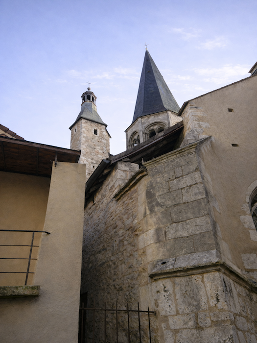
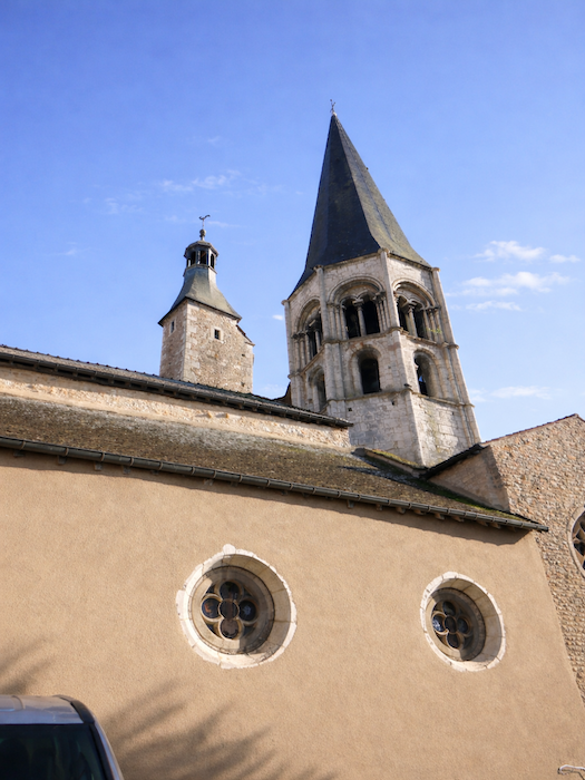
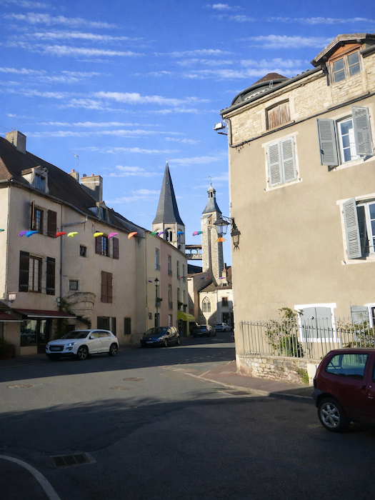
| As you walk through the village, your steps constantly draw you back toward the church, a true architectural magnet that captures the gaze. Its proud and slender bell tower was remodeled in the nineteenth century. Crowned with a tapering spire, it rises like a finger of stone pointing toward the sky, still dominating the clustered silhouette of the old town. |
 |
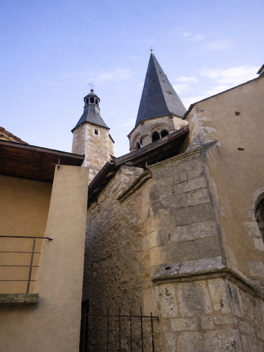 |
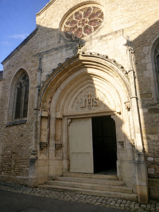
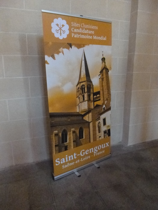
| The church of St Gengoux le National, built by the monks of Cluny from the eleventh century onward, remains the great witness to the religious history of the town. Listed as a Historic Monument since 1926, it now belongs to the prestigious network of Cluniac sites. A candidate for inscription on the World Heritage list, it would surely deserve that recognition, for it embodies the harmonious dialogue between Romanesque art and the upward impulses of Gothic style. |
 |
 |
Completed in the eleventh century, it still preserves the rigor of its Romanesque origins, a massive nave of four bays, a sober yet clearly defined transept, and at the center a dome on squinches, ingeniously set like a stone corolla to support the octagonal bell tower.
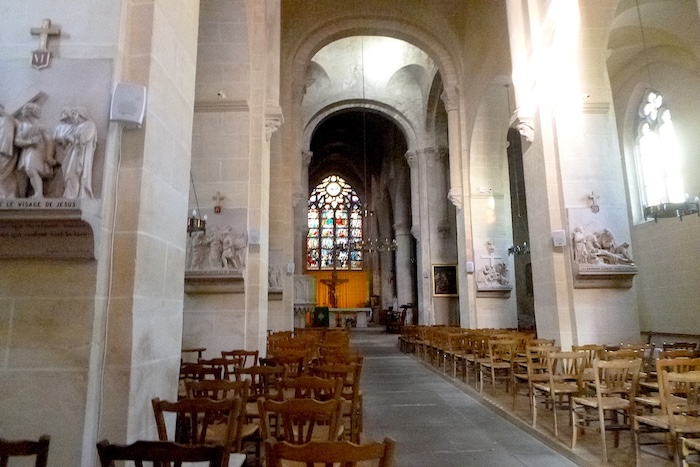
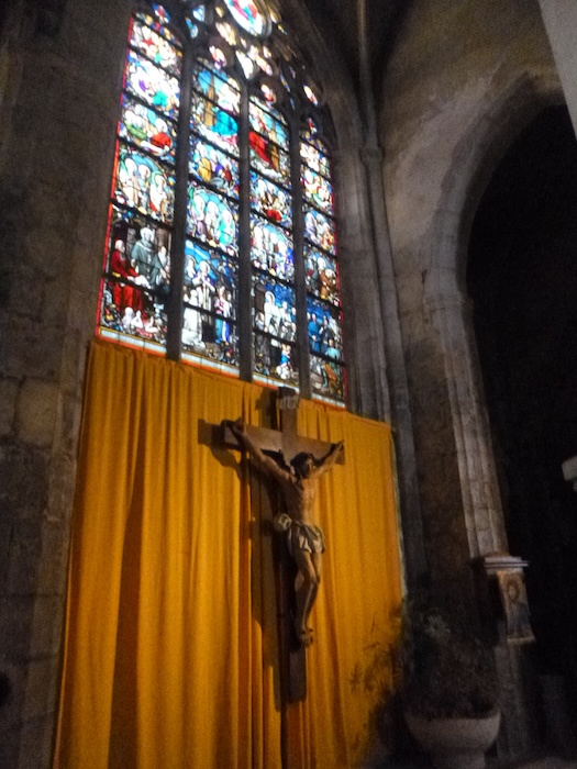
| As in many ancient sanctuaries, styles overlap and respond to one another. The later choir adopts the verticality and light of the Gothic, while the side chapels, added between the sixteenth and the nineteenth century, mark the building with their variations in period. The church endured trials. Burned by the Huguenots in the fifteenth century, it was each time restored and embellished, as if the community refused to let its beating heart fall silent. Inside, light passes through the nineteenth century stained glass windows and plays upon the walls like a shifting mosaic. |
 |
 |
Official accommodations in Burgundy/Franche-Comté
- Hôtel-restaurant Les Songes de Buxy, 12 Rte de Chalon, Buxy; 03 85 94 94 94; Hotel
- La Graineterie, 75 Grande Rue, Buxy; 03 85 46 50 04; Guestroom
- Gîte Richard, Route de Joncy, St Gengoux-le-National; 03 85 96 2065; Gîte
- Chambres Lacroix, Chemin St Jacques, St Gengoux-le-National; 09 67 36 68 77/06 80 30 99 29; Guestroom
- Les Lierres, 7 Rue des Chapeliers, St Gengoux-le-National; 03 85 92 62 10/06 09 51 00 11; Guestroom
- Hôtel-restaurant de la Gare, 33 Av. de la Gare, St Gengoux-le-National: 03 85 41 44 05; Hotel
Jacquaire accommodations (see introduction)
Airbnb
- Buxy (8)
- St Boil (1)
- St Gengoux (9)
Each year, the route changes. Some accommodations disappear; others appear. It is therefore impossible to create a definitive list. This list includes only lodgings located on the route itself or within one kilometer of it. For more detailed information, the guide Chemins de Compostelle en Rhône-Alpes, published by the Association of the Friends of Compostela, remains the reference. It also contains useful addresses for bars, restaurants, and bakeries along the way. On this stage, there should not be major difficulties finding a place to stay. It must be said: the region is not touristy. It offers other kinds of richness, but not abundant infrastructure. Today, Airbnb has become a new tourism reference that we cannot ignore. It has become the most important source of accommodations in all regions, even in those with limited tourist infrastructure. As you know, the addresses are not directly available. It is always strongly recommended to book in advance. Finding a bed at the last minute is sometimes a stroke of luck; better not rely on that every day. When making reservations, ask about available meals or breakfast options..
N’hésitez pas à ajouter des commentaires. C’est souvent ainsi que l’on monte dans la hiérarchie de Google, et que de plus nombreux pèlerins auront accès au site.
|
 |
Next stage : Stage 19: St Gengoux-le-National to Cluny |
|
 |
Back to menu |