From the Burgundy Canal to the Cîteaux Abbey
DIDIER HEUMANN, ANDREAS PAPASAVVAS
We divided the course into several sections to make it easier to see. For each section, the maps show the course, the slopes found on the course, and the state of the route (paved or dirt roads). The courses were drawn on the « Wikilocs » platform. Today, it is no longer necessary to walk around with detailed maps in your pocket or bag. If you have a mobile phone or tablet, you can easily follow routes live.
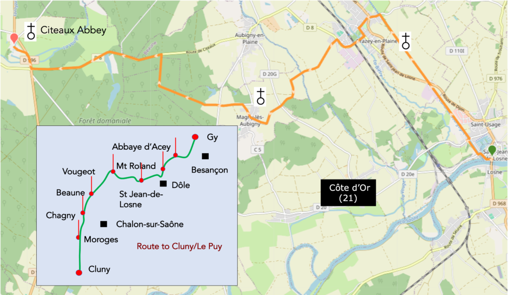
For this stage, here is the link:
https://fr.wikiloc.com/itineraires-randonnee/de-st-jean-de-losne-a-labbaye-de-citeaux-sur-le-chemin-de-compostelle-219205368
| This is obviously not the case for all pilgrims, who may not feel comfortable reading GPS tracks and routes on a mobile phone, and there are still many places without an Internet connection. For this reason, you can find on Amazon a book that covers this route.
If you only want to consult lodging of the stage, go directly to the bottom of the page. |
 |
At the turn of the eleventh and twelfth centuries, two visions of monastic life confronted one another, like two paths claiming to lead to the same God, yet passing through neither the same landscapes nor the same trials. On one side stood Cluny, founded in the heart of Burgundy, already ruling over a spiritual empire whose influence radiated across Europe. Its abbey was a city of prayer, where every hour of day and night was devoted to the liturgy. The monks, freed from manual labor, dedicated themselves entirely to the celebration of the offices, with uninterrupted chants, psalms solemnly intoned, and incense rising like an offering of smoke. Polished marble, stained glass, and candlelight gave Cluny a worldly brilliance meant to reflect the splendor of heaven. For these monks dressed in black, beauty was not a luxury but an act of praise, for they believed that God is glorified in splendor as much as in humility. Yet faced with such magnificence, some perceived a danger, that of pride and worldliness slipping in under the cloak of piety. In 1098, a small group of monks led by Robert of Molesme left the safety and opulence of Cluny to found a new house, Cîteaux. Here there was no marble and no ornament. The churches were stripped bare, the stones left exposed, the light subdued, and the chants reduced to their most sober expression. The monks wore white, the color of purity, and worked the land themselves. They sowed, they harvested, they cleared forests and drained marshes. Their poverty was their wealth, and their labor was their prayer. The return to the sources they advocated was that of the Rule of Saint Benedict, applied in its original rigor, to pray and to work.
Thus, a rivalry took shape, not a war, but an opposition of models. Cluny embodied liturgical grandeur and the power of a centralized order whose influence reached as far as royal courts. Cîteaux, with Bernard of Clairvaux as its ardent figure, attracted through its radicalism and humility. The Cistercians reproached the Cluniacs for having grown so wealthy that they betrayed the spirit of evangelical poverty. The Cluniacs, in return, accused the Cistercians of an almost prideful severity and of rejecting a beauty nevertheless offered by God to His creatures. History would in turn give reason to each side. Cluny, at the height of its power, would gradually be overtaken by the fresh breath of Cîteaux. Yet the Cistercians, as they too grew wealthy, would one day face the same criticisms they had once addressed to their brothers dressed in black. Two paths, two faces of medieval monasticism, both marked by the same desire, to seek God, whether in splendor or in nakedness, in the light of stained glass or in the shadow of cleared forests.
How do pilgrims plan their route? Some imagine that it is enough to follow the waymarking. You will quickly discover, however, that the waymarking is often deficient. Others use guides available on the Internet, which are also often too basic. Others prefer GPS, provided they have imported the Compostela maps of the region onto their phone. By using this method, if you are an expert in GPS use, you will not get lost, even if the proposed route is sometimes not exactly the same as the one indicated by the scallop shells. You will nevertheless reach the end of the stage safely. In this regard, the site considered official is the European route of the Paths of Compostela (https://camino-europe.eu/). On today’s stage, the map is incorrect. With a GPS, it is even safer to use the Wikiloc maps that we provide, which describe the currently waymarked route. But not all pilgrims are experts in this type of walking, which for them disfigures the spirit of the path. You can therefore simply follow us and read along with us. Every difficult junction on the route has been indicated, in order to prevent you from getting lost.
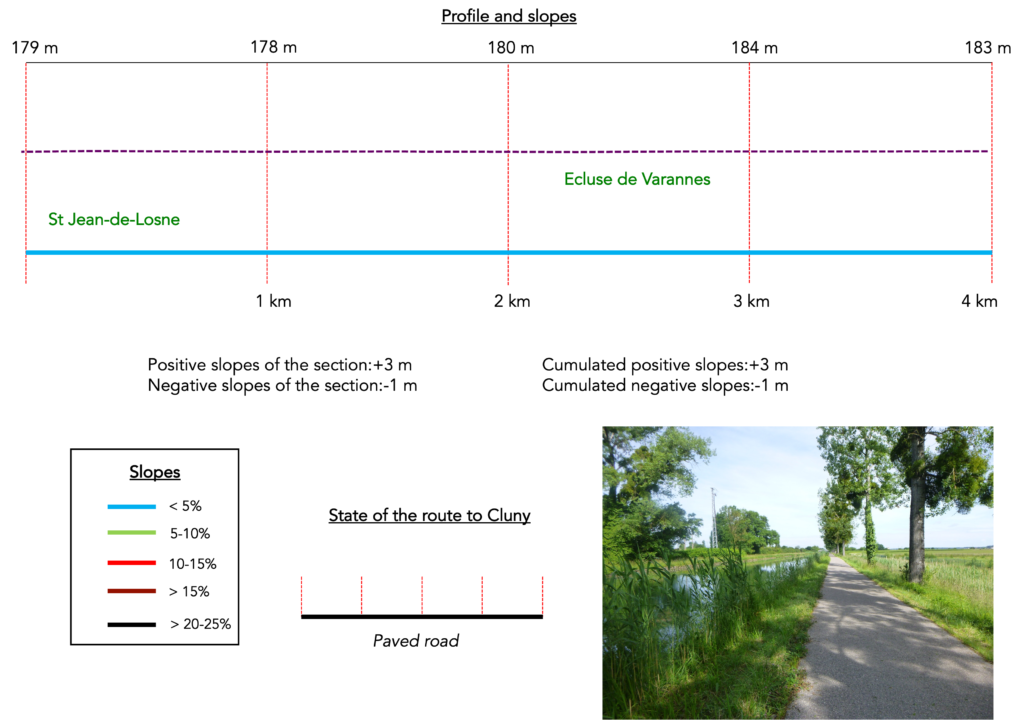
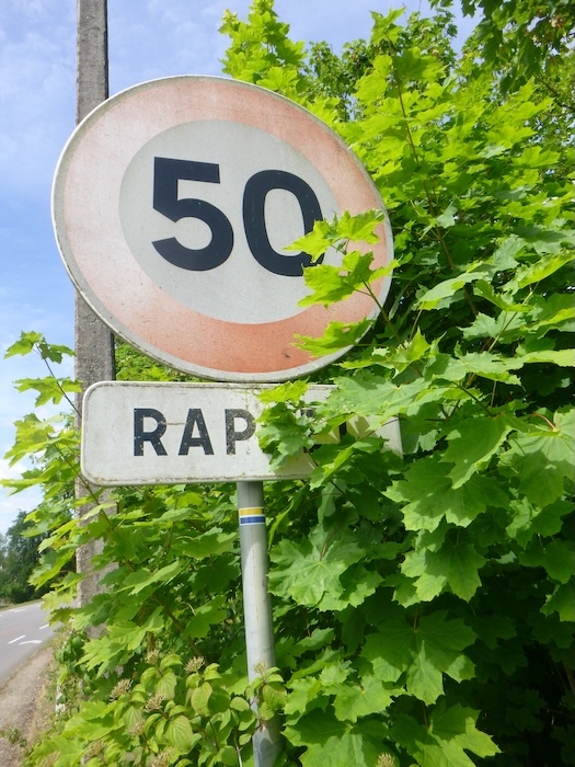
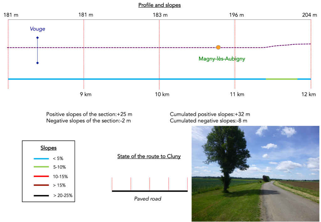
Difficulty level: Today’s route is flat, with no difficulty at all (+48 meters / −33 meters).
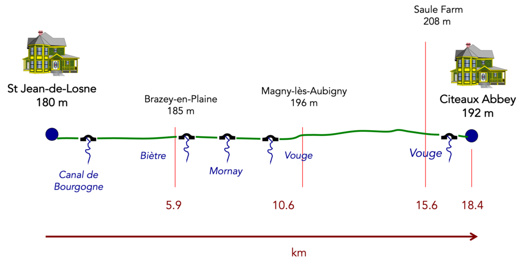
State of the route: Today, unfortunately, it is almost entirely on asphalt:
- Paved roads: 16.4 km
- Dirt roads: 2.5 km
Sometimes, for reasons of logistics or housing possibilities, these stages mix routes operated on different days, having passed several times on these routes. From then on, the skies, the rain, or the seasons can vary. But, generally this is not the case, and in fact this does not change the description of the course.
It is very difficult to specify with certainty the incline of the slopes, whatever the system you use.
For those seeking « true elevations » and enthusiasts of genuine altimetric challenges, carefully review the information on mileage at the beginning of the guide.

Section 1: Along the Burgundy Canal
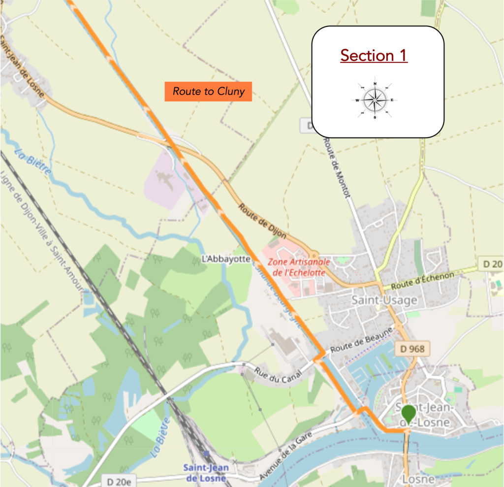
Overview of the route’s challenges: route with no difficulty at all.
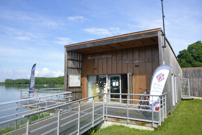
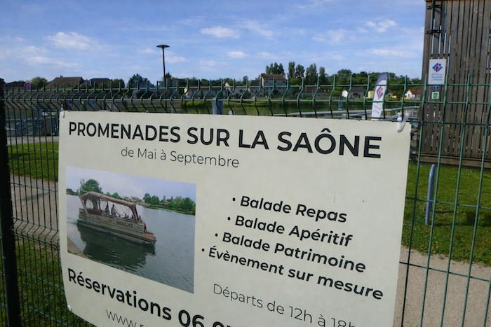
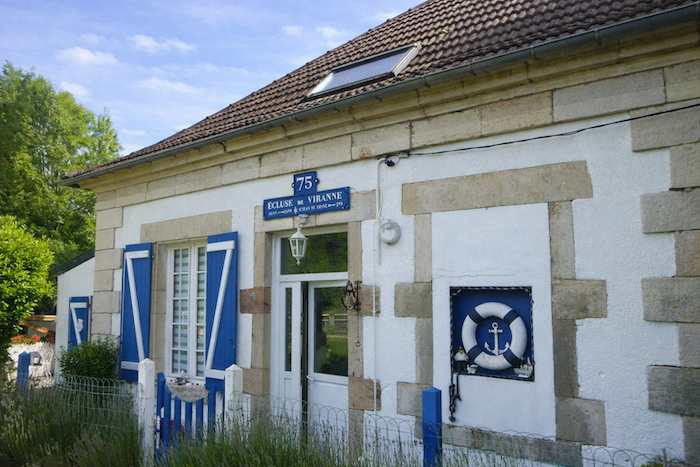
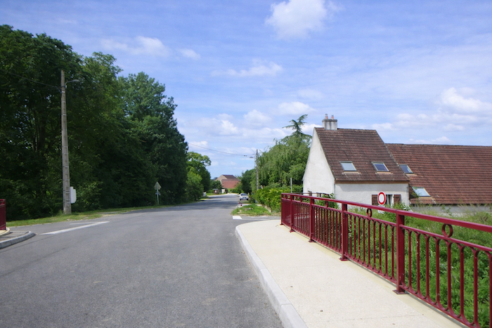
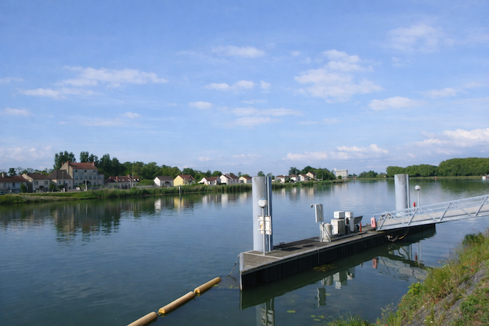
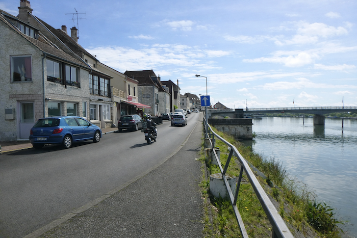
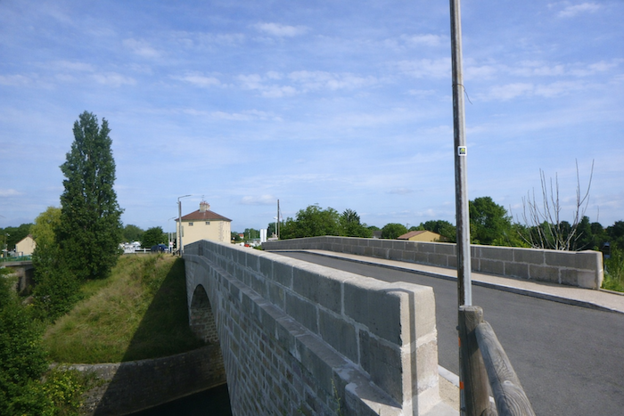
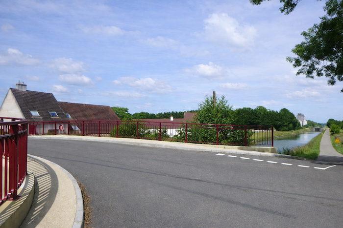
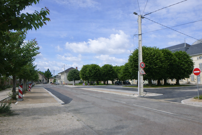
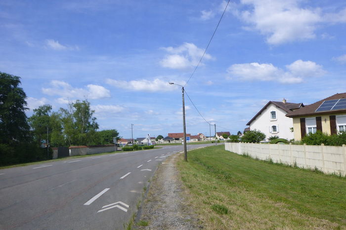
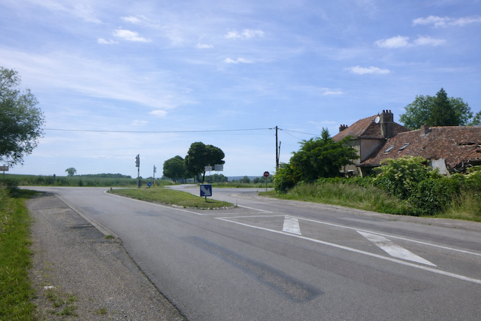
| Today’s route leaves St Jean de Losne near the Tourist Office, located just a few steps from the bridge that crosses the Saône River. This is the most beautiful spot in the small town, with its pontoons and, at times, its small cruise boats. |
 |
 |
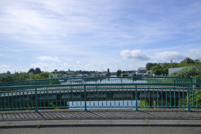
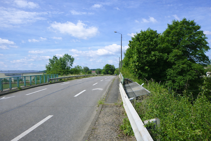
| The road quite quickly leaves the riverbank and heads across bridges over the Burgundy Canal. You have simply changed canals and left behind the Rhône Rhine Canal from the previous day. . |
 |
 |
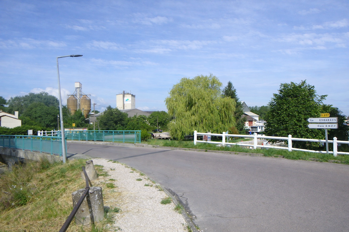
| From one bridge to the next, the road plays with the canal and heads toward the train station. The train does run here, but far from the village. Allow a good half hour on foot if you wish to catch the train. Local residents probably make little use of this means of transport. |
 |
 |
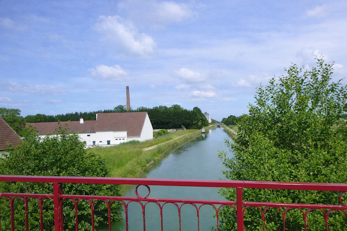
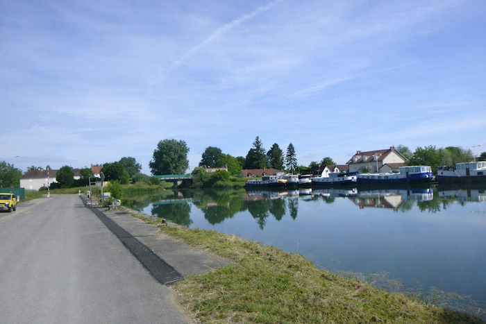
| From the bridge, the view is beautiful, on one side over the river and the town, and on the other over the harbor where barges are packed together. |
 |
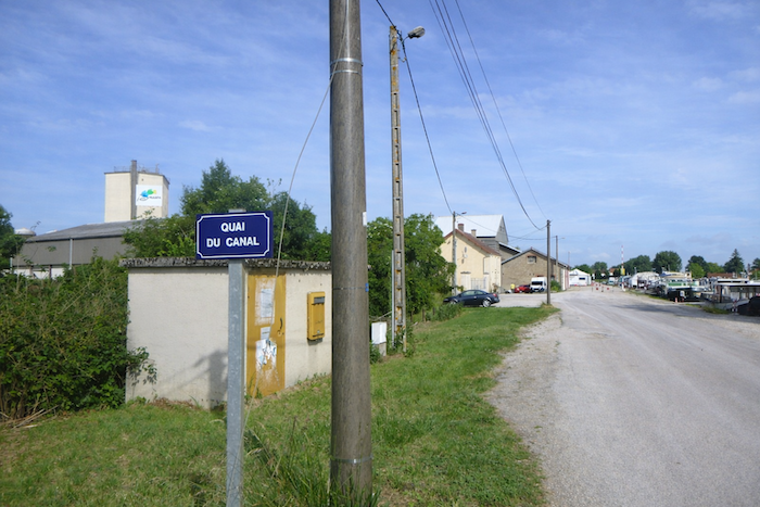 |
| The route then follows the Canal Quay, where a mooring area and a shipyard appear. |
 |
 |
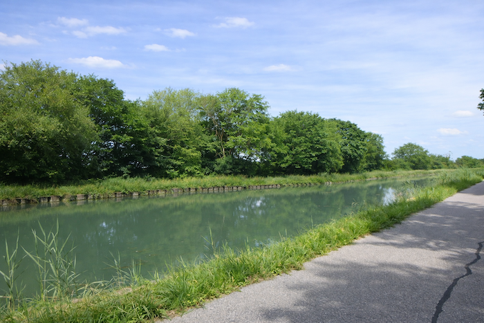
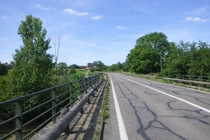
| Further on, the road crosses a new bridge. You then have before you the straight line of the Burgundy Canal. |
 |
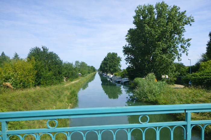 |
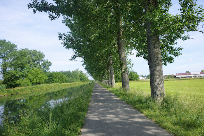
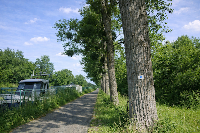
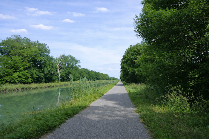
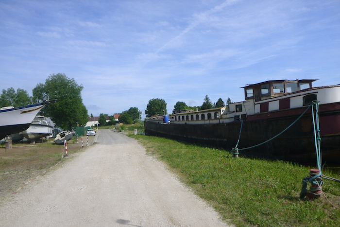
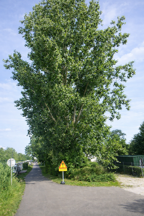
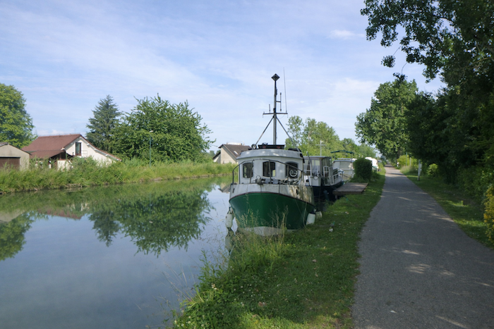
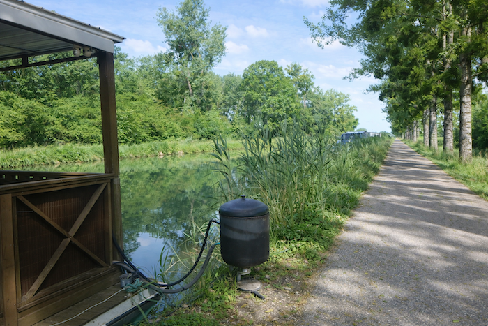
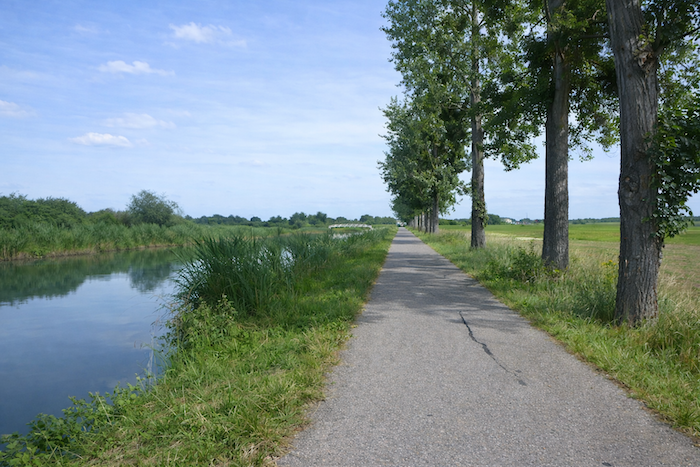
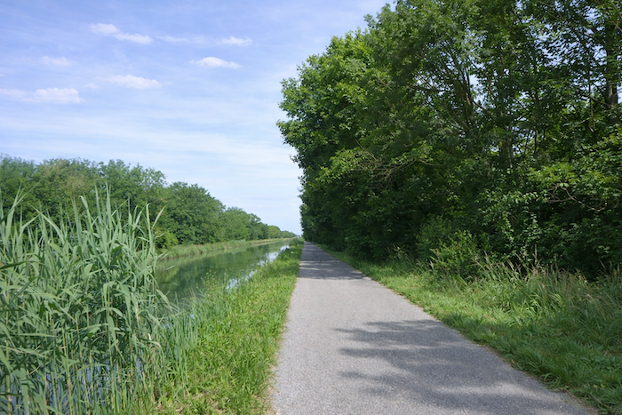
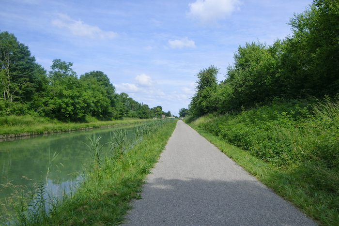
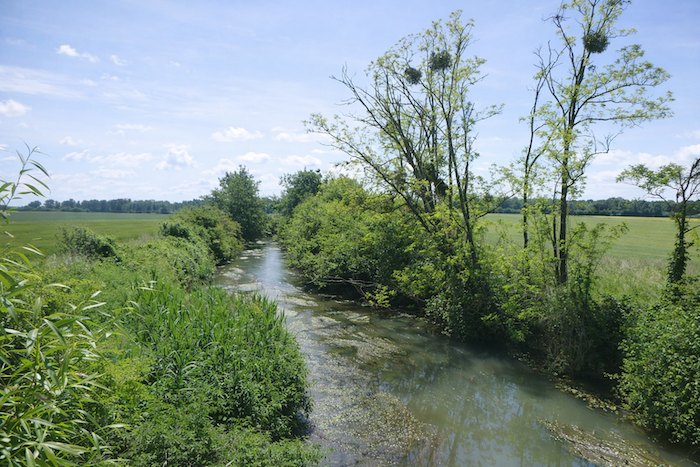
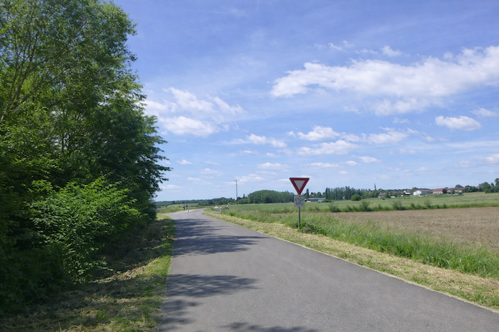
The route then continues along the small road that runs beside the canal, where at first barges are present in large numbers. For once, the scallop shell is oriented correctly, vertically. Let us hope it lasts!
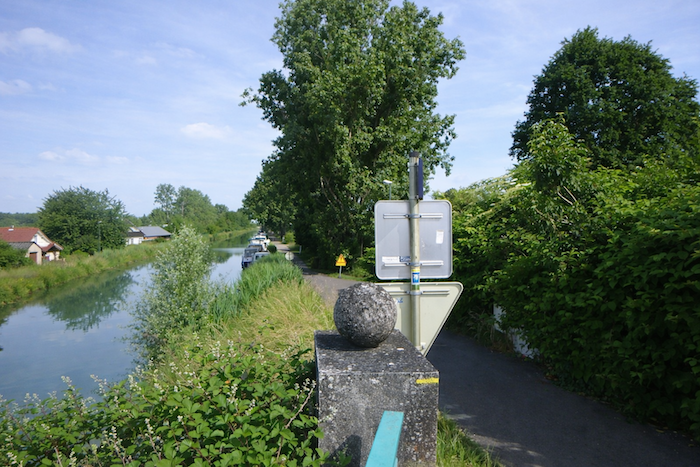
| You will walk in the shade of enormous ash trees and gleaming black poplars. |
 |
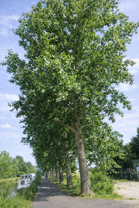 |
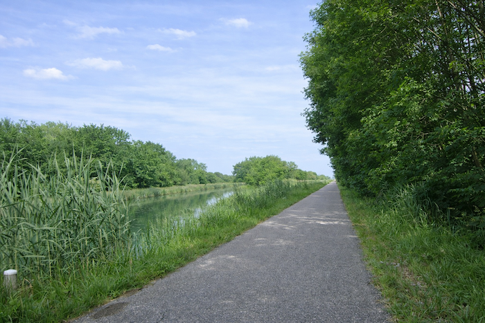
| Everything here feels almost divine, the water flowing silently, the poplars acting as parasols, and the barges sometimes showing a daily presence. |
 |
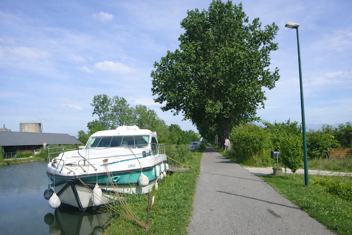 |
| Then the barges have almost completely disappeared. |
 |
 |
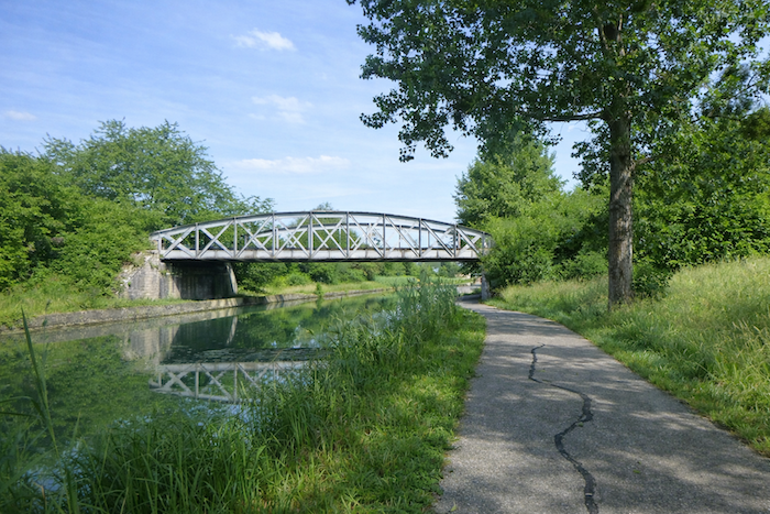
| Further on, the road passes beneath an iron bridge. |
 |
 |
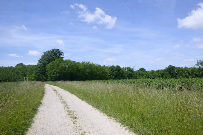
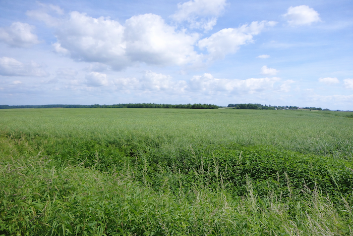
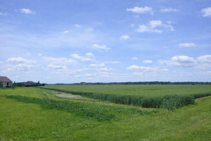
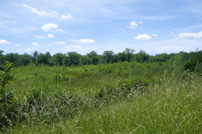
| The surrounding plain is flat as the palm of a hand, with meadows and cultivated fields stretching to the horizon. |
 |
 |
| Here, there is no risk of getting lost. It is straight ahead, always within the same soothing scenery, heading toward another bridge further on. |
 |
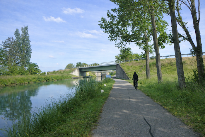 |
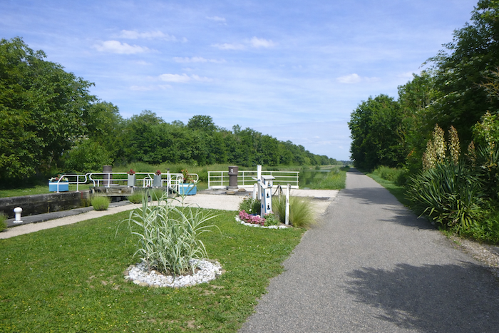
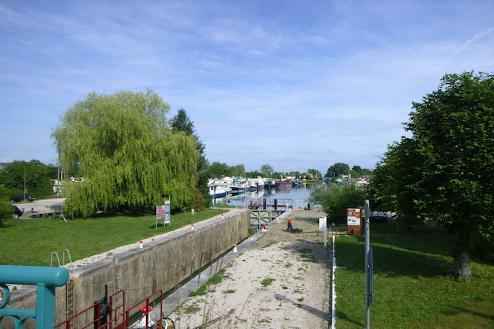
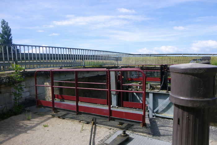
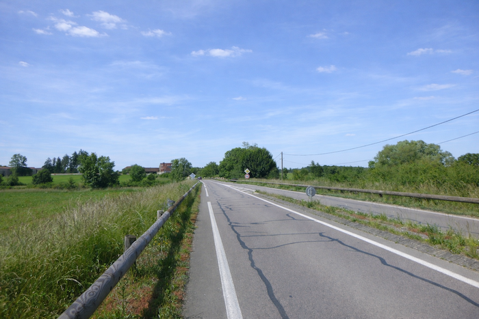
| At the bridge carrying the road that links St Jean de Losne to Brazey en Plaine, the route jumps across to reach the Varennes lock. |
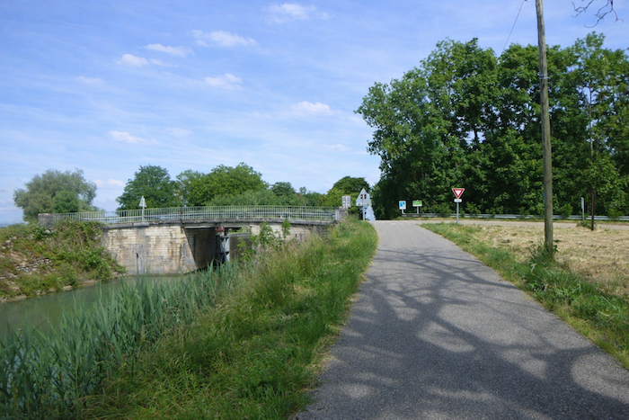 |
 |
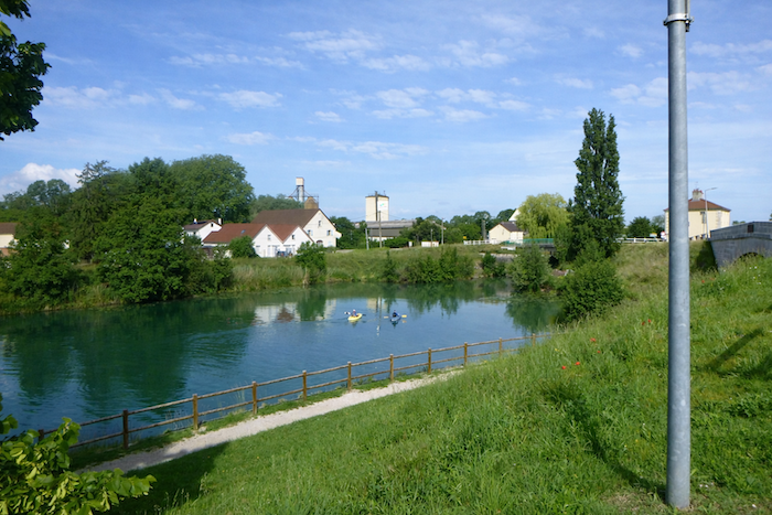
| The lock is a truly charming site, like a bucolic interlude. |
 |
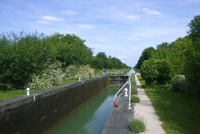 |
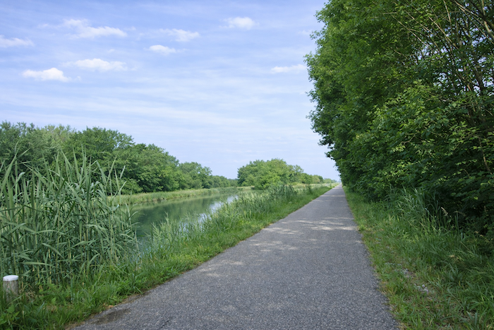
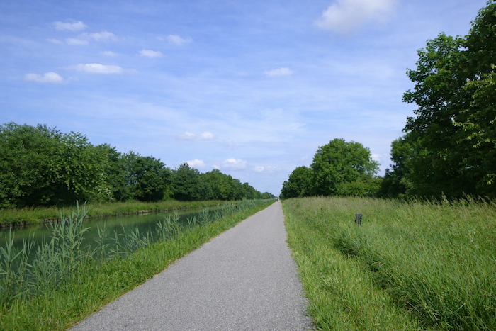
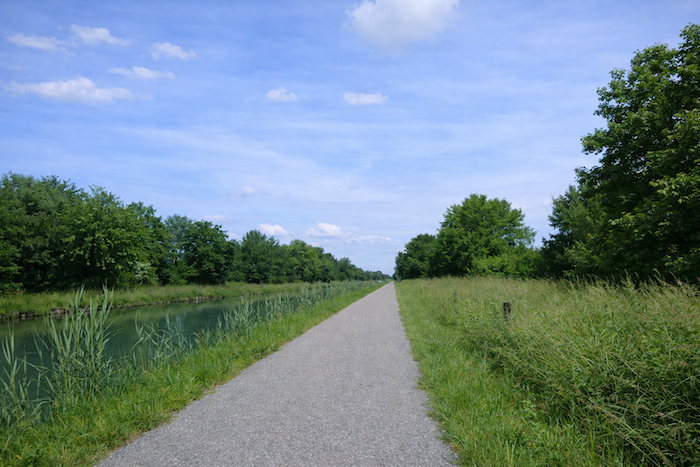
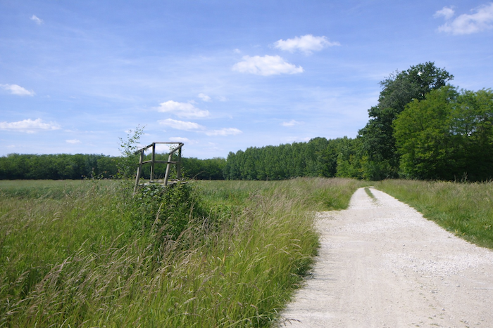
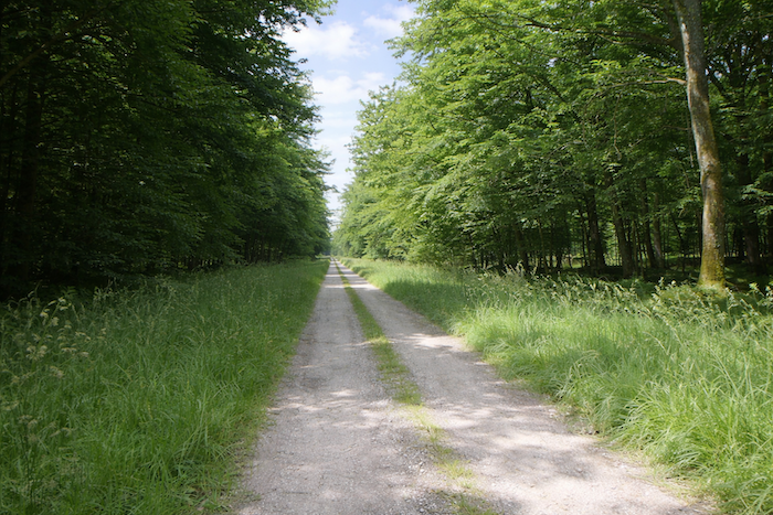
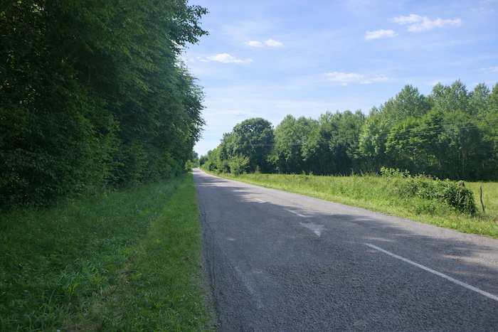
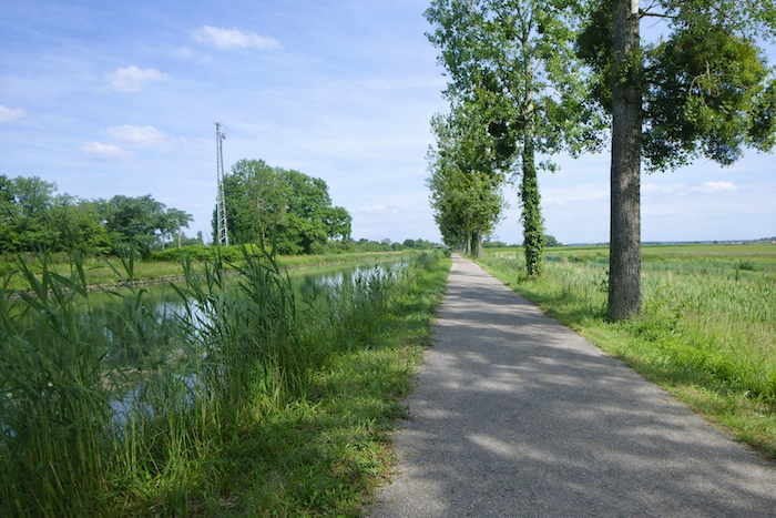
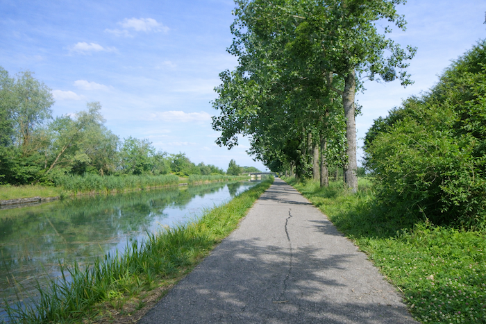
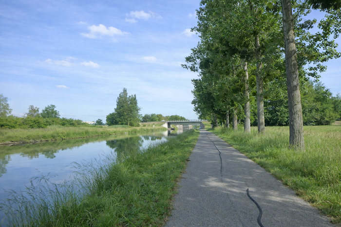
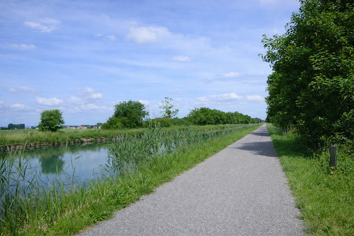
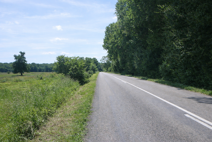
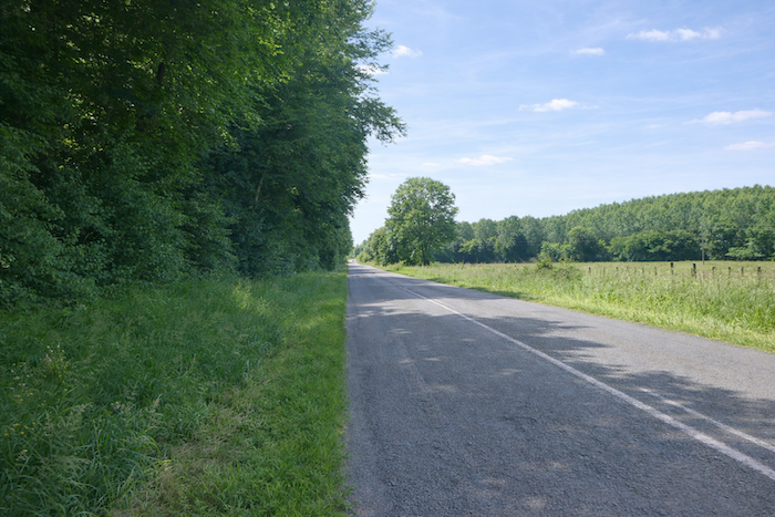
| Here, the poplars give way to ash trees, oaks, and maples. The road continues, still just as straight and long, along the bank of the canal. |
 |
 |
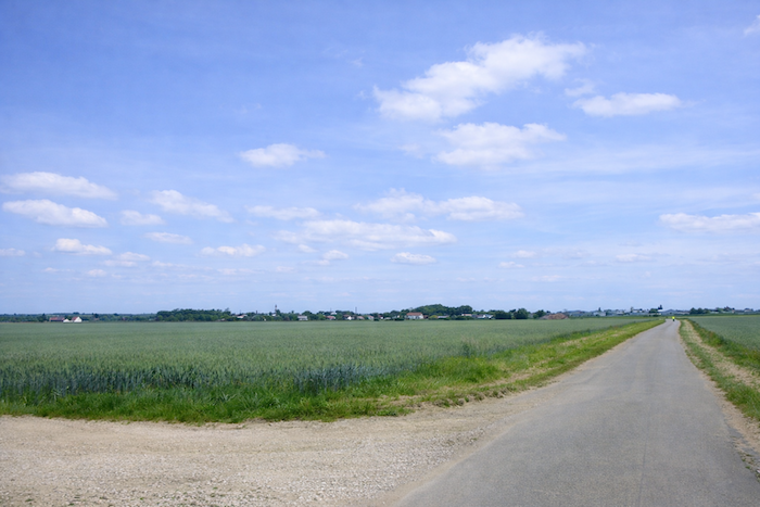
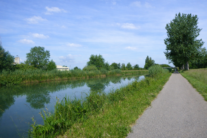
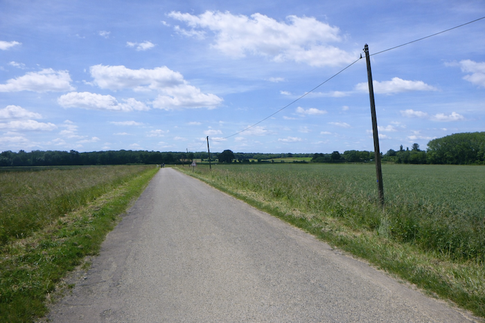
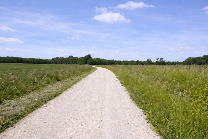
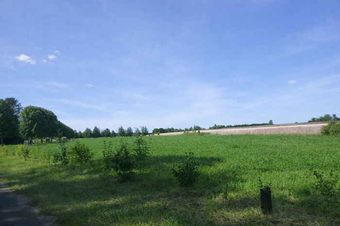
| On both banks of the canal, the eye wanders across meadows and cultivated fields, flat as the palm of a hand. |
 |
 |
Section 2: Passing through Brazey en Plaine, the region’s main small town
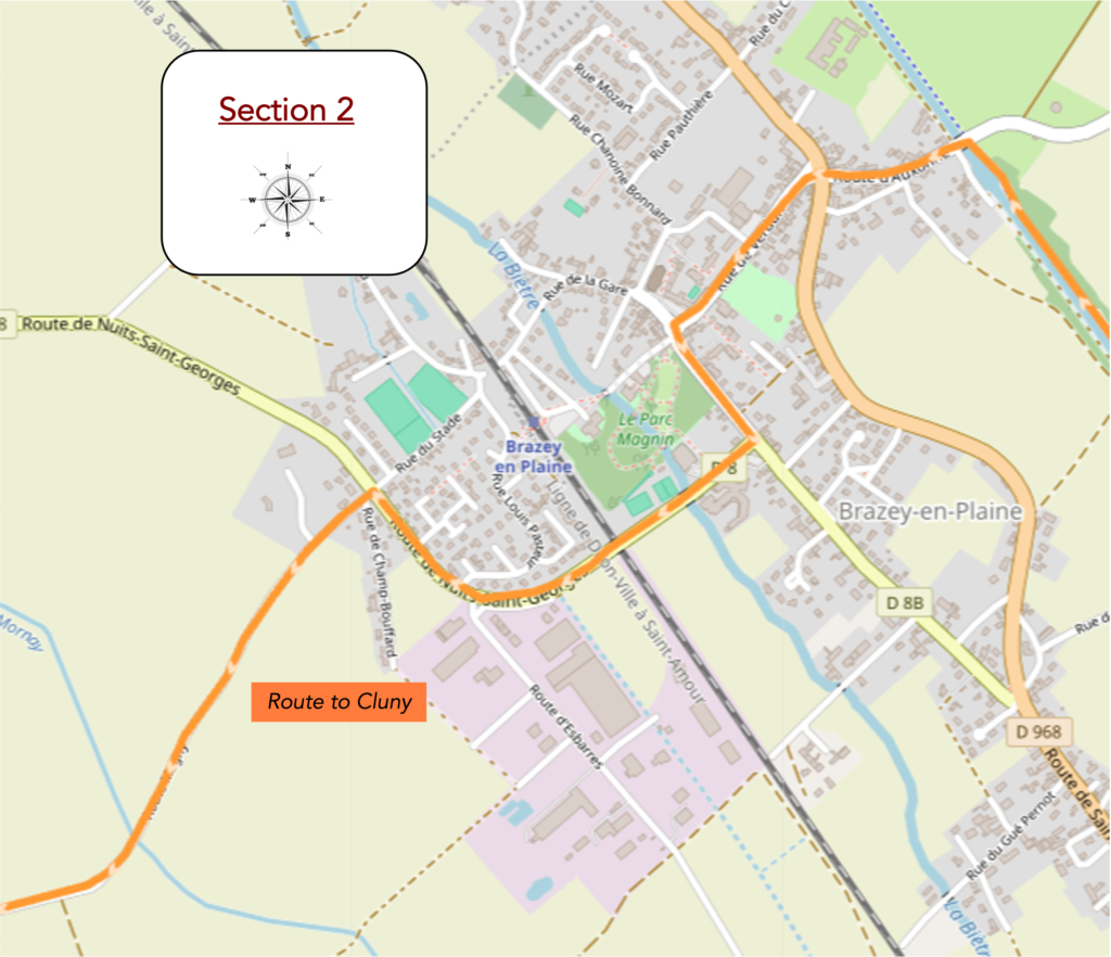
Overview of the route’s challenges: route with no difficulty at all.
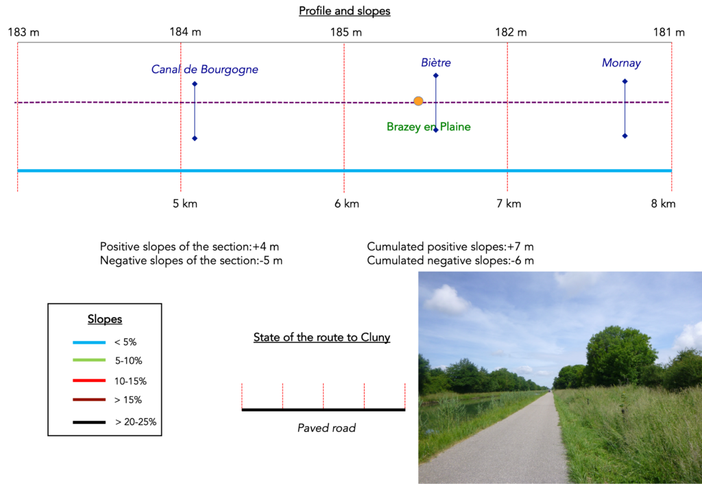
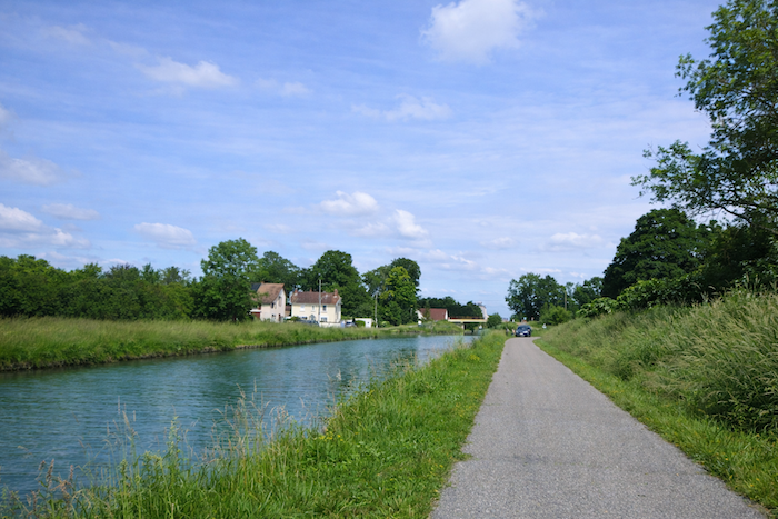
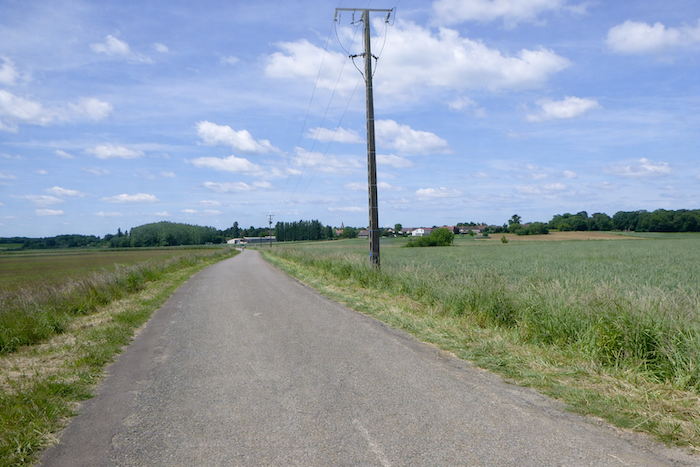
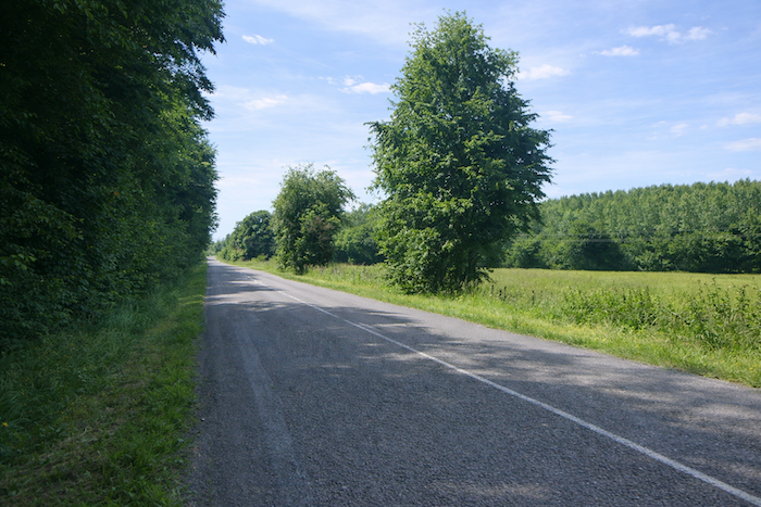
| The road seems endless along the canal. You will spot Brazey en Plaine far ahead of you, but the road feels long and monotonous before you reach it. On the canal, cruise boats are probably not very numerous. |
 |
 |
| But with patience, you will eventually arrive, as the houses grow larger before your eyes. |
 |
 |
| In the fields, wheat and rapeseed are growing. |
 |
 |
| Inexorably, the road draws closer to civilization. You will nevertheless have spent nearly five kilometers walking along the canal. |
 |
 |
| The route, clearly signposted for once, then turns left, leaving the canal to its own adventures. |
 |
 |
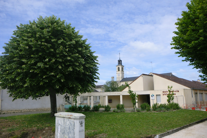
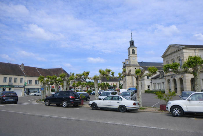
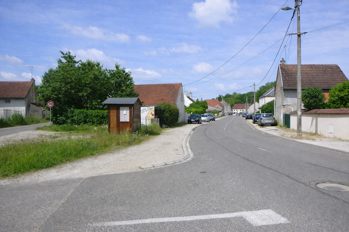
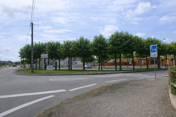
| Brazey en Plaine is a small town of 2,500 inhabitants. The train passes through here on the Dijon to Bourg en Bresse line, the same line that passes through St Jean de Losne. The route is well marked here, and the road reaches a first crossroads. |
 |
 |
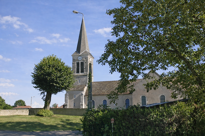
| A long avenue leads you to the town center, near the town hall and the church. At the beginning of the nineteenth century, the old church of St Rémi, dating from the Middle Ages, was falling into ruin, and it was therefore modified. |
 |
 |
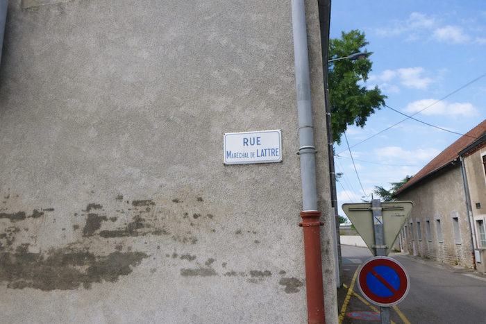
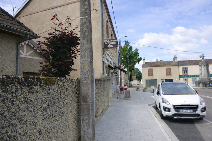
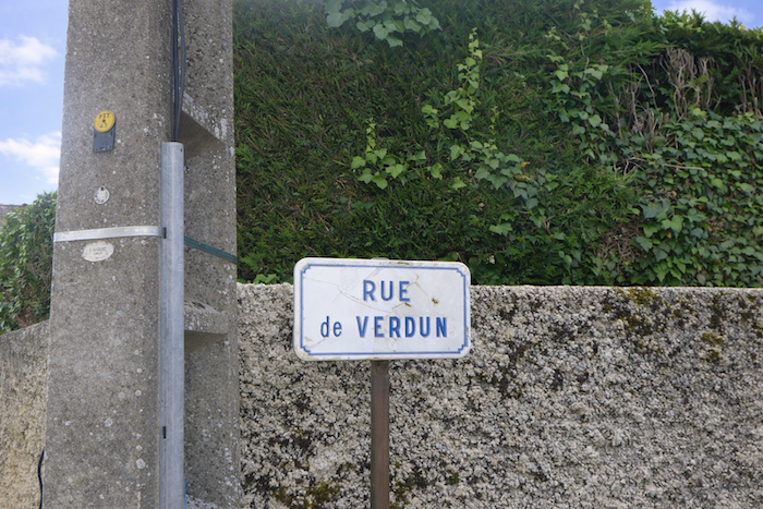
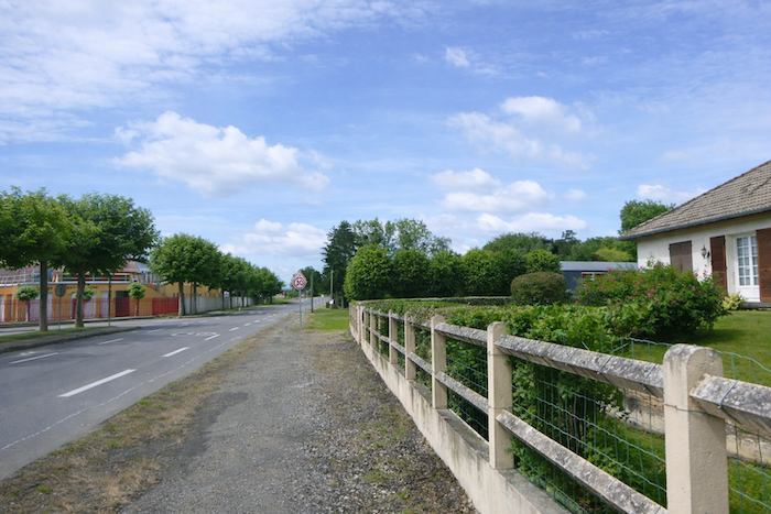
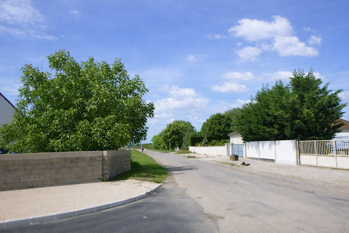
| Shops are available here. From the town hall crossroads, the route follows the Road of Verdun, then turns left onto Rue du Maréchal de Lattre. |
 |
 |
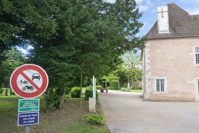
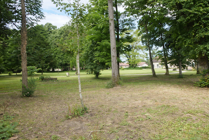
| It runs alongside a park, in the quiet presence of tall trees. |
 |
 |
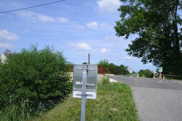
| It then reaches the departmental road D8 in the direction of Nuits St Georges. |
 |
 |
| At the exit of the town, houses thin out and the road crosses the Biètre, lost among foliage. |
 |
 |
| Shortly afterward, the road crosses the railway line. By chance, a railway runs here, opening up the region. |
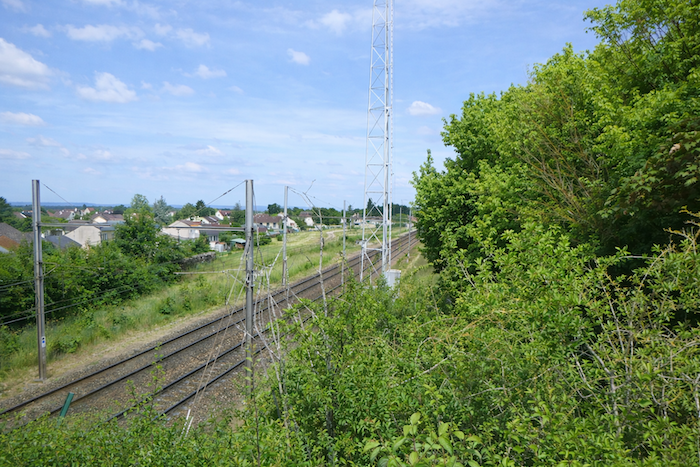 |
 |
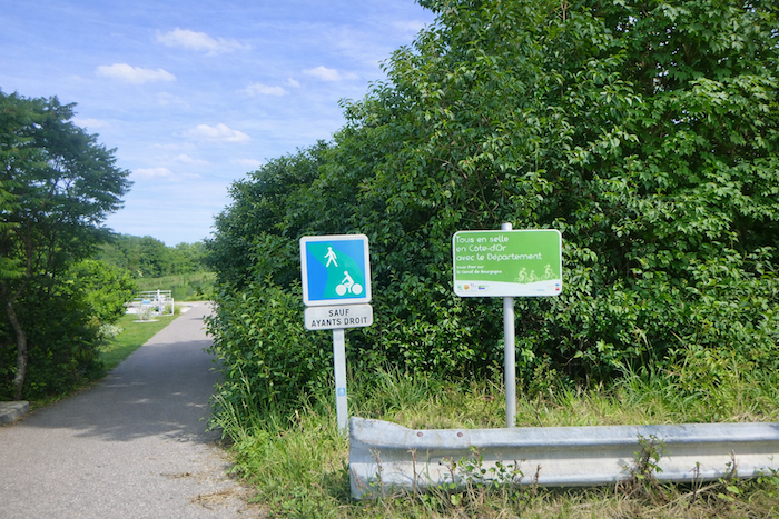
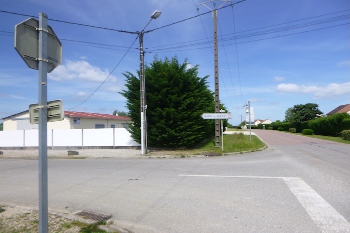
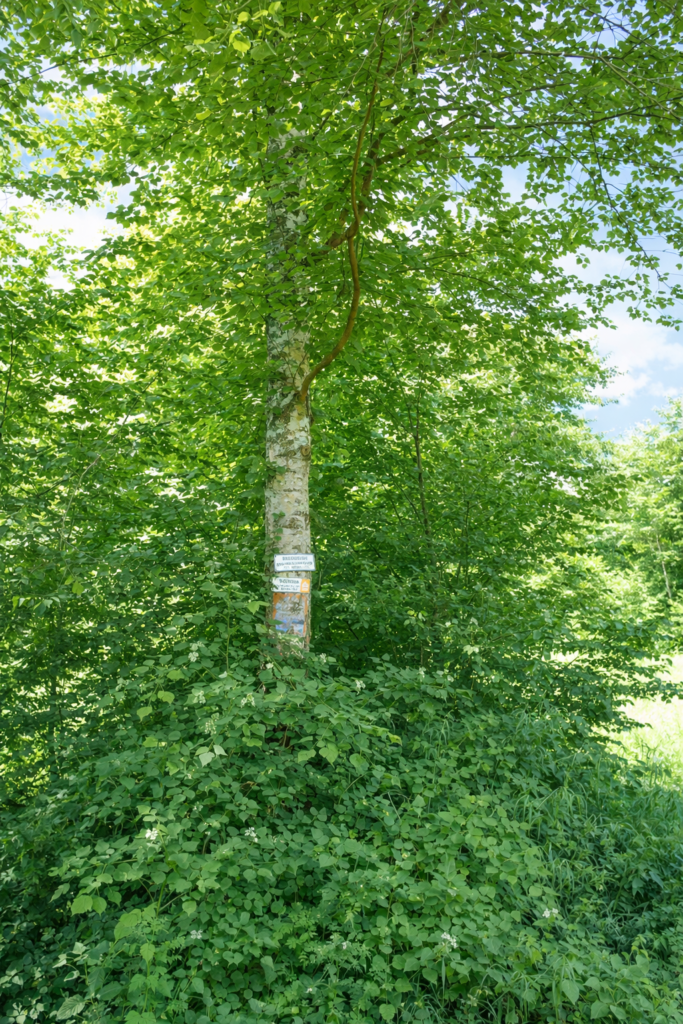
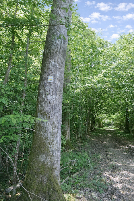
A small note. Here, it is not scallop shells that indicate the route, but yellow and blue markings, drawn in the style of a GR trail.
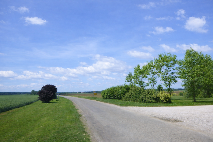
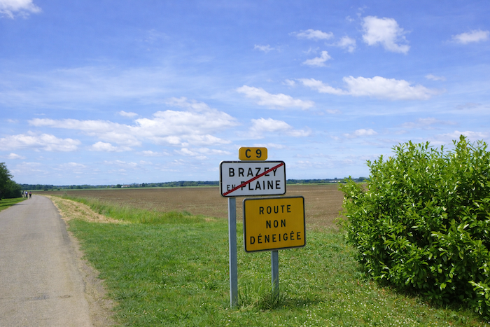
| Further on, the road crosses the outskirts, and the route turns left onto the small road C9 in the direction of Magny lès Aubigny. |
 |
 |
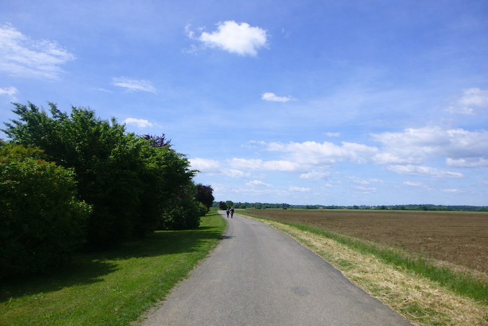
| The small road runs across the plain and definitively leaves behind the last houses of the town. |
 |
 |
| There is occasionally a small tree to offer a bit of shade in the bare countryside. . |
 |
 |
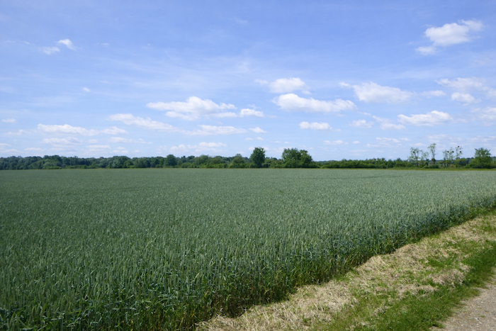
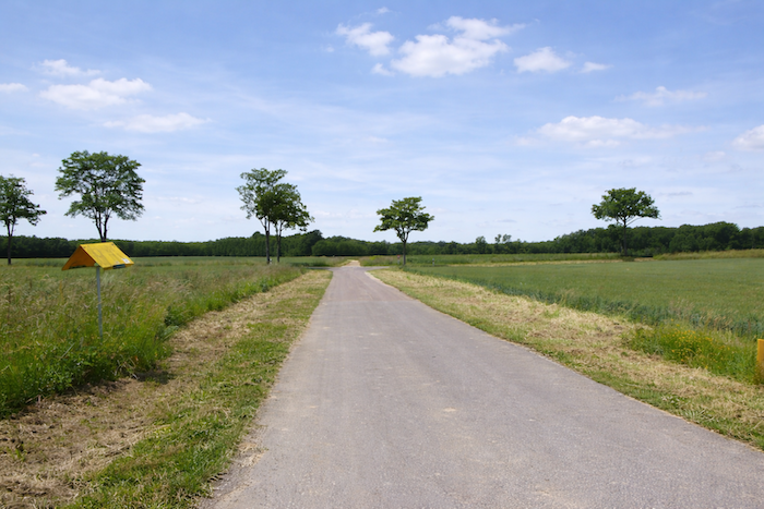
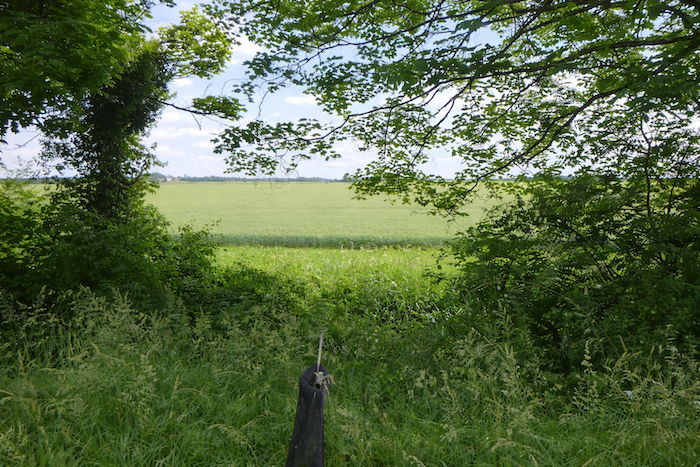
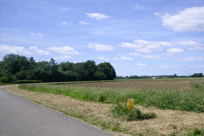
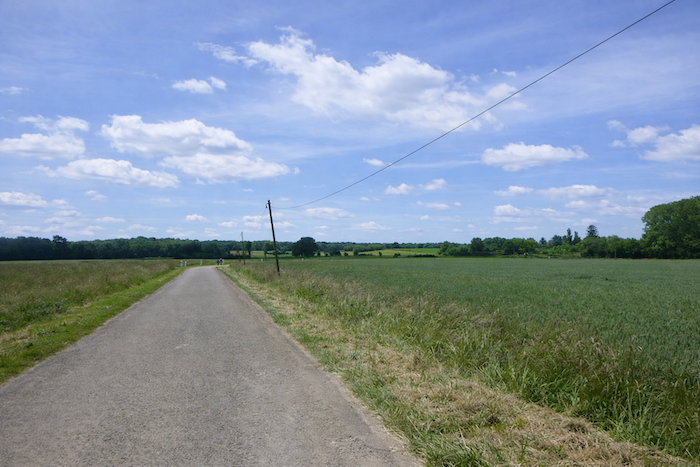
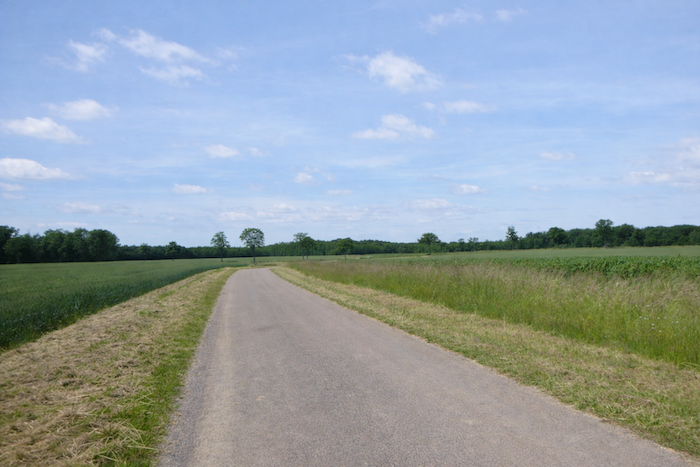
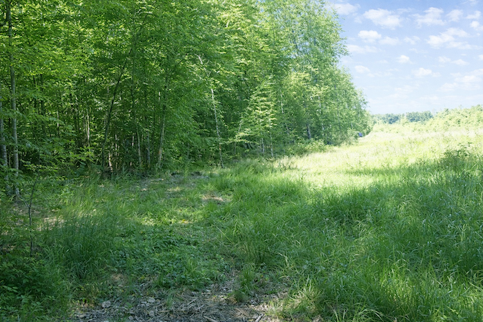
| Here, it is a vast plain where cultivated fields stretch endlessly. |
 |
 |
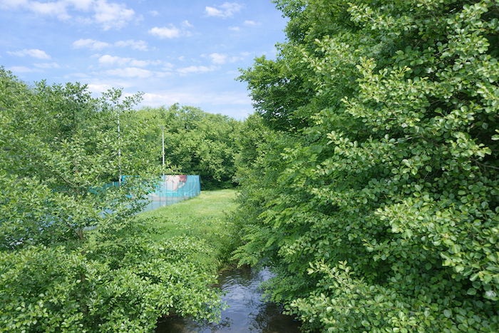
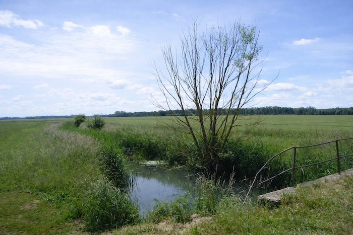
| Further on, to add a touch of variation to this long passage, the road crosses the discreet Mornay stream. |
 |
 |
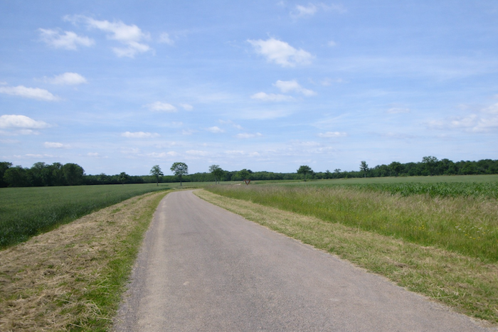
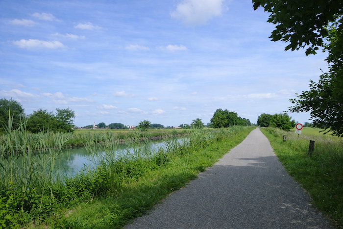
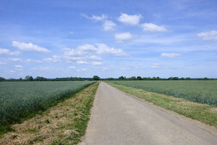
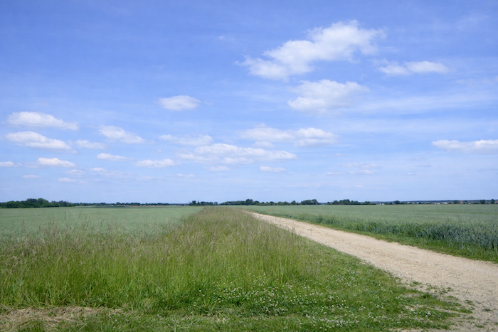
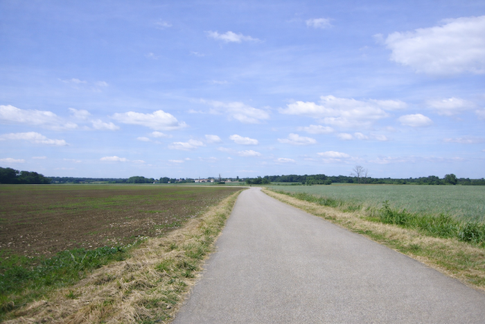
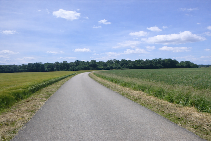
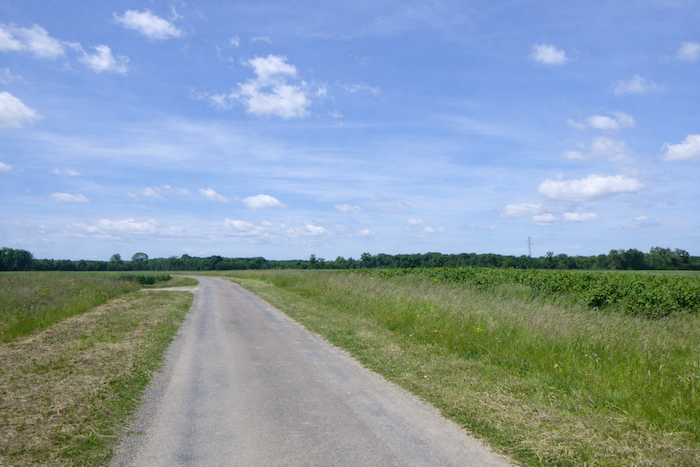
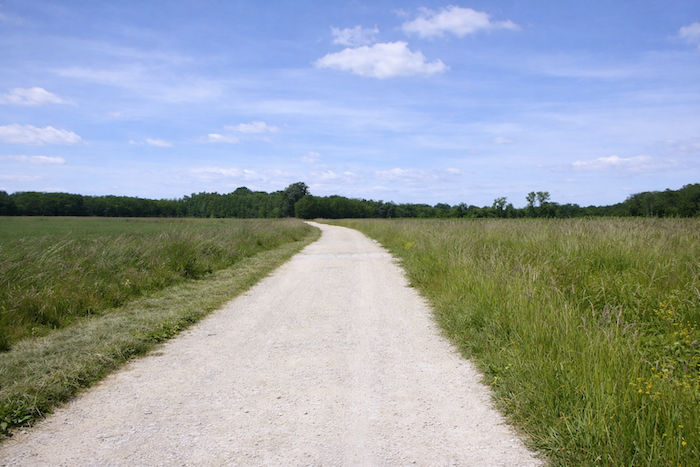
| Then it is once again endless travel across the bare plain, in the midst of cultivated fields. |
 |
 |
Section 3: A very long road through the fields
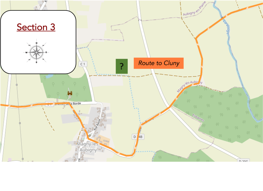
Overview of the route’s challenges: route with no difficulty at all.
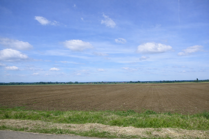
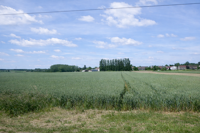
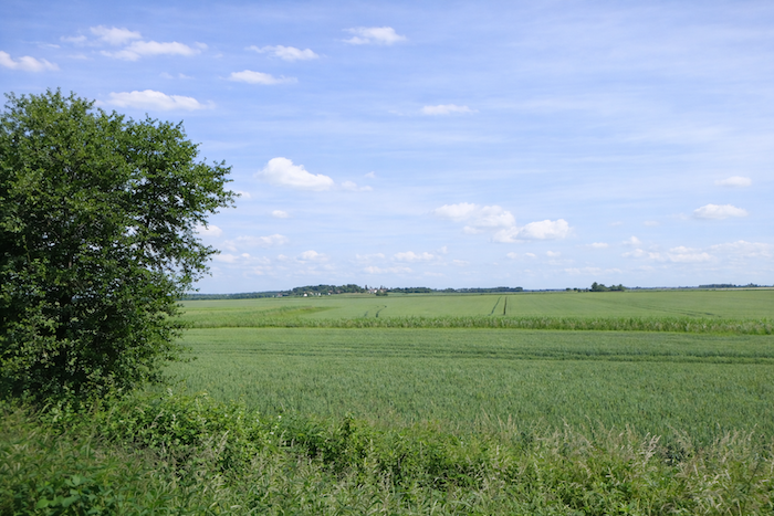
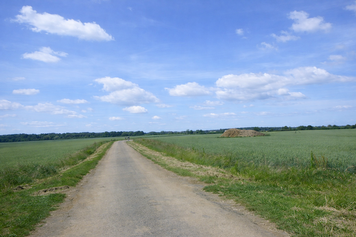
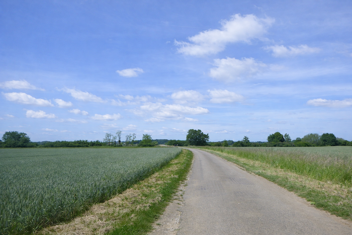
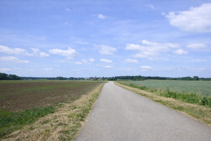
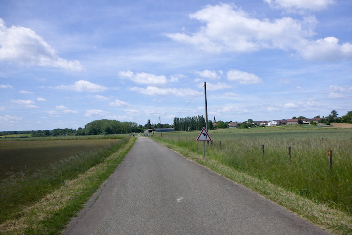
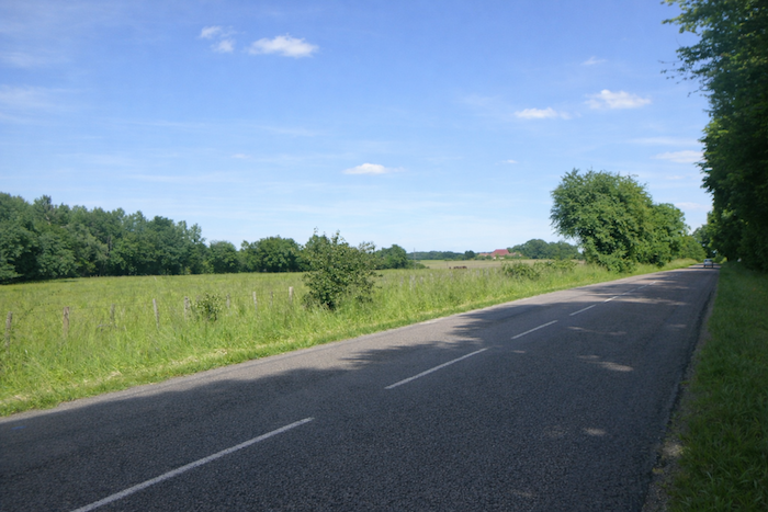
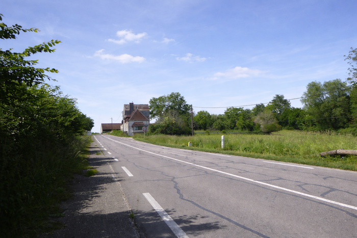
| Nothing happens in this bleak plain, except for a passing glance at the cultivated fields. Magny lès Aubigny remains far ahead of you, always visible on the horizon. |
 |
 |
| Then comes a brief touch of freshness. The road crosses the discreet Vouge stream. |
 |
 |
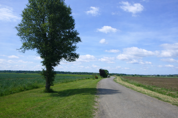
| You have the village before you on the horizon, and the road runs straight ahead. |
 |
 |
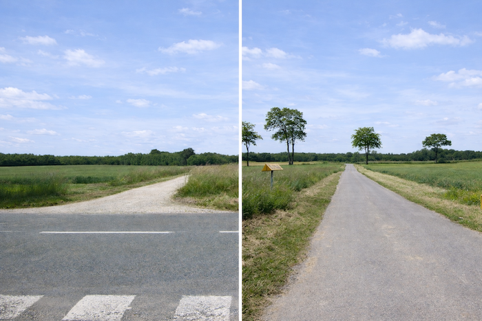
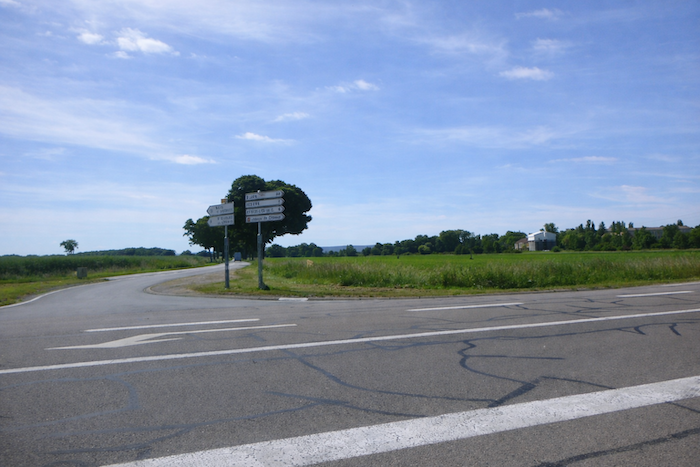
| Shortly afterward, the route becomes momentarily complex. The guide says, “Take a private path to reach the château.” Yet there is no sign pointing in that direction, except for a cross barring the route on the road. Is this the right way? Do not hesitate. Follow the road. It is probably roughly the same distance. |
 |
 |
| The road then runs along a small grove, and you may feel as though you are moving away from the village. |
 |
 |
| Soon after, the road returns to the gentle outline of the village perched softly on its hill. It crosses the small departmental road D20g and heads toward the village. |
 |
 |
| But, as if it enjoys making you linger, it still takes a few bends for your pleasure. |
 |
 |
| The approach to the village feels drawn out, almost endless. |
 |
 |
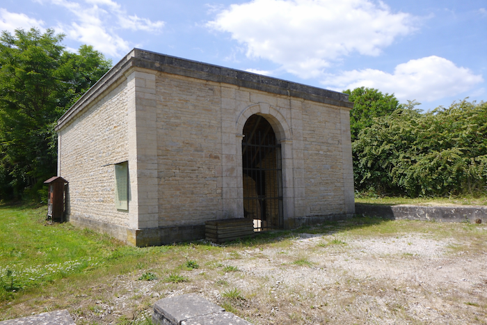
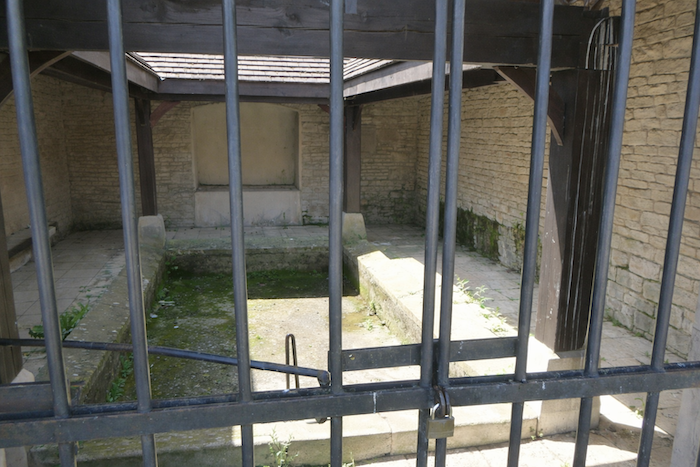
| At last, worn down by the wait, the road finally reaches Magny lès Aubigny. Here stands a fine washhouse, quietly falling into ruin behind its gates. |
 |
 |
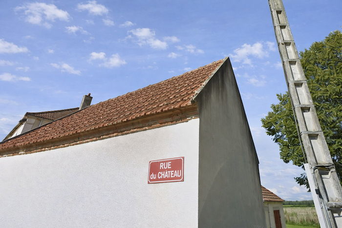
| The road passes in front of the sober church of Ste Marie Madeleine, built in the nineteenth century. At the corner of the church, the route takes Rue du Château. |
 |
 |
| The château lies just beyond the village, set within a small wooded area. |
 |
 |
| Its origins reach back into the early Middle Ages. Rebuilt in the sixteenth century, it remains the property of a noble family. Surrounded by a five-hectare park, this classically styled château has fine brick outbuildings. By walking a few steps along the edge of the wood, you discover the building dozing quietly, hidden behind its gates. |
 |
 |
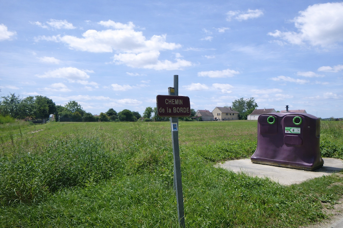
| Near the château, the route follows the Chemin de la Borde, once again marked by a scallop shell and a directional arrow. The road first runs along the hedge bordering the park. |
 |
 |
| It then reaches the more common entrance to the château. Perhaps this is where the multi century old linden tree is said to stand. The château has a distinctly rural appearance, with what may be agricultural buildings nearby. |
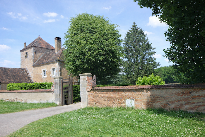 |
 |
| The road then heads back across open fields until it meets the departmental road D34. |
 |
 |
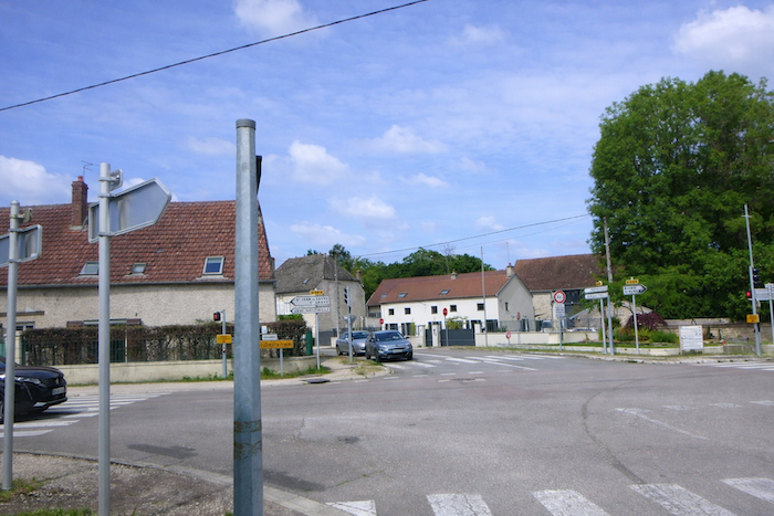
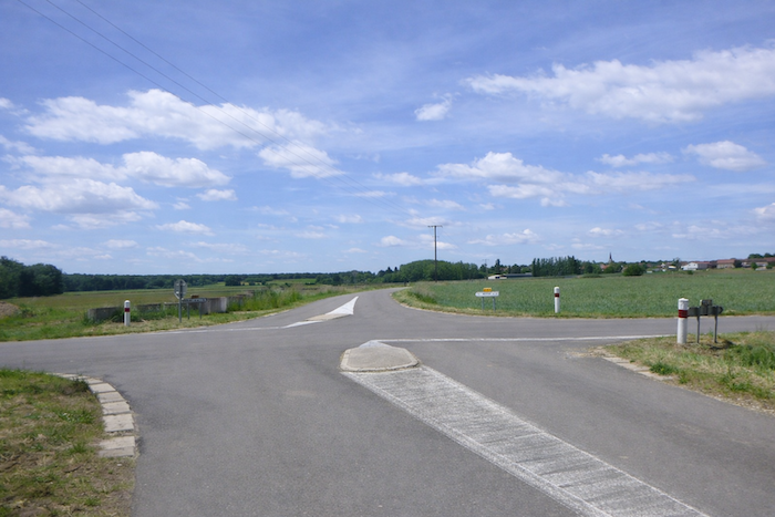
| But at the crossroads, there is no direction indicated, except for a cross barring one of the two exits from the departmental road, and not the other. What should you do? Open your small guide, which reassures you with these words, “Here, continue straight ahead on the gravel path.” Without a guide and without maps, you would lose your way somewhere between Franche Comté and Burgundy. It is illusory to follow scallop shells or GR markings here, as on the great Ways of Compostela. Enough suspense. Here, it is straight ahead on the wide gravel path. |
 |
 |
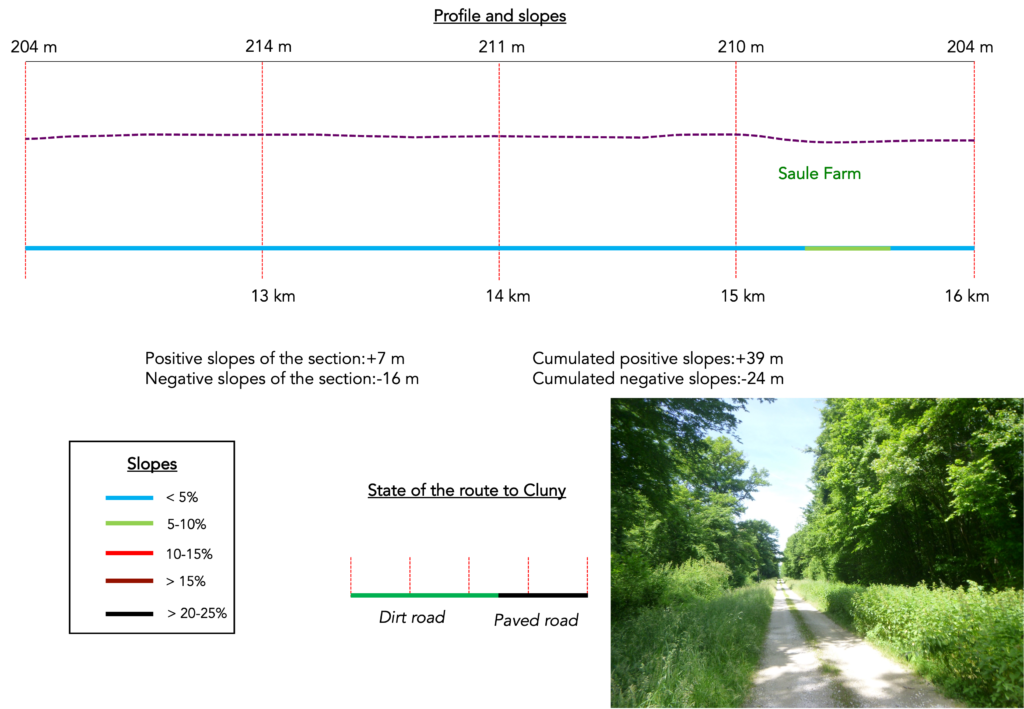
Section 4: In the deciduous forest
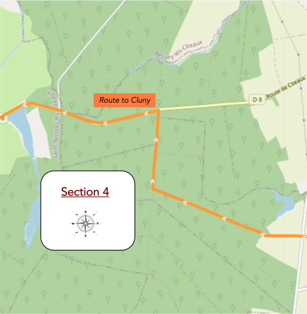
Overview of the route’s challenges: route with no difficulty at all.
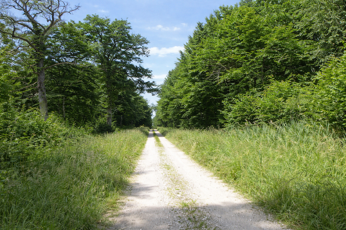
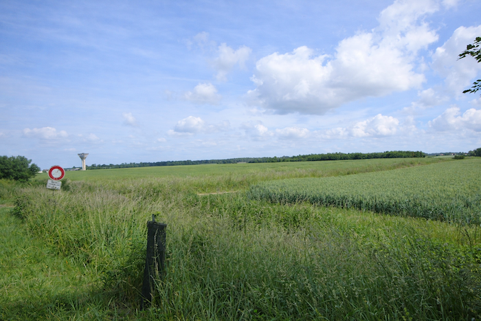
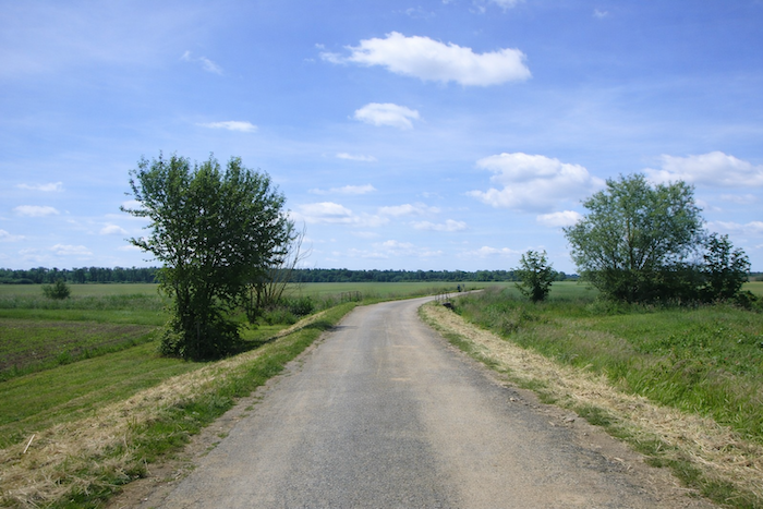
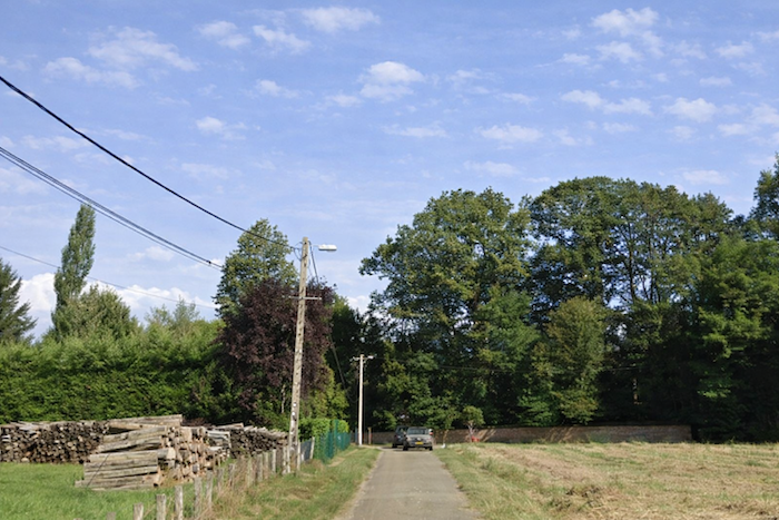
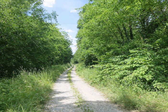
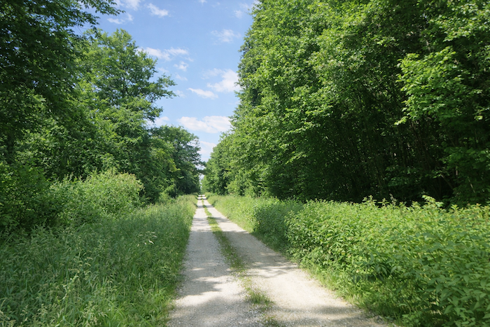
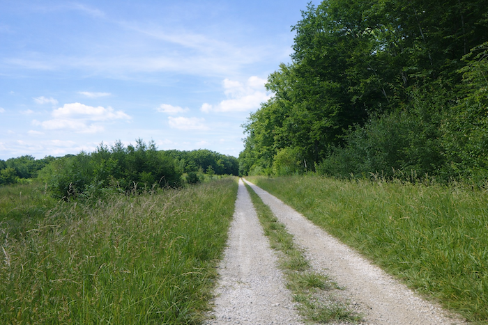
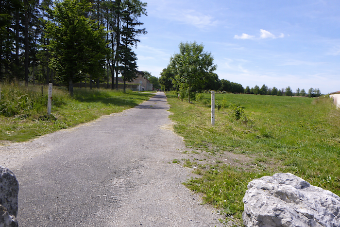
| A wide dirt road then heads toward the undergrowth, cutting across open fields. |
 |
 |
At the entrance to the forest, the yellow and blue markings of the route reappear. One wonders why they were not placed earlier, at the crossroads, where they would have been far more useful?
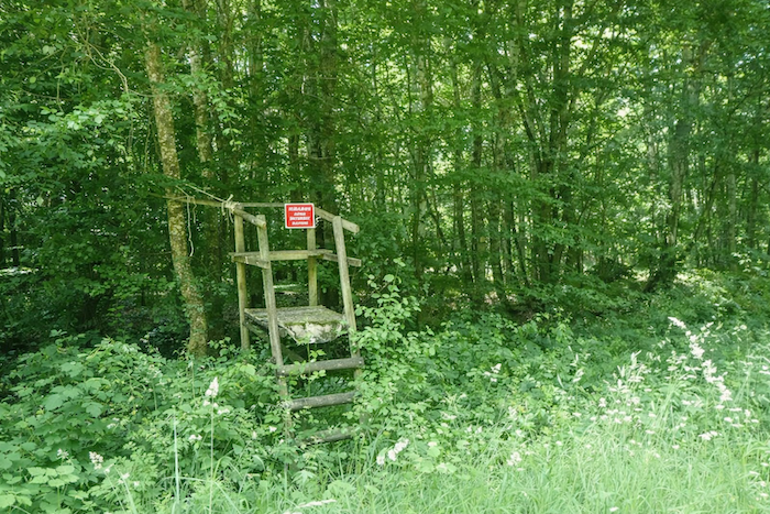
| In the woods, wood pigeons are hunted as they are throughout the region. Here, the undergrowth is invaded by Japanese knotweed, a highly invasive shrub. |
 |
 |
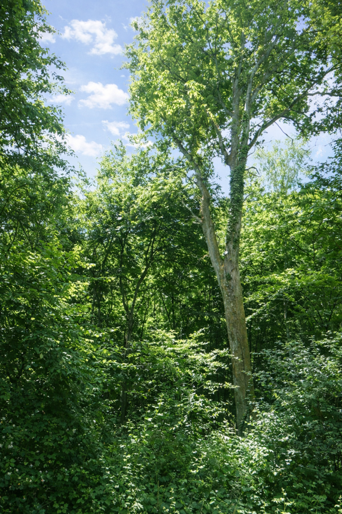
| Ash trees, numerous here, seem to scratch at the sky. |
 |
 |
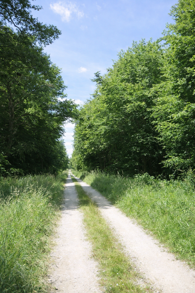
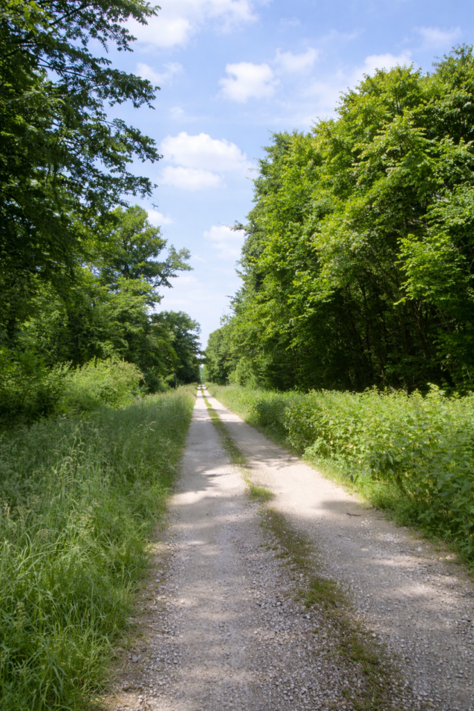
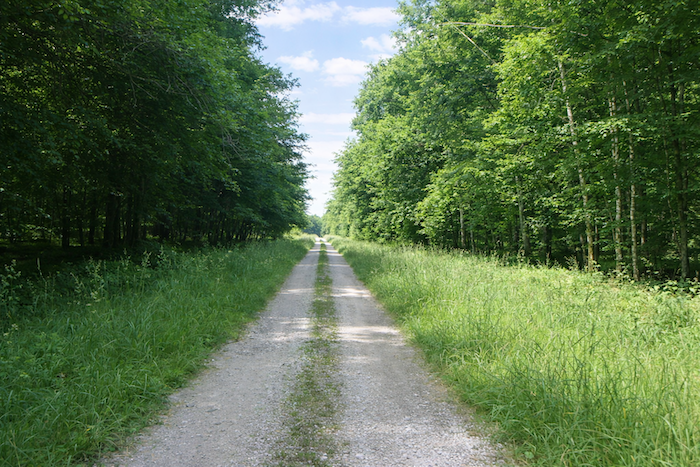
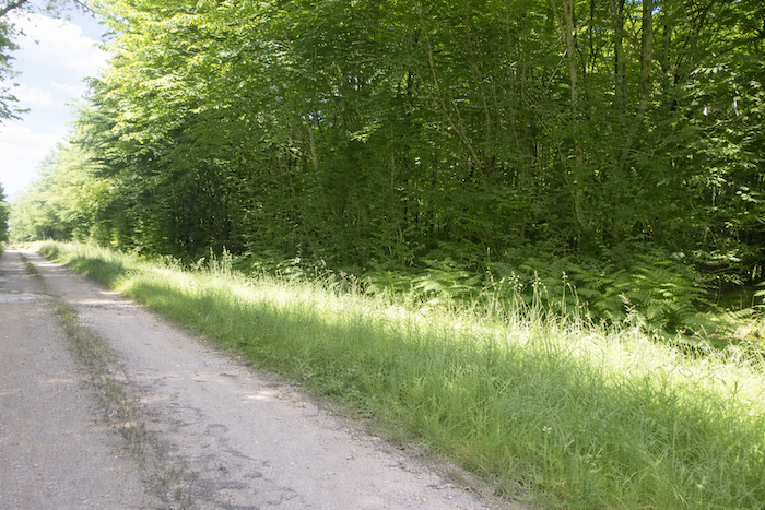
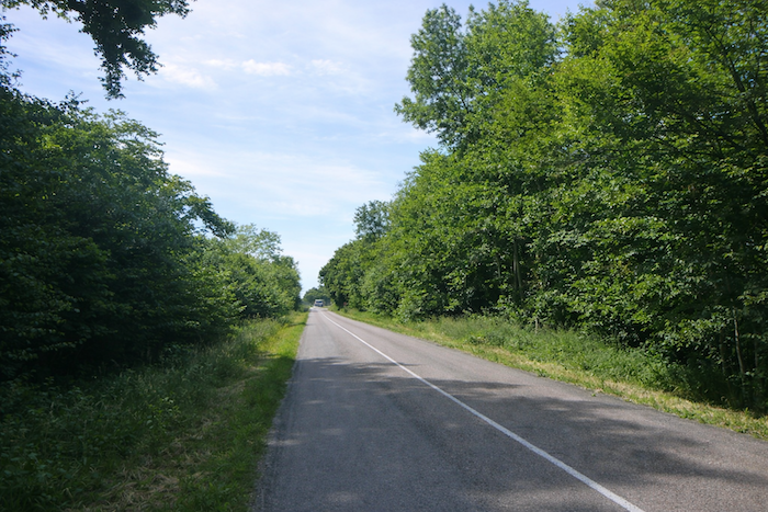
| Along the straight path, where ferns and nettles thrive, grow not only ash and oak trees, but also beeches and hornbeams packed tightly together, with the occasional linden and maple as well. |
 |
 |
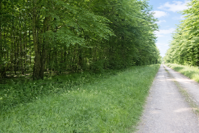
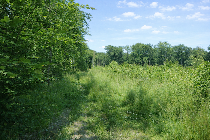
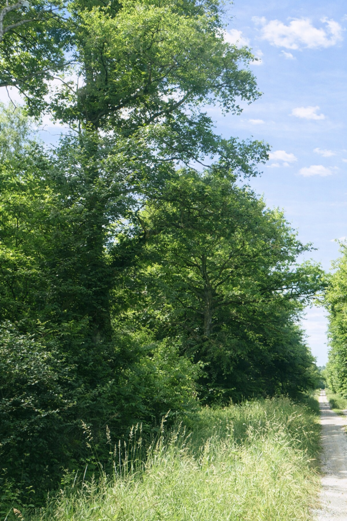
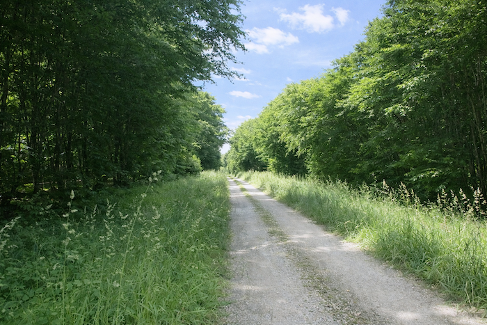
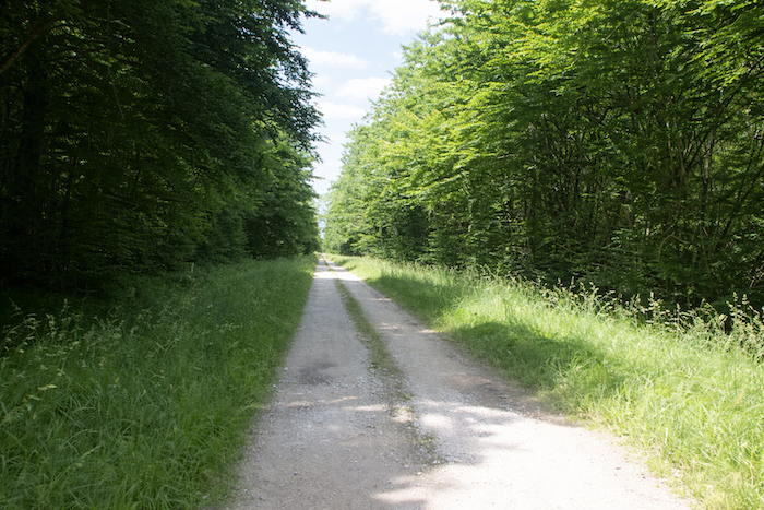
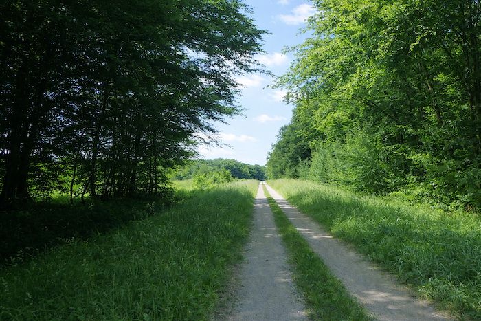
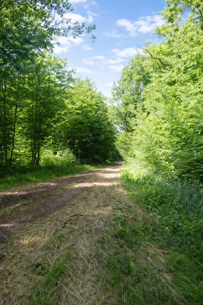
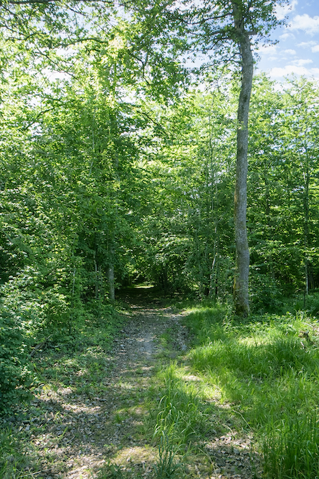
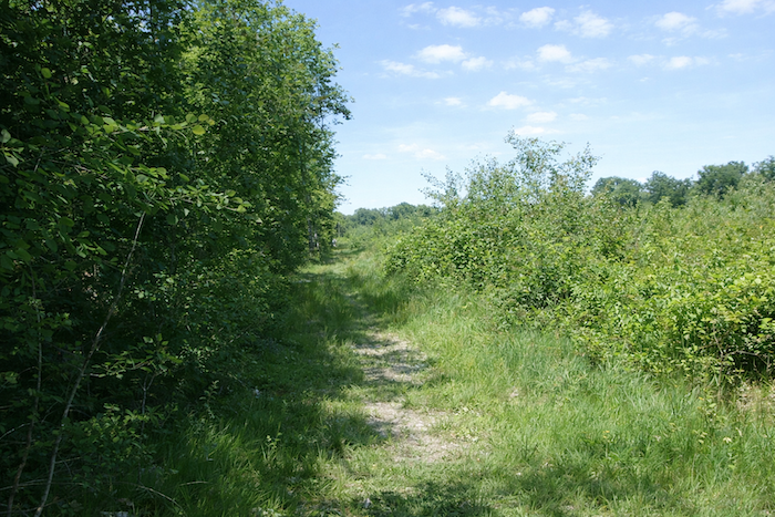
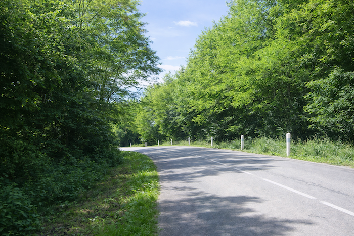
| The path is wide and the forest has little magic to it, functional rather than enchanting, with two lines of deciduous trees that provide very little shade. Unfortunately, there is no suitable place to stop for a break. |
 |
 |
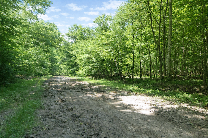
| Further on, a clearing reveals the extremely untamed nature of this corner of the countryside, far removed from any sign of civilization. |
 |
 |
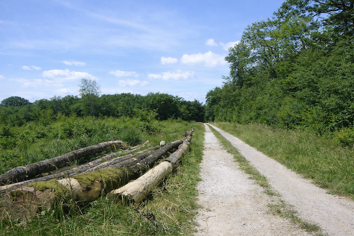
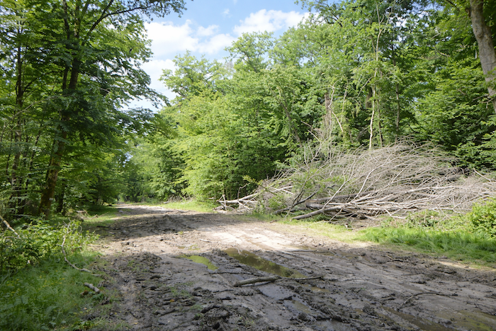
| Here, woodcutters have left behind trunks of oak and beech where part of the forest has been cleared. These rare makeshift seats are available for a short rest. |
 |
 |
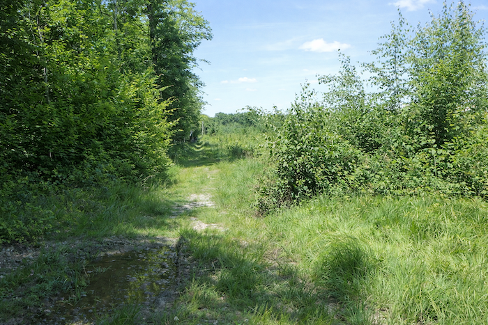
| The path then ventures into a less disciplined and more rugged natural setting. |
 |
 |
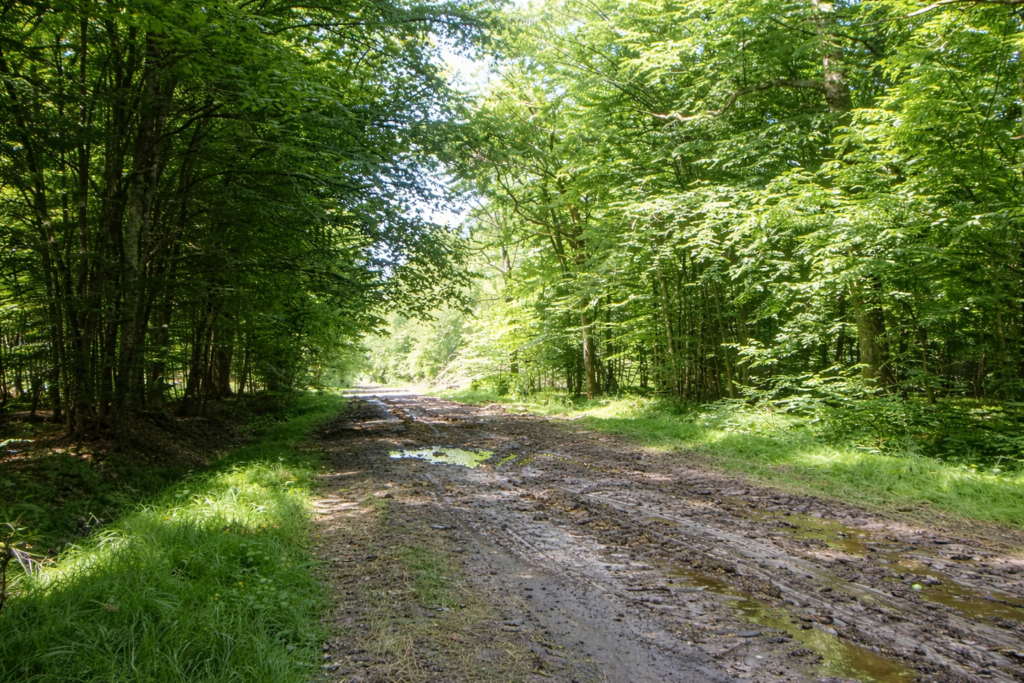
| Suddenly, the path becomes heavy and extremely muddy, even in dry weather. The tractor wheels used by forestry workers do little to improve this type of ground. |
 |
 |
| Il vaut mieux, dans ces conditions désagréables, faire quelques pas hasardeux hors du chemin pour retrouver plus loin un terrain sec, plus abordable. Mais, il ne vaut pas mieux s’éloigner dans la nature rebelle. |
 |
 |
| Further on, the path narrows beneath tall trees. A sign on a tree, for once well placed in this rebellious environment, indicates that the path will turn sharply to the right. |
 |
 |
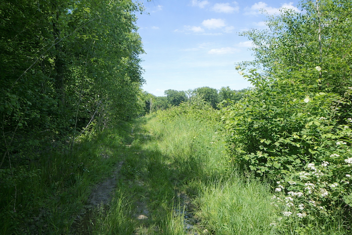
| A poorly defined trail then sets off through the grass, with the forest on your left, where hornbeams abound and aspens also grow, and on your right, a hedge of scattered, unkempt shrubs. |
 |
 |
| Nature here is wild and delightfully disordered, and the trail pushes through broom and tall grasses in the clearing. At times, you may even wonder whether you have taken the wrong path. |
 |
 |
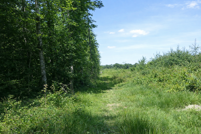
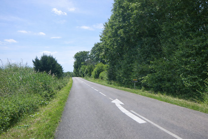
| But no. Shortly afterward, the bumpy path emerges onto the departmental road D8. A large blue arrow is fixed directly in front of you on a tree trunk, showing the road to follow. |
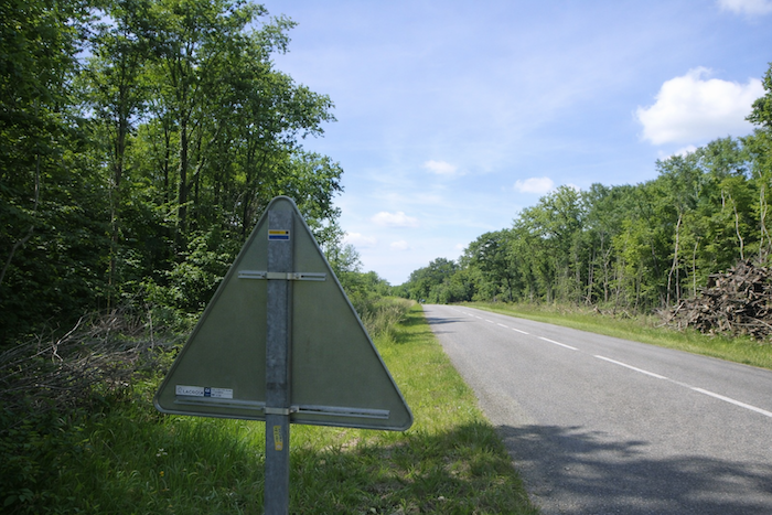 |
 |
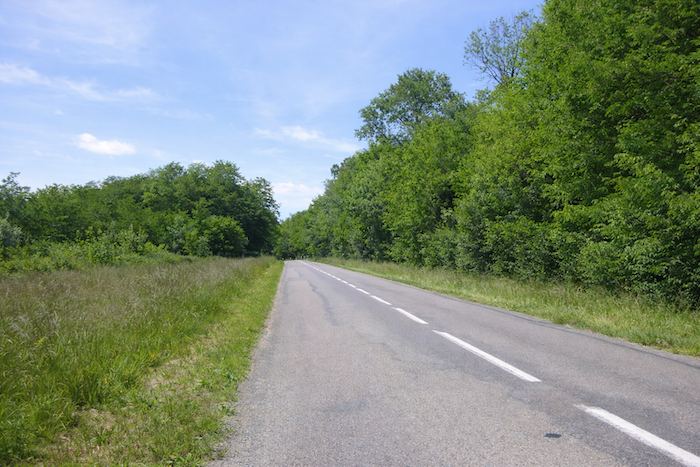
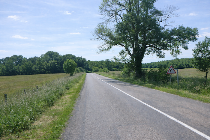
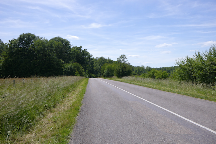
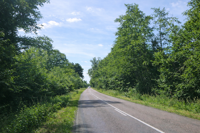
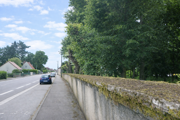
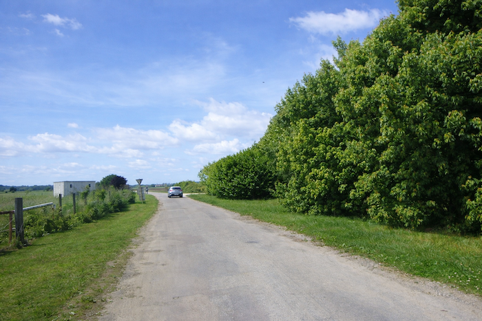
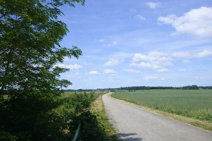
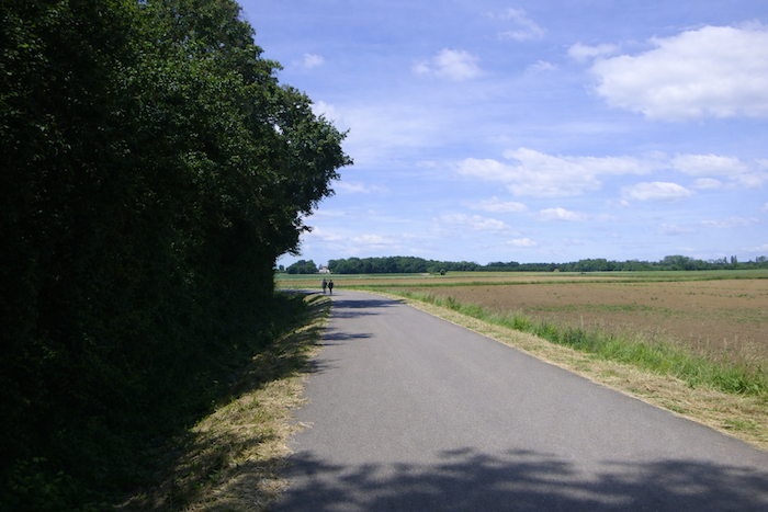
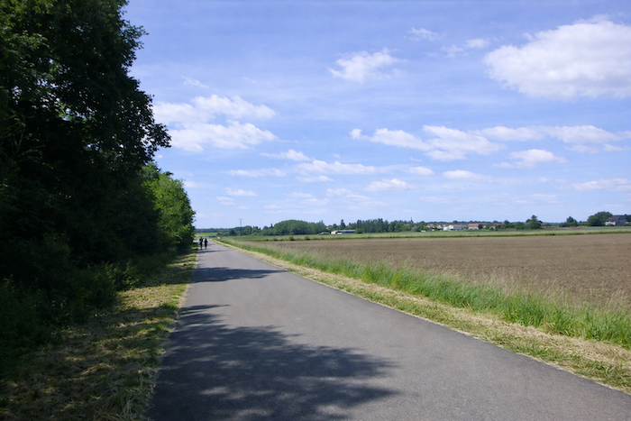
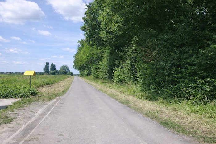
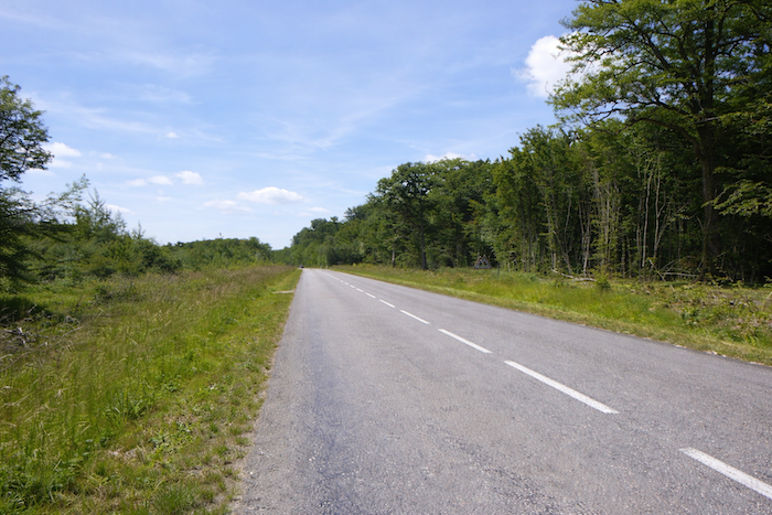
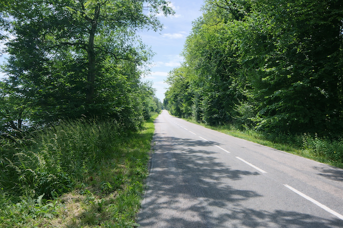
| From here on, it is the road to the left for the remainder of the journey, as it crosses the woodland. Traffic is not heavy, but it is present. Some pilgrims prefer to walk on the asphalt, while others choose the uneven grass that borders the road. |
 |
 |
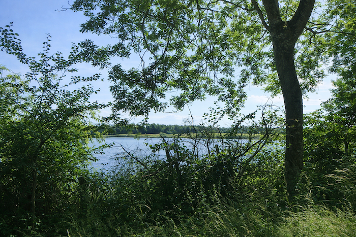
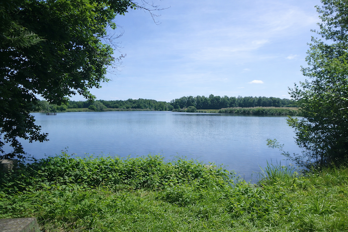
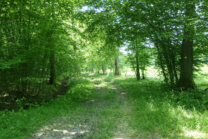
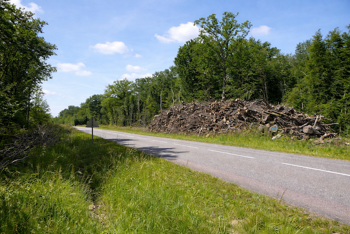
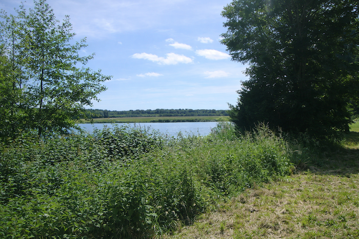
| Much further on, the road bends slightly and arrives near the beautiful Saule ponds, calm expanses of water that seem almost lost within untouched nature. |
 |
 |
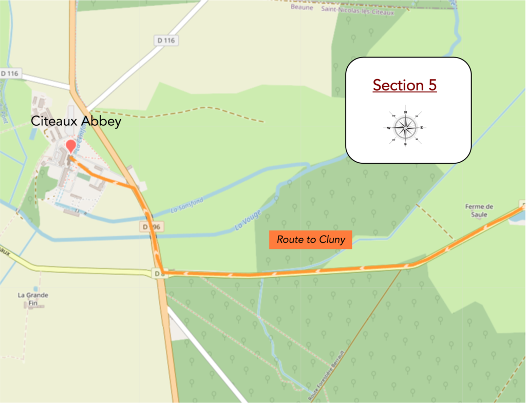
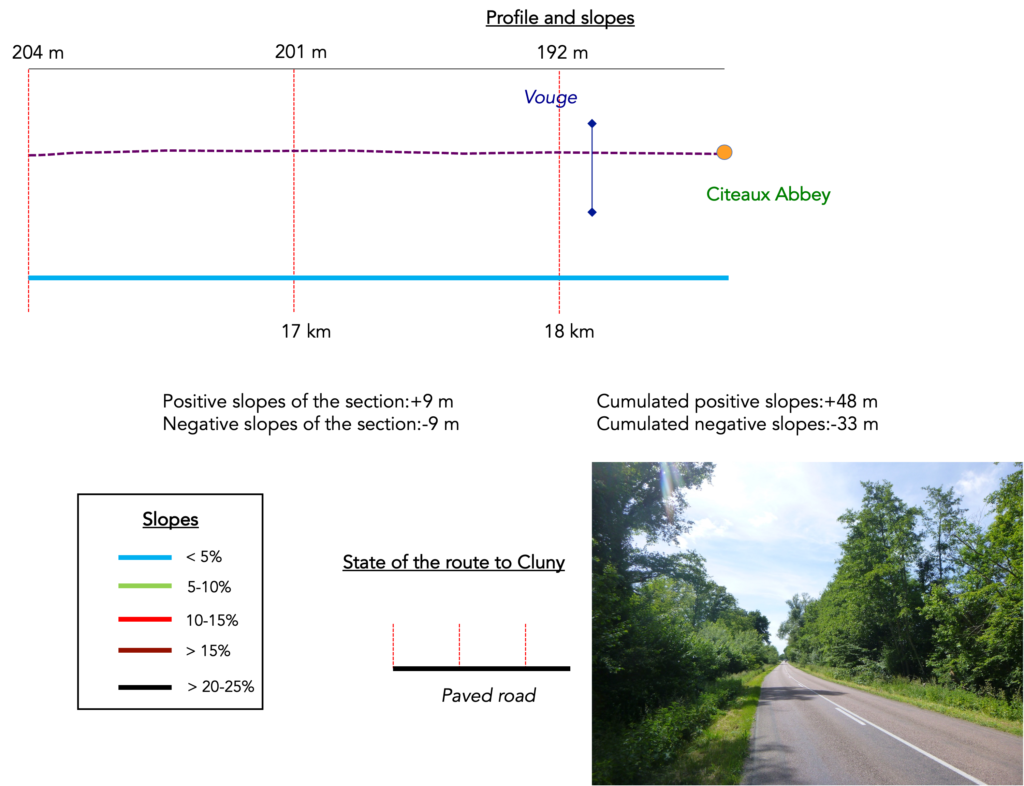
Section 5: On the way to the Abbey
Overview of the route’s challenges : route with no difficulty at all.
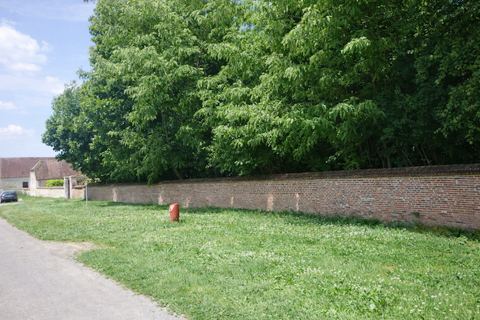
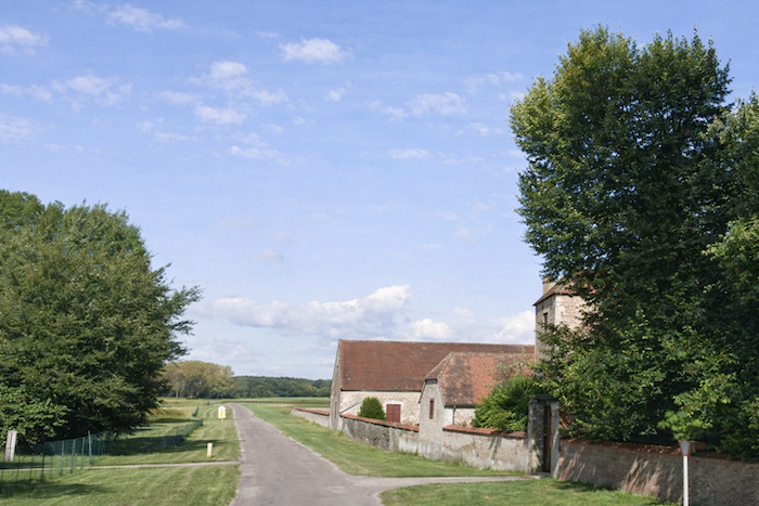
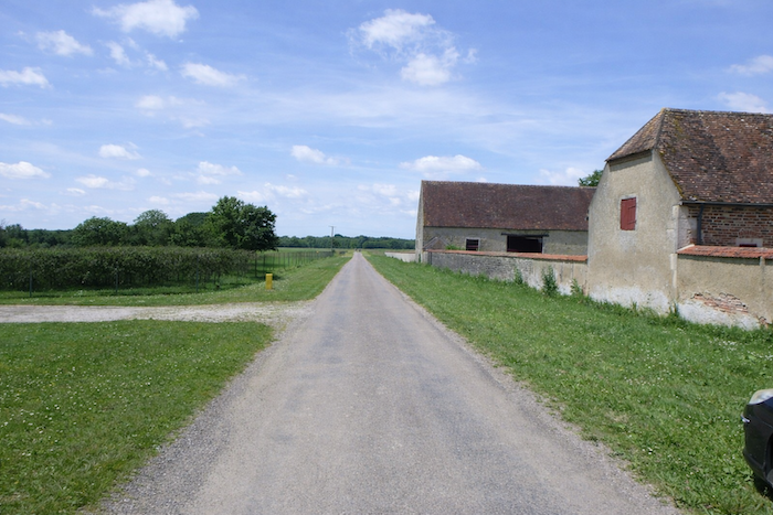
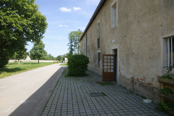
The road then passes by the Saule farm, where it was once possible to stay overnight. The farm is not visible from the road. Information found online says that it is undergoing renovation. For how long, no one knows.
|
 |
 |
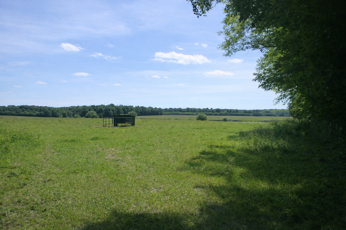
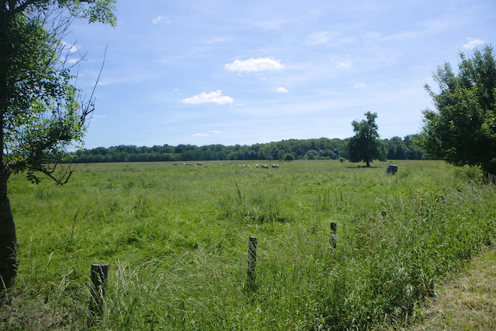
| And the road continues, tirelessly. Even the smallest herd in the meadows sometimes gives your eyes a brief respite from this lingering monotony. |
 |
 |
By turning around, you can glimpse the Saule farm in the landscape, along with its cluster of agricultural outbuildings.
| And the ordeal continues along the straight road, which runs unwaveringly through the wild undergrowth, devoid of life and poetry alike. |
 |
 |
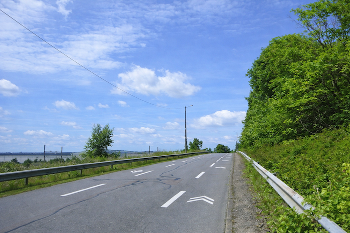
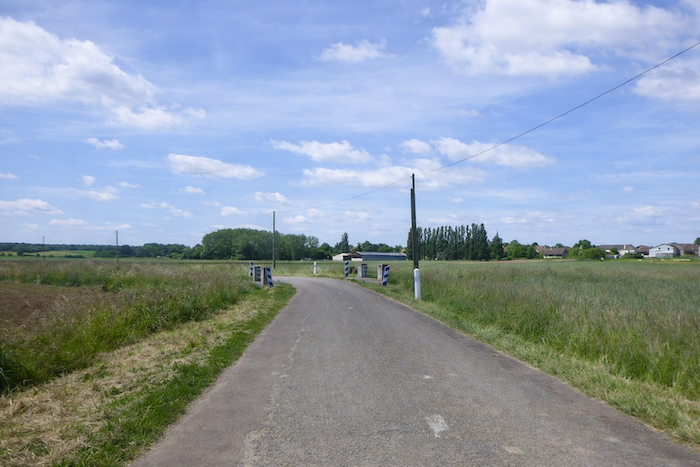
| Then, gradually, life begins to return as you approach the large departmental road D966. |
 |
 |
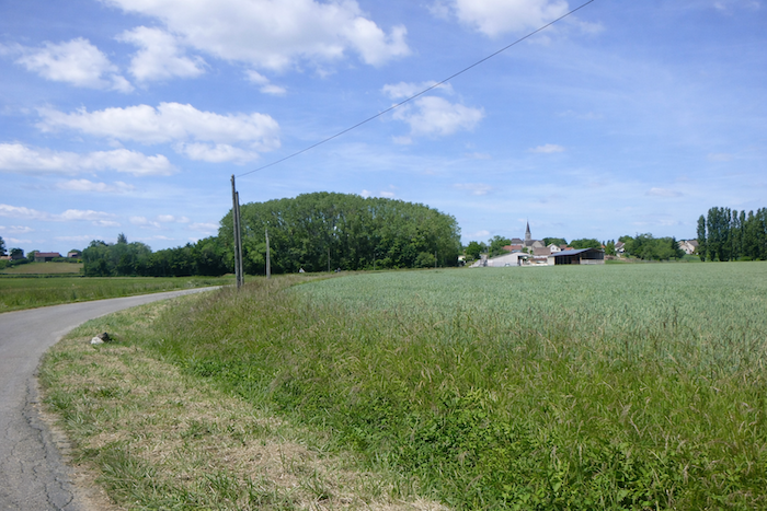
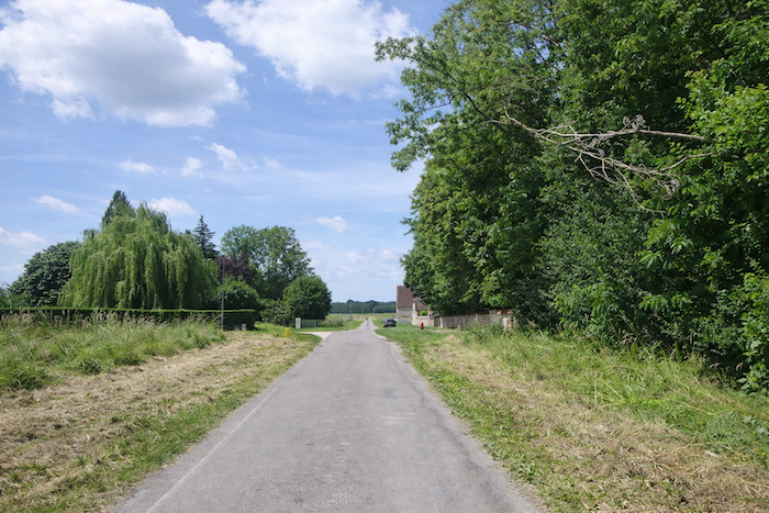
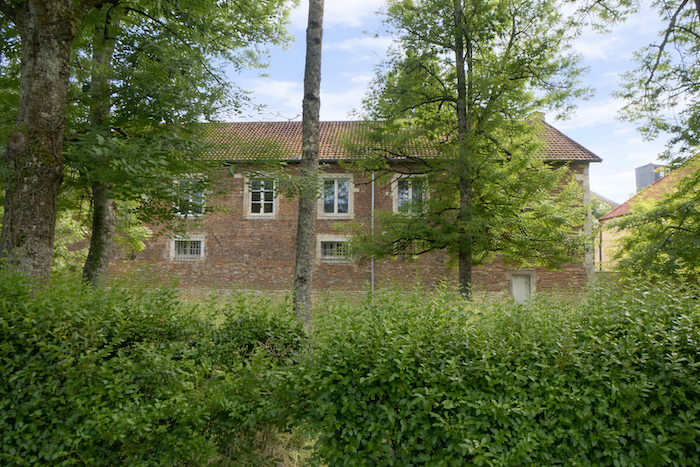
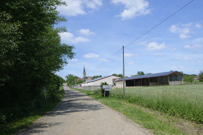
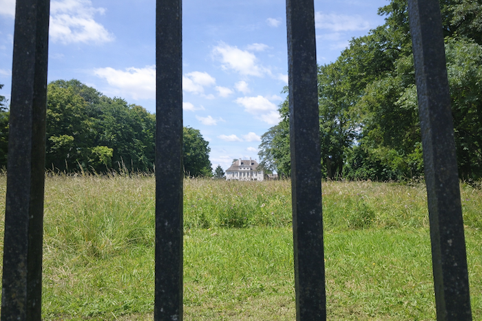
| This road runs from Dijon to Seurre. From here, you can see the abbey complex rising just above. |
 |
 |
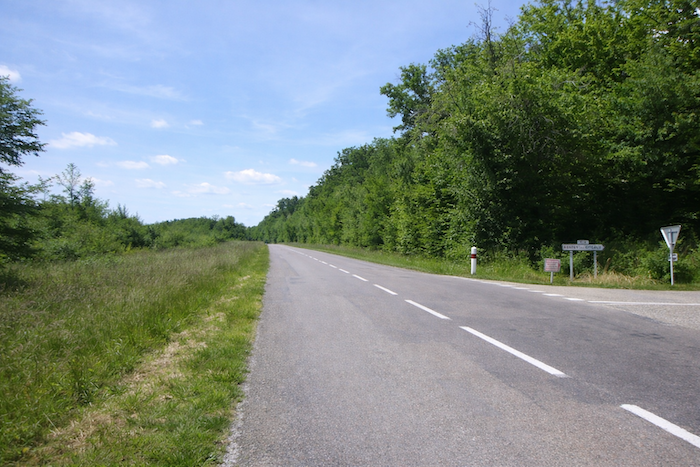
| At the crossroads, the route follows the departmental road to the right for a few hundred meters, where traffic is present but not excessive. |
 |
 |
| Soon after, the road crosses the Vouge, hidden among tall grasses. |
 |
 |
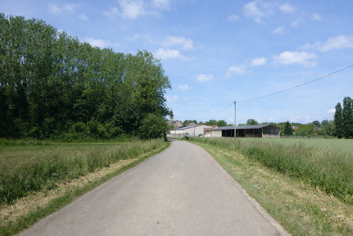
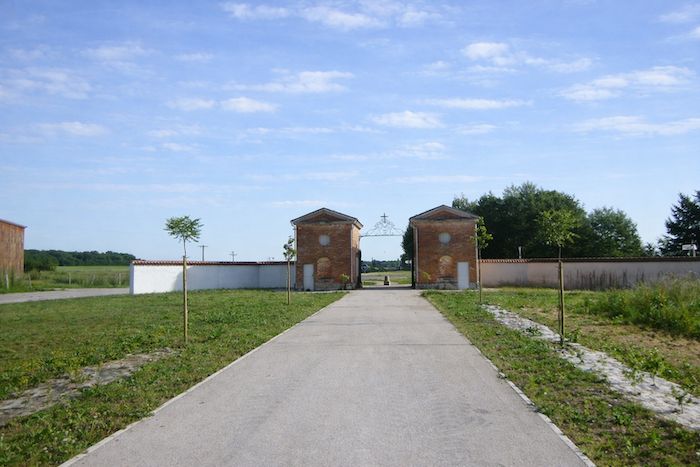
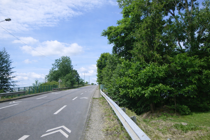
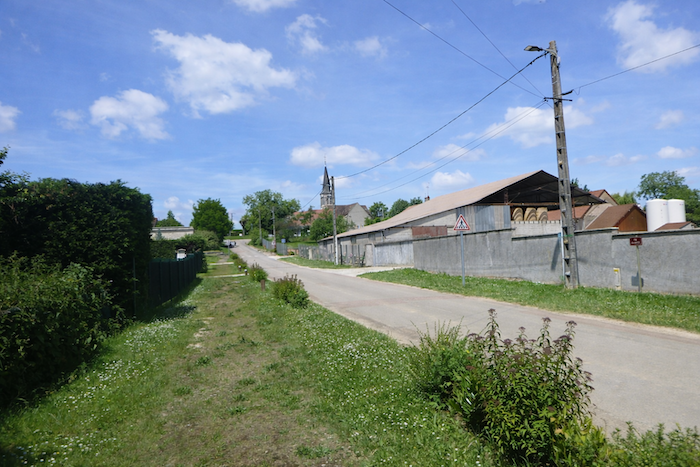
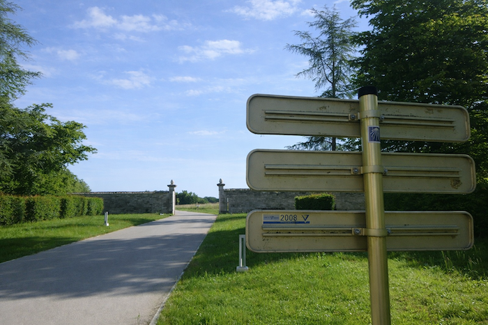
| A few more steps along the departmental road, and the route heads left toward the abbey. |
 |
 |
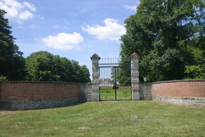
| A gently rising avenue then climbs beneath the walls of the abbey. |
 |
 |
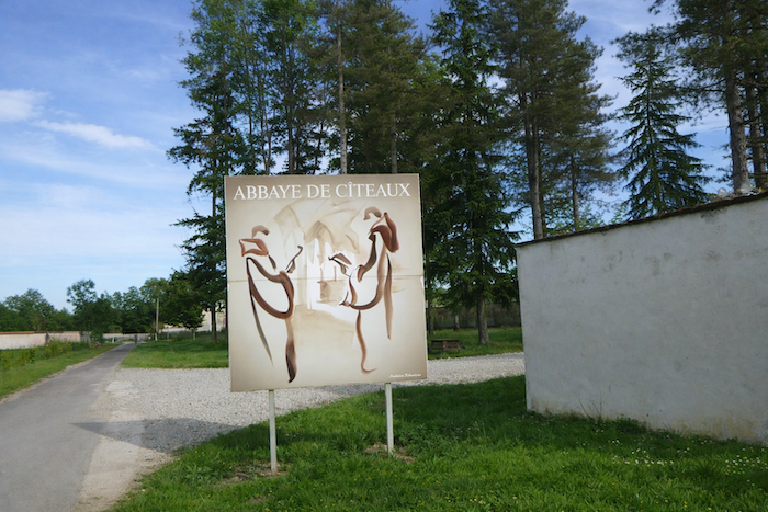
| The word Cistercian comes from the Latin Cistercium, the name of the place where the Abbey of Cîteaux was founded and the cradle of the order. It literally means from the place of Cîteaux. Yet behind this name lies a broader lineage. The Cistercians are heirs to the Benedictines and to the monastic tradition inaugurated by Saint Benedict of Nursia in the sixth century. Born in Umbria, in Italy, Benedict withdrew as a hermit before founding a monastery near Rome. There he wrote his famous Rule, intended to organize the life of monks. This Rule, centered on prayer, work, and obedience, still structures monastic life today, with an alternation of offices, seven during the day and one at night, manual or intellectual labor, time for reading and silence, all under the authority of an abbot elected for life. The Benedictines were not born from a single founding impulse, but from the gradual spread of this Rule throughout Western monasteries. Between the seventh and ninth centuries, it slowly imposed itself, notably through the support of Charlemagne. Then, in the tenth century, the Abbey of Cluny, founded in 910 by William the Pious, Duke of Aquitaine, gave new momentum to monastic life. Placed directly under papal authority and freed from feudal control, Cluny quickly became a major spiritual and political center, serving as a model for hundreds of abbeys. The Cluniacs emphasized splendid liturgy, monumental churches, and a centralized organization.
A century later, in 1098, the Abbey of Cîteaux was founded. Robert of Molesme and a few companions sought to recover an austerity that Cluny seemed to have lost. Settled in the middle of marshland, they founded a poor, hardworking, and withdrawn community. Cîteaux soon attracted a young monk, Bernard of Clairvaux, who entered around 1112 or 1113. In 1115, he founded the Abbey of Clairvaux, and his ardent personality, eloquence, and spiritual radiance caused Cistercian influence to expand dramatically. By the end of the twelfth century, the order counted around five hundred abbeys. Cîteaux presented itself as a reform within a reform. The Cistercians reproached Cluny for its splendor, its alliances with the powerful, and its distance from manual labor. They sought a return to the purity of the Benedictine Rule, where poverty, simplicity, and prayer stand at the center. Their churches were stripped bare, their liturgies sober, and their architecture functional. Cluny shone through splendor, Cîteaux through austerity. Two models stood in opposition, yet both remained Benedictine. Relations oscillated between rivalry and respect, with abbots sometimes exchanging letters and monks.
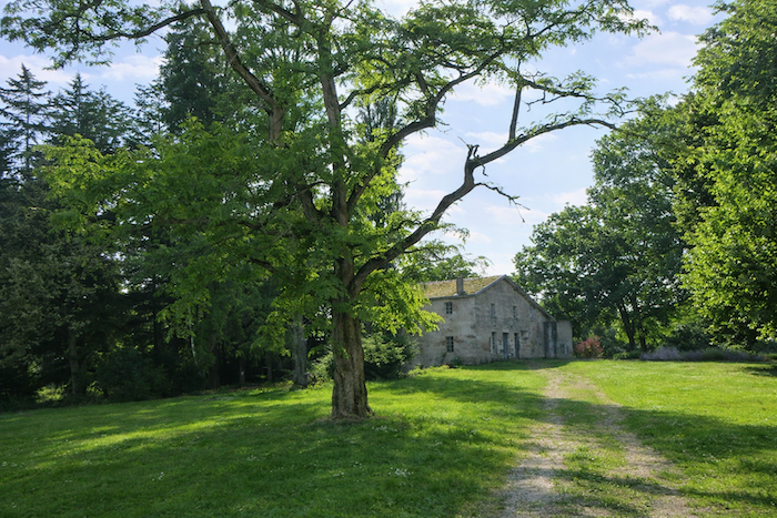
During the twelfth and thirteenth centuries, Cîteaux also became a leading agricultural and technical center, with forest clearings, hydraulic works, vineyards such as the Clos de Vougeot founded in 1167, and crafts of illumination and bookbinding. But, like Cluny before it, the order eventually grew wealthy and drifted away from its ideals. From the fourteenth century onward, wars and spiritual laxity led to a slow decline. The following centuries saw periods of revival and reconstruction, until the French Revolution dispersed the monks and largely dismantled the buildings. The stones of the abbey became a quarry, a sugar refinery, and an agricultural colony. Today, almost nothing remains of medieval Cîteaux. Yet its legacy endures, that of a return to the sources, a quest for austerity and balance that profoundly shaped medieval spirituality and the monastic history of Europe. |
 |
 |
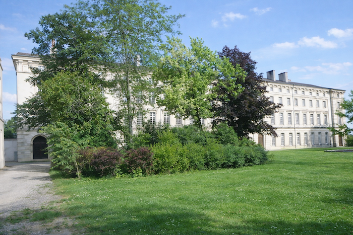
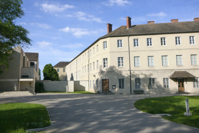
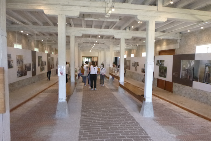
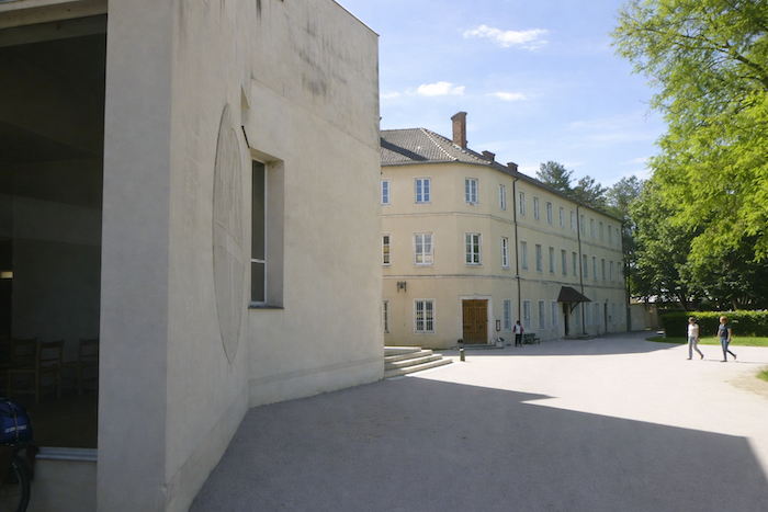
In 1898, Trappist monks, Benedictines of the Strict Observance, reclaimed the site despite major difficulties, with dilapidated buildings, a heterogeneous community, and the sale of lands. The abbey became a military hospital during the Great War and experienced a spiritual renewal in the 1930s with a growth in vocations. In 1998, for the nine hundredth anniversary, the new church was inaugurated, and restoration work began on the listed buildings, including the library. Today, Cîteaux is home to a community of thirty to forty Trappist monks, faithful to the Rule of Saint Benedict, combining prayer, agricultural work, including cheese and monastic products, and hospitality. The abbey is listed as a historic monument and offers guided visits, spiritual retreats, and a renowned cheese production. A small museum allows a partial visit to what was once a Romanesque masterpiece and later a near total ruin.
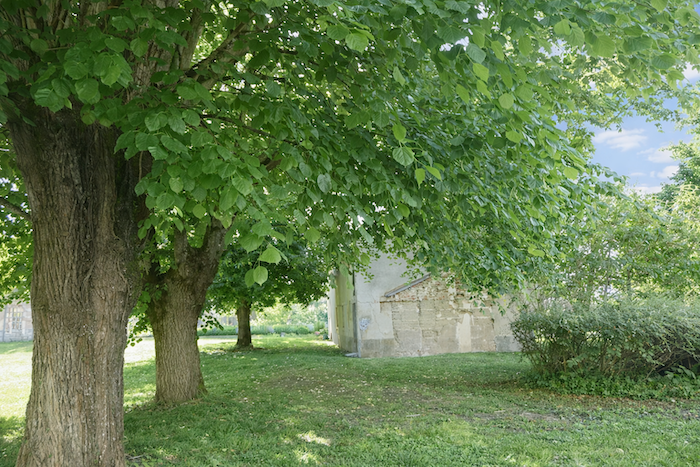
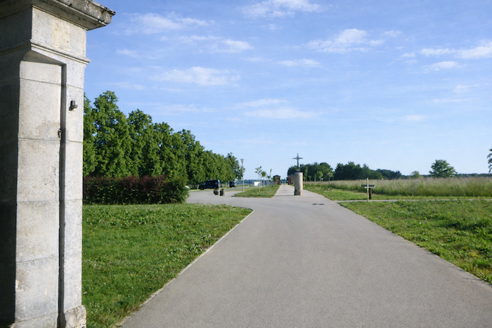
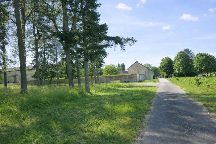
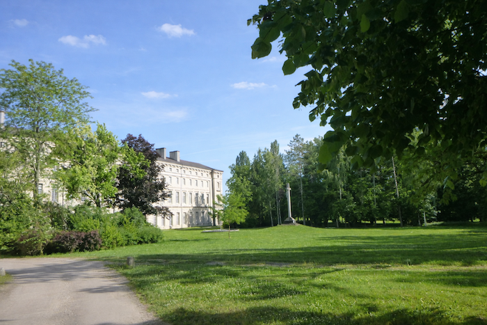
| A large park gently and nostalgically envelops the entire monastery. |
 |
 |
| If you do not take the guided visit offered at the reception, it is difficult to distinguish between what is ancient and what is recent, between post-revolutionary buildings and reconstructed ones. Apart from historical interest, however, what truly matters is the atmosphere, a hushed and almost monastic ambiance. Some areas are not open to the public and are reserved for the monks. Other spaces are accessible only if you are staying at the abbey. |
 |
 |
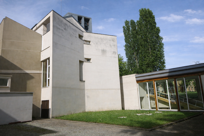
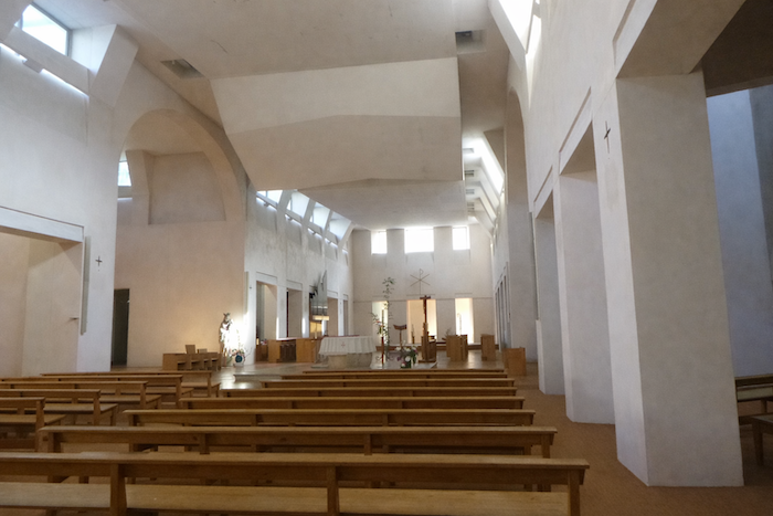
| The church is modern, bright, and sober. Visitors are welcome during the monks’ offices. |
 |
 |
Here is a pre-revolutionary engraving to give you a sense of the site as it once was, long after the Middle Ages, during the time of the monastery’s splendor.

| As visitors are quite numerous here, parking areas are plentiful and directed toward the exit enclosure of the abbey. |
 |
 |
Official accommodations in Burgundy/Franche-Comté
- Camping Les Harlequins, St Usage; 03 80 39 22 26/ 06 23 96 19 33; Camping
- Les Chambres de Marie, 19 Rue de Brevail, Brazey-en-Plaine; 06 83 95 13 79; Guestroom
- Hôtel-restaurant Le Bouclier de Bourgogne, 76 Route de st Jean-de-Losne, Brazey-en-Plaine; 03 80 29 90 70 ; Hotel
- Ma Maison, Magny-lès-Aubigny; 03 80 43 02 10/06 7787 34 49 22 26; Gîte
- Abbaye Notre-Dame de Citeaux; 03 80 61 11 53 ; Gîte
Jacquaire accommodations (see introduction)
Airbnb
Each year, the route changes. Some accommodations disappear; others appear. It is therefore impossible to create a definitive list. This list includes only lodgings located on the route itself or within one kilometer of it. For more detailed information, the guide Chemins de Compostelle en Rhône-Alpes, published by the Association of the Friends of Compostela, remains the reference. It also contains useful addresses for bars, restaurants, and bakeries along the way. On this stage, there should not be major difficulties finding a place to stay. In principle, there is often plenty of room to stay at the abbey. If that were not the case, you would have to go as far as Gilly, which is much farther away. It must be said: the region is not touristy. It offers other kinds of richness, but not abundant infrastructure. Today, Airbnb has become a new tourism reference that we cannot ignore. It has become the most important source of accommodations in all regions, even in those with limited tourist infrastructure. As you know, the addresses are not directly available. It is always strongly recommended to book in advance. Finding a bed at the last minute is sometimes a stroke of luck; better not rely on that every day. When making reservations, ask about available meals or breakfast options.
Feel free to leave comments. That is often how one climbs the Google rankings, and how more pilgrims will gain access to the site.
|
 |
Next stage : Stage 14: Citeaux Abbey to Vougeot |
|
 |
Back to menu |