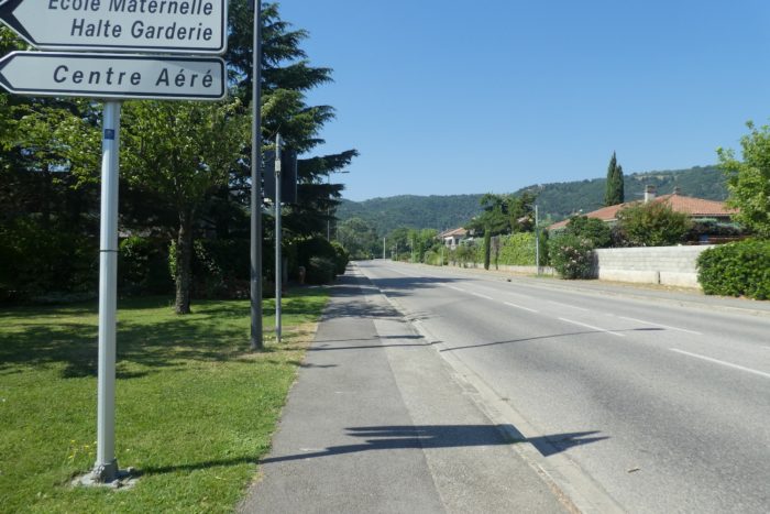
Here, do not get lost on the St Péray variante
DIDIER HEUMANN, ANDREAS PAPASAVVAS
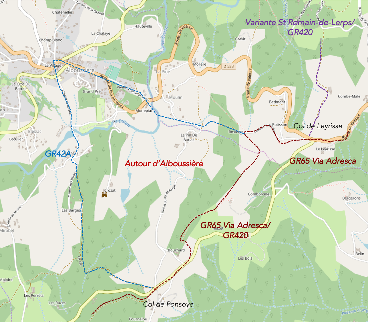
We divided the course into several sections to make it easier to see. For each section, the maps show the course, the slopes found on the course, and the state of the route (paved or dirt roads). The courses were drawn on the « Wikilocs » platform. Today, it is no longer necessary to walk around with detailed maps in your pocket or bag. If you have a mobile phone or tablet, you can easily follow routes live.
For this stage, here is the link:
https://fr.wikiloc.com/itineraires-randonnee/mours-saint-eusebe-auvergne-rhone-alpes-france-32845854
| Not every pilgrim feels comfortable using GPS devices or navigating on a phone, especially since many sections still lack reliable internet. To make your journey easier, a book dedicated to the Via Gebennensis through Haute-Loire is available on Amazon. More than just a practical guide, it leads you step by step, kilometre after kilometre, giving you everything you need for smooth planning with no unpleasant surprises. Beyond its useful tips, it also conveys the route’s enchanting atmosphere, capturing the landscape’s beauty, the majesty of the trees and the spiritual essence of the trek. Only the pictures are missing; everything else is there to transport you.
We’ve also published a second book that, with slightly fewer details but all the essential information, outlines two possible routes from Geneva to Le Puy-en-Velay. You can choose either the Via Gebennensis, which crosses Haute-Loire, or the Gillonnay variant (Via Adresca), which branches off at La Côte-Saint-André to follow a route through Ardèche. The choice of the route is yours. |
 |
 |
If you only want to consult lodging of the stage, go directly to the bottom of the page.
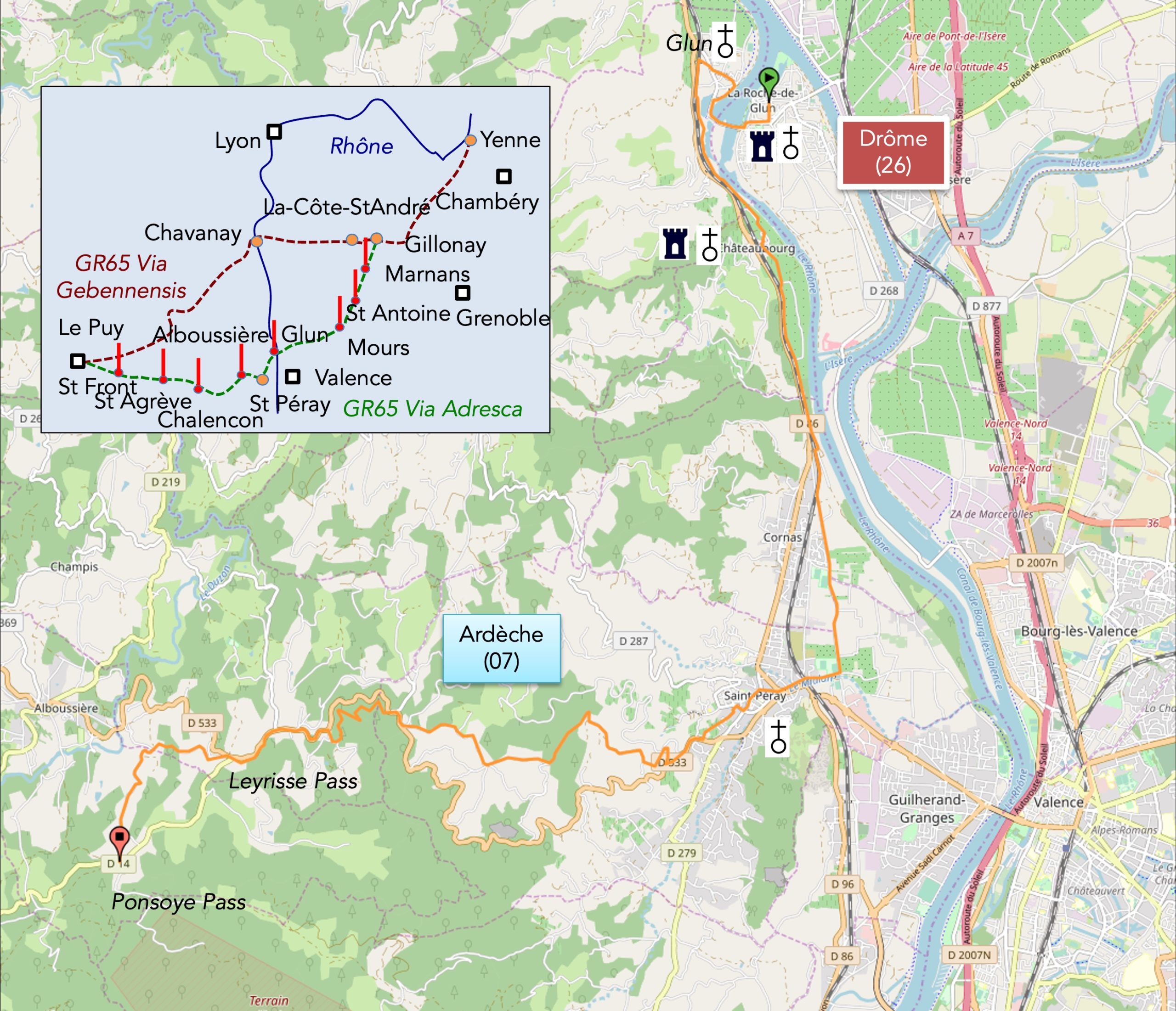
The Ardèche, a mysterious and contrasting department, takes its name from the river that winds through its lands. It is here, in the heart of the ancient province of Vivarais, that the identity of this region takes shape,peaceful and wild at the same time. For many, Ardèche is synonymous with idyllic images of picturesque villages nestled in the garrigue, where thyme, heather, and boxwood reign, just a stone’s throw from the famous Ardèche Gorges, a natural wonder that attracts crowds of tourists each year. But this face of Lower Vivarais, in the southern part of the department, is just one side of Ardèche. Today, you won’t be discovering that part of the region. Far from the sunny southern landscapes, Northern Ardèche offers a striking contrast, more intimate and secretive. The dividing line between Lower and Upper Vivarais is marked by the Gerbier du Jonc and Mont Mezenc, volcanic remnants from a bygone geological era. It is these mountains that, in the coming days, will loom on the horizon, towering above the hills. A path, the GR420, crosses all of Upper Vivarais along the volcanoes, but today, you’ll only touch the first foothills, at the very end of the stage.
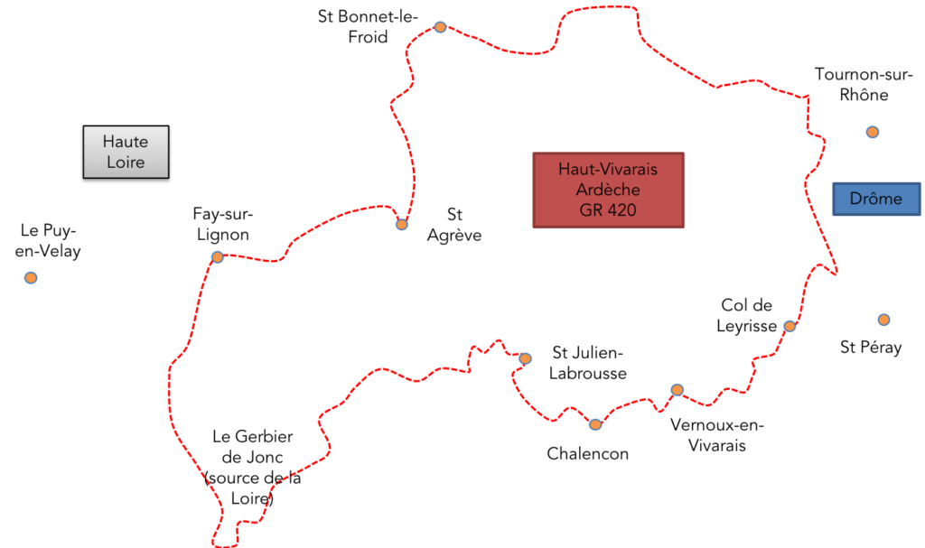
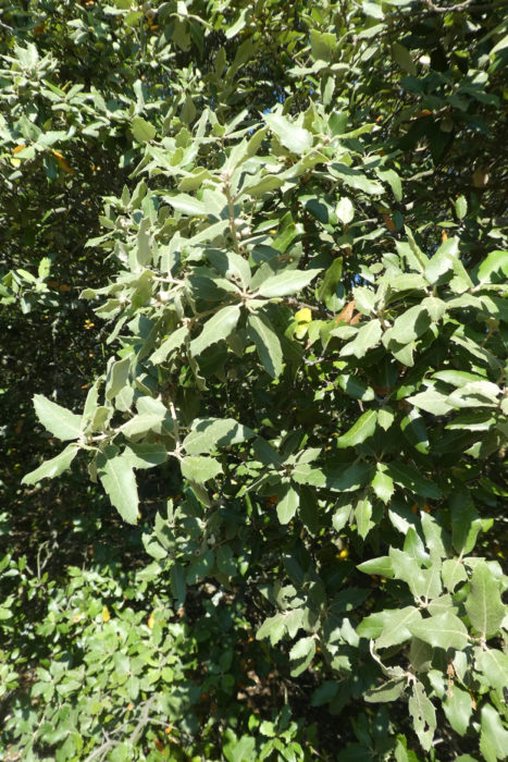
You are now in Upper Vivarais, where nature seems to have kept its rights. It is a land where the silence of the mountains, still untouched by the hustle and bustle of the world, offers a sense of solitude and freedom, far from the crowds and commotion. This is the land of chestnut trees, ancient trees that have nourished people over the centuries and shaped the character of this harsh land. But sadly, this tradition is in decline. Rural exodus has taken many farmers with it, and the once-thriving chestnut groves have given way. Today, spruces, pines, maples, and especially holm oaks are taking over, gradually expanding their vegetative empire. However, the chestnut tree, though in retreat, hasn’t given up yet. It persists, quietly, in the valleys and slopes, a silent witness to a livelier past.
The day’s stage also follows a steady but gradual progression, slowly climbing from the fertile plains of the Rhône River towards the heights of the Ardèche plateau. As you ascend, the landscape grows rougher, wilder, and the air becomes purer, cooler. The end of the stage seems to mark a frozen moment, almost an unexpected dead end: the Pensoye Pass, at moderate altitude, presents itself to you in all its simplicity and seclusion. This is not a major tourist stage, not a lively village, but a modest stop where one can still rest and find shelter. Sometimes, one must learn to « make do, » accept tranquility, and settle for the essentials.
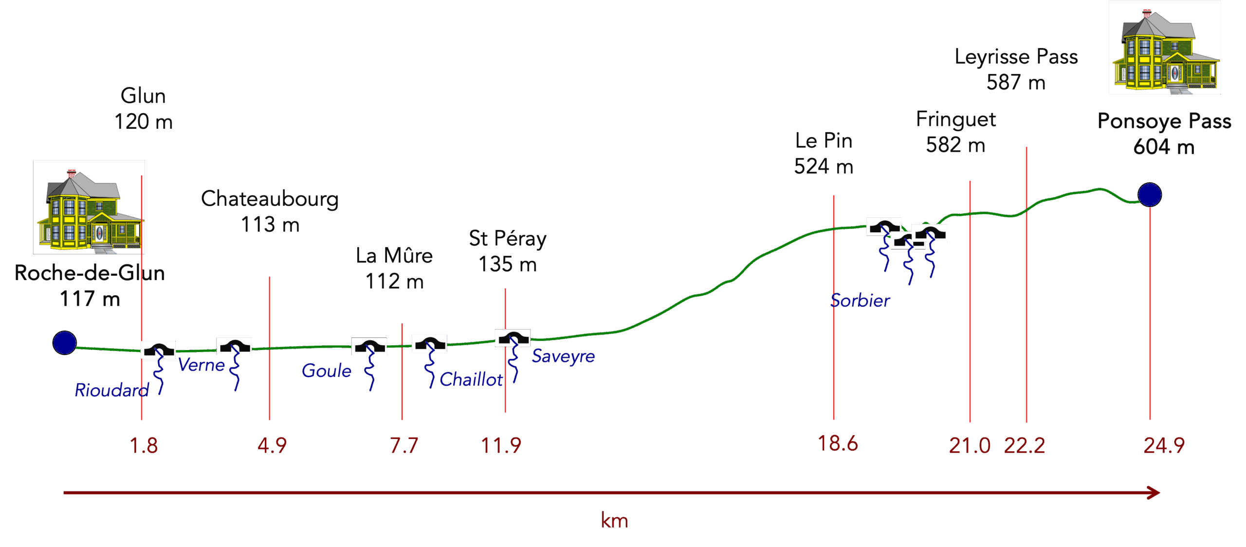
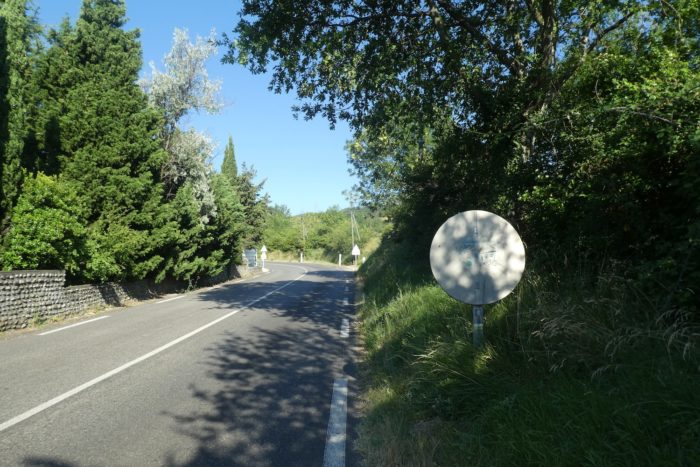
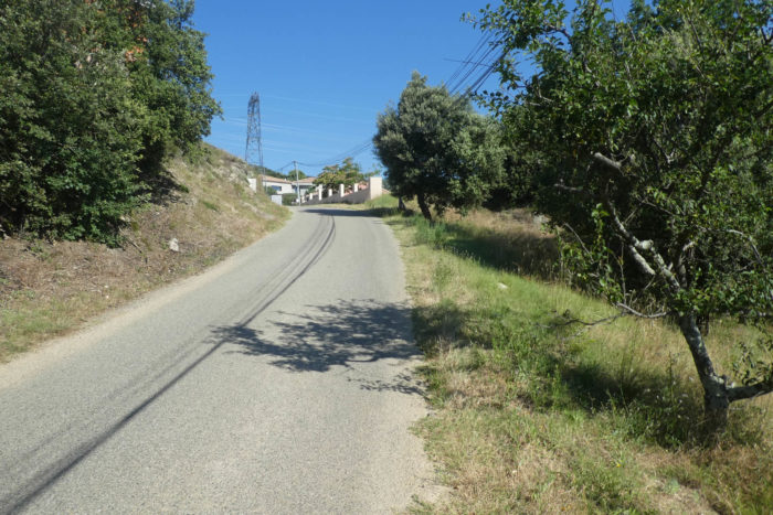
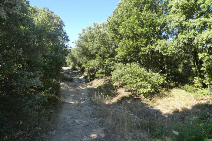
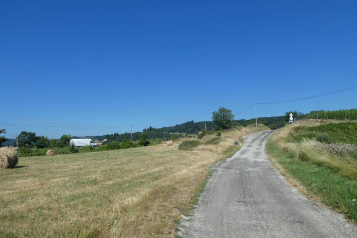
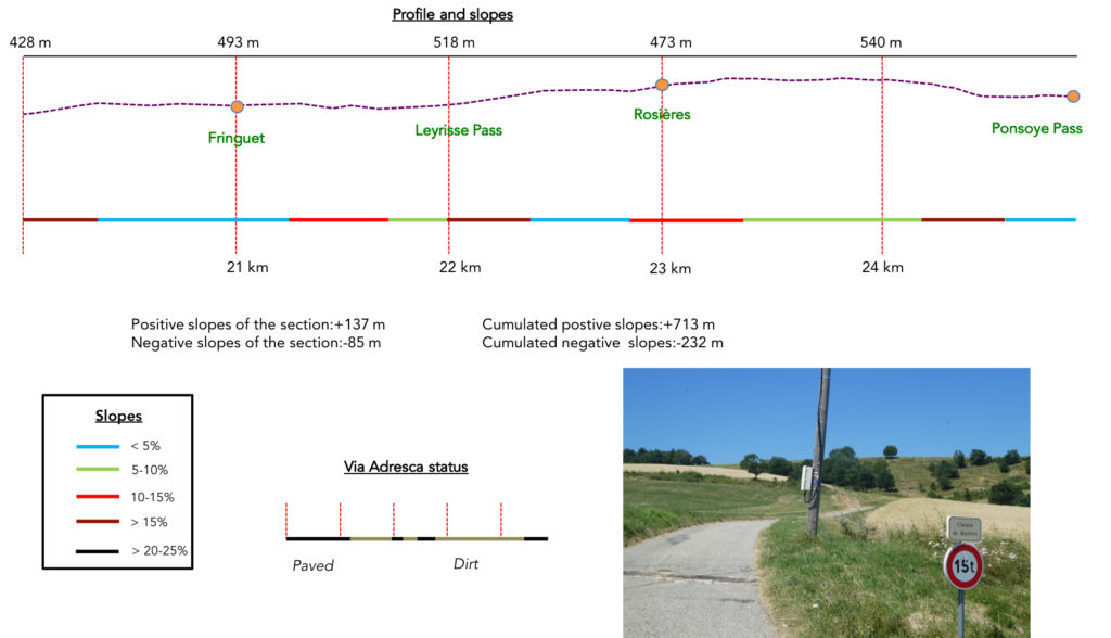
Difficulty level: The day’s route presents a noticeable challenge, especially in the second half. The figures (+713 meters / -232 meters) indicate a sustained climb, with elevation changes that won’t be ignored. The first part of the stage, gentle and almost flat, allows you to follow the Rhône River in all its serenity. But as soon as you leave the riverbanks and venture higher, the slope becomes steeper. From St Péray onwards, the climb is noticeable, sometimes even insistently so. The route ascends relentlessly. The terrain alternates between a few welcome pauses, even a modest descent at times, but most of the time, the incline remains steady, rarely dipping below 15%. On some sections, the incline exceeds this limit, adding to the challenge of the effort. It is not an easy route, but it is a challenge worth accepting, especially for those who can appreciate the quiet beauty of this land, far from the noise of the modern world.
State of the Via Adresca: Today, the routes favor the roads over the paths:
- Paved roads: 16.5 km
- Dirt roads : 8.3 km
Sometimes, for reasons of logistics or housing possibilities, these stages mix routes operated on different days, having passed several times on these routes. From then on, the skies, the rain, or the seasons can vary. But, generally this is not the case, and in fact this does not change the description of the course.
It is very difficult to specify with certainty the incline of the slopes, whatever the system you use.
For those seeking « true elevations » and enthusiasts of genuine altimetric challenges, carefully review the information on mileage at the beginning of the guide.

Section 1: Along the Old Rhône
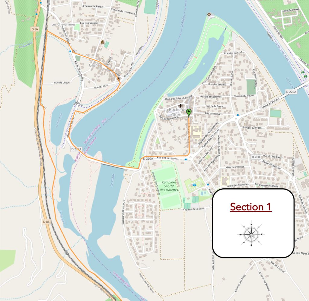
General overview of the difficulties of the route: course without any difficulty.
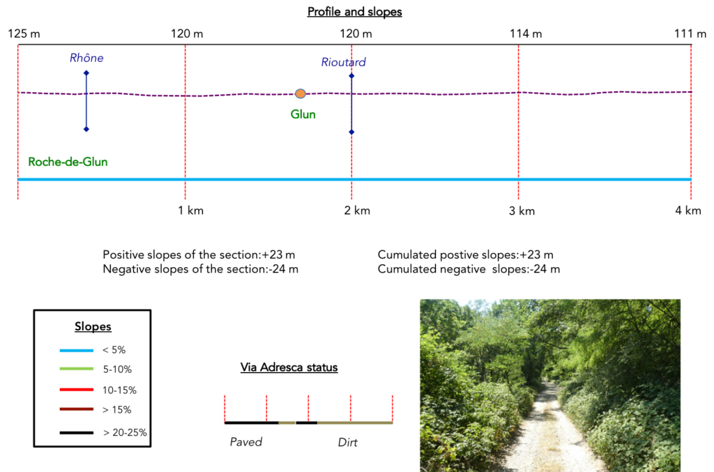
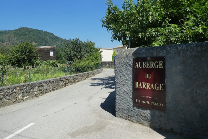
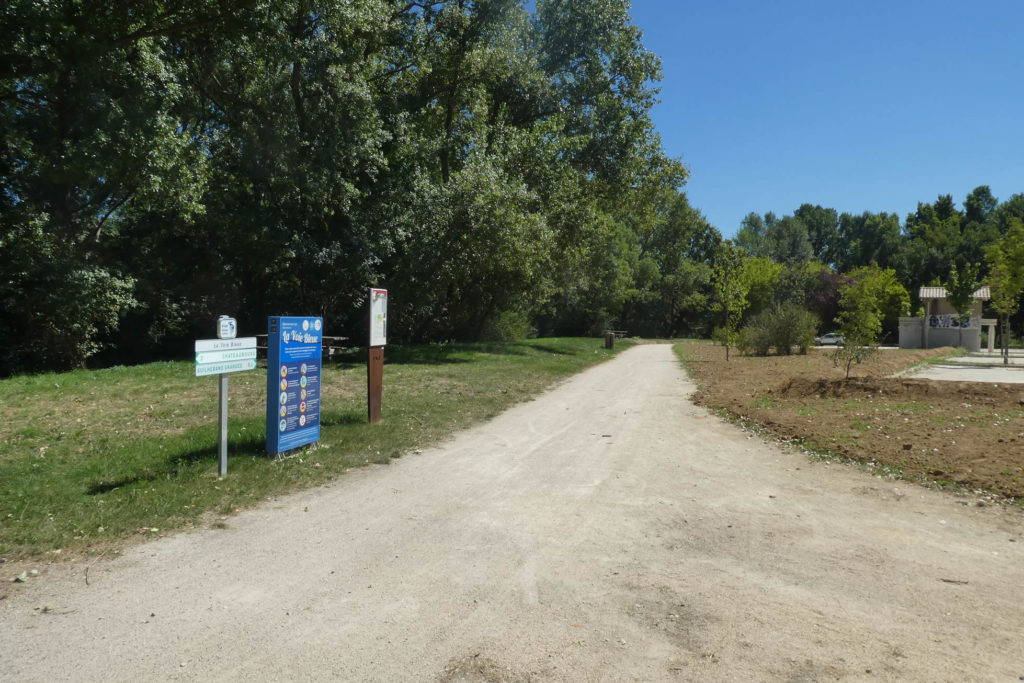
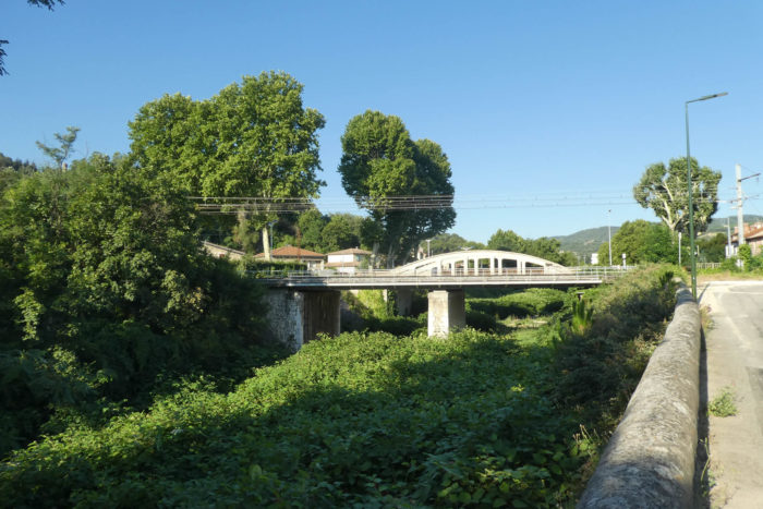
| As mentioned in the previous stage, the Via Adresca does not go to the center of La Roche-de-Glun, but you still has to find somewhere to stay. So, it leaves the village heading toward the dam. The Via Adresca, like a thread of Ariadne, veers away from the lively center of La Roche-de-Glun to immerse itself in a quieter, almost meditative setting. |
 |
 |
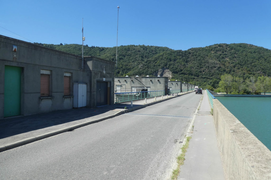
It heads toward the dam, an industrial giant in operation since 1968, a silent witness to human efforts to tame nature. This giant is not just a tool: it orchestrates with precision, thanks to its six sluice gates, the flow of water from the Rhône, ensuring electricity production and soothing the river’s moods by regulating floods and navigation.
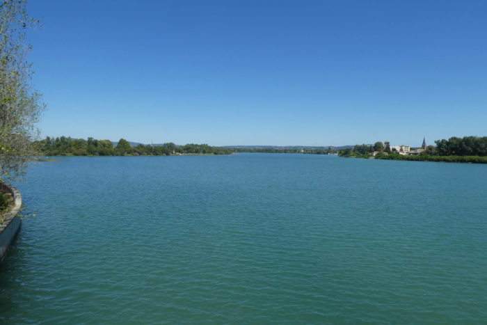
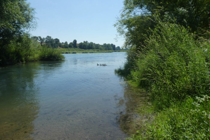
| To the left, the old Rhône meanders lazily southward, an aquatic vein imbued with serenity, almost frozen in a bygone era. |
 |
 |
| To the right, the lake stretches in deceptive tranquility, framed by the Rhône canal, where the familiar silhouette of Roche-de-Glun seems to float, steeped in its history and aquatic life. Here, the sluice gates roar and the water churns, releasing a raw power that attracts cormorants. These black birds, motionless and hungry, watch the whirlpools, waiting for a silver feast. |
 |
 |
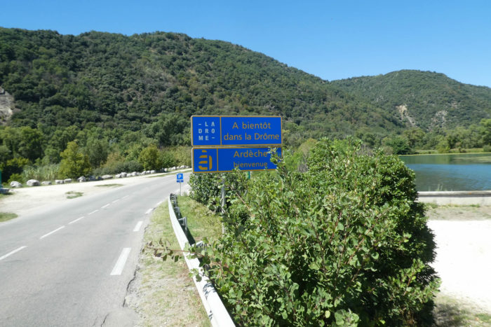
| At the dam’s exit, a subtle transition occurs: you leave Drôme Department and enter Ardèche Department, as if the Via Adresca opens a door to another world. |
 |
 |
| It then leaves the paved road to wind along a wide sandy path. This path, bordering the water and its dancing reflections, gently leads toward the village of Glun. |
 |
 |
| Glun, modest but warm, is home to about 700 souls, nestled between the Rhône and a charming church. It is here that Frédéric Dard, the creator of San Antonio, was born, spending his childhood exploring this rugged yet poetic land. Across the way, the silhouette of La Roche-de-Glun stands out clearly, with its church and turrets like sentinels from another time. |
 |
 |
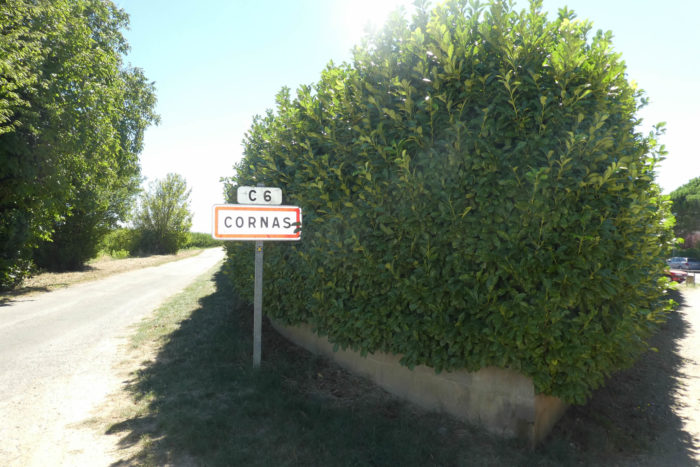
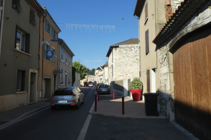
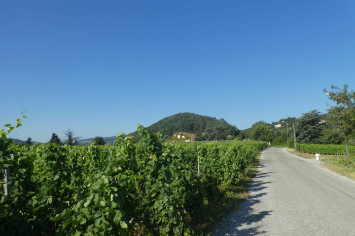
| From the church of Glun, the Via Adresca weaves through a maze of narrow, walled alleys, where every turn seems to whisper secrets of the past. It finally emerges on the outskirts of the village, reconnecting with D222A. This winding road, like a vein connecting the present to the past, bypasses Glun and leads to the famous D86 axis, the Rhône Valley wine route. Here, the vineyards stretch, glowing green in summer, transporting travelers from Cornas to Vienne, through a landscape dotted with flavors and stories. |
 |
 |
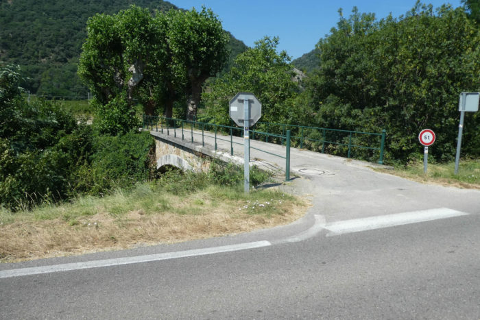
| The route then extends over a modest bridge, simply thrown across the Rioutard stream, where the water is scarce, almost shy. Soon, a path meanders through orchards, intertwined with fruit trees, and heads toward the railway, a discreet companion to the D86 road. |
 |
 |
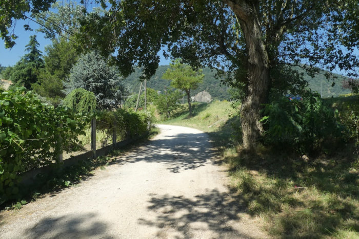
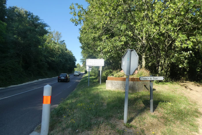
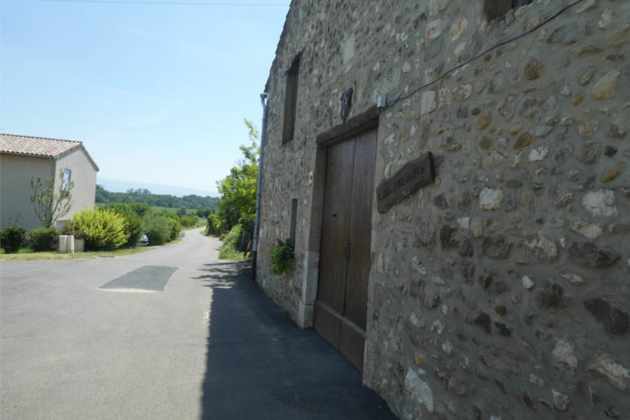
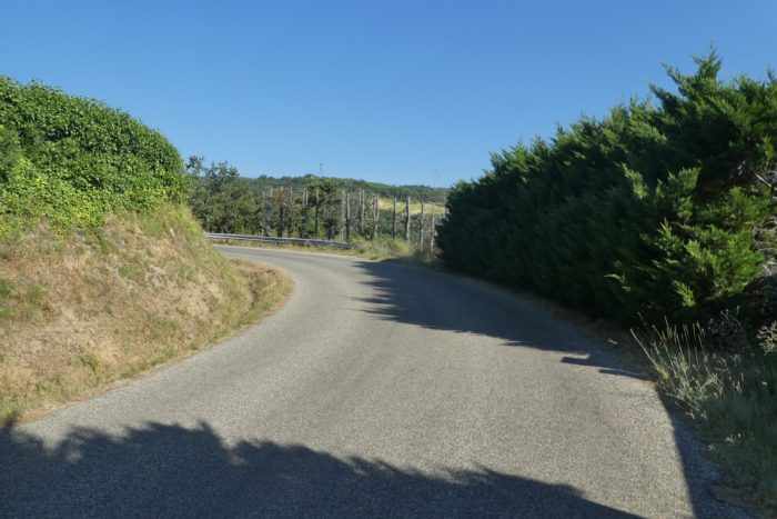
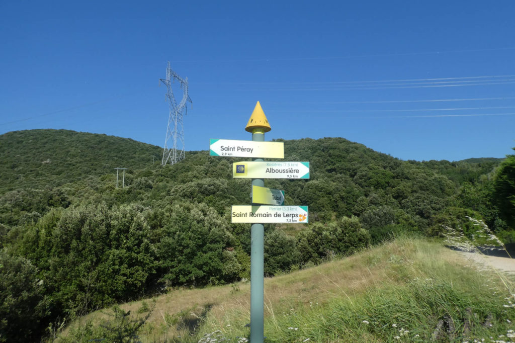
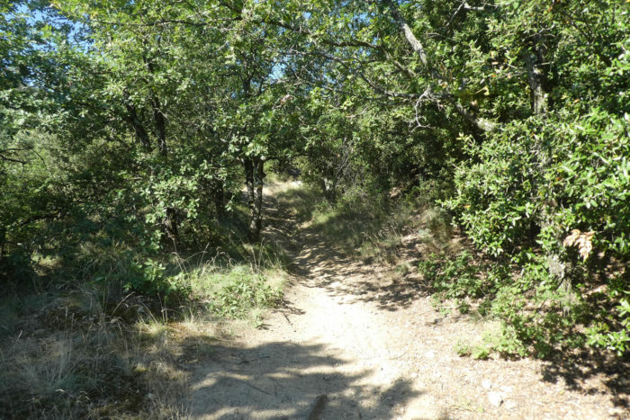
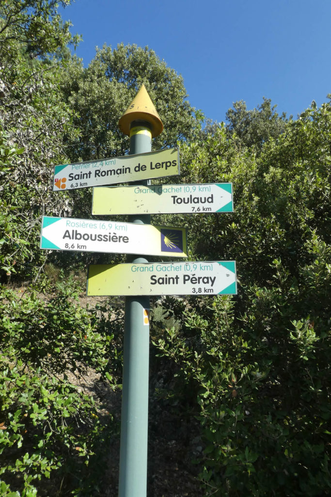
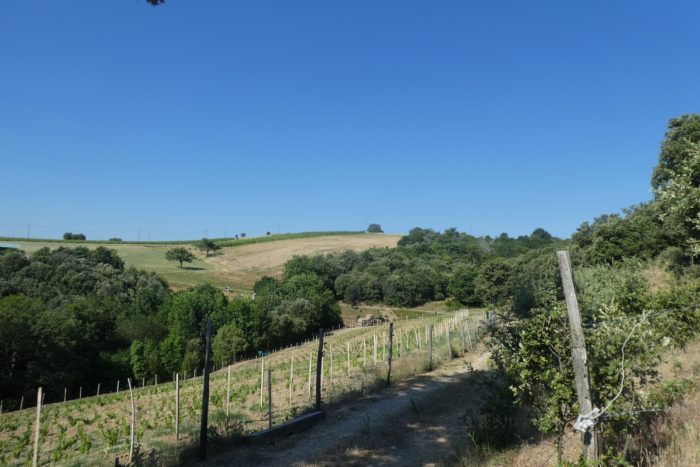
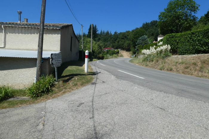
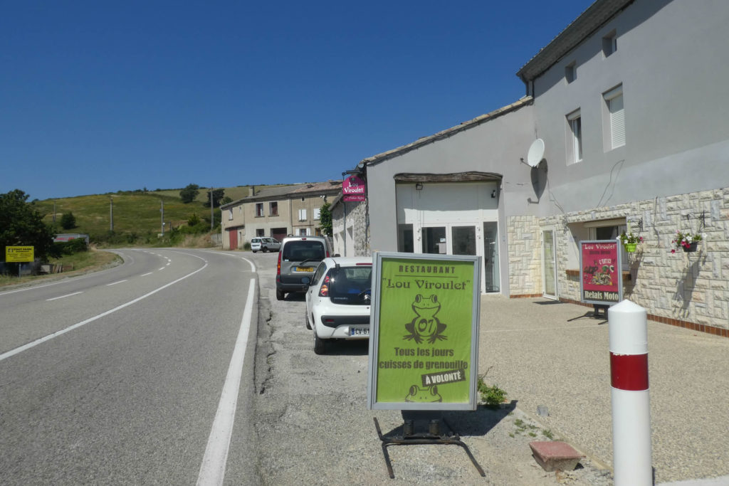
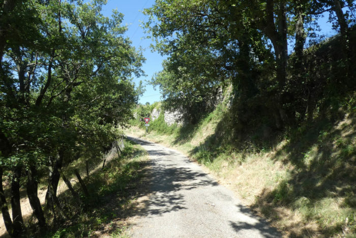
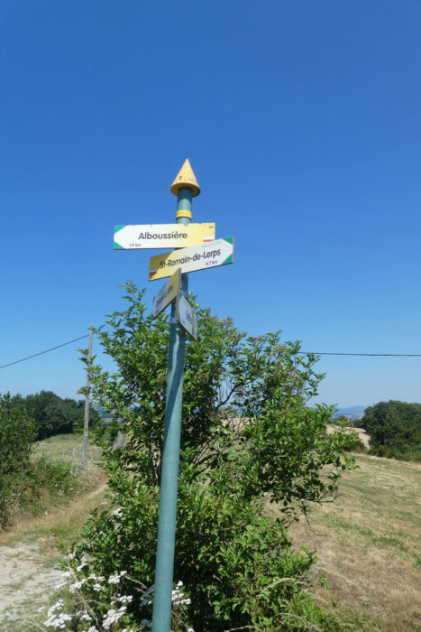
Quickly, a dilemma arises. Two directions are available: either you take the route to St Péray, or you opt for the variant that climbs directly into the hills of Ardèche via St Romain-de-Lerps. The first follows the Rhône gently before ascending the heights, while the second climbs steeply, rising directly into the hills. These two routes, briefly separated, eventually converge near Alboussière. As for us, we chose St Péray for reasons of convenience, so we could stop there during this long stage. But take a close look at the sign: the main route to Le Puy-en-Velay heads toward St Romain-de-Lerps, not Arles, which is actually the true Via Adresca. Unfortunately, we can’t describe that route, as we’ve never taken it ourselves.
Perhaps we were wrong, given the difficulty of following the obstacle-filled path to St Péray.

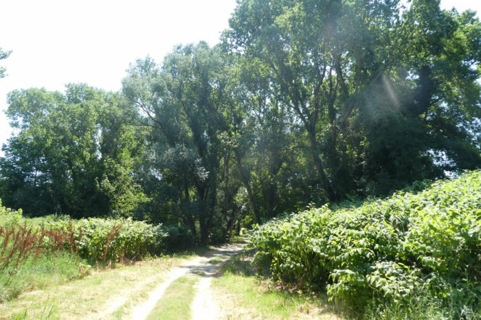
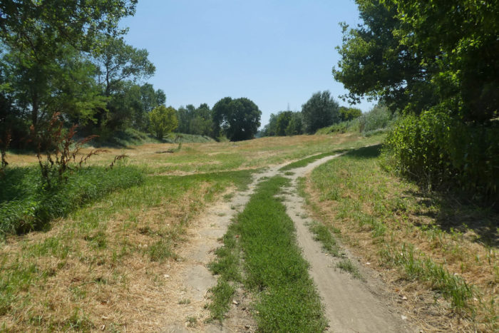
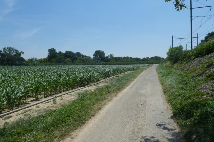
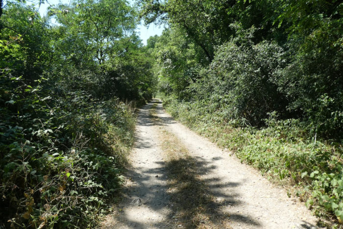
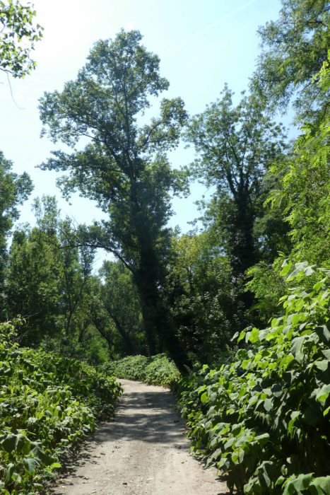
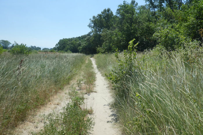
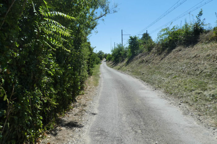
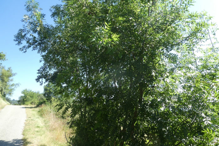
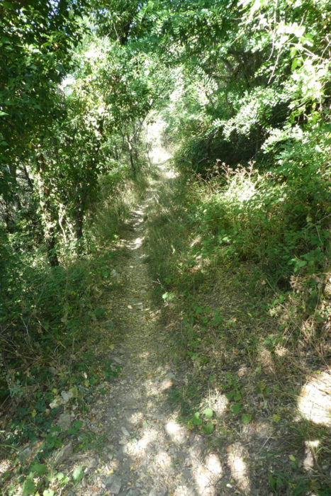
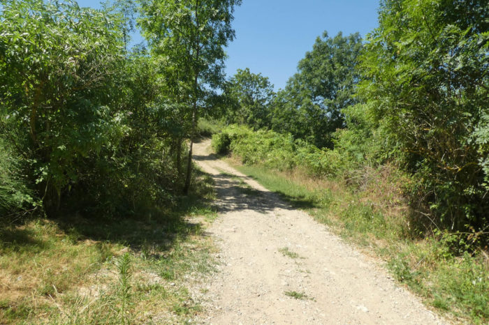
| On this route, a wide path quickly plunges into a woodland. It is an oasis of greenery nestled between the Rhône River and the railway. |
 |
 |
| The vegetation, lush and wild, overflows with life: oak trees, holm oaks, maples, ash trees, chestnut trees, and a myriad of shrubs compete for space and attention. The beneficial humidity from the river nourishes this profusion of plant life, giving it a nearly tropical feel. |
 |
 |
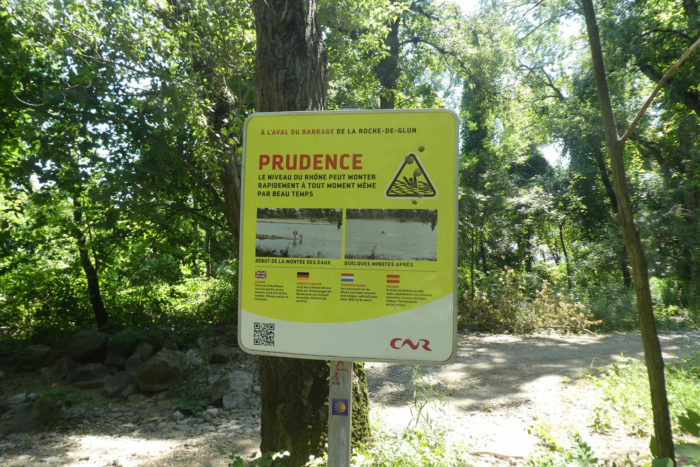
| At every step, signs remind you to be cautious. The Rhône, deprived of part of its water to feed the canal, has lost none of its power. Its multiple arms snake, sometimes calm, sometimes tumultuous, but never docile. |
 |
 |
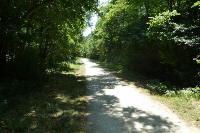
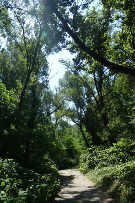
| The path, wide and welcoming, runs under canopies that cast a soothing shade. Only the distant rumble of motors from the departmental road breaks this tranquility, as the train itself is rare: this railway is now only a relic, reserved for freight transport. |
 |
 |
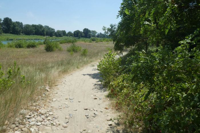
| The ground of the path, sometimes made of soft sand, sometimes of beaten earth, provides an agreeable walk. Yet still, the signs warn not to get too close to the water, a river with a double face. |
 |
 |
| The large alders and black locusts stand like giants, competing with other deciduous trees to reach the sky. Under this dense canopy, a precious coolness reigns, a refuge from the day’s heat. From time to time, clearings open up to splendid views of the river, sometimes peaceful like a painting, sometimes trembling with energy. |
 |
 |
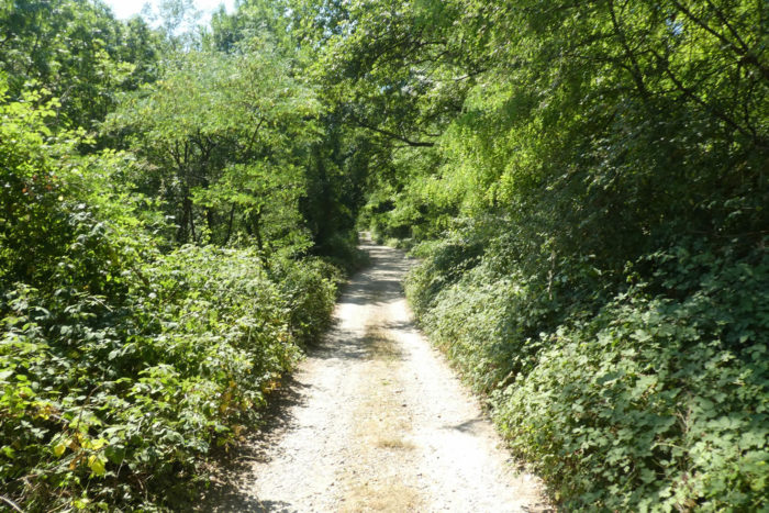
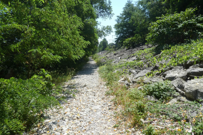
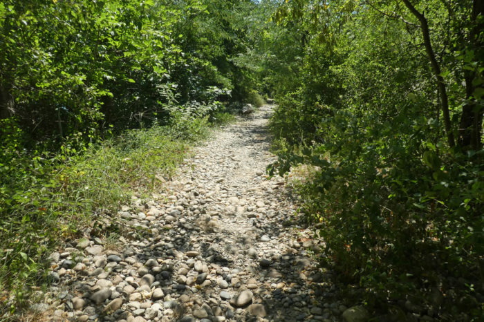
| Then, the path slowly pulls away from the water’s edge, climbing a gentle rise. The sandy carpet gives way to scattered stones, the round and smooth pebbles coming back in force, witnesses to the ancient upheavals of the region’s geology. Here, the railway comes close again, as if to whisper its own stories of iron and steam. |
 |
 |
| Further on, the path ventures into a wild steppe, a forgotten land where nature reigns supreme. In the distance, the imposing silhouette of the Roche-de-Glun dam can still be seen, a silent guardian of this aquatic kingdom. |
 |
 |
Section 2: Along the Blue Lane

General overview of the difficulties of the route: course without any difficulty.

| The old Rhône, in almost meditative serenity, gently glides through the heath. Its waters, diminished by human action, still retain their majesty. The path continues its winding course unassumingly, barely undulating over a few modest hills. Sometimes under the protective shade of large ash and holm oak trees, sometimes exposed on flatter stretches, it invites a peaceful walk, rocked by the gentle symphony of the surrounding nature. |
 |
 |
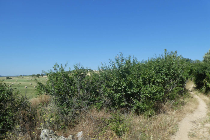
| But soon, the landscape changes its face. The wild world gives way to a territory shaped by human hands: that of fruit trees. On the hills of Ardèche, the first vines appear, clinging determinedly to the steep slopes, as if afraid of falling into the void. These rows of disciplined vines most likely belong to the prestigious Cornas appellation. And there, amidst the crops, it is the vines and olive trees that stand out, opening up panoramas that are both enchanting and mysterious, like an invitation to uncover the secrets of this fertile land. |
 |
 |
| At a turn in the path, the tarmac reappears, marking a return to the modern world. It is then that an unexpected sight presents itself: the phantasmagorical Château de Châteaubourg emerges, imposing and full of history. |
 |
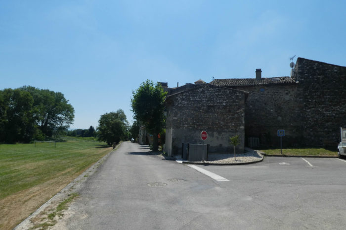 |
| The village itself is a true gem, built entirely of stone, with its winding alleys leading toward the church and the castle. The castle, built in the 11th century, is the remnant of a trilogy of fortresses controlled by a certain Rogier, a highwayman whose deeds eventually stirred royal wrath. Louis IX himself is said to have besieged the Château de la Roche-de-Glun, killed the scoundrel, and spent a night at Châteaubourg. Afterward, the fortress passed into various hands: local lords, then, in the 16th century, to the Protestants during the Wars of Religion, before being restored in the 20th century. |
 |
 |
| Leaving the village, the Via Adresca gently slopes up, running along the cemetery nestled under the protective shadows of the castle. |
 |
 |
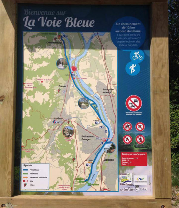
But then, further along, the route becomes confusing, sowing doubt in the pilgrim’s mind. Two scallop shells point in different directions, and uncertainty sets in: which one to follow? To make things even more complicated, another route, the Voie Bleue, also runs through here. For now, this is the path to take. This stage becomes a real puzzle when taking this variant. Perhaps the route toward St Romain-de-Lerps is better signposted.

The Blue Route, a peaceful paved ribbon, stretches along the Rhône like a faithful companion, offering cyclists a dedicated route where the river becomes a constant ally.
| Leaving the village, once past the cemetery, the road, almost shy, stretches flat through the orchards, for a time following the path of the Blue Route. Here, everything seems calm, orderly, and yet the orchards whisper tacit warnings: poaching is hardly tolerated. |
 |
 |
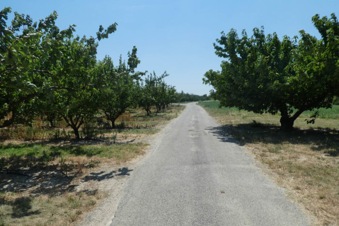
| On this nourishing land, enriched by the fertile deposits of the Rhône, a variety of crops flourish: a few rows of corn, patches of vines, but above all, apricot trees, whose orange fruits seem to capture the sunlight, a promise of abundant harvests. |
 |
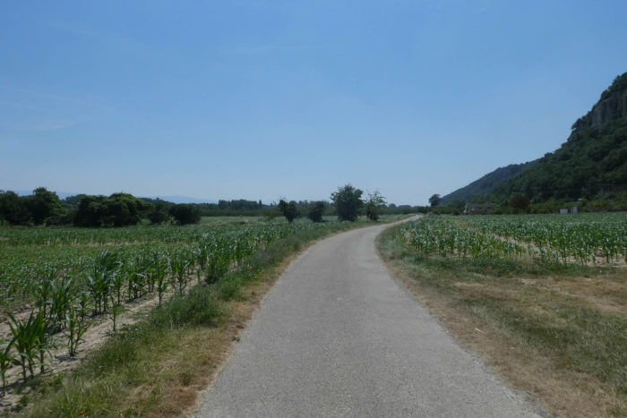 |
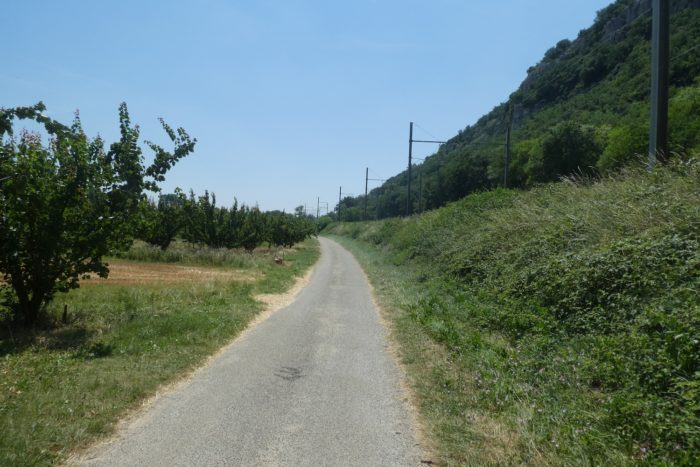
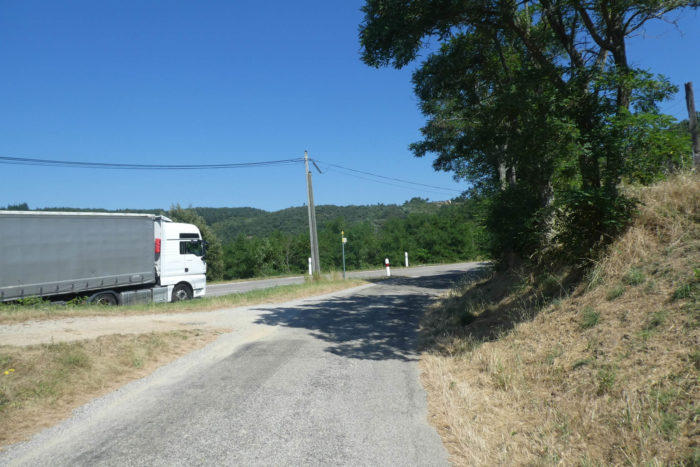
| Further along, the road, true to its habit, moves closer once again, not to the river this time, but to the railway line and the RN86, which follow it almost perfectly in parallel. This railway line, once alive with the passage of travelers, fell silent in 1972. Now, only goods pass through here, and even then, sporadically. This part of Ardèche, deprived of regular rail transport, seems frozen in an era where the individual car reigns supreme. But for those who do not possess this privilege, how does one get around? On foot, no doubt, like you, determined pilgrims on this ancient path. |
 |
 |
| The scenery changes as the road sinks into a green haven. Lined with fruit trees and cornfields, it approaches a small wood, where a discreet shadow of the past remains: what must have been a small train station. |
 |
 |
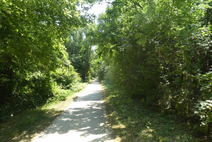
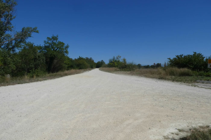
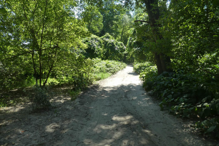
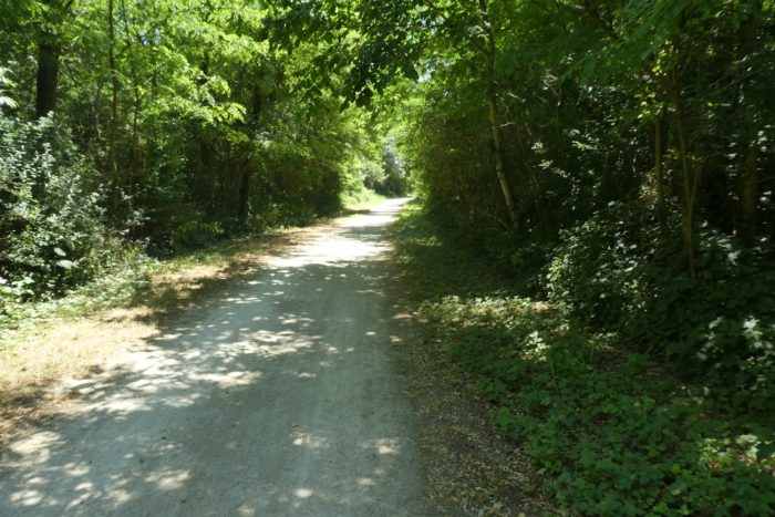
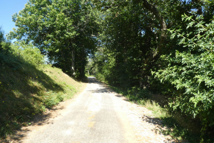
| On the Blue Route, the path turns into a smooth, well-maintained dirt lane that seems freshly traced, inviting a pleasant walk under the leafy canopy of a dense forest. |
 |
 |
| And then, slowly, the Rhône reappears, like an old friend. Here, a measuring instrument stands discreetly, a scientific sentinel monitoring the moods of this capricious river. A reminder that the water, at times, may venture beyond its banks to taunt the land you walk upon. |
 |
 |
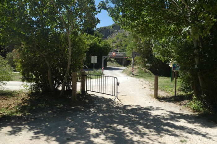
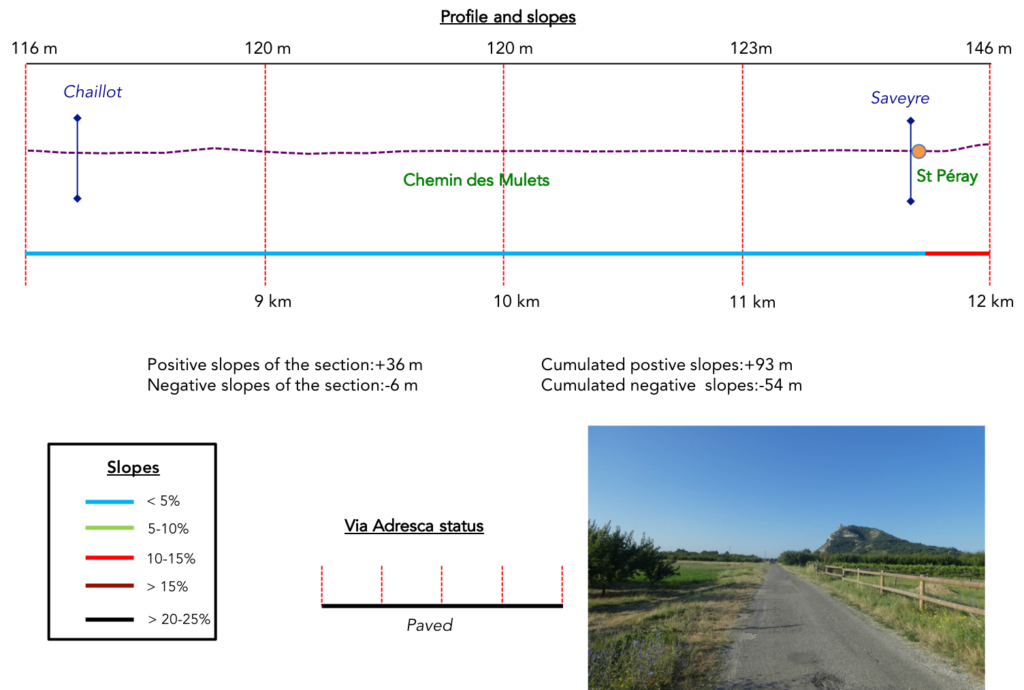
When you reach this developed clearing, complete with a parking area and a shaded picnic spot, take a moment to look around carefully. Here, the Voie Bleue continues straight ahead, confidently cutting through the park without hesitation. But the Via Adresca, the route that leads to St Péray, takes an entirely different route. It’s a subtle yet real trap: the signage is far from ideal. In truth, the sign that should guide you is hidden behind a curtain of dense trees, almost as if it’s playing at being invisible. Your route turns right, heading toward Cornas via the hamlet of La Mure.
To add to the confusion, you’re presented with an abundance of choices: two variants to reach St Péray, both marked with the iconic scallop shells of the pilgrims. One measures 3.1 km, the other only 1.6 km, yet both wind their way around the Chemin des Mulets. A generous offering of options that, rather than guiding, ends up disorienting. Of course, the dedication of the Amis de Compostelle volunteers deserves praise for their remarkable work. But here, let’s admit it, a bit more clarity would have been welcome, wouldn’t it?

| We chose, almost at random, the shortest path, the 1.4 km route heading toward Cornas. Was it really the right choice? Perhaps not. As you approach, you’ll come upon the now-famous sign, hidden behind the trees like a whispered secret. The Via Adresca, which will take you to St Péray via Cornas, veers off just before reaching the railway line. |
 |
 |
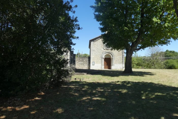
| A little further along, the landscape transforms. Overlooking the railway, a small chapel nestles in the hamlet of La Mure. Modest and peaceful, it watches over this passage used by so many pilgrims over the years. Here, the Via Adresca joins the Chemins des Mulets (Mule Path), and it will accompany you in this quiet alliance all the way to St Péray. |
 |
 |
Section 3: Passing through St Péray

General overview of the difficulties of the route: course without any difficulty.
| The paved road stretches flat, calm, and silent, between the generous orchards and the railway tracks, as if the landscape hesitates between lush nature and traces of human industry. The apple and apricot trees, weighed down with fruit in season, form a dense, almost impenetrable curtain, while the rails, abandoned to the occasional passage of goods, remind us of a time when trains still whistled through these lands. |
 |
 |
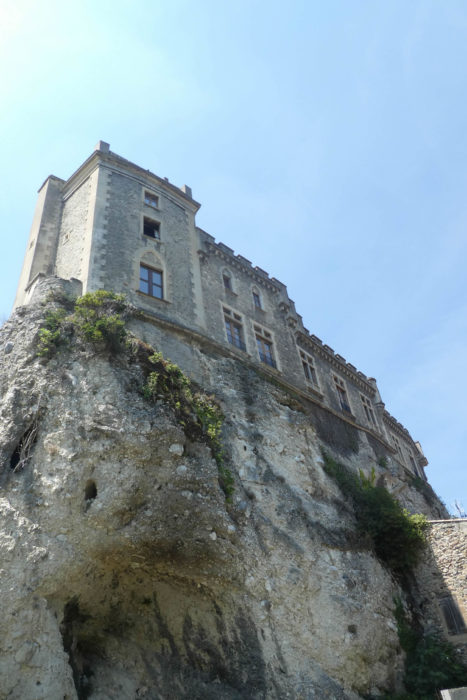
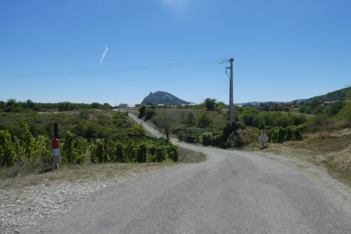
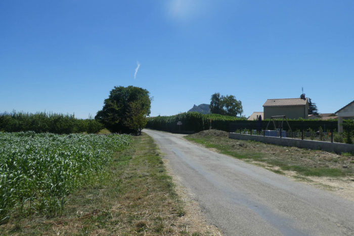
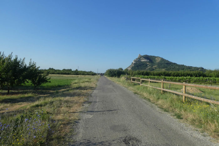
| Further on, the path enters an area that seems vulnerable to the whimsical moods of the Rhône. The air is heavy with humidity, almost oppressive, like a subtle warning of what the river can do when it leaves its banks. The paved road then rises and gently leads toward Cornas. On the hill, directly ahead, stands the Crussol Castle, this imposing and austere sentinel overlooking St Péray. Its ruins, grand despite their dilapidation, seem to gaze down at travelers as if to remind them that, even today, they remain an unmissable compass in this uncertain land. |
 |
 |
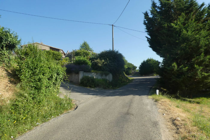
| As you approach Cornas, you first enter its scattered outskirts, a suburban sprawl that heralds a town sprawling beyond what its modest appearance might suggest. Cornas is more than a village: it’s an icon of the Northern Côtes du Rhône, a terroir of distinction that resonates with wine lovers. Yet suddenly, your progress is disrupted: a sign indicates that the Via Adresca no longer continues along the Chemin des Mulets. So where does it truly lead? We tried to unravel the mystery, walking around in search of answers. Nothing. The Way of Compostela seems to vanish here, as if playing a cruel trick. Is it a mistake? What should be done? Perhaps we should have taken the other path toward Saint-Péray. Who can say? Alas, we haven’t walked this section in several years, and we can’t say for certain whether things have improved. As for the recently published guide by the Association des Chemins de Compostelle, it is undoubtedly helpful for locating accommodations, but its usefulness for walkers is limited. The maps sorely lack detail. You’ll have to judge for yourself. But be vigilant: this route, charming as it may appear, is riddled with pitfalls that must be carefully deciphered. In the end, it may be wiser to choose the variant through St Romain-de-Lerps. |
 |
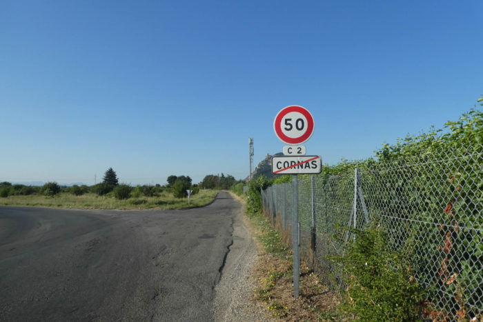 |
| But after all, this detail matters little, except to sow doubt in your mind. The essential thing is not to give in to hesitation: do not enter Cornas. Continue straight on the Mule Track, which skirts the outskirts of Cornas, following its discreet margins. Always keep Crussol Castle in sight as a guide, majestic and unshakable ahead of you, standing like a stone lighthouse in the sea of hills. Life suddenly seems simpler when you know exactly where you’re going. |
 |
 |
| Further on, don’t go left toward Arles. Instead, take the route to the right at the end of the stadium, and let yourself be guided. Here, there’s no risk of getting lost. Everything is clear: the destination is St Péray. From this point on, there will be no more obstacles along the way. |
 |
 |
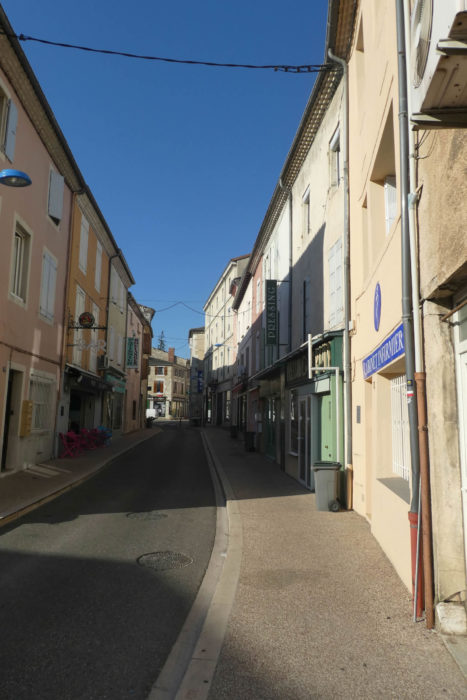
| At the end of the paved road, you’ll come across an old station, now disused for travelers, a relic frozen in the region’s railway past. From there, you enter the town, a blend of quiet modernity and history that touches every corner. |
 |
 |
| The Via Adresca follows the meanders of the Mialan, a tributary of the Rhône River, leading you straight into the city center. The water murmurs gently beside you, punctuating your walk with a soothing melody. |
 |
 |
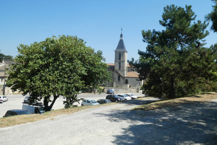
| St Péray, this small town nestled in the hills, is home to 7,500 souls. Above it all, Crussol Castle, the immense fortress dating back to the early 12th century, still watches over the city. Seen from here, only an imposing ruin remains, accompanied by a few remnants of walls eroded by time. But for those who venture to the back of the hill, the castle reveals another side: a tower still standing and the remains of a village enclosed within its centuries-old walls. Until the 15th century, families lived up there, perched 200 meters above the plain, before descending to settle lower down. Every June, a medieval festival enlivens the ruins with concerts, reenactments, and popular festivities. And in July, a contemporary music festival attracts lovers of modern tunes. But Saint-Péray is also the land of wines. Its white wine, made from Marsanne and Roussanne grapes, comes in two varieties: sparkling or « still, » as it is called here. It is the jewel of the Northern Côtes du Rhône and the southernmost appellation of this terroir. |
 |
 |
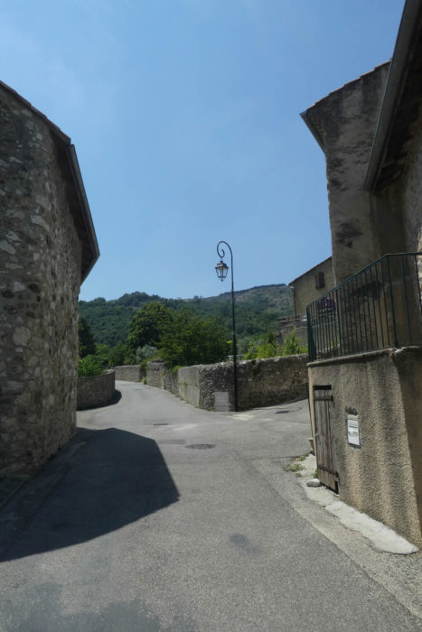
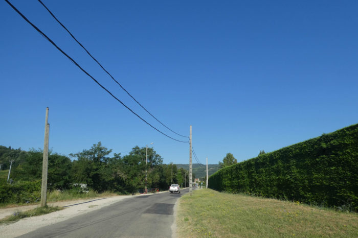
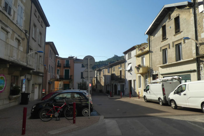
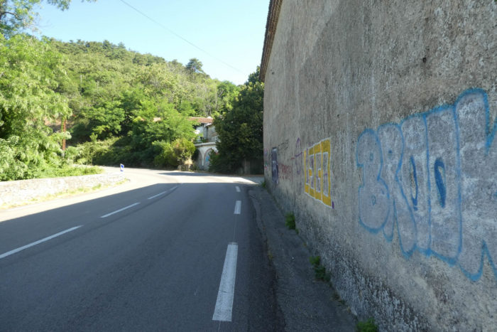
| The road eventually leads you to the Town Hall Square, where the Protestant temple also stands, austere and elegant at the same time. But beware, here too, the traps for walkers are many: signs are rare, and the indications for the Way of St. James are discreet, as if the city itself seeks to hide them. Resist the temptation to continue straight ahead, as that will lead you into a dead-end. |
 |
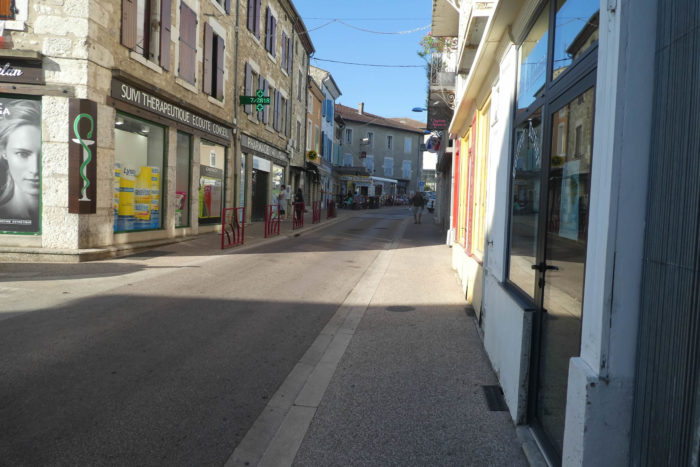 |
| The Via Adresca takes a steeper way, climbing relentlessly behind the temple, at the corner of the square. The route rises via stairs, signaling an ascent that will test your muscles. The easy stroll is over: here, you start to sweat. And the stairs, everyone knows, don’t forgive. |
 |
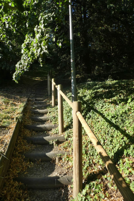 |
| At the top, the stairs open up onto a new housing development, a neighborhood of recent white houses, neatly aligned, as if marking a boundary between the historic town and the contemporary expansion of St Péray. |
 |
 |
Section 4: Steady uphill on the high plateau on the Chemin de Gachet
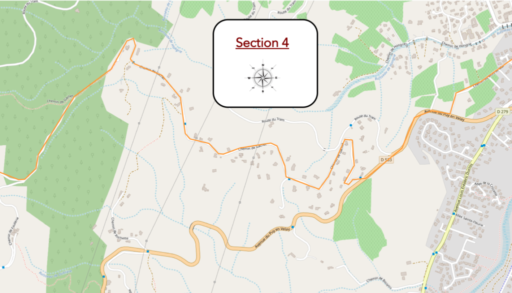
General overview of the difficulties of the route: course all uphill, with 320 meters of elevation and some slopes wandering between 15% and 25%.

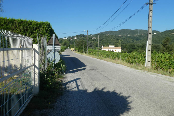
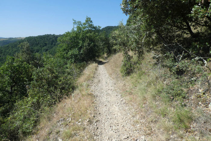
| The paved road stretches toward the hills, flirting with the slopes that surround the town like a green jewel shaped by the centuries. Here, the vineyard flourishes, sculpting the landscape with its methodical rows, each vine seeming to vibrate under the weight of history and seasons. These lands, shaped by generations of laborious hands, tell a symphony of colors, from the tender green of young shoots to the deep ruby of late harvests. |
 |
 |
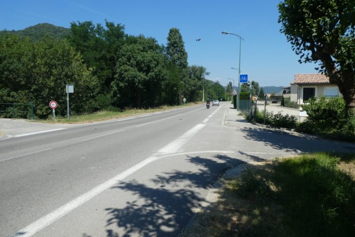
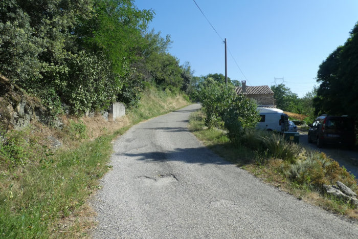
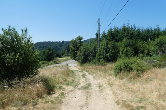
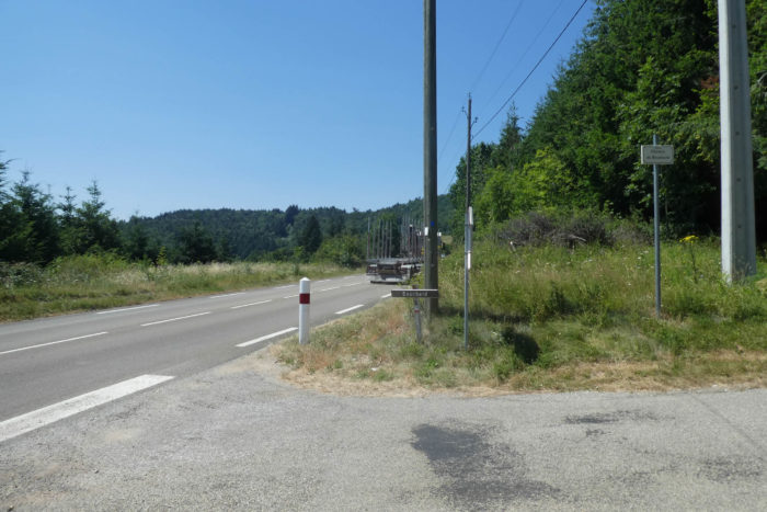
| At the end of this winding road, you emerge onto the D533, a bustling artery linking Valence to Puy-en-Velay. This road, alive with activity, remains the only land link between these two hubs, imposing its relentless pace on anyone who travels it. How to explain such resignation in the face of this never-ending whirl of vehicles? Perhaps it’s a reflection of the French pragmatism, always ready to accommodate discomforts by giving them a discreet dignity. |
 |
 |
| Yet, a scent of nostalgia still lingers in the air. Here and there, a few clues hint at a distant time when trains crossed these lands. These remnants of a bygone age, perhaps dating back to the early Middle Ages, seem to whisper the echo of a past that no convoy has disturbed for decades. |
 |
 |
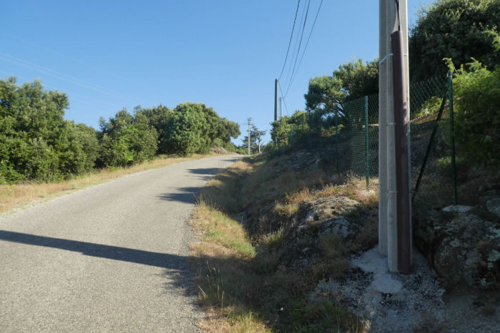
| The paved road continues its climb until it intersects the Chemin de Gachet, like a bookmark opening the next chapter of this adventure. This route invites transcendence, with a promise of panoramic views that reward every effort made. |
 |
 |
| To reach it, you must earn your place, relentlessly climbing daring slopes where the terrain hardly weakens. The inclines range from 10% to 15%, challenging the calves and endurance. |
 |
 |
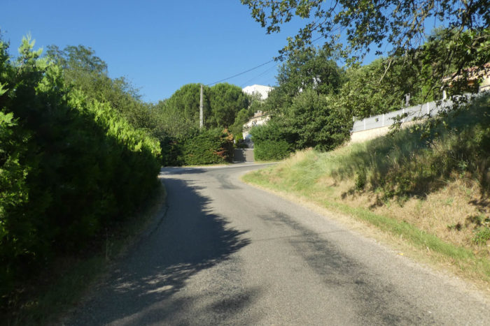
| The first hairpins wind through the Tour neighborhood, lined with elegant homes where the Mediterranean scent prevails. The lush vegetation evokes the scents of the South; only the song of the cicadas is missing to complete the illusion. |
 |
 |
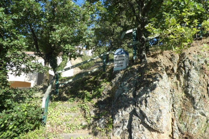
| Higher still, the vines cling to the slopes as if seeking to reach the sky. At their base, noble farmhouses stand watch, witnesses of timeless serenity. The hills are adorned with a discreet elegance, where every stone seems to have found its rightful place. As you continue the ascent, the road runs through Ferraton and Dusserre, two hamlets whose names echo like whispered secrets. The signs suggest that buses sometimes brave these heights. A logistical feat, one might say, in a France where every advancement is met with awe. |
 |
 |
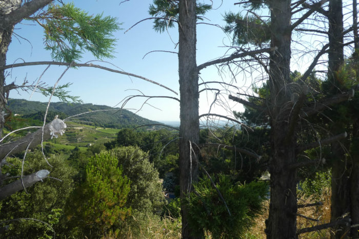
| Beneath your feet, the great plain of the Isère stretches out as far as the eye can see, a vast expanse where the shadows of clouds play on a mosaic of crops. From the plain, you have already gained over 150 meters of altitude. The perspective widens, and the horizon joins each step. |
 |
 |
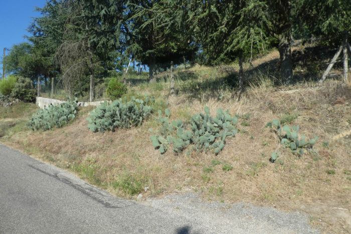
| The road finally softens, as if it wants to preserve your breath. Here, junipers appear, these Mediterranean sentinels signaling the threshold of the South. Their presence gives the place a scent of garrigue, almost southern, almost exotic. |
 |
 |
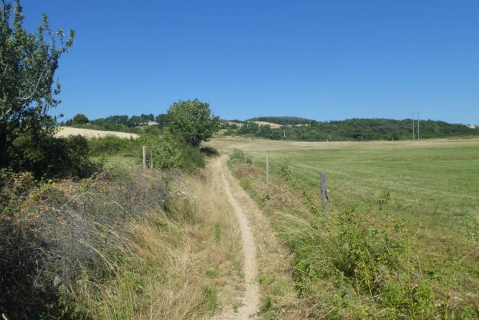
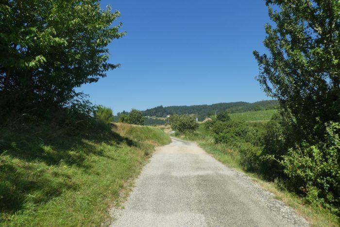
Further up, you reach the place called Grand Gachet. The horizon opens toward Alboussière, 9.5 kilometers away, while the paths that cross your route tell other stories. Today, you do not walk the GR42 or GR420, but country paths where the other variant of Via Adresca also traces its mark, blending history and walking.
| Higher up, the houses gradually fade, giving way to a sea of junipers, gnarled and prickly silhouettes that seem to watch over these lands. |
 |
 |
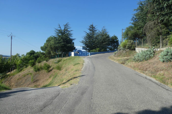
The road, ever determined, reaches the top of the St Péray vineyard. There, the terraces cling tightly under the embrace of a dense forest, a precarious balance between human effort and wild nature. At about 350 meters of altitude, these vines struggle against the elements, offering in return grapes steeped in history.

| Further ahead, the road continues its climb with the serenity of a road that knows its end is near. And indeed, it ends abruptly, hitting a dead end like an unfinished sentence, leaving the rest to the imagination of the walker. |
 |
 |
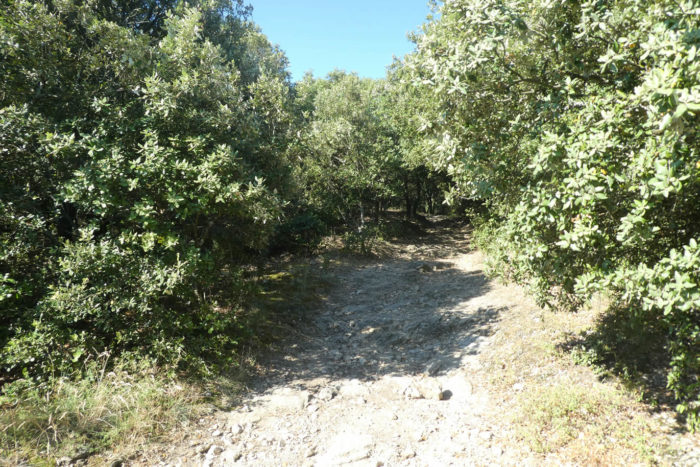
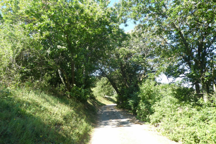
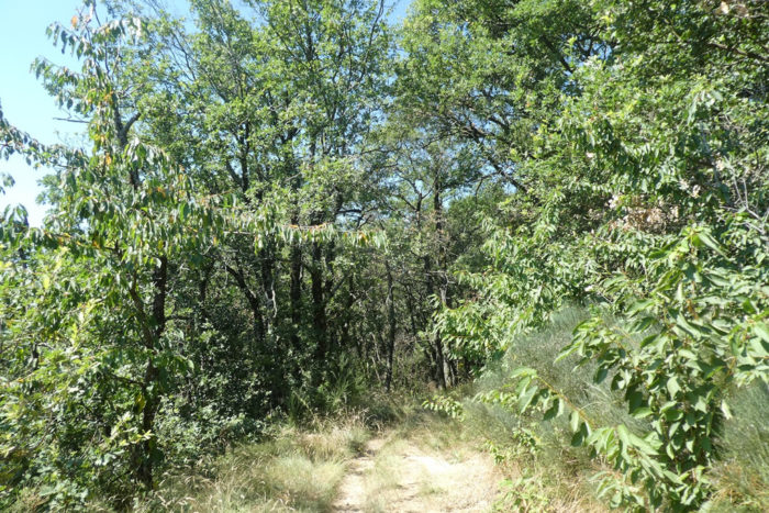
| The route then gives way to a narrow trail, all bristling with stones, plunging into untamed nature where holly, junipers, and a canopy of stunted green oaks reign. This arid and rugged landscape evokes a kind of maquis where every plant seems to have earned its place through a fierce struggle against the wind and rock. |
 |
 |
| The holly here surprises with its excessive ambition. These are no longer those modest garden shrubs, but true trees, defying the skies with heights reaching up to twenty meters. These giants with glossy leaves give the landscape an odd majesty, mixing harshness with a certain vegetal solemnity. |
 |
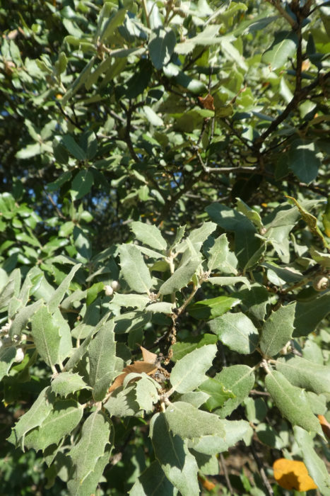 |
| The stones, omnipresent, tell another story. In Ardèche, these are not the docile pebbles of the Isère, but polished, compact, and severe schists that sculpt the character of the land. As for the chestnut trees, so typical of the rest of the region, they have almost deserted these wild woods. Here, holly and gnarled oaks crawl on the ground, twisted silhouettes shaped by time and climate, as if the forest itself had had to bend under an invisible burden. |
 |
 |
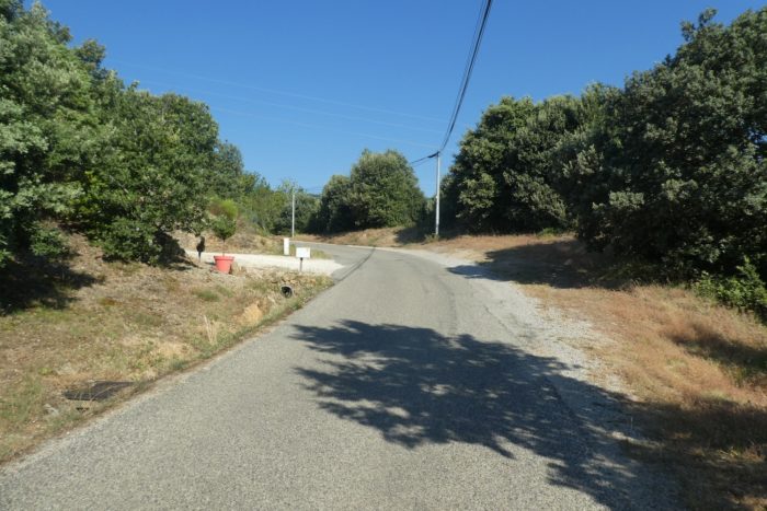
The trail, obstinate, continues its climb and passes the place called Petit Gachet, where a sign points to a fork toward St Romain-de-Lerps. But the alternative seems unnecessary here, as this trail demands to be followed to the end, without detours or compromise.
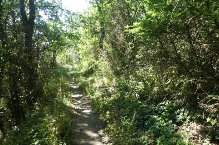
| The landscape retains its austerity. The polished hollies and stunted oaks blend with low, impenetrable vegetation, a monochrome of dark greens punctuated by rebellious bushes. |
 |
 |
| Higher still, a clearing opens up, a space of light and breath after so much narrowness. But this break in nature does not mark the end of the effort. The climb persists, relentless. |
 |
 |
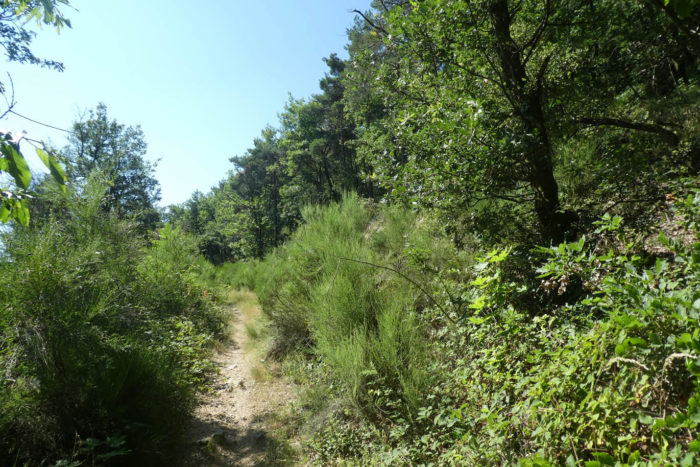
| The trail then crosses a grassy heath, where the harshness of the maquis mixes with a certain gentleness. |
 |
 |
| The hollies and oaks are still there, faithful companions. You now encounter lentisk, stinging junipers, and broom, witnesses to a nearly Mediterranean climate. Here and there, vines spread along the edge of the fields, as if to remind you that even in this apparent chaos, the hand of man is never far. |
 |
 |
Progress through this wild heath becomes increasingly solitary, the crops fading to give way to pure, rough maquis that yields nothing to aesthetics. Yet, the discovery of a scallop shell on a post or milestone sometimes reassures the pilgrim’s soul, a discreet sign of an ancient and benevolent human presence.

| Finally, the trail emerges from the scrubland, opening onto more familiar horizons. The vast wild expanses give way to a more ordered landscape, made up of meadows and wheat fields, signaling the approach of hamlets. The softened contours and drawn lines of the fields contrast with the harshness of the journey so far. |
 |
 |
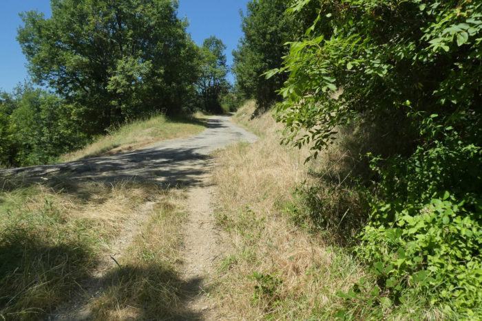
| Yet, until the summit, the effort remains constant. The slope, ever-present throughout the ascent, refuses to ease, even upon reaching this small paved road that crowns the hill. There, at the summit, a breath of triumph greets those who have persevered. |
 |
 |
Section 5: Large undulations beneath the departmental road
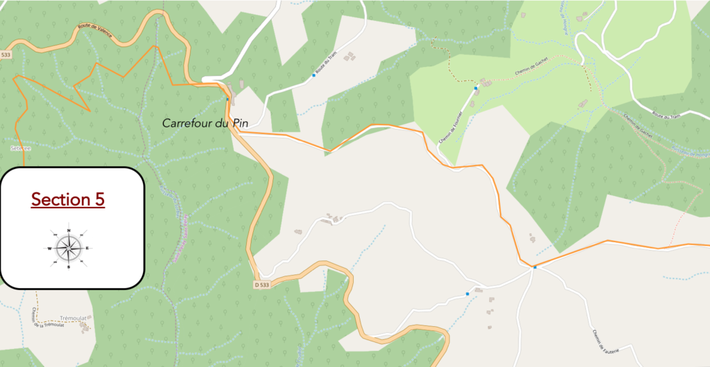
General overview of the difficulties of the route: leg-breaking course, with sometimes very marked slopes, both uphill and downhill.
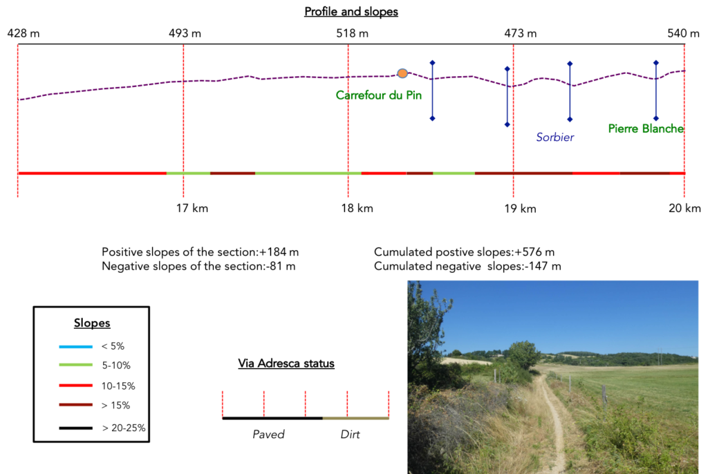
| Through the ash trees and green oaks, the Via Adresca continues its way through a landscape that seems to want to escape from human presence. It runs alongside a road, ignoring the isolated hamlets nestled in the surrounding countryside, their fleeting traces barely visible here and there, atop the plateau. The houses remain hidden, like witnesses of a distant, almost invisible time. |
 |
 |
| The ascent is then gentle, the road climbs with a slight incline, guiding the walker towards the Pin junction. |
 |
 |
| Here, the plant panorama unfolds with a great variety of deciduous trees. The chestnuts, shyly, make a discreet return among the broom, which borders the road. A sweet mixture of shapes and colors, where nature, unadorned and unpretentious, puts on its own show. |
 |
 |
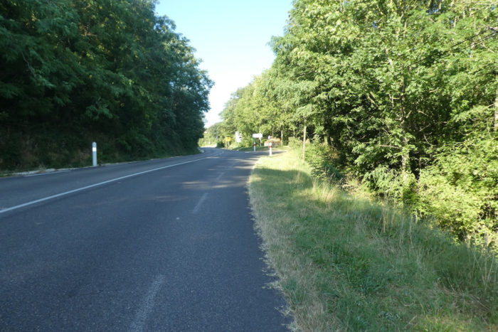
| But soon after, the tranquility is shattered by the incessant noise of the D533 departmental road, where the traffic, dense and pressing, imposes its rule. |
 |
 |
| The road crosses Le Pin, a small junction six kilometers from Alboussière. The juxtaposition of the two worlds is striking, like a brutal contrast between the calm of the path and the tumult of the road. |
 |
 |
There is always, to the delight of pilgrims, the scallop shell of Compostela showing them the way.

| Faced with the intrusion of the departmental road, the Via Adresca has no choice but to escape, to slip into the shadow of the trees, away from the noise and danger. A narrow and discreet trail then winds beneath the road, escaping into the forest. |
 |
 |
| There, the ground becomes rougher, stonier, as if to remind you of the untamed presence of nature. The trail sinks into the undergrowth of holly and green oaks, where the light barely touches, where every step seems to fight against the heaviness of the vegetation. |
 |
 |
The valleys overlap, intertwining their gentle curves in a ballet of chlorophyll. The Sorbier, a capricious stream, slips discreetly between the mountains, invisible in dry weather but nonetheless omnipresent, sculpting the landscape with its insidious meanders. The trail, like a mirror of nature’s whims, rises and falls for a long time in the wild, following the undulations of the stream that always eludes you, hidden in the depths of the terrain.

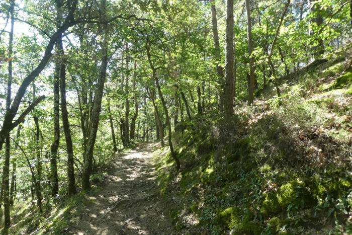
| In the heart of this wild nature, holly reigns, dominating the vegetation with its dark and stubborn green. But little by little, the maple, oak, and chestnut trees regain their place, the plant diversity asserting itself like a new breath that breaks the monotony. |
 |
 |
| The path then straightens. Pines and spruces become more present, interspersed with bright broom. The breath of the wind seems fresher, as the altitude increases slightly without exceeding 500 meters. |
 |
 |
| A strange feeling of solitude becomes more oppressive as one ventures deeper into this forest, where one sometimes feels as if walking on the wild lands of Canada, this endless green and silence, threatening in its purity. This feeling of unease, of the unexpected, lingers in the air. But the more nervous can reassure themselves: the path will soon escape from this untamed forest. |
 |
 |
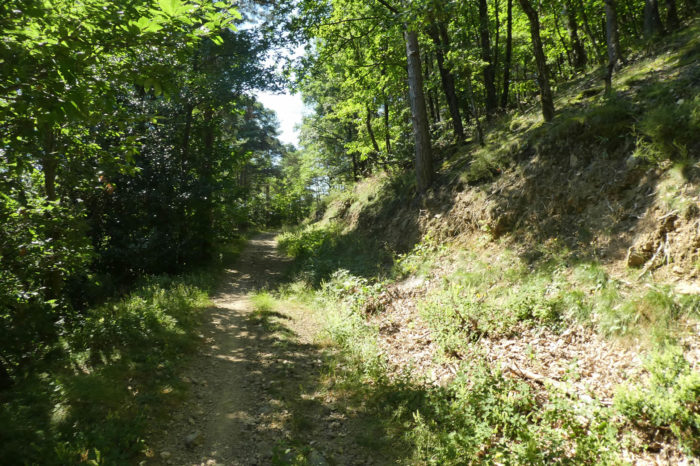
| Finally, after this immersion in raw nature, the trail reaches a point of liberation at the place called Pierre Blanche, where it joins a small, almost anonymous road, marking the end of this long stretch through the forest. Civilization returns, but the wild beauty of the route will no doubt remain etched in the walker’s memory. |
 |
 |
Section 6: From one Pass to another
General overview of the difficulties of the route: easier route here, but sometimes still with some marked slopes.
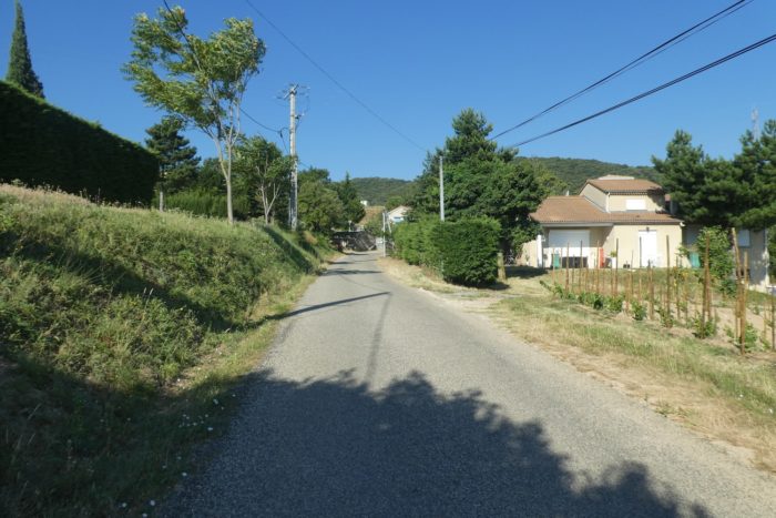
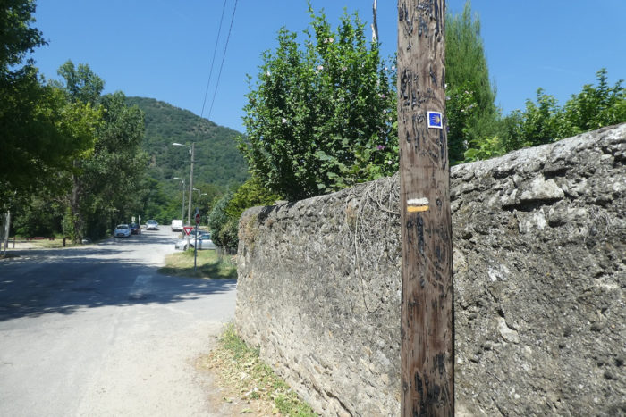
| The paved road, lost under the spruces, approaches the discreet houses of Combe des Rioux, where the dense and untamed vegetation seems to swallow up the buildings. The houses there appear frozen in deep silence, suspended in a time that no longer seems to belong to the world. It is here that the departmental D533 resumes its place, slightly disrupting the peaceful atmosphere. |
 |
 |
| The Via Adresca, for its part, continues to follow this departmental road until Le Fringuet. A thin grassy path runs alongside the paved road, trying to shield travelers from the violence of the incessant traffic on this major route, one of the only ones linking Valence to Le Puy-en-Velay. This contrast between the urgency of the passage and the surrounding nature seems to suspend time, like a short breath, a fragile balance. |
 |
 |
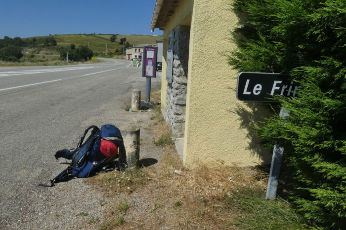
| At Le Fringuet, a pilgrim is hitchhiking. He wants to reach Le Puy-en-Velay because, for him, the Camino de Santiago only starts at this specific point. What can be said about the preconceived notions spread by the internet and the legends surrounding the pilgrimage? Everything seems to have become a matter of destination, as if the essence of the journey could be reduced to a mere starting point. |
 |
 |
It is also here that you can find drinks and food. Truckers stop regularly, drawn by the large square that opens up to them. The serenity of the break seems futile in the face of the frenzy of engines and hurried lives.
| But the Via Adresca, for its part, has no intention of being dominated by the road. It finds a small trail beneath the paved road, like a breath that allows the walker to escape the density of traffic. The noise of the vehicles suddenly seems very distant, almost muffled by the trees. |
 |
 |
| The trail then briefly plunges into a dense, almost wild undergrowth that stretches beneath the road. Here, nature becomes more brutal, the shadow of thick trees seems to engulf you, and the protruding roots imprison the ground in a rough tangle, like an endless embrace. |
 |
 |
| But soon, the trail emerges onto a small paved road that winds, gently climbing back towards the departmental road. The transition between the two worlds happens silently, like another step in this crossing. |
 |
 |
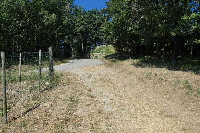
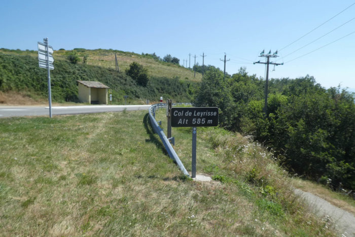
| The Via Adresca then reaches the Leyrisse Pass, nearly 600 meters in altitude. It is here that you definitively leave the axis of the D533 road, which leads to Le Puy-en-Velay, and enters onto the D14, the road heading towards Vernoux-en-Vivarais, a future stage. This pass, suspended between two worlds, marks a turning point: on one side, the main road, noisy and busy; on the other, the more intimate, secret way, weaving towards the continuation of the adventure. |
 |
 |
Here, if you had chosen a different route, they would have reached this same point via St Romain-de-Lerps, avoiding StPéray. The GR43/420, which follows this variant, displays the traditional red and white stripes as markers. However, the blue shell of Compostela remains present, discreet but reassuring. These symbols, like a thread of Ariadne, will also guide the pilgrim here towards the same goal.

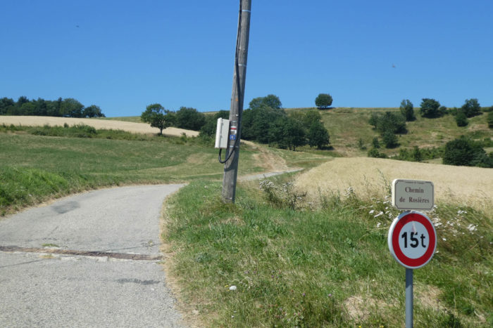
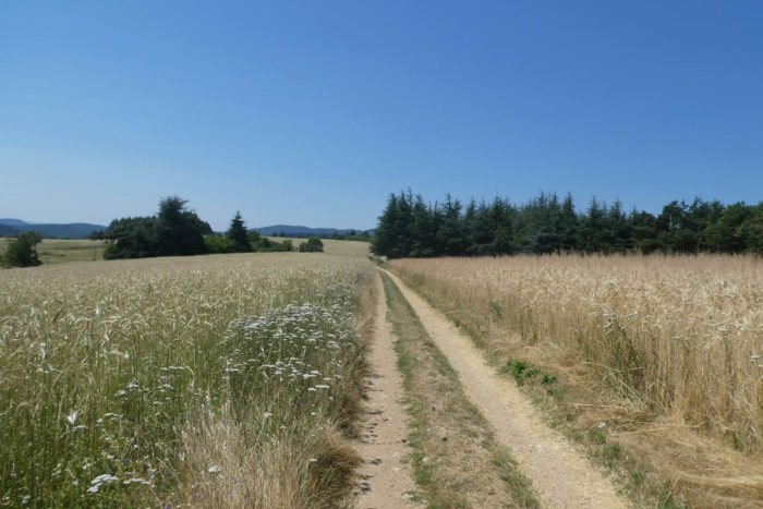
| The two routes then merge onto a small paved road, heading towards Rosières, climbing with a certain rigor through fields, interspersed with sparse cereal crops that, like patches of light, punctuate the green expanse. The climb is steep, but it gives a sense of solitude, far from the bustle of the more populated valleys. |
 |
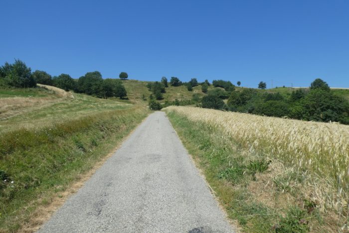 |
| As you gain altitude, the slope becomes gentler, blending into the tranquility of the meadows dotted with green oaks. The road crosses the top of the hill, and the landscape then shifts as the descent begins on the opposite side in a gentle curve, almost soothing. The horizon unfolds under a sky that seems wider, purer. |
 |
 |
| Shortly after, the road reaches the Rosières junction, a crossroads, where it becomes crucial to make a choice. Indecision weighs heavily here, but the most obvious, direct route remains the Via Adresca. It continues towards Boffres, Cerisier, and follows the same route as the GR42/420, a route that leads safely towards the Pensoye Pass. There is a certain serenity in this direction, a certainty that one is on the right road, the one that leads to rest. |
 |
 |
To better orient yourself, a small summary of the surrounding paths may be useful. The GR42A, which leads to Alboussière, is not particularly relevant in this case. In Alboussière, the only available accommodation is a campsite, often closed, by the river, though a hot meal is possible in the village. It is only a possible stop. If you choose the GR42A, you will eventually reach the Pensoye Pass, where the Via Adresca awaits you for the continuation of the journey.
| Taking the Via Adresca and the GR420 again, a stony path then climbs steeply, but briefly, through the fields, towards a small plateau, a witness to a turbulent history. Ardèche, a land of conflict during the Wars of Religion, remains marked by this history, and these places, long disputed, recall the traces of a time when Protestants and Catholics fought. The memories seem to embed themselves in the ground like deep roots. |
 |
 |
| At the top of the hill, the path becomes gentler. It winds pleasantly, alternating between fresh grass and packed earth, in a regular undulation, following the contours of the plateau. It is a moment of calm, almost meditative, where one takes the time to contemplate the horizon. |
 |
 |
| The spirit of the place seems to reveal itself here, in this simple yet restful landscape. The path alternates between open meadows and fields of cereals, an almost idyllic setting that gradually leads towards a forest of spruces, whose dark trees seem to merge with the sky. A silent music seems to emanate from the landscape, a soft song carried by the wind filtering through the trunks. |
 |
 |
| Shortly after, the path plunges again into a sparse undergrowth, where ashes, hollies, rowans, and green oaks intertwine with chestnuts and spruces. The light, filtered by the foliage, gives the path an almost mystical atmosphere, as if time were suspended, motionless. |
 |
 |
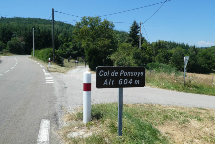
| Further on, the path, now a bit rockier, begins its descent towards the Pensoye Pass. The air becomes cooler as one ventures deeper into this forested setting, where the hills, primarily covered with green oaks, create a sea of dense greenery, like a carpet of nature that covers everything under its thick mantle. |
 |
 |
| Upon arriving at the place called Bouchard, the path meets the departmental D42 road. This road, much calmer than the one towards Le Puy, runs through more serene landscapes, leading to Boffres and then to Vernoux. It is a quieter axis, contrasting with the bustle of the major roads. |
 |
 |
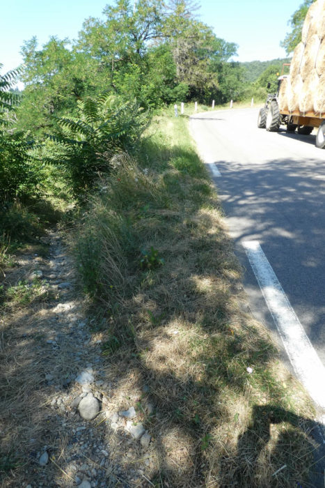
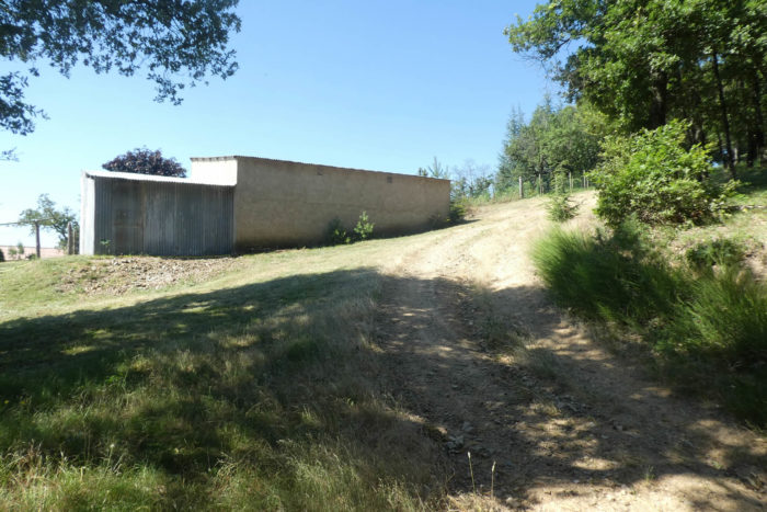
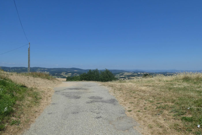
| A few hundred meters higher, the road reaches the pass, a stopping point that seems to end in a sort of dead-end, with no village in the immediate vicinity. Vernoux-en-Vivarais is still distant. Here, it becomes imperative to leave the Camino de Santiago/GR420, which continues higher, if you wish to rest for the night. Following the road, less than a kilometer away, you will find two guesthouses just below the pass, in Cerisier. These charming and welcoming places will offer the necessary comfort after this long day of walking. Needless to say, reservations are strongly recommended if you do not wish to sleep under the stars.
Tomorrow, when the day rises, you will return here to continue your journey, always guided by the Via Adresca. |
 |
 |
Official accommodations on the Via Adresca
- Côté Sud, Allée Mistral, St Péray; 04 75 40 55 56; Hotel, dinner, breakfast
- La Ferme des Ratzes, gîte équestre, Col de Ponsoye/Cerisier; 06 20 20 78 26; Guestroom, dinner, breakfast
- Véronique Legrand, L’Abéale, Col de Ponsoye/Cerisier; 04 75 84 58 10/06 80 54 97 75; Guestroom, dinner, breakfast
Pilgrim hospitality/Accueils jacquaires (see introduction)
On the Via Adresca, accommodation options are almost always limited. You are not walking through the touristy South of Ardèche. Lodging is scarce, even on Airbnb, where addresses are often unavailable. This list includes only accommodations located directly on the route or within 1 km of the path. The guide from the Friends of Compostela, on the other hand, lists all available lodging options, as well as bars, restaurants, and bakeries along the route, even those several kilometers away. For meals, you can stop in Saint-Péray, which has all essential shops, as well as in Le Pin and Fringuet, both located along the path. At the end of the stage, you’ll be near Alboussière, which has shops but no accommodation. Fortunately, two guesthouses are available less than a kilometer from the Ponsoye Pass, at a place called Cerisier. It is essential to book in advance.
Feel free to add comments. This is often how you move up the Google hierarchy, and how more pilgrims will have access to the site.
|
 |
Next stage : Stage 13: From Ponsoye Pass/Cerisier to Chalencon |
|
 |
Back to menu |