From the Loire to Haute-Loire through the fir forests
DIDIER HEUMANN, ANDREAS PAPASAVVAS

We divided the course into several sections to make it easier to see. For each section, the maps show the course, the slopes found on the course, and the state of the route (paved or dirt roads). The courses were drawn on the « Wikilocs » platform. Today, it is no longer necessary to walk around with detailed maps in your pocket or bag. If you have a mobile phone or tablet, you can easily follow routes live.
For this stage, here is the link:
https://fr.wikiloc.com/itineraires-randonnee/de-st-julien-molin-molette-aux-setoux-par-le-gr65-39842606
| Not every pilgrim feels comfortable using GPS devices or navigating on a phone, especially since many sections still lack reliable internet. To make your journey easier, a book dedicated to the Via Gebennensis through Haute-Loire is available on Amazon. More than just a practical guide, it leads you step by step, kilometre after kilometre, giving you everything you need for smooth planning with no unpleasant surprises. Beyond its useful tips, it also conveys the route’s enchanting atmosphere, capturing the landscape’s beauty, the majesty of the trees and the spiritual essence of the trek. Only the pictures are missing; everything else is there to transport you.
We’ve also published a second book that, with slightly fewer details but all the essential information, outlines two possible routes from Geneva to Le Puy-en-Velay. You can choose either the Via Gebennensis, which crosses Haute-Loire, or the Gillonnay variant (Via Adresca), which branches off at La Côte-Saint-André to follow a route through Ardèche. The choice of the route is yours. |
 |
 |
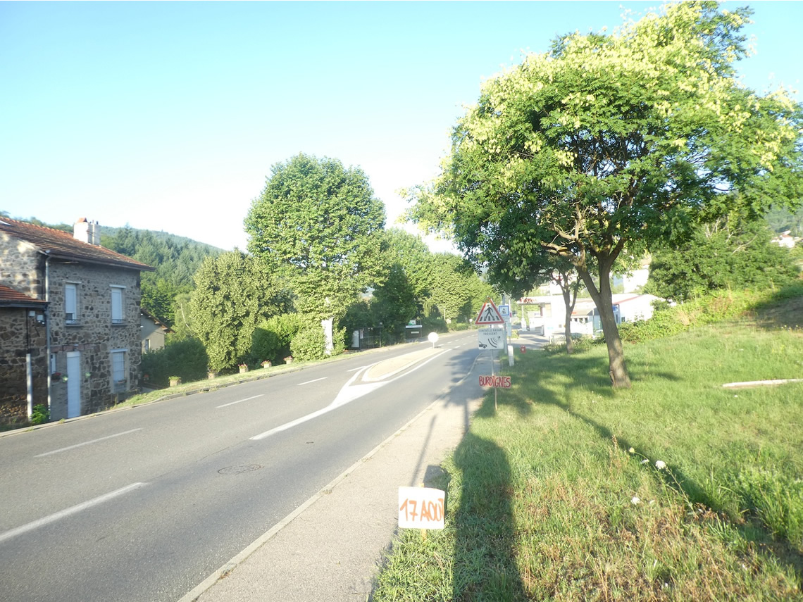
If you only want to consult lodging of the stage, go directly to the bottom of the page.
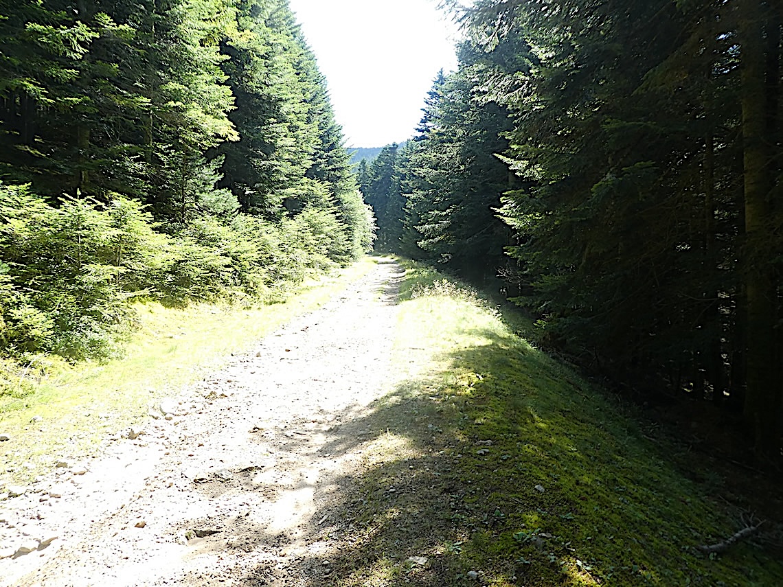
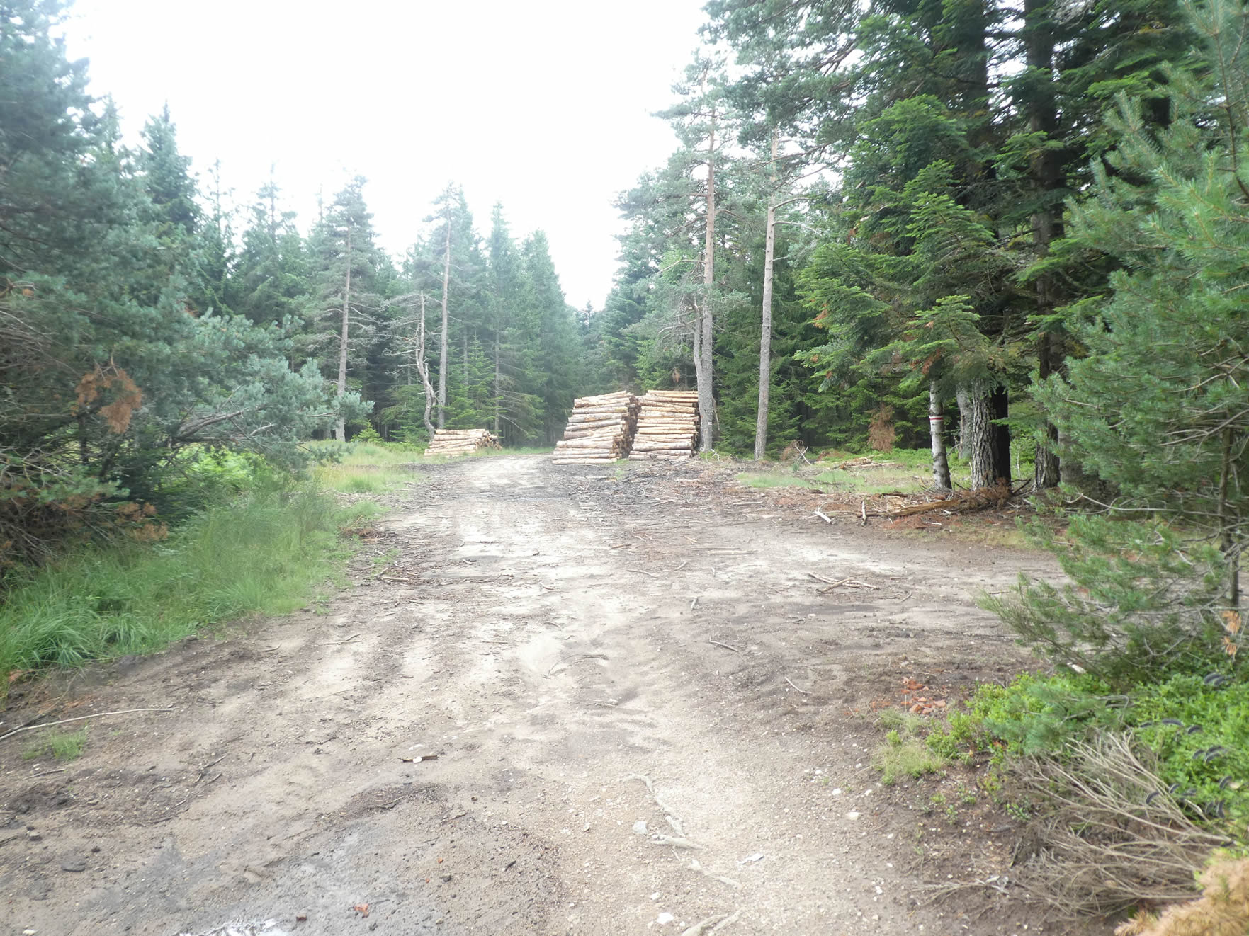
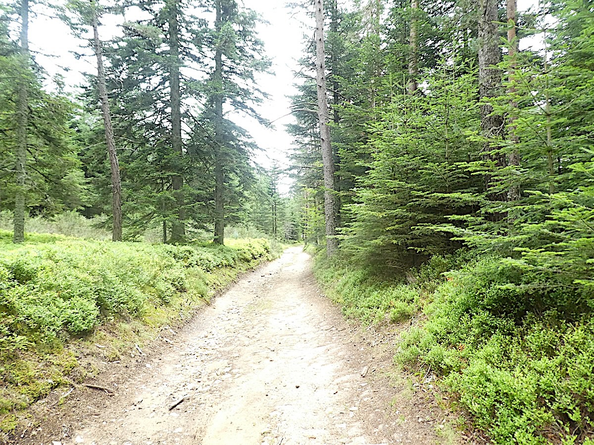
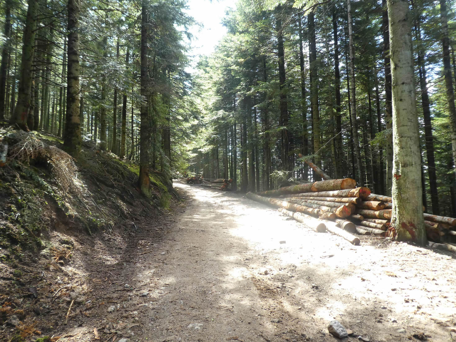
Today, there is a gradual ascent from the Loire department to the Haute-Loire department, where the route reaches the end of the stage. This region is covered with majestic forests, where deciduous trees such as oaks and beeches dominate the first few kilometers. Higher up, conifers take over, creating a rich and varied vegetative mosaic. Don’t imagine that these tree species have always populated these mountains since time immemorial. What you see today—vast fir forests—is the result of a complex evolution and centuries of human intervention. Once, these mountains were adorned with sturdy pines, used in the industries of Saint-Étienne. With the decline of agriculture, pines, birches, and hornbeams began to spontaneously establish themselves as true pioneers. However, firs, spruces, and beeches, which thrive in shade and undergrowth, need to be planted and protected. These trees prefer communal life under the forest canopy, where they can grow sheltered from winds and harsh weather. When the relatively short-lived pine forests begin to wane, beeches, spruces, and firs take over, creating a balanced ecosystem where each species finds its place. Here, the decision was made to plant white firs, Douglas firs, spruces, and beeches. The white firs, with their majesty and resilience, have often taken the lead. But for how much longer? Nature and chance will decide. Legend has it that the Roman druids chose the Taillard forest as a sacred sanctuary. This place of worship and mystery saw its trees transformed into beams and construction materials for the ancient villages of the Pilat Mountains. The name « Taillard » could derive from « fayard » (meaning beech), reminding you that this forest was first a beech grove before becoming a fir forest. As you climb the shaded slopes of this forest, you might still imagine the druids performing their ancestral rites among the towering white firs and imposing Douglas firs, their tops brushing the sky.
During this often demanding but beautiful stage, you will also have the opportunity to discover the engineering works of an old railway line, a relic of a bygone era. This railway, which once connected Saint-Étienne to Annonay, disappeared in the mid-20th century. These abandoned structures add a touch of nostalgia and mystery to the landscape, recalling the days when trains ruled the land.
.

Difficulty level: The elevation changes of the day (+914 meters / -369 meters) over a 25-kilometer stage make this route demanding. Two small passes must be crossed, with slopes often reaching nearly 15%. The first ascent will take you to the Banchet pass, followed by a steep and rocky descent to Bourg-Argental. From Bourg-Argental, the GR65 winds through the forests in several stages until the Tracol pass, before descending slightly towards Les Sétoux, marking the end of this stage in Haute-Loire.
State of the GR65: On today’s stage, paths slightly outnumber paved roads:
- Paved roads: 10.9 km
- Dirt roads : 13.1 km
Sometimes, for reasons of logistics or housing possibilities, these stages mix routes operated on different days, having passed several times on these routes. From then on, the skies, the rain, or the seasons can vary. But, generally this is not the case, and in fact this does not change the description of the course.
It is very difficult to specify with certainty the incline of the slopes, whatever the system you use.
For those seeking « true elevations » and enthusiasts of genuine altimetric challenges, carefully review the information on mileage at the beginning of the guide.

Section 1: The ascent to Banchet Pass

Overview of the route’s challenges: The climb out of St Julien-Molin-Molette is steep and demanding, followed by a descent over rocky terrain after reaching the plateau at Banchet pass.

|
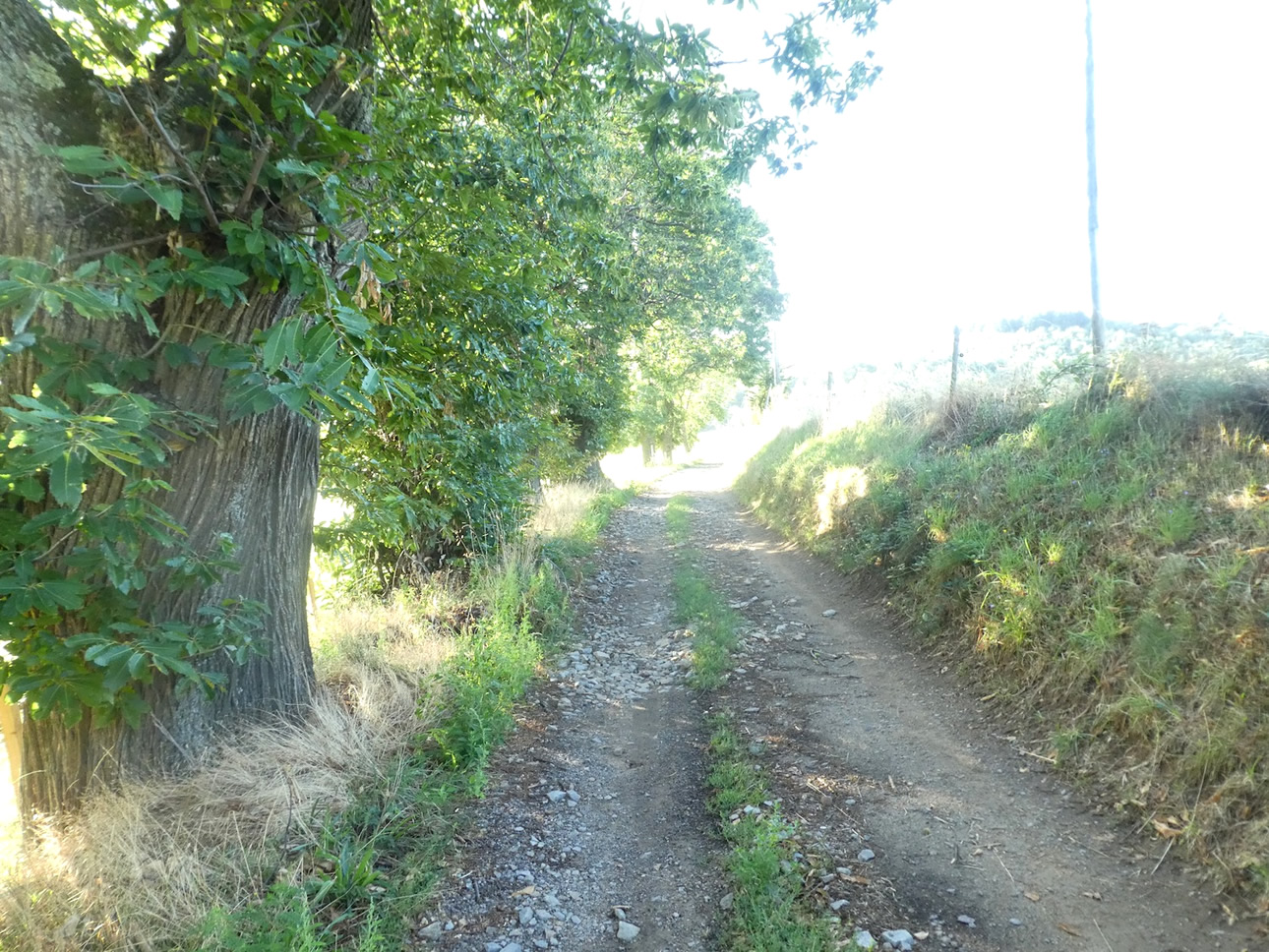
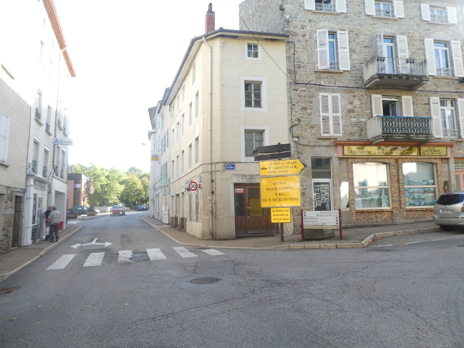
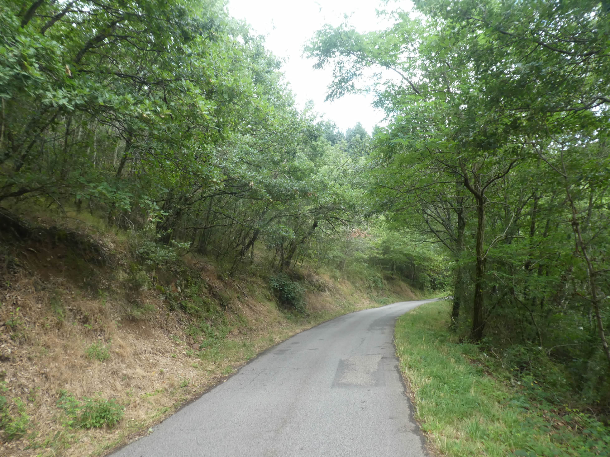
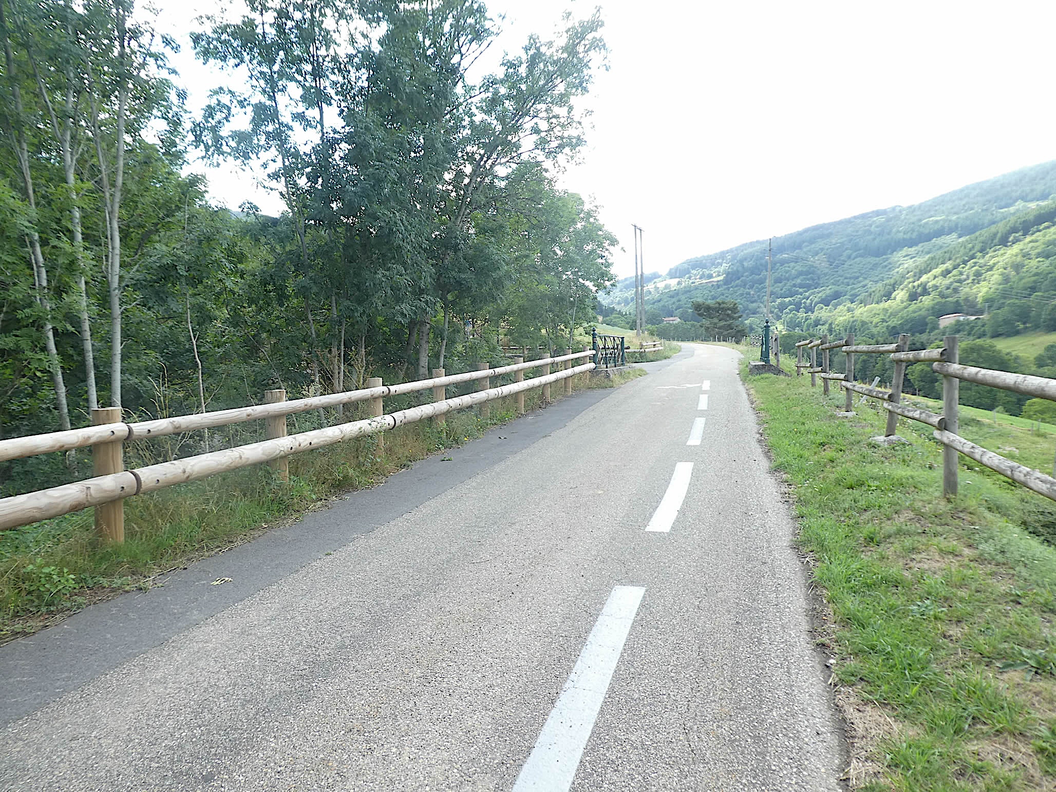
The GR65 leaves the peaceful St Julien-Molin-Molette via the steep ascent of Calvaire. Right from the start, hikers face a daunting incline exceeding 15%, making the beginning of the journey both challenging and strenuous.
|
 |
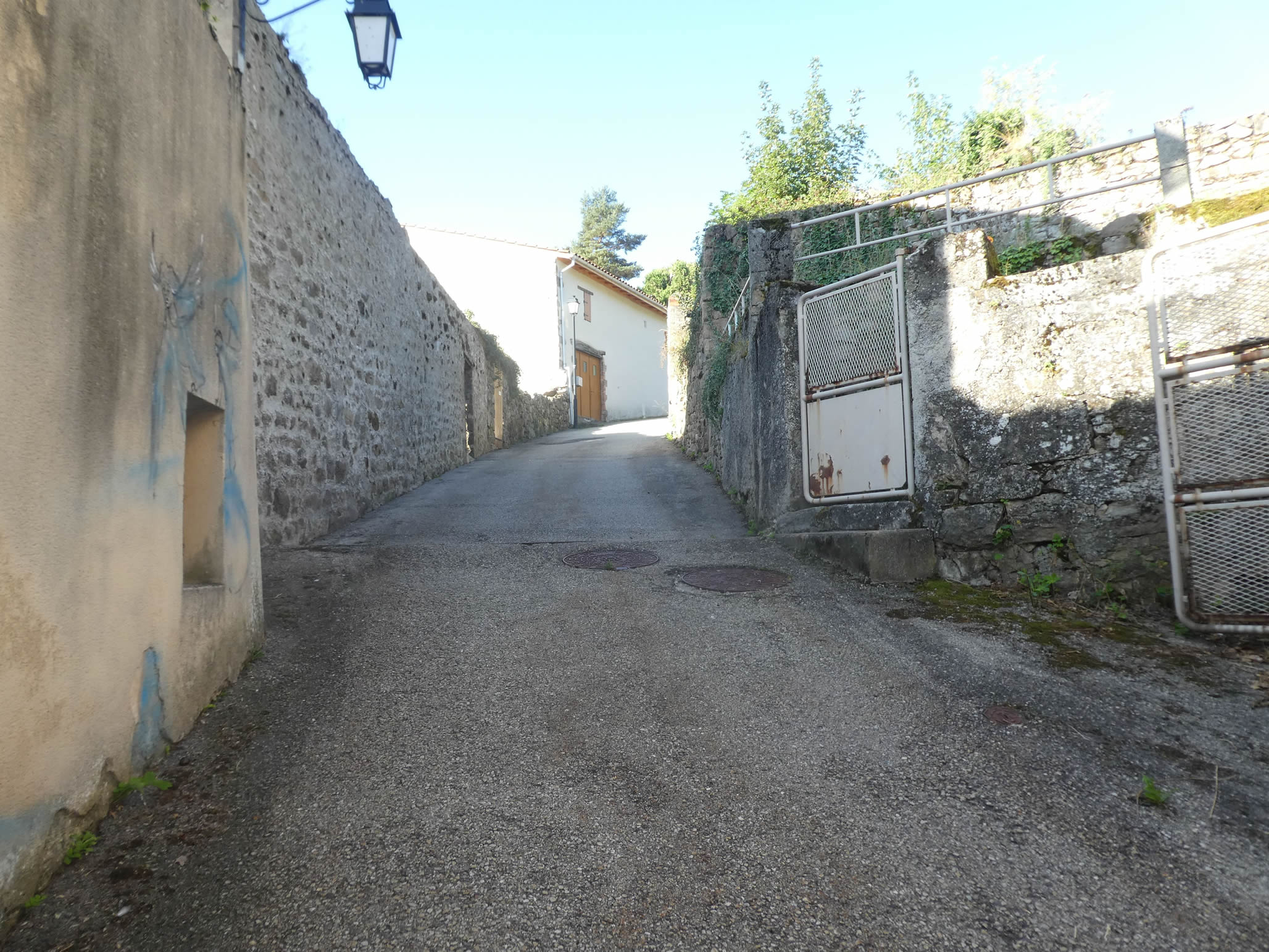 |
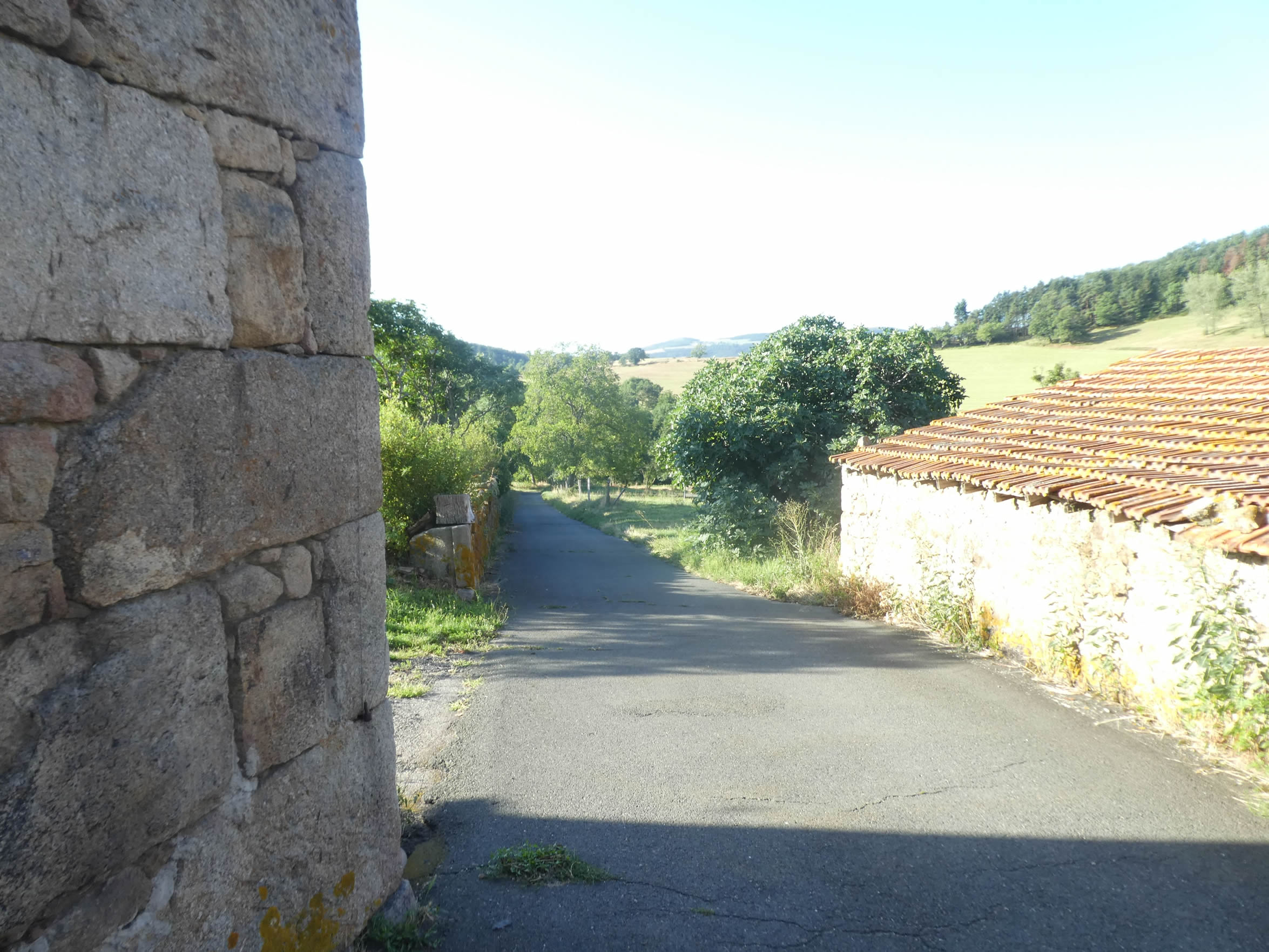
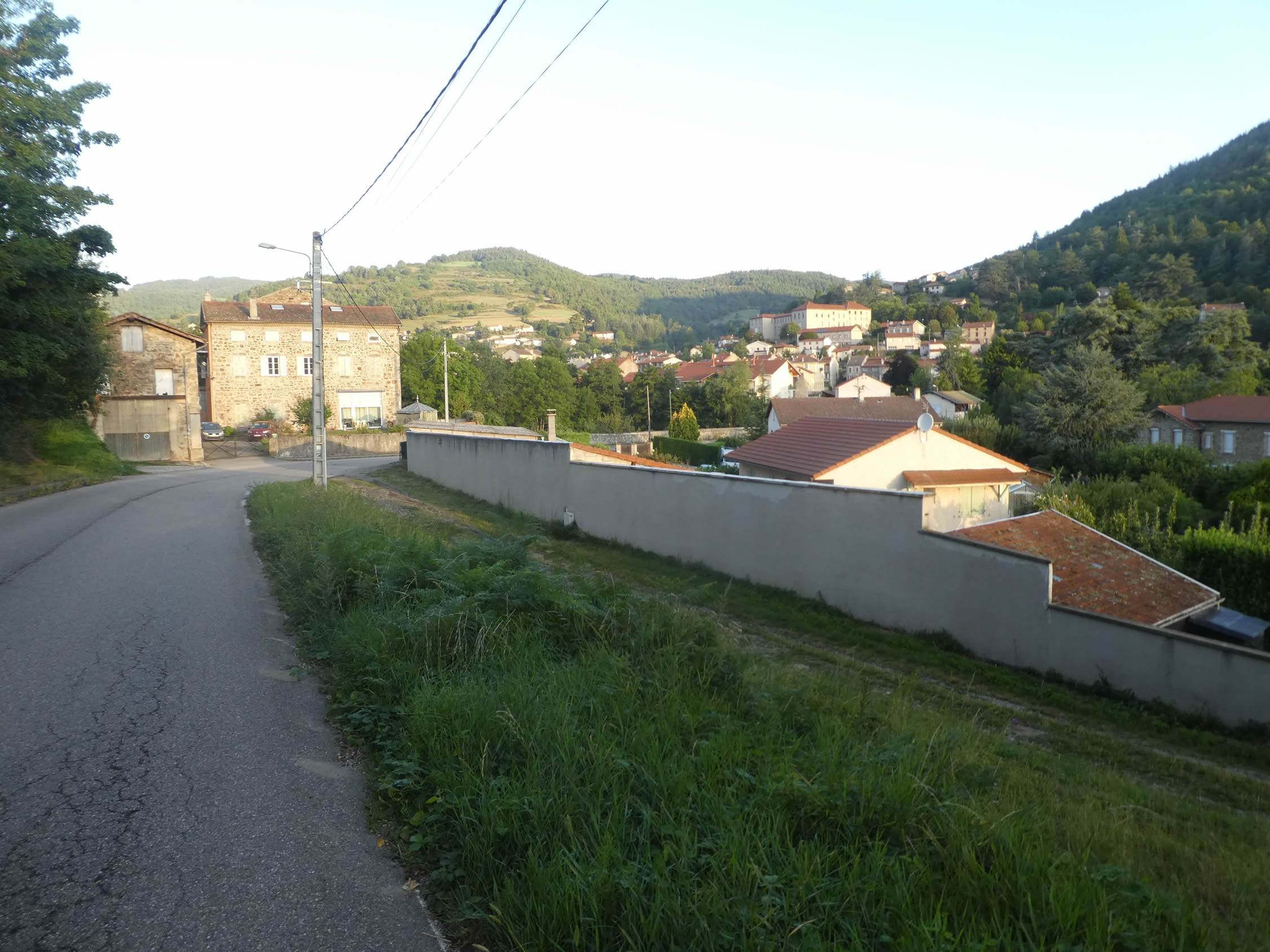
| Quickly, the road climbs above the locality, offering a breathtaking view of the rooftops scattered amidst the lush greenery of the valley. Nestled in this verdant setting, the village blends harmoniously with the surrounding landscape. |
 |
 |
| The GR65 then skirts the imposing wall of Calvaire, an edifice that inspires both admiration and mystery. |
 |
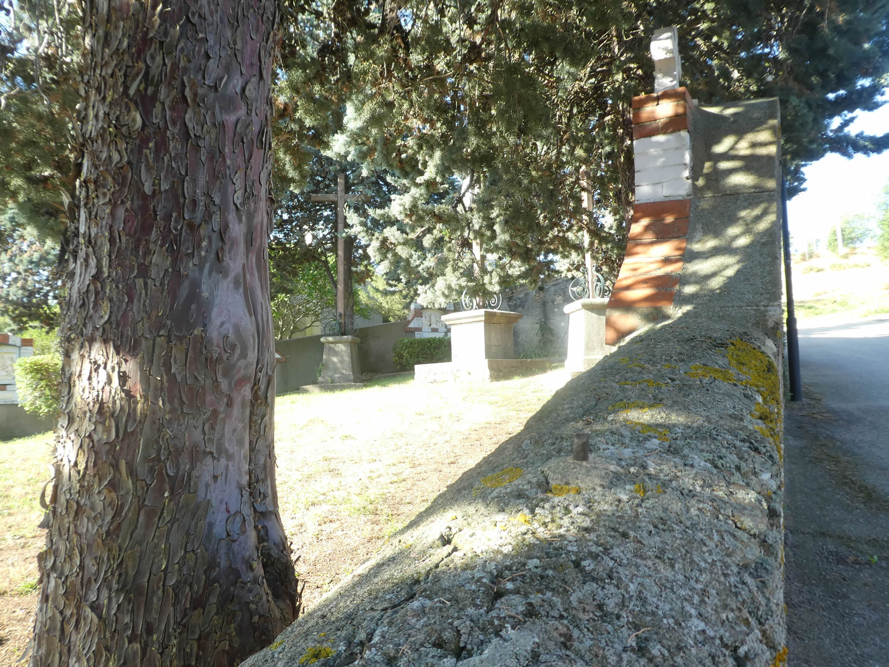 |
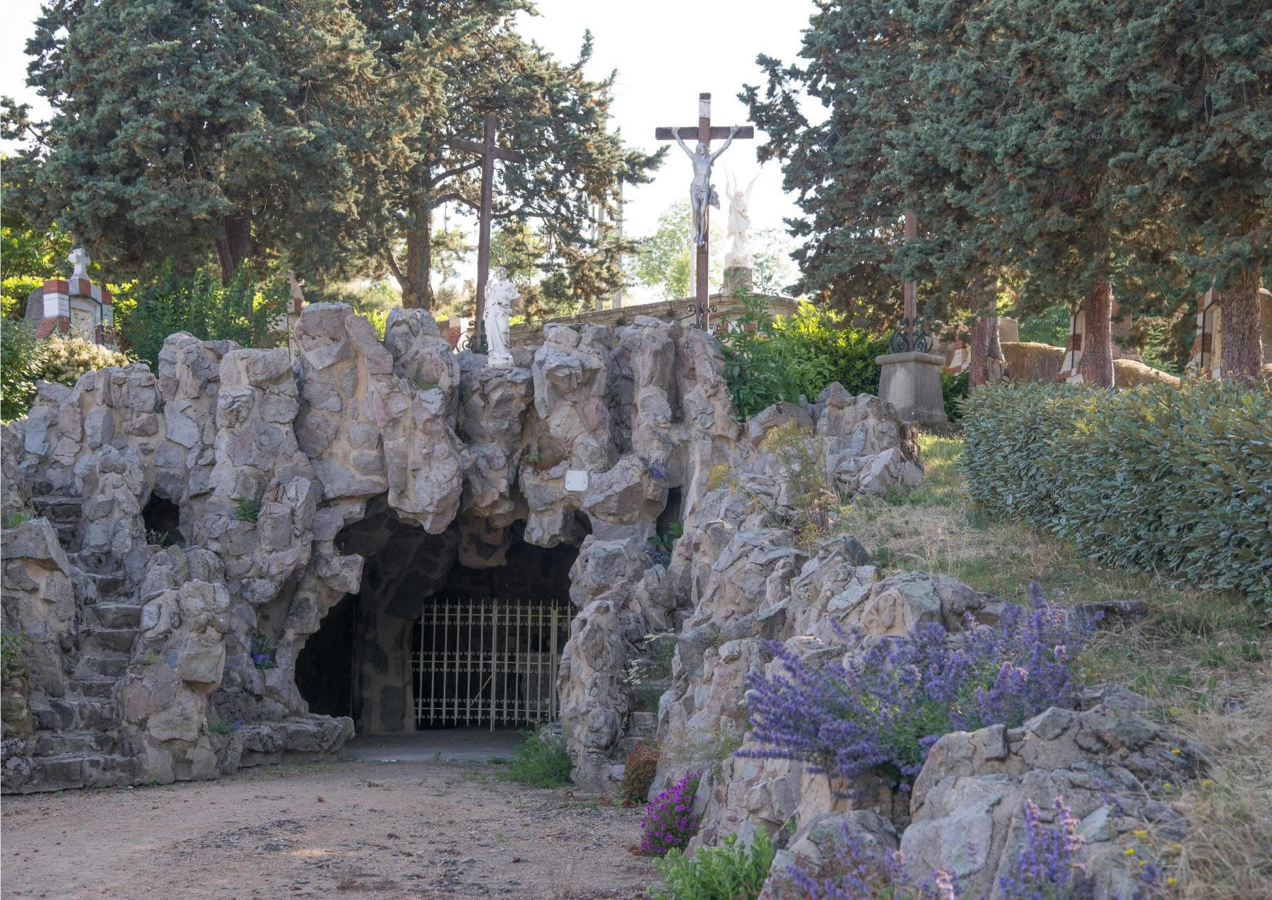
| This Calvaire, composed of three artificial grottoes, houses the fourteen Stations of the Cross, arranged in a semicircle around the main grotto. The Mysteries of the Rosary adorn the surrounding wall, while numerous statues dot the lawn, creating an atmosphere of reverence and contemplation. This ensemble, created over the past century, exudes an aura of both mysticism and sophistication. |
 |
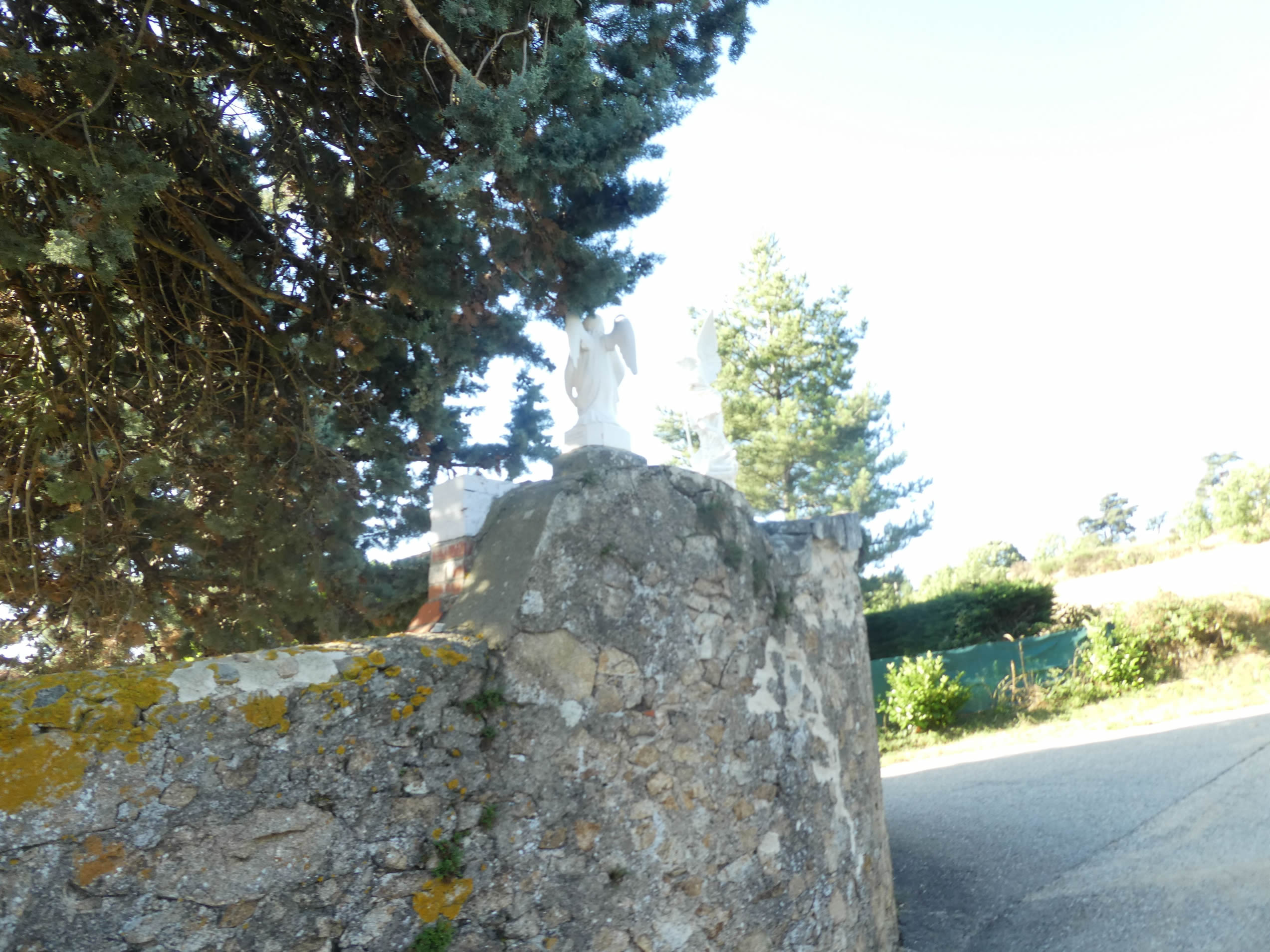 |
| Leaving behind the small angels at the summit of Calvaire, the GR65 swiftly plunges into the wild nature of the high hill that dominates the locality. |
 |
 |
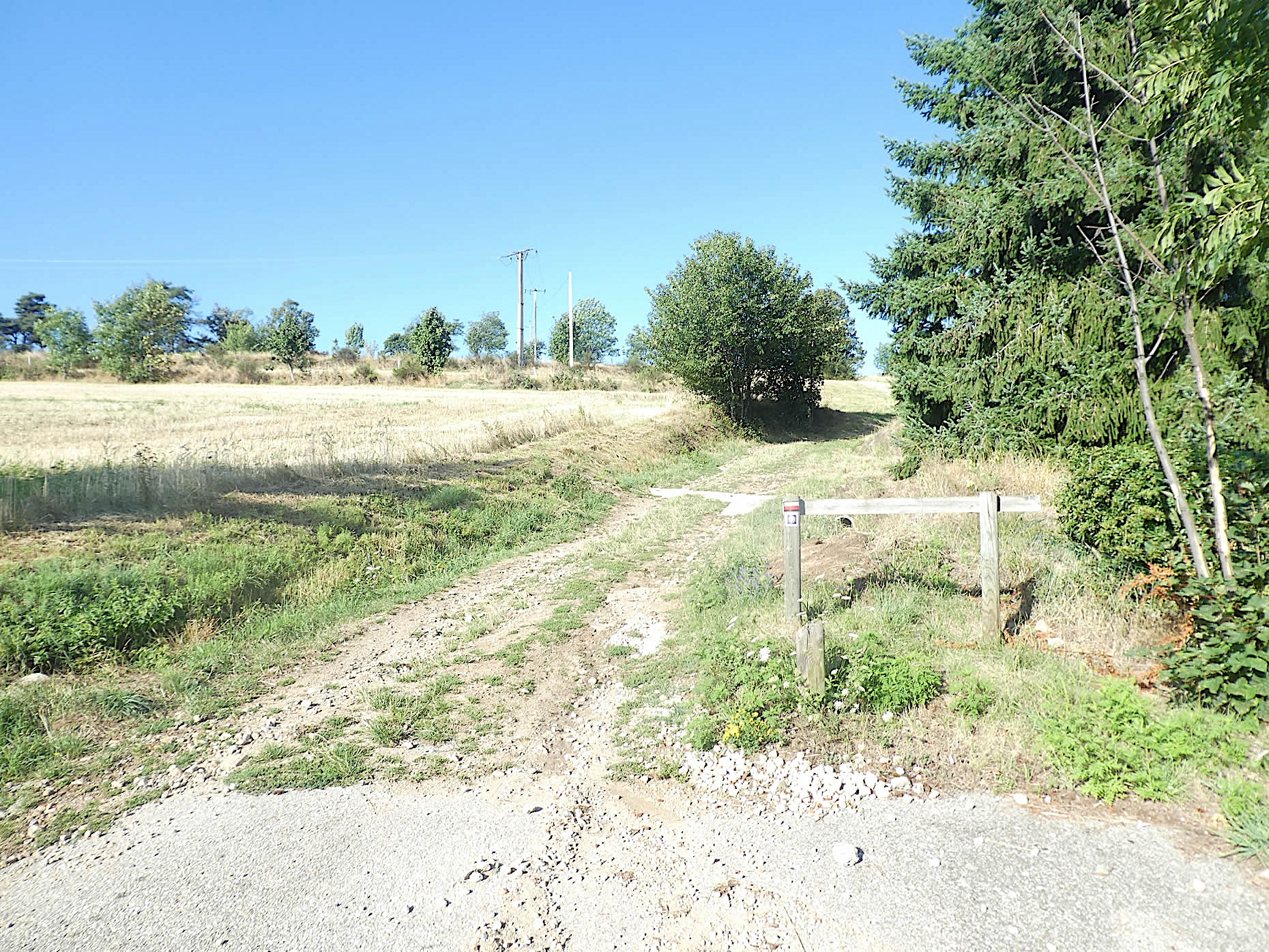
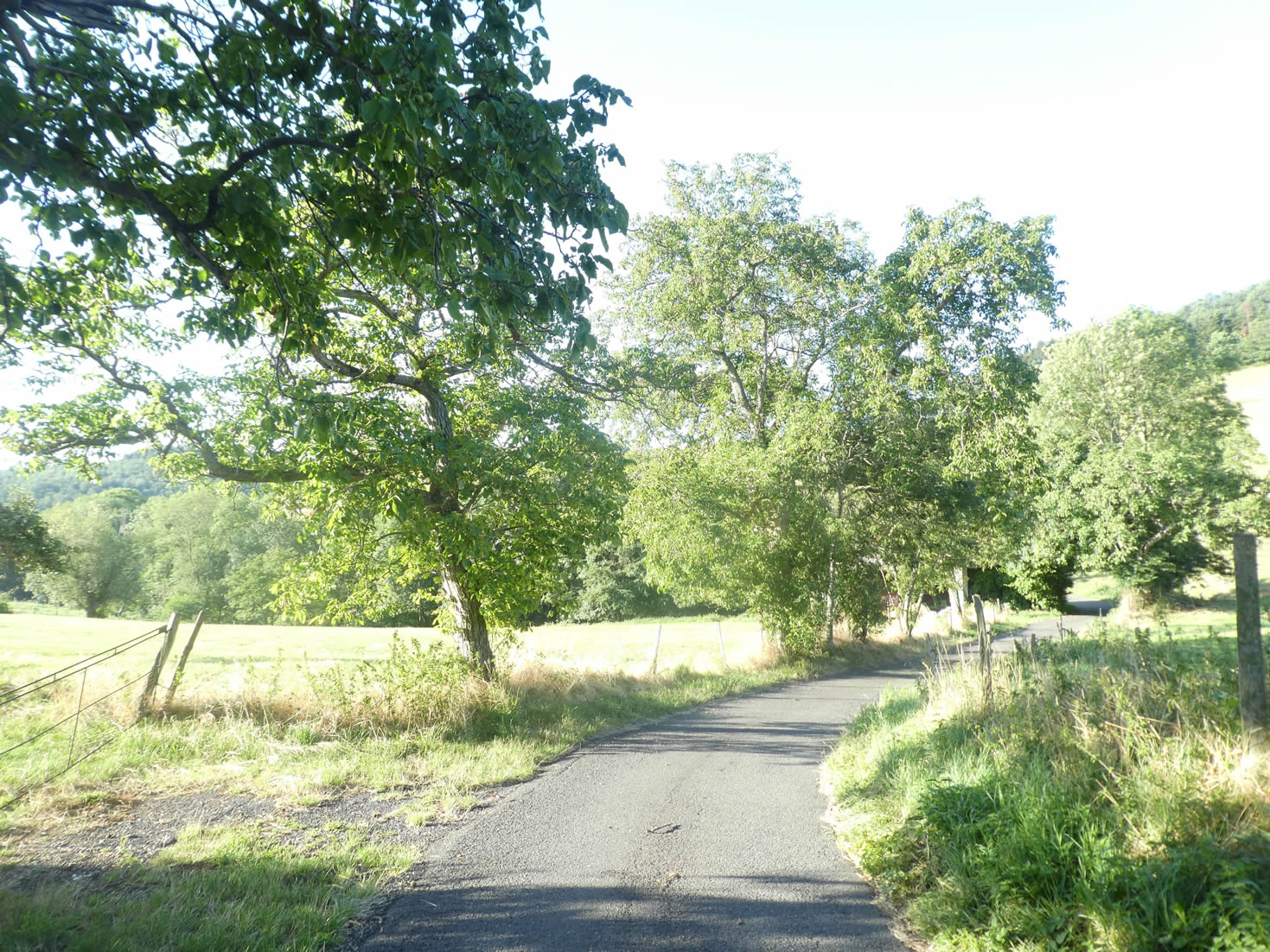
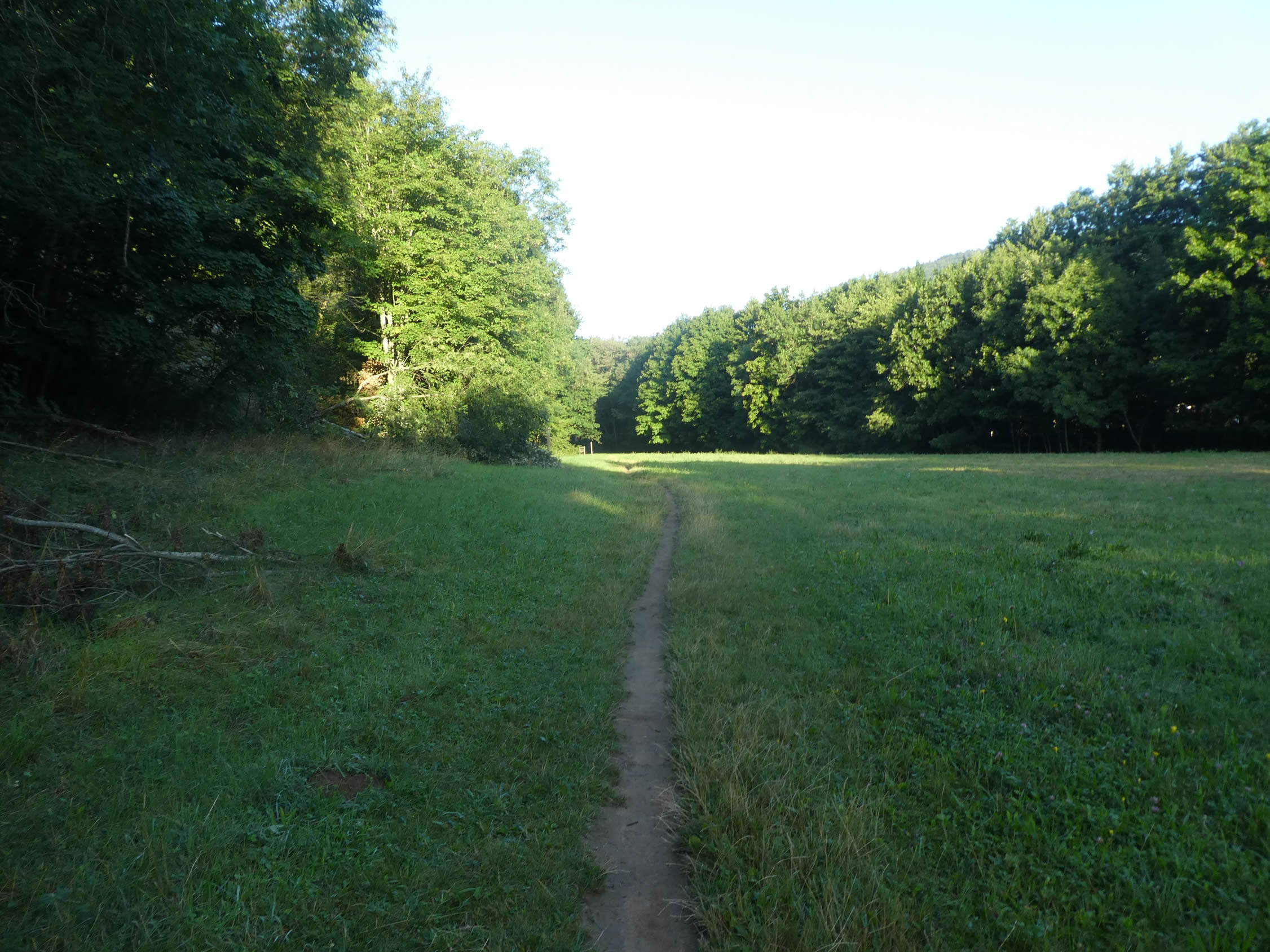
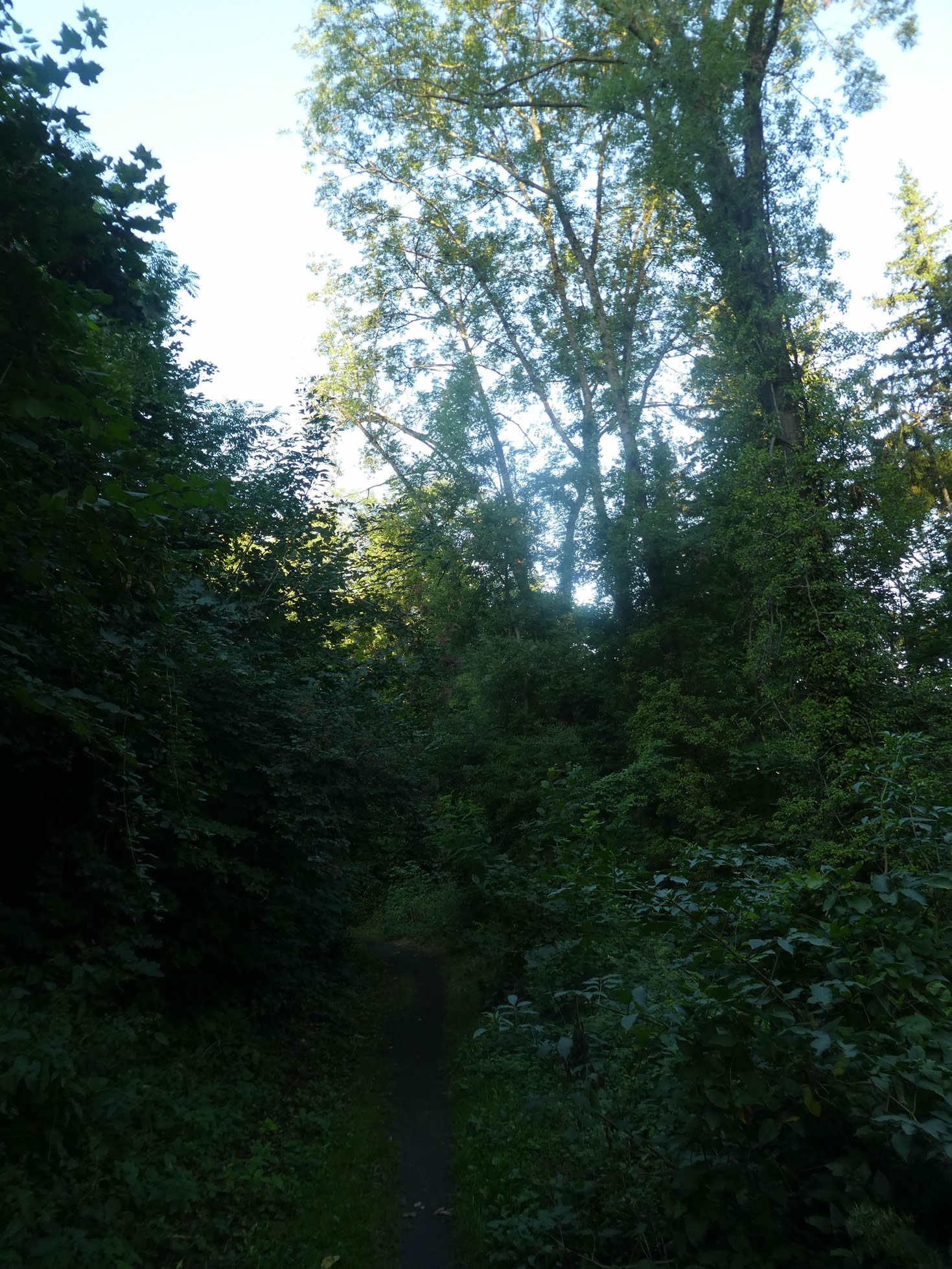
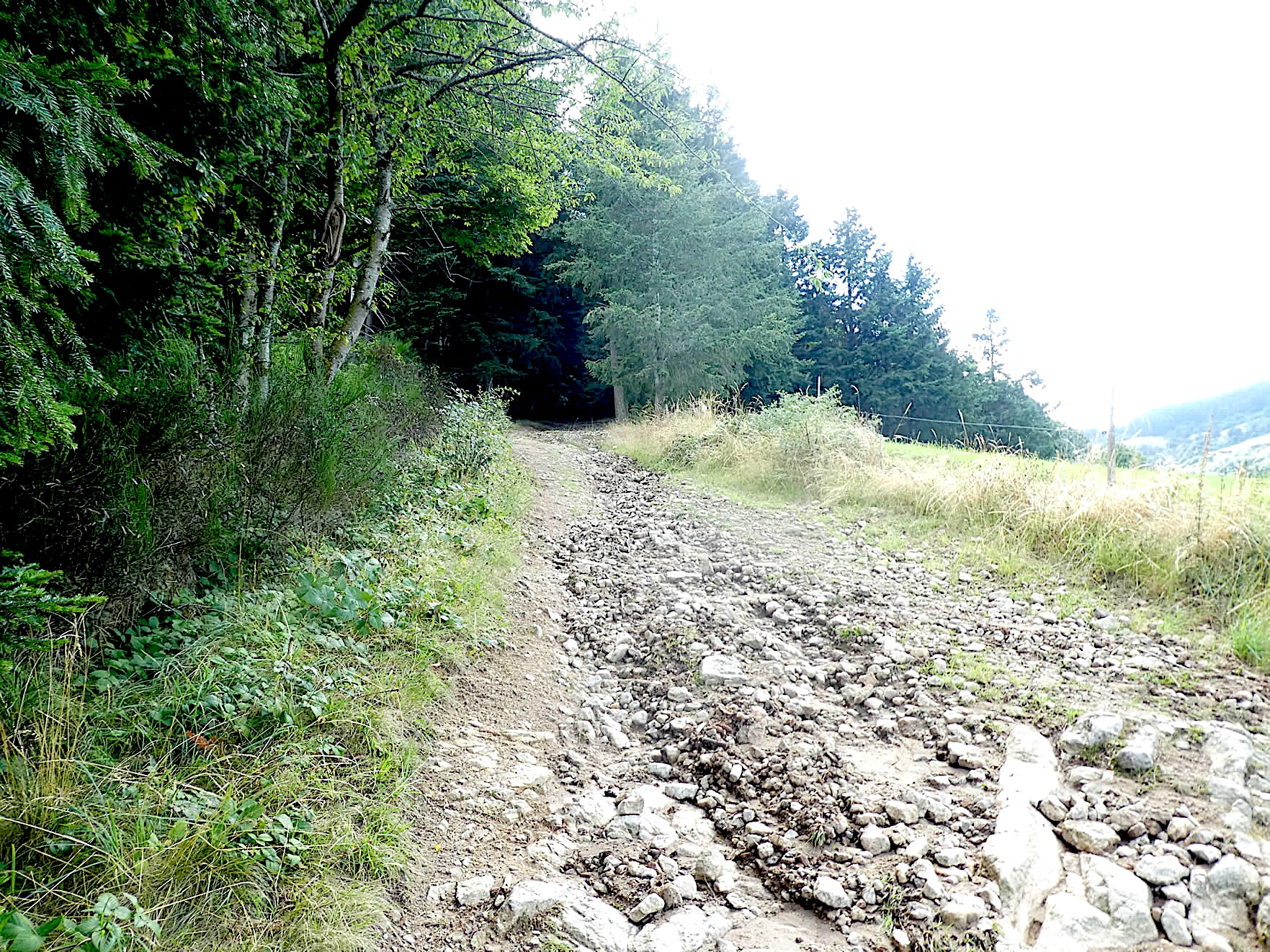
| The path, at times rocky, climbs steeply through meadows that evoke more of a steppe than verdant pastures. As far as the eye can see, these barren spaces are punctuated here and there by maples, oaks, or ash trees, which struggle to mask the harshness of the incline. |
 |
 |
| Charm is not the foremost quality of this hill, where brambles and wild roses cling to the steep slopes. However, as you progress, the landscape opens up and becomes less hostile. The incline, though slightly reduced, remains demanding, with gradients varying between 10% and 15%. |
 |
 |
| The illusion of serenity is shattered by brambles and wild grasses, scorched by the sun, once again invading the path, reminding you of the unending struggle between man and nature. The beauty of these landscapes is subjective, oscillating between charming and mundane, as your gaze cannot help but compare the spaces it encounters. You have seen thousands of meadows since you started on the Camino de Santiago. Therefore, this one naturally falls into the unremarkable category. |
 |
 |
| In these soulless meadows, the path climbs a little more, still steep, with sometimes a solitary tree, often ash trees, adding a touch of poetry to this monotonous climb. Pilgrims do not always encounter the exceptional. There are also landscapes where banality is the rule. But when the space is empty, and nothing happens, the path seems to stretch on infinitely, and each step becomes a test of patience and perseverance, especially when the incline is felt. |
 |
 |
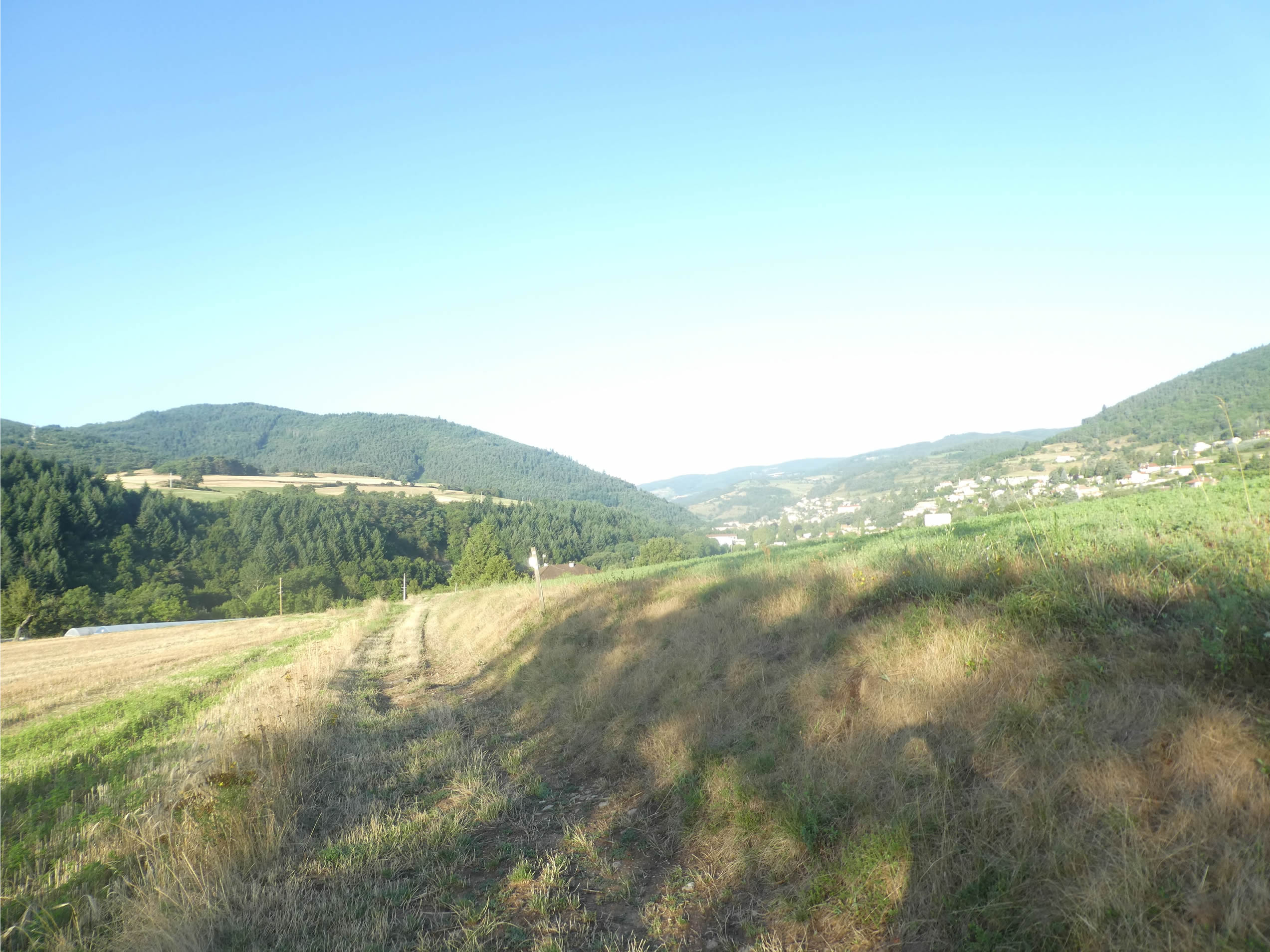
| Then, on the horizon, the summit of the hill finally reveals itself. A palpable relief is visible on the faces of the pilgrims, happy to reach this peak. The landscape suddenly becomes more attractive, almost magically. Forests majestically crown the panorama, and the meadows take on the appearance of true alpine pastures, evoking the enchanting landscapes of the mountains. The walker finds new breath in this rediscovered beauty. |
 |
 |
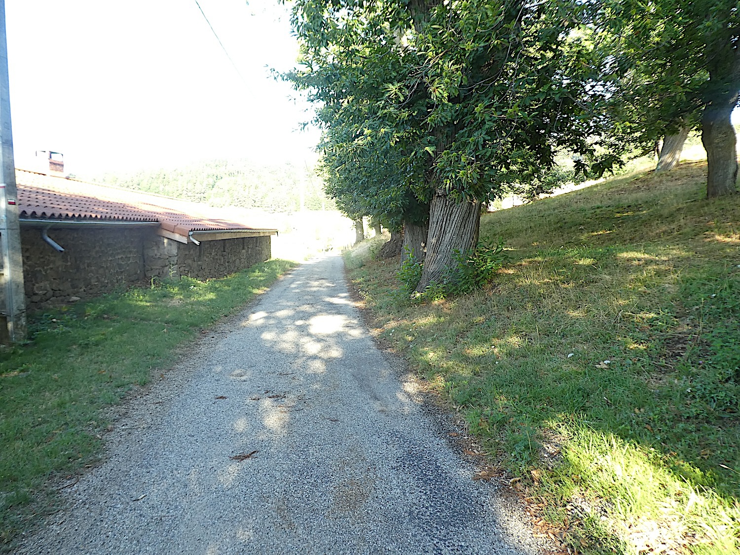
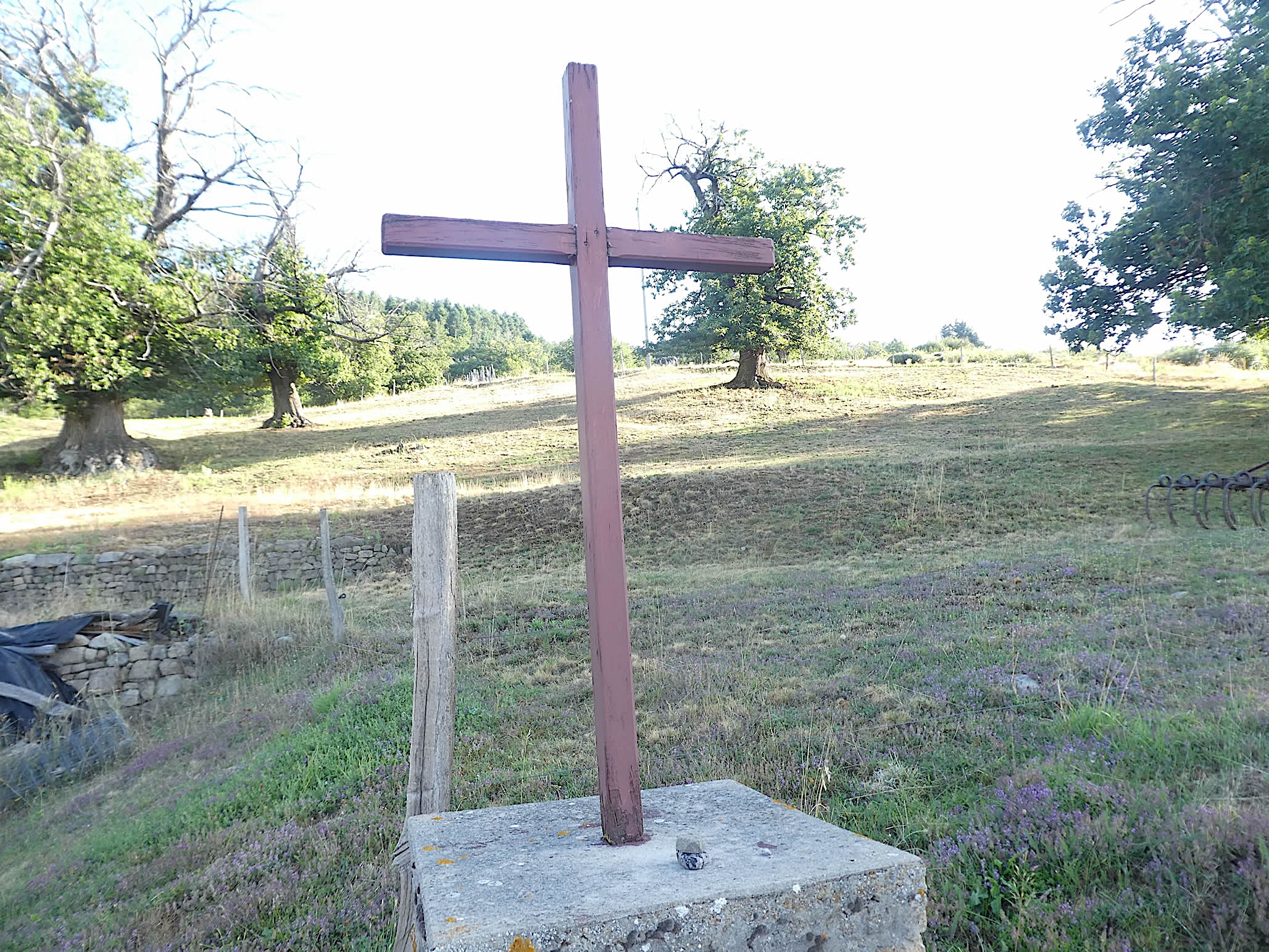
| The path stretches peacefully towards the few houses of the hamlet of La Balme, nestled in a grove of majestic chestnut trees. These trees, with their robust trunks and generous branches, seem to watch over this corner of paradise with benevolence. In autumn, the chestnuts, plump like a child’s cheeks, dot the ground with brownish hues. The stone houses, emblematic of Haute-Loire, stand proudly, adorned with modest wooden crosses that bear witness to the quiet faith of these remote hamlets. This landscape, both simple and enchanting, exudes serenity and invites contemplation. |
 |
 |
| Close by, the GR65 winds its way to the hamlet of Lampony, where the raw beauty of the stone houses imposes itself with austere nobility. Here, each house tells a story, each stone wall is a silent witness to generations past. Each step resonates like a note in a symphony of stone and silence. |
 |
 |
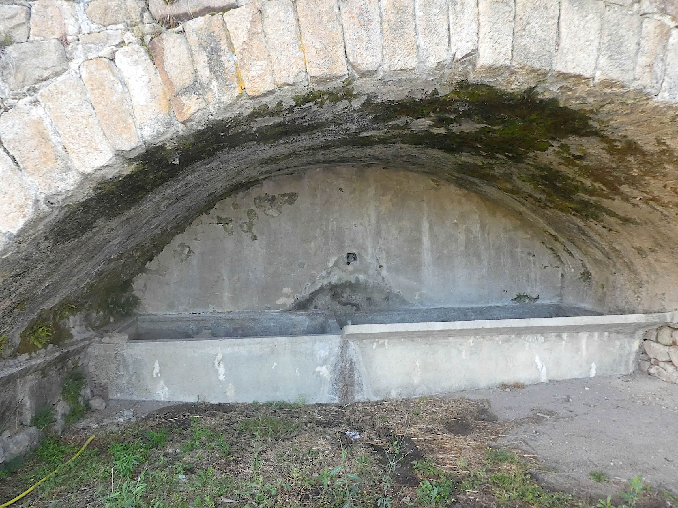
| In the village, the fountain, once the beating heart of communal life, still stands proudly, although its water no longer flows. This sight, alas, has become common in France, where old fountains gradually turn into relics of a bygone era. Nevertheless, its presence continues to evoke the simplicity and beauty of past rituals, when fetching water was a daily ritual. |
 |
 |
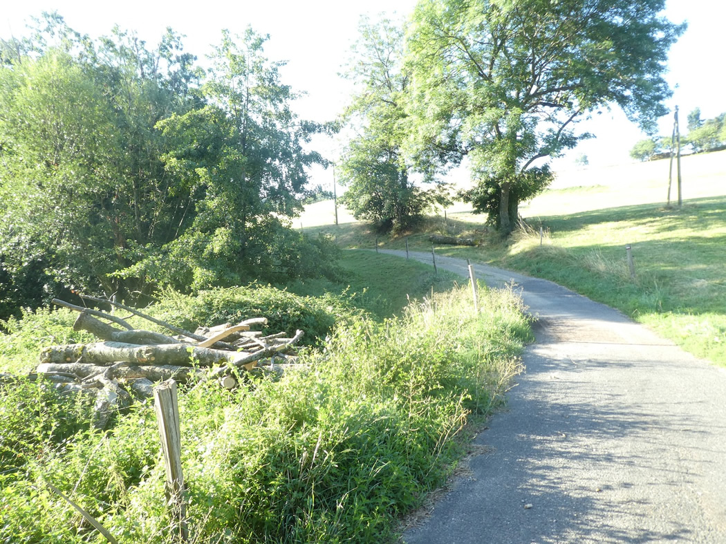
| A small road leaves the village, descending gently to cross the Tronçon stream, nestled in lush vegetation. |
 |
 |
| The road soon turns into a dirt path winding under the protective shade of ash trees and chestnut trees. These trees, likely centuries old, compete in grandeur and majesty with the ashes lining the trail. The region, rich in these imposing trees, is rivaled only by neighboring Ardèche in terms of arboreal splendor. The chestnut trees, as they age, grow even more majestic, especially when grafted, revealing all the magic of their essence. These trees, of striking beauty, seem straight out of an ancient tale, their gnarled trunks and robust branches standing like silent sentinels of nature. |
 |
 |
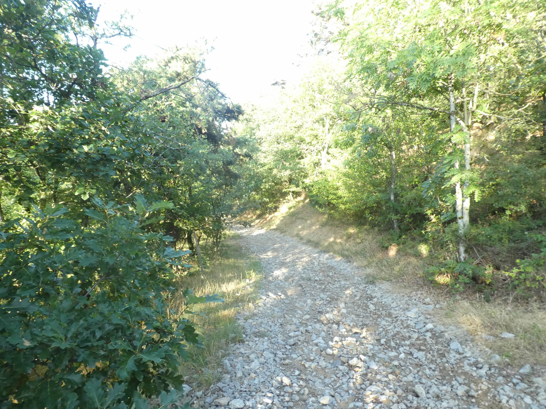
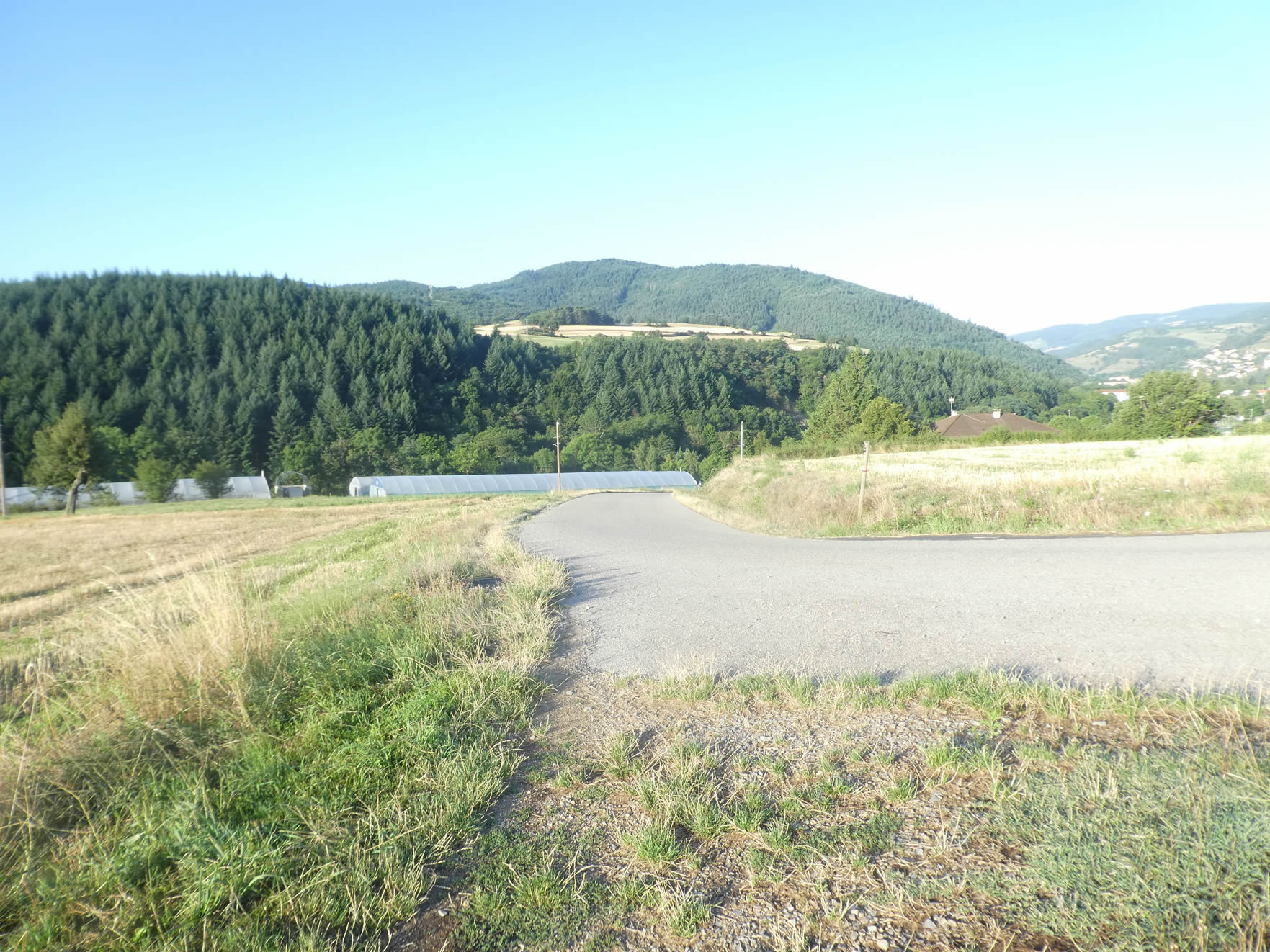
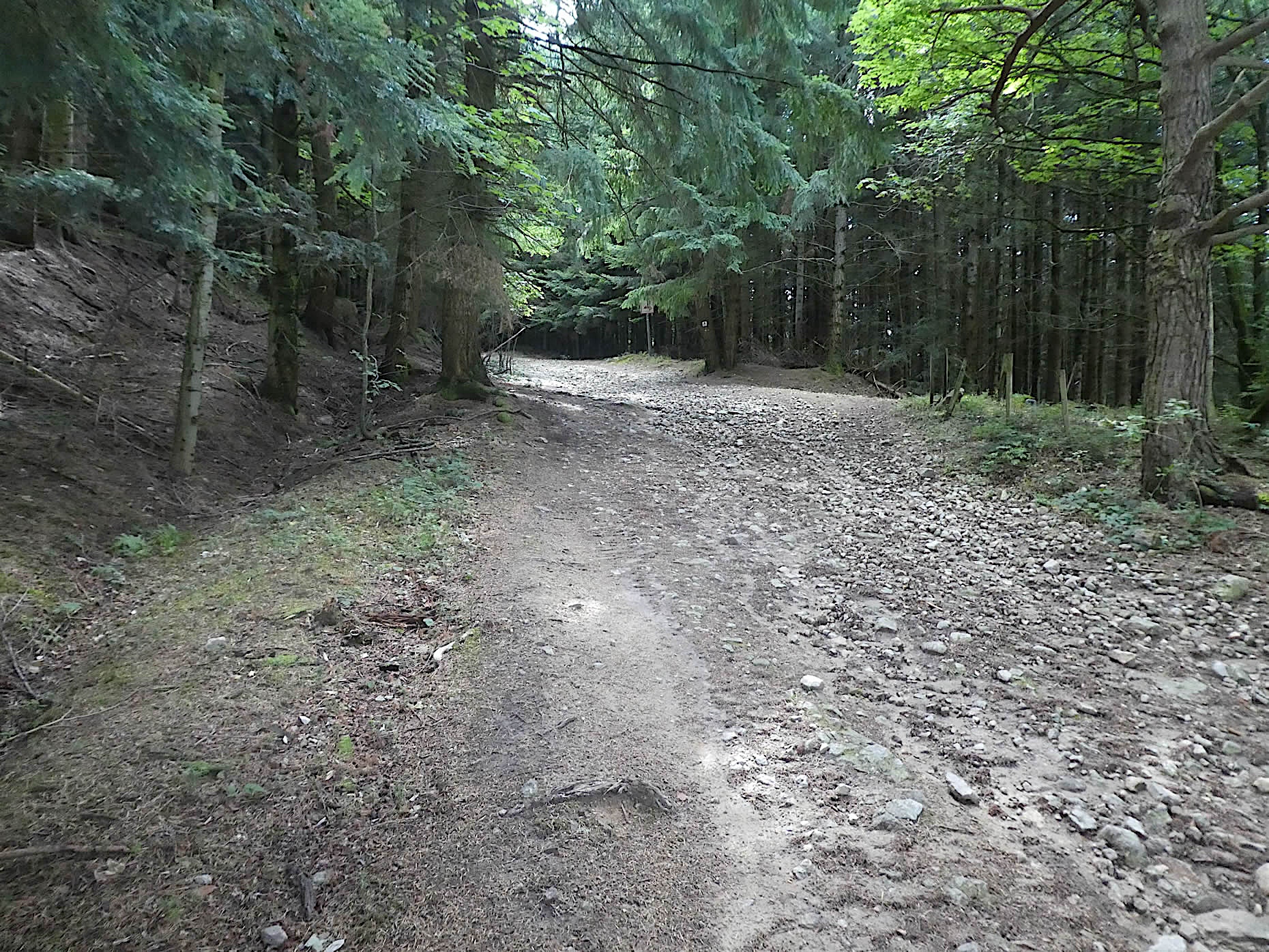
| Then, the trees fade away, and the dirt path gives way to a profusion of angular rocks, forming irregular heaps that make walking more arduous. The path, strewn with these rough stones, eventually leads to the D503, the departmental road winding through the valley towards Bourg-Argental. |
 |
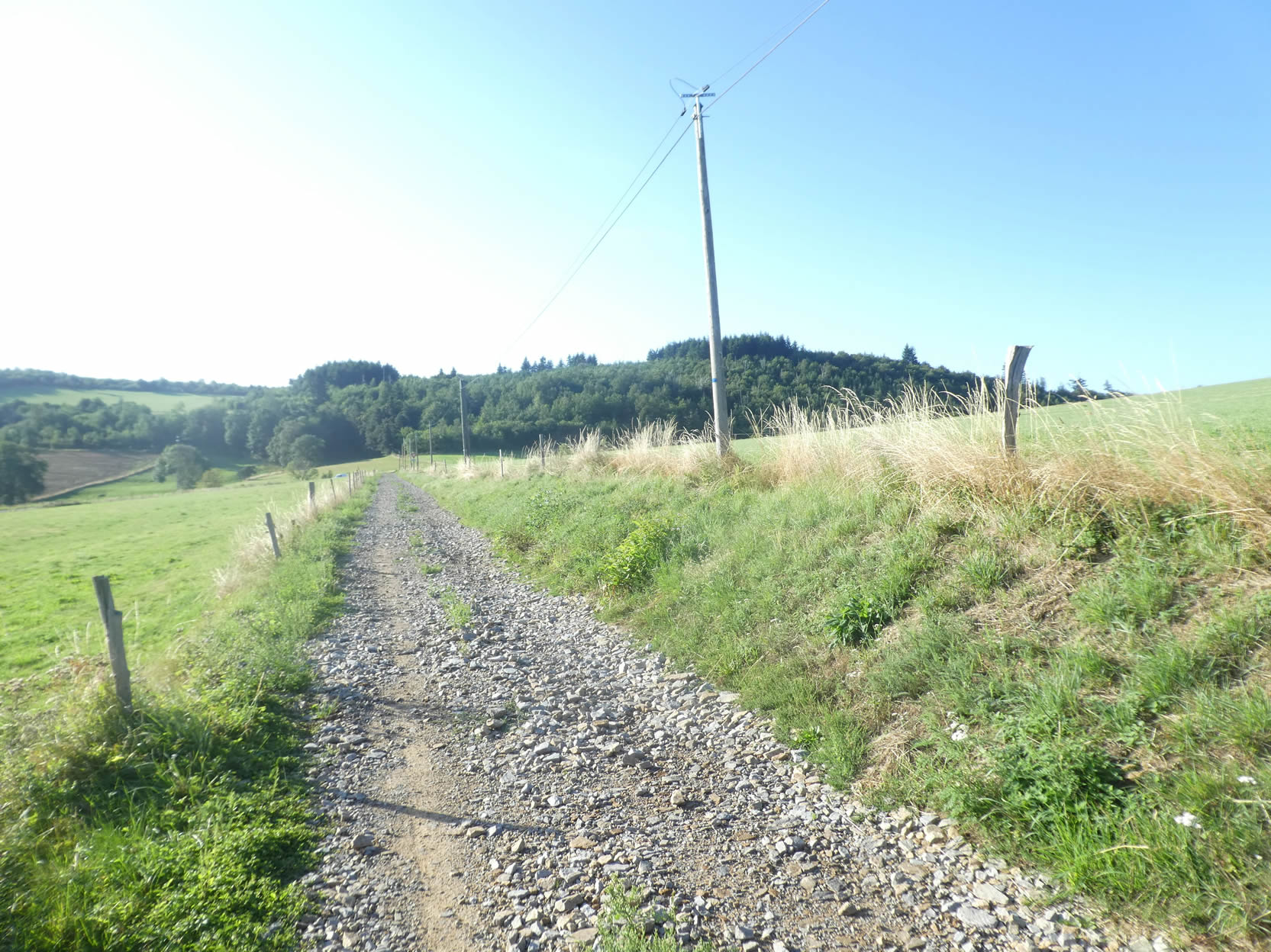 |
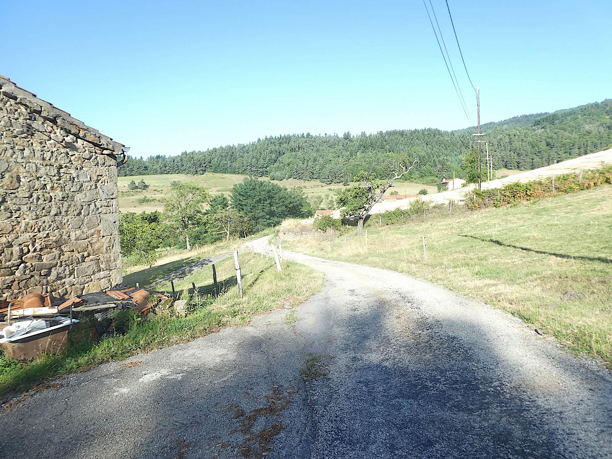
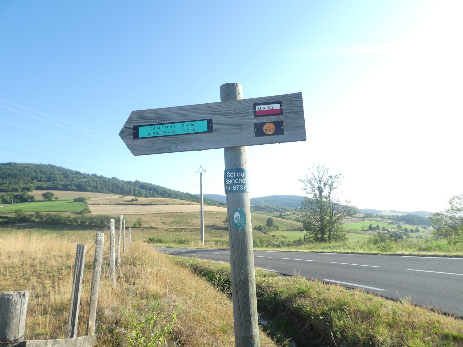
| You then reach the Banchet pass, peaking at 678 meters above sea level. |
 |
 |
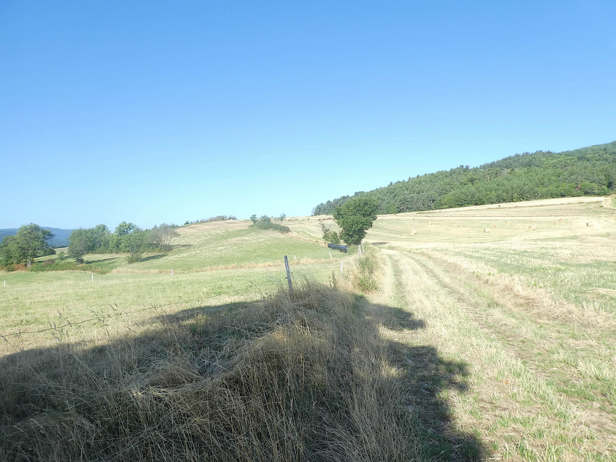
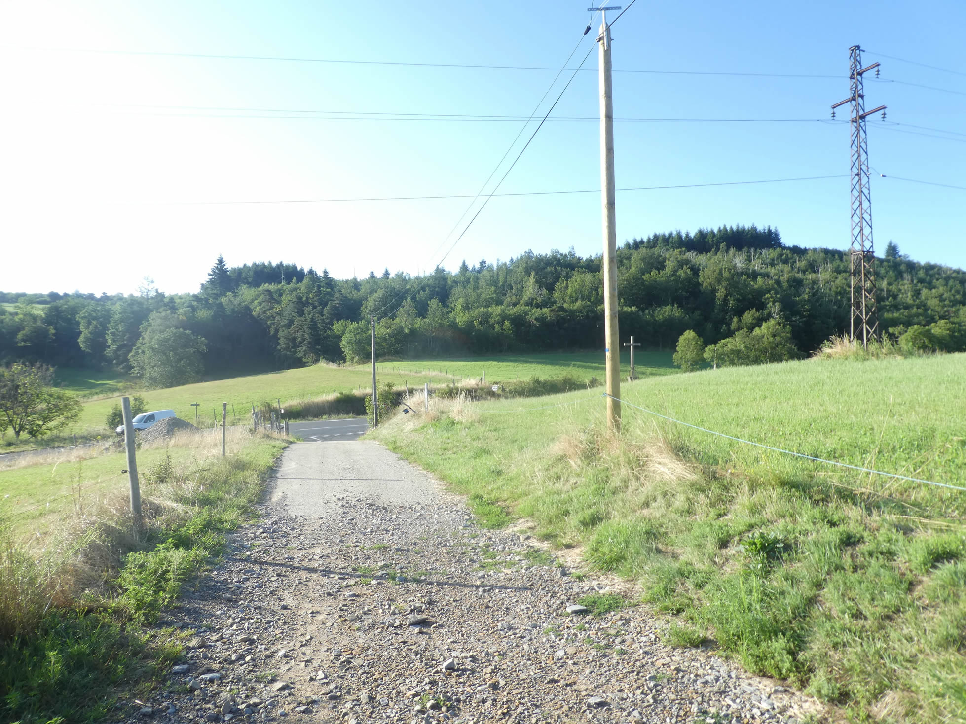
From this high point, the view plunges down to Bourg-Argental, nestled in a valley covered with dense forests. The panorama stretches as far as the eye can see, offering a breathtaking spectacle that further magnifies the natural beauty of this enchanting landscape.
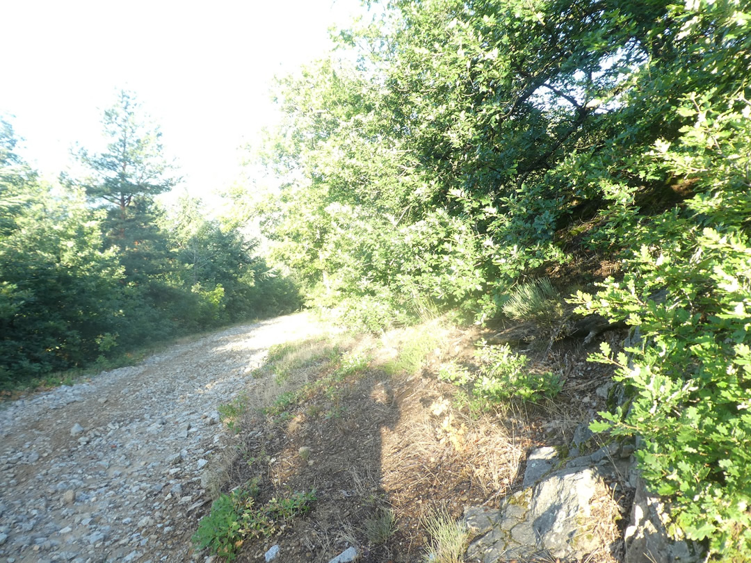
| In this enchanting place, where every step seems to open a new chapter of a pastoral tale, a descent of more than a kilometer towards the bottom of the valley begins. On these slopes, ranging between 10% and 15%, the path often becomes rough and rocky. Farewell to the smooth, polished pebbles of Isère; here, you encounter granite and schist scree, small angular and brittle stones, sculpted by centuries of erosion. The walk, though difficult, is enhanced by the majestic beauty of the tall broad-leaved trees standing like silent sentinels, watching over the walkers. The sun’s rays barely filter through the dense foliage, creating a play of shadows and light, a natural ballet that hypnotizes and soothes. |
 |
 |
 |
 |
| Delving further into this mixed forest, an astonishing wealth of vegetation unfolds. Maples, discreet until now on the Camino de Santiago, appear in numbers, their delicate leaves adding touches of tender green to the landscape. They are accompanied by the usual retinue of ash trees, oaks, and chestnut trees, each contributing uniquely to this natural symphony. Only beeches and hornbeams are rare, like actors missing from this grand play. |
 |
 |
| As you approach the lower part of the forest, conifers take over, their slender and elegant silhouettes reaching towards the sky. Spruces and pines compete in beauty, their dark green needles contrasting with the softer tones of the deciduous trees. Here, the forest becomes a cathedral of greenery, where each tree is a living column supporting a ceiling of interlaced branches. |
 |
 |
Among them, tall silver firs rise, majestic and rare along the Camino de Santiago, adding a note of grandeur to this already sublime tableau. Their rare and imposing presence evokes a certain solemnity, a nearly sacred pause in the journey.
Section 2: Passage through Bourg-Argental, a small town in the valley

Overview of the route’s challenges: The descent towards Bourg-Argental remains steep; afterward, it’s a leisurely stroll in the valley.

| At the forest’s edge, the conifers almost disappear, making way for majestic broadleaf trees that form shaded hedges, interspersed with clearings where light plays hide-and-seek with the leaves. . |
 |
 |
| The path then emerges from the woods, offering an unobstructed view of the lush meadows, where wildflowers add bright splashes of color to the pastoral horizon. |
 |
 |
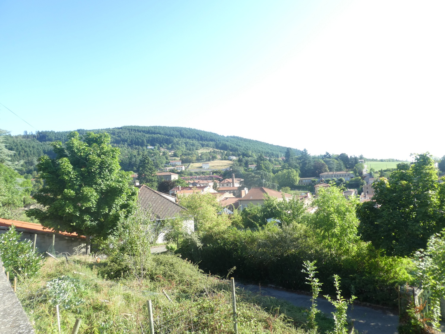
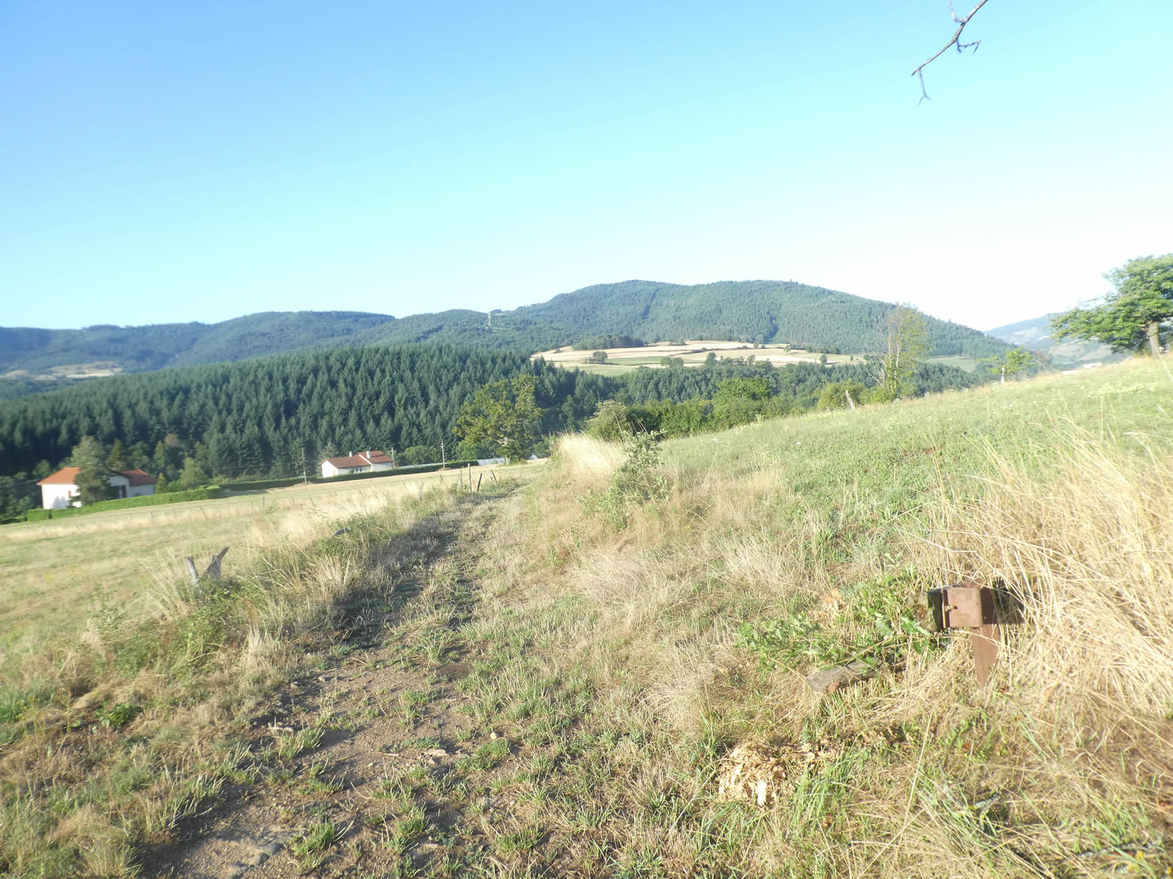
| As you descend through the meadows, the imposing silhouette of the mountain looms ahead, with the immense Tallard forest covering its slopes, where the GR65 winds. Below the valley, the picturesque and serene Bourg-Argental emerges. |
 |
 |
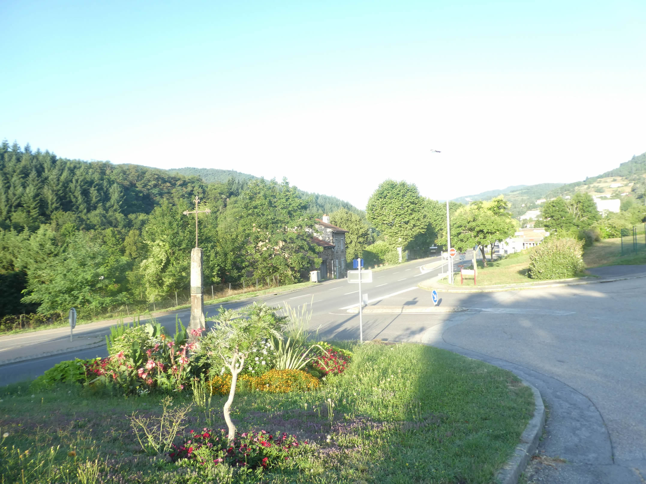
| Leaving the meadows, the path joins a small road that winds down to the departmental road in the valley. This transition between wild nature and the road symbolizes the harmonious fusion between man and nature. |
 |
 |
|
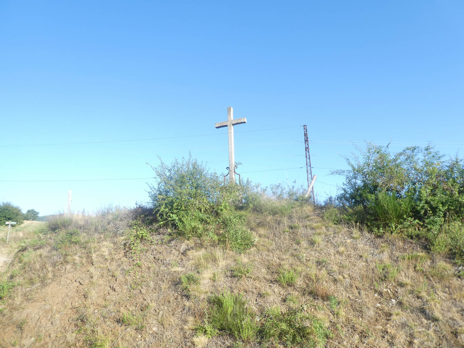
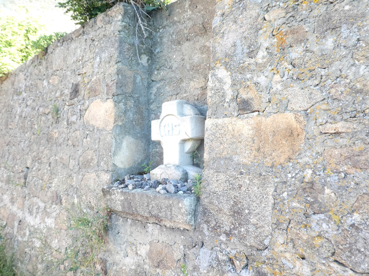
Beyond a roundabout marked by a small cross, the GR65 takes a few steps on the departmental road before quickly crossing it to descend towards the large campground of Bourg-Argental, located by the river. From the campground, it’s about a two-kilometer walk to the town center, an enjoyable stroll along the river that offers a complete immersion in the tranquility of the woods.
|
 |
 |
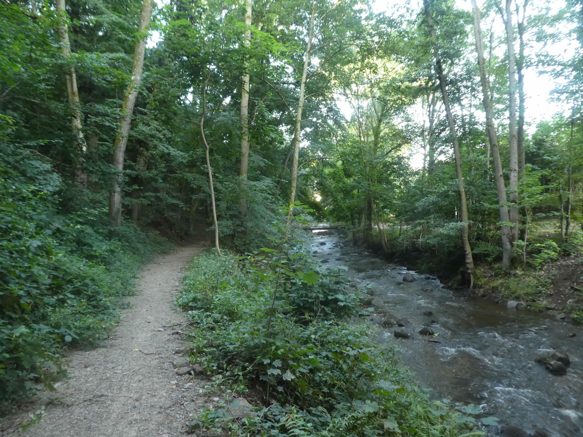
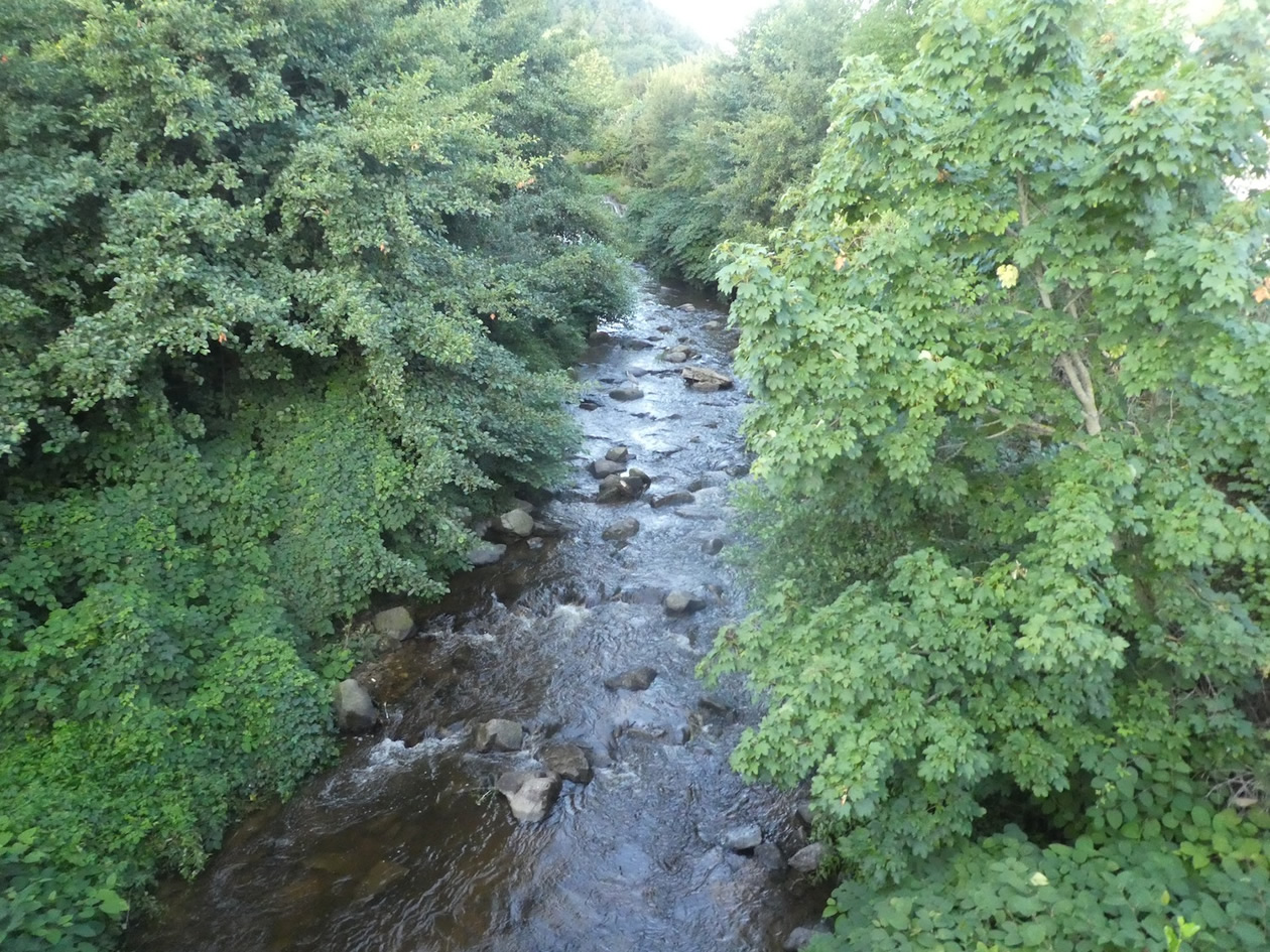
| The GR65 crosses the Déôme River amid lush vegetation, offering a dazzling display of greenery. This beautiful and modest river, which originates at Tracol pass, gracefully flows through the valley towards Annonay, before merging into the Ardèche, then into the Rhône, continuing its eternal aquatic dance. |
 |
 |
| A trail meanders between sunny clearings and shaded woodlands, where broadleaf trees reign supreme. Slender poplars stand alongside robust oaks, delicate hornbeams, and majestic chestnut trees. However, it is mainly the maples, with their leaves in countless shades, that dominate the landscape, heralding the richness of the stages to come. |
 |
 |
| Here, the walk is invigorating and peaceful, with the narrow trail cheerfully winding through the tender grass along the river. Each step feels like an invitation to serenity, at the heart of this bucolic and preserved nature. |
 |
 |
| Further on, a picturesque bridge invites walkers to explore part of the locality, serving as a link between the wild nature and civilization. |
 |
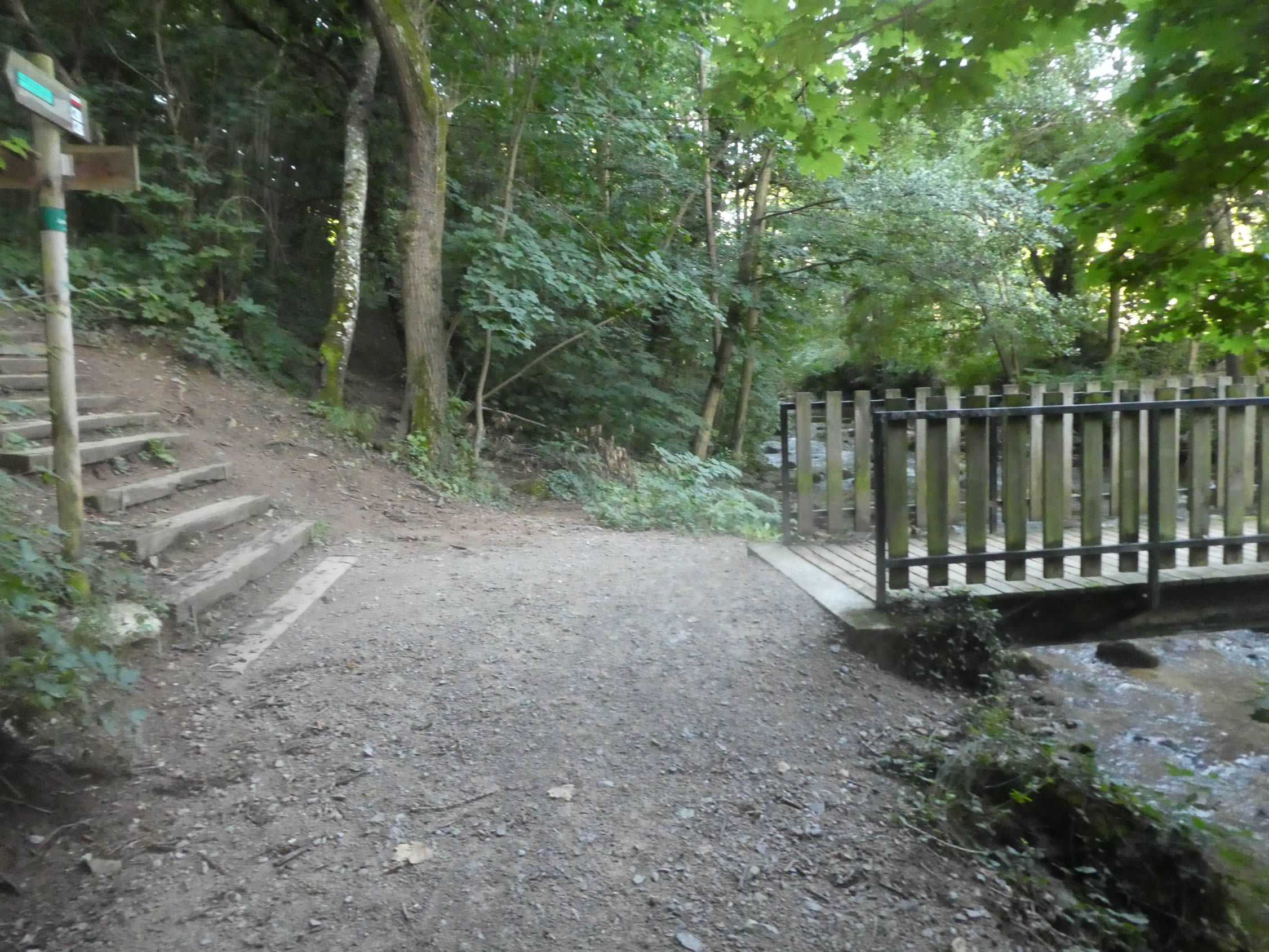 |
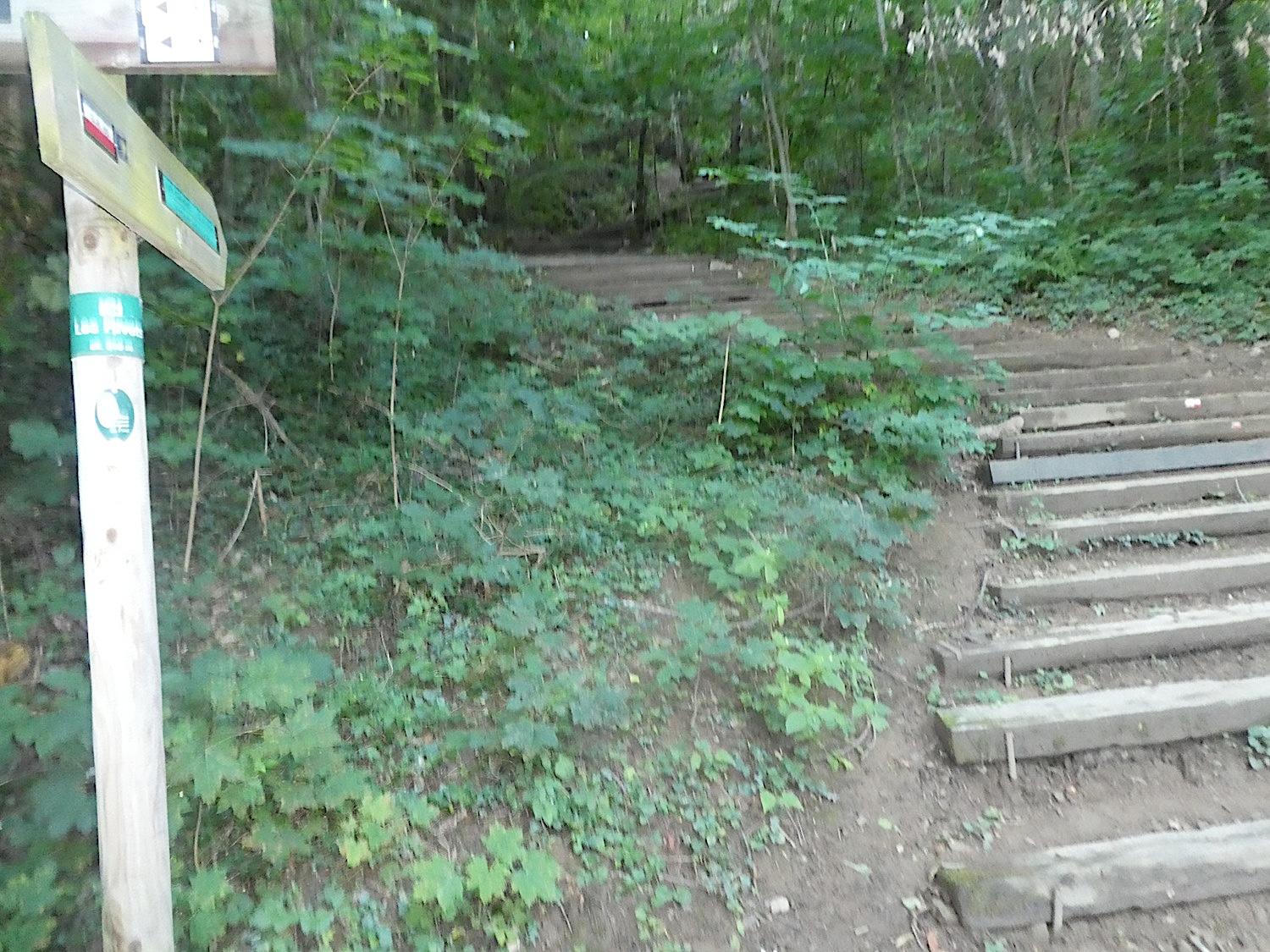
| However, the GR65, true to its unique route, bypasses the river by taking wooden stairs. These steps lead hikers to another, wider path overlooking the scene, offering a stunning view of the verdant dale. |
 |
 |
| Here, in this welcoming woodland, ash trees and maples unleash their imagination to weave a tapestry of light and shadow. They compete in magnificence, each striving to touch the skies with their slender branches. Under these majestic giants, the walkers are like little Thumbelinas, lost in an enchanted world. |
 |
 |
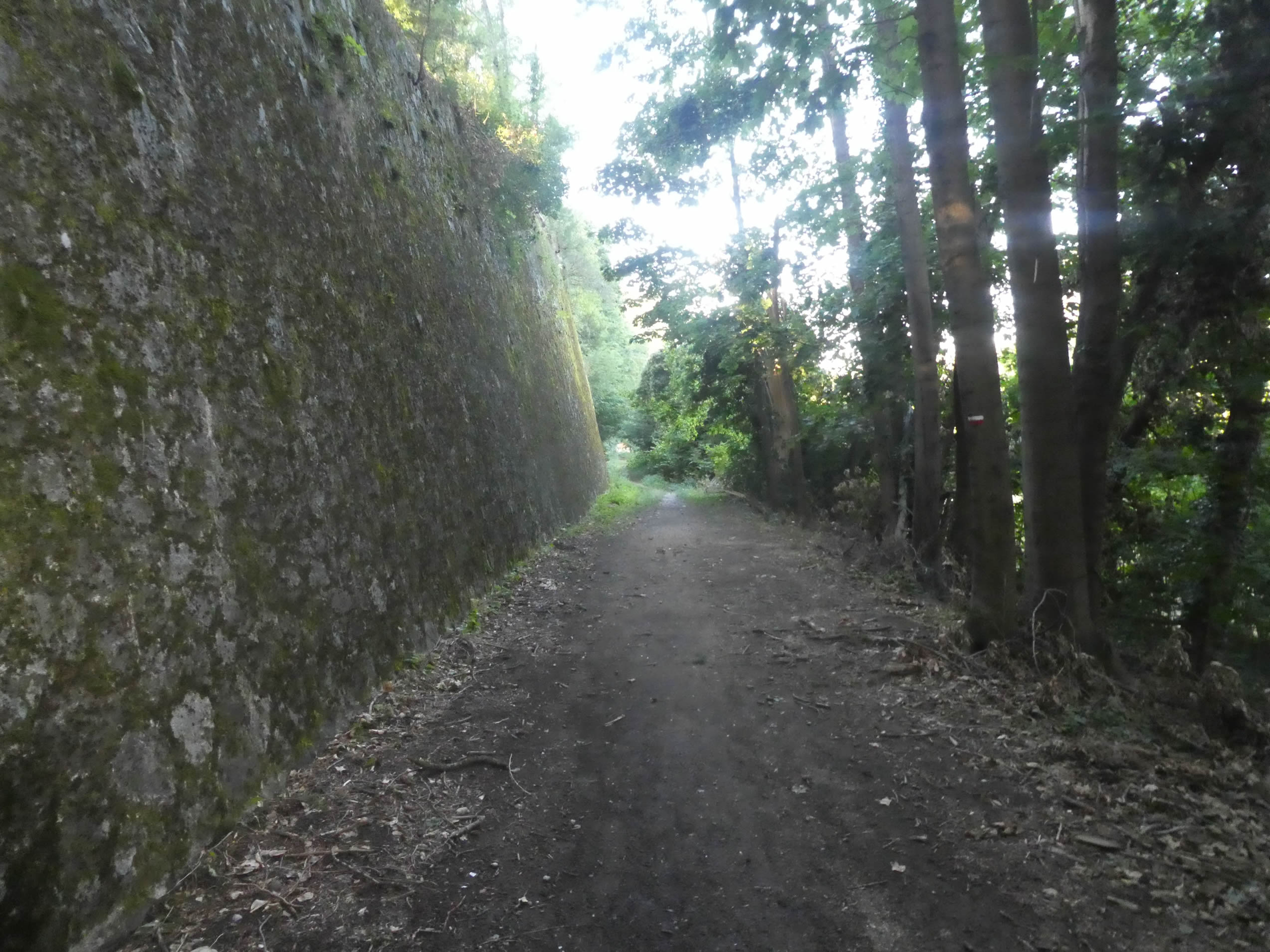
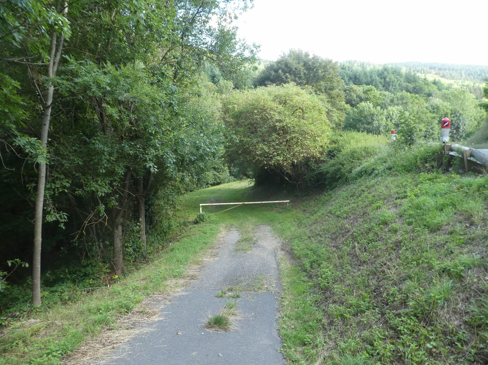
| The path then runs alongside a high wall. No, this is not the rampart of a forgotten fortress but merely a retaining wall from the old railway line, a relic from another time. Then, the trail leaves the woodland and its dense vegetation, opening up to new horizons. |
 |
 |
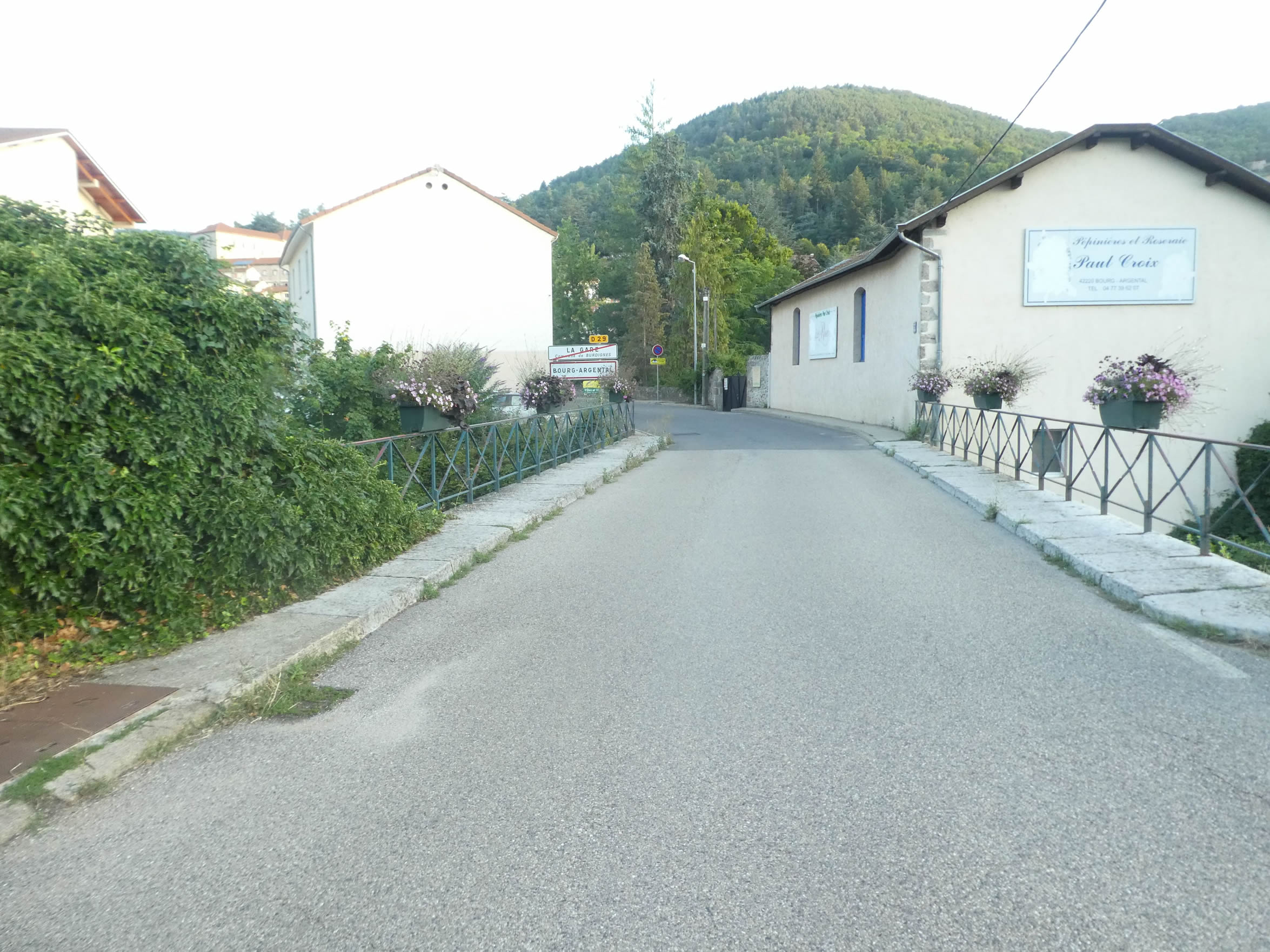
| A road soon appears, leading to the old train station. A paradox of the past, this neighborhood still bears the name La Gare, although no train has stopped there since the mid-20th century. The great minds of Parisian administration then decided to dismantle nearly half of the French railway network, naively believing that a train from Paris to Marseille and another to Bordeaux would suffice for the nation’s needs. Yet, a vital line once passed here, linking two major cities: St Étienne (500,000 inhabitants in the urban area) and Annonay (50,000 inhabitants in the urban area). Imagining today’s public transport journey from Bourg-Argental to St Étienne is akin to a lunar expedition. It’s better to undertake the journey on foot or horseback. This gives an understanding of the misery and discontent in France’s disadvantaged regions, where the car is often the only means of transportation. |
 |
 |
| A road then slopes down towards the small town, gently winding through the landscape. |
 |
 |
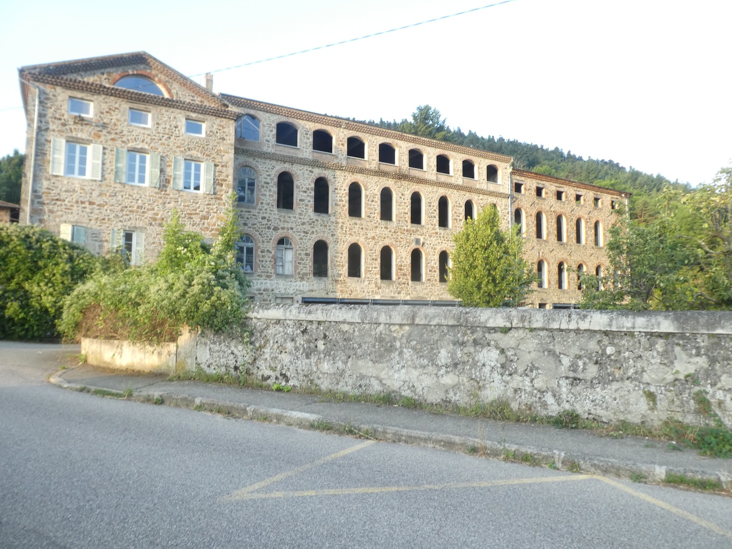
Along this road, a few remnants of old factories still stand, silent ghosts of a bygone era when the region was a hub of flourishing industry, particularly in textiles.
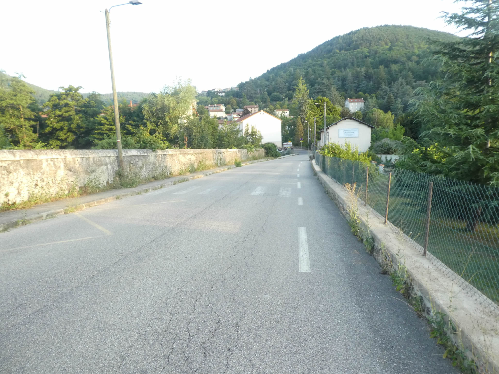
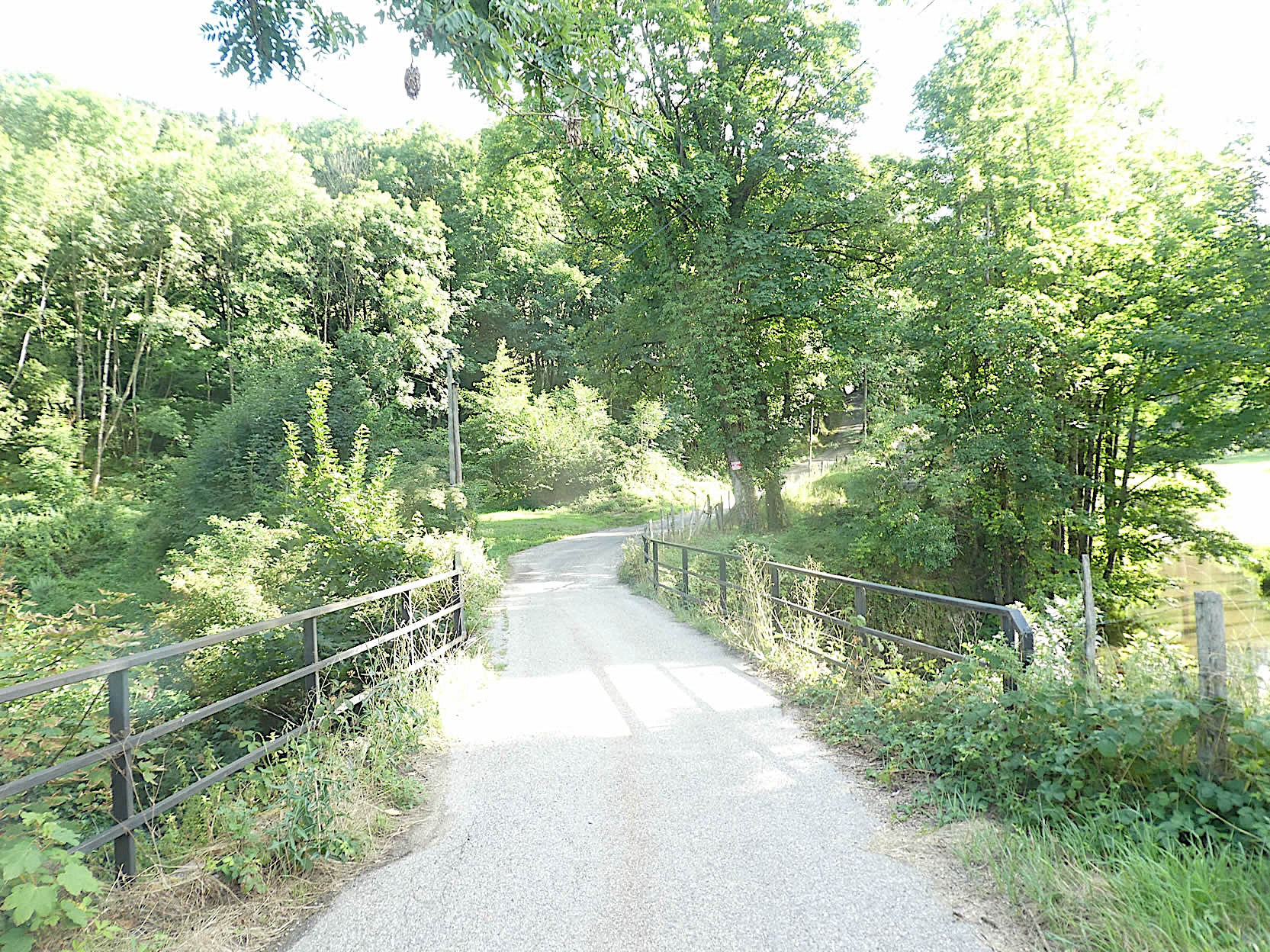
| The road crosses the Déôme River once more, joyfully dancing over the stones, before entering the outskirts of Bourg-Argental. |
 |
 |
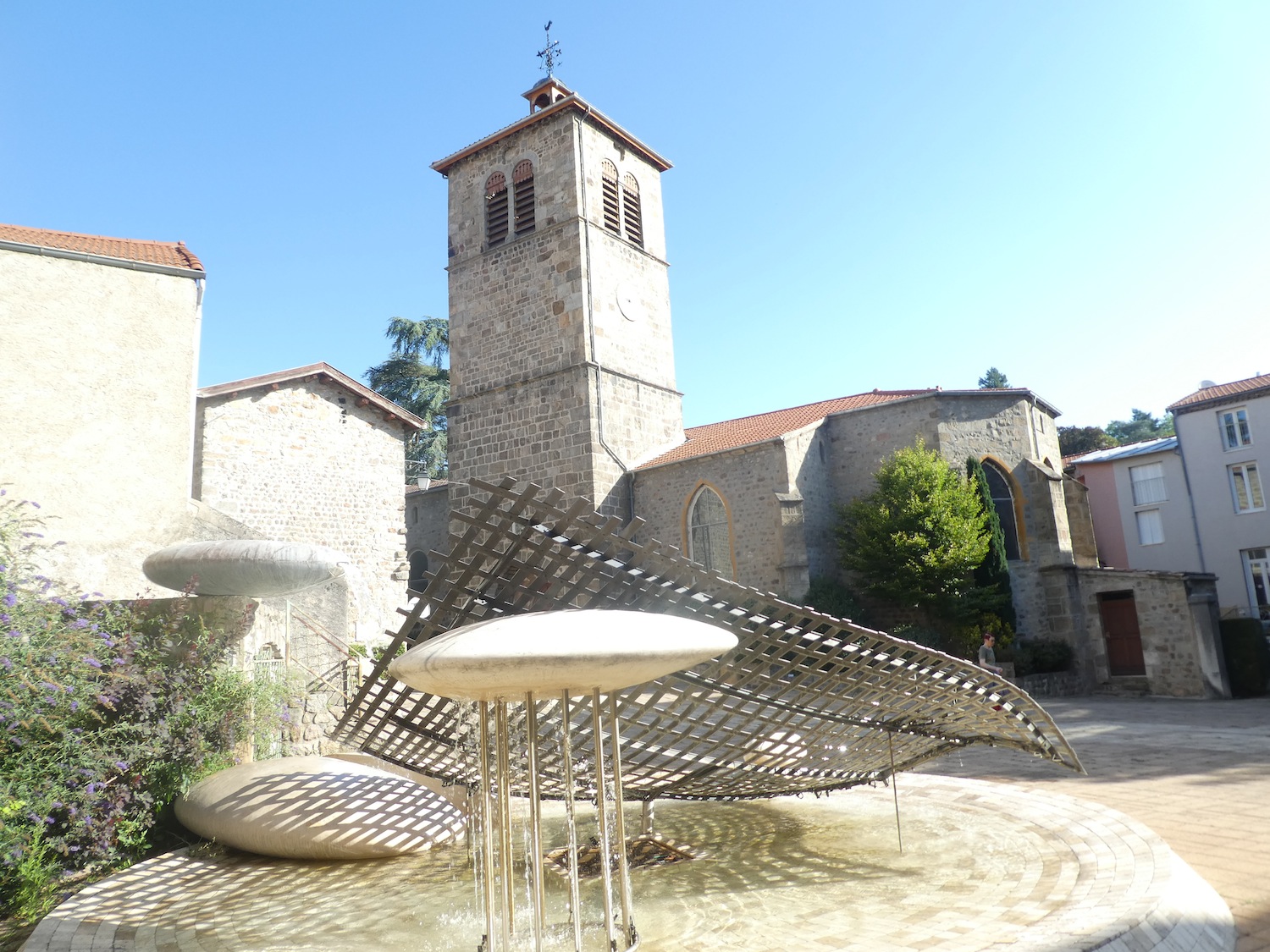
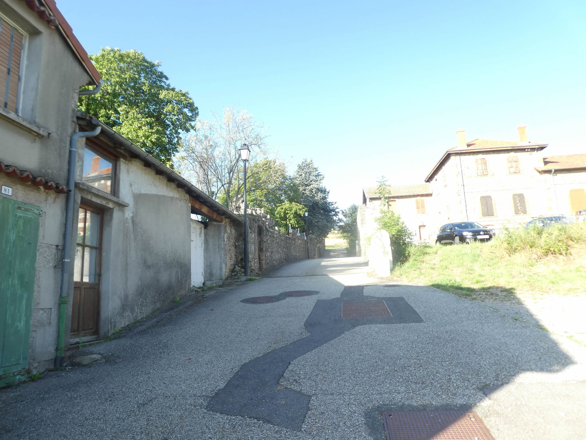
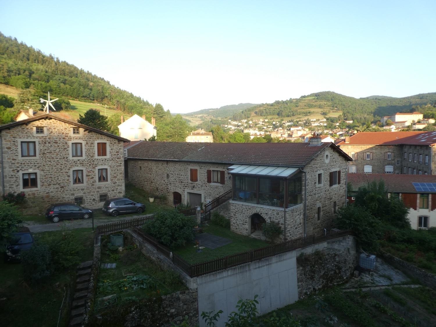
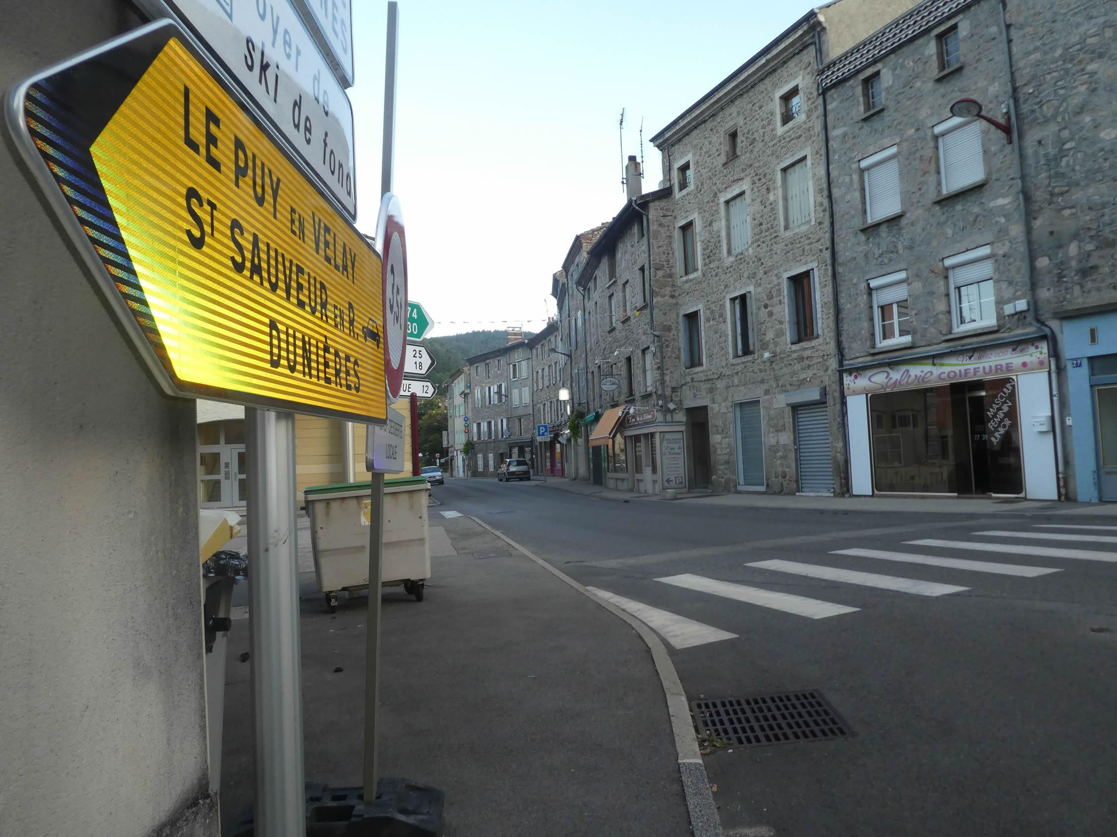
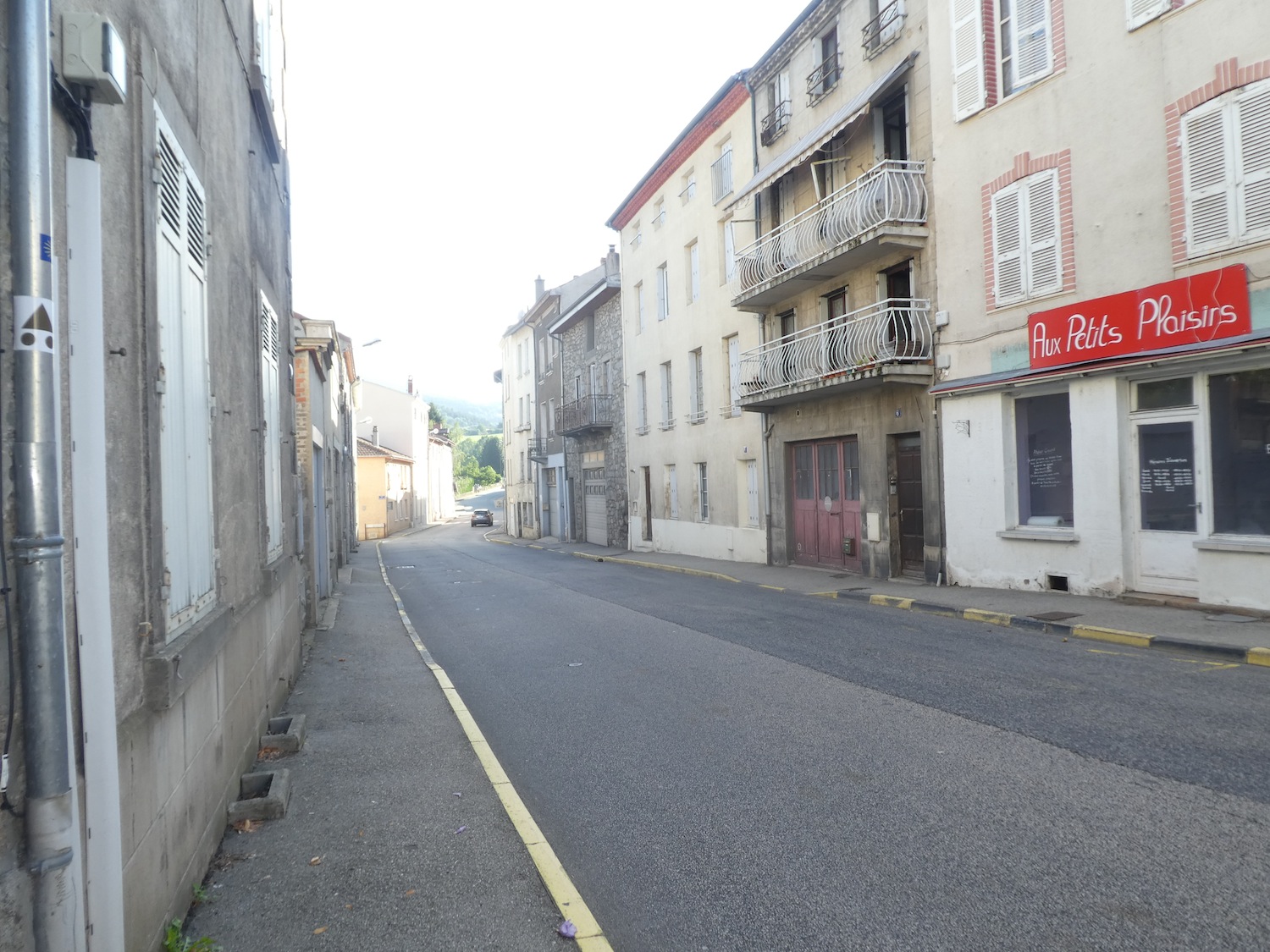
| You will quickly reach the center of this town of 3,000 souls. The locality owes its name to the Argental River, which murmurs as it flows through. The dominant architecture here consists mainly of gray, stately houses built from cut stone, testifying to the robustness and elegance of the past. |
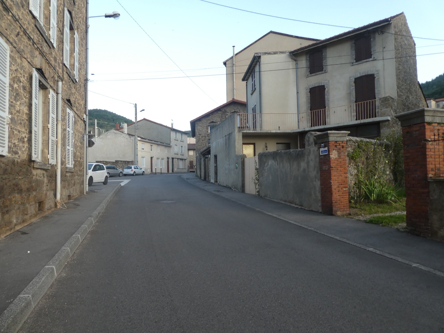 |
 |
| From the modest St André church, only the Romanesque portal from the 12th century remains, a gateway to history that opens onto centuries of devotion and tradition. |
 |
 |
| The GR65 runs through the town, sharing its path here with the GR42, another long-distance trail that connects St Étienne to the Ardèche. |
 |
 |
| At the exit, the road crosses the Argental, hidden in the tall grass, before it joins the Déôme nearby. |
 |
 |
| Previously, the GR65 followed a fairly busy road, the departmental road of the valley. Now, it escapes into the grass, peacefully following the Déôme, far from the noise and bustle. |
 |
 |
Section 3: In the woods above Bourg-Argental

Overview of the route’s challenges: The slopes are often quite steep to reach the old railway line near Bandol; then, an easy journey follows along the old railway line.

|
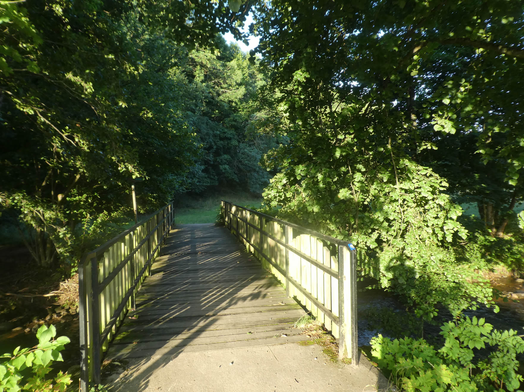
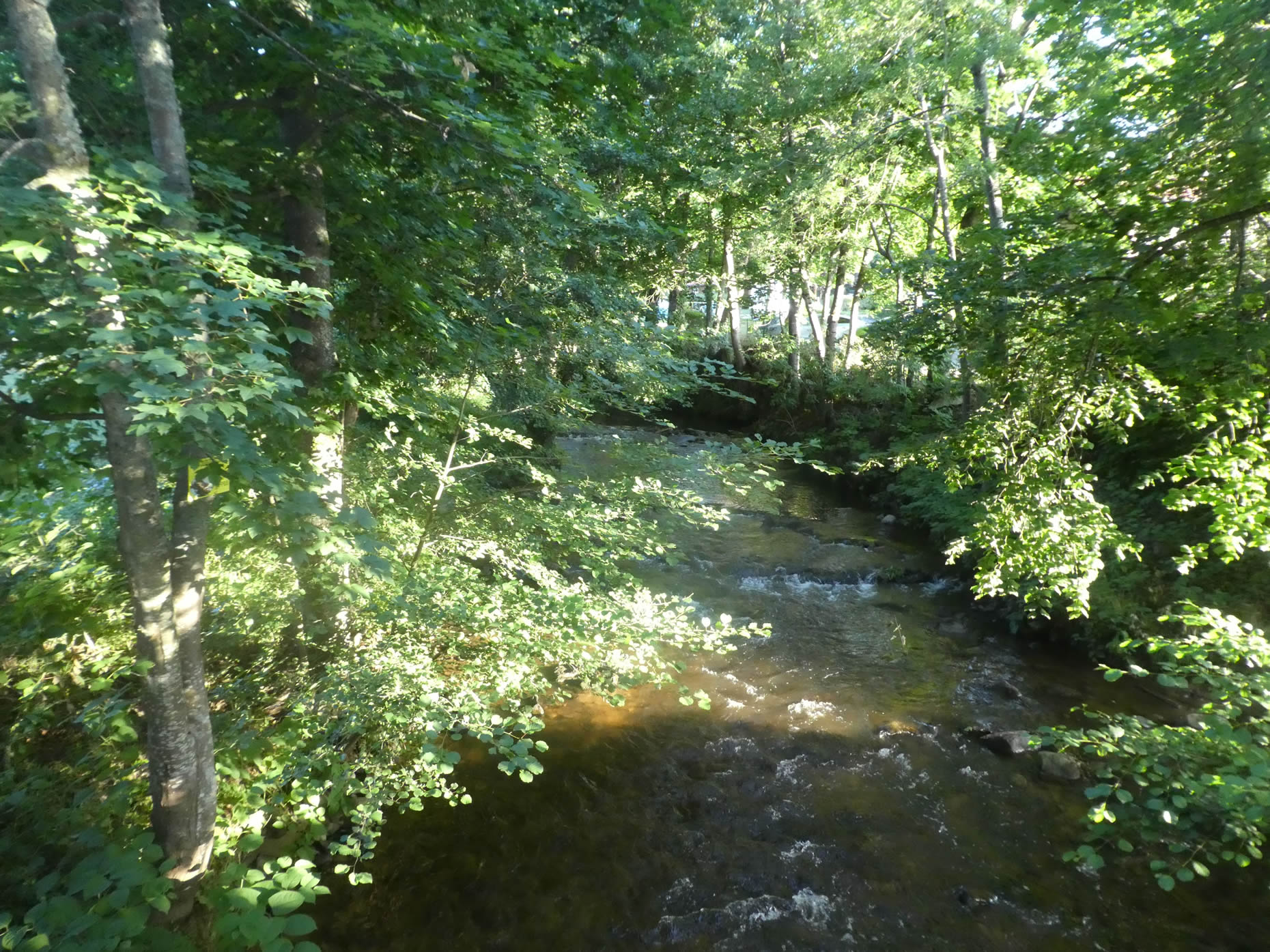
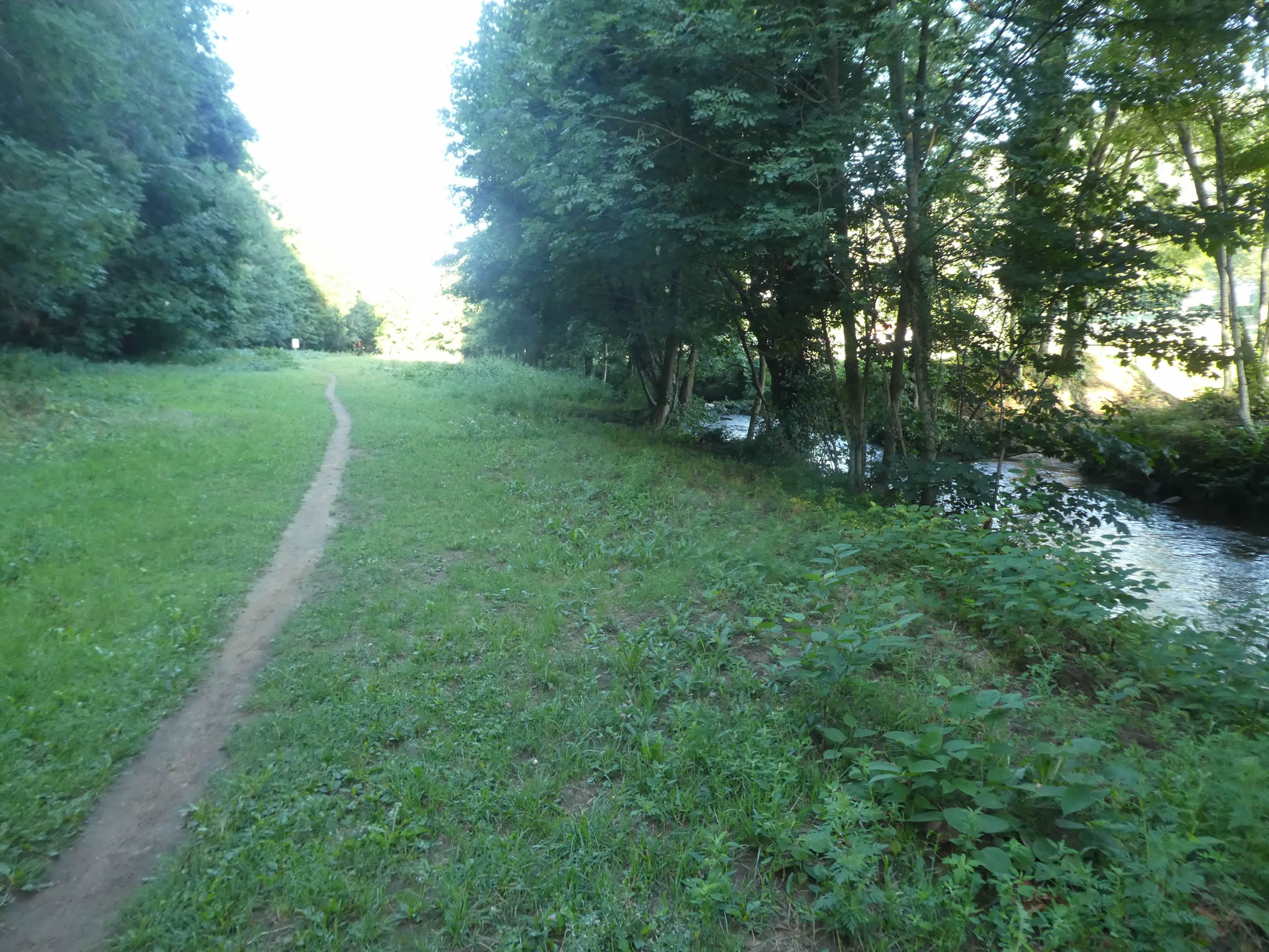
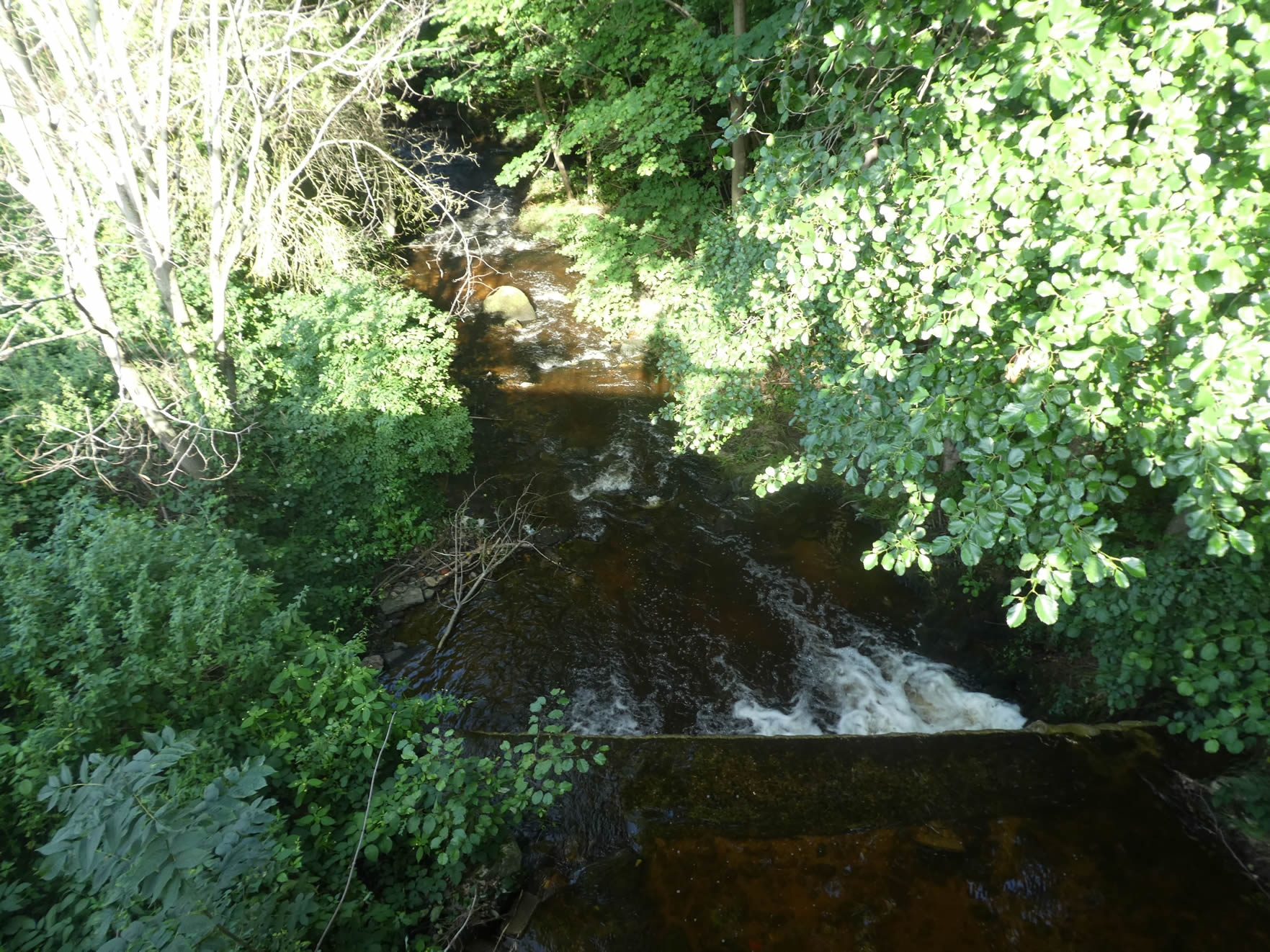
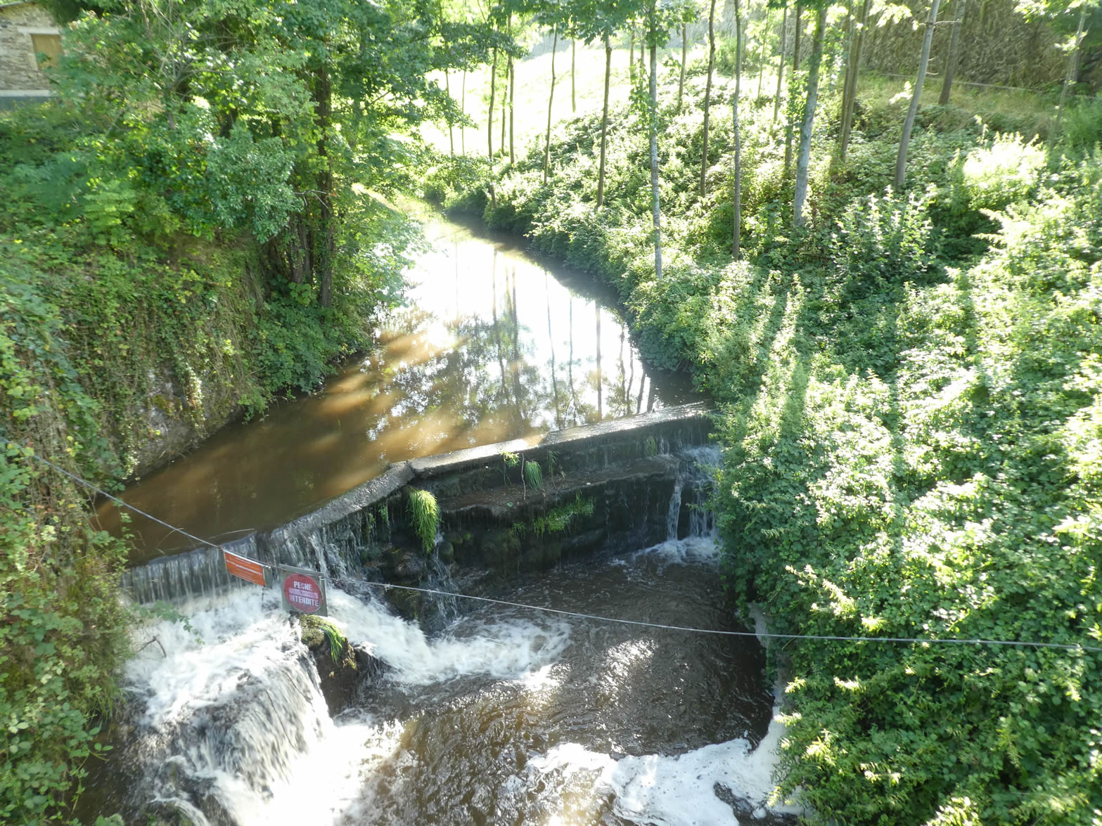
After briefly following the murmuring banks of the Déôme, the path crosses the river, which cascades majestically, refreshing the landscape and transforming it into a living painting where the water sings in harmony with the surrounding nature.
|
 |
 |
| The first part of the ascent takes place on a winding road, bordered by dense undergrowth where ash trees and maples weave a leafy canopy over bright clearings, carpeted with lush meadows. The sun’s rays play hide-and-seek with the shadows, creating a fascinating natural spectacle. |
 |
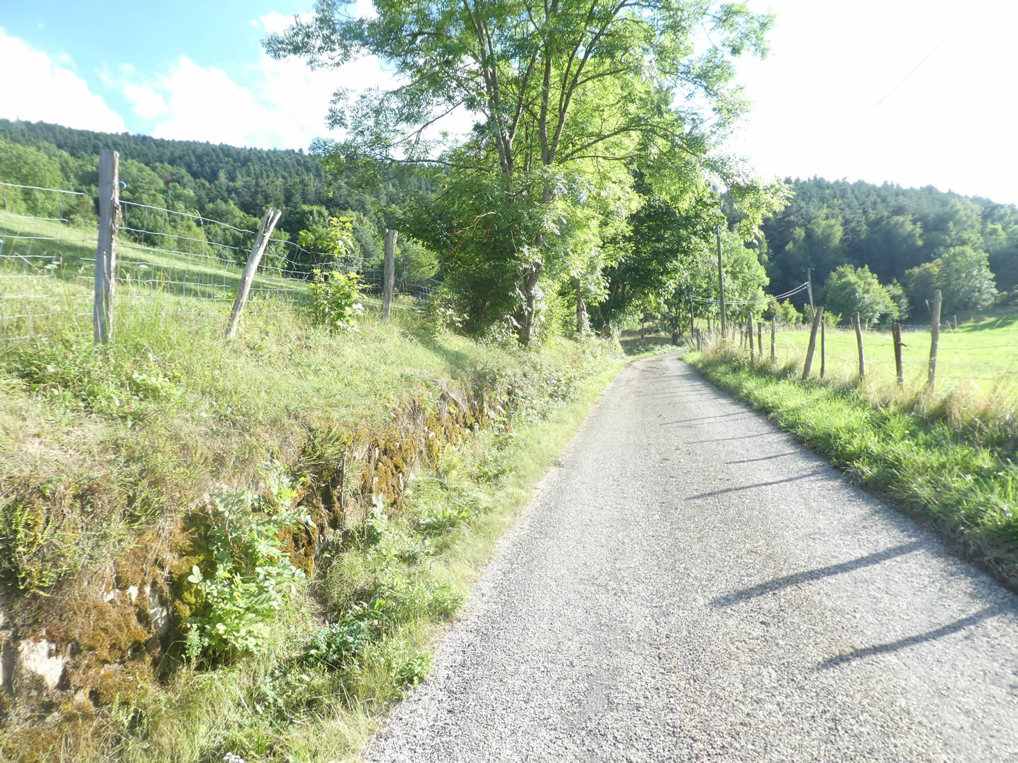 |
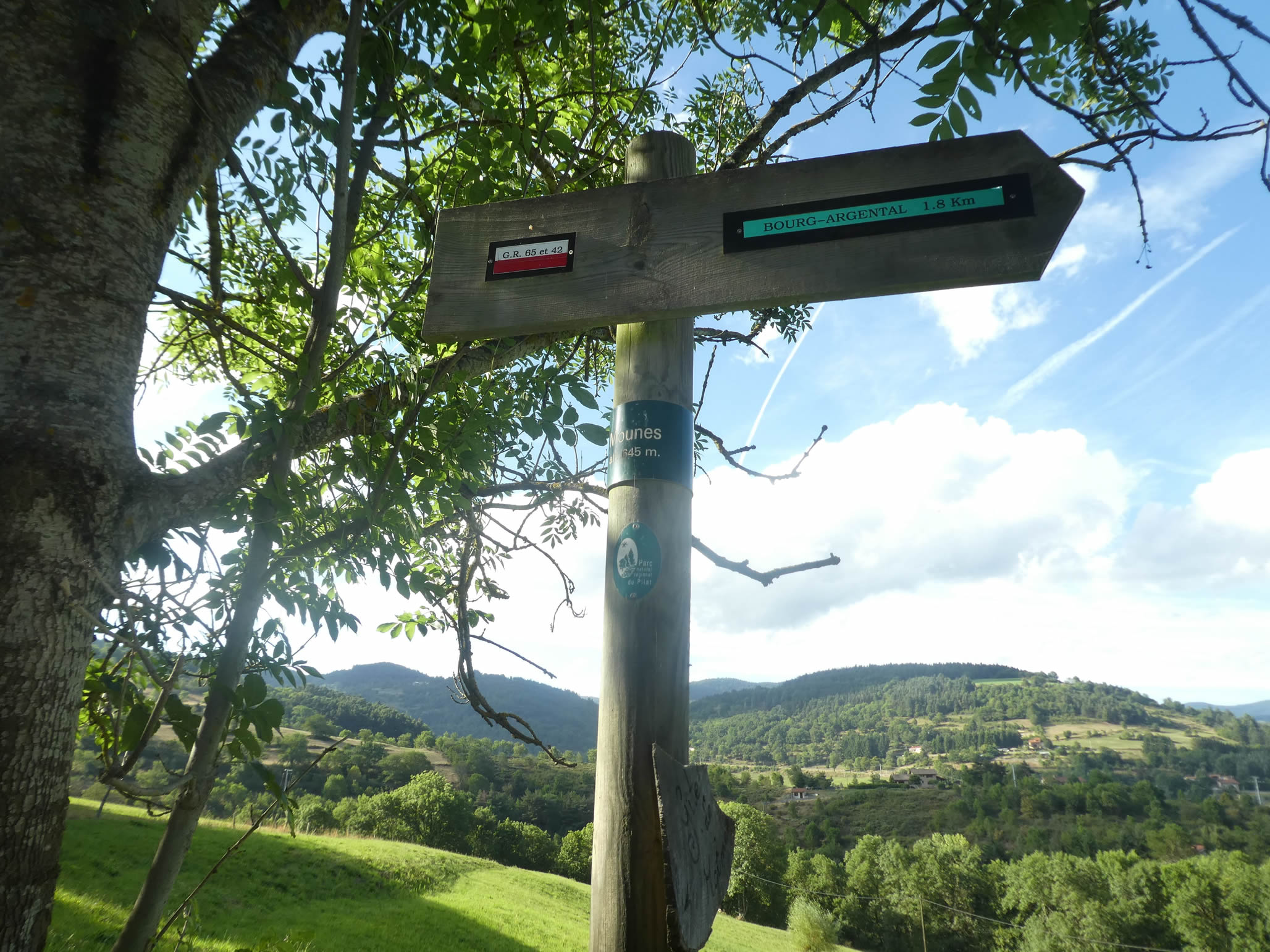
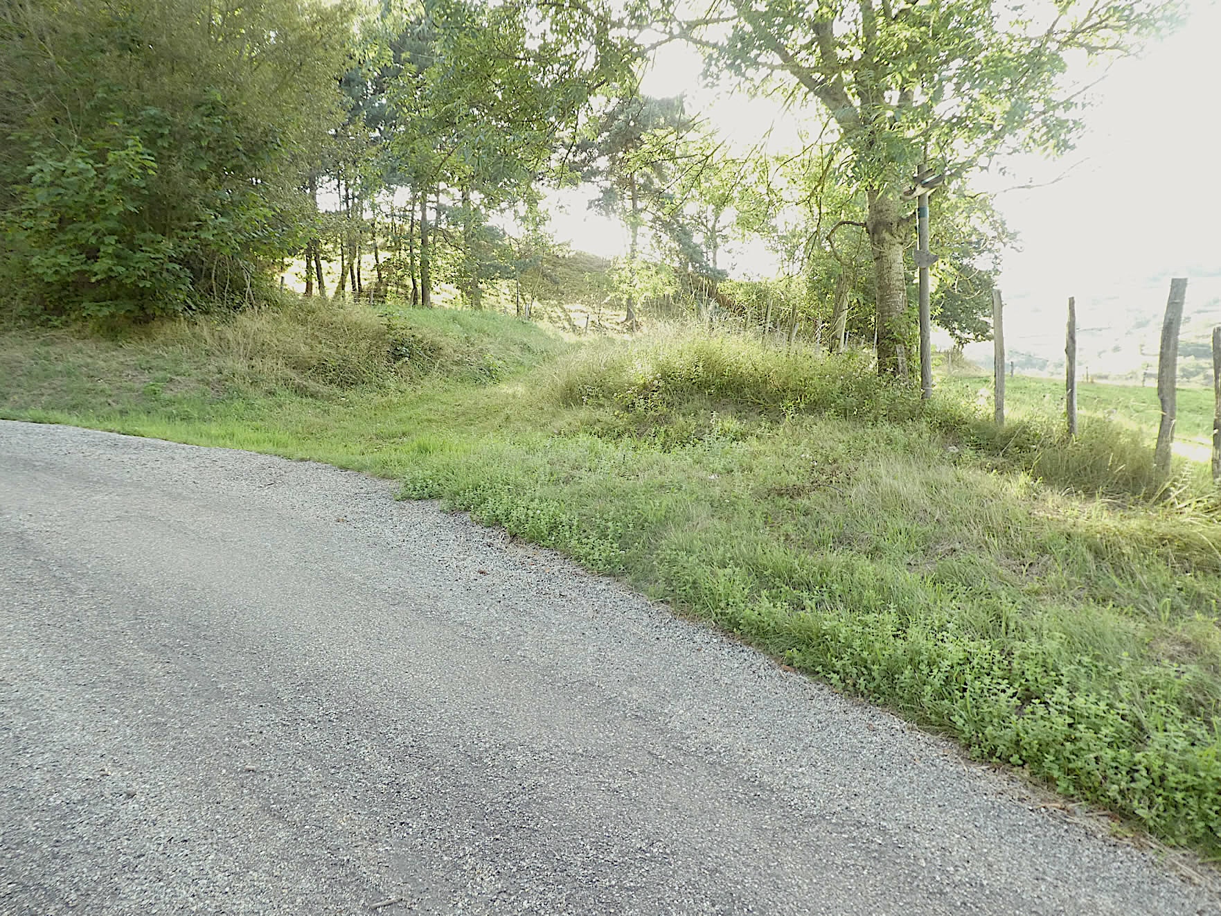
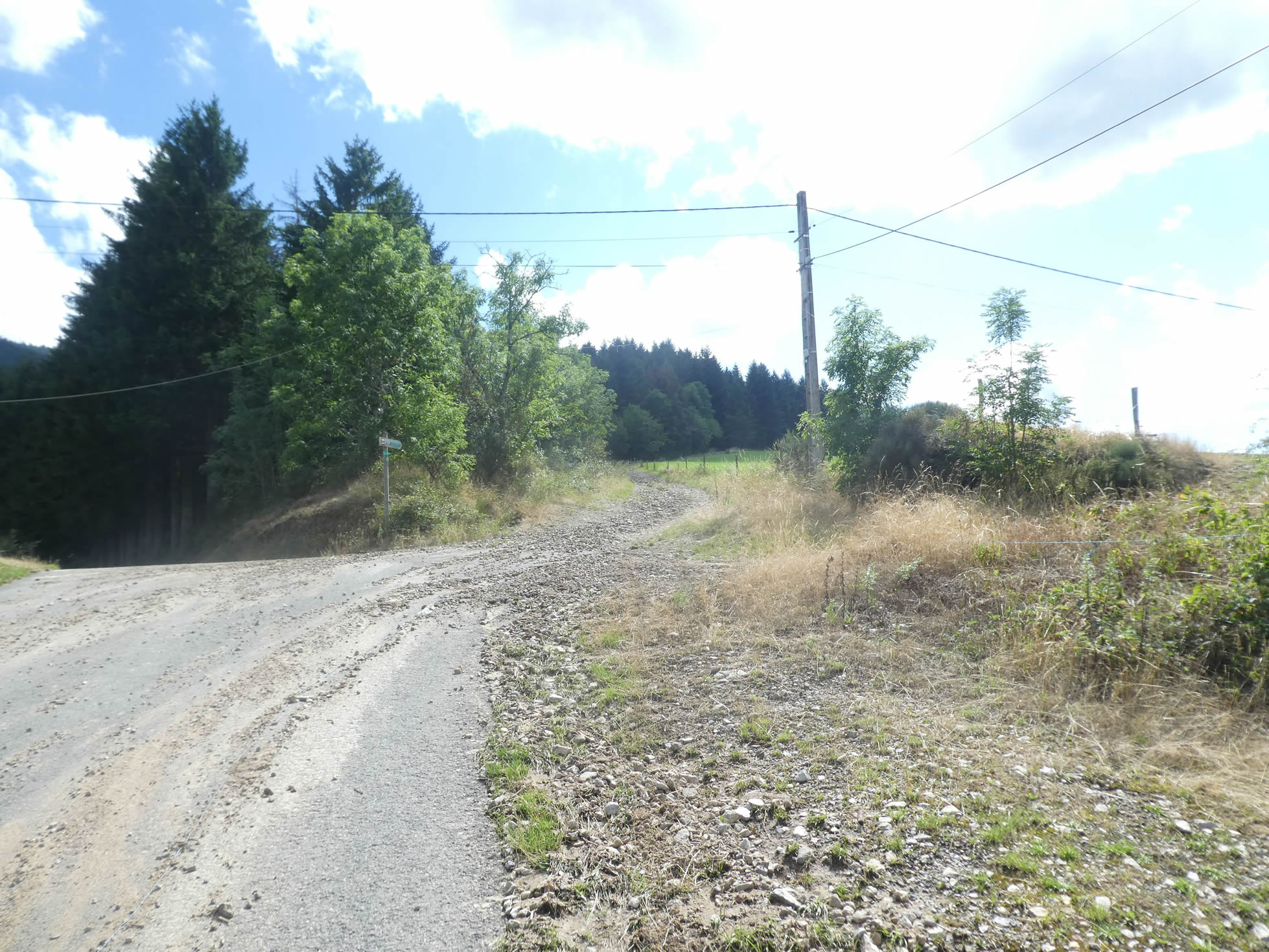
| Near the picturesque hamlet of Mounes, which the GR65 does not cross, the route leaves the asphalt to venture onto dirt. |
 |
 |
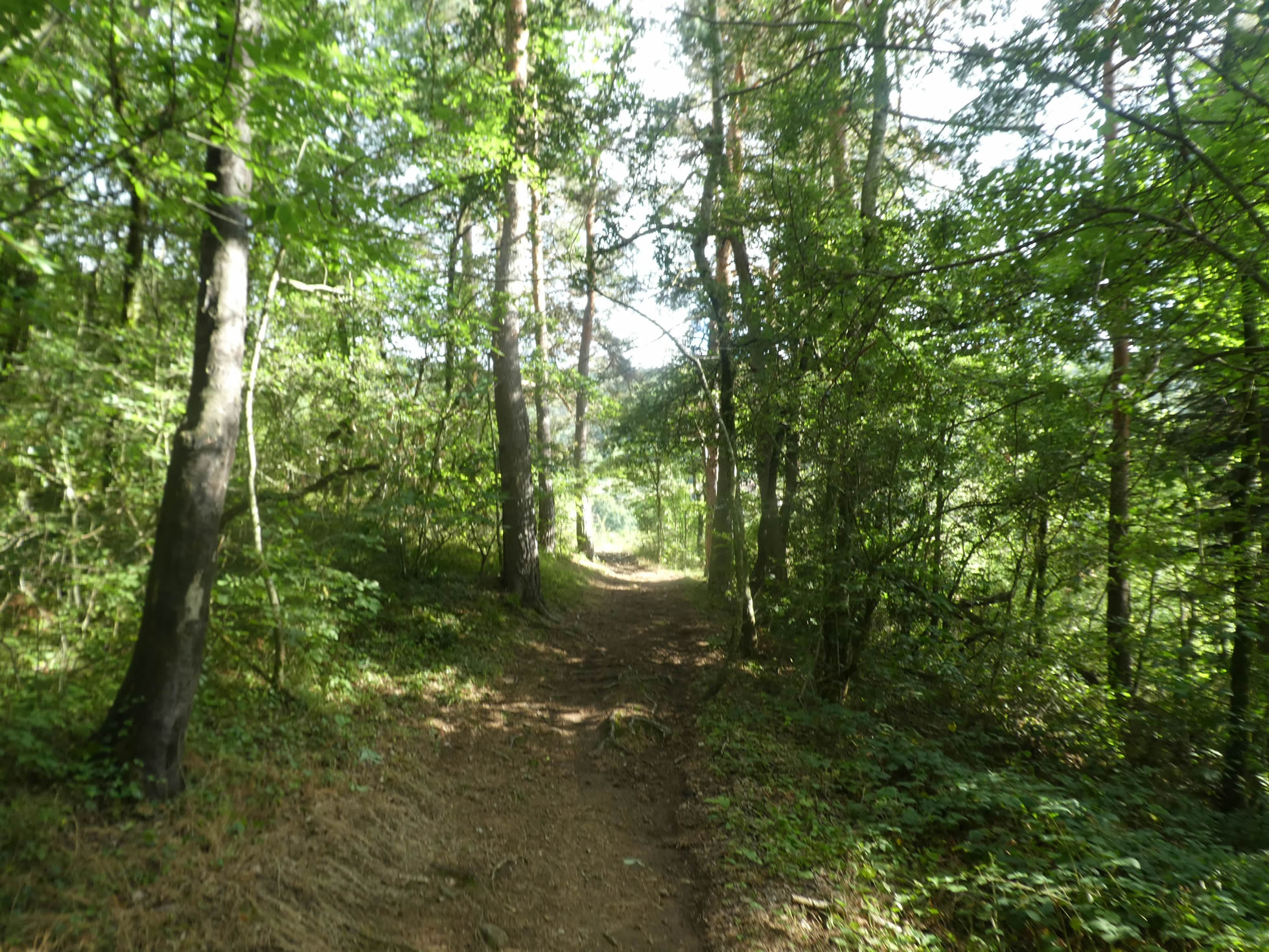
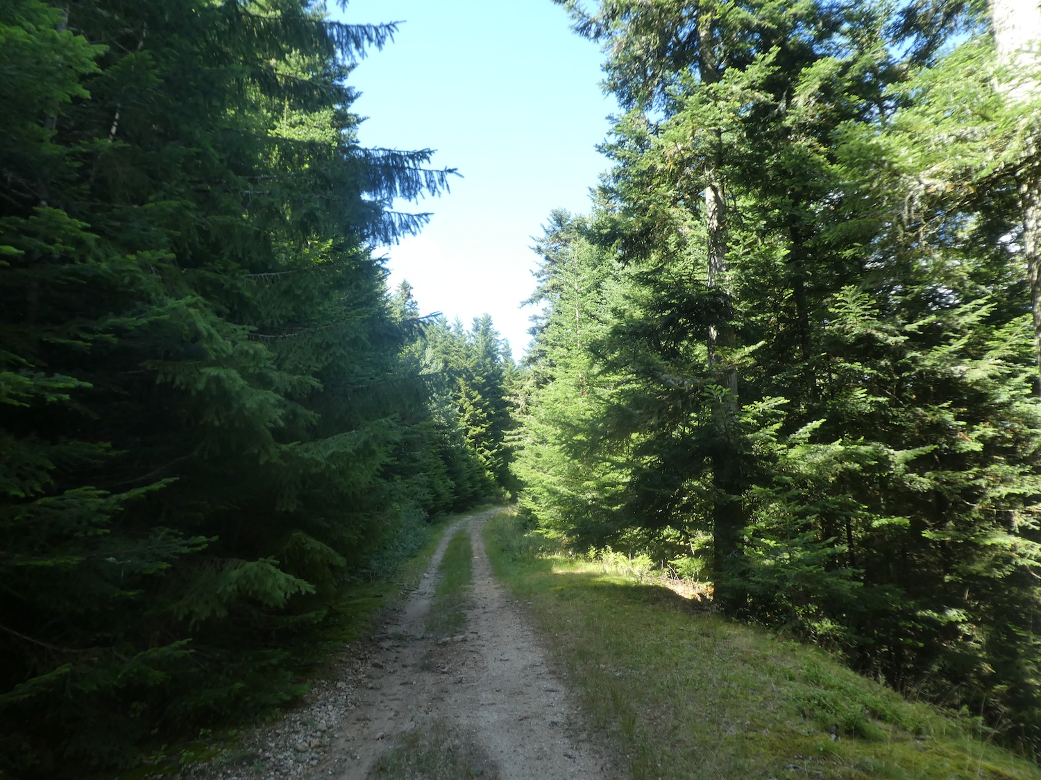
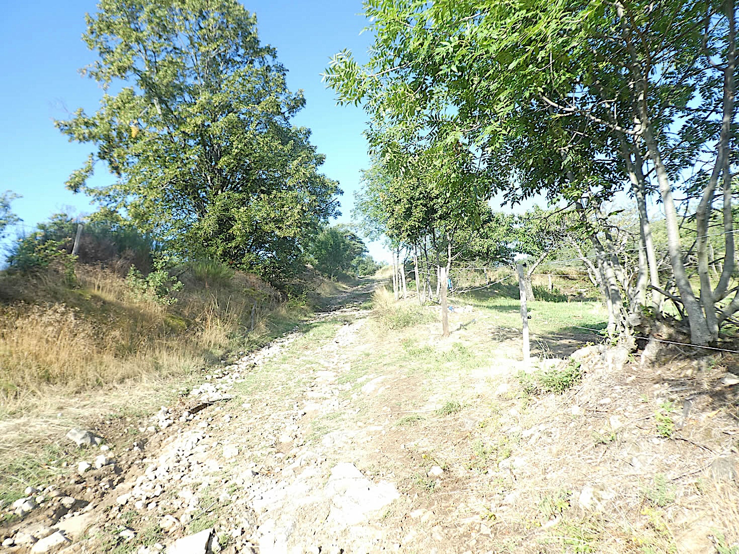
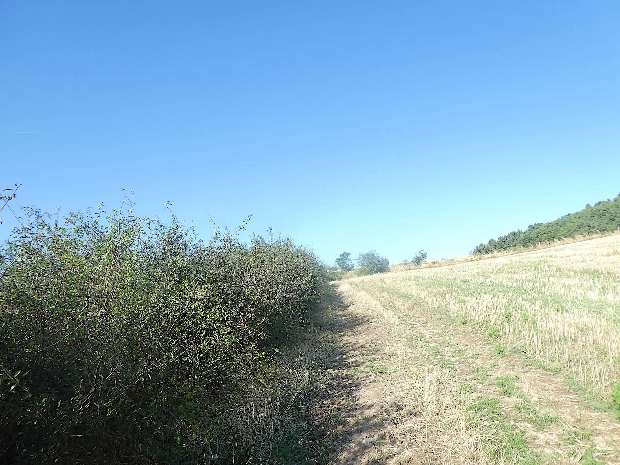
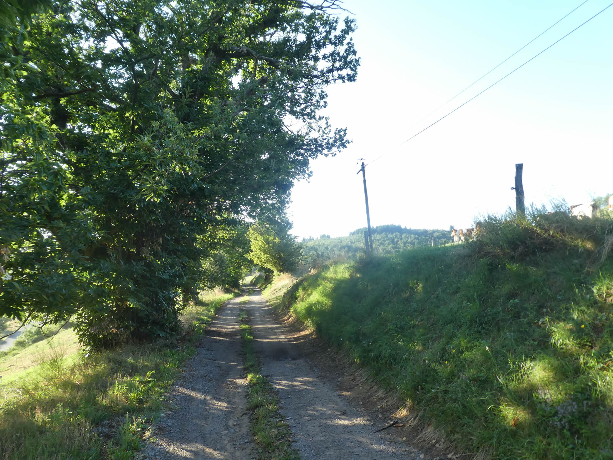
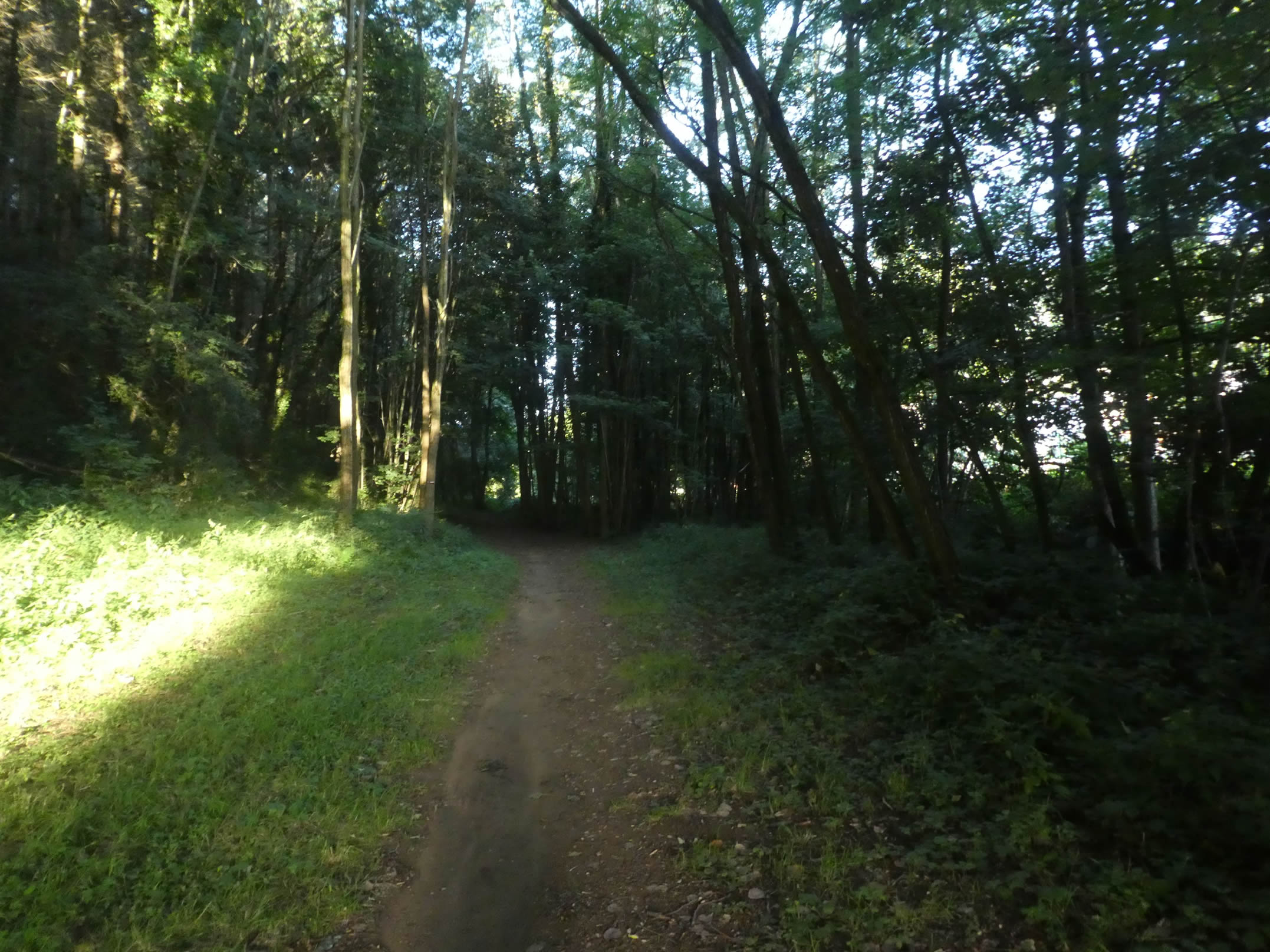
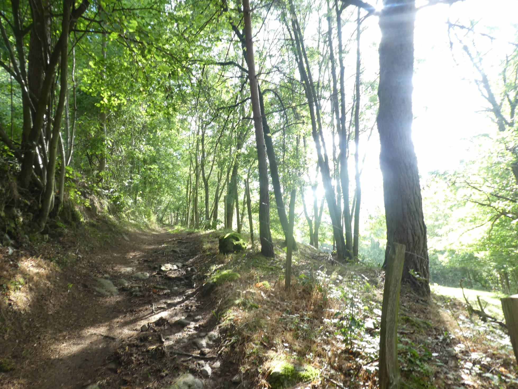
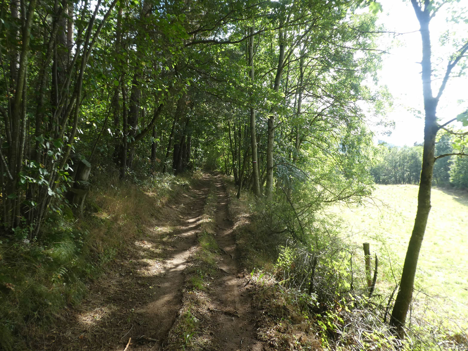
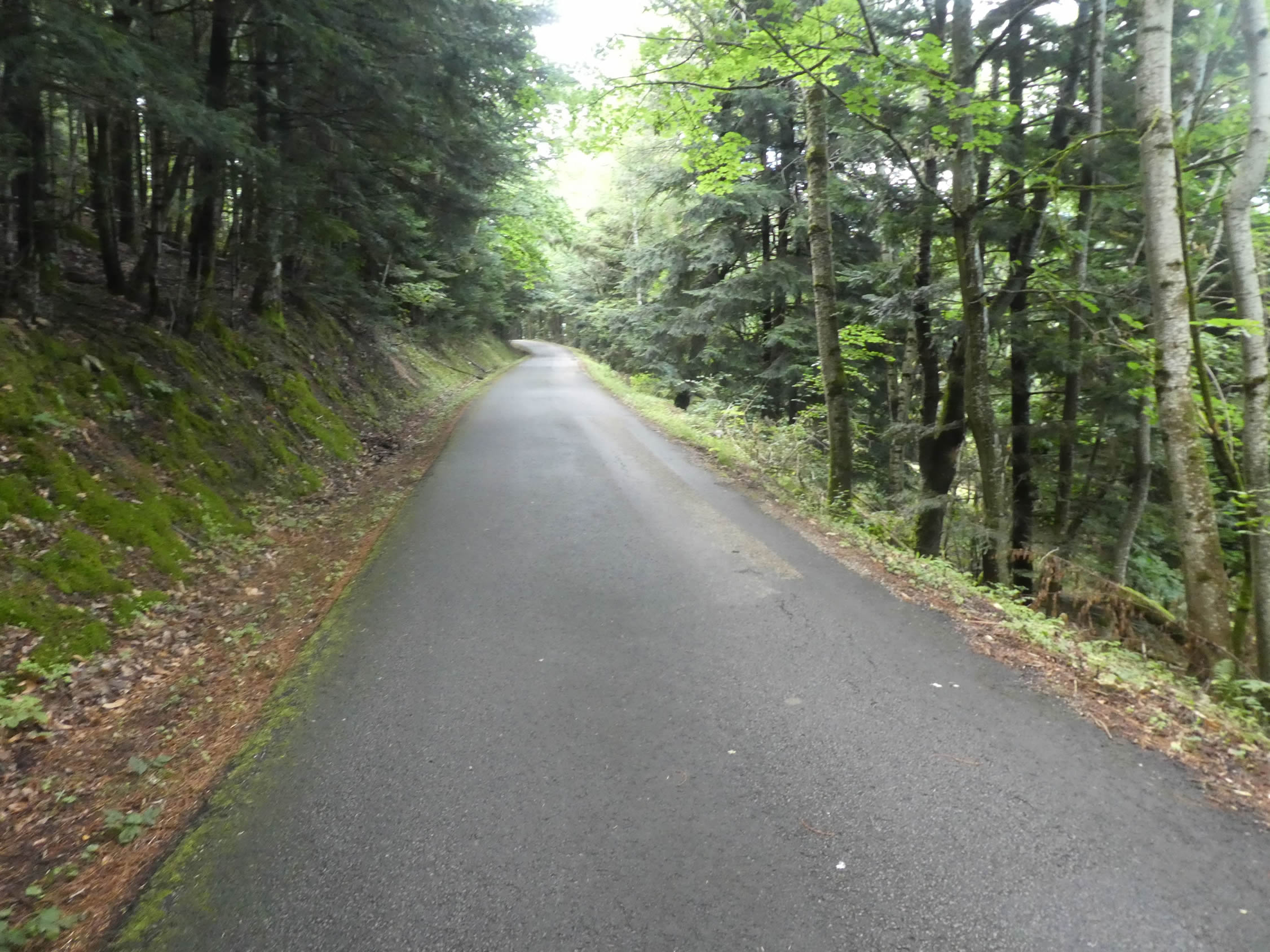
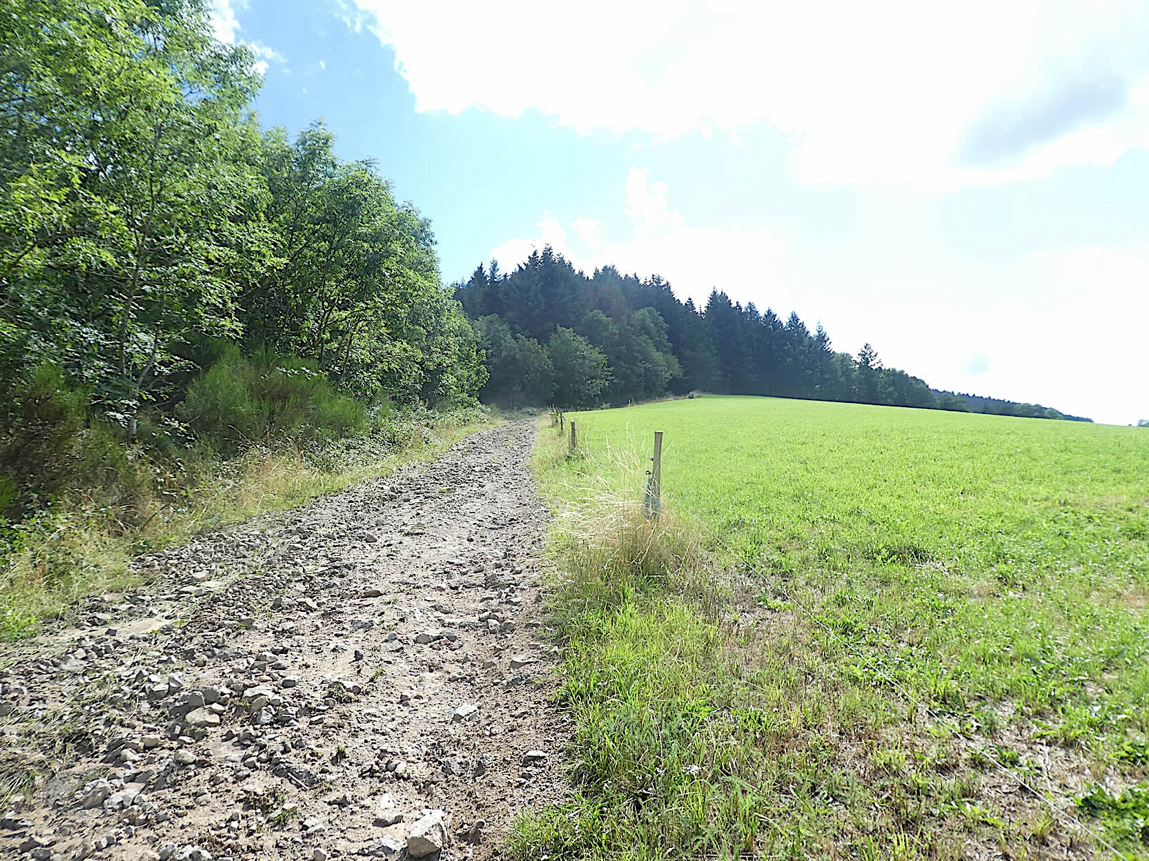
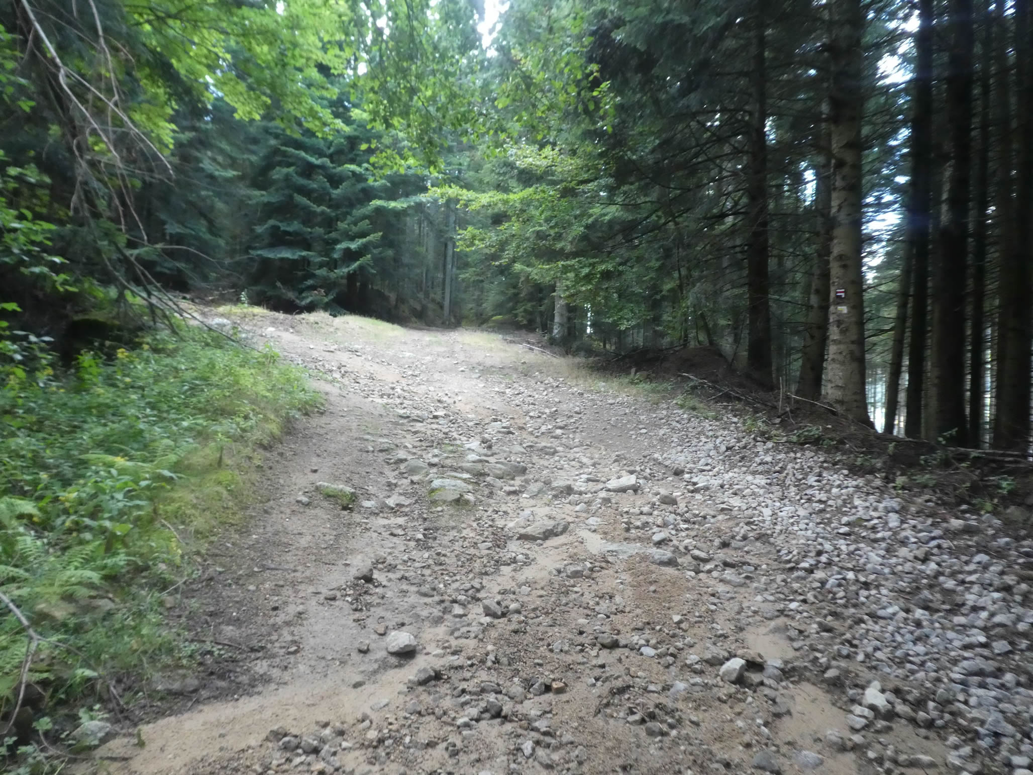
| This trail, sparsely scattered with stones, winds for over a kilometer through a woodland dominated by broadleaf trees, where conifers remain discreet. The slope varies, oscillating between gentle inclines of 10% to 15%, offering a pleasant challenge for hikers. |
 |
 |
| The trail alternates between the shaded depths of the woods and the edges of clearings. Here, the chestnut trees, though lean and frail, strive to thrive, while the few oaks and omnipresent maples compete for space with the ash trees. Hornbeams and beeches, once rulers of this dense forest, now appear shy, hidden among the tangled vegetation. |
 |
 |
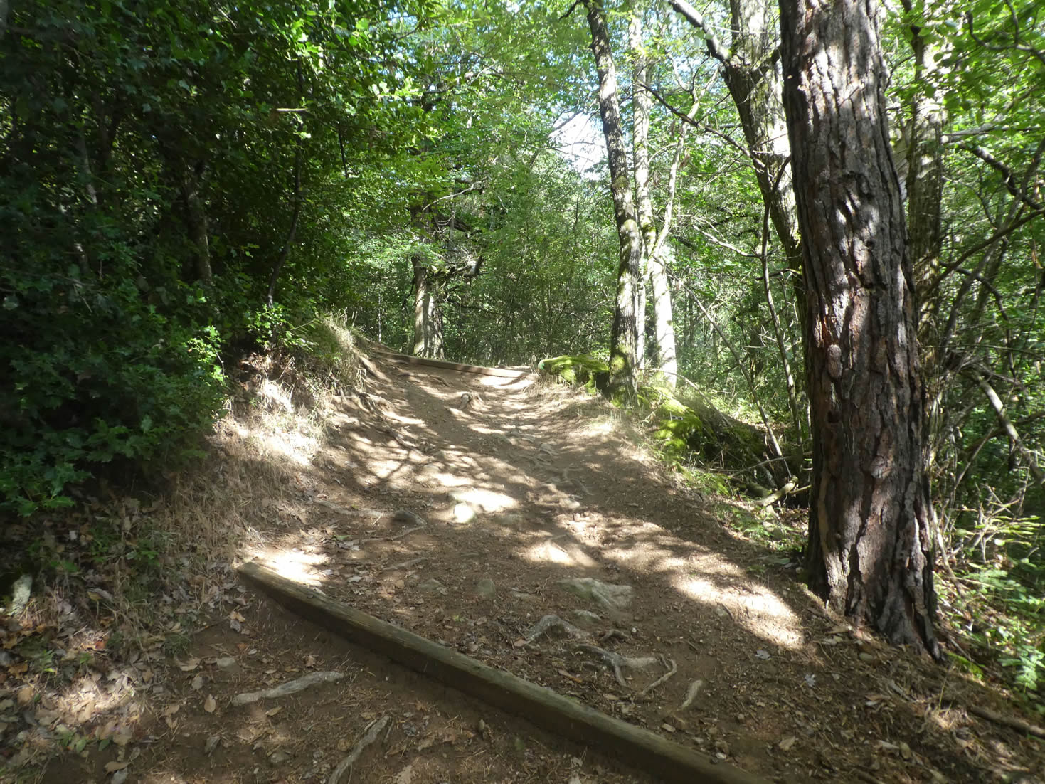
| The slope isn’t always steep, and the path often climbs in stages. Sometimes it stretches over smooth, brown earth; at other times, it’s cluttered with trailing roots and large stones, turning the hike into a dynamic adventure. The forest, in some places, takes on a magical atmosphere, as if straight out of a fairy tale. |
 |
 |
| Higher up, a short section presents a more severe incline, exceeding 15%, adding a touch of intensity to this not always peaceful climb. |
 |
 |
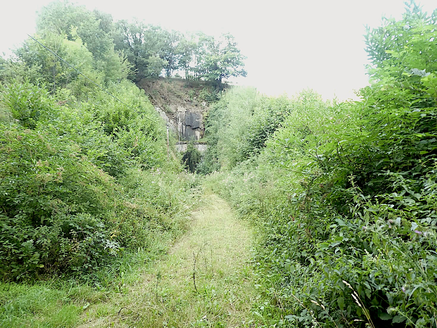
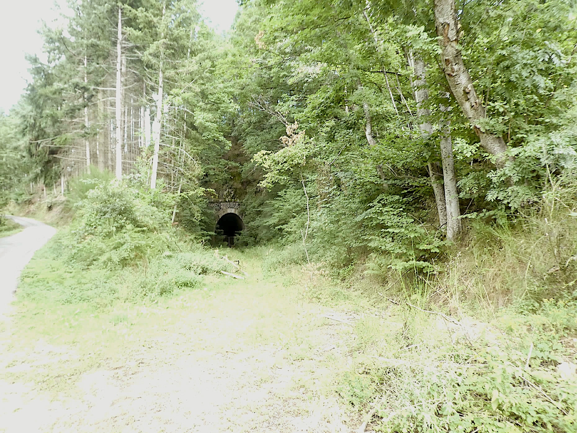
| Further along, the slope softens, and the trail crosses a vast expanse of tall grass, rippling in the breeze. In the distance, a tunnel appears, a silent relic of the old railway line. It was certainly not a high-speed train that passed here in the last century, as the slope was still steep enough to challenge the locomotives of the time, descending towards Bourg-Argental. You can easily imagine the train looping to reach the outskirts of the village, nestled far below. |
 |
 |
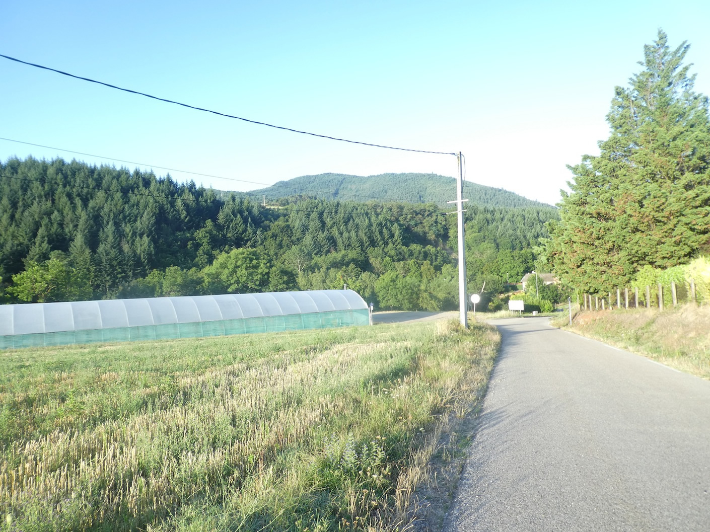
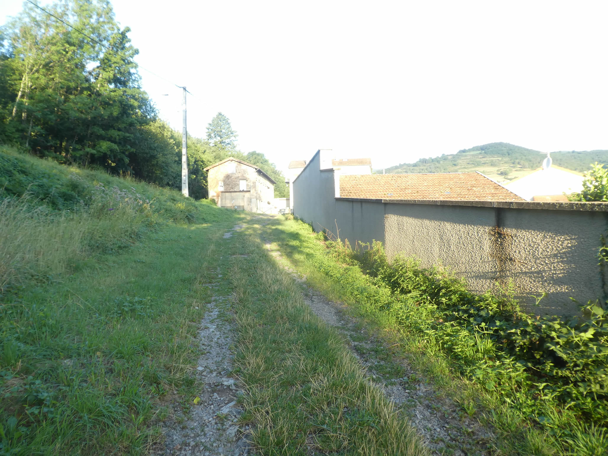
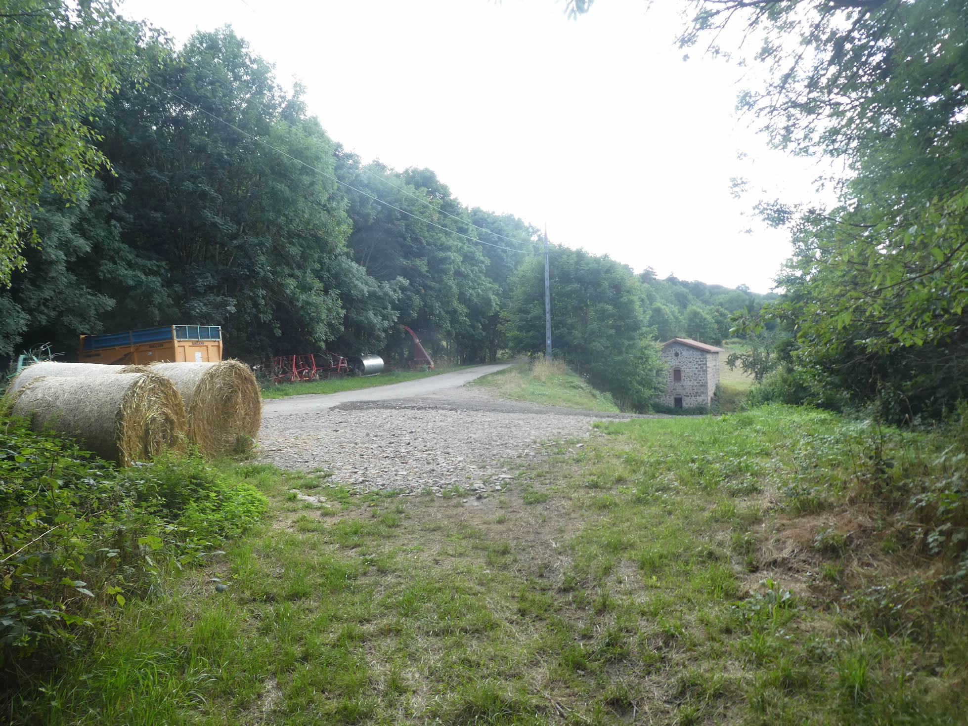
| The trail then joins a small paved road, likely built mostly on the old railway track, at the level of the farming hamlet of Badol. |
 |
 |
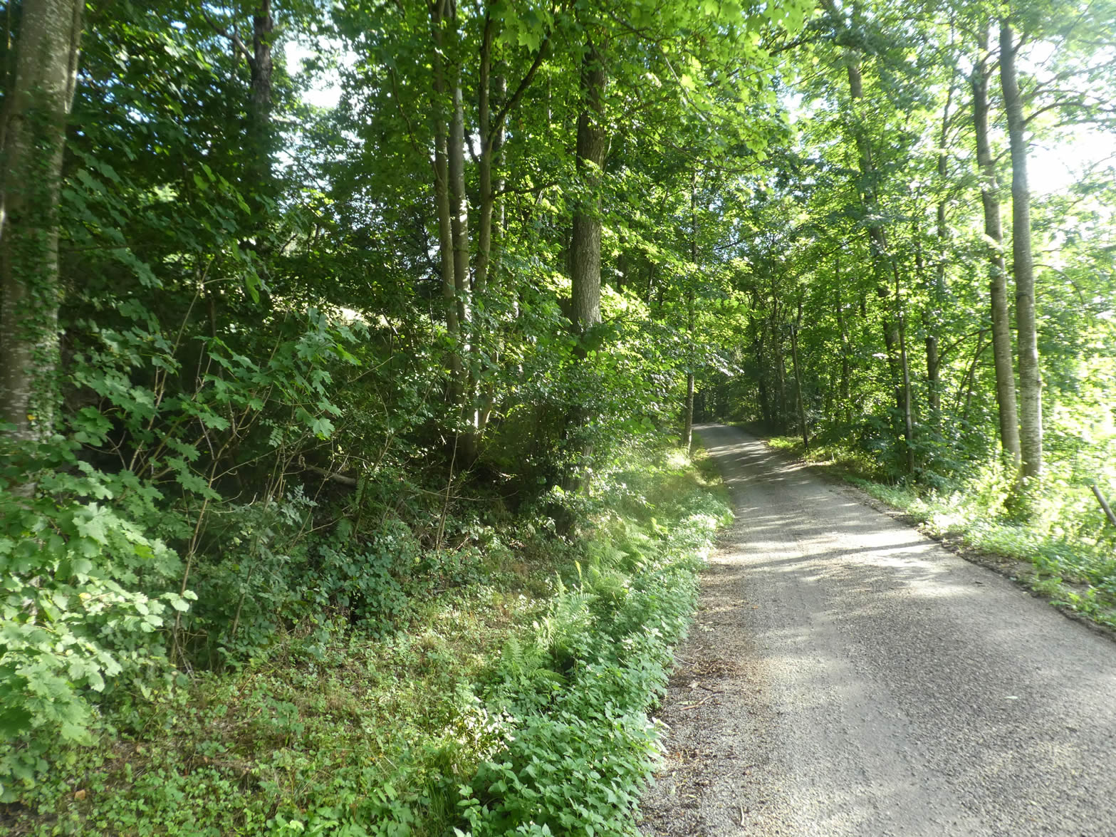
| The GR65 will follow this road for nearly two kilometers, bordered by dense and mysterious forests. |
 |
 |
| Here, stunted maples and tall ash trees dominate the landscape, outcompeting other tree species. A tangible proof that you are walking in the footsteps of the old railway can be found in the remaining engineering works, relics of a bygone era, with no hope of revival. |
 |
 |
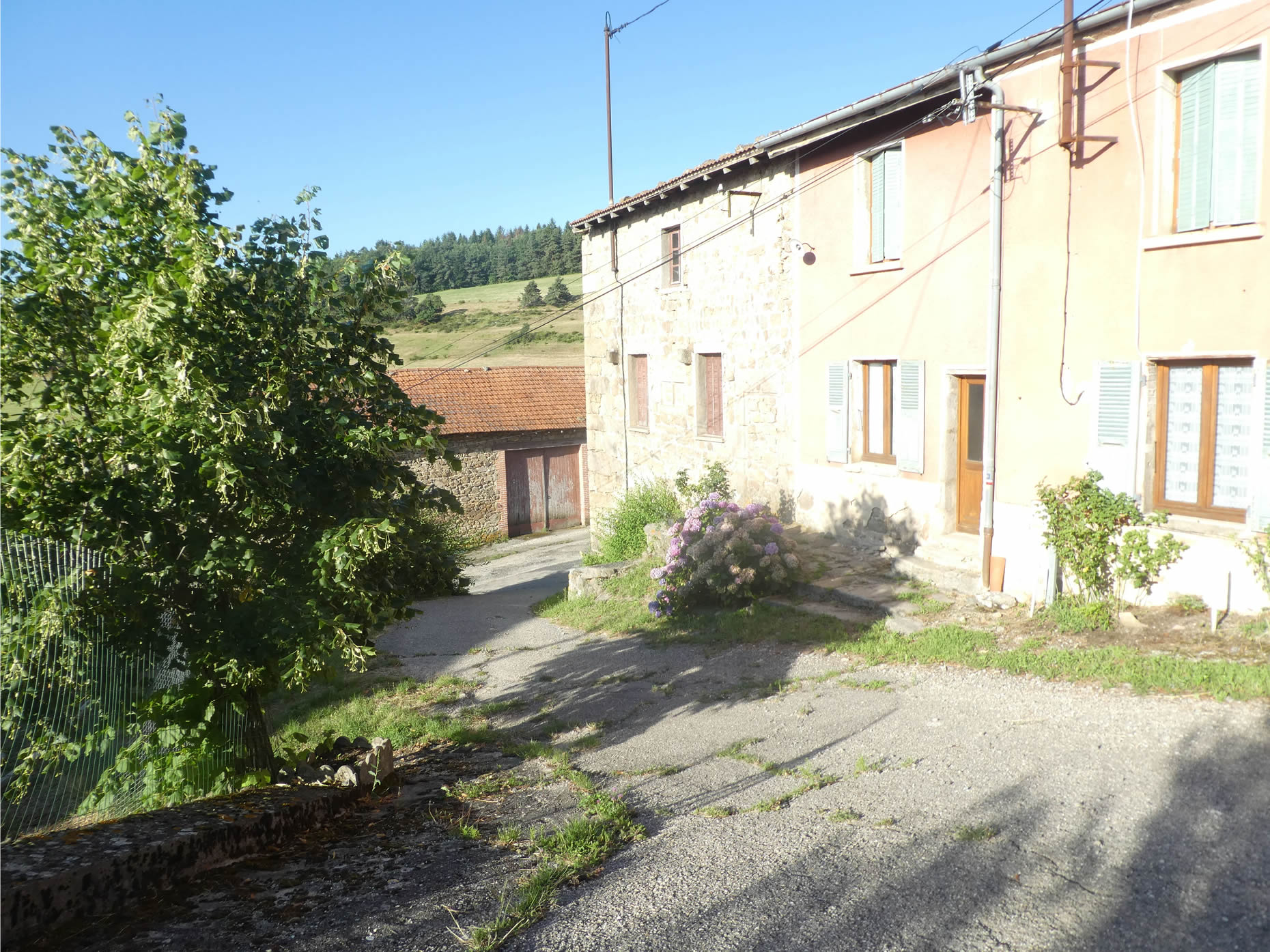
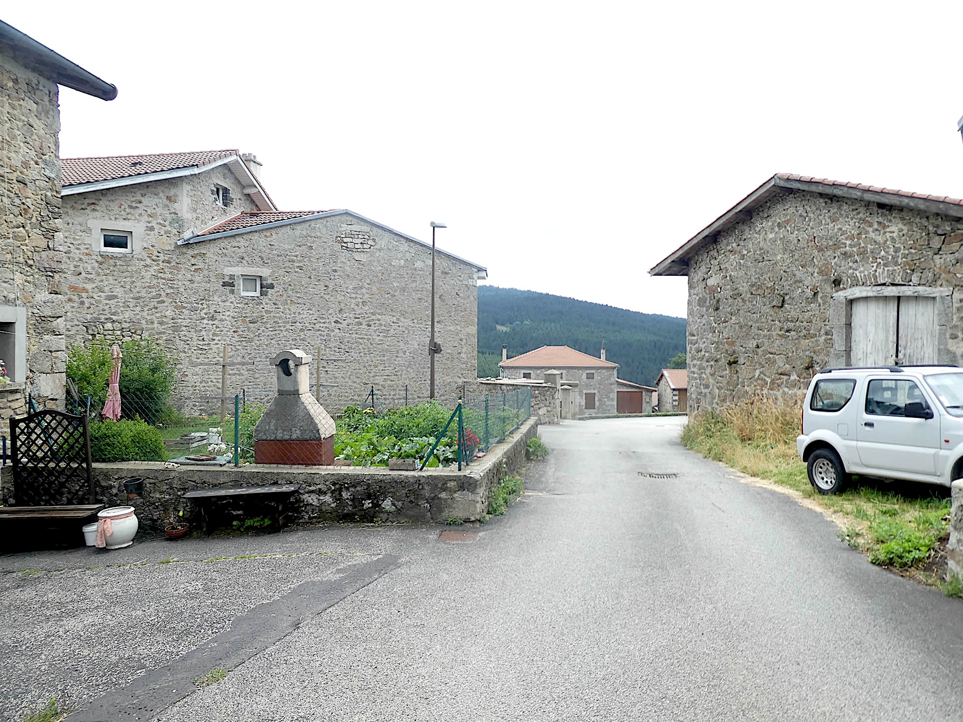
| The road soon runs through the hamlet of Board, with its light stone houses, testament to a robust and timeless rural architecture. |
 |
 |
Section 4: Imagine yourself as the train

Overview of the route’s challenges: The route presents no particular difficulties, in soft slope.

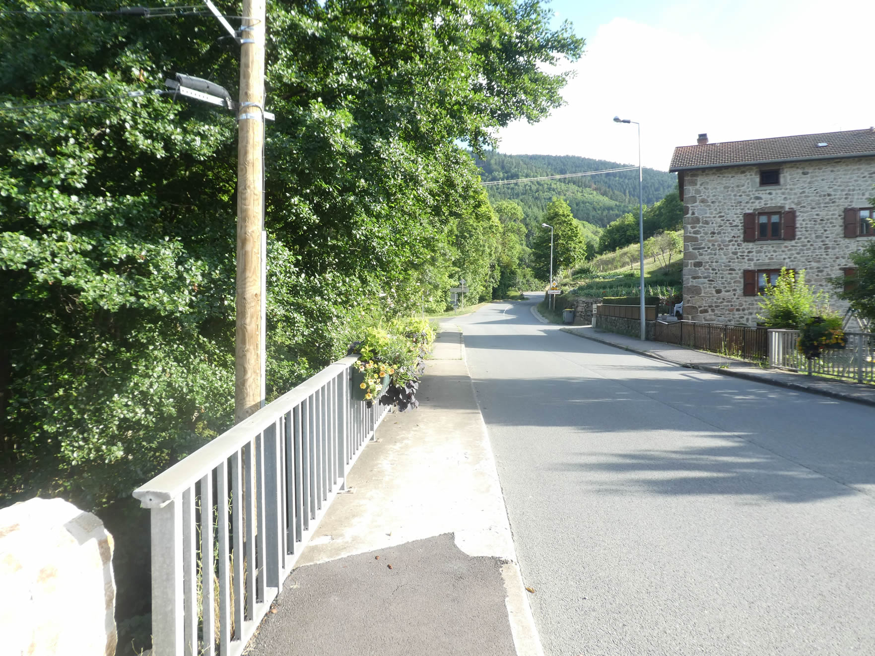
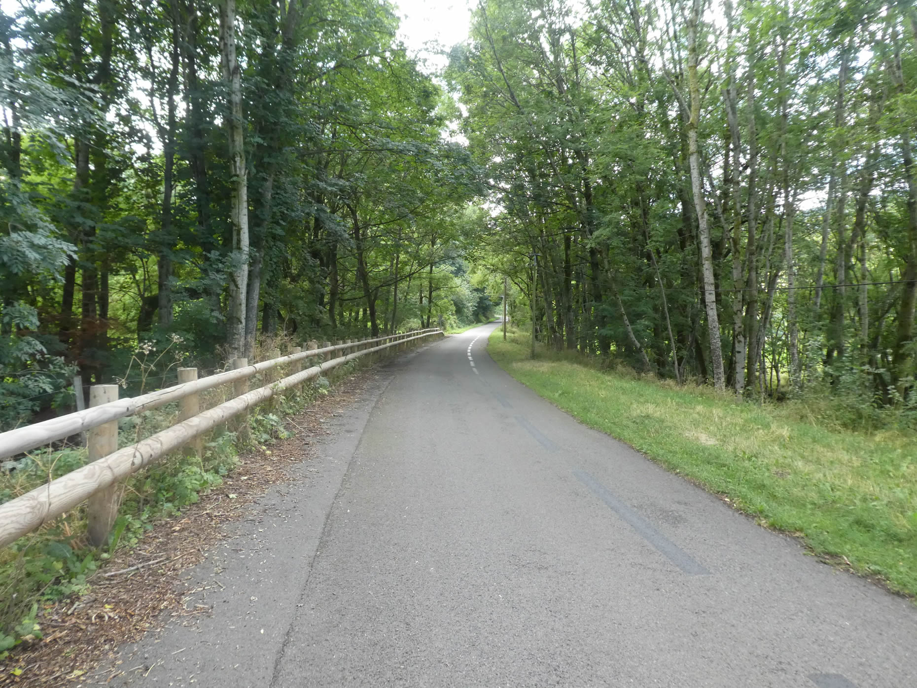
| From here, the road gracefully slopes up, tracing its path through the countryside with a gentle but persistent incline of 4%. This slope seems to reflect the old railway line connecting St Sauveur-en-Rue to Bourg-Argental, evoking memories of a time when steam trains majestically climbed these heights. Perhaps this route was abandoned because it no longer met modern requirements? Yet, the potential for modernization was never explored, and the engineering works remain, silent witnesses to an industrial past. What a regrettable oversight! |
 |
 |
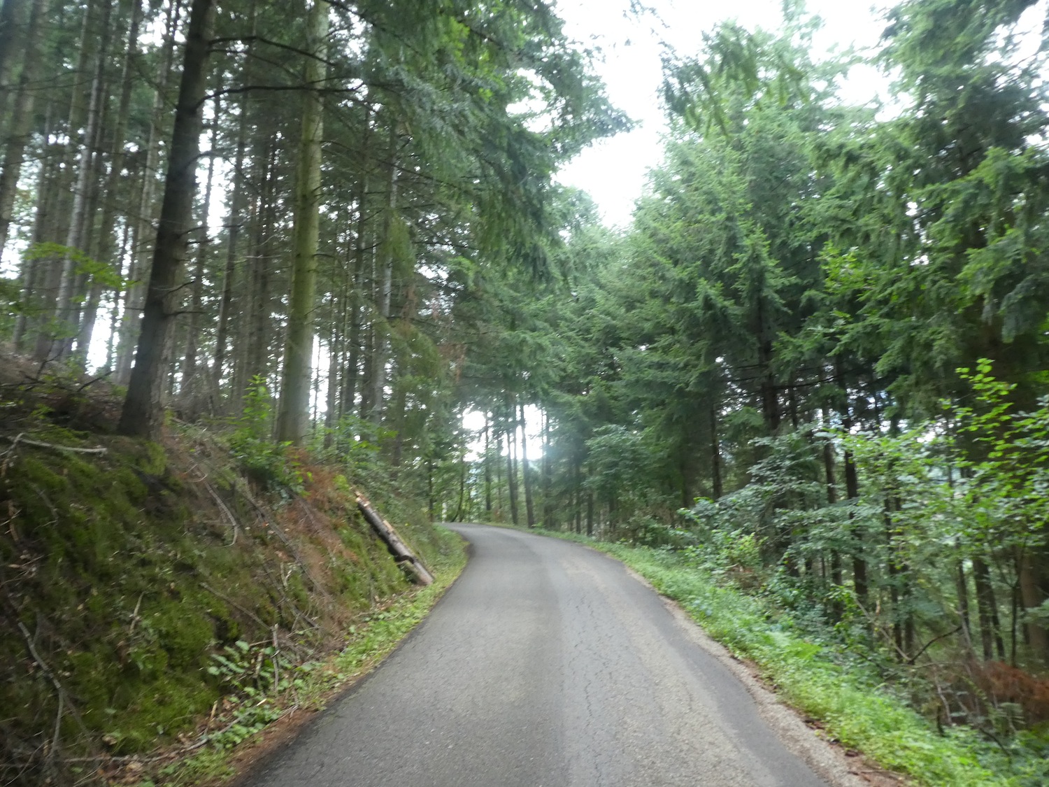
| The road winds through dense woods of broadleaf trees, but soon, imposing conifers take over, dominating the landscape. Each tree seems to tell a story, every branch whispers ancient legends. |
 |
 |
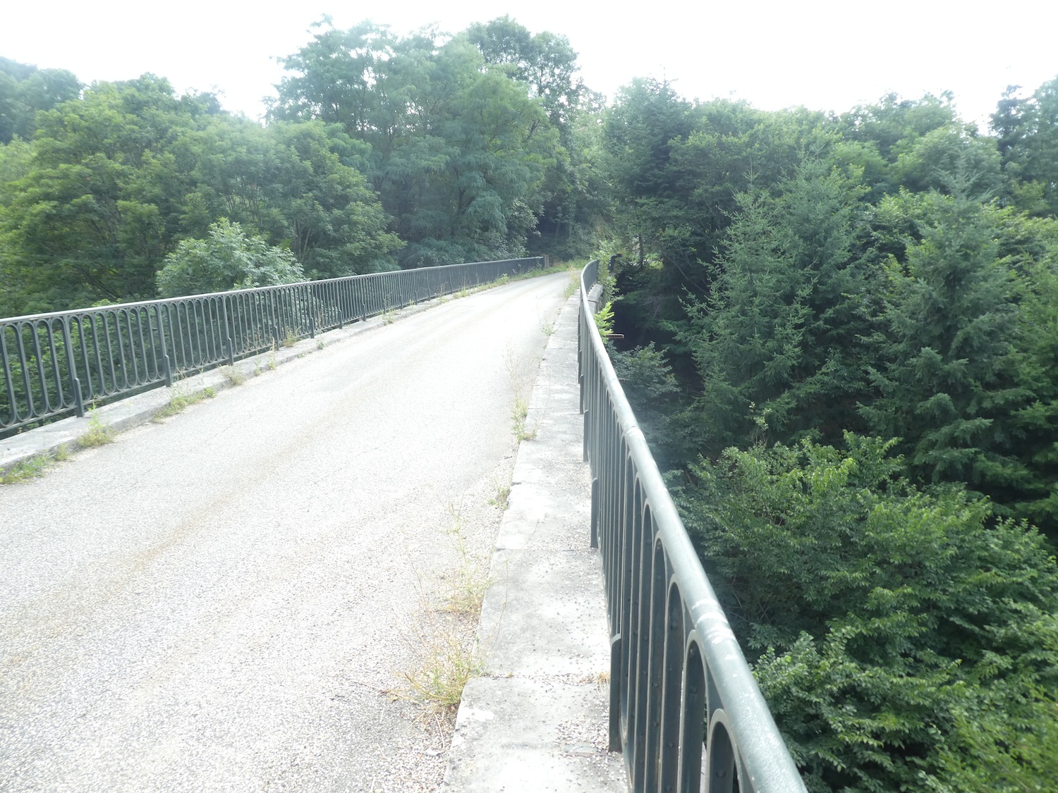
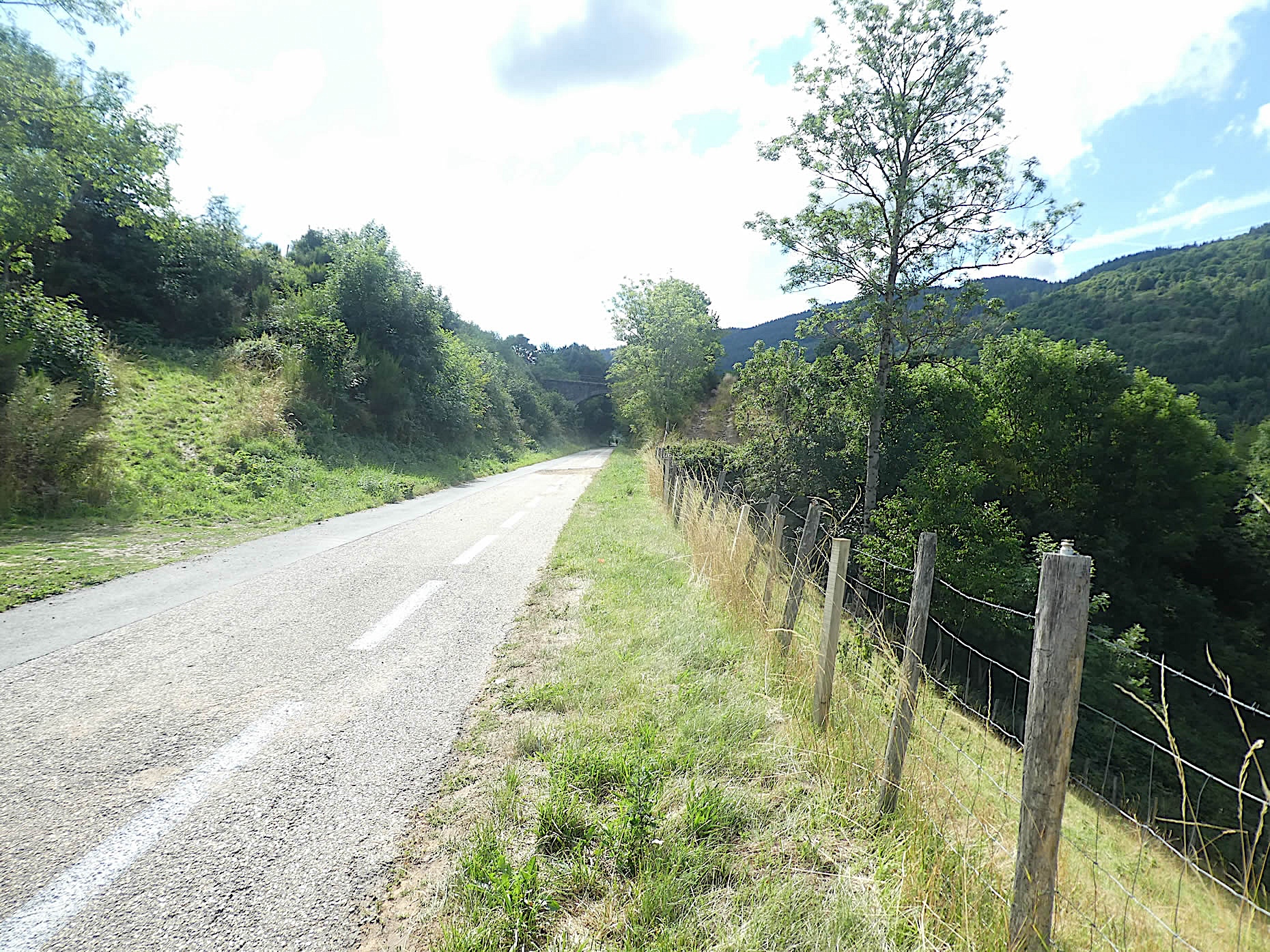
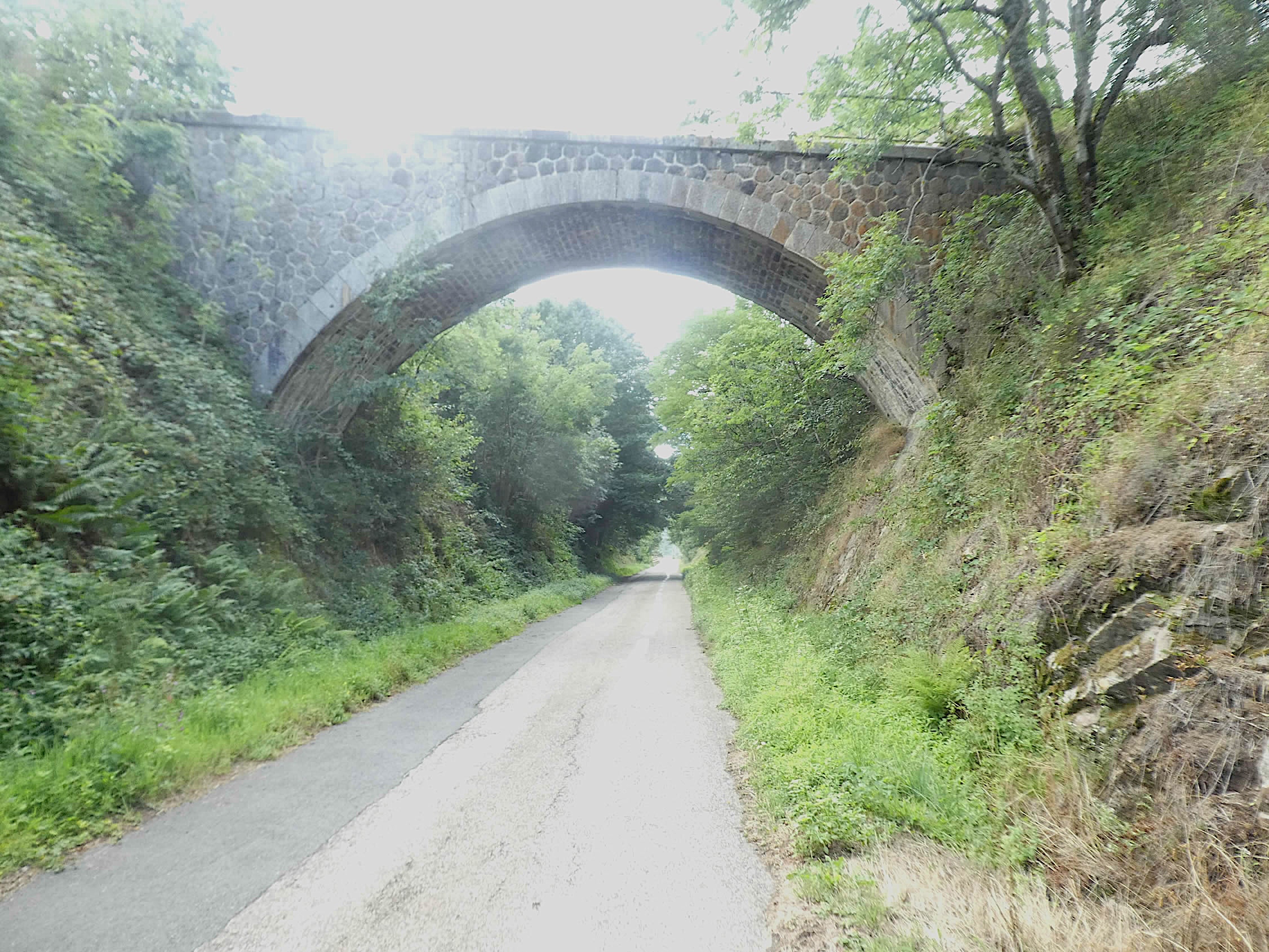
| At a turn, a tunnel emerges from oblivion, flanking the road like a gateway to another era. Shortly after, you cross the viaduct of La Poulette, a majestic feat of 19th-century engineering, as venerable as the locomotives that once traversed it. This viaduct, with its elegant arches, seems to murmur the tales of travelers from days gone by. |
 |
 |
| From here, your gaze stretches endlessly over the vast and magnificent Tallard Forest, a true cathedral of greenery. The conifers reach skyward, their tops lost in the blue. This immense green lung, where each tree is a note in a natural symphony, offers infinite serenity and a grand spectacle. |
 |
 |
From one piece of engineering to another, the road winds under the generous shade of tall trees. These exceptional constructions are as fascinating and enigmatic as the ruins of Roman cities, silent witnesses to a bygone era.

| The broadleaf trees intertwine above the road, creating a protective canopy where light gently filters through, bathing everything in an atmosphere of serenity and coolness. It’s a world where every rustle of leaves is a soothing melody for the wandering soul. |
 |
 |
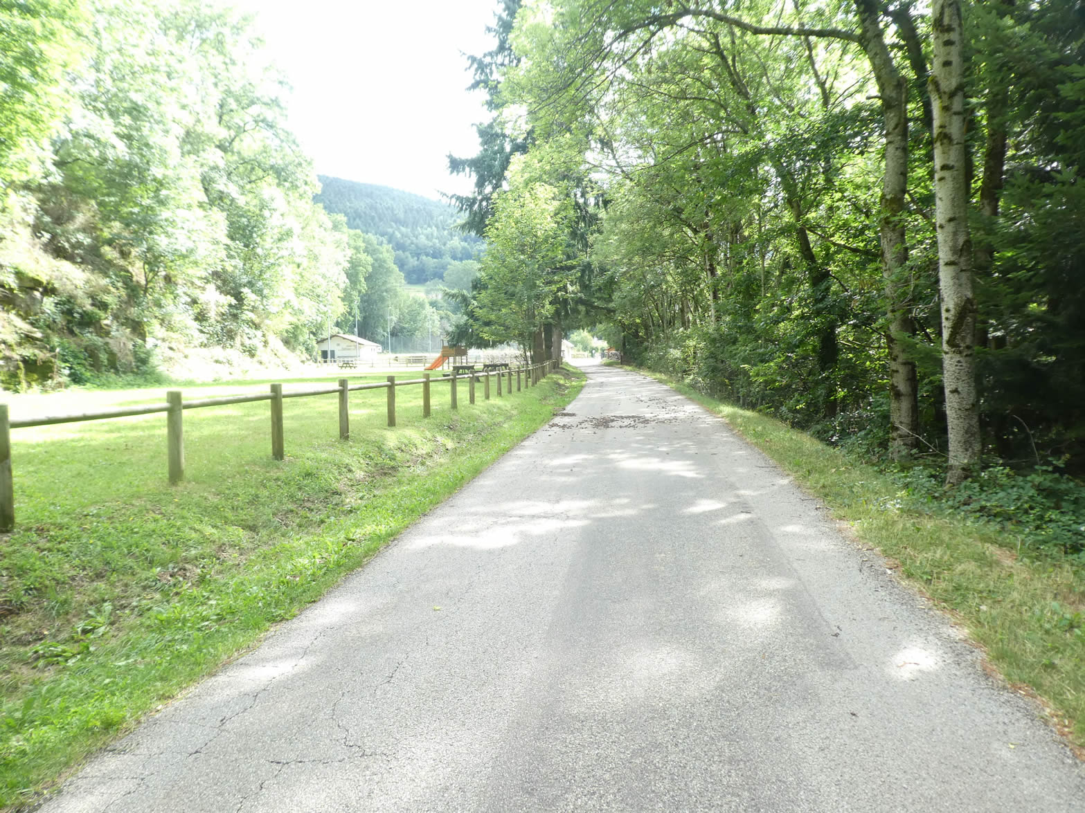
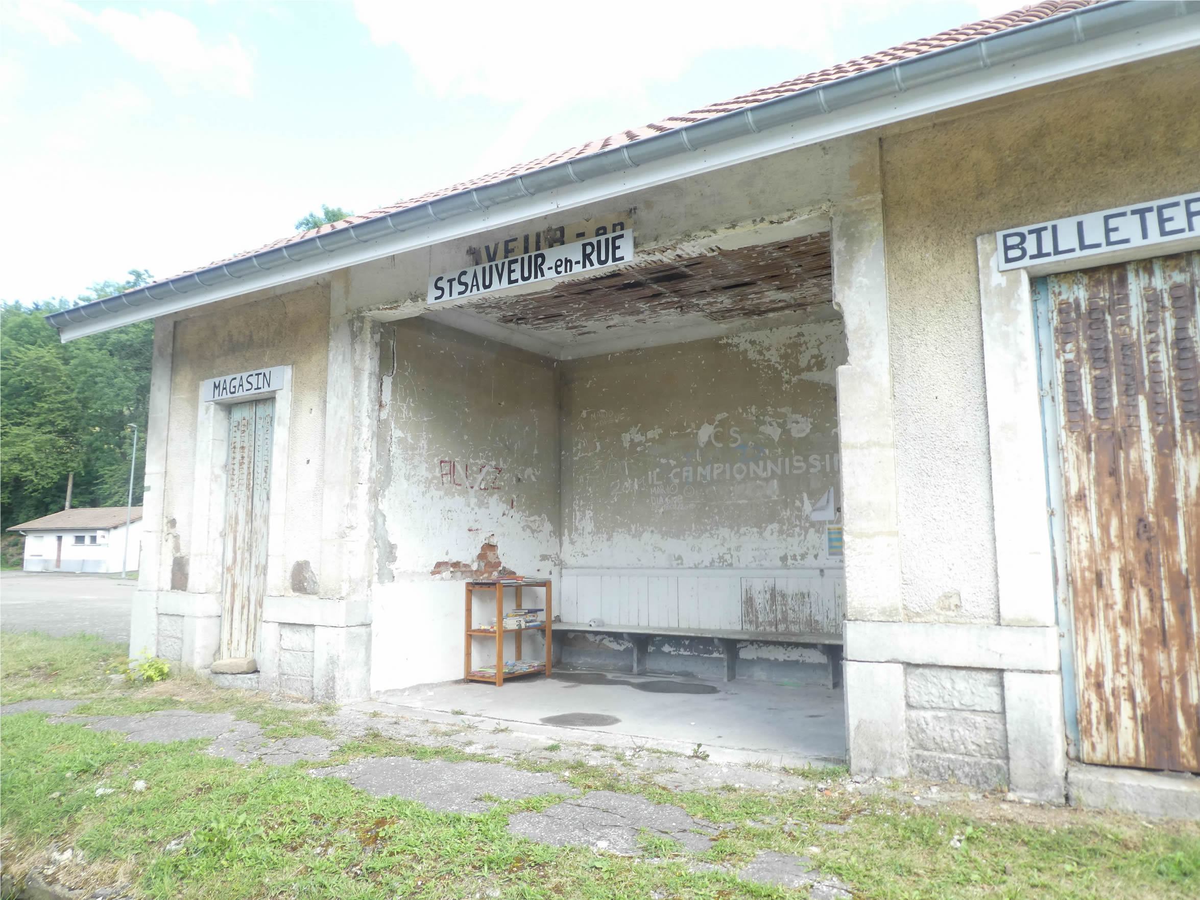
| Further on, the road reaches the station of St-Sauveur-en-Rue. « St Sauveur-en-Rue, everyone off! » still echoes in the memory of this ghost station, where the ticket office still lingers. In the past, travelers had to undertake a walk through the valley to reach the village on the other side. Is it out of nostalgia that this sad station is preserved, reminding the locals of the bygone days of steam locomotion? |
 |
 |
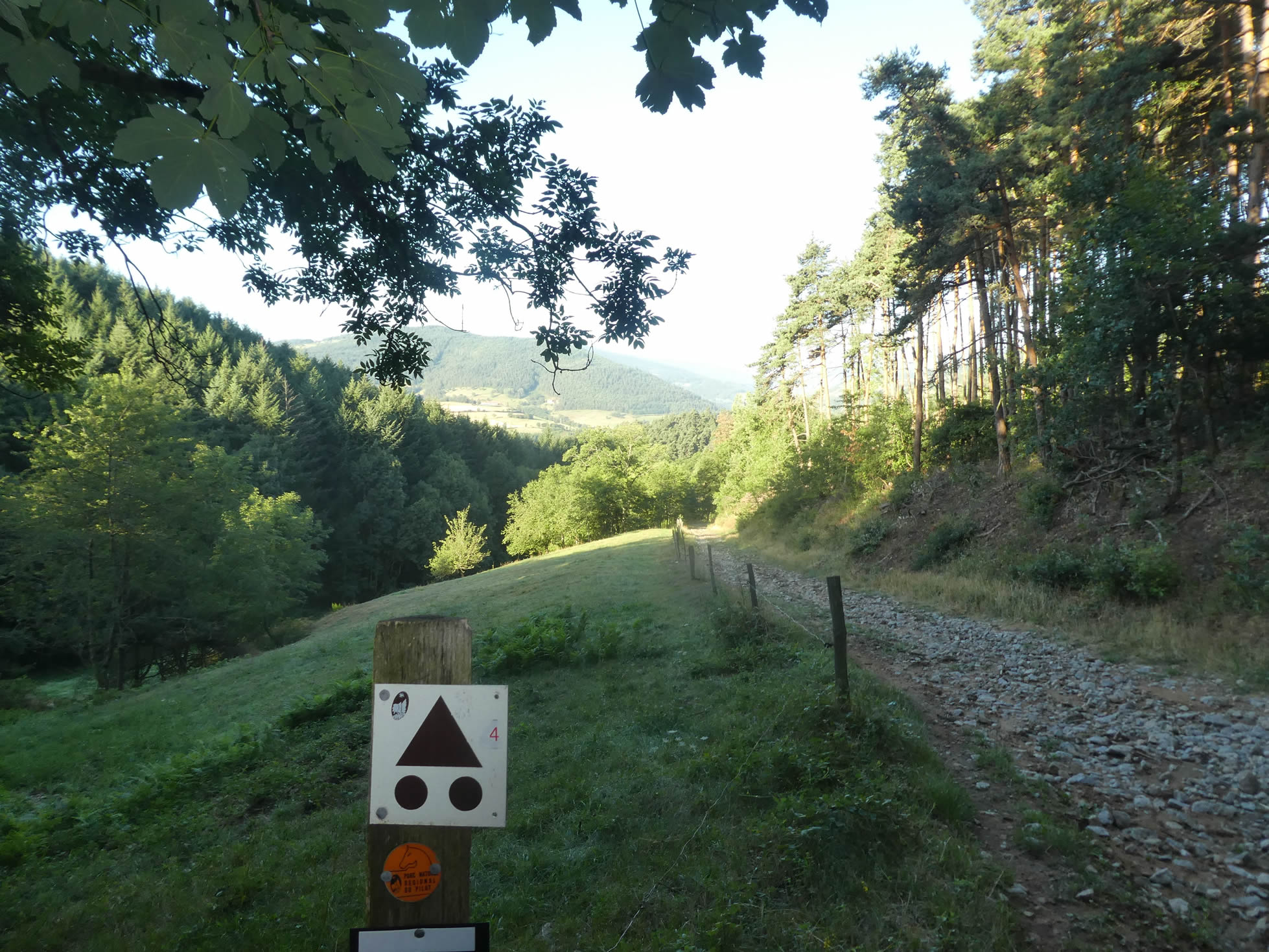
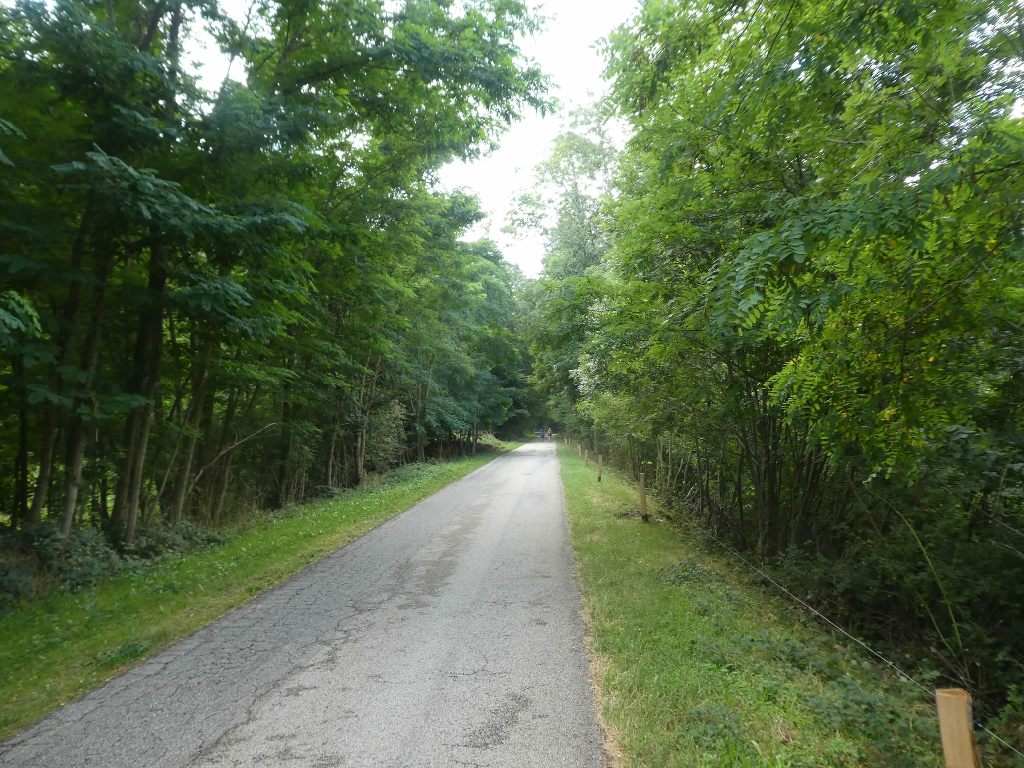
| The GR65 does not lead to the village but rather follows the Via Fluvia, named so in 2013. This greenway, mainly used by cyclists, born from the conversion of old railway lines abundant in the Pilat Massif, charts its course to connect the Loire to the Rhône, passing through the Tracol pass. |
 |
 |
|
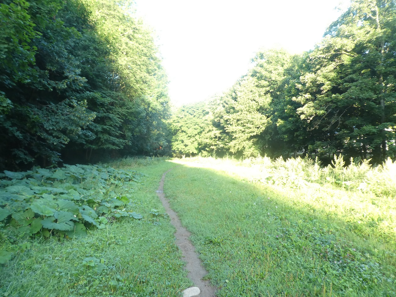
The cohort of broadleaf trees continues to escort the hiker. The maples and ashes reign supreme, dominating the landscape with their noble and shadowy stature. .
|
 |
 |
|
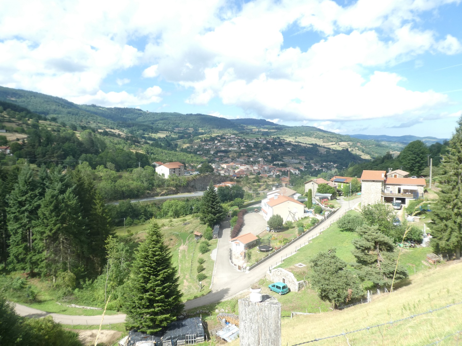
Upon exiting the forest, the road reaches the place known as Le Sapet. Below, on the other side of the valley, the red roofs of St Sauveur-en-Rue stretch out, a living reminder of human activity and the history that shapes this beautiful and peaceful landscape.
|
 |
 |
| You will soon approach the end of your journey along the old railway line and its remarkable engineering works. |
 |
 |
Section 5: In the Taillard Forest

Overview of the route’s challenges: a tough route with steep inclines, but never exceeding a 20% gradient.

| On the old railway path, now tranquil, enjoy a few more moments of calm. An unnamed stream cascades down from the wooded heights, making its way toward the Déôme River below. Here, the GR65, true to its wandering nature, veers away from the main road, briefly crossing this new, still-untouched cycling route. |
 |
 |
| At the intersection, a modest road turns sharply, climbing determinedly through the forest until it reaches the hamlet of La Chaussée, just above, where the challenging climb towards the Tacol pass is announced. |
 |
 |
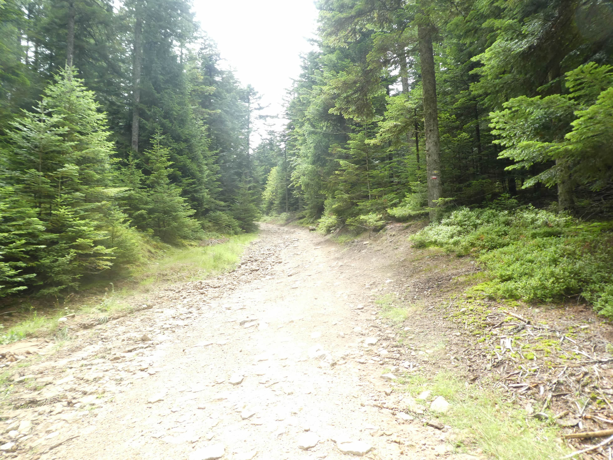
| Up there, the GR65, leaving the asphalt behind, gets lost in a rocky trail, a real battlefield, a maze of sharp stones that mercilessly dig into the soles of your shoes. |
 |
 |
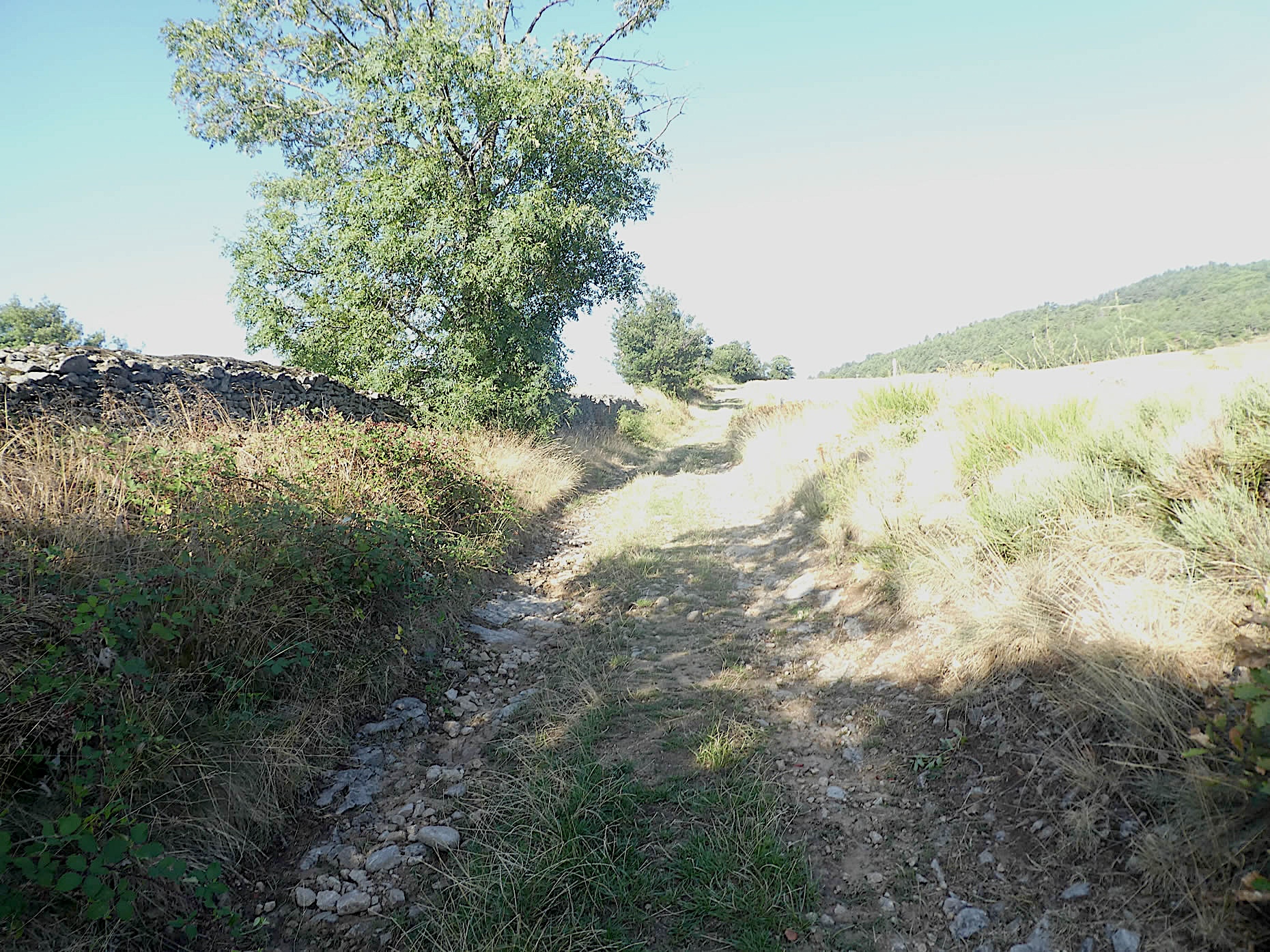
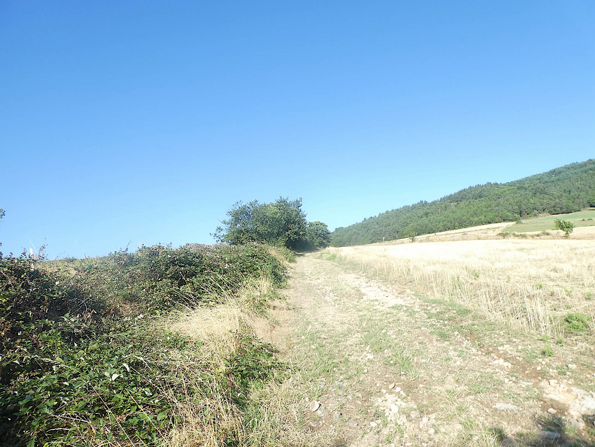
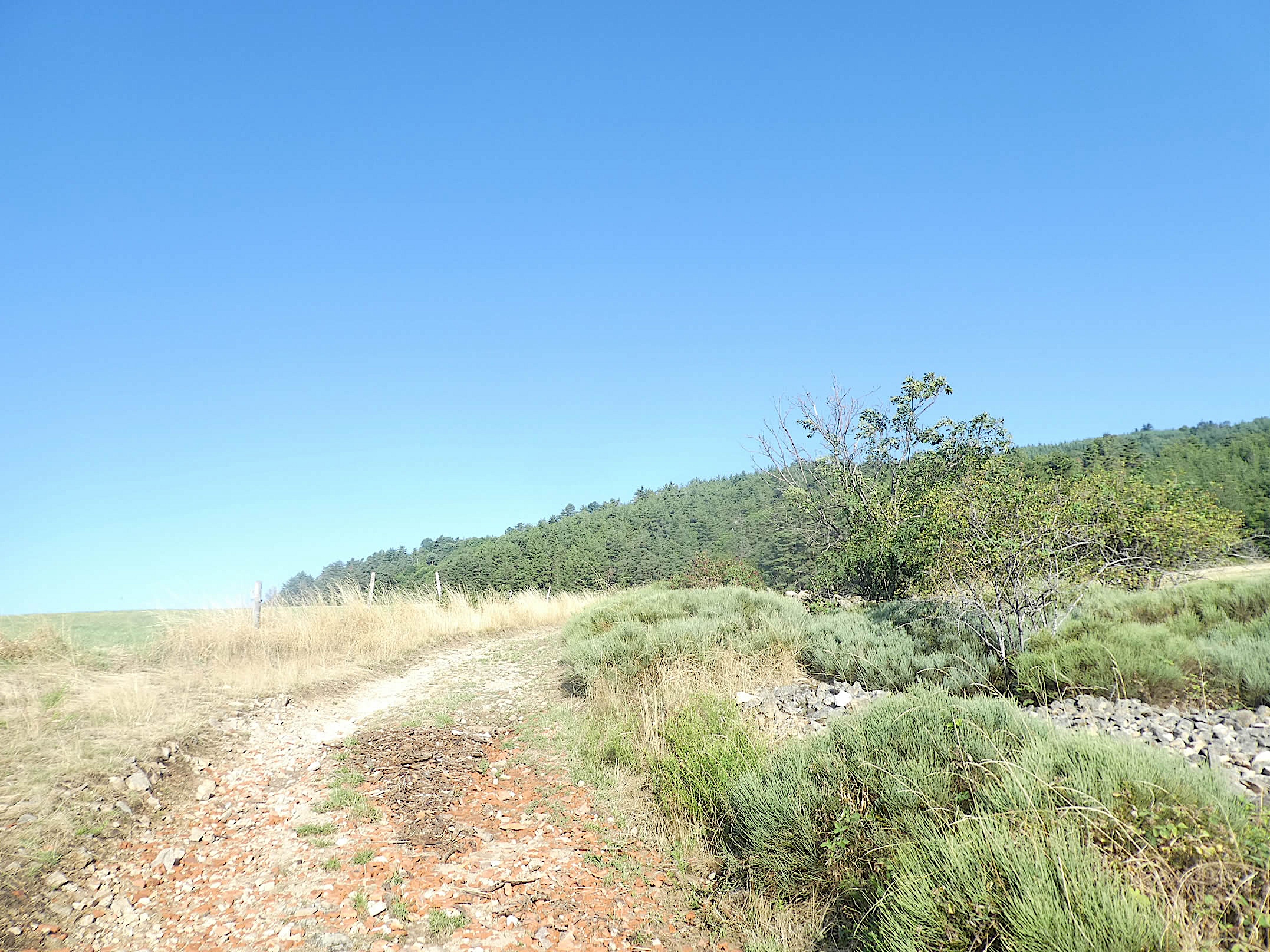
| The incline rises steeply to over 15% through the meadows, following a hedge of broadleaf trees that marks the majestic entrance into the forest. The limestone ground beneath your feet amplifies each step, making the climb even more demanding as the stones roll under the weight of your effort. |
 |
 |
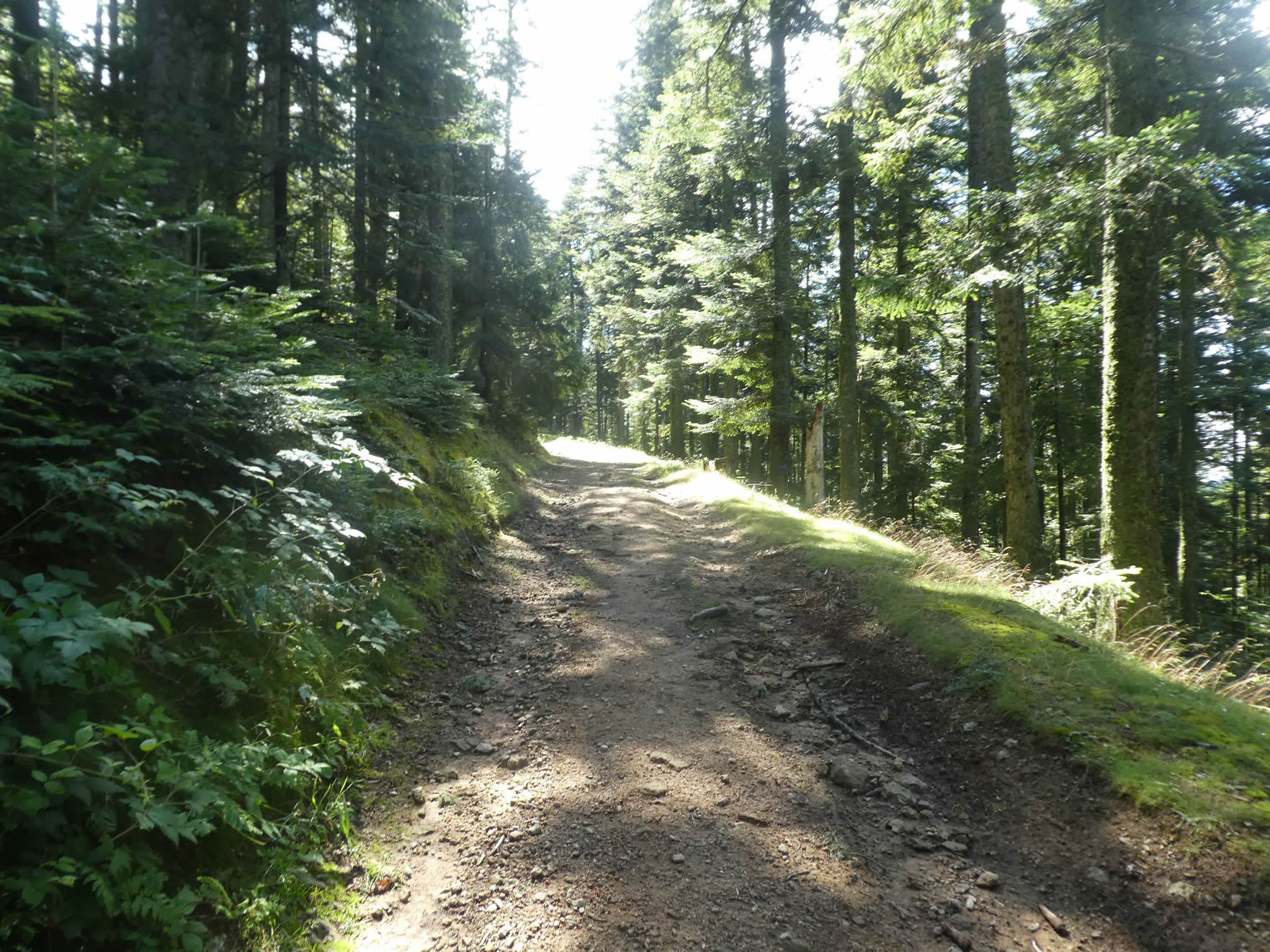
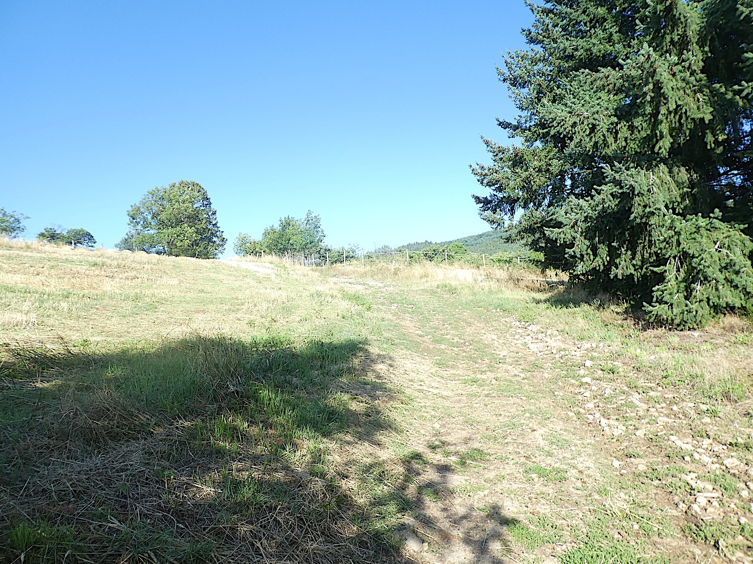
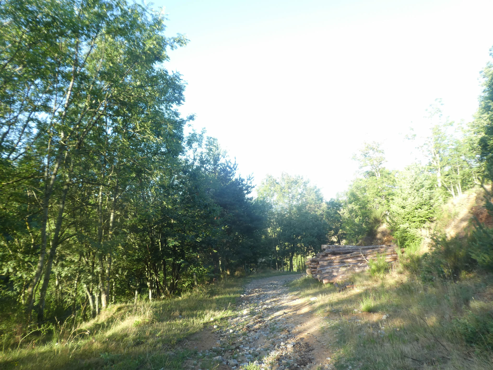
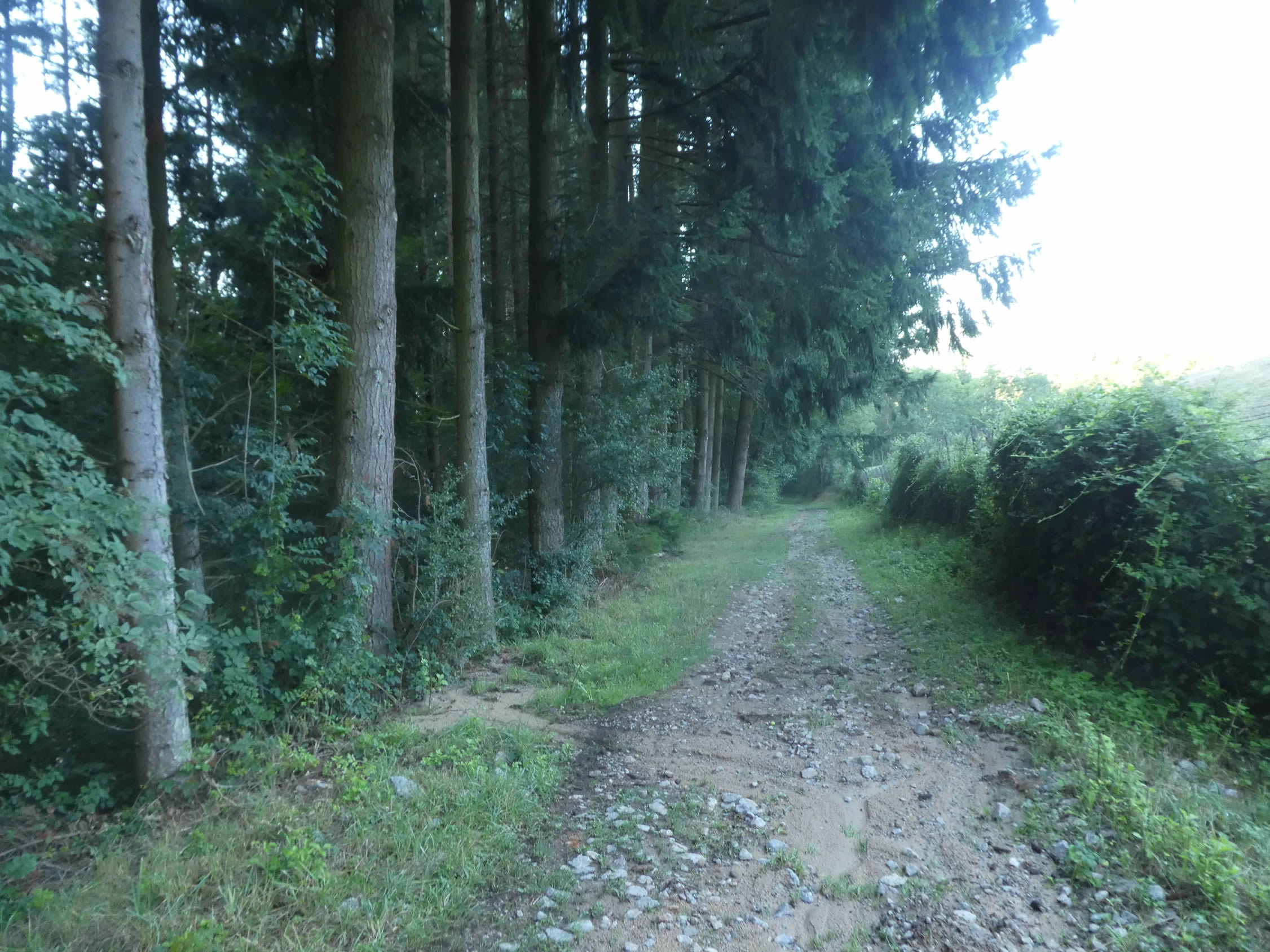
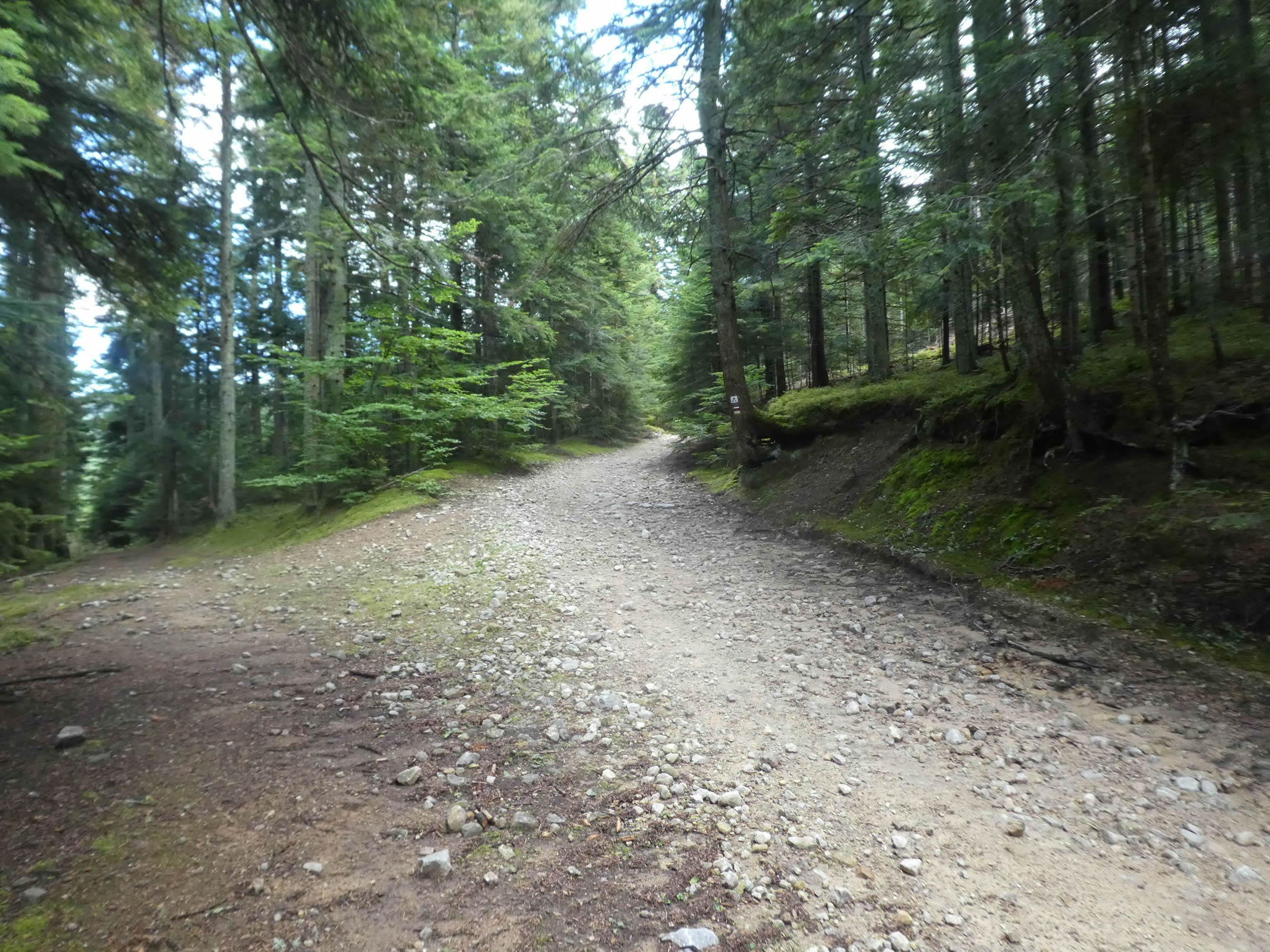
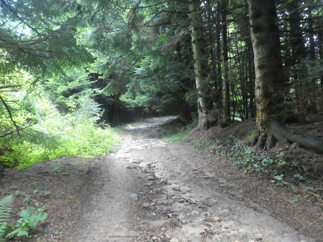
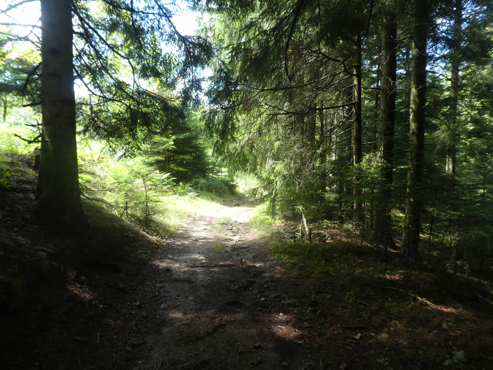
| The slopes never exceed 20%, but they remain challenging within the heart of the forest. The stones persist, while the broadleaf trees gradually give way to conifers as the altitude approaches 900 meters, a climate that broadleaf trees do not favor. Here and there, a few spruces and pines emerge, but it is the realm of the majestic white fir trees, adorned with pectinated needles, that populate the Taillard Forest. |
 |
 |
| The hike transforms into an extraordinary and invigorating experience under the canopy of tall firs, standing straight like columns, their heavy branches sometimes drooping to the ground. Each step echoes in this natural sanctuary, where the raw beauty of the landscapes blends with deep serenity, while the scents of resin and damp earth permeate the air, inviting reflection and admiration of such splendor. |
 |
 |
| The wide forest path soon opens up after half an hour of effort, leading to the Aiguebelle shelter at an altitude of 966 meters. Nearby, a picnic area invites a well-deserved break. Since leaving Bourg-Argental, you have already climbed over 400 meters of positive elevation, with another 250 meters to go to reach the summit of this stage at 1,250 meters above sea level. |
 |
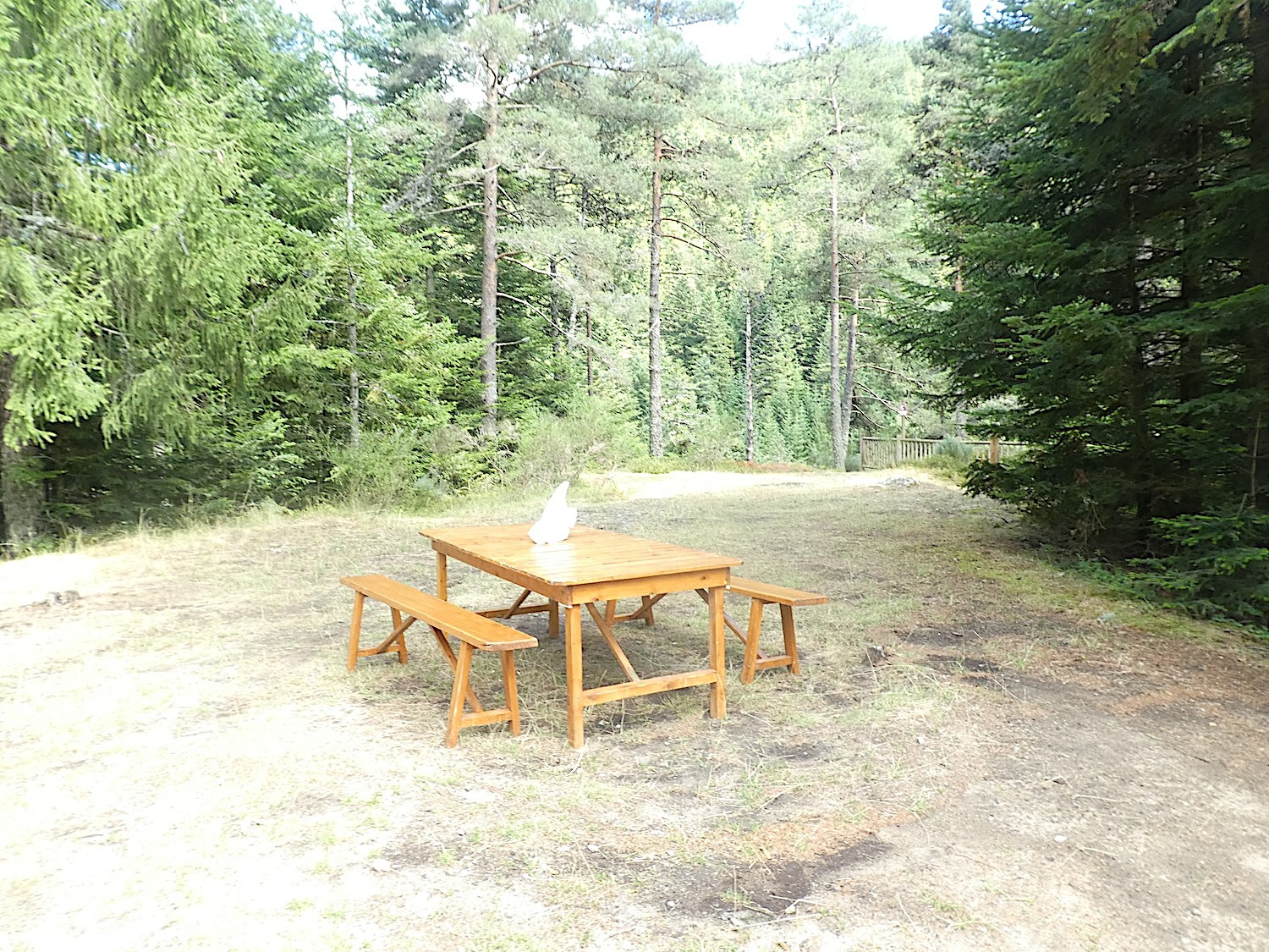 |
This shelter goes beyond its primary function of rest and restoration. Some pilgrims, braving the elements and the proximity of wild animals, sometimes spend the night here, finding refuge in this corner of wild paradise.

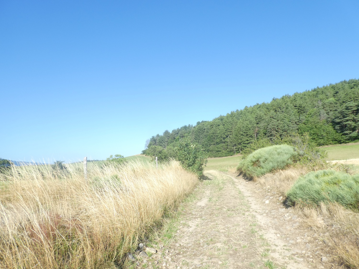
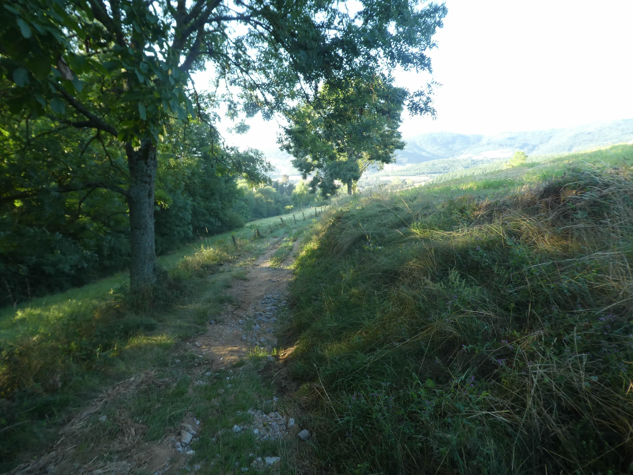
| Beyond the shelter, the incline softens slightly, ranging between 10% and 15% for about a kilometer and a half. These slight but significant changes in the slope are felt in the legs and breath as you continue your ascent. |
 |
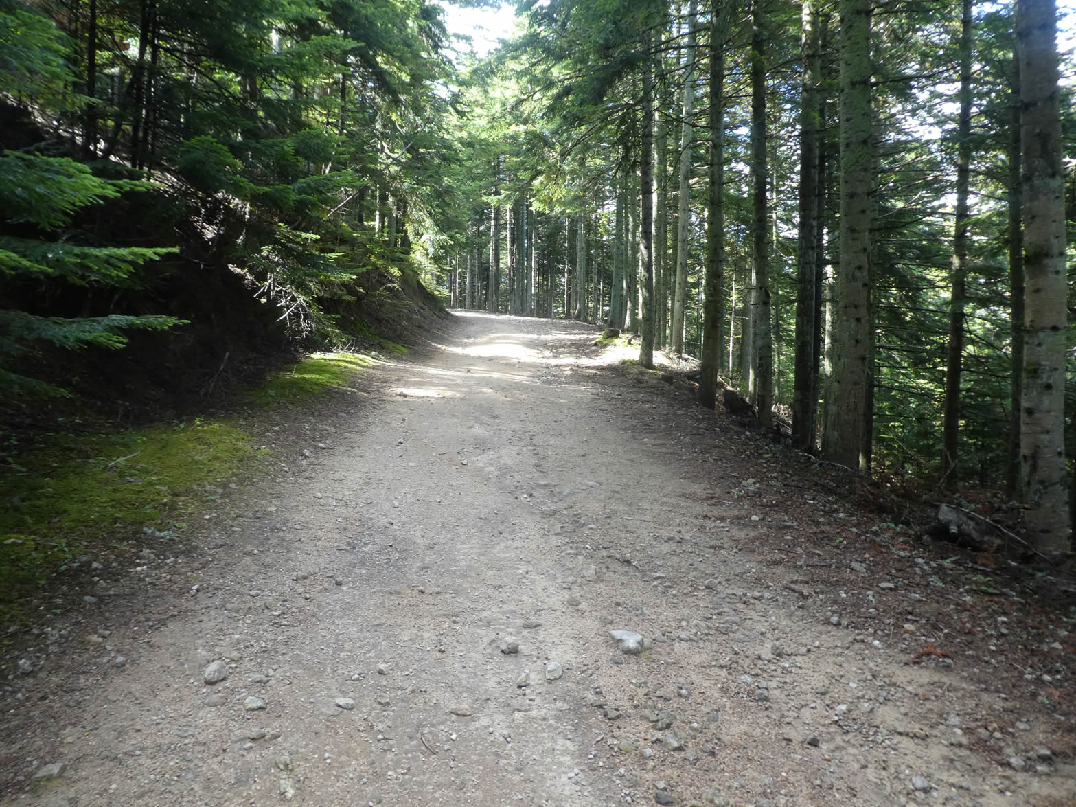 |
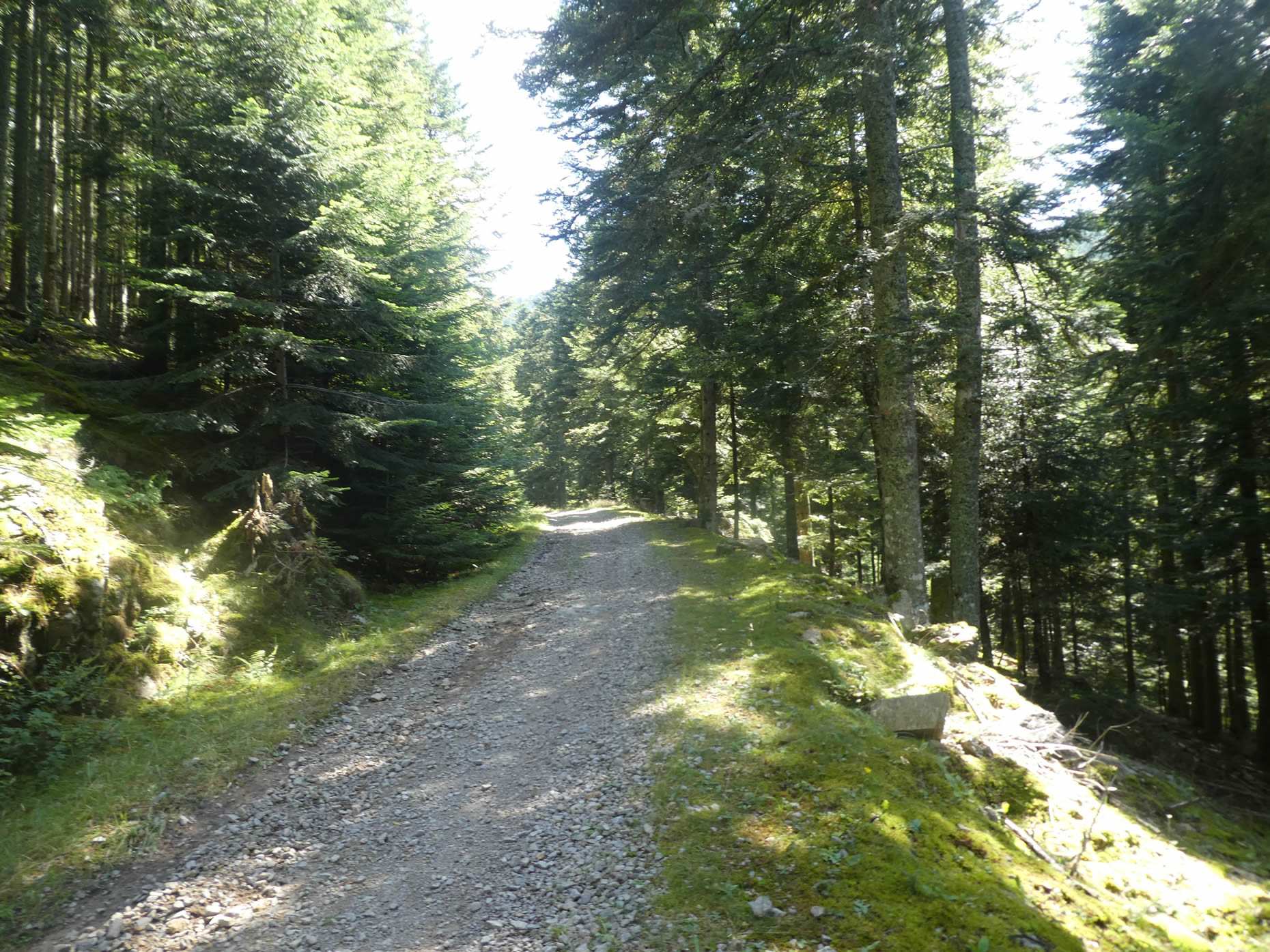
| The forest displays all its magnificence here. Fortunately, the path has become gentler, with fewer stones and a brown forest floor typical of coniferous undergrowth. The firs, proudly managed by foresters, line the path majestically. |
 |
 |
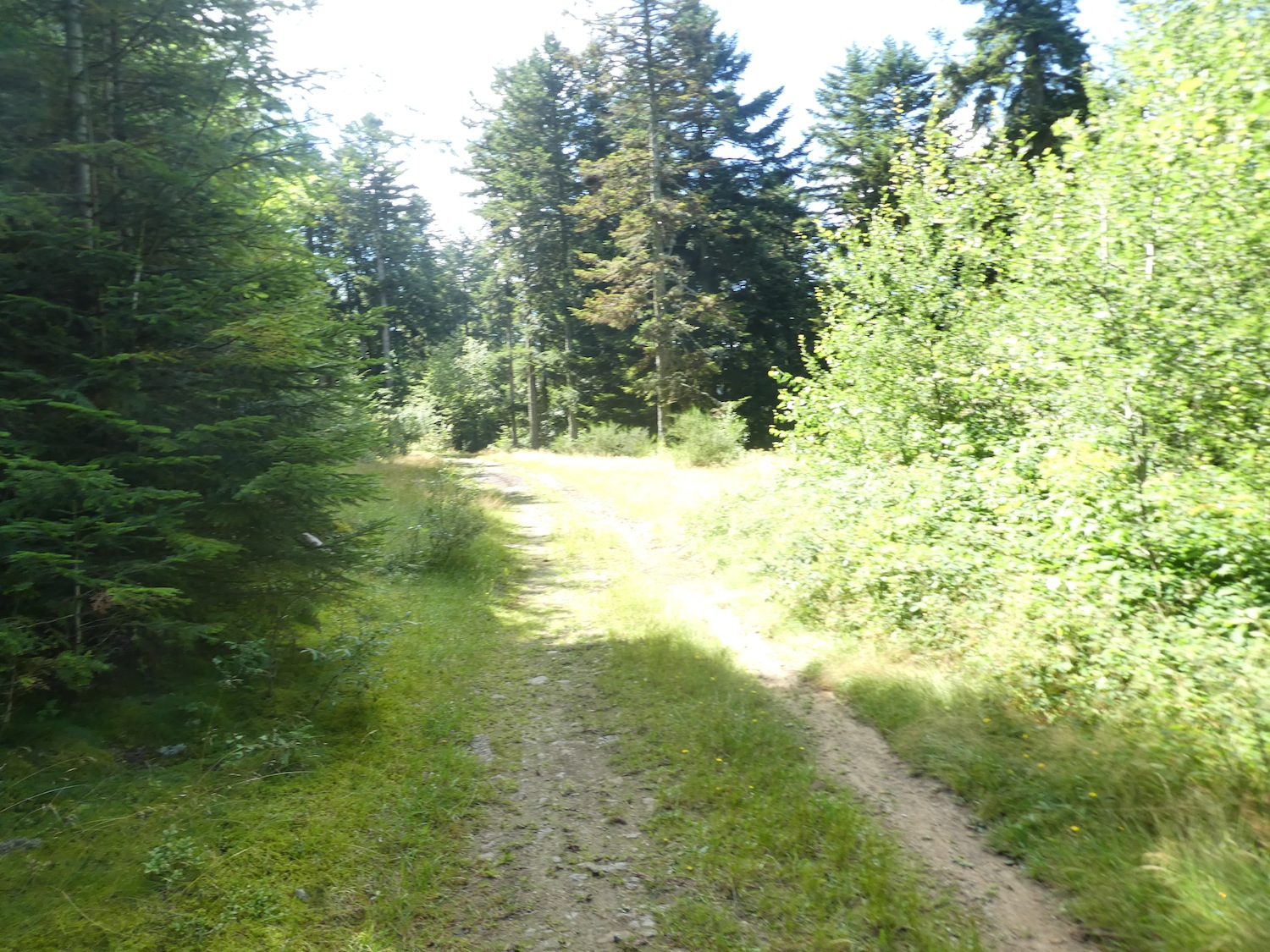
| Further up, the incline levels out, and the path winds almost flat for a few hundred meters. Moss gently spreads along the path, indicating a constant humidity conducive to the life of mushrooms, like chanterelles, for those who know how to find them in season. |
 |
 |
| In this enchanting wood, where magic seems to infuse every breath of air, the majestic pectinated firs, the white firs, reign supreme. They have stifled the ambitions of other species, rising as queens of beauty competing in elegance, stretching their tops to capture every bit of light. When they find enough space, they fully thrive, but sometimes, caught within the dense forest, they are merely bare trunks crowned with a sparse tuft of greenery at the top. |
 |
 |
| Further along, on a short section, the path regains vigor and steepness, exceeding a 15% gradient on brown soil, largely devoid of stones. |
 |
 |
Now, you reach an altitude of 1,090 meters, having climbed approximately 150 meters over 2.8 kilometers from the Aiguebelle Shelter. A reasonable climb, isn’t it? You are less than a kilometer from the Tracol pass and four kilometers from Les Sétoux.

Section 6: A long climb between the Tracol pass and Les Sétoux, just for fun

Overview of the route’s challenges: a tough route with steep inclines, but never exceeding a 20% gradient.

| At this point in the journey, you walk slightly above the Traco pass. In the majestic tranquility of the heights, where the sky meets the earth and the shifting landscape hues enchant the senses, each step is a dance with the beauty of nature. The path then descends towards the pass, winding gracefully down in gentle curves towards the valley. |
 |
 |
The forest rises like a green cathedral. The forest feels almost divine here, especially on a beautiful day.
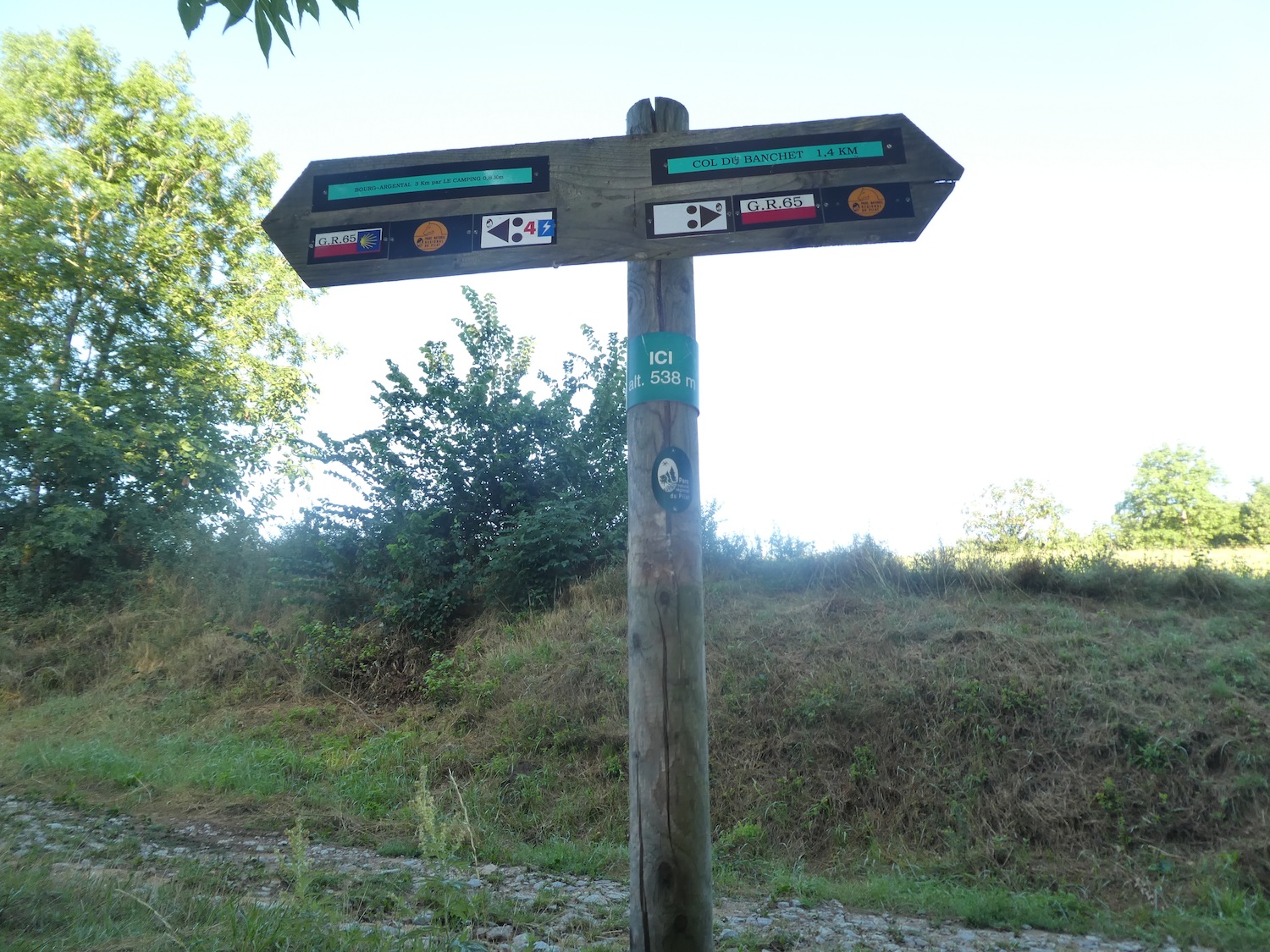
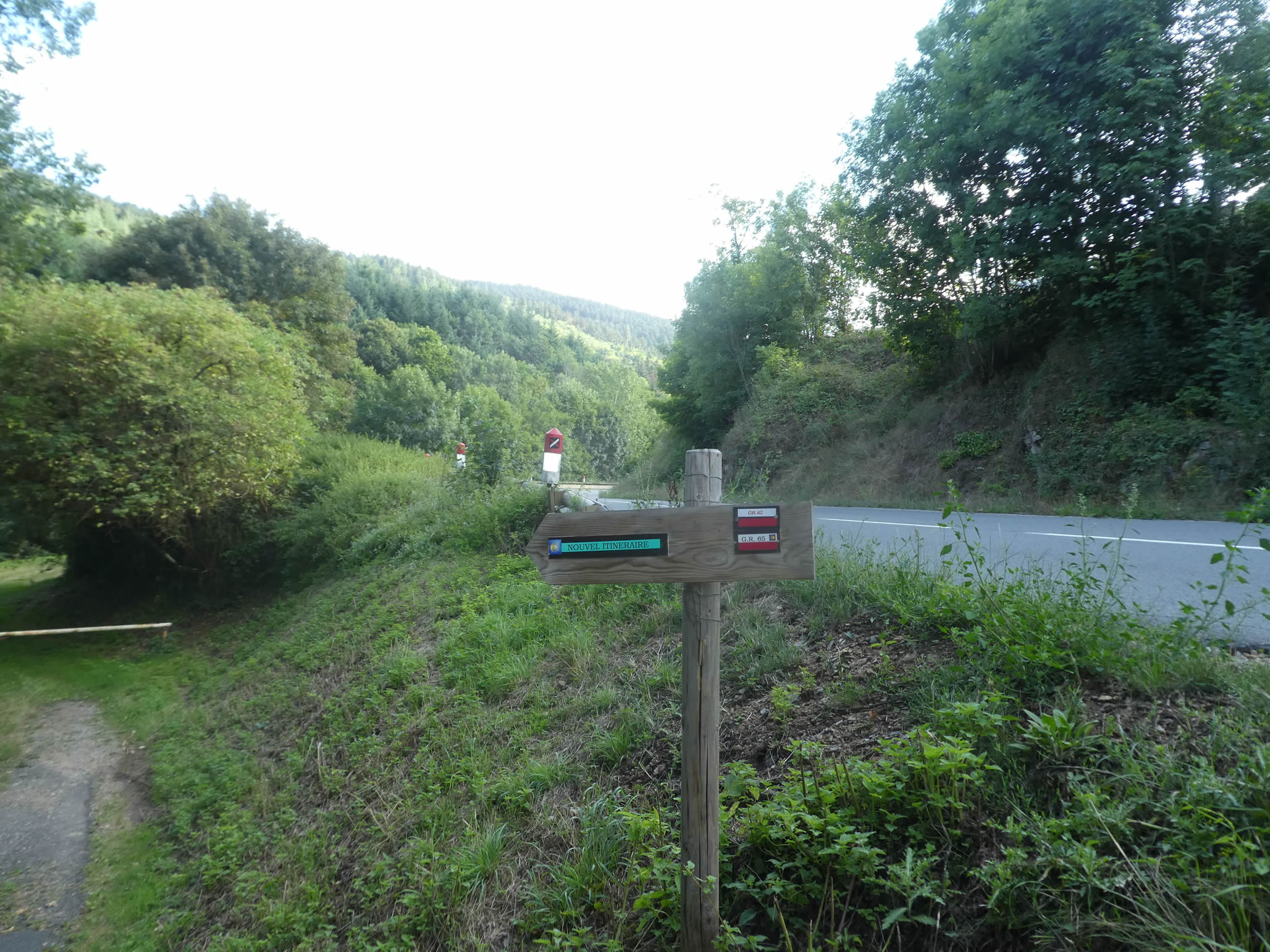
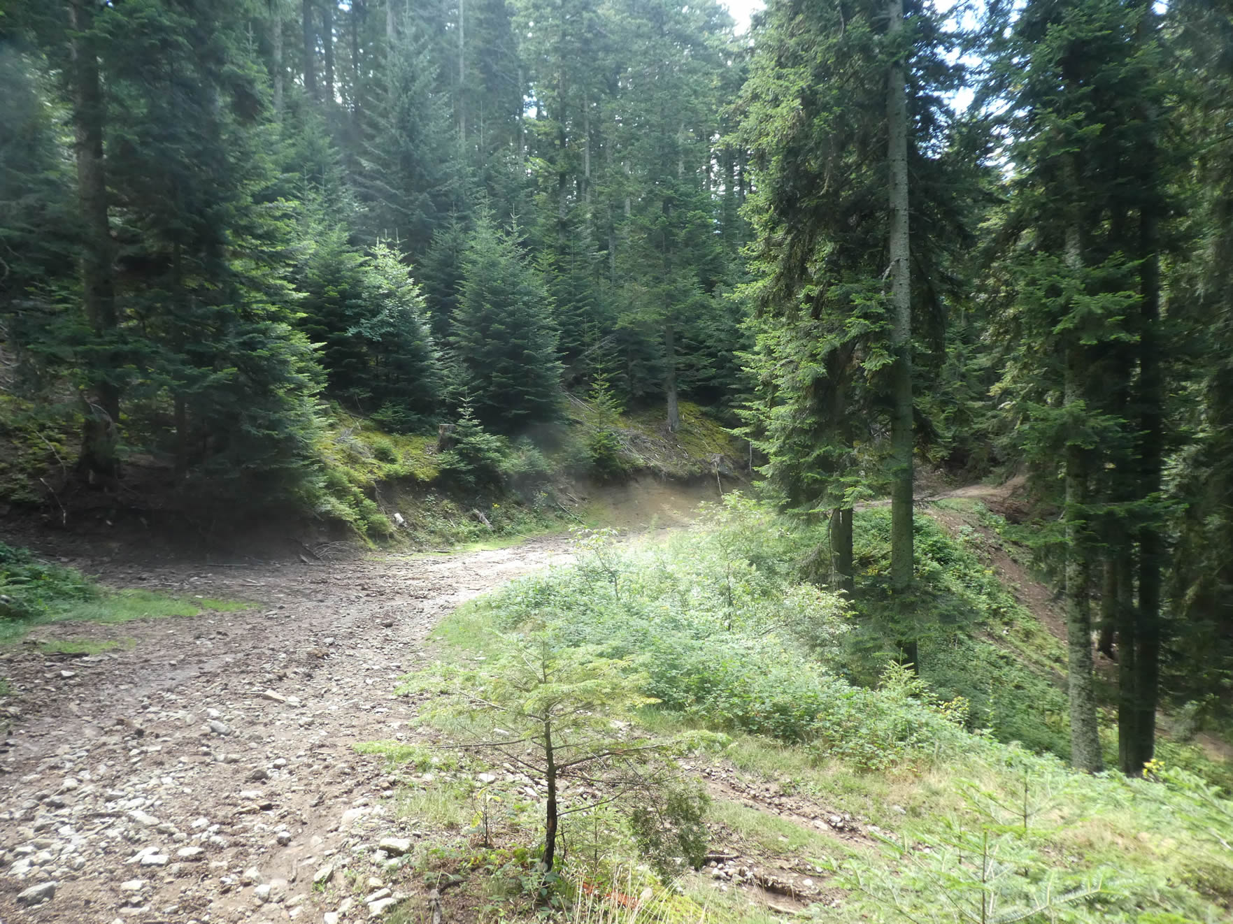
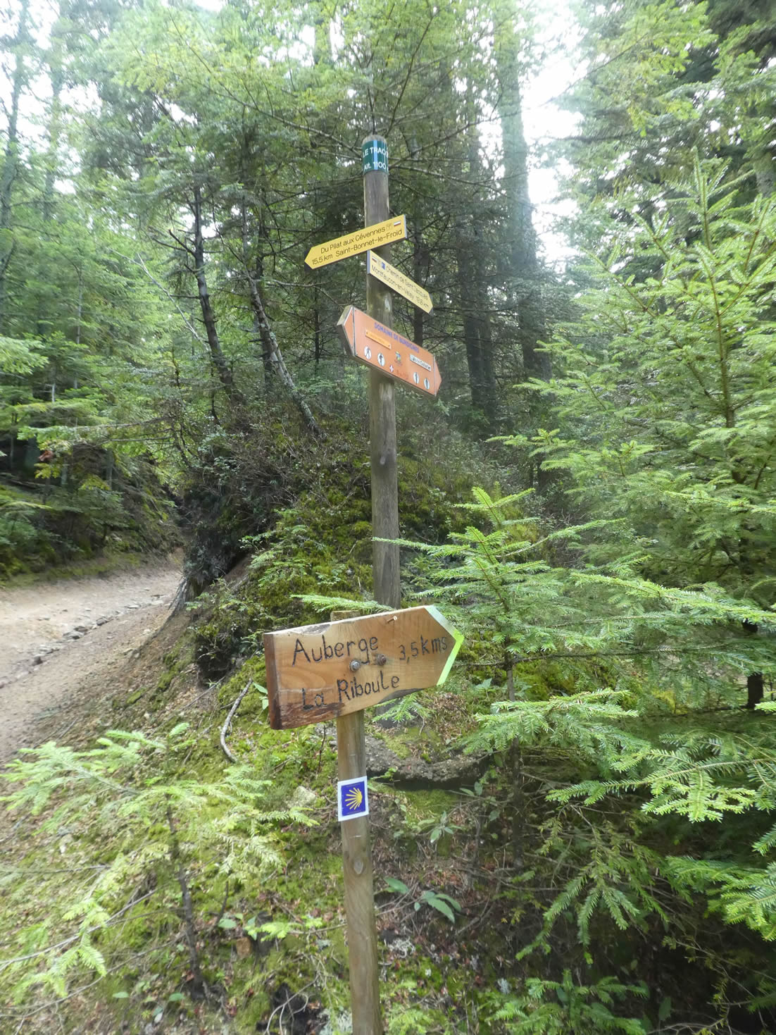
| The path quickly reaches a fork where it meets another hiking trail, the GR7, which comes back from the pass and continues alongside the GR65 for a few hundred meters. Be careful here! The GR65 does not head towards the pass. Just above, you must take the correct path. The GR7 veers left towards the Cévennes. The GR65, the Way of Saint James, heads right towards Montfaucon. You can’t get lost; a sign points to the gîte at Les Sétoux. |
 |
 |
| Far from calming down beyond the pass, the path climbs again with determination through the majestic firs. Every meter gained is a conquest over the steep incline, every breath a silent meditation in the cool shadow of the green giants. Ancient stones emerge here and there, solid testimonies of the resilience of this timeless landscape. And while the forest stretches out in a profusion of green, the path occasionally vanishes into the dappled light, creating a play of shadow and light worthy of the great Impressionist masters. |
 |
 |
| Further up, the incline decreases, and the path continues forward, either flat or with a gentle ascent. Every moment here is a symphony blending the notes of wild nature with the soothing melody of silence. Each turn reveals a living tableau, a theater scene where the spectacle is timeless and ever-renewed. |
 |
 |
| At the place called Roc du Tronc, the horizon unfolds in all its splendor, marking the end of the demanding ascent. The path, now gentler, winds through a thinning forest, where the sun’s rays filter through the scattered foliage. Each step resonates lightly on the moss-covered ground, in this living tableau where nature seems to catch its breath after the effort of the climb. |
 |
 |
| Shortly after, the path emerges from the woods and begins its graceful descent towards Les Sétoux, where the presence of humanity subtly touches the landscape. It’s as if the transition from the forest’s solitude to human activity brings a renewed energy to the exploration after crossing so many kilometers through the woods. |
 |
 |
| The descent, though brief, presents its own set of challenges with steep slopes ranging between 10% and 15%, while offering calming views over pastures and countryside stretches. |
 |
 |
| The GR65 finally reaches the top of the village, where the dirt path gives way to a smooth ribbon of asphalt. |
 |
 |
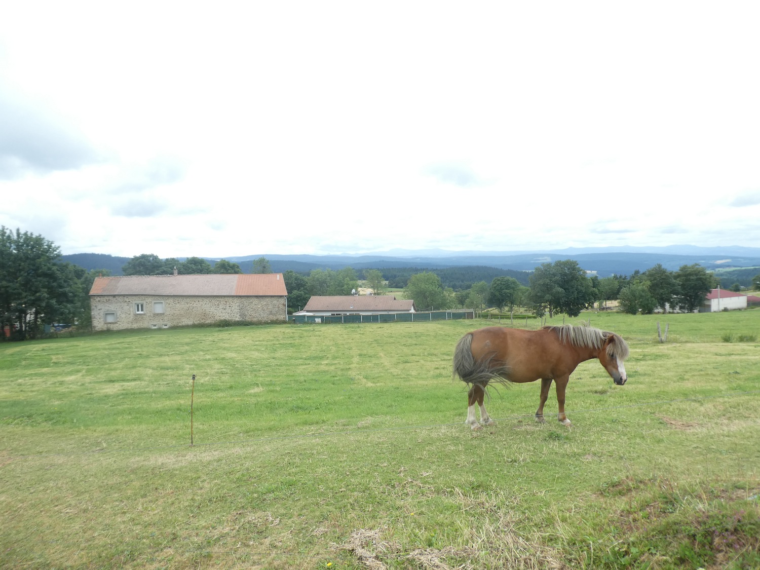
| Here, in Les Sétoux, the traveler’s spirit finds an almost indispensable haven in a region where accommodations are scarce. The picturesque village, with its ancient stone buildings, houses a large gîte and an inn where one can enjoy local cuisine and rejuvenate after the rigors of the journey. |
 |
 |
At the heart of the village square, beside the chapel, a solemn memorial stands as a poignant reminder of a history of courage and sacrifice. It honors the crew of an American bomber that, during the turmoil of 1944, caught fire and crashed near the hamlet. Ten men miraculously survived by parachuting, except for one tragic gunner whose parachute failed to open. In 1995, this heroic act was immortalized by the erection of this commemorative monument, inaugurated in the presence of the surviving crew members. The square itself bears the name of the fallen sergeant, thus perpetuating the memory of their bravery across the ages.

Official accommodations on the Via Gebennensis
- Domaine de l’Astrée, Bourg-Argental l’Allier; 04 77 39 72 97; Gîte, cuisine
- Gîte Christine Rouchouse, 4 Route de Graix. Bourg-Argental; 06 82 83 74 39; Gîte, dinner, breakfast
- L’isba de la Tortue, 18 Rue du Rhône, Bourg-Argental; 06 83 88 47 03; Gîte, dinner, breakfast
- Le bulgarana, 39 Blvd Almendet, Bourg-Argental; 06 58 29 99 91; Gîte, dinner, breakfast
- Joseph Odouard, 12 Rue Mandarel, Bourg-Argental; 04 77 39 62 60/06 20 52 54 99; Guestroom, dinner, breakfast
- Le Petit Jardin, 34 Avenue de la Résistance, Bourg-Argental; 06 87 84 24 28; Hotel, dinner, breakfast
- Hôtel Le Relais, 35 Rue du Dr Guyotat, Bourg-Argental; 04 77 39 61 21; Gîte, dinner, breakfast
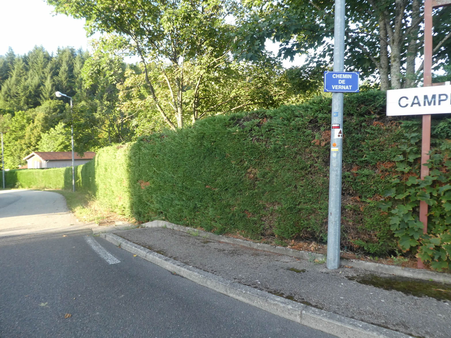
- Agnès et Bernard Courbon, Mounes; 04 77 39 18 15/06 30 31 84 01; Gîte, dinner, breakfast
- Camping Les Reynières, 29 Rue du Tracol, St Sauveur-en-Rue; 07 62 23 24 11; Chalets, camping-cars, tents, dinner, breakfast
- Monique Poulenard, Le Combalou ; Les Sétoux; 04 71 61 96 41/06 29 45 00 47; Gîte, dinner, breakfast
Pilgrim hospitality/Accueils jacquaires (see introduction)
- Bourg-Argental (4)
- St Sauveur-en-Rue (1)
If one takes inventory of the accommodations, lodging does not present major problems. In Les Sétoux, the guesthouse can accommodate up to 50 people. For more details, the guide of the Friends of Compostela keeps a record of all these addresses, as well as bars, restaurants, or bakeries along the route.
Feel free to add comments. This is often how you move up the Google hierarchy, and how more pilgrims will have access to the site.
|
 |
Next stage : Stage 12: From Les Sétoux to La Papeterie |
|
 |
Back to menu |