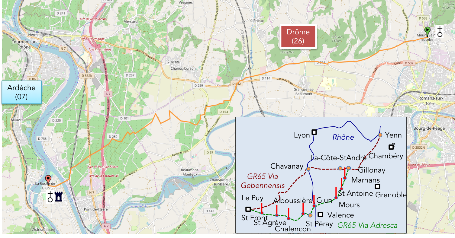
In the fields and vineyards of the Isère plain
DIDIER HEUMANN, ANDREAS PAPASAVVAS
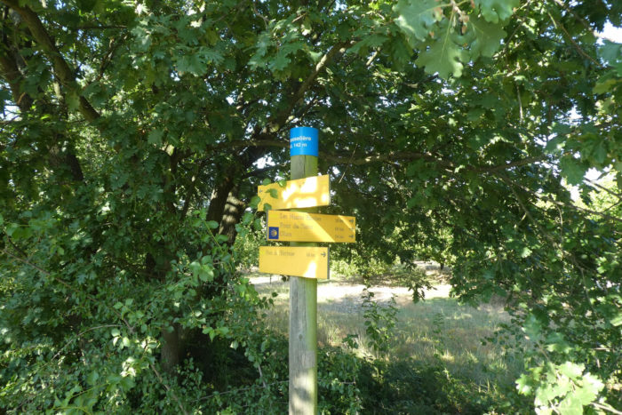
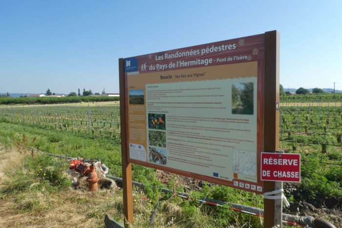
We divided the course into several sections to make it easier to see. For each section, the maps show the course, the slopes found on the course, and the state of the route (paved or dirt roads). The courses were drawn on the « Wikilocs » platform. Today, it is no longer necessary to walk around with detailed maps in your pocket or bag. If you have a mobile phone or tablet, you can easily follow routes live.
For this stage, here is the link:
https://fr.wikiloc.com/itineraires-randonnee/mours-saint-eusebe-auvergne-rhone-alpes-france-32845854
| Not every pilgrim feels comfortable using GPS devices or navigating on a phone, especially since many sections still lack reliable internet. To make your journey easier, a book dedicated to the Via Gebennensis through Haute-Loire is available on Amazon. More than just a practical guide, it leads you step by step, kilometre after kilometre, giving you everything you need for smooth planning with no unpleasant surprises. Beyond its useful tips, it also conveys the route’s enchanting atmosphere, capturing the landscape’s beauty, the majesty of the trees and the spiritual essence of the trek. Only the pictures are missing; everything else is there to transport you.
We’ve also published a second book that, with slightly fewer details but all the essential information, outlines two possible routes from Geneva to Le Puy-en-Velay. You can choose either the Via Gebennensis, which crosses Haute-Loire, or the Gillonnay variant (Via Adresca), which branches off at La Côte-Saint-André to follow a route through Ardèche. The choice of the route is yours. |
 |
 |
If you only want to consult lodging of the stage, go directly to the bottom of the page.
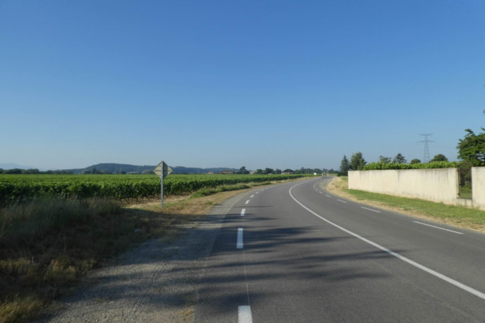
Today’s stage represents one of those subtle transitions that mark the passage from one territory to another, like a breath of fresh air at the boundary between two worlds. Much like when you change languages or cross an invisible threshold, this day signals a gentle shift, where the hills of the Chambaran give way to those of the Ardèche. On the other side of the Rhône and Isère, the landscape takes on a new character: less wild, but just as striking. The plain stretching before you may appear monotonous at first glance, vast, peaceful, almost uniform,but it hides many treasures. Beneath its calm exterior, it harbors riches, especially for wine enthusiasts. It is here that the prestigious Crozes-Hermitage vineyard stretches across the land. The vines, extending as far as the eye can see, form regular undulations, like waves sculpted in the earth. The well-ordered vines seem to reach toward the sun, ready to yield their precious harvest. The terraced vineyards add a unique beauty to this ever-changing landscape.
Towards the end of the stage, another spectacle awaits: the Rhône, majestic, tranquil, and imposing all at once. The river, both a boundary and a passage, opens the doors to new horizons, like an old companion gently guiding you to new lands. The Rhône, with its vast waters and relative calm, marks the end of one journey and the beginning of another, further west, across the river. This stage also signifies the end of your time in the Drôme department. Tomorrow, the Ardèche awaits with its wilder hills and landscapes, promising a different adventure. Today, however, you leave the Drôme and enter a new territory, where the transition is smooth.
Difficulty level: The elevation gains (+23 meters/-74 meters) are negligible. It is a flat route with no difficulty.
State of the Via Adresca: Though flat, almost the entire route is along paved roads:
- Paved roads: 16.4 km
- Dirt roads : 1.0 km
Sometimes, for reasons of logistics or housing possibilities, these stages mix routes operated on different days, having passed several times on these routes. From then on, the skies, the rain, or the seasons can vary. But, generally this is not the case, and in fact this does not change the description of the course.
It is very difficult to specify with certainty the incline of the slopes, whatever the system you use.
For those seeking « true elevations » and enthusiasts of genuine altimetric challenges, carefully review the information on mileage at the beginning of the guide.

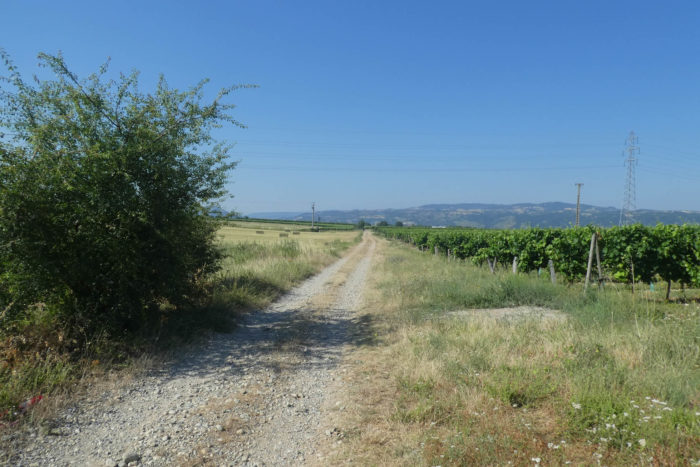
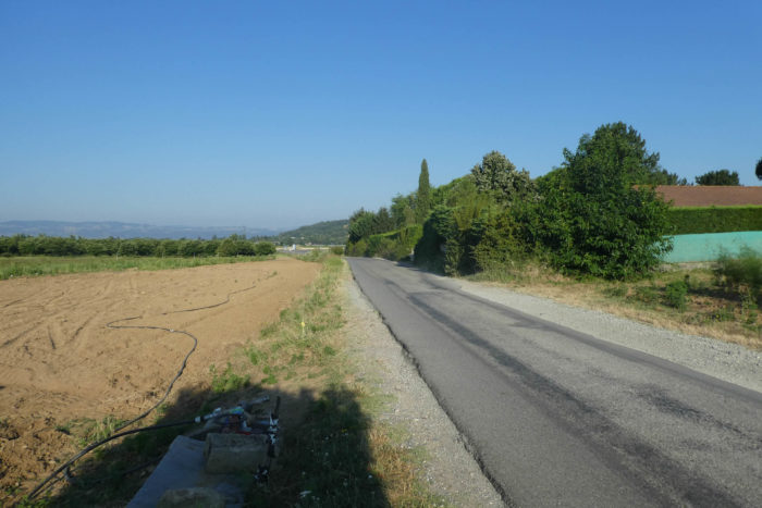
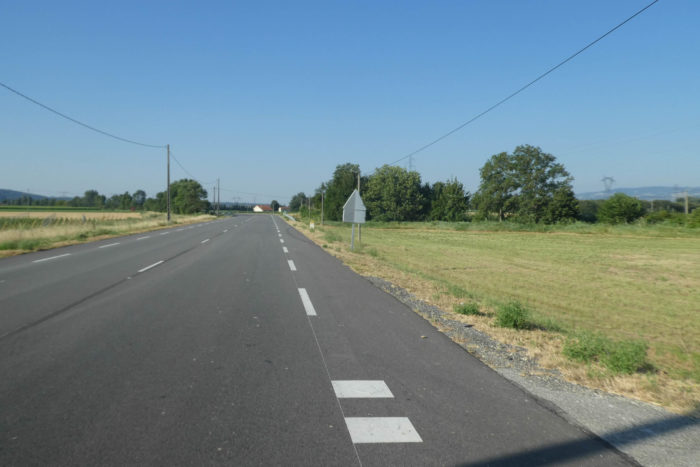
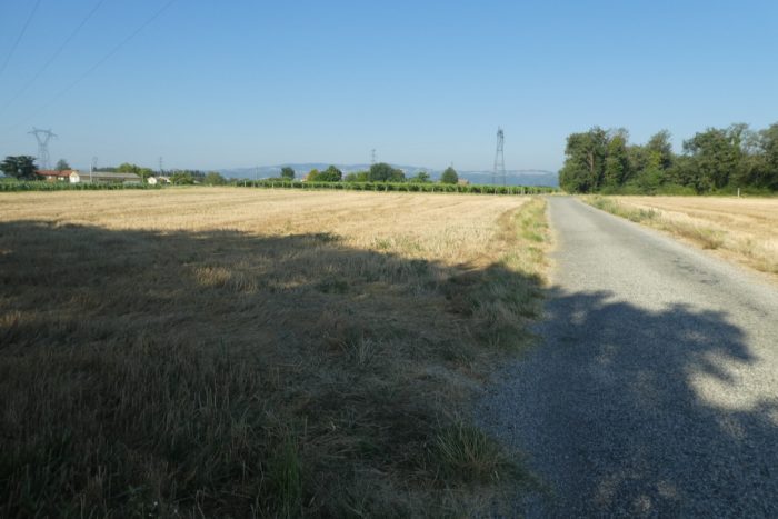
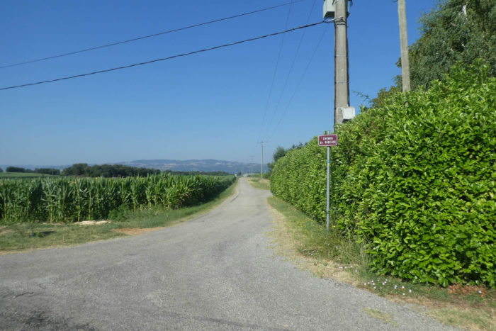
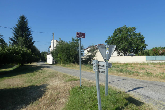
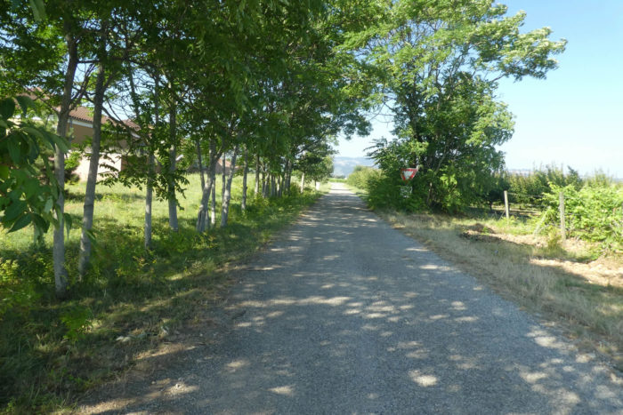
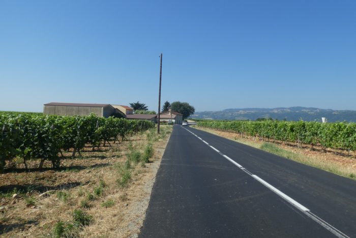
Section 1: In the orchards and countryside of Isère

General overview of the difficulties of the route: flat, without any difficulty.

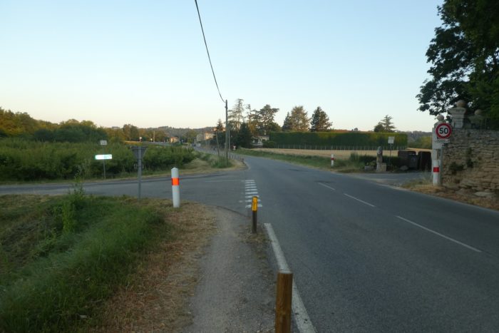
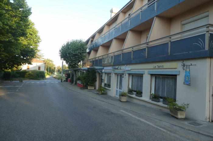
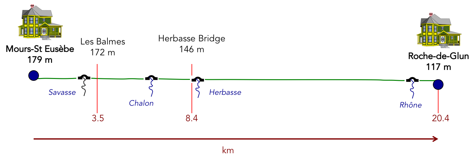
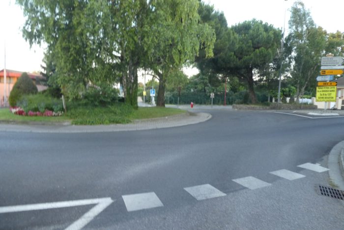
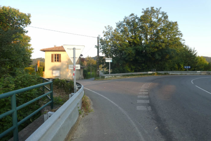
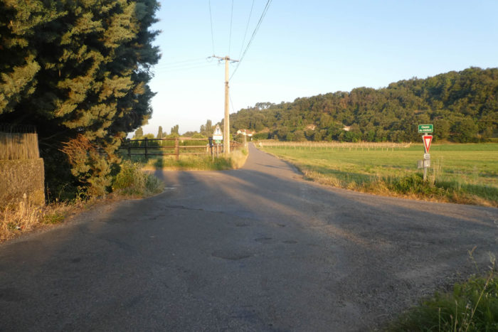
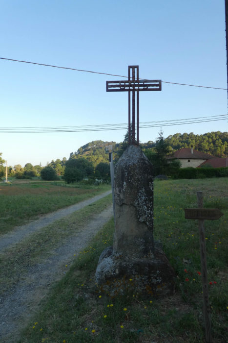
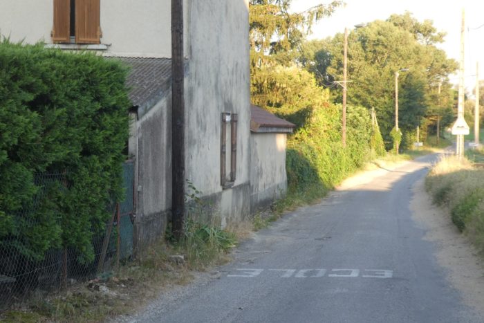
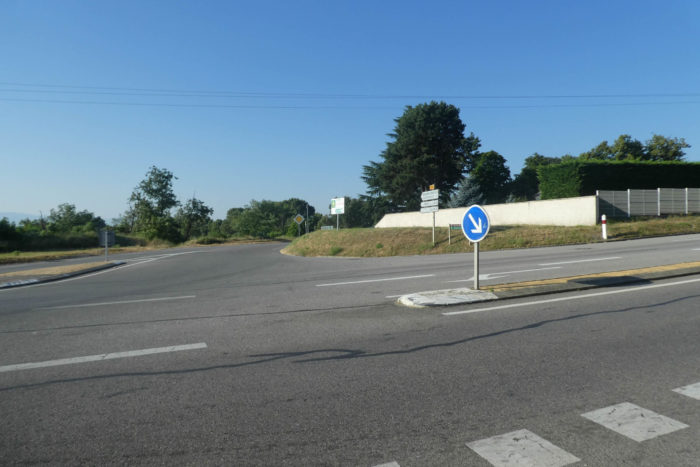
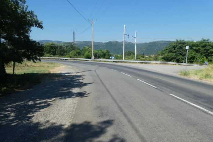
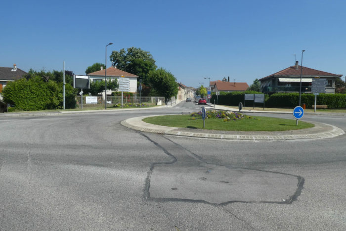
| If you spent the night in Romans-sur-Isère, you’ll need to return to Mours-Saint-Eusèbe to continue your journey. The Via Adresca begins at the roundabout on the descending road into the town, heading directly west toward Les Balmes. |
 |
 |
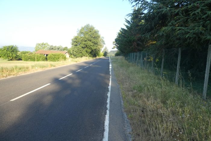
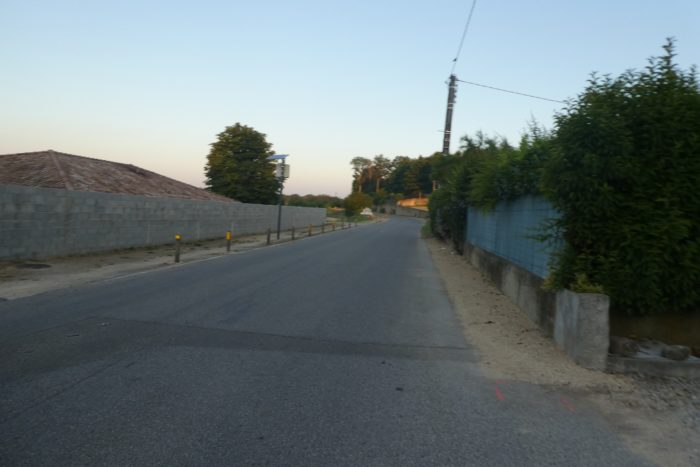
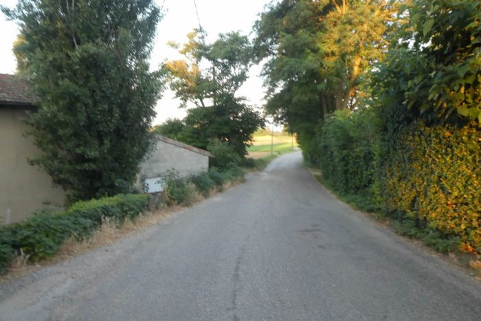
| You’ll walk along the edge of a secondary road, where the hustle and bustle of the town already feels like a distant memory. There is almost no traffic, especially in the early morning light, when the soft glow of dawn stretches over the still-sleeping fields. |
 |
 |
| The road winds past orchards, dominated by apricot trees. Thousands of trees spread their generous branches, heavy with sun-soaked fruit ready for harvest. In season, roadside stands overflow with ripe apricots, their warm colors a proud symbol of the region. The air is filled with their sweet fragrance, turning the fruit into a true invitation for a sensory journey. |
 |
 |
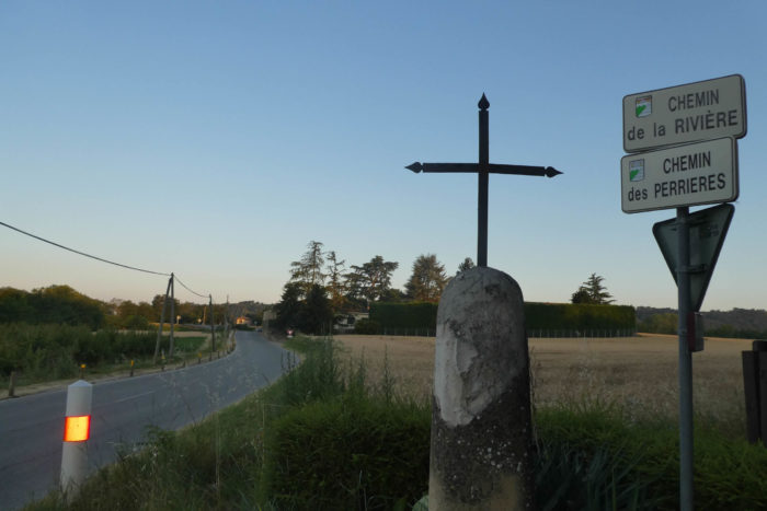
| At a roundabout, the Via Adresca turns away from the main road, taking a smaller path that twists toward Les Balmes. Here, the Savasse river reappears, flowing peacefully at your feet before joining the welcoming arms of the Isère River farther below. The sound of pebbles fades, but the water remains, a calm, almost shy presence, waiting for the storms to awaken its fury. Still, one can sense the dormant power in the riverbed, ready to sweep everything in its path. |
 |
 |
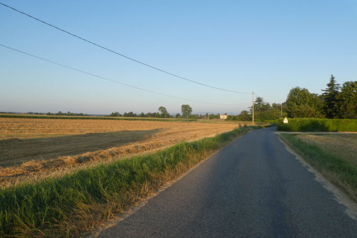
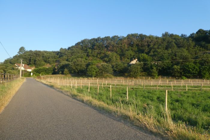
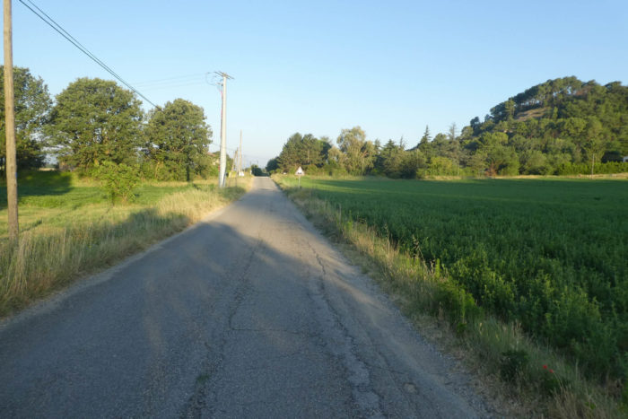
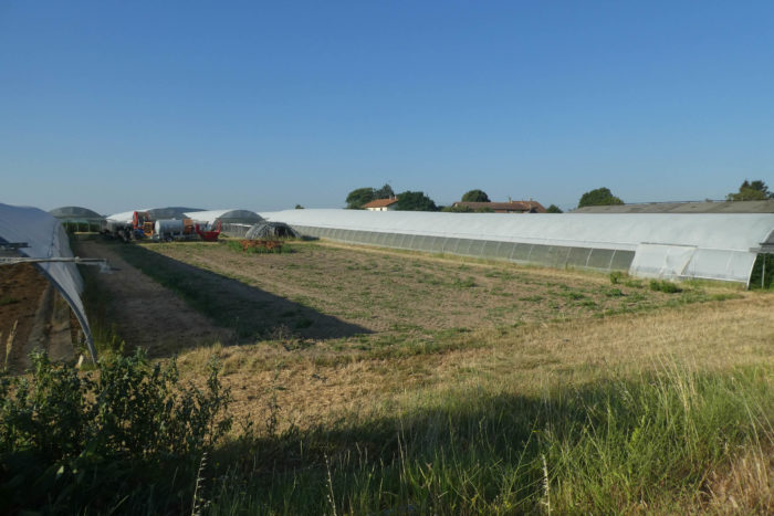
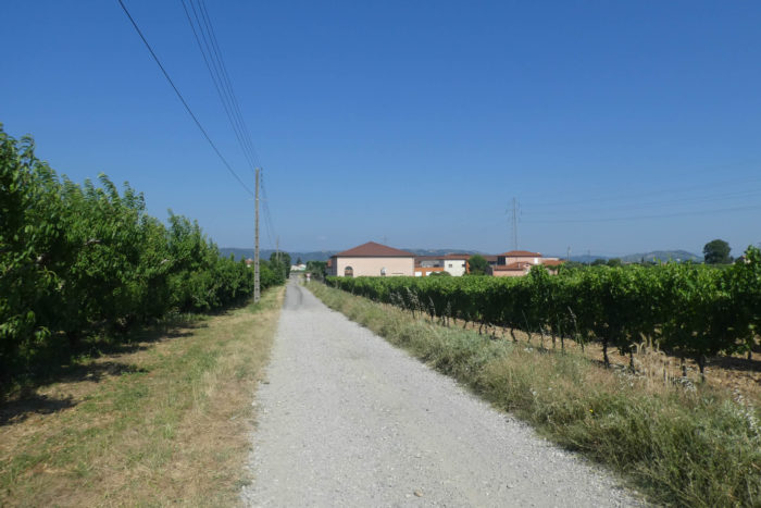
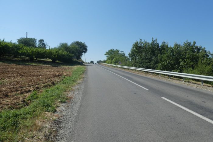
| From there, a narrower road cuts through fields, offering a glimpse of a peaceful agricultural landscape. Fruit trees gradually give way to small wooded areas gently sloping down from the surrounding hills, as if nature itself were drifting into a quiet dream. This region is a true patchwork of vineyards, vegetable plots, and orchards, painting a living portrait of local agriculture. |
 |
 |
 |
 |
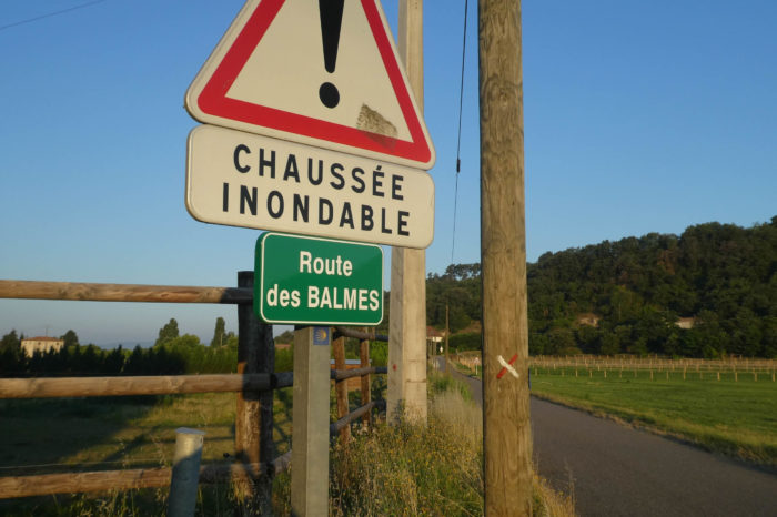
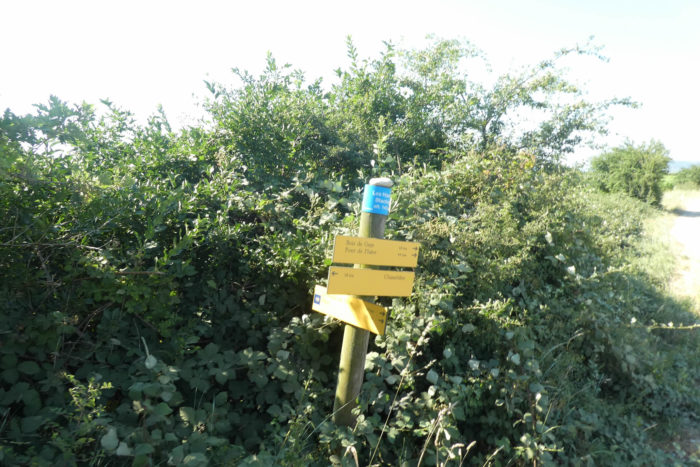
| Approaching Les Balmes, the paved road traverses an area prone to flooding. It is easy to imagine the Savasse River spilling its tumultuous waters here when the rains rage. Be vigilant, however; signage is not always clear. Numerous hiking paths meander through the countryside, and you must follow the scallop shells, even if the route seems to vanish underfoot like a mirage. For the Via Adresca, while occasionally overlapping with a GR route, is not a true long-distance hiking path. It is merely a pseudonym for a GR, a route imagined and marked by the Friends of the Camino de Santiago in Burgundy Rhône-Alpes, before blending, further along, with the GR420 on some sections. |
 |
 |
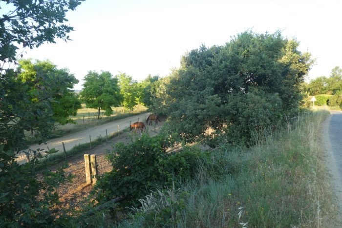
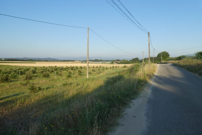
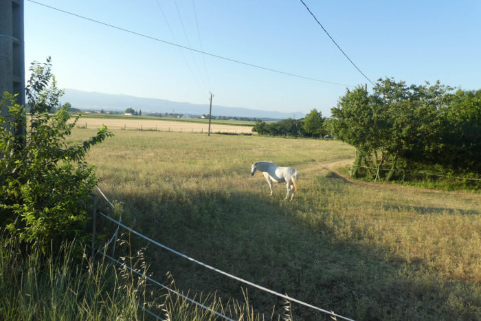
| Around you, stud farms appear, standing on ocher soil under a cloudless sky. The land is flat, and your gaze is lost in the distant expanse of fields, orchards, and cultivated lands. Occasionally, a solitary tree punctuates the horizon, but the vast plateau dominates, like a calm sea waiting to be crossed. In the background, majestic and imposing, the Vercors watches over the Isère plain, a discreet guardian of this territory. |
 |
 |
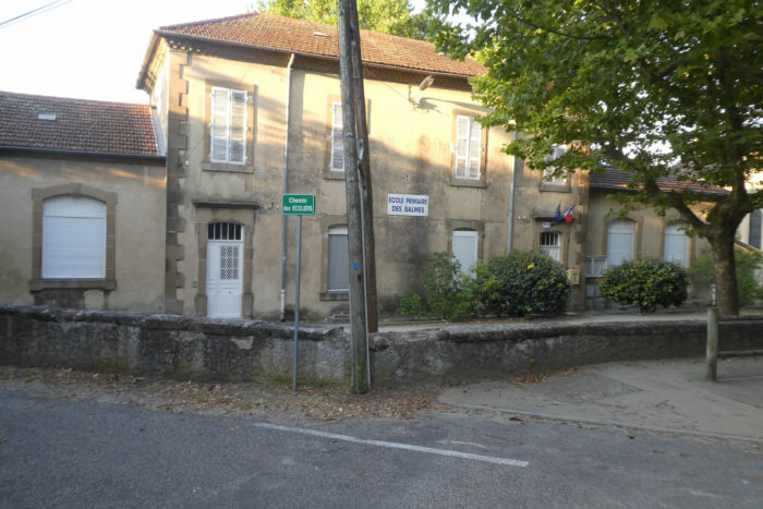
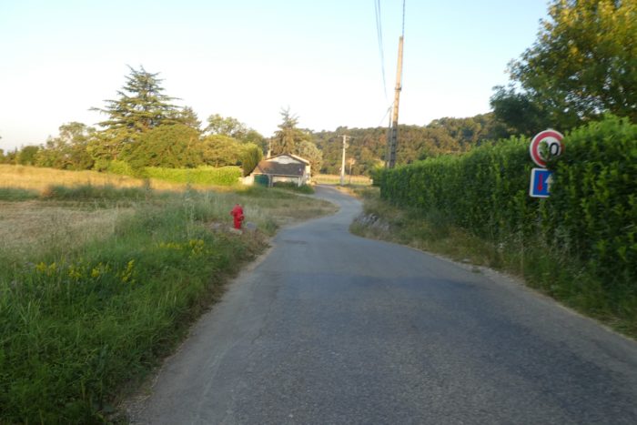
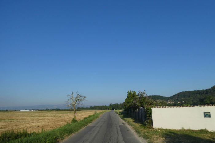
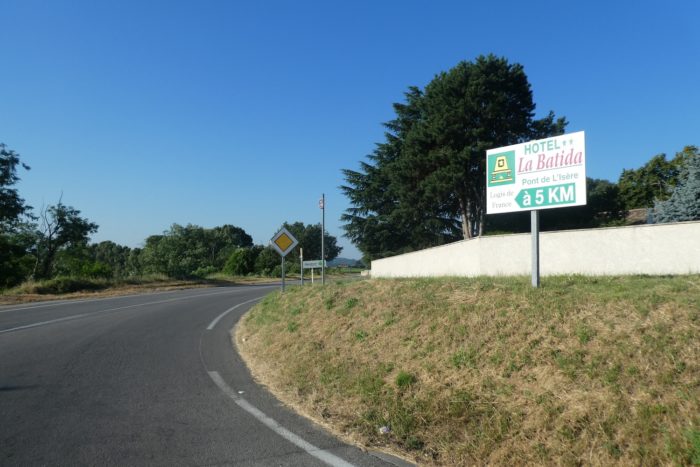
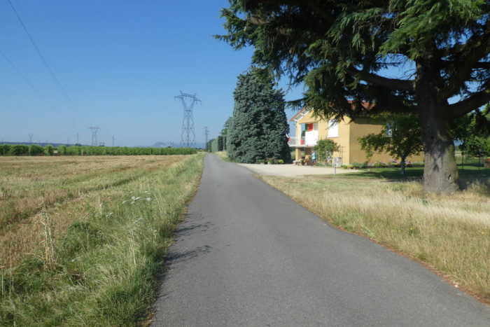
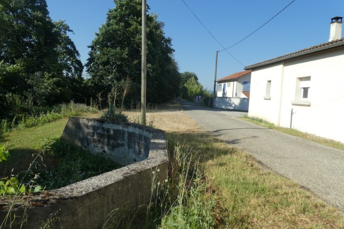
| The paved road then leads you to the village of Les Balmes. This name, laden with history, evokes a rock shelter, a refuge, a pause in the arduous journey. Here, you will find accommodation and dining options, a haven of comfort for weary pilgrims. It is a common stopping point, as shelter in Mours is scarce. |
 |
 |
| The village church, of recent construction, no longer hosts services but comes alive every Christmas. For many years, the inhabitants of Les Balmes have created a giant nativity scene, a living display that draws crowds of visitors. It is a poignant moment, a return to the essence of tradition, a touching scene that warms hearts during the winter. |
 |
 |
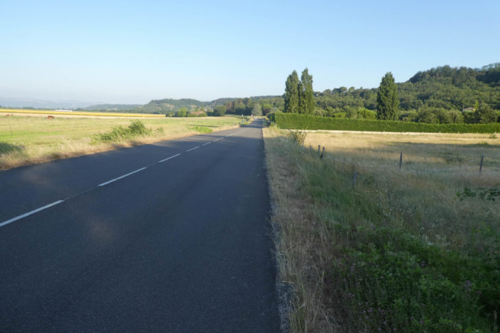
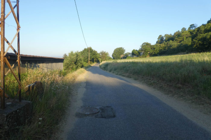
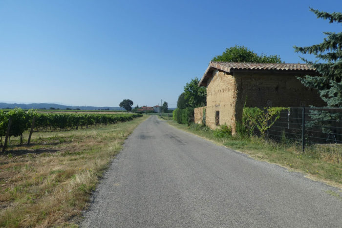
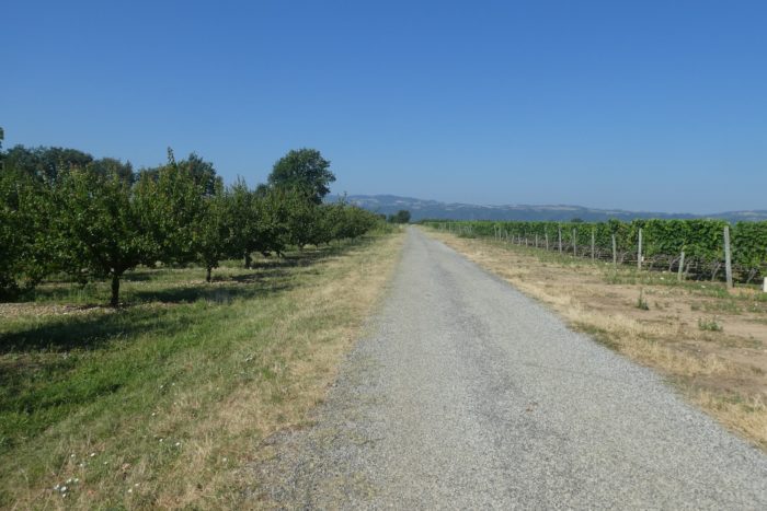
| At the village’s edge, the paved road continues, weaving through the countryside among sturdy, ancient oaks, witnesses to a bygone era. The route remains simple, unpretentious, with few chances to venture onto dirt paths today. The paved road stretches ahead, straight and determined, ready to carry you farther. But for now, here, among fields and woods, your journey continues. |
 |
 |
Section 2: In the countryside and the modern housing estates of Isère

General overview of the difficulties of the route: flat, without any difficulty.

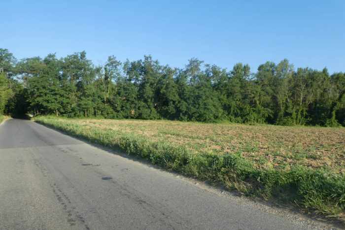
| Here, stud farms and vegetable gardens dominate the horizon, their presence deeply shaping the landscape. Before the paved road joins the departmental road D574, fields stretch beneath your feet, punctuated by local crops. However, soon the monotony of the plain takes over. The landscape unfolds, peaceful and predictable, with sparse orchards barely interrupting the uniformity of cultivated fields. |
 |
 |
| …before finding fruit trees when the road joins the departmental D574 road. |
 |
 |
| Here, you have to walk along the departmental road to the hamlet of Condillac, but the traffic is far from exuberant. |
 |
 |
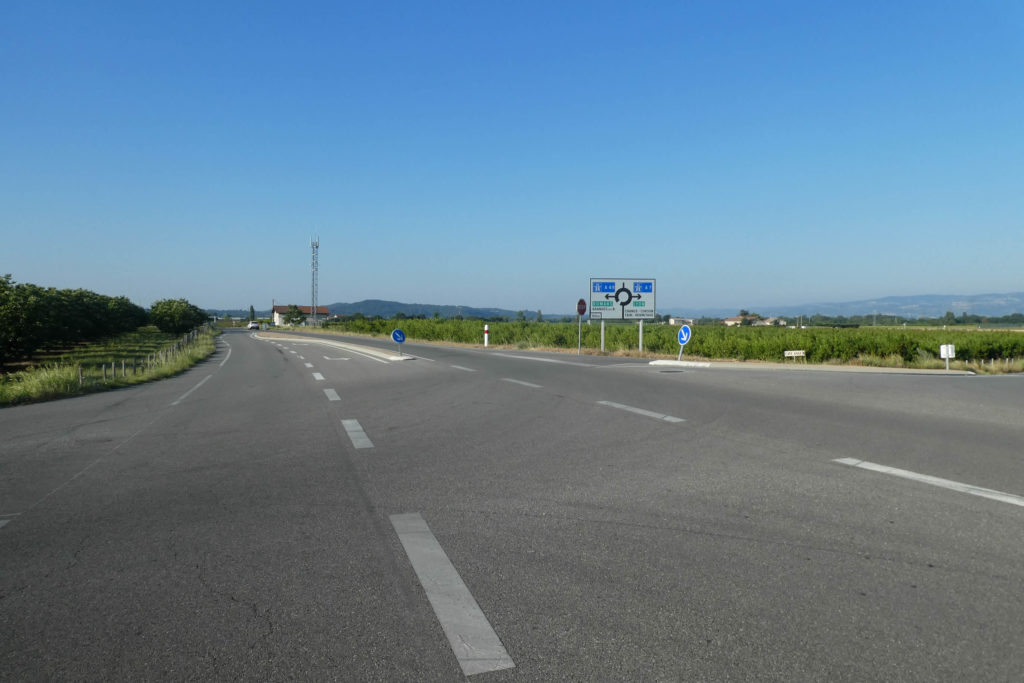
| Further along, at a fork, the Via Adresca leaves the departmental road to take the Chemin des Collines. |
 |
 |
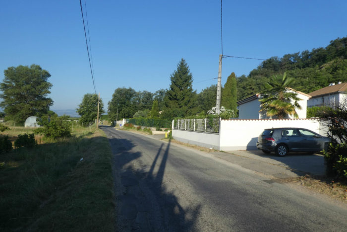
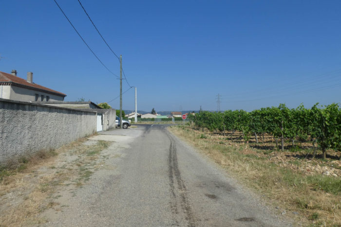
| Here, modernity asserts itself: small, well-organized housing estates line the paved road, their uniform facades echoing a tidy society. The dogs, however, do not share this apparent calm. As soon as you approach, their barking erupts, loud and incessant. A curious phenomenon: when one homeowner gets a dog for property protection, neighbors seem to follow suit. Each owner strives for a larger, louder dog than the last, and the canine symphony grows. These loyal animals, confined behind fences, know little else but how to make their voices heard. Postal workers will tell you that neither vigilance nor familiarity soothes these creatures; all dogs bark, without exception. Fortunately, the fences are sturdy, for the teeth of some of these animals seem capable of tearing at you even from a distance. |
 |
 |
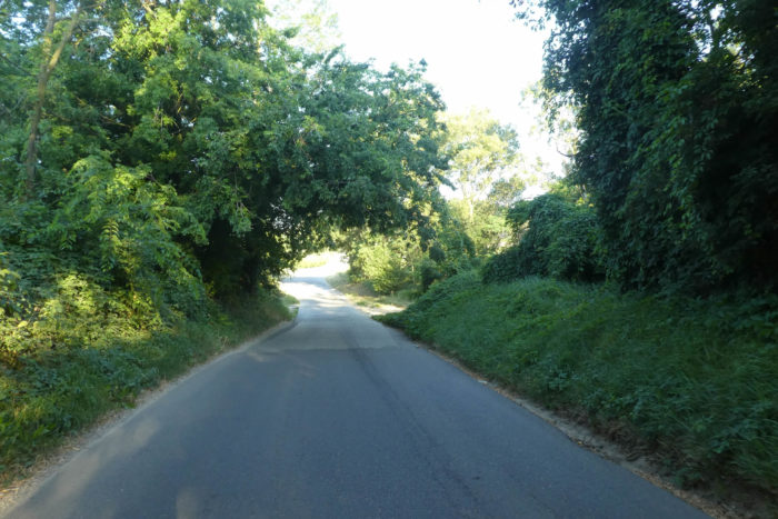
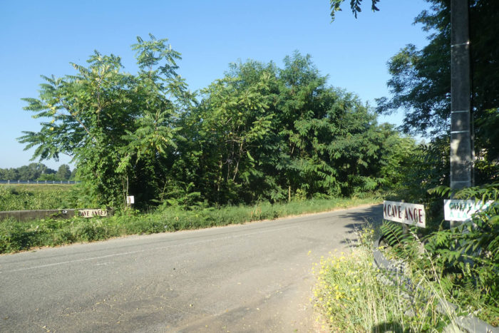
| Shortly afterward, the road winds through a small patch of forest. These rare, discreet islands of greenery dot the route like welcome moments of shade in an otherwise open and exposed environment. The coolness they offer provides a brief respite before the route resumes its course. |
 |
 |
Here flows the Chalon—or rather, « flows » might not be the most accurate word. The stream, now dried up, leaves behind only a bed of pebbles, unused for quite some time. The bottom of the river has been cemented to allow vehicles to cross, a modern footprint in an otherwise natural landscape. However, during heavy rains, you can imagine the crossing becoming far more treacherous. For this entire region, seemingly tranquil and flat, is a flood zone. At times, the rivers rage, abandoning their usual calm, and the waters swallow the land like a sea consuming a beach.

| A little farther on, the road runs through another modern housing estate, the Sables. Behind fences, the canine symphony resumes with renewed vigor. Here, as elsewhere, the barking mingles with the gentle wind in a cacophony that borders on surreal. The dogs seem indifferent to human boundaries, content to bark simply for the pleasure of being heard. |
 |
 |
| Eventually, the route returns to the orchards as the Chemin des Collines intersects with the departmental road D114. |
 |
 |
Eventually, the route returns to the orchards as the Chemin des Collines intersects with the departmental road D114. This intersection leads you to another world, that of Rue du Tram, a major departmental road connecting this remote corner to the bustling heart of Romans-sur-Isère. Rue du Tram… the name evokes a bittersweet nostalgia, a reminder of a mode of transport that, like many others in the region, has long since disappeared. Yet the history of this place lingers, hidden beneath the pavement and street names, a testament to the passage of time and the transformations it has brought.
| A small road then crosses the industrial zone of Les Bouviers, awaiting new clients to spark its development, a hope seemingly distant, given the vacant spaces, and moves back into vineyards and apricot orchards. |
 |
 |
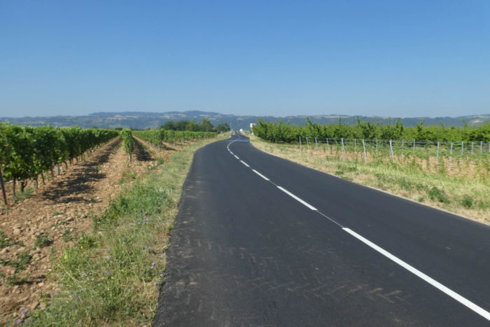
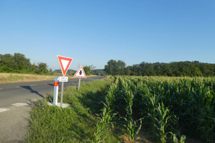
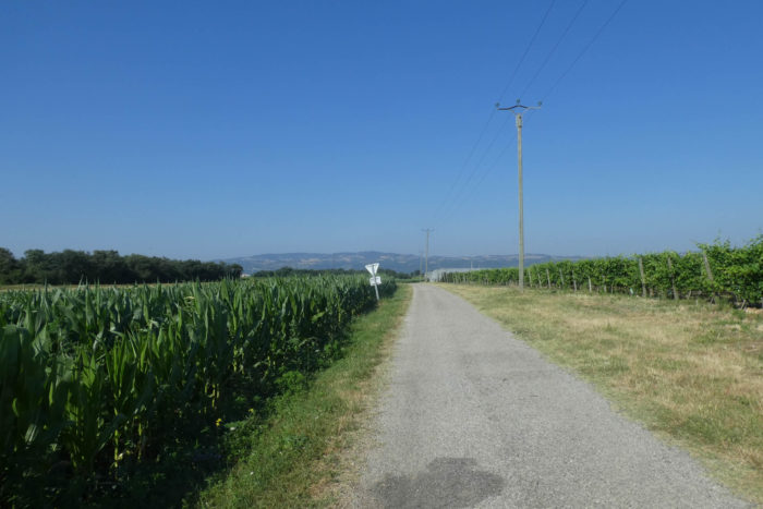
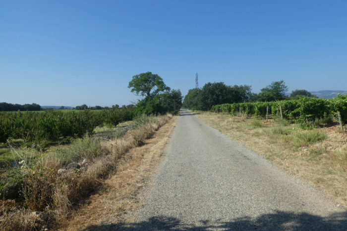
Section 3: In corn, wheat and vines

General overview of the difficulties of the route: flat, without any difficulty.

Then, thunder rumbles, a deep sound that seems to rise from the bowels of the earth. For, even though the tram has disappeared from the region, the shadow of modernity still lingers. The Rhône-Alpes TGV line (LN4), which crosses this land, makes its presence known. It is not unfamiliar to the Via Adresca route, which we have already encountered in previous stages near Revel-Tourdan. This line, an heir to the LGV Sud-Est (LN1), skirts Lyon before heading towards Valence, where it continues under the name LGV Méditerranée (LN5), all the way to Marseille and Nîmes.

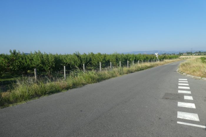
| As soon as the train passes, the paved road winds its way through the market gardeners’ installations. Here, the fields stretch out, carefully cultivated, and the first vines begin to show. The route seems to herald, like a prelude to the vast vineyard landscapes that lie ahead. You are on the threshold of a great wine region, a land whose roots plunge deep into the soil, a territory where each vine whispers ancient secrets. |
 |
 |
| Already, the cellars are announced on the horizon, and the road, unyielding, turns towards the Herbasse. |
 |
 |
| This small river seems peaceful, gentle, almost shy in its meanders. But do not be fooled: when the Herbasse gets angry, it rivals the other rivers in the region. In 2008 and 2013, violent storms turned this calm water into a torrent of destruction, a liquid fury that wreaked havoc, just like the other nearby rivers. In this plain, water has nowhere to escape and rushes towards already saturated beds, whether the Rhône or the Isère. These great rivers, like chamber pots, fill up, and the earth beneath them becomes soaked with water until it suffocates. |
 |
 |
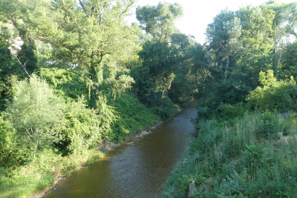
| The Herbasse is a crossroads, but not a place where you feel expected. |
 |
 |
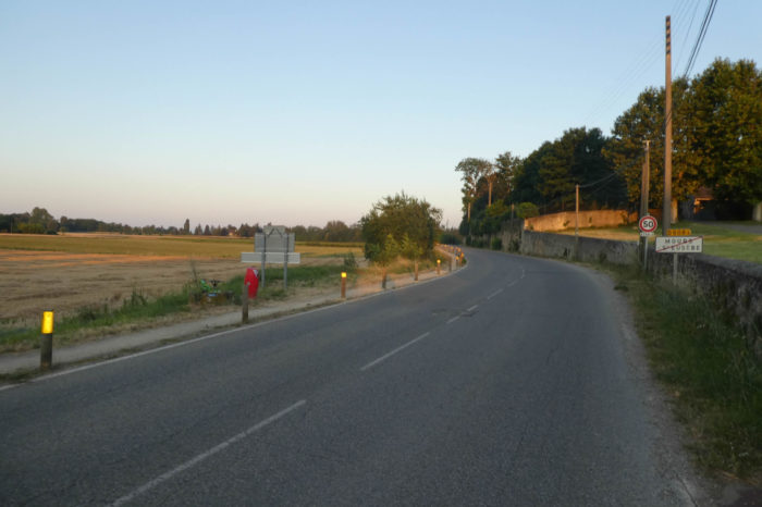
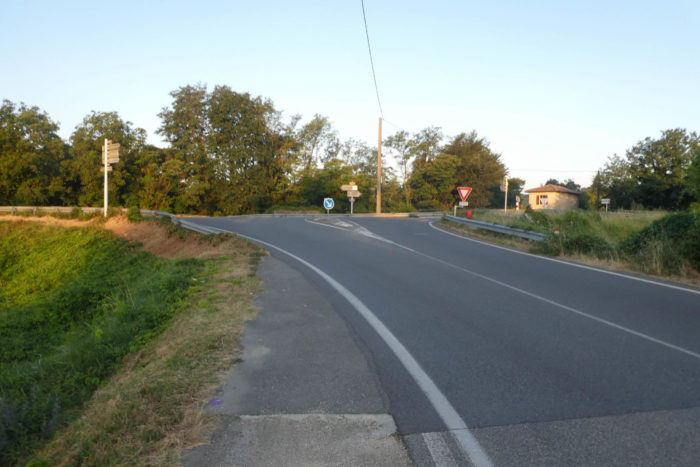
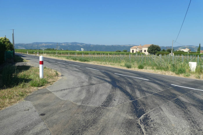
| The Via Adresca lingers here for a while, along the large departmental road D532 that connects Romans-sur-Isère to Tain-l’Hermitage. Then, it leaves this main artery to take the D153, a road that descends towards Pont-sur-l’Isère, in the distance, further south. |
 |
 |
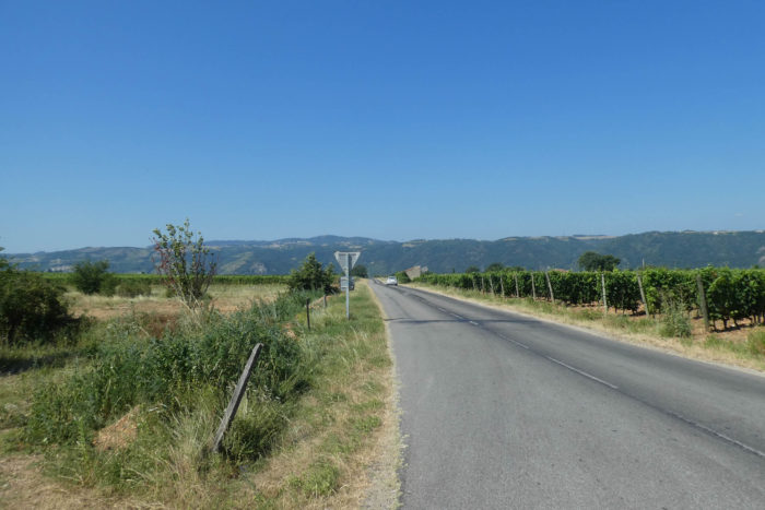
| This is where the large wine-growing estate of the Crozes-Hermitage appellation extends. But do not be mistaken: beyond the vines, there are also market gardeners, still present, working tirelessly to bring forth their crops from the earth. The road, wide and concreted, offers some space to walk, but there is nothing bucolic about this tangle of asphalt and cultivation. It is not a route that invites daydreaming, but rather a utilitarian route, where you move forward with the weight of everyday life. |
 |
 |
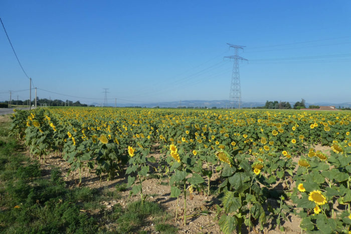
| In these vast agricultural spaces, the temptation is great not to pay attention to the signs. But here, near a rare field of sunflowers, a curiosity in this region, the Via Adresca leaves the main road to venture onto the Path of the Traverse, a more intimate road that heads towards the Blaches. A modest stop, away from the major roads. |
 |
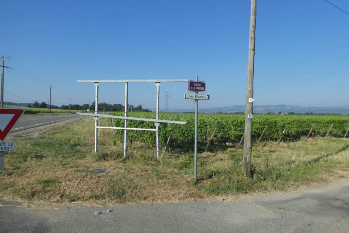 |
| The paved road, discreet, then winds between the vineyards of Cros de Mourier on one side and vast fields of grain on the other. The wheat, proud, swaying in the breeze, mixes with the vine stocks. A strange but perfect contrast between the softness of the vine and the rigor of the fields. The immensity of the space seems to stretch endlessly, leaving the feeling that time is slowing down. |
 |
 |
| In the region, the houses of the winegrowers are often grouped together in small housing estates and the space is free for crops. |
 |
 |
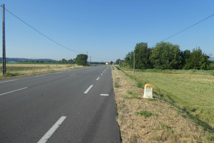
| A little further on, the road joins the departmental D67, a small passageway. It is little more than a corridor between the fields, mainly used by local farmers and winemakers, but scarcely by travelers. You might occasionally encounter a tractor, a cart, but never the bustle of traffic. Everything here seems to unfold at the pace of the seasons, without haste. |
 |
 |
| A little moment on the small departmental road, which should be more a route for the farmers and winegrowers of the region than for tourists … |
 |
 |
| A short while later, you arrive at the stream of the Veaune. A stretch of tranquil water, whose murmurs mix with those of the leaves and grasses. A moment of calm before moving on, with a peaceful mind, but without any illusion about the remainder of the route, |
 |
 |
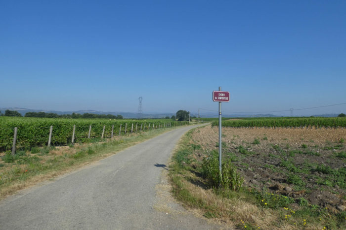
| Then, the Via Adresca resumes its way on an unexpectedly named road, the Way of Compostela. What a coincidence! This road, still paved with asphalt, winds between fields and small vineyards towards the farms of Colombier. Here, no dirt paths, tractors need not worry about moisture, but the sounds of the countryside are omnipresent. It is a world in motion, a world of labor. |
 |
 |
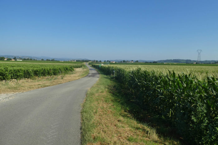
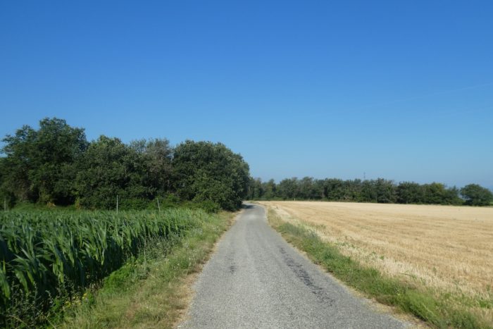
| It then crosses a region where the crops of cereals and corn take over the vines. |
 |
 |
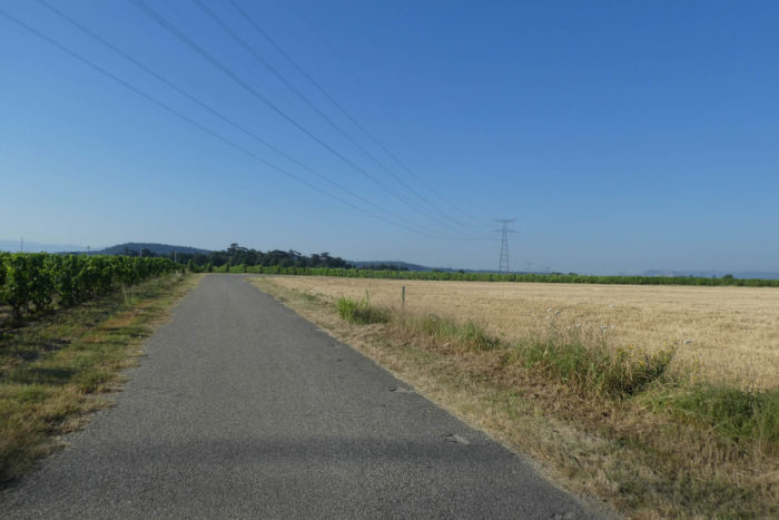
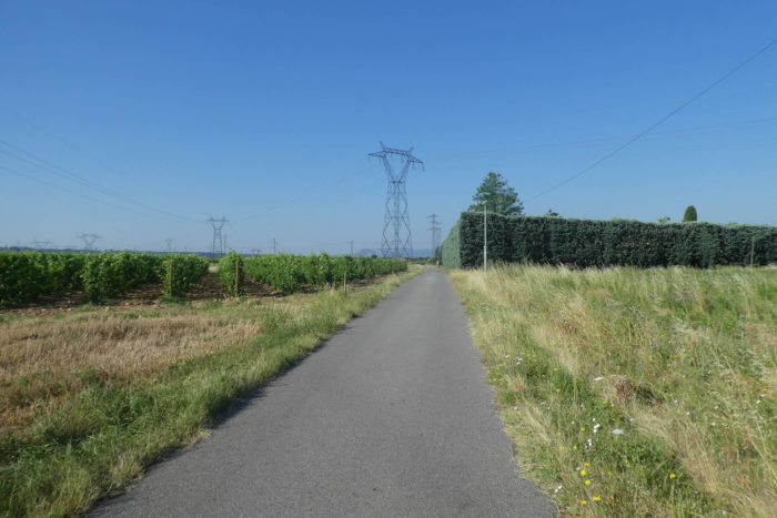
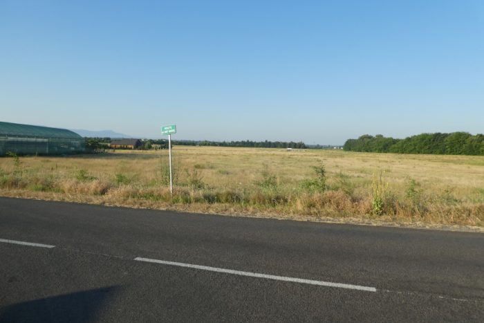
| In this region of intensive cultivation, there are no villages. Only isolated houses or farms appear on the horizon, scattered like spots of color in a painting that has not yet found its contours. The high-tension power lines, invisible but omnipresent, carve sharp edges into this landscape, where all human presence seems to have vanished, replaced by the raw force of the earth’s labor. |
 |
 |
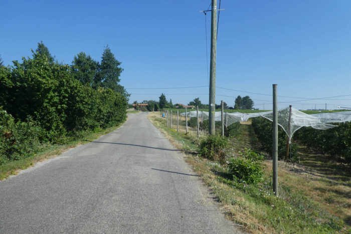
Section 4: In the middle of market gardeners, fruit trees and vines

General overview of the difficulties of the route: flat, without any difficulty.

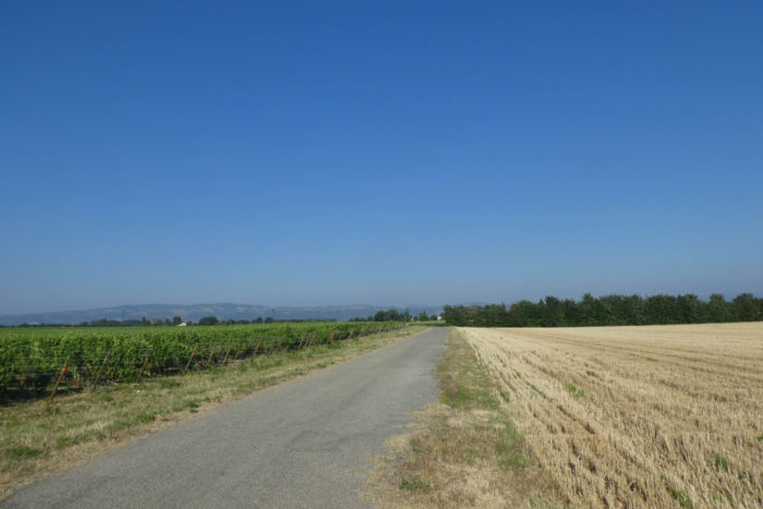
| The Way of Compostela, as it is called here, crosses the entire region known as the Grands Champs, a place where harmony seems to be sought between the crops. Corn and wheat, proud and upright, vie for space with the vineyards, carefully lined up side by side like soldiers on the front line, disciplined and orderly. These fields, vast and open, stretch as far as the eye can see, alternating between the brown earth and the intense greens of the cereals, before giving way to the vine stocks, which, like a silent ballet, follow the rhythm of the seasons. The symphony of nature here is composed of human efforts, the tireless work of those who, every day, shape this land to bring out its best. |
 |
 |
| The roads here are almost straight, unsurprisingly. |
 |
 |
| At the end of the Way of Compostela, the road makes a sharp turn, an acute angle, and heads towards the Route des Vignes. Here, everything seems suspended, awaiting the cycles of the land. Except during work periods in the vineyards or harvests, there is not a soul to be found in these vast and orderly fields, nor in the few scattered houses along the road. The silence is almost deafening, like an echo of the solitude that reigns over this worked but sparsely inhabited land. |
 |
 |
| When you take a look at the vineyard, you see that the soil is limestone, with many pebbles carried by the glaciers. This is in stark contrast to the Côte Rôtie region, a stone’s throw away, where the vines are planted in granite soil, resulting in superior, more structured wines. Finally, a matter of taste, but above all of your wallet! |
 |
 |
| Then, another sharp angle appears, and one road chases another. The road moves away again, taking the Path of Gabelou. Another detour, but always the same landscape, that of fields and vineyards, which seem to merge into an infinite repetition. Nature imposes itself here, but with the human imprint written in the regularity of the crops. |
 |
 |
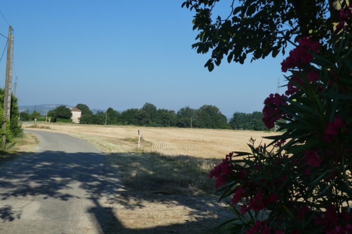
| The corn and the vines, once again, greet the pilgrim. But the vineyard is not yet this solid sea of vines that stretches endlessly, as it will later on. A few apple trees are also visible, discreet but present, remnants of a time when agricultural diversity was more evident. For, although wine dominates here, other crops have found their place in this generous land. A subtle mosaic of orchards and vineyards, like a reminder that nature enjoys varying its pleasures. |
 |
 |
| The Via Adresca, unsurprisingly, turns right again, this time onto the Route du Syrah, a predestined name, almost prophetic, as this grape variety embodies the very essence of Hermitage and Crozes-Hermitage. Wine flows in the veins of this region, and this name is its perfect reflection. |
 |
 |
| The road continues, leading to the scattered houses of Combe Tourtes. After another turn, a still precise angle, it resumes its course on the Route des Chênes. One last turn, one last change of direction, and nature, like a painter, changes its palette once again. |
 |
 |
| Here, the oaks still stand, a few proud specimens rise in the landscape, providing a welcome shade in this often-arid corner of land, where the vine reigns supreme. These trees, too, bear witness to the history of this place, to the persistence of a plant world that has adapted to the demands of the soil. Their ancient roots plunge deep, where the earth is drier, but ready to nourish the tree and the vine. |
 |
 |
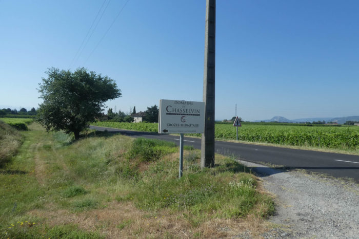
| Soon, you reach Chasselière, this almost sacred entry point into the Crozes-Hermitage estate. Here begins the land of great wines. The Via Adresca then branches off onto the Path of the Bosquets, another route, another step into the unknown. This road, between earth and vines, is marked by the shadow of another world. |
 |
 |
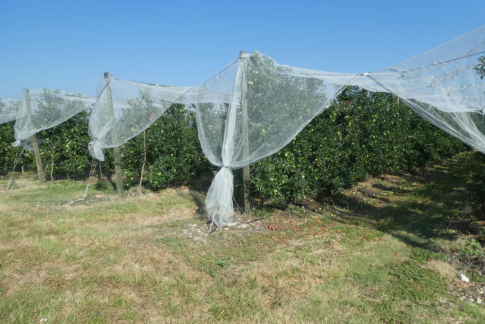
| On the Path of the Bosquets, apricot trees, true to their mission, still stand proudly among the vines, like silent witnesses to the diversity of this region. They bring, with their fruit, a rare sweetness to this territory where the grape reigns supreme. These apricot trees are the secret soul of these landscapes, the subtle shadow of a time when not everything was yet devoted to the vine. |
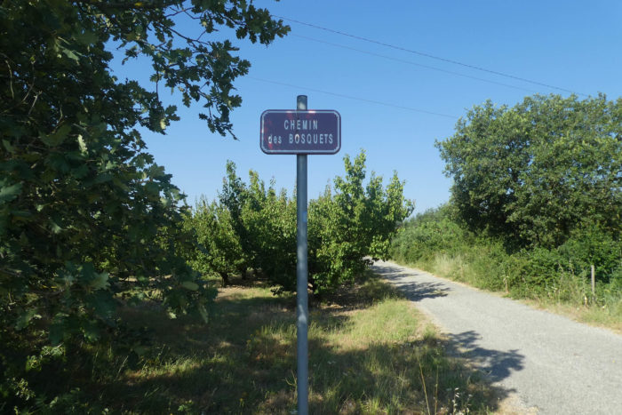 |
 |
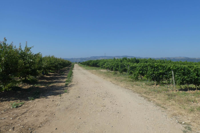
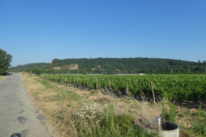
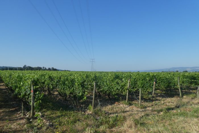
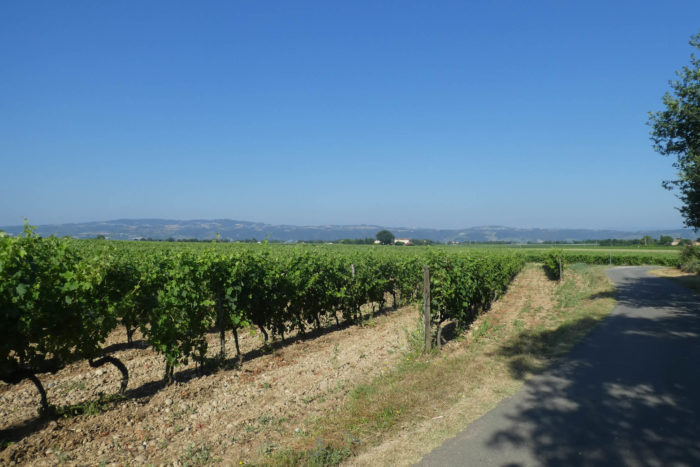
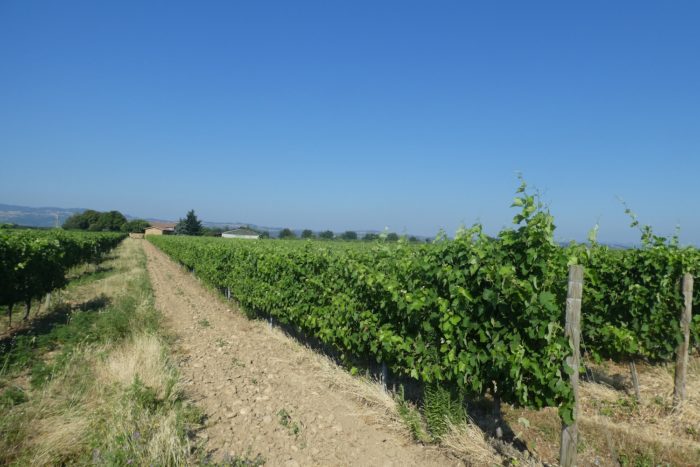
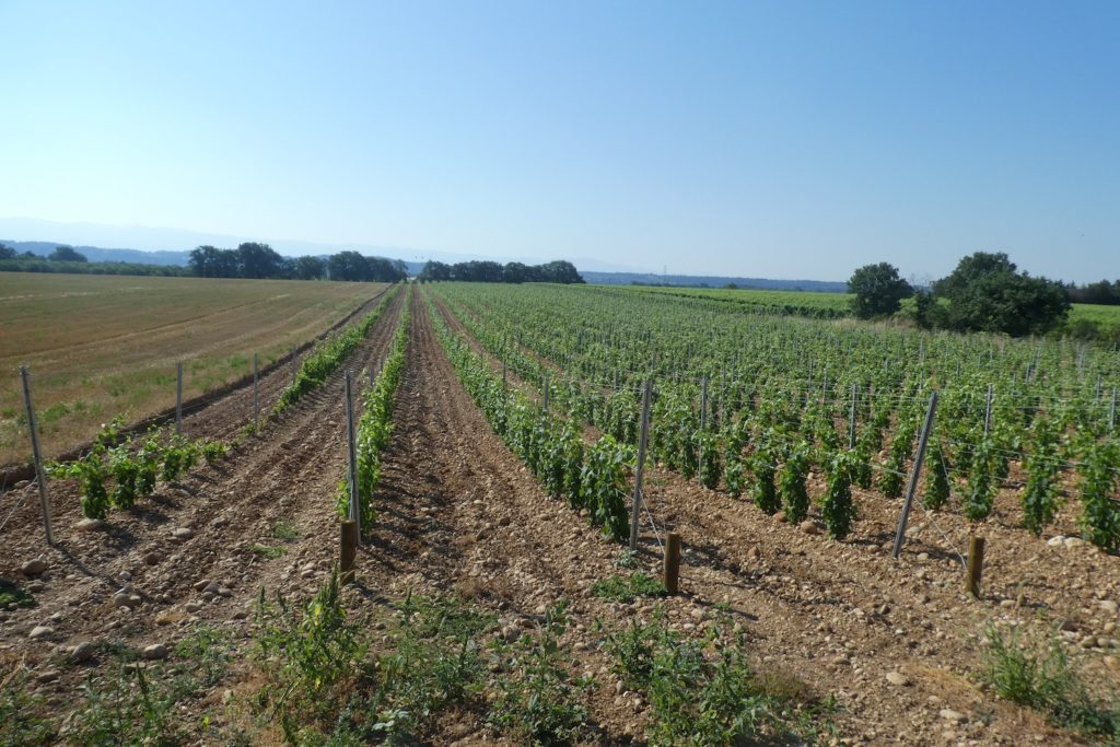
Here, the vineyard begins to seriously expand in the large limestone pebbles. The basic geometry of the vines is trellising, the technique of guiding the vine by binding it by its branches to iron wires. At the end of the row, there is a mooring line that keeps the whole thing in place.
| On the Chemin des Bosquets, there are still apricot trees planted in the middle of the vineyard. |
 |
 |
Crozes-Hermitage, or Crozes-Ermitage, an AOC appellation, is produced in 11 communes in the Drôme. These vineyards are part of the Côtes-du-Rhône Nord vineyards, and extend from before Tain-L’Hermitage to Glun, north of Valence. The famous Hermitage appellation is restricted to a small steep area of Tain-L’Hermitage. On the other side of the Rhône, from north to south, descend from the vertiginous hills the vineyards of Condrieu, Côtes Rôties, St Joseph, as far as Tournon, opposite Tain-L’Hermitage, on the other side of the Rhone. Tomorrow, you will also go to the other side of the Rhône, south of the Côte-du-Rhône Nord appellations, to Cornas and St Péray.
In the appellation, the authorized grape varieties are Syrah, Marsanne and Roussanne for red wines, Marsanne and Roussanne for white wines. As with the great Hermitage and the Côtes Rôties, the two white grape varieties are sometimes used, in low doses, to stabilize the red wines. But, Syrah remains the king grape variety. It is probably no insult to the owners of the vines you are crossing today, to say that the best Crozes-Ermitage are produced in the north. There are two reasons for this. The first is that in the north, the soil is often quite granitic, which is better suited to Syrah, and the vineyards are sloping, which is almost always a bonus for the vines. This does not mean that here you can also find some little wonders.
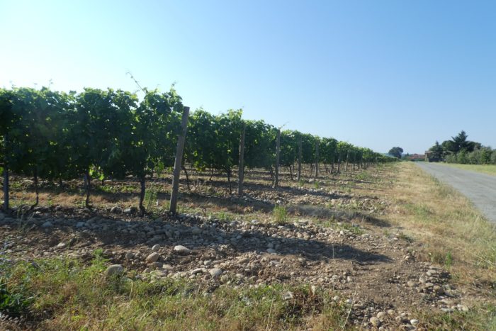
Here, the vines are terraces of rolled pebbles mixed with loess. You are now familiar with these geological structures that you have surveyed for days. The silt is the product of the erosion of the rocks of the watershed of the rivers, propagated by the wind or the water. They are thus debris, consolidated or not of quartz, mica, feldspar, coming from granitic rocks or carbonates and clays, if the original rocks are limestone or sedimentary. And all these elements add up to give loess, which is therefore a loamy, homogeneous loose « rock », yellowish to brownish in color due to the large presence of limestone. The composition of typical loess is 10% fine sand, 75% coarse silt and 15% clay. To this are added, of course, a mass of rolled pebbles from Chambaran and Bièvre.

Section 5 : From the Crozes-Ermitage estate to the Rhône River

General overview of the difficulties of the route: flat, without any difficulty.

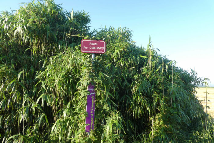
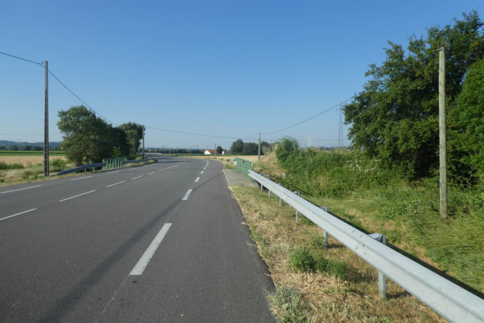
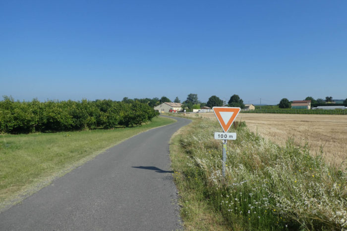
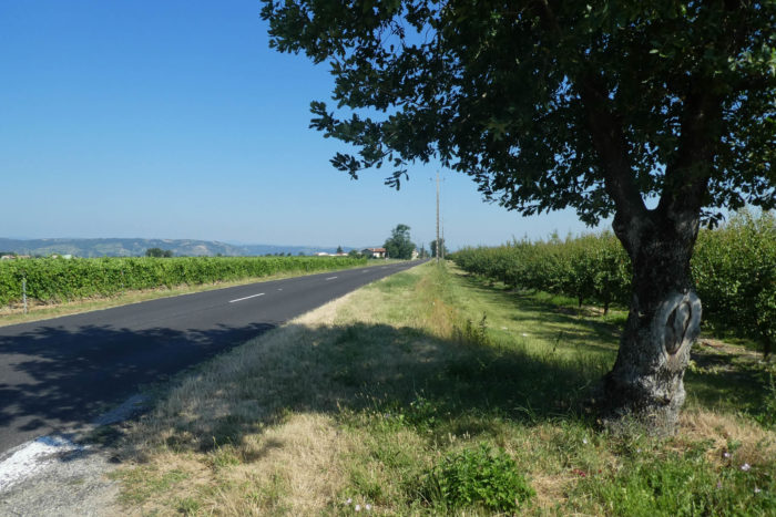
| The Chemin des Bosquets, gently winding through the vineyards of the hills, soon opens onto the modest D101, a secondary road that meanders with a leisurely pace, seemingly oblivious to the hustle of the modern world. Here, all is calm. The perfectly aligned vineyards dominate the landscape like disciplined regiments. |
 |
 |
| Following its winding route, the Via Adresca briefly follows a stretch of this road north before veering off onto a dirt path, the first and last deviation of the day. This path is not entirely devoid of pebbles, but you can sense the meticulous work of the farmers, who, over decades, have cleared the land to plant vines or fruit trees. The pebbles of Drôme, remnants of an ancient Rhône, are less abundant than in Isère, as though they too have faded, giving way to a more orderly landscape. |
 |
 |
| The kingdom of the vine remains ever-present, but a few islands of diversity brighten the scene: apricot trees with fruits hanging like orange lanterns, and occasionally apple, pear, or cherry trees, adding tender notes to the land. The path follows the shadow of an ancient legacy, the via Magna, a Roman road built by Agrippa to connect Lyon, the strategic capital of the time, with distant horizons. Two thousand years of history lie dormant here, beneath the dust and the grapevines. |
 |
 |
| Soon, the route reaches a place called Les Hautes Blaches. The term « blache, » a remnant of an old dialect, refers to land once reclaimed from a forest or thicket of oaks. But today, this woodland is gone, sacrificed for agriculture. As far as the eye can see, everything has been cleared, leaving only scattered bushes, solitary survivors of a forgotten forest. |
 |
 |
| The path continues and soon reaches the place called Le Chêne Vert, a name that sounds like a gentle irony, for the oaks that inspired it have also made way. Yet, here, between these phantom traces of forest and the mineral carpet of the land, the asphalt regains its hold. |
 |
 |
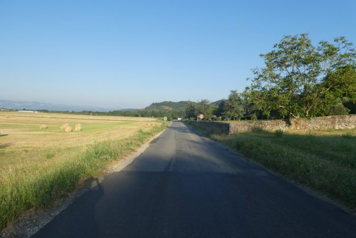
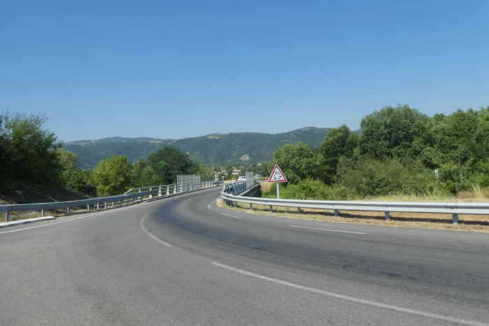
| The Via Adresca meets the D529, a road modestly named Route des Chênes Verts, stretching with determination toward Glun. The vineyards, faithful companions along the way, escort the walkers, while in the distance, the mountains of the Ardèche rise, promising a new chapter for tomorrow. |
 |
 |
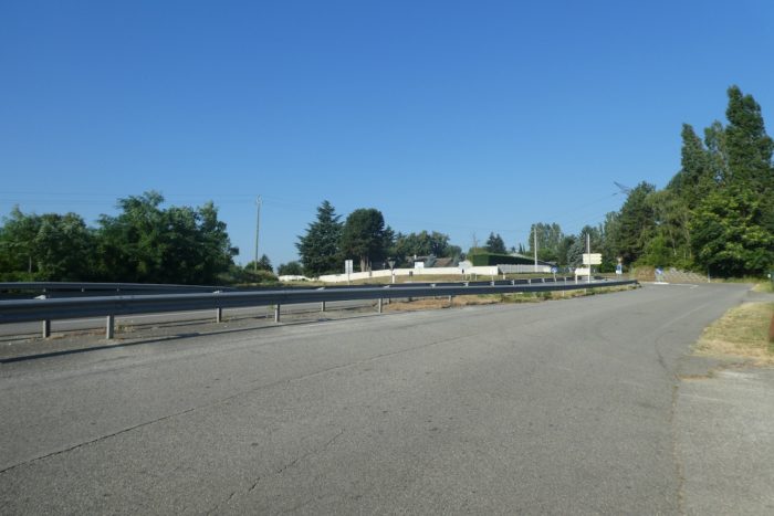
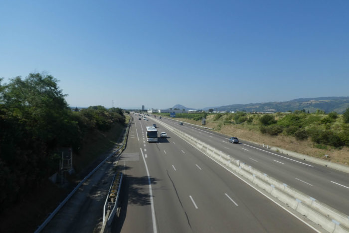
| Then, a low rumble grows louder, a regular, persistent sound, signaling the arrival of a modern artery in this rural landscape. The A7 highway, the famous Autoroute du Soleil, appears. There is an odd contrast here: the ochre of the vineyard lands against the pristine gray of the roadway. Yet today, an unusual silence hovers over this fast lane, perhaps due to the time of day or the day of the week. The air here already carries the scent of Pont-de-l’Isère, just a few steps away. |
 |
 |
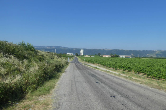
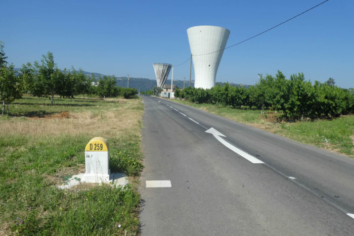
| The departmental road continues its course, unhurried, stretching toward the horizon where two water towers rise like sentinels in the landscape. They punctuate the scene with an austere verticality, a reminder that in this world, human geometry always imposes itself. |
 |
 |
| The Via Adresca continues its journey and soon intersects with the legendary Route Nationale 7 (N7), the mythical ribbon of asphalt that stretches from the Italian border to the sunny shores of Menton on the Mediterranean. Today, the N7 seems calm, subdued by the proximity of the A7. But if the highway were to stall, it would be a different story: the Nationale would quickly fill with vehicles and horns, reminding everyone of its role as a bypass route during chaotic times. |
 |
 |
| Meanwhile, the D529 takes on a more pastoral tone, adopting the charming name of Rue des Alpes, a title that promises much but, in its simplicity, hides the ruggedness of this road. It again plunges into the vineyards, still the masters of the landscape. But as you progress, the vineyards gradually give way to houses. The buildings become more numerous, signaling that you are nearing the edge of the Crozes-Ermitage appellation. Glun is located here, at the southern boundary of this wine region. |
 |
 |
| Further ahead, Via Adresca heads to the Rhône River near the railway line. |
 |
 |
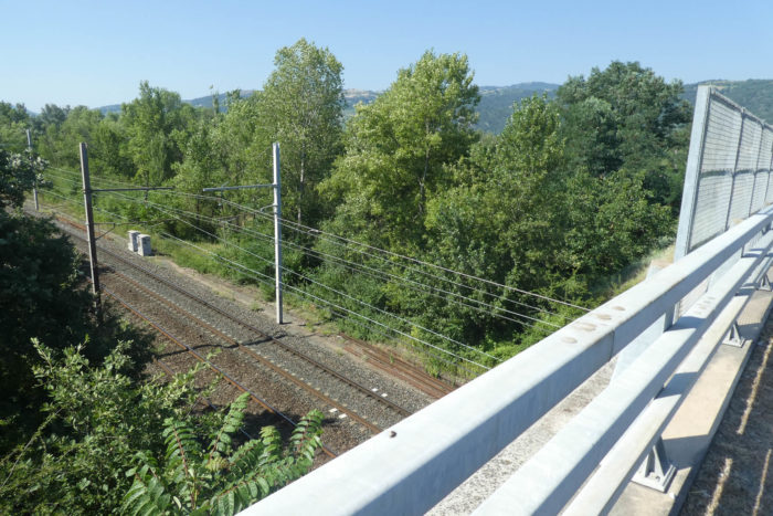
For a while, the D529 runs alongside the railway line connecting Lyon to Valence. The road crosses this railway line, a remnant of a time when trains ran on both sides of the Rhône. Today, however, only a railway silence remains: no trains pass through this right bank anymore. The La Roche-sur-Glun station, once bustling, is now an abandoned building, a shell that speaks of another era. What a paradox it is, that in a country so crossed by high-speed lines and praised for its rail network, entire regions have become deserts for travelers. Strikes by railway workers often make headlines, but what’s the point of fighting for a network where, outside major cities like Paris and Lyon, trains seem to have forgotten to stop? For hikers, in search of simplicity, there’s often no choice but to complete their journey on foot, as no train arrives. Yet, despite this bitter reality, it should not overshadow the beauty of France. It is a land of welcome for those who walk, for those who tread its paths and villages, but also a land where one learns, sometimes at one’s own expense, that it is necessary to make do.

| Further on, the road crosses the railway track, before heading towards the Rhône River. |
 |
 |
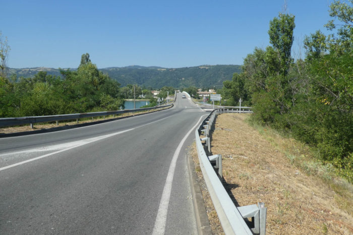
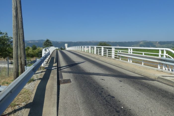
The Rhône, this capricious and majestic river, offers here a singular dance with the Isère River, splitting and doubling as though to better tell its story. Approaching La Roche-sur-Glun, it divides into two distinct arms: the Vieux Rhône, which seems to carry the memory of the river, and the Canal du Rhône, a modern engineering feat. This familiar pattern, already encountered earlier on the Via Gebennensis, illustrates a rational use of the river to supply hydroelectric works. The two arms eventually rejoin further south, near Pont-sur-l’Isère, at the confluence of the Isère and the Rhône.
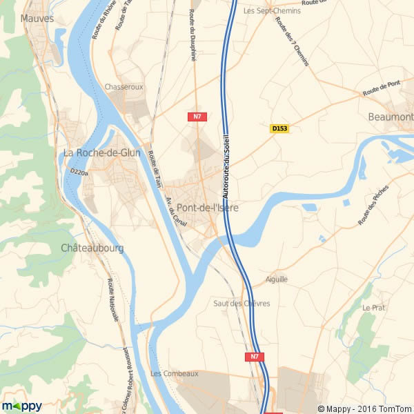
| The Via Adresca first crosses the Canal du Rhône, whose impressive width commands attention. Much wider than the natural Rhône, it asserts its presence. To the north, the vineyards gracefully cling to the slopes of the right bank, creating perfect lines, while to the south, the gentle slope gives way to bike paths lined with tranquil waters, a striking contrast between nature and human development. |
 |
 |
| Since the construction of the dam, La Roche-de-Glun has almost become an island, surrounded by the waters of the river and the canal. Yet, despite this unique setting, the Via Adresca does not linger here. It barely brushes its center, revealing a region where tourism has not really taken root. The few houses are scattered between Roche-de-Glun and Glun, on the other side of the water. |
 |
 |
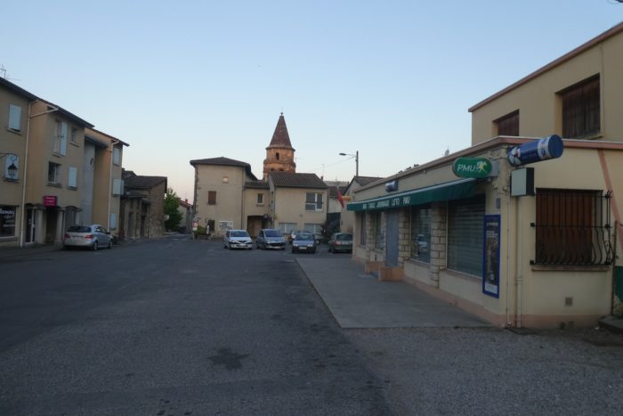
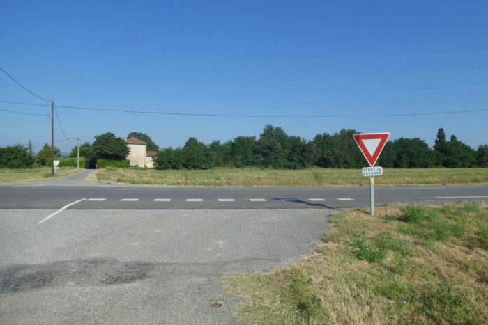
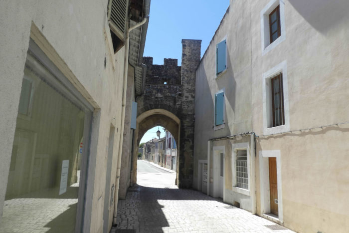
| Anyway, you have to stop somewhere for the night. The small town of Roche-de-Glun, with its 3,200 inhabitants, hides treasures of history. You enter through the crenellated gate of Roussillon, a remnant from the 12th century, evoking a time when these lands were defended fiercely. |
 |
|
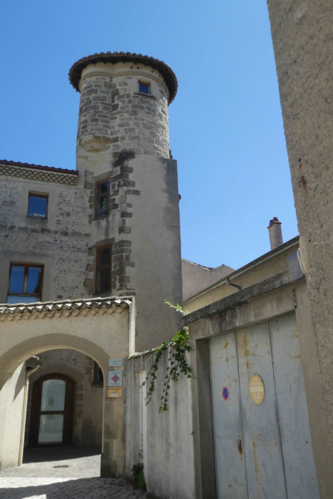
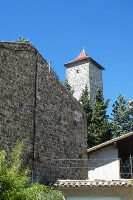
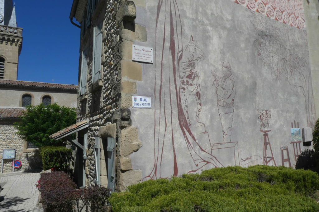
| Dominating the landscape is the Tour de Diane de Poitiers, telling another chapter of the past. This restored historical monument now houses the municipal library. Diane de Poitiers, a prominent figure of the Renaissance, hailing from the region, likely frequented this place bearing her name. A smaller, more discreet square tower, full of charm, stands near the river, seeming to watch over this corner of the land. |
 |
 |
Closer to us, the sculptor Gaston Dindrat also left his mark on this village, living here in the last century, adding an authentic artistic touch to Roche-de-Glun.
| Here, you are indeed in the Drôme department, but geography, like the Rhône, does not stop at administrative boundaries. On the other side of the water, Glun in Ardèche awaits, an echo of this shared territory between two departments, two histories, yet united by the same river. |
 |
 |
It’s often difficult to find accommodation here. So, if you can’t find a place to stay, you’ll need to continue farther. From Glun, two options are available: either St Romain-de-Lerps or St Péray. The distances are about the same,roughly ten kilometers. As we found no available lodging, we chose St Péray, which tends to offer more options.
Official accommodations on the Via Adresca
- Gîte d’étape et de groupe, Les Balmes, Les Balmes; 04 75 02 29 52/06 80 95 52 02; Gîte, dinner, breakfast
Pilgrim hospitality/Accueils jacquaires (see introduction)
- La Roche-de-Glun (1)
- Glun (1)
On the Via Adresca, accommodation options are almost always limited. You won’t be crossing the touristy part of southern Ardèche. Accommodation is scarce, even for Airbnbs, and their addresses are not available. The list only includes accommodations located directly on the route or within 1 km of the path. In contrast, the Friends of Compostela guide lists all available accommodations, as well as bars, restaurants, and bakeries along the way, even several kilometers off the route. There is a bar-restaurant at Pont-sur-l’Herbasse. This stage is particularly difficult when it comes to finding places to stay, with only two pilgrim hostels at the end of the route. Be sure to book in advance at all costs.
Feel free to add comments. This is often how you move up the Google hierarchy, and how more pilgrims will have access to the site.
|
 |
Next stage : Stage 12: From Roche-de-Glun to Ponsoye Pass/Cerisier |
|
 |
Back to menu |