Another day on the pebbles and « feytas » of Bièvre-Valloire
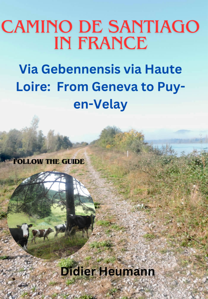
DIDIER HEUMANN, ANDREAS PAPASAVVAS

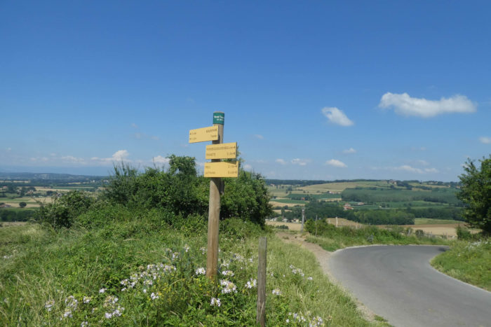
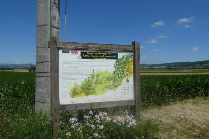
We divided the course into several sections to make it easier to see. For each section, the maps show the course, the slopes found on the course, and the state of the route (paved or dirt roads). The courses were drawn on the « Wikilocs » platform. Today, it is no longer necessary to walk around with detailed maps in your pocket or bag. If you have a mobile phone or tablet, you can easily follow routes live.
For this stage, here is the link:
https://fr.wikiloc.com/itineraires-randonnee/de-revel-tourdan-a-Auberives-sur-vareze-par-la-via-gebennensis-34293137
| Not every pilgrim feels comfortable using GPS devices or navigating on a phone, especially since many sections still lack reliable internet. To make your journey easier, a book dedicated to the Via Gebennensis through Haute-Loire is available on Amazon. More than just a practical guide, it leads you step by step, kilometre after kilometre, giving you everything you need for smooth planning with no unpleasant surprises. Beyond its useful tips, it also conveys the route’s enchanting atmosphere, capturing the landscape’s beauty, the majesty of the trees and the spiritual essence of the trek. Only the pictures are missing; everything else is there to transport you.
We’ve also published a second book that, with slightly fewer details but all the essential information, outlines two possible routes from Geneva to Le Puy-en-Velay. You can choose either the Via Gebennensis, which crosses Haute-Loire, or the Gillonnay variant (Via Adresca), which branches off at La Côte-Saint-André to follow a route through Ardèche. The choice of the route is yours. |
 |
 |
If you only want to consult lodging of the stage, go directly to the bottom of the page.
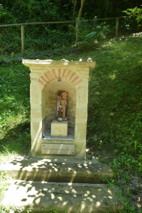
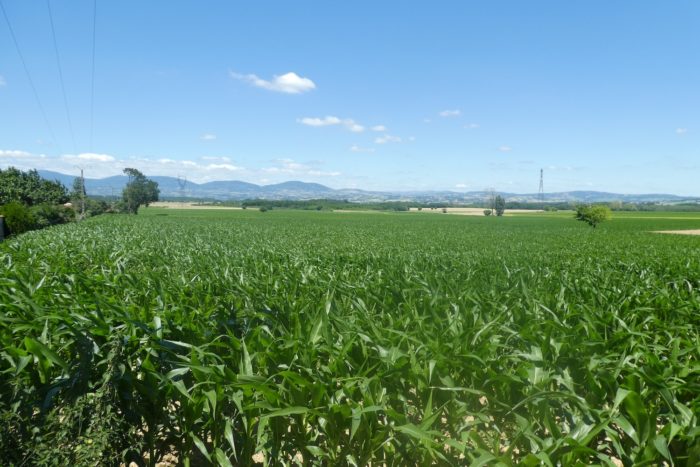
The day’s stage presents particular interest in many aspects. It is, first of all, the last day your steps will glide over the pebbles and « feytas » of the Bièvre-Valloire, this unstable terrain that becomes tiresome after three days. Soon, you will leave this region of moraines to cross the majestic Rhône and reach the gentle hills leading to Puy-en-Velay. This route is dotted with three particularly enchanting sites. Right from the start, you will be charmed by the small chapel of La Salette, nestled like a treasure in the woods. Its peaceful and mystical atmosphere makes it a place of contemplation and serenity. A little further, Romain-de-Surieu awaits you, perched on the magnificent hill of Carmel, offering breathtaking views. Then, you will descend into the valley where the St Lazare Spring gently murmurs, surrounded by mosses, ferns, hazel trees, elderberries, brambles, and other broadleaved trees. This valley exudes a unique freshness, an oasis of greenery and tranquility. Alas, for the rest of the program, you will have to cross the endless monotonous plain of the Valloire. But the journey is worth it, for soon you will find the Rhône River again, a companion you have not seen for several days.
If you wish, you can stop in St Romain-de-Surieu or Assieu, but accommodation options there are limited. They are just as scarce at the end of the stage. Therefore, it is essential to book your lodging in advance to avoid any unpleasant surprises.

Difficulty level: The elevation changes of this day (+423 meters / -619 meters) are quite reasonable for a stage of nearly 30 kilometers. Throughout the day, you will climb and descend rounded hills, with a maximum altitude not exceeding 450 meters. Although the slopes rarely exceed 10%, they can sometimes reach steeper inclinations of 15 to 20%.
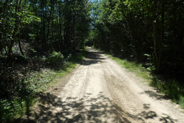
State of the GR65: The difficulty of this stage lies mainly in the state of the paths, often strewn with the slippery pebbles of the Bièvre. Today, the segments of road slightly surpass the dirt paths, offering a welcome respite for your feet:
- Paved roads: 16.5 km
- Dirt roads : 14.8 km
Sometimes, for reasons of logistics or housing possibilities, these stages mix routes operated on different days, having passed several times on these routes. From then on, the skies, the rain, or the seasons can vary. But, generally this is not the case, and in fact this does not change the description of the course.
It is very difficult to specify with certainty the incline of the slopes, whatever the system you use.
For those seeking « true elevations » and enthusiasts of genuine altimetric challenges, carefully review the information on mileage at the beginning of the guide.

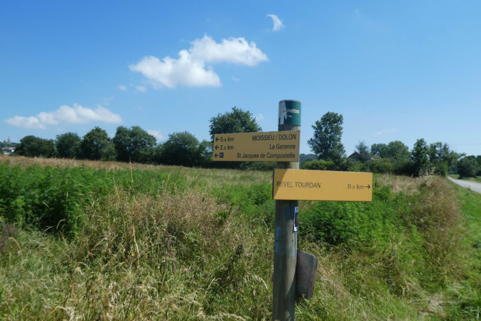
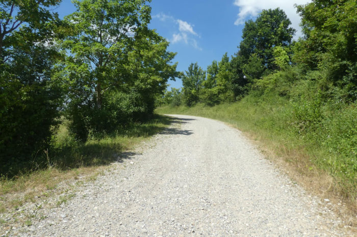
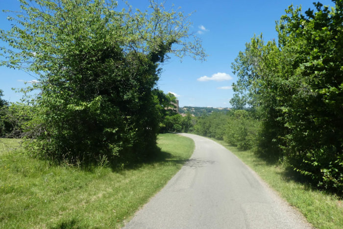
Section 1: The GR65 continues up to the high plateau

Overview of the route’s challenges: rolling terrain with no major difficulties, featuring very manageable slopes.

|
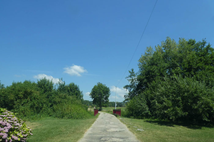
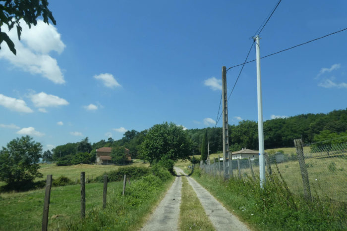
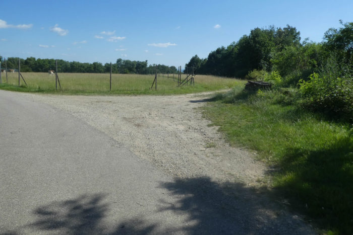
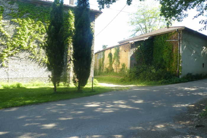
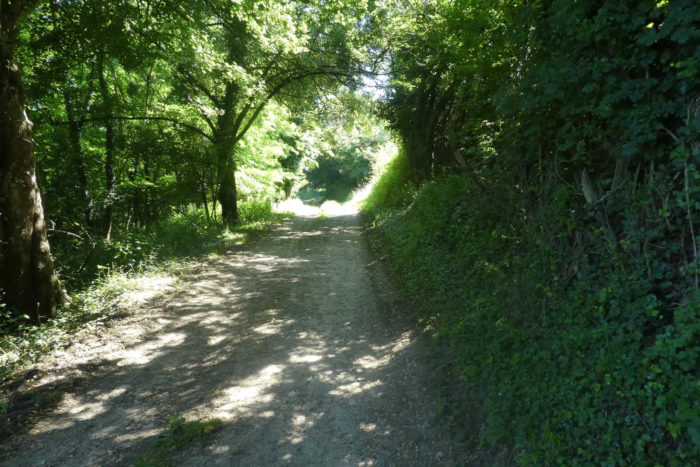
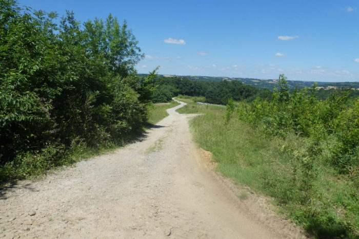
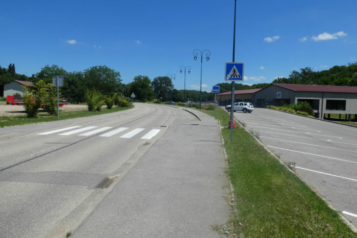
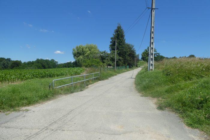
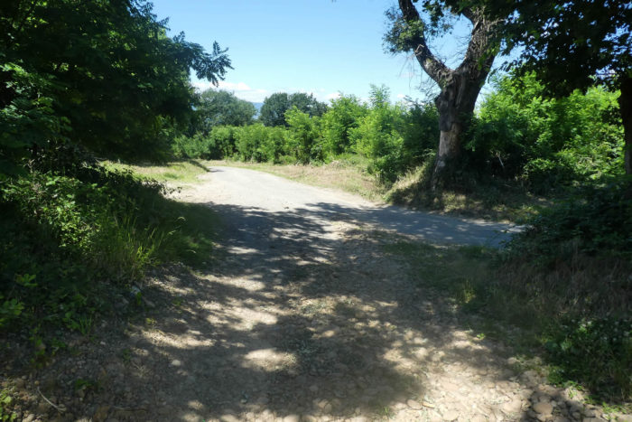
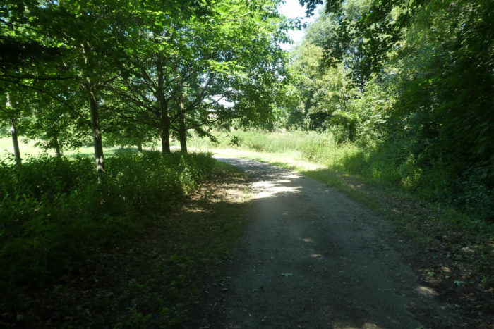
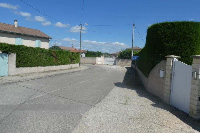
The GR65 quickly leaves the village of Revel-Tourdan, skirting the cemetery before descending the road towards the plain. The transition is almost imperceptible, a gentle plunge from the heights to the plain, revealing panoramas of discreet yet undeniably charming beauty.
|
 |
 |
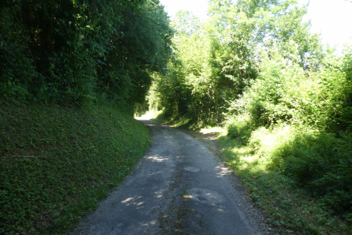
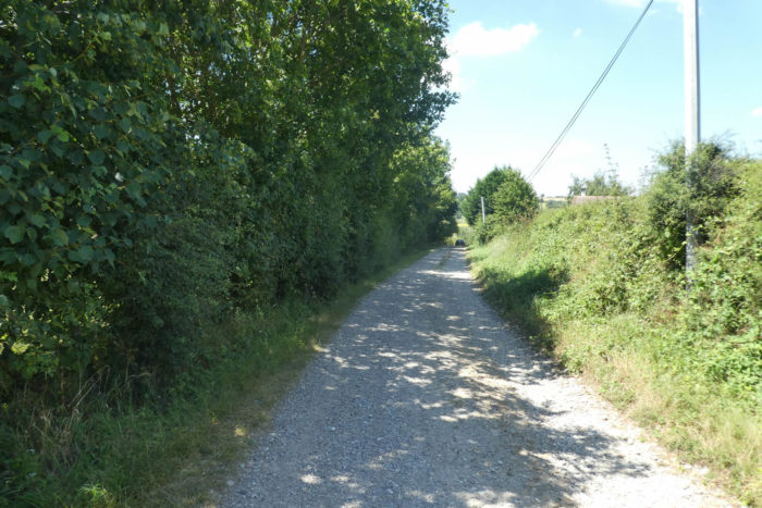
| Soon, it diverges from the main road, the Chemin Neuf, to take the Chemin du Moulin Coquaz, a more intimate road marked by the passage of time. This narrow, somewhat forgotten road winds into a grove where the whisper of leaves accompanies the walker’s steps. |
 |
 |
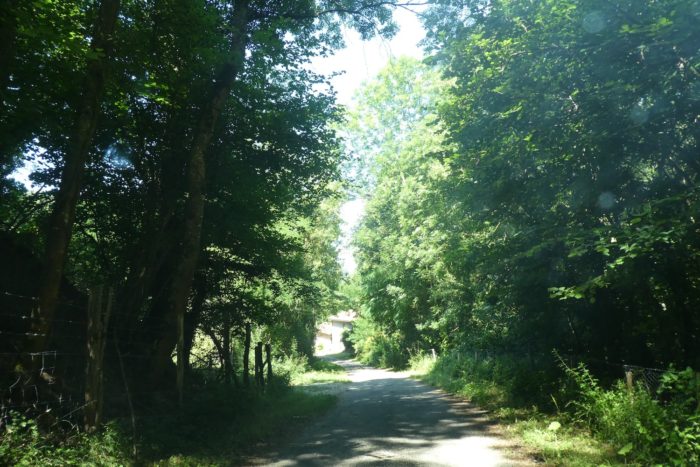
| The landscape, though familiar, continues to enchant. For several days, the same sentinel trees have stood watch: majestic oaks, sturdy chestnuts, and delicate ashes stand proudly. They form a guard of honor, a protective dome, with their foliage playing with the light to create a natural spectacle where serenity reigns supreme. |
 |
 |
| As the road reaches the plain, the GR65 becomes even more intimate, skirting the Dolon. This modest and discreet stream meanders peacefully beneath the trees, offering a silver reflection of the foliage in a place of great tranquility. |
 |
 |
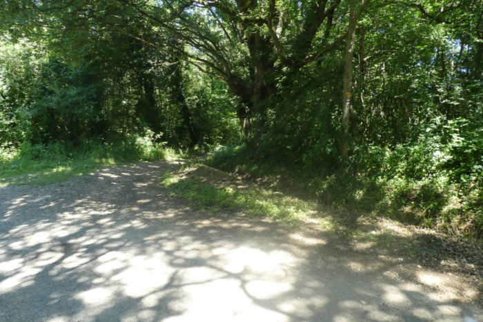
| The route then quickly encounters the small departmental road D51. It barely lingers there, preferring to turn onto a dirt path that penetrates the undergrowth, at a place known as Les Falconettes. This detour into a wilder world, where the earth breathes, invites escape. |
 |
 |
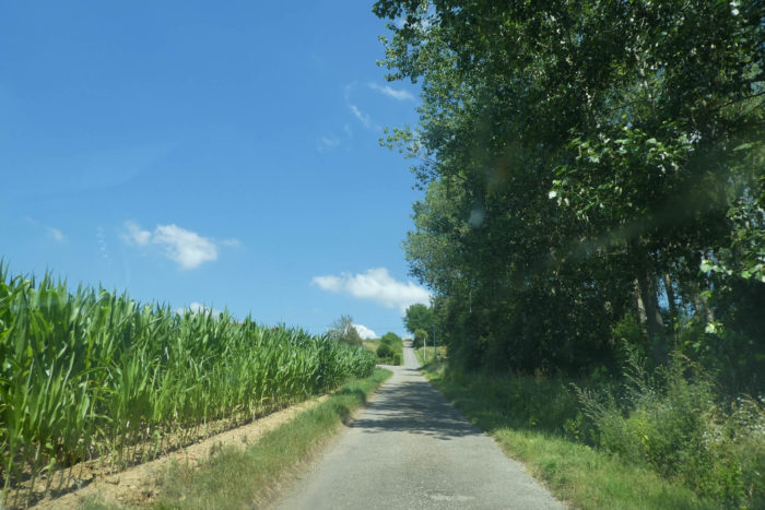
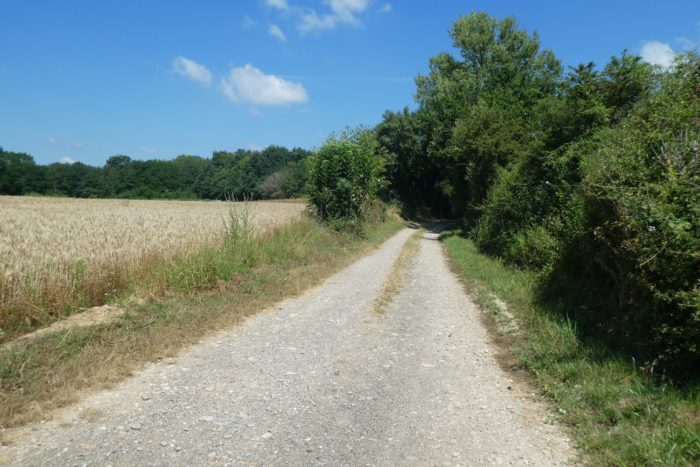
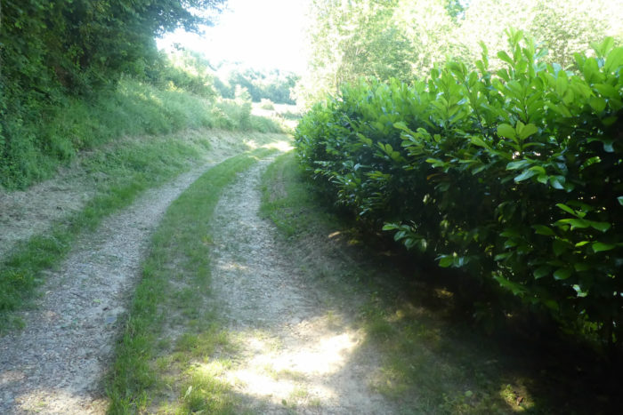
| A broad path then stretches out, bordered by thick hedges and fields of cereal crops swaying in the breeze, leading inexorably towards the undergrowth. The hedges are silent guardians, witnesses to the passing of seasons and the trekkers who come and go. |
 |
 |
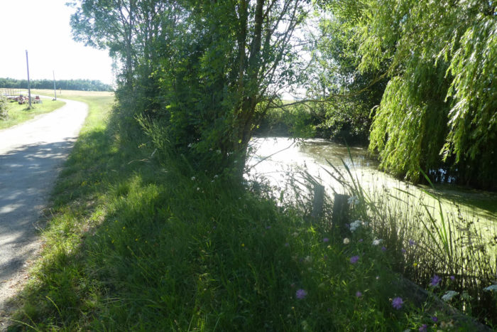
Nearby, a pond hides at the foot of the undergrowth. The reeds, in a graceful dance, lean lovingly over the water, while the tall trees form a decorative crown around this natural mirror. It is undeniable that these refreshing spots provide renewed pleasure, a welcome pause where the soul can rest and soak in the surrounding serenity.

| The path, now grassier, runs alongside the undergrowth, grazing the edge before slightly delving into it. The venerable oaks stand watch over a world where nature reveals itself in all its disheveled splendor. In the neighboring fields, the farmers seem to favor rapeseed. |
 |
 |
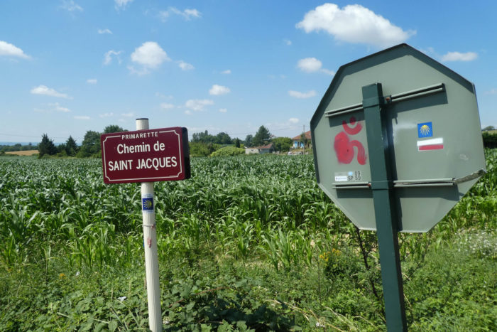
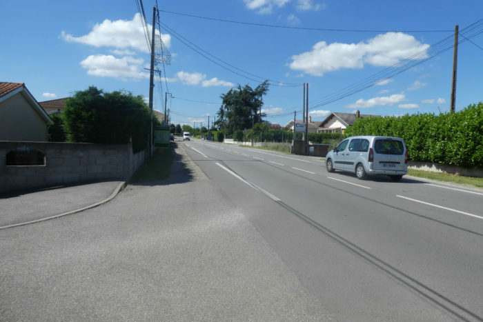
| The path soon meets the departmental road D538, a heavily trafficked artery leading to Primarette. It crosses this road to take the paved Chemin de Saint Jacques. These roads are often named to recall the famous pilgrimage, adorned with the symbolic shell of St James. |
 |
 |
| The road then climbs, winding up a hill dotted with poplars, amidst meadows and crops where corn predominates. |
 |
 |
The higher you climb the hill, the scarcer the trees become, and the meadows take over, giving the hill a sometimes bare, almost peeled appearance. This ascent reveals panoramas where nature is displayed in striking simplicity.

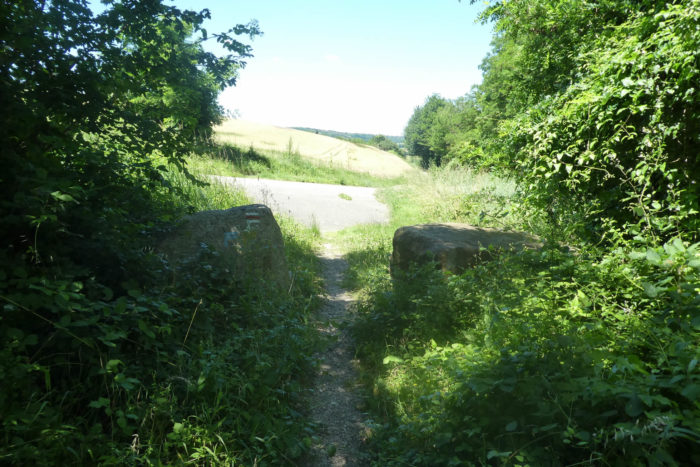
| This descent leads to the place known as La Garenne, at the edge of the wood. |
 |
 |
| This descent leads to the place known as La Garenne, at the edge of the wood. Your short-term goal is L’Hôpital, more than two kilometers away. This name evokes an old hospice, a refuge for pilgrims of yore, adding a touch of history to your journey. |
 |
 |
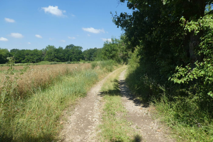
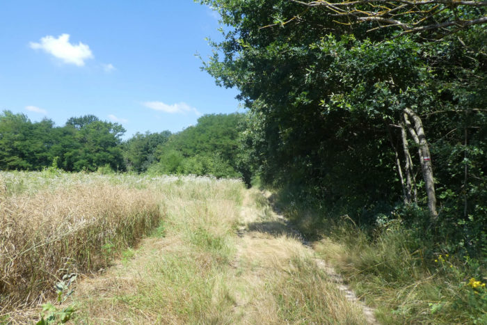
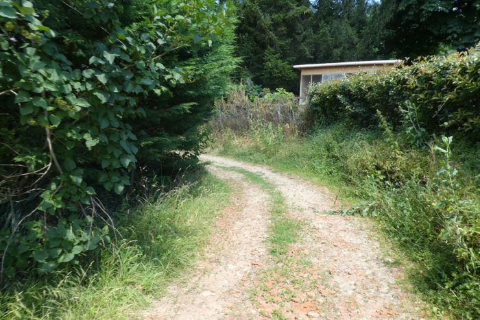
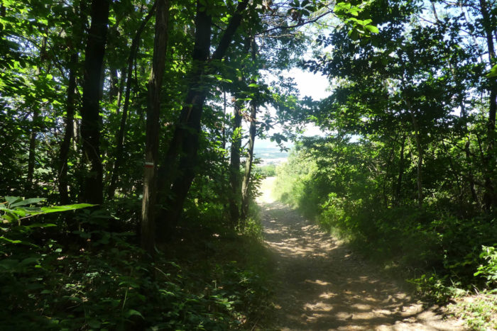
| A dirt and grass path then plunges into the dense undergrowth, passing by a beautiful and ancient adobe house, which unfortunately seems abandoned. This house, a silent witness to times gone by, adds a melancholic and romantic note to the hike, reminding of the lives and stories that may have animated these places. |
 |
 |
Section 2: Following the TGV Lyon-Valence route up to the high plateau

Overview of the route’s challenges: The route becomes somewhat steeper as it approaches the high plateau.

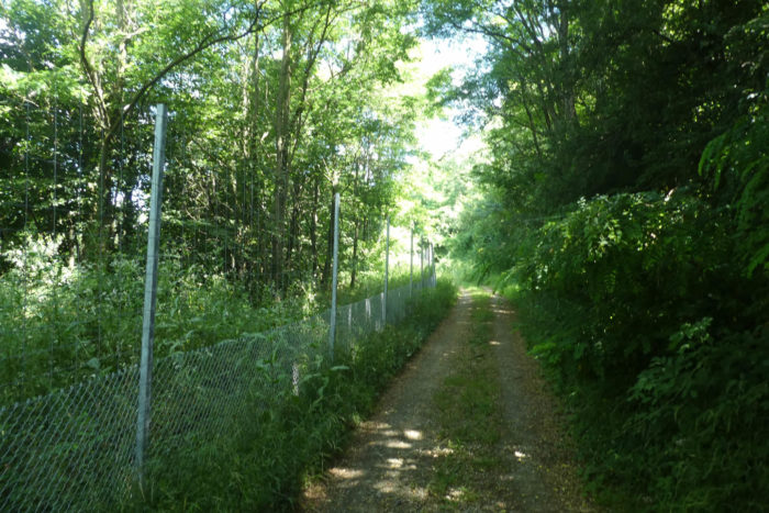
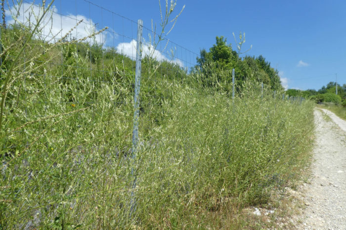
| The nature here is dense, reminiscent of southern landscapes. You quickly approach the protective barriers of the TGV. The LGV Rhône-Alpes, also known as line 4 (LN4), which began operation in 1994, bypasses Lyon and heads towards Valence, where it extends into the LGV Mediterranean. |
 |
 |
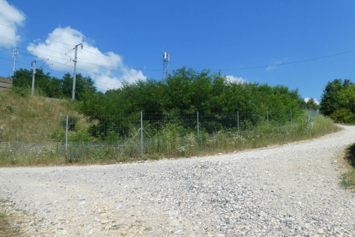
| The path runs alongside the TGV’s protective barriers, climbing through a kind of heathland. High-speed rail lines are protected by barriers placed at a considerable distance to deter onlookers from approaching these steel giants, or to avoid copper thefts. As you climb, the trail becomes increasingly rocky. You continue to face the delightful moraine pebbles of the Bièvre, which have accompanied you for days, adding a note of consistency to this arid, desolate, and soulless landscape. |
 |
 |
| At the top of the hill stands an antenna. Far above the pebble fields, it further emphasizes the terrifying poetry of these railway lines. This modern element contrasts sharply with the natural setting, symbolizing the coexistence of technology and nature. |
 |
 |
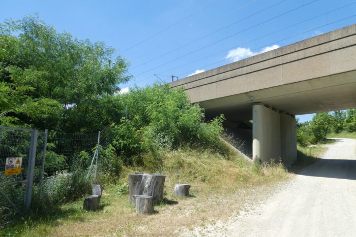
| Higher up, the path runs under the railway tracks on the Chemin des Sources. If you are there when a train passes, you will feel the ground vibrate as if it were an earthquake. The noise is incredible; the ground seems to shiver, shaken by the force of this metal colossus. This unique sensory experience can add a dramatic dimension to your hike. |
 |
 |
| The rocky path climbs to the place known as Maison Reynaz, on the other side of the railway. This ascent, marked by moraine pebbles, gives the hiker a sense of isolation from the world, like a journey through times. |
 |
 |
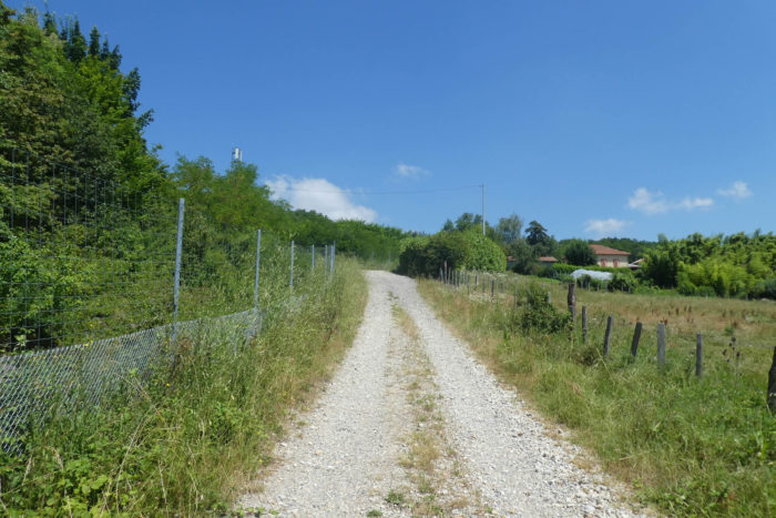
| Further on, the path becomes more welcoming, descending from the hill and gradually losing its pebbles until it joins a paved road. The transition from the rough pebbles to the smooth asphalt offers a palpable relief to the hiker’s feet. |
 |
 |
| The GR65 then follows the Route des Brosses, descending under the benevolent shade of tall deciduous trees. These majestic and protective trees form a natural canopy that soothes and refreshes, turning the walk into a moment of pure serenity. |
 |
 |
|
The descent continues until the path crosses a small tributary of the Dolon, nestled in lush and generous nature. Here, the water murmurs softly, adding a musical note to this natural symphony.
|
 |
 |
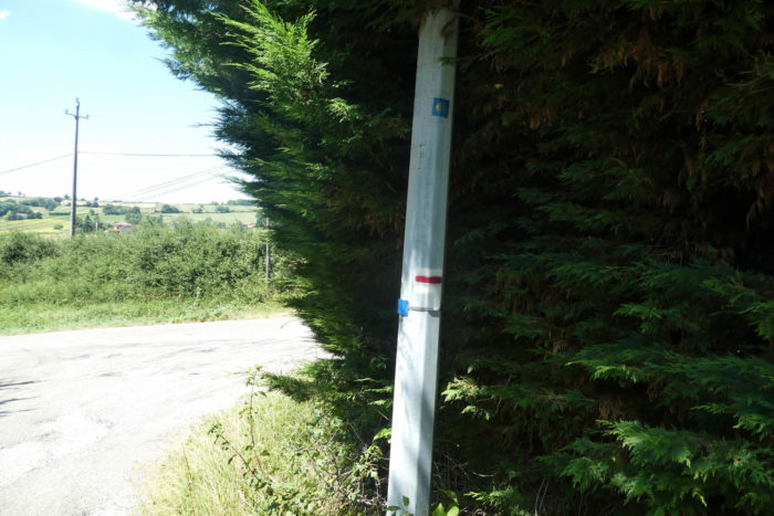
Beware! Pay close attention here, as the direction is discreet. It is crucial to find the Rue des Fontaines, which intersects at a right angle with the Route des Brosses you descended. Without this, you risk getting lost in this verdant maze.

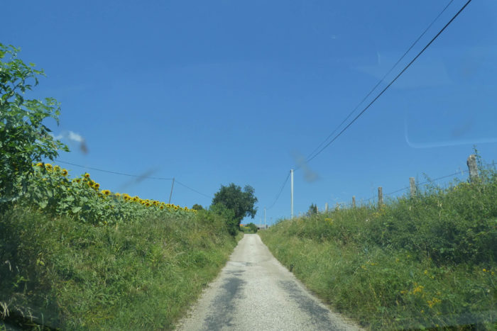
| The road slopes up straight through fields of sunflowers and verdant meadows, climbing with some vigor towards the first houses marking the entrance to the hamlet of L’Hôpital. Like many hamlets, it bears a name evocative of history. Historians suggest that « L’Hôpital » may derive from the presence of a medieval hospice, a place of rest and care for weary travelers, often associated with a leper colony symbolizing both charity and solitude. |
 |
 |
| Higher up, the landscape changes quickly as the road, still ascending, begins a series of tight switchbacks, climbing with sustained determination towards the final dwellings of the hamlet, nestled under the protective cover of a dense forest. The climb is demanding but rewards each step with increasingly grand views of the surrounding countryside. |
 |
 |
| As the altitude increases, the route transforms into a dirt path, gently sloping through peaceful clearings and mysterious groves where majestic trees seem to brush the azure sky. Here, nature reigns supreme, offering a symphony of colors and textures. |
 |
 |
Higher still, the path fades into the wild beauty of the landscape, leading towards a water tower perched atop the hill. Although modern, this structure blends harmoniously with the landscape, reminding of the importance of water and supply in these rural regions.

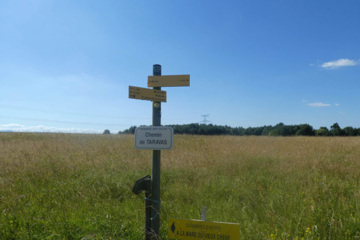
From the water tower, the path leads to the Forest House of the Grand Bois de Taravas, a stage rich in natural beauty but also filled with traps for the distracted hiker. Here, it is crucial to stay alert! A shorter variant presents itself, veering right from the cabin and joining the GR65 near Assieu. This route is marked by large, old scallop shells, remnants of the ancient pilgrimage route. Although tempting for its speed, it deprives the hiker of wonders like the Carmel de Surieu and other enchanting sites. The GR65, meanwhile, continues straight past the cabin. I myself followed this misleading route marked by large shells, only to discover with disappointment that they vanished at the bottom of the descent. Thus, one had to turn back, mindful of not disturbing the trail organization. It is therefore legitimate to question the usefulness of these misleading shells and to suggest to local trail organizers a clearer marking at the Maison Forestière.

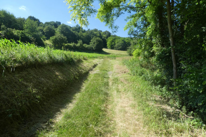
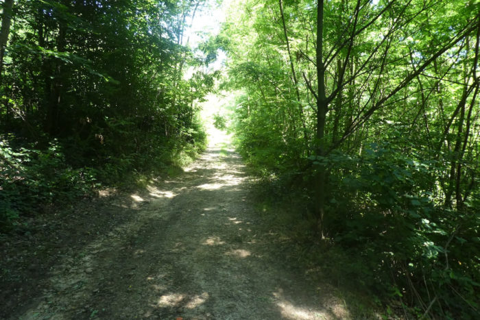
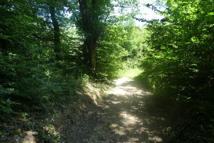
| The actual route then continues on a wide path, entering flatly into the forest of Petits Bruyères, where tall deciduous trees, mainly ashes, chestnuts, and oaks, stand closely aligned. The pebbles of the Bièvre, faithful companions for days, still dot the ground here and there, adding a distinctive texture to the path. After a while, the trail opens into a clearing where it meanders, offering the hiker a clear view of this green haven. |
 |
 |
| It winds along the hedges, bordering verdant meadows and fields of corn and cereals. In this region, oilseed crops are rare, except for rapeseed. Sunflowers, although renowned for their elegance, are a rarity here. |
 |
 |
Section 3: On the way to the Salette Chapel

Overview of the route’s challenges: The route features gentle undulations except in the La Salette dale, where the slope is steep, both uphill and downhill.

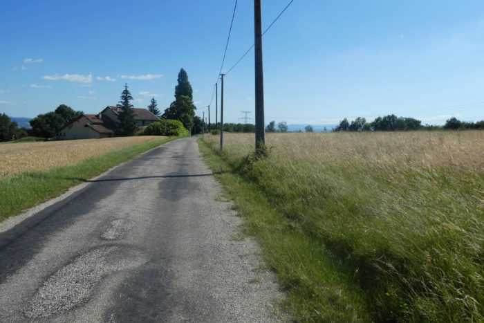
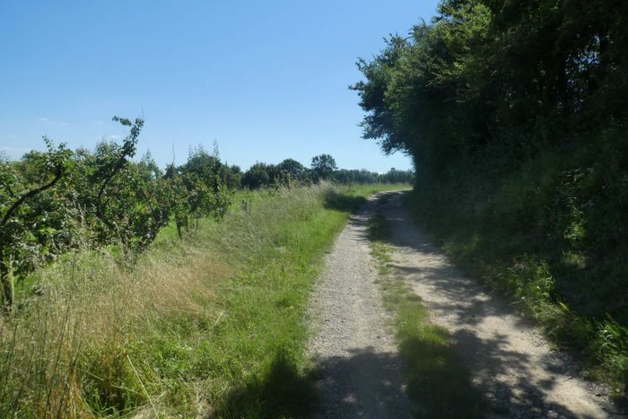
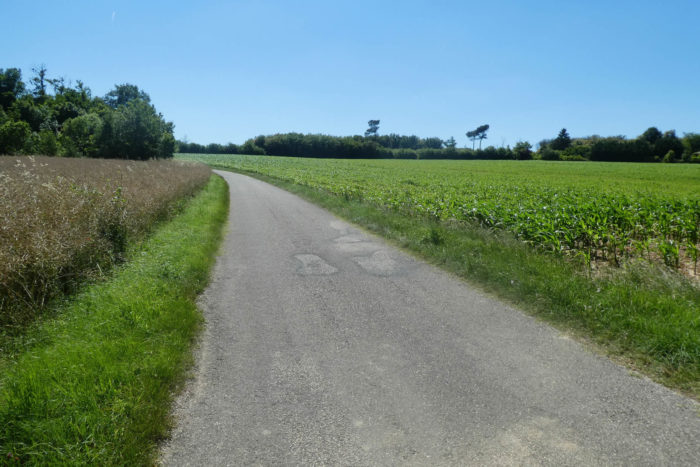
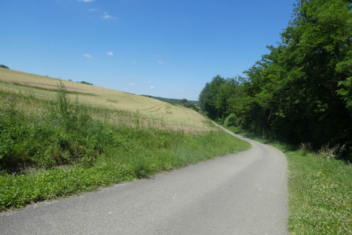
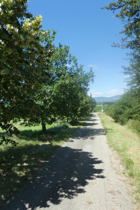
| In the serene embrace of this region, where earlier the beaten earth prevailed, modern asphalt now extends with discreet majesty between vast expanses of verdant meadows and fields of golden rapeseed that punctuate the landscape with bright, vibrant touches. |
 |
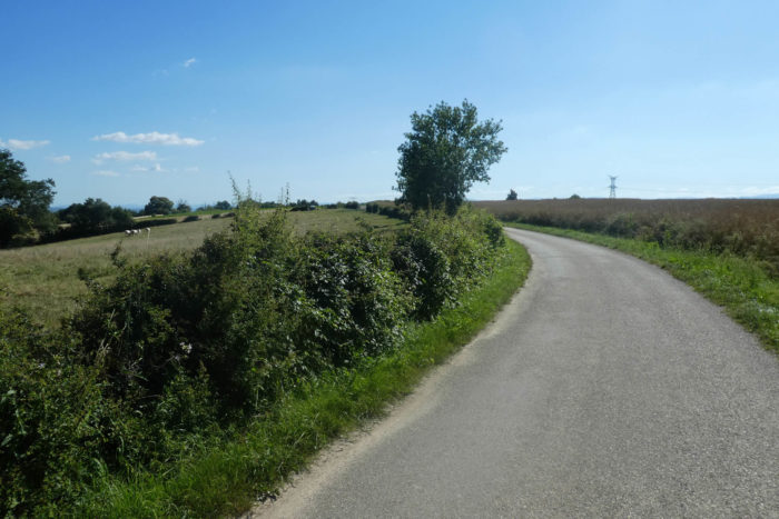 |
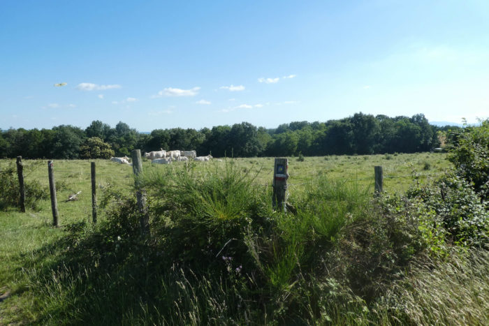
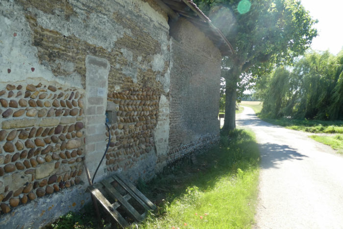
| The locals here favor robust cattle farming, particularly the splendid Blondes d’Aquitaine and the imposing Charolaise cows. Along the road stands a charming, old-fashioned house where ancient rammed earth harmoniously blends with pebbles, creating a unique and characterful aesthetic. |
 |
 |
| The road then meanders through the area known as Grandes Bruyères. Nearby, nestled between willows and oaks, a small pond sparkles like an emerald jewel in the heart of nature, providing a tranquil refuge for wildlife and a peaceful haven for contemplative souls. |
 |
 |
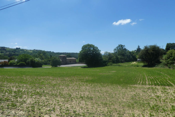
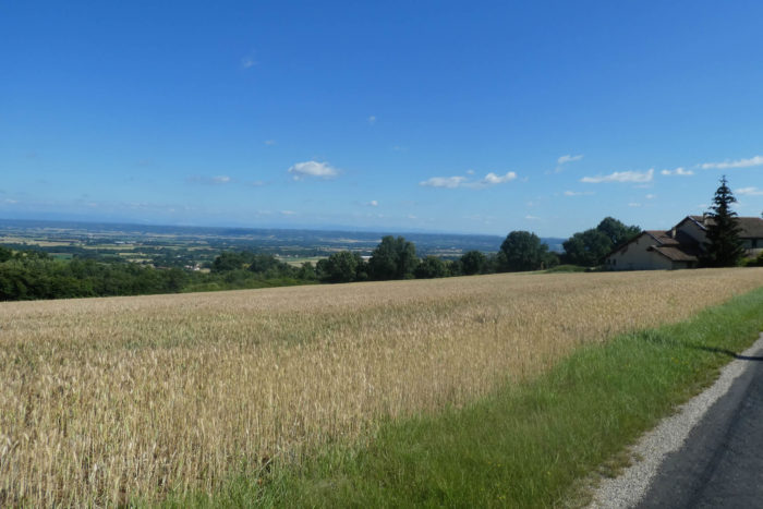
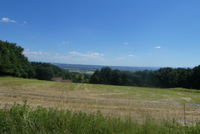
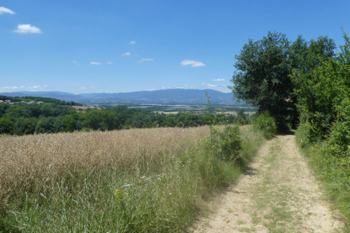
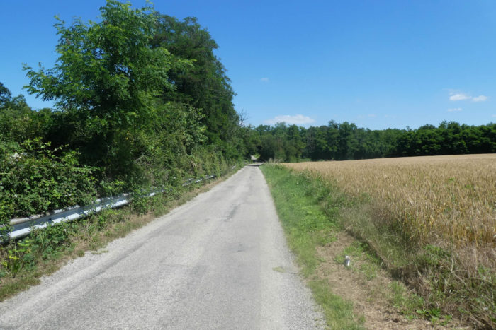
| As you continue, a few scattered farms punctuate the landscape, their solid silhouettes standing proudly against the changing sky. Behind the waving fields of golden cereals and dense groves, the road delves deeper into the « feytas ». From here, your gaze sweeps across the infinite expanse of the Bièvre-Valloire plain, where the distant horizons invite more to daydreaming than to contemplation. |
 |
 |
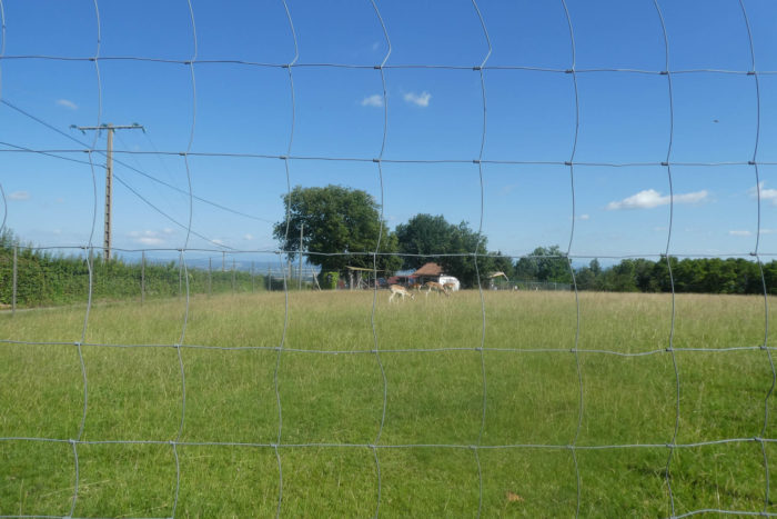
| Further on, the road sinks deeper into this graceful and serene landscape, skirting a park where deer frolic gracefully. |
 |
 |
| At this point, the GR65 leaves the comfort of the asphalt to venture onto a winding path that descends into the majestic woods. |
 |
 |
| The path then heads towards the Combe du Rival, plunging sharply into a steep descent where the slope occasionally exceeds 15%. Lush vegetation flourishes all around, vibrant with a striking green, a symphony of chlorophyll where tall grasses, dense underbrush, and wild shrubs intertwine harmoniously. You might barely catch the distant murmur of a hidden stream, reminding you that this region can sometimes be damp and mysterious. |
 |
 |
Fortunately, stones are scarce on this path, though a few exceptions punctuate the rugged moraine foothills of the Bièvre plain.

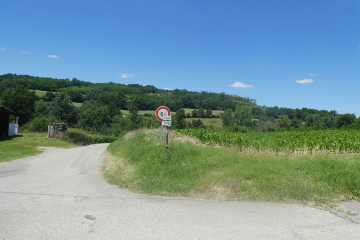
At the edge of the village of Bellegarde-Poissieu, the path, after winding through lush, vibrant vegetation, quickly moves on.
| It soon leaves the gentle plains bordered by rammed earth farms to begin a new ascent on the other side of the Combe de Rival, following a path that oscillates between soft grass and scattered pebbles. |
 |
 |
| Amidst the rolling meadows, colorful small crops, and dense deciduous undergrowth, the path courageously winds towards the Salette Chapel, a hidden gem in the heart of the wild nature. |
 |
 |
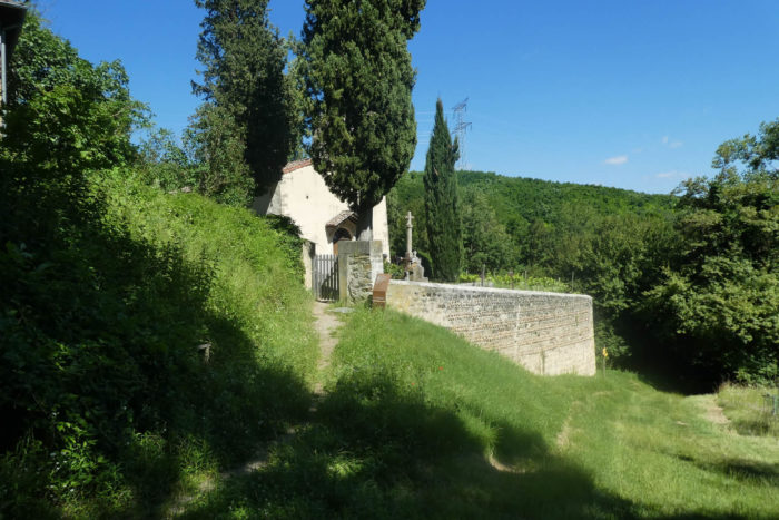
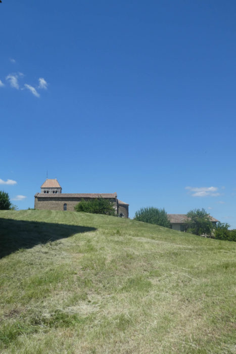
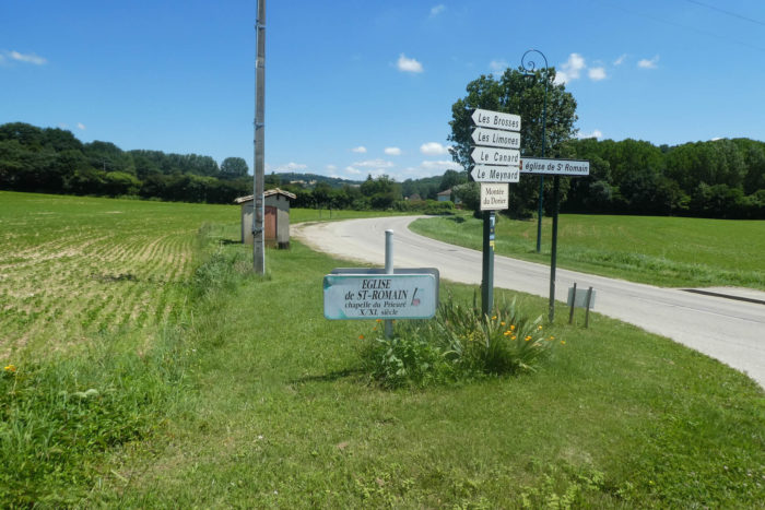
The chapel, formerly the parish church of Bellegarde, stands proudly on a rocky promontory since the Middle Ages, with its existence dating back to the 11th century. Its comb-shaped bell tower gives it a distinctive and graceful silhouette, nestled in an enchanting setting, now dedicated to eternal rest in a peaceful cemetery. It has undergone numerous transformations in the 18th century but still holds an aura of mystery and solemnity, perhaps only opening its doors for Sunday services.

| The path climbs further above the chapel, plunging into thick woods where a modest dirt road winds. |
 |
 |
From this wooded promontory, the chapel seems to mysteriously dissolve into its dense and shimmering foliage, like a sacred relic lost in the secret folds of nature.

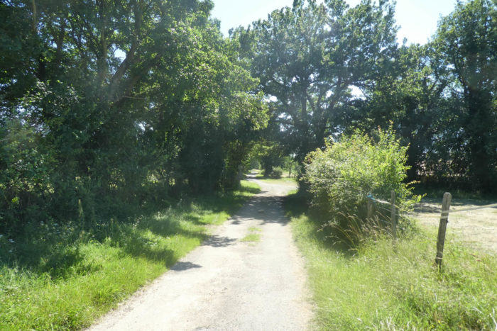
| The wide path quickly emerges from the dense undergrowth, briefly crossing a rural area where fruit trees flourish, a rarity in this region. . |
 |
 |
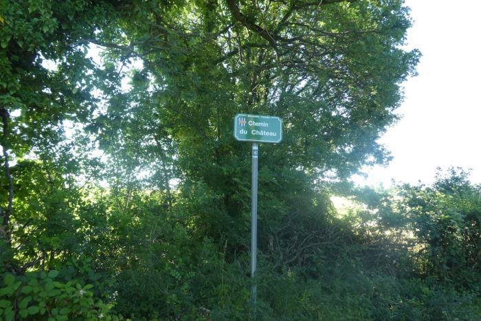
| Further along, it passes near a place called Le Château, although no keep rises on the horizon. Could it be the legendary remnants of the Château de l’Ogresse, whose saga still echoes in local memories? |
 |
 |
| Yet, you are indeed walking the path of the Château, under the protection of the surrounding tall deciduous trees. |
 |
 |
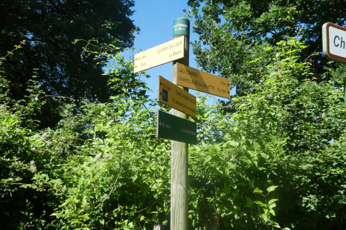
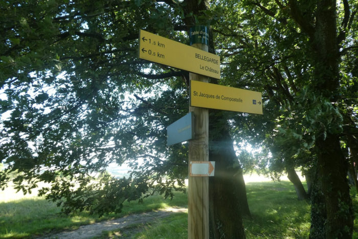
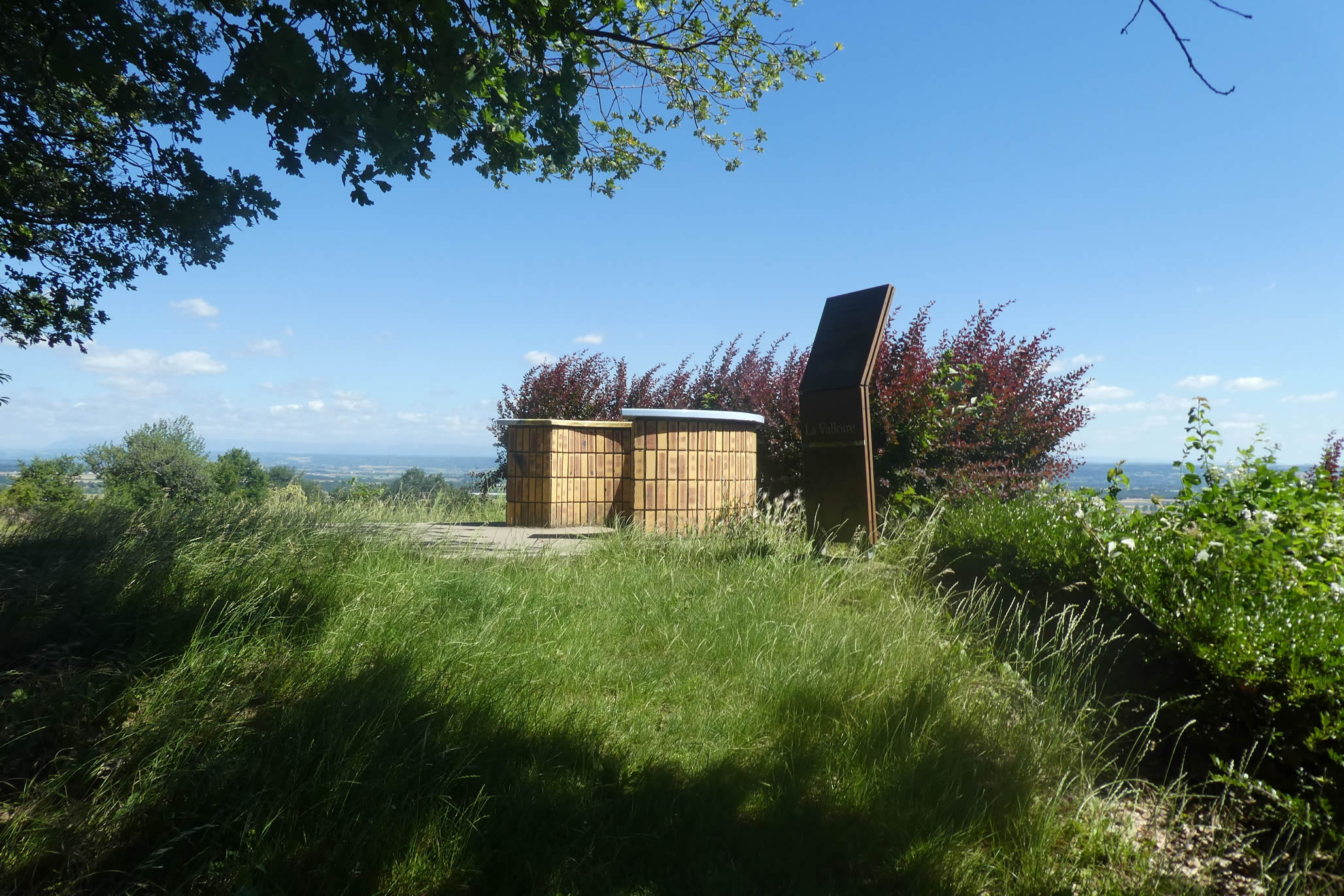
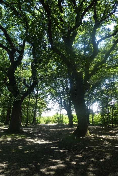
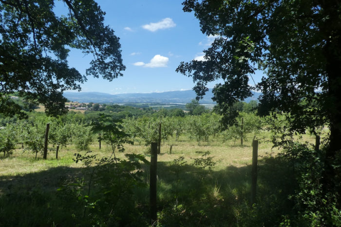
| A little further, the GR65 approaches an orientation table describing notable points of the Bièvre-Valloire, shaded by majestic white oaks. However, points of interest become sparse, leaving before you the monotonous plain of Bièvre, stretching as far as the eye can see. |
 |
 |
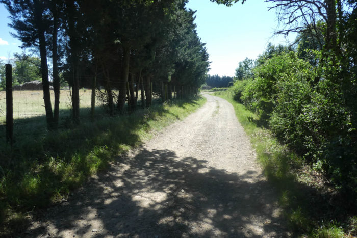
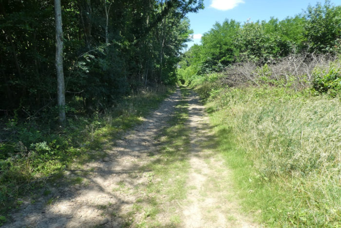
| Here, the dirt path remains wide and relatively free of stones. You continue on a « feytas » these ridges that almost flatly traverse the high plateaus of the Bièvre, gracefully separating two distinct plains. The trees planted here seem almost exotic, carefully chosen for their adaptation to this specific environment. |
 |
 |
Section 4: Gentle undulations on the “feytas”

Overview of the route’s challenges: The route is without difficulty.

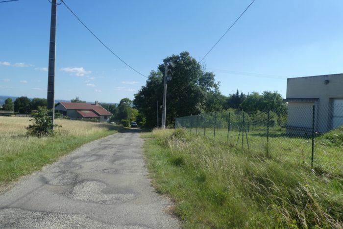
| Near the tiny cemetery marking the entrance to the peaceful hamlet of Les Brosses, alongside its recent housing developments, the GR65 returns to the comfort of asphalt. |
 |
 |
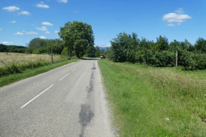
| In this segment, the route oscillates between lush countryside and sometimes dense groves, even true forests. Upon leaving Les Brosses, the initial landscapes reveal meadows dotted with cereals, followed by a small wood bordering the paved road. Curiously, there is little grazing cattle, possibly due to the less favorable season? |
 |
 |
| Between the stretches of green meadows, fields of golden corn, yellow rapeseed walls, and sunflowers that line the edges of the undergrowth, the paved country road drowses peacefully on the « feytas ». |
 |
 |
| Roadside borders are typically lined with numerous ash trees, traditionally planted by farmers to provide supplementary winter feed for cattle, although this practice has largely been replaced by maize. In the forest, oaks remain the sovereigns among the hardwoods, alongside chestnut trees and field maples. |
 |
 |
| The term « feytas » resonates particularly here, where a hamlet bears the same name and the road crosses it without much notice. |
 |
 |
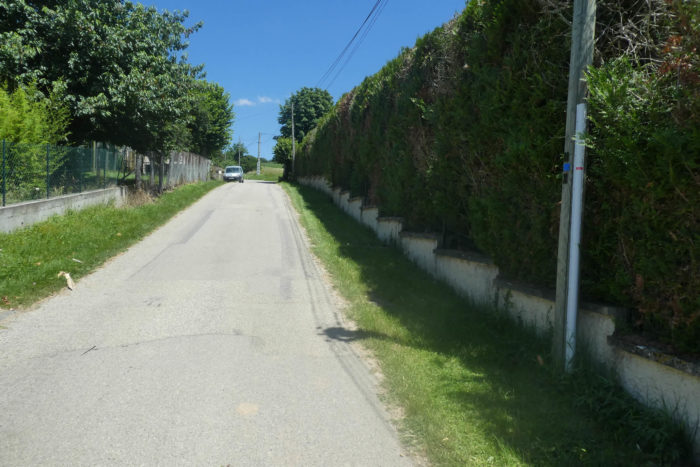
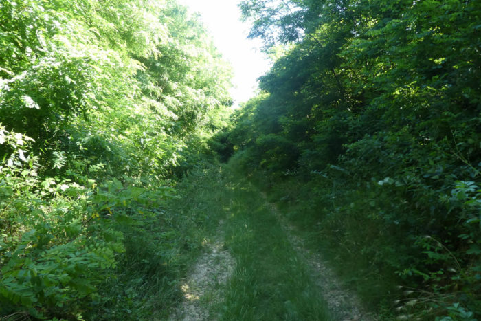
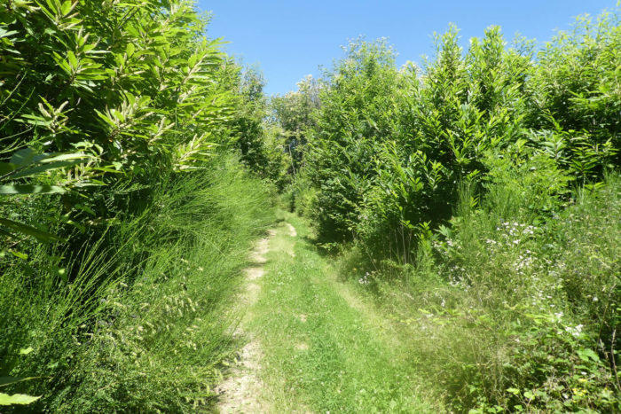
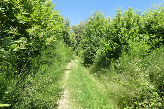
| A short distance away, the road crosses a place called Les Mouilles. Here, the GR65 leaves the comfort of the asphalt to venture first into Bois d’Arche, and then into Bois de Surieu, extending nearly 2 kilometers through untamed and preserved nature. |
 |
 |
| Despite the continuation on the « feytas », the path suddenly seems to have transformed, almost as if it had been freshly carved, a curious phenomenon in this region. The hardwood forest here is dense, primarily populated by chestnut trees, but the path often meanders along the edge of these majestic woods. |
 |
 |
|
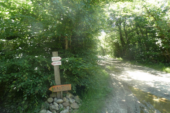
Further on, the path heads to a reservoir whose purpose remains mysterious. Along the way, the GR65 intersects with the GR422, a meeting whose destination remains unknown.
|
 |
 |
| On the GR65, the ground almost turns to sand, alternating between dense undergrowth and clearings where peaceful green meadows and rapeseed fields flourish. |
 |
 |
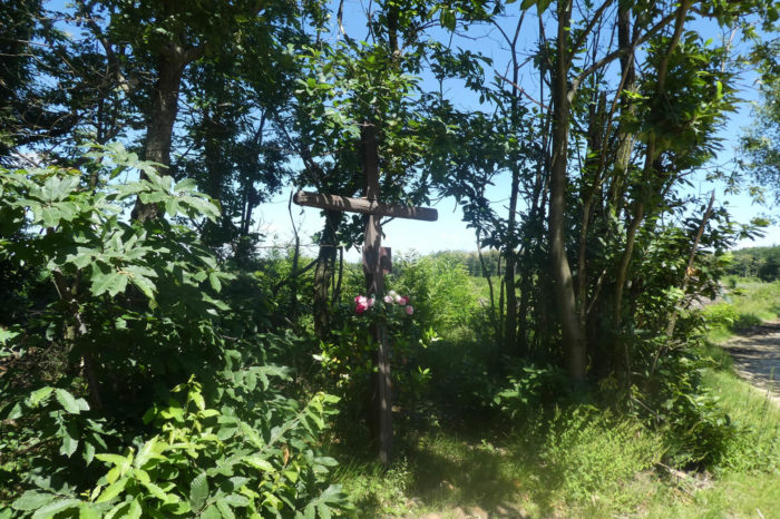
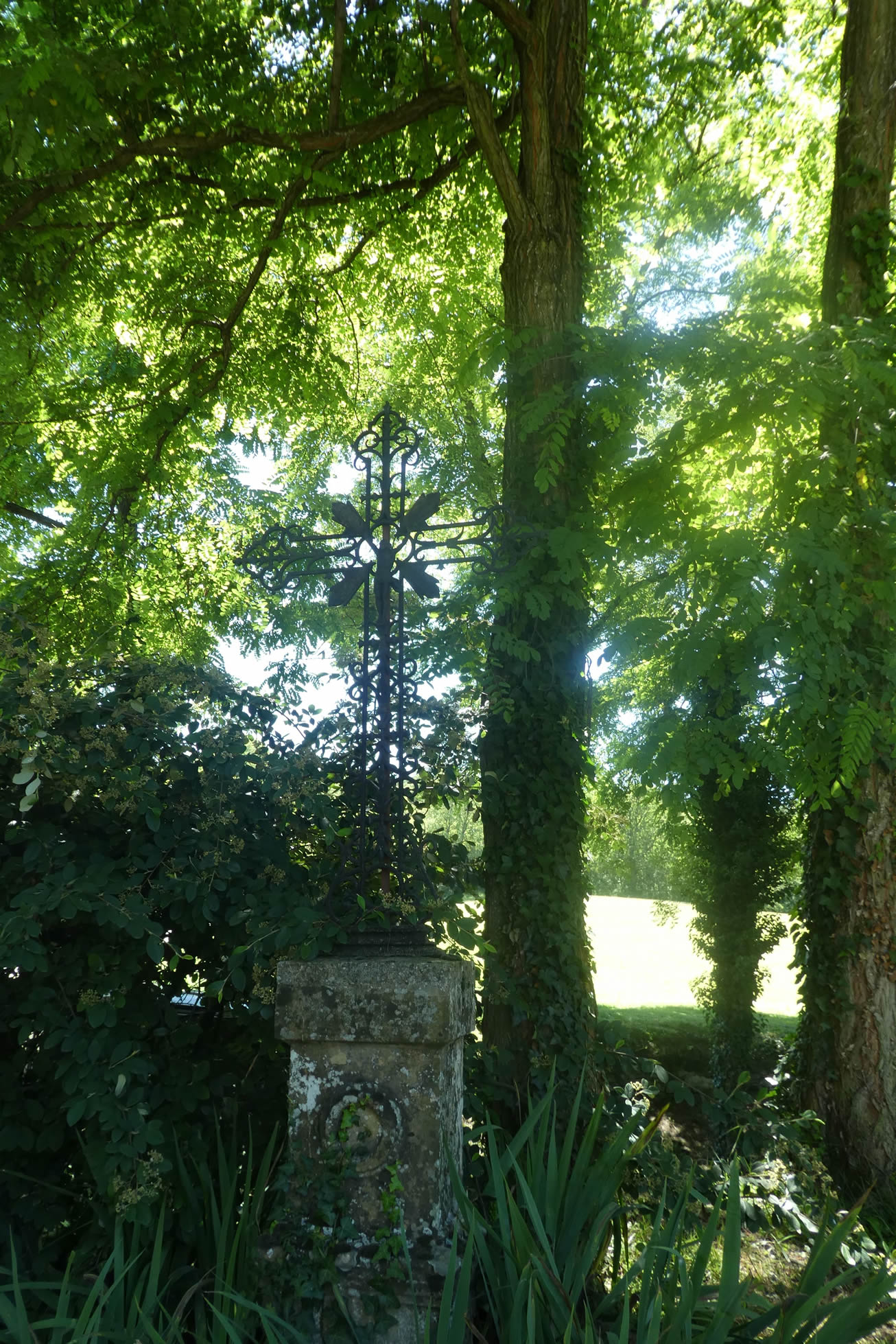
Soon after, the modest wooden cross of Pierafay discreetly reveals itself among the shaded foliage.
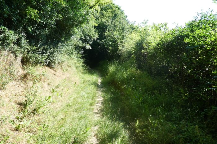
| The path briefly follows the fields along the edge of the wood before penetrating deeper into Bois de Surieu. The soil, with its low permeability, retains water abundantly even in dry weather, creating an ideal habitat for pigeon hunting. The lookout posts perched in the trees are intended for hunting, not birdwatching. |
 |
 |
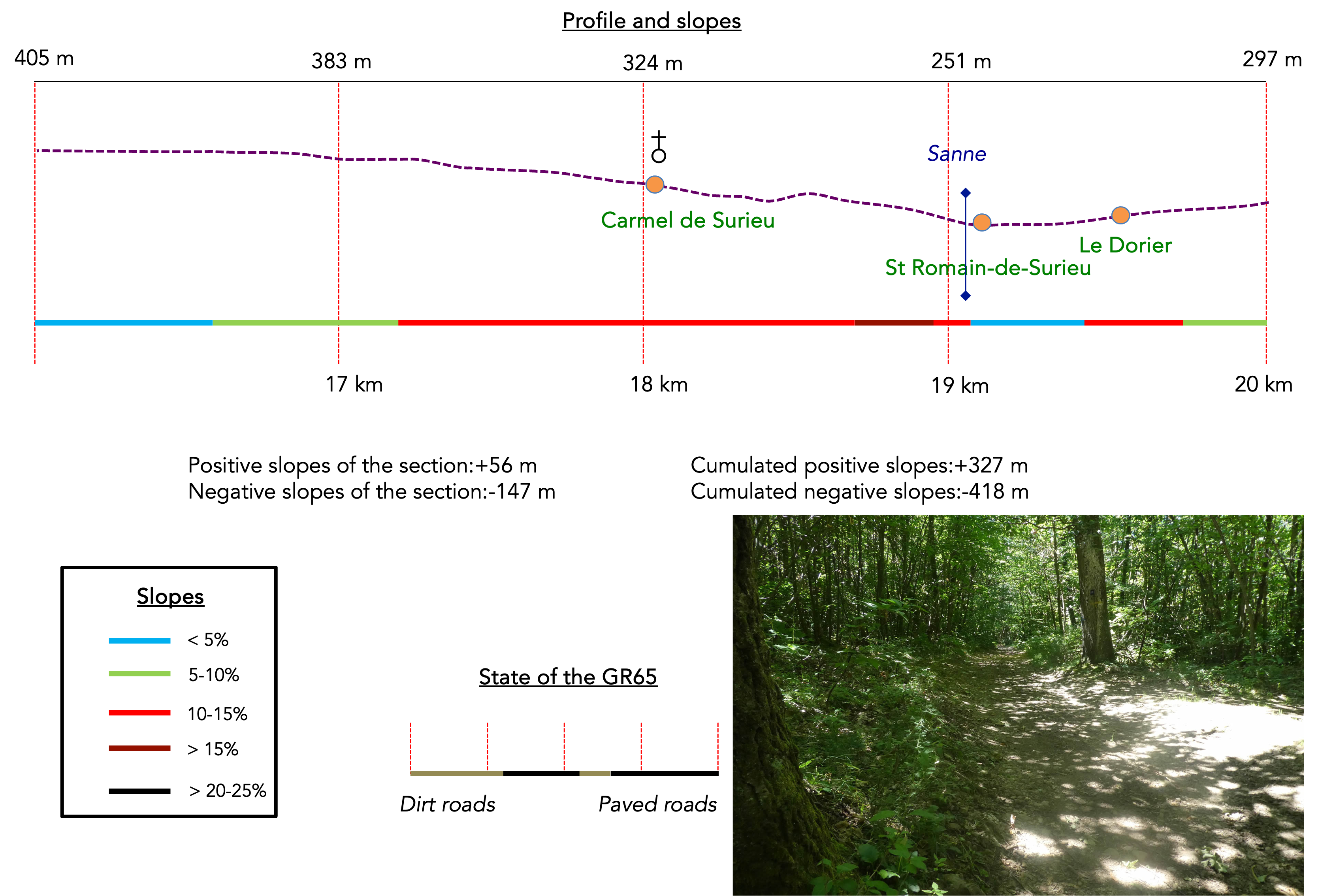
Section 5: Passing through the jewels of Surieu Hill and St Lazare
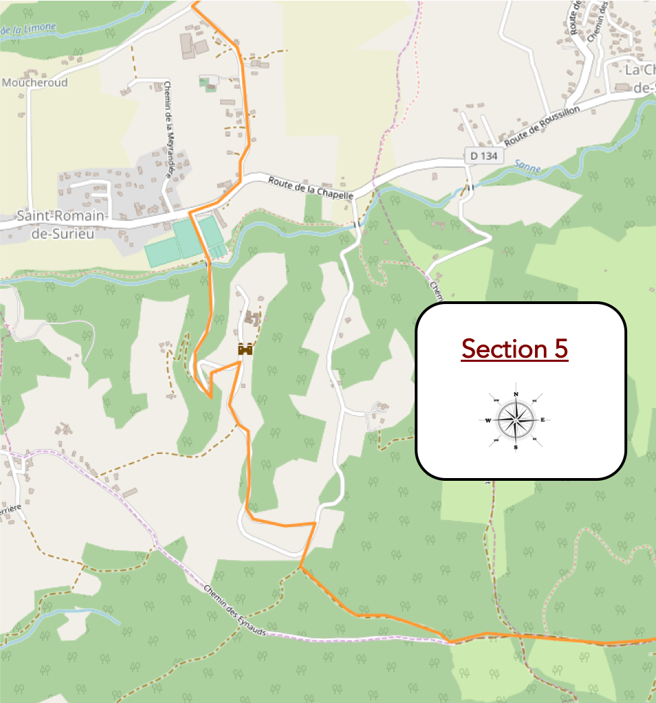
Overview of the route’s challenges: a rather challenging section with many ups and downs.
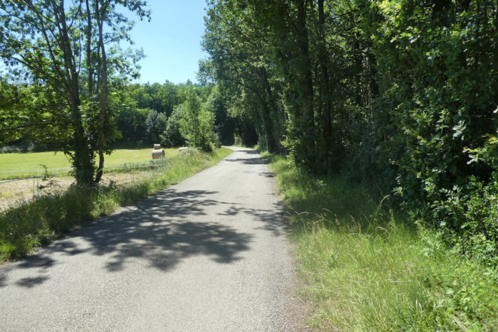
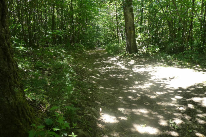
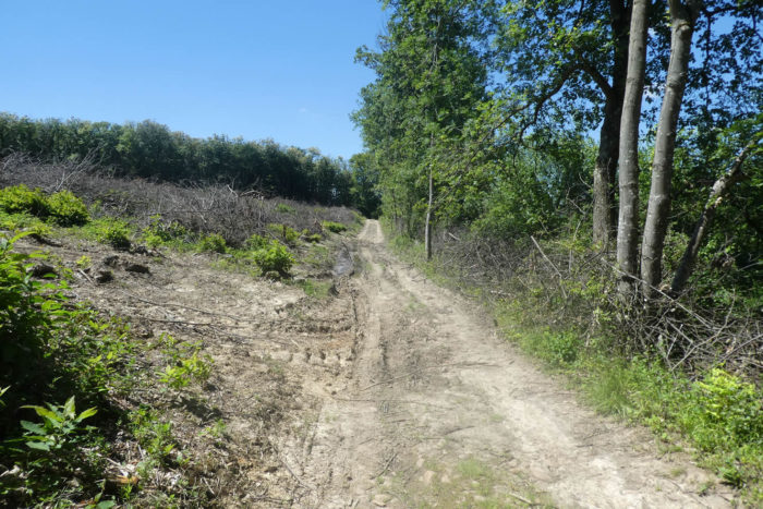
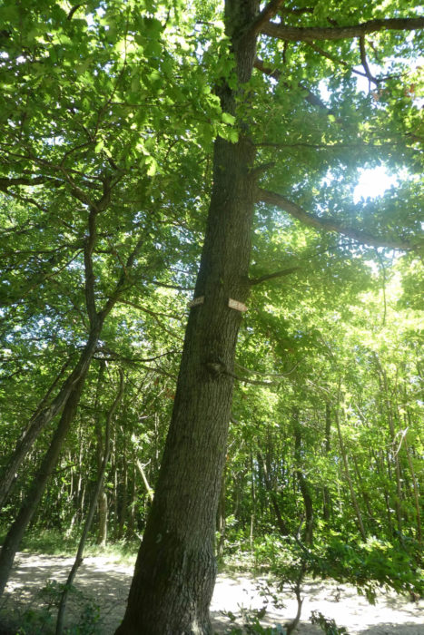
| The path continues its journey, sometimes almost flat through the dense forest where majestic chestnut trees and ancient oaks thrive, occasionally alternating with clearings resulting from tree cutting. The soil here, in places, transforms into thick clay. |
 |
 |
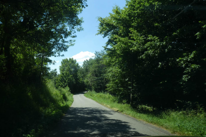
| Then, the path reluctantly leaves the « feytas » after having explored its peaceful ridges for so long, and begins a gentle descent toward Surieu. The transition is on a section that oscillates between dirt and asphalt, still enveloped in lush and serene vegetation. |
 |
 |
| Lower down, the GR65 emerges from the woods into a significantly more open space. |
 |
 |
| It then decisively opts for asphalt. The road descends with a steeper gradient through the countryside, following the edges of the wood that surrounds the Surieu estate. |
 |
 |
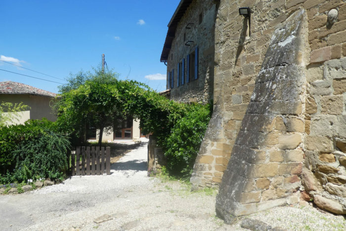
| Gradually, the road reaches the magnificent Surieu site. On the outskirts of this enchanting place stands an imposing residence, often incorrectly referred to as a castle, which has been for sale in recent years. In reality, it is a superb stone residence, adorned with sophisticated architecture. Local rumors suggest that it might have been acquired by a Belgian—happy is the owner! |
 |
 |
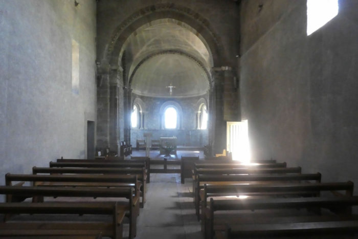
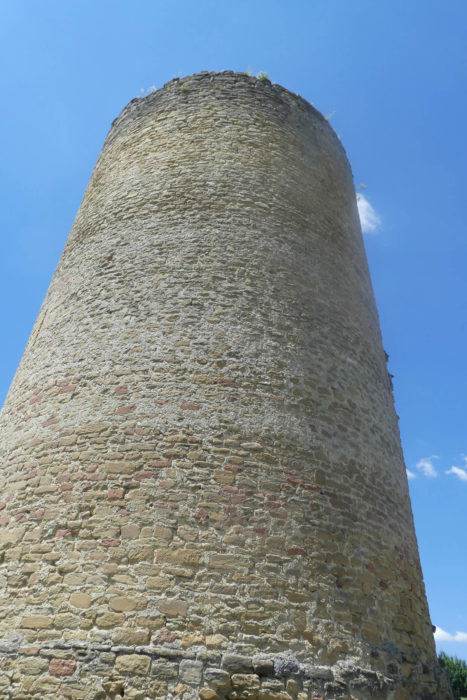
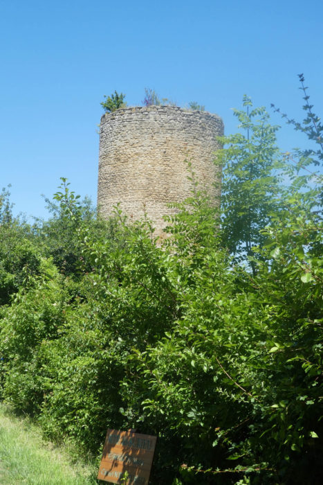
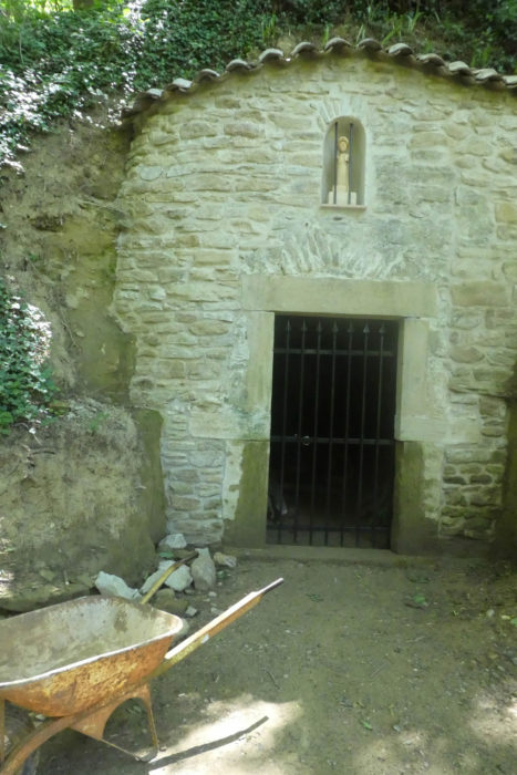
| Gracefully perched on a small promontory above the winding Sanne Valley, the Surieu site emerges as a jewel of history and natural beauty. Once crowned with a 12th-century castle, only the majestic silhouette of the keep survives today, dominating the landscape with its ancestral stones that proudly reach towards the sky. Beside it, a mysterious chapel completes this historical tableau. Local archives suggest that a place of worship has existed here since the 10th century, possibly linked to the tumultuous history of the castle that once housed it. Inside the chapel, medieval remnants tell stories of faith and resilience, preserved with care despite necessary restorations up to the 19th century. The environment surrounding this historically rich site adds to its magic. The gentle contours of the Sanne Valley extend below, punctuated by green meadows and shaded groves that dance with the wind. In the distance, the blue-tinted mountains form a spectacular backdrop for this historic sanctuary. A community of Carmelite nuns settled here thirty years ago, bringing spiritual presence and a continuity of life to this serene and contemplative place. Their harmonious presence with the medieval architecture and natural beauty of the surroundings adds a dimension of peace and reflection, further enriching this site with timeless beauty and significance. |
 |
 |
 |
 |
 |
 |
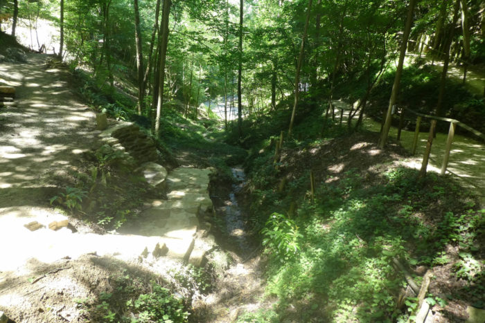
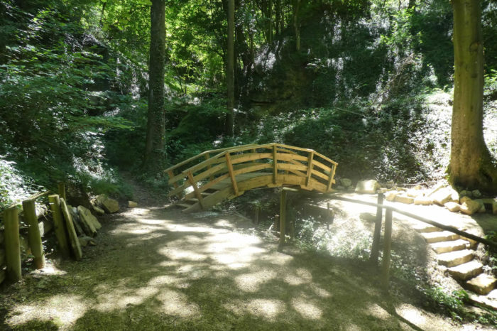
| As the GR65 exits the majestic Surieu site, the GR65 winds past a landscaped park, ideal for picnickers seeking tranquility. Descending gracefully through a narrow dale, it is bordered by majestic ash, oak, and maple trees, where charming little wooden bridges allow crossing of the sparkling stream. |
 |
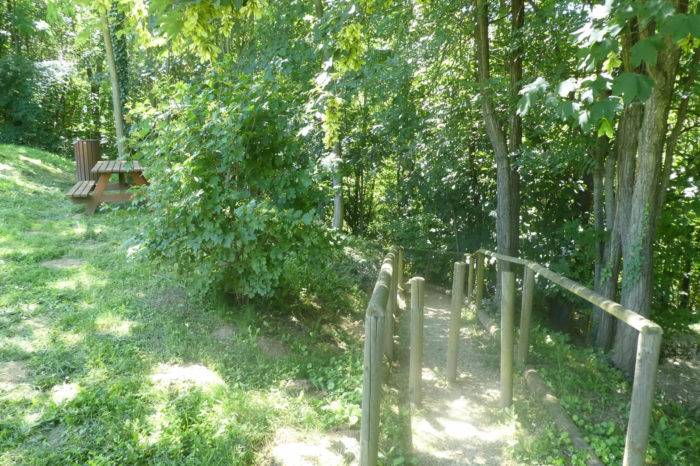 |
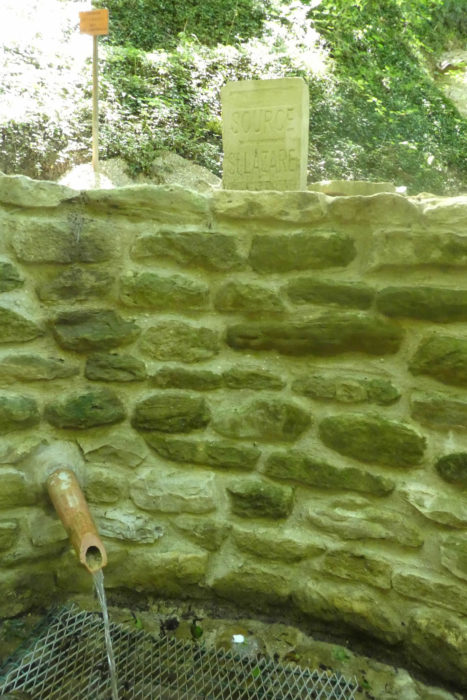
| Here springs the St Lazare source. Nestled among mosses, ferns, hazel trees, elderberries, brambles, and hardwoods, this valley emanates a refreshing and unmatched coolness. One cannot help but sometimes refresh oneself at this natural spring, which legend says that the bones of St Lazare passed through Surieu before reaching Autun. For centuries, this place was a pilgrimage site where visitors came to drink from the spring, reputed for its healing properties, particularly for childhood diseases. After being gradually abandoned, the site was rehabilitated in recent decades, thanks to the dedication of volunteers who contributed to enhancing and preserving this natural gem. |
 |
 |
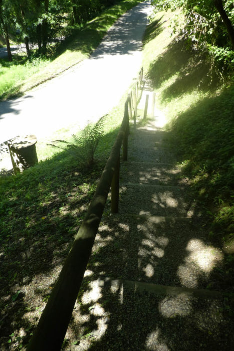
| Small, delicately arranged steps lead from this sanctuary of freshness and fervor to the road below, still offering a breathtaking view of this timelessly beautiful and spiritual site. |
 |
 |
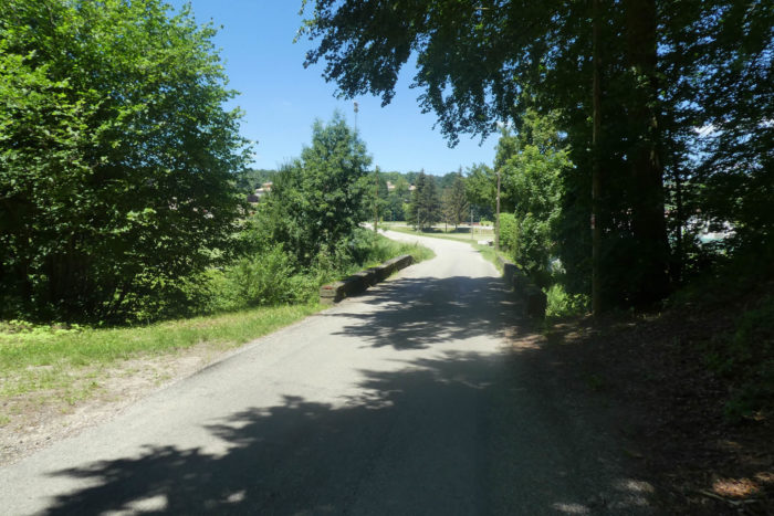
| The GR65 gracefully descends to the road to cross the Sanne, a peaceful river meandering through foliage, hornbeam shoots, and alders, enveloping the valley in a wild and enchanting softness. |
 |
 |
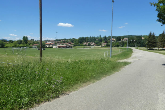
| The GR65 avoids the village of St Romain-de-Surieu, instead skirting around the football field and crossing the modest departmental road D 134, which has been bordered by newly erected housing developments in recent years. |
 |
 |
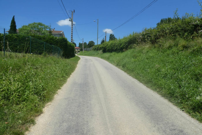
| It then begins the ascent of Dorier on asphalt, heading towards St Romain church and Les Limones, gently climbing the slope alongside discreetly hidden old villas behind their hedges and well-kept gardens. |
 |
 |
| Nearby, the church of Surieu, dating from the 10th and 11th centuries and classified as a historic monument, stands with its picturesque small cemetery. If you’re lucky, you might have the chance to cross its threshold, though we were not permitted during our visit. The road continues to climb alongside the houses until reaching the last homes of St Romain-de-Surieu, perched on the hill. |
 |
 |
Section 6: Through the great Limone-Woods

Overview of the route’s challenges: a rather challenging section through the forest.

|
Higher up, the GR65 returns to the countryside, where green meadows and sparse cultivated fields precede a re-entry into shaded undergrowth.
|
 |
 |
| The route begins a gentle descent to cross the Limone stream, a watercourse hidden beneath a lush canopy of ash, oak, and maple trees. A path then slopes up through dense undergrowth and brambles towards the Bois de Limone, a landscape where nature seems to play a silent symphony. |
 |
 |
| A little further on, the path winds among gorse and wild laurels, rare plant species in these parts, adding an exotic touch to the local flora. Their unexpected presence evokes a sort of secret garden, a preserved corner of the world. |
 |
 |
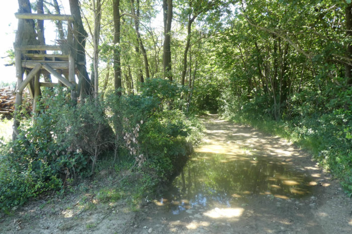
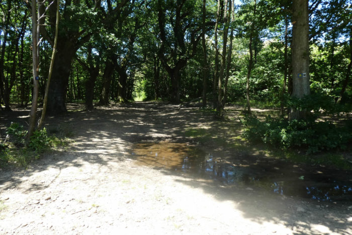
| The path continues to wind through oak woods, hornbeam shoots, and wild chestnuts. Here, the moraines of the Quaternary Era seem to have spared the region. Pebbles, vanished as if by magic, give way to impermeable soil where recent rains have formed natural mirrors in the ruts shaped by lumberjack tractors. |
 |
 |
| Just when it seemed that the pebbles of the path had disappeared forever, they suddenly reappear, testifying to the persistence of the Bièvre moraines. The path alternates between dense forest and clearings where brambles and wild grasses proliferate, under majestic hardwoods. This wild landscape evokes a raw and authentic beauty, where nature reigns supreme. |
 |
 |
| The Limone Wood, with its large white oaks, offers a most pleasant walk. The path, now almost flat, meanders under the majestic canopy, creating a space of serenity and contemplation. The GR65 continues to guide you, accompanied by the mystery of the GR422, a path whose origin and destination remain unknown, adding an enigmatic dimension to our journey. |
 |
 |
| Soon, the path reluctantly leaves the beautiful horizontal forest to delve once more beneath the dense canopy of wild chestnuts, their intertwined branches forming a natural roof above our heads. |
 |
 |
| Beyond the fields of rapeseed, you catch a glimpse of the houses of Assieu under the majestic ash trees. Below, the large plain of Bièvre-Valloire stretches as far as the eye can see, dotted with market gardener’s canvases and fruit trees. This bucolic scene resembles a living painting where every element seems to have been carefully placed. |
 |
 |
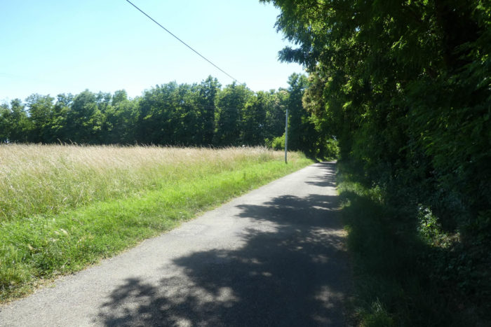
| However, you are still quite distant from the vast plain. The dirt path continues alongside the undergrowth, offering ephemeral views of the agricultural expanses, before joining a country road. Here, the transition between wild nature and cultivated land is subtle, marked by dense hedges and well-maintained meadows. |
 |
 |
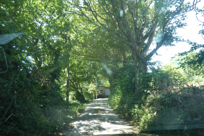
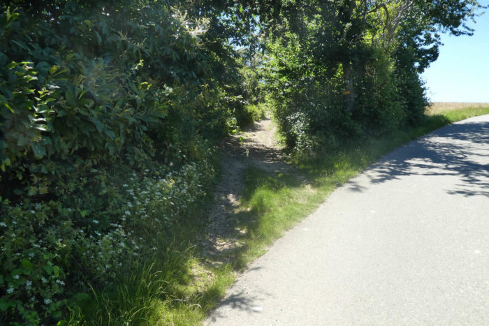
| The GR65 briefly follows the paved road before escaping again onto the dirt trail through the undergrowth, as if reluctant to leave behind the wild nature. The cool shade and the scent of fallen leaves envelop the pilgrim in serene tranquility. |
 |
 |
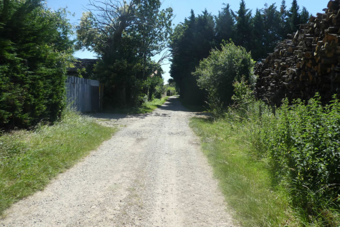
| And thus, long live the pebbles of the Bièvre, which will continue to delight pilgrims for many more centuries! These stones, silent witnesses of the region’s geological history, add a note of challenge to the path. |
 |
 |
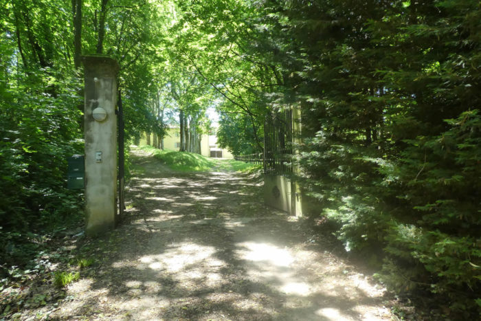
| Further down, the great forests are behind for today. As you exit the wood, the path crosses a beautiful estate set in a park at a place called Le Cuzin, hidden behind gates and dense vegetation. This majestic house seems straight out of a fairy tale, guarding its secrets jealously behind its ancient walls. |
 |
 |
| The GR65 then becomes a road and descends towards Assieu between fruit trees and chestnuts. Here, the chestnuts are cultivated and yield plump nuts. In contrast, wild chestnuts, smaller in size, abound in the surrounding forests. Once, before the potato, wild chestnuts were the staple food of central France. Rest assured, they are still collected in the region, though less than before. |
 |
 |
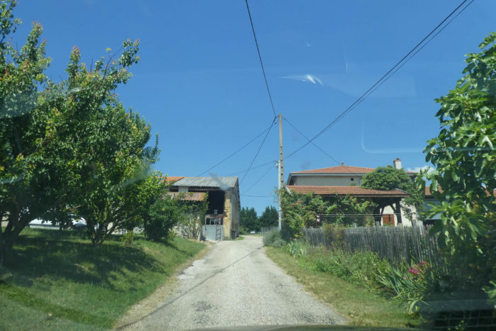
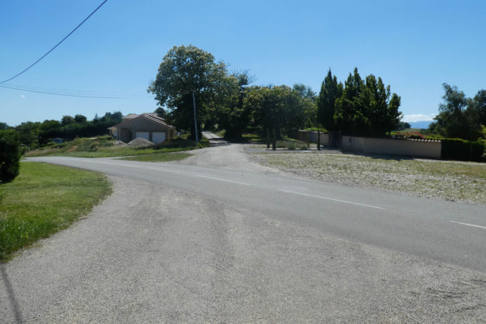
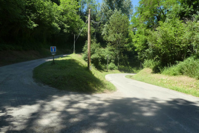
| You then reach a small departmental road at the entrance to the village of Assieu. You are informed, if you did not already know, that you are walking the Camino de Santiago. Of course! The GR65 does not go through the center of the village, but many pilgrims stop at the inn, attracted by the promise of a good meal or even a comfortable bed. |
 |
 |
This is the first striking contact with the vast plain that has haunted you for days, an endless plain extending behind hectares of monotonous and bland cornfields. This initial sight is like a waking dream, where the horizon seems to recede with each step, carrying with it the promise of endless discoveries.
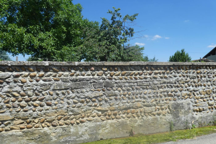
| The road skirts the edge of the village, gradually revealing these walls of pebbles, unique witnesses to local history, standing like silent guardians of the past. These walls, sculpted by the hands of generations of farmers, are the remnants of a bygone era, a mineral heritage that gives the region its distinctive and authentic character. |
 |
 |
| Leaving the village, a walk through the cultivated plain of Bièvre awaits you. This is a striking contrast, a radical change of scenery that gives the impression of having crossed an invisible border. Here, the landscape transforms, revealing its vast agricultural expanses that, though modest compared to the immense American plains, possess a majesty unique to Europe. The Bièvre, with its 6 kilometers in width, seems immense when traversed on foot, each step enhancing the sensation of infinity and disorientation. |
 |
 |
Section 7: Across the vast Bièvre plain

Overview of the route’s challenges: a section with no significant difficulties.

|
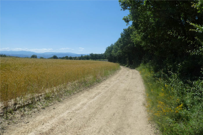
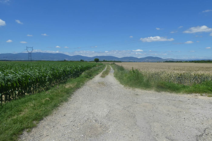
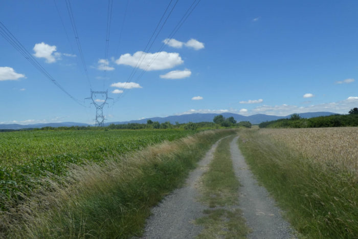
A little further on, the dirt path resumes, stretching between fields of corn, bright sunflowers, and golden wheat. The large high-tension power lines cross the plain, imposing a metallic presence that contrasts with the surrounding nature. The plain unfolds as far as the eye can see, an immense expanse that seems endless.
|
 |
 |
| Suddenly, the GR422 appears on the horizon. Judging by the height of the grasses lining the path, it is evident that this route is not frequently traveled. Its solitude adds to the wild charm of the place, though it does not seem to beckon silently for exploration. |
 |
 |
| As you continue, you gradually see a few isolated houses scattered across the vast fields. Not a single tree disrupts the geometry of the furrows created by the tractors. Here, a rare bush has taken root, carried by capricious winds, symbolizing nature’s resilience. |
 |
 |
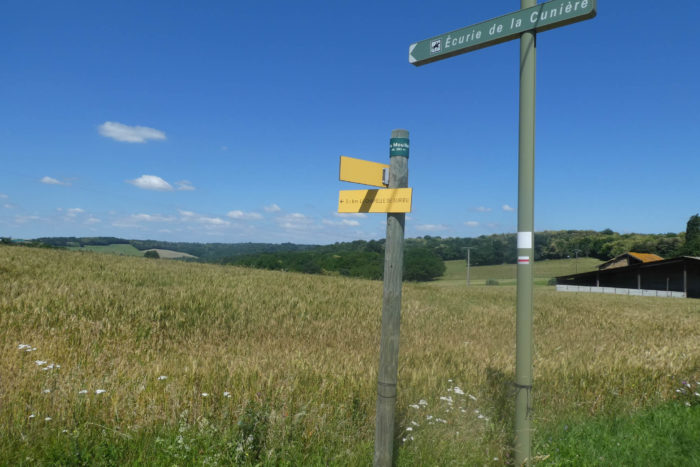
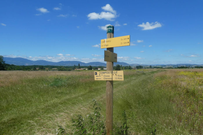
| The path continues, winding towards the place called Les Meuilles. Formerly, the GR65 passed through here, heading straight to Condrieu. Today, this variant seems forgotten, with no signs guiding pilgrims in that direction. Yet, the Camino de Santiago enjoys changes, constantly surprising travelers by reinventing its routes. |
 |
 |
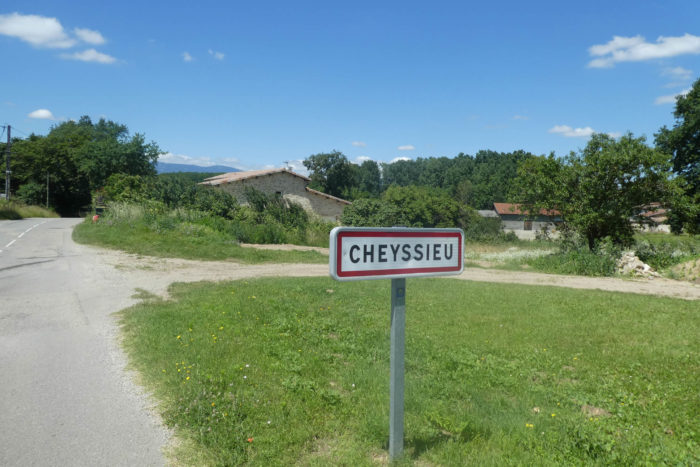
| A little further, the GR65 emerges from the vast crops of the plain and joins a road leading to the village of Les Meuilles, part of the commune of Cheyssieu, as indicated by the sign at the entrance. The scattered houses with red roofs add a splash of color to this agricultural landscape. |
 |
 |
| On leaving the village, the road crosses the Beson, a narrow stream that winds peacefully through the plain, bringing a touch of freshness to the pastoral scenery. |
 |
 |
| Next, a wide dirt path stretches across the plain, inviting a walk among fruit trees and market gardeners’ greenhouses. Here, intensive agriculture reigns supreme, with farmers having established rigorous networks to maximize their harvests. The perfect alignments of crops testify to exemplary know-how and discipline. |
 |
 |
| Further along, the path leaves the fruit trees and offers a welcome shade under the foliage of the undergrowth. The transition between open spaces and shaded areas is gentle, providing a much-needed respite under the protective branches of the trees. |
 |
 |
| But the path soon emerges to explore other crops. Farmers have likely cleared the trails to facilitate the passage of their tractors. The soil here becomes sandier, suitable for asparagus cultivation. However, it is not uncommon to encounter vacant lots, remnants of the region’s agricultural transformations. |
 |
 |
| The sound of engines becomes increasingly noticeable, growing louder with each step. For the walker, there is no doubt: you are approaching a highway. The beautiful apples of the region, bathed in liters of pesticides, must also absorb the fumes from road traffic. Wheat fields are not exempt from this invisible but omnipresent pollution. |
 |
 |
| A small road then runs alongside the highway before crossing it via a bridge. This is not just any highway, but the A7, the renowned Autoroute du Soleil, a major route for summer vacations, linking northern and southern France in a continuous flow of vehicles. |
 |
 |
| The road quickly reaches the outskirts of Auberives-sur-Varèze, initially crossing a small wood, then carefully tended orchards. The landscape comes alive with green hues, fruit trees offering a burst of color amid this bucolic nature. |
 |
 |
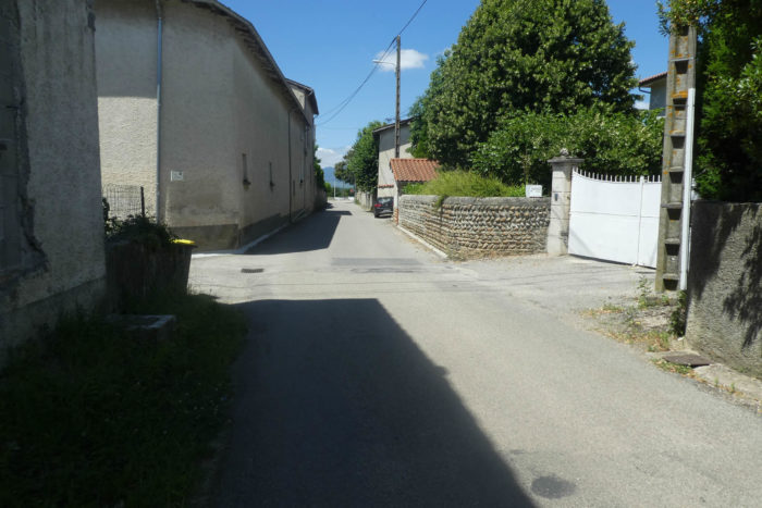
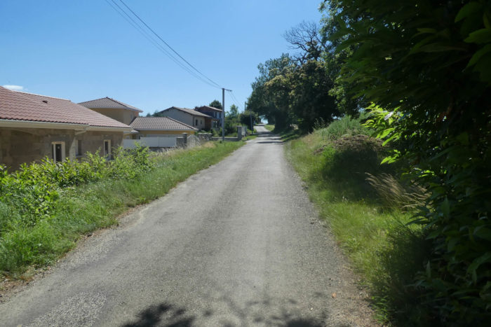
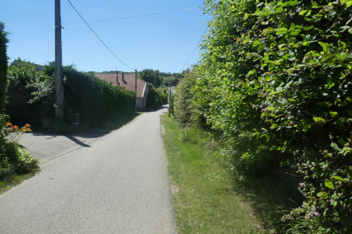
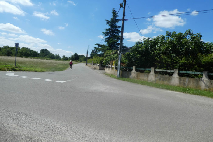
| The GR65 does not immediately enter Auberives-sur-Varèze. Instead, it follows a signposted and winding route, bypassing the village, which lacks a true center. The route follows Chemin des Vignes, winding through the peripheral housing estates, where houses are strung out like discreet pearls on a necklace. |
 |
 |
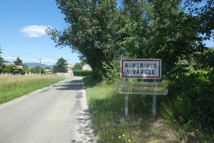
| Still amidst the small houses, the GR65 takes Rue des Sables, which leads to the RN7, the famous artery connecting Paris to southern France. Despite being relatively large, Auberives-sur-Varèze remains sparsely populated with its 1,500 inhabitants. Accommodation options are limited, which leads many pilgrims to continue to the next stage, where lodging opportunities are only slightly more plentiful. There is nothing to do here, nothing to see, but one must still stop somewhere after such a long stage. |
 |
 |
Official accommodations on the Via Gebennensis
- Accueil randonneur, 745 Route de Miançon, Bellegarde-Poussieu; 06 60 44 33 11/09 83 39 67 10; Gîte, dinner, breakfast
- Une pause sur la colline, 2 Rue de Molimard, St Romain-de-Surieu; 07 61 73 32 77/06 99 75 12 22; Gîte, dinner, breakfast
- La Ferme des Vitoz, 94 Rue de Taramas, Assieu; 06 83 22 83 50; Guestroom, dinner, breakfast
- Camping des Nations, RN7, Auberives-sur-Varèze; 04 74 84 95 13/06 14 42 42 84; Gîte, dinner, breakfast
Pilgrim hospitality/Accueils jacquaires (see introduction)
- Bellegarde-Poussieu (2)
- St Romain-de-Surieu (3)
- Assieu (1)
- Auberives-sur-Varèze (1)
If one takes inventory of the accommodations, lodging is very tricky at the end of the stage, especially if the campsite is closed. In that case, you will likely need to go as far as Clonas-sur-Varèze. There are numerous possibilities earlier on. The guide of the Friends of Compostela keeps a record of all these addresses, as well as bars, restaurants, or bakeries along the route.
Feel free to add comments. This is often how you move up the Google hierarchy, and how more pilgrims will have access to the site.
|
 |
Next stage : Stage 10: From Auberives-sur-Varèze to St Julien Molin-Molette |
|
 |
Back to menu |