Discovering the Ognon River
DIDIER HEUMANN, ANDREAS PAPASAVVAS
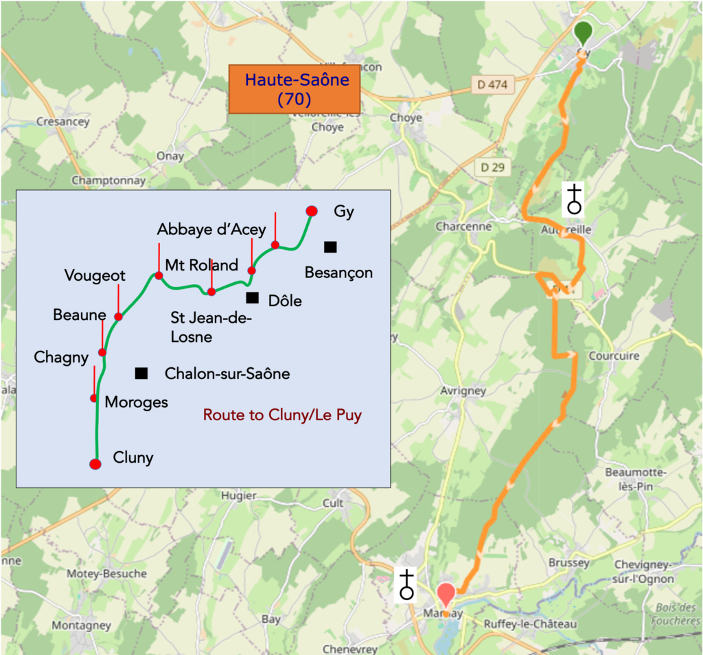
We divided the course into several sections to make it easier to see. For each section, the maps show the course, the slopes found on the course, and the state of the route (paved or dirt roads). The courses were drawn on the « Wikilocs » platform. Today, it is no longer necessary to walk around with detailed maps in your pocket or bag. If you have a mobile phone or tablet, you can easily follow routes live.
For this stage, here is the link:
https://fr.wikiloc.com/itineraires-randonnee/de-gy-a-marnay-par-le-chemin-de-compostelle-218086012
| This is obviously not the case for all pilgrims, who may not feel comfortable reading GPS tracks and routes on a mobile phone, and there are still many places without an Internet connection. For this reason, you can find on Amazon a book that covers this route.
If you only want to consult lodging of the stage, go directly to the bottom of the page. |
 |
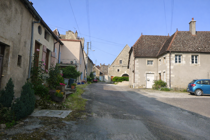
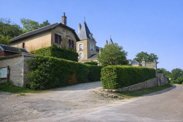
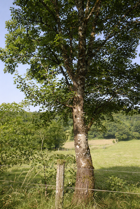
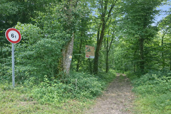
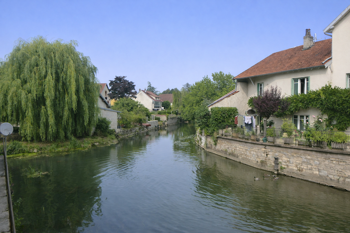
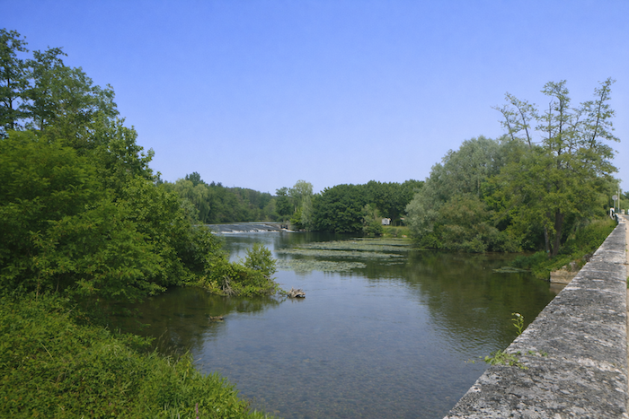
At the edge of Haute-Saône, lying beside the Ognon River, Marnay unfolds its discreet charm, the charm of small towns where history and nature intertwine. With its houses built of rough stone, its old center with lively lanes, and its privileged position along the river, the town immediately captivates the traveler. Here, authenticity is not a frozen backdrop, it is something you breathe in the air, read in the stone, and hear in the murmur of the water. The Ognon, a major tributary of the Saône River, flows through the town with grace. Two hundred kilometers long, it rises in the Vosges mountains, waters Haute-Saône, brushes the Doubs and the Jura, then joins the Saône near Gray. In Marnay, its course becomes generous and spectacular, wide meanders, gentle falls in a natural amphitheater, moving reflections that turn the landscape into an impressionist painting. Anglers find their secret corners there, walkers their peaceful halts, and pilgrims to Santiago a haven of serenity at the end of their stage. But Marnay is also the meeting of heritage and a way of life. In its streets, the old façades testify to a rich past built stone by stone over generations. On its squares, cafés and shops offer a simple welcome. By the water, a pleasant campsite opens its doors to walkers, offering well-earned rest after a long march. Staying in Marnay means tasting the gentle way of life of Franche-Comté in all its clarity, a blend of stone, water, and greenery, a quiet harmony that wins hearts without artifice. To reach it, however, you must cross large and beautiful forests, in particular the forest of the Grands Bois.
How do pilgrims plan their route? Some imagine that it is enough to follow the signposting. You will discover at your own expense that the signposting is often deficient. Others use guides available on the Internet, which are also often too basic. Others prefer GPS, provided they have imported maps of the region onto their phones. Using this method, if you are an expert in GPS use, you will not get lost, even if sometimes the route proposed is not exactly the same as the one indicated by the scallop shells. You will however arrive safely at the end of the stage. In this area, the site considered official is the European route of the Ways of Compostela (https://camino-europe.eu/). For today’s stage, the map is not entirely correct. With a GPS, it is even safer to use the Wikiloc maps that we provide, which describe the current marked route. But not all pilgrims are experts in this kind of walking, and for them such devices spoil the spirit of the path. So, you can simply follow us and read us. Every junction on the route that is difficult to understand has been indicated so that you do not lose your way.
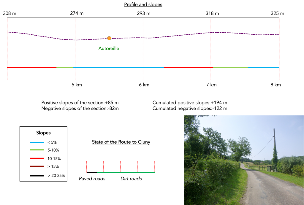
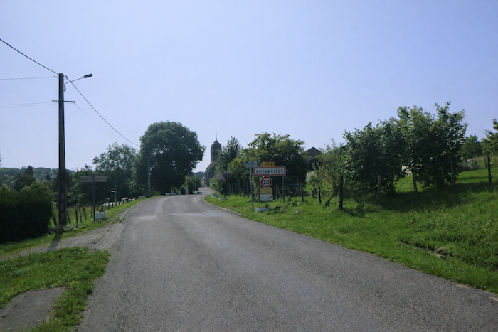
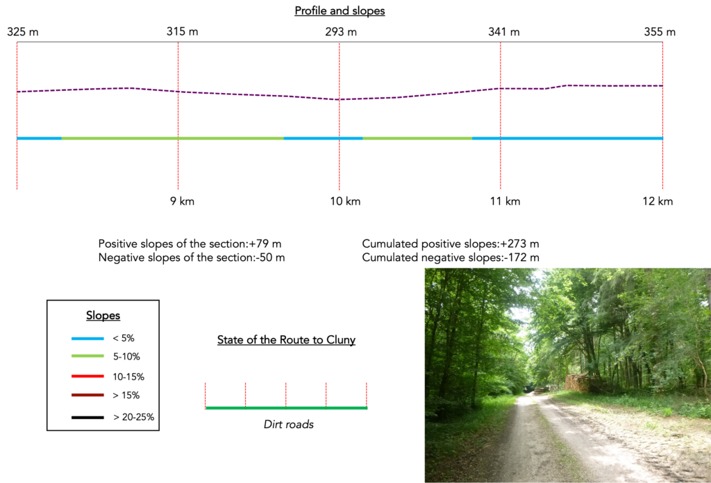
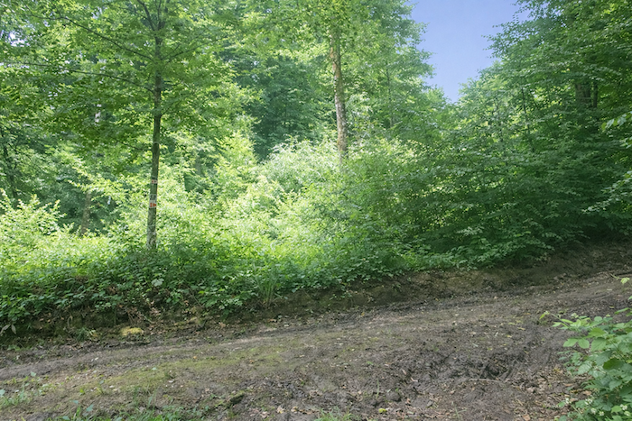
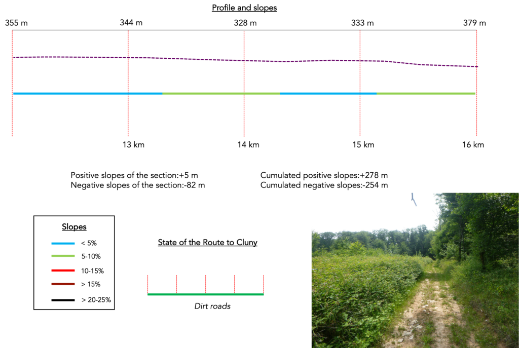
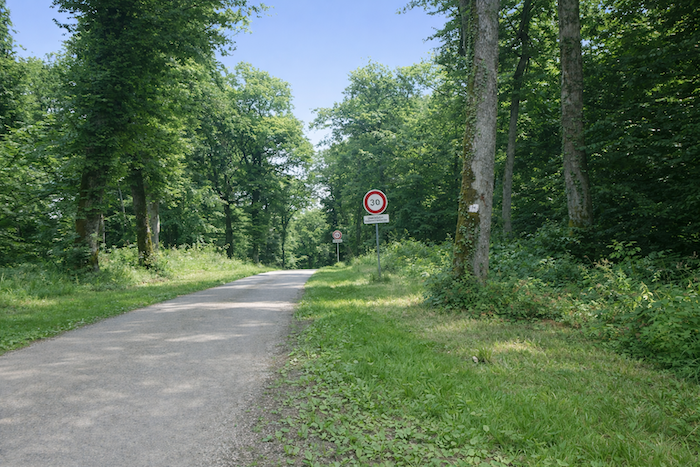
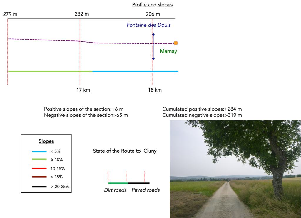
Difficulty level: Today’s journey does not show strong gradients (+284 meters / −319 meters). The two most difficult slopes are at the exit from Gy and at the exit from Autoreille. The rest is often more like strolling.
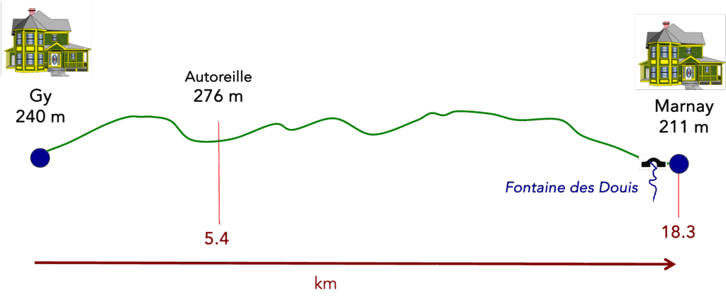
State of the route: Today it is again a stage that pilgrims enjoy. There are clearly more paths than tarred sections:
- Paved oads: 3.3 km
- Dirt roads: 15.0 km
Sometimes, for reasons of logistics or housing possibilities, these stages mix routes operated on different days, having passed several times on these routes. From then on, the skies, the rain, or the seasons can vary. But, generally this is not the case, and in fact this does not change the description of the course.
It is very difficult to specify with certainty the incline of the slopes, whatever the system you use.
For those seeking « true elevations » and enthusiasts of genuine altimetric challenges, carefully review the information on mileage at the beginning of the guide.

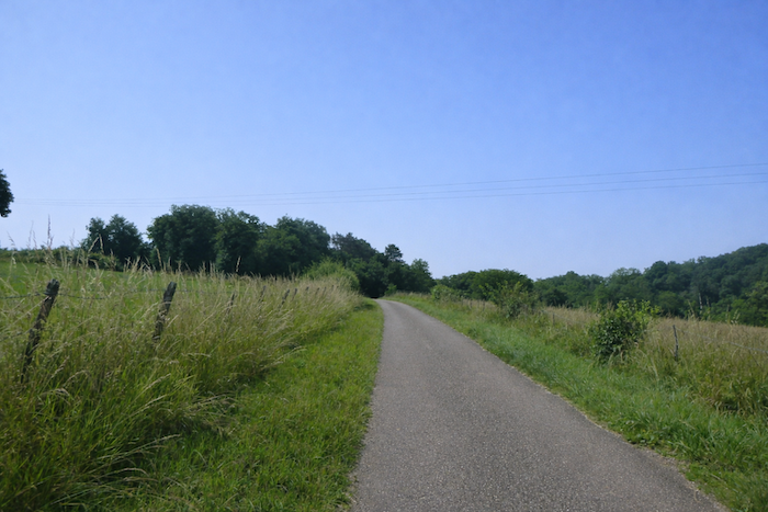
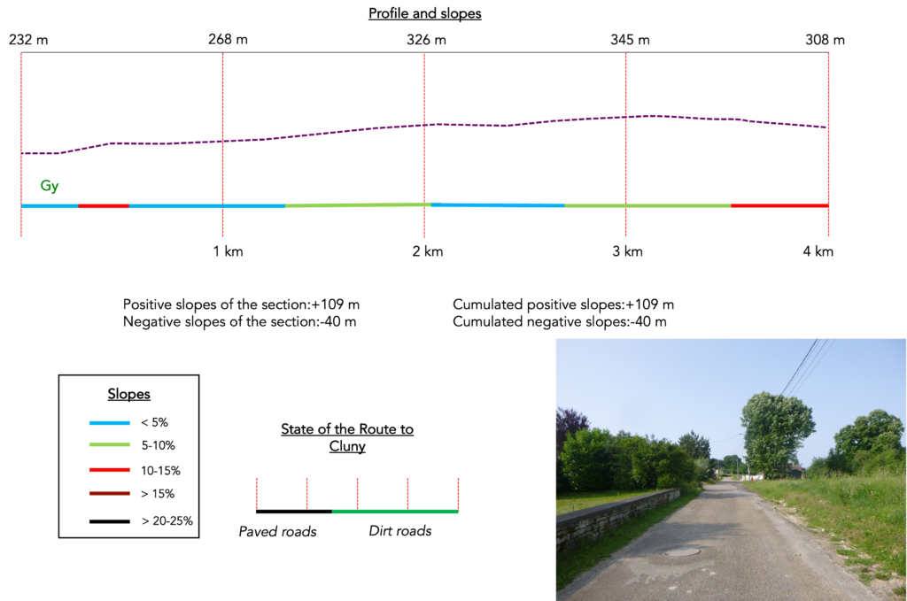
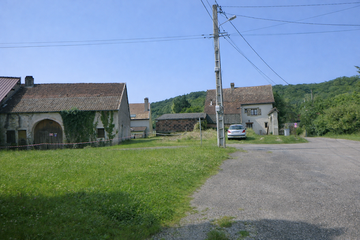
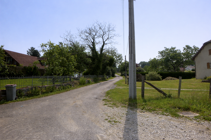
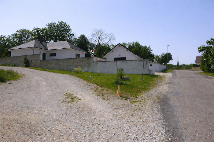
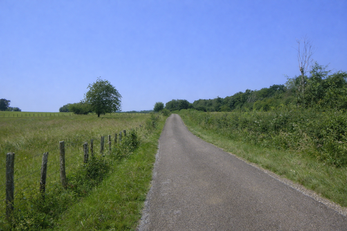
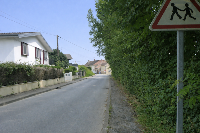
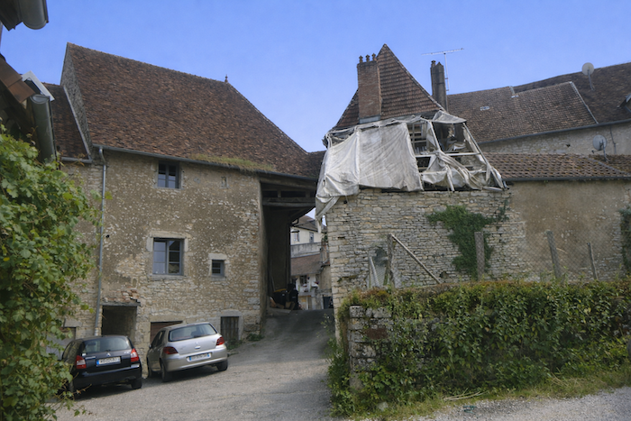
Section 1: On the Monts de Gy
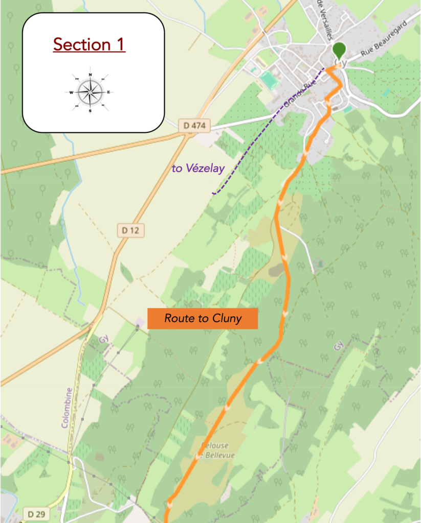
Overview of the route’s challenges: a few slopes, but nothing very difficult.
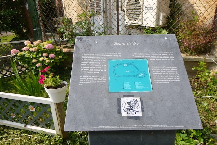
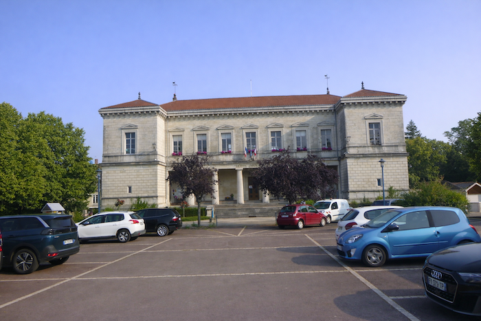
| In Gy, in front of the town hall, a large panel claims to inform the visitor about local tourist possibilities. Yet this mass of texts and images, too dense and too vague, proves useless to the pilgrim. It promises everything and shows nothing, like a map of the sky where the stars are missing. The eye gets lost there and the mind finds no expected direction. At that moment, the walker is guided only by instinct rather than by this frozen catalogue of unreadable promises. |
 |
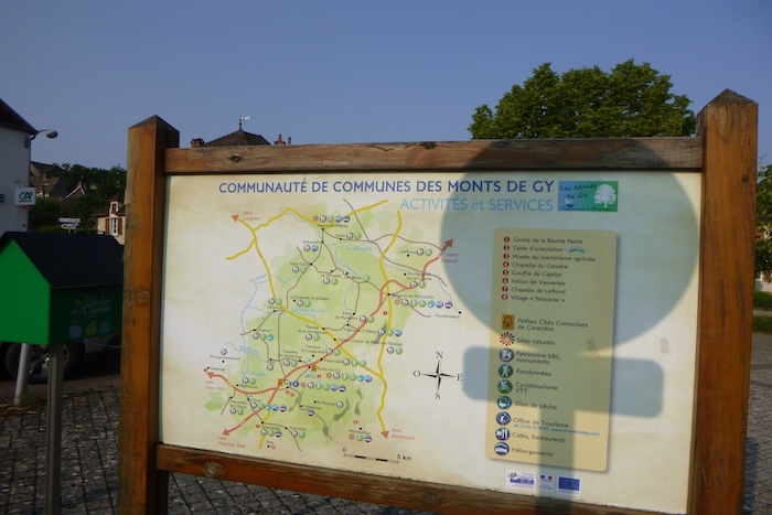 |
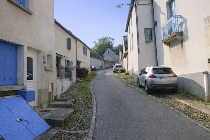
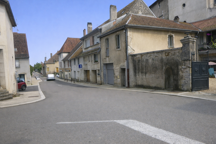
| The route then follows the long road that crosses the town, an artery without sparkle but full of truth. The houses, simple and undecorated, line up like modest witnesses of the daily life of those who live in them. There is no grandeur here and no sculpted stone, only a dignified simplicity that is almost moving. This ribbon of façades faded by the seasons tells of persistent and discreet lives, like an old painting whose colors have disappeared. |
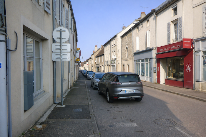 |
 |
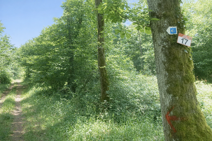
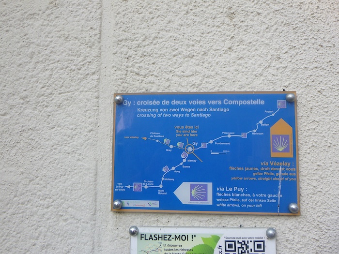
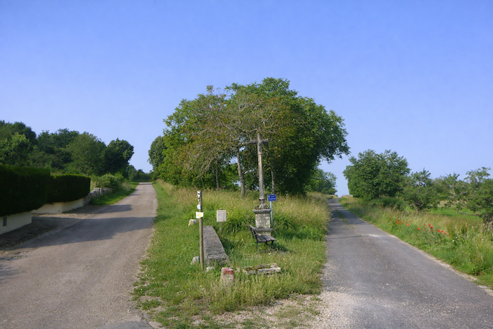
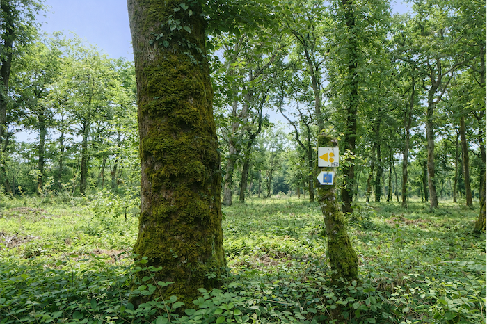
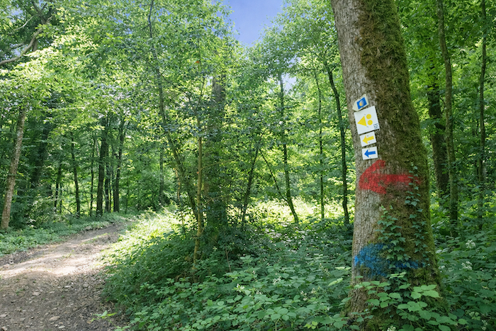
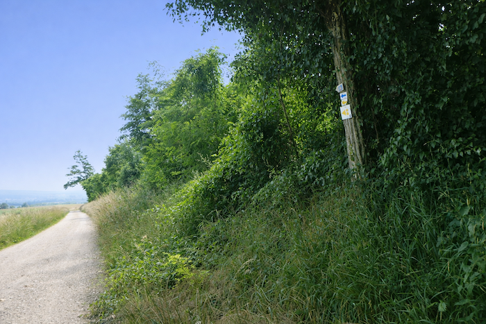
Be very attentive a little farther on when your eye happens to fall on the corner of a lane where a panel indicates the possible itineraries. This panel is tiny, barely the size of a postcard. Yet this insignificant rectangle decides the future of the pilgrim. Straight ahead, the yellow arrows of the Way of Santiago lead toward Vézelay, a road of light and tradition. To the left, the white arrows lead toward Le Puy-en-Velay, an austere and mountainous way marked by shadow and stone. In this small and almost invisible place, an immense choice is made, comparable to a bifurcation between two destinies.
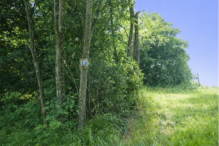
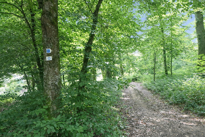
One fundamental point must be stressed here. In Franche-Comté, the scallop shell of Saint James, whether head or fan shaped, never indicates direction as on the great GR65. It simply confirms that one is indeed walking along the path. It is a sign of belonging, a mark of fraternity among pilgrims, but not a directional arrow. Only the small painted arrow counts. Anyone who takes the shell as a guide risks going astray, like a reader confusing the signature of a book with its content.
| The route then leaves the main street and climbs left toward the church along Rue du Grand Mont. The slope is steady and demanding, as if one had to deserve approaching the sanctuary. The ochre and grey houses that line the path rise in quiet austerity, like stone pilgrims frozen by time. |
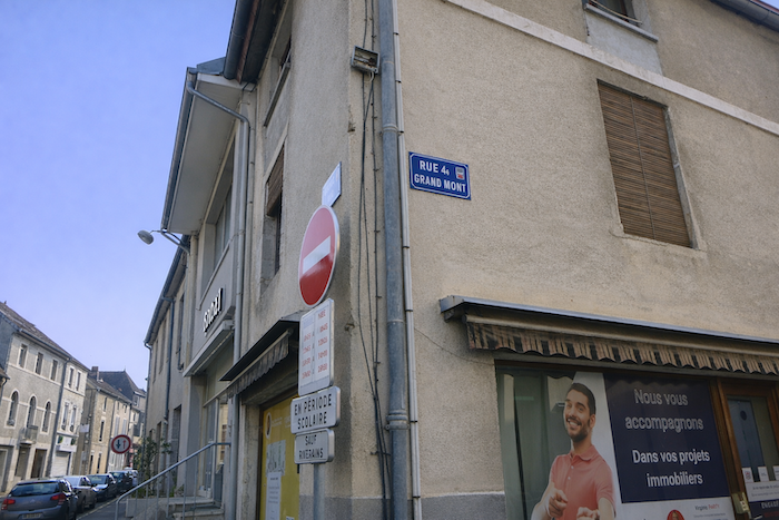 |
 |
| At the top, the route turns right into Rue du Bourg. This is not only a new road but also an open door onto the village’s memory. Around this street are concentrated the oldest traces, the walls that keep the echoes of former days. Each stone becomes a story and each window a fragment of village history. |
 |
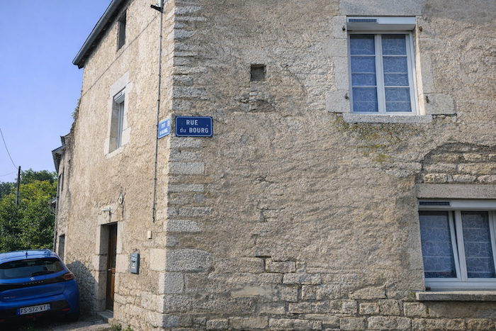 |
| Rue du Bourg continues to climb and the pilgrim now walks between fine old homes. Here stand noble houses and winegrowers’ dwellings, elegant façades with carved lintels and massive doors where time has engraved its mark. These stones still breathe the prosperity of the past. The village here reveals its proudest soul, austere yet splendid. |
 |
 |
| The church finally appears at the summit, set on a small square in the shade of large trees. This crown of greenery forms a casket of silence and light. The walker, breathless from the climb, suddenly finds calm there. |
 |
 |
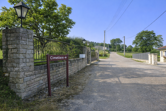
| The route then follows the road toward the cemetery. There stands an imposing house whose proud silhouette evokes that of a miniature castle, dominating the road as if to recall the influence of former notables. Then farther on, hidden in greenery, the real castle appears. One barely distinguishes its outlines, roofs, and walls, protected by the trees as by a veil of mystery. The pilgrim thus walks between two presences, one intimate and revealed, this noble house open to view, and the other majestic and secret, this castle that remains in shadow, guardian of a greater history. |
 |
 |
| You now walk on level ground along the Chemin de Bellevue, following the last houses of the town. These dwellings seem like the final witnesses of a lived-in world before the countryside takes back its rights. The air becomes lighter and the horizon already begins to open, a promise of the heights to come. |
 |
 |
| The walk ends for a moment near the cemetery. |
 |
 |
| From the cemetery, the road gathers strength again and rises with a reasonable slope of around ten percent. It is not an insurmountable trial but a call for quiet endurance, a rhythm that forces the step to match the breath, like a respiration in tune with the landscape. |
 |
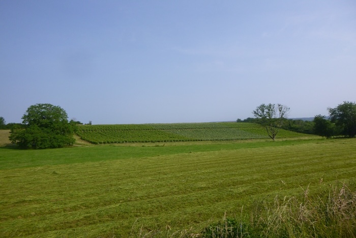 |
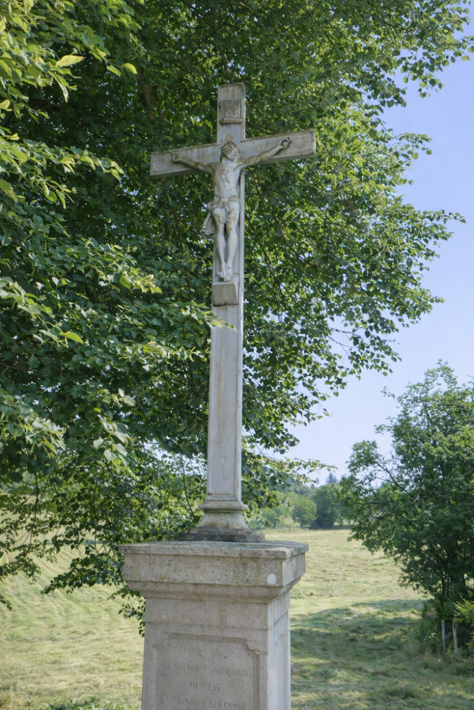
| The road then stretches for a long time across the meadows. The gaze embraces green expanses, yet it also lingers on the vines, rare and precious in these regions, like an unexpected glimmer of Mediterranean culture transplanted into the soil of Franche-Comté. Near a beautiful stone cross standing as a watchful sign at the edge of the path, a bench awaits the pilgrim. Here, the traveler may set down the pack, calm the breath, and let the eyes wander toward the summit still hidden from view. The simple and massive cross recalls that each pause on the path can become meditation. |
 |
 |
| On days of great heat, the shade of ash trees and maples protects the walker. These trees, so present and dominant in the region, draw long arches of coolness. Among them sometimes rise more discreet oaks, silent sentinels mingled with the rest of the vegetation. |
 |
 |
| The road continues to climb toward the summit of the hill under the majestic canopy of the maples. Their wide and generous branches open like arms above the path. The climb then becomes less a constraint than a ritual passage toward the light of the plateau. |
 |
 |
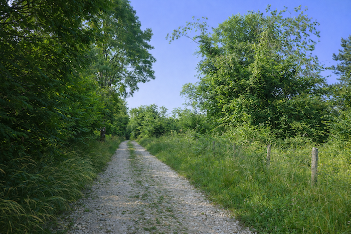
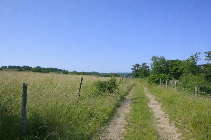
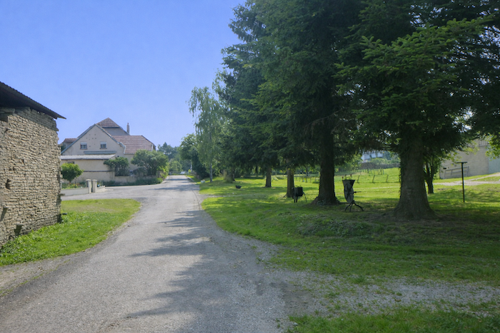
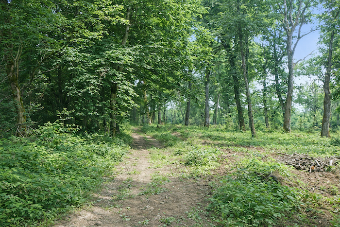
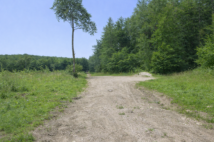
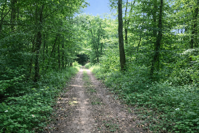
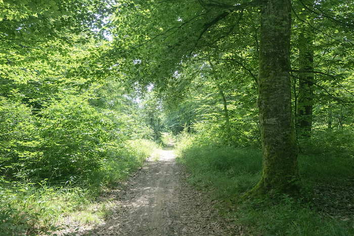
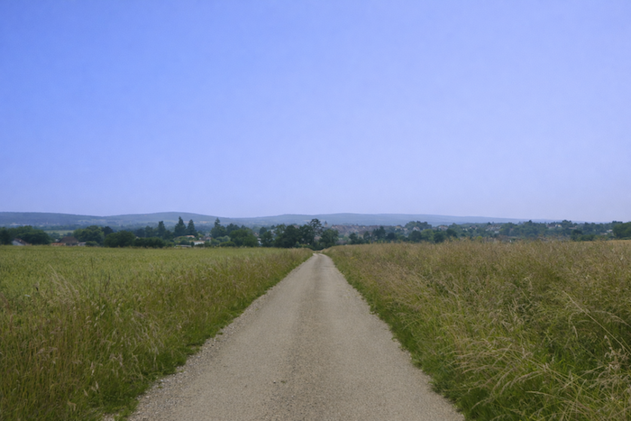
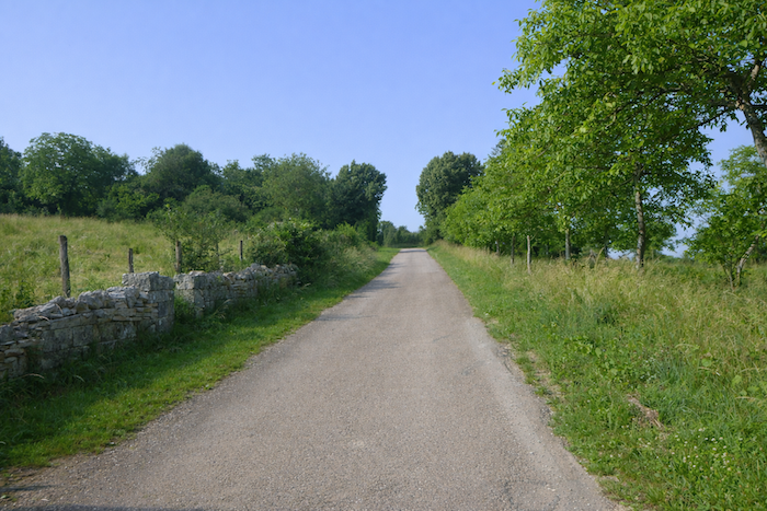
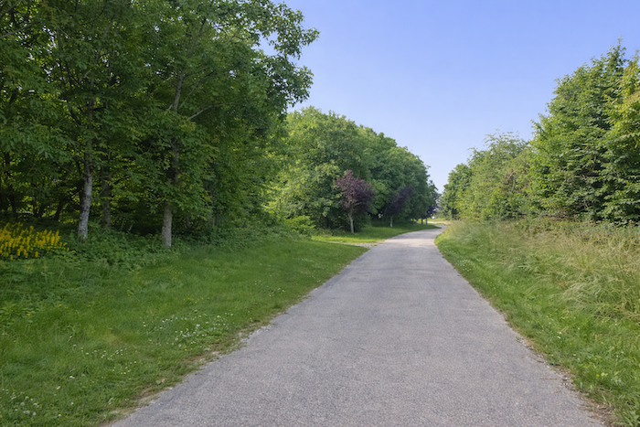
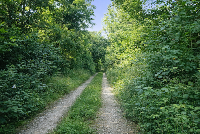
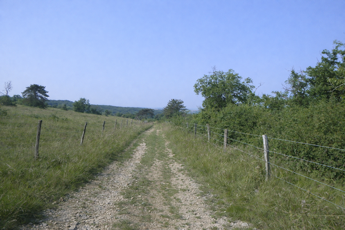
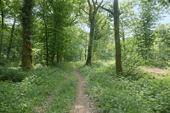
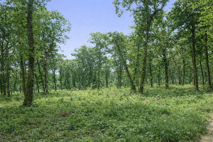
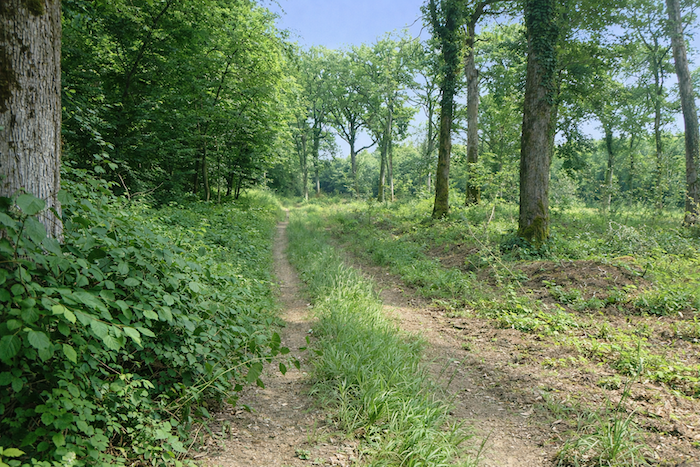
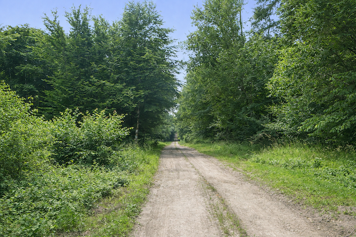
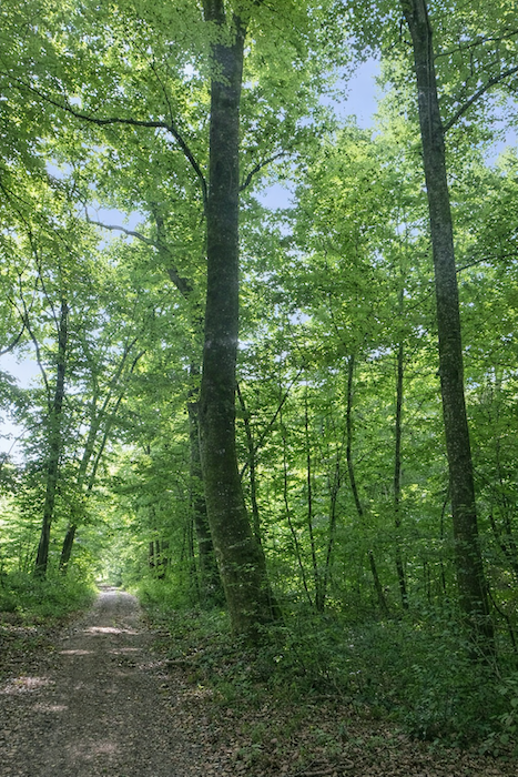
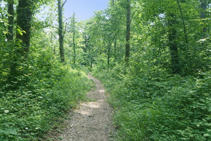
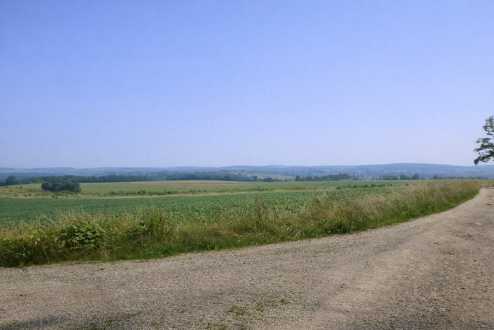
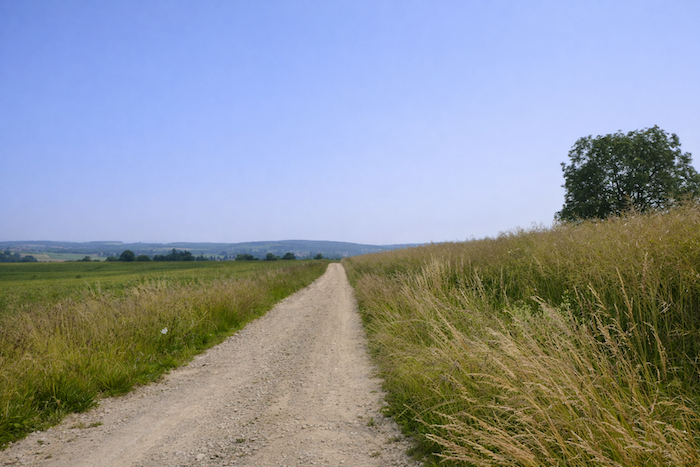
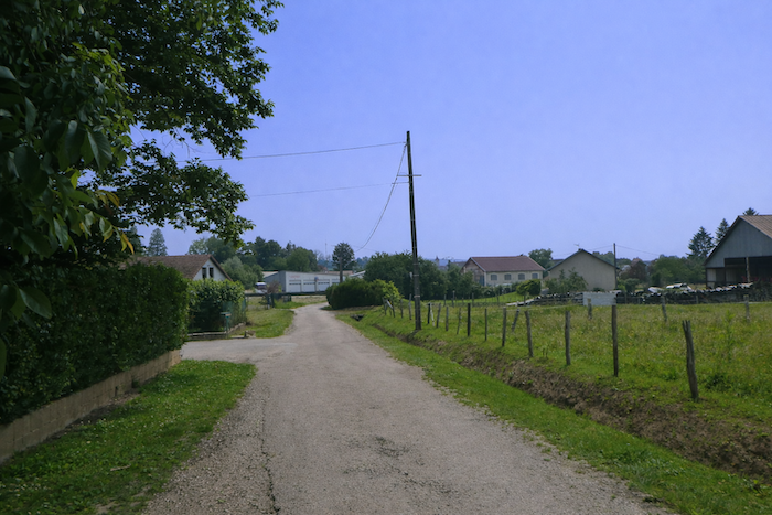
| The road then reaches the summit of the hill. You now walk along the Monts de Gy, in the heart of a wilder nature. Here the meadows open and close, hedges trace ancient boundaries, and silence prevails. The walker recovers a primitive freedom, that of paths that withdraw from towns and lose themselves in the infinity of the landscape. |
 |
 |
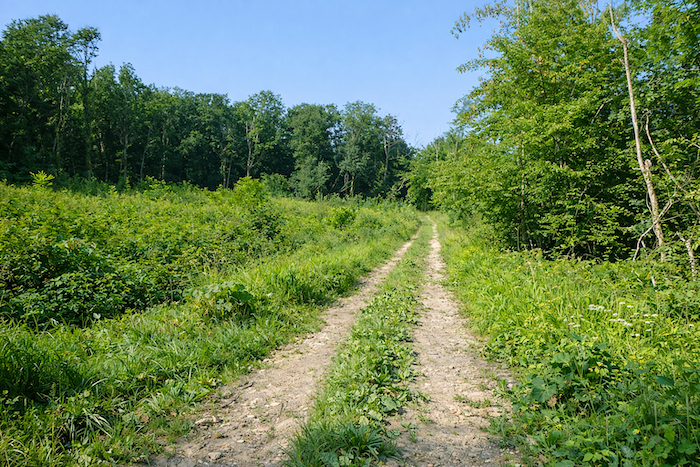
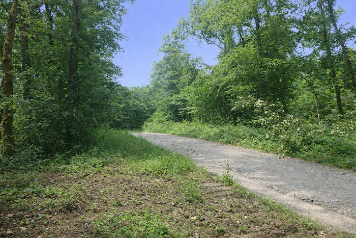
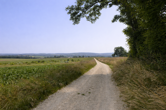
| Very soon, you leave the tar. Under your feet opens a wide road of beaten earth, soft and welcoming. It winds gently over the hill, following the curves of the land as if it wished to spare the pilgrim. The journey finally finds the deep rhythm of the earth. |
 |
 |
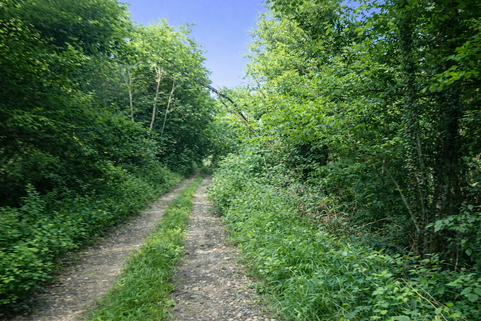
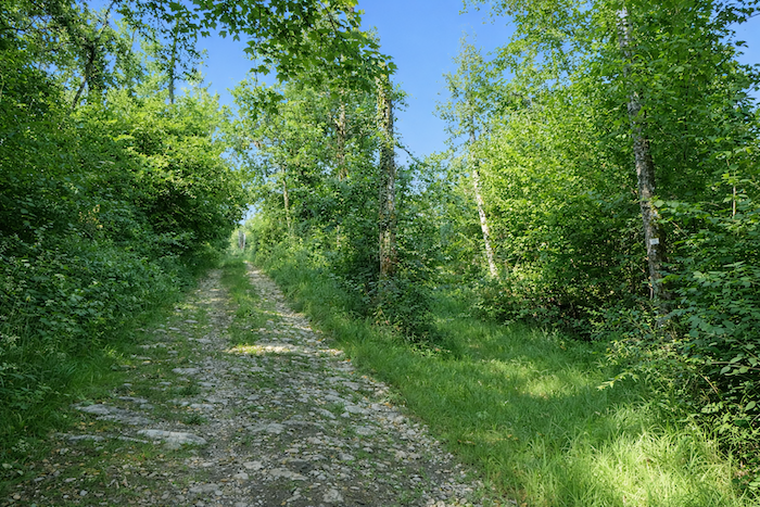
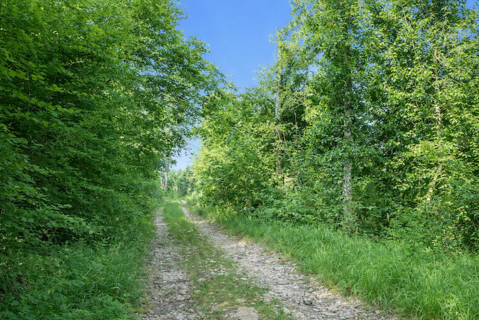
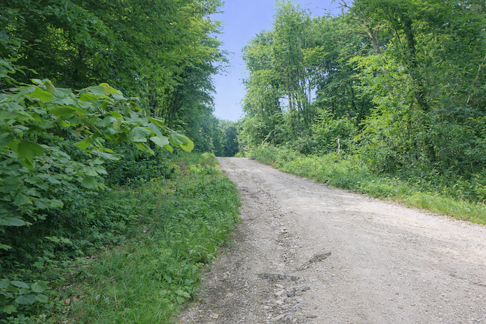
| The paths here become rough and demanding. Under your feet crunch countless small but sharp limestone stones that press into the soles and make walking uneasy. Each step becomes an effort of balance, as if the ground itself wanted to test the pilgrim’s perseverance. It is no longer the softness of grass nor the regularity of asphalt, but a harsh soil that matches the harshness of these hills. |
 |
 |
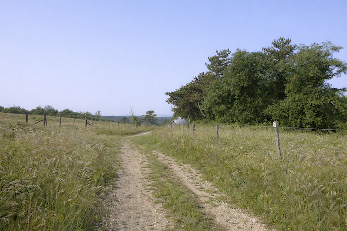
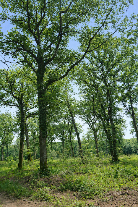
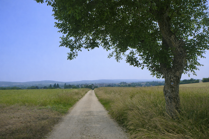
| Then, rising at the edge of the path, great ash trees stand powerful and straight like columns set in the open countryside. They dominate the smaller maples that play their more modest role, while the oaks, always discreet, blend into the whole. These trees form a vegetal procession that accompanies the walker, offering shade, silence, and strength in turn. |
 |
 |
| Soon after, the path sinks into denser undergrowth. The air becomes more humid and the step softer. You progress as if in a green sanctuary where the light hesitates to enter, leaving the walker with a feeling of intimacy and contemplation. |
 |
 |
| Farther on, the path begins a gentle descent, first still under the cover of the undergrowth. |
 |
 |
| Then the tight trunks gradually open, and the horizon clears. The air changes, the light strengthens, as an invitation to rejoin the plain. |
 |
 |
Cattle must sometimes be present here, judging by the obstacles put in their way along the path.
| Then the descent continues into an open and almost arid space that evokes a burned steppe. The ground appears thirsty, and the sparse grass reveals russet and ochre tones. Here the landscape seems harsh and stripped bare, as if the earth, under the weight of summers, had given up its green mantle. |
 |
 |
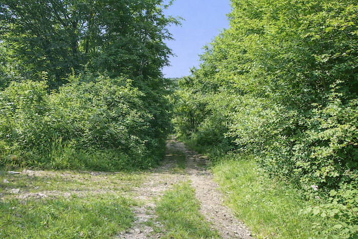
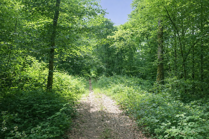
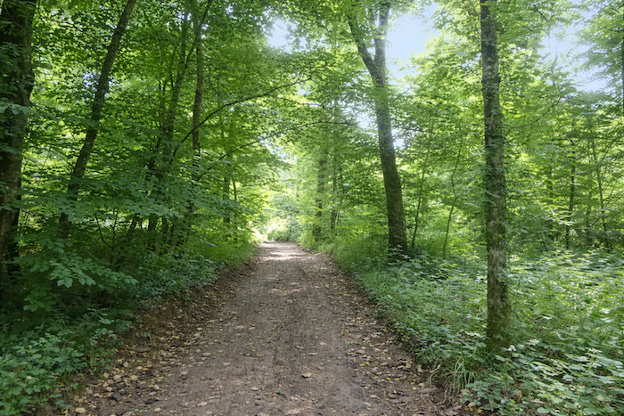
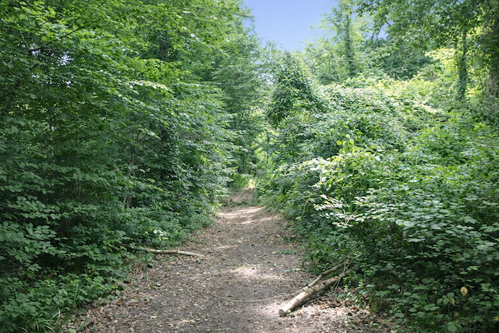
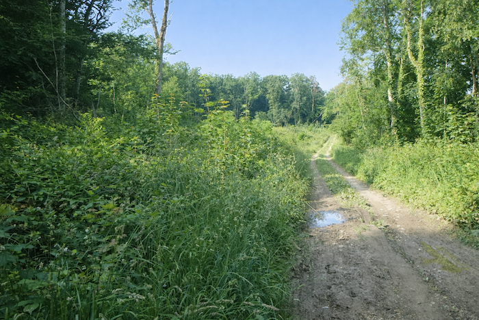
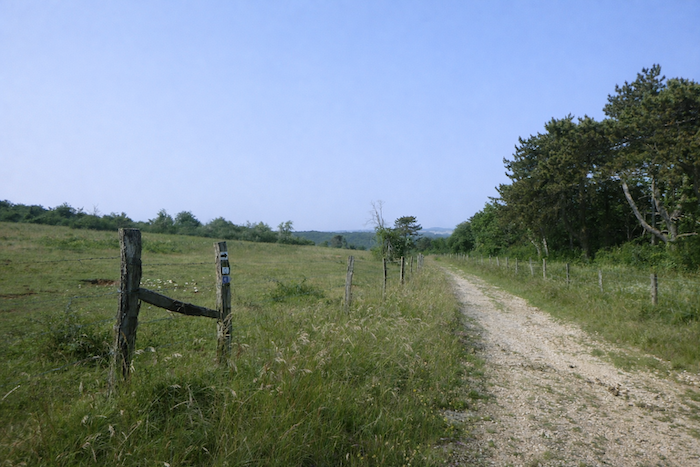
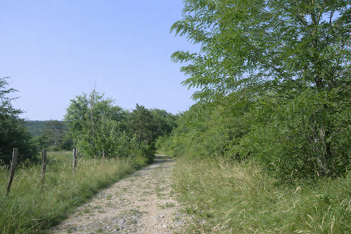
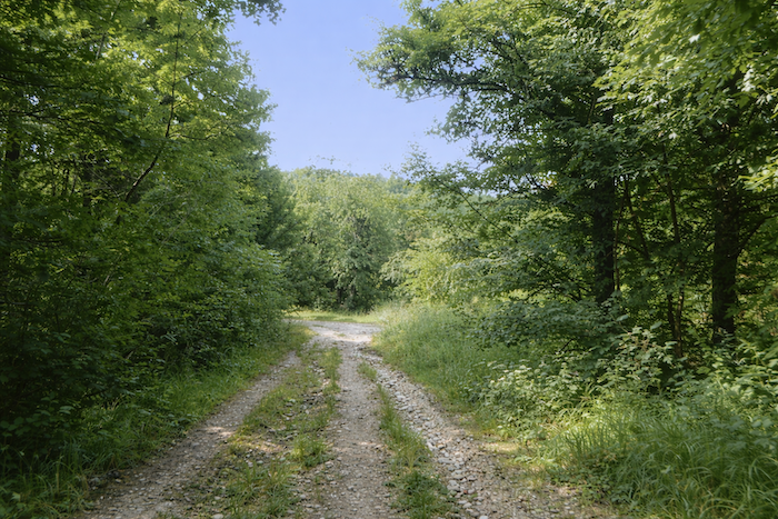
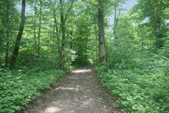
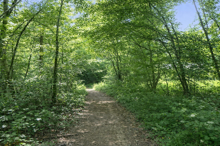
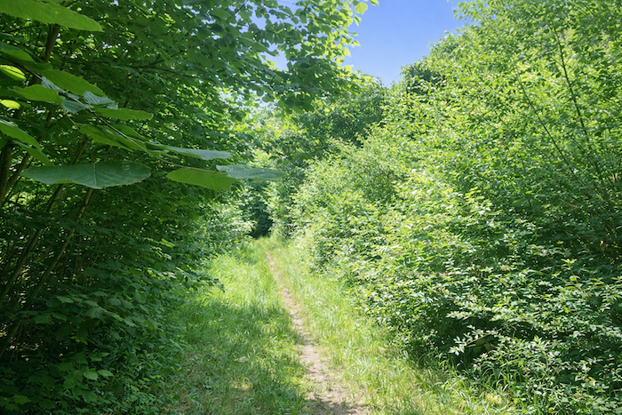
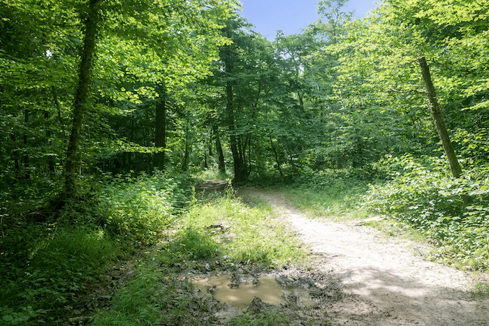
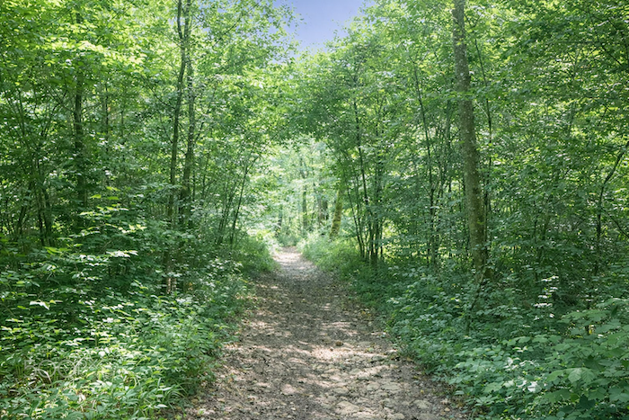
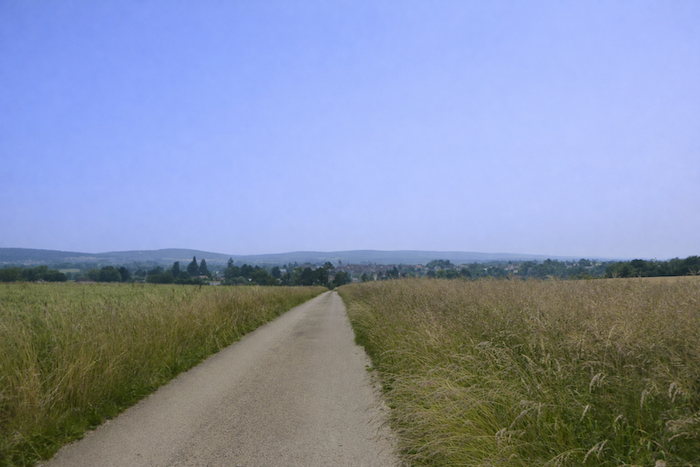
| Finally, the path plunges into the Pelouse de Bellevue, a vast stretch of open meadows where small pines are scattered, solitary and resilient. These scattered trees, almost unexpected in this severe landscape, give the scene a hint of distant moorland. Yet the harshness persists, the ground remains bristling with limestone stones, making walking always hard and demanding. This difficulty nonetheless contributes to the authenticity of the place, as if the beauty of the Pelouse de Bellevue had to be earned step by step. |
 |
 |
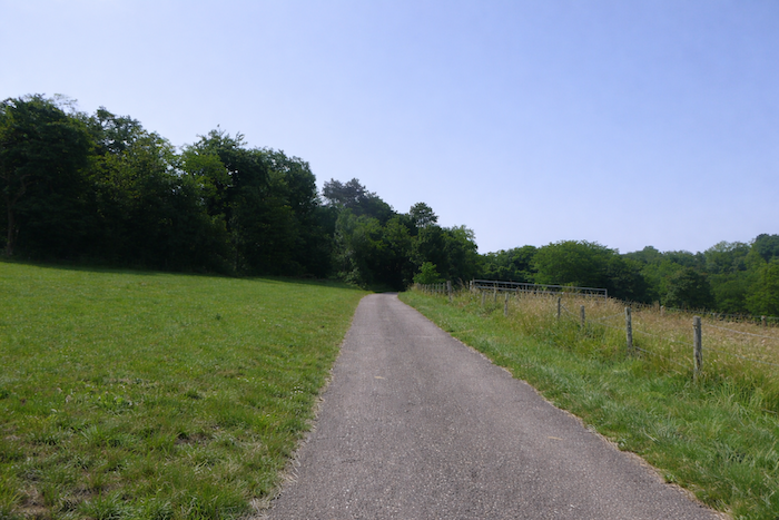
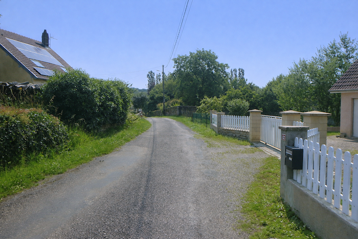
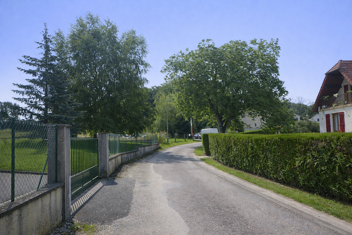
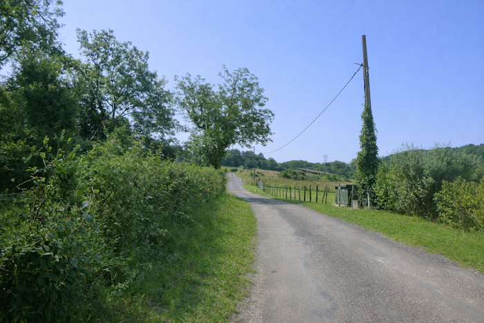
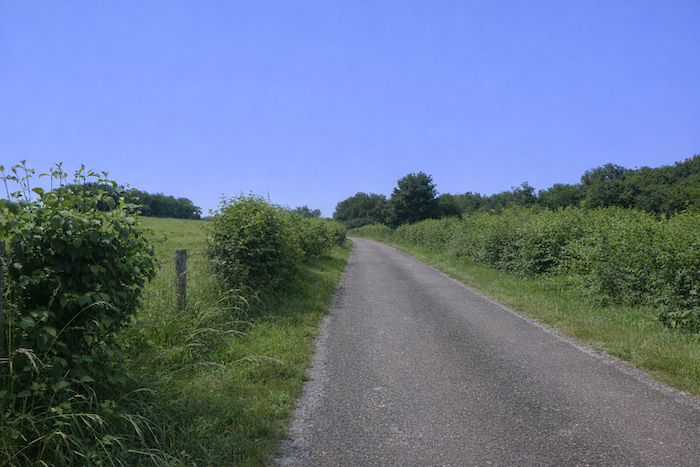
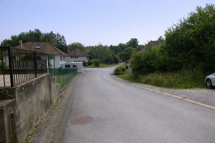
Section 2: On the heights above Autoreille
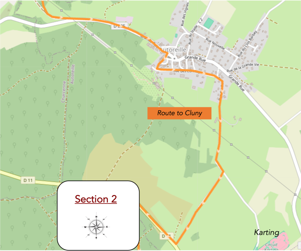
Overview of the route’s challenges: a few slopes, but nothing very difficult.
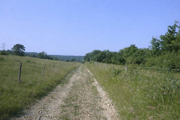
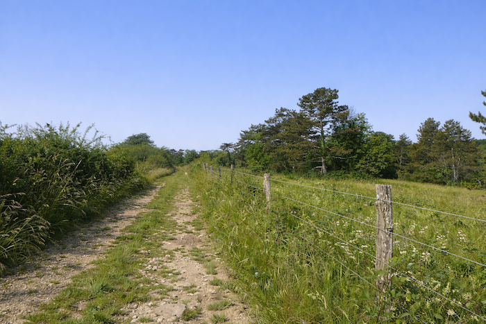
| The sloping path remains stony along the dry grasslands. |
 |
 |
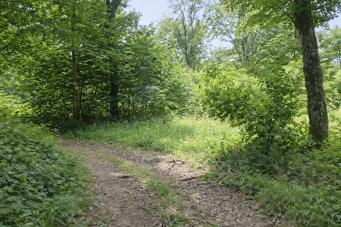
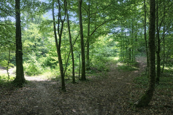
| Lower down, the slope becomes steeper and the path narrows under a denser canopy. You walk among bushes and small deciduous trees whose branches intertwine as if to close the door of the clearing behind you. The atmosphere becomes more intimate, almost secret, and the shade of the wood protects the walker in silence. |
 |
 |
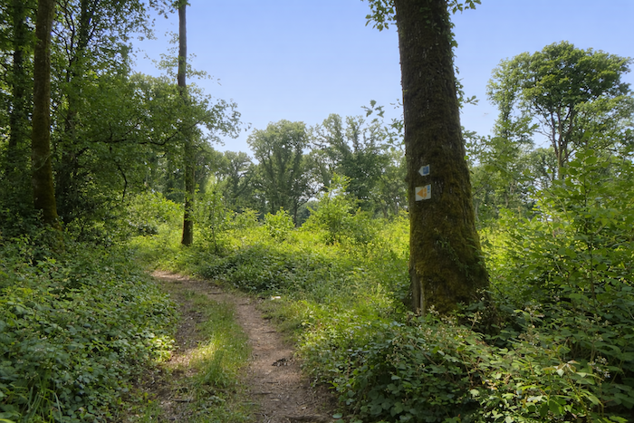
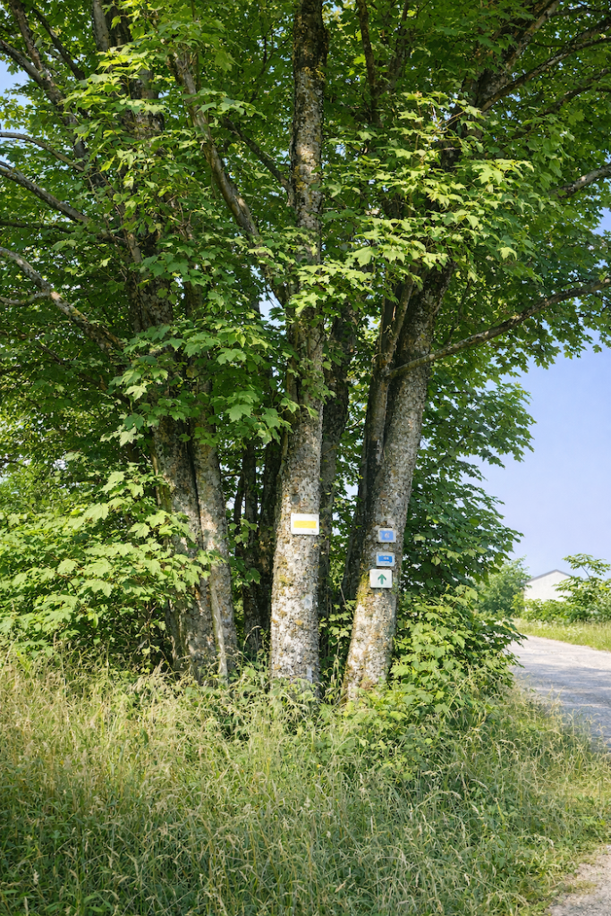
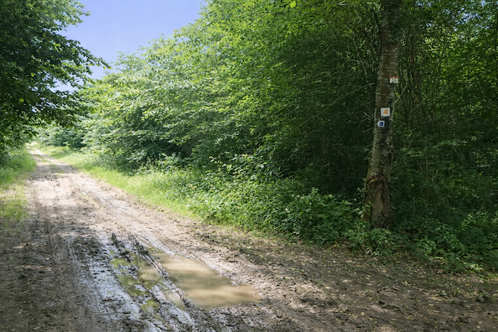
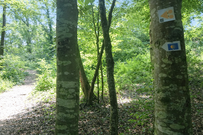
| The scallop shell of Compostela often appears along this path, carved, fixed, or painted, like a motionless sentinel reminding you that you are on the pilgrims’ way. Yet it must be remembered that here in Franche-Comté it does not indicate the direction to follow. Elsewhere, such a sign would make you think that the path turns to the left. Here it does not, because the path continues straight ahead. This reminder is essential. Only the pattern of arrows must guide your steps. |
 |
 |
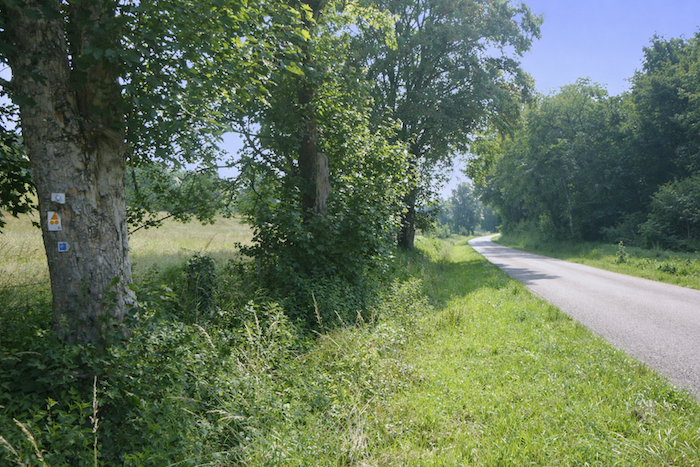
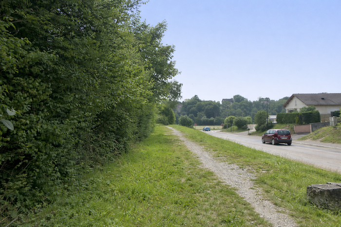
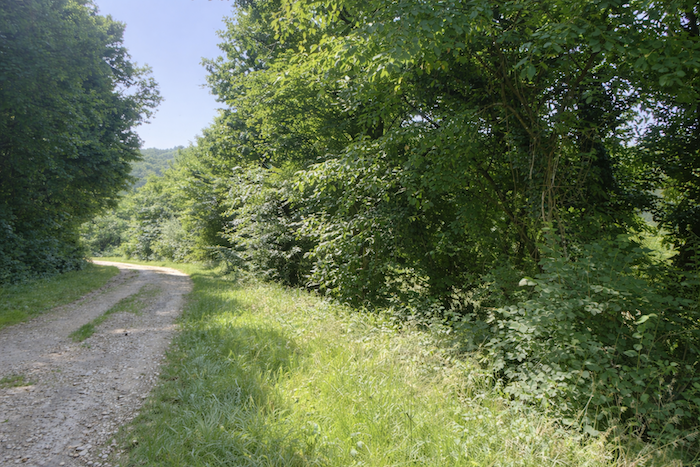
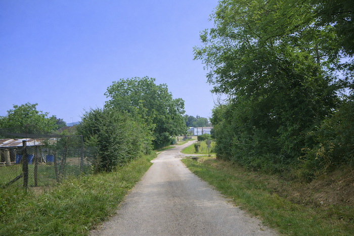
| At the bottom of the descent, still in the underwood, the wide path reaches the departmental road D225. It is a quiet road with little traffic, blending gently into the landscape and not disturbing the calm of the walk. |
 |
 |
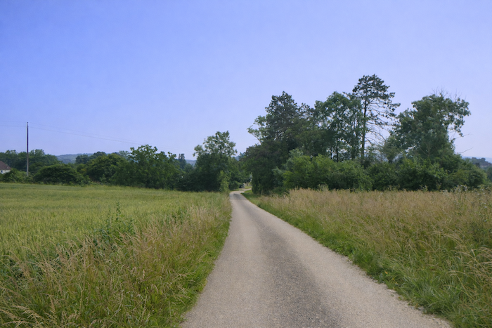
| The road then sets off on an unhurried promenade, lingering in the benevolent shade of tall trees. The maples raise their broad foliage, the ashes their robust vertical lines, the oaks their discreet majesty, while the hornbeams, faithful and humble, complete this vegetal procession. This company of diverse and protective trees surrounds the walker like a natural vault, a refuge against sun and wind. |
 |
 |
| Soon, the road reaches the village of Autoreille. |
 |
 |
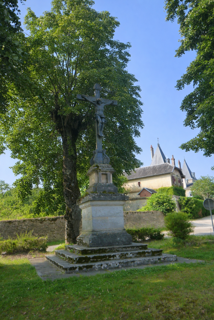
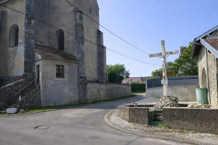
| At the entrance, a beautiful stone Christ stands, a witness to faith and to past generations, a motionless figure that still blesses those who pass by. |
 |
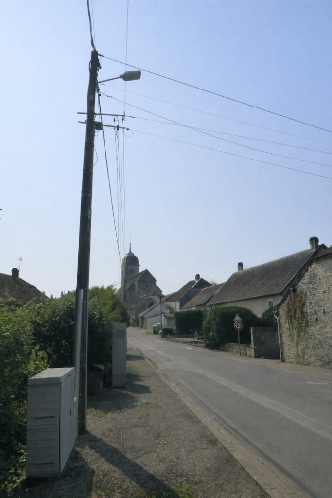 |
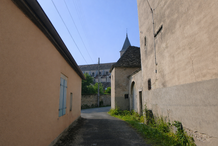
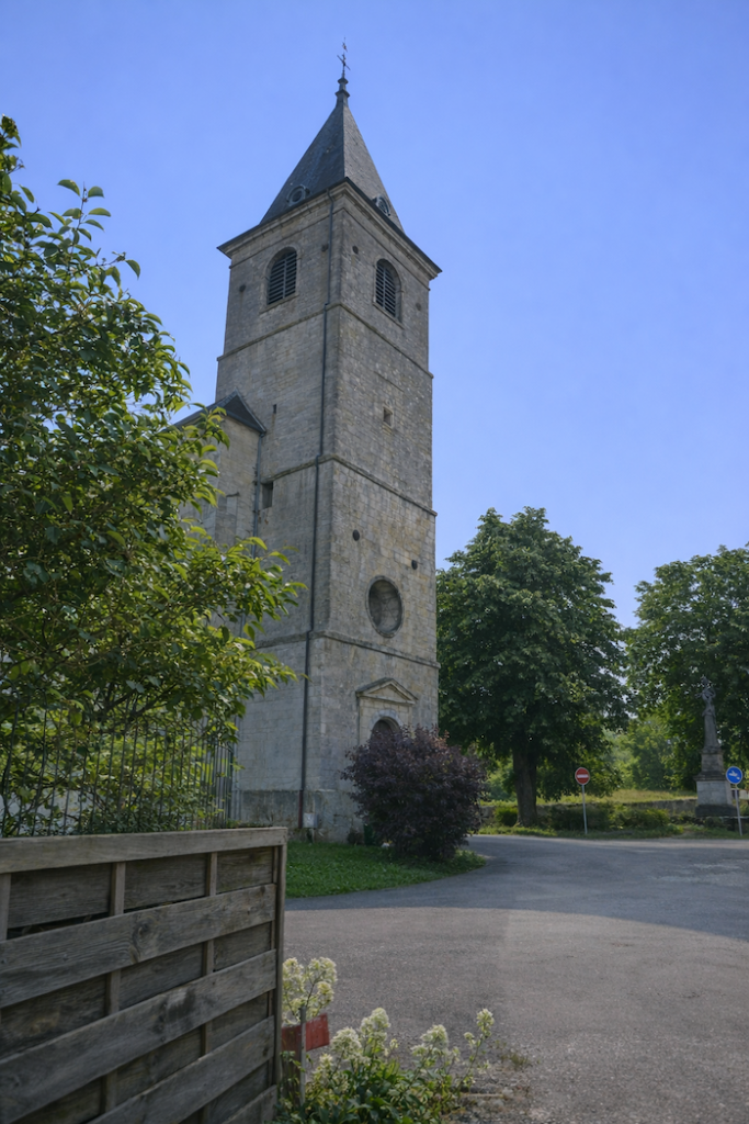
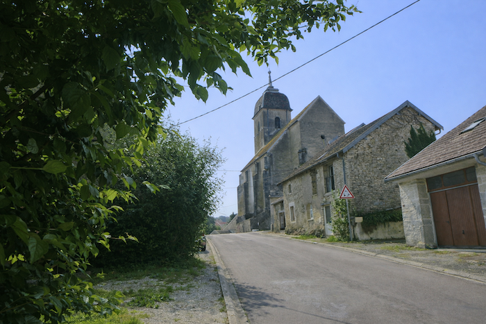
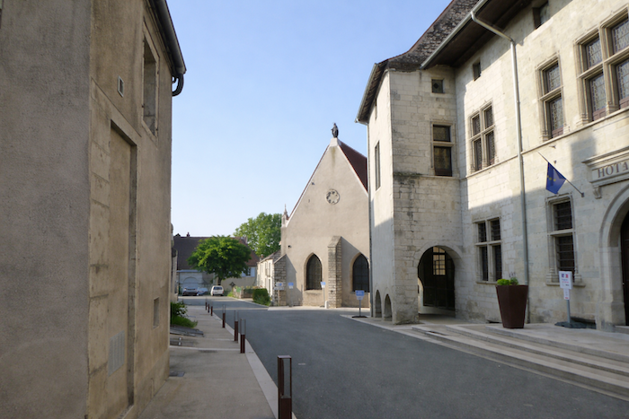
| The village church surprises by its massive presence, astonishing for such a small village. Yet this is typical of the region. These parish buildings, built solid and powerful, recall that the faith of the countryside wished to be as durable as the stone that bore it. The route turns behind the church. |
 |
 |
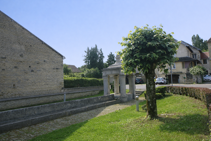
| A few steps away, at the crossroads by the church, stand the remains of the old communal washhouse. Today it is only a partial ruin, yet the eloquence of these stones remains. Solid and imposing, this relic tells on its own of the passing of time and the memory of the simple gestures of the past, when water and the work of washing brought the inhabitants together. |
 |
 |
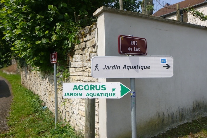
| From the church, the route follows Rue du Lac, passing a water-garden nursery. There, a park opens for visitors where tamed water and aquatic plants create an unexpected and almost delicate interlude after the harshness of hills and stony paths. |
 |
 |
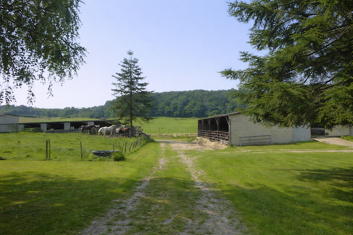
| Near the water garden, the route continues along Rue des Corvées, winding between comfortable villas and farms whose stone-rubble walls seem to keep the memory of past seasons, like silent witnesses of rural life. Well-kept gardens sometimes release the scent of linden blossom. |
 |
 |
| The gently sloping road flirts with a park whose paths are lined with trees. |
 |
 |
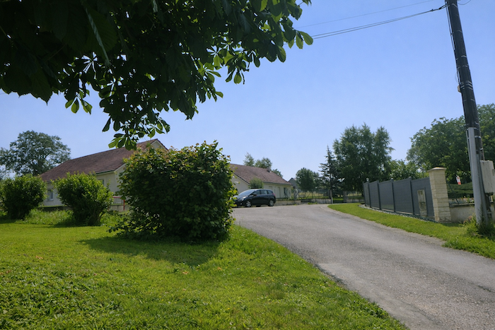
| Shortly afterward, the slope becomes a little steeper to reach the top of the village and its more recent housing developments. The villas that line the road, with their light façades and carefully painted shutters, give the impression of a scene frozen in time, where every stone seems to tell a story. |
 |
 |
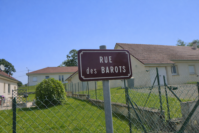
| At the end of Rue des Barots, the route begins an ascent. The hill, like a quiet sentinel, invites you to climb it. |
 |
 |
| Rue de la Côte, a name almost theatrically faithful to reality, rises with a steady slope. Each step seems a little heavier, and physical effort mingles with a feeling of exhilaration, as if the hill were already promising its invisible panorama as a reward. |
 |
 |
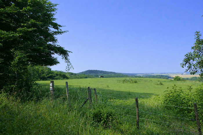
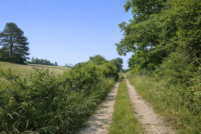
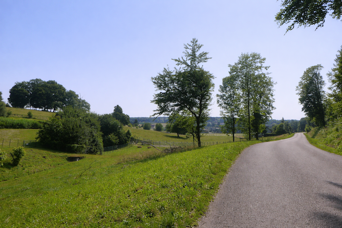
| The road first runs alongside meadows, vast green carpets where wild grasses sway. The spectacle of the countryside unfolds before you, calm and reassuring, like an impressionist painting animated by the breeze. |
 |
 |
| Then the road slips beneath a vault of tall deciduous trees where plump maples and ash trees with streaming branches mingle, offering their benevolent shade. The leaves filter the light, casting moving patterns on the ground and accompanying you to the summit like a vegetal sanctuary suspended in time. |
 |
 |
| The sloping road under the trees gradually reaches the top of the hill. |
 |
 |
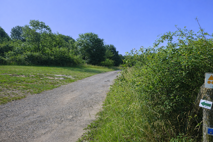
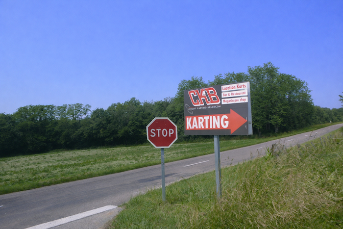
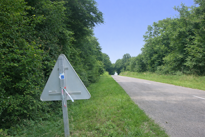
| At the summit of the hill, caution is required. The direction of the arrow nailed to a tree appears to invite you to continue straight ahead, but it is a trap. This karting road is a deceptive dead end. We let ourselves be misled once again. In Franche-Comté, it is not rare to find yourself lost on a route that is too often poorly marked, where every detour can become a lesson in humility. |
 |
 |
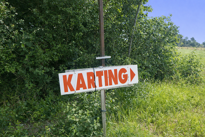
Il is undeniably easier to be guided, to have the work done for you and to follow a clear itinerary. GPS may be an ally, but only if the map shows the correct route, which is not always the case. The global maps of the European Ways of Compostela, supposed to be coherent, contain an error here, probably the remnant of an old itinerary that has become obsolete. If you turn to the guide published by the Friends of Compostela for Alsace, Franche-Comté, and Burgundy, the information remains disappointing. The guide limits itself to the terse instruction: “Climb the hill up to the RD11.” One might think that the RD11 has been reached at the summit of the hill, but in reality, it is farther down, like a surprise hidden by the slope.
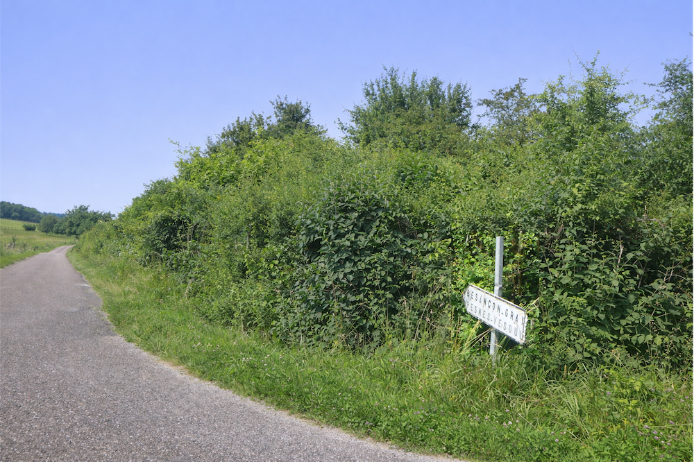
Let us return then to the summit, where the karting sign stands. On your right, a direction indicates Besançon–Gray, yet nothing suggests that this is the road to follow. However, this is indeed the one taken by the route, descending gently toward meadows and bushes like a ribbon of asphalt caressing the landscape.
| The narrow and winding road slips among fields and groves, descending like a calm breath. |
 |
 |
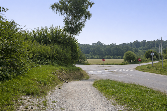
| At the bottom of the descent, it reaches the D11 road. |
 |
 |
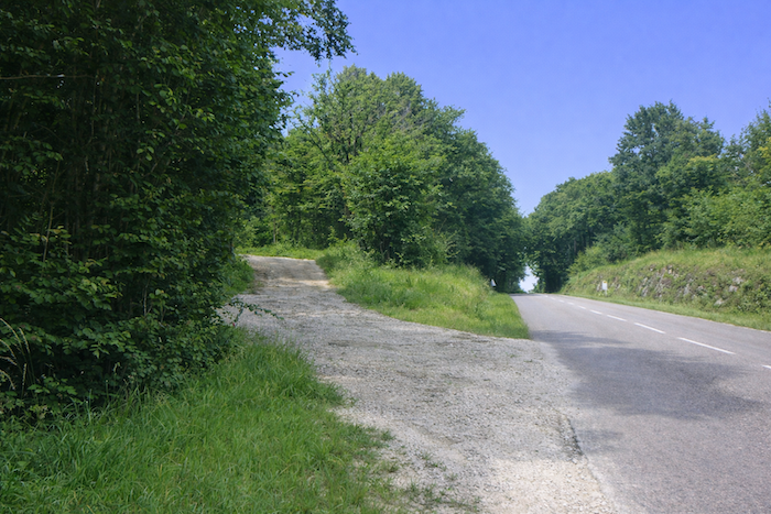
| Here, the intersection leading up to the karting circuit is discreet. Without a written guide or GPS, how could you know whether you are on the right road? No indication reassures the traveler. The rest of the guide becomes almost comical. “Cross it carefully and follow it for a few meters to the right until a path climbs to the left.” But the path has disappeared, erased by time or by nature, and only the local memory of a jogging truck driver can save you. You look for the path climbing left. There is none. It must be a path that has vanished. There is another possibility, forgetting “a few meters” and thinking instead of “a few hundred meters.” We were fortunate to find help from a local truck driver who jogs in these forests. |
 |
 |
| So, what should be done? The only option is to continue along the road to the right in search of that saving path. It is a choice to face with determination and a touch of intuition, because every wrong turn can become an adventure and every mistake a lesson engraved in the landscape. |
 |
 |
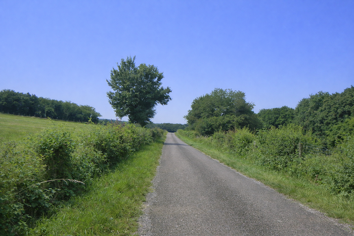
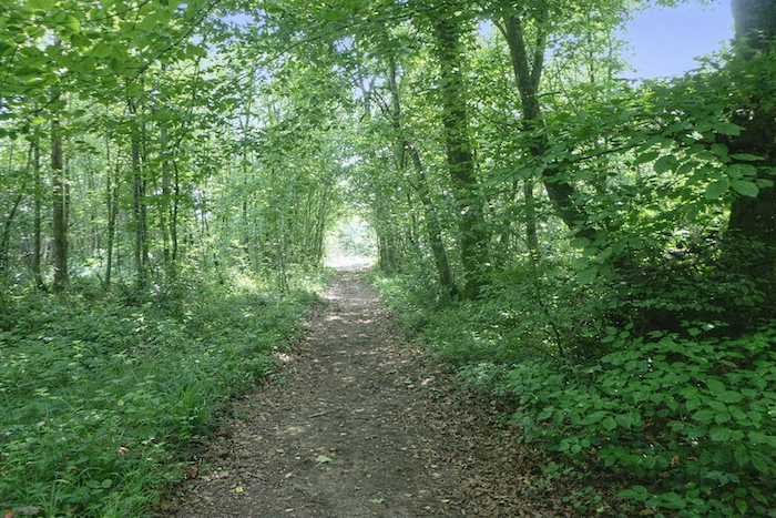
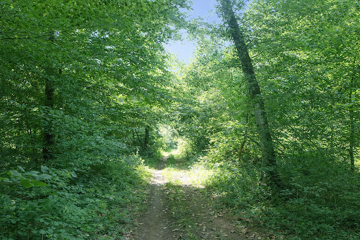
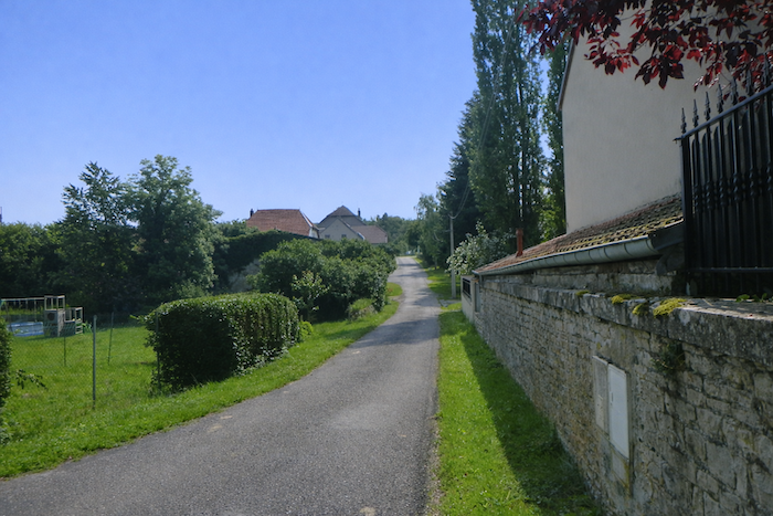
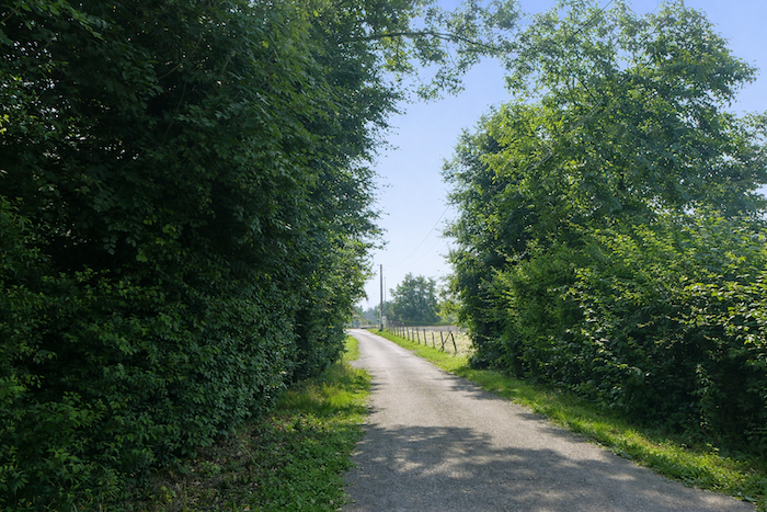
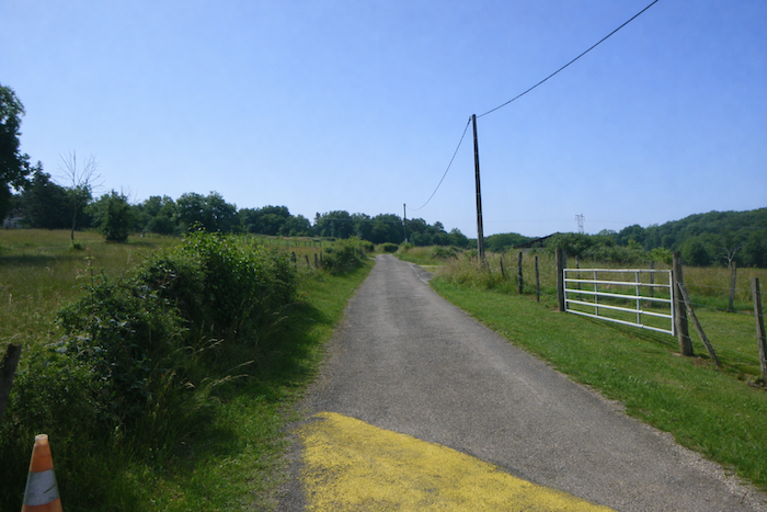
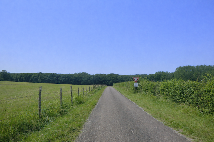
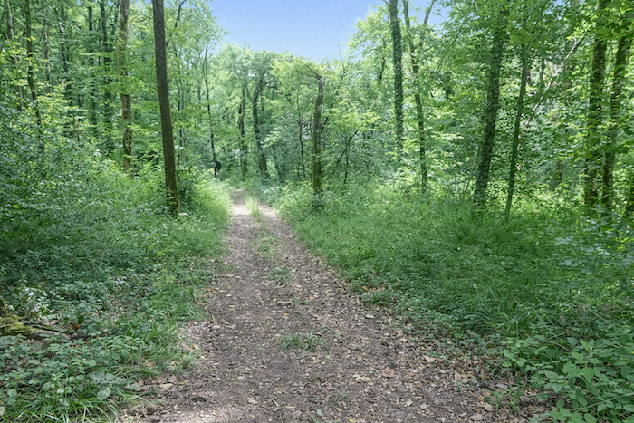
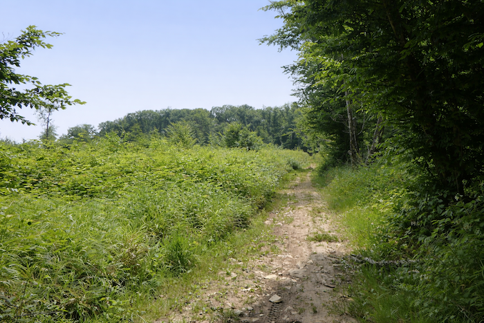
Section 3: In the beautiful and vast forest of the Grands Bois
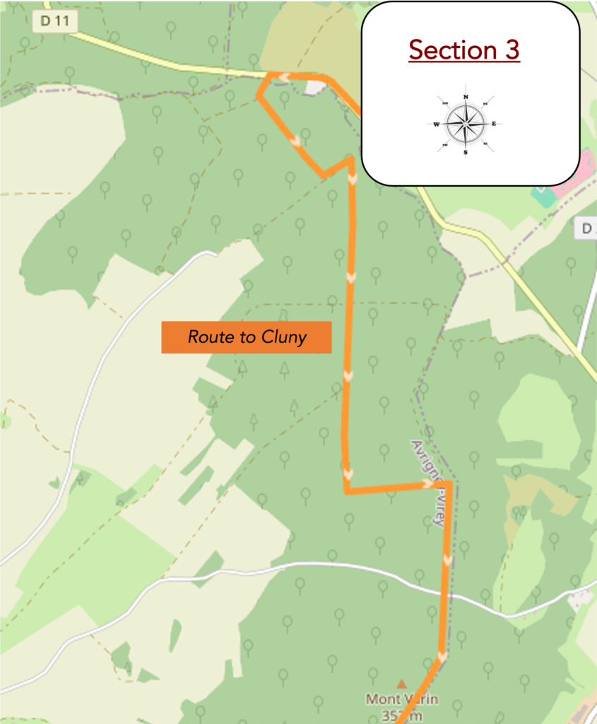
Overview of the route’s challenges: route with no difficulty at all.
| Then, fortunately, the reassuring sign of the Way of Santiago appears again beside the road, like a tiny yet providential beacon in the midst of uncertainty. It finally shows that the route turns to the left. Be careful, however, it is not a matter of “a few meters” from the junction with the D11, as the guide claimed, but of more than four hundred meters, four hundred meters that, for a tired and hesitant pilgrim, can feel like an eternity. |
 |
 |
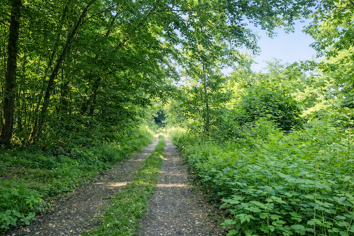
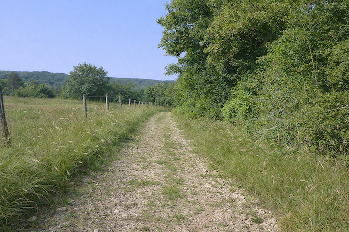
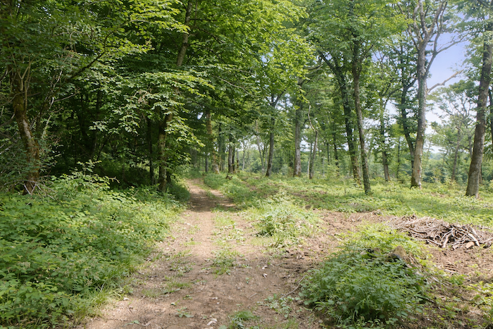
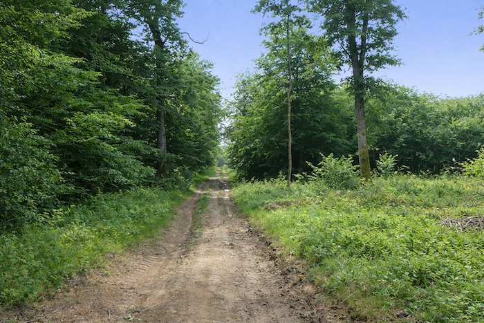
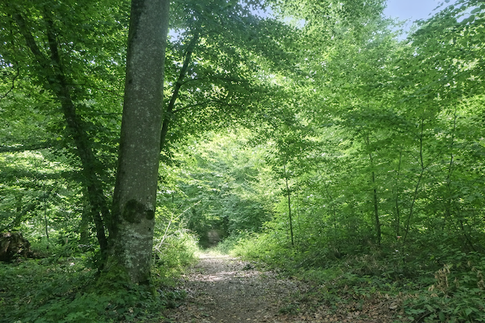
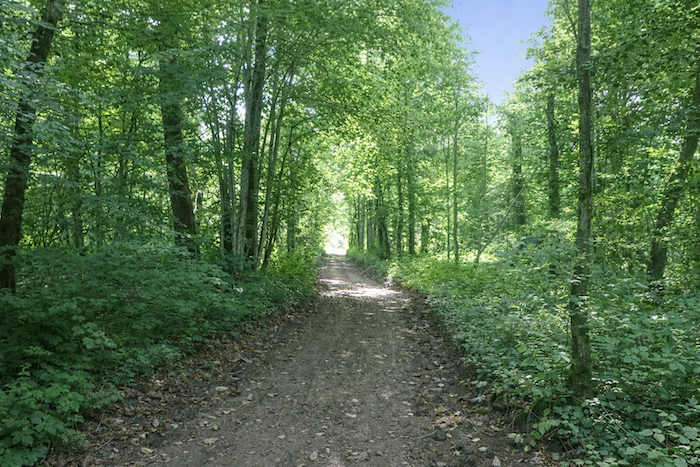
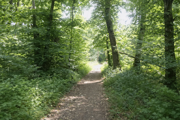
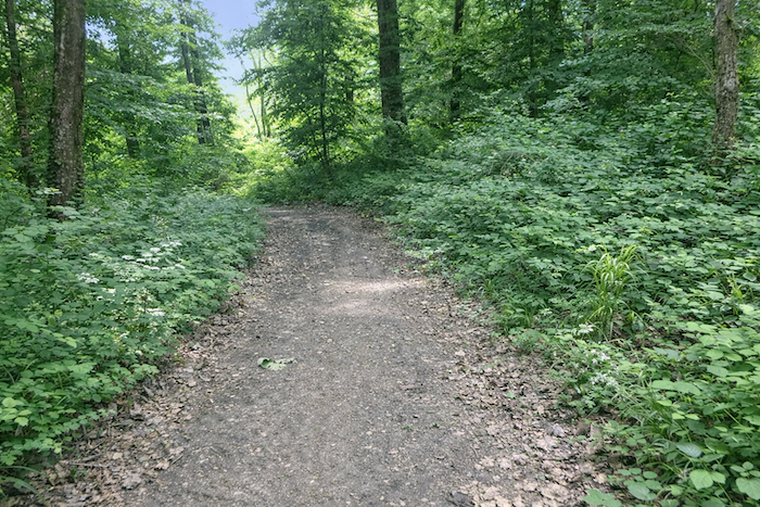
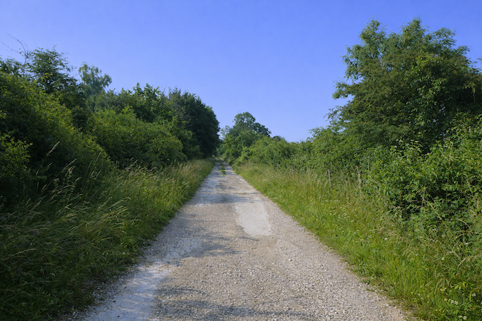
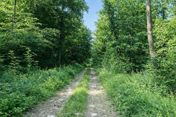
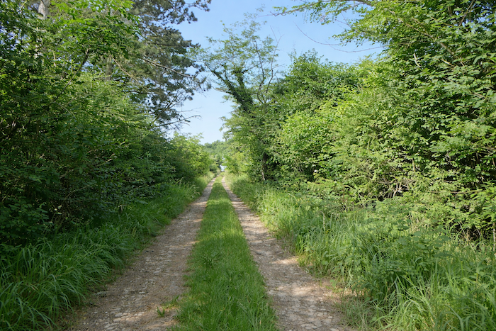
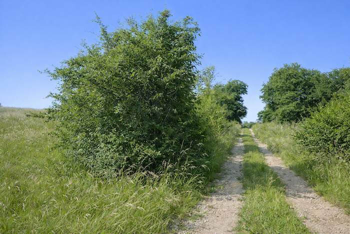
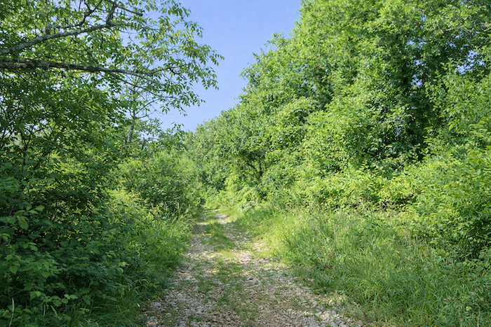
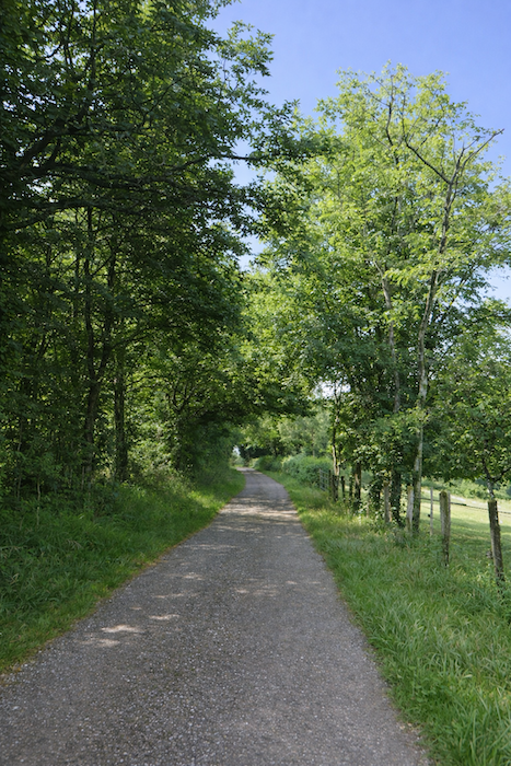
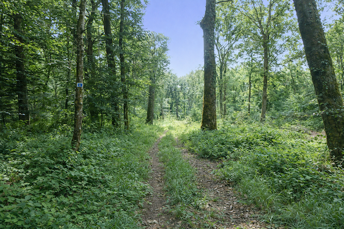
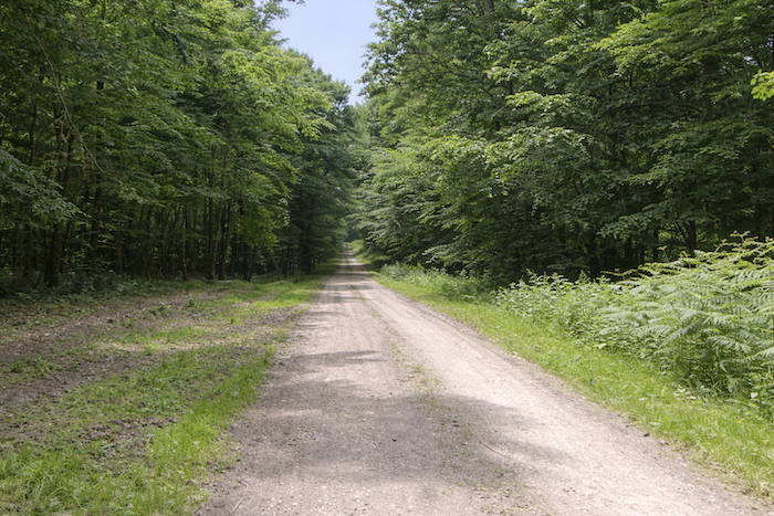
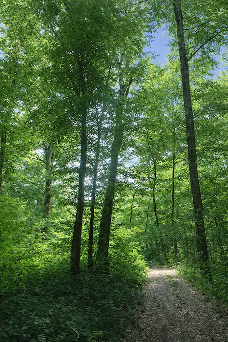
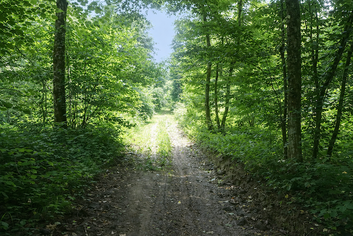
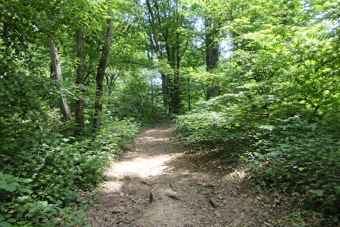
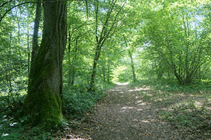
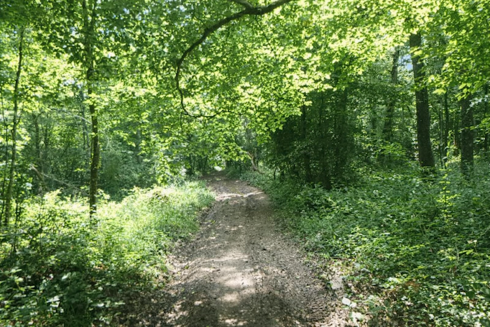
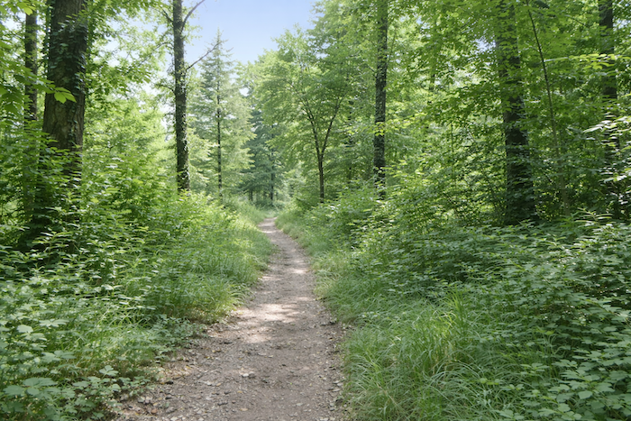
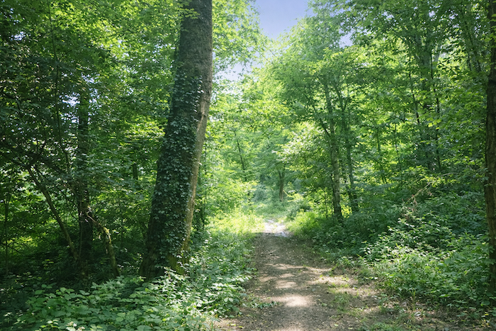
| Relief at last. The route finds itself again, like living water that returns to its bed. On the left, a wide path climbs and opens into the forest. The cool shade of the trees welcomes the walker and invites continuation, as if nature itself were offering an embrace of comfort. |
 |
 |
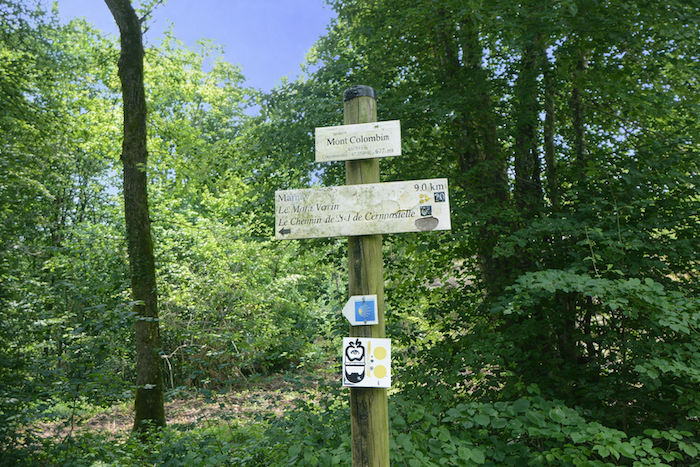
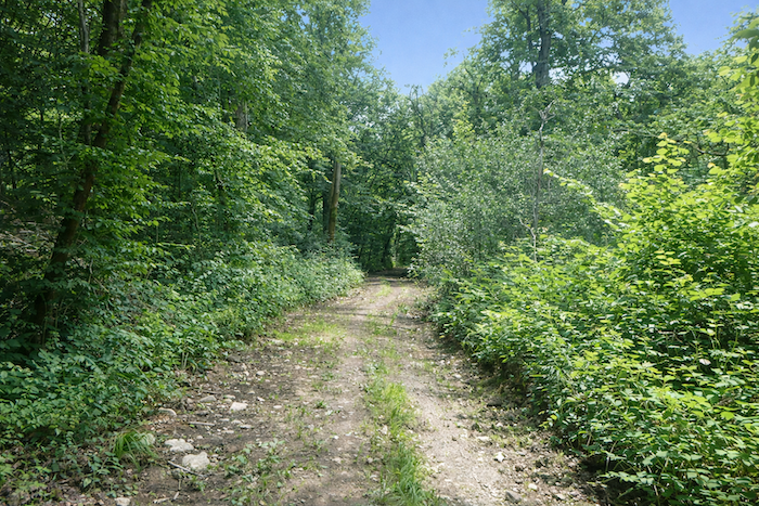
| The path then undulates gently, winding between the slender trunks. As you advance, the silence of the forest wraps around your steps and calms your breathing. Farther on, at a place called Mont Colombin, a sign appears and sets out the program for the day, nine kilometers to be covered almost entirely through the forest, all the way to Marnay, passing by Mont Varin. Yet one must not be misled. In spite of its name, there are hardly any real hills here. The path is content to play with the contours of the land without ever rising to the scale of great ascents. |
 |
 |
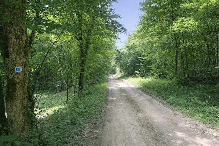
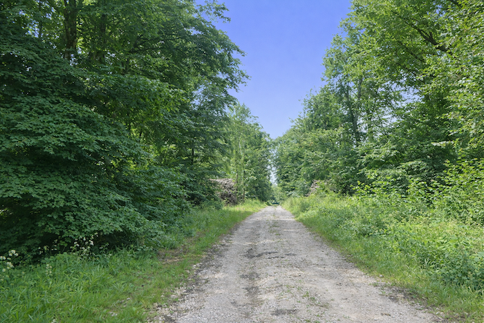
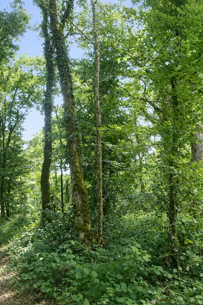
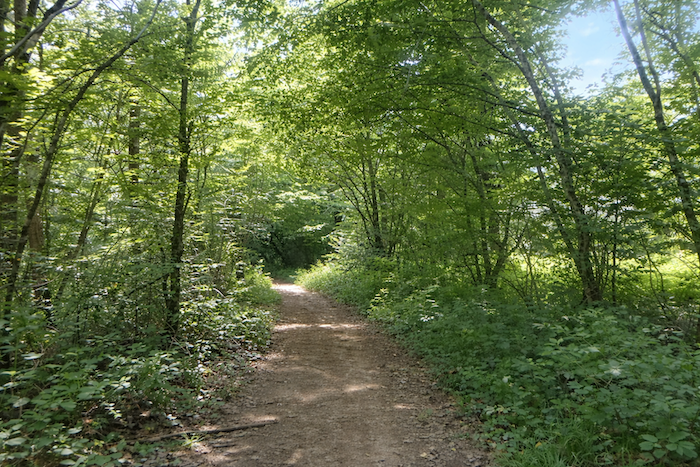
| The path now becomes a travelling companion, strolling in the shade of the great deciduous trees, generous maples, slender ashes, sturdy oaks, and graceful hornbeams and beeches. |
 |
 |
| Each one seems to lend its personality to the landscape, some massive and tranquil, others supple and airy, like a symphony of shapes and foliage. |
 |
 |
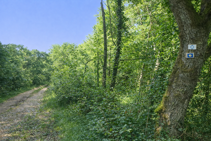
| Here the shells often adorn the trees. For you, it is always straight ahead, without paying too much attention to the shells that are most often pointing the wrong way. |
 |
 |
| Often the tall deciduous trees seem to tickle the sky. |
 |
 |
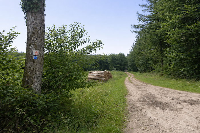
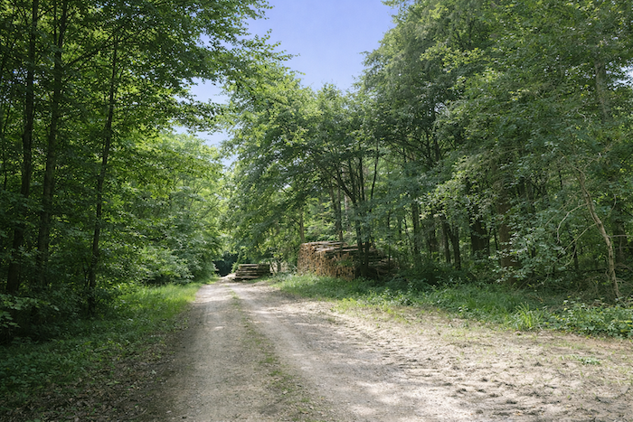
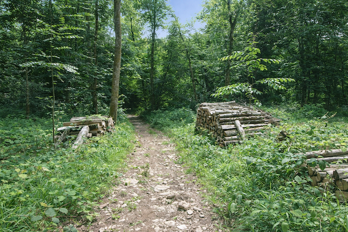
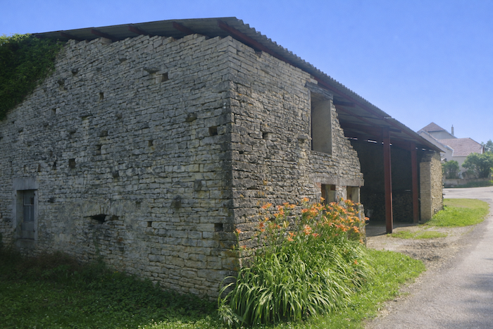
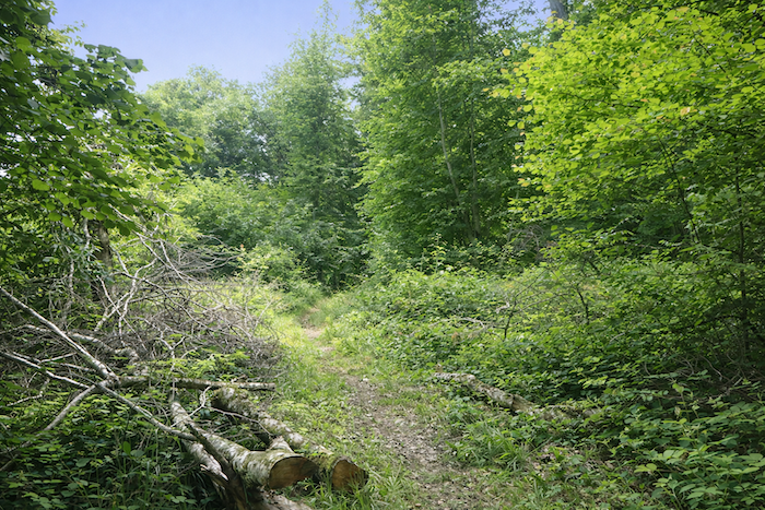
| A little farther on, a modest timber operation appears, discreet yet alive, a reminder that humans also draw part of their livelihood from this forest. |
 |
 |
| Yet in spite of these traces of work, the path is never lost. At every fork a precious sign, a shell, like a conspiratorial wink, ensures that the pilgrim keeps to the right direction. |
 |
 |
| Farther on, the path stretches into long straight sections, like arrows thrust into the woods, giving your steps a regular rhythm, like a measured march toward the horizon. |
 |
 |
| At other times, by contrast, the path twirls with delight, draws graceful arabesques and plays with the topography, like a capricious dancer who refuses the straight line and prefers the momentum of the curve. |
 |
 |
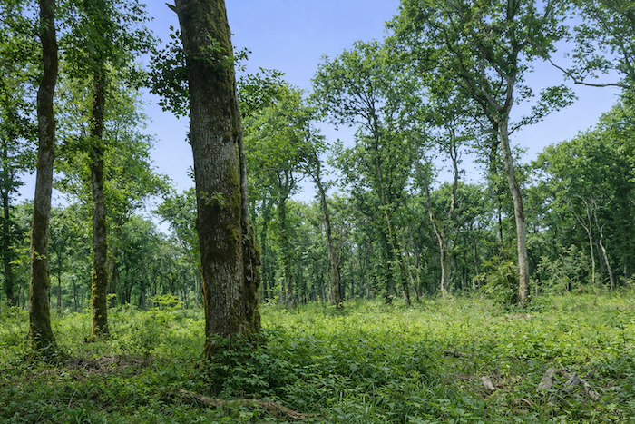
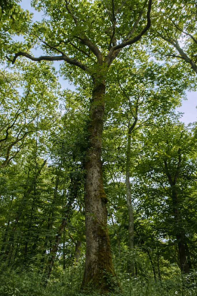
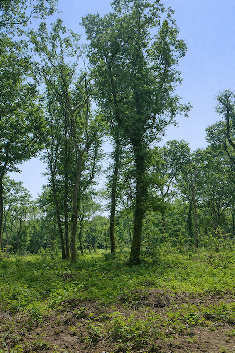
| The undisputed masters of this wood are the beeches and the hornbeams. It is worth saying, so surprising is it, that it is rare on the Way of Compostela to cross a forest that offers so many hornbeams. Here these trees are not reduced to the low, hedge like growth one meets in many regions. They rise vigorously, becoming tall trunks or powerful shoots, standing like a vegetal army, noble and discreet at the same time, giving the wood its singular grace. |
 |
 |
| Walking here is pleasant and peaceful, in the shade of generous deciduous trees. |
 |
 |
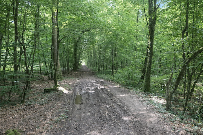
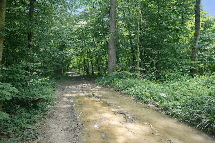
| Farther on, the path changes, as if it wished to test the perseverance of the walker. It turns muddy, surprisingly spongy even in dry weather. Deep ruts carved by the foresters’ tractors score the ground like scars, a reminder that humans, here too, leave their mark on the flesh of the forest. |
 |
 |
| And the walk goes on, steady and unremarkable, without any notable surprise. |
 |
 |
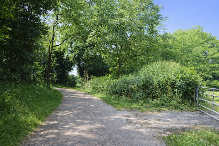
| After nearly three kilometers of strolling in the heart of this wooded sanctuary, without a human soul on the horizon, accompanied only by birdsong and the rustle of leaves, the path finally crosses a small road. It seems discreet, almost clandestine, no doubt laid out only for the needs of the forestry workers. This narrow ribbon lost in the greenery contrasts with the solemn silence of the undergrowth. |
 |
 |
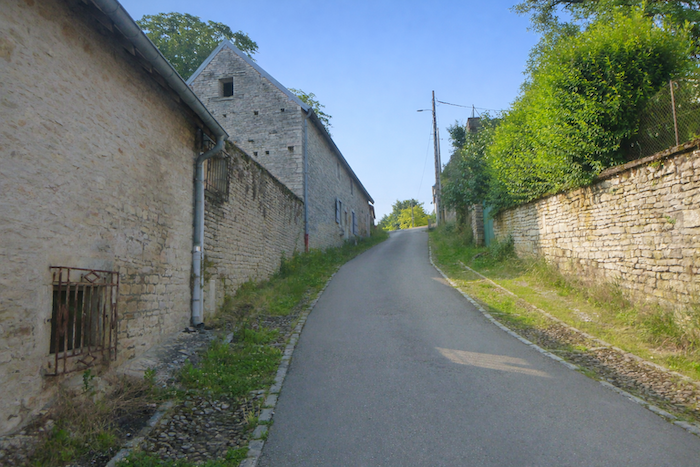
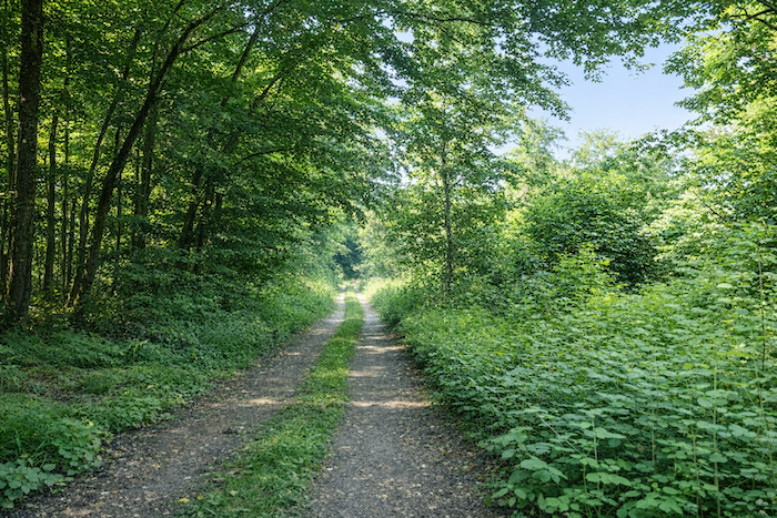
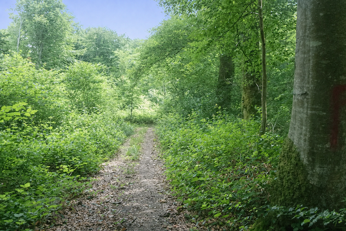
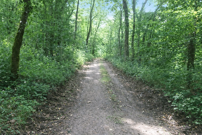
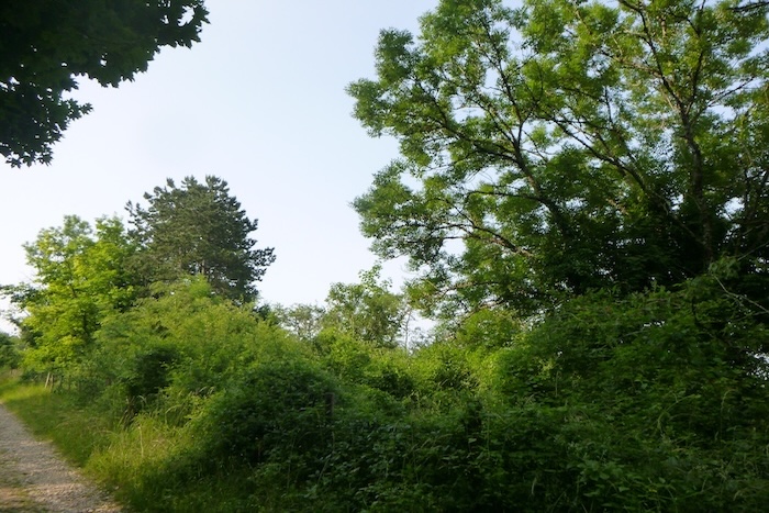
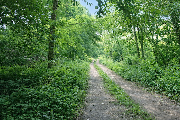
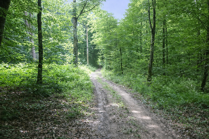
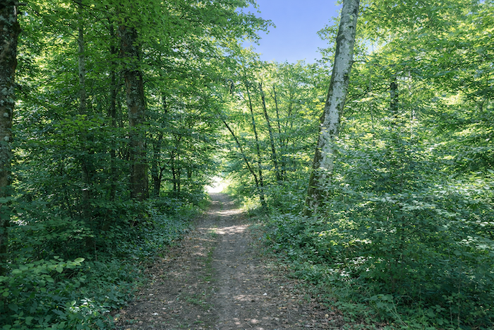
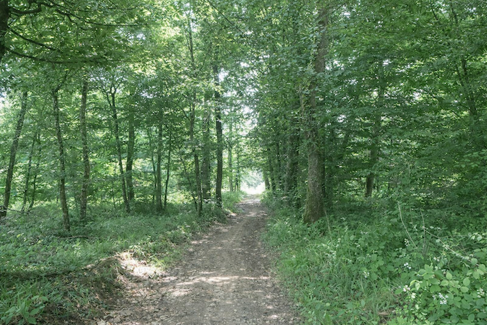
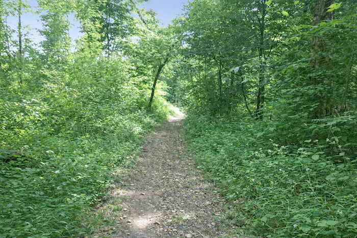
| But the path continues straight ahead, as if to protect itself more effectively from the outside world. It narrows and plunges deeper into the wild nature. Beneath the persistent vault of the tall deciduous trees, it carves its way among beeches and hornbeams, faithful companions of this walk. Here and there a majestic oak, a maple with broad leaves, or a slender ash adds variety to the scene. Chestnut trees, however, are nowhere to be seen. They seem absent from this territory, as if this soil and this light were not meant for them. The landscape thus keeps a singular identity, faithful to its local species. |
 |
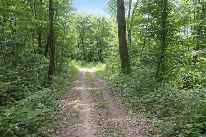 |
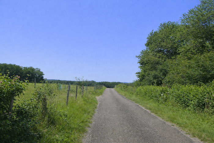
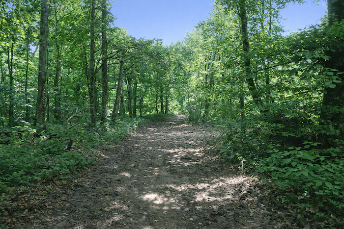
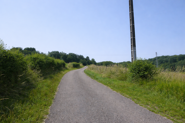
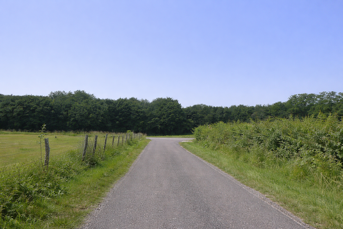
Section 4: Still and always in the beautiful and vast forest of the Grands Bois
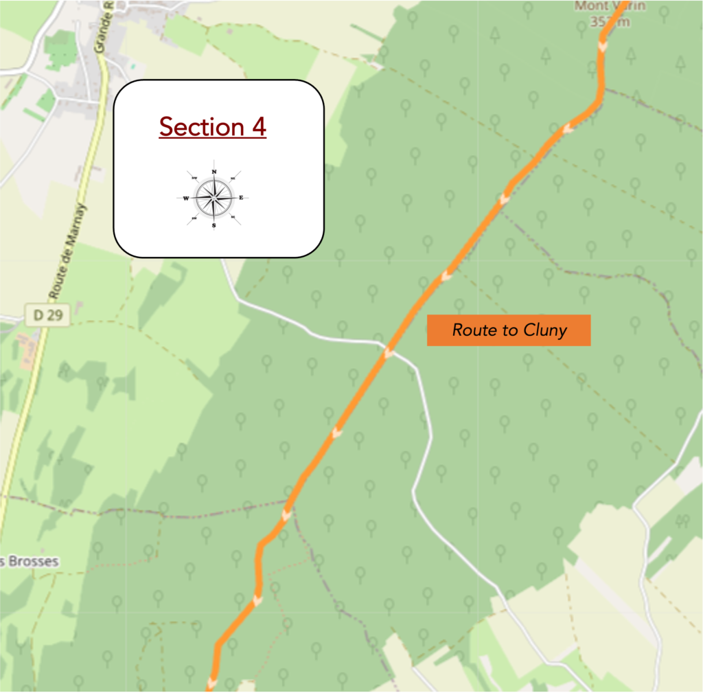
Overview of the route’s challenges: a few slopes, but nothing difficult.
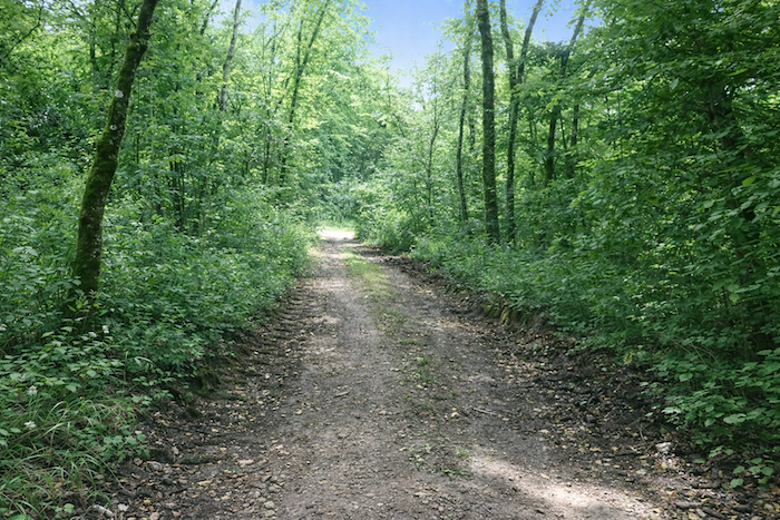
| The path narrows again, slipping between the trunks like a playful trail, spinning beneath the vault of trees. Here the organizers of the route have chosen to hang an abundance of shells on the bark, like a shower of signs, even though no intersection really disturbs the walk. They are sometimes badly oriented, scattered in disorder, but the arrow, faithful as ever, still shows the right direction. One cannot help smiling at the irony of wasting these precious markers in places where one is hardly likely to get lost, when they would be so useful at misleading crossroads. |
 |
 |
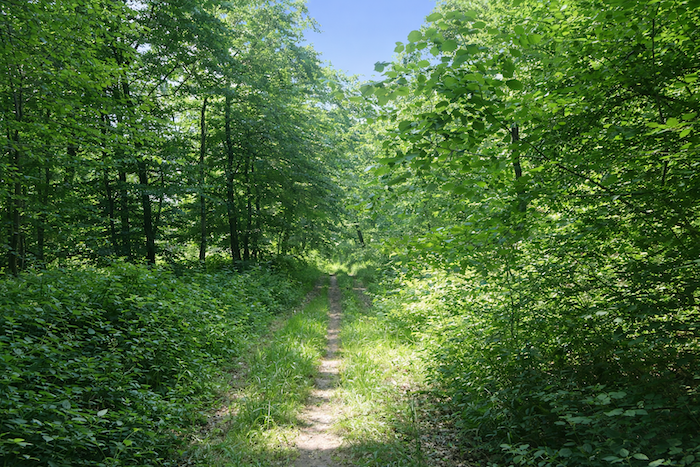
| The path then becomes a caress, undulating gently through the forest, among the shoots of hornbeam and beech that cover the landscape. The air is denser there, filled with sap and freshness, and the eye is lost in the deep green of this sanctuary. |
 |
 |
| Sometimes the deciduous trees rise high, proud and majestic, but more often they are shoots, thin and numerous, pressing their silhouettes against one another and forming a dense wood where light struggles to enter. At their feet ferns unfurl like delicate carpets, witnesses of constant humidity, like an invisible sheet of water that nourishes these underwoods. |
 |
 |
| In truth nothing moves and nothing changes in the wild nature of this wood that seems to stretch on without end. |
 |
 |
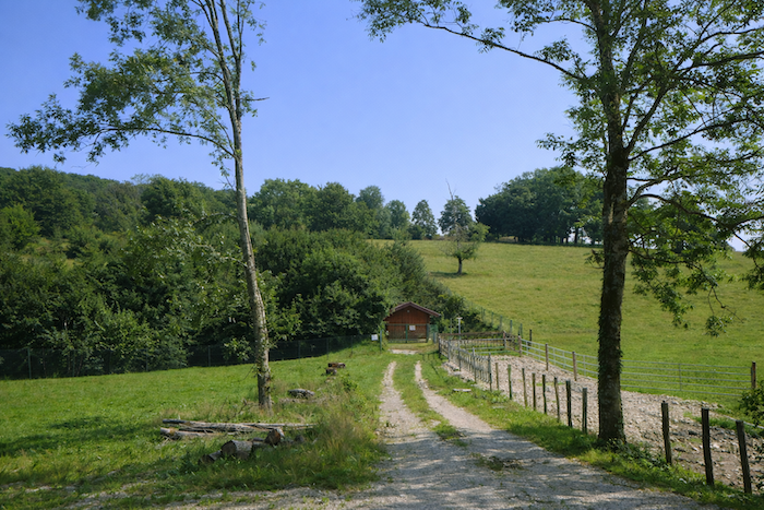
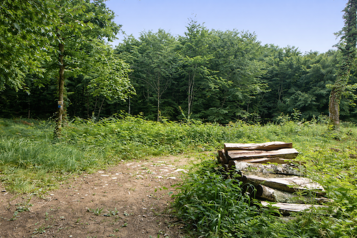
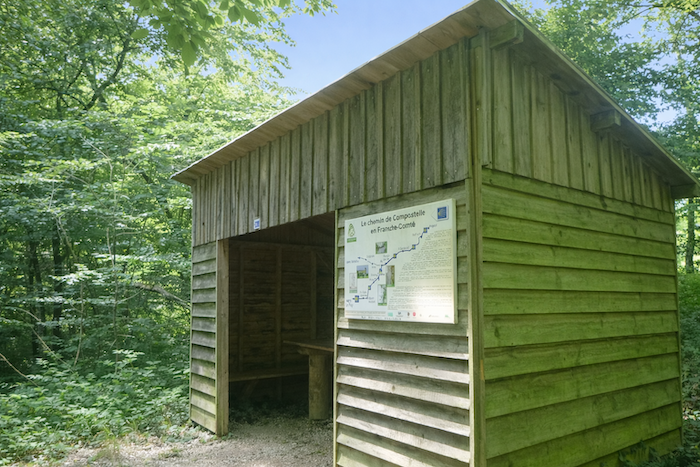
| Soon the path widens, as if to take a breath, and offers a stopping place, a small rustic hut with a picnic area. It is a place designed for walkers and pilgrims, a welcome pause in the heart of the green solitude, an invitation to set down the pack, recover one’s breath, and listen to the murmur of the forest. |
 |
 |
| Then the path resumes, unruffled, faithful to its almost imperceptible descent, still beneath the canopy of deciduous trees. The shells continue to bloom on the trunks, punctuating the passage like little lanterns. Not a conifer in sight, the wood remains homogeneous, loyal to its alliance with noble deciduous species. |
 |
 |
| Farther on, it crosses a cleared area where the trees are trying to regain some strength. |
 |
 |
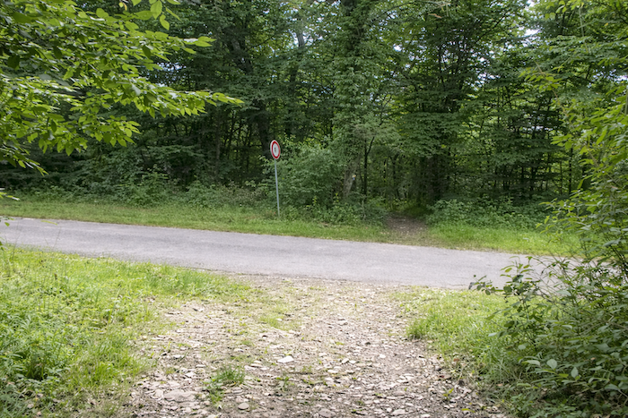
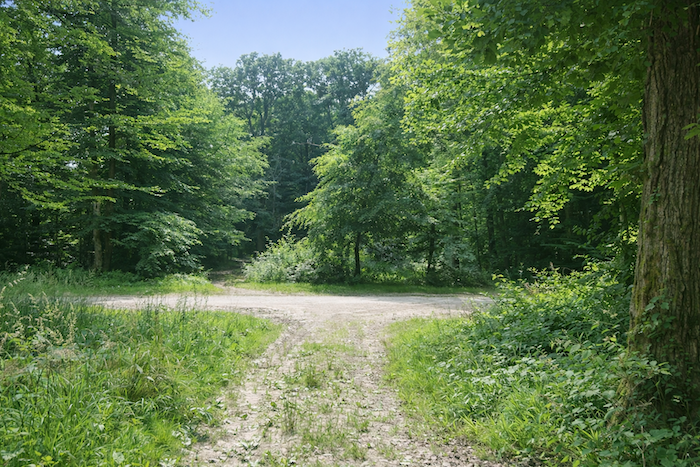
| A little farther still, the path crosses a small drivable road cut through the forest to link one village to another. It is a brief opening, almost a breath in the walk, before the canopy closes its mantle once more. |
 |
 |
| After crossing this road, the path enters a wetter zone where water sometimes lingers in puddles or small hidden pools, as if the earth itself were hesitating to let it go. Your step becomes more careful and measured |
 |
 |
| And still the shells, perhaps superfluous yet obstinate, repeat themselves on the trees, a reassuring and at times irritating omnipresence, like a refrain that will not leave your head. |
 |
 |
| The path continues its dance, swirling again beneath the trees, where the soft shade and gentle slopes make the walk easy and almost carefree. Your stride relaxes, carried along by the flow of the path |
 |
 |
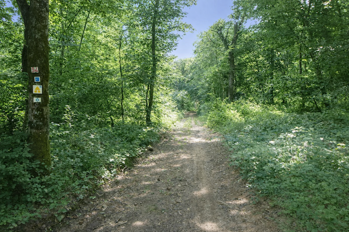
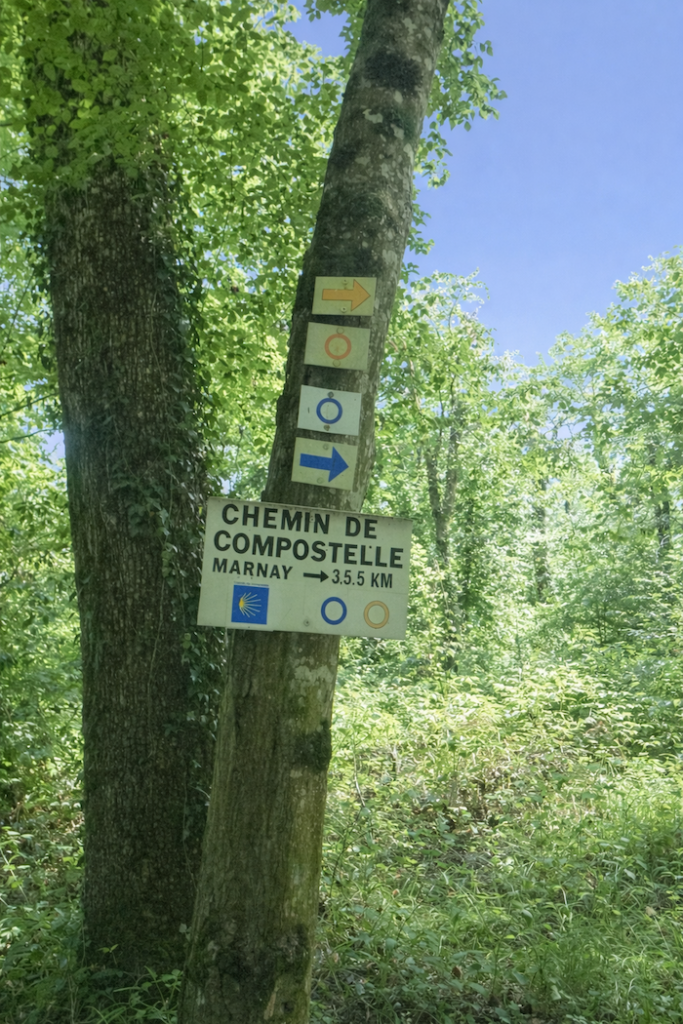
Farther on a sign appears, announcing that you are 3.5 kilometers from Marnay. Nearly six kilometers have already been covered through this wood without ever getting lost, proof that the abundance of shells perhaps finds its justification. Other routes also cross here, marked by circles, triangles and different colors, as if each system of waymarking were trying to impose its own voice in this forest polyphony.
| From this sign the path tilts more markedly, descending more clearly yet always gently. |
 |
 |
| The forest, placid and charming, accompanies this slope like a hand that supports rather than pushes. |
 |
 |
| And always, faithfully, the shells, circles and triangles line the passage, a vigilant escort leading you without ambiguity. |
 |
 |
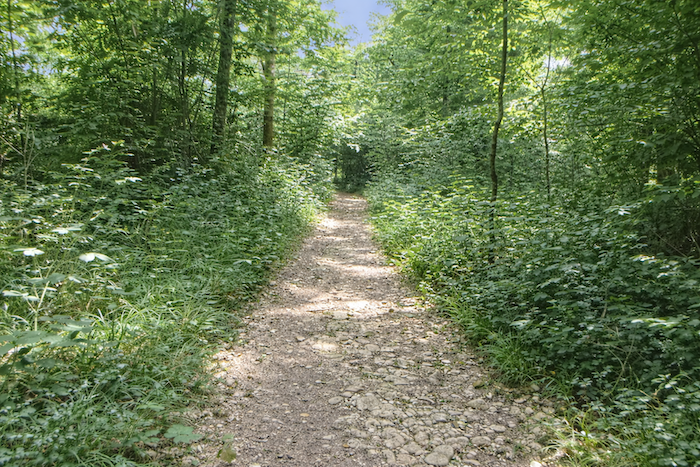
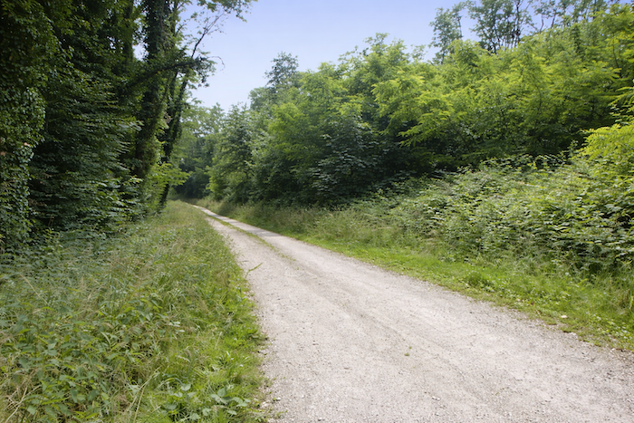
| The descent continues, calm and steady, never too steep. Under the tender shade of the tall deciduous trees, the walker feels protected, wrapped in a vegetal cathedral where each step echoes softly on the forest floor. |
 |
 |
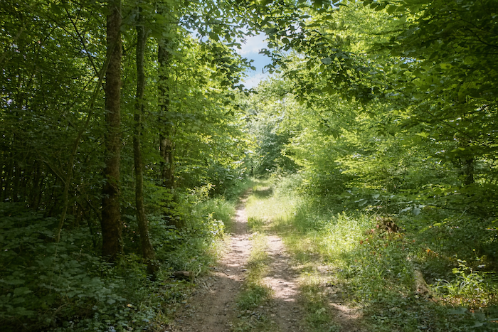
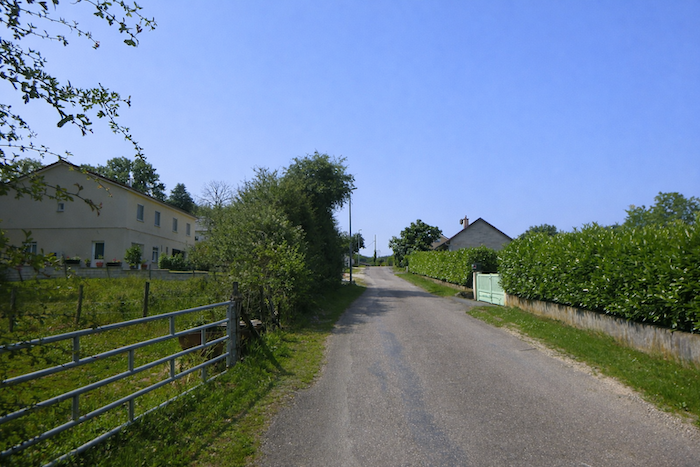
Section 5: Descent toward a beautiful river
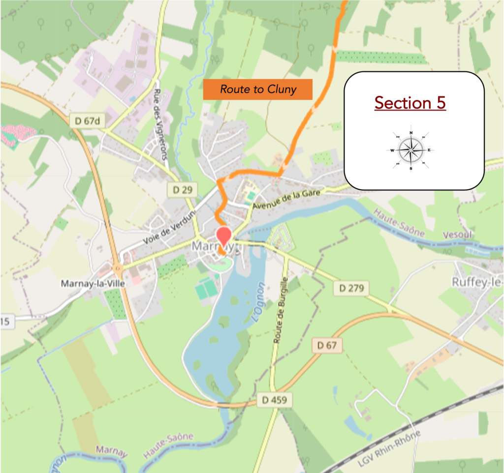
Overview of the route’s challenges: a route without difficulty.
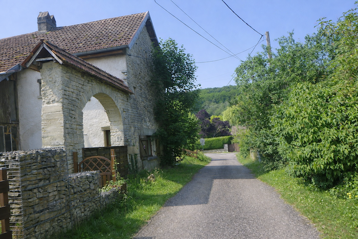
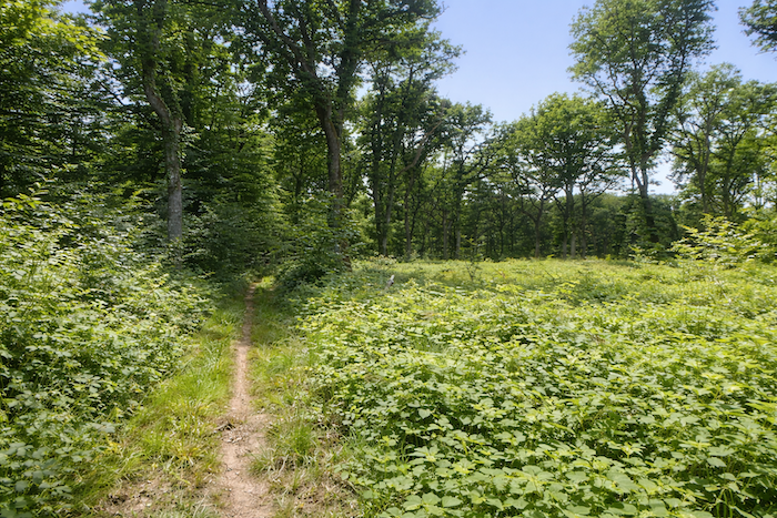
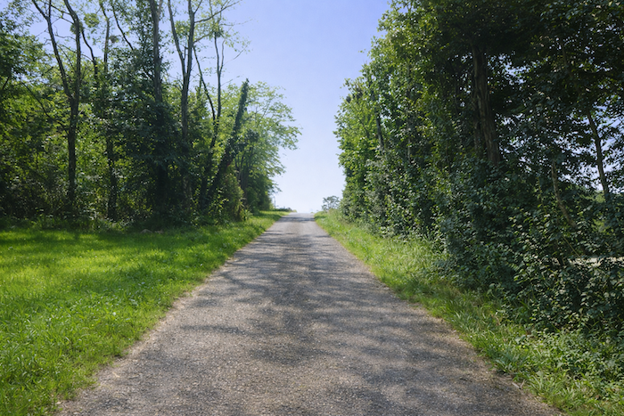
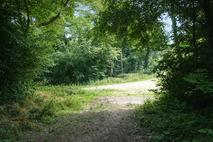
| The path finally agrees to leave the forest, and it must be said that for many pilgrims, after nearly eight kilometers spent alone in this great wood, it is a deliverance. To find open air again, to feel the breath of the wind run freely, and to guess in the distance the outline of a village is deeply reassuring. One thinks then, almost with gratitude, that one has not wandered in vain, that the thread of the path has not broken. |
 |
 |
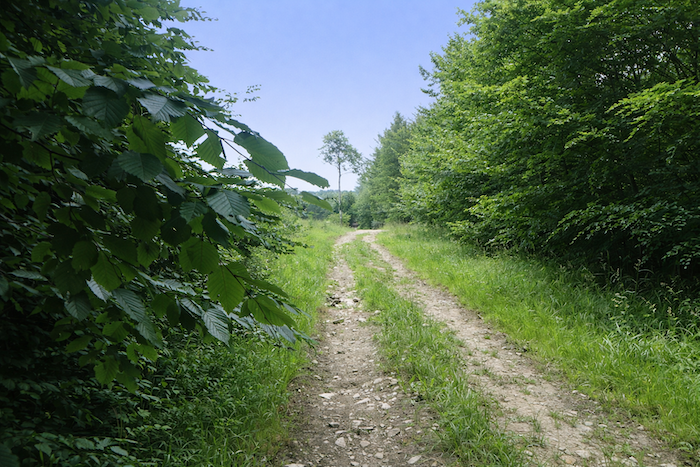
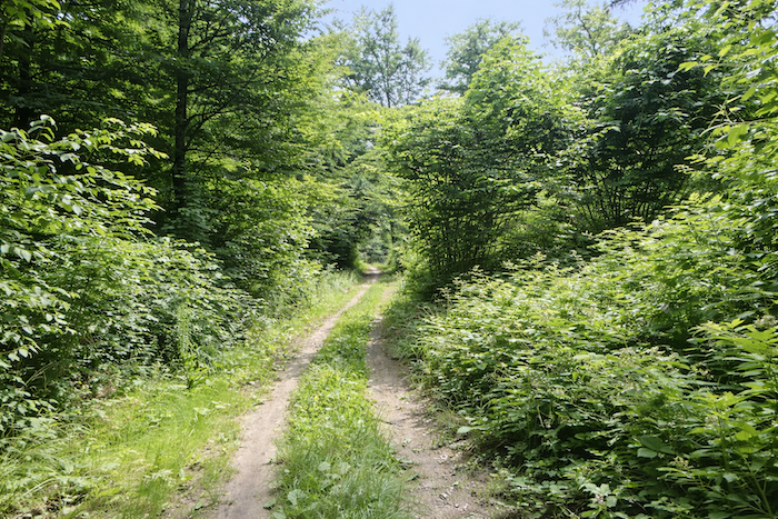
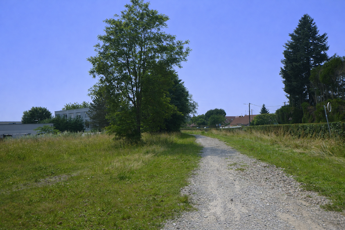
| A wide road of beaten earth now heads forward, following the edge of the underwood as if to accompany for a last moment this realm of shadow before leaving it for good. |
 |
 |
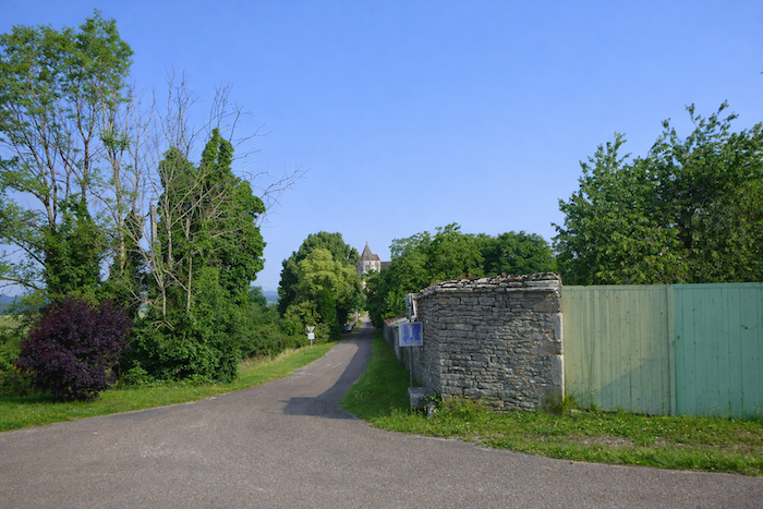
| At the exit from the wood, the reward appears. Marnay finally reveals itself ahead, set like a promise at the end of the walk. |
 |
 |
| After the teeming diversity of the forest, it is now the uniformity of meadows and crops that dominates. |
 |
 |
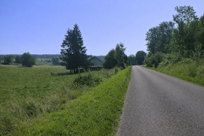
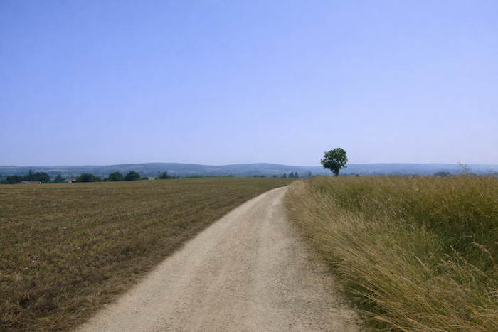
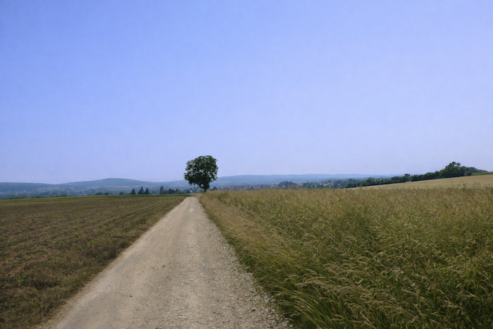
| The road stretches bare, slipping toward civilization across this landscape without a single tree, where the sky takes all the space and presses more heavily on the horizon. |
 |
 |
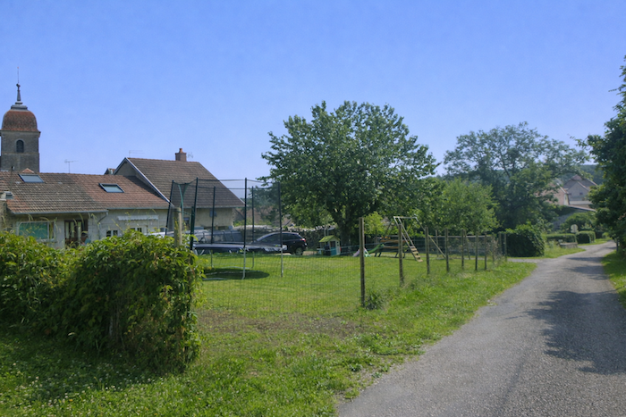
| The walk then brings you quickly toward the town, modest but very much alive, home to about 1,600 inhabitants. Soon the first houses appear, a tangible sign of the settlement spreading ahead, welcoming in its simplicity. |
 |
 |
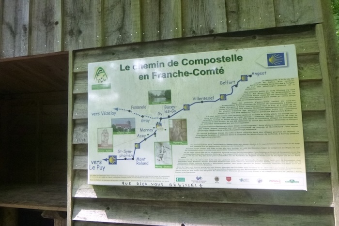
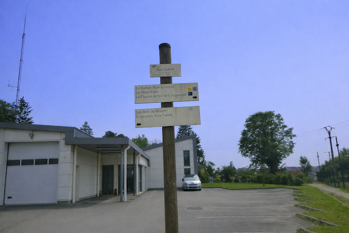
A sign stands to explain at last what the circles, triangles and other colored symbols that marked the forest mean. All these local routes for short hikes converge here like so many veins toward a beating heart.
| A path of earth and grass then follows along a road and leads you to a roundabout, only a short distance from the center of the town. |
 |
 |
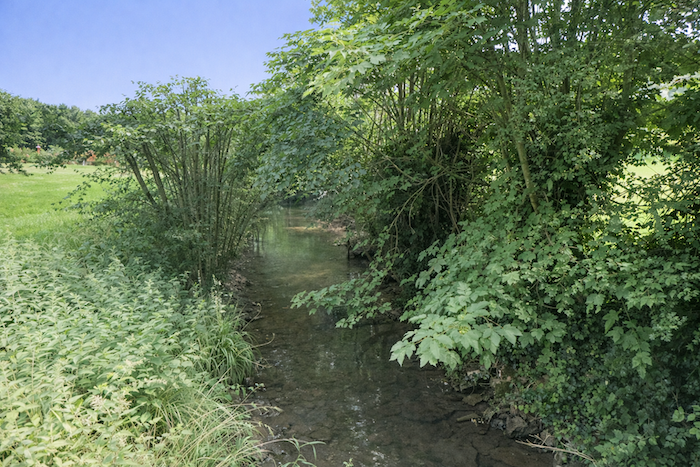
| Then the road slips gently near a small stream, the Fontaine des Douis, which accompanies your steps with its discreet murmur. |
 |
 |
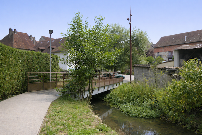
| Beyond a green park, the path crosses the stream and enters the very heart of the town, immersing you in its daily life. |
 |
 |
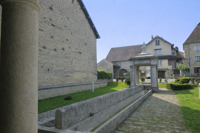
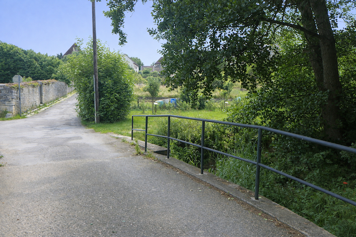
| You are now only a few steps from the Ognon River, at the foot of the small town. |
 |
 |
| If you choose to reach the pleasant campsite set beside the water, where many pilgrims will find rest and welcome, you will need to cross a branch of the river. |
 |
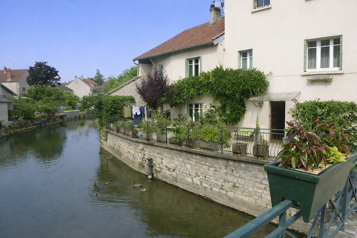 |
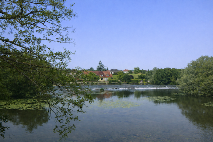
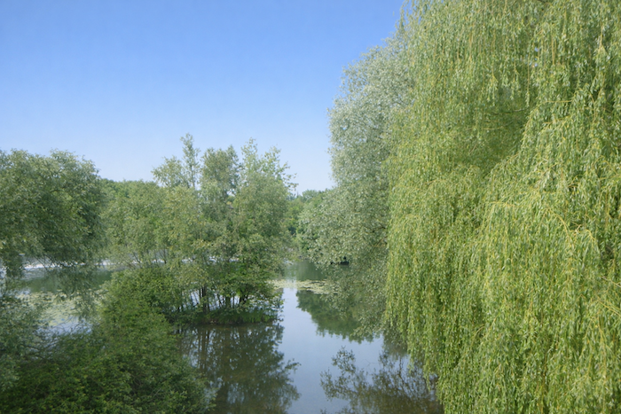
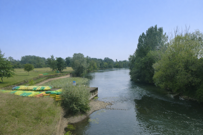
| The Ognon, a tributary of the Saône River that is two hundred kilometers long, rises in the Vosges mountains. It runs most of its course through the Haute-Saône, following its valleys, then marks the limit with the Doubs and the Jura before joining the Saône near Gray, very close to here. At Marnay, the river becomes a spectacle. It forms soft and majestic falls, enclosed in a wide natural amphitheater where the foam blends with the stone. |
 |
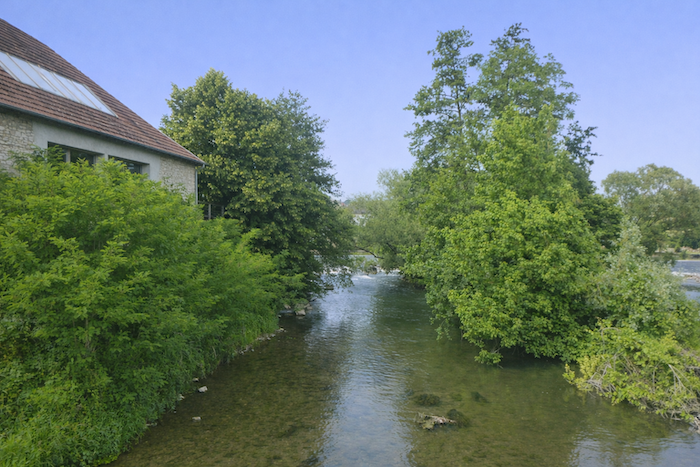 |
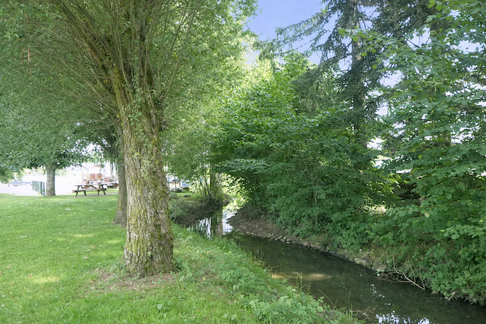
| It is in the arms of this majestic river that the welcoming campsite is nestled. |
 |
 |
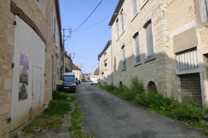
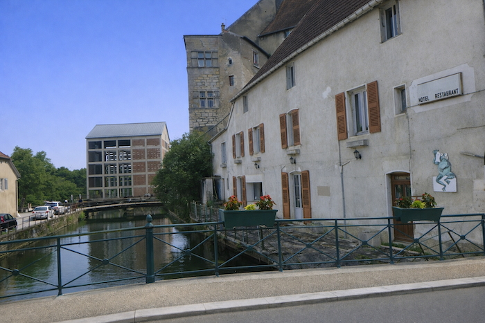
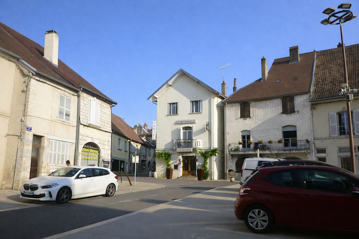
| The center of this charming small town rises slightly above the river. There one discovers an inviting shopping area, but above all beautiful houses, often built of rough stone, which give the town a solid and authentic character, faithful to its Franche-Comté roots. |
 |
 |
Official accommodations in Burgundy/Franche-Comté
- Camping municipal, Marnay; 03 84 31 90 91; Gîte
- Le Vert Lagon, Marnay; 03 84 31 73 16; Camping
- Hôtel Restaurant Le Balcon, Marnay; 03 84 31 75 11; Hotel
Jacquaire accommodations (see introduction)
Airbnb
Each year, the route changes. Some accommodations disappear; others appear. It is therefore impossible to create a definitive list. This list includes only lodgings located on the route itself or within one kilometer of it. For more detailed information, the guide Chemins de Compostelle en Rhône-Alpes, published by the Association of the Friends of Compostela, remains the reference. It also contains useful addresses for bars, restaurants, and bakeries along the way. On this stage, there should not be major difficulties finding a place to stay. It must be said: the region is not touristy. It offers other kinds of richness, but not abundant infrastructure. Today, Airbnb has become a new tourism reference that we cannot ignore. It has become the most important source of accommodations in all regions, even in those with limited tourist infrastructure. As you know, the addresses are not directly available. It is always strongly recommended to book in advance. Finding a bed at the last minute is sometimes a stroke of luck; better not rely on that every day. When making reservations, ask about available meals or breakfast options.
Feel free to leave comments. That is often how one climbs the Google rankings, and how more pilgrims will gain access to the site.
|
 |
Next stage : Stage 10: From Marnay to Acey Abbey |
|
 |
Back to menu |