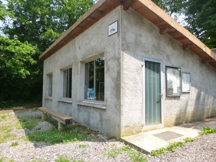
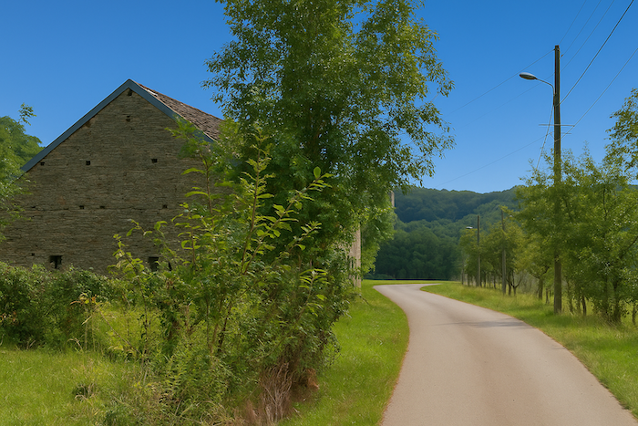
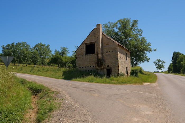
The last stage, before the separation of the routes to Vézelay or Le Puy-en-Velay
DIDIER HEUMANN, ANDREAS PAPASAVVAS

We divided the course into several sections to make it easier to see. For each section, the maps show the course, the slopes found on the course, and the state of the route (paved or dirt roads). The courses were drawn on the « Wikilocs » platform. Today, it is no longer necessary to walk around with detailed maps in your pocket or bag. If you have a mobile phone or tablet, you can easily follow routes live.
For this stage, here is the link:
https://fr.wikiloc.com/itineraires-randonnee/de-maizieres-a-gy-par-le-chemin-de-compostelle-228023590
| This is obviously not the case for all pilgrims, who may not feel comfortable reading GPS tracks and routes on a mobile phone, and there are still many places without an Internet connection. For this reason, you can find on Amazon a book that covers this route.
If you only want to consult lodging of the stage, go directly to the bottom of the page. |
 |
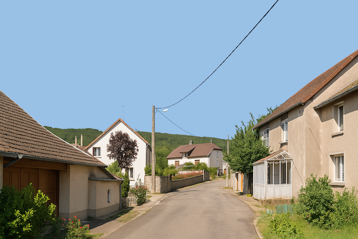
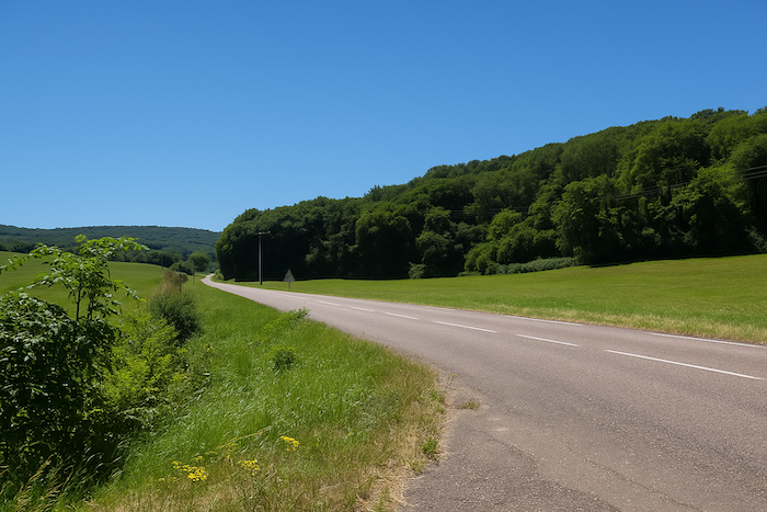
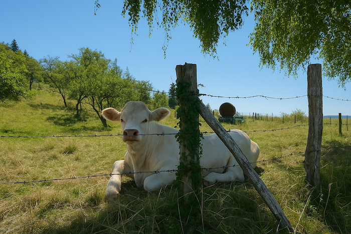
This region of Haute-Saône, on the border between Burgundy and Franche-Comté, is centered around the small town of Gy, its former capital. It stretches over some fifteen villages nestled among gentle hills and green valleys. The landscapes here are varied, with meadows for grazing, forests of oak and beech, and slopes once covered with vines. The Val de Gy was for centuries a renowned wine-producing land. From the Middle Ages until the nineteenth century, the vineyards of Gy and Bucey-lès-Gy produced wines that were exported far beyond the region. After the phylloxera and the wars, the vines almost entirely disappeared, replaced by crops and livestock. Historically, the Val de Gy was shaped by the influence of the archbishops of Besançon, who built their summer residence here. The vast castle of Gy, a fortified residence dominating the town, still recalls that period of power and splendor. In the surrounding villages, rural churches, washhouses, and stone fountains add to a modest yet fascinating heritage.
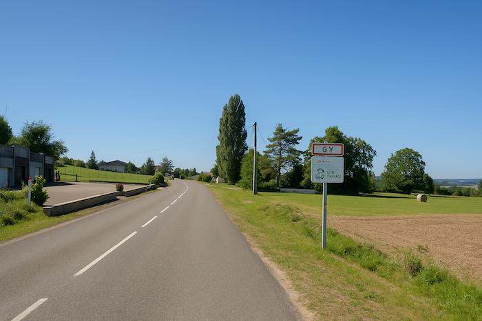
This stage is a turning point in Franche-Comté, for Gy marks a junction toward two great routes, one leading to Vézelay, the other to Le Puy-en-Velay.
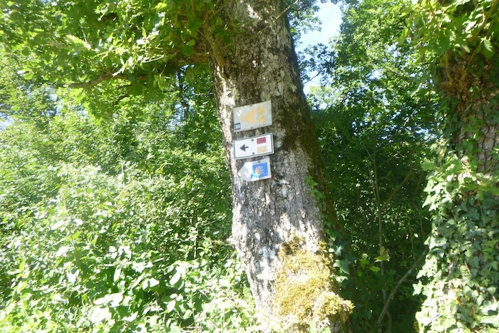
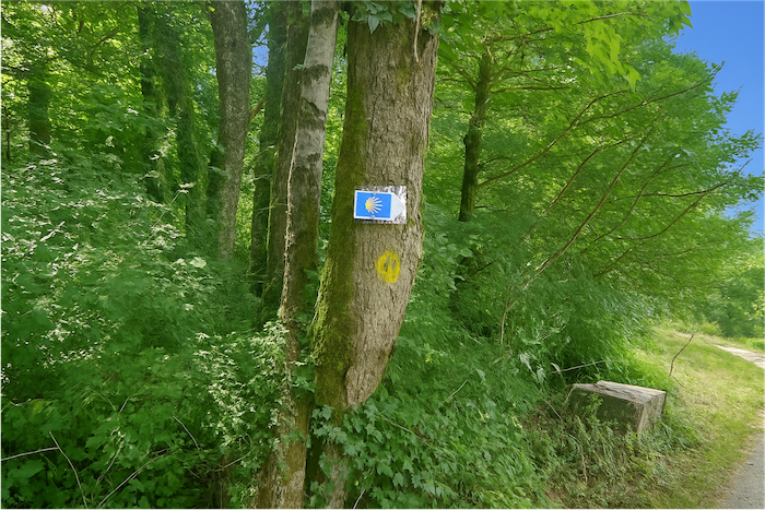
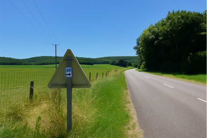
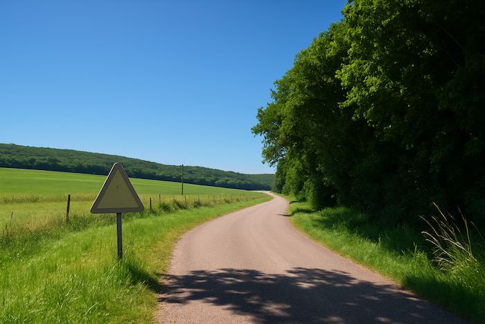
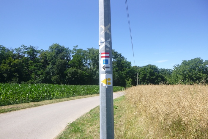
How do pilgrims plan their route? Some imagine that it is enough to simply follow the signposting. But you will find to your cost that the signposting is often inadequate. Others use guides available on the internet, which are also often too basic. Others prefer a GPS, provided they have imported the Compostela maps of the region onto their phone. Using this method, if you are an expert in using GPS, you will not get lost, even if the proposed route is sometimes not exactly the same as the one indicated by the scallop shells. But you will still safely reach the end of the stage. In this regard, the site that can be called the official one is the European route of the Ways of Compostela (https://camino-europe.eu/). On today’s stage, the map is no longer up to date and contains errors compared with the signposted route. With a GPS, it is even safer to use the Wikiloc maps that we provide, which describe the current signposted route. But not all pilgrims are experts in this type of walking, which for them distorts the spirit of the Way. So, you can simply follow us and read us. Every junction of the route that is difficult to interpret has been indicated, to help you avoid getting lost
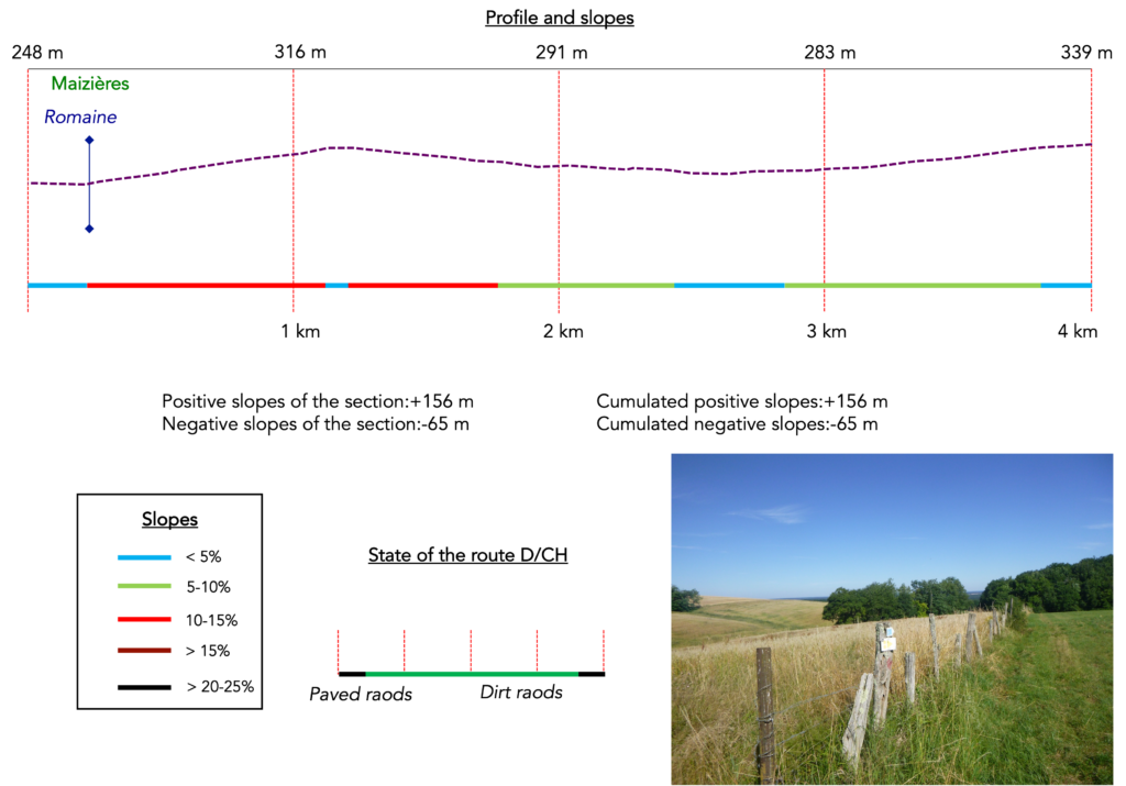
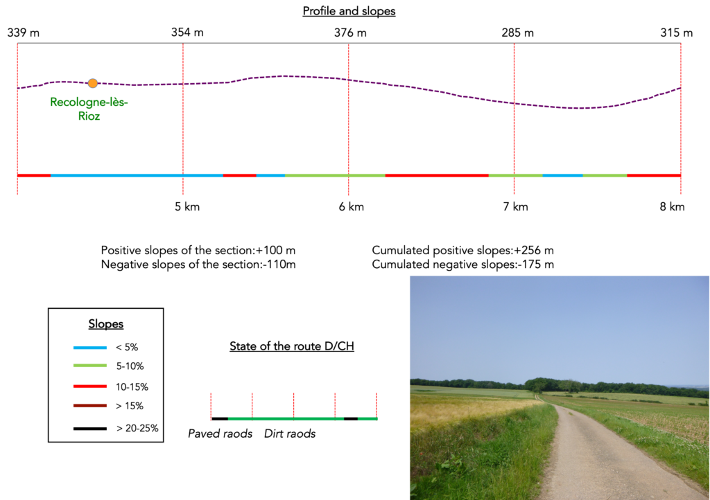
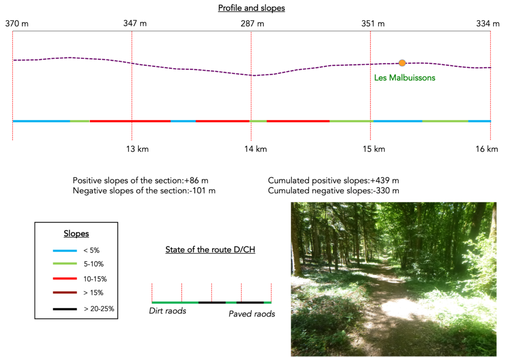
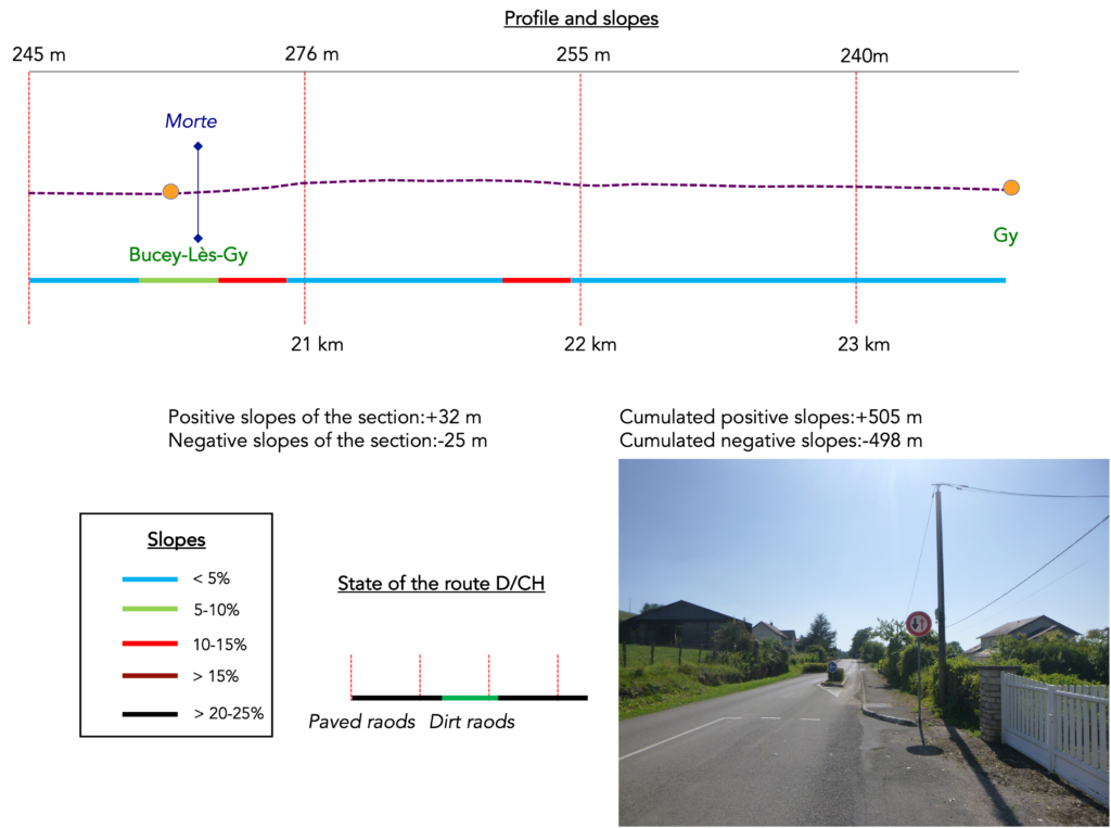
Difficulty level: The elevation gain of today’s stage (+505 meters / -498 meters) is fairly high for a stage in Franche-Comté. It begins with a steep climb above Maizières, followed by constant rolling hills that can feel demanding. Later, the ascent to the Grotte de la Baume Noire will not leave the pilgrim indifferent. Afterward, the route settles into gentle undulations until the end of the stage, with no major difficulty.

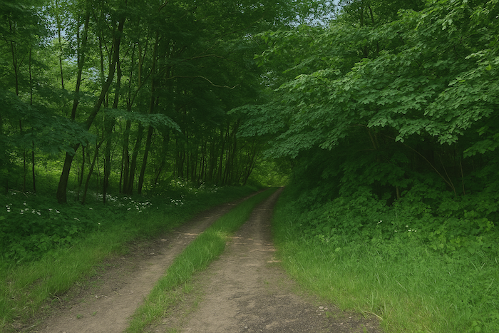
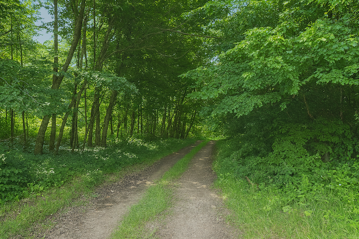
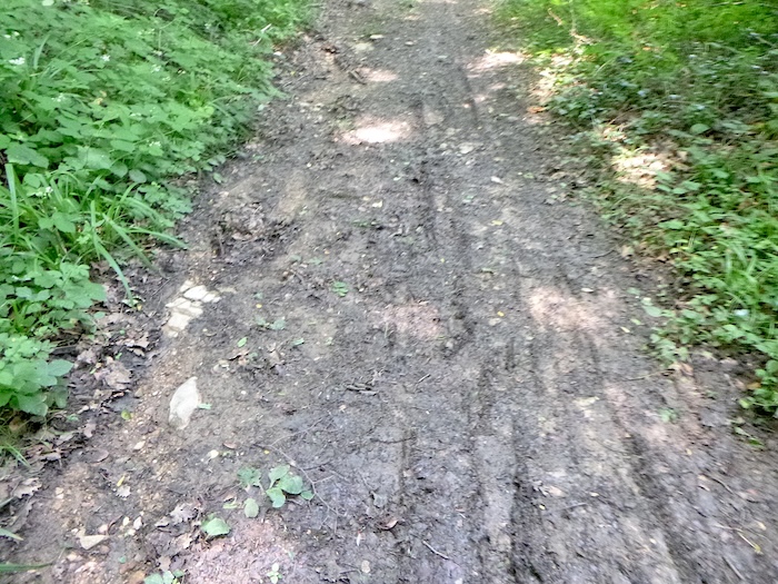
State of the route: As often in Franche-Comté, the routes favour paths, which are unfortunately often rather stony:
- Paved roads: 7.4 km
- Dirt roads: 16.0 km
Sometimes, for reasons of logistics or housing possibilities, these stages mix routes operated on different days, having passed several times on these routes. From then on, the skies, the rain, or the seasons can vary. But, generally this is not the case, and in fact this does not change the description of the course.
It is very difficult to specify with certainty the incline of the slopes, whatever the system you use.
For those seeking « true elevations » and enthusiasts of genuine altimetric challenges, carefully review the information on mileage at the beginning of the guide.

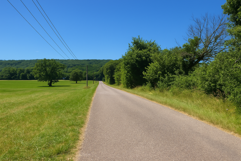
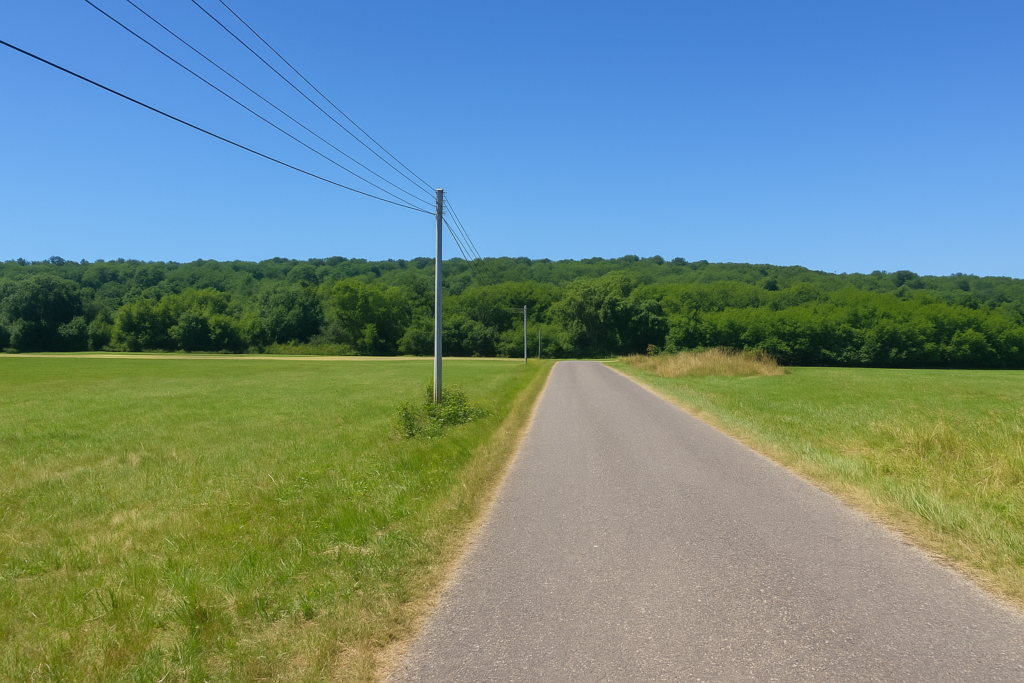
Section 1: Between Maizières and Recologne-lès-Rioz
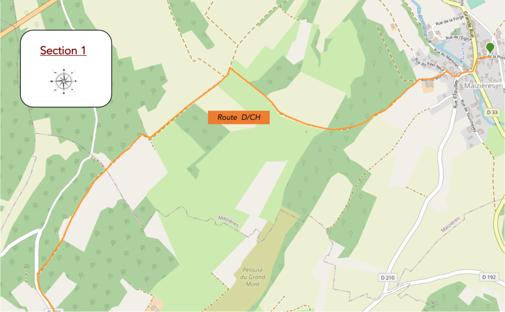
Overview of the route’s challenges: rolling route, with sometimes steep slopes both uphill and downhill.
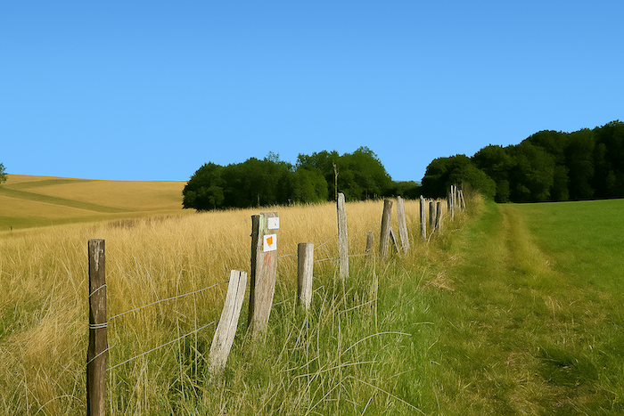
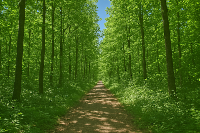
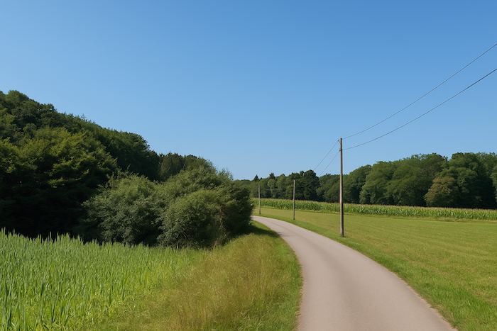
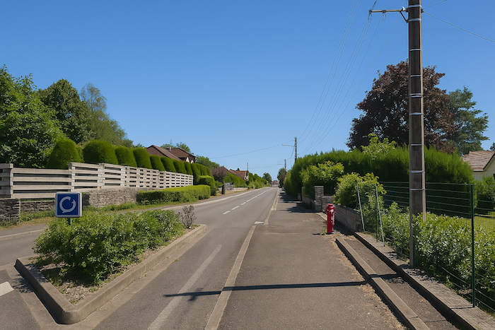
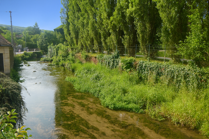
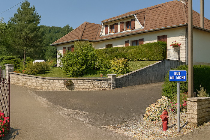
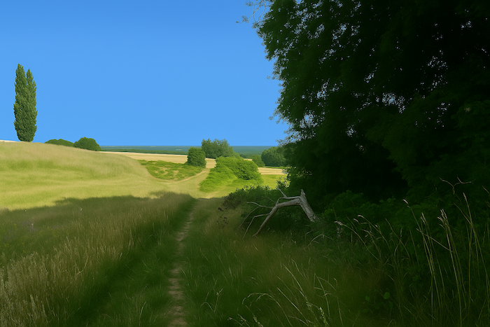
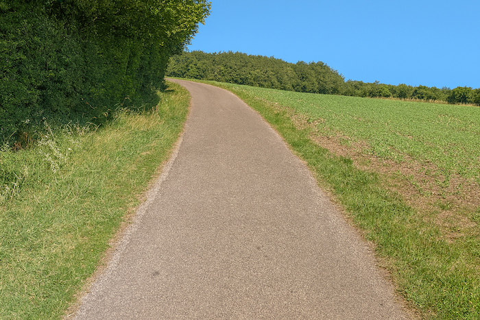
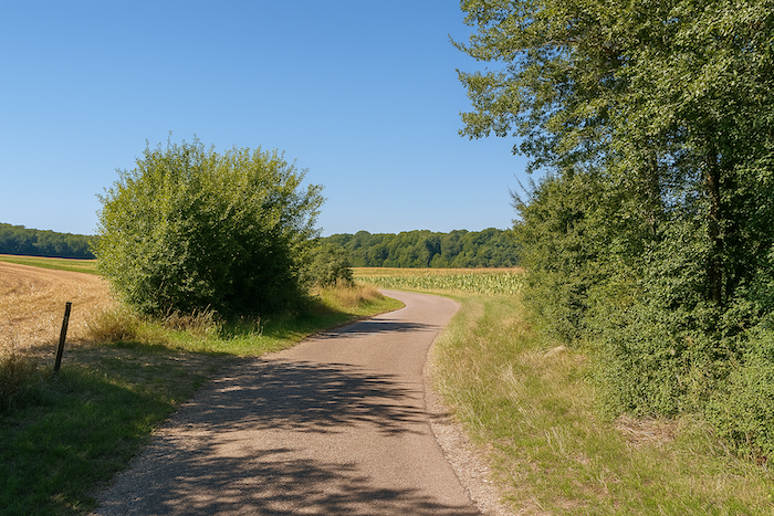
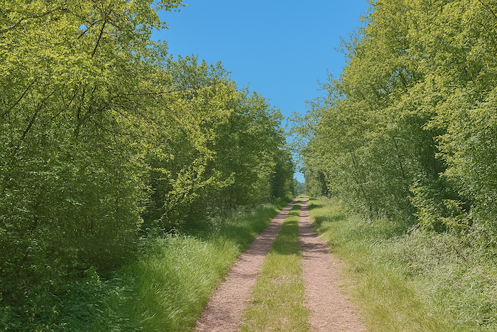
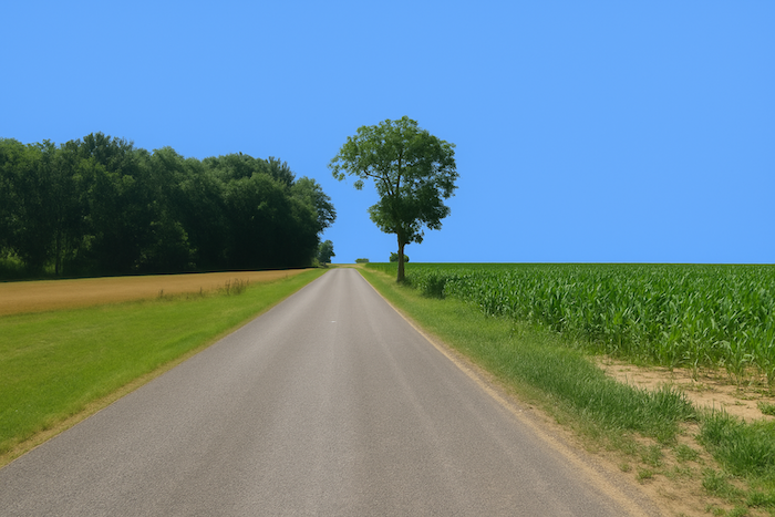
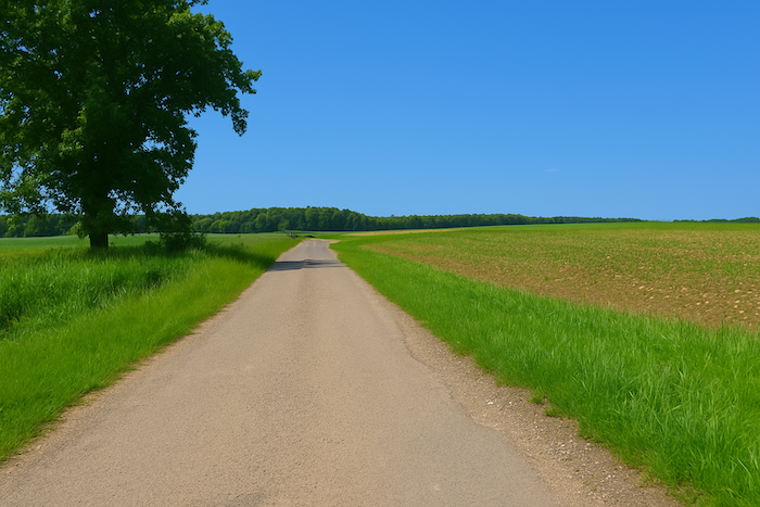
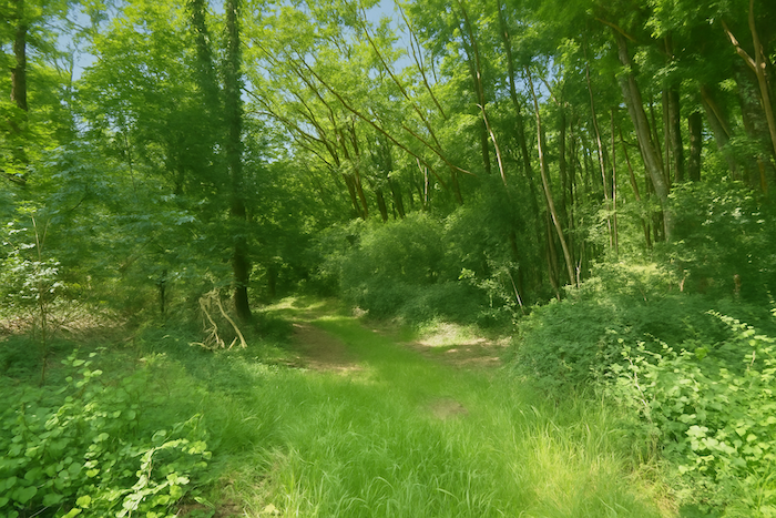
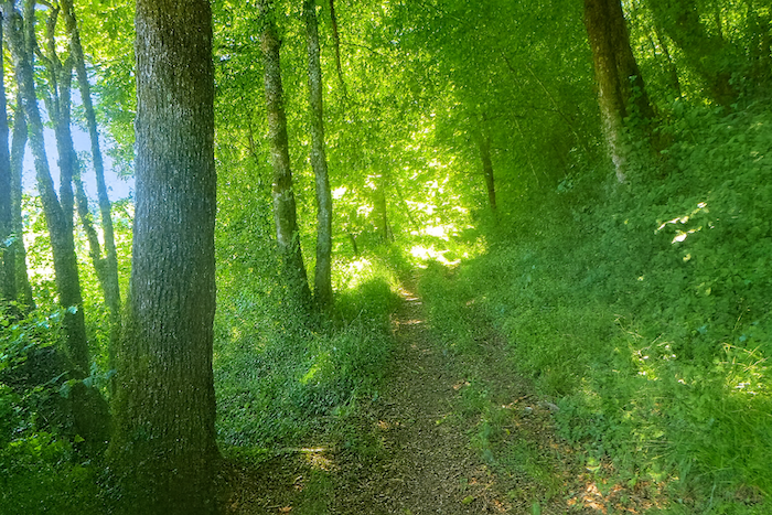
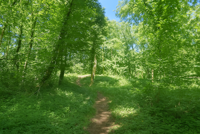
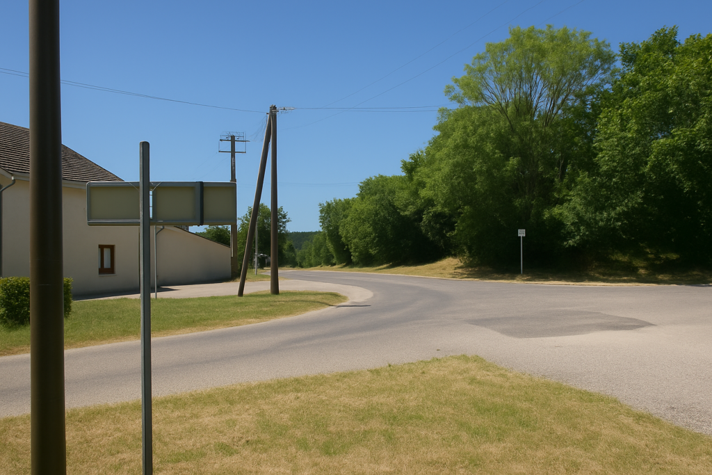
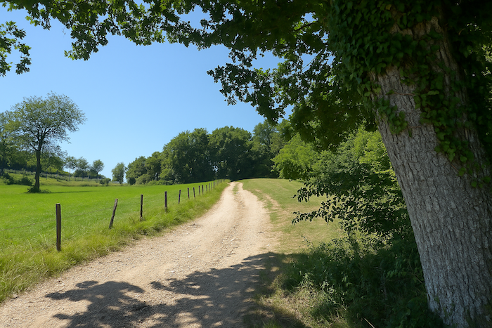
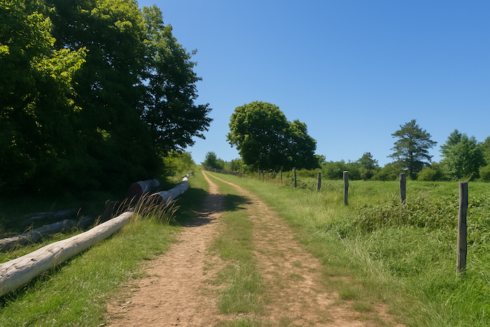
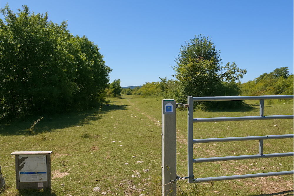
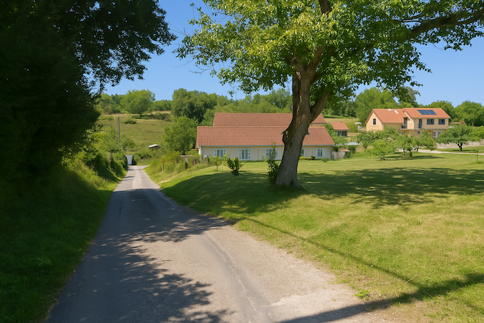
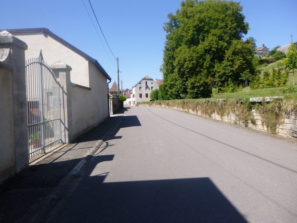
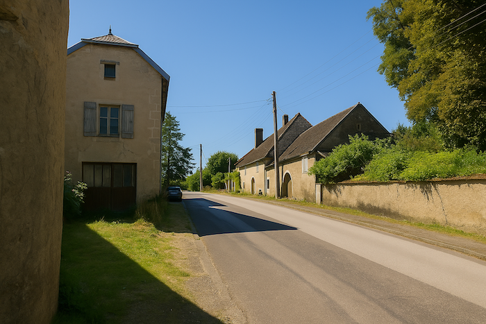
| The route of the day leaves Maizières at the crossroads where the graceful river Romaine flows, its waters murmuring softly between the banks. |
 |
 |
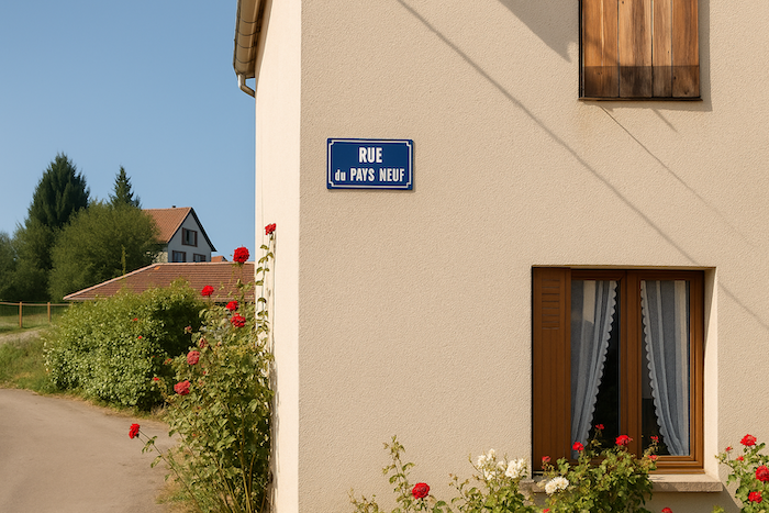
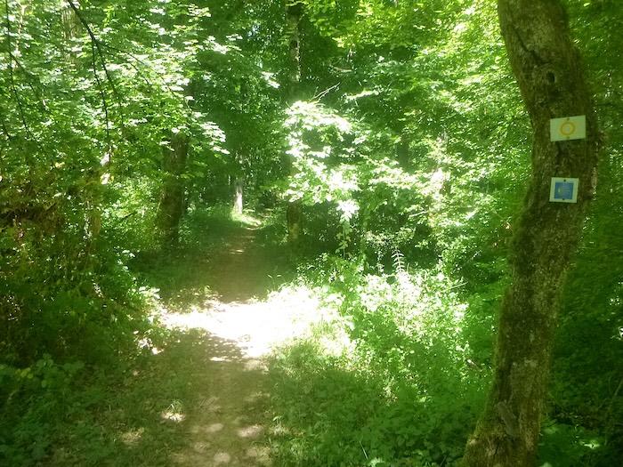
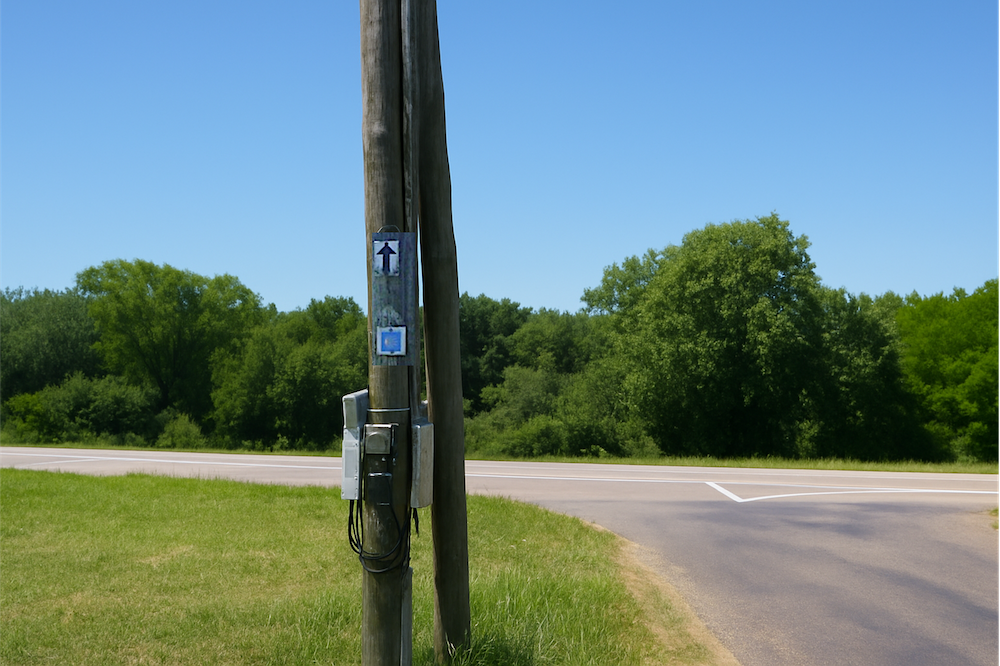
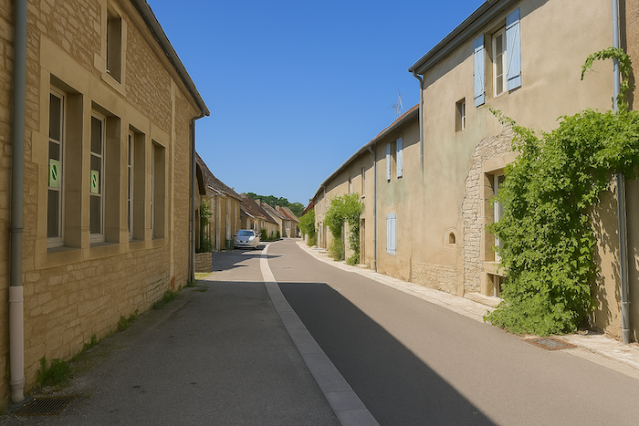
| Here it is important not to miss the start, at the risk of wandering all day, because the route is not marked at all. We will therefore guide you. It first follows Rue d’Éguilley, then turns at a right angle into Rue du Pays Neuf. Higher up, a fork leads you to Rue du Mont. You can relax, the scallop shell reappears. |
 |
 |
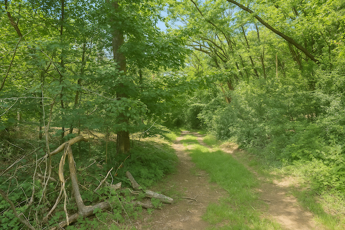
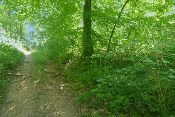
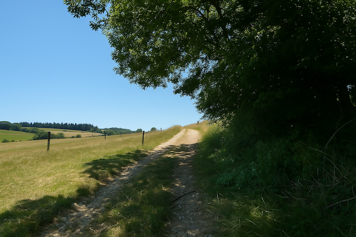
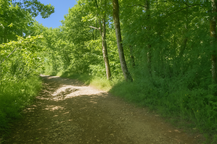
| Rue du Mont is a small road that climbs steeply across the meadows, brushing the edge of the wood. |
 |
 |
| The same pattern continues for almost a kilometer. A few vehicles, more often a tractor than a car, sometimes disturb the quiet. In the end it is only a dead end. |
 |
 |
| Farther up, the narrow road crosses a small shaded grove. |
 |
 |
| It then hauls itself lazily up to a clearing on the top of the hill. There, a scallop shell invites you to descend toward the meadows that stretch below. |
 |
 |
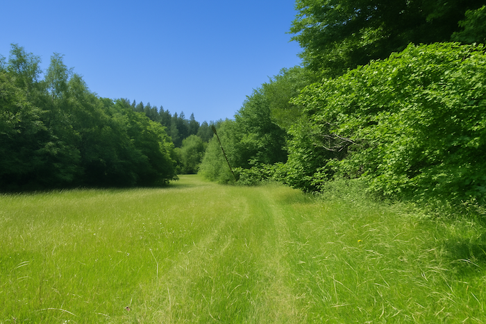
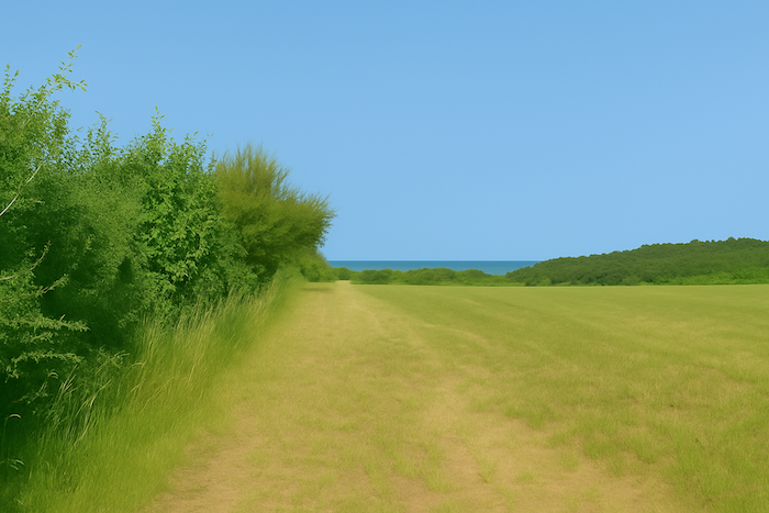
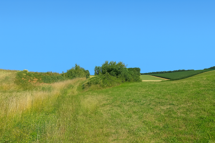
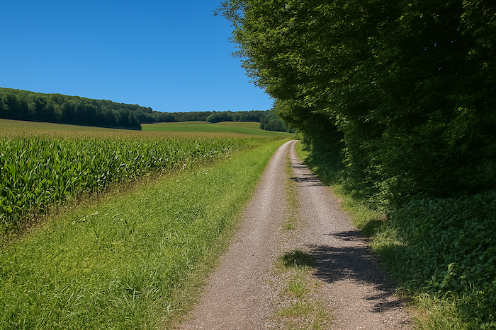
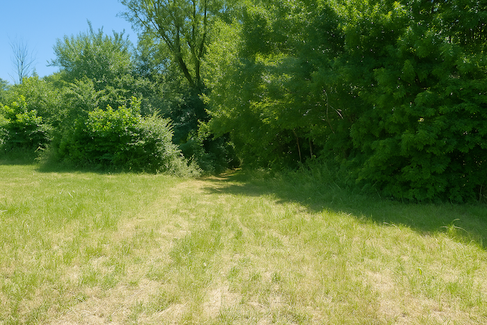
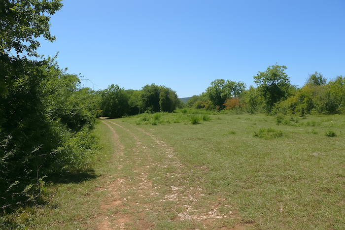
| The landscape then opens onto broad undulations. The path enters the grass, descending gently along the Combe aux Merles, bordered on the left by a dense hedge, in the heart of a countryside that is still wild |
 |
 |
| Lower down, the route leaves the meadows and sinks into a dark, dense underwood. |
 |
 |
| But it does not stay there for long. Soon the trail again treads the tall grass and reaches the thick steppe of the Creux des Vernes. |
 |
 |
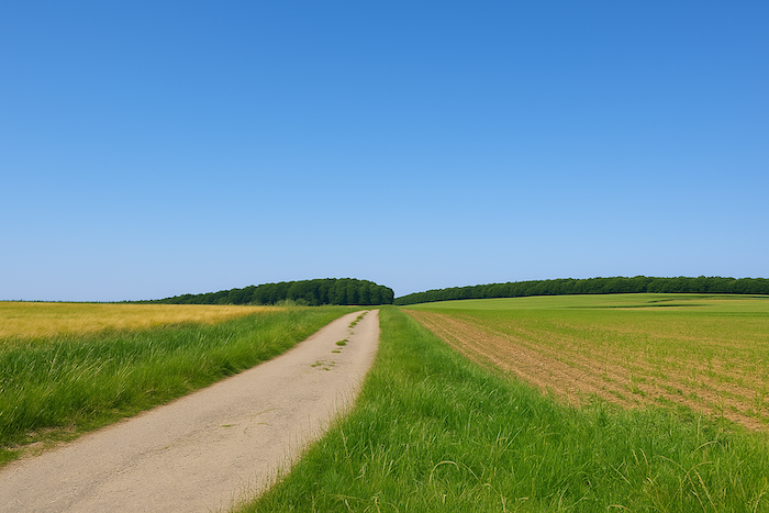
| At the bottom of the slope, it meets a small agricultural road crossing the fields. This is Rue du Pont Neuf, already crossed when leaving Maizières. |
 |
 |
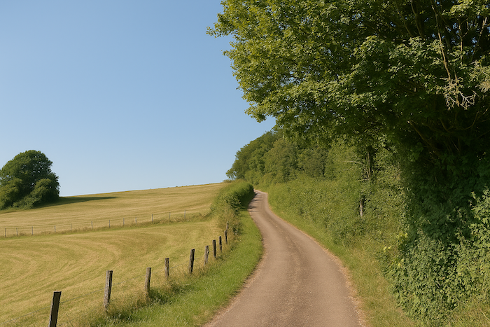
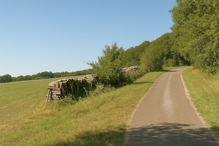
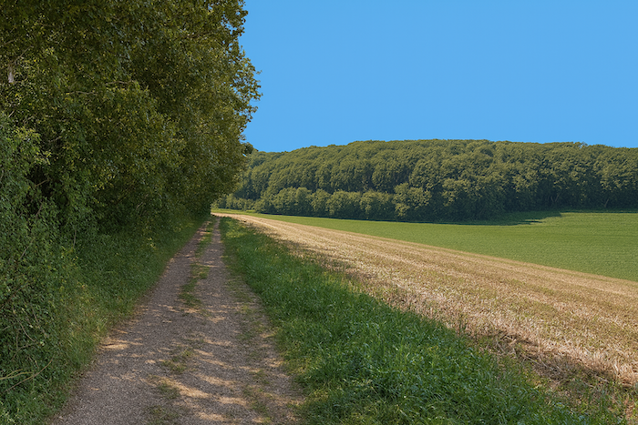
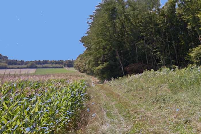
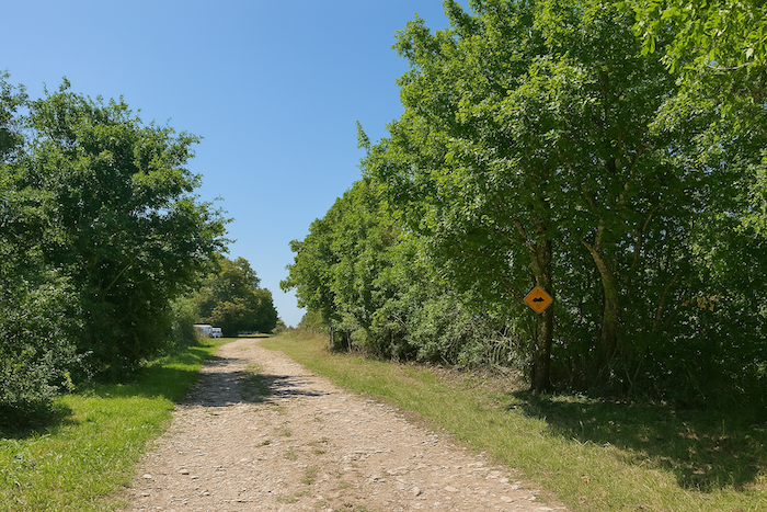
| The route will follow this small road for a long time as it stretches into the distance through unspoiled countryside. It crosses the area called Creux des Vernes, a section that is somewhat monotonous, almost austere, between scattered copses and meadows. |
 |
 |
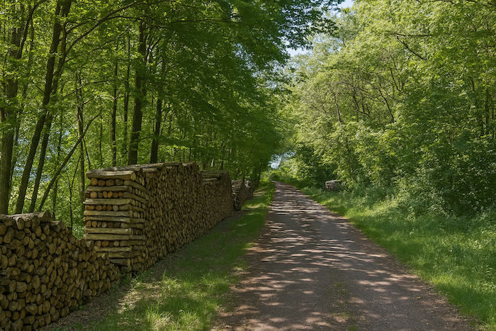
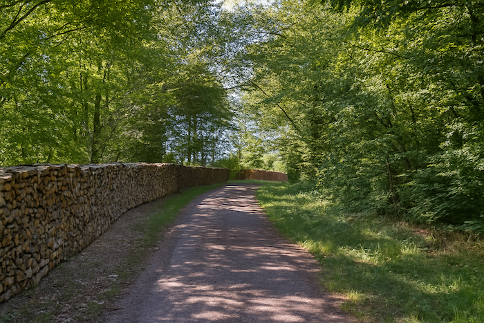
| When one hears “verne”, one naturally imagines a wet landscape. This tree, also called alder, loves marshes and riverbanks, can grow to a fine height and often provides valued firewood. Yet here humidity seems barely present, unless the plain was drained long ago. The piles of wood along the road are in any case mainly oak. |
 |
 |
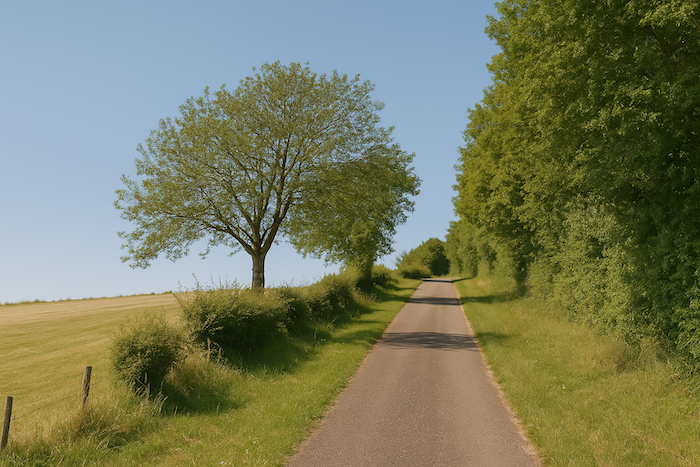
| The road is long, often straight, in this Creux des Vernes, and the eye struggles to find anything truly captivating. |
 |
 |
| The land is divided between livestock and modest crops. |
 |
 |
| Farther on, beaten earth replaces the worn tarmac, without really changing the landscape. It is still the same bland monotony. |
 |
 |
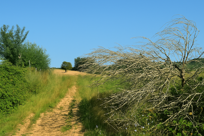
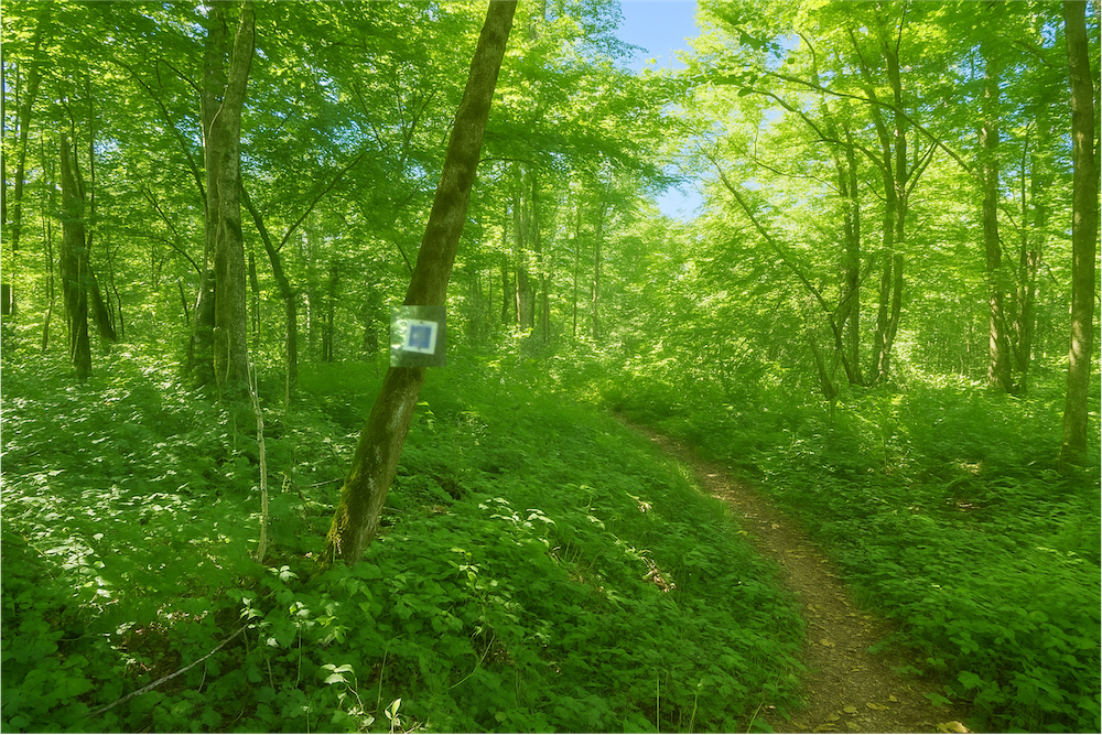
| You might feel lost, alone in the middle of nature. But a small scallop shell fixed to a wooden post kindly reminds you that you are still walking on the right way. |
 |
 |
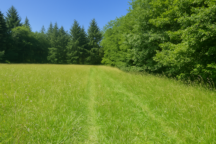
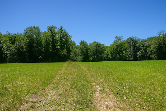
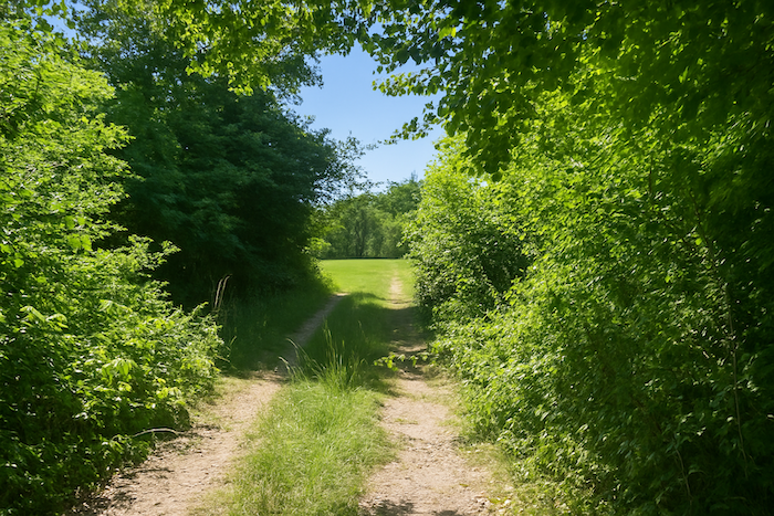
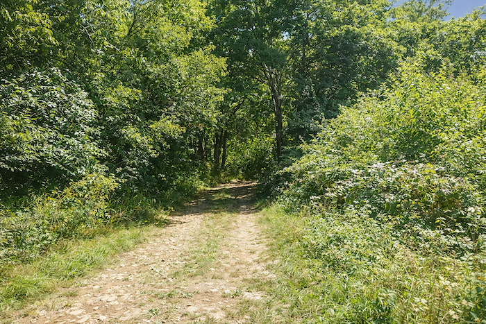
| The route then changes character. The wide path ends in a cul-de-sac and leaves the vast bare plain for the tall grass fringing the forest. |
 |
 |
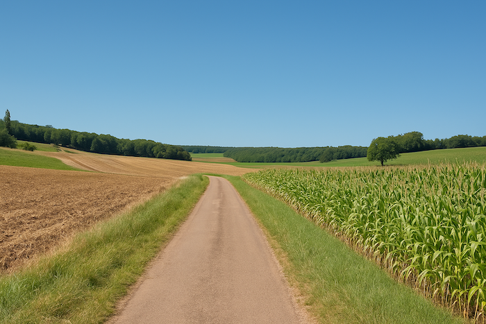
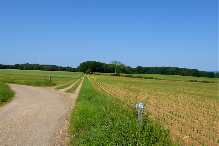
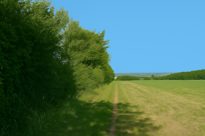
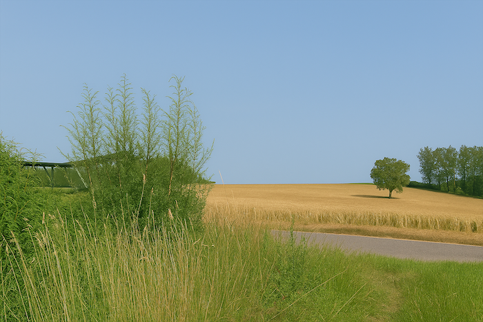
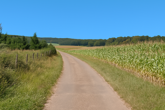
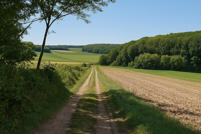
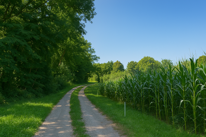
| A broad path climbs through the grass of meadows and fields along a hedge rich in ash and oak. The scallop shell is a faithful companion here. Today the sunflowers gild the landscape. On another day it may be another crop, since farmers constantly rotate their seeds. |
 |
 |
| Higher up, the path returns into the forest. |
 |
 |
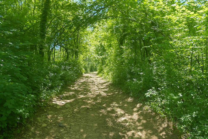
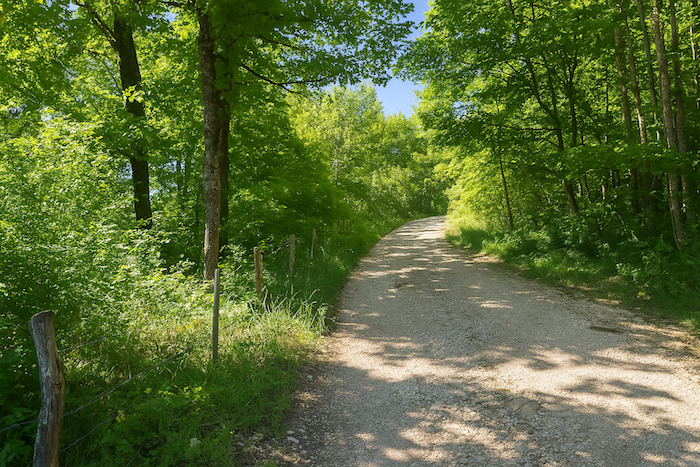
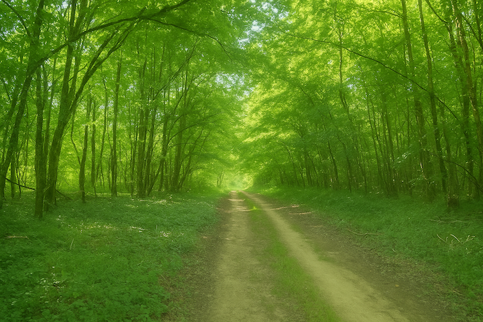
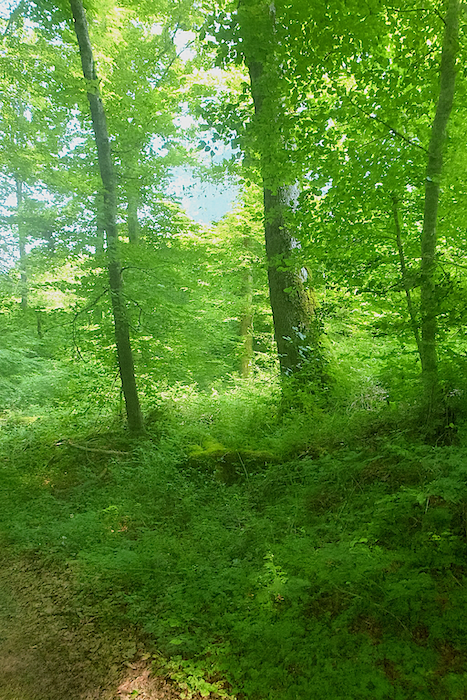
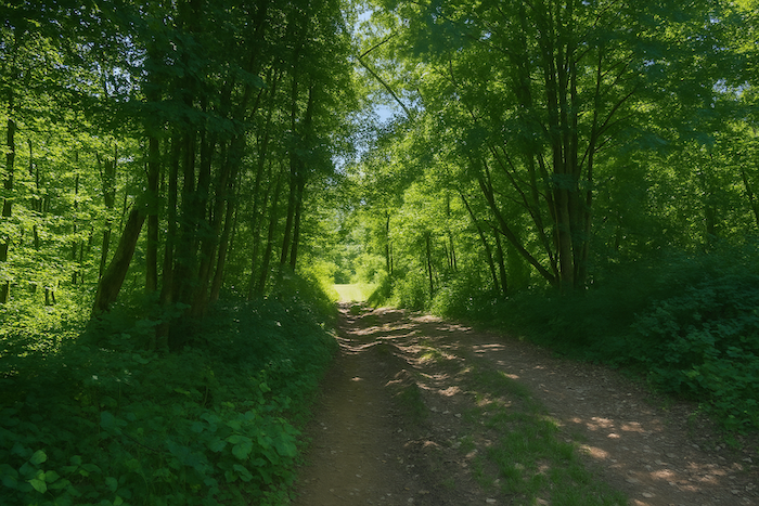
| A very wide stony path then sets off, climbing steeply up the hillside into the Bois du Charmant. On this demanding ascent you will walk in the generous shade of ash trees, under the protection of oaks, among beeches, hornbeams and the more discreet maples. |
 |
 |
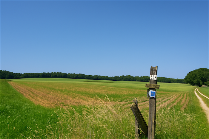
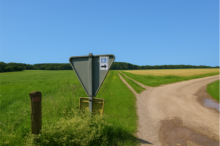
| At the top of the hill the path meets the departmental road D192, where vehicles sometimes speed past. There, a well-oriented scallop shell invites you to follow the road to the left. |
 |
 |
Section 2: In the great forests
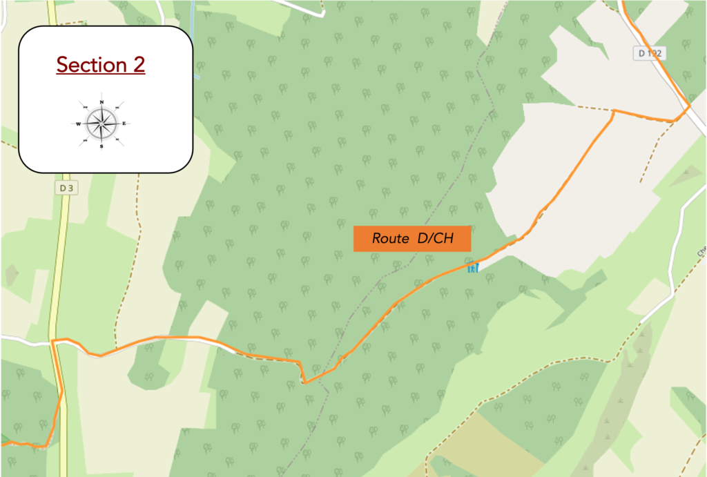
Overview of the route’s challenges: route with sometimes steep slopes, both uphill and downhill.
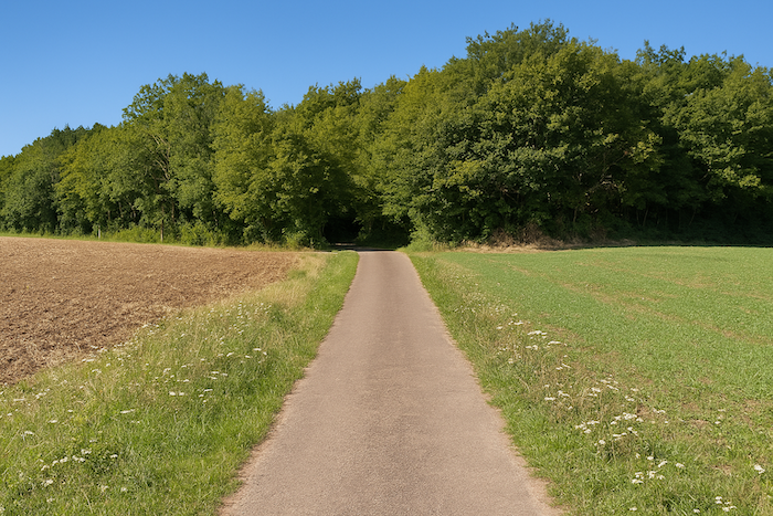
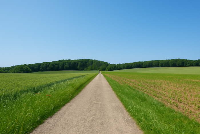
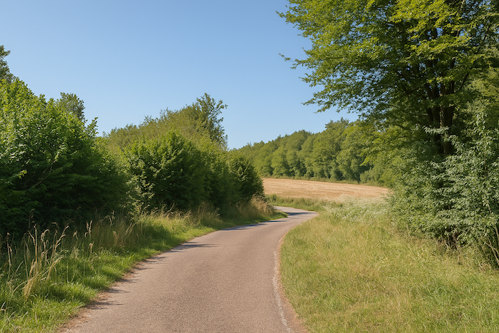
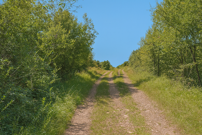
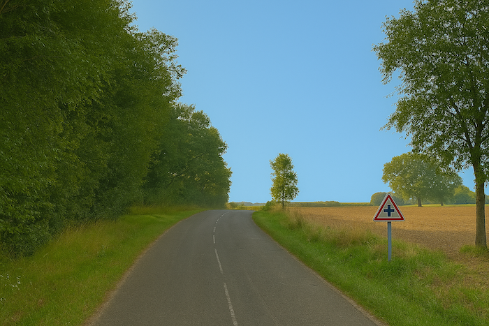
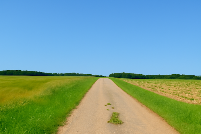
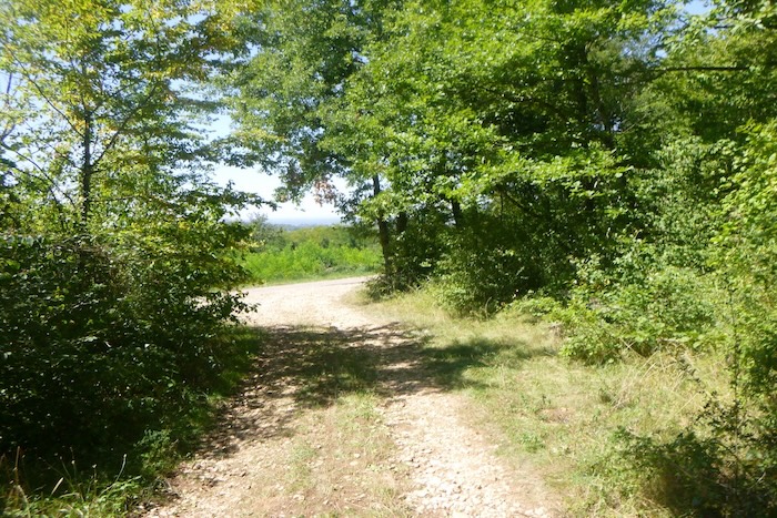
| The route then follows the straight road stretching toward Recologne-lès-Rioz, like a long line drawn across the countryside. |
 |
 |
But it does not reach the village, nestled at the foot of the hill beside its motionless pond. You must be careful not to miss the intersection, a discreet little road that slips away to the right.
| At the foot of an oak tree, silent guardian of the crossroads, the route turns right and sets off along a narrow country road. |
 |
 |
| The small road first runs flat, then becomes a dirt road. There the arrow of the scallop shell invites you to turn right. Thank goodness it is there, because, as always, the shell by itself would be badly oriented. |
 |
 |
| After a short straight stretch across the fields, the dirt road bends and swings back to the left, exactly as the shell suggests. |
 |
 |
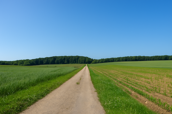
| The track runs flat between meadows and cereal crops. Ahead of you a straight line stretches out and seems endless. In fact, it is almost that. |
 |
 |
| At the end of this long straight stretch, it rears up and climbs in a steady slope toward the dark mass of the forest. |
 |
 |
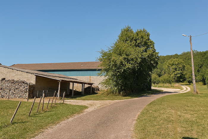
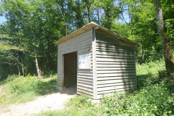
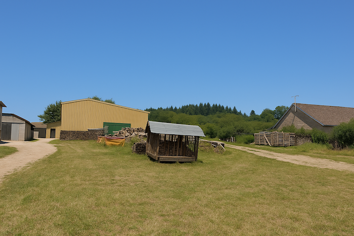
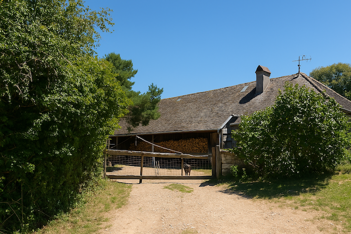
| At the top of the climb the path reaches a hunters’ hut. The door is open. Inside, a stuffed wild boar seems to welcome the traveler with its glassy stare. We were told that big game is hunted here. Boar and deer reign in these woods. |
 |
 |

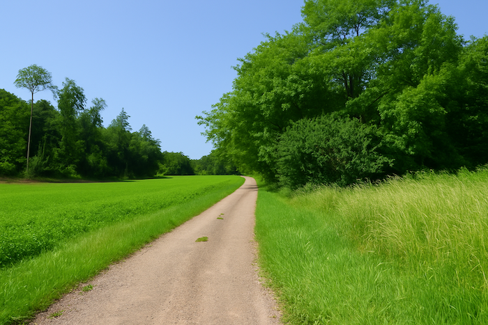
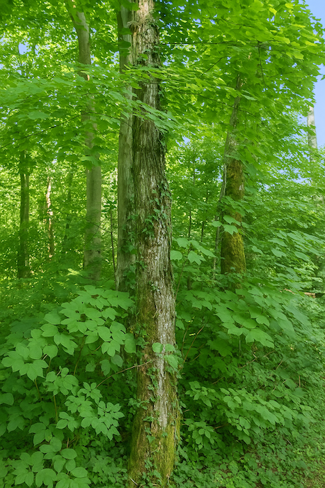
| From the hut, a wide dirt path descends gently into the great Bois de Chanénot. Hornbeam and beech return here in abundance, crowded together like a motionless army, mingled with sturdy oaks, sometimes stunted maples, and more rarely tall stands of timber. |
 |
 |
| Lower down, it leaves the shade of the wood and ventures onto dry grasslands in a wide clearing encircled by scattered copses, where one senses the secret life of wild game. |
 |
 |
| The pseudo path then bounds from grassland to grassland through tall grass. The place is so wild that you will wonder if you are still on the right way, since no shell comes to reassure you. |
 |
 |
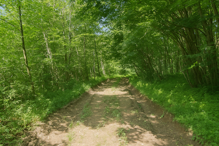
| Lower down, at the end of the clearing, a trail slips back into the forest. It wanders beneath the thick canopy, sometimes clogged with mud even when the sky remains dry. |
 |
 |
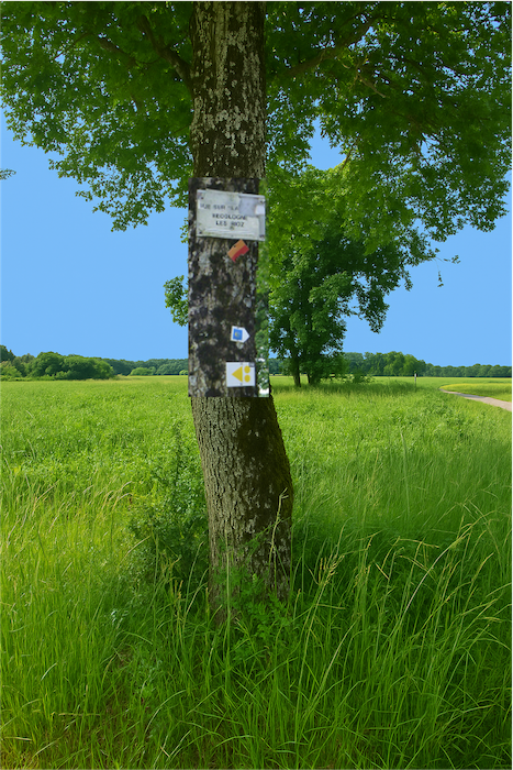
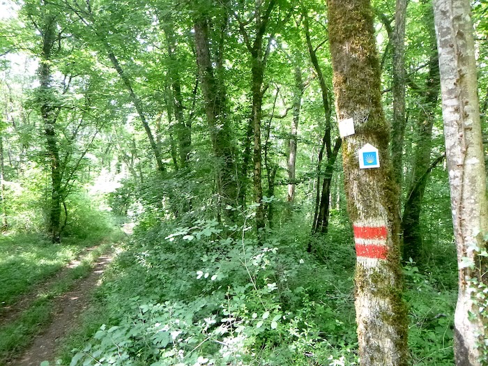
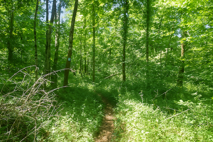
| Soon you find the shell again. Your heart relaxes; you have not gone astray. And, miracle, this time the shell is perfectly oriented. It seems that waymarkers would benefit from having good shells. Other symbols also mark the path, probably local hiking routes with almost cabalistic signs. |
 |
 |
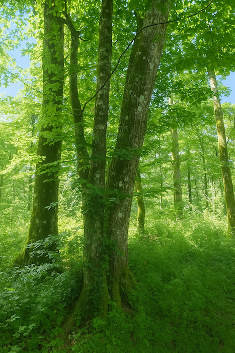
| In places the deciduous trees rise toward the sky and hornbeam and beech compete in height with the sovereign oaks. |
 |
 |
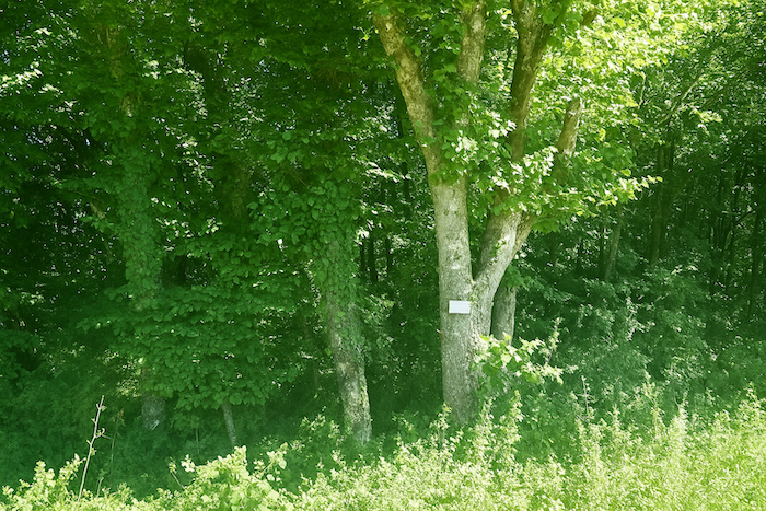
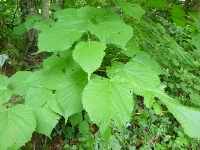
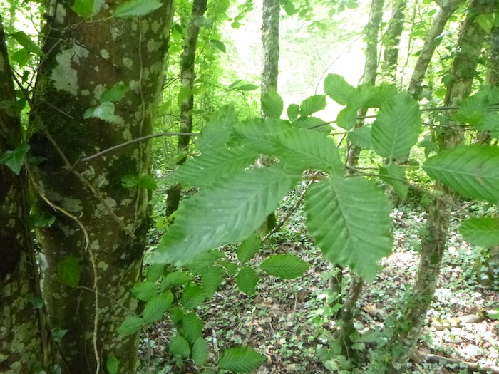
| To distinguish beech and hornbeam you should not rely on the trunks, you must look at the leaves, deeply serrated in the hornbeam, far less in the beech. Here are the serrated leaves of the hornbeam and the softer ones of the beech. |
 |
 |
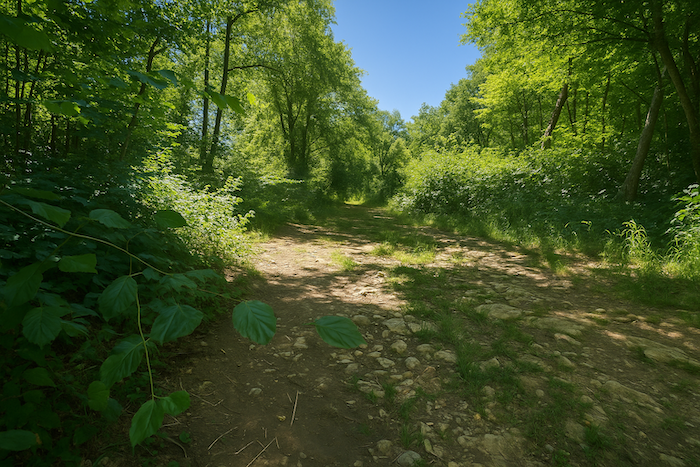
| Lower down the path crosses a very marshy zone where one risks sinking in. Fortunately, the passage is brief. |
 |
 |
| Soon the trail leaves the wood and emerges into a clearing where another hunting shelter nestles, belonging to the nearby village of Fretigney. You will sincerely breathe a sigh of relief on finding this sign of civilization after the turmoil of the forest. |
 |
 |
| In front of the wide-open space that must, in season, receive a crowd of hunters, you find the scallop shell of Compostela again, pointing to the plain below. |
 |
 |
| From the shelter a wide dirt road descends on a marked slope between open countryside and forest edge to the bottom of a small dale. |
 |
 |
| The road runs down until it meets the departmental road D3, which follows the hollow of a green valley. |
 |
 |
| Here, look closely at the shell, still badly placed but with an unmistakable arrow. Above all do not continue straight ahead, you would surely get lost. You must turn left onto the D3. It is better to have with you the small guide from the Friends of Compostela, because the road climbing above looks inviting. It is not meant for you. |
 |
 |
| Two hundred meters farther on, the shell invites you to leave the road and enter the forest. |
 |
 |
| Do not miss the fork, because it is far from obvious. Immediately a trail begins the ascent of the hill in the deep forest of the Bois de Vermot. |
 |
 |
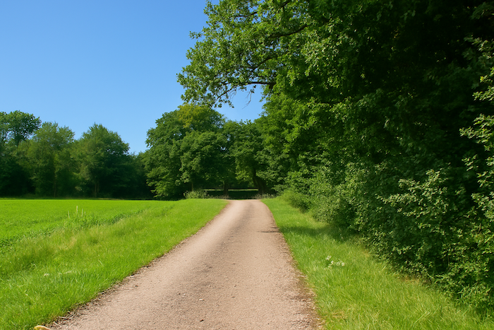
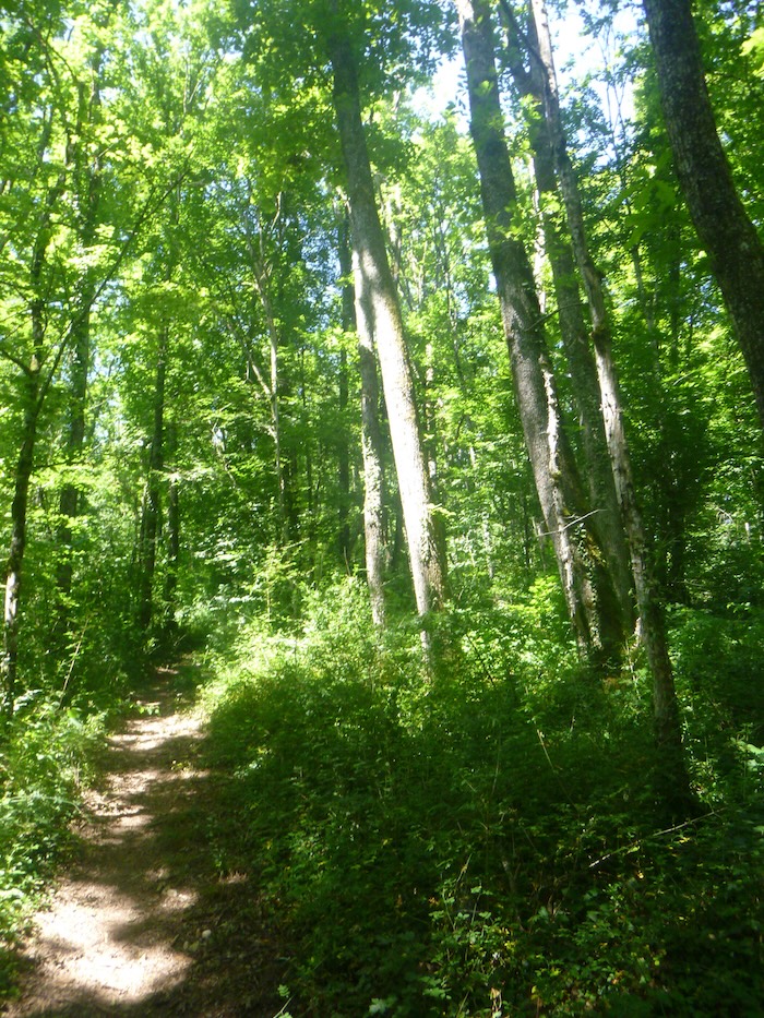
| The trail climbs vigorously above the road on a steady slope beneath the dark canopy of deciduous trees. Great oaks dominate, overshadowing the maples, hornbeams and more compact beeches |
 |
 |
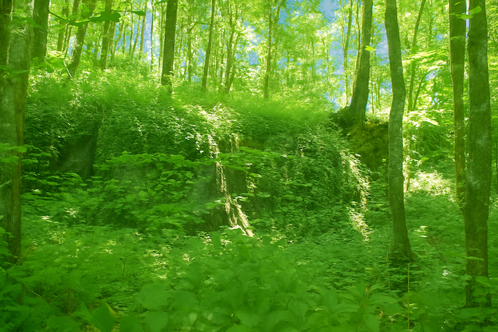
| Along the trail grow brambles, ferns, dogwoods and wild grasses. In places rocky ledges outcrop, perhaps already announcing the Baume Noire cave. |
 |
 |
| The trail twists and climbs without respite for almost five hundred meters from the road, sometimes approaching twenty percent gradient … |
 |
 |
…until it reaches a small level stretch where it bends and turns left. The scallop shell of Compostela shows the way. Here the forest is private land. It does not matter, in France nearly ninety percent of forests are. Without the agreement of landowners the Way of Santiago would never have existed.

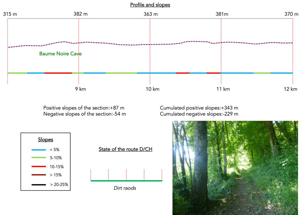
Section 3: In the forest of Vermot
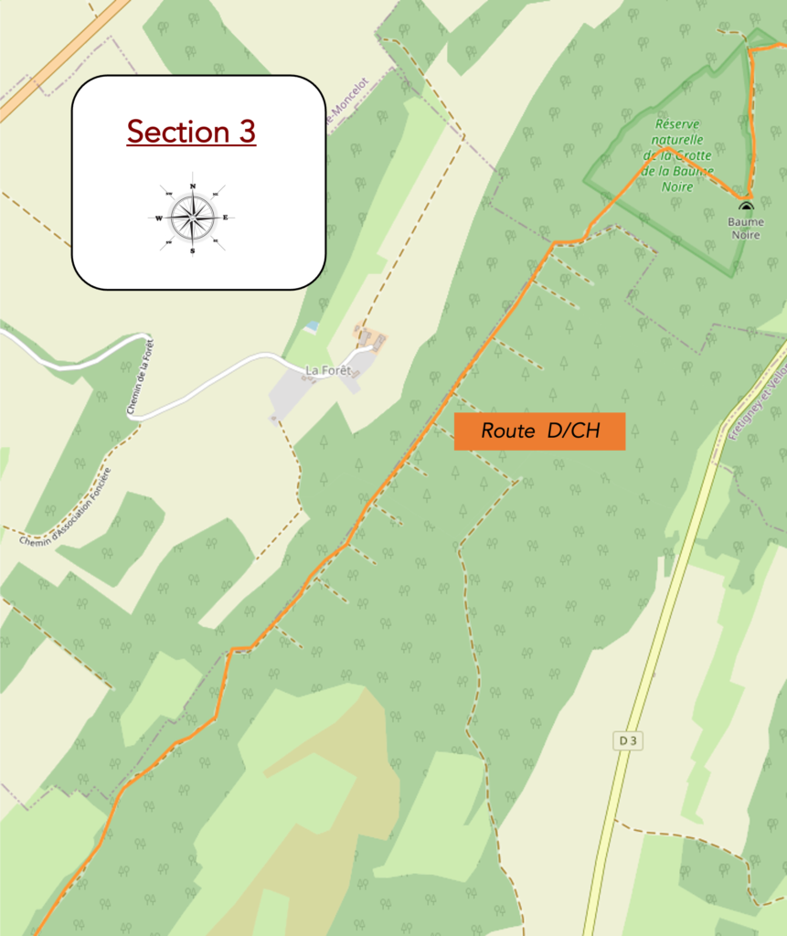
Overview of the route’s challenges: rolling route, but nothing demanding.
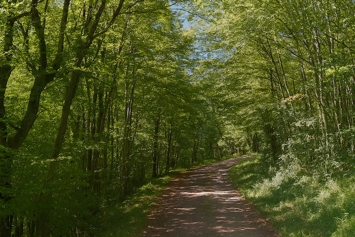
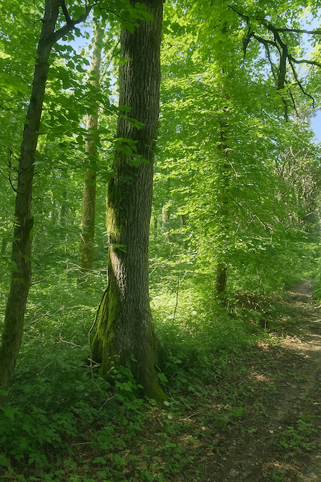
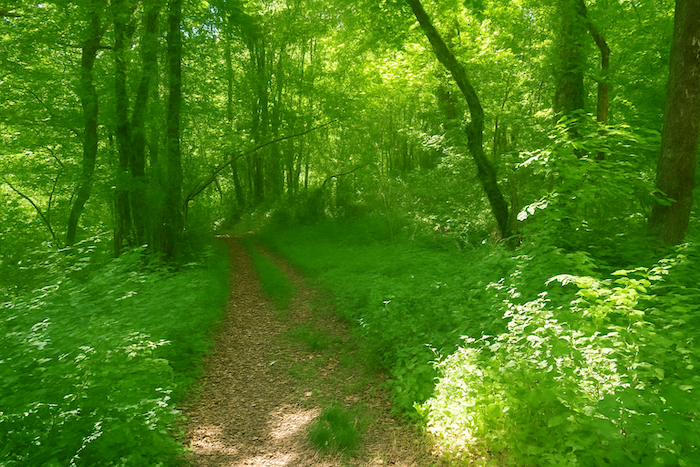
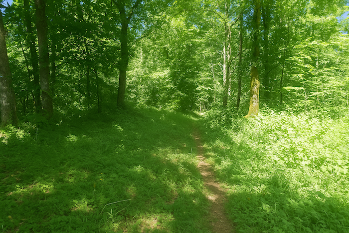
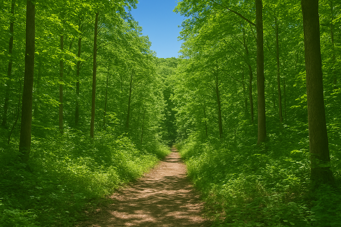
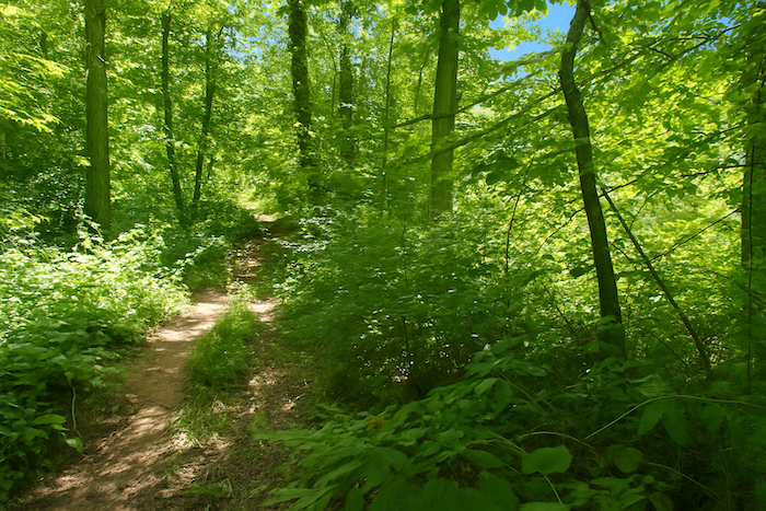
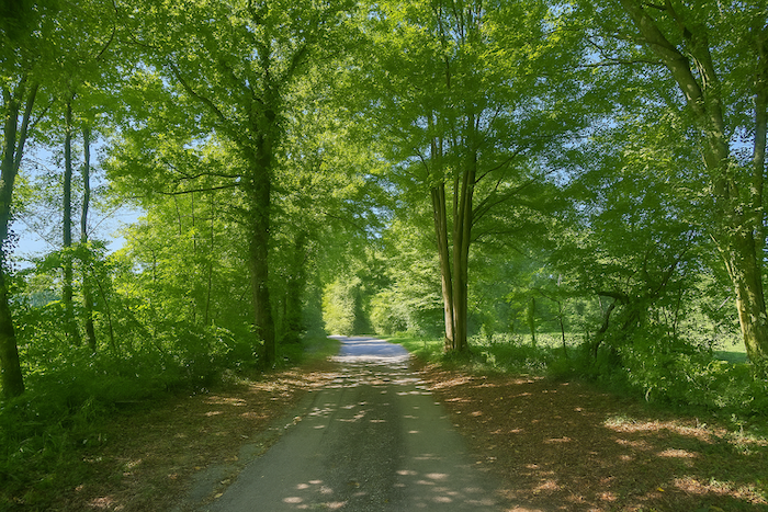
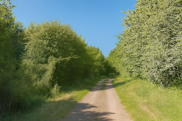
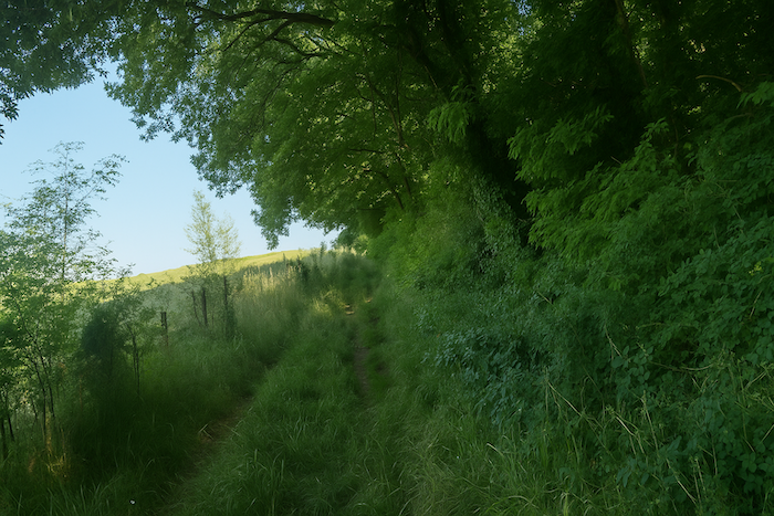
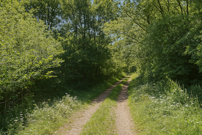
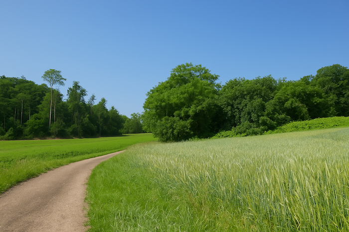
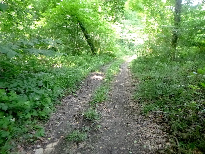
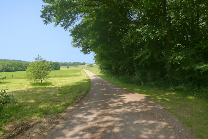
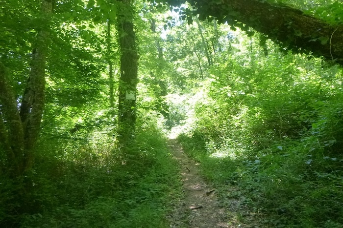
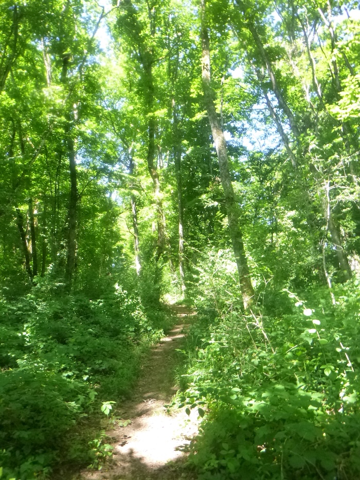
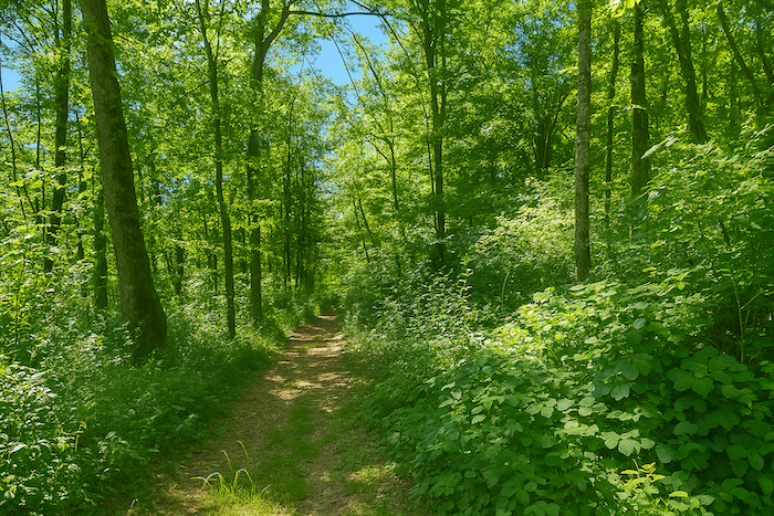
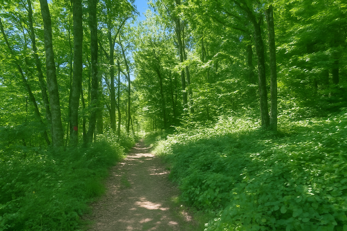
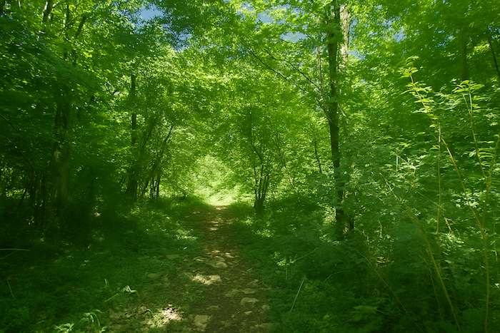
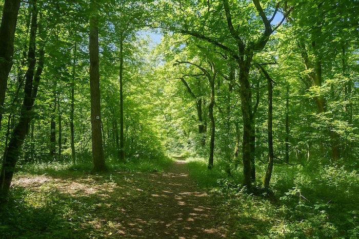
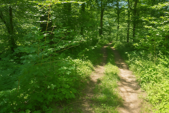
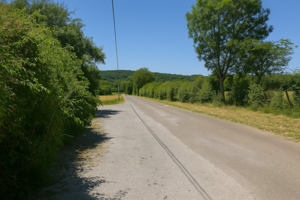
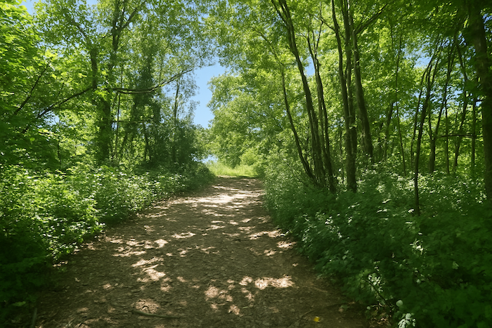
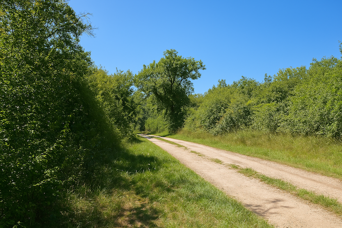
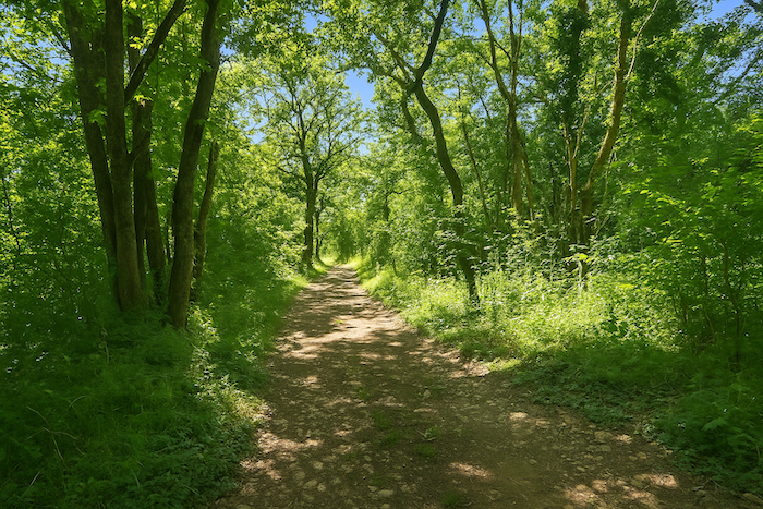
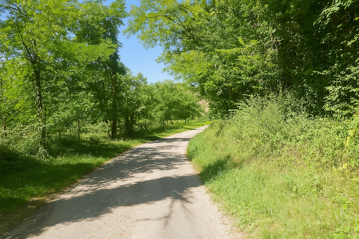
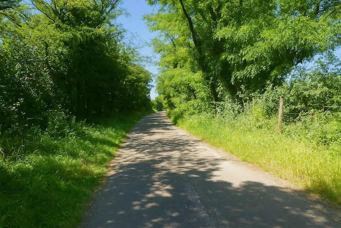
| The trail then continues flat through the deep forest, a magnificent cathedral of deciduous trees where the light filters down in golden sheets. Wild nature murmurs and sings softly there, all the more so because effort almost disappears entirely. . |
 |
 |
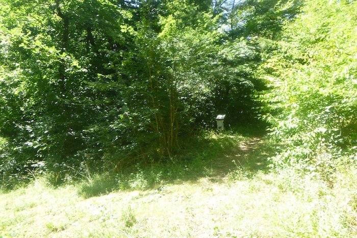
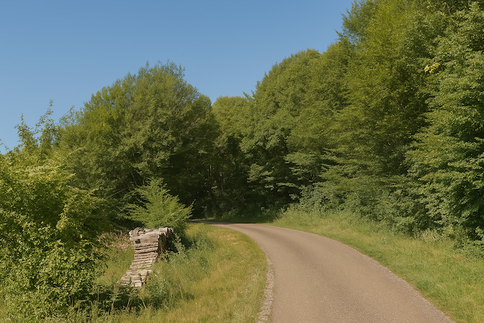
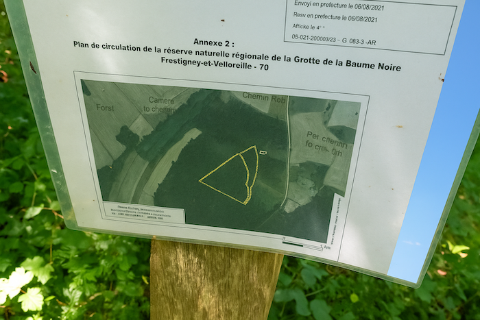
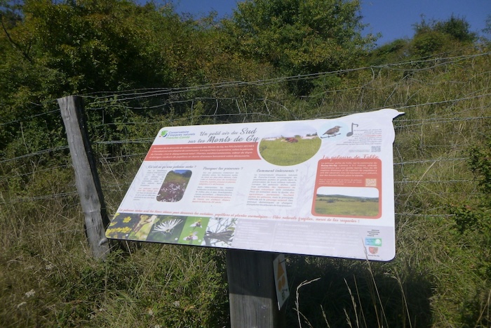
Farther on appears a fork, guarded by a sign worn by rain and years, half erased, which claims to show the area of the Baume Noire Cave. Similar maps are found at several points along the route. Yet the mystery remains complete, since no marked line actually leads there. The cave seems reserved for the initiated and for wild boar.
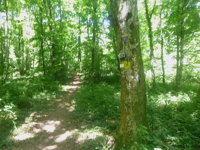
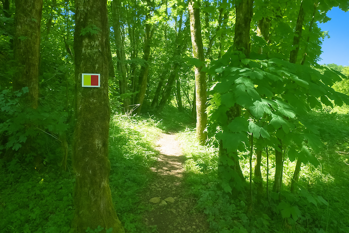
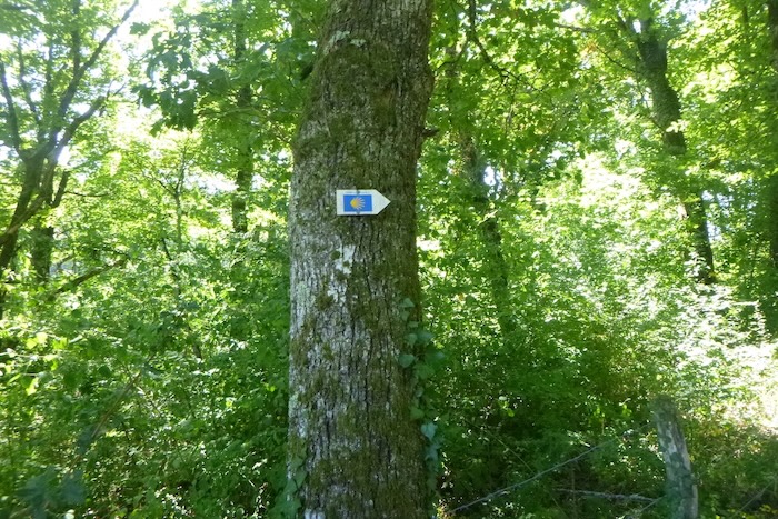
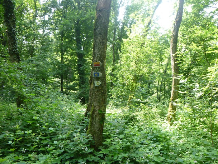
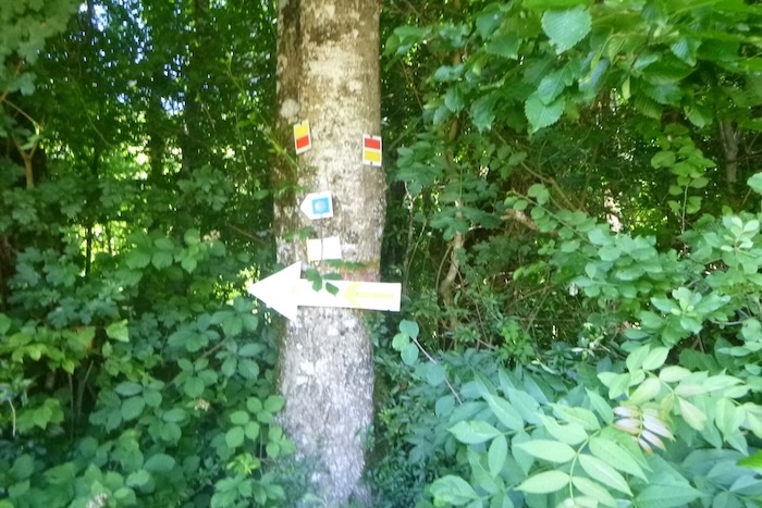
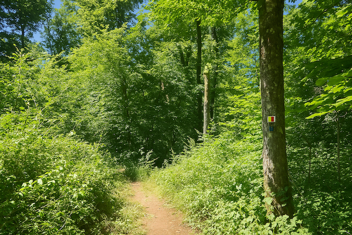
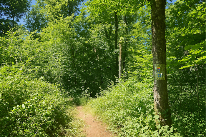
| You are in fact walking in the great Vermot-Wood, a private but welcoming forest, generous woodland that offers its cool shade beneath giant trees. Here the scallop shells and the yellow and red waymarks multiply on the trunks, for fear that you might lose yourself in this maze of trails. You even encounter a yellow circle, another sign of passage. This yellow and red marking indicates Short Hiking Routes, very different from the red and white marks of the long routes. No GR route crosses these wild and secret woods. |
 |
 |
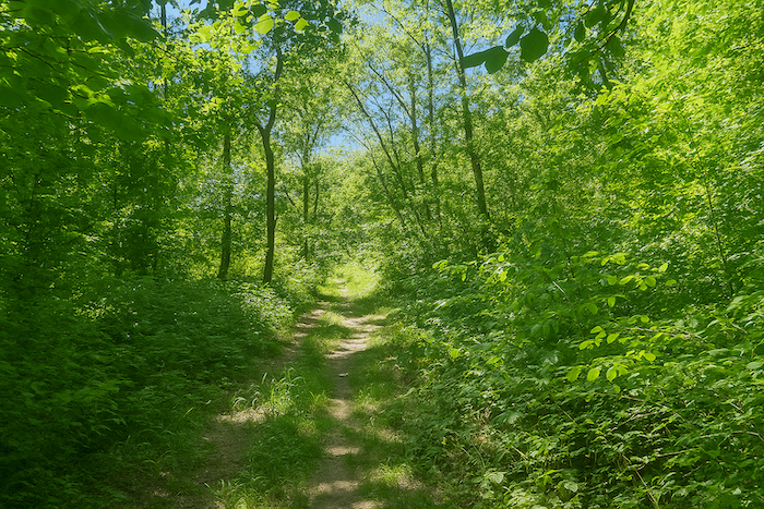
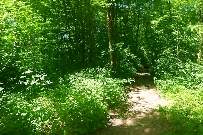
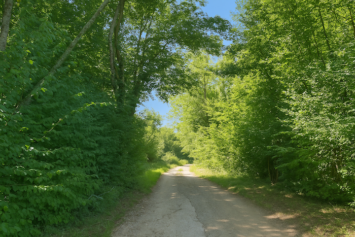
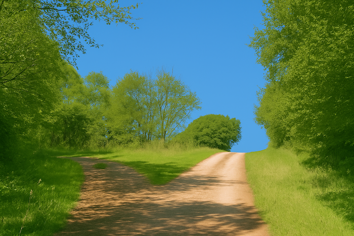
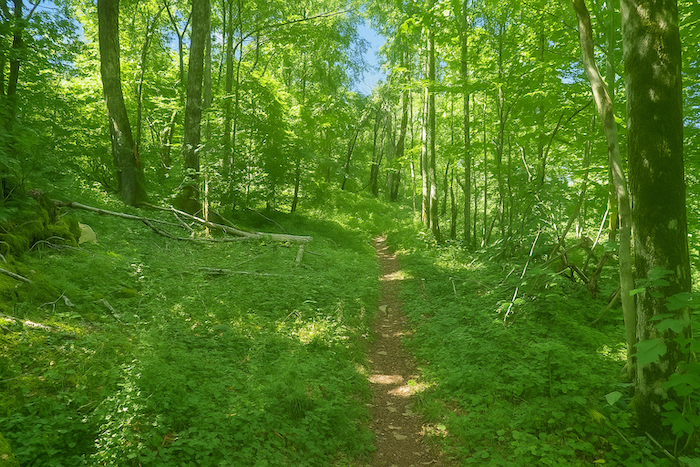
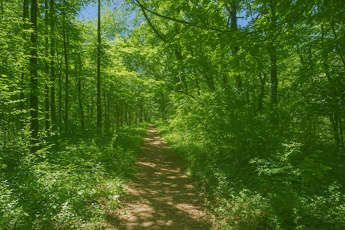
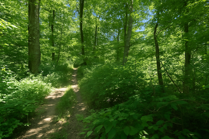
| Farther on, the narrow trail undulates more through this untouched nature, at times almost excessive, rising briefly on a steeper slope before finding its breath again. |
 |
 |
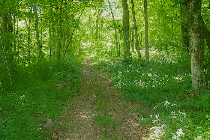
| Here the waymarking becomes omnipresent. One understands why, it would be so easy to get lost in these silent stands of timber. Some walkers will dream only of seeing the edge of the forest appear like a deliverance. There are almost six kilometers to walk through this forest that can be overwhelming when you are alone, before finding life again in Gracheux. |
 |
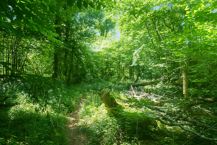 |
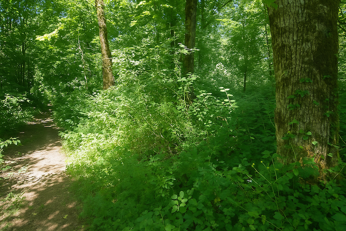
| Farther still, the trail narrows, winding gently through wild and slightly untidy nature, among mossy stumps and bushes that scratch your ankles. |
 |
 |
| The waymarking grows denser again, accompanying this path lost amid tall grasses and thickets. |
 |
 |
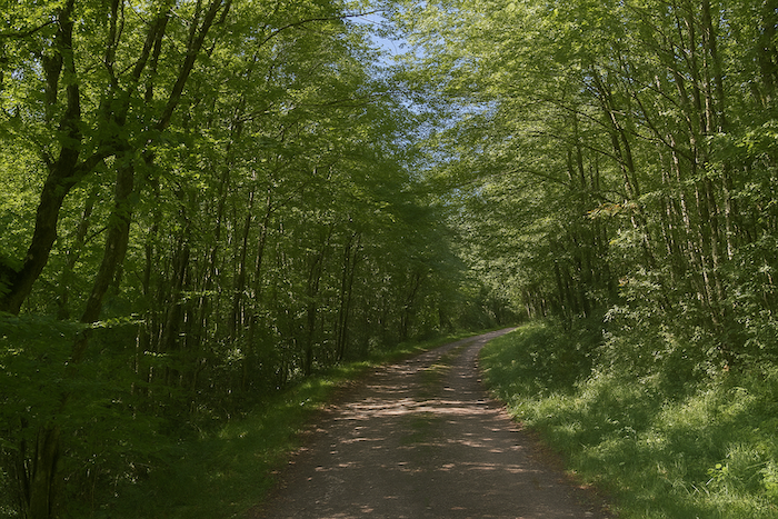
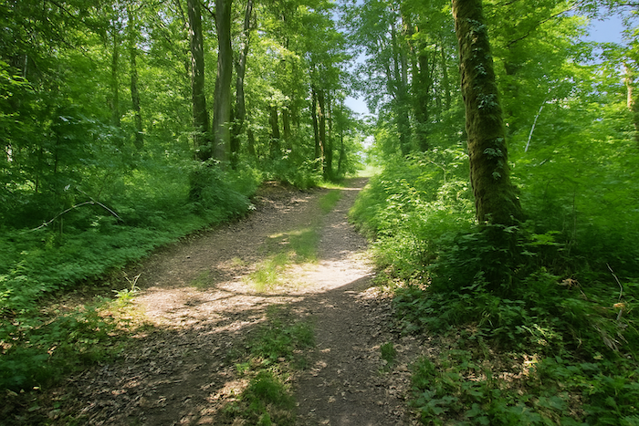
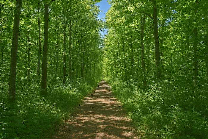
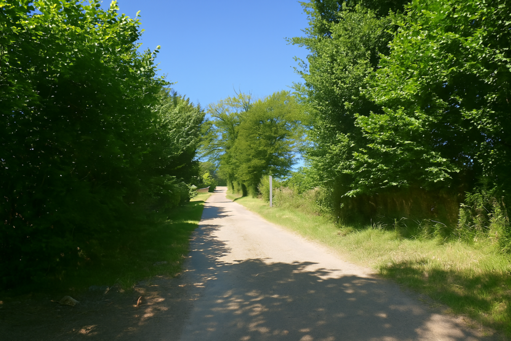
| Then shortly after, the trail suddenly widens. The large deciduous trees regain height and majesty on either side of the path. The tone changes, the trail becomes almost straight and runs flat for more than a kilometer in a splendid setting, peaceful and orderly like the avenue of an ancient seigneurial forest. |
 |
 |
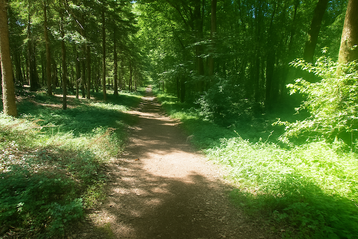
| Much farther on, the path allows itself a few fancies, slight curves and faint ripples of slope, as if it were playing with the relief, before recovering its long straight line. . |
 |
 |
Section 4: From one dale to the next
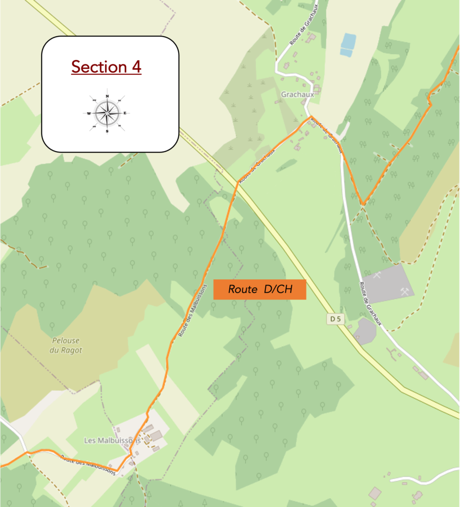
Overview of the route’s challenges: very hilly route.
| Then, gradually, the path begins its descent toward the plain, narrowing once more into a tighter trail, as if it wished to slip more discreetly between the trees. |
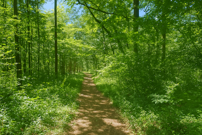 |
 |
| The slope then becomes steeper in the tightened wood, still as dense and mysterious, where every trunk seems to keep a secret. |
 |
 |
| A few more jolts along the wooded slopes, the trail leaping from one curve to the next, and sometimes, like a reassuring wink, a shell appears to show you the way… |
 |
 |
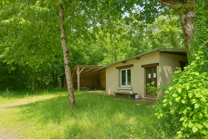
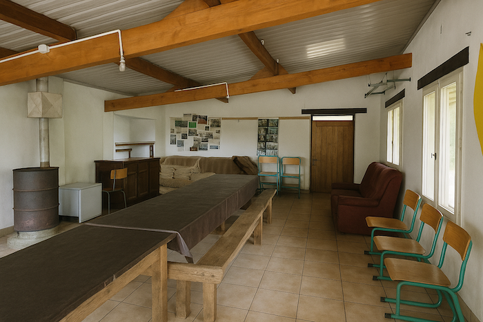
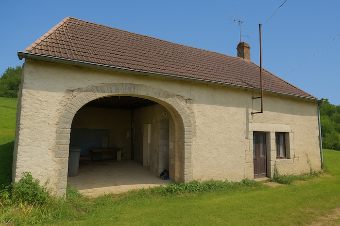
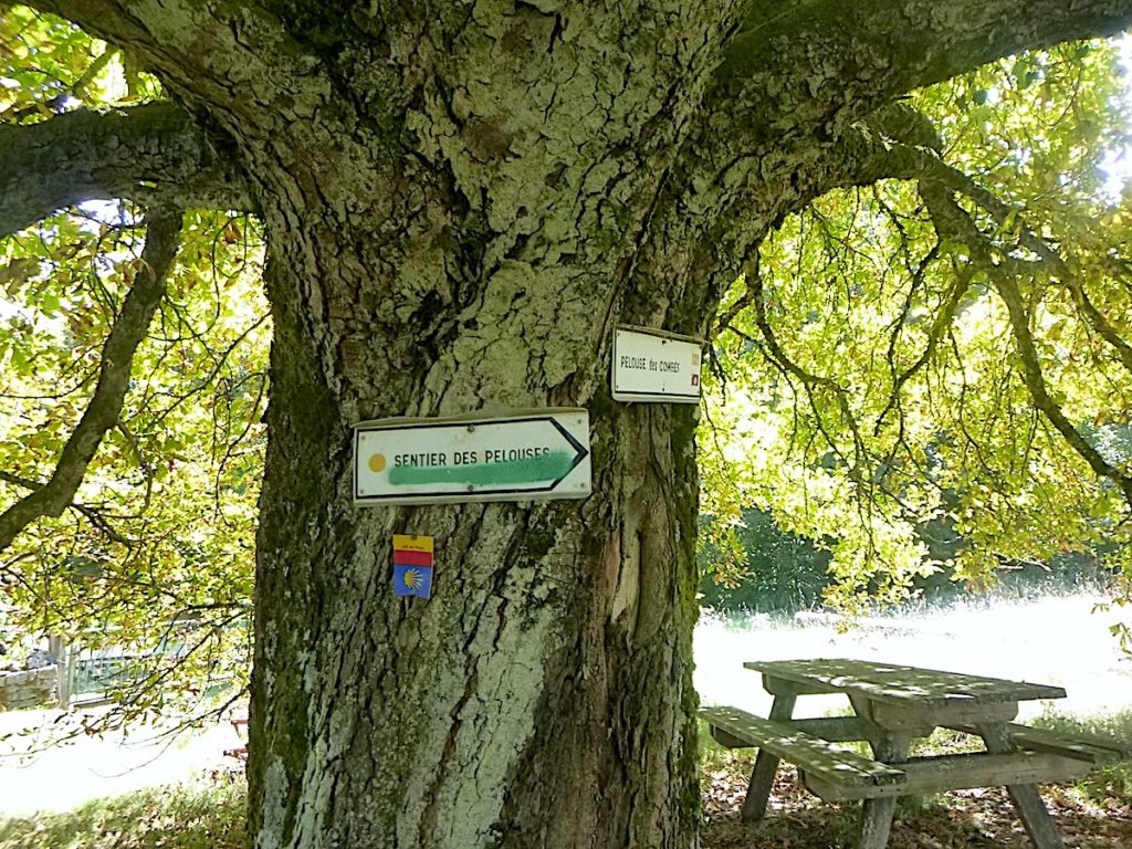
| The path eventually leaves the forest, passing in front of a rustic shelter and a picnic table offered to pilgrims. These modest refuges, barely equipped with a bench, sometimes serve as an improvised lodging for walkers with few resources, who find for a night a roof by chance and the murmur of the forest as a lullaby. |
 |
 |
| The path then joins the road at the entrance to Grachaux. |
 |
 |
| The road only brushes the village, perched a little higher up. It leads to a roundabout where there is even a bus stop, an almost noteworthy event in this French countryside. |
 |
 |
| The road then slopes down in a straight line as it leaves the village, for a few hundred meters more. |
 |
 |
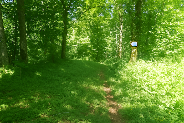
| It reaches the departmental road D5, which must be crossed. Ahead, a sign topped with a false shell, but indicating the right direction, points to the path straight ahead toward the hill closing the horizon on the other side of the dale. |
 |
 |
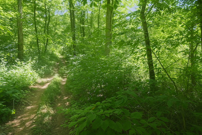
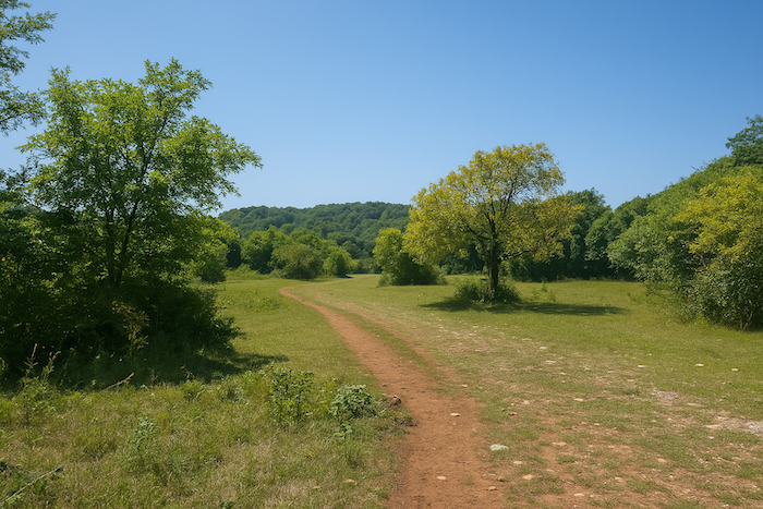
| This is the direction of Les Malbuissons. The path enters a short stretch of woodland, reaches bright meadows, then, almost reluctantly, leaves the light to return to the cool shade of the forest. |
 |
 |
| A new path opens then, wide and heavily stoned, climbing on a steady slope up the hill under the shelter of the foliage. |
 |
 |
| The same faithful species haunt the undergrowth, dense rows of hornbeams and beeches, majestic oaks, maples and ashes in abundance. Conifers, rare and almost exotic here, seem like lost travelers. |
 |
 |
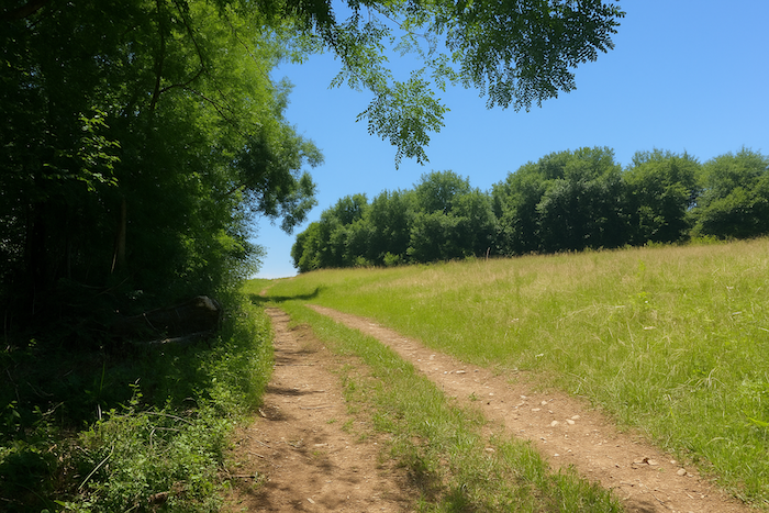
| Higher up, near the top of the hill where the slope becomes gentler, the path emerges onto silent clearings, among meadows that resemble dry lawns more than lush pastures. |
 |
 |
| A wide dirt road then stretches gently over the plateau, like a line set in the sky. |
 |
 |
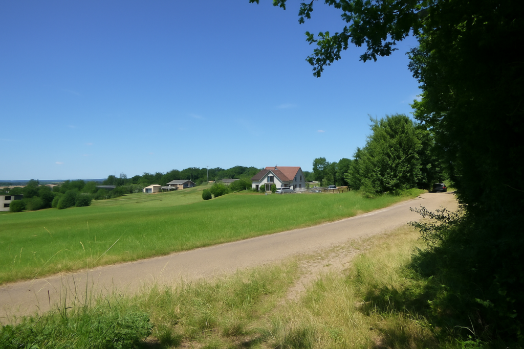
| The track soon leads to a large group of farms, announcing the entrance to Les Malbuissons. |
 |
 |
| The road then descends toward the hamlet, lost in the middle of nature, which it crosses almost in a single breath. It is not a large hamlet, but it has the discretion of places that reveal themselves only to attentive travelers. |
 |
 |
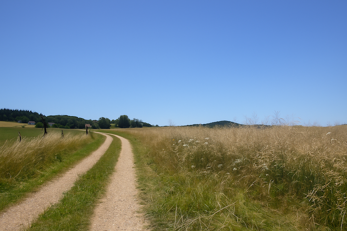
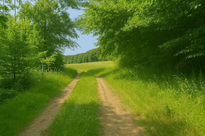
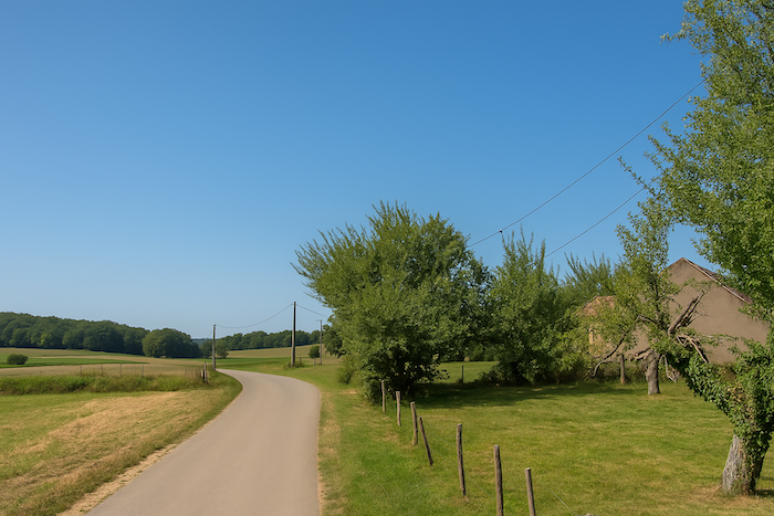
| The small road then winds through flat countryside, across a landscape of broad meadows cut by small groves scattered like islands. |
 |
 |
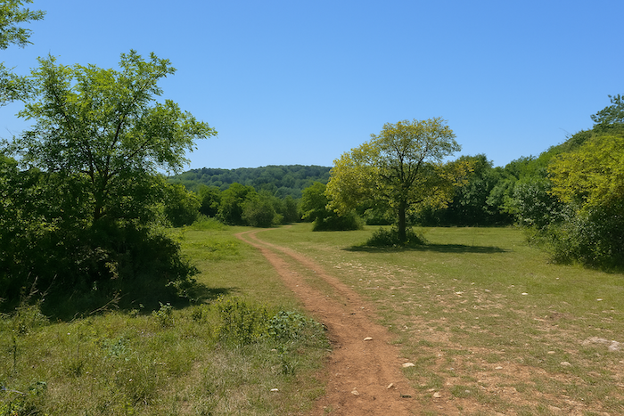
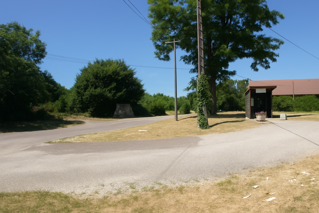
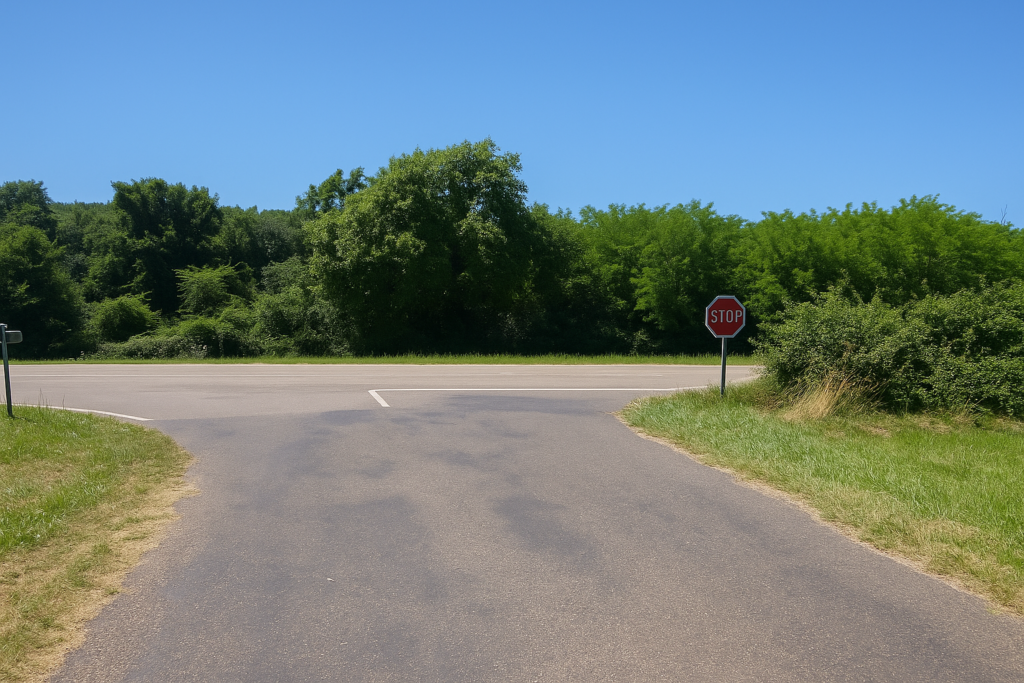
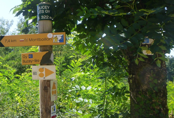
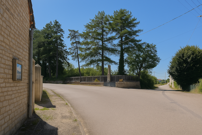
| It finally reaches a strategic crossroads in the heart of nature. Here, the scallop shell joins another great itinerary, the Via Francigena, which runs from England down to Rome. Nothing less. Two pilgrimages crossing, two lines of life greeting one another. |
 |
 |
Section 5: Across the dry grasslands
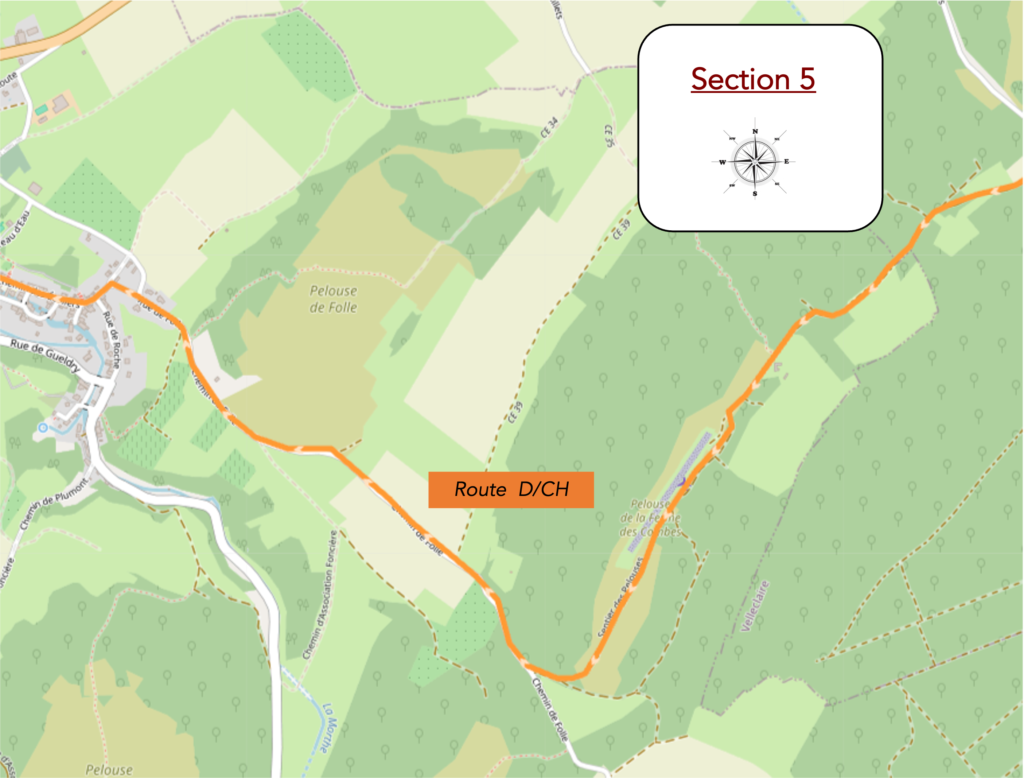
Overview of the route’s challenges: hilly route, but nothing too difficult, with a long descent.
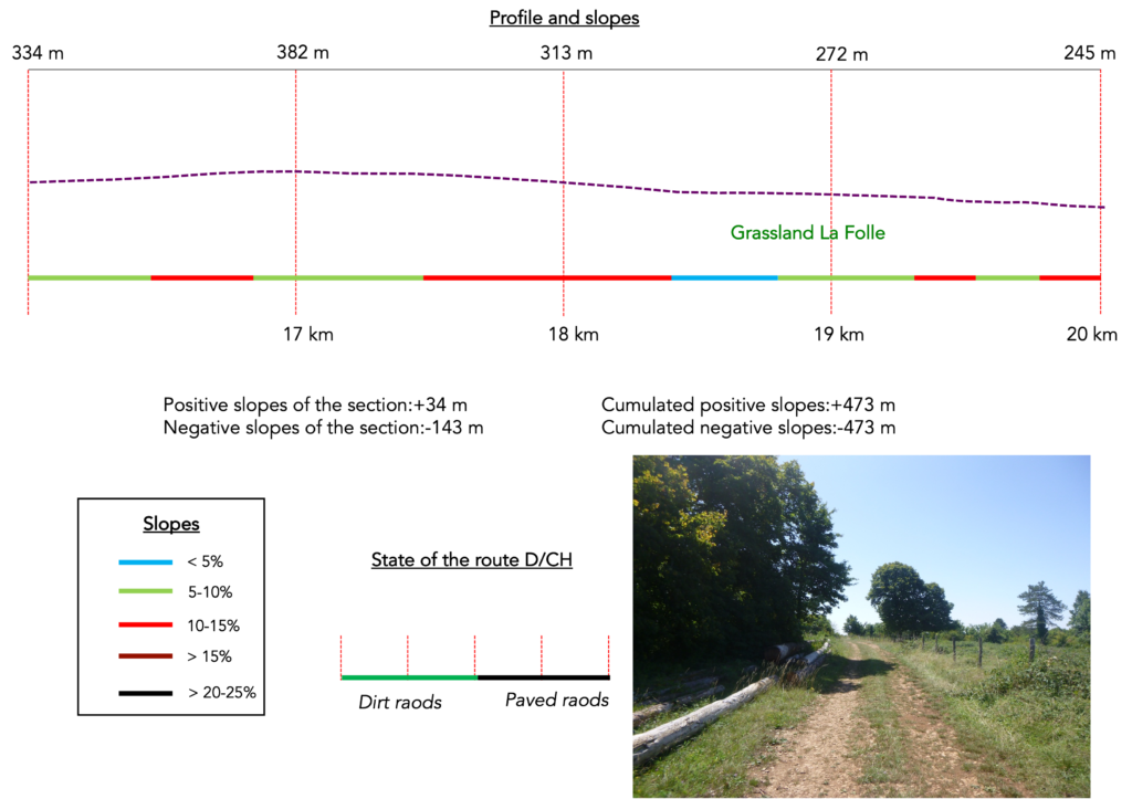
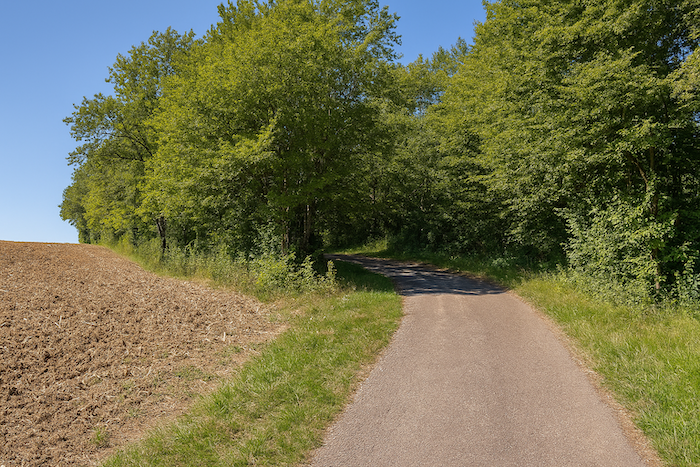
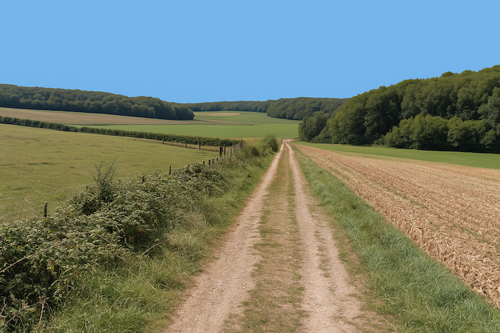
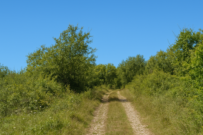
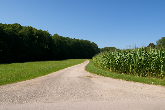
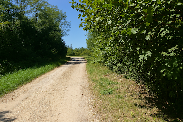
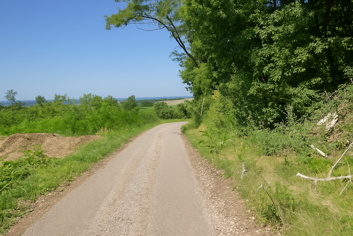
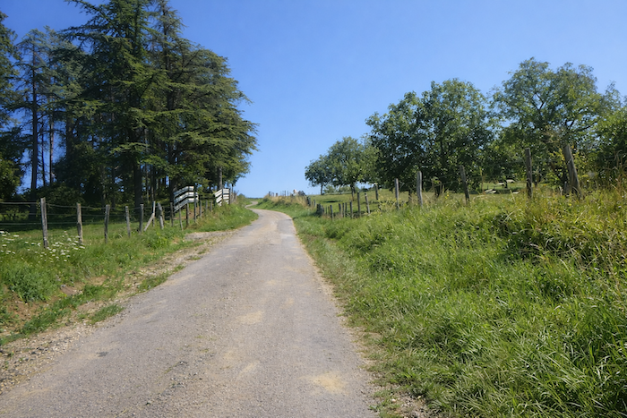
| A wide road, half dirt and half patched with worn asphalt, rises slowly along a strip of woodland with a mysterious air. It winds like an old ribbon marked by time, already drawing the traveler upward, in an ascent that seems to call both legs and spirit. |
 |
 |
| The slope becomes steadier as you enter deeper among the broad-leaved trees. There, tall oaks rise proudly and powerfully, lifting their ancient columns as if to hold up the sky. Beeches, ever-present and majestic, impose their shade and their silence. Maples, in lighter strokes, soften the scene, while stunted chestnut trees, bent witnesses of time passing, still cling to the hillside. |
 |
 |
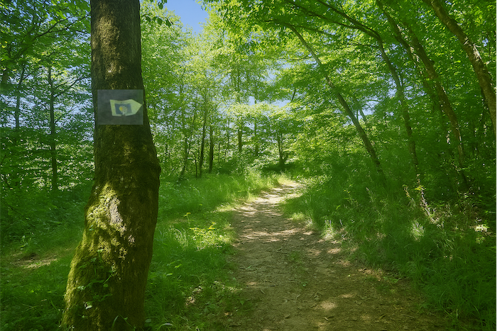
| The long and persistent climb continues between bright clearings and the cool shade of thickets. A pilgrim shell, set like a fragile sign, for once indicates the right direction. The arrow reassures the walker and its discreet gleam becomes a companion on the route, a guide amid doubts and possible forks. |
 |
 |
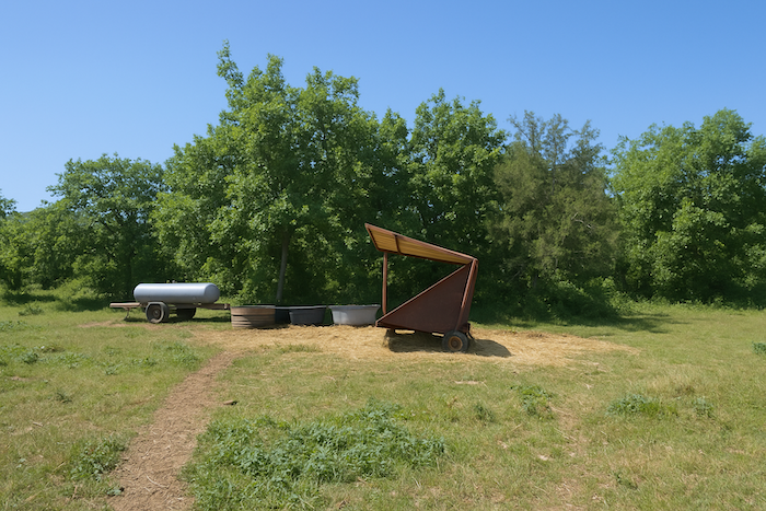
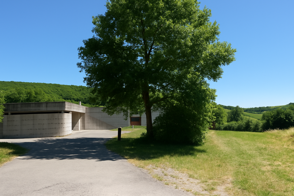
At the top of this stubborn climb, the path suddenly opens onto a farm nestled at the edge of the wood.
|
 |
 |
In the generous shade of a venerable chestnut tree, whose knotted branches stretch like the arms of an old patriarch, stands a picnic table. But here a shell, unfortunately turned the wrong way, directs the traveler toward a false direction. Sometimes chance is what saves you. The owner of the place, used to such mistakes, kindly indicates that the real path continues straight ahead on the Path of the Grasslands. He admits he often sees pilgrims wandering off because of this wrong marker, before realizing, among barbed wire and impenetrable thickets, that the way ends abruptly. This badly oriented shell once again illustrates the almost chronic difficulty of interpreting the signs of the routes in this region.
| From the picnic area, the path slopes up again, gentle and calm, to the top of the hill, as if to offer the pilgrim the reward of height and view after the effort. |
 |
 |
| At the top of the hill, the path suddenly tilts, bends and gently plunges into the woodland. |
 |
 |
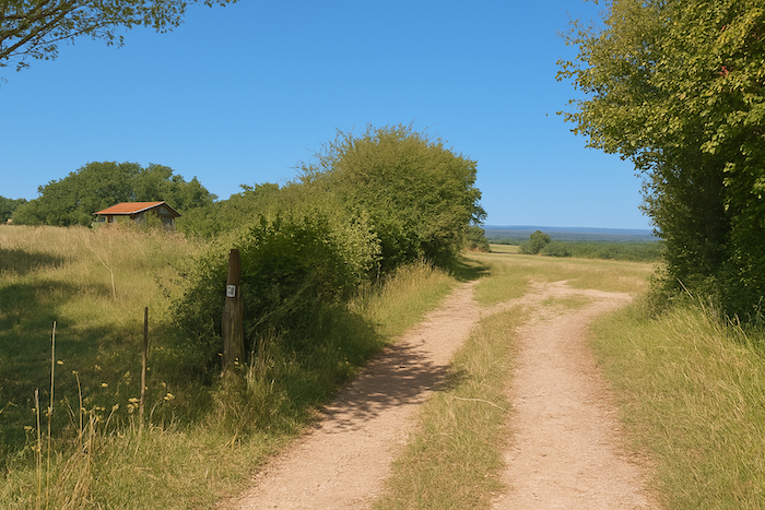
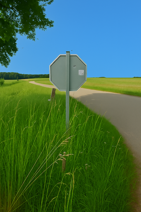
| Then, like a revelation after the forest cover, the path opens onto dry grasslands, bright and wide, bathed in air and silence. For once, and it is almost worth underlining as the event is rare, a shell stands correctly oriented, like a faithful beacon among so many misleading signs. At last, the pilgrim can walk with a confident step, supported by this discreet confirmation of the path. |
 |
 |
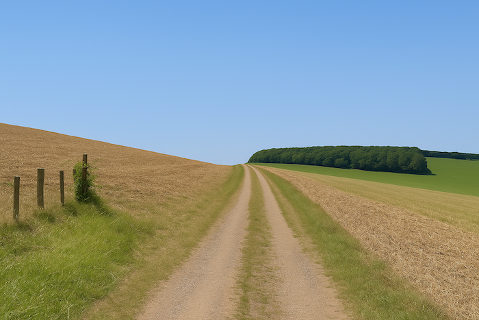
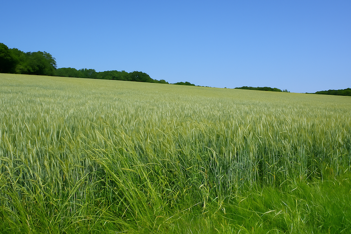
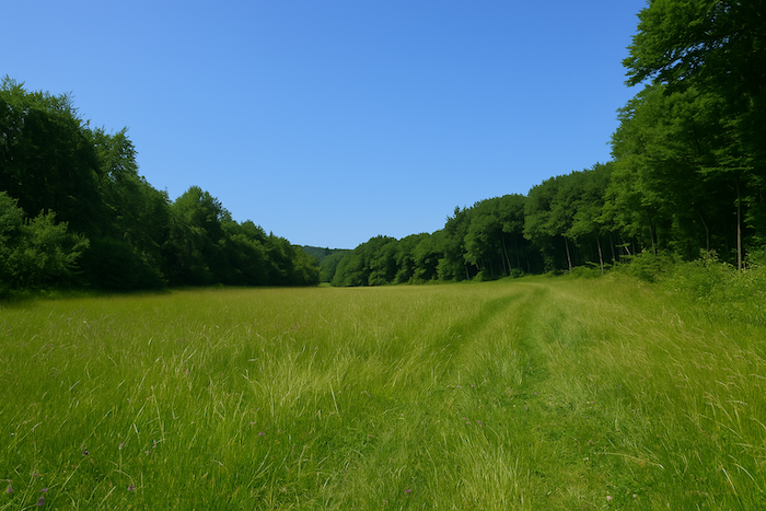
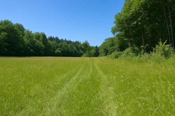
| The dry grassland is not simply an expanse of grasses. It is a discreet world, almost secret, a fragile ecosystem clinging to arid soils burned by the sun. It flourishes on limestone or sandy slopes, where water is scarce and heat gathers like in an invisible furnace. The soil, stony, thin, poor in humus, prevents large trees from imposing their rule. Only a few stunted oaks persist, miniature sentinels with knotted trunks that still defy aridity. The rest is only low vegetation, fine and close to the ground, a carpet of golden grasses bending in the wind. Yet beneath this apparent austerity hides a dense and ingenious life. Each plant, each insect, each flower seems to have invented a thousand strategies to make the most of very little and turn scarcity into abundance. |
 |
 |
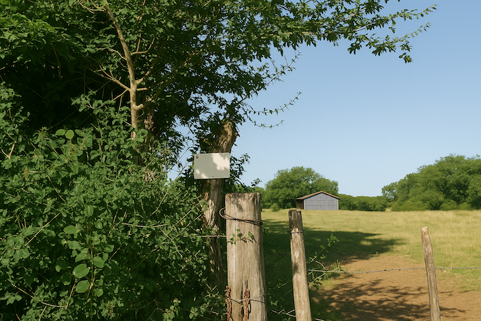
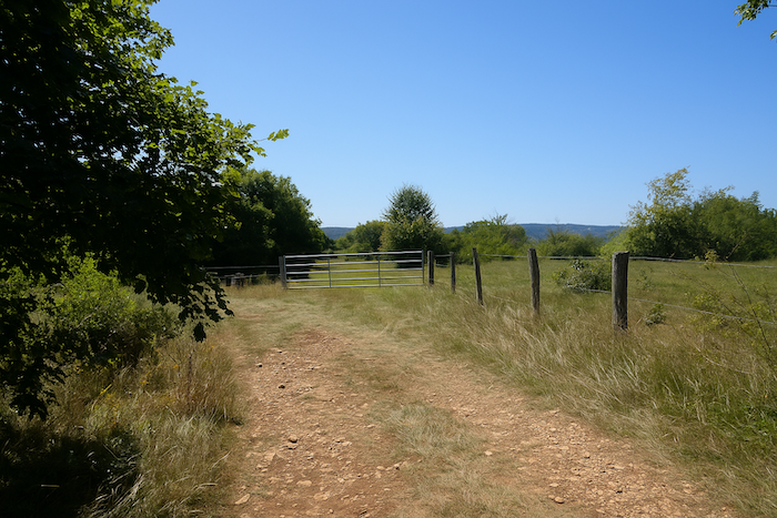
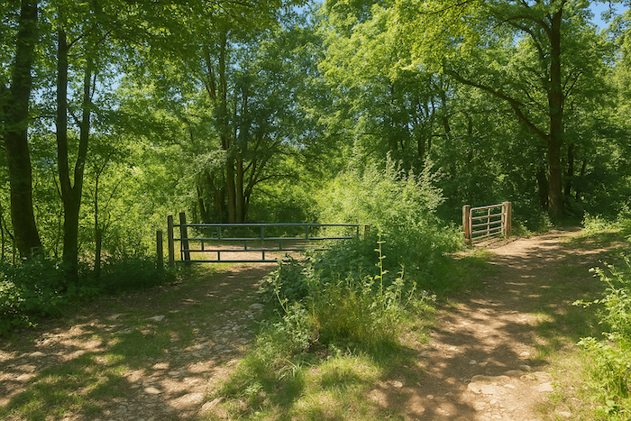
| Then the path leaves the dry grasslands and crosses a barrier. |
 |
 |
| The descent soon resumes, abrupt now, the slope becoming hard and sustained, forcing the walker to slow the pace. Lower down, the shade returns, the path reenters the woodland and the air grows cooler. The small guide of the Friends of Compostela mentions, at this turn, the presence of a rural airfield. But you may scan the horizon, widen your eyes or strain your ears. Nothing, not the slightest sign, confirms the existence of this improbable runway lost in nature. No distant roar, no shimmer of metal, nothing but deep silence. The only airfield here belongs to birds and butterflies. |
 |
 |
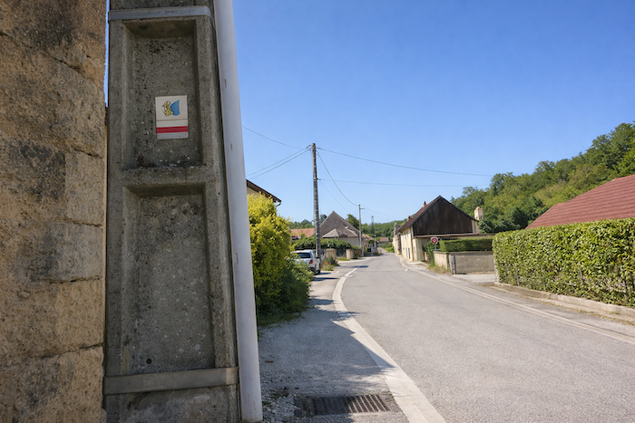
The path finally completes its descent and arrives on a small country road. A sign points to Bucey-lès-Gy, although the village is still far away, hidden in the landscape. Here two famous routes cross paths before going their separate ways again. The Via Francigena and the Way of Compostela take opposite directions, like two brothers greeting one another before each follows his own destiny,
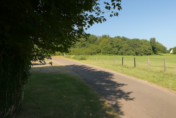
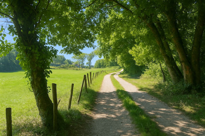
| It is then a small road that advances lazily along the edge of the wood. It seems to wander on its own, without constraint, as if the route itself suddenly wished to conserve its strength after the steep slopes. |
 |
 |
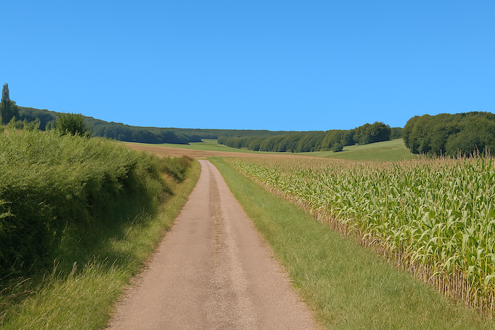
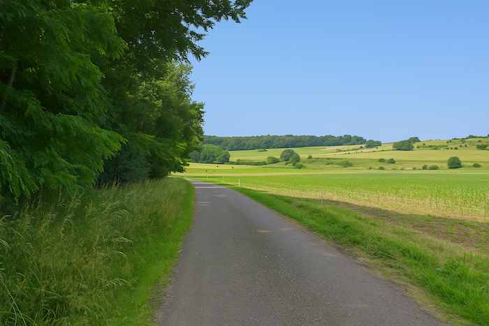
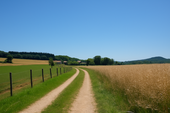
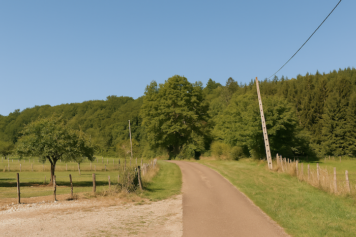
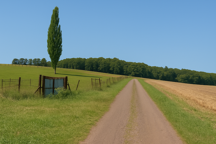
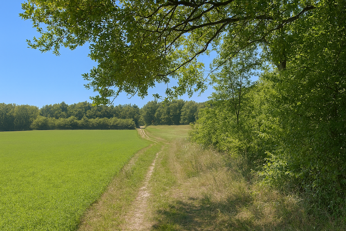
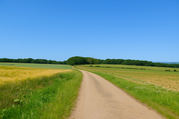
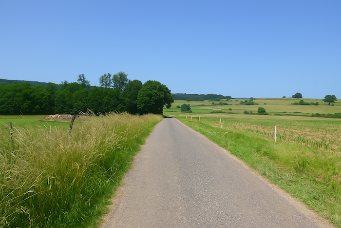
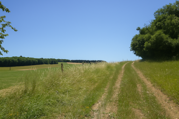
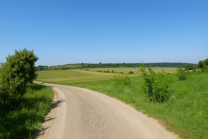
| Farther on, the road gathers itself again and rises with a gentle slope, winding through the countryside. Fields stretch on both sides, open like immense pages where the hands of farmers have traced their furrows. |
 |
 |
| You then cross the region of the Pelouse de Folle, that uncertain land where nature hesitates between the dry, stony grasslands and the cultivated lands, generous but domesticated. It is a frontier landscape where wildness and order, spontaneity and the hand of humankind intertwine. |
 |
 |
Section 6: Return to civilization
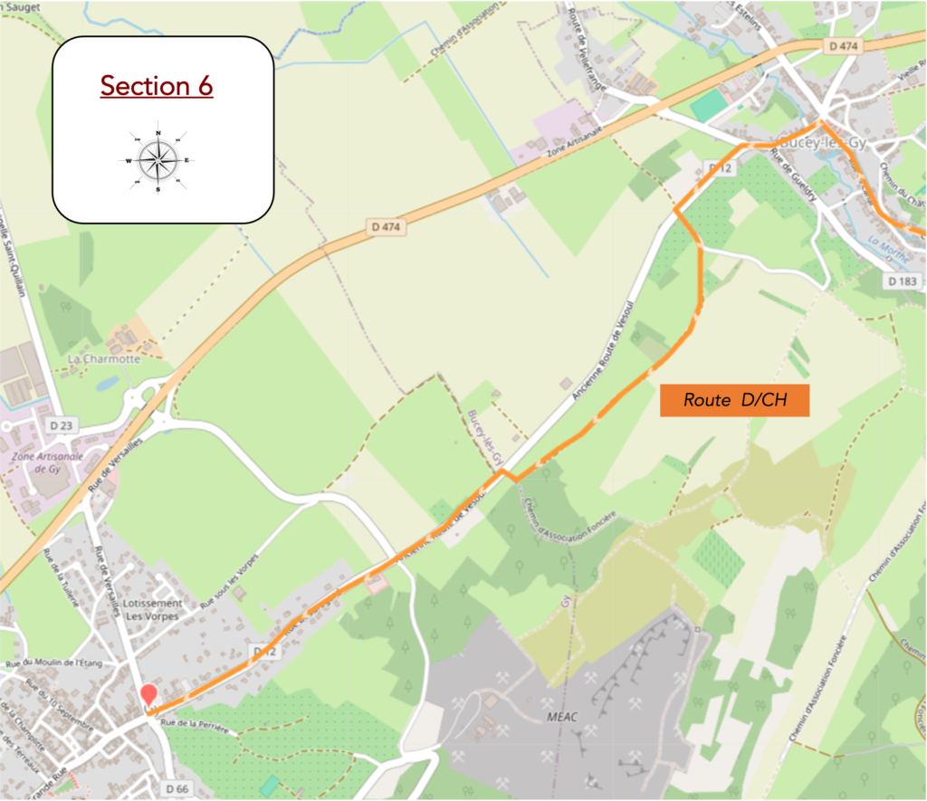
Overview of the route’s challenges: route without difficulty.
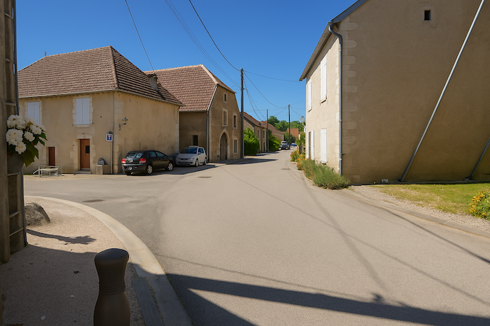
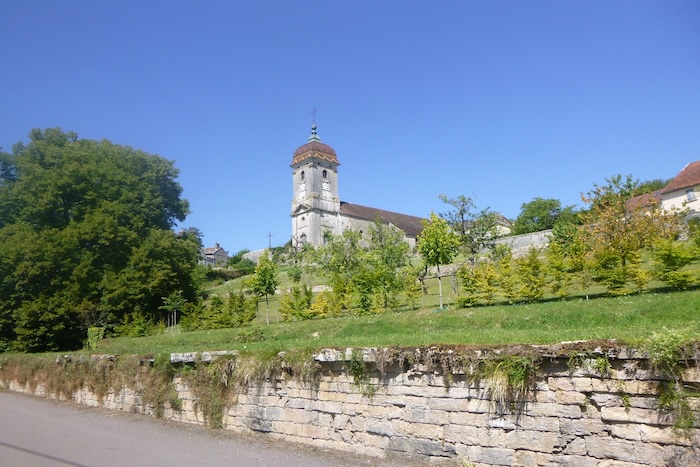
| Farther on, the village of Bucey-lès-Gy finally takes shape on the horizon, dominated by the outline of its church rising like a stone beacon above the roofs. |
 |
 |
| The road, faithful companion, then inclines into a steeper slope and glides toward the heart of the village. It rests peacefully in a small plain, tucked between the hills, protected by the softness of the landscape. |
 |
 |
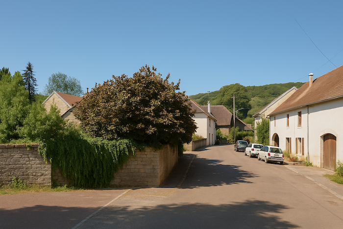
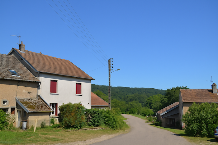
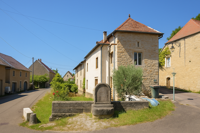
| At the entrance to the village, the eye lingers on the farmhouses, their walls lime-washed in ochre or grey tones. They express a robust simplicity, born from ancestral know-how and a way of life focused on what is essential. |
 |
 |
It seems that here the Via Francigena has allowed itself a detour, maybe broad, maybe capricious, before finally joining the Way of Compostela. Like two companion routes which, after long ignoring one another, at last decide to meet.
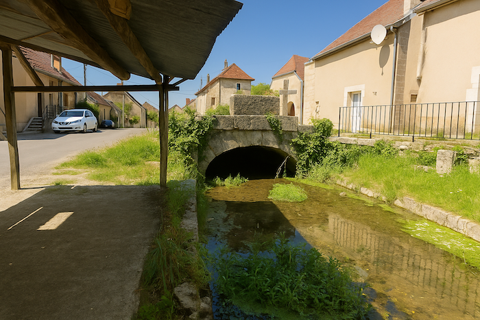
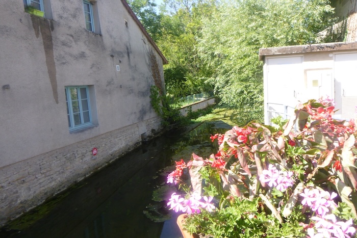
| In the heart of the village, the road follows the rhythm of a small stream called the Morte. Despite its name that seems to promise silence and immobility, it trickles gently, a thin thread of clear water that accompanies the traveler’s steps. |
 |
 |
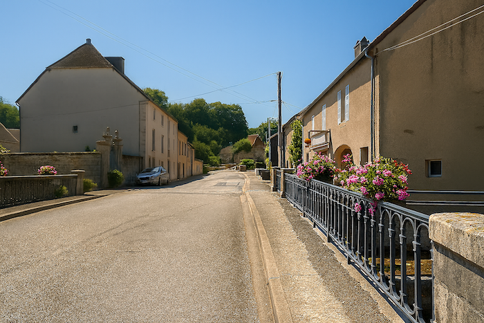
| The road continues on, running alongside the old façades of the village. Above them rises the impressive silhouette of the church, like a master watching over the faithful. Its stones, worn by the centuries, dominate the roofs with quiet majesty. |
 |
 |
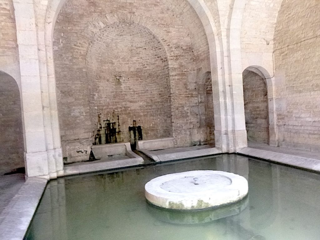
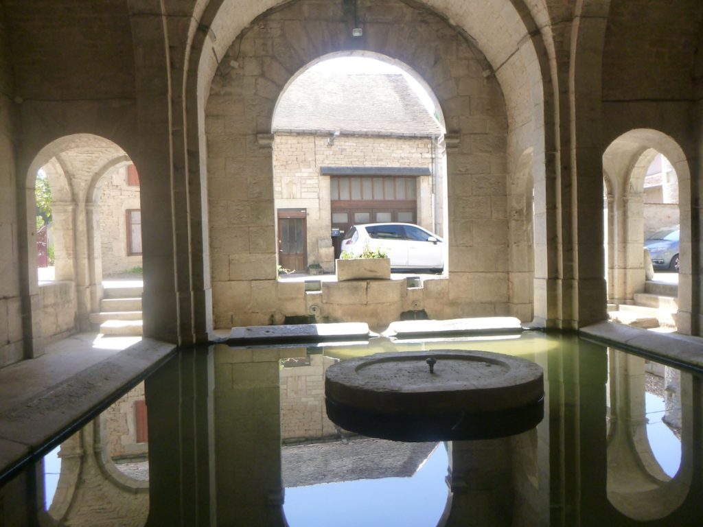
| Soon the walker reaches the communal washhouse, a true jewel of local heritage. Inspired by the plan of a Greek cross, the building asserts itself with discreet elegance. Finely molded limestone draws its pure lines. Located on the ground floor beneath the town hall, the washhouse surprises by its church-like central plan, where the spring basin symbolically occupies the place of the apse. Built in 1827 and now listed as a historic monument, it unites memory and usefulness. Even today, it keeps a nearly sacred function. The water flowing there maintains a soft, benevolent temperature, offering refuge during crushing summer heats. Here stone and water converse in a harmony that crosses time. |
 |
 |
| The road soon leaves the village, crossing the little stream like a final whispered farewell to the walker moving away. This crossing marks a gentle boundary. Behind lies the shelter of houses. Ahead lies the call of the road still stretching forward. |
 |
 |
| It passes the last homes, watched over by the war memorial. In its silent presence there is both the pain of the past and the fidelity of a memory that time cannot erase. |
 |
 |
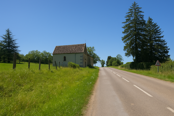
| The road lifts again in a slight incline, guiding the steps toward a small chapel at the outskirts of the village. It stands there, humble and welcoming, like a spiritual sentinel accompanying the pilgrim at the threshold of the countryside. |
 |
 |
| Shortly beyond the chapel, the route leaves the departmental road and strikes into the countryside in a steeper ascent. But nothing obliges one to take it. The weary pilgrim may choose to remain on the road, for the day has already been demanding. This detour leads up to the ridge. From there the view opens wide before descending again to rejoin the main road a bit farther on. Thus, the extra effort becomes a promise of horizon, but each person is free to decide if the legs can still accept the challenge. |
 |
 |
| If you choose not to take the ridge detour, the road continues its steady rise, in a gentle gradient, through generous countryside. The fields open like a broad fan, dotted with hedges, isolated farms and small groves. It is a peaceful progression that eventually meets again the path descending from the height, like two streams that rejoin after parting. |
 |
 |
| From this junction the entrance to Gy is no longer far. |
 |
 |
| The road stretches then through the outskirts of the small town, a succession of modest houses and gardens. |
 |
 |
|
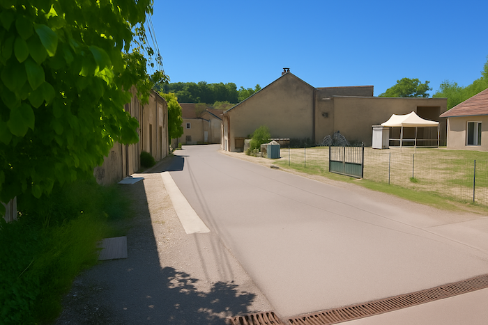
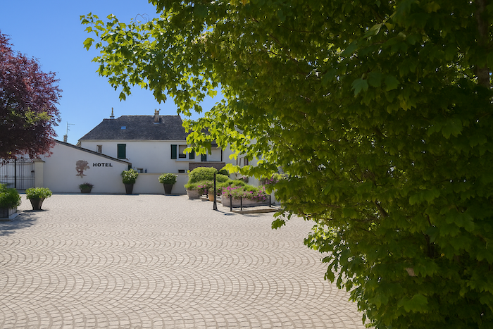
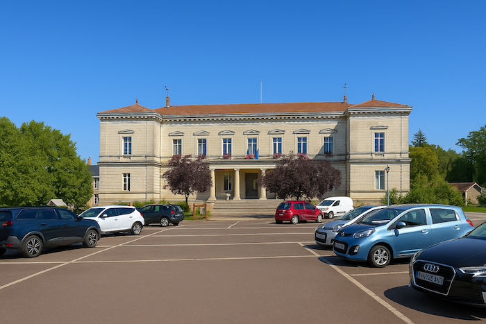
The lower part of the town does not hold attention long, except for the presence of a charming hotel and for the town hall built at the end of the nineteenth century. Its imposing façade recalls the ambition of an era when people wished to inscribe modernity in stone.
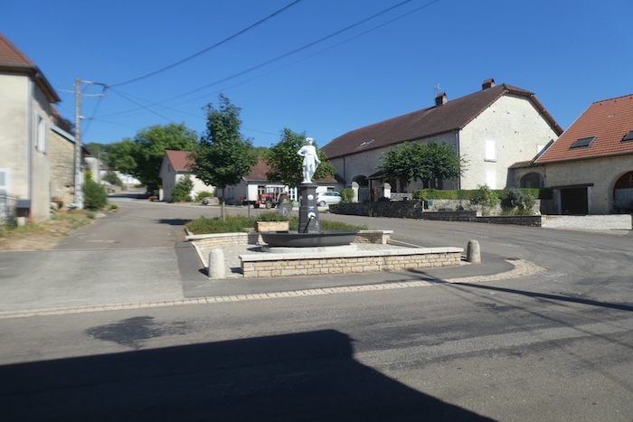
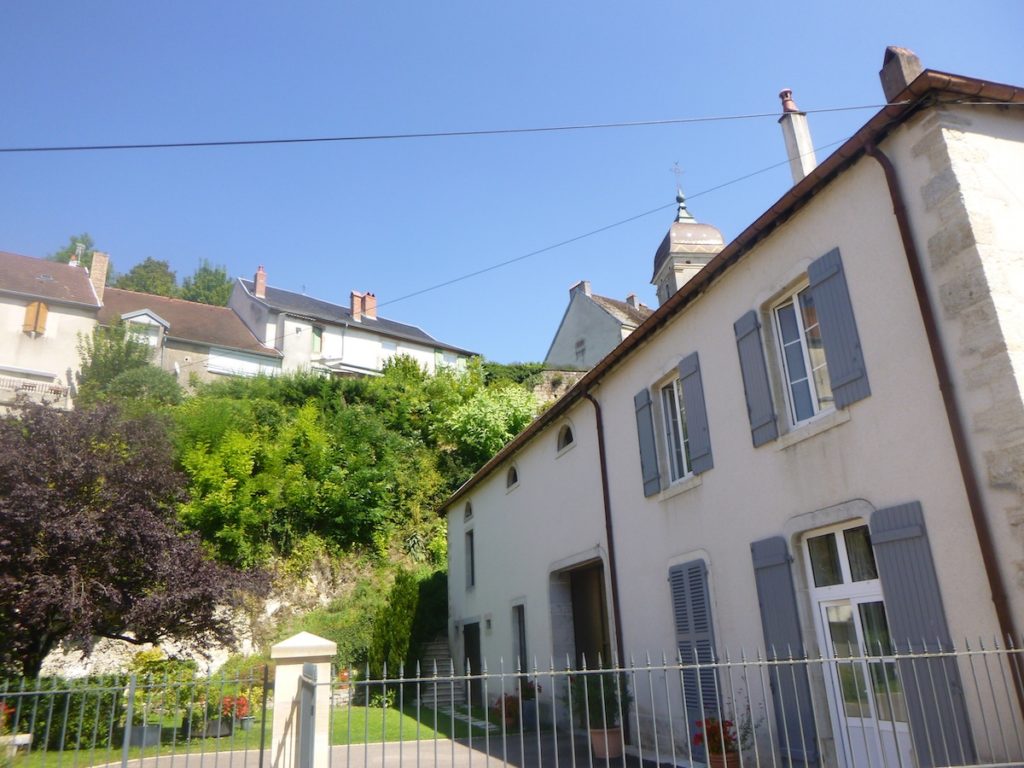
To discover the true character of Gy, one must climb the hill and enter the old village. There another image of the town appears, with old houses of the seventeenth and eighteenth centuries, their façades mellowed by time. It is through this passage that the route escapes toward Le Puy-en-Velay, while the other way, that of Vézelay, simply passes through the town without lingering.
|
 |
 |
Official accommodations in Burgundy/Franche-Comté
- Gîte des Monts de Gy, Bucey-lès-Gy ; 03 84 32 81 42/ 03 84 32 88 34; Gîte
- Hôtel Le Pinocchio, Grand Rue, Gy; 03 84 32 95 95 ; Hotel
Jacquaire accommodations (see introduction)
Airbnb
- Recologne (1)
- Bucey-lès-Gy (2)
- Gy (7)
Each year, the route changes. Some accommodations disappear; others appear. It is therefore impossible to create a definitive list. This list includes only lodgings located on the route itself or within one kilometer of it. For more detailed information, the guide Chemins de Compostelle en Rhône-Alpes, published by the Association of the Friends of Compostela, remains the reference. It also contains useful addresses for bars, restaurants, and bakeries along the way. On this stage, there should not be major difficulties finding a place to stay. It must be said: the region is not touristy. It offers other kinds of richness, but not abundant infrastructure. Today, Airbnb has become a new tourism reference that we cannot ignore. It has become the most important source of accommodations in all regions, even in those with limited tourist infrastructure. As you know, the addresses are not directly available. It is always strongly recommended to book in advance. Finding a bed at the last minute is sometimes a stroke of luck; better not rely on that every day. When making reservations, ask about available meals or breakfast options..
Feel free to leave comments. That is often how one climbs the Google rankings, and how more pilgrims will gain access to the site.
|
 |
Next stage : Stage 9: From Gy to Marnay |
|
 |
Back to menu |