On the pebbles and “feytas” of Bièvre-Valloire
DIDIER HEUMANN, ANDREAS PAPASAVVAS
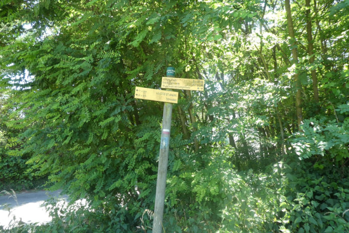
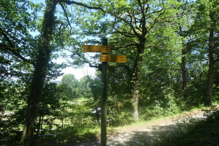
We divided the course into several sections to make it easier to see. For each section, the maps show the course, the slopes found on the course, and the state of the roads. The courses were drawn on the “Wikilocs” platform. Today, it is no longer necessary to walk around with detailed maps in your pocket or bag. If you have a mobile phone or tablet, you can easily follow routes live.
For this stage, here is the link:
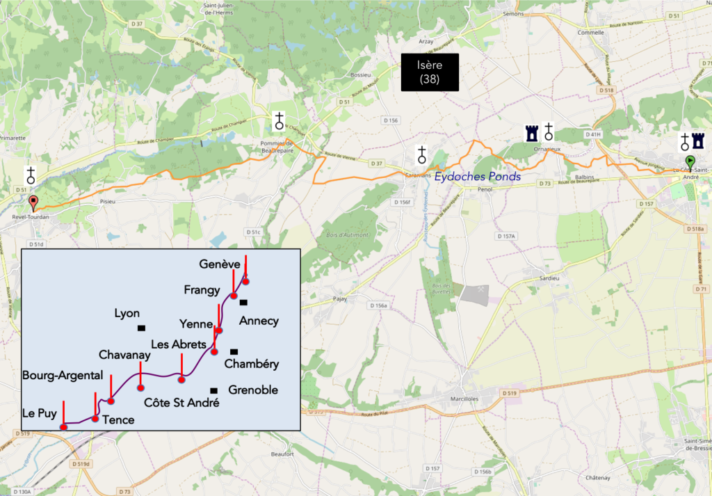
https://fr.wikiloc.com/itineraires-randonnee/de-la-cote-st-andre-a-revel-tourdan-par-la-via-gebennensis-34274954
It is obviously not the case for all pilgrims to be comfortable with reading GPS and routes on a laptop, and there are still many places in France without an Internet connection. Therefore, you’ll find soon a book on Amazon that deals with this course.
If you only want to consult lodging of the stage, go directly to the bottom of the page.
| The Bièvre-Valloire is a very wide-open valley, adjoining the Isère valley until it joins the Rhône River. In La- Côte St André, you are about halfway through this valley which goes from Grenoble to Vienne, on the banks of the Rhône River. Roughly speaking, to the east is the Bièvre, to the west the Valloire. This large flat-bottomed valley speaks for a glacial origin, which is corroborated by the numerous morainic deposits.
It is beyond the scope to give a detailed idea of the geology of this region and of the conditions that have shaped its current representation. Presumably, everything here dates back to the last ice ages. Periods of glaciation and thaw have occurred throughout the history of the earth. The best known are the last ones, which took place in the so-called quaternary period. It was then that Neanderthal man lived, who appeared 430,000 years before us and disappeared around 35,000 years before our era.
Here, during these periods, the Rhône glaciers and the Isère glacier probably converged (http://www.geoglaciaire.net). |
 |
 |
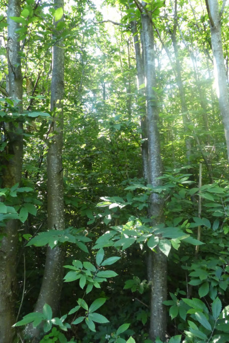
We have already known this decor the day before since the track passed through Le Grand Lemps. The day’s stage takes place just above the great trough of the Bièvre, more than 6 kilometers wide, on the lateral morainic hills formed by the glaciers which have gradually eroded the plain of the Bièvre. The plain is thus bounded by two lines of relatively symmetrical hills, formed by moraines of fluvio-glacial origin. Bièvre comes from the word “castor, bever in English“. Did the beavers swarm here, after the melting of the glaciers, in the piles of small streams, rivers and pebbles previously carried by the glaciers? The plain and the hills are therefore the fruit of the work of this bulldozer, of this veritable steamroller that we call glaciation and thawing, which rolled, sanded these billions of pebbles and pebbles which pepper the ground. A moraine forms on the surface, sides and front of a glacier. It is made of a variety of blocks of rock of different sizes that come from the slopes and the bottom of the glacial valley. The glaciers have mainly carried limestone and sandstone. When the ice melted, the pebbles remained. You realized this the previous step, and here it will not go down.
The soil of the region often evokes the spectacle of a large necropolis of rolled pebbles. Often also, the alluvium is covered with a rather silty, tawny and reddish gangue. Anyway, the floors are made of a great mix of materials of alpine origin. The terraces are the cemeteries of foreign rocks carried by the glaciers. They shelter the whole panoply of gneisses, schists, sandstones, and of course all the limestones. So, nature transforms all this material, giving layers of gravel, but also sandy beaches and a lot of clay, which has been used for centuries to make the adobe of the houses of Dauphiné. Obviously, if topsoil covers these structures, the soil is good for the crop. Otherwise, it is absolute poverty. When moraines dominate, the soil is above all sticky, greasy, clayey and deep, often impermeable in nature. Today, the stage is short, and heads due west.
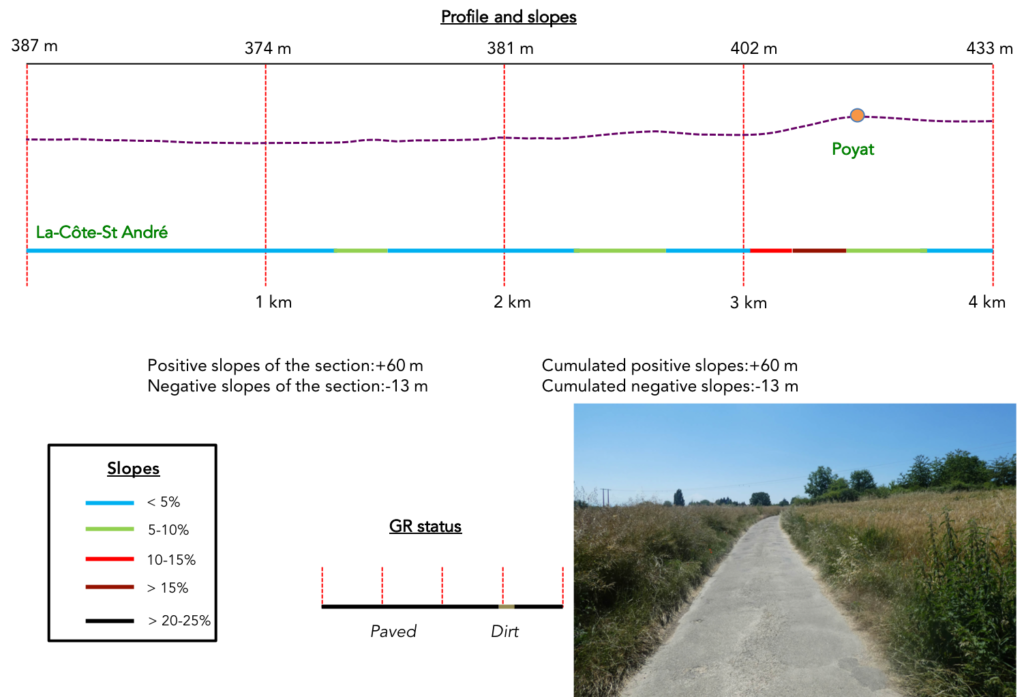
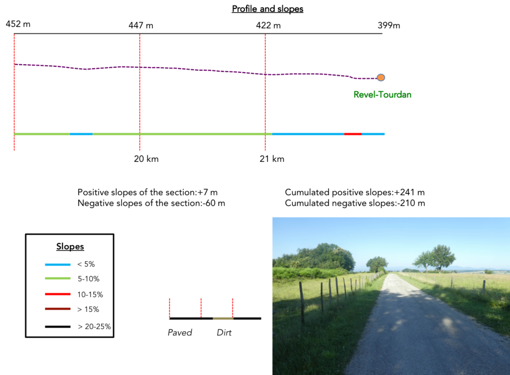
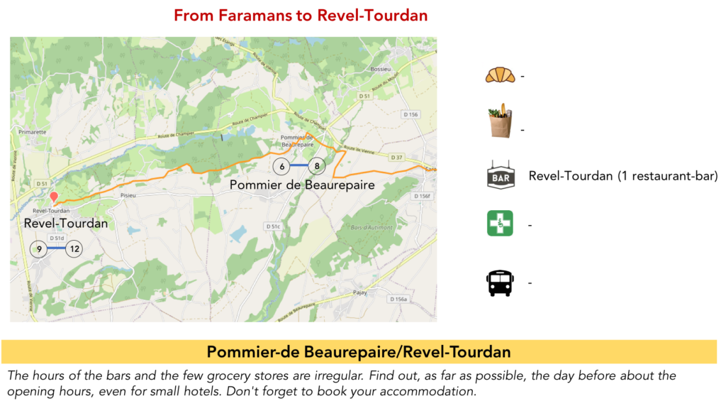
Difficulty of the course: Slope variations (+241 meters/-210 meters) are insignificant. In fact, only the climb to Pommier-de-Beaurepaire will cost you a little energy.

Today, you will walk on the tarmac or on the pathways, in equal measure:
- Paved roads: 10.9 km
- Dirt roads: 11.0 km
Sometimes, for reasons of logistics or housing possibilities, these stages mix routes operated on different days, having passed several times on Via Podiensis. From then on, the skies, the rain, or the seasons can vary. But, generally this is not the case, and in fact this does not change the description of the course.
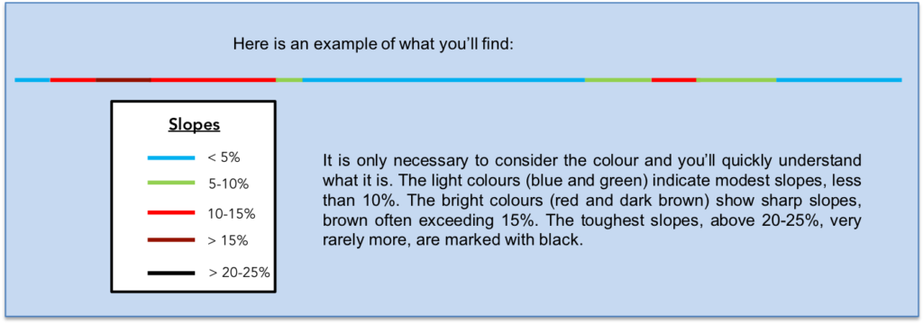
It is very difficult to specify with certainty the incline of the slopes, whatever the system you use.
For “real slopes”, reread the mileage manual on the home page.
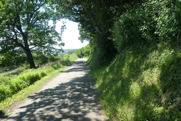
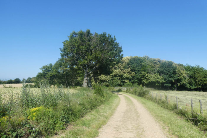
Section 1: Light ups and downs on the hills.
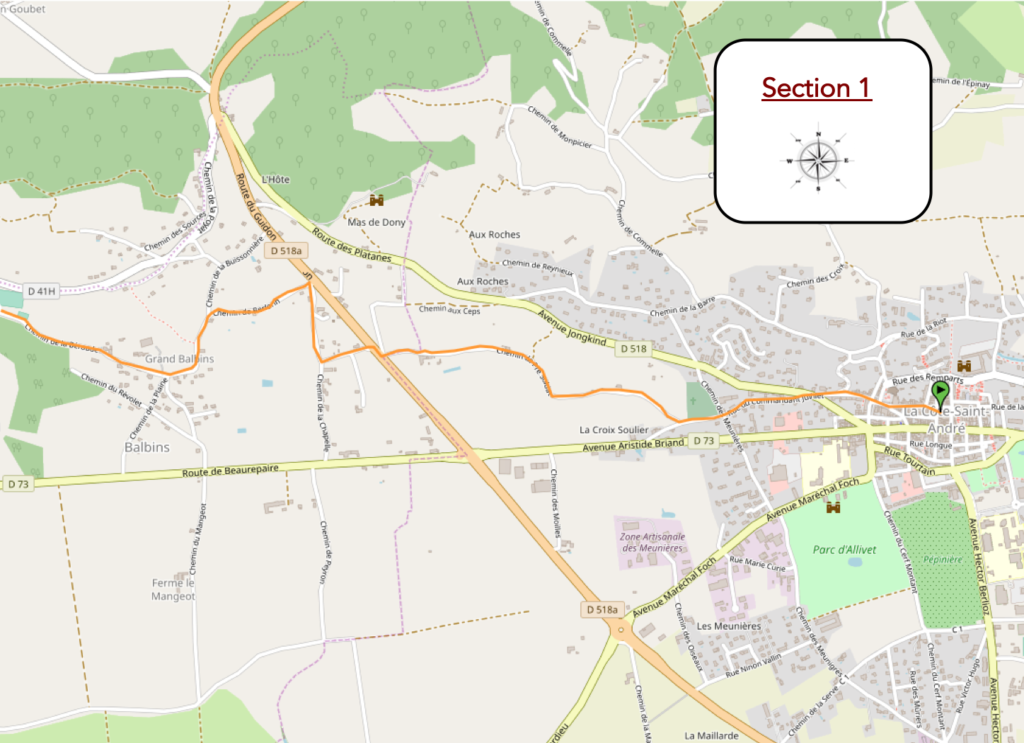
General overview of the difficulties of the route: course without any problem.
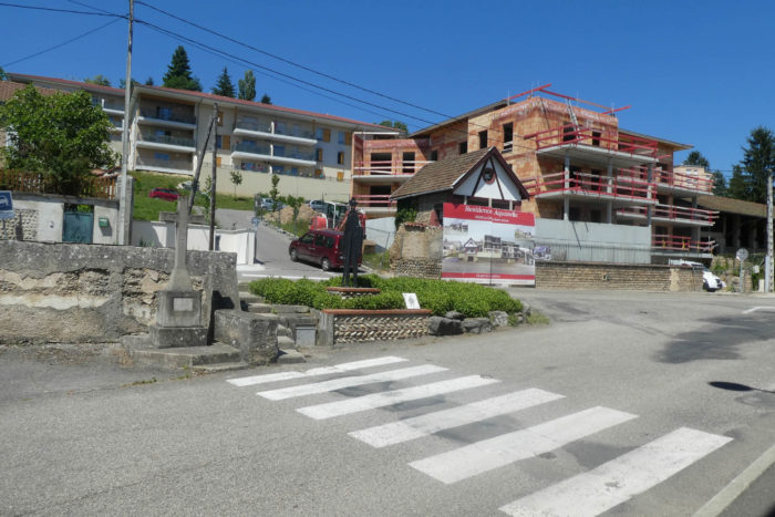
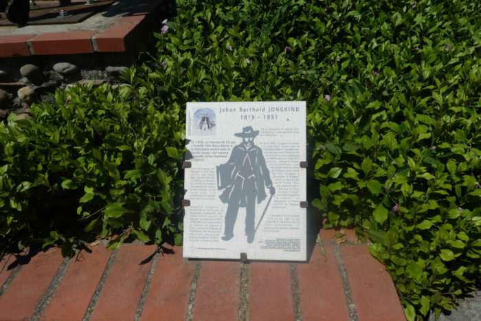
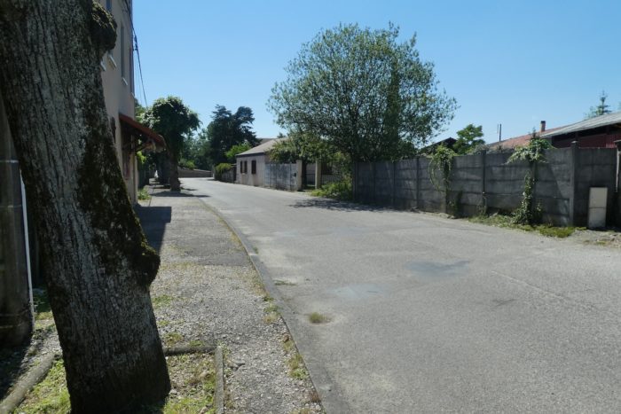
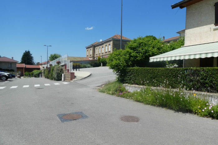
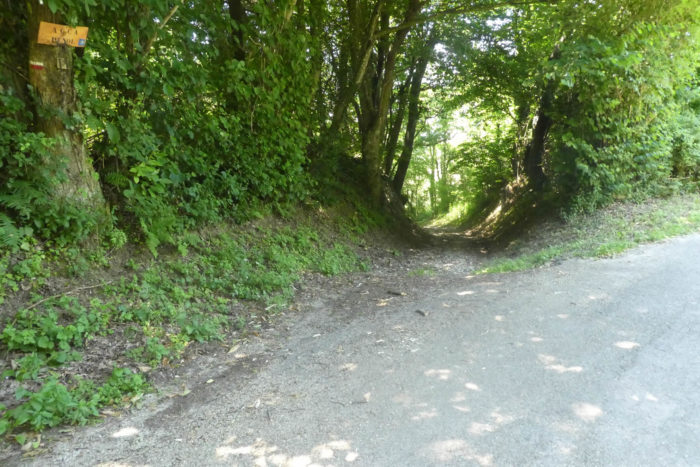
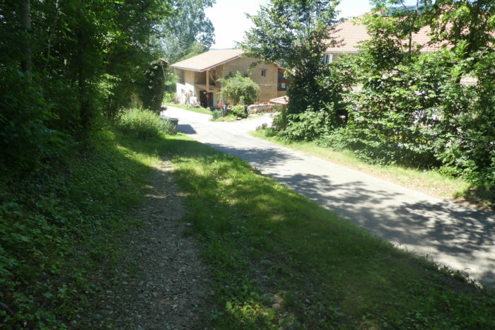
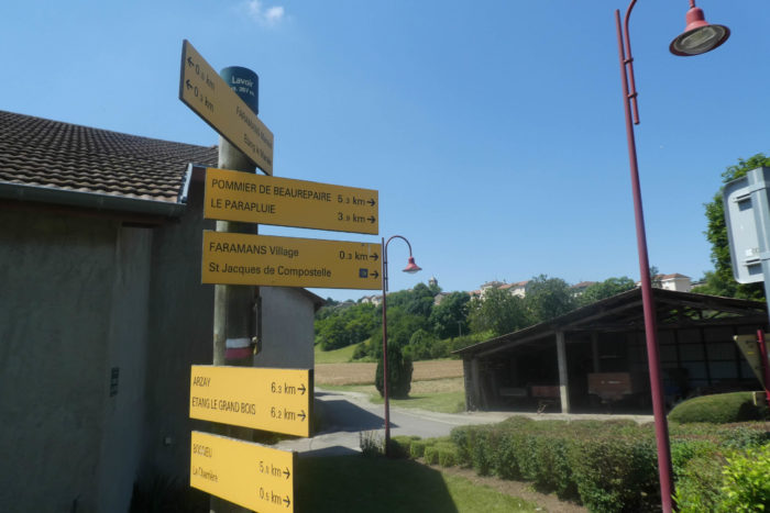
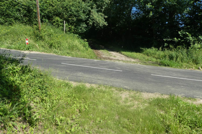
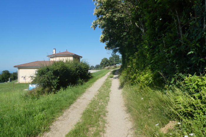
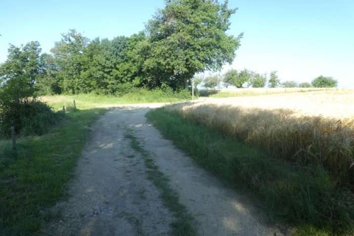
| GR path leaves the city center of the Côte St André towards the west, joining the Pôle Emploi, near which stands a memorial for the painter Johan Barthold Jongkind, considered one of the precursors of Impressionism, a water colourist and Dutch engraver, who spent the last of his life in the city where he is buried. |
 |
 |
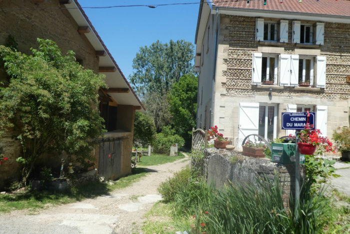
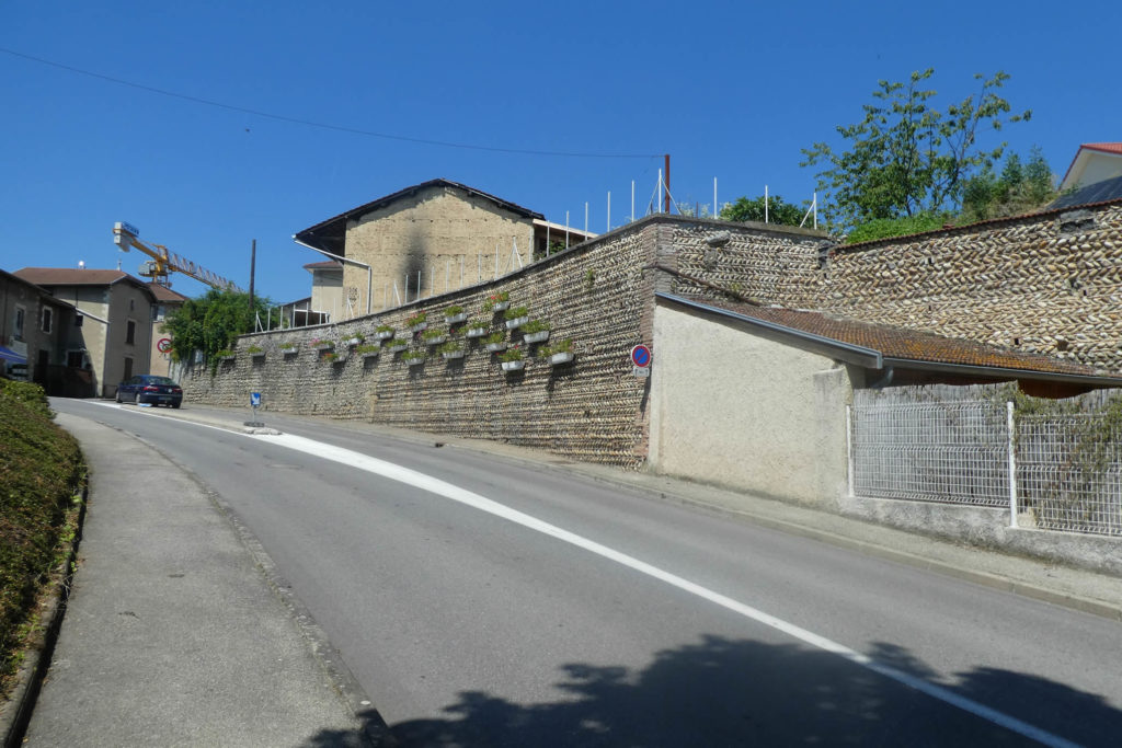
The road leads out of the city into an old suburb, along cobblestone walls. Throughout this region of Bas Dauphiné and Bièvre, pebble walls are legion. The pebbles are of two origins. During the formation of the Alps, erosion tore blocks of stone of all sizes from the crystalline massifs and the limestone Pre-Alps. This material is above all puddingstones, rocks made up of old rounded pebbles or breccias, with angular stones, cemented and transported over long distances and rolled by rivers. When these regions were covered by the sea and the sediments were deposited, puddingstones and breccias, sandstones and limestones were trapped in the mass. Then, when the sea receded, the runoff released those pebbles and rolled them further. The second origin is linked to the work of the glaciers of the Quaternary era. These forces of nature carried pebbles which were deposited in terraces forming moraines and terraces along the glacial valleys.
 |
 |
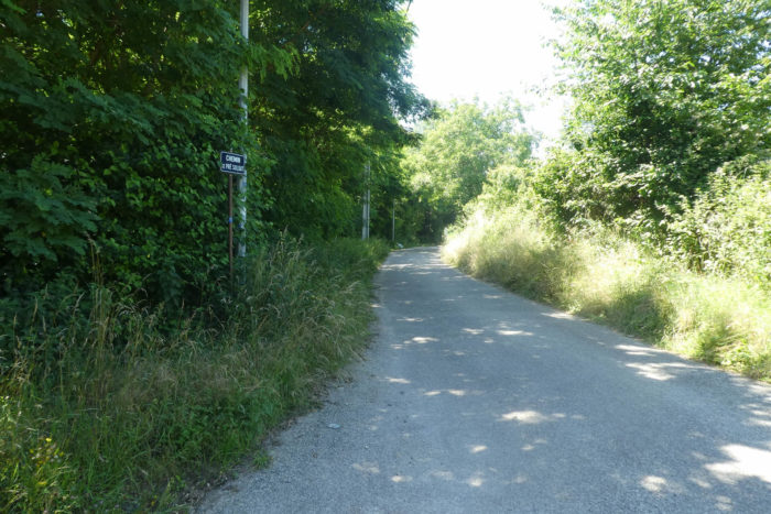
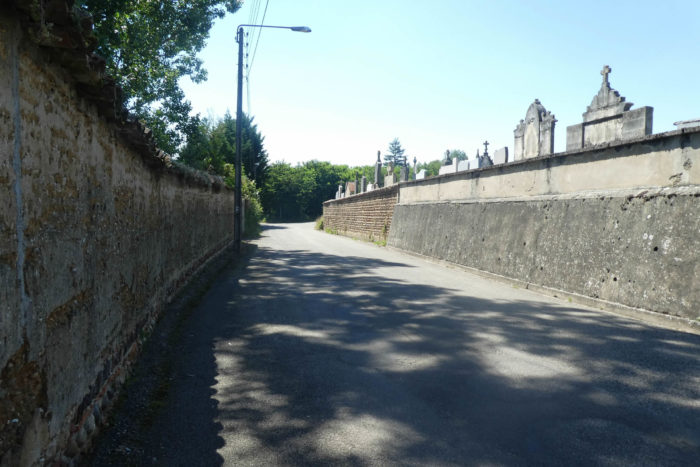
| The road leaves the suburbs along the cemetery and leaves the city on the small paved road of the Chemin du Pré Soldat, at a place called La Croix Soulier. |
 |
 |
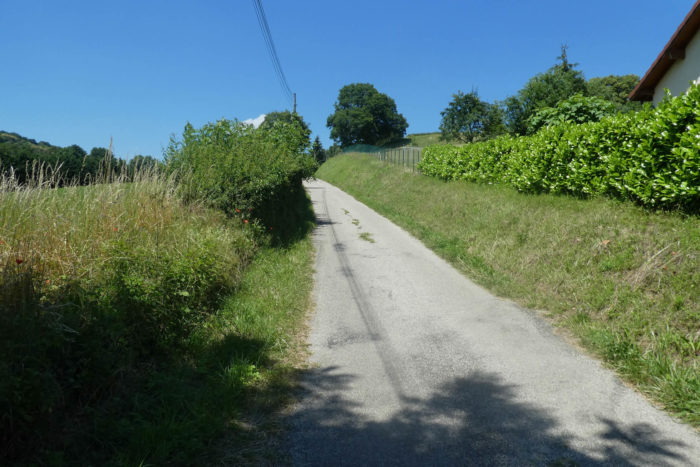
| The road slopes gently into the countryside. |
 |
 |
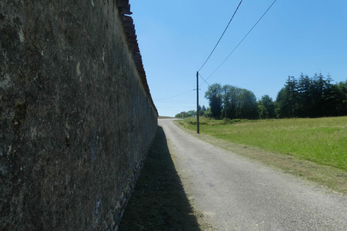
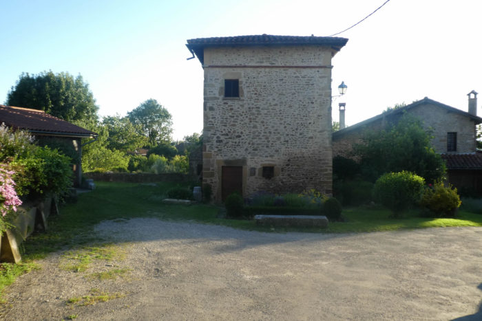
| Soon, it comes near a large wall. Looks like a fortress enclosure. No doubt there was a large house here behind the wall, but today they are nothing but fields of grain. |
 |
 |
| It runs around the property along the boundary wall. |
 |
 |
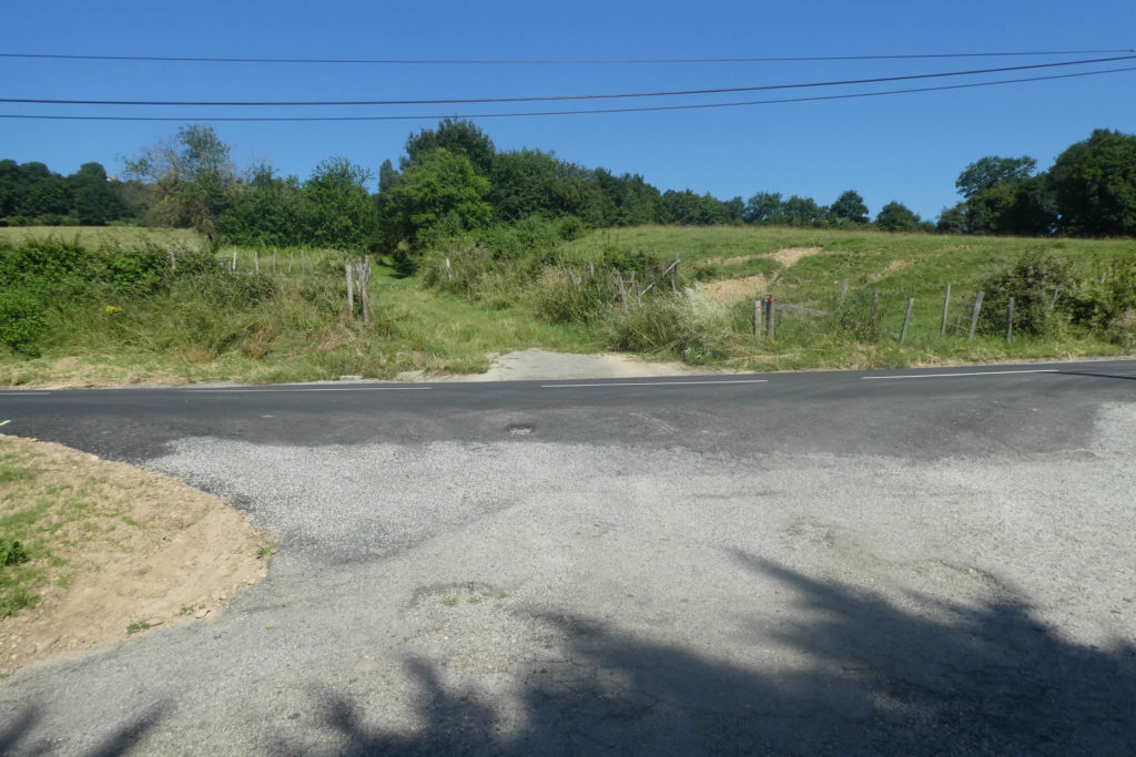
| At the end of the Chemin du Pré Soldat, the road briefly crosses a fairly busy secondary road, the D518A road. |
 |
 |
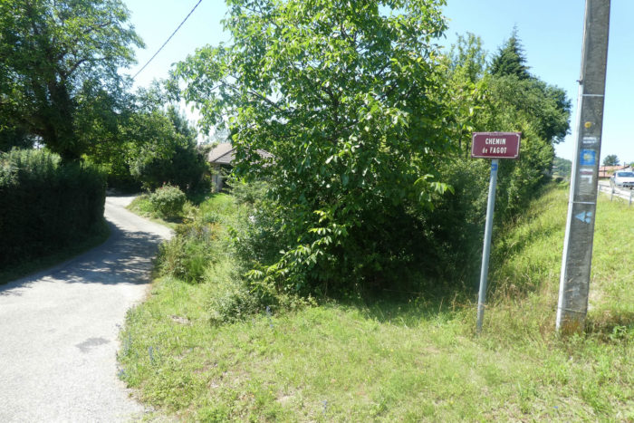
| Here, GR path takes the Chemin de Fagot road, below the secondary road. |
 |
 |
| Then, it slopes up the steeper Chemin de la Chapelle, where the small chapel of St Michel is located near a cemetery. |
 |
 |
Shortly after, the road joins the crossroads of Berlandières, near the secondary road.
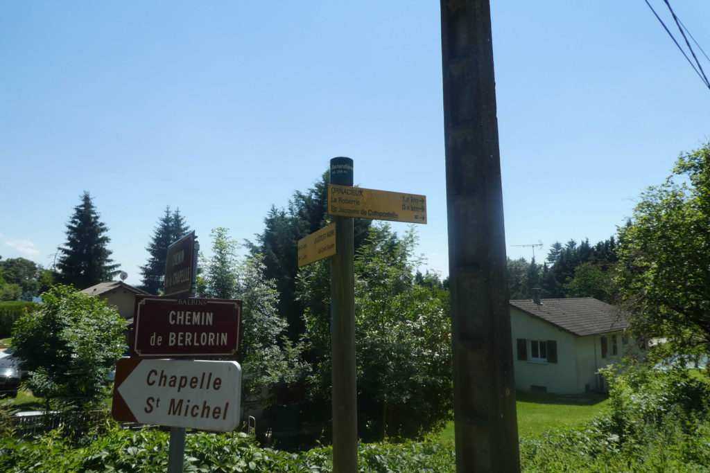
| Here, GR path takes the Chemin de Berlorin road in the corn. |
 |
 |
| After passing in front of a reservoir, the road arrives at the end of the Chemin de Berlorin at a place called La Roberne. |
 |
 |
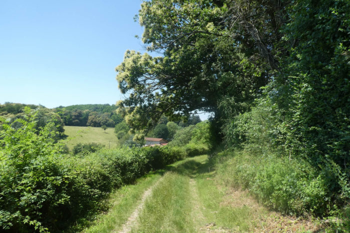
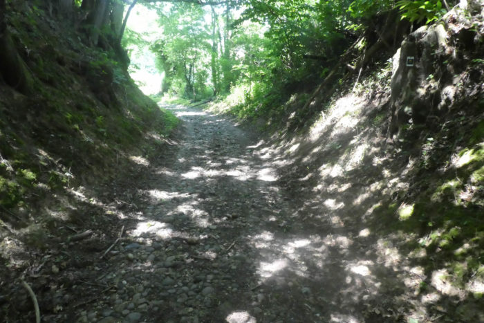
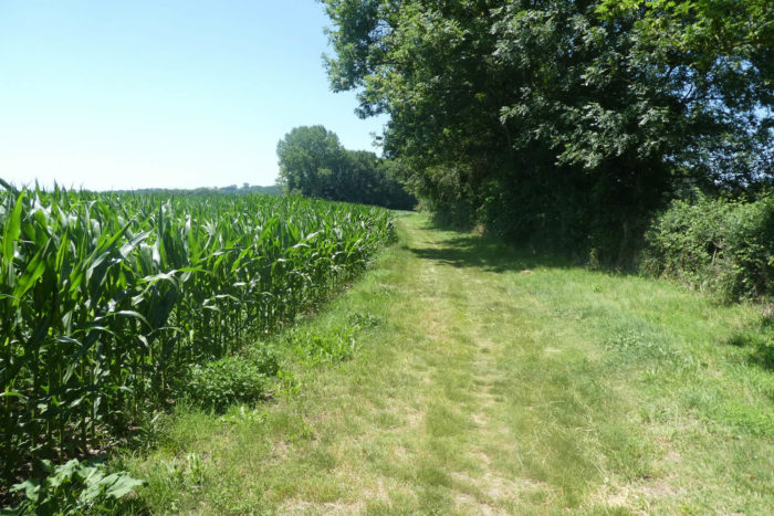
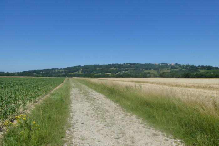
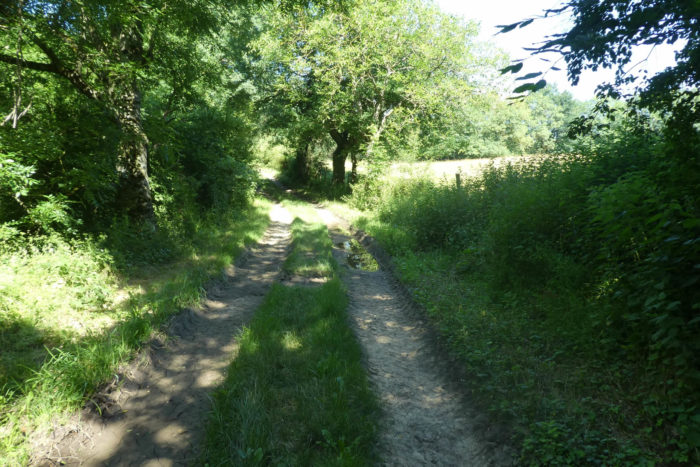
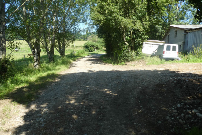
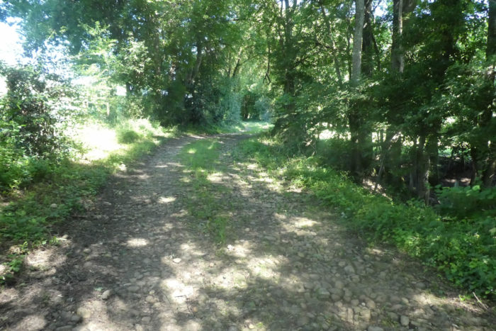
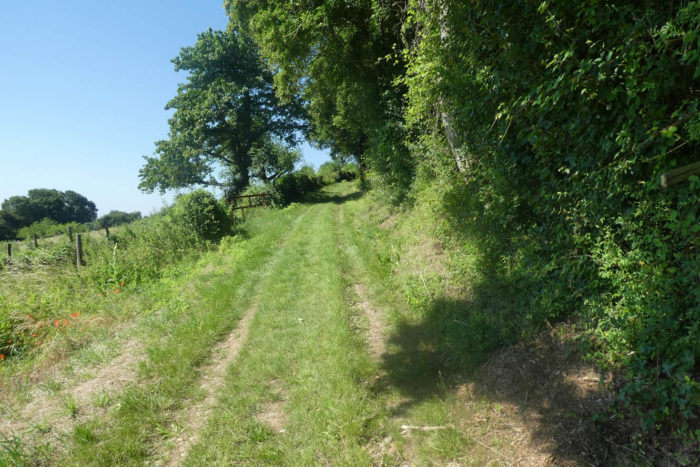
| Here, GR path immediately takes a bad pathway in the middle of the wild grass. |
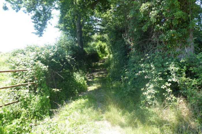 |
 |
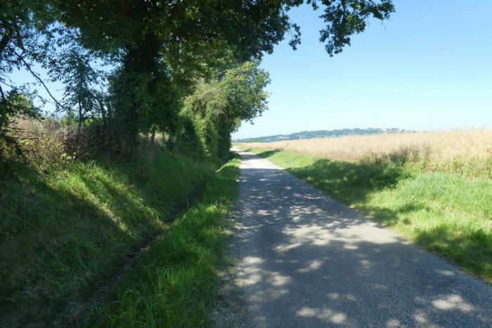
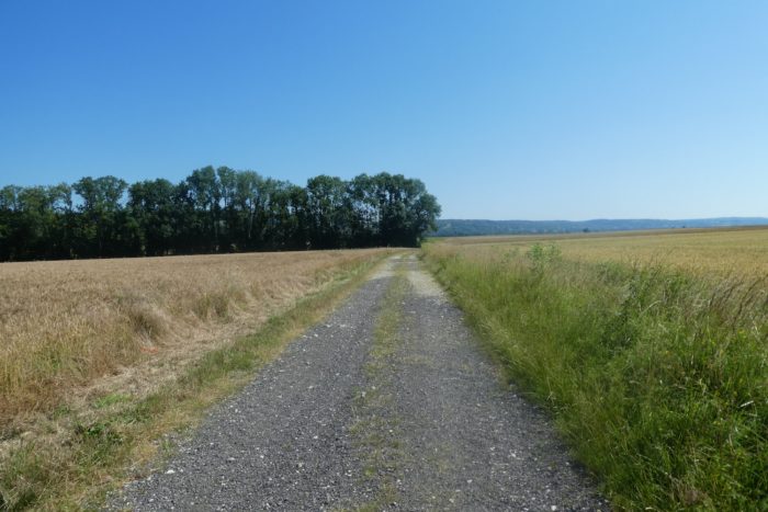
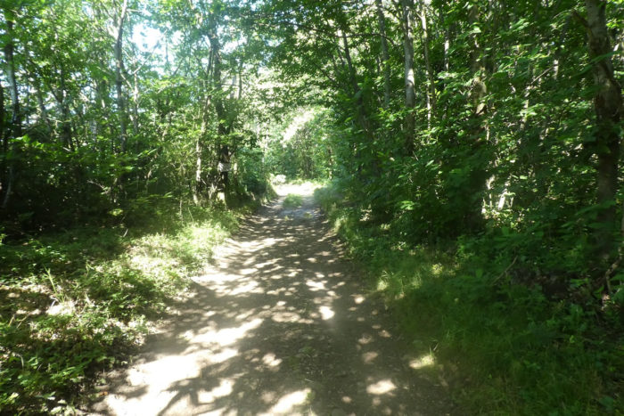
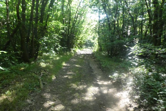
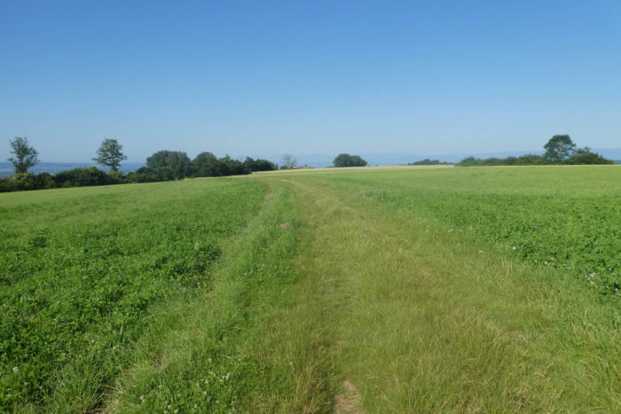
| It’s the kind of pathway of the Bièvre, large pebbles rounded by time that constantly roll underfoot. When you can avoid them, find a bit of hardened dirt, Try, but it’s not always easy. |
 |
 |
| At the top of the hill, which is not long, the stony pathway joins a small road near the village of La Poyat. |
 |
 |
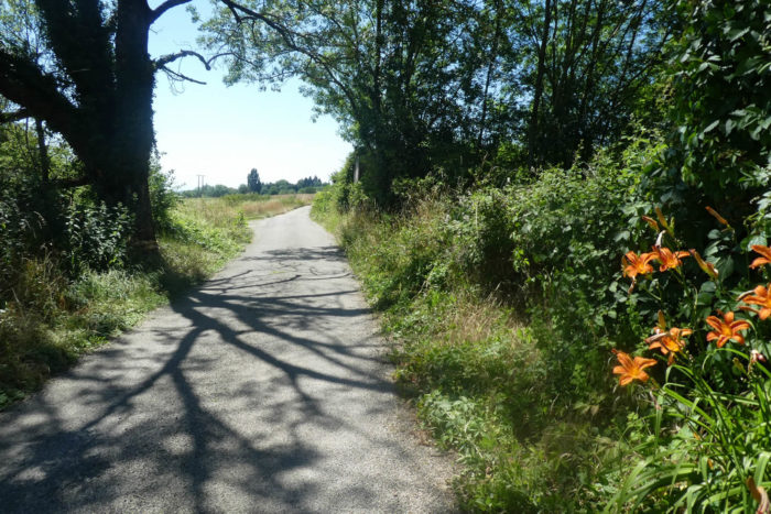
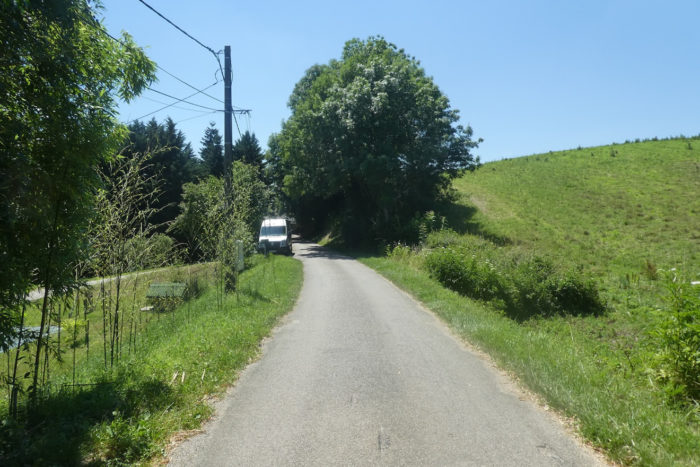
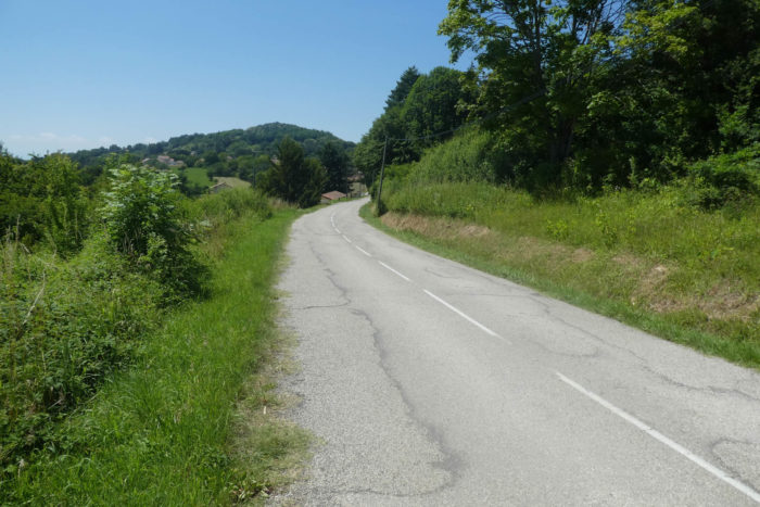
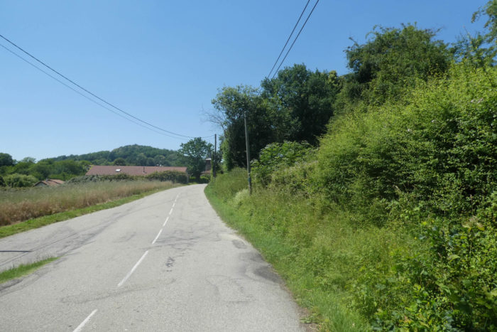
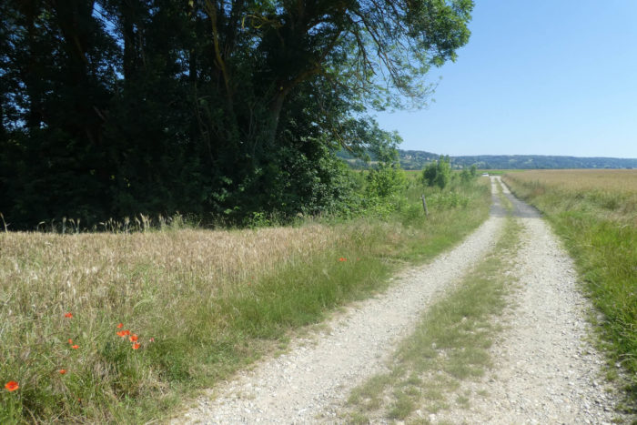
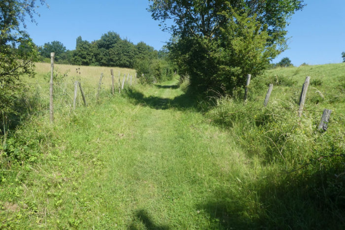
| Further afield, the road then undulates in the countryside towards Ornacieux. |
 |
 |
Section 2: Light ups and downs before swamps and plain.
General overview of the difficulties of the route: course without any problem.
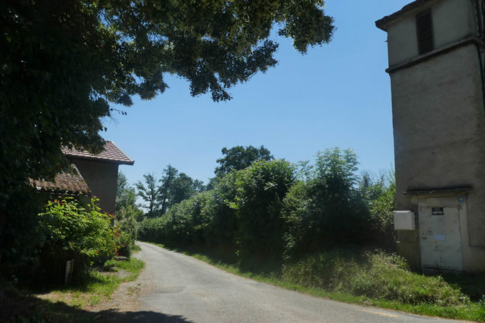
| You’ll cross the village of Ornacieux passing in front of the town hall and the church, rebuilt in the XIXth century, showing beautiful rolled pebbles. Ornacieux is honored by a Carthusian saint, Béatrice d’Ornacieux, born in the XIIth century and beatified at the end of the XIXth century. |
 |
 |
| These small villages still proudly display beautiful houses made of adobe or rolled pebbles. But, social life has probably disappeared for a long time, when there is no longer a bar or especially a bakery, the heart of the small villages of France. |
 |
 |
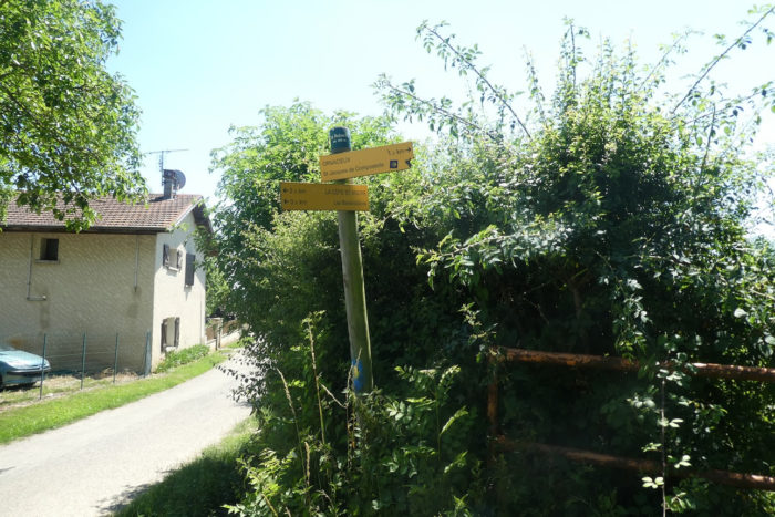
| Here, you are a 4 kilometer walk to Faramans. |
 |
 |
Here too, in the past, social life gathered in front of the communal washhouse. There are only beautiful pebble walls left and the water flowing there is not drinkable. Pebbles, there are still in abundance in the country. Even today the fields are full of them. They are used to decorate the garden, to make pathways. The ancestors used them in abundance to decorate the facades of their adobe houses, churches, and low walls. Today, people are starting to build walls again with this material which has the advantage of being, let’s say it free, and which is often associated with red brick.

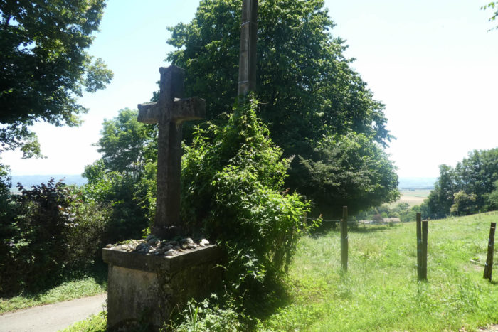
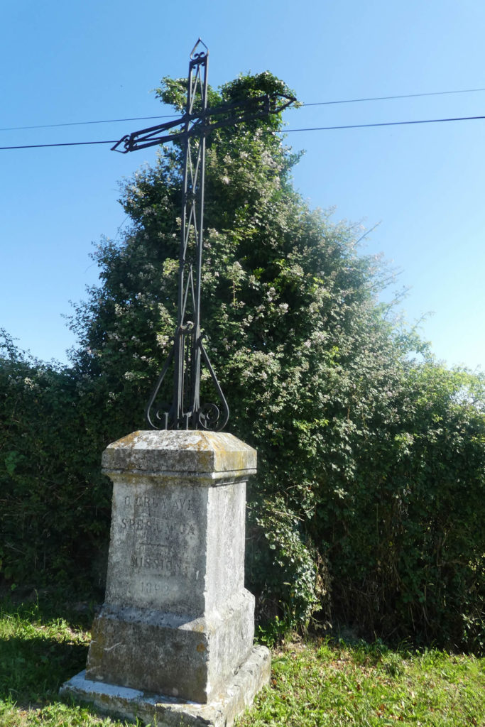
| Shortly after, the road leaves the village, passes in front of a beautiful stone cross. In the country, it is not the small pebbles that are lacking for the devotions that the pilgrims place at the foot of the crosses. |
 |
 |
Below, spreads the plain of Bièvre, its meadows and its cultures.

| The road descends between meadows and clumps of trees to a crossroads. |
 |
 |
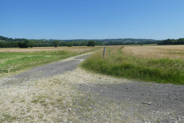
At a place called Malatra, near a large stone cross, GR path leaves the road for a dirt and grass pathway.
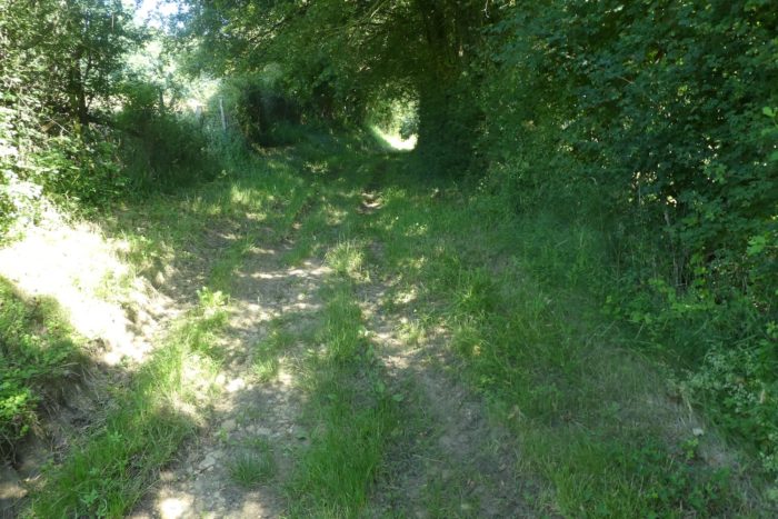
| Then, the pathway descends along hedgerows of wild grass, oaks and chestnut trees. |
 |
 |
| Further down, it joins a small road at the entrance to Le Goure hamlet. |
 |
 |
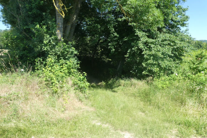
| A small passage on the tar and a dirt road descends into the deciduous forest of Penol. |
 |
 |
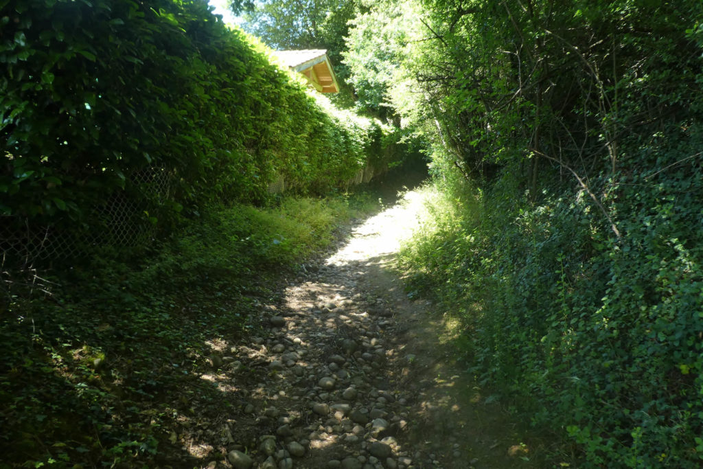
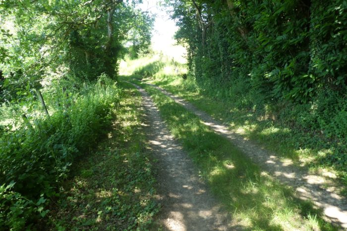
| Almost all the sloping pathways in the area are cobblestone corridors. Here, the slope oscillates between 10% and 15%, but the foot rolls constantly on the stones. Watch out for the ankles! |
 |
 |
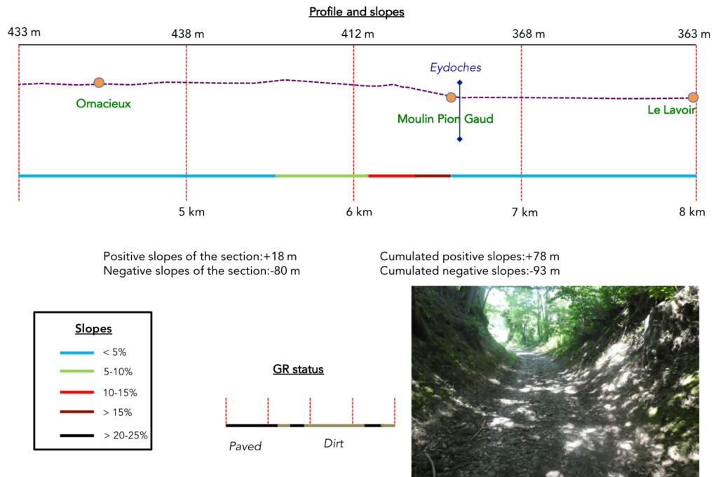
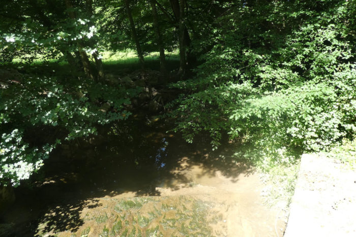
| At the bottom of the descent, the pathway heads to Moulin Pion Gaud, a charming site on the edge of the marshes, where the Eydoches stream flows. |
 |
 |
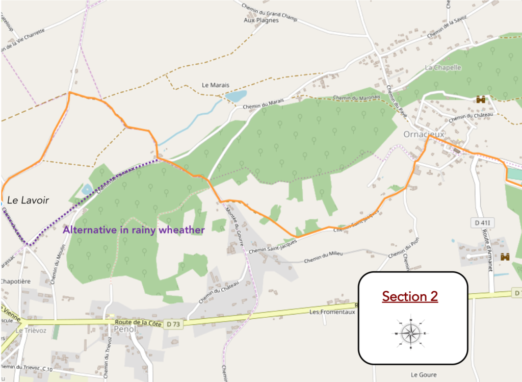
| Here, you are 2 km to Farmans and this whole region is called Le Marais. If you walk here in rainy weather, the alternative is to follow the road towards Le Moulin/Penol, and join the GR a little further by turning right at the exit of Le Moulin. |
 |
 |
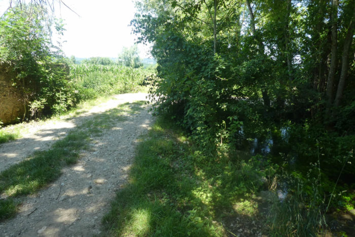
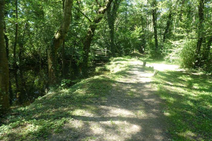
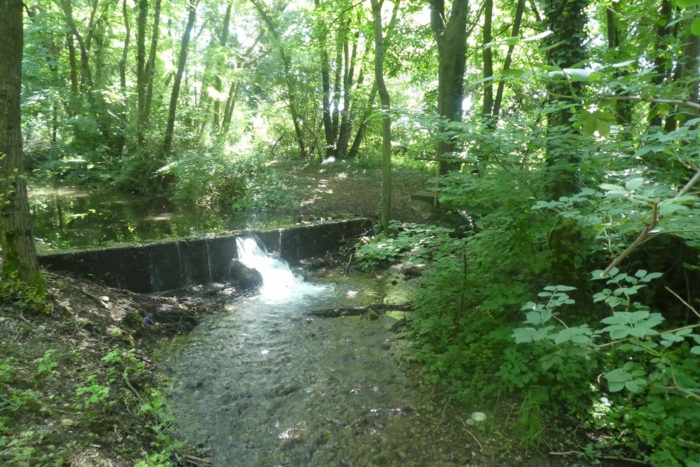
| On GR path, the track is not long to reach the many arms of the Eydoches stream in the marsh. You’ll walk for nearly a kilometer in a landscape where water abounds. The wild grasses too, and the corn which are only happy when they dip their feet in water. |
 |
 |
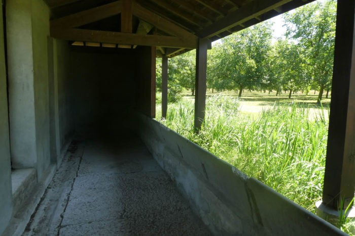
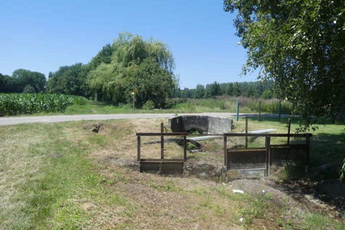
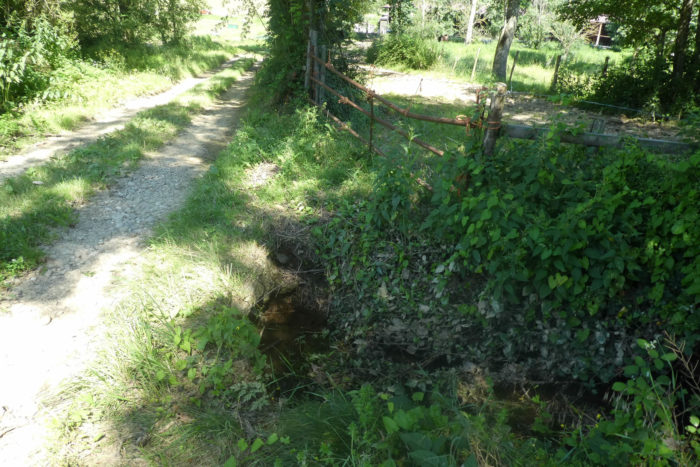
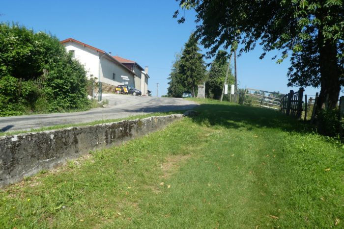
| At the exit of the marsh, GR path joins a small road at a place called Le Clapier, right next to a washhouse. It is amazing to note that the wash house is dry, with all the water flowing here. It is also here, at the Penol washhouse, that you will arrive if you have made the detour to Le Moulin. |
 |
 |
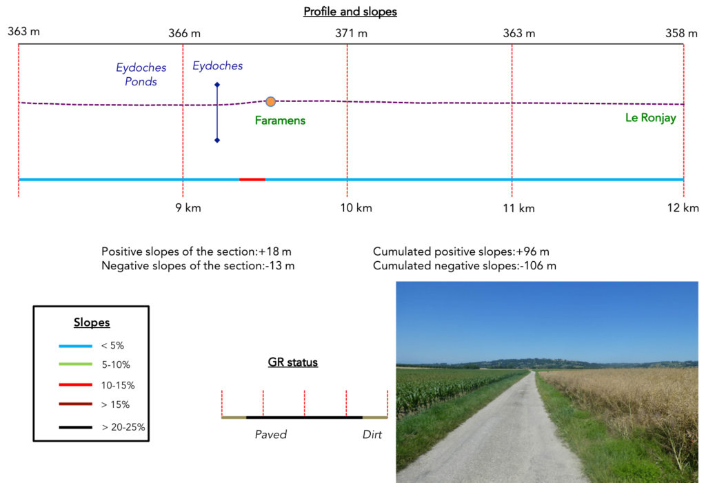
Section 3: Passing near the magnificent Faramans ponds.
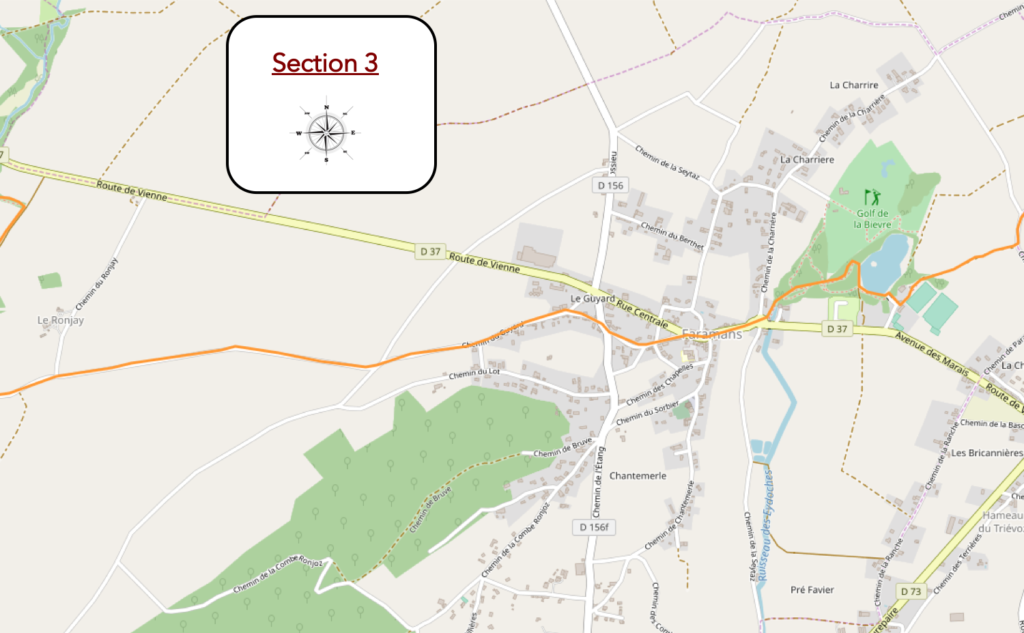
General overview of the difficulties of the route: course without any problem.
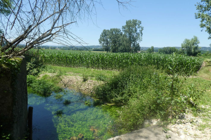
| At the Penol washhouse, you are a stone’s throw to the Famarans ponds, and the pathway runs back into the grass, along the corn and undergrowth, along the Eydoches stream. |
 |
 |
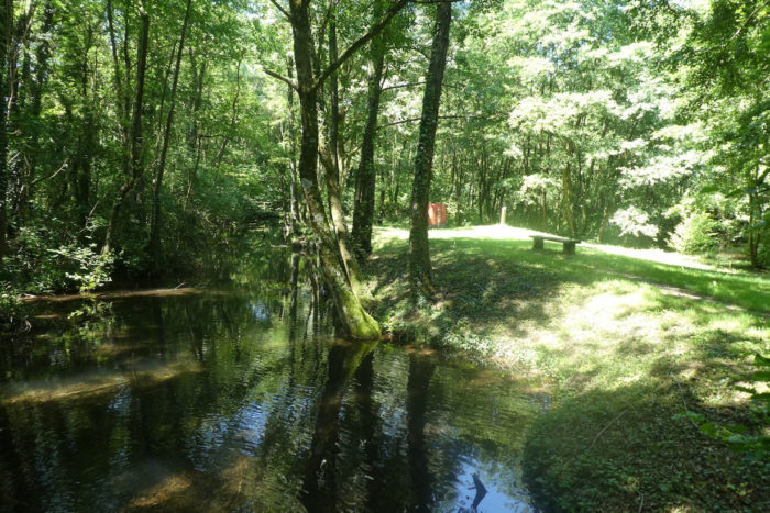
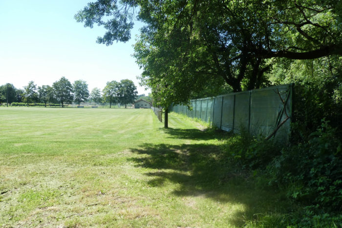
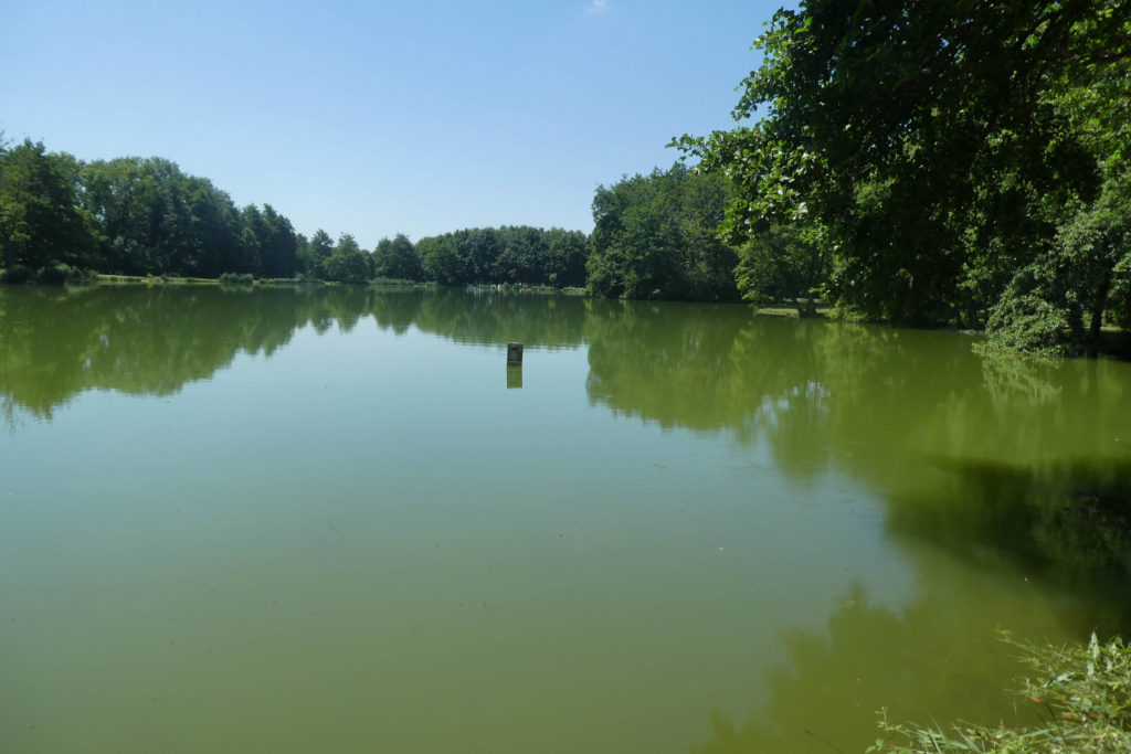
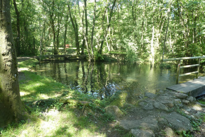
| Quickly, the grassy pathway reaches the sports complex of Faramans, and immediately after the ponds. |
 |
 |
There is like a secret here. It looks like paradise returned to earth. The pond stretches out, calm, almost wise. In this almost immobile, eternal universe, as if abandoned, sometimes a passage of ducks drifts and disturbs the stagnant green water, which barely shivers. The reflections of the sky play hide and seek in the greenish wave and the shade of the trees gives darker spots on the still water. You guess that this place should never be quite the same and that over the seasons or the vagaries of time, which changes the colors, the glow, the magic here can be either benevolent or darker.
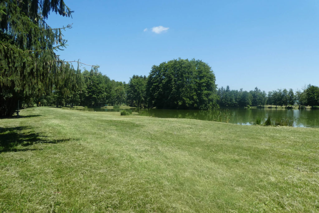
| How good it is to sit here right on the edge of the pond, in this tranquility and this tenderness, on the wooden benches to dream, listen to the sweet song of the little oak trees which quiver in the breeze and get lost in the water… or, more trivially, for a picnic. Families disperse and relax here, but swimming is prohibited. Sometimes a fisherman comes to tease the fish. |
 |
 |
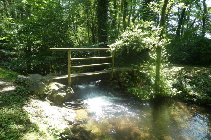
| Further on, beyond the pond, it is the walk of the small bridges which span the stream. |
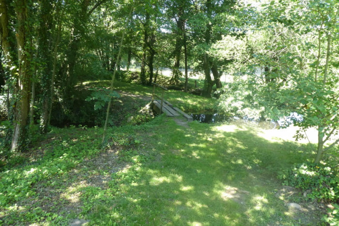 |
 |
| The pathway turns with delight in this paradise. |
 |
 |
| It is the murmur of the Eydoches stream, which flows peacefully and threads its way between the trees, between shadow and light. Here, the trees lean over the water until they brush against it. There are even gigantic alders that touch the sky. At the exit of the park, the stream, usually so wise, allows itself a few pranks, cascading, almost wild, in the mosses and foliage. |
 |
 |
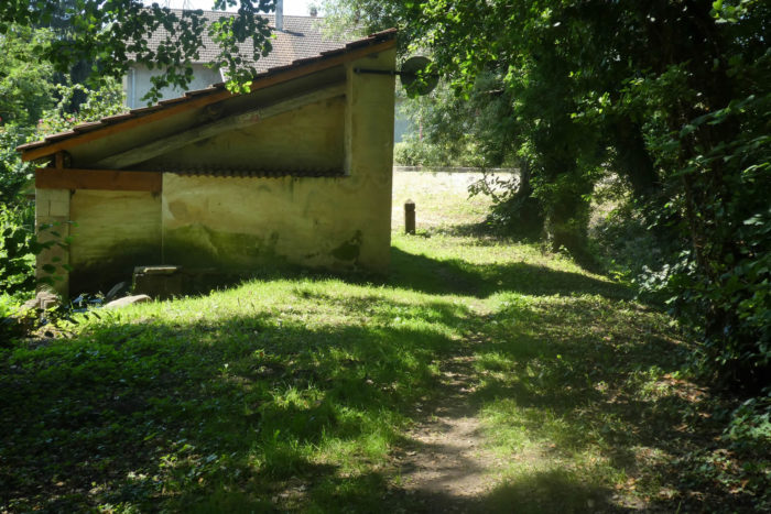
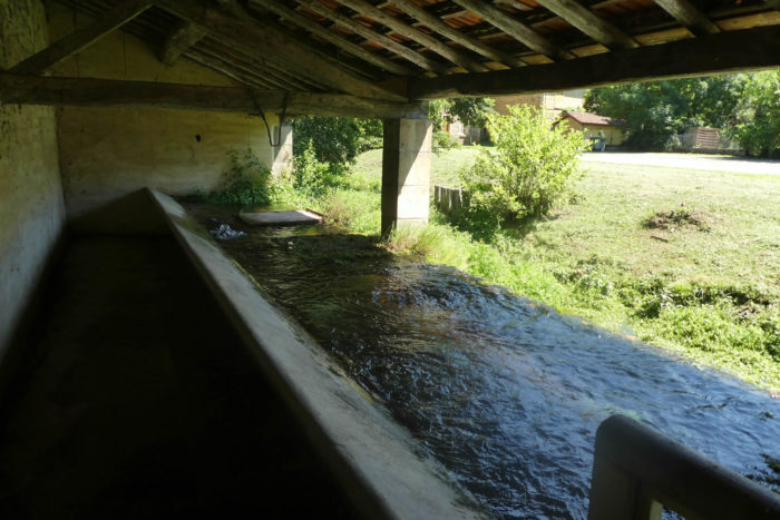
| And all this water flows into the communal washhouse of Famarans, at the entrance to the village. You push the door to enter. Alas, the washerwomen have disappeared, forever. |
 |
 |
| How fresh are these waters bubbling in the washhouse! There are magical places on the Camino de Santiago, and they are not present every day. Few pilgrims will ever forget the passage here of the Faarans ponds. |
 |
 |
| Further ahead, GR path climbs into the village. |
 |
 |
The pebble is an available material and the deposits are renewed every day. All you have to do is dig or pick up on the surface. But beware, nothing is as simple as it seems. You have to handle it, calibrate it, sort out the colors, the types of stone. Fields and valley bottoms are therefore the raw material. The river pebbles in the alluvium are generally quite rounded, polished as they have been by the current. As for moraine pebbles, they are often longer, flatter, and larger in size. It is often this material that is ideal for the construction of these spiky walls that are found on walls and on houses. Building a pebble wall is a mason’s job. The pebbles are only rarely retouched and they are driven into thick ribbons with sand and lime mortar, also incorporating large gravel or pieces of red brick. Great art!
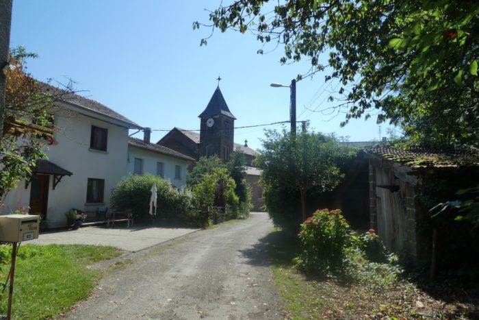
| GR path does not go to the center of the village, of which you can see the church in the distance. It just runs near small shops and reach the suburbs. |
 |
 |
| It then leaves the suburbs and these houses which sometimes proudly display a base of pebbles, to reach the open countryside. |
 |
 |
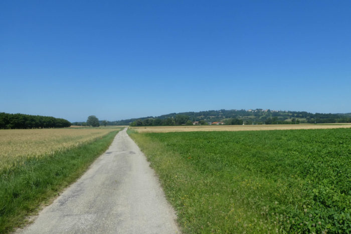
| You will have appreciated the freshness of the ponds, if you pass here on a day of good weather. But from here, none of that. There is only a dull plain, which can be even duller in the heat wave. Not a tree or almost, between corn and rapeseed. And the crossing of the plain is long, very long, too long. Especially since in front of you stands the hill of Pommier-de-Beaurepaire. If you have studied the map, you also know that the track goes there. |
 |
 |
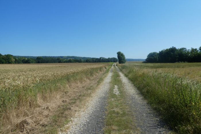
| And the pathway drags on for miles. Sometimes soy replaces rapeseed. But, the hill of Beaurepaire does not necessarily seem to grow visibly. |
 |
 |
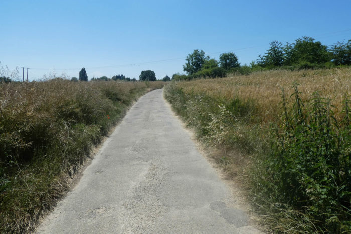
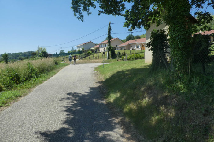
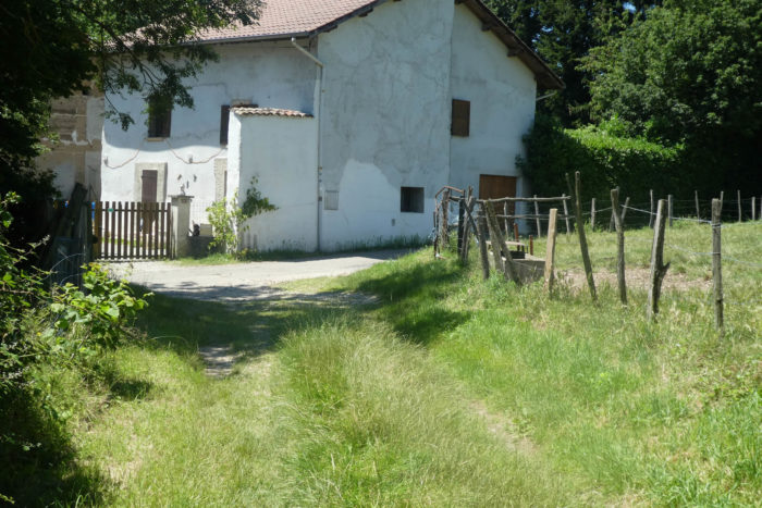
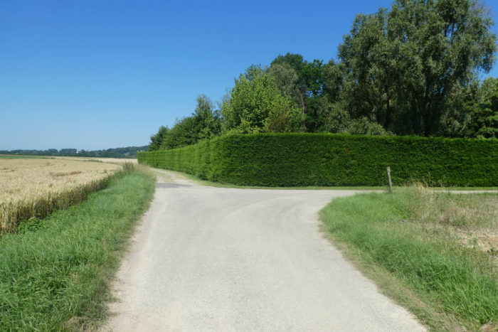
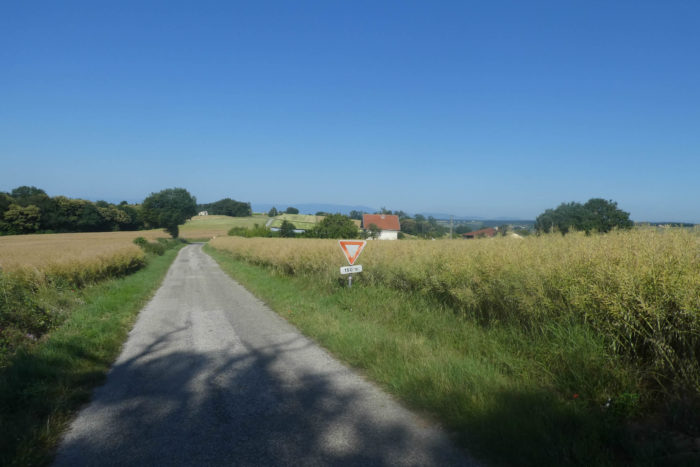
| Halfway through the plain, the dirt road replaces the tarmac, near the place called Le Ronjay, where a complex of farms and houses hides behind the high cedar hedge. Here, cereals take precedence over other crops. |
 |
 |
Section 4: The climb to Pommier-de-Beaurepaire, the only sweat of the day.
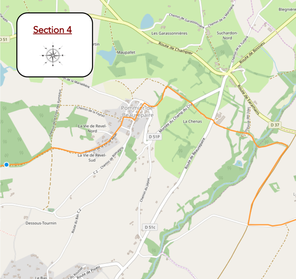
General overview of the difficulties of the route: on the day’s stage, there is still the climb to Pommier-de-Beaurepaire to do, but always less than 15% slope.

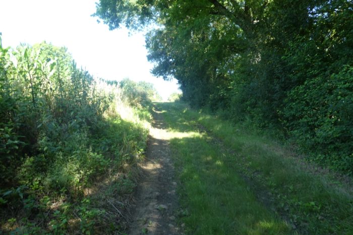
| You’ll approach with great strides the hill of Beaurepaire, from which you clearly distinguish the village and the church. Here, over the centuries, the pebbles of the plain have been eliminated and the pathway is not very stony. |
 |
 |
| But now the pathway seems to want to ignore the hill, leaves at a right angle, and retraces its steps a little, heading towards an undergrowth. |
 |
 |
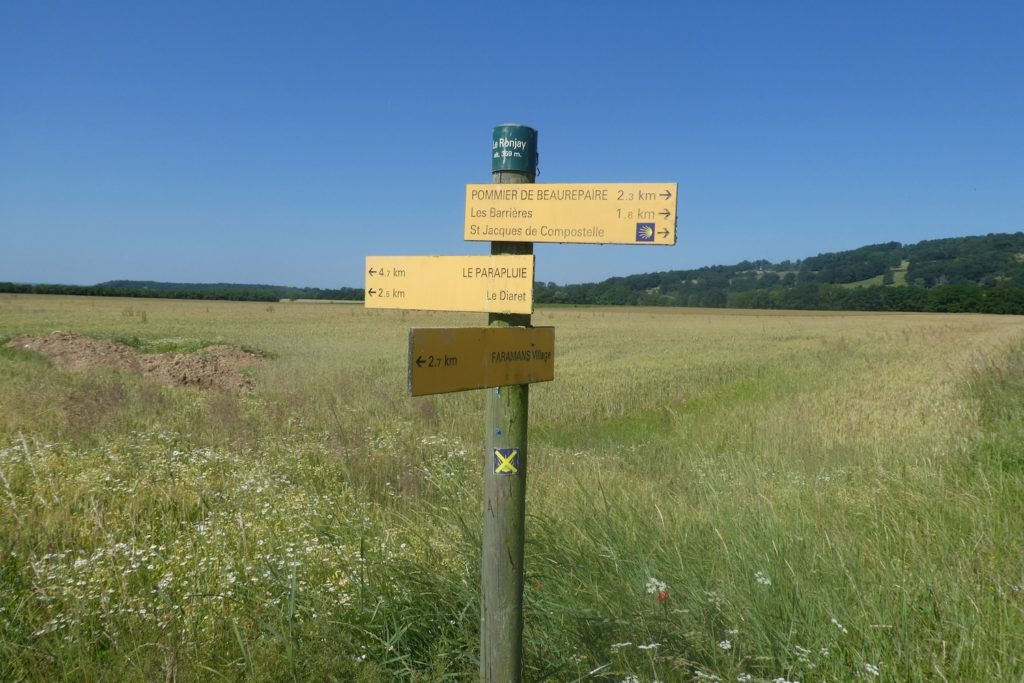
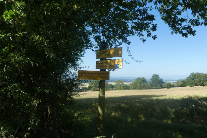
Further ahead, you reach a place called Le Ronjay, nearly 2 kilometers to Pommier-de-Beaurepaire.
| Here you see the village on the hill right before our eyes. |
 |
 |
| The dirt road then approaches an undergrowth. |
 |
 |
| It must be said here that after having walked perhaps under the heat wave for a good three kilometers, it is very pleasant to find the freshness of the undergrowth. |
 |
 |
| Shortly after, the pathway crosses the Suzon, a very discreet stream. |
 |
 |
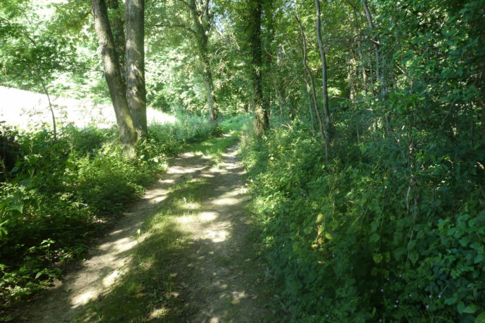
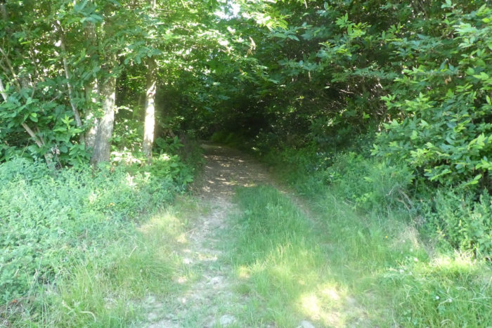
| It continues on his way in the middle of the woods where the oaks and the ash trees dominate. |
 |
 |
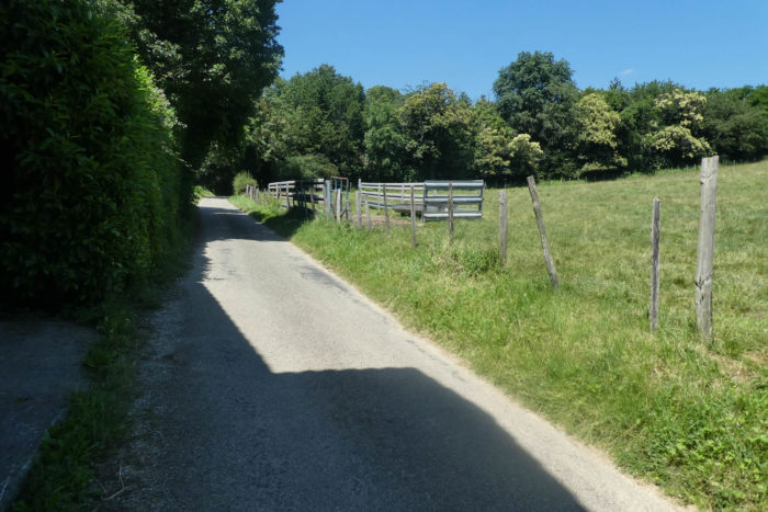
| In the area, farmers most often practice livestock farming, under the oaks. |
 |
 |
Coming out of the undergrowth, the pathway soon joins a small country road at a place called Maison Poncet. You are here at the foot of the hill of Beaurepaire.
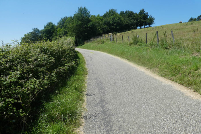
| The climb to Pommier de Beaurepaire is worth it. It is not eternal, but the slopes are often close to 15%. Come on! it is the only serious effort of the stage. At the start, the pathway slopes up on the grass in the middle of the weeds. |
 |
 |
| Further up, the pathway reaches a first level when it crosses the small road that climbs to Pommier. Then, the delicious small smooth pebbles of Bièvre make their reappearance in a more consistent way. |
 |
 |
| Then, the slope increases in the undergrowth of oaks and wild grass. |
 |
 |
| At a place called Les Barrières, you are halfway up and the pathway starts again at a right angle in the grass under the oaks. |
 |
 |
| The pathway does not take long to reach the lower part of the village, where there is a blissful residence that combines adobe with pebbles.
The pebble is often used as a foundation to serve as a base for earthen walls, rammed adobe. How do masons implement all of this? Each pebble is driven into a strip of mortar. They are then sealed on the surface with mortar to receive the next strip. The ear or fishbone structure is often favored. And they also like to insert pieces of tile, bricks or rubble. The joints are then tightened with a trowel. Sometimes they are highlighted to give a tamping effect and better bring out the clear lime. Art, yes, it is art. |
 |
 |
At the bottom of the village, at a place called Le Calvaire, stands a splendid iron cross.
| GR path then takes a small road to slope up to the village. |
 |
 |
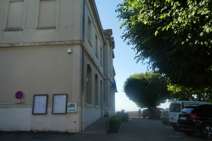
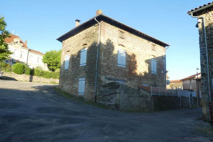
| Pommier-de-Beaurepaire is a quiet little village. There was once a restaurant here, as evidenced by an old sign. Where do you find bread here? To consult the Internet, the bakery has definitely put the key under the doormat. The route passes in front of the town hall and in front of the church of St Romain, a XIXth century church, whose pebbles adorn the facades. |
 |
 |
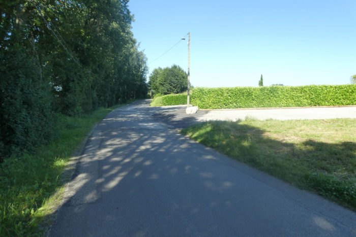
| Further afield, GR path leaves Pommier climbing on the tarmac to a small reservoir in the heights of the village. |
 |
 |
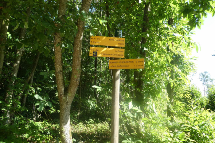
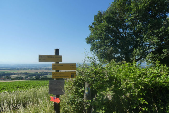
| A wide dirt road then descends towards the Croix des Rampeaux, a simple crossroads, starting from the forest of Bois Favan. Here, you are 6 km to Revel-Tourdan, the end of the stage. |
 |
 |
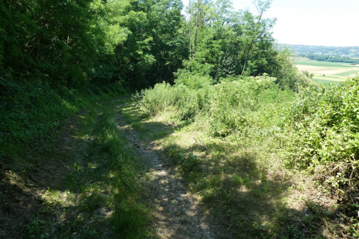
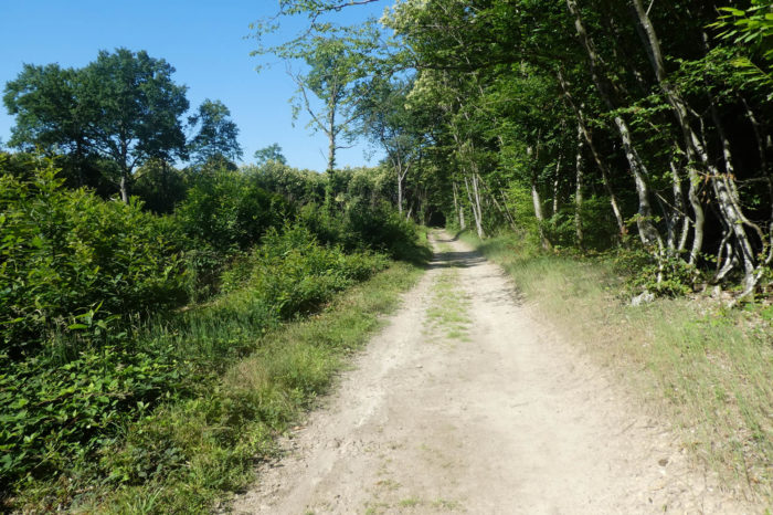
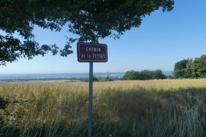
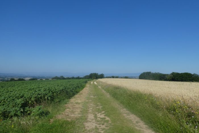
| From here, you’ll cross the “feytas”, until the end of the stage. These ridge lines between the plateaus are called “feytas” in the region. In fact, it is a kind of high plateau, which dominates on the left the plain of Bièvre-Valloire, and on the right, another plain, that of Bièvre-Liers. The pathway then enters the forest. |
 |
 |
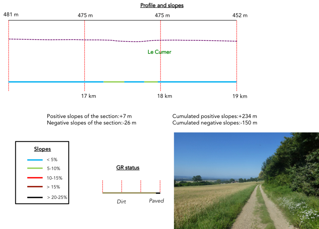
Section 5: On the “feytas” of the Valloire.
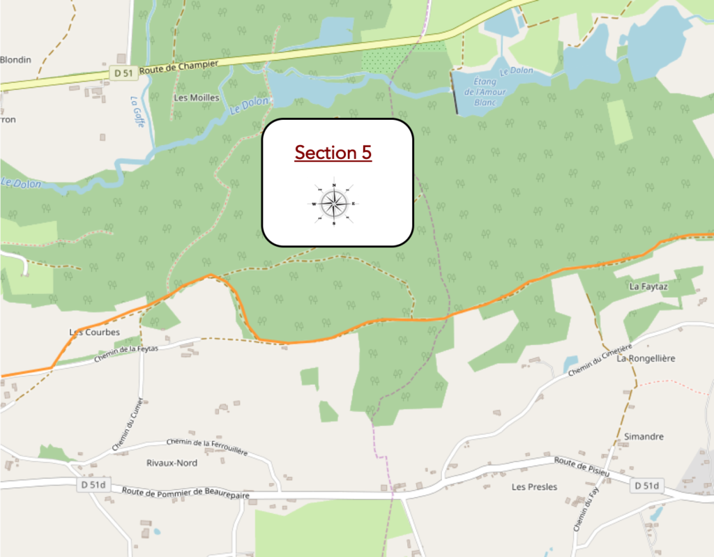
General overview of the difficulties of the route: course without any problem.
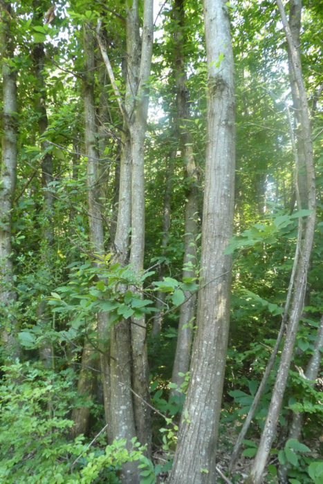
| A large procession of deciduous trees haunts these forests. Oaks and chestnuts dominate the other species. Chestnut trees are large trees on the edge of the forest. But as soon as they are crowded in the forests, they often grow in sorts of clumps, grouped together on thin trunks, straight and slender. So, they may look like little hornbeams, but just look at their long, sharp-toothed leaves, and you quickly realize they’re chestnut trees. The oaks here are represented by large pedunculate oaks or gall oaks. Downy oaks, those found mostly in the Causses, are less numerous here. |
 |
 |
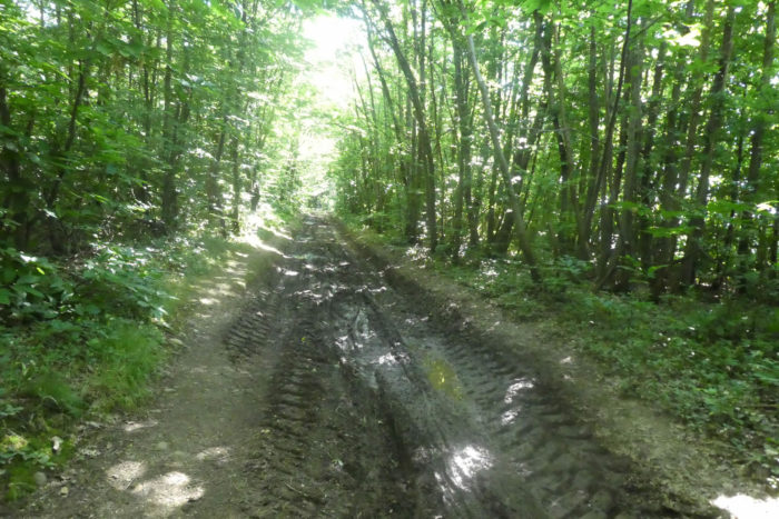
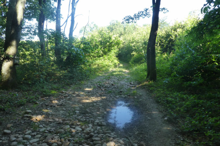
| Often, as the soil is not very permeable here, the water stagnates in the large ruts created by the forestry tractors. |
 |
 |
| The forest is not always dense, and sometimes it opens up to large clearings. In these areas where the soil is poor and where the mists cling in autumn, there are also birches and maples. Ash trees, which are almost never encountered in the middle of the forest, but especially on the edge, are almost non-existent here. Did they disappear partly because of the bad fungus attacking them? Sometimes softwoods linger in the region, especially pines. Bushes also like to grow on embankments. Junipers, blackthorns, acacias go well with ferns and broom. |
 |
 |
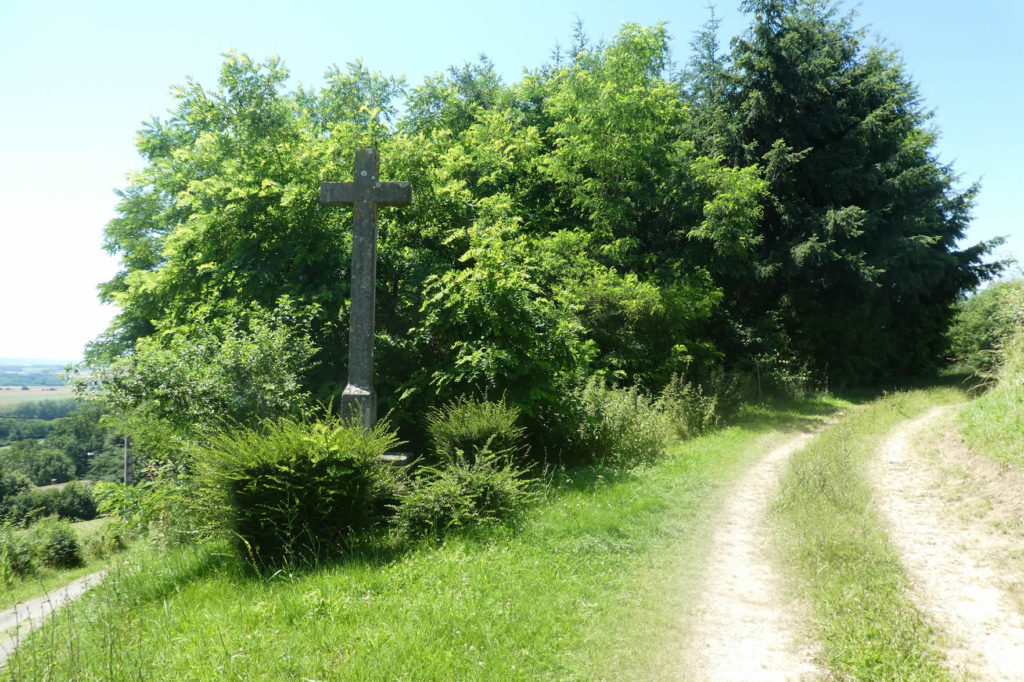
| Like here in Croix Giraud. The forest is beautiful here. |
 |
 |
| Here, there are large chestnut trees, which is a change from the ordinary. Sometimes, woods have been shaved to give a little air. |
 |
 |
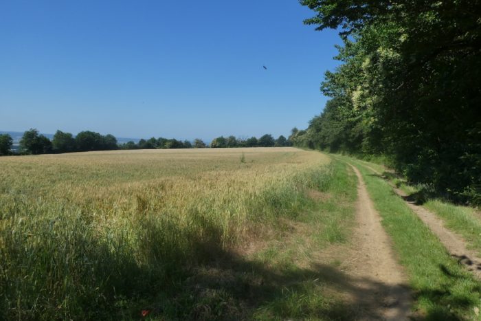
| The pathway comes out of the forest a little further, through meadows and cereal crops. Wheat should hardly grow here, on these poor lands. |
 |
 |
| Further ahead, it heads to the small houses of Le Cumer. |
 |
 |
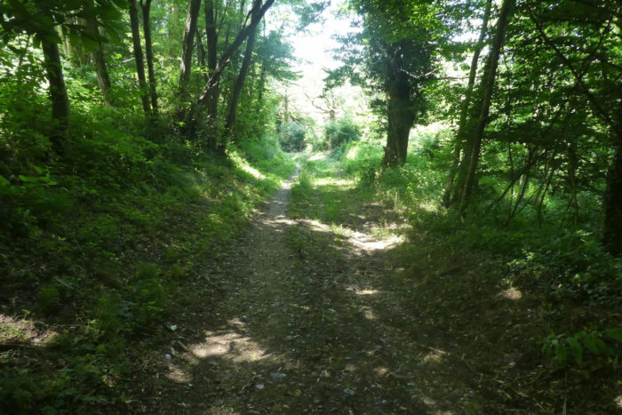
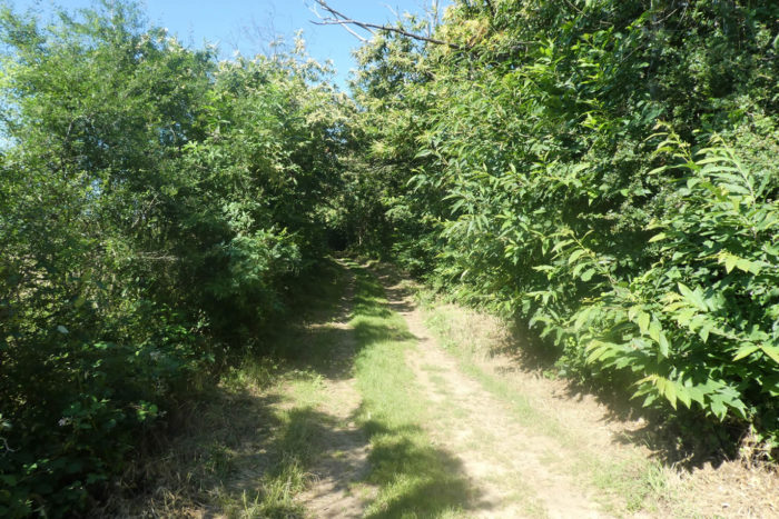
| But, the pathway quickly turns back into the woods. Here, of course, people did not take great care in removing pebbles from the track. |
 |
 |
| A little further, the pathway leaves the Favan wood and flattens along the wood. |
 |
 |
| Then, it runs back into the meadows. On the “feytas”, even the vine sometimes grows. |
 |
 |
Section 6: The track descends from the “feytas”.
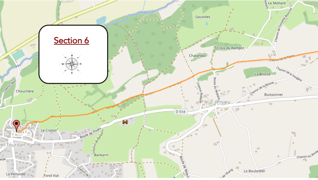
General overview of the difficulties of the route: course without any problem.
| Further on, the pathway leaves the meadows to find itself on a small paved road. |
 |
 |
| Here, it takes the direction of Feytaz de Pisieu. |
 |
 |
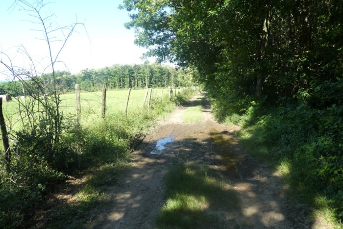
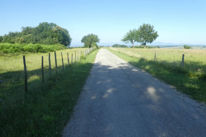
| Along the road that undulates on the “feytas”, dominating the plains of Bièvre, rapeseed grows heartily. |
 |
 |
| Further on, the road crosses the countryside, passes near a cemetery. |
 |
 |
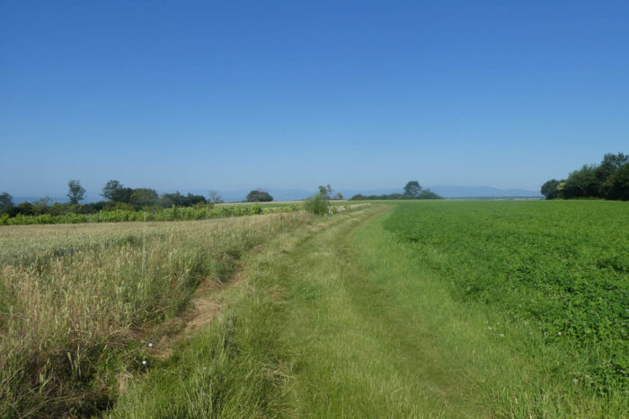
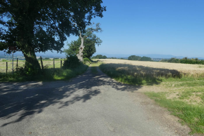
| A little further, at a place called La Feytas de Pisieu, GR path leaves the tarmac for a wide pathway made of dirt and grass. |
 |
 |
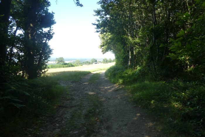
| On both sides of the pathway, behind the rapeseed, soybeans, sunflowers, meadows and vines extend below over the plains of Bièvre and Liers. |
 |
 |
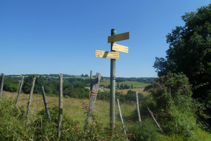
| Here, you are no longer very far from Revel-Tourdan. |
 |
 |
| At a place called Barbarin, you can see Barbarin Castle below, dominating the plain of Bièvre-Valloire. |
 |
 |
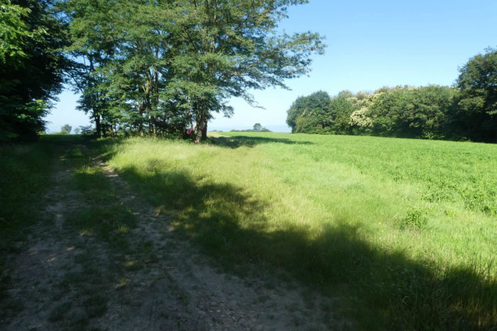
| Further ahead, the pathway runs along hedges in meadows and crops. The space is wide open and the pathway slightly rocky. The peasants had to eliminate the stones here with all their might and plows. |
 |
 |
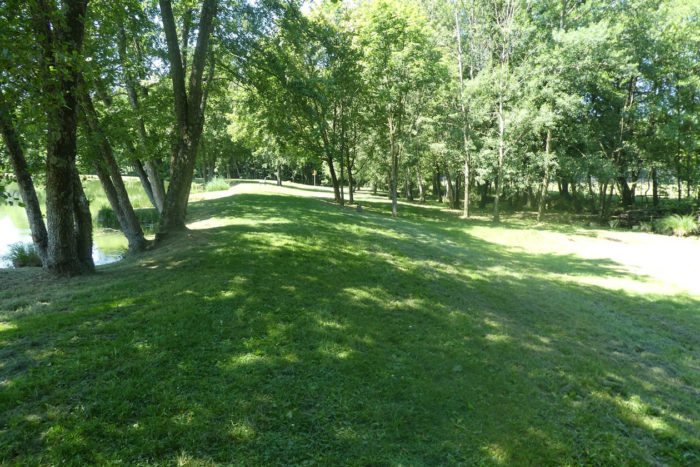
| The pathway then descends to Revel-Tourdan, reaches a park above the village. |
 |
 |
| It passes near Notre-Dame de Tourdan, a former Benedictine priory from the Xth century, constantly restored over the centuries, whose buildings are private. Then, it heads to the town hall. |
 |
 |
| Revel-Tourdan (1,000 inhabitants) is made up of two villages, Tourdan in the plain and Revel on the hill. The two villages still have vestiges, almost medieval, especially Revel. |
 |
 |
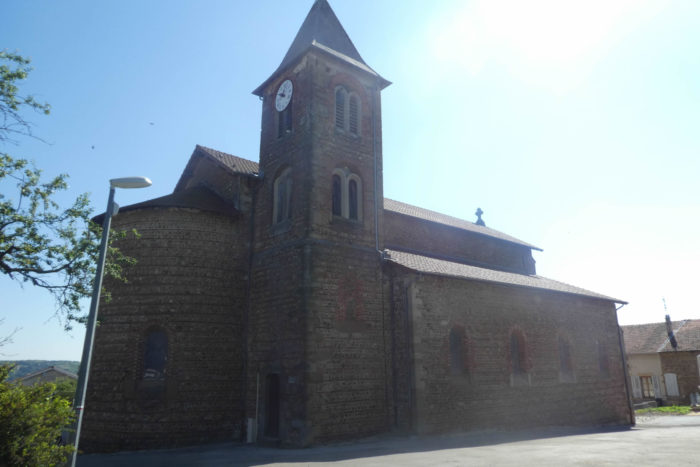
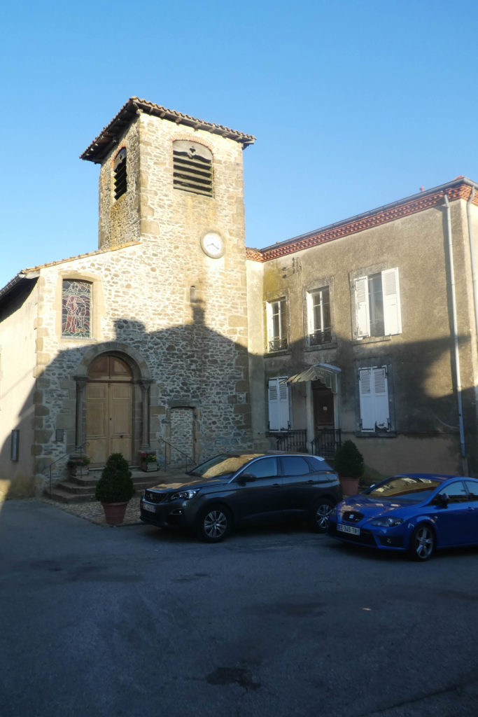
The St Jean-Baptiste church was built between the XIIth and XVth centuries. It mixes Romanesque and Gothic styles. The museum of rural traditions is nestled in an adorably restored XVIIth century dovecote.
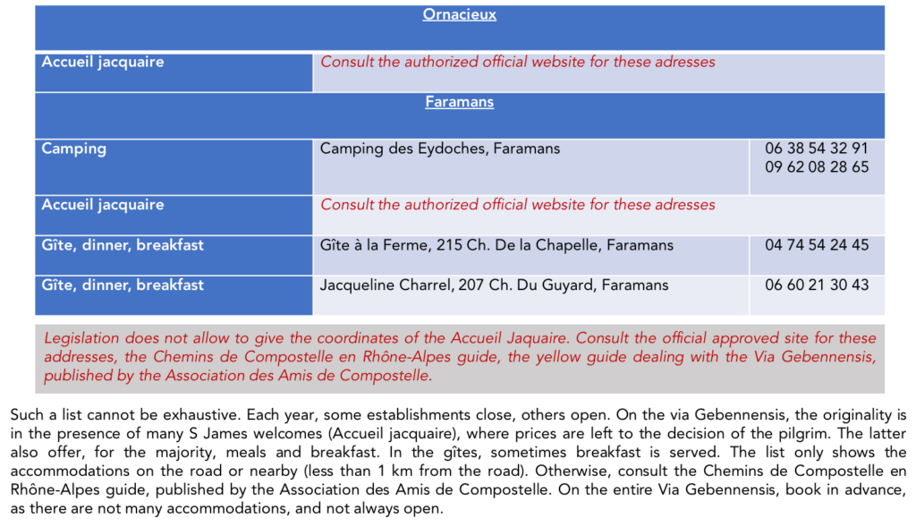
Lodging


Feel free to add comments. This is often how you move up the Google hierarchy, and how more pilgrims will have access to the site.
|
 |
Next stage : Stage 9: From Revel-Tourdan to Auberives-sur-Varèze |
|
 |
Back to menu |