On the Pebbles and « Feytas » of the Bièvre-Valloire
DIDIER HEUMANN, ANDREAS PAPASAVVAS
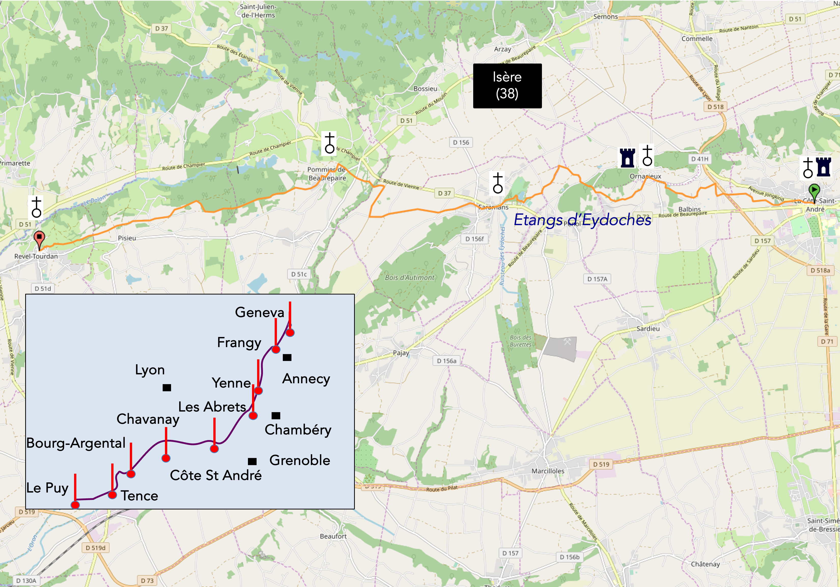
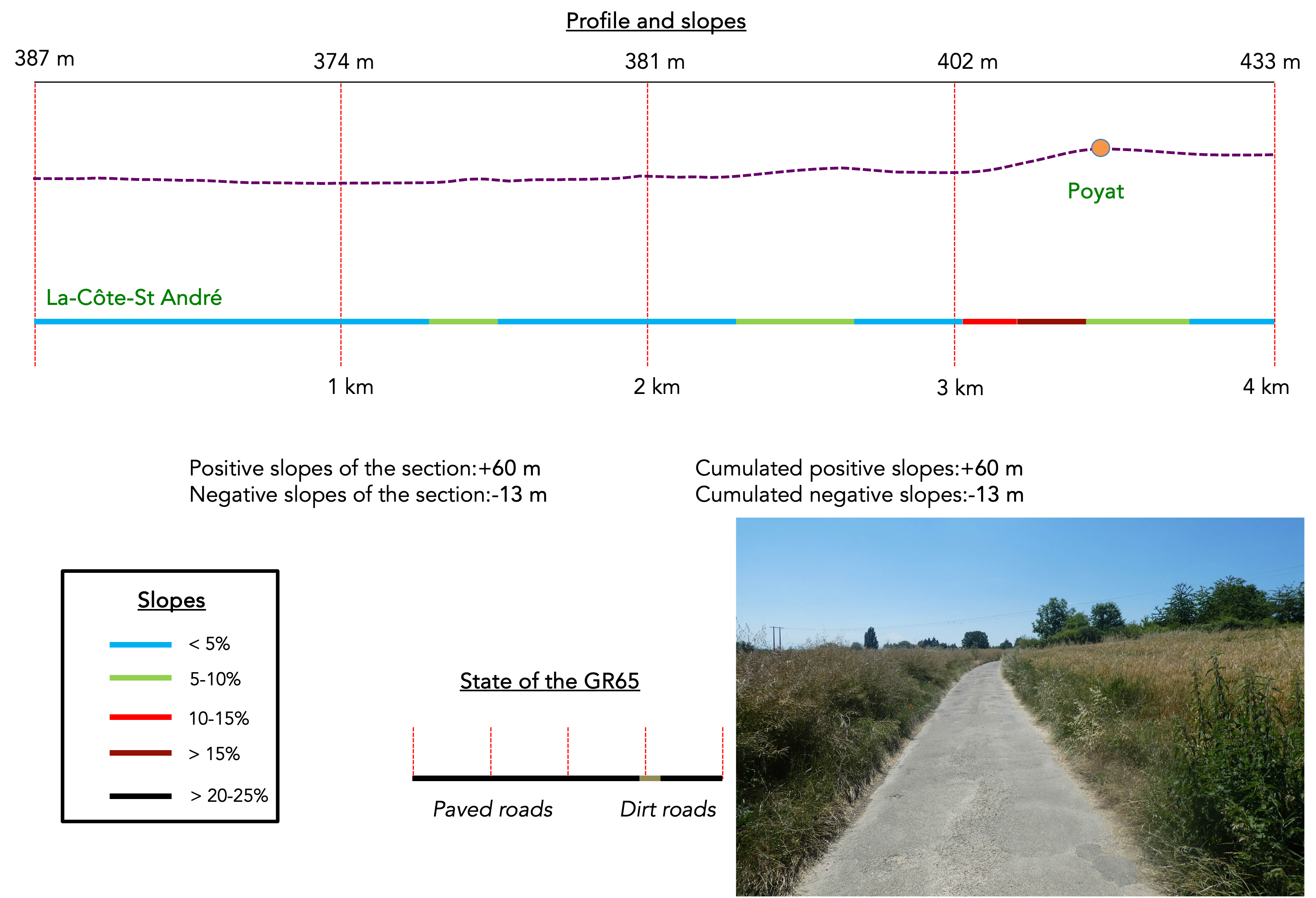
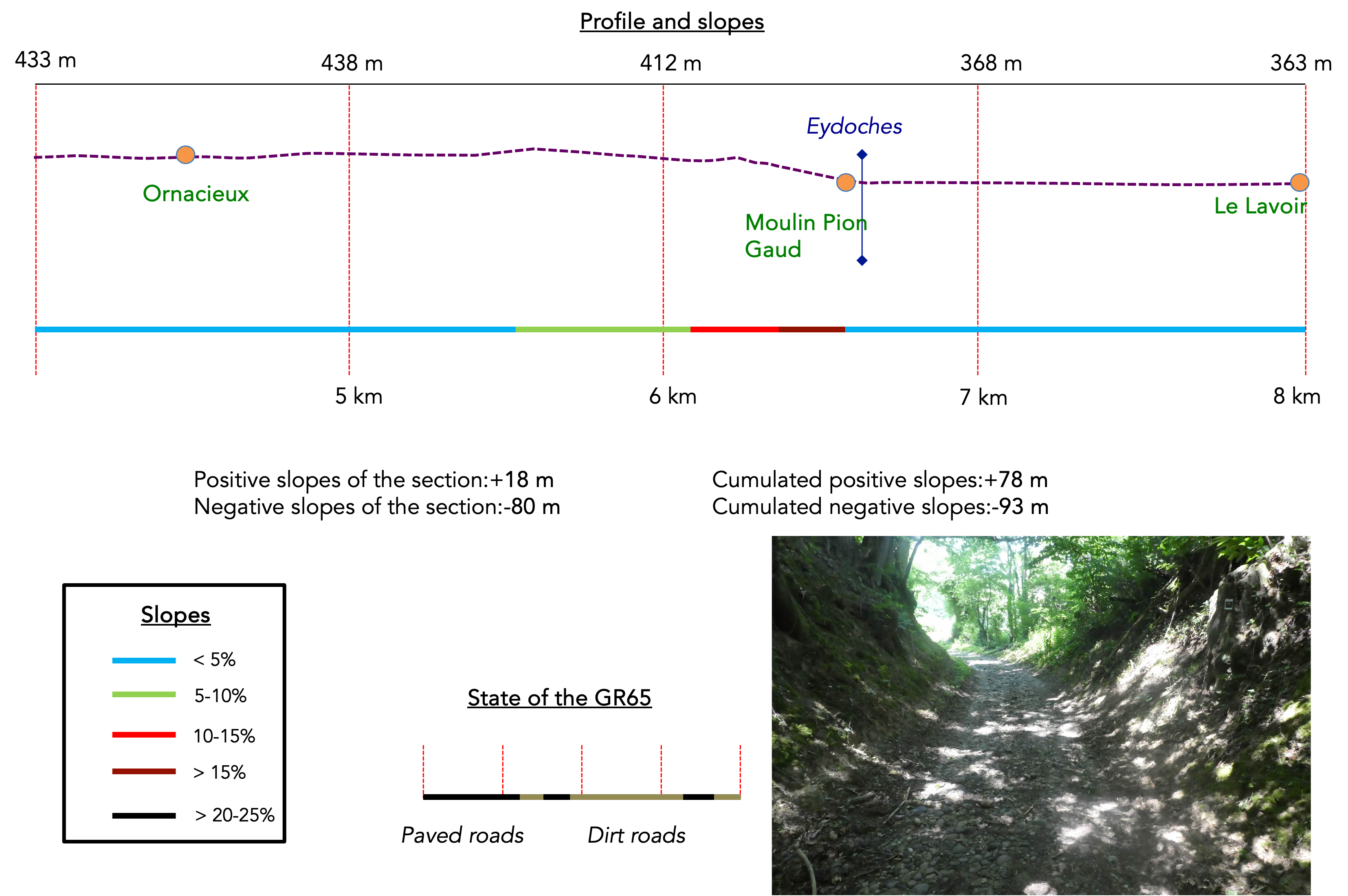
We divided the course into several sections to make it easier to see. For each section, the maps show the course, the slopes found on the course, and the state of the route (paved or dirt roads). The courses were drawn on the « Wikilocs » platform. Today, it is no longer necessary to walk around with detailed maps in your pocket or bag. If you have a mobile phone or tablet, you can easily follow routes live.
For this stage, here is the link:
https://fr.wikiloc.com/itineraires-randonnee/de-revel-tourdan-a-auberives-sur-vareze-par-le-gr65-73657497
| Not every pilgrim feels comfortable using GPS devices or navigating on a phone, especially since many sections still lack reliable internet. To make your journey easier, a book dedicated to the Via Gebennensis through Haute-Loire is available on Amazon. More than just a practical guide, it leads you step by step, kilometre after kilometre, giving you everything you need for smooth planning with no unpleasant surprises. Beyond its useful tips, it also conveys the route’s enchanting atmosphere, capturing the landscape’s beauty, the majesty of the trees and the spiritual essence of the trek. Only the pictures are missing; everything else is there to transport you.
We’ve also published a second book that, with slightly fewer details but all the essential information, outlines two possible routes from Geneva to Le Puy-en-Velay. You can choose either the Via Gebennensis, which crosses Haute-Loire, or the Gillonnay variant (Via Adresca), which branches off at La Côte-Saint-André to follow a route through Ardèche. The choice of the route is yours. |
 |
 |
If you only want to consult lodging of the stage, go directly to the bottom of the page.
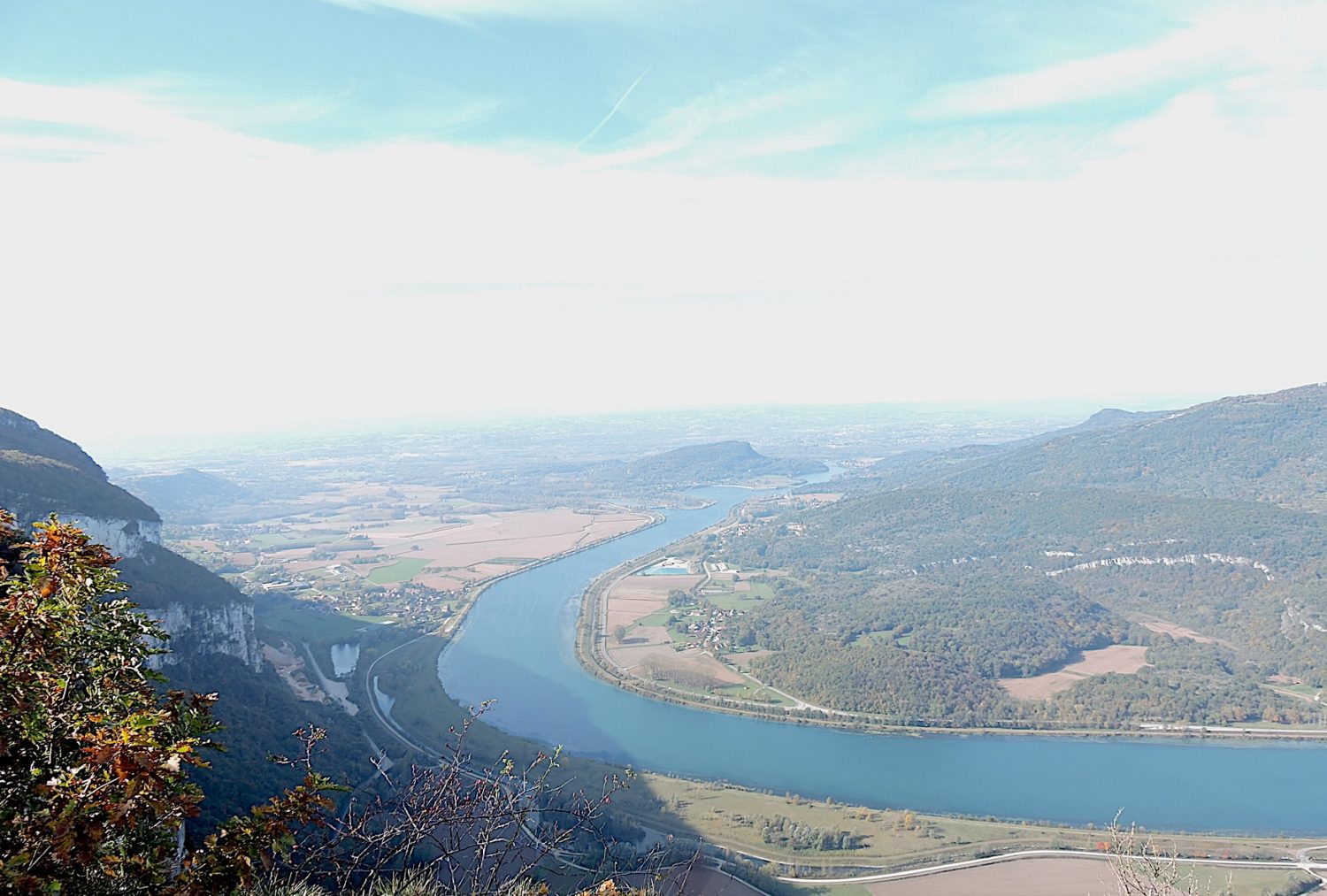
The Bièvre-Valloire, a vast rolling expanse, gracefully stretches from the edge of the Isère valley to the banks of the Rhône River. At Côte Saint-André, you are approximately halfway along this valley that connects Grenoble to Vienne, running parallel to the Rhône. Broadly speaking, Bièvre extends to the east while Valloire spreads out to the west. This impressive valley, with its flat bottom and wide horizons, reveals a glacial origin, confirmed by the abundant moraine deposits scattered throughout the region. It is unnecessary to dwell extensively on the geological details of this area, but it is undeniable that its current topography is the result of titanic forces shaped by the last great glacial eras. The cycles of glaciation and thaw, constant and inevitable over the ages, have profoundly sculpted this landscape. The most significant glaciation periods date back to the Quaternary epoch when Neanderthals still roamed this land. This human species, which appeared around 430,000 years ago, disappeared around 35,000 BCE, leaving behind ephemeral but fascinating traces. Here, during these periods, the Rhône glaciers and the Isère glacier undoubtedly converged.

You already experienced this scenery the day before when the route passed before Le Grand Lemps. Today’s stage takes place just above the great Bièvre trough, which is more than 6 kilometers wide, on the lateral moraine hills formed by glaciers that gradually eroded and sculpted the Bièvre plain. The plain is thus bordered by two relatively symmetrical lines of hills made up of fluvioglacial moraines. The name « Bièvre » comes from the word « beaver ». Did beavers thrive here after the glaciers melted, in the clusters of small streams, rivers, and pebbles previously carried by the glaciers? The plain and hills are consequently the result of the work of this bulldozer, this true steamroller called glaciation and thawing, which ground down and polished these billions of pebbles and stones that pepper the soil. A moraine forms on the surface, on the sides, and at the front of a glacier. It is made up of a variety of rock blocks of different sizes that come from the slopes and the bottom of the glacial valley. The glaciers mainly transported limestones and sandstones. When the ice melted, the stones remained. You noticed this in the previous stage, and here it will not decrease.
The soil in the region often resembles a vast necropolis of rounded pebbles. Often, too, the alluvium is covered with a rather silty, tawny, and reddish coating. In any case, the soils are made of a great mix of materials of alpine origin. The terraces are cemeteries of foreign rocks carried by the glaciers. They harbor all kinds of gneisses, schists, sandstones, and, of course, all types of limestones. So, nature transforms all this material, creating layers of gravel, but also sandy beaches and a lot of clay, which has been used for centuries to make the « pisé » (rammed earth) for houses in the Dauphiné region. Obviously, if topsoil covers these structures, the soil is good for cultivation. Otherwise, it is utter poverty. When moraines dominate, the soil is primarily sticky, greasy, clayey, and deep, often impermeable.
In the last two stages we traveled in autumn, the path was carpeted with chestnut burrs and leaves, while these trees stood majestically along the way. For a change of atmosphere, here are some stages explored at the end of spring, when chlorophyll is still abundant in the trees. Today, the stage is short and heads due west.
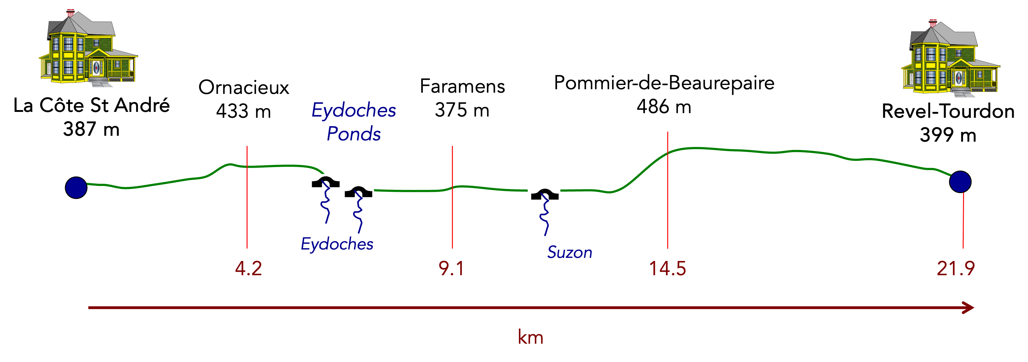
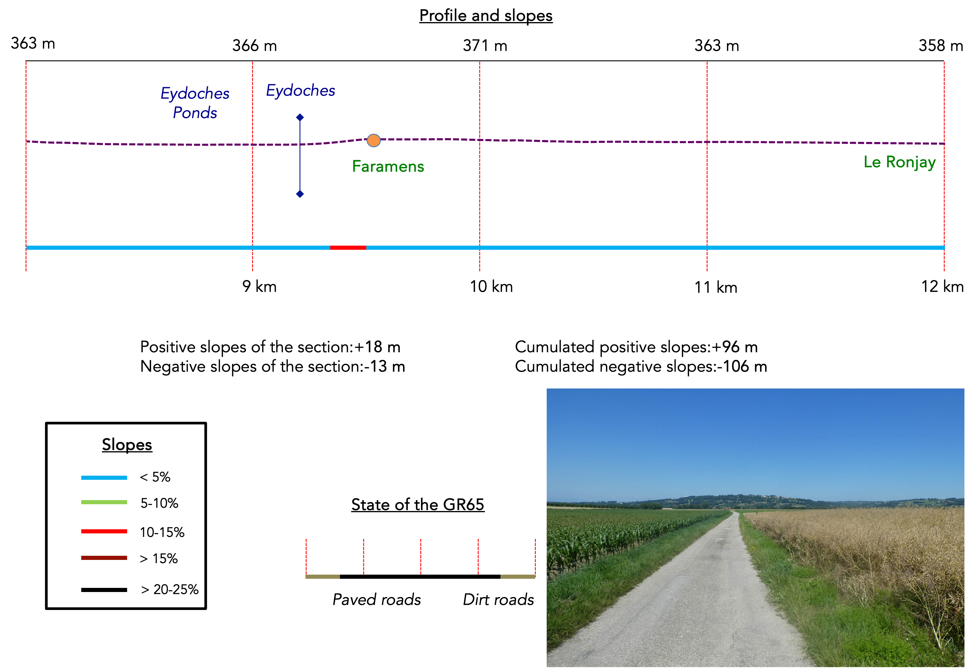
Difficulty level: The elevation changes (+241 meters/-210 meters) are insignificant. In fact, only the climb to Pommier-de-Beaurepaire will cost you a bit of energy.
State of the GR65: Today, you will walk equally on asphalt and paths:
- Paved roads: 10.9 km
- Dirt roads : 11.0 km
Sometimes, for reasons of logistics or housing possibilities, these stages mix routes operated on different days, having passed several times on these routes. From then on, the skies, the rain, or the seasons can vary. But, generally this is not the case, and in fact this does not change the description of the course.
It is very difficult to specify with certainty the incline of the slopes, whatever the system you use.
For those seeking « true elevations » and enthusiasts of genuine altimetric challenges, carefully review the information on mileage at the beginning of the guide.

Section 1: Gentle ups and downs over the hills

Overview of route’s challenges: an easy route.
|
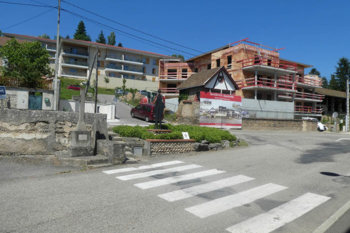
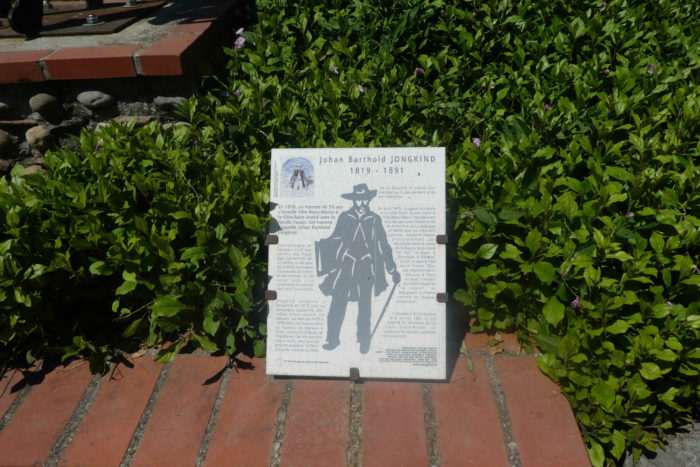
The GR65 begins its westward journey from the heart of La Côte St André, passing near the Pôle Emploi, where a memorial stands dedicated to Johan Barthold Jongkind, a Dutch painter and precursor of Impressionism. Jongkind found inspiration and refuge in this town where he spent his final days, a place that offered the tranquility necessary to express his innovative artistic vision.
|
 |
 |
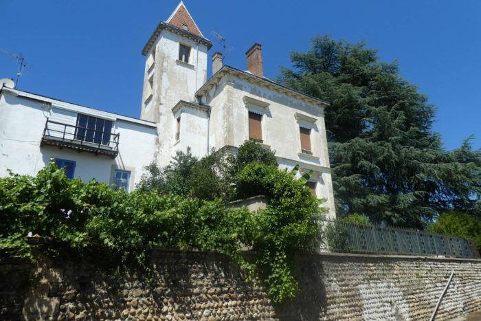
| The route exits the town through an old suburb, flanked by pebble walls. Throughout this region of Bas Dauphiné and Bièvre, pebble walls are ubiquitous. These pebbles have two origins. During the formation of the Alps, erosion tore blocks of stone of all sizes from the crystalline massifs and limestone Prealps. This material is primarily puddingstone, rocks made up of ancient rounded pebbles or breccia, with angular stones cemented together and transported over long distances by rivers. When these regions were covered by the sea and sediments were deposited, the puddingstone, breccia, sandstone, and limestone were trapped in the mass. When the sea retreated, runoff waters further smoothed the pebbles. The second origin is linked to the work of glaciers during the Quaternary period. These forces of nature transported pebbles, depositing them in terraces and forming moraines and terraces along the glacial valleys. |
 |
 |
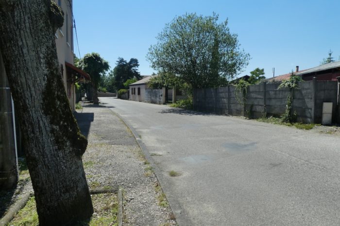
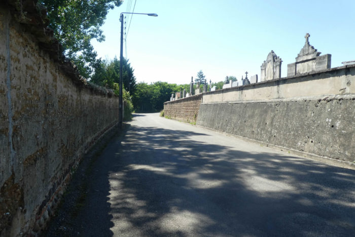
| Leaving the quiet suburb, the GR65 runs alongside the cemetery and meanders along the small Chemin du Pré Soldat Road, before opening onto the locality of La Croix Soulier. |
 |
 |
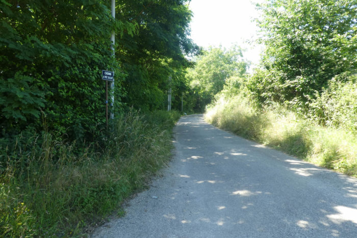
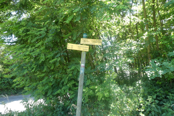
| Here, nature flourishes in a profusion of greenery where every tree and bush seems to have found its place with integrated serenity. |
 |
 |
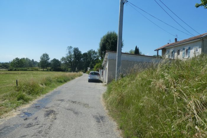
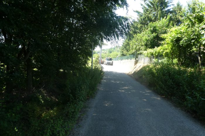
| The road leaves the town, gently descending through meadows, past small villas perched on embankments, before encountering more wild nature. |
 |
 |
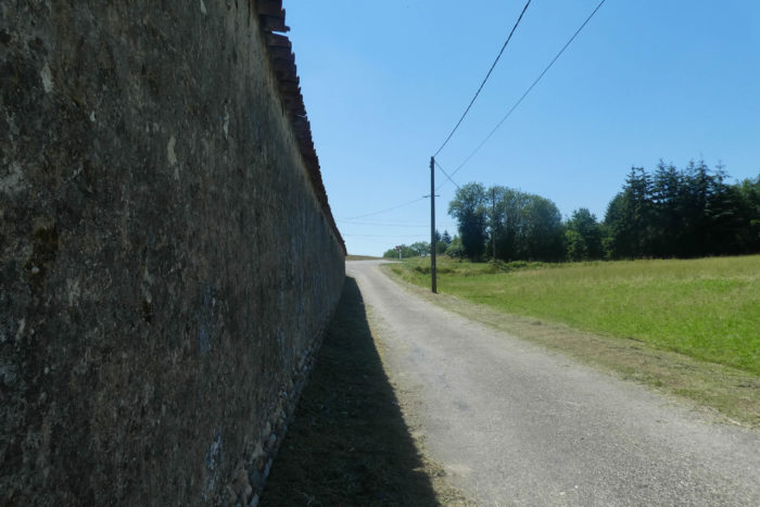
| Soon, the road approaches an imposing wall reminiscent of old fortress fortifications. This wall likely once protected a grand estate but now peacefully encloses fields of cereals and rapeseed, witnessing a tranquil transformation over time. |
 |
 |
| The small road then skirts around this property, following the perimeter wall that seems to jealously guard the secrets of its aristocratic past, now engulfed in green fields. |
 |
 |
| At the end of Chemin du Pré Soldat, the route briefly crosses the bustling D518A departmental road. This short interlude marks a transition between the serene rural paths and the measured hustle of modern road life. |
 |
 |
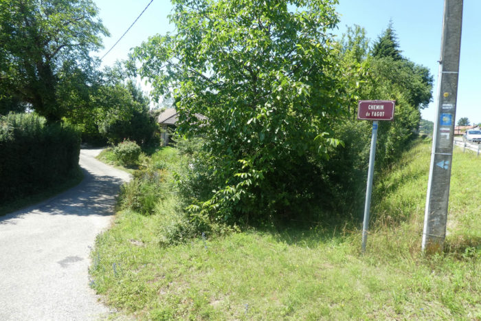
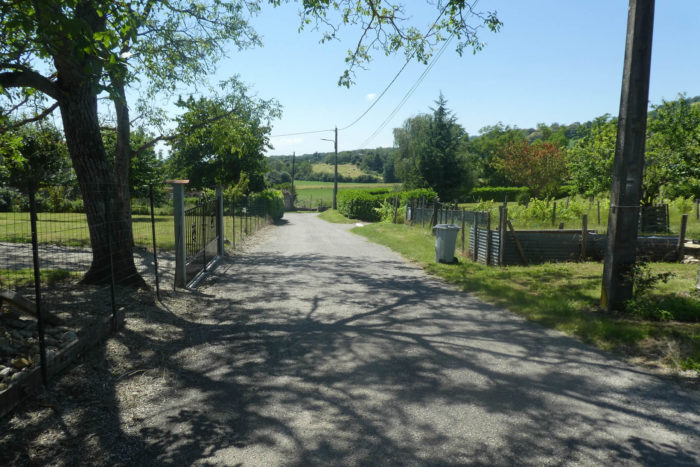
| Then, a small road sneaks onto Chemin de Fagot, below the departmental road, winding among elegant villas discreetly nestled under the foliage. Meticulously maintained gardens border these homes, adding a touch of color and life to this charming natural tableau. |
 |
 |
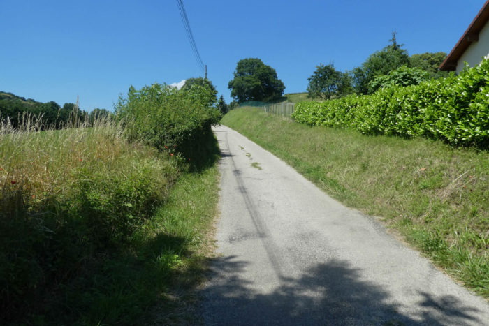
| Shortly after, the road climbs onto Chemin de la Chapelle, a steeper ascent leading to the modest St Michel chapel, nestled near a cemetery, lost among hedges and lush foliage. |
 |
 |
The route then reaches the Berlandières crossroads, near the departmental road. This detour was taken to avoid the constant flow of vehicles, ensuring a peaceful and safe walk. The next objective is now Ornacieux, just 1.7 kilometers away.

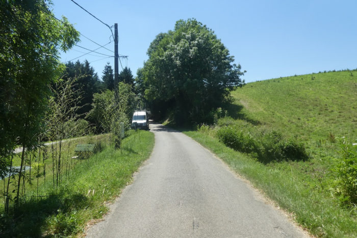
| The small road continues along Chemin de Berlorin, alternating between bright green meadows and cornfields with golden ears. |
 |
 |
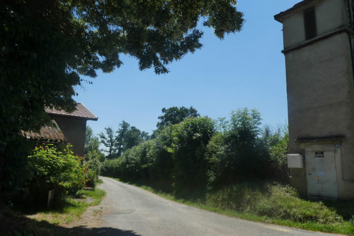
| Along the road, houses are scattered, each a haven of tranquility in this rural landscape. After passing near a reservoir reflecting the sky, the route reaches the end of Chemin de Berlorin, at the locality of La Roberne. |
 |
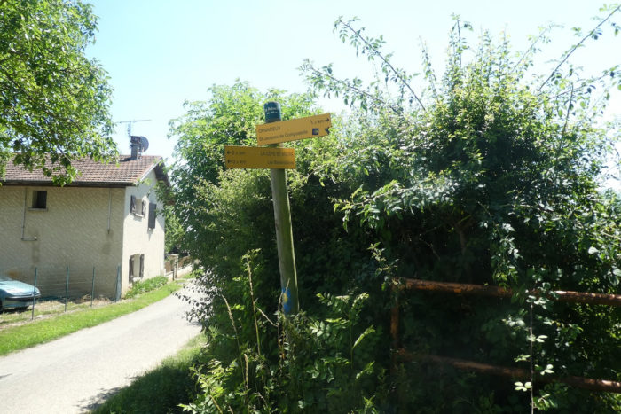 |
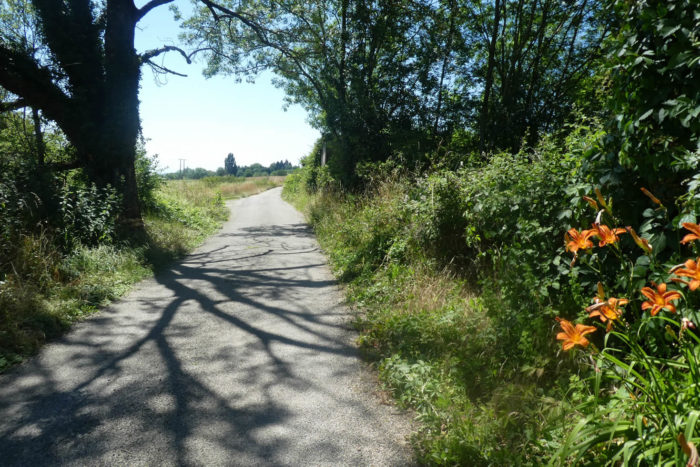
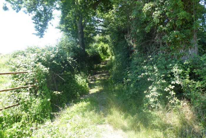
| The GR65 immediately plunges into a rudimentary trail, overgrown with lush vegetation. Wild grasses intertwine as if to devour the path, creating a wild and untamed atmosphere |
 |
 |
| This is the typical path of the Bièvre, where large, time-worn stones roll under each step. Overhead, chestnut trees, faithful companions for several days, weave an almost impenetrable protective canopy. |
 |
 |
Navigating here is often challenging: carefully seeking a patch of firm ground among the slippery stones while avoiding the sides of the path overrun by sometimes prickly bushes. Each step demands attention and adjustment, in a dance with untamed nature that seems eager to reclaim its rights.

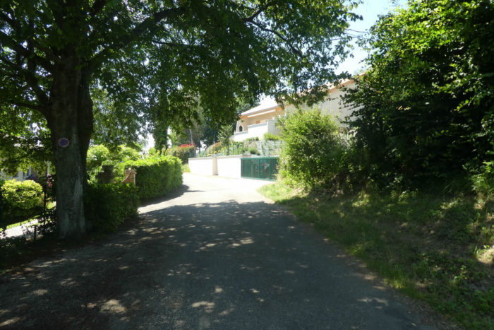
| At the top of this short climb, the rocky path finally joins a small road near the recent villa subdivisions of La Poyat. There, the landscape opens into gentle undulations, revealing verdant meadows and groves swaying peacefully in the wind. |
 |
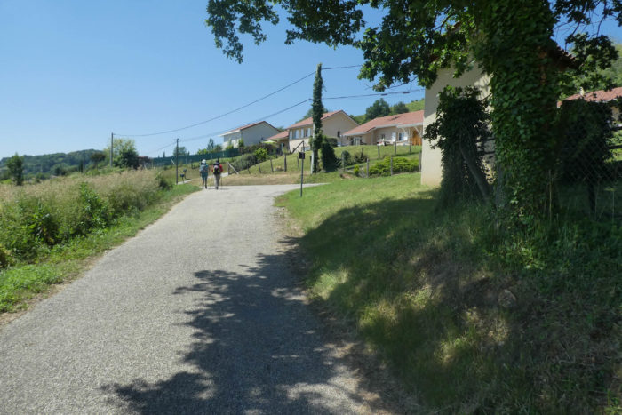 |
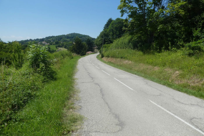
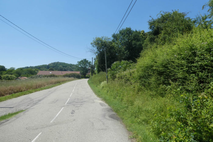
| The road then winds through this flourishing nature towards Ornacieux, offering the walker a true immersion into the wild and preserved beauty of this gentle countryside. |
 |
 |
Section 2: Gentle ups and downs before the marshes and the plain

Overview of route’s challenges: an easy route.
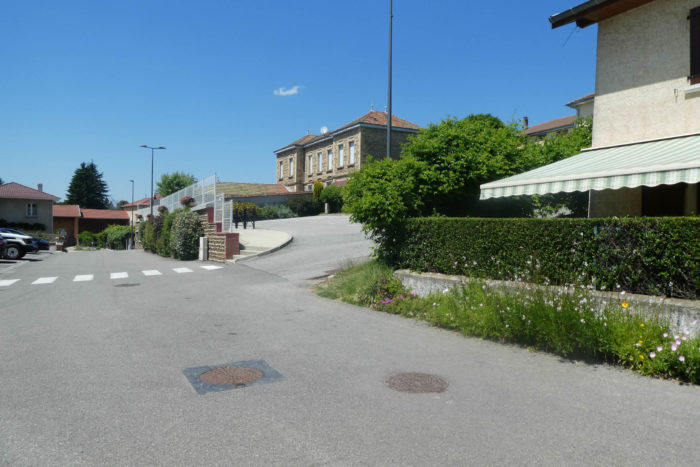
| Further along, you pass through the charming village of Ornacieux, where you’ll see the town hall and the church, rebuilt in the 19th century, showcasing beautiful rolled pebbles that symbolize the rich local heritage. Ornacieux takes pride in a revered figure, Blessed Beatrice of Ornacieux, born in the 12th century and beatified at the end of the 19th century, who has left a significant mark on the history and spirituality of this community. |
 |
 |
| These small villages proudly display beautiful homes made of pisé or rolled pebbles. However, social life seems to have vanished long ago. There are no bars or even bakeries, once the beating heart of these small French villages. Rural France is depopulating day by day, a subject often exploited by the Rassemblement National, a political party echoing the challenges and concerns of rural French citizens. |
 |
 |
Four kilometers from Faramans, you come across a small cross in front of a magnificent historic house built with rolled pebbles, a testament to the region’s ancestral craftsmanship.

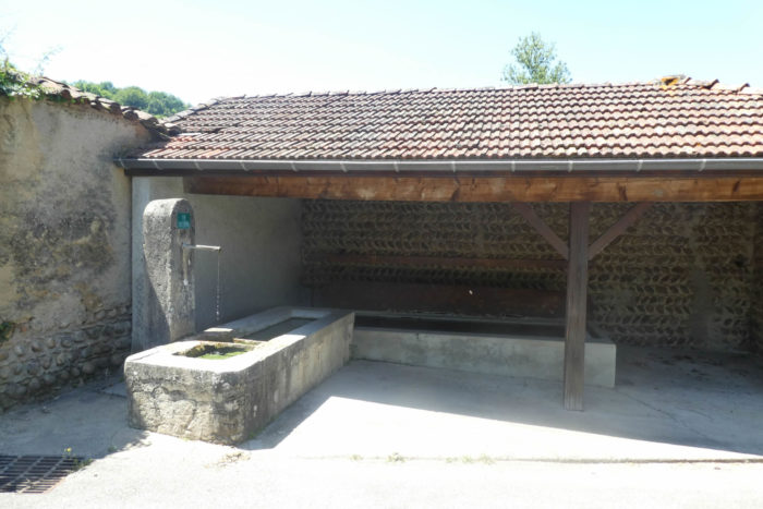
| In the past, social life revolved around the communal washhouse. Today, only beautiful pebble walls bear witness to this past, and the water flowing there is no longer potable. Pebbles are still abundant in these parts, dotting the fields and now used to decorate gardens or build low walls. Previously used to adorn the facades of pisé houses and churches, these pebbles are now finding their place in local architecture again, often combined with red brick to create a harmonious contrast. |
 |
 |
| The road leaves the village, passing shortly thereafter in front of a remarkable stone cross. In this region, small pebbles are plentiful for the devotions that pilgrims leave at the foot of these crosses, a living testimony to the faith and tradition of pilgrimage. |
 |
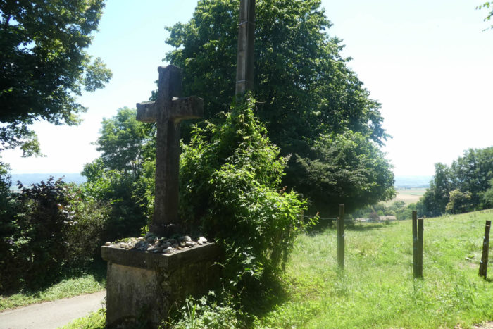 |
Below stretches the vast plain of Bièvre, where pastures and crops extend as far as the eye can see, forming an immutable tableau of simple beauty, a hymn to monotony for some, but an endless source of love for the farmers who cultivate and cherish these lands.

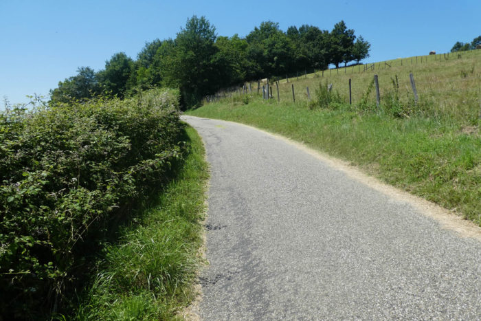
| The road gently descends along the ridge, offering a breathtaking view of verdant meadows dotted with small groves of oak, ash, and chestnut trees. Each tree seems like a sentinel of the countryside, silently watching over these fertile lands. |
 |
 |
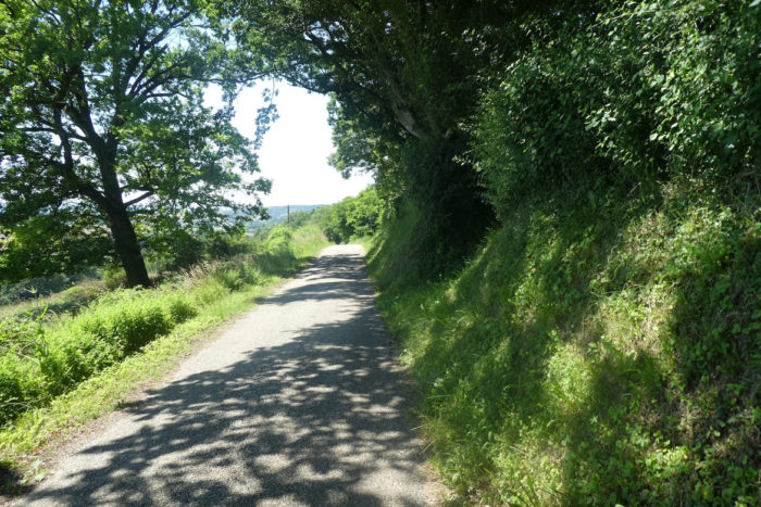
| Further on, the GR65 reaches a crossroads where it changes direction, marked by the locality of Malatra, 3.5 kilometers from Faramans. |
 |
 |
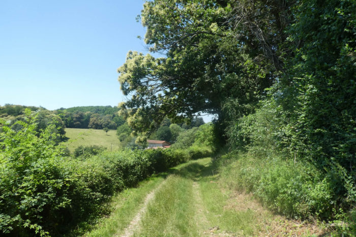
Near a large stone cross, the GR65 abandons the road for a more rustic path, covered in dirt and grass. Stone crosses are numerous in this region, each as solemn and imposing as the next, attesting to the faith and tradition that have animated these lands for centuries.

|
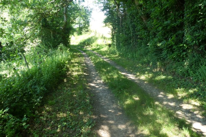
The path descends through a profusion of wild hedges, tall grasses, majestic oaks, and centuries-old chestnut trees, creating a dense and mysterious forest ambiance.
|
 |
 |
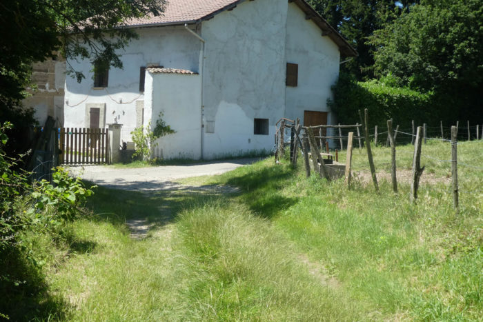
| Lower down, it joins a small road at the entrance to the few farms of Le Goure, havens of tranquility scattered in this restful, preserved nature. |
 |
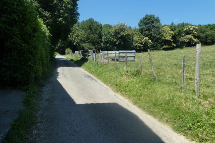 |
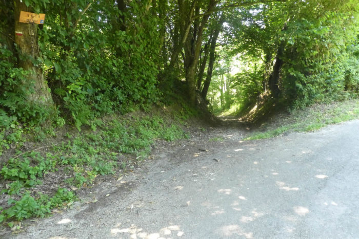
| After a brief stretch on asphalt, the GR65 plunges into the leafy forest of Penol, where the leaves rustle gently in the light breeze, creating a soothing murmur that envelops the walker. |
 |
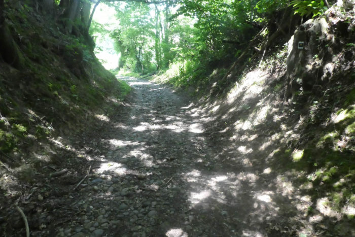 |
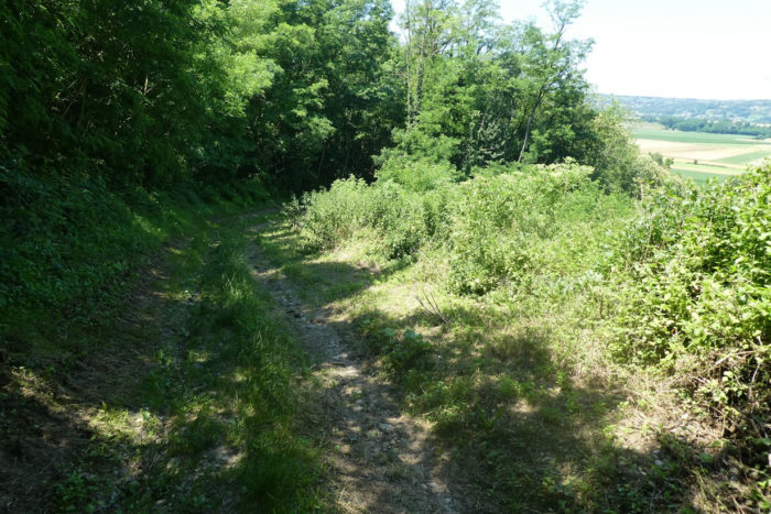
| In this region, sloping paths are often pebble-strewn corridors, and this one is no exception. The descent here varies between 10% and 15%, and each step challenges ankles and knees, navigating skillfully between the rolling stones that line the path. |
 |
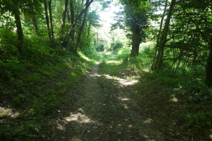 |
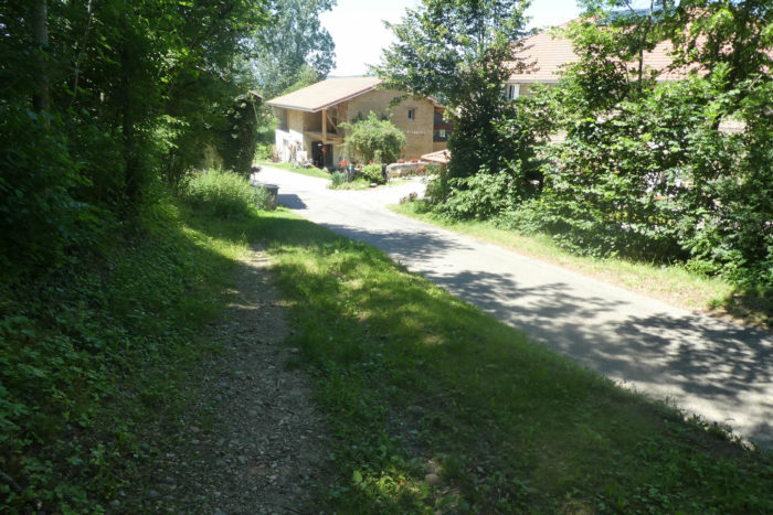
| At the bottom of this steep descent, the path runs near Moulin Pion Gaud, an enchanting site bordering the marshes where the peaceful stream of the Eydoches gently meanders. It is a true oasis of calm, a place where nature seems timeless and preserved. |
 |
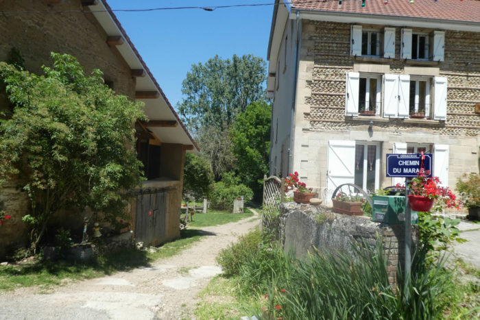 |
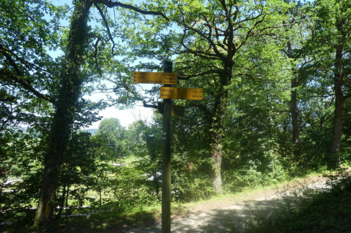
| Here, only 2 kilometers from Faramans, the entire region is known as Le Marais (Marsh). In rainy weather, it is recommended to follow the road towards Moulin de Penol, then rejoin the GR by turning right just past the mill. |
 |
 |
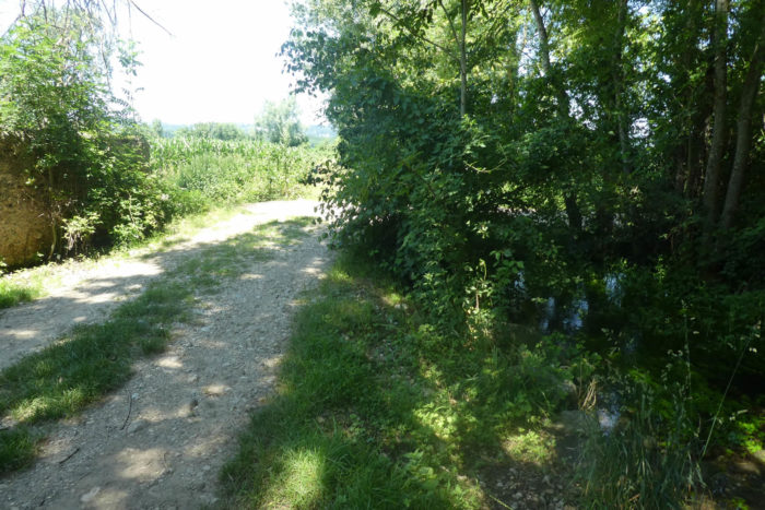
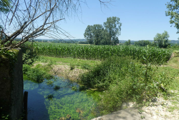
| On the GR65, the path soon runs alongside the many branches of the Eydoches stream that meander through the marsh. For nearly a kilometer, you move through a landscape where water is omnipresent. Le Marais is characterized by its low, wet lands, often flooded during the rainy season. It is a marshy landscape within a dense and complex hydrographic network. Walking through the marsh in rainy weather, you can observe how the water abounds, forming small stagnant pools among the tufts of wild grass. These marshes are conducive to biodiversity, hosting a variety of aquatic plants, migratory birds, and amphibians. Corn crops in this region seem to thrive in this humid environment where their roots can benefit from the constant soil moisture. The cornfields sometimes extend right up to the water’s edge.
Navigating through this region offers a unique experience, where water and vegetation blend to create a landscape that is both wild and soothing. It is a fragile yet vital ecosystem, demonstrating the importance of wetlands for hydrological regulation and the preservation of local biodiversity. |
 |
 |
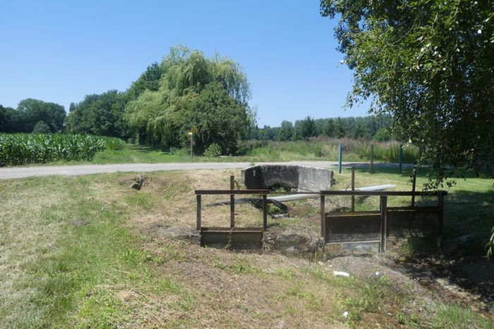
| At the exit of the marsh, the GR65 reconnects with a small road at the locality of Le Clapier, right next to a washhouse. It is surprising to find that despite all the running water here, the washhouse is dry. It is also at this spot, at the Penol washhouse, that you arrive if you followed the detour via Le Moulin. |
 |
 |
Section 3: Passing by the beautiful ponds of Faramans

Overview of route’s challenges: a true stroll.
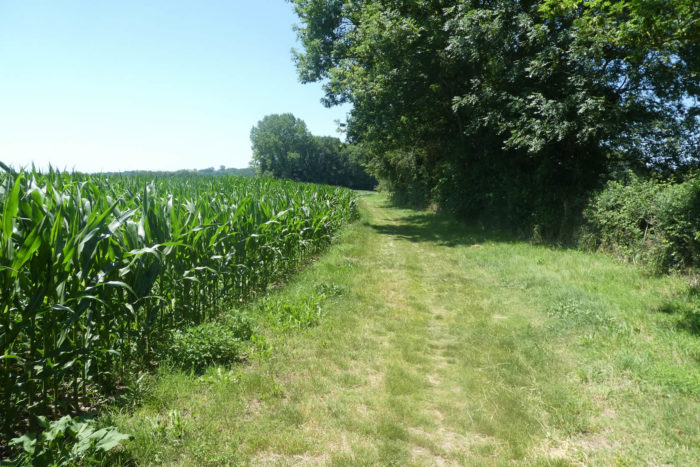
| At the Penol washhouse, you are just a few steps away from the Faramans ponds, where the path winds through tall grass, skirting cornfields and hedgerows of oaks and chestnut trees that peacefully border the Eydoches stream. |
 |
 |
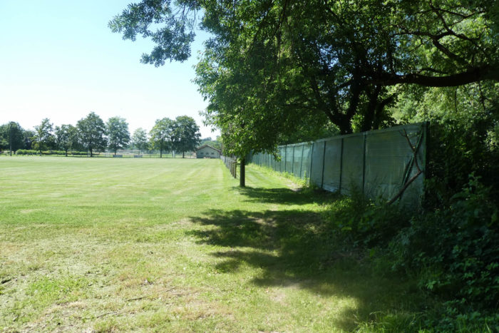
| Shortly thereafter, the grassy path quickly leads you to the Faramans sports complex, with its vast green lawn, before guiding you towards the ponds visible in the distance. |
 |
 |
There is a sense of a well-kept secret here. One might think paradise has taken form on earth. The pond stretches out, calm and almost serene. In this nearly motionless world, where time seems suspended, occasionally a flight of ducks peacefully glides across the green, stagnant water, barely making it ripple. The reflections of the sky play hide-and-seek on the surface of this greenish water, and the shadow of the trees appears in darker patches on the still water. This place can never be quite the same; with the changing seasons or the whims of the weather that alter colors and light, the magic of this spot can sometimes be benevolent, sometimes tinged with a certain melancholy.
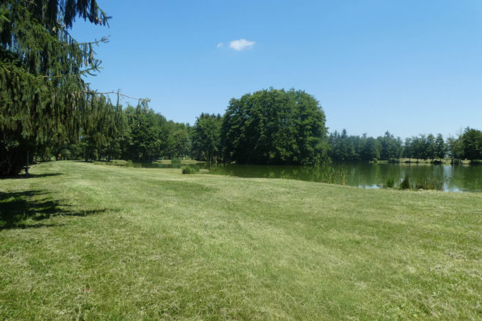
It is indeed a place of such deep beauty that it touches the innermost parts of the soul, evoking emotions that can bring tears of joy. The tranquility of the Faramans ponds, the serenity of the shimmering water under the interplay of sky and trees, all compose a tableau where nature seems to have found its perfect balance. It is in these moments that one feels connected to something greater, where every detail vibrates with a fragile and precious harmony. These moments remind us of the pure and simple beauty that still exists in this world, capable of moving us deeply and filling us with pure, luminous joy.

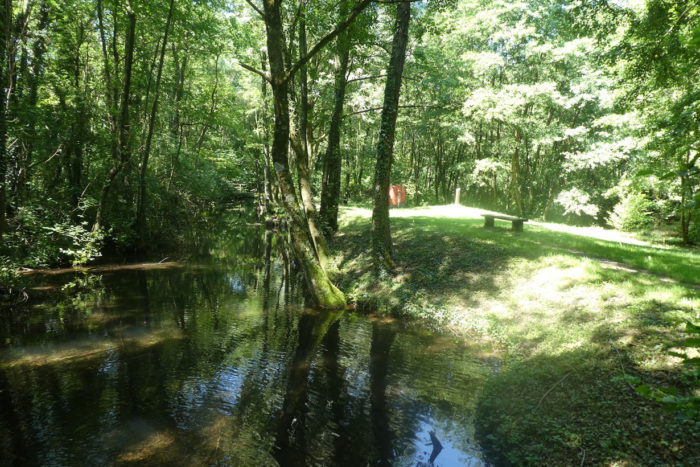
| It is a divine delight to settle by the pond, in this enveloping tranquility where wooden benches seem carved for dreaming. Here, you can listen to the gentle song of the majestic trees that tremble under the light caress of the breeze, their silhouettes blending harmoniously with the iridescent reflections dancing on the calm water. It is a place where time seems suspended, where every breath of wind tells a millennia-old story, where every rustle of leaves is a delicate poem dedicated to nature. It is also a place where families gently disperse, seeking well-deserved rest, even though swimming is prohibited. Sometimes, a silent fisherman, as quiet as dawn, barely disturbs the shimmering surface, adding a subtle note to the peaceful symphony of this enchanting place. |
 |
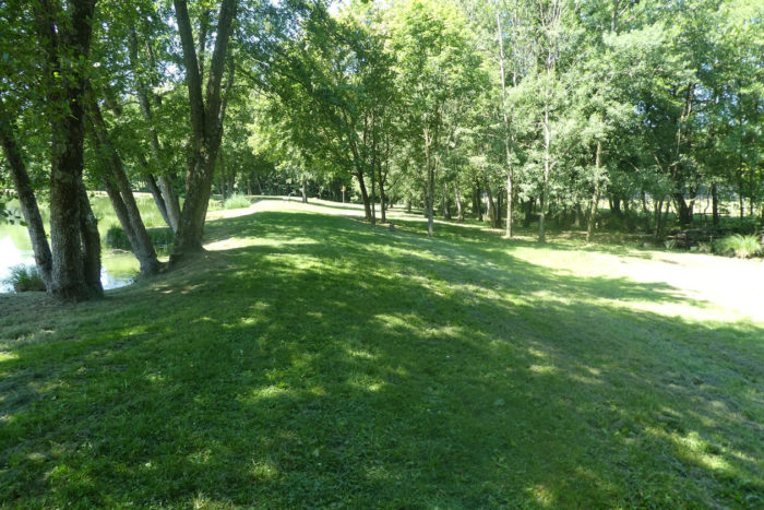 |
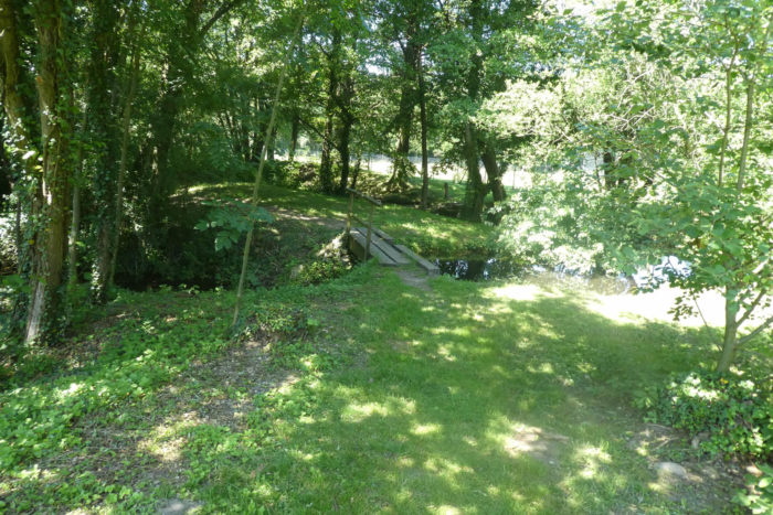
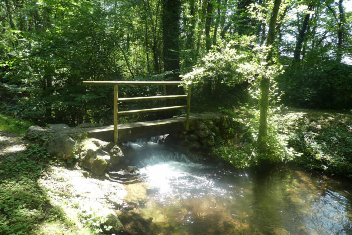
| Further on, beyond the pond, begins the walk of small bridges that gracefully span the stream. It is as if each bridge is an invitation to cross a threshold into another world, where magic softly whispers through the crystal-clear waters and ancient stone arches. Each step resonates like a musical note in this enchanted ballet of nature, where each bridge contour reveals a new splendor to contemplate. |
 |
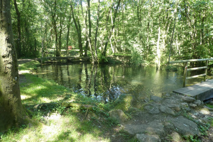 |
| The path winds gracefully through this blessed landscape, where every turn reveals a breathtakingly beautiful scene. Here, earth and water dance in harmony, the trees seem to be benevolent guardians of an ancient secret, and every sunbeam filtering through the foliage is a celestial caress. It is a place where poetry is lived every moment, where the soul nourishes itself on the simple and pure magic of nature. |
 |
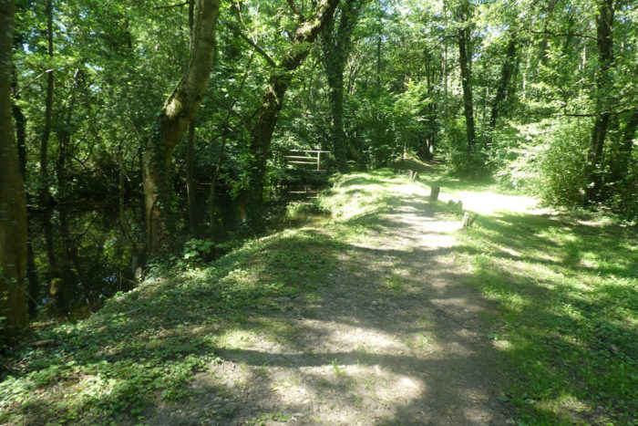 |
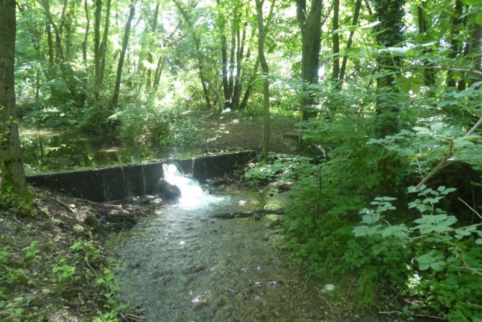
| It is the murmur of the Eydoches stream, which flows peacefully and weaves between the trees, between shadow and light. Here, the trees bend over the water, almost touching it. There are even gigantic alders that touch the sky. At the park exit, the usually calm stream allows itself some playful cascades, almost wild, among the mosses and foliage. |
 |
 |
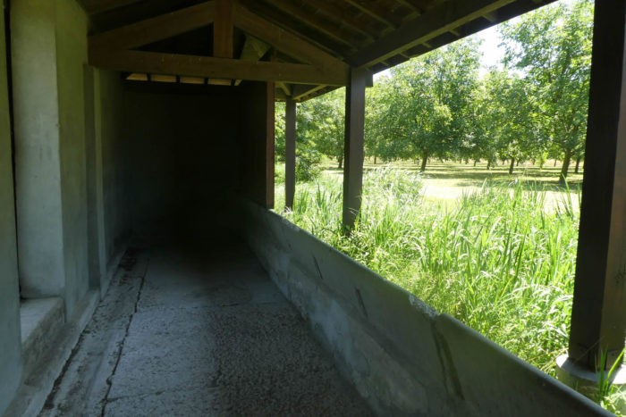
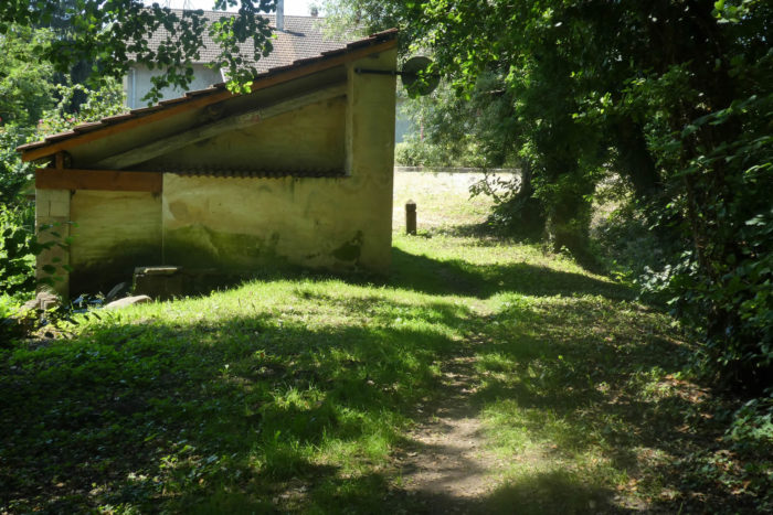
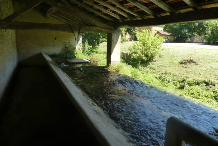
| And all this water flows into the communal washhouse of Faramans, at the village entrance. You push the door to enter. Alas, the laundresses are gone forever. |
 |
 |
| How fresh are these waters bubbling in the washhouse! There are magical places on the Way of Saint James, and this is undoubtedly one of them. Few pilgrims will forget passing here, at the Faramans ponds, where the enchantment of nature reaches its peak. |
 |
 |
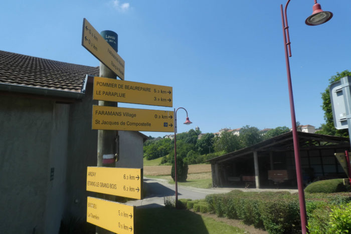
| The GR65 then climbs more prosaically towards the village, slowly leaving this haven of peace to return to the ways of daily life. |
 |
 |
The road winds along an impressive wall made of rolled pebbles, an abundant material whose deposits are replenished daily by rivers and streams. It is enough to dig or pick them up from the surface. However, this task is not as simple as it seems: the pebbles must be handled with care, calibrated to ensure they are the right size, and sorted by colors and types. The fields and valley bottoms are cleared of these pebbles, freeing the land for agriculture. River pebbles, rounded and polished by the current over the years, offer a smooth and uniform surface, while moraine pebbles, often longer, flatter, and larger, provide a variety of shapes and textures. These materials are ideal for building the characteristic spiked walls of the region. Building a pebble wall is a true art of masonry: the pebbles, rarely retouched, are embedded in thick ribbons of sand and lime mortar, with gravel or pieces of red brick added for stability and visual contrast. Each stone finds its place in this giant puzzle, creating a robust and aesthetically pleasing structure. It is grand art, a symphony of minerals orchestrated by expert hands.

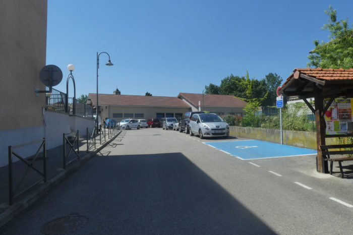
| The GR65 skirts the village center, where the church stands proudly in the distance, a landmark for pilgrims and travelers. It merely passes by the small shops, picturesque with their old-fashioned signs and windows overflowing with local products, before reaching the suburbs. This village belongs to the rare category of places where you will never suffer from hunger or thirst. |
 |
 |
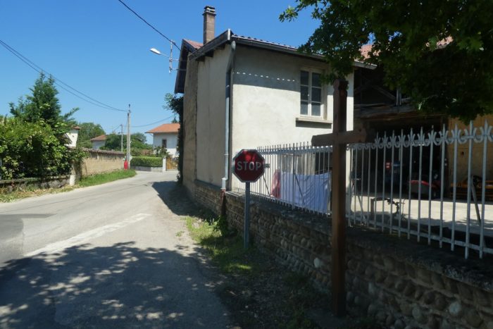
| The road then leaves the suburbs and their modest houses, sometimes adorned with pebble bases that shine in the sun, to extend into the open countryside. The fields stretch as far as the eye can see, carpets of green and gold under the bright blue sky. |
 |
 |
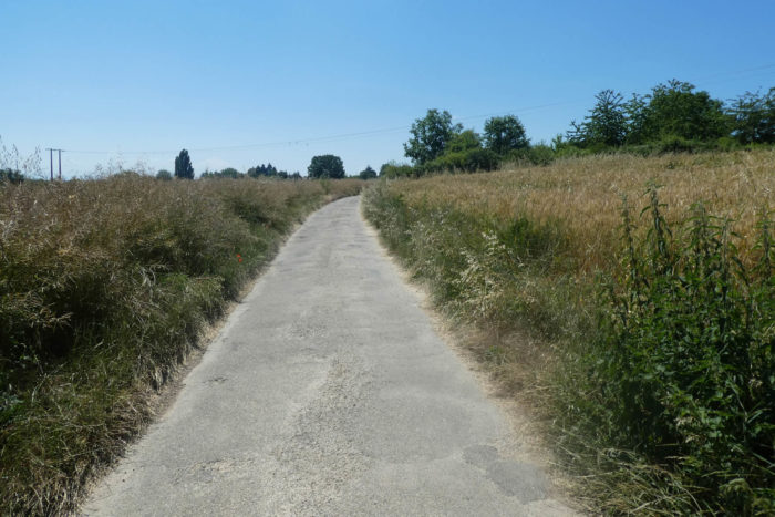
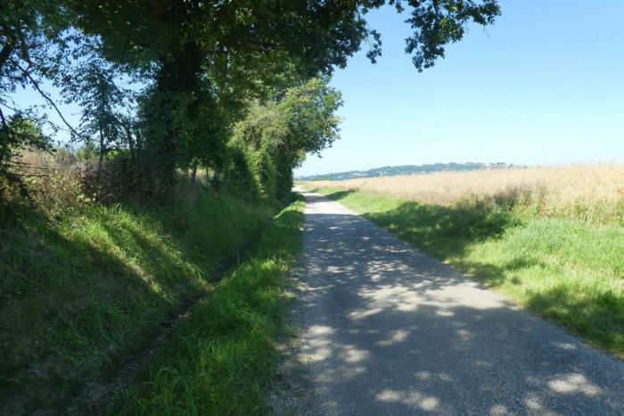
| You enjoyed the freshness of the ponds. But from here, a radical change of scenery. The route extends into a dull plain, even more drab under the scorching heat. Almost no trees between the corn and rapeseed fields. The crossing of this plain seems endless, each step a trial under the burning sun, especially with the Pommier-de-Beaurepaire hill on the horizon, which seems so far away. If you studied the map, you know the route leads there, a constant reminder of the challenge ahead. |
 |
 |
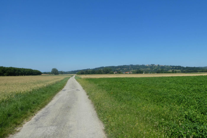
| The route stretches for miles, winding through the fields. Sometimes, soybeans replace rapeseed, adding a different hue to the monotonous landscape, but the Beaurepaire hill always seems out of reach, like an inaccessible mirage. |
 |
 |
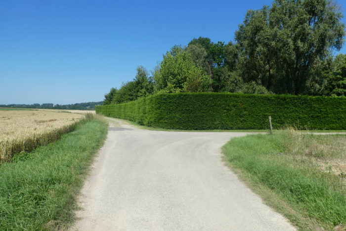
| Midway, the dirt path replaces the asphalt. A complex of farms and houses hides behind a tall hedge of thujas, their silhouettes blending into the landscape. Here, cereals dominate other crops, the wheat and oat ears gently swaying in the breeze, a golden ocean under the immense sky. |
 |
 |
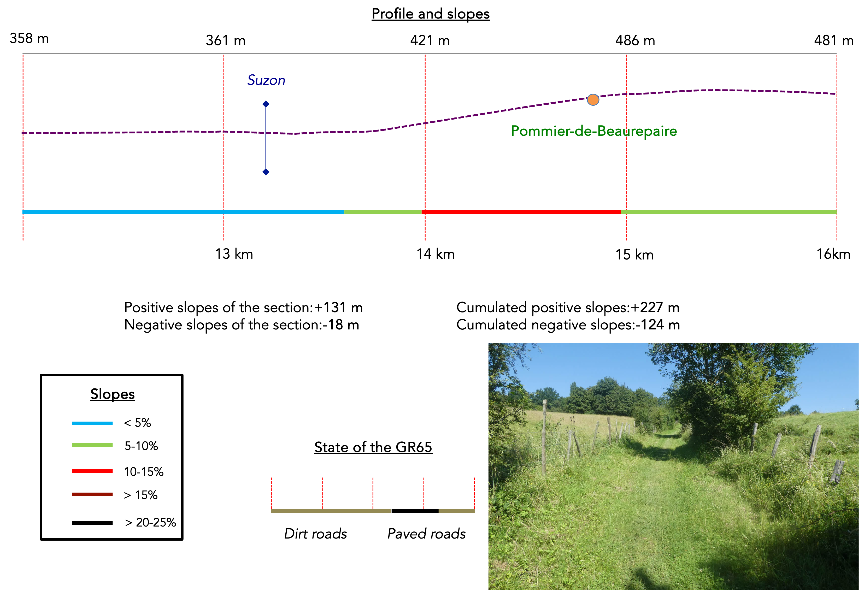
Section 4: The ascent to Pommier-de-Beaurepaire, the only sweat of the day

Overview of the route’s challenges: Today’s stage includes the climb to Pommier-de-Beaurepaire, though the gradient is always less than 15%.
|
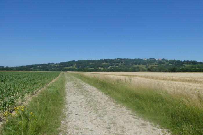
As you approach the hill of Beaurepaire with large strides, the village and its church stand out distinctly, dominating the landscape. Over the centuries, farmers have cleared the plains of pebbles, making the path less rocky and easier to traverse.
|
 |
 |
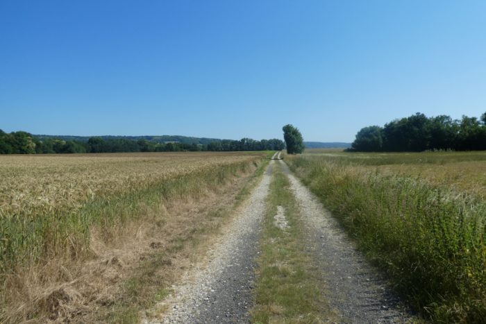
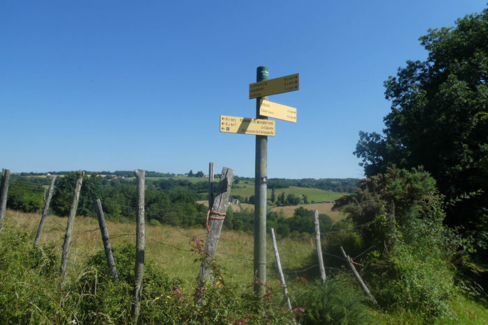
You arrive at a place called Le Ronjay, nearly 2 kilometers from Pommier-de-Beaurepaire. There is nothing here except a sign indicating a change in direction.

| IHere, the village on the hill lies directly ahead, beyond the rolling cereal fields. The red roofs of the houses contrast with the deep green of the trees, creating a postcard-worthy image. |
 |
 |
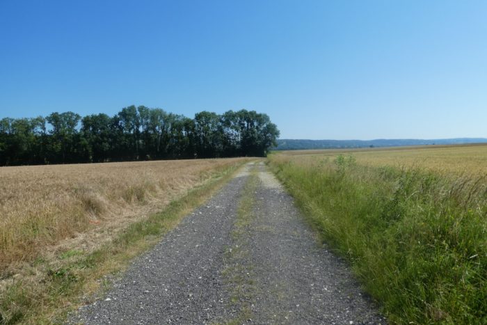
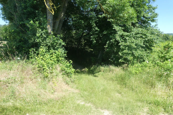
| The dirt path then approaches a woodland, offering a stark contrast to the barren plain you just crossed. The transition between these two landscapes is dramatic, almost theatrical, as if nature itself had orchestrated this change to relieve your eyes weary from the monotony. |
 |
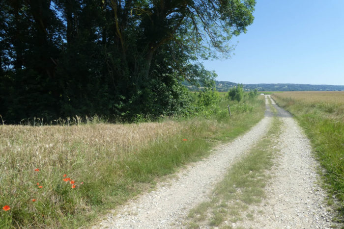 |
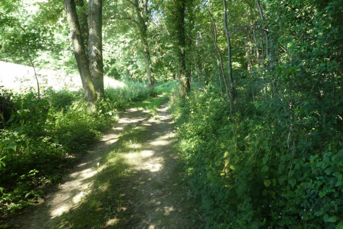
| After walking for a long time in the bare, monotonous plain, perhaps under the scorching sun, it is quite pleasant to find the coolness of the woodland. The soothing shade of the trees, the gentle rustle of leaves, and the fresh air create a refuge often longed for by pilgrims. These places become havens of peace, welcome breaks to recharge your weary batteries. |
 |
 |
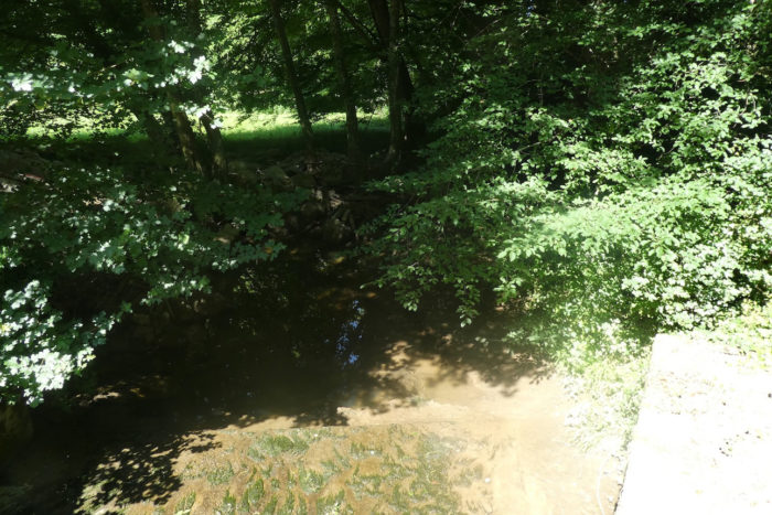
| The path quickly crosses the Suzon, a very discreet, almost shy stream, hiding among tall grasses and wildflowers. This crystal-clear ribbon of water adds a refreshing touch to the untouched nature. |
 |
 |
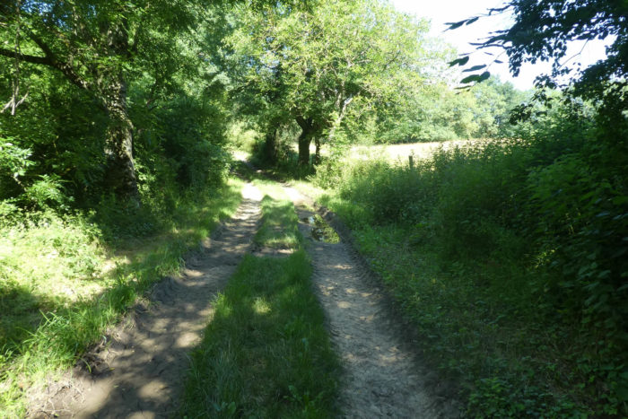
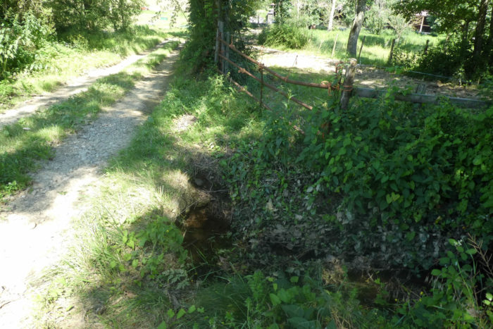
| The path then continues its winding course through the woods, under the tall trees forming a protective dome. These colossal oaks and ashes, with their sturdy and imposing trunks, offer a thick and reassuring canopy. From time to time, clearings appear, revealing discreet farms lost in the heart of this lush forest. These oases of light in the sylvan gloom reveal a peaceful rural life where man harmoniously coexists with nature. |
 |
 |
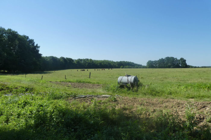
| In this region, livestock farming is the main occupation. Under the benevolent shade of oaks and ashes, meadows stretch as far as the eye can see. Herds of cows graze peacefully, adding a note of serenity to this bucolic scene. The slow rhythm of the animals and the vast green expanses offer a calming image, a return to basics where modernity seems to have left no mark. |
 |
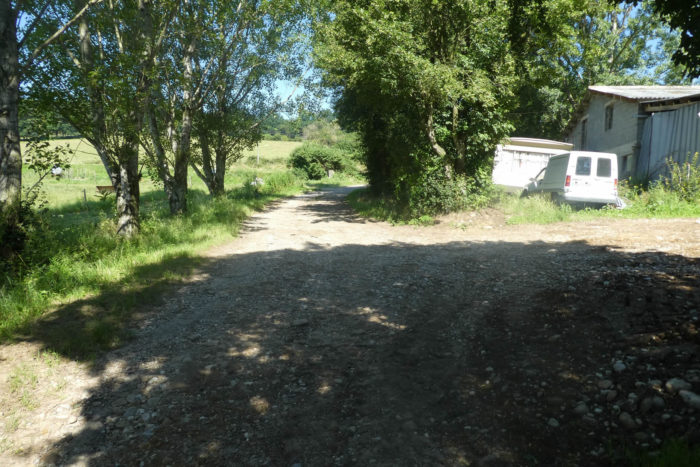 |
Exiting the woods, the path joins a small country road at a place called Maison Poncet. Here, the landscape changes, becoming more open and less shaded. You are now at the foot of the Beaurepaire hill, the only real effort of the day. This hill rises majestically, offering a challenge to hikers.

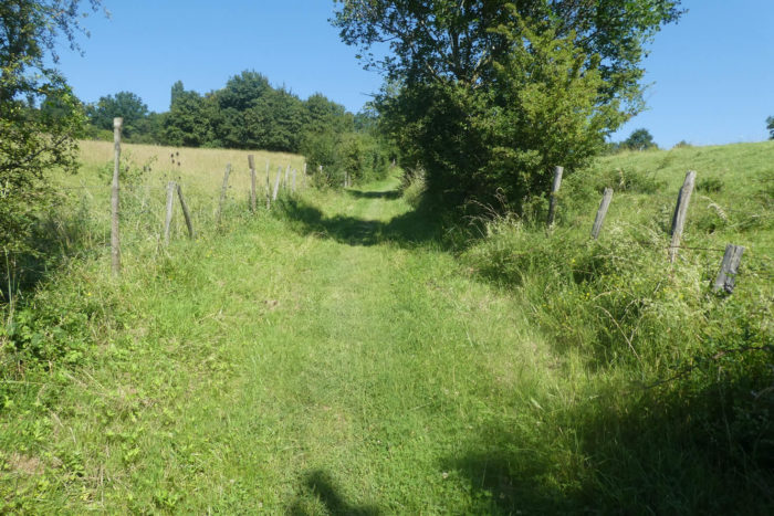
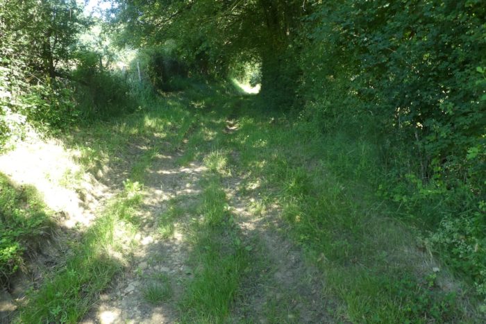
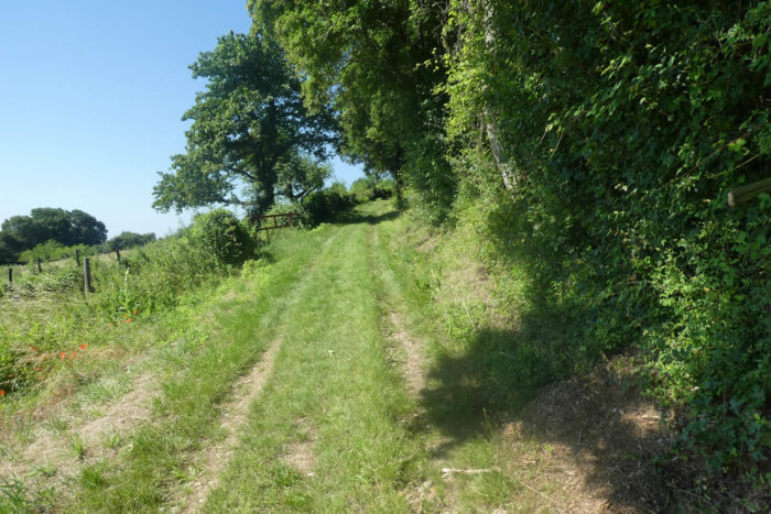
| The ascent to Pommier-de-Beaurepaire is well-deserved. It is not an endless climb, but the slopes are steep, sometimes reaching nearly 15%. The path initially climbs through wild grasses and dense bushes, a testament to a rarely frequented place. Each step is an effort, but the wild and untamed environment envelops you, making the experience exhilarating. |
 |
 |
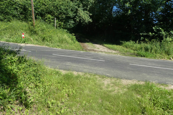
| The path reaches a first plateau when it intersects the small road leading to Pommier. Here, the delightful small smooth pebbles of the Bièvre reappear more significantly. They return like old friends forgotten over time, scattered here and there, evoking memories buried under the lush vegetation. |
 |
 |
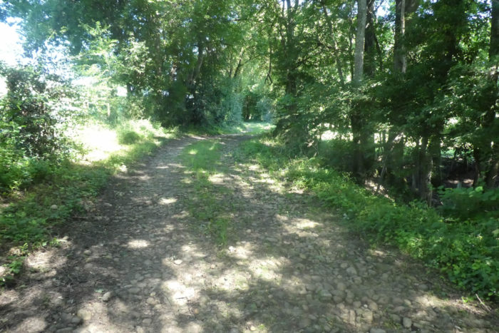
| The path then continues its ascent, winding over these smooth pebbles through wild grasses. In the shade of the tall deciduous trees, chestnut trees, once the uncontested masters of these landscapes, have given way to oaks, ashes, and maples. These imposing trees create a green vault that protects the walker, while the underbrush fills with wild grasses and discreet flowers. |
 |
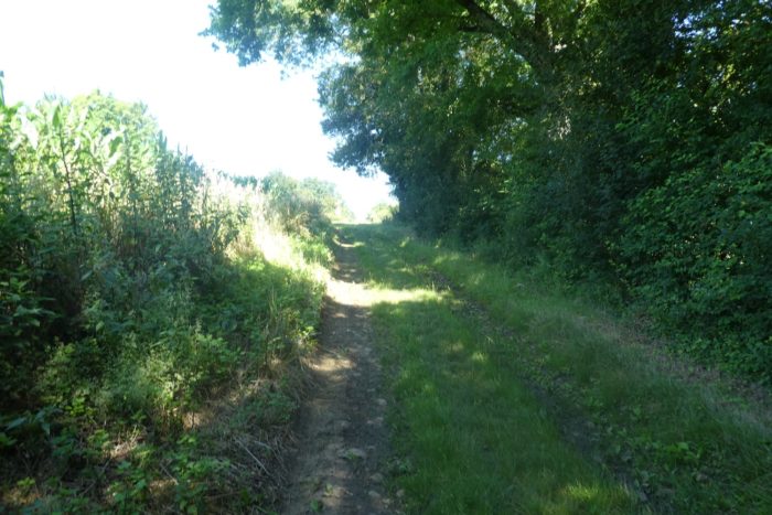 |
| At a place called Les Barrières, you are halfway up. Here, the beautiful path turns sharply, slipping under the trees, mainly majestic oaks. As you progress, the ascent becomes an adventure in itself, a challenge where nature imposes its will. The thick bushes sometimes part, offering clear viewpoints that reveal breathtaking panoramas of the valley below. Each pause becomes an opportunity to soak in this quiet and raw beauty. |
 |
 |
|
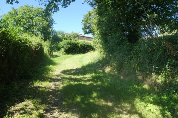
Your steps tread on the grass as the path soon reaches the lower part of the village. Here, happily stands a house that harmoniously combines pisé (rammed earth) with pebbles, a living testimony to local architecture. The pebble, omnipresent in the region, is often used in the foundation to support walls of earth, called pisé. How is all this implemented? Each pebble is embedded in a band of mortar, carefully aligned to ensure lasting stability. These pebbles are then sealed on the surface by a new layer of mortar, ready to receive the next band. A herringbone or chevron structure is often favored, which not only strengthens the construction but also adds an aesthetic dimension. In this ancestral method, it is not uncommon to intersperse pieces of tile, bricks, or stones to vary textures and colors. The joints are tightly packed with a trowel, sometimes highlighted to create a tamped effect and better bring out the light lime. Each wall thus built becomes a work of art, combining solidity and beauty, a testament to artisanal know-how passed down through generations. Art, yes, it is art. Every detail counts, every stone has its place, and the whole forms a perfect harmony with the surrounding landscape. This blend of technique and tradition gives these homes their unique character and timeless charm. The pebbles, silent witnesses of the past, tell the story of those who placed them with such care and passion.
|
 |
 |
A beautiful iron cross marks the lower part of the village.

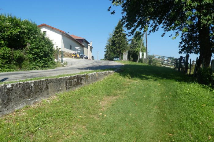
| The GR65 leaves the path to take a small road leading to the village. |
 |
 |
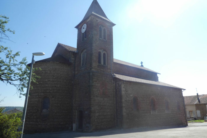
| Pommier-de-Beaurepaire stretches peacefully along the road. Once, a restaurant enlivened these streets, as evidenced by an old sign recalling bygone days. However, the bakery, another cornerstone of village life, seems to have permanently closed its doors. It is surprising to see how rapid change has left indelible marks even in these remote corners. Approaching the center, the path passes in front of the town hall, a proud administrative sentinel, and the St Romain church. The latter, built in the 19th century, has facades adorned with pebbles, a testament to local craftsmanship that combines robustness and elegance. The church’s majestic silhouette stands alone in the square, in an almost sacred silence where time seems suspended. The deserted streets offer a particular tranquility, inviting those seeking contemplative solitude. |
 |
 |
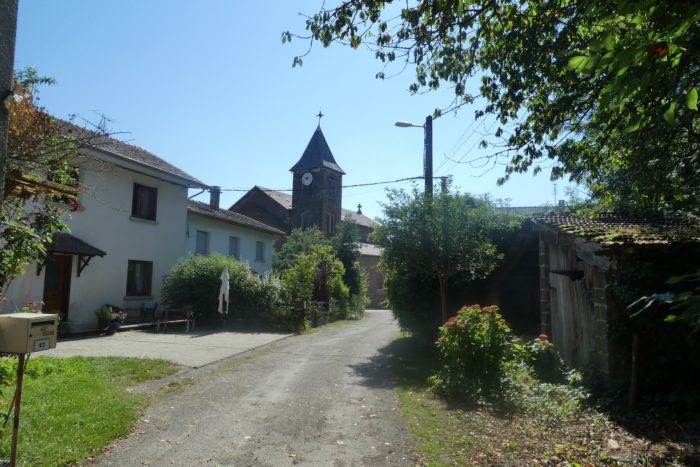
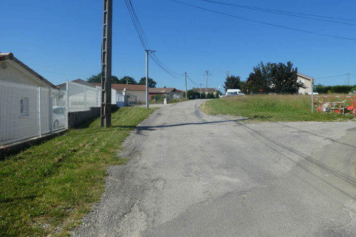
| The GR65 continues its way, leaving Pommier-de-Beaurepaire, climbing the tarmac that winds up to a small reservoir perched in the village’s heights. |
 |
 |
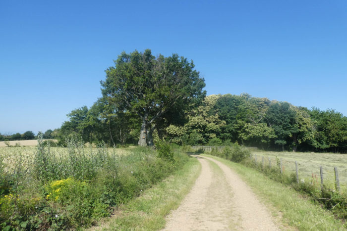
| A wide dirt road begins its descent towards the Croix des Rampeaux, a simple crossroads at the edge of the Bois Favan Forest. Here, under the protective canopy of centuries-old chestnut trees, you are 6 kilometers from Revel-Tourdan, the final point of this stage. |
 |
 |
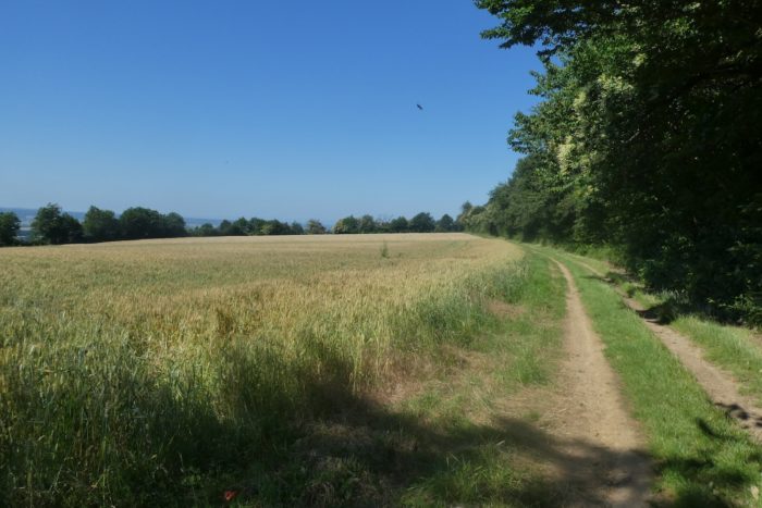
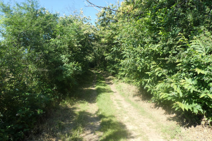
| From this point, entering the woods, you will cross the « feytas », as these ridgelines between the plateaus are called in the region. The « feytas » is actually a high plateau that rises on the ridge above the plains. To the left, it overlooks the Bièvre-Valloire plain, offering spectacular panoramas, while to the right stretches another plain, that of Bièvre-Liers. |
 |
 |
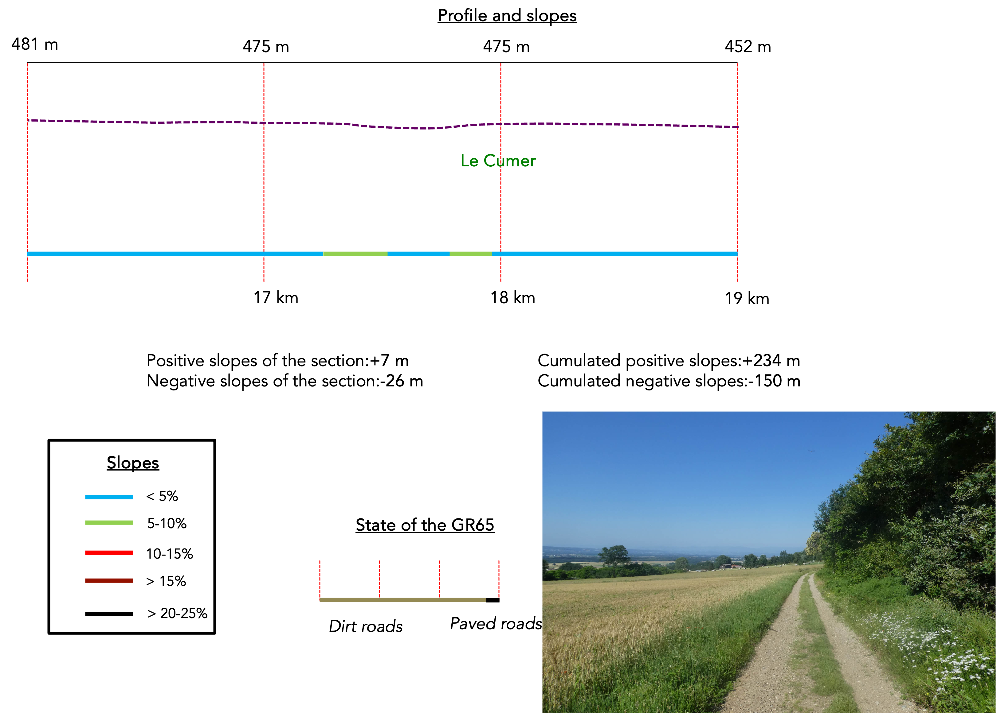
Section 5: On the « feytas » of the Valloire

Overview of the route’s challenges: a route without difficulty.
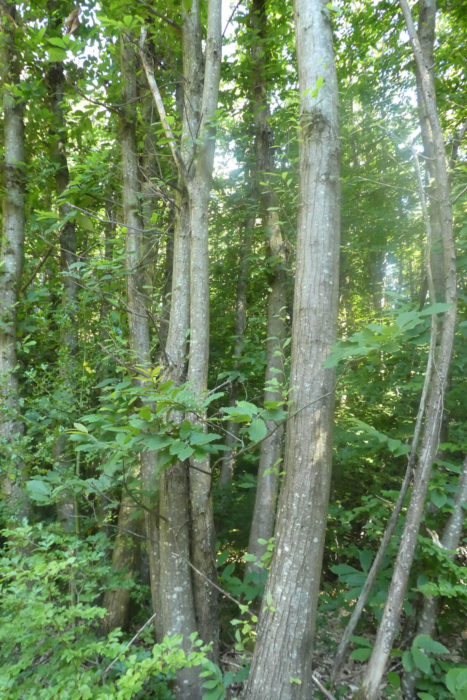
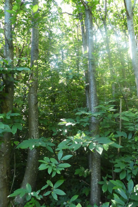
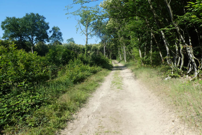
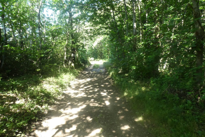
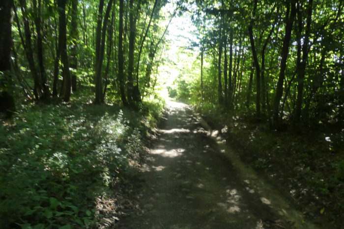
| A grand procession of broadleaf trees haunts these forests, offering a striking spectacle in every season. Oaks and chestnut trees dominate the other species, forming a symphony of greens and browns that envelop the visitor in a mysterious aura. The chestnut trees, majestic on the forest edge, transform in the dense woods, adopting surprising shapes. They often grow in tight clusters, grouped on thin, straight trunks. At first glance, they may resemble small hornbeams, but observing their long, pointed leaves reveals their true nature. The oaks here are primarily the grand pedunculate oaks and sessile oaks. The downy oaks, mostly found in the Causses, are less common in this region. |
 |
 |
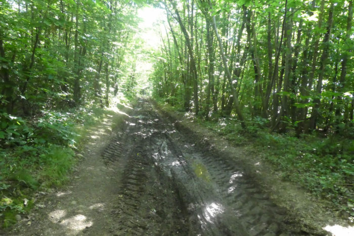
| Often, the poorly permeable soil retains water in large ruts created by foresters’ tractors. Even in dry weather, these ephemeral pools testify to the capricious nature of this thick forest, almost impenetrable in places. Each step must be carefully measured to avoid these natural traps, adding an element of adventure to the crossing. |
 |
 |
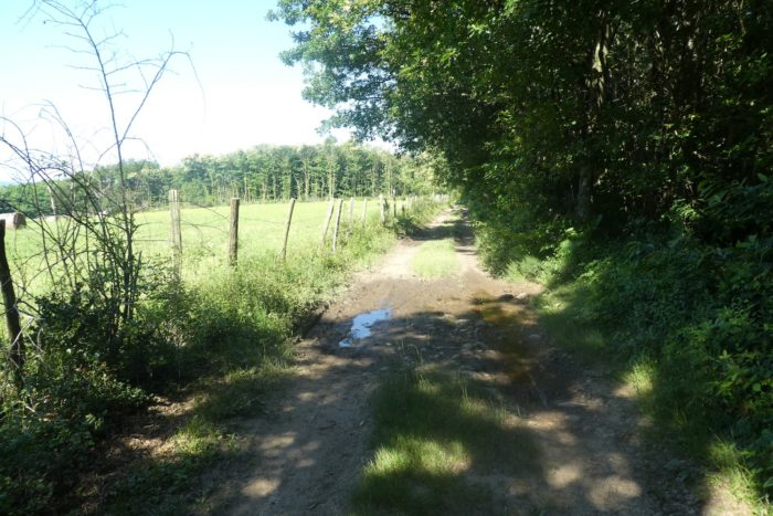
| However, the forest is not always dense. Sometimes, it opens into large clearings where sunlight floods the ground, creating islands of life. In these areas, where the soil is poor and autumn mists cling, birches and maples add their silvery and golden hues to the landscape. Ash trees, which prefer the edges, are almost non-existent here. Their absence might be due to a devastating fungus, a sad reality affecting this species. Conifers, particularly pines, add further diversity. The embankments are covered with various bushes: junipers, blackthorns, acacias, which coexist harmoniously with ferns and broom. These plants, with their varied textures and colors, enrich the forest’s biodiversity. |
 |
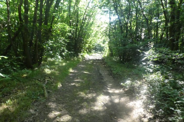 |
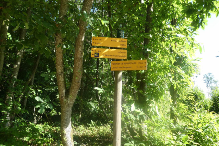
| Here at Croix Giraud, the majestic and imposing forest breathes grace and serenity. Under the canopy, the silence is only disturbed by the rustling of leaves and the increasingly rare birdsong. This place, still about 5 km from Revel-Tourdan, is a haven of peace where nature reigns supreme. |
 |
 |
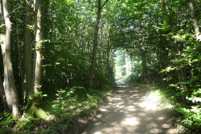
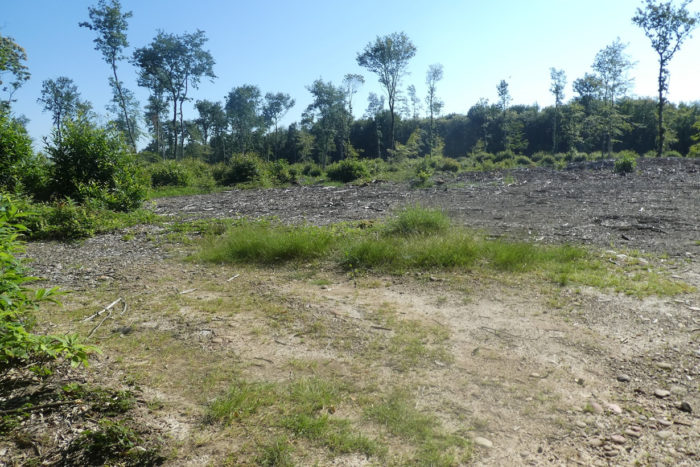
| Further on, the woods have been cleared a bit to give some air. The chestnut trees, in all their majesty, rise like natural pillars, their robust trunks and serrated leaves creating an impression of strength and tranquility. These green giants seem almost to touch the sky, adding a vertical dimension to the landscape, inviting gazes to look upwards in search of the treetops. |
 |
 |
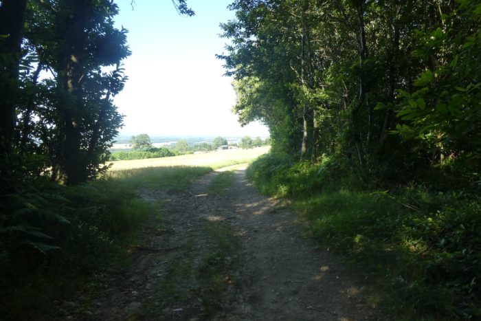
| The path exits the forest a bit further, emerging into verdant meadows and cereal crops. Here, on these poor lands, wheat struggles to grow. Instead, barley, oats, or triticale are planted, which better accommodate the demanding soil. |
 |
 |
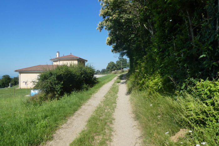
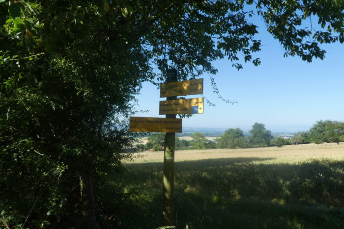
| At the forest edge, the path runs near the small isolated houses of Le Cumer, modest dwellings that seem almost lost in this rural expanse, offering a picturesque and serene vision of the local way of life. |
 |
 |
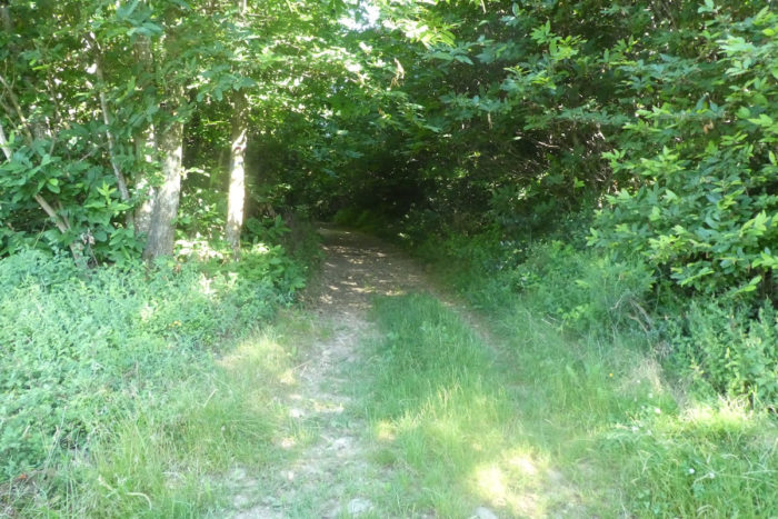
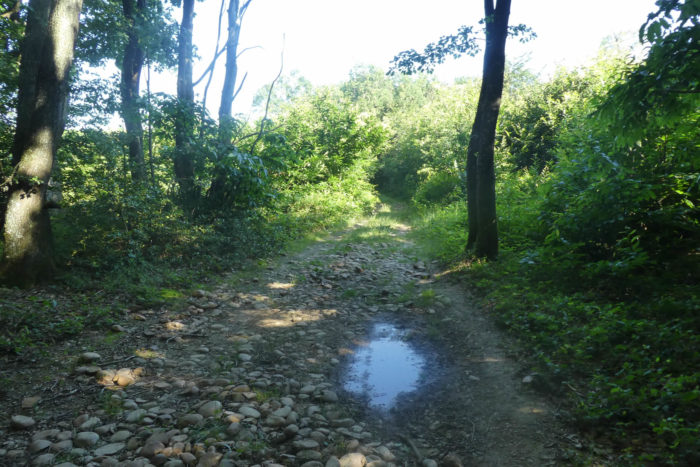
| Quickly, the path returns to the woods. Here, man has let nature evolve as it pleases, without much effort to clear the path, which remains difficult to maneuver. Stones and roots make walking arduous, reminding you that nature often imposes its own challenges. |
 |
 |
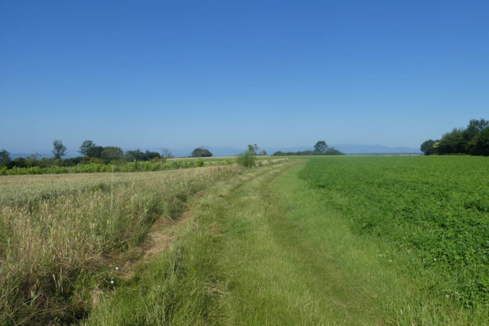
| A bit further, the path leaves the woods again to hum along the edges and the sparse cereal crops. The contrast between the dense woods and the open fields creates a mosaic of diverse landscapes. |
 |
 |
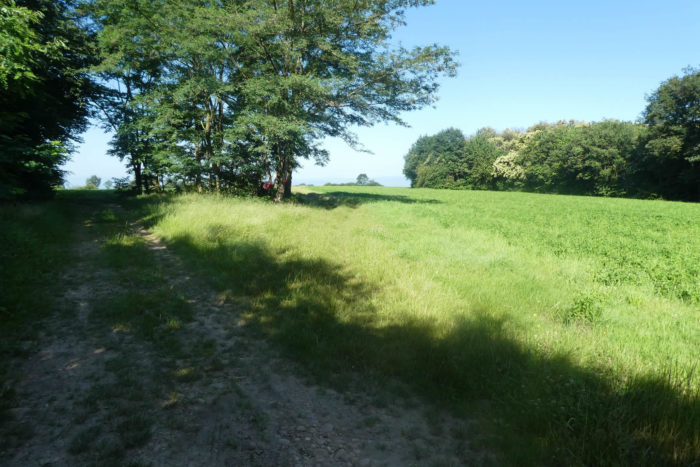
| After a short traverse under the trees, it reaches the open meadows. On the « feytas » even the vine sometimes finds its place, testifying to the agricultural diversity and adaptability of local crops. |
 |
 |
Section 6: The route descends back from the « feytas »

Overview of the route’s challenges: a route without difficulty.
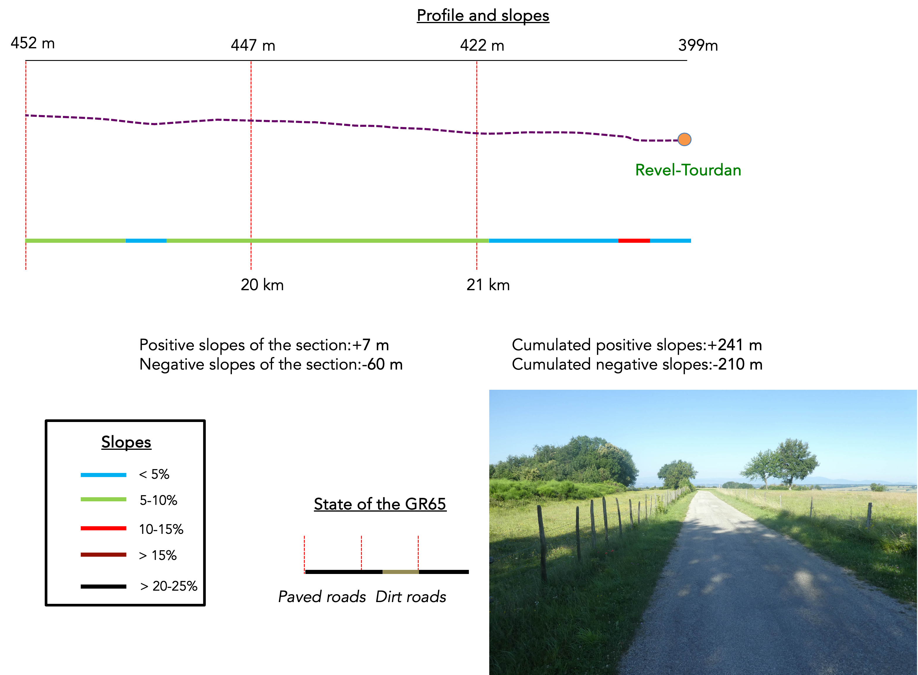
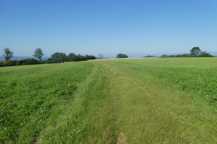
| The path leaves the meadows to join a small paved road, winding through the countryside. Walking here allows you to be carried away by the slow rhythm of the countryside, where each step reveals the discreet and authentic beauty of this land. |
 |
 |
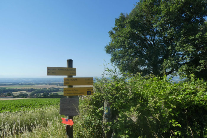
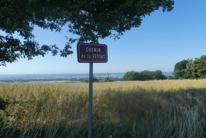
| Here, the route heads towards La Feytaz de Pisieu, an area where nature and agriculture meet harmoniously. |
 |
 |
|
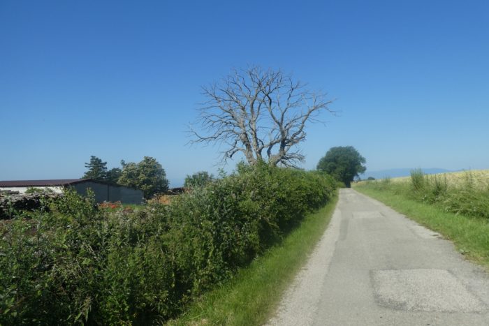
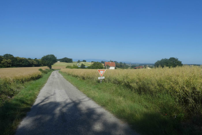
Along the road that undulates on the « feytas », overlooking the vast plains of Bièvre, the rapeseed grows heartily.
|
 |
 |
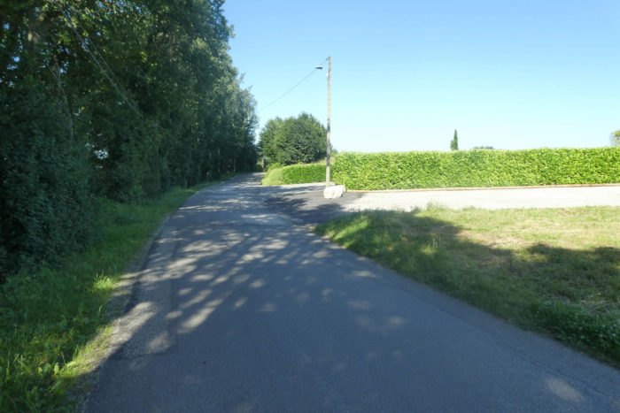
| The road crosses the peaceful countryside, passing near a cemetery, a solitary place of reflection, surrounded by a few ancient trees. In this region, a handful of farmers share these fertile lands, living isolated from each other. There is no village worthy of a name, only scattered farms and discreet hamlets punctuating the landscape. The solitude and tranquility of these places are almost palpable, offering a sense of returning to simpler times. |
 |
 |
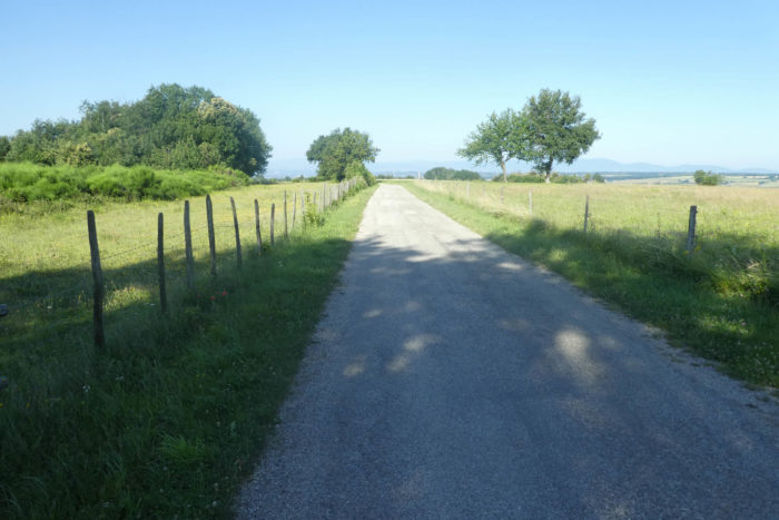
| A bit further on, at La Feytas de Pisieu, the GR65 leaves the pavement to take a wide path made of dirt and grass, inviting a gentler and more natural walk. |
 |
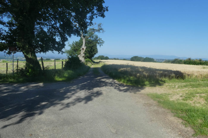 |
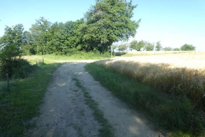
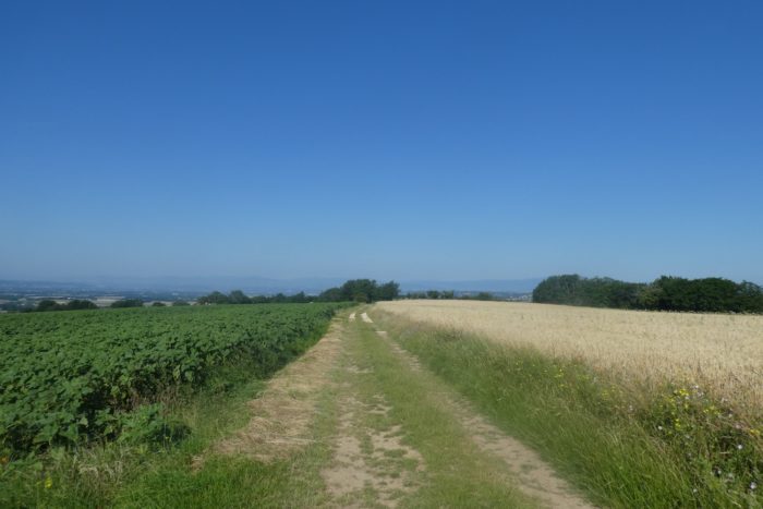
| On both sides of the path, behind the rapeseed fields, diverse crops unfold: soybeans, sunflowers, meadows, and vineyards. These colorful crops stretch across the plains of Bièvre and Liers, forming a vibrant mosaic that celebrates the region’s agricultural richness. The path offers striking panoramic views, where the sky seems to touch the earth. |
 |
 |
| You are not far from Revel-Tourdan, the end of your stage. |
 |
 |
| At Barbarin, you will see below the Barbarin Castle, majestically perched and overlooking the Bièvre-Valloire plain. The castle, with its discreet architecture, resembles a country manor. |
 |
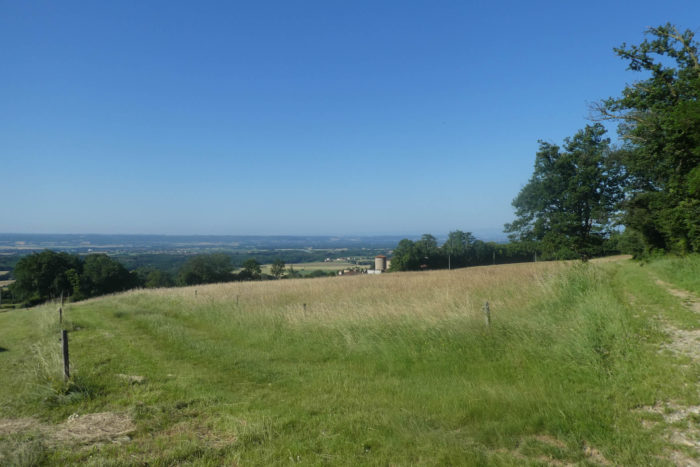 |
| The path then runs along hedgerows, crossing verdant meadows and well-kept fields. The space here is wide open, offering an unobstructed view of the fields and pastures. The path, not very rocky, testifies to the hard work of the farmers who cleared these lands with dedication, using plows and hands to create a pleasant path to walk. |
 |
 |
| The path then gently descends towards Revel-Tourdan, entering a lush park above the village. This park, with its abundance of trees and greenery, offers a haven of peace and coolness. |
 |
 |
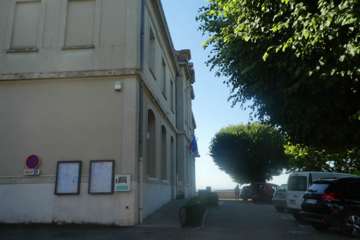
| At the top of the village, the route heads to Notre-Dame de Tourdan, a former Benedictine priory from the 10th century. This historic site, restored over the centuries, retains its old-world charm, although its buildings are now private. The route then leads you past the town hall, the administrative and social heart of the village. |
 |
 |
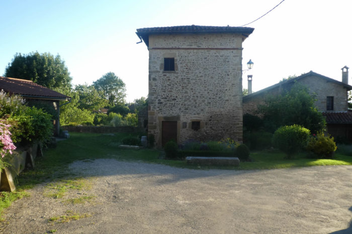
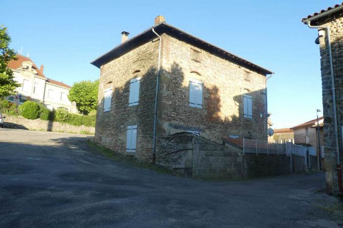
| Revel-Tourdan, with its 1,000 inhabitants, consists of two distinct villages: Tourdan in the plain and Revel on the hill. Both villages retain historical, almost medieval, vestiges, especially Revel, where the old architecture tells stories of centuries past. |
 |
 |
The St John the Baptist Church, built between the 12th and 15th centuries, is a magnificent example of a mix of Romanesque and Gothic styles. Its arches and vaults testify to a rich architectural past, and each stone seems to whisper ancient prayers and medieval hymns. Right next door, the rural traditions museum is nestled in a charmingly restored 17th-century dovecote. This small museum offers a fascinating glimpse into rural life of the past, preserving local customs and traditions.
Official accommodations on the Via Gebennensis
- Camping des Eydoches, Faramans; 04 74 54 21 76/06 48 52 50 24; Gîte dinner, breakfast
- Gîte Au Clair Matin, 25 Ch. du Chantemerle, Faramans; 06 65 49 07 06; Gîte, dinner, breakfast
- Gîte Les Milières, 312 Ch. de l’Étang, Faramans; 04 74 54 23 26; Gîte, dinner, breakfast
- Gîte à la Ferme, 215 Ch. de la Chapelle, Faramans; 04 74 54 24 45; Gîte, dinner, breakfast
- Jacqueline Charrel, 207 Ch. du Guyard, Faramans; 06 60 21 30 43; Gîte, dinner, breakfast
- Auberge de Pommier, Pommier-de-Beaurepaire; 06 70 95 18 66; Gîte, dinner, breakfast
- L’Escapade, Revel-Tourdan; 04 74 84 57 04/06 10 67 02 64; Hotel, dinner, breakfast
Pilgrim hospitality/Accueils jacquaires (see introduction)
- Ornacieux (3)
- Faramans (1)
- Pommier-de-Beaurepaire (2)
- Revel-Tourdan (1)
If one takes inventory of the accommodations, lodging does not present major problems up to Pommier. In Revel-Tourdan, accommodation is minimal. There are only 10 places at the hotel and one pilgrim reception at the end of this stage. Make sure to book at all costs. For more details, the guide of the Friends of Compostela keeps a record of all these addresses, as well as bars, restaurants, or bakeries along the route.
Feel free to add comments. This is often how you move up the Google hierarchy, and how more pilgrims will have access to the site.
|
 |
Next stage : Stage 9: From Revel-Tourdan to Auberives-sur-Varèze |
|
 |
Back to menu |


