The monotony of the hills of Isère
DIDIER HEUMANN, ANDREAS PAPASAVVAS

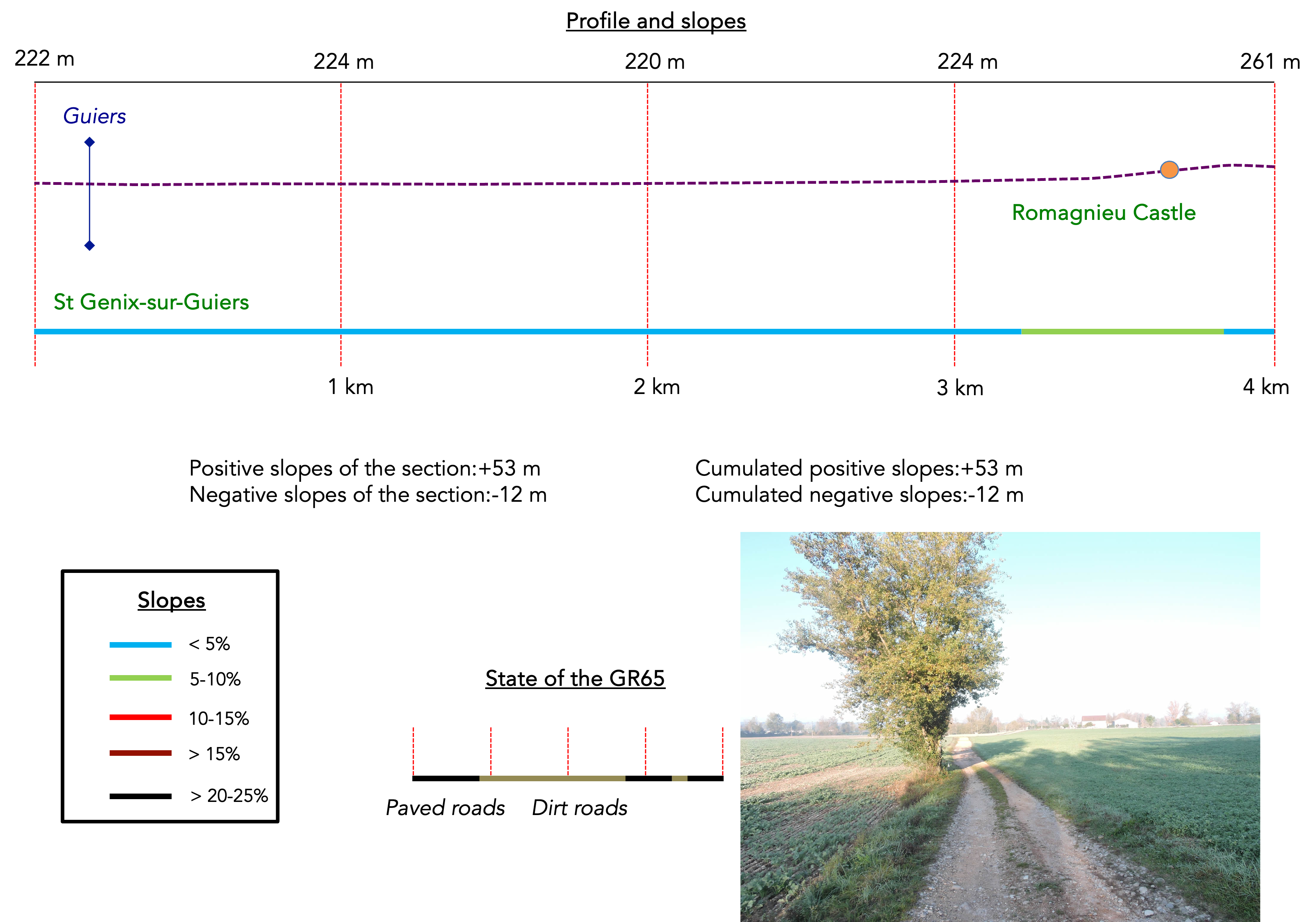
We divided the course into several sections to make it easier to see. For each section, the maps show the course, the slopes found on the course, and the state of the route (paved or dirt roads). The courses were drawn on the « Wikilocs » platform. Today, it is no longer necessary to walk around with detailed maps in your pocket or bag. If you have a mobile phone or tablet, you can easily follow routes live.
For this stage, here is the link:
https://fr.wikiloc.com/itineraires-randonnee/de-st-genix-sur-guiers-au-pin-lac-paladru-par-la-via-gebennensis-34124887
| Not every pilgrim feels comfortable using GPS devices or navigating on a phone, especially since many sections still lack reliable internet. To make your journey easier, a book dedicated to the Via Gebennensis through Haute-Loire is available on Amazon. More than just a practical guide, it leads you step by step, kilometre after kilometre, giving you everything you need for smooth planning with no unpleasant surprises. Beyond its useful tips, it also conveys the route’s enchanting atmosphere, capturing the landscape’s beauty, the majesty of the trees and the spiritual essence of the trek. Only the pictures are missing; everything else is there to transport you.
We’ve also published a second book that, with slightly fewer details but all the essential information, outlines two possible routes from Geneva to Le Puy-en-Velay. You can choose either the Via Gebennensis, which crosses Haute-Loire, or the Gillonnay variant (Via Adresca), which branches off at La Côte-Saint-André to follow a route through Ardèche. The choice of the route is yours. |
 |
 |
If you only want to consult lodging of the stage, go directly to the bottom of the page.
For several days, you will traverse the lands of Isère. Unfortunately, this is not the most exhilarating part of the department, with its majestic mountains, the lush Chartreuse, and the imposing Écrins. Instead, you will explore the small hills above the wide plains, a vast expanse stretching from Grenoble to Lyon.
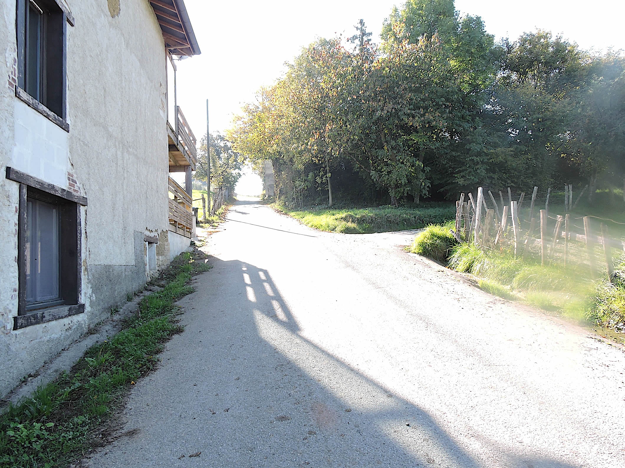
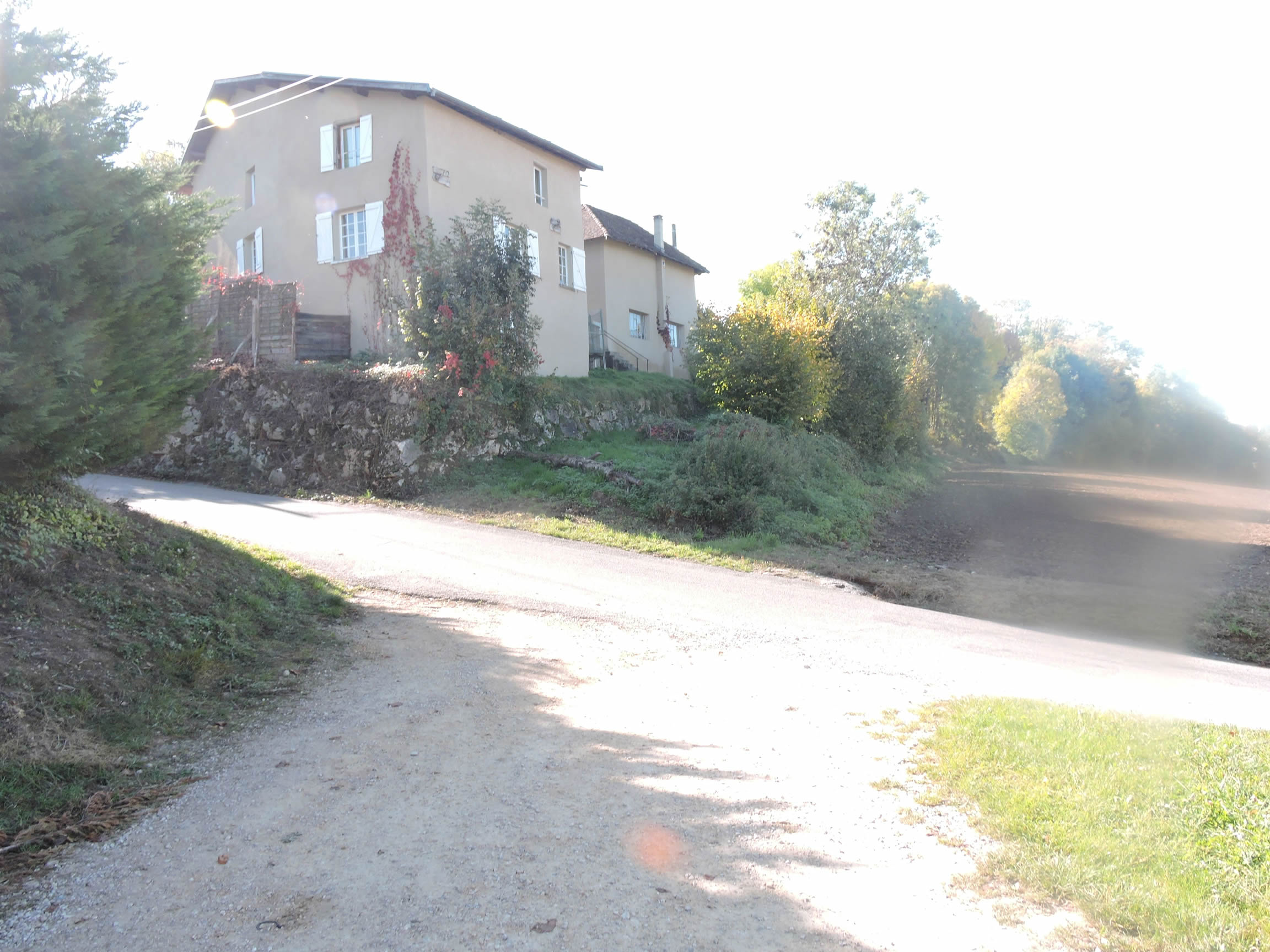
From then on, the first part of your journey, up to Les Abrets, will take place in a rather monotonous countryside. However, the second part fortunately promises a richer diversity with many wooded areas. You will cross the Dauphiné, a region shared between Isère, Drôme, and Hautes-Alpes. In these areas, among houses often lacking great character, you will find homes and especially farms built with pisé, an earth construction sometimes coated with lime plaster. And then, as a bonus, you will encounter dozens of dogs, most of them furious behind the fences of houses or chained in farms. The only free dogs are generally harmless old ones. Fortunately, because the fangs of the others are often impressive! Thus, an incessant concert of barking will punctuate your journey. What a shame! But the pilgrim is obliged to follow the designated route, avoiding uncertain routes. This adventure, though sometimes monotonous, will allow you to discover a different Isère, far from tourist clichés. Anyway, have a good journey on these tracks, where each step brings you closer to the essence of this region.
To reconcile with this long and monotonous stage, why not aim for Lac de Paladru instead of the village of Le Pin at the end of the journey? You can then enjoy the charm of the turquoise waters of a glacial lake, a true jewel nestled in the heart of this region. Understand, this is not a harsh criticism of Isère. However, some stages of the journey are less captivating than others. Not all of France is a postcard. Far from it!
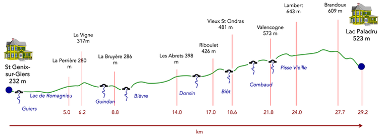
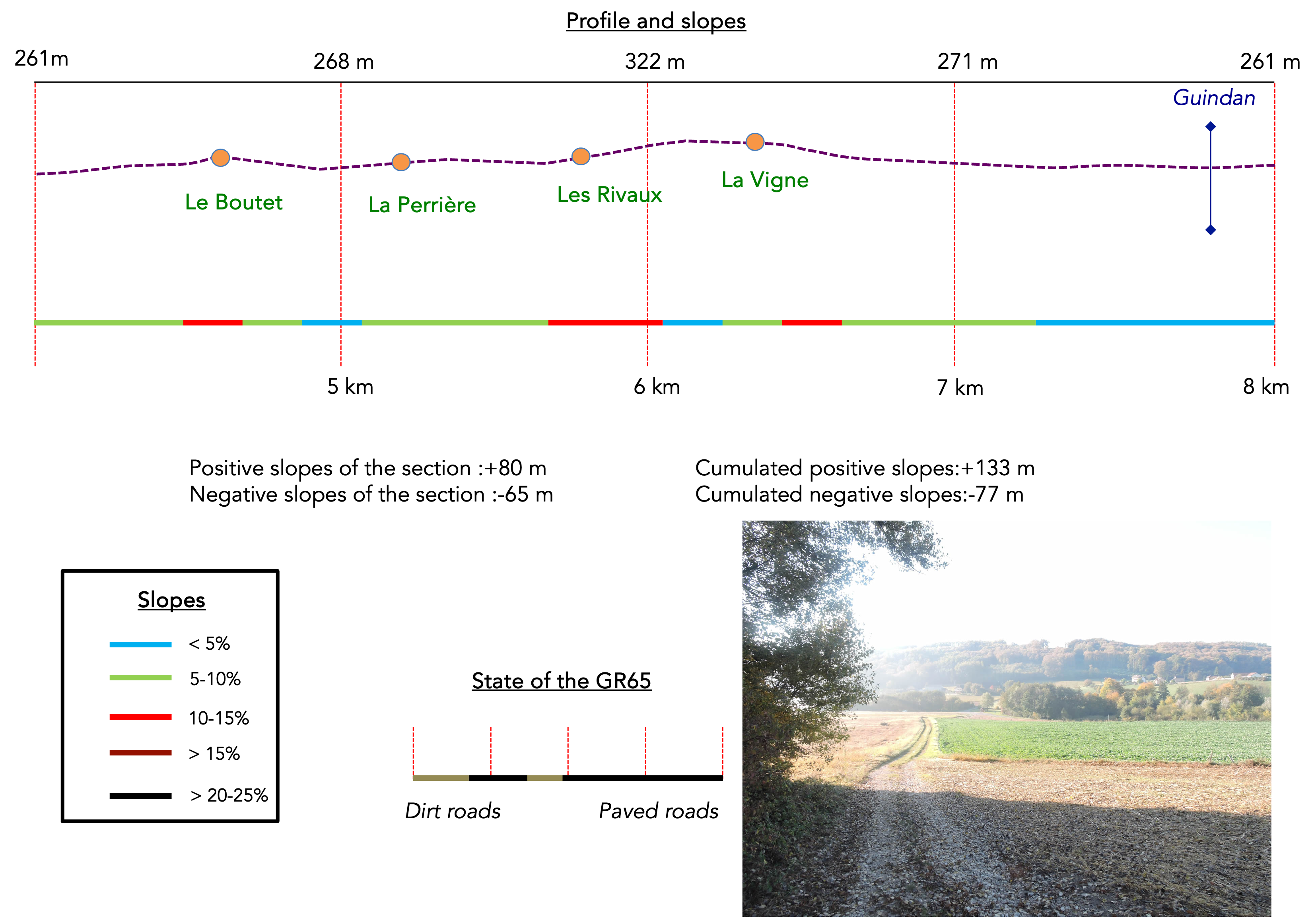
Difficulty level: Today’s elevation changes (+726 meters/-437 meters) are quite significant. The stage is long, with nearly 30 kilometers to cover unless you decide to stop earlier. The ascent is very gradual, punctuated by numerous intermediate plateaus. Most of the time, the climbs are easy, except for the difficult climb of Riboulet and a few short ramps here and there. Once at the top of the hills, the descent towards Le Pin or Lac de Paladru is quite steep.
State of the GR65: On this stage, the GR65 oscillates all day between short road sections and paths. Both types of routes are equivalent:
- Paved roads: 15.3 km
- Dirt roads : 14.9 km
Sometimes, for reasons of logistics or housing possibilities, these stages mix routes operated on different days, having passed several times on these routes. From then on, the skies, the rain, or the seasons can vary. But, generally this is not the case, and in fact this does not change the description of the course.
It is very difficult to specify with certainty the incline of the slopes, whatever the system you use.
For those seeking « true elevations » and enthusiasts of genuine altimetric challenges, carefully review the information on mileage at the beginning of the guide.

Section 1: From the Rhône plain to the gentle hills of Isère

Overview of the route’s challenges : This route has no difficulties.
|
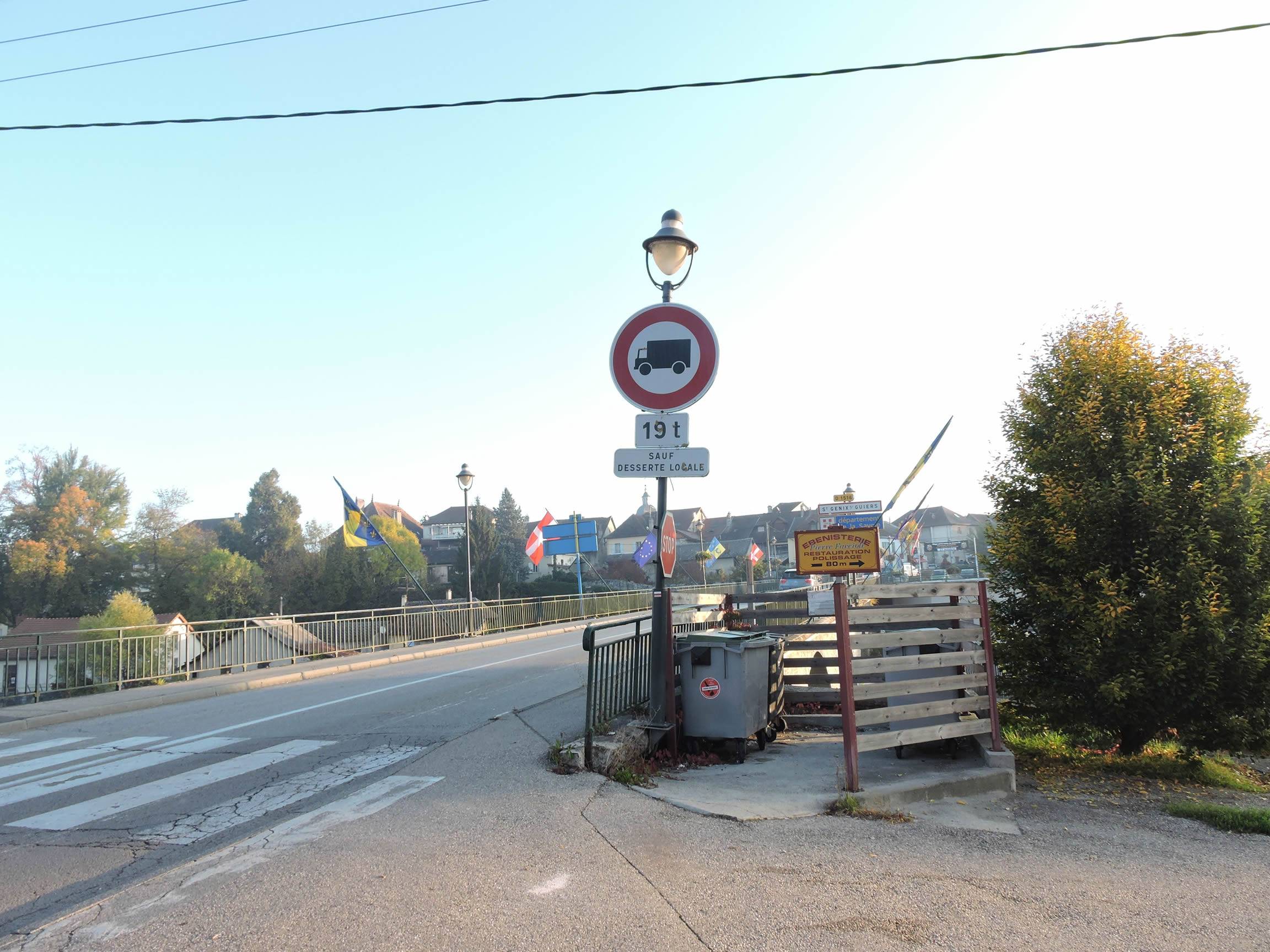
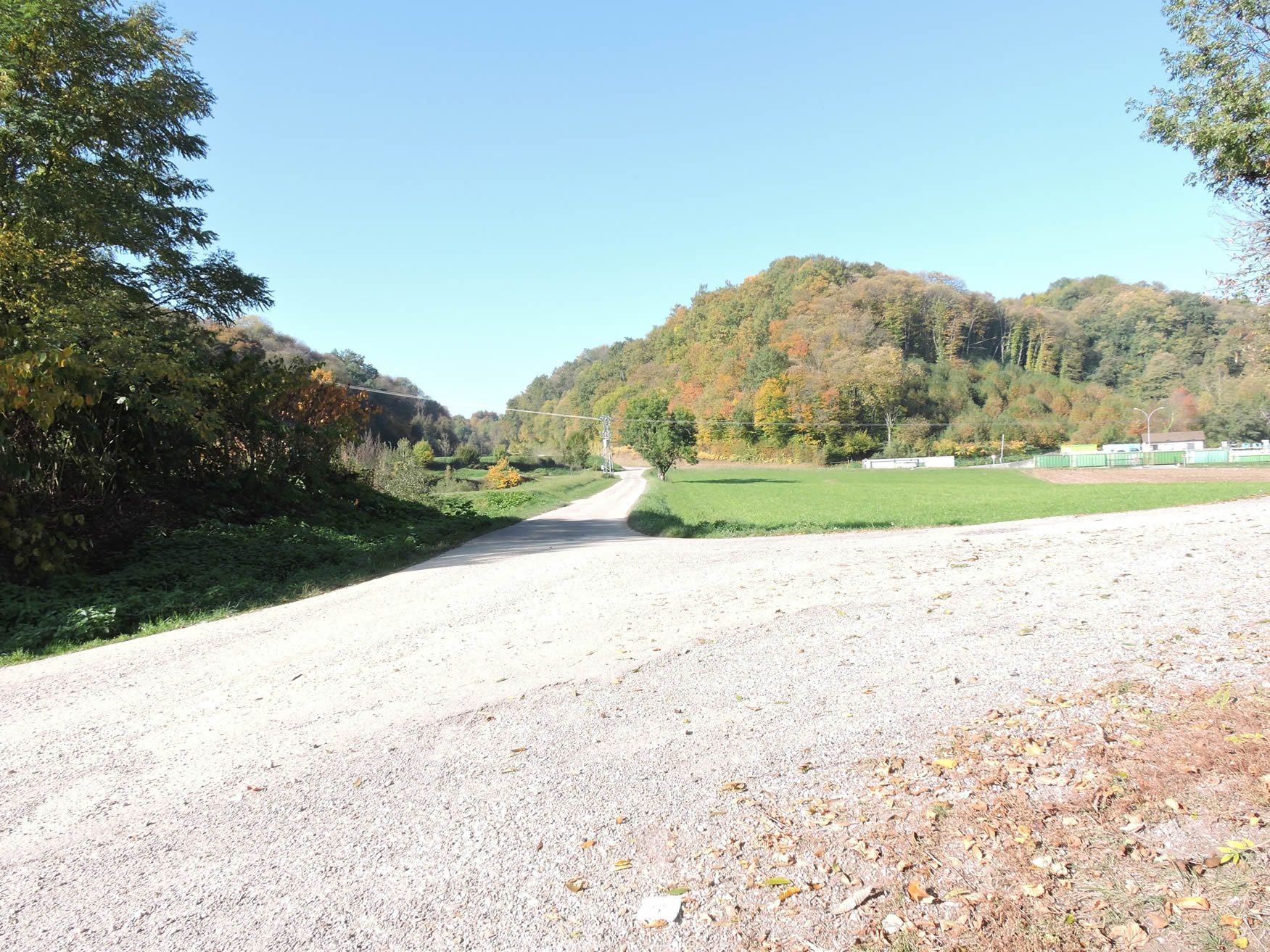
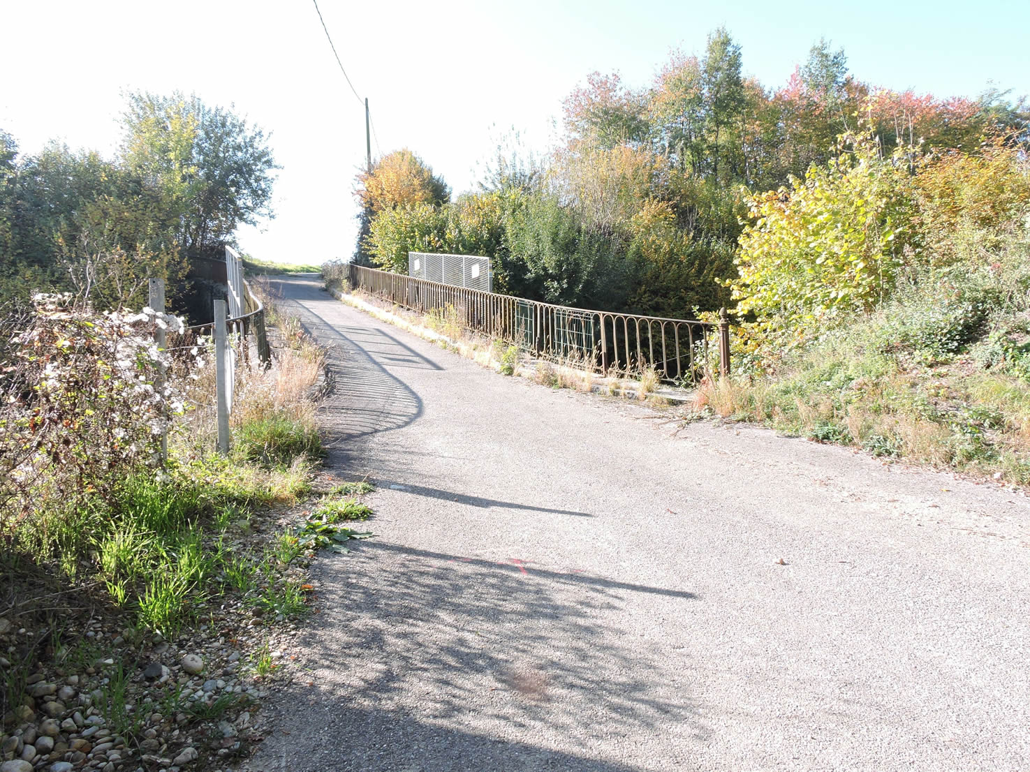
Upon leaving St Genix, the GR65 takes you across the capricious Guiers River, which originates in the mountains of the Chartreuse in Savoie and flows into the Rhône. Most often, this river joyfully skips over the stones, its crystal-clear waters creating joyful cascades under the bridge. But don’t be fooled, as it can also turn into a wild fury, reminding us of the untamable forces of nature.
|
 |
 |
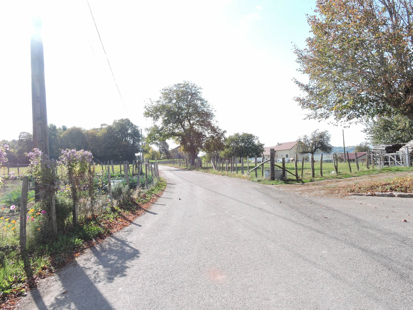
St Genix has a rich and tumultuous history, caught between Geneva, France, and Savoie. In the past, the Guiers marked the border between France and Savoie, symbolizing the fleeting tensions and alliances of these territories. Today, it separates the departments of Savoie and Isère. In St Genix, you are in Savoie, a region steeped in history and legends.

On the other side of the bridge, as if by magic, you enter Isère in Aoste, the French capital of charcuterie. « Jambon Aoste » is a registered trademark of the Aoste Group, which also includes Cochonou and Justin Bridou, now under foreign control. Founded in 1976 by a visionary Frenchman, the charcuterie company has traveled through the business world, passing into American hands before ending up in the portfolio of a major Mexican company. Ham is one of the most popular charcuteries in France. However, « Jambon Aoste » has little in common with the Italian cured ham from the Aosta Valley. In France, this ham is semi-cooked, and despite its claim of French purity, it is made from pigs imported from China, the United States, and sometimes France. In the past, advertising used Italian opera tunes to promote this ham, a practice deemed misleading by the European Commission, which required a change in its name to « Jambon Aoste » and not « Jambon d’Aoste ». What a subtle nuance!

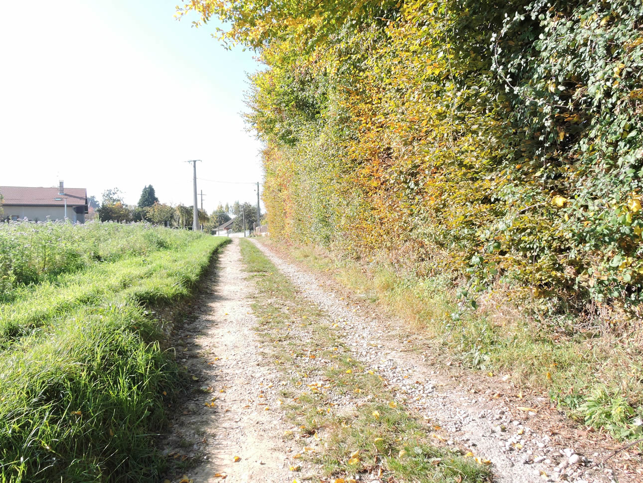
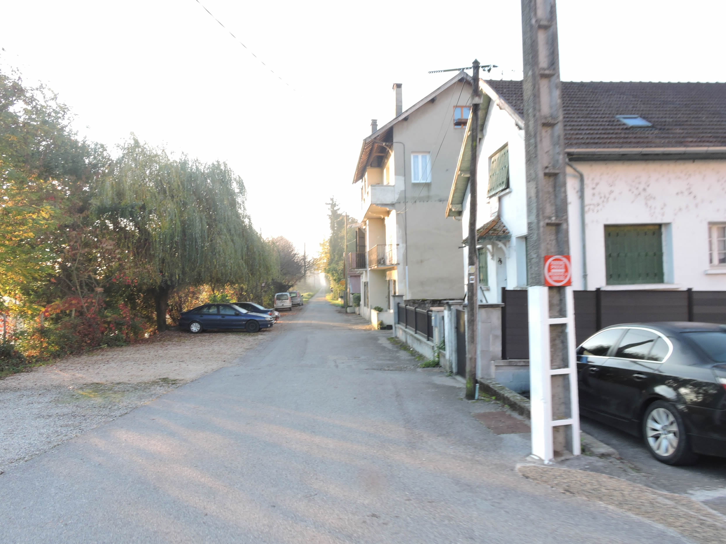
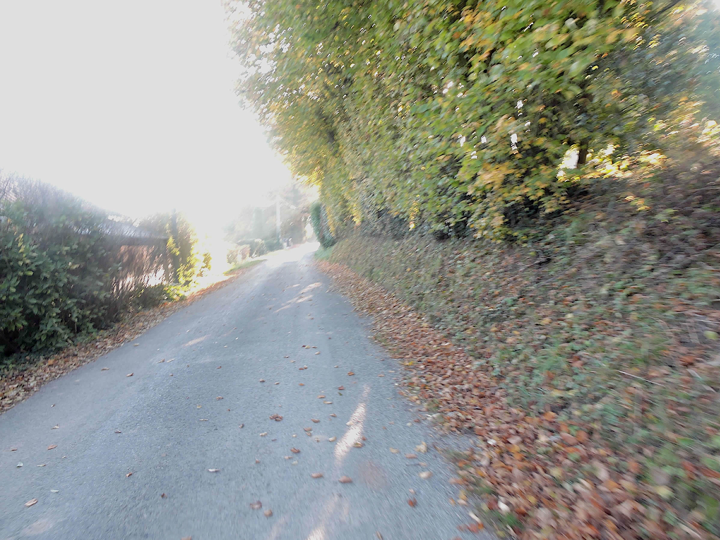
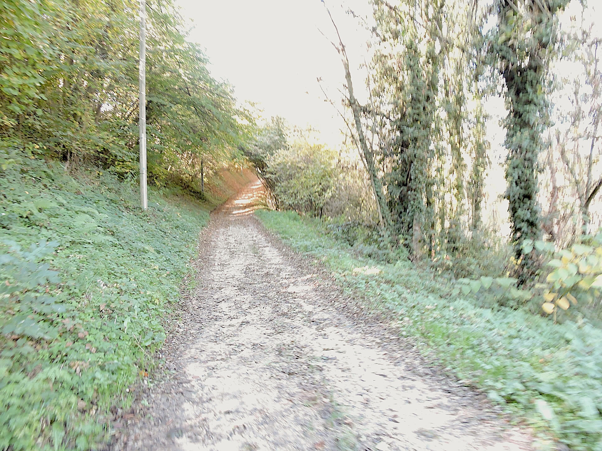
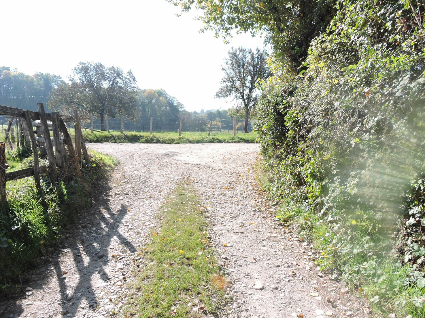
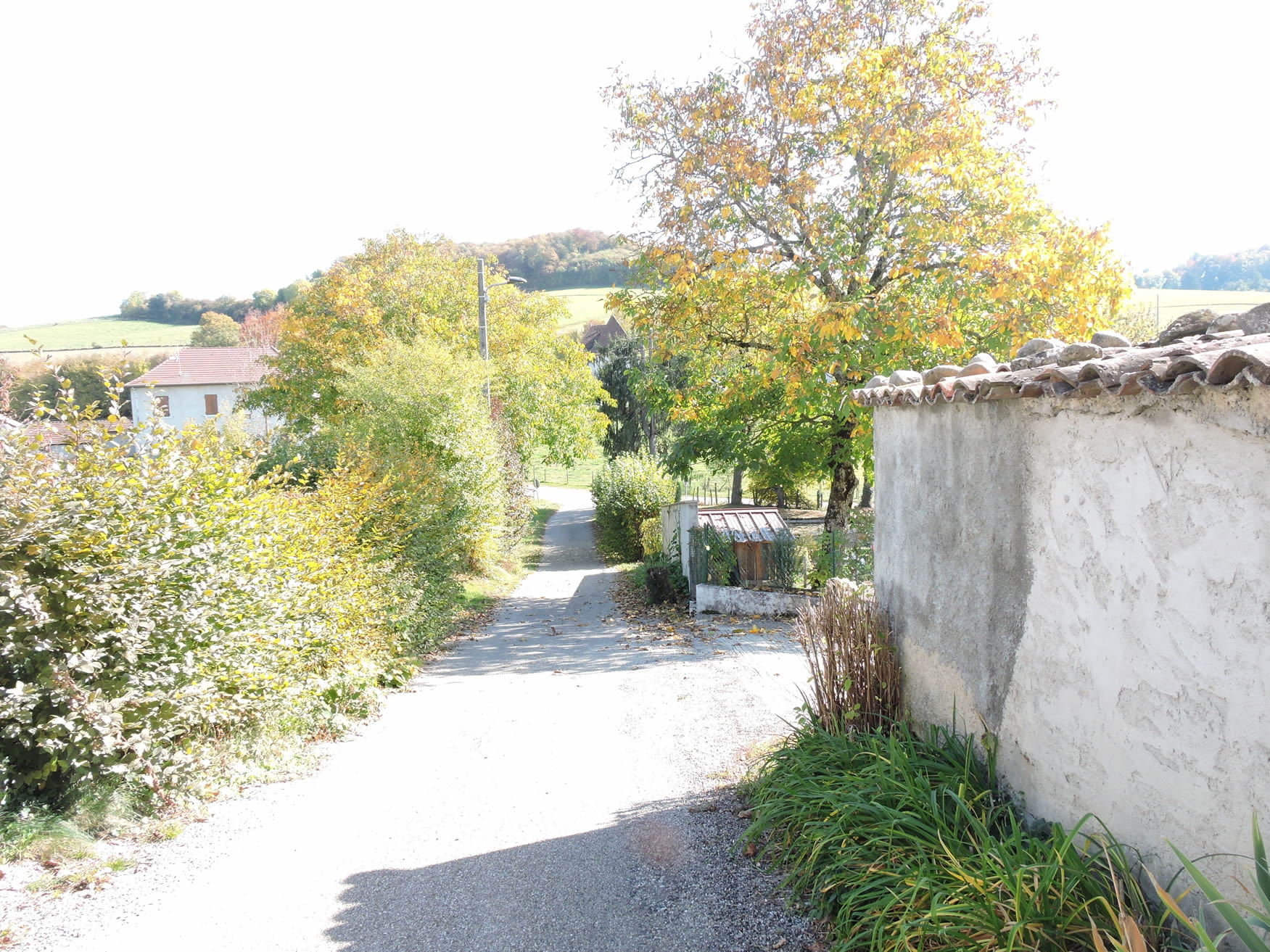
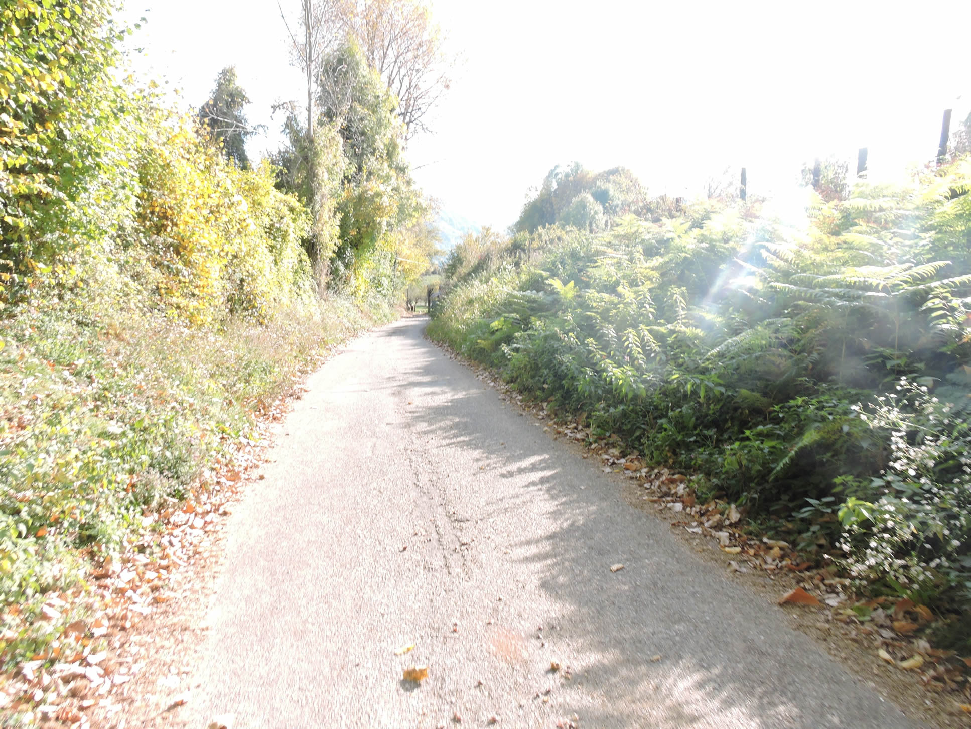
| Behind the last houses of the village, the GR65 languidly follows the river along a seemingly endless paved road before blooming into a dirt path. Running alongside the watercourses, it invites walkers to a total immersion in the serenity of nature. |
 |
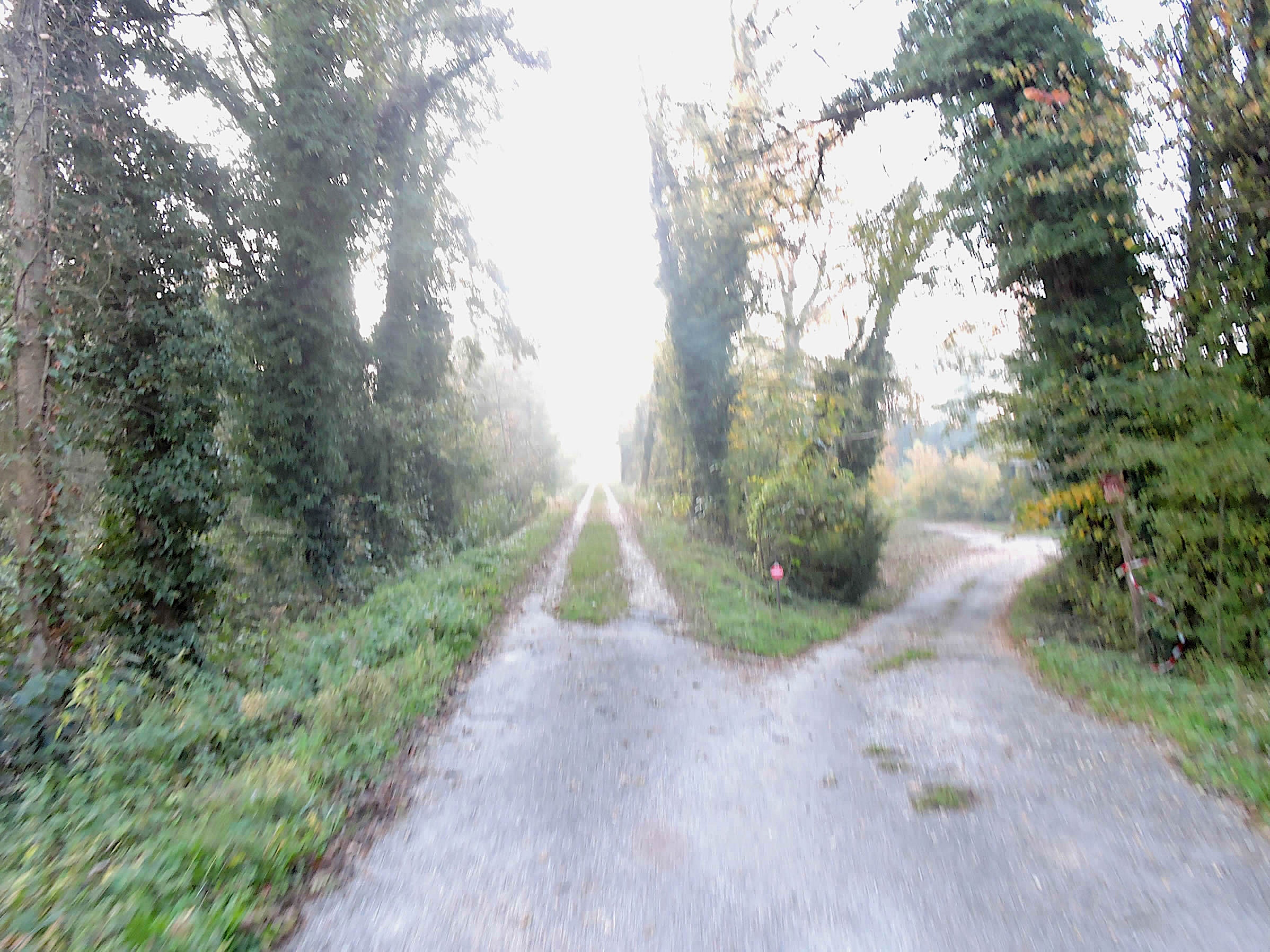 |
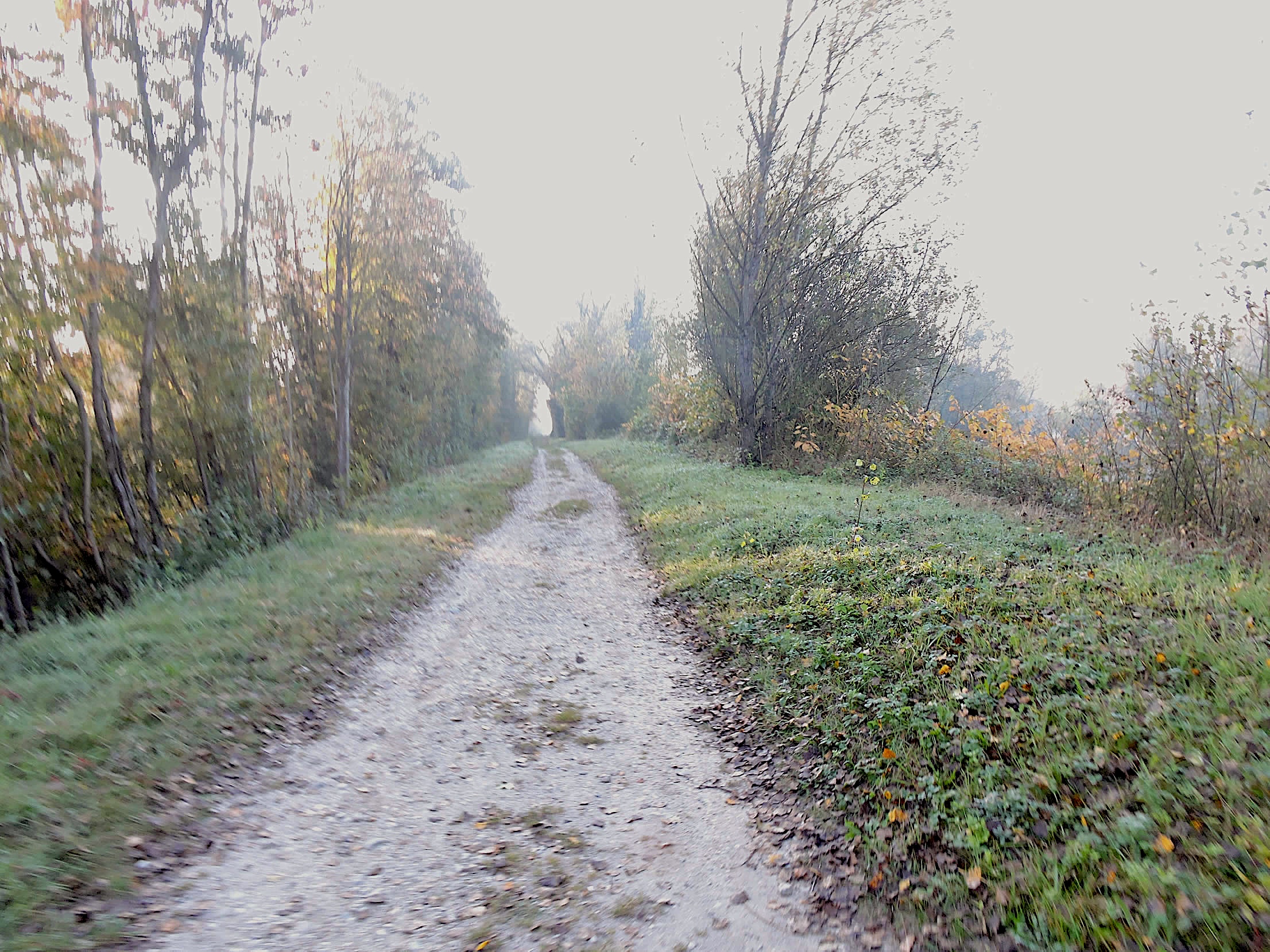
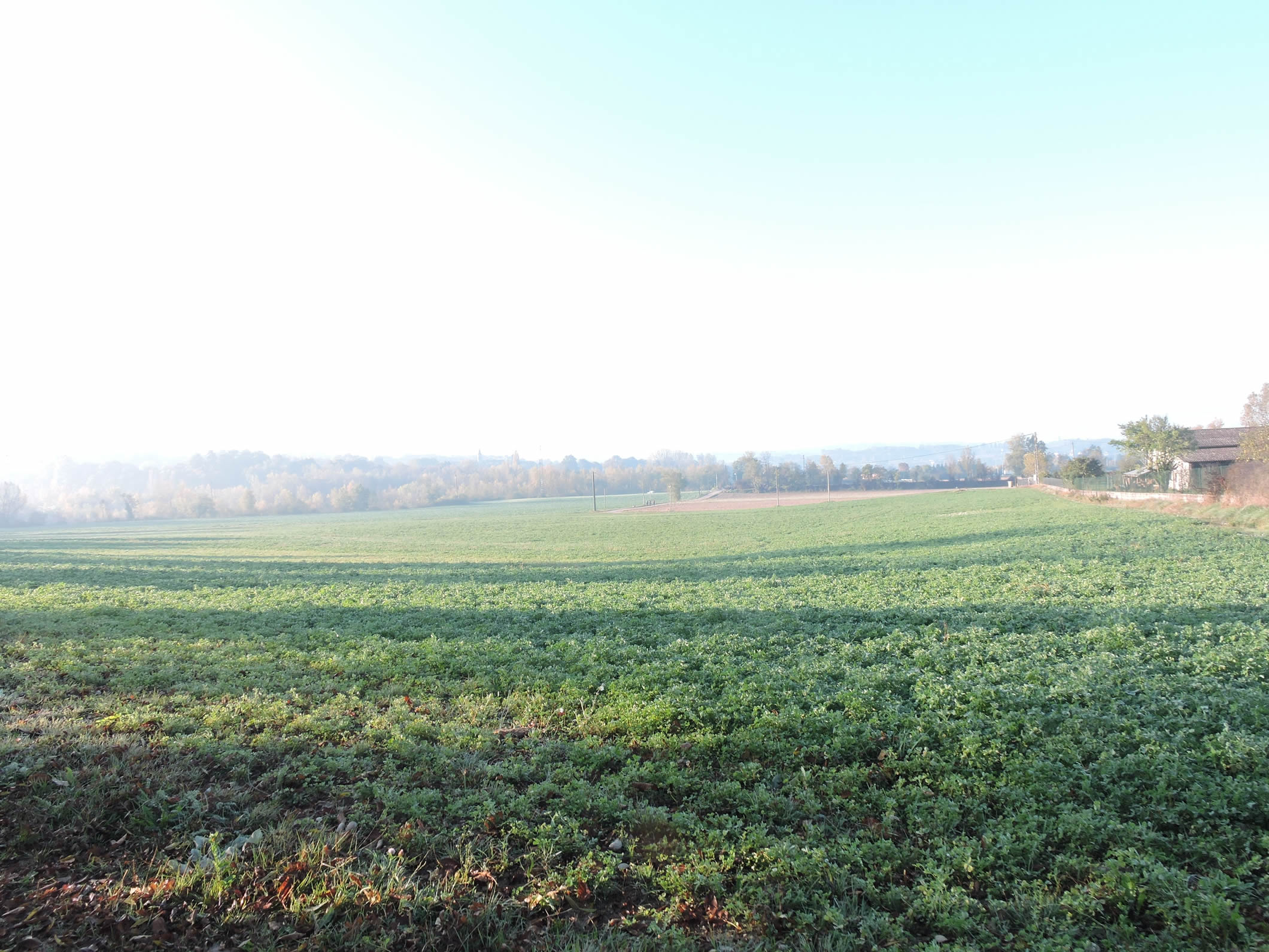
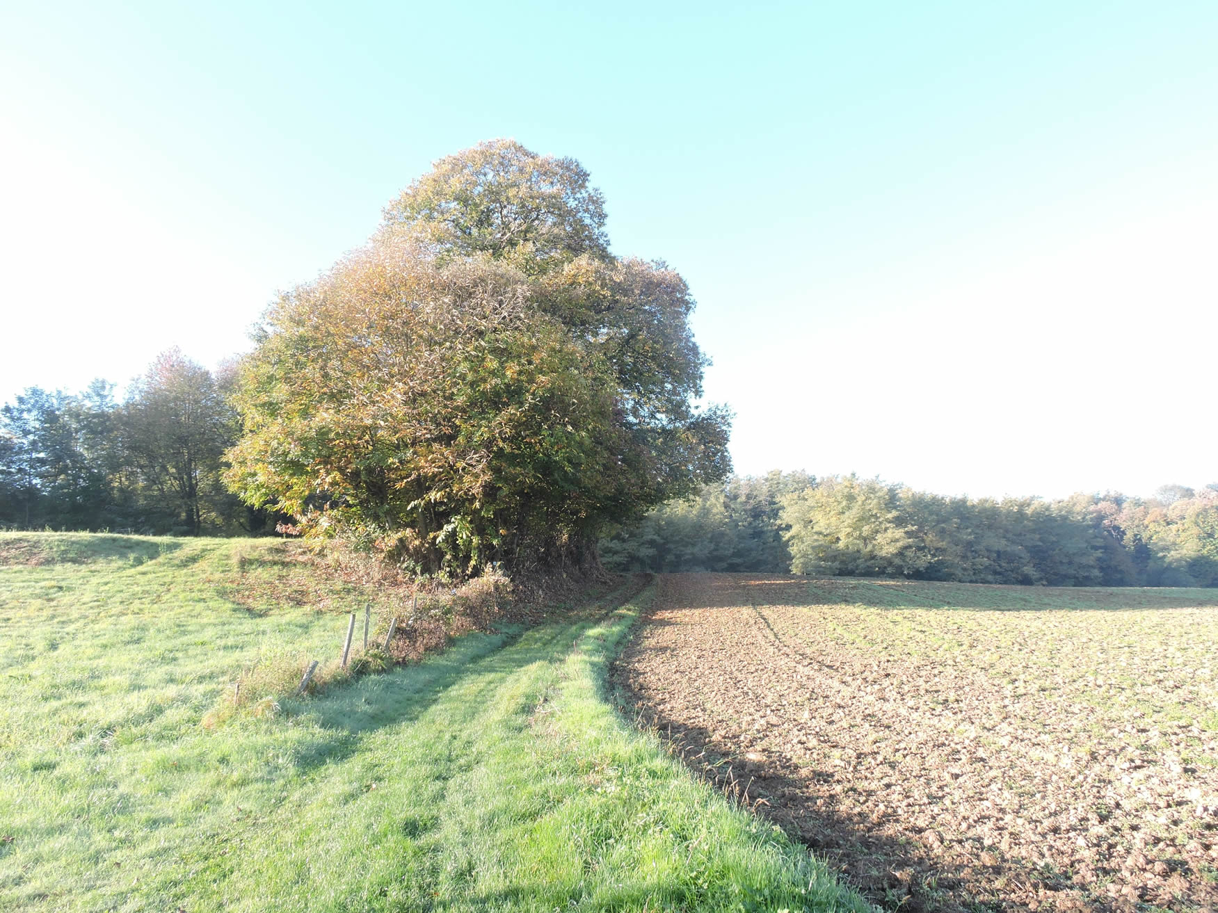
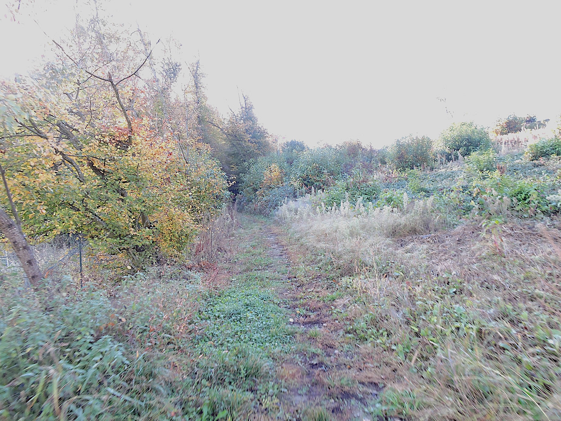
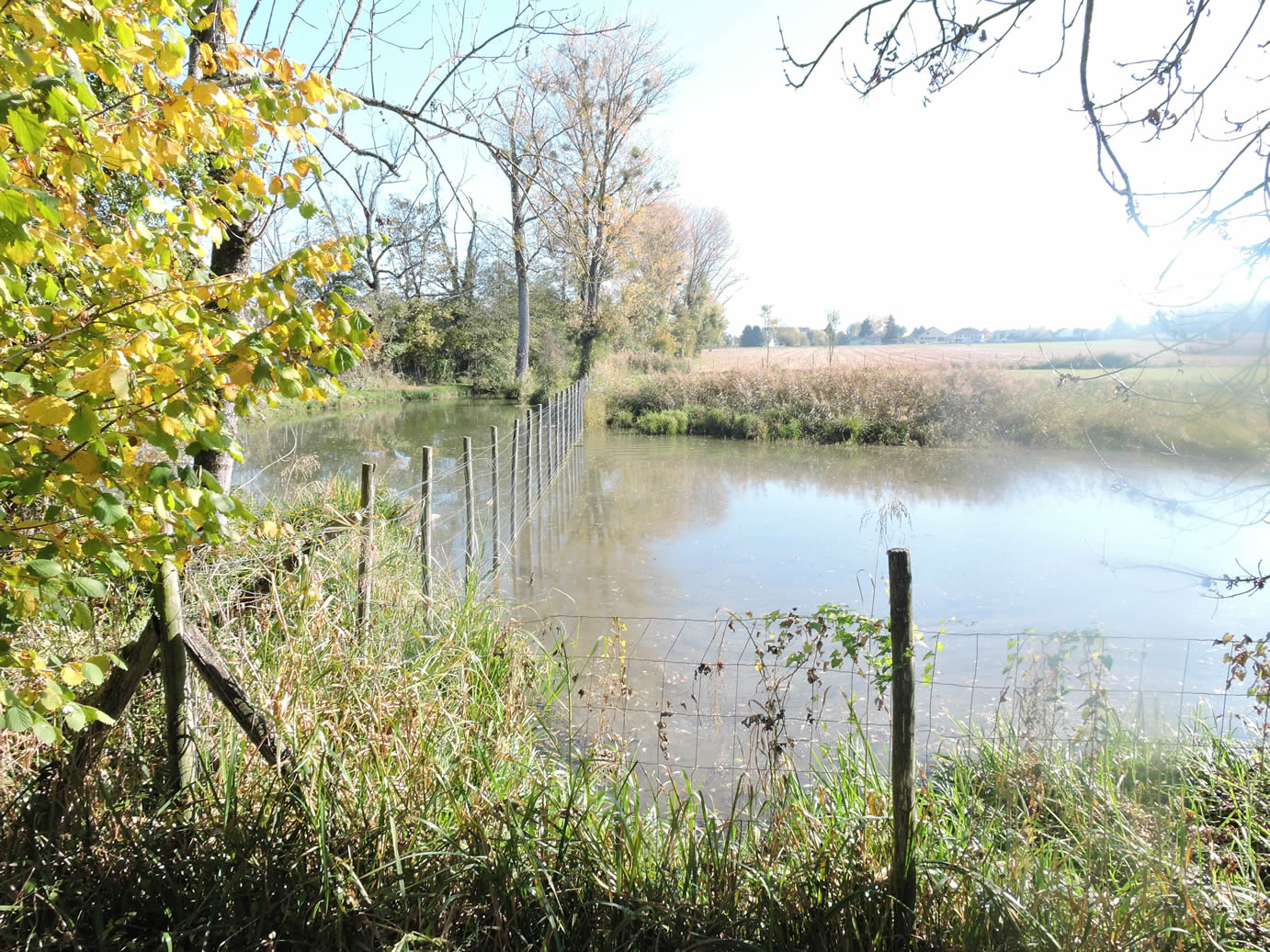
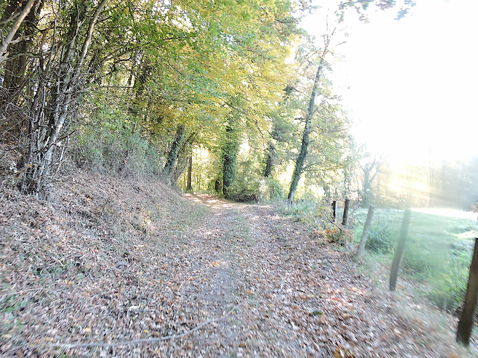
| Today, a persistent fog envelops the plain, creating a veil of mystery. At times, the sun timidly pierces through, casting a soft golden light on the landscape. The large path winds between discreet hedges of small deciduous trees, suddenly revealing to the right the small lakes of Romagneu, jewels lost in the depth of nature. Peace reigns here, interrupted only by the melodious singing of birds and the whisper of the wind. |
 |
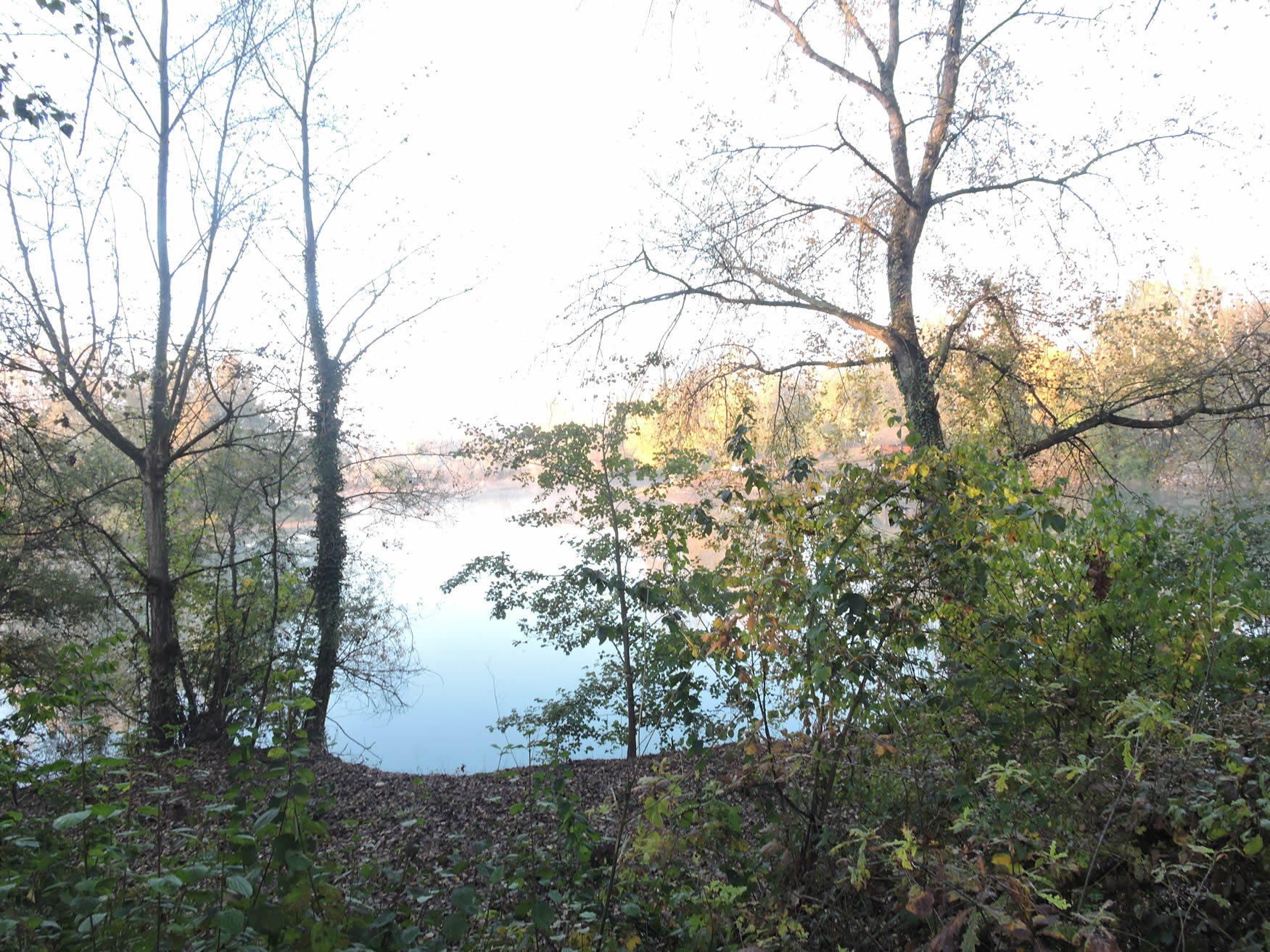 |
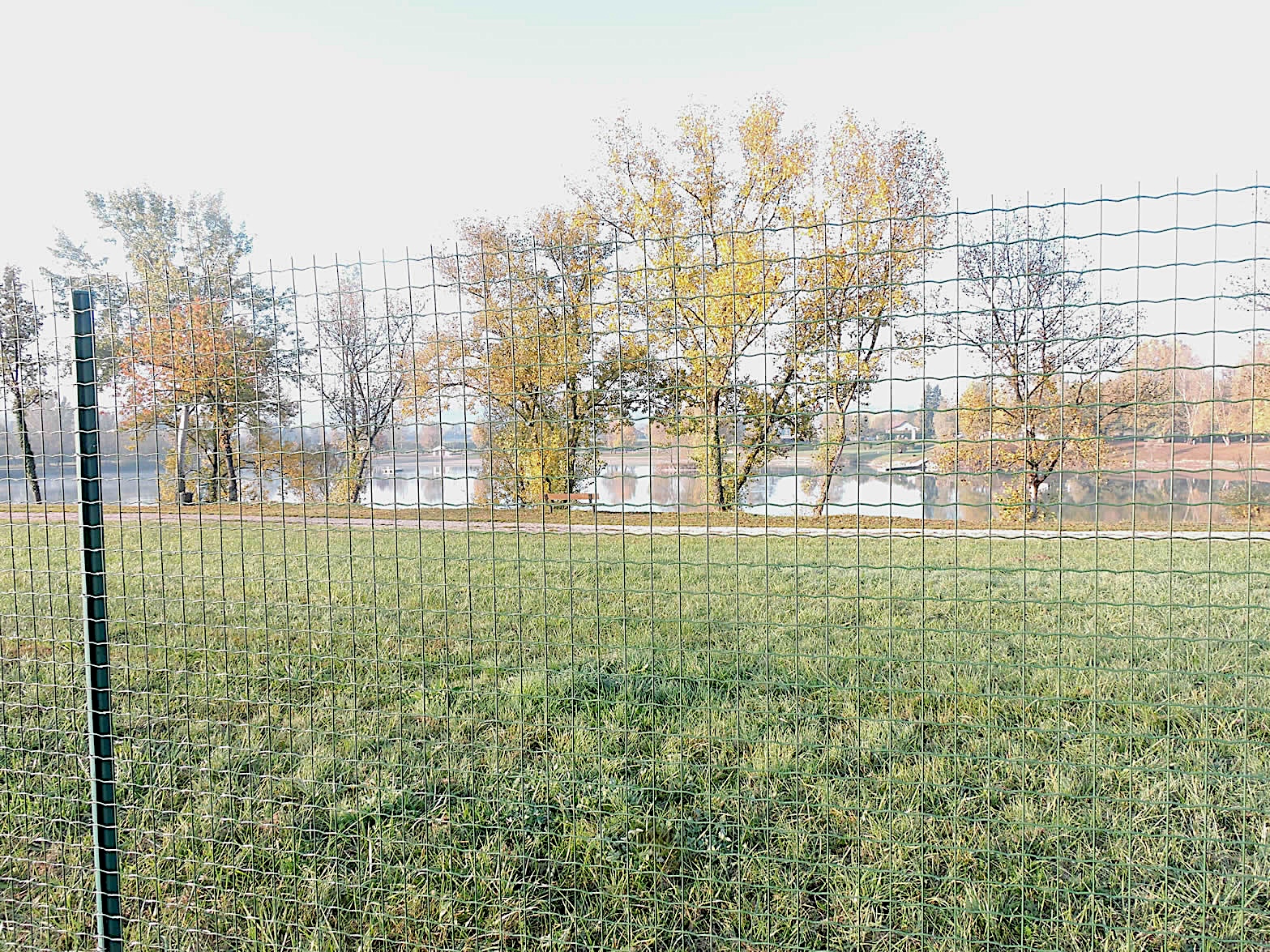
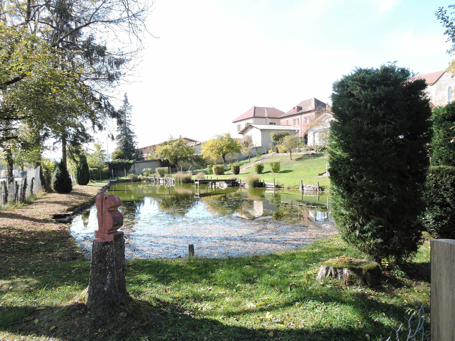
| The GR65 runs along the lake and its park for more than a kilometer, offering a picturesque and soothing view. The park, vast and welcoming, could accommodate several regiments given its spaciousness. However, it is fenced, and access is paid for part of the year. This leisure area offers a multitude of activities: fishing, picnicking, tennis, boules games, diving platform, fitness trail, team play areas, bar, and fast food. In summer, swimming is allowed but in a strictly monitored area where dogs and barbecues are prohibited, ensuring appreciated cleanliness and tranquility. |
 |
 |
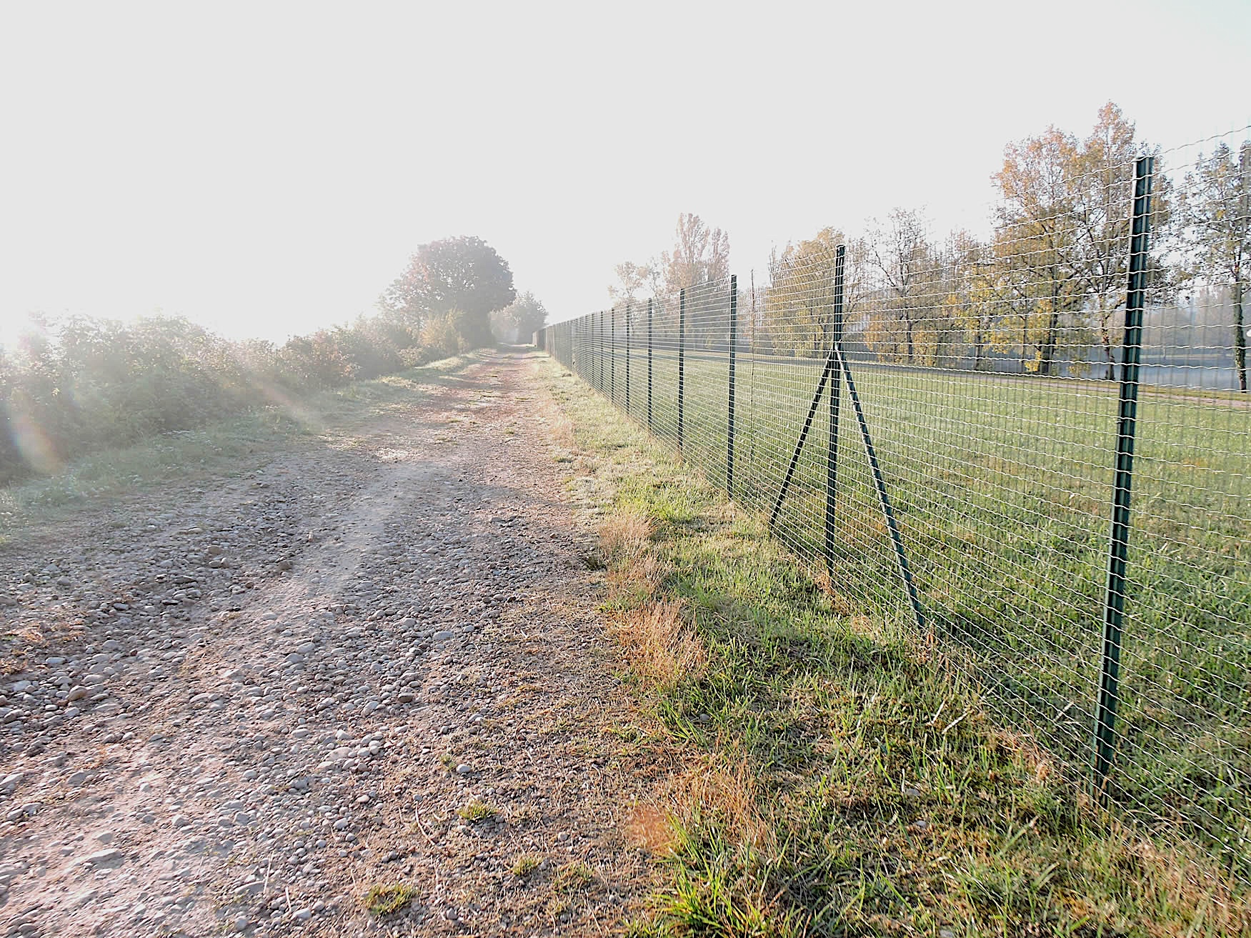
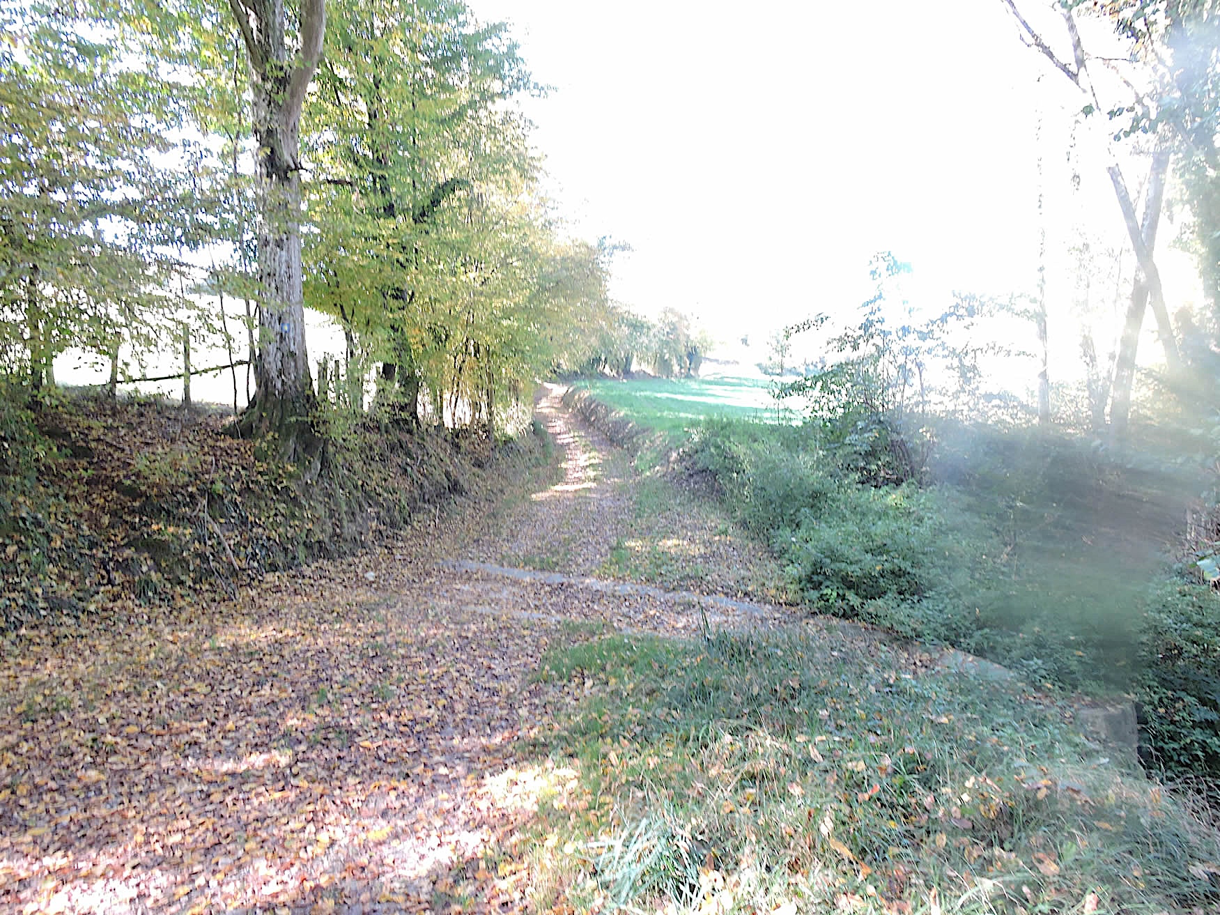
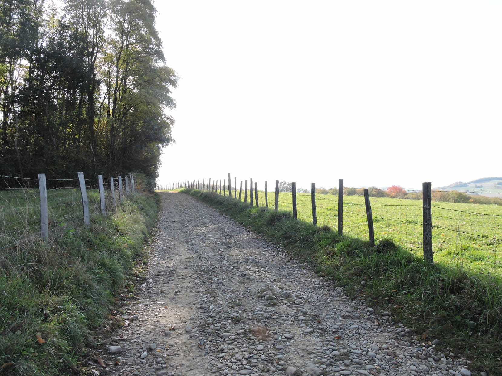
| Continuing along the river, the GR65 leaves the lake to venture into the fields, bordered by country hedges that seem to stretch to the horizon. The wide plain extends as far as the eye can see, offering a scene of tranquility where nothing seems to disturb the calm. |
 |
 |
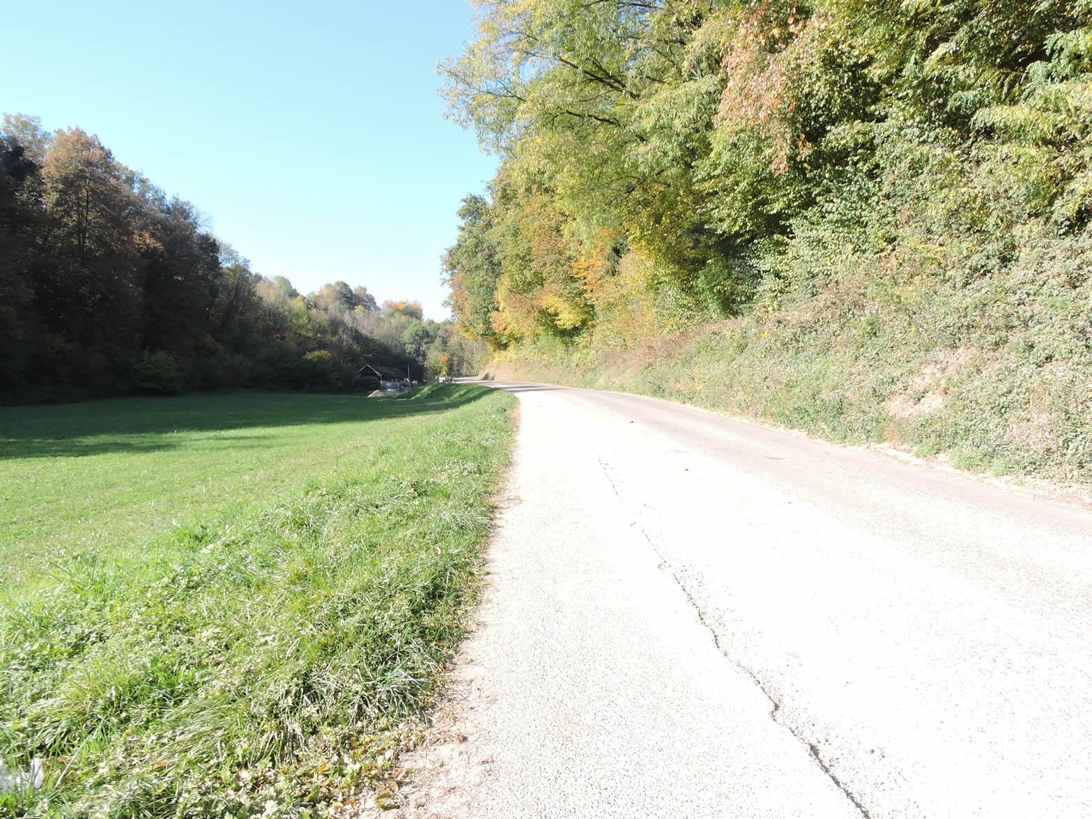
| But soon, the path moves away from the river, and a paved road stretches across a somewhat monotonous plain. Far from being captivating, this section of the GR65 is more utilitarian, linking points of interest with a certain austerity. |
 |
 |
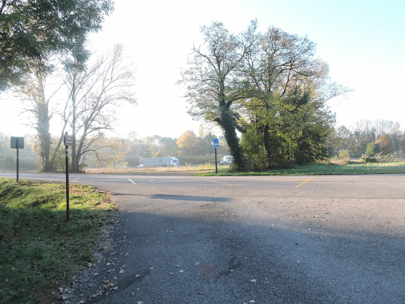
| Suddenly, the rumble of engines is heard faintly. Shortly after, the road crosses the A43 highway in a constant roar, momentarily disturbing the tranquility of the walk. This busy and noisy highway connects Chambéry to Lyon, marking a loud pause in the rural calm. |
 |
 |
| I
The route had to pass somewhere through this bleak plain. But ahead of you, the hills emerge, like a promise of hope.
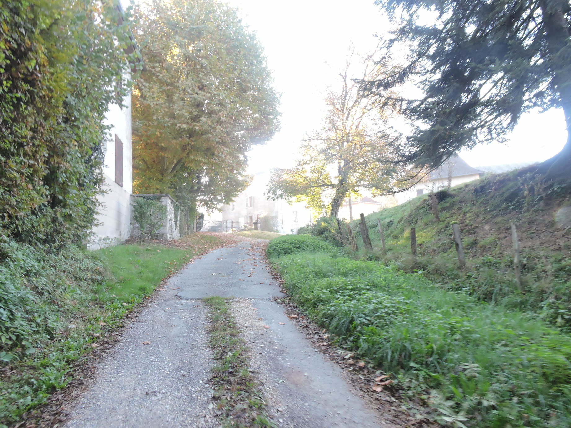
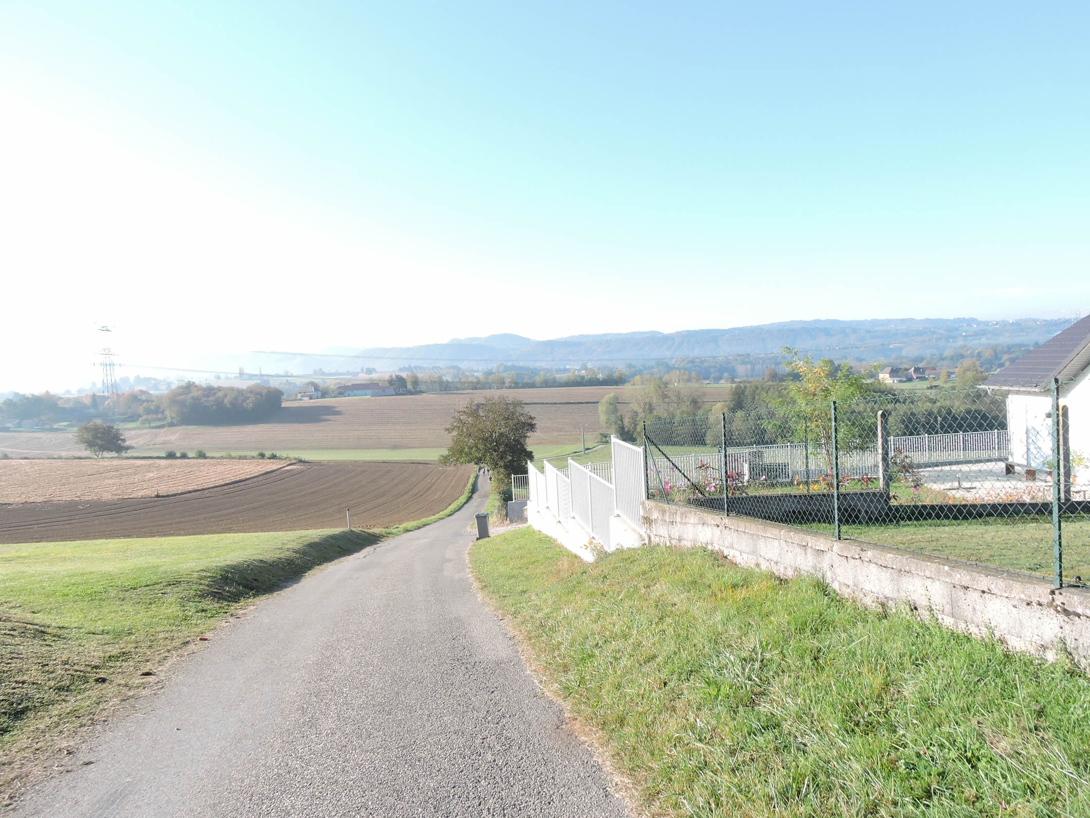
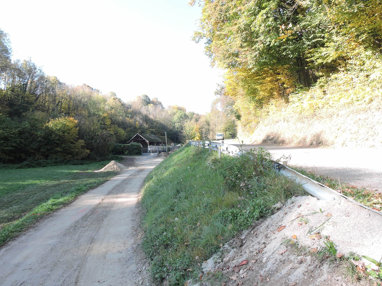
Just beyond the highway, a bumpy little road gently slopes up towards the Château de Romagneu. This castle, whose origins date back to the 11th century, once had seven majestic towers. Today, only a softened silhouette remains. Although private and inaccessible behind its gates, the castle remains a silent and imposing witness to history. |
 |
 |
Section 2: From one village to another on the hills

Overview of the route’s challenges: This route presents no significant difficulties.
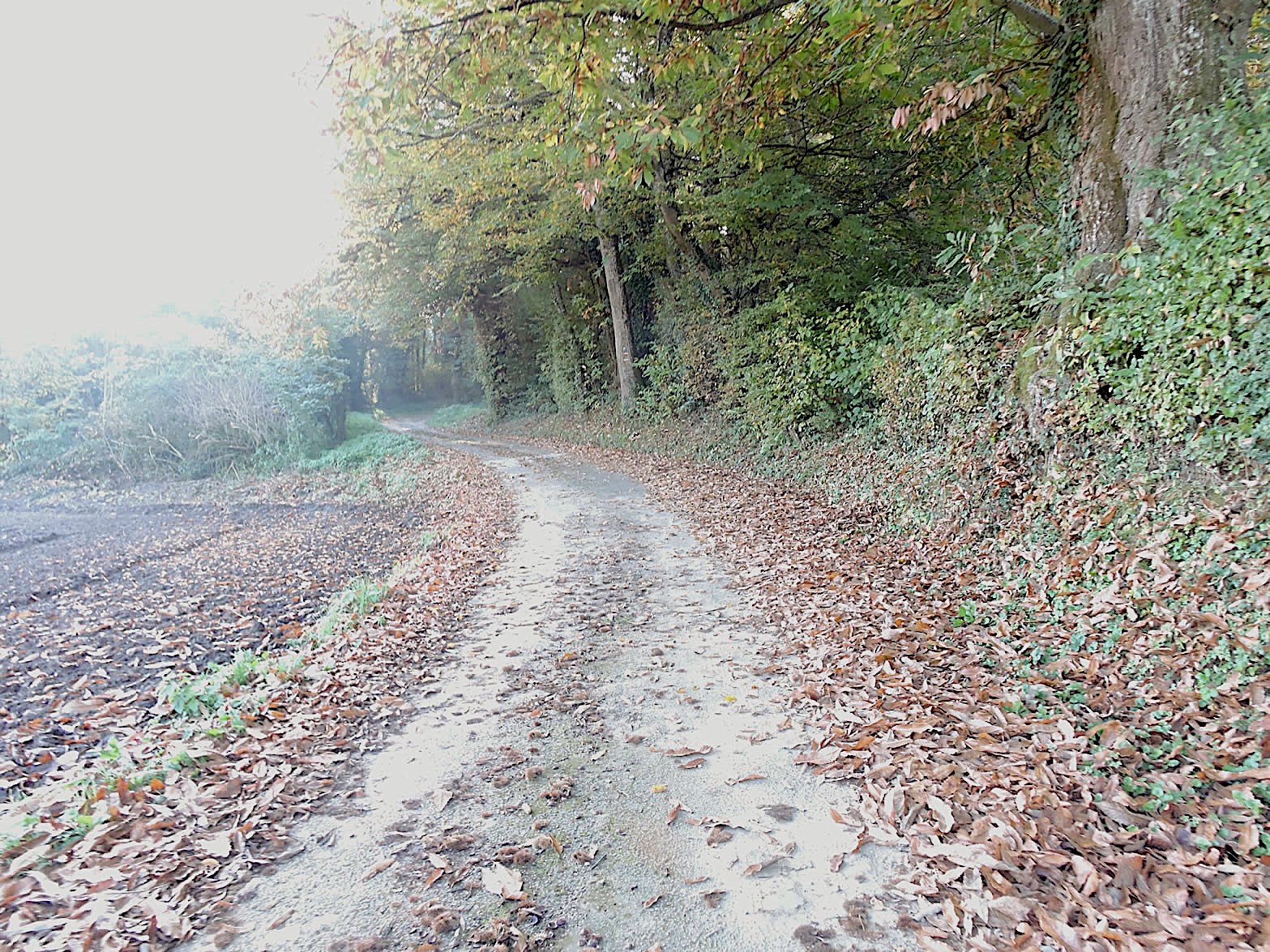
| The road slopes up towards an undergrowth, passing through a peaceful countryside beneath the canopy of deciduous trees. Here, chestnut trees are as abundant as they were the previous day, but a notable difference stands out. Many grafted trees produce higher quality chestnuts, especially near the villages, where these precious fruits are harvested with care. |
 |
 |
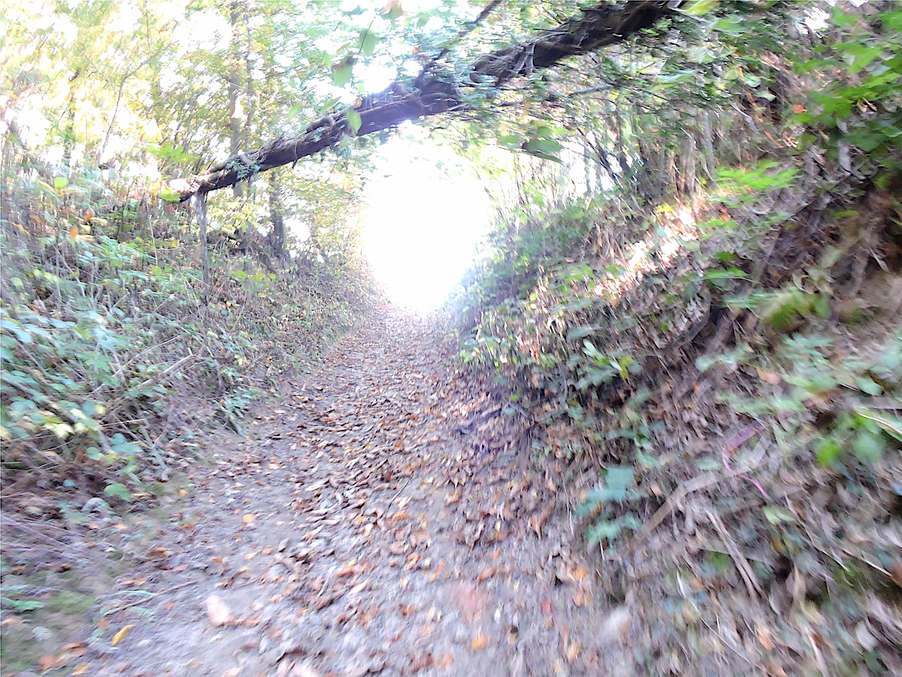
| Today, in autumn, you will often walk on a carpet of fallen leaves and chestnut burrs, remnants of the seasonal battles. Higher up, the GR65 leaves the road for a dirt path that crosses the hamlet of Le Boutet, dotted with simple farms. In Dauphiné, you are not in the Swiss-German region, and for those who have crossed this area, you will never again find such joy at the sight of farms on all the other Camino de Santiago routes. |
 |
 |
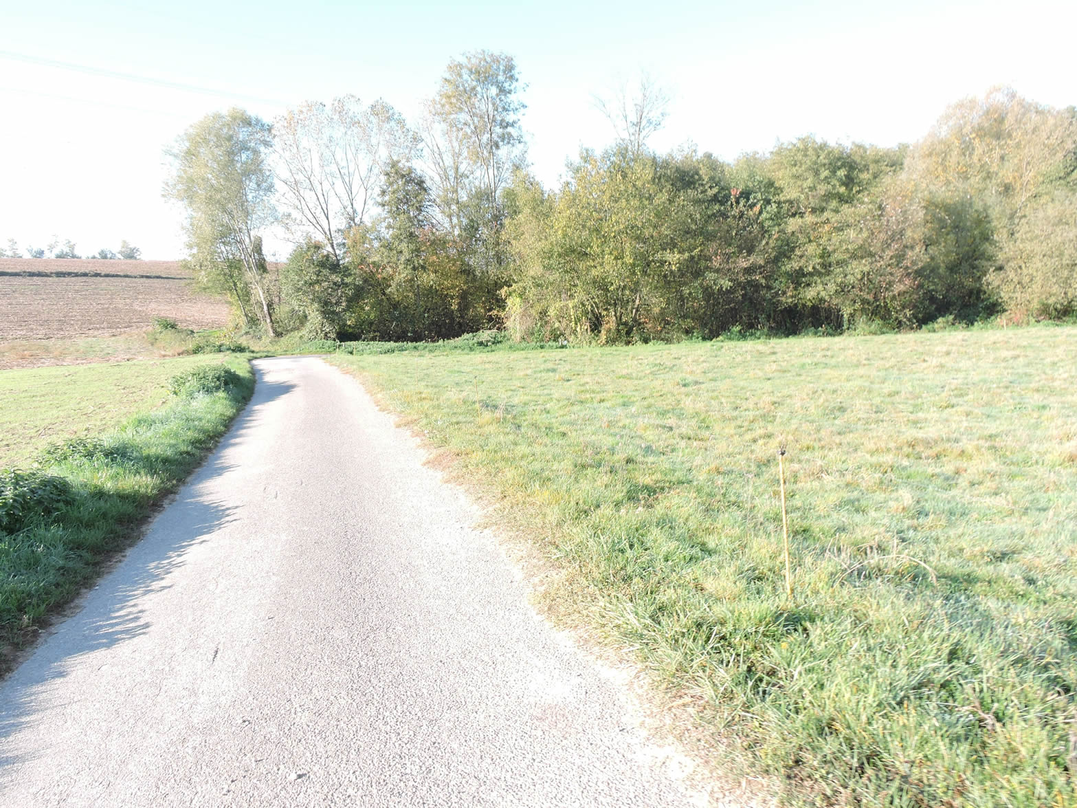
| There, a path blossoms through the meadows and cornfields, which were discreet until now but are starting to reveal themselves more and more. Further on, ahead of you, the villages of La Perrière and Les Rivaux come into view, adjoining the Bois de Fayet. |
 |
 |
| A rocky path slowly descends from the hill, winding through the crops to join a paved road. |
 |
 |
| The road then climbs towards La Perrière, where the gentle slope invites a leisurely climb. The landscapes unfold in all their diversity, offering a visual symphony of fields and groves. |
 |
 |
| Welcome to Dauphiné, a land where Isère, Drôme, and Hautes-Alpes meet. Here, around winding paths and green valleys, you discover houses made of rammed earth, sometimes covered with a lime plaster. These traditional constructions, full of charm and character, valiantly resist the banality of often soulless modern buildings. Indeed, a contemporary subdivision can hardly compete with the authenticity and rustic beauty of an old farm. What walker would prefer to gaze at stereotyped houses rather than these silent witnesses of a bygone era? |
 |
 |
A grassy path gently slopes up under the benevolent shade of oaks and chestnut trees.
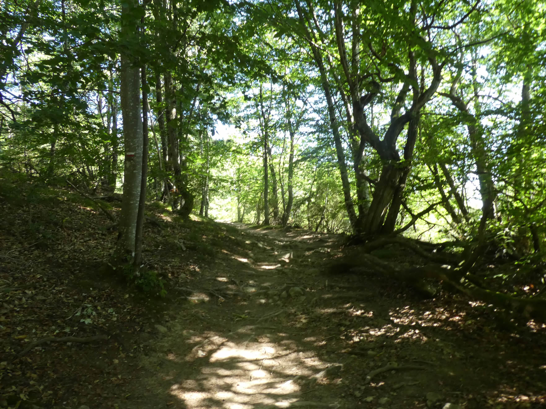
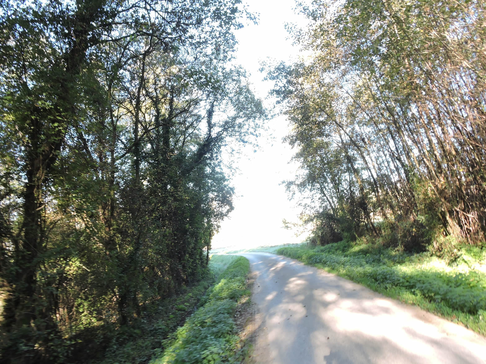
| It briefly crosses the Bois du Fayet, a refuge for local wildlife and a haven of peace, inviting escape and daydreaming. The majestic trees, guardians of this natural sanctuary, stand as immutable witnesses to the passage of the seasons. |
 |
 |
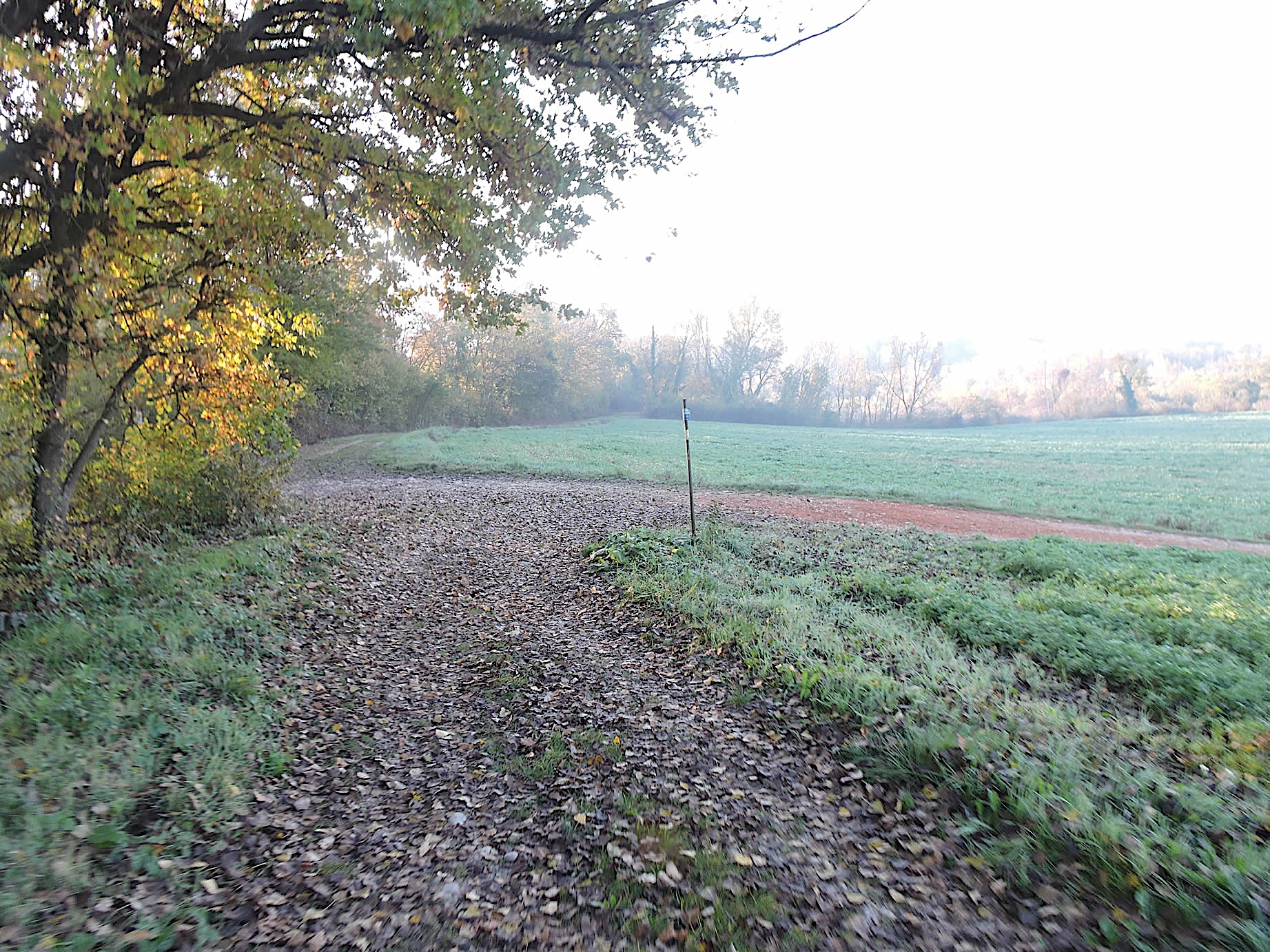
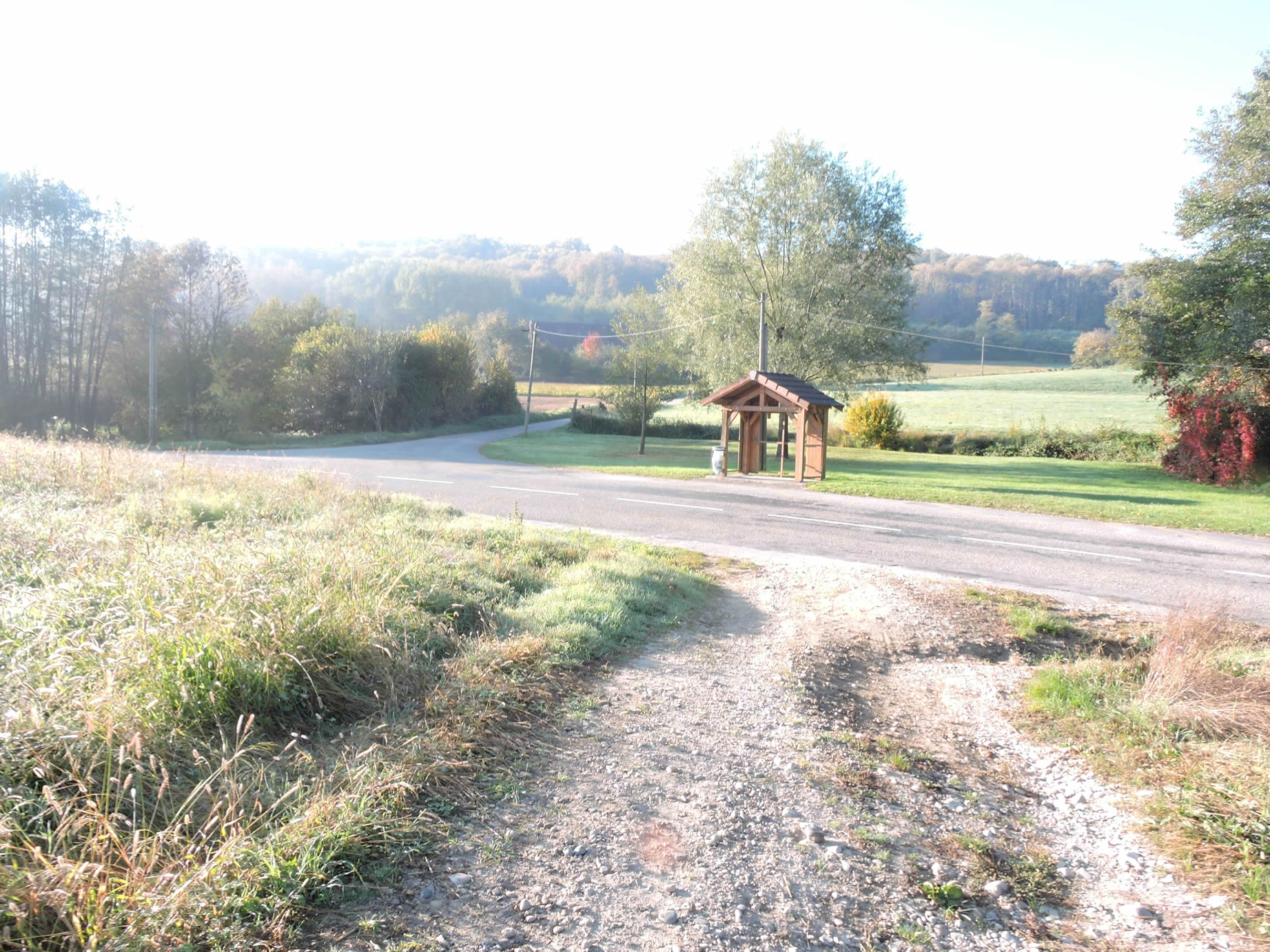
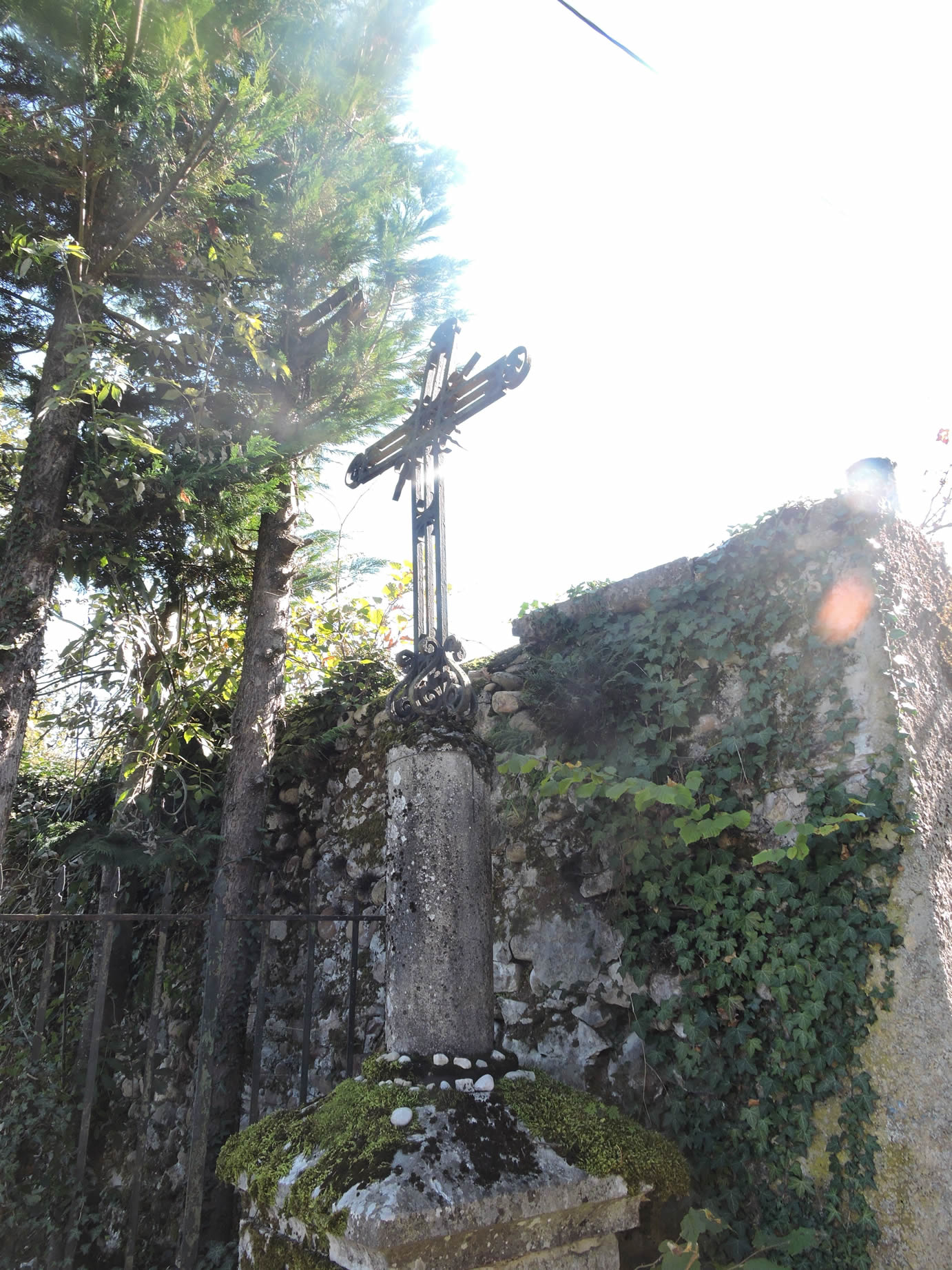
| Upon exiting the wood, the GR65 meets the paved road back, where a modest wooden cross stands, a symbol of faith and tradition. Here, eight kilometers from Les Abrets, tranquility takes up residence. |
 |
 |
| There, a small road leads you to the hamlet of La Vigne. This peaceful place, dotted with discreet farmhouses and unpretentious country homes, exudes tranquility and authenticity. The dwellings, though modest, reflect a simple and harmonious way of life, in perfect symbiosis with the surrounding nature. |
 |
 |
| As you leave the hamlet, the road gracefully winds down through the fields, slipping into a small woodland where chestnut trees, oaks, and ash trees thrive in perfect harmony. On the horizon, the hills take shape, holding the promise of hidden beauties waiting to be unveiled with each step. |
 |
 |
| At the foot of this gentle descent, the road runs alongside a washhouse, cradled by the clear waters of the Guindan, a meandering tributary of the Guiers. The place exudes a peaceful charm under the benevolent shade of towering trees, offering a welcome pause for the wandering soul. |
 |
 |
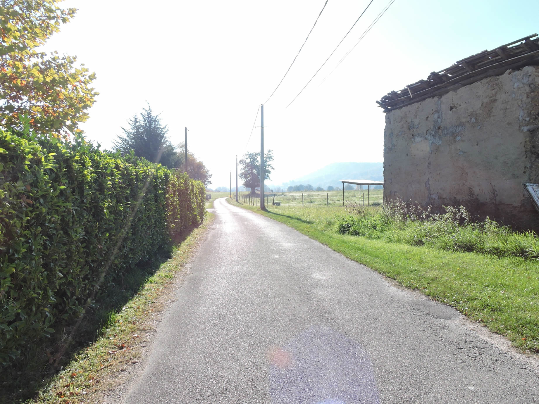
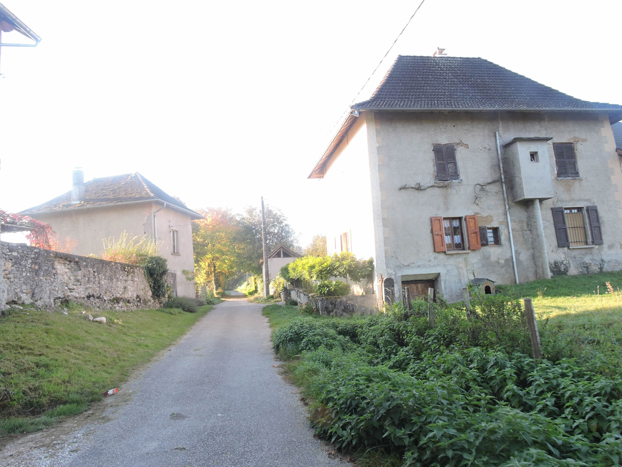
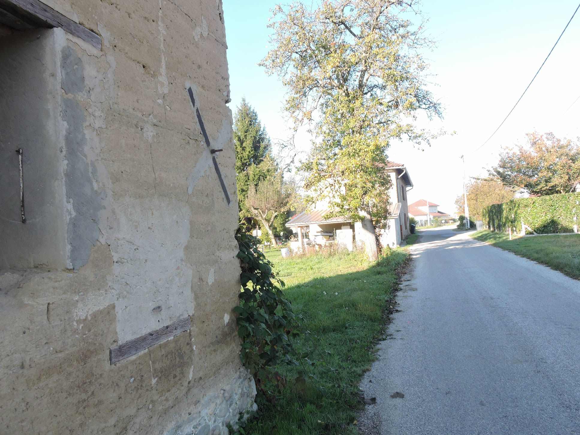
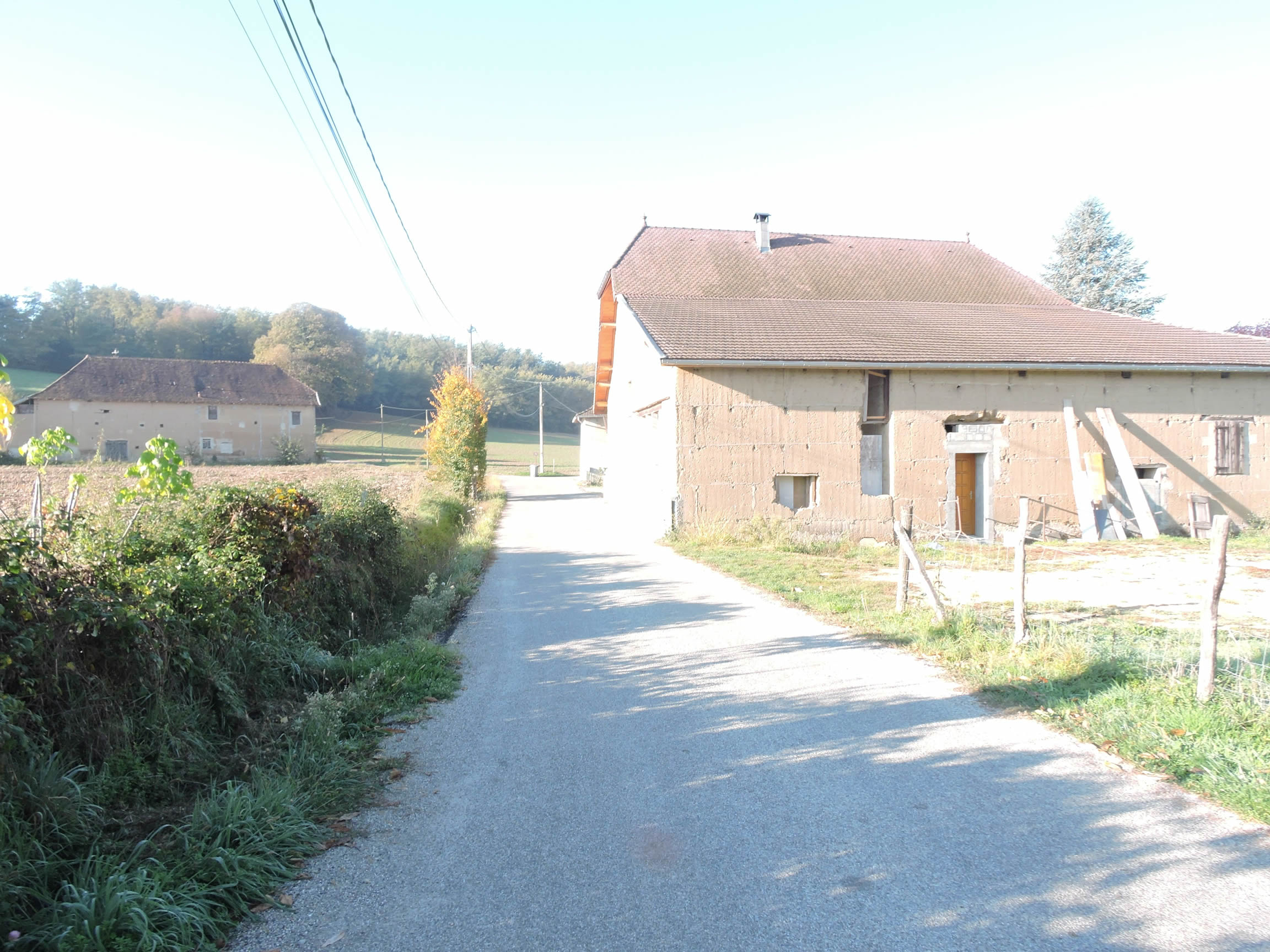
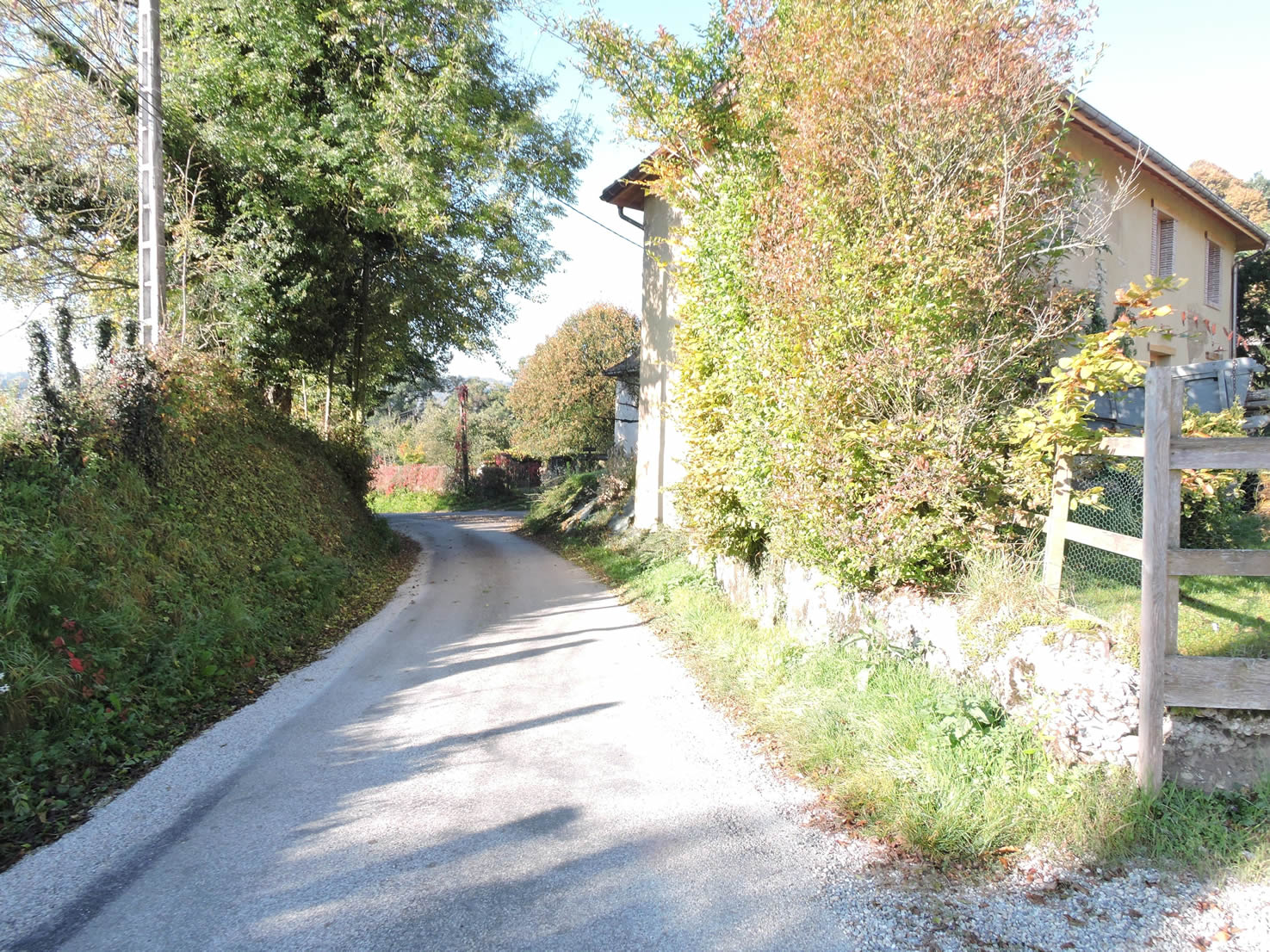
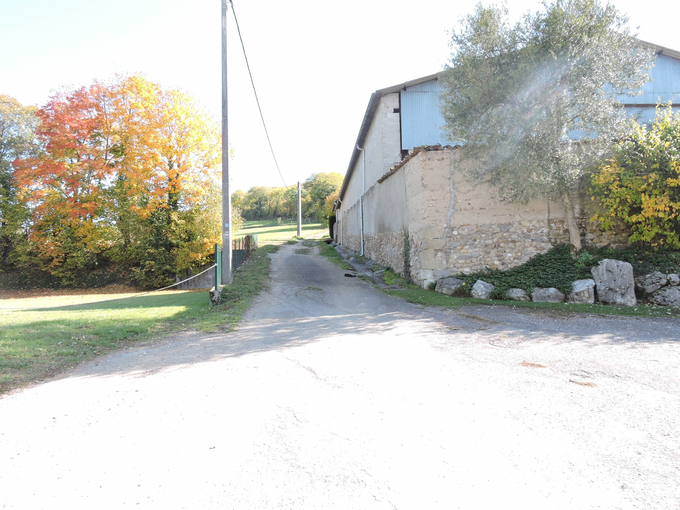
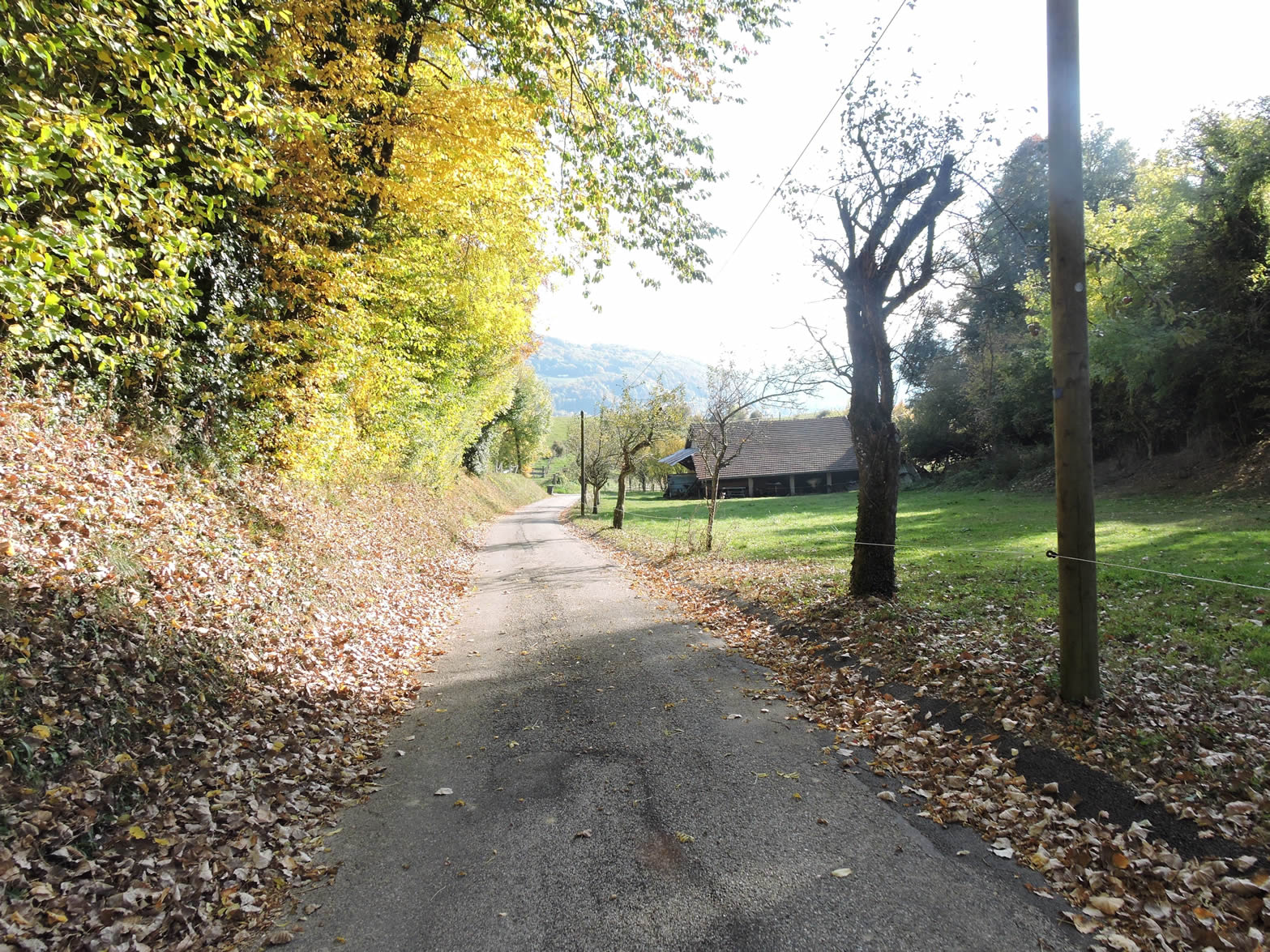
| Shortly after, the road winds past farms often built in rammed earth, an ancient art that tells a long and laborious story. Choosing the right soil was crucial then, a clay soil extracted by pickers and transported by courageous carriers, braving loads sometimes as colossal as nearly 100 kilos. At the base, the masons laid their foundations of rubble and pebbles, while the carpenters skillfully raised the one-meter-high formwork, tightened by clamps whose traces still mark the rammed earth today. Patiently, they filled these formworks with earth, tamping it in unison to expel moisture, a hard work that still echoes in local traditions.
Drying, a crucial step, lasted eight days before sometimes adding mortar or planks for the joints, thus preparing the ground for the next layer. Their labor knew neither cranes nor modern conveniences; each house was a challenge, each step a victory shaped by sweat and strength. Thus, were born these modest but proud homes, witnesses of a time when every stone laid was an act of faith in beauty and solidity. These houses, though sometimes imperfect, carry within them the very essence of hard work and artisanal dedication, a sincere expression of the region’s rustic soul. |
 |
 |
Section 3: In the monotony of the low hills of Isère

Overview of the route’s challenges: The route presents no significant difficulties, with only a few rare, slightly steeper slopes.
| Ahead of us walks a group of German pilgrims, their colorful backpacks contrasting with the tender green of the surrounding hills. This will increase the statistics of pilgrims on the Via Gebennensis. Generally, fewer than ten people pass this way in a day; sometimes, but rarely, fifteen people. The innkeeper of Revel-Tourdan, with his broad smile and sing-song accent, informs us that he records six hundred overnight stays per year at his place. Since this likely represents more than half of the people traveling the Via Gebennensis, it can be estimated that about a thousand pilgrims choose this route each year. This is obviously few compared to the Via Podiensis, where an estimated fifteen thousand pilgrims pass each year. Here, the majority are Swiss or German. French pilgrims are as rare as white ravens, adding an exotic touch to this peaceful path.
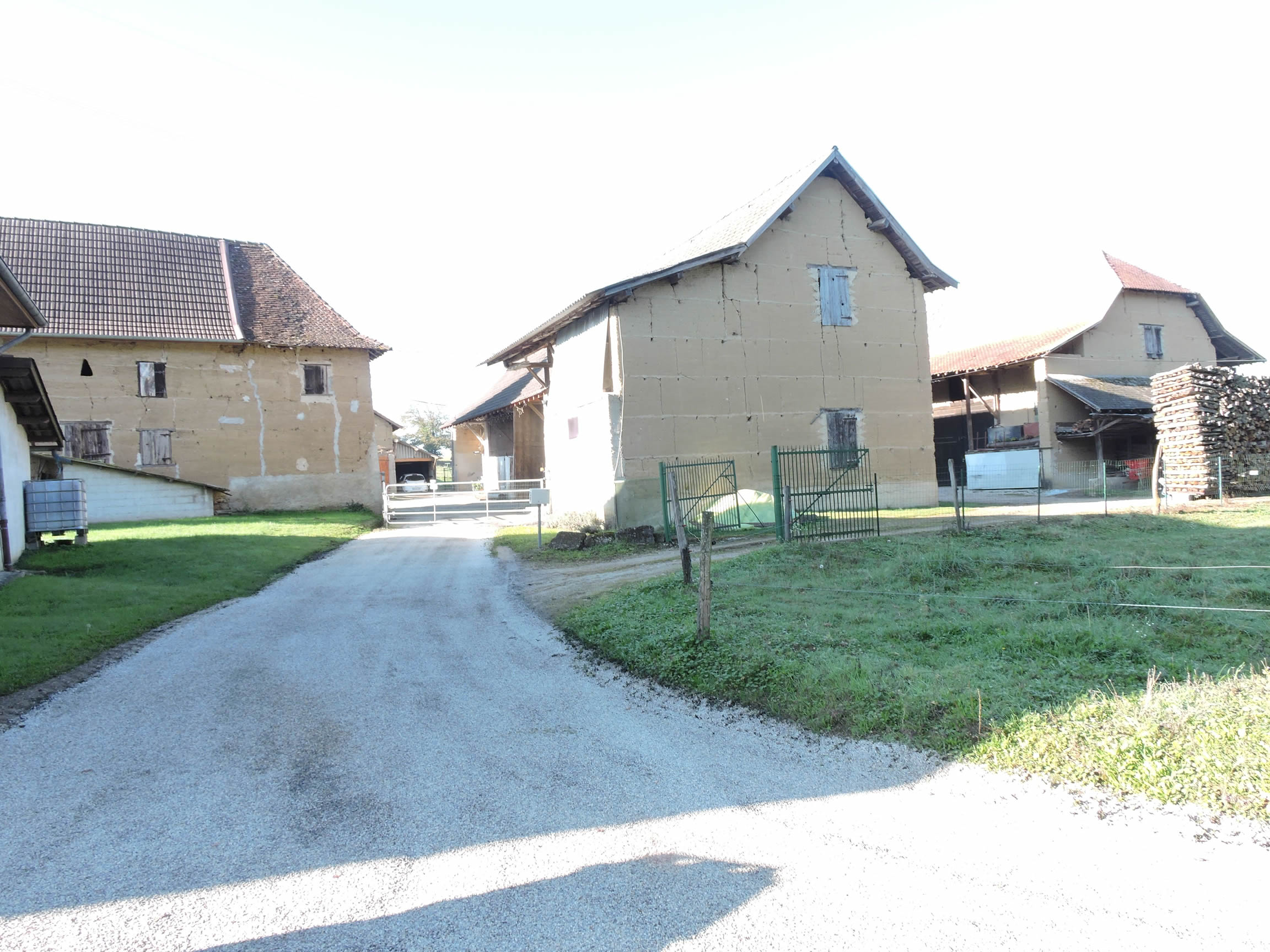
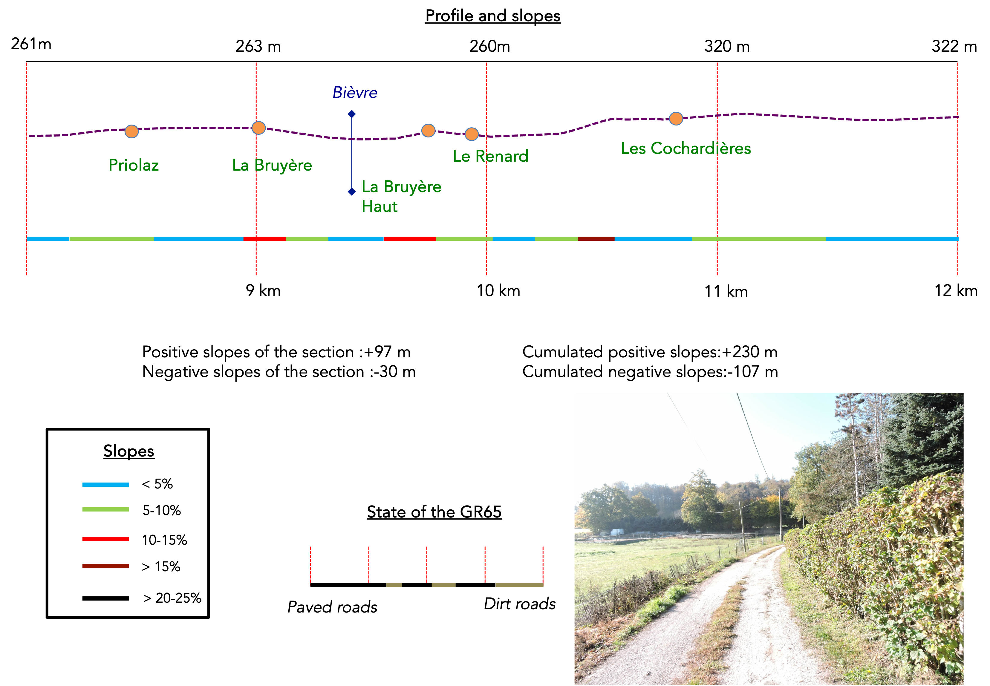
The GR65 then crosses the D92, a departmental road winding through golden wheat fields and deep forests. This road leads to Pont-de-Beauvoisin and further to the Chartreuse Massif, from where the Guiers flows, its crystalline waters reflecting the snowy peaks of the mountains. Here, the GR65 runs flat towards the village of Priolaz, where stone houses blend harmoniously into the landscape. |
 |
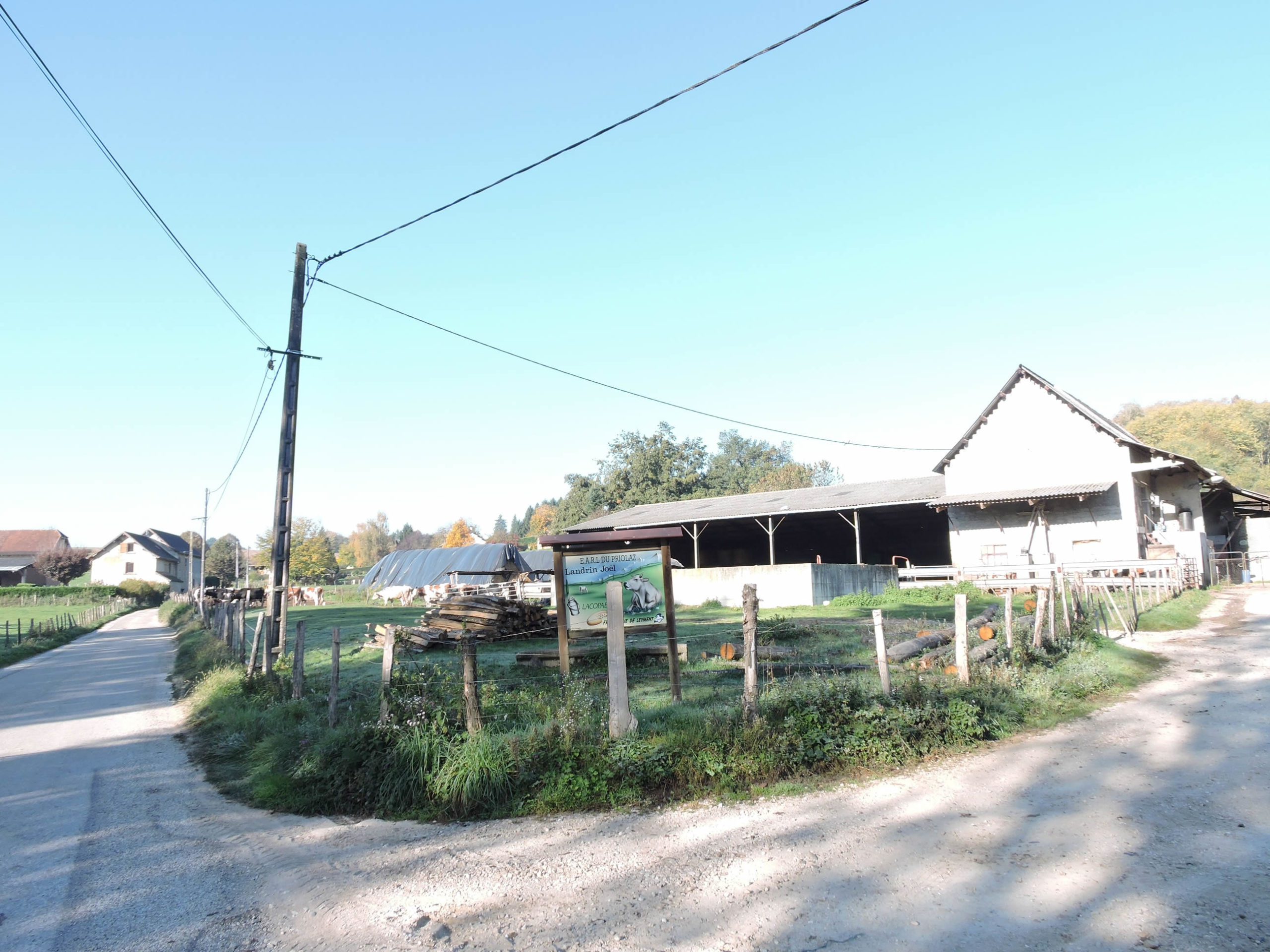 |
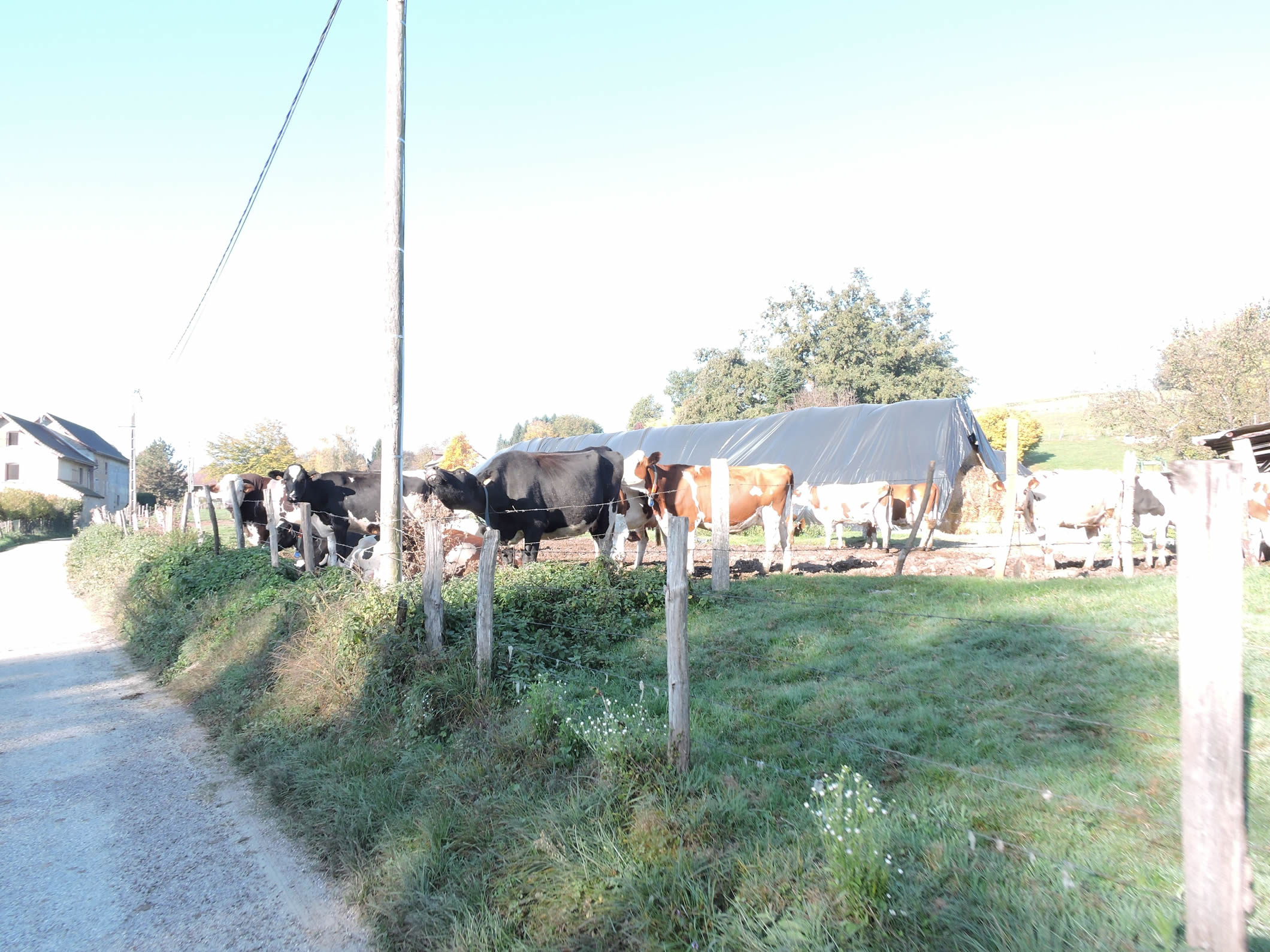
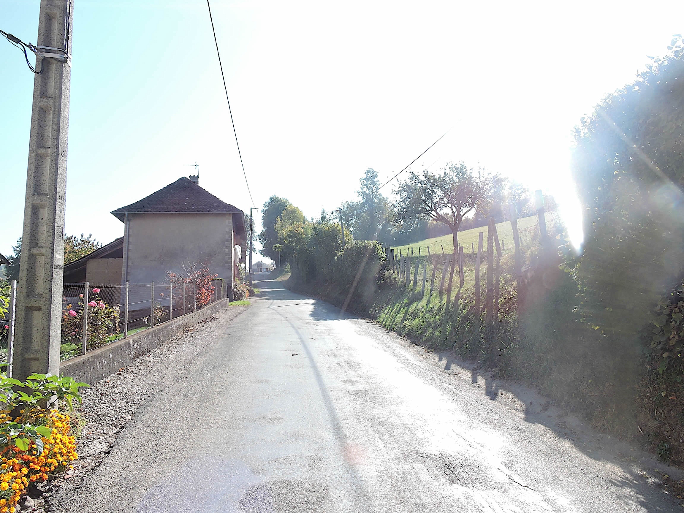
| Apparently, it is primarily a farming village, judging by the cows grazing peacefully in the verdant meadows, surrounded by rustic wooden fences. The road crosses an extended village with subdivisions of recent villas, their modern facades offering a striking contrast with the old rammed-earth houses. |
 |
 |
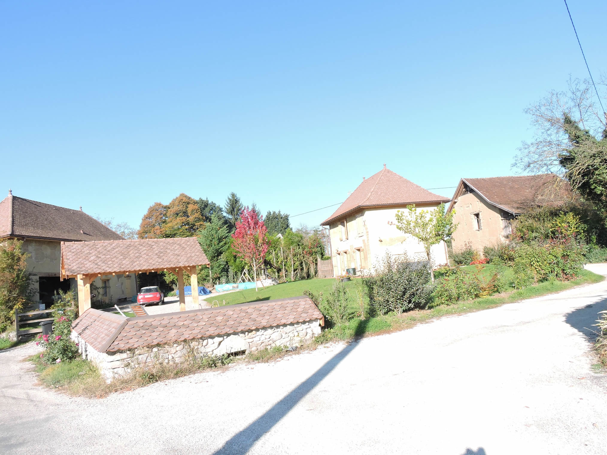
| It is only at the end of the village that you’ll find more character, with numerous houses having regained a second youth. The colorful shutters and flower-filled gardens testify to the renewed vitality of this place. |
 |
 |
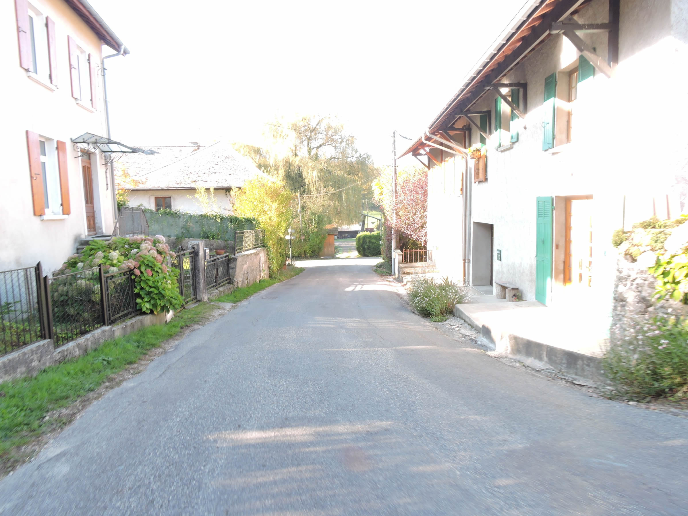
| Further along, the road stretches on before reaching the first houses of La Bruyère, a rather compact hamlet where narrow streets wind between old dwellings, creating an intimate and warm atmosphere. |
 |
 |
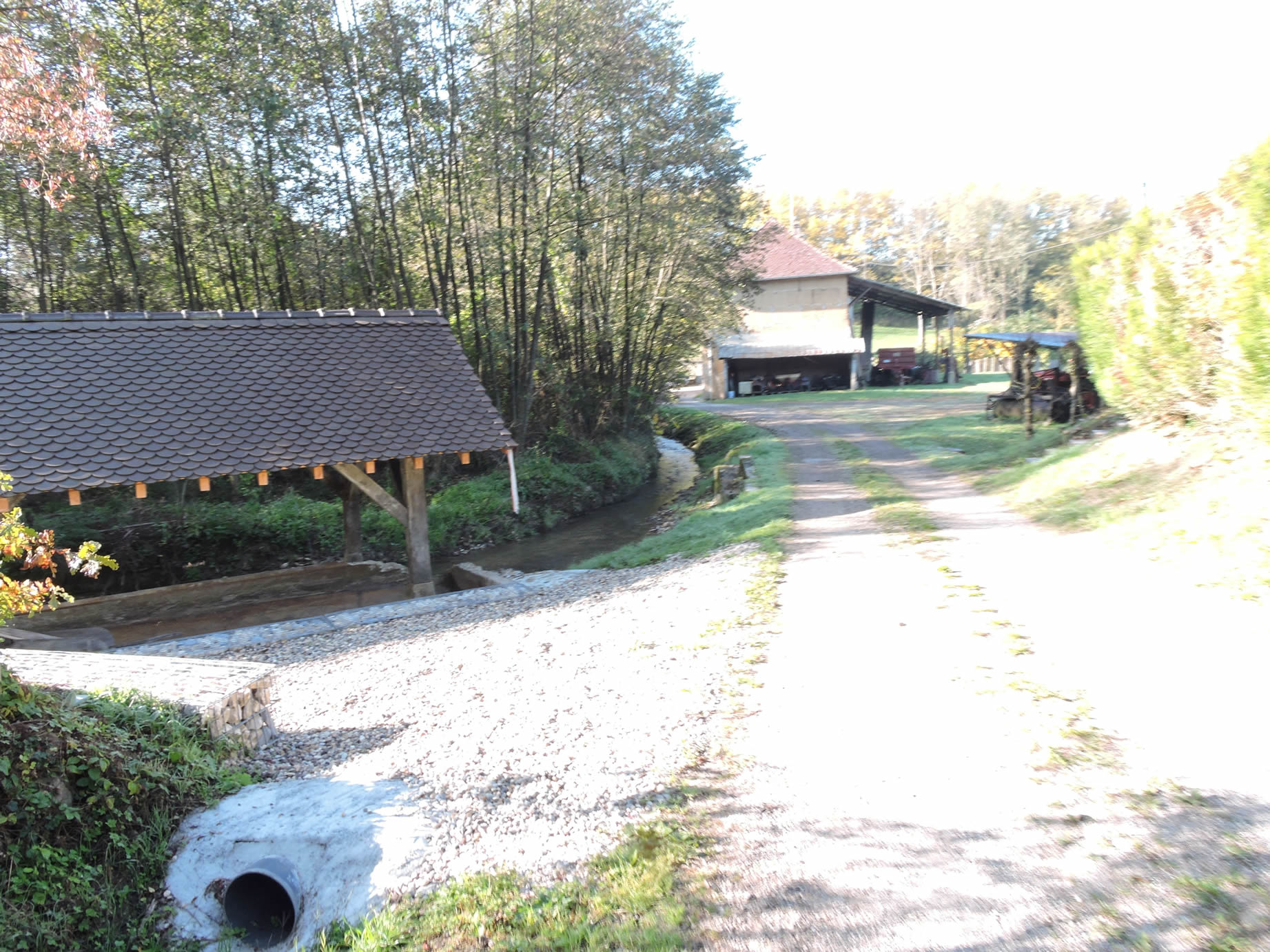
Here flows the Bièvre stream, a clear and lively ribbon of water that passes through Aoste before merging into the Rhône. The site and the Martinet washhouse are charming, with their old stones and gentle vegetation. It is important to appreciate the beautiful details, for on this stage, there is nothing truly spectacular to feast one’s eyes upon, yet the charm lies precisely in these small hidden treasures.
|
As the road takes a sharp turn here, a shortcut through the grass allows one to rejoin the road further up and continue through the rest of the village.
|
 |
 |
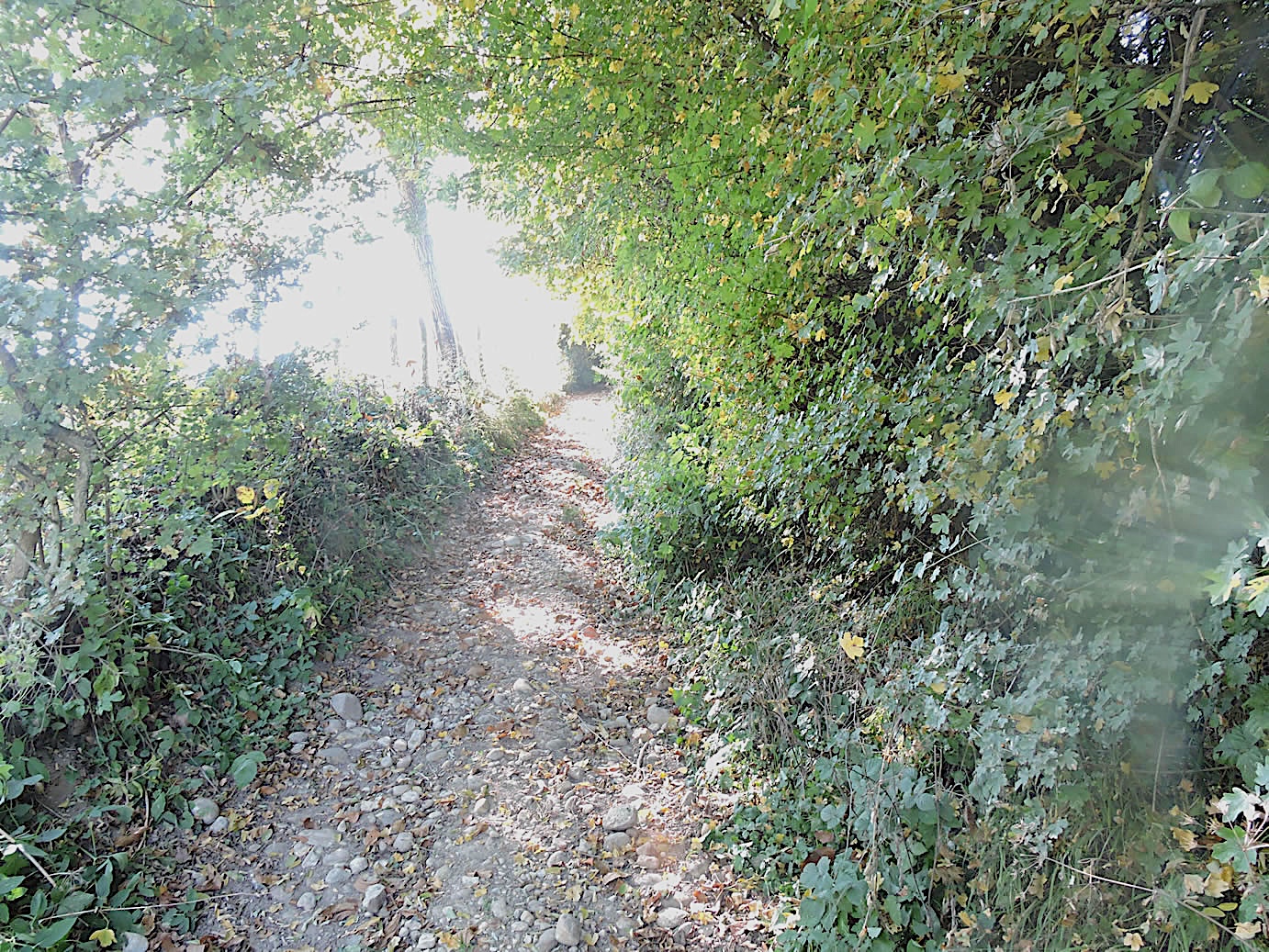
| A little further on, the paved road comes to a dead end in the hamlet of Le Renard, a modest place where opulence seems absent. A few stone houses, with their simple gardens, stand humbly. Here, a dirt path takes over, meandering toward the woods. |
 |
 |
| Quickly, the GR65 trail cuts across open fields, skimming past an untamed undergrowth, resembling a wild steppe where nature reclaims its rights. Tall grasses and dense shrubs form a natural labyrinth, offering perfect hiding places for the local wildlife. |
 |
 |
| The woodland passage is brief before the GR65 emerges back into the light, beneath the soft shade of discreet chestnut trees, arranged like protective hedgerows. |
 |
 |
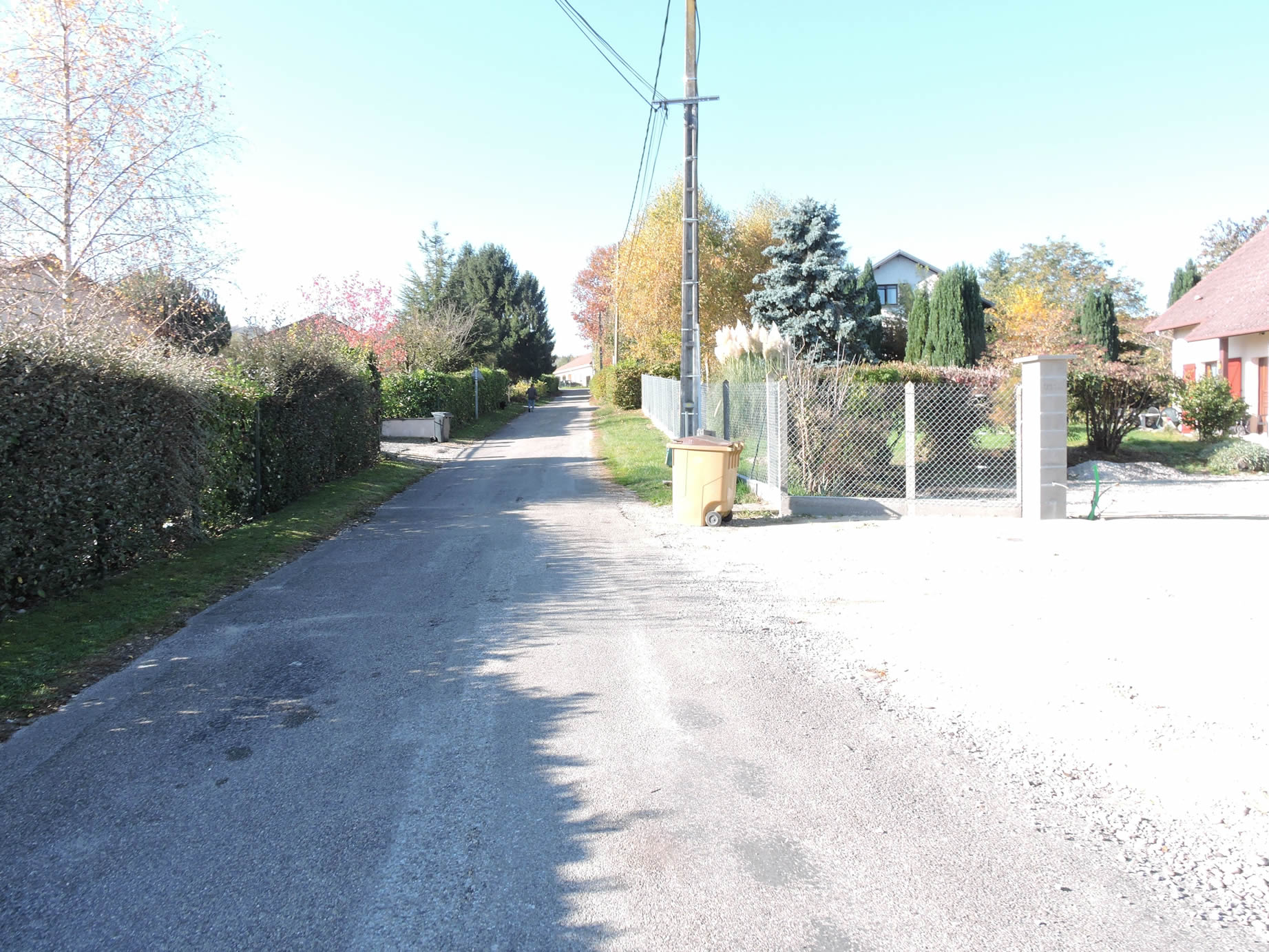
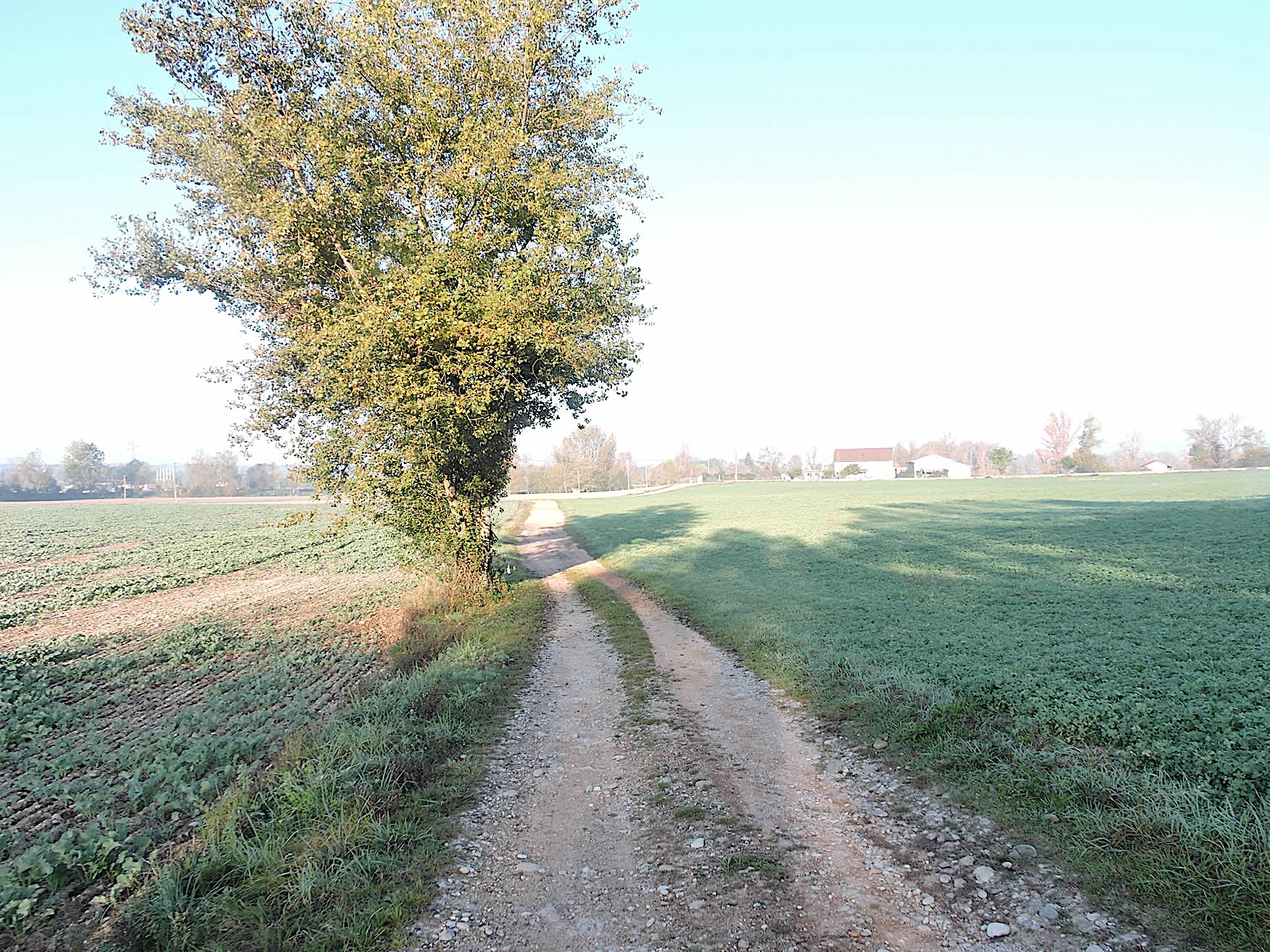
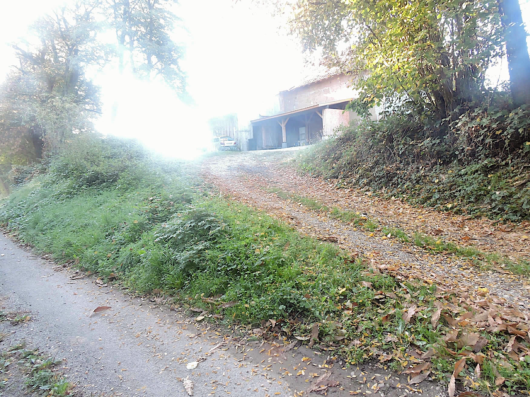
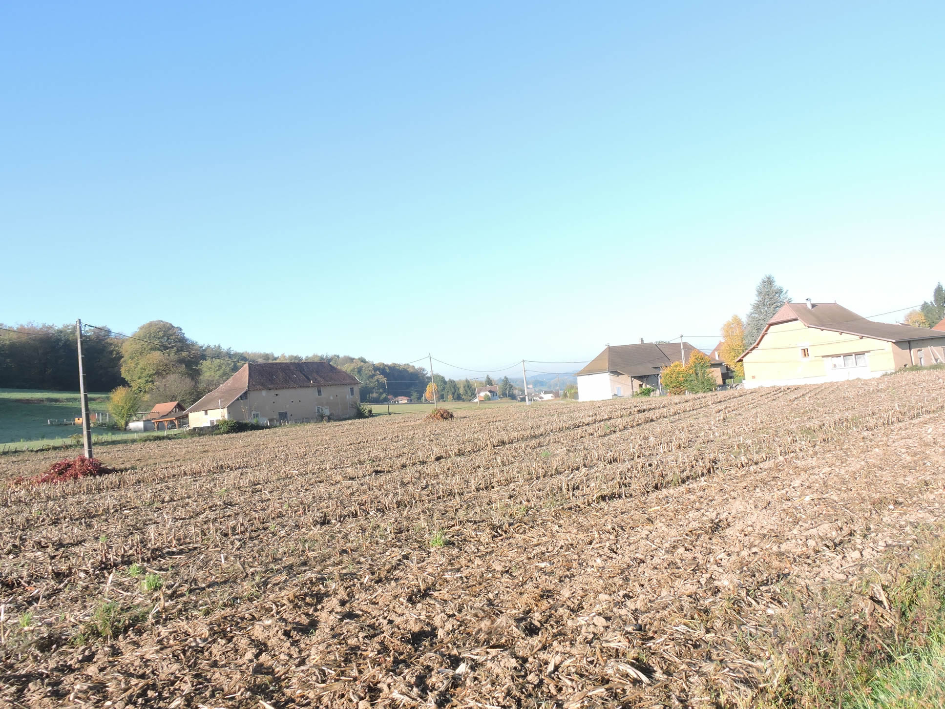
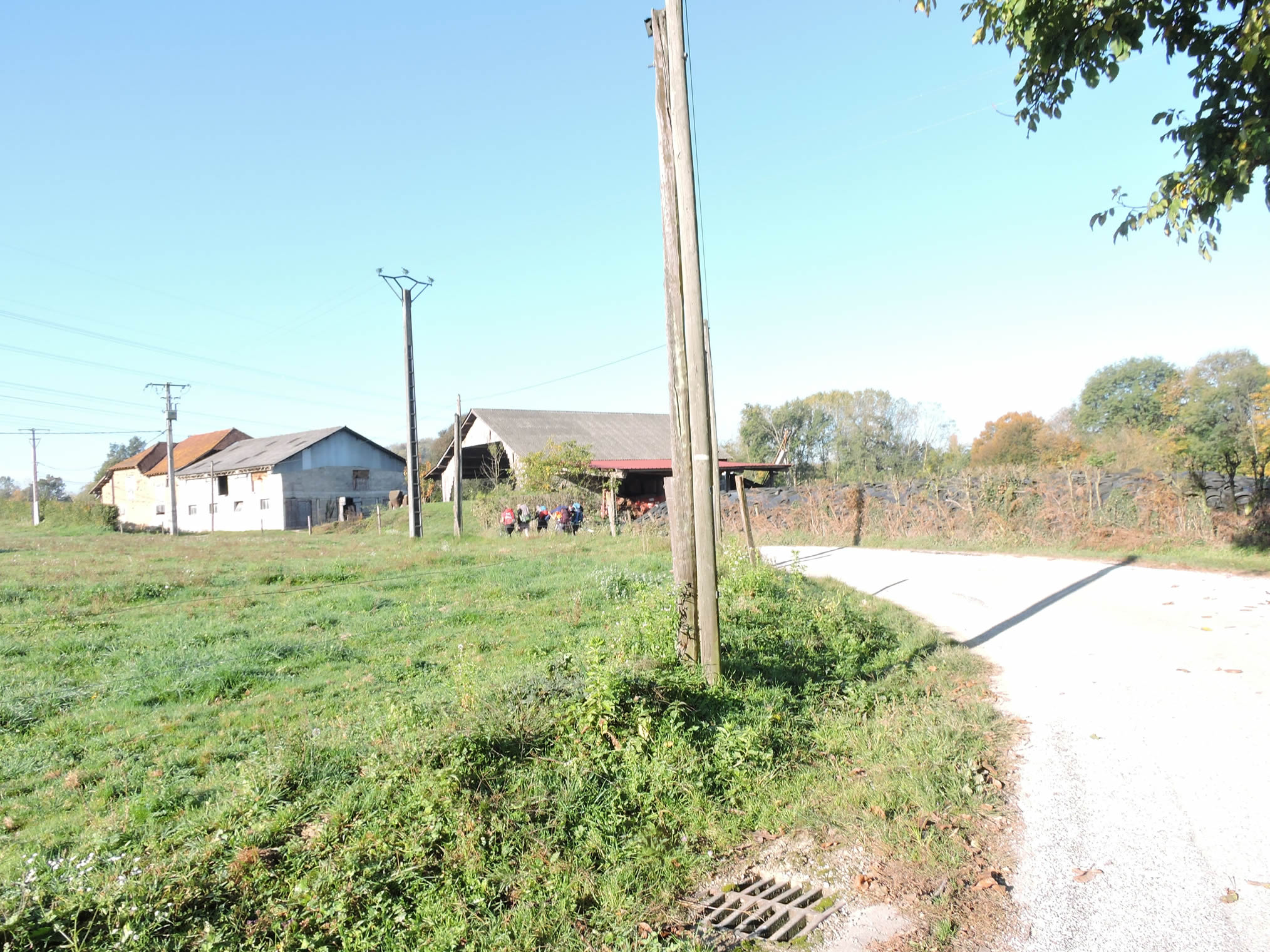
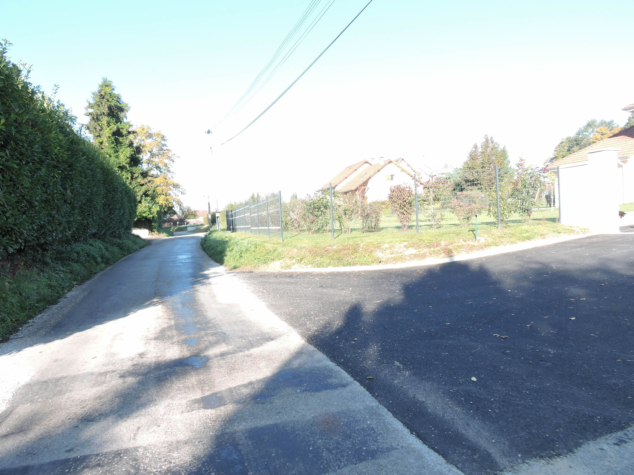
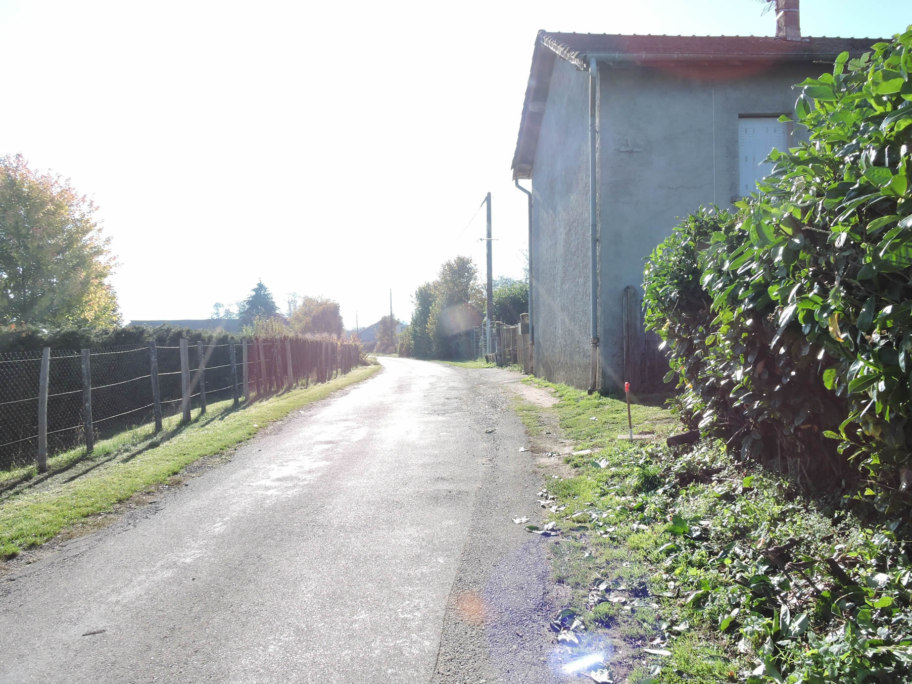
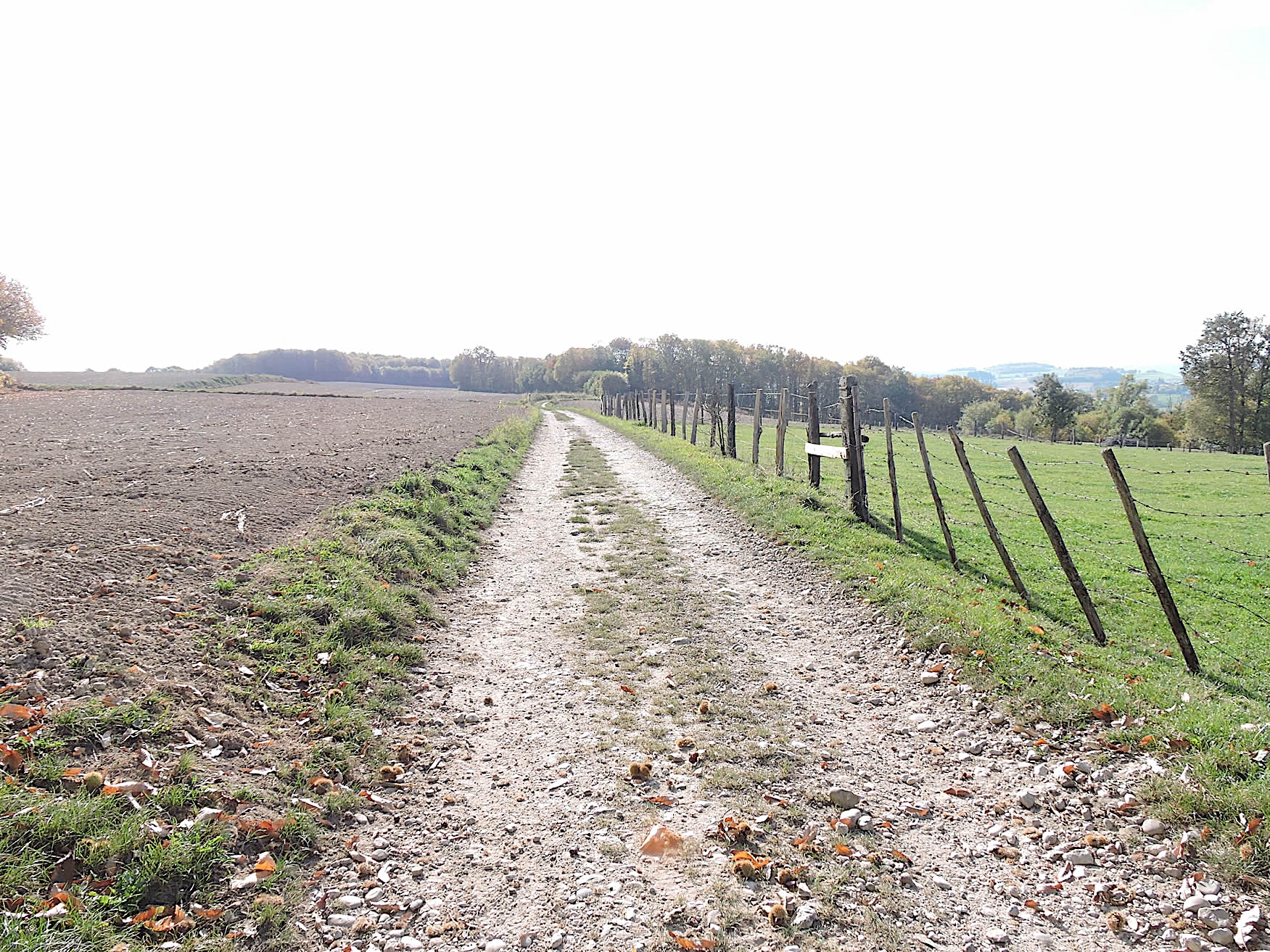
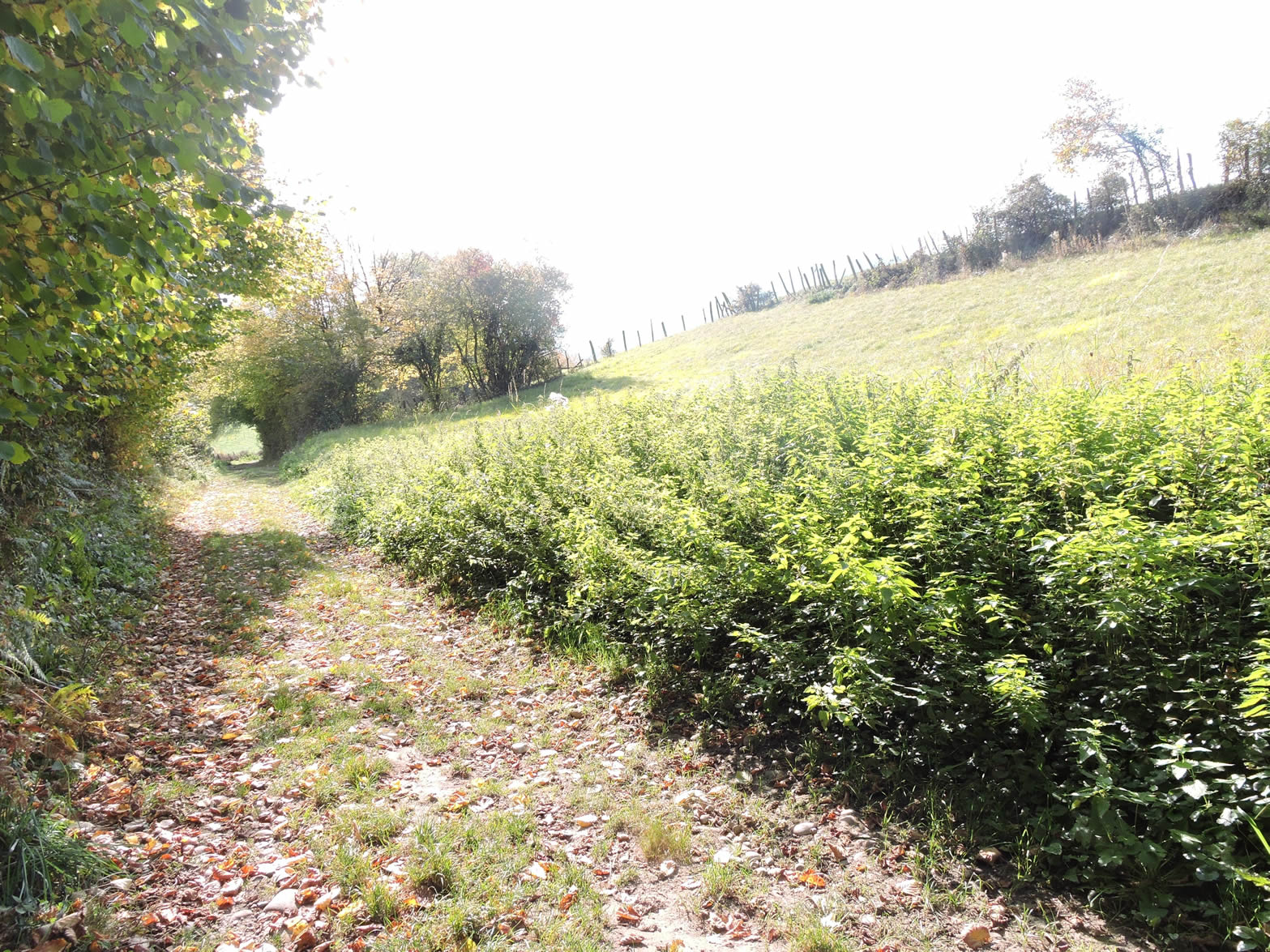
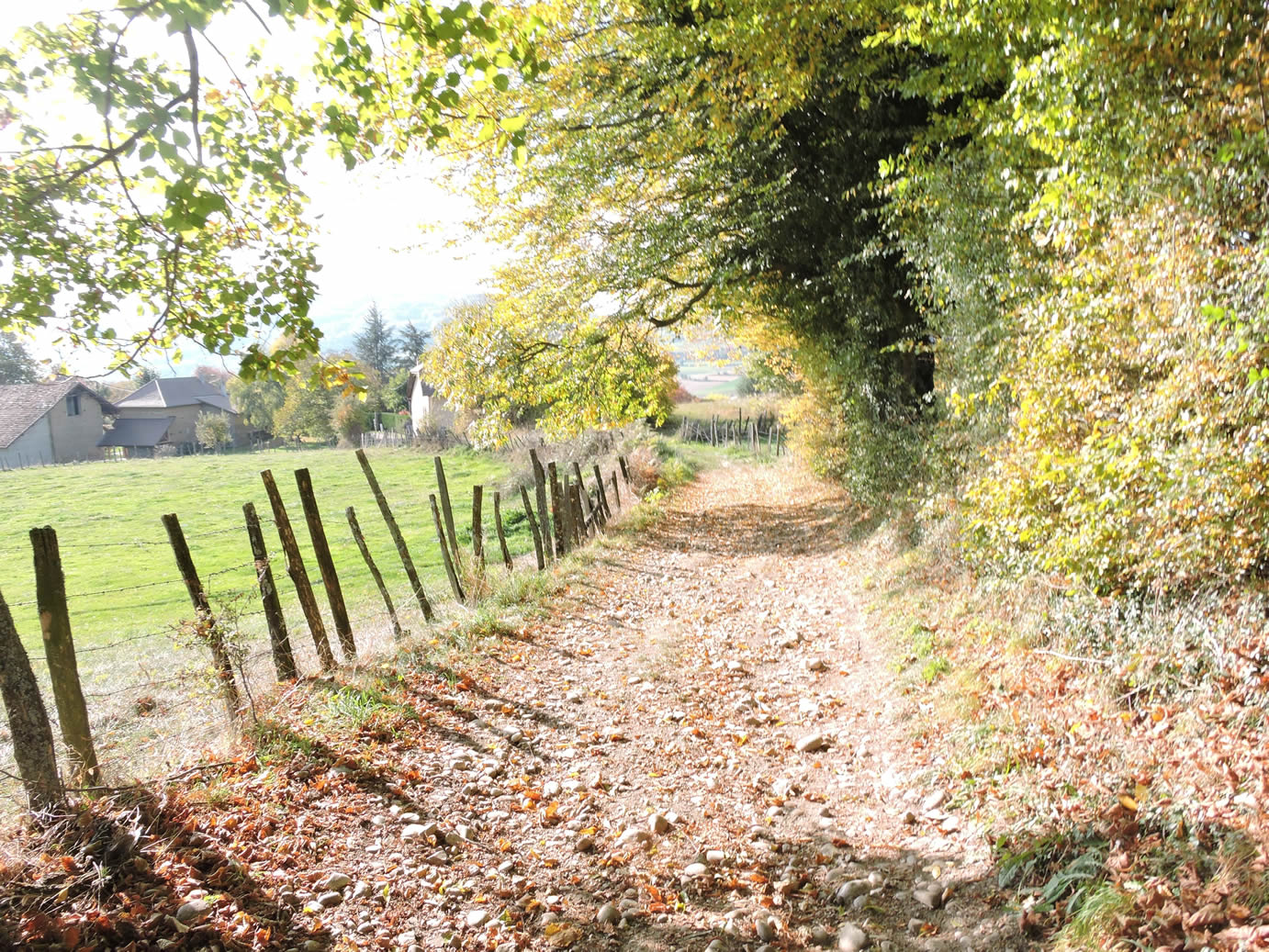
| Soon after leaving the woods, the GR65 alternates between a paved road and a dirt road, running through isolated farms and the rare villas of Les Cochardières. The farms, with their red-tiled roofs and lively courtyards, contrast with the few modern villas, discreetly nestled into the landscape. The countryside here unfolds in a network of quiet roads, connecting scattered hamlets and composing a rather harmonious portrait of rural life.The eye takes in this vast plain, but the traveler’s soul, accustomed to the secret wonders of forgotten trails and breathtaking landscapes, struggles to ignite with enthusiasm before this land, too open, too serene, devoid of mystery. |
 |
 |
Section 4: Passing through Les Abrets, a more significant small town because the train passes there

Overview of the route’s challenges: The route presents no significant difficulties, with a small ramp before the railway line at Les Abrets.

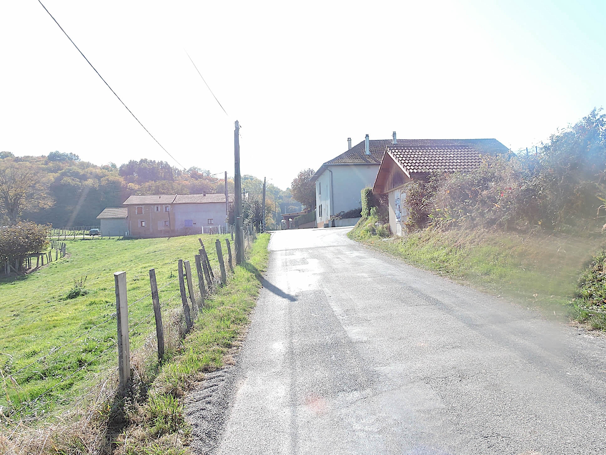
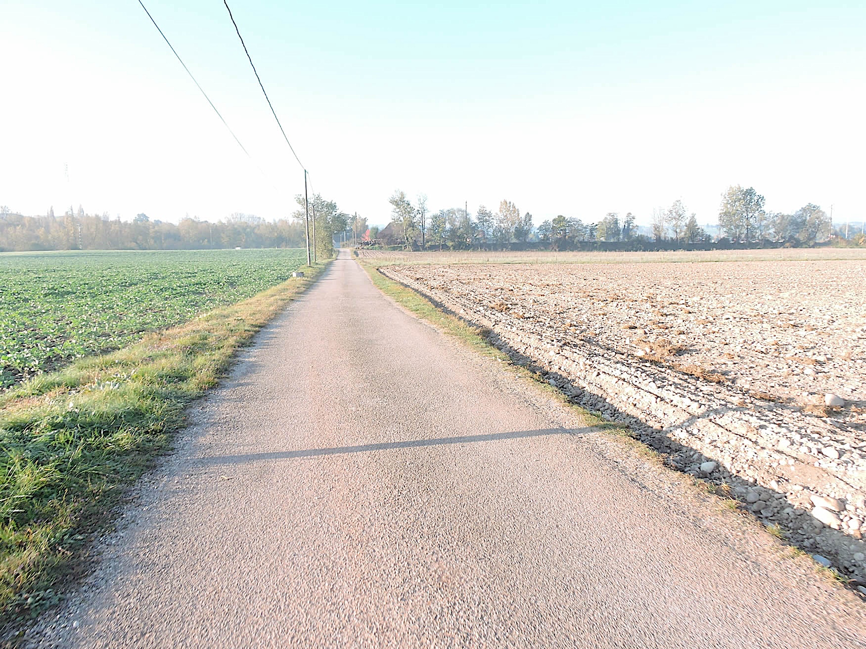
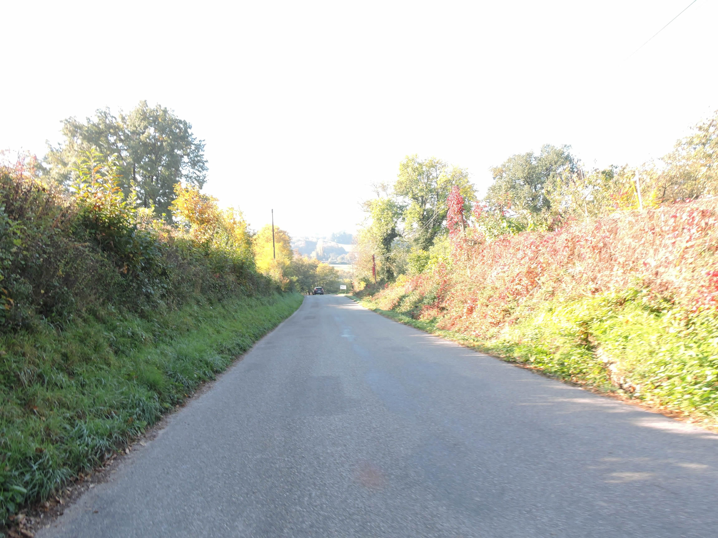
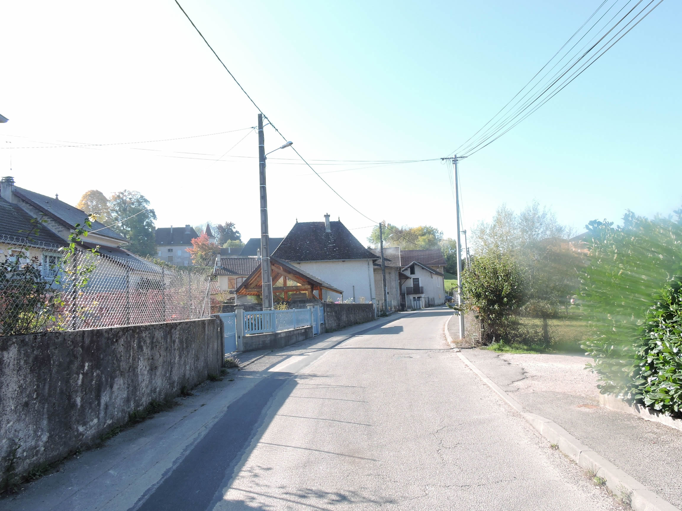
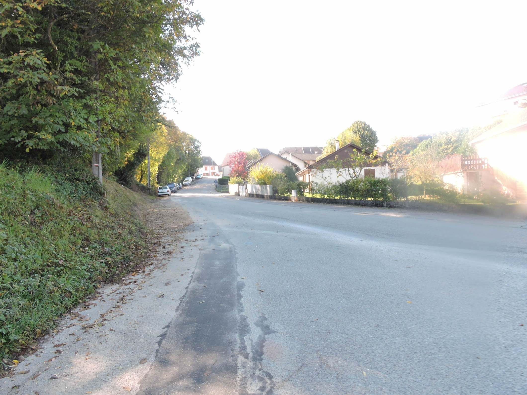
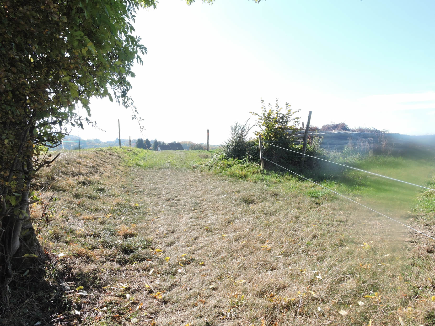
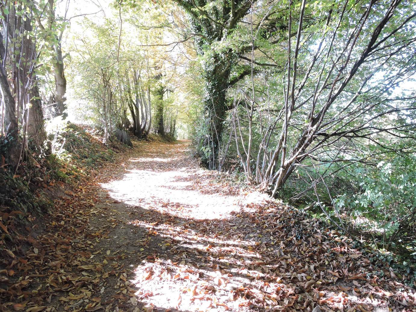
| From Saint-Genix, the landscape unfolds with a near-hypnotic monotony, each hamlet blending into the next, lacking distinct character, much like a string of lackluster pearls. The fields and meadows stretch out, vast and undifferentiated, beneath a sky that seems to lose itself in the infinite. The route winds through sparse woodlands and clearings, where the echoes of barking dogs serve as a timeless reminder of the local memory. Should you ever return to these places, it is only the faithful barks that will recall your passage, as the landscape itself will have faded from your memory, much like a watercolor washed away by rain. |
 |
 |
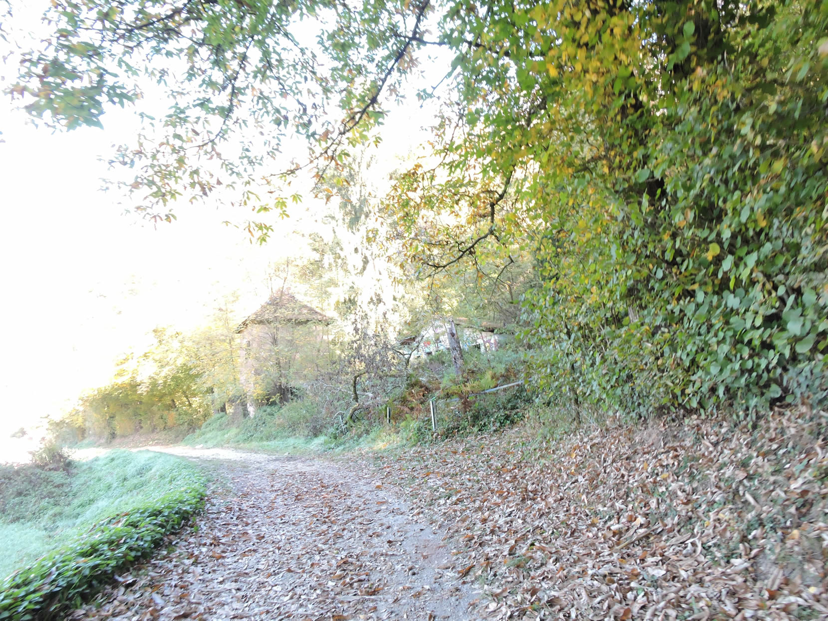
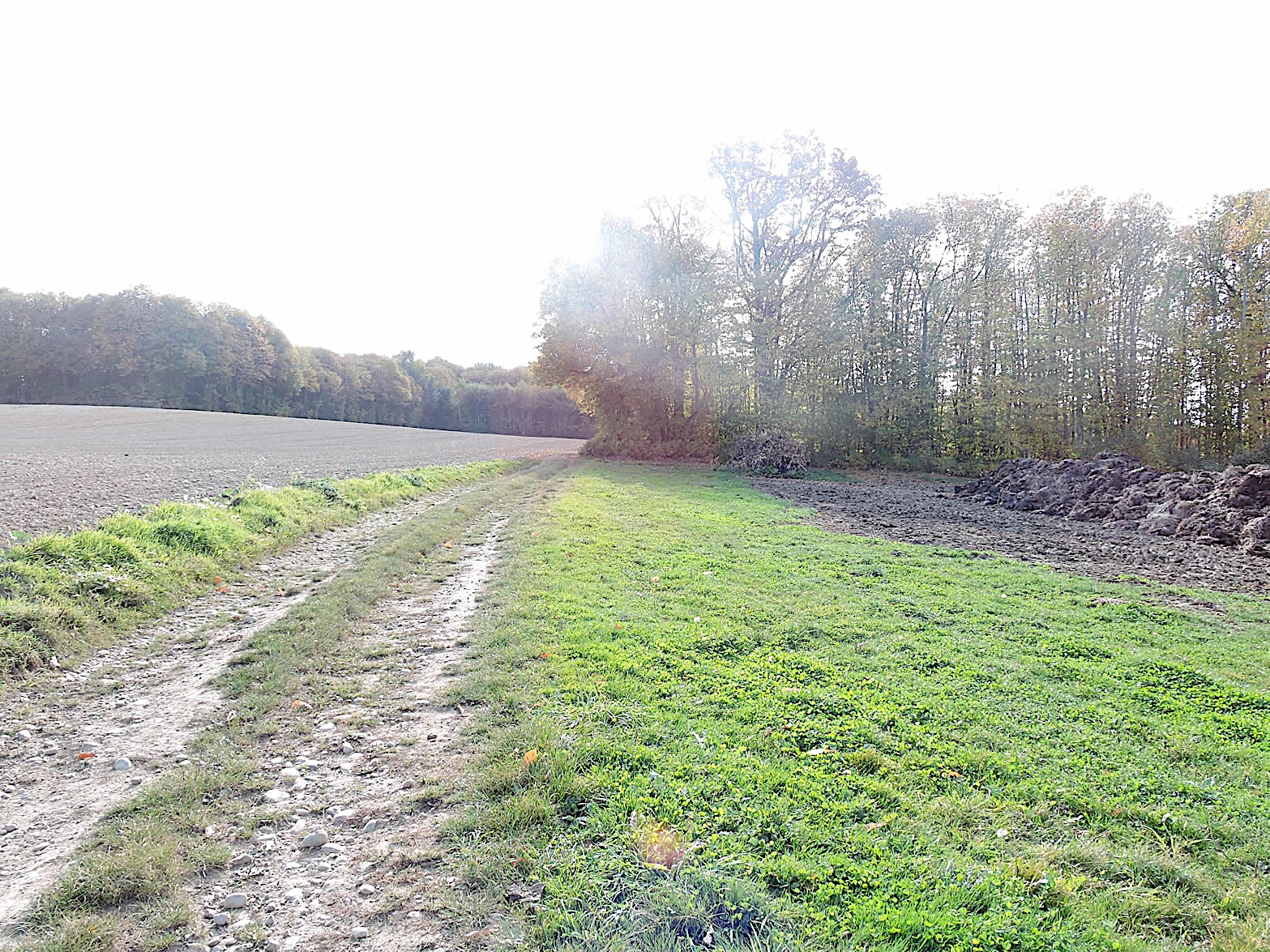
| Leaving the asphalt road, a path ventures into the undergrowth, where chestnut trees still impose their majestic presence. However, sturdy oaks and maples with serrated leaves valiantly fight for their share of light, raising their branches in a lively and animated canopy. Here, nature expresses itself with a silent force. |
 |
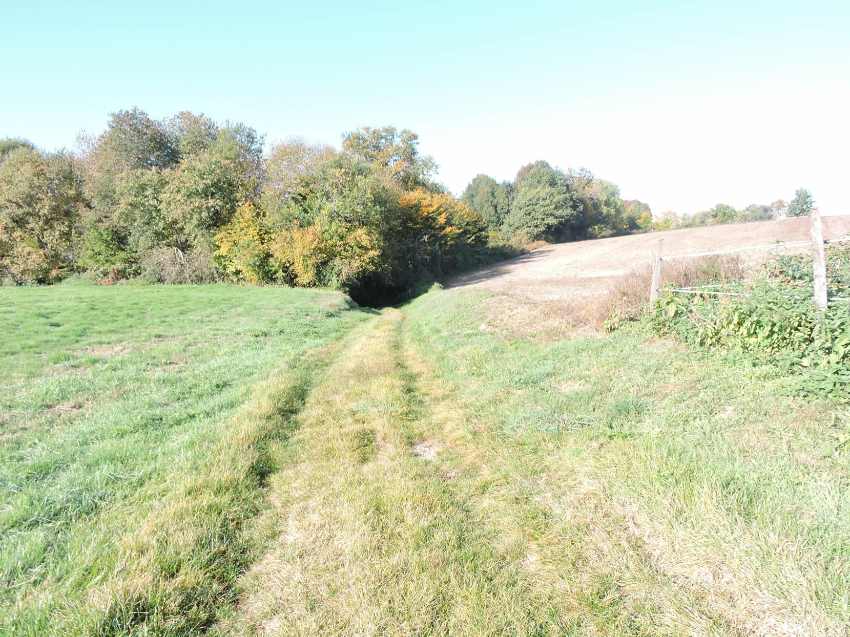 |
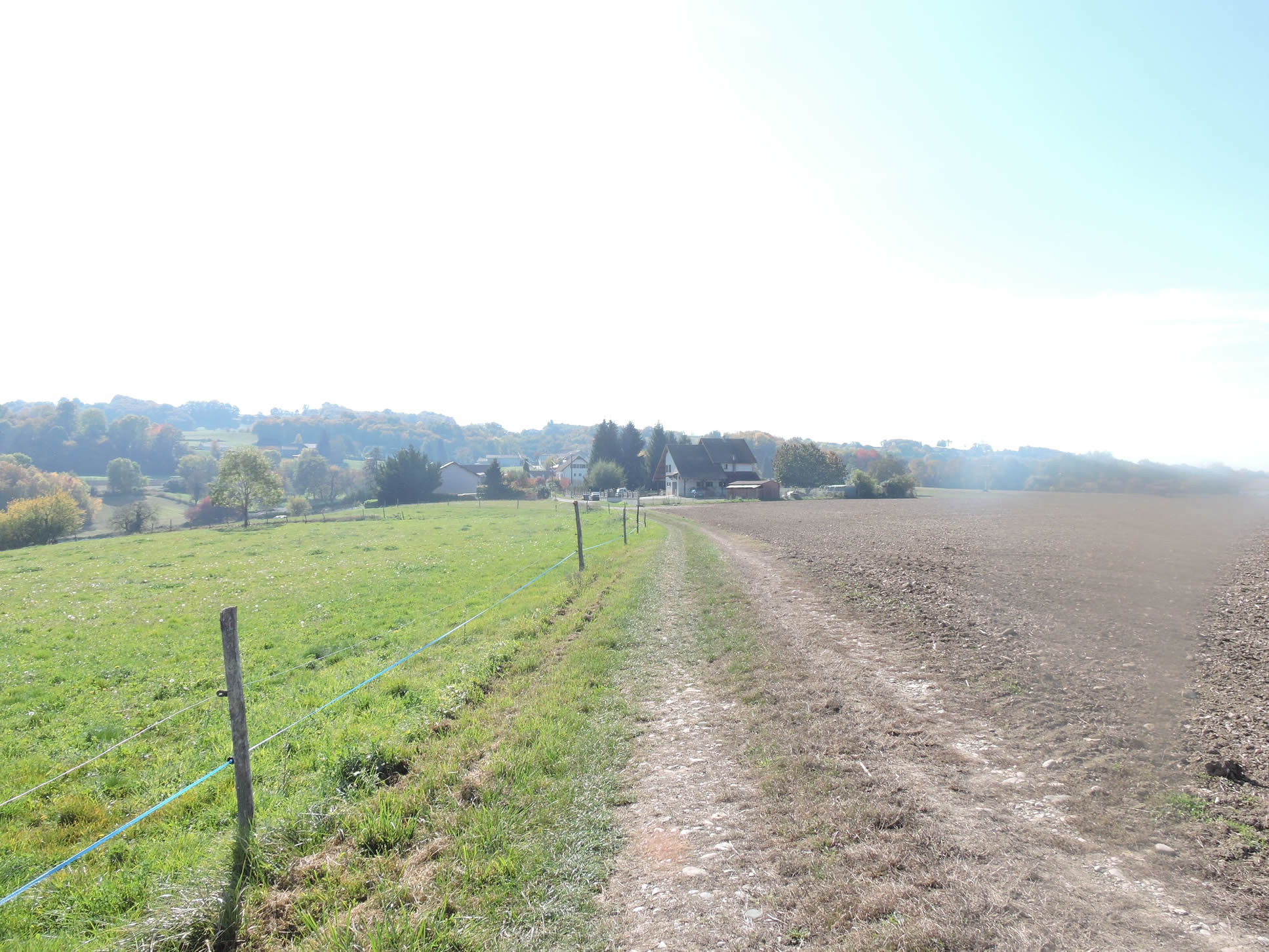
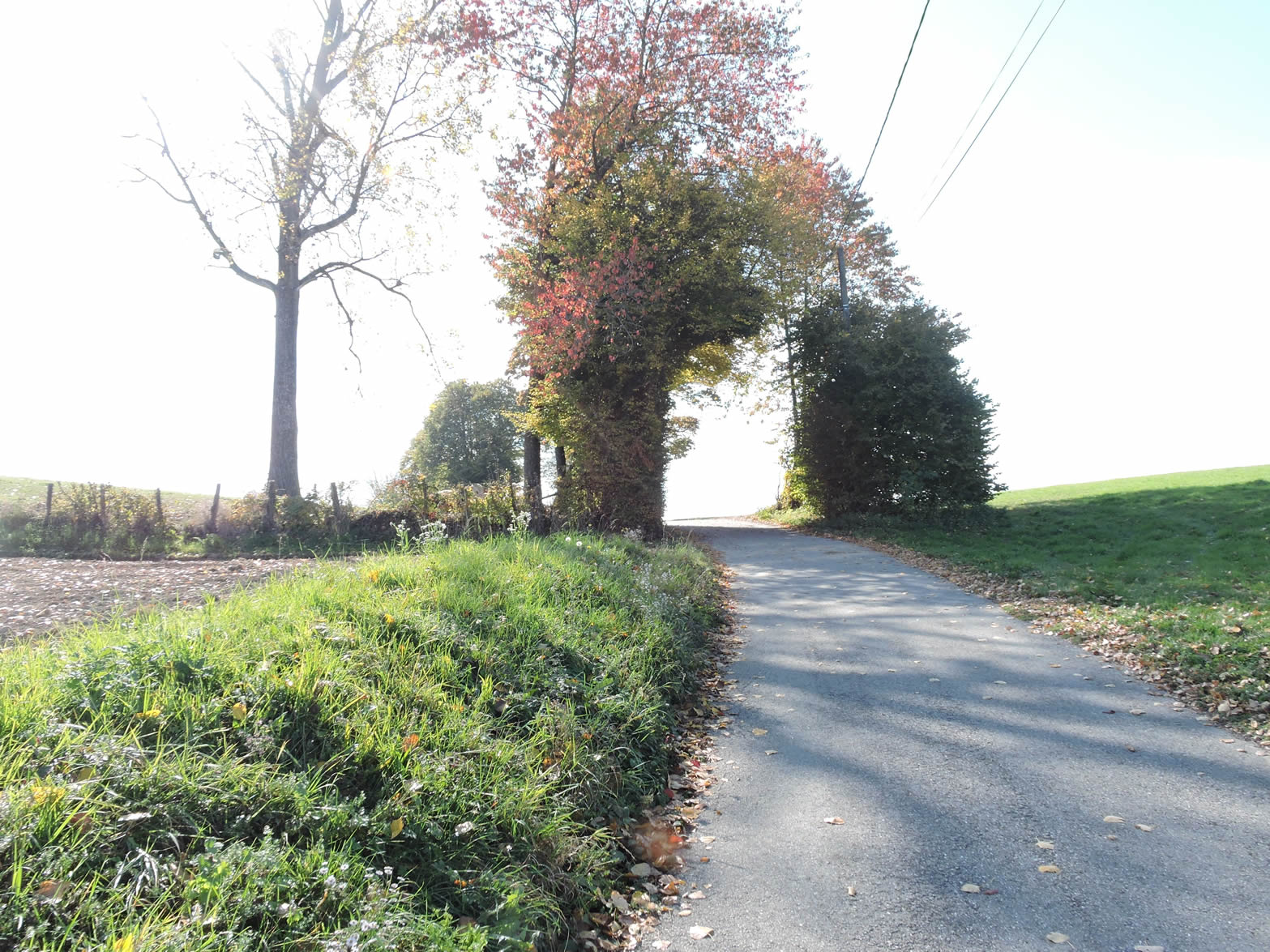
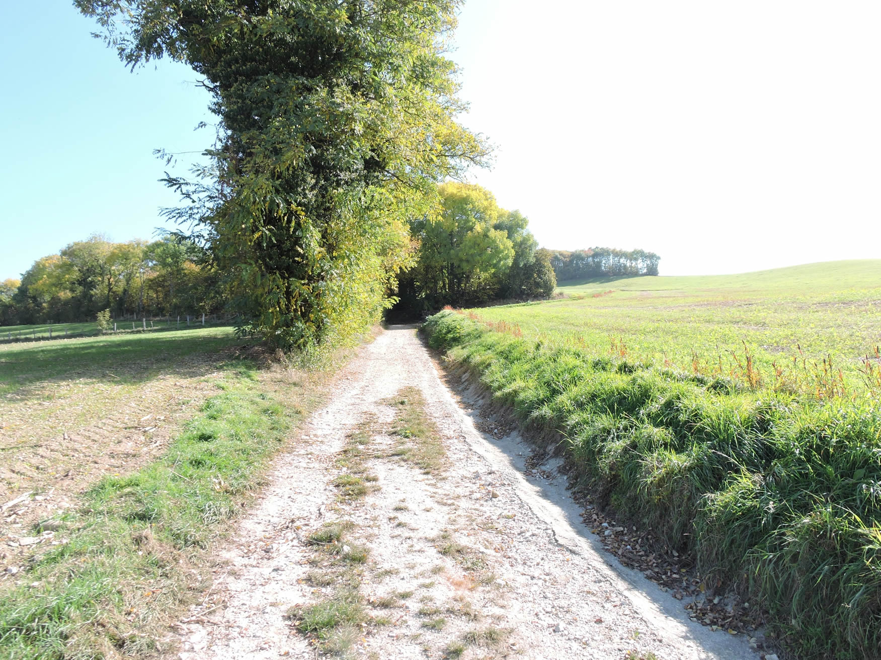
| You then engage on a wide and imposing dirt road that stretches for more than a kilometer and a half. Sometimes, the straightness of the trail slices through the meadows like a lifeline on the palm of a hand, guiding you through a landscape of almost great tranquility. Yet, the cows, those silent guardians of the countryside, seem to have evaporated, leaving only rare cultivated fields as witnesses of your passage. The hedges of deciduous trees, wise and orderly, border the path, offering a little bucolic and shadowless vision. Many pilgrims will see only monotony in this long crossing. For others, each turn of the path invites deeper contemplation, finding in this simplicity a soothing serenity. |
 |
 |
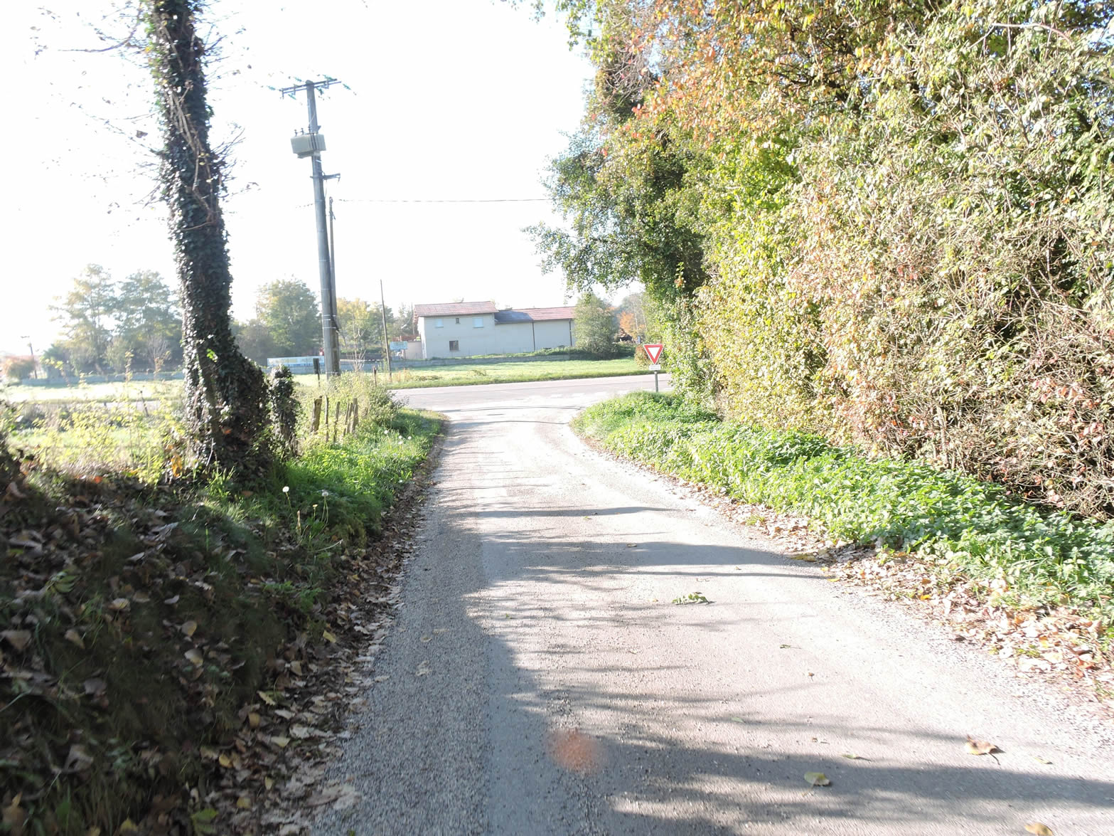
| At a place known as La Loue, the tarmac reclaims its rights, marking a clear transition between wild nature and diffuse civilization. At this point, you are a small half-hour walk from Les Abrets. |
 |
 |
| The GR65 first follows the road, then ventures under the wastewater treatment plant onto a dirt path, revealing a countryside that is sometimes gentle, sometimes austere. |
 |
 |
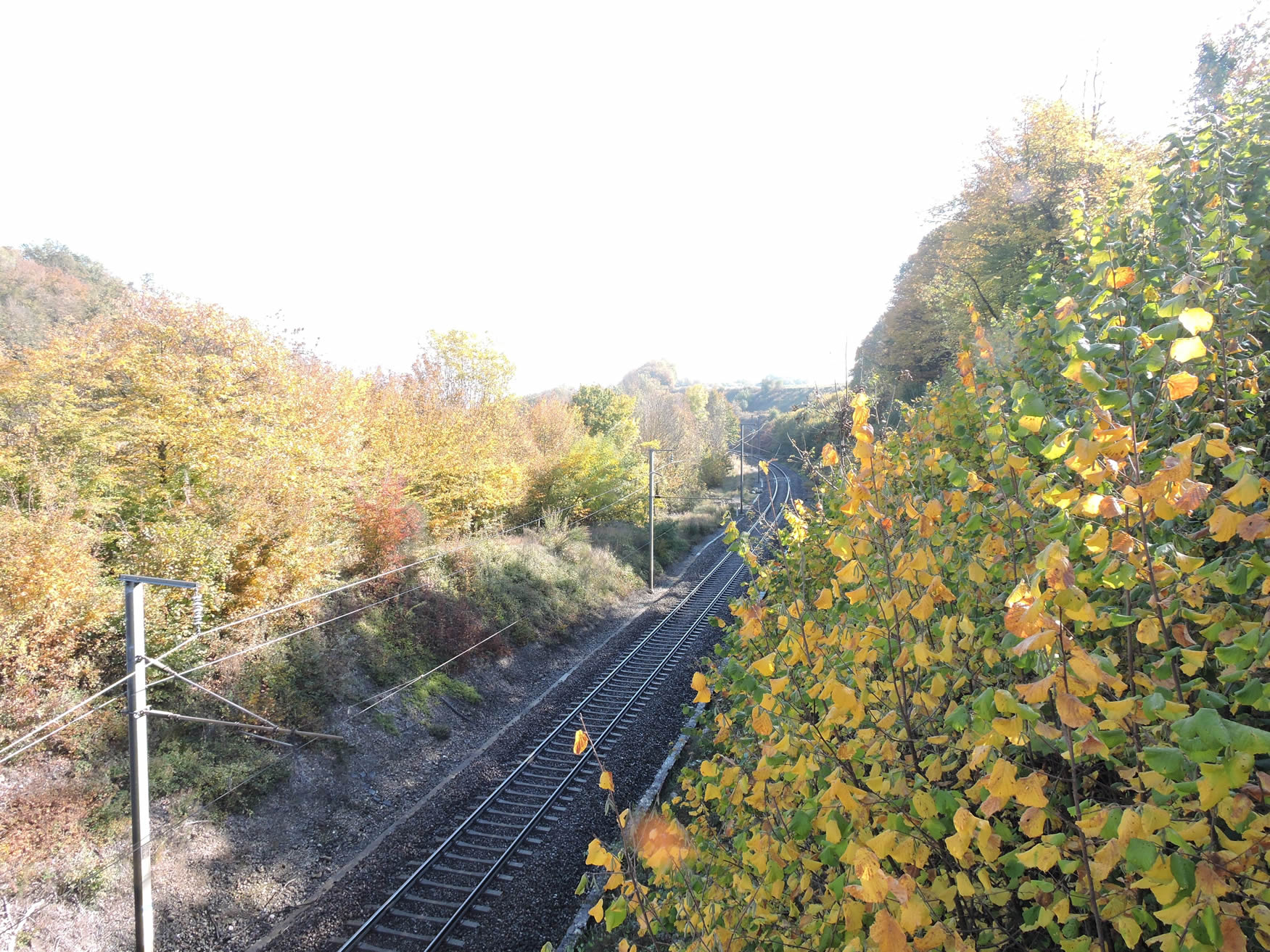
| The path then begins a steep ascent, often made difficult by the muddy patches that dot the climb. You will cross the Paris-Lyon railway line, a vital artery linking two major metropolises. This line, with its station at Les Abrets, represents a haven of modernity in this deep France where trains are rare. For pilgrims and foreign travelers who do not walk the entire way, these stations are precious lifelines. |
 |
 |
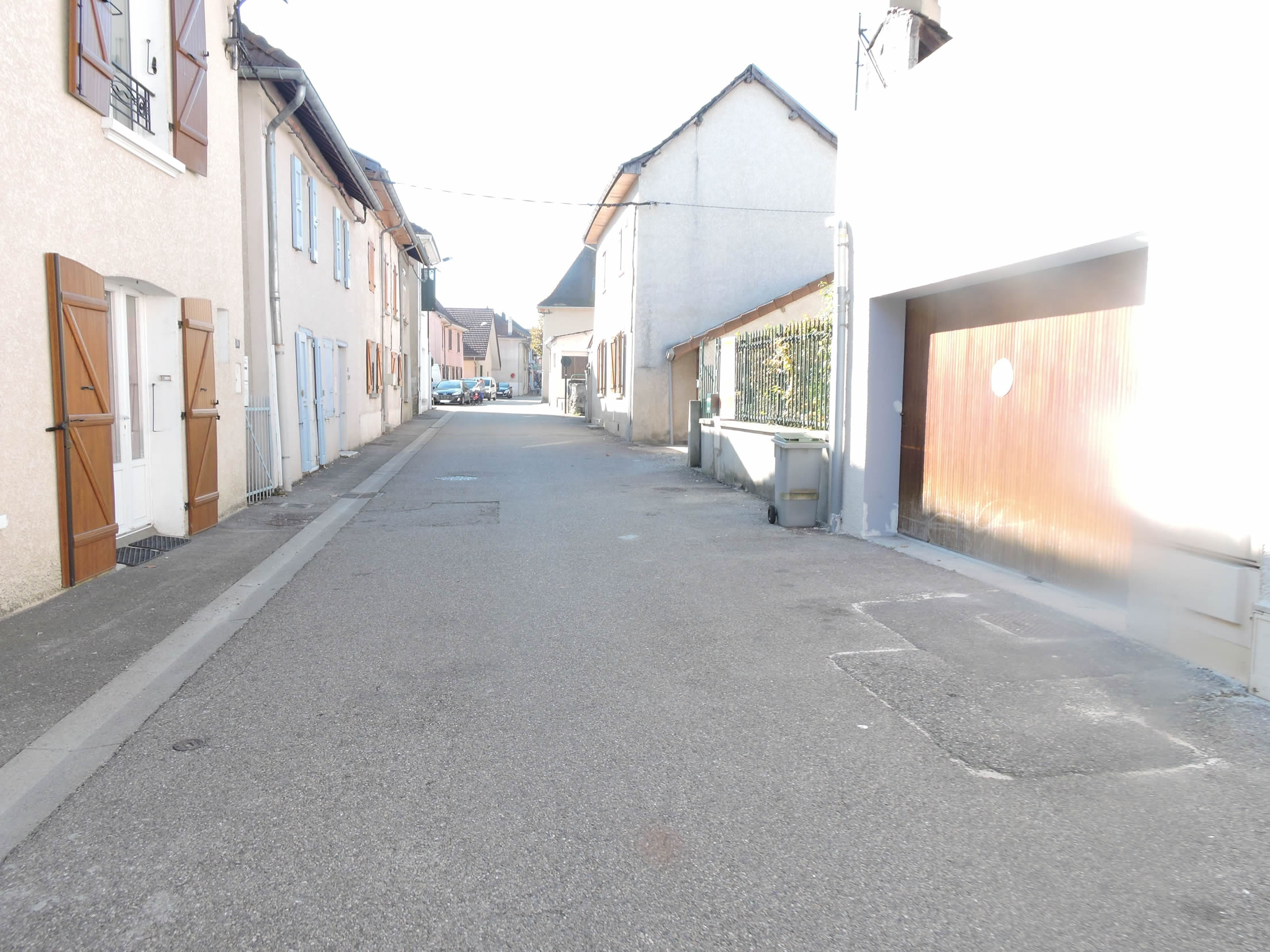
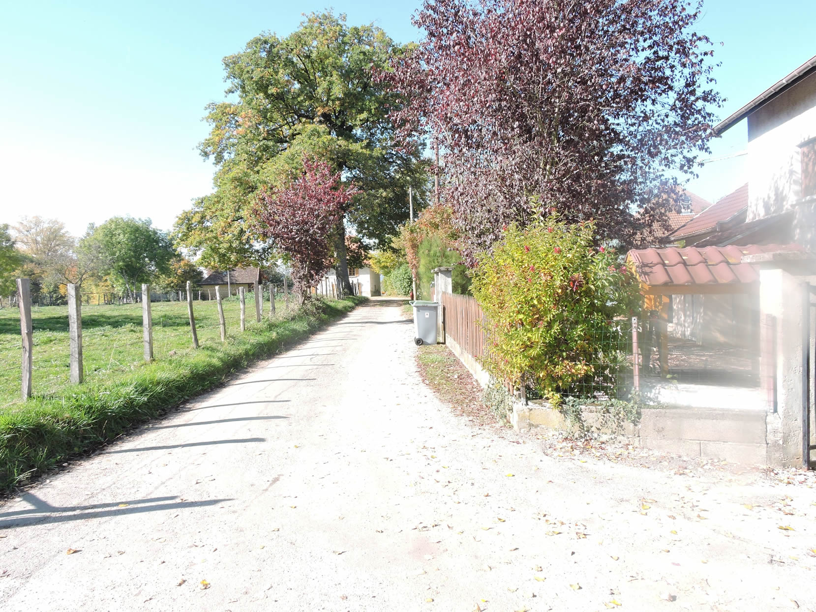
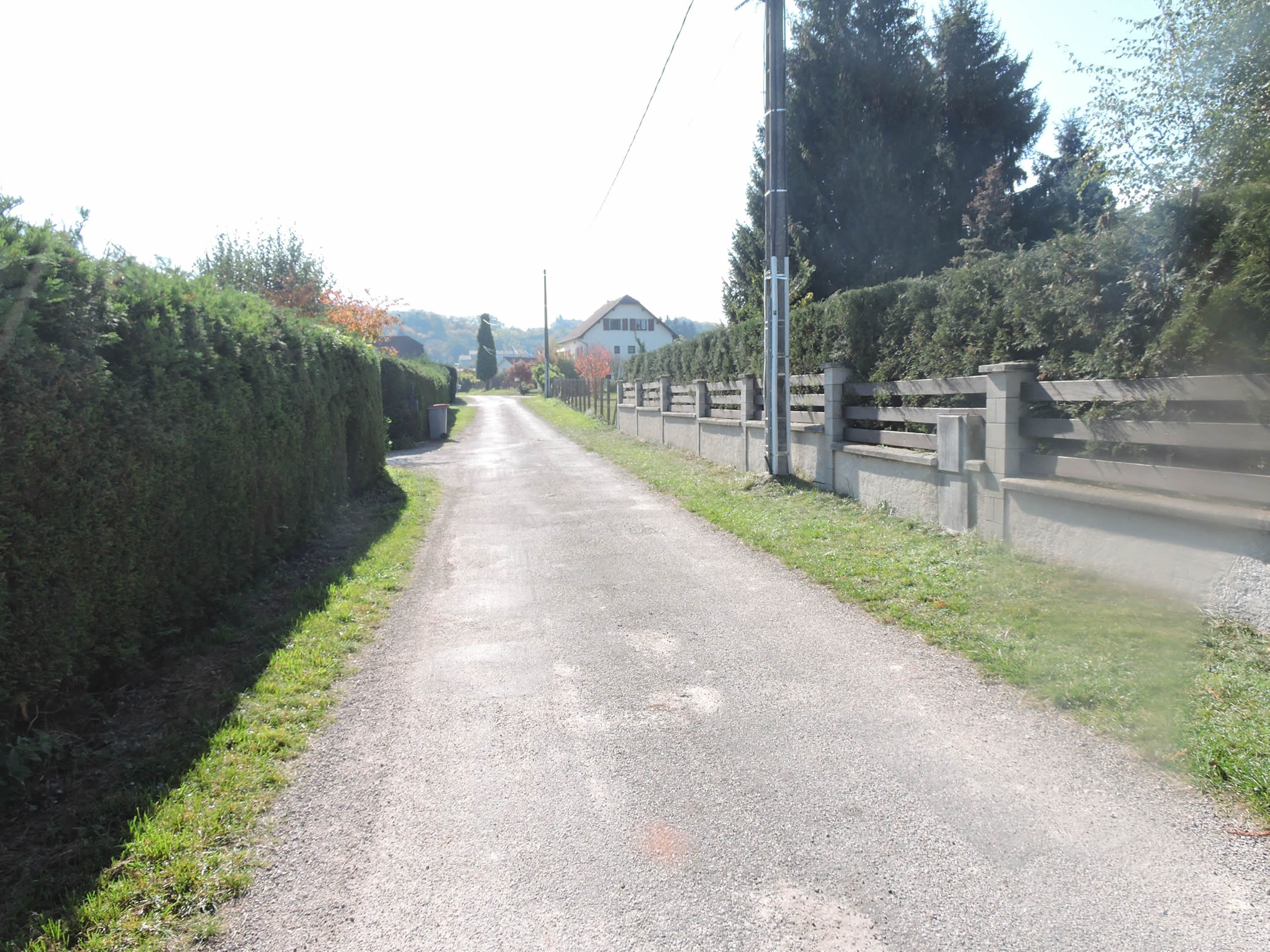
| Continuing to climb, the path reaches the outskirts of Les Abrets, a simple and modest suburb. A road runs alongside modest subdivisions, devoid of any opulence, and finally leads to the heart of this small town of about 3,600 souls. After the solitude of the hamlets crossed, the animation of the town, with its shops and local life, can seem almost bustling. The town has managed to develop, largely thanks to the strategic presence of the station, a true link with the rest of the country. |
 |
 |
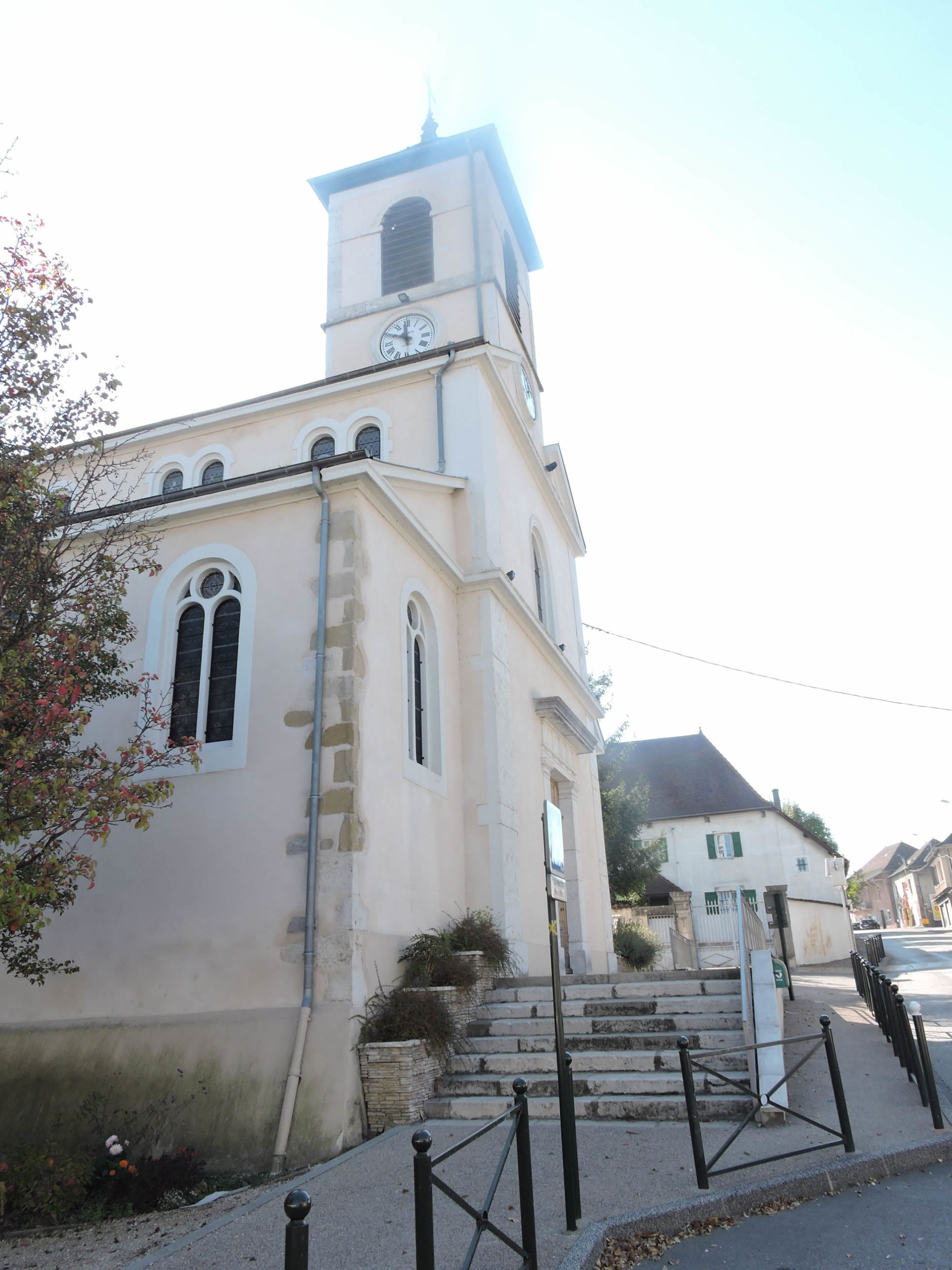
| The Church of the Assumption of Les Abrets, built in 1850 on the remains of an 11th-century church, stands majestically, a witness to a centuries-old history. It is from this place imbued with spirituality that the GR65 resumes its course. Valencogne is announced at 7.5 km and Lac de Paladru at 15 km, serving as useful landmarks for the walker. |
 |
 |
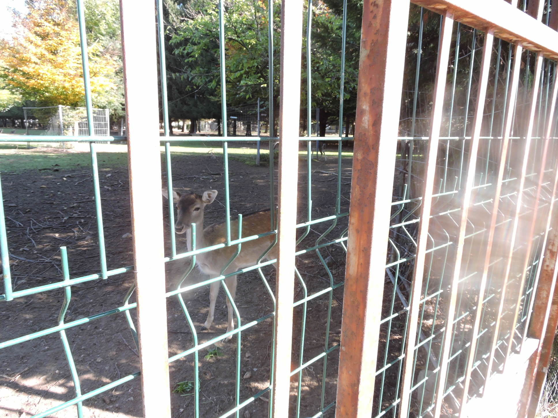
| The GR65 leaves the town by crossing the suburbs, and crosses a deer park, a true haven of peace where nature offers itself in all its gentleness. |
 |
 |
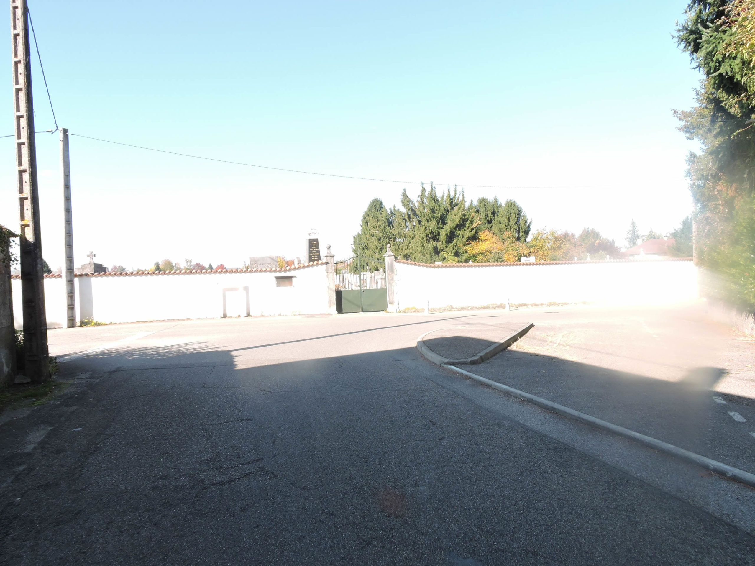
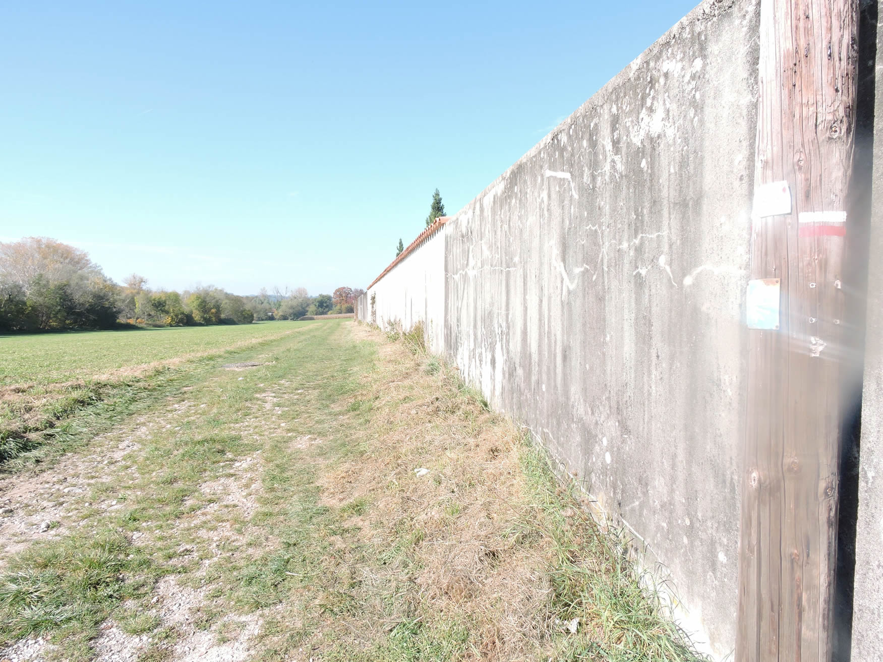
| Shortly after, the route reaches the cemetery. From there, a grassy path runs along the cemetery wall. |
 |
 |
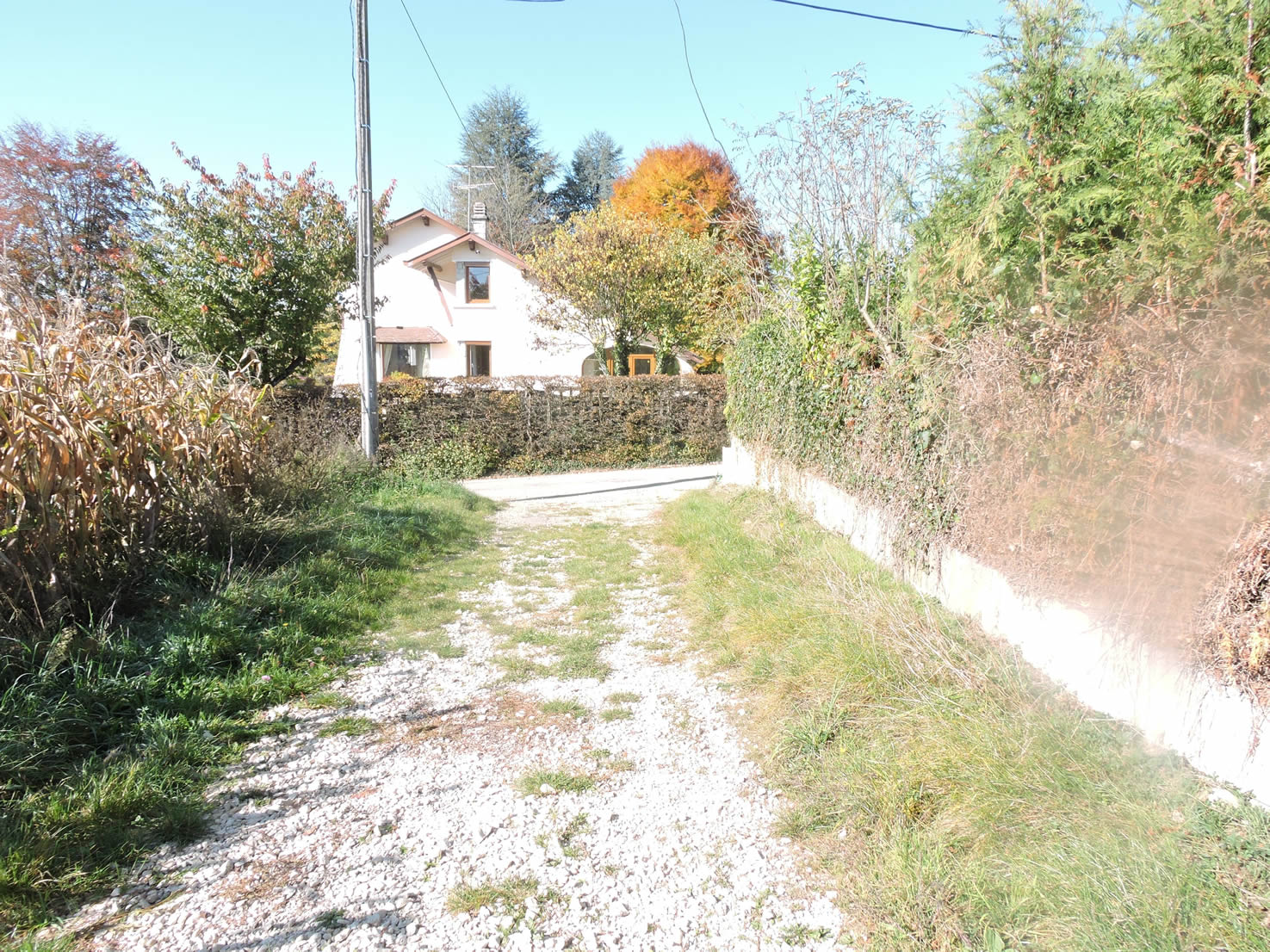
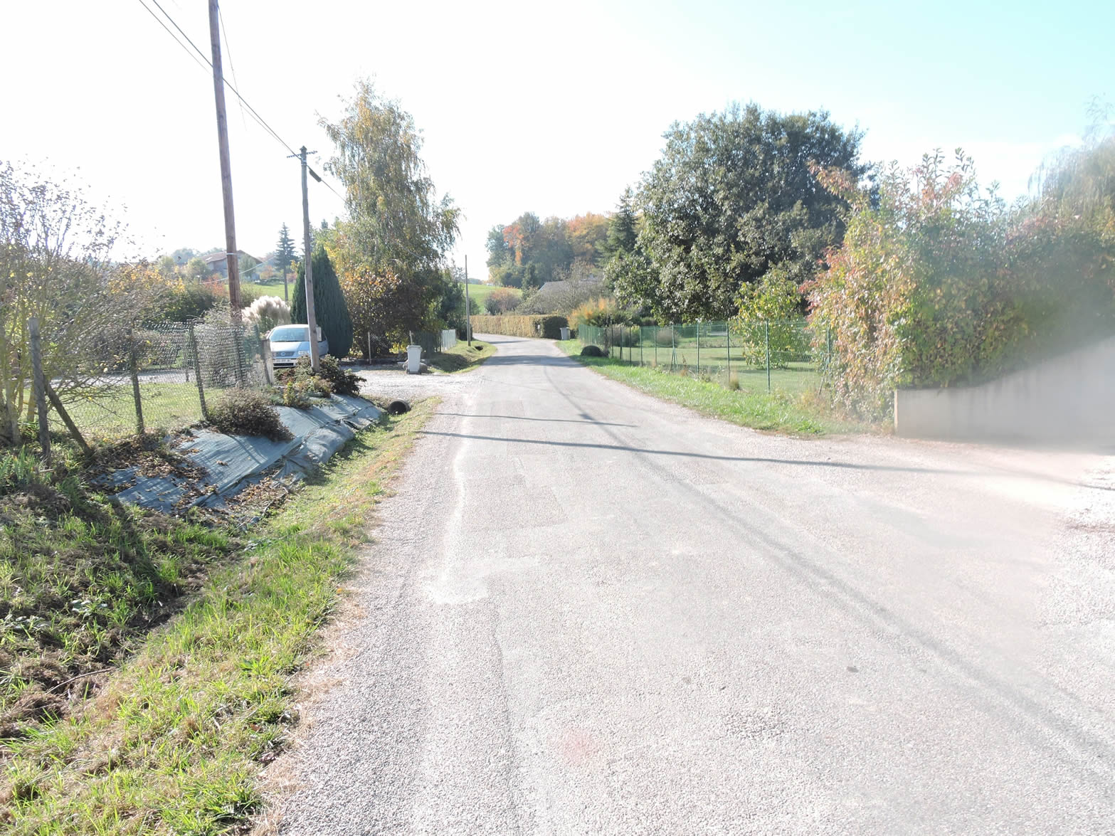
| Then crossing the meadows, the GR65 heads towards Le Tiret, a village-suburb of Les Abrets, which it joins on a tarmac road. The contrast between natural spaces and human infrastructures is felt here, reminding of the constant proximity between nature and civilization. |
 |
 |
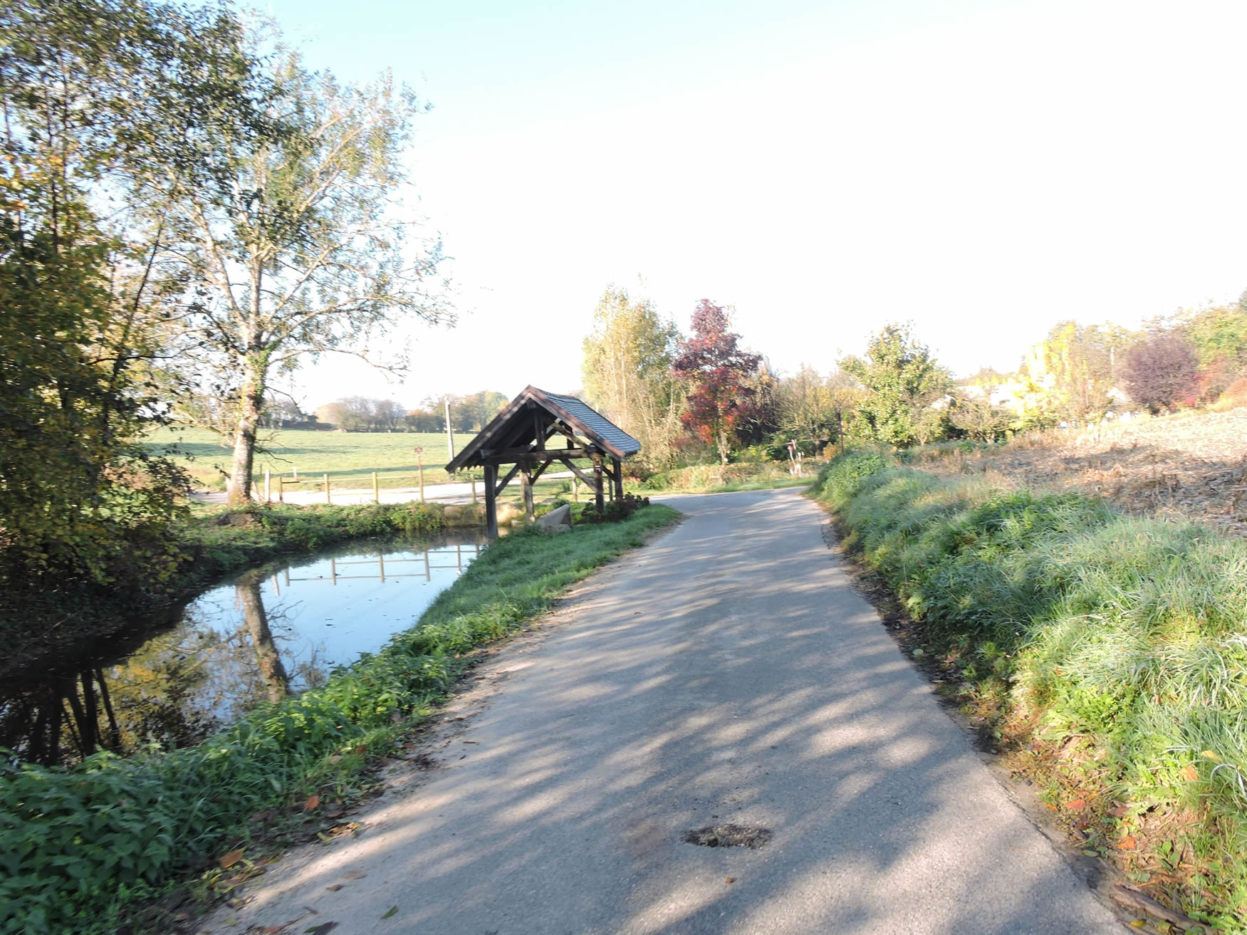
| The GR65 follows the road for a moment, bordered by green hedges, before crossing the Draisin stream. This small watercourse, accompanied by its pond hidden in the foliage, adds a poetic touch to the route, offering a refreshing and picturesque vision. |
 |
 |
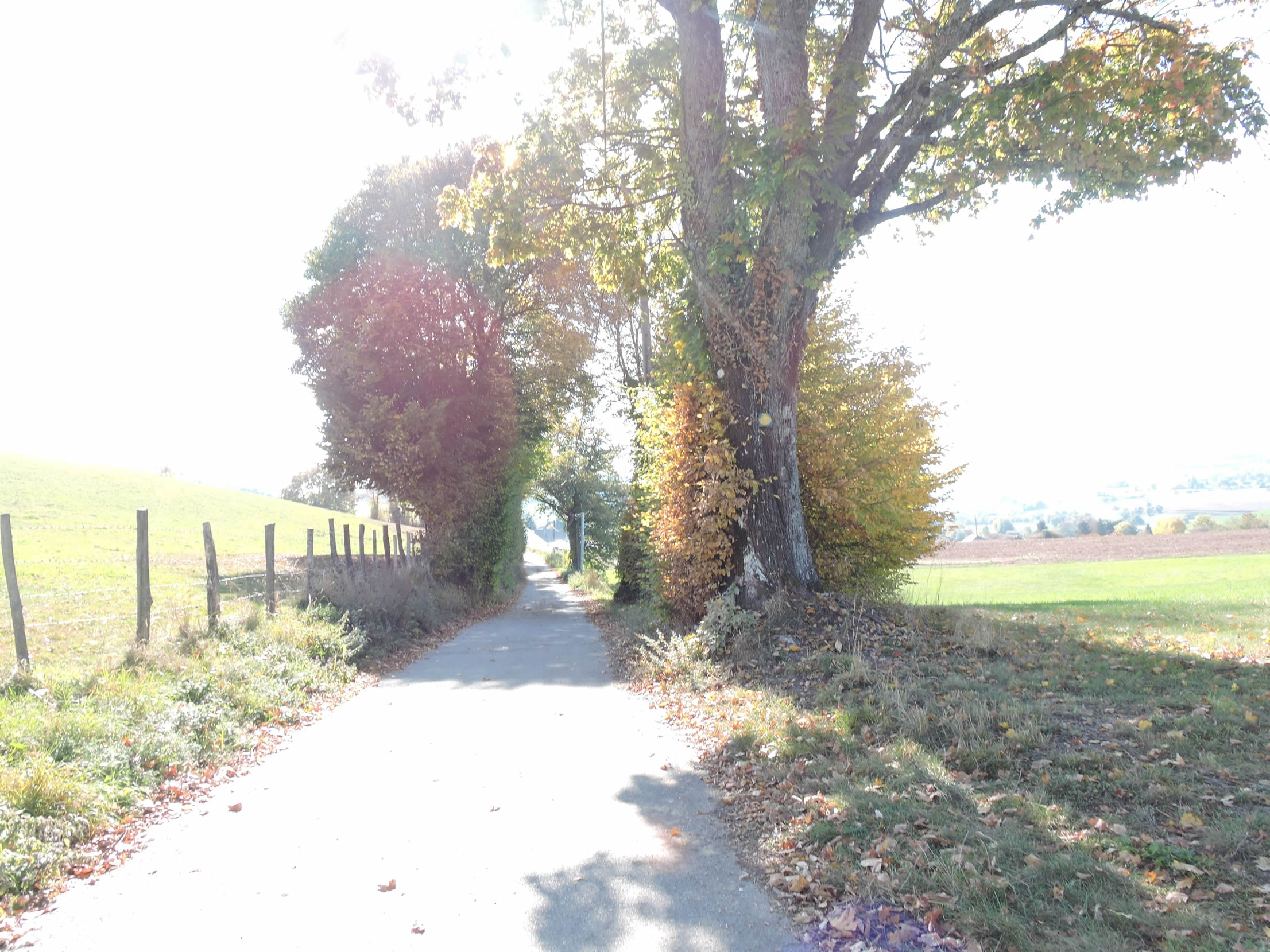
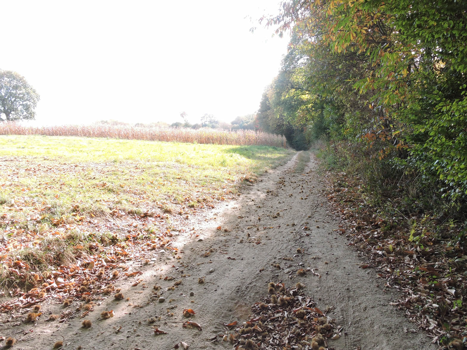
| A long crossing of the plain follows, where the route alternates between grass and dirt, winding through fields and meadows. At this time of year, only the maize stalks still stand, forming a waving green sea. This agricultural monotony, often boring, sometimes envelops certain walkers in an atmosphere of tranquility and rustic simplicity. |
 |
 |
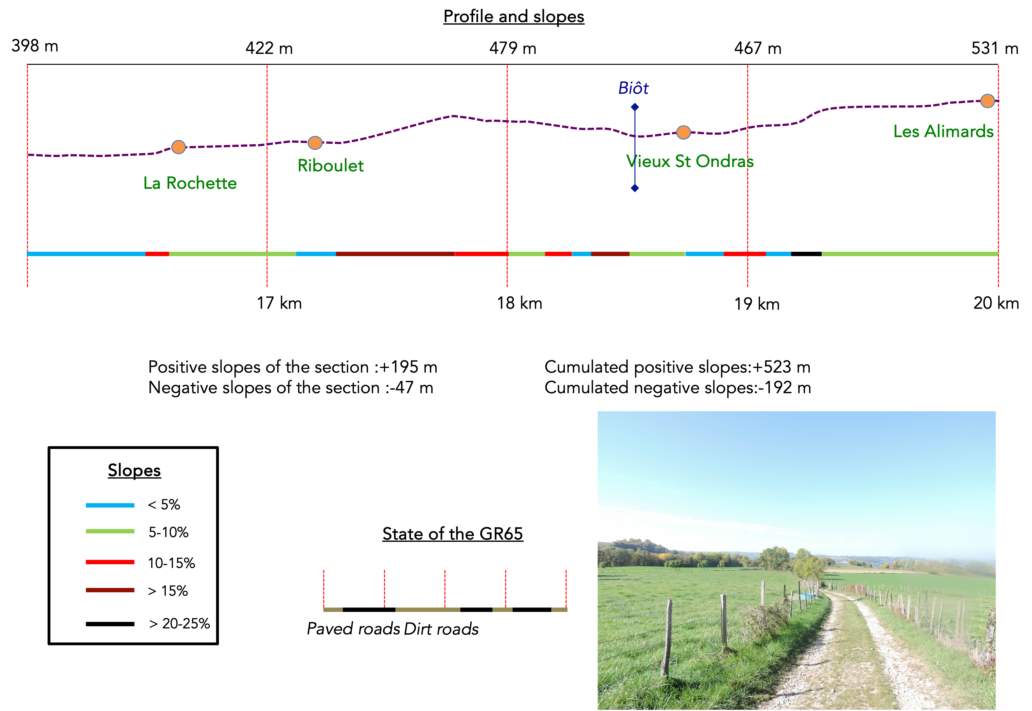
Section 5: Over hill and dale in the countryside

Overview of the route’s challenges: This is a demanding route, characterized by its rugged terrain, the steep climb of Riboulet, and some significant inclines as you approach the hills.
|
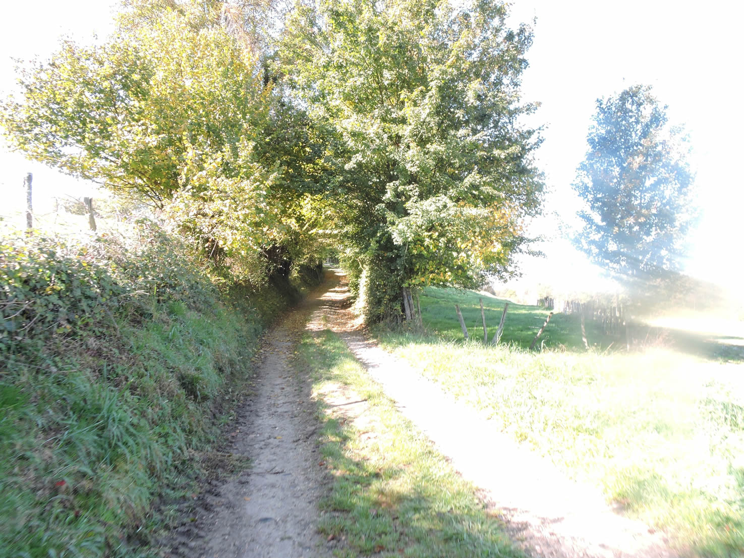
The path, sometimes smooth and at other times excessively rocky, begins to slope up slightly among the hedgerows of deciduous trees, providing an alternating sensation under your feet.
|
 |
 |
| It emerges near the sparse dwellings of the hamlet of La Rochette, where a few charming houses discreetly nestle. These homes, witnesses to a preserved past, add a picturesque touch to the rural landscape. |
 |
 |
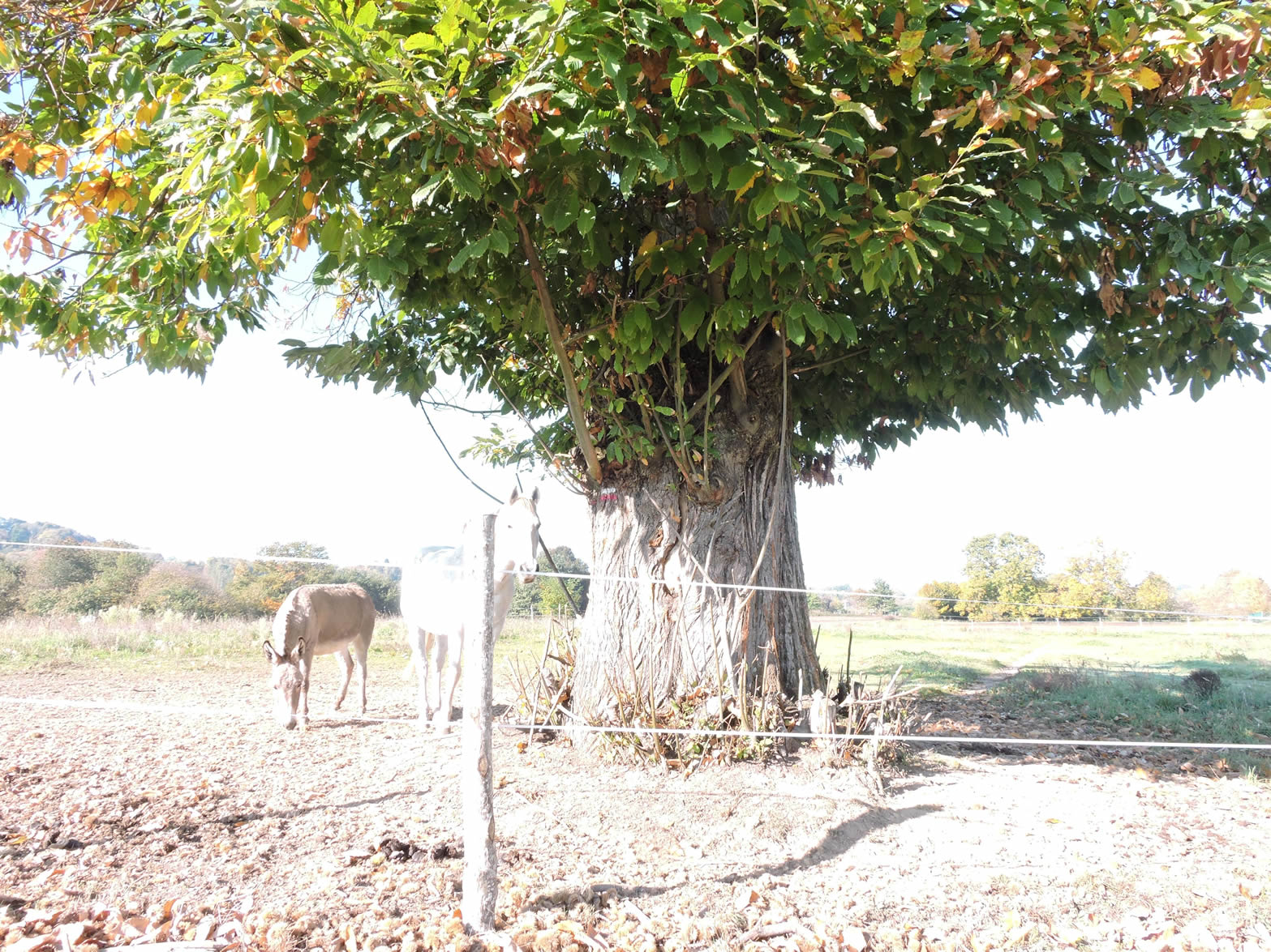
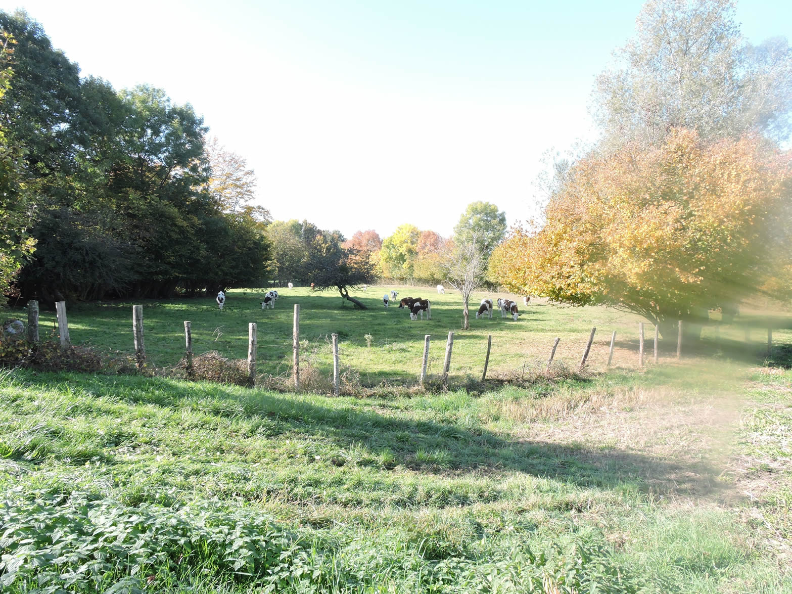
| A small road leaves the hamlet, crossing verdant meadows. Here, cows graze peacefully, predominantly black-and-white Holsteins, adding a lively element to the scene. The previously omnipresent howling dogs give way to this rustic serenity. |
 |
 |
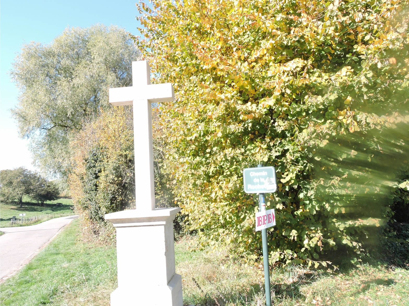
| On the edge of the road, a granite cross stands proudly, marking the entrance to the Montée de Riboulet. |
 |
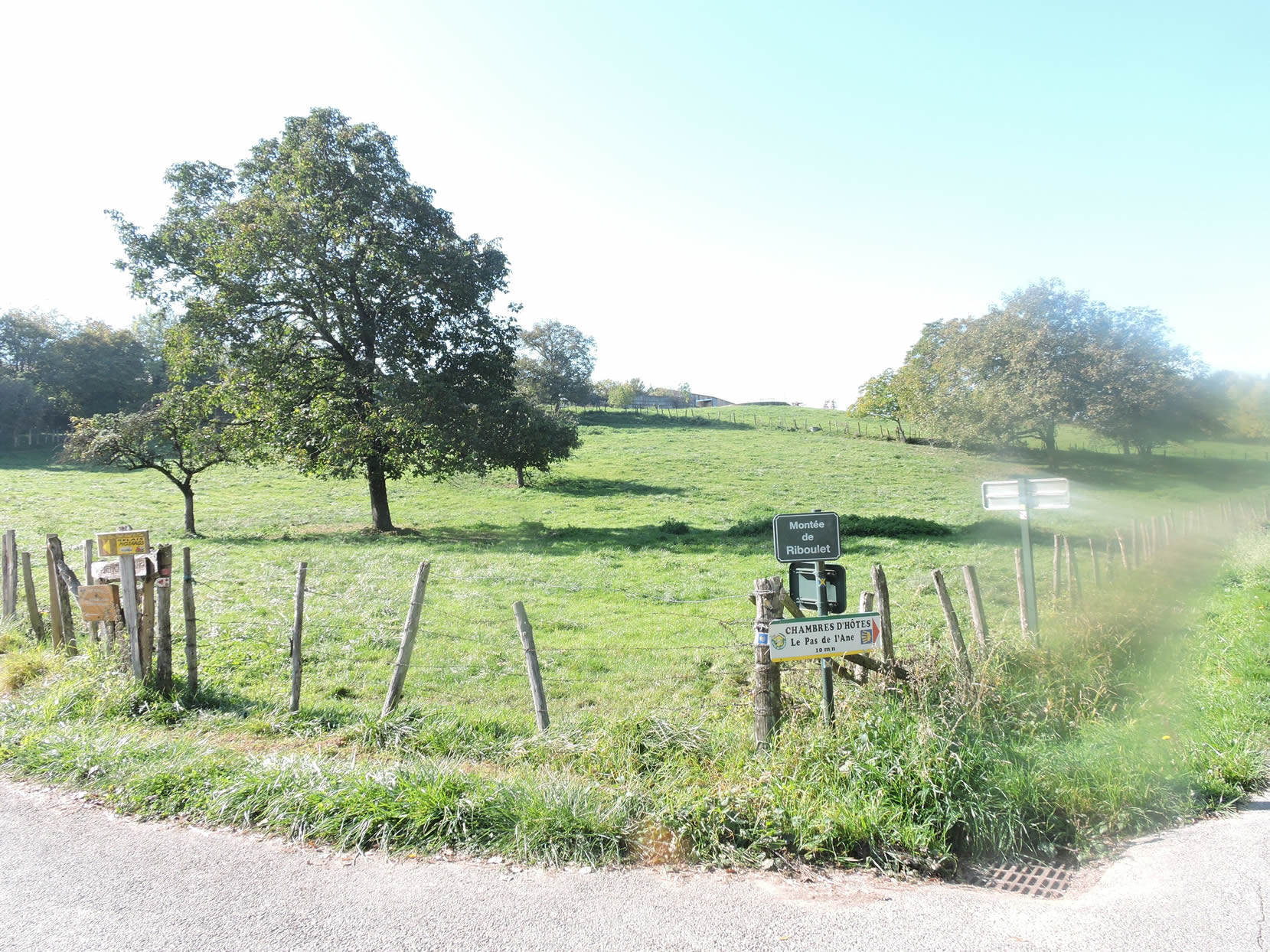 |
| The Montée de Riboulet is a challenging climb. Over nearly 400 meters of length, the steep inclines reach up to 25%. In sweltering heat, with no shade to shelter you, this climb could make you lose a liter of water in sweat. Occasionally, you might pass children who traverse this road twice daily to attend school, and you can only admire their endurance and courage. |
 |
 |
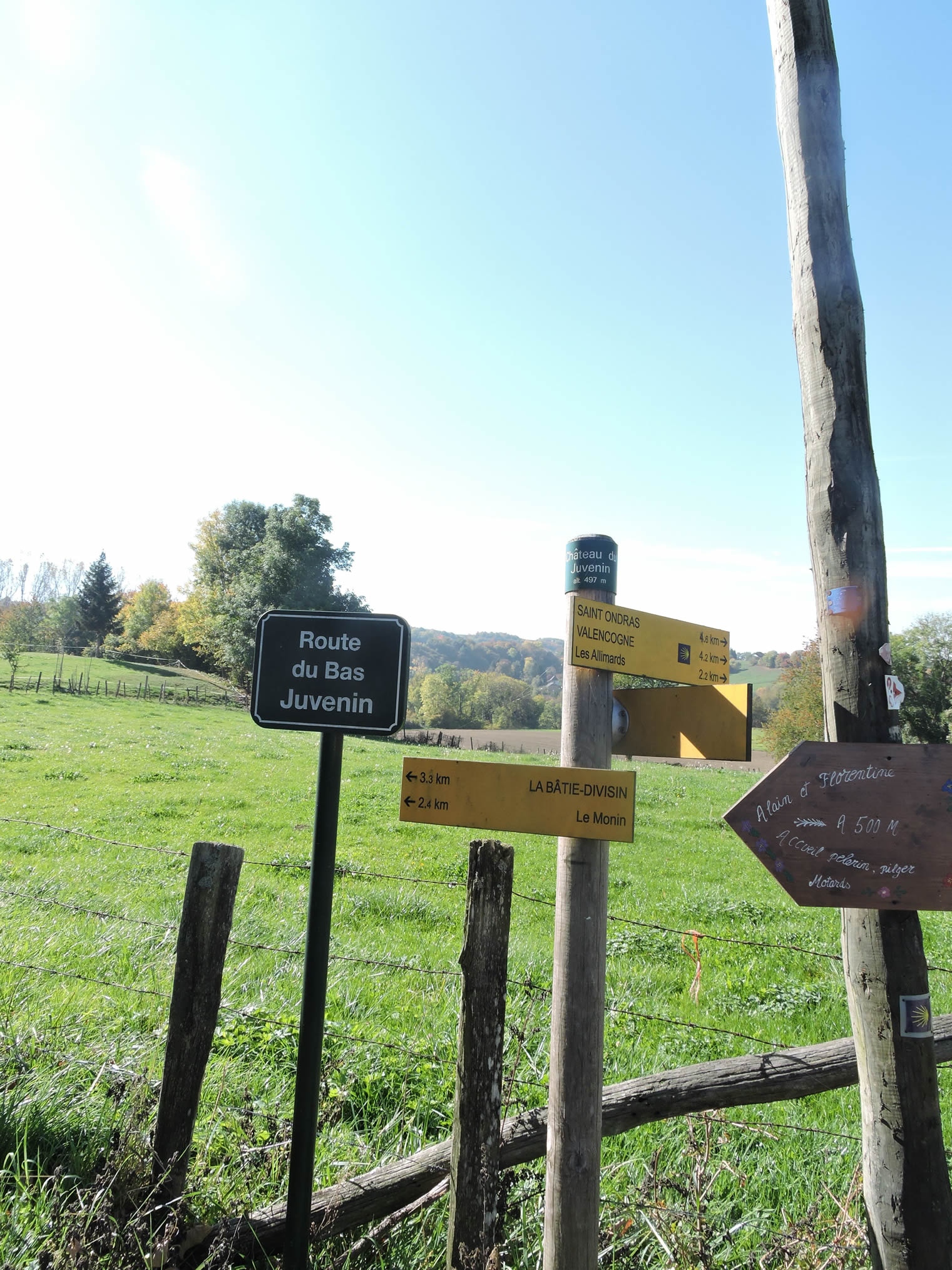
When you finally reach the junction at Château de Juvenin, a sigh of relief and satisfaction will likely escape your lips. This demanding ascent, though taxing, enhances the sense of accomplishment and connection with the surrounding nature.
| From the summit of Montée de Riboulet, a rocky path begins, descending through the verdant meadows. Here, nature reclaims its territory with a more pronounced diversity. Each stone underfoot is a reminder of the moraines that cover almost all the hills of Isère, relics of the farmers’ efforts to clear these lands. Compared to the regions of Bièvre or Chambaran, where pebbles are abundant, this mountainous area exhibits a more moderate presence of these stones. |
 |
 |
| The path then descends steeply through a forest where oak, chestnut, and ash trees dominate, their branches intertwining to form a natural canopy above you. You cross the small stream of Biôt, whose waters murmur softly under your feet. |
 |
 |
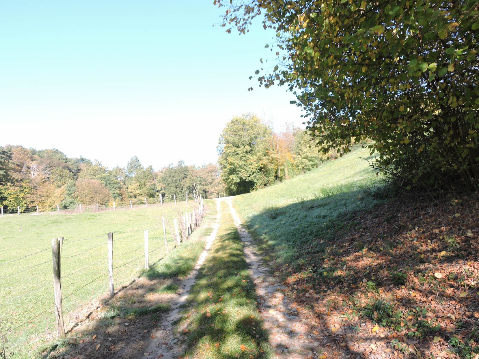
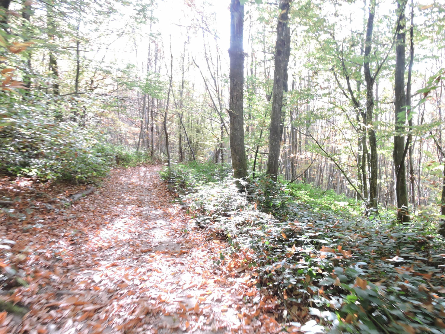
| After crossing the stream, the path begins to rise on the other side, still following hedgerows of tall deciduous trees. Beneath the chestnut trees, carpets of fallen leaves create a true autumnal tableau, adding a touch of grace to your journey. It is worth noting that from Les Abrets onward, the landscape softens, taking on a more welcoming harmony. The contours become gentler, the colors deepen, and a certain warmth seems to emanate from the very earth, as if the traveler were finally entering a land where the gaze lingers with pleasure. |
 |
 |
| On leaving the woods, the GR65 meets the road near the first simple yet cozy houses of Vieux-Saint-Ondrans. These modest homes, imbued with local history, welcome you into an authentic rural setting. |
 |
 |
A magnificent iron cross stands proudly, planted on a substantial block of stone, symbolizing faith and resilience in this ancestral land.
| Here, the GR65 follows a section of uphill road before veering off to avoid the paved route, opting for a more direct path. |
 |
 |
The trail, a true scree slope, climbs with obstinate determination, each step marked by the rolling stones underfoot. These stones, primarily rolled pebbles, are remnants of the glaciers that shaped the Isère landscape over millennia, silent witnesses to the region’s geological history.
| Fortunately, the rocky climb does not last forever, and the trail emerges into the grass of a small plateau, on the outskirts of the peaceful village of Les Alimards. |
 |
 |
| A road then continues its ascent through this scattered village along the meadows. In this remote region, where villages have neither café, shop, nor bakery, encounters with others are rare. Only the occasional rumble of a tractor indicates the persistence of agricultural life. If one were to tell a Parisian that it’s possible to traverse all of France without encountering another soul, they would hardly believe it. But here, on the French Way of St. James, this solitude is a reality: the hamlets and small villages seem frozen in time, with only pilgrims and walkers like you occasionally breaking the silence. |
 |
 |
Section 6: Long traverse across the hilltops
Overview of the route’s challenges: There are a few beautiful slopes, ascending the high plateau, but overall, the terrain is very manageable.
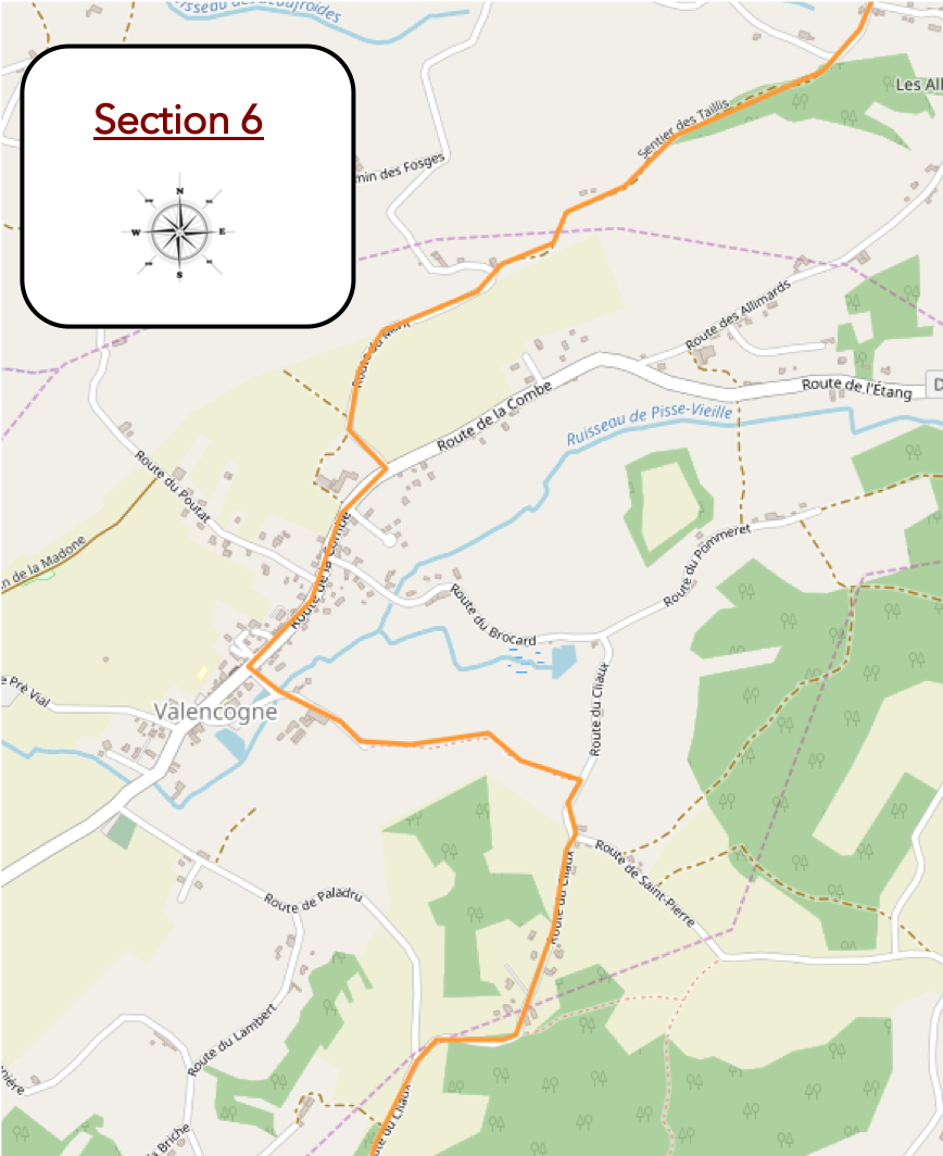
| Leaving Les Alimards, a dirt path gently slopes up, skirting the murmuring Combaud stream… |
 |
 |
| …before winding through the underbrush, where the chestnut leaf carpets, vibrant with autumn hues, add a touch of magic to this bucolic scene. |
 |
 |
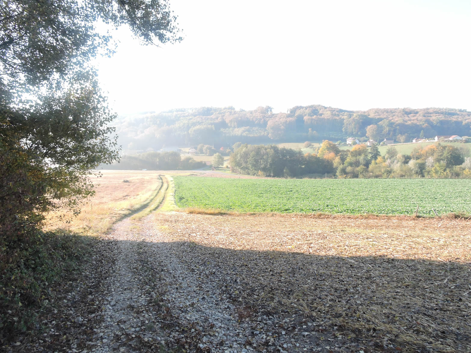
The landscape stretching out before you is a hymn to nature, a vast plain extending to the horizon where the Rhône plain unfurls uniformly. The absence of the Rhône, a distant memory long faded from ancient times, adds a note of melancholy to this endless expanse.
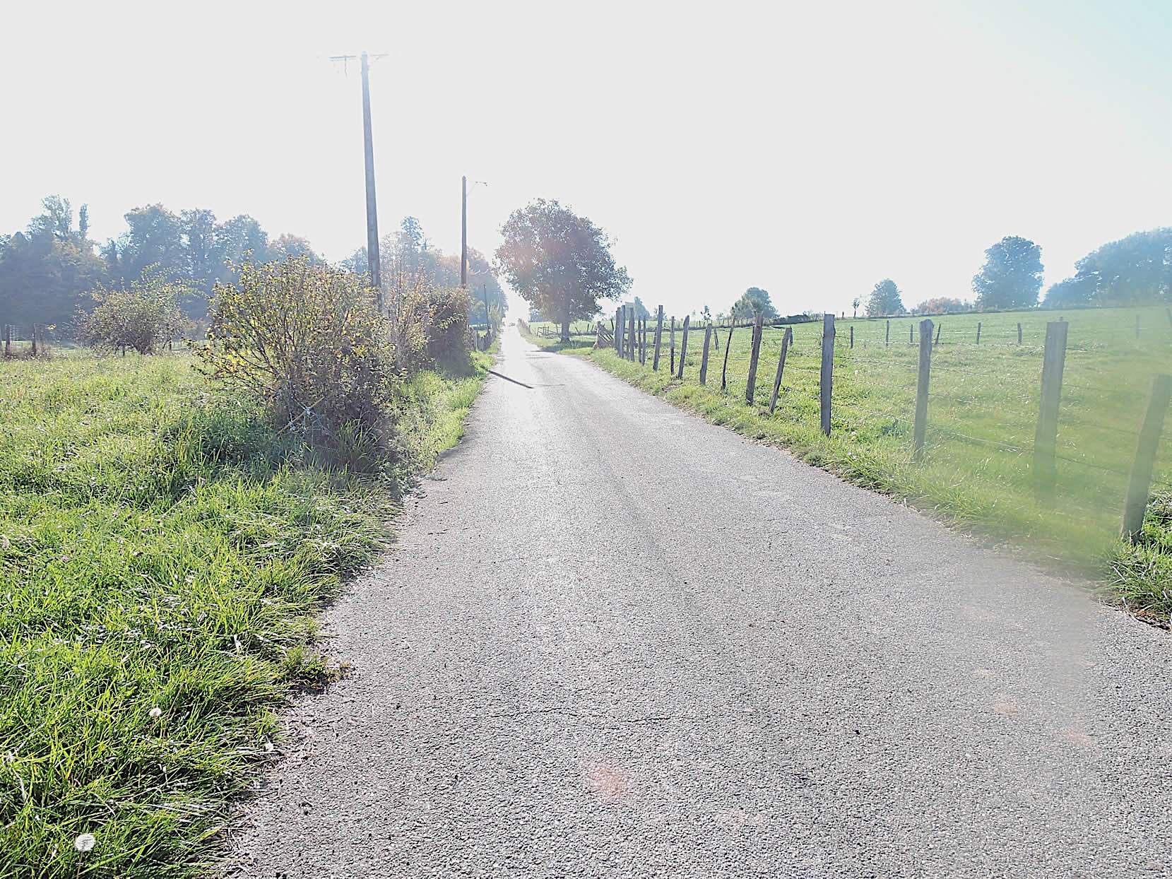
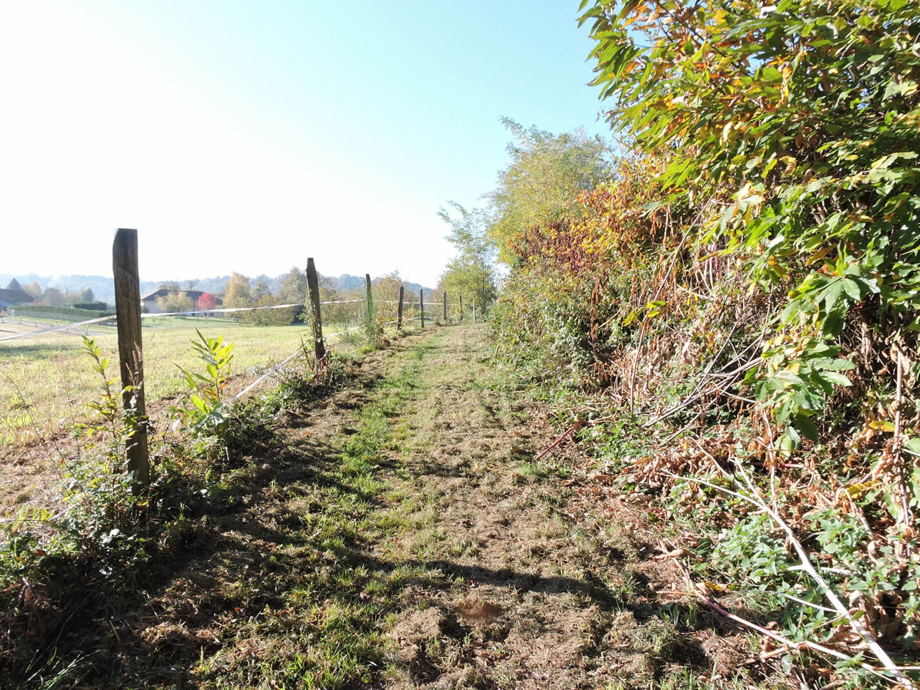
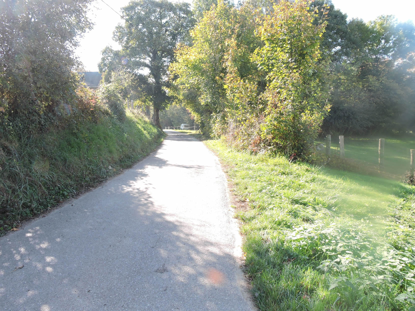
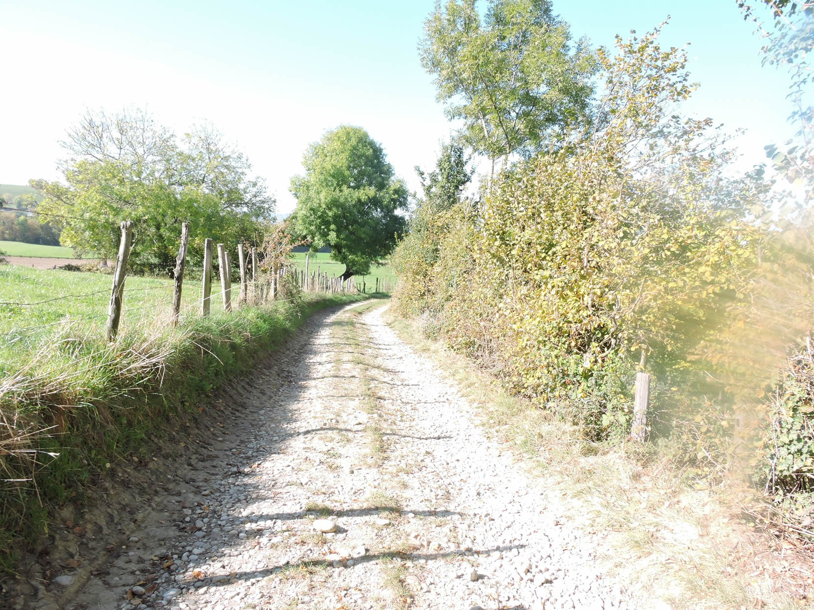
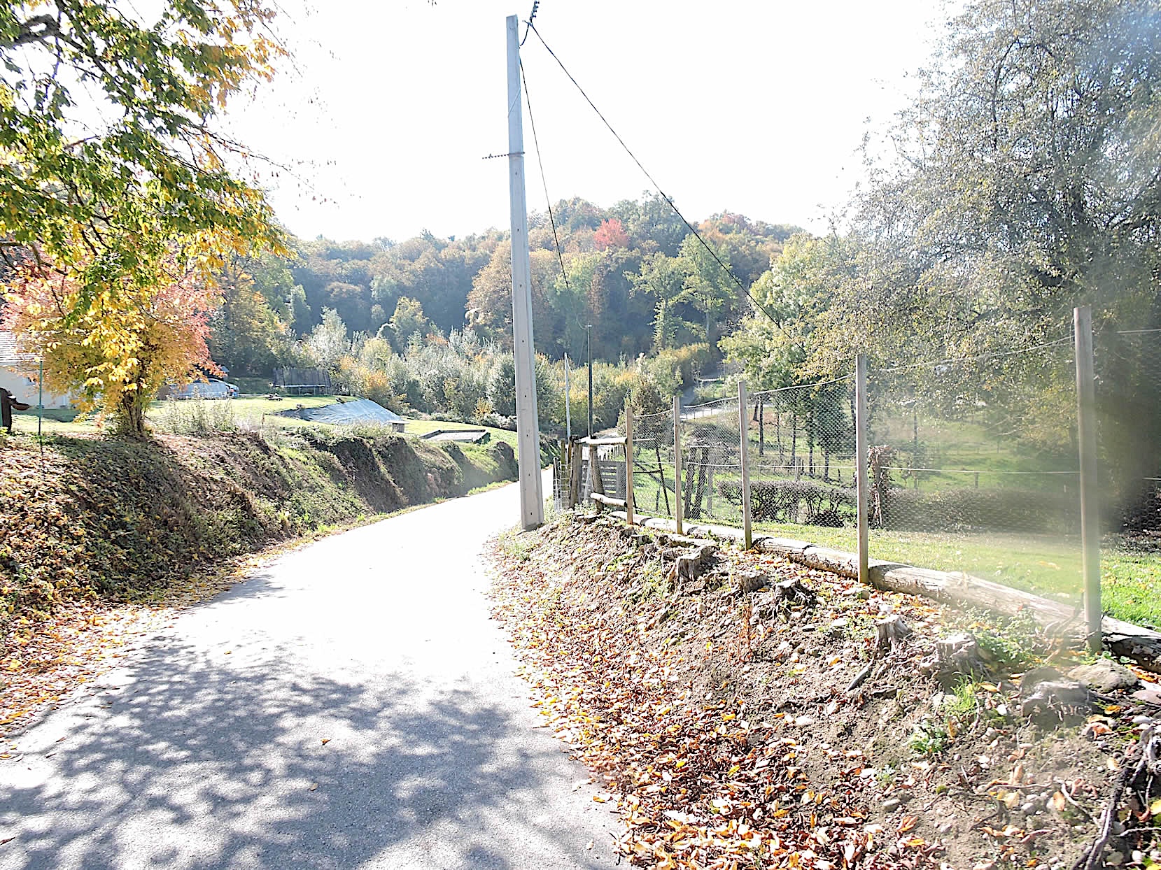
| The dirt road, with its gentle undulations through the pastures, winds along hedgerows where majestic oaks and ashes stand tall. It is an authentic countryside, where human presence is sparse, punctuated only by modest farmhouses occasionally emerging through the verdant hedgerows. |
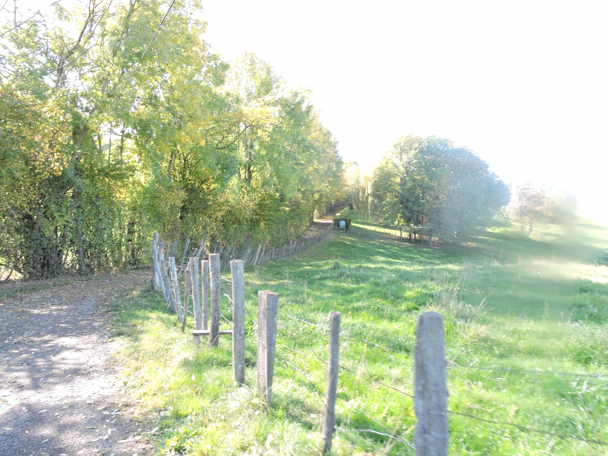 |
 |
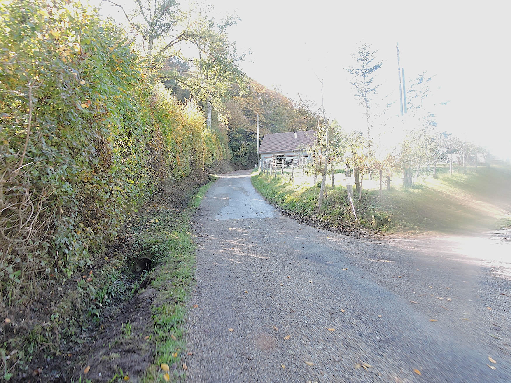
| The chestnut trees, steadfast companions that have never abandoned these lands, regain their numbers and vitality as you approach Valencogne, where the tarmac resumes, marking the end of this pastoral symphony and a return to a more mundane reality. |
 |
 |
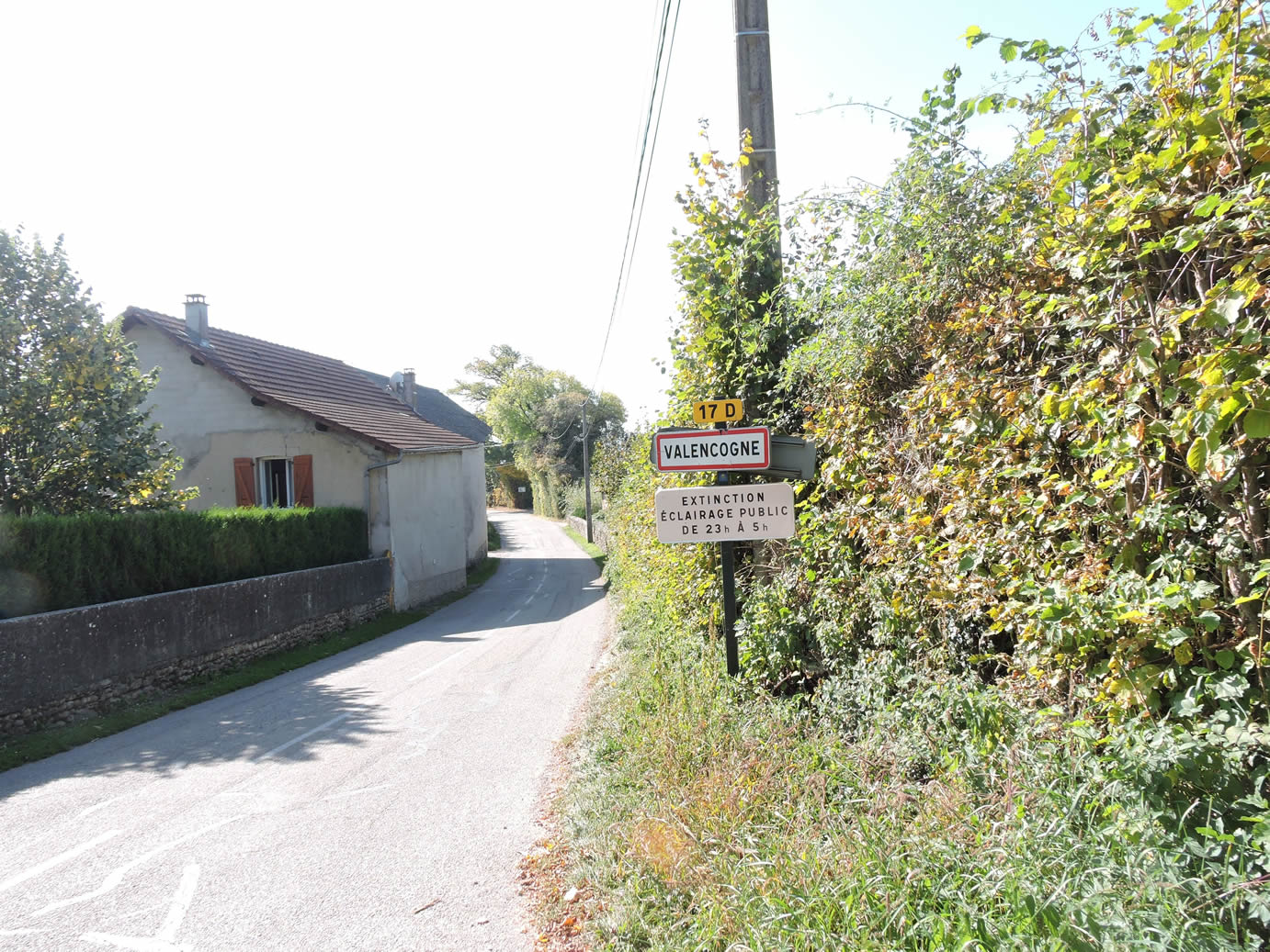
| The road finally leads to Valencogne, a sprawling village, the most populous in the region, though it scarcely has more than six hundred inhabitants. Curiously, there are no shops here. One might wonder how elderly residents, lacking transportation, manage in these remote areas. This reality partly explains the growing appeal of political movements like that of Mme Le Pen, promising a hypothetical improvement in purchasing power. |
 |
 |
|
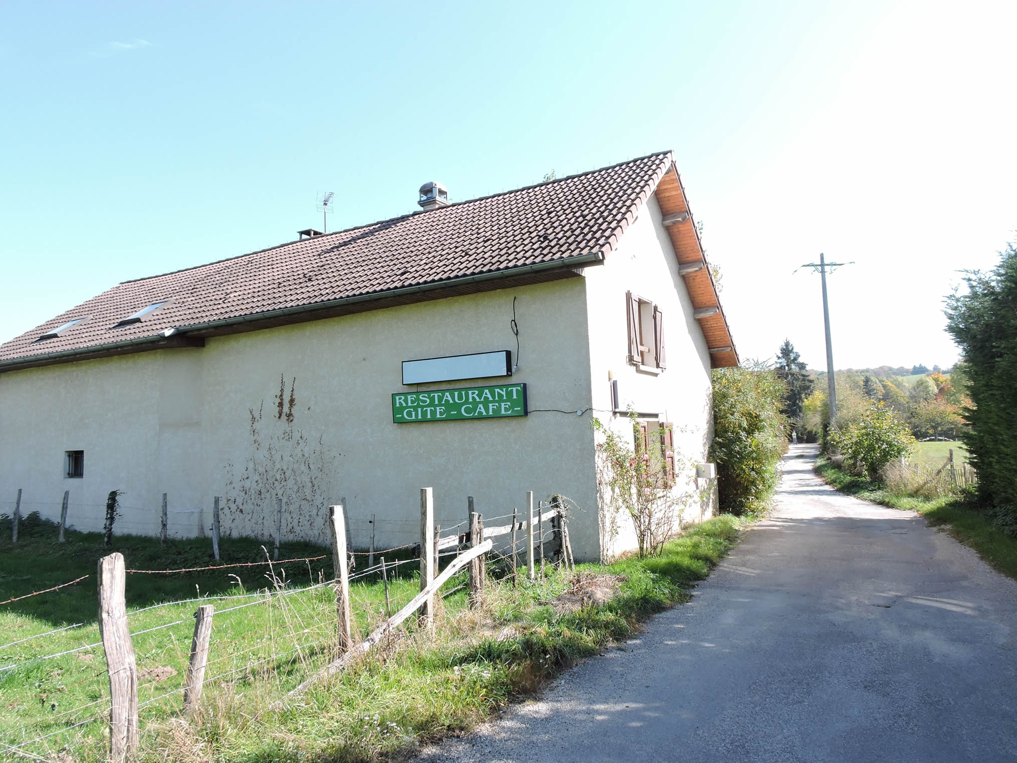
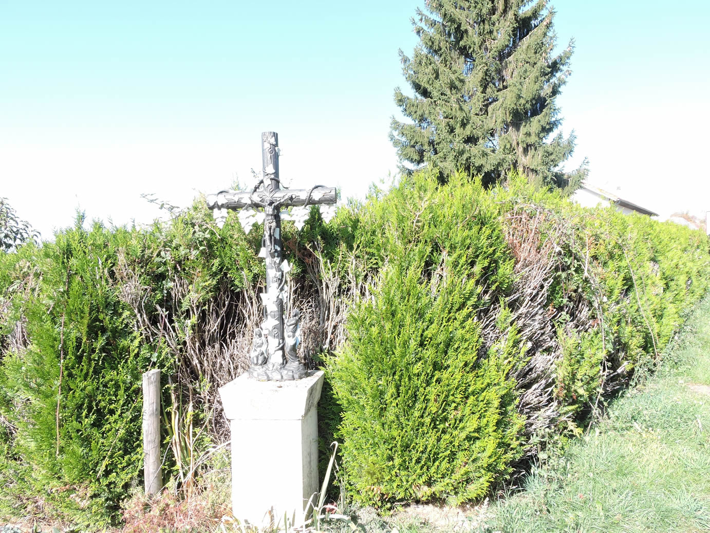
Pilgrims once enjoyed a well-deserved pause at the Brocard restaurant, at the entrance of the village, just before catching sight of the discreet Croix du Brocard, almost hidden among the foliage. It appears to be closed today.
|
 |
 |
|
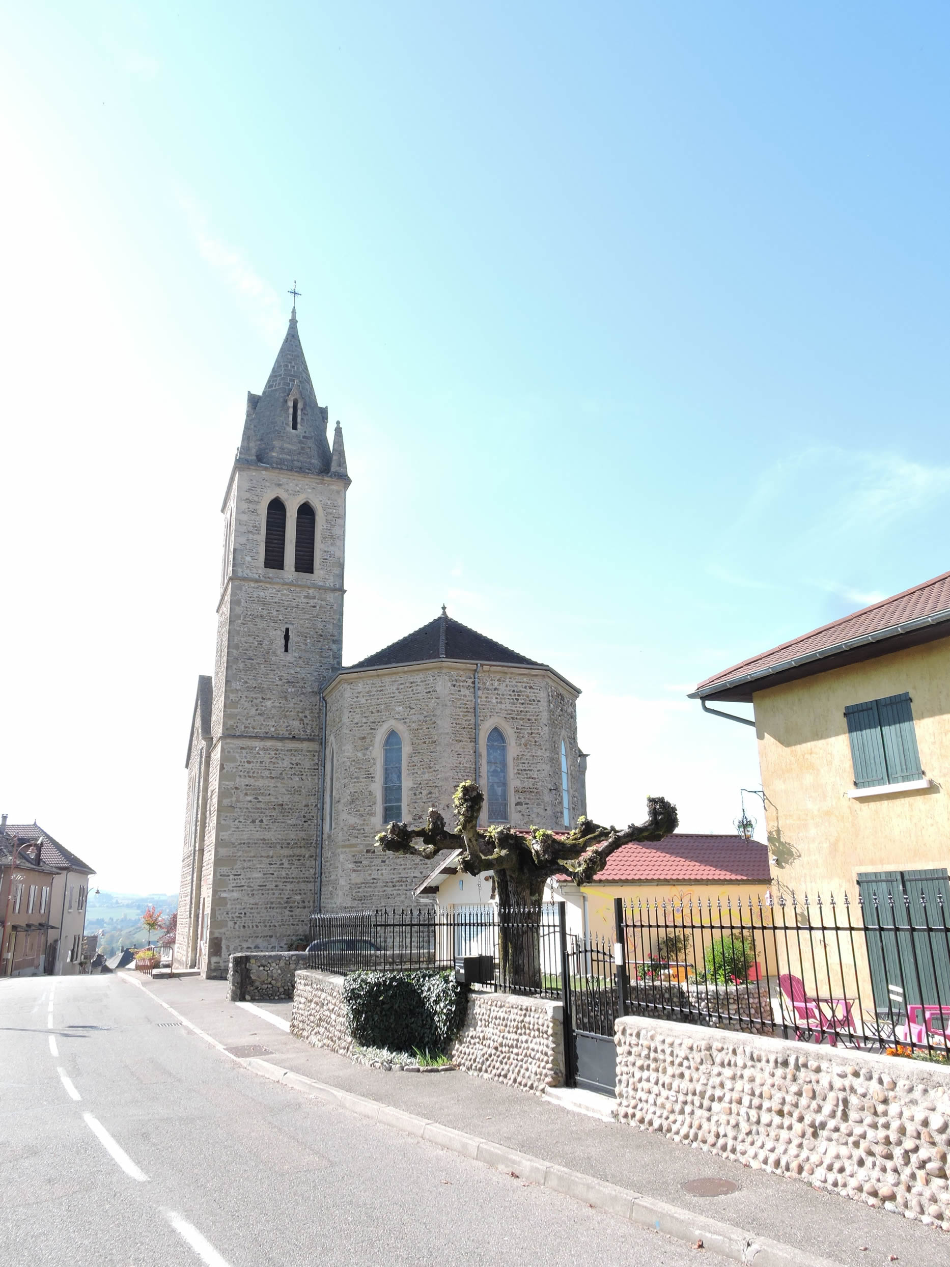
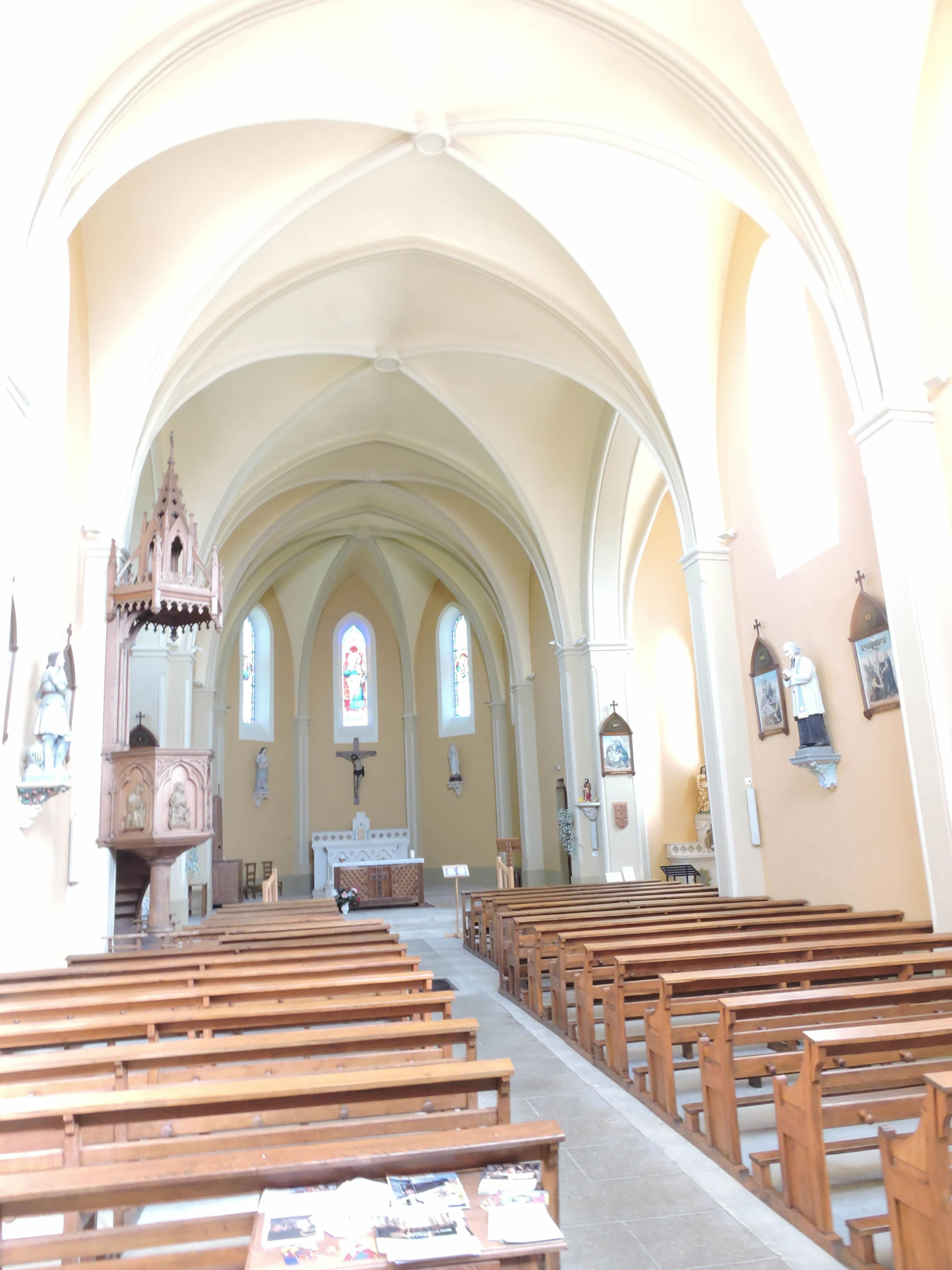
Imposing despite its simplicity, the St John the Baptist Church, erected at the end of the 19th century, stands proudly at the heart of Valencogne.
|
 |
 |
| Not far from this place of worship, the GR65 descends towards a small pond where the Pisse Vieille stream meanders. This enchanting spot, with its charming and mysterious pond, beautifully captures the peaceful essence of the area. |
 |
 |
| Upon leaving the village, the GR65 takes an abrupt path that climbs under the protective shade of large chestnut trees, through the hill pastures where the slope reaches up to 15% in places. |
 |
 |
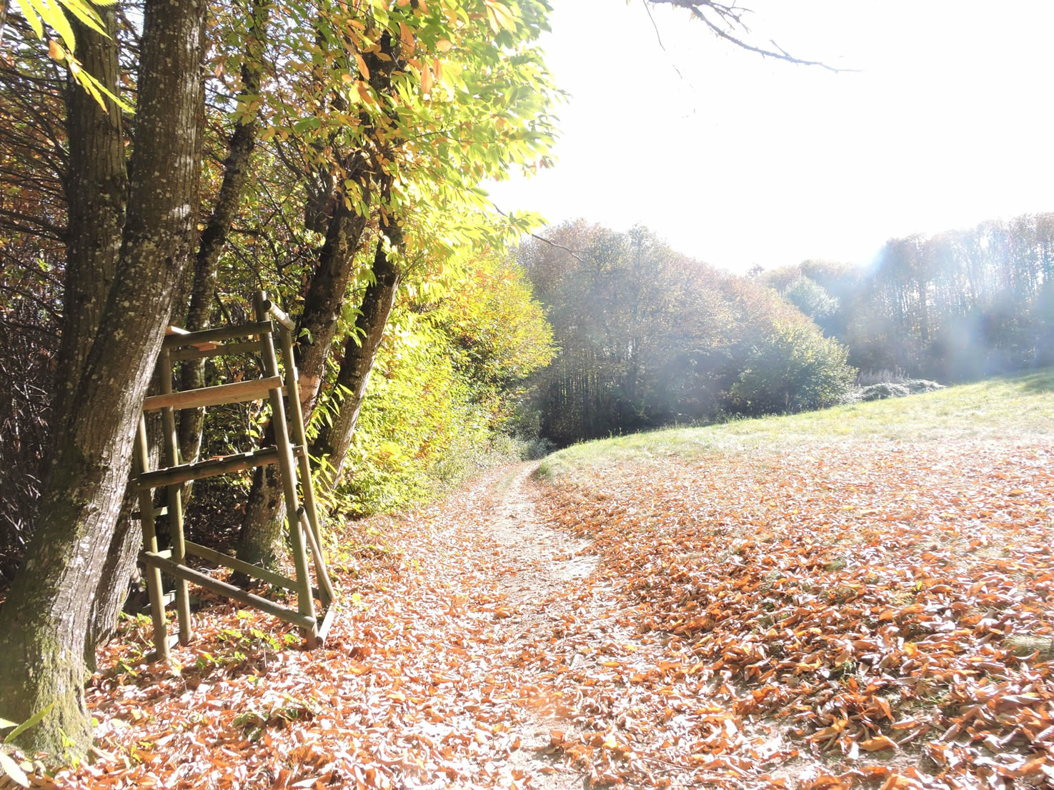
| Higher up, wild chestnut trees cover the slopes. In autumn, it’s wise to wear thick soles to tackle the ground strewn with their fruits. Local residents gather these wild chestnuts until the end of October, making the most of this abundant natural resource. |
 |
 |
| At the top of the hill, the GR65 crosses a small plateau with verdant meadows bordered by charming hedges before joining a modest country road. |
 |
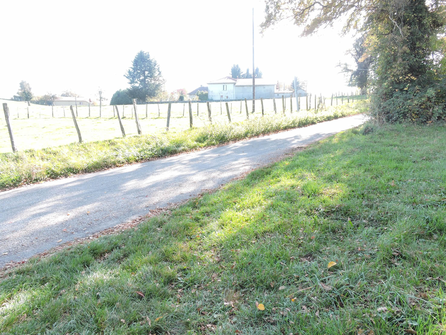 |
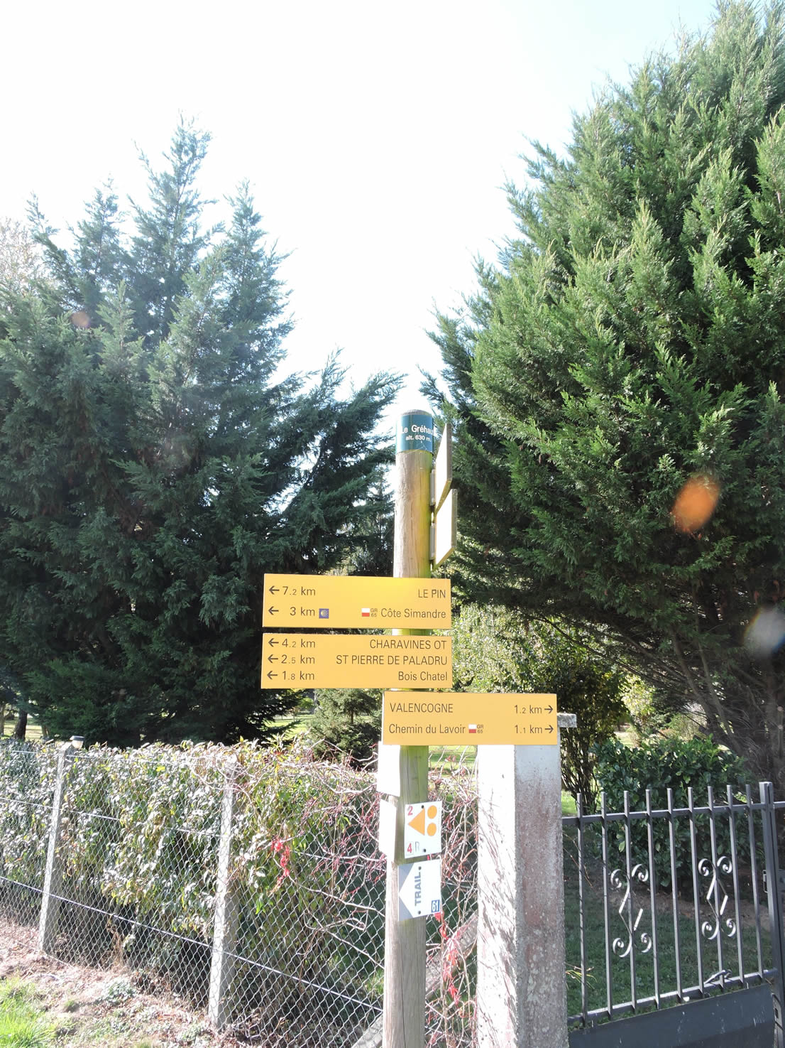
This road leads to the hamlet of Gréhaut, a small cluster of houses scattered along the road, just 7 kilometers from Le Pin.
| The GR65 then follows the road through meadows and cultivated fields, in an open countryside where the view stretches endlessly, before finding a dirt path that leads into a small woodland. |
 |
 |
| It briefly plunges into the underbrush before reappearing on the road, finally reaching a crossroads marked by the presence of the Croix Charpenne, erected like a rustic semaphore in the midst of the meadows. |
 |
 |
Section 7: Transition across the high plateau
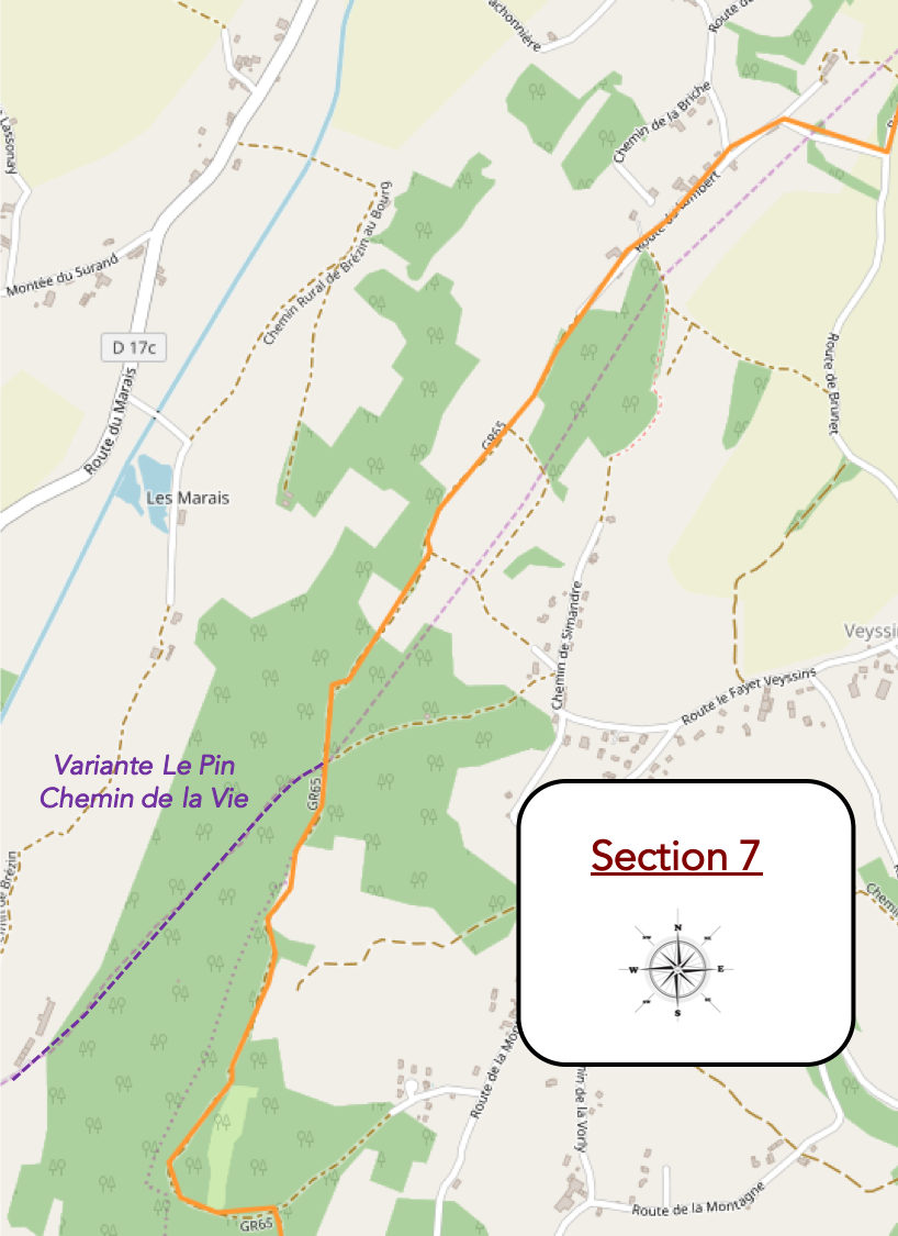
Overview of the route’s challenges: The route is straightforward with no significant challenges, except a tough bump.
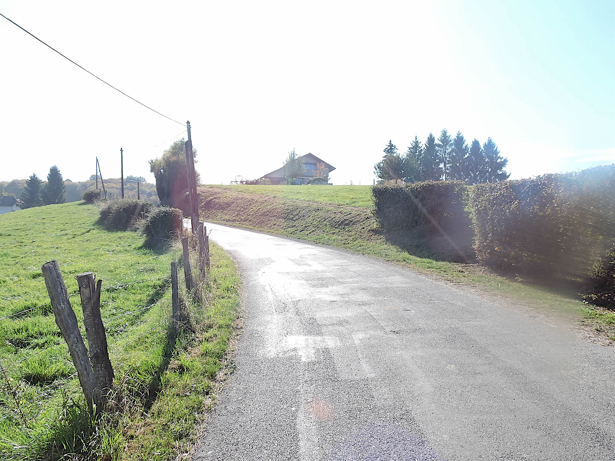
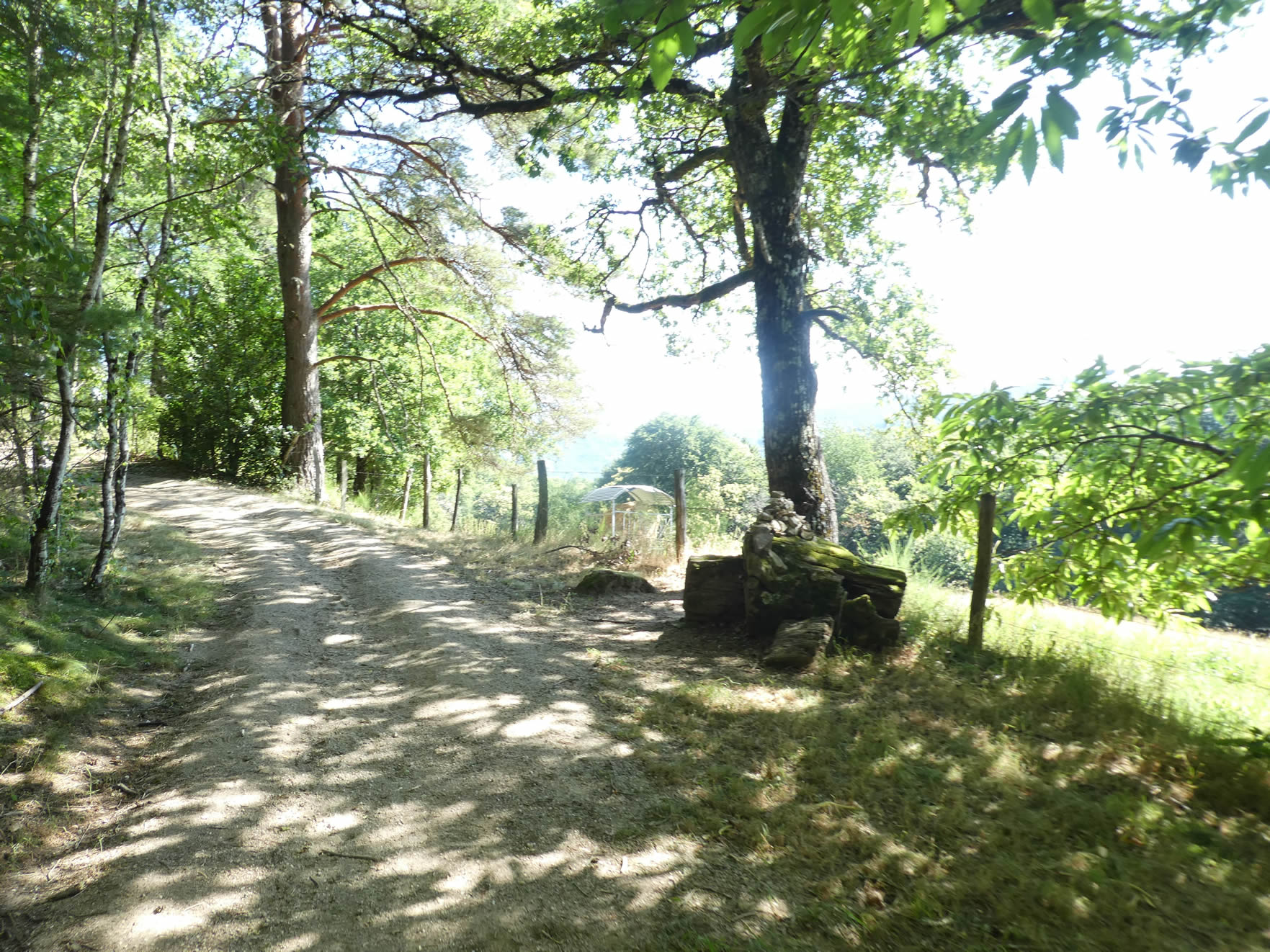
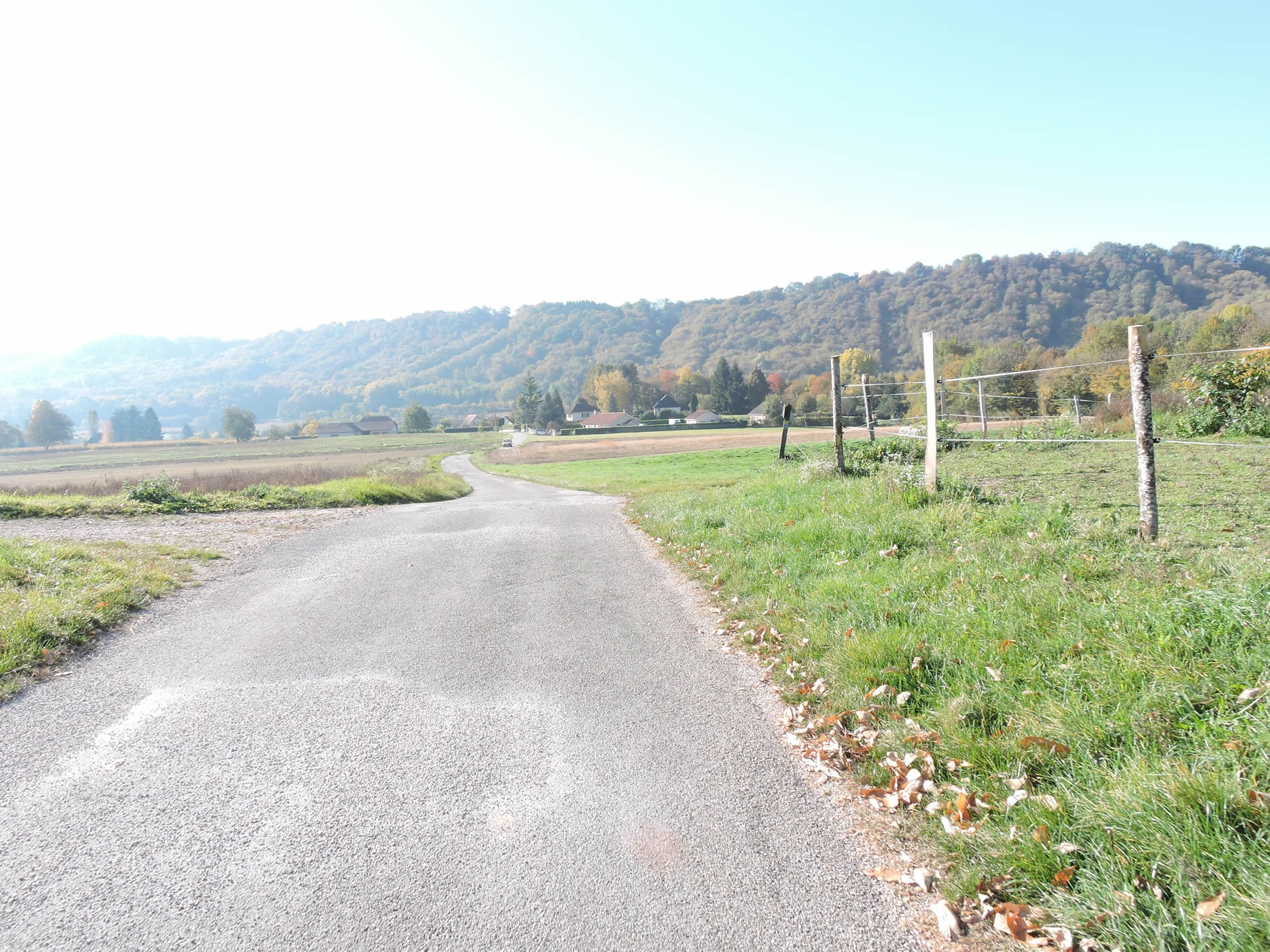
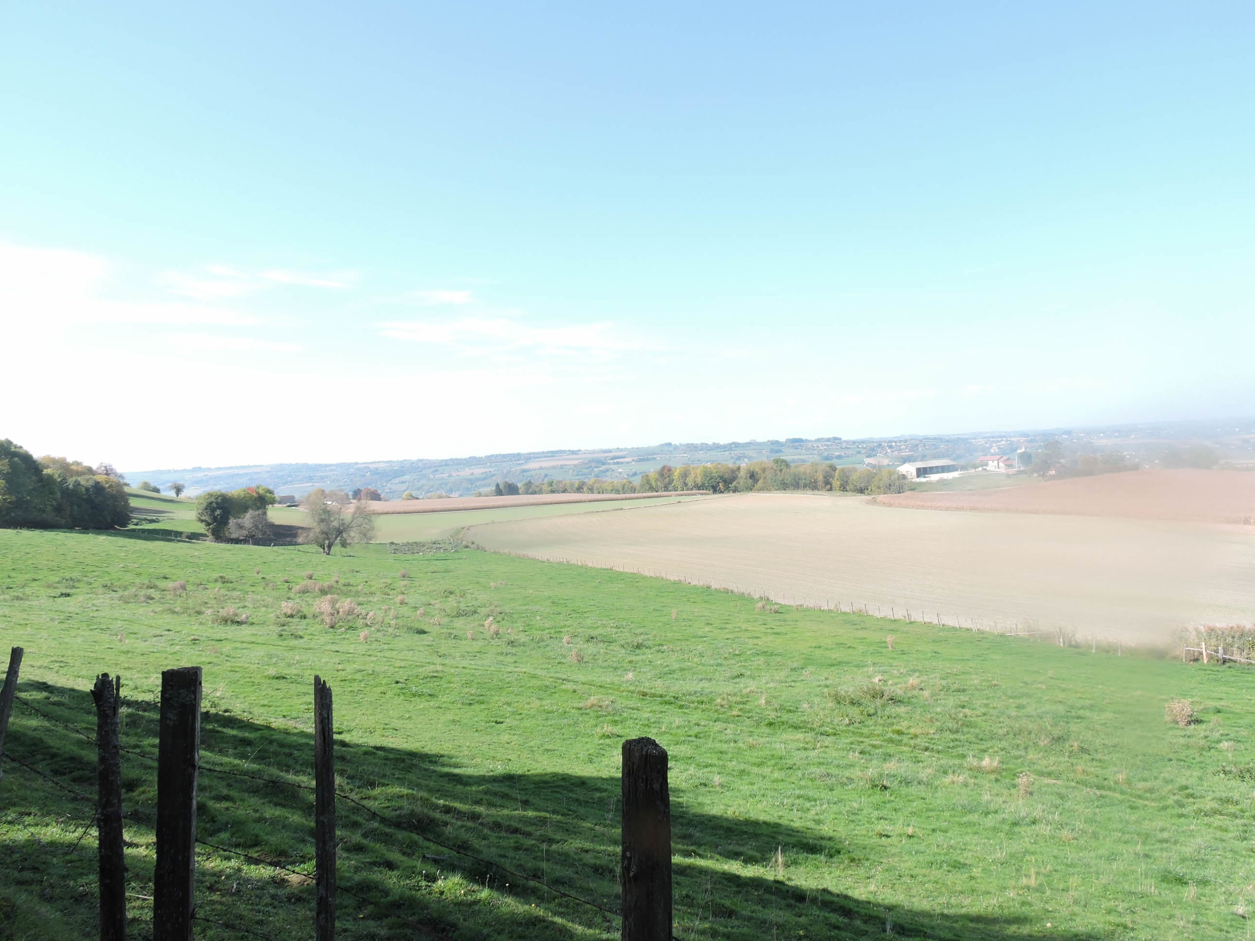
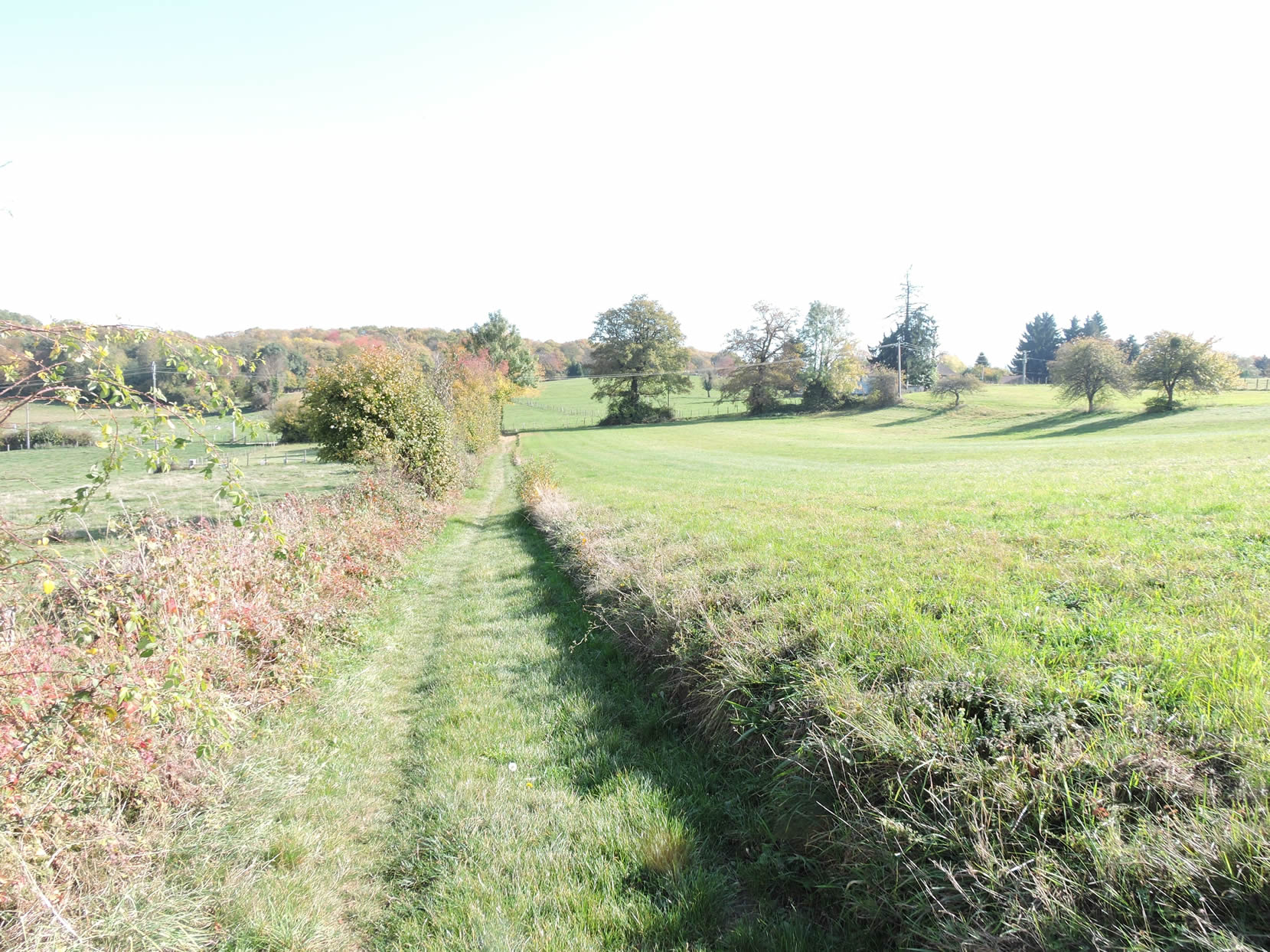
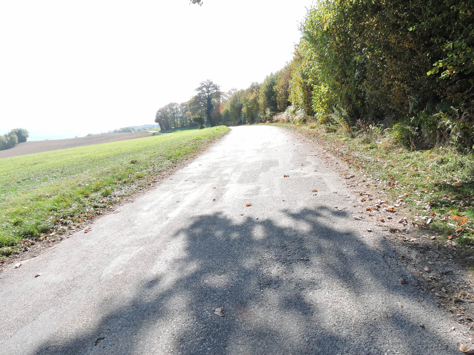
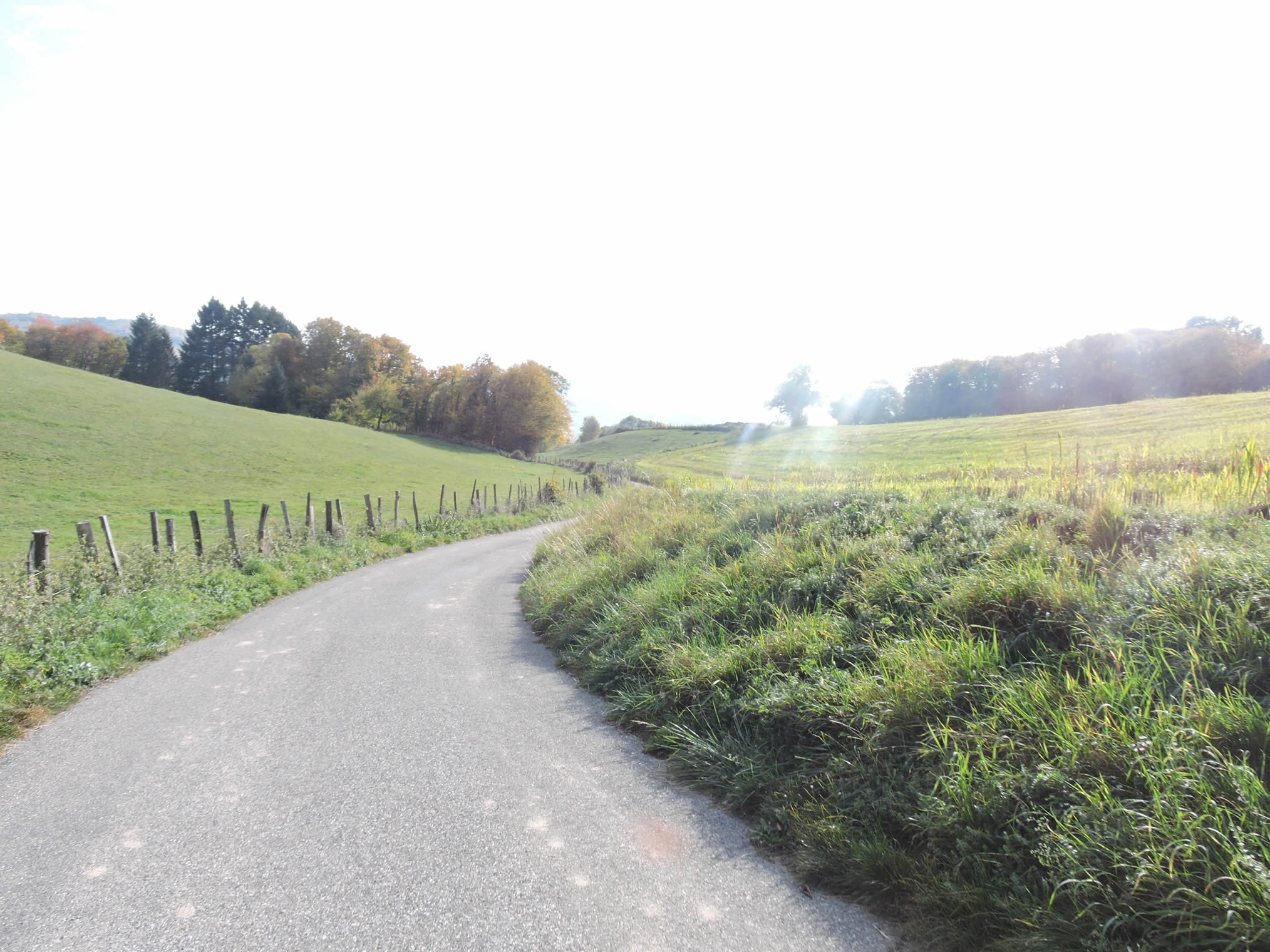
| You now walk across a high plateau where the paved road gracefully winds for a long time through the meadows. It is humble and discreet, designed for the local inhabitants and farmers, with no vehicles truly animating these isolated areas. |
 |
 |
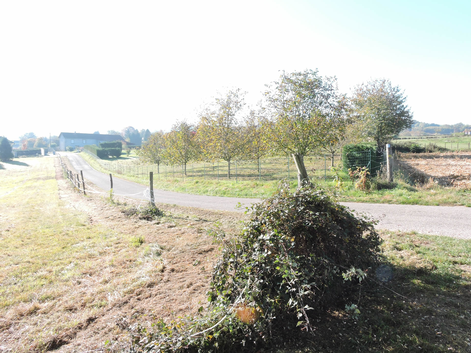
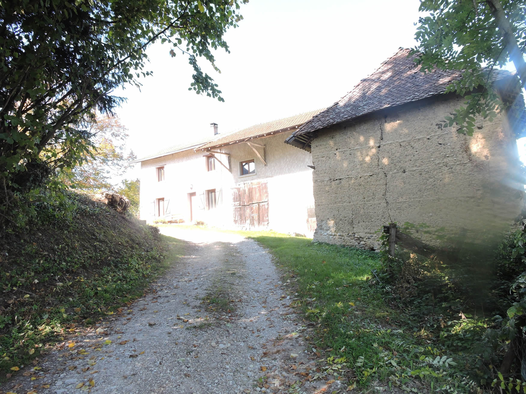
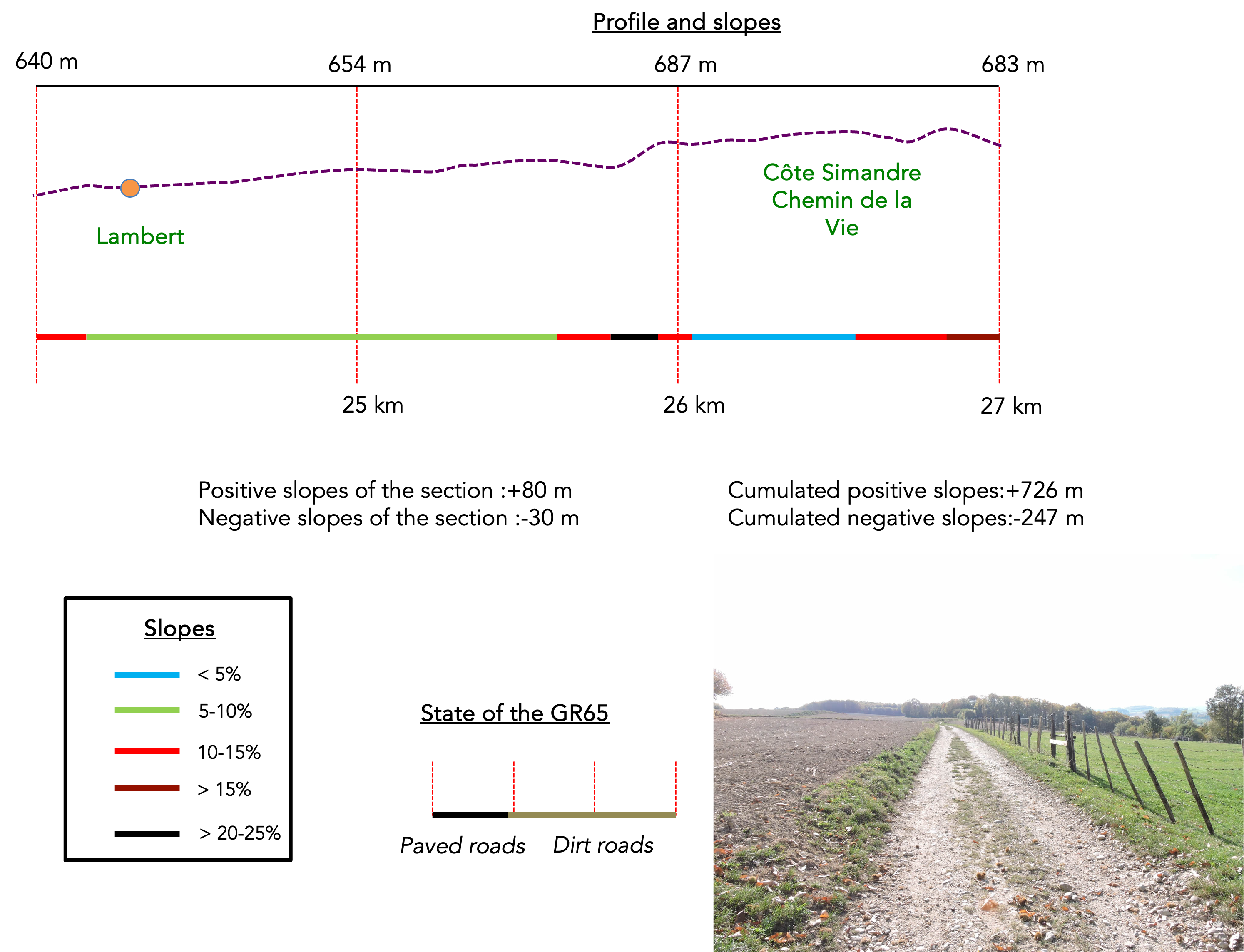
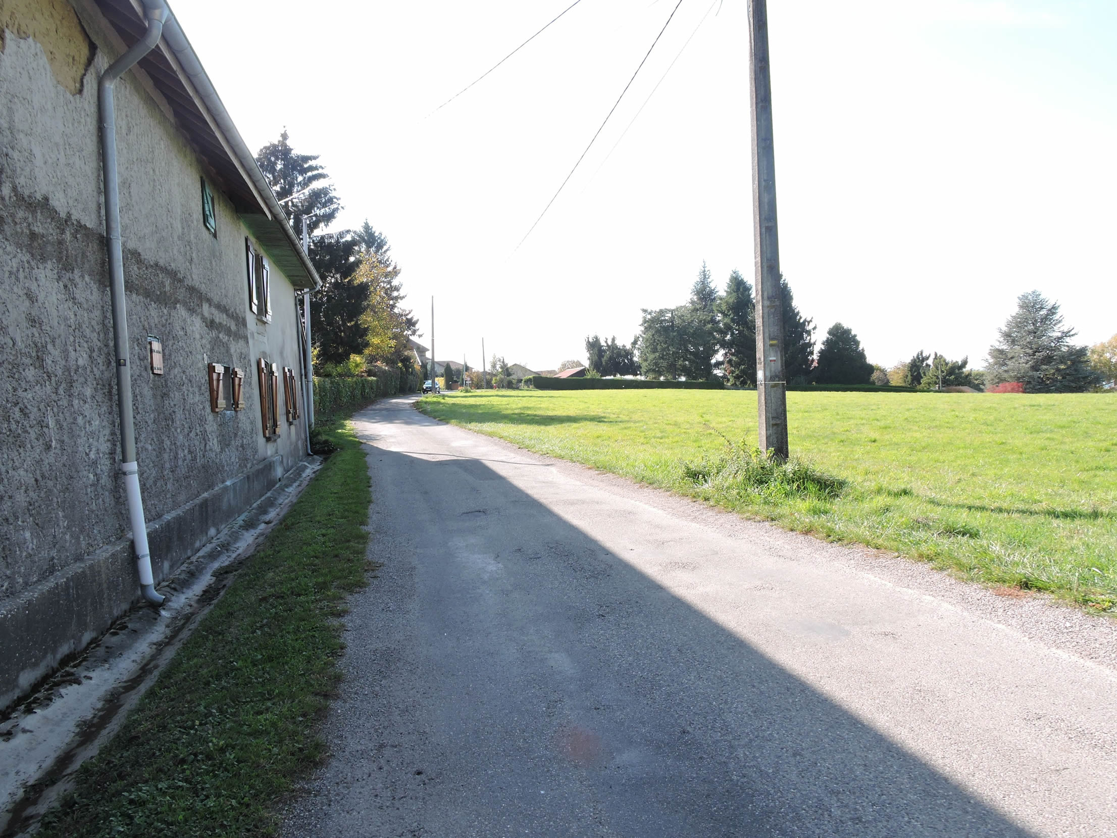
| Further along, the road gradually slopes up towards the hamlet of Lambert. Here, as in many other hamlets in the region, the settlement often consists of just two or three modest houses, their gray facades blending with the surrounding landscape. Scattered hamlets like Lambert, tiny gems of rural architecture, seem frozen in time, silent witnesses to the simple and authentic life that endures in these remote areas. Occasionally, some animals graze peacefully in the meadows bordering the road. |
 |
 |
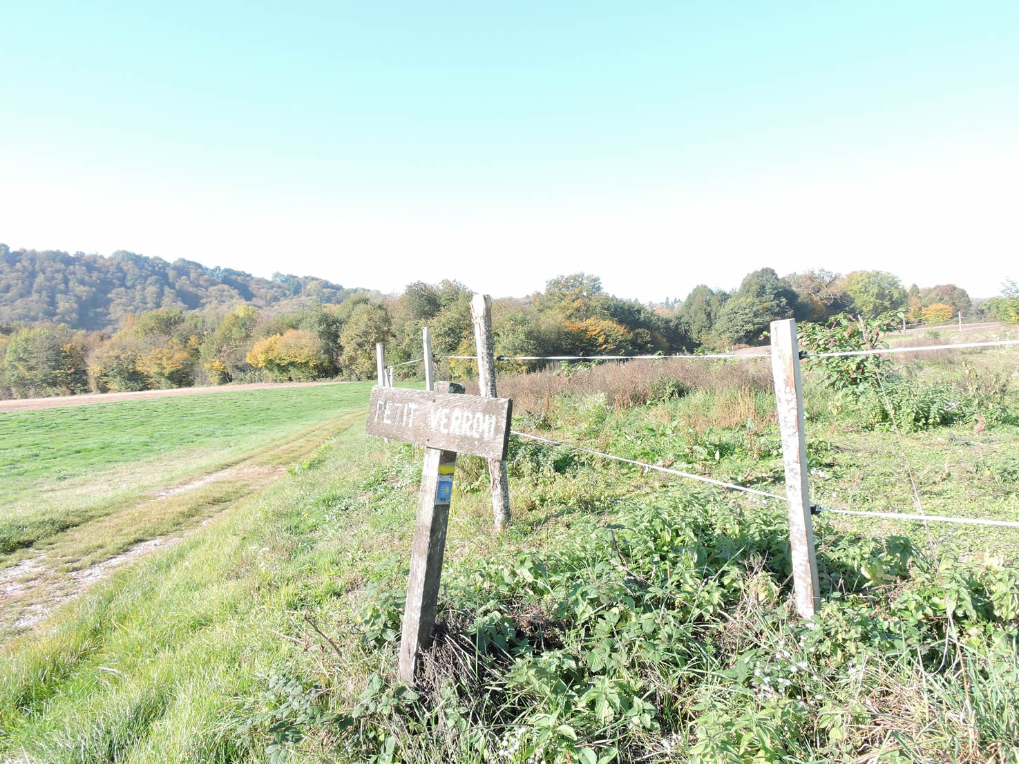
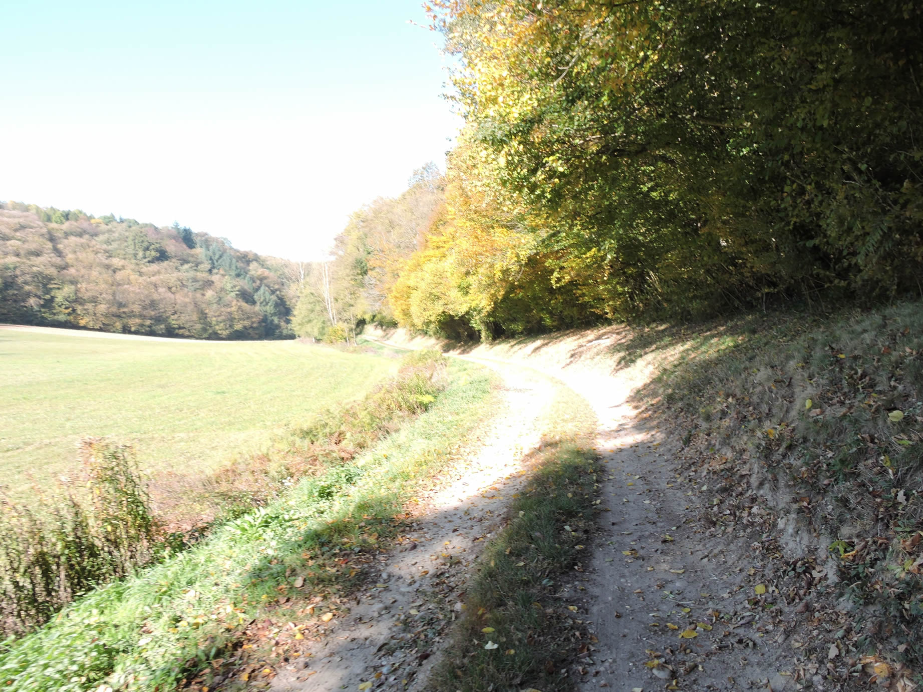
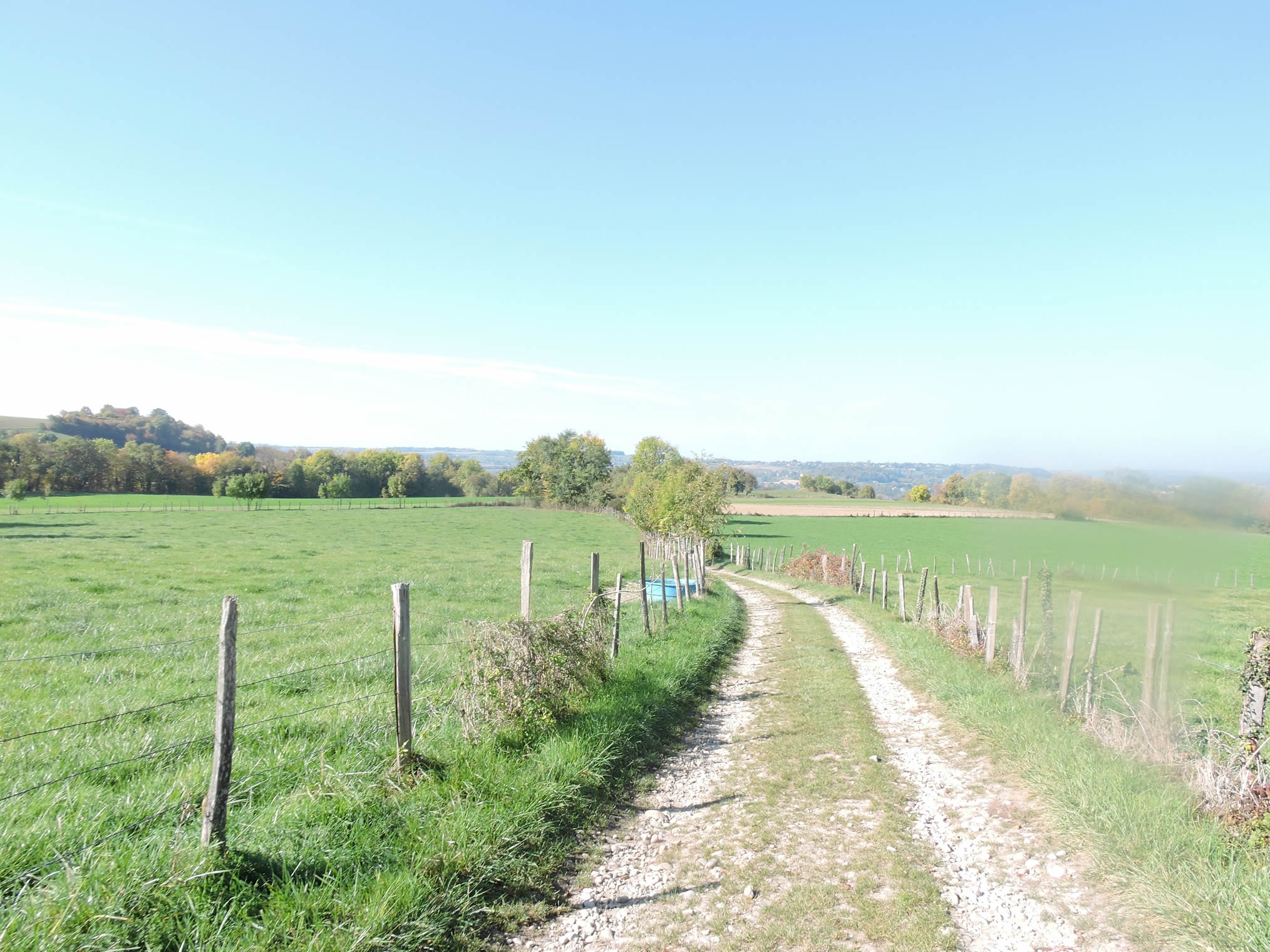
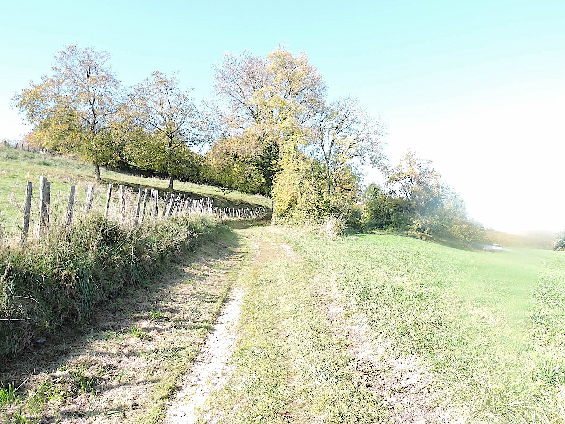
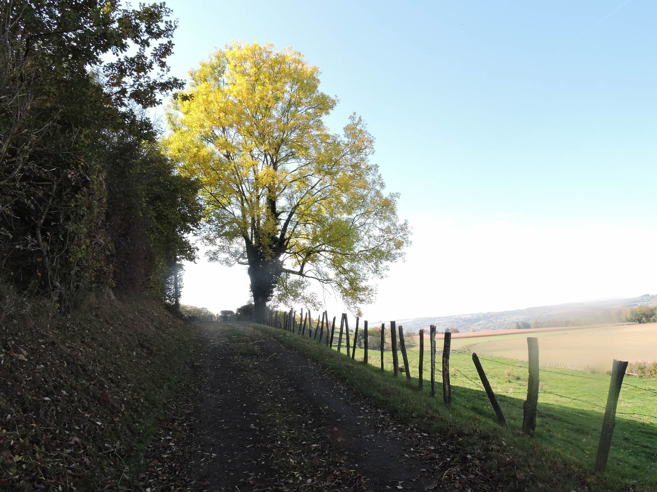
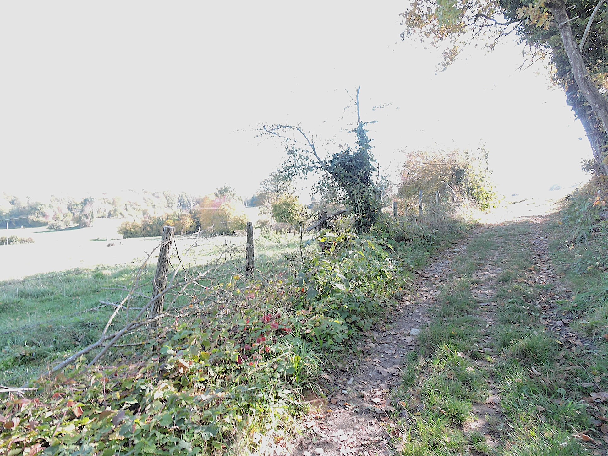
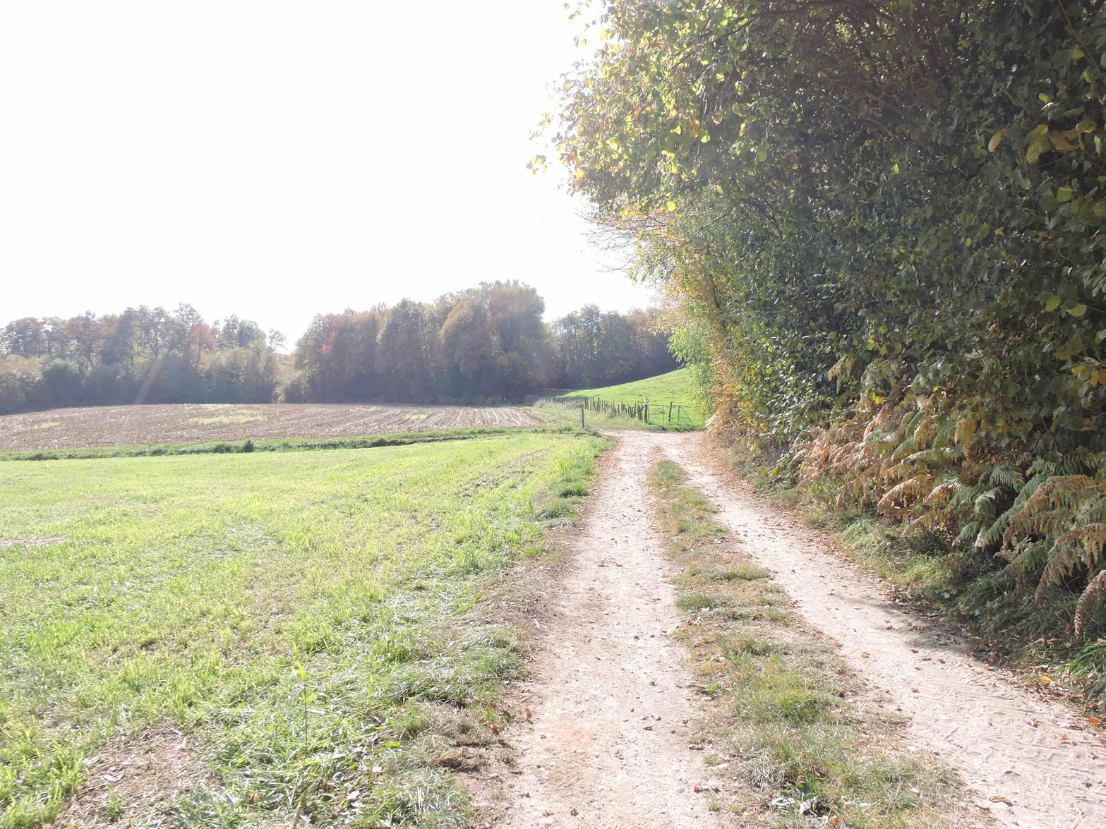
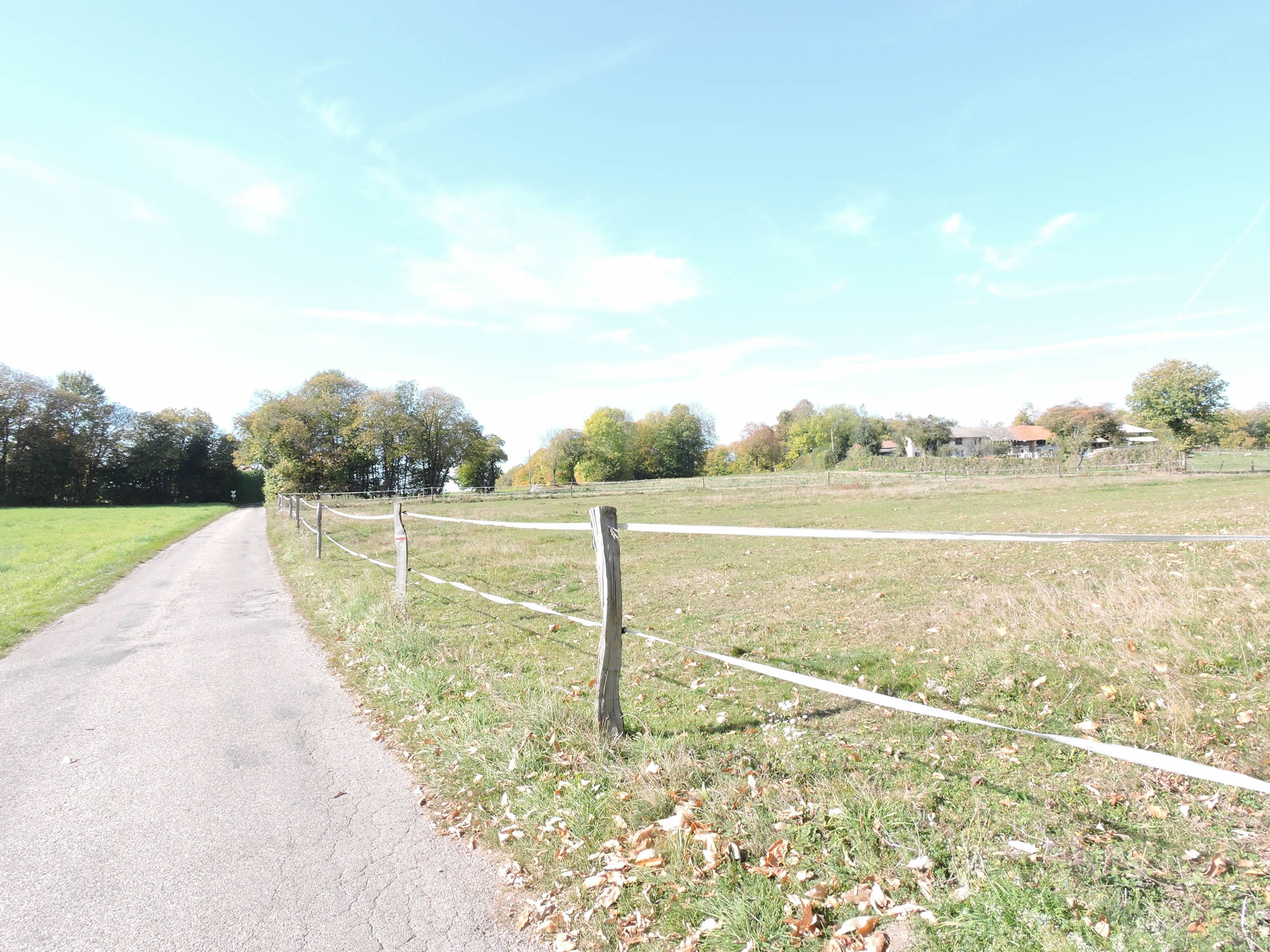
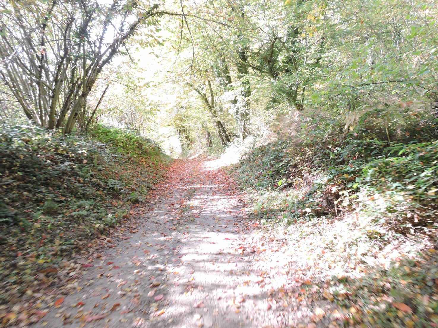
| Beyond the hamlet, a rocky path begins on the ridge, winding between wooden fences that protect the pastures and crops. This trail seems endless in this barren countryside, stretching over about two kilometers through preserved and serene nature. The bumpy path invites calm introspection, each step resonating with a certain solemnity, as if the landscape itself whispered ancient tales. As the path meanders along the ridge, it becomes clear that these landscapes, though modest and discreet at first glance, overflow with a subtle and lasting beauty that permeates every inch of this land. While some might view this place as just another piece of countryside to be quickly forgotten and left behind, isn’t this the beauty of human diversity? |
 |
 |
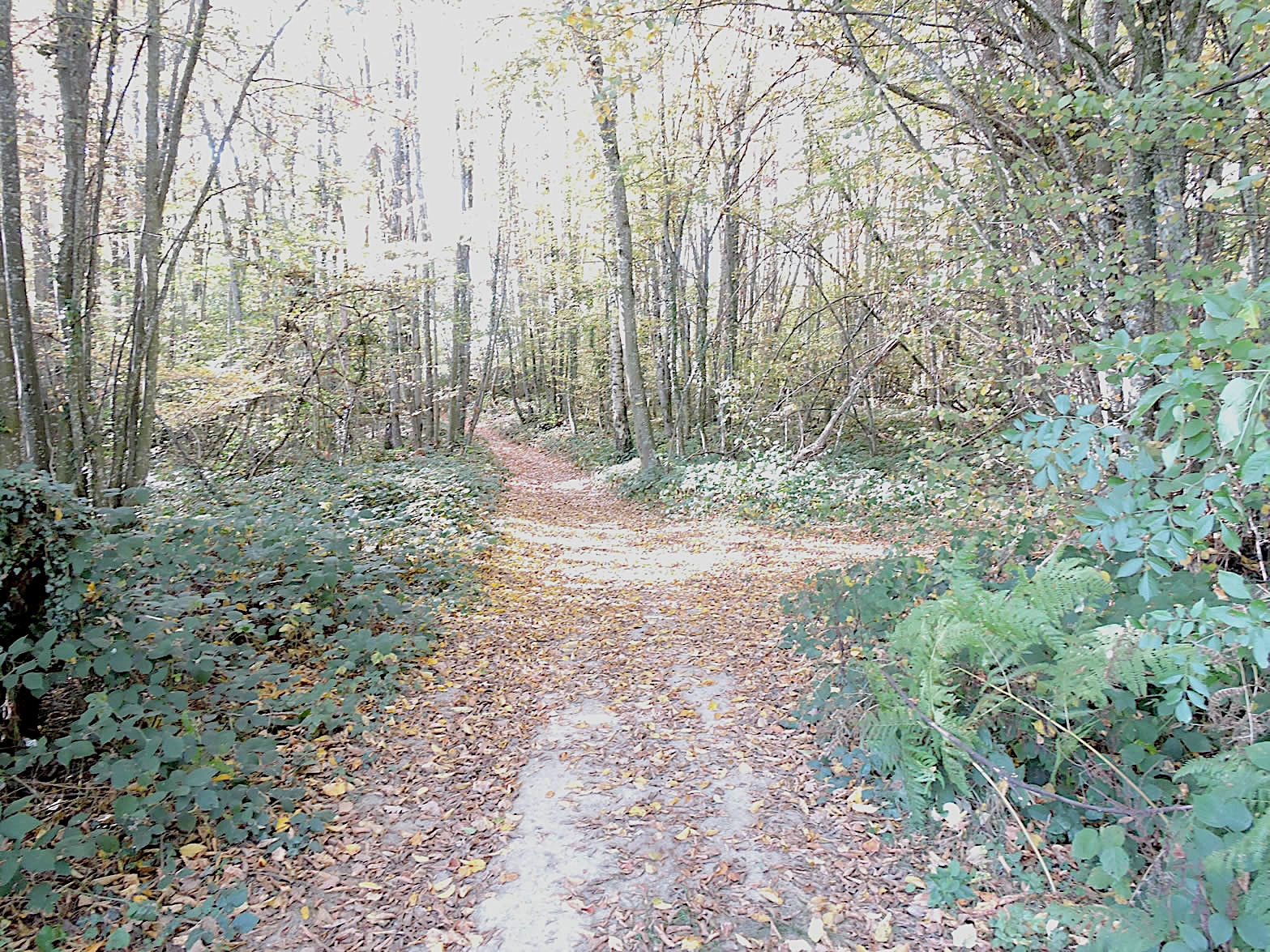
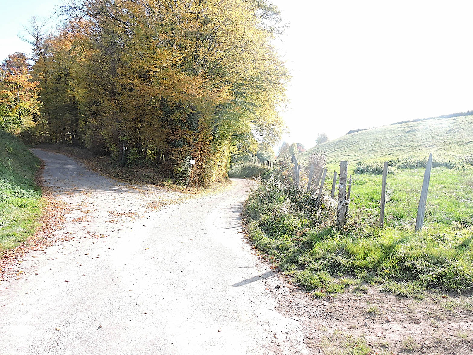
| Further on, a change of scenery unfolds: the path gently sinks beneath a canopy of underbrush, where wild chestnut trees grow abundantly. Their trunks stand straight like cathedral pillars, and their thick, glossy leaves timidly filter the celestial light. The climb is often quite gentle, except for a serious bump, but it is brief. |
 |
 |
Of course, not all pilgrims will pass through here in autumn to enjoy the pleasure of walking on the piles of leaves and husks scattered underfoot. However, these trees, so beautiful in their barrenness, also offer a magnificent sight to behold in the other seasons.
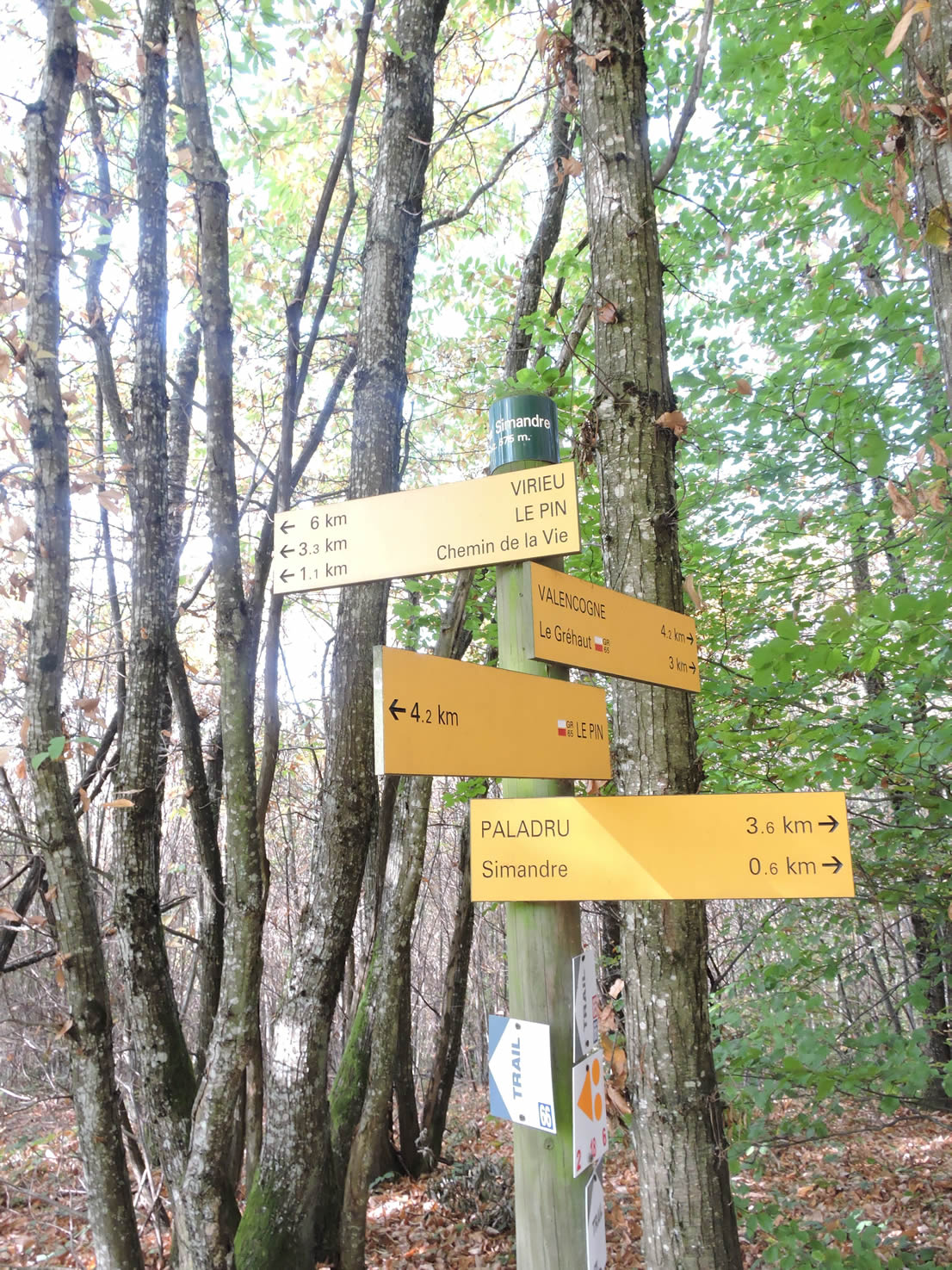
You will soon reach a crossroads at the place known as Côte Simandre. At this point, if you head towards Le Pin, you can opt for the more direct route. However, if you plan to go to Lake Paladru, which is highly recommended, or even to Le Pin, it is advisable to follow the GR65, even though it is slightly longer.
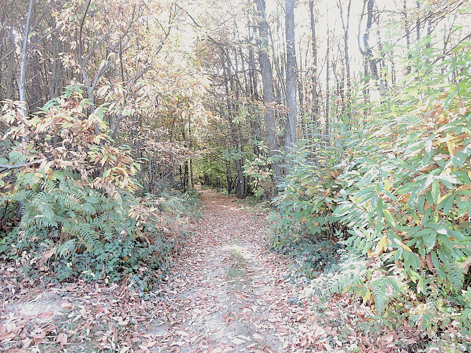
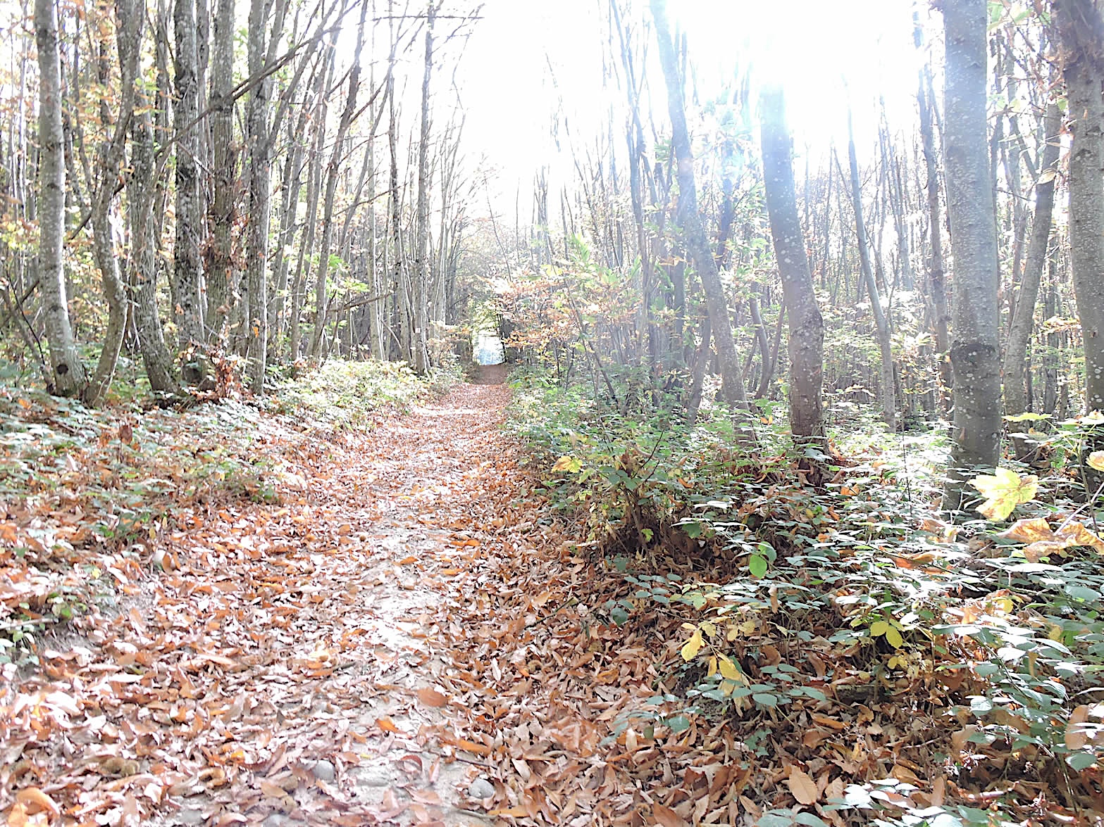
| Here, the sign makes you believe you are at the end of the slope. But no! The slope continues, stretching languorously for a good kilometer, and in autumn, the path is covered with thousands of chestnuts crackling under the hikers’ steps, adding a symphony of crackles to the murmurs of the forest. The fallen leaves, golden and crimson, whirl in the crisp air, creating a living tableau of the passing season. |
 |
 |
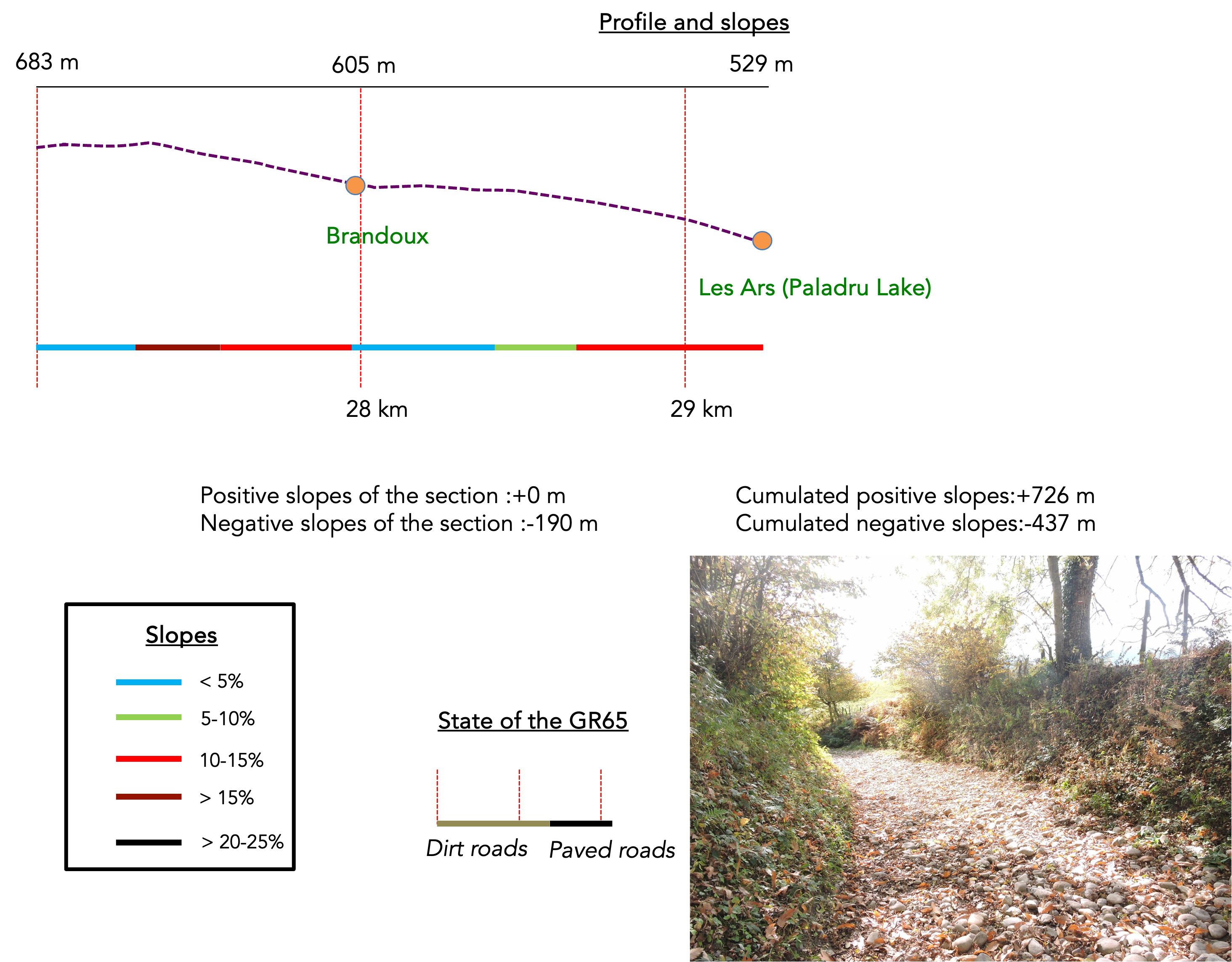
Section 8: Downhill to Paladru Lake
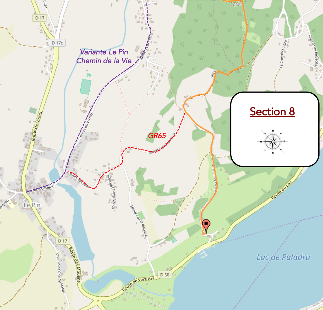
Overview of the route’s challenges: steep descent towards the lake.
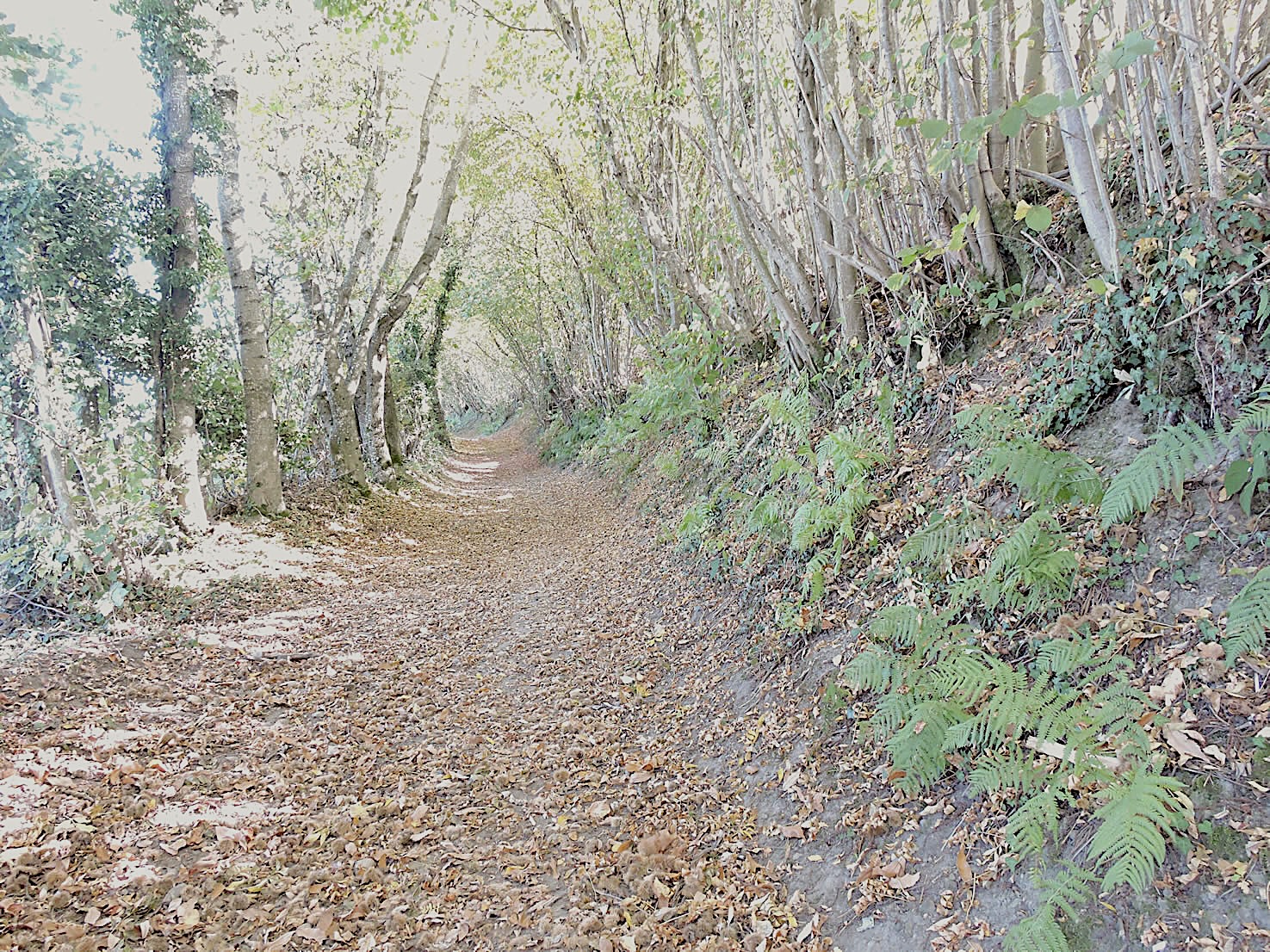
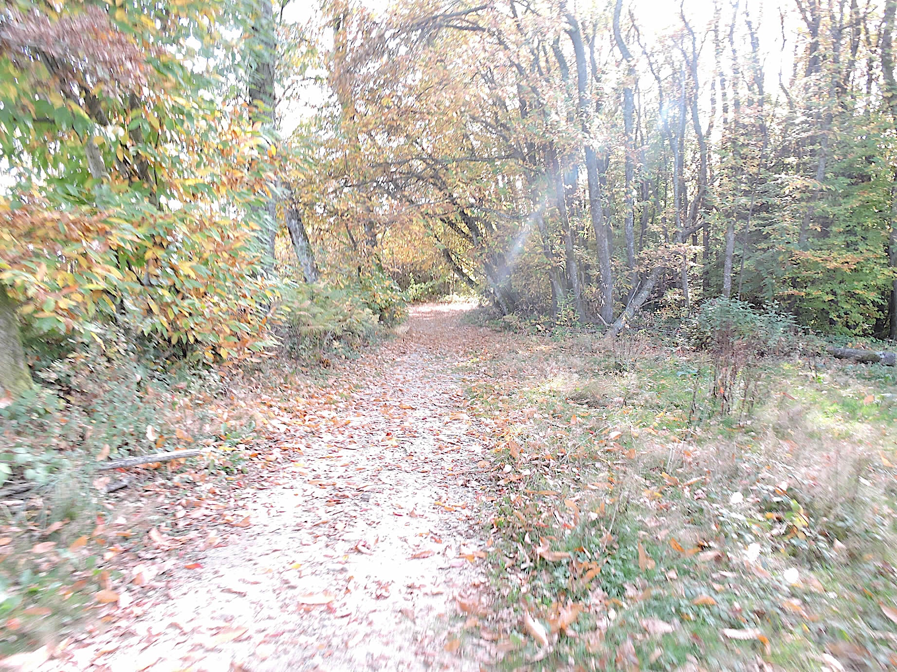
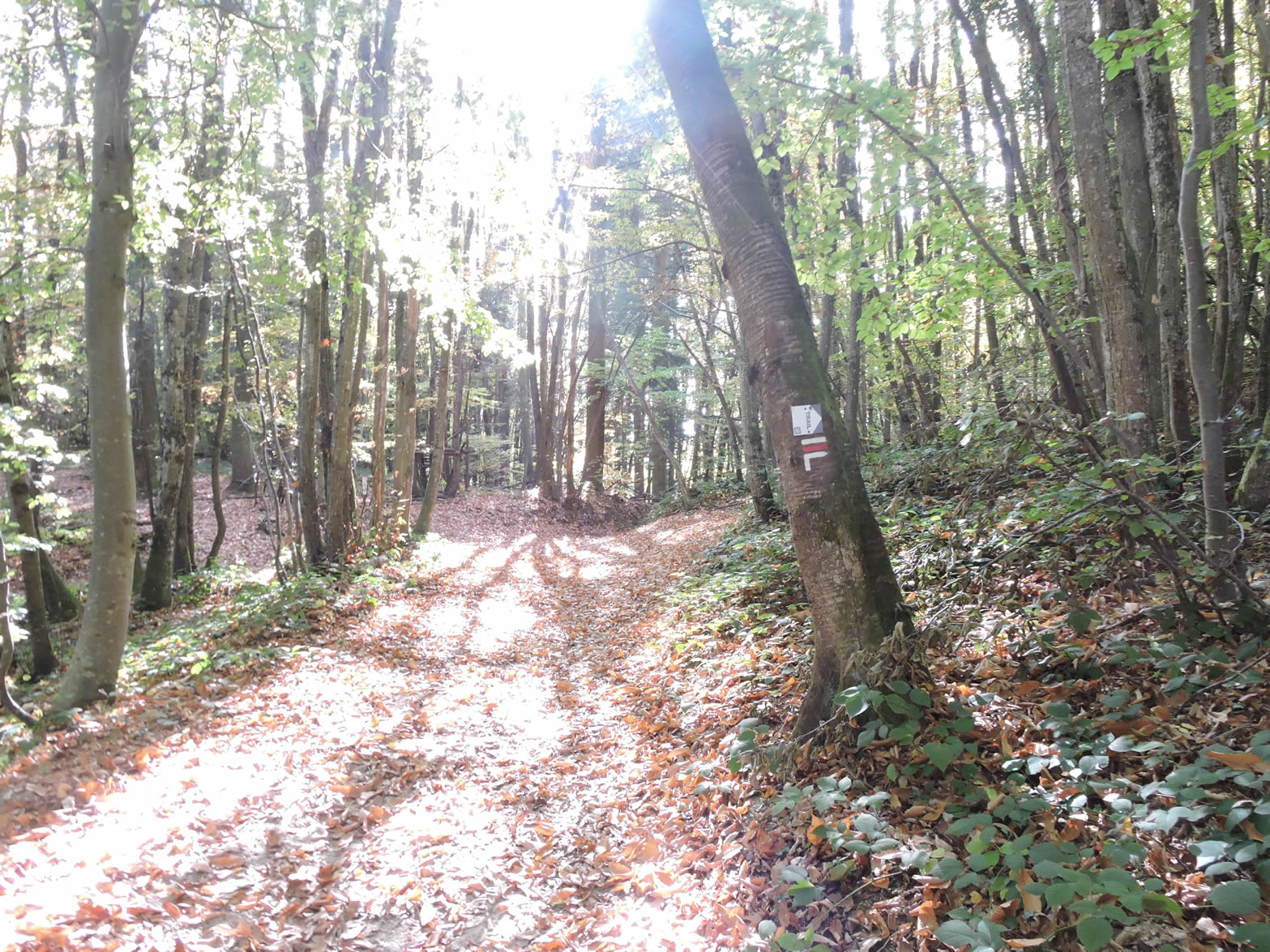
| The GR65, this mythical trail trodden by so many pilgrims and nature lovers, crosses the Bois de Prena. Here, in the heart of the forest, deciduous trees form a dense canopy, where light filters through the foliage sparingly, creating plays of shadows and light on the ground. Occasionally, clearings open suddenly, like breaths in this sea of greenery. Then, the chestnut trees fall silent, giving way to underbrush that happily thrives, creating a charming and wild tangle. |
 |
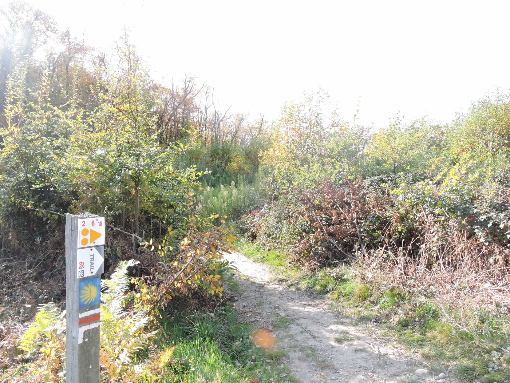 |
| Further on, the path climbs towards the top of the slope, where the pigeon lofts stand like silent sentinels. These observation towers, relics of an ancient wild pigeon hunt, evoke a history of patience and tradition, where man and nature engage in a millennial game of pursuit and cunning. |
 |
 |
| The descent begins gently, offering a sweeping view of the forest stretching as far as the eye can see. But quickly, the slope steepens, and the path becomes vertiginous, requiring heightened vigilance. Every step must be measured, every footing secure, as the thick underbrush and exposed roots challenge even the most experienced hikers. |
 |
 |
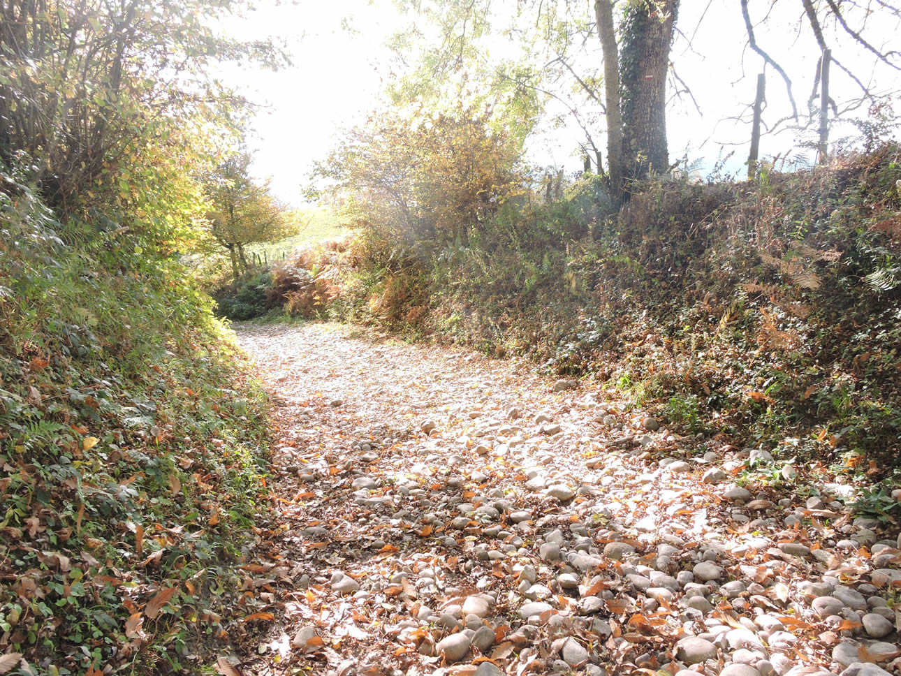
| The slope becomes even steeper, reaching a daunting 25%, turning the walk into a near-nightmarish ordeal. The path, perfectly gravelled, then leaves the forest and opens onto one of the most beautiful pebble fields in the Isère region. This rugged terrain can become a real torment: the stones roll underfoot, making each step uncertain, every advance painful and exhausting. This is just your first true encounter with the delightful pebbles of the Isère. Let’s not rush… But know that similar moments of pleasure await you further along, whether you follow the Via Gebennensis or the Via Adresca, where the rigors of the path are sometimes intertwined with an even more exquisite exhilaration. |
 |
 |
| The relief finally comes when the path meets the road lower down. After the challenges and trials of the forest and pebble fields, the hamlet appears as a haven of peace, a promise of rest and respite. |
 |
 |
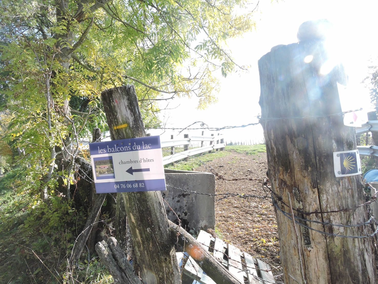
| Here, a direction is given for the « Balcons du Lac » guesthouse, following the same path as the GR65. A road gently veers downwards, winding between neatly fenced meadows where peaceful herds graze, adding a bucolic touch to this idyllic landscape. |
 |
 |
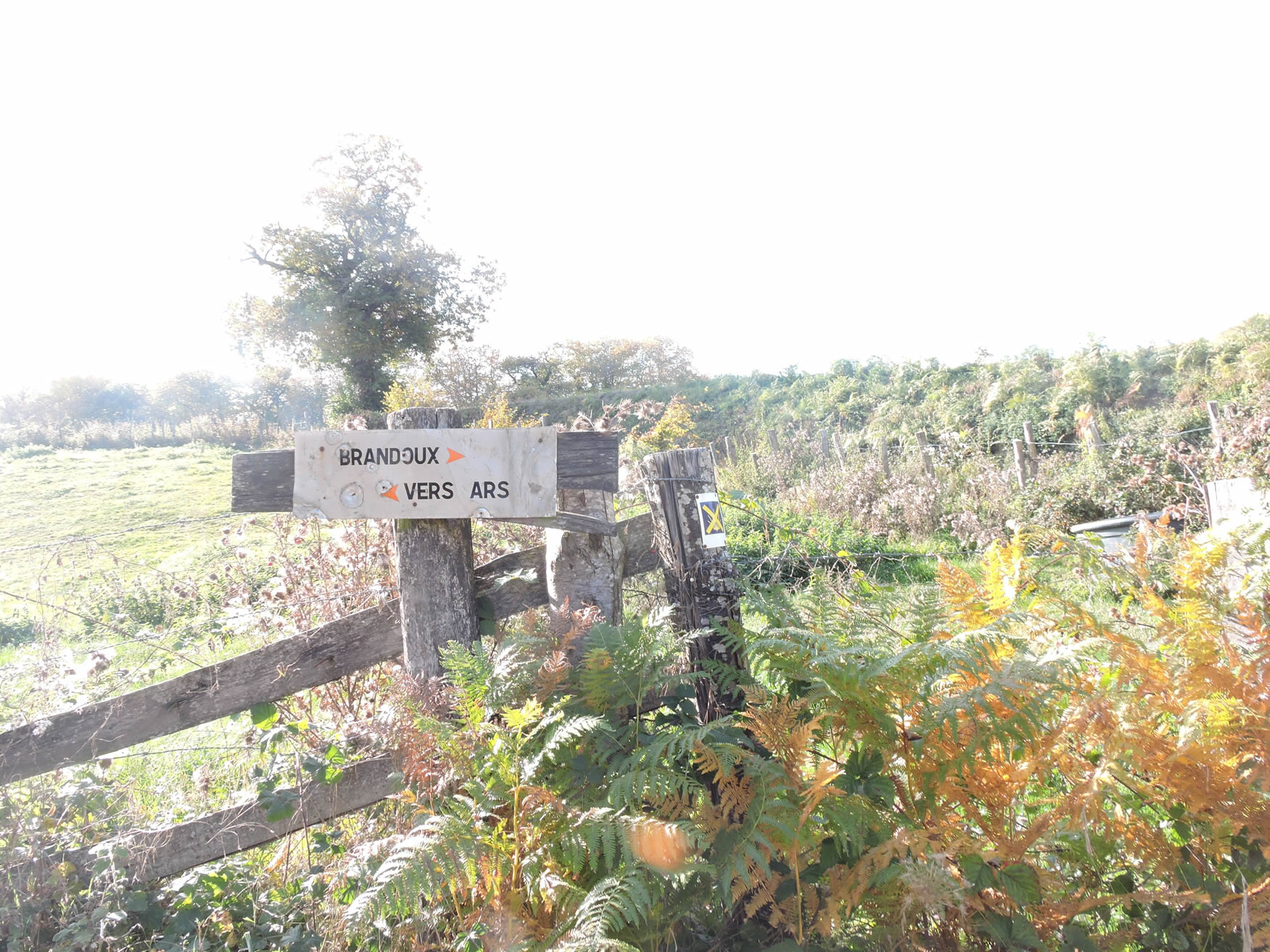
| Soon after, you reach a strategic fork in the road. The GR65 climbs a dirt path to the right, inviting hikers on a moderate ascent. Ahead, the road descends towards Ars. A dilemma arises here: the village of Pin no longer has the accommodations it once did. In the past, a welcoming inn provided refuge for travelers, but those days are gone. Descending to Ars presents the same issue. Moreover, you will need to return to Pin the next day to continue your journey. However, the route to Ars offers a visual reward: the chance to admire the stunning Lac de Paladru. |
 |
 |
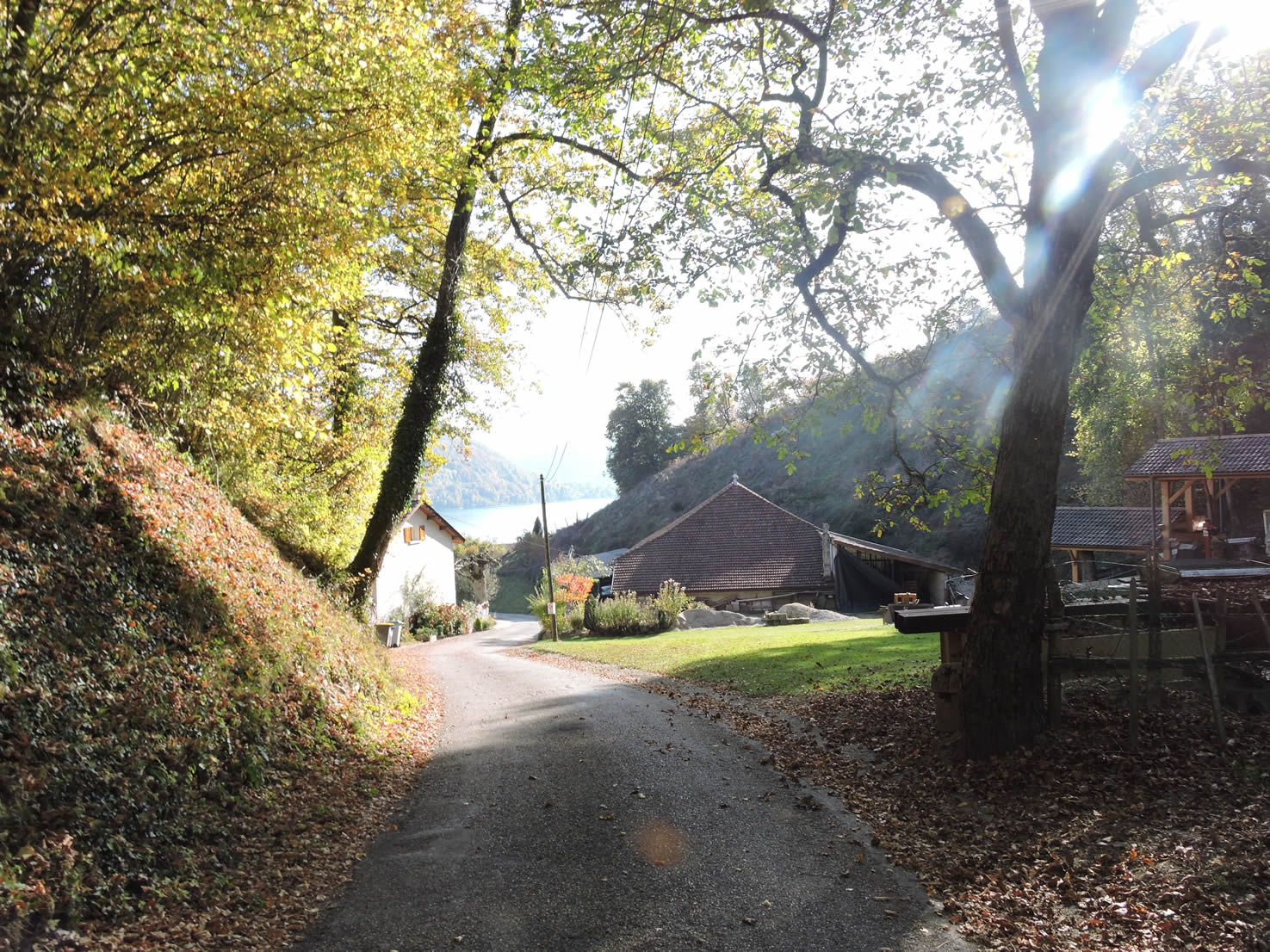
| Having traveled both routes at different times, we choose today the lake variant. A very steep road descends towards the lake, plunging quickly into a vertiginous drop. |
 |
 |
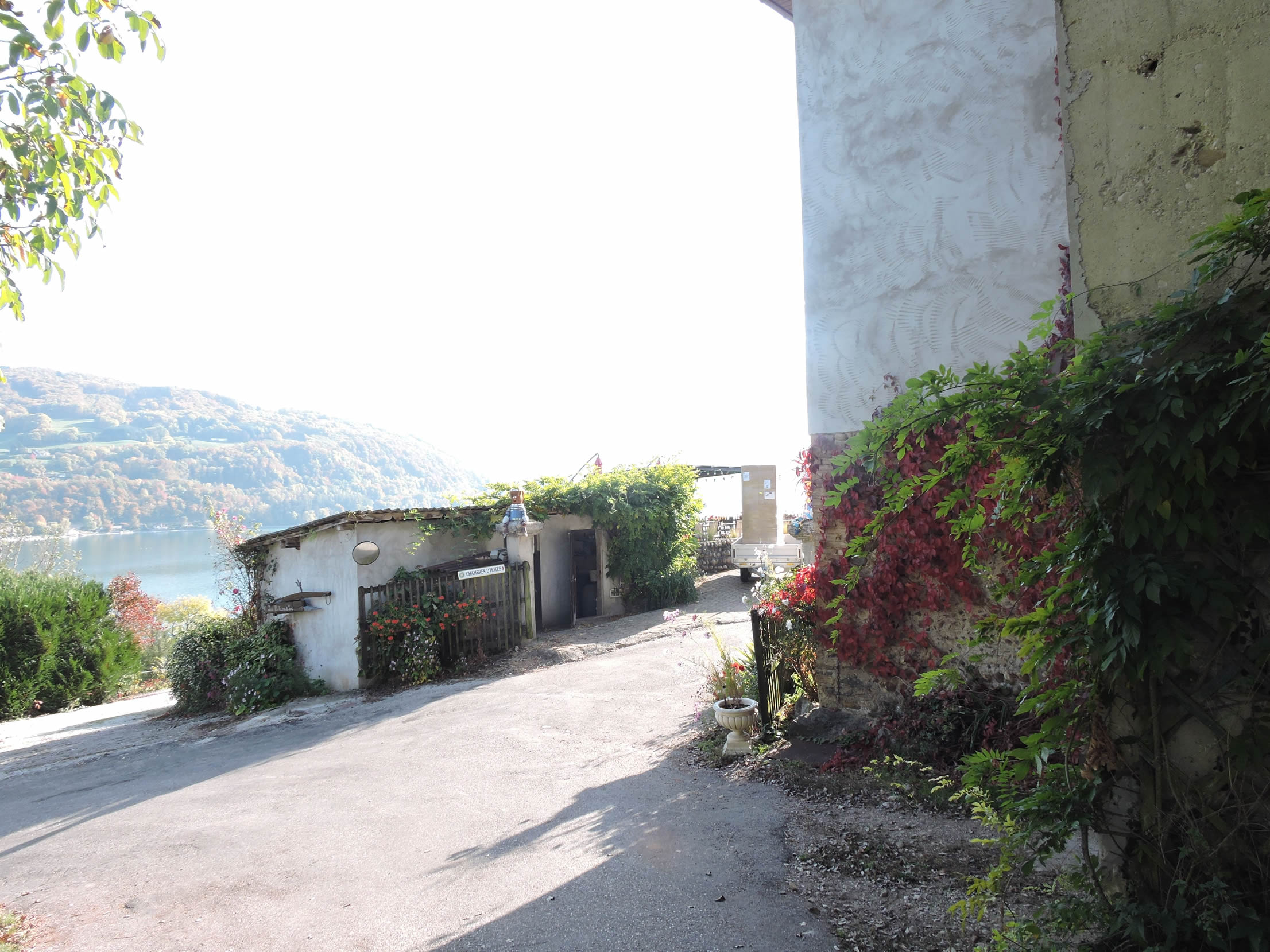
| The road quickly leads to the beautiful Lake Paladru, nicknamed the “blue lake” by locals for its crystal-clear waters reflecting the sky. This lake, almost private, is managed by the Lake Paladru company, which regulates access for residents, boaters, and navigation. Some areas, preserved and natural, remain inaccessible, adding a charming mystery to this place. More than a thousand residents live along its shores, in peaceful harmony between nature and civilization. |
 |
 |
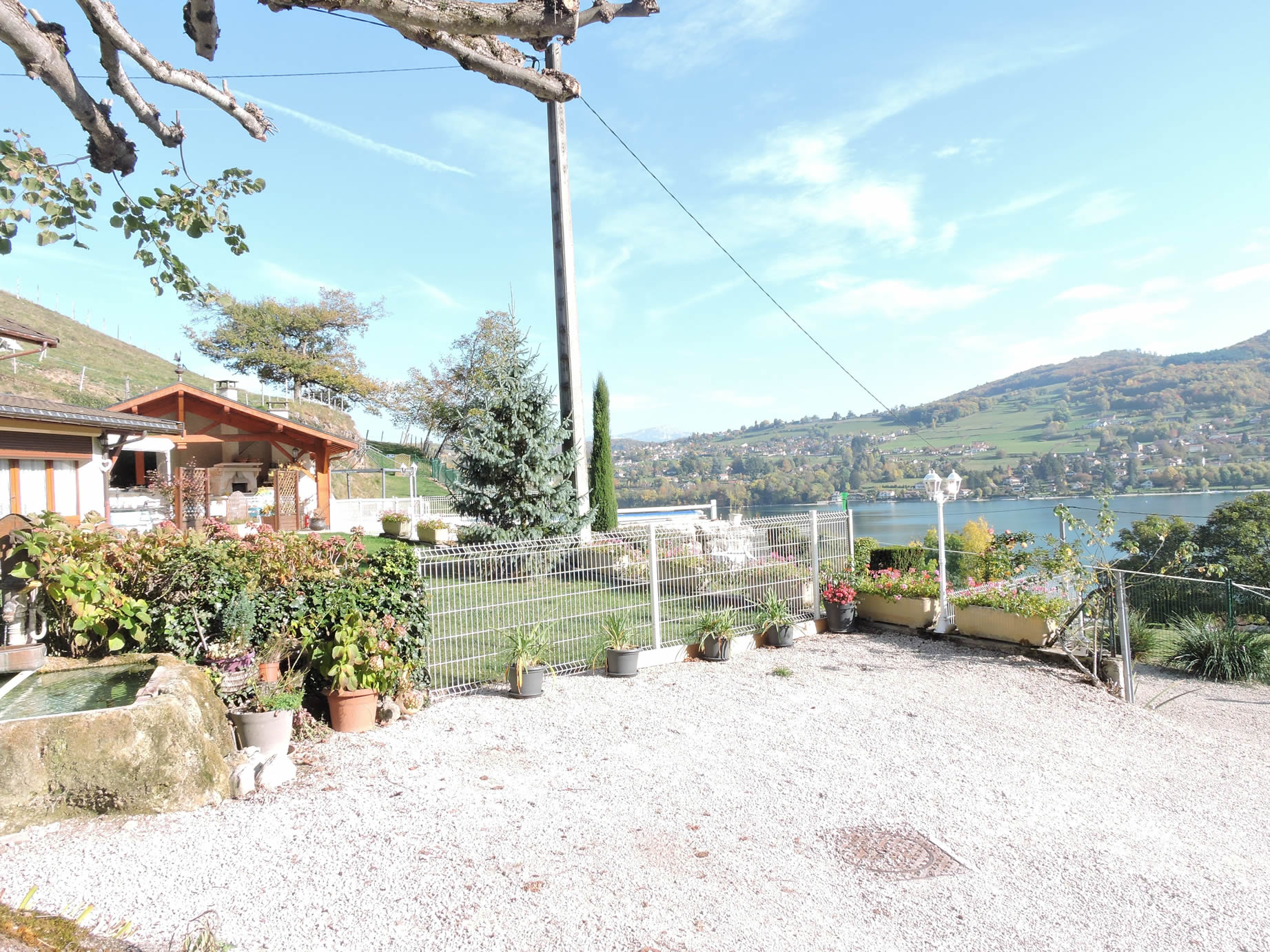
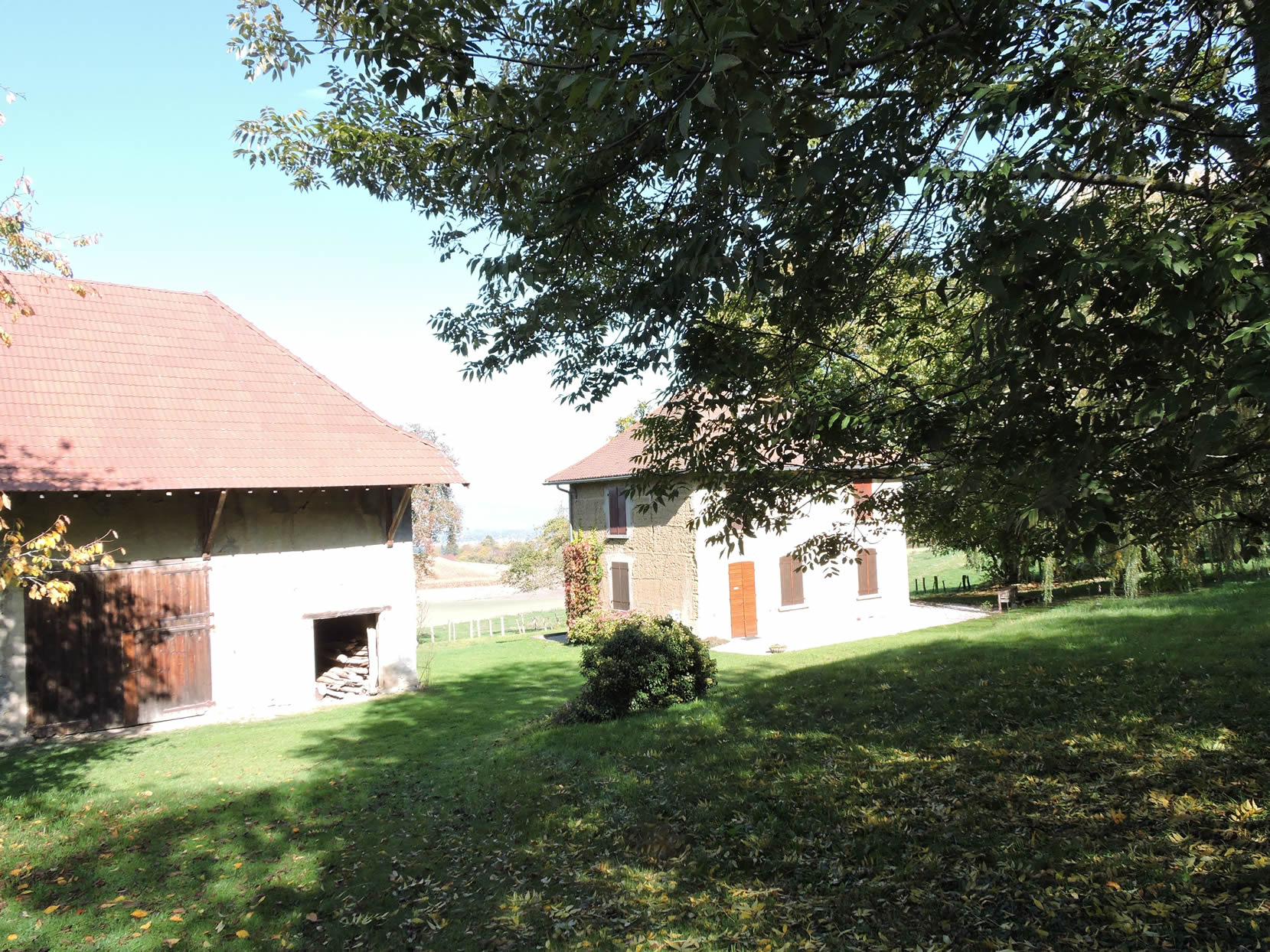
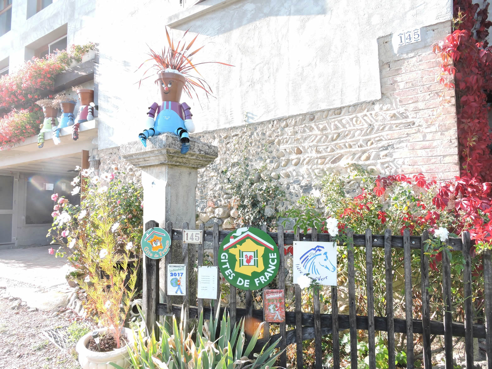
| You will then arrive at the Balcons du Lac, a welcoming house full of beds, run by warm-hearted retired farmers. Here, donkeys and alpacas live in harmony, adding a touch of magic to this peaceful haven where serenity reigns. |
 |
 |
Official accommodations on the Via Gebennensis
- Accueil randonneur Mauchamp, 30 Rue Victor Hugo, Les Abrets; 06 99 08 83 37/ 05 76 55 42 32; Gîte, dinner, breakfast
- Cntre AMATA, 99 Chemin de Brézin, Valencogne; 04 37 05 29 33; Guestroom, dinner, breakfast
- Les Balcons du Lac, Ars, Lac Paladru; 04 76 06 64 00/04 76 06 68 82; Guestroom, dinner, breakfast
- L’Echo Pin, Le Pin; 06 75 9770 32; Guestroom, breakfast
Pilgrim hospitality/Accueils jacquaires (see introduction)
- Romagnieu (1)
- Les Abrets (1)
- Valencogne (3)
If one takes inventory of the accommodations, lodging presents a serious problem on this stage if you go all the way to the end, with one accommodation at Lake Paladru and another at Le Pin. Certainly, there are plenty of places to stay along the route, outside the path, in Charencieu near Les Abrets, on the outskirts of St Ondras, or at the end of Lac de Paladru, in Charavines. Restaurants in Les Abrets, Valencogne, and Le Pin. For more details, the guide of the Friends of Compostela keeps a record of all these addresses, as well as bars, restaurants, or bakeries along the route, and outside of it.
Feel free to add comments. This is often how you move up the Google hierarchy, and how more pilgrims will have access to the site.
|
 |
Next stage : Stage 7: From Lake Paladru to La Croix-St André |
|
 |
Back to menu |