
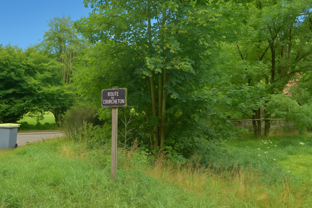
The race with the TGV
DIDIER HEUMANN, ANDREAS PAPASAVVAS
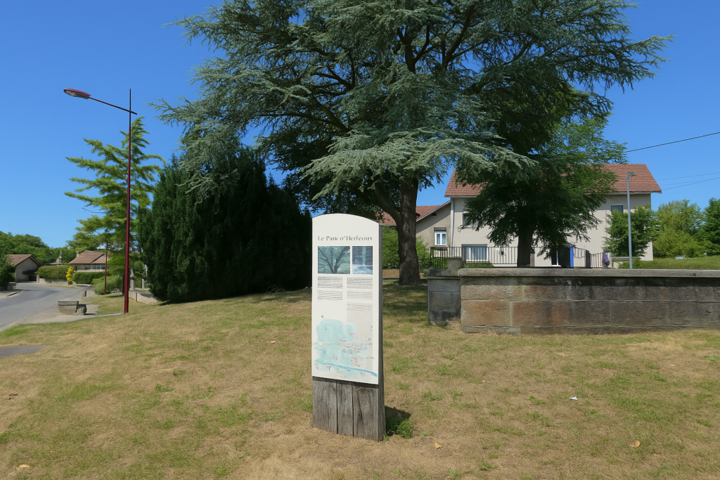
We divided the course into several sections to make it easier to see. For each section, the maps show the course, the slopes found on the course, and the state of the route (paved or dirt roads). The courses were drawn on the « Wikilocs » platform. Today, it is no longer necessary to walk around with detailed maps in your pocket or bag. If you have a mobile phone or tablet, you can easily follow routes live.
For this stage, here is the link:
| This is obviously not the case for all pilgrims, who may not feel comfortable reading GPS tracks and routes on a mobile phone, and there are still many places without an Internet connection. For this reason, you can find on Amazon a book that covers this route.
If you only want to consult lodging of the stage, go directly to the bottom of the page. |
 |
|
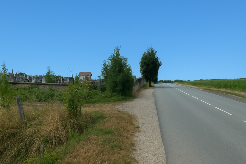
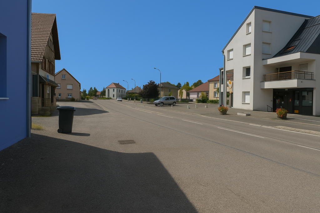
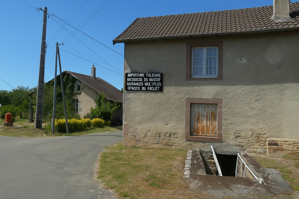
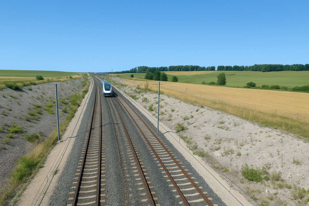
The Rhine–Rhône high-speed line stands as a first in French railway history: it is the very first TGV line designed not to radiate out from Paris, but to link two provinces, almost in secret, as if it had managed to sidestep the centre of the world. For once, it is not the capital that alone decides the route to follow, but rather a desire to open toward the East, toward northern Switzerland, toward the Rhineland in Germany, and also toward the flows of passengers and goods rising from the Mediterranean to Alsace. The project, broad and ambitious, is structured in three branches: an eastern branch, already begun; a western branch, awaiting realization; and a southern branch, still only hypothetical.
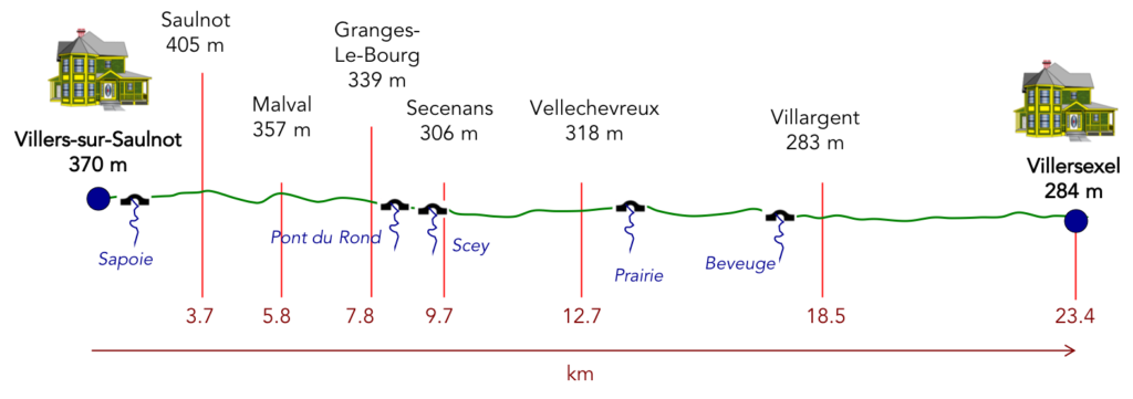
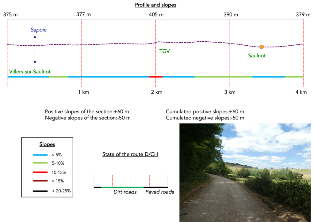
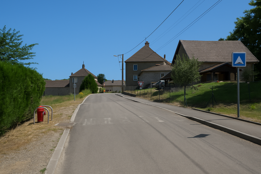
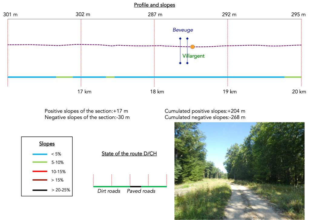
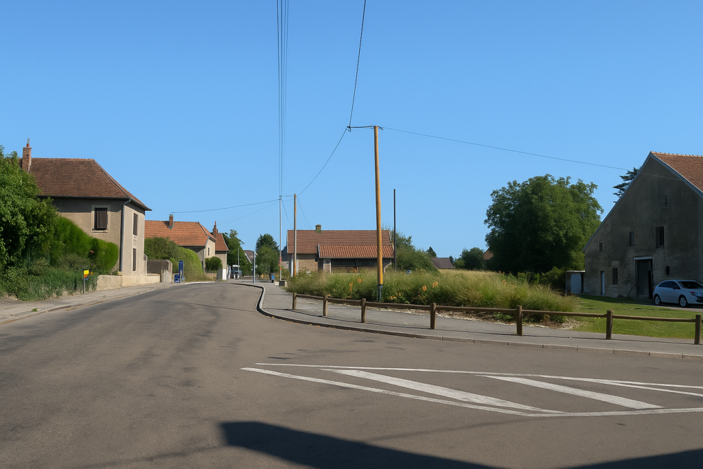
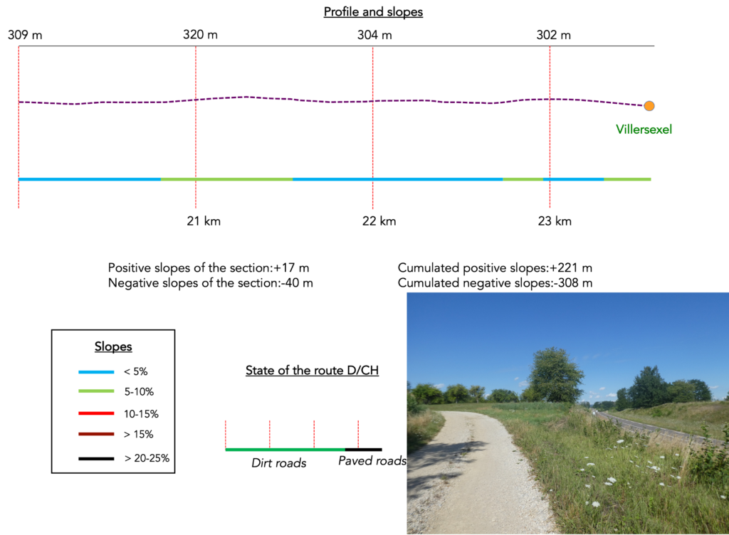
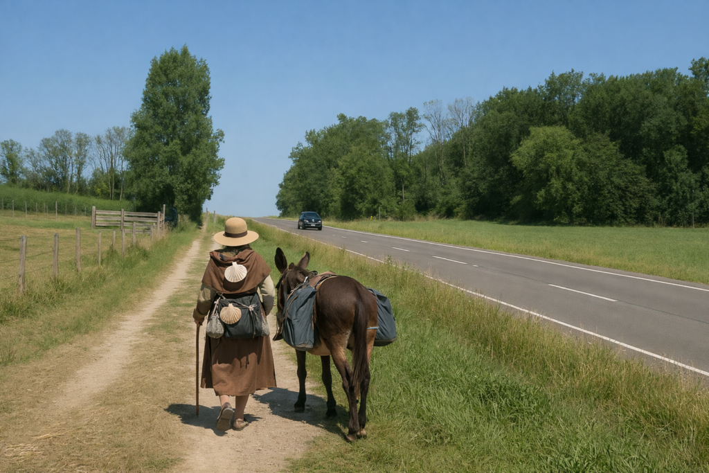
But this vast plan has a price, and not only in euros. The staggering cost of the project led decision-makers, driven by a cold pragmatism, to prioritize construction of the eastern branch, the most profitable one. It serves as the backbone, the spinal column, while waiting for the rest of the skeleton to be assembled. It must be said that the prospects for economic cooperation with the major industrial and technological hubs of Germany and Switzerland are more than attractive. As for tourism… that is another matter. Who would come here by train, and to go where? Up the line, you are still 35 kilometers from Dijon, 20 kilometers from Dole, far from any lively center. The TGV does stop at Besançon and Montbéliard, but these are not central stations: the traveller must finish the journey on foot, by taxi, or on horseback, for lack of a tram or bus. One would think that the engineers of the high-speed lines, perched in their towers in Paris, had never set foot on the land they crisscross with their authoritarian routes . This project, like an unfinished promise, regularly resurfaces. Its first phase was completed in 2011. Since then, the second has been announced, postponed, redrawn: it is supposed to add fifteen kilometers toward Dijon to the west, and thirty-five kilometers toward Lutterbach to the east, on the outskirts of Mulhouse. The construction start date had been set for 2014. Postponed. Reassessed. In 2019, the Minister of Transport, Élisabeth Borne, solemnly promised: the line will be completed by 2028. One smiles. There are promises that fade away with the drizzle. In the meantime, a few regional trains still provide connections between Belfort, Vesoul, Montbéliard, Dole, and Besançon. They do exist, of course. But they remain invisible to the walker: never does a railway line break the horizon of your hike. And with good reason. The French designers of the Way of Compostela deliberately avoided towns, villages, places of transit. They drew solitary, rural, intimate lines of escape. Their creed seems to be that of the integrity of the path — a single-breath pilgrimage, without interruption, without turning back. But the walkers of the 21st century are not those of the Middle Ages. Many of them divide their journey into sections, come back, start again. And for them, returning to the starting point becomes a puzzle, a challenge sometimes more difficult than the stage itself. One must, after all, pass somewhere, find a way through the furrows of modernity. So today, between two rumblings of TGVs bursting forth like beasts of steel, you will have every opportunity to reflect on this strange railway geography conceived in Paris and applied here, in a countryside that at times seems drained of its soul. And yet, beyond the tracks and the fences, the forests remain, majestic, generous, unaltered. They alone still resist the furrows carved by humankind. How do pilgrims plan their route. Some imagine that it is enough to follow the signposting. But you will discover, to your cost, that the signposting is often inadequate. Others use guides available on the Internet, which are also often too basic. Others prefer GPS, provided they have imported the maps of the region onto their phones. Using this method, if you are an expert in GPS use, you will not get lost, even if the route proposed is sometimes not exactly the same as the one indicated by the shells. You will nevertheless arrive safely at the end of the stage. In this context, the site considered official is the European Route of the Ways of St. James of Compostela, https://camino-europe.eu/. For today’s stage, the map is accurate, but this is not always the case. With a GPS, it is even safer to use the Wikilocs maps that we make available, which describe the current marked route. However, not all pilgrims are experts in this type of walking, which to them distorts the spirit of the path. In that case, you can simply follow us and read along. Every difficult junction along the route has been indicated in order to prevent you from getting lost. Difficulty level: The elevation of the day is very moderate (+221 meters / -308 meters), which is generally true in Haute-Saône. Slopes of more than ten percent are rare, and the route rolls gently throughout the day.
Sometimes, for reasons of logistics or housing possibilities, these stages mix routes operated on different days, having passed several times on these routes. From then on, the skies, the rain, or the seasons can vary. But, generally this is not the case, and in fact this does not change the description of the course. It is very difficult to specify with certainty the incline of the slopes, whatever the system you use. For those seeking « true elevations » and enthusiasts of genuine altimetric challenges, carefully review the information on mileage at the beginning of the guide.
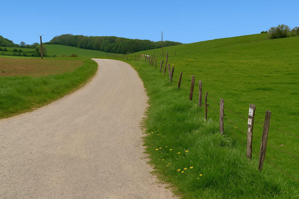
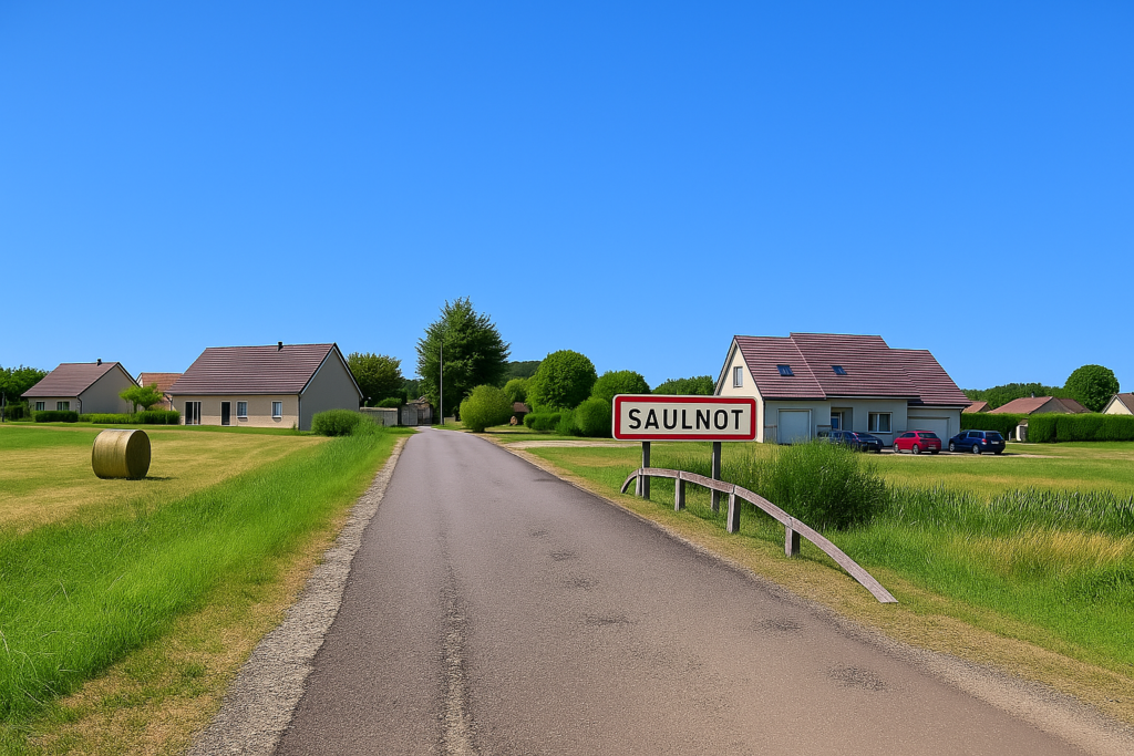
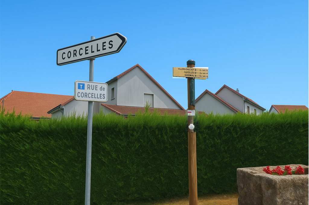
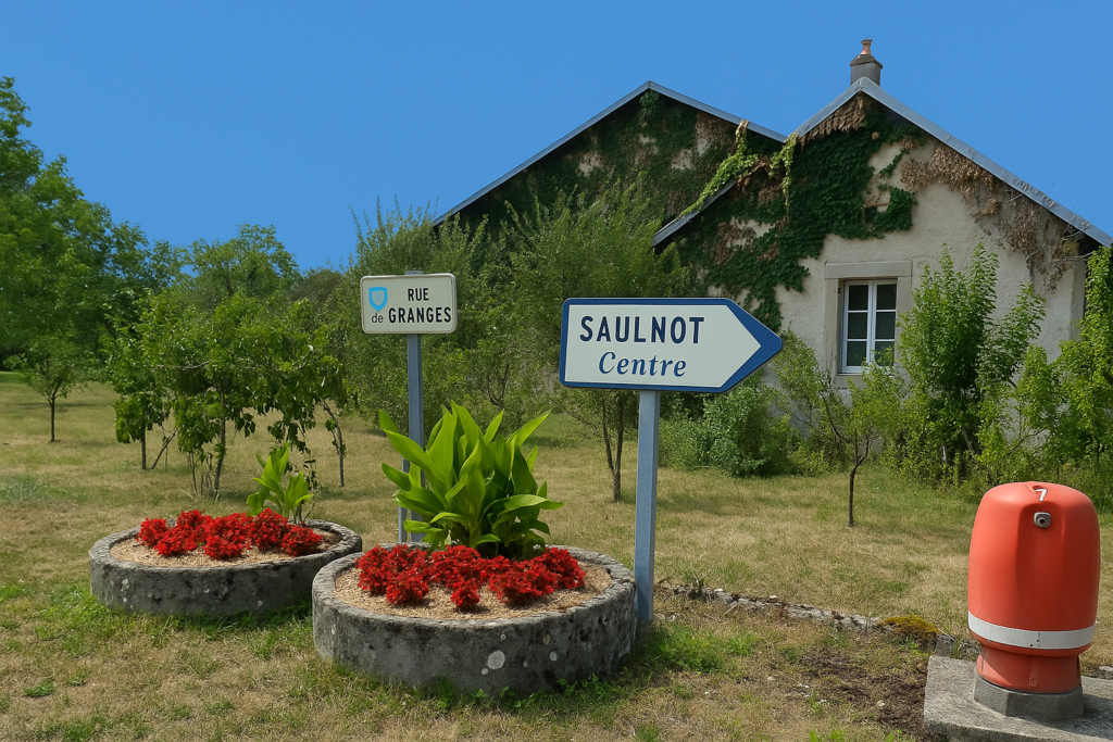
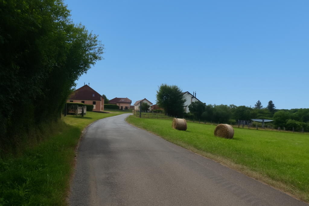
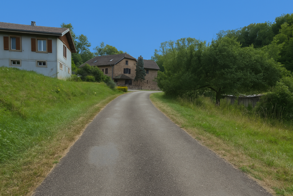
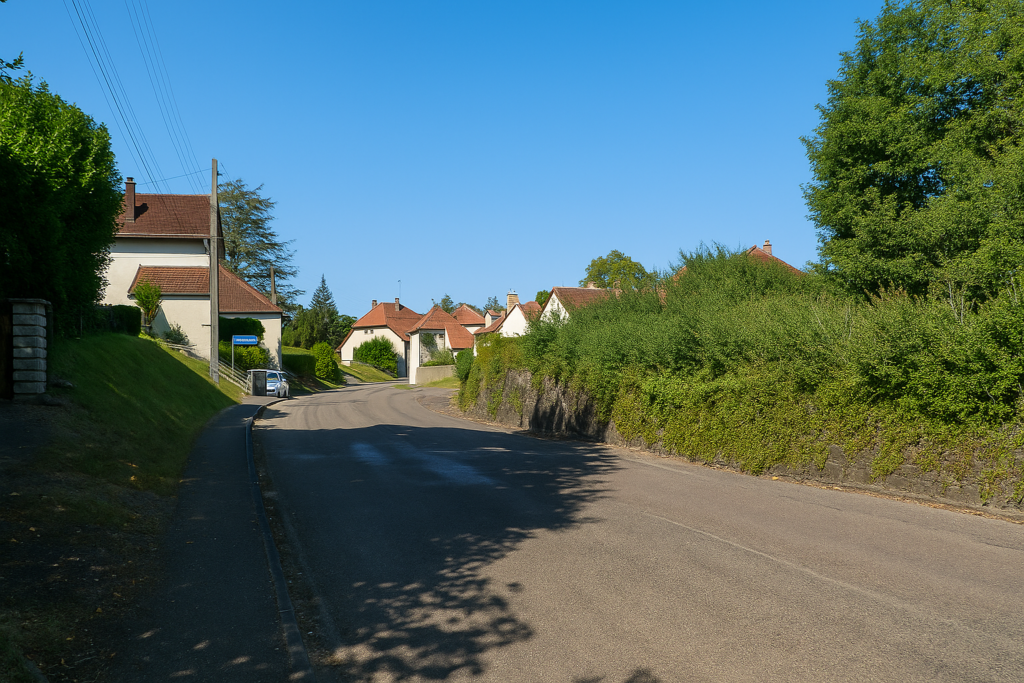
Section 1: Reaching Saulnot |
|||||||||||||||||||||

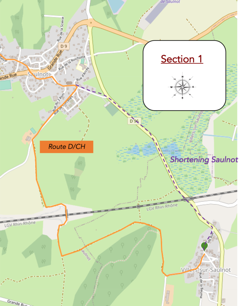
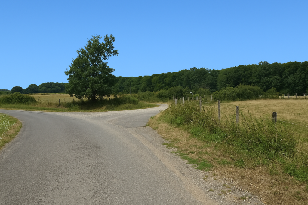
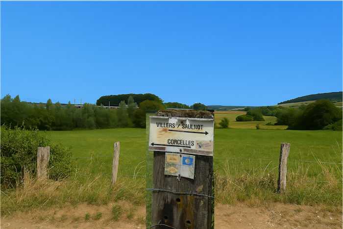
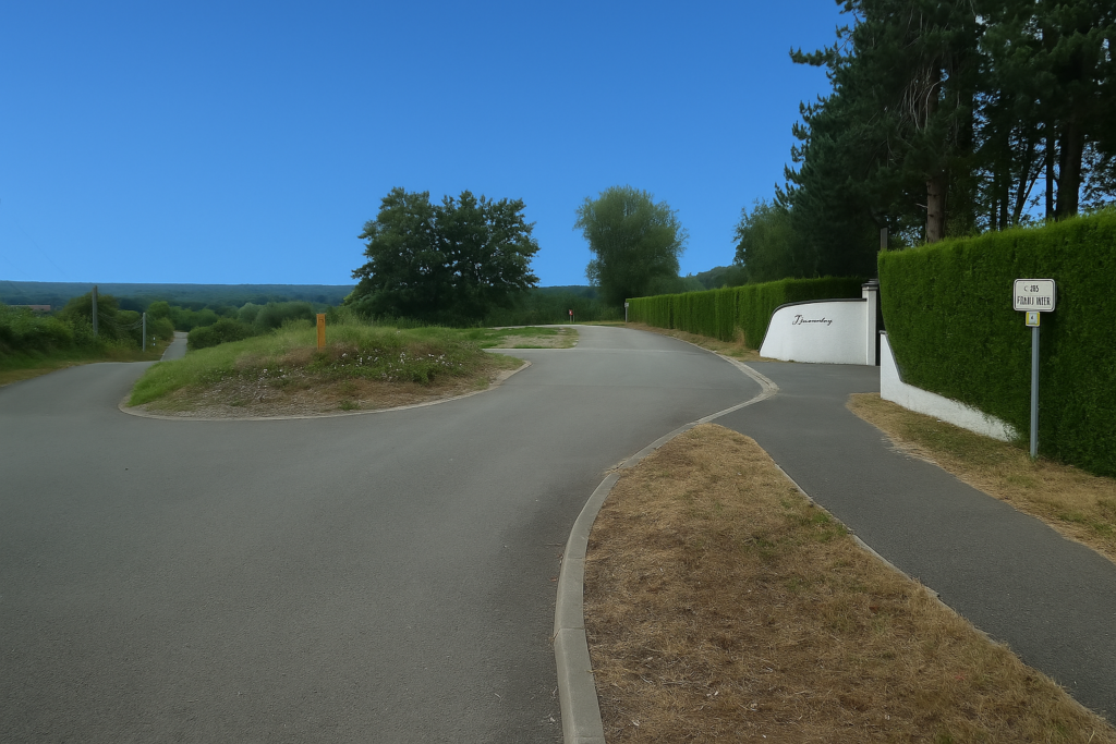
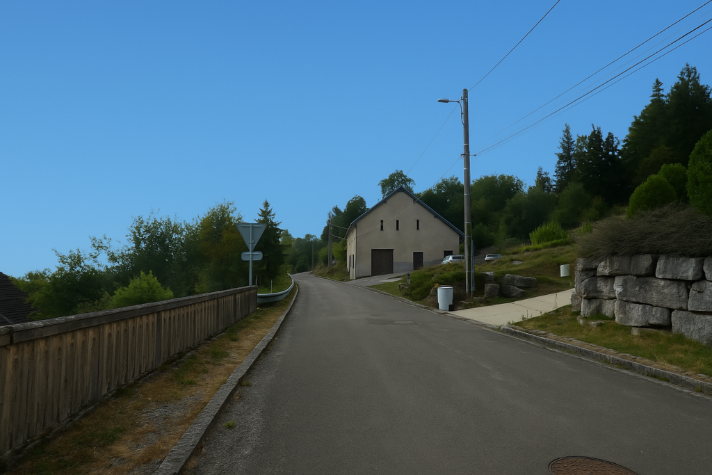
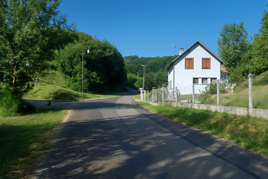
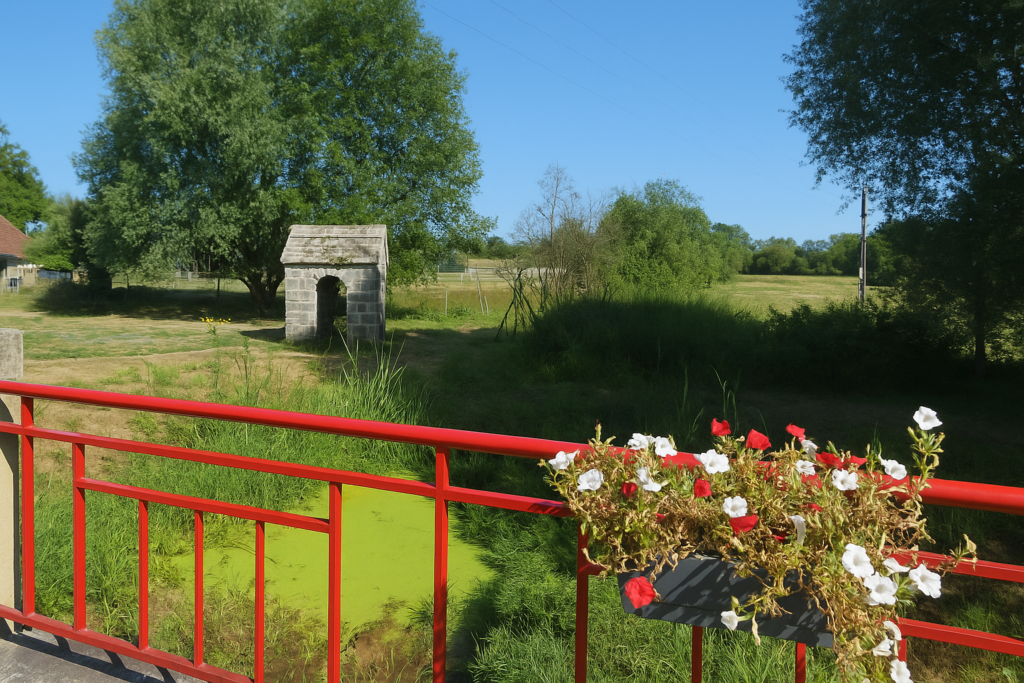
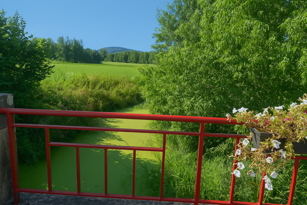
| If you spent the night in Villers-sur-Saulnot, two routes are open to you to reach Saulnot, very close by, tucked slightly higher up like a promise at the turn of the morning. The official itinerary, regularly waymarked, starts from the heart of the village and heads toward Corcelles. | |
 |
 |
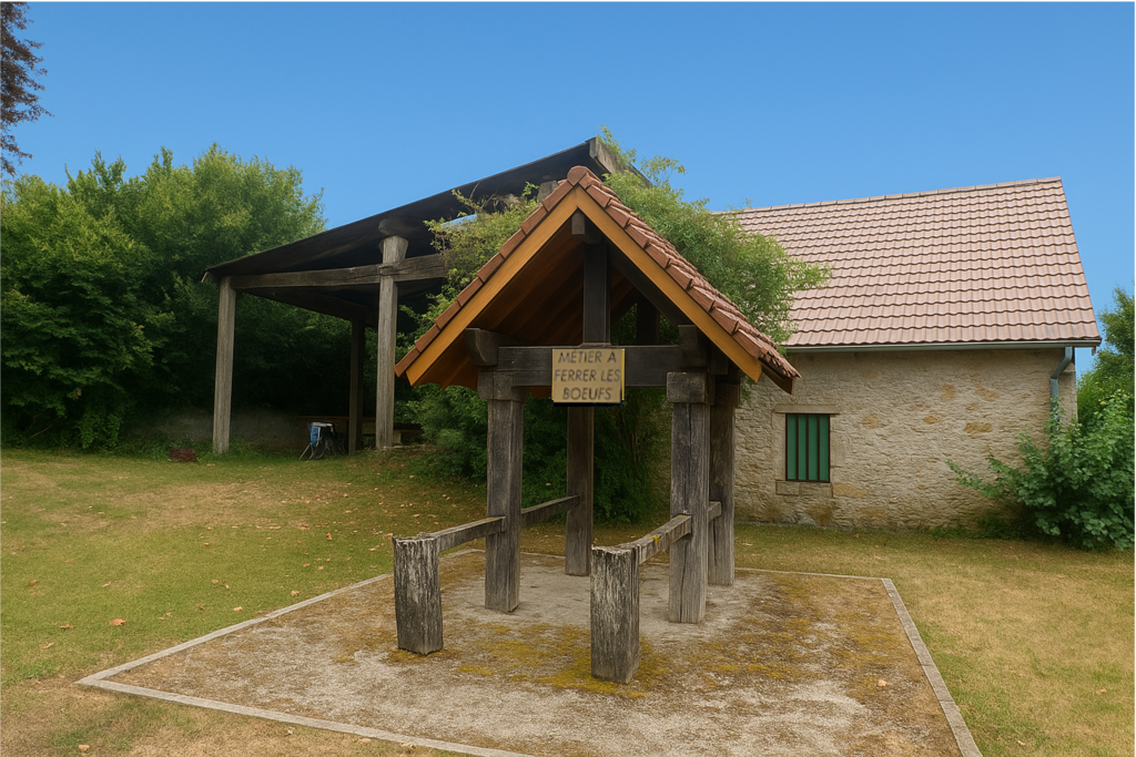
| Along the way, you will pass the ancient shoeing frame used for oxen, a strange remnant of another age, an instrument of constraint and pain for animals, more often encountered in Haute-Loire than here. | |
 |
 |
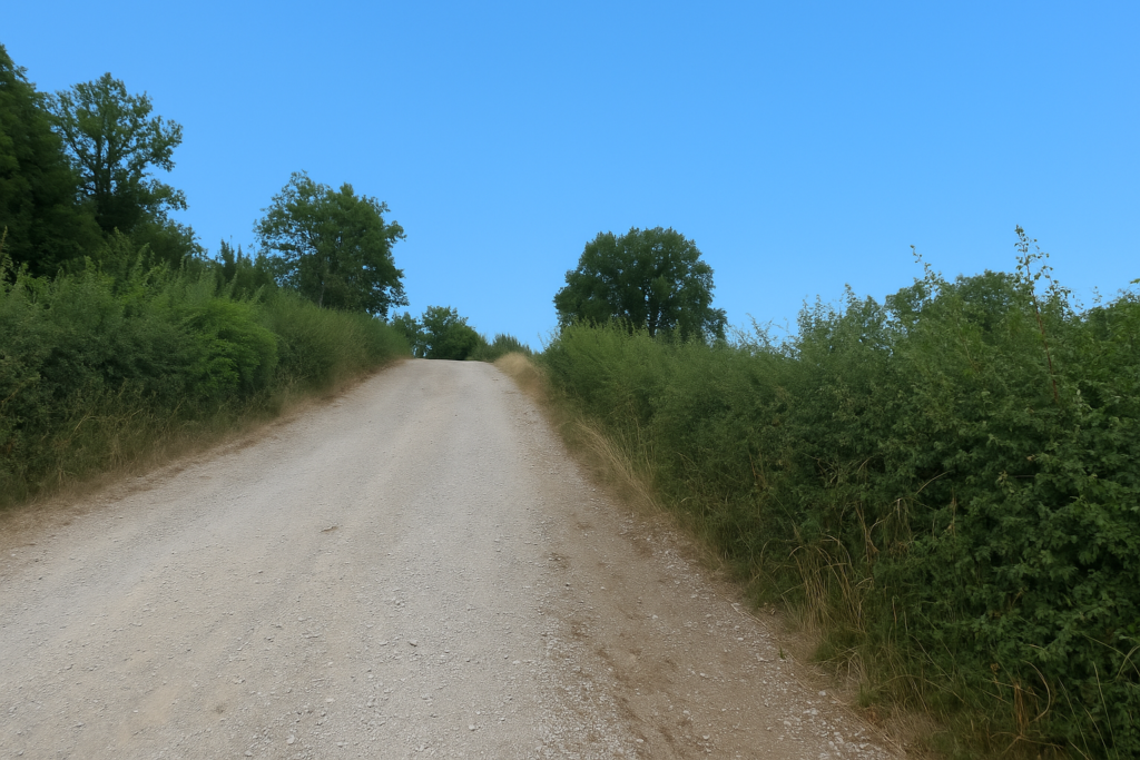
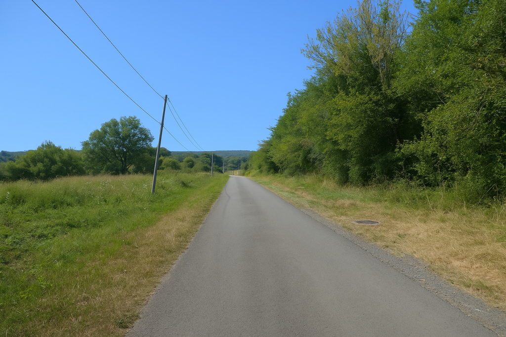
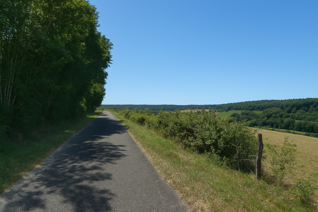
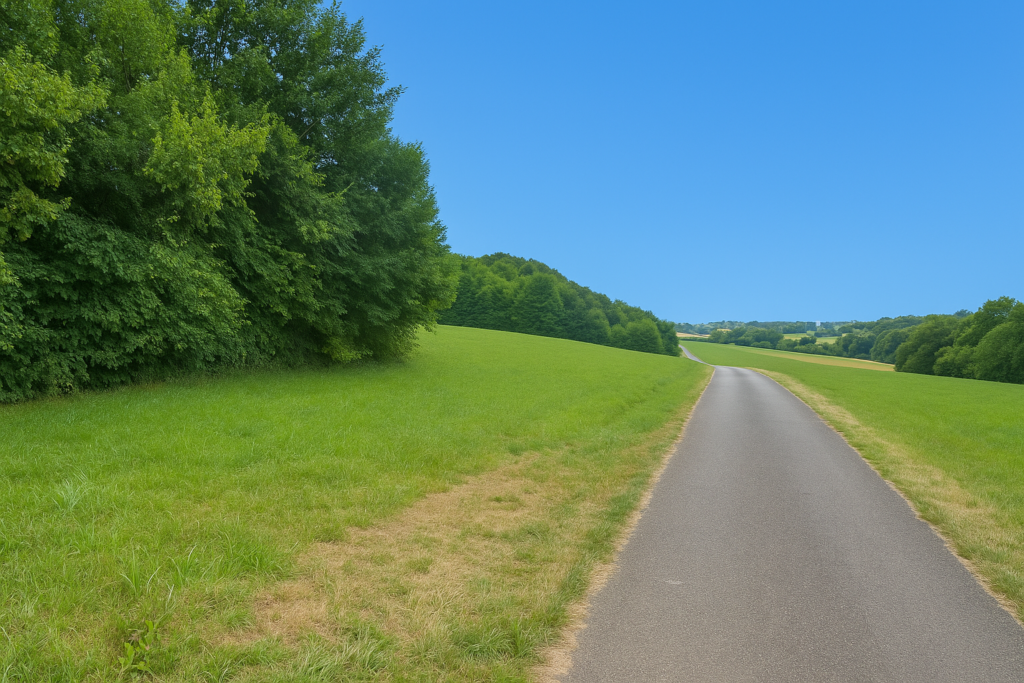
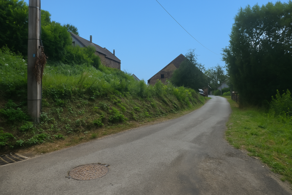
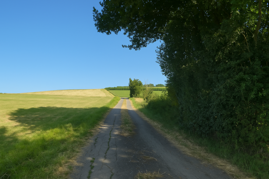
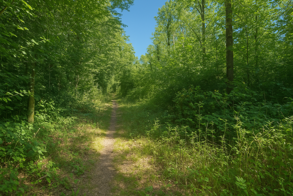
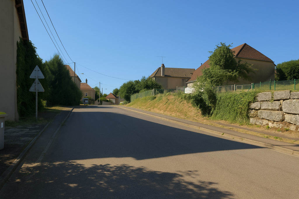
| Very soon, the road carries you beyond the last houses. The asphalt fades, and with it the noise of the world. Silence settles in. | |
 |
 |
| On the right, a dirt path takes over. At first it is discreet, almost hesitant, like a murmur in the grass, but little by little it asserts its line and its intention. | |
 |
 |
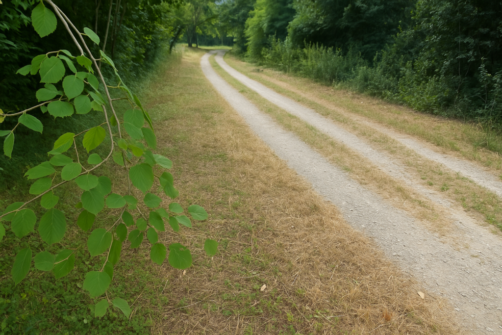
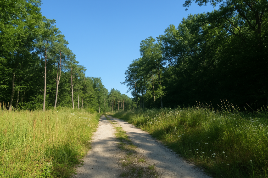
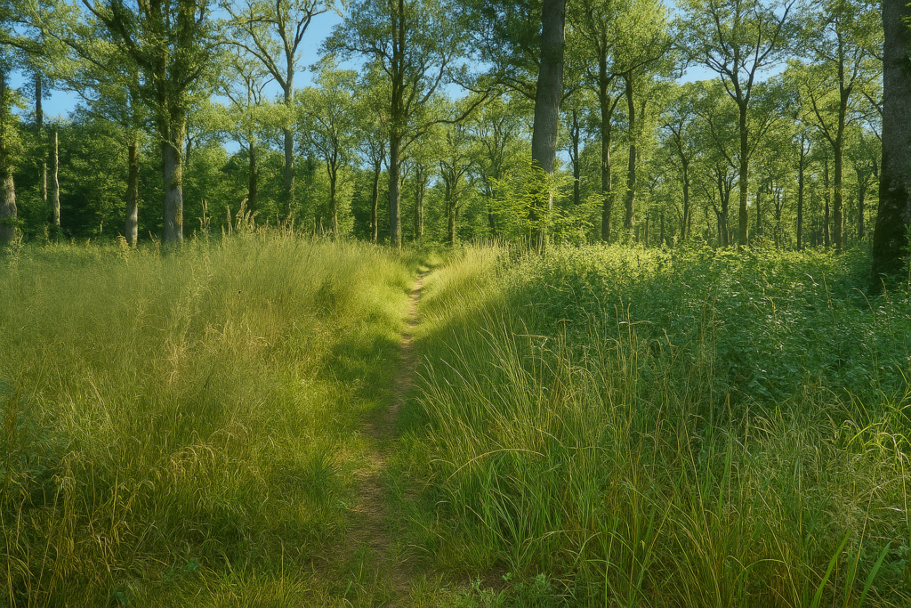
| It is a wide and peaceful way, almost pastoral, sloping up gently through the meadows. Your gaze rests easily there, soft lines, a modest slope, and higher up the hill that waits, a natural threshold toward a wider elsewhere. | |
 |
 |
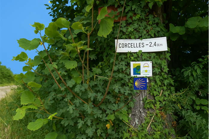
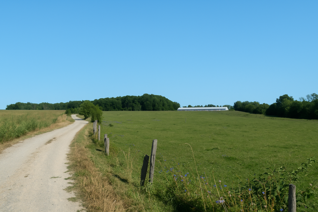
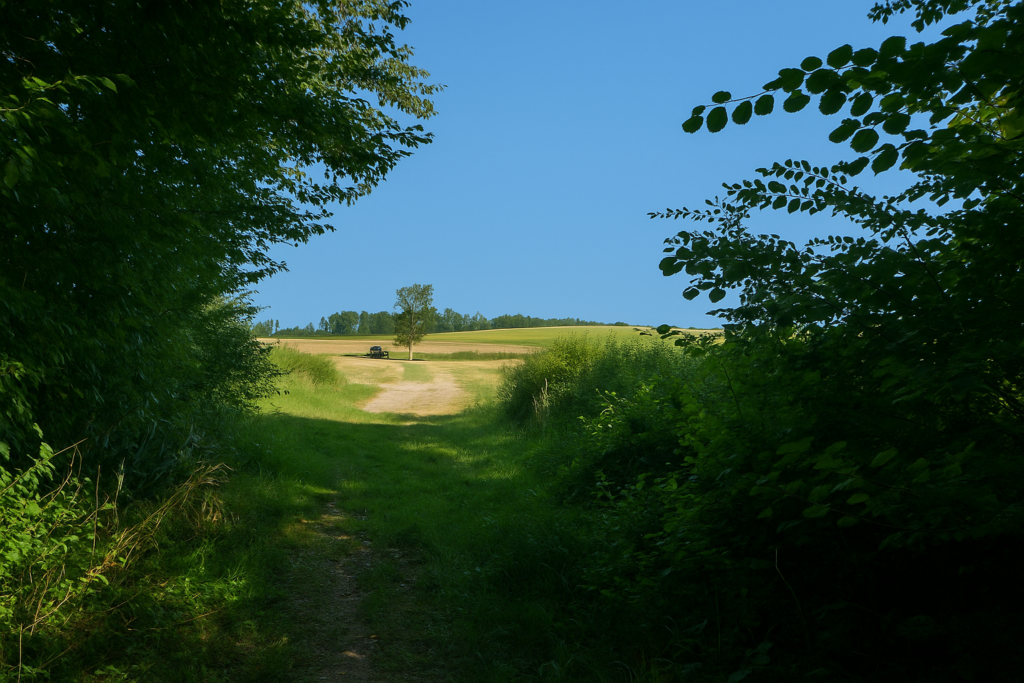
| Higher still, hidden behind a small copse of deciduous trees, the climb runs out of breath. At the top of the ramp, the village appears, calmly overlooking the land, while a sign indicates Corcelles at 2.4 kilometres. | |
 |
 |
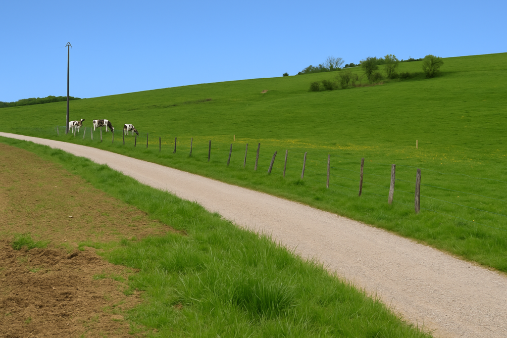
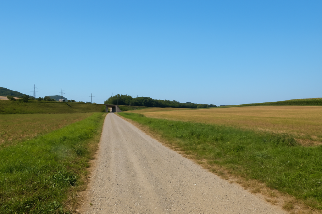
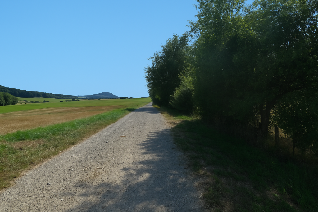
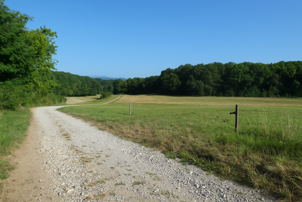
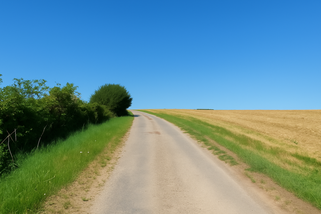
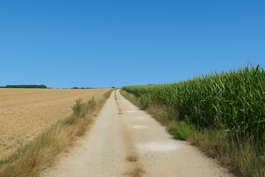
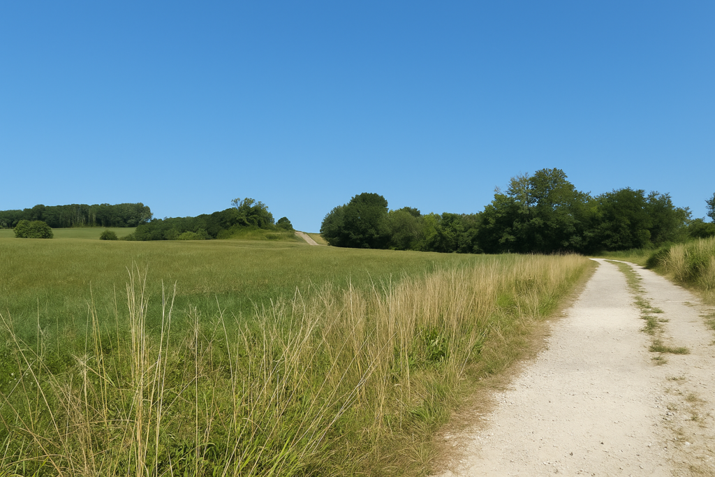
| The path then relaxes, catches its breath, and stretches out flat like a broad avenue of beaten earth running straight toward the railway line. | |
 |
 |
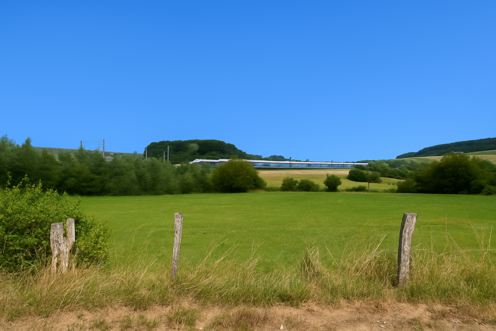
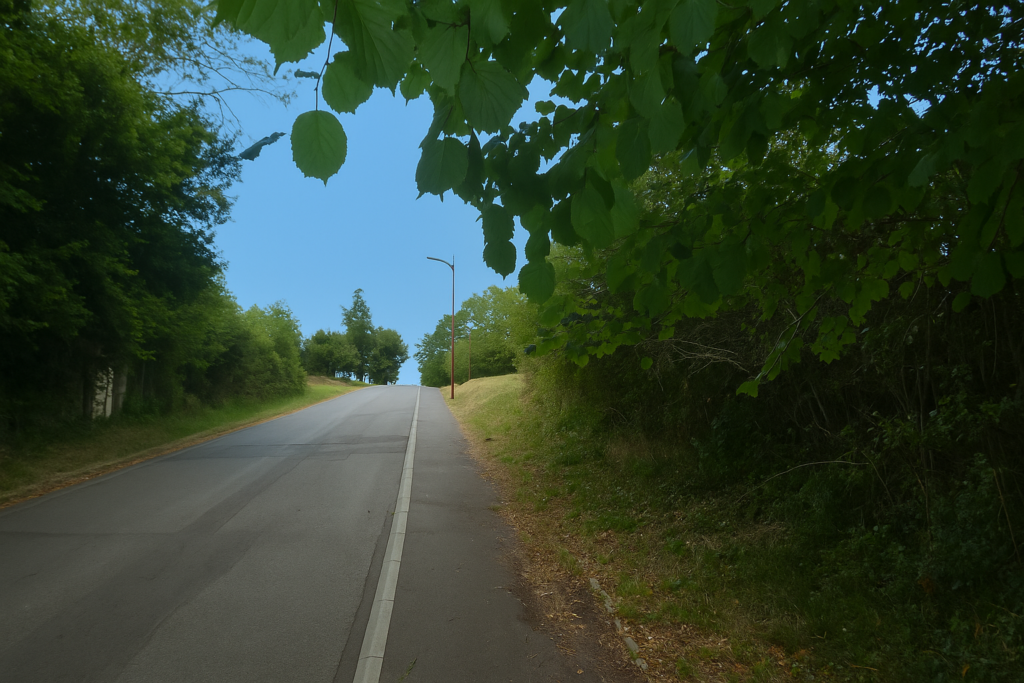
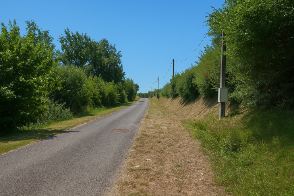
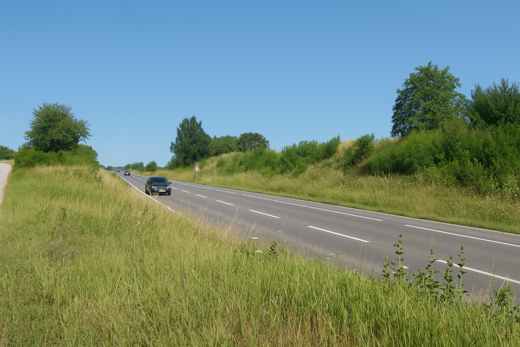
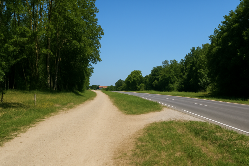
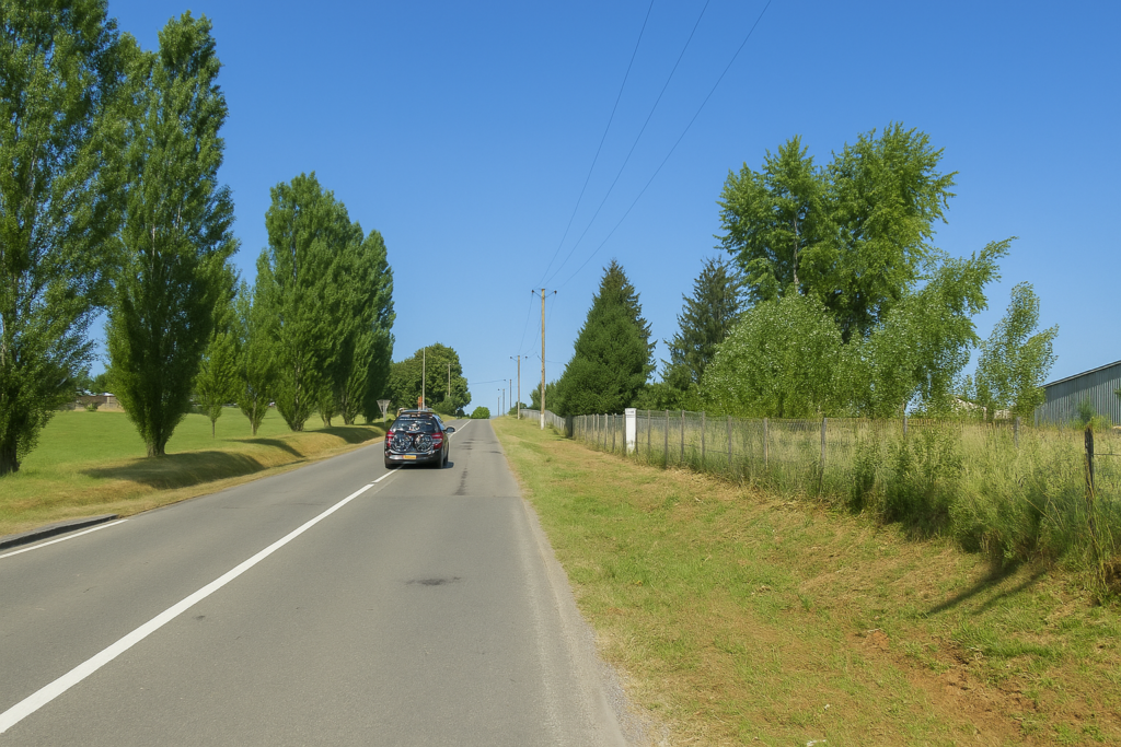
From time to time a high-speed train bursts past in a sudden roar, like a slap of steel and wind. You hear it before you see it, you see it before it vanishes. There is barely time to lift your eyes.
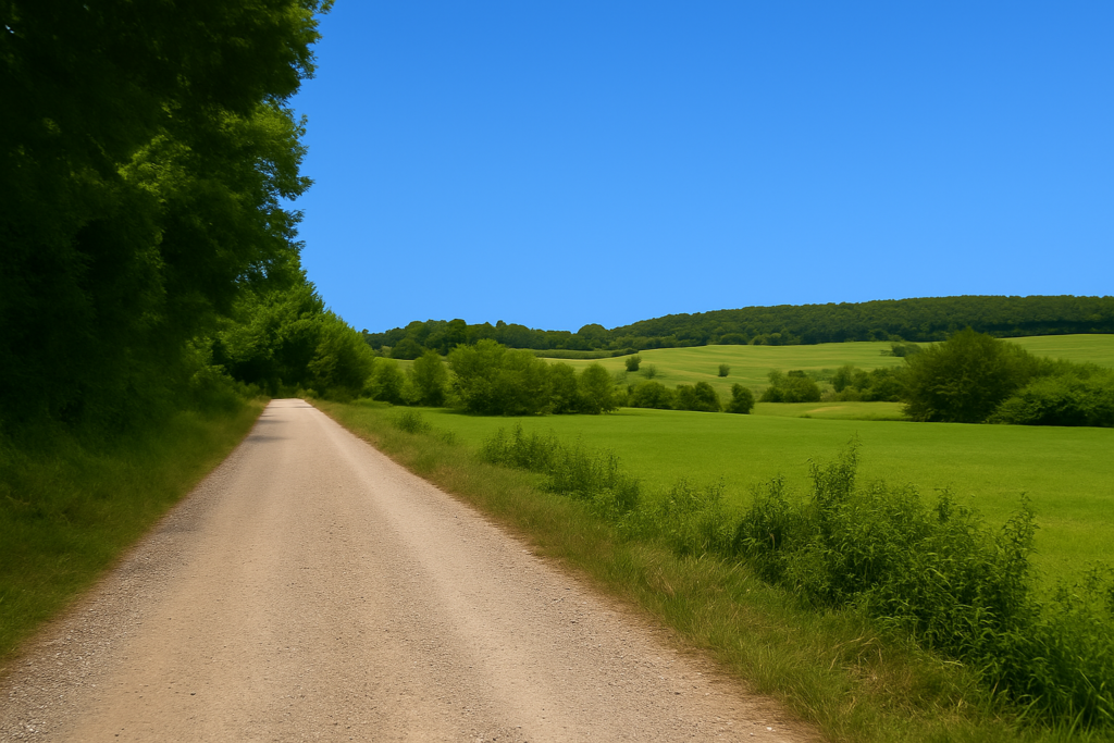
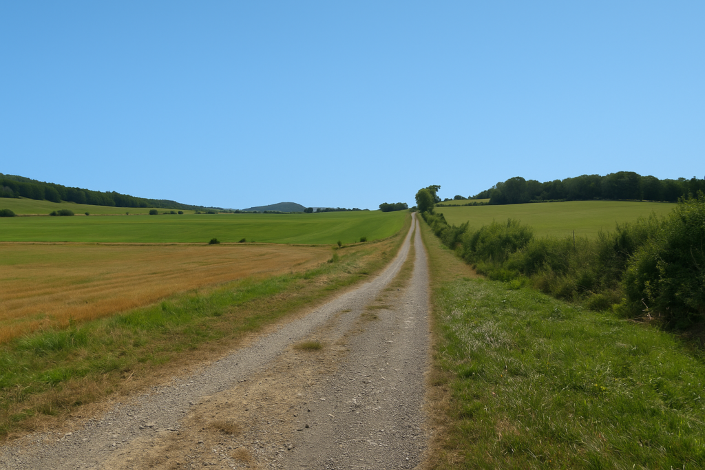
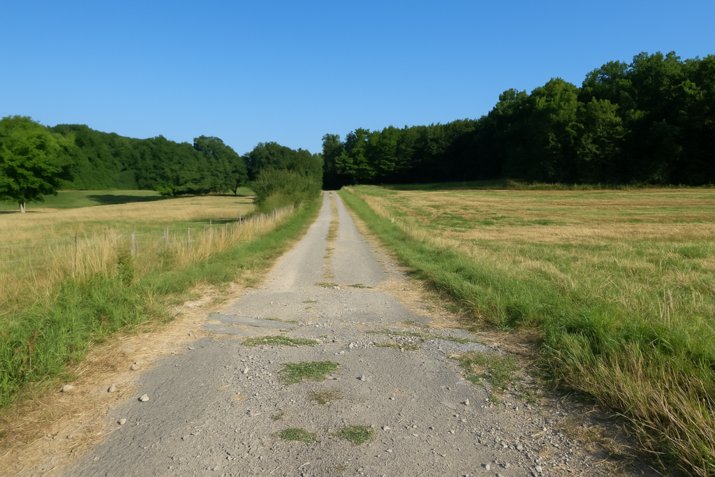
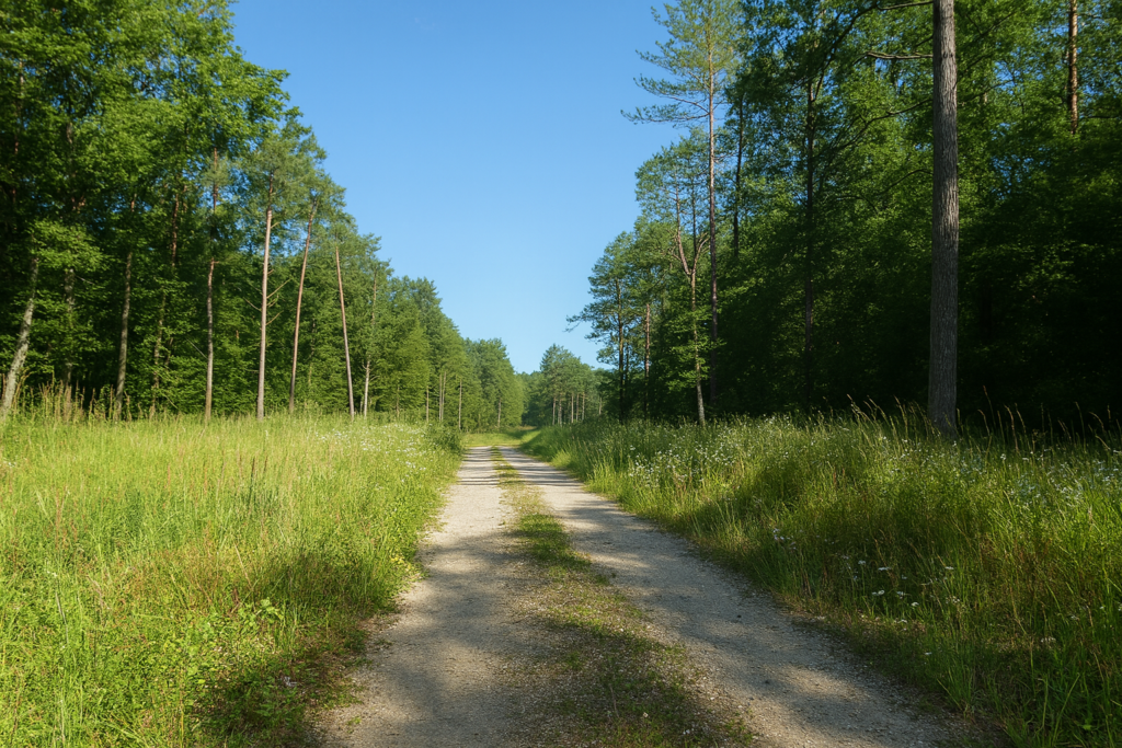
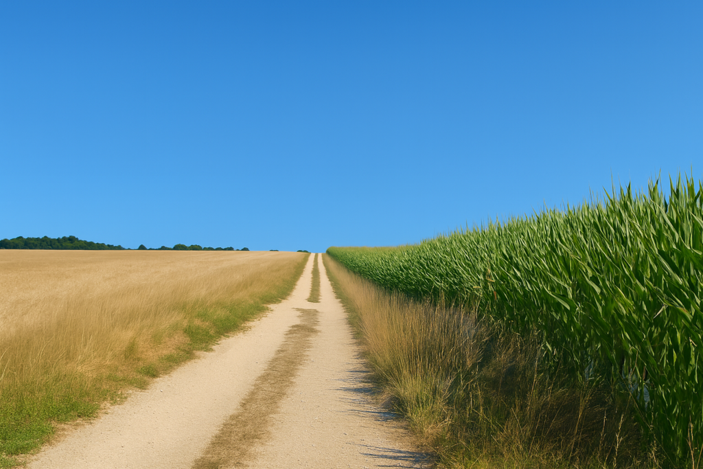
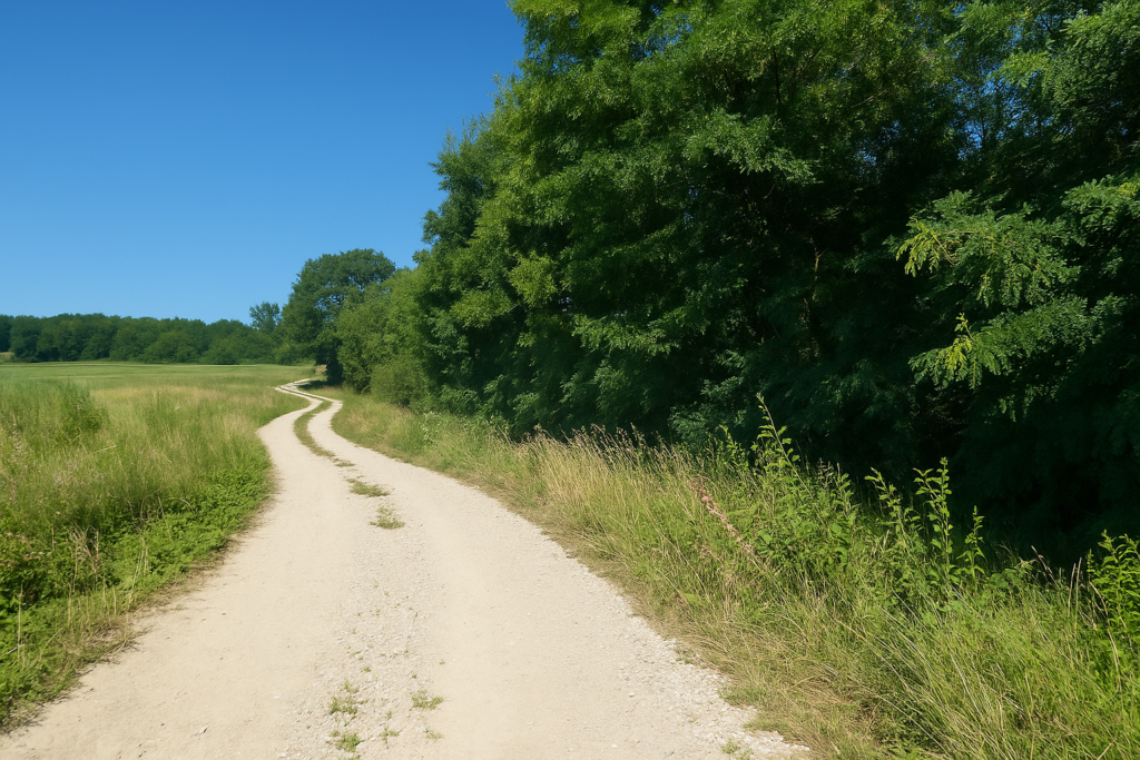
| The track continues through gentle countryside dotted with discreet groves. Your steps move forward without effort, carried by the evenness of the ground and the tranquillity of the place. | |
 |
 |
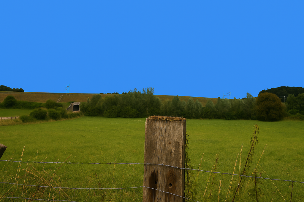
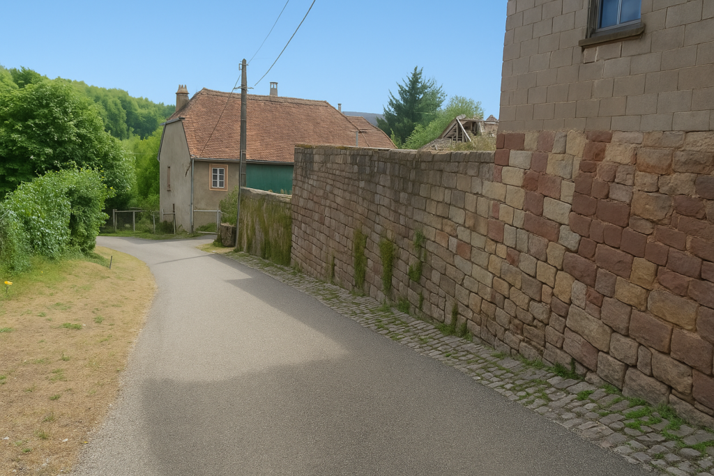
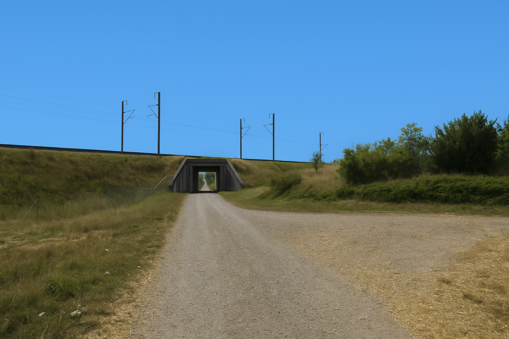
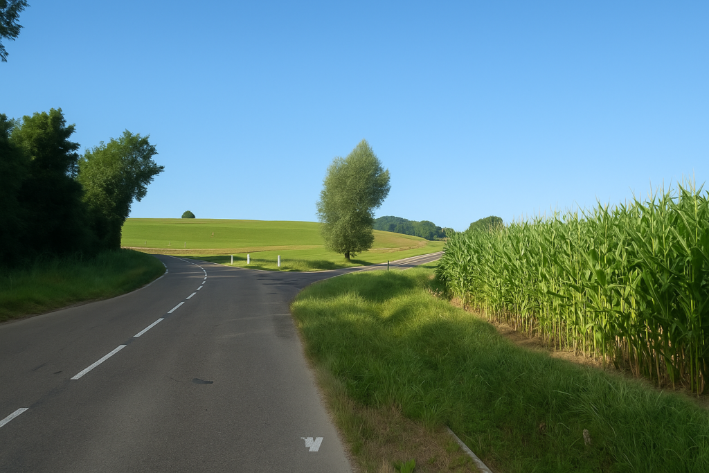
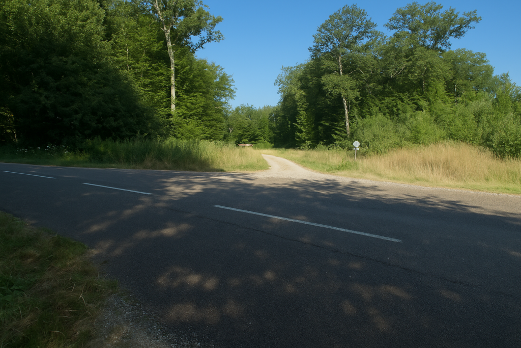
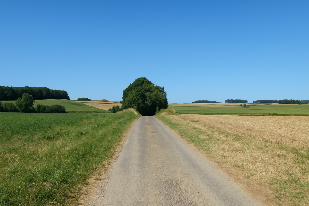
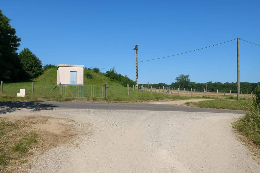
Farther on, the itinerary leaves the direction of Corcelles to skirt the side of the hill, passing under the railway line through a tunnel. At once the dirt path rears upward and the ascent begins.
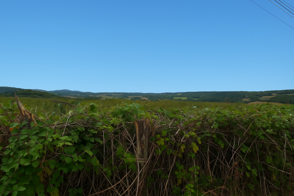
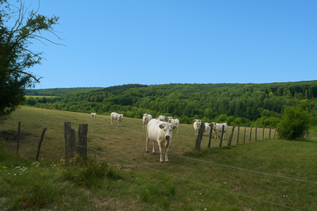
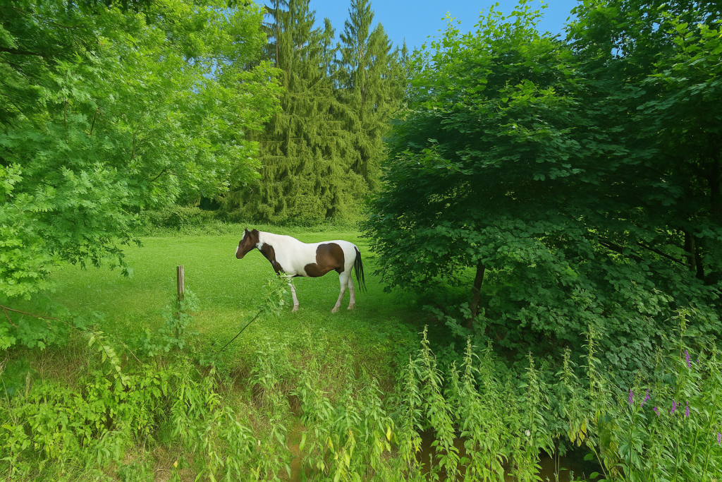
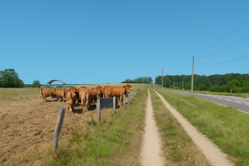
| Here there is nothing but meadows, without crops, populated by cows that ruminate slowly, indifferent to the walker’s passing. | |
 |
 |
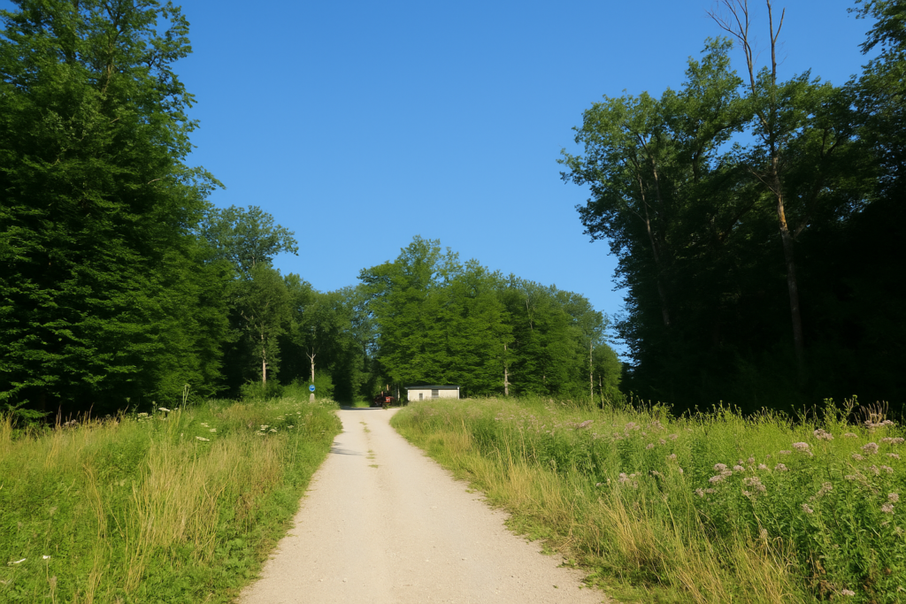
| A little farther again, the path ends and joins the road linking Corcelles to Saulnot. Very soon the route plunges into the village. | |
 |
 |
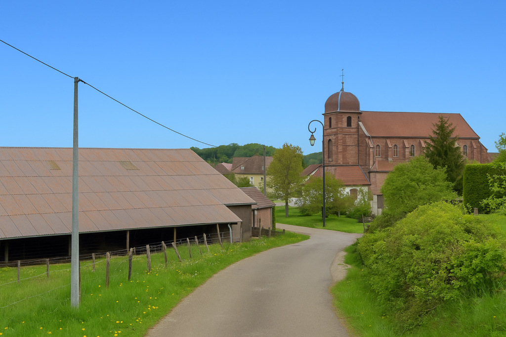
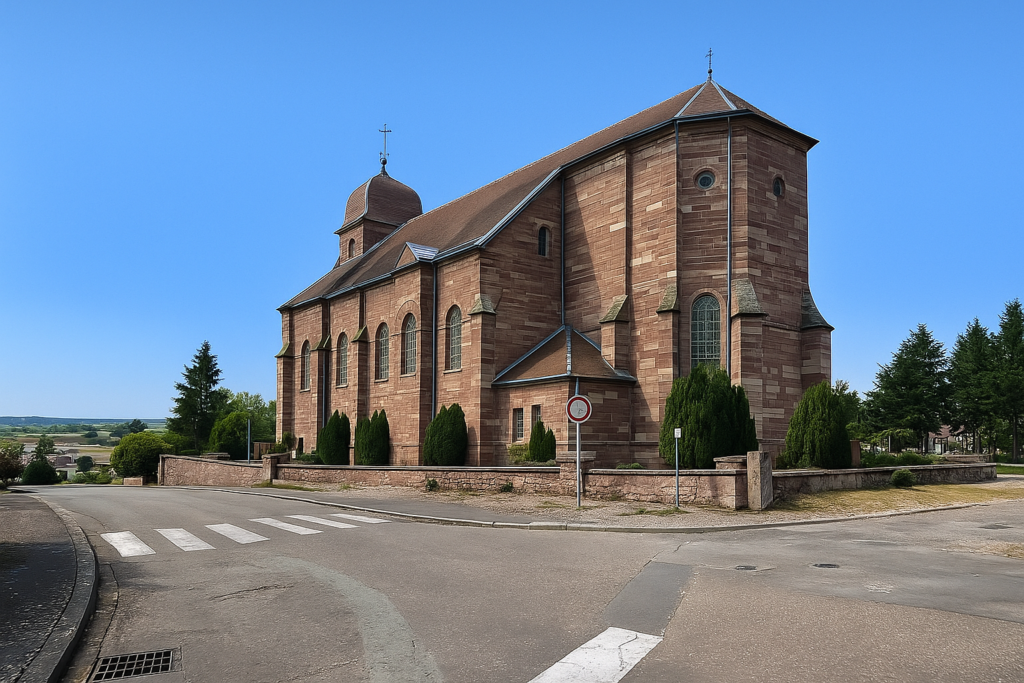
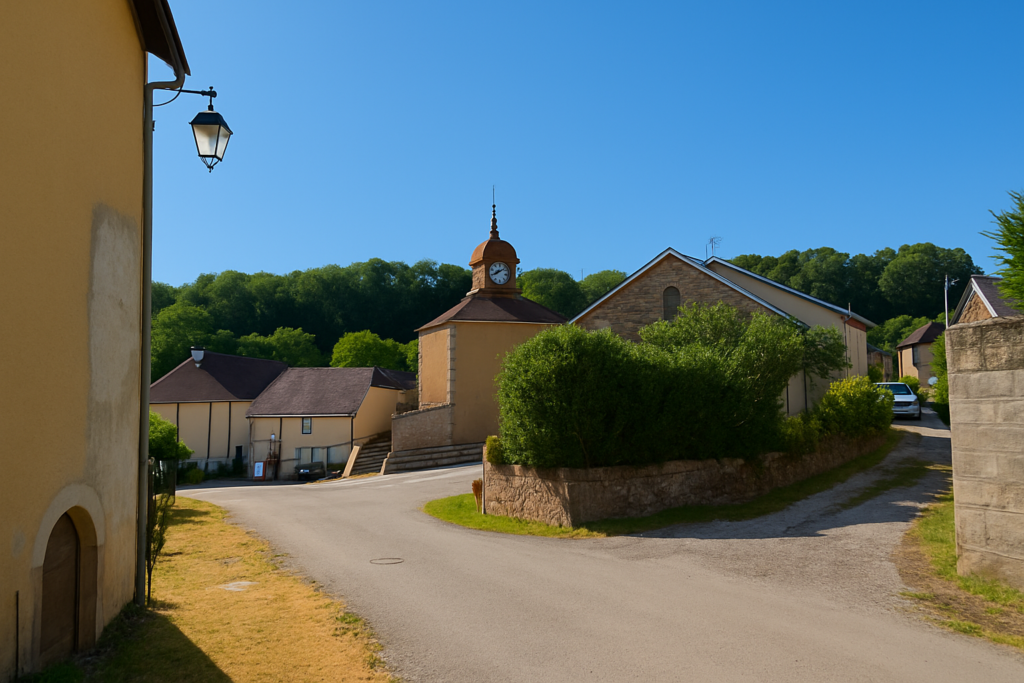
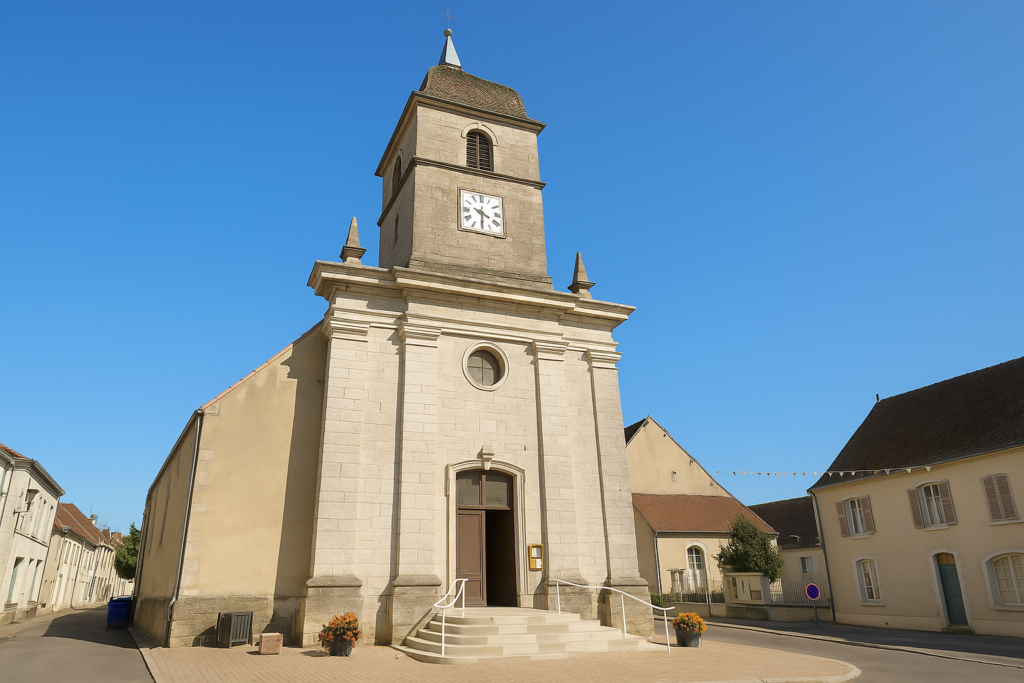
There, set among the houses, the majestic church rises like a great watchtower of red stone, silent guardian of Saulnot.
| But there is another way, more direct and simpler. You only need to take again the road you walked the previous day, even before entering Villers-sur-Saulnot. This option naturally presents itself to those who chose not to stop in the village and continue directly from Chavanne.
You therefore retrace the steps taken the previous day as far as the Chavanne crossroads. |
|
 |
 |
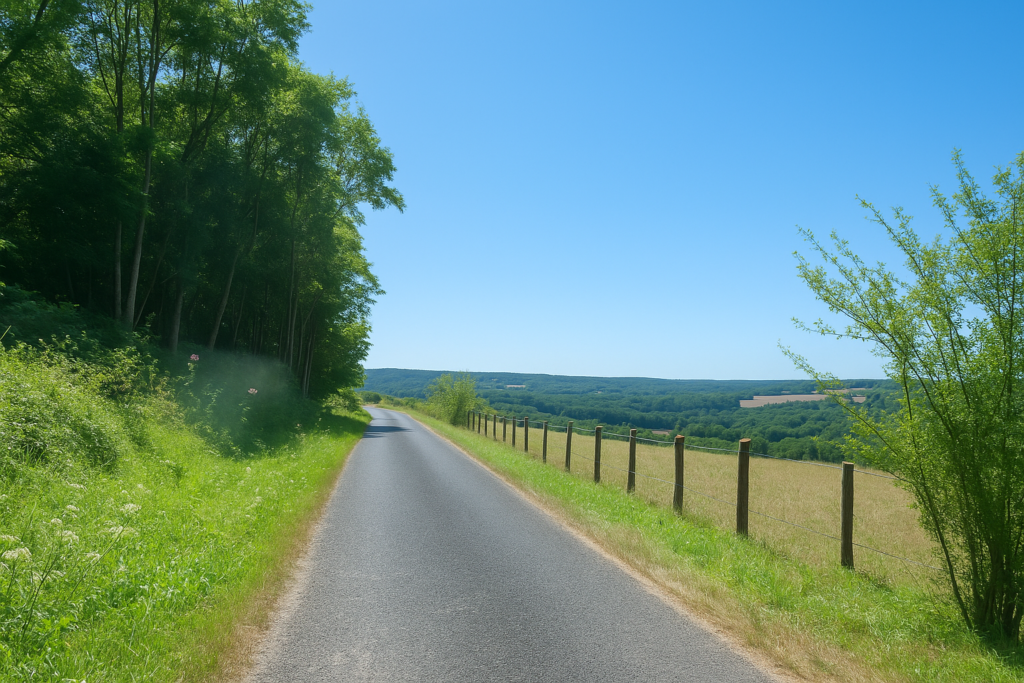
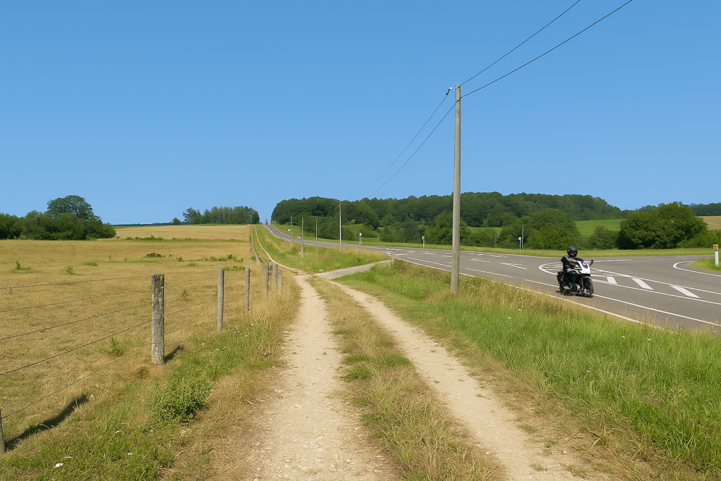
| The road to Saulnot passes again beneath the high-speed line, in a narrow cutting of asphalt that brushes against modernity without blending into it. | |
 |
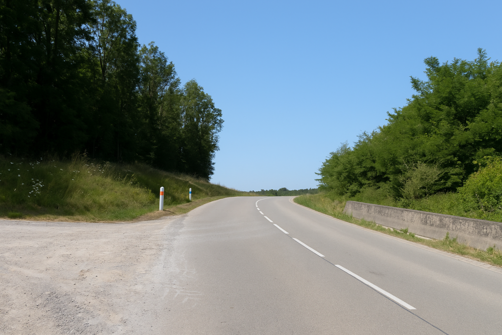 |
| Then, without harshness, it rises toward Saulnot in a gentle and steady climb. Here cars are rare and the world finds a slower rhythm, well suited to walking. | |
 |
 |
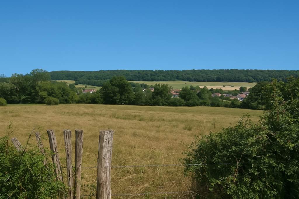
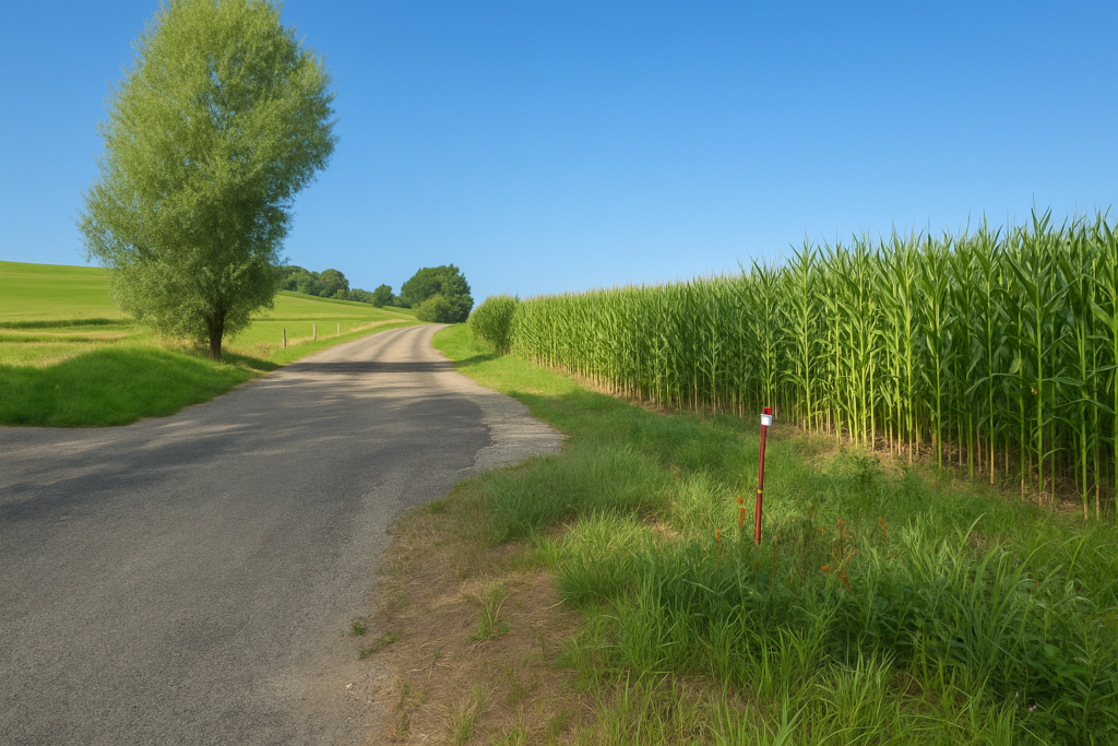
| Between meadows dotted with sparse groves and the patient silhouettes of deciduous trees, the ascent toward Saulnot ends without real effort, like a deeper breath. The landscape does not spread out with grandeur. It presents itself sparingly and modestly. A few furrows of maize tear the soil, solitary in a land mainly devoted to livestock and dairy products. After its slow ascent the road reaches the cemetery. The crosses keep watch there like sentinels of stone. | |
 |
 |
| Here the route leaves the departmental road in order to enter Saulnot by a more intimate access. | |
 |
 |
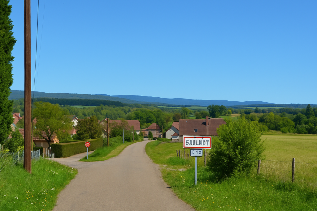
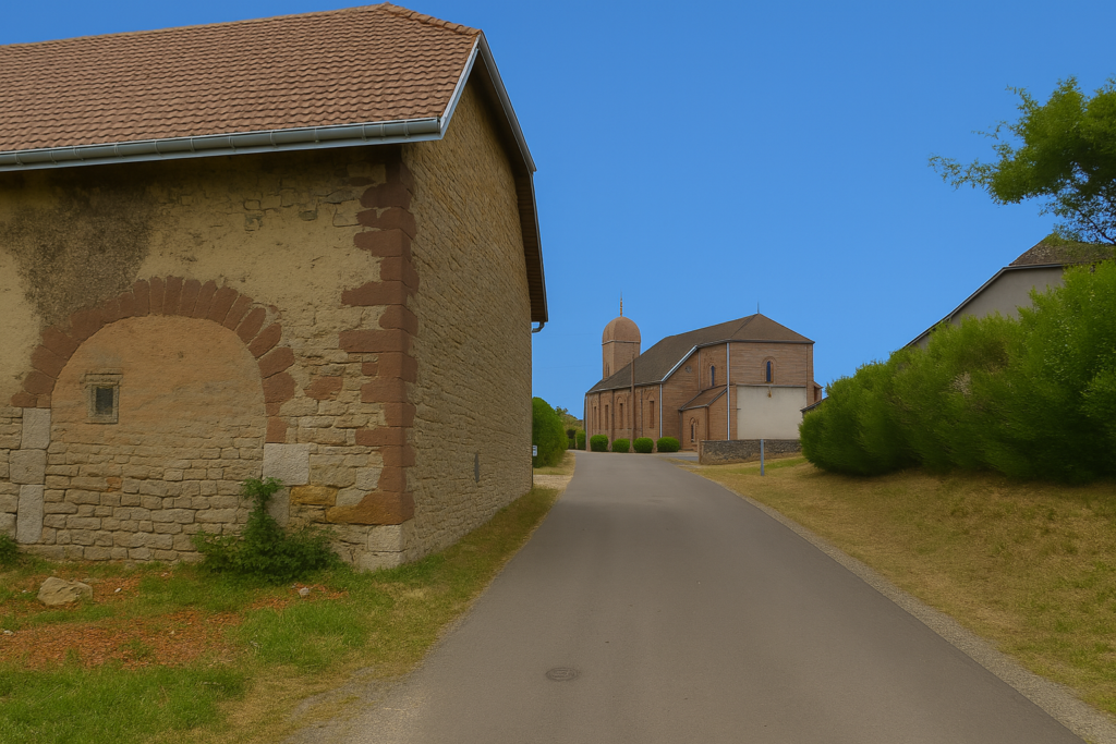
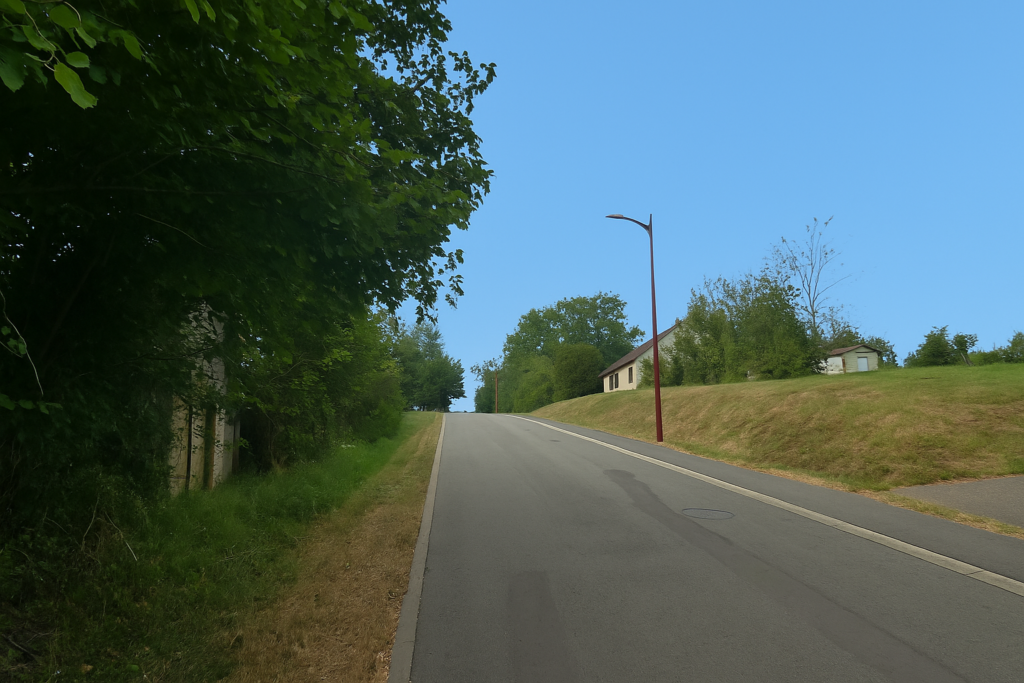
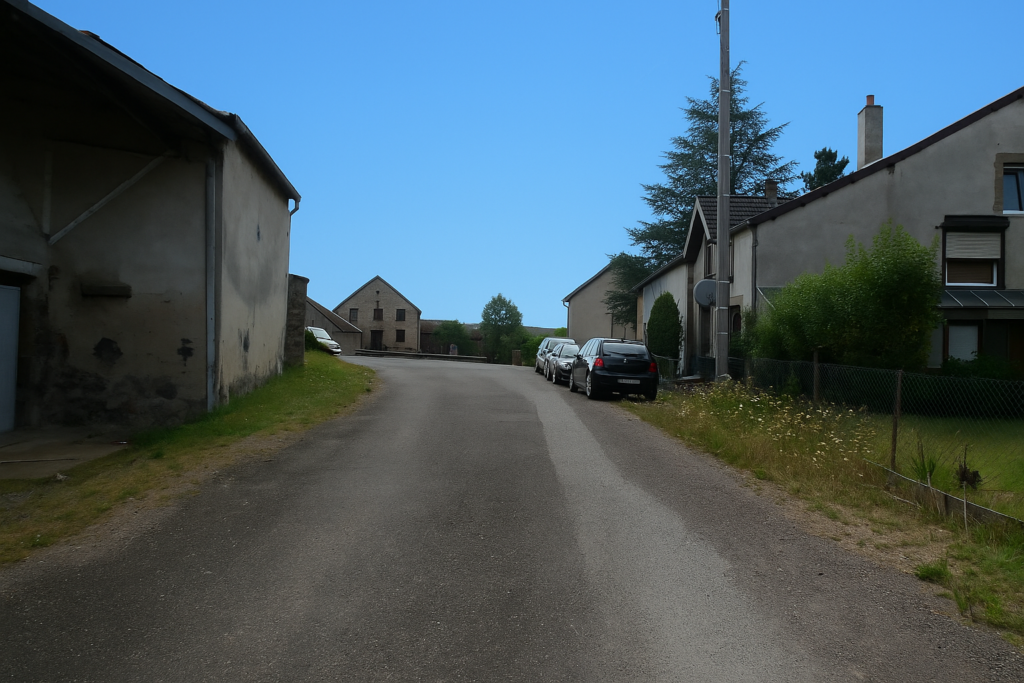
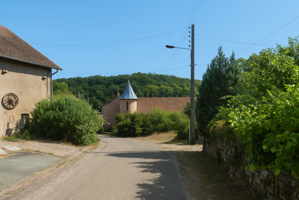
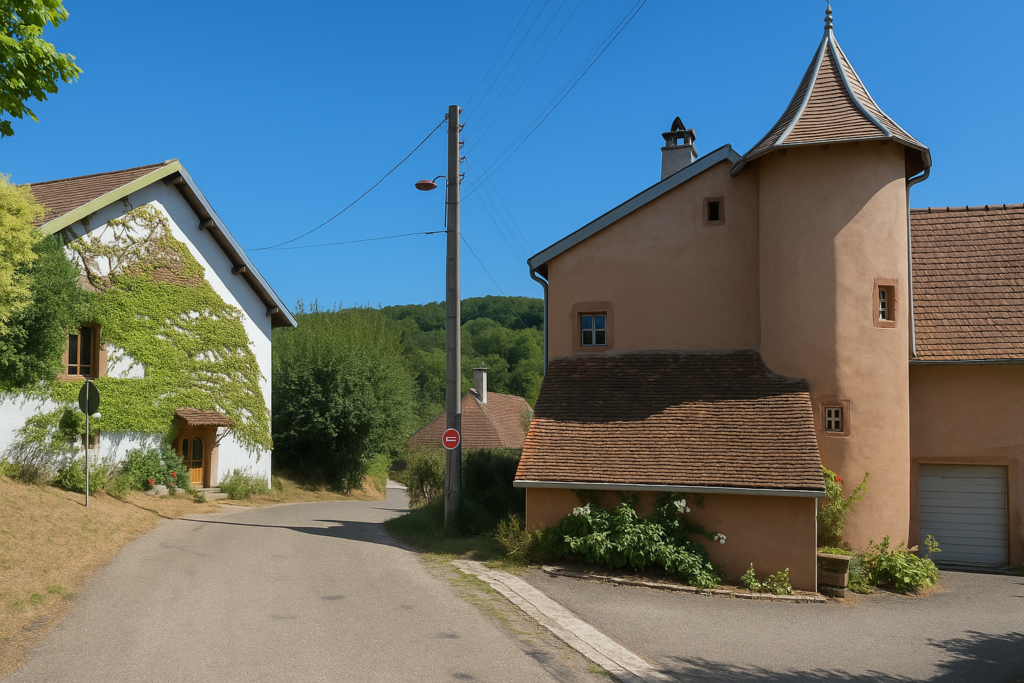
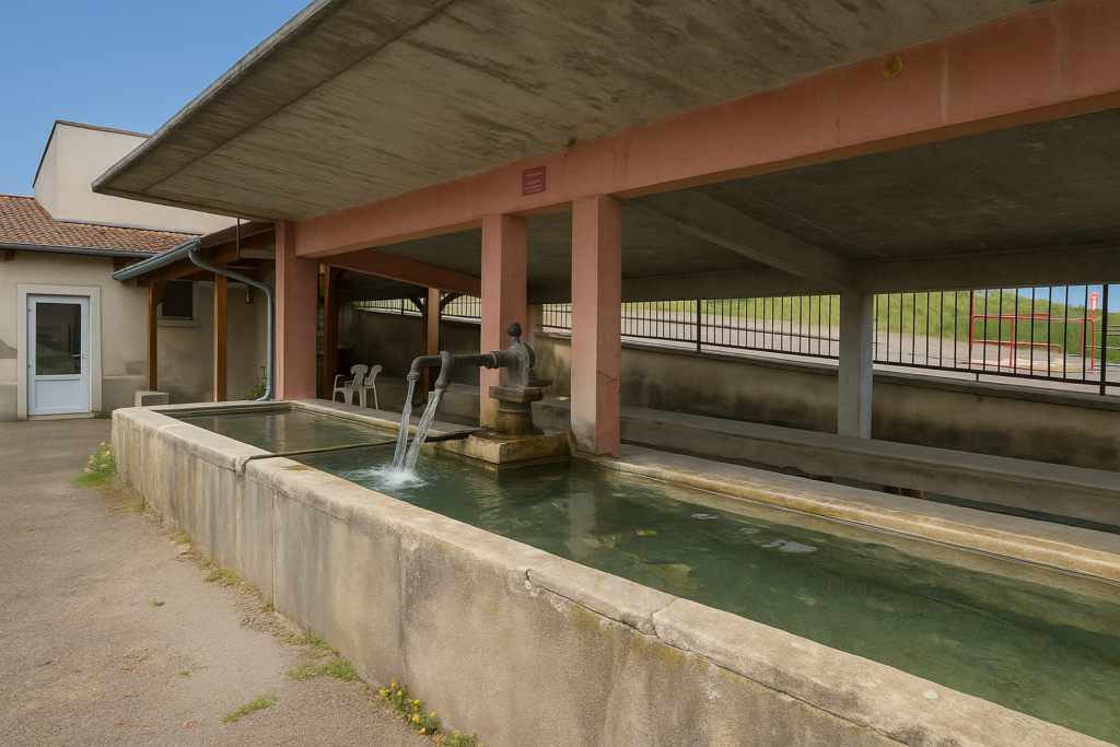
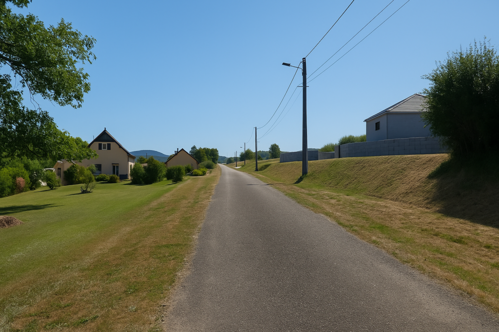
| The village then opens gradually through a succession of old stone houses that seem to have been set there for centuries, like old souls refusing to leave their land. The omnipresent sandstone gives the walls a deep warmth. There, at a crossroads bordered by a great silence, the walker meets again the way coming from Corcelles. Those who chose the longer loop rejoin the main route here. An eighteenth-century washhouse of pink sandstone offers itself to view, a cradle of stone and water where the gestures of the past still seem to float in the air. | |
 |
 |
| The church bears witness to a fragmented history. Rebuilt in 1946 in the spirit of postwar reconstruction, it nevertheless keeps its original tower dating from the sixteenth century, a finger of pink sandstone raised toward the sky, defying the passing of time. | |
 |
 |
| The village, spread out like a story that is never finished, preserves the memory of its rich mining past. For eight centuries coal, iron, and also rock salt were extracted here. The earth was like a nourishing womb, black with soot and toil, deep as a living archive. | |
 |
 |
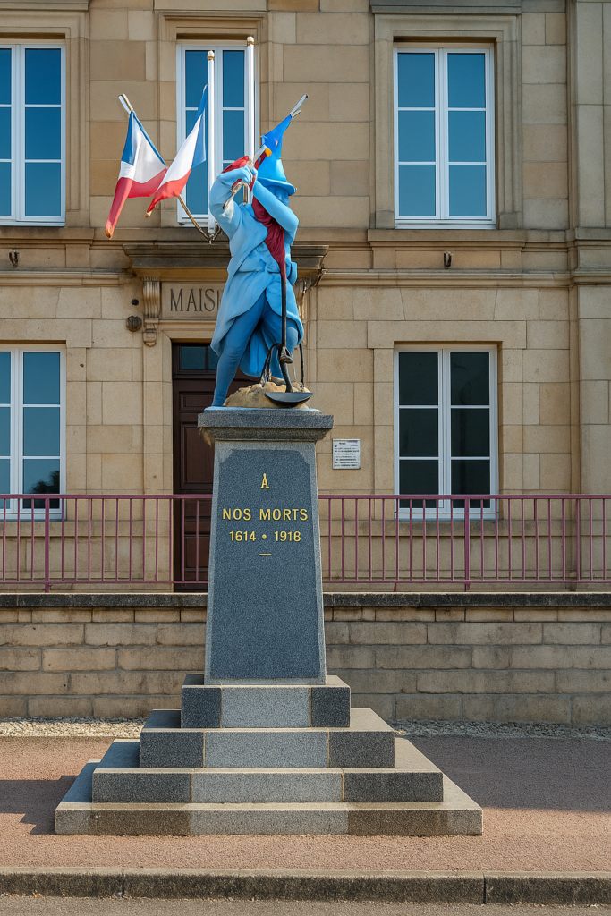
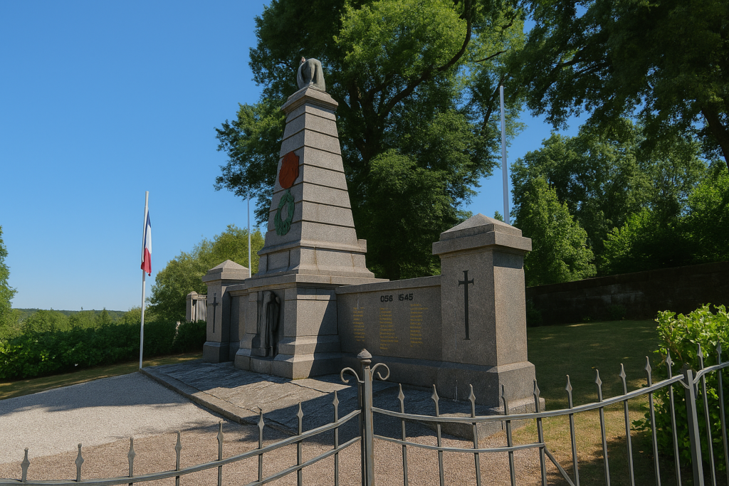
And if you enjoy the picturesque, even slightly eccentric, pause for a moment before the war memorial. Topped by a First World War soldier frozen in a heroic posture, it honors the dead of the Great War. Granite meets kitsch there, yet emotion remains.
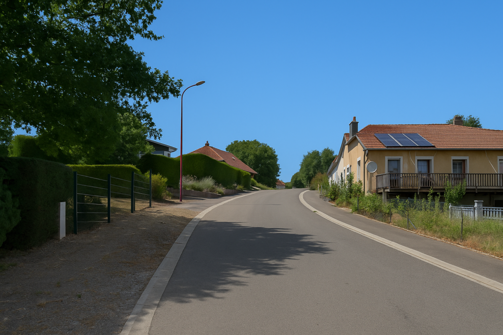
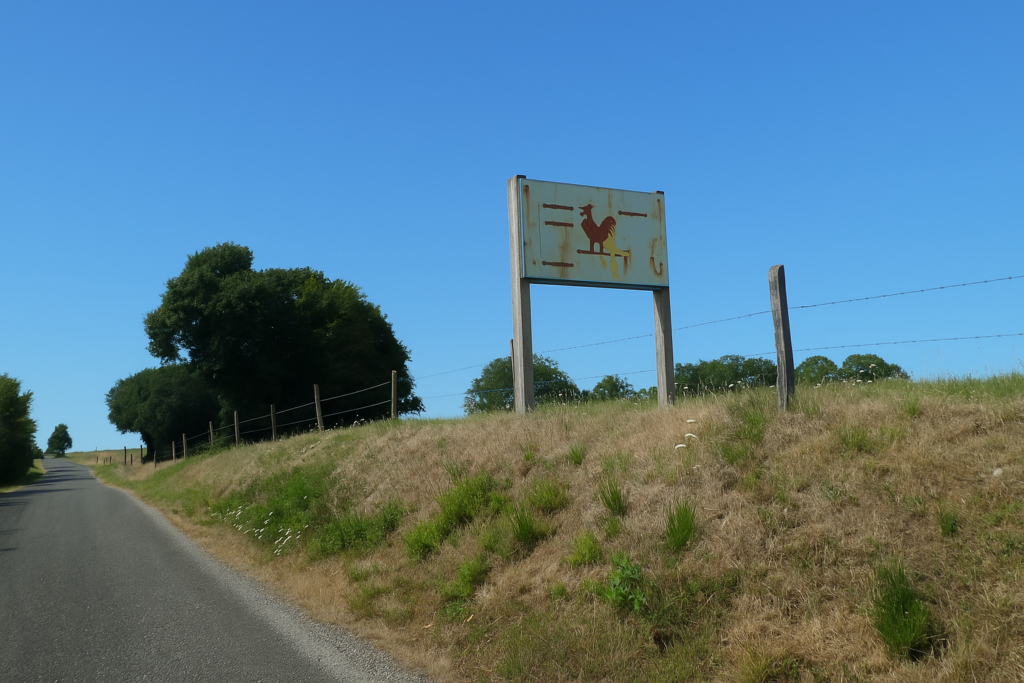
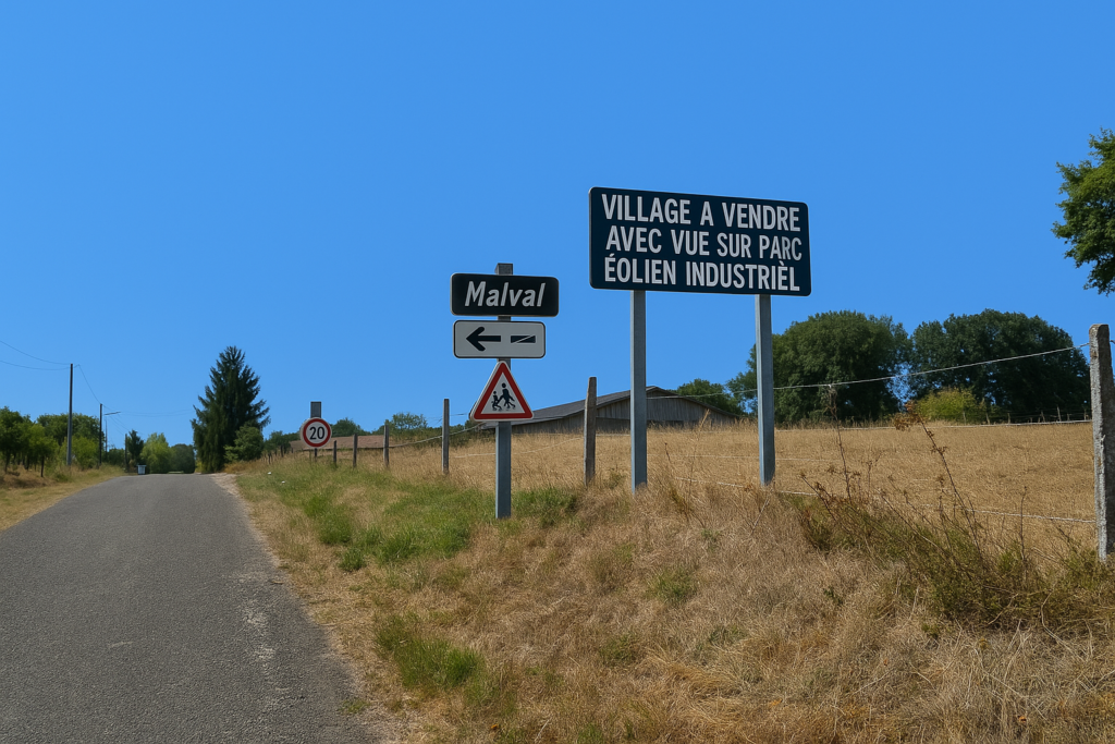
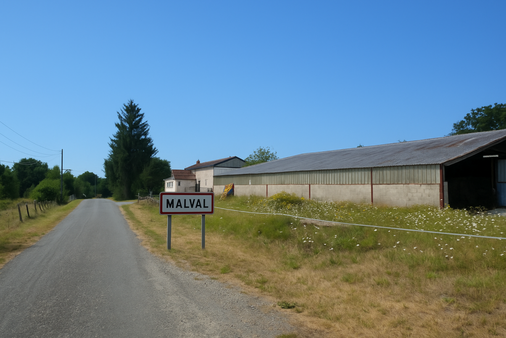
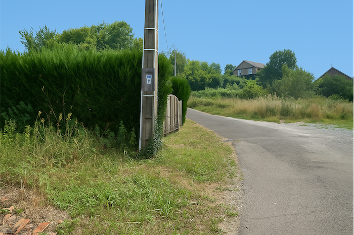
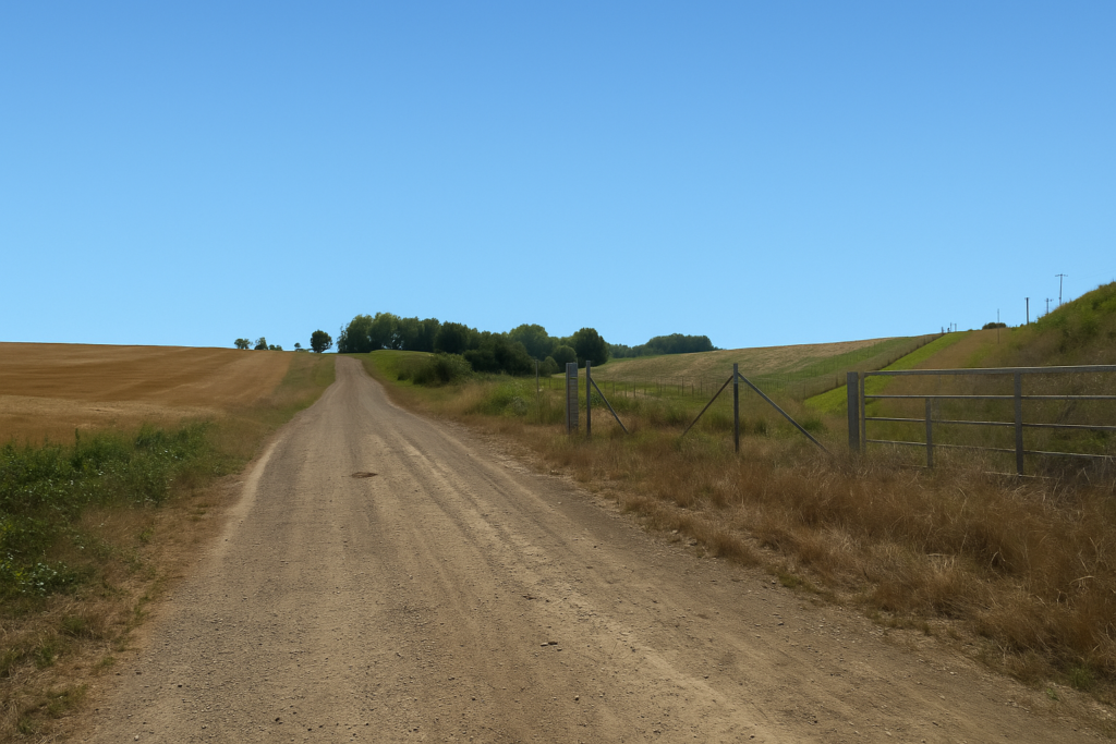
| At the exit from the village, the route leaves the main axis and turns toward Malval. | |
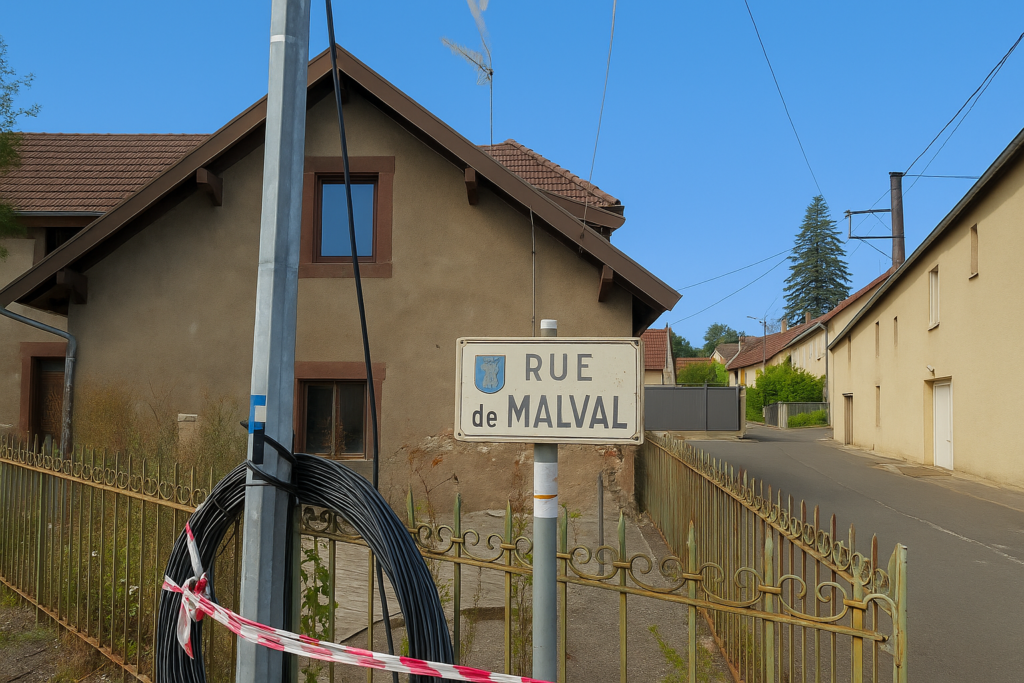 |
 |
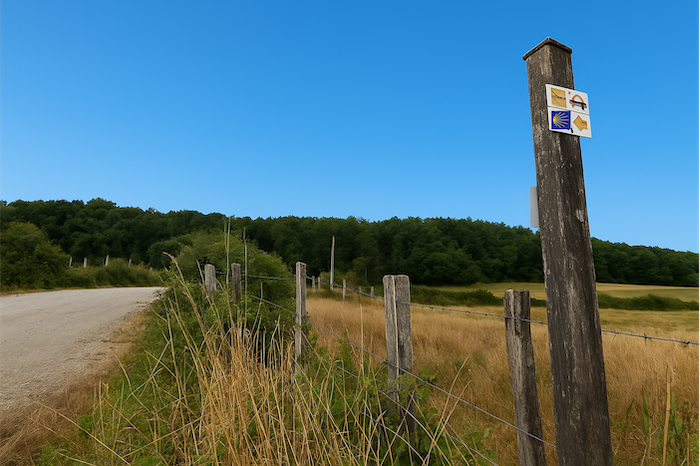
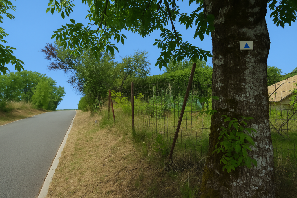
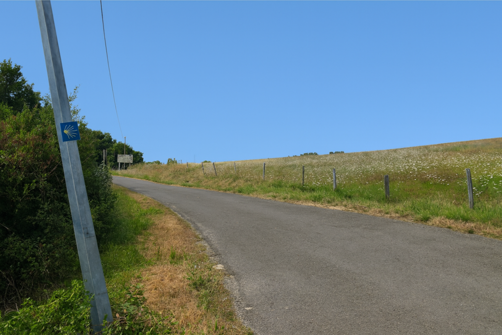
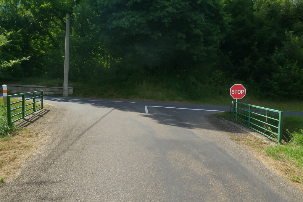
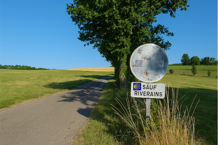
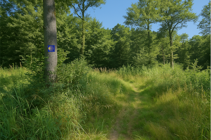
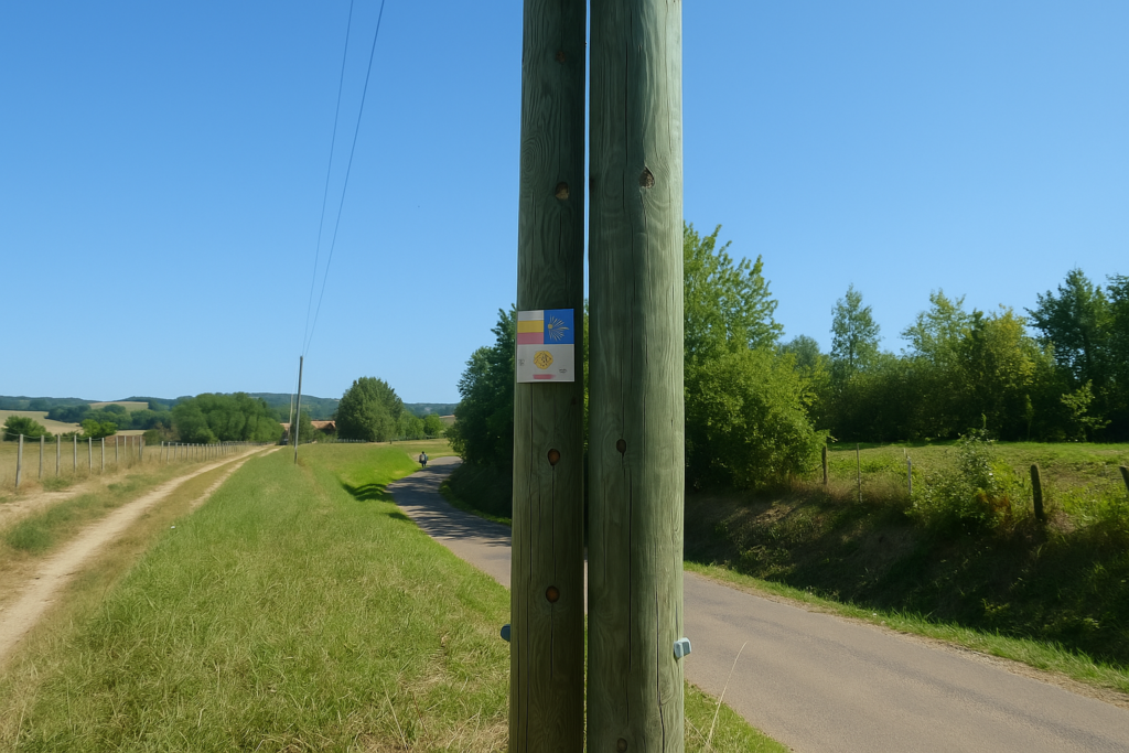
| Take care here. The GR59, also waymarked, crosses your route. That is why you will sometimes see the red and white markings of that type of itinerary. It is not the one you must follow, even if at times your steps accompany it. Always look for the scallop shell. It is this modest sign that will lead you to Santiago. In Franche-Comté there are many routes, but only one is yours. | |
 |
 |
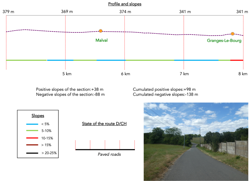
Section 2: From one village to the next between woodland and open country
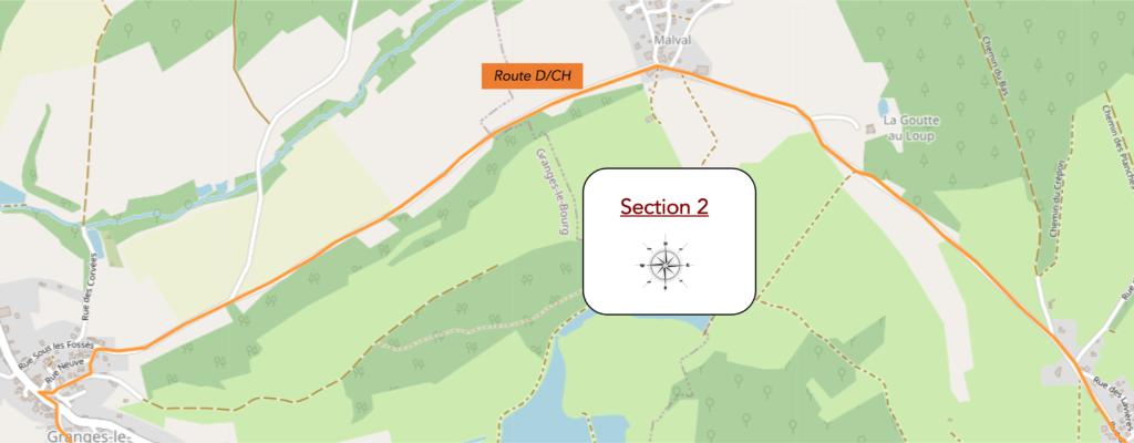
Overview of the route’ challenges: a few slopes without difficulty.
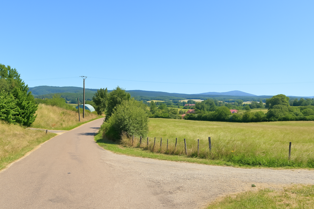
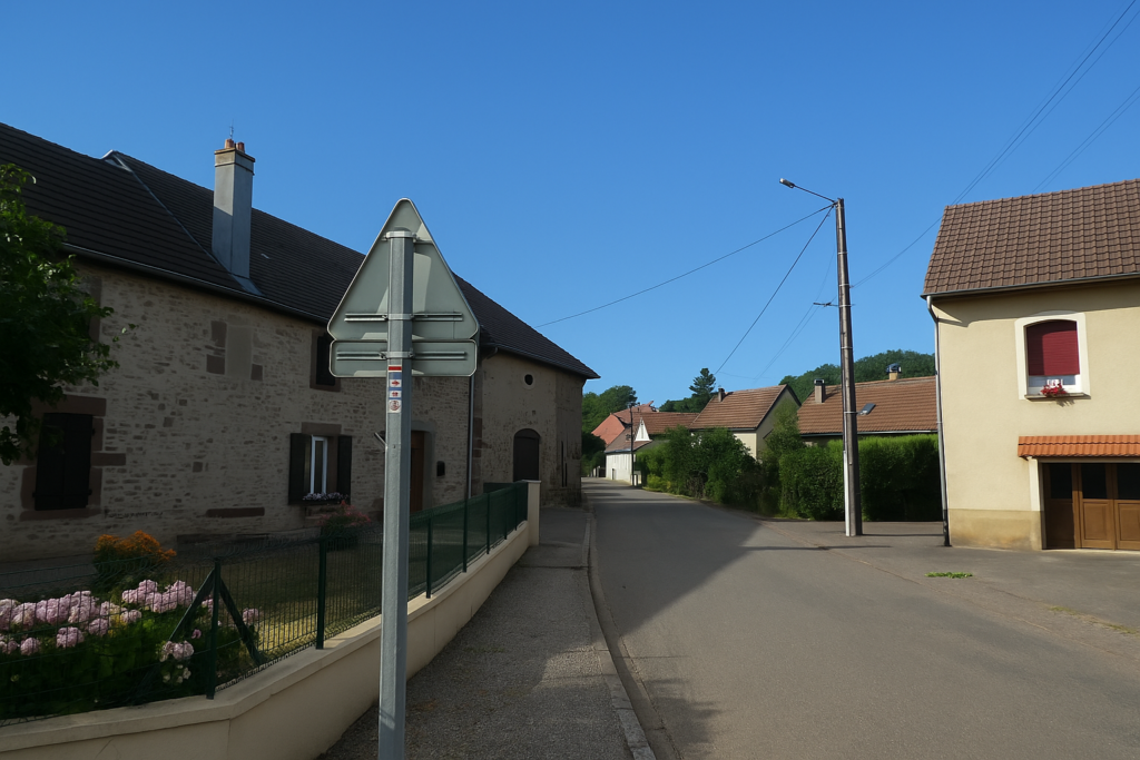
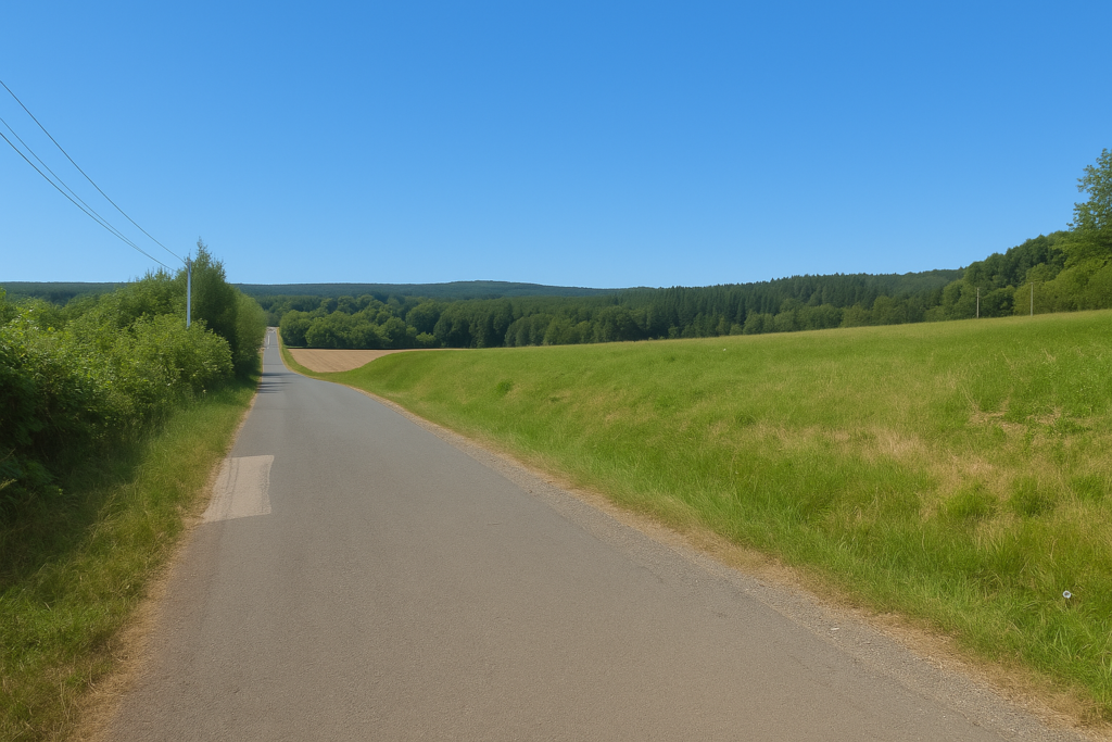
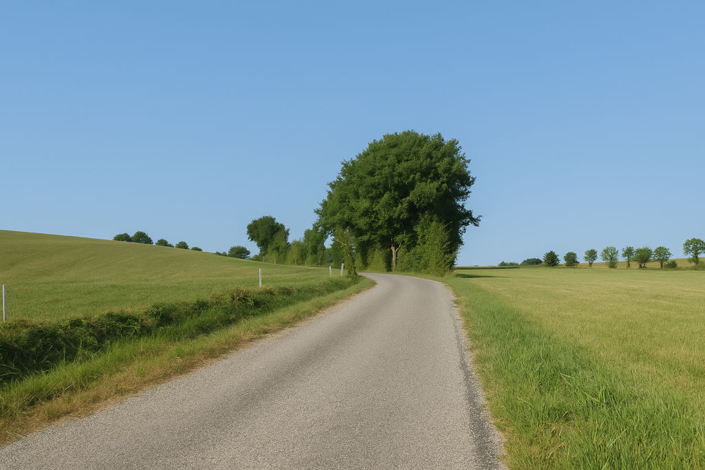
| Here it is still the road. It climbs with a certain firmness along the last houses of the village, as if testing the calves one last time before the level ground ahead. | |
|
 |
 |
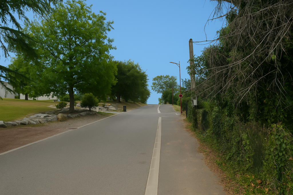 |
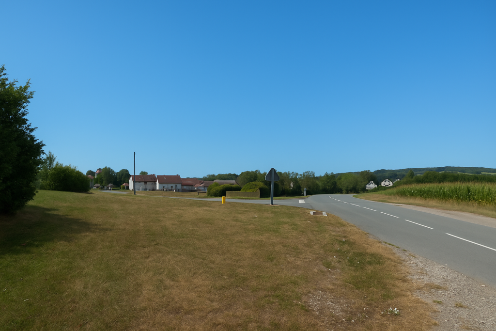
| At the top of the hill, a landscape well known to walkers in Franche-Comté opens before you, a flowering of triangles, dots, and multi-coloured squares planted here according to the various marked itineraries. You will have to deal with them. The Compostela scallop shell is there, but it is never alone. Here the routes intertwine like the threads of an overly tight fabric. | |
 |
 |
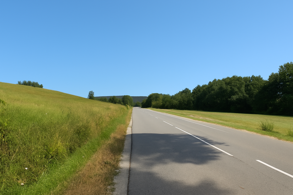
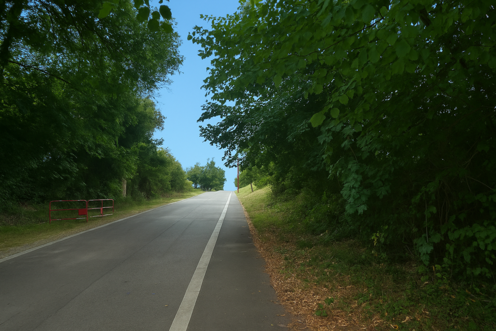
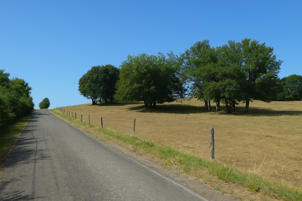
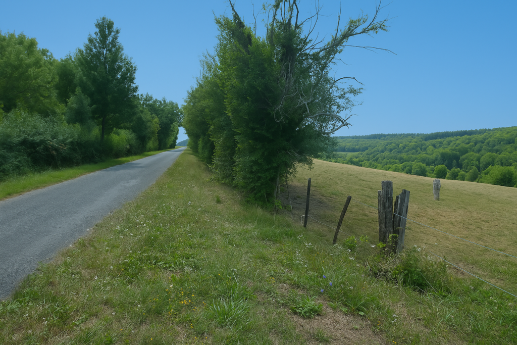
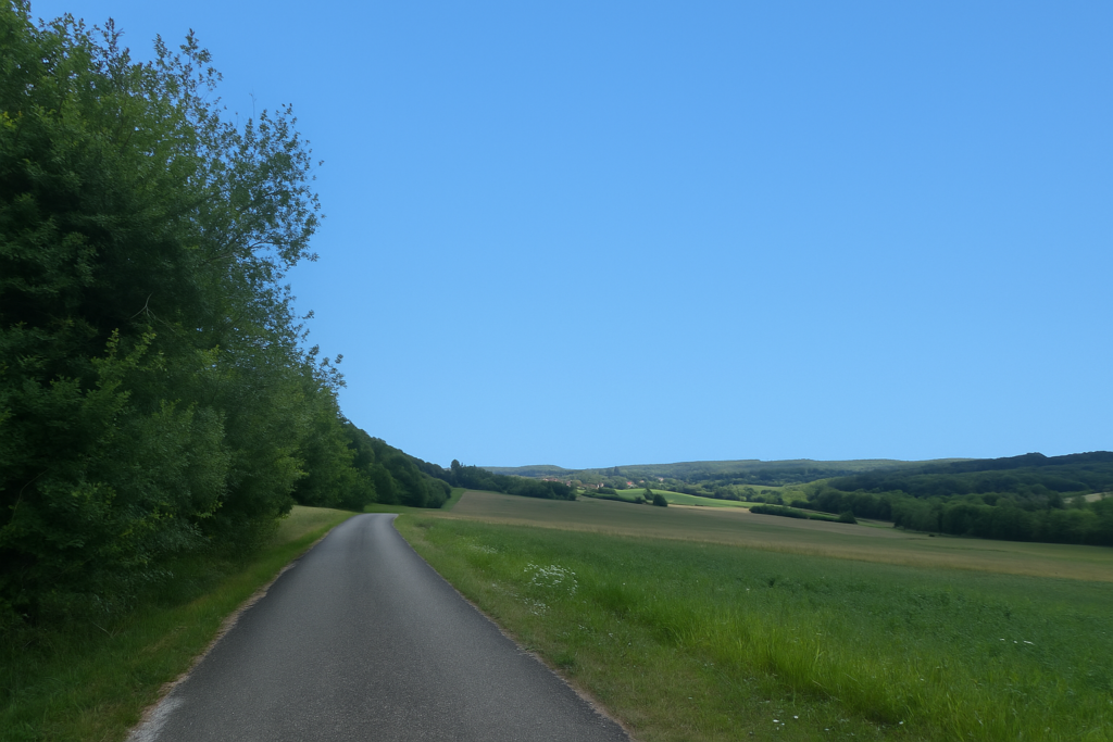
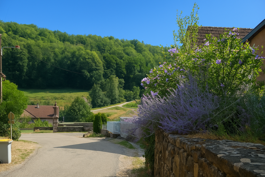
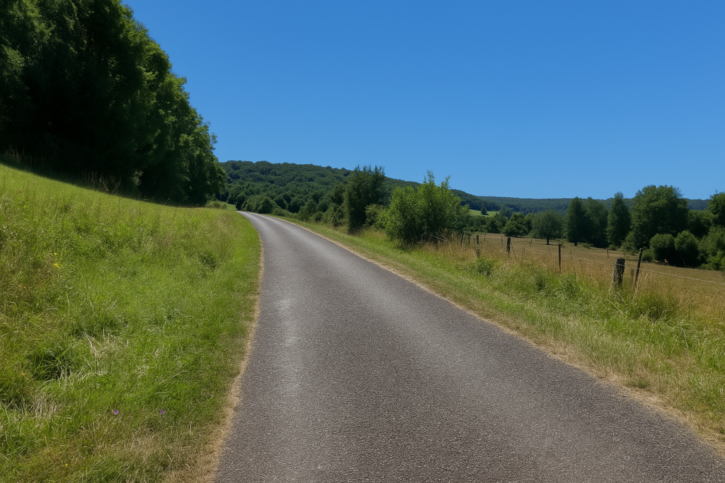
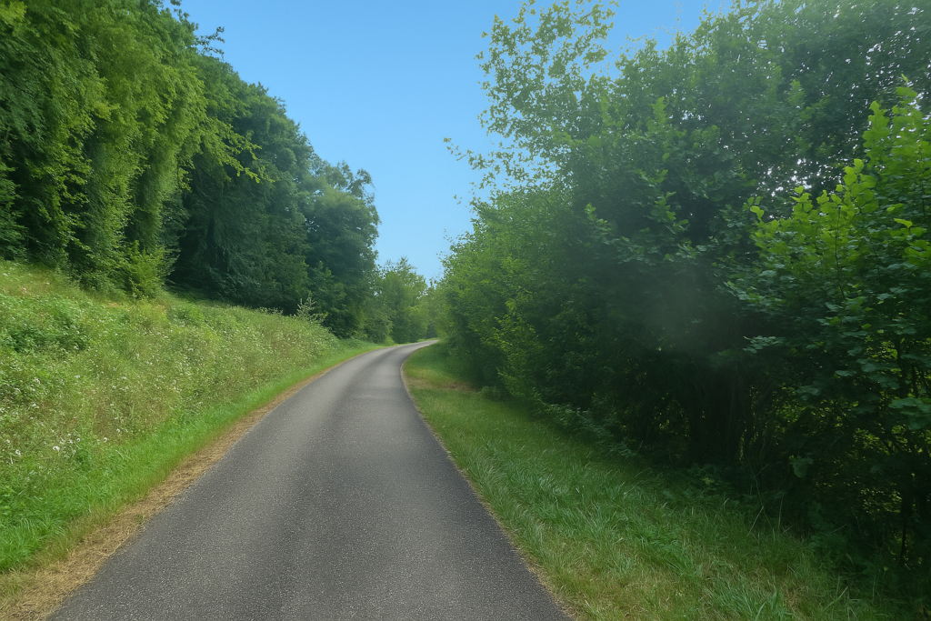
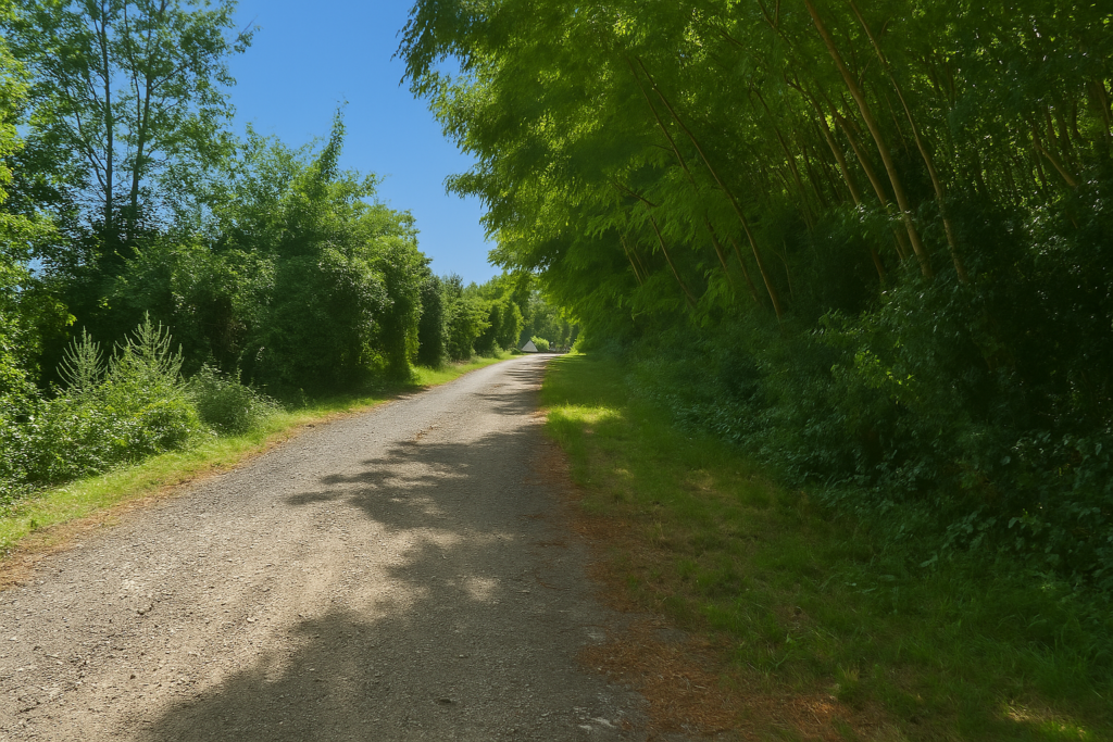
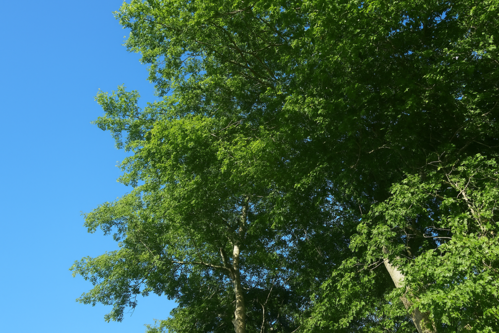
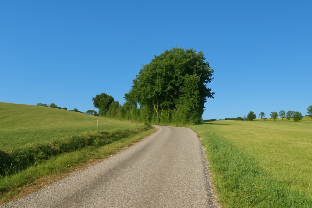
| In this part of Franche-Comté everything is gentle. A succession of soft hills, a lacework of deciduous groves. Oak and beech dominate, sometimes accompanied by a thin line of hornbeam shoots. Ash and maple are discreet, while chestnut trees are completely absent, as if kept away from this land. | |
 |
 |
| S’ouvre alors une longue route droite, inlassablement droite, qui descend lentement à travers les prés. On devine, par endroits, quelques cultures éparses, comme des tentatives de rompre la monotonie. | |
 |
 |
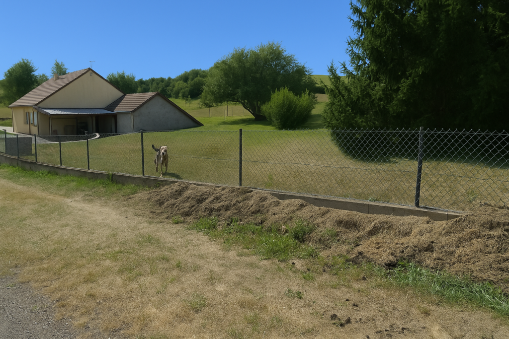
| Farther on, fences line the road, set up like a riddle. They seem to protect something, a treasure or perhaps only a vacant lot, yet they sharpen curiosity through their silence. | |
 |
 |
| After this opaque interlude, the road climbs again toward Marval. The oaks here group themselves into small clusters neatly outlined in the meadows, as if they had gathered deliberately to adorn the landscape. | |
 |
 |
| At the top of the hill, the hamlet of Marval reveals itself. | |
 |
 |
| A few large farms, houses rare and widely spaced, as if silence here needed room. And then on some walls signs that leave no doubt, wind turbines are not wanted here. A planned wind farm divides and worries people. One day the wind may well blow between these hills, but for the moment the topic remains charged. | |
 |
 |
| The route leaves the hamlet along Rue des Granges. In the meadows, Charolais cows barely lift their heads as you pass. They have seen time go by, but not many walkerss. | |
 |
 |
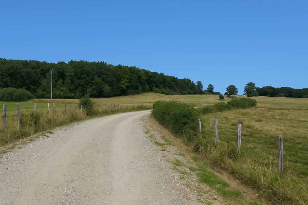
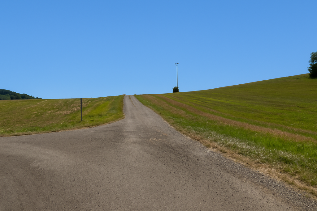
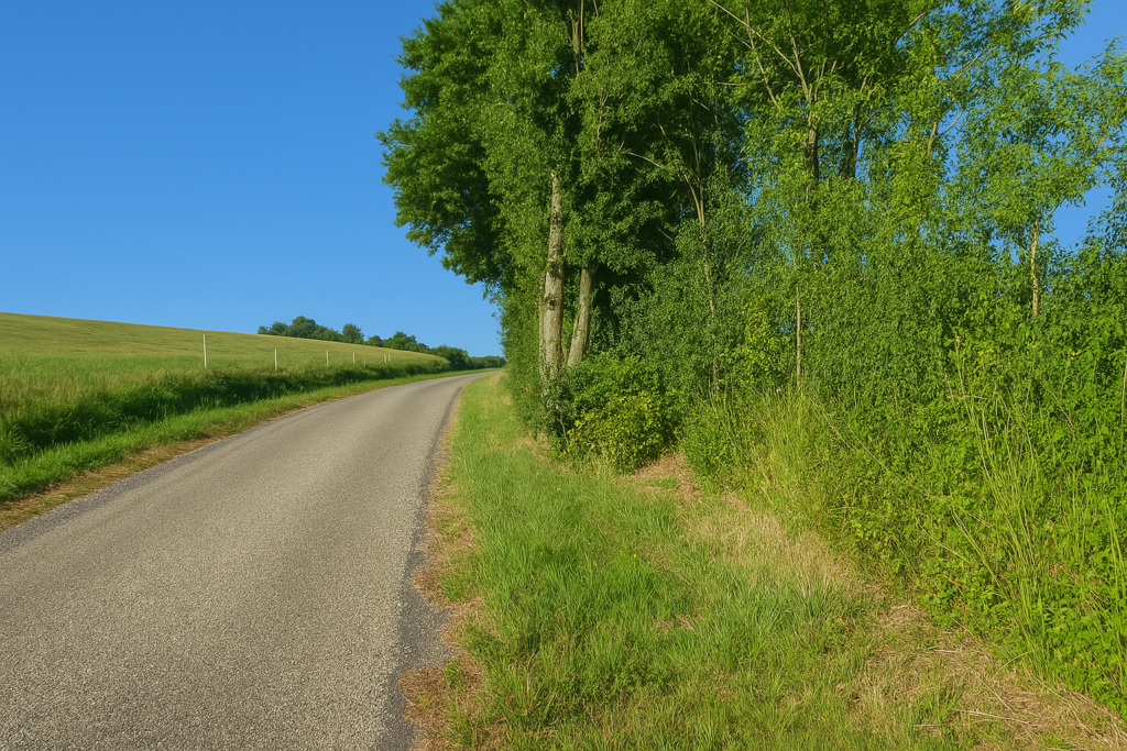
| Rue des Granges runs on for a long time, almost endlessly, along the edge of the forest. It is a road without surprises, bordered by meadows. | |
 |
 |
 |
 |
| Here nothing happens. The slope is gentle, yet weariness lurks. Certain stretches in Franche-Comté have this heavy monotony, like an empty parenthesis between two livelier episodes. | |
 |
 |
 |
 |
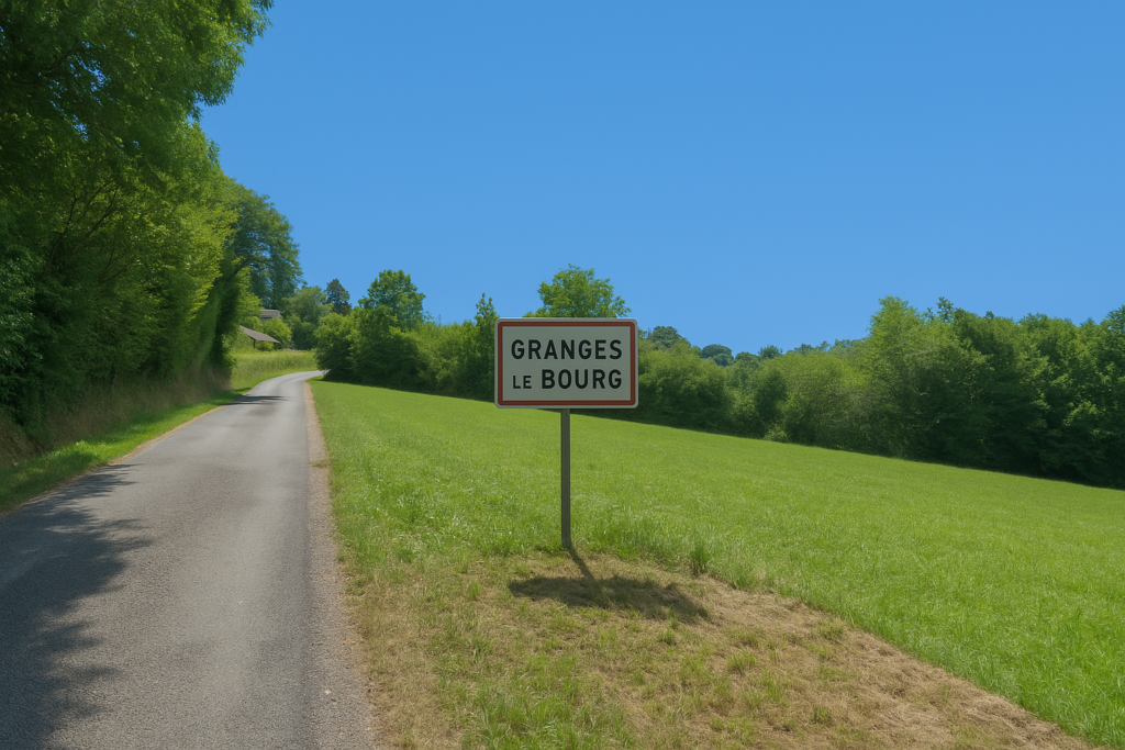
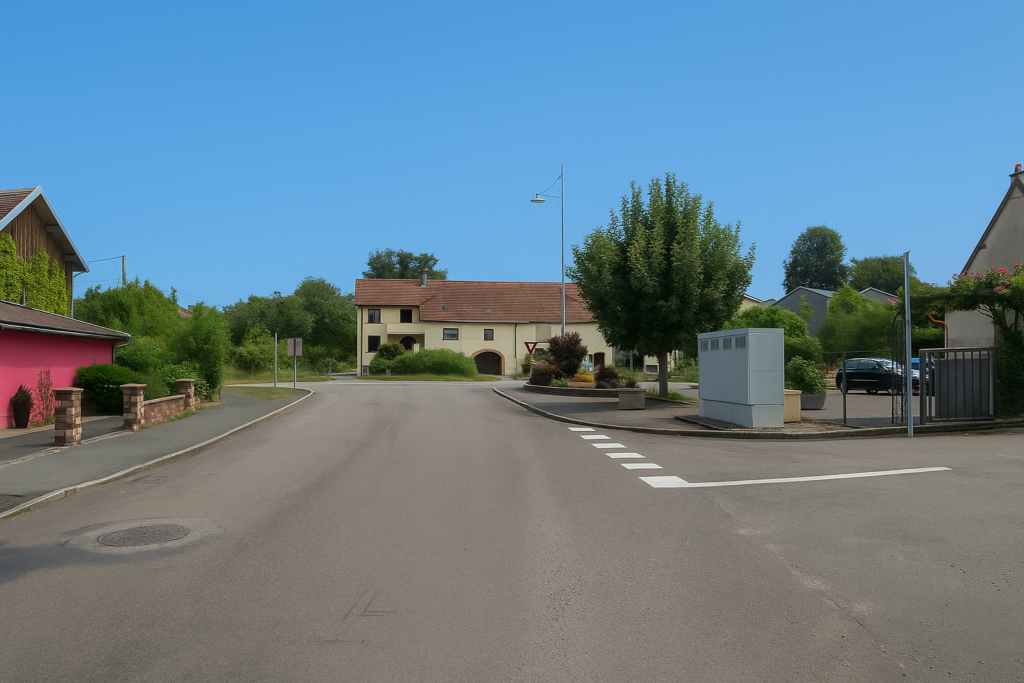
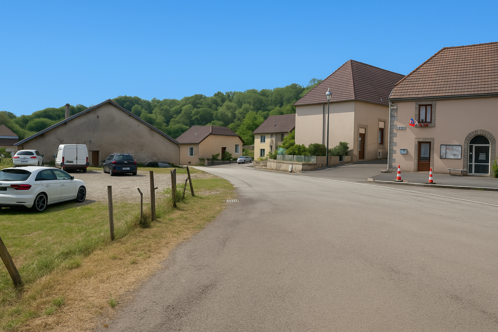
| After two kilometres without relief, the road reaches Granges-le-Bourg. It straightens slightly, as if to show that entry into the village still has to be earned a little. | |
 |
 |
 |
 |
| The route then winds through the streets, mixing old and new, old stone houses with solid presence and modern housing developments with smooth lines… | |
 |
 |
 |
 |
| …until finally you reach the small village square. | |
 |
 |
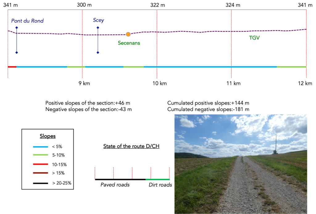
Section 3: Toward the Roman Road
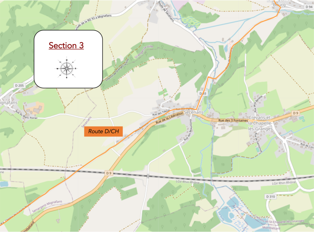
Overview of the route’ challenges: route with no difficulty at all.
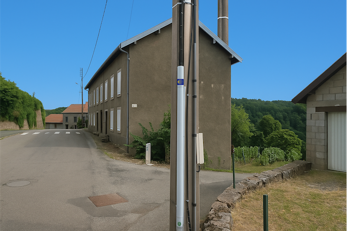
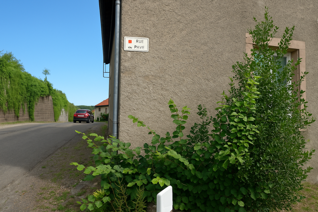
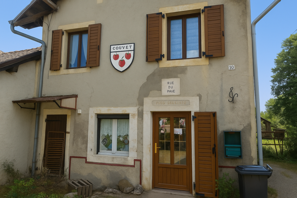
| At the end of the village, the route descends gently along Rue du Pavé, a sloping street that explores the lower edges of the village. | |
 |
 |
 |
 |
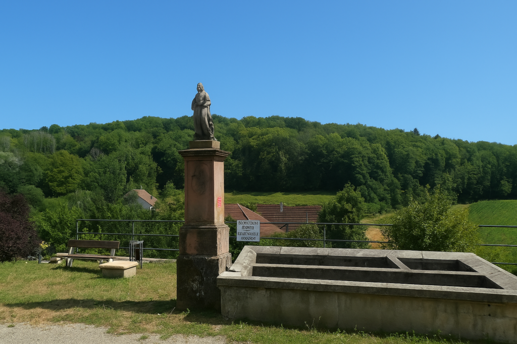
| At the bottom, the road reaches a fountain. A statue stands watch there, a frozen female figure, perhaps a Roman goddess on eternal holiday. The water is not drinkable, as is so often the case now. Does this sculpted presence announce what is to come, since farther on the route follows an ancient Roman road, as if history, faint but persistent, were still guiding your steps. | |
 |
 |
 |
 |
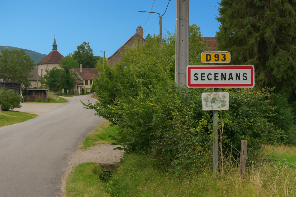
The route heads toward Secenans, just after crossing the Pont du Rond where water flows discreetly, almost out of sight.
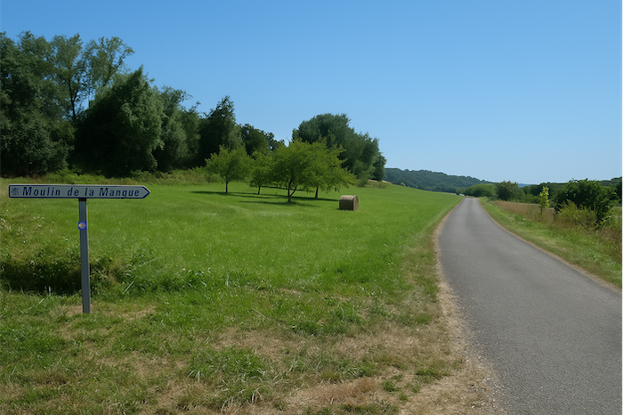
| Once again, the road meanders. It crosses meadows and a few isolated fields in the direction of Moulin de la Mangue. | |
 |
 |
| Houses are rare along this stretch. This is not dense or heavily populated country. You sense that life keeps its distance here, concentrated in the villages. | |
 |
 |
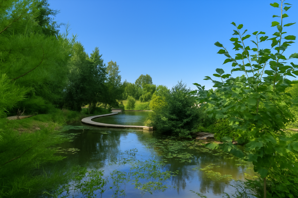
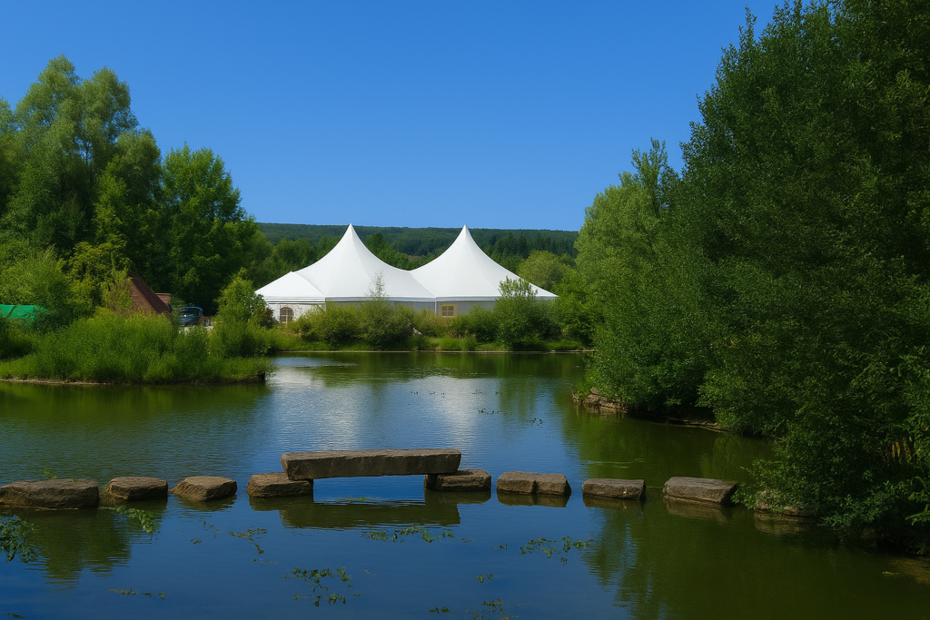
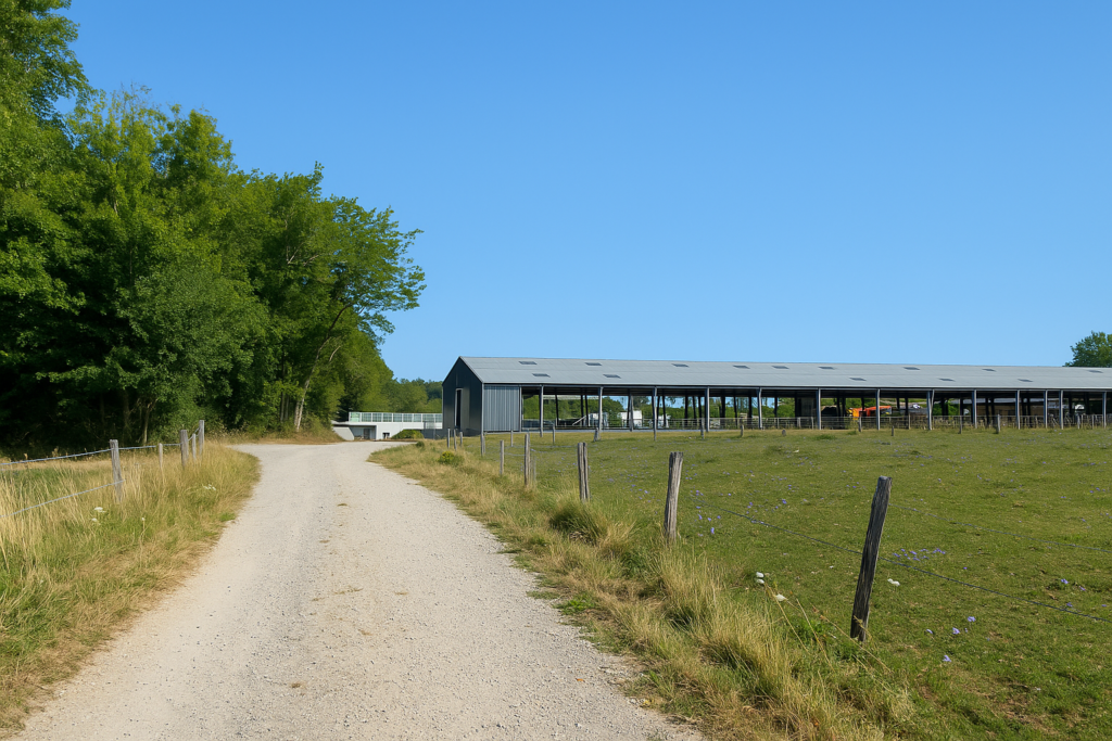
| Farther on, the road brushes the edges of the Orangerie estate. Suddenly the facilities become more imposing. Three large car parks suggest that on some occasions the tranquillity of the site gives way to gatherings. | |
 |
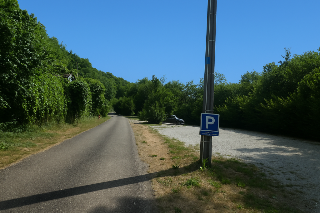 |
| And with good reason, the Orangerie, the Japanese pond, and the rose garden host weddings, seminars, and corporate celebrations. | |
 |
 |
| From this unusual place, the road once again enters under deciduous canopy, into calm woodland leading toward Secenans. | |
 |
 |
| Shortly afterward it crosses the Scey stream, not far from the old stone mill of La Mangue, half hidden by vegetation, before reaching the departmental road D93. | |
 |
 |
 |
 |
| Secenans is there, very close, just a little farther along the road. | |
 |
 |
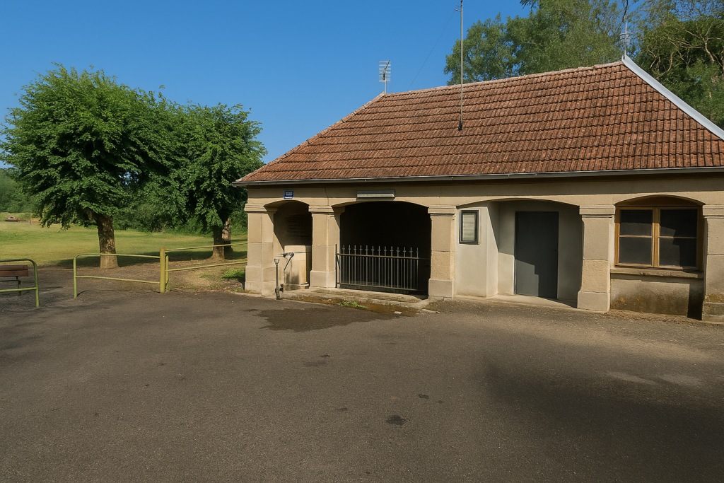
| This small village is crossed by the D9, a more important road that shapes this part of the region. At the crossroads stands a massive washhouse where water flows, still undrinkable. | |
 |
 |
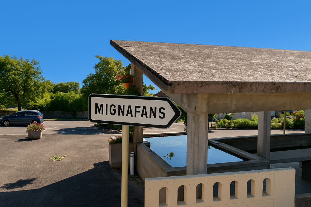
| Here the route climbs again. It soon leaves the main axis to climb along a small secondary road toward the village of Mignafans. . | |
 |
 |
| The slope is firm but remains reasonable, nothing too hard for legs accustomed to the hills of Franche-Comté. | |
 |
 |
The climb is brief, and soon the route leaves the road to Mignafans and follows what is still called the Roman Road.
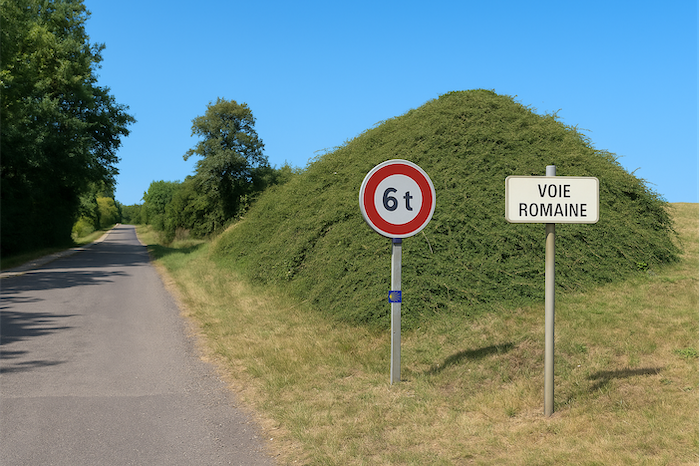
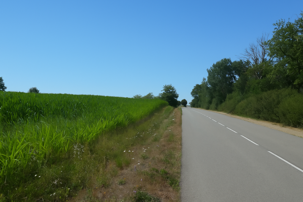
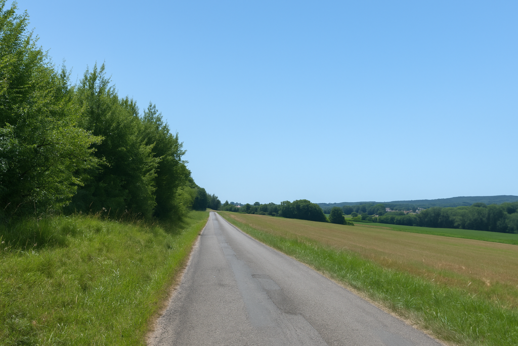
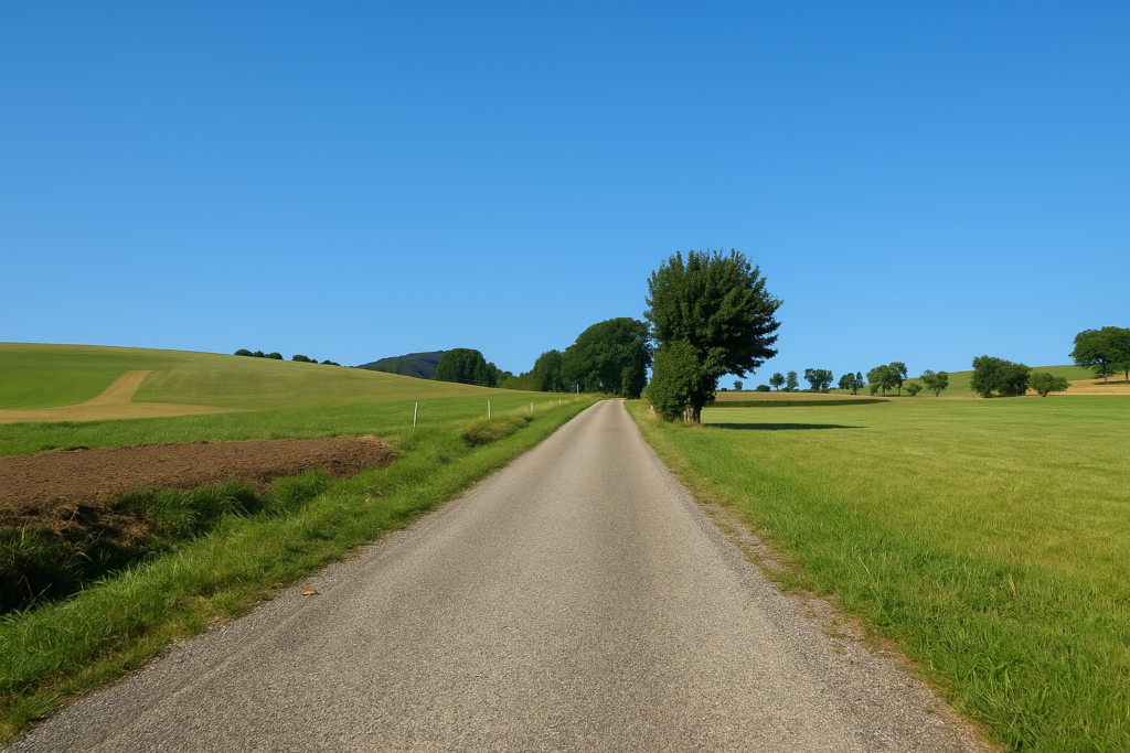
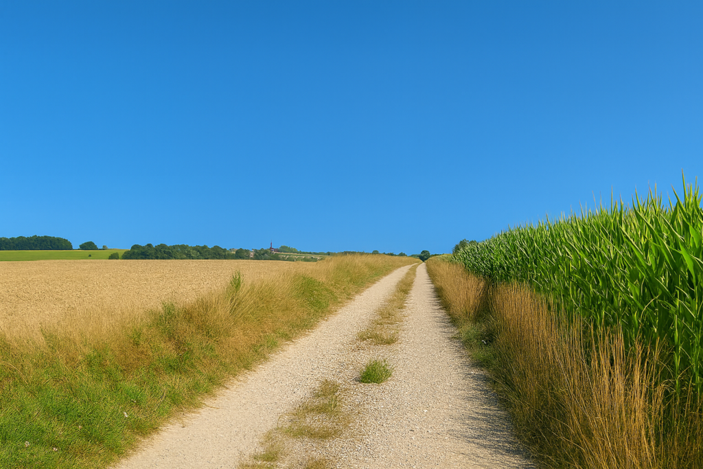
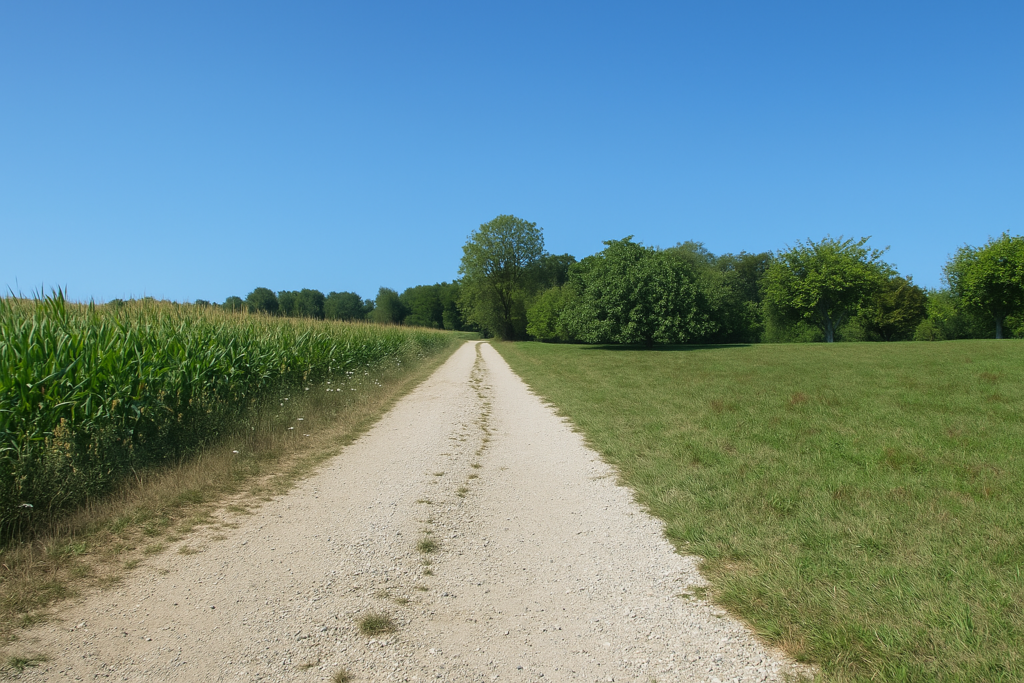
| Julius Caesar, they say, knew how to choose the routes for his legions. He disliked detours and uncertain paths. Here the road is wide and straight, advancing gently through open country. A few farms punctuate the landscape, each set at a respectful distance from the others. | |
 |
 |
 |
 |
| It is quiet countryside, gentle and without difficulty. | |
 |
 |
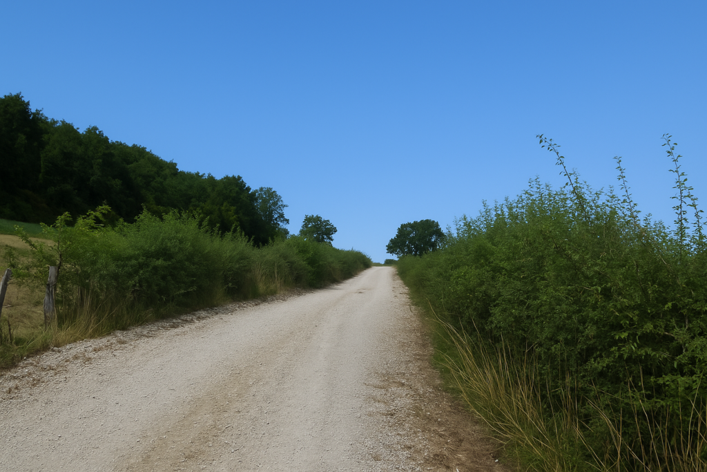
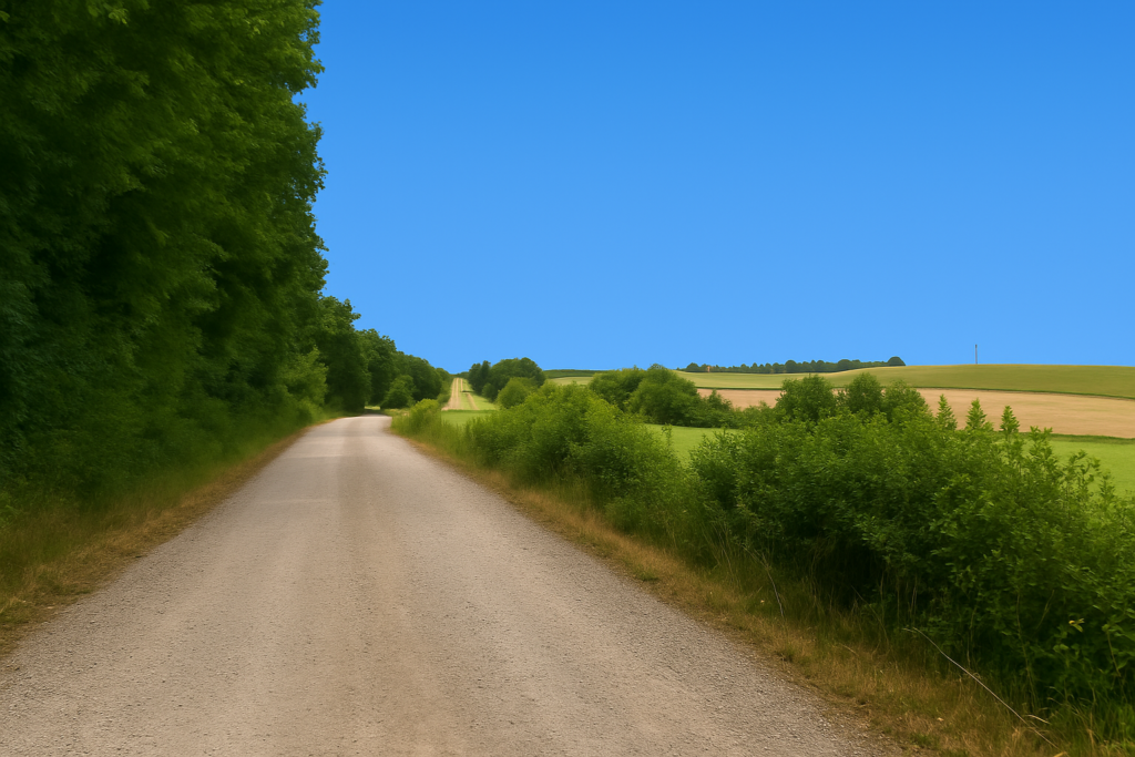
| A little farther on, the tarmac gives way to a dirt road that runs through open farmland. | |
 |
 |
| But the ground is unfortunately covered with sharp, brittle stones that hurt the feet, all the more if your soles are already tired from the kilometres. Ahead of you the silence is often broken by the distant and regular rumble of high-speed trains. They appear and vanish, indifferent to the concerns of the walker. | |
 |
 |
 |
 |
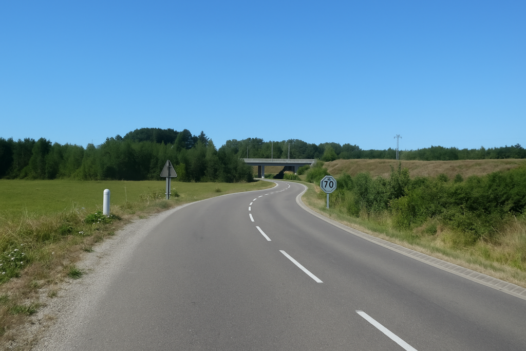
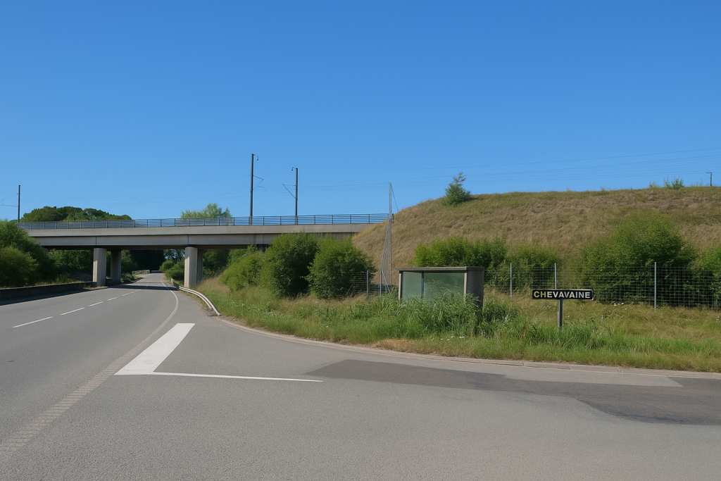
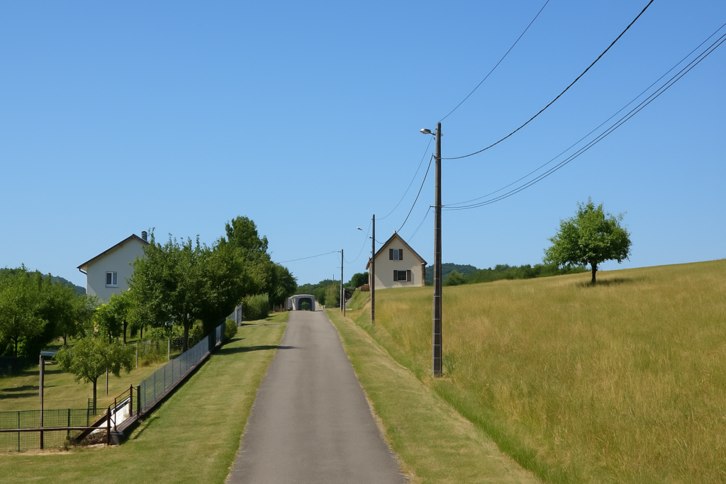
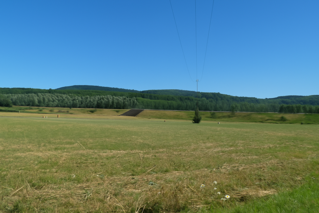
| Little by little, the path passes beneath the high-speed railway line. Its presence is constant, almost ghostlike, a modern reminder alongside the old Roman route. One wonders whether Julius Caesar could ever have imagined that his provinces would one day be crossed at more than 300 kilometres an hour ? | |
 |
 |
| On the far side of the railway nothing much changes in the landscape. Nothing new under the sun. The path begins to climb again, barely, across relief that remains gentle. | |
 |
 |
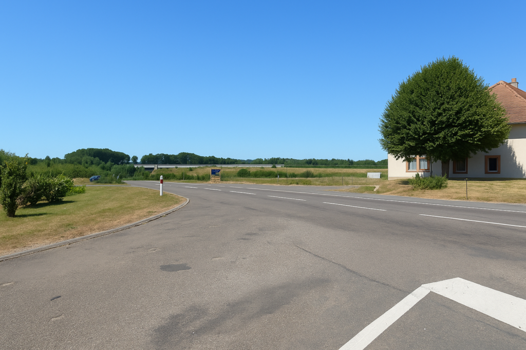
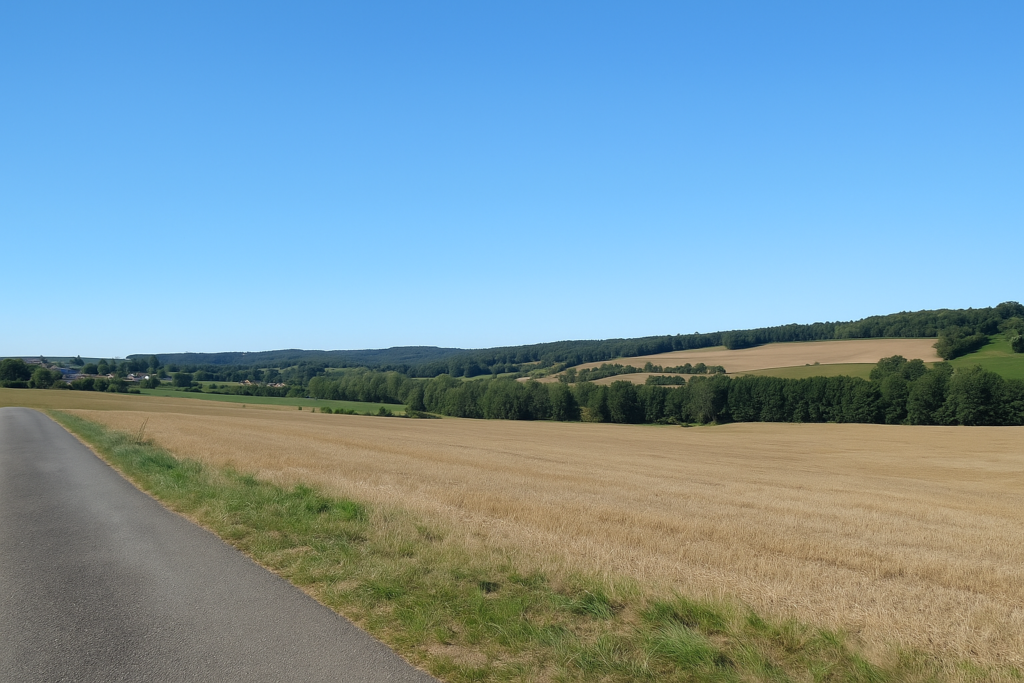
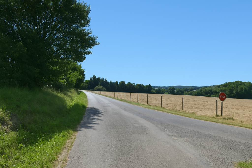
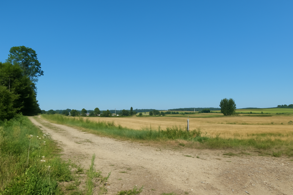
| Here the plain is so dull and uniform that one might think for a moment of the Po plain. To your left, the departmental road D9 runs on without charm and almost without noise, following its own course and scarcely concerning you. . | |
 |
 |
 |
 |
Section 4: Through the Franche-Comté countryside
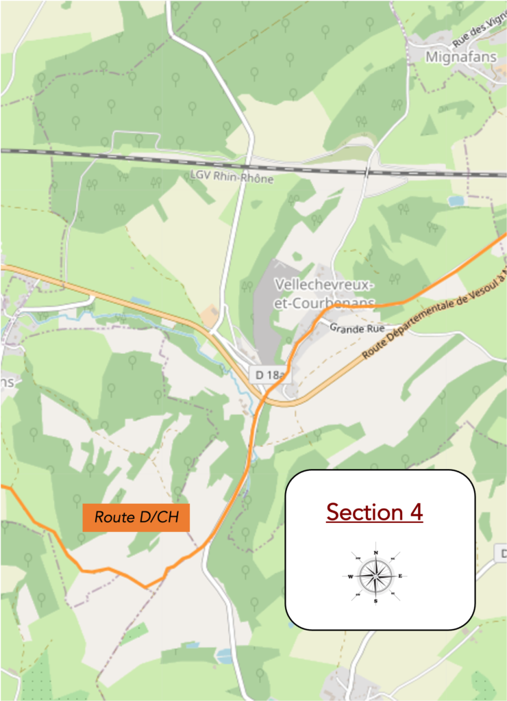
Overview of the route’ challenges: a few gentle slopes.
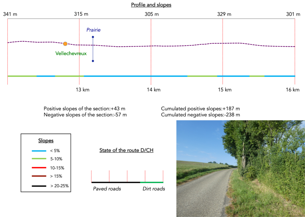
| Yet everything happens, even on ancient Roman routes. Long after following the high-speed railway line, the path eventually turns. | |
 |
 |
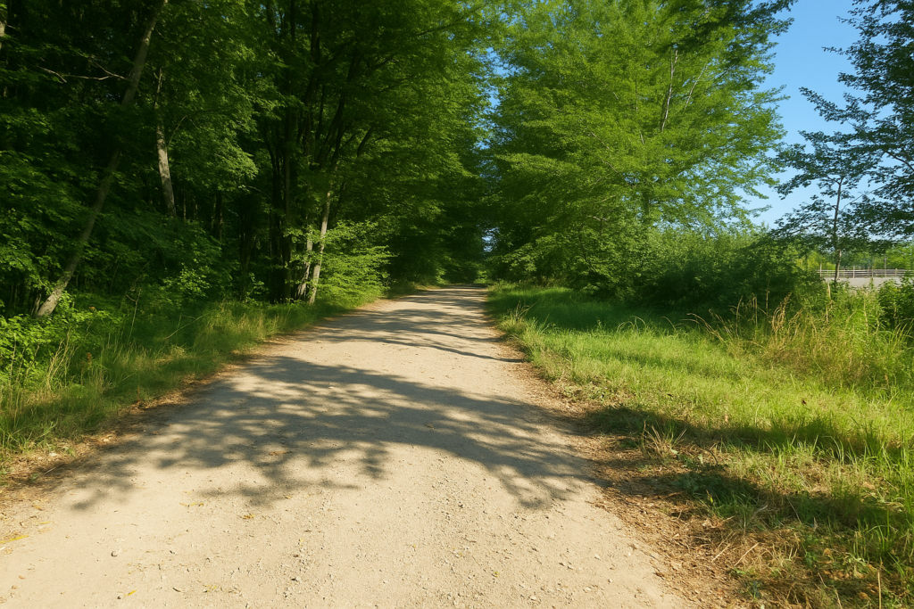
| It then plunges into woodland, one of those small havens of freshness where young beech shoots rise in masses toward the light, like so many promises of a forest to come. | |
 |
 |
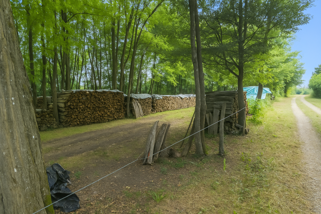
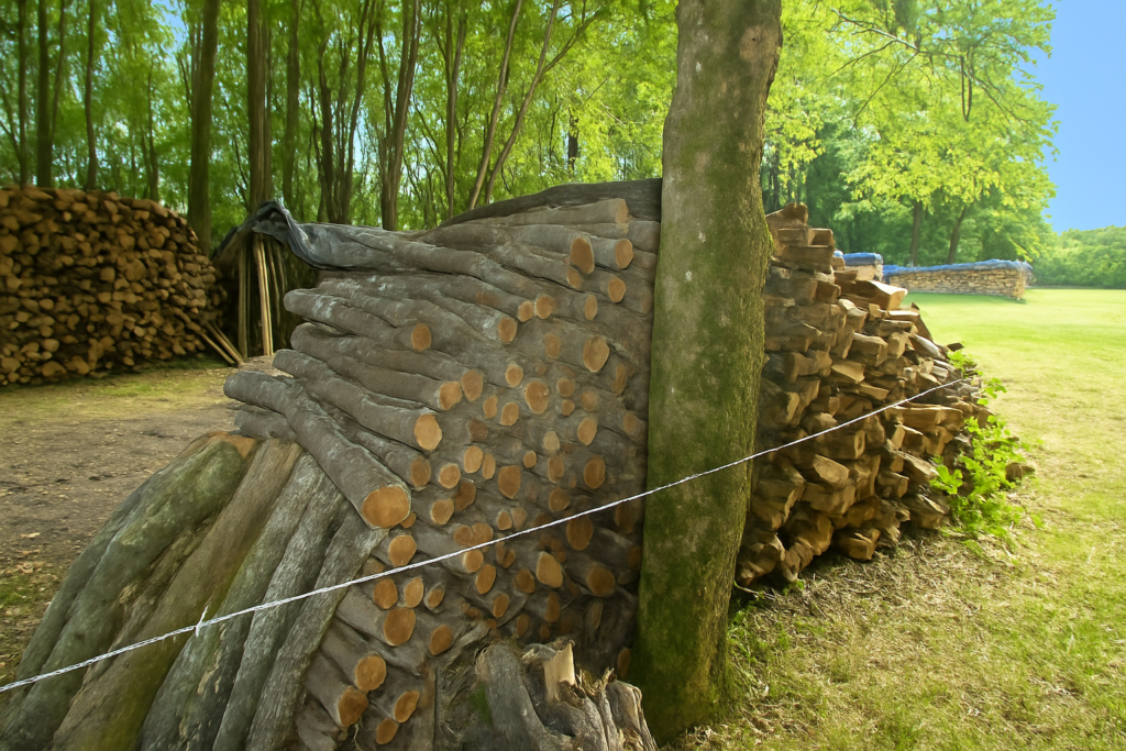
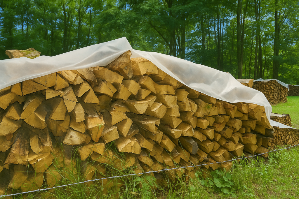
| The path soon crosses an open logging site. There is no pretence here. Wood is cut, sorted, and stacked. Beech, oak, ash, each species has found its place in this organized chaos. | |
 |
 |
 |
 |
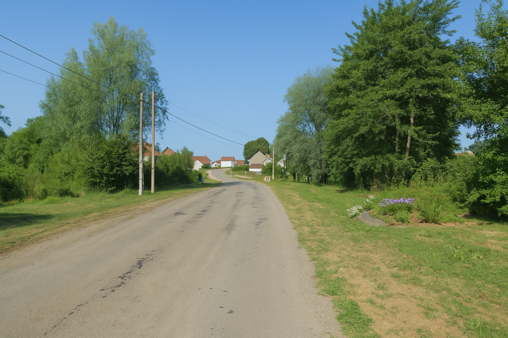
| Farther on, the path emerges into the village of Vellechevreux-et-Courbenans. You are expected there, or at least announced by a few dogs behind their gates. Their teeth may be less dangerous than their voices, but they will be sure to let the whole neighbourhood know that you are passing. | |
 |
 |
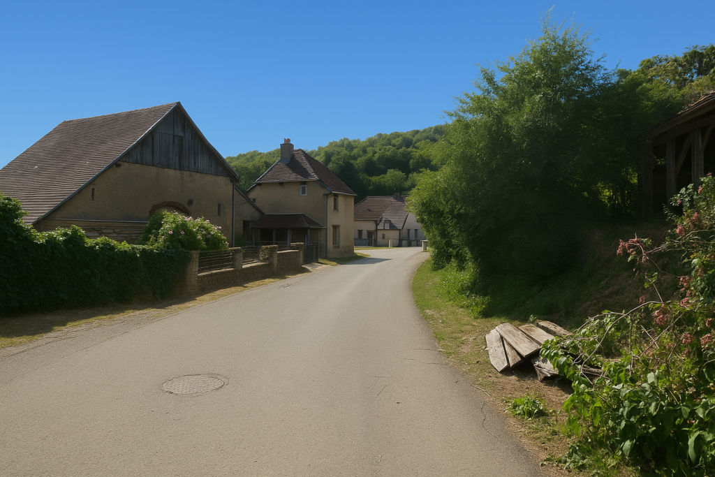
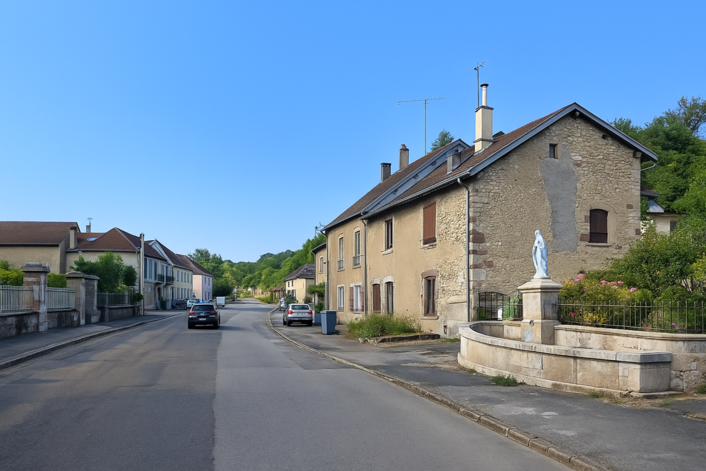
| The village itself is modest and peaceful. There are farmhouses without pretension, some built in rough stone, others covered in a pink render that here seems to be the colour of dignity. The church of St Germain, altered over the centuries, dates from the eighteenth century. It proudly displays a Comtois bell tower, topped with the clock that still watches over the time of the living. | |
 |
 |
| The route crosses the village, passing a war memorial, a silent fountain, probably for a long time now, and a statue of the Virgin standing there in her eternal blue and white garments. Only red is missing from this palette to make the colours of the nation vibrate. | |
 |
 |
 |
 |
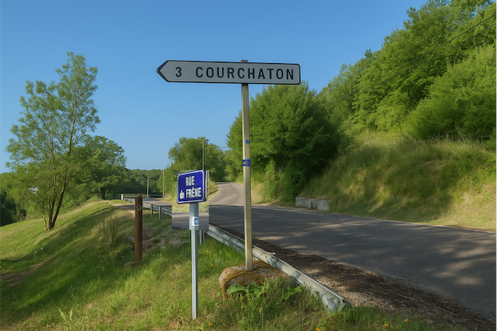
| At the exit from the village, the route sets off along the road to Courchaton. | |
 |
 |
The road descends gently to an old communal washhouse, one of those places where women once washed linen by hand while quietly remaking the world.
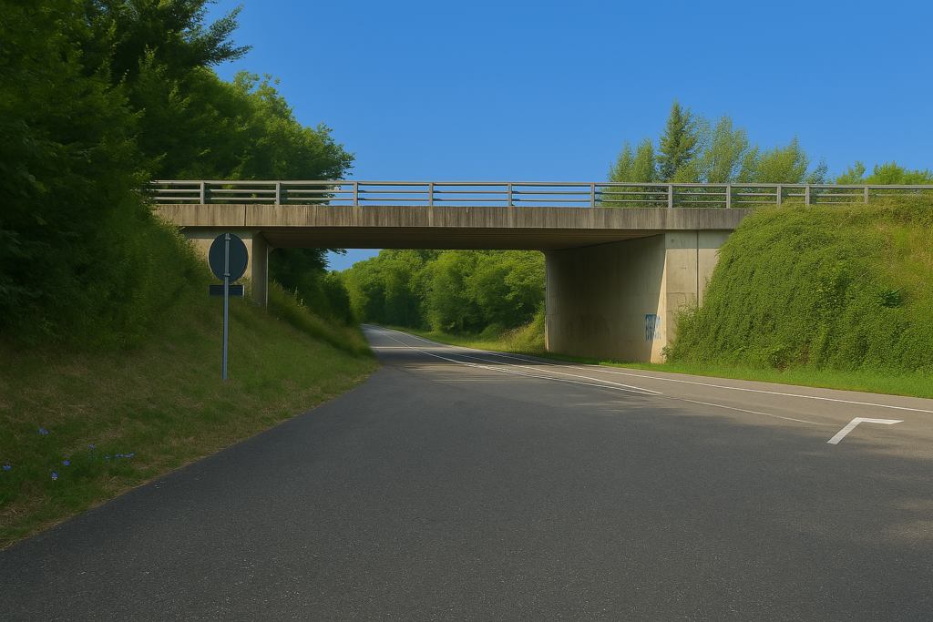
| A little farther on, the route runs beneath the departmental road D9. | |
 |
 |
| Then it climbs again along the small road to Courchaton, crossing the Prairie stream, a modest but persistent ribbon of water. | |
 |
 |
 |
 |
| From there the road winds between open meadows and cool woodland. | |
 |
 |
| Soon the route changes direction. Behind the rows of maize, it leaves the Courchaton road and begins to climb. The route is well signposted here. | |
 |
 |
| The climb is not aggressive, barely a kilometre, as gentle as the meadows it crosses. Small clusters of oaks and beeches break the uniformity. | |
 |
 |
 |
 |
| What is new here, and will delight the pilgrim lost in the jungle of symbols, is that the Compostela shell has regained its rightful place. No more triangles, squares, yellow or red stars. Here it is Santiago or nothing. | |
 |
 |
 |
 |
| At the top, the road leaves its straight line and turns to the right, joining an older road, more worn as well. Fortunately, in this stage the Compostela shells are correctly oriented, it must be said. On either side a few maize fields hold their ground against the meadow grass. | |
 |
 |
 |
 |
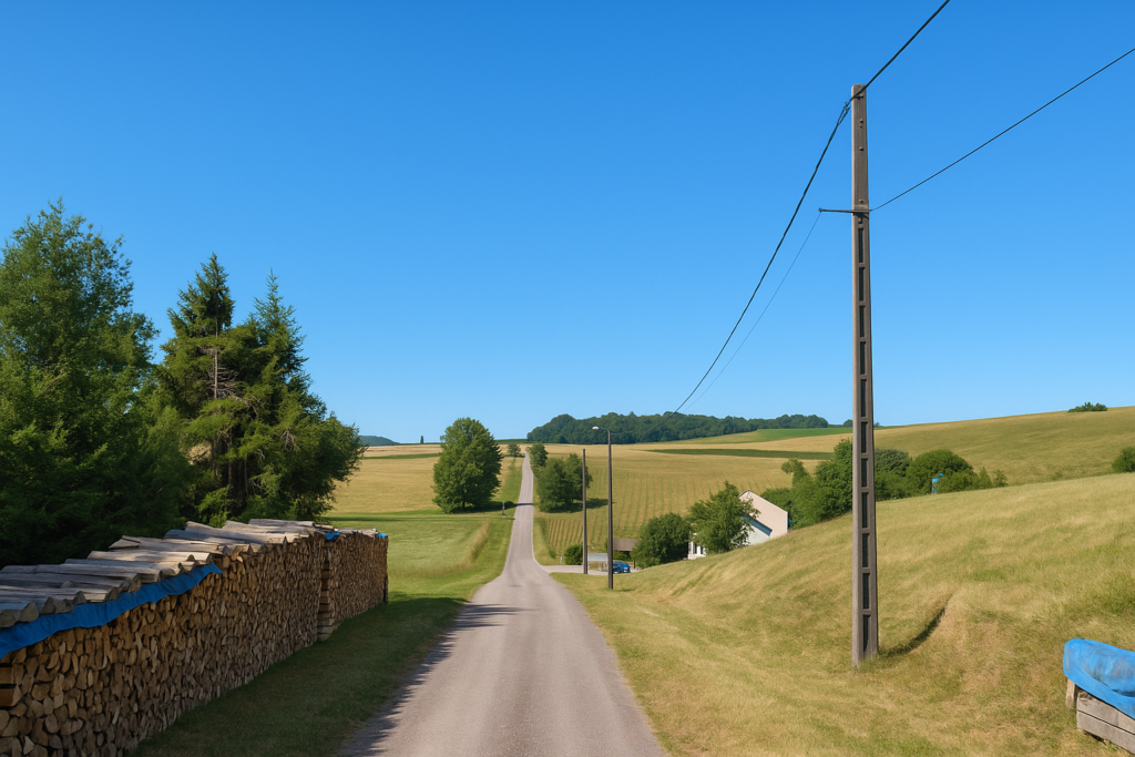
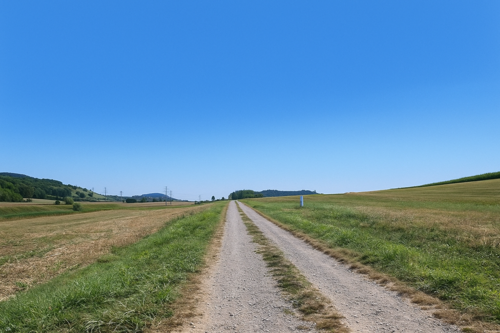
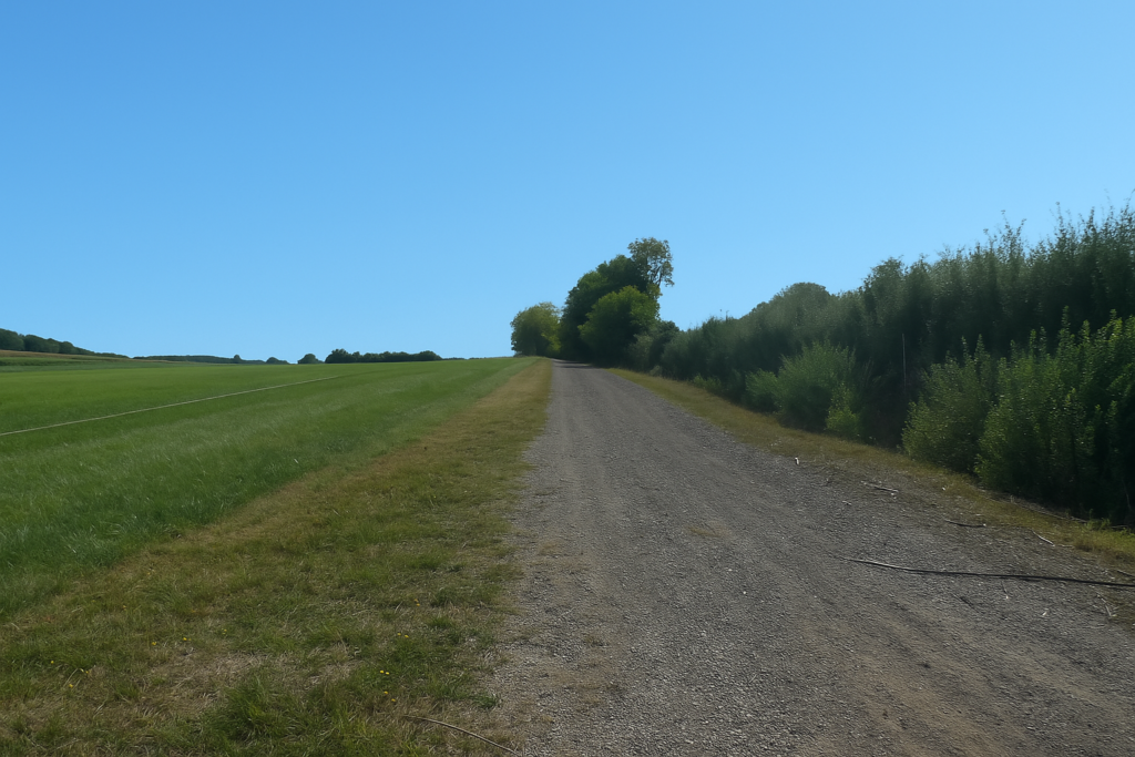
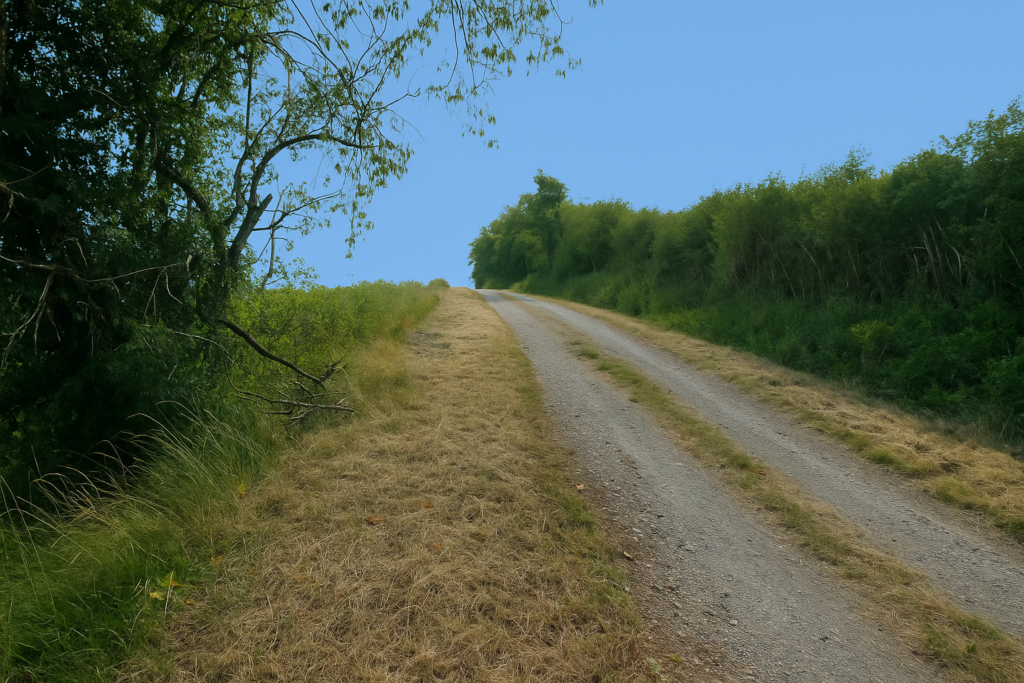
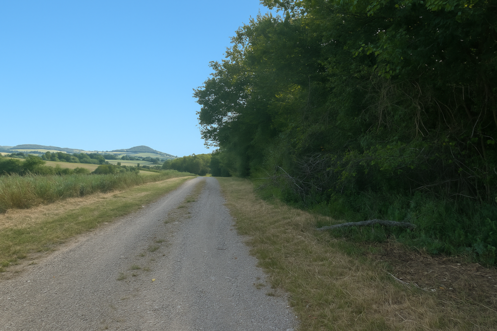
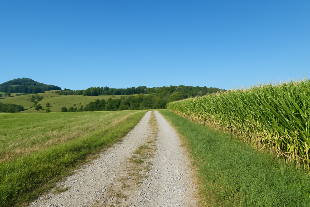
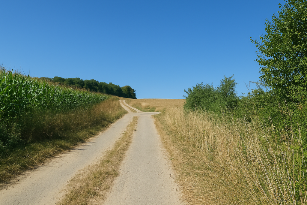
| Soon the tarmac gives way to stony earth. The countryside stretches as far as the eye can see, fading gently toward the woods. | |
 |
 |
 |
 |
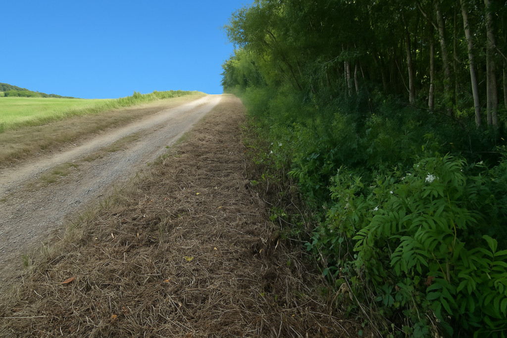
| Higher up, a small wood tries to break the monotony of the fields. There is a brief return to tarmac, but not the kind one likes. The surface is worn and distorted, and the road slips under a small woodland canopy as if trying to hide its own misery. | |
 |
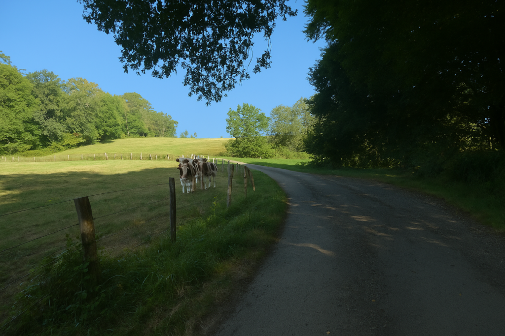 |
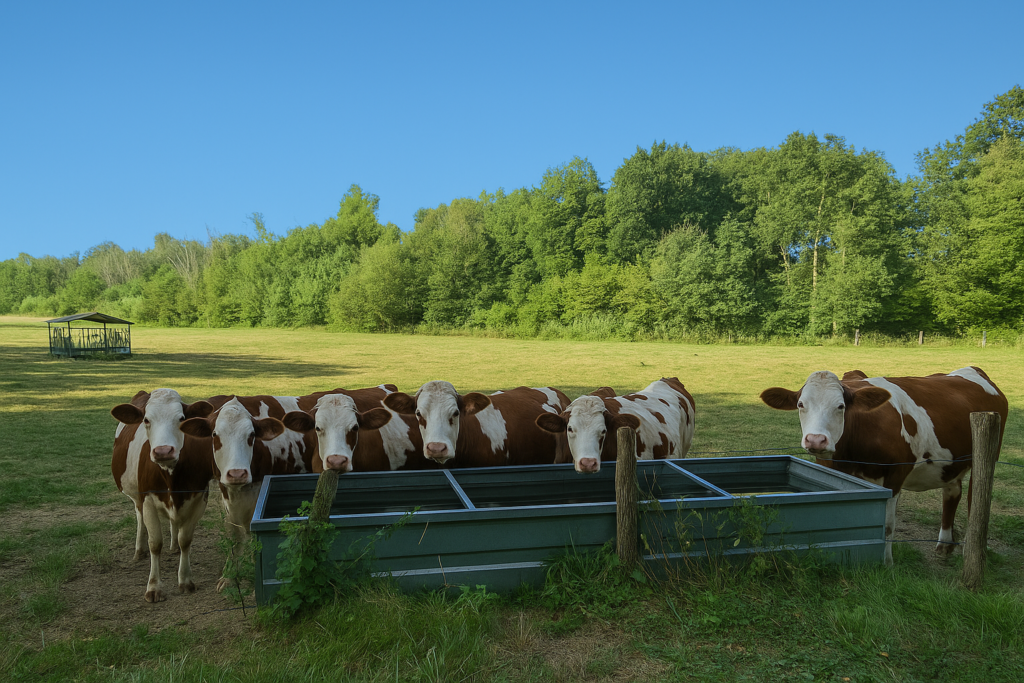
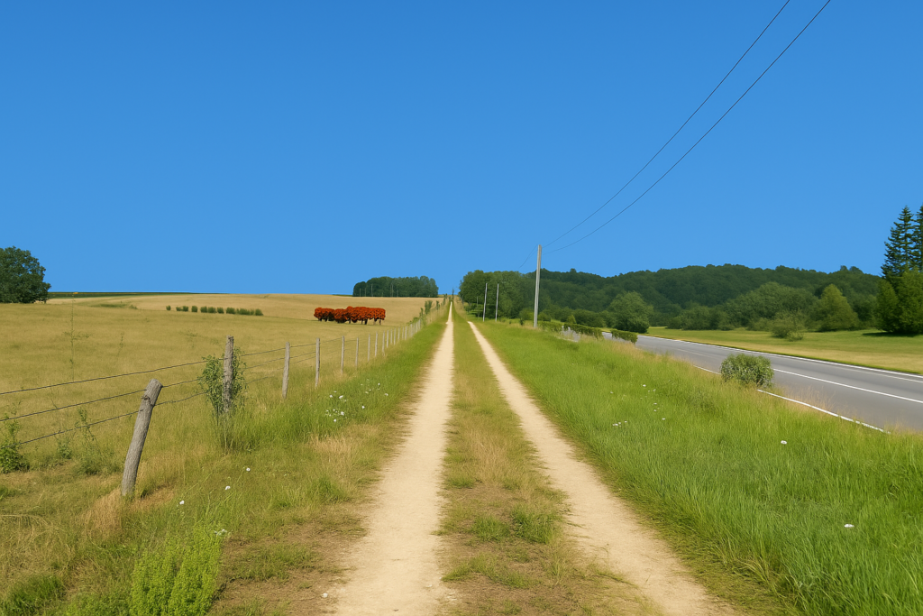
But you are not alone. The cows watch you, placid and untroubled. They are Montbéliard cows, of course. Montbéliard is no longer far away, and these animals are at home here, just as pilgrims are at home on the path. Whoever claimed that cows were tireless workers. They have mastered the art of idleness, lying in the grass and ruminating with philosophy.
Section 5: Le TGV, toujours comme boussole
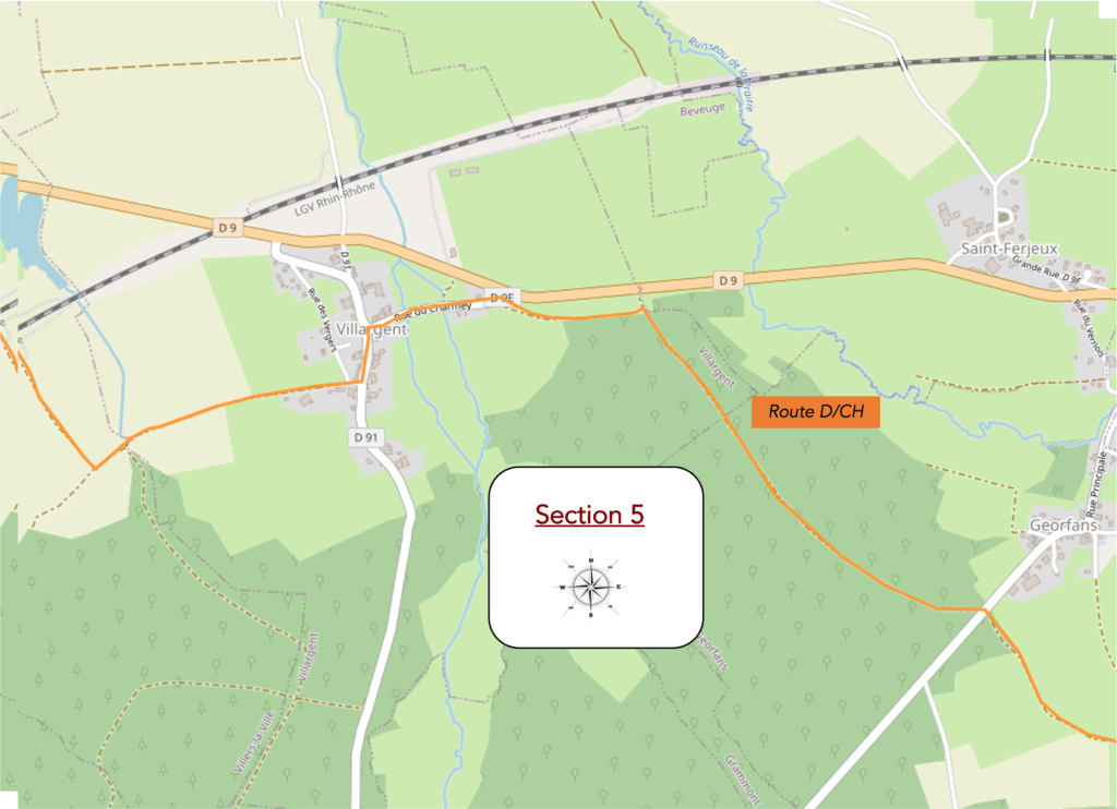
The high-speed train, always a compass: route with no difficulty.
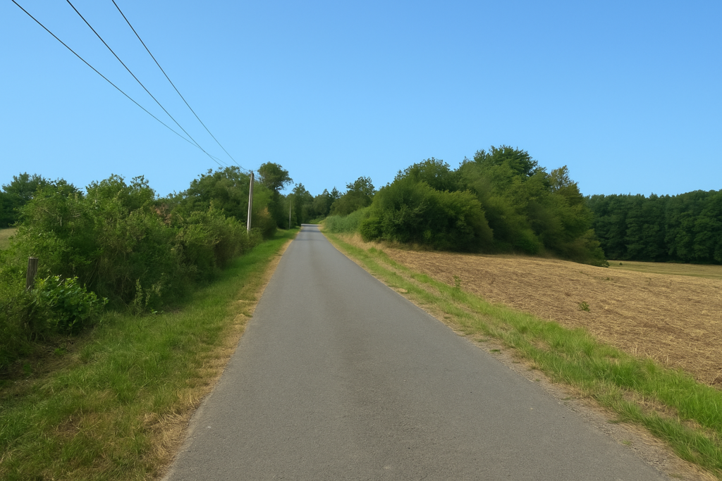
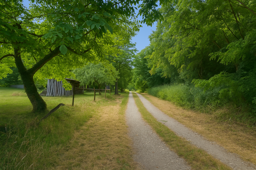
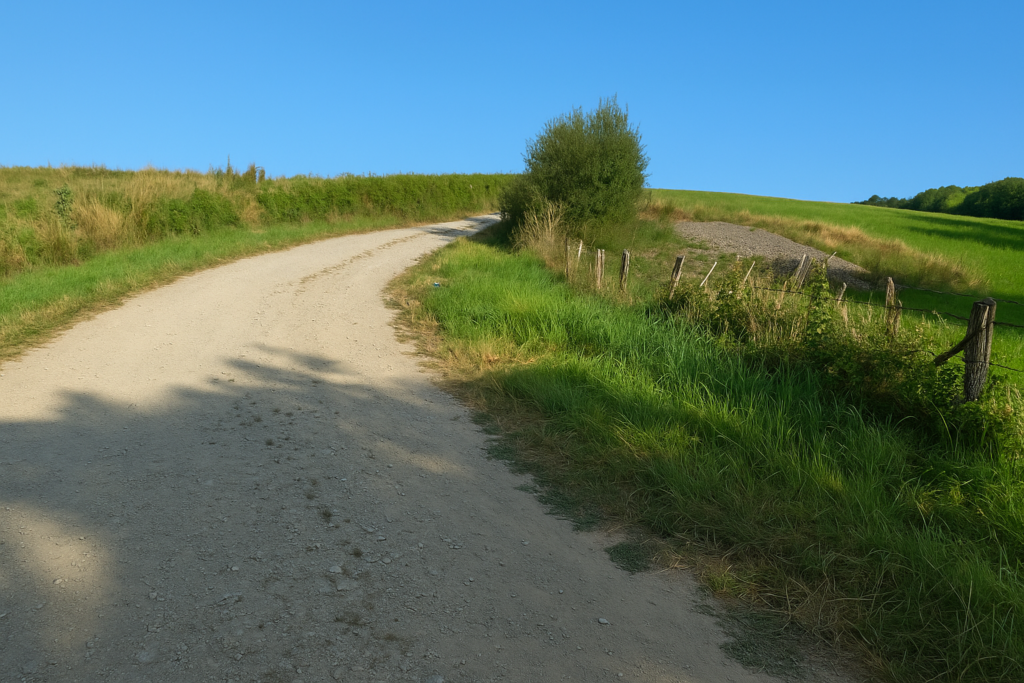
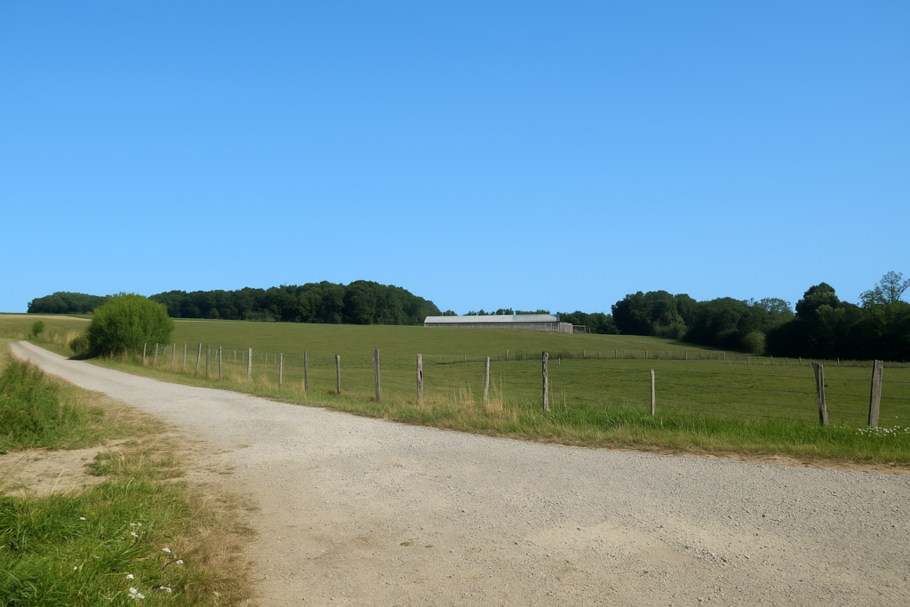
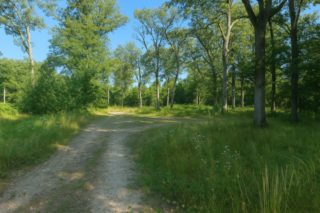
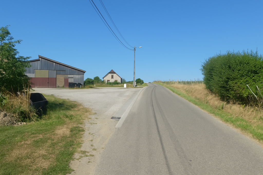
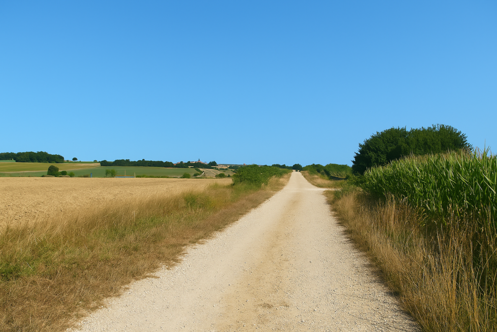
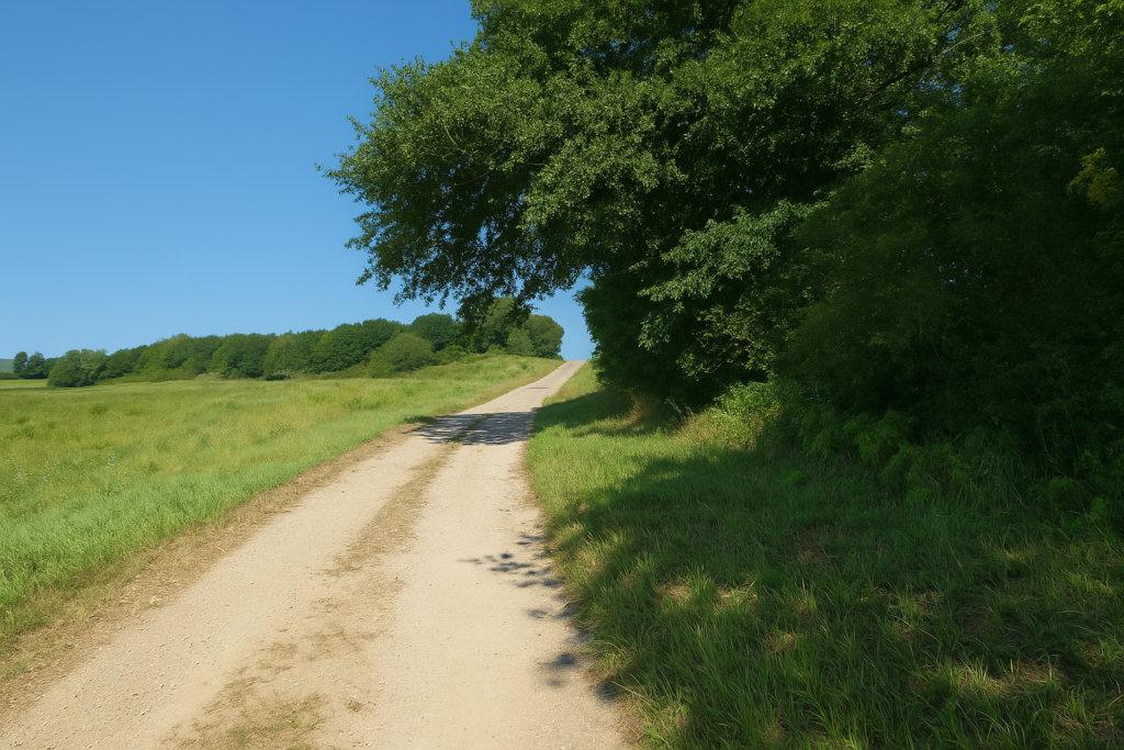
| A little farther on, a wide dirt road slopes up gently over a small hill, as if preparing a theatrical effect. Then the scene is revealed. In front of you, at the edge of deep woodland, stands a large farm, calm and solid, a sentinel of rural times. | |
 |
 |
| The dirt path then undulates toward it, drawing a soft curve through the meadows like a caress laid upon the countryside. | |
 |
 |
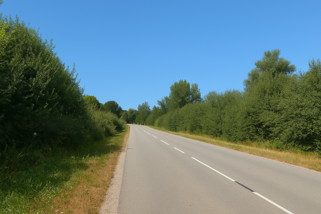
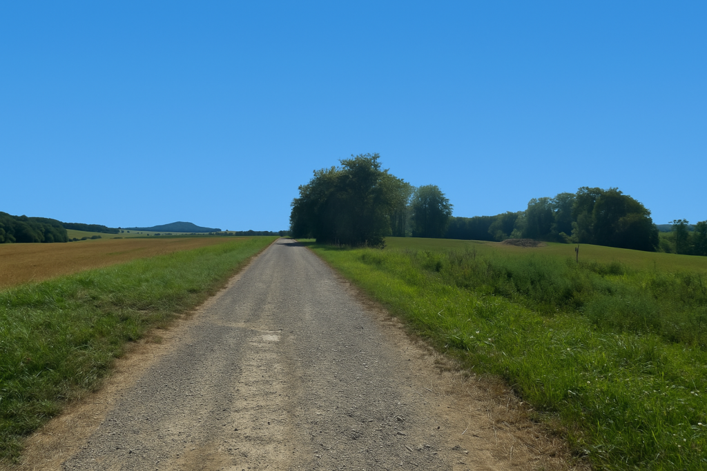
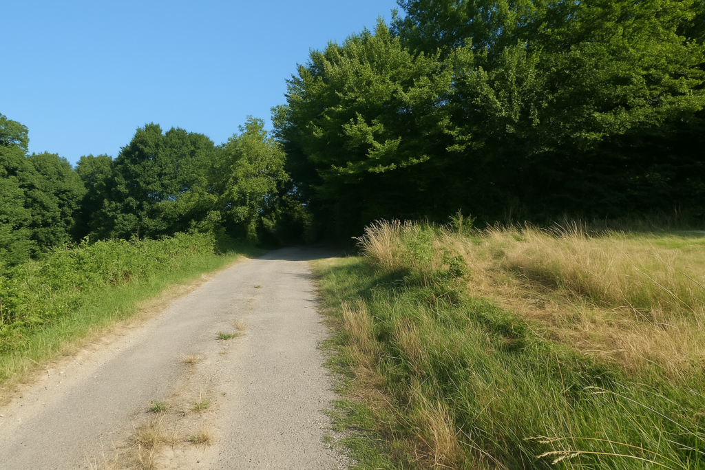
| Behind the farm the path becomes more discreet, running level through the forest. Here the trees regain their dominion and the silence grows thicker, almost solemn. Shortly afterward the path joins a modest road that leads straight to the small nearby village of Georfans. | |
 |
 |
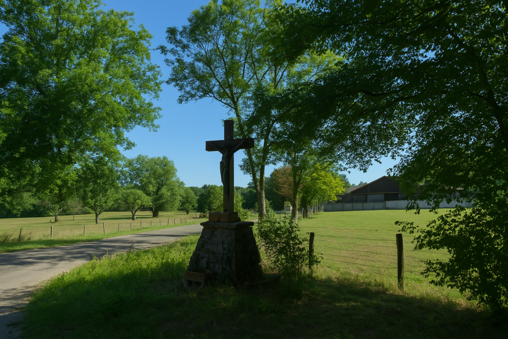
| A large cross standing at the crossroads watches you pass, mute yet full of stories. | |
 |
 |
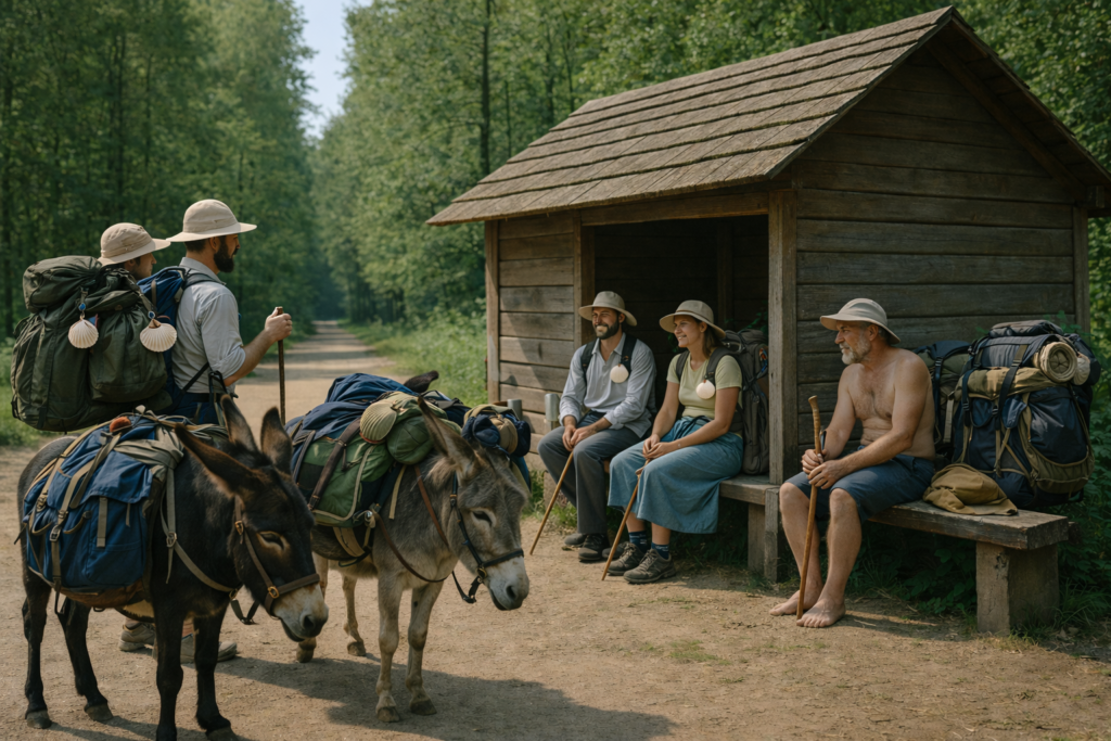
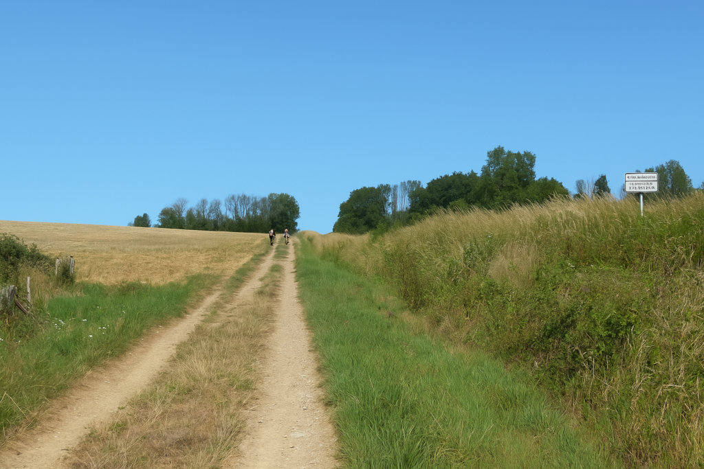
| Here begins a true and beautiful escape into the forest, a parenthesis far from villages and far from people. The path soon passes near a hunters’ cabin, a relic of an activity as motionless as it is discreet. At this very spot a group of German pilgrims passes by, with dogs in harness and donkeys carrying the packs. They have come from afar, from Leipzig, crossed Germany, reached Strasbourg, and are heading toward Santiago, faithful to their rhythm of twenty-five kilometres a day, like a caravan from another age. | |
 |
 |
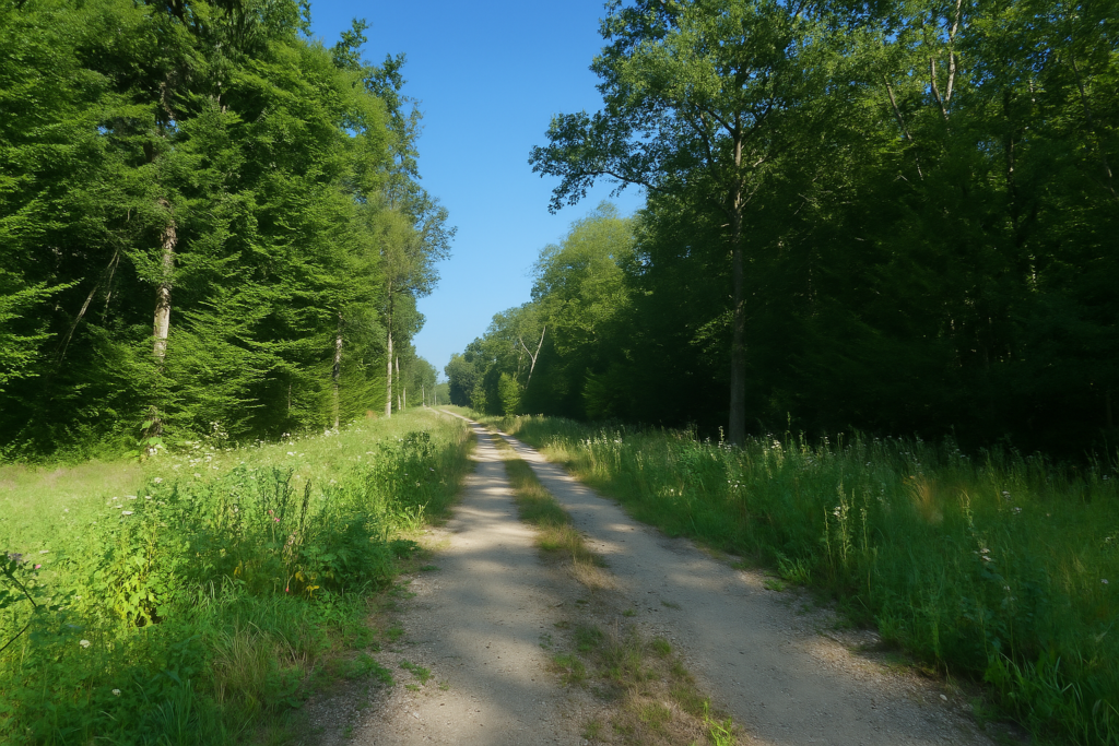
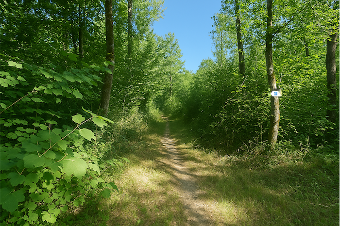
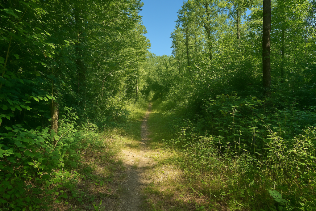
| The path, wide and almost comfortable, then runs along a straight cutting driven through the forest like a firebreak or an old wartime trench. The trees, mostly venerable deciduous giants, raise their noble silhouettes, beeches, oaks, ashes. | |
 |
 |
| Among these venerable deciduous trees, the pines are not missing from the scene. | |
 |
 |
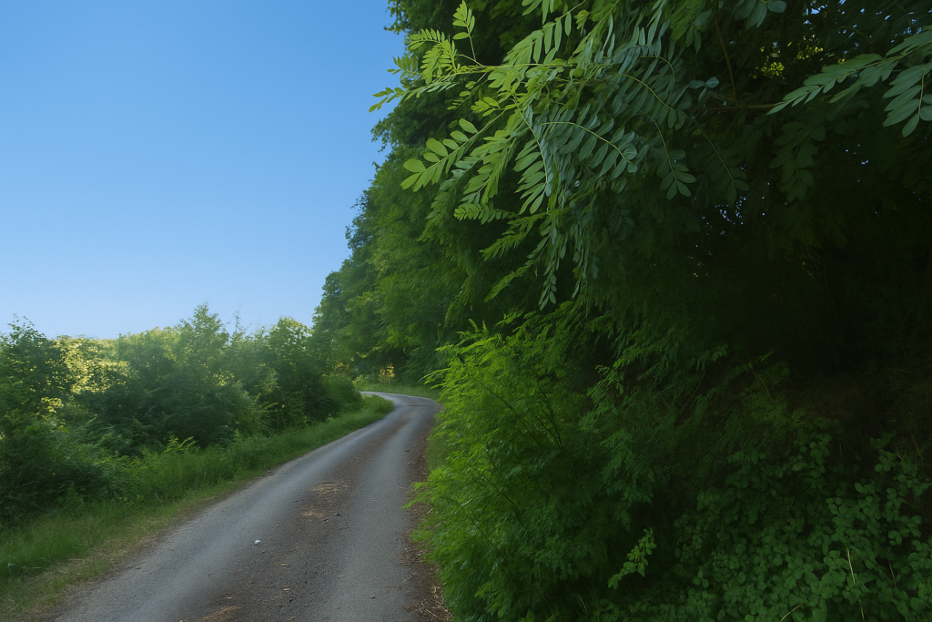
| Farther on the path narrows, sinking between the trunks, but the forest remains grand. It is a green nave where light falls like a soft rain filtered through the leaves. Each step becomes quieter, as if nature were demanding the respect due to a sanctuary. | |
 |
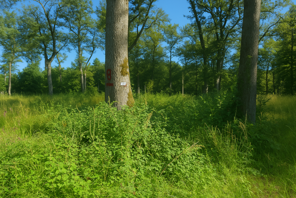 |
| Everywhere the scallop shells of Saint James are present, discreet yet faithful, fixed to trunks and nailed to posts to guide you through this sea of green, even if they are still just as badly oriented. It seems that here, in this vegetal theatre, people have given up garish circles and multicoloured triangles. One returns to the essential, to the simplicity of the symbol. | |
 |
 |
 |
 |
| Here it is pure happiness simply to move forward in the wild, sunlit nature. | |
 |
 |
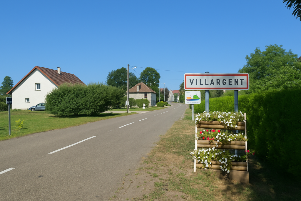
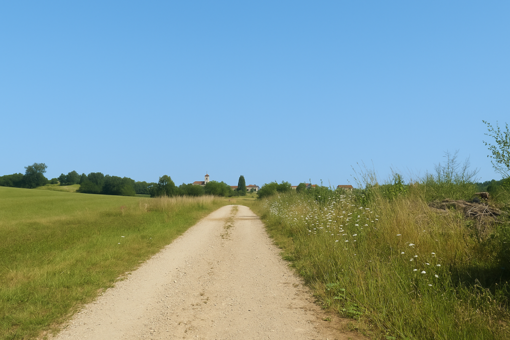
| The forest gradually lightens and without noticing it you emerge into Villargent. The village lies there, quiet, nestled in the light. | |
 |
 |
| The path follows the edge of the wood a little longer across cultivated fields, as if to bid it farewell, then slips gently toward the entrance of the village. . | |
 |
 |
| At the entrance the road crosses one of the branches of the Beveuge stream. The water runs discreetly, almost shyly, between the stones. | |
 |
 |
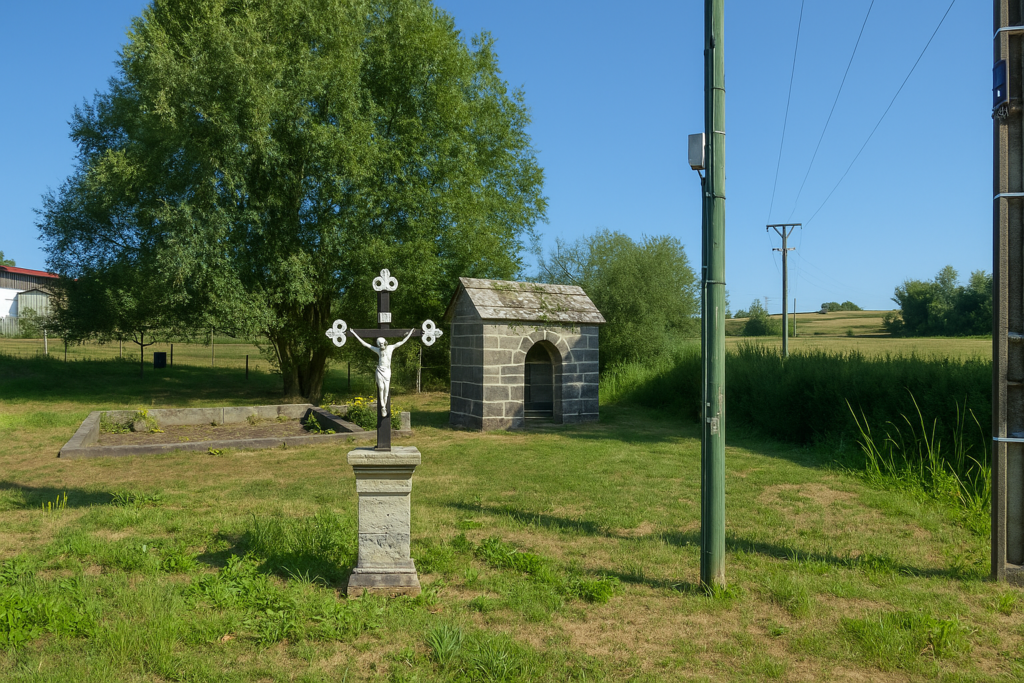
| A little farther on flows the main stream, its greenish water not inviting. One would not hold out a water bottle. It looks like a forgotten watercourse that runs more out of habit than necessity. Right there, on the bank, in a small tended park, a Christ on the cross stands near a wayside shrine, a presence that questions or reassures depending on the walker’s mood. | |
 |
 |
 |
 |
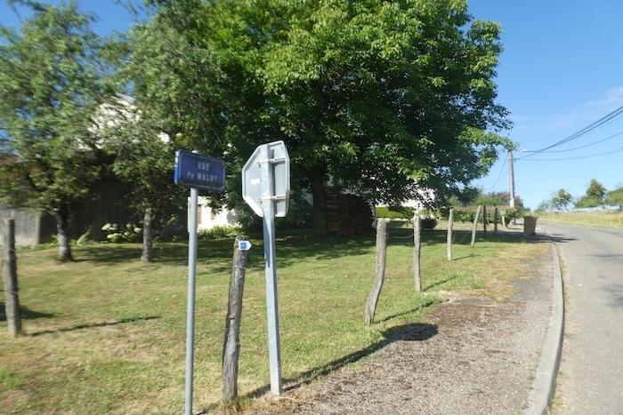
| The road then winds through the village, turns at right angles, continues, branches off again, until it finds Rue de Magny. | |
 |
 |
 |
 |
| Then the paved road leaves the last houses behind, follows the farms, and climbs gently up the hill. | |
 |
 |
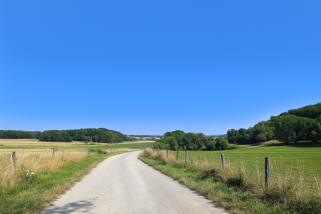
| On the plateau the road undulates lazily through peaceful countryside. A few clumps of trees punctuate the horizon, isolated like islands. | |
 |
 |
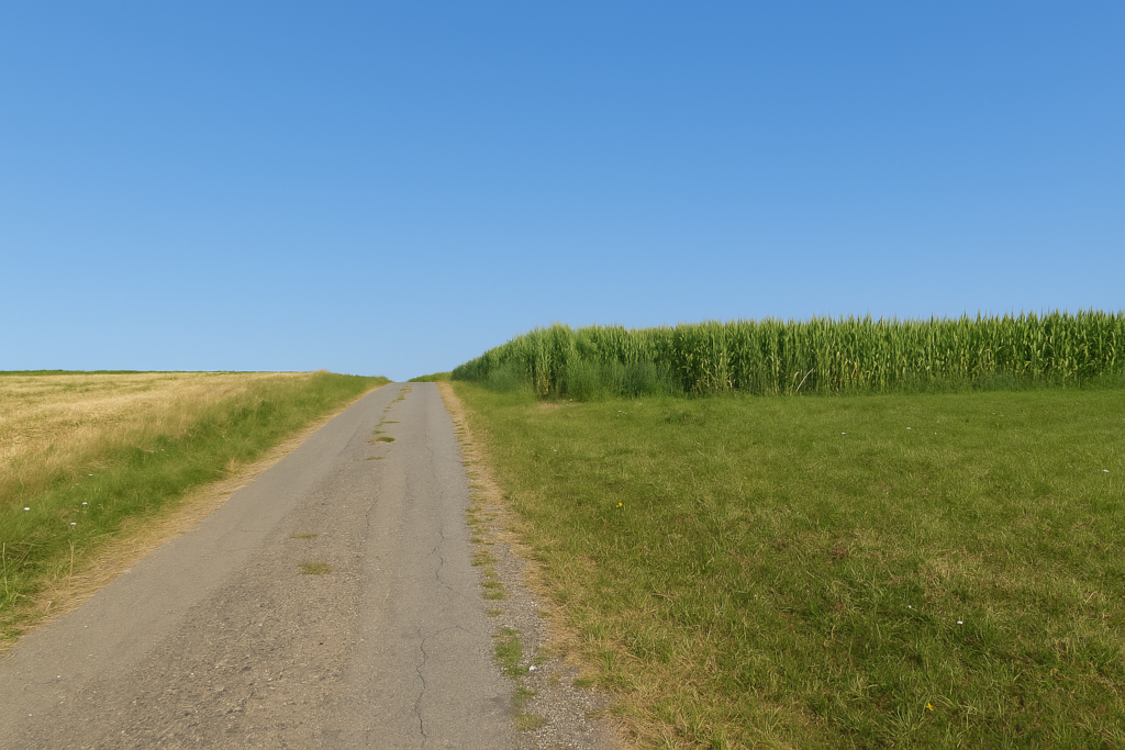
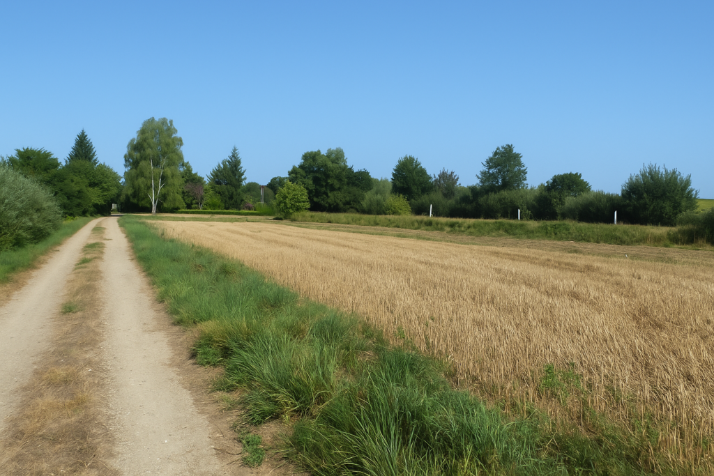
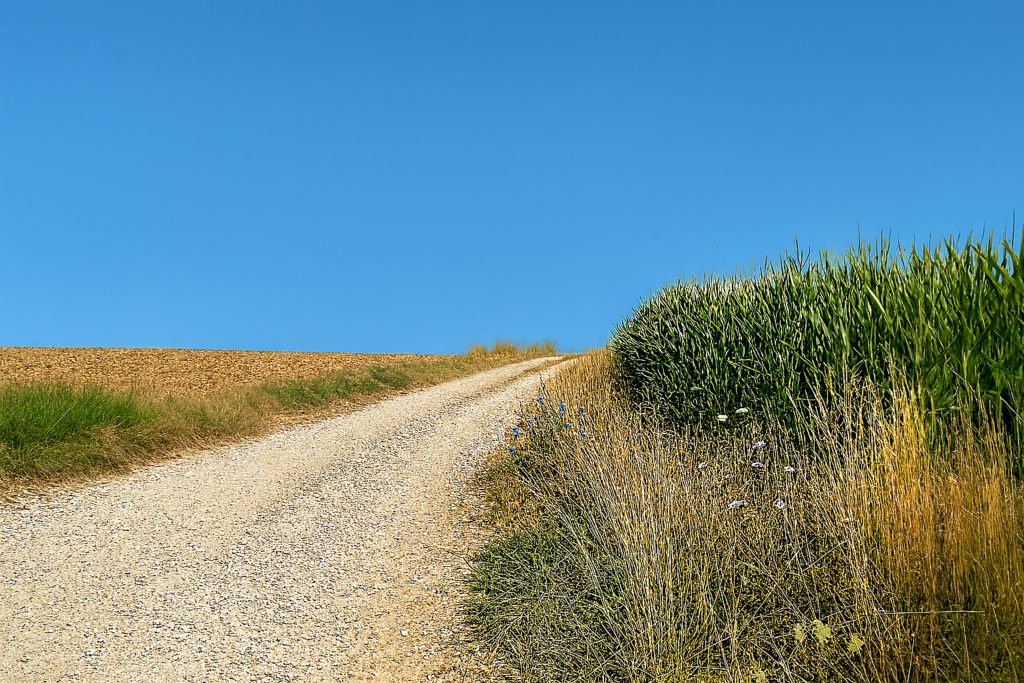
| A little farther on the tarmac fades and the route turns to the right onto a dirt path that takes over between the tight ranks of maize. The green smell of crushed stems rises slowly in the heat. | |
 |
 |
 |
 |
| And suddenly the familiar rumble. It is the train, once again, roaring somewhere behind the trees. It has not yet shown itself but its voice is heard, deep and insistent. At certain moments the noise is so loud that one might think oneself only a short distance from an airport. You know you are going to meet it again. It is inevitable. | |
 |
 |
Section 6: Villersexel, at the end of the route
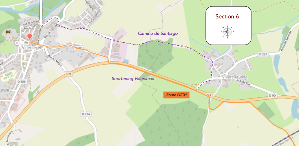
Overview of the route’ challenges: route with no difficulty at all.
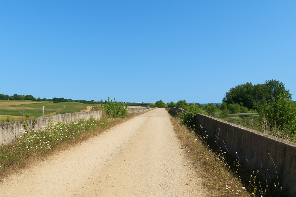
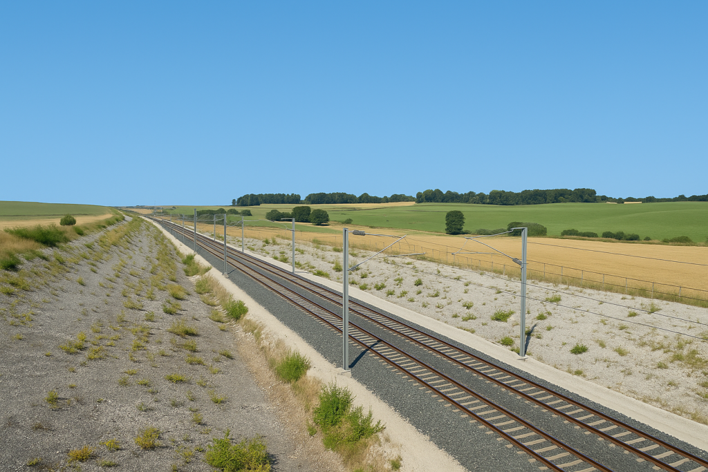
| Indeed, the railway line is there, within a few steps. If you have a little time, wait for a train to pass. Seeing that steel monster appears, launched at full speed, is an almost brutal moment. It cleaves the air in a powerful breath and leaves you, a second later, alone again with the returning silence. It is already far away. You must have your camera ready, because everything happens in just a few instants. | |
 |
 |
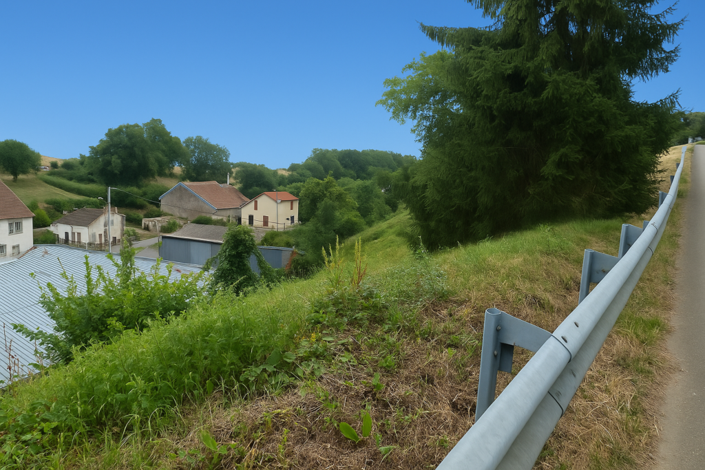
| From the line, the dirt path climbs with a gentle slope. On the hilltop a new scene opens. You can make out the Comtois bell tower of Villers-la-Ville, set there like a sentinel in the middle of the fields. | |
 |
 |
 |
 |
| The path undulates through the farmland, following a hedge of oaks that borders the fields like an old backbone. . | |
 |
 |
| A little farther on, the climb resumes along the departmental road D9, which unrolls its noisy ribbon a few metres away. | |
 |
 |
| But soon the path veers away, leaves the edge of the main road, and slips back into a quieter world a little farther inland. | |
 |
 |
 |
 |
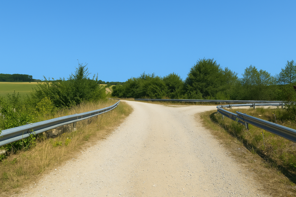
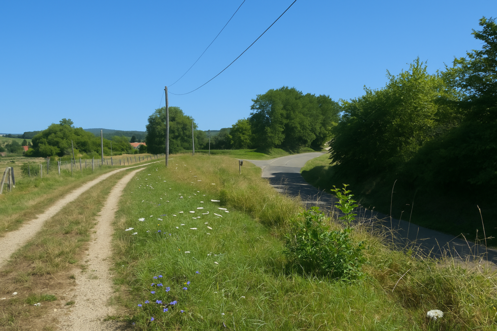
Then, at a crossroads, doubt sets in. It often happens like this. Two directions, few certainties. The discreet sign is on the ground, on a small dirt path running parallel to the road. And you, which way will you choose. The reassuring tarmac or the grassy path. This kind of decision is often made by intuition. If after a few hundred metres nothing confirms your choice, you will have to go back.
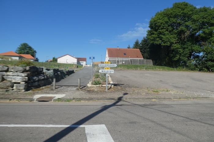
In this precise case, the waymarked route crosses the D9 a little farther on, goes through Villers-la-Ville, then descends toward the outskirts of Villersexel, close to the Ognon river. The simplest option here is to choose the dirt path along the departmental road. It takes you directly to Villersexel without making the detour through Villers-la-Ville. It is very close. Moreover, the German pilgrims we had met earlier, the very ones with their calm donkeys and alert dogs, split here, some heading toward Villers-la-Ville, others following the dirt path. Two options, two temperaments, some guided by efficiency, others by the call of higher ground. As for us, we followed the simpler, more direct variant.
| In any case, you first have to follow the road along the dirt path. | |
 |
 |
 |
 |
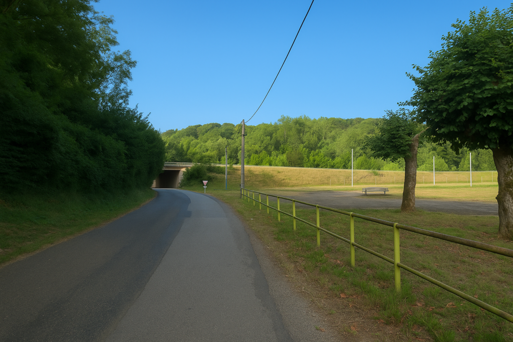
| It is at the level of a kind of corrugated-metal tunnel that pilgrims following the Way of St James cross the noisy national road. | |
 |
 |
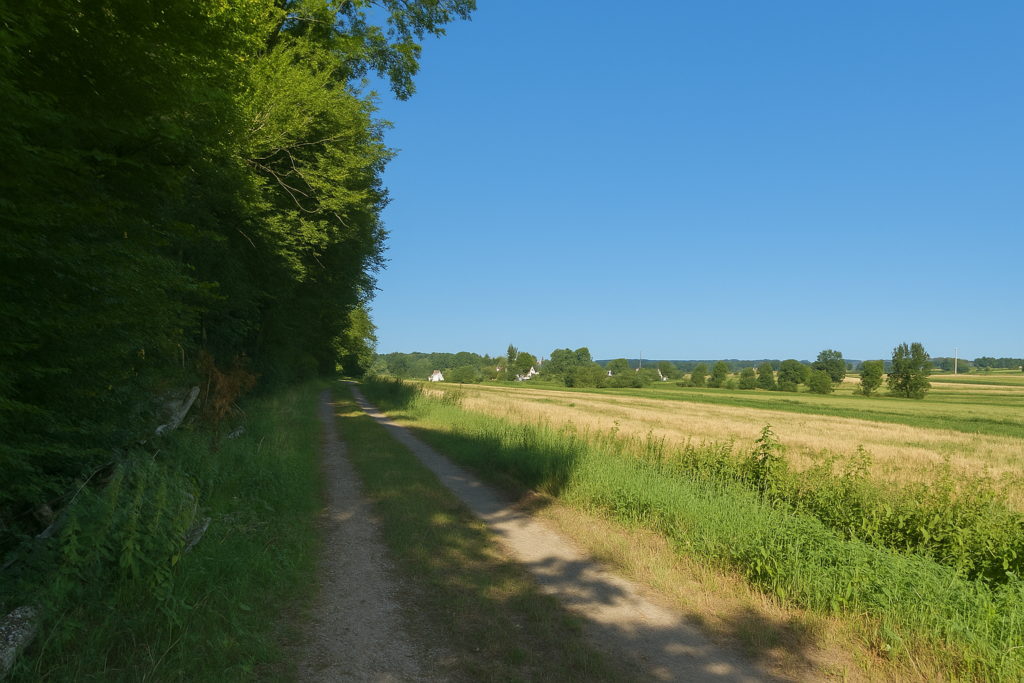
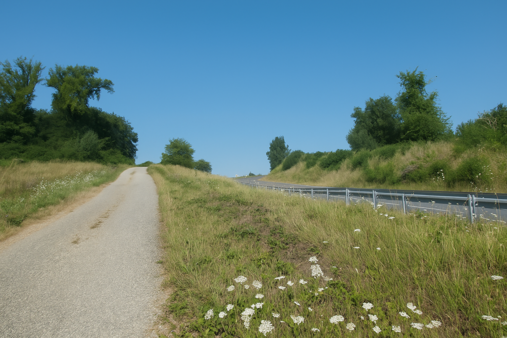
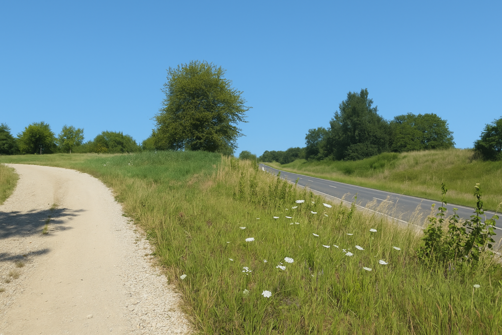
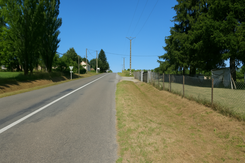
| The stretch of path running beside the departmental road is straight, without curves or mystery. It is a long taut line drawn alongside the tarmac. The only annoyance is the uninterrupted hum of cars, that mechanical murmur that weighs a little on the solitude of the walker. | |
 |
 |
| Shortly afterward the beaten earth disappears, swallowed up by tall grass. The route becomes softer, quieter. Underfoot you can feel the breathing of the earth. | |
 |
 |
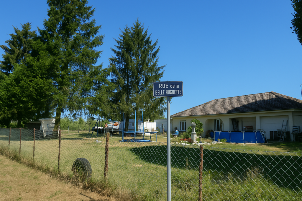
| You then reach the entrance to Villersexel. But do not expect to see the famous shell appear here. You are no longer on the Way of St James. You must therefore cross the departmental road, this modern axis, and follow the slip road that leads toward Villersexel. This is Rue de la Belle Huguette, a charming name, almost from a novel, that opens the gates of the town. It is like a final wink from rural France, where every name carries a piece of history, humour, or tenderness. | |
 |
 |
 |
 |
| Soon the road tilts gently toward the centre. You can already sense life ahead, shop windows, open shutters, café conversations drifting toward the pavement. But the first thing to see is the war memorial at the entrance to the town. . | |
 |
 |
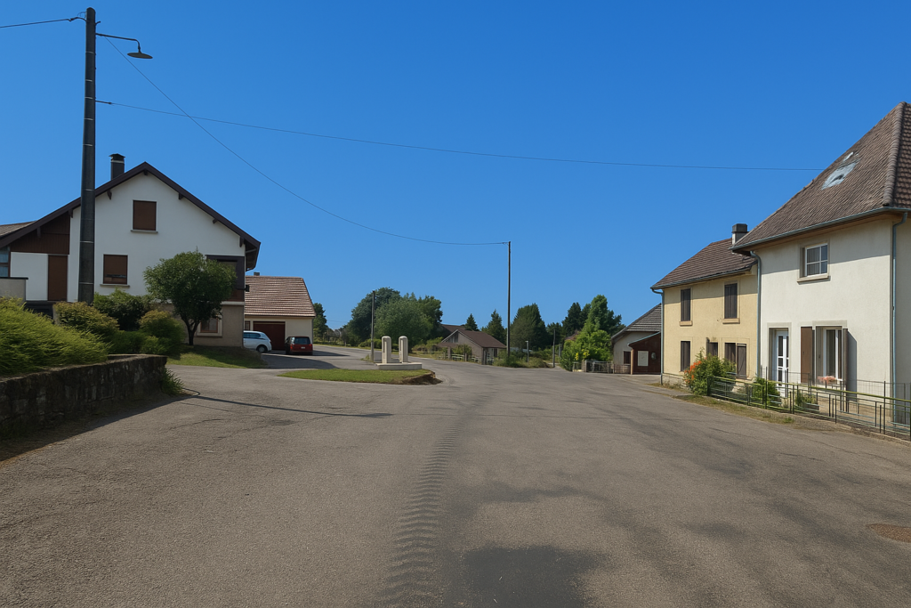
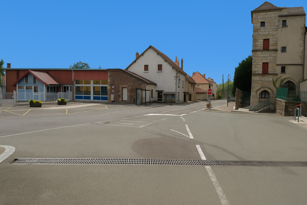
| Villersexel is a small town of 1,500 inhabitants, large enough to provide everything a stage requires, small enough for people still to greet one another. | |
 |
 |
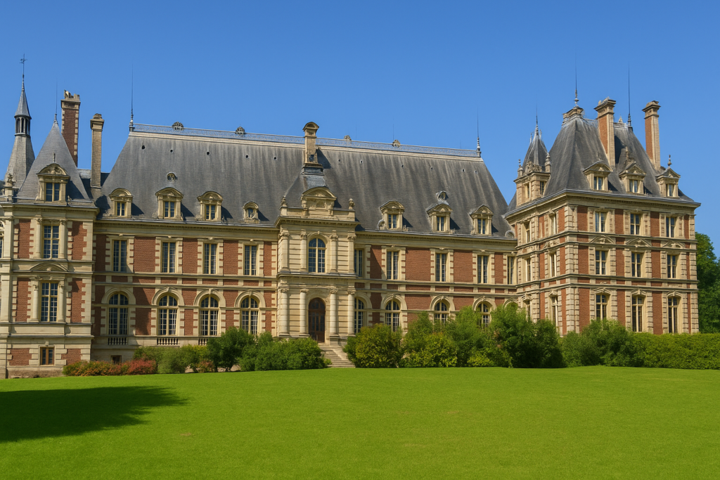
| The château, built at the end of the nineteenth century, stands slightly apart on a height, with the air of an industrial fairy-tale residence. The church also dates from this period. Together they watch over the valley like two witnesses from another time, a little dreamy, a little solemn. | |
 |
 |
Official accommodations in Burgundy/Franche-Comté
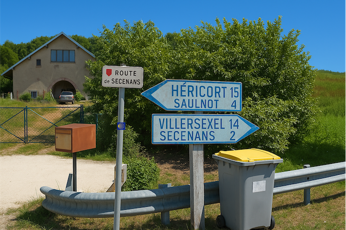
- Gîte équestre, 5 Route de Sécenans, Granges-le-Bourg; 03 84 89 90 37; Gîte
- Chapeau Chinois, 92 Rue du Chapeau Chinois, Villersexel; 03 84 63 40 60; Camping, bungalows
- Château de Villersexel, Villersexel; 03 84 20 51 53/05 77 98 44 84; Gîte and Guestroom
- Hôtel La Terrasse, Pont de l’Oignon, Villersexel; 03 84 20 52 11 ; Hotel
Jacquaire accomodations (see introduction)
- Malval (1)
Airbnb
- Saulnot (1)
- Granges-le-Bourg (2)
- Villersexel (4)
Each year, the route changes. Some accommodations disappear; others appear. It is therefore impossible to create a definitive list. This list includes only lodgings located on the route itself or within one kilometer of it. For more detailed information, the guide Chemins de Compostelle en Rhône-Alpes, published by the Association of the Friends of Compostela, remains the reference. It also contains useful addresses for bars, restaurants, and bakeries along the way. On this stage, there should not be major difficulties finding a place to stay. It must be said: the region is not touristy. It offers other kinds of richness, but not abundant infrastructure. Today, Airbnb has become a new tourism reference that we cannot ignore. It has become the most important source of accommodations in all regions, even in those with limited tourist infrastructure. As you know, the addresses are not directly available. It is always strongly recommended to book in advance. Finding a bed at the last minute is sometimes a stroke of luck; better not rely on that every day. When making reservations, ask about available meals or breakfast options.
Feel free to leave comments. That is often how one climbs the Google rankings, and how more pilgrims will gain access to the site.
 |
Next stage : Stage 6: De Villersexel à Filain |
 |
Back to menu |