
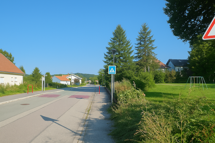
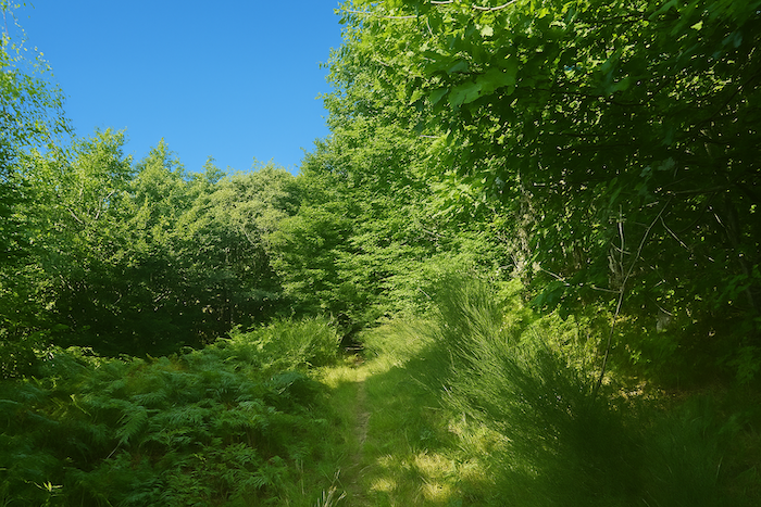
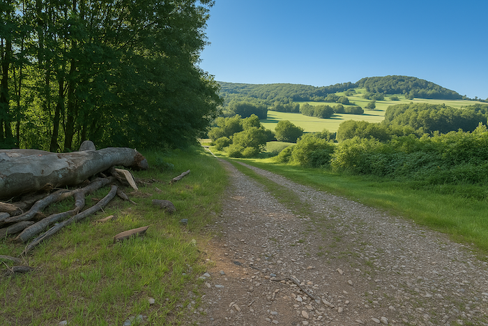
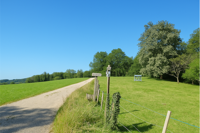
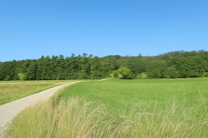
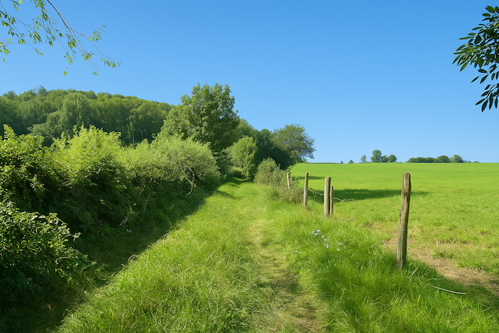
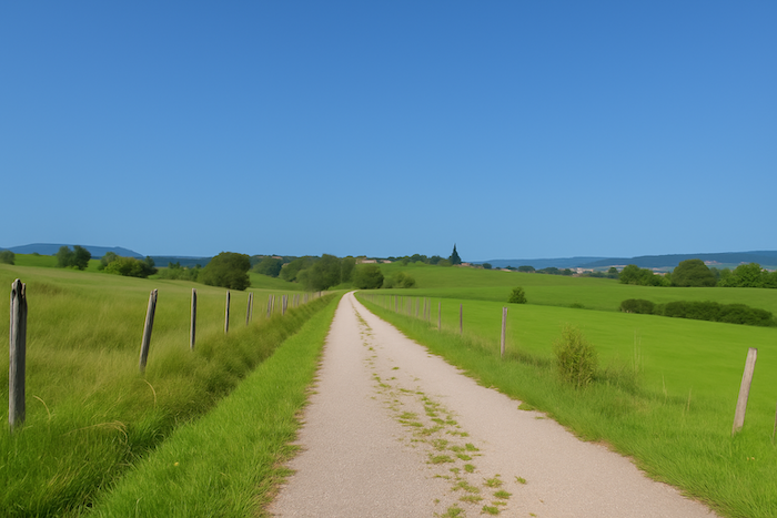
Here, the Germans and the people from the East coming from the North join the pilgrims coming from Basel
DIDIER HEUMANN, ANDREAS PAPASAVVAS
We divided the course into several sections to make it easier to see. For each section, the maps show the course, the slopes found on the course, and the state of the route (paved or dirt roads). The courses were drawn on the « Wikilocs » platform. Today, it is no longer necessary to walk around with detailed maps in your pocket or bag. If you have a mobile phone or tablet, you can easily follow routes live.
For this stage, here is the link:
| This is obviously not the case for all pilgrims, who may not feel comfortable reading GPS tracks and routes on a mobile phone, and there are still many places without an Internet connection. For this reason, you can find on Amazon a book that covers this route.
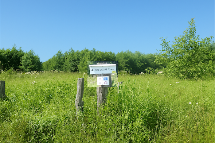
If you only want to consult lodging of the stage, go directly to the bottom of the page. |
 |
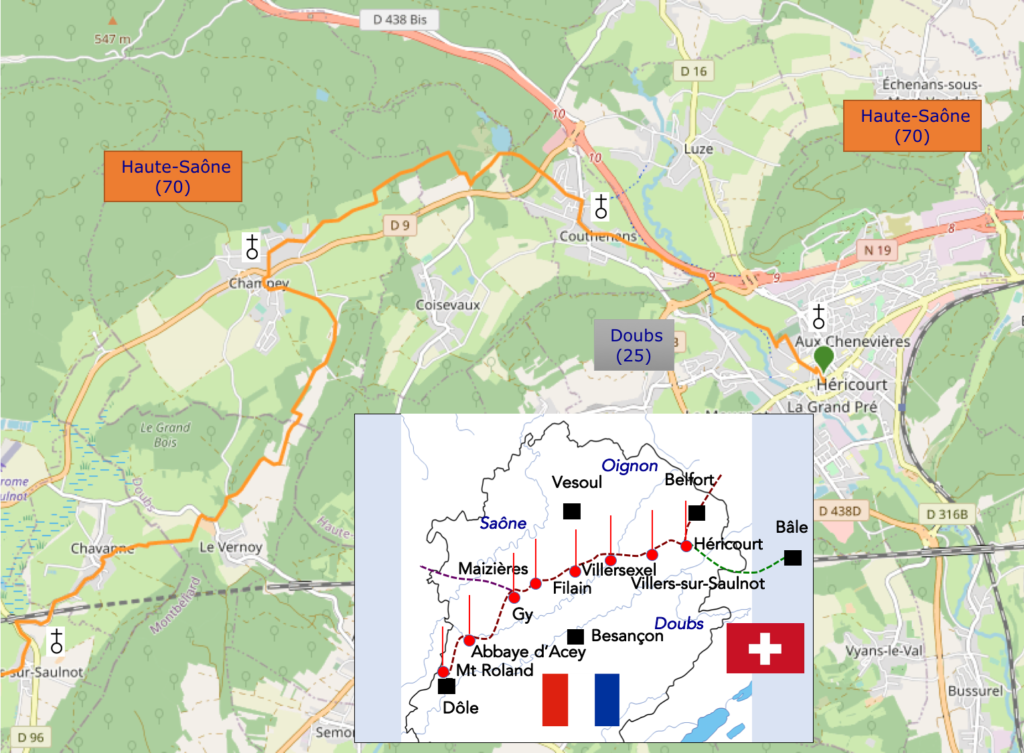
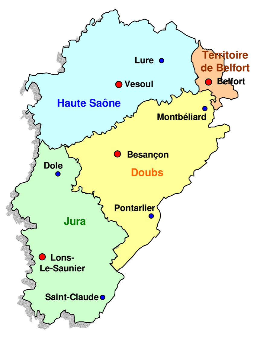
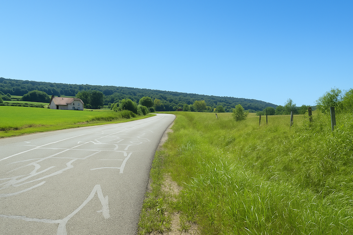
| The history of Franche-Comté, like that of its neighbors Lorraine and Alsace, remains closely linked to the Germanic world. It long belonged to the Holy Roman Empire, then to Spain, and also to the Kingdom of Burgundy. It was only at the end of the seventeenth century, under Louis XIV, that it was definitively attached to France. With the French Revolution, the former province of Franche-Comté was divided into three departments: Doubs, Jura, and Haute-Saône. The territory of the former principality of Montbéliard, a Protestant enclave influenced by Württemberg, was attached to Doubs. As for the Territoire de Belfort, which remained French after the war of 1870, it kept its autonomy and became a department in its own right in 1922. The capital of Franche-Comté is Besançon, a historic, dynamic, and university city. Today, your route starts in Héricourt, in Haute-Saône. It will make a short detour through the department of Doubs before returning at the end of the stage to Haute-Saône. This department, mainly rural, has suffered from a strong rural exodus over the decades. Apart from the areas around Belfort or Vesoul, the prefecture, which still maintain some activity, the region is gradually losing its inhabitants. The population of Haute-Saône, which reached about 350,000 souls in the middle of the nineteenth century, has now fallen to around 220,000. In the region you are crossing, the landscapes are shaped by agriculture and forest. In the past, the department had strong industrial activity: textiles, blast furnaces, mines. Of all that, only memories remain today. The factories are silent, the slag heaps are covered with moss, the buildings are crumbling. Even public services are slowly abandoning the countryside. The high-speed train passes in the distance, fast and indifferent, but it does not stop.
How do pilgrims plan their route? Some imagine that it is enough to follow the arrows. You will quickly discover, to your cost, that the signage is often inadequate. Others use the guides available online, which are also often too basic. Others prefer GPS, provided they have imported the Compostela maps of the region onto their phone. Using this method, if you are skilled in GPS navigation, you will not get lost, even if the proposed route does not always exactly match the one indicated by the scallop shells. But you will arrive safely at the end of the stage. In this respect, the site considered official is the European Route of the Ways of St James (https://camino-europe.eu/). For today’s stage, the map is accurate, but that is not always the case. With a GPS, it is even safer to use the Wikiloc maps that we provide, which describe the currently waymarked route. But not all pilgrims are comfortable with this type of walking, which for them distorts the spirit of the path. So you can simply follow us and read along. Every junction that is difficult to decipher along the route has been pointed out, to help you avoid getting lost. |
|
 |
 |
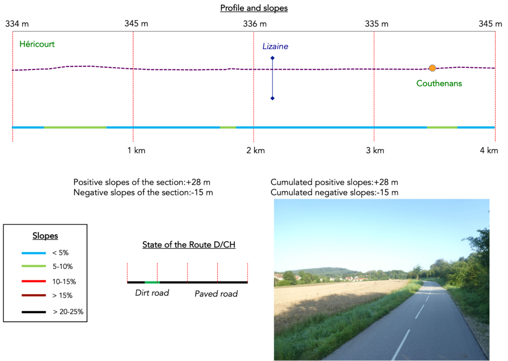
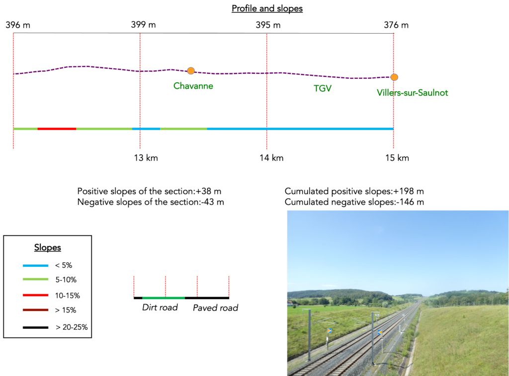
Difficulty level: The elevation changes on today’s stage (+198 meters / -146 meters) are very low. There are only a few slightly steeper slopes near Champey, but they are quite short. However, the paths are sometimes very stony.

State of the route; Today, the routes on the roads and the paths are equivalent:
- Paved roads: 7.3 km
- Dirt roads: 7.2 km
Sometimes, for reasons of logistics or housing possibilities, these stages mix routes operated on different days, having passed several times on these routes. From then on, the skies, the rain, or the seasons can vary. But, generally this is not the case, and in fact this does not change the description of the course.
It is very difficult to specify with certainty the incline of the slopes, whatever the system you use.
For those seeking « true elevations » and enthusiasts of genuine altimetric challenges, carefully review the information on mileage at the beginning of the guide.

Section 1: Joining the route coming from Germany
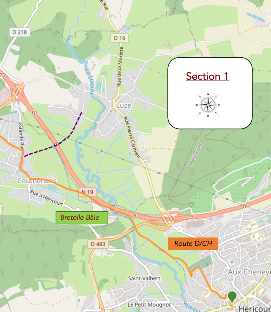
Overview of the route’s challenges: route with no major difficulty.
|
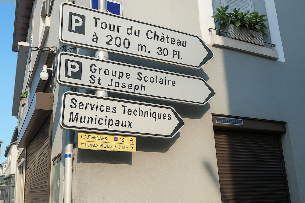
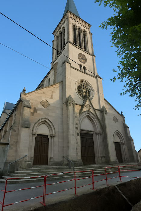
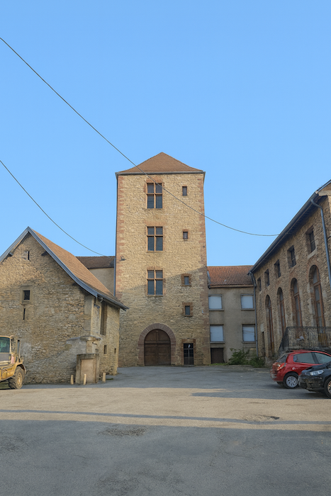
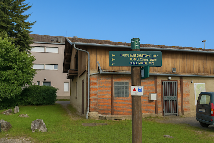
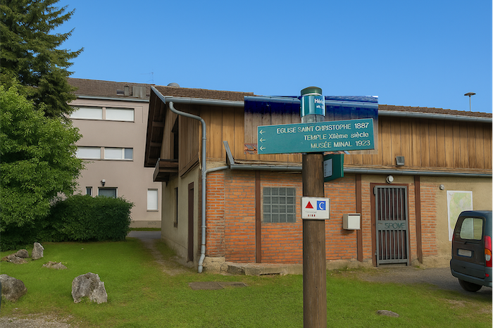
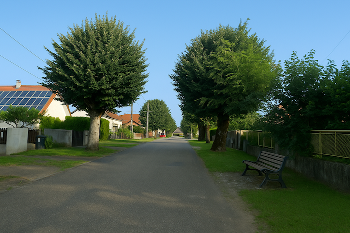
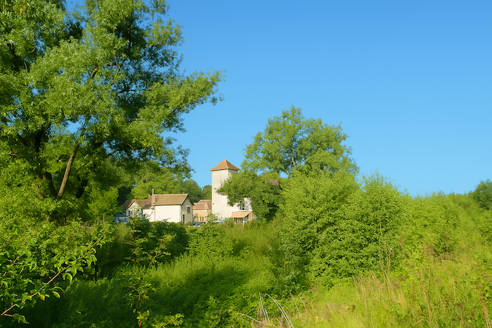
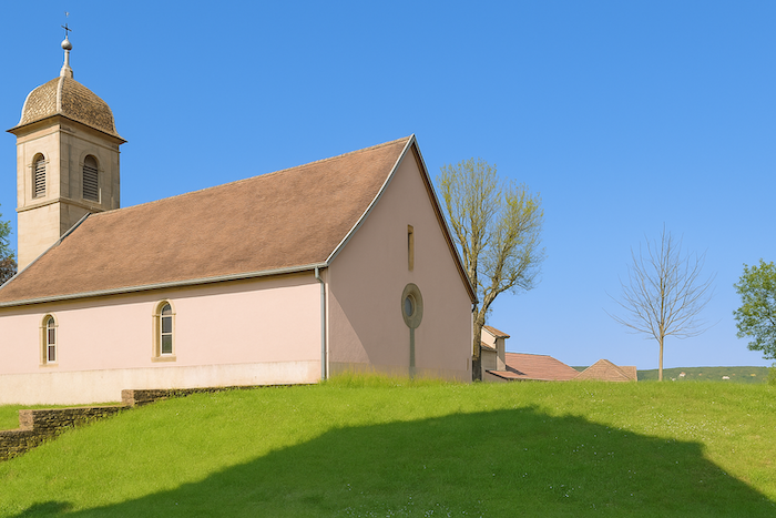
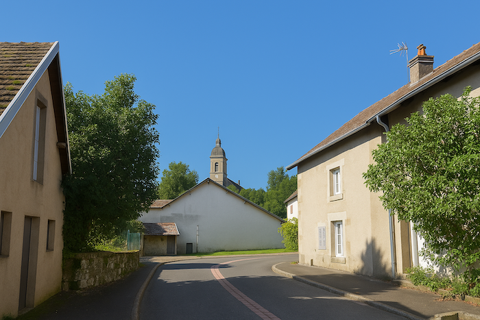
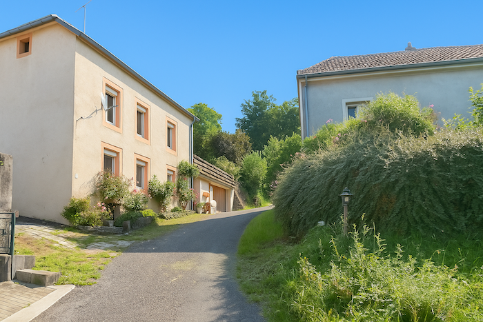
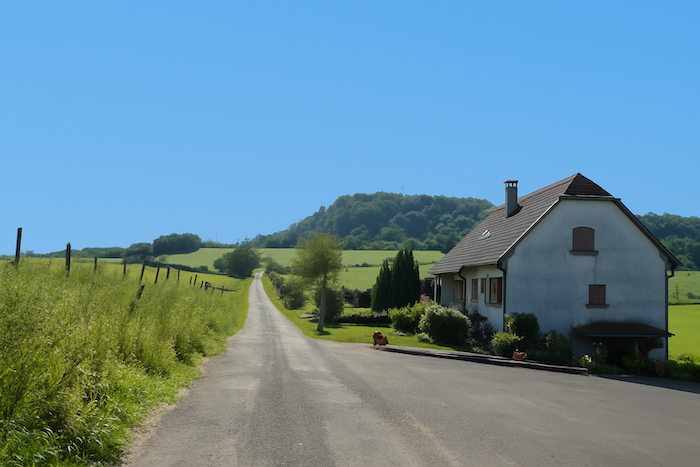
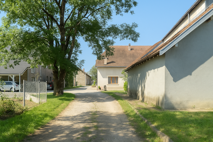
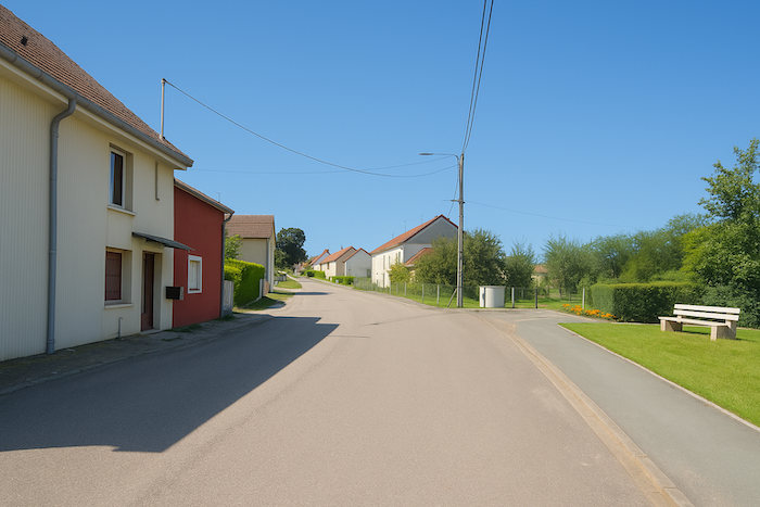
To leave Héricourt, you must start from the old town, near the Catholic church, the temple, and the castle square. The temple, built in the eleventh and twelfth centuries, was originally a Catholic church dedicated to St Christopher. Its architecture blends Romanesque and Gothic styles. In the sixteenth century, with the rise of the Reformation in the County of Montbéliard, the church became a Protestant temple. After the annexation of Franche-Comté by Louis XIV, Catholicism was restored in 1700. The temple then hosted both denominations at the same time, with Catholics in the choir and Protestants in the nave. This coexistence lasted until the construction of the new Saint Christopher church in 1887. Today, the Grosse Tour, massive and austere, is almost all that remains of the former feudal castle of Héricourt. |
|
 |
 |
 |
 |
|
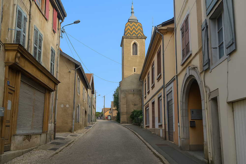
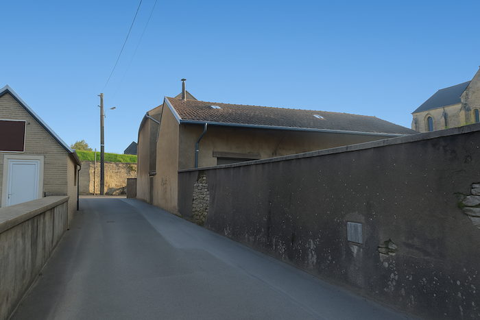
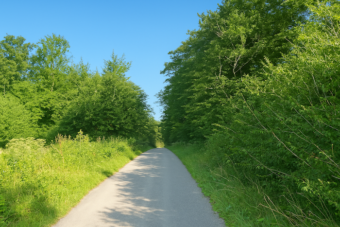
The route then enters the narrow streets. The itinerary is well marked. |
|
 |
 |
|
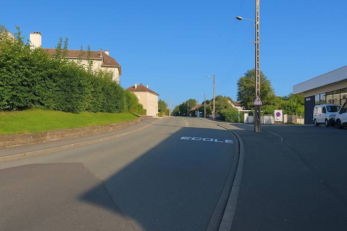
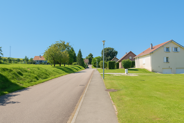
It follows Rue du Docteur Gaulier, which slopes up gently toward the hospital. |
|
 |
 |
|
A little further on, at the roundabout, you turn onto Rue Georges Marconnet, heading toward the cemetery. |
|
 |
 |
 |
 |
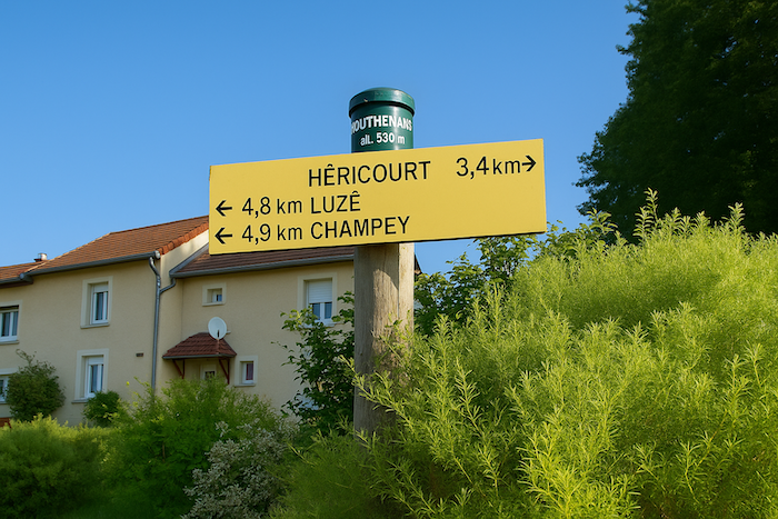
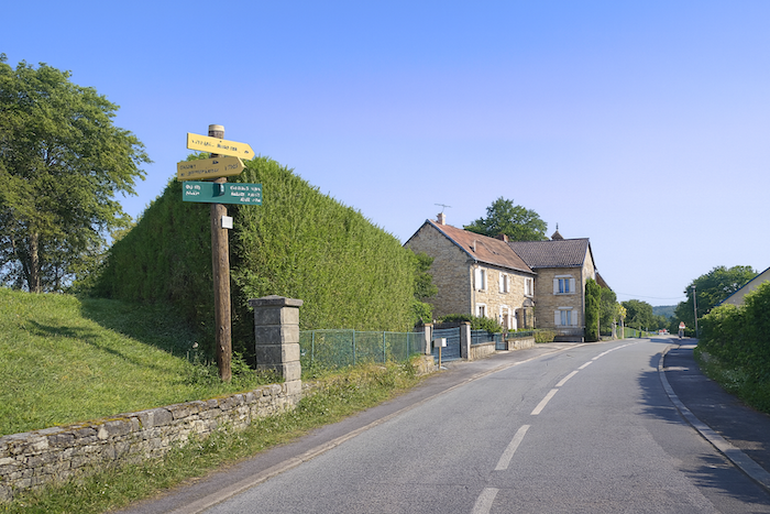
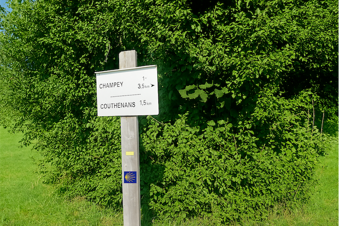
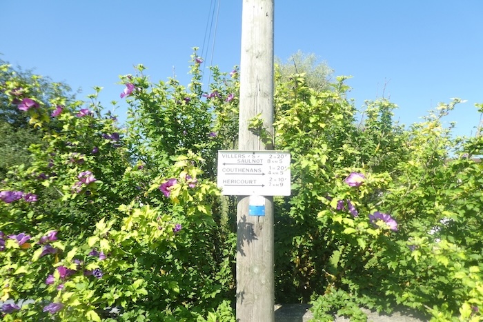
A directional sign announces Couthenans at nearly two kilometres from here.

|
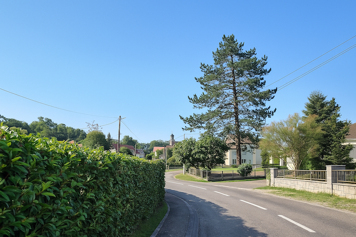
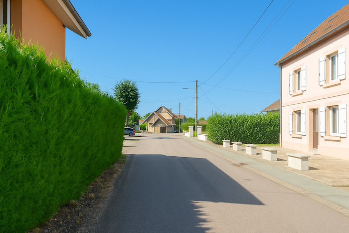
Beyond a few bends along the upper part of the street, the villas fade behind thuja hedges and you leave the town. |
|
 |
 |
|
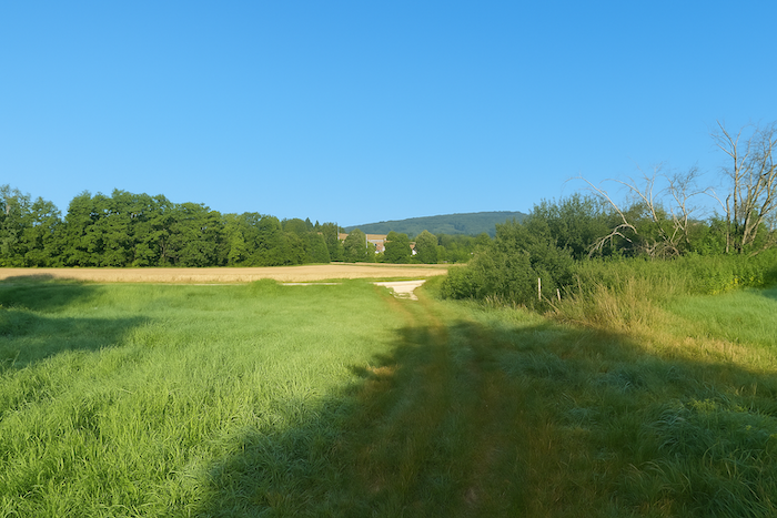
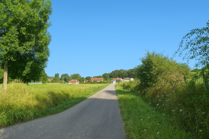
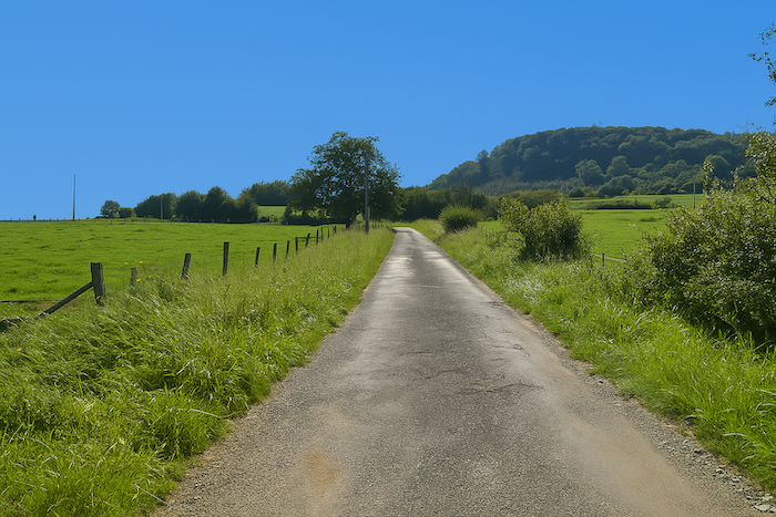
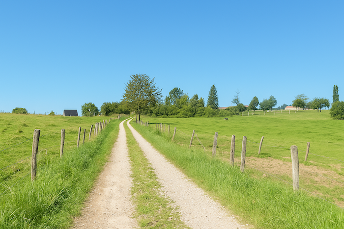
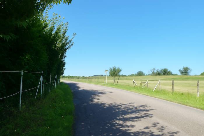
A quiet dirt path runs alongside the cemetery before crossing open meadows. It descends gently toward the plain. |
|
 |
 |
|
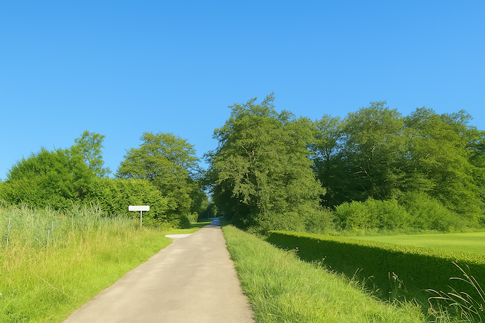
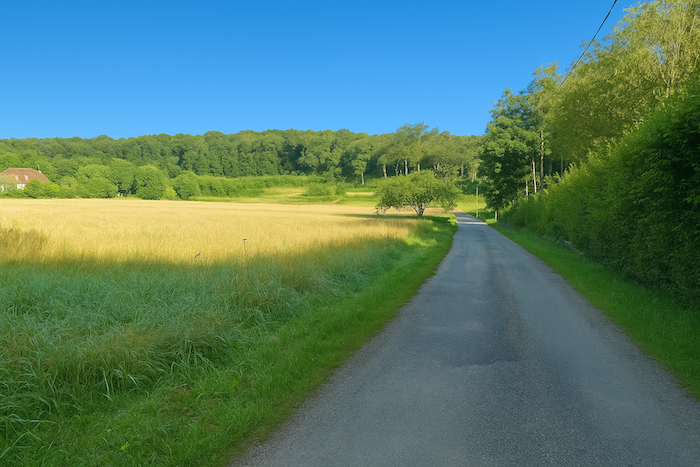
You soon join a small road that has been developed as a cycle path. |
|
 |
 |
|
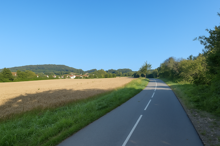
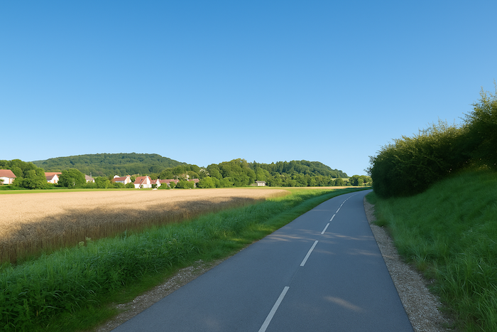
It crosses a peaceful countryside near the village of Saint-Valbert. As its name suggests, you encounter few walkers here, but rather cyclists, often riding in close formation. The cycle path network is well developed, clearly marked, and much appreciated by cycling enthusiasts. |
|
 |
 |
|
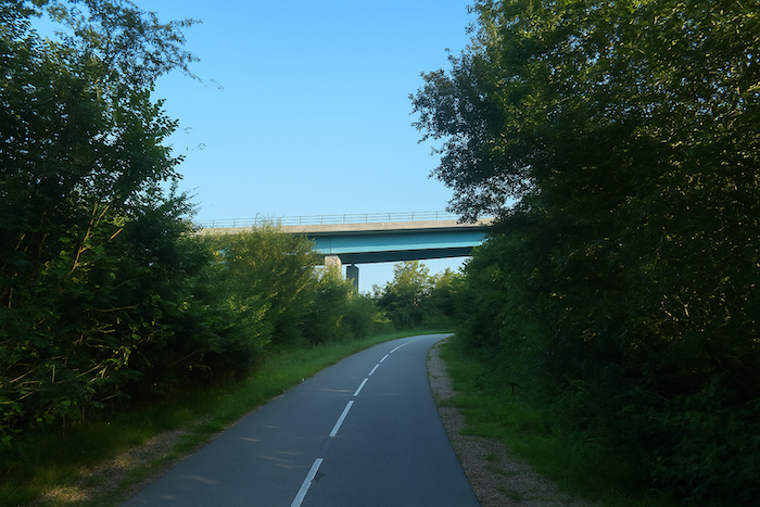
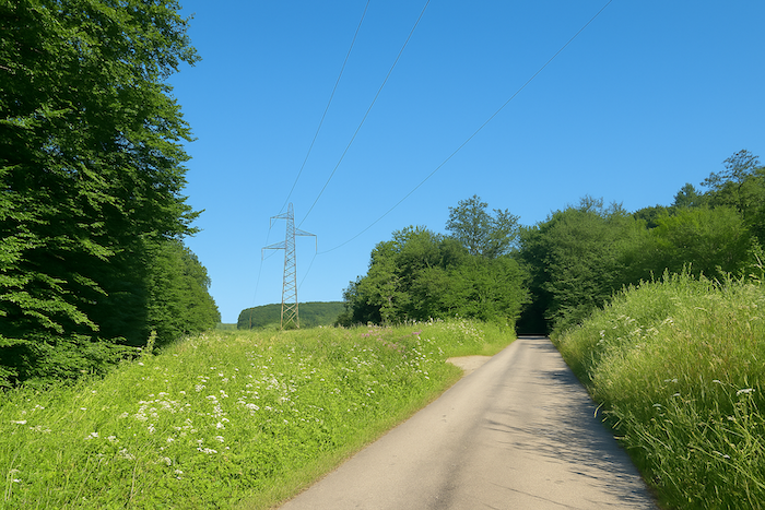
A little further on, the cycle path passes beneath the departmental road D483, whose engine noise reveals heavy traffic. It then enters a fine stand of deciduous trees, smooth-trunked beeches, rough-barked oaks, and dense hornbeam foliage. Behind the trees, discreet and unassuming, the Lizaine continues its calm course, the same river that earlier flowed through Héricourt. |
|
 |
 |
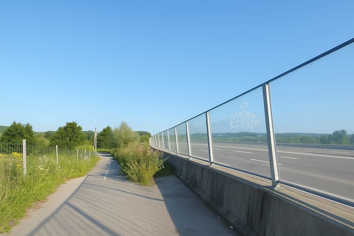
| The cycle path then slopes up gently toward the major national road N19, a sound barrier separating two quieter zones. | |
 |
 |
|
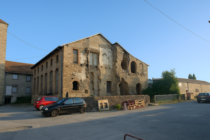
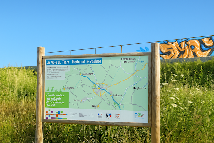
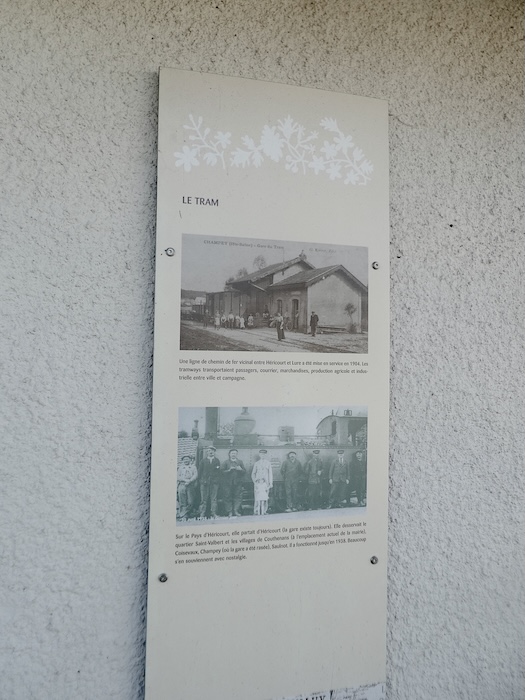
The cycle path is in fact the former tramway line, a quiet remnant of a time when the countryside pulsed to the slow rhythm of rail convoys. Here, the horizon opens onto the tall silhouette of the Chevret factory. |
|
 |
 |
|
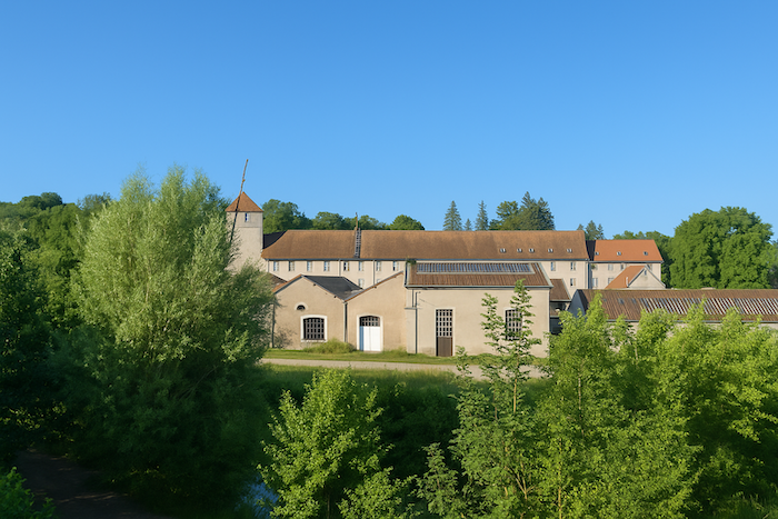
This place, once a simple flour mill driven by the peaceful flow of the Lizaine, became over the course of the nineteenth century a flourishing textile factory, emblematic of an industrial prosperity that has now vanished. No sound of looms escapes from the windows anymore; no smoke rises from the roofs. In their place stand a clothing store, a bar, and a few dwellings. Silence has replaced the clamour, yet the presence of the past remains, suspended like the shadow of a faded but dignified greatness. |
|
 |
 |
|
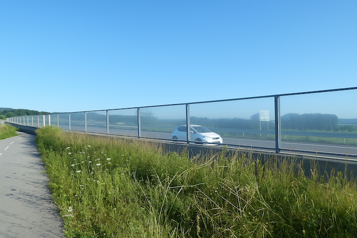
The cycle path continues, now running alongside national road 19, a straight line with the feel of a motorway. Four lanes consume the landscape, and the constant murmur of engines fills the air. Here, everything moves endlessly, drawn by the free flow of asphalt. A furious artery, cut sharply into the flesh of the plain. The walker, moving against the current, becomes a silent witness to a world that rushes forward without waiting. |
|
 |
 |
 |
 |
|
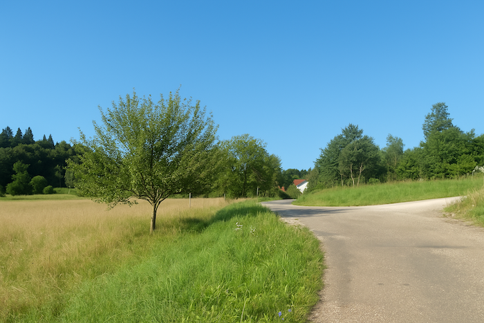
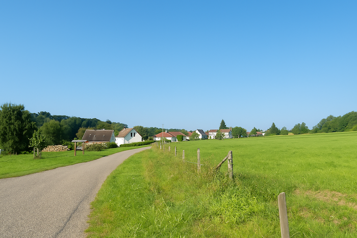
Then, suddenly, the route moves away from this stream of tarmac. It leaves the cycle path, escapes the noise, and continues straight ahead, like a discreet thread drawn through the fabric of the landscape. A perfectly straight road, rigid as a verdict, leads to the first houses of the elongated village of Couthenans. The village appears quietly, revealing its first façades between two clusters of trees. |
|
 |
 |
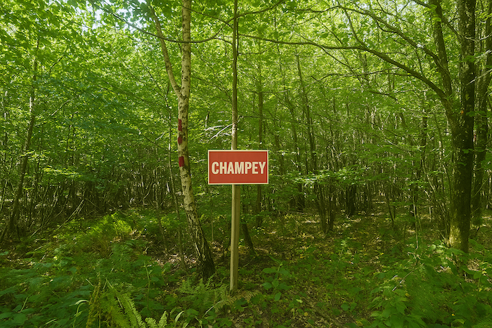
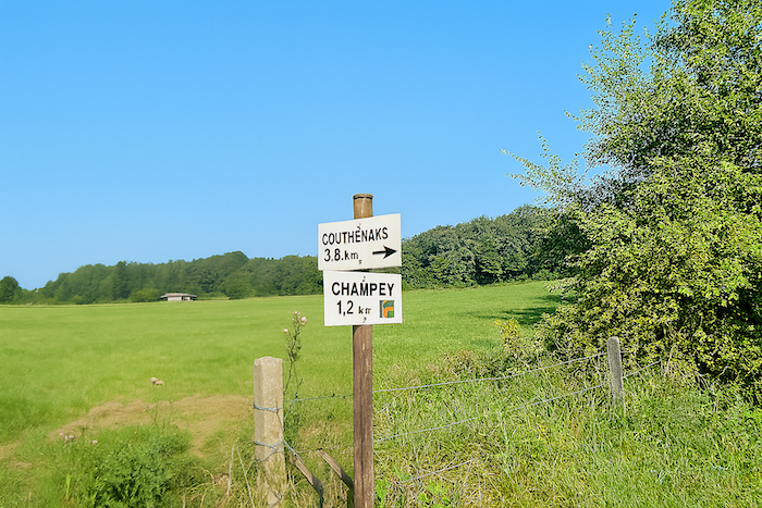
The direction is Champey, five kilometres away.
|
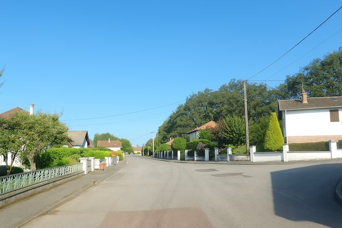
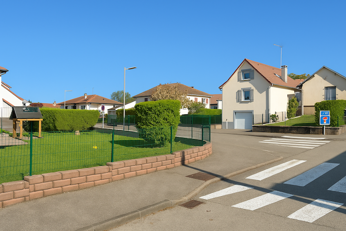
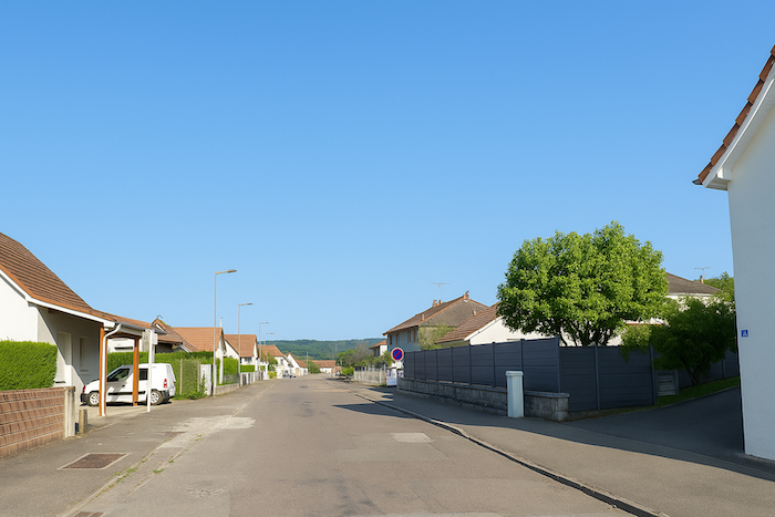
You enter through recent housing developments. Similar houses, neatly trimmed hedges, streets without history. The present stands here, orderly and predictable, seemingly frozen in the silence of residential zones. |
|
 |
 |
|
But the road suddenly turns at a right angle, as if to change tone. Another face of Couthenans then emerges, that of the old centre, with more dignified buildings and stones worn smooth by time. These houses tell, through their façades, of a period when one built with the soul as much as with the hand. They are rare, but they exist, like fragments of memory in a region often lacking architectural charm. |
|
 |
 |
|
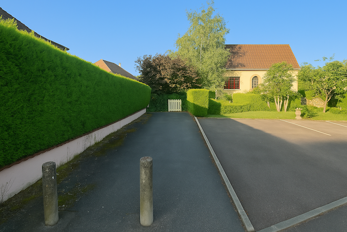
Continuing on, the route passes near the village’s Protestant temple. Built in the seventeenth century and remodelled in the nineteenth, it retains the restraint and rigor of Reformed architecture. Here, one senses the deep imprint of Protestantism, so firmly rooted in the County of Montbéliard. |
|
 |
 |
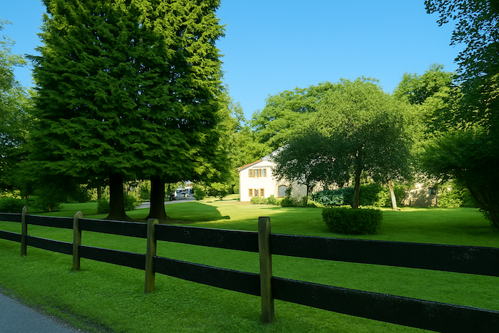
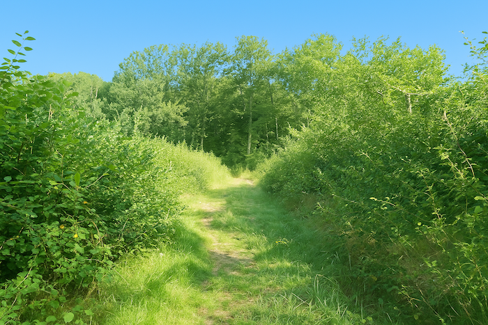
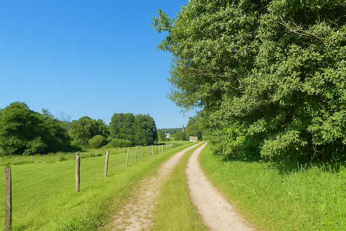
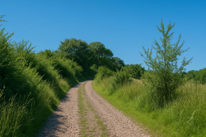
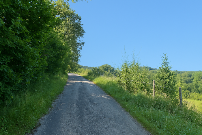
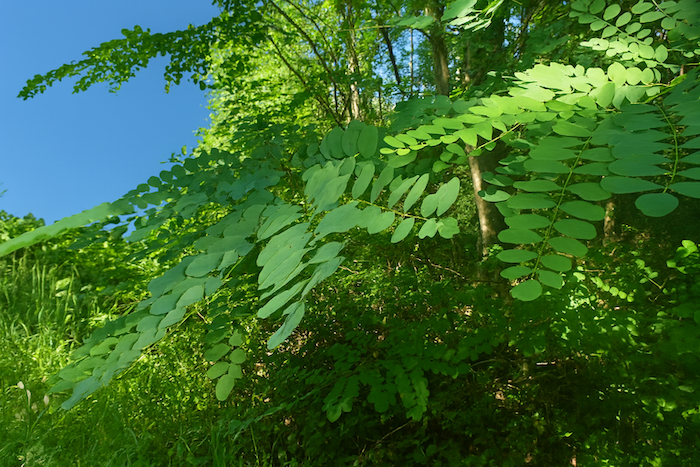
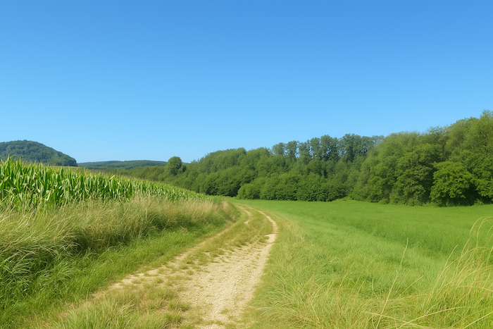
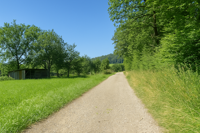
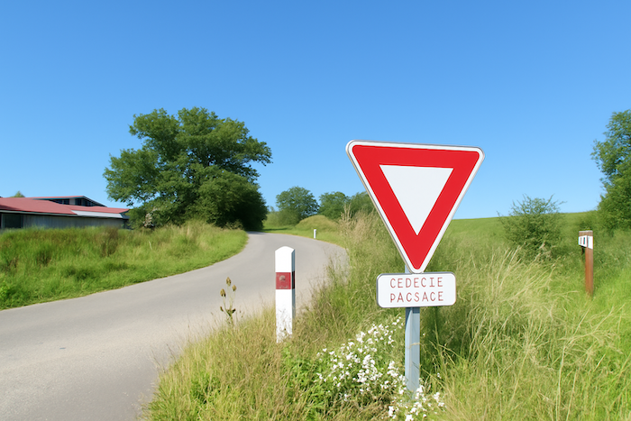
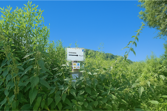
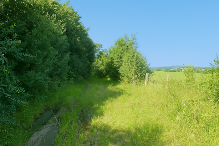
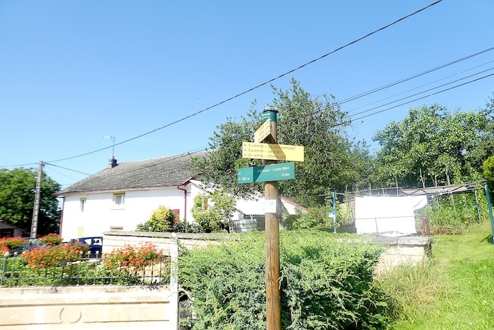
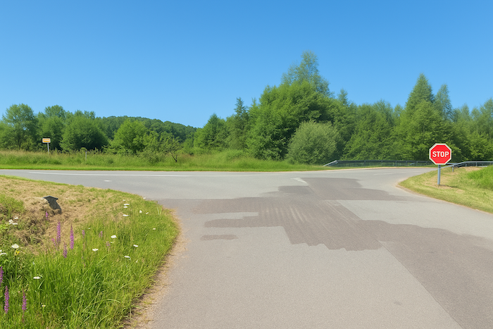
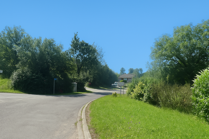
At this point, the branch coming from Basel joins that of the GR5, which continues northward. From here on, you follow the Route from Germany and Switzerland, known as Route D/CH. The complexity of these routes, which cross, intertwine, and overlap, often leaves pilgrims to Santiago perplexed, and sometimes anxious, fearing a wrong turn.
|
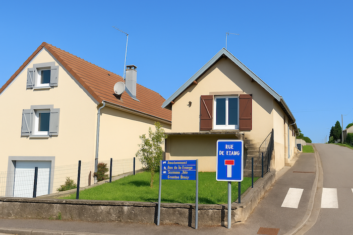
The road climbs one last time, calm and steady, to the top of the village. There, it turns left, breaking the straight line. It then follows Rue de l’Étang. One world closes, another begins. |
|
 |
 |
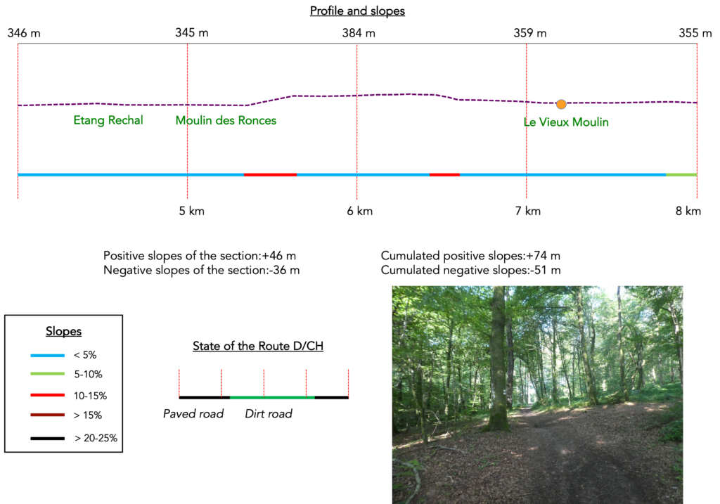
Section 2: A pond and beech woods
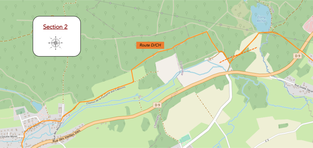
Overview of the route’s challenges: a few slightly steeper slopes in the woods.
|
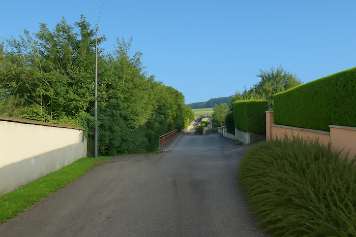
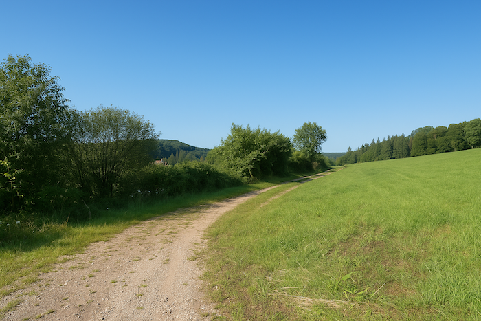
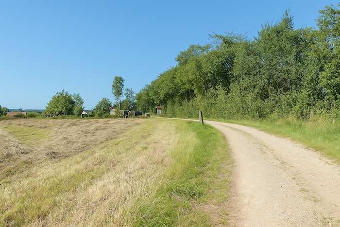
As you leave Couthenans, the road slowly draws away from the last houses, like a discreet ribbon slipping into the folds of the undergrowth. |
|
 |
 |
|
The tarmac soon darkens under the leafy canopy, then crosses the small departmental road D9, modest yet lively, which you step across like a threshold, almost without noticing. |
|
 |
 |
|
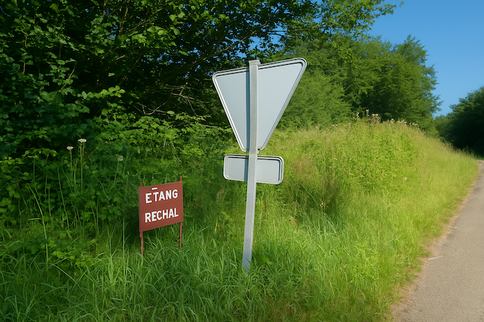
Shortly afterward, the path takes a direction that feels expected, almost longed for, toward Étang Réchal (Réchal Pond), a place that people here pronounce with a small sparkle in their voice, as if speaking of a hidden jewel in a casket of greenery. |
|
 |
 |
 |
 |
|
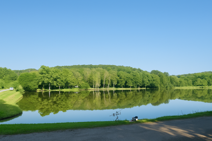
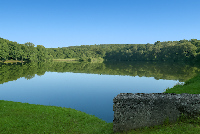
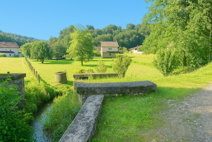
And soon it appears. There, set like a mirror forgotten by the gods, the pond opens in a lush frame of vegetation. The setting is magnificent, and the air seems to vibrate with an ancient calm. You enter another world, one of reflections, damp scents, and almost sacred tremors. There is here something indescribably peaceful, a silence that is not the absence of sound but the presence of a murmur. Étang Réchal is a sanctuary of fishing, an open-air cathedral for those who love the line. At times more than a hundred anglers settle there, rods stretched, baskets open, thermos or pastis in hand, spending the whole day under the guardianship of the trees. The wooden tables, often occupied from dawn, host picnics and lively stories. The star here is the carp. Powerful rods, precise casting over more than a hundred meters, then the wait, that gentle patience only anglers truly know how to savor. Others pursue pike, gudgeon, or even catfish, rarer and more capricious. Each person finds their own quest. |
|
 |
 |
Champey is one hour from here, at a distance of 3.5 km.
|
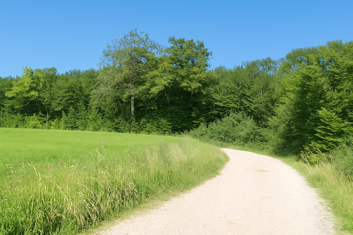
When the road moves away from the pond, it ventures once more into meadows and woods. Stocky oaks, majestic beeches, discreet hornbeams, and lines of spruces border the paths. Nature becomes a vegetal symphony in which each species plays its own note. |
|
 |
 |
|
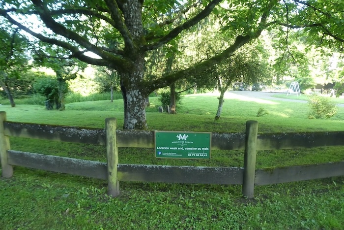
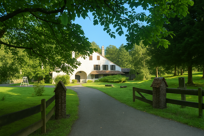
You then reach the locality known as Moulin des Ronces, which one could believe taken from a tale. A beautiful house is nestled there, wrapped in deciduous trees, barely visible from the road. This haven can be rented for celebrations, retreats, or a pause away from the world. It seems to watch over the woods, humble and noble at the same time, like a discreet guardian of sylvan secrets. |
|
 |
 |
 |
 |
|
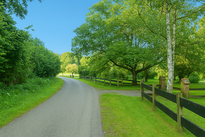
The road gently skirts the property, respectful of its tranquillity, then turns once more toward the depths of the woods. |
|
 |
 |
|
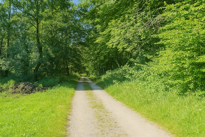
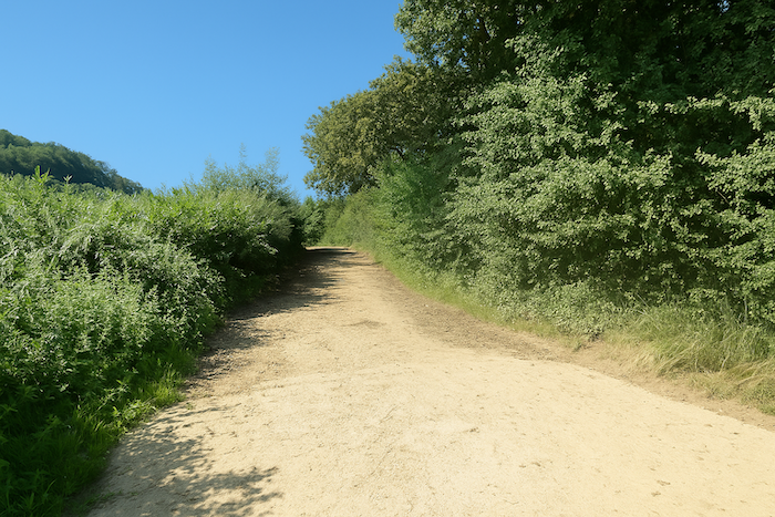
The asphalt soon gives way to beaten earth at the entrance to the wood, and shade begins to take hold. |
|
 |
 |
|
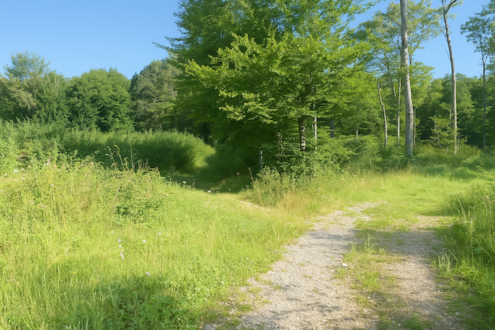
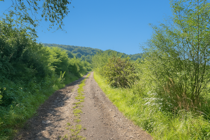
A trail then leaves the road, emerging from the bushes like a silent invitation. It does not announce itself; it is guessed. You must enter it as you would cross an invisible frontier. Very quickly the slope becomes noticeable, firm and steady. |
|
 |
 |
 |
 |
|
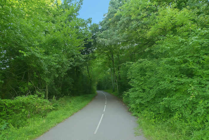
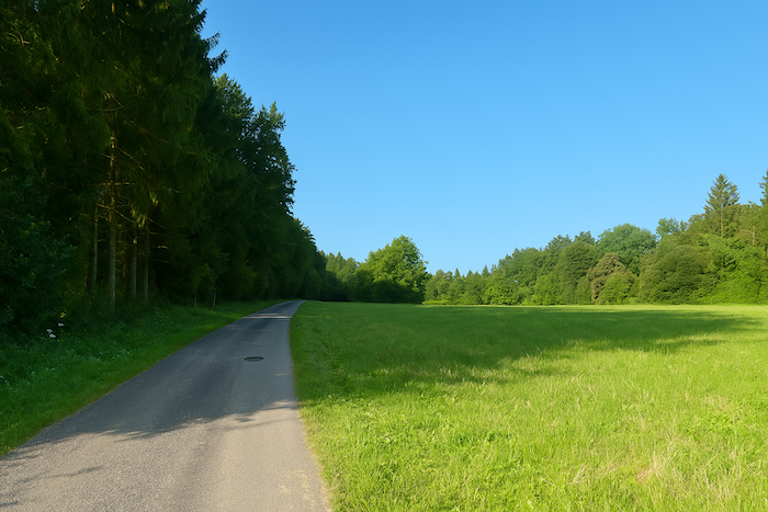
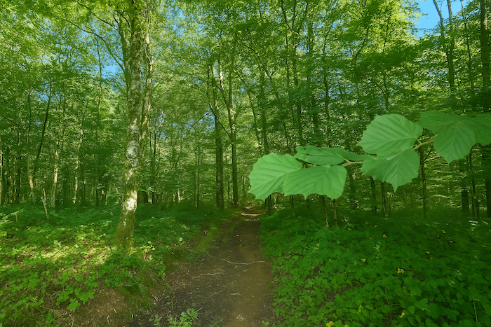
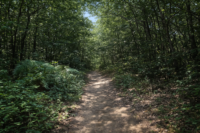
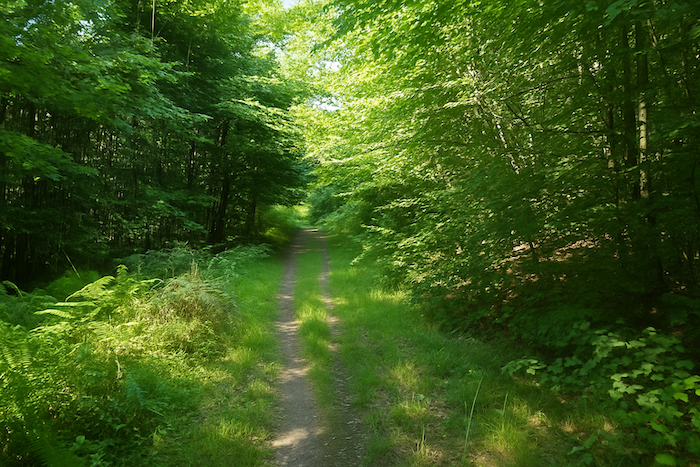
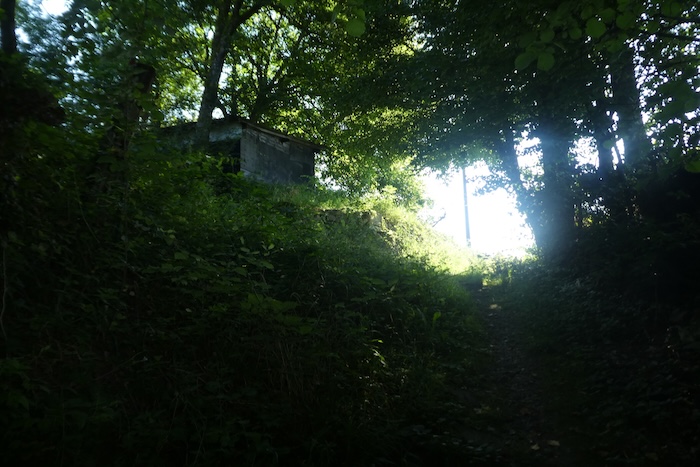
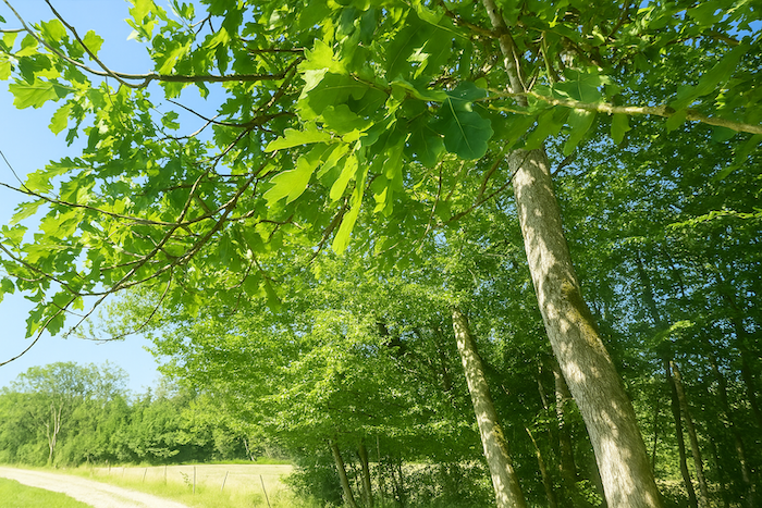
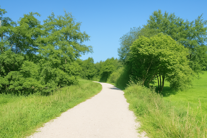
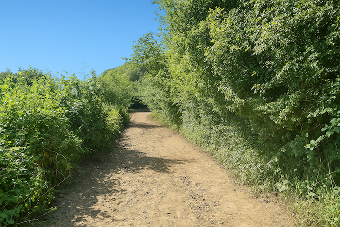
You pass from scrub to true forest, where light becomes rare, filtered through a high green ceiling in constant motion. Here the beeches reign. Giants as straight as cathedral columns, sometimes forty meters high, and some of them could recount three centuries of history if one knew how to listen. Their presence imposes silence and respect. At their feet you feel tiny, reduced to the state of a simple guest. The sky is far away, hidden by their dense foliage. The ground is covered with dead leaves and the air is cooler and denser. You enter it as you would a kingdom. |
|
 |
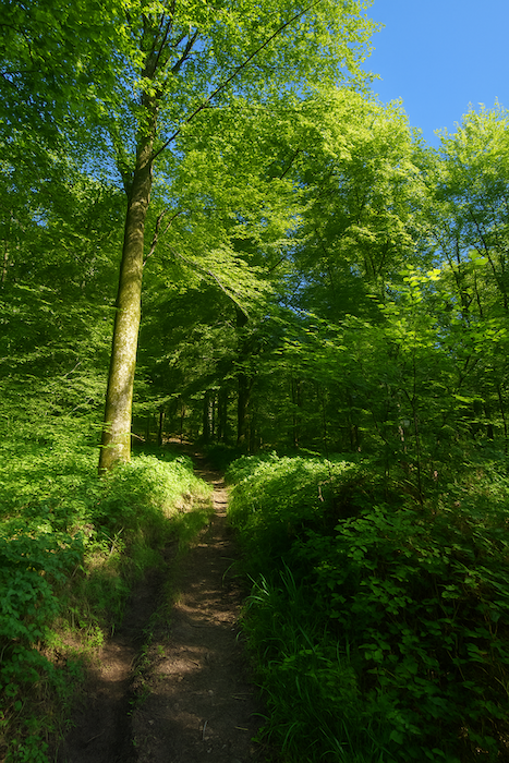 |
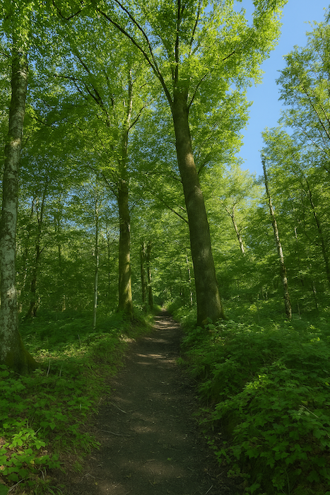
| At the top of the climb, the path seems to slow down, as if wishing to prolong a final exchange with the tutelary beeches. The silence is deep, almost religious. The trunks grow farther apart, the crowns of leaves let a few patches of light filter through, and one feels to be at the heart of an ancient dialogue between earth and sky. | |
 |
 |
|
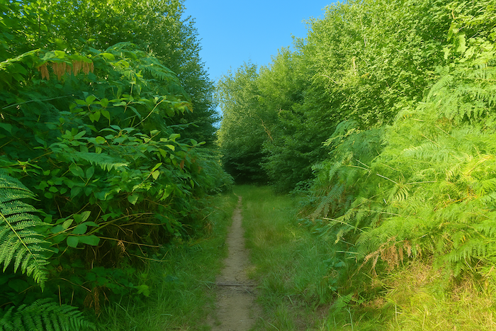
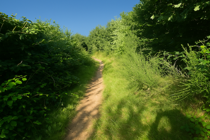
Then, without real transition, the tall trees give way to more free, abundant, almost anarchic vegetation. Bushes press close against the path, ferns lift their green fans, wild grasses brush the walker’s legs, and everything seems to dance in a living disorder. The trail becomes more intimate and playful, as if it had exchanged the solemnity of the beeches for the light-heartedness of hedgerow slopes. |
|
 |
 |
|
On the ridge, the progression becomes an alternation of atmospheres, sometimes dense thicket that hinders the step, sometimes young beech shoots that seek to grow in the half-light, or small oaks, frail but stubborn, clinging to this dark soil, almost black, like peat ink. |
|
 |
 |
 |
 |
|
Hornbeam sprouts grow here in clearings, offering visual relief and a dry, slightly bitter scent. The path is no longer a line but a wild breathing. |
|
 |
 |
|
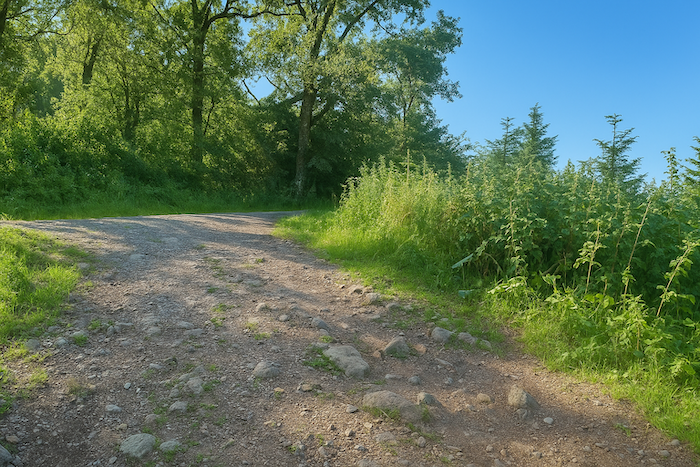
Then suddenly the air widens. At the edge of the wood, the path finds the light again and opens onto a broad passage strewn with stones, as if nature wished to remind the walker of the harshness of the world after the gentleness of the woods. |
|
 |
 |
|
The ground crackles underfoot, stones roll, and the gaze can finally carry far across the open dales. |
|
 |
 |
|
Here, the path takes on the manner of a carefree little girl, skipping through the grass and following a hedge of brambles. The landscape becomes gentle, familiar, almost domesticated. |
|
 |
 |
|
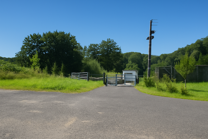
The route then runs lower down beside the wastewater treatment plant, discreet and functional, watching over the used waters of the village and of nearby Champey. Although technical, the site seems to have melted into the landscape, surrounded by vegetation. |
|
 |
 |
 |
 |
|
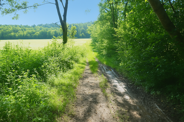
The descent then begins, gentle and continuous, until it reaches the departmental road. Soon the first houses of the village of Vieux Moulin appear, like stones laid along the side of the path. They mark the return of habitation, of buildings, of human life. Their presence reassures, it tells you that the world is taking back its place. |
|
 |
 |
|
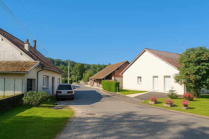
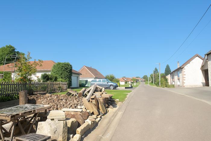
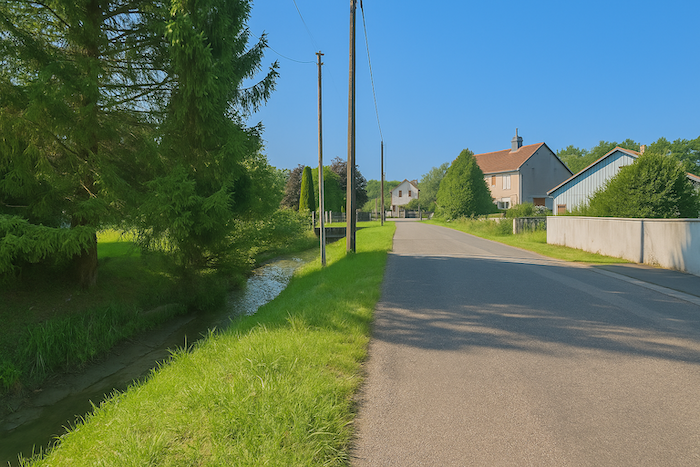
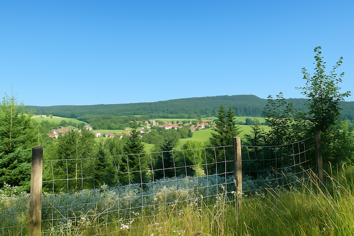
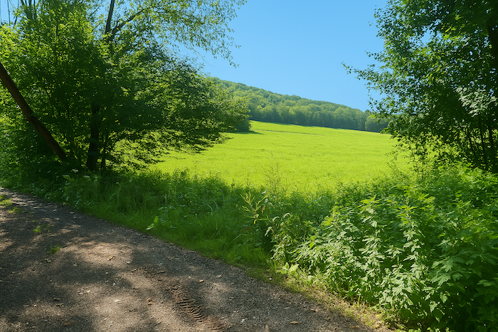
Crossing the village is done in a straight line, like a backbone around which daily life is organized. You can sense the calm, the echo of a world where time flows at another speed. Looking at the many new houses, with pale façades and neatly aligned roofs, you quickly understand that these villages, formerly agricultural or industrial, have become the refuges of commuters. They work in Montbéliard, Belfort, or elsewhere, and come here in search of evening and weekend tranquillity. A way of life between two worlds. A thin stream winds among the houses, brushing the stones and gliding in silence as if it did not wish to disturb the village’s quiet balance. It is neither powerful nor wide, yet it murmurs, and that is enough to give it a voice. On the horizon, rising above the roofs, you can already see the church tower of Champey, an ancestral landmark in this changing landscape. |
|
 |
 |
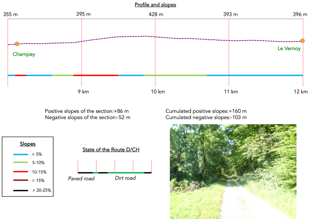
Section 3: A small climb to stretch your legs
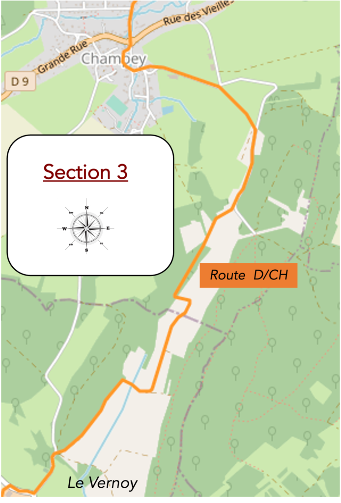
Overview of the route’s challenges: a small effort, but without major difficulty.
|
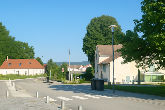
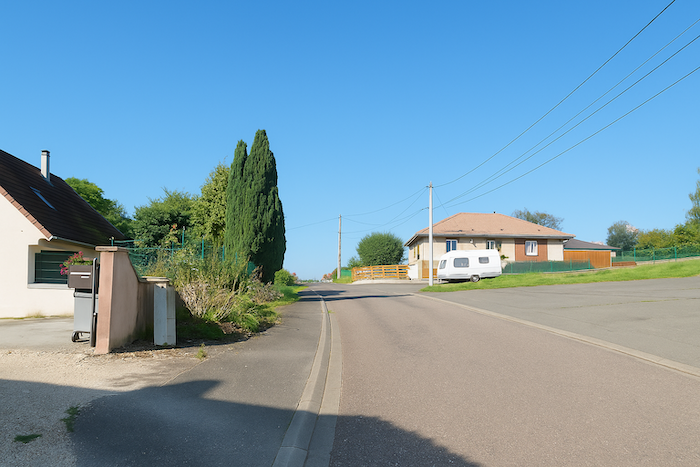
The road then enters Champey without transition, as you step into a secret place wrapped in peace. |
|
 |
 |
 |
 |
As if by nostalgia, people like to recall that the train once passed here. What irony!
|
The road is fairly long before reaching the centre of the village. |
|
 |
 |
 |
 |
|
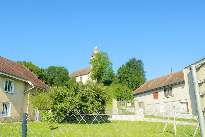
In this village where water flows freely, it is nevertheless impossible to drink a single drop of it. The irony is light, yet real, water is present but of no immediate use for pilgrims. Here your gaze is naturally drawn upward to the height where the Protestant temple stands. It dominates the village from its hilltop like an old pastor watching over an invisible flock. Its sober, almost austere architecture contrasts with the decorative richness of Catholic churches. We are undeniably in Protestant land, where faith is interior, silent, and demanding. |
|
 |
 |
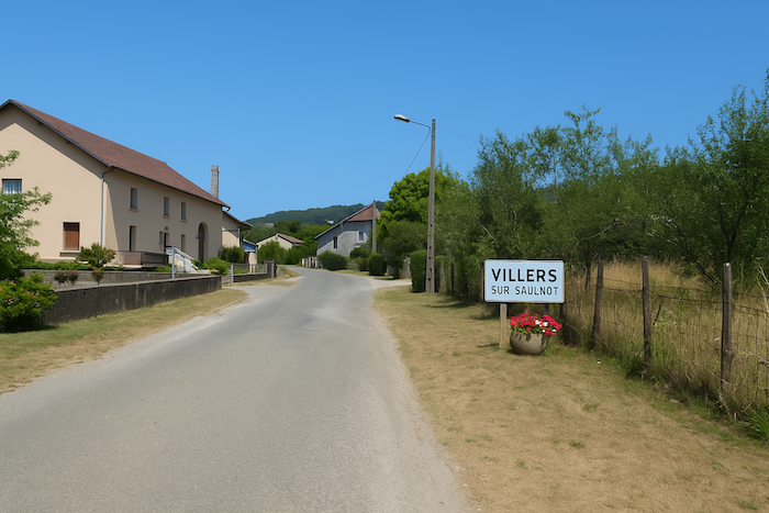
Here you are eight kilometres from Villers-sur-Saulnot, a possible end point for your day’s stage.

|
At the exit of the village, a narrow trail climbs into dense vegetation. The bushes form a small vault, like a doorway of foliage that one passes through with careful steps. You enter another world, almost a space between two realities. |
|
 |
 |
|
The passage is short, barely enough time to feel the effort settling in. It opens onto a small road perched above the village, offering a distant view of what you have just crossed. |
|
 |
 |
|
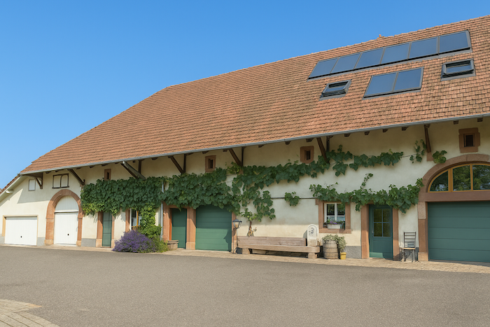
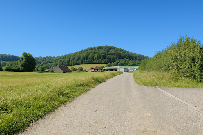
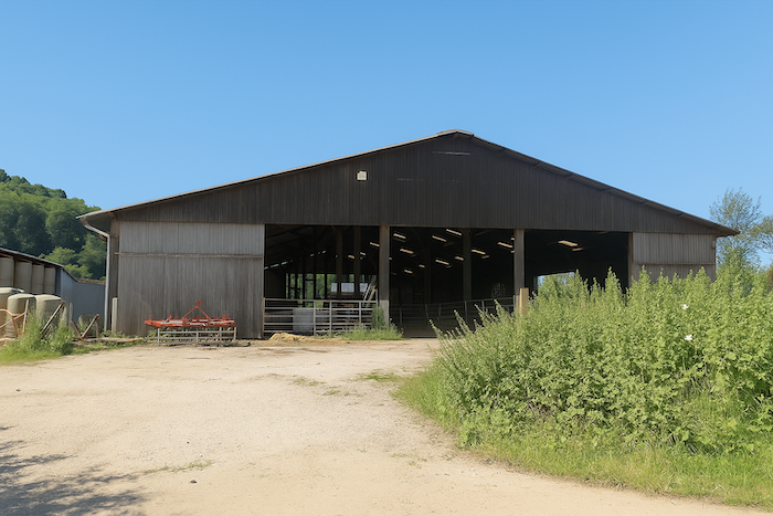
A little farther on, the road runs alongside a peaceful farm that seems to command the whole small plateau. The property stretches calmly with its outbuildings. There is a sense of permanence here, an impression of labour without display, yet solid and enduring. |
|
 |
 |
|
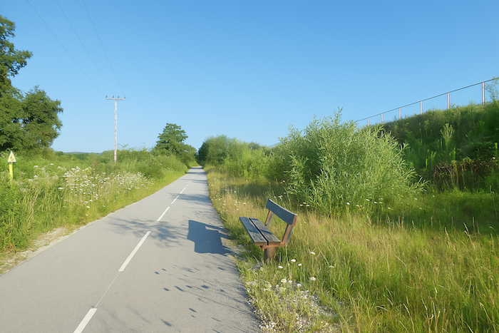
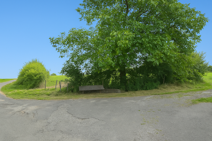
Then suddenly there is a bench. Solitary, worn by the years, yet still sturdy. Did someone think of those who, out of breath, would find here a moment of rest before the steep climb ahead. It seems to wait for the walker with silent kindness. |
|
 |
 |
|
For the slope that follows allows no softness. A dry path strewn with stones climbs among the bushes. It creaks underfoot and forces you to lean slightly forward, to adjust to rolling stones and steep incline. Yet each step is also a small victory over the terrain. |
|
 |
 |
 |
 |
|
At the top, the path meets again the road previously taken. There is something reassuring in this return, a sense of déjà vu, a familiar thread that you find again as one finds an old walking companion. |
|
 |
 |
From up there the view opens over the village below, its meadows and its immense forests.
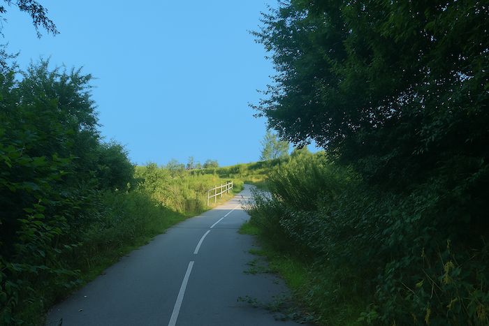
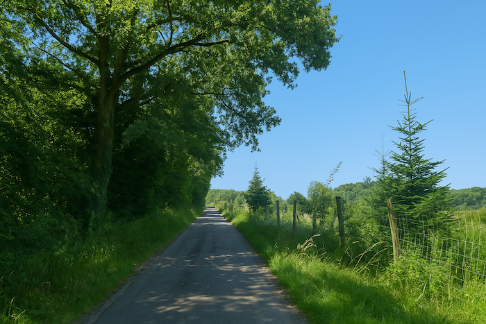
| The road now resumes its ascent. It climbs no longer with brusqueness but with a kind of steady slowness. The cracked tarmac, marked by time, reveals the old framework of stones and earth beneath. On both sides the deciduous trees accompany the ascent, beeches, oaks, ashes, like a guard of honour for the pilgrims. | |
 |
 |
|
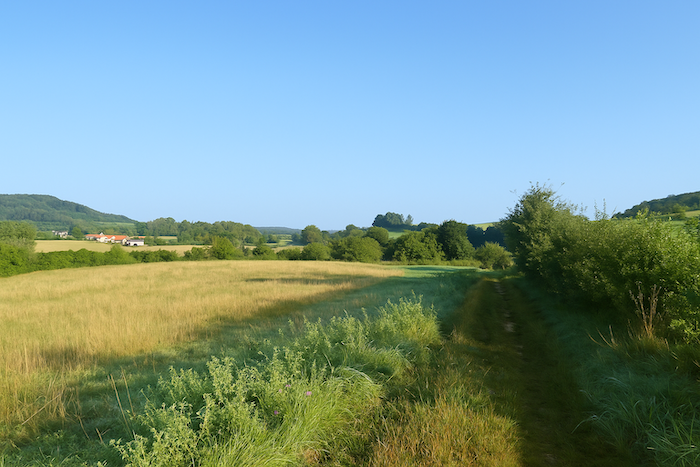
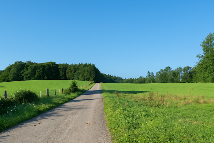
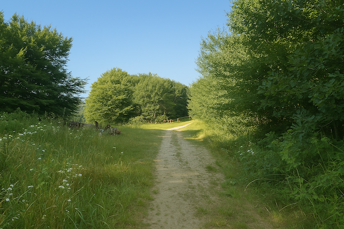
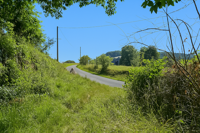
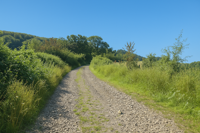
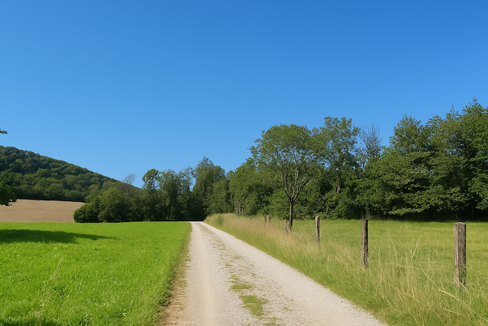
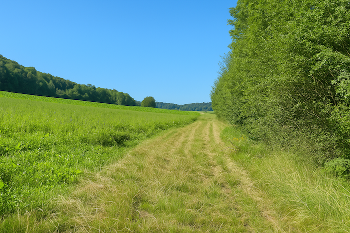
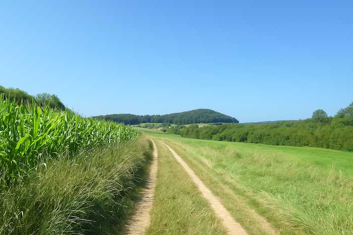
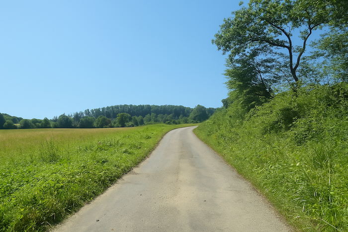
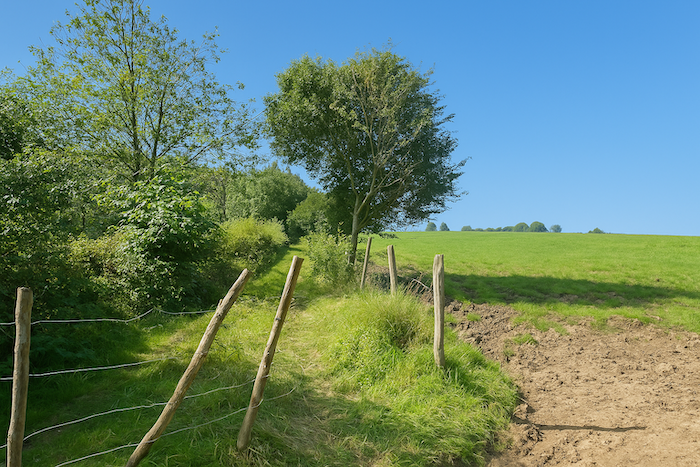
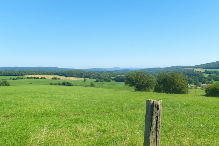
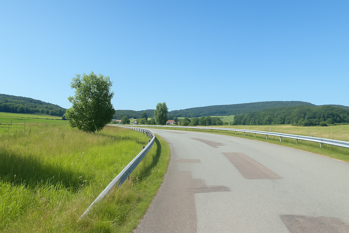
At the top of the hill the promise of another world takes shape, of a horizon not yet revealed. A dirt road, grey and stony, takes over. It runs through the meadows, crossing them like an obstinate idea cuts through silence. Tall grasses ripple in the breeze and the banks seem to watch over the passage of the path. This stretch, exposed to the sky, breathes a wider air, almost alpine in its solitude. |
|
 |
 |
|
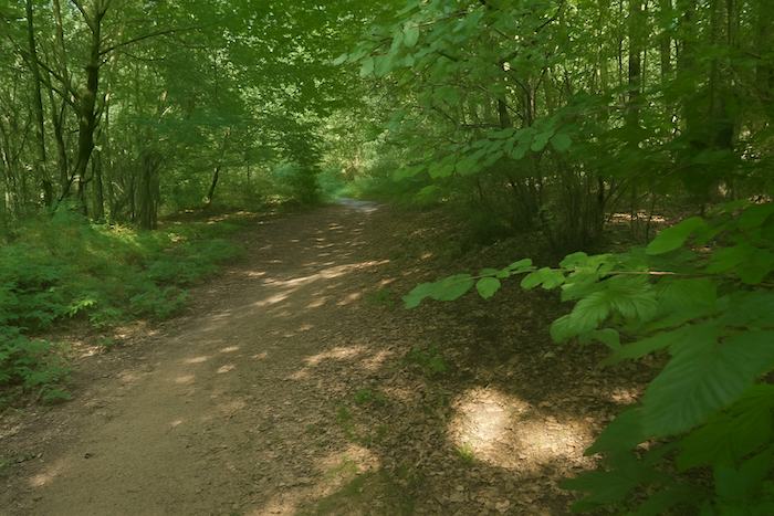
Then gently the road slopes down, as if bowing before the trees that are about to swallow it. It continues straight into the woods. Here the deciduous trees dominate, beeches with smooth trunks like ancient columns, ashes with delicate foliage, and oaks as solid as ancestors. Strangely, there are no chestnut trees here, those trees so familiar elsewhere in France. Their absence underlines the particular character of this land. |
|
 |
 |
 |
 |
|
When the wood becomes lighter, the path widens and finds grass again. It threads its way between meadows and cornfields in a soft transition between shadow and light. |
|
 |
 |
 |
 |
|
But the illusion of gentleness soon ends. The ground becomes covered with sharp gravel, harsh on the feet and loud under the step. You advance carefully, feeling each stone through your soles. In the distance, on a slight rise, the silhouette of the village of Vernoy appears. The church tower struggles to pierce the low sky, yet it is there, a distant promise. |
|
 |
 |
|
And yet the path does not go there immediately. It turns suddenly to the right, almost reluctantly, cutting at a right angle to descend toward the bottom of a small valley. It is an unexpected movement, like a voluntary digression. The slope is gentle but constant, and the landscape becomes more intimate, folding in upon itself. |
|
 |
 |
|
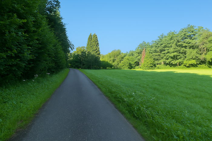
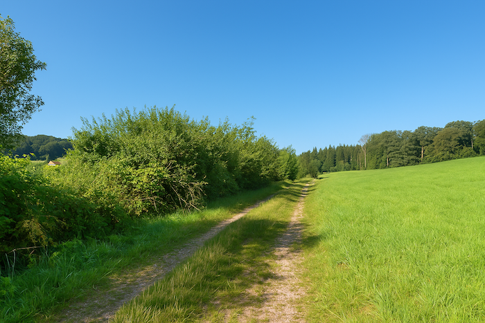
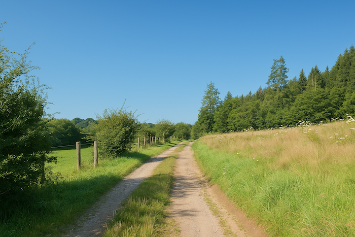
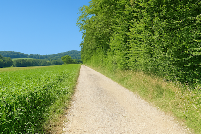
Farther on, the path keeps its stones, but their harshness softens. It becomes easier to walk. On its right, a long belt of deciduous woodland accompanies your progress, discreet yet faithful. It keeps company without ever imposing itself, like a quiet companion. |
|
 |
 |
 |
 |
|
Vernoy is now only a few steps away. You can sense it nearby, tucked behind hedges and fields. But the route does not enter it. It skirts around it, it avoids it. The village remains on the margin, as if it belonged to another time, to another logic. It is a farming village, deeply rooted in its land, and the route seems to respect this solitude, this rural autonomy. |
|
 |
 |
 |
 |
Section 4: The high-speed train passes here

Overview of the route’s challenges: route with no major difficulty.
|
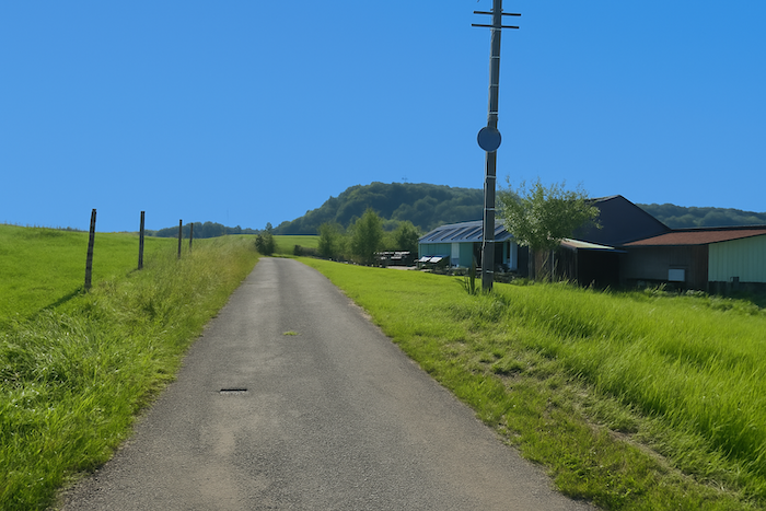
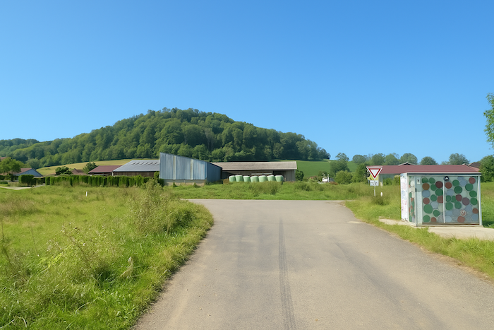
Right at the fork that leads out of the village, the route follows the paved road for a short while until it reaches a large farm whose roofs seem weighed down by silence. |
|
 |
 |
|
There, a path leaves the road, one and a half kilometres from Chavanne. It sinks into a passage often churned up by cattle, where the mud seems eager to hold back each step. Dampness lingers there like a memory of winter, even in dry weather. The spongy ground bears witness to the slow movement of herds and to the patience of the seasons. |
|
 |
 |
 |
 |
|
The path then climbs on a fairly steep slope, winding through meadows bordered by tangled hedgerows. . |
|
 |
 |
|
But here nature seems less inspired. The bushes are harsh, the grass sparse, as if the landscape hesitated between abandonment and resistance. It is a stark stretch, without warmth, without grace, a silence without depth. |
|
 |
 |
 |
 |
|
At the top, the grassy path meets a broader dirt road, more stable underfoot. Up there, the horizon breathes again. Your gaze opens, your shoulders relax. |
|
 |
 |
|
From this point onward, the landscape changes tone. Colours grow brighter, the sky seems wider, and the descent toward Chavanne begins lightly. It feels as if the path has found its breath again, and with it, the pleasure of walking. |
|
 |
 |
|
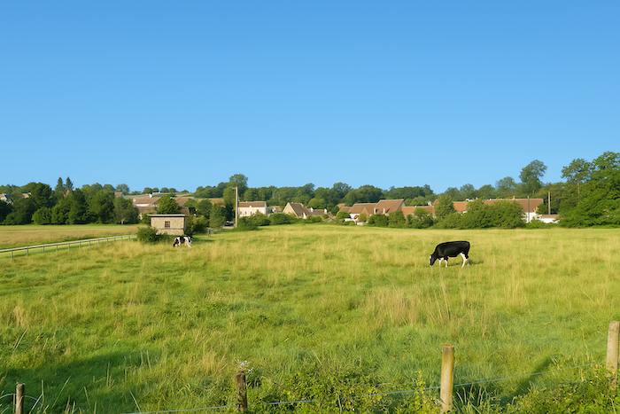
In the pastures before the village, cattle graze quietly. These calm silhouettes add a note of serenity, almost a touch of pastoral grace. |
|
 |
 |
|
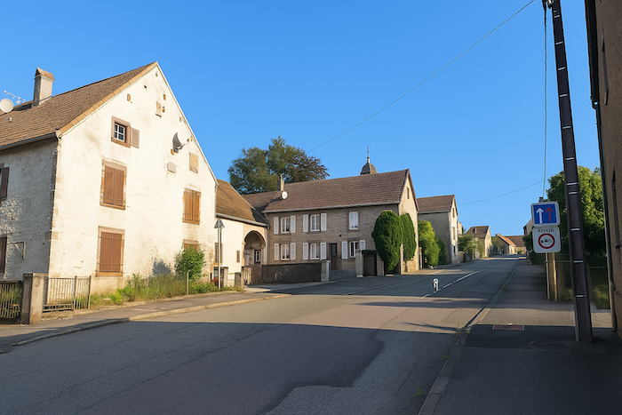
Then the road resumes its ascent, gentle yet steady, toward the heart of the village. Chavanne unfolds slowly, without show, but with the simple dignity of rural villages. |
|
 |
 |
|
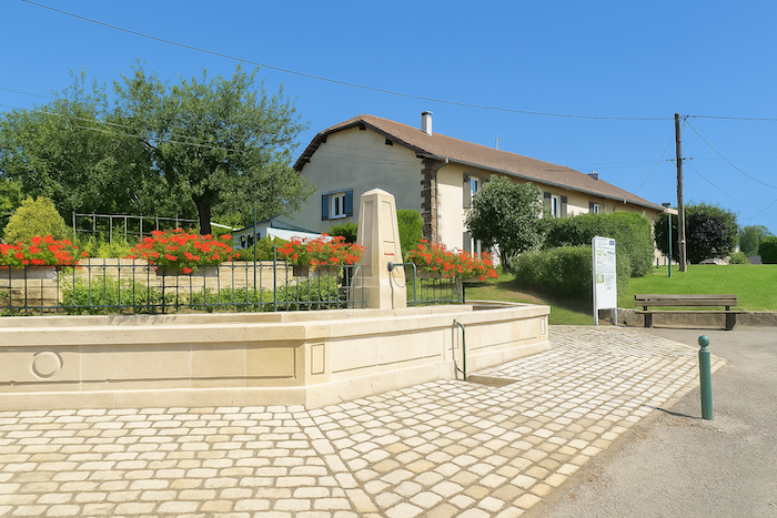
The village is built on two levels, as if compensating for its lack of momentum through discreet organization. A fountain stands in the centre, a remnant of a time when water sang freely. Today it remains silent. Nothing, not a single drop. Throughout this stage, no fountain offers relief, no café opens its door. A depopulated France, deserted, without living soul, this is what the walker often discovers. |
|
 |
 |
 |
 |
|
Crossing the upper part of the village seems to stretch on endlessly, winding between simple houses arranged with care and a discreet taste that gives them genuine charm. |
|
 |
 |
 |
 |
|
Leaving the village and its modest recent housing developments, the road meets open country again. A breath of space takes back its rights. |
|
 |
 |
|
This time, however, the road widens strangely, as if something unusual were about to appear. |
|
 |
 |
|
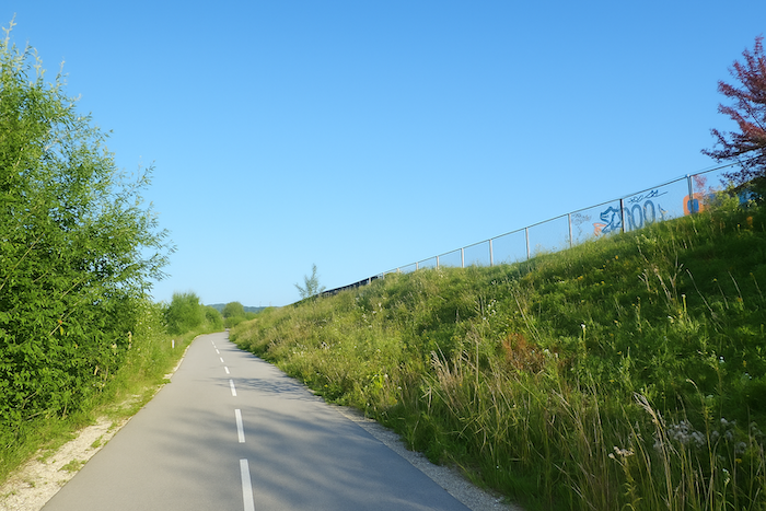
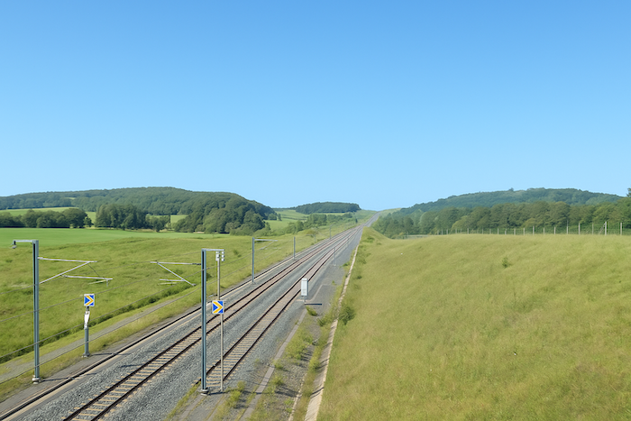
This is where the high-speed train runs again. It bursts from a long tunnel into the open air, imperious and silent in its speed. For it, the earth has been opened, hedges felled, heavy access roads built, closed to the public and guarded by fences as thick as ramparts. The obsession with speed has left its mark upon this countryside that was once intact. |
|
 |
 |
|
From the railway line, the road descends again toward the departmental road below. |
|
 |
 |
And here the walker can choose. If he prefers to shorten his stage, he may pass beneath the high-speed line bridge to reach Saulnot directly, where the route continues the next day.
 |
 |
|
But your route, faithful to its detours, follows the departmental road a little longer, walking along its shoulder where traffic is almost non-existent. |
|
 |
 |
|
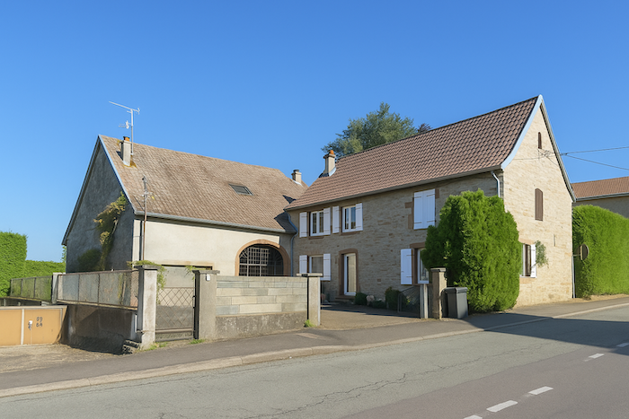
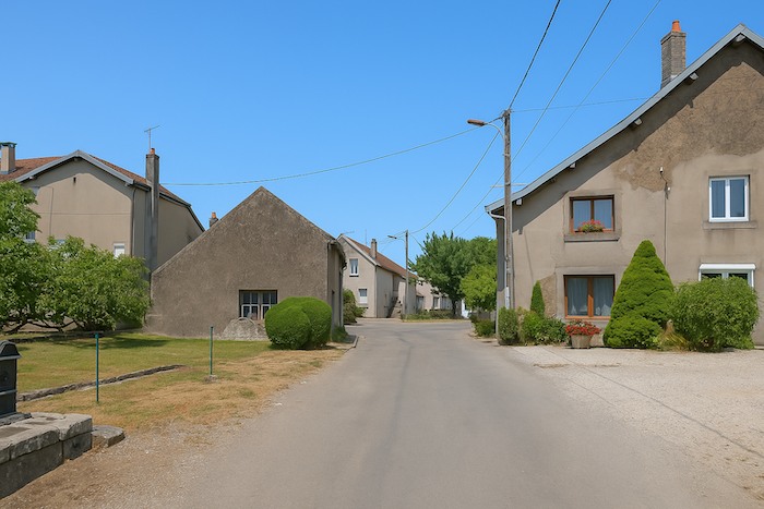
Then it finally moves away from it to enter the village of Villers-sur-Saulnot. This small village without shops and without a church nevertheless lives on through a few traces of its past. A few old houses, a carved lintel, a barn with tired beams. It is not much, yet it is enough to remind us that even the most modest places have a memory. |
|
 |
 |
Official accommodations in Burgundy/Franche-Comté
- Lumière et Quiétude, 4 Rue de la Maisonnette, Chavanne; 03 84 27 49 30; Guestroom
- La Forge d’Isidore, Villers-sur-Saulnot; 03 84 27 43 94; Gîte and Guestroom
Jacquaire accommodations (see introduction)
- Chavane (1)
Airbnb
- Couthenans (2)
CEach year, the route changes. Some accommodations disappear; others appear. It is therefore impossible to create a definitive list. This list includes only lodgings located on the route itself or within one kilometer of it. For more detailed information, the guide Chemins de Compostelle en Rhône-Alpes, published by the Association of the Friends of Compostela, remains the reference. It also contains useful addresses for the bars, restaurants, and bakeries along the way. It must be said: the region is not touristy. It offers other kinds of richness, but not abundant infrastructure. Today, Airbnb has become a new tourism reference that we cannot ignore. It has become the most important source of accommodations in all regions, even in those with limited tourist infrastructure. As you know, the addresses are not directly available. On this stage, accommodation is very limited. It is always strongly recommended to book in advance. Finding a bed at the last minute is sometimes a stroke of luck; better not rely on that every day. When making reservations, ask about available meals or breakfast options.
Feel free to leave comments. That is often how one climbs the Google rankings, and how more pilgrims will gain access to the site.
 |
Next stage : Stage 5: From Villers-sur-Saulnot to Villersexel |
 |
Back to menu |