Over hill and dale along Mount Vuache
DIDIER HEUMANN, ANDREAS PAPASAVVAS

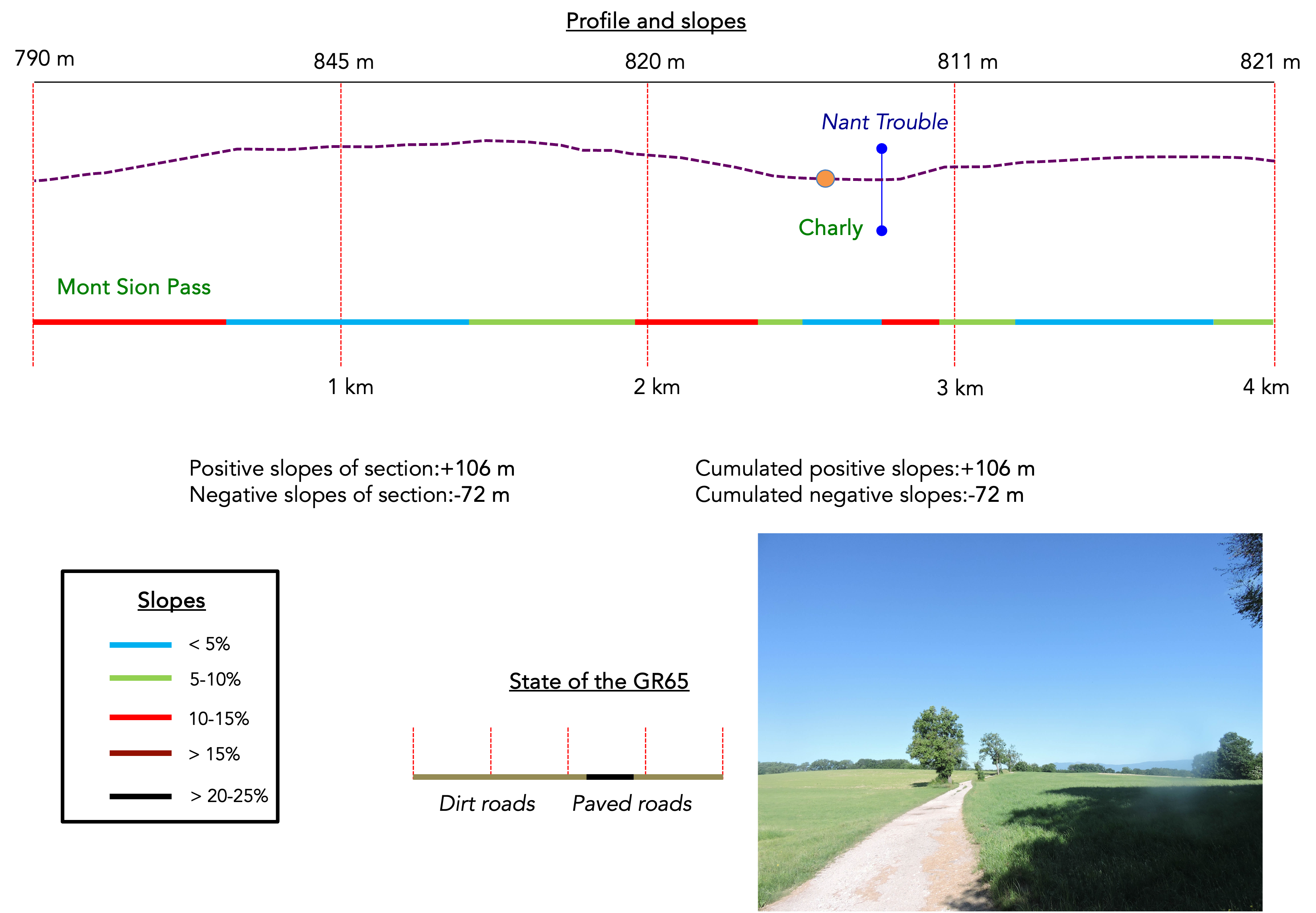
We divided the course into several sections to make it easier to see. For each section, the maps show the course, the slopes found on the course, and the state of the route (paved or dirt roads). The courses were drawn on the « Wikilocs » platform. Today, it is no longer necessary to walk around with detailed maps in your pocket or bag. If you have a mobile phone or tablet, you can easily follow routes live.
For this stage, here is the link:
https://fr.wikiloc.com/itineraires-randonnee/du-col-de-mont-sion-a-frangy-par-la-via-gebennensis-33584713
| Not every pilgrim feels comfortable using GPS devices or navigating on a phone, especially since many sections still lack reliable internet. To make your journey easier, a book dedicated to the Via Gebennensis through Haute-Loire is available on Amazon. More than just a practical guide, it leads you step by step, kilometre after kilometre, giving you everything you need for smooth planning with no unpleasant surprises. Beyond its useful tips, it also conveys the route’s enchanting atmosphere, capturing the landscape’s beauty, the majesty of the trees and the spiritual essence of the trek. Only the pictures are missing; everything else is there to transport you.
We’ve also published a second book that, with slightly fewer details but all the essential information, outlines two possible routes from Geneva to Le Puy-en-Velay. You can choose either the Via Gebennensis, which crosses Haute-Loire, or the Gillonnay variant (Via Adresca), which branches off at La Côte-Saint-André to follow a route through Ardèche. The choice of the route is yours. |
 |
 |
If you only want to consult lodging of the stage, go directly to the bottom of the page.
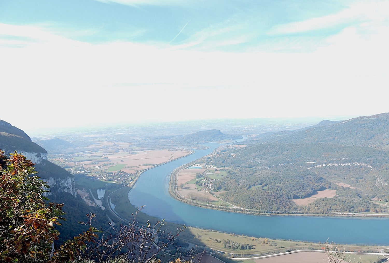
From Geneva, you leave behind the tranquil shores of Lake Geneva and the Rhône, that majestic river winding through mountains and valleys. As you move away from the city, you climb the slopes of Salève, that imposing mountain standing guard at the border between Switzerland and France. The day promises a long transition, a journey towards the serenity of the Rhône Valley. However, the river itself, with its tumultuous waters and wooded banks, will not reveal itself to you until the following day. Leaving Switzerland, the Rhône takes a grand detour behind Mount Vuache, this natural barrier separating the two countries, offering a spectacular view with its steep cliffs and dense forests. Today, the wilderness takes over, guiding you through shaded undergrowth and vast surrounding countryside, like a haven of peace where the silence is broken only by birdsong and the whisper of the wind in the trees. Few people inhabit these remote areas, and the villages are small havens of tranquility, often hidden behind hills or nestled in secret valleys. Only Chaumont and Frangy, with their stone houses, offer a bit more activity, yet the atmosphere remains serene and restful.
One hopes for good weather because in prolonged rain, the paths turn into veritable torrents of mud. Shoes sink into the soaked ground, and every step becomes a struggle against the elements, requiring meticulous cleaning upon arrival.

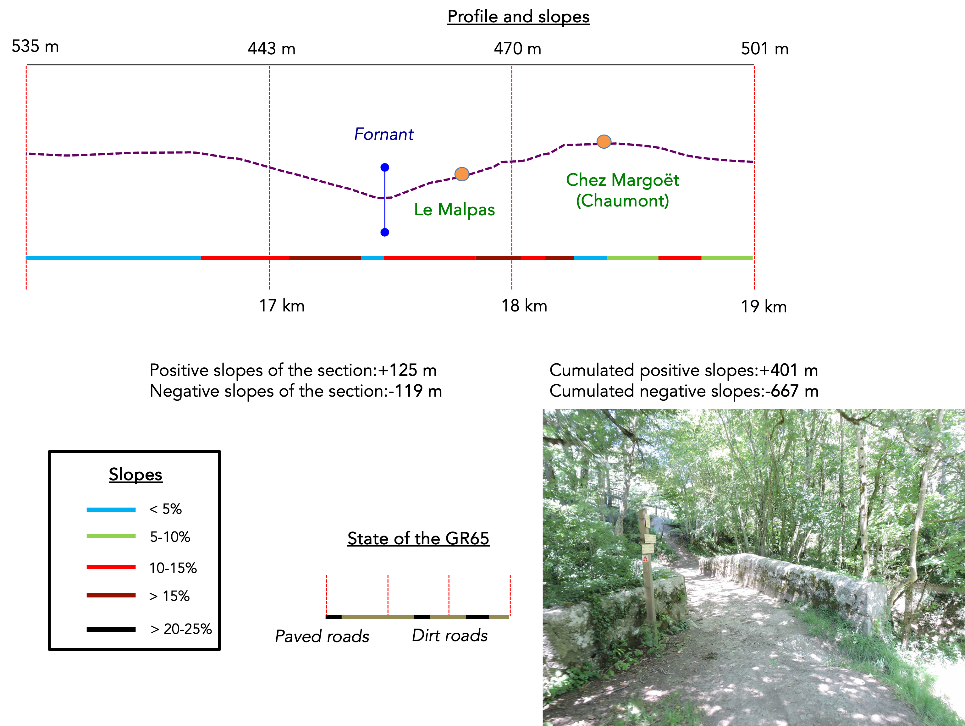
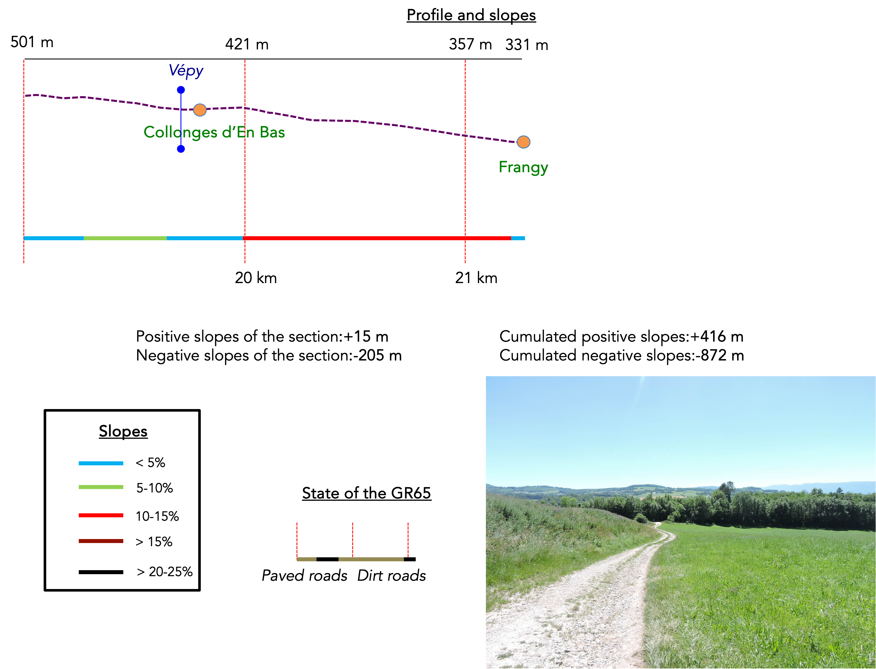
Difficulty level: The elevation changes of the stage (+416 meters/-872 meters) indicate a predominantly downhill day, a gentle descent allowing full enjoyment of the surrounding landscapes. Only one climb, but a significant one, awaits you: the ascent to Chaumont. This climb is a true challenge, with its steep slopes and rocky path, but it offers a breathtaking view of the surrounding valleys as a reward. As for the descents, they will not be a walk in the park, with numerous slopes exceeding 15%, requiring well-conditioned joints and constant attention to avoid slips.
State of the GR65: This stage is notable for a large part of the journey being on paths, a rare and noteworthy feature:
- Paved roads: 7.0 km
- Dirt roads : 14.2 km
Sometimes, for reasons of logistics or housing possibilities, these stages mix routes operated on different days, having passed several times on these routes. From then on, the skies, the rain, or the seasons can vary. But, generally this is not the case, and in fact this does not change the description of the course.
It is very difficult to specify with certainty the incline of the slopes, whatever the system you use.
For those seeking « true elevations » and enthusiasts of genuine altimetric challenges, carefully review the information on mileage at the beginning of the guide.

Section 1: Over hill and dale between meadows and underwood
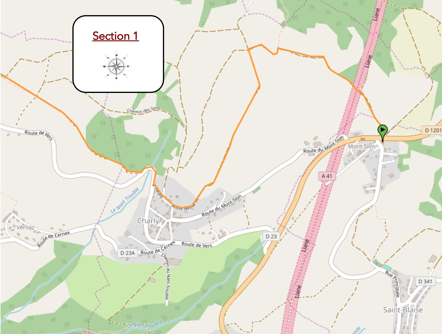
Overview of the route’s challenges: a slightly challenging climb at the start of the stage, followed by undemanding undulations.
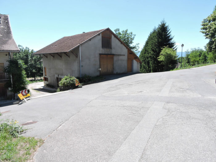
The GR65, a legendary route for pilgrims seeking serenity and discovery, leaves Mont Sion at the crossroads of the road leading to St Blaise. Chaumont, the almost ultimate destination of this stage, is still more than four hours of walking away. The magic of the journey begins with the first steps, immersing the walker in a living tableau of the French countryside.
A small piece of advice here: If the weather is dreadful, take the small road leading to Charly to avoid getting bogged down on the path that crosses the hill.

|
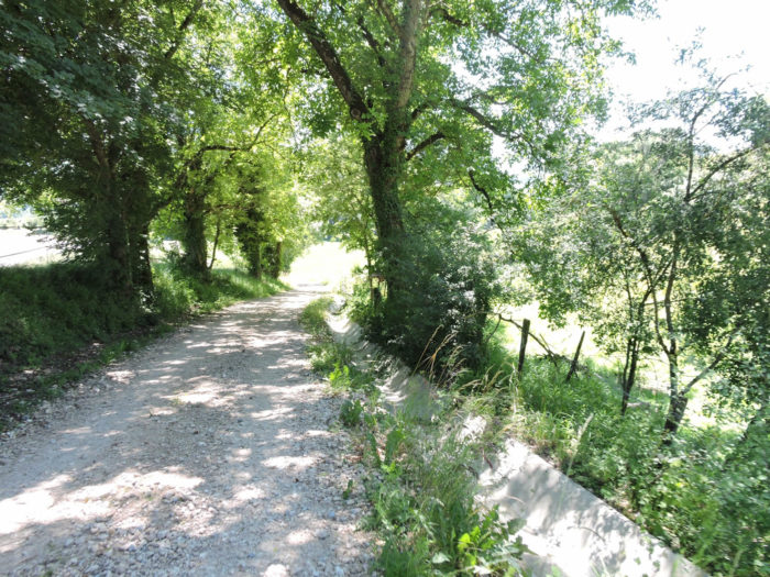
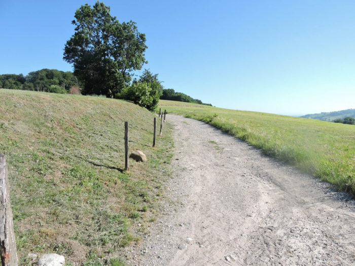
From the outset, a wide dirt road unfolds, winding and becoming rockier as you climb through the meadows. The hill of Mont Sion, located above Charly, offers a vast open space. The climb, although demanding, is a real eye-opener after breakfast, inviting contemplation and escape.
|
 |
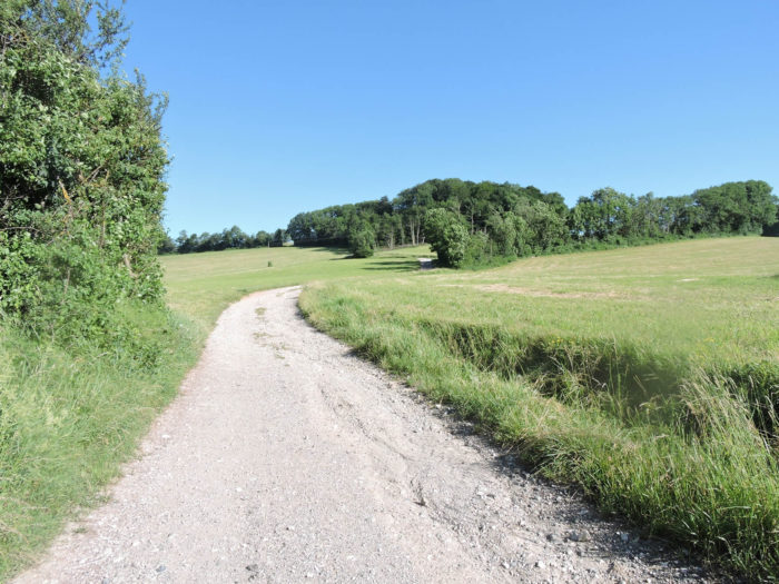 |
Below, the houses of Mont Sion are scattered, surrounded by rolling meadows and clusters of solitary trees. This landscape, both simple and captivating, depicts a bucolic scene where each element seems orchestrated to delight the walker’s eye.

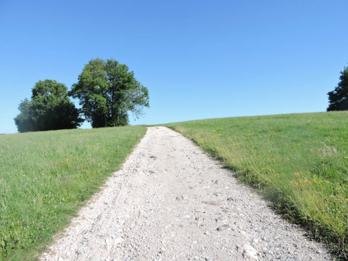
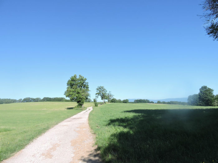
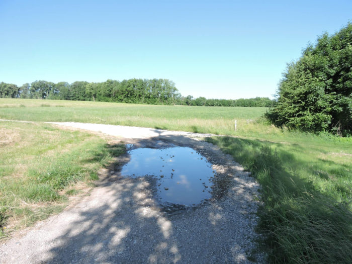
| At the top of the hill, the path crosses a small plateau, guarded by magnificent solitary oaks. These silent sentinels watch over the plateau, adding a touch of majesty to this peaceful place. Today, the sky is a clear blue, but seasoned walkers know that in rainy weather, these paths can turn into muddy rivers, making progress difficult. |
 |
 |
| In this region, the soil, being impermeable, struggles to absorb rainwater, and small torrents often overflow. The path reaches the Croix de Vin, a place marked by an imposing wooden cross. Pilgrims, in a gesture of spirituality, leave stones as a testament to their passage. Numerous and precise signs guide walkers through this natural maze. |
 |
 |
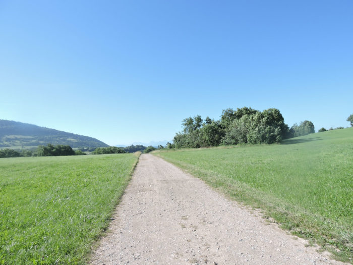
| The path, still rocky, continues its course on the plateau, winding between meadows and clusters of oaks. These trees, abundant on the hill, give the landscape a unique identity. It is curious to note how, a few kilometers away in Switzerland, beeches dominate the forests, while here in France, it is the oaks that have taken over. |
 |
 |
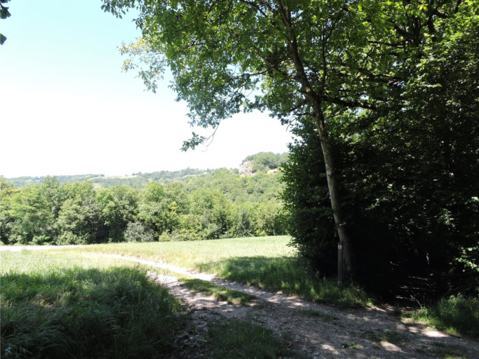
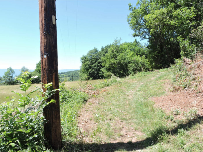
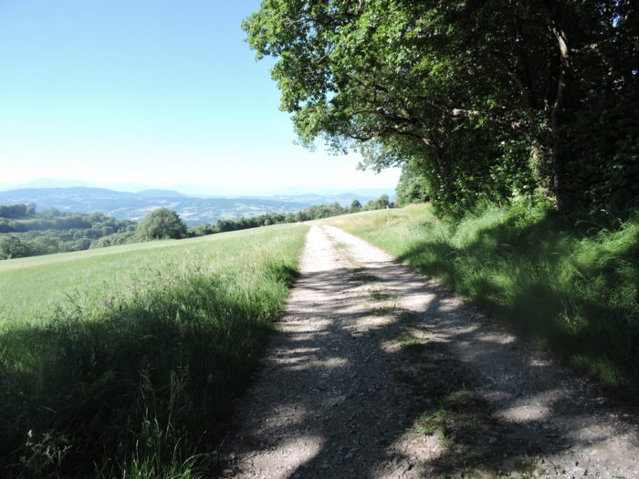
| From the plateau, the wide path gently descends along the ridge. On the horizon, gentle hills gracefully outline themselves, and in the distance, the high mountains majestically cut against the sky. The view is a living tableau of nature, each element contributing to a visually soothing harmony. The hills are adorned with varied colors, from the tender greens of the meadows to the darker shades of the forests, creating a natural mosaic of great beauty. |
 |
 |
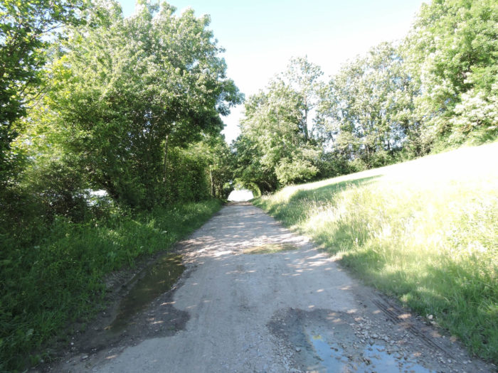
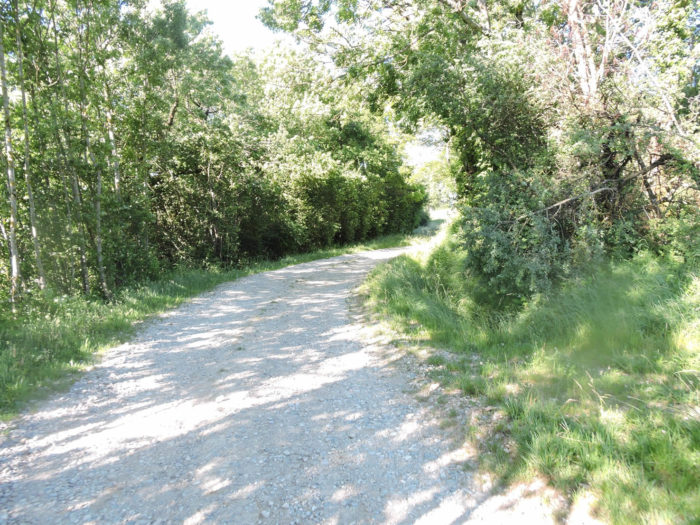
| PGradually, the flora diversifies. Sturdy oaks and graceful ashes intermingle, their foliage forming a lush canopy that filters the sunlight. The path weaves through this abundant vegetation, offering a serene and immersive walk. |
 |
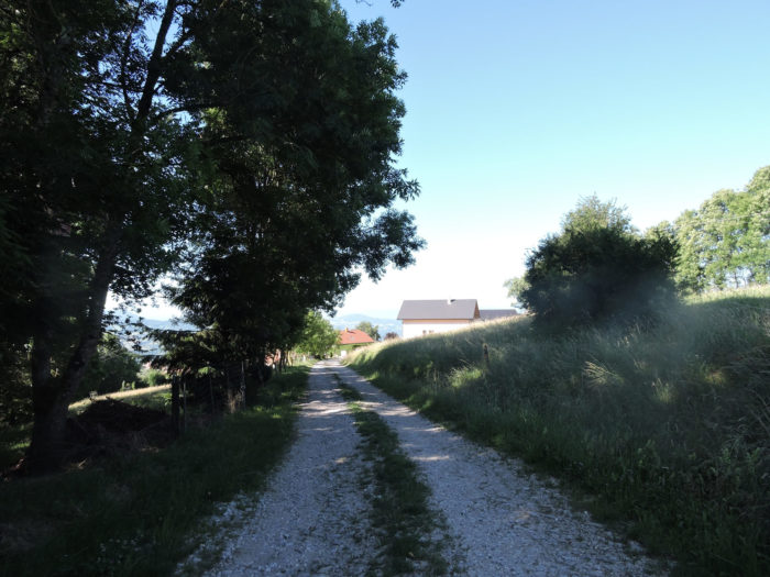 |
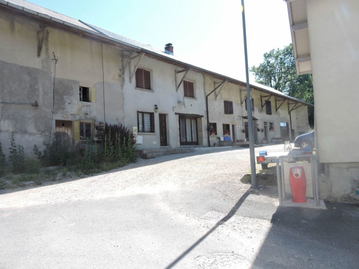
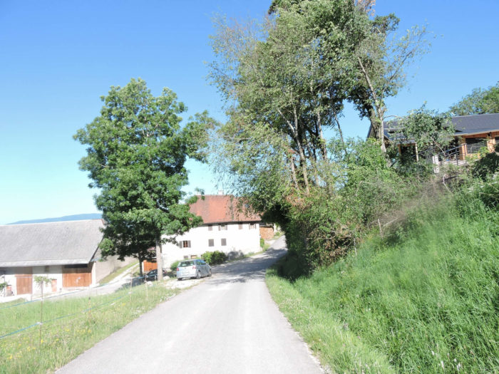
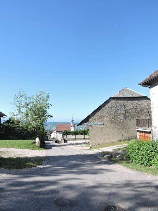
| Charly then appears, a modest village composed of farms and simple houses. Here, time seems to have stopped, preserving an authentic agricultural way of life. The buildings, though modest, exude history and tradition, like an imprint of tranquility and simplicity. It is a place where one can still find lodging if other options were scarce earlier on the route. |
 |
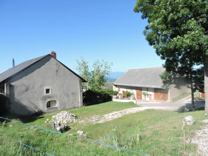 |
| In the heart of Charly, a small church stands, the silent guardian of the village. After a good half-hour walk from Col du Mont-Sion, this stone sanctuary offers a place for rest and reflection. |
 |
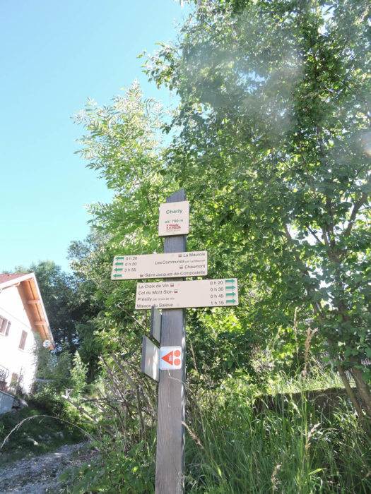 |
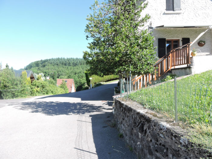
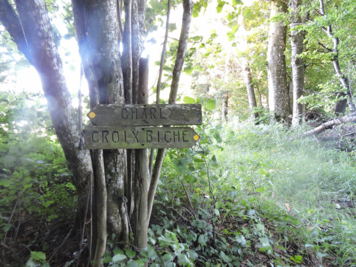
| The GR65 then leaves the village, guiding walkers towards La Croix Biche, serving as a landmark on the route. |
 |
 |
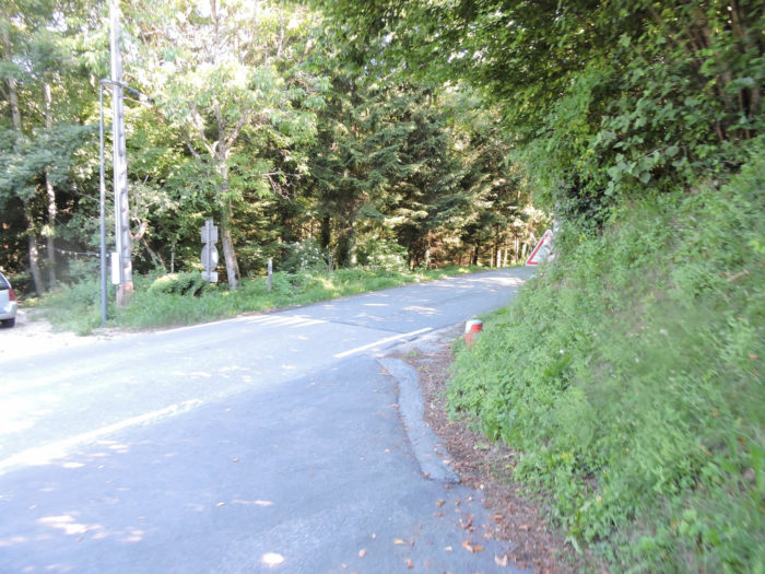
| It briefly joins the small departmental road D23, running alongside the road for a few hundred meters. Vehicles are rare in this region, adding to the sense of tranquility and remoteness. |
 |
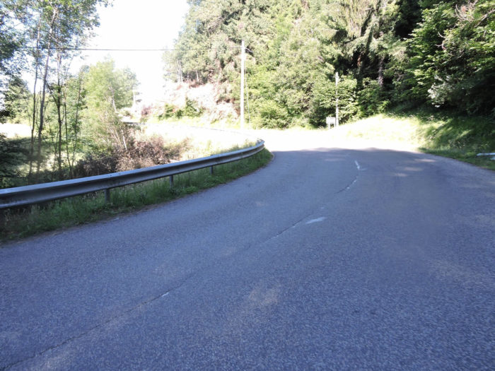 |
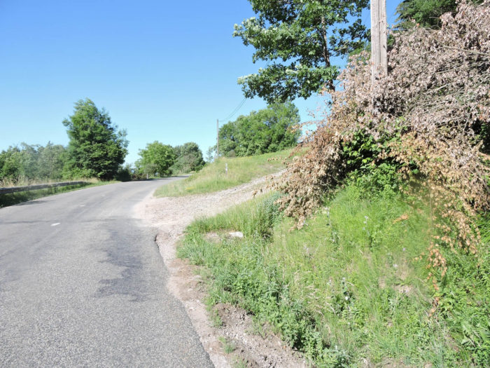
| The GR65 then crosses the small and discreet Nant Trouble stream, which you will hardly see. It then leaves the road to engage on a rocky path, where footsteps resonate on the stones. Ahead of you, vast forests open up, inviting exploration and discovery. |
 |
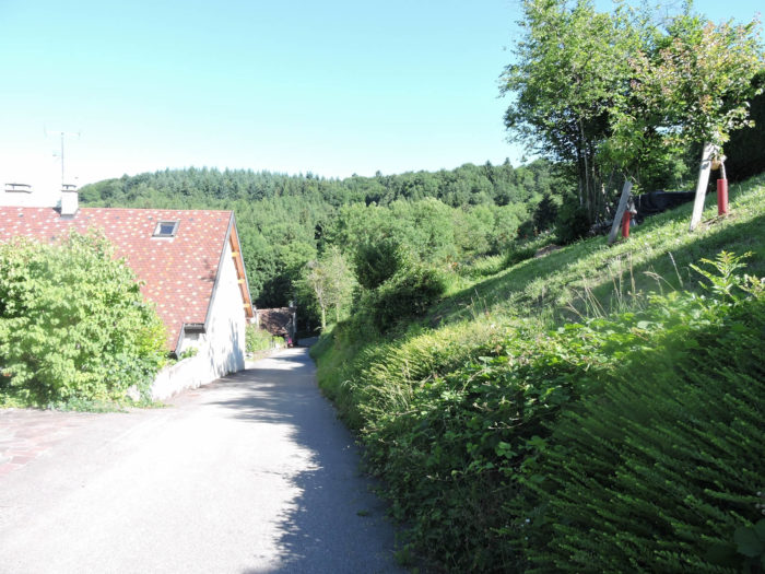 |
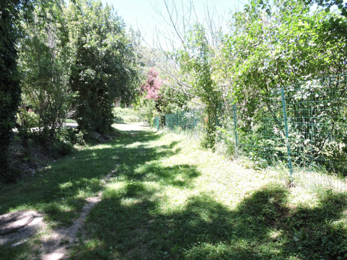
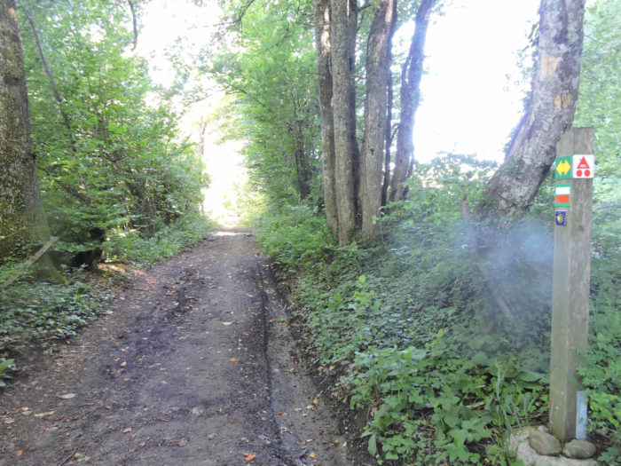
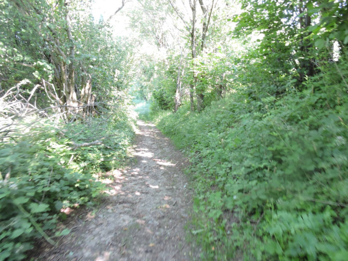
| The path to Croix de Biche, sometimes bumpy and muddy in rainy weather, first winds through lush undergrowth where the splendor of the local flora unfolds. The foliage blends in a ballet of colors and textures: majestic maples, ancient oaks, shady hornbeams, elegant beeches, sturdy chestnut trees, and graceful ashes line the path, while thick bushes and wild grasses offer a shimmering and fragrant green carpet |
 |
 |
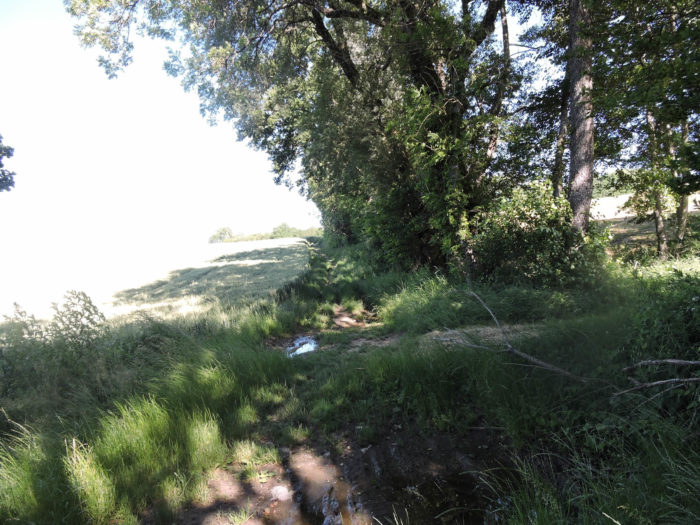
| Further on, clearings open up to the walker, offering a welcome break in the climb of the hill.
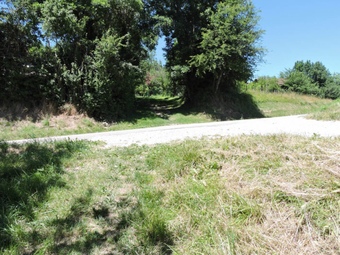
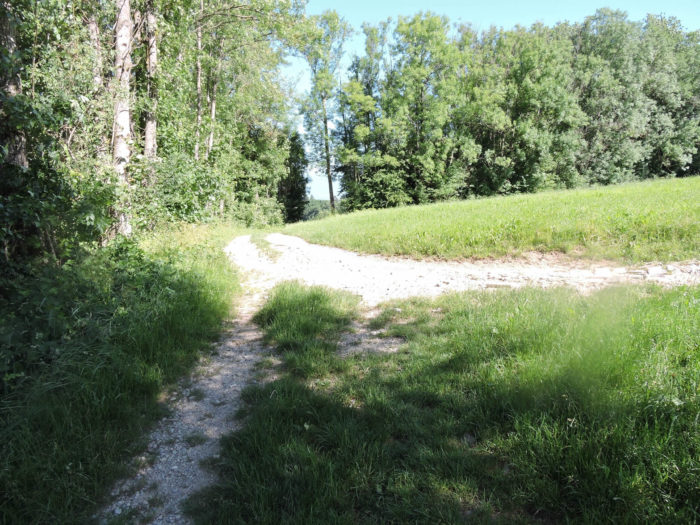
A small reminder that might interest you: be careful on this path, as you come to an unmarked fork! So, there is only one solution: choose according to your instinct. Take one, but if after a few hundred meters, you don’t see a sign on the path, then turn back, because you went the wrong way. Simple, isn’t it? In rainy weather, it’s easier because you can see the footprints in the mud of those who have preceded you. |
 |
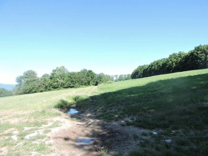 |
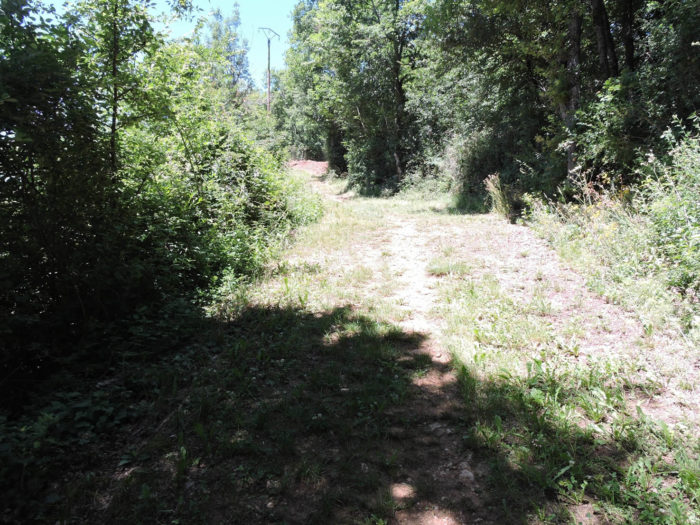
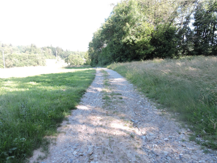
| As the path slopes up, it reveals a small plateau embraced by still wild and preserved nature. The grass underfoot mixes with the beaten earth, creating a harmonious contrast with the dense forests that still stretch out before your eyes. |
 |
 |
Section 2: With the Mount Vuache on the horizon before you

Overview of the route’s challenges: mostly downhill, rarely strenuous, except at the bottom of the dale.
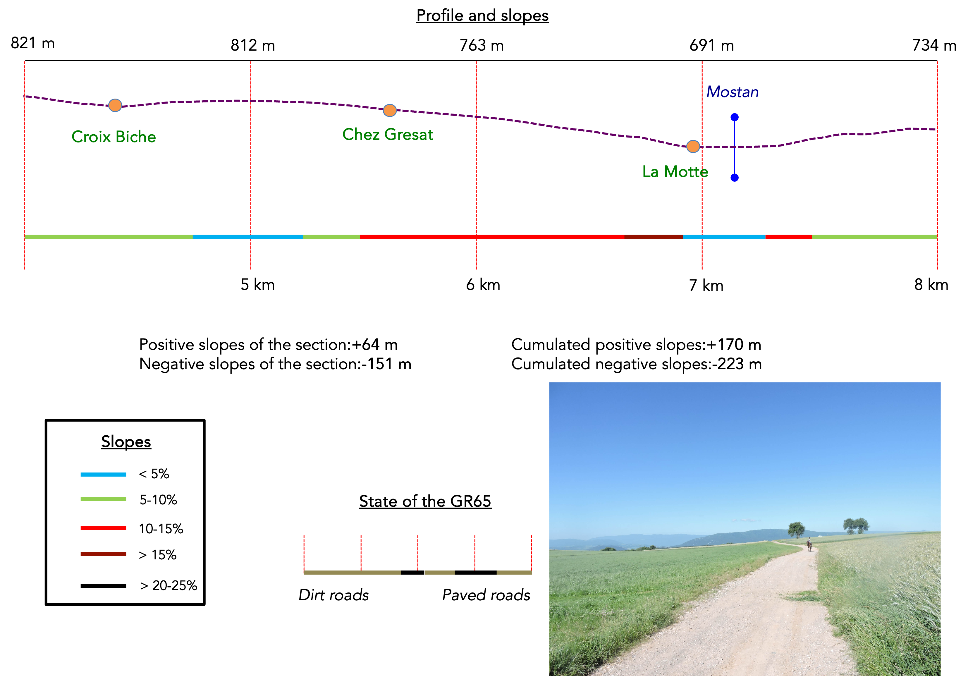
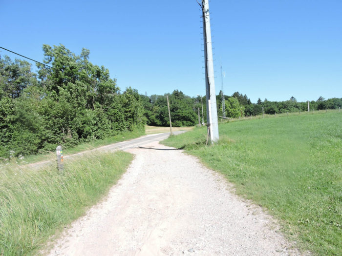
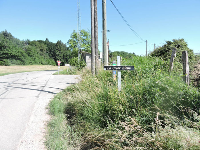
| At the exit of the underwood, the GR65 joins the departmental road D23 at the place called La Croix de Biche. If you follow the directions given by the Compostela shell, the direction is always indicated by the base of the shell, not the fan. It is good to remember this if you are a novice on the Way of Compostela in France. Elsewhere on the route, in Spain or Switzerland, the shell is just a symbol and does not show the direction. |
 |
 |
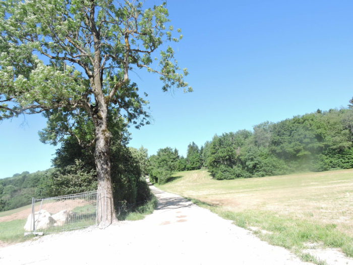
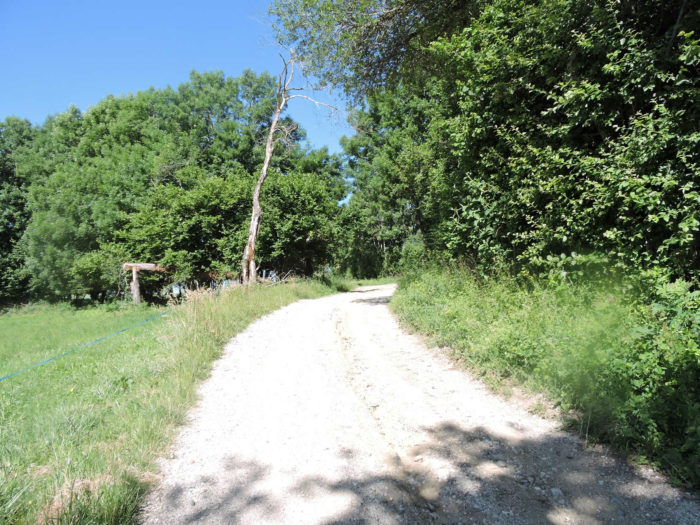
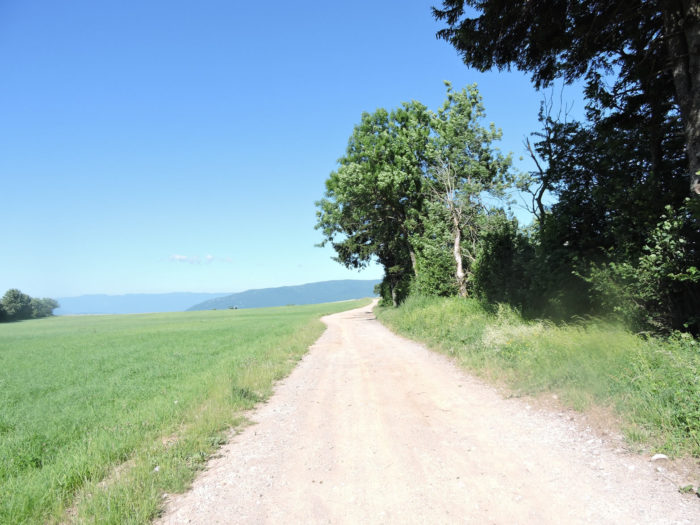
| A wide dirt road winds through a vast plateau, where voluptuous large oaks majestically unfold. |
 |
 |
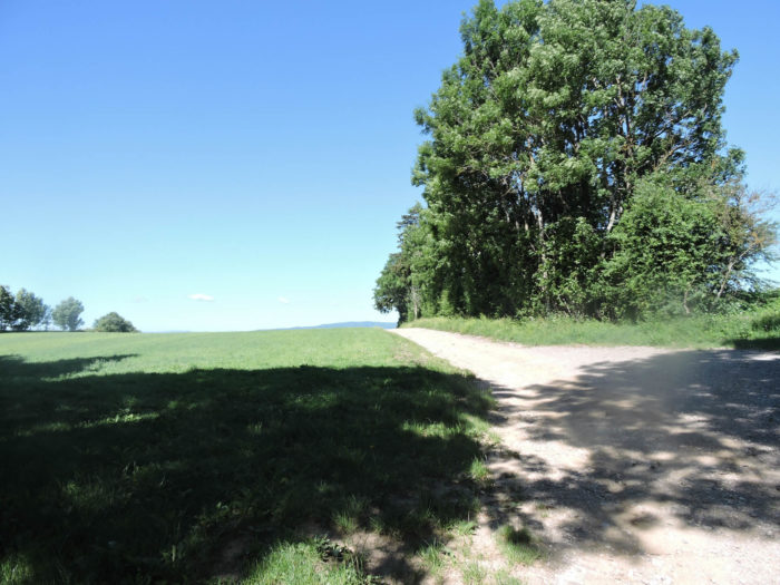
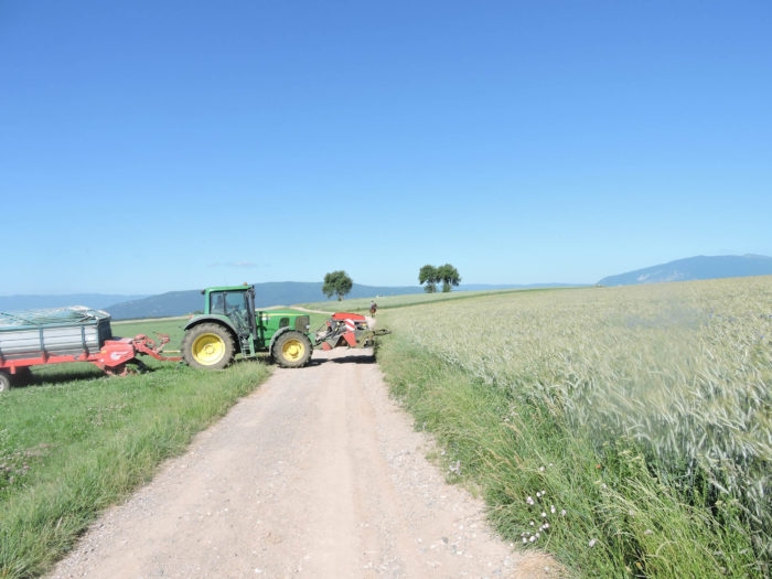
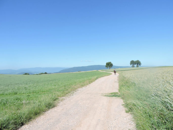
| Here, the horizon widens, revealing a plateau bathed in light, often caressed by the winds. This luminous tableau contrasts with the dark and austere silhouette of the mountains on the horizon, like waves of a stormy sea of wheat spikes dancing in the wind. |
 |
 |
| In this setting, the cereal fields stretch as far as the eye can see, punctuated by graceful horses, sometimes galloping, sometimes strolling leisurely, their imposing stature standing majestically as they approach. On the horizon stands the imposing silhouette of the Mount Vuache, a bastion of the Jura chain, separated by the cluse of the Rhône near the Défilé de l’Écluse, near Bellegarde. The Vuache, culminating at 1100 meters, marks the boundary with the Salève Moutain, dominating the Geneva Basin while the Rhône winds at its feet. |
 |
 |
Further on, the path leads to the place called Bacchus, among the vast fields where the earth awakens under the sun, where each step resonates with the serenity of distant horizons.

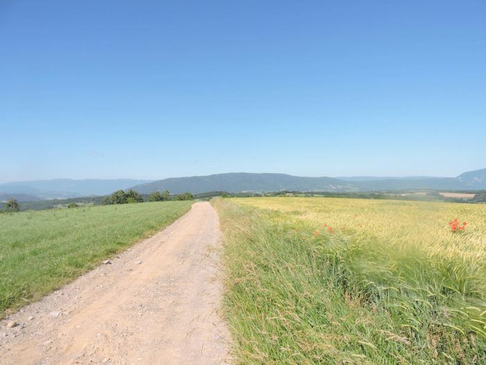
| In this enchanting landscape, where every blade of grass seems a poem, the walker awakens to the magic of lands forgotten by time. The path winding through the plateau gracefully begins its gentle descent, revealing on the horizon the splendor of the Défilé de l’Écluse, a mystical rift majestically appearing on your right. |
 |
 |
Here, poppies dance in the oat fields.

|
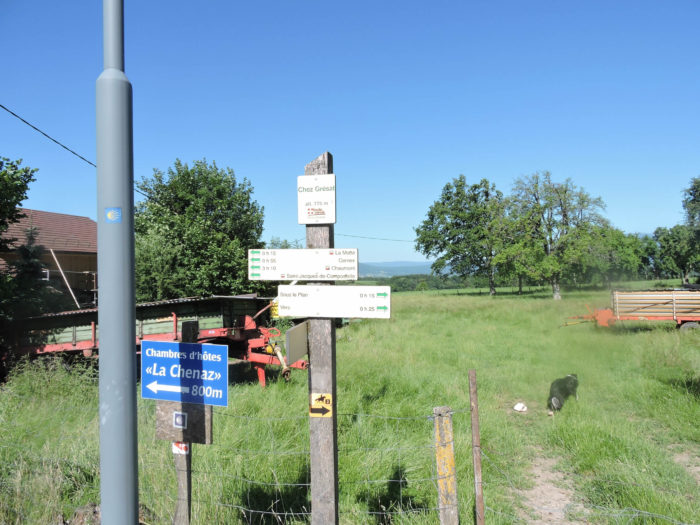
The wide and welcoming dirt road approaches the peaceful hamlet of Chez Grésat in a gentle slope. Here, the rare dwellings seem to blend harmoniously into the vastness of the landscape, silent witnesses to the simple and generous life that animates these lands.
|
 |
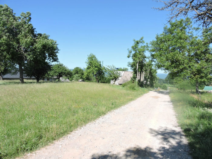 |
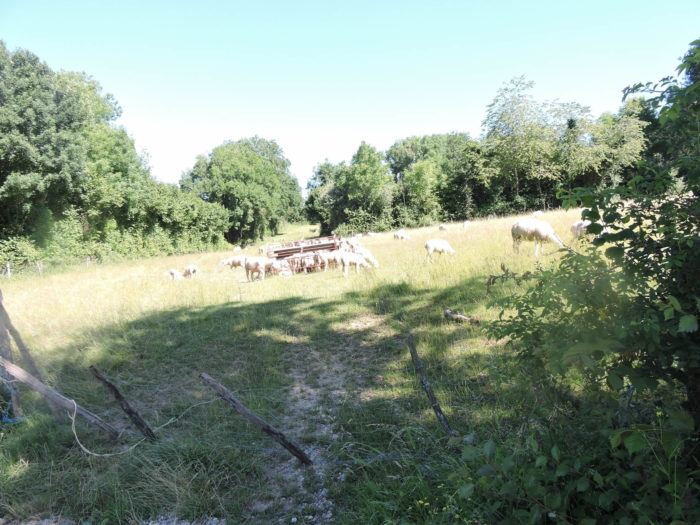
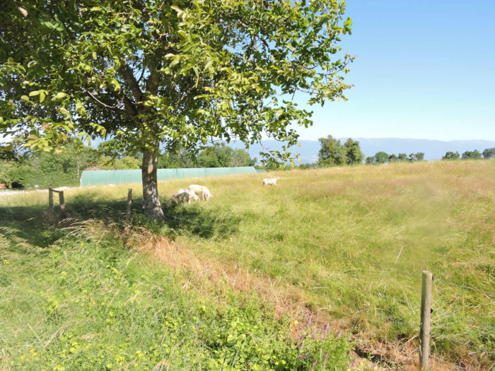
| Everything here breathes rustic charm: the peaceful cattle grazing in the verdant meadows, the ancestral stone or rustic pisé farms, timeless symbols of architecture in harmony with the surrounding nature. |
 |
 |
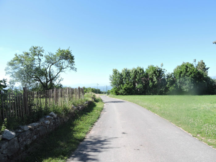
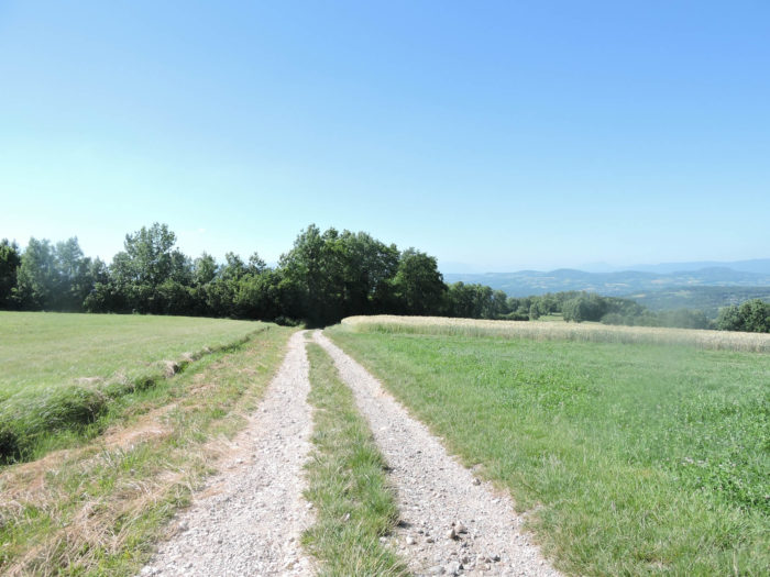
| At the exit of the hamlet, the GR65 briefly touches the asphalt before returning to its familiar stones. Here, it is good to remember that this territory, shaped by the whims of nature since the Quaternary period, rests on a large moraine, a silent witness to the ancient melting of the Rhône glacier. |
 |
 |
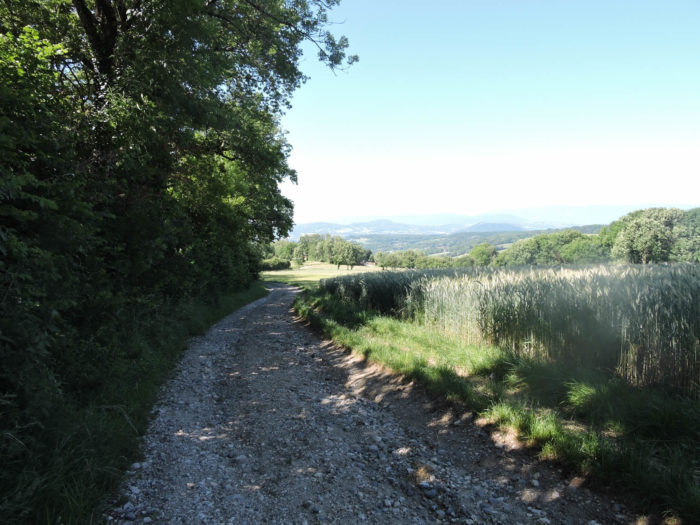
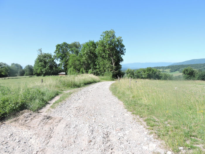
| Descending determinedly along the rocky slopes, between dense groves and sparse scattered crops, the path opens onto changing panoramas, like a meditation on the raw and untouched beauty of this preserved countryside. |
 |
 |
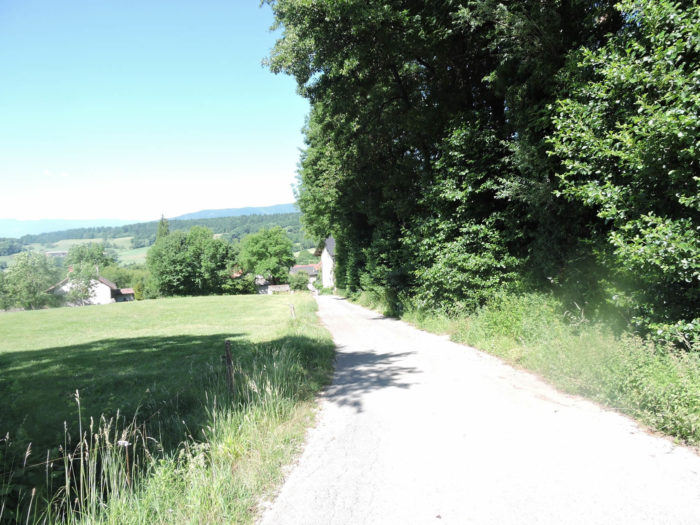
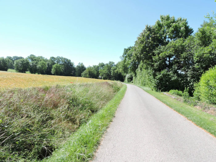
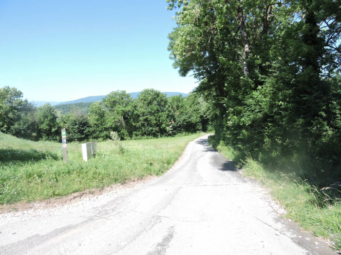
| Lower down, the gravel gives way to asphalt, and the narrow road continues its steep descent, like a ribbon of asphalt running towards the infinity of the verdant dale. |
 |
 |
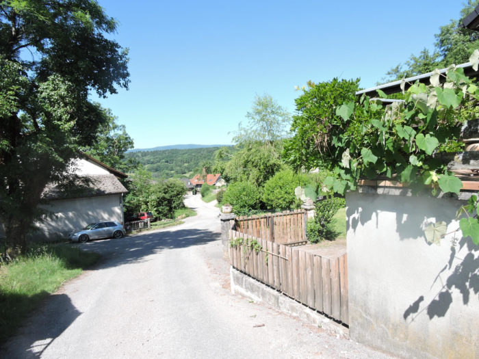
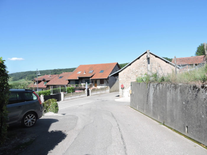
| At the bottom of the descent towards La Motte, the road unveils a pastoral landscape of simple beauty. The village, with its brownish tile roofs and plastered houses, sometimes made of pisé, stretches with rustic simplicity. Well-kept gardens add a touch of color to this rural tableau. Although peaceful, one senses a possible and discreet presence of Geneva commuters, escaping here to find the tranquility and simplicity that only the hinterland can offer. |
 |
 |
| An hour’s walk from the crossroads named Pierre33, a place where paths converge, the village breathes harmonious tranquility. A simple cross proudly stands at this crossroads, a symbol of serenity in this rural setting. |
 |
 |

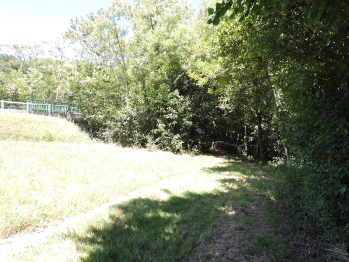
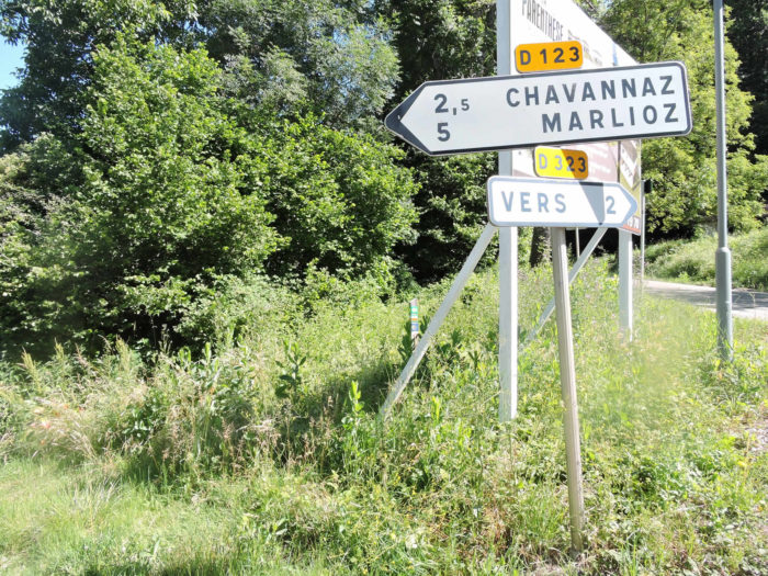
| The GR65 then joins the modest departmental road D123 towards Chavannaz, crossing the Mostan, a small river meandering through dense and lush vegetation. |
 |
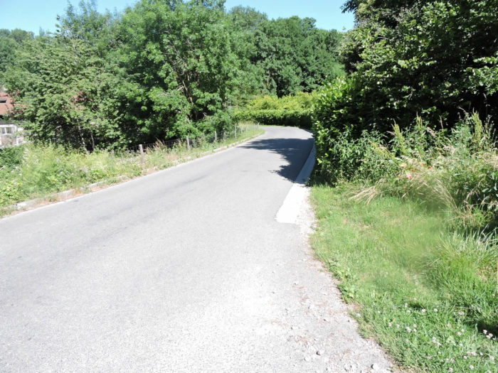 |
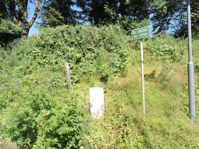
A majestic iron cross, more imposing than the previous one, stands amid the foliage, marking the entrance to the Chemin des Côtes. From here, the path delves long into the woods, moving away from villages to offer a welcome solitude, where human presence becomes rare.

| The Chemin des Côtes lives up to its name, especially at the beginning of the climb, where the path slopes up gently, offering changing panoramas of the verdant hills and valleys stretching as far as the eye can see. Each step reveals a new perspective, a new sensation of peace in this preserved rural world. |
 |
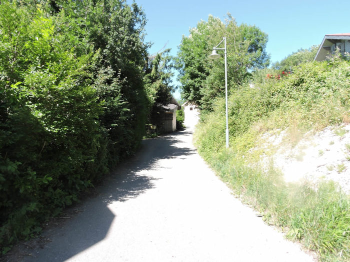 |
| Near the village, the stones have been removed from the path, but ascending through the clearings and underwood, the shoes stumble on often sharp limestone rocks that get into the soles. The trees here form a refreshing canopy, offering welcome shade under the heat. |
 |
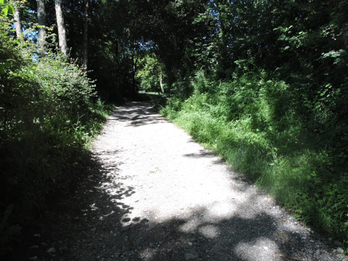 |
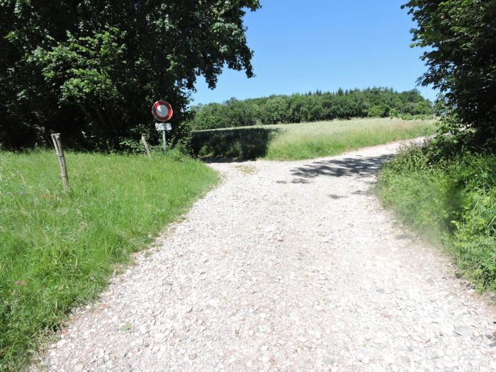
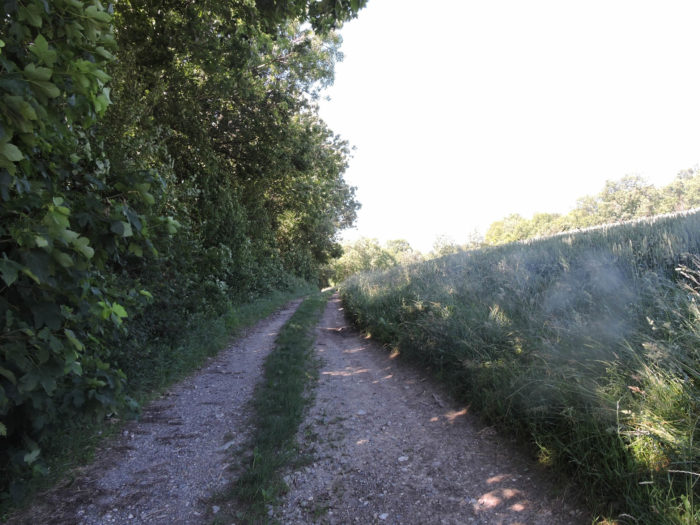
| In this tranquil solitude, the path is not always clearly marked. This is not a criticism of the organizers of the route, but with fewer pilgrims than on the Via Podiensis, vigilance may be less constant. |
 |
 |
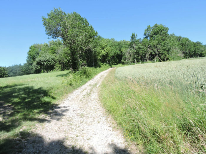
| The climb is brief and soon the path winds from one clearing to another, heading towards a denser forest. |
 |
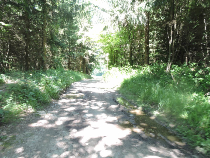 |
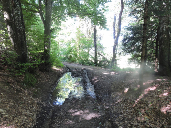
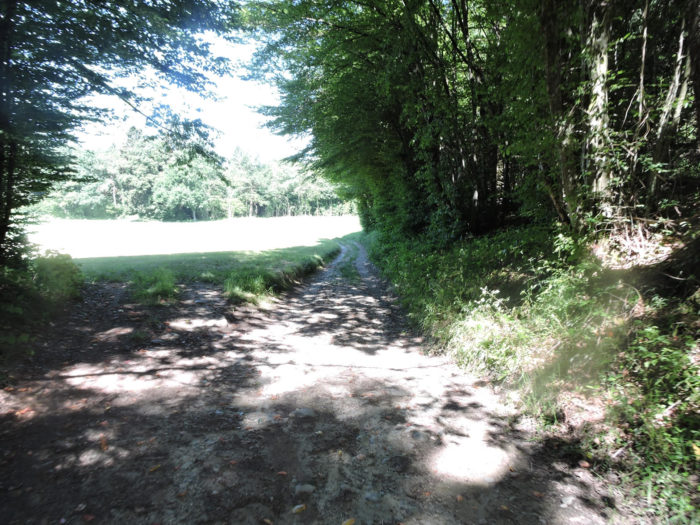
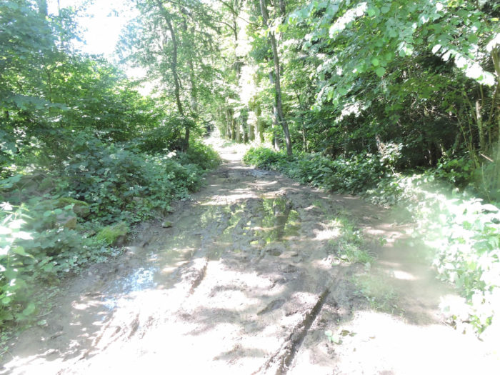
| Then begins a long traverse through a deciduous forest, where the path gently undulates between the ruts. On the Way of Compostela, the experience can vary greatly with weather conditions: a paradise in dry periods to a muddy hell after heavy rains. Here, you sometimes have to contend with clay soil, as venturing into the bushes at the edge of the path is arduous. In places, you can distinguish the footprints left by the shoes or bike wheels of previous travelers, reminding of the age and continuity of this pilgrimage route. Thus, in this preserved natural setting, we hope that the sky grants you its clemency for as comfortable a journey as possible. |
 |
 |
Section 3: At the foot of the Vuache Mountain
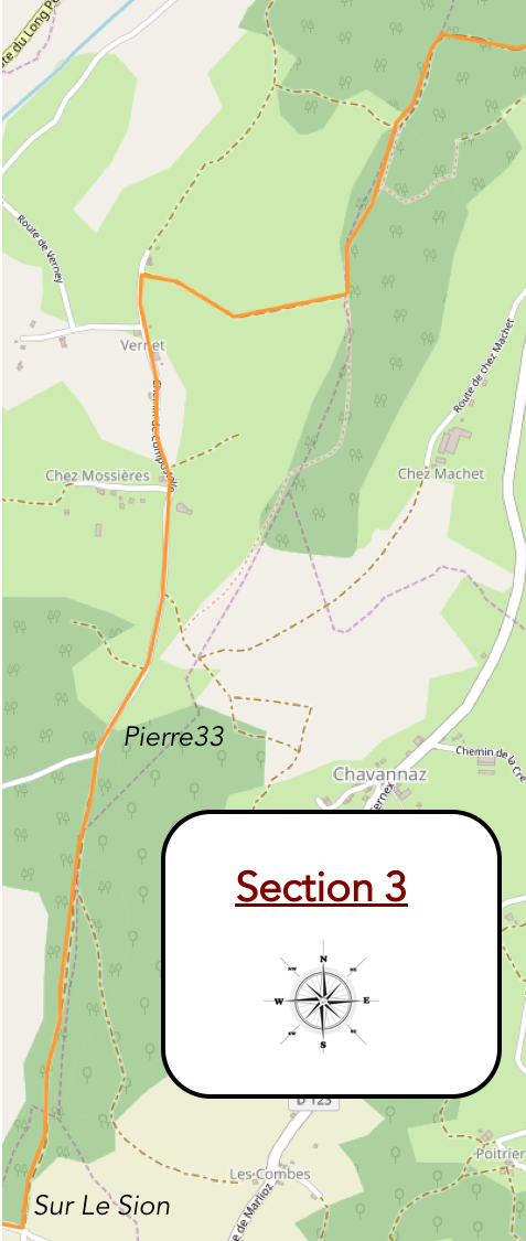
Overview of the route’s challenges: mostly downhill, with no major issues, except before Verney, where the path can be muddy.
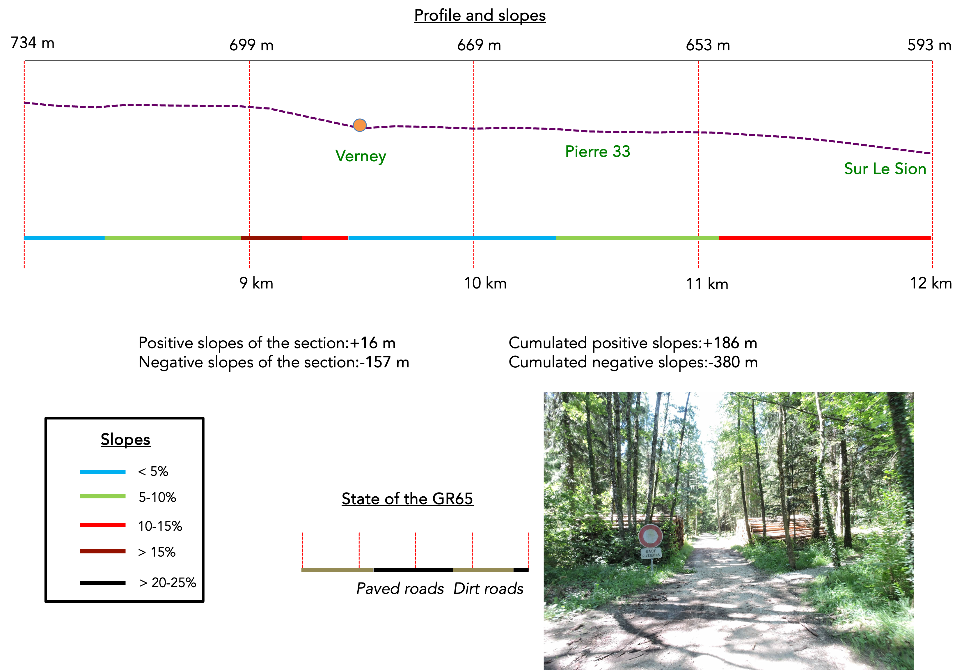
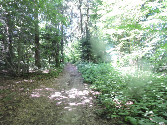
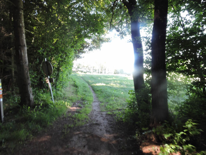
| In the heart of this rather rustic and unpoetic forest, the path winds with an almost obsessive determination. The passage through the forest stretches into a fairly long but not interminable walk, between the tall deciduous trees that dominate the landscape and the countless modest shoots deprived of light. In gloomy weather, the path becomes a mud trap, challenging any daring traveler at every step. |
 |
 |
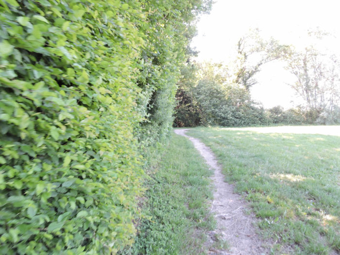
| Towards the exit of this wooded sanctuary, clearings appear like oases of fresh air and light, offering a welcome respite. |
 |
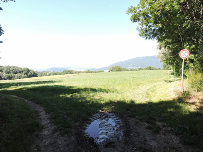 |
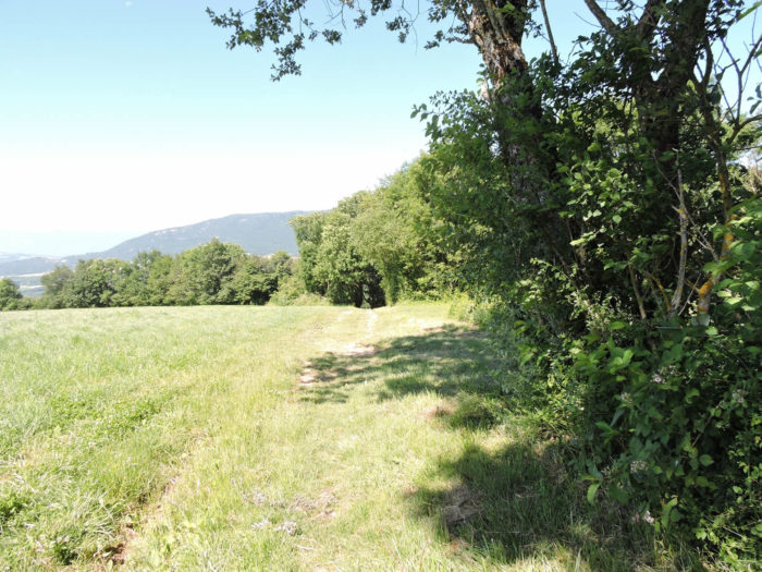
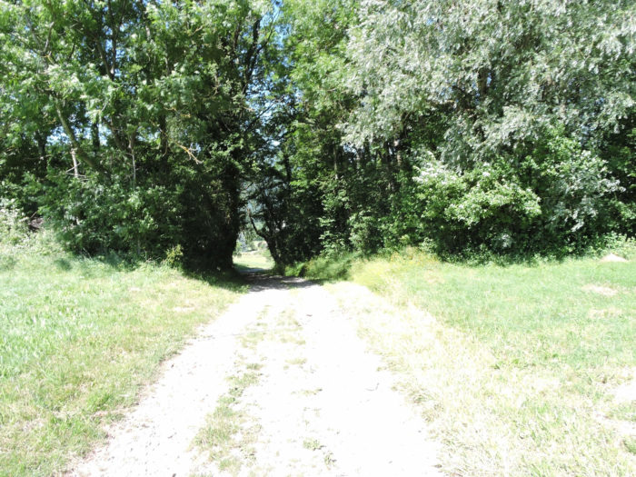
| Where fresh grass gently caresses your steps, the traveler’s soul finds peace, as if nature itself soothes the efforts hardened by trials. The path plunges further through untouched meadows, at the edge of wild woods whispering their secrets. The smells of damp earth, humus, and wildflowers permeate the air, infusing each breath with a melancholic and wild sweetness. |
 |
 |
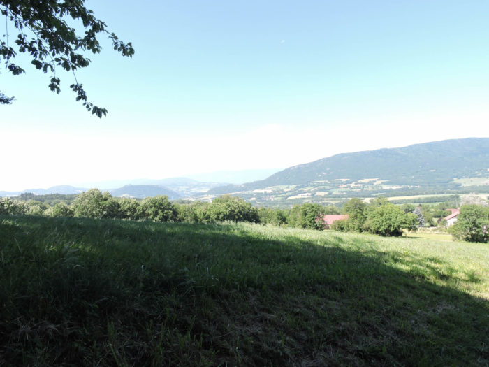
| Then, like a metaphor for life itself, the path transforms into a rocky maze, boldly descending towards the plain at the foot of the distant Vuache Mountain. On the horizon, where the sky meets the earth, Chaumont timidly takes shape, a distant promise that will ignite your imagination. |
 |
 |
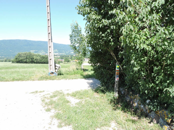
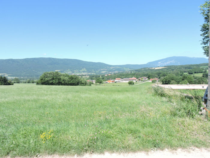
| When the steep descent ends on a small road sweetly at a place known as Verney, the village of Jonzier stretches out before your eyes. To the right, the Jura foothills rise like sleeping sentinels, while ahead, the imposing silhouette of the Vuache silently watches the passage of centuries. |
 |
 |
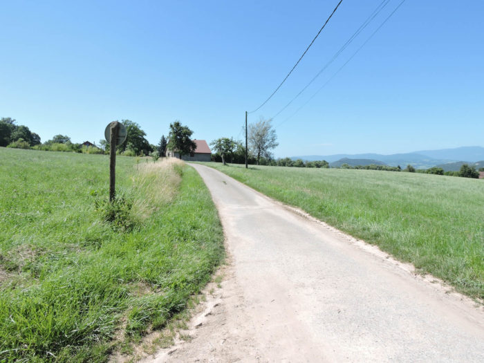
| In the vast peacefulness of the rural landscapes extends the GR65, far from the frantic arteries of modern civilization. Here, the road, like a sinuous vein traced on the earth, suddenly veers to the left, revealing a small tarred road that delightfully loses itself in a barely inhabited natural environment. |
 |
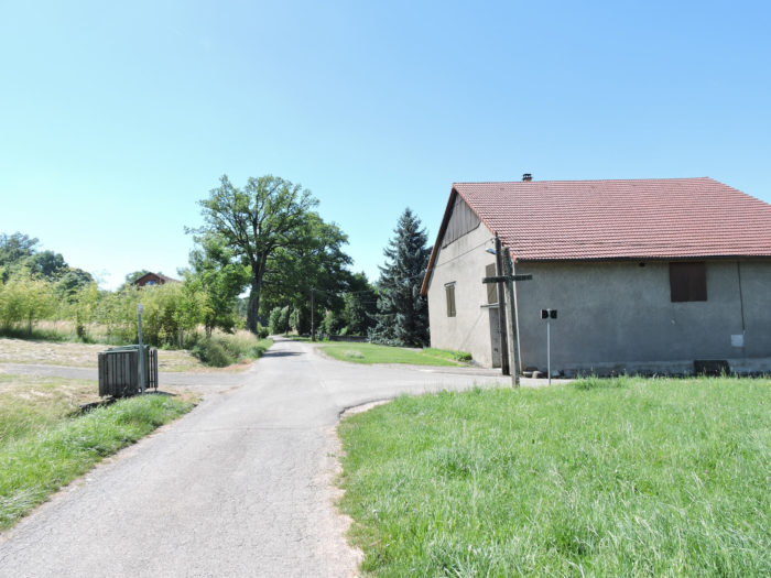 |
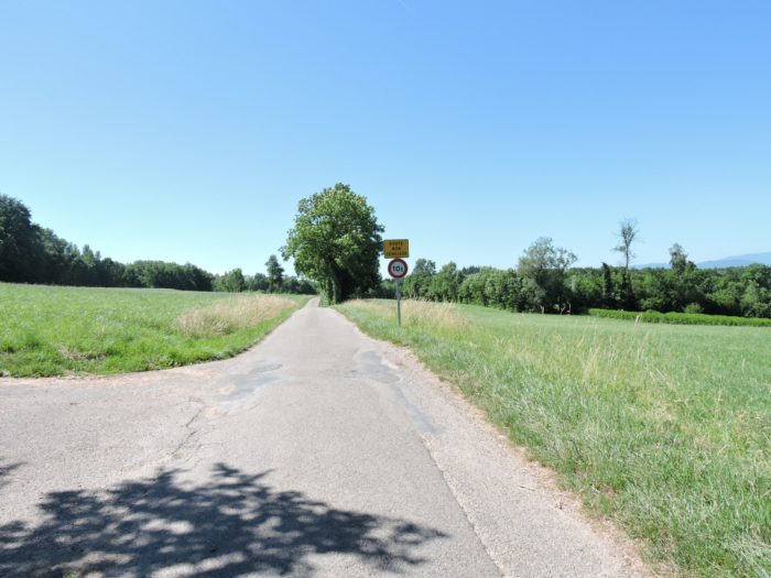
| Thus begins a long crossing through the meadows, where ancient groves and modest houses, sometimes under renovation, punctuate the landscape. These discreet homes, judging by the varied license plates, seem destined to become seasonal refuges for those seeking tranquility away from bustling cities. Here, the land seems welcoming and inexpensive, a haven for those in search of peace. |
 |
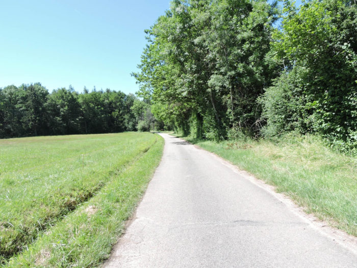 |
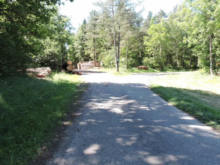
| For the pilgrim, the tarred road ends at the plot of land named Pierre33, at the edge of an ancient forest. Beyond, the road winds towards the village of Minzier, but the GR65 does not go there. At this spot, a parking lot is offered, a remnant of times when sports facilities attracted crowds and enthusiasts. Today, these places, almost relics of a bygone era, seem frozen in time, recalling an era when outdoor sports enthusiasm was at its peak. After all, who was supposed to come here, far from any civilization? Here, you are a good hour’s walk from Contamine-Sarzin and two hours from Chaumont, in a sanctuary where time unfolds according to the rhythm of nature itself. |
 |
 |
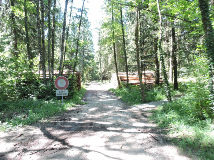
| Through the thickness of the Massy-Wood winds a generous forest path, sometimes rocky underfoot, but always welcoming despite its roughness. This deciduous forest, sprinkled here and there with some spruces and pines, mainly consists of beeches and hornbeams. Majestic oaks are rare, leaving chestnut trees still at the edge of their expansion. This landscape recalls in many ways the Swiss alpine forests, dominated by the grandeur of beeches when conifers become more discreet. |
 |
 |
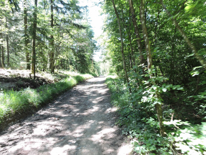
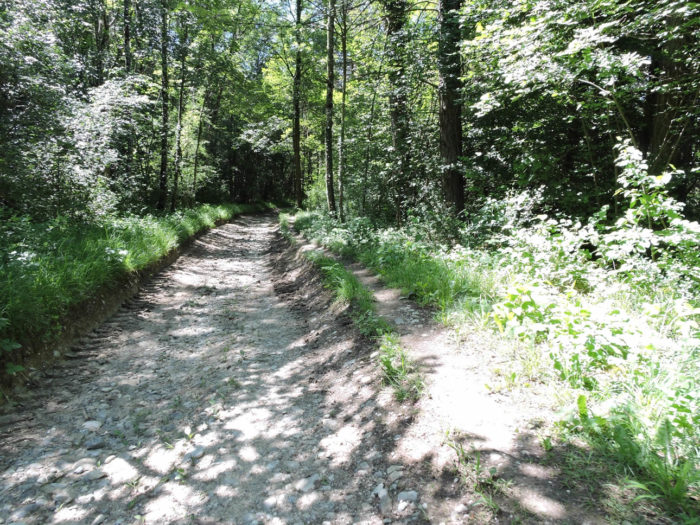
| In this wooded enclave, the path stretches almost flat, much less muddy than that of the neighboring forest. The trees here, alternately majestic or thin as threads, come to life under a kind sky, revealing a less oppressive density and a refreshing clarity. Each step unveils an enchanting tranquility, as if the whisper of leaves caressed by the breeze whispered ancient secrets. |
 |
 |
| The path gradually exits the forest, along cut trunks. |
 |
 |
Arriving at the place called Sur Le Sion, the route offers a variant towards Contamine-Sarzin, via the village of Marlioz. As for the Way of Compostela, it forges a passage towards the place called Couty.

Section 4: In the dale where the Coquetière flows
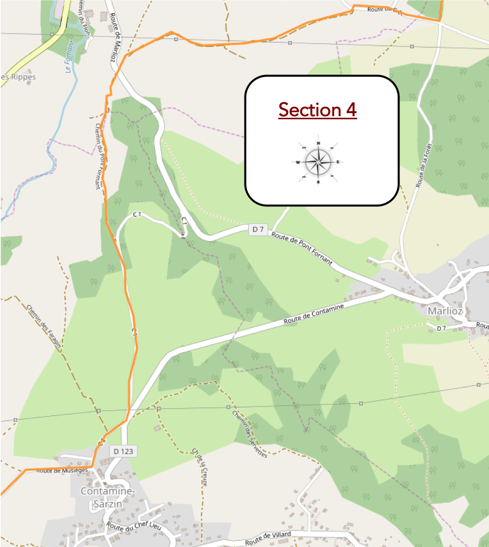
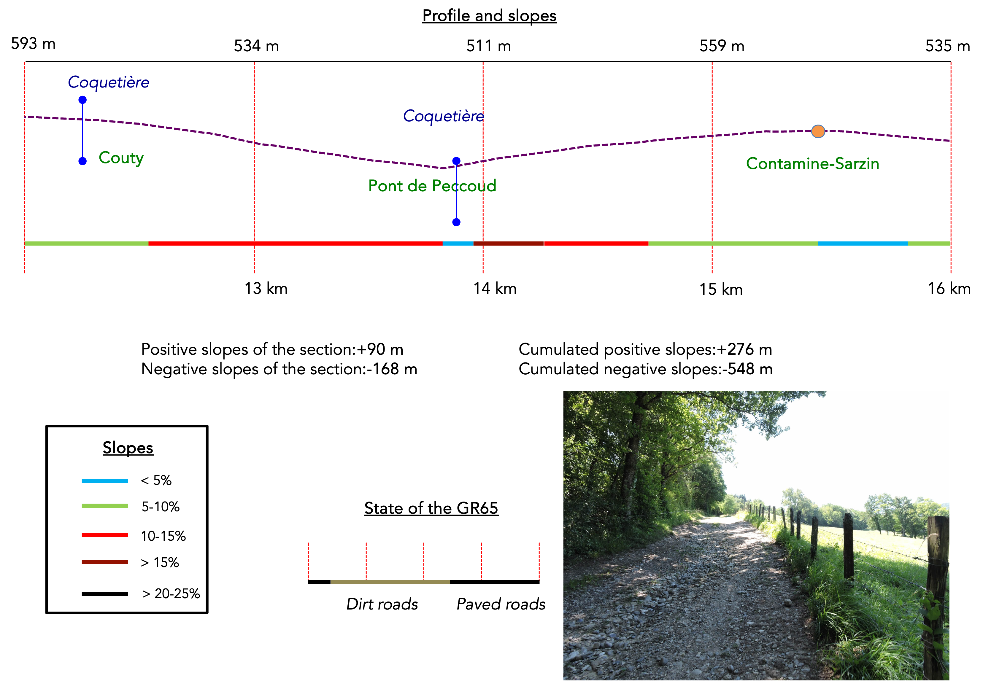
Overview of the route’s challenges : rollercoaster-like terrain with some quite steep slopes.
|
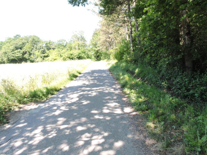
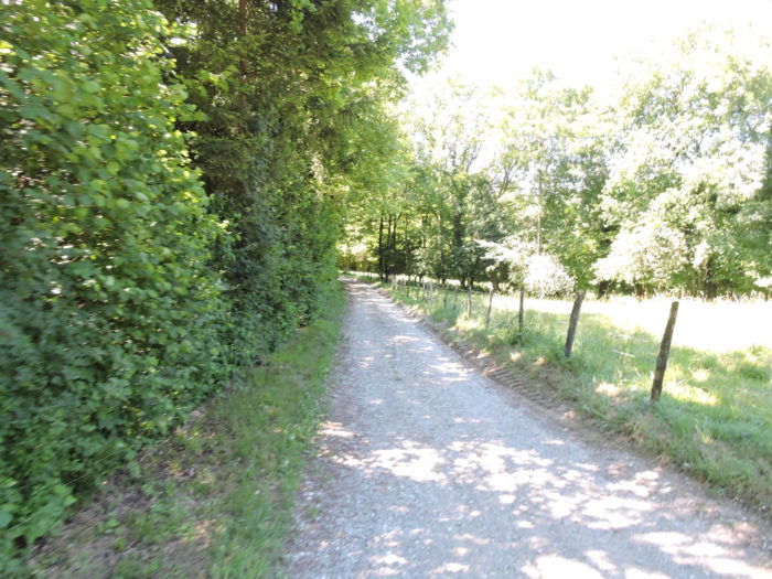
From here, after crossing the Coquetière stream hidden within the dense thickets, a small paved road winds its way toward the village of Minzier, flanked by lush hedgerows and extending through idyllic meadows.
|
 |
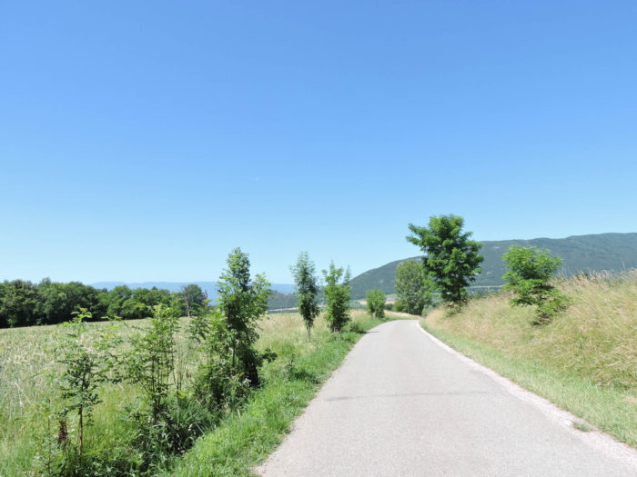 |
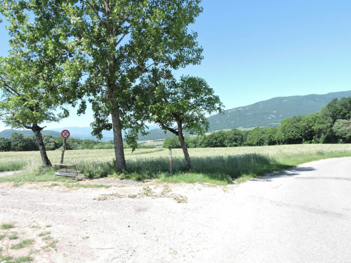
| However, the GR65 quickly moves away from the main road. A bench, cleverly placed, invites passersby to lose themselves in thought, contemplating the geometric symphony of oat fields and forests on the horizon. |
 |
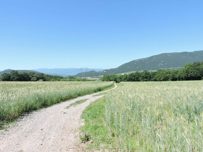 |
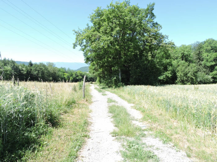
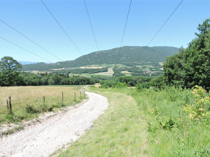
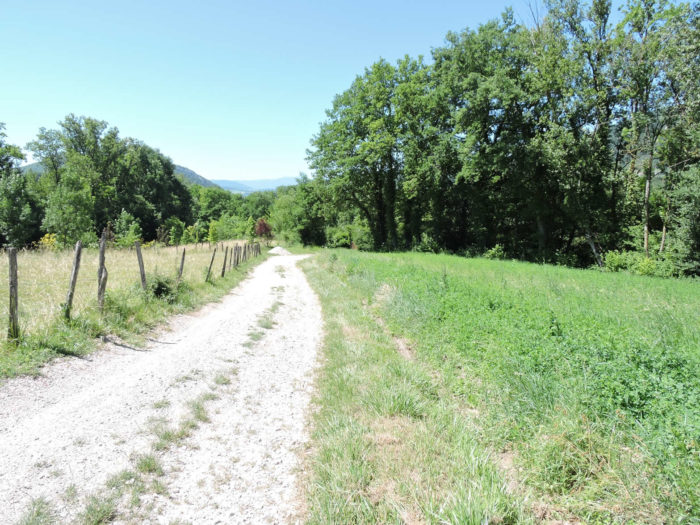
| A pleasant path, free of stones, then begins, gently descending through lush meadows and golden cereal fields. The Vuache Mountain looms majestically in the distance, with the picturesque houses of Chaumont distinctly visible at its base. Contamine Sarzin lies under the neighboring hill to the left, like a well-kept secret. |
 |
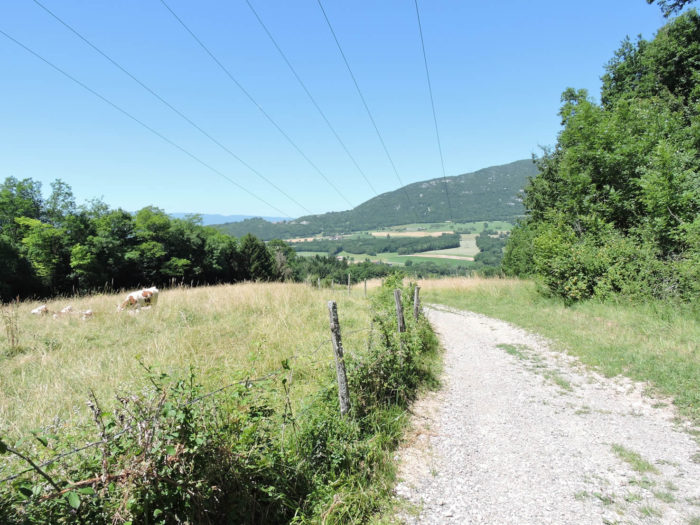 |
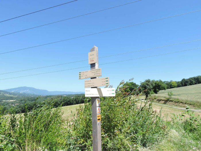
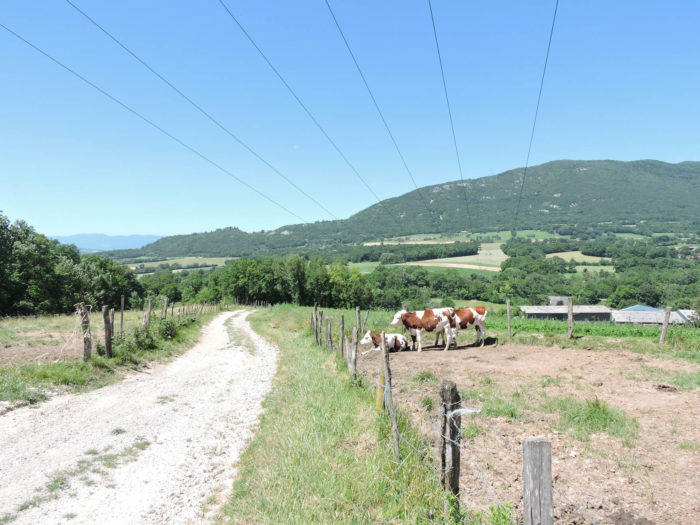
| Under the high-voltage line, amidst the meadows where Montbéliard cows graze peacefully under ancient oaks, the path reaches the locality of Couty. From here, you can reach Minzier, offering lodging and meals, just a few steps away. |
 |
 |
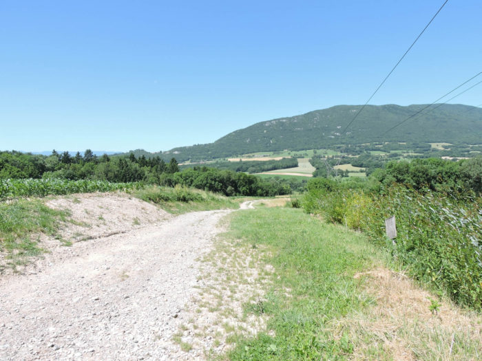
| From here, the slope becomes a bit steeper, and limestone pebbles return and crunch underfoot, adding a sonic dimension to this peaceful walk. |
 |
 |
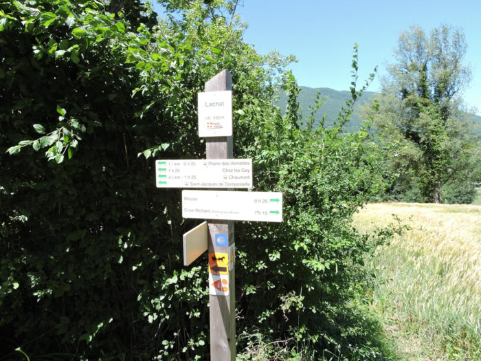
| Further down, the route heads to the place known as of Lachat, an hour and a half’s walk from Chaumont, marking another milestone in your journey. |
 |
 |
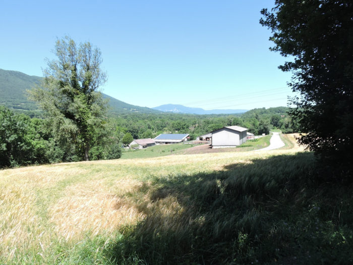
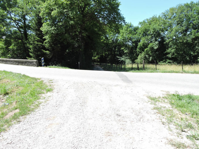
| At the bottom of the descent, the GR65 stretches to a small departmental road, where the Coquetière stream gently winds through dense undergrowth. The rustling leaves and the murmur of the water create a natural symphony, offering a haven of peace far from urban hustle and bustle. |
 |
 |
| Following this stream, the path invites you to a shaded walk, soon crossing the Peccoud Bridge. Here, time almost stands still. Anglers, absorbed in their craft, seem frozen in an impressionist painting, indifferent to the few passersby who respect their tranquility. |
 |
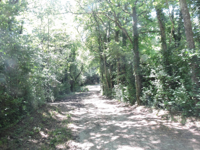 |
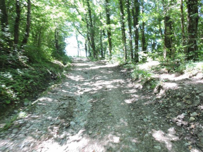
| Beyond the bridge, a wide winding path climbs towards Contamine Sarzin, oscillating between undergrowth and sunny clearings. The ascent is steep, strewn with large pebbles polished by time, making each step aware of the nature of the ground. The pilgrim’s soul, shaped by the Compostela paths, blends into this mineral and vegetal harmony. |
 |
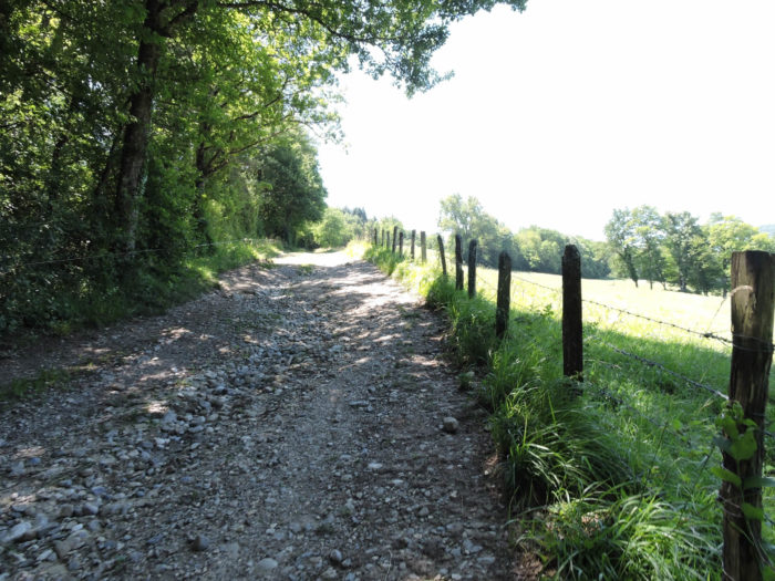 |
| Wild nature envelops the walker along this climb, with hedges of deciduous trees forming a green tunnel. |
 |
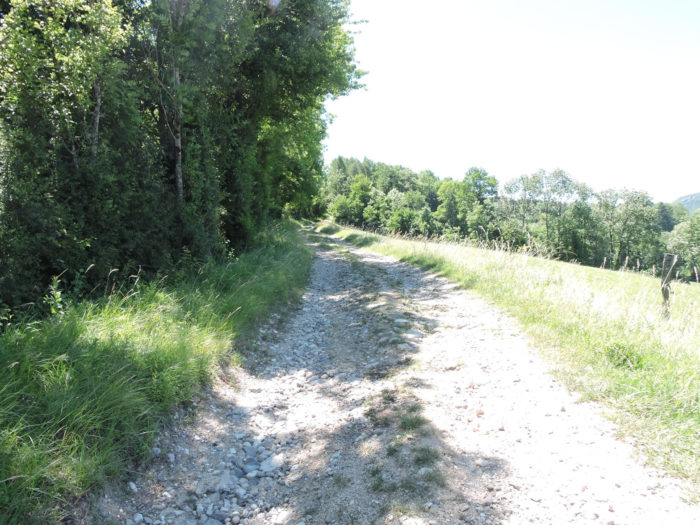 |
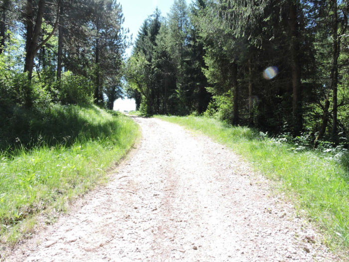
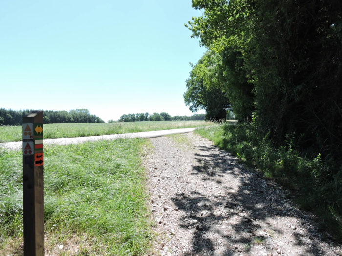
| The ascent, though brief, commands respect with its raw and untamed beauty, finally opening up to the Vernettes plateau. |
 |
 |
|
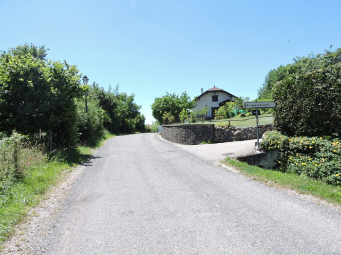
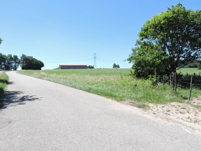
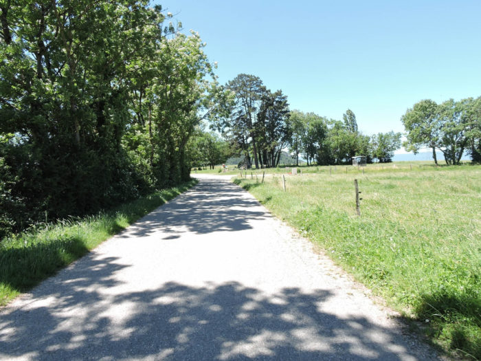
A small paved road then takes over, gently sloping up through the countryside. The slope is so slight it seems almost imperceptible, a simple black ribbon unfolding peacefully between fields and meadows.
|
 |
 |
The road finally reaches the locality of Plaine des Vernettes, at the gates of Contamine Sarzin. Here, the landscape opens into a vast expanse where nature and man seem to coexist in perfect harmony, offering a view of a few large distant farm buildings.

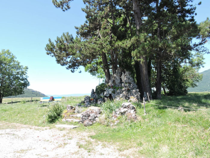
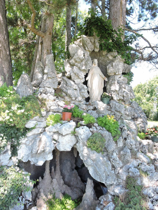
| Continuing their way to the village, pilgrims will stop at the Grotto of the Virgin, also known as the Lourdes Grotto, erected in 1941 by the devoted parishioners of the commune. A bench, inaugurated just a few years ago, provides a welcome resting place. This grotto, touching in its simplicity, is not just a sanctuary of devotion. For pilgrims, every sacred place often holds practical treasures. Here, the wonder is extended by the presence of a clear water tap, hidden behind the tufa rocks, a boon for thirsty walkers. |
 |
 |
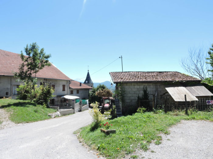
| A few steps from the grotto, the road leads to the village, nestled under a small wooded hill that seems to be the younger sister of the majestic Vuache. The village, peaceful and picturesque, seems protected by this hill like a benevolent sentinel. |
 |
 |
| A small paved road gently descends from the village… |
 |
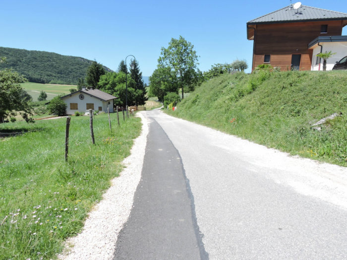 |
| …then climbs back up, winding through fruit trees, cereal fields, and meadows. Here, the landscape is adorned with vibrant colors and bustling agricultural life. You can guess that the little sister of Vuache is none other than a dense collection of oaks, whose branches intertwine into a protective, inextricable canopy. |
 |
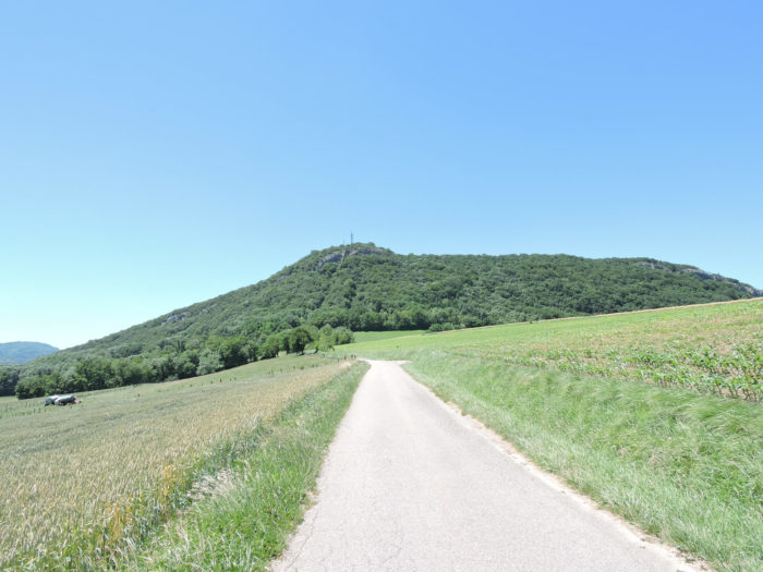 |
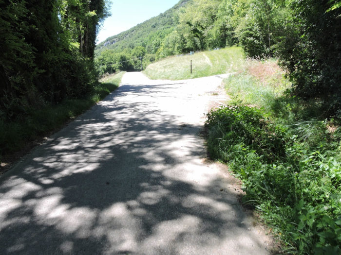
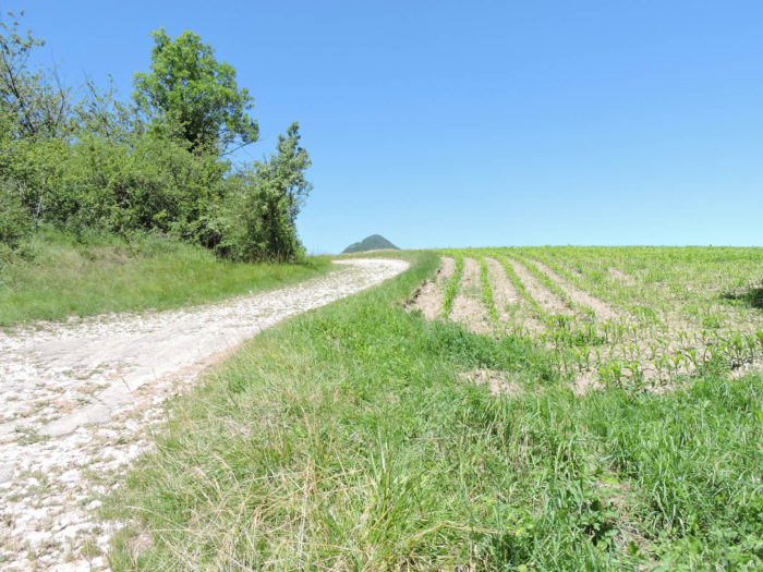
| However, the road will not reach the top of the hill. Before that, it veers onto a wide dirt road, offering a new perspective on this humble yet majestic landscape. |
 |
 |
Section 5: Pronounced ups and downs on the foothills of Mount Vuache
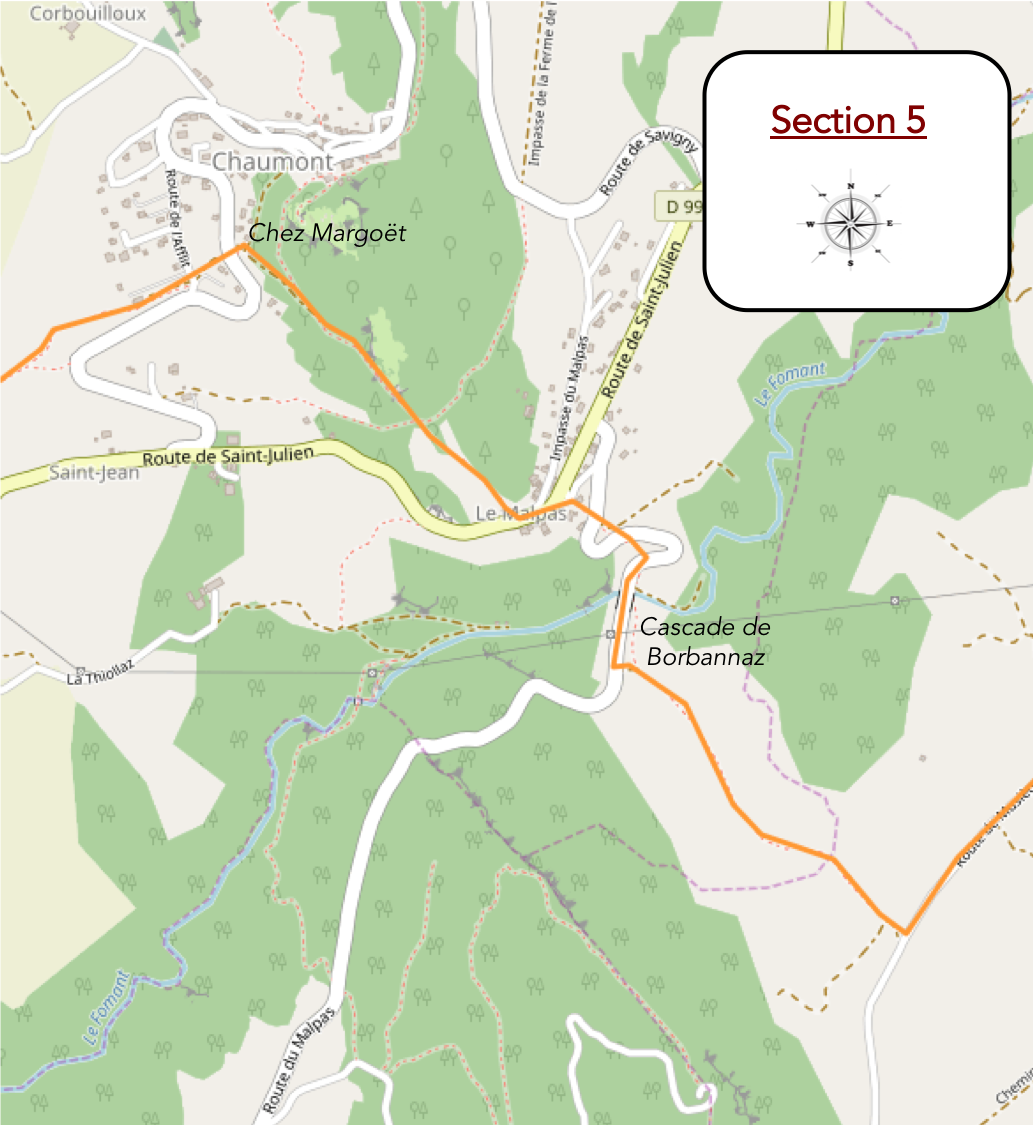
Overview of the route’s challenges: quite a challenging route, starting with the steep descent to the Borbonnaz waterfall, followed by the climb to Chaumont, often with slopes exceeding 15%.
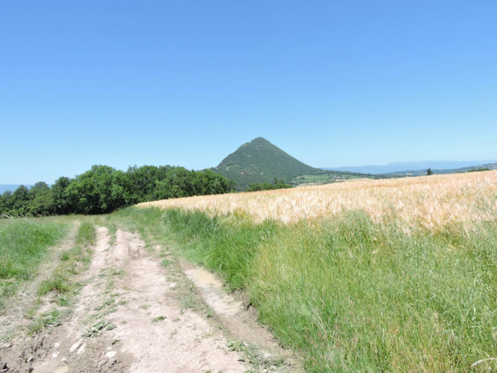
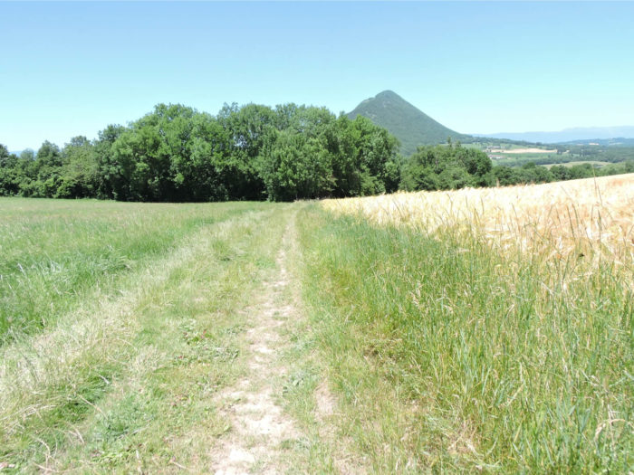
| Immediately after, the path stretches through the grass, following the ridge between green meadows and golden cereal fields, gradually heading towards the undergrowth. Ahead of you, the Vuache mountain rises, resembling a wooded hillock with a gentle appearance, offering a picturesque backdrop to this rural scene. |
 |
 |
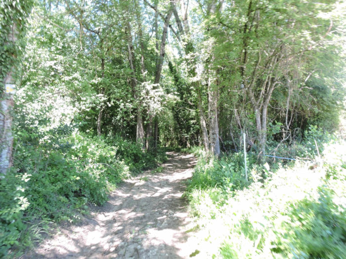
| The descent is an adventure in itself, steep and winding, alternating between dense undergrowth where graceful beeches and gnarled chestnut trees thrive, and clearings with steep slopes of 15 to 25%, especially slippery in wet weather. The abundance of pebbles protruding from the ground makes each step more uncertain, adding a challenging dimension to this already demanding walk. |
 |
 |
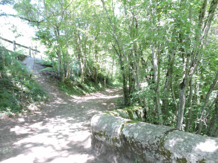
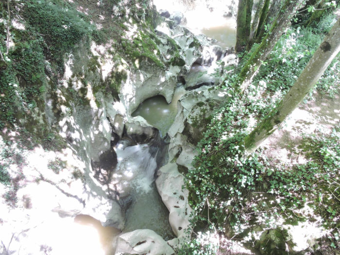
At the bottom of this demanding descent, the path emerges at the Roman bridge, known as the Pont de Pissieu, dating back to the early 17th century. Under this bridge, the impetuous Fornant stream has carved magnificent potholes at the Borbonnaz waterfall. The cool and enchanting spot invites a pause, both to catch your breath and to absorb the magic of the place. The bridge piers, worn by time and damp, bear witness to their long history. Stone walls and fantastically shaped rocks rise around, with water trickling over them.

| The soothing murmur of the stream under the chestnut and maple trees offers a gentle melody that invites meditation and contemplation. This haven of peace is an invitation to daydream, to savor each moment of tranquility before facing the challenges ahead. Make the most of this break, as the ensuing climb is no easy task. You will climb nearly 150 meters in elevation over about 1 kilometer, with dizzying slopes ranging from 15% to 30%. |
 |
 |
In this deep valley, another bridge where the departmental road passes is suspended over a yawning chasm where the stream flows.

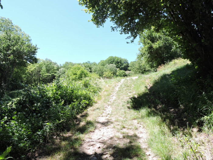
| The path begins to climb, winding through dense undergrowth, offering glimpses here and there of the road that zigzags up towards the village of Malpas. This busy road connects Geneva to Culoz, then Yenne. The climb is demanding, but the enchanting setting eases the difficulty of the effort. |
 |
 |
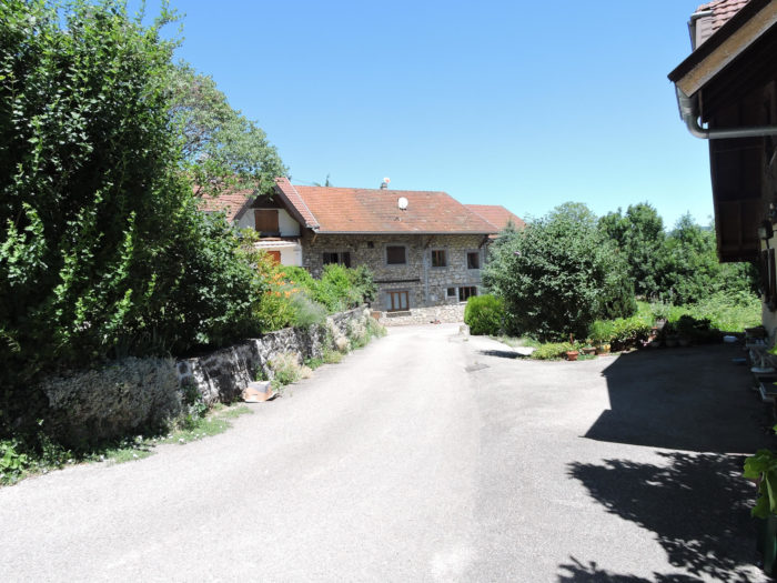
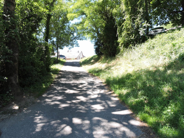
| A well-deserved break awaits you at the arrival of the first houses in Malpas, marking the end of this initial ascent. Here, the traditional architecture and the village’s peaceful atmosphere envelop you in a gentle tranquility. It’s an opportune moment to catch your breath and appreciate the rustic simplicity of these dwellings. |
 |
 |
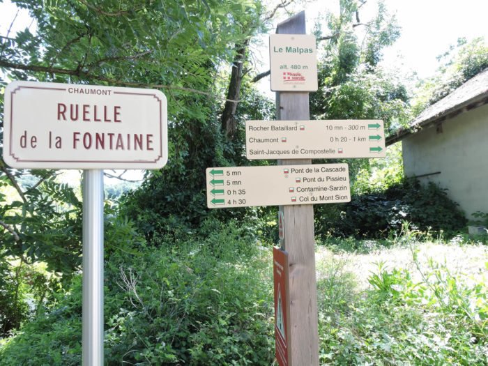
| At this point, a moment of respite is offered to you. The Rocher Bataillard is just next door, 300 meters away, and Chaumont is 1 kilometer away. |
 |
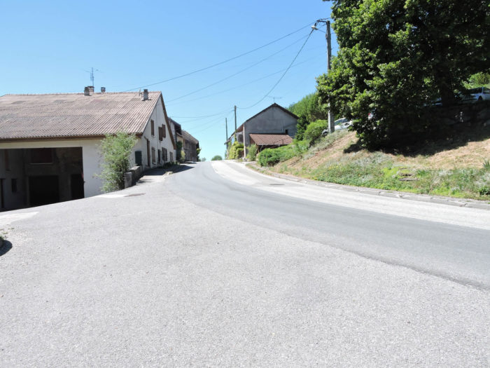 |
Upon leaving the village, extra caution is needed. The GR65 leaves the road on the right, at the corner of a discreet house, to take the Chemin Bataillard. This passage, though short, is no less demanding. The slopes are particularly steep, testing both the will and endurance of hikers.
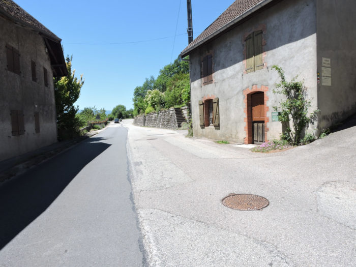
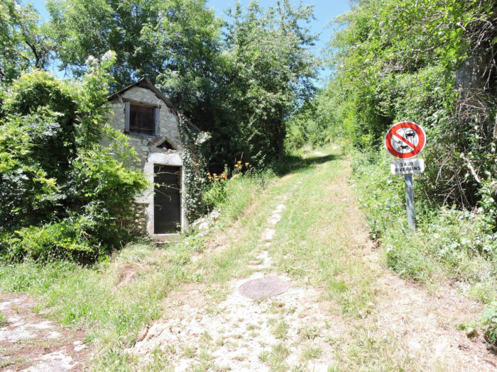
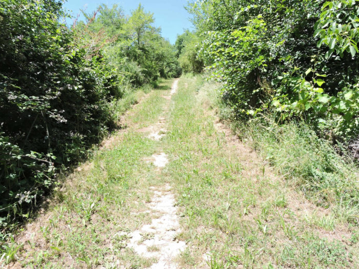
| The Chemin Bataillard earns its intensity. The vegetation is lush, almost exuberant, at times evoking a small jungle under the gnarled oaks. This section is a true challenge, but also an immersive experience in wild nature. |
 |
 |
When you find a sign indicating the state of the route, you will likely sigh with satisfaction. The landscapes unfold with discreet elegance, subtly blending wild nature with a bucolic serenity that intoxicates the senses.
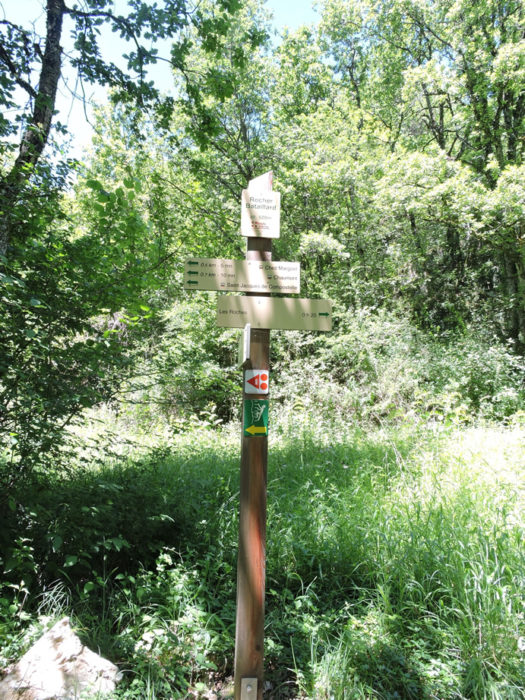
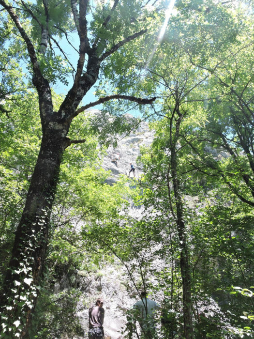
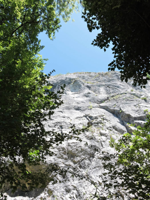
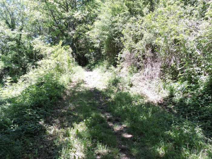
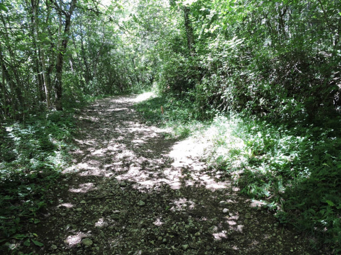
| Here, approaching Rocher Bataillard, the slope becomes less demanding in the deciduous undergrowth. The path whispers under the cliff, a natural lullaby with accents of rustling leaves and creaking branches. You might hear voices. Mushroom gatherers? No, they are climbers. This is not Mont Blanc, but here rock climbing is practiced with the same passion and determination, defying the rocky walls with athletic grace. |
 |
 |
| The forest path continues, with less abundant vegetation, to the locality of Chez Margoet. The simplicity of the landscape does not detract from its beauty; on the contrary, it invites deeper contemplation, a more intimate connection with the surrounding nature. Each step resonates like a note in a silent symphony. |
 |
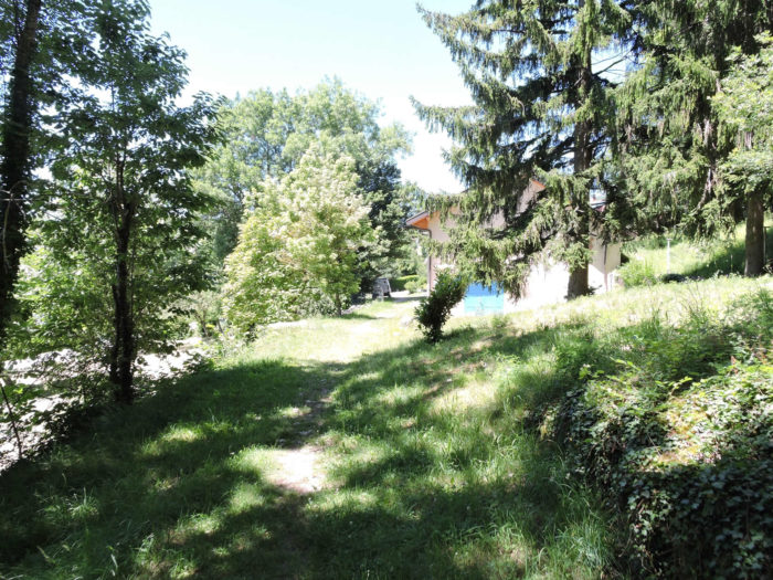 |
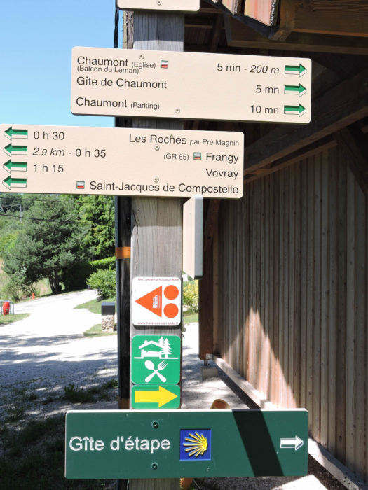
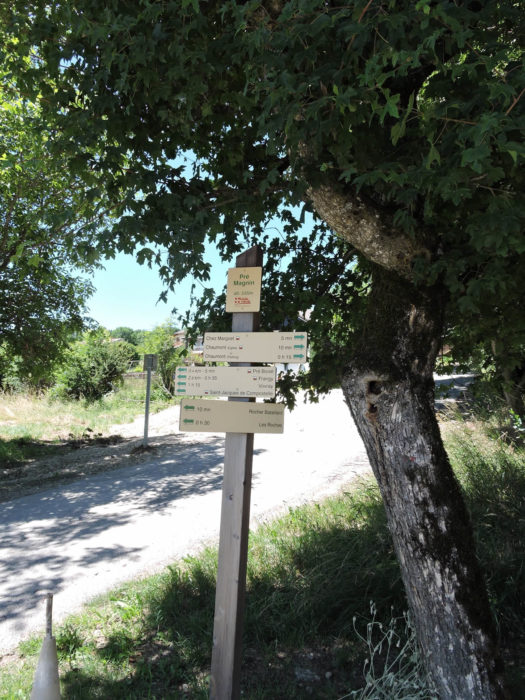
Here, a new sign describes the program of delights. The proposed walking times are somewhat whimsical, likely times intended for seasoned climbers. Thirty-five minutes for the 2.9 kilometers to Frangy. Few pilgrims achieve this performance. And again, five minutes to reach the village of Chaumont. It’s more like over ten minutes, and it climbs steeply… These indications are amusing, adding a touch of humanity to the rigor of the mountains.
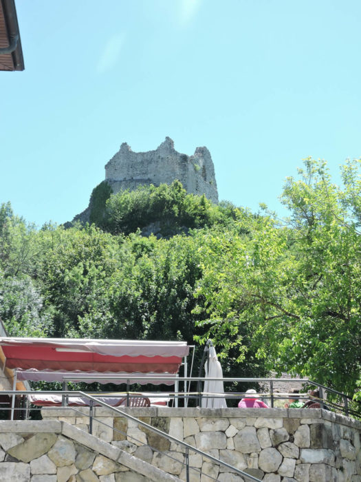
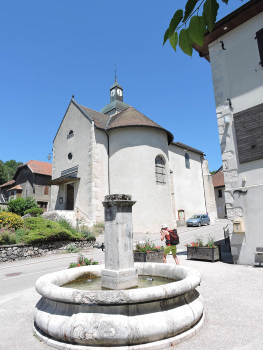
| If you climb to the village, and it is worth it, a terrace will allow you to refresh yourself under the ruins of an 11th-century castle. Once, imposing walls surrounded this fortified town, belonging to the counts of Geneva and locking the valley. The castle, a silent witness to centuries past, was razed by the troops of Louis XIII during the 17th century. Not far from there, Sainte Agathe church, elegantly marrying Gothic and Romanesque styles, dates from the 14th century and was restored last century, adding a touch of majesty to this historical setting. |
 |
 |
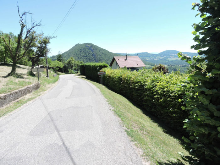
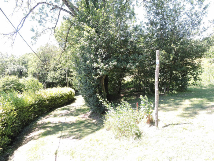
| Descending back to the place known as Chez Margoet, the GR65 briefly follows the paved road descending from Chaumont, before transforming into a grassy path sneaking behind the hedges, like a well-kept secret of nature. The trees form a green vault overhead, creating a tunnel of freshness and mystery. . |
 |
 |
Further on, the path reaches the locality of Pré Magnin, continues a bit on the road, before veering into the wild near a small stream.
Section 6: Descent into Frangy
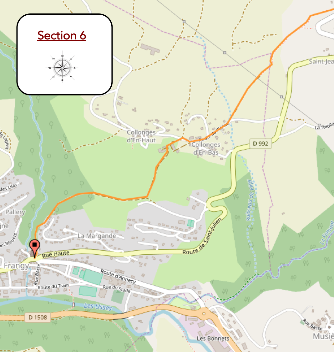
Overview of the route’s challenges: steep descent at the end of the stage (over 200 meters of descent).
|
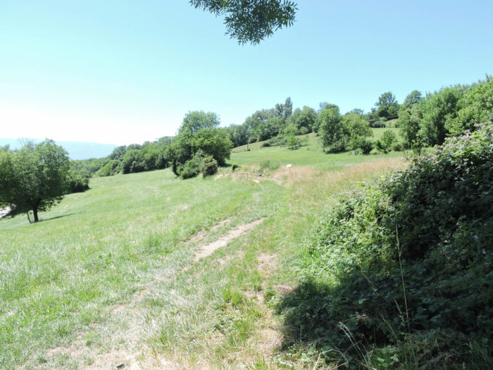
A path meanders gently downward through lush meadows, flanked by majestic ash trees, ancient chestnuts, and sturdy oaks. These centennial trees, nature’s sentinels, watch over a mosaic of scattered fruit trees, planted with anarchic freedom as if the hand of time had placed them there whimsically.
|
 |
 |
Further down, the path leads to a place known as Pré Boisé, a name that itself is an ode to the harmonious symbiosis between untamed nature and human cultivation. Here, the trees reach skyward, forming a green cathedral, painting a living tableau where each element seems to celebrate the rustic and timeless beauty of this wild place.

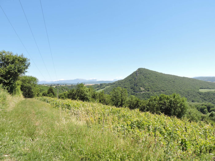
| In this natural disorder, wild vines cling to the earth, rising with a nearly insolent vitality. Across the dale, your gaze is drawn to the wooded dome of the hill overlooking Contamine Sarzin, a prominent landmark in this picturesque landscape. |
 |
 |
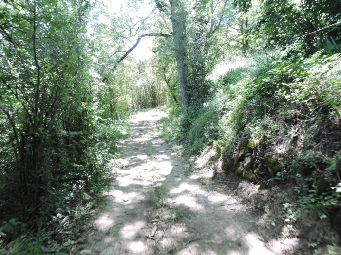
| The path continues its descent, increasing its slope to 15%, delving into a tangle of dense undergrowth, unruly brambles, and wild grasses that seem to dance with the wind. The vegetation here is a dense and complex tangle, reminiscent of a wild steppe where the apparent chaos reveals a profound harmony. Each blade of grass, each fern, each bush adds to the richness of this natural scene, creating a universe where nature reigns supreme. |
 |
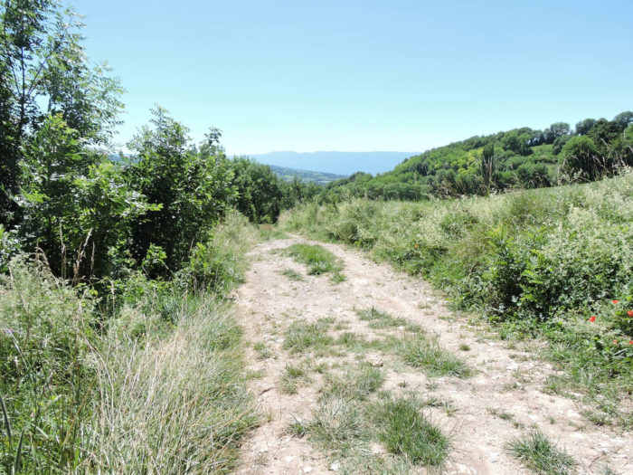 |
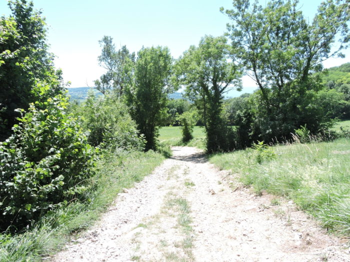
| Down below, the path gradually transforms, leaving behind untamed nature to blend harmoniously with the verdant meadows. The signs of human intervention are subtle but perceptible, revealing the skilled hand that has tamed this wild nature without altering its original beauty. |
 |
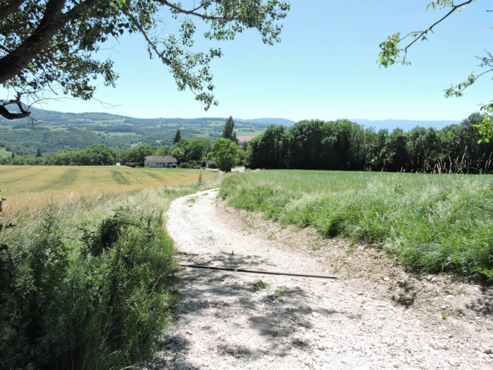 |
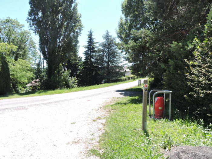
| At the base of the descent, the GR65 joins the road, crosses the Vépy stream, and begins to climb the initial slopes leading to the scattered homes of Collonges d’En Bas. This gradual return to modest civilization is marked by houses dispersed along the road, like silent sentinels overseeing the tranquility of the area. Here, there is no compact village but rather a constellation of solitary homes, each enveloped in its own cocoon of greenery, adding to the rustic charm of the region. |
 |
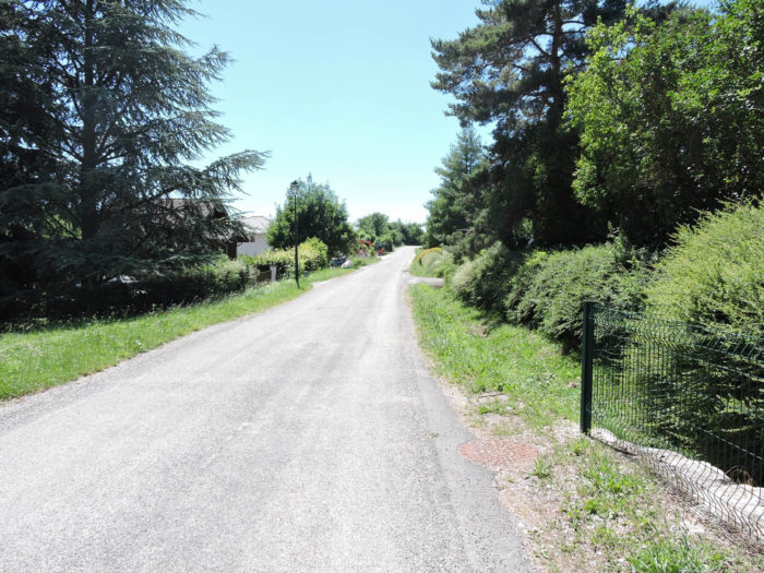 |
The small road continues its ascent toward Collonges d’En Haut. Again, the absence of a true village center reinforces the impression of a place where nature and human habitation coexist in a relaxed harmony. The route here promises an imminent return to a more significant civilization with Frangy just twenty minutes away on foot.
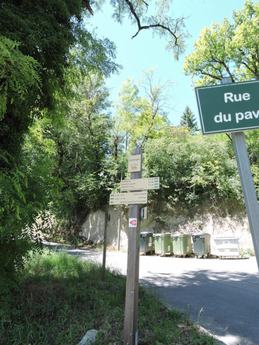
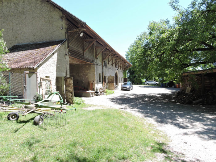
| Descending from the heights where a few large, isolated farms are nestled, the GR65 regains its wild character as it exits the last village houses. The path then steeply drops towards Frangy, first plunging down a rocky trail winding through dense underbrush. |
 |
 |
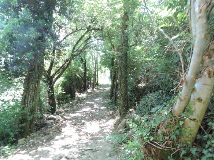
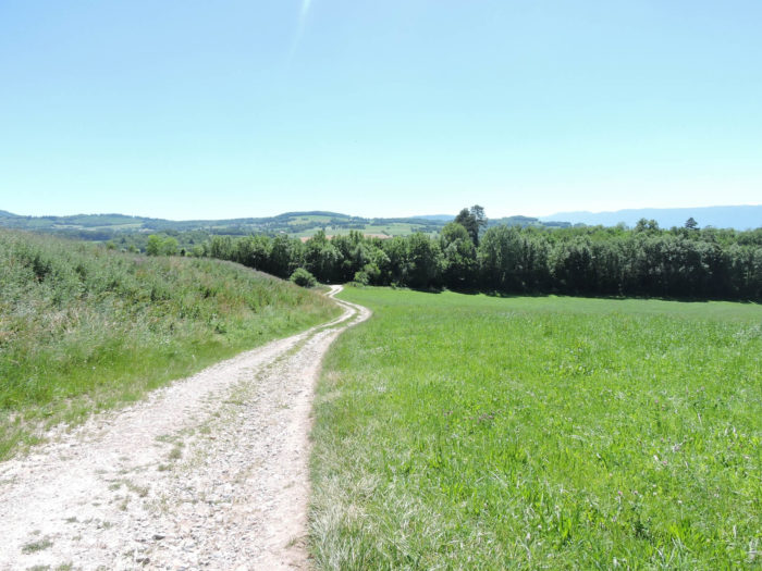
| Further on, as Frangy appears on the horizon and the slope becomes steeper, sometimes flirting with nearly 20% gradients. The meadows draw closer, undulating in the silence of nature. As the village approaches, the path plunges into a dense undergrowth where twisted chestnuts abound, and even the darkness of night is dispelled by discreet streetlights, bestowing an unexpected luxury on this bucolic route, a way illuminated by human hands without diminishing the surrounding natural magic. |
 |
 |
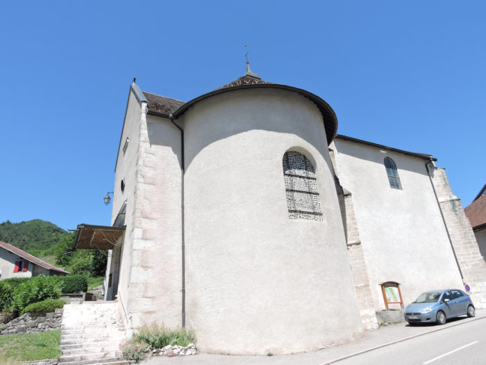
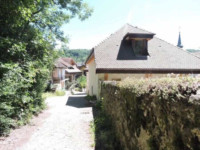
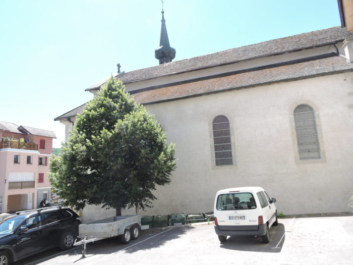
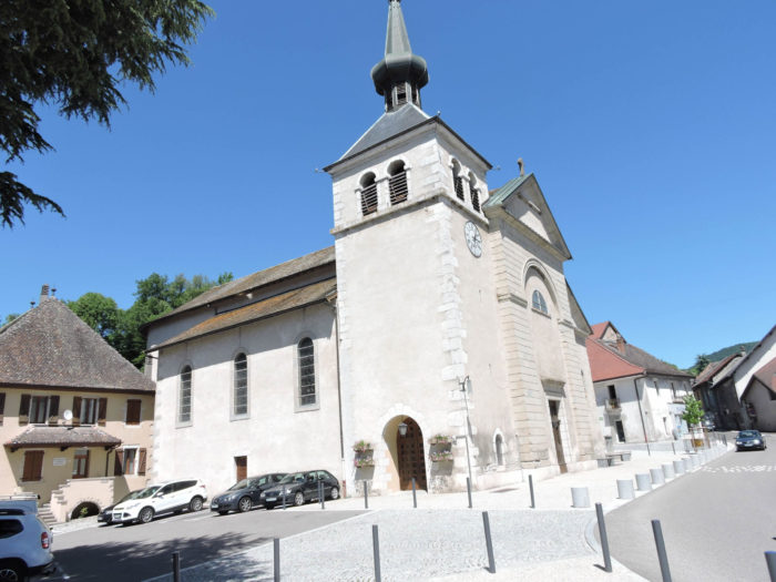
| The final stretch leads to Frangy, its time-worn silhouette emerging behind the contours of its church. |
 |
 |
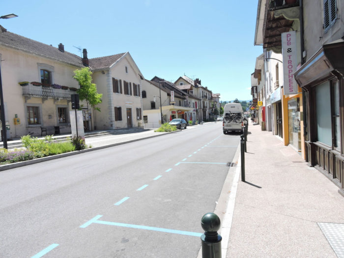
| Frangy, with its two thousand peaceful souls, rests on the banks of the Usses River, where commerce blends with provincial serenity. But beyond the rural tranquility, the bustling activity of larger centers is a constant reminder. Many of its residents, perhaps drawn by the distant vibrancy of Geneva, must cross the threshold of their peaceful hamlet daily to immerse themselves in the urban frenzy. |
 |
 |
Official accommodations on the Via Gebennensis
- Gîte communal L’Odette, Charly; 04 50 44 21 43/06 08 26 99 41; Gîte, cuisine
- Le Chenaz, La Motte; 06 75 44 54 31; Guestroom, dinner, breakfast
- Accueil randonneurs, Clément Besson; Contamine-Sarzin; 06 65 93 78 58; Gîte, dinnr, breakfast
- Chez Barrak, La Gravelière, Contamine-Sarzin; 07 86 01 28 82; Guestroom, dinner, breakfast
- Michel et Geneviève Mossière, 108 Rue des Roches, Chaumont; 04 50 32 27 97; Guestroom, dinner, breakfast
- Jean-Marc et Claudine Revillon, 122 Ruelle du Pralet, Chaumont: 06 71 02 38 41/09 75 57 08 75; Guestroom, dinner, breakfast
- Le Manoir, 46 Rue des Roches, Chaumont; 04 50 60 41 01/06 50 57 39 53; Guestroom, dinner, breakfast
- Marie-Christine Baudet, Collonges-d’En Haut; 04 50 44 71 18/06 72 81 06 50; Guestroom, dinners, breakfast
- Bérangère Baudet 20 Rue de la Vierge, Frangy; 0 7 81 99 48 77; Guestroom, dinner, breakfast
- La Moysiane, 31 Ch. de la Fontaine, Frangy; 06 70 81 52 59; Guestroom, dinner, breakfast
- Auberge La Cave de la Ferme, 302 Rue du Grand Pont, Frangy; 04 50 44 75 81; Hotel, dinner, breakfast
Pilgrim hospitality/Accueils jacquaires (see introduction)
- La Motte (1)
- Marlioz (3)
- Contamine-Sarzin (1)
If one takes inventory of the accommodations, lodging does not present major problems on this stage. There are numerous possibilities all along the route, even outside of it. Restaurant in Minzier; in Frangy, all the shops. For more details, the guide of the Friends of Compostela keeps a record of all these addresses, as well as bars, restaurants, or bakeries along the route.
Feel free to add comments. This is often how you move up the Google hierarchy, and how more pilgrims will have access to the site.
|
 |
Next stage : Stage 2: From Frangy to Culoz |
|
 |
Back to menu |


