Descending towards Le Puy-en-Velay
DIDIER HEUMANN, ANDREAS PAPASAVVAS

We divided the course into several sections to make it easier to see. For each section, the maps show the course, the slopes found on the course, and the state of the route (paved or dirt roads). The courses were drawn on the « Wikilocs » platform. Today, it is no longer necessary to walk around with detailed maps in your pocket or bag. If you have a mobile phone or tablet, you can easily follow routes live.
For this stage, here is the link:
https://fr.wikiloc.com/itineraires-randonnee/de-queyrieres-au-puy-en-velay-par-le-gr65-gr430-et-le-raccourci-de-compostelle-40536730
| Not every pilgrim feels comfortable using GPS devices or navigating on a phone, especially since many sections still lack reliable internet. To make your journey easier, a book dedicated to the Via Gebennensis through Haute-Loire is available on Amazon. More than just a practical guide, it leads you step by step, kilometre after kilometre, giving you everything you need for smooth planning with no unpleasant surprises. Beyond its useful tips, it also conveys the route’s enchanting atmosphere, capturing the landscape’s beauty, the majesty of the trees and the spiritual essence of the trek. Only the pictures are missing; everything else is there to transport you.
We’ve also published a second book that, with slightly fewer details but all the essential information, outlines two possible routes from Geneva to Le Puy-en-Velay. You can choose either the Via Gebennensis, which crosses Haute-Loire, or the Gillonnay variant (Via Adresca), which branches off at La Côte-Saint-André to follow a route through Ardèche. The choice of the route is yours. |
 |
 |
If you only want to consult lodging of the stage, go directly to the bottom of the page.
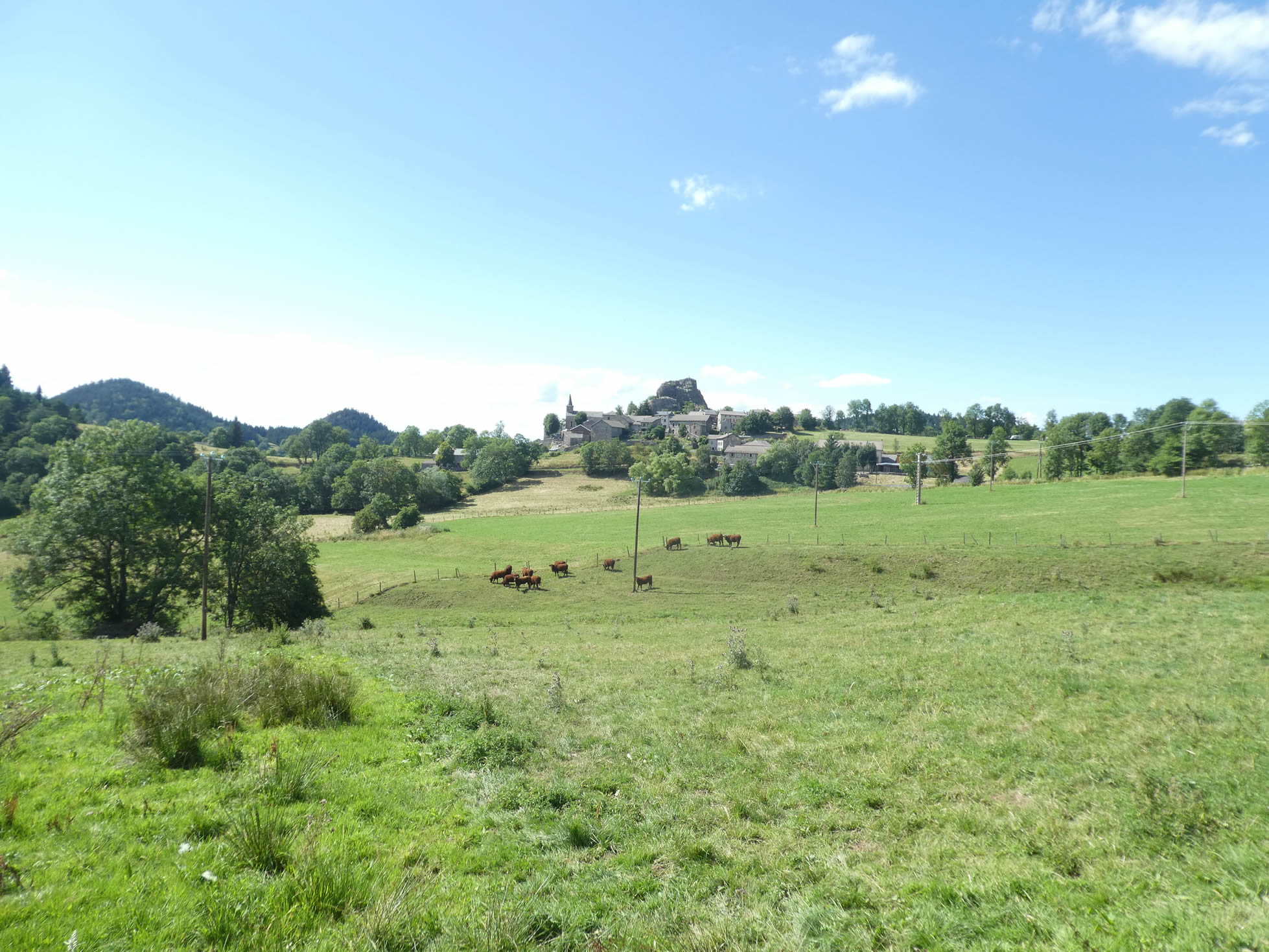
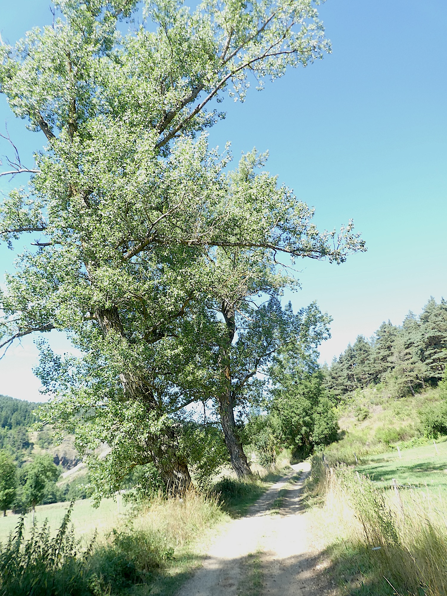
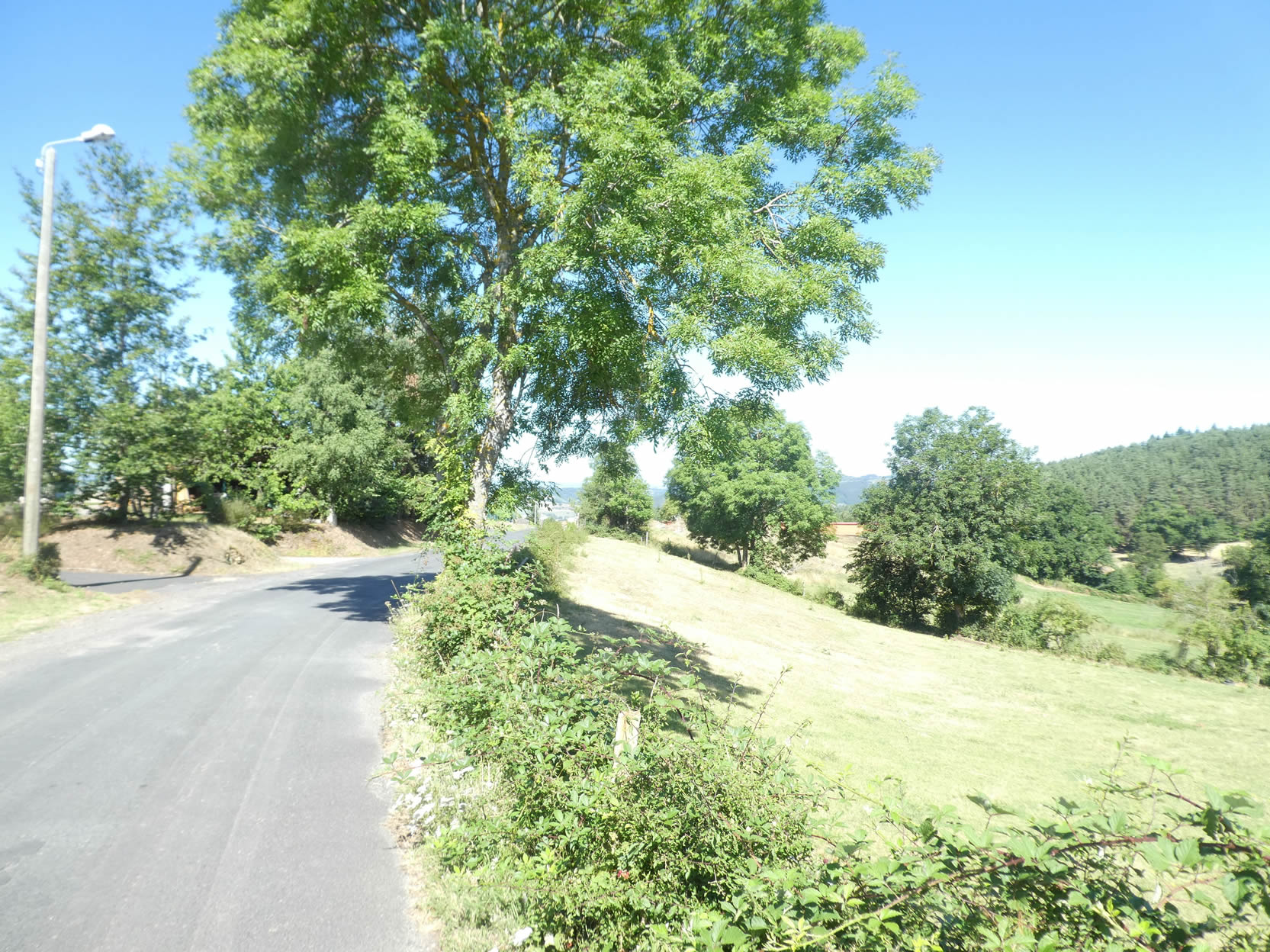
Today, the Via Gebennensis reaches its end, marking a transition stage towards the legendary Via Podiensis, which begins at Le Puy-en-Velay. The first part of this journey remains deeply rooted in the « sucs » of Velay, those elegant small rounded volcanoes that dot the landscape like large mushrooms, their domes topped with fir trees climbing to the summit. During this great descent through the forest towards the plain of Saint-Julien-Chapteuil, you will discover a symphony of small streams and a mill, whose wheels have long since stopped turning, evoking a bygone era.
Beyond Saint-Julien-Chapteuil, the landscape undergoes a transformation. The hills become more modest, and the large trees grow scarce. Gradually, civilization approaches at Saint-Germain-Laprade. Then, the hiker leaves this hint of modernity again for a return to the charms of nature. Upon reaching the Loire River, the journey’s end is almost within reach. This is followed by a magnificent walk along the Loire River and its tributary, the Borne River, which meanders until it meets the wonderful rock of Aiguilhe, at the gates of the city.
.
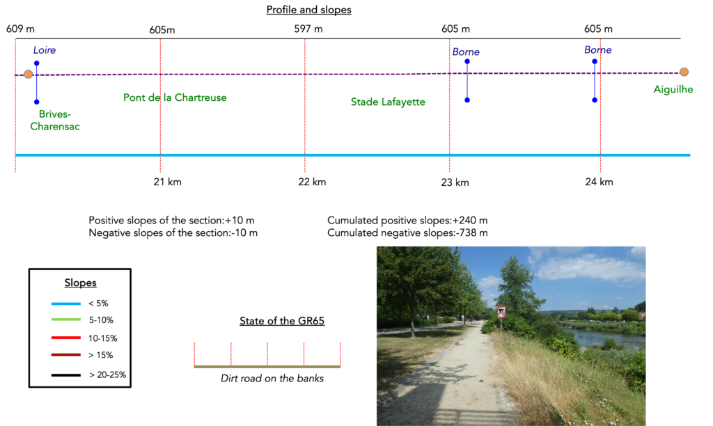
Difficulty level: The elevation changes (+240 meters / -738 meters) indicate a predominantly downhill route. It is not a particularly difficult stage, except for pilgrims who are not keen on steep descents through forests on narrow paths. Beyond Saint-Julien-Chapteuil, the difficulties ease up until Saint-Germain-Laprade. However, do not be lulled into a false sense of vacation, as a final climb awaits you before reaching the Loire River, where a real but long walk towards Le Puy-en-Velay begins.
State of the GR65: Today, the route largely favors paths. We have considered the itinerary from Brive-Charensac to Le Puy as a true pedestrian route, although it does include some paved sections along the rivers:
- Paved roads: 9.2 km
- Dirt roads : 15.5 km
Sometimes, for reasons of logistics or housing possibilities, these stages mix routes operated on different days, having passed several times on these routes. From then on, the skies, the rain, or the seasons can vary. But, generally this is not the case, and in fact this does not change the description of the course.
It is very difficult to specify with certainty the incline of the slopes, whatever the system you use.
For those seeking « true elevations » and enthusiasts of genuine altimetric challenges, carefully review the information on mileage at the beginning of the guide.

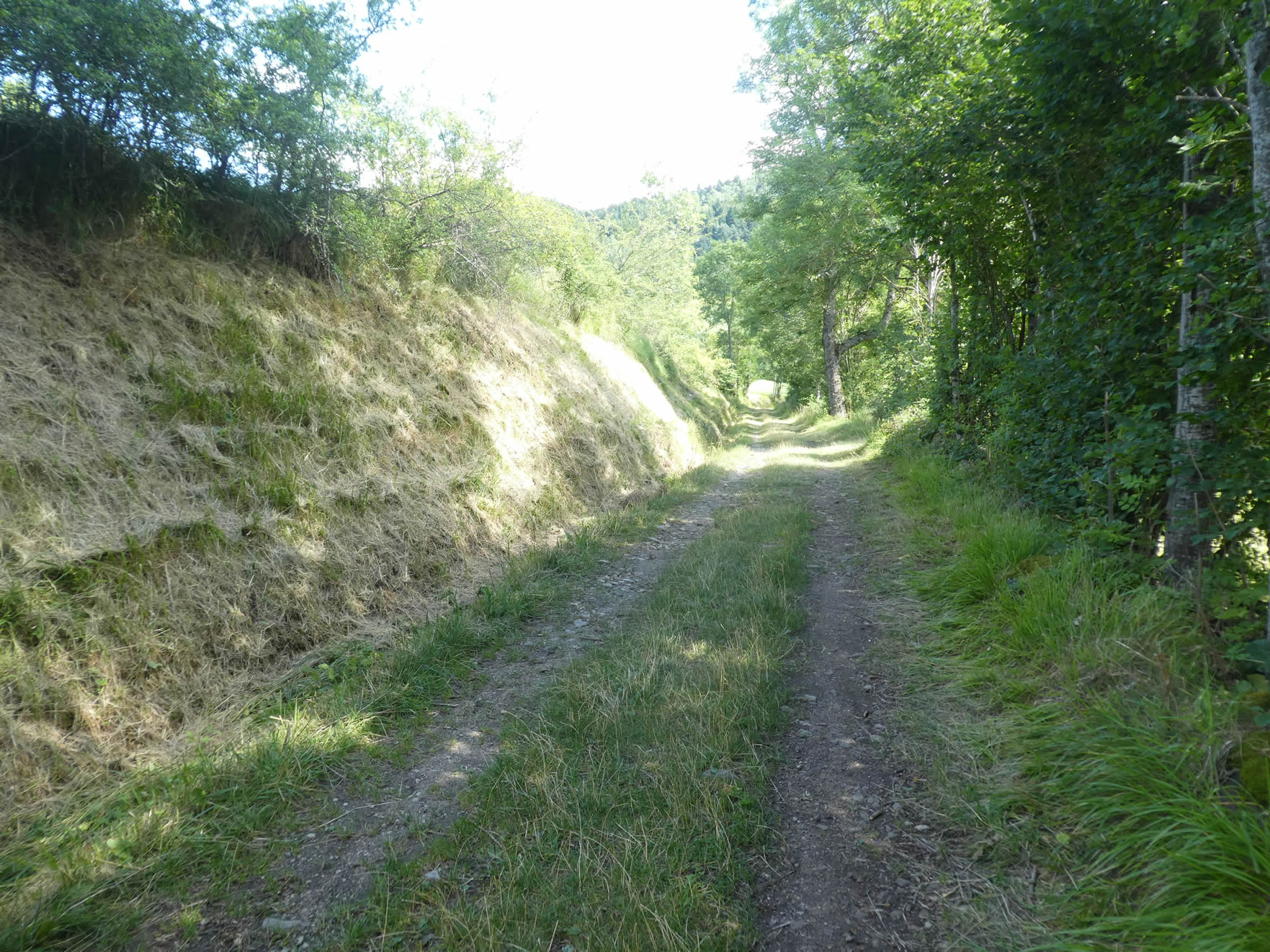
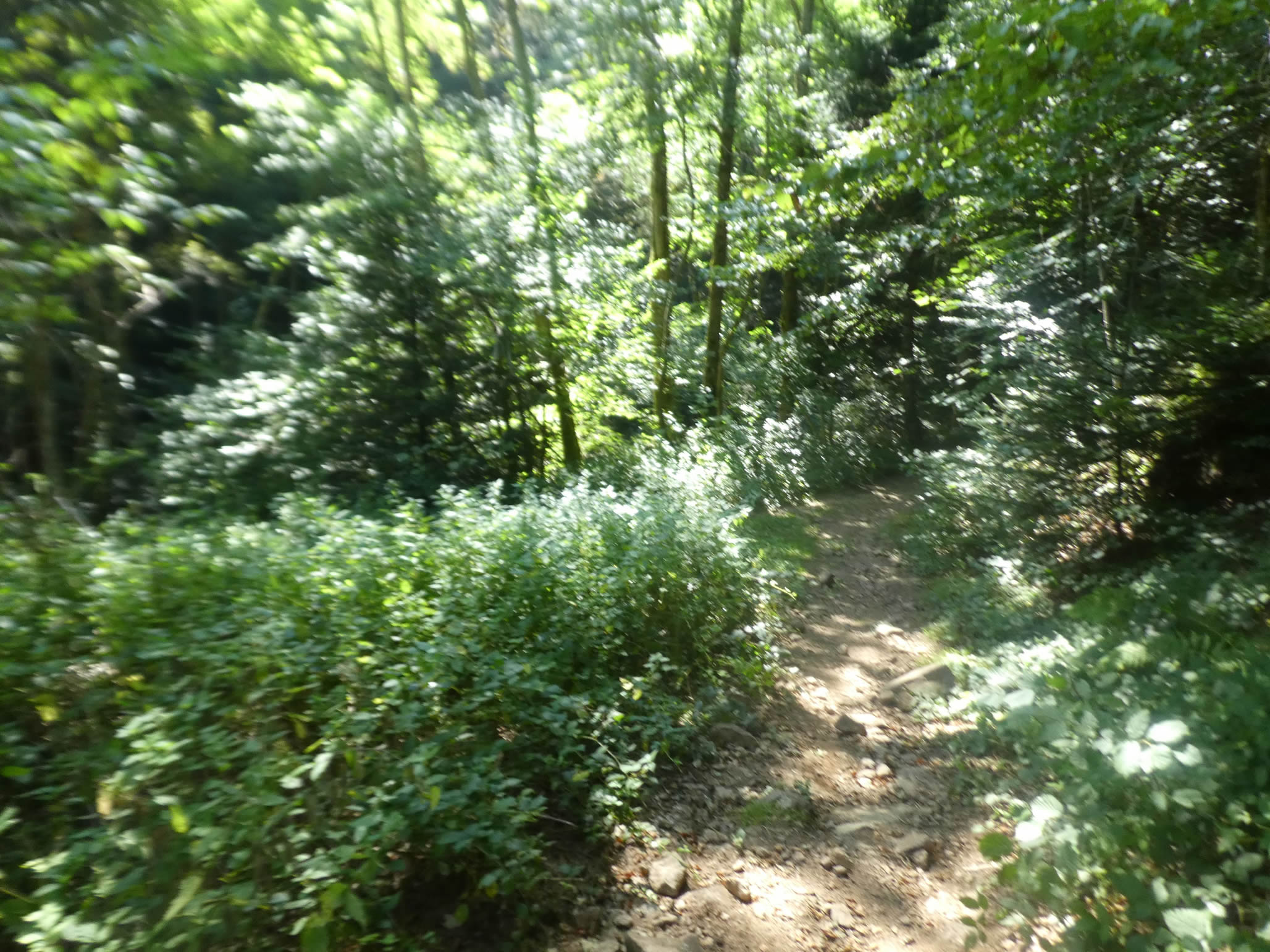
Section 1: A beautiful walk among the “sucs” to a hidden mill in the forest

Overview of the route’s challenges: over 200 meters of descent, often with steep slopes, sometimes exceeding 15%.

|
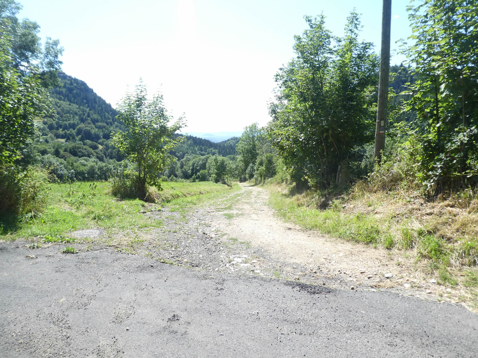
Queyrières, a small hamlet tucked away from the main path of the GR65, requires you to briefly leave the marked route to reconnect with it. Today, the start poses no orientation problems, as the GR65 and GR430 share the same route for the first part of the stage. However, this won’t last, and soon, you’ll realize that despite its prestige as part of the Way of Saint James, the GR65 is merely one of many hiking trails, with no special privileges.
|
 |
 |
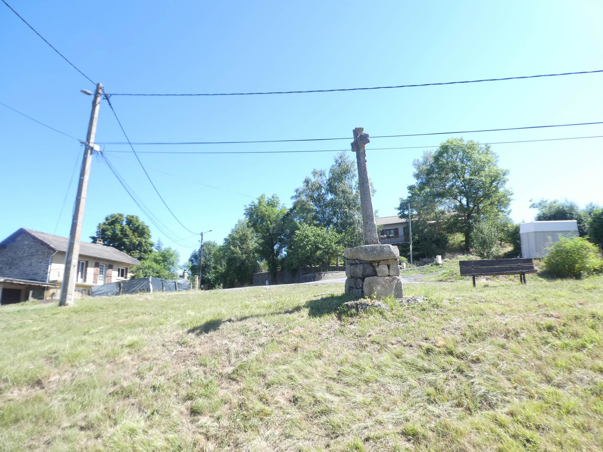
| The route then follows a winding road that descends into a narrow valley, where a magnificent granite cross stands majestically, seemingly blessing this tranquil haven from its towering height. |
 |
 |
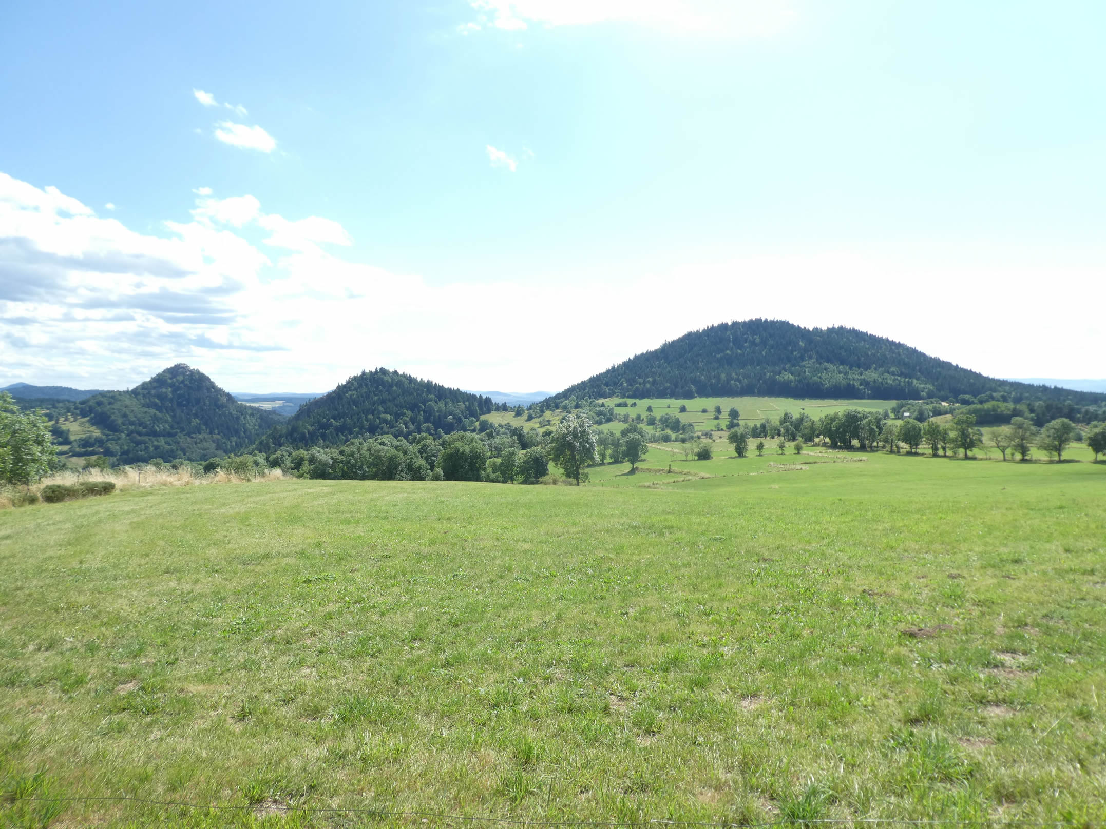
Here, the perspective opens to a striking view of the three iconic “sucs” of the region: Mont Chanis, Mont Rouge, and Peyre de Bard. Between the latter two, the route is about to dive down, like a serpentine trail weaving between the mountains.
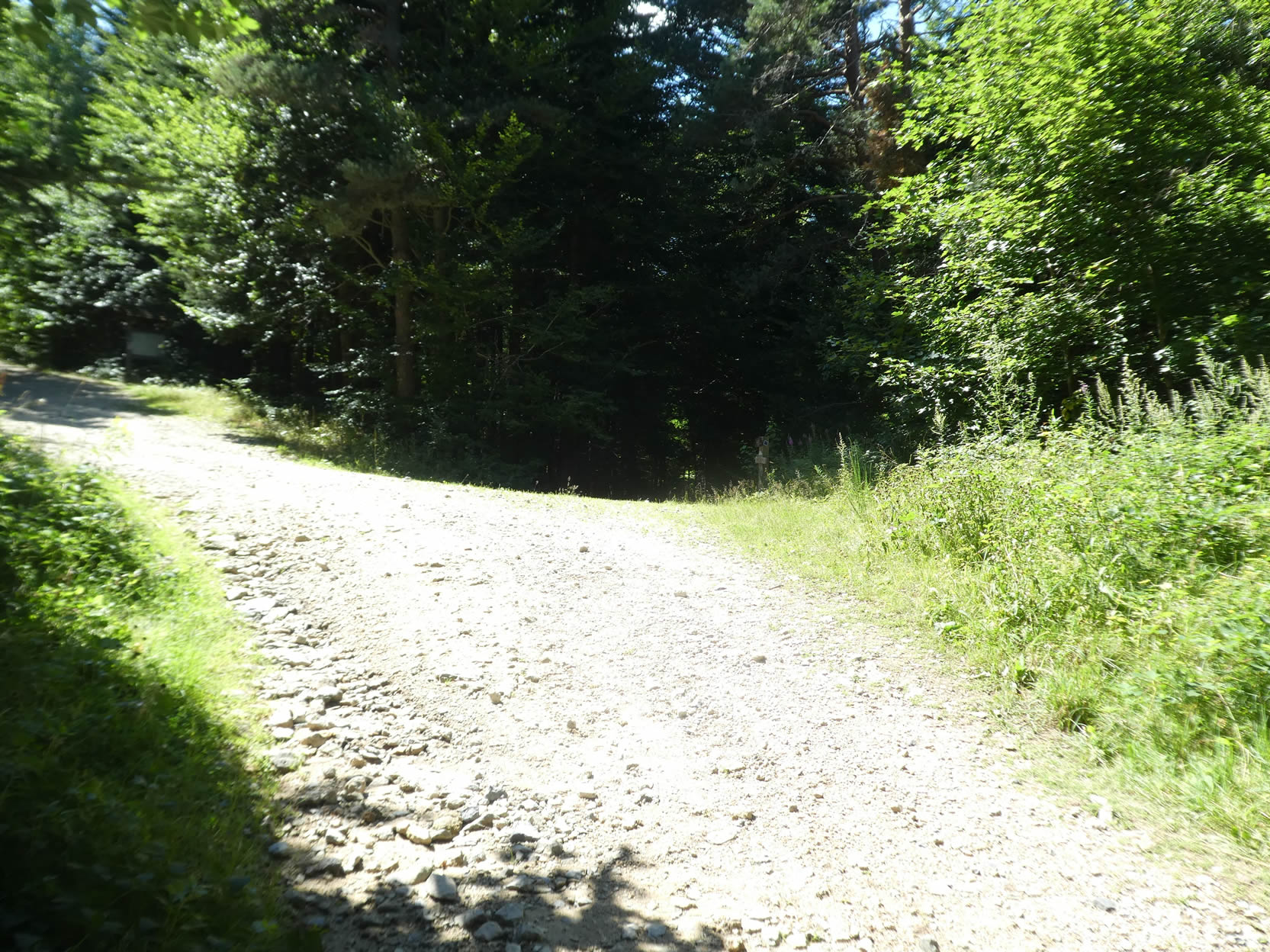
| Further down, the GR65 leaves the paved road for a rocky path, where the nearly black soil contrasts with the light filtering through the sparse pines and deciduous trees. Every step on this rugged trail seems to bring you closer to the wild heart of this untamed nature. |
 |
 |
| The slope then becomes quite tough, and everywhere you look, small “sucs” emerge, scattered like magical mushrooms in this vast green expanse. These mounds, often nameless to us, add a touch of mystery to this captivating landscape. |
 |
 |
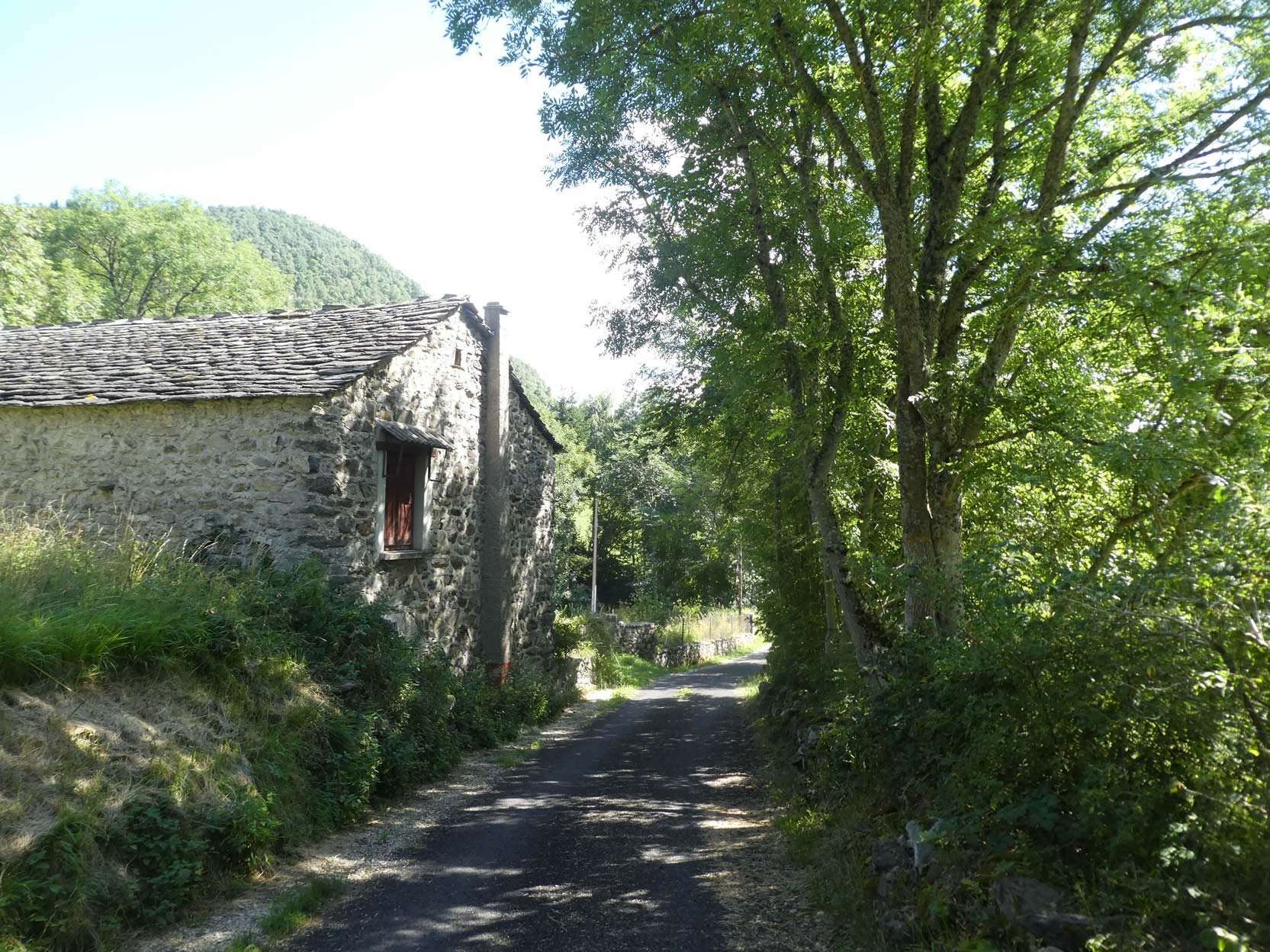
Further ahead, the village of Monedeyres comes into view, with its gray houses and brownish tile roofs blending harmoniously into the natural environment.

| After crossing sunlit clearings, the path plunges into the underbrush, where ashes abound, accompanied by majestic maples, a few pines, and even hornbeams, the latter rare in the region. |
 |
 |
| Soon, the path reaches the first houses of Monedeyres. Here, unusual rural dwellings, some even troglodytic, stand, reflecting the originality of certain innovative architects. |
 |
 |
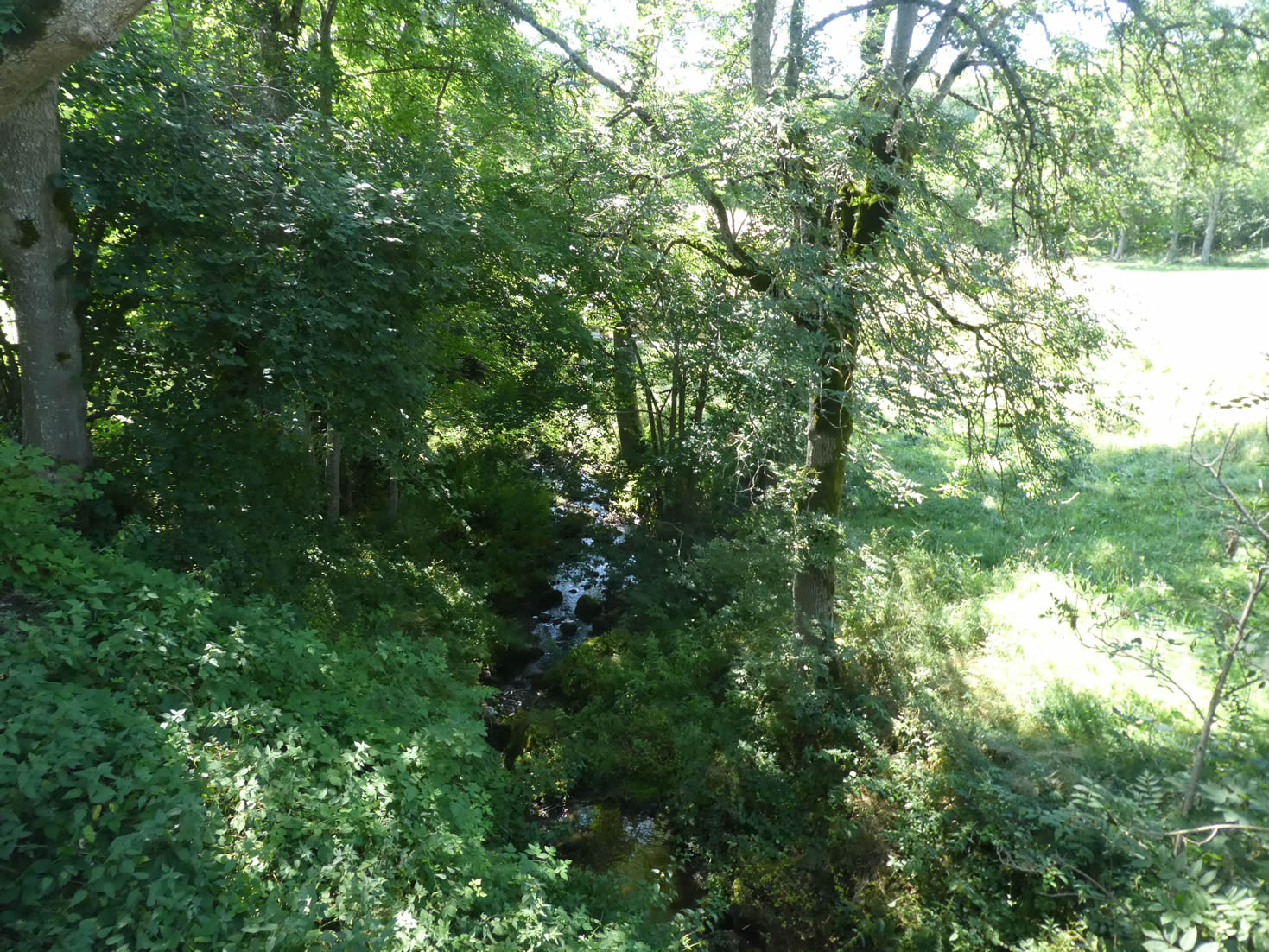
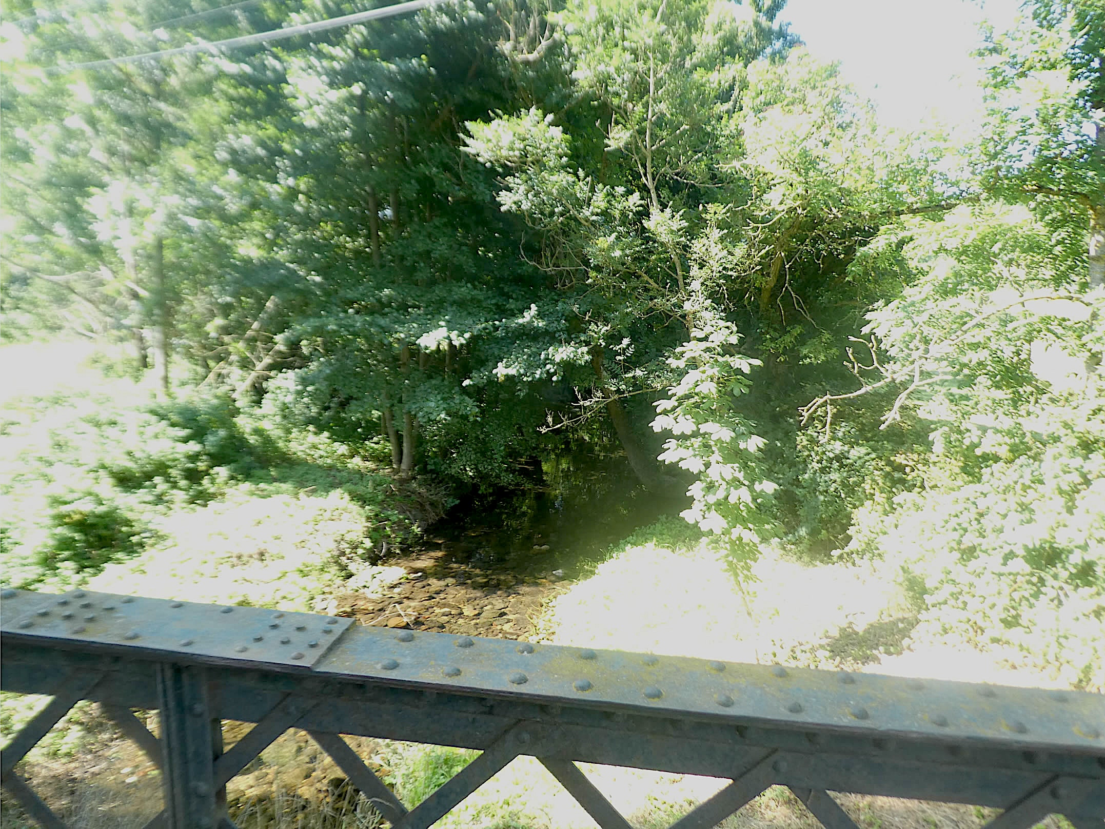
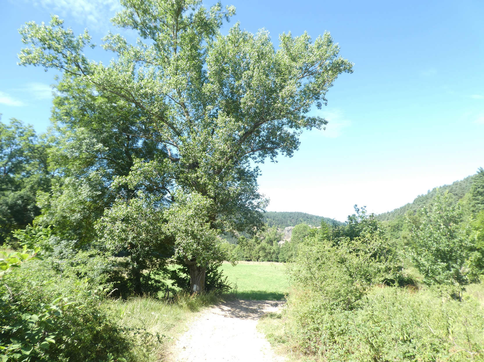
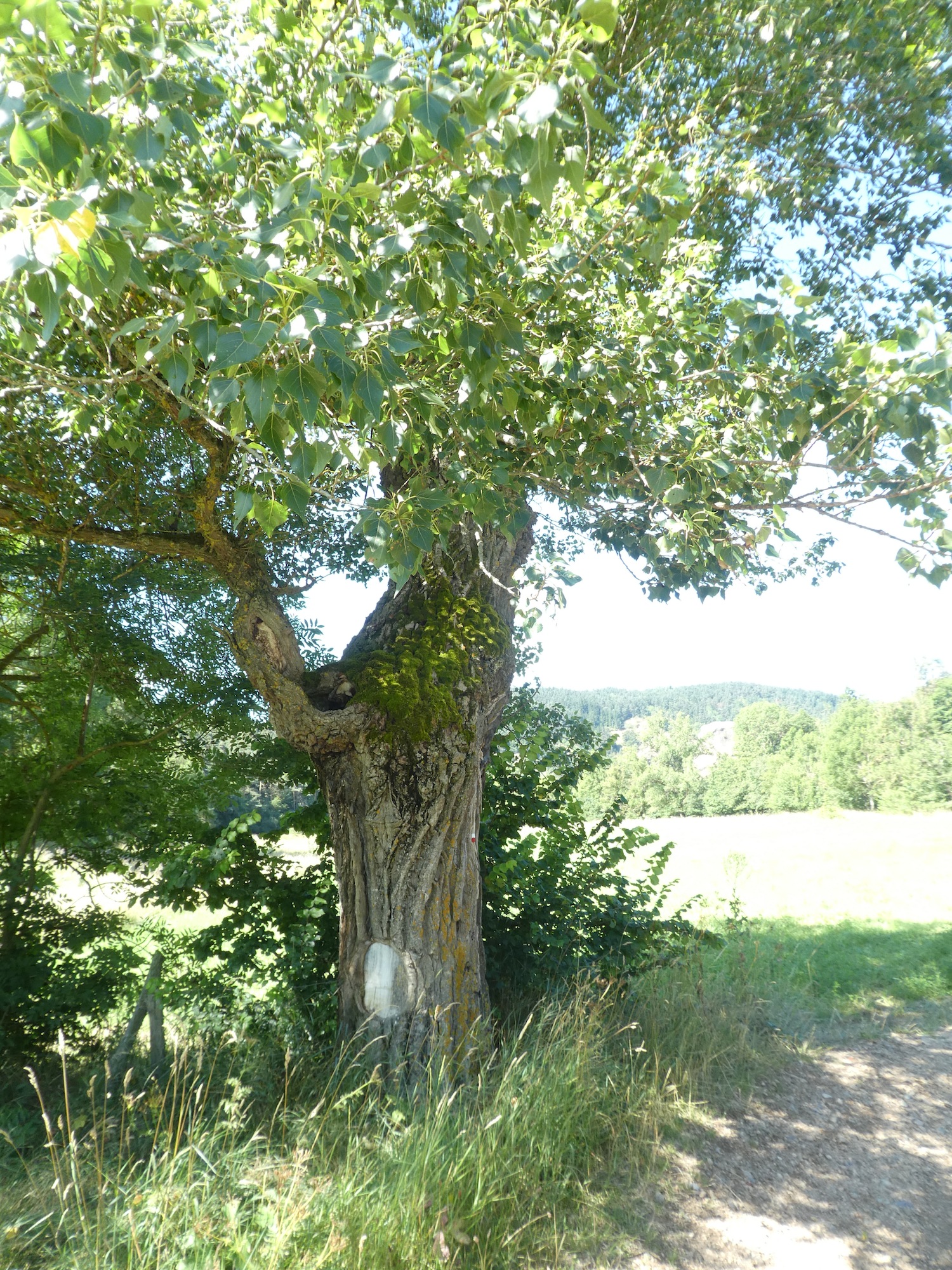
| The path crosses the Sumène River for the first time, a meeting that will recur repeatedly throughout this stage. |
 |
 |
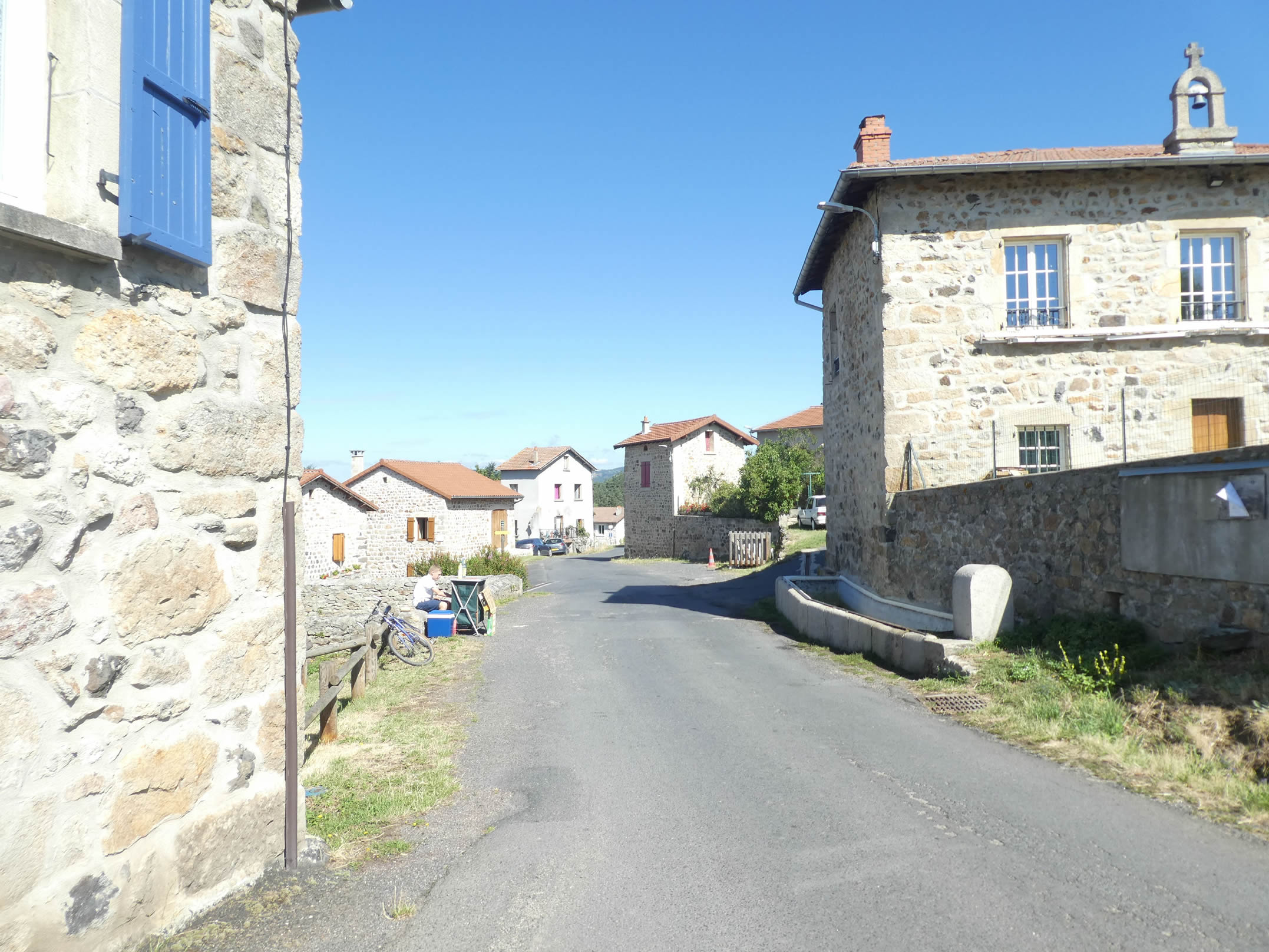
| Monedeyres is a remarkable village, composed of beautiful volcanic stone houses ranging from light tones to black basalt. To enhance this visual unity, all roofs are covered with brownish tiles, as if one day the inhabitants collectively decided to replace their old slate or phonolite coverings. |
 |
 |
 |
 |
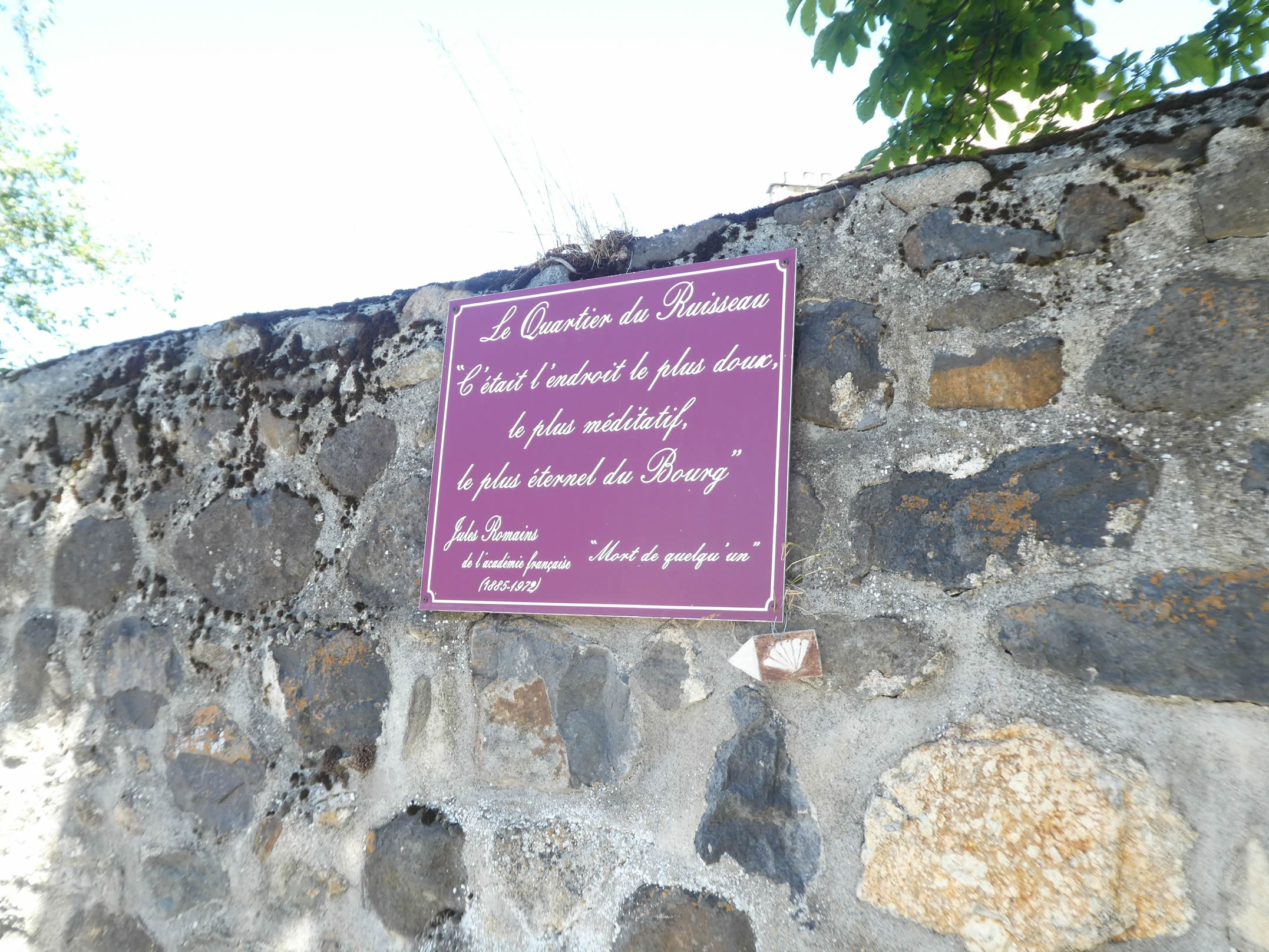
| Here, you might meet someone ready to tell you the somewhat unorthodox history of the village church. In 1862, the commune of Queyrières was created. At that time, Monedeyres was already a significant village but lacked a church, while Queyrières had one. The two villages spoke different dialects. Going to mass in Queyrières was difficult, especially for the elderly in wooden clogs, particularly in winter. Moreover, the church in Queyrières was falling into ruin. The inhabitants of Monedeyres then decided to build their own church at their expense. Completed in 1914, the church remained without a priest. They sent a young villager to the seminary, but he never completed his studies. The bishop, uncooperative, refused to consecrate the church, deeming the one in Queyrières sufficient. Missionaries occasionally came to say mass, but no resident priest was ever appointed, leaving the church unconsecrated. Thus, the church, never consecrated, is maintained by the villagers. Every year, three meals are organized in this « pagan » church. In September, cabbage soup is enjoyed here. These stories of rivalry between villages inspired Jules Romains, the famous local writer, for his book « Cromedeyre le Vieil ». |
 |
 |
| The route leaves this enchanting village, undoubtedly one of the jewels to be discovered on the Via Gebennensis, and probably one of the most captivating in Haute-Loire. |
 |
 |
| It stretches a bit further on the road that gently dips into the valley, brushing against an ancient granite cross, a silent witness to the centuries gone by. |
 |
 |
| After a brief journey on the asphalt, the GR65 finds its path by turning towards the forest. On your left, the majestic Suc of Peyre de Bard rises from the dense vegetation, pointing towards the infinite sky. |
 |
 |
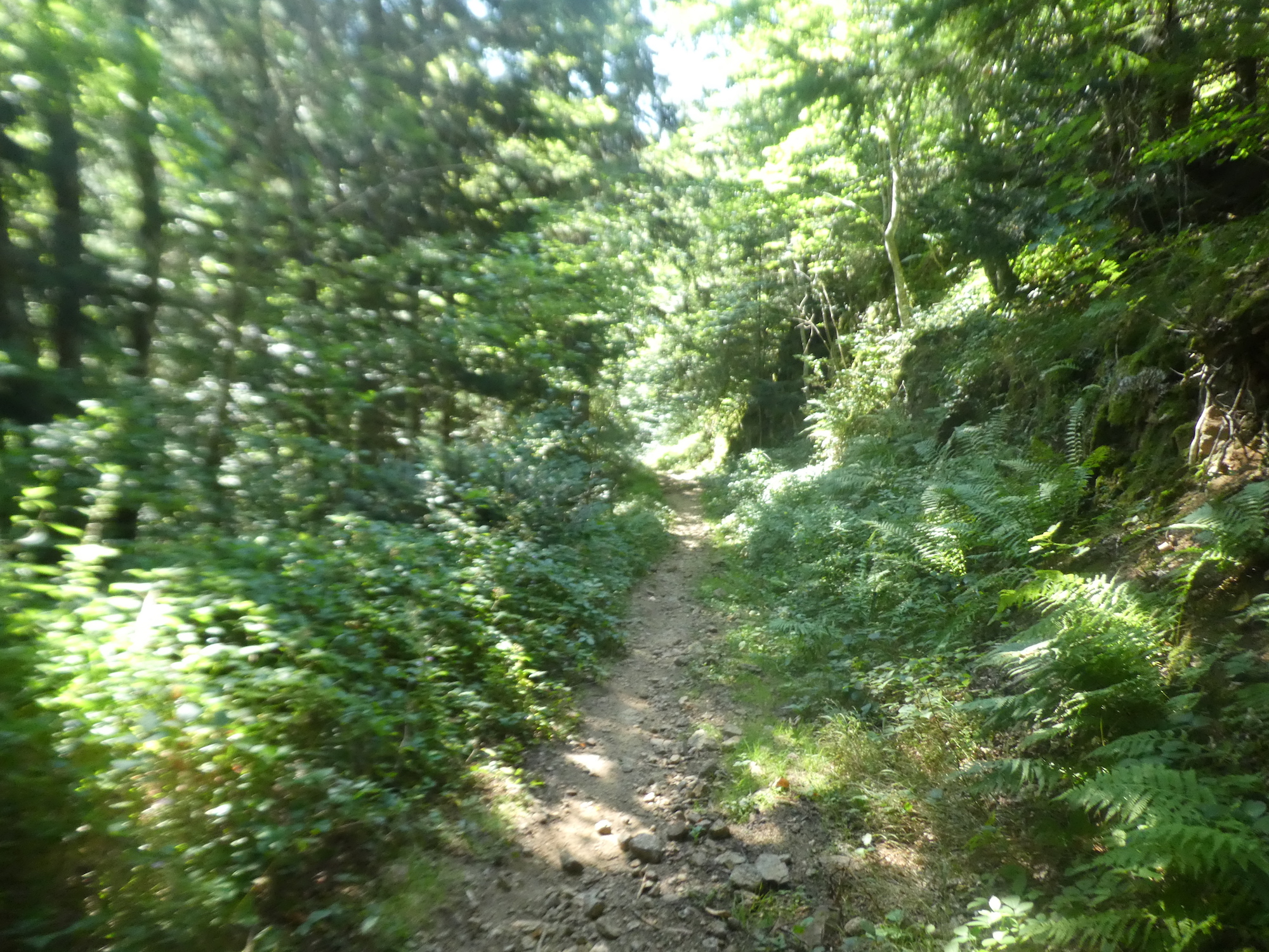
| The broad path slopes decisively among the ashes, maples, and hornbeams, inviting you to an enchanting stroll through a wild and generous nature. |
 |
 |
| Soon, on your right, the Suc de Mont Rouge reveals itself, another volcanic mound embracing the valley. You then venture onto the Mont Rouge path, a trail marked with the red and white GR signs and the scallop shell of Compostela. |
 |
 |
| Then, for a few hundred meters, the slope becomes even steeper, reaching nearly 20%, strewn with large stones that obstruct the path through the lush vegetation. |
 |
 |
| The vegetation is so thick that it is difficult to see a tributary of the Sumène brook, hidden in this untamed nature. |
 |
 |
| Sometimes, the maples grow so closely together that they seem to form clusters, creating a true ballet of greenery. Until now, the route doesn’t differ much from other paths in the region, all marked with the distinctive GR signs or the Saint James’ shell. |
 |
 |
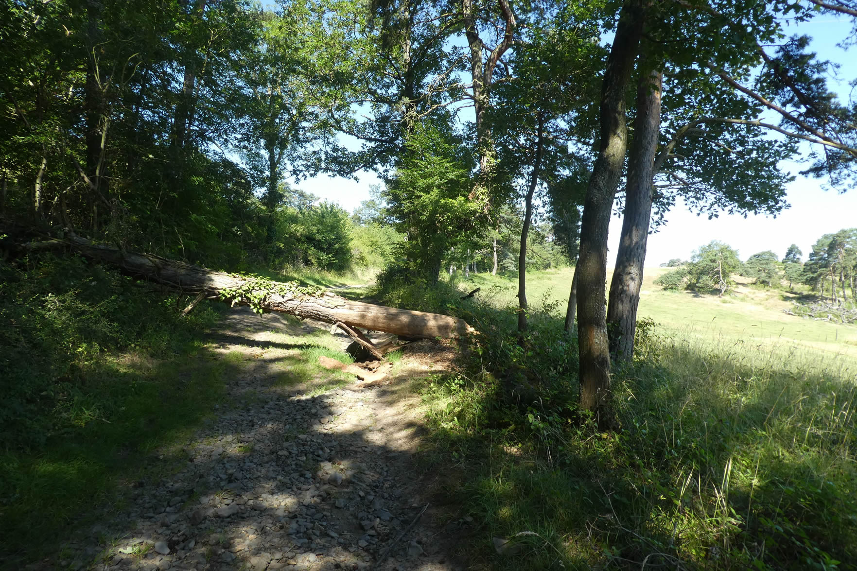
| But just below, a crucial decision point arises. The GR65 and GR430 diverge from the Way of Saint James. Why? They offer a different adventure, inviting you to discover old mills and, especially, to climb the Suc de la Tortue and visit the basaltic organs of Suc de Chapteuil, crowned by a majestic fortress. If time permits, the exploration is worth it. However, the Friends of Saint James have outlined an equally impressive, but more concise itinerary. Thus, rather follow the shells of the Way of Saint James. While the GR65 and GR430 head towards the road leading to the village of La Faye, the Way of Saint James continues straight towards the Guérin Mill. |
 |
 |
| Here, the path to the mill is well marked. From the junction, a trail climbs steeply, though briefly, through a forest of towering silver firs, imposing beeches, and lush maples. This is no longer the traditional fir forest but a more mixed woodland, where each tree seems to tell its own ancient tale. |
 |
 |
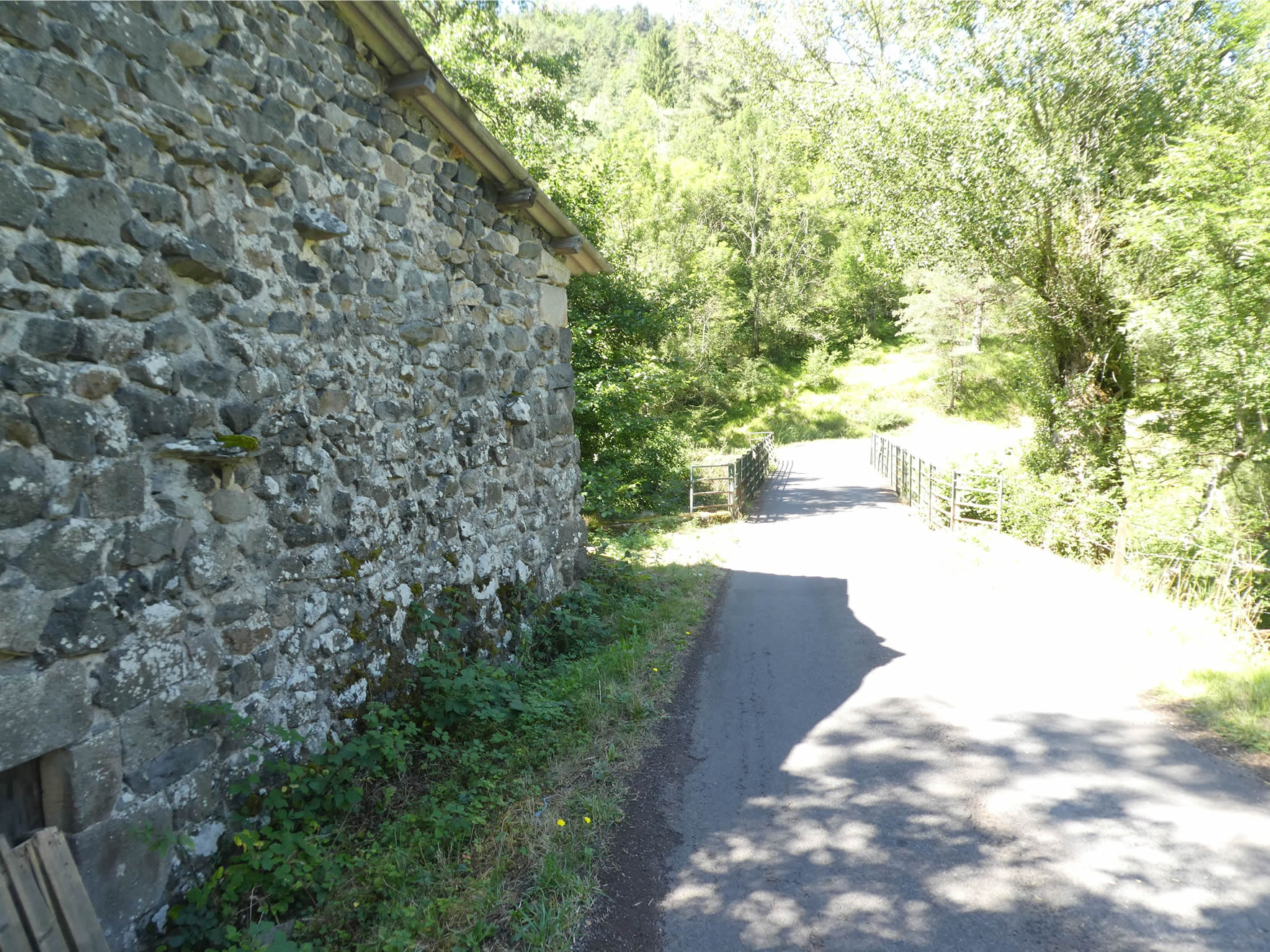
| A barrier marks the top of the climb, signaling the end of a strenuous journey and the beginning of a picturesque discovery. Just below, nestled in a green clearing, lies the Guérin Mill, accessible by small wooden steps that seem to invite visitors on a journey back in time. Built in the early 20th century by a miller named Guérin, this mill saw its wheel turn tirelessly until the 1960s. Alas, today, the wheel no longer dances on the waters, and the wheat and barley sifters have fallen silent, giving way to a palpable nostalgia. |
 |
 |

| But despite the absence of this mechanical hum, the site remains enchanting. Visitors are encouraged to stroll along the small winding canals that once guided river water to the mill. Here, coolness reigns supreme, and serenity permeates the air. Every step resonates with the grace of the past, every breath mingles with the essence of memories from a bygone era. |
 |
 |
| A trail begins its descent towards St Julien-Chapteuil, just under the watchful shadow of the mill. |
 |
 |
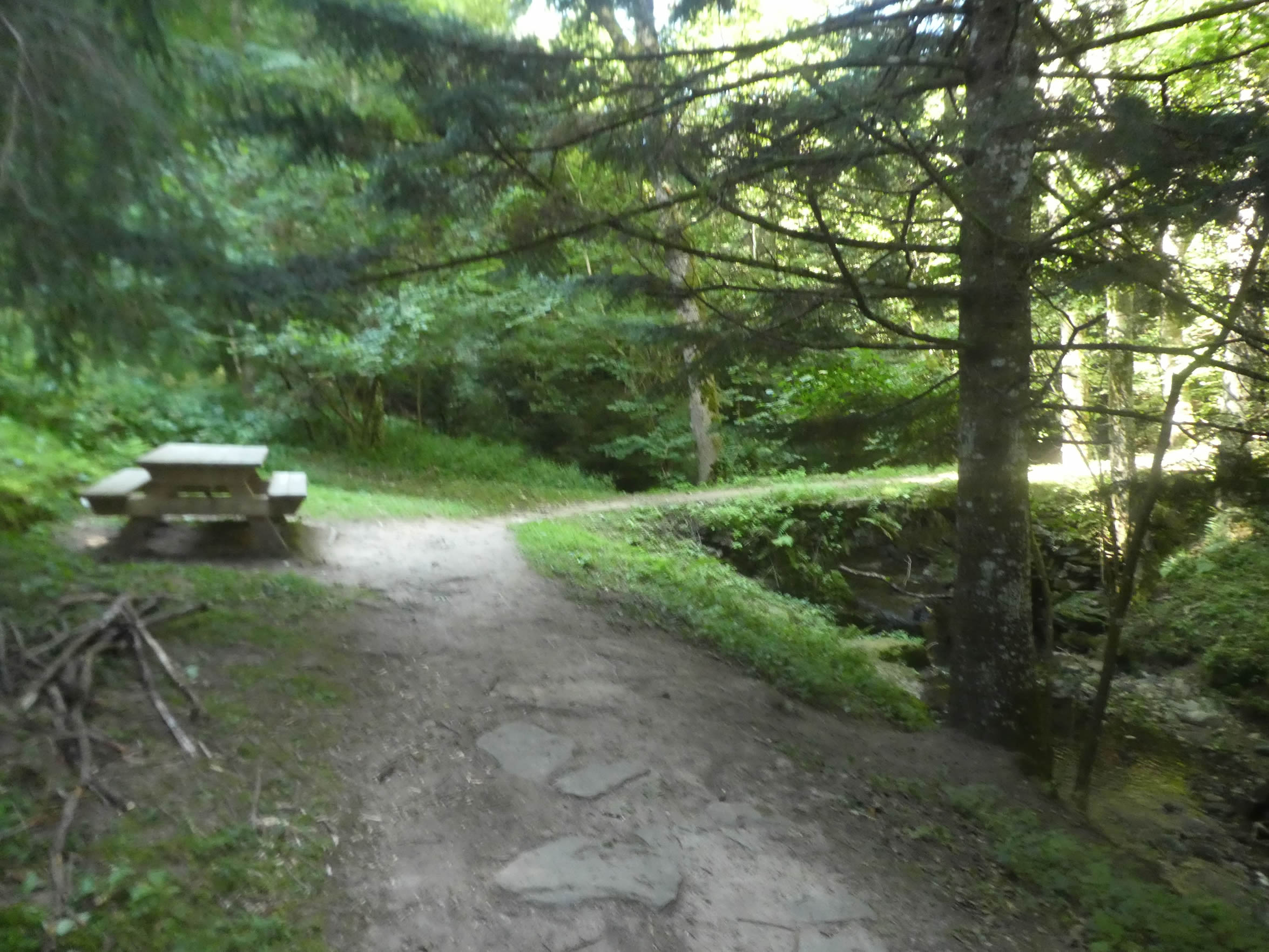
| From the mill’s surroundings, the crystalline gurgling of the Sumène can be heard, adding a note of natural melody to the peaceful atmosphere. The trail then winds to the other side of the stream, where a picnic table seems to await weary travelers, offering an ideal resting place to savor the surrounding tranquility. |
 |
 |
| A small embankment, supported by wooden logs, allows you to regain a trail that slightly overlooks the landscape. |
 |
 |
| Then, with an almost poetic gentleness, the trail descends again towards the stream, as if to remind the hiker that beauty lies as much in the ascents as in the descents, in the constancy of the journey as in its stages. |
 |
 |
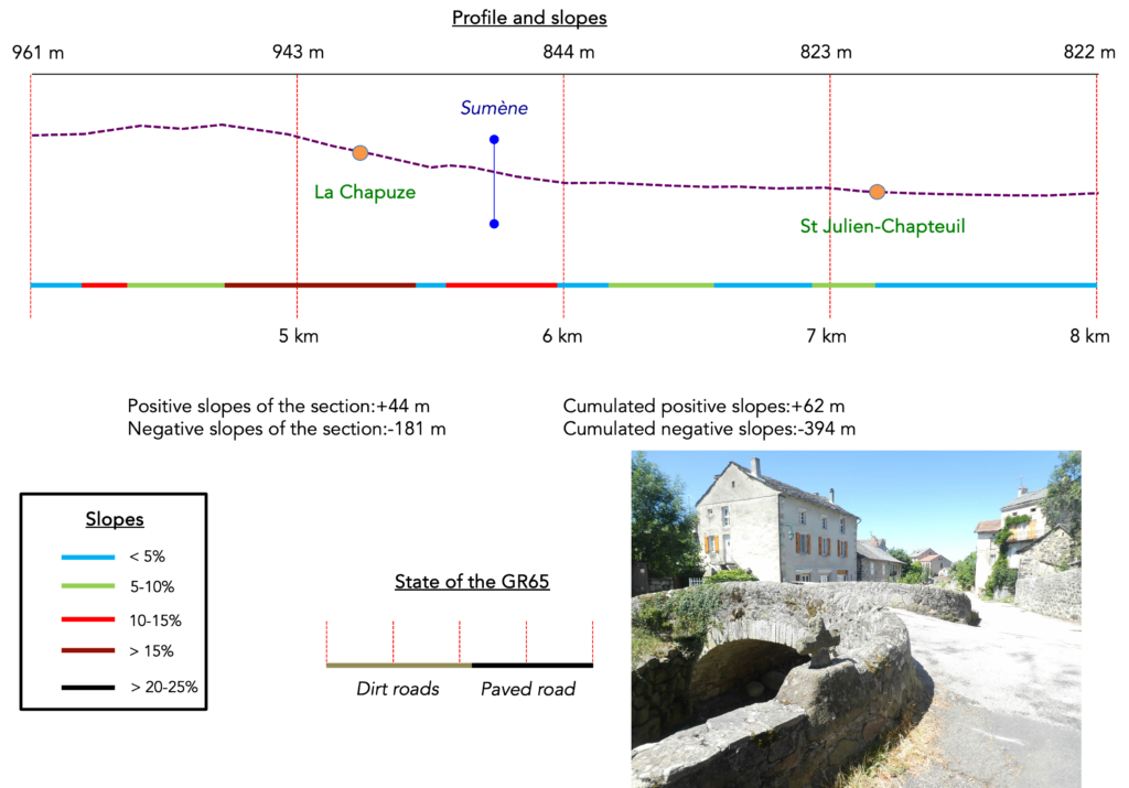
Section 2: In St Julien-Chapteuil, at the home of Jules Romains

Overview of the route’s challenges: nearly 200 meters of descent, with marked slopes on the side of La Chapuze.
| The trail weaves its way playfully, descending steeply into lush vegetation towards the stream, though without crossing it. |
 |
 |
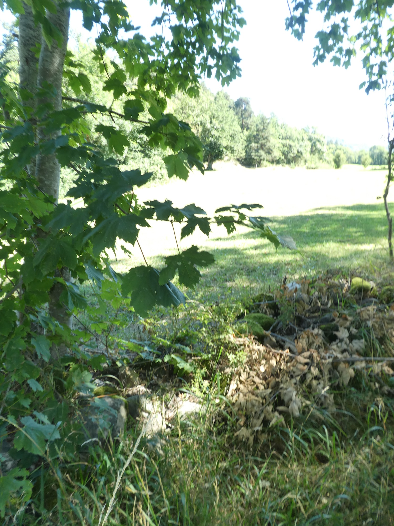
| It then strays slightly above the stream, winding through deciduous trees and numerous spruces. The ever-present maples are joined by majestic beeches and true hornbeams, not the usual coppice, a rarity worth noting. A few wild chestnuts also make their presence known here. The ashes, however, have disappeared, as they rarely thrive in these dense forests. |
 |
 |
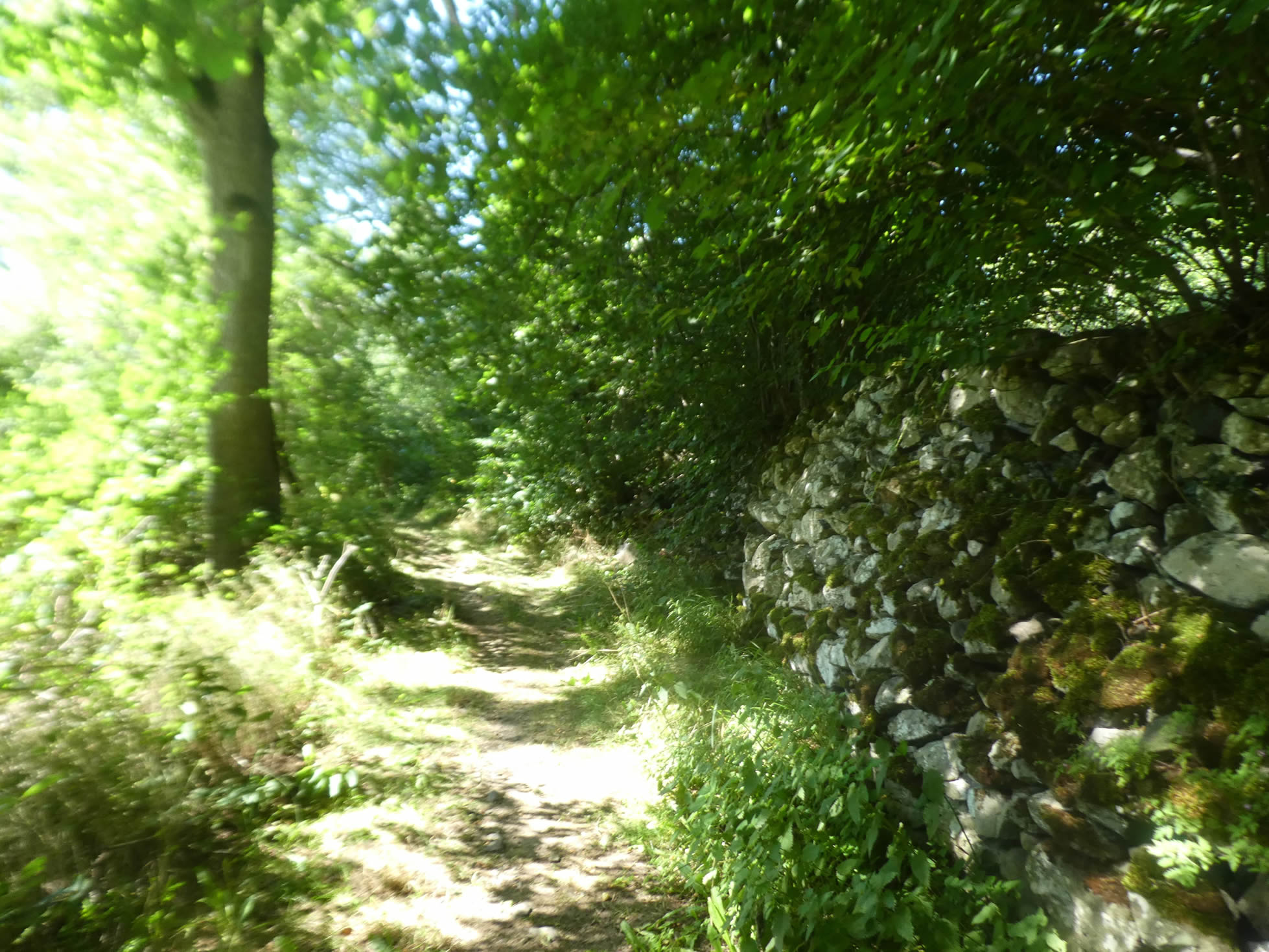
| Shortly after, the soothing murmur of the river gradually fades, as the path steepens, scattered with schist and large polished limestone rocks. The dense and impenetrable vegetation stubbornly refuses daylight, preserving a wild sanctuary. The only trace of human intervention is evidenced by dry stone walls, hastily assembled to prevent the soil from collapsing. |
 |
 |
| Higher up, the slope softens somewhat, but the trail remains strewn with large stones, as if challenging the hiker in this wild, compact, and yet diffuse nature. These rocks, akin to steadfast sentinels, tell a millennia-old story carved into the earth and the memories of ancient pilgrims. You proceed with caution, seeking stability in this chaotic mineral landscape that only yields to the patience of the walker. |
 |
 |
| Throughout the ascent, dry stone walls, remnants of a bygone era, support a bank that seems to defy the laws of gravity. These works of art, silent witnesses of ancestral craftsmanship, give the landscape a character both majestic and fragile. This may be one of the few places where nature, still virgin and untamed, reveals itself over such a distance along the Way of St. James, across all lands. |
 |
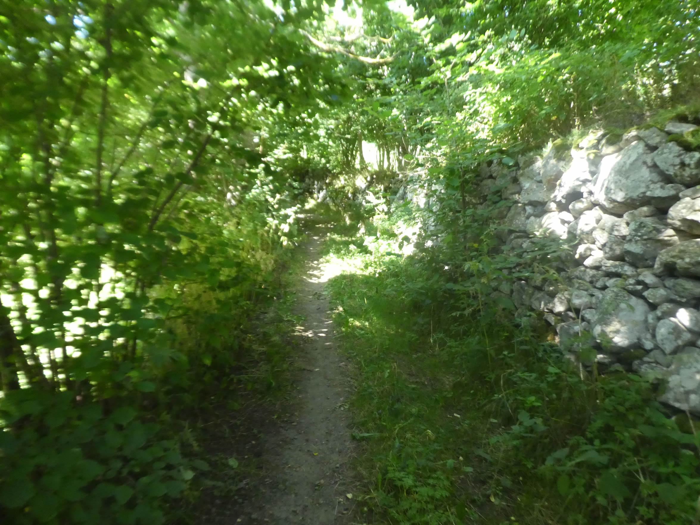 |
| At the top of the hill, the panorama hardly changes, and the trail firmly inclines towards La Chapuze, plunging into the undergrowth. Throughout this journey, the Way of St. James is carefully marked by the famous scallop shells, guiding pilgrims among many other trails favored by mountain bikers. This signage becomes a lifeline in this sylvan maze, reassuring wandering souls in search of spirituality and discovery. |
 |
 |
| The trail, often littered with stones, bears witness to the harshness of the surrounding nature. The vegetation, dense and omnipresent in some places, becomes more discreet in others, revealing majestic poplars reaching skyward. These trees, like solitary guardians, add a touch of splendor to this austere yet enchanting landscape. |
 |
 |
| Descending further, the path emerges from the undergrowth, revealing a beautifully restored stone house. Its charming small garden, fragrant and blooming, seems to invite the traveler to a well-deserved pause. This haven of peace, a striking contrast to the harshness of the route, offers an idyllic vision, reminding one of the sweetness of life and the beauty of simple things. |
 |
 |
| Asphalt gradually replaces the dirt path, marking the steep descent toward the village’s heights. Here, the slope becomes severe, challenging the resolve of walkers and cyclists alike. |
 |
 |
| Poplars and ashes, like majestic guards, stand tall in a line of honor. Their treetops are lost in the sky’s heights, compelling the gaze to rise in order to see their ends. |
 |
 |
| This hamlet lacks a true beating heart, a central hub. Spread across the heights, it is revealed through isolated dwellings constructed with the region’s characteristic volcanic stones. On the horizon, the profile of the Suc de la Tortue is outlined, an obligatory passage for the GR430 and GR65 hiking trails. |
 |
 |
La Chapuze resonates in the memories of biographers, for it is here that Henri Farigoule was born in 1885, better known by his pseudonym Jules Romains. This multi-talented man, poet, novelist, playwright, and even occasional scientific researcher, left us a colossal body of work. Among this is the relatively obscure epic « Men of Good Will » (27 volumes) and the play « Knock or The Triumph of Medicine, » created in Paris in 1923 with Louis Jouvet as director. And as Knock would say, « Does it tickle or does it itch? »

| A steep dirt path, with a dizzying slope, cuts through the switchbacks of the main road traversing the village. In the distance, St Julien-Chapteuil comes into view, its steeple proudly pointing skyward. |
 |
 |
| Below the village, the road crosses the Sumène stream, which you have crossed many times since Queyrières. |
 |
 |
| For nearly a kilometer, the road stretches out before you, bordered by recent housing developments, testaments to the serenity and good taste that characterize the region. Each house seems to be narrated by an architect in love with the place, where modernity marries rustic elegance. |
 |
 |
| At the entrance to the small town, you enter the relatively new Croix Blanche district. Here, novelty blends into the landscape like a freshly painted canvas, adding a contemporary touch to the old-world charm. |
 |
 |
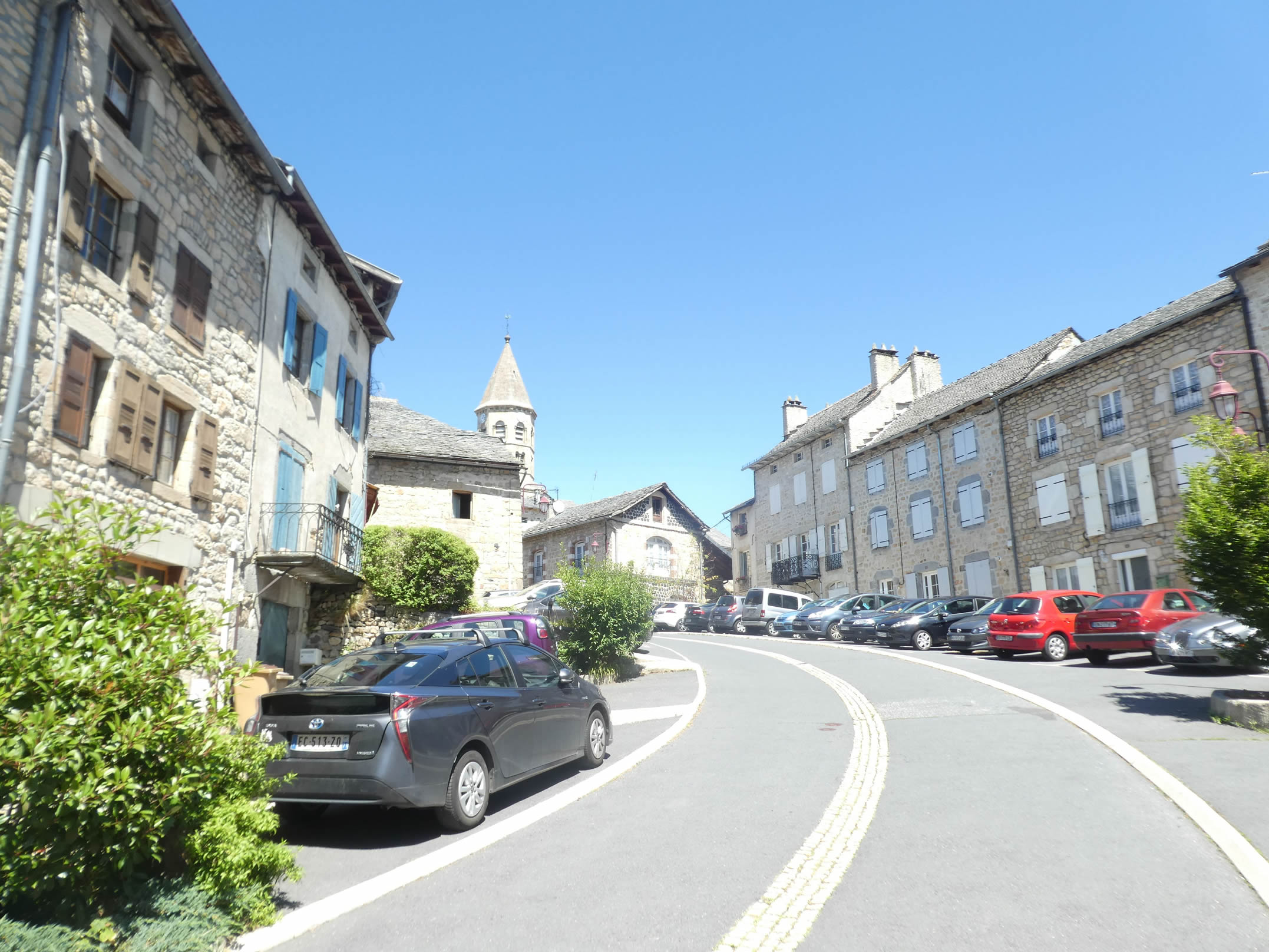
| On the hill stands a grand church, proudly overlooking its inhabitants for centuries, an immutable witness to their faith and stories. At the entrance of the town, the Way of St. James rejoins the GR430 and GR65 after a brief excursion among the volcanic « sucs, » those basalt mounds that punctuate the landscape like silent sentinels. |
 |
 |
| Let’s join our great Jules Romains at the entrance of the town. Three streams flow through this basin, with charming stone bridges providing access to the upper town. This place is dedicated to the memory of Jules Romains, a local glory who rose to fame in Paris but loved to visit here without ever truly living in it. The Tourist Office offers a circuit booklet of the author’s favorite spots, from his birthplace to the town’s hotel where he enjoyed staying, and the « Friends’ House » in the Meygal forest. |
 |
 |
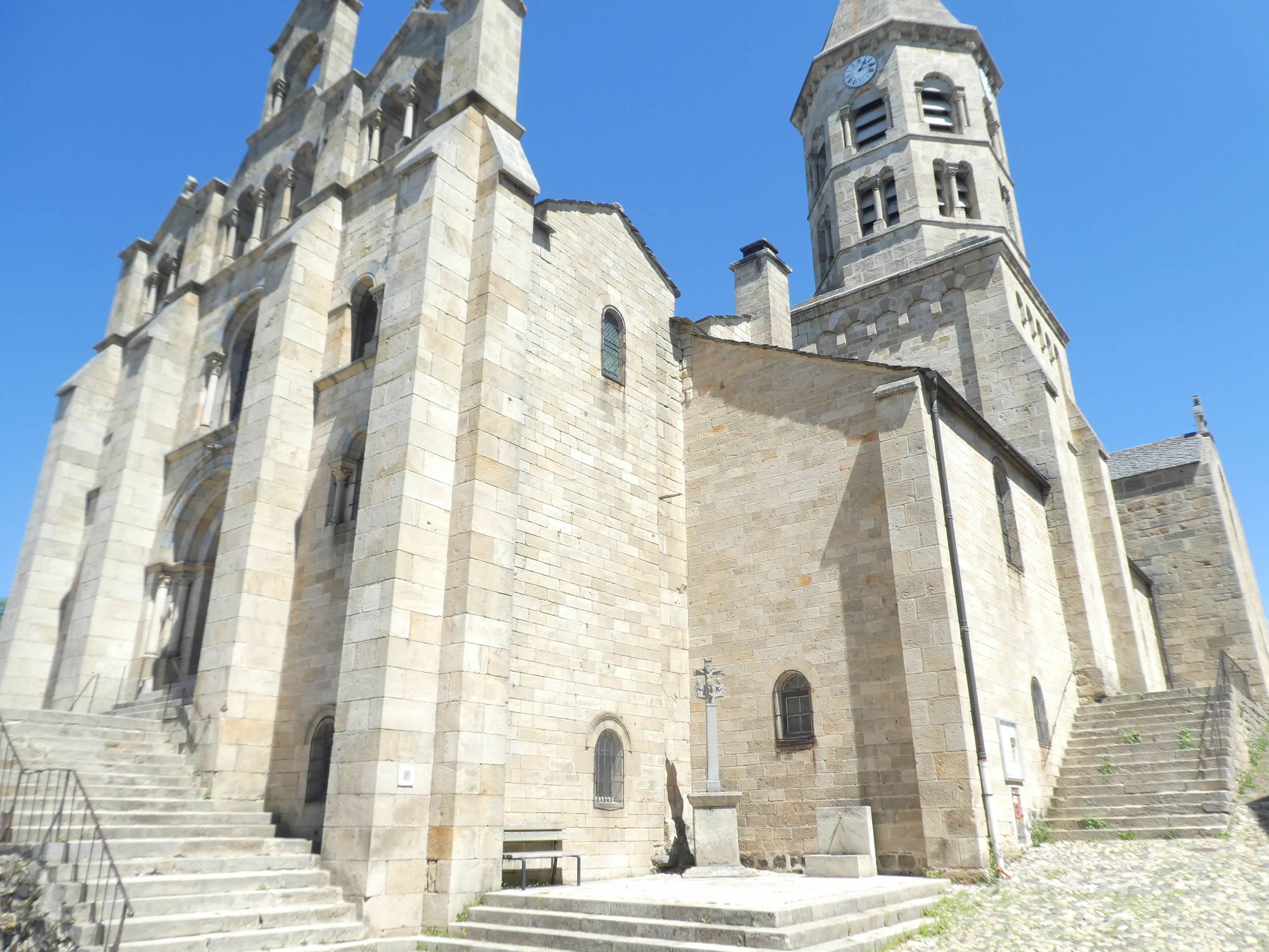
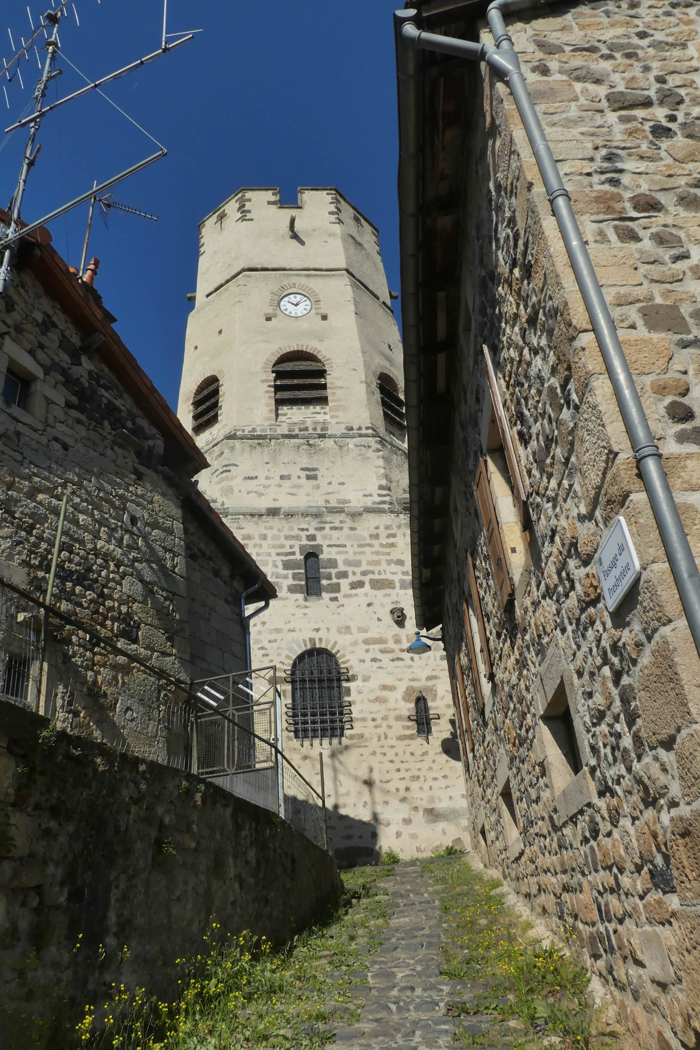
| If you have time, climb the hill from the stream to reach the old town and its magnificent church, built on a steep rock dominating the valley. One can imagine it was once fortified. Founded by the Benedictines at the end of the 11th century, this Romanesque abbey was deeply altered in the 17th century, transforming its Romanesque vaults into Gothic ones. In the 19th century, a crypt, presbytery, and bell tower were added, reinforcing its majestic character. |
 |
 |
| However, the GR65 does not ascend to the town center. It prefers to meander along the streams, passing by beautiful gray stone houses in a romantic and welcoming setting. The atmosphere here is filled with serenity, each stone telling a story, each alley inviting exploration. |
 |
 |
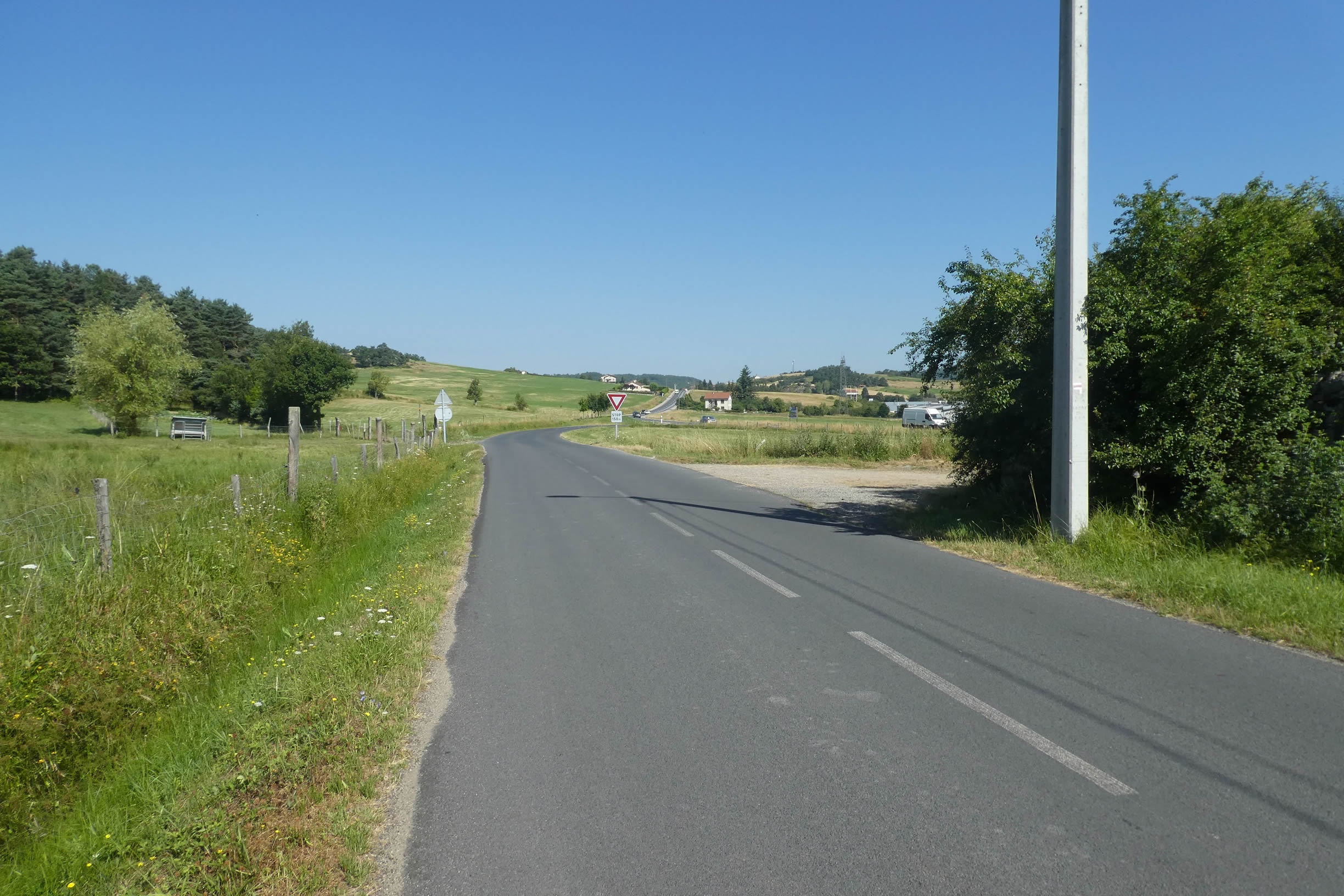
| Before reaching a roundabout at the town’s exit, near the town hall, many pilgrims stop here, finding comfort and rest in this hospitable town. Upon exiting, the GR65 follows the sidewalk along the departmental road, guiding walkers towards the banality of the suburbs. |
 |
 |
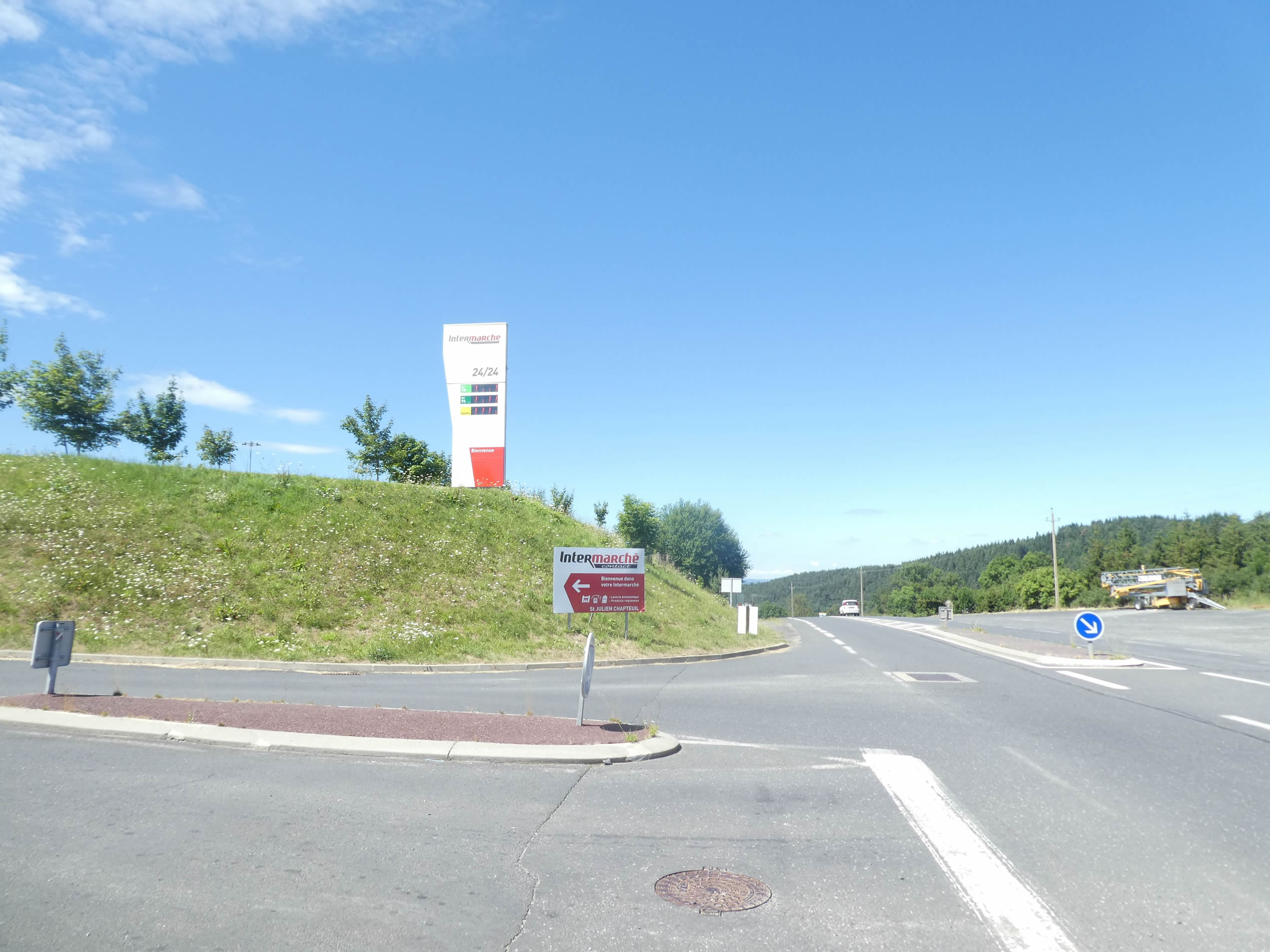
| The exit from the town seems endless, with a kilometer of road stretching ahead of you. Towards the end, the road passes near a supermarket, this modern temple of civilization, where the pilgrim, isolated from the world for most of the day, finds unexpected joy and welcome comfort. |
 |
 |
Section 3: Undulations between meadows and woods

Overview of the route’s challenges: a route with undulations, but the slopes do not exceed 15%.

|
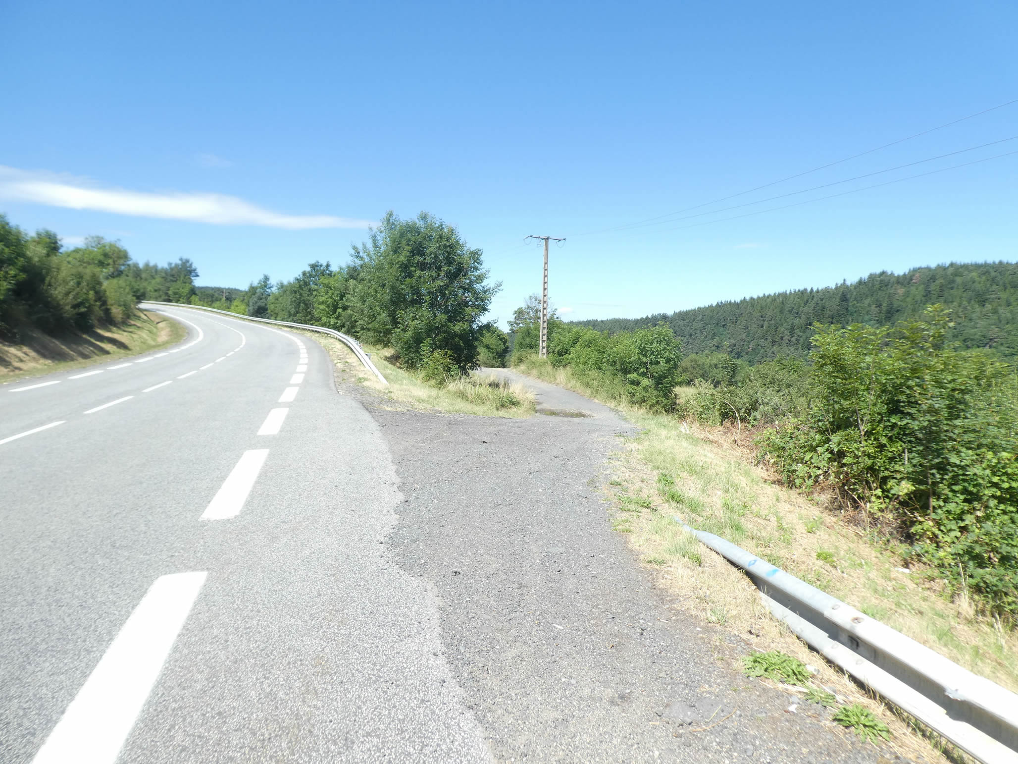
The GR65 begins with an interminable straight line, a monotonous stretch where silence reigns, occasionally broken by the rare passing car. It’s a dull, almost hypnotic, journey where the pilgrim’s mind may wander. |
 |
 |
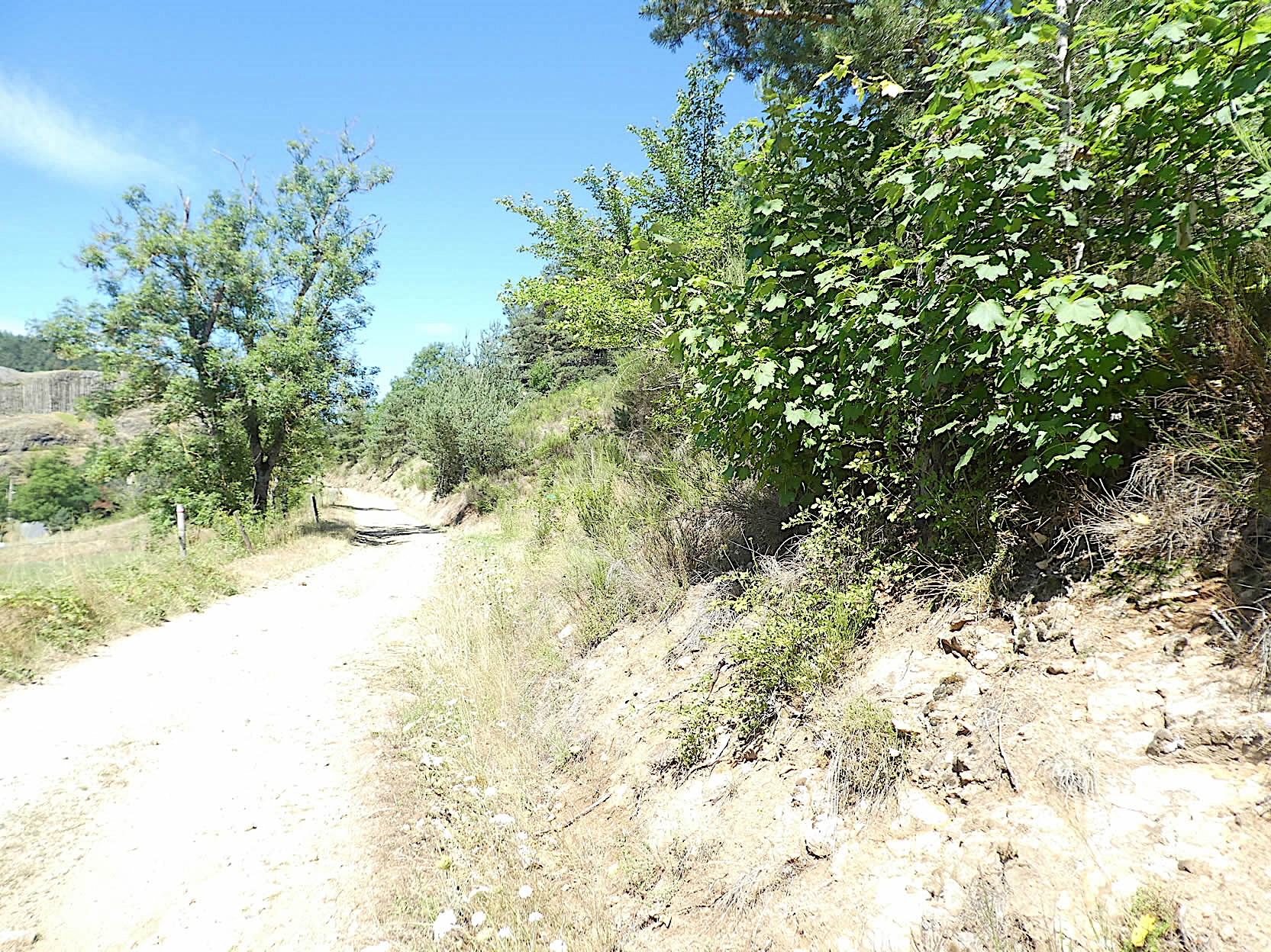
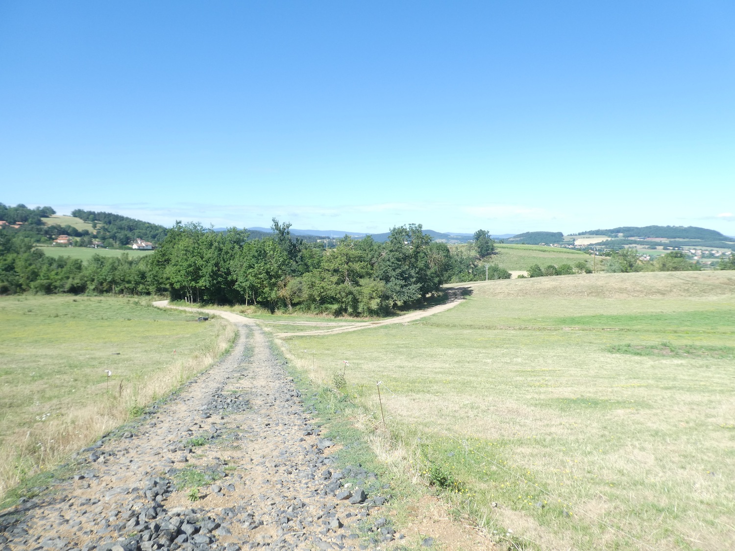
| However, at the end of this dreary stretch, the GR65 leaves the road and ventures onto a dirt path. Here, the landscape begins to regain its natural beauty, and the countryside reappears in its quiet simplicity. |
 |
 |
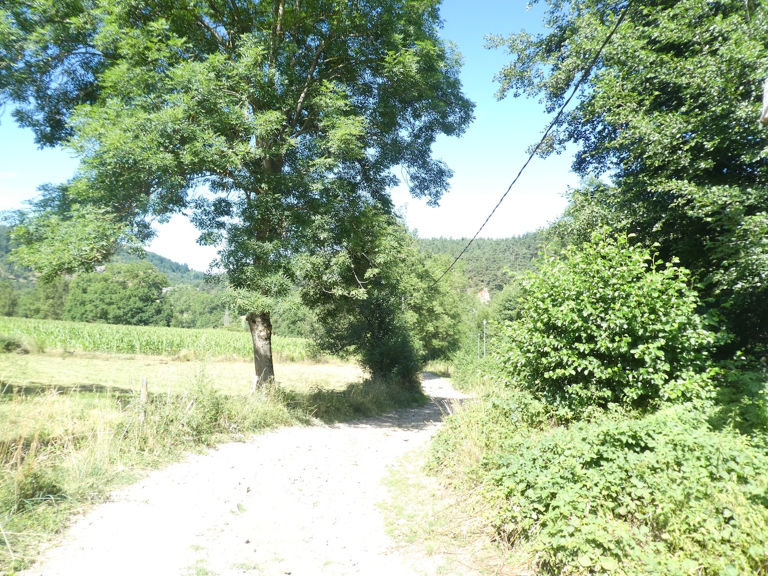
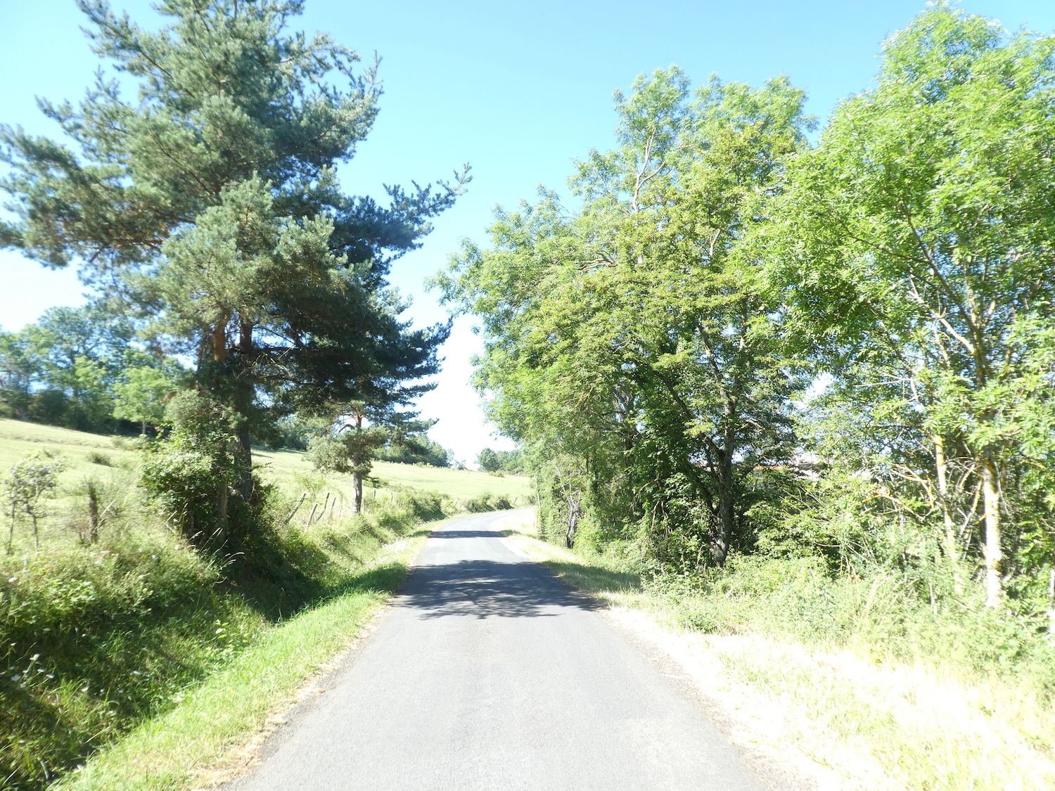
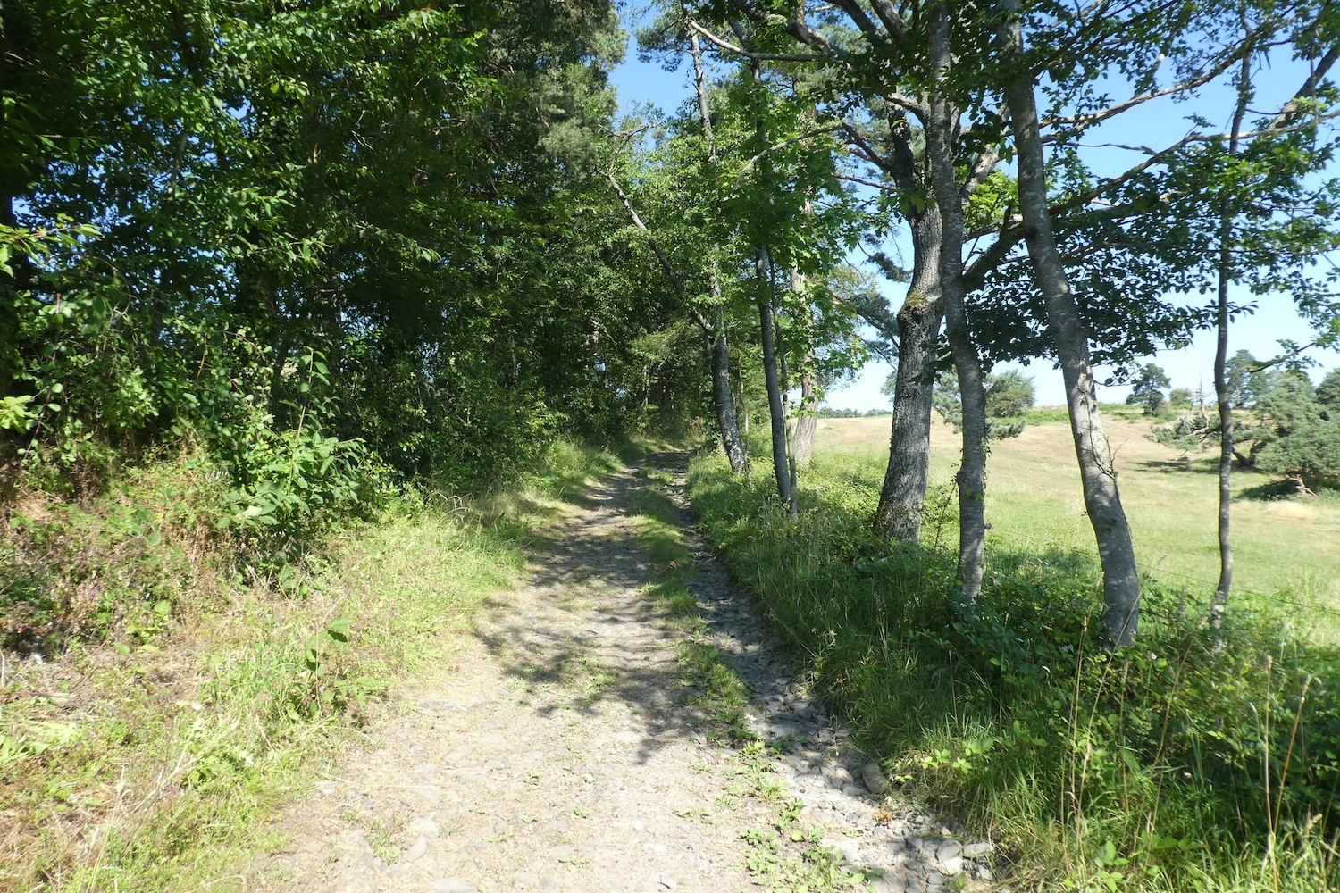
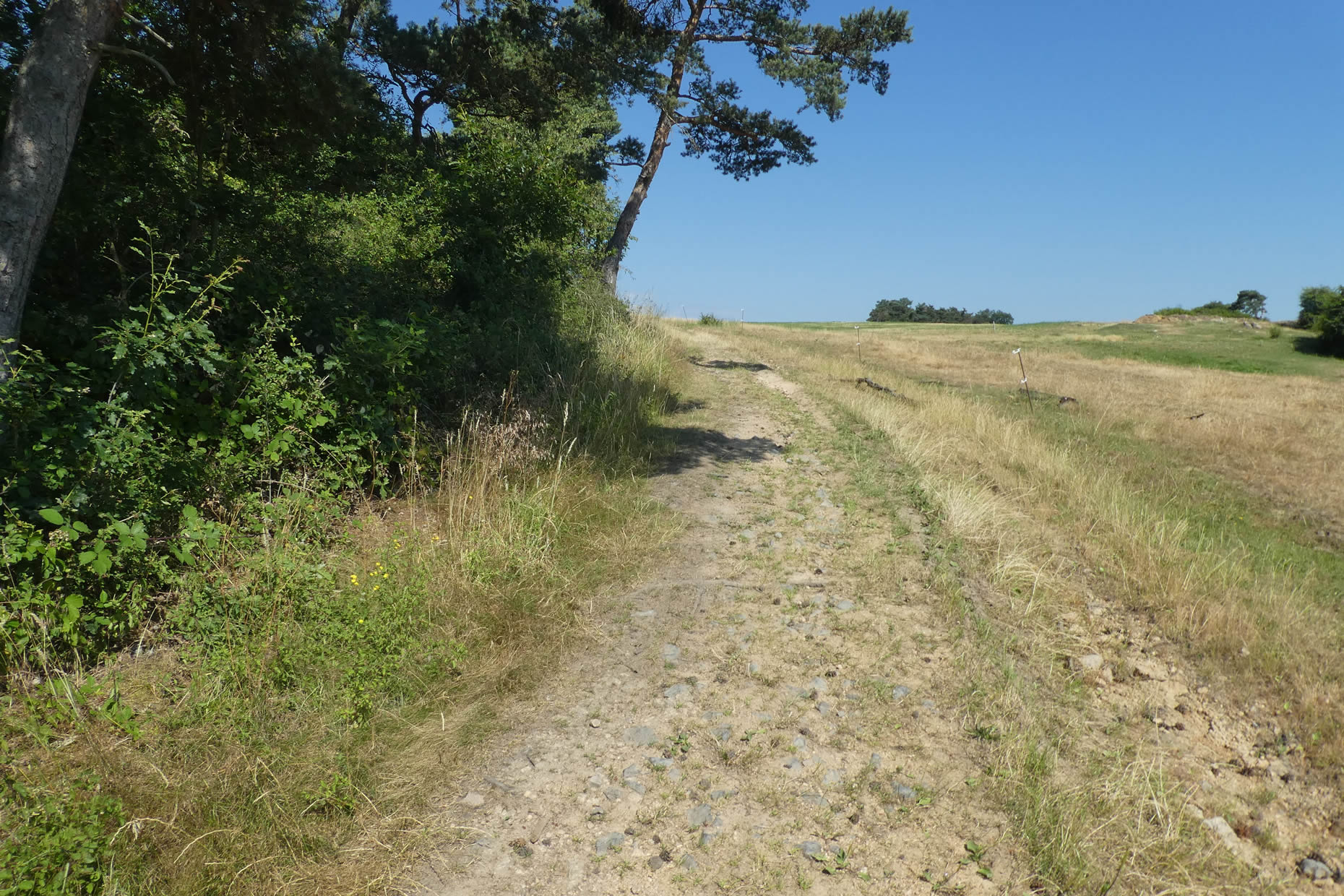
| The transition is stark: the charming « sucs » (volcanic hills) and deep forests now belong to the past. In their place, there are meadows and unremarkable hedgerows, dotted with unruly ash trees. Yet, the forests continue to dominate the surrounding hills, a reminder of the wild nature that persists on the edges of the path. |
 |
 |
|
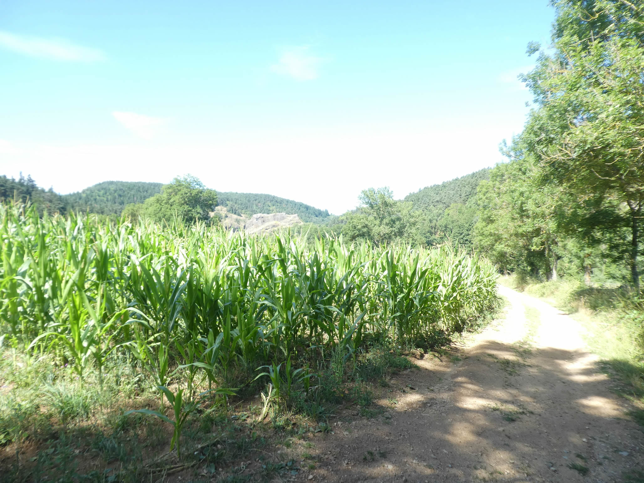
But soon, the cold uniformity of cornfields takes over, flattening the landscape and pushing the pilgrims towards the river—a harsh reminder of the agricultural uniformity often seen along the Camino de Santiago in France.
|
 |
 |
Occasionally, black poplars and majestic maples defy this monotony, offering a welcome variation. Centuries-old chestnut trees also emerge here and there, their massive trunks telling the history of this place to those who care to admire them.
|
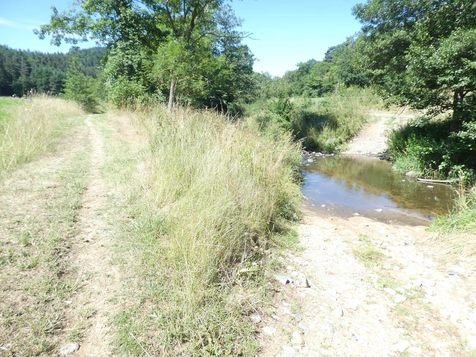
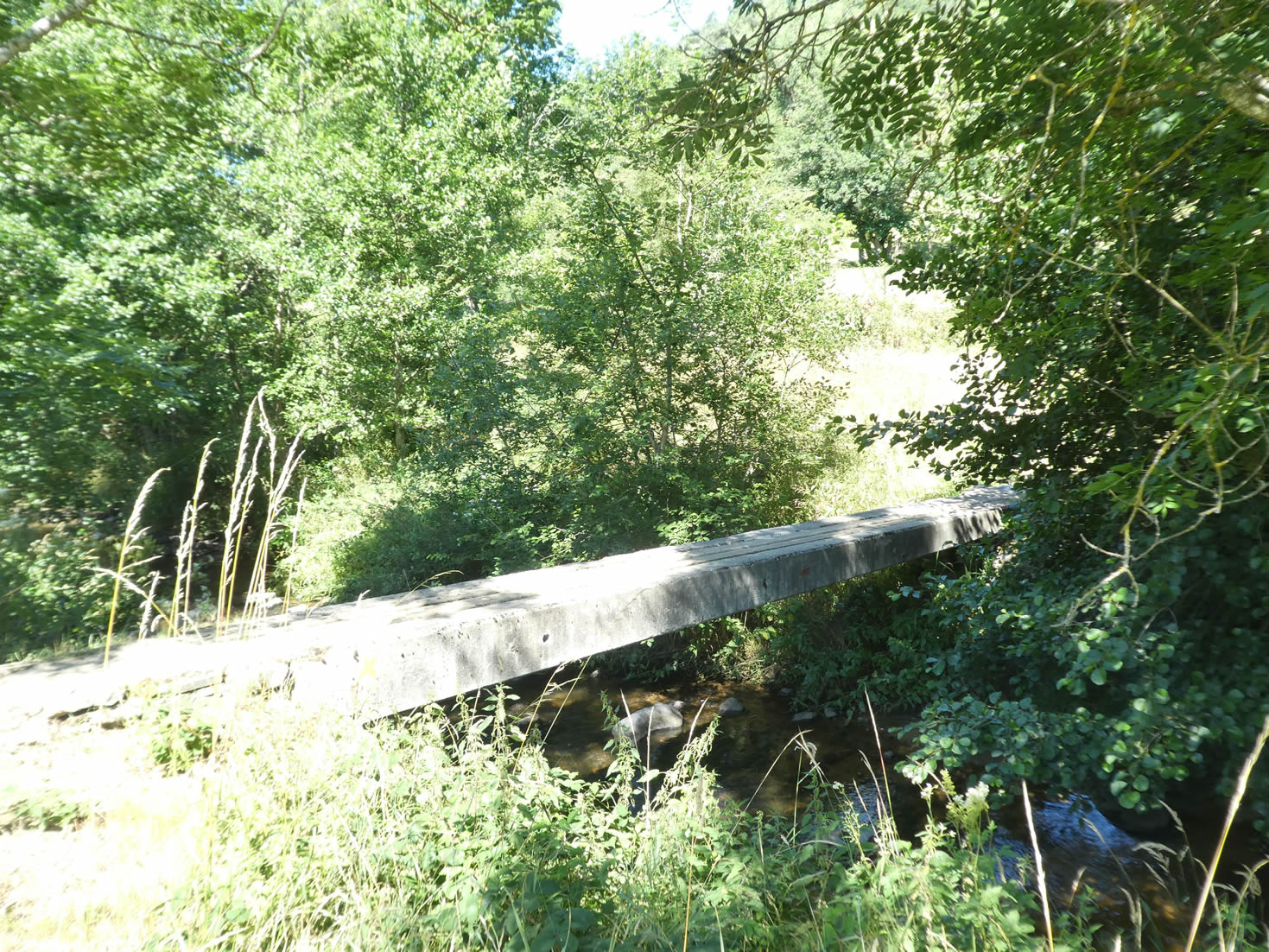
Lower down, the path reaches the banks of the Sumène River. It crosses the stream on a narrow concrete bridge without railings, a risky passage that challenges the more daring pilgrims.
|
 |
 |
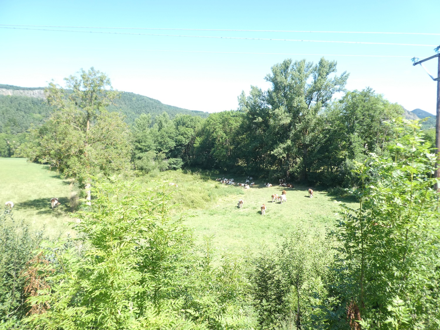
The Sumène, since its departure from Queyrières, remains peaceful, almost asleep under the soothing shade of the trees that line its banks.

|
The ever-present ash trees, along with a few maples, continue to dominate, while other deciduous trees remain in the background, almost invisible. .
|
 |
 |
|
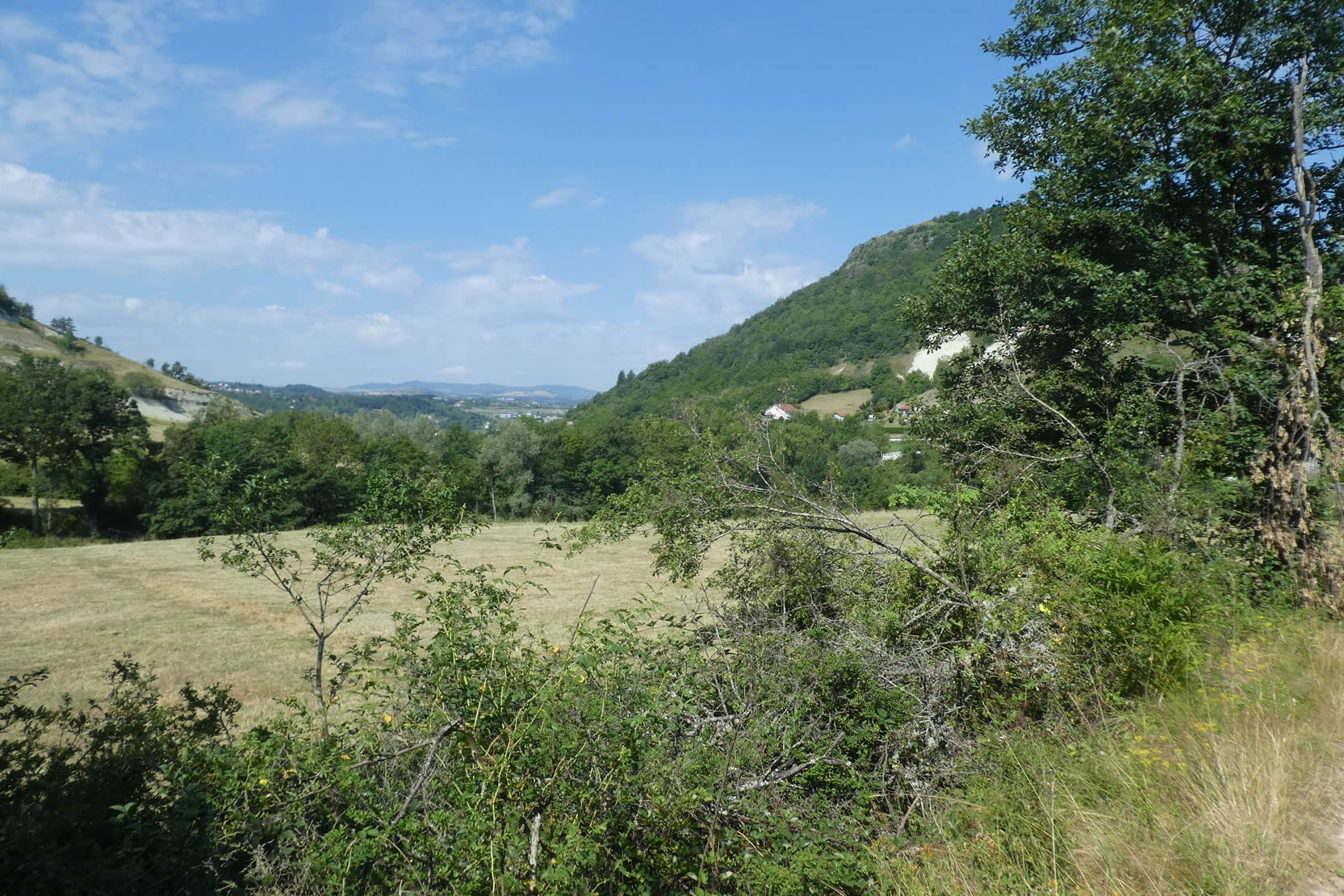
The walk, sheltered under the canopy of these giant trees, becomes a moment of enchantment. Near the stream, the majestic rock face of Eynac rises, adding a dramatic touch to the landscape.
|
 |
 |
| A little further on, the path slopes up slightly, first along a wide dirt track, then on tarmac, leading to the hamlet. |
 |
 |
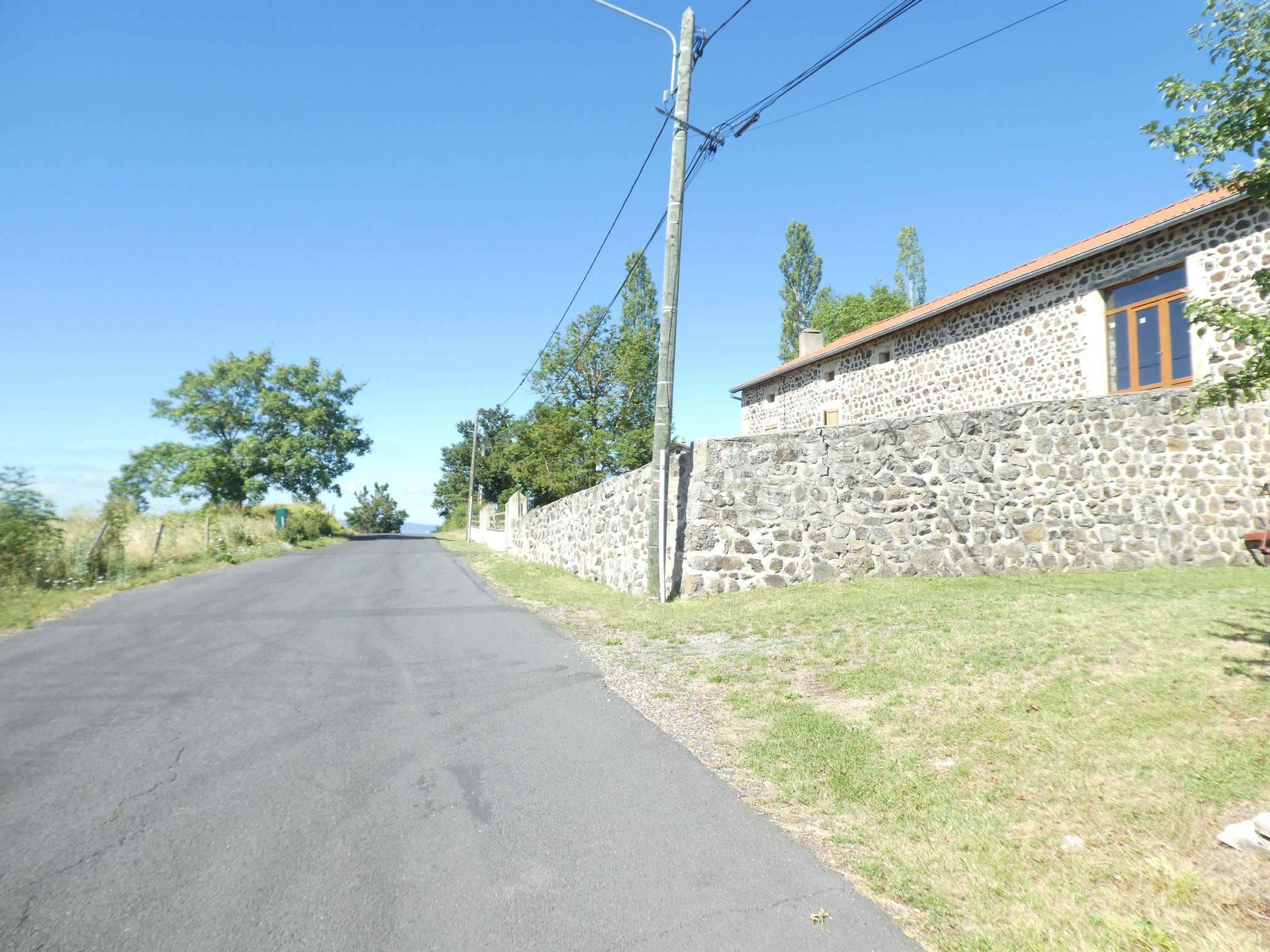
| This small settlement is a gem of architecture, with houses made of volcanic stone showcasing a range of shades, from light trachyte to black basalt, a true homage to the builders of the past |
 |
 |
| Beyond the hamlet, the road overlooks the spectacular basalt columns, a natural wonder that often baffles geologists but remains an impressive sight for walkers. |
 |
 |
| The road then continues its steep descent to the river. |
 |
 |
| The river carries basalt pebbles, polished and softened by time. |
 |
 |
| À partir du pont, l’enthousiasme cède la place à l’endurance : il faut suivre une route sinueuse et raide qui s’élève avec une pente oscillant entre 10 % et 15 % sur près d’un kilomètre. La forêt ici est un mélange harmonieux de feuillus locaux et de conifères. Épicéas et pins se dressent fièrement, trouvant leur place dans ce paysage sauvage. |
 |
 |
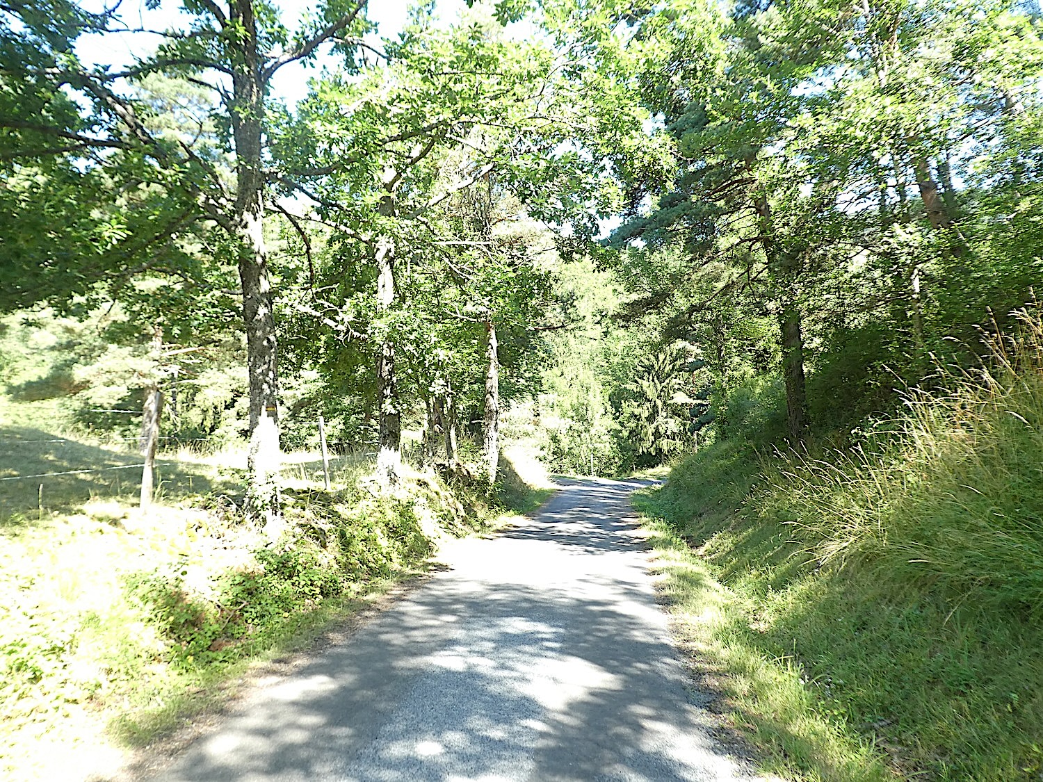
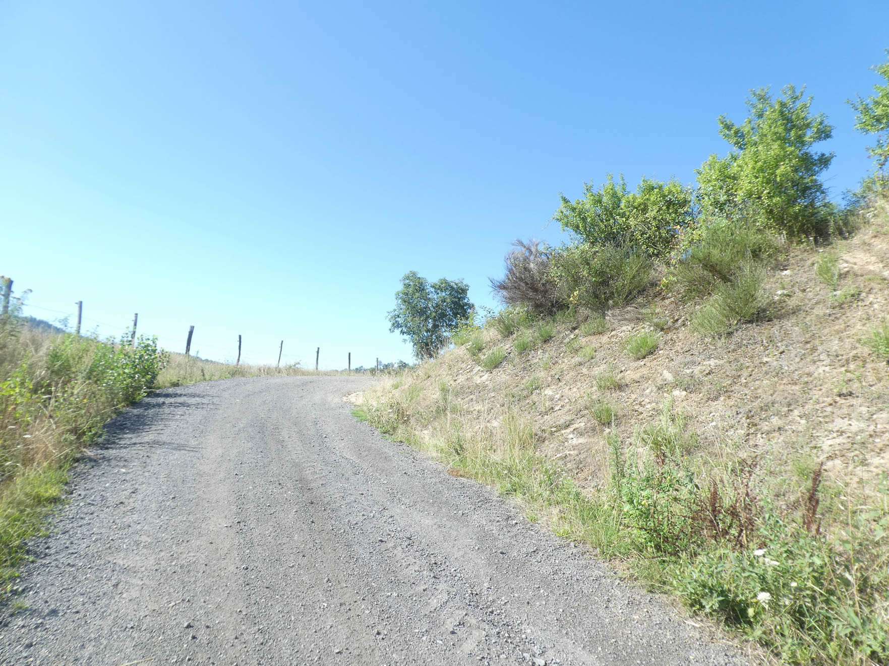
| At the top of this challenging climb, the dense coniferous forest recedes, giving way to more scattered deciduous trees as you approach Trournecol. |
 |
 |
A massive granite cross, set on a basalt base, marks the hill’s summit. From this elevated point, the gentle undulations of the hills surrounding the Puy-en-Velay basin stretch out as far as the eye can see.

| The road then descends steadily toward the scattered homes of the hamlet of Tournecol. |
 |
 |
| Tournecol is rich in heritage, with its volcanic stone constructions, its fountain, and its ancient bread oven. Only a simple nativity scene, carved lovingly from wood, stands out, adding a touch of tenderness to this rustic setting. |
 |
 |
| As you leave Tournecol, the road climbs one last time before descending gracefully through the verdant meadows, marking the end of this section. |
 |
 |
Section 4: The convergence of the Gillonay Variant and the Via Gebennensis

Overview of the route’s challenges : The route is generally easy, with most of the slopes being downhill.

|
There is a steep section here…
|
 |
 |
|
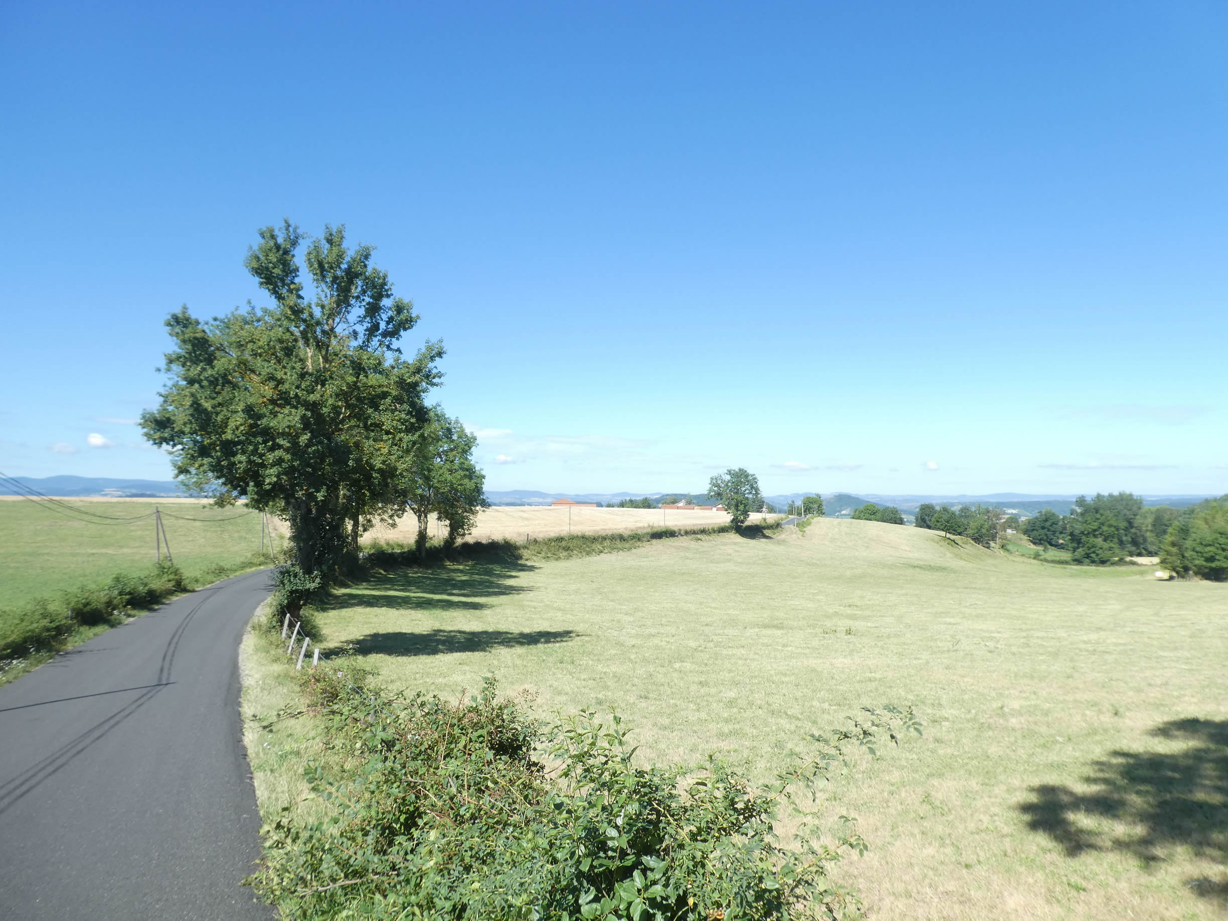
…before the road becomes gentler, unfurling like a ribbon through the meadows. Cultivated fields are few and scattered, timidly stretching between clusters of deciduous trees dotting the landscape. In the distance, the hills are cloaked in a dense, majestic, and impenetrable forest, offering a striking contrast to the open spaces.
|
 |
 |
| The road then descends into Marnhac. |
 |
 |
Before you, the Velay region reveals itself in all its grandeur, its landscape dotted with « sucs, » those volcanic peaks also known as « guards. » These formations silently watch over the surrounding plains. On the horizon, the Velay ridge emerges, inviting pilgrims to continue their journey on the Camino de Santiago after passing through Le Puy-en-Velay.

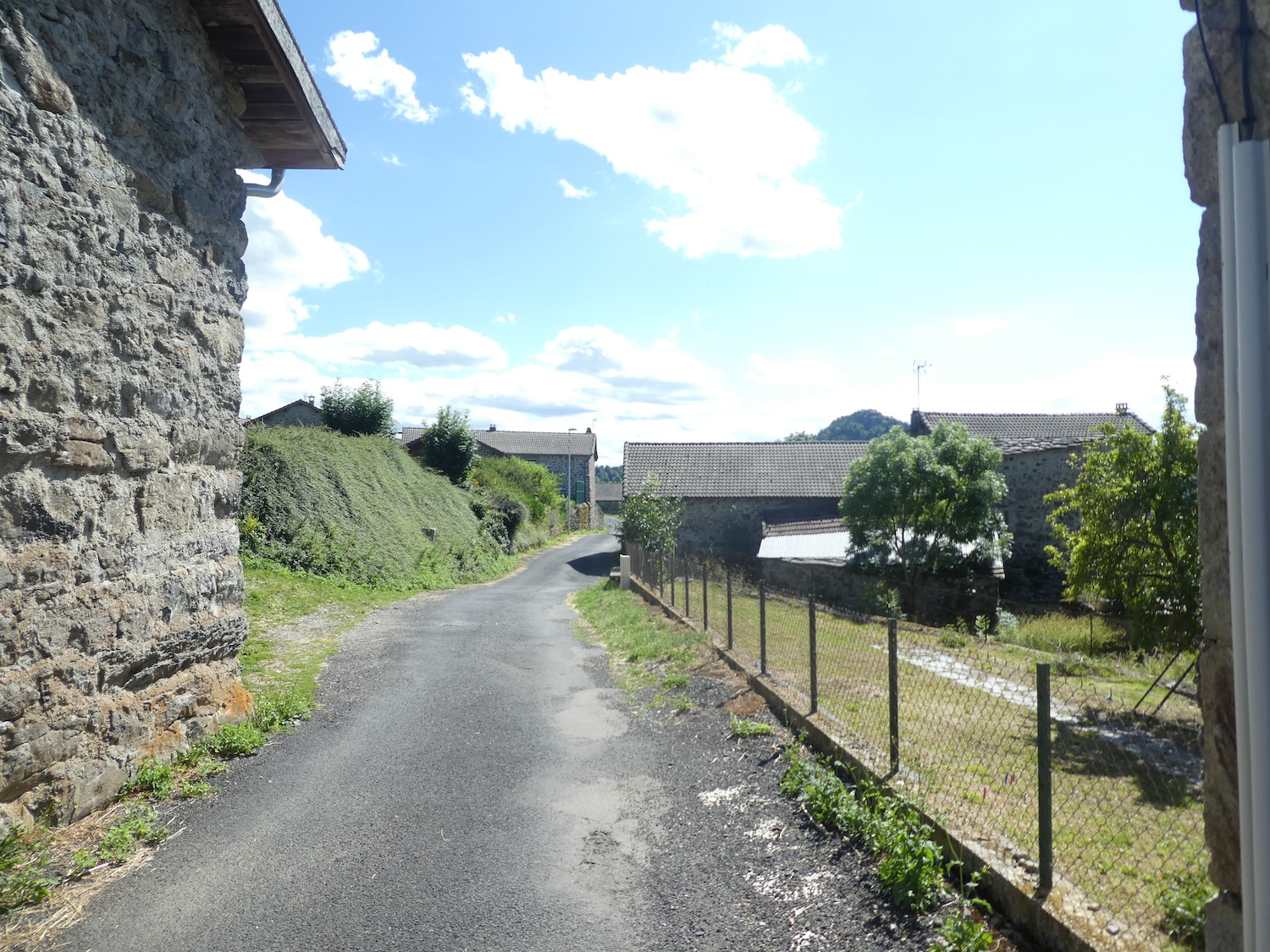
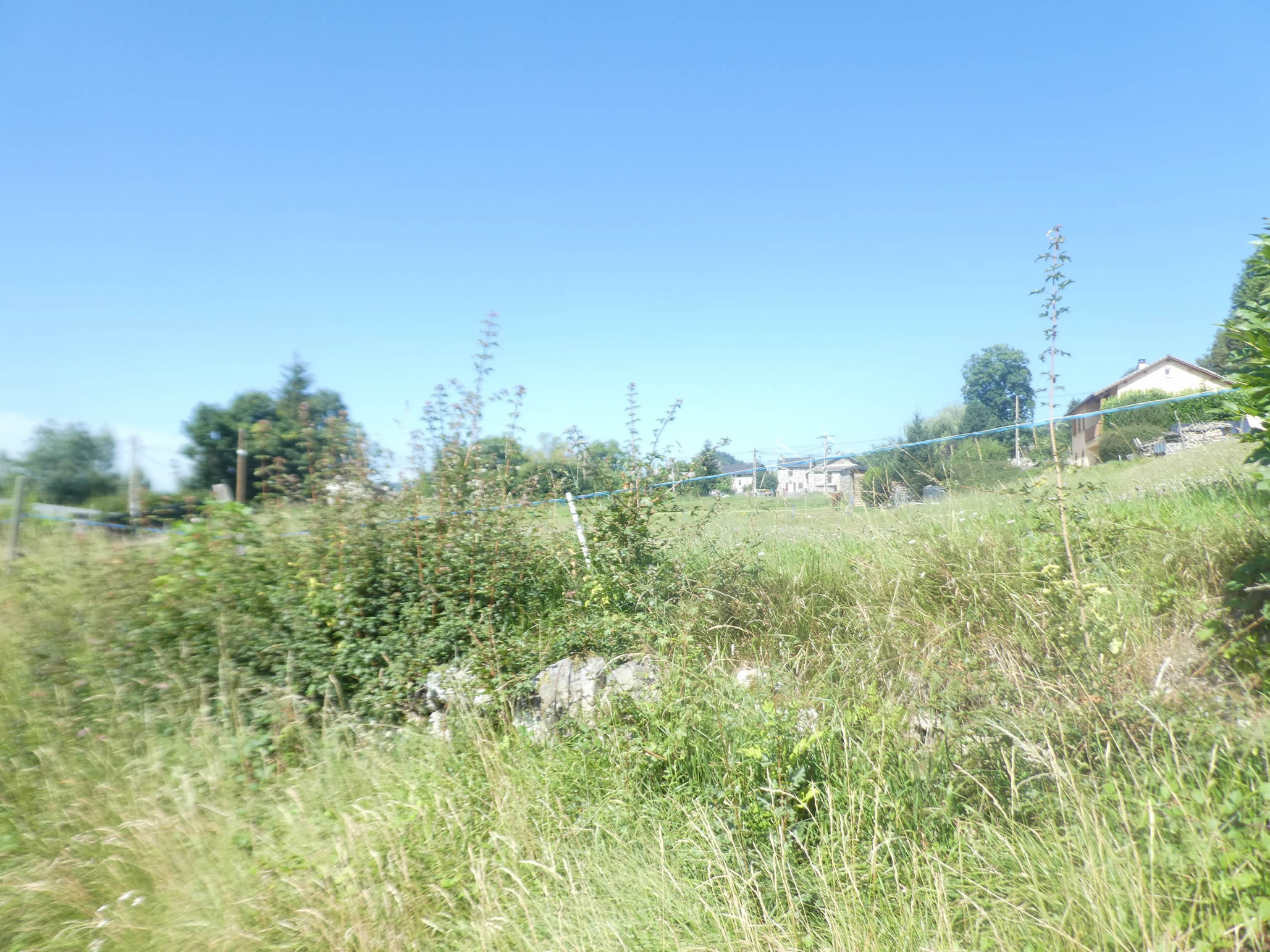
| The road takes you through a village where volcanic stones, laden with history, bear witness to their resilience and character. The agricultural soul of this place is felt at every corner, despite the lack of shops, a reality that has long been common in this region. The houses and walls, built with these dark, dense stones, tell a story of endurance and traditionn. |
 |
 |
| As you leave the village, a stone cross marks the entrance to a challenging path. This path, strewn with basalt stones, descends steeply towards the plain, resembling a torrent of rocks. The descent is a challenge, requiring careful steps, with each stone to be navigated with caution. |
 |
 |
| At the end of this steep descent, the path meets the soothing murmur of the Trende stream. Modest and discreet, this watercourse meanders through the plain, bringing a note of freshness and serenity to this stony and verdant landscape. |
 |
 |
| The D150, a semi-highway, winds towards Le Puy, while the path, humbler, diverges to the other side, gently climbing a small hill. |
 |
 |
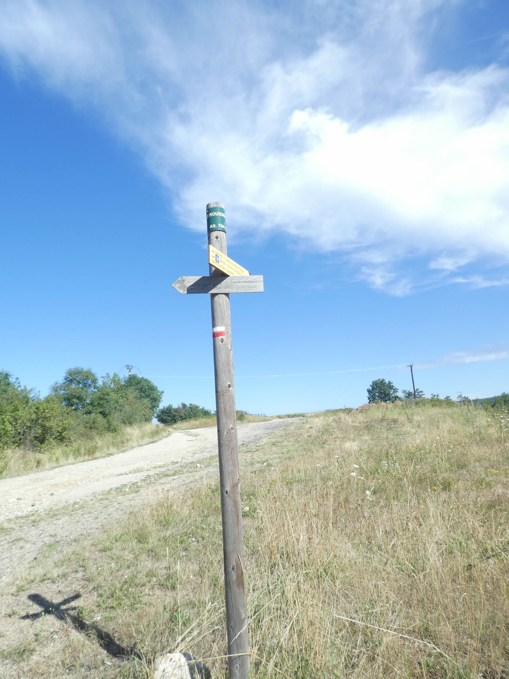
This modest ascent leads to a place called Le Broussillon, the convergence point of two GR65 routes: the Gillonay variant, returning from the Ardèche, and the traditional Via Gebennensis that you have followed up to this point. Here, the GR430, the Chemin de St Régis, also intersects with your path, having shared the route from Tence and well before Montfaucon-en-Velay, though not without some confusion.
| From this hill, a wide dirt avenue descends towards the plain, revealing a significant industrial complex. Dozens of small establishments populate this area, once dominated by the American pharmaceutical giant Merck Sharp and Dhome until 2013. Now, the group Fareva has taken over the site, specializing in the production of generic drugs. |
 |
 |
| The path then runs alongside the D150 before branching off towards St Germain-Laprade. |
 |
 |
| Further on, it crosses the suburbs, leading to an intersection at the entrance of the small town, which has a population of 3,500 inhabitants. |
 |
 |
Section 5: Before you, the Loire River appears

Overview of the route’s challenges: The route features a small hill but is generally easy.

The modern small town that stretches along the road may seem ordinary at first glance, but it is filled with essential shops, a considerable advantage for walkers.

| To truly appreciate the charm of this town, you must venture into its quaint little streets, where the past and present blend harmoniously. |
 |
 |
| St Germain Church, listed as a historic monument, is an architectural gem. Built in the 12th century in a Romanesque style, it has seen Gothic elements added over the centuries, with the last touches in the 20th century. Its distinctive bell tower and dark interior create a typically Romanesque ambiance, offering an original and mystical beauty. |
 |
 |
| Since the 12th century, barons have succeeded one another in these lands, leaving their historical mark. Today, the castle, nestled in a verdant park, remains private and closed to visitors, preserving its mystery and prestige. |
 |
 |
| To rejoin the GR65, you must descend from the old village and follow the road leading to a roundabout at the town’s exit. |
 |
 |
| Here, the GR65 takes a long, straight road, offering a seemingly endless way. Fortunately, this road is not a major departmental road, sparing pilgrims from heavy traffic. |
 |
 |
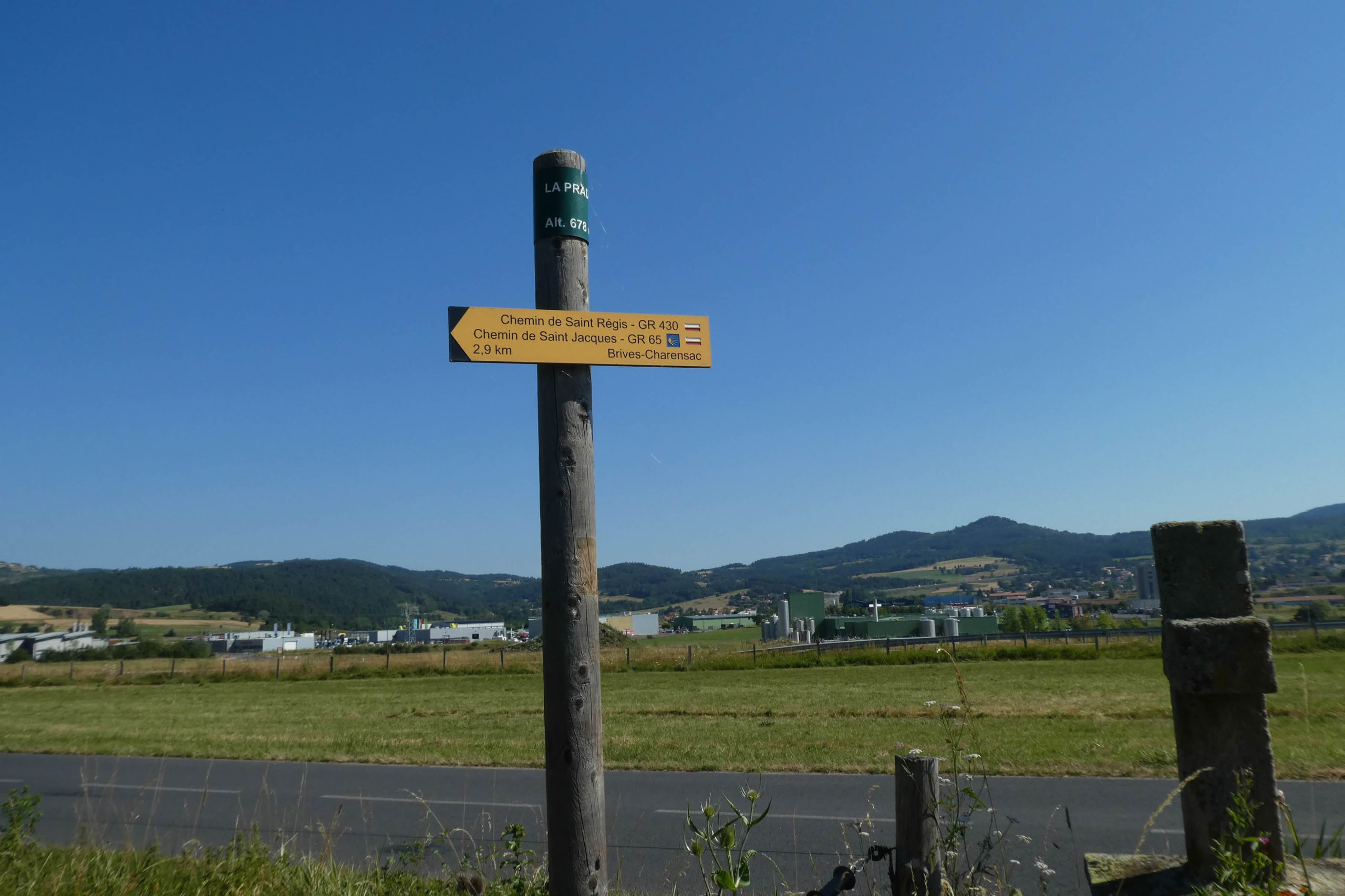
| Further along, the road runs through La Prade, a quiet suburb of St Germain-Laprade, offering a peaceful and rural landscape. |
 |
 |
In contrast, the vast industrial zone sprawls along the semi-highway, occupying the large plain dominated by the « guards » that stand on the horizon, like silent sentinels watching over the expanding modernity at their feet.

| A little further on, the road skirts the neat St Régis cemetery, exuding tranquility. |
 |
 |
| The GR65, like an old travel companion, ventures for one last escapade through woods and fields before plunging into the urban bustle. Brives-Charensac, a large suburb of Le Puy-en-Velay, is about three kilometers away, a promise of imminent arrival for the weary traveler. |
 |
 |
| The journey includes almost a kilometer of uphill climbing, with a fairly steep gradient, oscillating between mysterious woodlands and strict hedgerows. The trees, silent sentinels of this path, gradually change their composition. While the ash trees remain loyal, the maples retreat, giving way to a symphony of chestnut trees, sturdy oaks, and majestic pines. |
 |
 |
| The climb is invigorating, a peaceful immersion into an enchanting woodland, where each step feels like an invitation to meditate. The walker finds themselves surrounded by lush vegetation, a true embrace of nature that whispers ancient secrets. |
 |
 |
| The view extends majestically over the industrial zone below, a striking reminder of the duality between nature and industry, between the calm of the heights and the feverish activity of the plains. |
 |
 |
| At the top of the hill, the path emerges from the woods to meet the Chemin de Doue, an almost theatrical transition from shadow to light, from intimacy to grandeur. |
 |
 |
Here, you arrive in a world of « guards, » these hills wooded to their summits, watching over emerald meadows. At their feet lies Brives-Charensac, and beyond, the city thrives, pulsating with life.
At this point, you must be mindful of the haying season, as the trail might disappear, leading to the assumption that it’s better to cross the meadows upon seeing the red and white GR sign. But this is a mistake! The GR65 turns, and you should aim for the hedgerow and descend alongside it.

| The path quickly leaves the meadows to follow a hedgerow of deciduous trees, forming a soothing green corridor. |
 |
 |
| Along the way, you mainly encounter sturdy oaks, whose gnarled trunks tell centuries-old stories, and graceful, slender ash trees. These trees, true guardians of the path, offer a striking spectacle of majesty and serenity. |
 |
 |
| At the bottom of the descent, the path skirts the village of Malescot, nestled on a wooded « guard ». |
 |
 |
| The path then resumes a gentle descent, plunging into a dense, dark forest. Here, the trees crown above your head, creating a natural vault that filters the light, enveloping the walker in a mysterious and protective shadow. |
 |
 |
| Further on, the forest thins out, and the path gently undulates along the hedgerows of deciduous trees. This part of the journey offers visual respite, a transition from the dense darkness to more open spaces, where the gaze can wander and the mind can roam. |
 |
 |
| Soon after, the GR65 permanently leaves the woods to descend onto the road towards Brives-Charensac and the Loire River. This final section of the path, bathed in light, heralds the approach of civilization, where nature gradually yields to urbanity. |
 |
 |
Section 6: Stroll along the Loire River and the Borne River

Overview of the route’s challenges: an easy walk with no significant challenges.
|
The GR65 brings you into the town of Brives-Charensac (population: 4,100), where you suddenly find yourself amidst the vibrant bustle of civilization. The bridges here are more than mere structures of stone and steel; they bear the names and histories that divide the river into two entities: Brives and Charensac. The name « Brivas, » meaning « bridge » in Celtic, reflects this ancient connection.
|
 |
 |
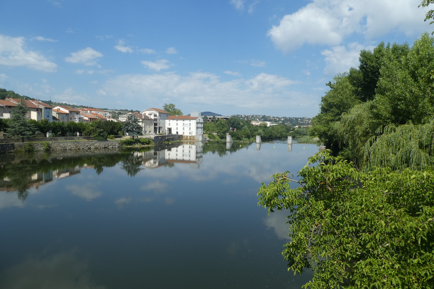
The Loire River, with an almost mystical grace, swiftly transforms from a river into a great river, a change so subtle it’s almost imperceptible. Originating just 50 kilometers from here at the Gerbier de Jonc, the Loire still retains traces of its past, like the old Pont des Chartreux. Mentioned as early as the 13th century, this bridge now lies in ruins, a silent witness to the centuries gone by. At one time, this toll bridge stretched for over 100 meters with its 89 majestic arches. However, time has not been kind: in the 16th century, a flood took one arch, and two more soon followed. By the end of the 17th century, only two arches remained, survivors of total destruction.

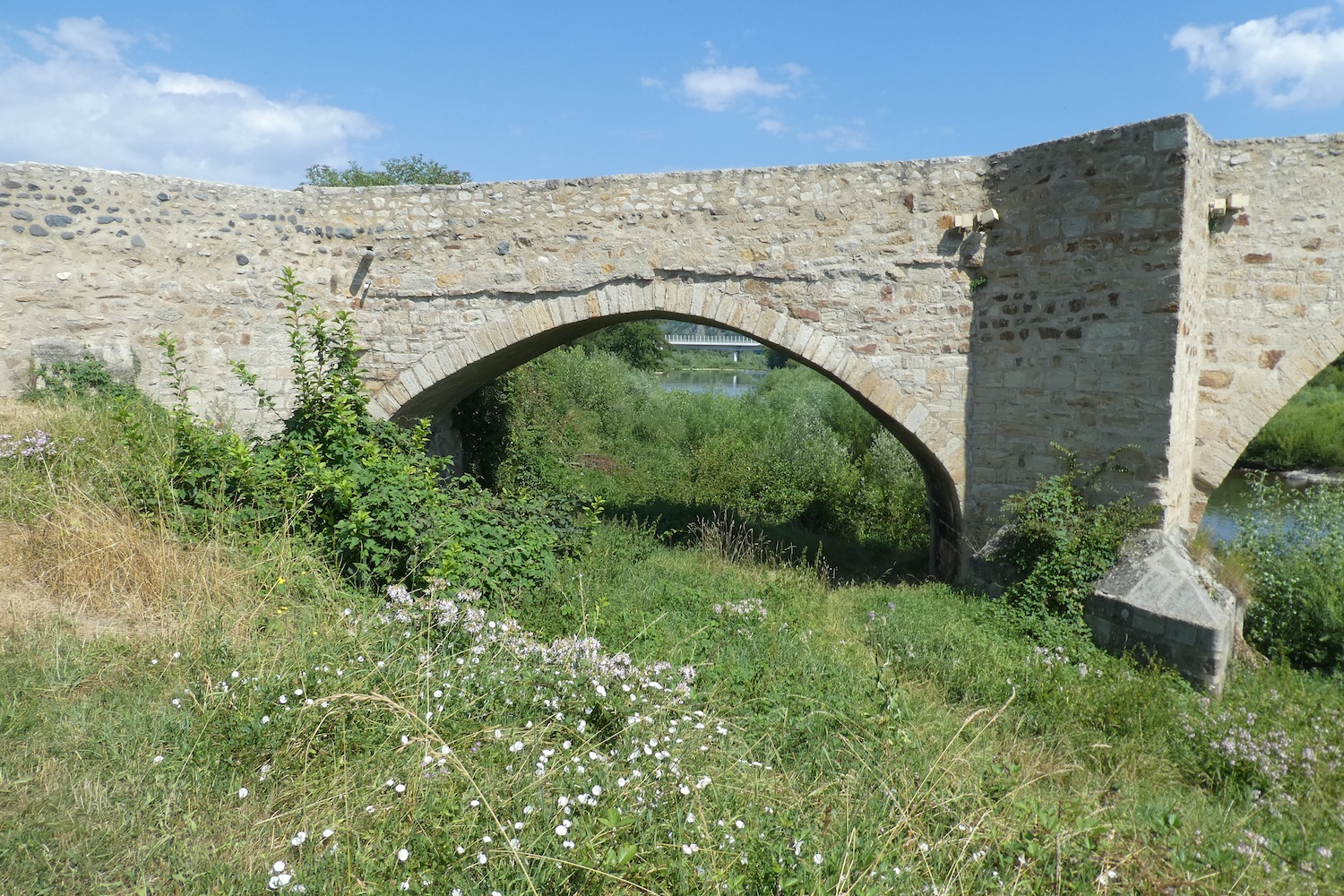
| Crossing the Loire River on the Galard Bridge, you encounter a structure that seems to defy time with almost heroic resilience. This bridge, too, has faced the trials of history and was reconstructed at the end of the 18th century thanks to the efforts of Monseigneur de Galard, Bishop of Le Puy and Count of Velay. A visionary, he secured funds from the Assemblies of Velay and Languedoc to erect this monument. The current bridge, now named after Galard, spans 97 meters in length and 9 meters in width, with its five arches and two arches standing as a lasting tribute to its benefactor. The GR65 descends under the bridge via stairs near the river, an invitation to explore the history embedded in every stone. |
 |
 |
| Le Puy, the guardian of promises still distant, appears more than five kilometers away as you follow the embankment along the river, in a scene almost peaceful, imbued with a meditative serenity. |
 |
 |
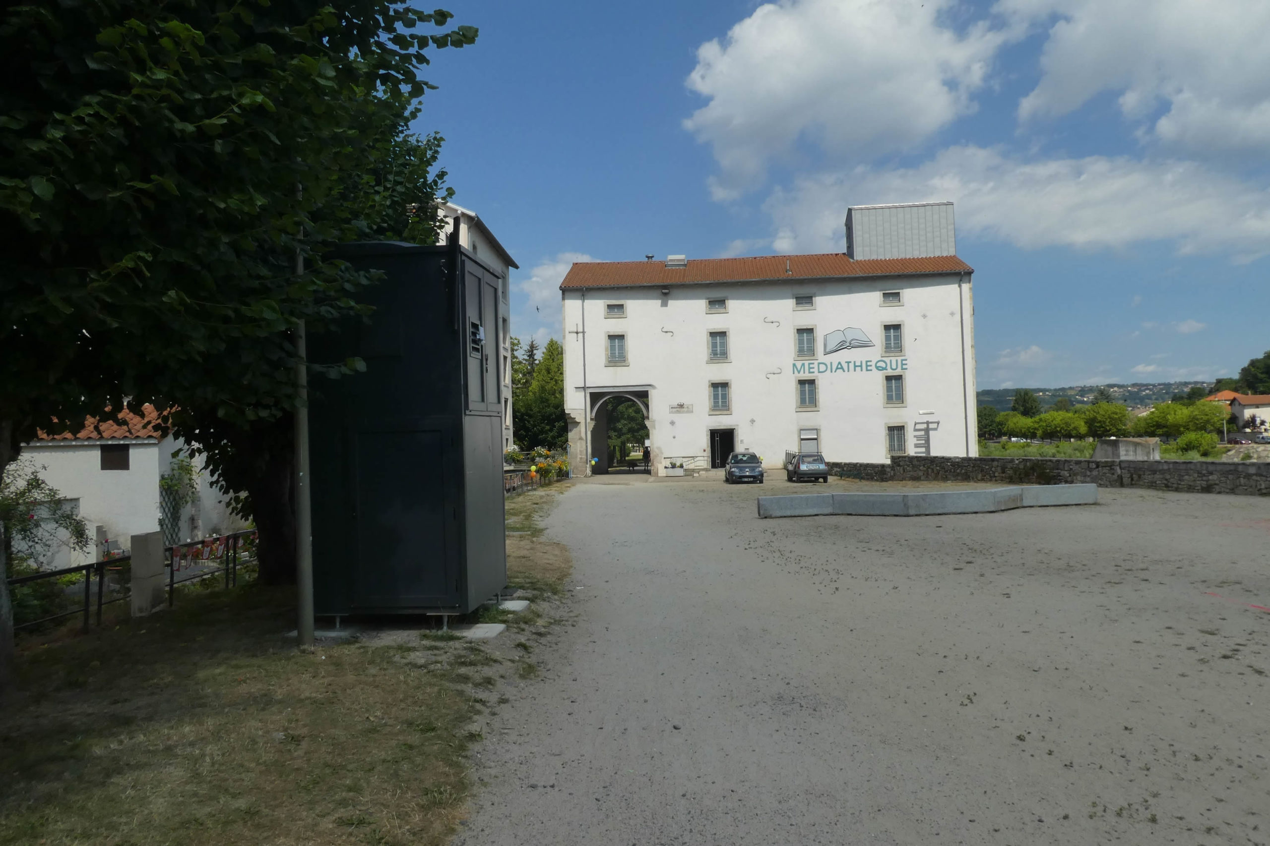
| A dirt road takes you past a media library, a symbol of knowledge and calm, before skirting a large water retention basin—a liquid mirror capturing the sky. |
 |
 |
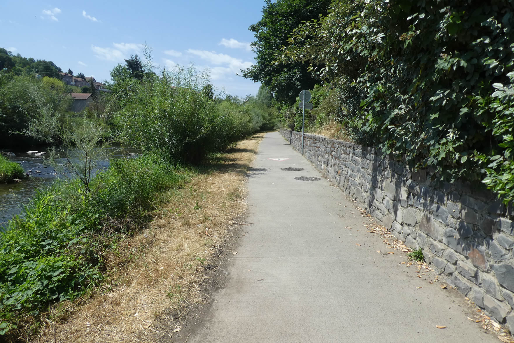
| It then meanders along the Loire River, bordered by a majestic hedge of silver maples planted along the river and further along towards the Borne. The water here is off-limits to swimmers, turning the river into a silent, untouchable muse. |
 |
 |
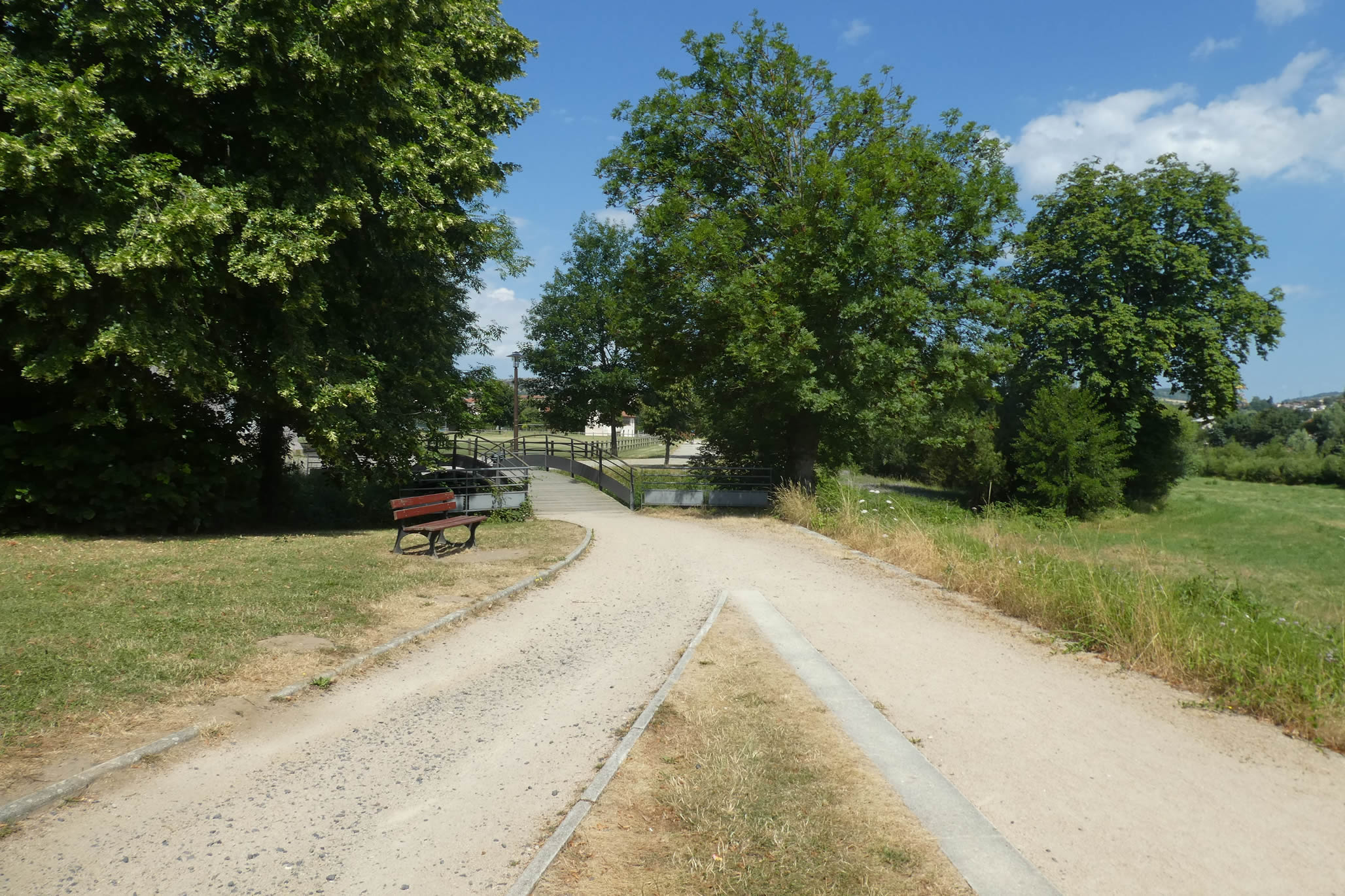
| This quiet walk, mainly frequented by dog owners, comes to life with simple, everyday scenes. A bit further on, a small bridge crosses a stream, and the route runs along a sports area, a transition between the natural and the crafted, between calm and human activity. |
 |
 |
| Beneath the towering maples, the path gracefully leads to the Pont de la Chartreuse. Brives-Charensac is a saga of bridges, woven over time. In the past, no less than five bridges spanned the impetuous Loire. This river, both capricious and powerful, has experienced many devastating floods that, over the centuries, swept away these works of art. The Pont de la Chartreuse, too, tells a fascinating story. Originally made of wood in Celtic times, it was replaced by a stone bridge under Roman rule, serving as a toll crossing. By the early 13th century, it was known as « Pont Plancher, » likely due to its wooden deck. The current bridge, rebuilt in masonry in the 15th century, originally had five arches. The capricious Loire destroyed one in 1790, which was replaced by a ramp. Classified as a historical monument since 1914, it is now very narrow, measuring only two meters wide. Traffic is impossible, especially since a flood in 1980 also swept away the access on the other bank. |
 |
 |

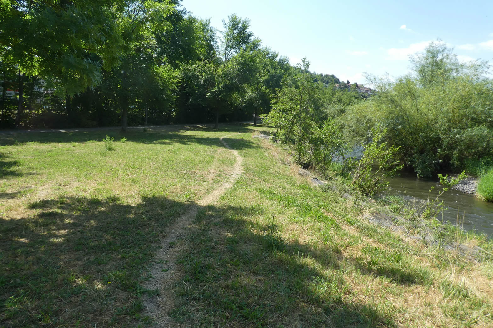
| The walk then leaves the Pont de la Chartreuse behind, taking a narrow path that plunges you into an area where paved roads have no place. The trail continues to follow the Loire, though the river remains out of sight. |
 |
 |
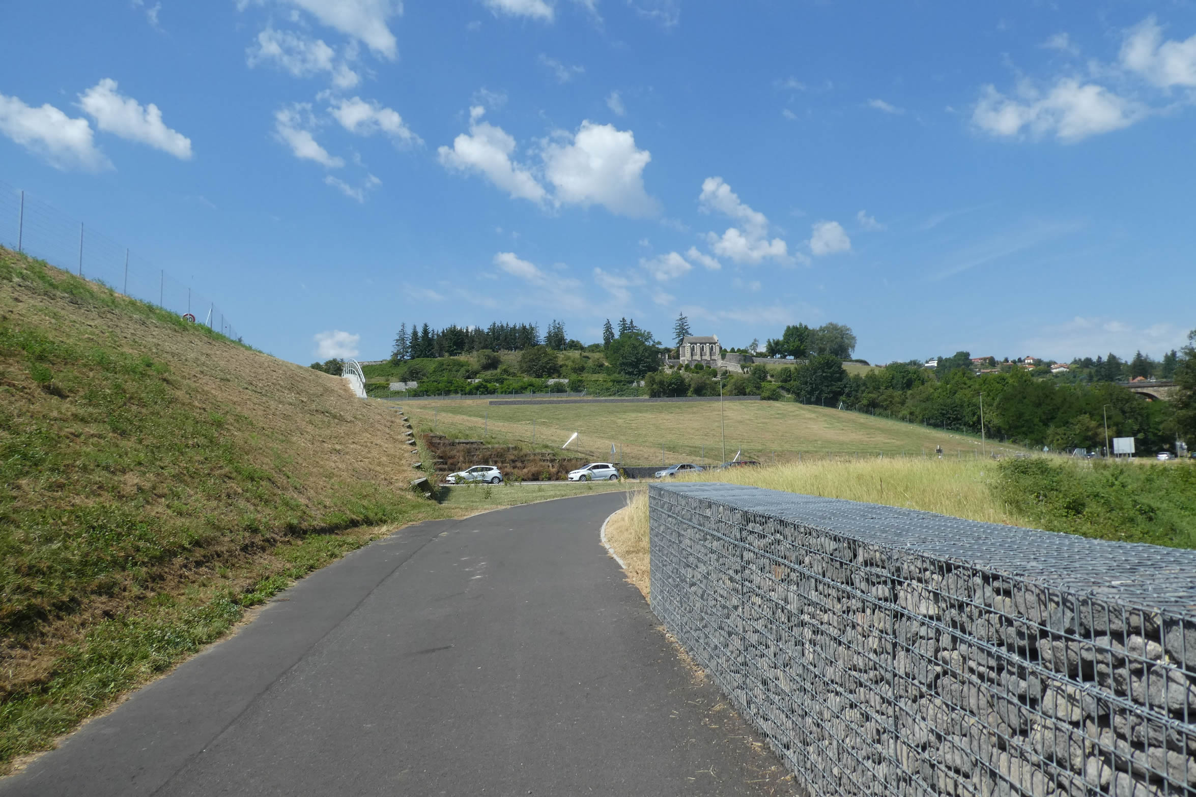
Soon, the coastal path leads you near the new infrastructures of the RN88, the major route linking Le Puy-en-Velay to Saint-Étienne and Lyon. If you had walked these places a few years ago, you would struggle to recognize them now. Once a scene of great confusion and frequent traffic jams, the area has been transformed into a space where order and fluidity reign.

| The route stretches along this road complex, passing under a ramp. |
 |
 |
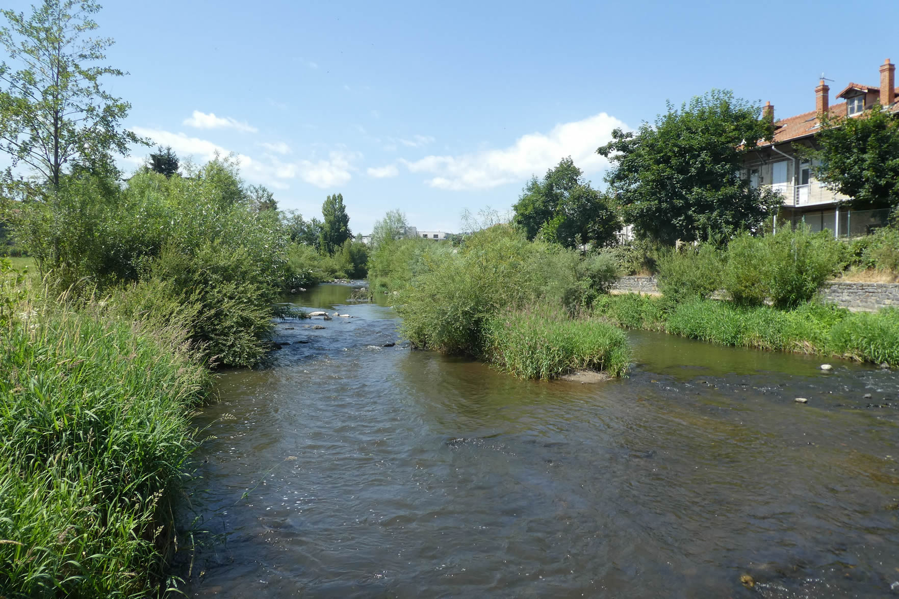
| Here, you part ways with the Loire River to meet another watercourse: the Borne River. This nice river now accompanies your walk, winding and bypassing Le Puy-en-Velay by the heights south of the city. |
 |
 |
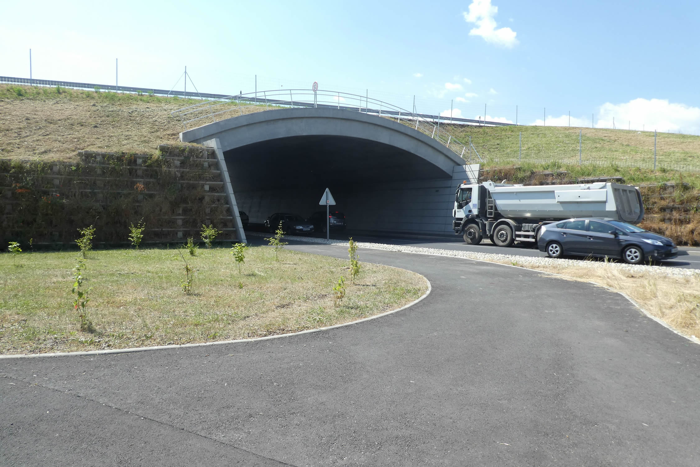
| The route then arrives at the hub of the city’s road network. But don’t worry, it won’t dive into the tunnel that swallows vehicles. . |
 |
 |
| Instead, it follows, on a narrow dirt strip, the former main access road to the city, shortly after passing under the railway line. |
 |
 |
| The path then wanders somewhat into the wild, leisurely following the Borne River, which murmurs alongside. |
 |
 |
| …until it reaches the rugby stadium, a proud landmark of the city’s club. |
 |
 |
| Beyond the stadium, the GR65 passes under a bridge where a boulevard runs and enters a green park. Here you find the hospital and a large shopping center, a crossroads of modernity. |
 |
 |
| The Borne River, still playful, continues to joyfully hop alongside you, adding a watery melody to your walk. |
 |
 |
| At the exit of the park, the GR65 crosses the Borne River on a cement jetty, offering a peaceful panorama of this river loved by fishermen and nature lovers alike. Wild, the Borne enchants with its many facets: cool and welcoming in summer, tumultuous and in flood in autumn, and frozen under ice in winter. |
 |
 |
| The route then climbs the Gué Sainte-Marie, now placing the Borne River on the left side of the hiker, a faithful yet ever-changing companion. |
 |
 |
| Further along, the river becomes capricious, tumbling in sparkling cascades from a high perched water basin, a natural spectacle of enchantment. |
 |
 |
| The water turns dark and brown, flowing along a pleasant walk where the deciduous trees seem to joyfully paddle in this murky water, adding a touch of life to this scene. |
 |
 |
| Soon after, a boulevard crosses the river, and the route ducks under an arch of the bridge, marking a transition between nature and urbanity. |
 |
 |
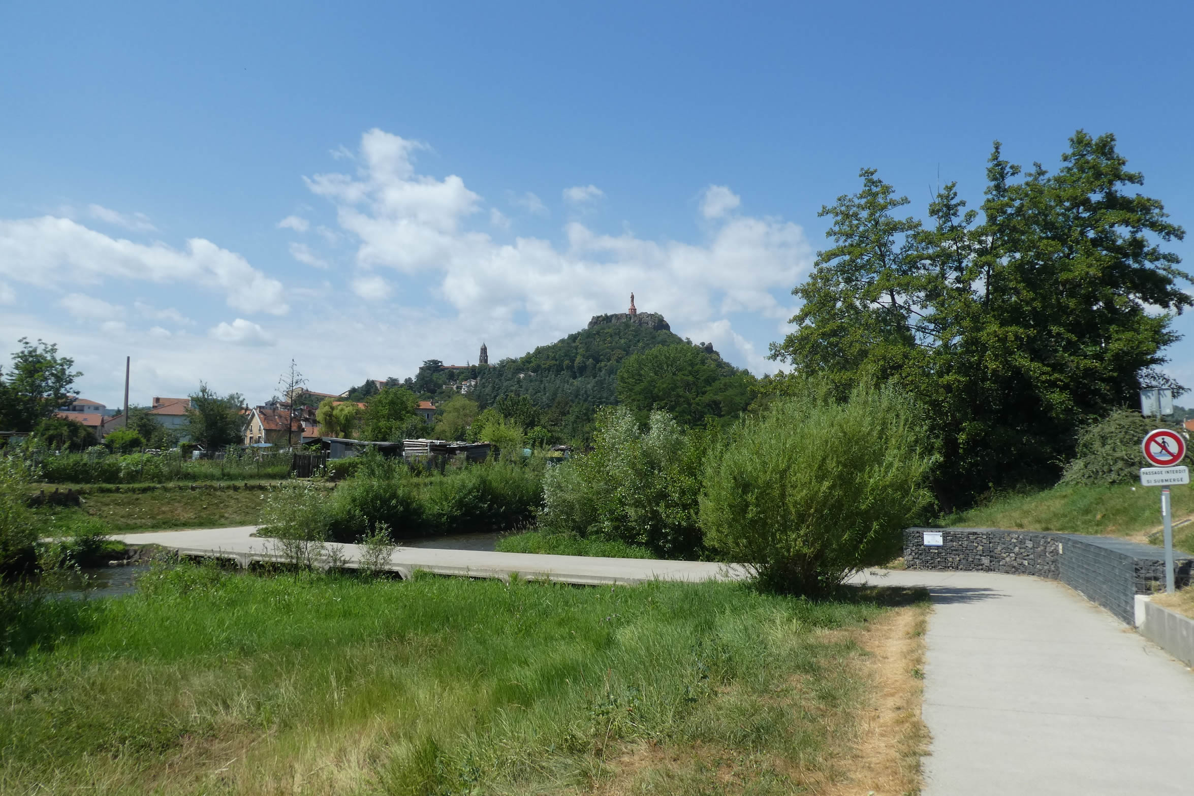
| Then, the emblem of all the postcards of Le Puy and amateur photographers appears: the red statue of Notre-Dame de France, majestic, towering on the hill, watching over the city. Below, the cathedral’s bell tower points towards the sky, adding a solemn note to this panorama. |
 |
 |
| Here, to vary things a bit and divert the hiker’s attention, the route crosses the Borne again, offering a new perspective on this untamed river. . |
 |
 |
| The route continues its peaceful stroll along the river, under the benevolent shade of tall trees, an enjoyable walk that is soon to end. |
 |
 |
| Further head, on a vast square, another wonder of the city is revealed, between earth and sky: the rock of Saint-Michel d’Aiguilhe, an awe-inspiring spectacle. |
 |
 |
| Beneath the willows, plane trees, and silver maples, lies the Pont Tordu, another picturesque bridge of the region. |
 |
 |
In Aiguilhe, you are just steps away from the city center. If you have the time, take an extra day to visit this extraordinary city of Le Puy-en-Velay, where every street corner breathes history and beauty.

Official accommodations on the Via Gebennensis
- Les Yourtes de la Chapuze, La Chapuze; 06 87 49 14 25; Guestroom, dinner, breakfast
- Marinette Roubin, Maisonneuve, St Julien-Chapteuil; 04 71 08 75 48/06 64 63 75 55; Guestroom, dinner, breakfast
- André Gallien, 7 Rue de Granges, St Julien-Chapteuil; 04 71 08 75 40/06 84 21 41 19; Guestroom, dinner, breakfast
- Hôtel Barriol, St Julien-Chapteuil; 04 71 08 70 17; Hotel, dinner, breakfast
- La Glycine, Marnhac; 04 71 03 52 39/ 06 59 13 92 90; Guestroom, dinner, breakfast
- Camping municipal, Brives-Charensac; 04 71 09 10 18; Gîte, breakfast
- La Maison des Chartreux, 6 Rue St Vozy, Brives-Charensac; 04 71 02 18 11/06 17 49 32 75; Guestroom, dinner, breakfast
- Hôtel Deltour, 4 Rue Genebret, Brives-Charensac; 04 71 05 92 23; Hotel, dinner, breakfast
- Gîte Du Pèlerin St Jacques, Rue du Colonel Polignac 28, Le Puy-en-Velay; 04 71 09 43 92/06 37 08 65 83; Gîte donativo
- Auberge de Jeunesse, Centre Pierre Cardinal, 9 Rue Vallès, Le Puy-en-Velay; 04 71 05 52 40; Gîte, breakfast
- Gîte Accueil chrétien St François, 6 Rue St Mayol, Le Puy-en-Velay; 04 71 05 98 66/06 63 81 48 37; Gîte, dinner, breakfast
- Chambre d’hôtes Jocelyne de Los Santos, 2 Rue du Cardinal Polignac, Le Puy-en-Velay; 06 86 66 22 51/04 71 02 00 87; Guestroom, breakfast
- Chambre d’hôtes La Sylve, 29 Rue des Capucins, Le Puy-en-Velay; 06 11 12 51 77; Guestroom, breakfast
- Chambre d’hôtes Marie-Odile Richard, 6 Rue du 11 Novembre, Le Puy-en-Velay; 06 30 16 78 75/04 63 20 25 03; Guestroom, breakfast
- Chambre d’hôtes Logis Meymand, 24 Rue Meymand, Le Puy-en-Velay; 04 71 09 63 24/06 62 72 35 69; Guestroom, breakfast
- Une coquille sous l’Oreiller, 15 Rue Raphaël, Le Puy-en-Velay; 06 95 43 97 03; Guestroom, breakfast
- Gîte-Hôtel des Capucins***, Rue des Capucins 29, Le Puy-en-Velay; 04 71 04 28 74; Gîte &t Guestroom, breakfast
- Gîte Accueil chrétien St Georges, 4 Rue St Georges, Le Puy-en-Velay; 04 71 09 93 10/06 63 81 48 37; Guestroom, dinner, breakfast
- Les Jardins de Champfleury, 133 bis Av. du maréchal Foch, Le Puy-en-Velay; 06 84 39 46 82/04 71 02 36 75; Guestroom, dinner, breakfast
- Hôtel Dyke**, 37 Boulevard Maréchal Fayolle, Le Puy-en-Velay; 04 71 09 05 30; Hotel, breakfast
- Hôtel Le Chris’tel***, 15 Boulevard Alexandre Clair, Le Puy-en-Velay; 04 71 09 95 95; Hotel, breakfast
There are more than 500 beds in Le Puy-en-Velay. The number of pilgrims on the Via Podiensis generally ranges between 100 and 200 people. There are no difficulties here. For more details, the guide of the Friends of Compostela keeps a record of all these addresses, as well as bars, restaurants, or bakeries along the route.
Feel free to add comments. This is often how you move up the Google hierarchy, and how more pilgrims will have access to the site.
|
 |
Next stage : Stage 15: Visit to Puy-en-Velay |
|
 |
Back to menu |