From the department of Ardèche to that of Haute-Loire
DIDIER HEUMANN, ANDREAS PAPASAVVAS
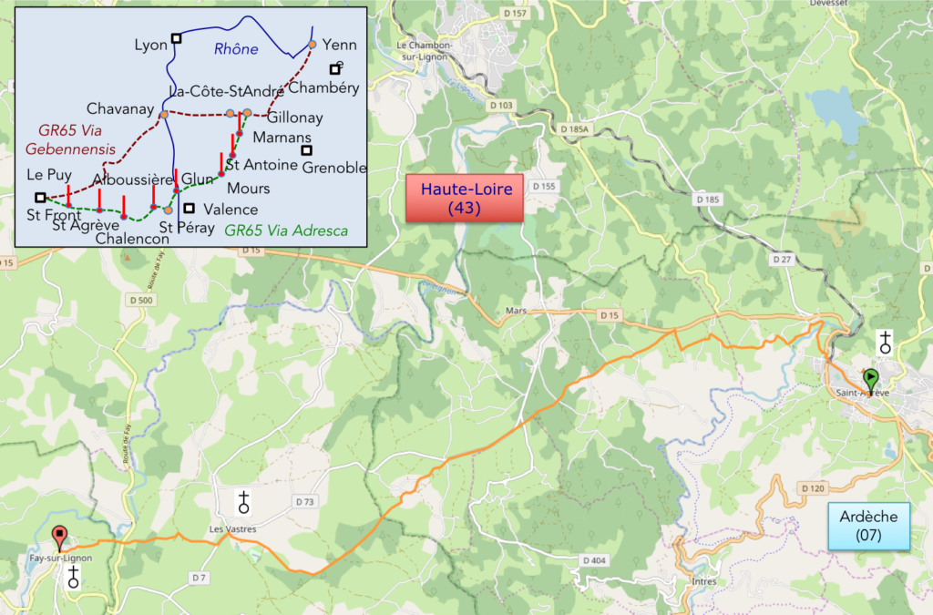
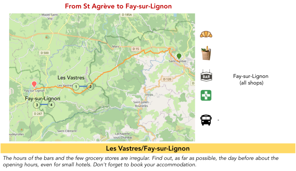
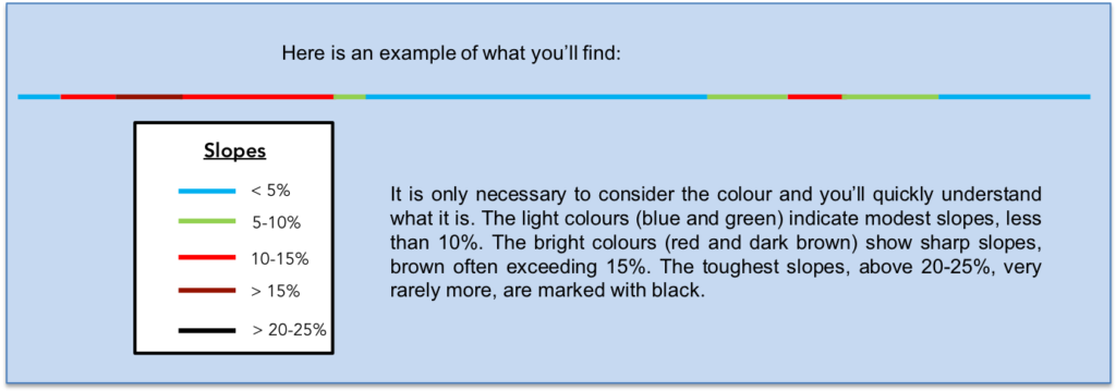
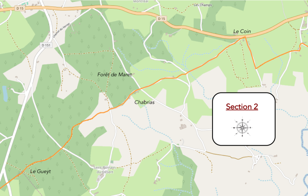
We divided the course into several sections to make it easier to see. For each section, the maps show the course, the slopes found on the course, and the state of the roads. The courses were drawn on the “Wikilocs” platform. Today, it is no longer necessary to walk around with detailed maps in your pocket or bag. If you have a mobile phone or tablet, you can easily follow routes live.
For this stage, here is the link:
https://fr.wikiloc.com/itineraires-randonnee/de-st-agreve-a-fay-sur-lignon-par-la-via-gebennensis-adresca-33100158
It is obviously not the case for all pilgrims to be comfortable with reading GPS and routes on a laptop, and there are still many places in France without an Internet connection. Therefore, you’ll find soon a book on Amazon that deals with this course.
If you only want to consult lodging of the stage, go directly to the bottom of the page.
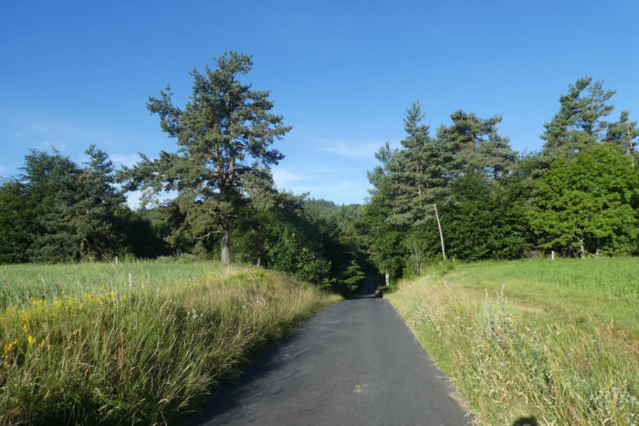
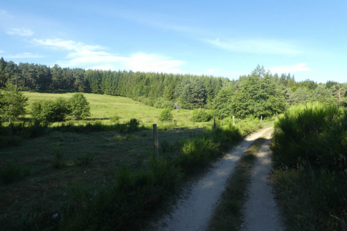
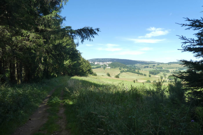
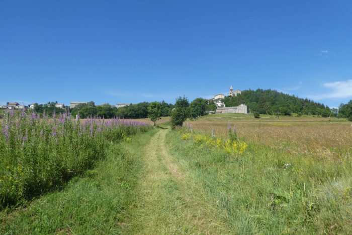
| The plateau of St-Agrève, at an altitude of 1000 m, alternates forests and meadows, between vast landscapes and more restricted spaces. It is the image of an altitude countryside, it looks like quiet pastures. The summits and slopes are rather covered with meadows, the hollows with groves, where conifers, including spruces and Douglas firs, dominate. In places, the landscapes are truly extraordinary, when the forest hugs the pastures. You’ll walk on a kind of belvedere, where the edge of the plateau plunges into the valley below and where the strange emblematic silhouette of Mont Mézenc constantly stands out, which you skirt in the distance, as a synonym of openness, depth, even mystery. Volcanoes have always fascinated people.
Today, you’ll walk from the Ardèche department to that of Haute Loire, without transition. It is the same country, the same landscape. In beauty everything is relative, but we can say that this stage undoubtedly crosses the most beautiful landscapes of northern Ardèche, because everything is there: the meadows, the forests and the tranquility of the place. The region is crisscrossed by GR. Here pass GR7, GR420 and GR430 tracks. Until Fay-sur-Lignon, Via Adresca follows all these GRs. You can therefore rely as much on the red and white bands of the GR as on the shell of Compostela. There are only two sections where a small divergence between the tracks is marked. Again, we cut the pear in half. You can of course go in one step to St Front, over 27 kilometers.
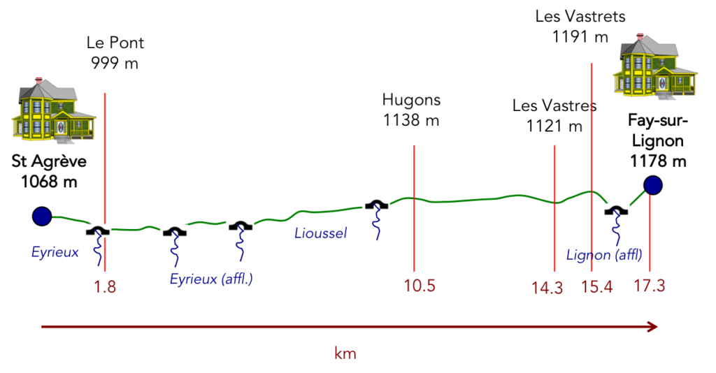
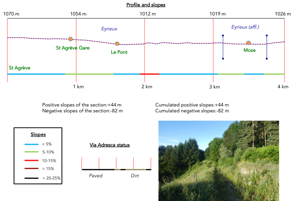
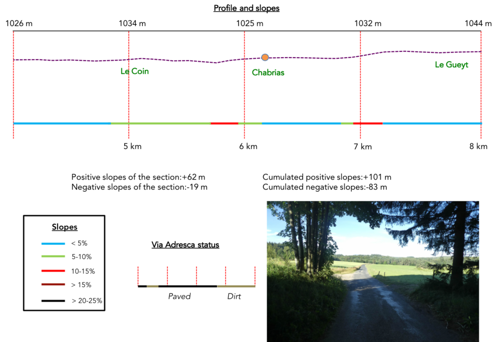
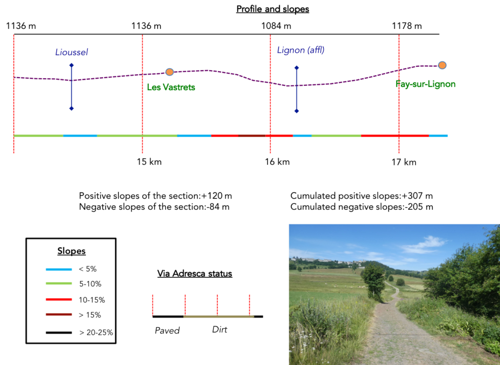
Difficulty of the course: Slope variations (+307 meters/-205 meters) are not very marked on the stage. It is only around Fay-sur-Lignon that the slopes are steeper to descend into the hole made by the Lignon River, then climb up to the village at the top of the hill.
|
Today, the courses on paved roads and dirt rods are quite equivalent:
- Paved roads: 8.1 km
- Dirt roads: 9.2 km
Sometimes, for reasons of logistics or housing possibilities, these stages mix routes operated on different days, having passed several times on Via Podiensis. From then on, the skies, the rain, or the seasons can vary. But, generally this is not the case, and in fact this does not change the description of the course.
It is very difficult to specify with certainty the incline of the slopes, whatever the system you use.
For “real slopes”, reread the mileage manual on the home page.
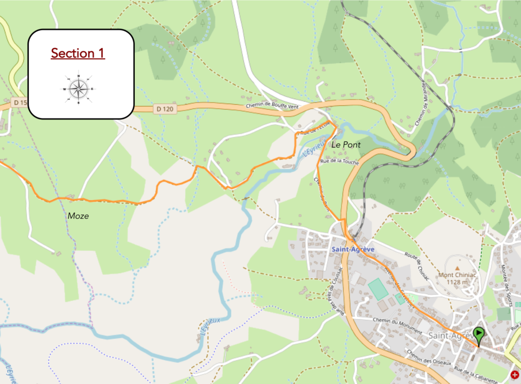
Section 1: Walk on the plateau of St Agrève.
General overview of the difficulties of the route : course without any difficulty.
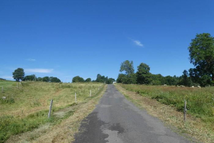
| Via Adresca leaves today from the exit of St Agrève, near the Velay Express station. From the start, it is common with the GR7, GR420 and GR430 tracks. It flattens on the road to Le Pont. |
 |
 |
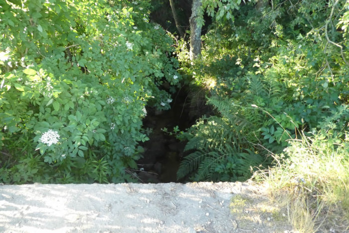
| In Le Pont, the road crosses the Eyrieux River, which here is just a large stream. However, the Eyrieux is one of the major rivers of the Ardèche, a river that joins the Rhône River, in a very deep, secret valley, where the train once passed and where the Dolce Via passes today for hikers. You skimmed the valley near St Julien-Labrousse and Chalencon. |
 |
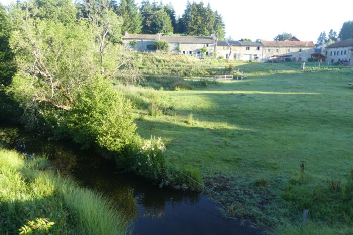 |
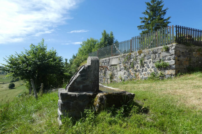
| Shortly after, Via Adresca leaves the village at the level of the communal washhouse, a beautiful work of sealed stones. |
 |
 |
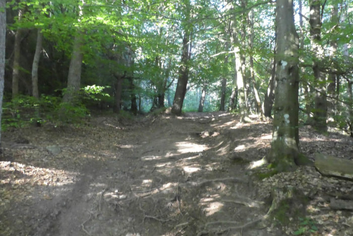
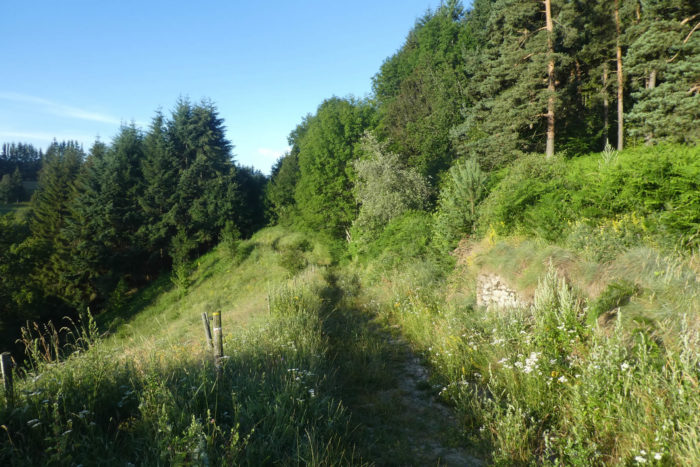
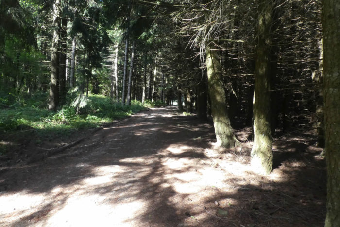
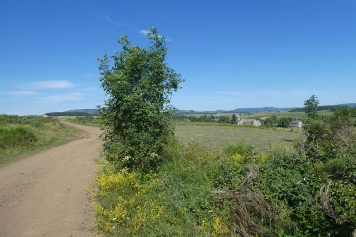
| A narrow pathway then runs into the undergrowth, first into the conifers, then into the maples, the ashes and some chestnut trees. |
 |
 |
| Further on, Via Adresca hesitates between dirt, sand and even tar, between conifers and leafy trees. Here, the ash trees often take up more and more space. |
 |
 |
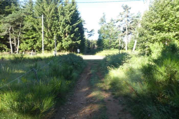
| A wide dirt road then crosses the undergrowth. Here, the signs of the GR and the Via Adesca streak the trees. You have no right to get lost! |
 |
 |
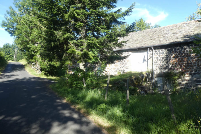
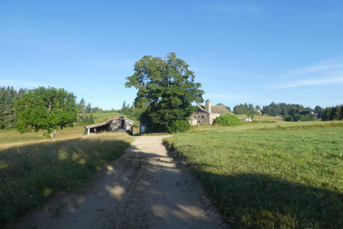
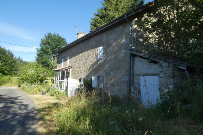
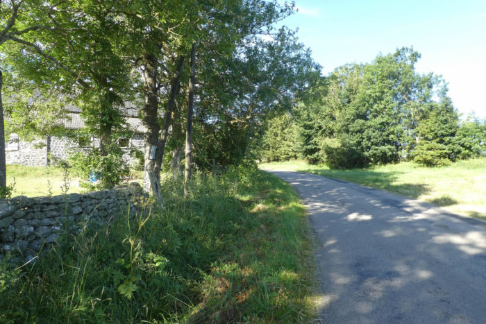
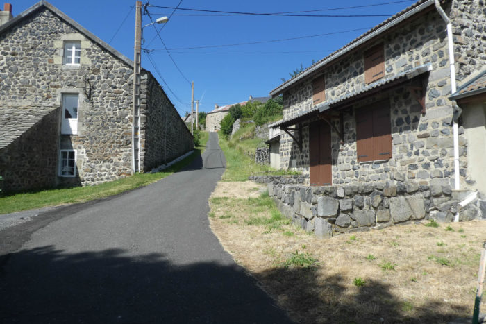
At the exit of the wood, the pathway heads to a magnificent stone farmhouse under the trees. The region rests on a granite base, which has been used for a long time for local construction.

| A little further on, the pathway finds one of the many tributaries of the Eyrieux River. |
 |
 |
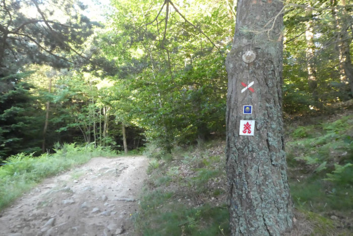
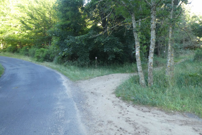
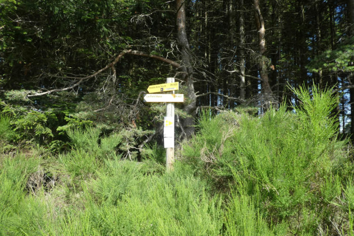
| Then, at the entrance to a glade, pay close attention to the signs. You see that Via Adresca, the road to Compostela marked by the shells, separates from the GR in red and white. Every trail maker wants to keep his originality, which in fact often brings more confusion for the hiker. So, here Via Adresca will follow a PR path (short hike), marked in yellow and white. Further on, all paths will meet again! |
 |
 |
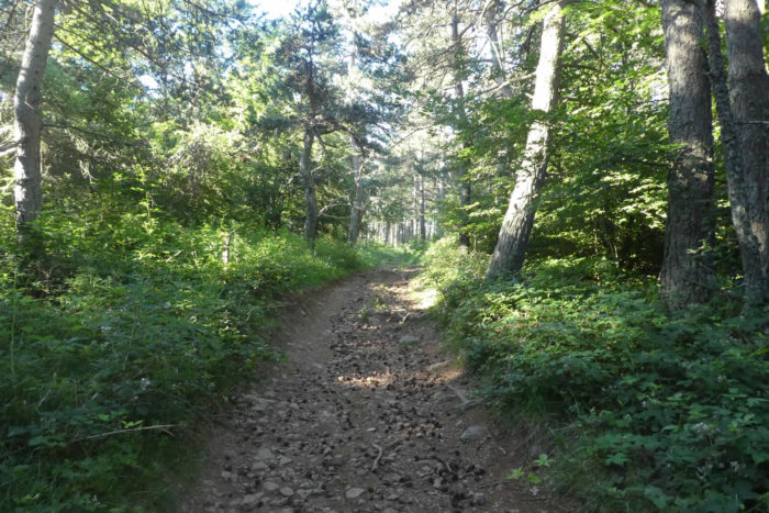
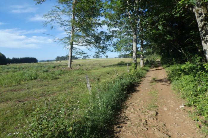
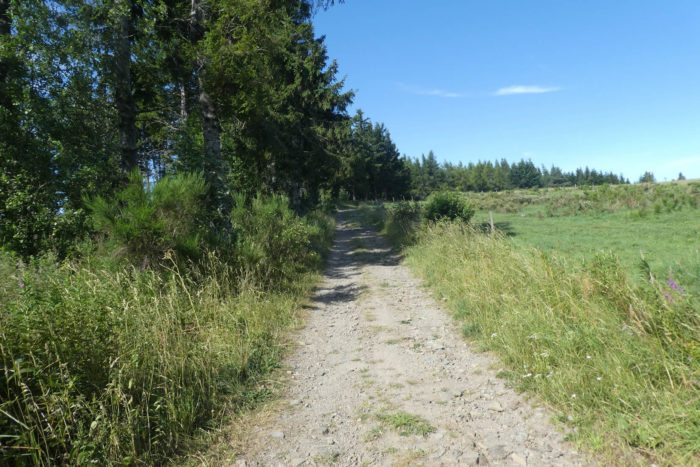
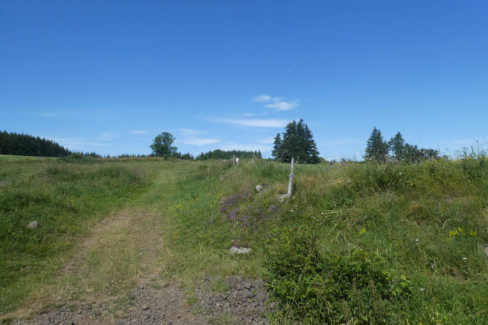
| Here, a gray dirt road crosses the undergrowth, among the ferns under the pines, then emerges in the meadows. The plateau is over 1,000 meters high, a bit high for the chestnut trees, which hardly survive above 800 meters. But why do people keep memories of vacations in the corner of the woods, in such beautiful nature? |
 |
 |
| Shortly after, the pathway arrives at the hamlet of Moze hidden under the big ash tree. |
 |
 |
| For several days you have been crossing almost compact forests of chestnut trees. Here, the ash trees take over, almost to Le Puy. The countryside is superb here. |
 |
 |
Section 2: In the forests of the St Agrève plateau.
General overview of the difficulties of the route : course without any difficulty.
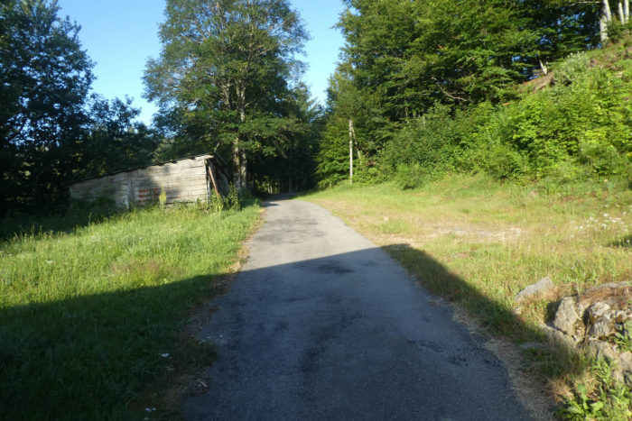
| Further on, the pathway, which spends a moment in the grass, finds a small paved road. |
 |
 |
| Shortly after, the road arrives at a crossroads, which leads to Flossac Castle, but does not go there. On the horizon, behind the rows of spruce trees, still the ridgeline of the Cévennes and Puys, dominated by Mont Mézenc. From here, the via Adresca and the GR are once again the same. |
 |
 |
| Then, a wide dirt road runs back into the meadows, in the shade of ash trees, pines and maples. |
 |
 |
| It’s really a nice walk, in an intact, gentle and welcoming nature. Further on, the pathway ends on tarmac. |
 |
 |
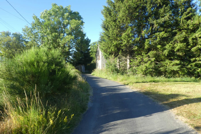
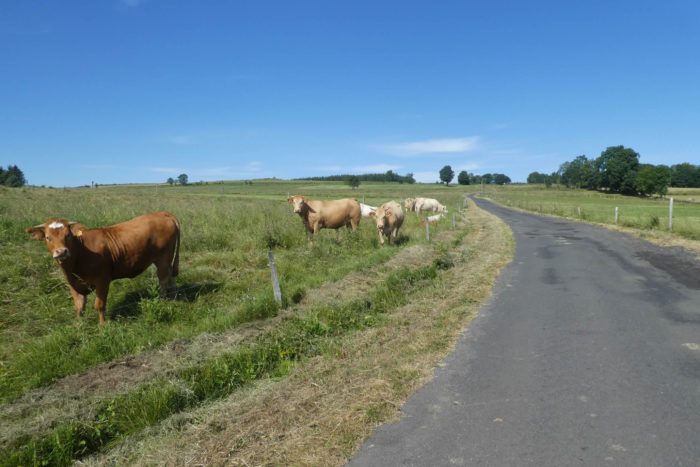
| Further on, the small road runs through the meadows towards the hamlet of Le Coin, in the middle of the beautiful Abondance, the mountain cows of Reblochon, who also like it here, at altitude. |
 |
 |
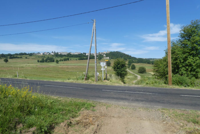
| The road soon gets to the departmental D15 road, the axis which goes from St Agrève to Le Puy-en-Velay. |
 |
 |
| Here, Via Adresca does not follow the D15 road but smoothens between undergrowth and meadows towards the forest, always under pines, spruces, ashes and maples. In front of you spread out the forests that you can guess are rich in conifers, pines in particular. |
 |
 |
| Further afield, the road then enters the great forest of Maret. |
 |
 |
| A small pathway makes a detour to avoid the road, but quickly you’ll find the road back. |
 |
 |
| Further ahead, the road continues in the forest, then finds a clearing. |
 |
 |
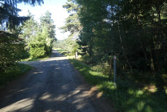
| At a small crossroads, Via Adresca takes the direction of a place known as Le Gueyt. |
 |
 |
| In the region, there is no village, nor even a hamlet. Here, only a house where the donkeys take the cool under the ash trees. |
 |
 |
| Immediately after a probably abandoned farm, the road stops and a pathway runs back into the woods. |
 |
 |
| If from a distance the forest may seem compact, with spruces, in fact, here the forest is mixed, with sometimes beech, ash, hornbeam or maple, sometimes spruce and pine. |
 |
 |
| Shortly after, the pathway leaves the forest for a moment to join a small road. |
 |
 |
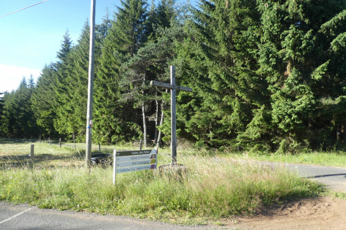
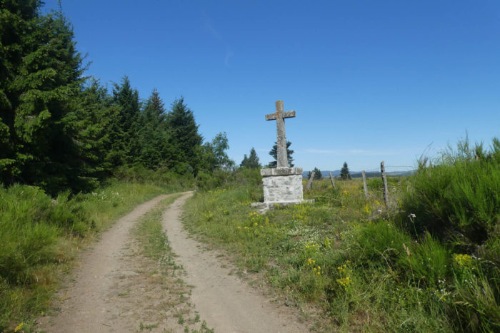
| A stone’s throw away, the road comes to a crossroads with a cross. Here, you can reach the village of St Romain and the Mars astronomical observatory. |
 |
 |
A deux pas, la route arrive à un carrefour avec une croix. Ici, on peut gagner le village de St Romain et l’observatoire astronomique de Mars.

| Here, Via Adresca then replays with the GR, and separates from it. A pathway will cross a forest of spruces and Douglas firs, aligned as if drawn with a ruler… |
|
 |
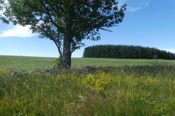
| …to stand out on the ocher ground in a clearing in the middle of ash trees and maples. These trees, to grow, prefer the open air and open spaces. The pathway then crosses and continues in the clearing. |
 |
 |
Let’s just say that on this high plateau, the spectacle of nature is simply grandiose, perhaps the most beautiful of all Via Adresca, in any case the most relaxing. Not a single cultivated field, not fields of corn that are often miserable to look at, but not wheat swaying in the wind either. Only meadows and forests.
Section 3: At the very end of Ardèche.
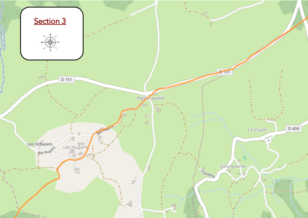
General overview of the difficulties of the route : course without any difficulty.
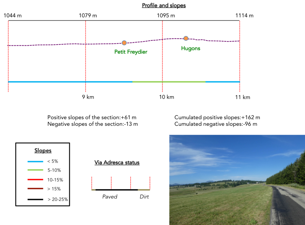
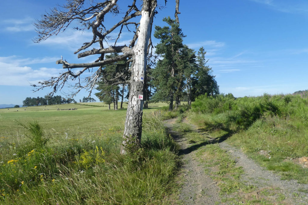
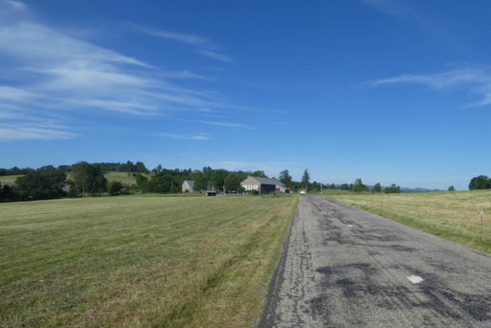
| A little further, the pathway joins the small departmental D151 road which goes into the meadows. On the horizon always the ridge line, where the Gerbier de Jonc volcano is getting smaller and more distant and the Mont Mézenc more present. |
 |
 |
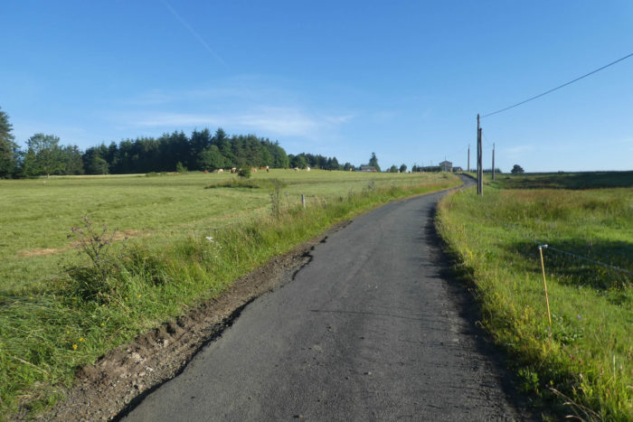
| The road runs along the undergrowth of spruces and Douglas firs for quite a long time, with here and there a maple, a pine or an ash. Here, livestock is the law, because the cultivated fields hardly grow above 1,000 meters above sea level. |
 |
 |
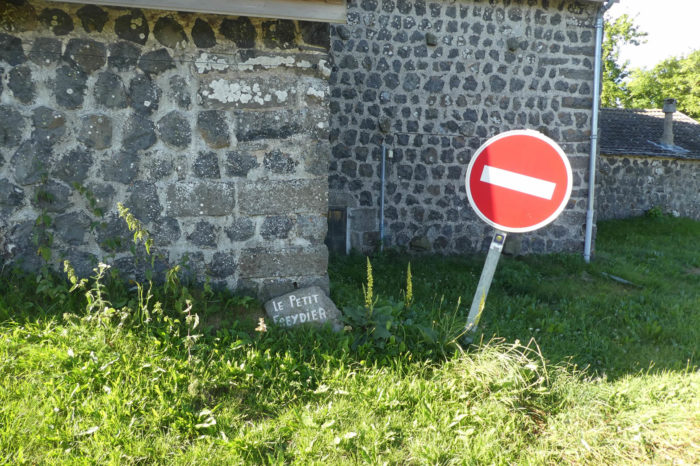
| At a place called Le Petit Freydier, Via Adresca leaves the departmental road. |
 |
 |
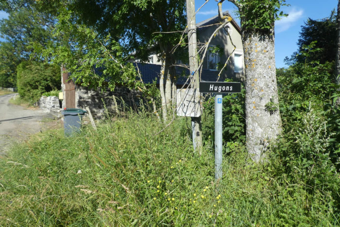
| Here, Via Adresca again becomes common with the other GR, and heads towards the village of Hugons. |
 |
 |
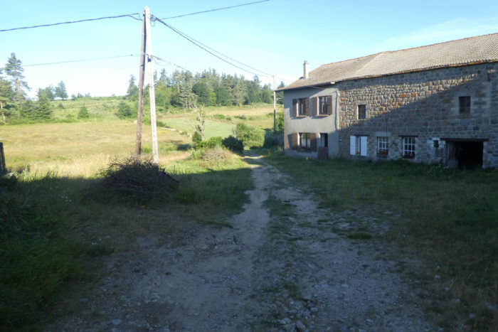
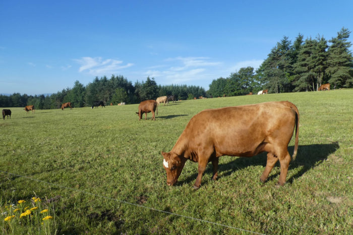
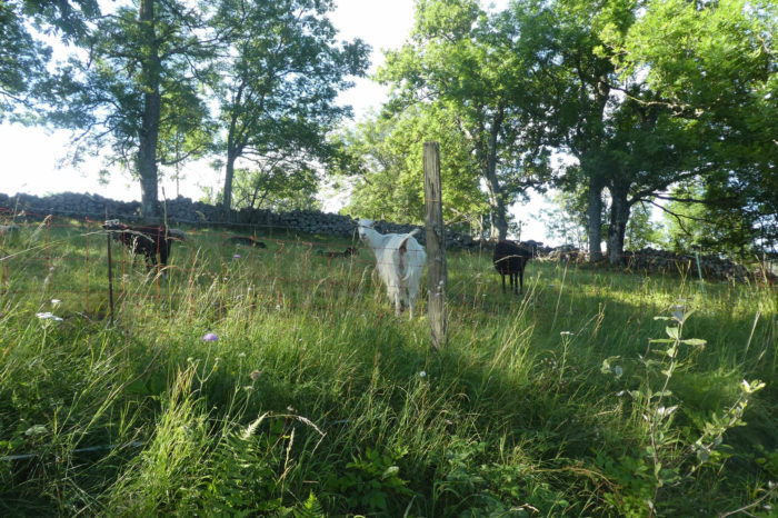
| The soil is above all granitic on the plateau and the stone is often used for the houses or for the low walls which limit the meadows. But, there is also basalt. Apparently in the country, Abondance cows are a priority. It must also be said that the climate is harsh, and that few obstacles can stop the burle, the wind from here which blows snow violently in winter over the plateau. |
 |
 |
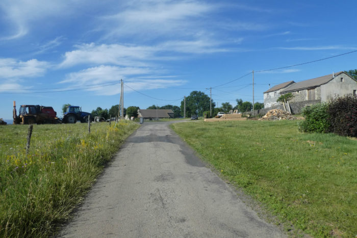
| Further on, the road leaves a very scattered village. |
 |
 |
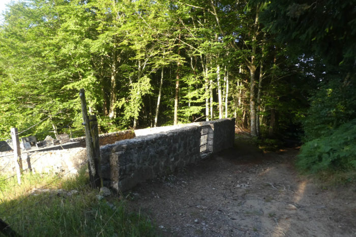
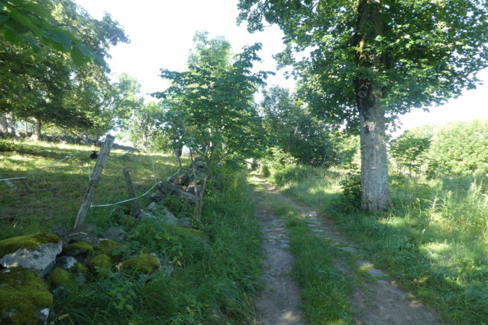
| A pathway surrounded by moss-covered granite walls then run under ash and maple trees. |
 |
 |
Section 4: Welcome to Haute-Loire.

General overview of the difficulties of the route : course without any difficulty.
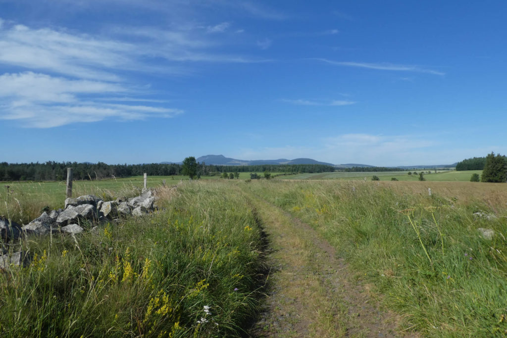
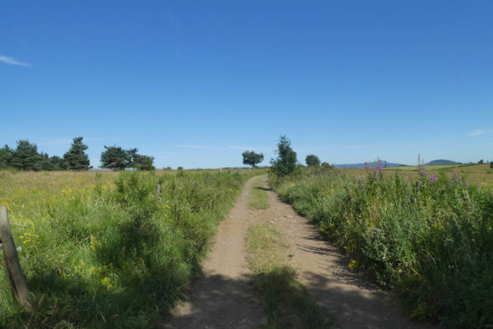
| Further afield, the pathway crosses an immense bare plain, incredible, so magnificent that one would almost believe oneself in paradise. At least a paradise for walkers and hikers! This is where you unknowingly leave the department of Ardèche for that of Haute-Loire. |
 |
 |
You have the feeling of approaching a little closer to the crest of the Cévennes and the Puys, but you will not go that far. In front of you stands the Mont Mézenc, also a high place of local tourism with the Gerbier de Jonc. Everything is volcanic there, the mountain cut in two. The southern summit culminates at 1753 meters above sea level, being the highest peak in the Ardèche. Its neighbor, almost as high, the North Summit, is the highest peak of the Haute-Loire.
Here, when the wind blows in the plain, you can have meters of snow. For the pilgrim, isn’t it better to walk outside this period? The fact remains that the walk here is quite exceptional, with in places a similarity to Aubrac area, with sometimes scattered granite blocks.
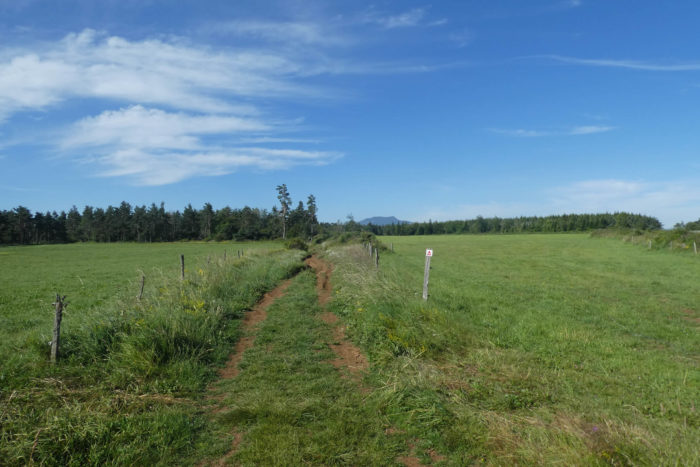
| Further on, at the end of the plain, on the ocher ground, the pathway finds a sparse undergrowth, in the middle of Charolais and Blanches d’Aquitaine cows, spruces and ash trees. |
 |
 |
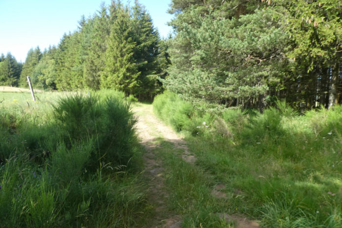
| A little further on, spruces and Douglas firs huddle together in the forest. |
 |
 |
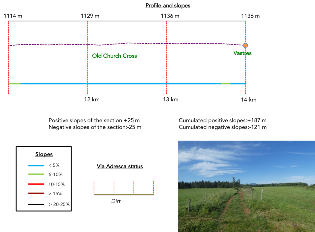
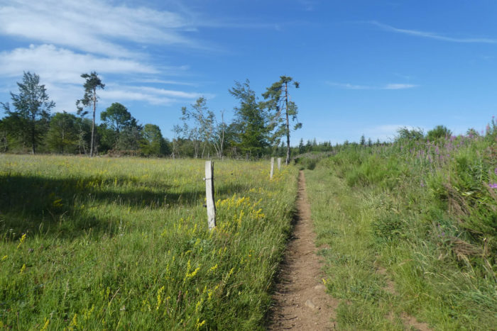
| Throughout this long crossing of the plateau, the pathway is wide, not very stony. Here, it emerges from the woods and runs along it to pass La Croix de la Vielle Eglise (Cross of the old church), lost here in the middle of the wilderness. It is here that a church was built in the XIIIth century. The church was razed during the Hundred Years War in the XIVth century. |
 |
 |
| Beyond the beautiful granite cross, the pathway continues to flatten in the plain in the middle of the meadows, along the hedges of broom. Here passed in the plain a Roman road. The Romans probably had no difficulty in establishing a passage with such a geography. |
 |
 |
| PShortly after, the pathway crosses a sort of basalt menhir mounted on a granite base, the symbolism of which we do not know, and progresses towards the Vastres. |
 |
 |
| The pathway then descends to Les Vastres. The Ste Anne church, built in the XIVth century using stones from the old church, was remodeled over the centuries. Here in the region, the population is also divided between Protestants and Catholics. The Protestants have their temple in a hamlet far from the village. |
 |
 |
Section 5: Towards Fay-sur-Lignon, at the top of the hill.

General overview of the difficulties of the route : the only difficulty of the course, with a severe descent on the plain of Lignon, and an interminable climb to the village at the top of the hill.
| In Les Vastres (200 inhabitants), you have to be careful, so many tracks pass there. Yours, marked with the shell, takes the Circuit du Marais. |
 |
 |
| Like the GR7/420/430 tracks, it takes the departmental D7 road at the exit of the village, direction Fay-sur-Lignon. Then, the tracks leave the road near a stone cross. |
 |
 |
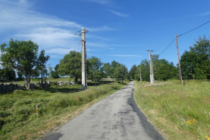
| Further up, a small road then climbs gently towards Les Vastrets. |
 |
 |
| The road soon gets to Les Vastrets under the ash and maple trees. Here, your direction remains the Circuit du Marais. |
 |
 |
| The hamlet is home to beautiful houses carved in basalt and granite. Watch out here! The temptation is to go straight on the pathway at the exit of the hamlet and to slope up in the meadows. No, as soon as you leave the hamlet, the pathway heads right into the moor on the ridge. |
 |
 |
| The pathway then follows the ridge. Here, on a large ash tree, you see that the GR follows the same route as the Via Adresca in the grass. |
 |
 |
| At the end of the ridge, the pathway reaches an undergrowth, where it then runs on the Chemin de la Douce. |
 |
 |
| As you leave the woods, you have Fay-sur-Lignon in front of you, perched on a hill. You imagine perhaps that you only have to slkope down a little from here to reach the village. Think again! There is a dale in between. |
 |
 |
| The pathway descends until it crosses the departmental D500 road, which leads to the village. So far, the route has been generous, but here the slope is sometimes more than 15%. |
 |
 |
| The pathway descends further until you find a bridge erected over a tributary of the Lignon River. |
 |
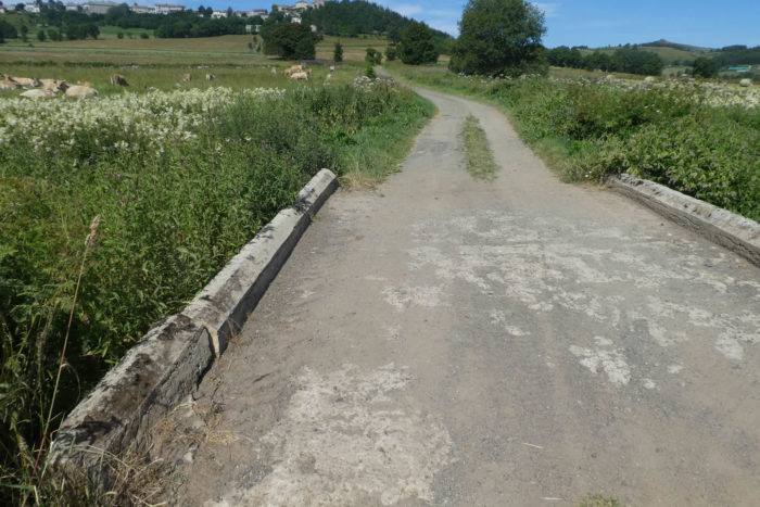 |
| There is almost 100 meters of difference in altitude between the bridge and the village. As a result, the slopes here are often significantly greater than 10%. The pathway will climb through the ash trees towards the stone houses at the bottom of the village. |
 |
 |
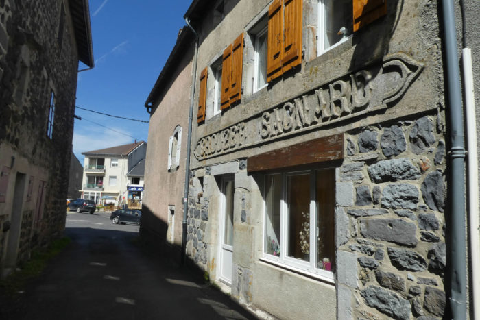
| As you approach the village, tar replaces dirt and grass. It is also here that the climb is the most demanding along the magnificent buildings in their basalt and granite clothes. |
 |
 |
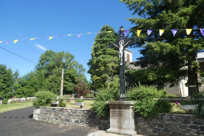
| Further up, the road passes near the St Régis fountain, a local saint who would have quenched his thirst here in the XVIth century, by evangelizing the Vivarais who had greatly passed through the Reformation. Pilgrimages are organized here. The road then arrives under the church of St Nicolas, originally dating from the XIIth century, later modified. We did not see the basalt peak near the church, not being aware of its existence. So here is for you who are going to pass this geological wonder here (Wikipedia Commons, auteur: Arnaud-Victor Monteux). |
 |
 |
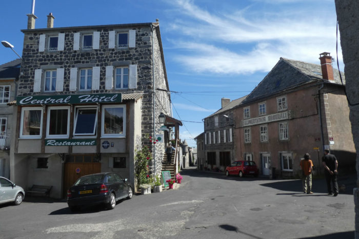
| At the beginning of the Xth century, the Fay family built a fortress on the basalt rock, which later gave birth to the village. Today, it is a small village (375 inhabitants), but with all the shops. Here you have covered more than 17 kilometers beyond St Agrève. |
 |
 |
Lodging