From one dale to another in the Haut Vivarais
DIDIER HEUMANN, ANDREAS PAPASAVVAS
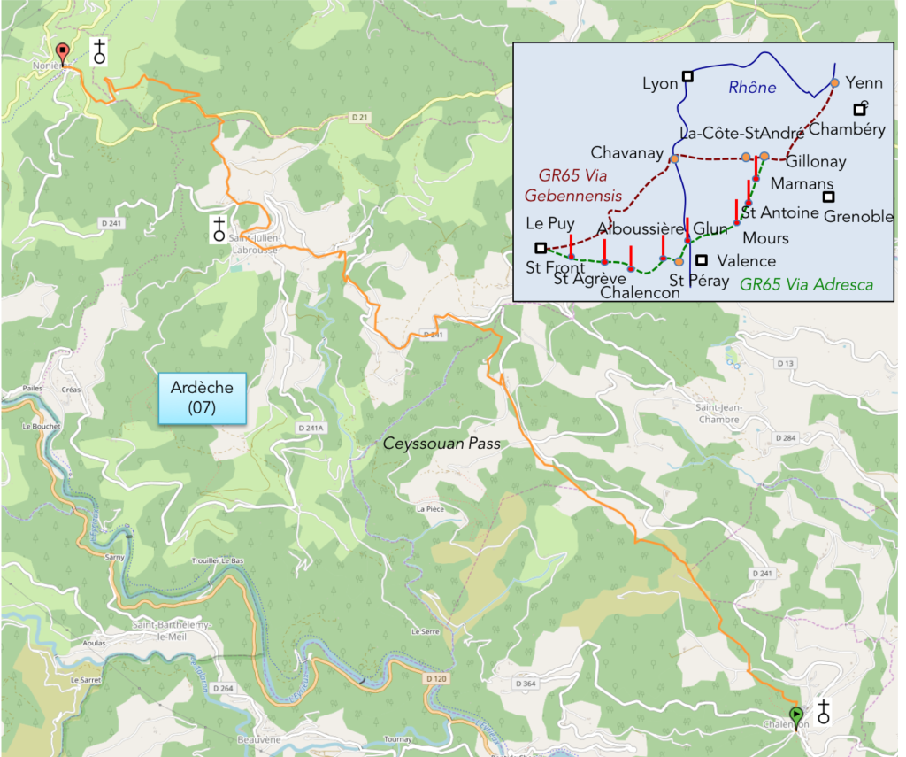
We divided the course into several sections to make it easier to see. For each section, the maps show the course, the slopes found on the course, and the state of the roads. The courses were drawn on the “Wikilocs” platform. Today, it is no longer necessary to walk around with detailed maps in your pocket or bag. If you have a mobile phone or tablet, you can easily follow routes live.
For this stage, here is the link:
https://fr.wikiloc.com/itineraires-randonnee/de-chalencon-aux-nonieres-sur-la-via-gebennensis-adresca-32958489
It is obviously not the case for all pilgrims to be comfortable with reading GPS and routes on a laptop, and there are still many places in France without an Internet connection. Therefore, you’ll find soon a book on Amazon that deals with this course.
If you only want to consult lodging of the stage, go directly to the bottom of the page.
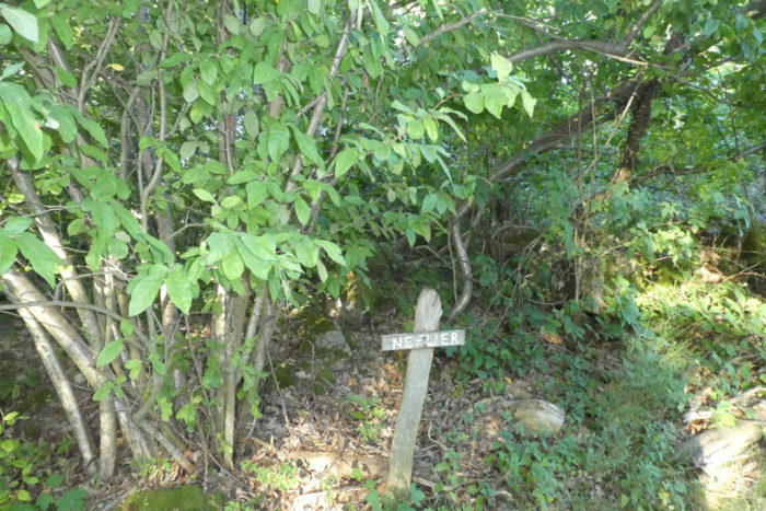
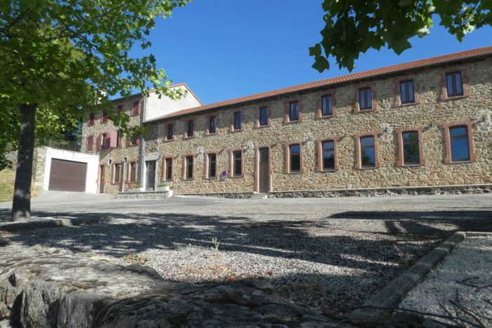
| A long time ago a small train circulated in Haut Vivarais and Haute-Loire, linking the Rhône valley to Puy-en-Velay. At the end of the XIXth century, a narrow line was gradually put in place, over difficult terrain, where a steam train ran, between tunnels and viaducts to open up the region. This little train was a great success for travelers, but also for the transport of wood, chestnuts and textile products, one of the jewels of the region. Then came the rise of the road, a sign of the death of the little trains. In 1968, a ministerial decision put an end to the operation of the line. The rails were removed in the 1970s. Of this history, only one track remains today, called “Dolce Via, the Soft Way”. This track, much used by hikers and cyclists crisscrosses the entire region, and notably passes through Nonières.
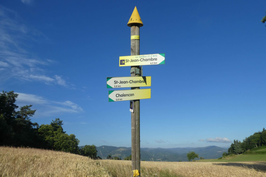
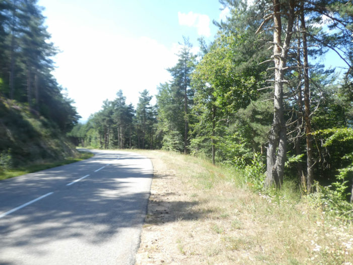
But it is not this gentle track that the Camino de Compostela takes. The latter uses a less gentle, steeper route. Via Adresca follows its own path, which often competes with an even steeper route, which is the GR420 which also goes from Chalencon to Nonières. The latter is a little longer than Via Adresca and above all has steeper gradients. But, if you like exercise you can also follow this track to Nonières. For your part, you will stay on Via Adresca, the way to Compostela.

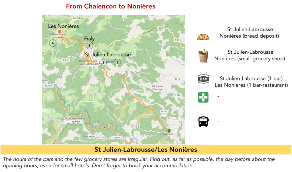
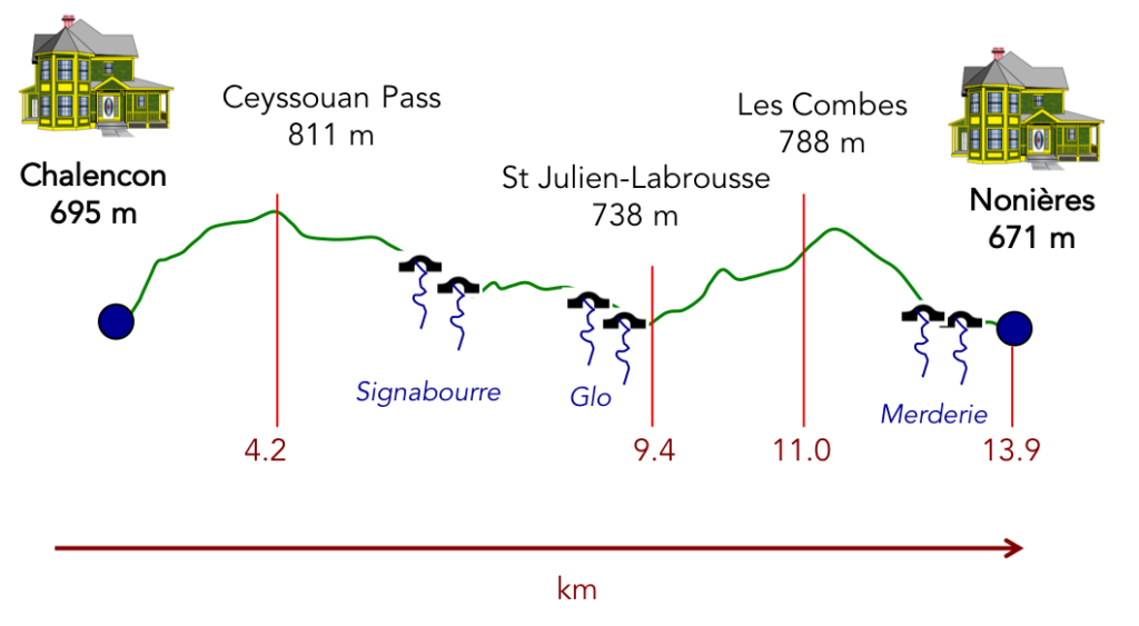
It is quite possible to walk to St Agrève in one day, but then it is more than 1’000 meters of elevation gain. So, we decided to cut the pear in half and stop in Nonières.
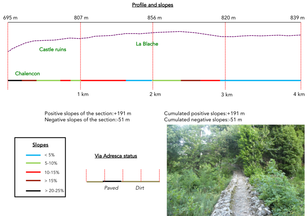
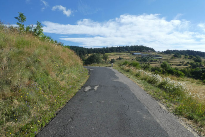
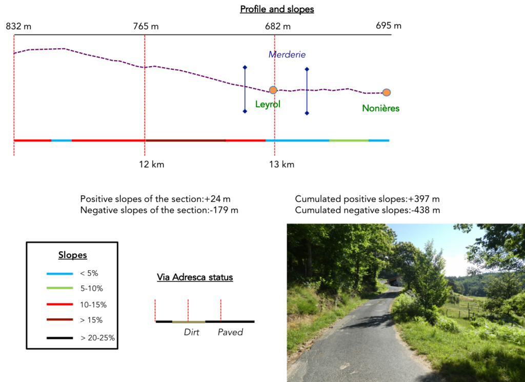
Difficulty of the course: Thus, on this reduced course, slope variations (+397 meters /-438 meters) are very reasonable. The route climbs steeply above Chalencon in the Roman oppidum, then settles down reaching Ceyssouan Pass. Beyond the pass, it is a problem-free descent to a dale below St Julien-Labrousse. Beyond the dale, you have to slope up fairly regularly to the top of the forest overlooking Nonières. The descent is no problem.
|
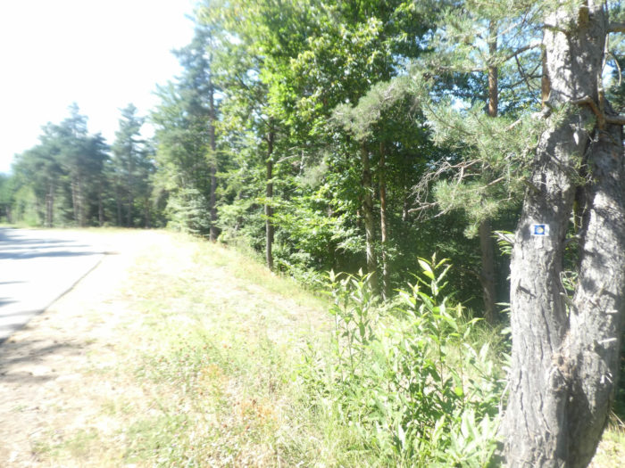
In this stage you will walk a little more on paved roads than on pathways:
- Paved roads: 7.9 km
- Dirt roads: 6.0 km
Sometimes, for reasons of logistics or housing possibilities, these stages mix routes operated on different days, having passed several times on Via Podiensis. From then on, the skies, the rain, or the seasons can vary. But, generally this is not the case, and in fact this does not change the description of the course.
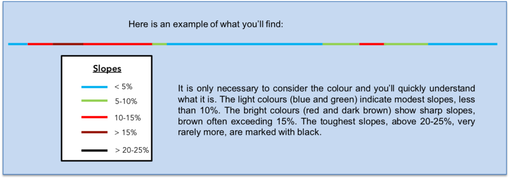
It is very difficult to specify with certainty the incline of the slopes, whatever the system you use.
For “real slopes”, reread the mileage manual on the home page.
Section 1: Above Chalencon towards Ceyssouan Pass.
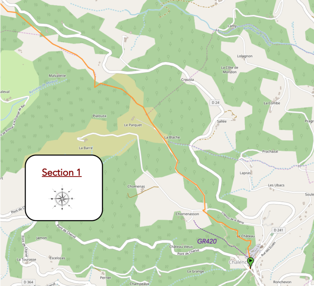
General overview of the difficulties of the route: severe climb on the heights of Chalencon, then route almost constantly uphill towards the pass, but requiring little sweat.
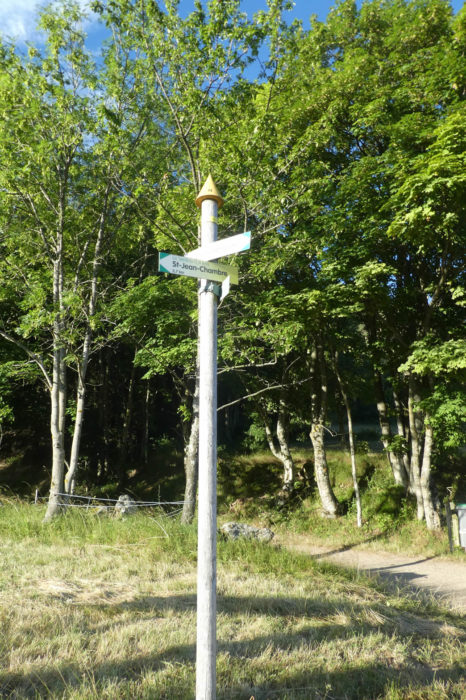
| You leave today from the Place du Valla by the stairs that lead to the church and the Tourist Office. Here, at the Tourist Office, you have to be very attentive. Because, if in the previous stage, the GR420 and the Way of Compostela were common, here it is not the case. The GR starts on the left of the building, Via Adresca on the right. |
 |
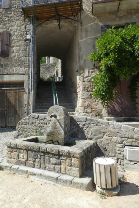 |
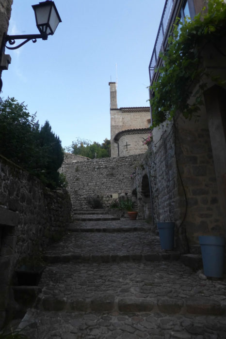
| For a departure, it is not the holidays. Far from there! You must first follow the stairs above the church. The stairs lead to what was first a Celtic oppidum, then later occupied by the Romans. |
 |
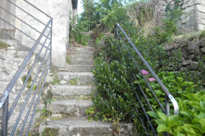 |
| Further up, the pathway zigzags voluptuously through the ruins of the oppidum. It is both magnificent and sad this shamble of pebbles that have lost their reason for living. The remains are not very spectacular, mainly in the form of low walls eaten away by centuries, in a rough vegetation, often invasive. But, you can still define the perimeter quite well. |
 |
 |
| At the top of the oppidum, the pathway progresses along small low walls covered with moss in the brushwood, pines, hornbeam shoots and chestnut trees. |
 |
 |
| You often come across chestnut trees several hundred years old on the way, but the oaks are certainly the same age. Further up, the pathway continues until you find a road that slopes up in the wood. |
 |
 |
| The direction is that of La Blache. It should be remembered here that the blaches are often land reclaimed from oak groves. But, the forest is very mixed here, a mixture of hardwoods of all species and conifers, including pines and spruces. |
 |
 |
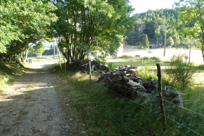
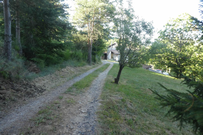
| The paved road ends at La Blache. These hamlets are most often isolated houses or farms in the countryside or at the edge of the forest. |
 |
 |
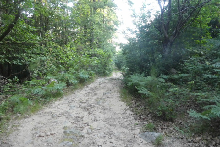
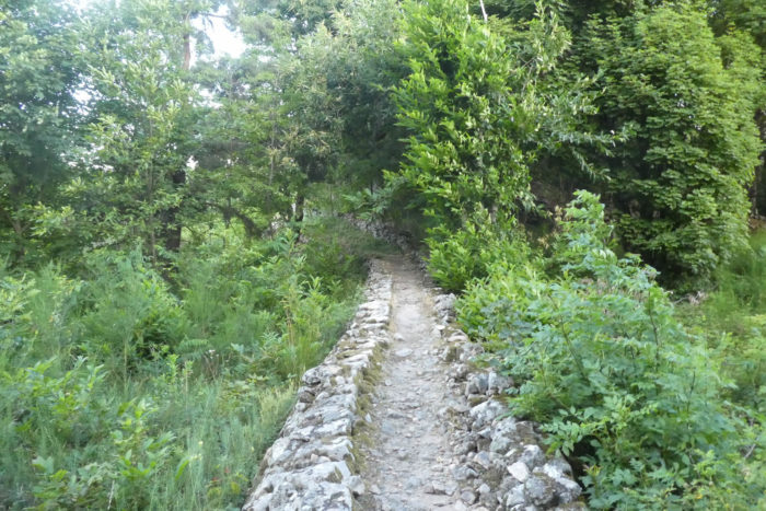
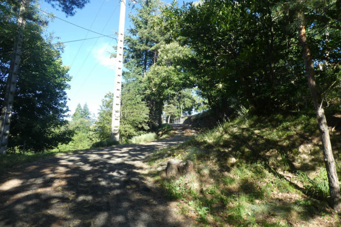
| PFurther on, a fairly stony dirt road then climbs into the forest, finding the place called Les Parquets just above. |
 |
 |
| The pathway hesitates a little between the undergrowth and the meadows in the clearings, sometimes on dirt, sometimes on grass. |
 |
 |
PShortly after, Via Adresca arrives at a place called Pracoulet in the clearing.

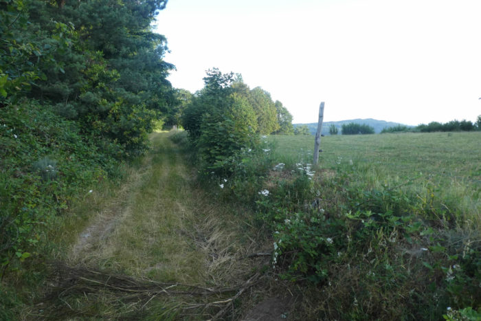
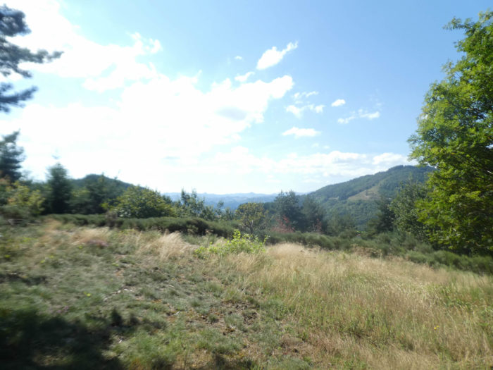
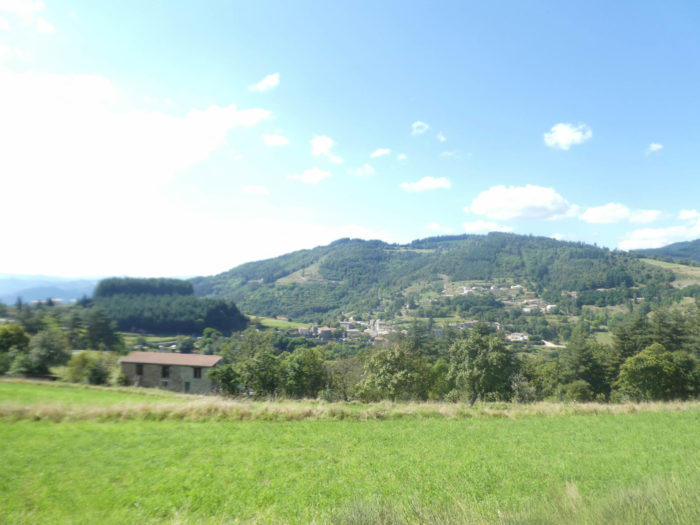
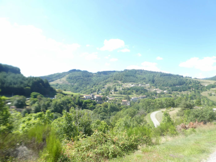
| The pathway still climbs gently through meadows and undergrowth. When you glance at the horizon, you only see forests climbing up the hills, with sometimes a few houses or an isolated village below. This part of the Ardèche, empty of visitors, is just as beautiful, but so different from the southern part where tourists flock. The hill on the horizon is where the track to St Agrève will pass tomorrow. |
 |
 |
| You dawdle here, happily. Here is a shrub that we would have had trouble naming. Have you ever eaten loquats? |
 |
 |
| Further up, the pathway runs through a gentle landscape between wheat, broom, pines and spruces. |
 |
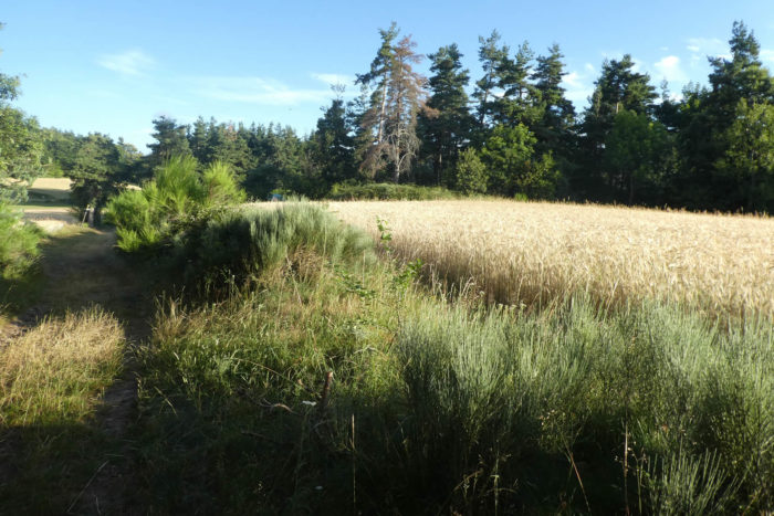 |
The pathway soon gets at a place called Le Fraysse, in the wheat, on a small plateau.
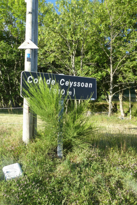
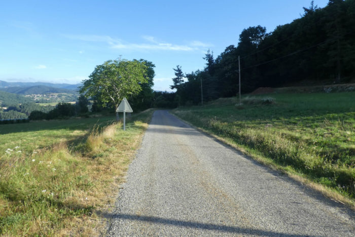
| A beautiful ocher dirt road then flattens on the small plateau between undergrowth and meadows. In front of you, you can see the small departmental road which crosses Ceyssouan Pass. |
 |
 |
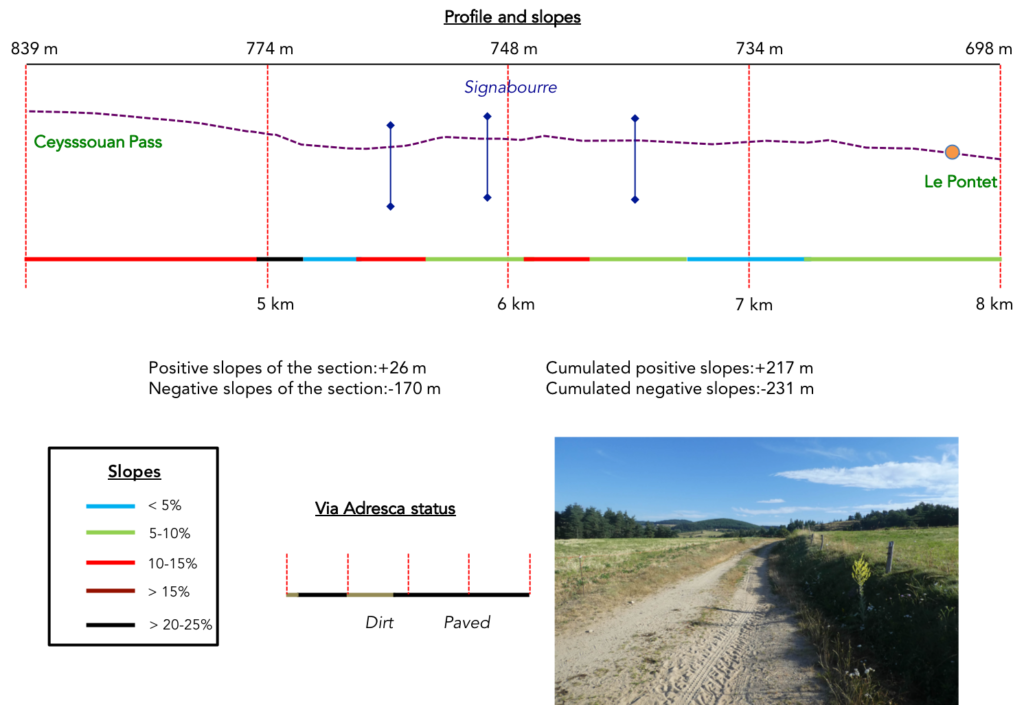
Section 2: Ups and downs in the chestnut trees.
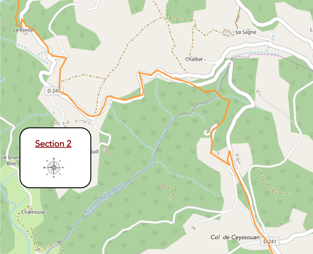
General overview of the difficulties of the route: mostly downhill, without great difficulty.
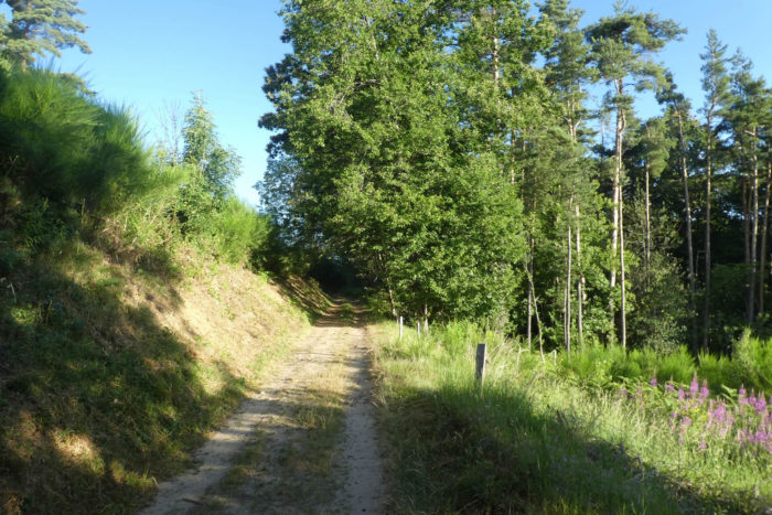
| The pathway quickly reaches Ceyssouan Pass through chestnut and ash trees. You are here at more than 800 meters above sea level and up, the hills are filled with spruce trees. |
 |
 |
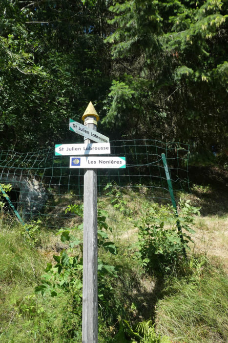
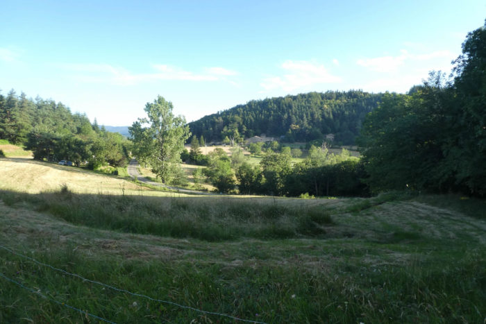
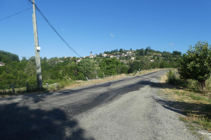
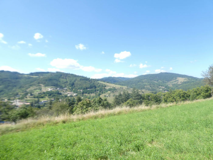
| Via Adresca here takes the direction of St Julien-Labrousse, following the departmental D241 road, the axis of the day, which goes from Chalencon to Nonières. In front of you stretches the village of St Julien in the distance under the wooded hills, and further still the high hills, where you will have to pass tomorrow to reach St Agrève. |
 |
 |
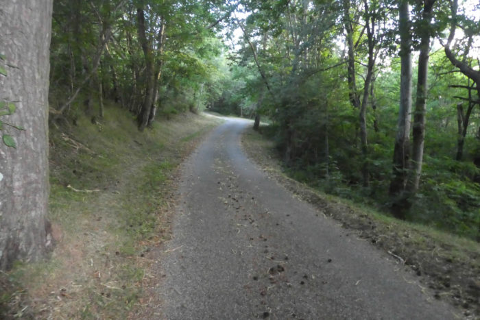
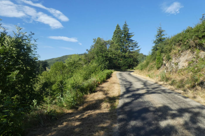
| The small road enters a forest dominated by spruce and chestnut trees before finding a forest lane that starts below the road. |
 |
 |
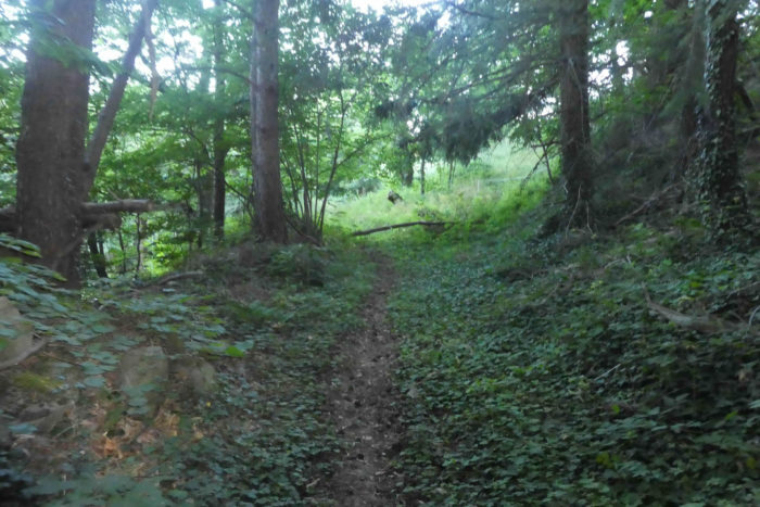
| The pathway then descends into a kind of small jungle where old chestnut trees still stand. |
 |
 |
| Further down, the pathway widens in the chestnut trees and heads towards the meanders of the Signabourre stream. |
 |
 |
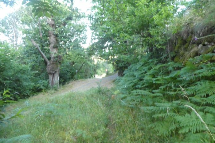
| In fact, all this short trip is to avoid the departmental road. If it is raining, follow the road and do not take the pathway at the start. Here, the vegetation is lush, and the narrow lane constantly plays with the small arms of the stream. It is easy to guess the problems posed by the course in rainy weather. |
 |
 |
| After having played a little with the stream, the pathway slopes up on a hill towards the departmental road, in the middle of bushes, leafy trees, pines and spruces. |
 |
 |
| Further afield, Via Adresca follows the D241 road again, reaching a small crossroads where the road crosses the Signabourre stream and continues through the pines. |
 |
 |
| Then, it leaves the wood to head to o a place called Le Pontet. The village of St Julien-Labrousse approaches in front of you, 2 kilometers from here. |
 |
 |
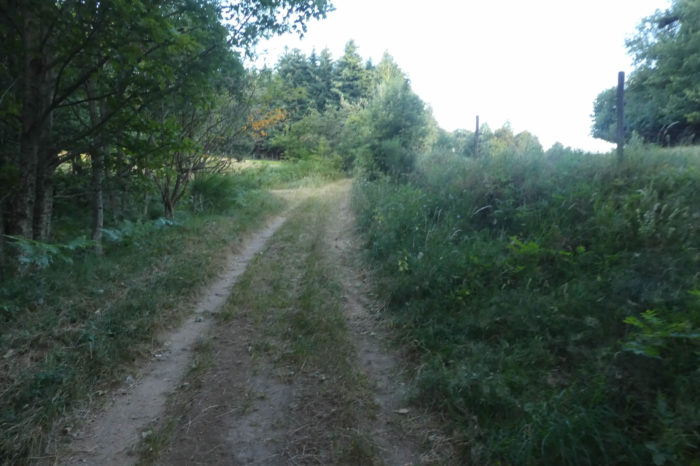
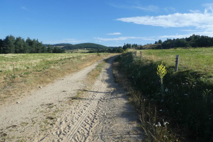
| Further on, Via Adresca leaves the departmental road for a wide sandy pathway that flattens in the meadows, to quickly find a small paved road. |
 |
 |
Section 3: From the charming site of Boissier to St Julien-Labrousse.
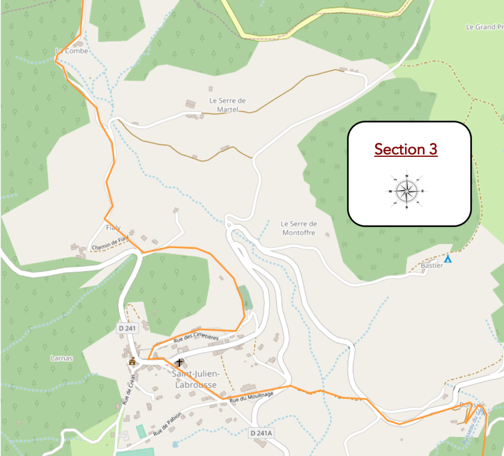
General overview of the difficulties of the route: some short embankments to overcome.

| Via Adresca then follows the small country road in the pines, crosses the Glo stream. |
 |
 |
| It descends until it finds a wide dirt road on its left which gradually descends towards the stream. |
 |
 |
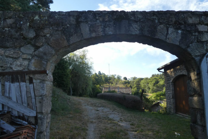
| Further down, the pathway passes through the grass, under the arch of a bridge. |
 |
 |
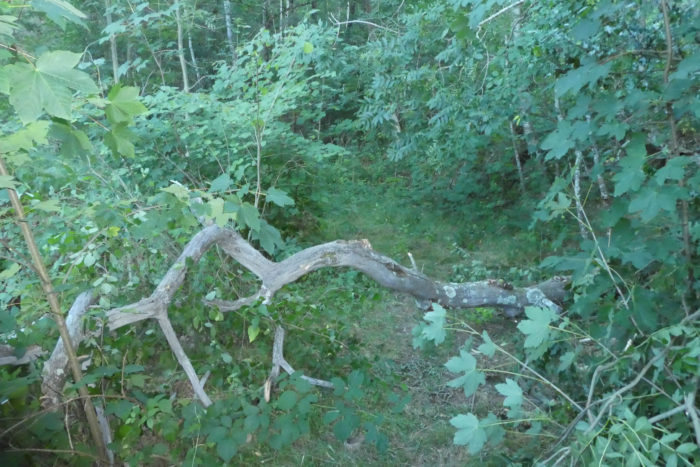
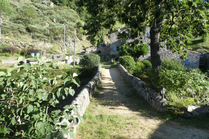
| At the bottom of the descent, in the dale, the pathway heads to Boissier. Here, charm and magic really operate. The light plays with the stone bridge and the blue of the gently gurgling stream. |
 |
 |

| The pathway then climbs toughly, but briefly, towards a small paved road, which passes just above the site. |
 |
 |
| Further ahead, Via Adresca follows the road, to join the departmental D421 road a little further. Here, you are just opposite St Julien-Labrousse, but there is a small basin, which youe will of course take advantage of to make a getaway. |
 |
 |
| Therefore, Via Adresca will cross the road and descend into the dale, through mosses and wild grass, to find one of the many arms of the Glo brook. |
 |
 |
| Further afield, the pathway climbs steeply to a small road below the village. |
 |
 |
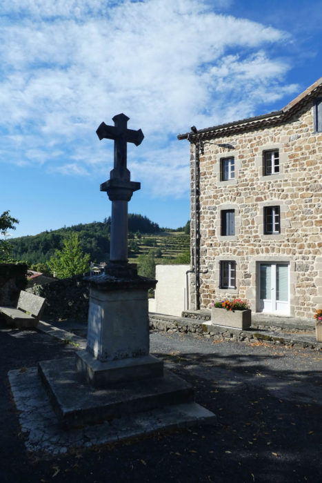
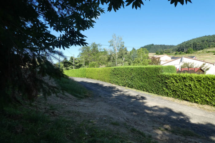
| Here, people probably had to take advantage of the stream to do milling, as the name of a street at the bottom of the village indicates. Did the village hall, all dressed in ocher and red, also have another vocation? The 350 inhabitants undoubtedly know it. Still, to get to the center of the village, the road climbs more than 15%. Here, the church was modified in the XVIIth century. |
 |
 |
| It is also here that the GR420 passes, which will be a few hundred meters in common with the Via Adresca to Fialy. The road runs in front of the communal wash house, which is still in good condition, and a small tarred pathway runs above the village towards the cemetery. |
 |
 |
| At the level of the cemetery, the road gives way to grass. |
 |
 |
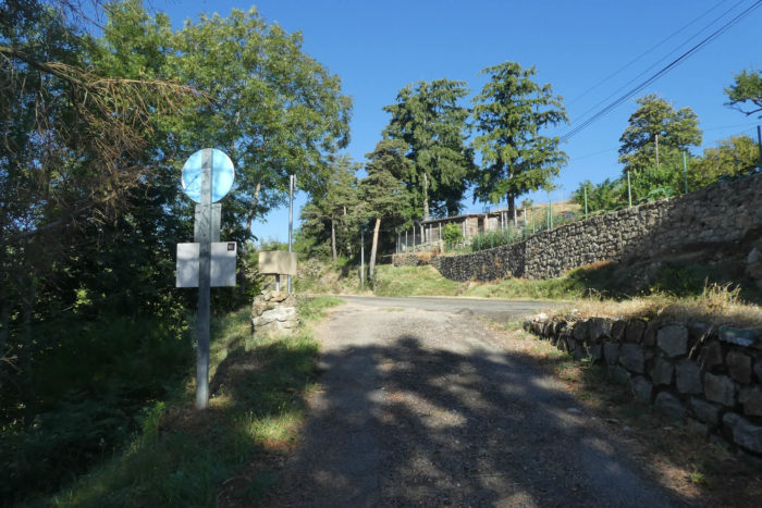
| When you get here, be extra careful. You tell yourself that the no-traffic sign is for vehicles. Yes, but it is also for you. The pathway is not marked at all, but it runs along the top of the cemetery below in the wild grass. |
 |
 |
| Shortly after, the pathway crosses a small undergrowth with many chestnut trees, and emerges on the road near the fairly recent houses of Fialy. Here, the GR420 gets back on its feet and starts to the left. |
 |
 |
| Via Adresca starts straight up towards Les Combes. |
 |
 |
| The road climbs in a pleasant meadow to the spruce forest at the top of the hill. The road climbs continuously on gradients between 7% and 15%. You rarely have the feeling that the slope is insurmountable. |
 |
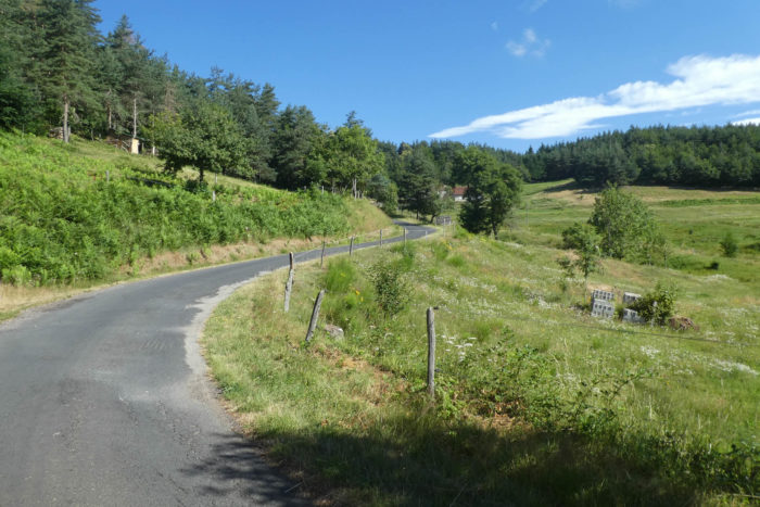 |
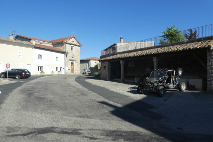
| A gîte that also serves as a guesthouse is available, in Les Combes, at the entrance to the forest. |
 |
 |
Section 4: Downhill to Nonières.

General overview of the difficulties of the route: descent of almost 200 meters to Nonières, with sometimes very steep slopes.
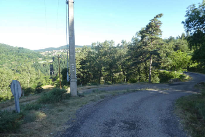
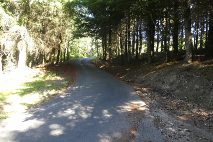
| Just above Les Combes, Via Adresca joins the departmental D21 road in the spruces of the Serre des Portes, the large forest above Nonières. |
 |
 |
| Then, it descends on the road in the direction of Nonières. |
 |
 |
| Be careful on the descent, because soon, a pathway starts into the forest towards the hamlet of Leyrol, well before Nonières. If you descend on the left side of the road, as good pedestrian behavior recommends, to see the vehicles coming in front, you will probably have difficulty finding the sign for the fork in the road. But, it does not matter, because you can also follow the road to the village. There are only a few vehicles circulating on this axis.
However, there is indeed a path sign on the right marked on a tree. But, you will never see it, if you do not know that it exists. We’re here to tell you. |
 |
 |
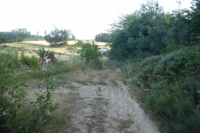
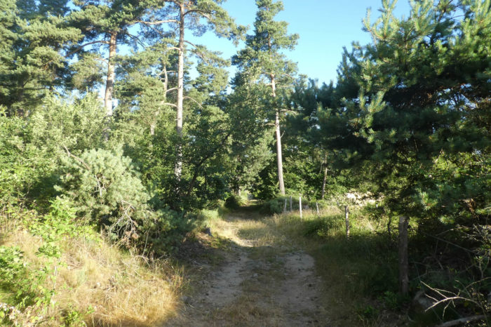
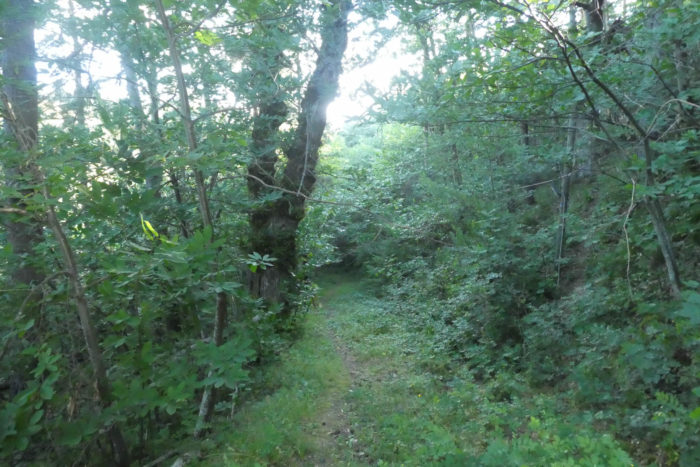
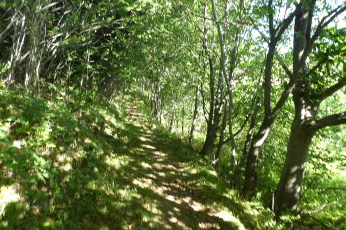
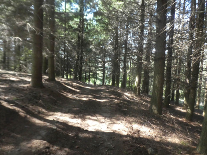
| A wide pathway descends into a very beautiful forest. The reporting of shells is very present here, because there are also many other tracks. |
 |
 |
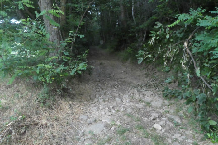
| The slope is quite severe, sometimes more than 15%. The forest is mixed here, amidst chestnut, beech, maple, oak and hornbeam. The ground is often covered with pine cones, very present. |
 |
 |
| Further down, the wood becomes darker and the pathway runs under huge Douglas firs. It is quite easy to recognize these gigantic trees. They produce pinecones, but smaller than those of spruces. The trunk is often redder and more crenellated than that of white firs, which do not form pinecones. |
 |
 |
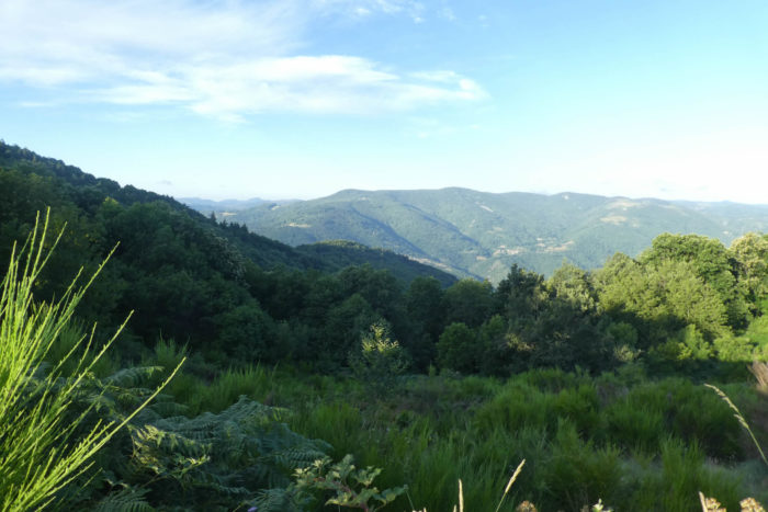
| Still down, the pathway leaves the trees for the clearings. The country then opens up again on a large circus of forests that flourish in the distance. |
 |
 |
| Coming out of the woods, you have a fairly clear idea of what awaits you next. At the bottom of the valley, the village of Nonières awaits you. Thereafter, you will have to face the terrible hill above the village, then pass towards the wind turbines which you see agitated very high on the mountain, on your right. |
 |
 |
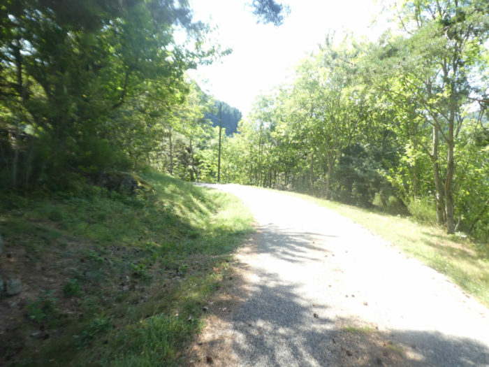
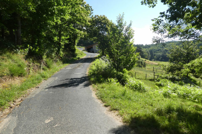
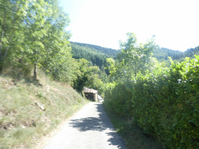
| Shortly after, the pathway descends into the meadows to join a small paved road that winds along the woods. |
 |
 |
| The slope remains constant and marked on the road which makes large bends between meadows and undergrowth. |
 |
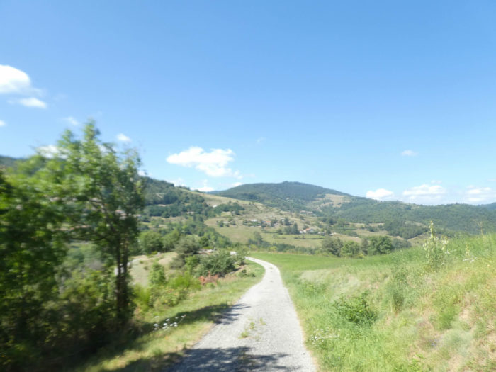 |
| Further down, the road gradually approaches the village. You also see in front of you the departmental road which goes down towards the village and which you would have followed if you had missed the bifurcation of the forest higher up. |
 |
 |
| The road soon arrives at the bottom of the descent near the isolated stone houses of Leyrol on the edge of the woods. |
 |
 |
| Quickly, the small country road joins the departmental road. |
 |
 |
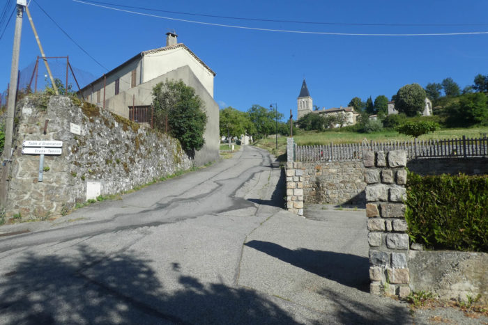
| The road then arrives in the center of the village. It is a small village of 200 inhabitants. But, you can eat and stay in the village. The possibilities of accommodation are not numerous, there is indeed only one possibility. So, some pilgrims will go as far as St Agrève, about fifteen kilometers further. It is worth remembering that on this whole variant of the Camino de Compostela, accommodation is not legion, as on the Via Podiensis. But, it must also be said that users of this track are much rarer. However, you must also consider the hikers of the GR420 who can also stop here. |
 |
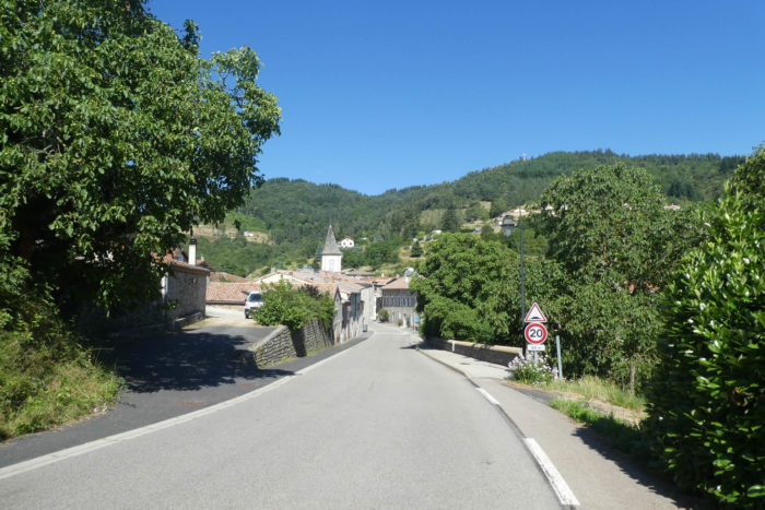 |
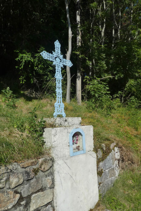
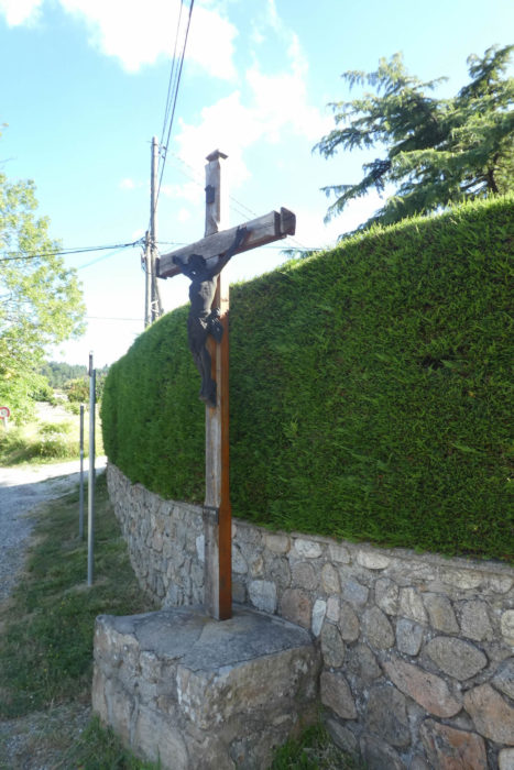
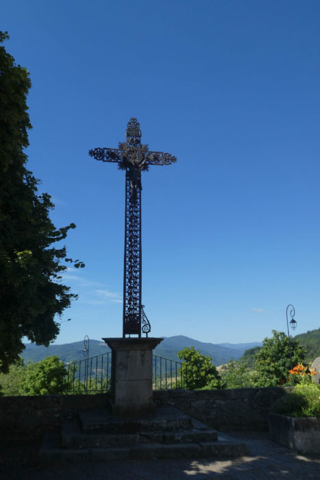
| Here, the Protestants destroyed the old church. This is from the XIXth century. The interior is dark, conducive to prayer. A beautiful iron cross touches the sky. |
 |
 |
Lodging