A hellish coast, a real canyon and a pebble river
DIDIER HEUMANN, ANDREAS PAPASAVVAS
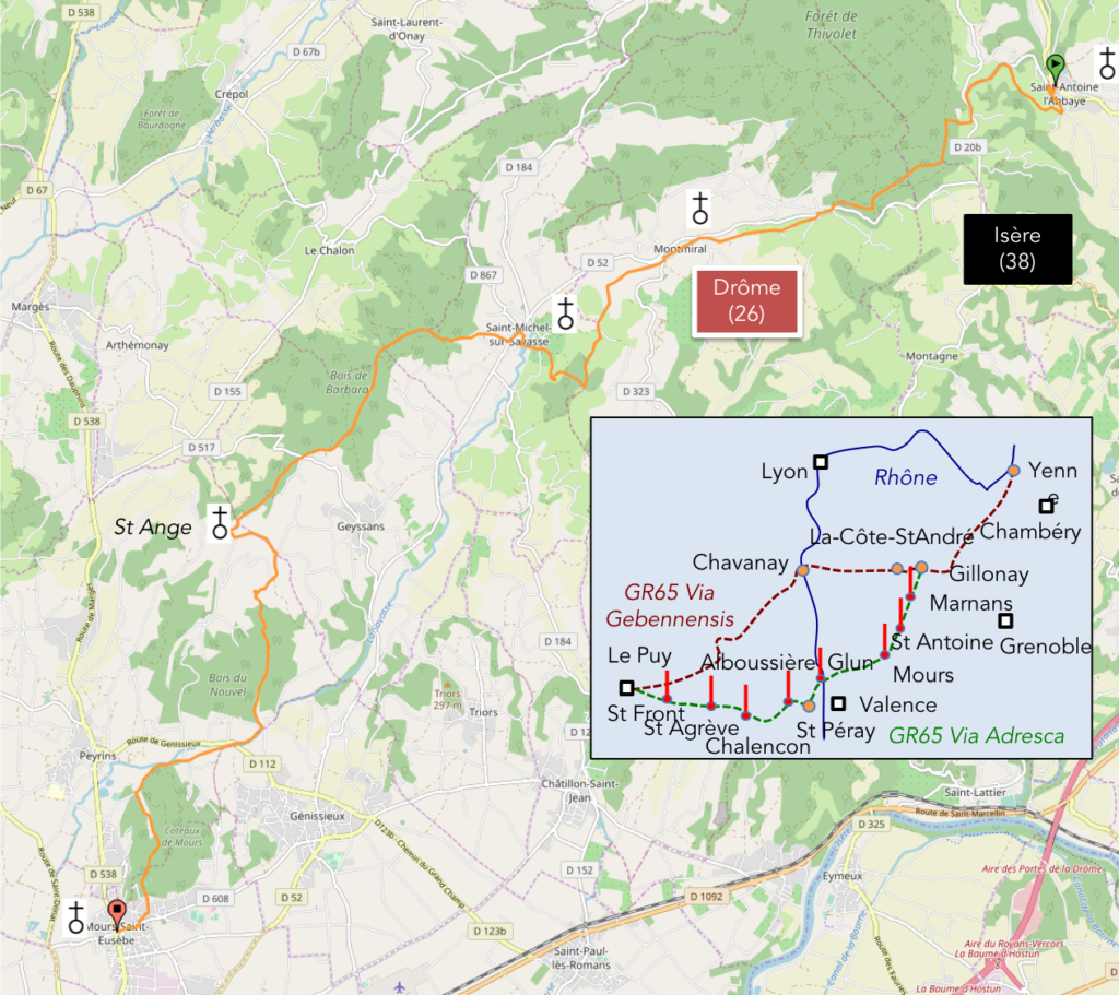
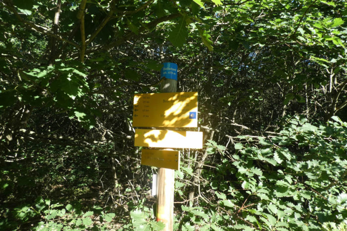
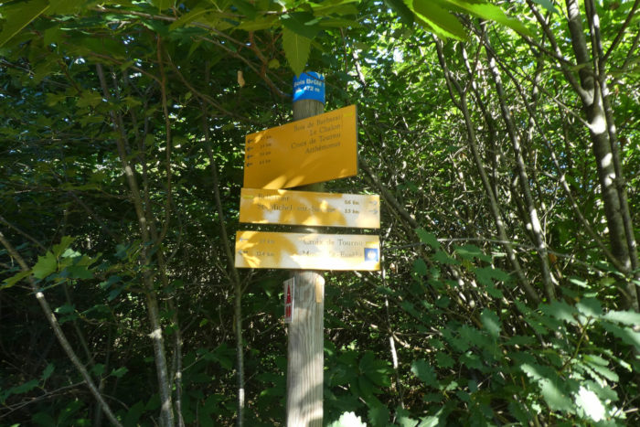
We divided the course into several sections to make it easier to see. For each section, the maps show the course, the slopes found on the course, and the state of the roads. The courses were drawn on the “Wikilocs” platform. Today, it is no longer necessary to walk around with detailed maps in your pocket or bag. If you have a mobile phone or tablet, you can easily follow routes live.
For this stage, here is the link:
https://fr.wikiloc.com/itineraires-randonnee/de-st-antoine-labbaye-a-mours-st-eusebe-par-la-via-gebennensis-adresca-32829624
It is obviously not the case for all pilgrims to be comfortable with reading GPS and routes on a laptop, and there are still many places in France without an Internet connection. Therefore, you’ll find soon a book on Amazon that deals with this course.
If you only want to consult lodging of the stage, go directly to the bottom of the page.
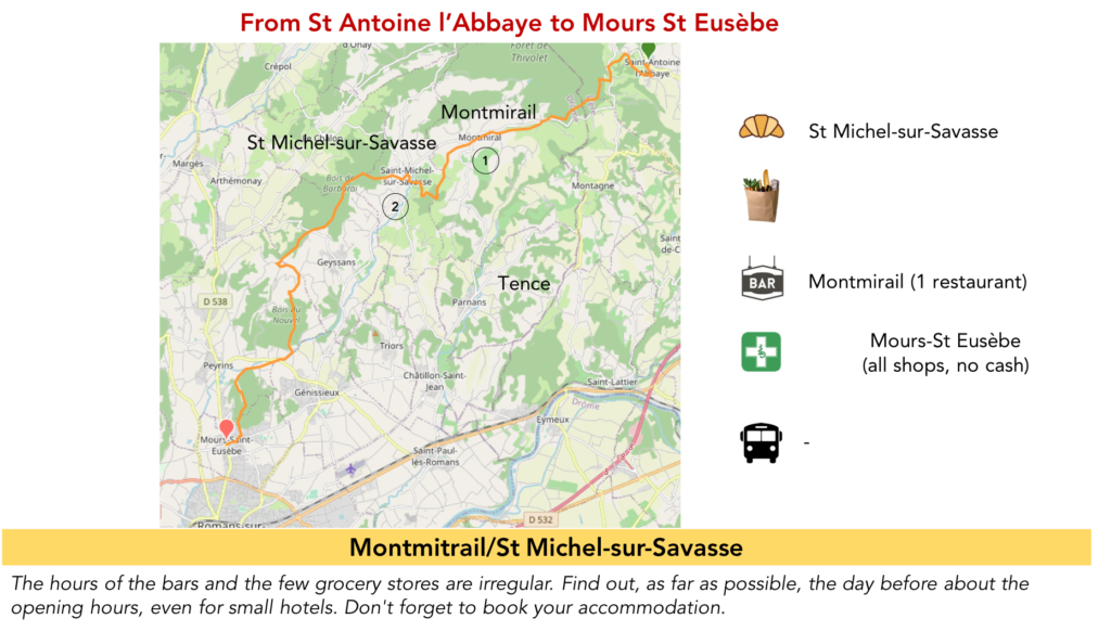
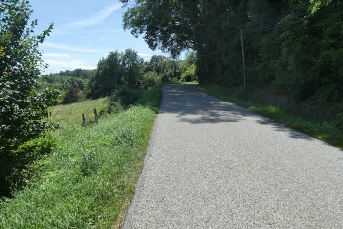
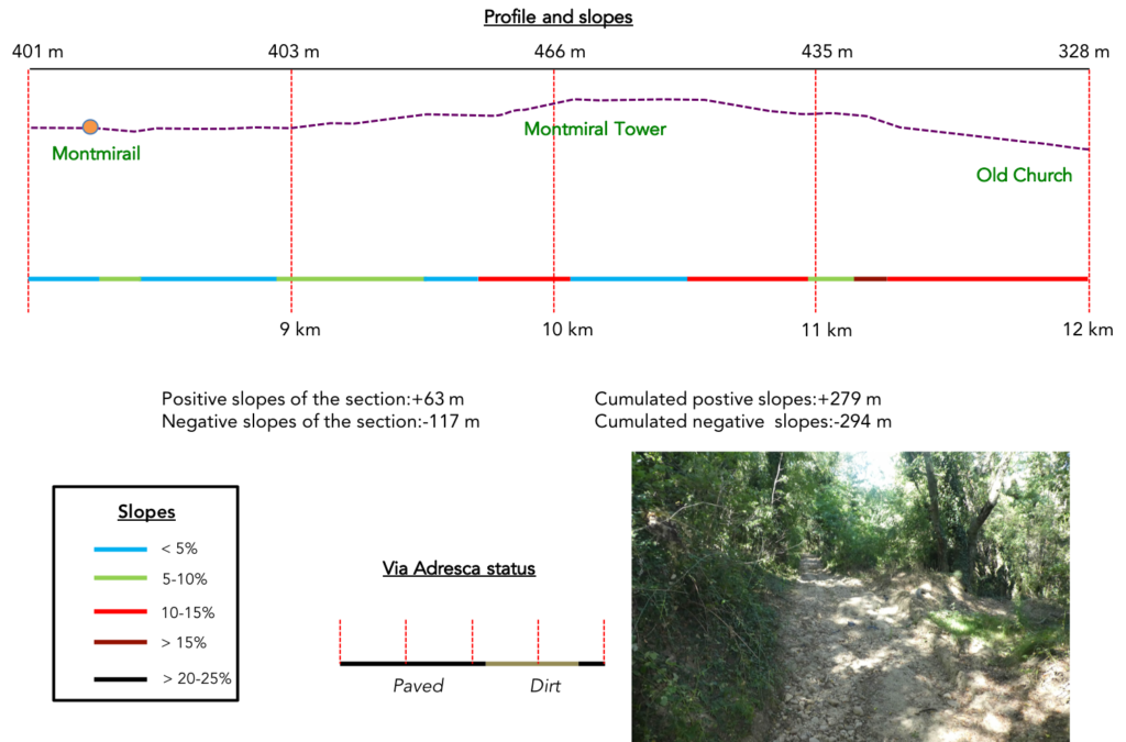
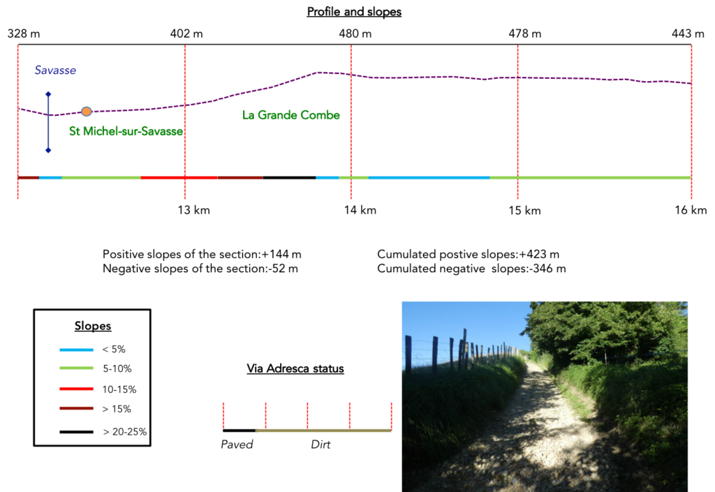
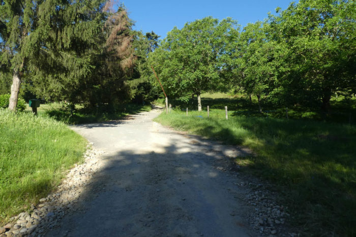
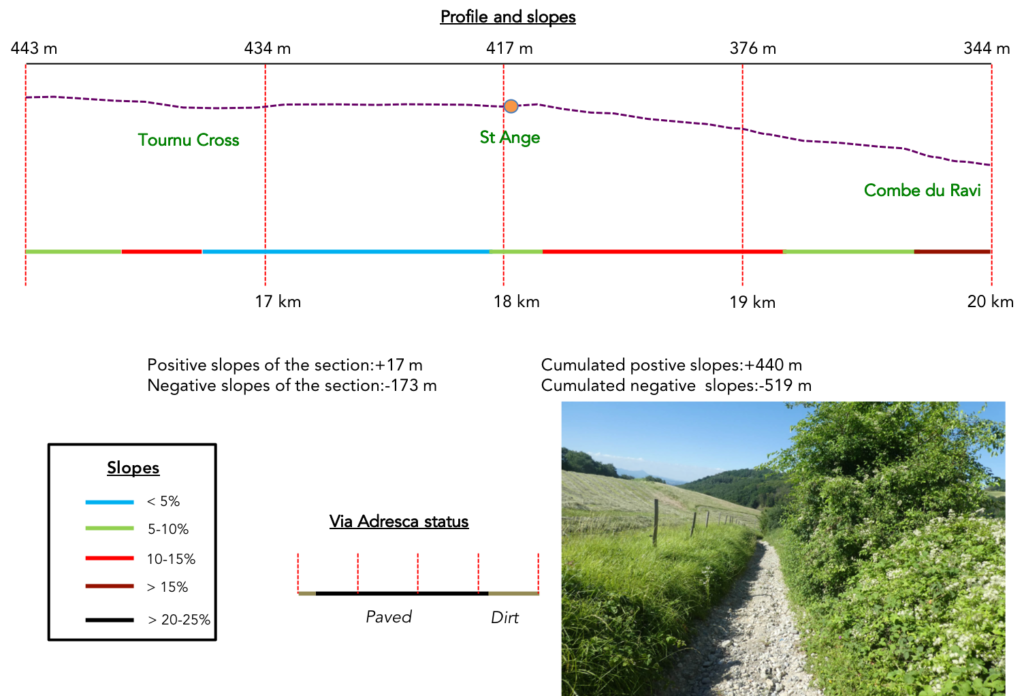
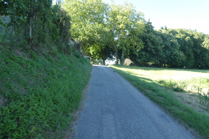
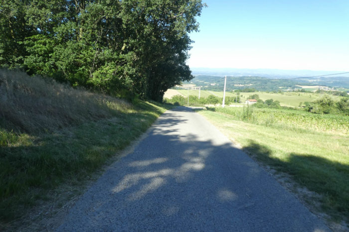
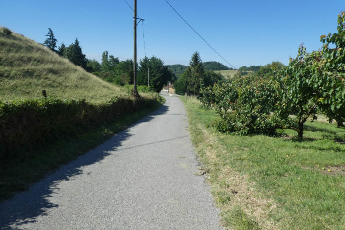
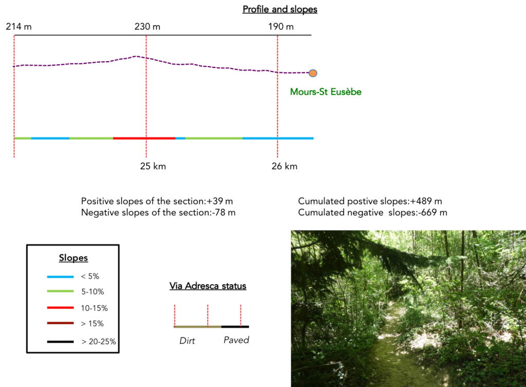
You will go through all the moods in a breathtaking stage. Today you leave Chambaran to slope down to the plain of Isère, but here it is far from being a direct descent, because the route plays the roller coaster with delight. In fact, the course follows the course of the Savasse, a capricious river, which we encountered completely dry during our passage, a bed of Chambaran pebbles in a way. But during heavy storms, it can be threatening. And pebbles, there are not only in the river. You will undoubtedly taste the indescribable charm of the Grande Combe and the Combe du Ravi. A real and big stage for all lovers of the unpredictable.
Difficulty of the course: Slope variations today (+489 meters/-669 meters) do not seem monstrous for a stage of 26 kilometers. But don’t be fooled by it. There are a lot of flat rides. But, when the route goes up and down on the pebbles, it is not an easy task. The route begins with a long climb above St Antoine-l’Abbaye to reach the forests. There are some nice inclines on the course. Then the descent into the forest to Montmirail poses no problem. Then ups and downs are consistent and steep enough to reach St Michel-sur-Savasse. It is especially here that the terrible climb of the Grande Combe starts. Once up there, everything goes smoothly until you find the canyon of the Combe du Ravi. A real pleasure! Then, everything calms down to reach Mours-St Eusèbe, almost in the thickets.
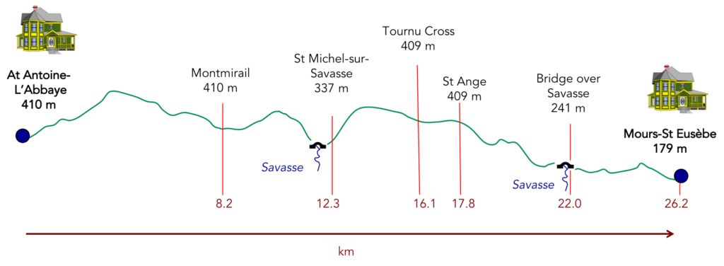
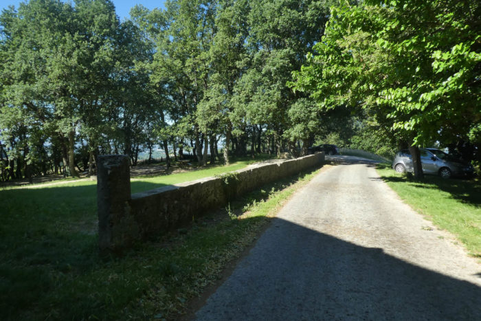
Today’s stage takes place equally on roads and pathways:
- Paved roads: 13.1 km
- Dirt roads: 13.1 km
Sometimes, for reasons of logistics or housing possibilities, these stages mix routes operated on different days, having passed several times on Via Podiensis. From then on, the skies, the rain, or the seasons can vary. But, generally this is not the case, and in fact this does not change the description of the course.
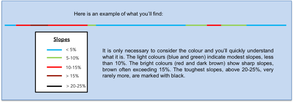
It is very difficult to specify with certainty the incline of the slopes, whatever the system you use.
For “real slopes”, reread the mileage manual on the home page.
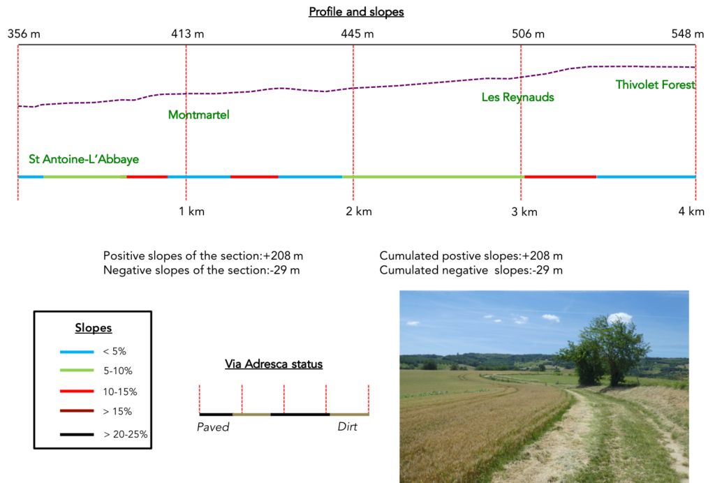
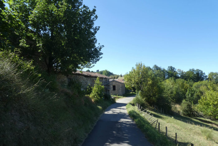
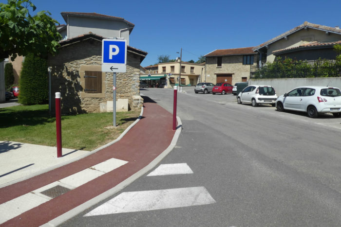
Section 1: In the woods and meadows above St Antoine-l’Abbaye.
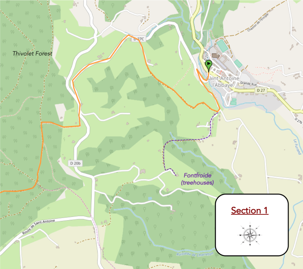
General overview of the difficulties of the route: long climb, almost 4 kilometers, regular, with slopes not exceeding 15%, but there are still 200 meters of elevation to swallow.
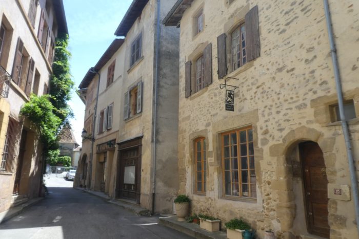
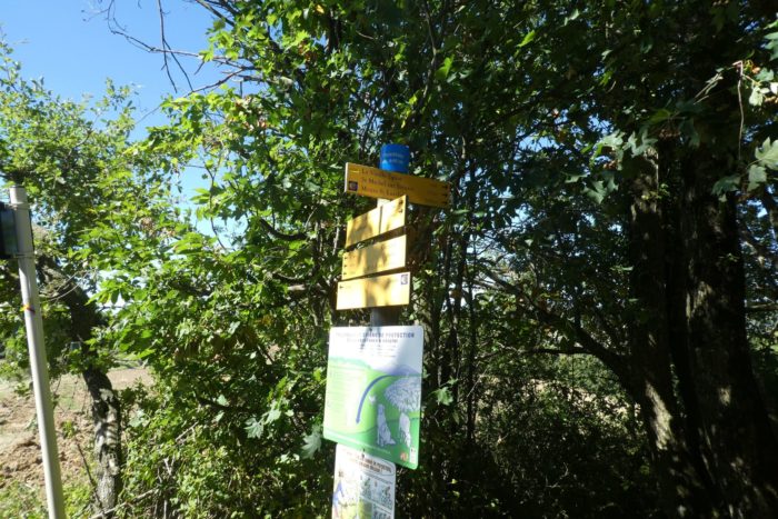
| Via Adresca leaves from St Antoine-de-Abbaye, at the end of the narrow streets, at the bottom of the borough. |
 |
 |
| At the bottom, the Furand stream flows through a deep valley. |
 |
 |
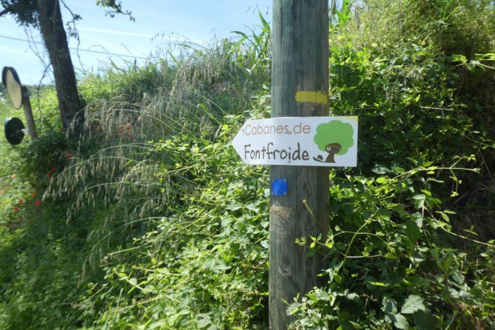
| Via Adresca starts on the road to Romans, crossing the beautiful stone bridge. It is also here the direction of the Fontfroide cabins, if you want to spend the night, perched in the chestnut trees. |
 |
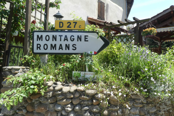 |
| Quickly, a fork. Here you have to leave the Romans road and take the left road. The same applies if you go on foot to the Fontfroide huts (by car, it’s straight ahead). |
 |
 |
| A little up, the road heads to Montmartel hamlet. |
 |
 |
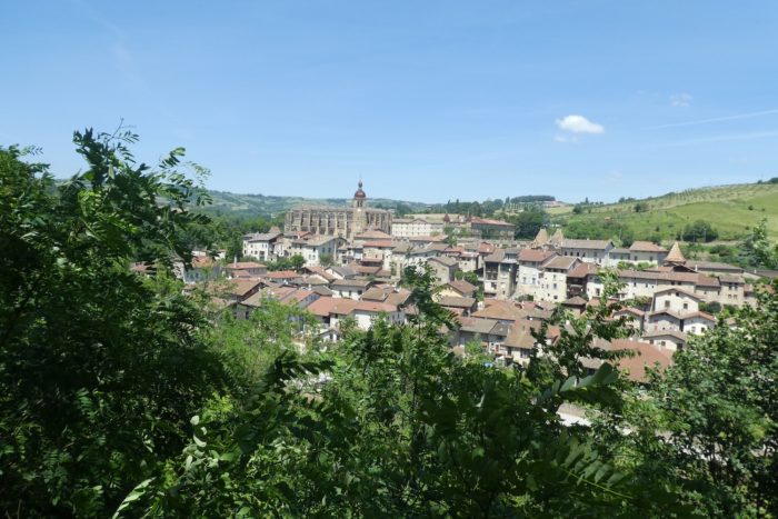
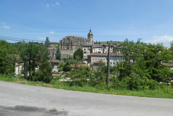
| From here, the view is beautiful over the village and the abbey. It is truly a magnificent monument, in all its Gothic glory. And to find all this magnificence at the bottom of a sunken basin adds to the charm. |
 |
 |
| If you want to go to the Fontfroide huts, you have to leave the Via Adresca here, cross the hamlet. The route is signposted. It will take you more than a kilometer to get there. But all along the hill, there are always indications to find the huts, a real institution here, at first sight. As for Via Adresca, it leaves the road for a wide dirt road which first climbs quite steeply in the countryside. |
 |
 |
| It quickly joins a plateau where wheat and corn thrive. |
 |
 |
| Further up, the pathway twists in the meadows. Here, the slope is gentle. |
 |
 |
| There are only meadows here. Further up, the pathway reaches an undergrowth where ash and chestnut trees grow. |
 |
 |
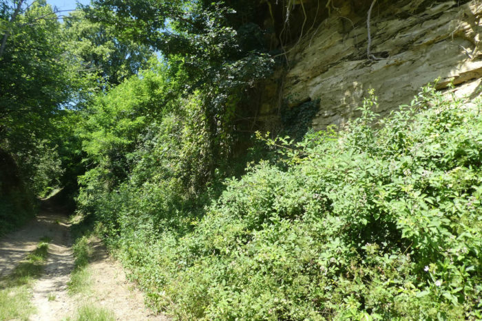
| The pathway then runs through marl banks. You’ll find the pebbles of Chambaran, but in discreet quantity. In these small dales flow the Font Froide stream and its many tributaries. |
 |
 |
| At the exit of the wood, the pathway climbs a little more before descending on the side of the hill. |
 |
 |
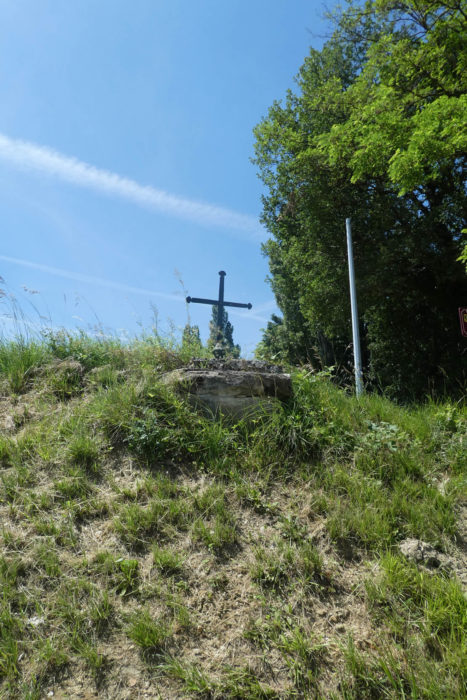
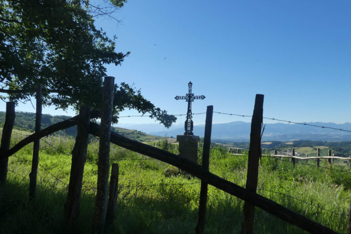
| It finds the road to Romans back a little further on, the small departmental road D27C, passing by the place called La Bergère, at the foot of an iron cross stuck in the rock.. |
 |
 |
| Further ahead, the road slopes up the top of the hill towards the forest. It is also here that the cars pass for the Cabanes de Fontfroide. |
 |
 |
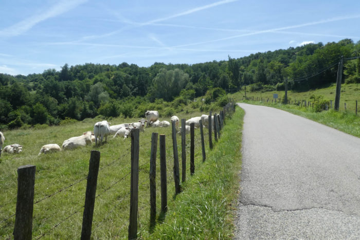
| The road climbs until it joins the departmental D20B road. Livestock accompany you here, like these beautiful Banches d’Aquitaine cows. |
 |
 |
| Up there, Via Adresca follows the departmental road for a few hundred meters before reaching the Impasse des Reynauds, where a small road climbs towards the forest. |
 |
 |
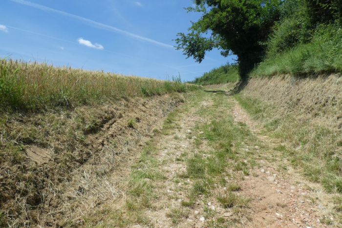
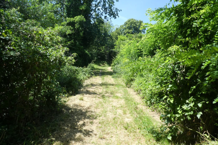
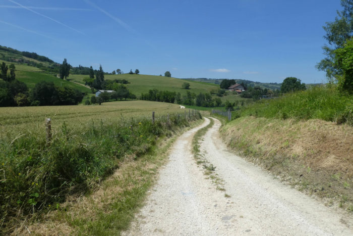
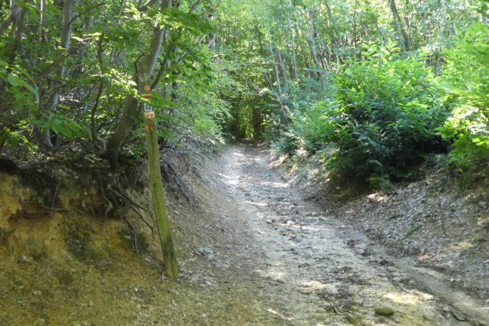
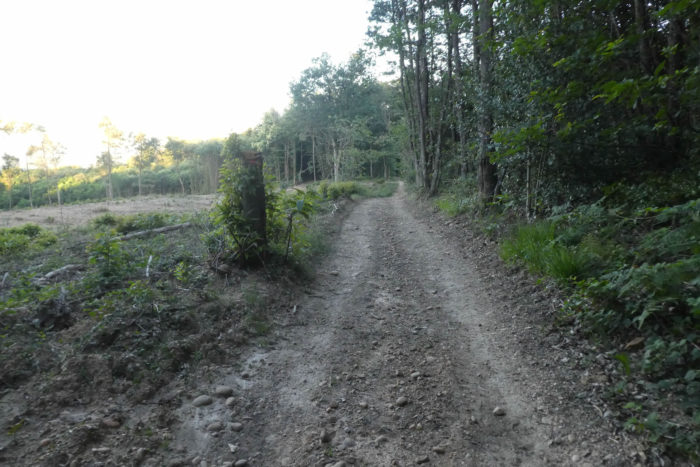
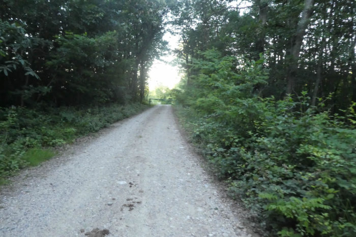
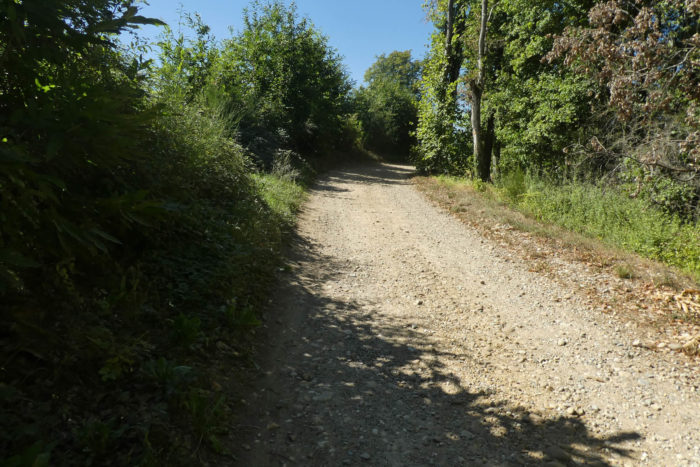
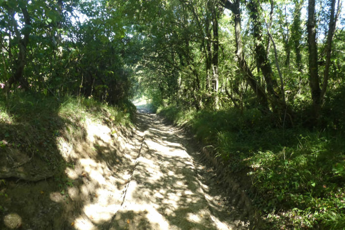
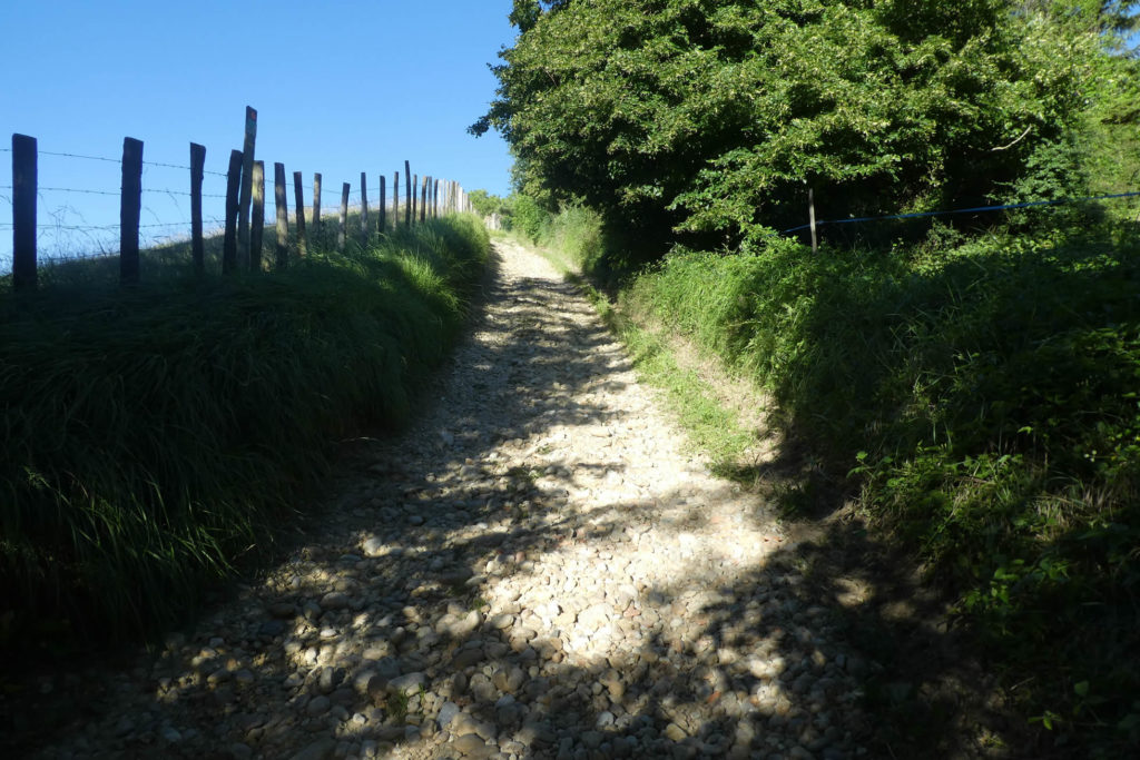
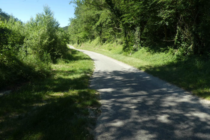
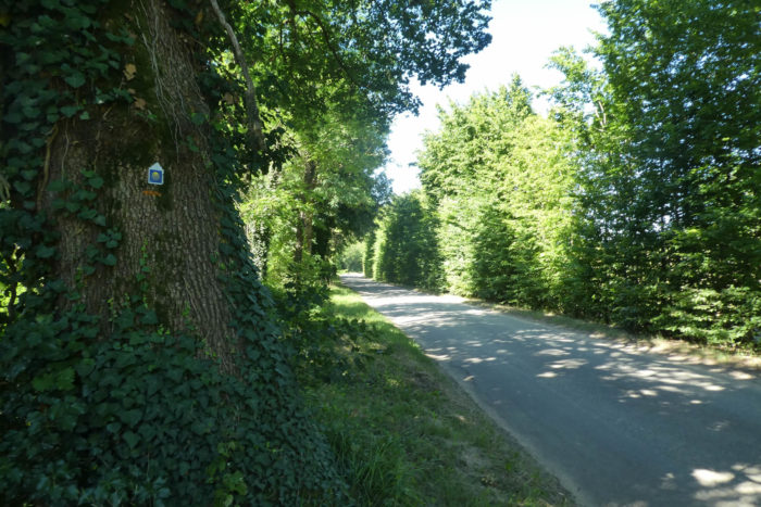
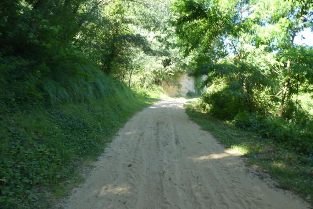
| At the end of the impasse, the pathway enters the forest. While the pebbles of Chambaran come back to life, which we thought you had carefully stored in a corner of our memory! The pathway then climbs steeply through the chestnut trees, but for a short time. |
 |
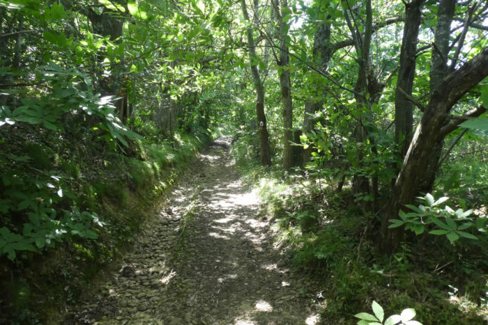 |
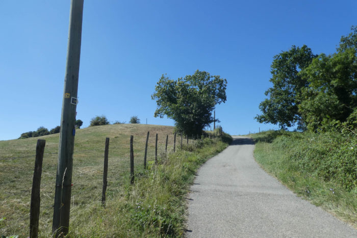
The pathway slopes up to the place called Forest of Thivolet. At the top of the hill, the pebbles have disappeared and the slope is less severe. From here you can also reach the treehouses, off the Via Adresca.
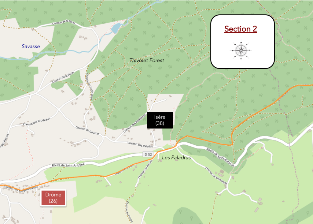
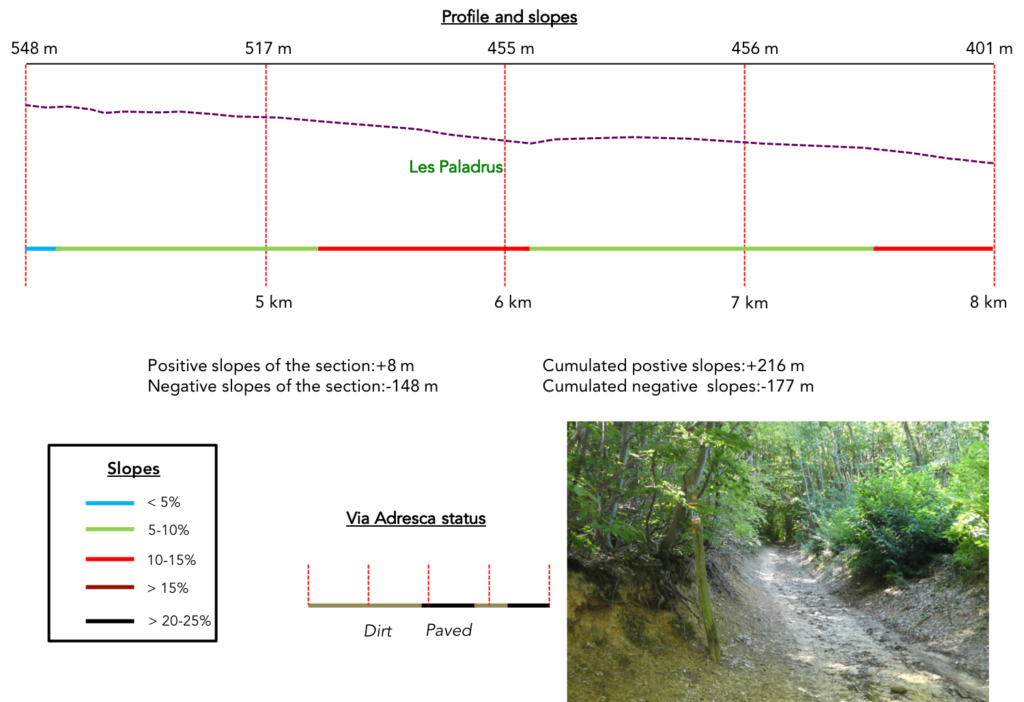
Section 2: In the forest of Thivolet.
General overview of the difficulties of the route: descent without problem.
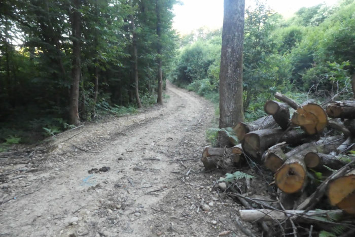
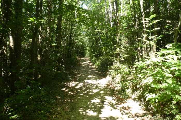
| Further ahead, the pathway slopes down into the forest. At first, the forest is dense, dark, formed almost exclusively of clumps of wild chestnut trees. |
 |
 |
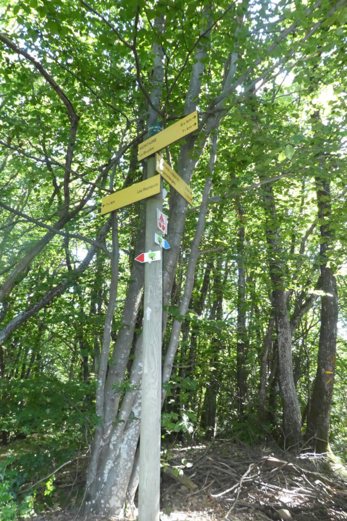
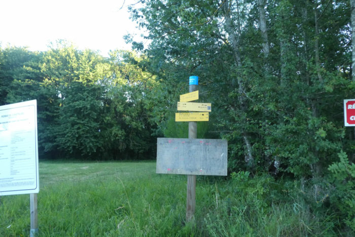
| The pathway is well signposted. There is interest, because many tracks crisscross the forest. For people who missed the way to sleep at the Font Froide cabins off the way, there are still directions here. |
 |
 |
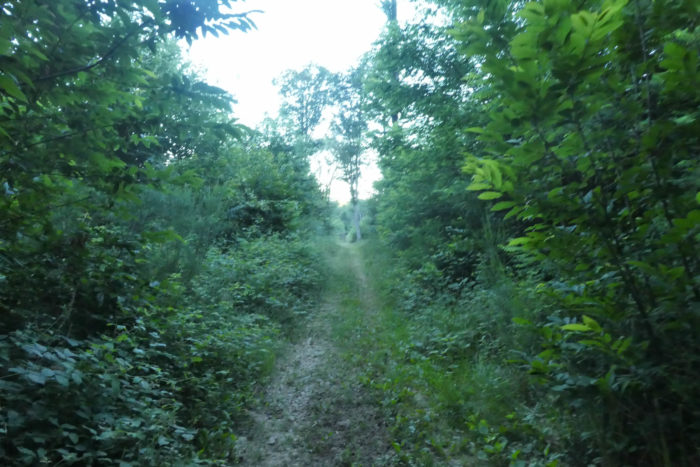
| The great forest of Thivolet, where the Savasse River, which you’ll met below, has its source is apparently not the most beautiful forest of Chambaran, at least where the tracks runs. With the number of chestnut trees present, wild boars must proliferate here. It is said that it was a forest frequented by François I, who spent his time hunting. |
 |
 |
| Further down, in the darkness, the chestnut trees look dull on the gray soil. Then gradually appear the brambles, the wild ferns which dominate, a sign of frequent humidity. You also see appearing here and there small holm oaks, quite rare on the Camino de Compostela. |
 |
 |
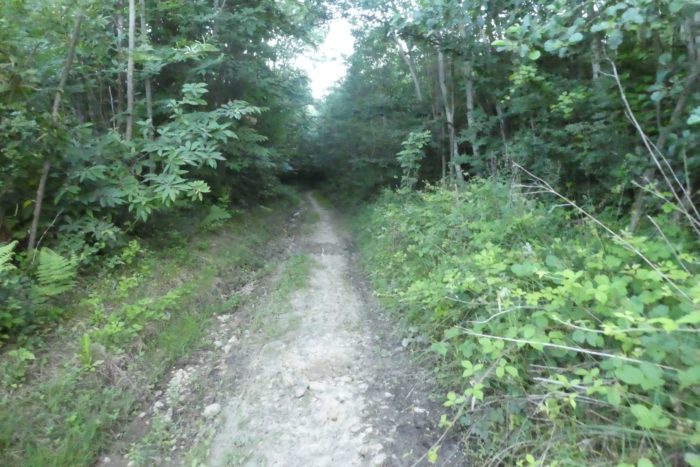
| There are forests that trigger no pleasure. This is part of it. Even the clearings seem dull in their greyness and the bushes hide the sun. Is it because you lost altitude since yesterday, in the beautiful forests of Chambaran? |
 |
 |
More than 700 meters to reach the place called Les Paladrus, at the exit of the wood. So much the better!

| In weeds and ruts, of course. |
 |
 |
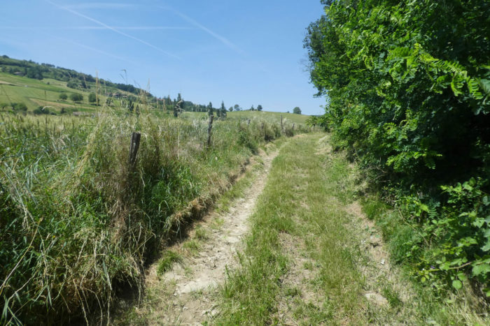
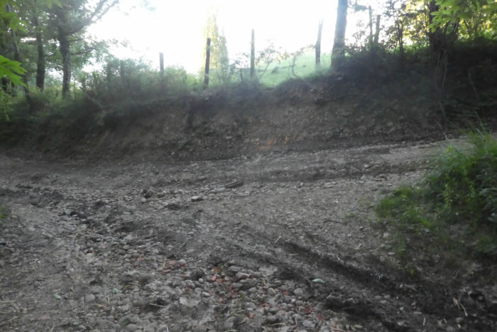
| At a place called Les Paladrus, the pathway joins the departmental D52 road which runs in the valley to St Michel-sur-Savasse, and even further towards Mours-St Eusèbe. Here you are almost 2 kilometers to Montmirail. |
 |
 |
| Here, Via Adresca crosses the departmental road and heads towards a gentle hill. |
 |
 |
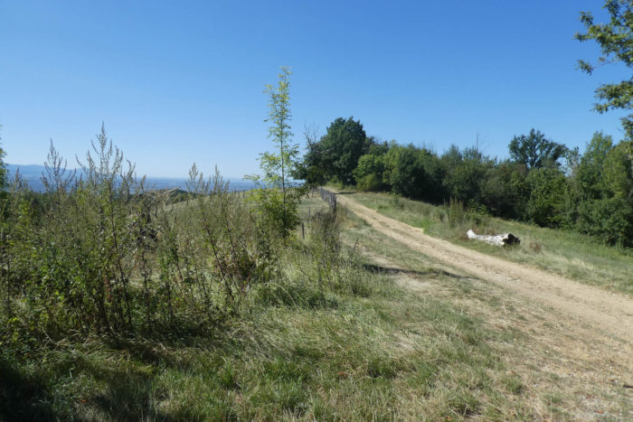
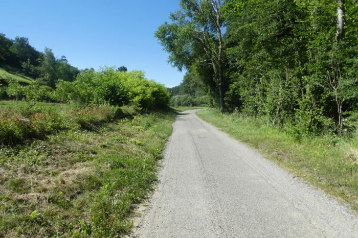
| You’ll arrive at a place called Le Penon and the road flattens towards the undergrowth. Here, you leave the department of Isère for that of Drôme, the Drôme of the hills. Overall, in this part of Drôme, it is the same geography as in Isère, namely a valley, with high plateaus, also called “feytas”. So, expect to find pebbles on the moraines as well. And you will not be disappointed! |
 |
 |
| In the undergrowth, a pathway takes over from the road. |
 |
 |
| It crosses the undergrowth and then a bit of countryside before the road looms again near the first houses of Montmirail. |
 |
 |
Section 3: From ruin to ruin near St Michel-sur-Savasse.
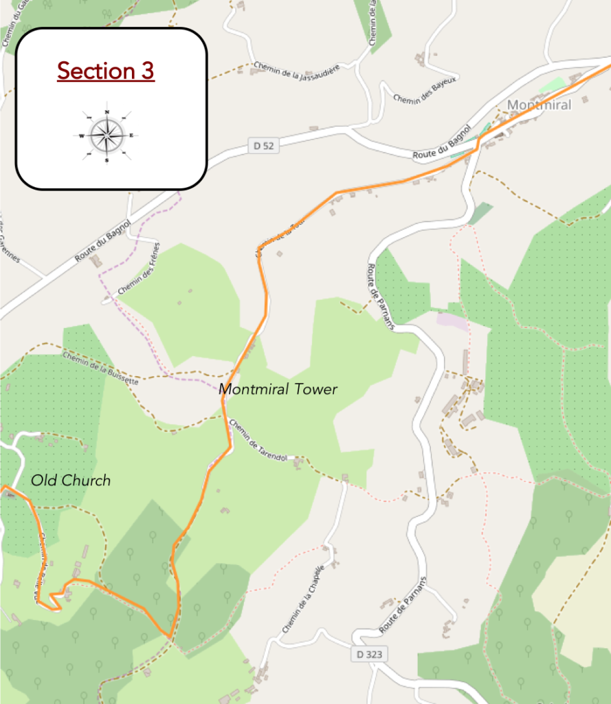
General overview of the difficulties of the route: slightly steeper slope at the height of the Tour de Montmirail, then very difficult route to slope down to St Michel-sur-Savasse.
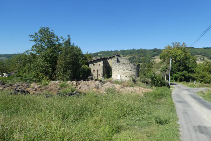
| Montmirail has become depopulated over the years and now has only 600 inhabitants. This is not the castle of the french movie The Visitors. The church of St Christophe has a bell tower and an apse dating back to the XIIth century. |
 |
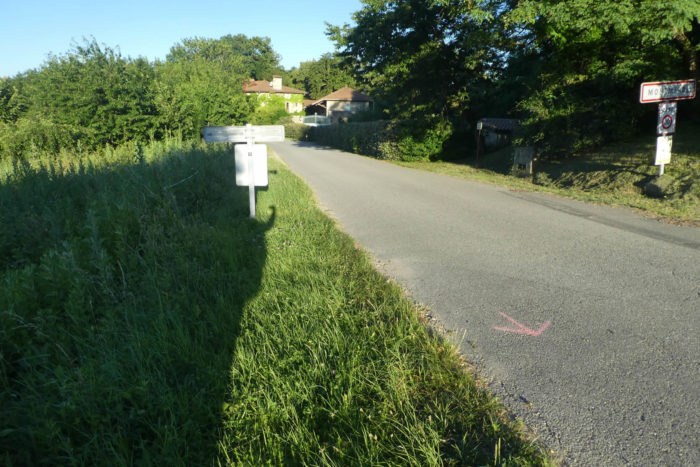 |
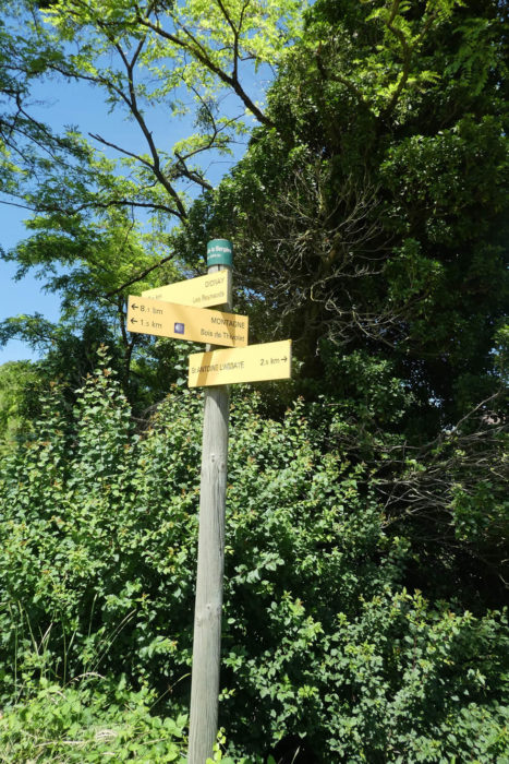
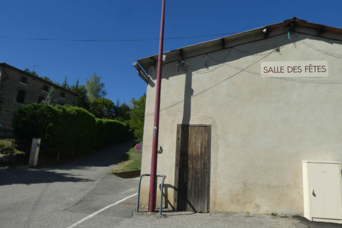
| When you get here, near the church, pay attention to the Via Adresca signs. For our part, not having seen any change of direction, we first left the village and drove almost a kilometer on the road to St Michel-sur-Savasse. Seeing no shells, we turned back, which you always have to do, and looked for the shells of direction near the church. And a shell, there is indeed one, but so discreetly placed at the corner of the Salle des Fêtes, that you hardly see it. |
 |
 |
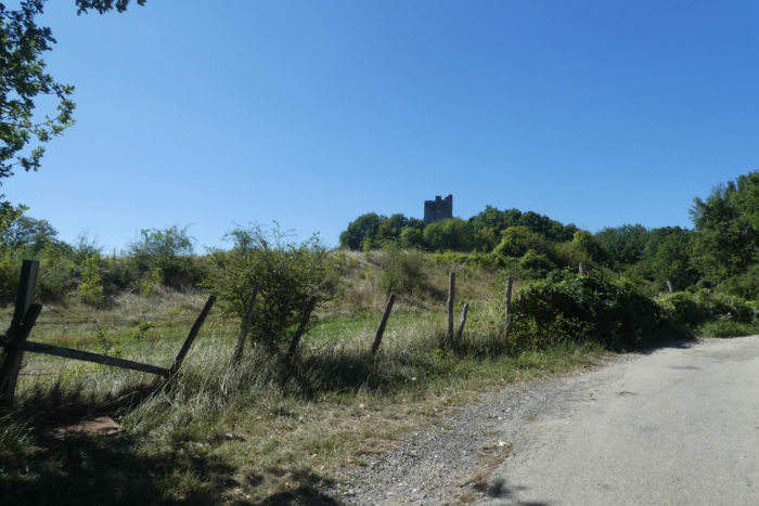
| A small road leaves the village climbing towards the tower of Montmirail. |
 |
 |
| Soon enough, you’ll see the tower perched on the hill. |
 |
 |
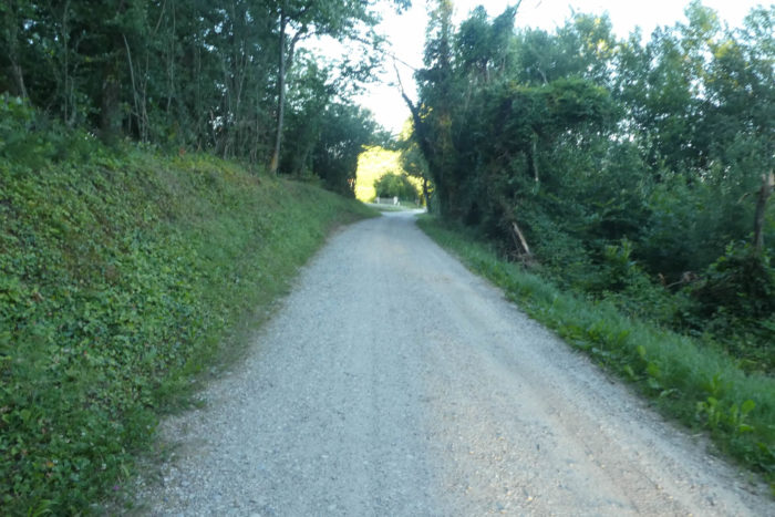
| Further up, the road passes in front of an abandoned hamlet, with its freestone houses. The slope is never excessive, not exceeding 15%, but the road climbs continuously through ash trees, holm oaks and chestnut trees. |
 |
 |
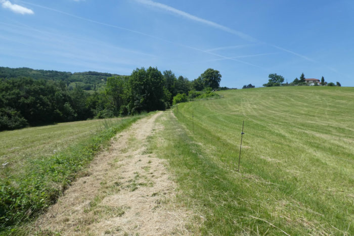
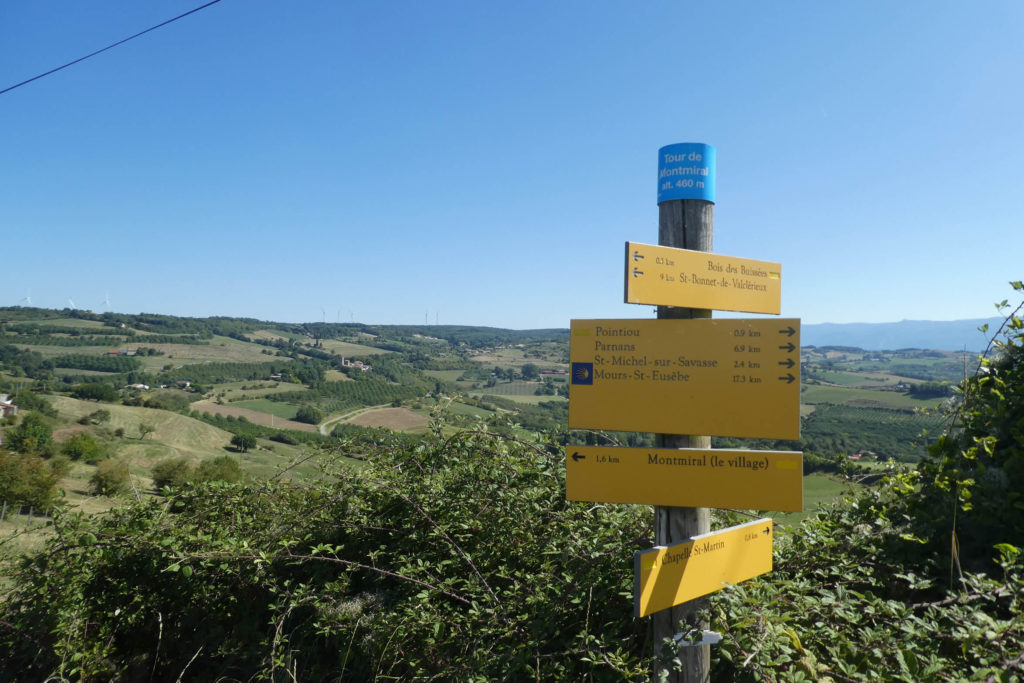
Almost at the top of the hill, the road arrives at a place called Tour de Montmirail. Below, Montmirail spreads out under the forest of Thivolet and its wind turbines.
| Then, a very gravelly dirt road runs around the hill, without reaching the tower, which is now only a ruin. |
 |
 |
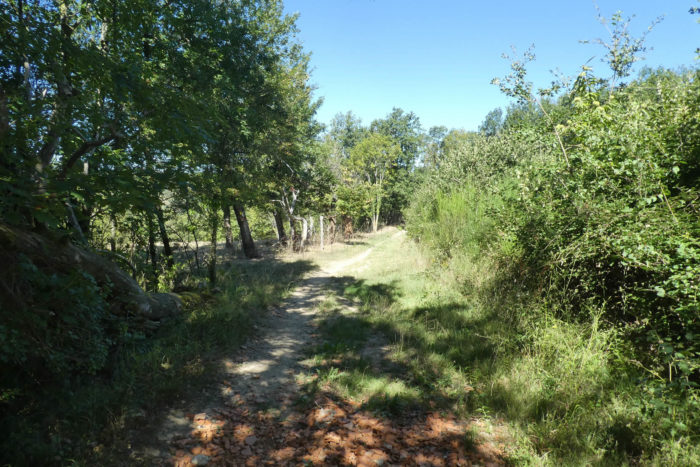
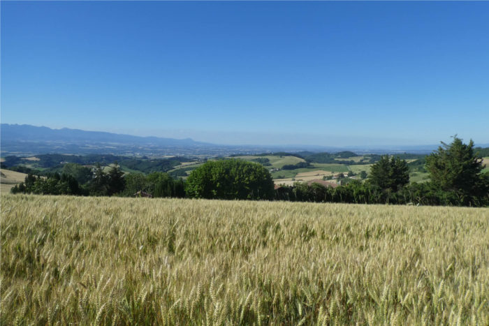
| Further up, the pathway reaches the top of the hill. Here, the view is beautiful over the hills of the Drôme overlooking the Isère valley. On the horizon are the crests of Vercors and the mountains of Isère. |
 |
 |
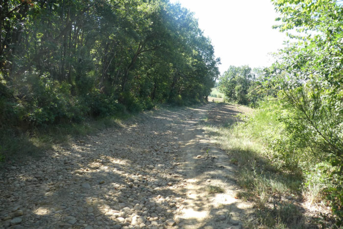
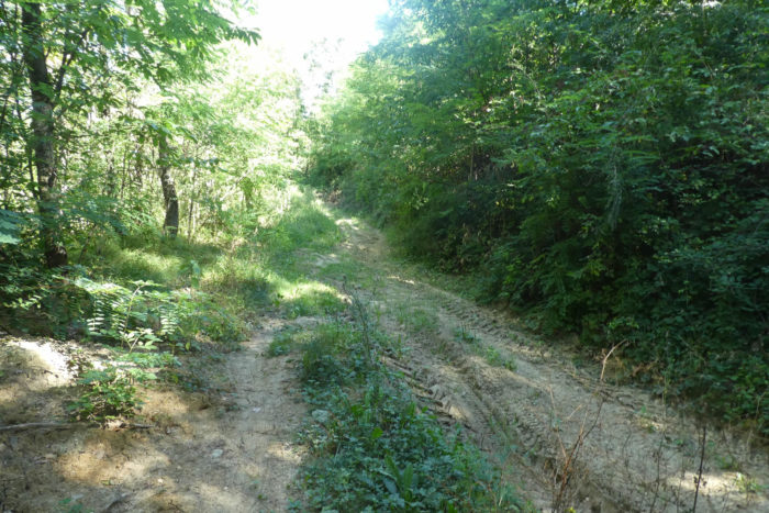
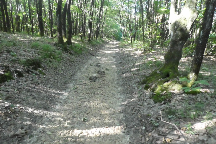
| A very stony pathway then descends on the other side of the hill. The peasants did not even take care to de-stone their fields, as the task must be so impossible. |
 |
 |
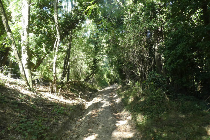
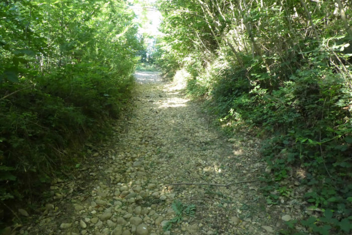
| The pathway descends to the limit of the undergrowth of oaks and chestnut trees to the place called Pontiou. Here, the round pebbles caress your ankles. Luckily, the slope is still reasonable. It will become more tough lower down. |
 |
 |
| Further down, the pathway wanders gently through the undergrowth. Here, by magic, the stones have vanished and the shade of the deciduous trees is generous. |
 |
 |
| It is then that deep ruts appear, drawn by tractors in the almost clay-like ground. |
 |
 |
| In a clearing, St Michel-sur-Savasse appears below the pathway. The pathway continues to descend in stones and ruts. |
 |
 |
| Further down, the pathway becomes detestable, we will say so, in the bushes, the wild grasses, the pebbles and the ruts, with slopes exceeding 15%. |
 |
 |
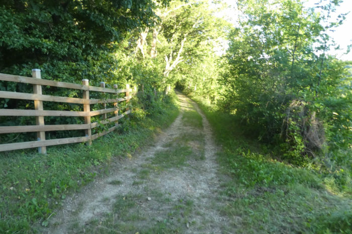
| At the bottom of the descent, the pathway joins a small paved road. You will be very satisfied with it. |
 |
 |
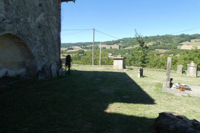
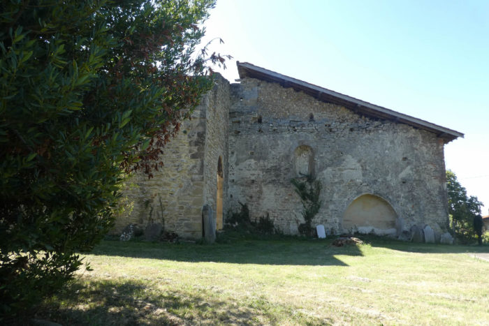
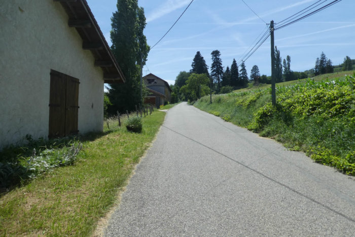
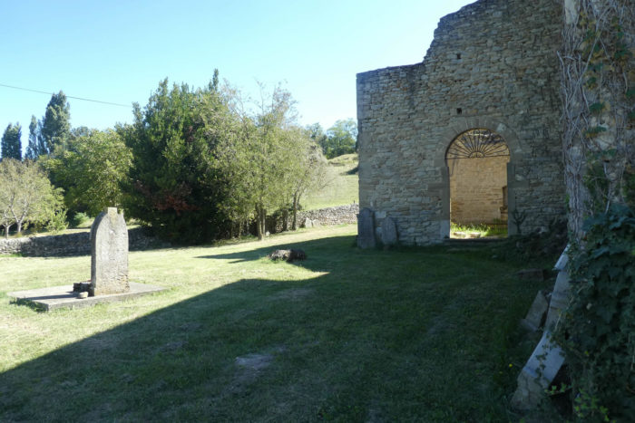
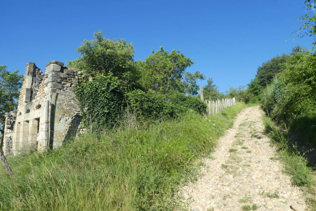
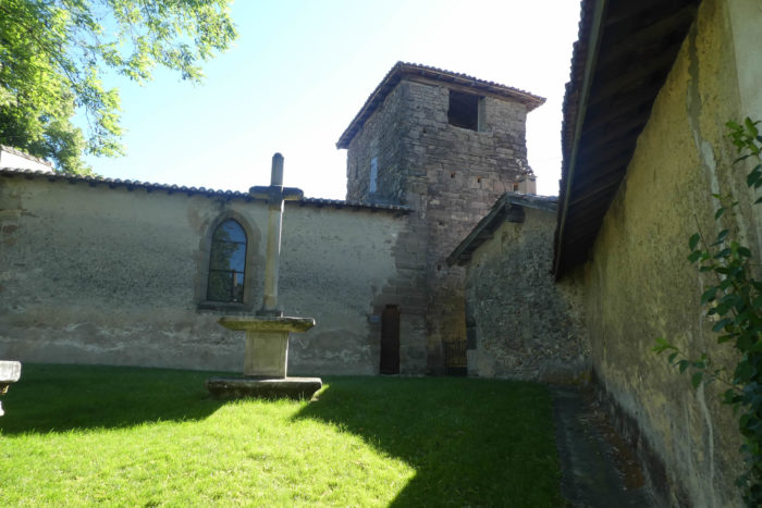
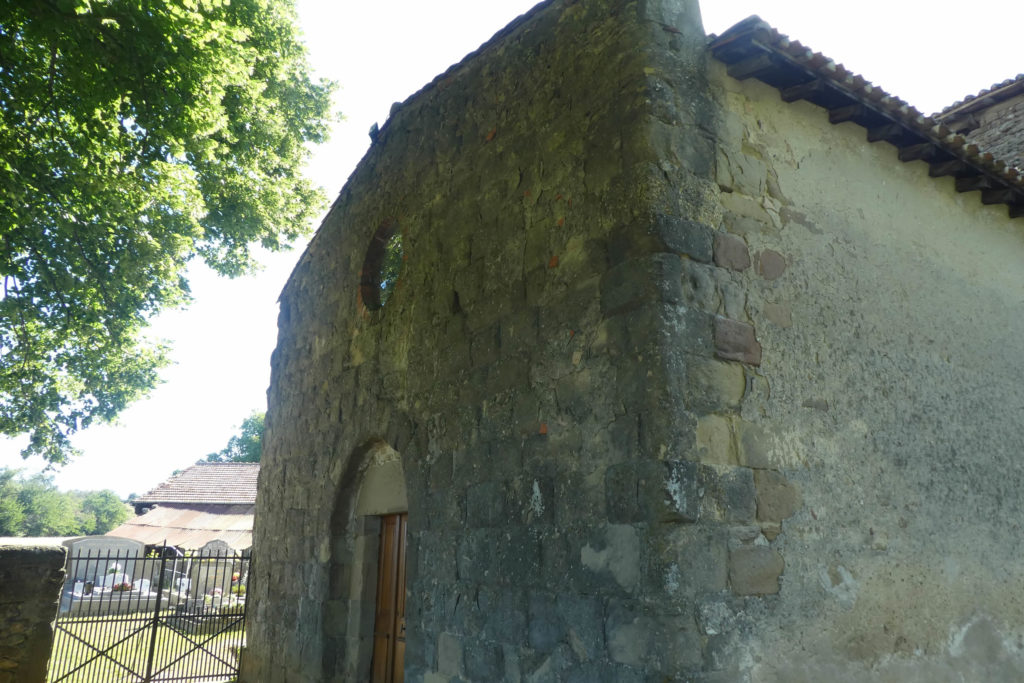
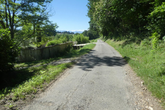
| The road passes quickly in front of an old church. There are only a few ruins of the Benedictine priory of Saint-Pierre-de-Sérans dating from the XIIth century. The church was destroyed by the Austrians who occupied the region at the beginning of the XIXth century. The cemetery that surrounded it was abandoned in 1905. The site remains magnificent, although a house has been attached to the church, obviously also abandoned. |
 |
 |
Section 4 : On the way to War and much more…
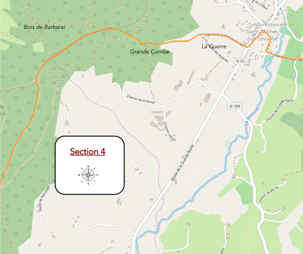
General overview of the difficulties of the route: highly tough climb for nearly 1 kilometer, on rolling pebbles, at times more than 20% inclination; then a well-deserved rest in the forest.
| The road then descends from the Old Church into walnut and fruit trees. |
 |
 |
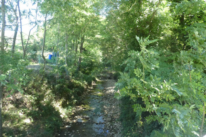
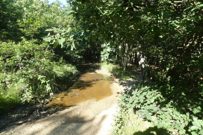
| There, it crosses the Savasse River, where only a trickle of water flows, and slopes up towards the center of the village. |
 |
 |
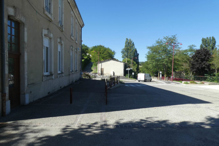
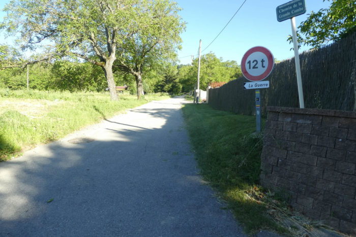
| Via Adresca then crosses St-Michel-sur-Savasse (600 inhabitants). The church is of recent construction. Here, you are halfway through this long stage. |
 |
 |
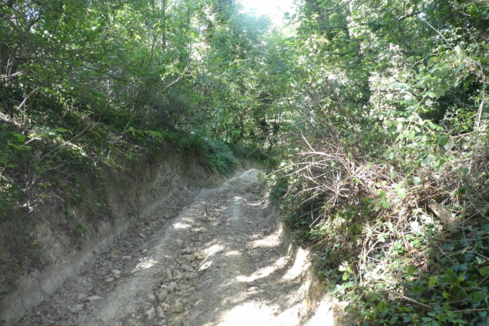
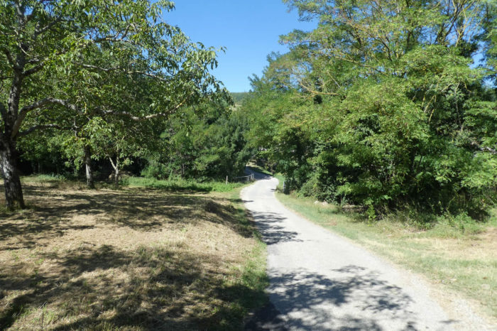
| At the exit of the village, a road leaves the departmental D52 for La Guerre (The War), sloping up the Chemin de la Grande Combe. You said The War, and the only thing you won’t see in the Combe are the enemies and the gunfire. Initially, it is only tar among walnut and fruit trees. |
 |
 |
| The coast is already very steep and you quickly guess, from seeing the pebbles on the sides, that only tar was thrown in to let the tractors of the walnut producers pass. |
 |
 |
Then suddenly, on a break in the slope, a magnificent scree of pebbles appears. Here, you’ll taste inclinations of more than 15% on a ground that slips as you climb. A real fight, for sure. War, right? You sometimes desperately look for a passage without stones on the sides, but there are not that many.
Going through here in rainy weather, we prefer not to think about it. What happiness, no doubt. The beautiful ruin makes the landscape even more mineral. It’s steep, but so beautiful and amazing this corridor of stones.
| For those who are experienced in walking on rocks in the Alps, this kind of track does not pose a problem. But for the many retirees on the Camino de Compostela, who are a little less sporty, it’s a whole different story. Sometimes the slope is less steep… |
 |
 |
| …but to restart immediately. |
 |
 |
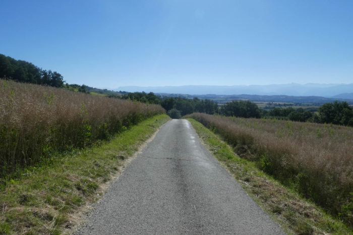
The deliverance is the place called La côte Velay. You climbed 1.4 km, going from 337 meters to 470 meters above sea level. A pleasure, right?

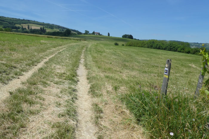
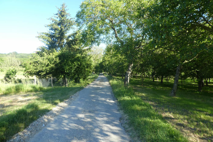
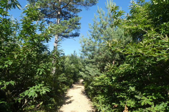
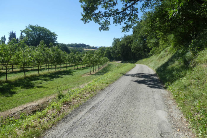
| Here, you reached the “feytas” and the pebbles disappear as if by magic or while nature took care of them. People certainly did not de-stone the way. You also know that on the “feytas” the courses are relaxing on these high plateaus. The pathway then crosses a real chestnut grove on gray and poor soil. |
 |
 |
| A little further on, at a place called Bellefont, the forest has become more mixed and the soil more welcoming under the chestnut trees, holm oaks, pines and maples. |
 |
 |
| Even if there is only one forest here, people like to name certain parts. The pathway then heads towards the Bois Brûlé. Here, the ground is very impermeable and the puddles pile up in the ruts, even in dry weather. There are sometimes real lakes, which you avoid. The chestnut trees seem to take pleasure in this state of affairs. |
 |
 |
| When the pathway reaches the place called Bois Brûlé, you still have two kilometers of walk to arrive at the Tournu Cross, beyond the forest. |
 |
 |
Section 5 : On the way to a nice canyon.
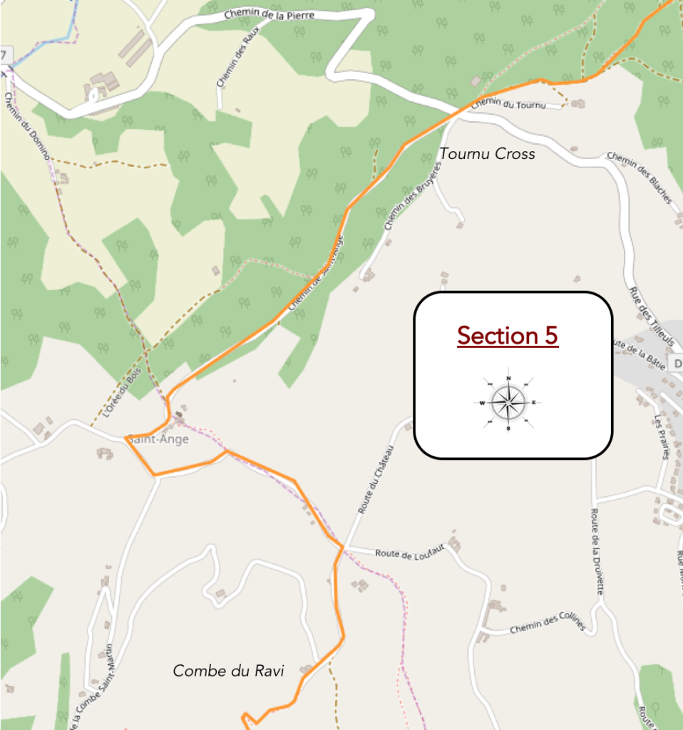
General overview of the difficulties of the route: problem-free descent to the Combe du Ravi. Here, it is not really the slope that is the major difficulty, it is the state of the ground.
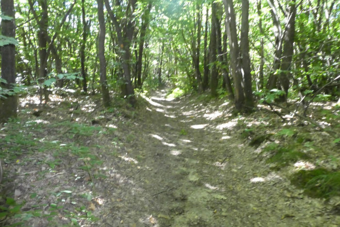
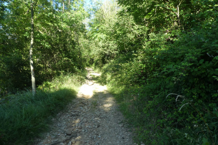
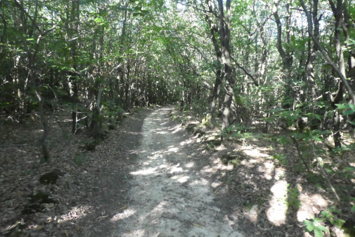
| In the forest, always the same water retentions, the gray dirt, the rows of chestnut trees, with here and there a large oak, a green oak or a maple. |
 |
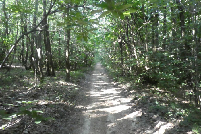 |
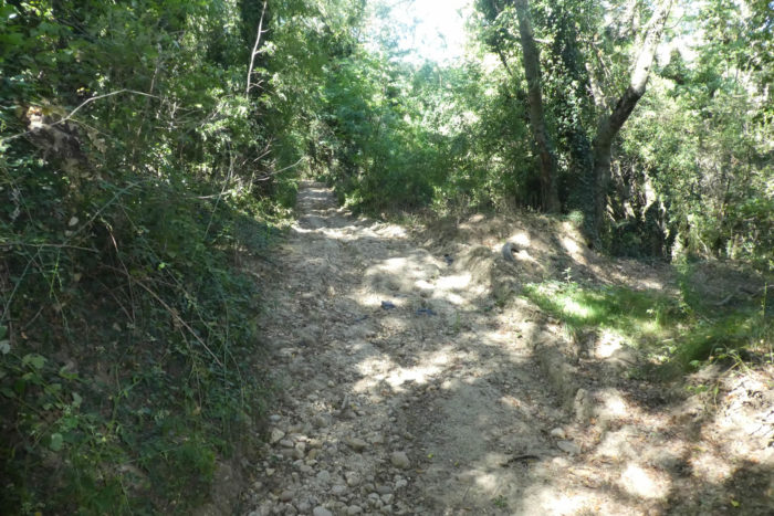
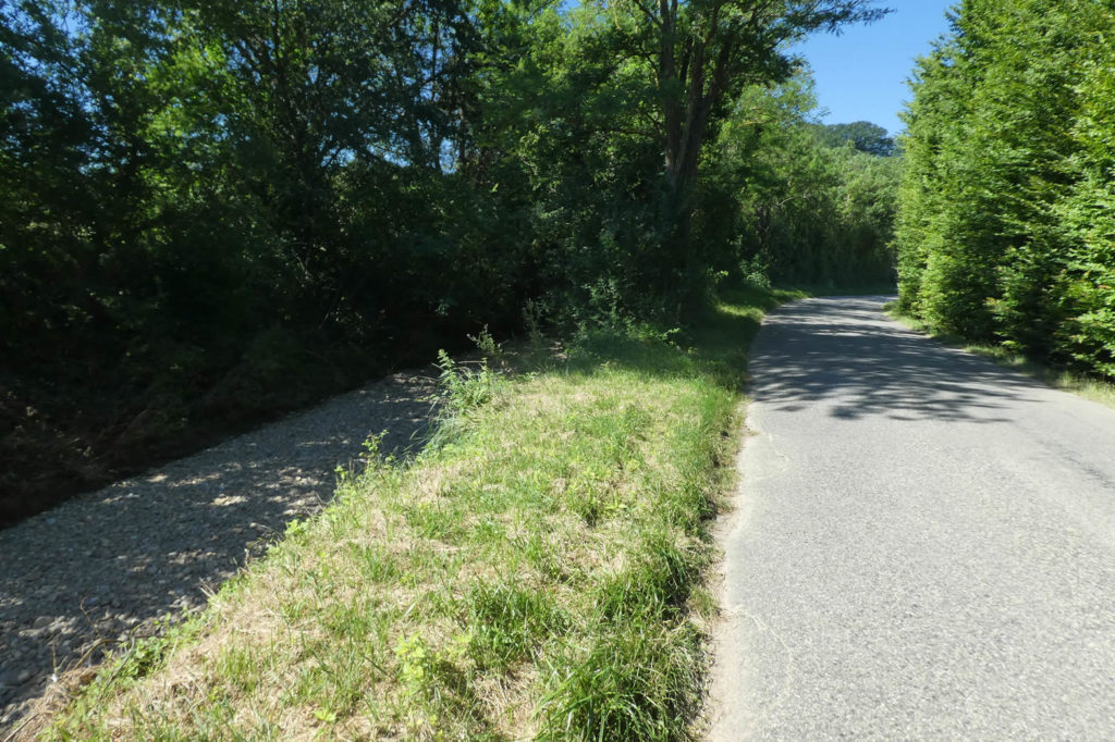
| And then just a small passage in the pebbles, to remember that geology is always right. It’s often like this when the slope gets steeper, but here it’s child’s play. |
 |
 |
| When the pathway leaves the forest under the big oaks, you have in front of you the hills of the Drôme which descend on the plain of Isère and on the horizon the Vercors. |
 |
 |
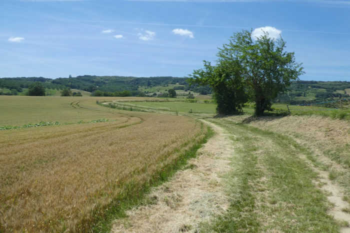
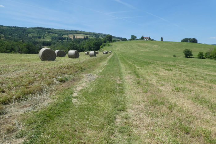
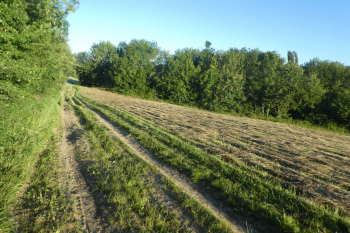
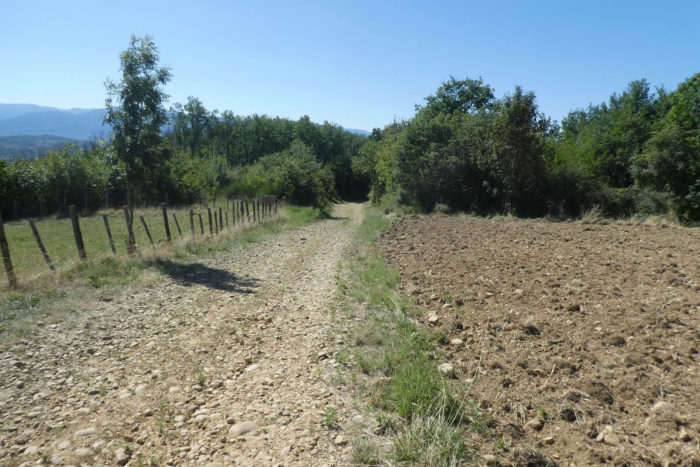
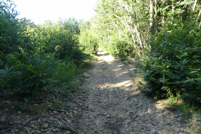
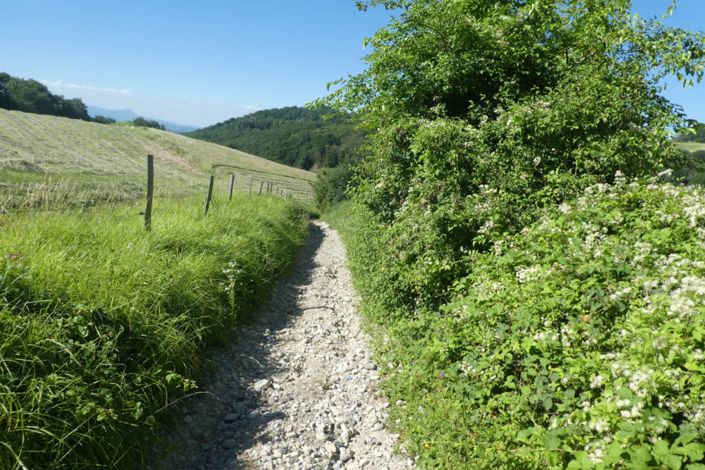
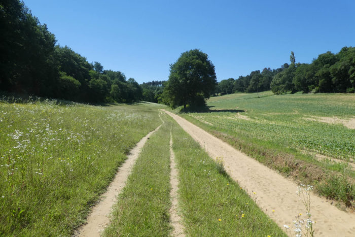
| Further on, the pathway wanders somewhat along the wheat fields, but it does not linger there. Immediately the pathway climbs back up into the brushwood. Here, the land is almost sand, but the pebbles are waiting for you too. |
 |
 |
| The climb is not long and shortly after, the path reaches Croix Tournu, in the countryside. |
 |
 |
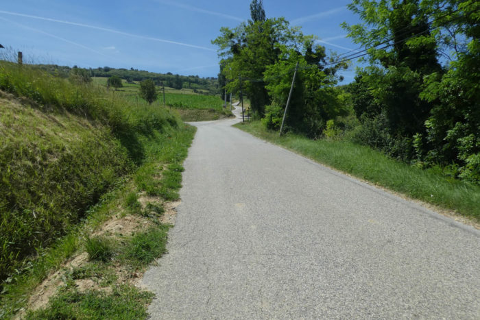
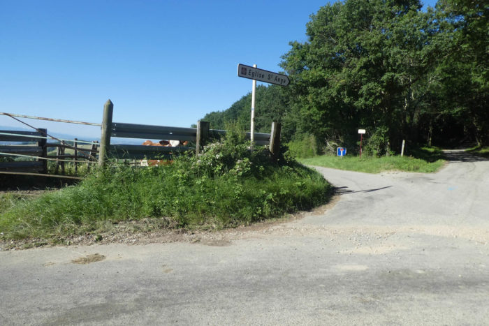
| Here, Via Adresca takes the direction of the Sainte Ange church. It is a 1.6-kilometer journey on an asphalt road where no vehicle passes. |
 |
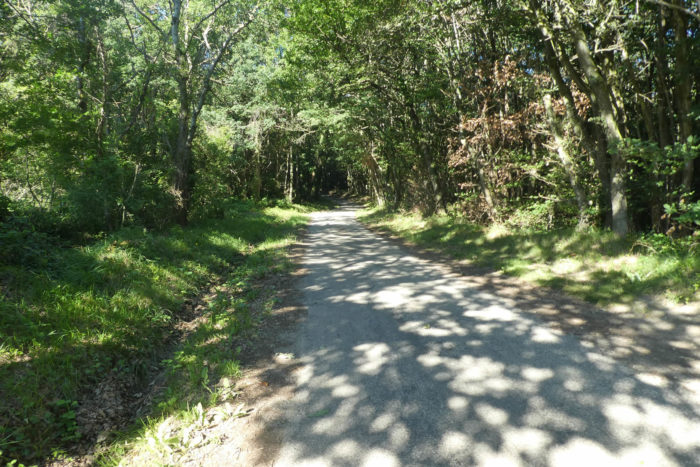 |
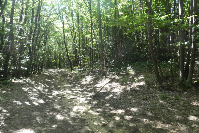
| The road oscillates between rather open woods or the darker forest where the tight ash trees and the oaks try in vain to compete with the chestnut trees. |
 |
 |
| Further afield, the space opens up as you approach the hamlet of St Ange. |
 |
 |
| This hill which dominates the Isère plain, opposite the Vercors, is an ancient Gallo-Roman site. The church, built of stone, almost looks like a fortress. It is dated from the XIIth century, in Roman art with a few small additions thereafter. The facade, without ornaments, is of an absolute sobriety. The monument is, with good reason, classified as historical heritage. You do not enter it, as is often the case in the countryside along the Camino de Santiago. These churches are open from time to time, for a Sunday… and again.
The hamlet has magnificent stone houses clinging to the hillside. There aren’t many people here anymore. Everything has disappeared, the town hall, the cure. The church has not been in the parish of Peyrins, a neighboring village, for a century, but people like to be baptized, married or even buried here. Besides, weddings are popular here. The hamlet barn has become a hall for organized weddings. |
 |
 |
| The road descends under St Ange under the oaks. Here, oilseeds dominate, including rapeseed. |
 |
 |
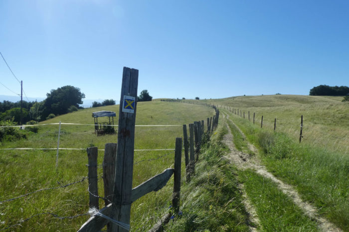
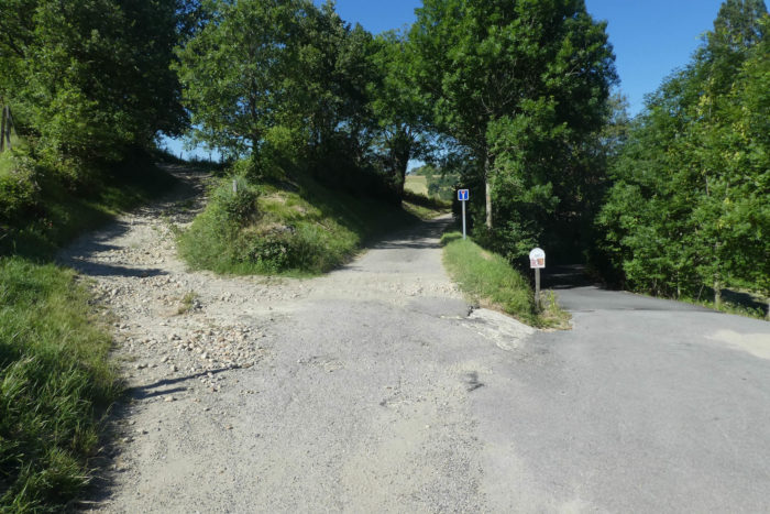
| The road descends until it reaches a crossroads of tracks and roads. Do you normally think that the rocky pathway up the hill is for you? No, this one is crossed out, because the kind organizers of the Via Adresca have chosen a variant here that will undoubtedly delight you even more. Salivate in advance. |
 |
 |
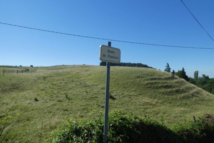
| Here, the road then takes the road to Pianières and descends towards the few houses in the fruit trees. |
 |
 |
| Further down, a new crossroads, with a stony pathway which slopes up. Yours? No way. Yours is the dead end, straight ahead. |
 |
 |
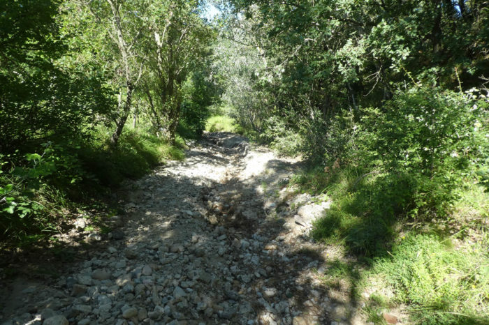
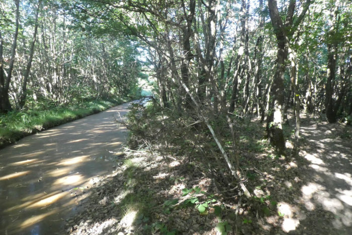
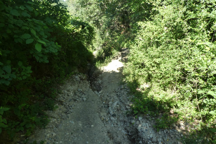
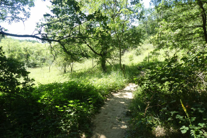
You then find a narrow lane, a real corridor of pebbles that descends into the Combe du Ravi (delighted), which bears its name well.
| Would you have imagined that about ten kilometers from the region of Valence and Romans, which has more than 150,000 inhabitants, you would have unearthed such a marvel? The narrowness of the pathway, the slope, an unparalleled treat. Huge is the term. Every meter is expected to see enemies, or boars or wolves rushing at you. |
 |
 |
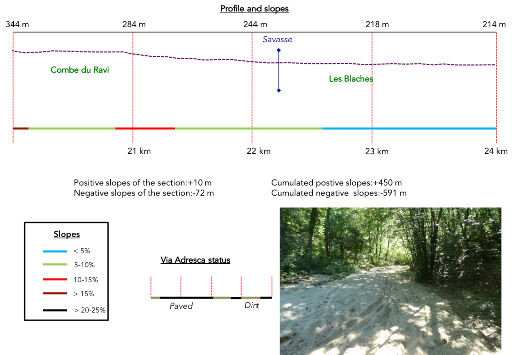
Section 6: The Savasse, a river or a canyon?
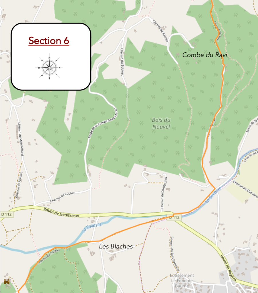
General overview of the difficulties of the route : course without any difficulty
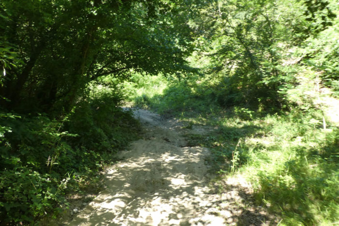
| At the bottom of the ravine, sand replaces pebbles. Incredible area where trails left by mountain bikers outnumber shoe prints. |
 |
 |
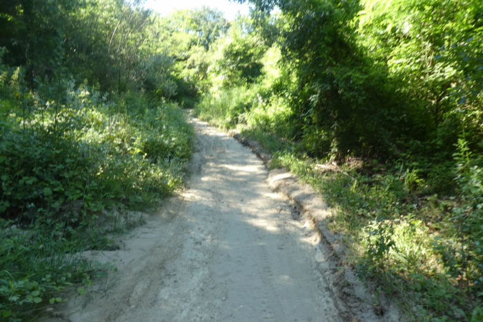
| Further afield, the pathway slopes up a little, still in the sand, to reach a small asphalt road. |
 |
 |
| The road then crosses a kind of plain in the forest. |
 |
 |
| At the end of the plain, the road finds fruit trees and arrives at the main road, near Savasse. |
 |
 |
| Further on. the road runs along the river, but you do’nt hear any murmur of water. |
 |
 |
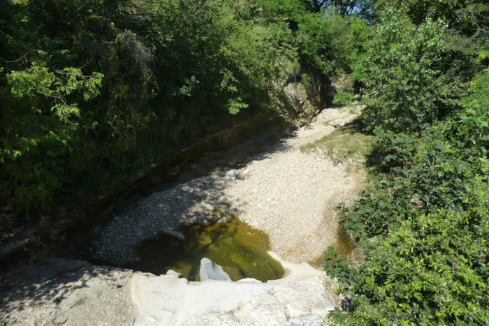
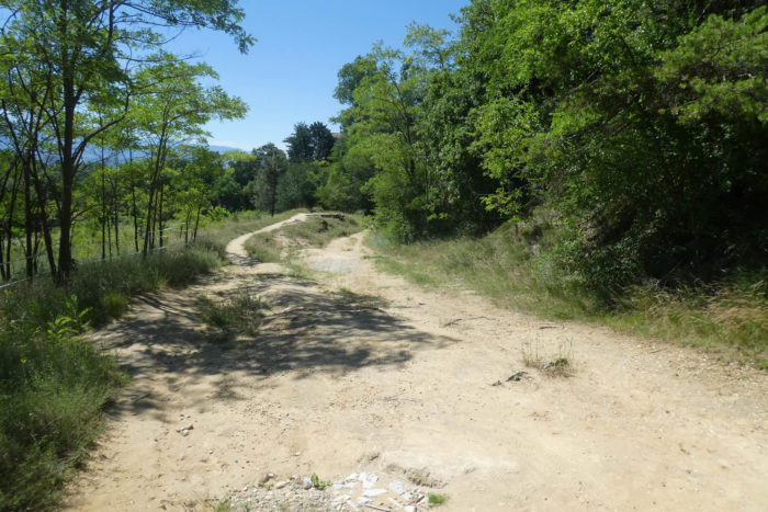
And for good reason. Here is the river. You will probably never have crossed such a river in your life, at least this is our case: not the slightest drop of water, only a large bed of large pebbles. And yet the Savasse is a real scourge because of its violent floods, causing notorious damage in the plain of Romans-sur-Isère. Watch some videos of the river flooding on the Internet, to get an idea of the fury that can reign here. During our visit, the region had not seen rain for 15 days.
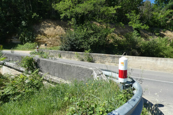
| A little further down, a bridge is thrown over the river. Here, you still see a trickle of water. Would the water circulate, without our knowledge, under the bed of pebbles? |
 |
 |
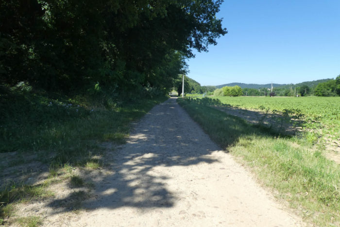
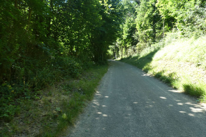
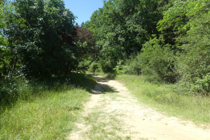
| Beyond the bridge, Via Adresca flattens on the Chemin des Blaches. The name, as we said above, implies ancient oak groves. Here, the ground is almost sand. The number of mountain bikers and joggers is important, if you spend the weekend there. |
 |
 |
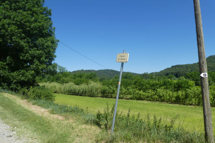
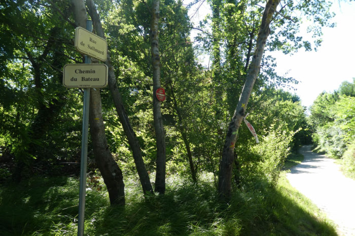
| Further on, the Chemin du Bateau takes over. Here, the sand competes with the coarse gravel. |
 |
 |
At the end of the road, Via Adresca leaves at a right angle on the Rue de Sallmard.
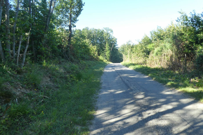
| A small road then runs into the forest. |
 |
 |
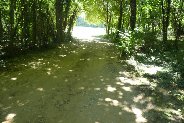
| Finally, street is saying too much, because the road ends in a dead end on the dirt. Here, the dirt road smoothens through the meadows, in a charming dale. |
 |
 |
Section 7: In the exotic canyons of Mours-St Eusèbe.

General overview of the difficulties of the routes: course without difficulty, with light ups and downs until the end of the stage.
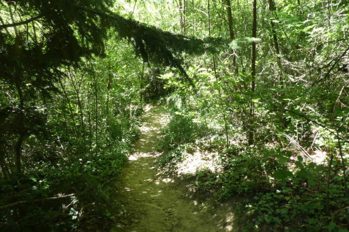
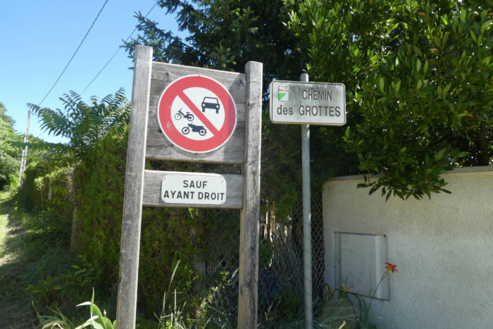
| At the end of the dale, the pathway climbs over the stones to find the Chemin des Grottes. |
|
 |
| So, here, you go back to an extremely wild universe. The hill is riddled with grottoes and caverns, some of which are said to date back to the Paleolithic period. |
 |
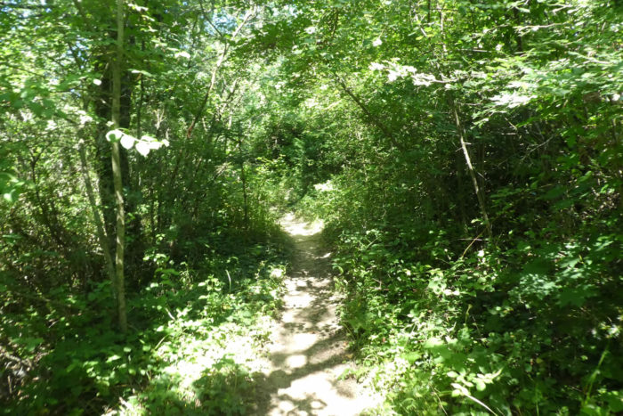 |
| Further afield, a stone’s throw from civilization, it is the crossing of a canyon, on an often very narrow pathway that descends between brush and wild grass. |
 |
 |
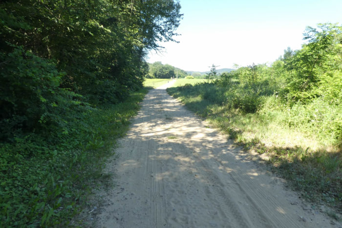
| Here, the Chambaran pebbles have given way to sand. When you’ll walk by here, you have to let run the crazy downhill mountain bikers and the weekend joggers. There can be a crazy world, both literally and figuratively. On the bottom of the dale, the pathway widens. |
 |
 |
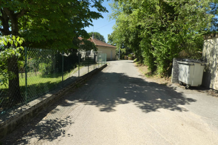
| At the bottom of the Chemin des Grottes, you’ll get to the outskirts of Mours-St Eusèbe. |
 |
 |
| The road then follows the Chemin des Marronniers… |
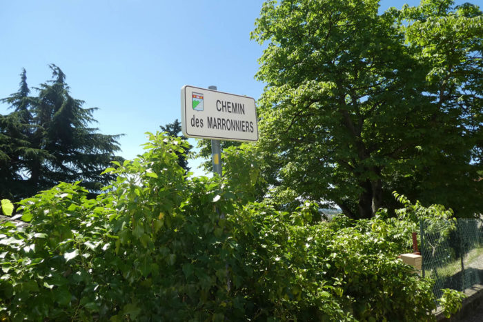 |
 |
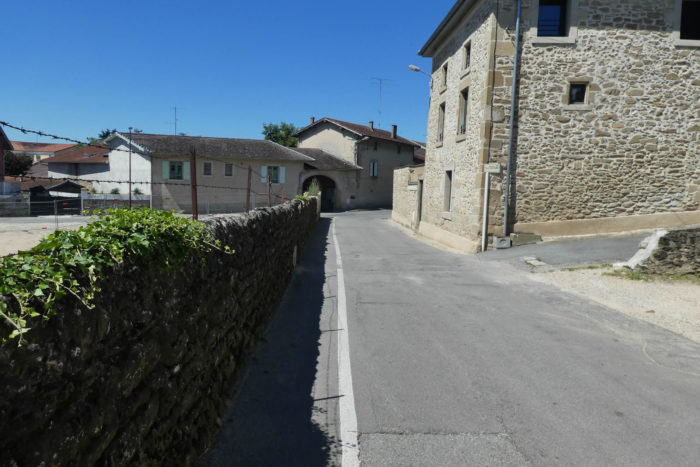
| …to reach the center of the borough. |
 |
 |
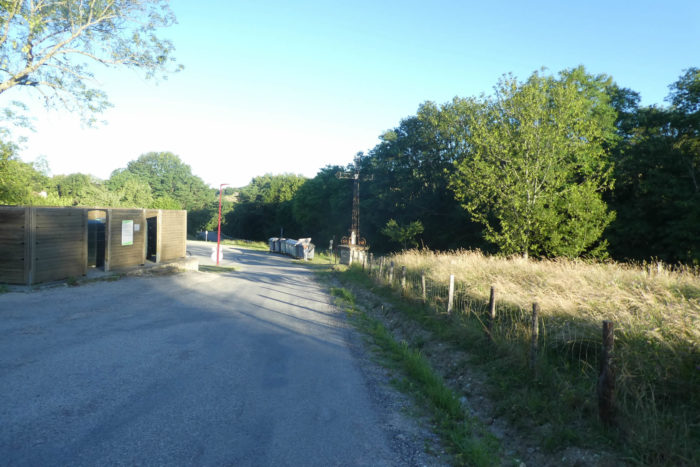
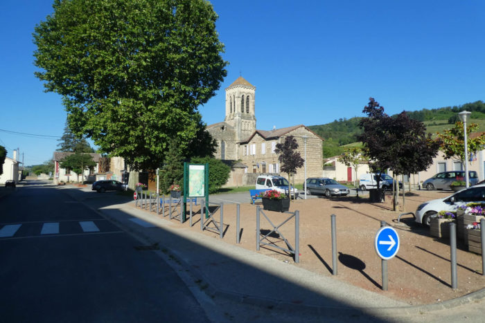
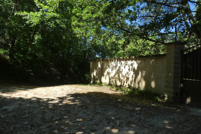
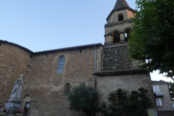
| There is not much to do or see in Mours-St Eusèbe (3,000 inhabitants). Mours contains the idea of marshes, formerly present, when the Savasse River rumbled down to Romans. The passage of the canyon shows what the landscape could have been here in the past. The legend also says that the hill was the meeting place of sorcerers and primitive pagans. The church retains a Romanesque bell tower, classified as a historical monument. The church was modified in the XIXth century, retaining some Romanesque parts integrated into neo-classical style architecture. There is a sacred art museum here.
Accommodations are not present here. Mours is a bit of a suburb. Also, the best solution for accommodation is to reach Romans sur Isère, two kilometers from here, a town of more than 30,000 inhabitants. |
 |
 |
Lodging