Between the dreary plain of Bièvre and the smiling hills of Chambaran
DIDIER HEUMANN, ANDREAS PAPASAVVAS

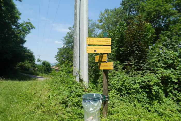
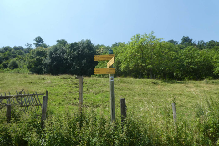
We divided the course into several sections to make it easier to see. For each section, the maps show the course, the slopes found on the course, and the state of the roads. The courses were drawn on the “Wikilocs” platform. Today, it is no longer necessary to walk around with detailed maps in your pocket or bag. If you have a mobile phone or tablet, you can easily follow routes live.
For this stage, here is the link:
https://fr.wikiloc.com/itineraires-randonnee/de-la-cote-st-andre-a-marnans-sur-la-via-gebennensis-adresca-32799398
It is obviously not the case for all pilgrims to be comfortable with reading GPS and routes on a laptop, and there are still many places in France without an Internet connection. Therefore, you’ll find soon a book on Amazon that deals with this course.
If you only want to consult lodging of the stage, go directly to the bottom of the page.
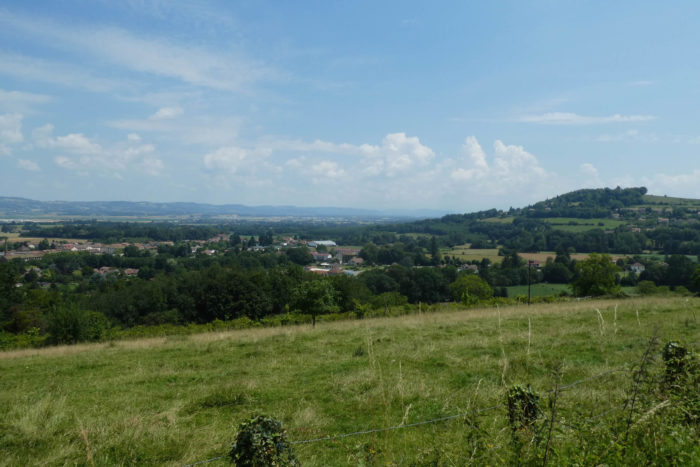
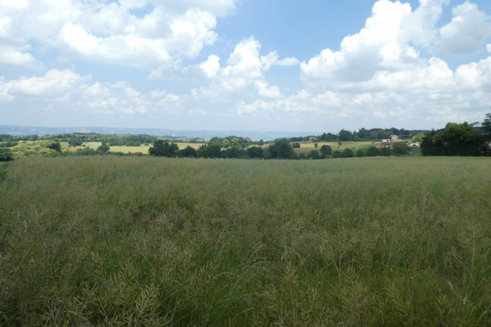
Today, we are going to change the track and walk on the variant of Gillonay (Adresca track), cross the great plain of Bièvre-Valloire, which you have been following for so many days, to reach the region called Chambaran which dominates another plain, the plain of Isère, with Valence, at the end of the plain.
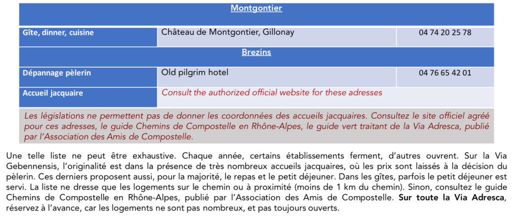
If you come from Le Grand Lemps, you can stop at the Château de Montgontier, where a pilgrim welcome is available. But then book at least 24 hours before. From there, you are at the right port to embark directly on the variant of Gillonay. But maybe you went as far as Côte-St André, then you will have to come back here. If you have walked the Via Gebennensis in the other direction to La-Côte-St André, the reverse route will already be familiar to you. But, you quickly forget the routes, even if you do them several times. In fact, there are passages that stand out more than others, and many others that leave no trace, so to speak.
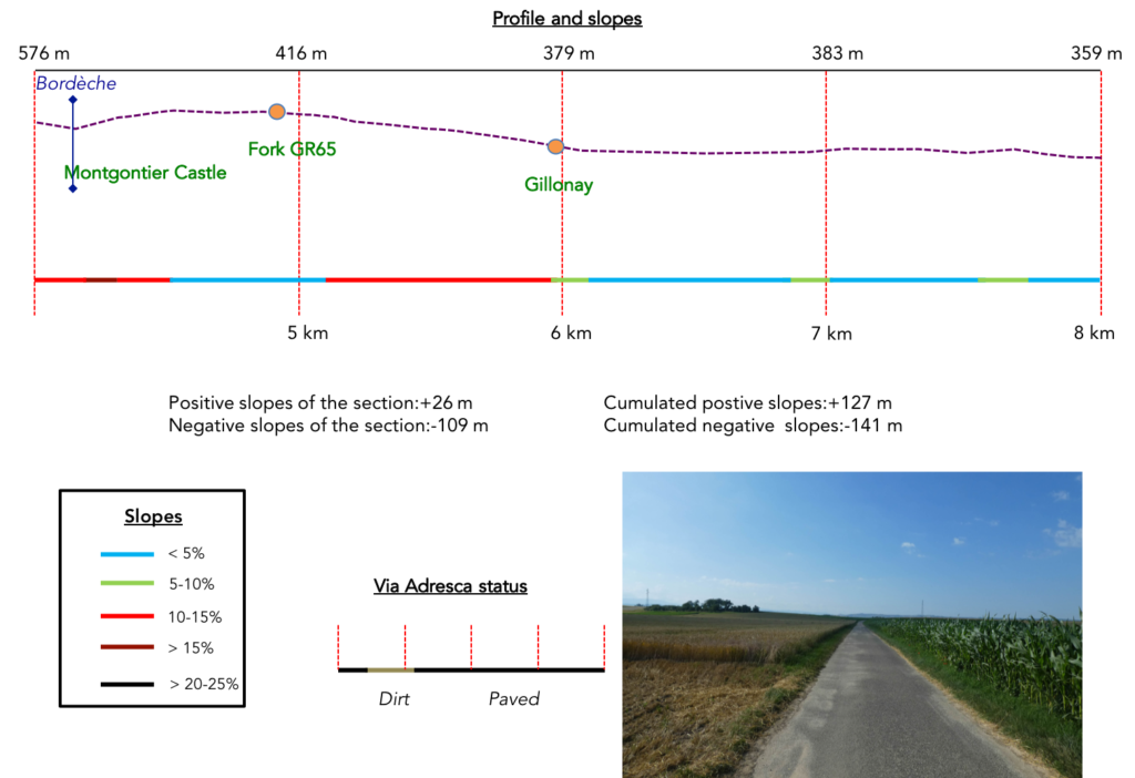
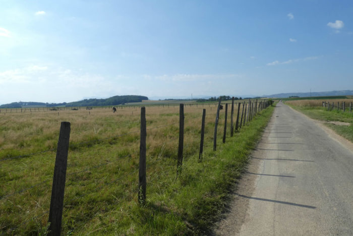
| We have already mentioned in the stages of the Via Gebennensis the particular geography of this entire region of Isère that is Bas Dauphiné. It is a large plain, the Bièvre-Valloire, a glacial trough in fact, which is surrounded by two small massifs of hills surmounted by plateaus. These hills are moraines covered with pebbles carried by the glaciers of the Quaternary era. To the north is the forest of Bonnevaux, to the south the forest of Chambaran. It is only necessary to refer to the diagram opposite to visualize the region. (http://www.geoglaciaire.net). It is towards the plateau of Chambaran that our track runs today.
|
 |
 |
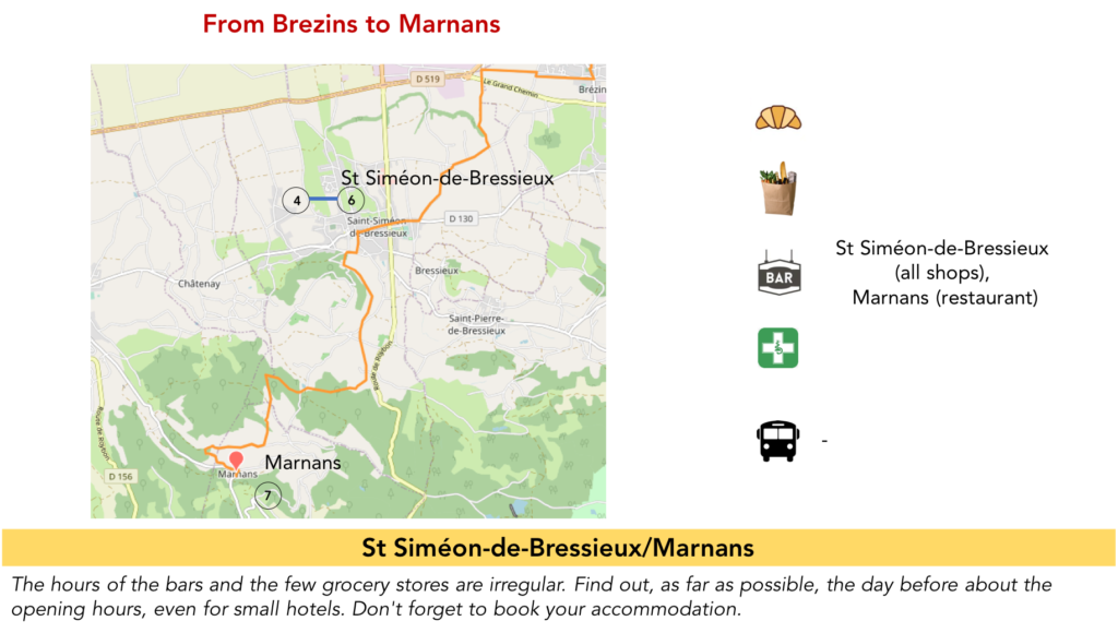
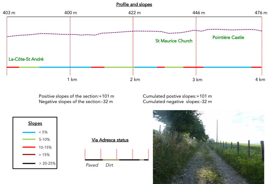
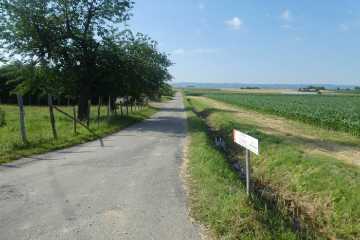
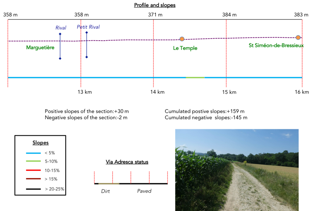
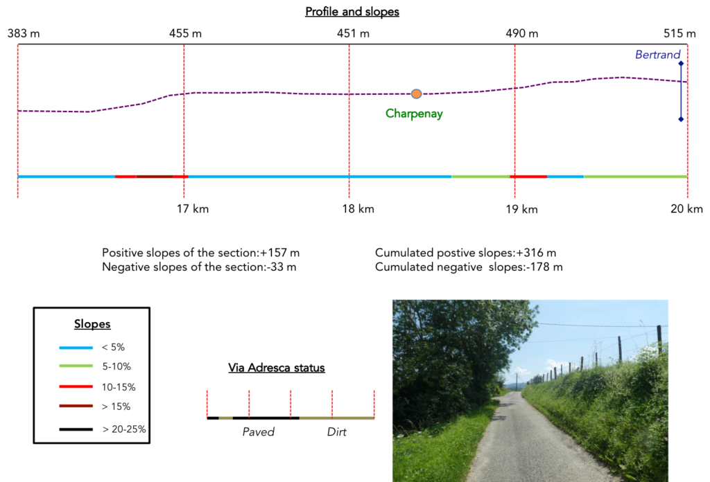
Difficulty of the course: Slope variations (+387 meters/-293 meters) are low in the day’s stage. First, there is a long walk on the Bièvre plain, after reaching the junction of the two routes: Via Adresca and Via Gebennensis, near Gillonay. The steepest slopes (and still…) are just outside St Siméon-de-Bressieux. For the rest, they rarely exceed 10-15%, both uphill and downhill. But, often, you have to face the stones in the way.
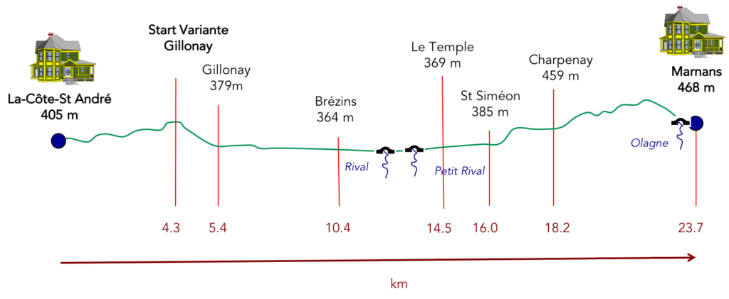
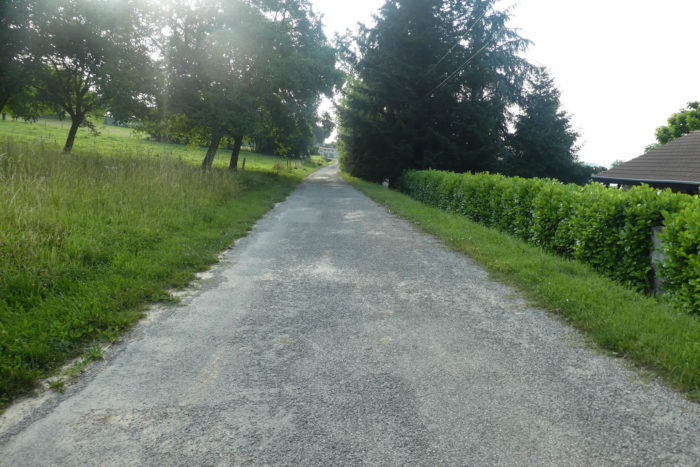
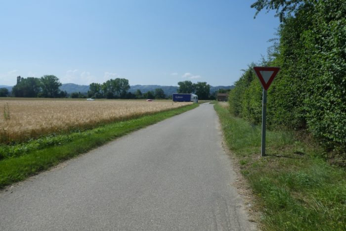
In today’s stage, you will walk a little more on tarmac than on pathways:
- Paved roads: 15.3 km
- Dirt roads: 7.9 km
Sometimes, for reasons of logistics or housing possibilities, these stages mix routes operated on different days, having passed several times on Via Podiensis. From then on, the skies, the rain, or the seasons can vary. But, generally this is not the case, and in fact this does not change the description of the course.
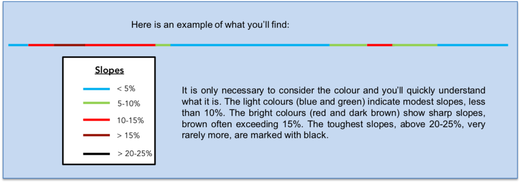
It is very difficult to specify with certainty the incline of the slopes, whatever the system you use.
For “real slopes”, reread the mileage manual on the home page.
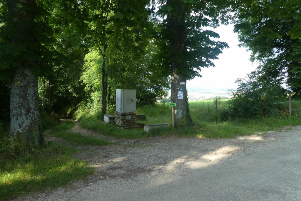
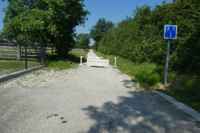
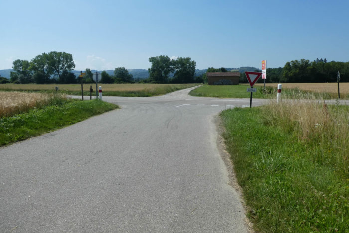
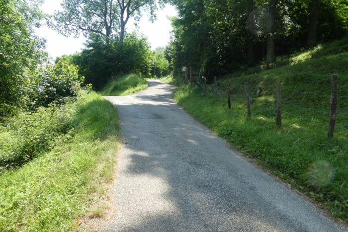
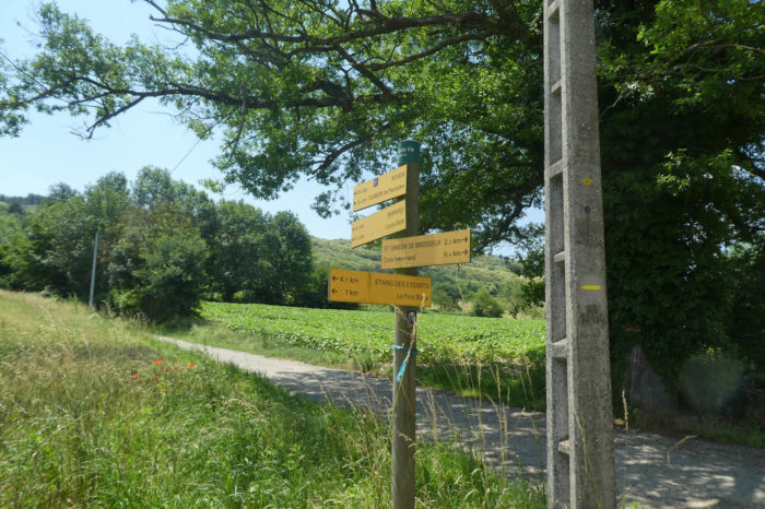
Section 1: Return to the Gillonay track.
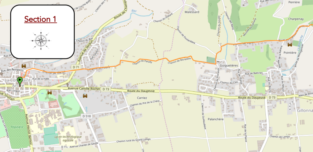
General overview of the difficulties of the route: course without any difficulty.
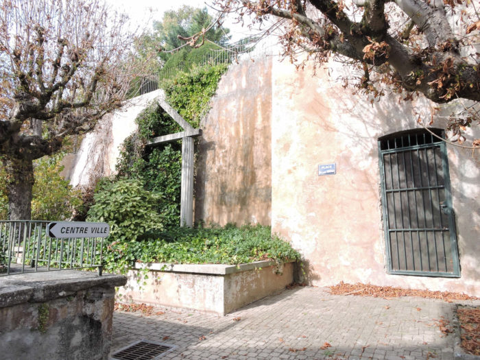
| Thus, here you leave the magnificent covered market of La Côte-St André, slope up to the esplanade of the Louis XI castle. |
 |
 |
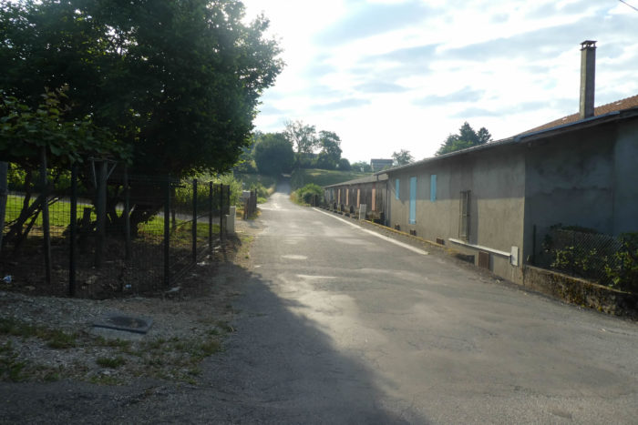
| Further on, GR path leaves the center for the suburbs. |
 |
 |
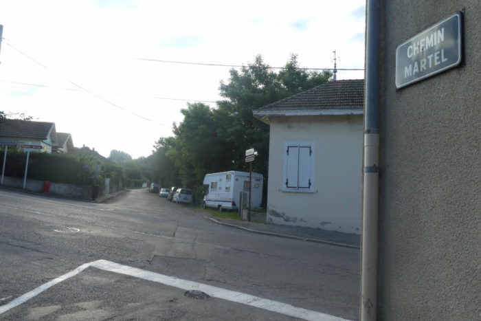
| It runs to the end of Chemin Martel, crosses a small secondary road. |
 |
 |
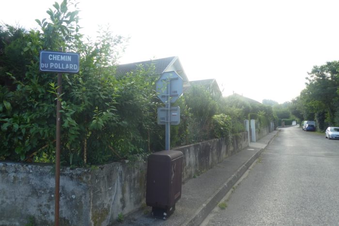
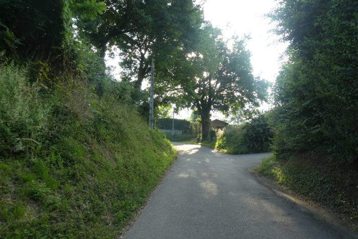
| Then, it takes the Chemin du Pollard, where it leaves the suburbs for good and where the road begins to climb a little. |
 |
 |
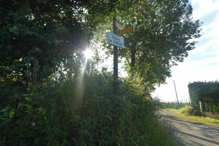
| Shortly after, you’ll leave on the way to Parady, and here the pathway replaces the road. |
 |
 |
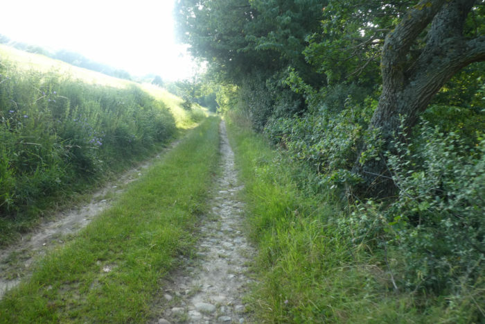
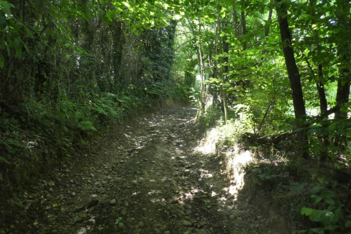
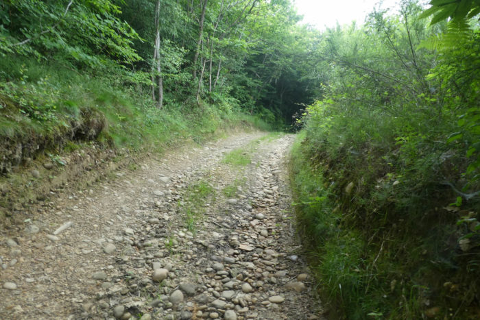
| If you have forgotten them, the Bièvre pebbles, they will not. For several days, you will take full advantage of their presence. And there are still many more on the Chambaran of the Adresca track. |
 |
 |
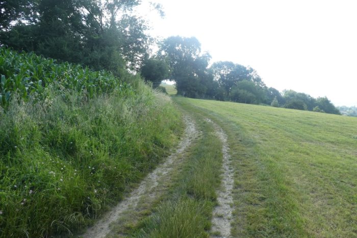
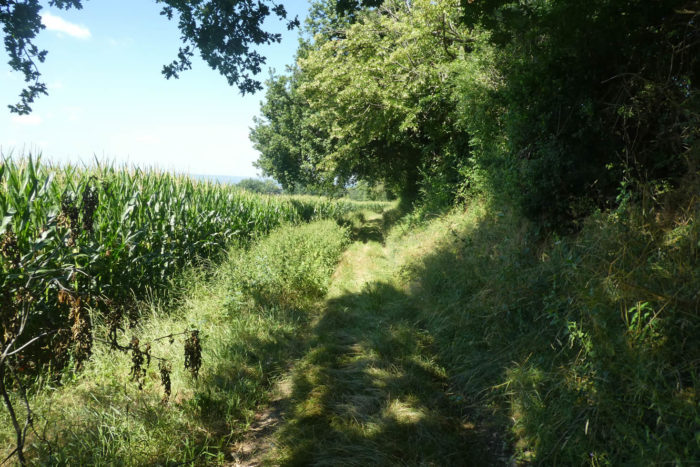
| Here, the pathway undulates between wheat, meadows and undergrowth hedges. Below, you see Gillonay at the foot of the Bièvre plain. By widening your eyes, you will also see Grenoble airport, where the route passes later. |
 |
 |
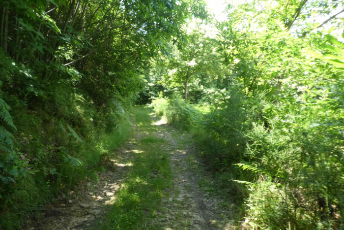
| Further on, the pathway runs through meadows and along hedges of bushes and shrubs. |
 |
 |
The pathway gradually approaches Gillonay, but does not go there immediately.

| Further afield, it leaves the meadows to find a paved road. |
 |
 |
| The small road climbs to reach the cemetery and the church of Saint Maurice above Gillonay. |
 |
 |
| Further up, the road continues to climb above the church, crosses beautiful wooden crosses planted on the side of the road to reach the place called Belmonière. |
 |
 |
| The road then flattens on the Chemin des Vignes, along small opulent residences which dominate the Bièvre plain. |
 |
 |
| Further on, it crosses the park and the agricultural outbuildings of the Manoir de Pointière. |
 |
 |
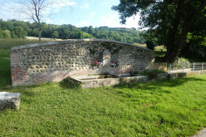
| The mansion looks like a beautiful manor house underlined by a very beautiful fountain in rolled pebbles. |
 |
 |
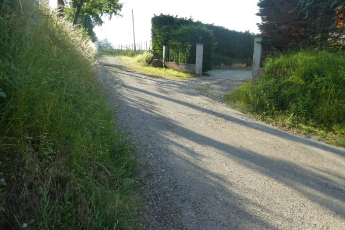
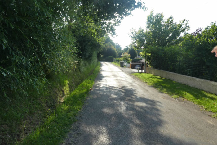
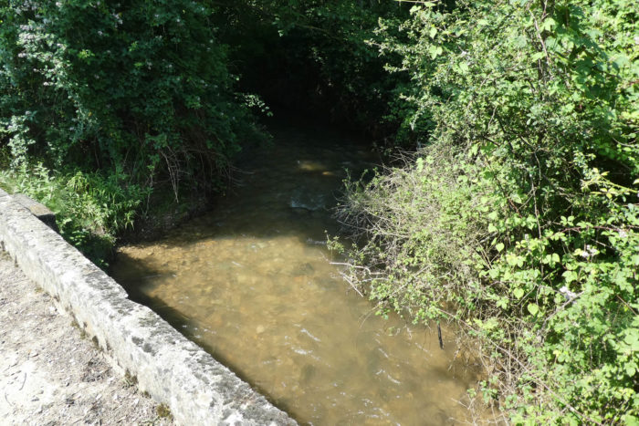
| A paved road then descends into a small dale before finding the Bordèche stream which can hardly be guessed. |
 |
 |
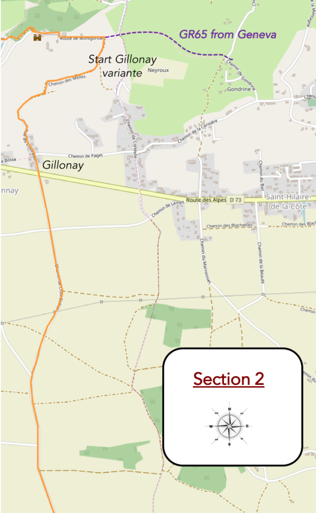
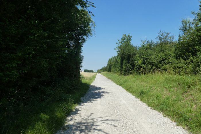
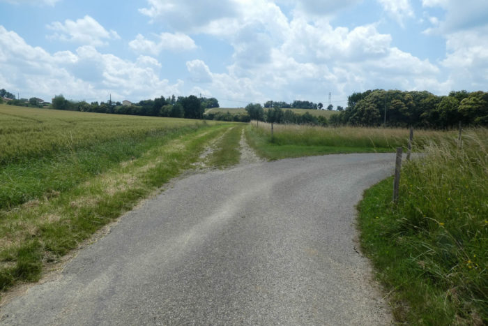
Section 2: On the bleak plain of Bièvre-Valloire.
General overview of the difficulties of the route: beyond downhill to Gillonay, it is flat, or almost.
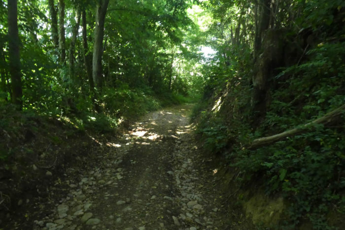
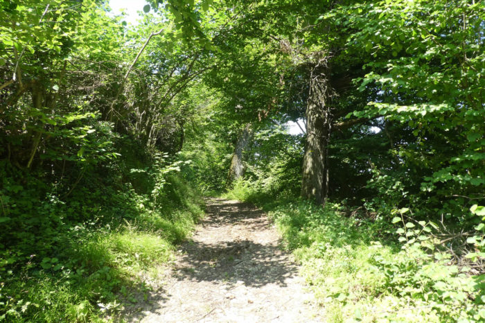
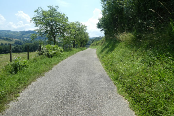
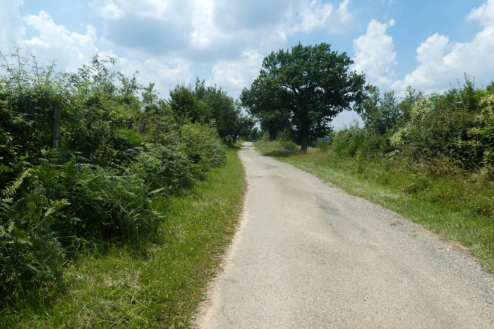
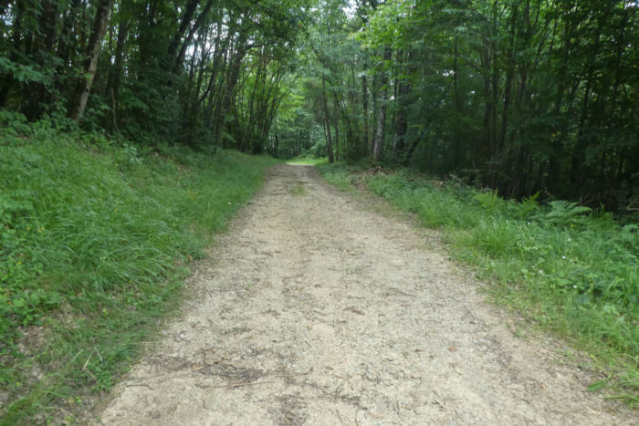
| A forest path, which has perhaps been de-stoned over time, climbs at a reasonable slope in the forest. Small beeches and chestnut trees dominate the whole region. But there are also oaks, maples and hornbeam shoots. |
 |
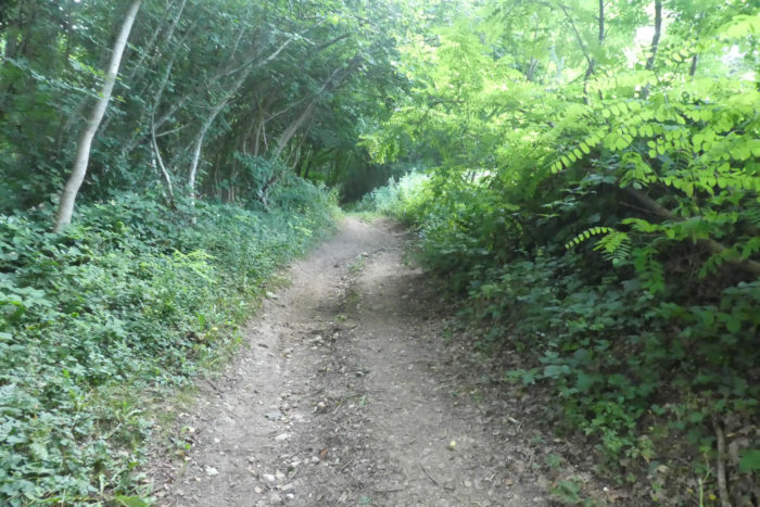 |
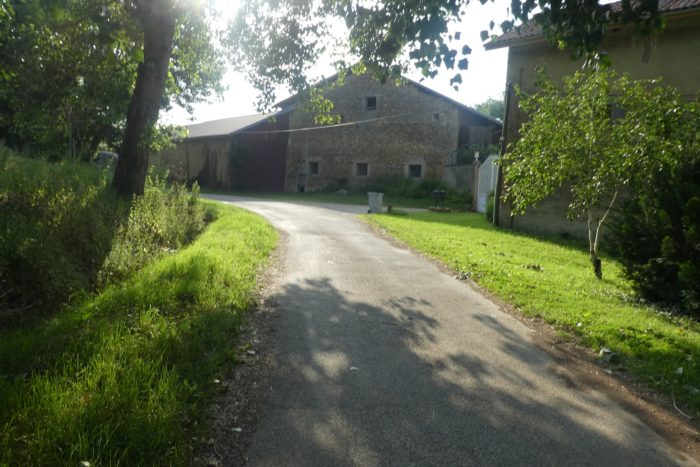
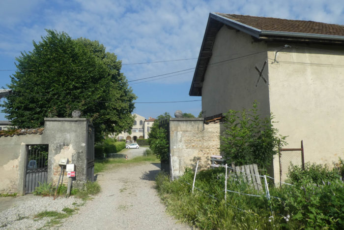
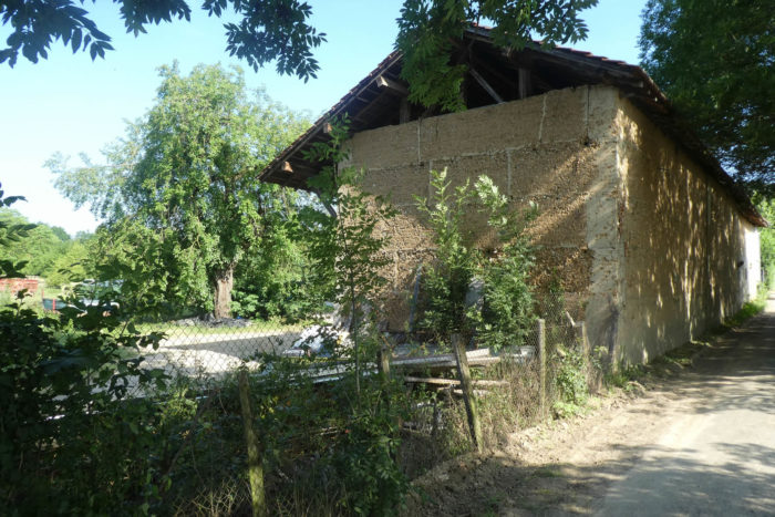
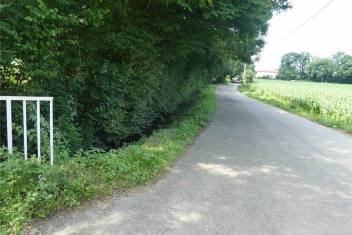
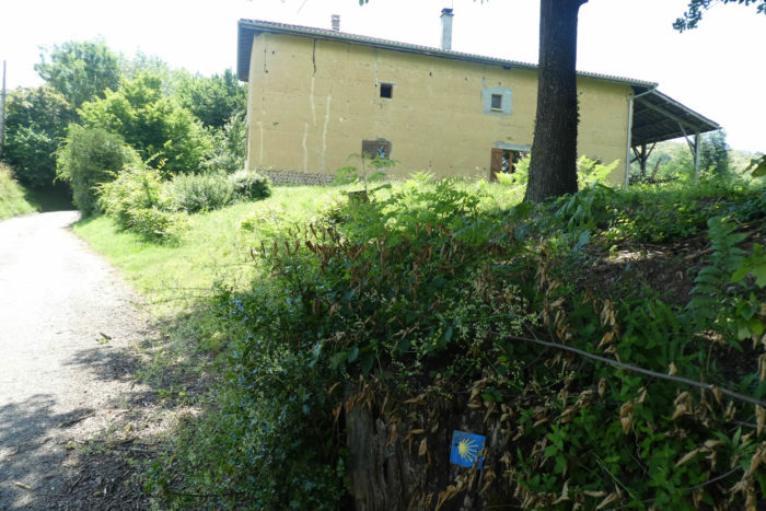
| Towards the exit of the wood, GR path joins a paved road near the farm buildings of the Château de Montgontier… |
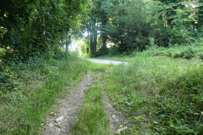 |
 |
| …before passing in front of the mansion. The castles in the region are often manor houses accompanied by agricultural estates. |
 |
 |
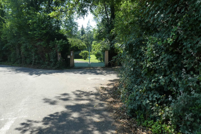
| At the end of the alley of the castle, you then reach the junction of the two tracks to Compostela, that of the via Gebennensis and that of the Via Adresca, also known as the Gillonay variant. |
 |
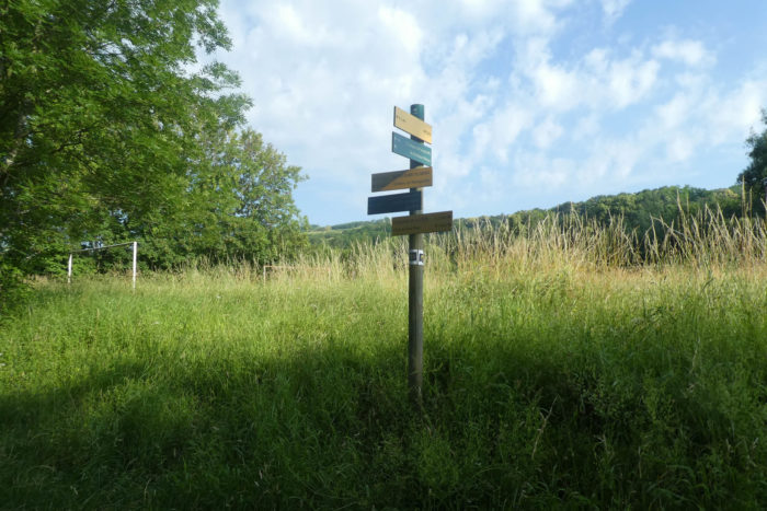 |
Both tracks lead to Le Puy-en-Velay, but the Via Gebennensis has clearly taken precedence over the Via Adresca. Why? Probably because the guides talk more about the Via Gebennensis. You will only meet few pilgrims on the Via Adresca, a route that is used more by people in love with the Ardèche area. But, we can assure you, this track is well worth the other. As, there may be confusion between the GR tracks and the Santiago track, we therefore use the name Via Adresca to describe the course.
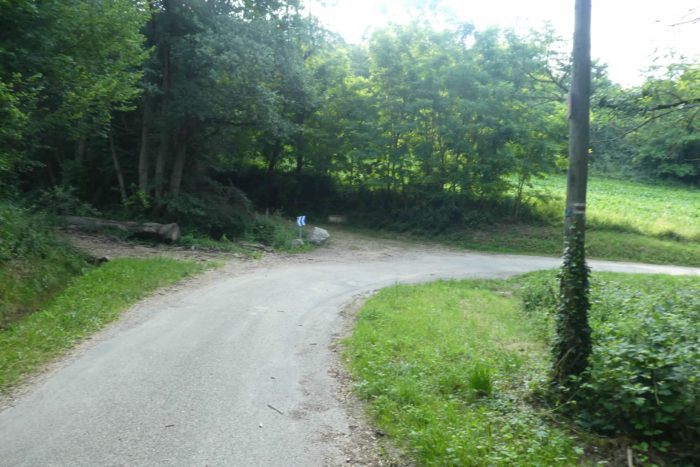
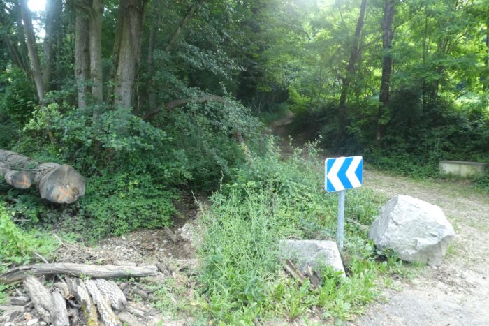
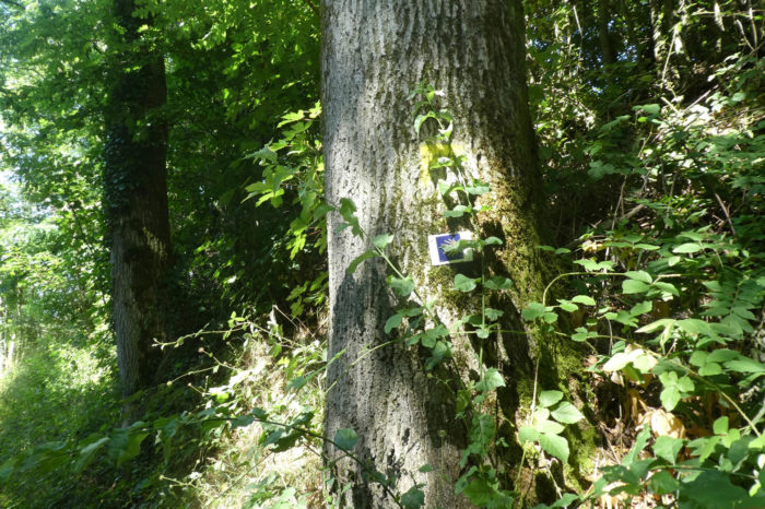
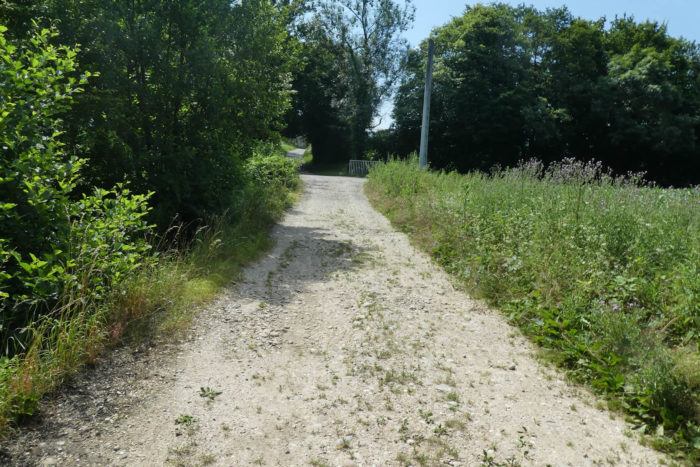
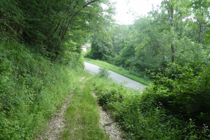
| The Via Adresca descends on a strong stone pathway with large pebbles in undergrowth, and quickly emerges into the meadows. We must underline here the remarkable work done by the Rhône-Alpes Association of Friends of Saint-Jacques to mark out the track. The job was well done, but here at the start, be careful! On a large oak tree, the shell indicates to go to the right, but if you pass here when the grass is tall, you will not see the trace of the pathway. If you do not see the shell hidden under the foliage, you will go straight along the stream, because here the pathway is apparent. But, this pathway is a dead end and you will quickly find yourself facing barbed wire and barricaded doors erected by the peasants. |
 |
 |
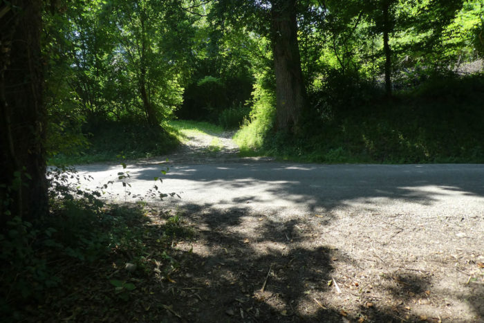
| It is therefore necessary, at the exit of the undergrowth, to cross the meadows, and reach a hedge of undergrowth on your right. In front of you stretches the immense plain of the Bièvre. |
 |
 |
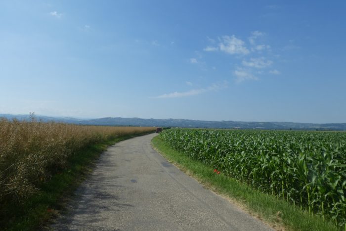
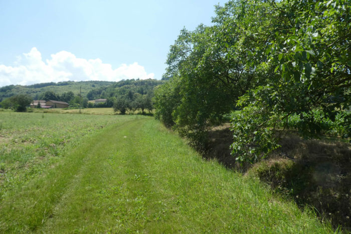
| The pathway then runs along the undergrowth and corn. |
 |
 |
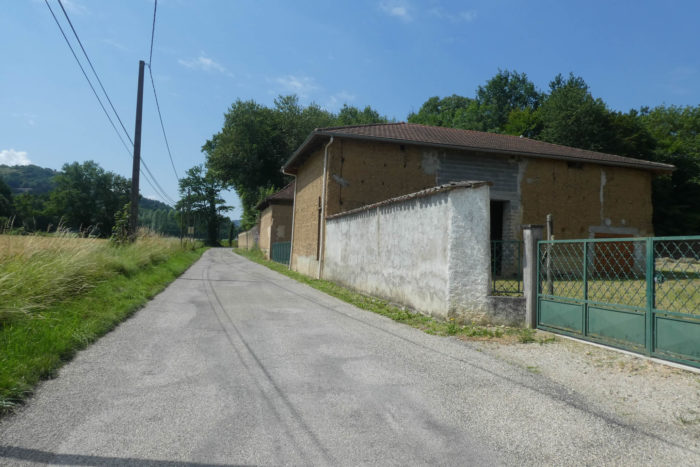
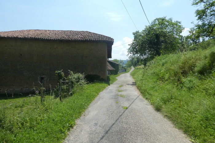
| At the bottom of the descent it arrives at the outskirts of Gillonay, near beautiful adobe houses, which are the charm of the whole Dauphiné. |
 |
 |
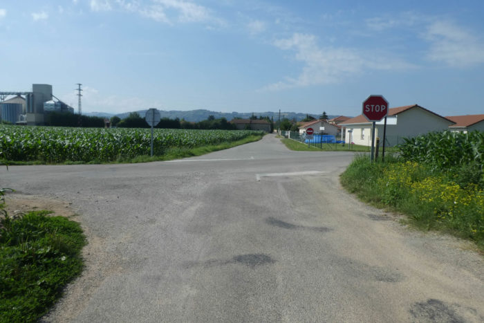
| The route then joins the departmental D73 road, which crosses the Bièvre, on the outskirts of Gillonay. |
 |
 |
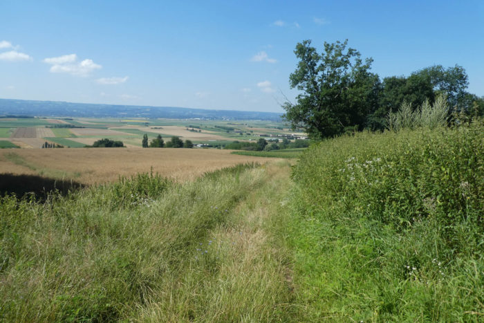
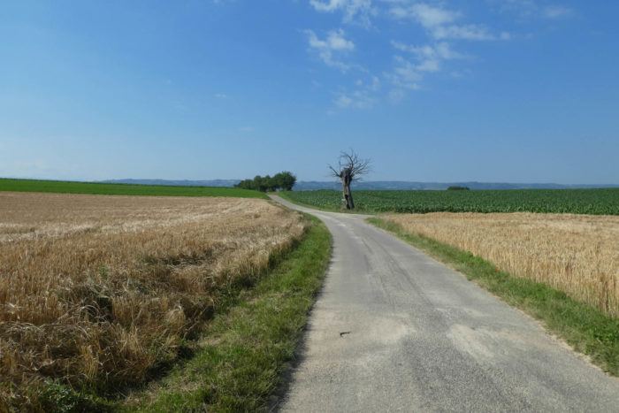
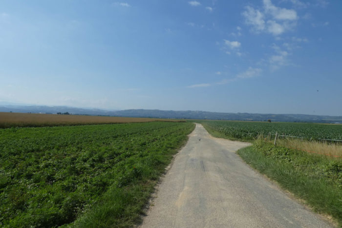
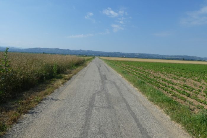
| So here, you are ready for a particular experience. The plain of Bièvre-Valloire is more than 6 kilometers wide. And as the road does not always go straight, you will have the pleasure of crisscrossing this plain for nearly 10 kilometers. |
 |
 |
| CAs there is no lack of space, corn and rapeseed are cultivated with tractors. Sometimes you find wheat, soy or even green manure to mix the soil. Sunflowers are apparently less present in the region. |
 |
 |
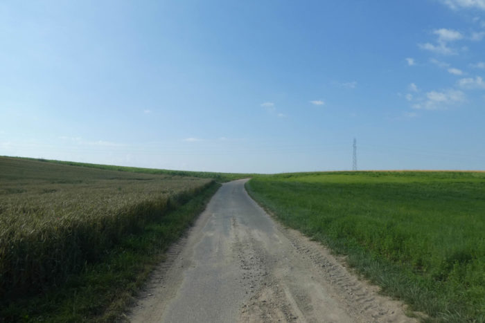
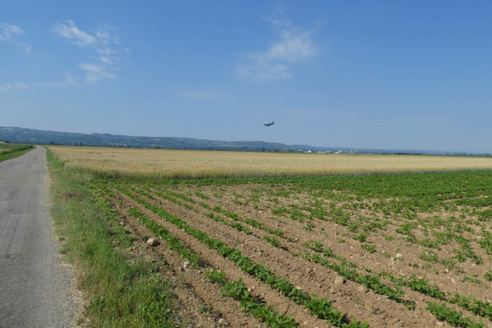
As landmarks of your progress, you have the high voltage pylons, but especially the airport of Grenoble which you will see growing at the other end of the plain.
| Do not imagine that it is absolutely flat. There is even a very small bump in the middle of the plain. And here, you probably find the only trees of the plain, cherry trees. |
 |
 |
| Further afield, the road then descends from what you will naively call a hill. |
 |
 |
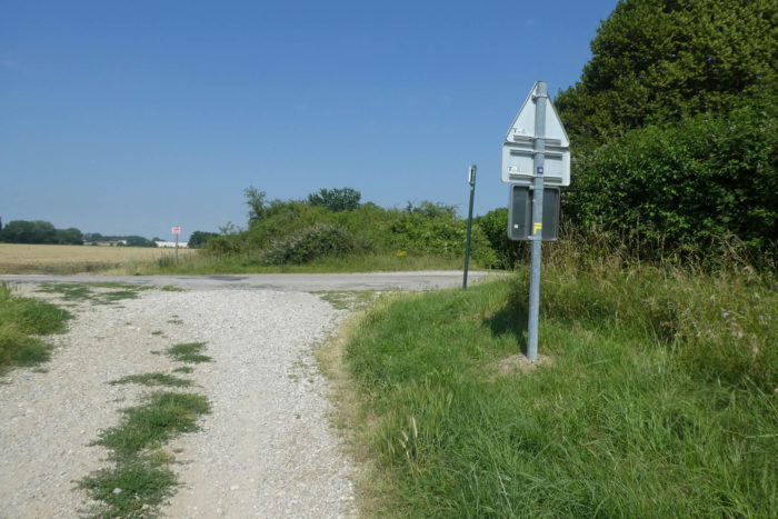
Section 3: Near Grenoble airport.

General overview of the difficulties of the route: it is flat, or almost.

| Further ahead, the airfield buildings are becoming more and more distinct, but you are still far from the goal. |
 |
 |
| Behind the rapeseed, soy and corn, you’ll see the hills and even the mountains of Isère grow. |
 |
 |
| To say that the plain is cramped here is a figment of the imagination. |
 |
 |
| Further ahead, you also see the small planes approaching the airport. |
 |
 |
The road then passes a little away from Grenoble-Isère airport. When you raise your eyes to the sky, you only see little planes flying. From a distance, it looks like a small provincial airport. In fact, some “low costs” planes still land here, but especially in winter to transport skiers to Isère. With just over 350,000 travelers, Grenoble Alpes Isère airport ranks 34th nationally. All the same, it is a bit poor for a city of more than 170,000 inhabitants. In Geneva, which is hardly more populated, the number of travelers is 17 million per year. It must also be said that the city center of Grenoble is nearly 50 kilometers from the airport. Might as well go on foot, like you!

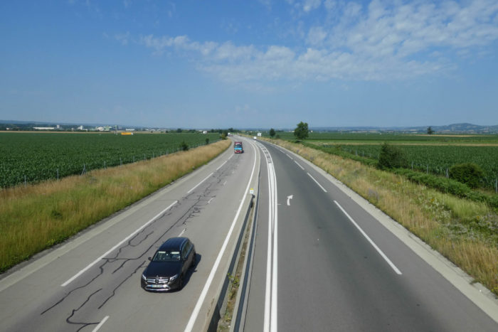
| Very close to the airport, the road approaches the highway. In general, this highway is not very busy. In fact, here, it is only a ramp to go to the airport. |
 |
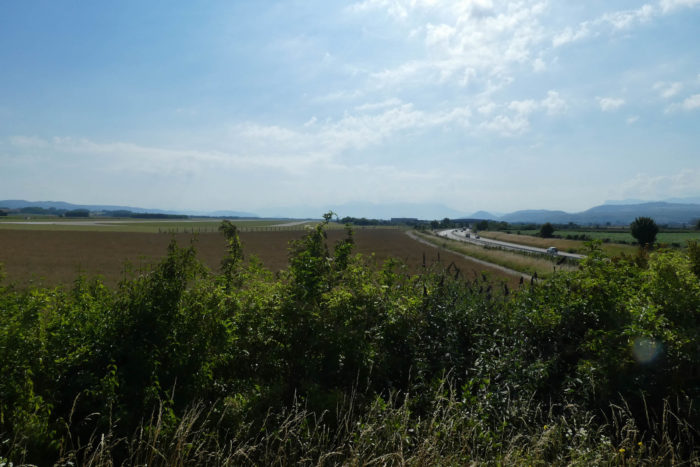 |
| The A48 motorway connects Grenoble to Lyon. In front of you, you can see the industrial district of La Marguetière, where the route goes later. On your right, you can still clearly see the city of La-Côte-St André on the hillside. |
 |
 |
| Further on, the road quickly approaches the village of Brézins, which seems almost leaning against the hill, on the other side of the Bièvre plain. But don’t rely on this illusion, you will walk even longer on the plain. |
 |
 |
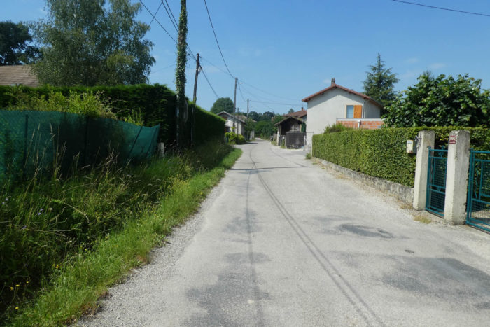
| Shortly after, the road crosses a fairly large village, with still many adobe buildings. |
 |
 |
| Here, an individual displays the precepts of Socrates, the 3 sieves, which invite people to pass the truths in this test and to avoid peddling to others what is neither true, nor good, nor useful. |
 |
 |
| The church is a little out of the way, behind the adobe walls. |
 |
 |
| When Via Adresca leaves the village, you are still more than 5 kilometers to St Siméon de Bressieux, where the route definitely leaves the Bièvre plain. |
 |
 |
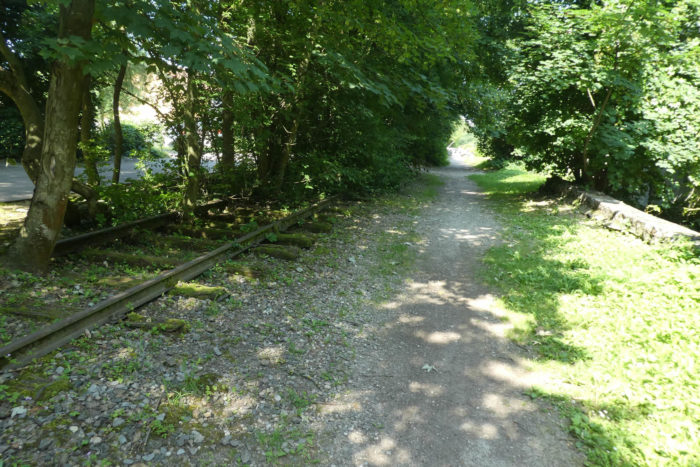
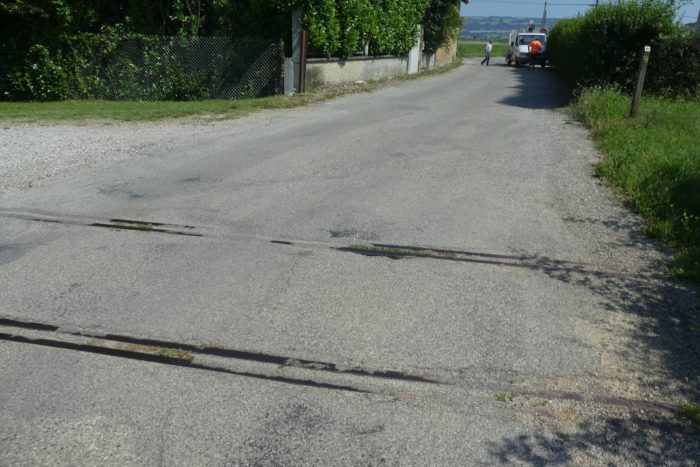
| At the exit of a village that seems endless, there are still some relics of a railway line that was built to lead to the industrial zone, 2 kilometers further. In France, there will soon be only TGV lines left to go from Paris to Marseille, Lyon, Strasbourg or Bordeaux! |
 |
 |
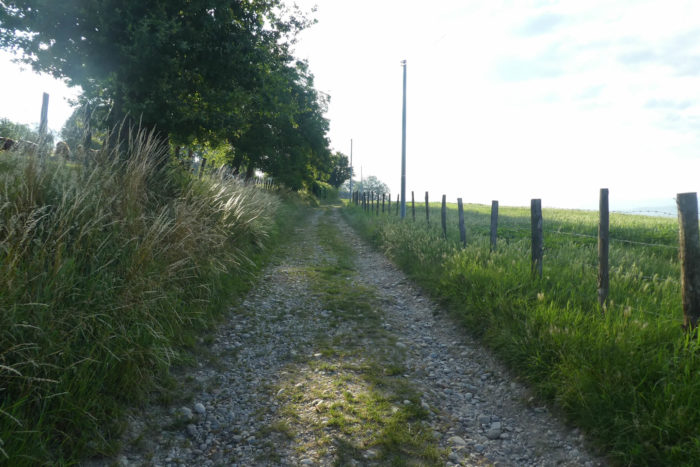
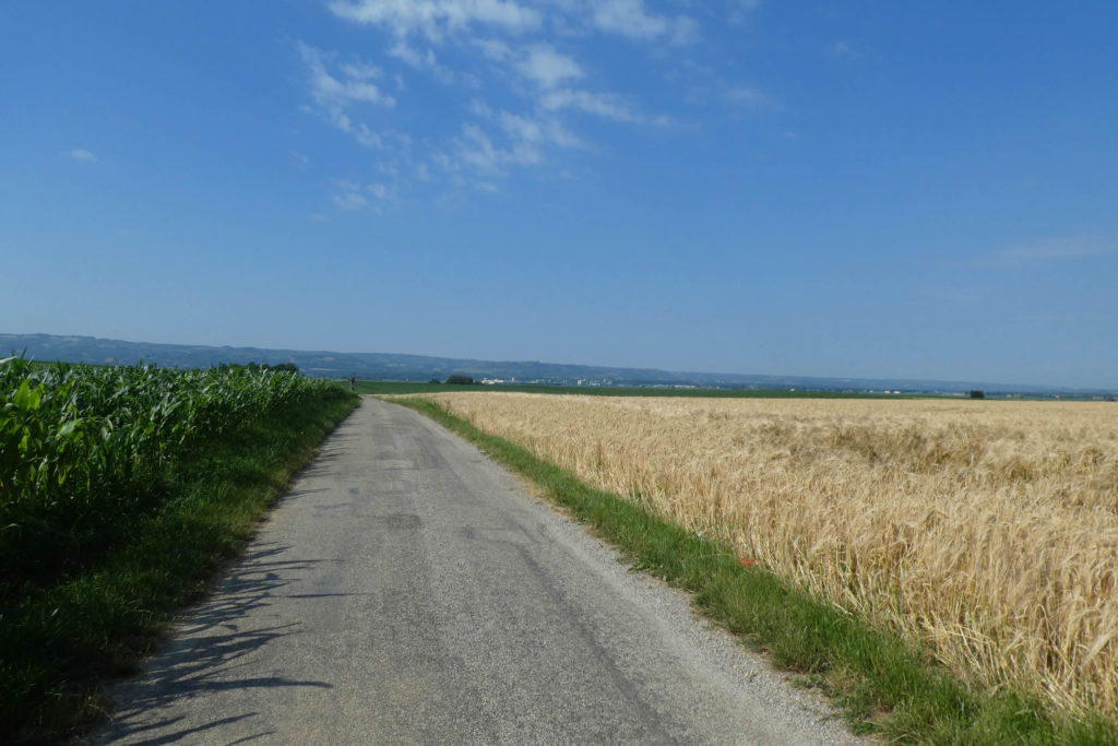
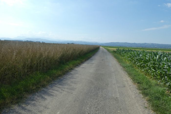
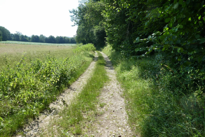
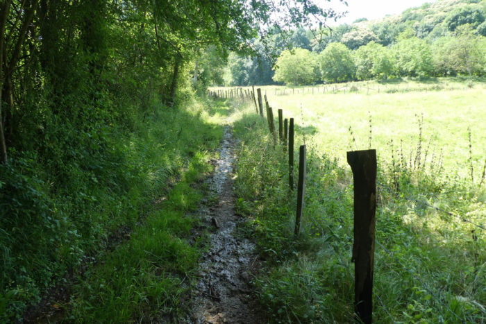
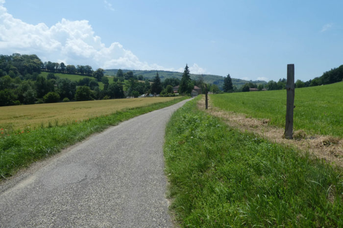
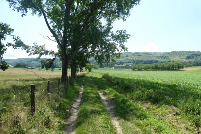
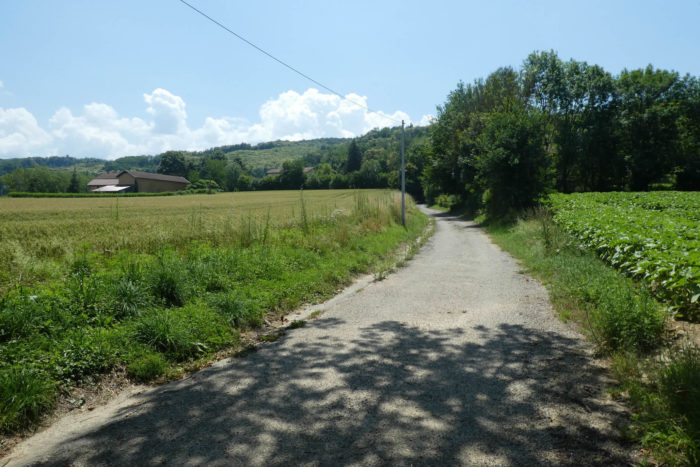
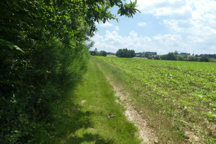
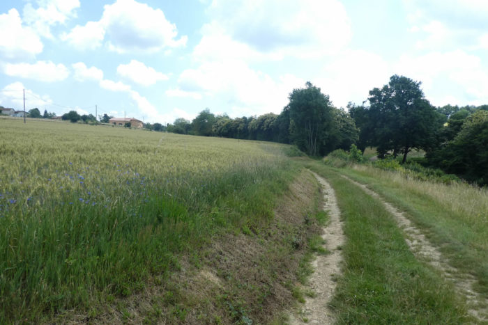
| A wide gravel pathway then flattens, straight, between meadows, wheat and hardwood hedges. |
 |
 |
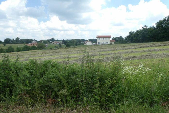
| You probably have to be born here to have the desire or the reasons to live in this dreary plain. In the distance stands the Marguetière. |
 |
 |
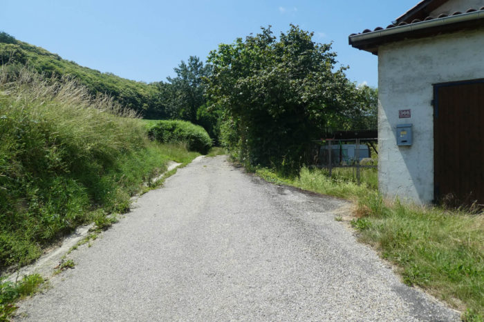
| At the end of the Allée du Stade, in the wheat and corn, the tar replaces the gravel and the road makes a small detour in an inhabited area again. |
 |
 |
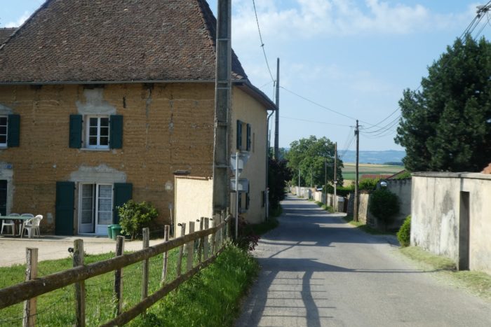
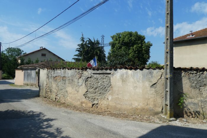
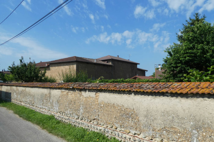
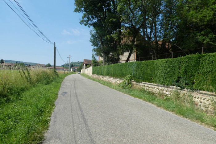
| Here you’ll find the adobe buildings and the pebble walls so characteristic of the whole region, which you already encountered in the last stages on the Via Gebennensis. |
 |
 |
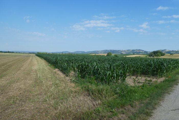
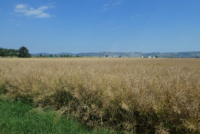
| On this end of the plain, oilseeds, soybeans but especially rapeseed, are popular. |
|
 |
Section 4: To the end of the plain of Bièvre-Valloire.

General overview of the difficulties of the route: it is flat, or almost.
| Then, the road, along the fields, gradually approaches La Marguetière. |
 |
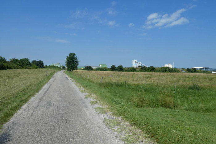 |
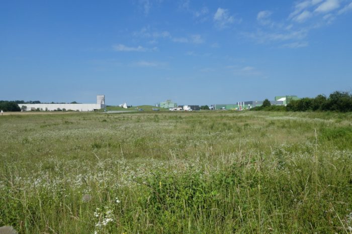
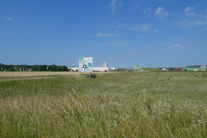
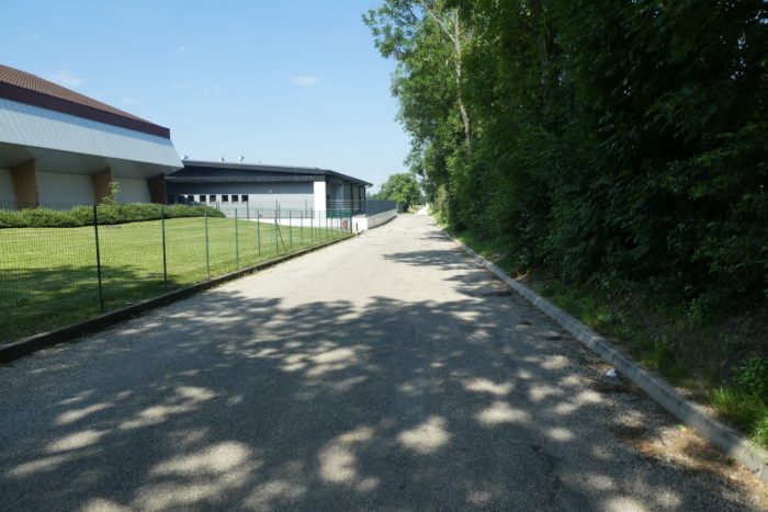
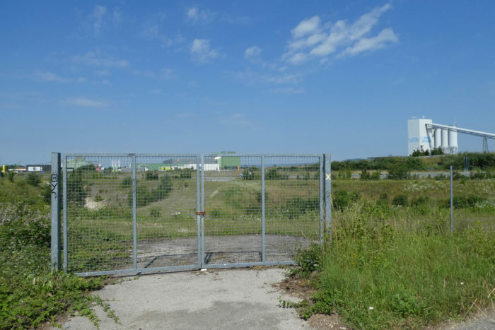
| It then arrives at the industrial district of La Marguetière, which you saw throughout the long crossing of the plain. This district, which produces, among other things, concrete, is adjacent to the highway. On the other side of the rapeseed fields, you can still see the hills above La Côte-St-André. |
 |
 |
| The road then bypasses the industrial area, where the motorway ramp also runs. |
 |
 |
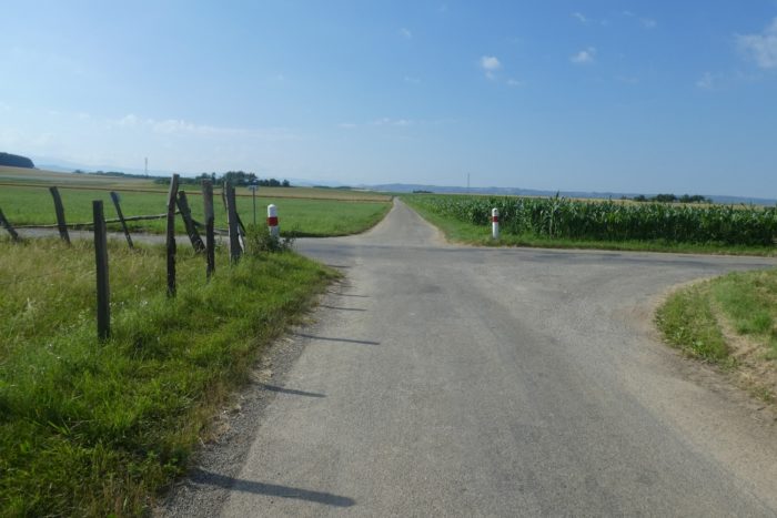
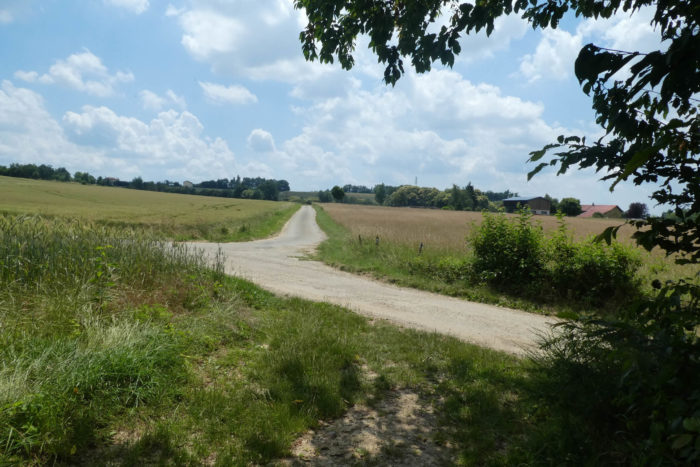
| At the crossroads, you are just over 3 kilometers to St Siméon de Bressieux. |
 |
 |
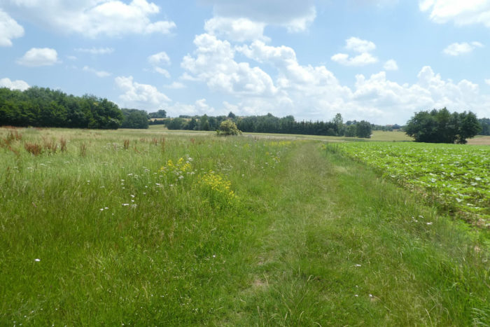
| A dirt road then takes over and runs through wheat and corn to cross the Rival stream. From here, the plain is less sad, more cheerful in the crops and the small streams. |
 |
 |
| A little further on, the pathway plays with the Petit Rival stream. Gluttonous corn always needs a little water. |
 |
 |
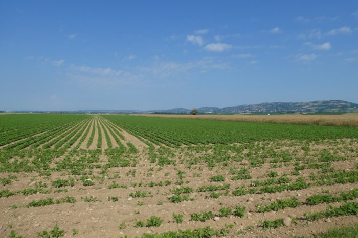
| Here, the farmers may have taken more care in removing stones from their meadows and crops of corn and soybeans. But, it is not written in advance. This is not the case for the fairly stony pathway that runs along the undergrowth. |
 |
 |
| The dirt road ends on the road that leads to the village of the Temple, at the edge of which flows a trickle of water, under the hornbeam shoots and the ash trees. |
 |
 |
| Further ahead, the road climbs slightly towards the rather isolated houses of the village. In these villages, there has been no social life for a long time. |
 |
 |
| Here in the region, many places refer to the order of the Knights Templar. The Templars were powerful in Isère. Among the hundreds of Commanderies, that of Bressieux was located here at a place called Le Temple. There are few remains of the Order, nor of the castle of the powerful Bressieux family, the ruins of which still dominate the borough. |
 |
 |
| Shortly after, the road leaves the hamlet along the adobe and pebble walls, heritage of Bièvre and Dauphiné area. |
 |
 |
At a place called Château de Bressieux, you can see the ruins appearing above the hill, taking care to keep your eyes wide open.

| Yet, a real castle is present along the road, surrounded by a large park. This noble private residence has been occupied by the Luzy de Pellisac family for a very long time. |
 |
 |
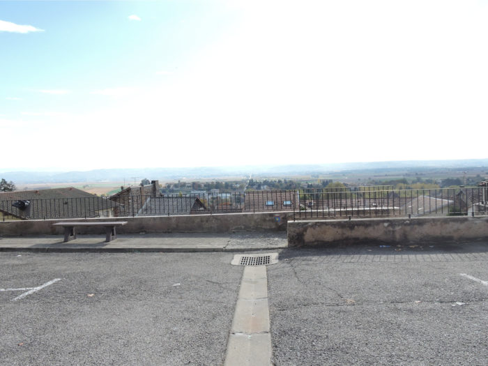
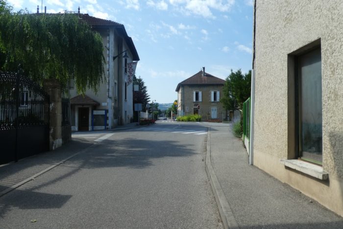
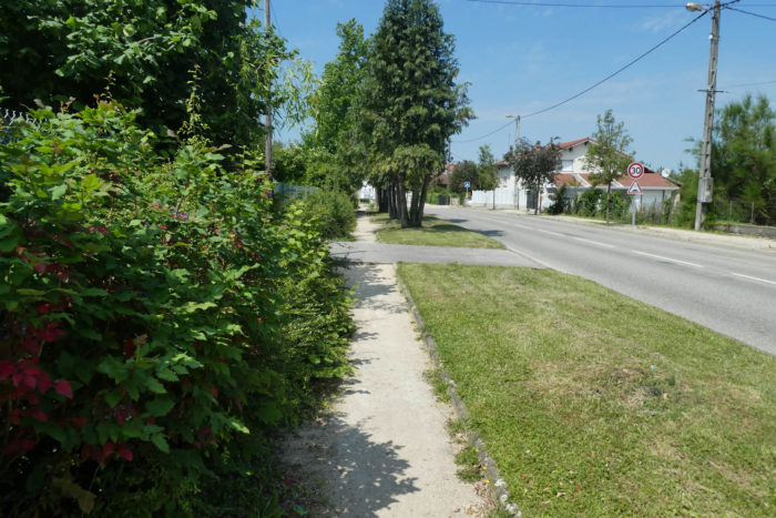
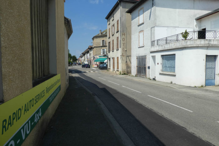
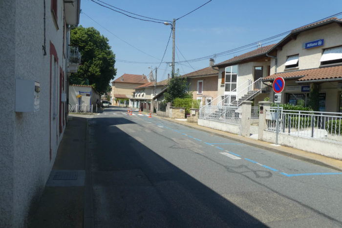
| Further afield, the road reaches the borough of St Siméon-Bressieux (2,800 inhabitants). |
 |
 |
| It quickly finds the center. |
 |
 |
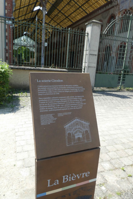
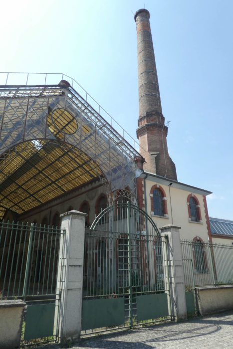
| The bravest may climb the hill where the ruins of a castle that was imposing in the Middle Ages stand, but it takes more than half a kilometer to get there. The others will rather linger in the center of the borough on the Girodon silk factory, a factory founded by Alphonse Girodon in 1848. The complex consisted of several buildings: the factory with the weaving workshops, a boarding school and two pavilions, destroyed in 1994. Here, the factory, closed in 1934, employed nearly 1,000 workers. But here, like almost everywhere else, craftsmanship has been dead for a long time. |
 |
 |
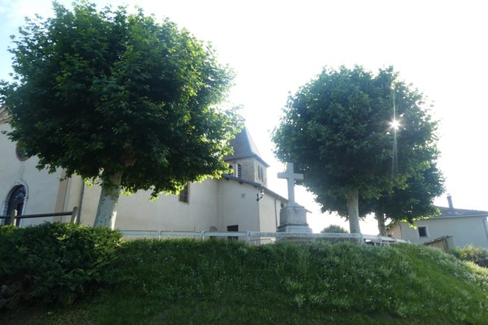
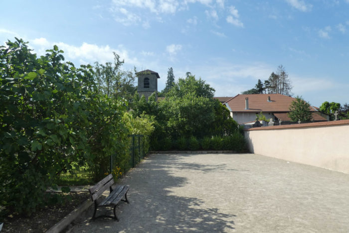
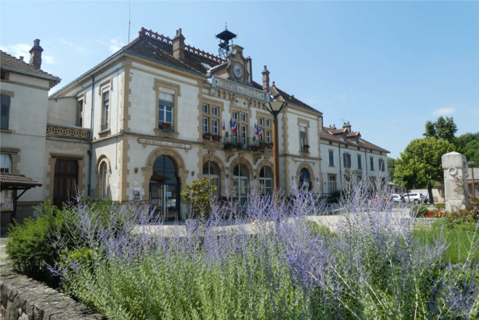
| The church, rebuilt in the XIXth century because it was falling into ruins, is located higher up in the borough. The elegant town hall and the adjoining school date from the beginning of the XXth century. |
 |
 |
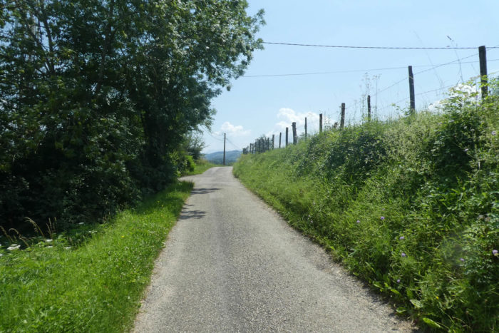
Section 5: Uphill to the Chambaran plateau.
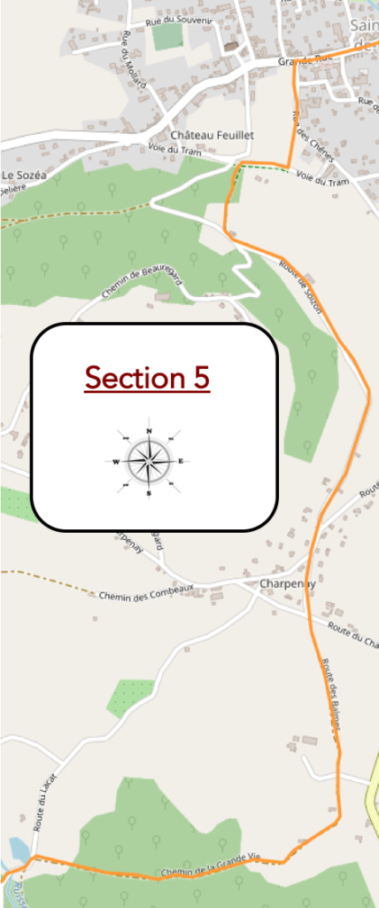
General overview of the difficulties of the route: the difficulty, but it is minor, is the climb towards Charpenay.
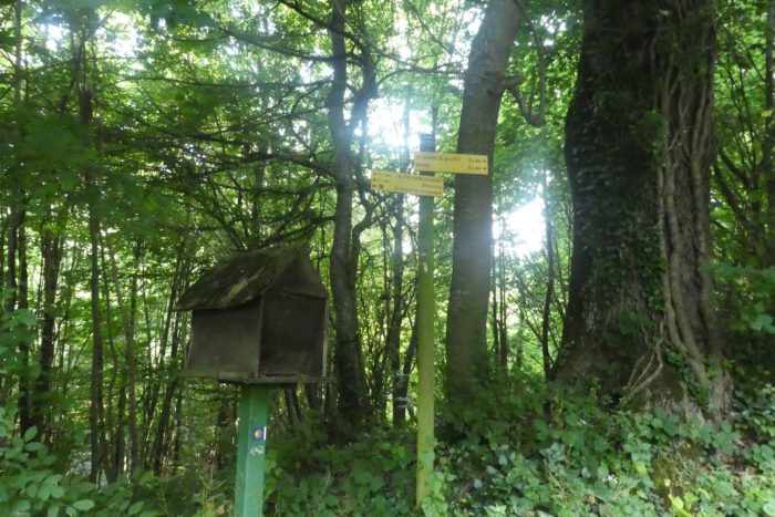
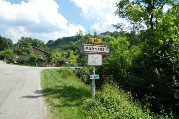
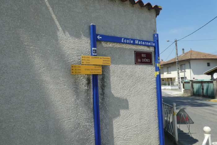
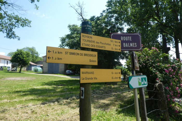
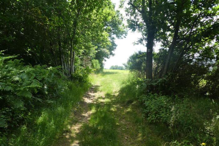
| Here you’ll finally leave the Bièvre plain to climb the Chambaran plateau in several stages. At the height of the Chemin des Chênes, Via Adresca leaves the axis of the plain to climb to the outskirts of the borough, direction Marnans, 7 kilometers from here. |
 |
 |
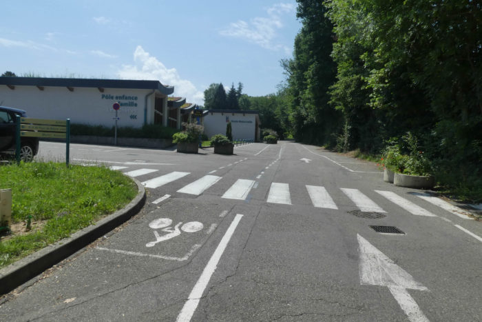
| It follows the street, heads to the kindergarten and arrives near a mansion located in a large park. |
 |
 |
| Further up, a pathway climbs along the palisades of the residence in the undergrowth. |
 |
 |
| The higher you go, the more the pebbles on the pathway increase in number and quality. You left the pebbles of the Bièvre for those of the Chambaran, but they are the same, carried and polished as they were during the last glaciations of the Quaternary era by the glaciers. Because this whole region is in fact just a collection of glacial moraines with poor soil. |
 |
 |
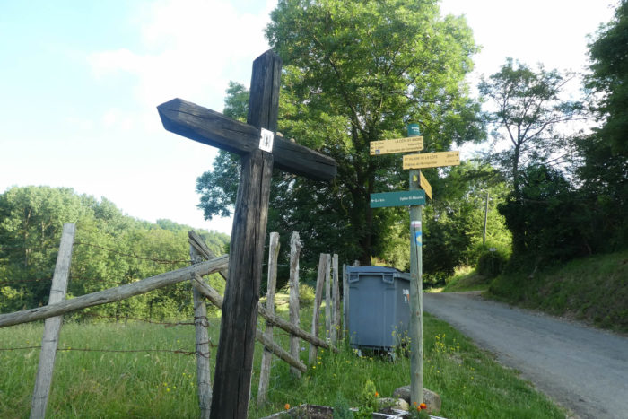
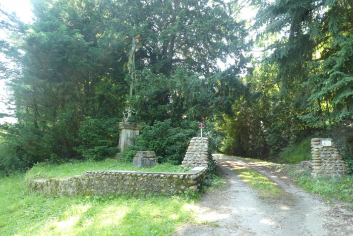
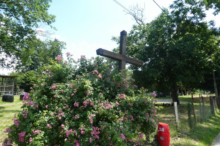
| Further up, the pathway joins a small road which it follows shortly before finding an iron cross planted in the foliage. |
 |
 |
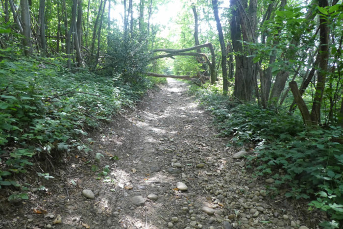
| The pathway then continues to climb through roots, stones and ruts caused by runoff water. Here, during our visit, it had not rained for 15 days. But, already in the undergrowth, then further up in the wild grass of the clearing, the pathway was no more than a real torrent. Imagine this in rainy weather! |
 |
 |
| At a place called Soizon, the pathway joins a paved road that runs along an undergrowth. |
 |
 |
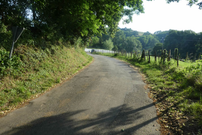
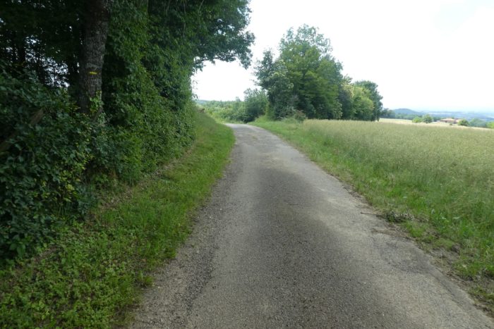
| Further afield, the road then climbs between undergrowth and meadows on the foothills of Chambaran. Below stretch the Bièvre valley and St Siméon-de-Bressieux. |
 |
 |
| The road climbs gently. Here, the hills are gentle and the atmosphere cheerful, amid ash and oak trees. |
 |
 |
| At the edge of the road, an adobe farm enchants the landscape, where there are only meadows. |
 |
 |
| Further up, the road then approaches the hamlet of Charpenay, a fairly scattered village, where, at first sight, not only peasants live. |
 |
 |
| Rapidly, the road crosses the village… |
 |
 |
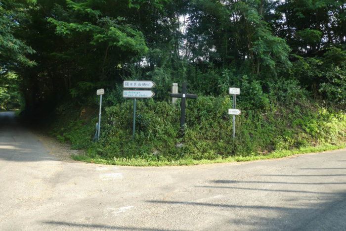
| … and gets to the Breynard cross, 5 kilometers to Marnans. From here, the Via Adresca avoids the agglomerations and travels between forests and countryside. |
 |
 |
| Further on, a pathway runs into the meadows along the ash hedges. |
 |
 |
| At a place called Grande Vie, a small country road leads between soybeans and meadows towards the Bois de la Porte, towards Combe Bajat. |
 |
 |
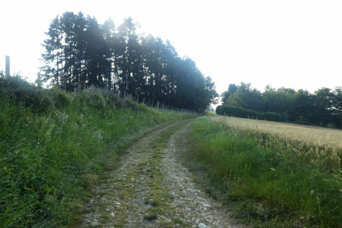
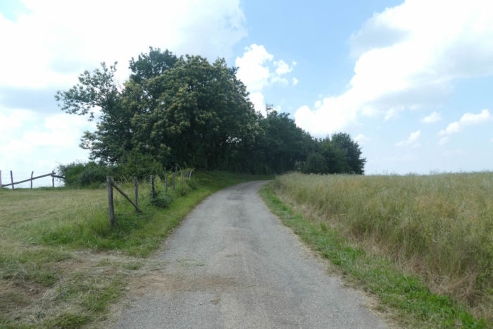
| Here the road climbs a little more steeply, but not excessively, until you find a pathway at the entrance to the forest. |
 |
 |
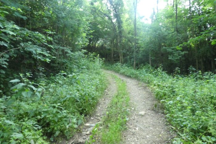
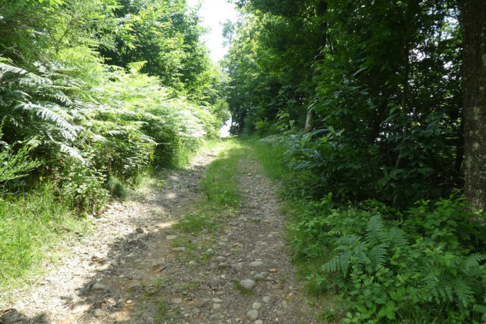
| So here, it is the total joy of walking on the pebbles of the Chambaran moraines, which are equaled only by those of the Bièvre, trampled previously. |
 |
 |
| However, from time to time, the pebbles have almost disappeared. Perhaps, the pebbles were bigger and people used them for the constructions. |
 |
 |
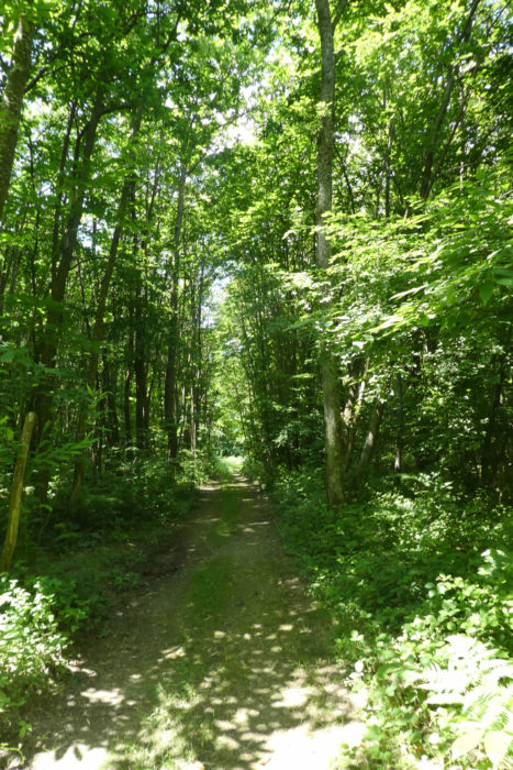
| Here, the trees are quite high and the pathway progresses through beeches, hornbeams, maples and chestnuts. The oaks are not yet present en masse here. All the forests of Dauphiné almost always have the same content and the small chestnut trees always like to compete for first place. |
 |
 |
| Shortly after, the pathway leaves the Bois de la Porte. |
 |
 |
| Further up, Via Adresca reaches a small paved road. |
 |
 |
| You are now at the entrance to the Combe Bajat forest, and you’ll follow the road for a short time. |
 |
 |
Right next to it flows the Bertrand stream, near a small pond.

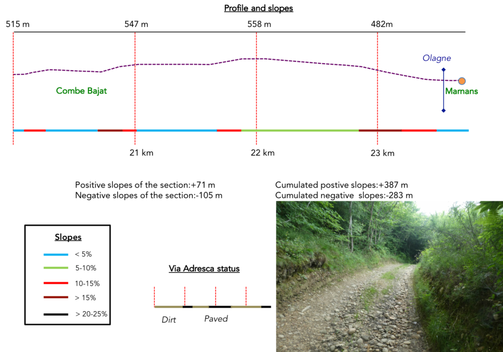
Section 6: A small hill before descending to Marnans.
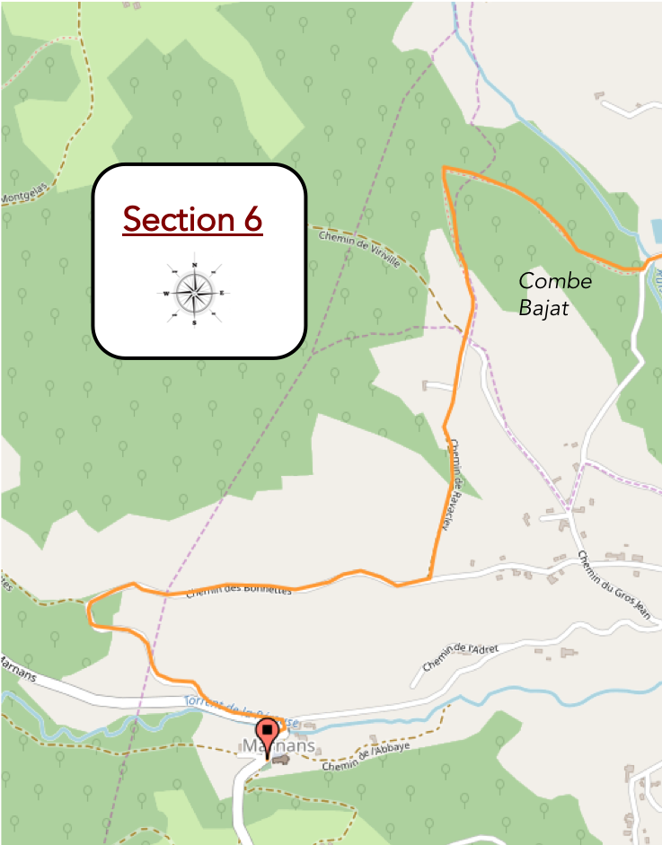
General overview of the difficulties of the route: pronounced undulations, uphill and downhill.
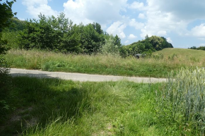
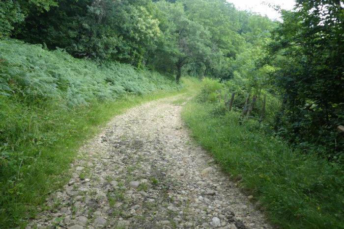
| Via Adresca does not stay long on the road, preferring the delicious Chambaran pebbles. |
 |
 |
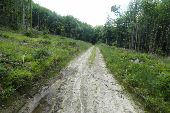
| The pathway climbs constantly, but the slopes are never excessive, rarely above 10%. Sometimes the sand almost replaces the pebbles in the ruts created by the forestry tractors, when the pathway becomes a little marshier. |
 |
 |
| But, most of the time, the pebbles rule the roost in the shade of clumps of chestnut trees and a few rare other leafy trees. |
 |
 |
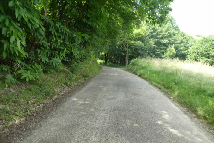
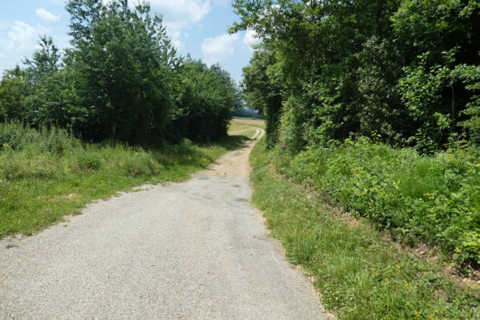
| Further up, the pathway comes out of the forest. |
 |
 |
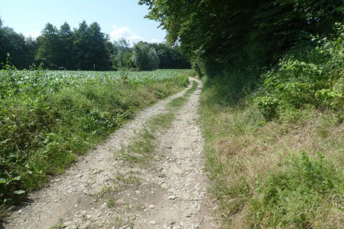
| Then, the pathway runs through meadows and soybean plantations. If here the pathway is fairly de-stoned, all the fields are not, and you can guess the pebbles in the middle of the soybean sprouts. |
 |
 |
| A little up, you will walk on a bit of tar before finding back the pathway between pebbles and grass. |
 |
 |
| The pathway continues to climb in the meadows, with here and there a few trees or a field of cereals. |
 |
 |
| Then, the slope becomes more tough, and the waltz of large stones starts again when the pathway heads to Bonettes hamlet. |
 |
 |
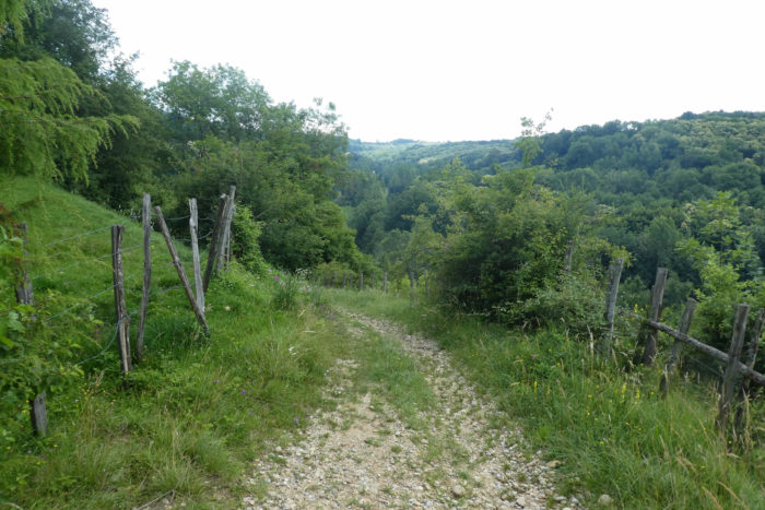
| Here, you have reached a sort of high plateau and the pathway will descend to Marnans on the other side of the valley. Via Adresca does not go to Les Bonettes but runs in the other direction on a paved road. |
 |
 |
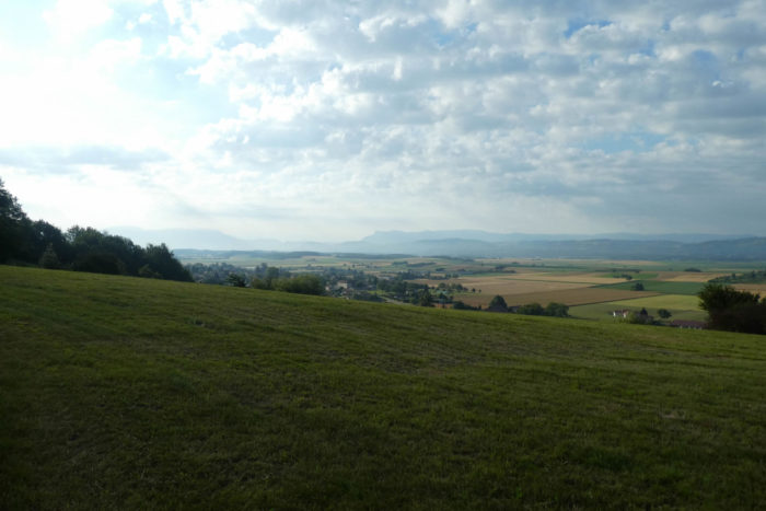
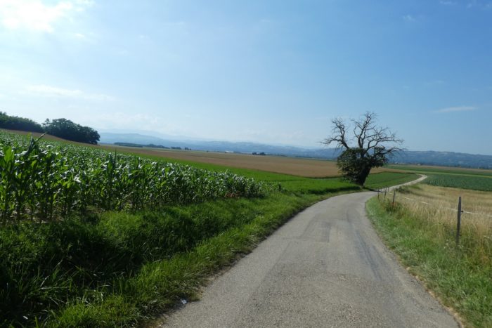
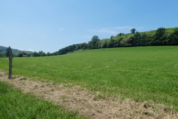
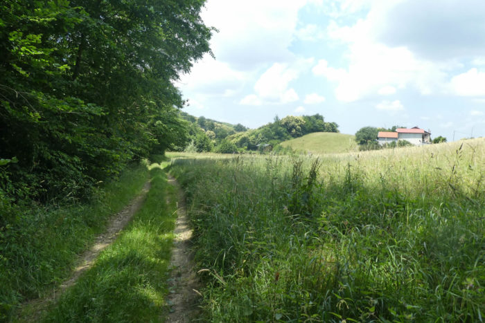
| On both sides of the road, on the high plateau, behind the meadows and the rapeseed, the chestnut trees are in bloom and form like bouquets at the edge of the groves. On your right, below, stretches the vast plain of Bièvre-Valloire. |
 |
 |
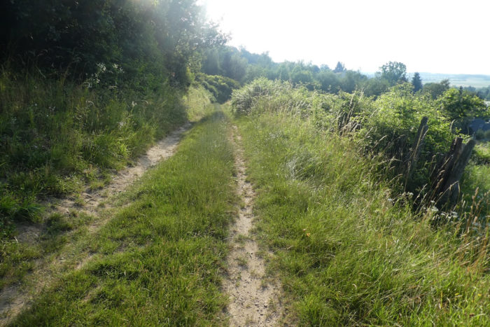
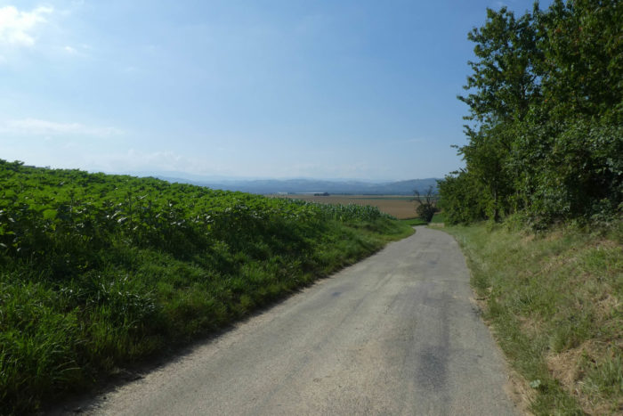
| Via Adresca then transits quite a long time in ups and downs on the high plateau. |
 |
 |
| Further ahead, the paved road ends and the dirt resumes its rights in the meadows and cereals. |
 |
 |
| Then, the pathway begins its descent towards Marnans by reaching an undergrowth. Here, a monument that the peasants like to erect as a mark of their ecological attachment to nature. |
 |
 |
| Here, the slope is steep, sometimes more than 15%, in the chlorophyll that drips everywhere. And as if to show the walker that he is still walking on the moraines, the stones are even more numerous on this side of the valley. Might as well come down here in good weather, if you can! |
 |
 |
| At the bottom of the descent, the pathway leads to the road at the entrance to Marnans. |
 |
 |
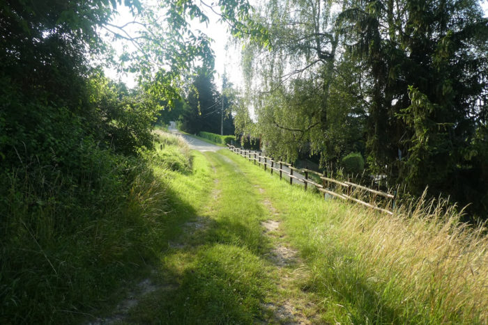
| A small paved road heads to Marnans. |
 |
 |
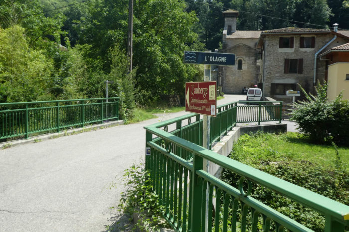
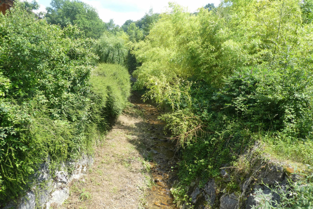
At the entrance to the hamlet, you’ll find the Olagne, a small stream that runs in the depth of the valley.
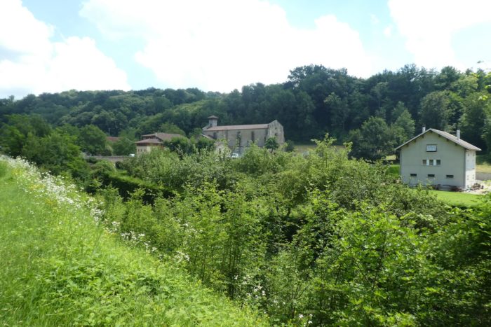
| Marnans is a charming site, a few houses nestled near the church on the edge of a road where a vehicle very rarely passes. The hostel is welcoming. You eat well and sleep very well. And accommodations are so rare in the region, that when you find one, it is better to stop there. |
 |
 |
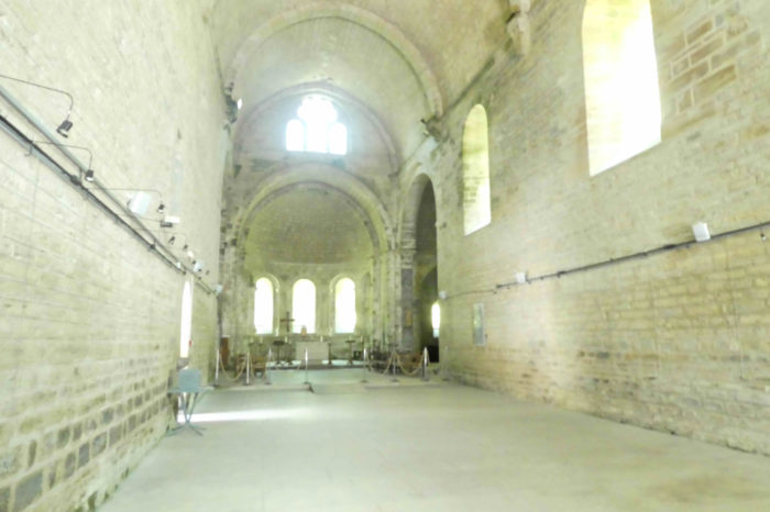
| St. Peter’s Church is Romanesque in style, but with touches of Byzantine style that sometimes throw a little more levity into the work. It looks like a classic Cistercian church, stripped down, without ornamentation. Its construction dates back to between the XIth and XIIth centuries. The vault, made of tuff, is exceptional, one of the most beautiful that can be found in Romanesque art. Beyond the transept are three chapels dug into the apses. A cloister adjoined the building. Nothing remains of it, having been destroyed during the Wars of Religion at the end of the XVth century.
A bit of history now, to tackle a complex story. Some chronicles report that it was probably the Antonines, who had their abbey at St Antoine-L’Abbaye, a little further on, who built the initial building in Marnans. Unless it was the Benedictines? We don’t really know. Because here, it was first the Benedictines who were responsible for watching over the relics of St Antoine de Padoue kept at St Antoine-L’Abbaye, relics considered as a remedy for the gangrene produced by ergot. In 1089, Guérin de Valloire, stricken by the disease, then called the “sacred fire”, made a vow, in the event of recovery, to devote himself to the sick. He was cured and with his father, they then founded the charitable community of alms brothers. It was in fact a hospital dedicated to Saint Anthony, where they treated patients affected by the cursed parasitic fungus of rye. In 1247, the pope regularized the community and attached it to the Augustinian order. Until then Benedictines and Antonins got along wonderfully, some praying to God, others caring for the sick. But later the Antonines were becoming a real religious order, so the situation changed. They even came to enter into armed conflict, the pope sometimes hesitating between the two orders. Here, he agreed with the Antonines and the Benedictines were excluded from St Antoine-l’Abbaye. The rest you will read, in the next stage, when you’ll get tot St Antoine-L’Abbaye.
So here in Marnans, people have undoubtedly witnessed the incessant conflict between the two orders and, as a result, the building has been placed under the control of the Antonines. Then came the Wars of Religion in the second half of the XVIth century. The Dauphiné suffered greatly from the conflict, being an important center of Protestantism. Here stood out François de Beaumont, Baron des Adrets, one of the most skilful and bloodthirsty leaders of the Protestant party, renowned for his cruelty and his predilection for the destruction of churches. He attacked, among other churches, that of St Antoine-l’Abbaye, but also that of Marnans.
So, it is here between legend, history and old chronicles, including that told by Vital Berthin, that the life of Marnans unfolds. François de Beaumont was heading with his army to seize the young prior of Marnans, who was boldly fighting Protestant precepts. He walked with Captain de Granges, his friend, but much more conciliatory than himself, almost a Catholic in a way. He begged him to limit his cruelty, to spare the prior. But Beaumont remained adamant. He arrived at the church, but the prior had fled up the hill. Beaumont had powder and explosives placed and ignited the fuse. The stained-glass windows shattered, part of the walls collapsed. The prior, seeing the damage from afar, came down the hill and presented himself to the bloodthirsty baron, asking to spare the church of God. The furious baron then signaled to the soldiers to demolish the roof. The prior even came to offer his life to save his church, but the baron imposed his conversion to Protestantism, which the prior obviously refused. The soldiers then fired on the prior, but he did not die immediately. Then came Captain de Granges, who rescued the wounded man, stripping him of his clothes. In the tissues of the unfortunate then appeared an image, that of the mother of the prior. And there, miracle! Beaumont ordered the demolition of the building suspended, attended to the injured person himself, and burst into tears. He even closed the priest’s eyes when the latter breathed his last. And he returned to Catholicism, of course.
You can believe this story or you cannot believe it. It hardly matters today, but think about it when you enter the great nave of the church. |
 |
 |
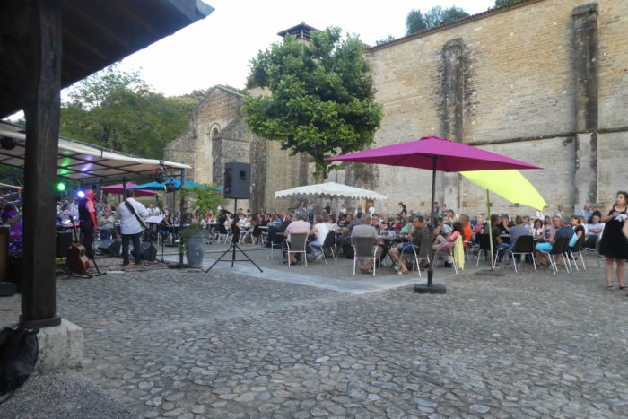
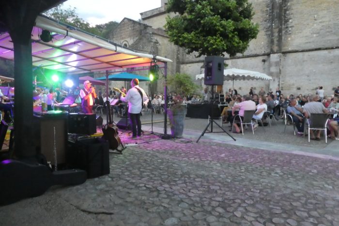
| That day, owners of the inn had seen big. It was the day of the Fête de la Musique. People grilled sausages, drank and danced until late at night at the foot of the church. Wonderful. |
 |
 |
Lodging